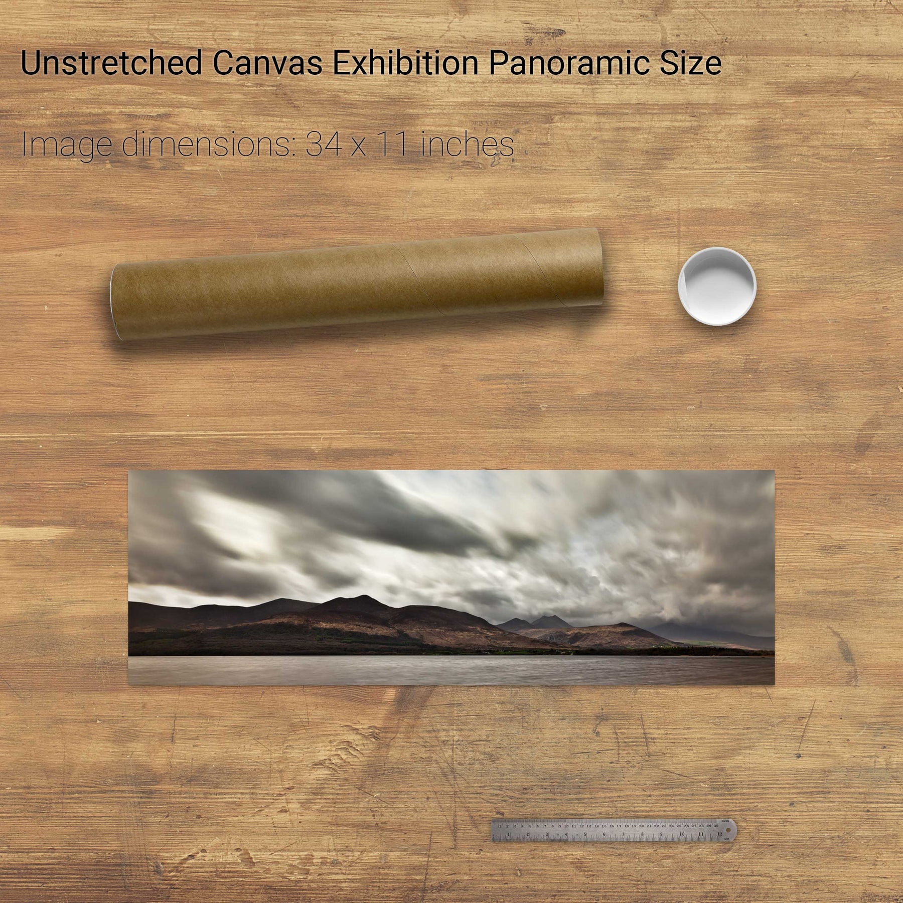
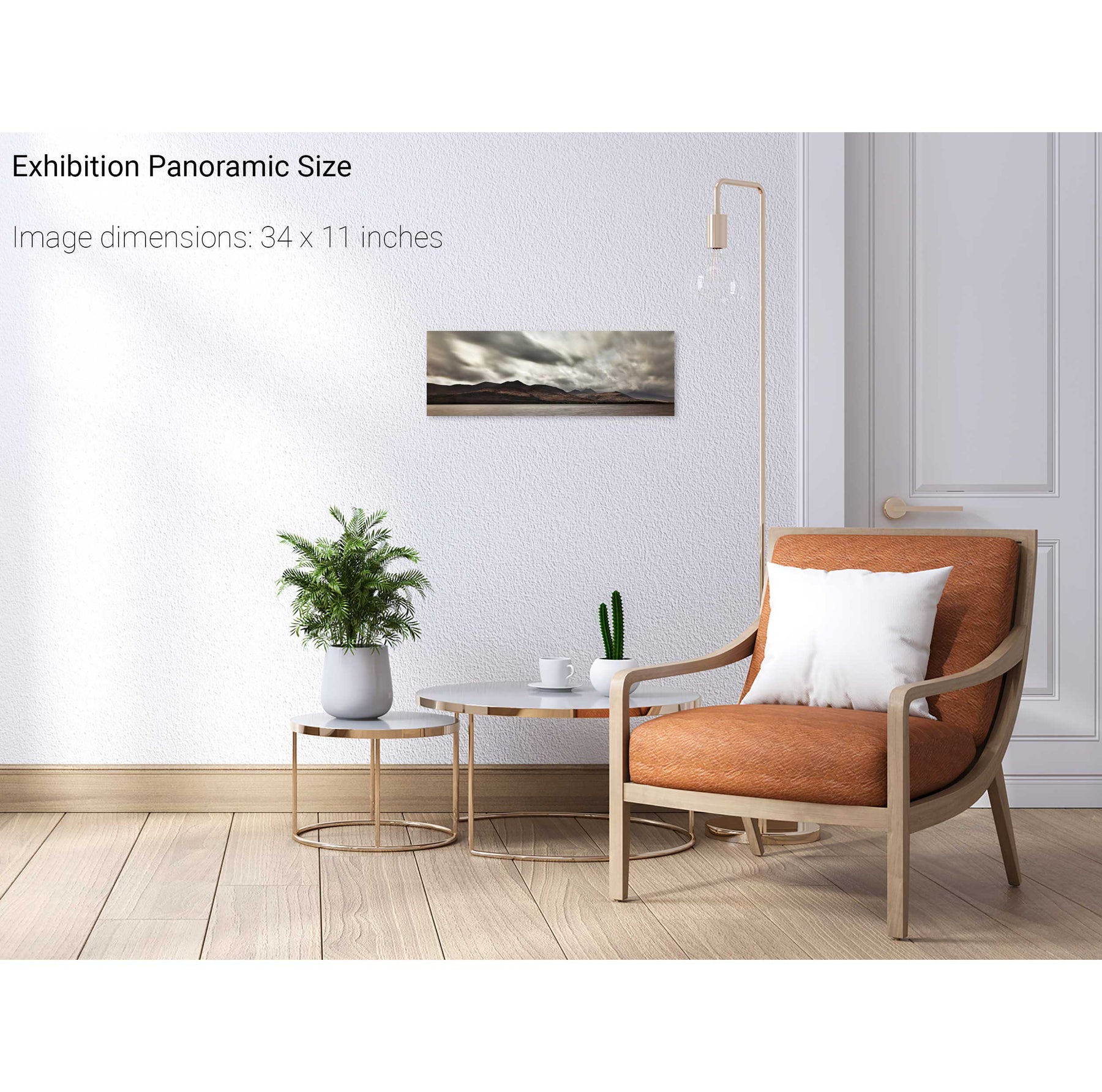
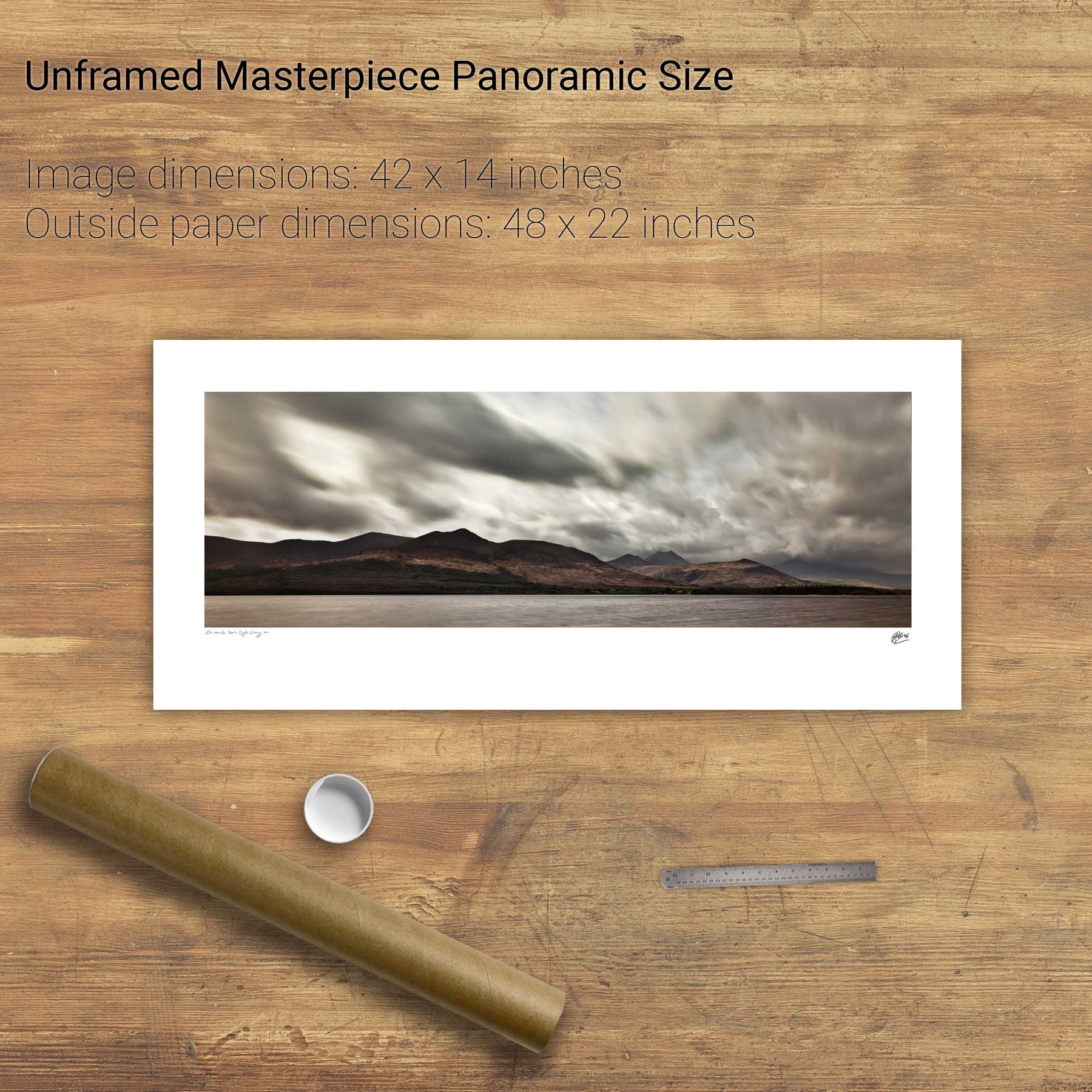
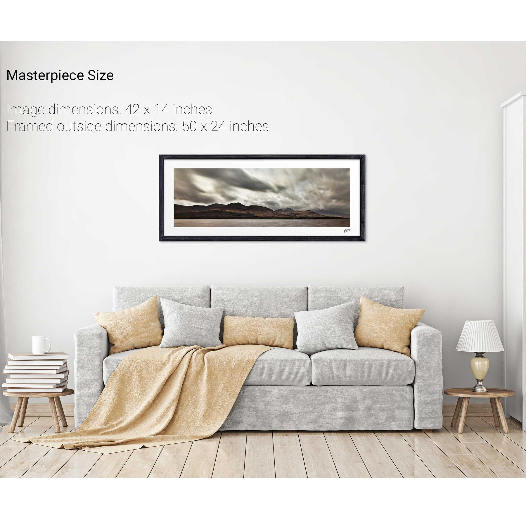
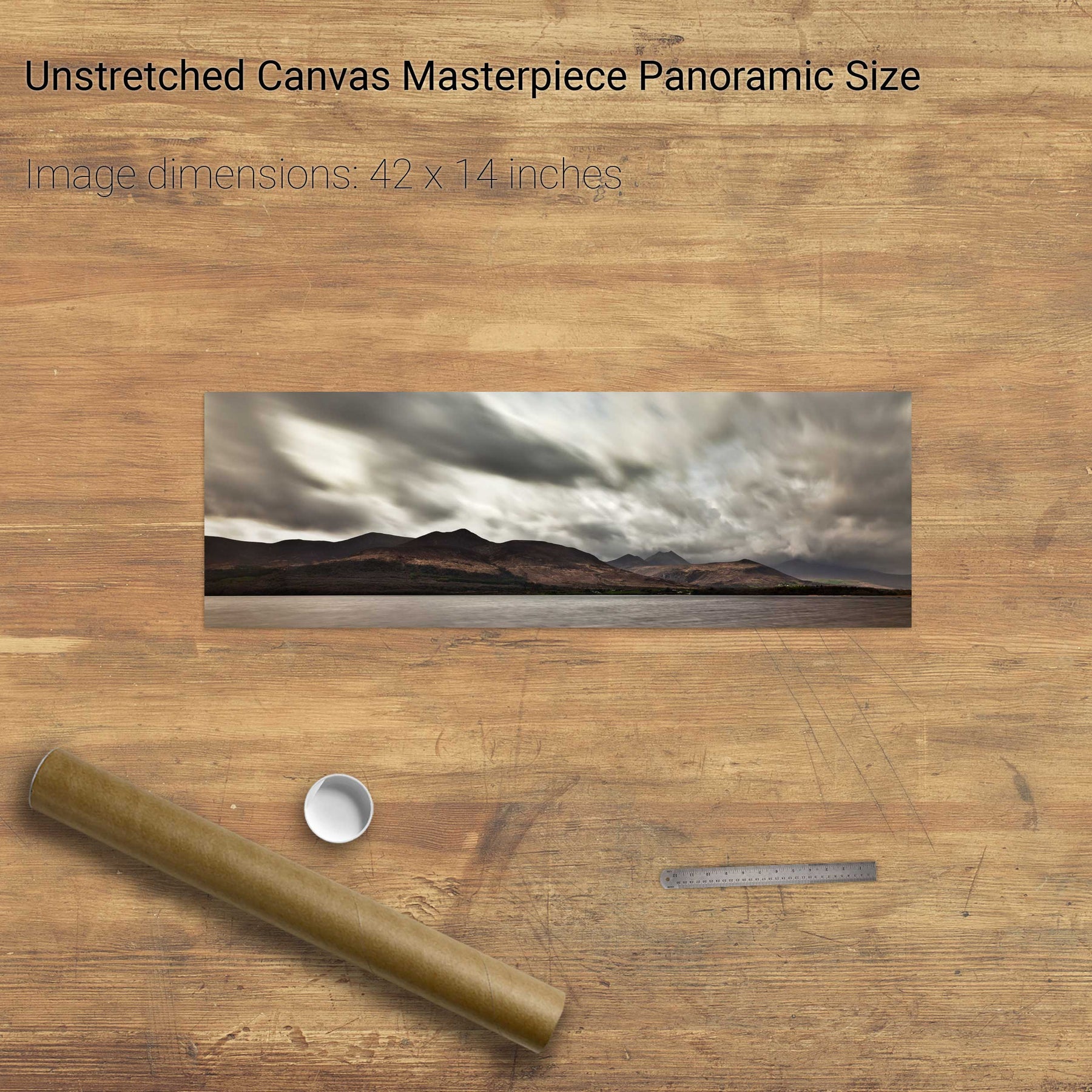
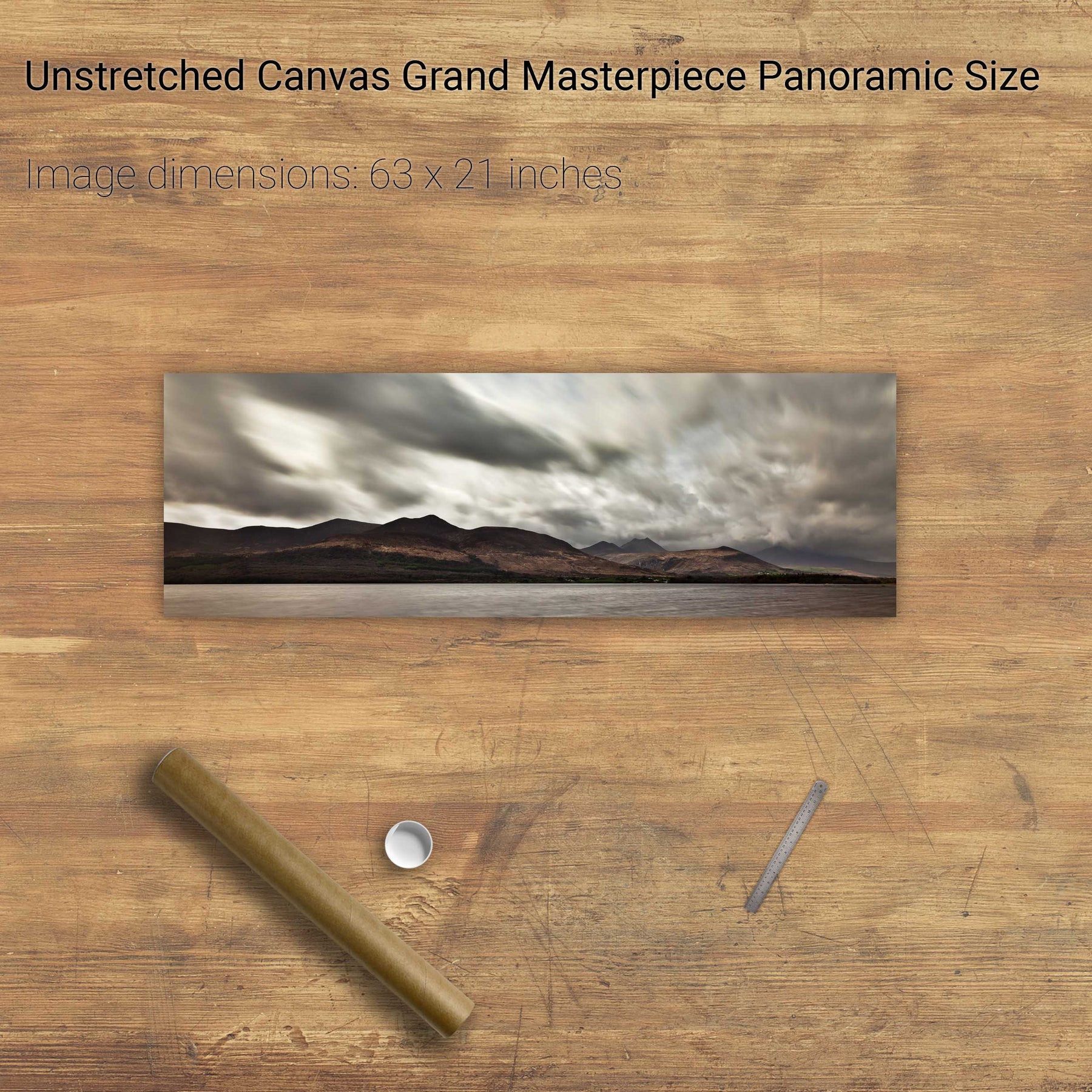
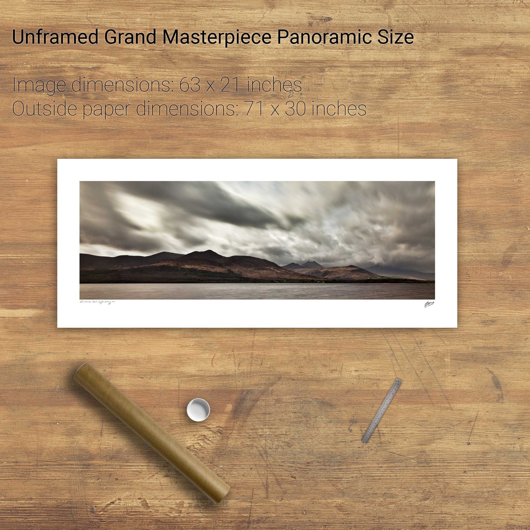
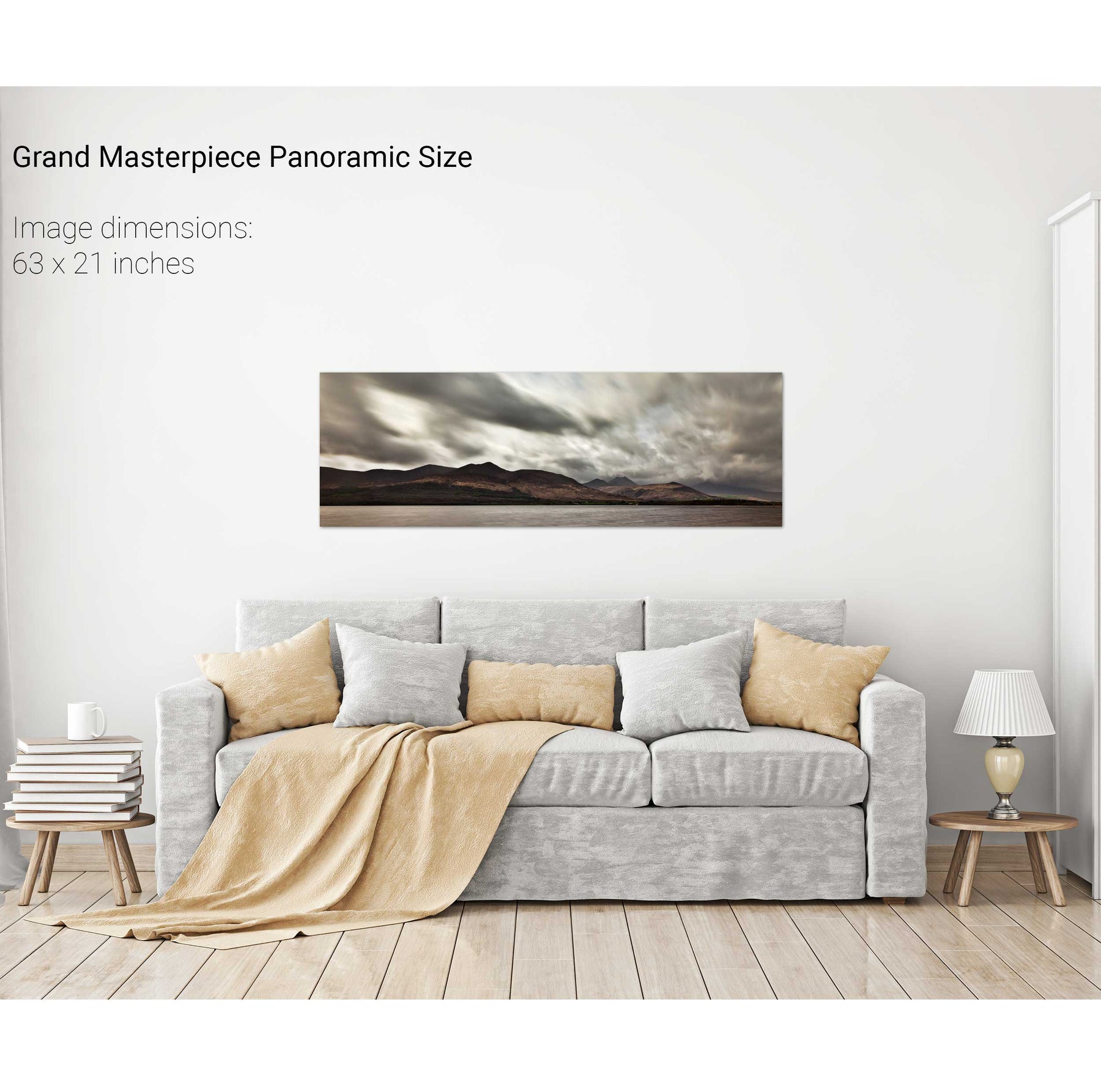
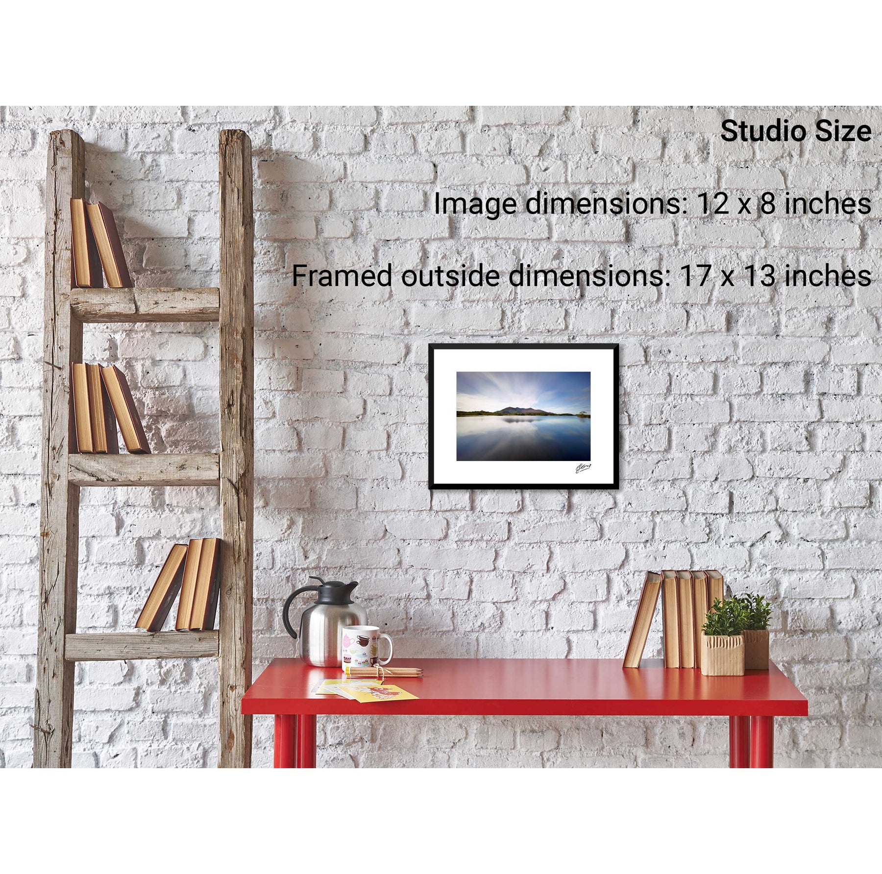
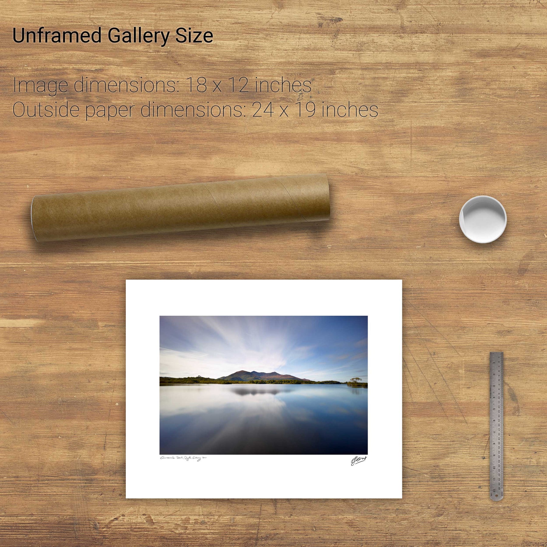
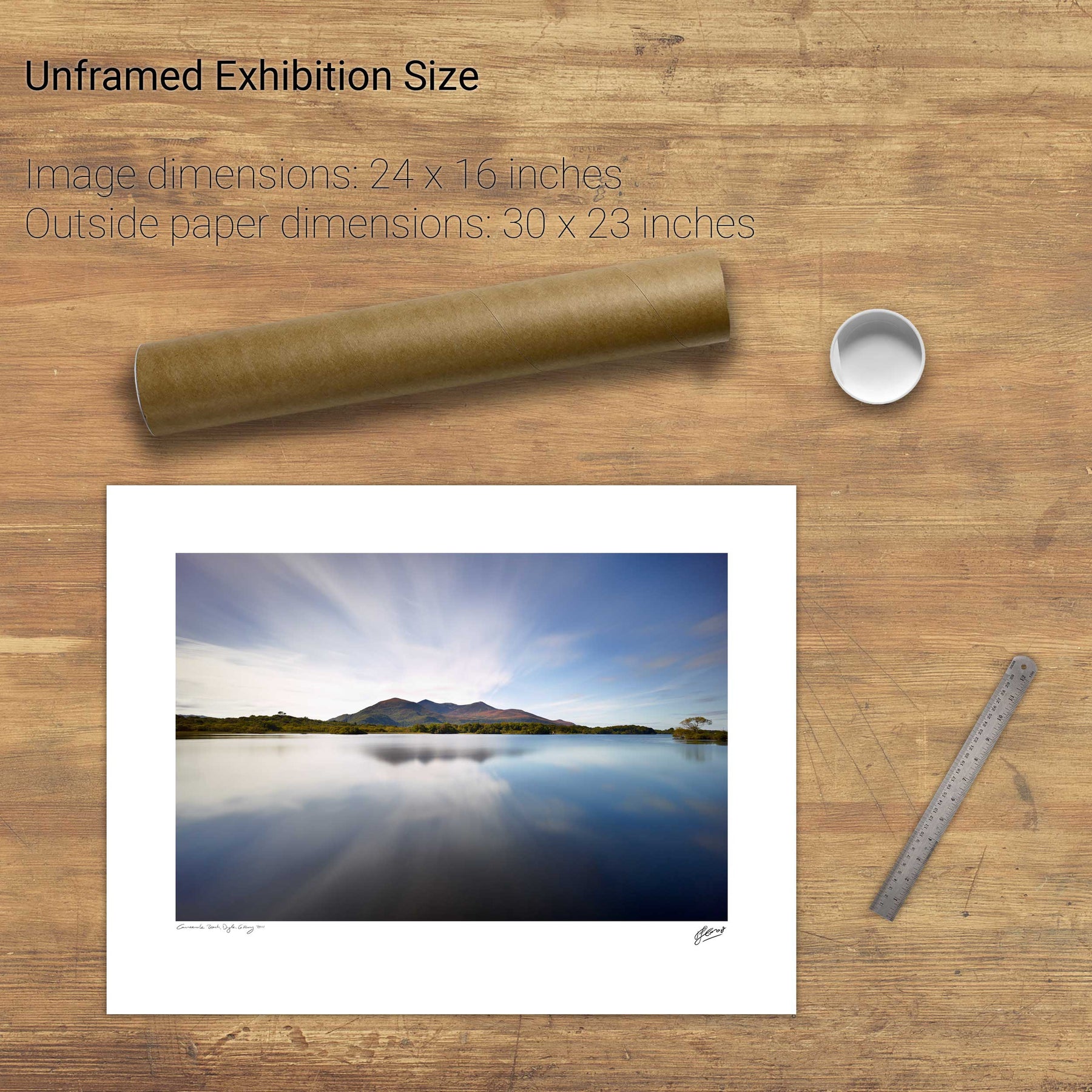
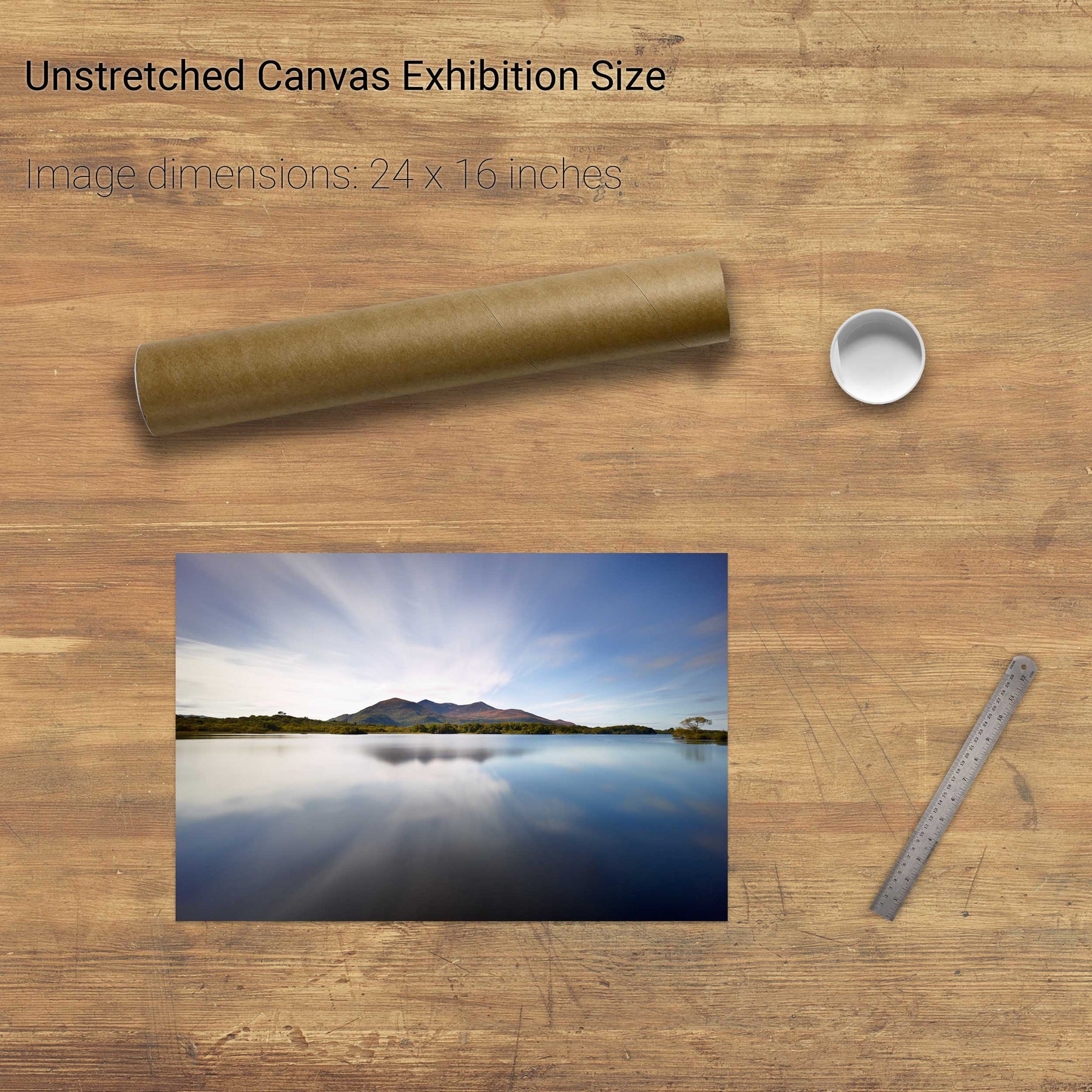
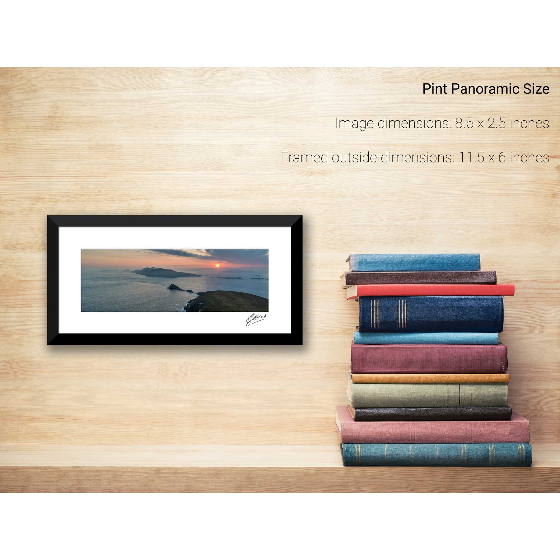
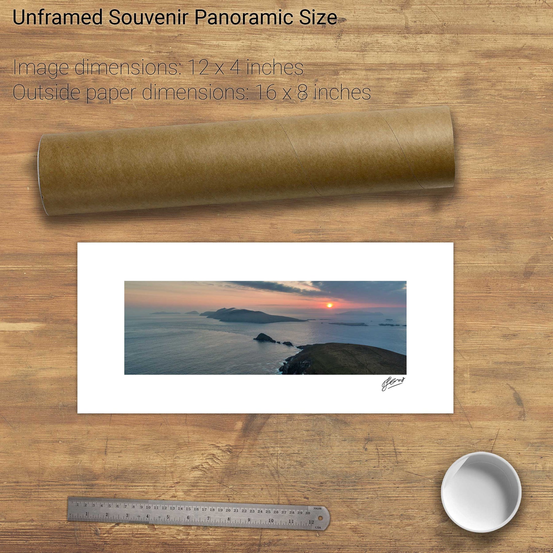
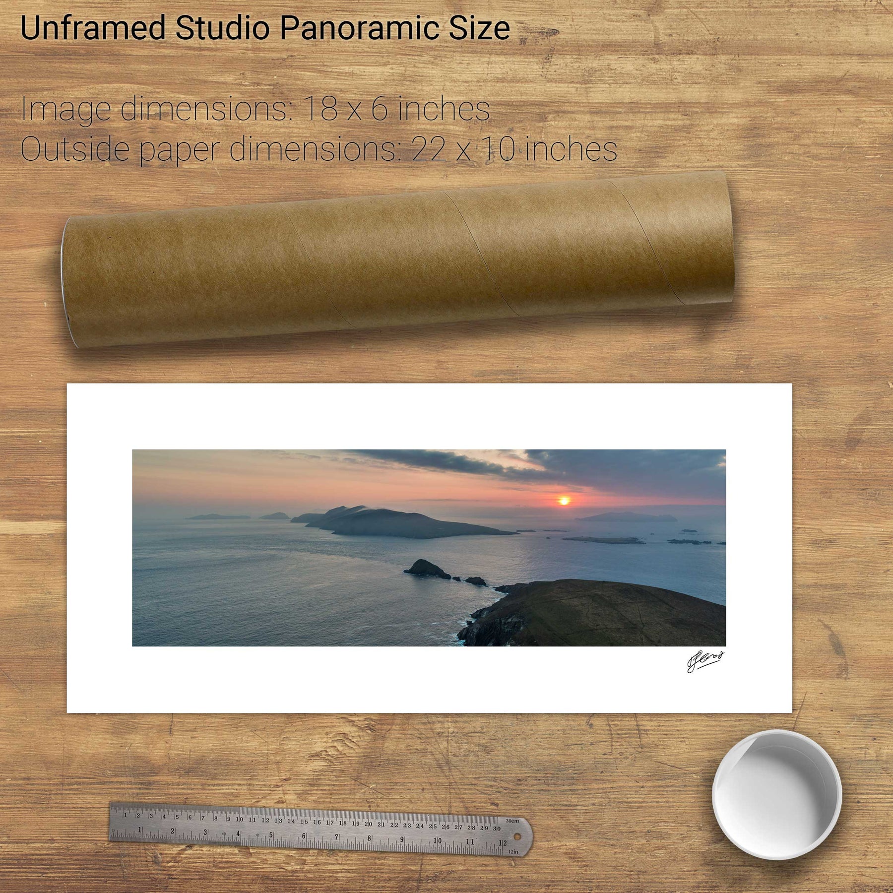
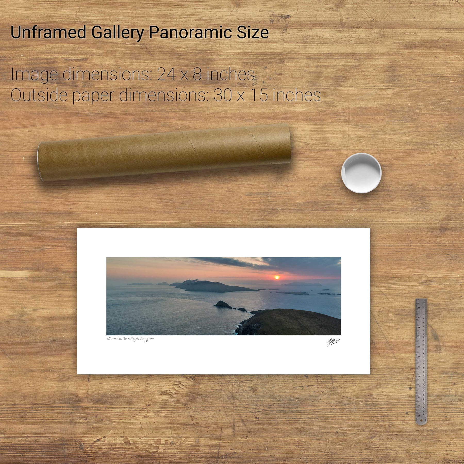
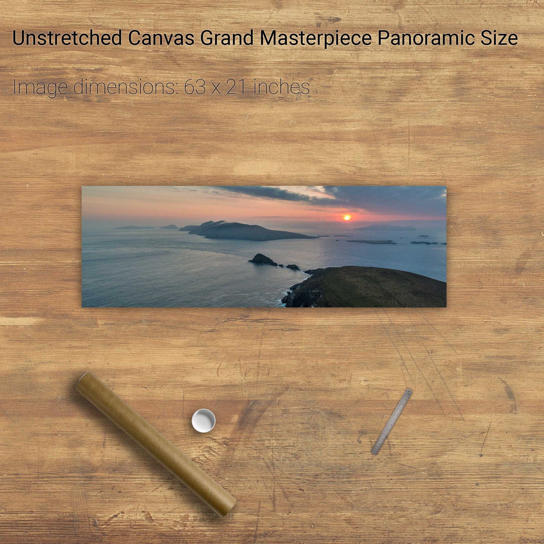
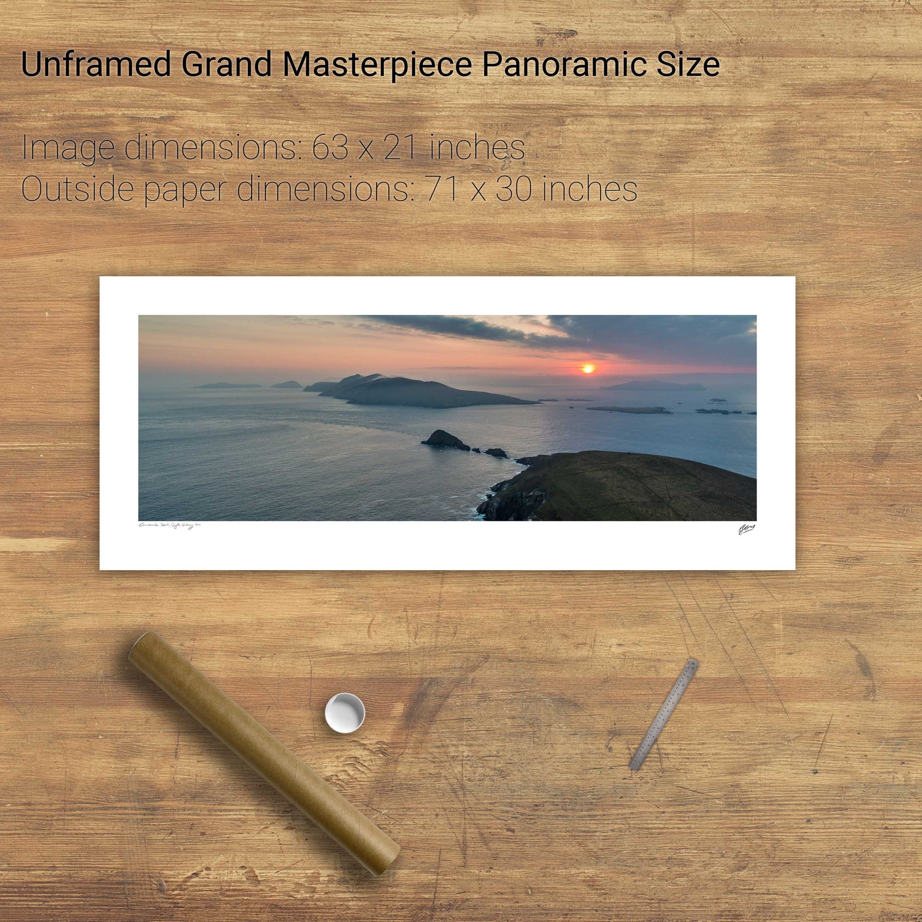
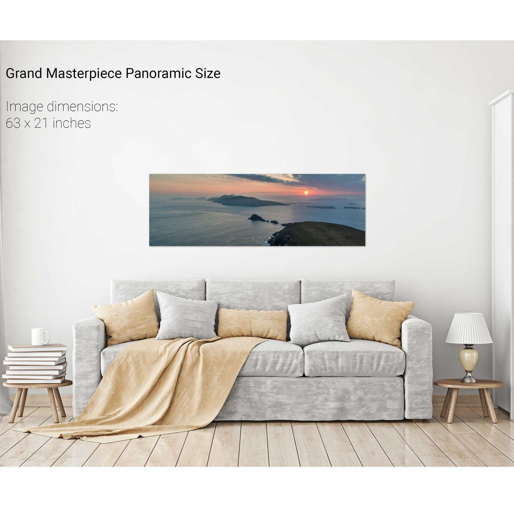
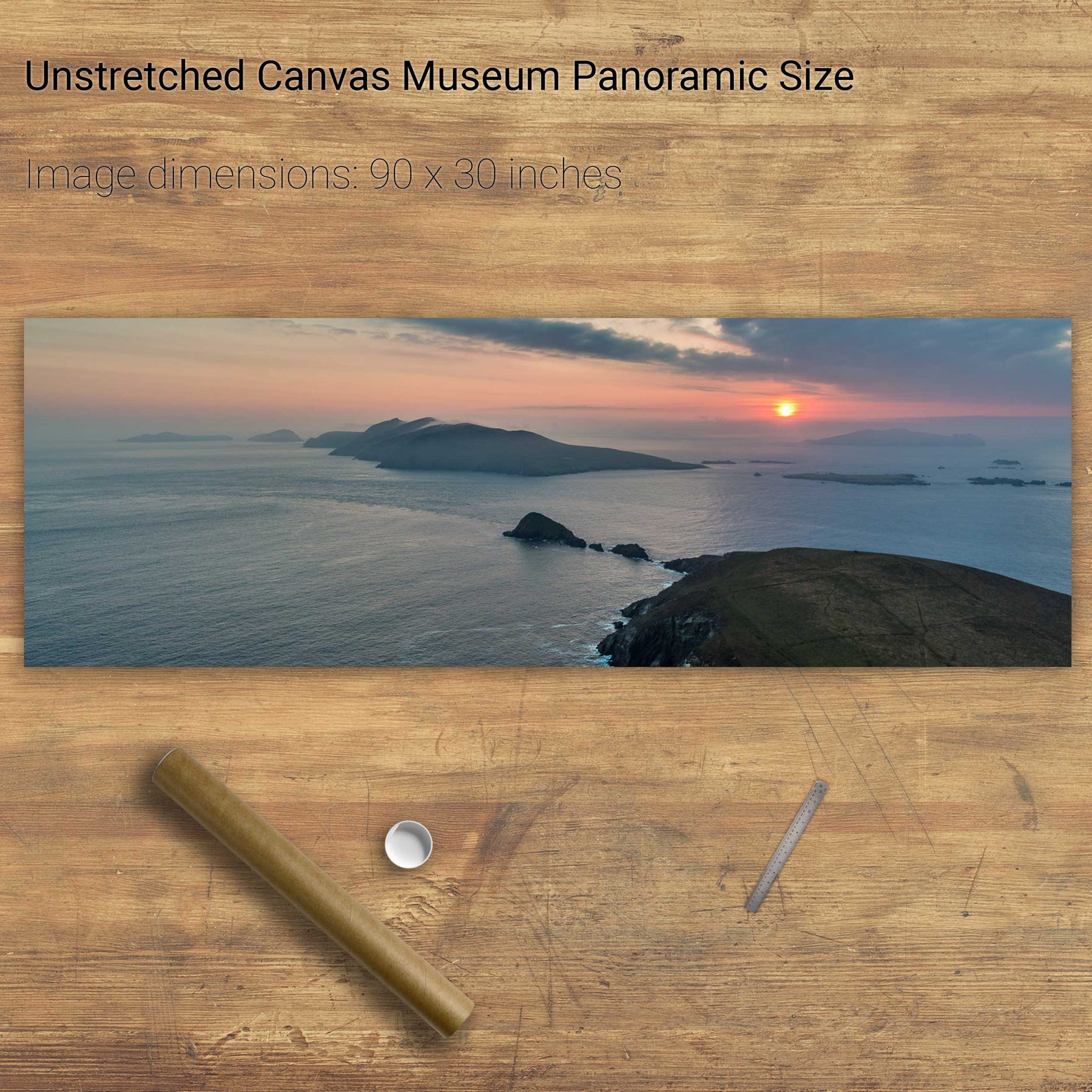
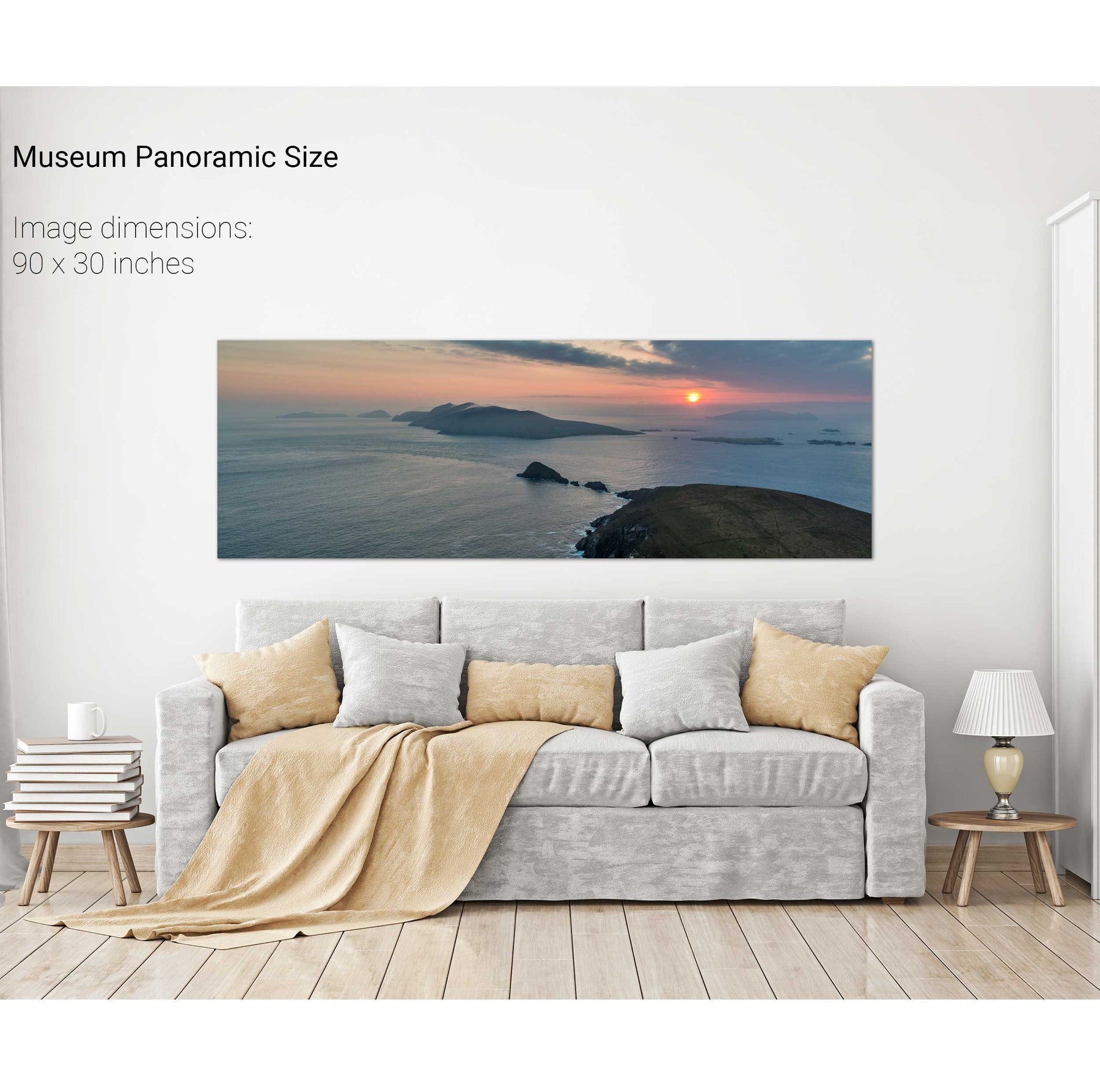
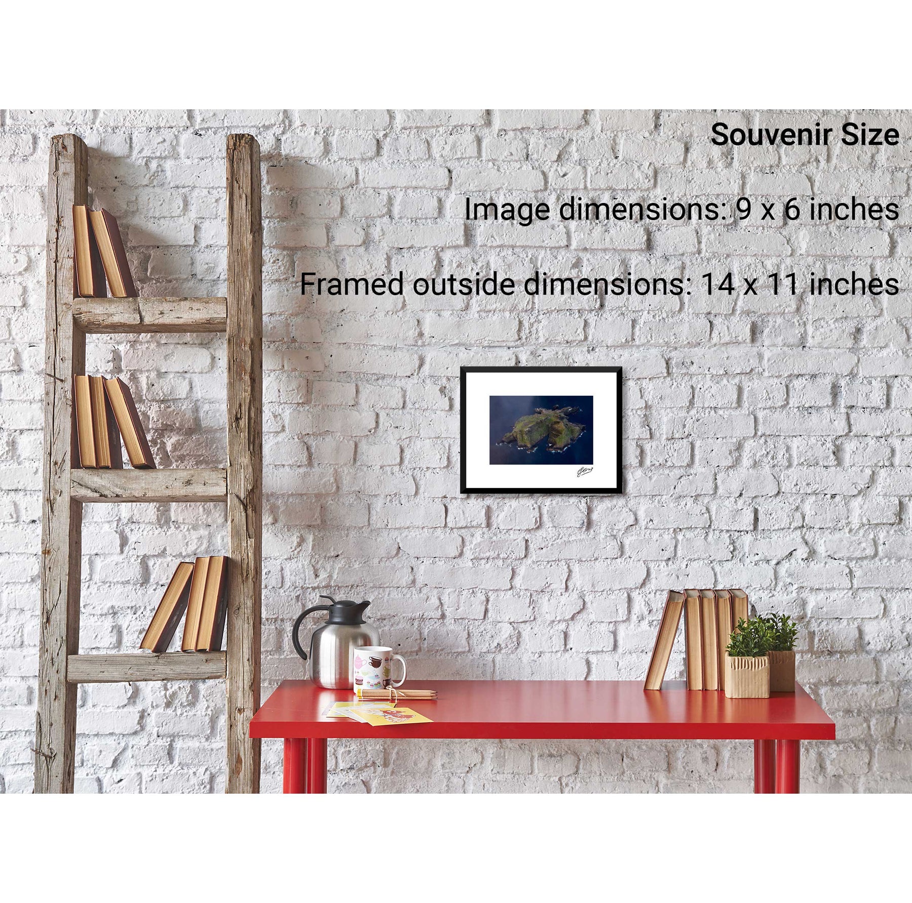
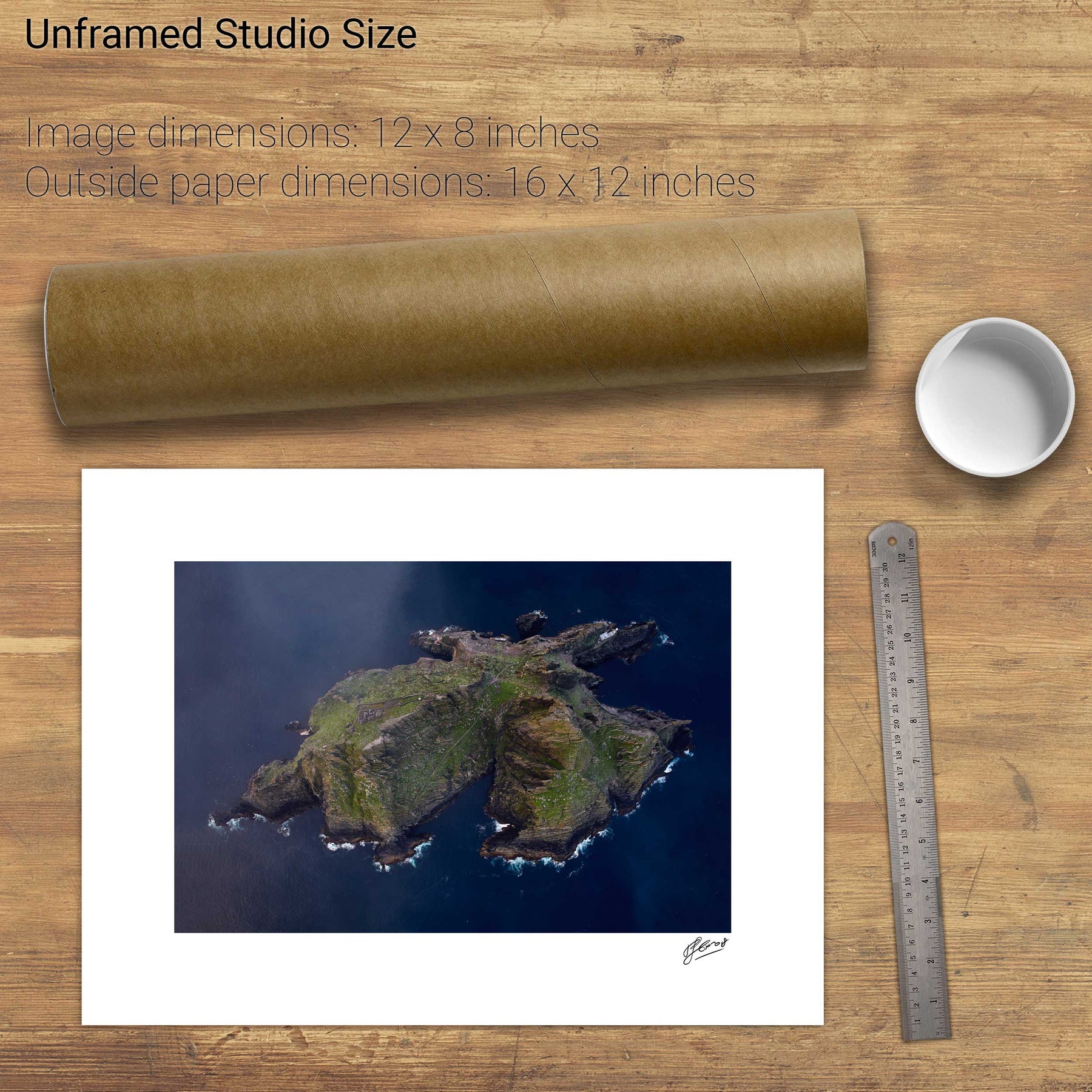
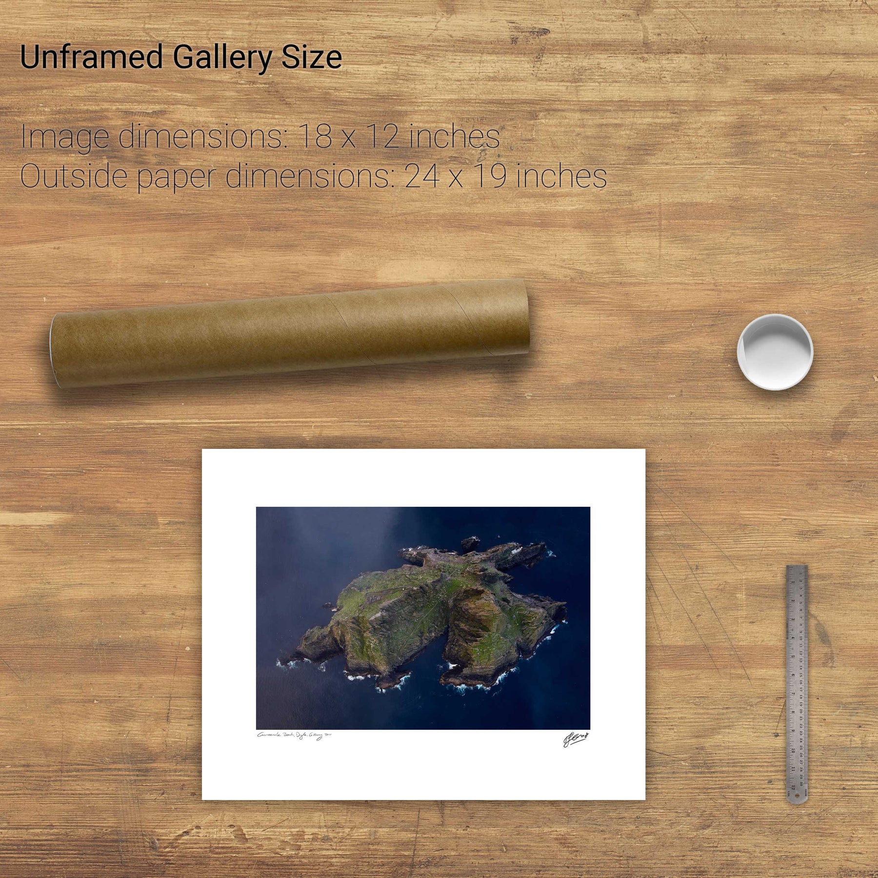
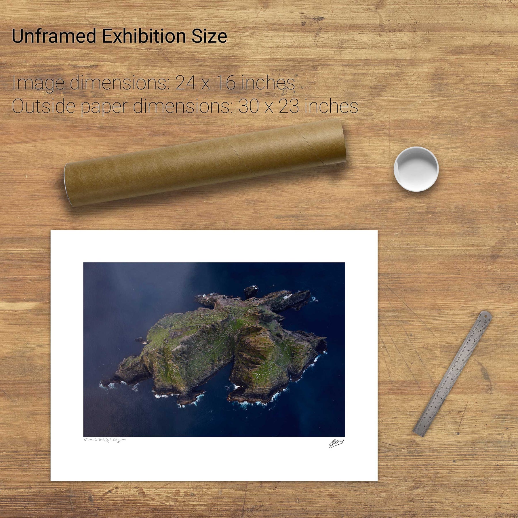
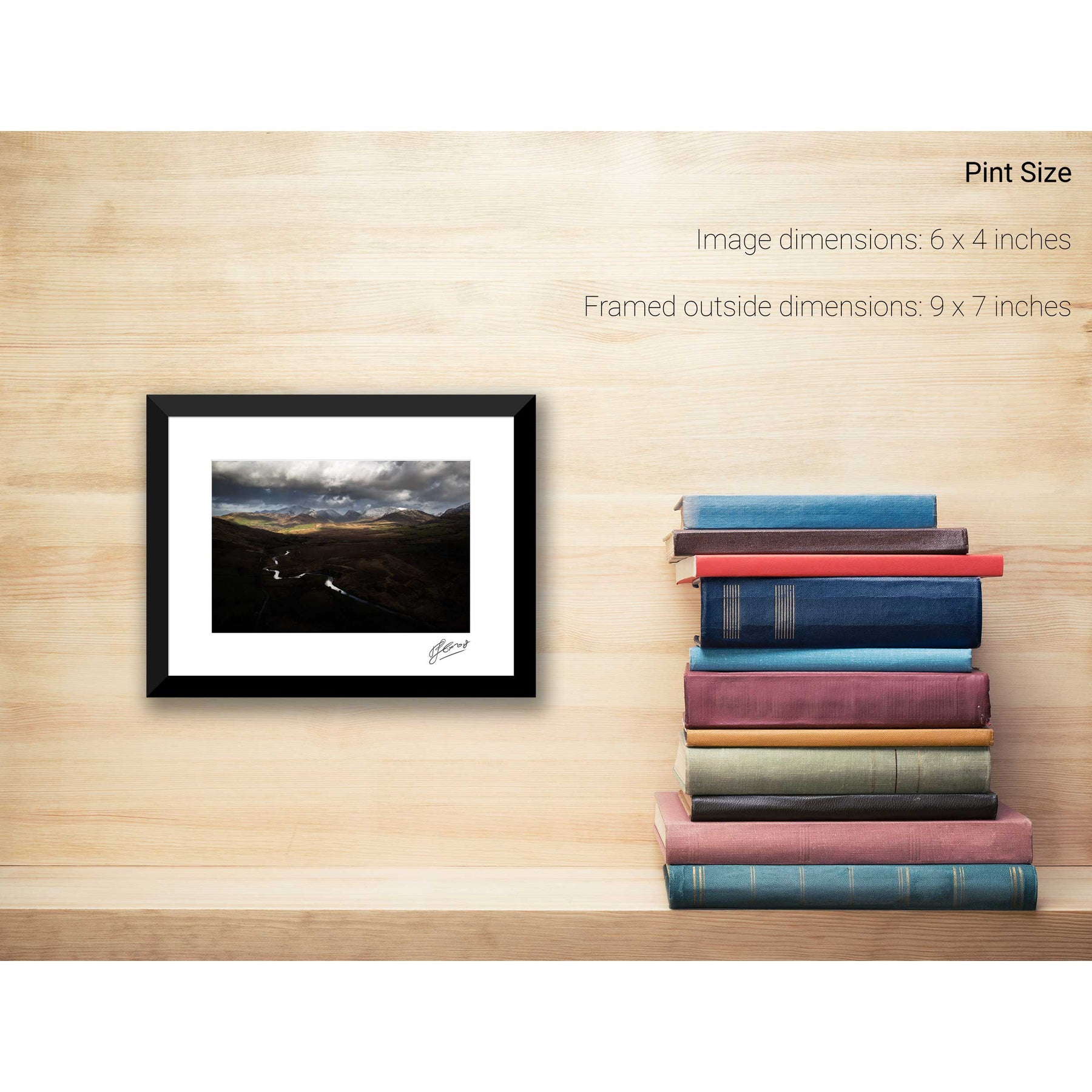
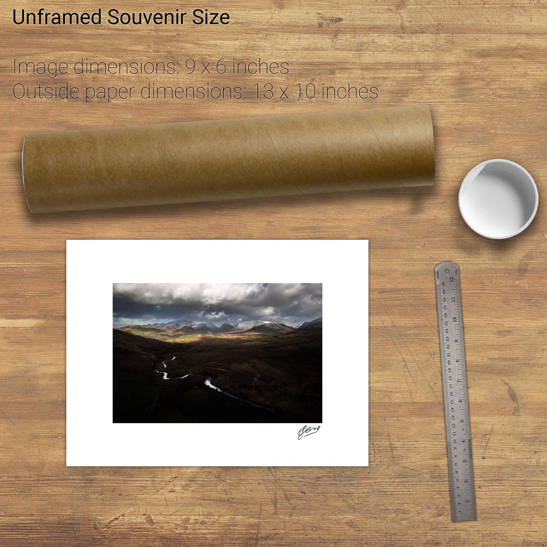
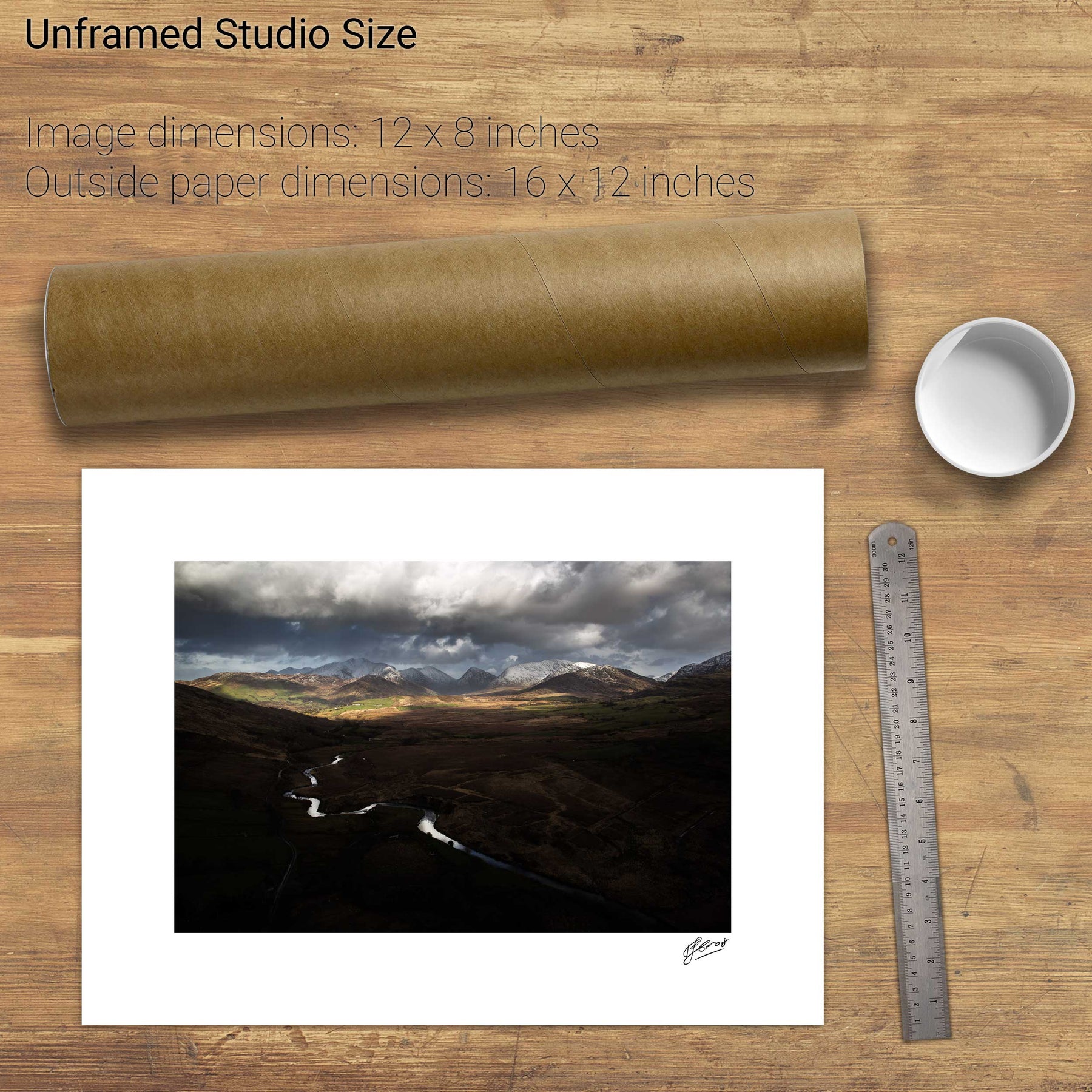
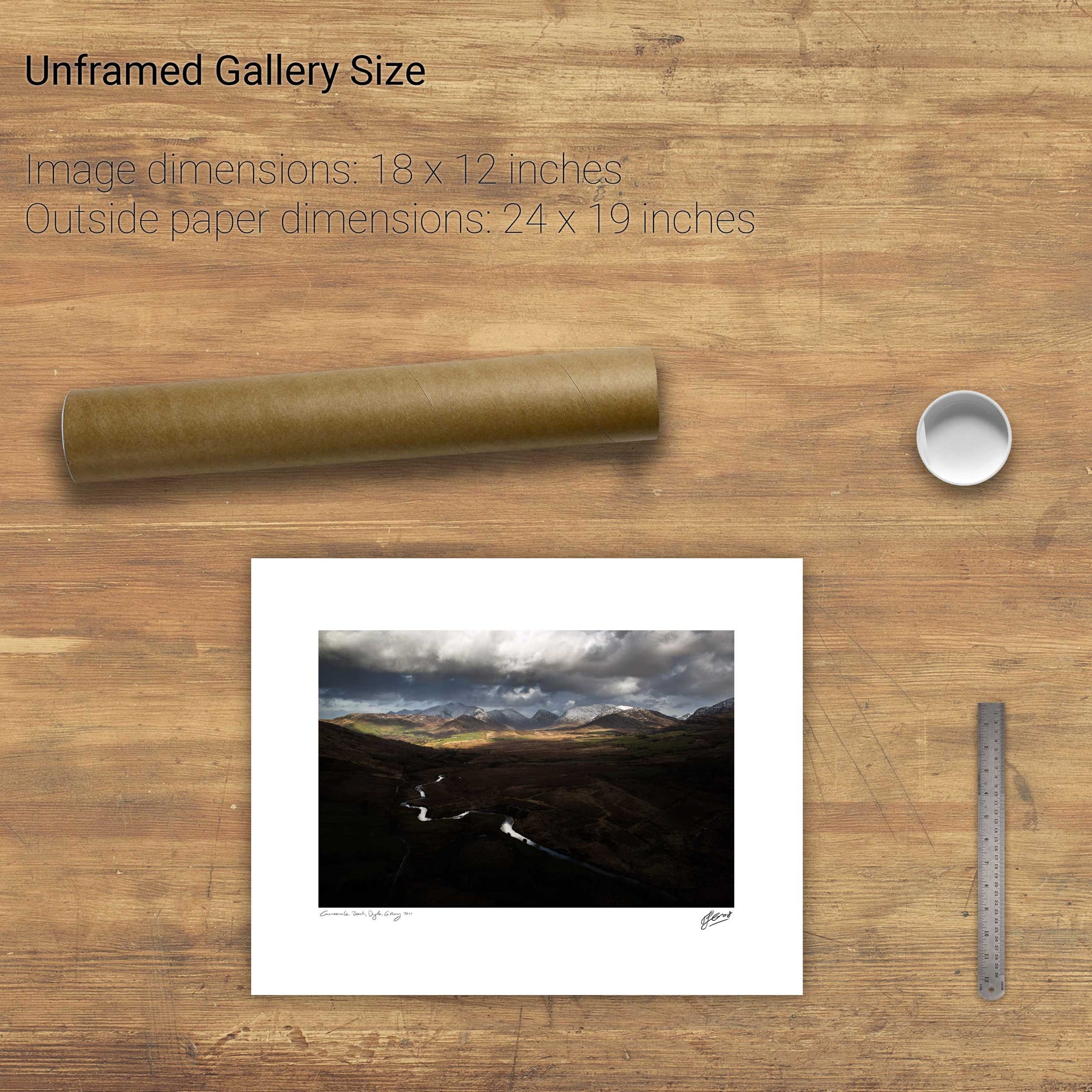
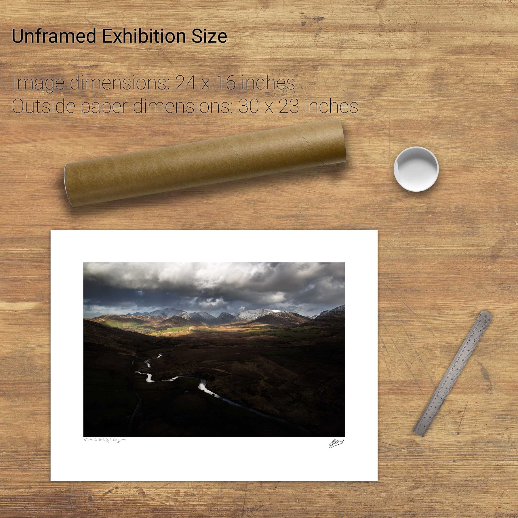
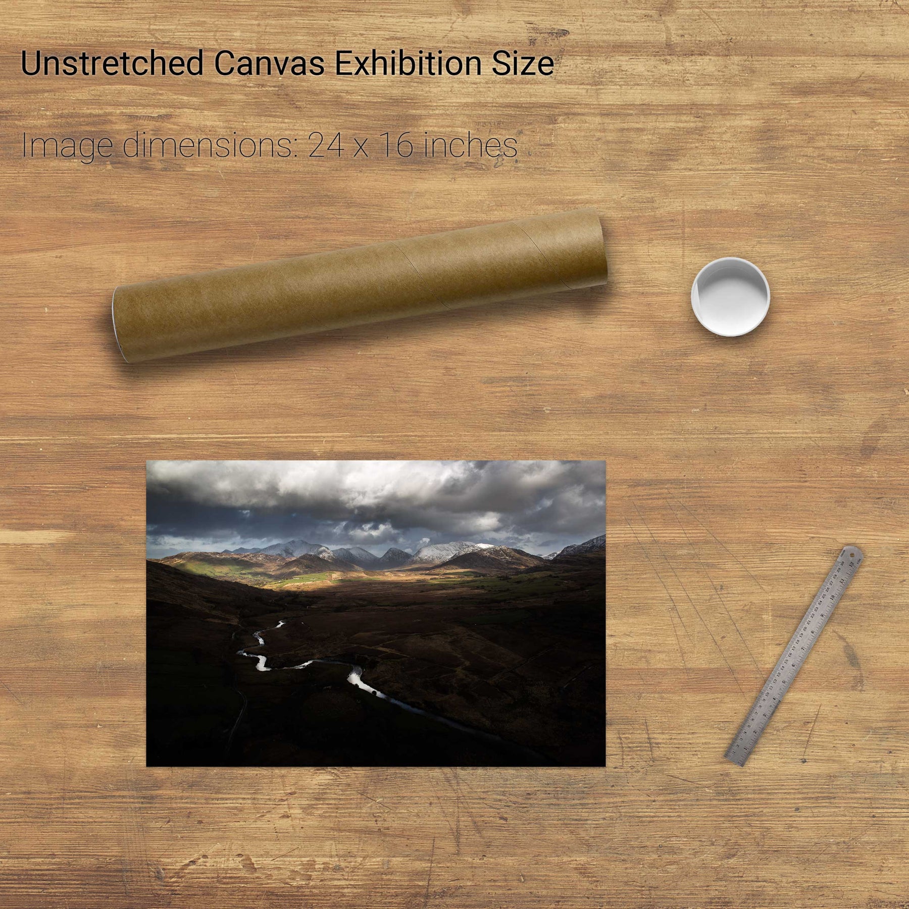
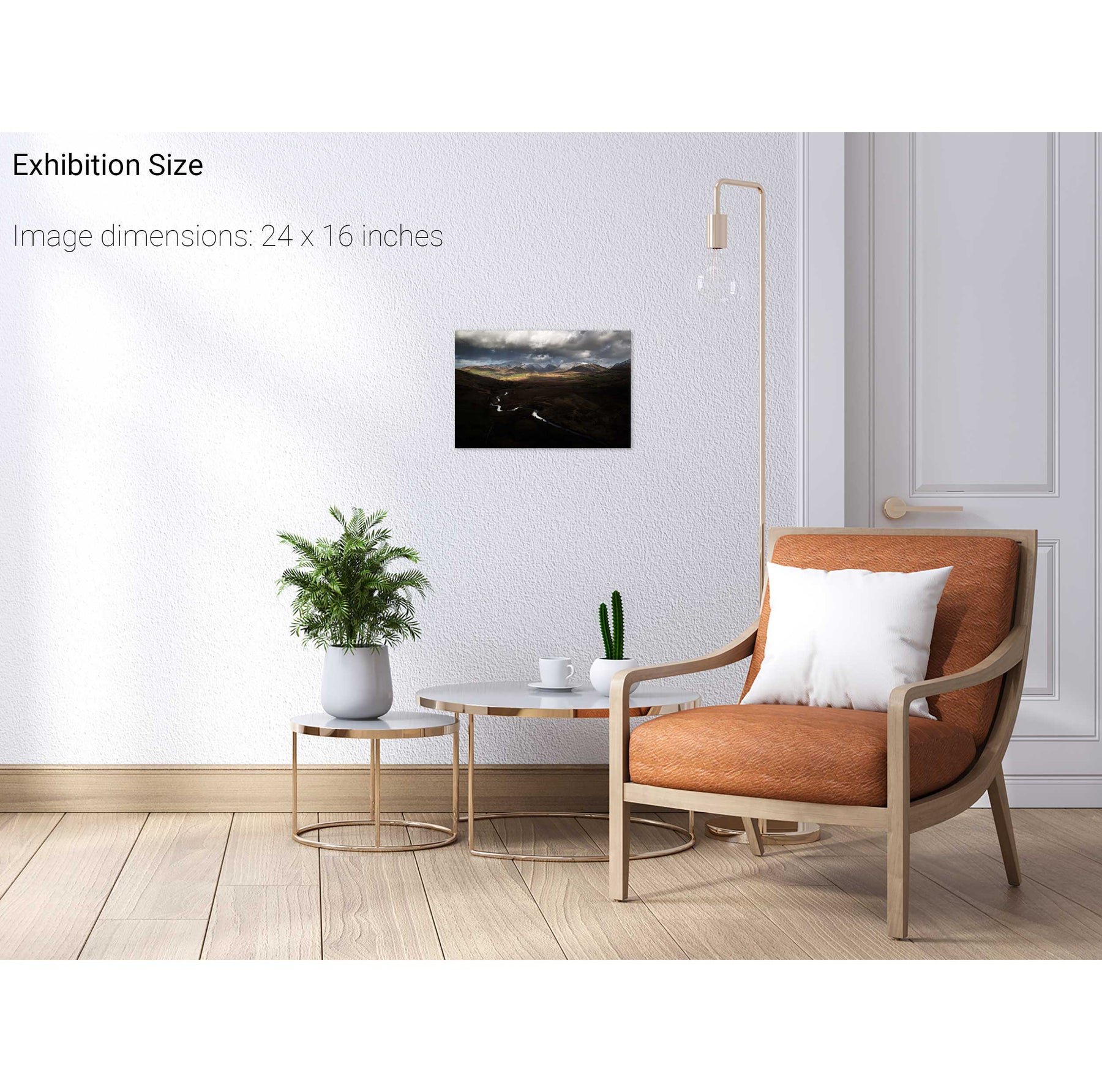
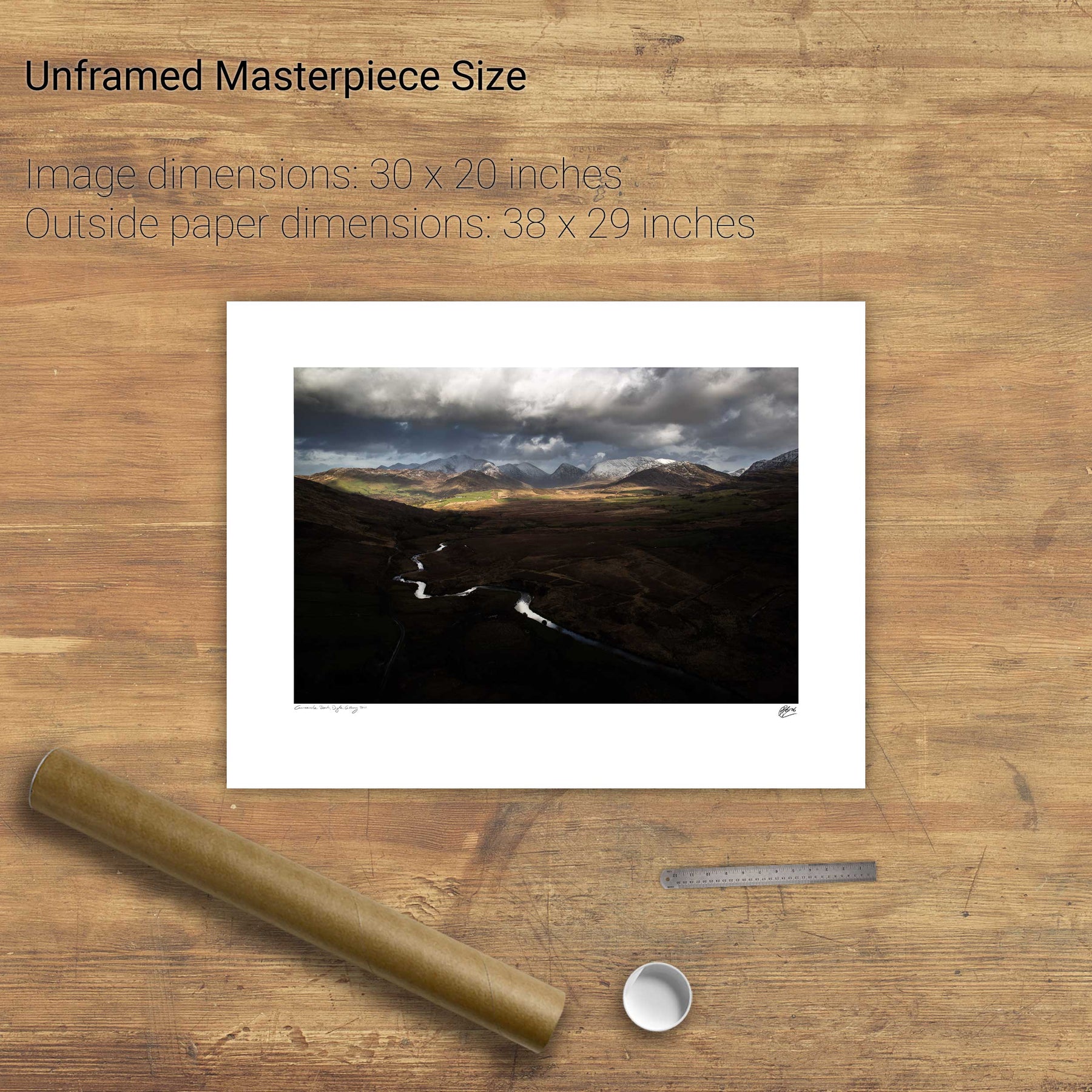
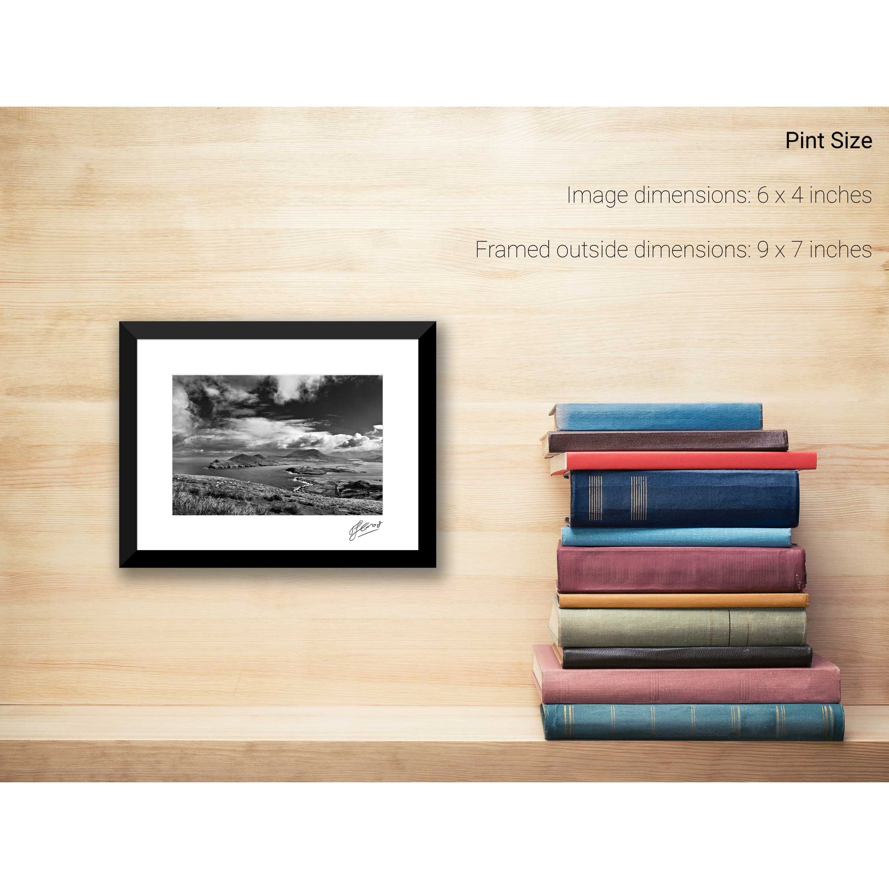
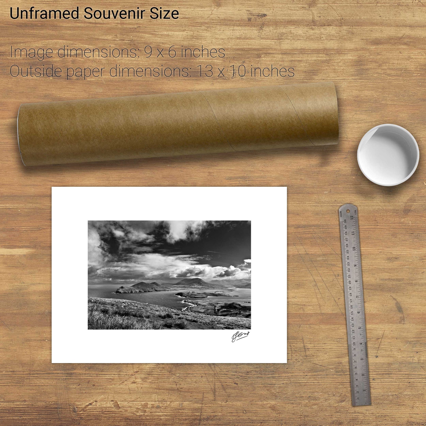
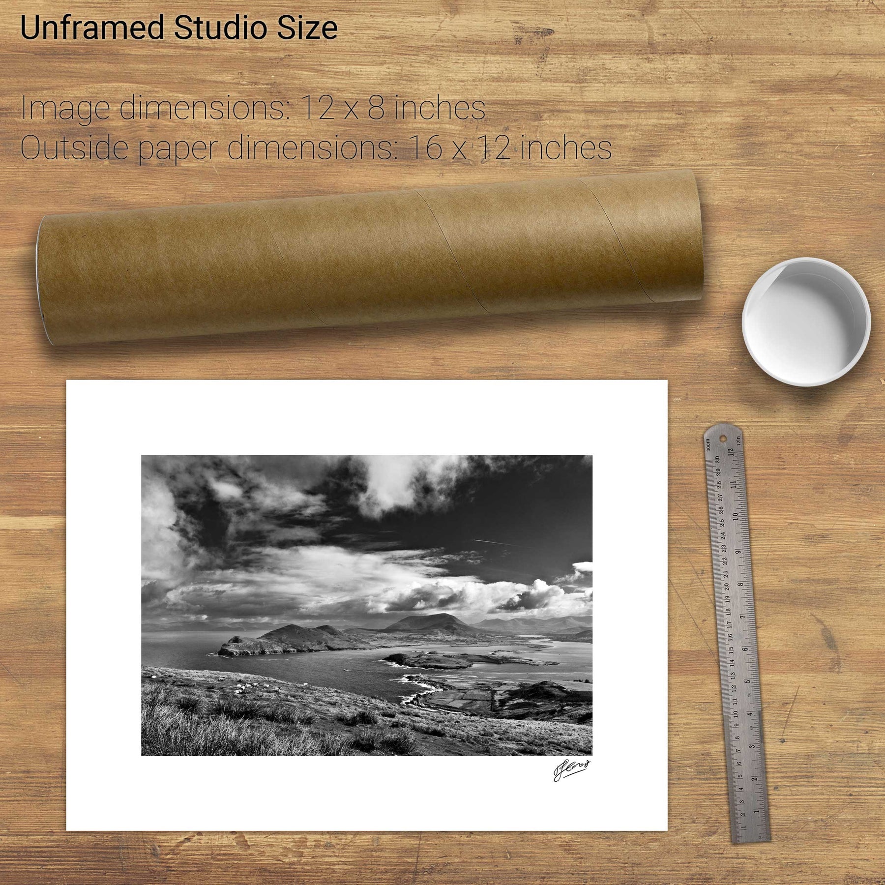
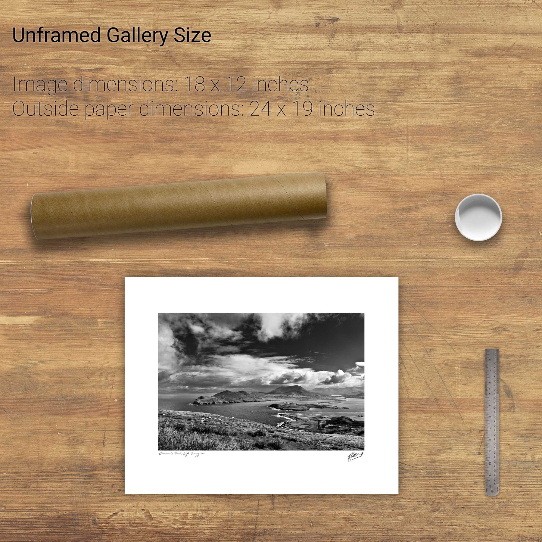
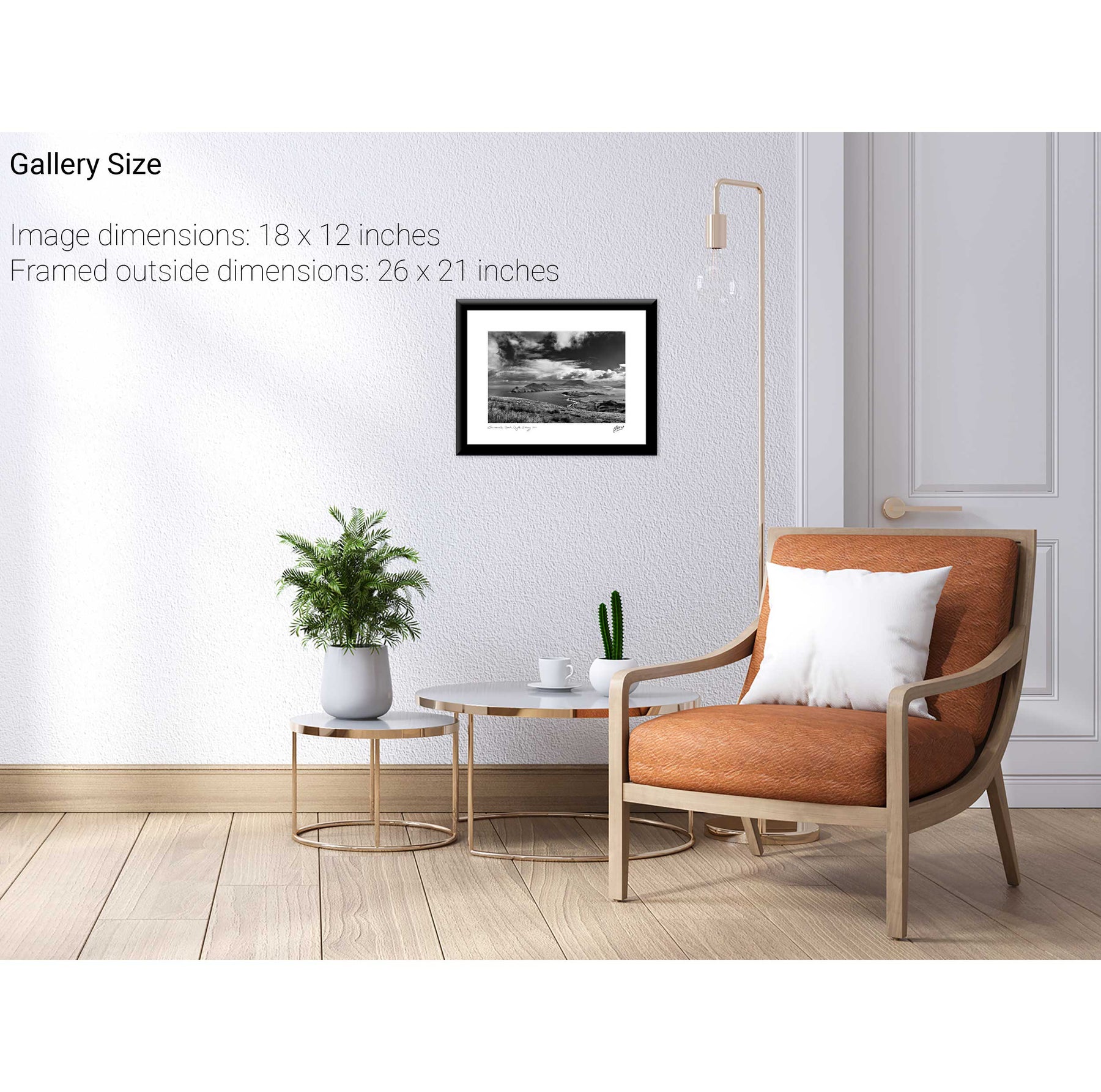
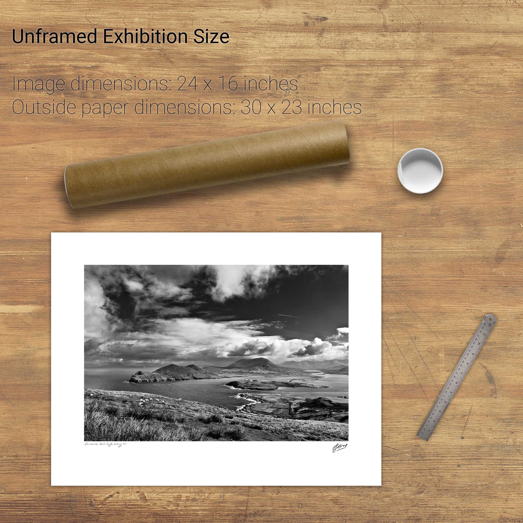
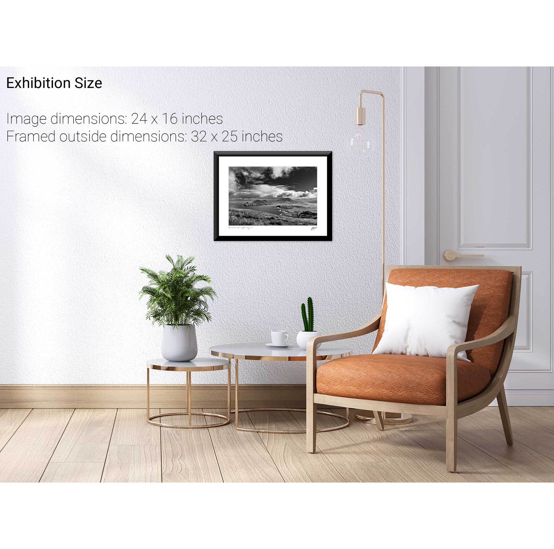
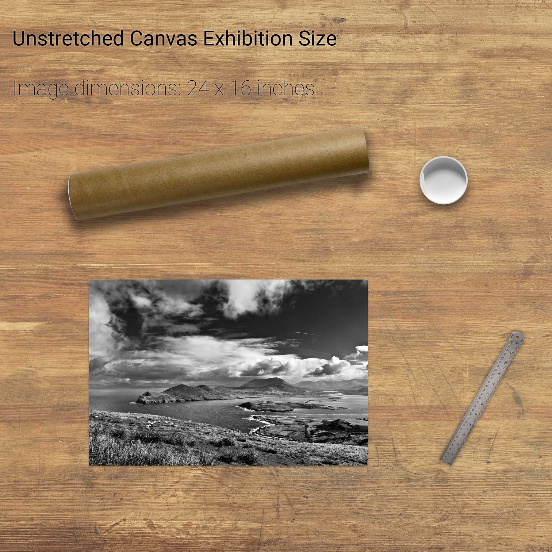
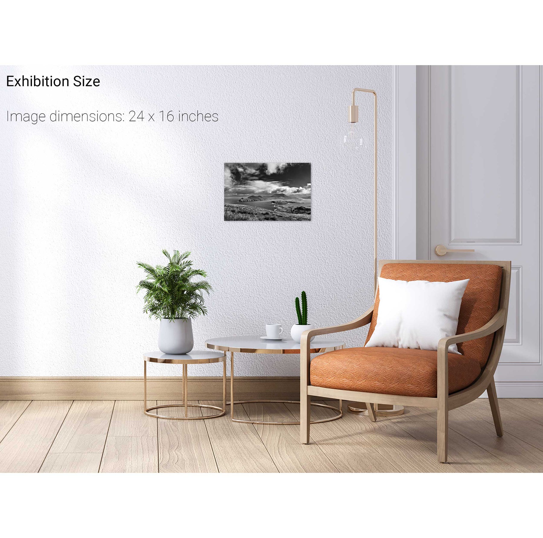
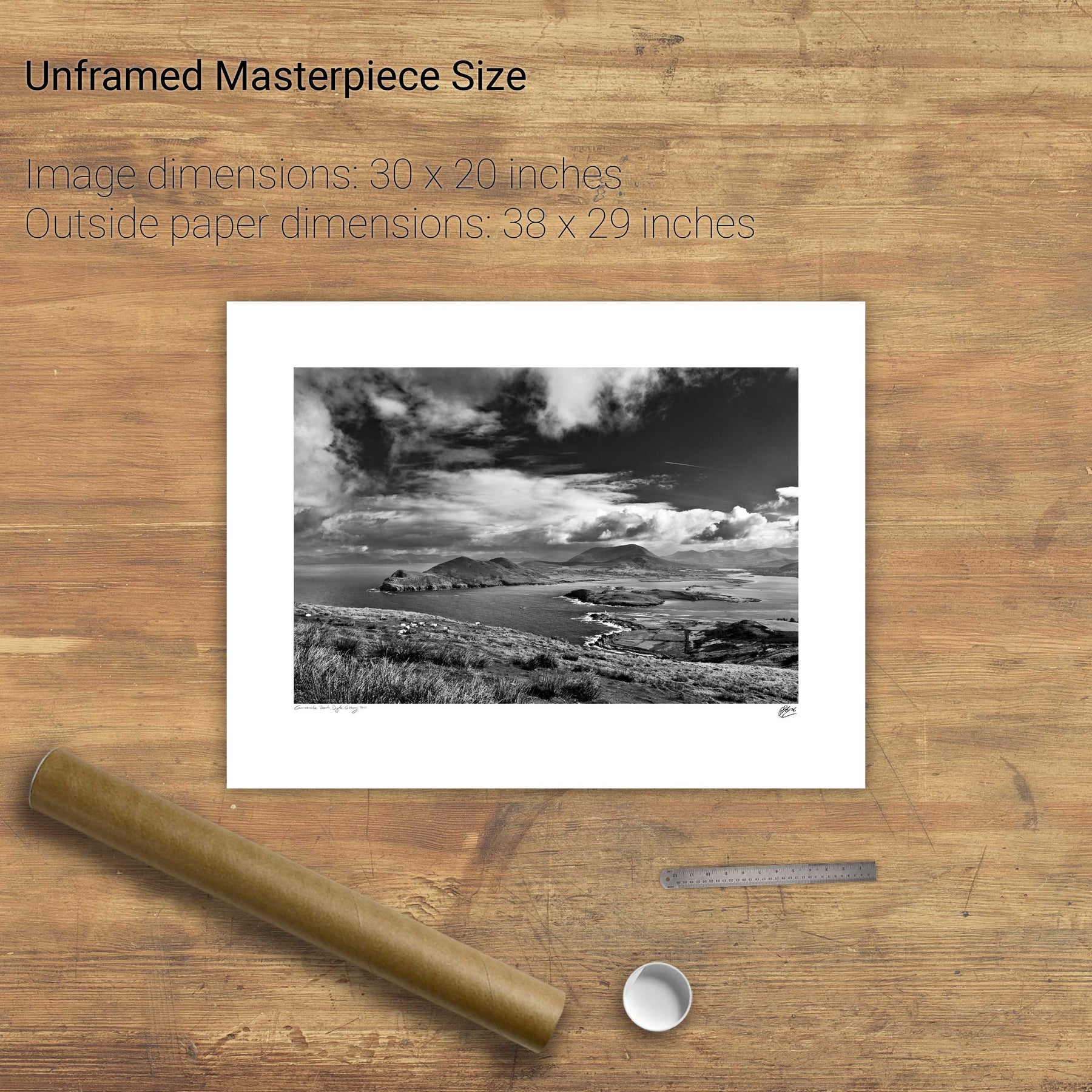
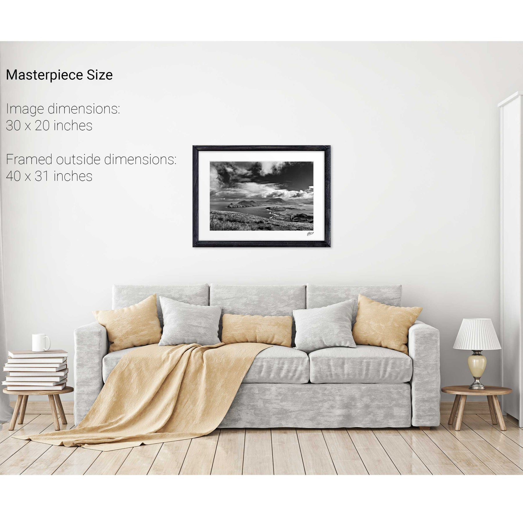
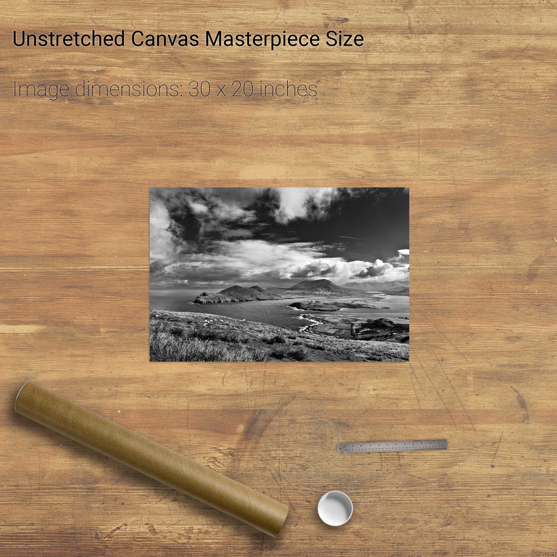
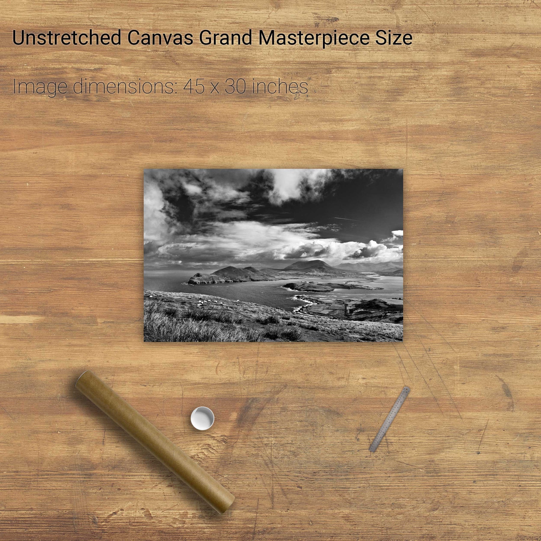
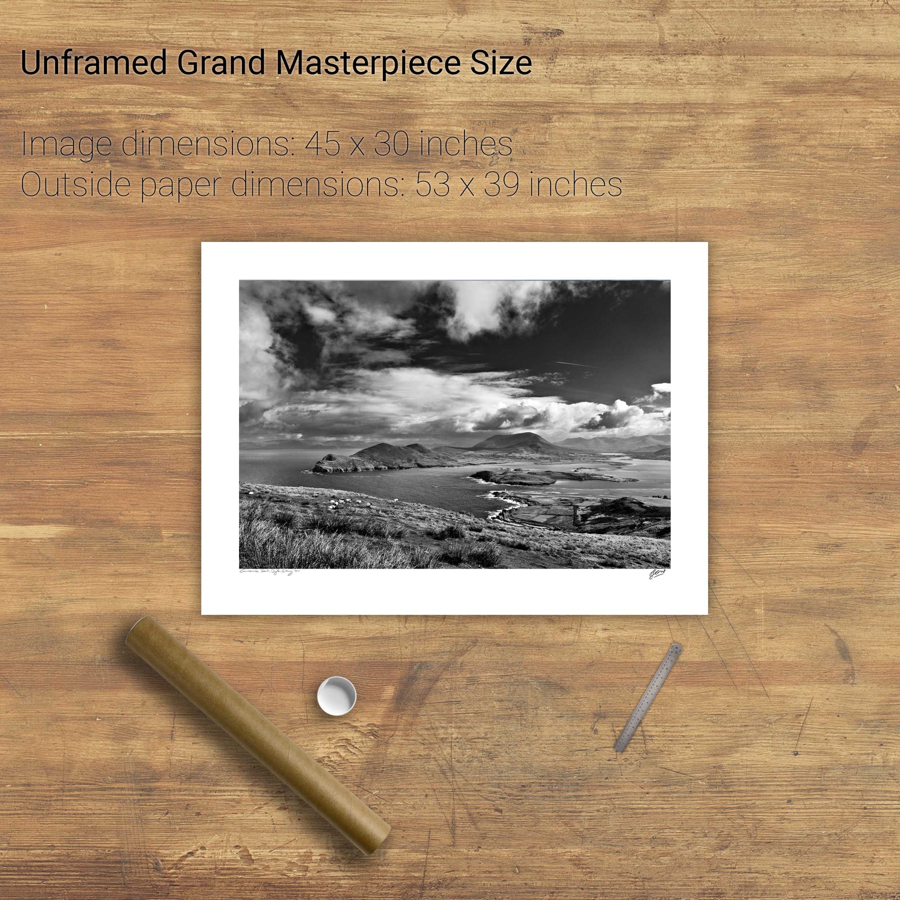
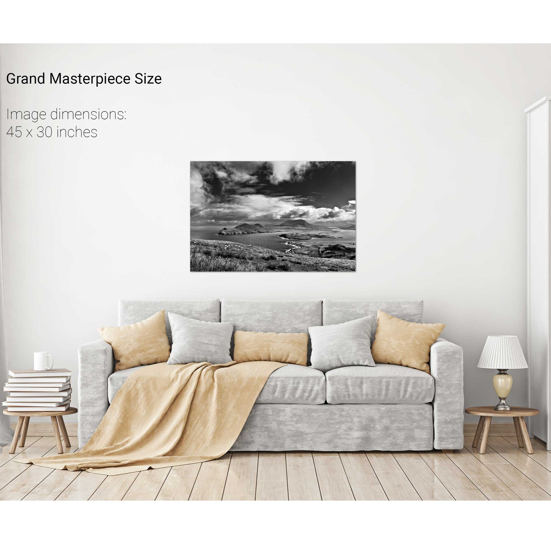
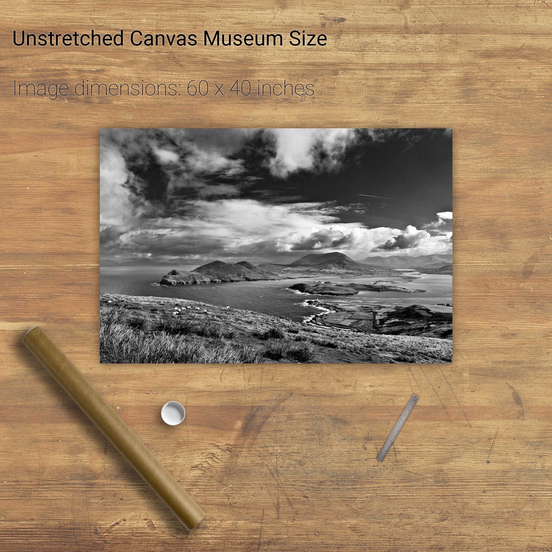
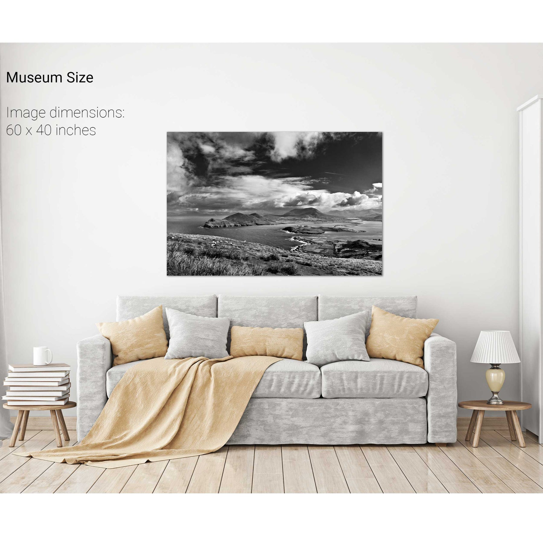
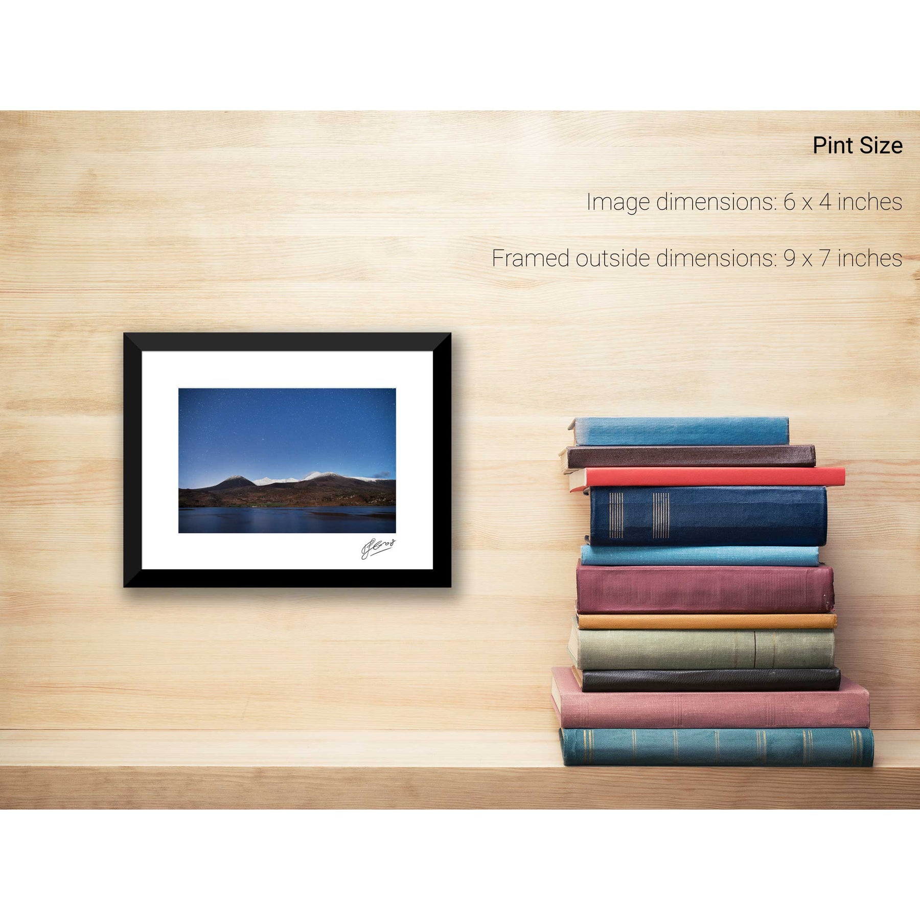
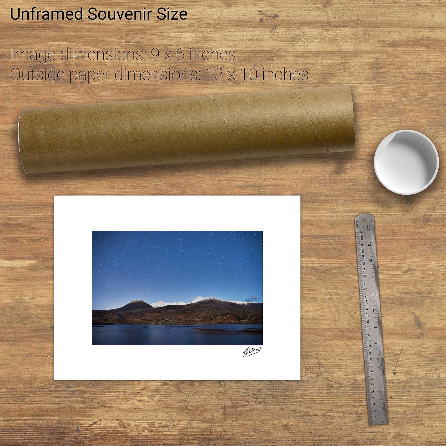
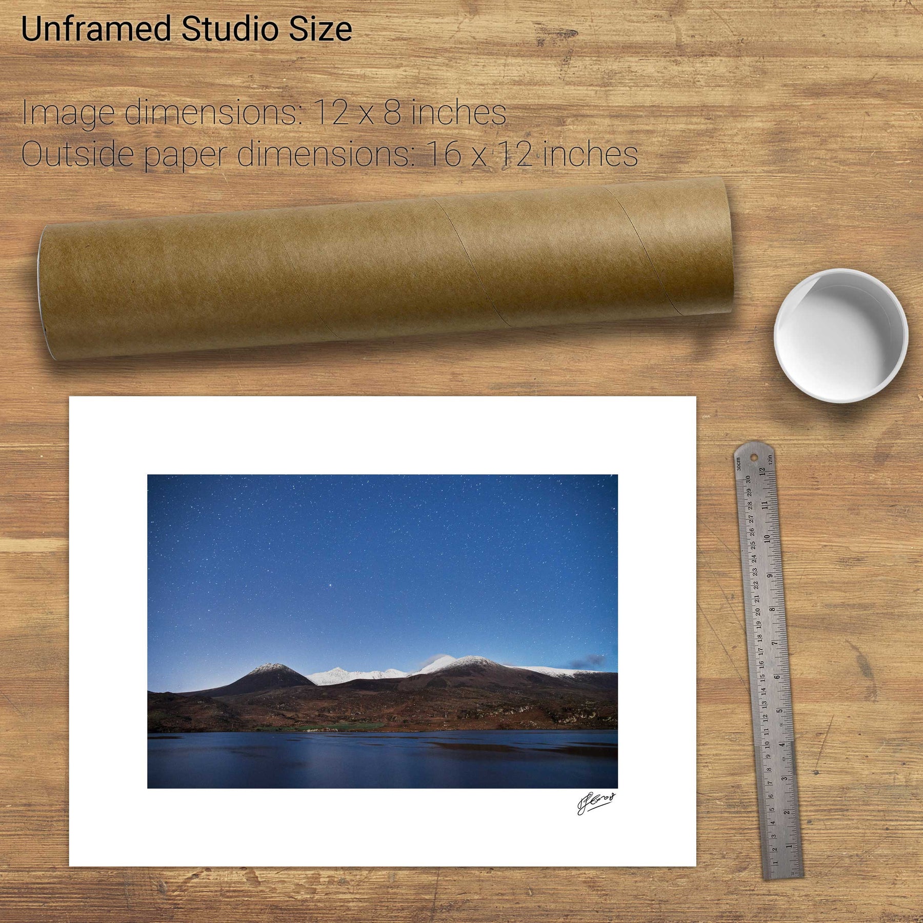
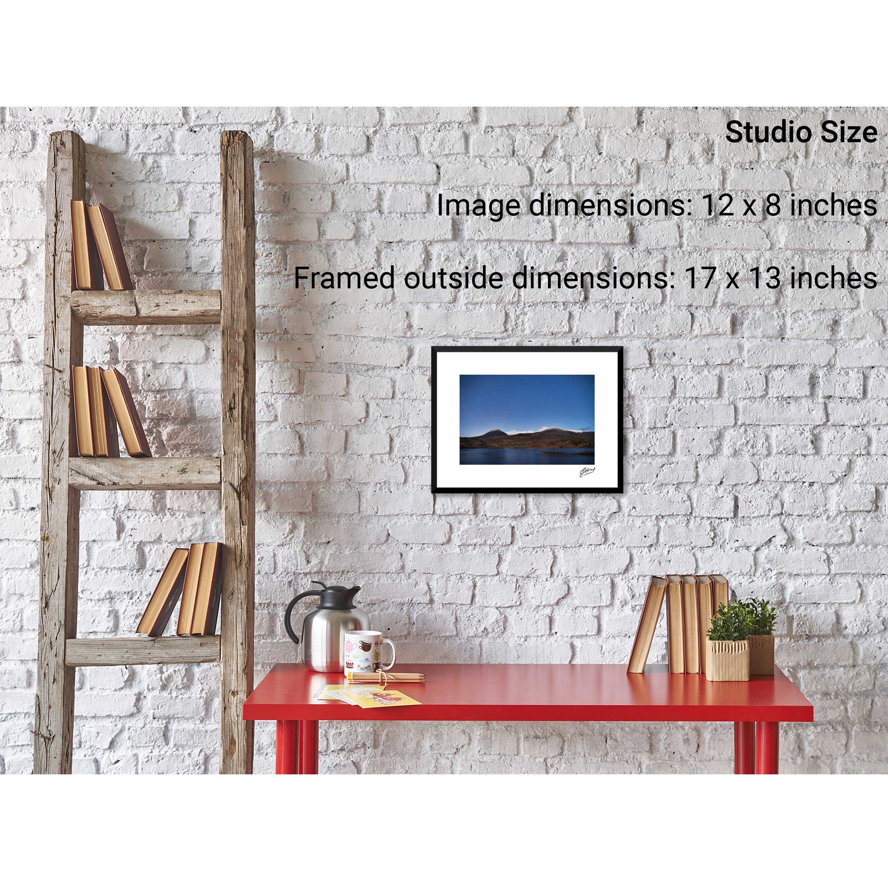
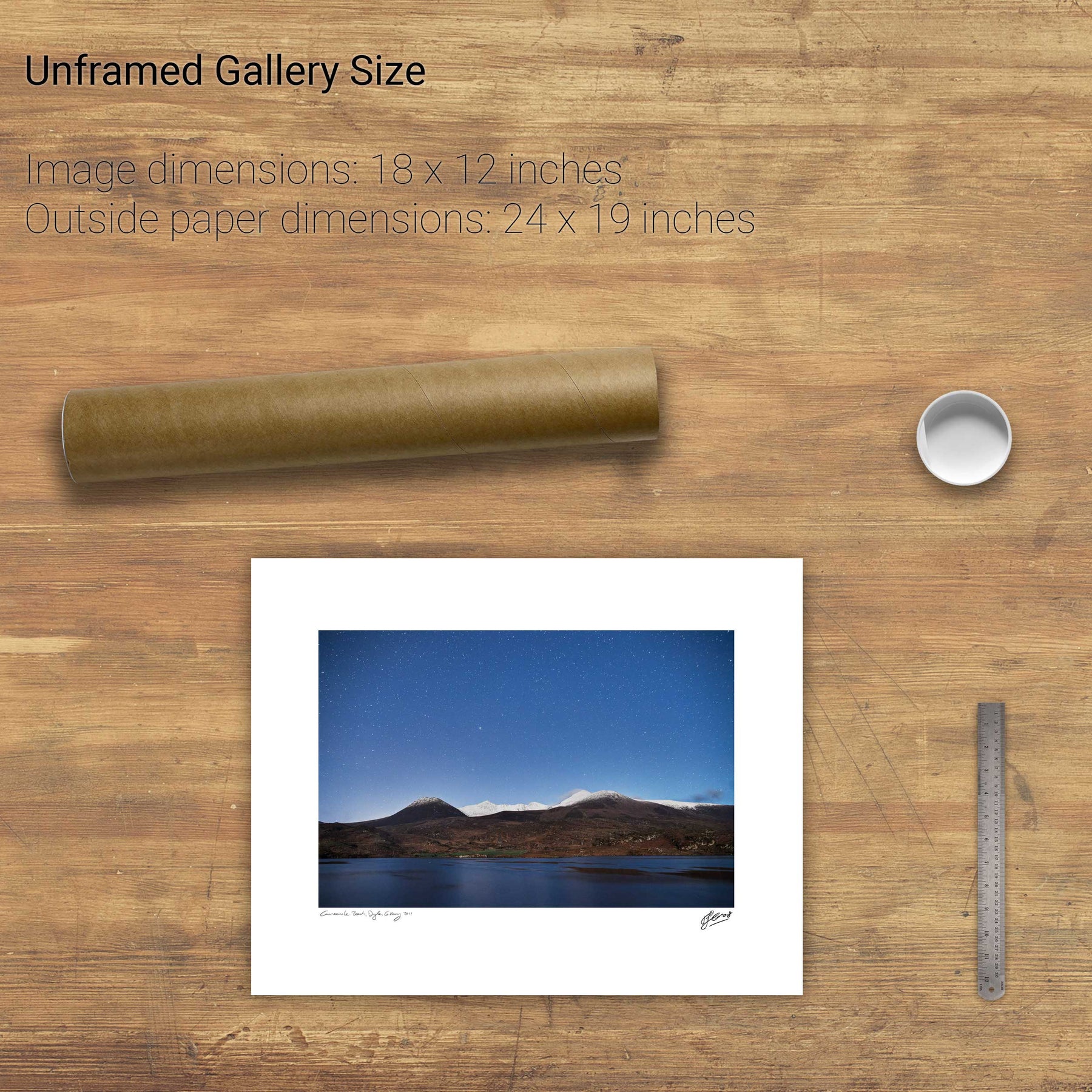
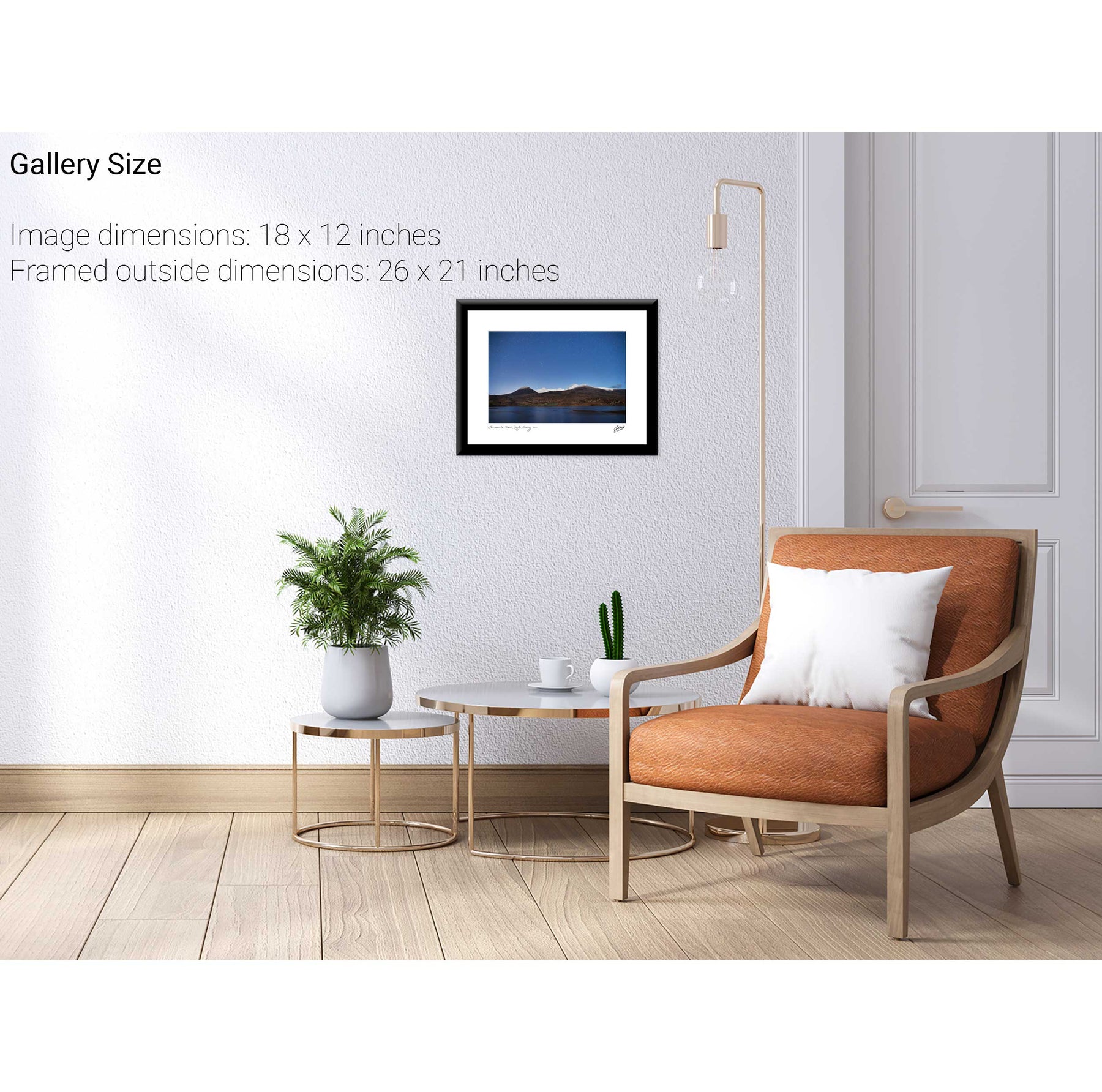
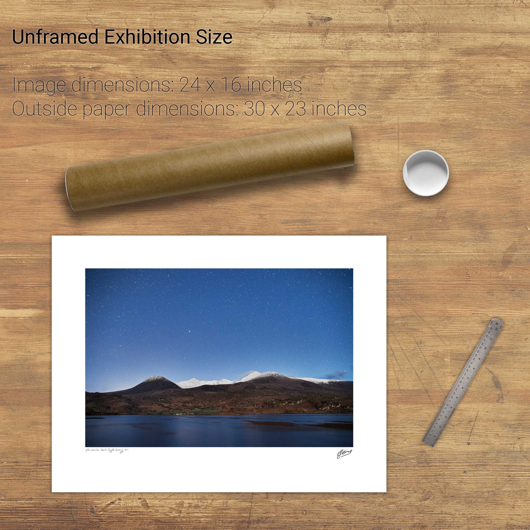
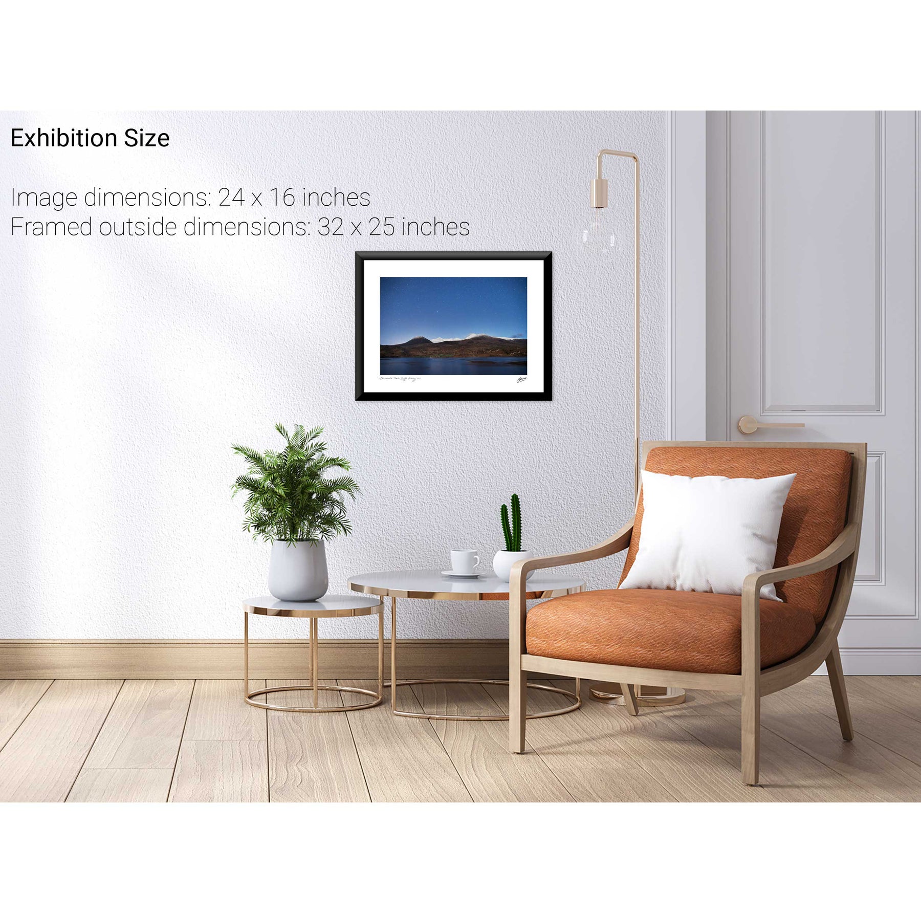
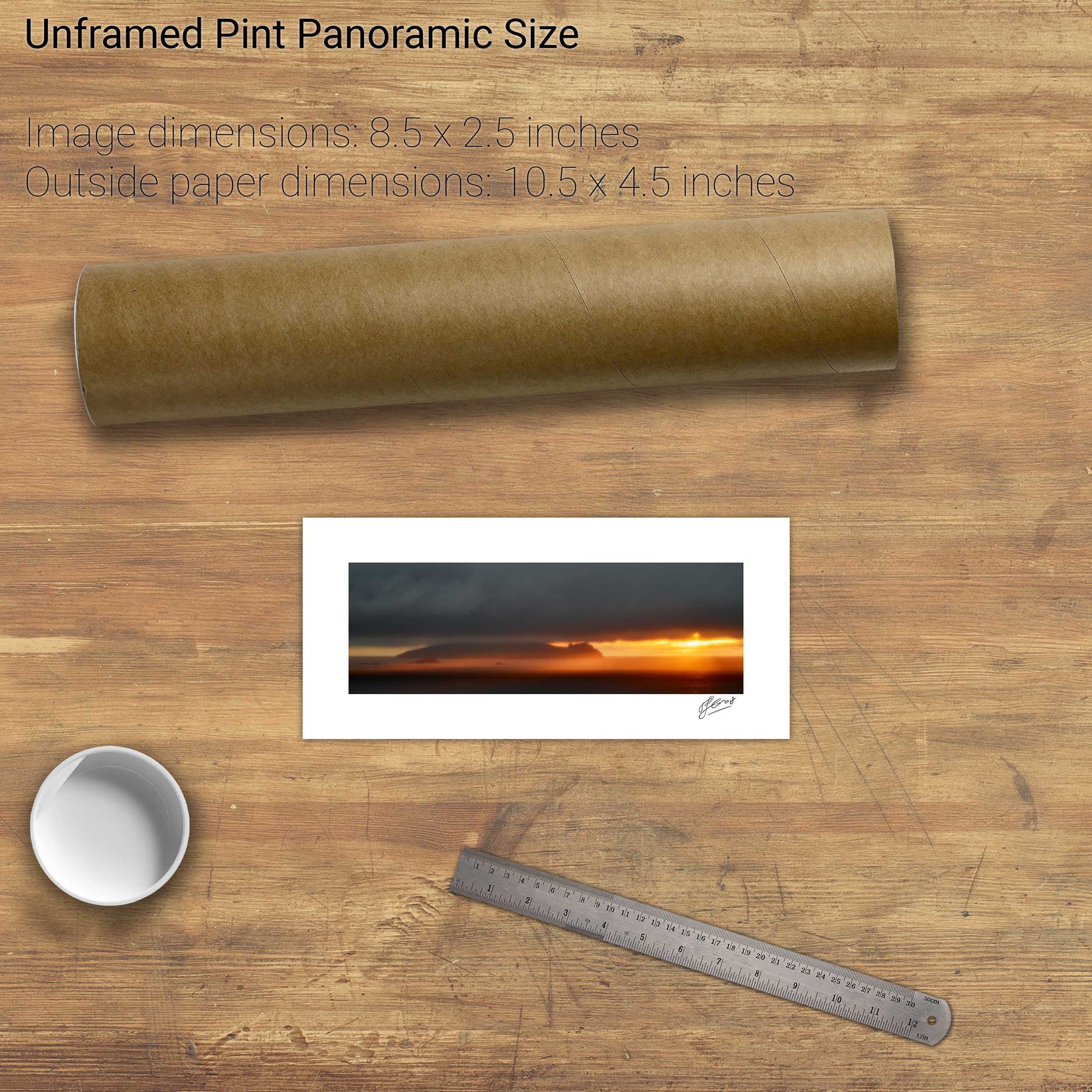
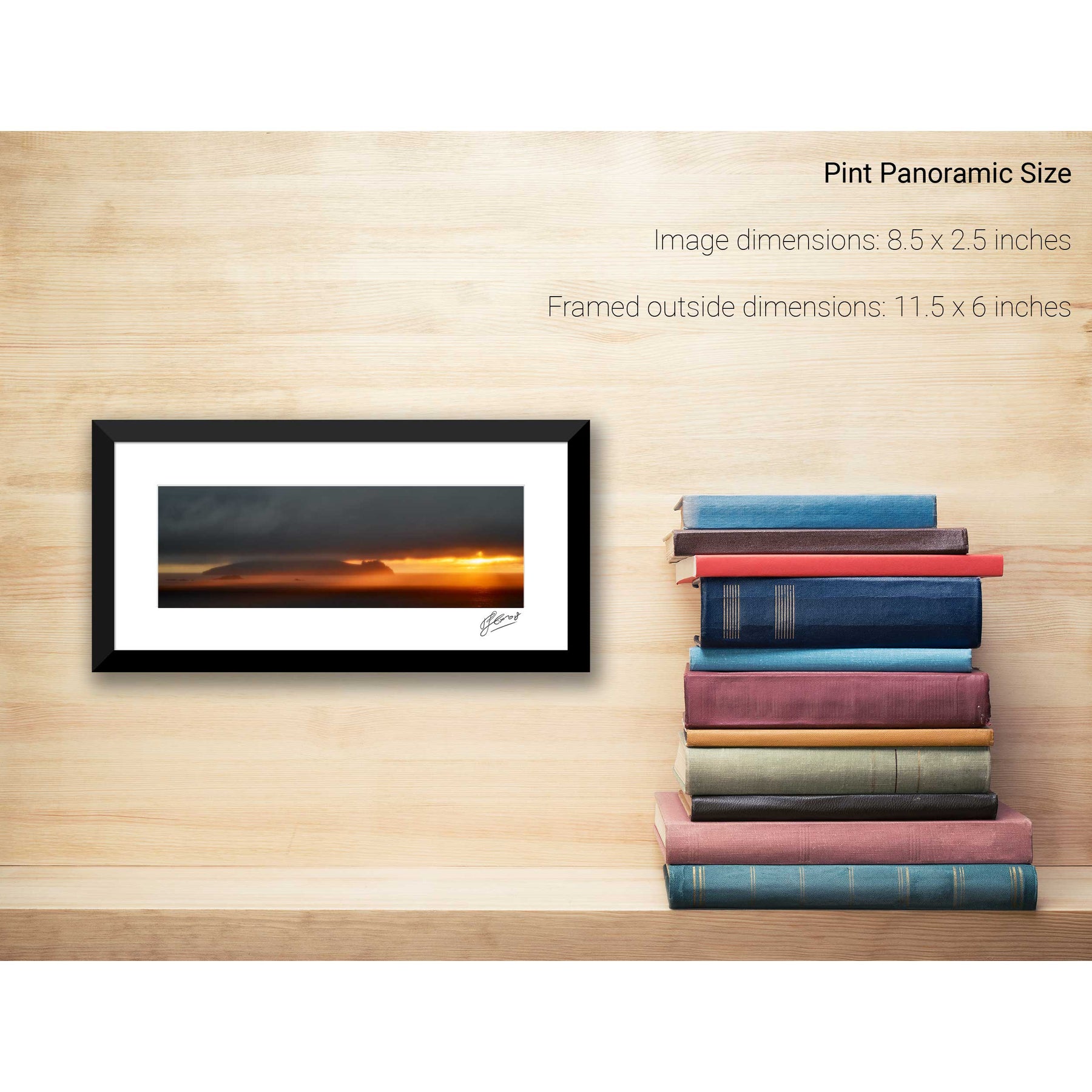
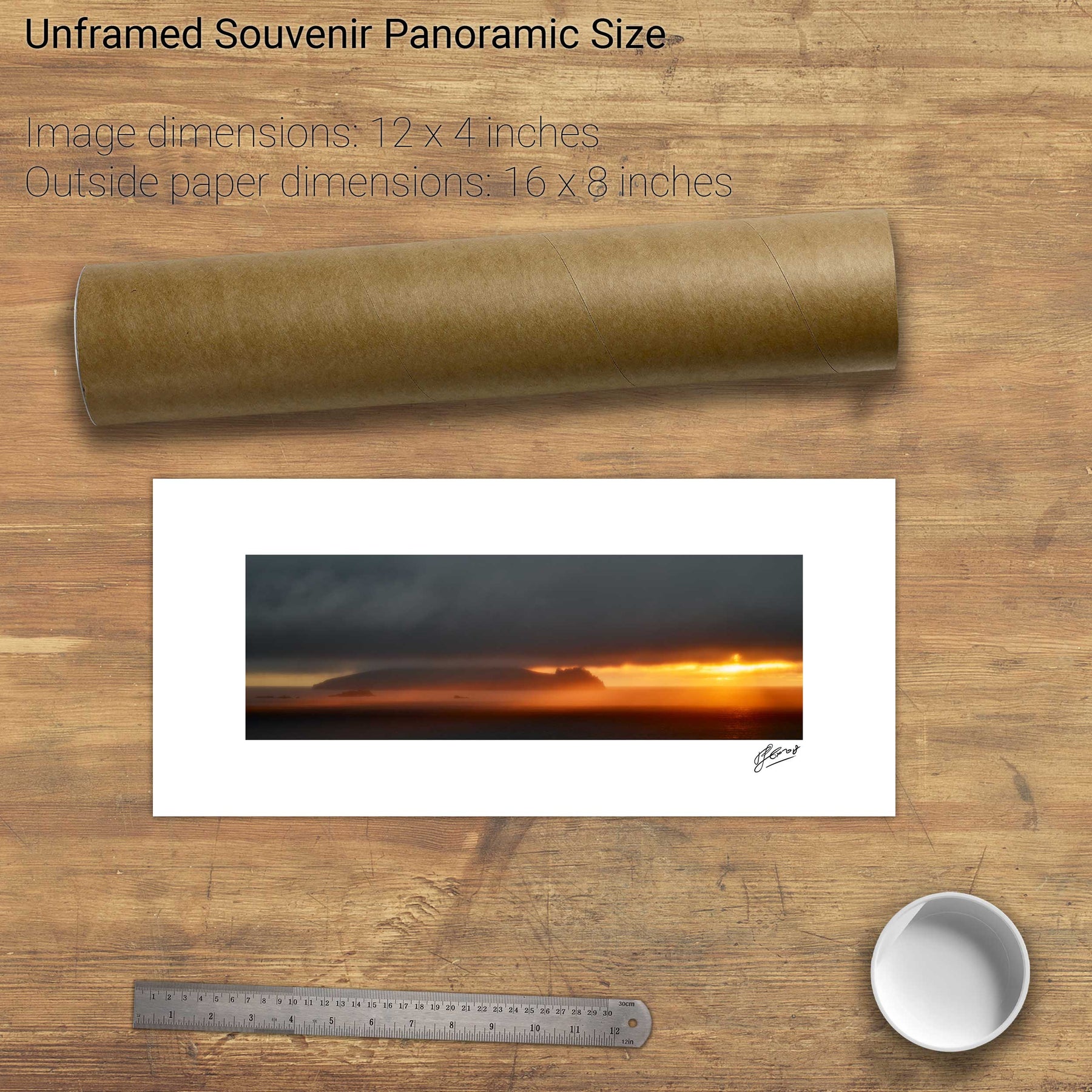
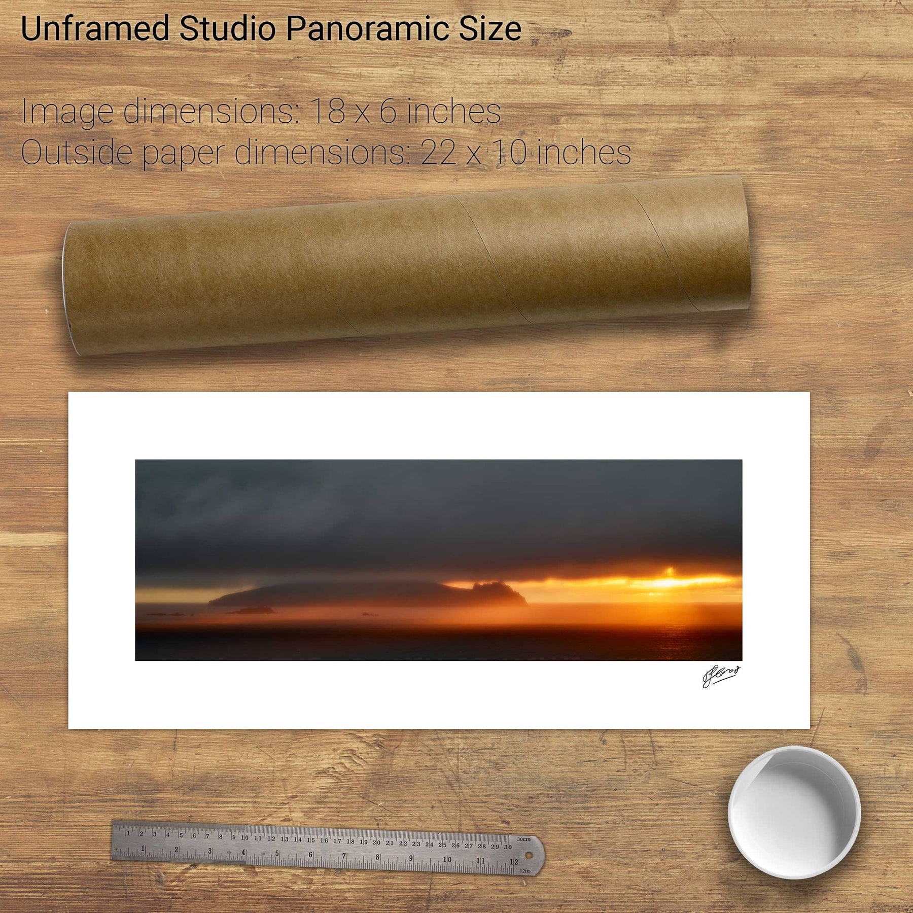
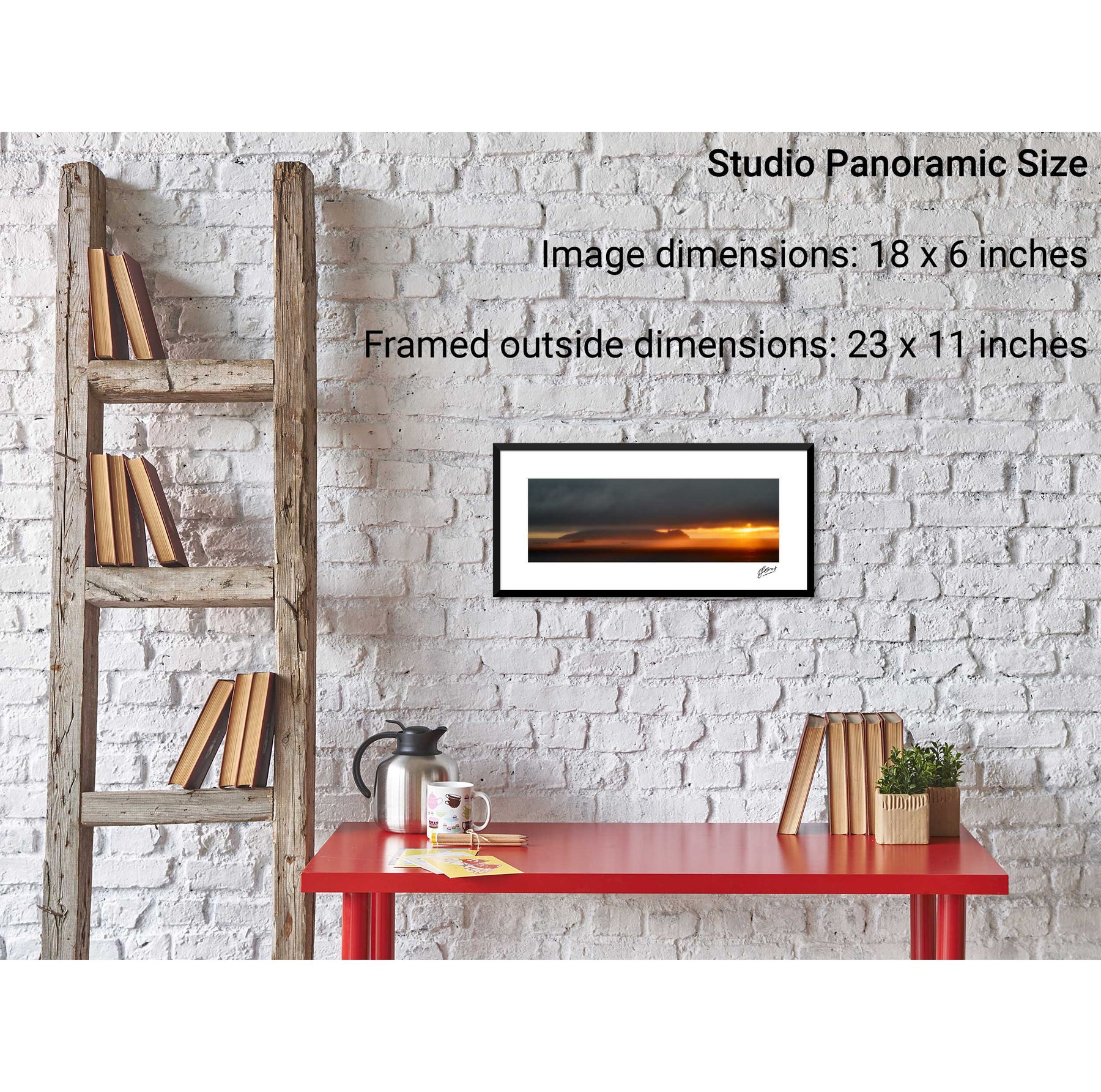
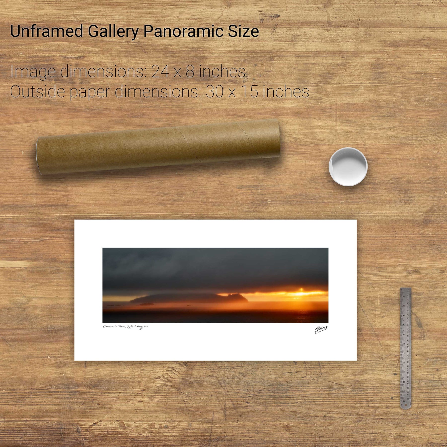
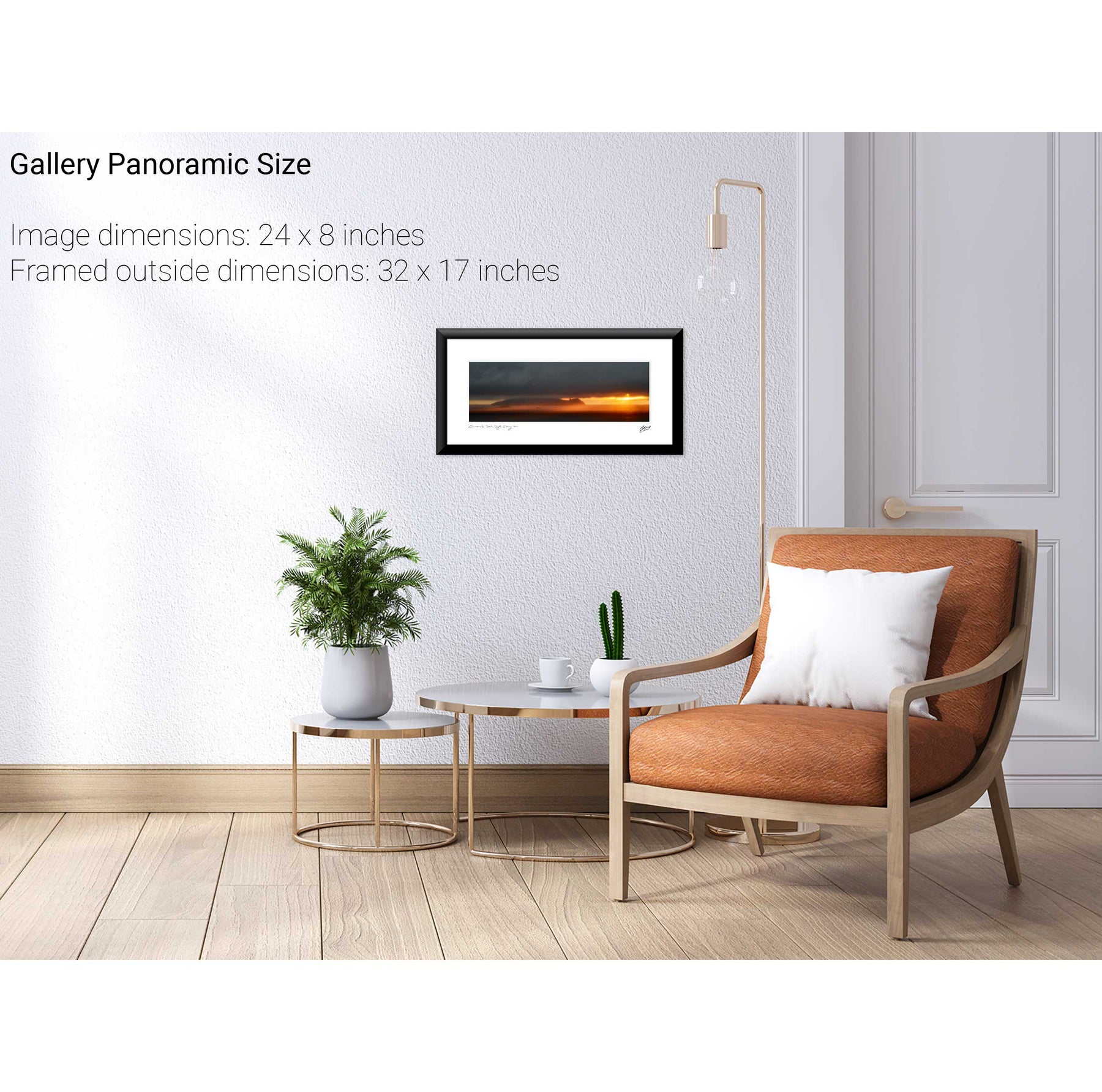
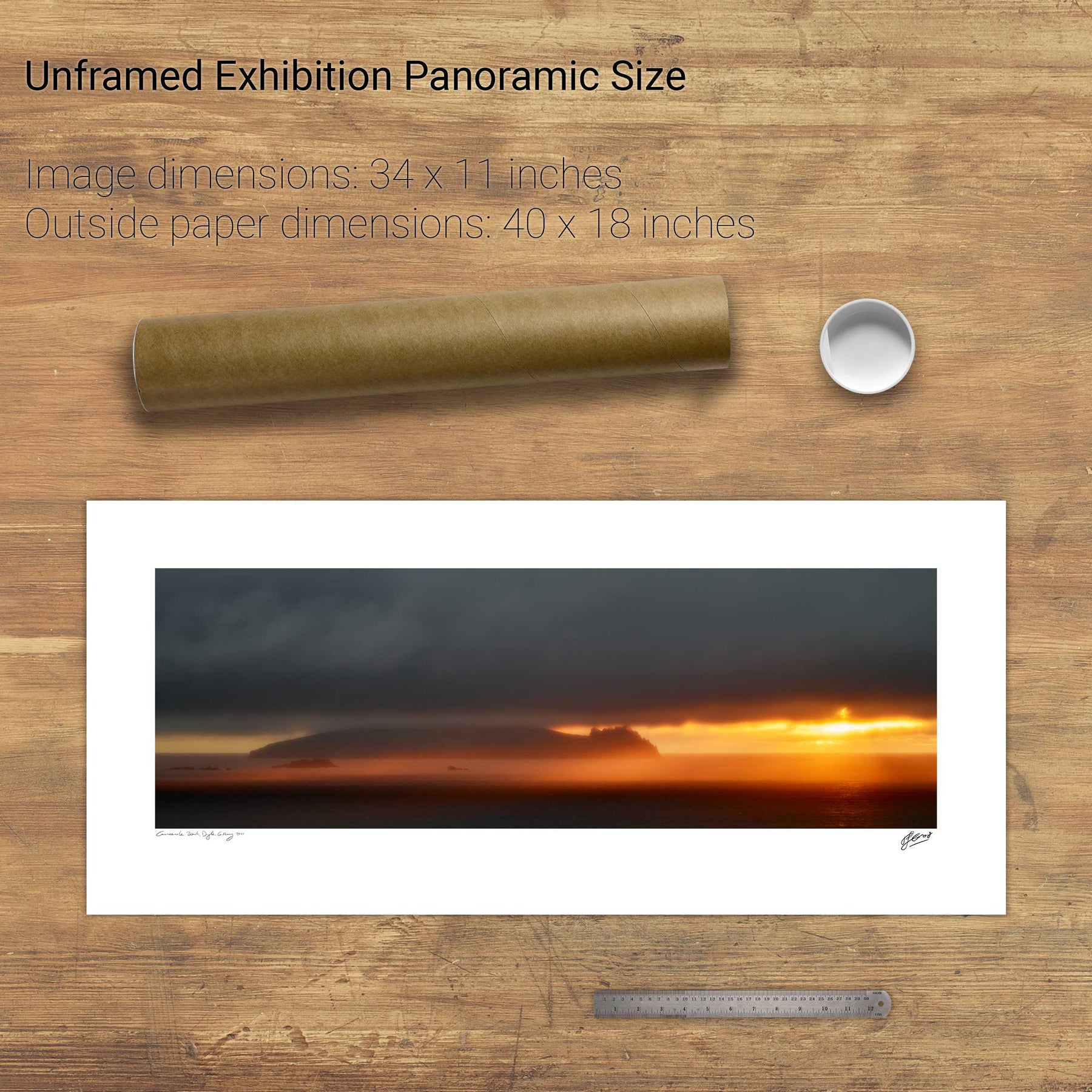
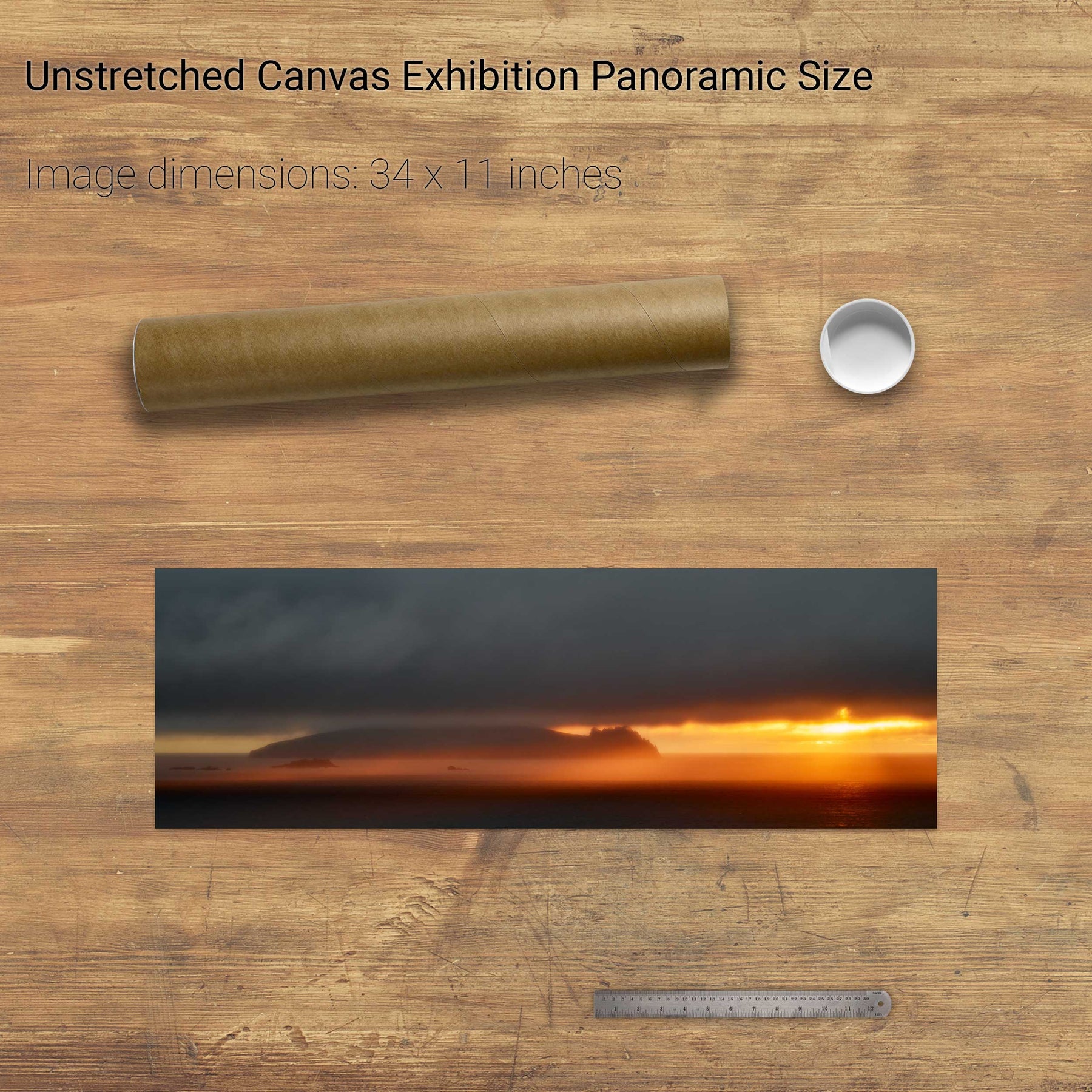
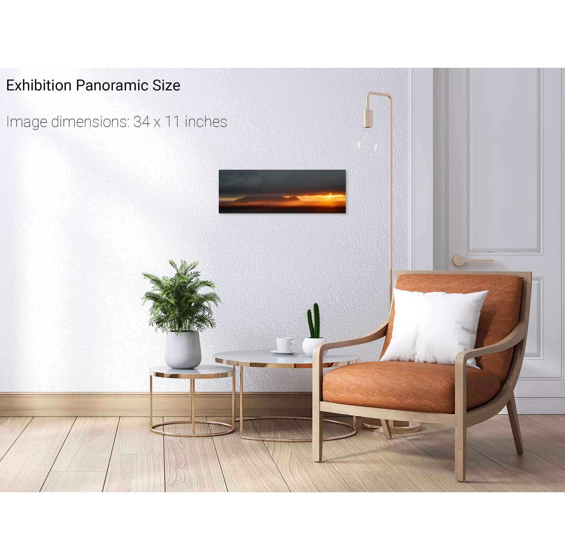
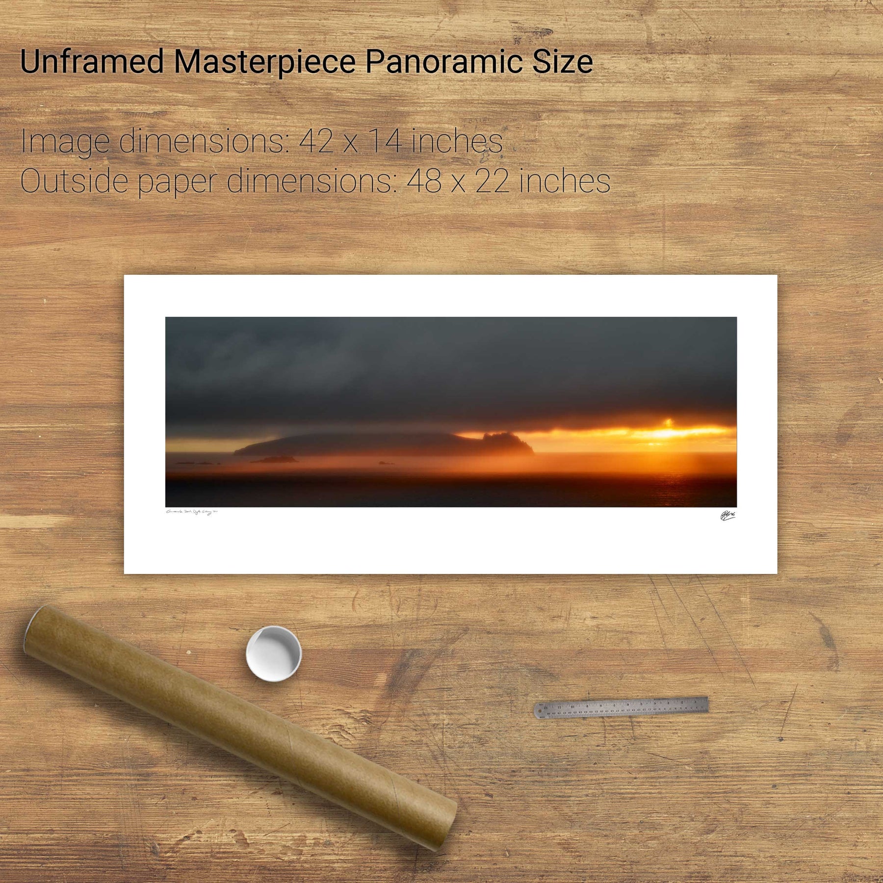
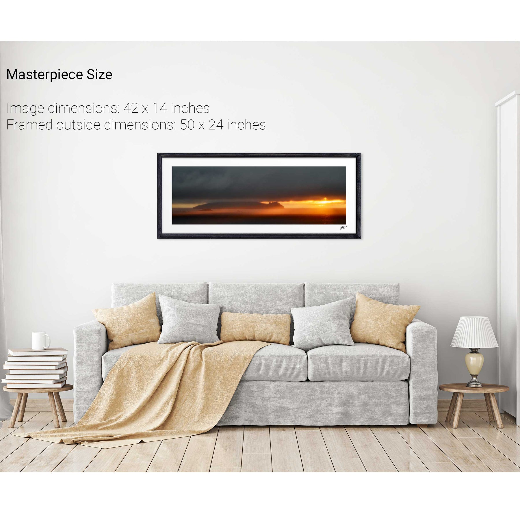
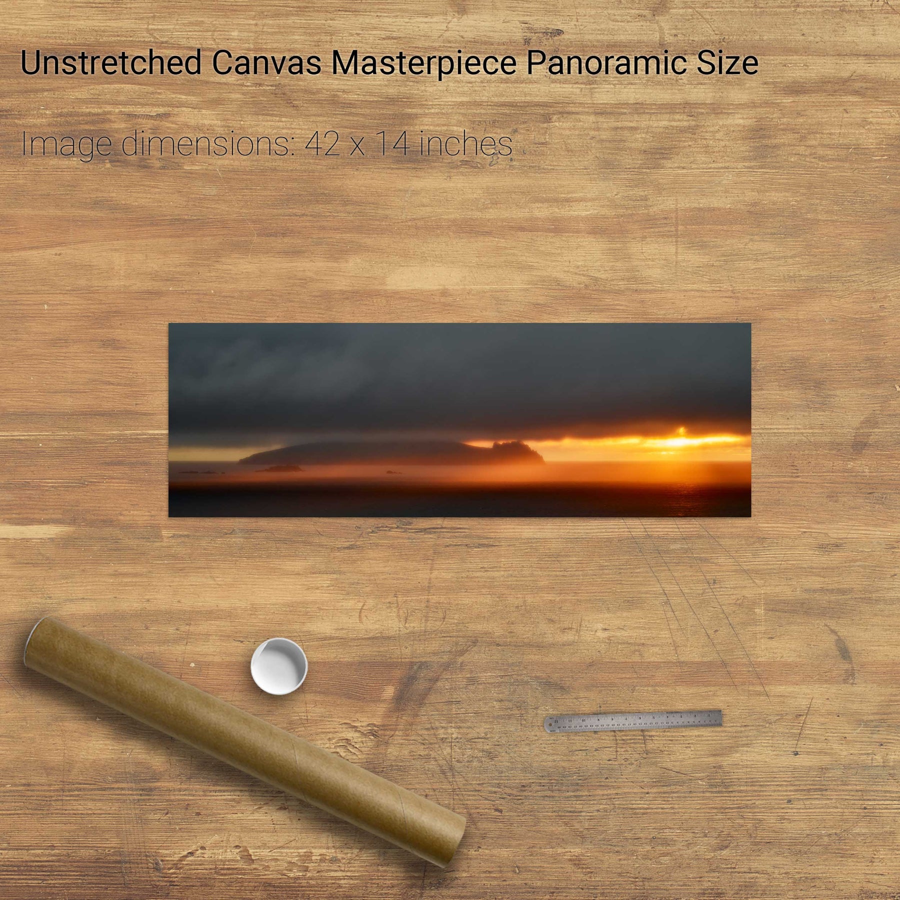
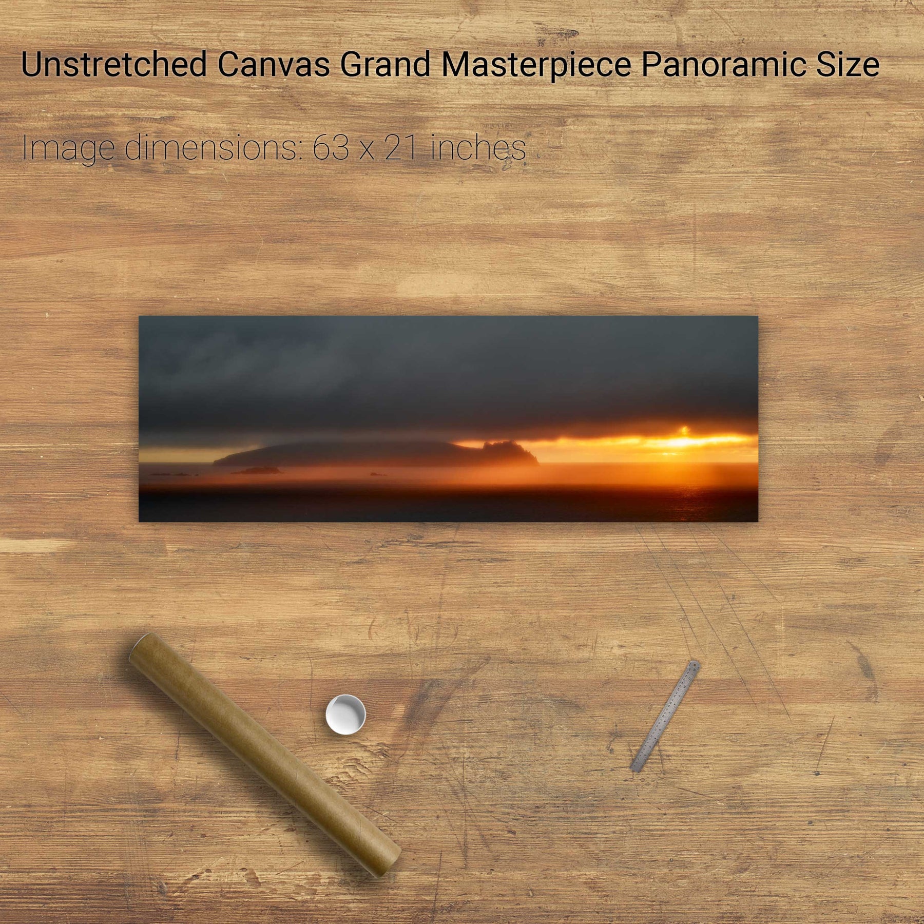
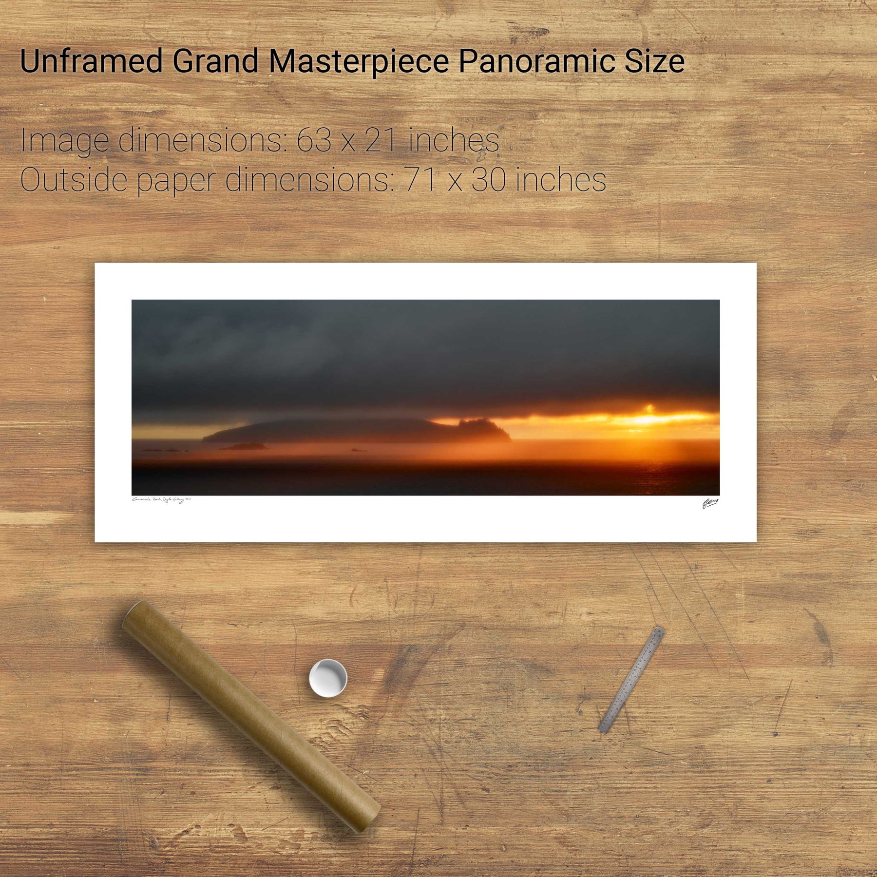
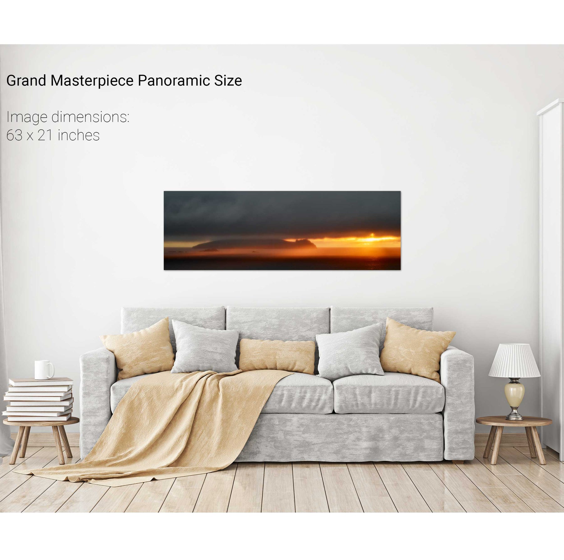
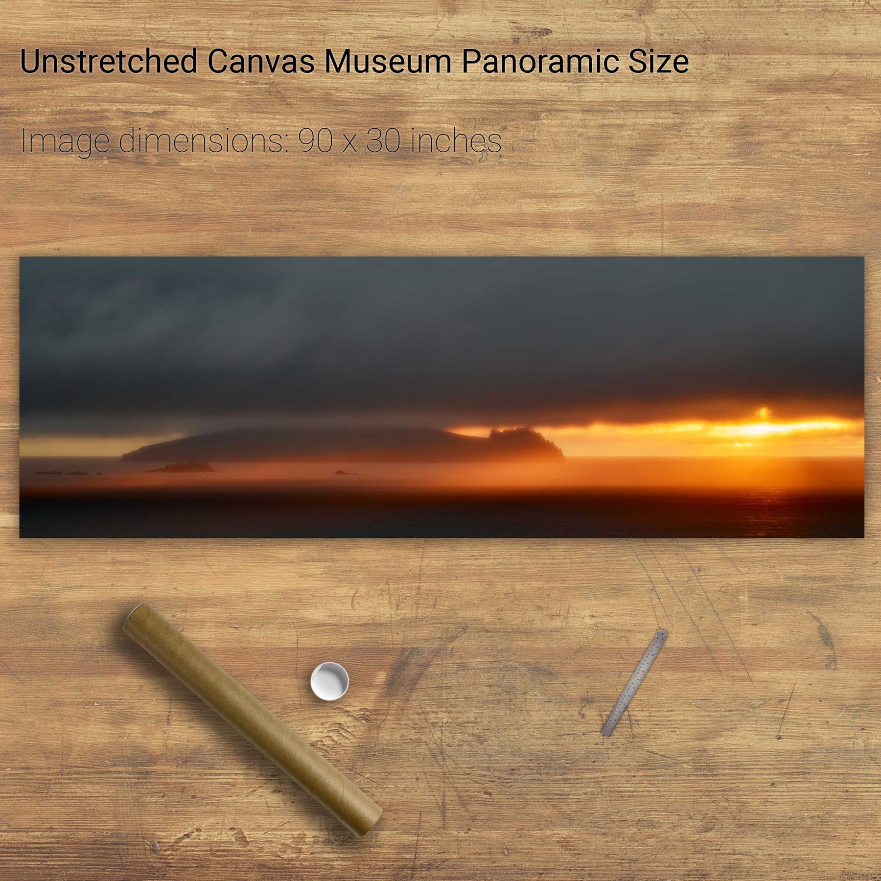
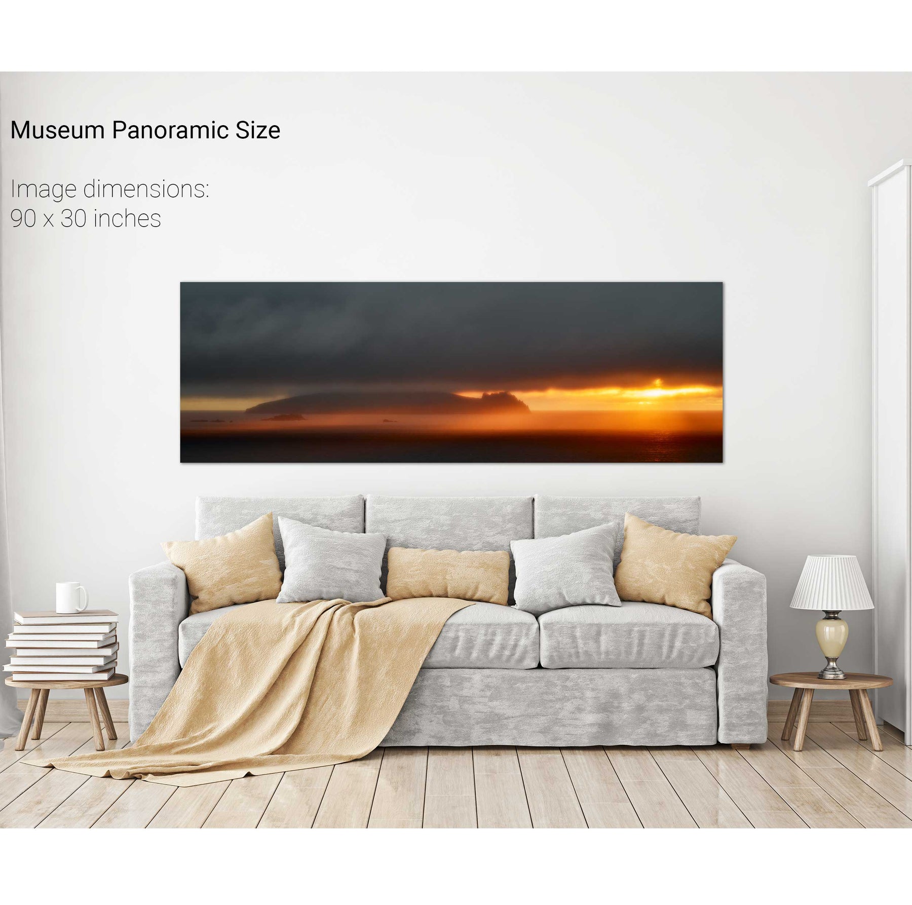
The Sleeping Giant, Dingle, Kerry


We will send you an email to reset your password.

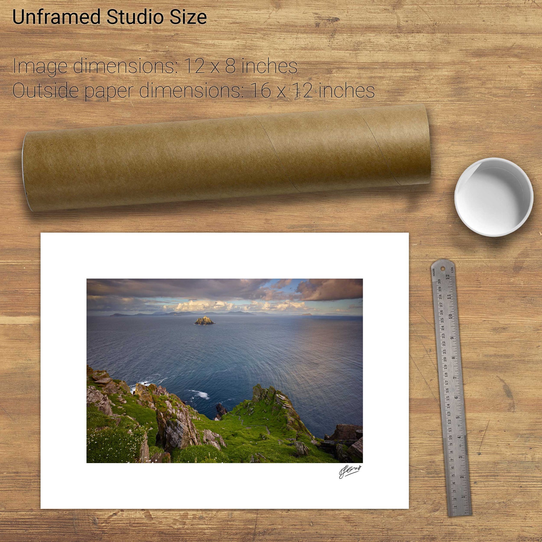
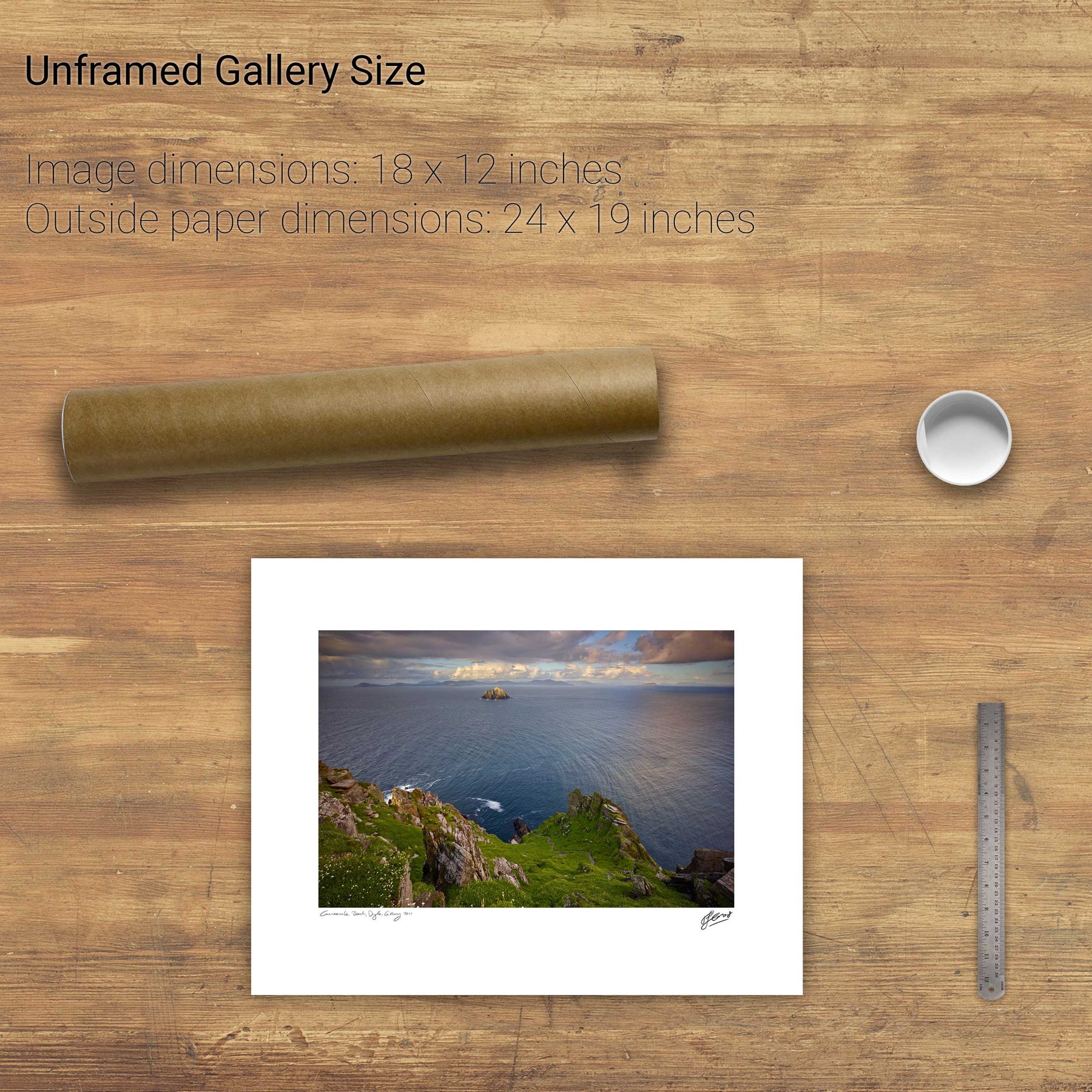
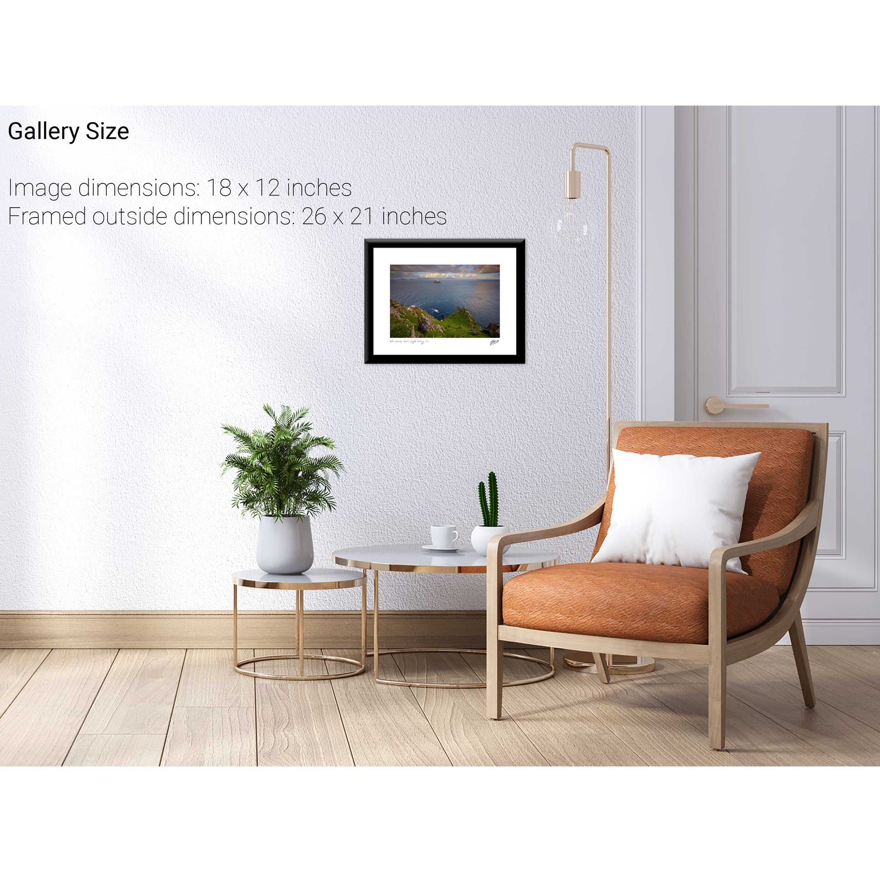
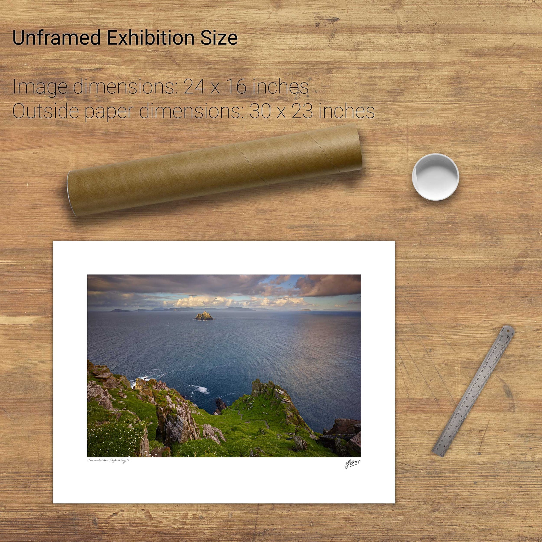
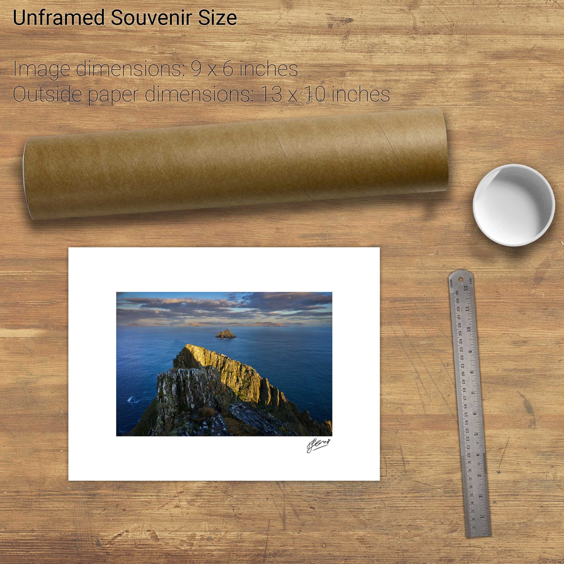
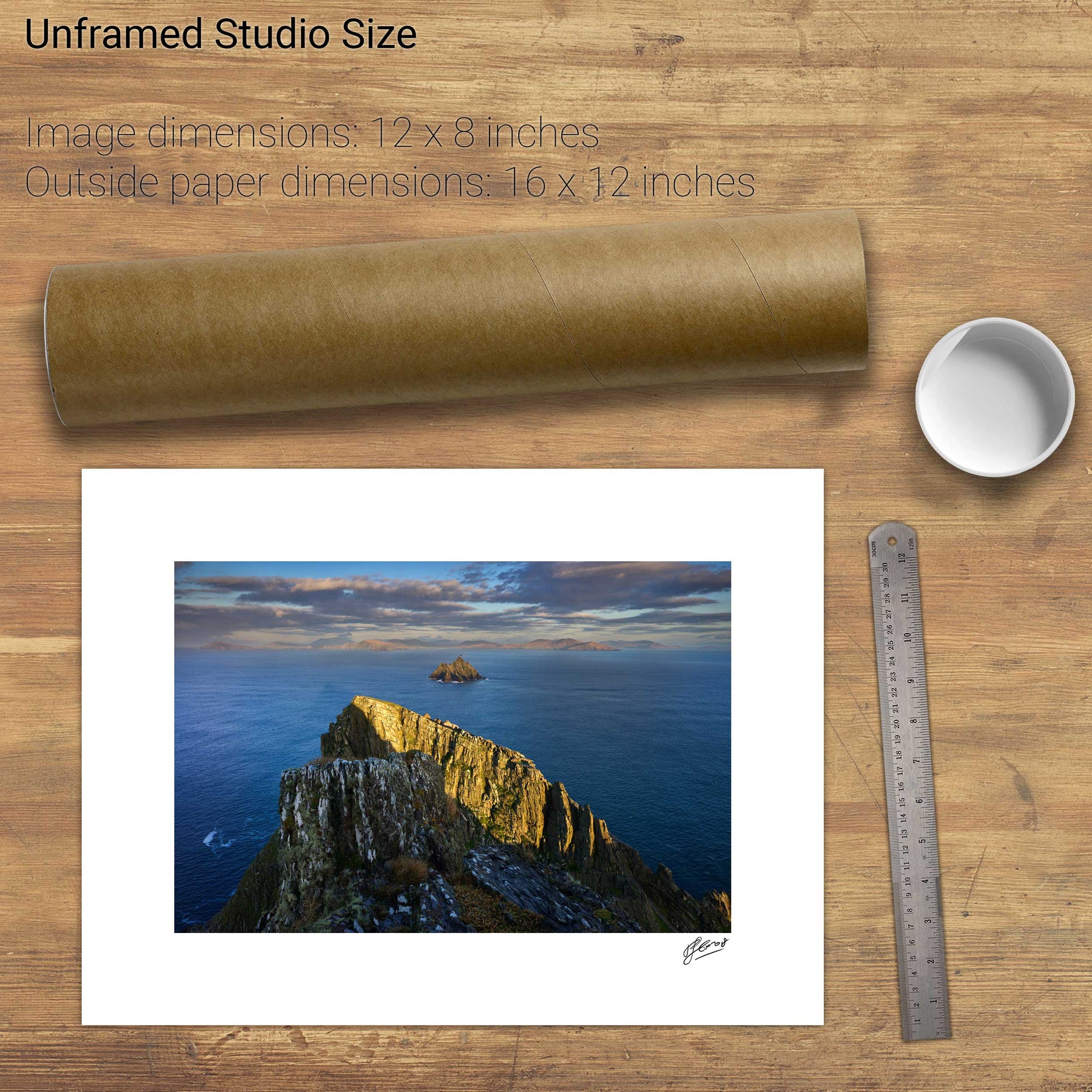
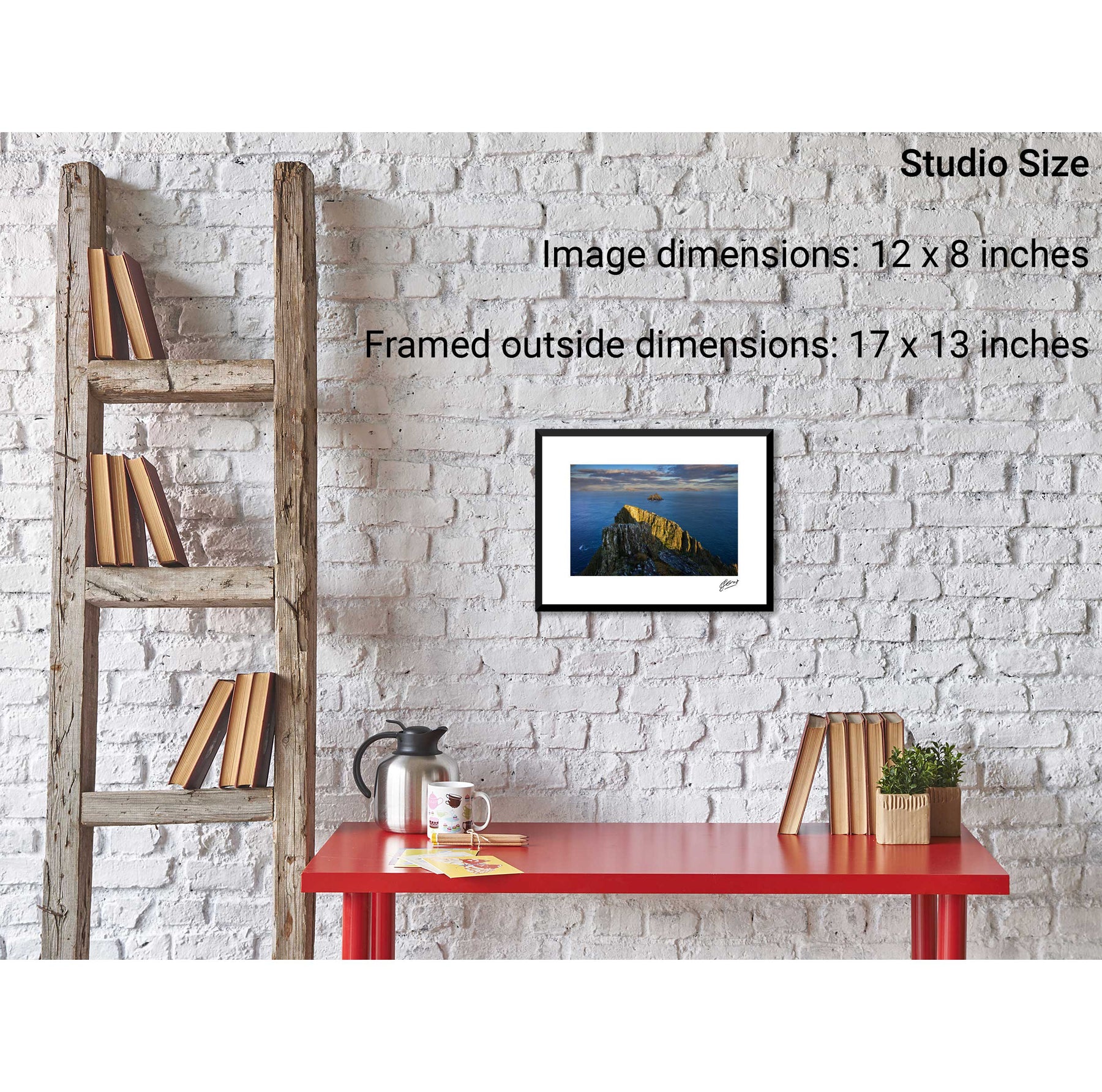
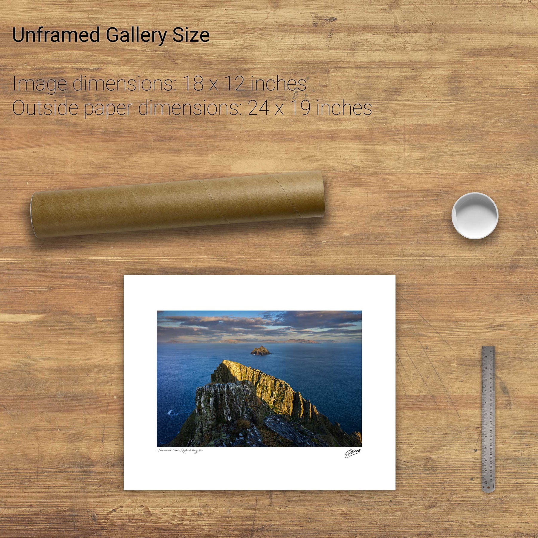
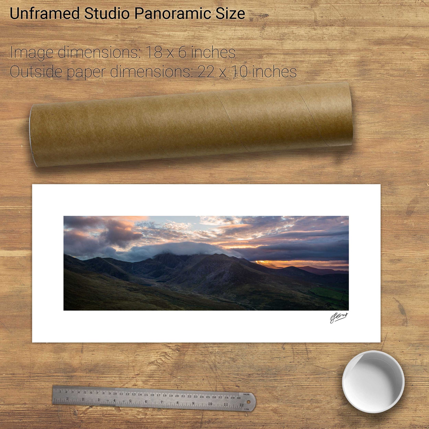
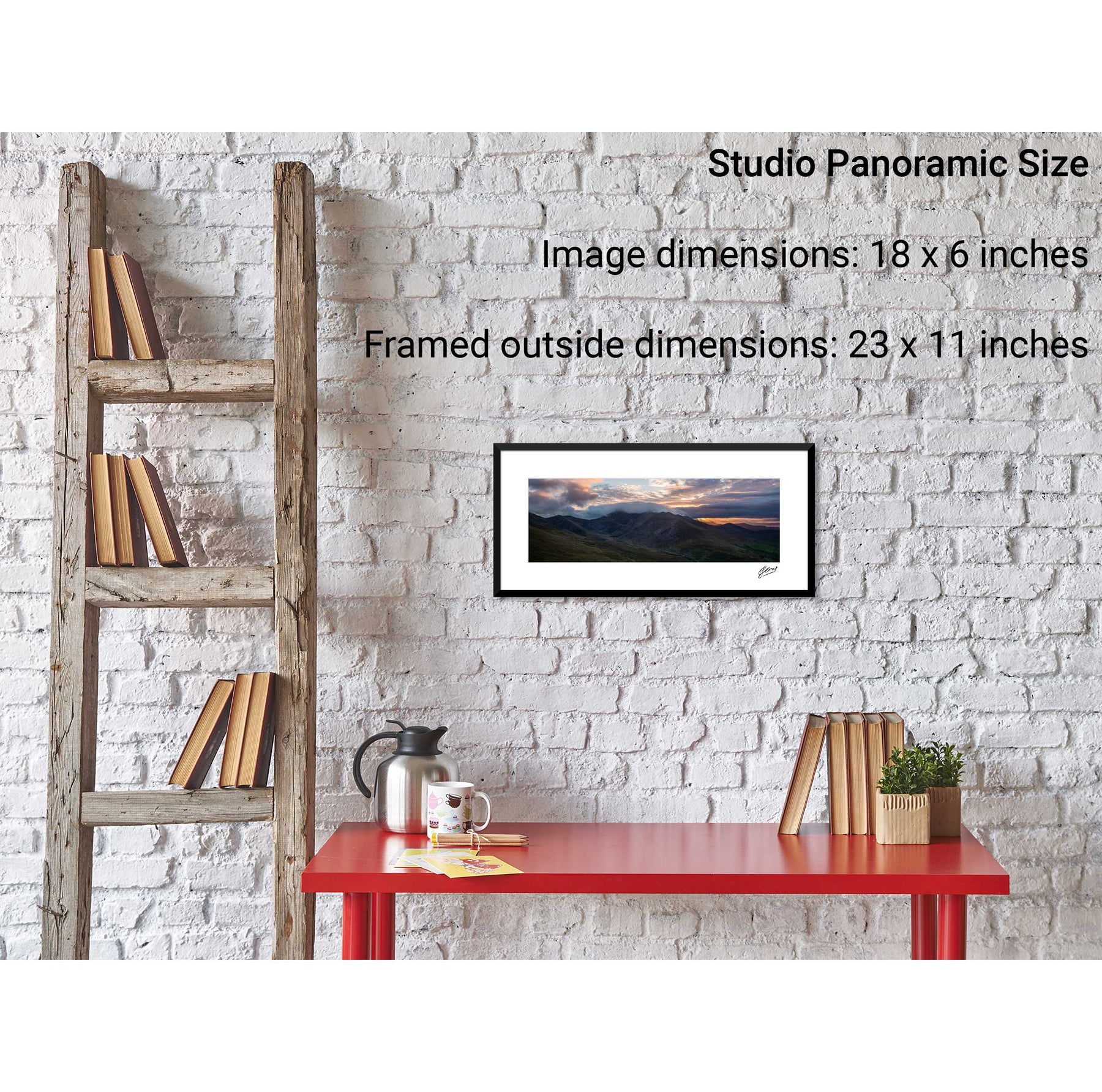
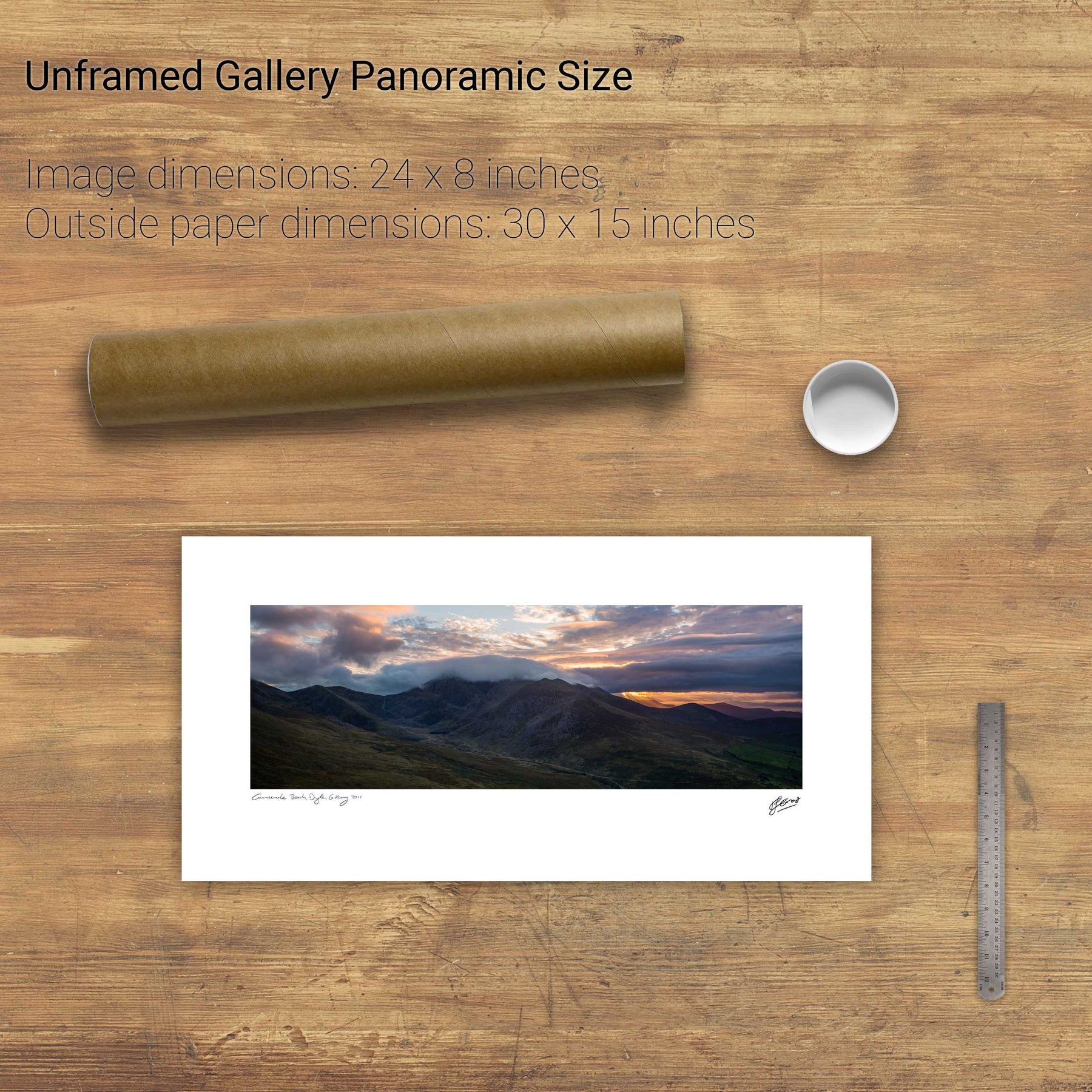
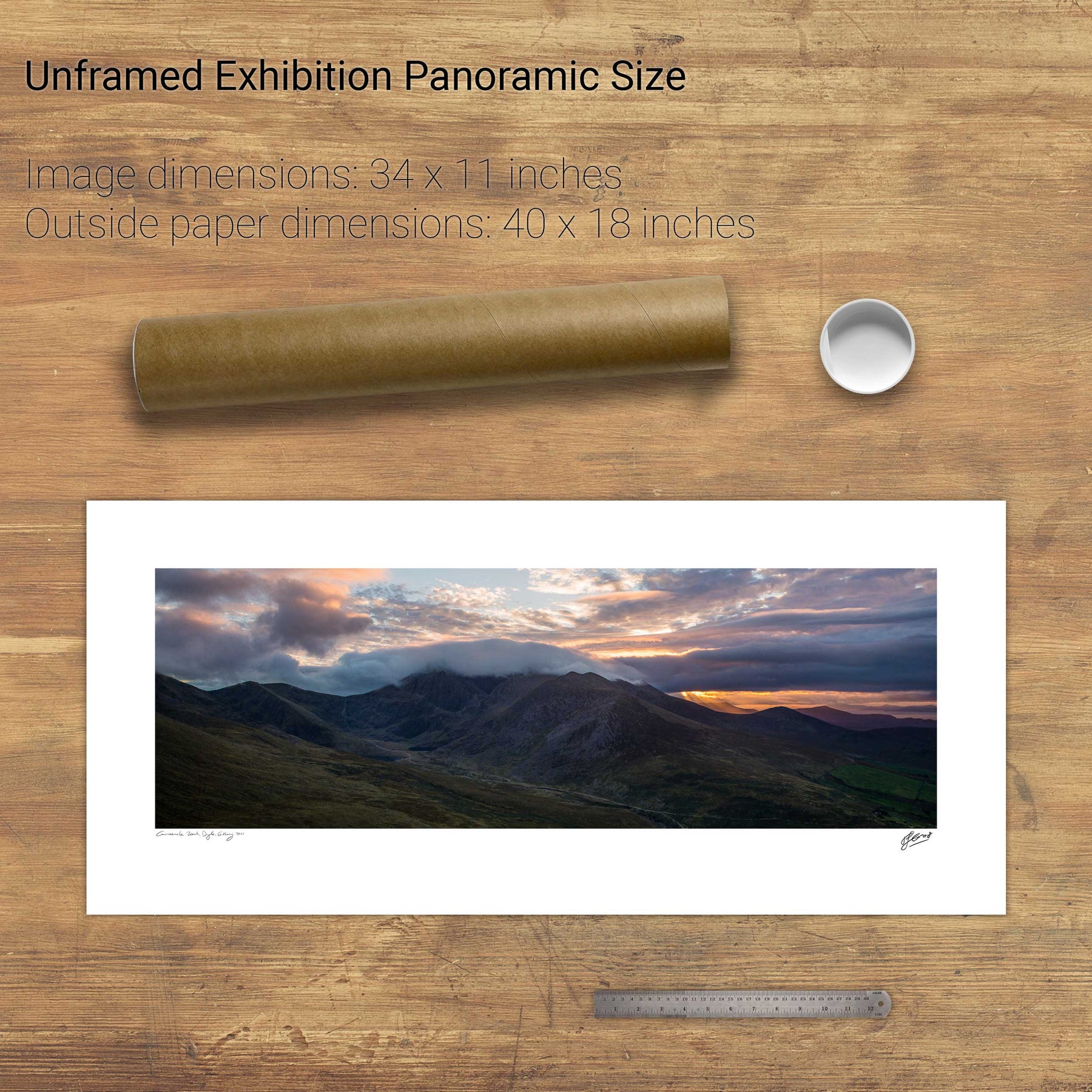
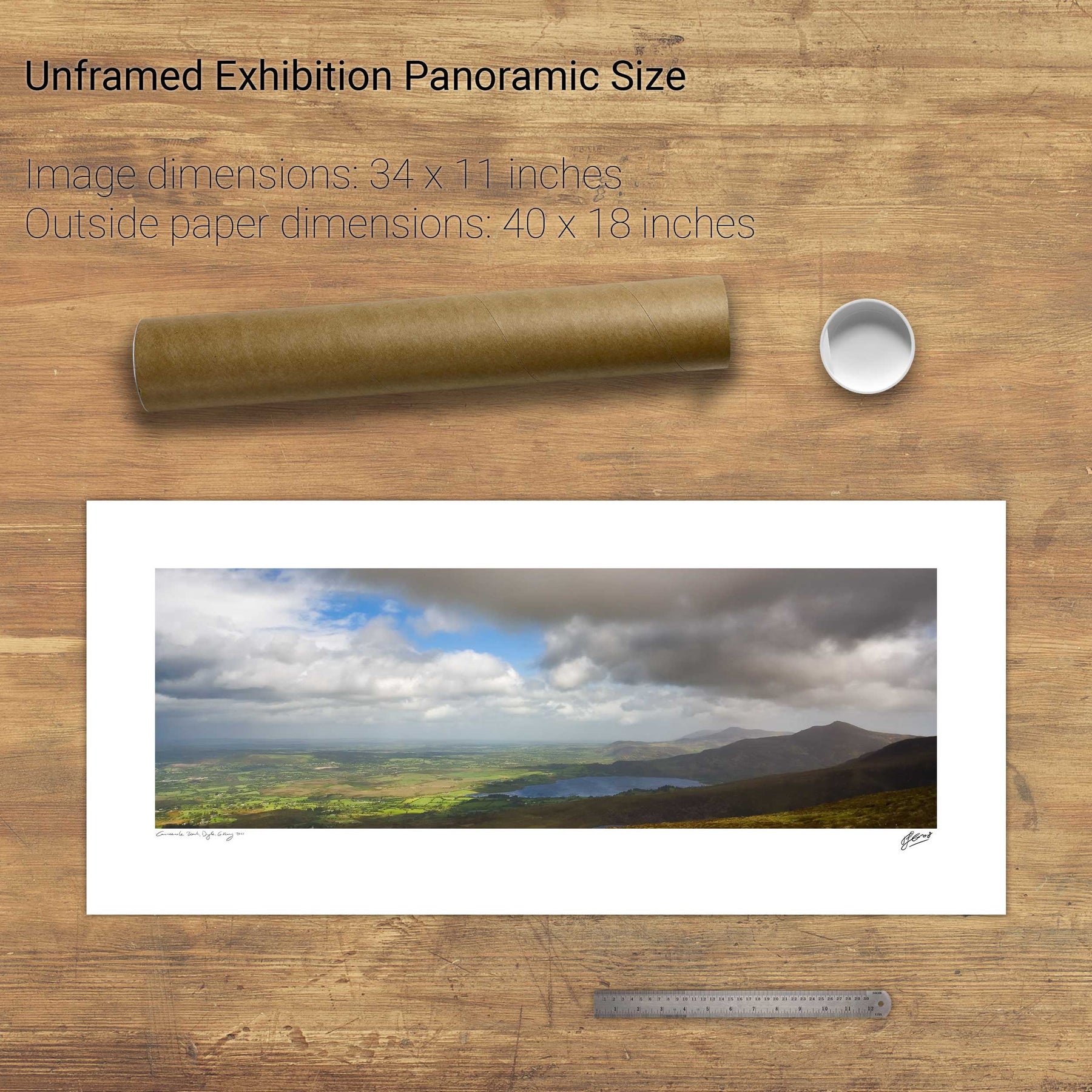
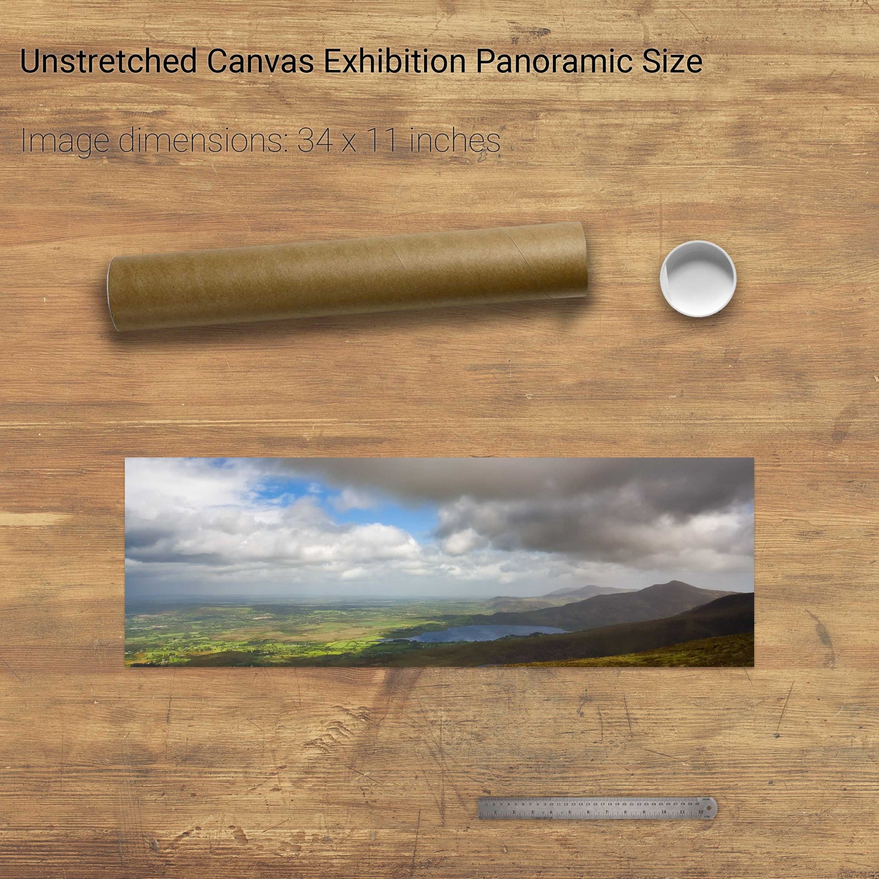
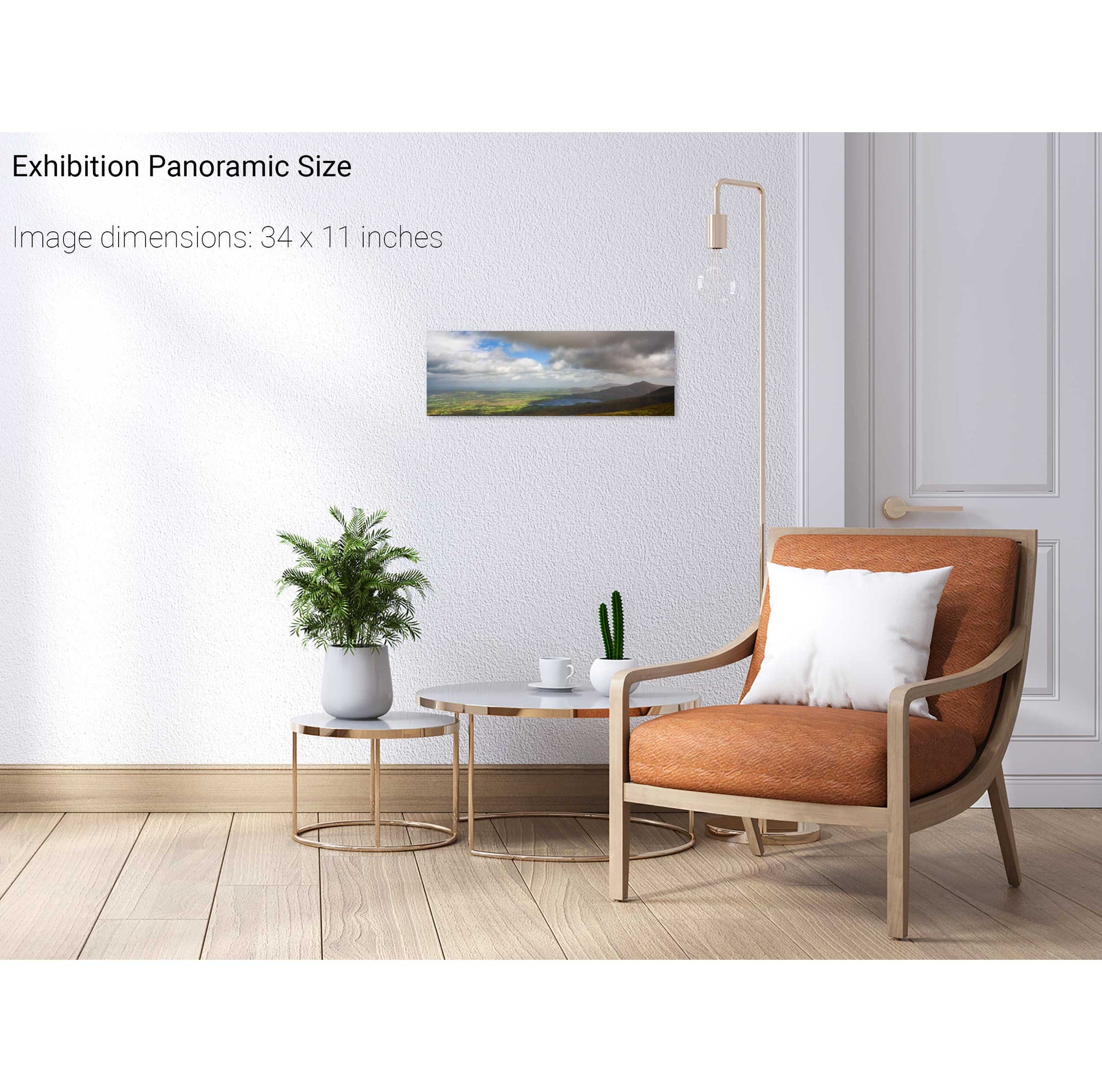
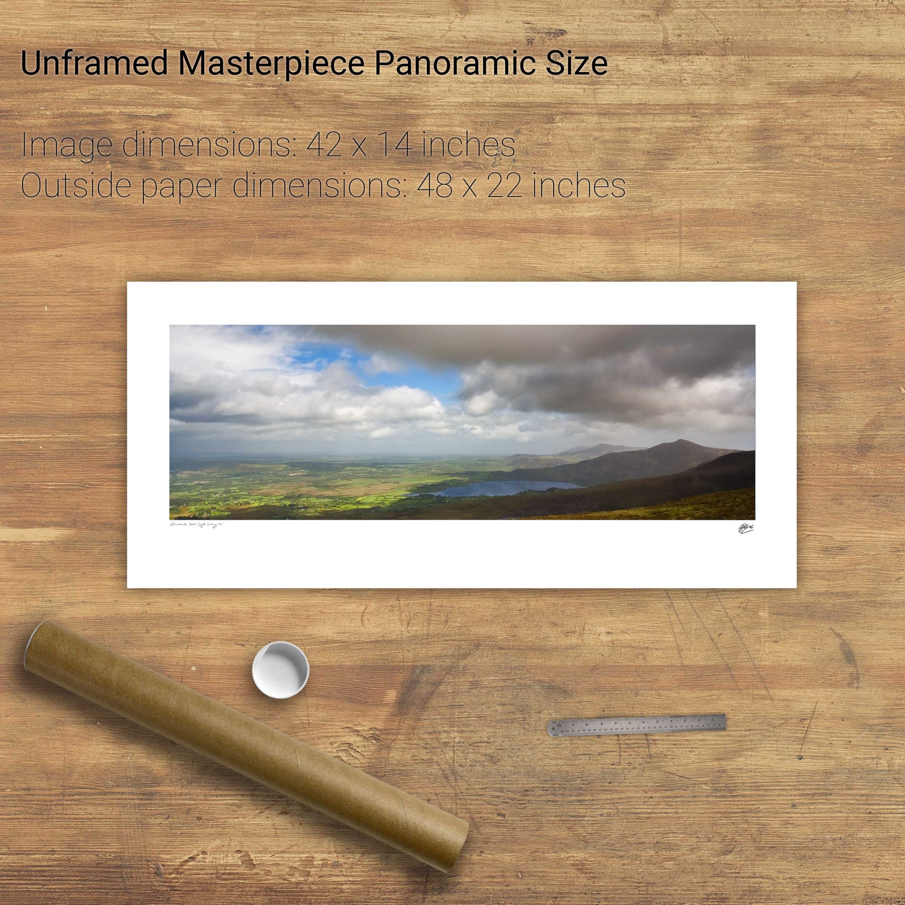
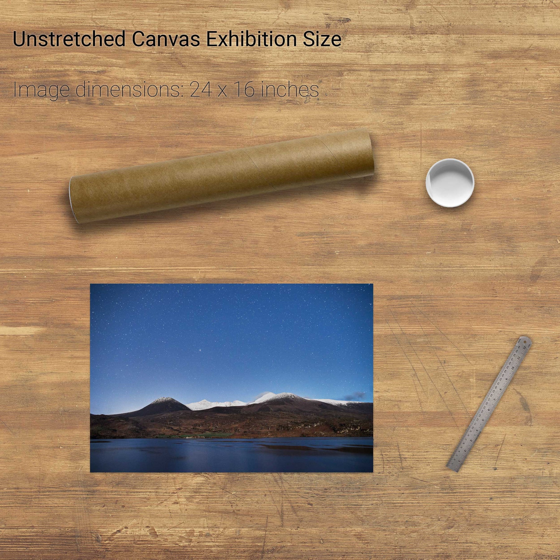
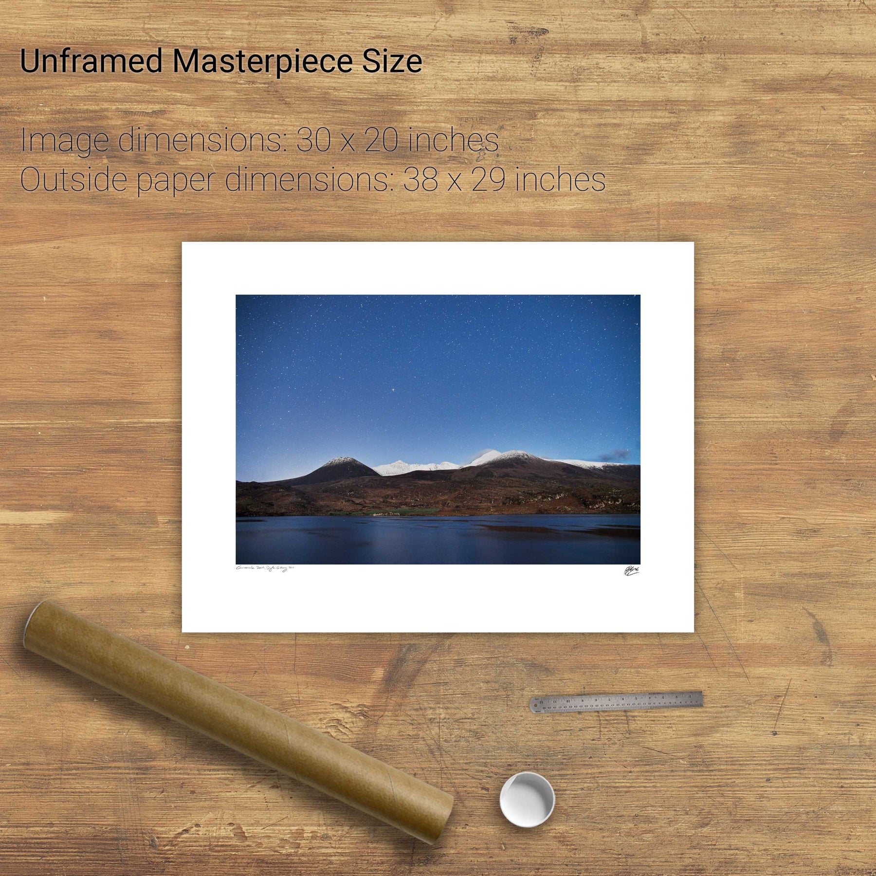
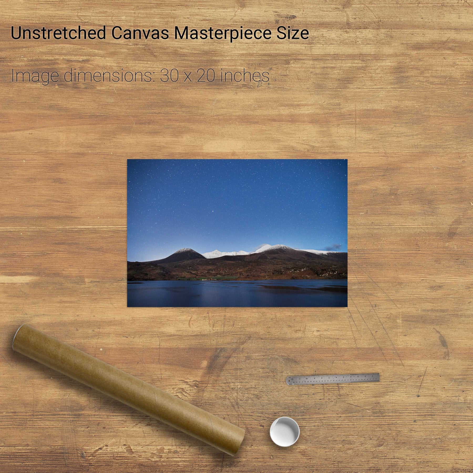
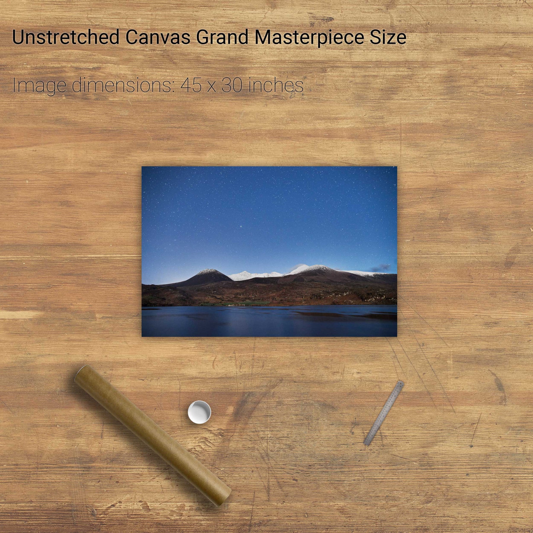
85 products
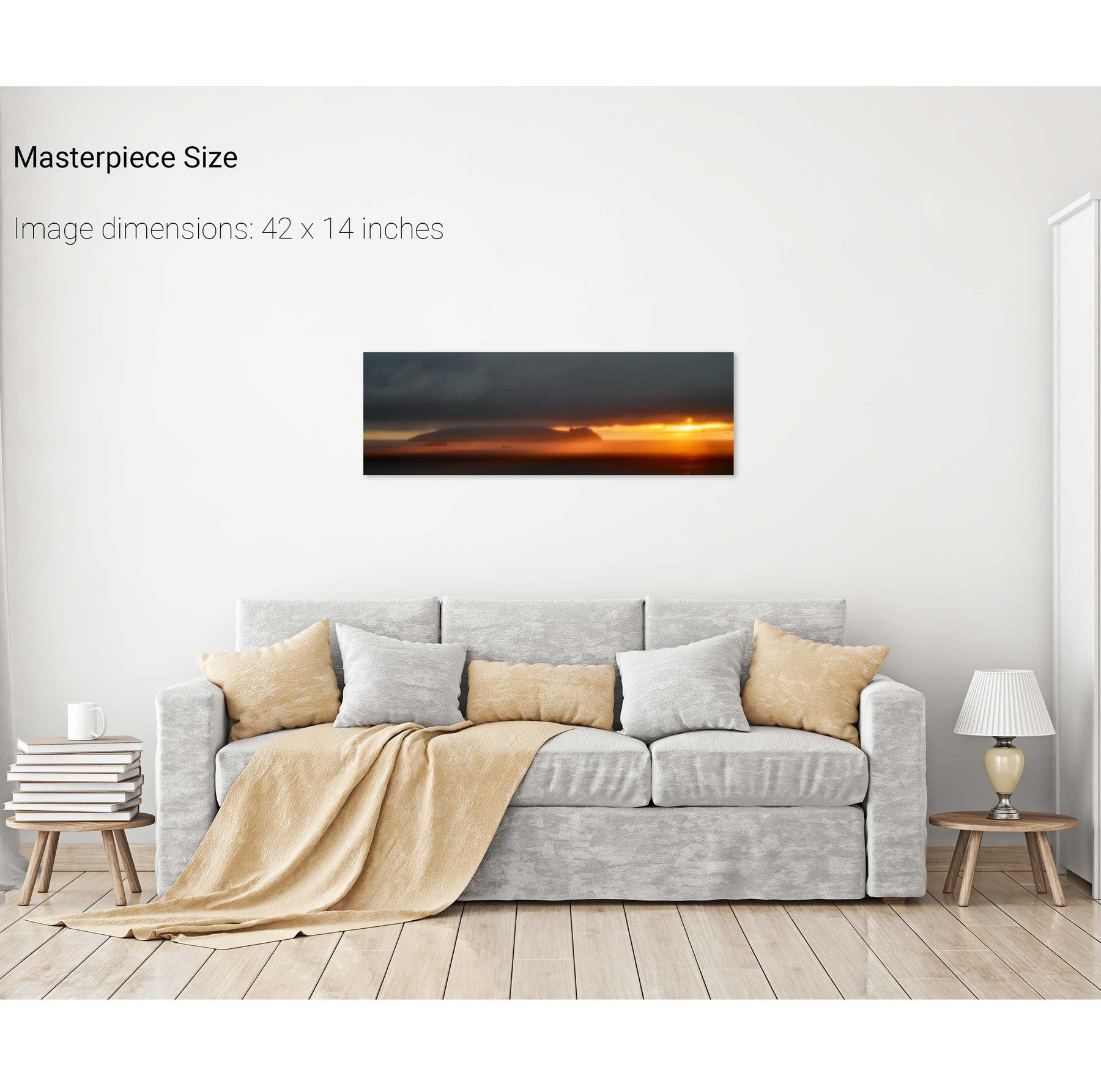
The Sleeping Giant, Dingle, Kerry
Down the East Steps, Skellig Michael, Kerry
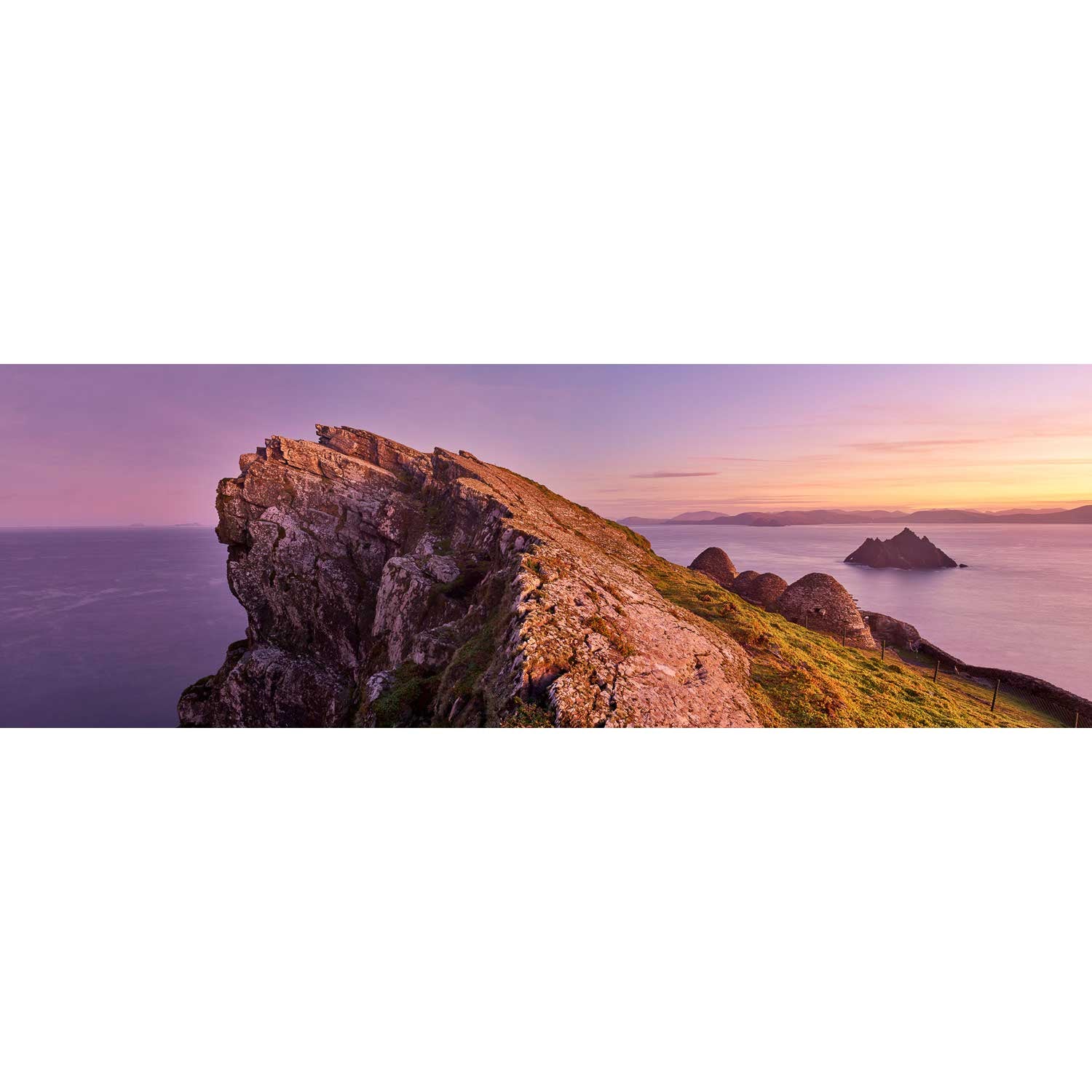
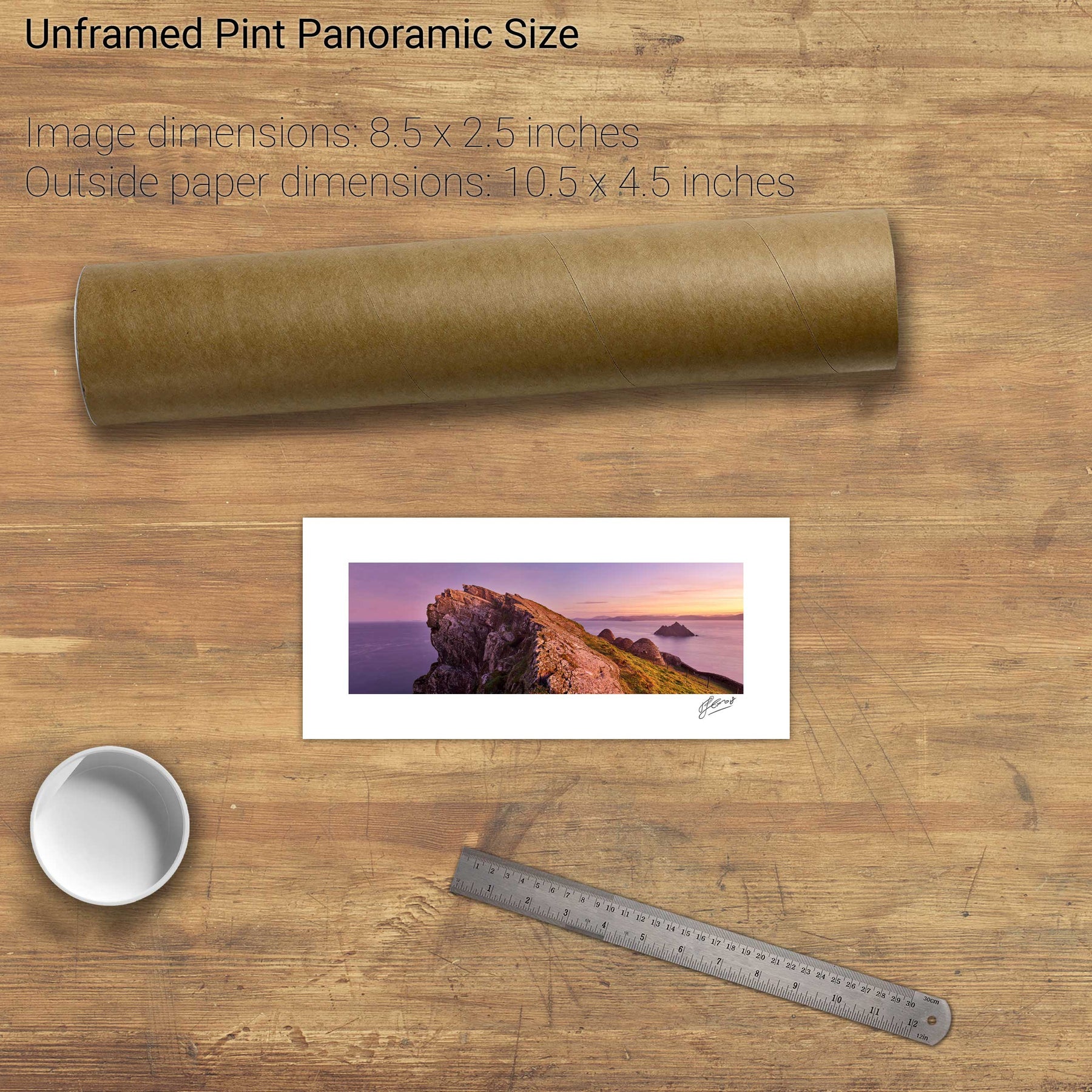
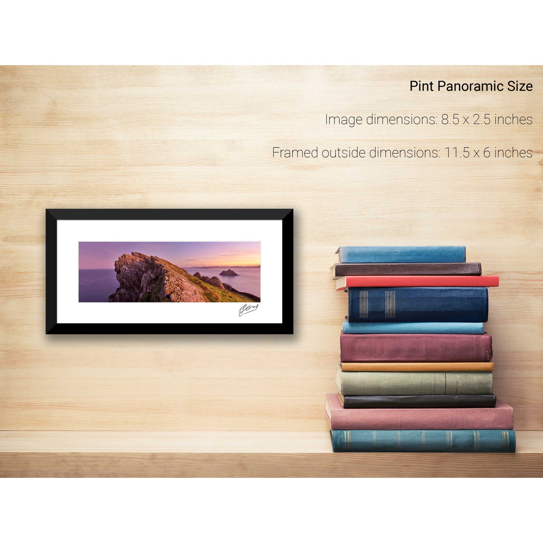
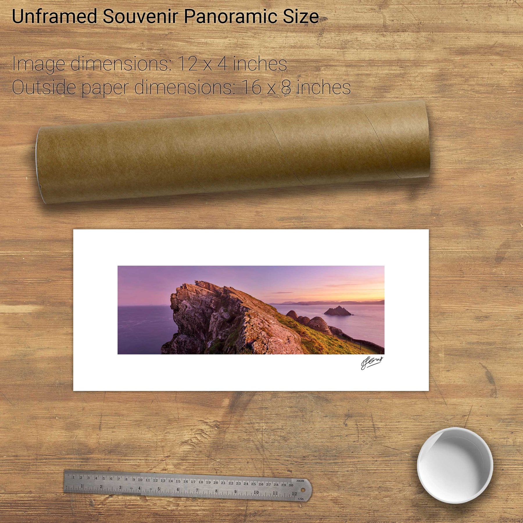
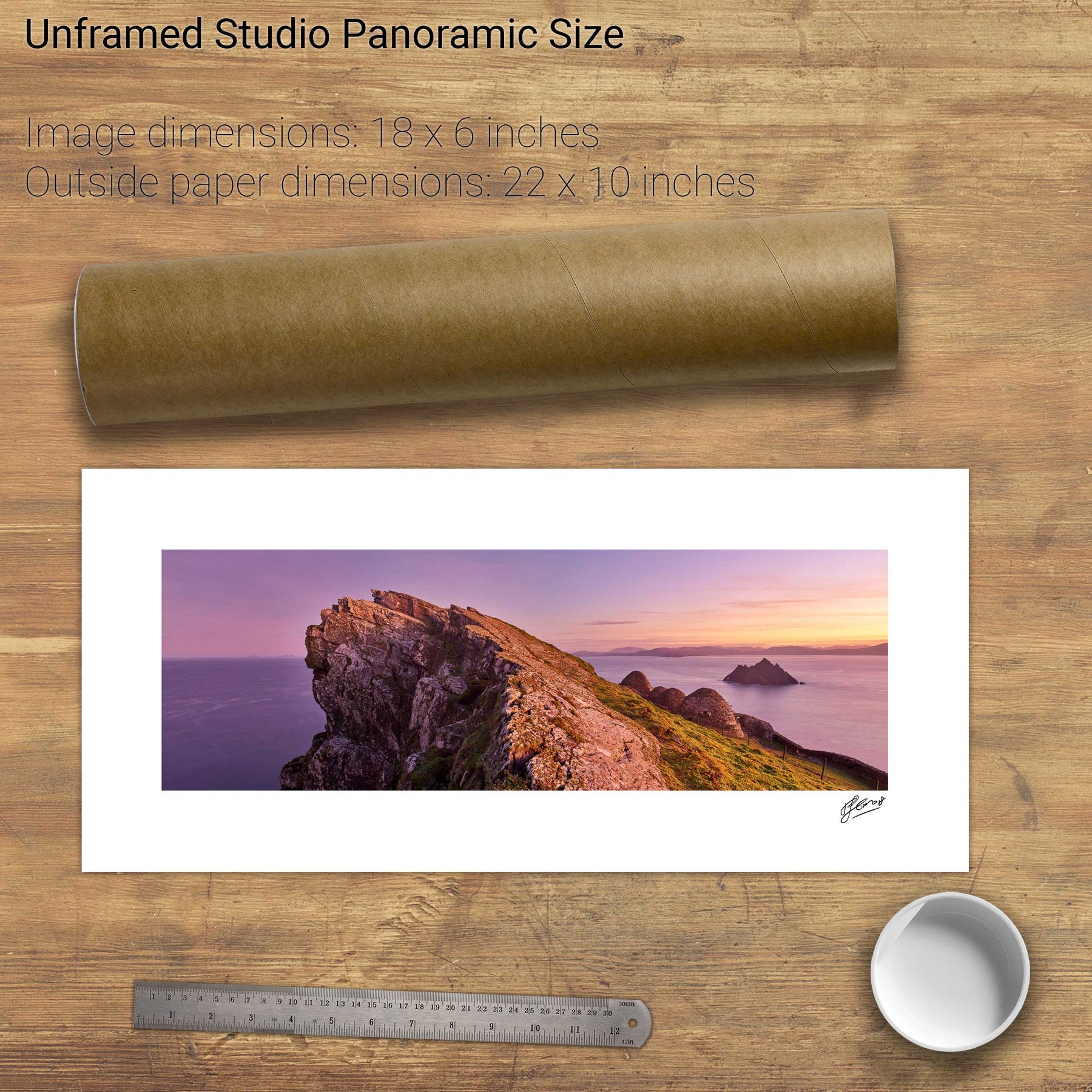
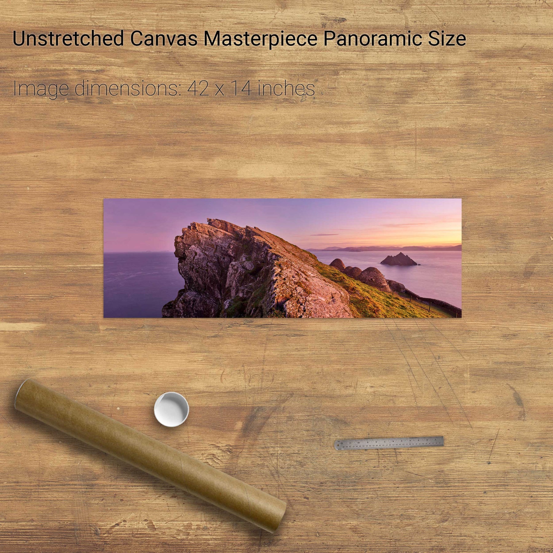
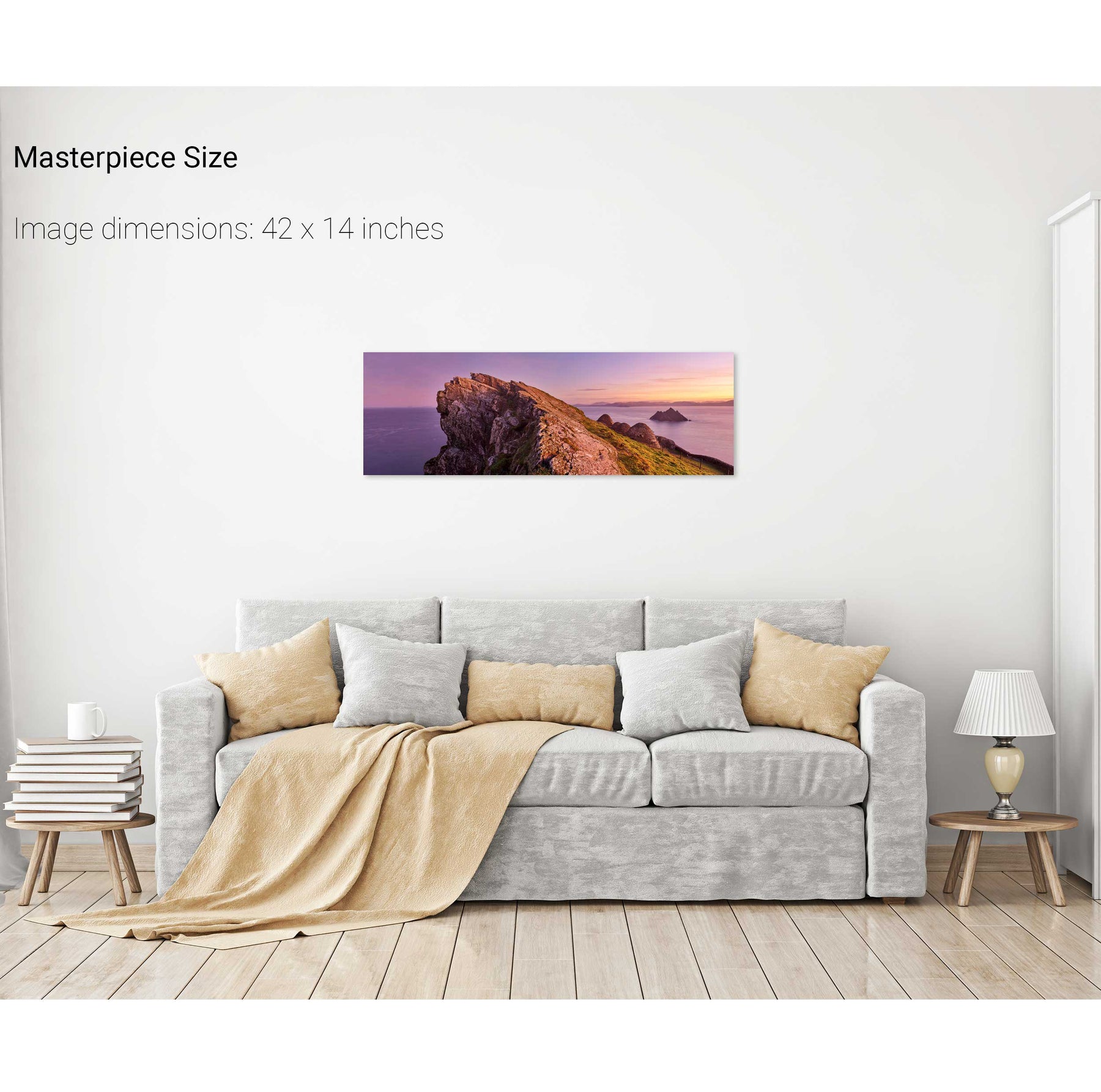
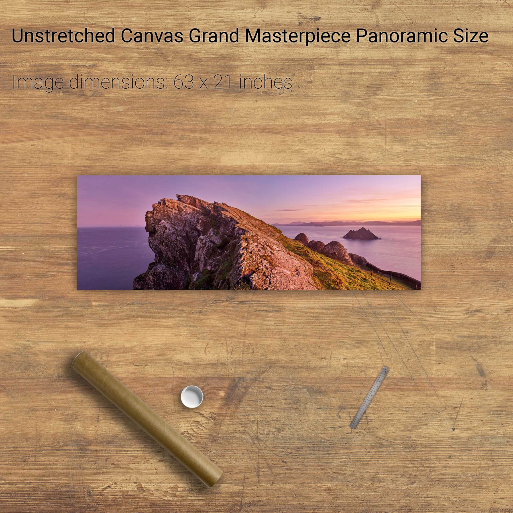
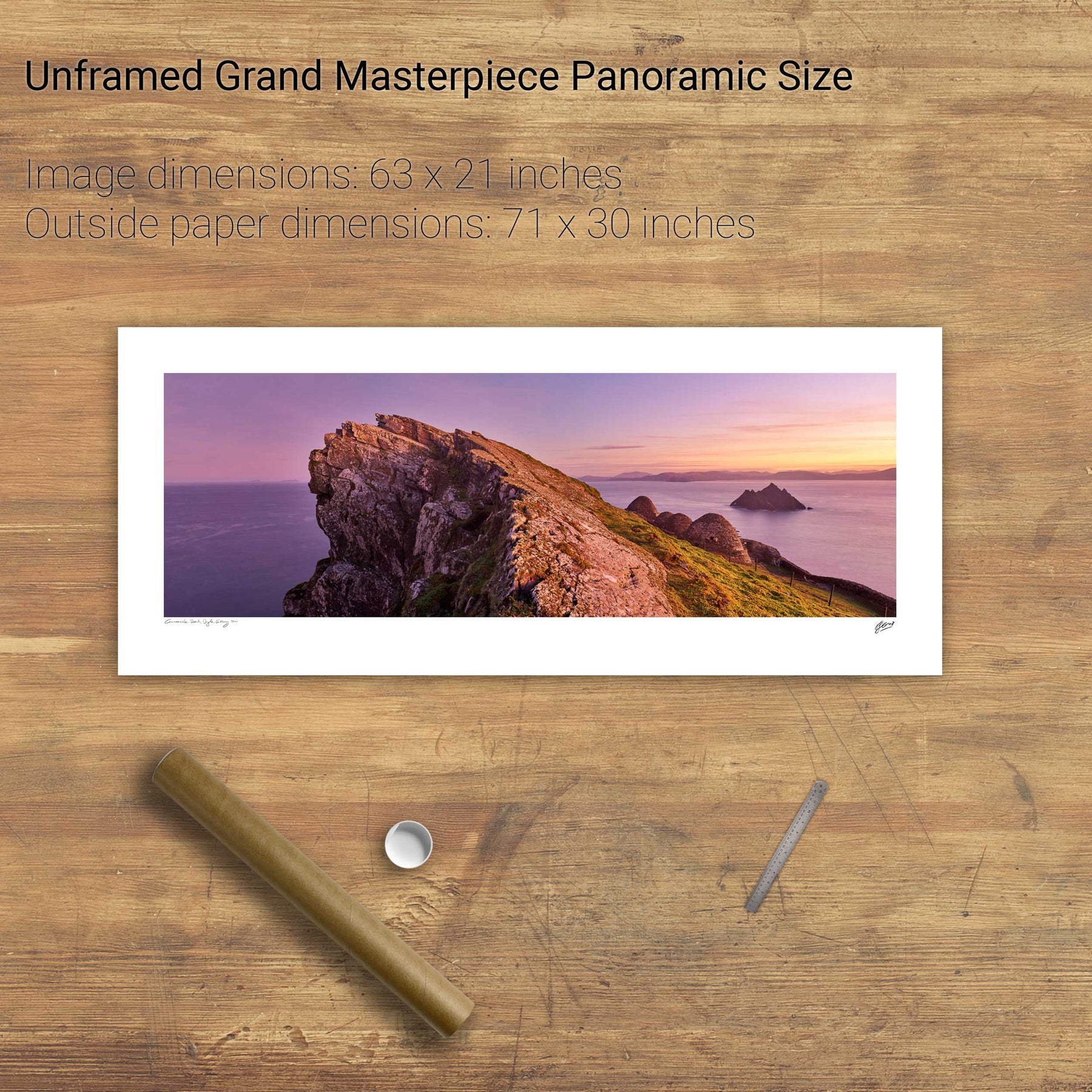
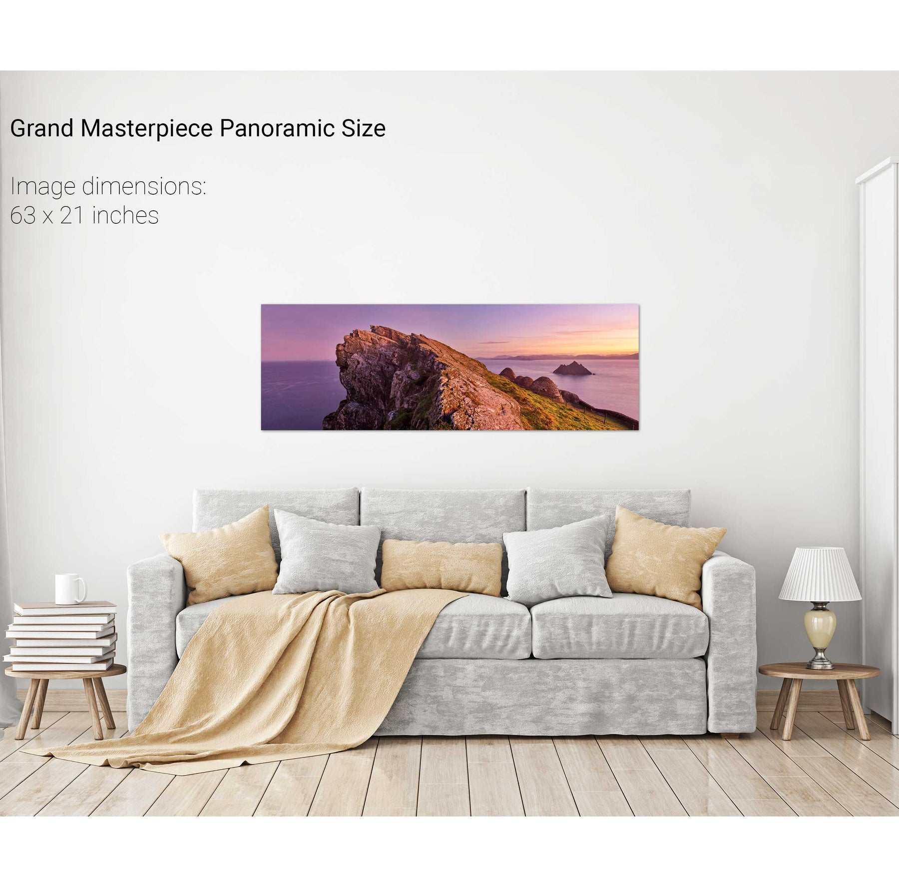
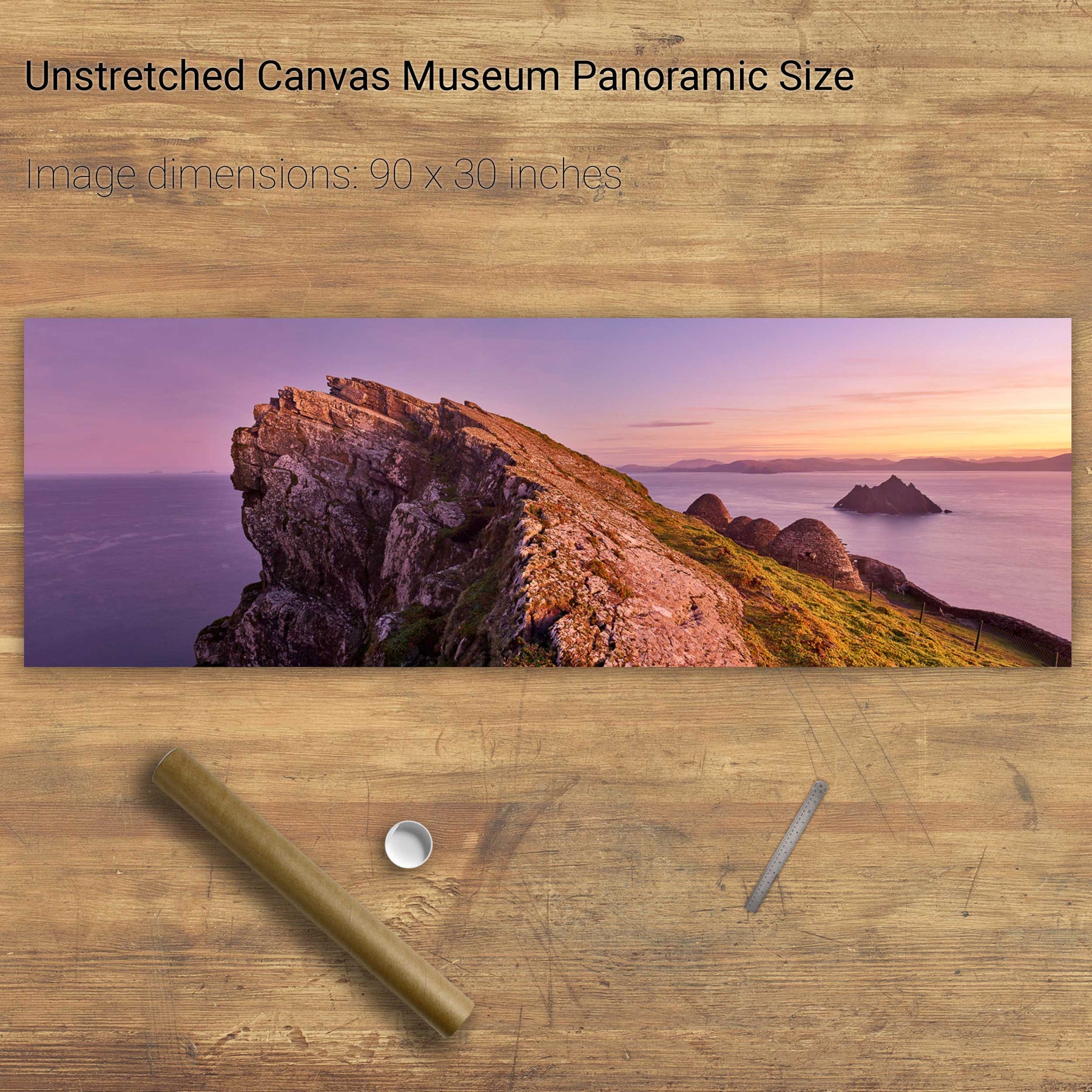
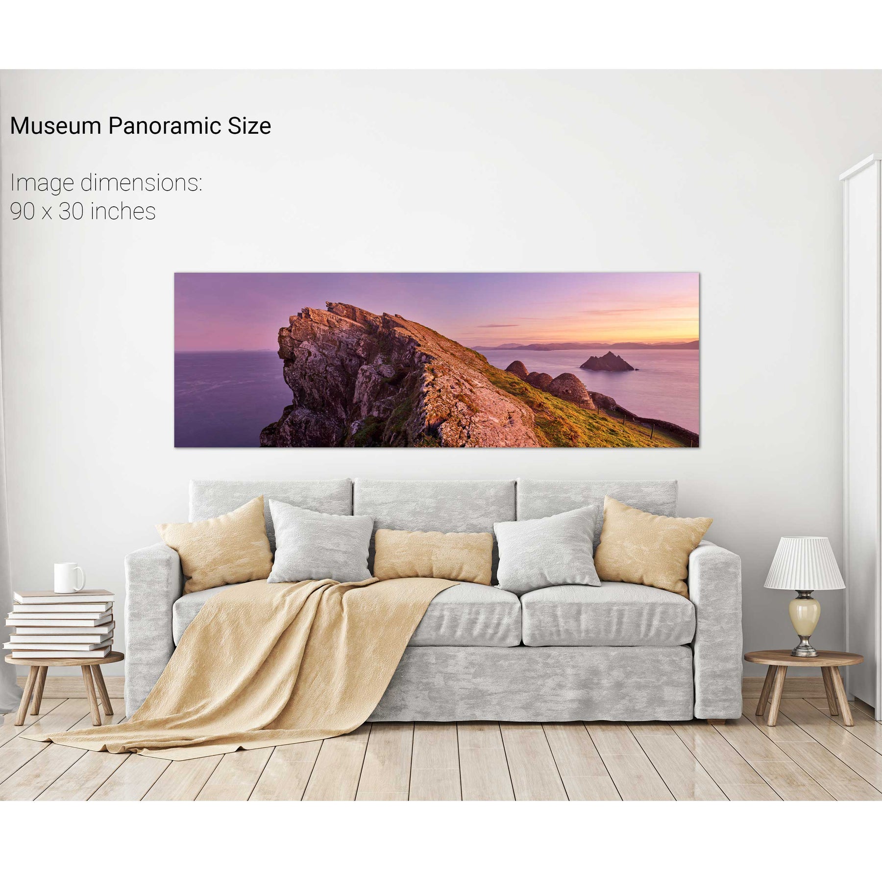
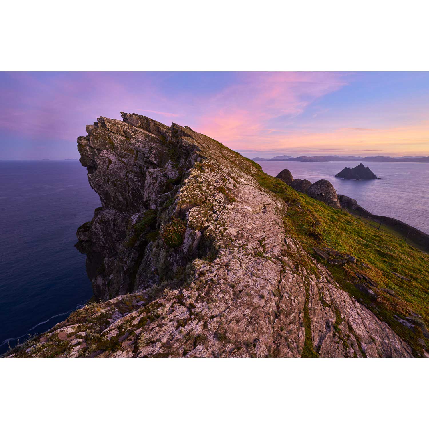
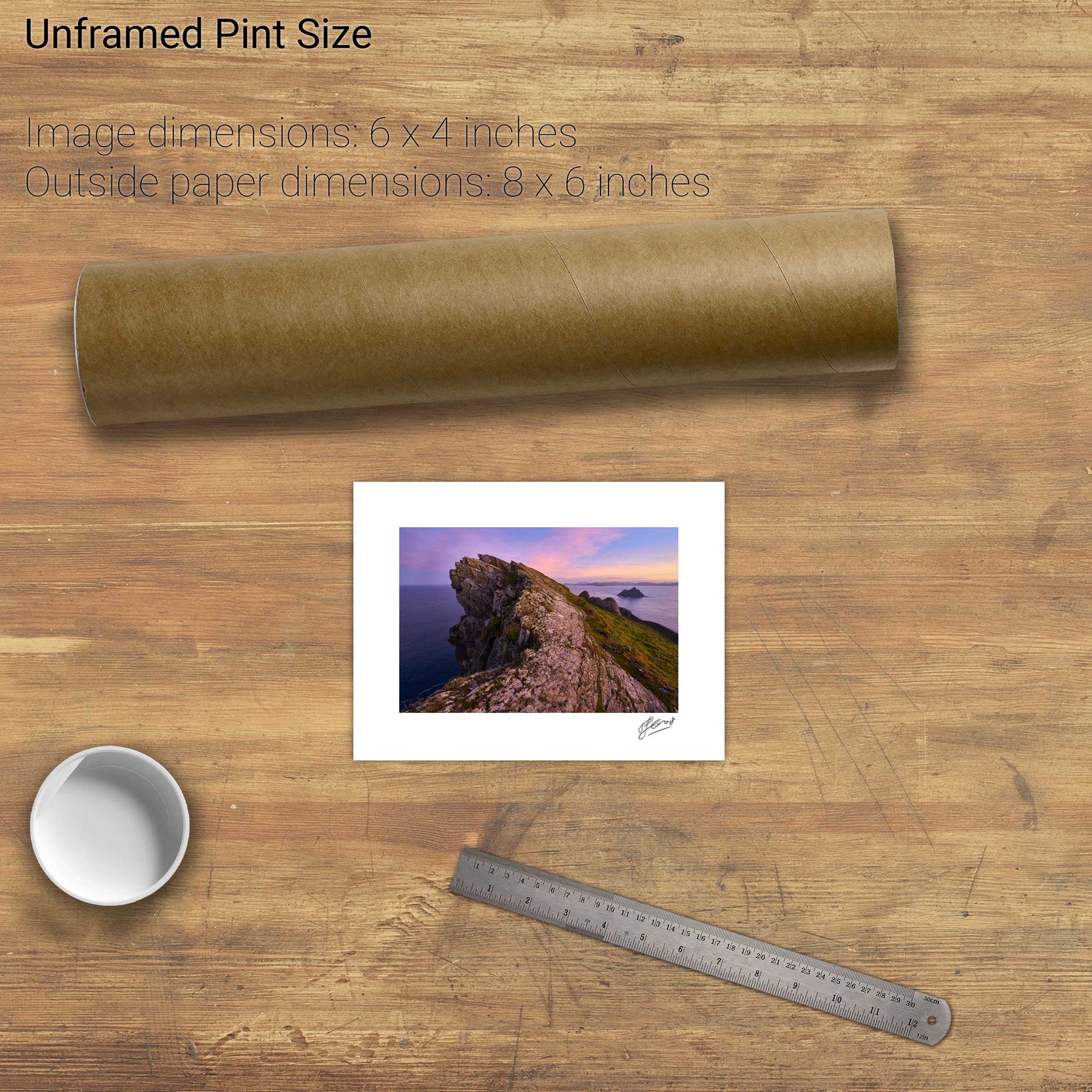
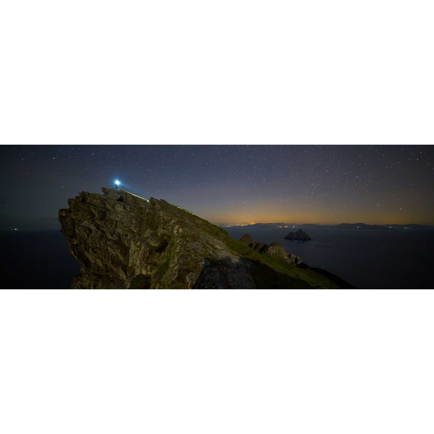
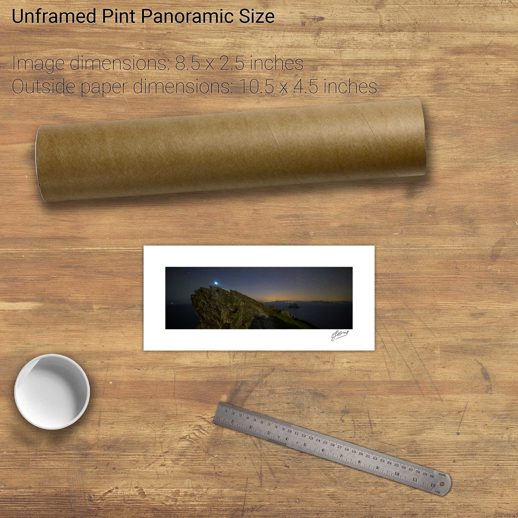
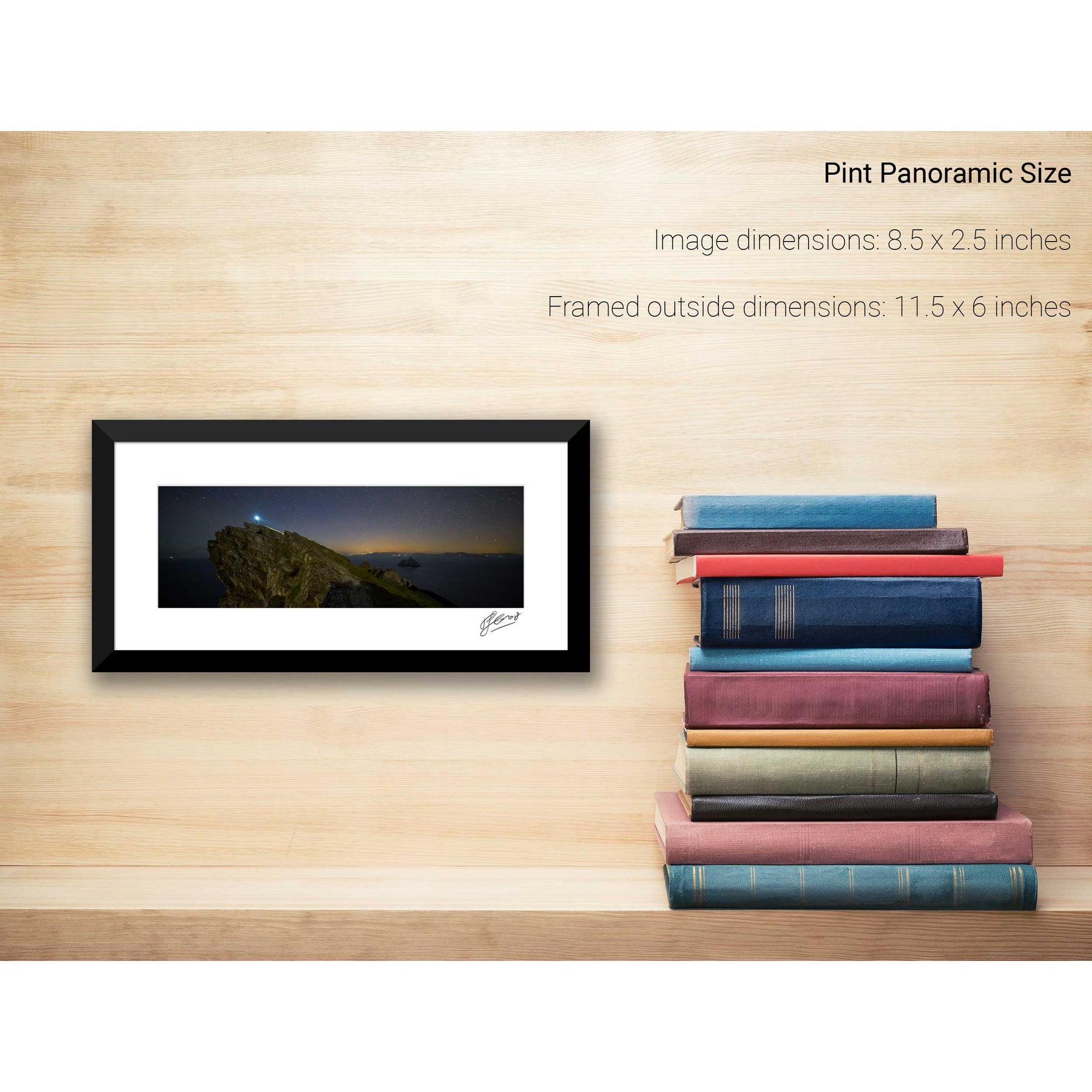
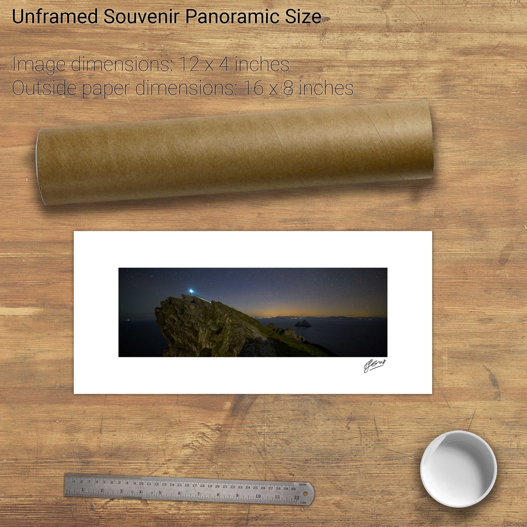
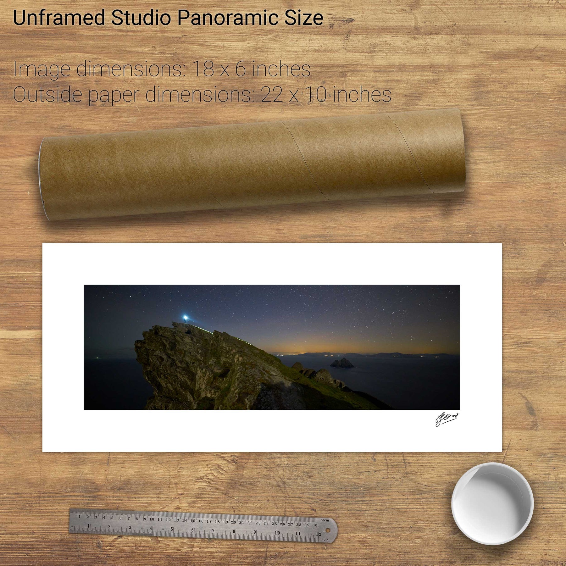
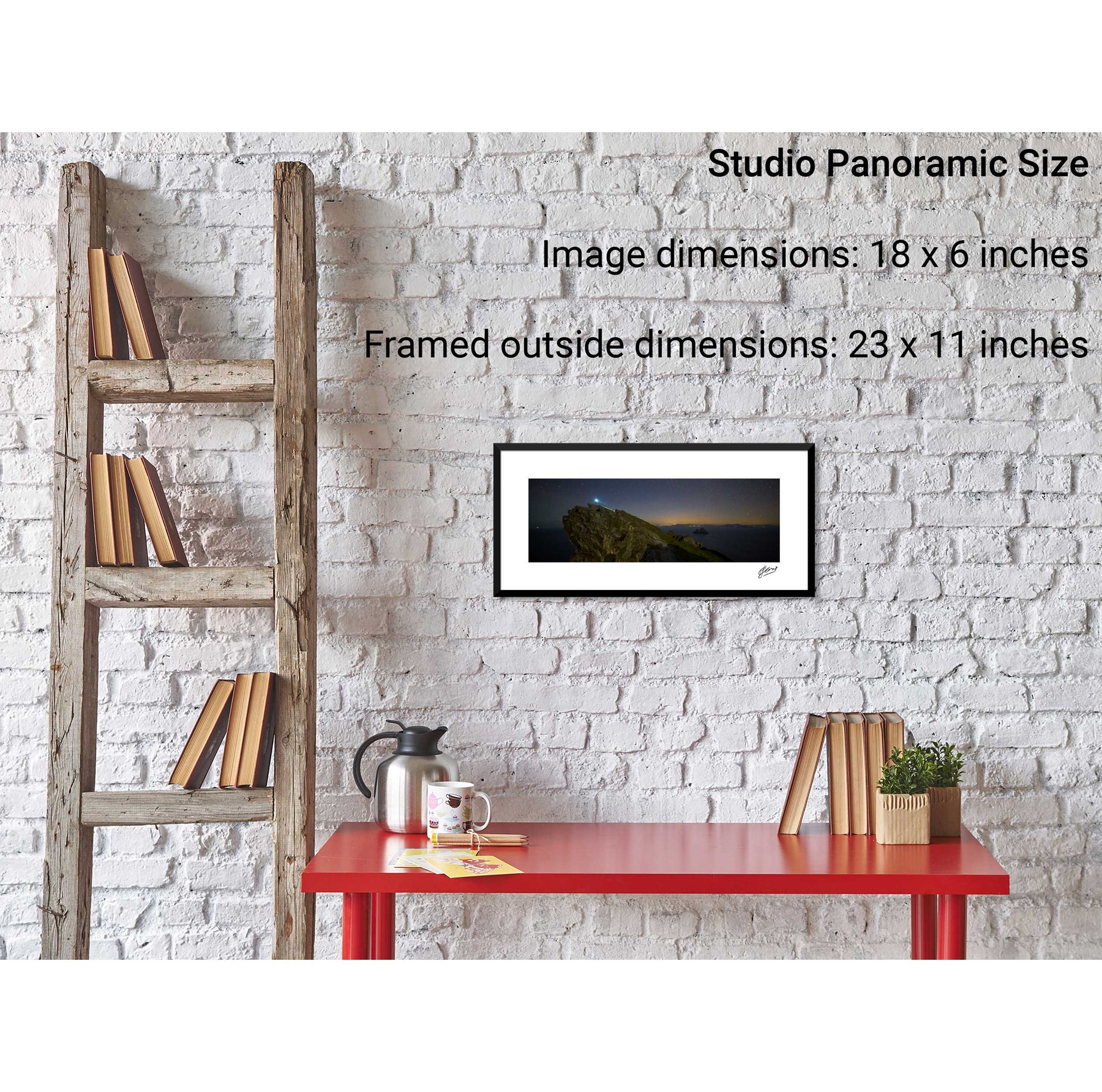
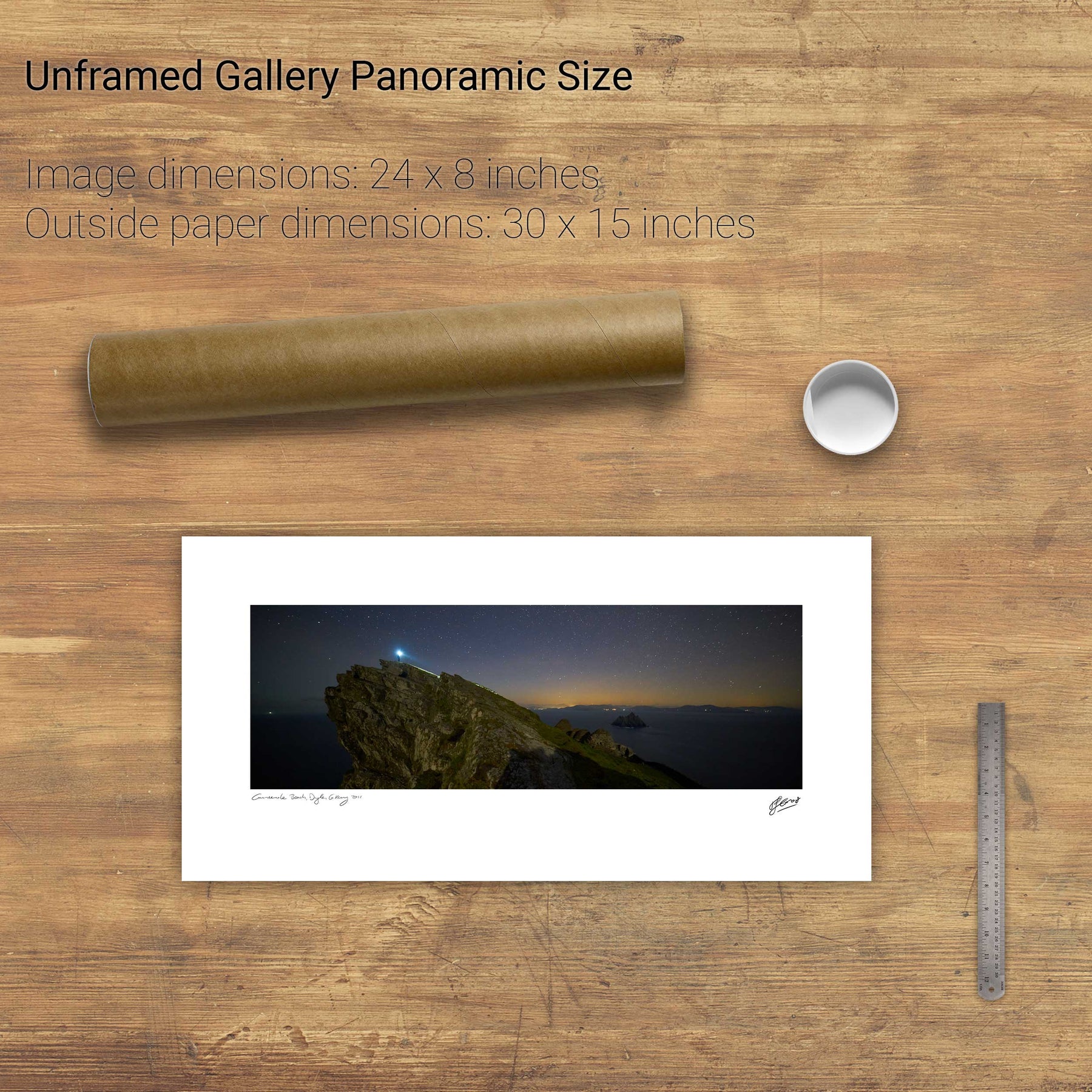
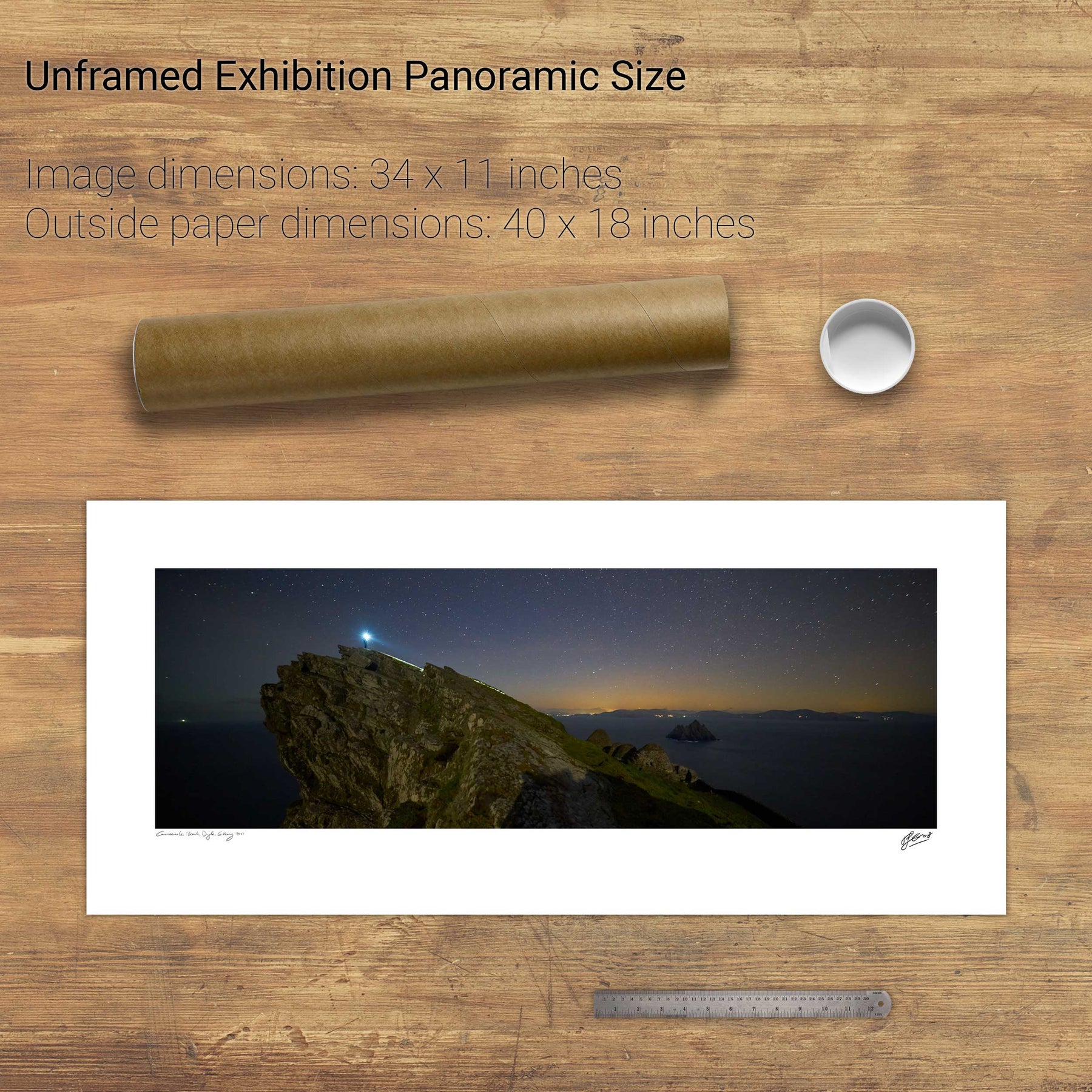
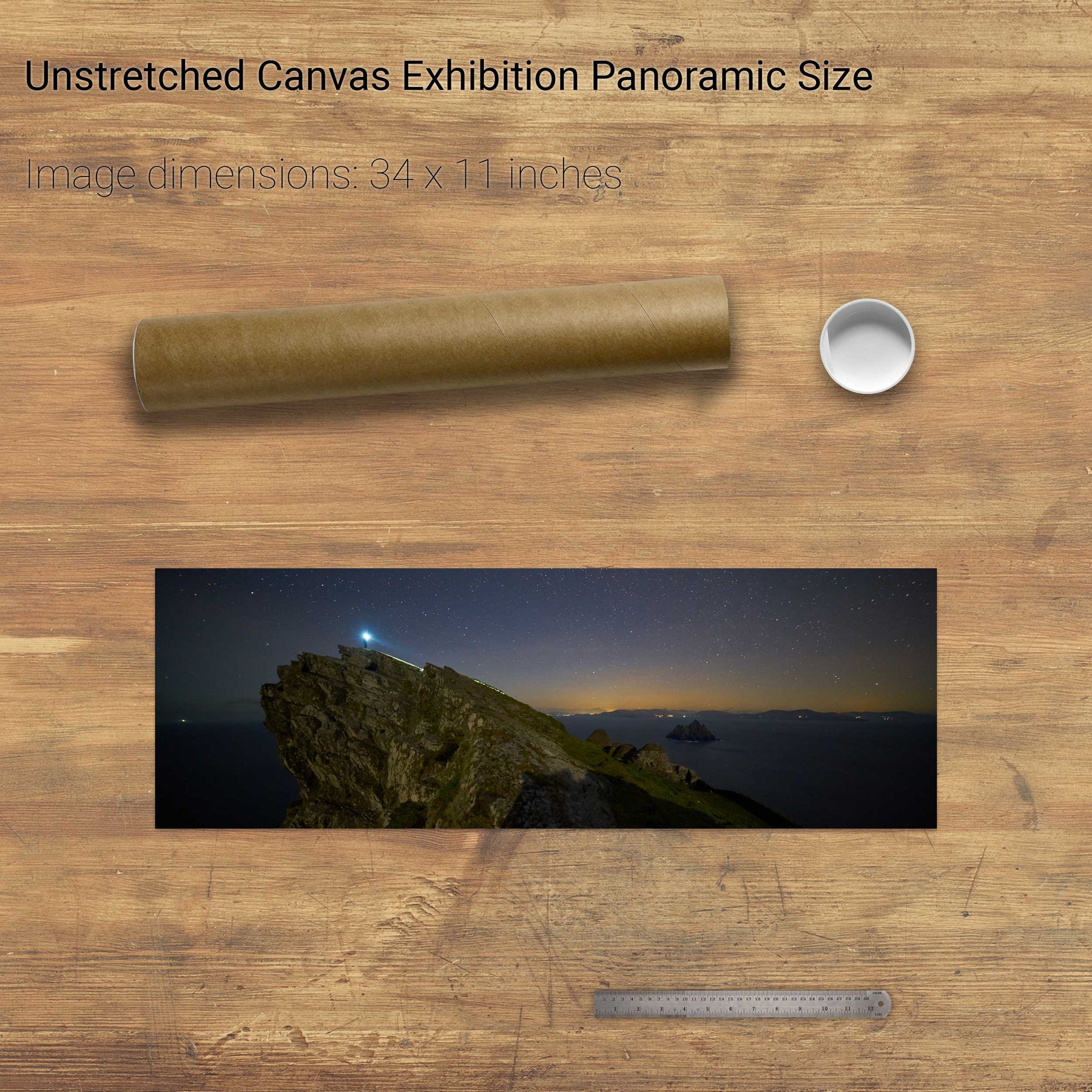
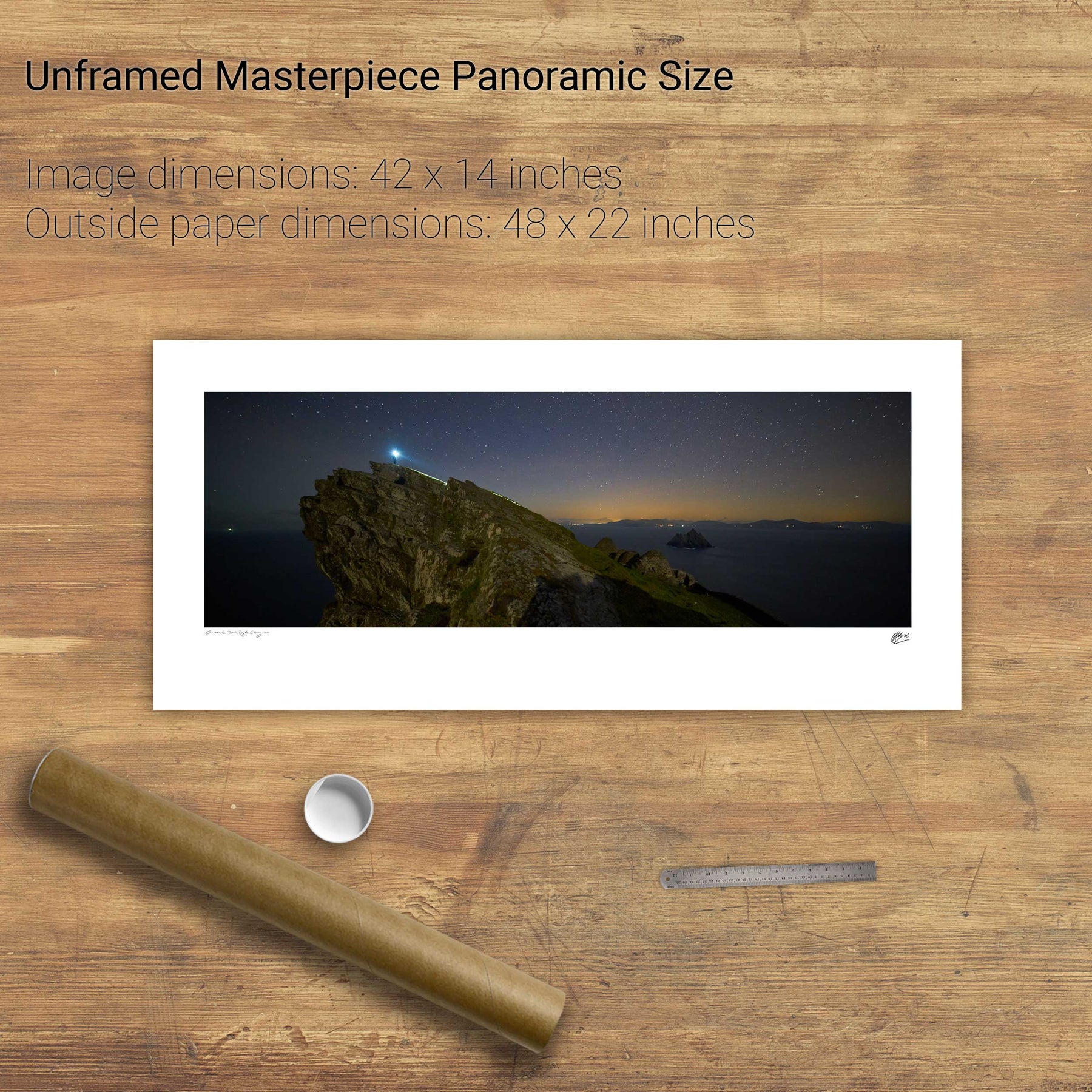
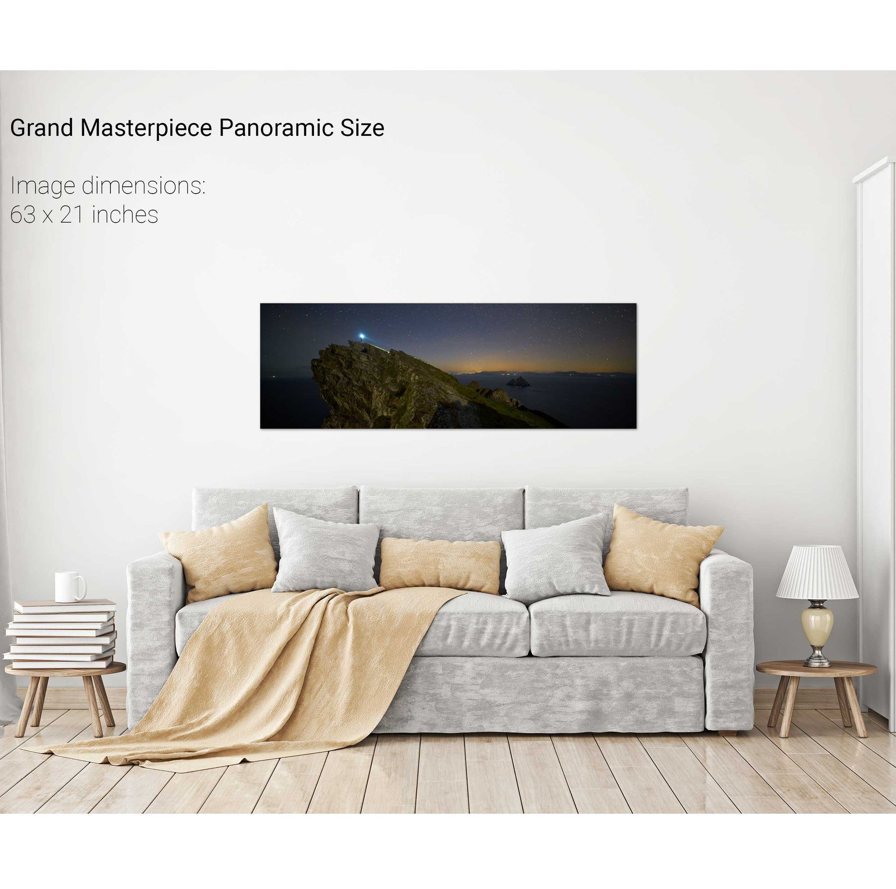
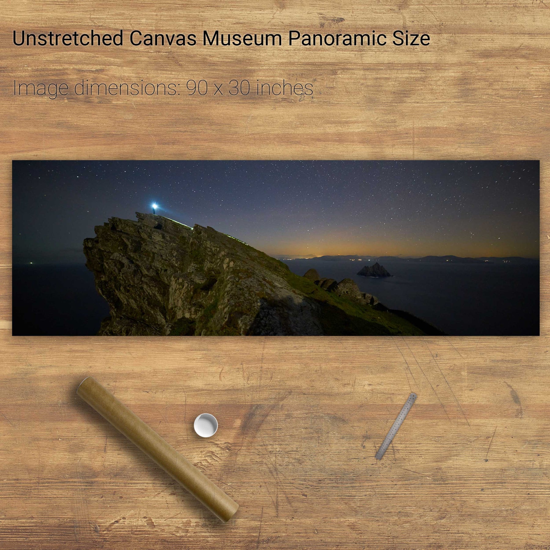
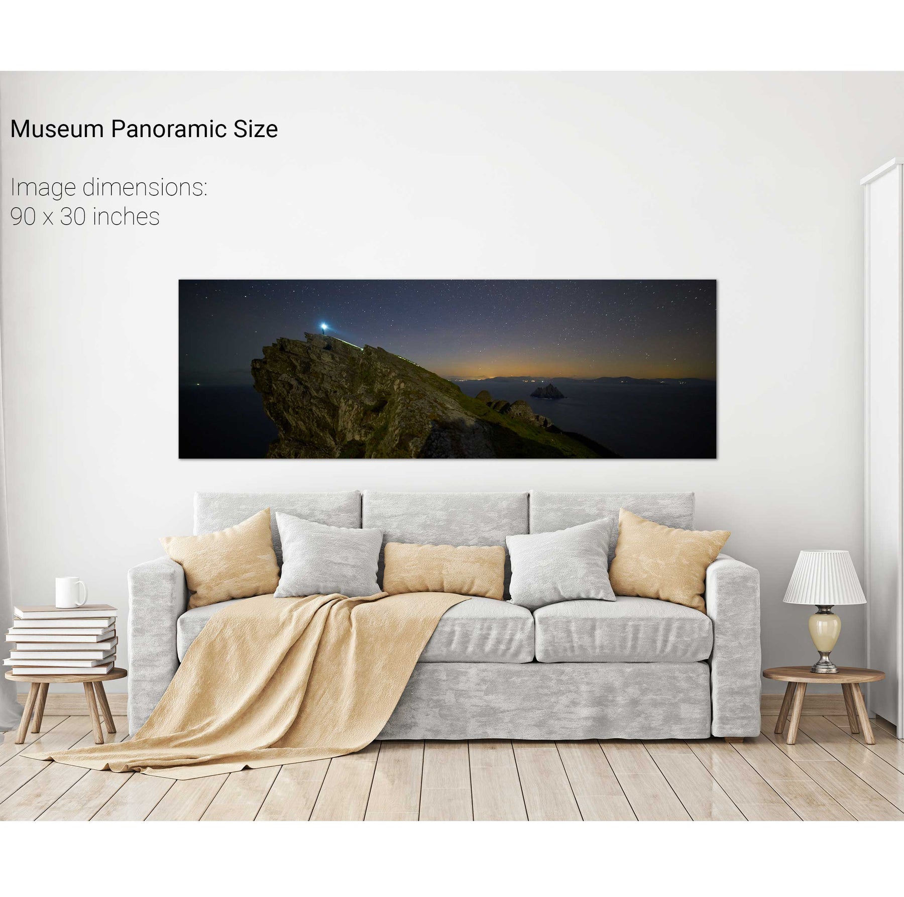
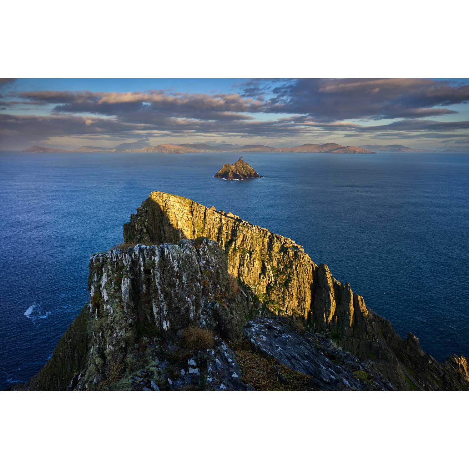
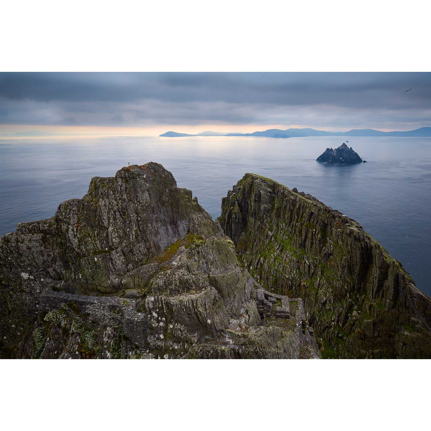
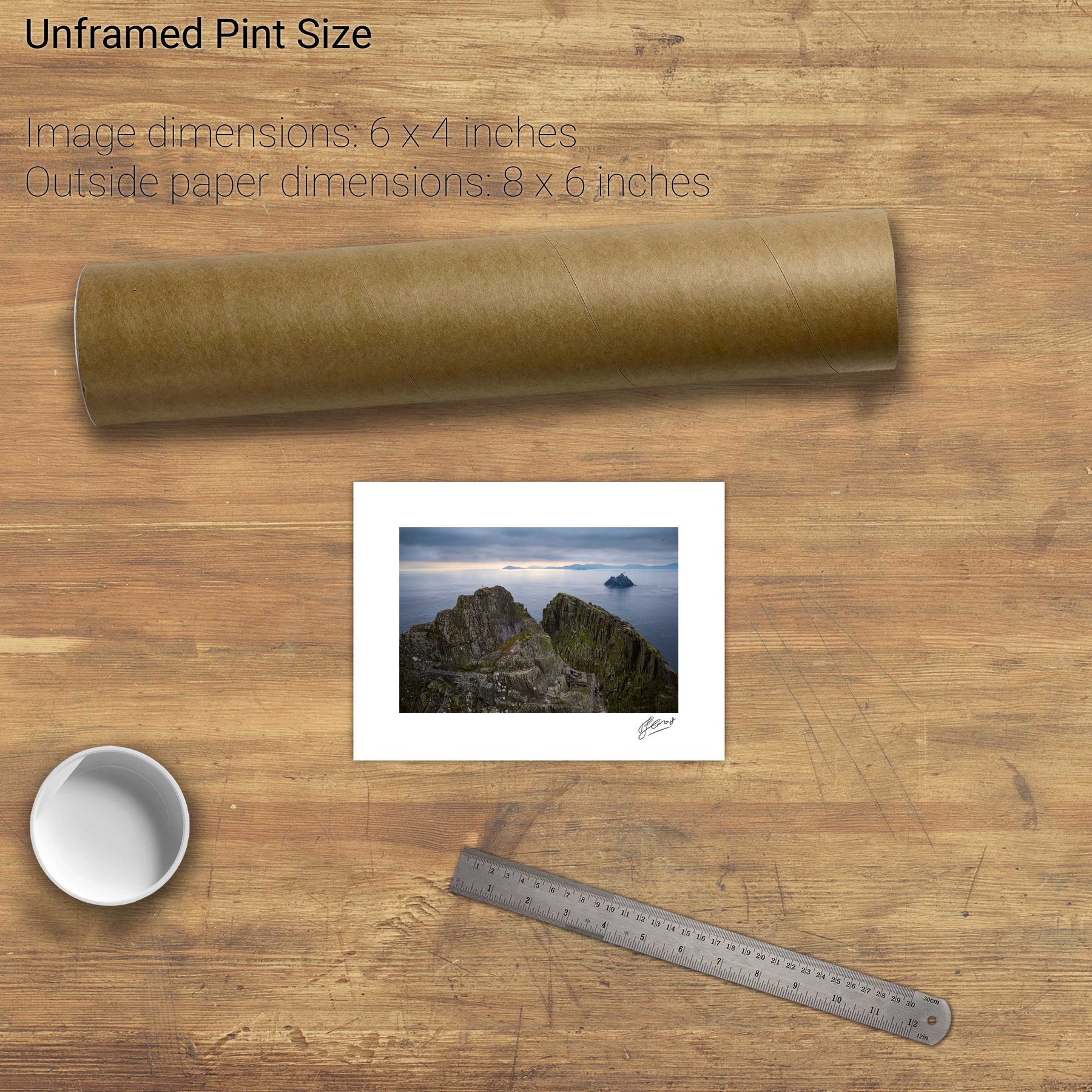
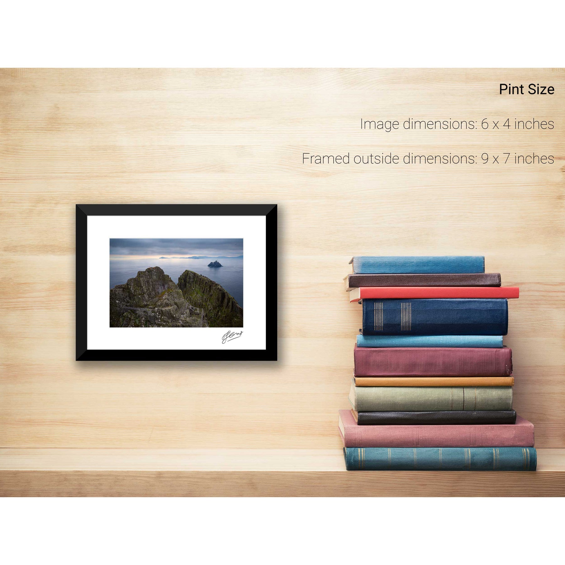
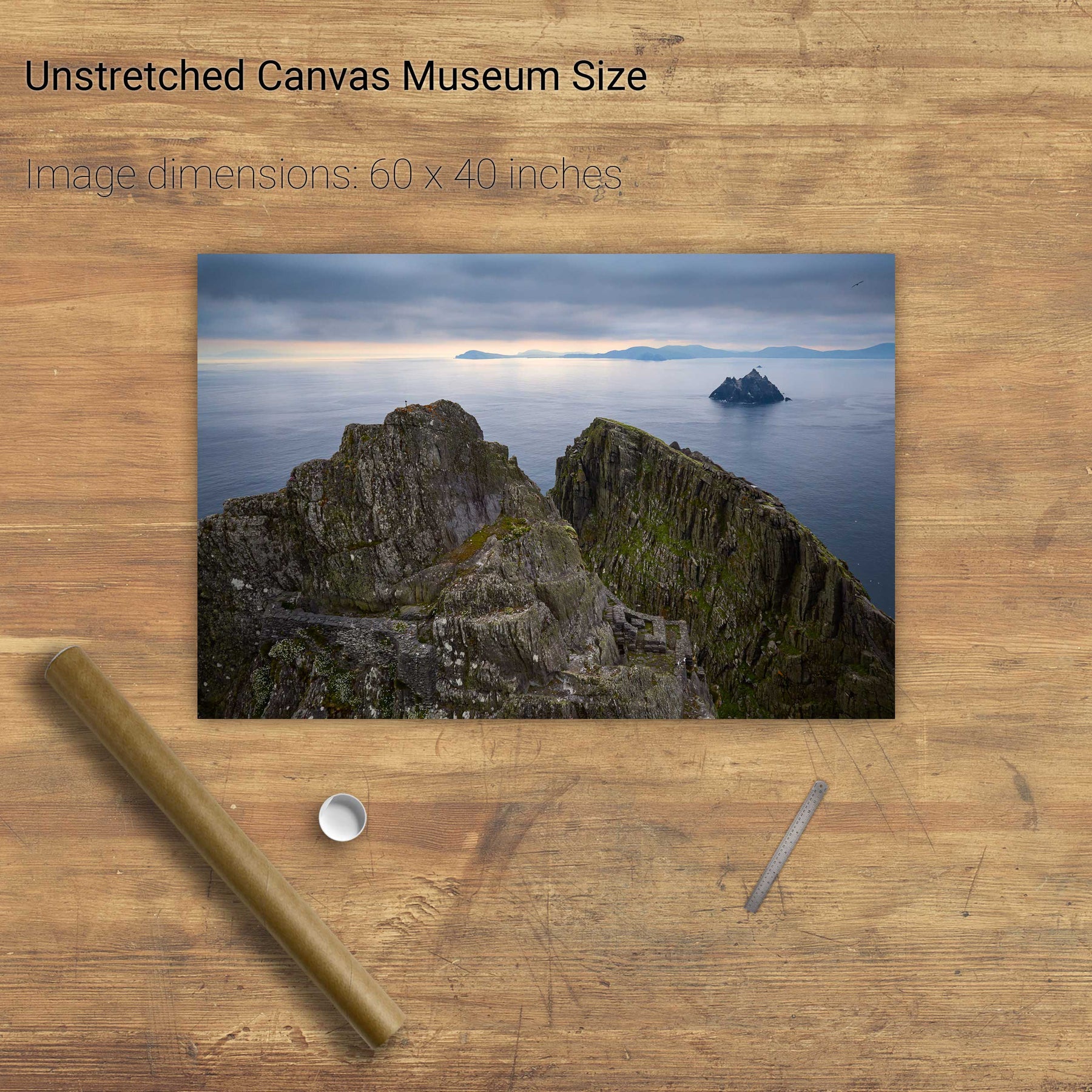
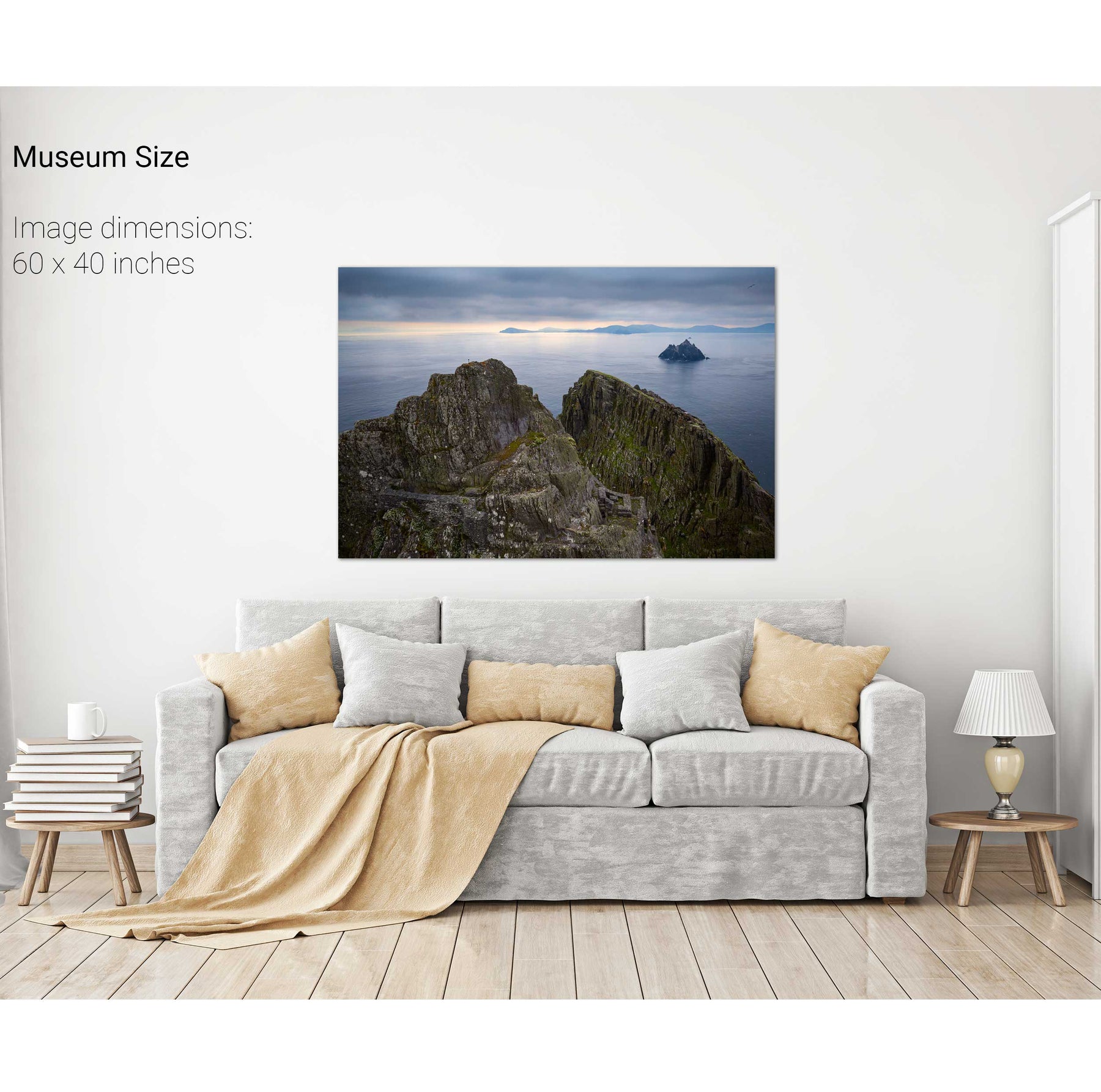
North Peak Ridge Pano, Skellig Michael, Kerry
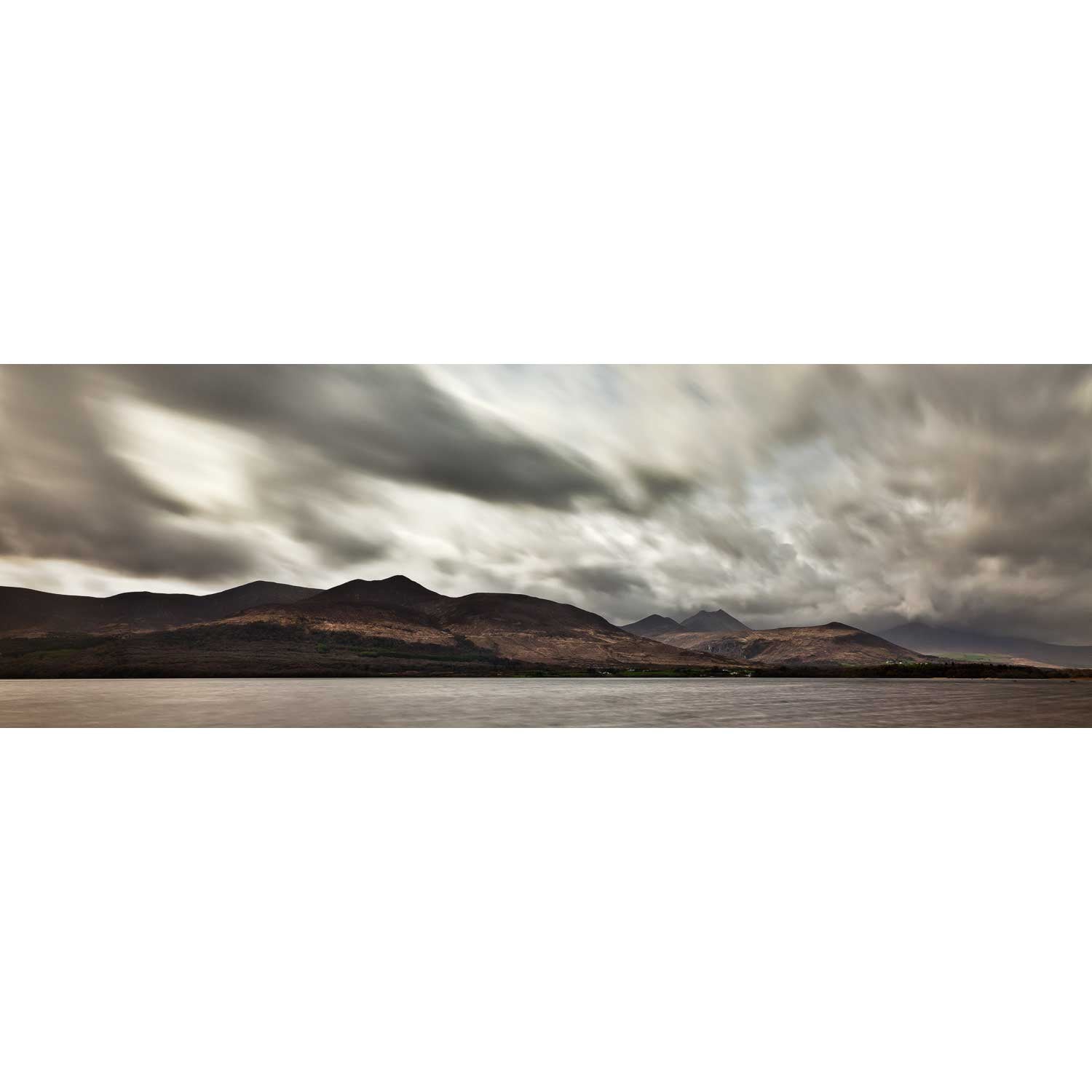
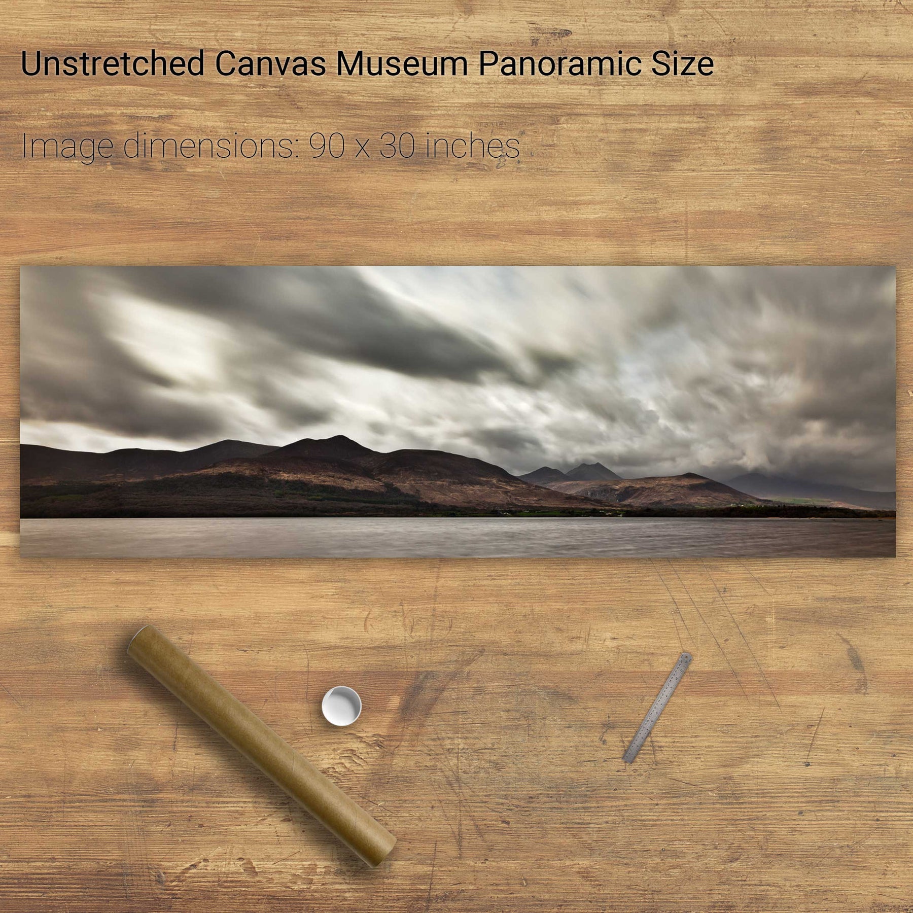
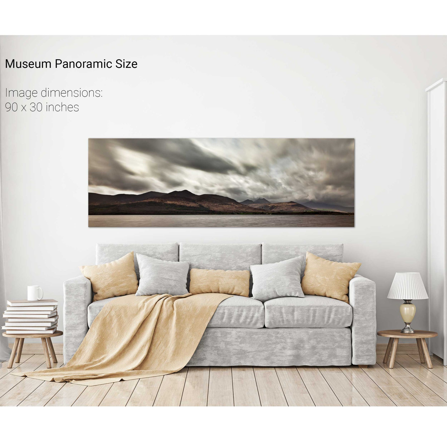
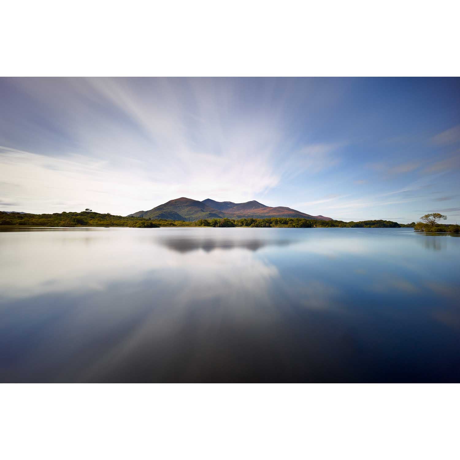
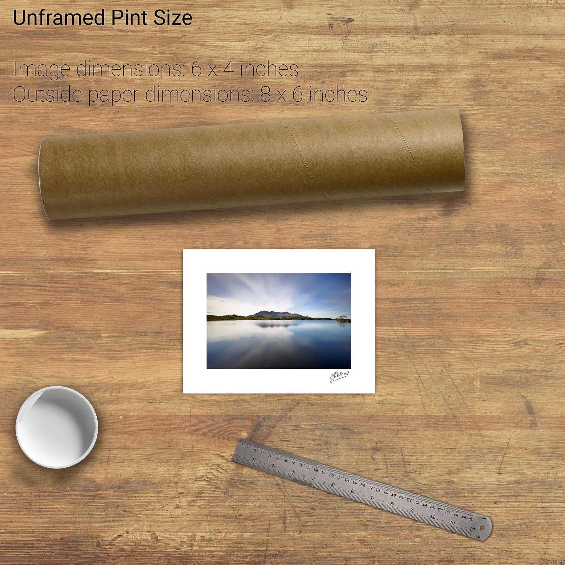
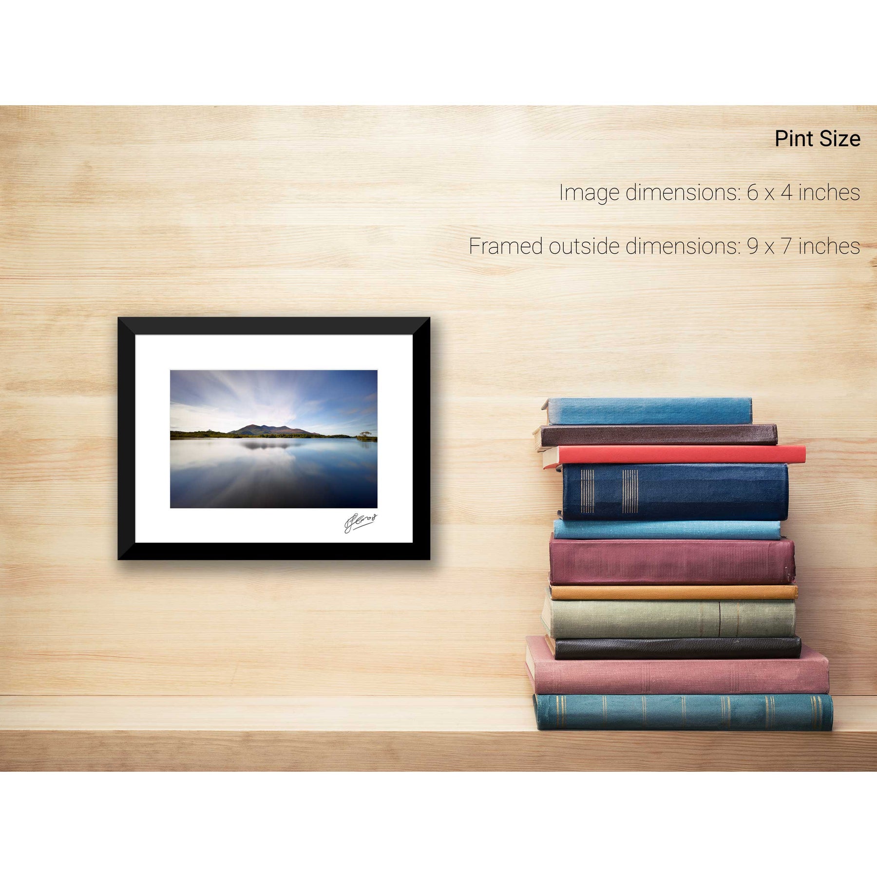
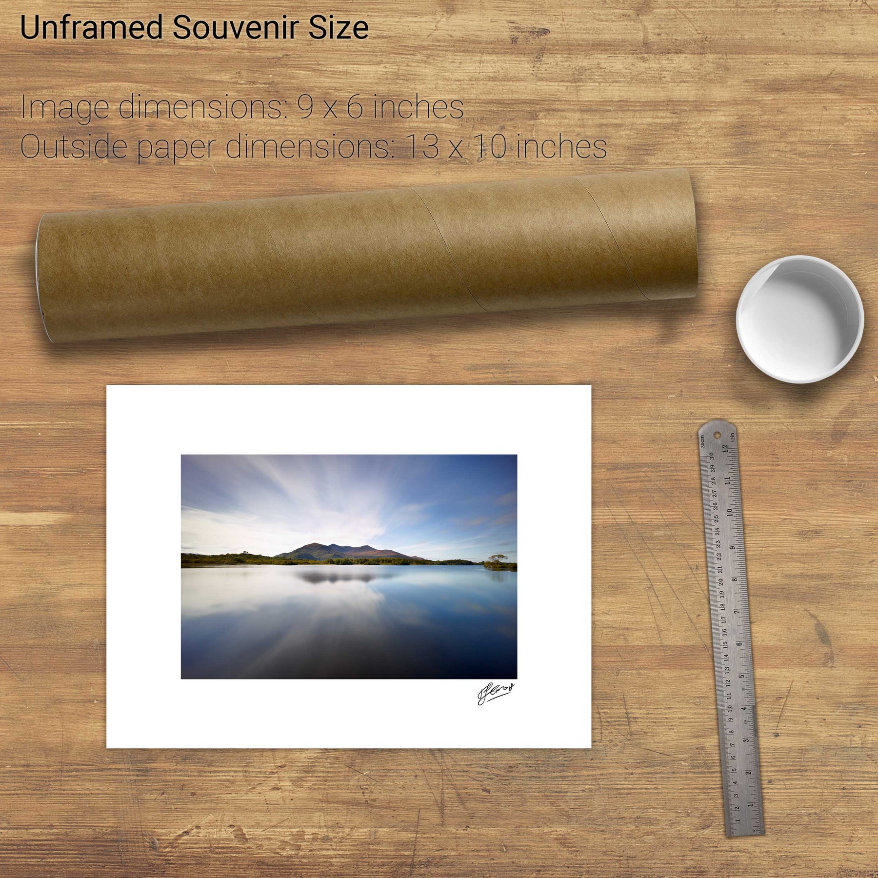
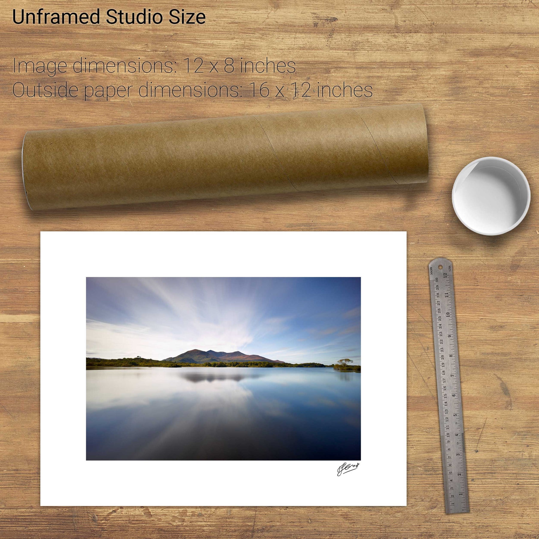
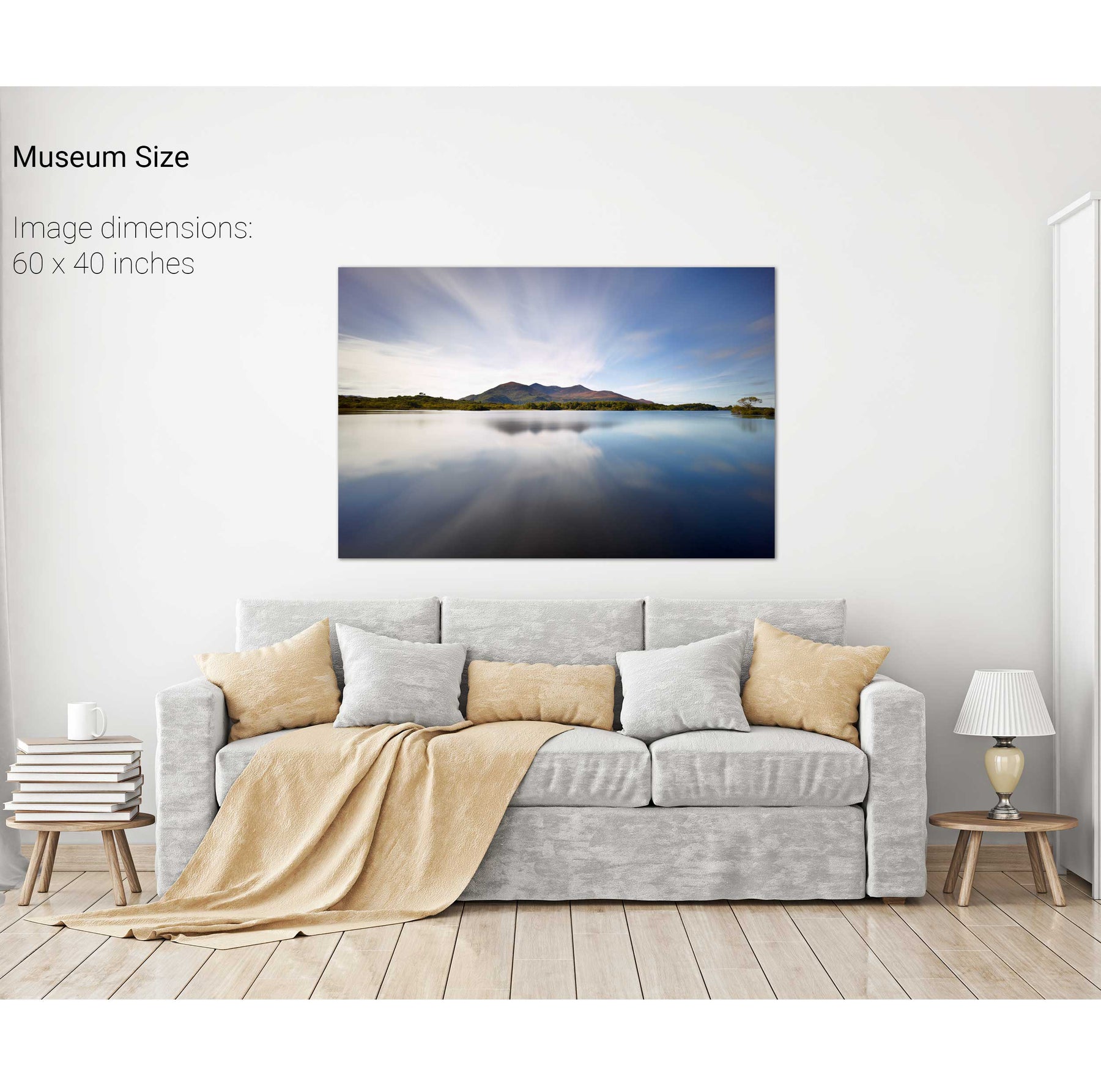
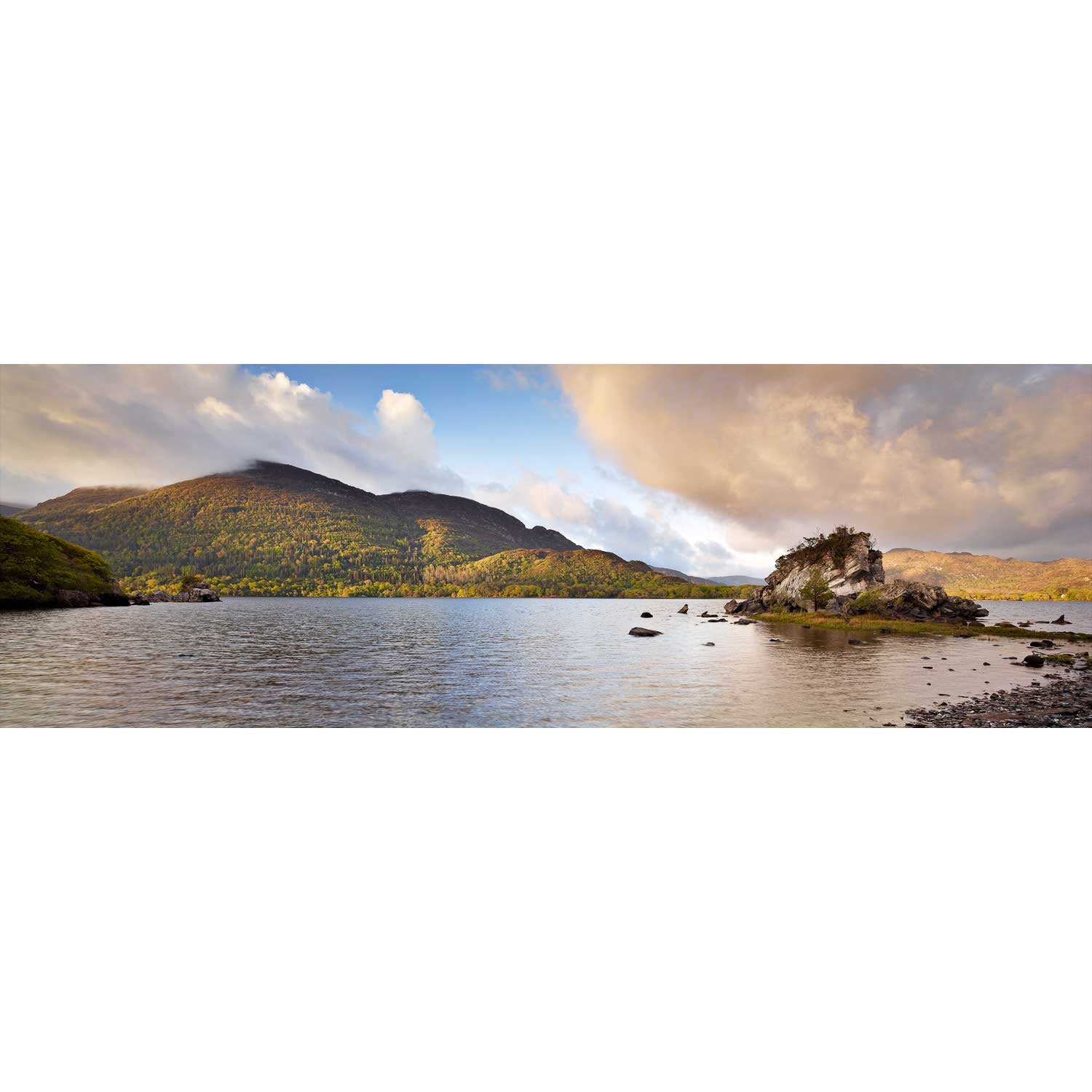
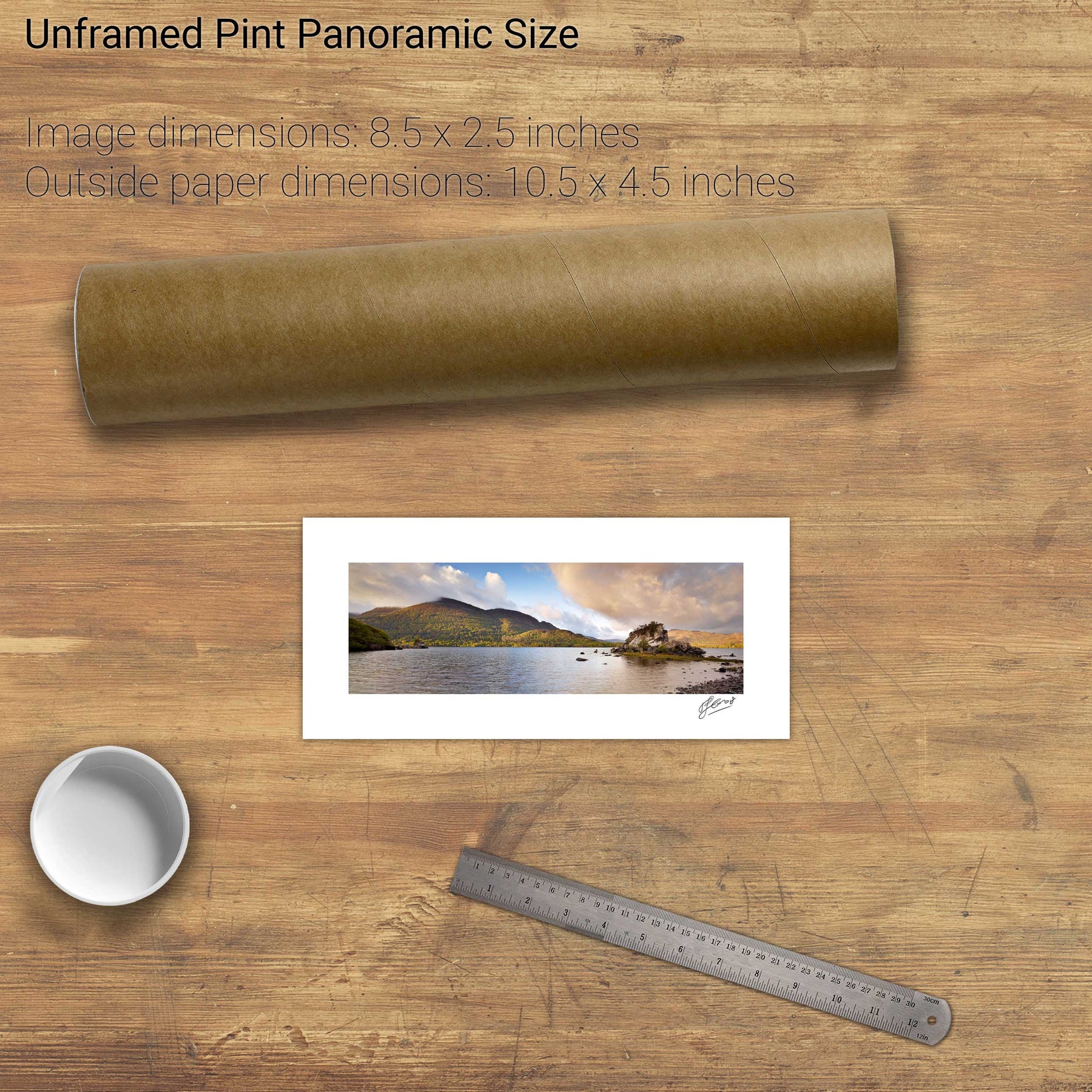
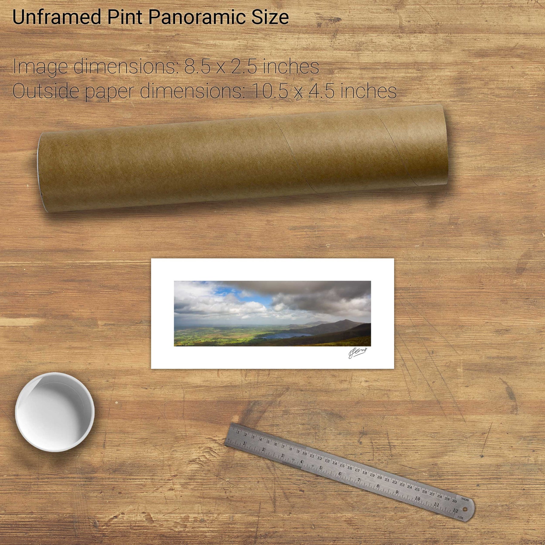
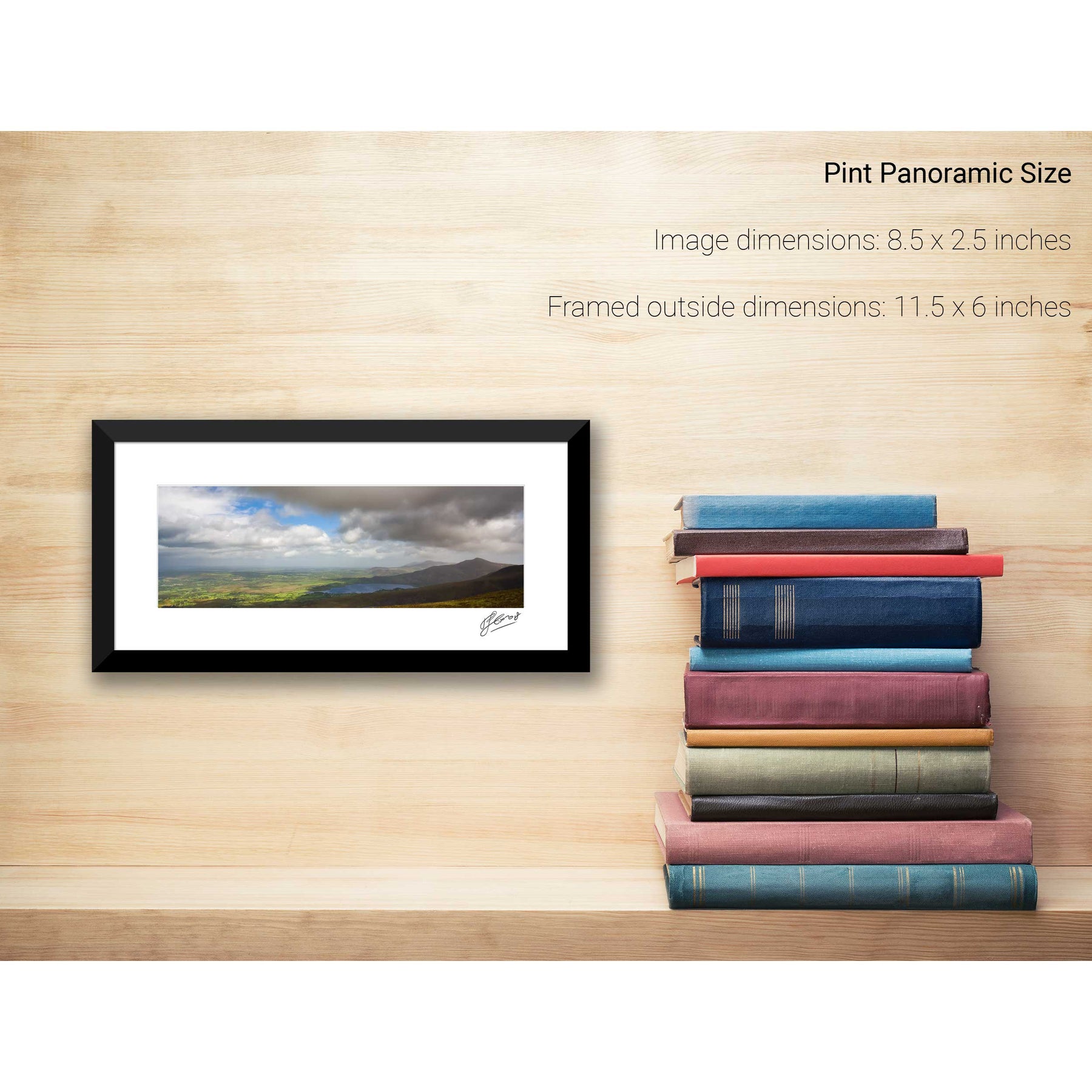
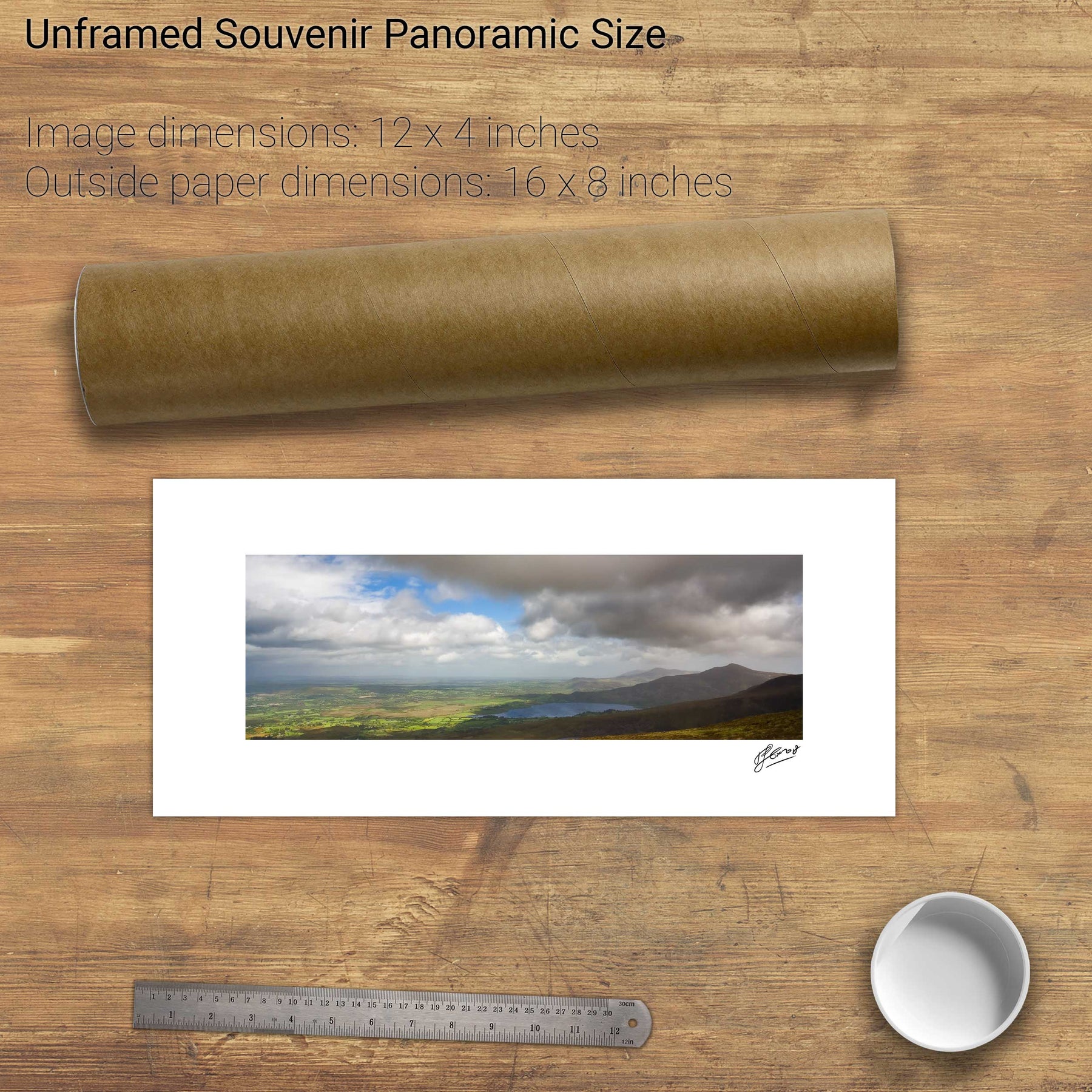
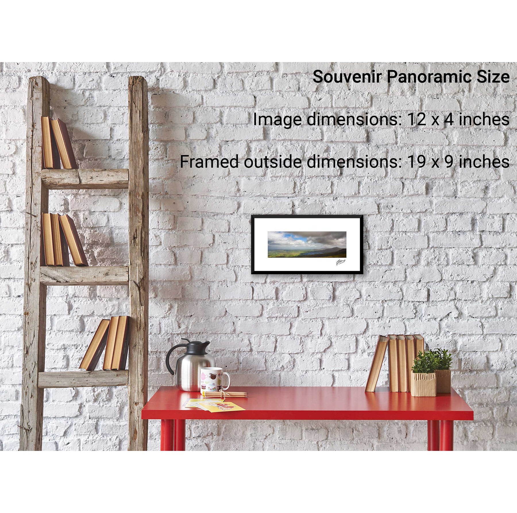
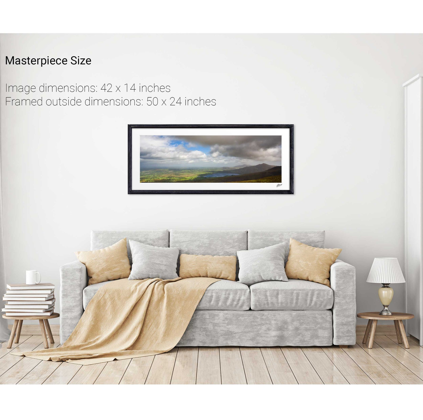
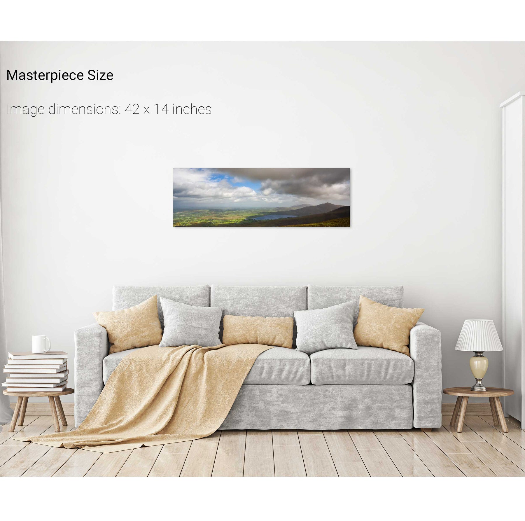
Lough Leane and the Reeks, Killarney, Co. Kerry
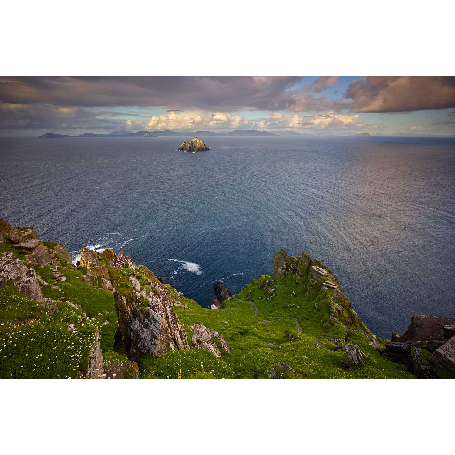
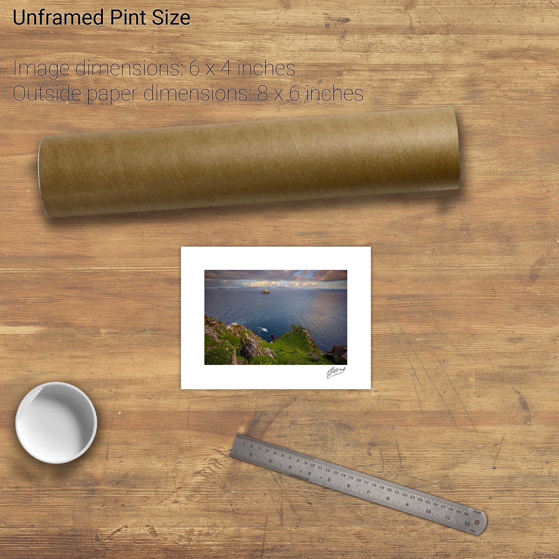
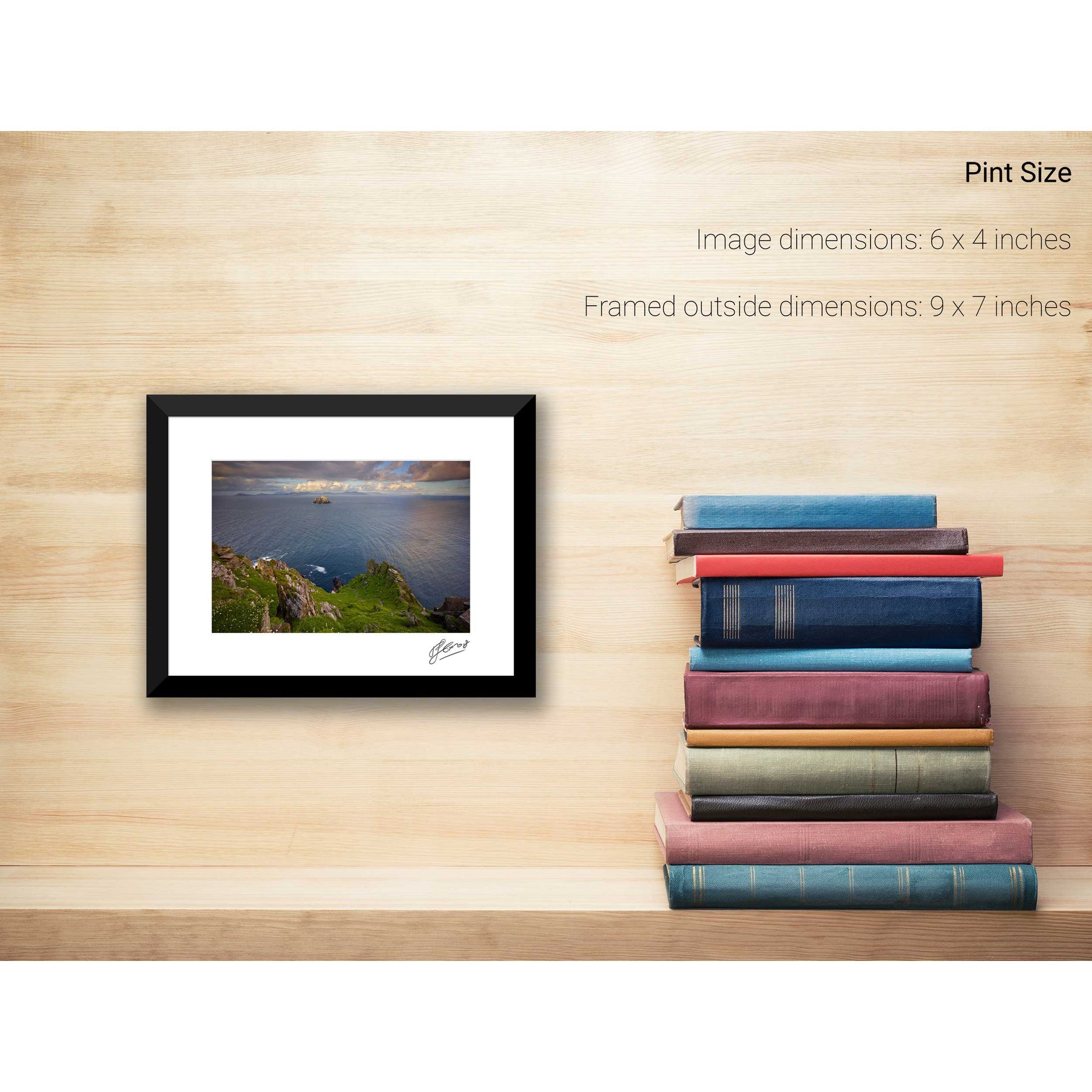
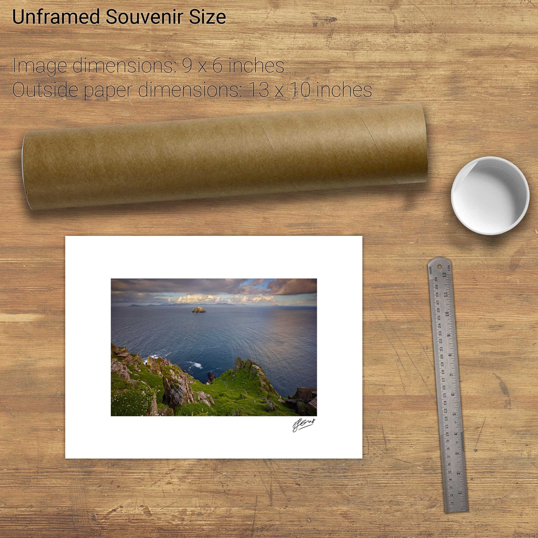
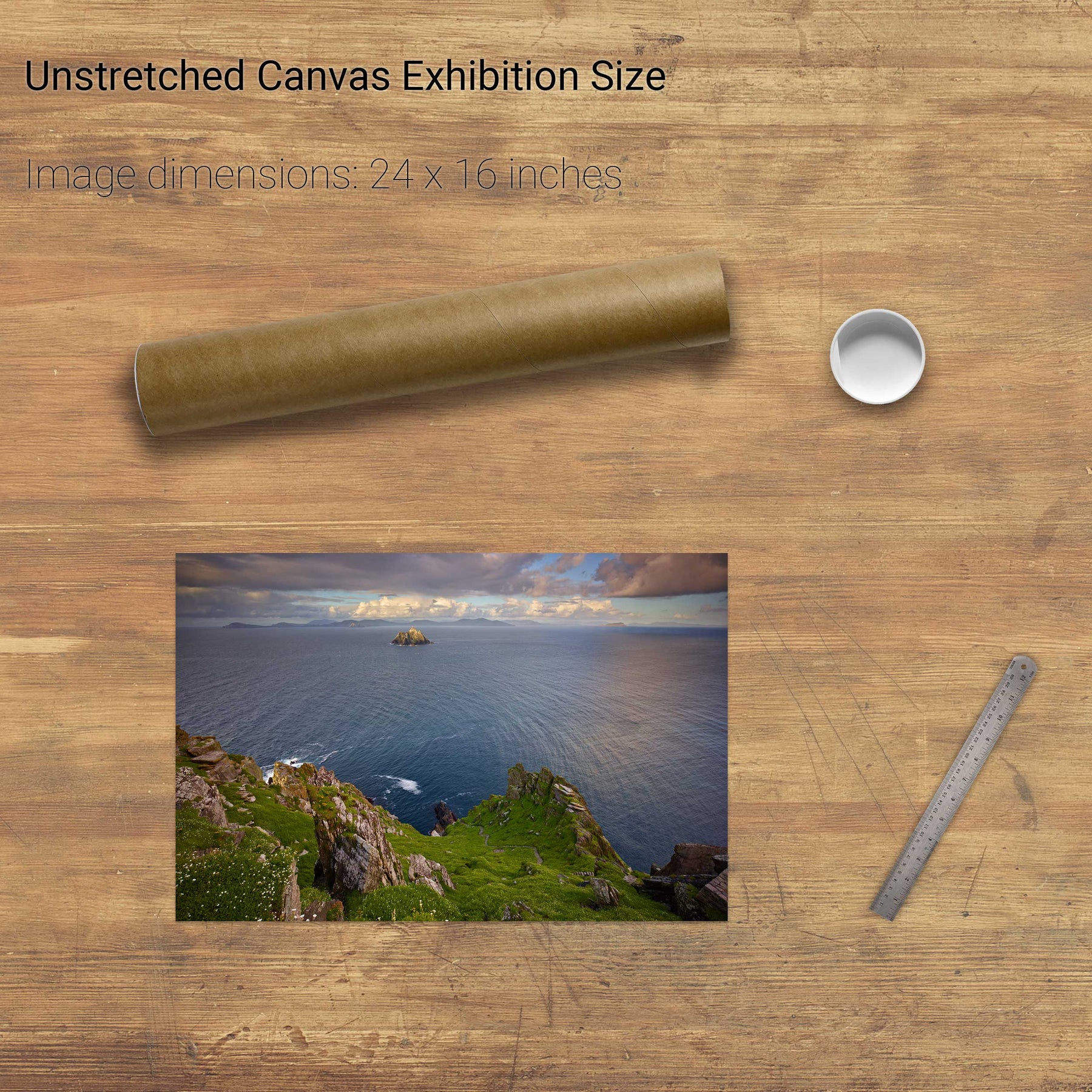
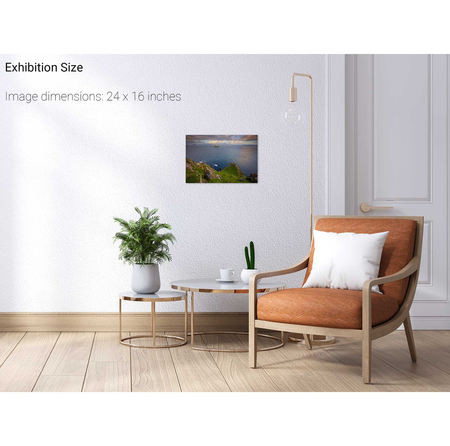
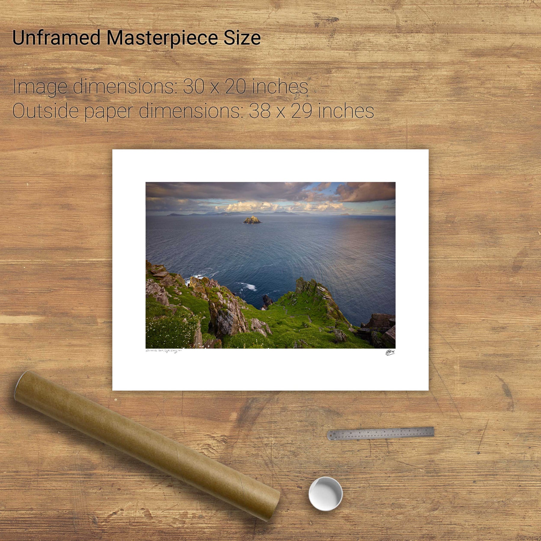
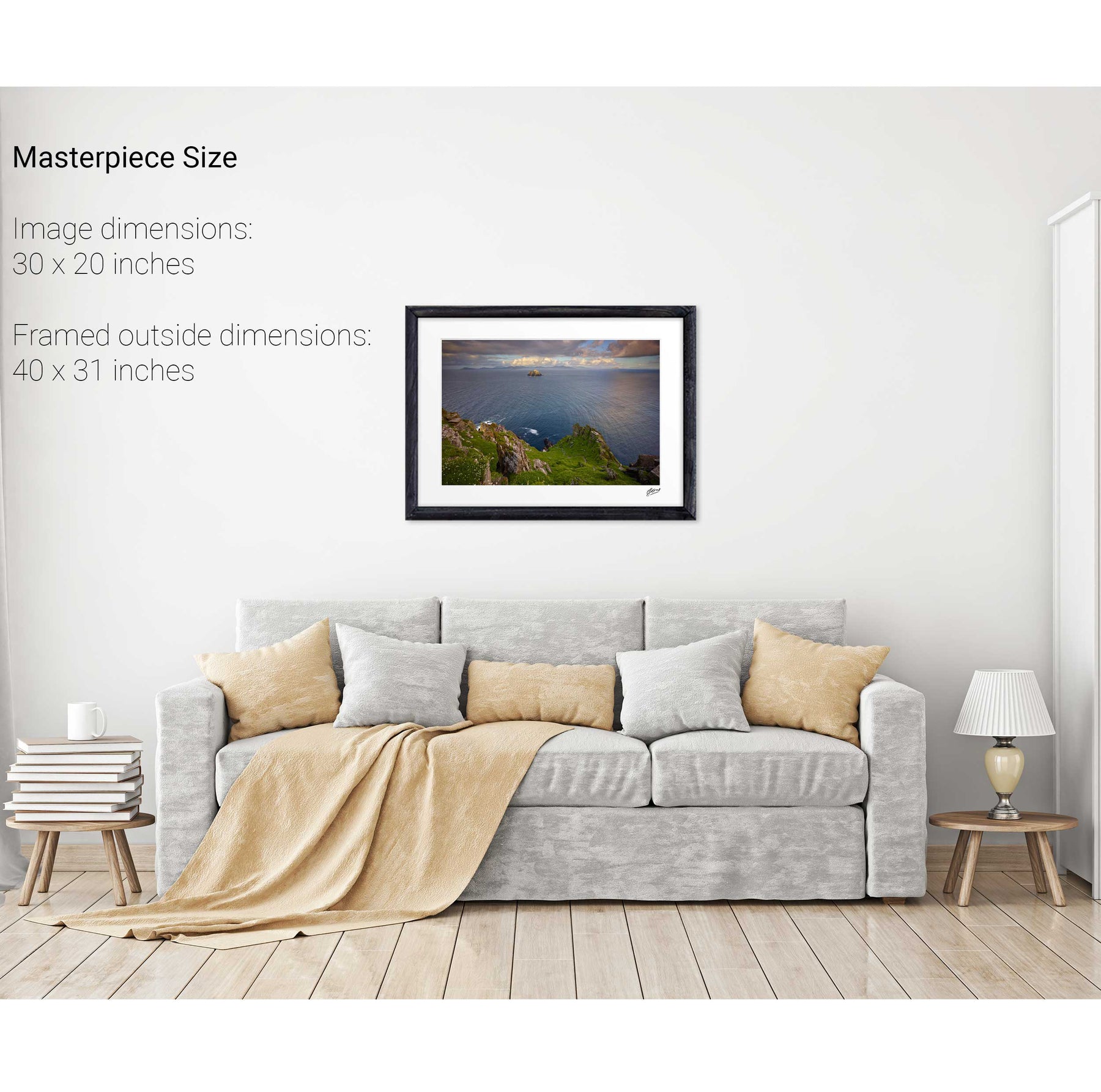
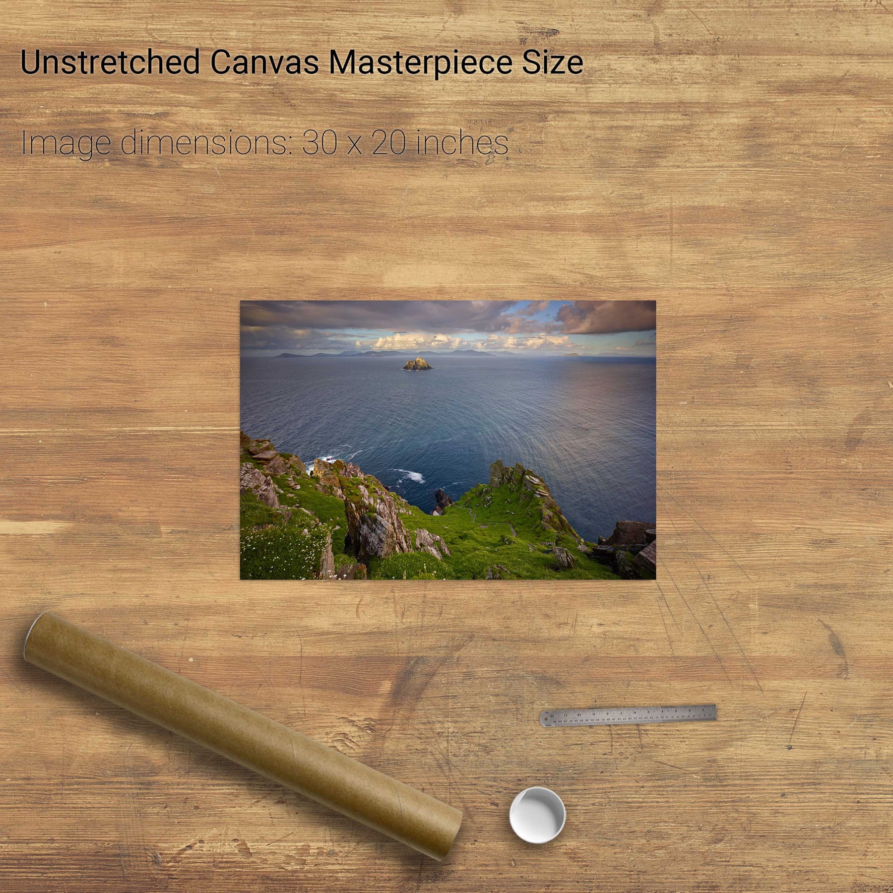
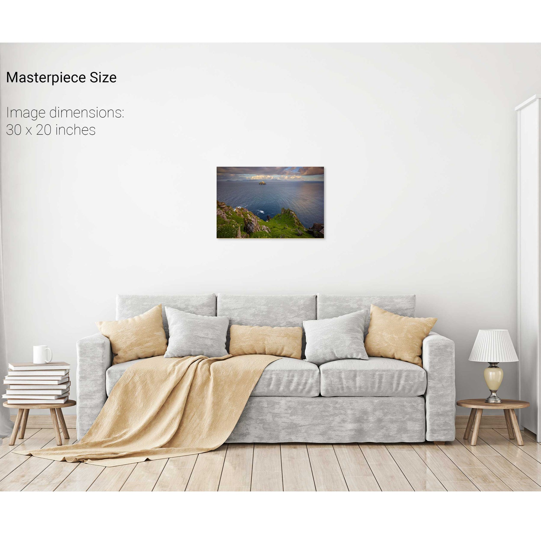
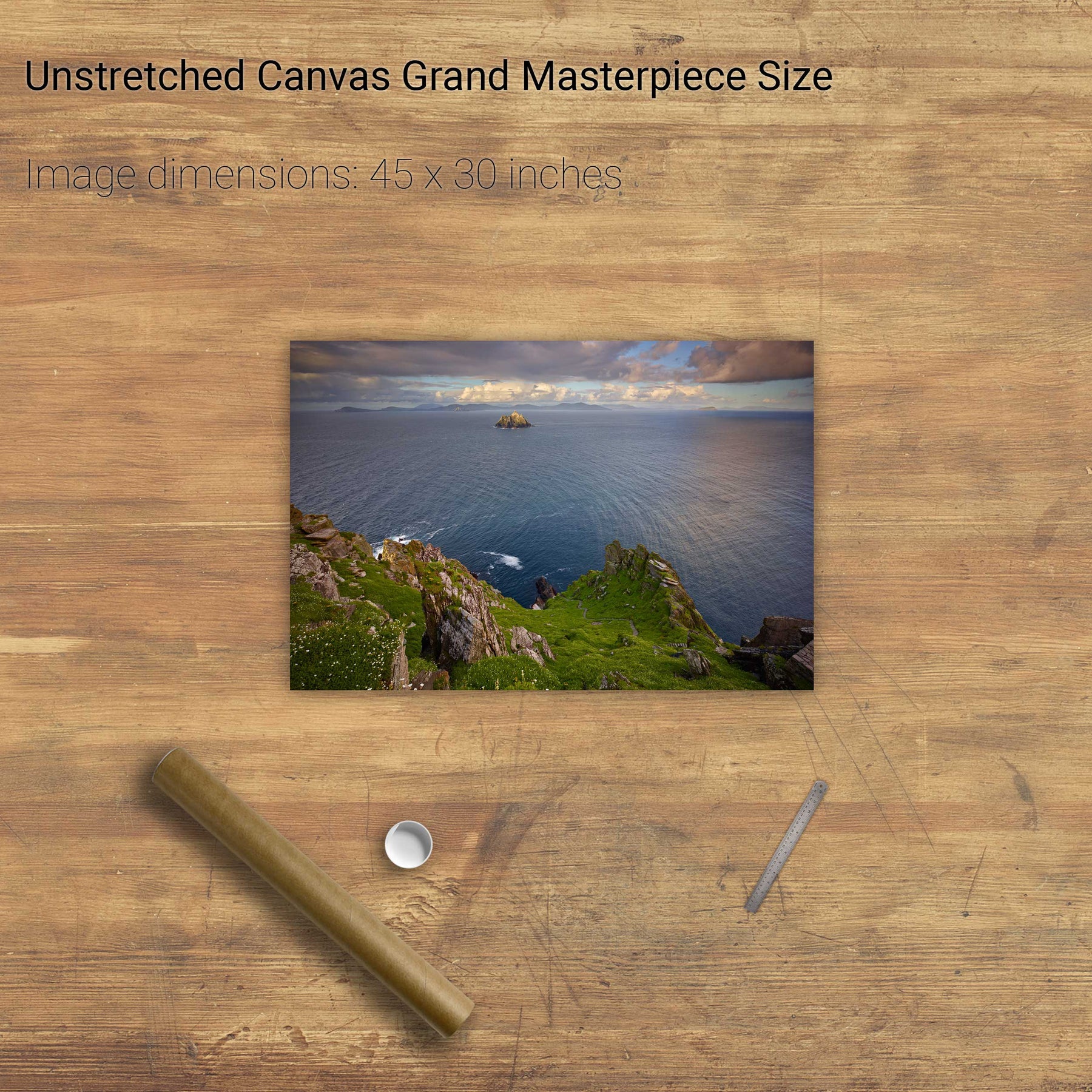
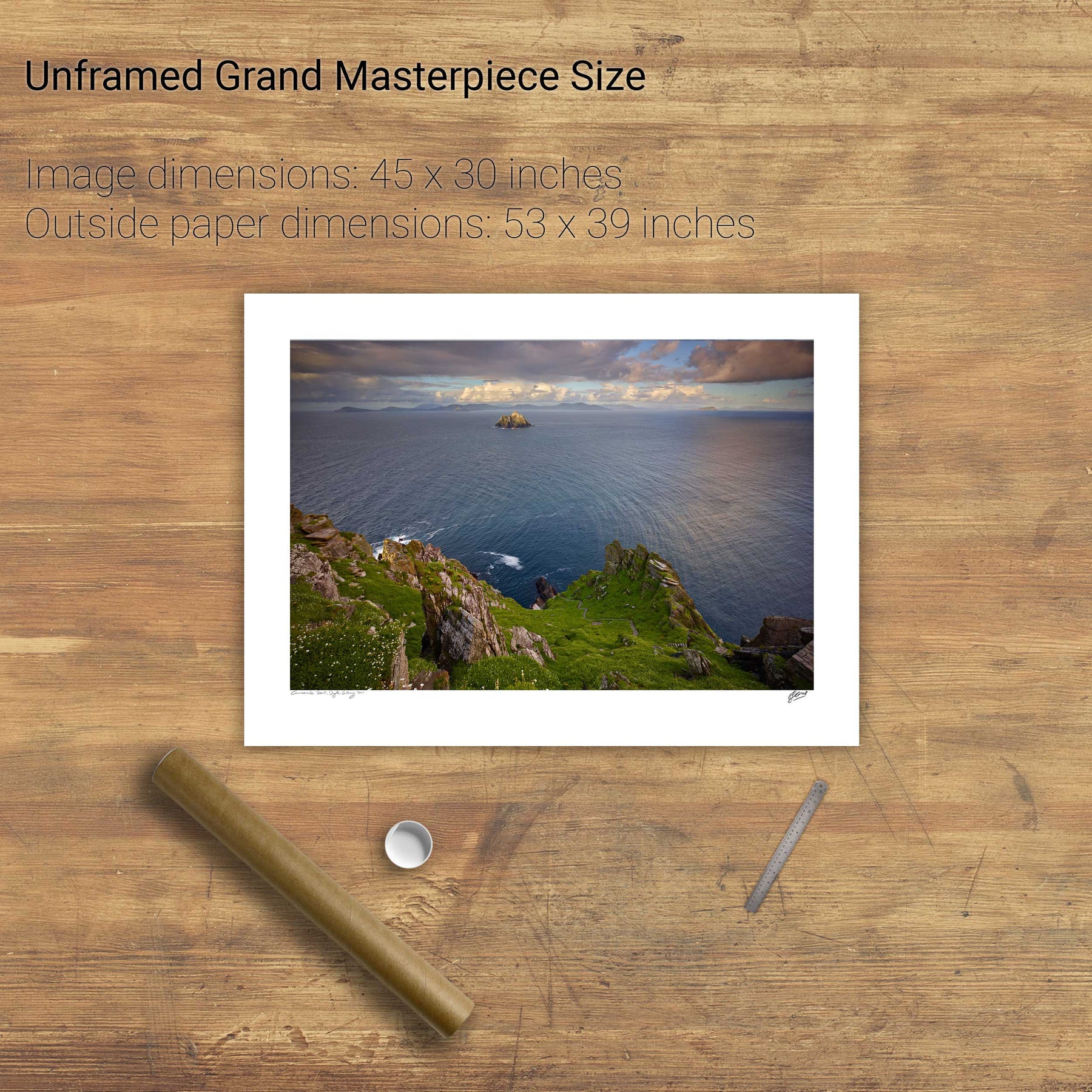
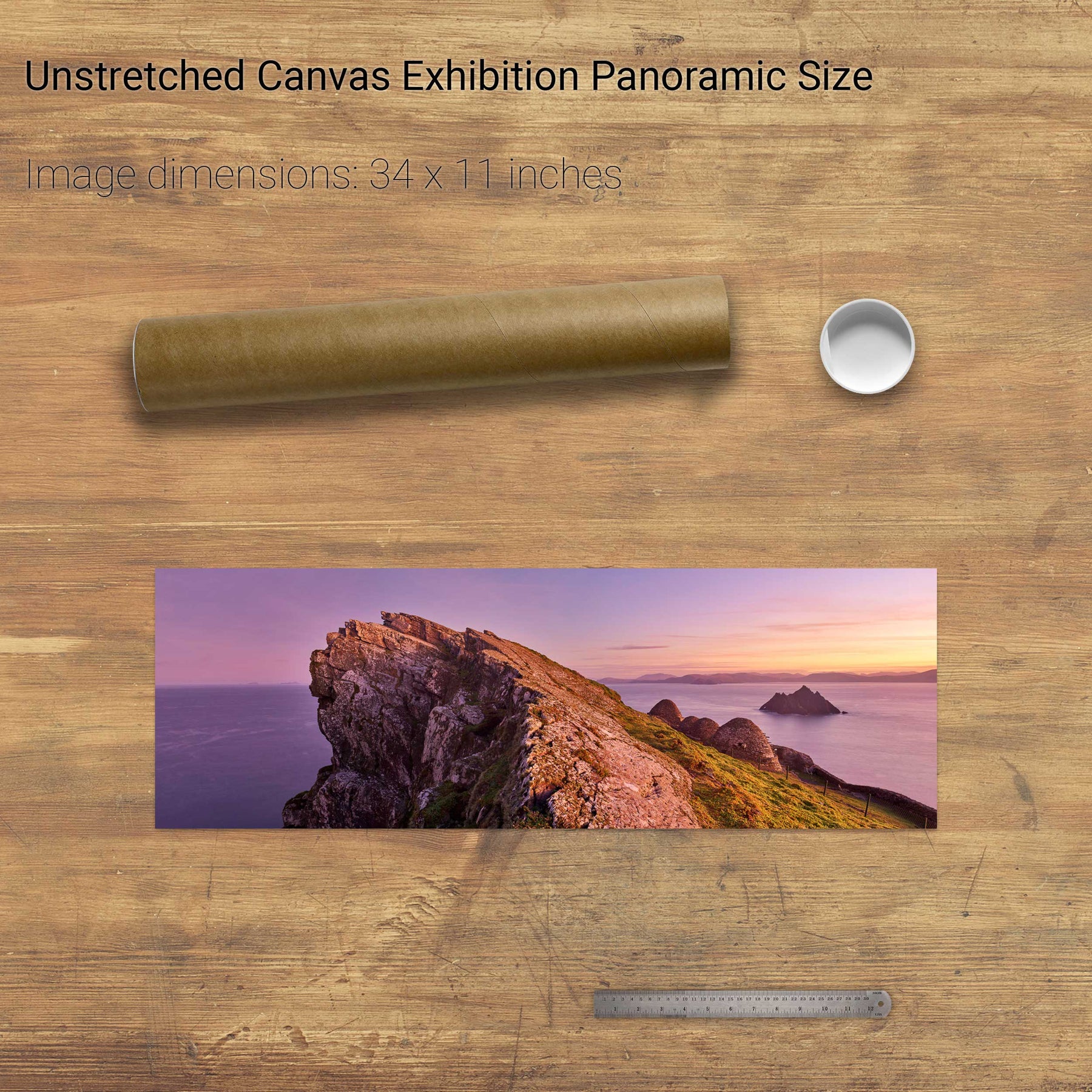
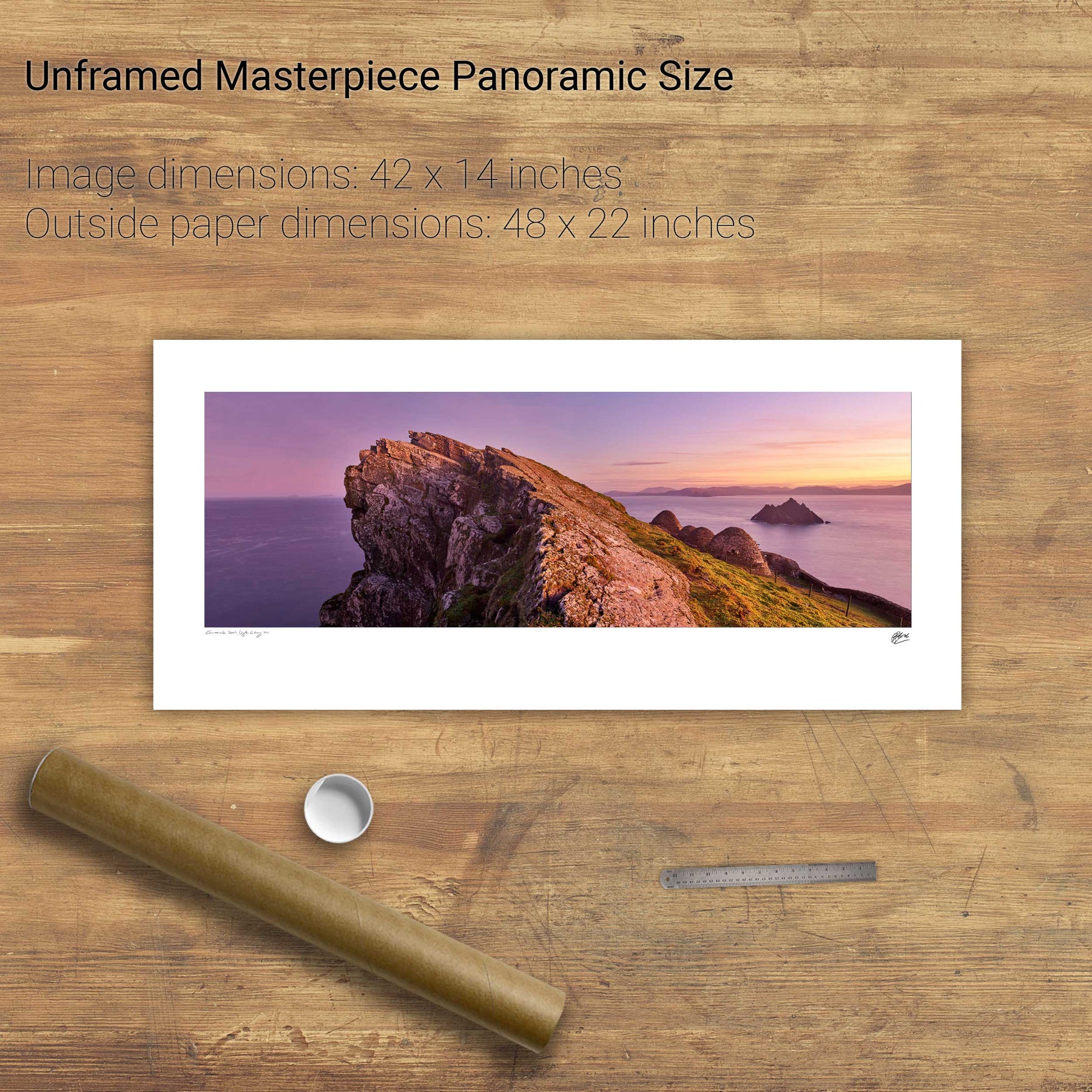
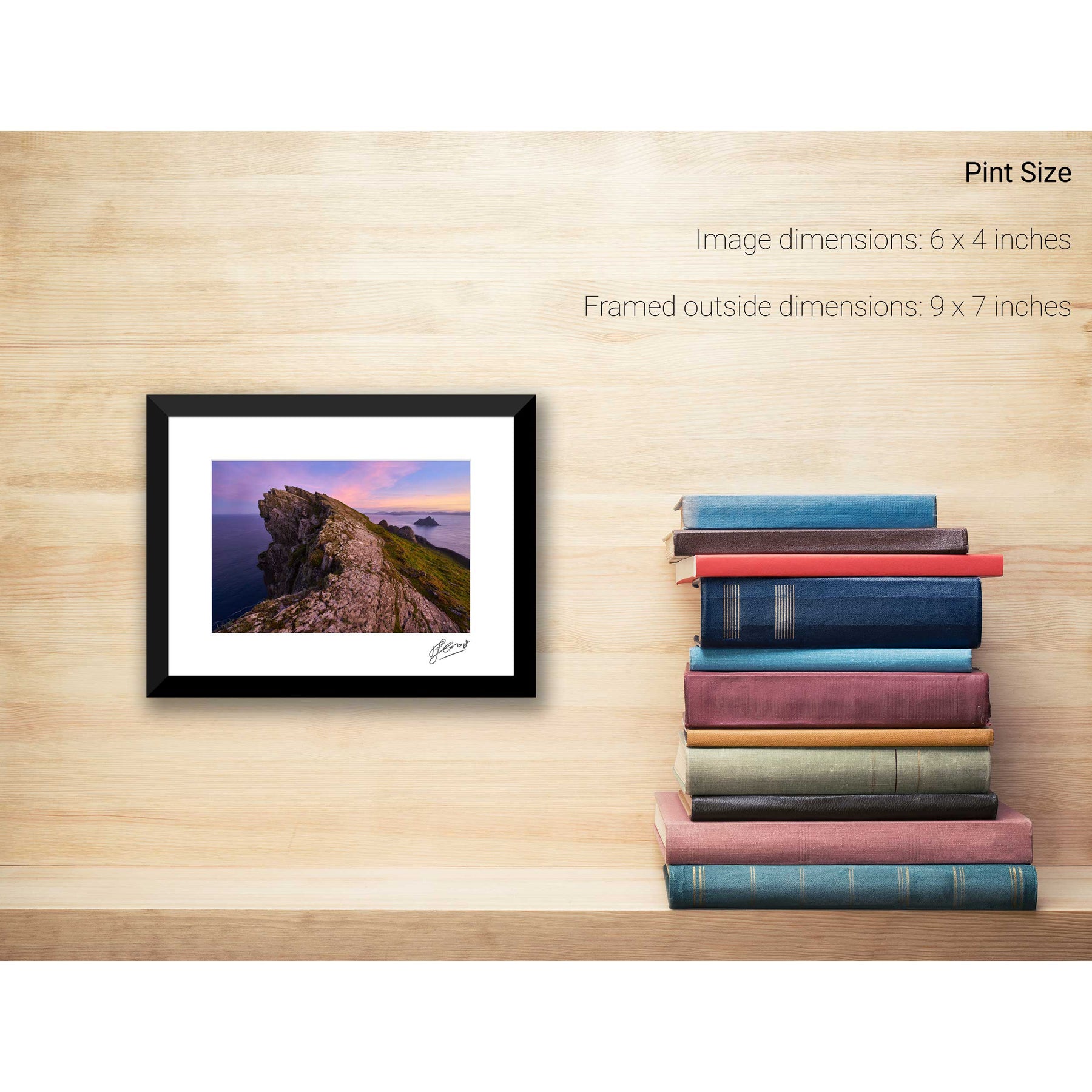
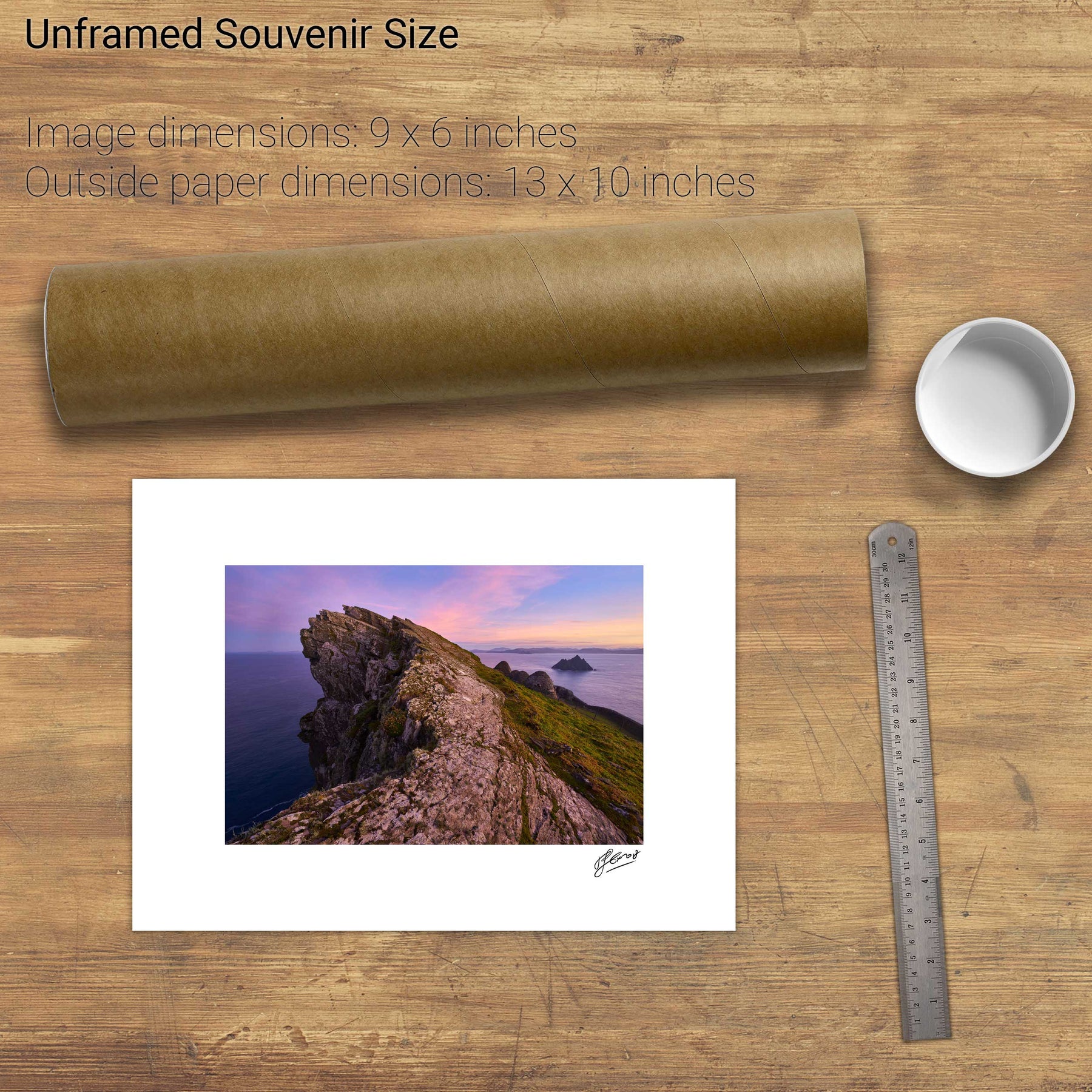
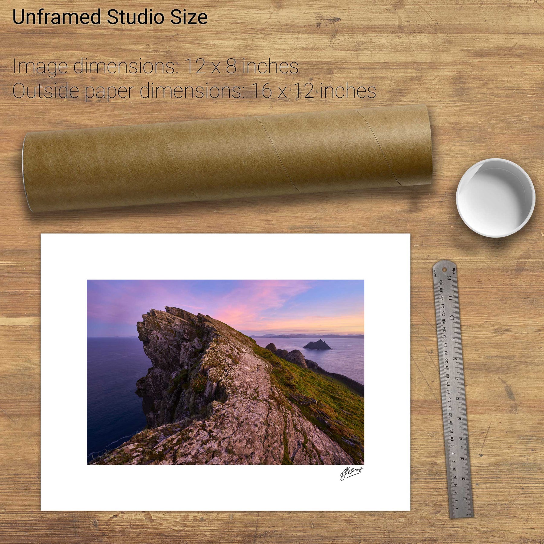
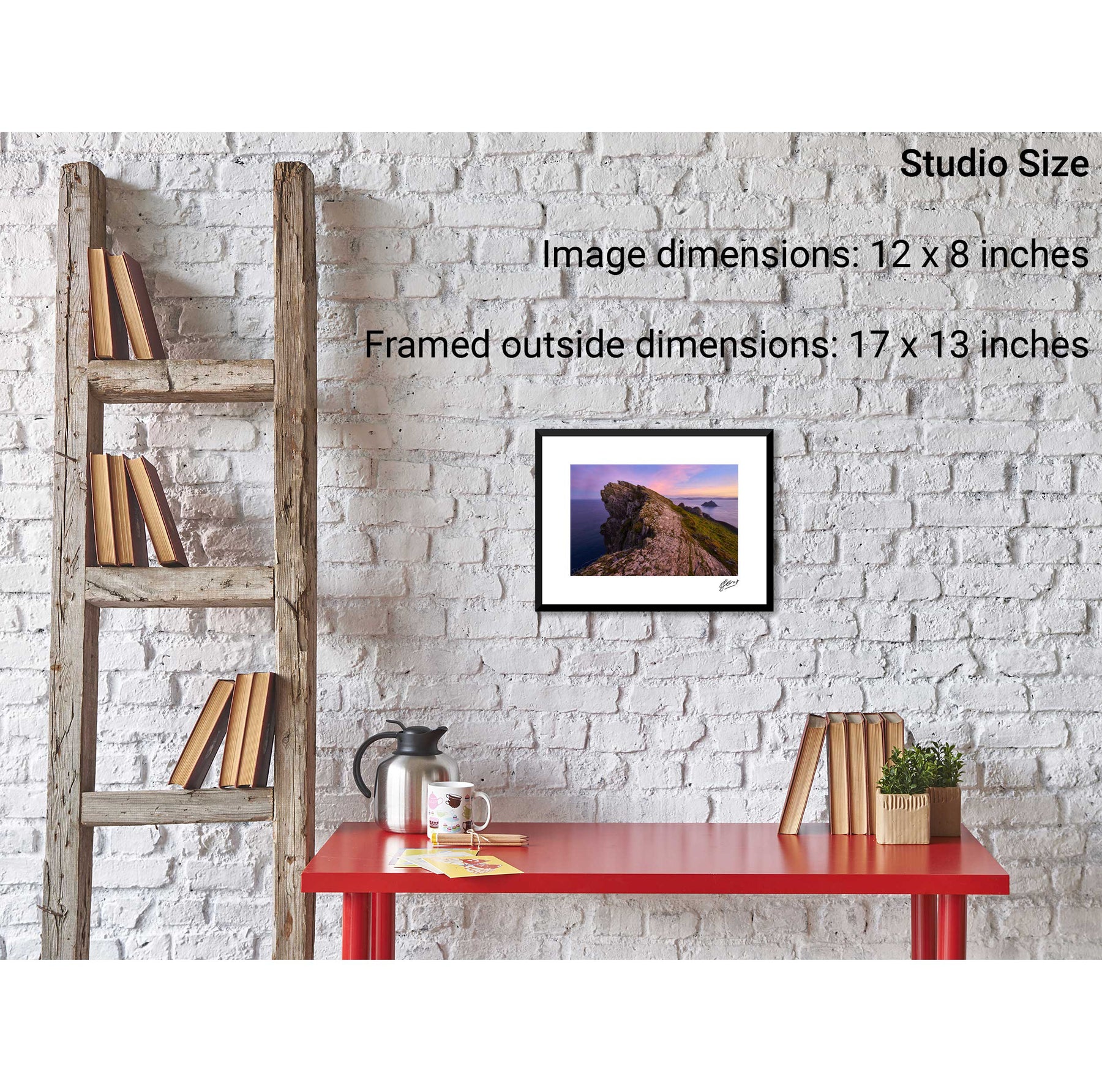
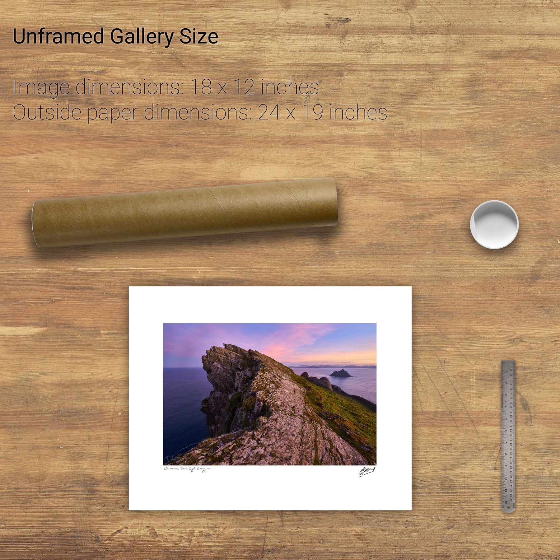
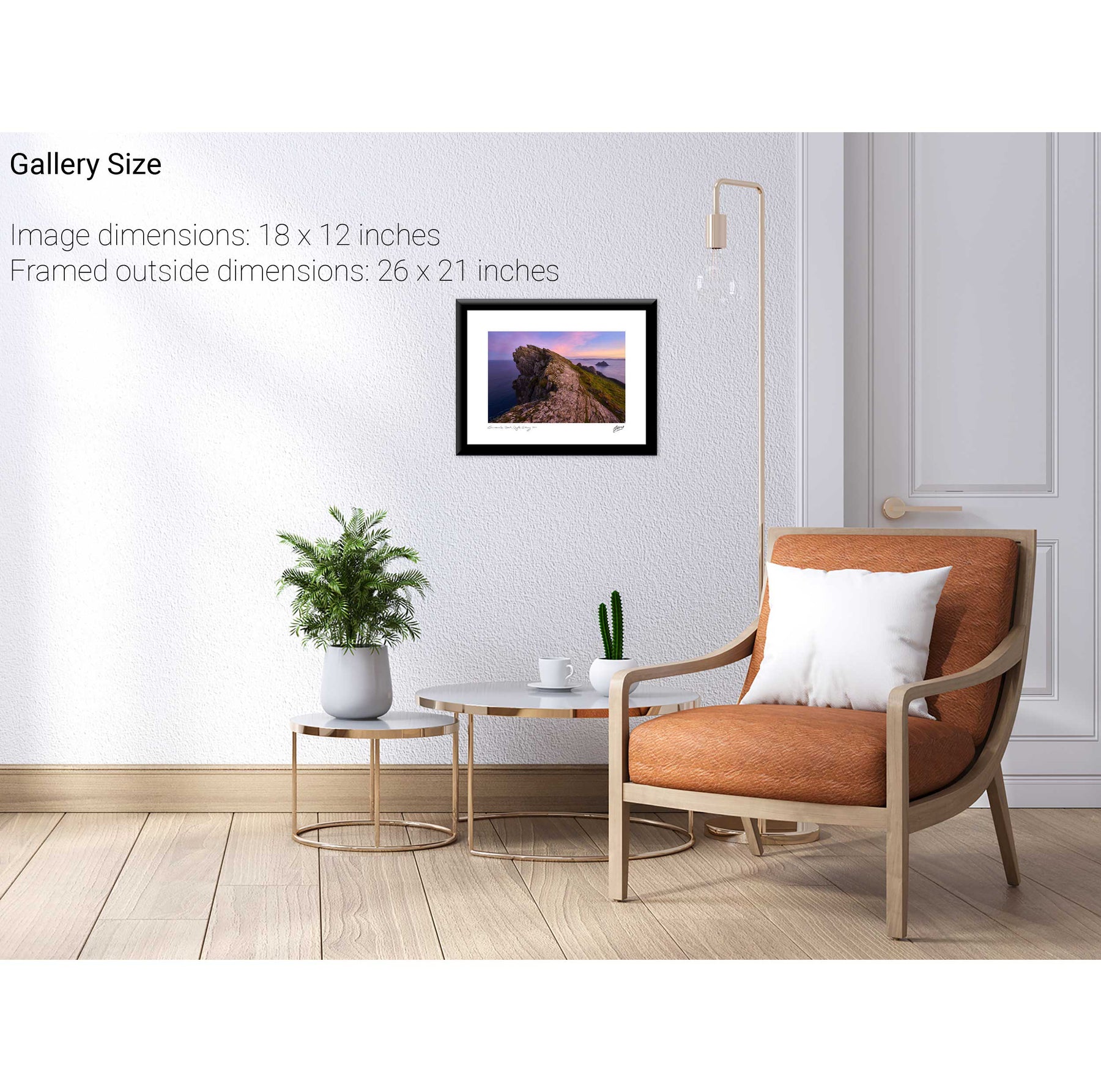
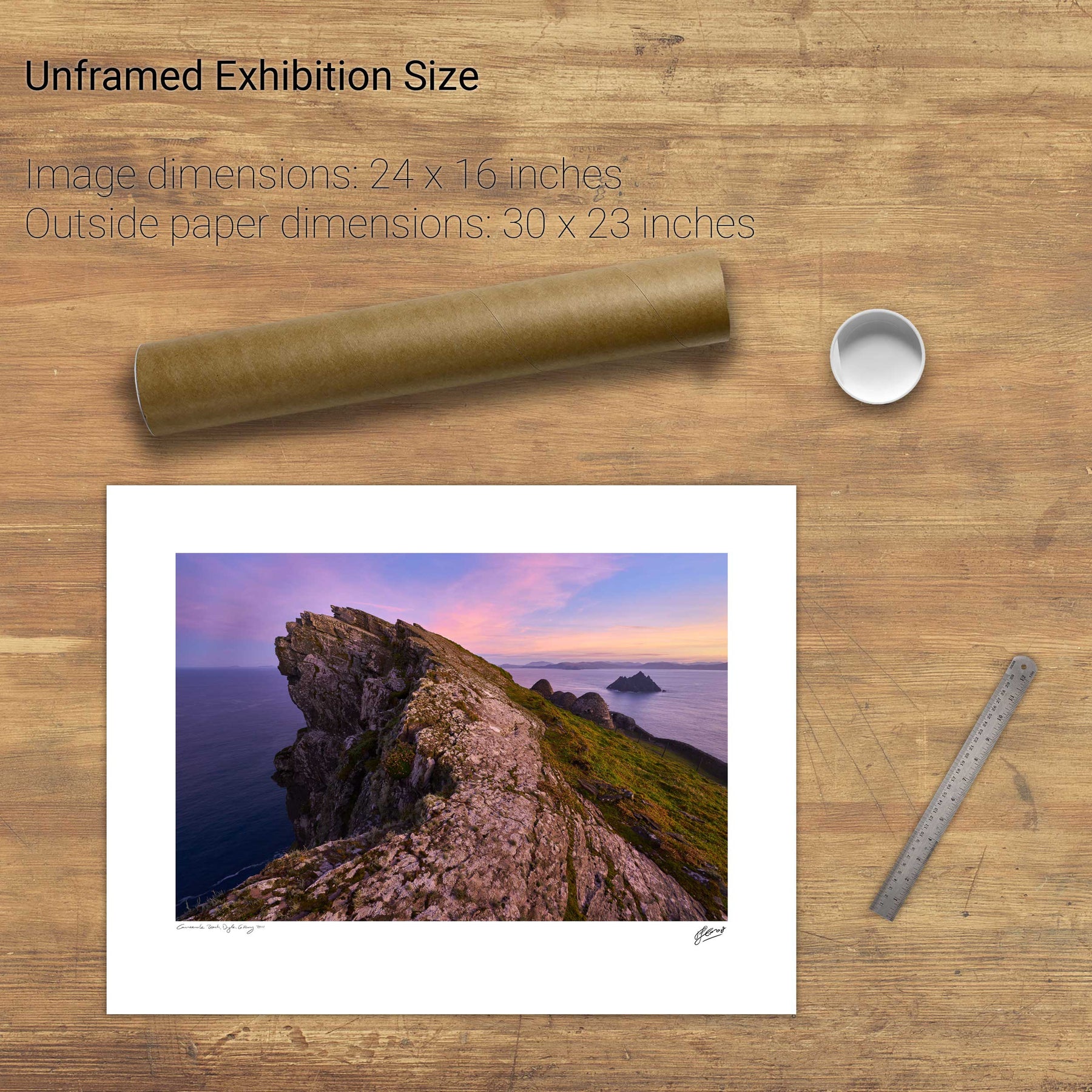
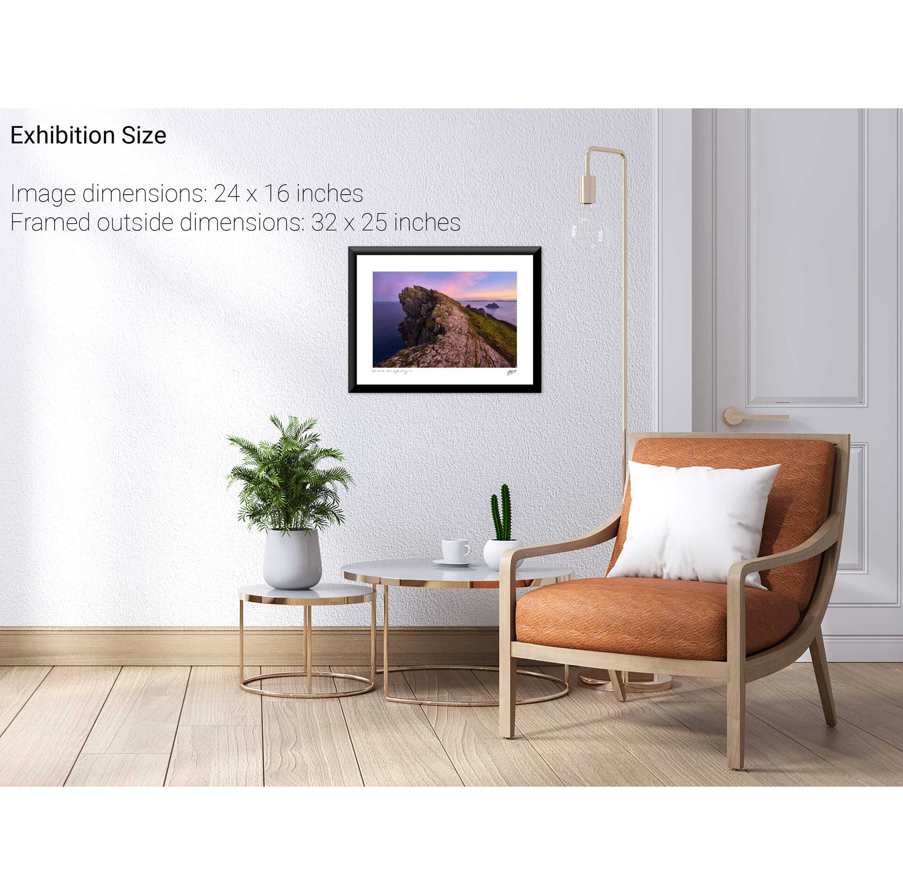
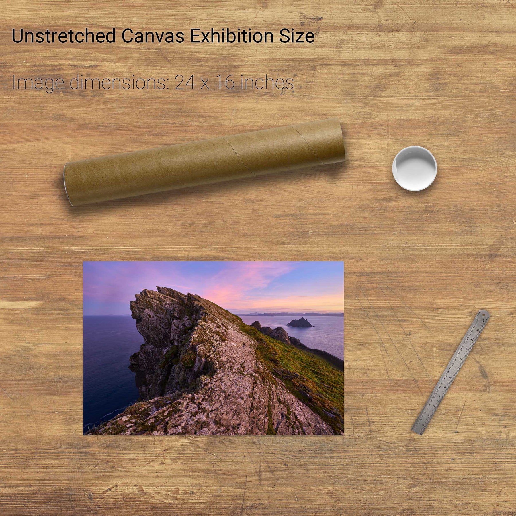
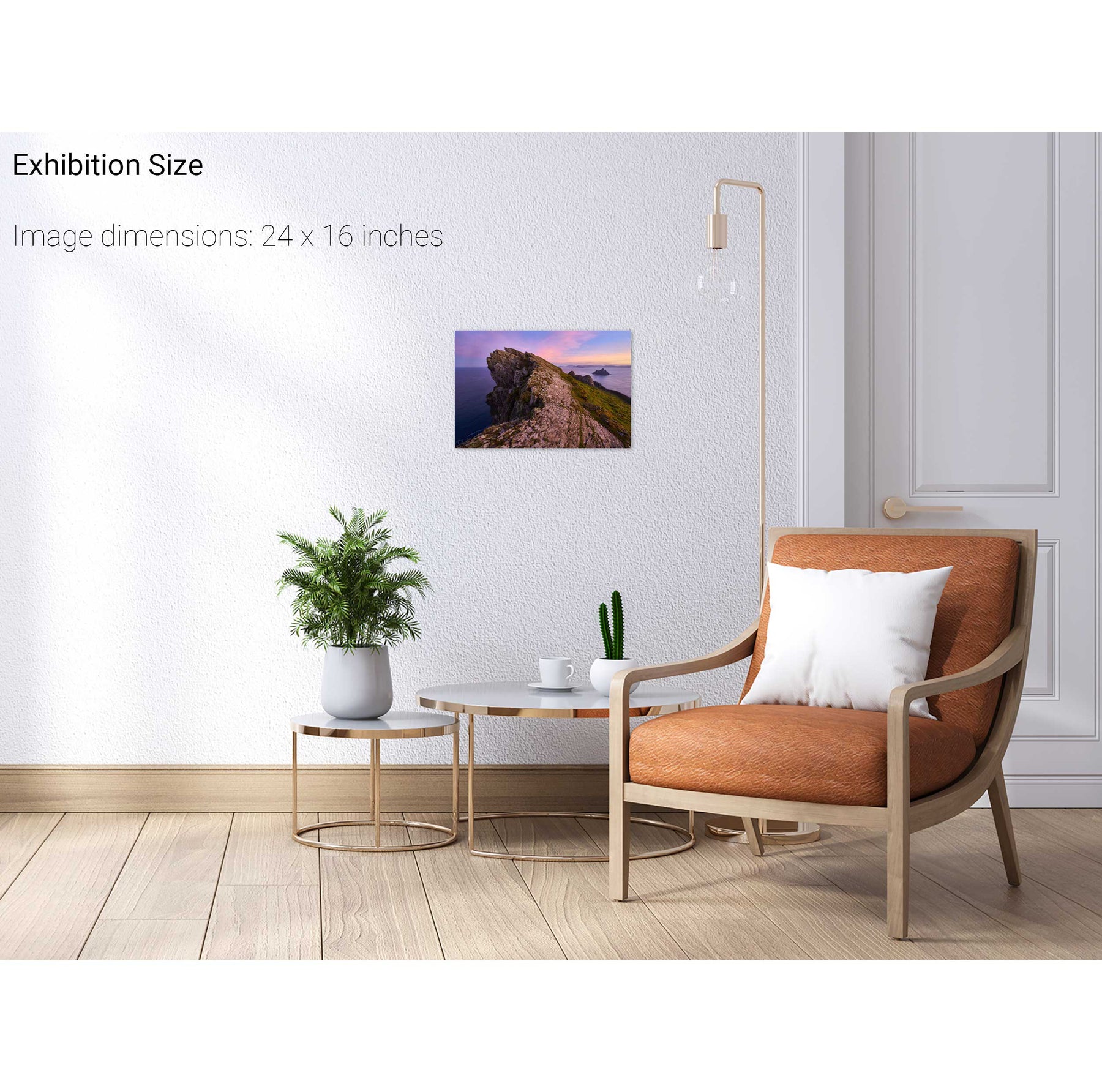
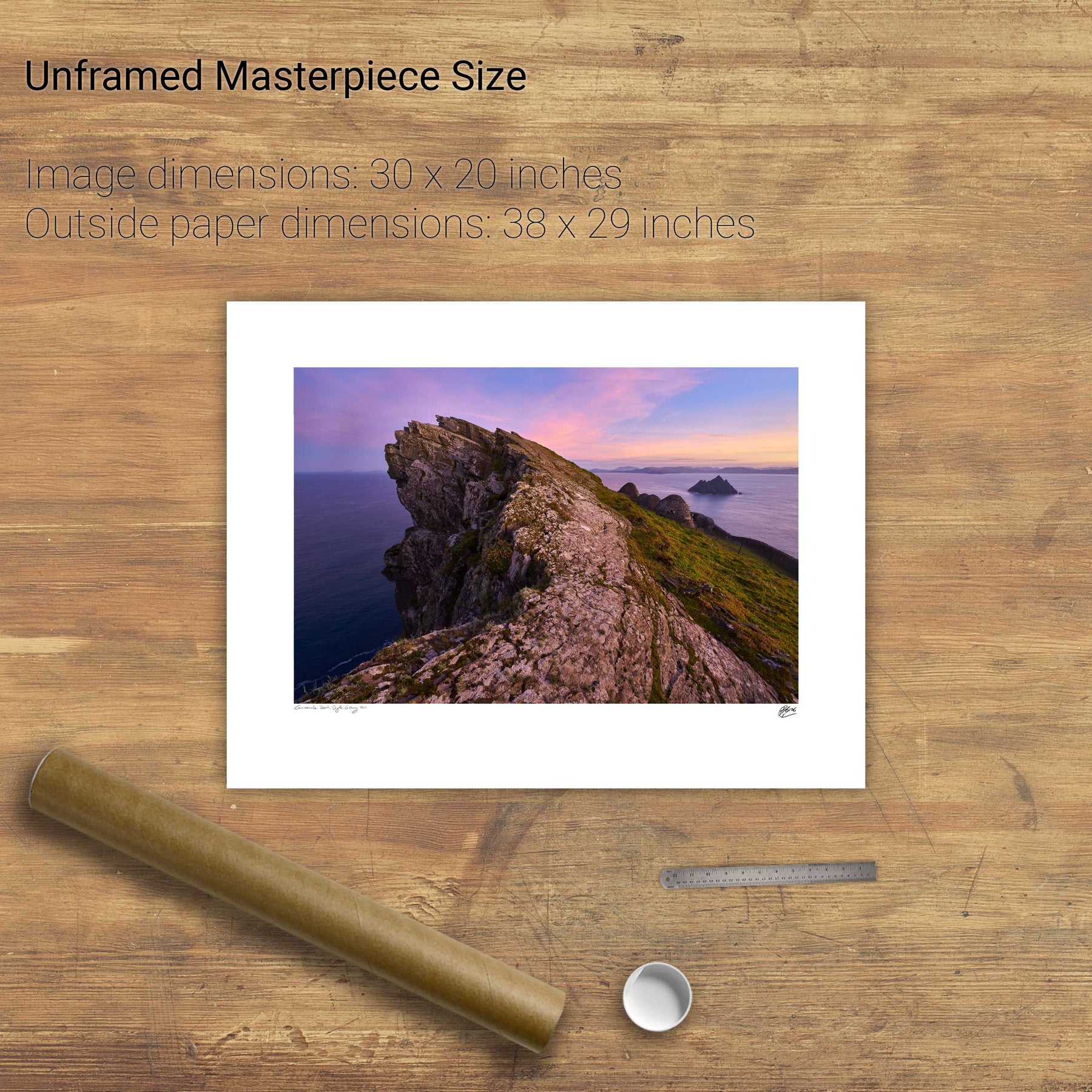
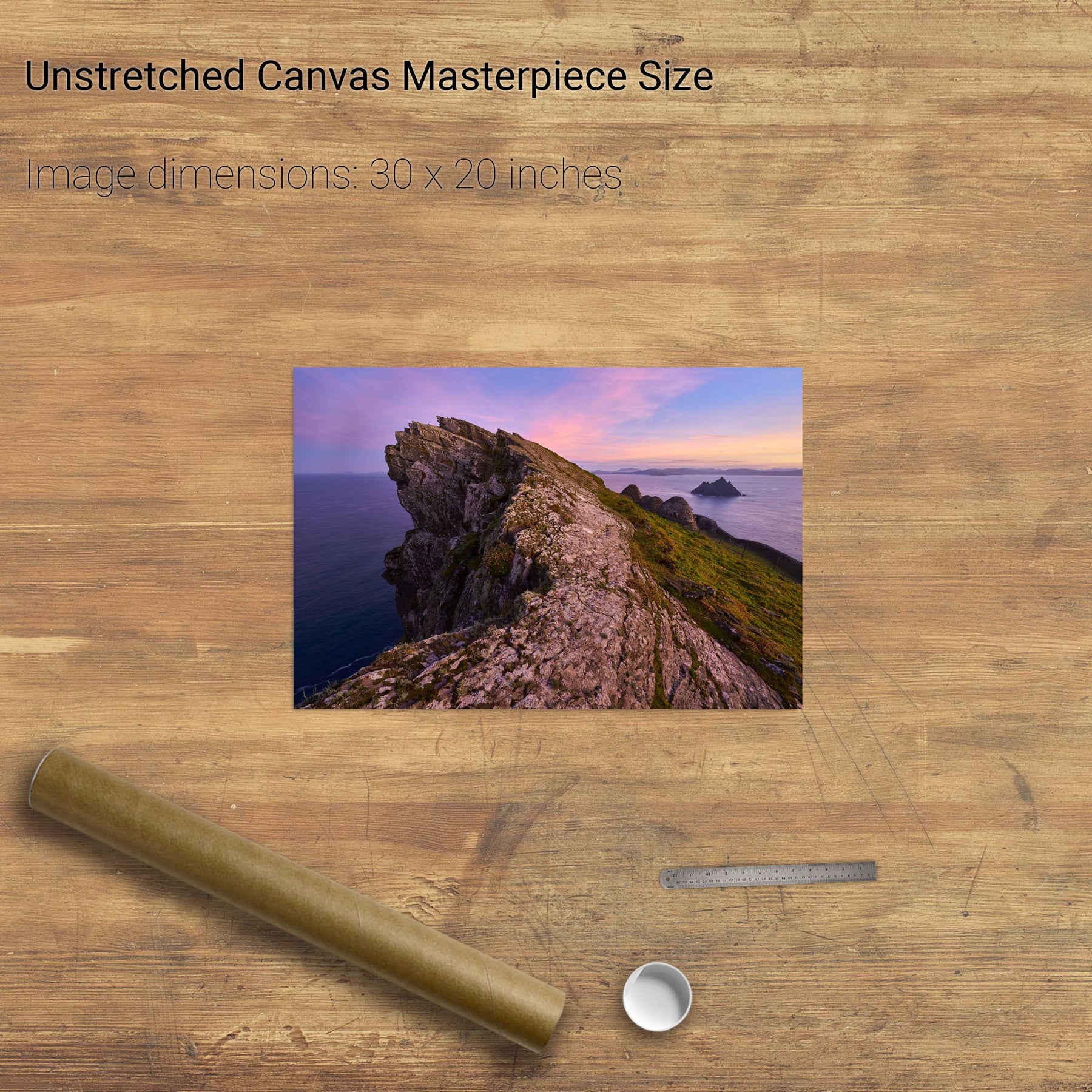
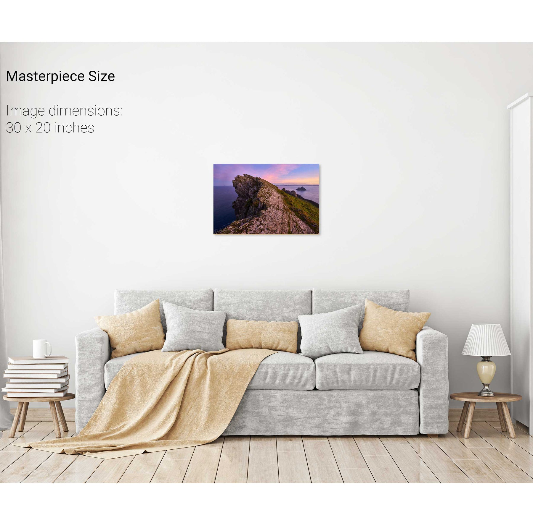
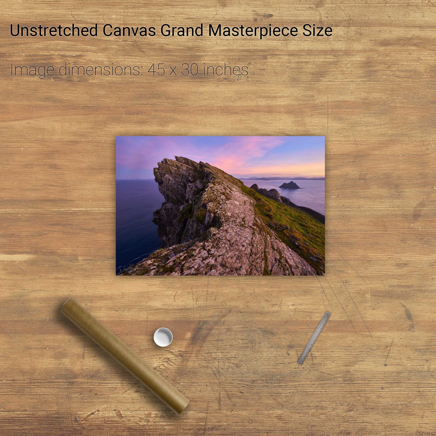
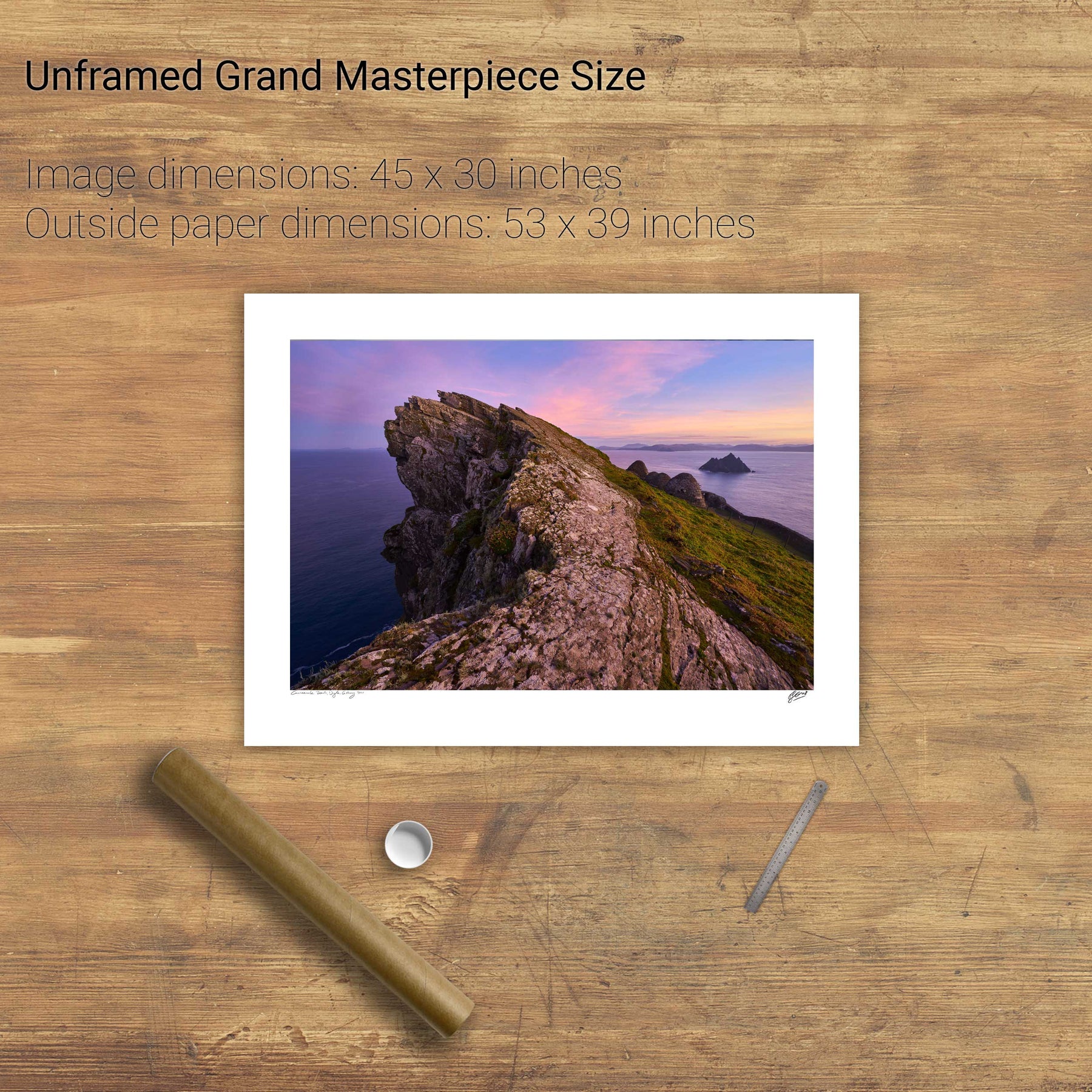
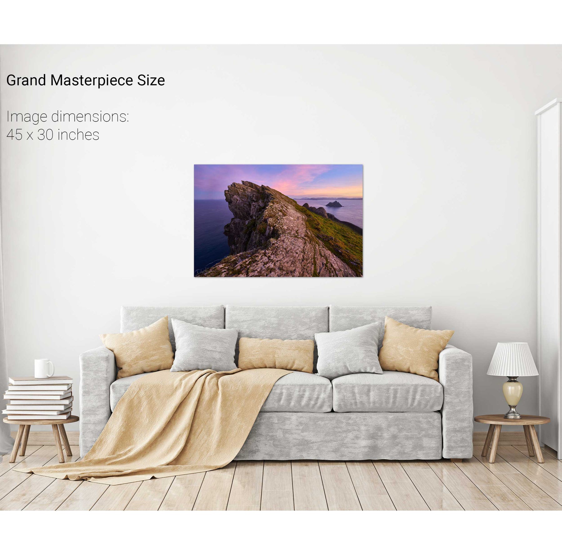
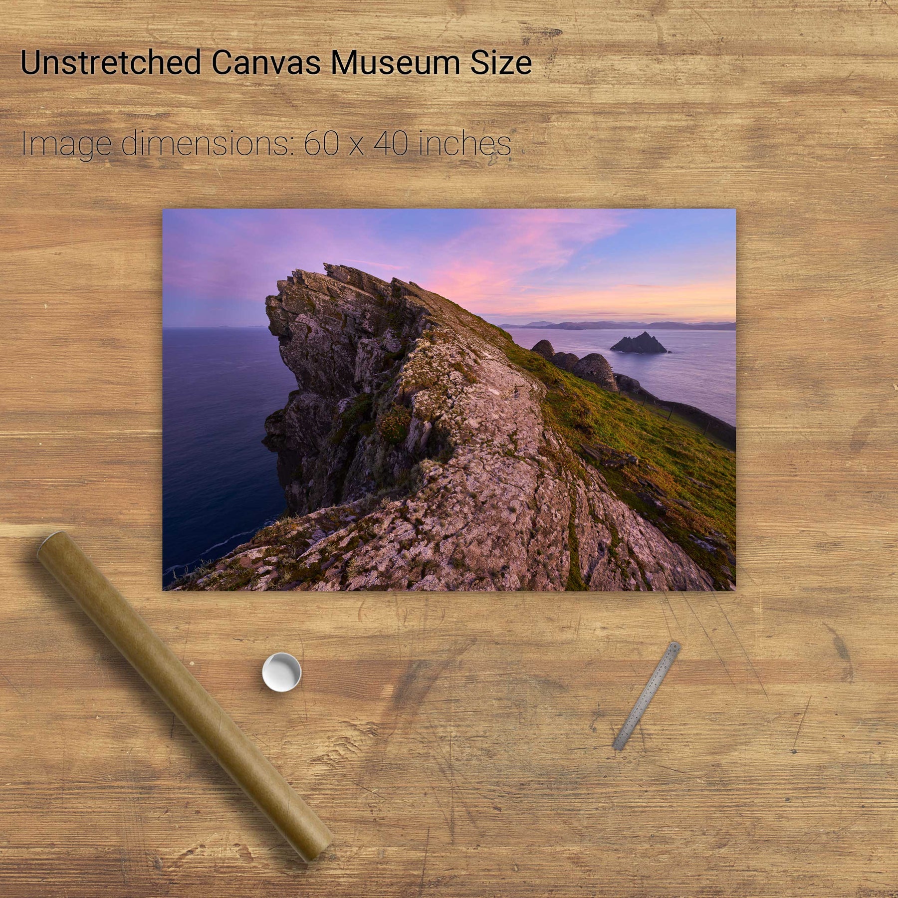
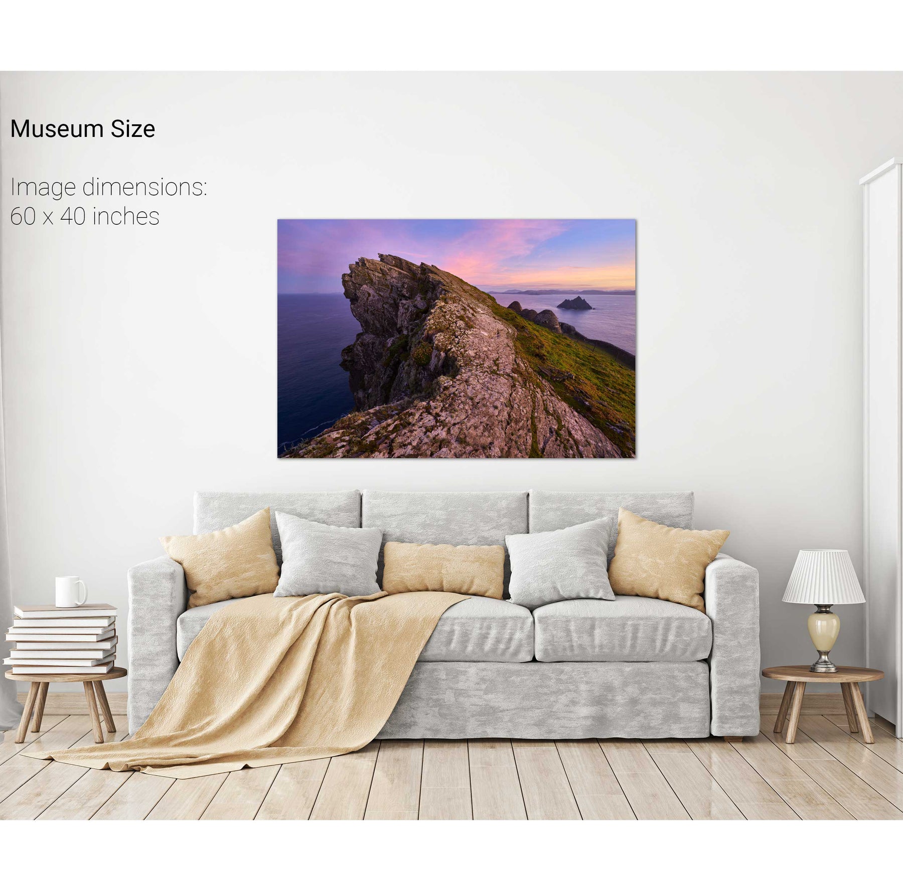
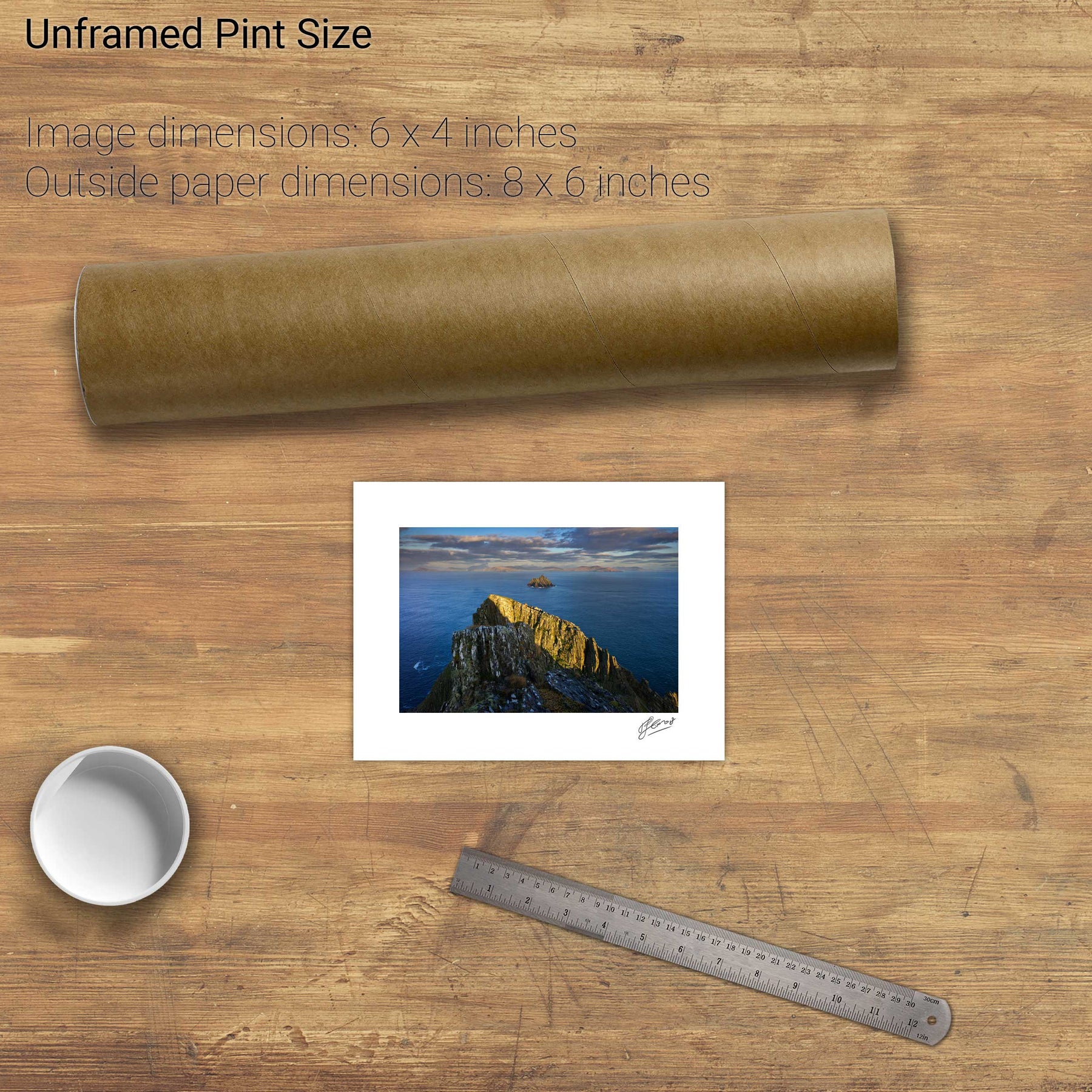
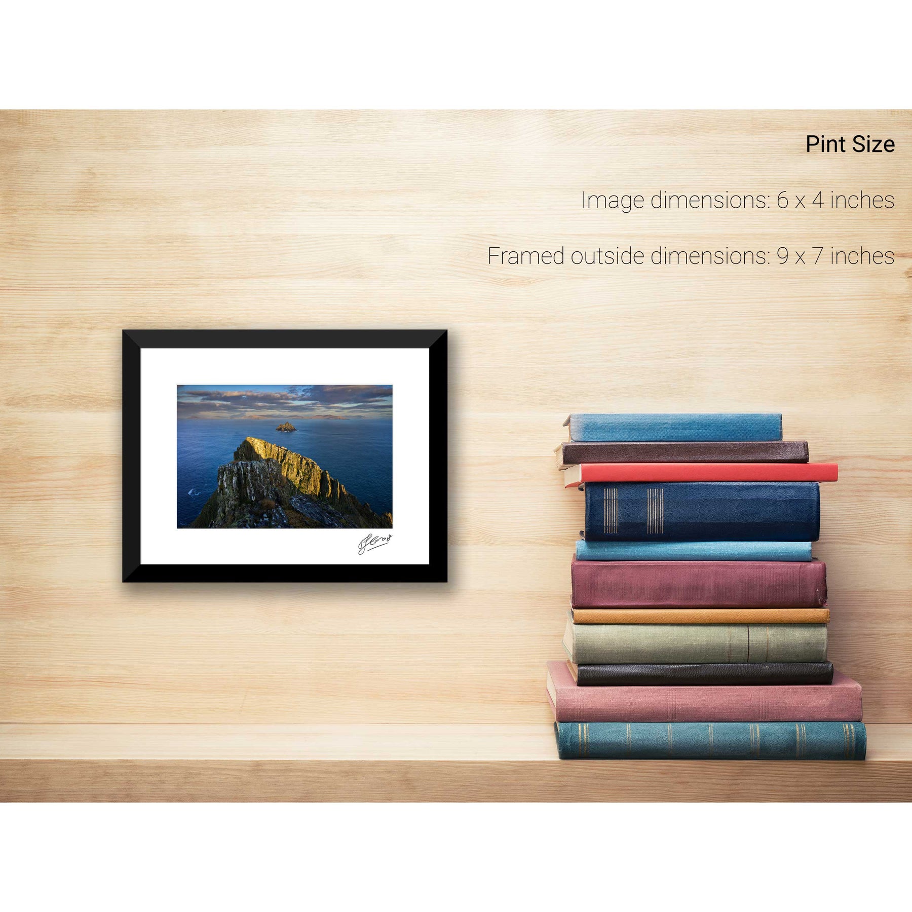
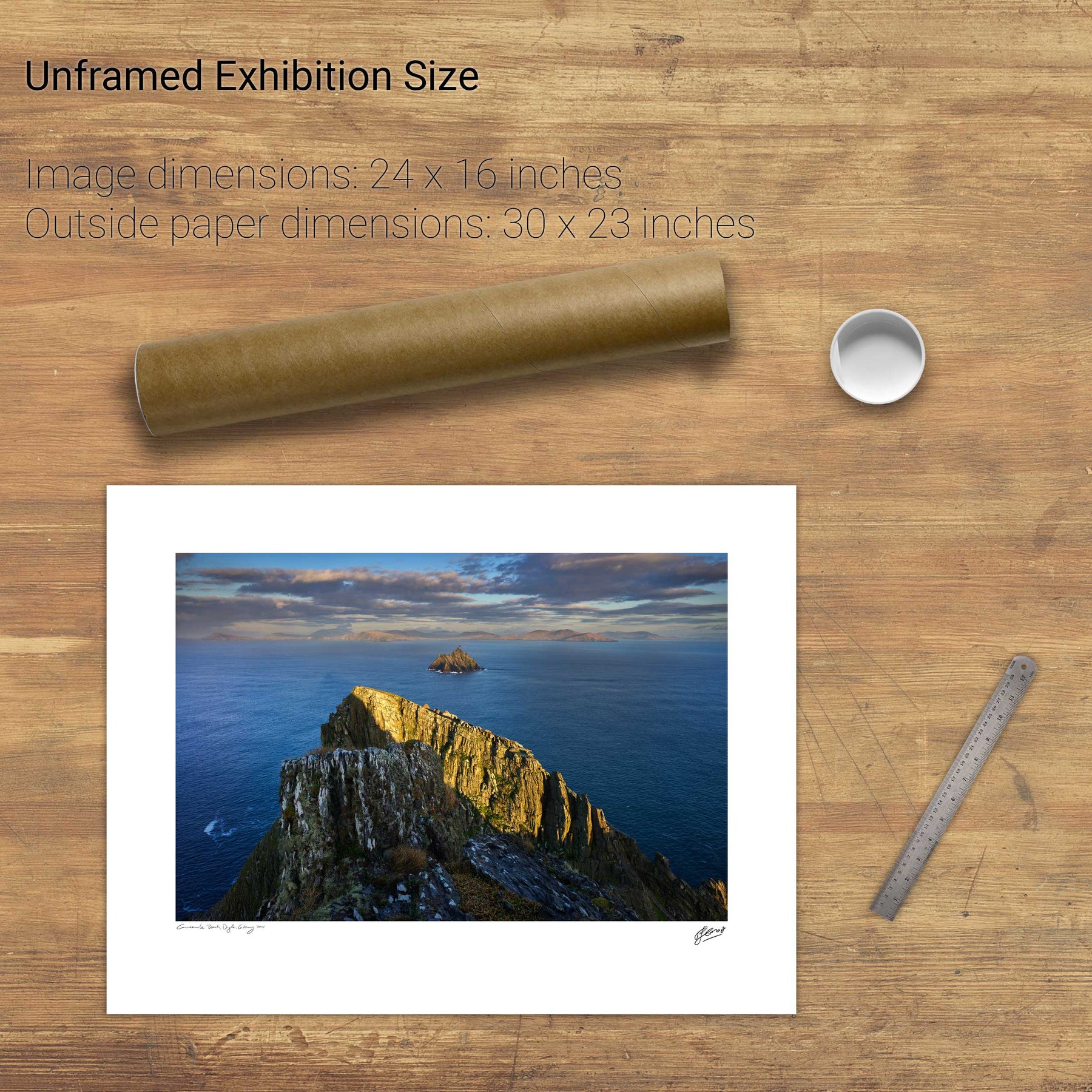
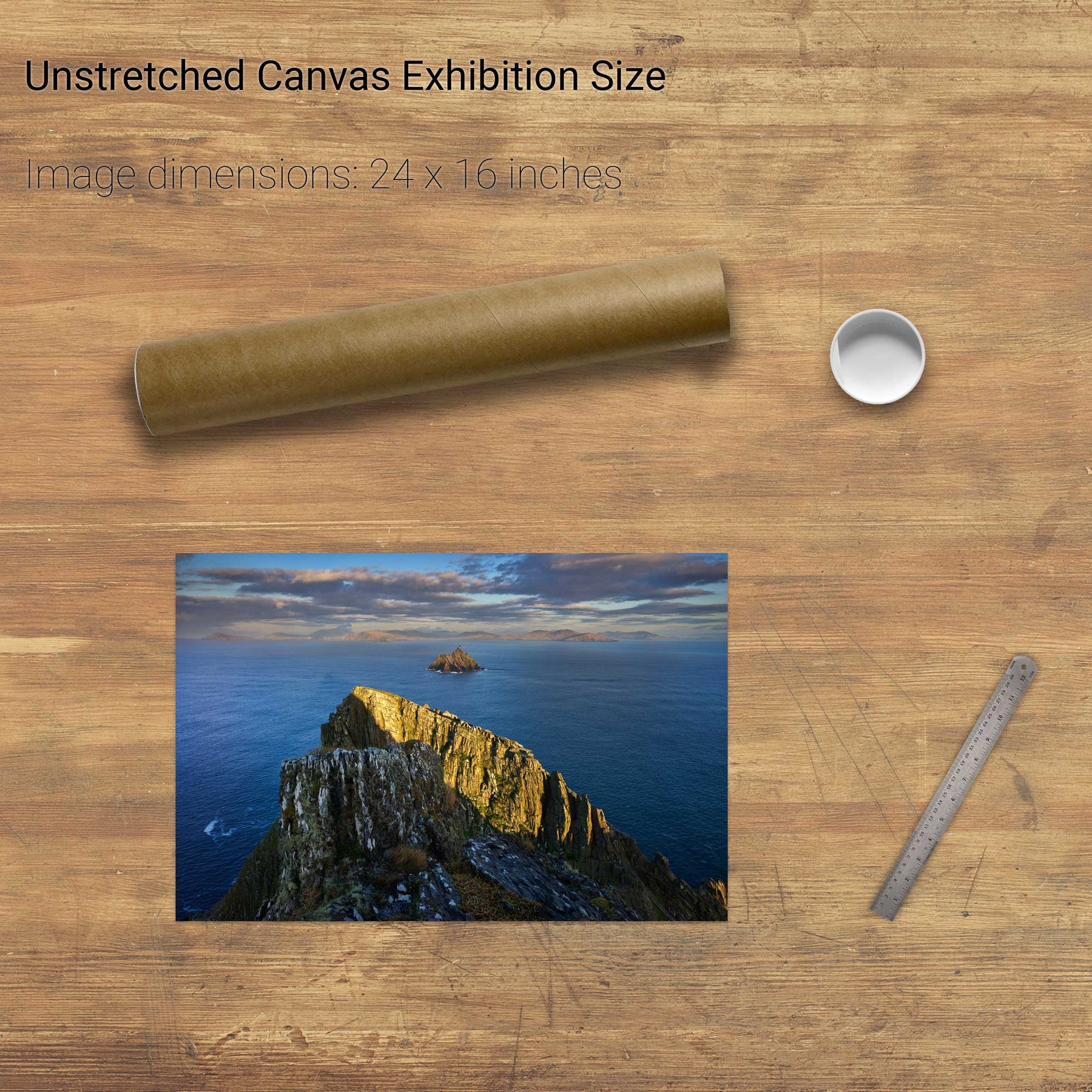
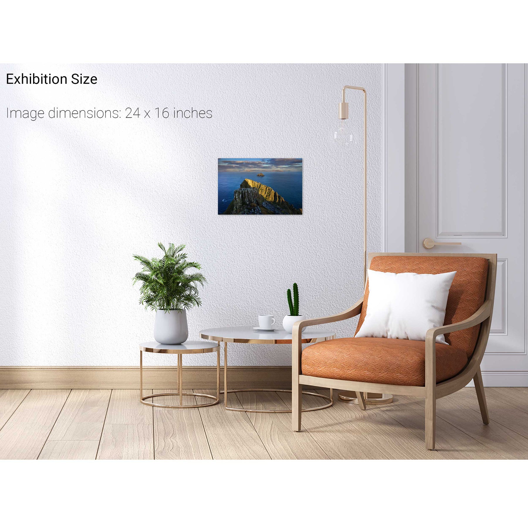
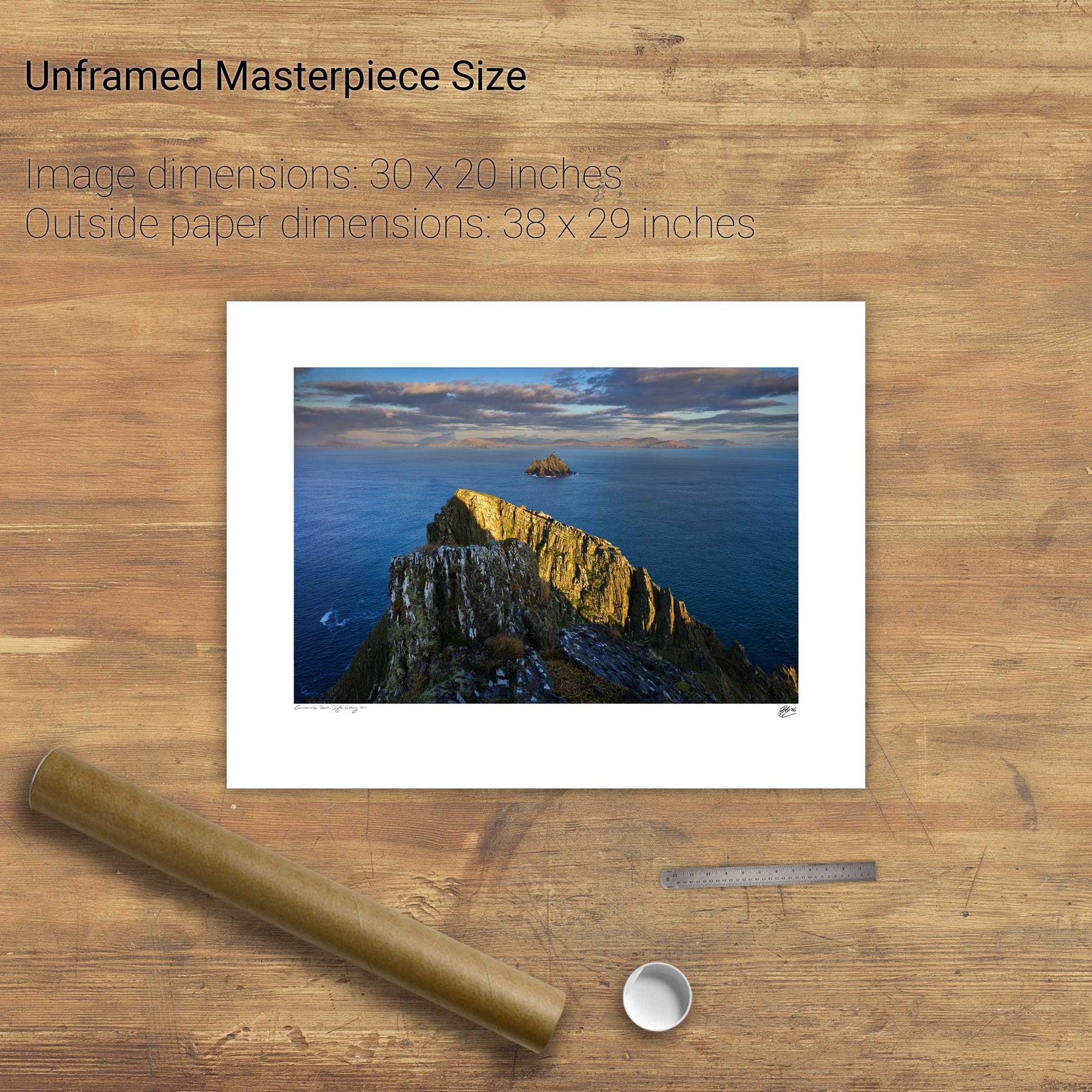
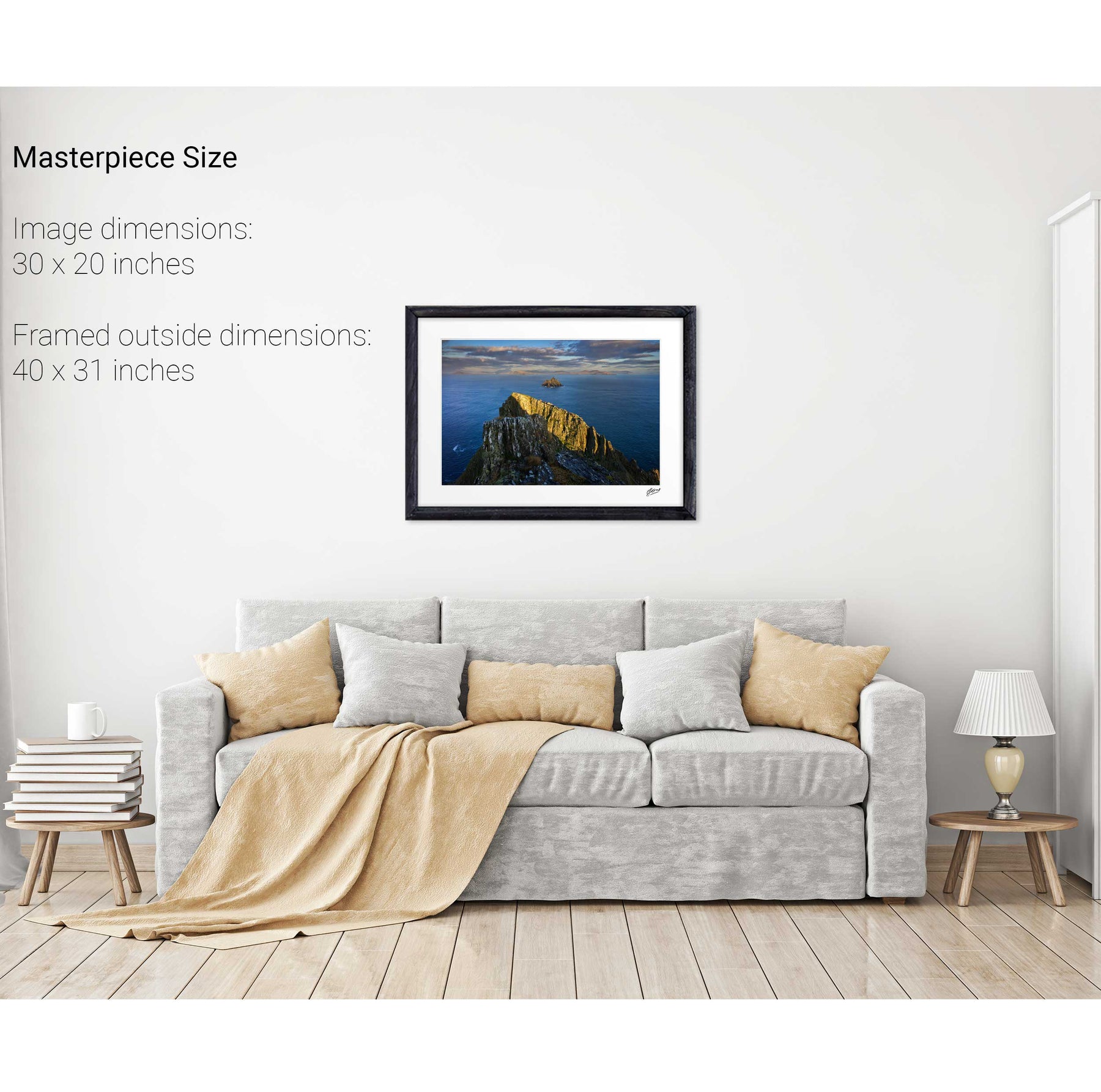
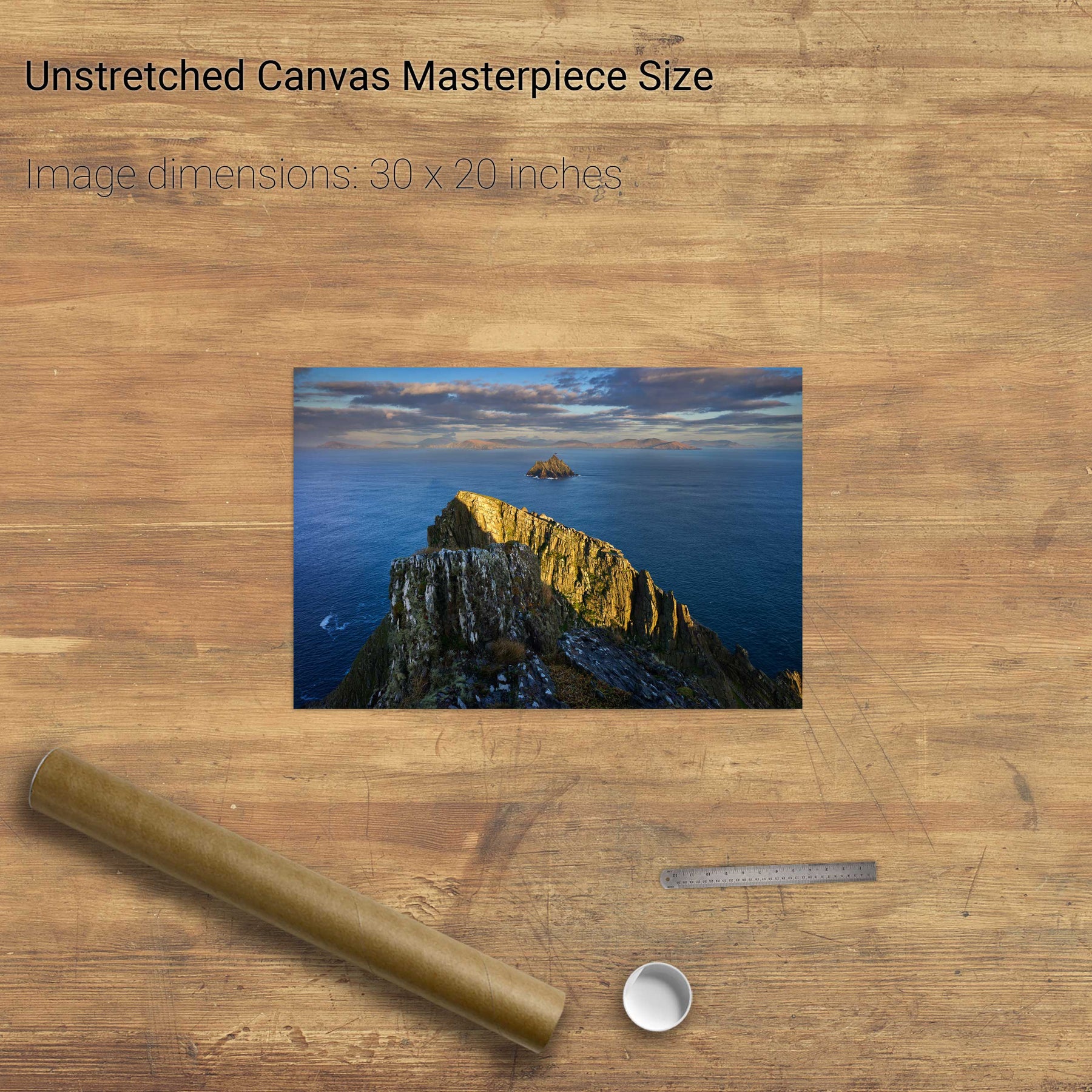
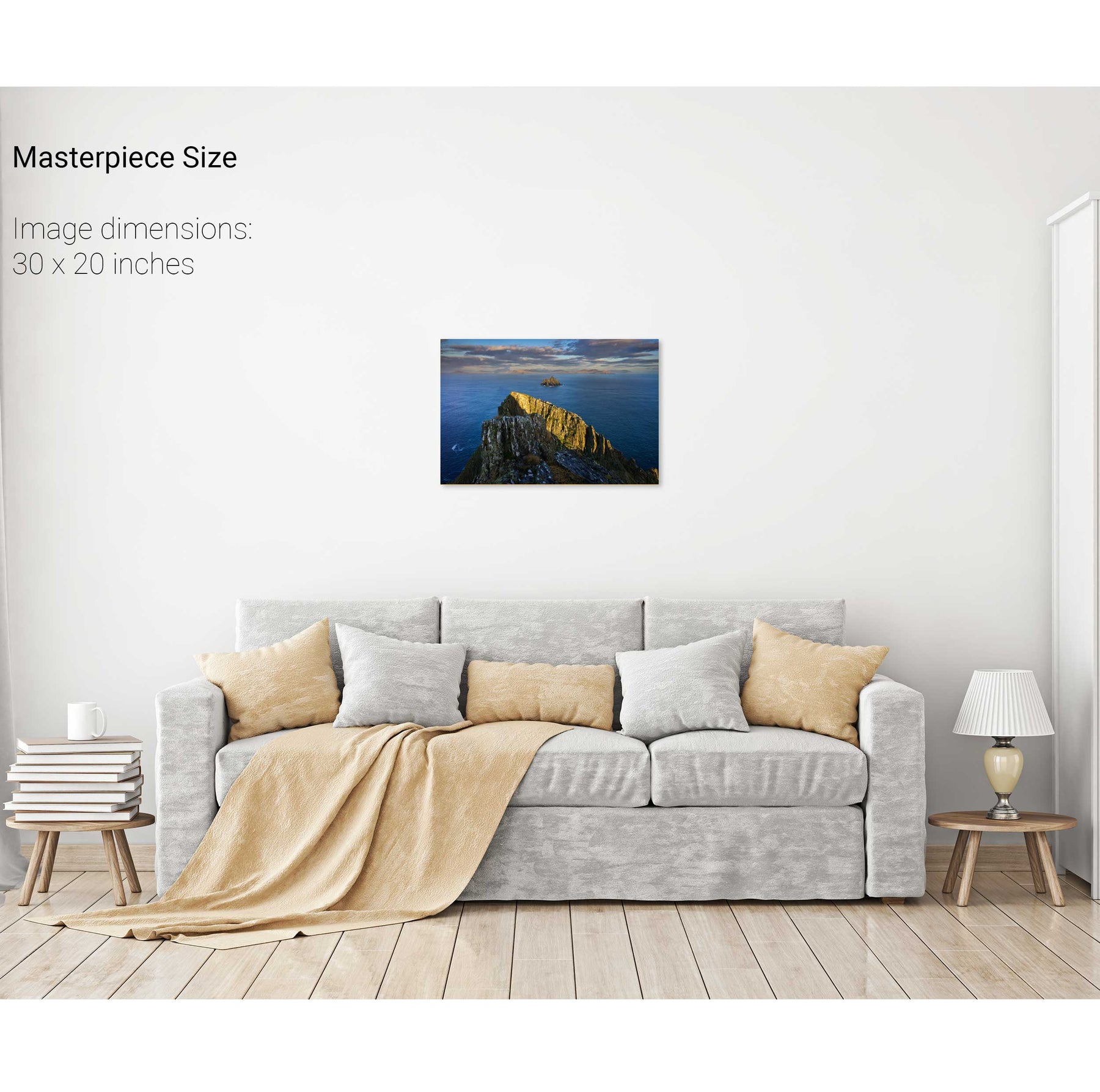
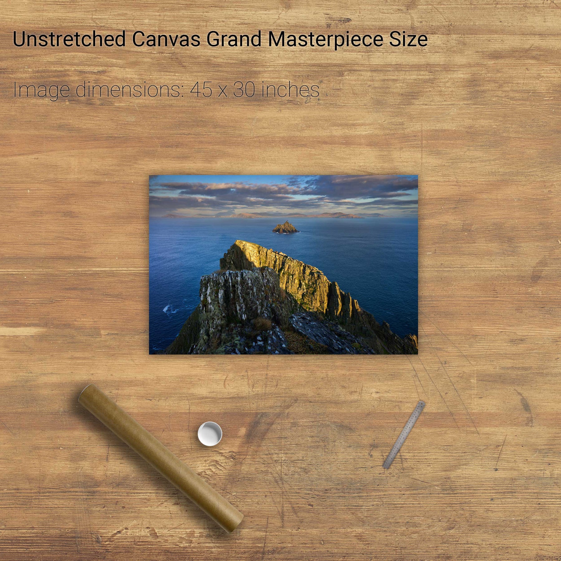
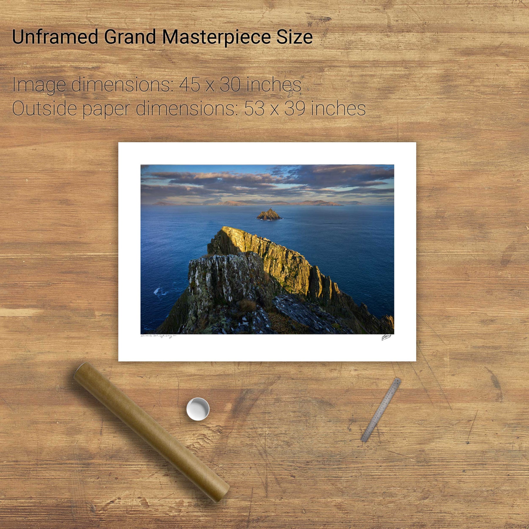
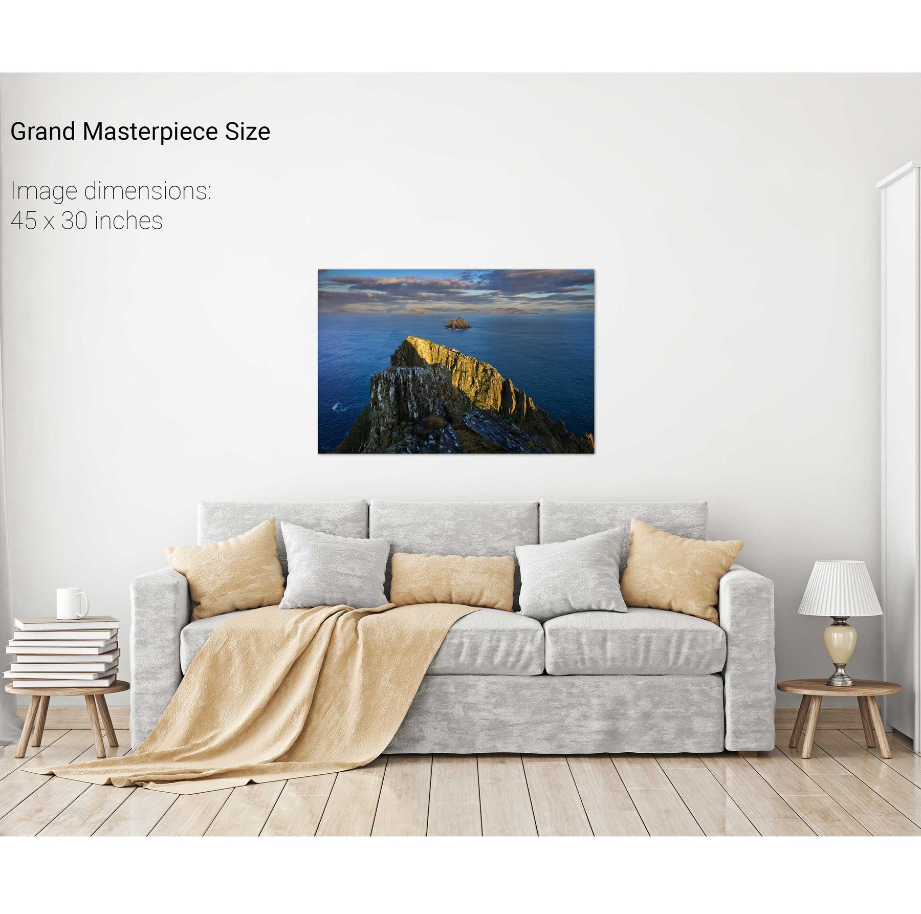
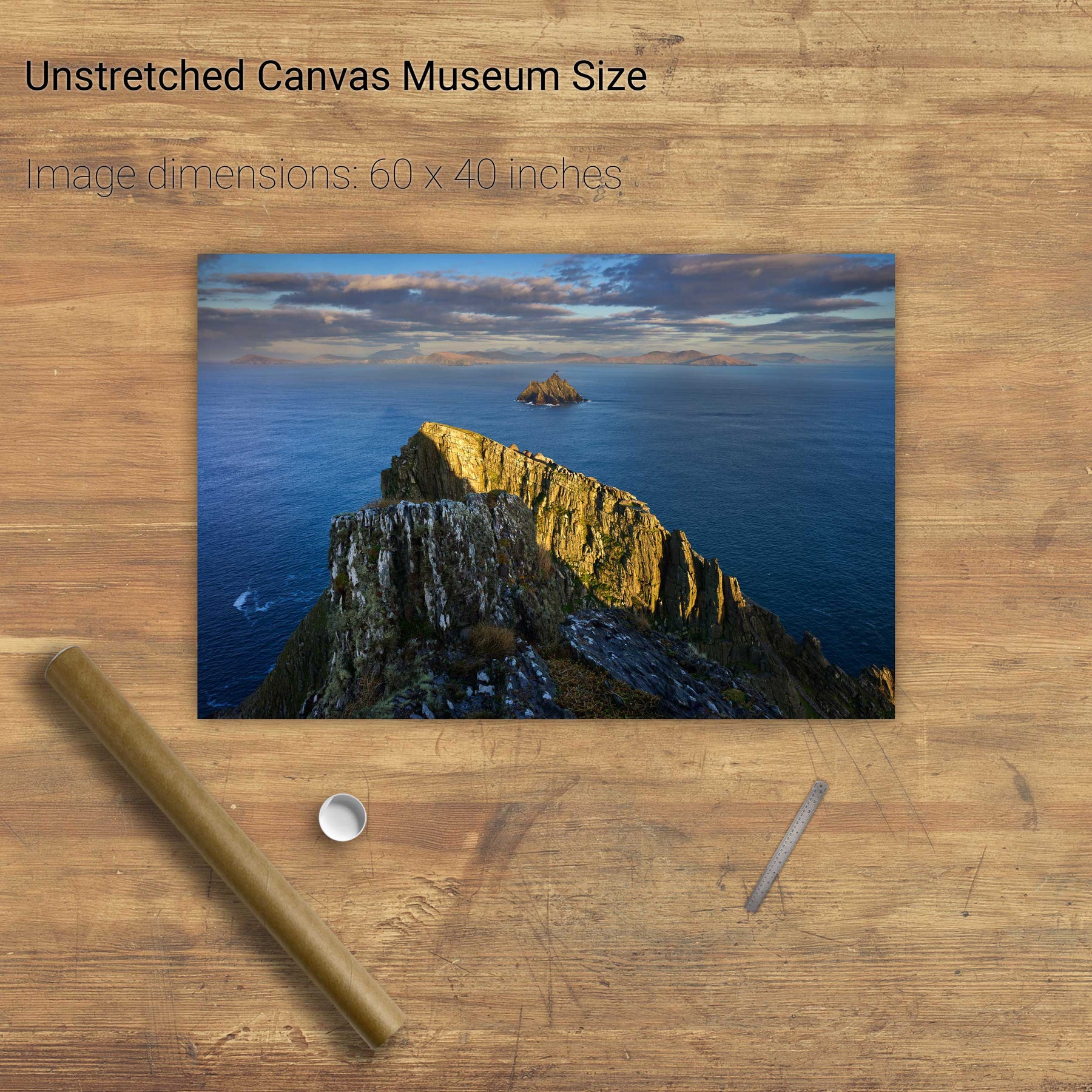
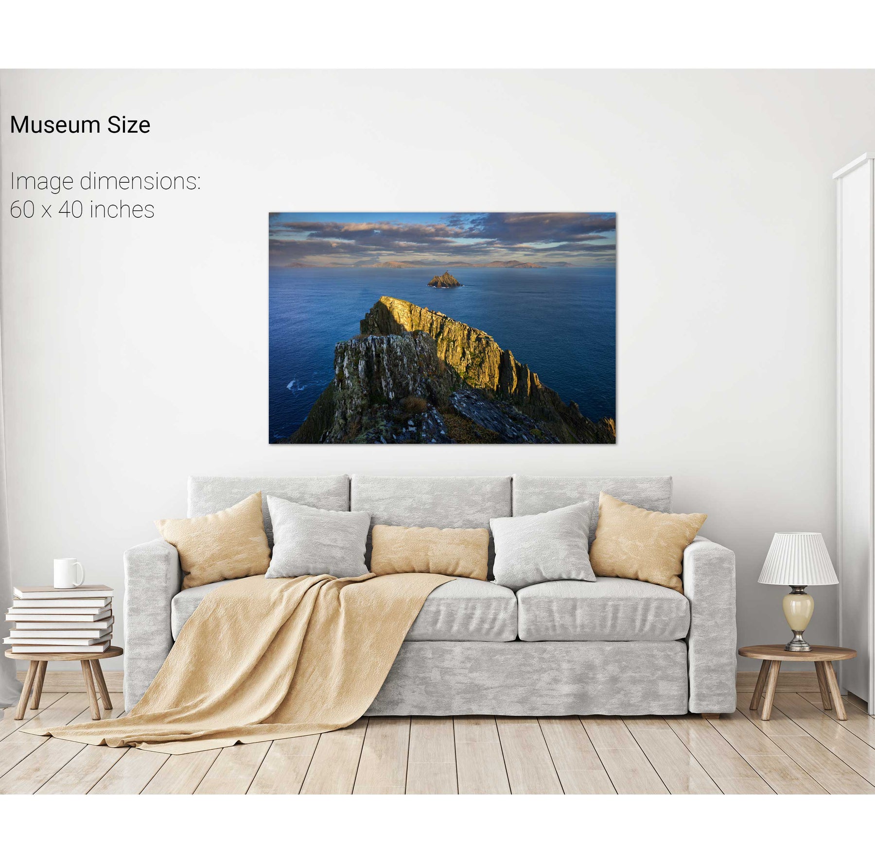
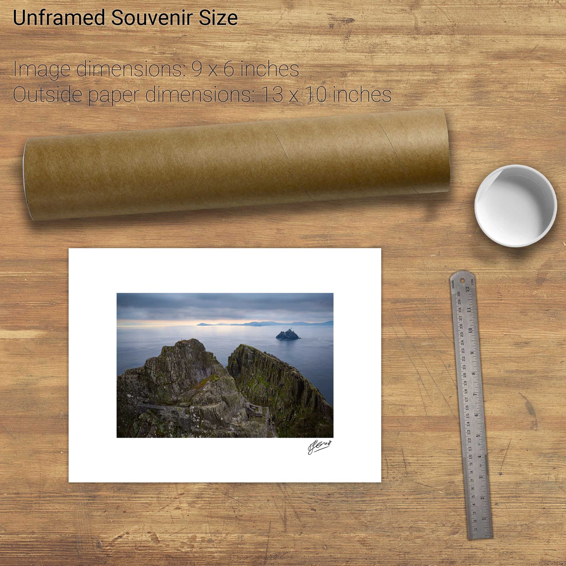
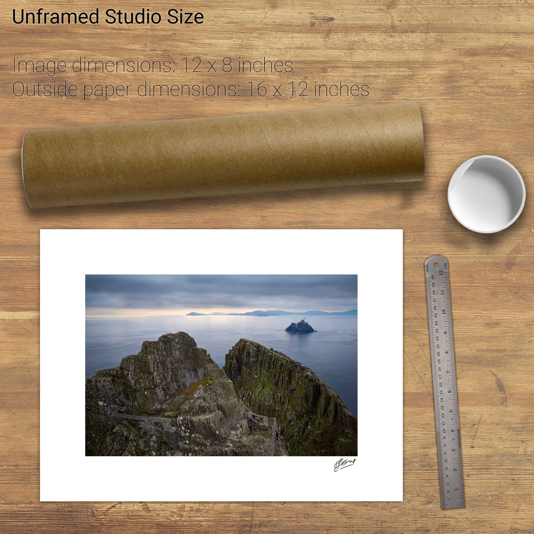
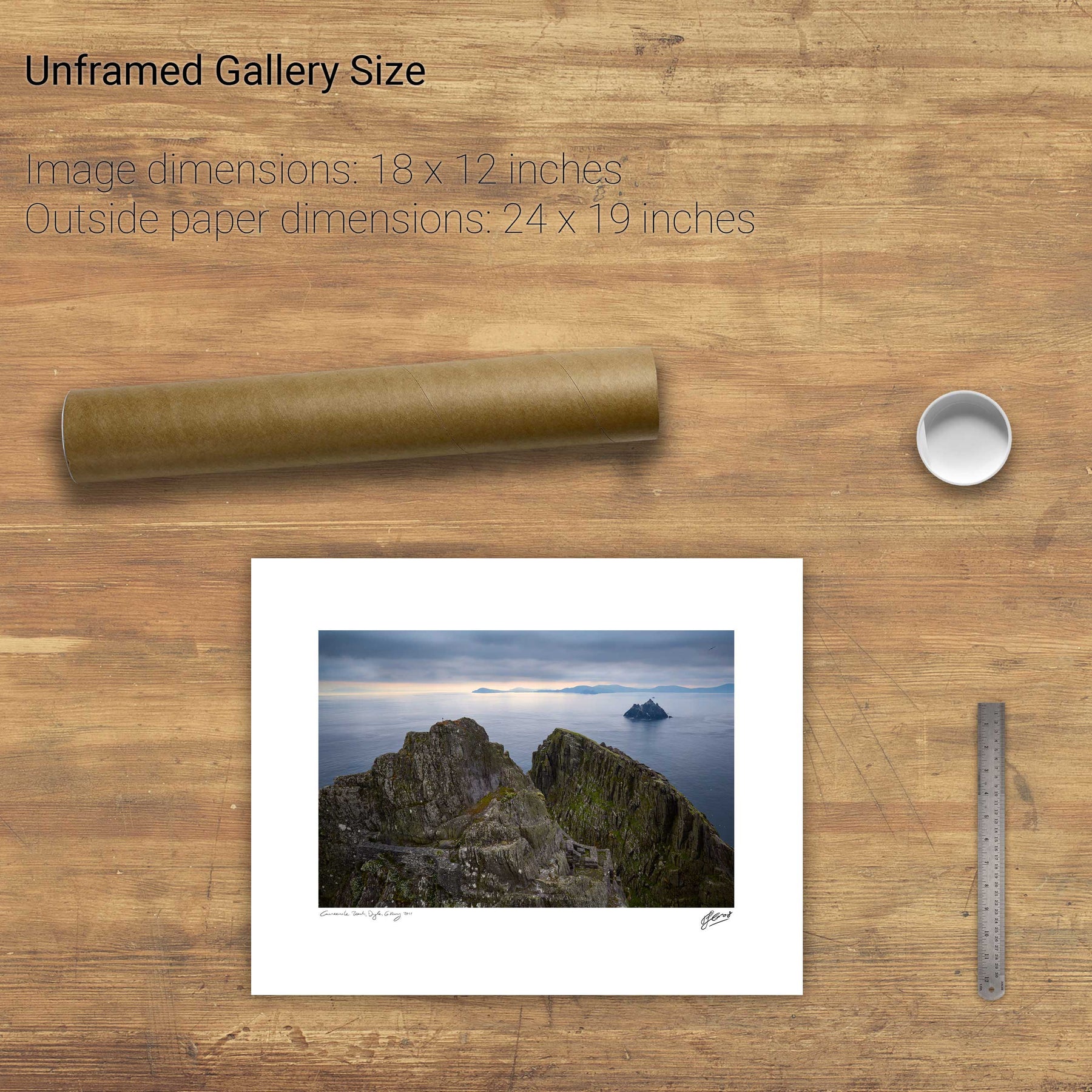
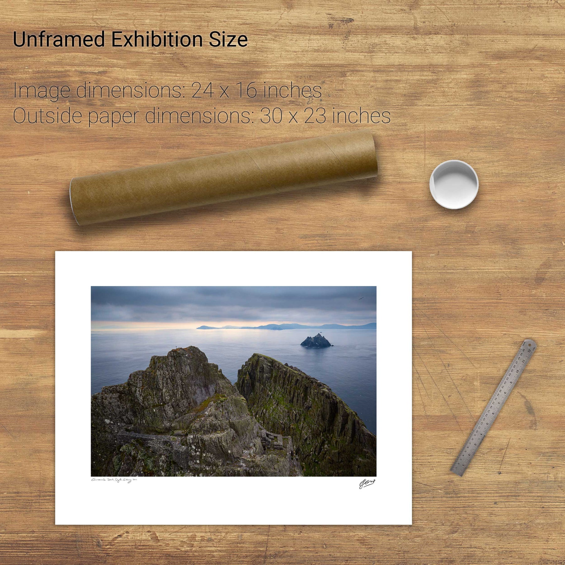
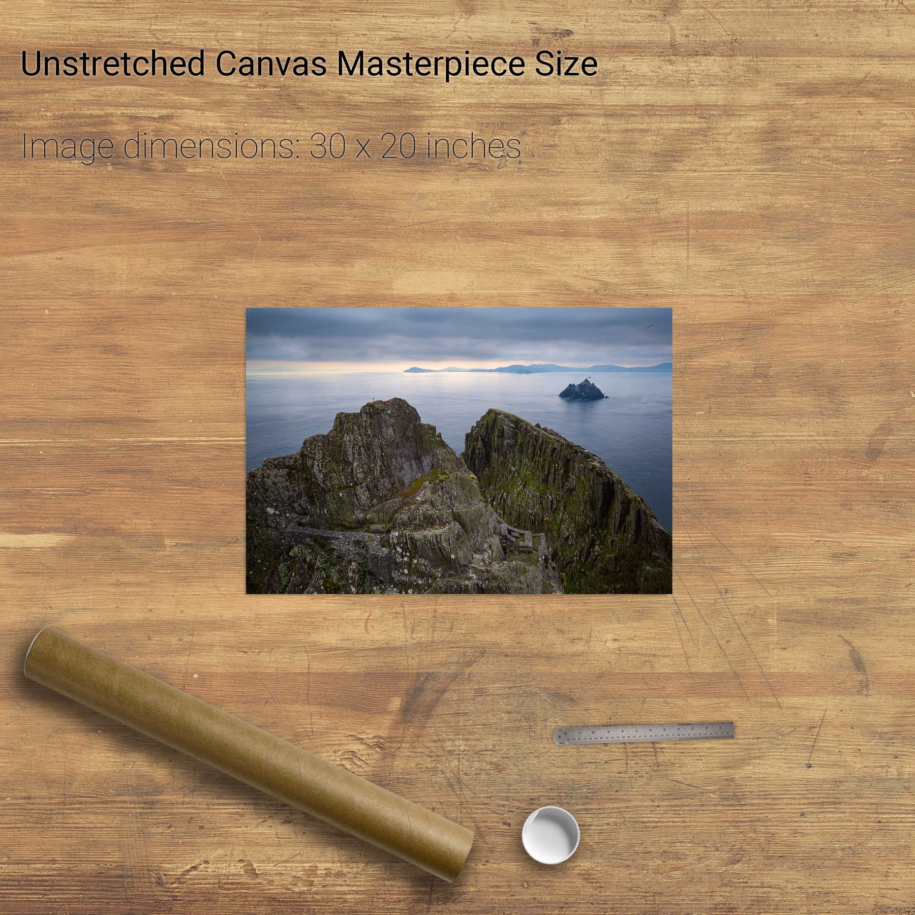
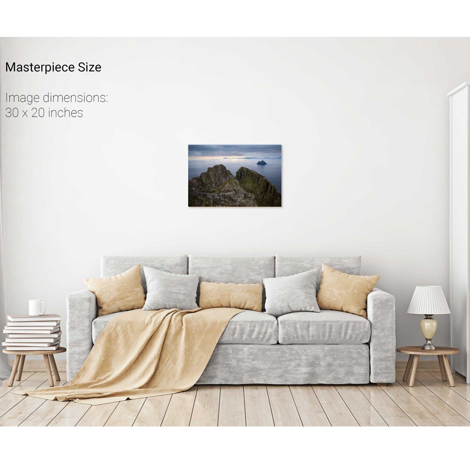
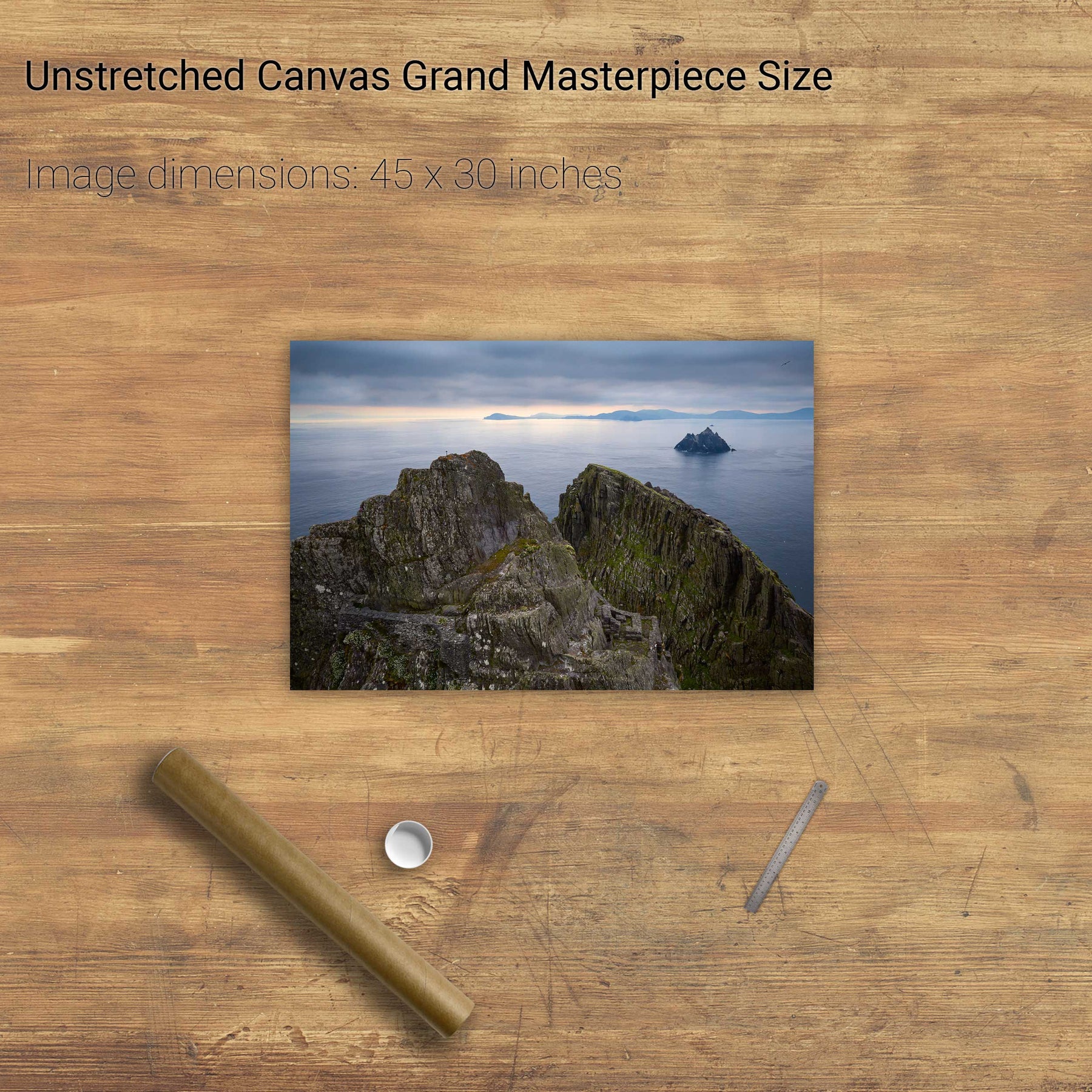
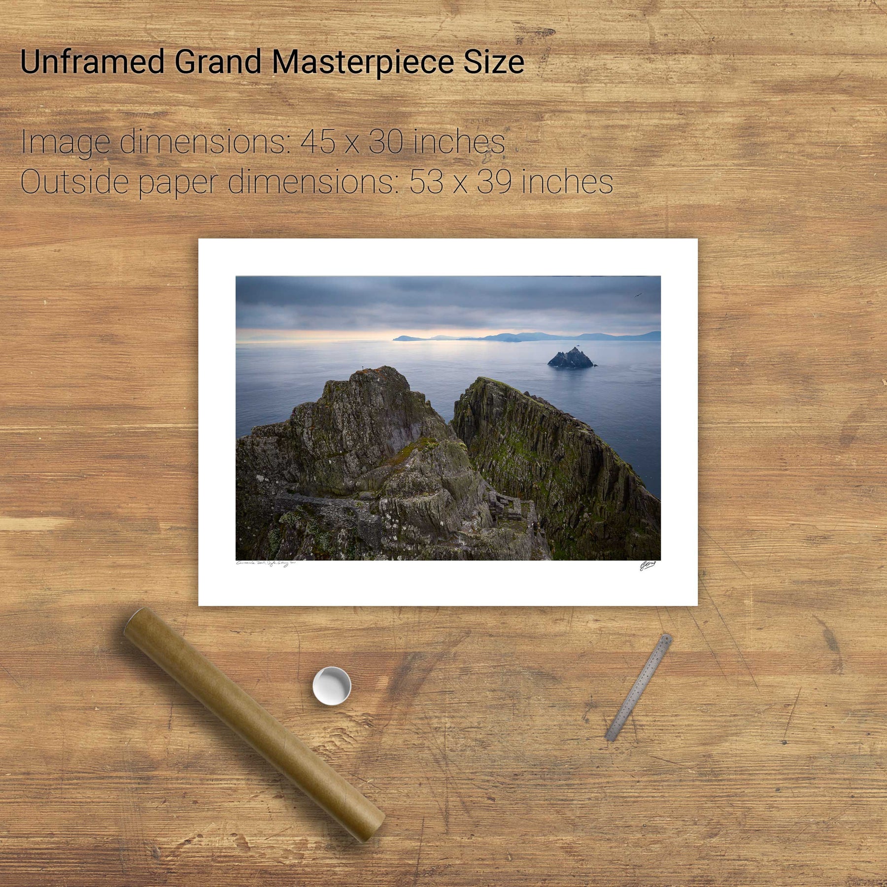
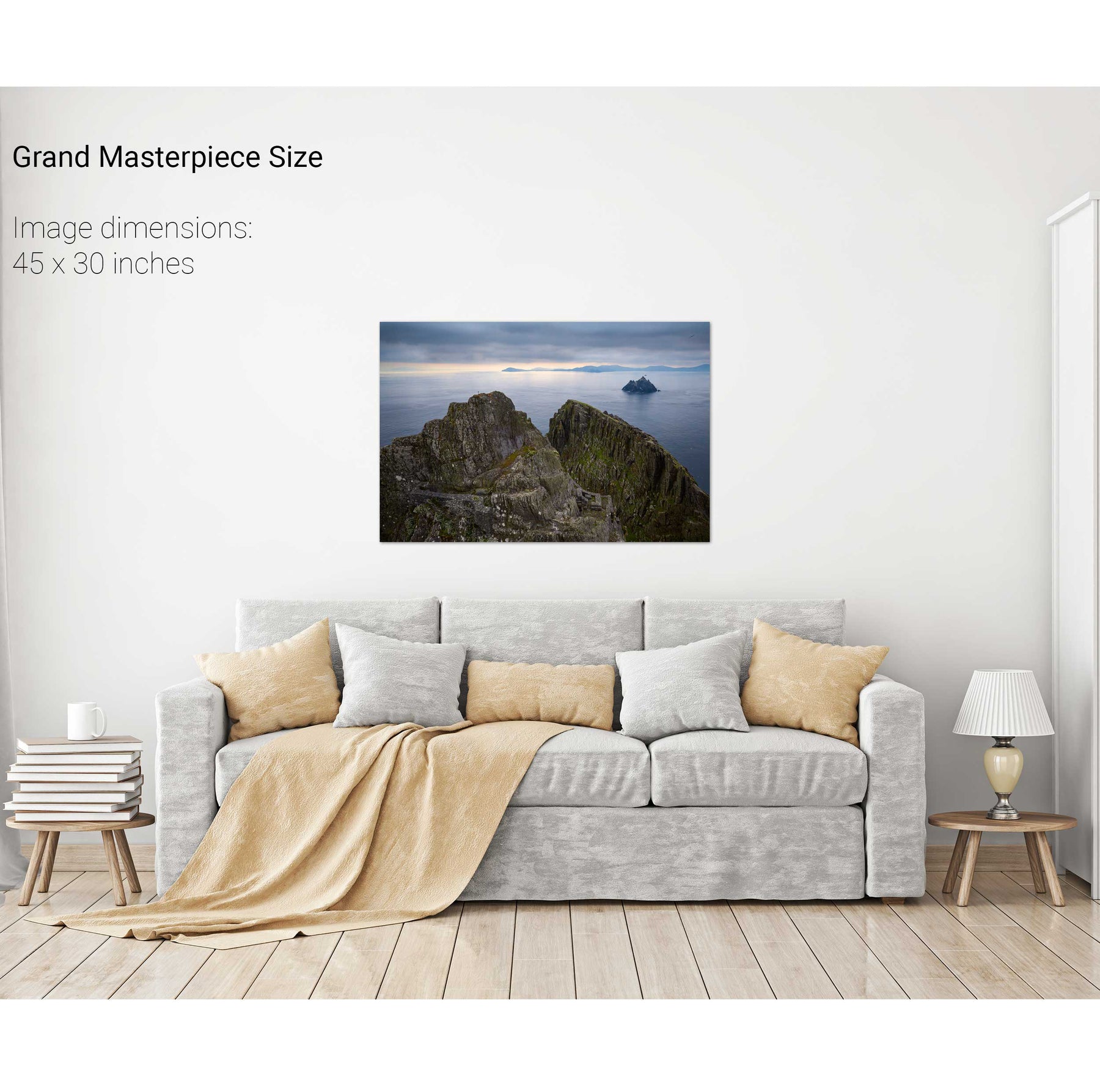
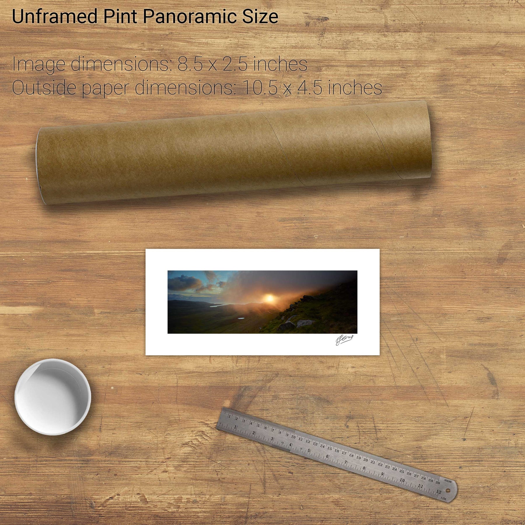
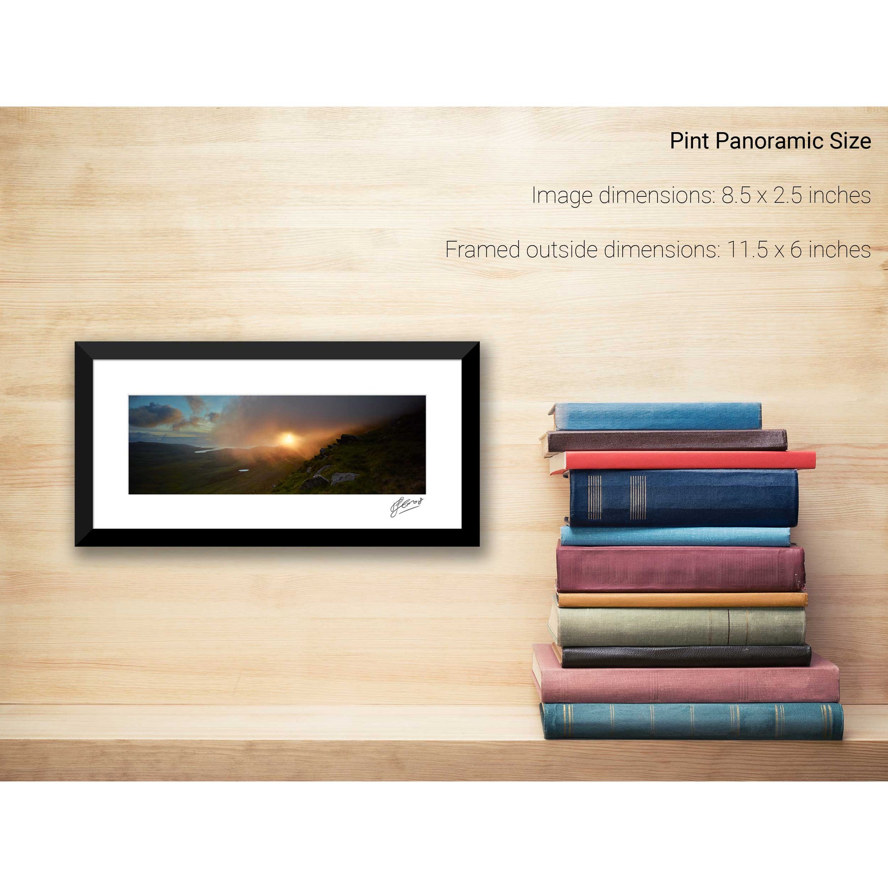
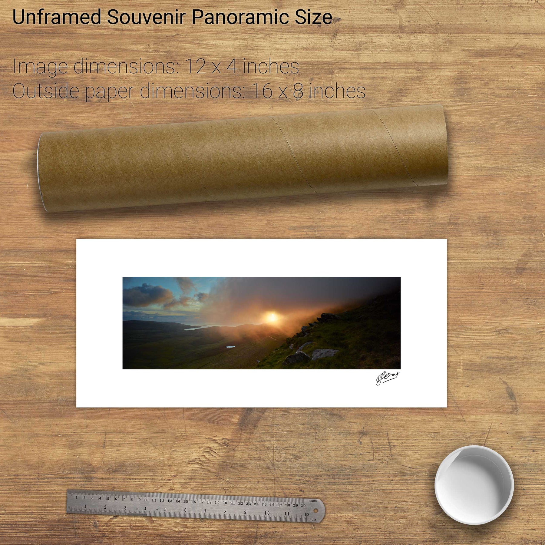
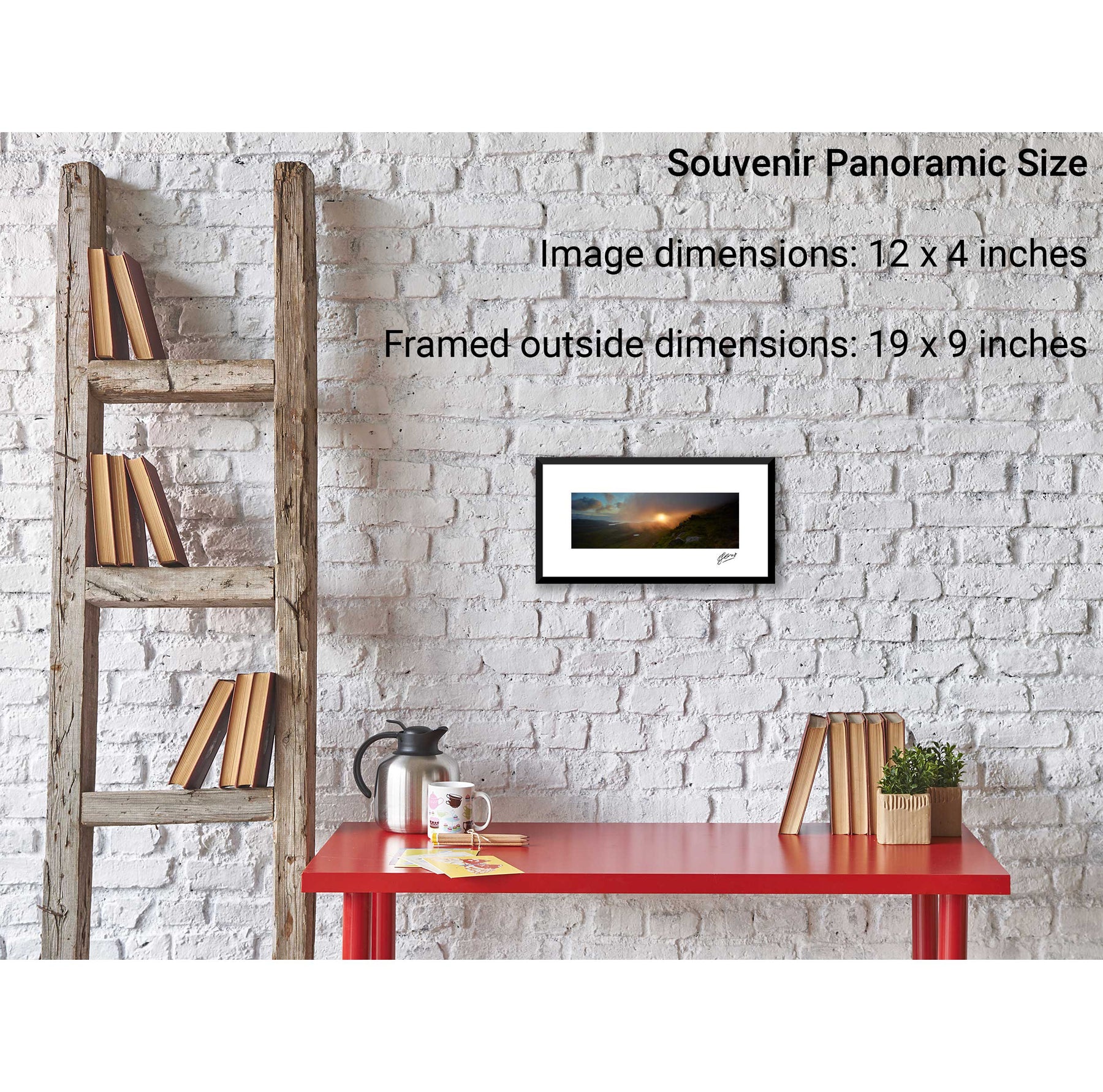
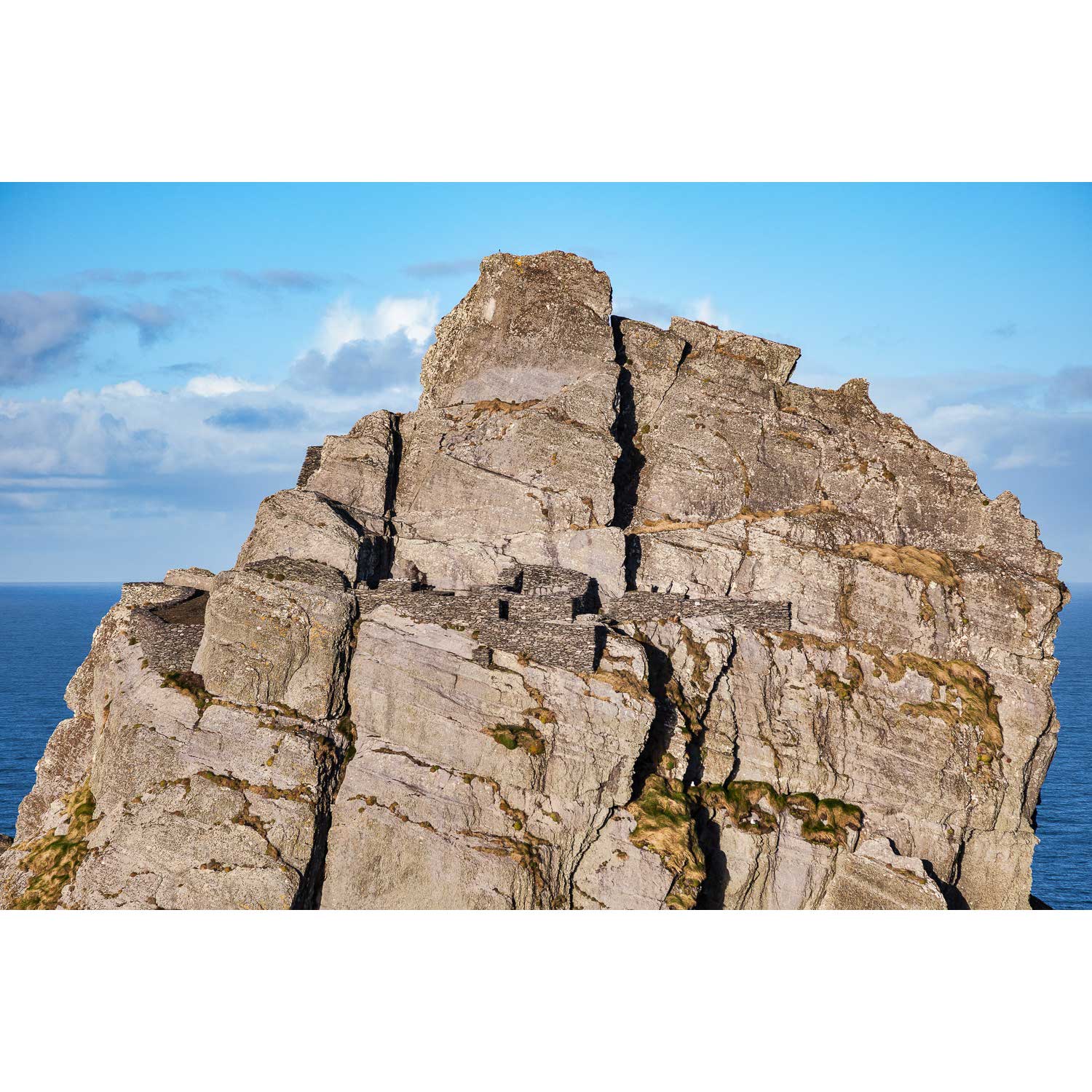
North Peak Ridge, Skellig Michael, Kerry
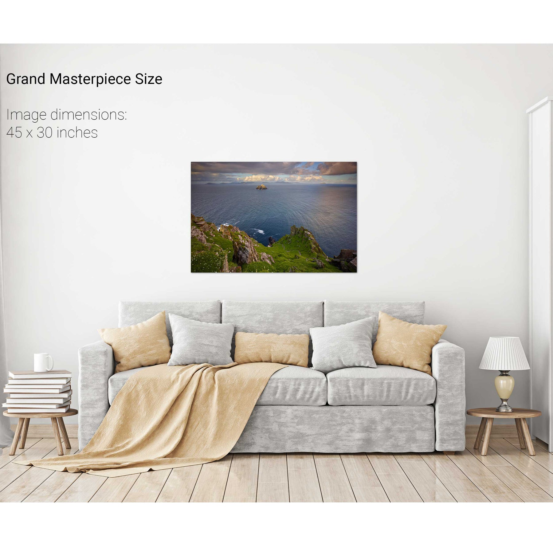
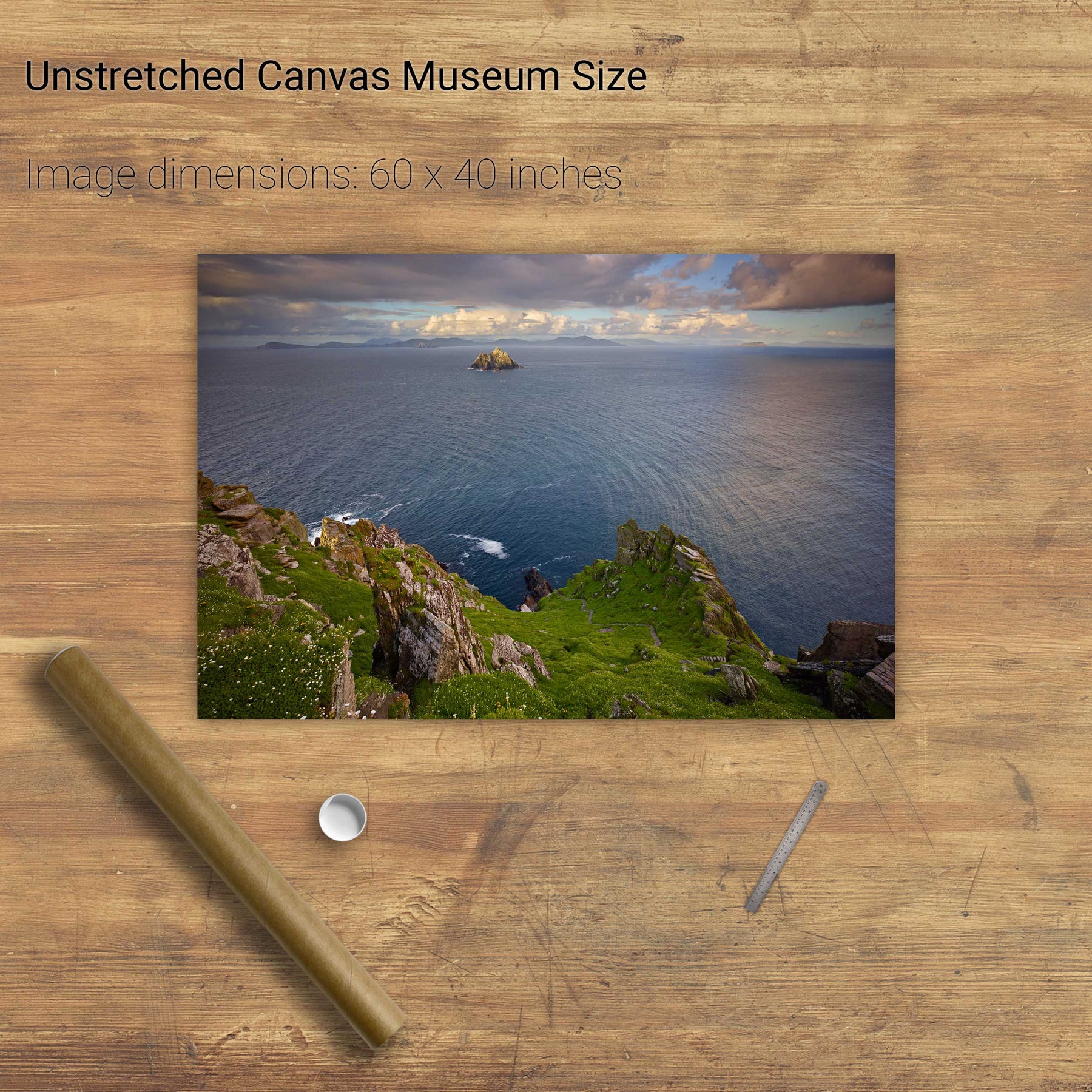
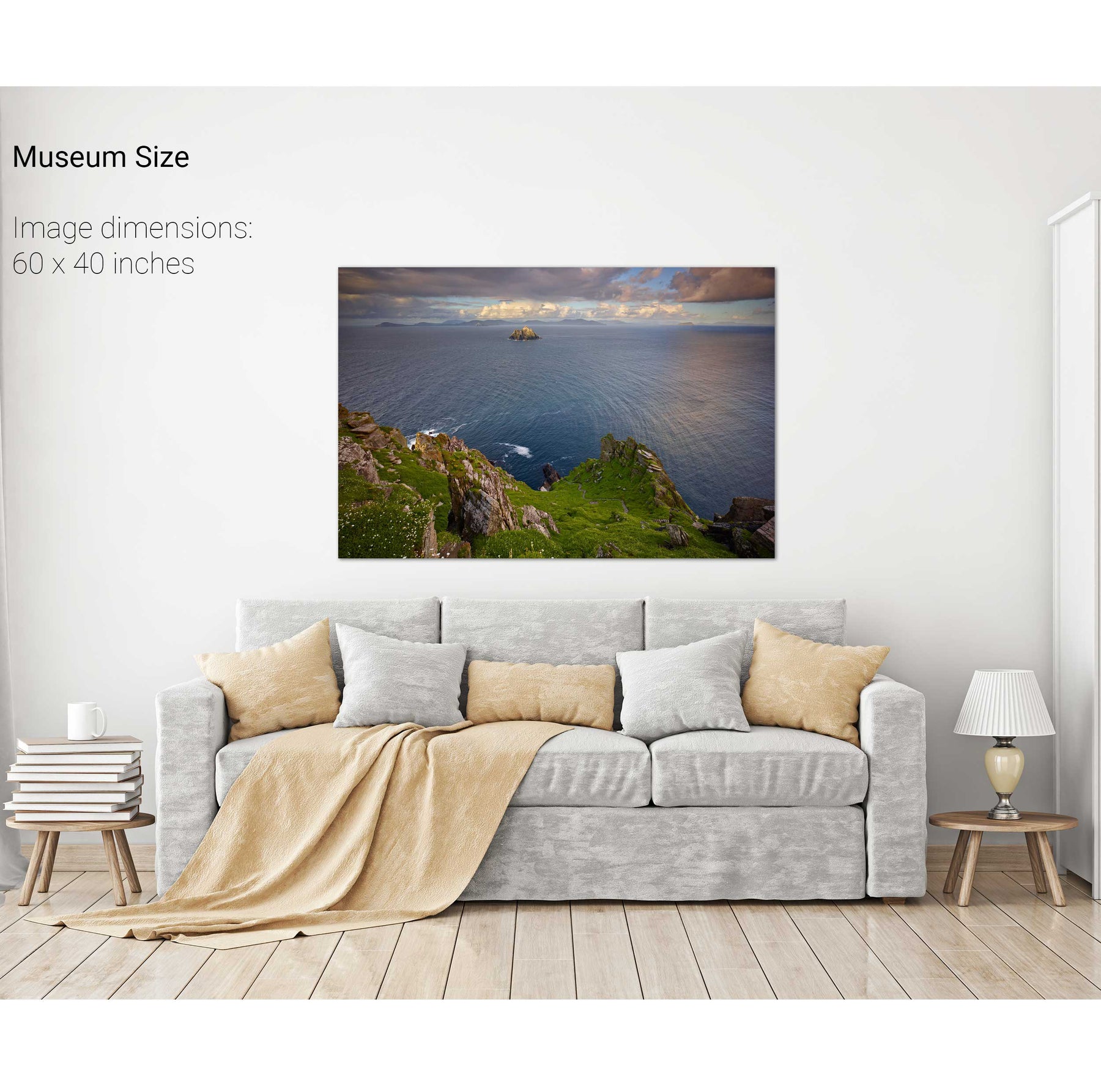
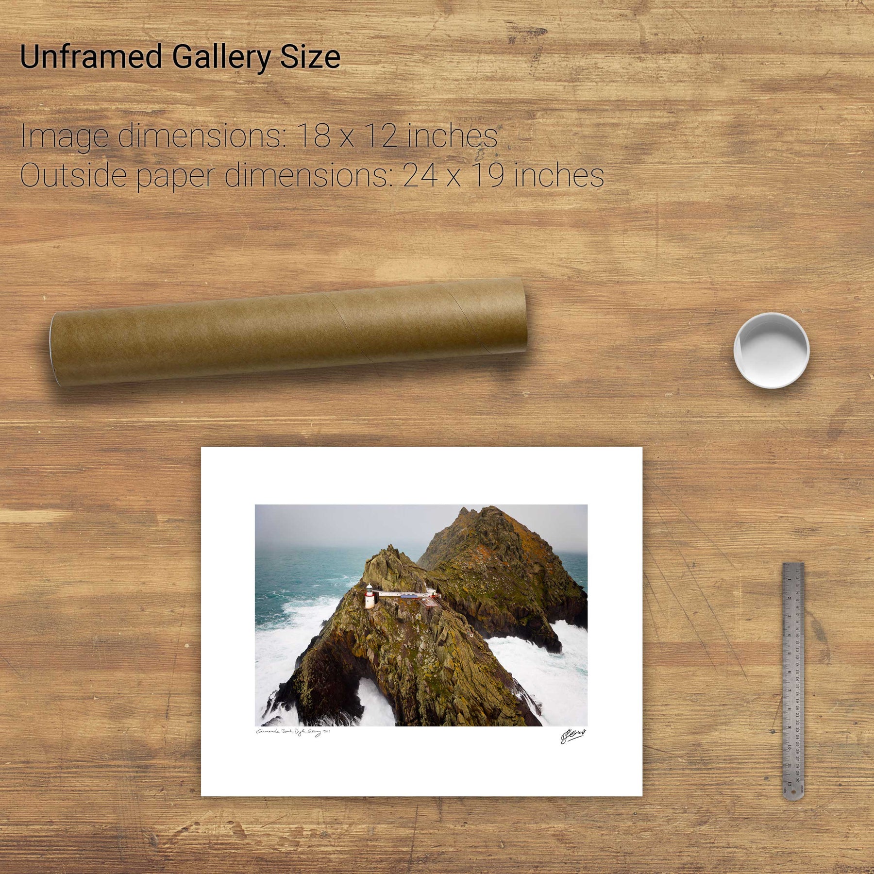
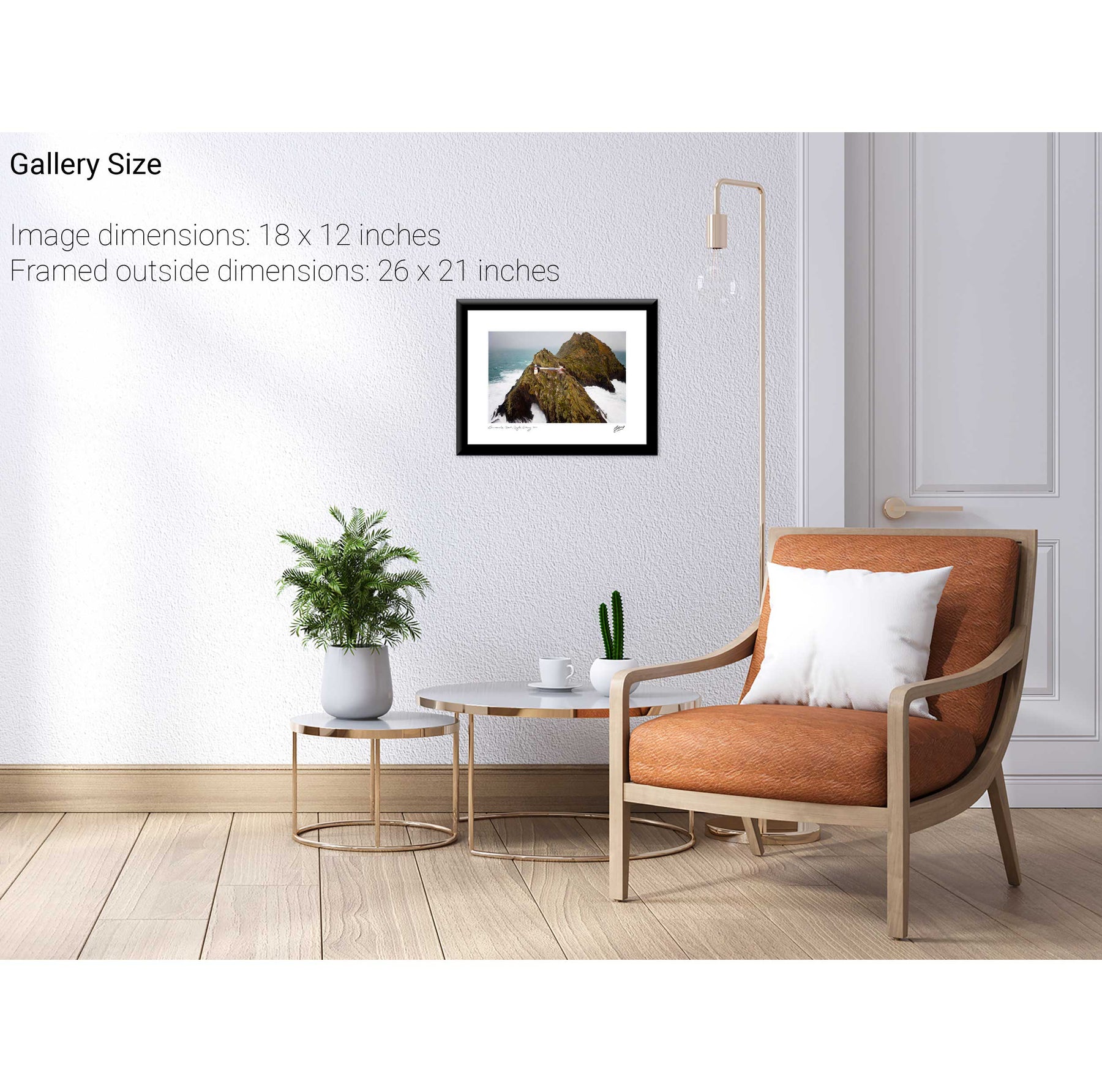
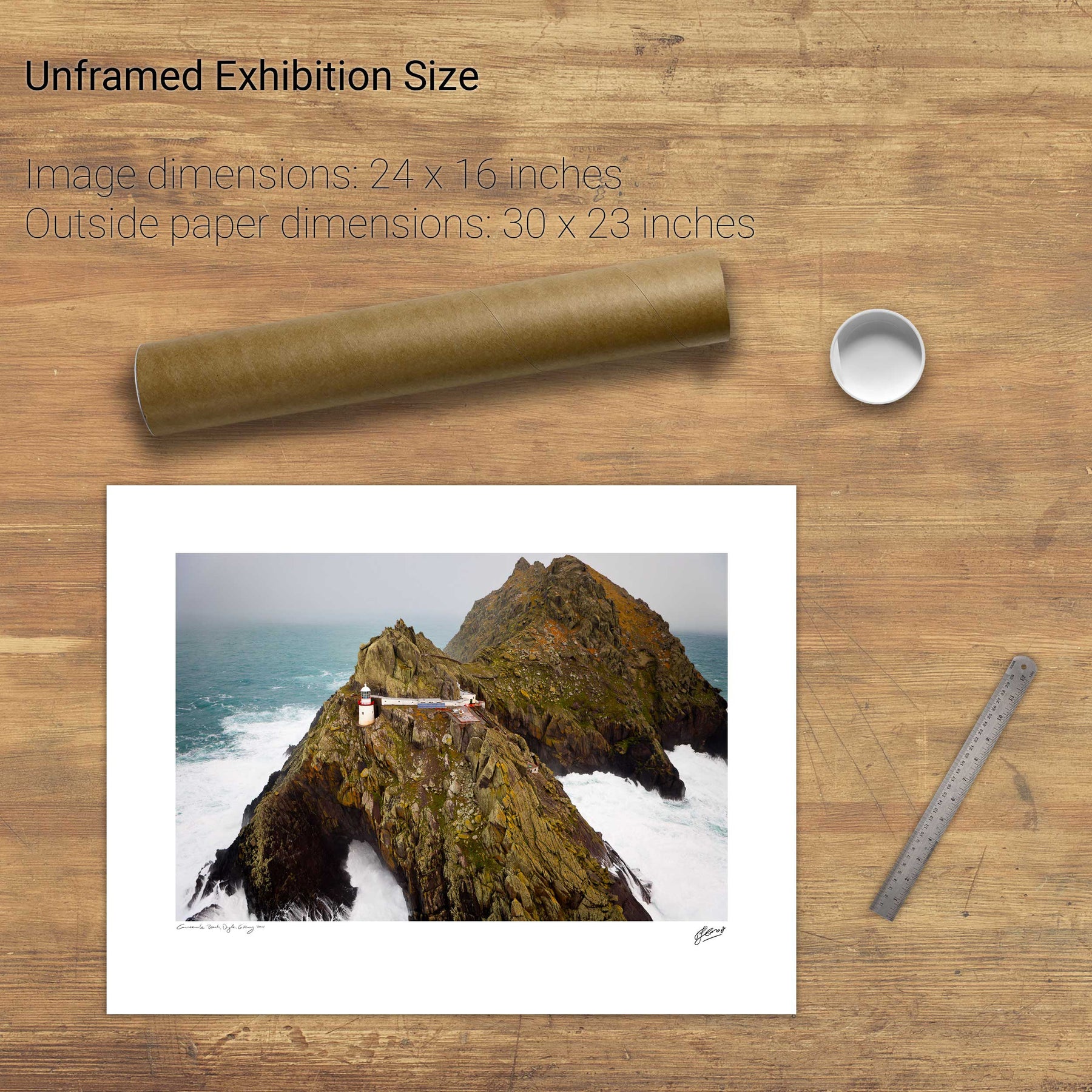
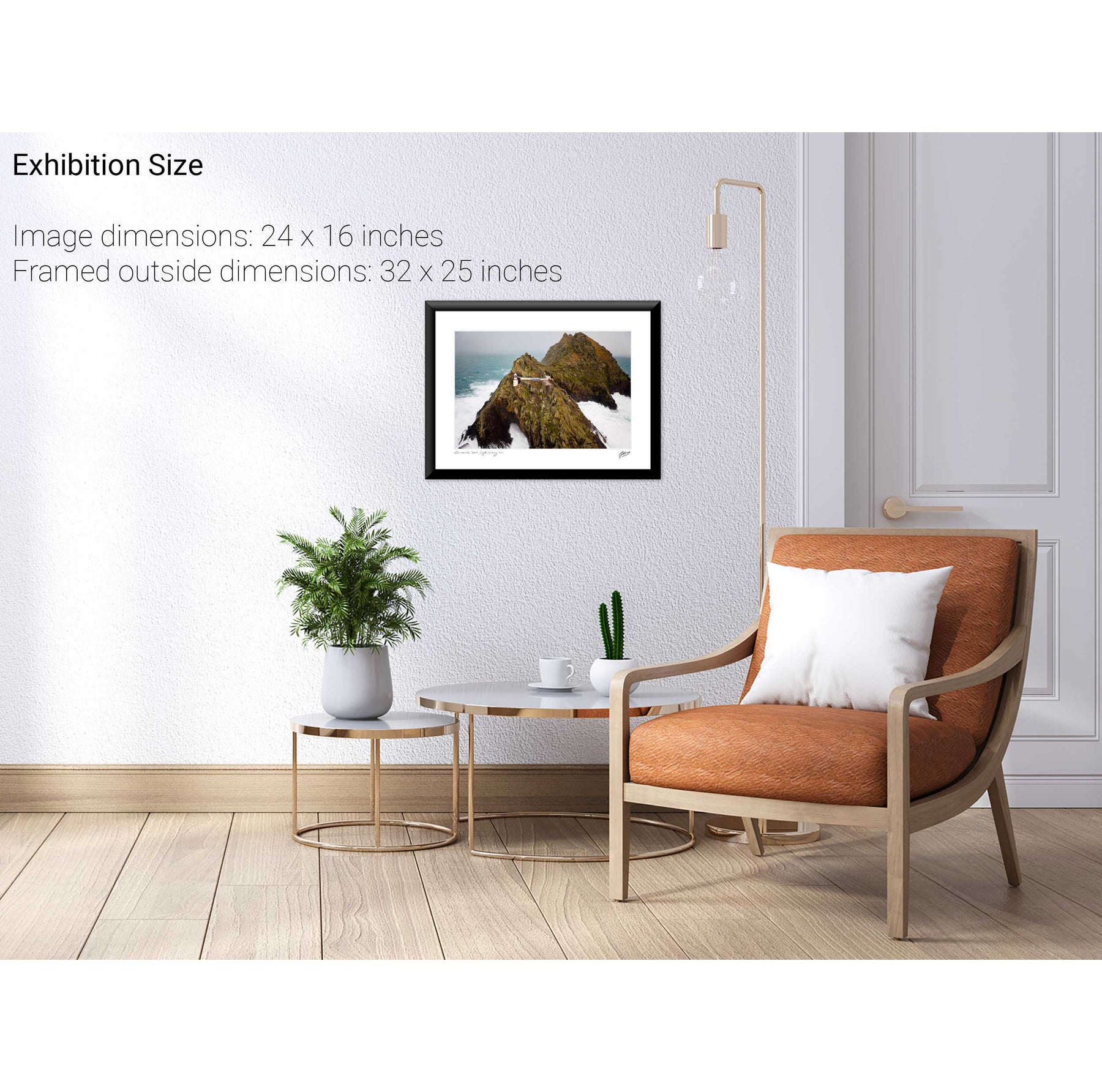
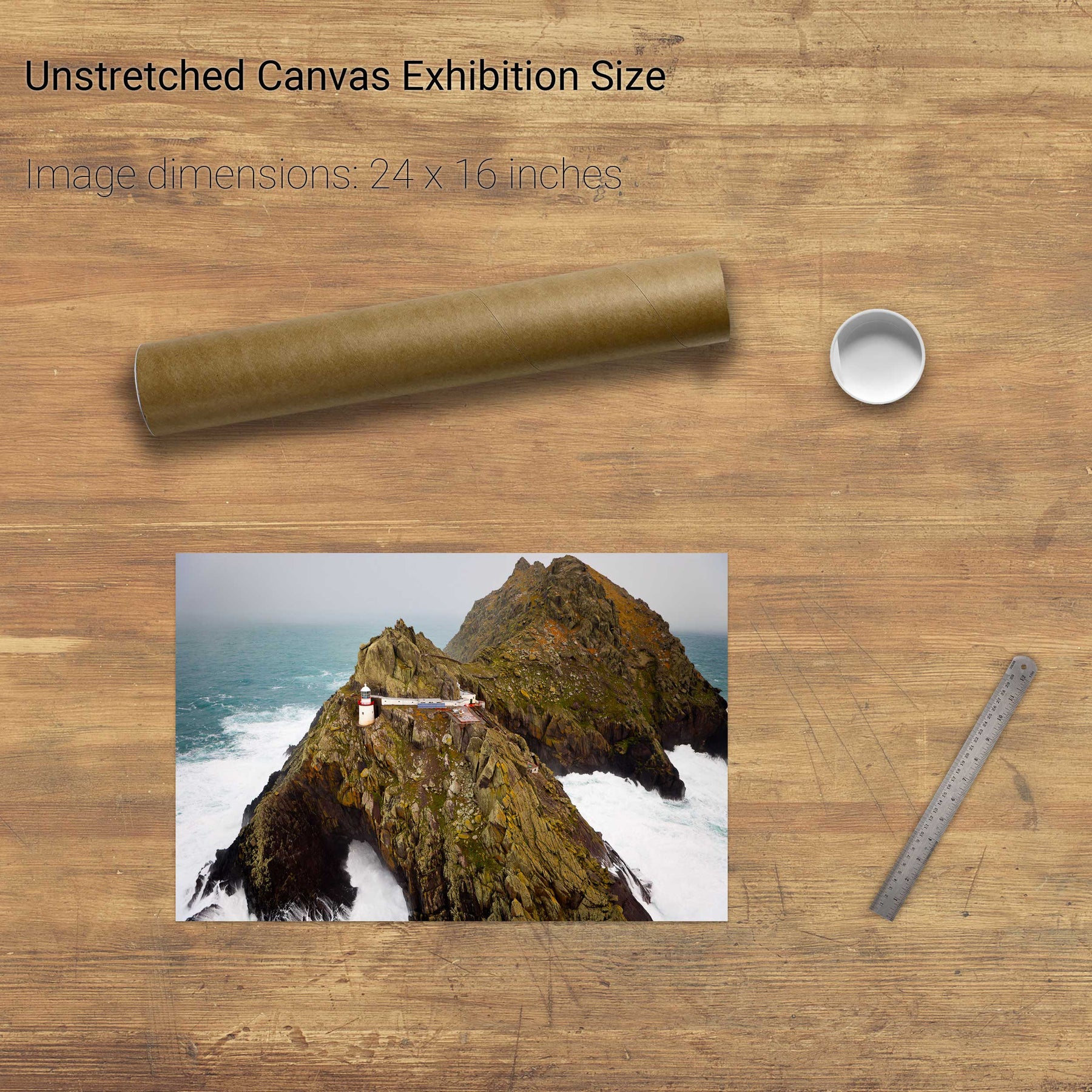
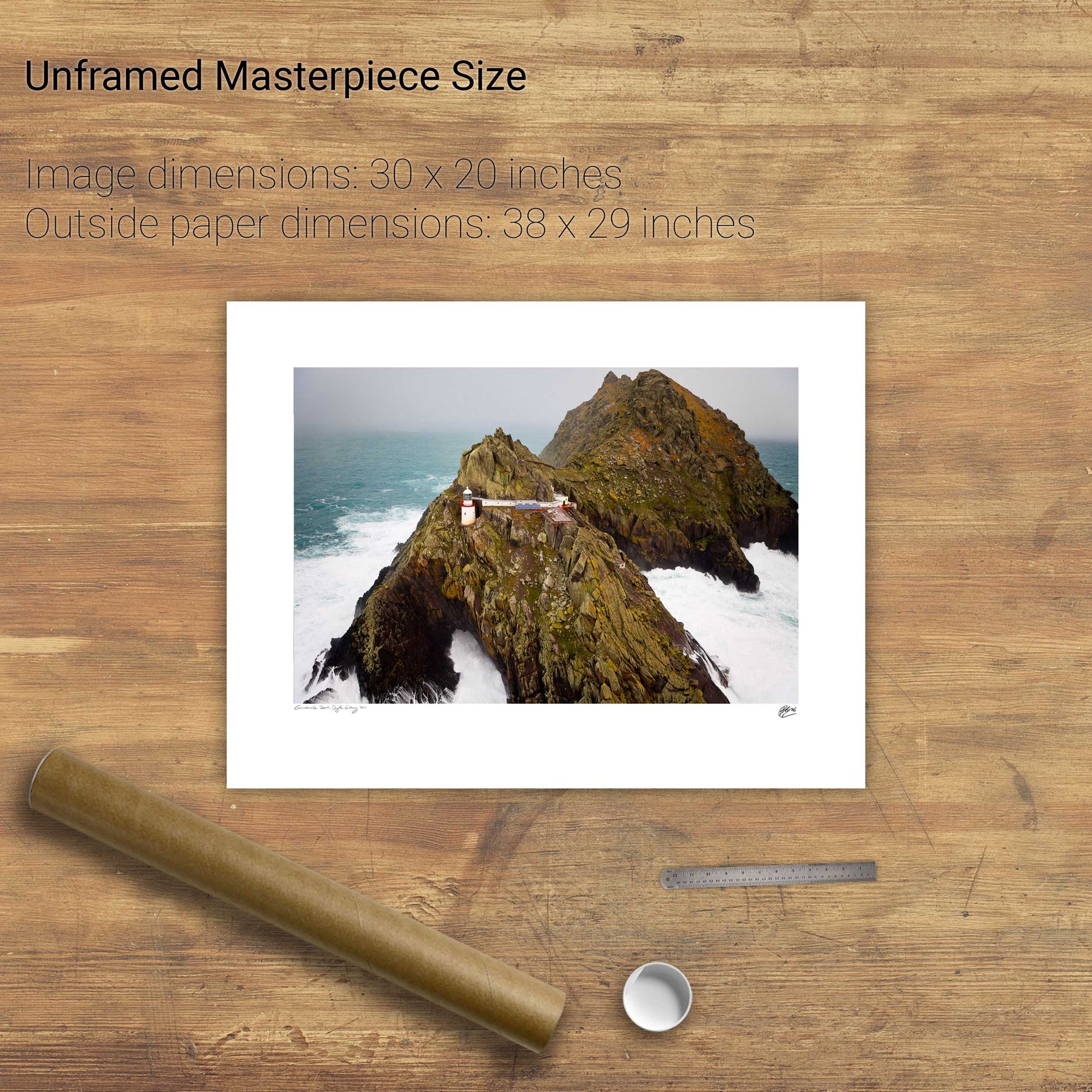
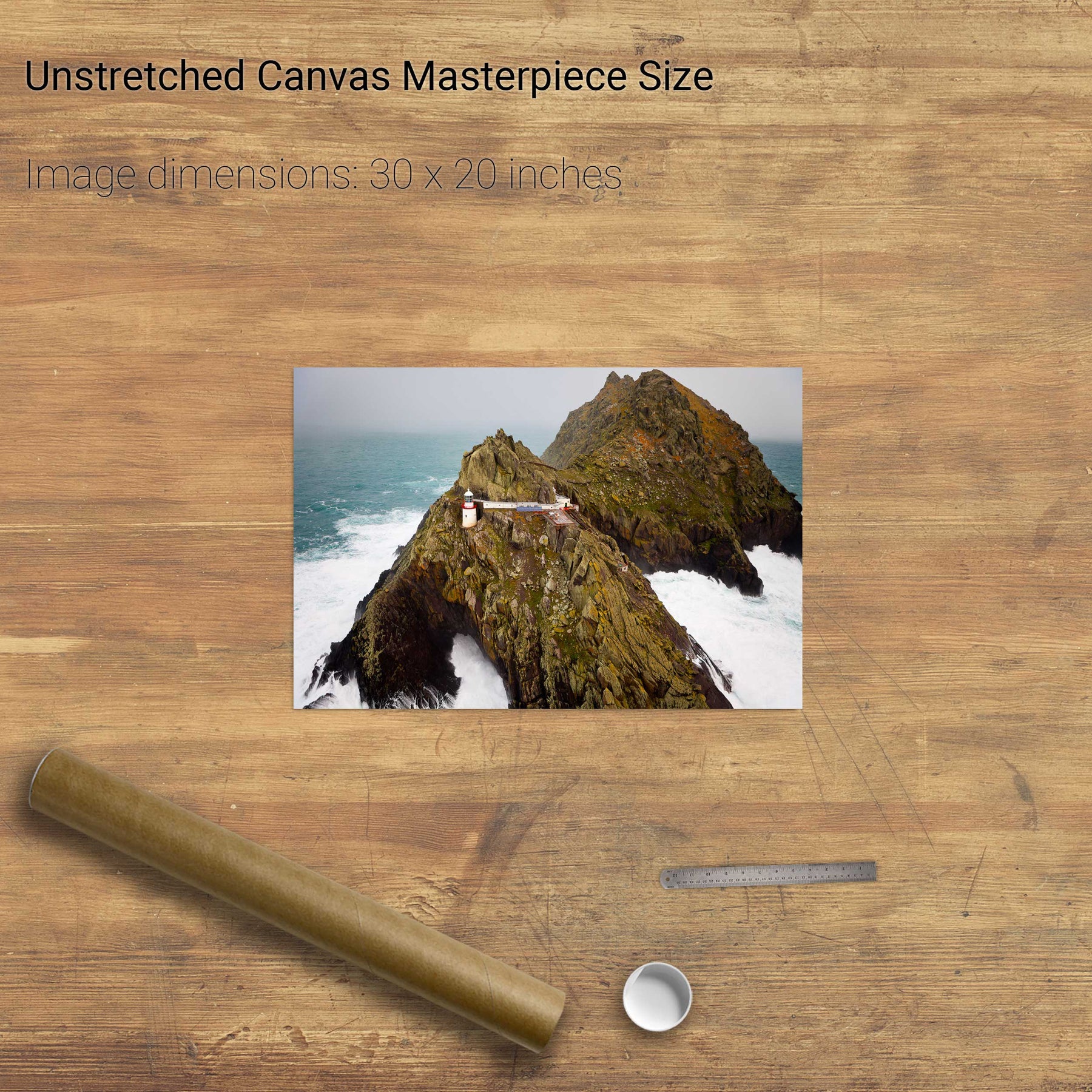
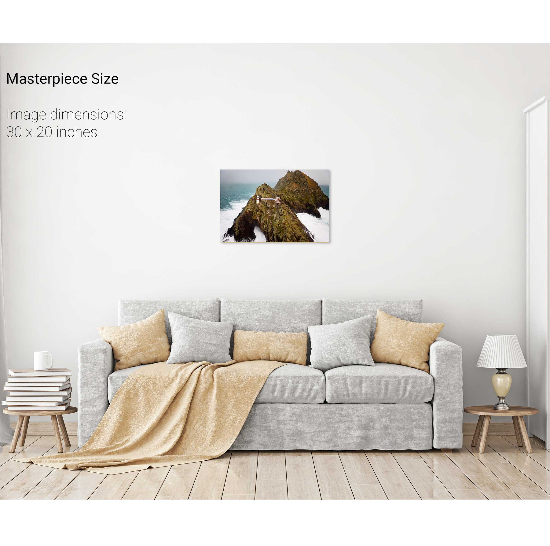
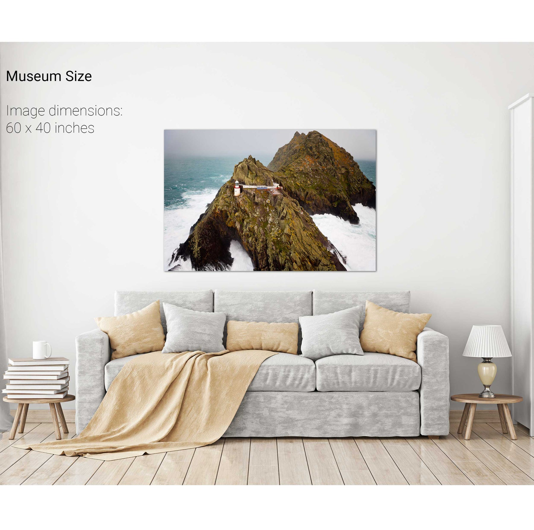
Light the Way, Skellig Michael, Kerry
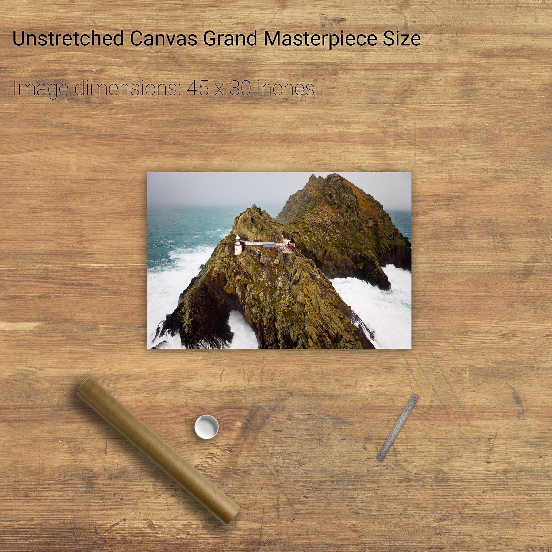
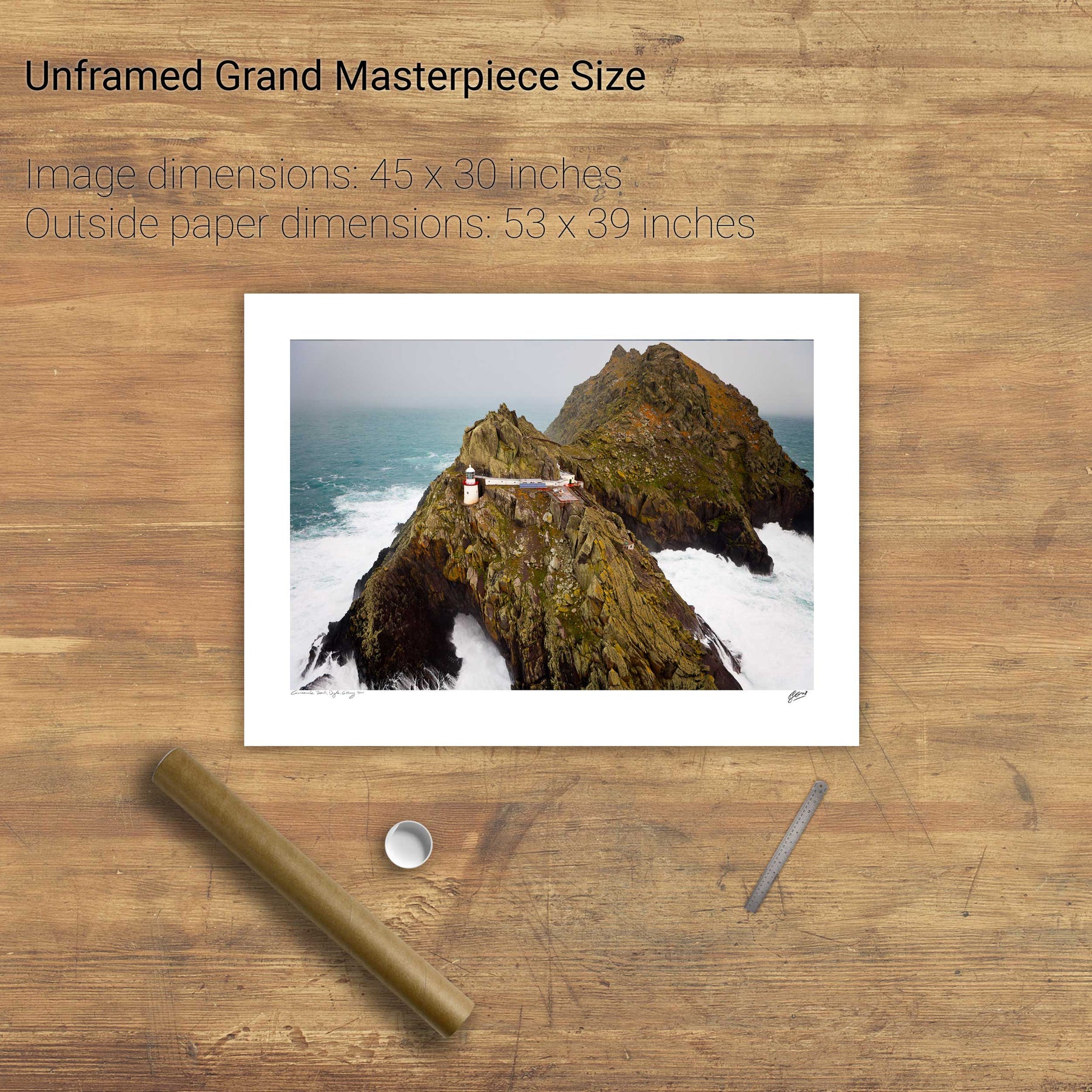
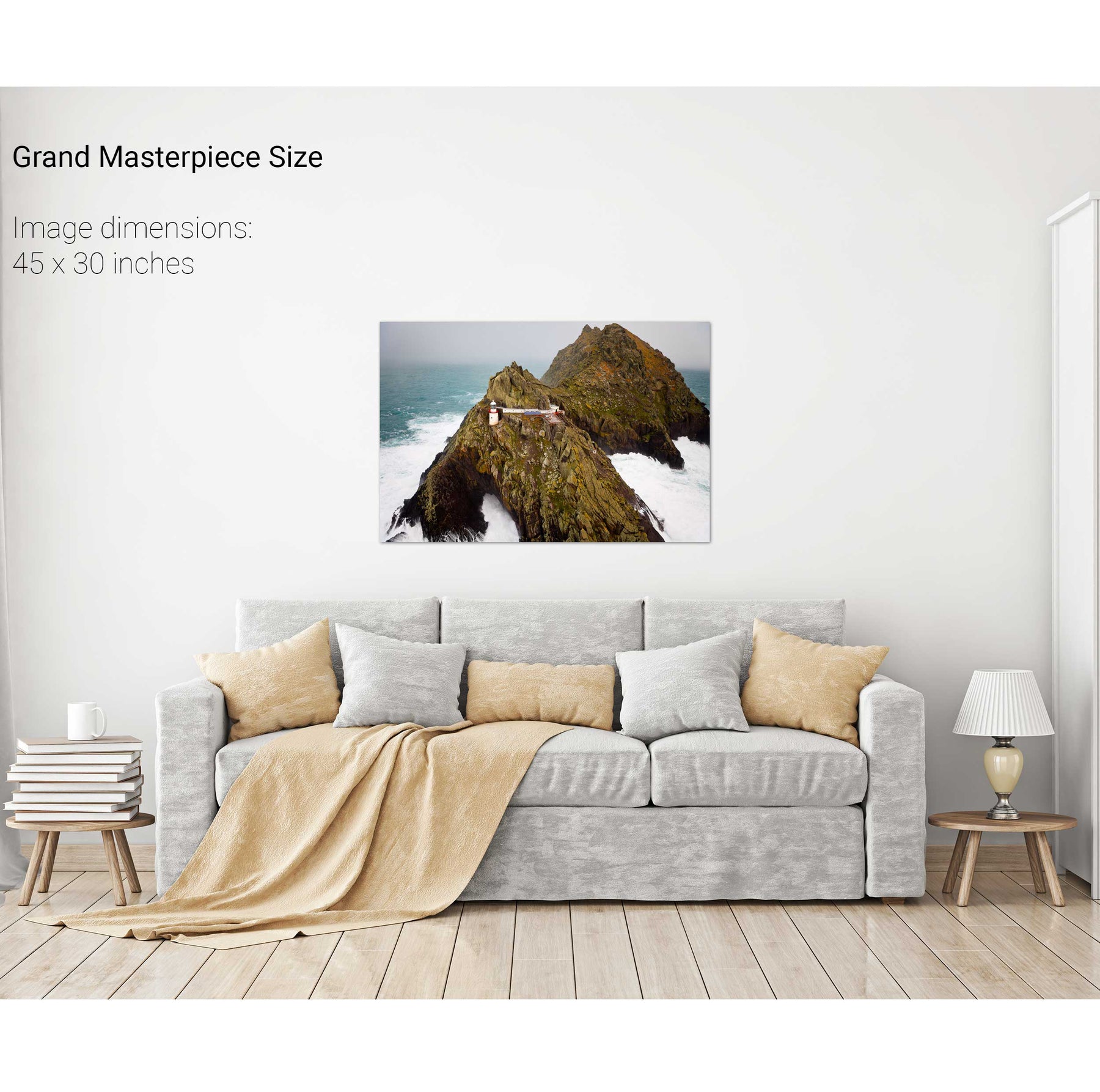
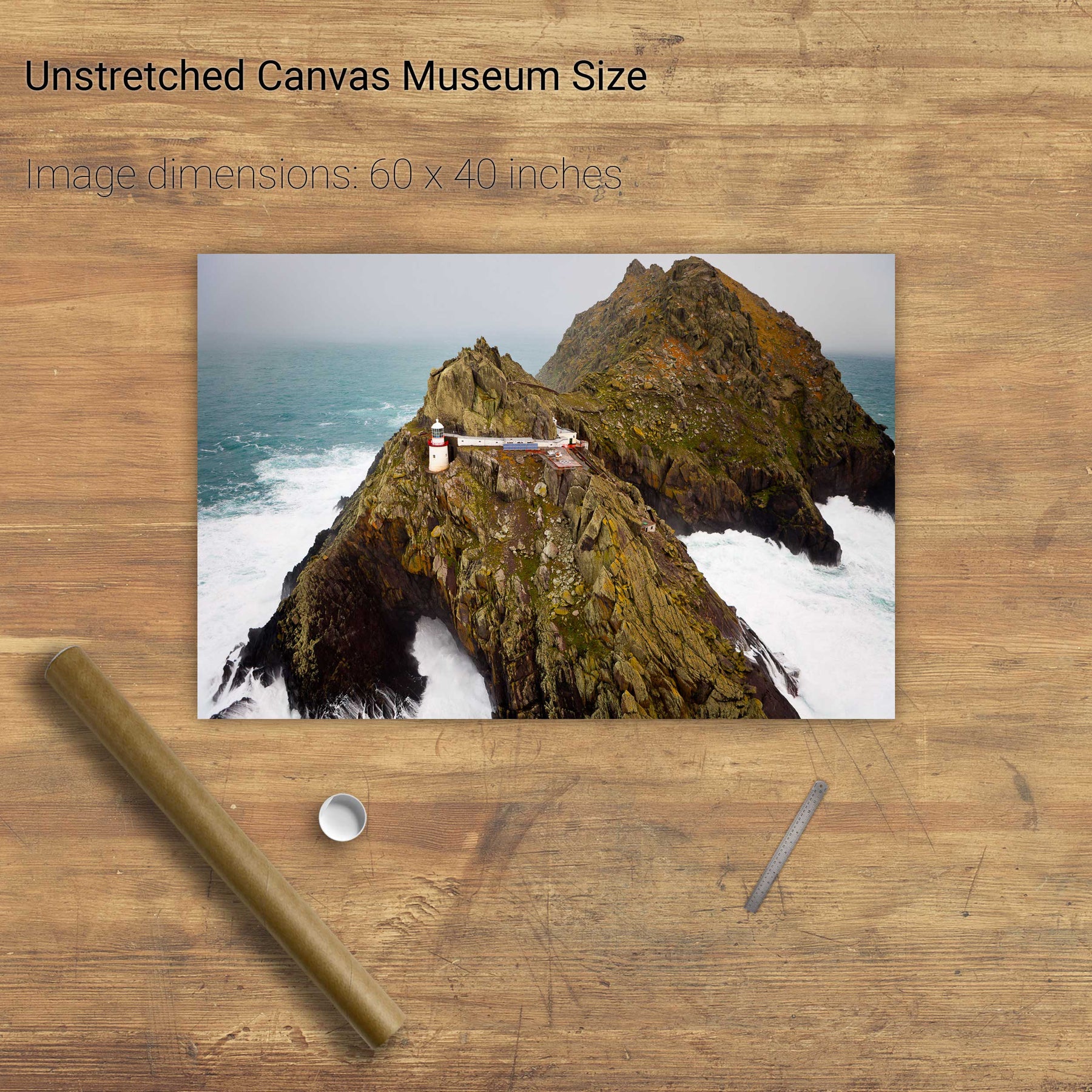
A Stormy Day, An Tiaracht, Co. Kerry
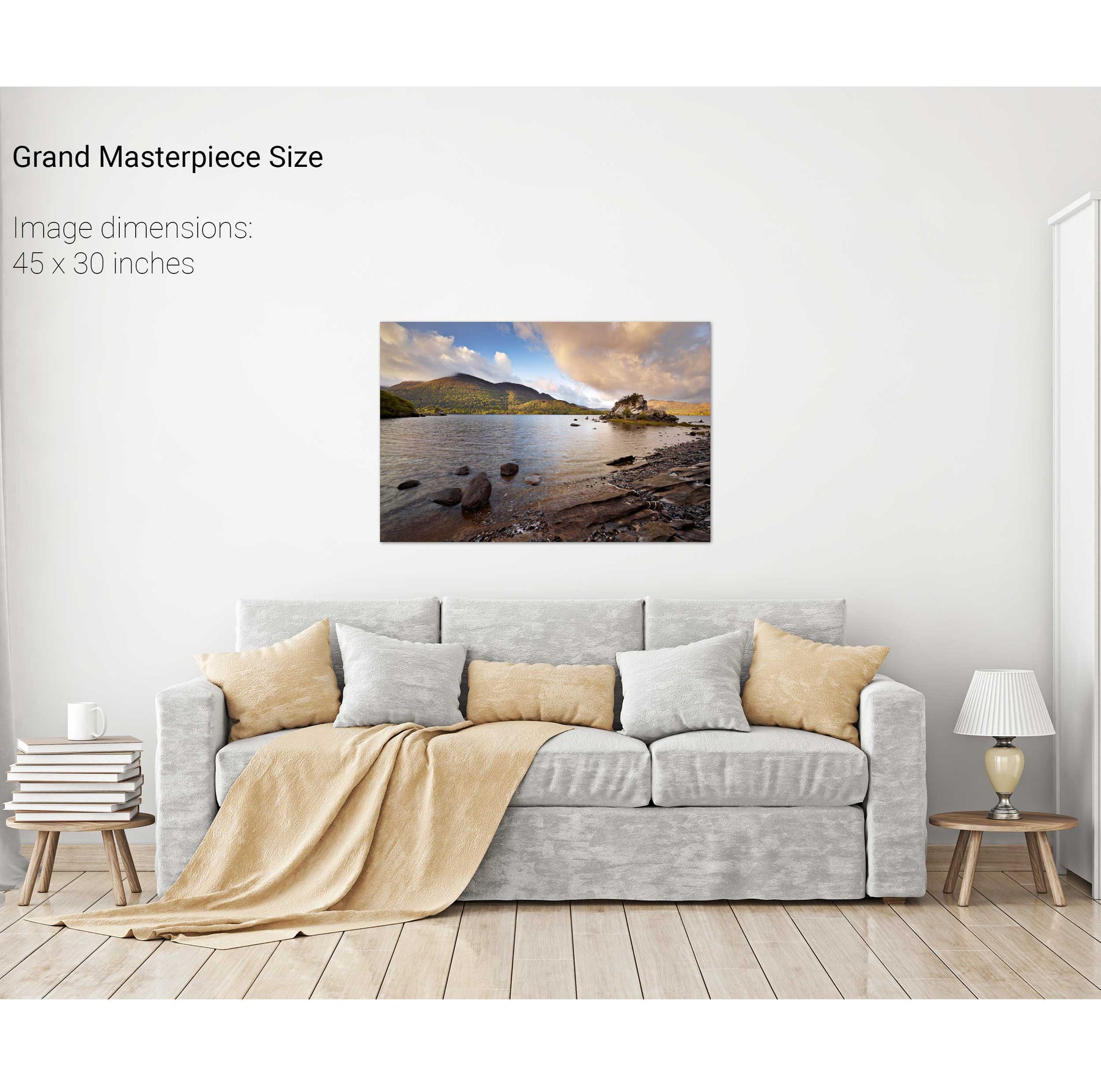
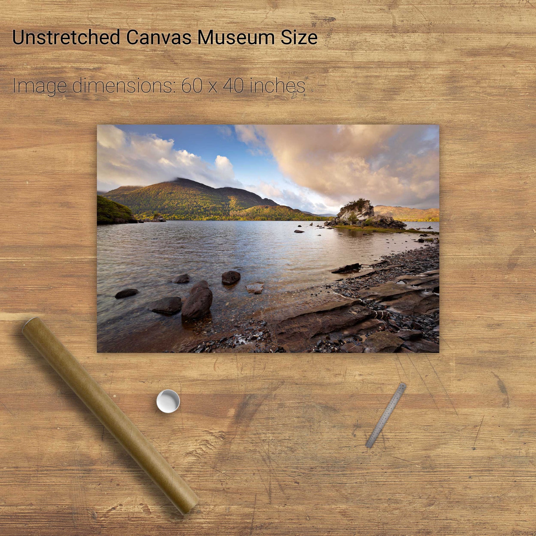
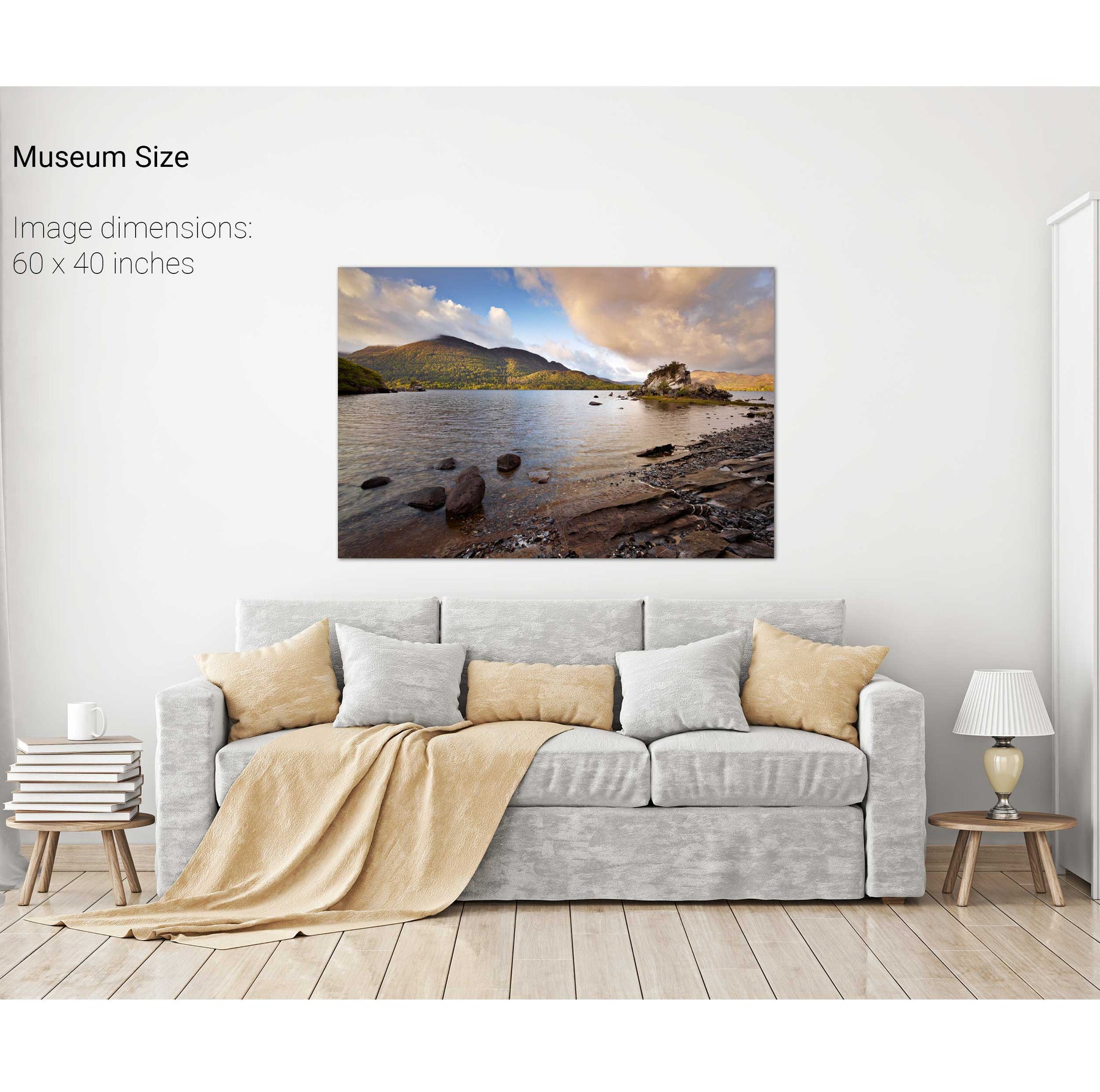
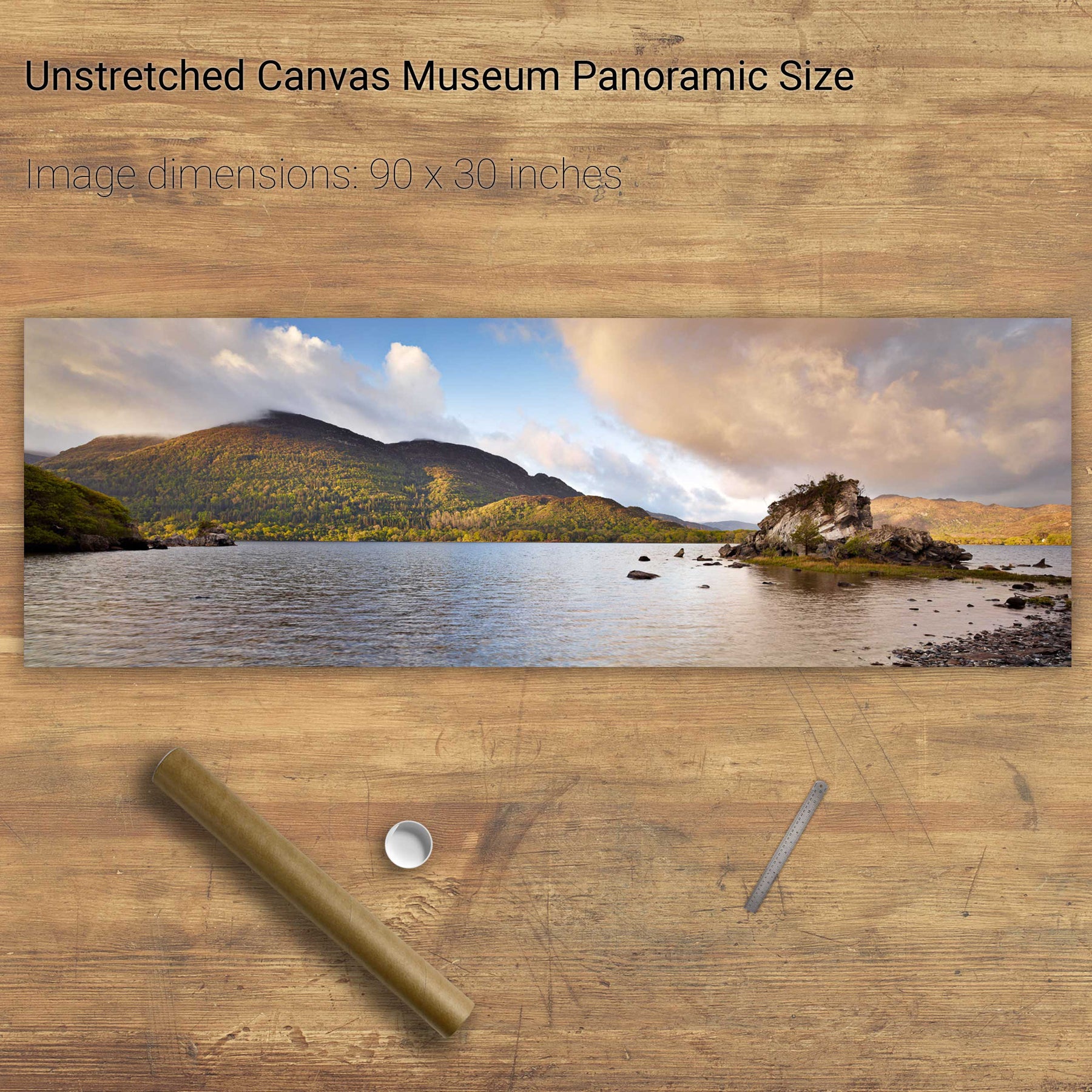
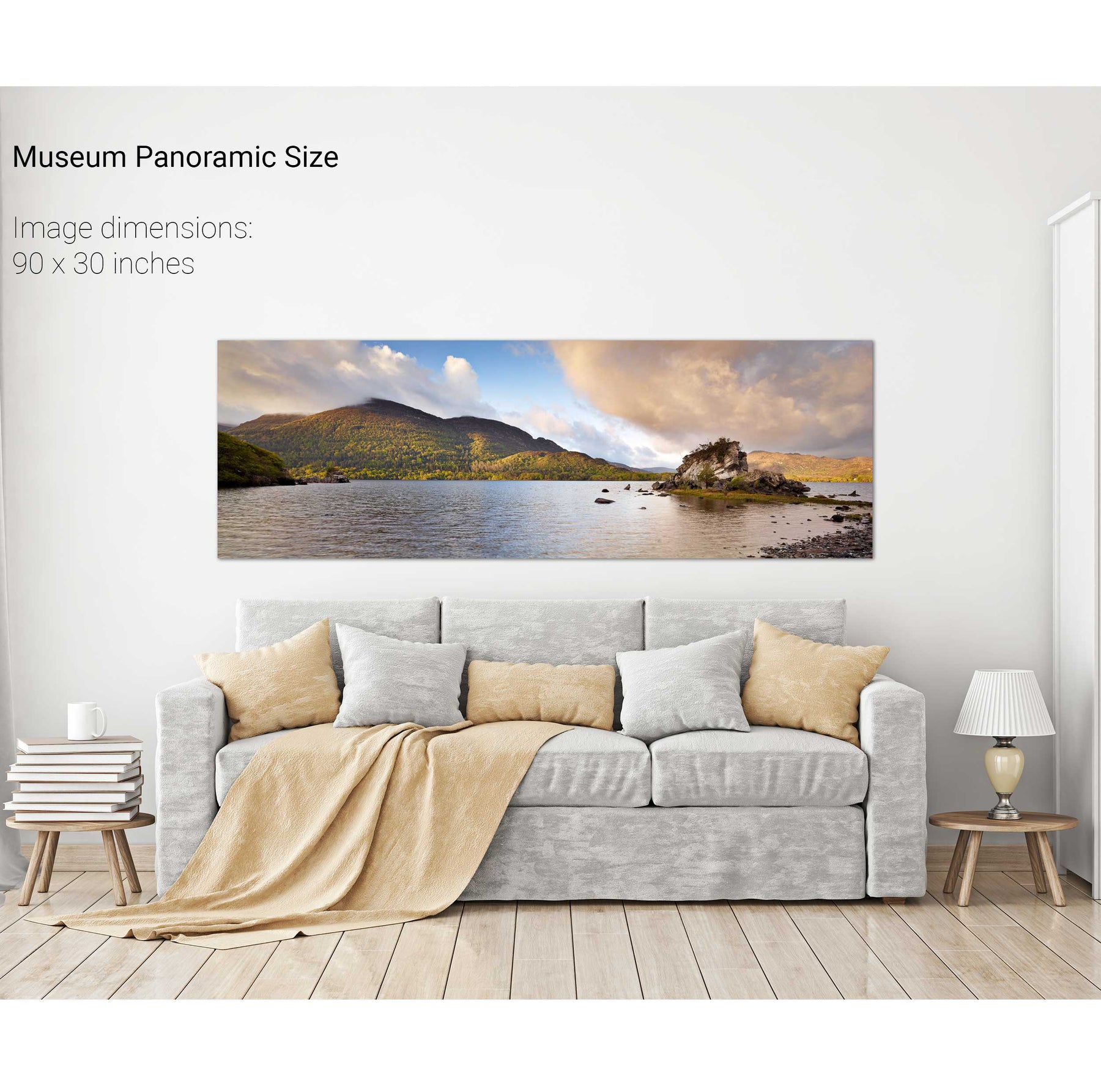
Colleen Bawn Rock, Killarney National Park, Co. Kerry
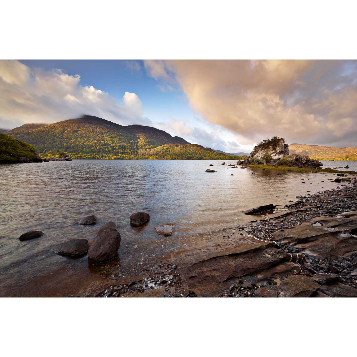
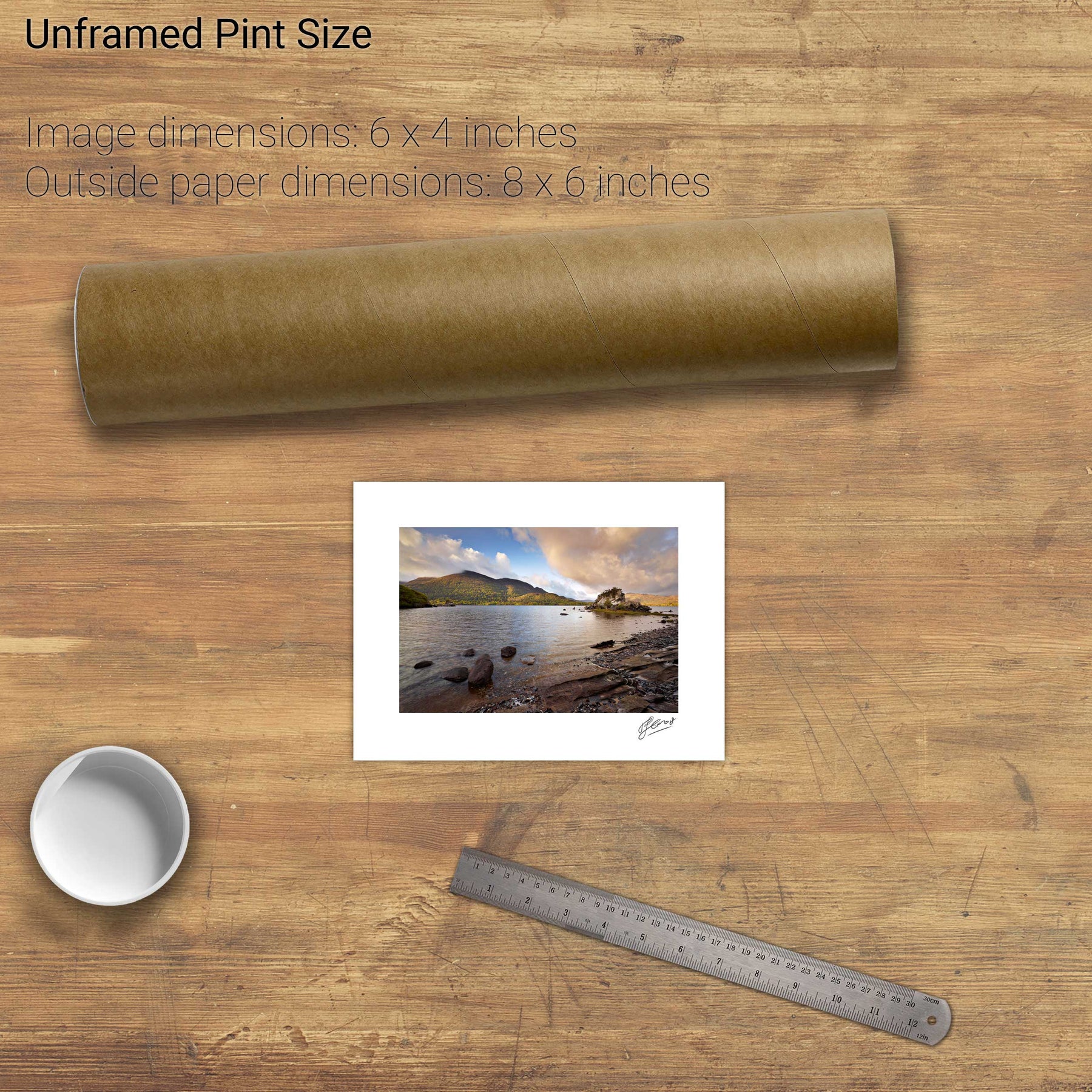
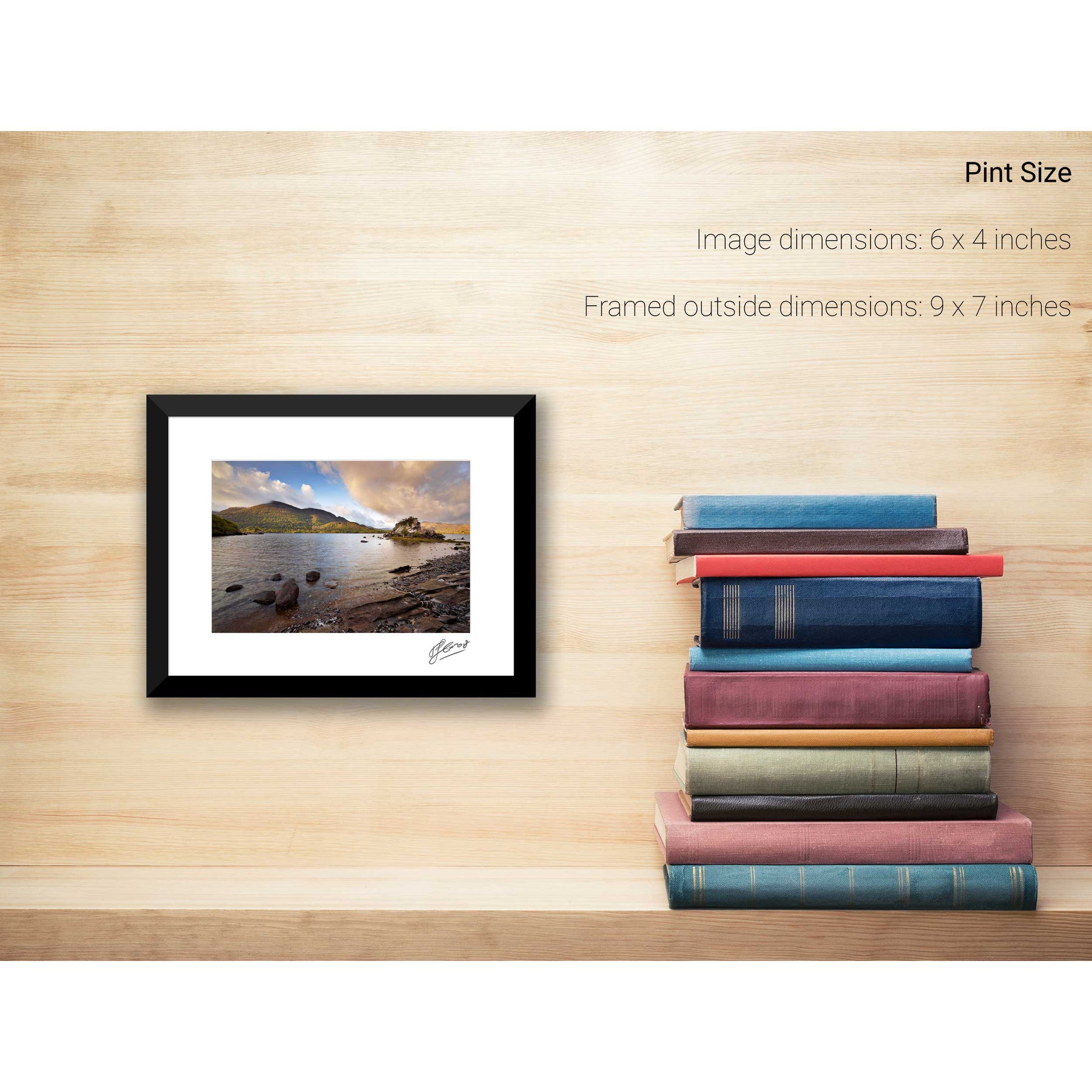
Summer, Lough Leane, Co. Kerry
From the South Peak, Skellig Michael, Kerry
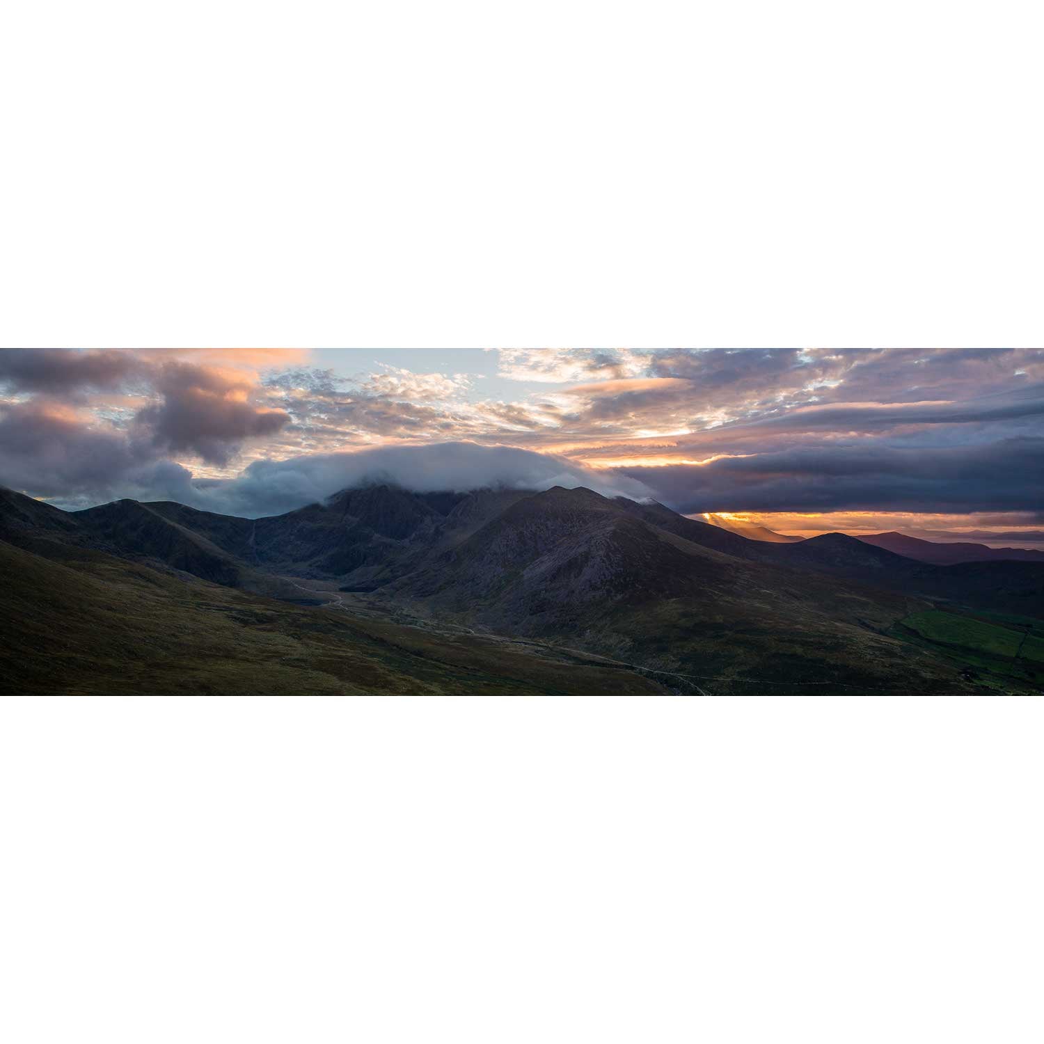
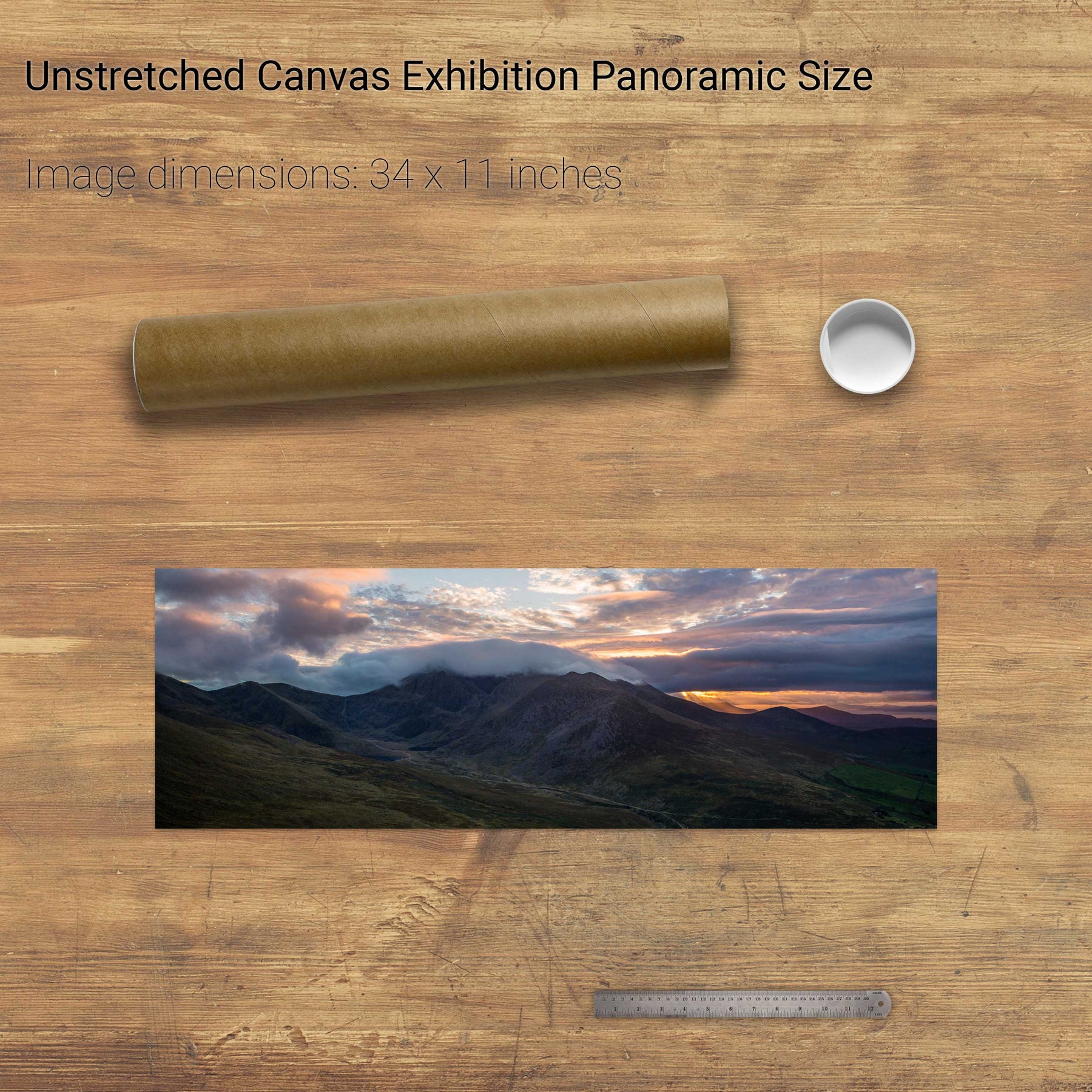
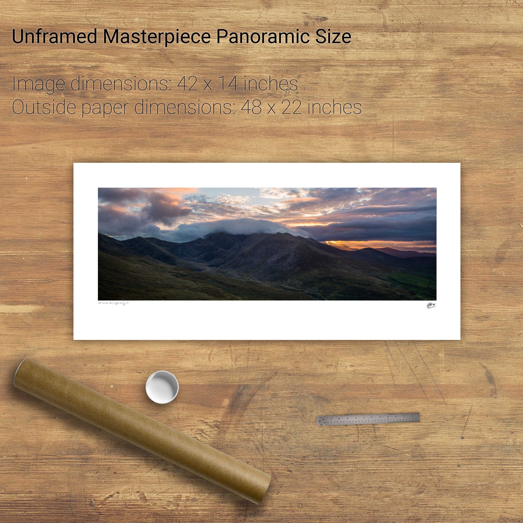
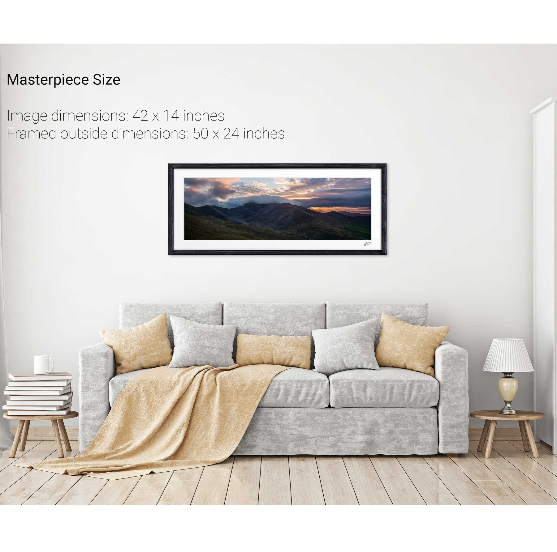
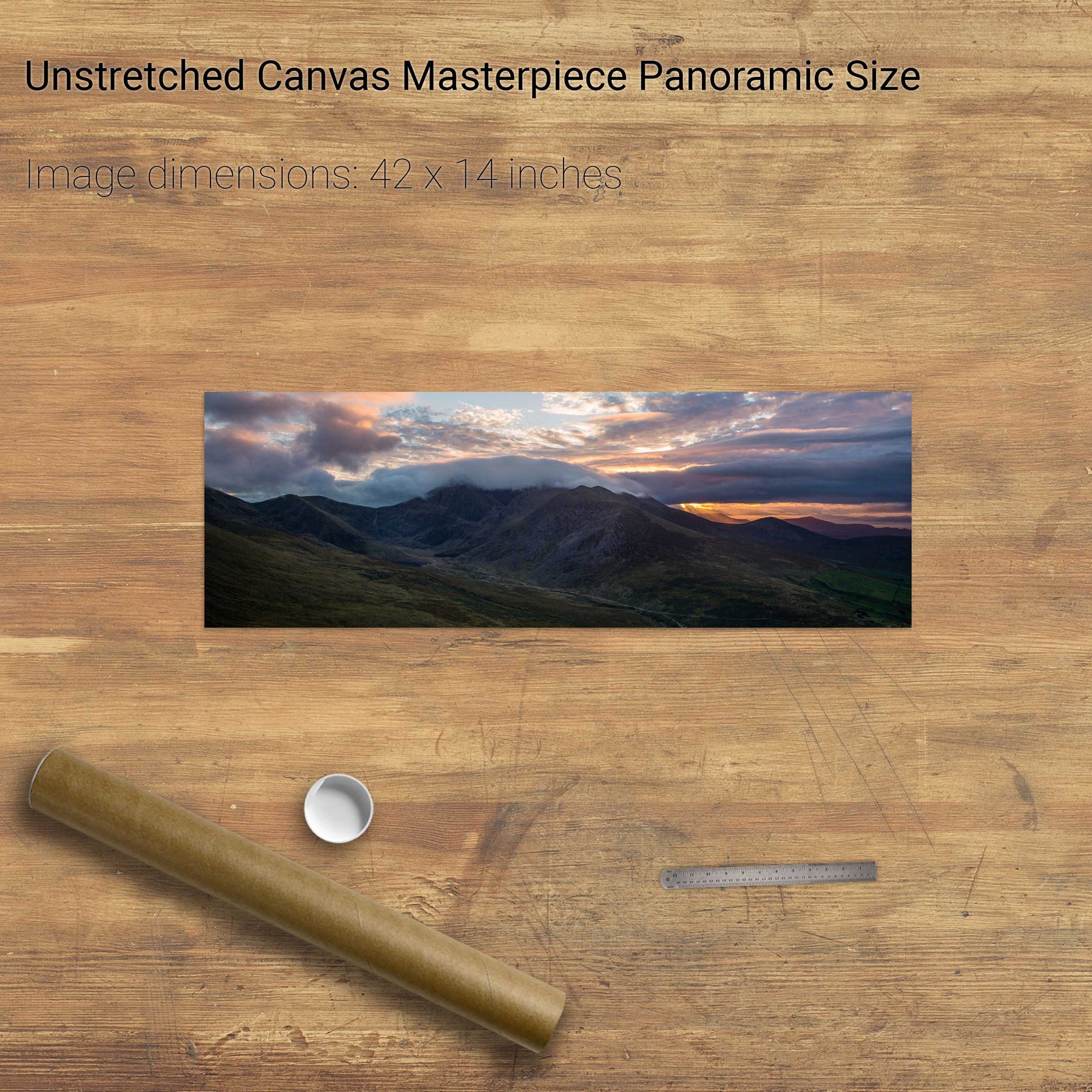
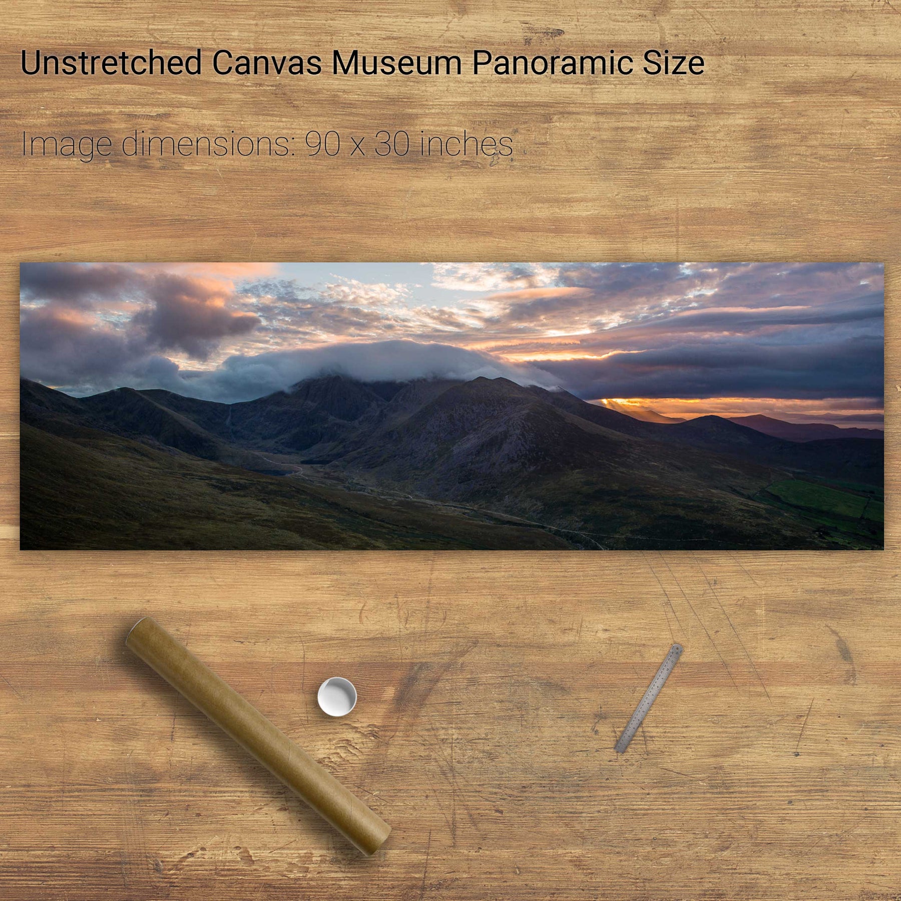
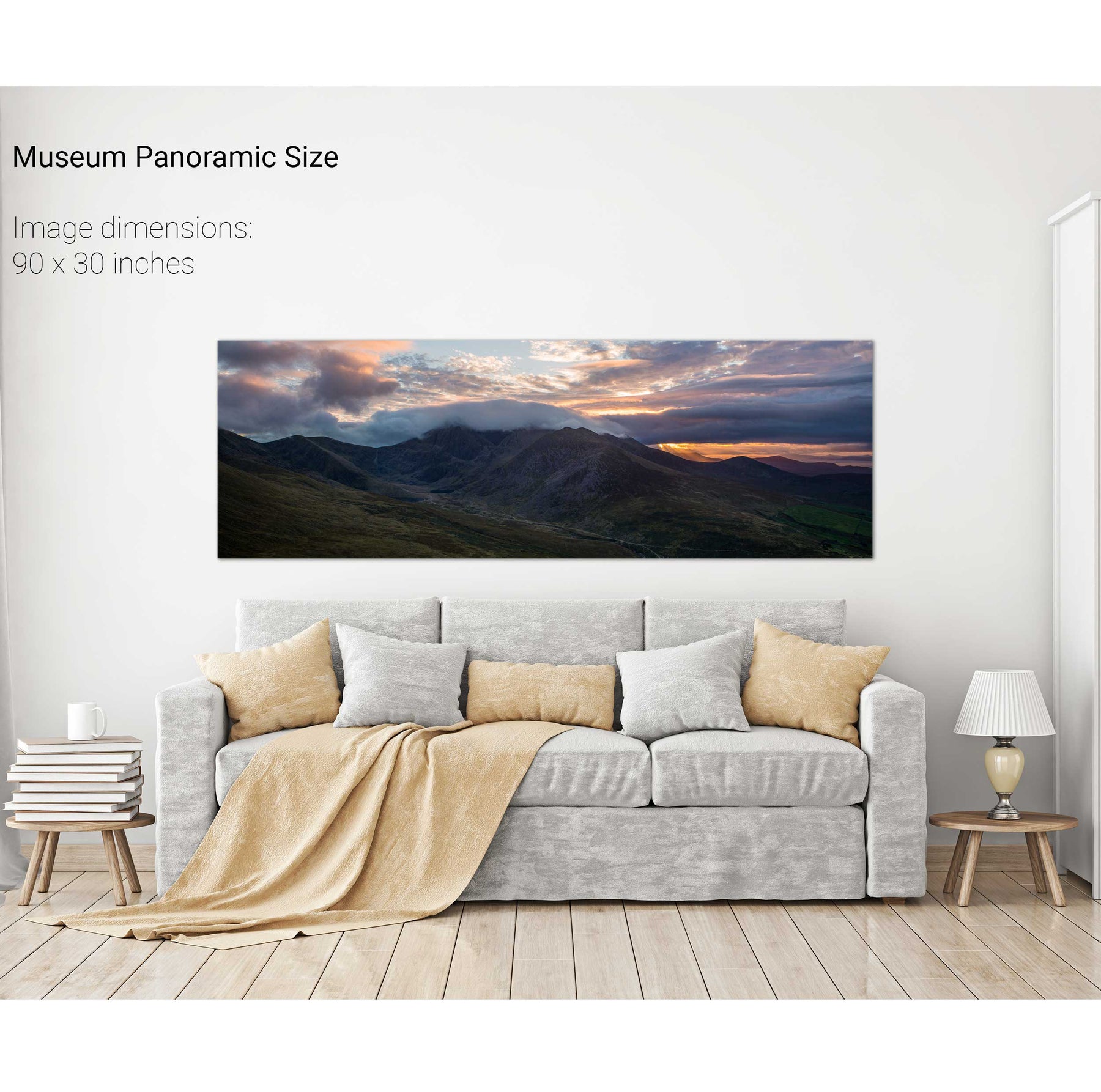
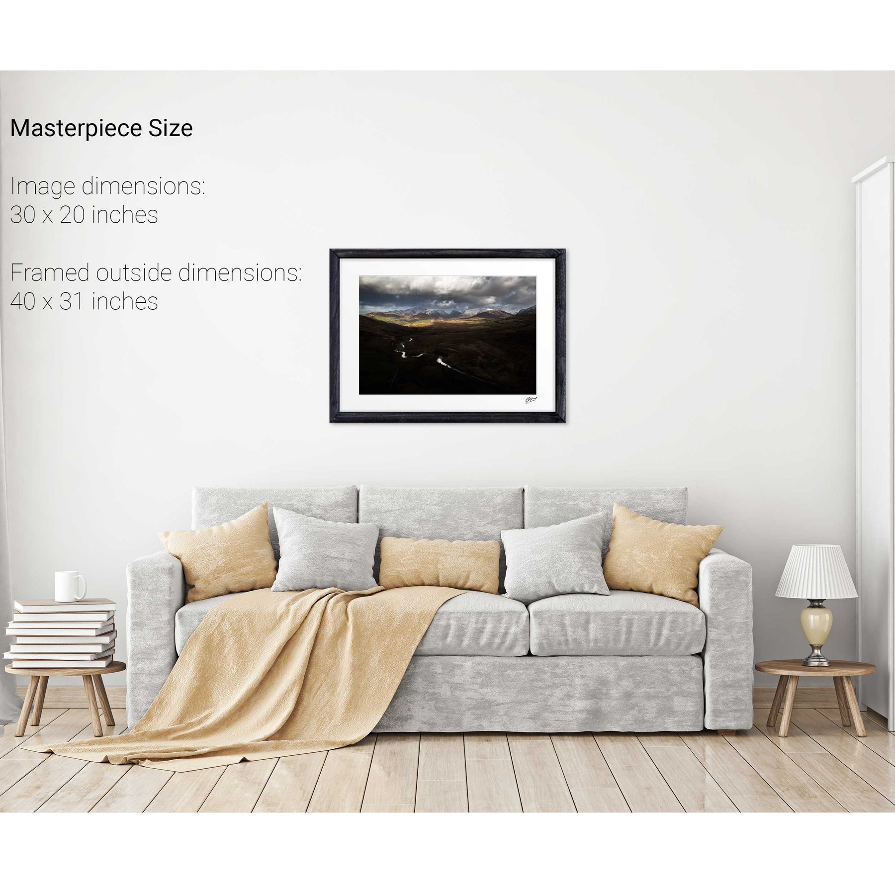
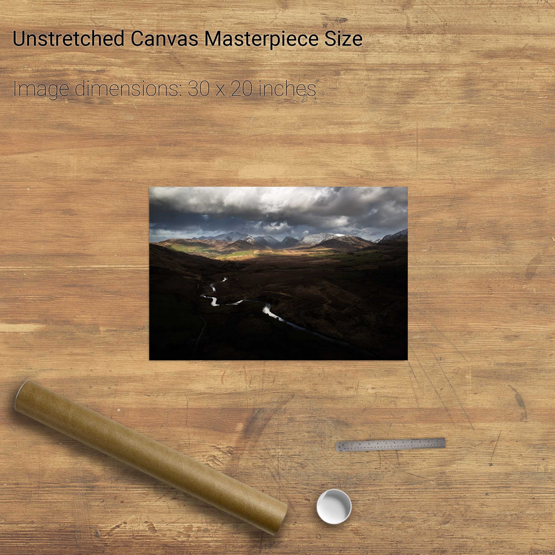
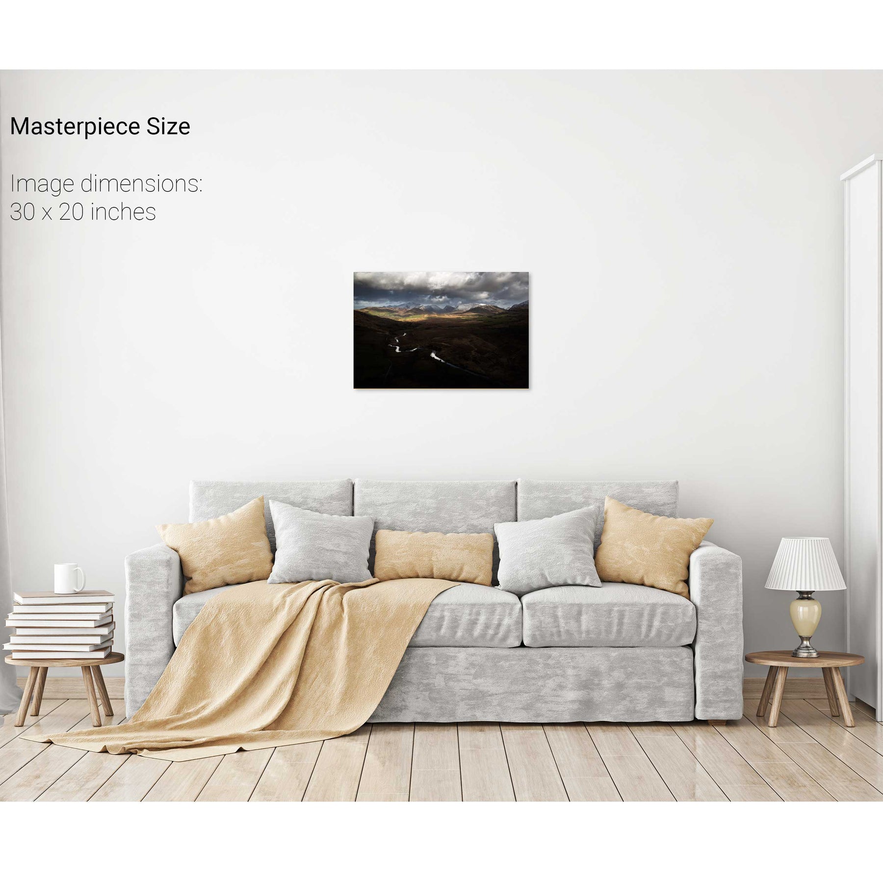
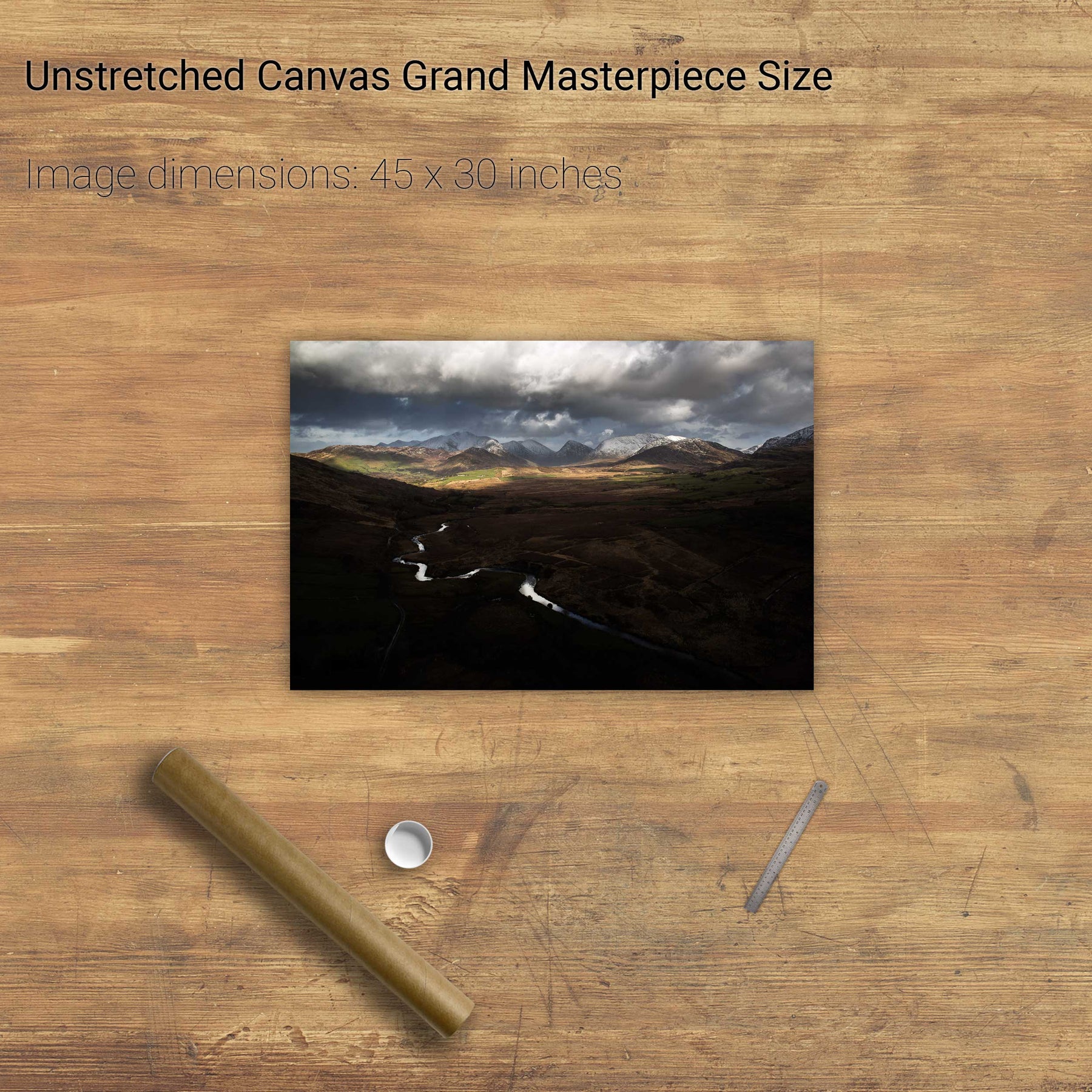
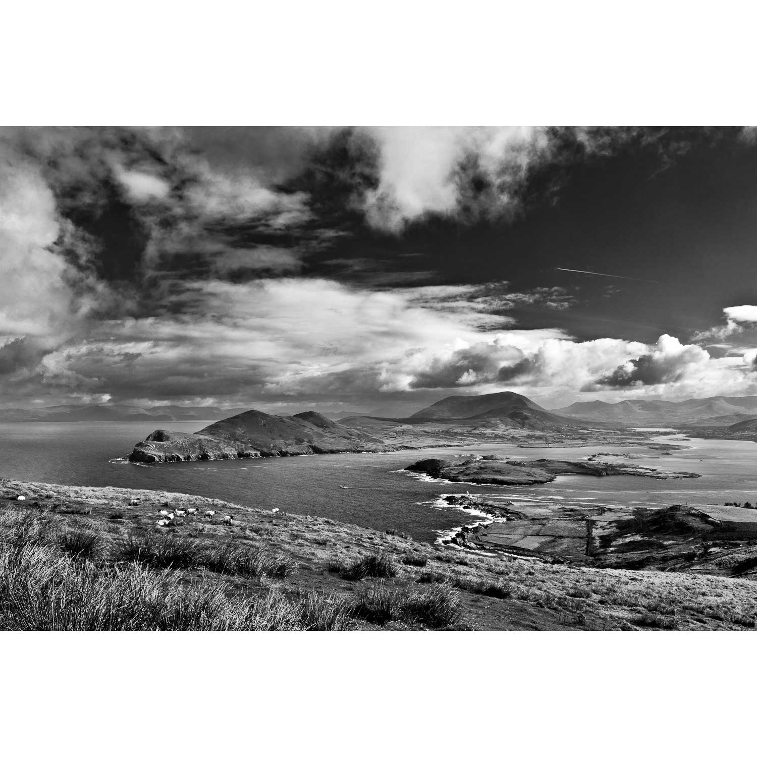
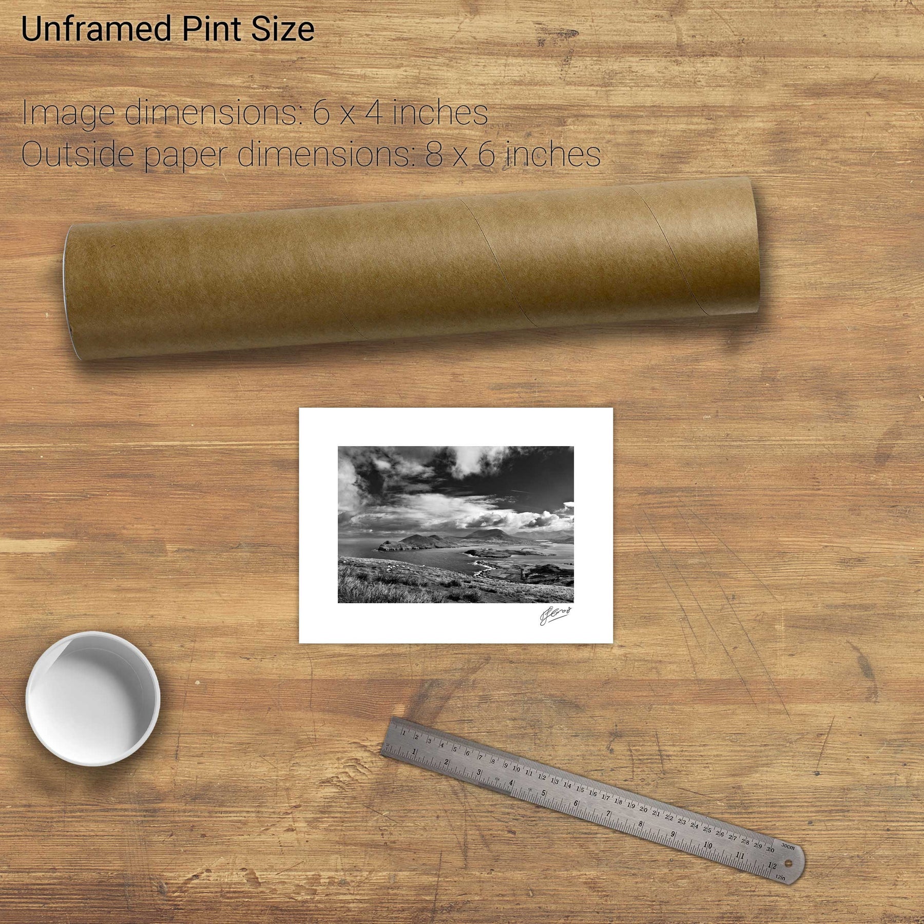
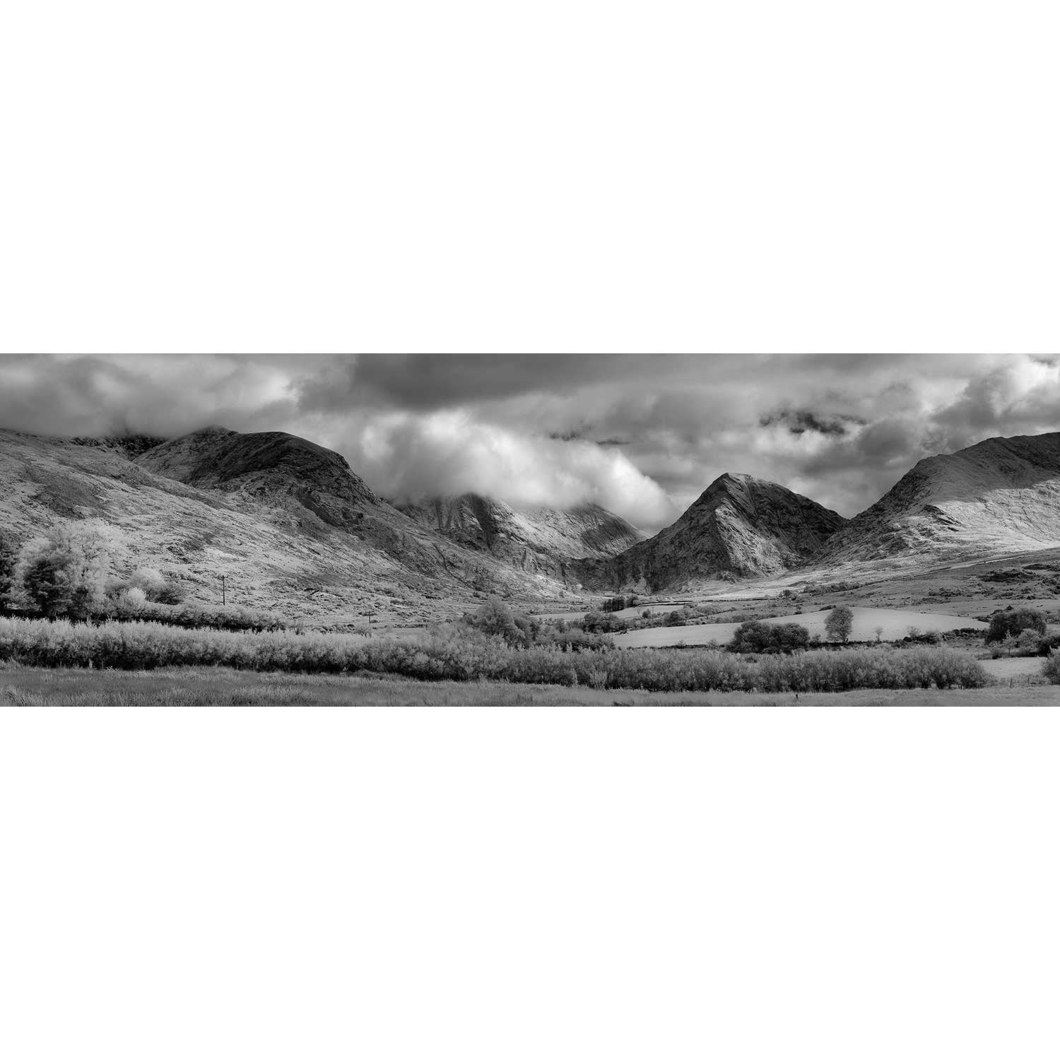
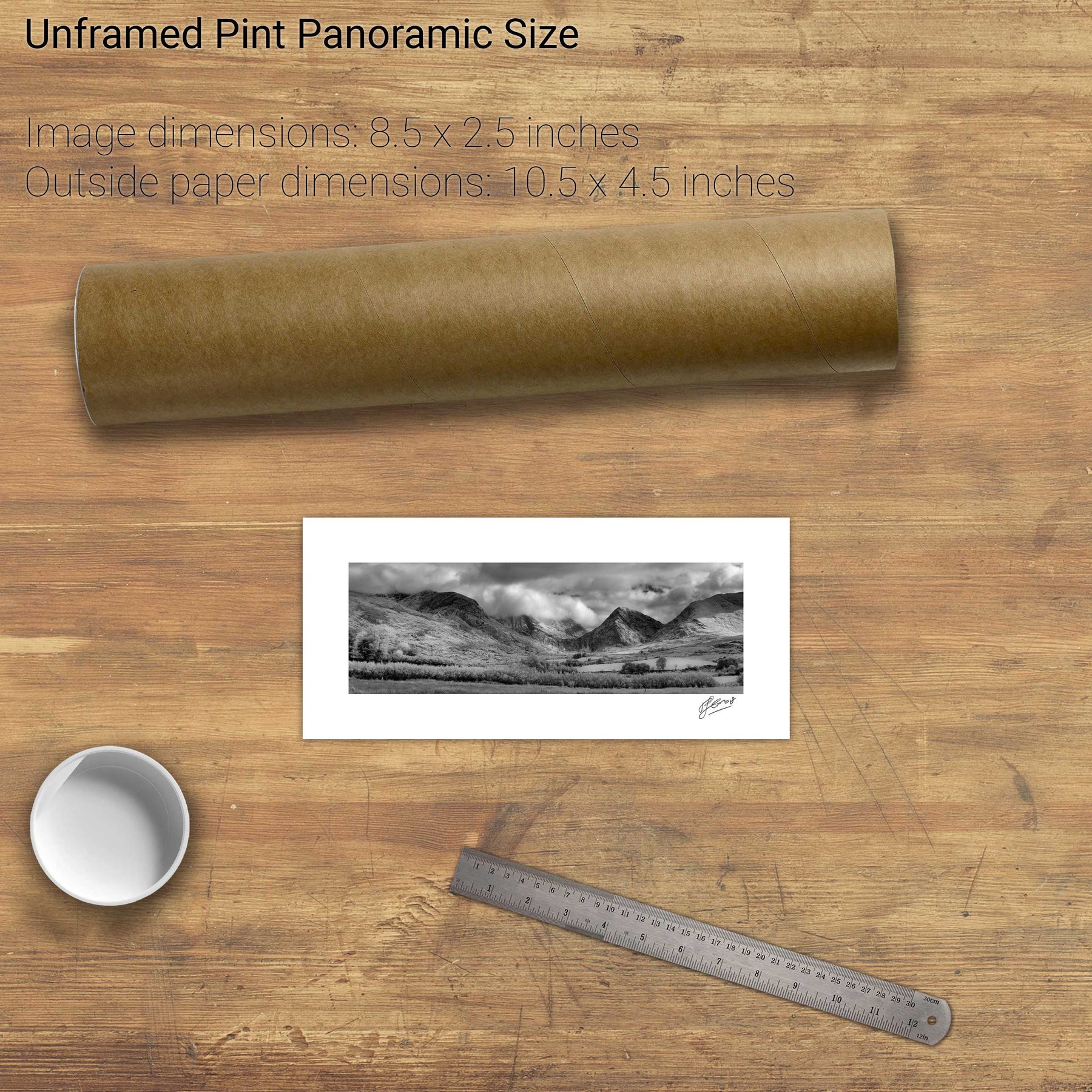
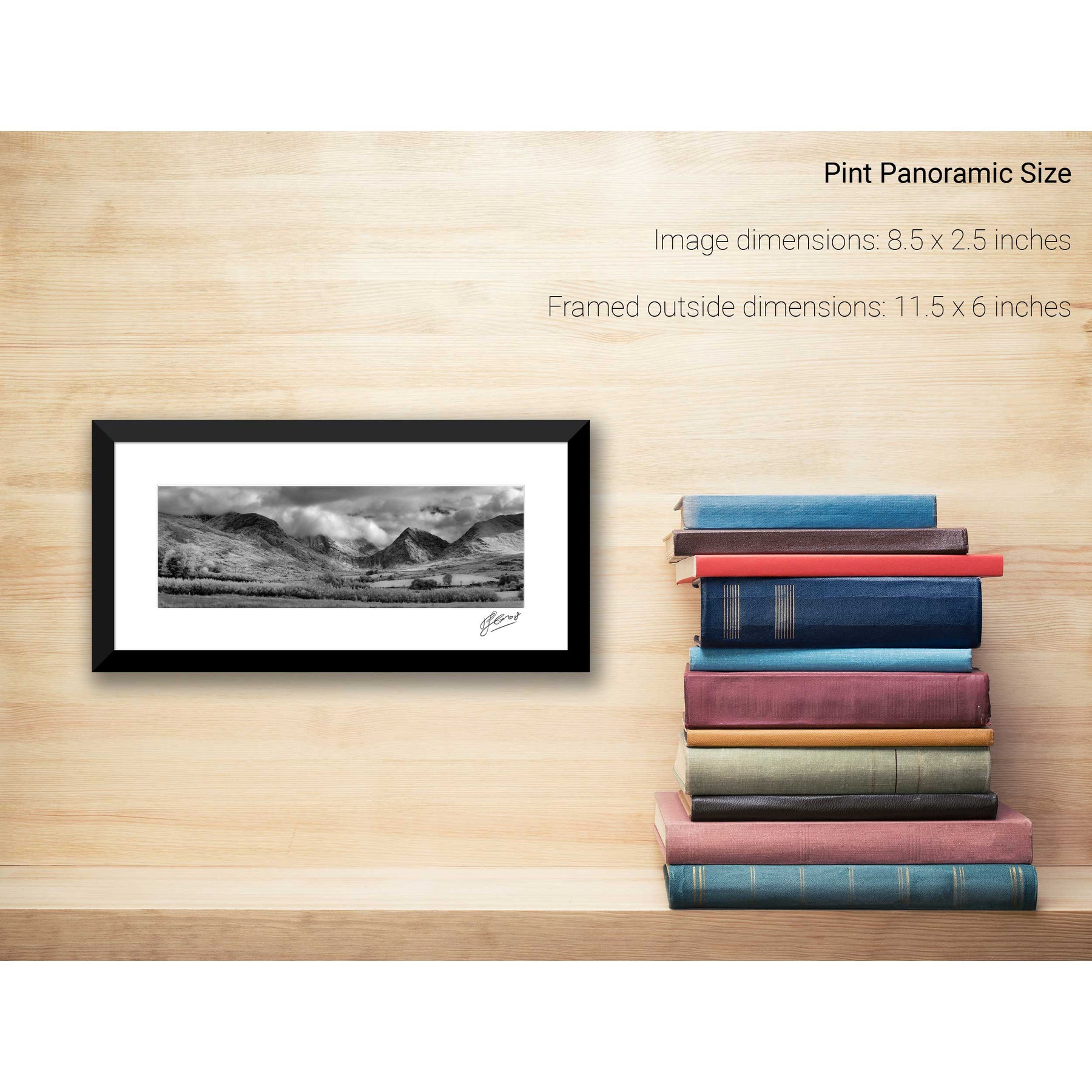
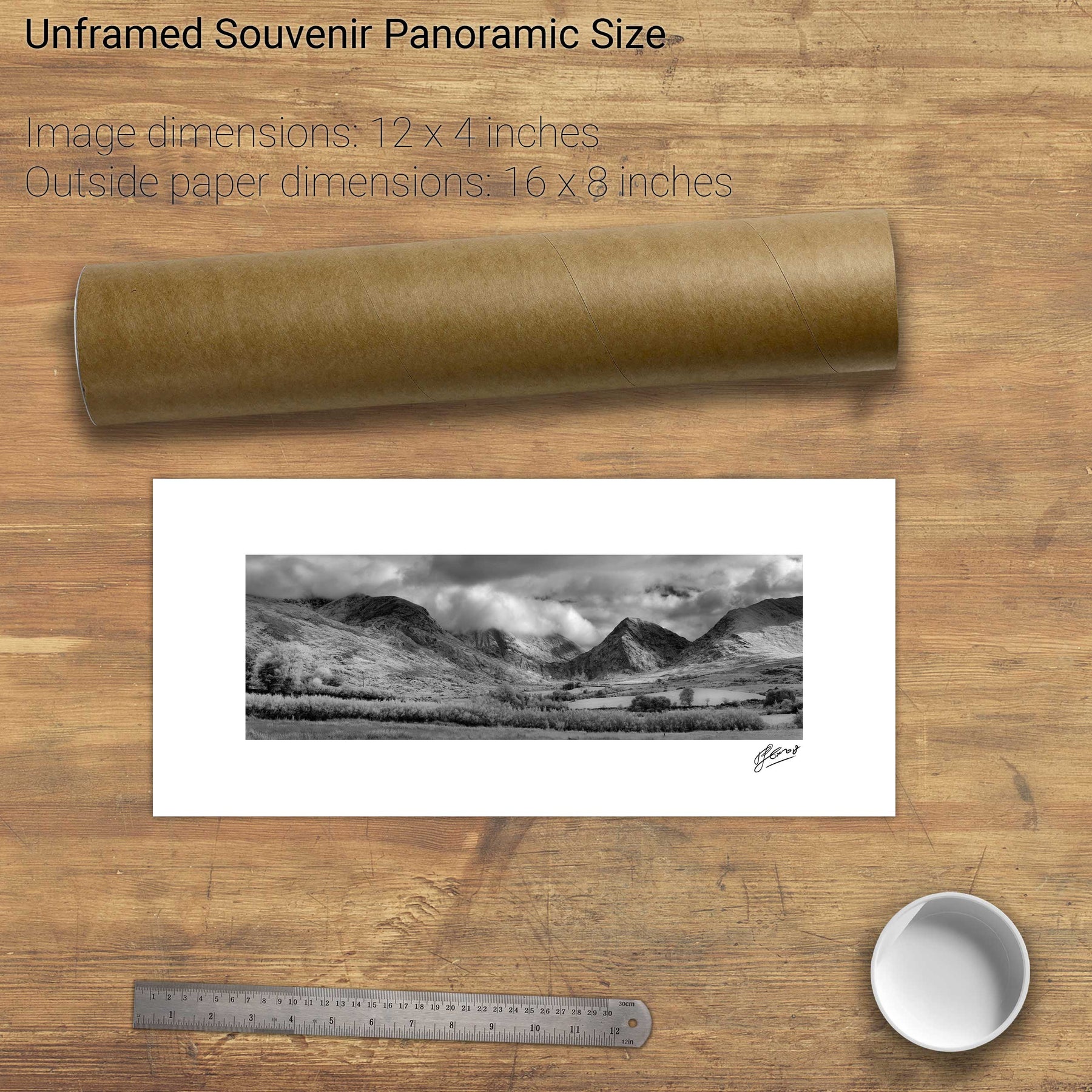
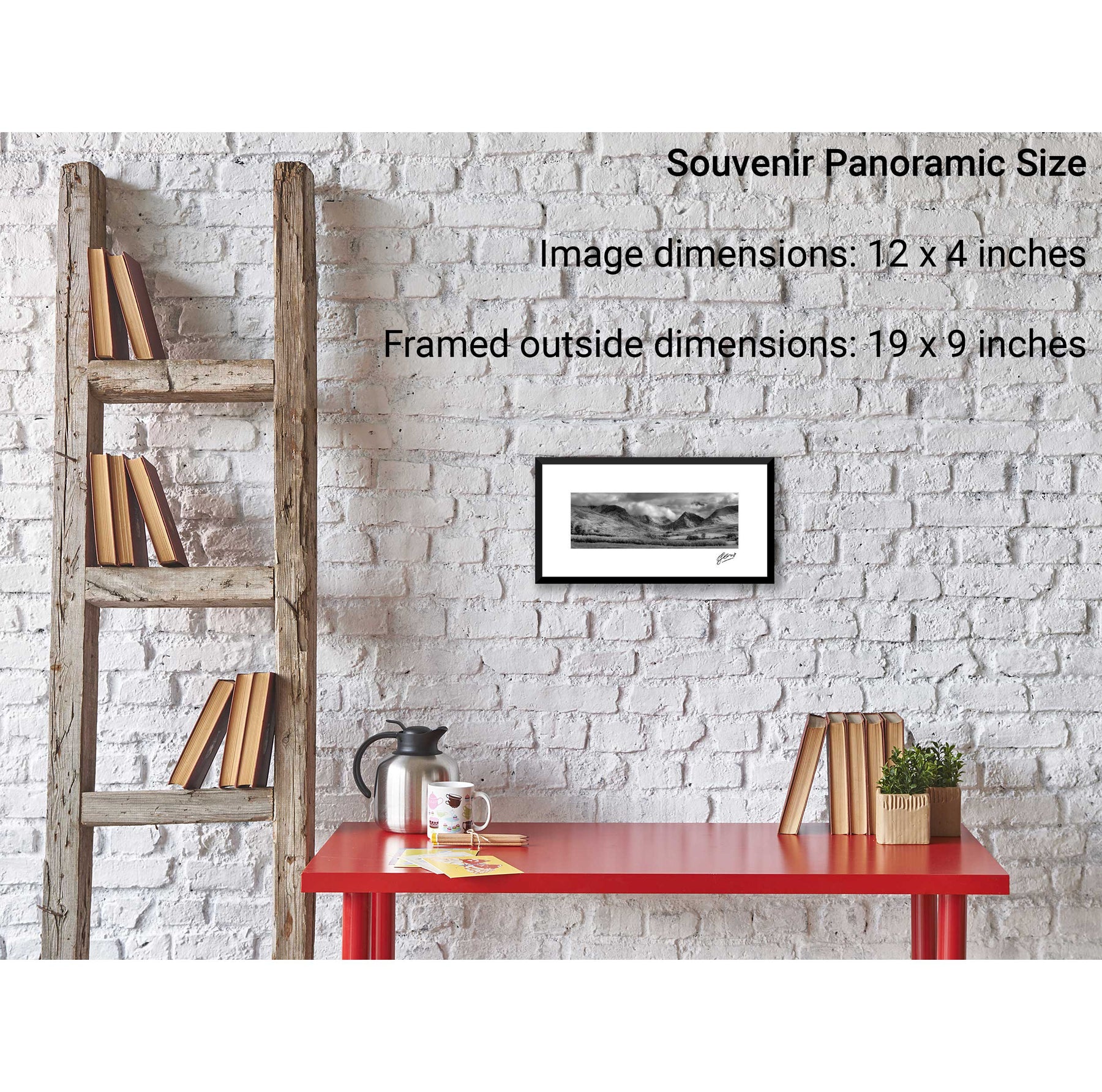
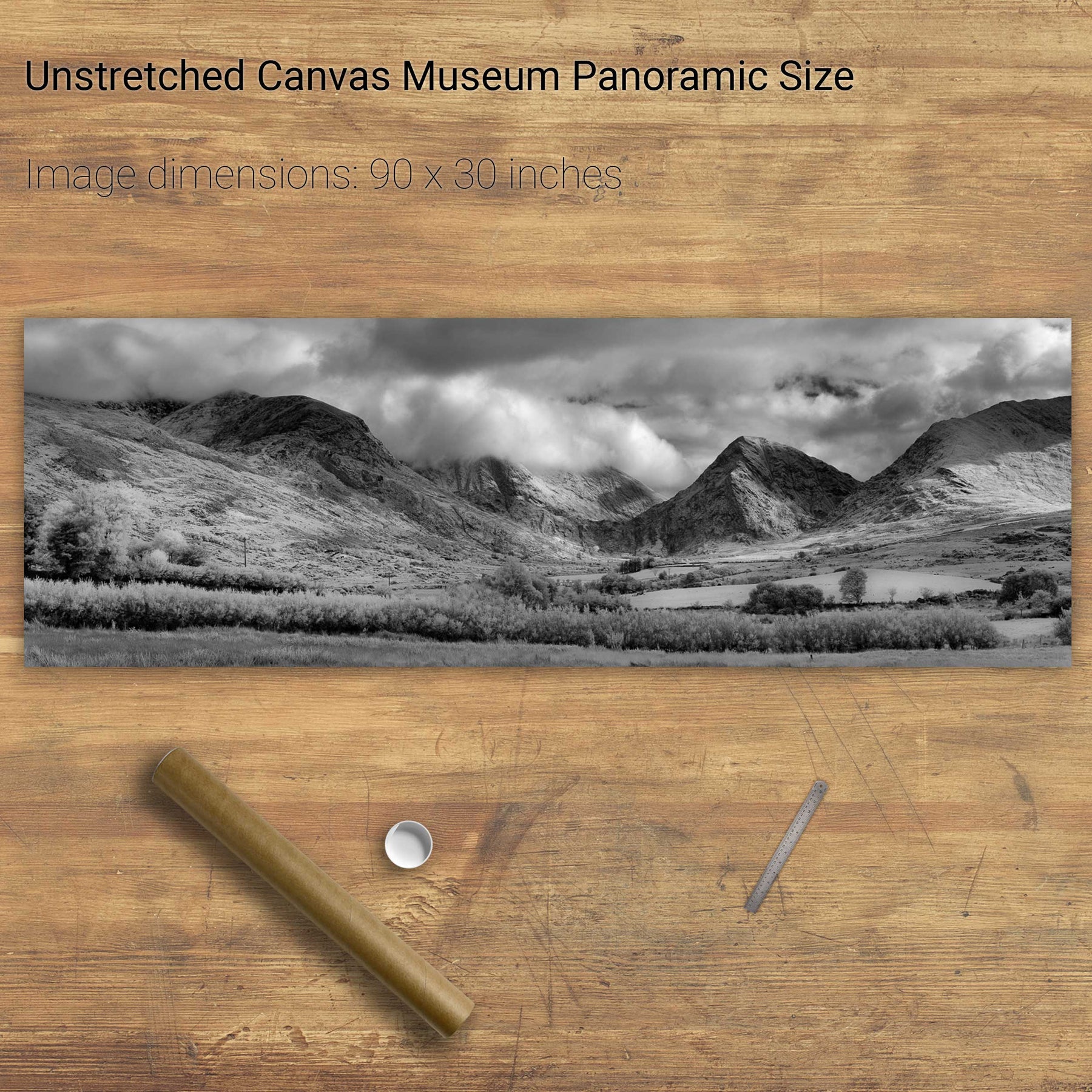
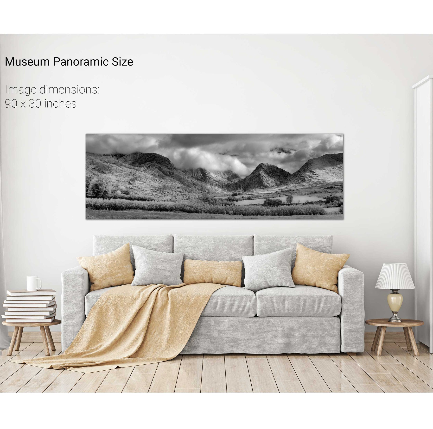
The Macgillycuddy's Reeks, Co. Kerry
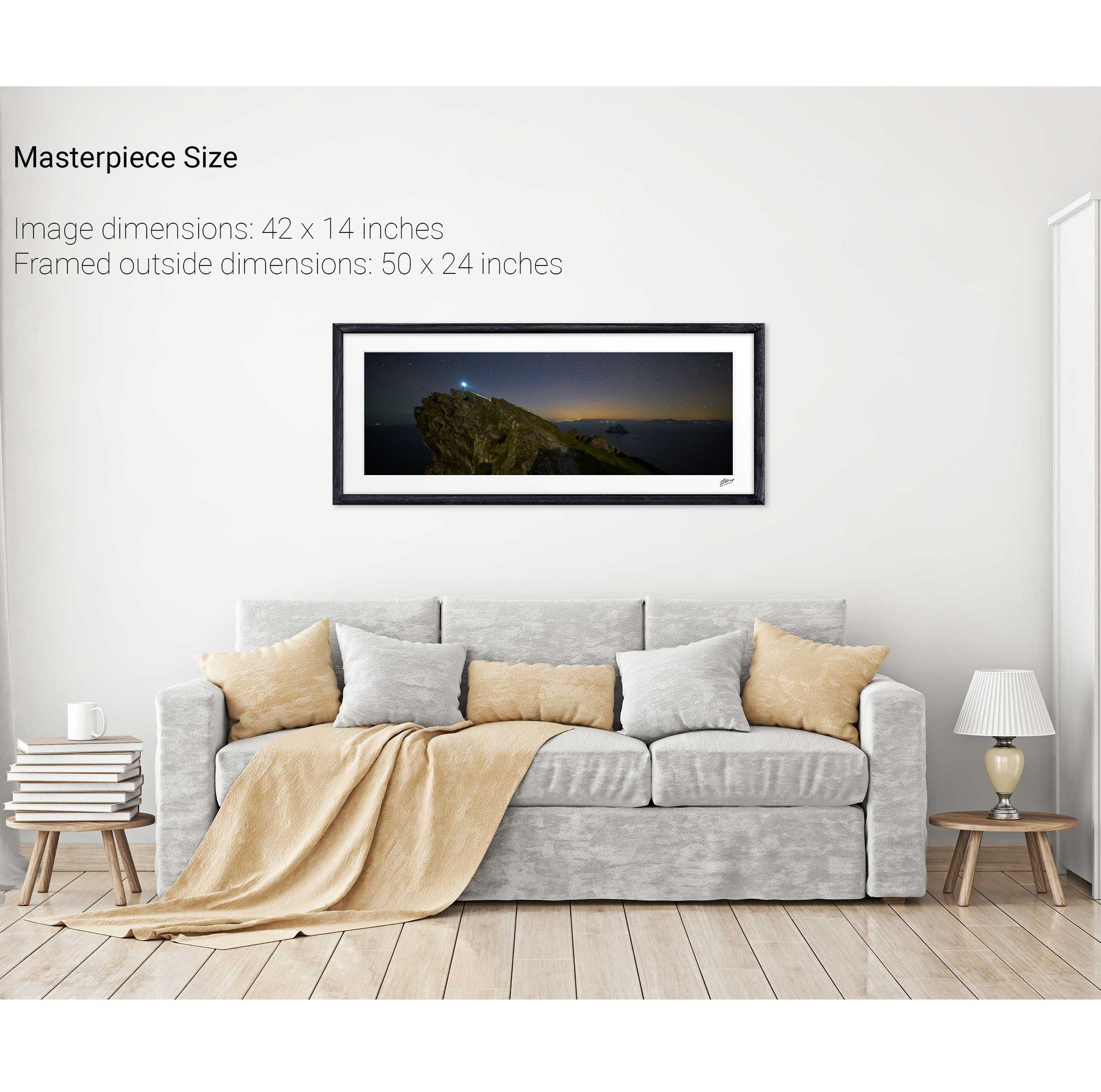
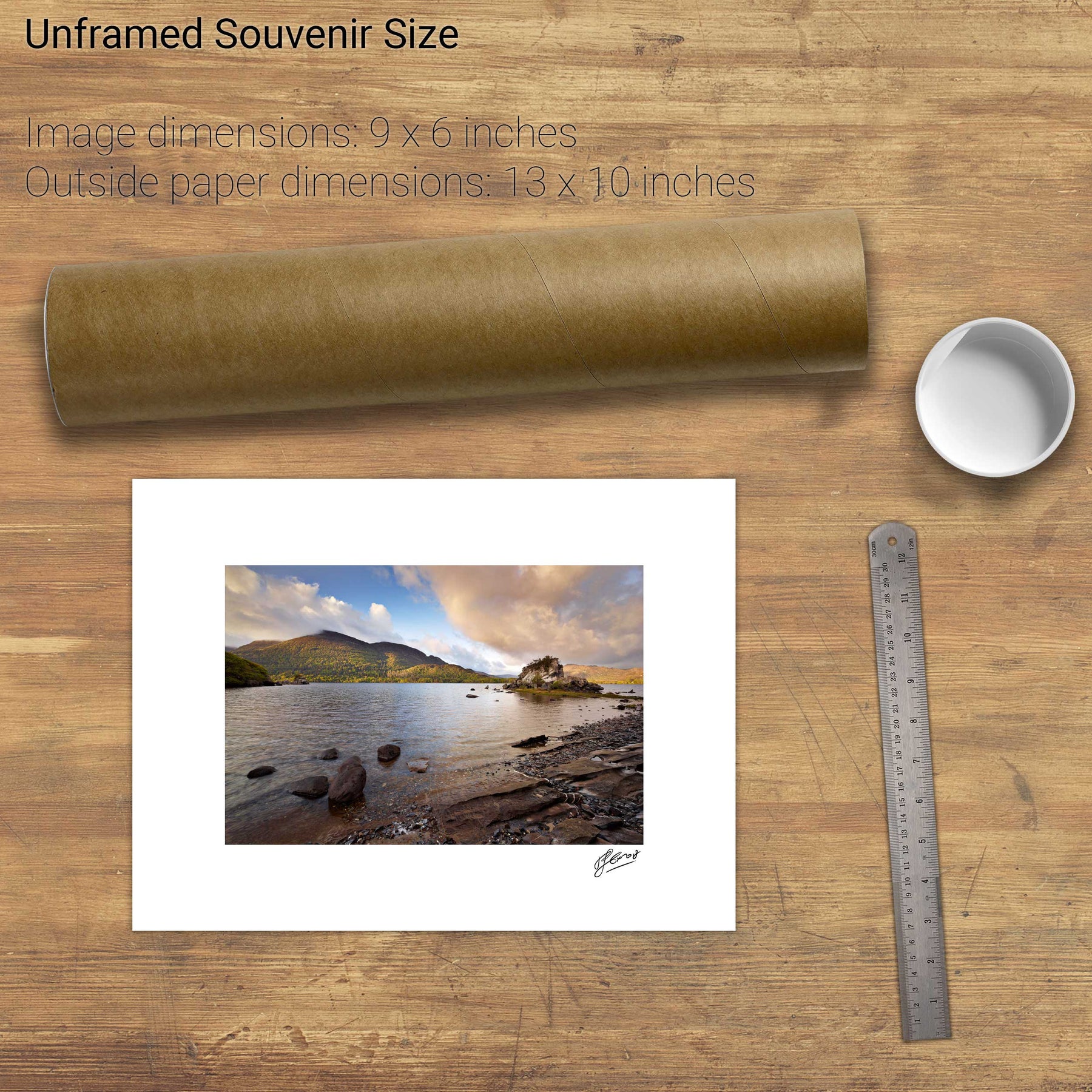
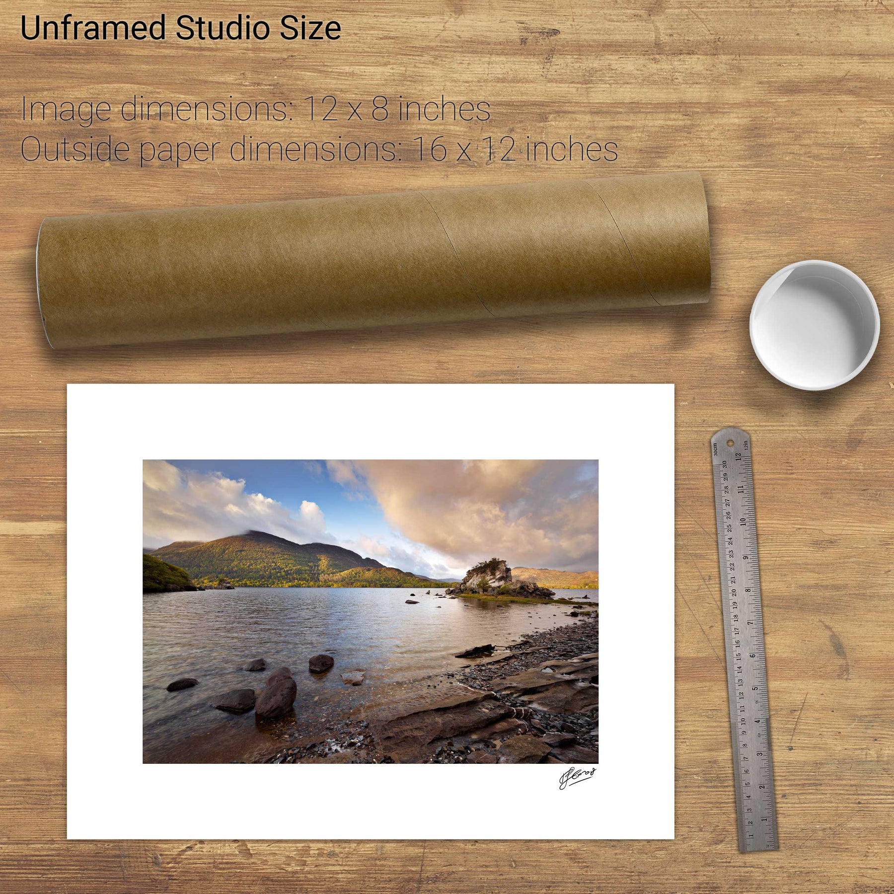
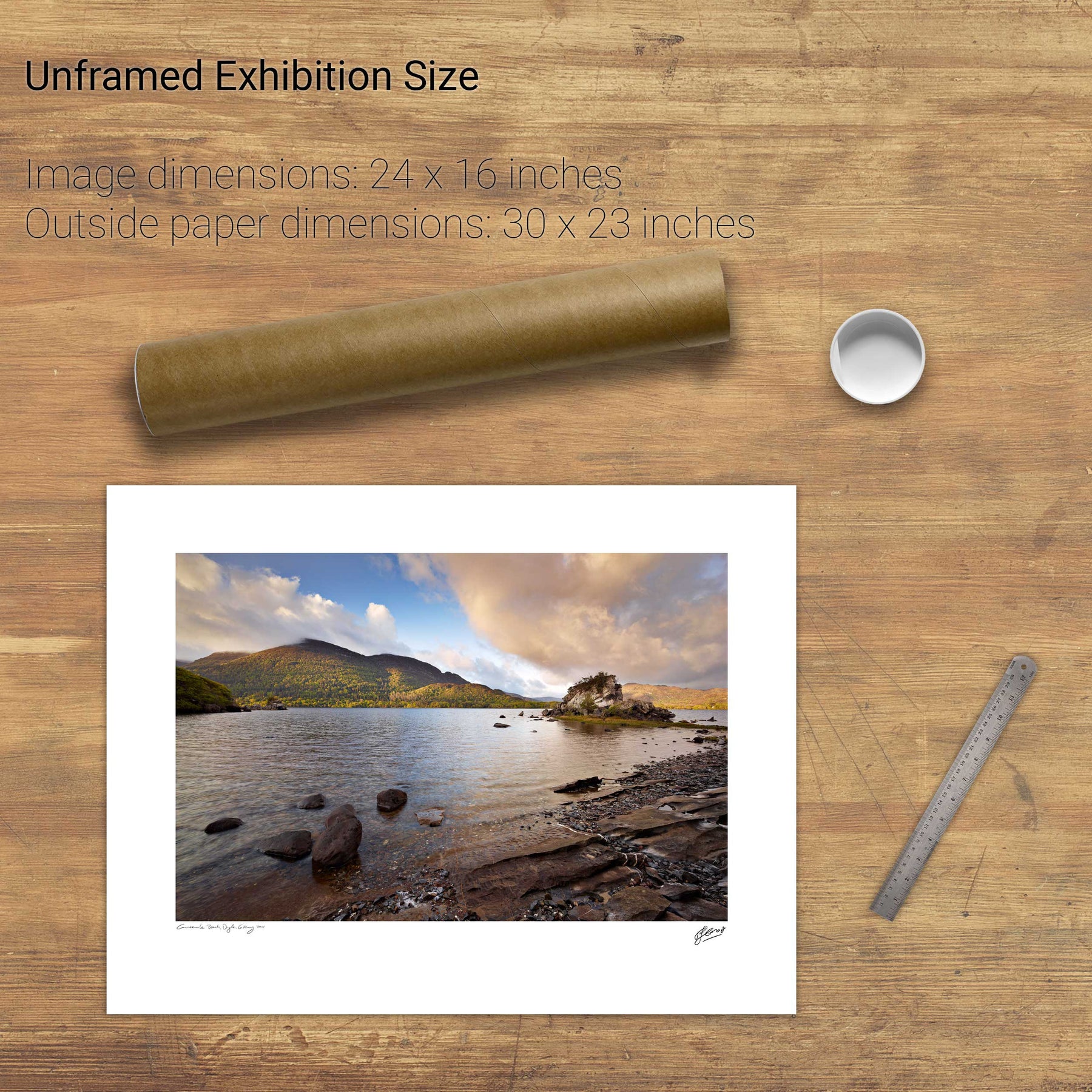
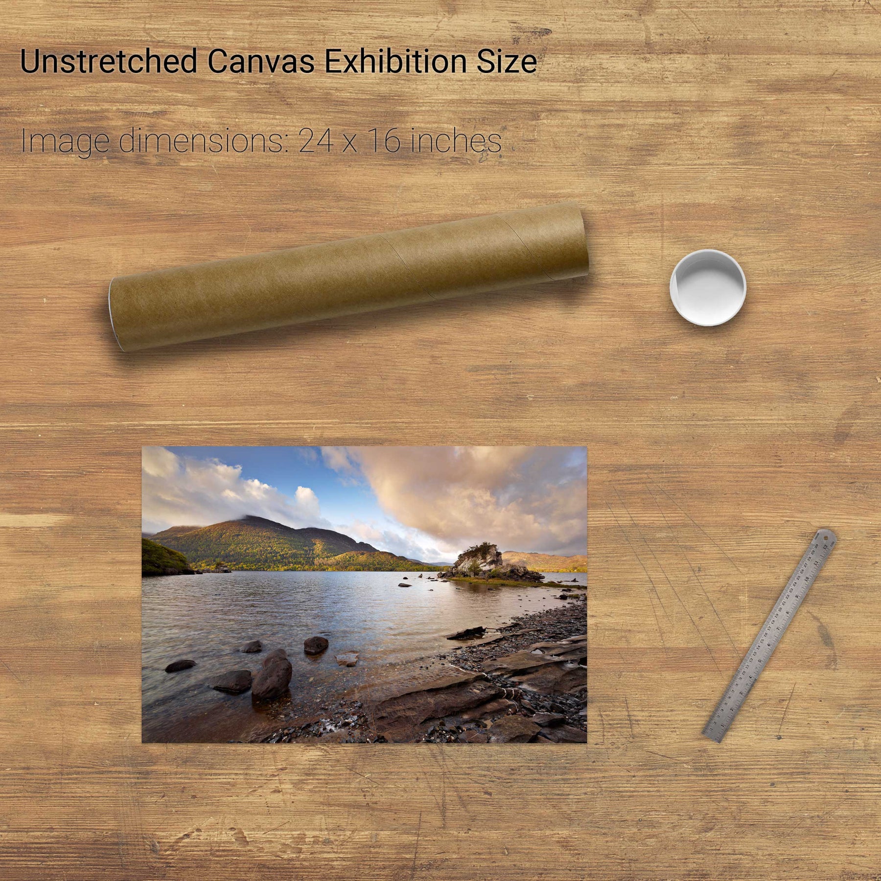
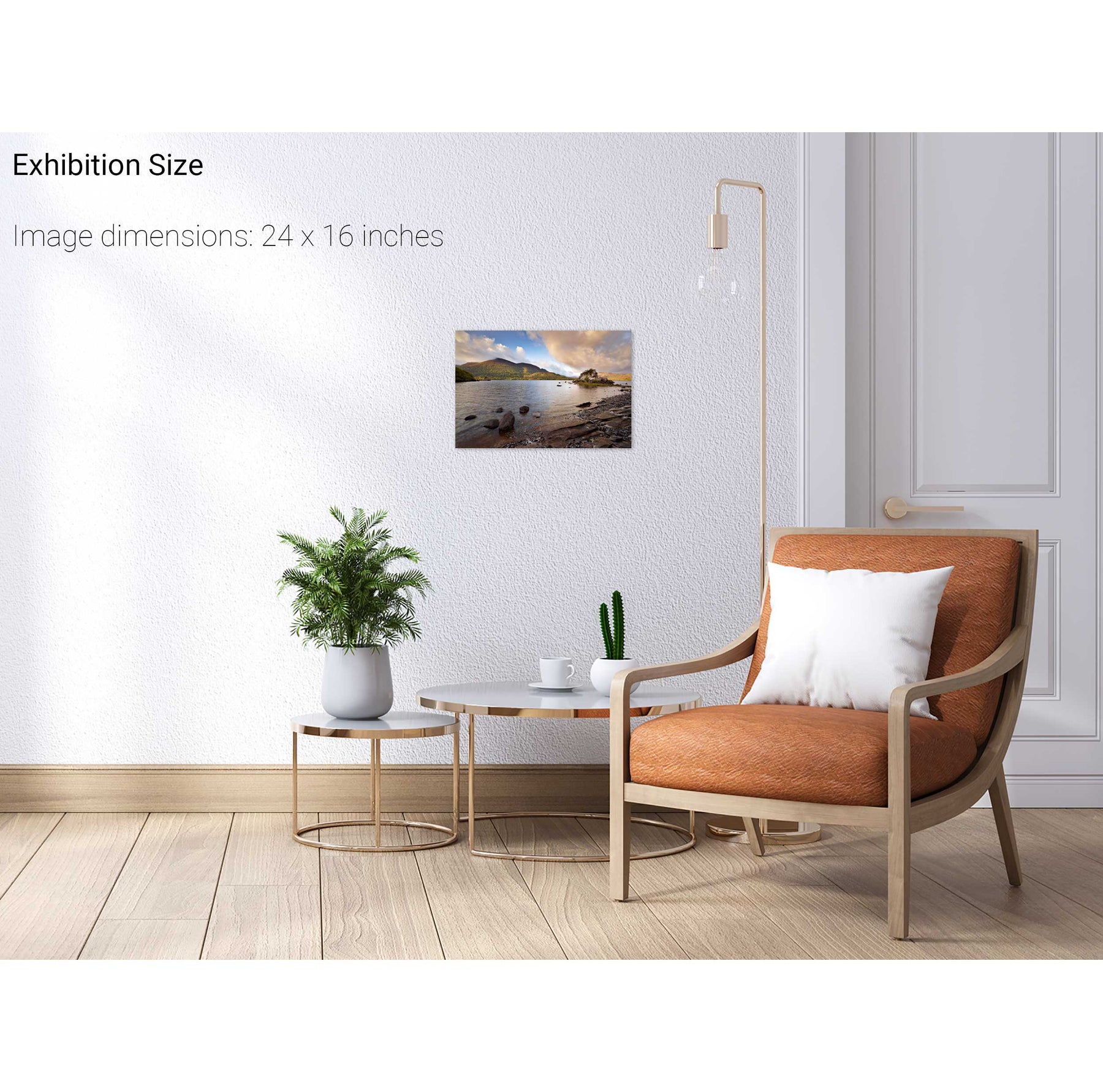
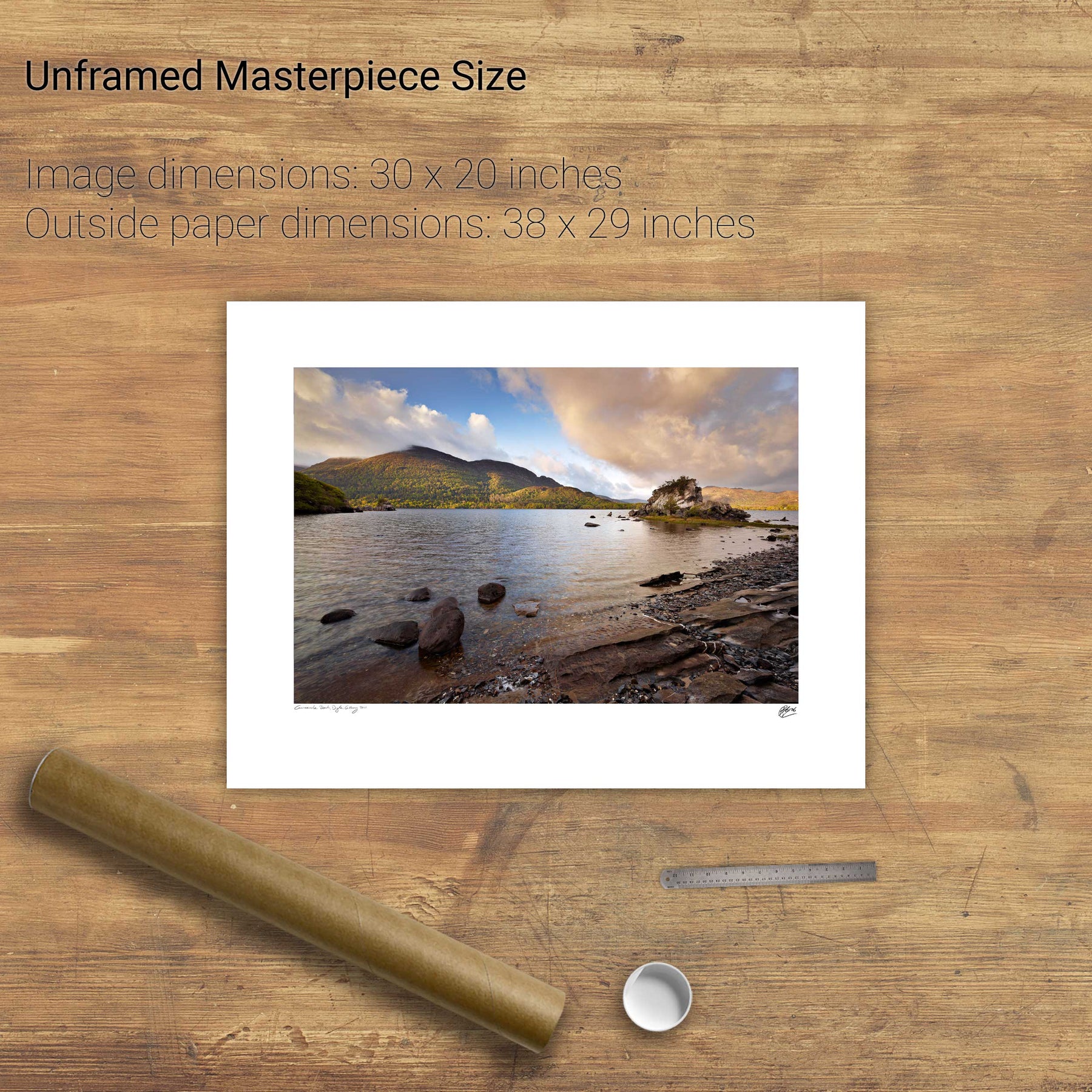
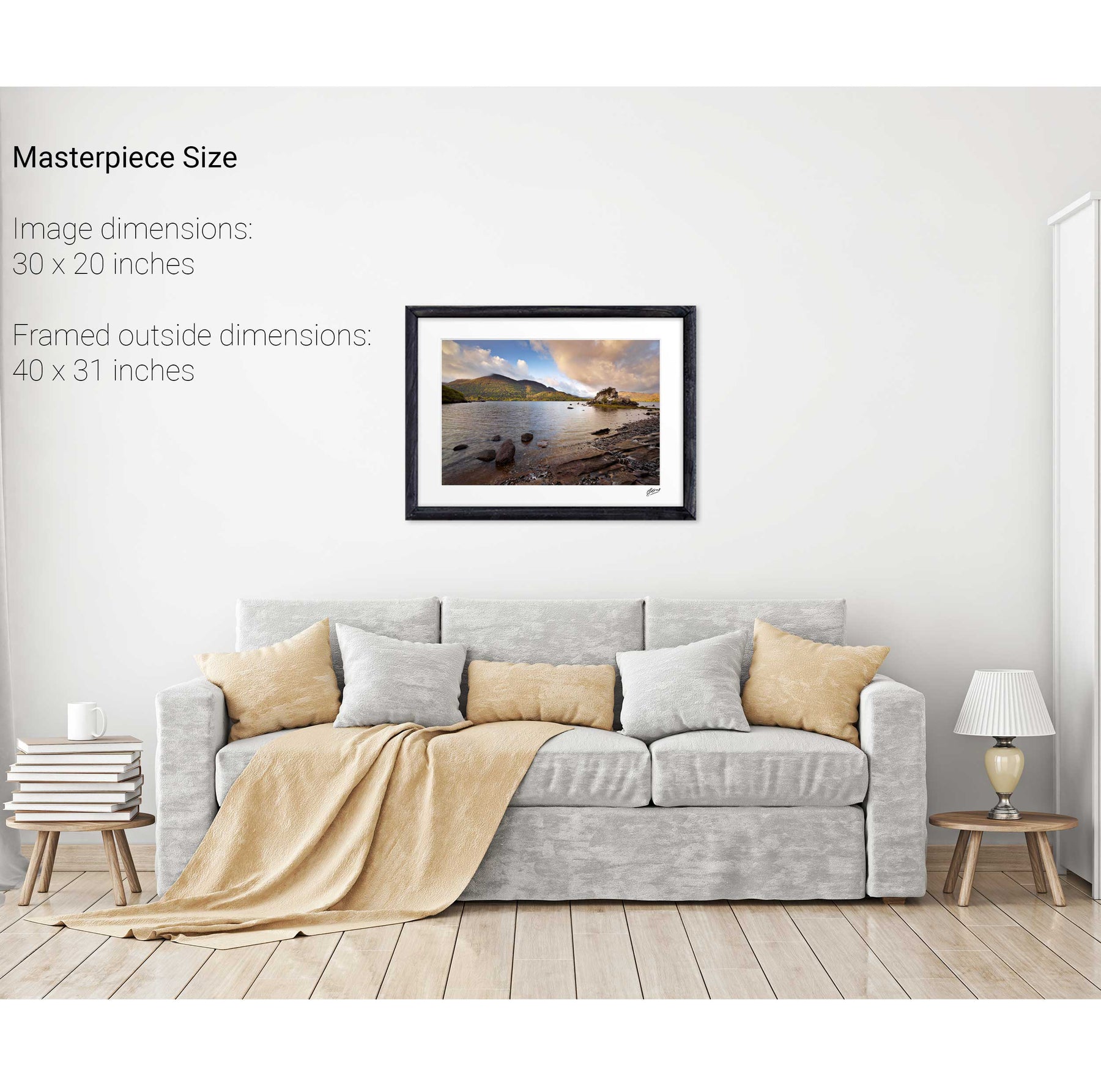
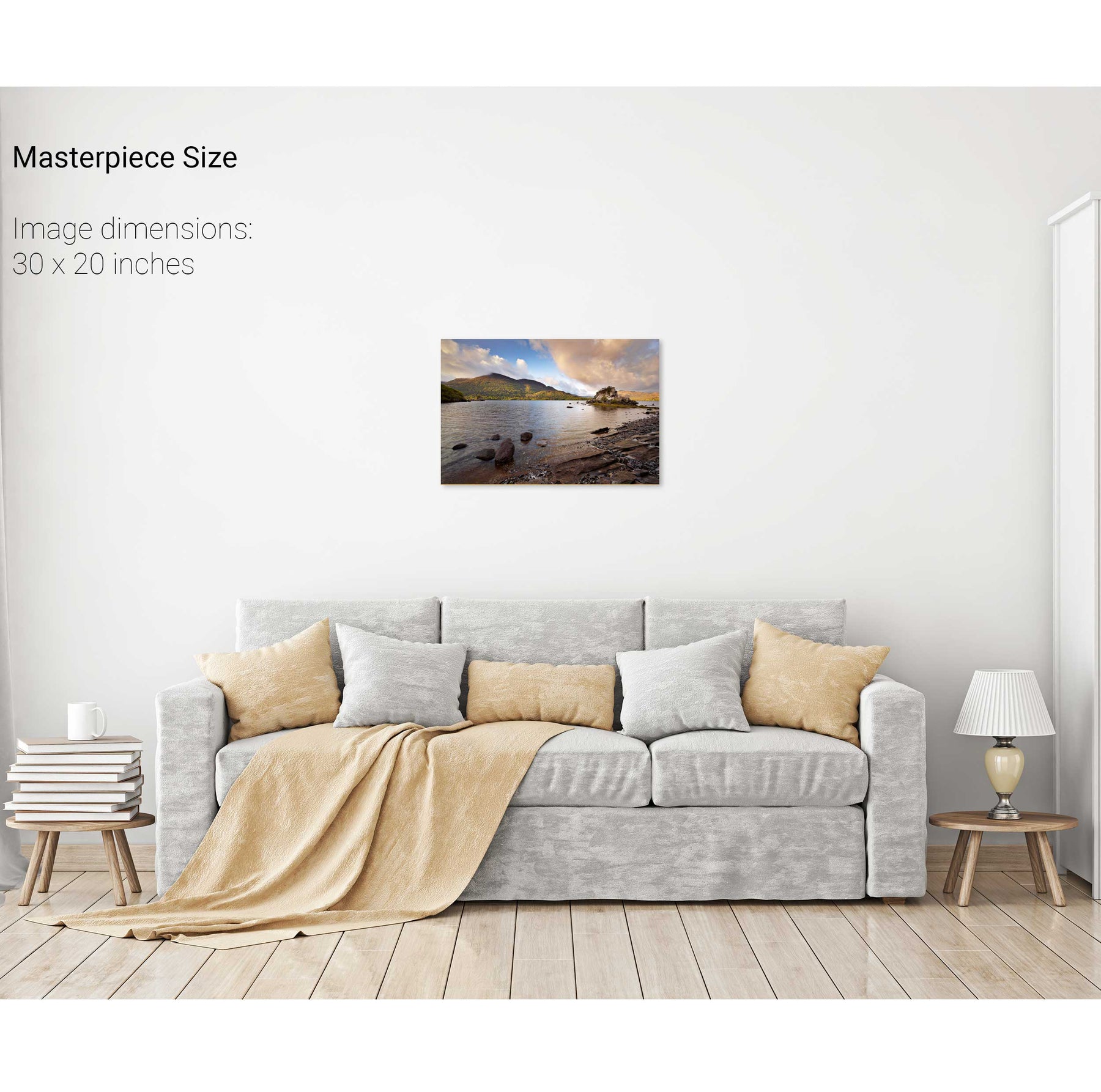
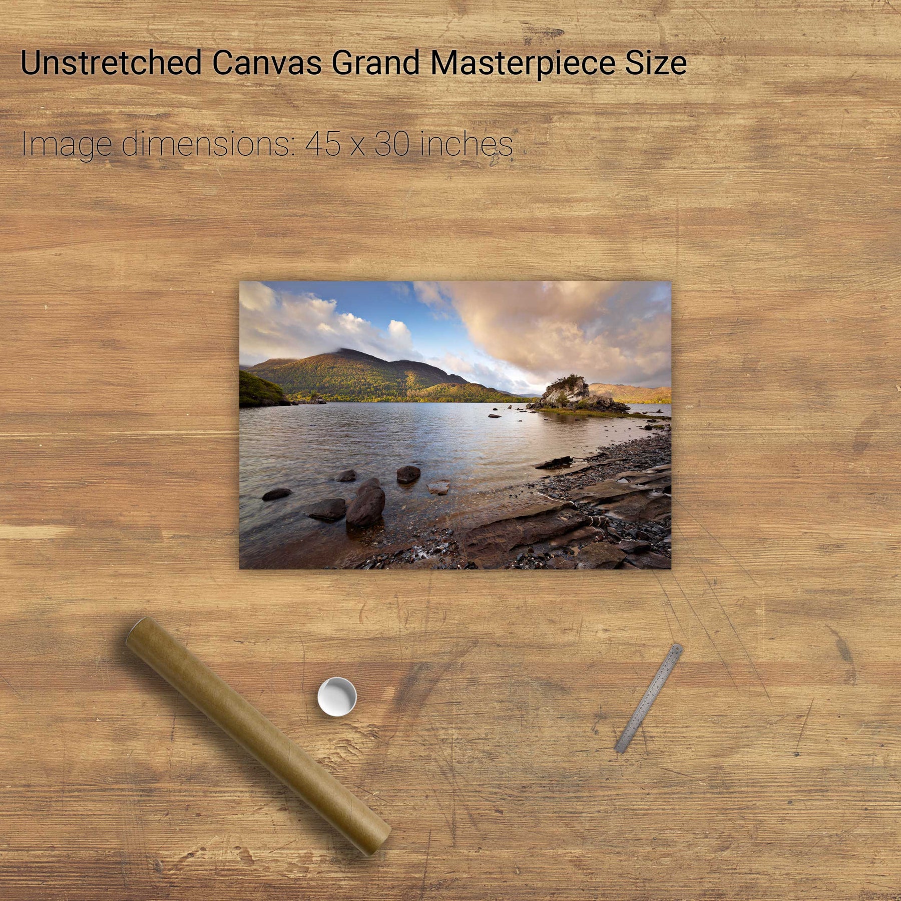
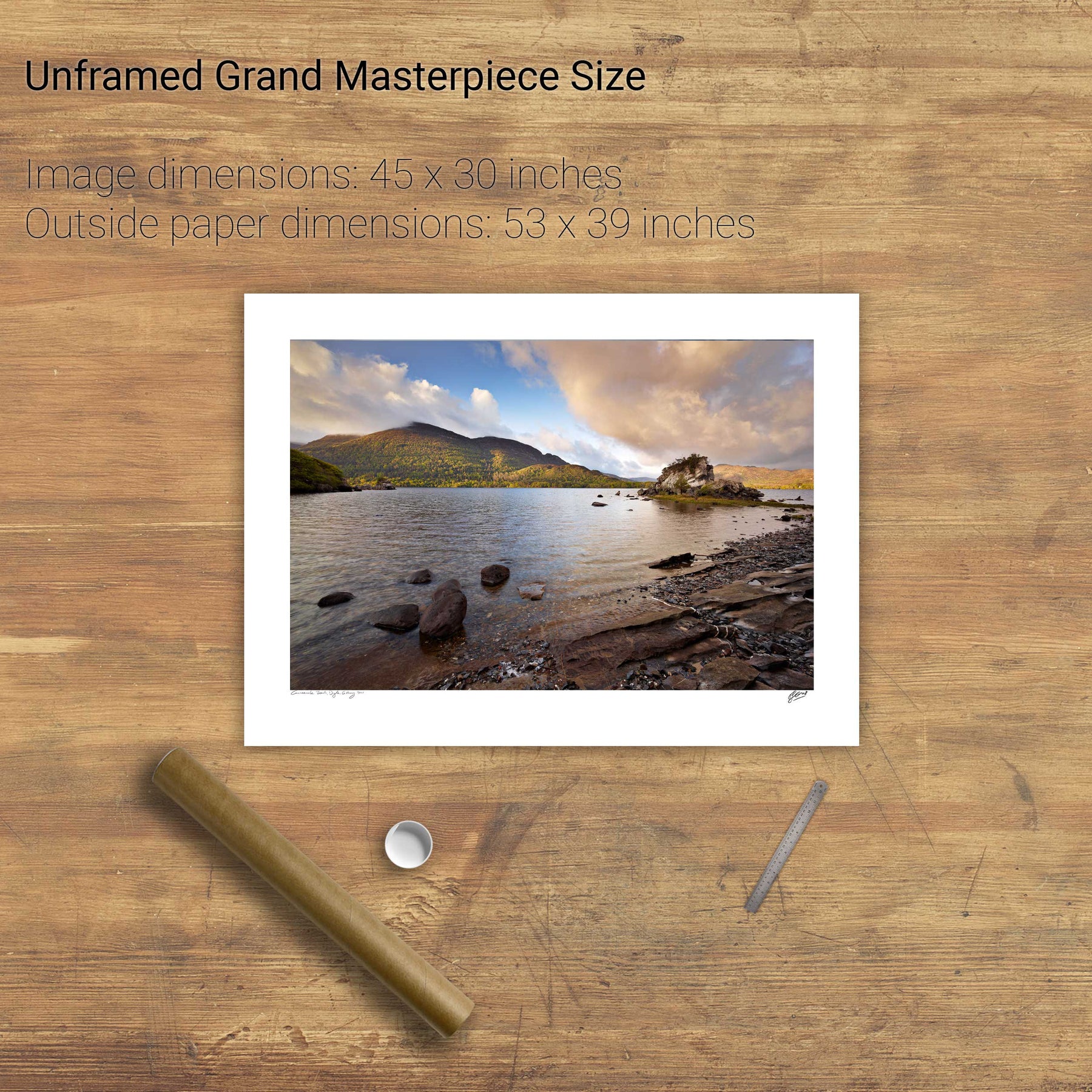
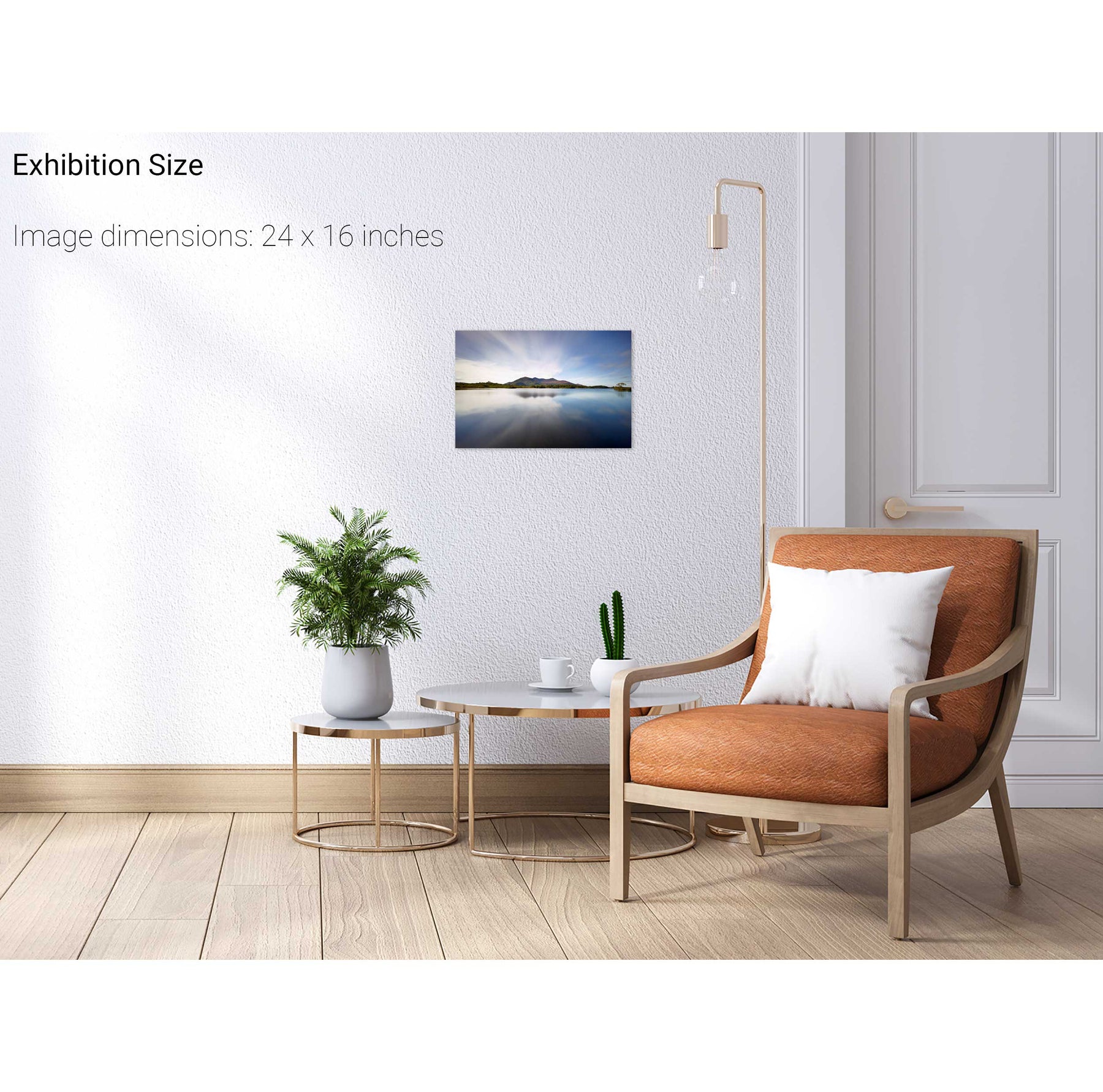
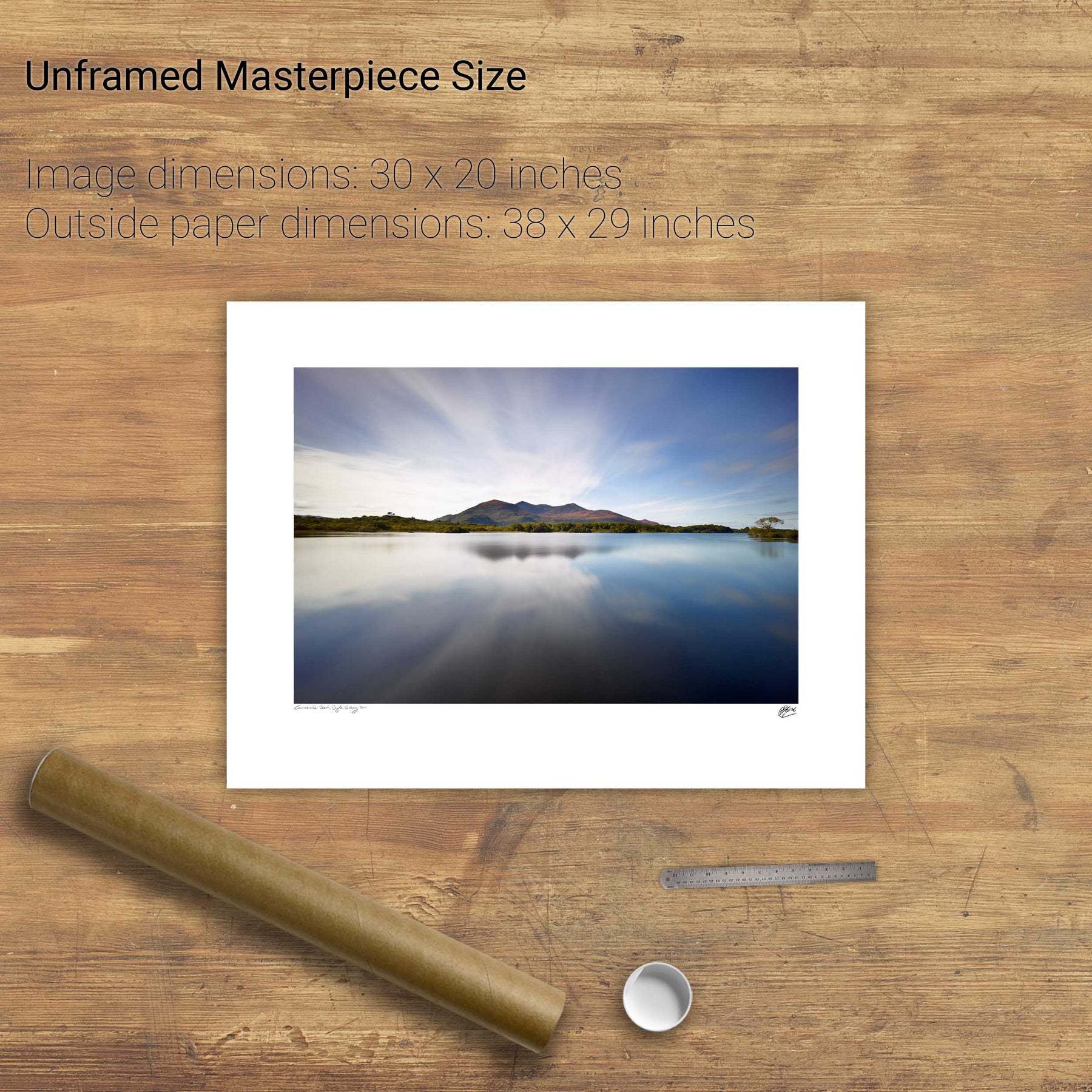
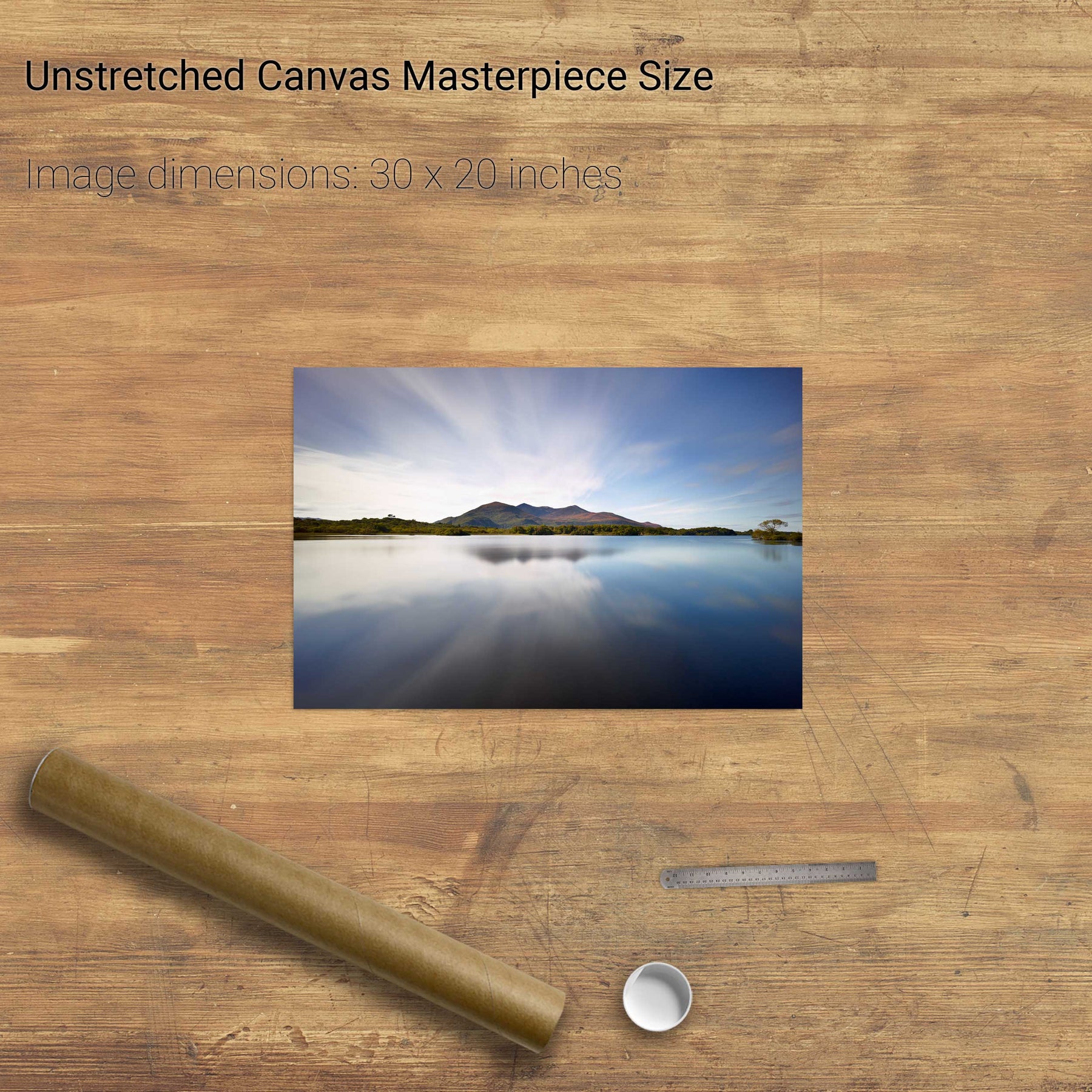
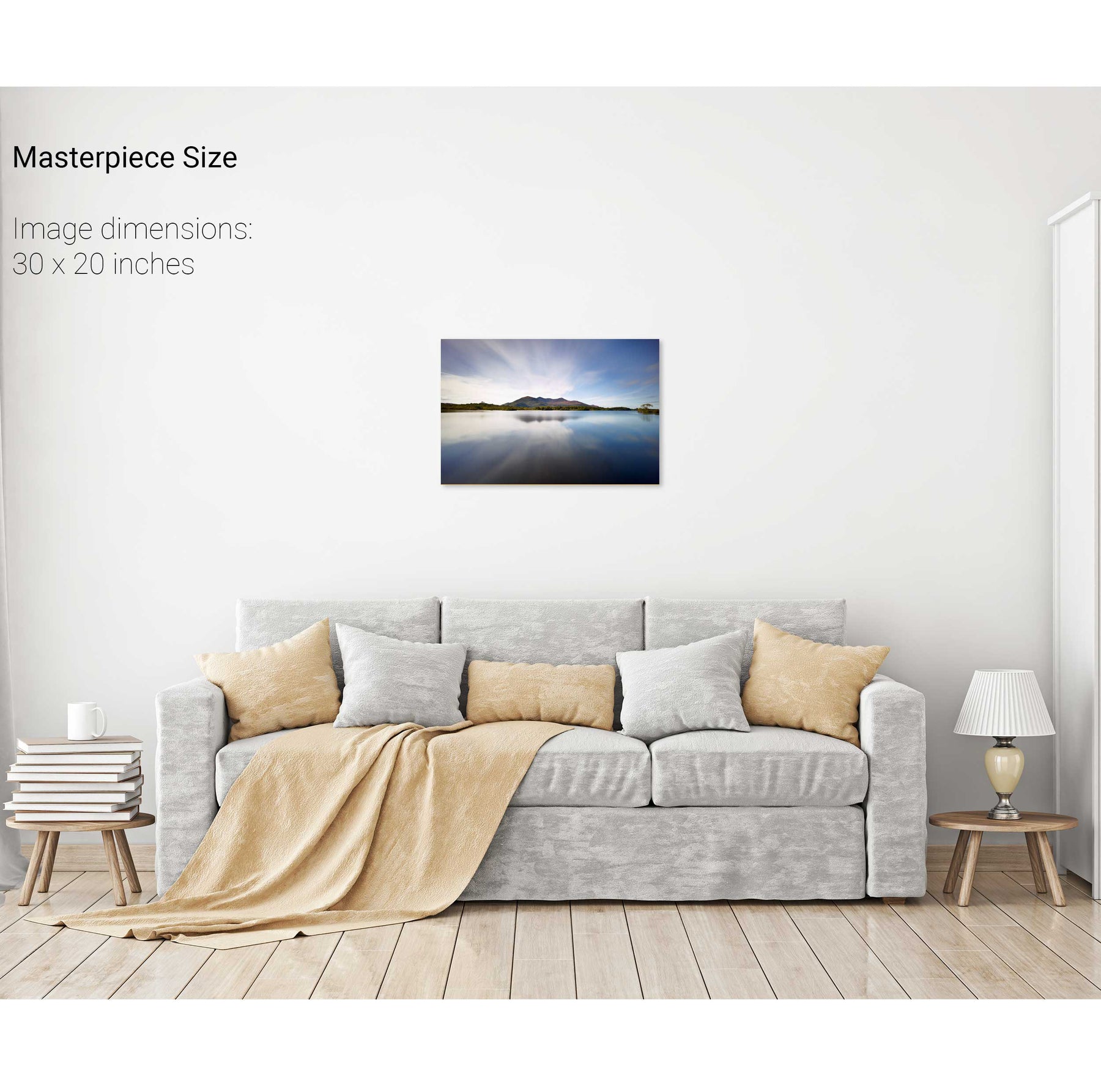
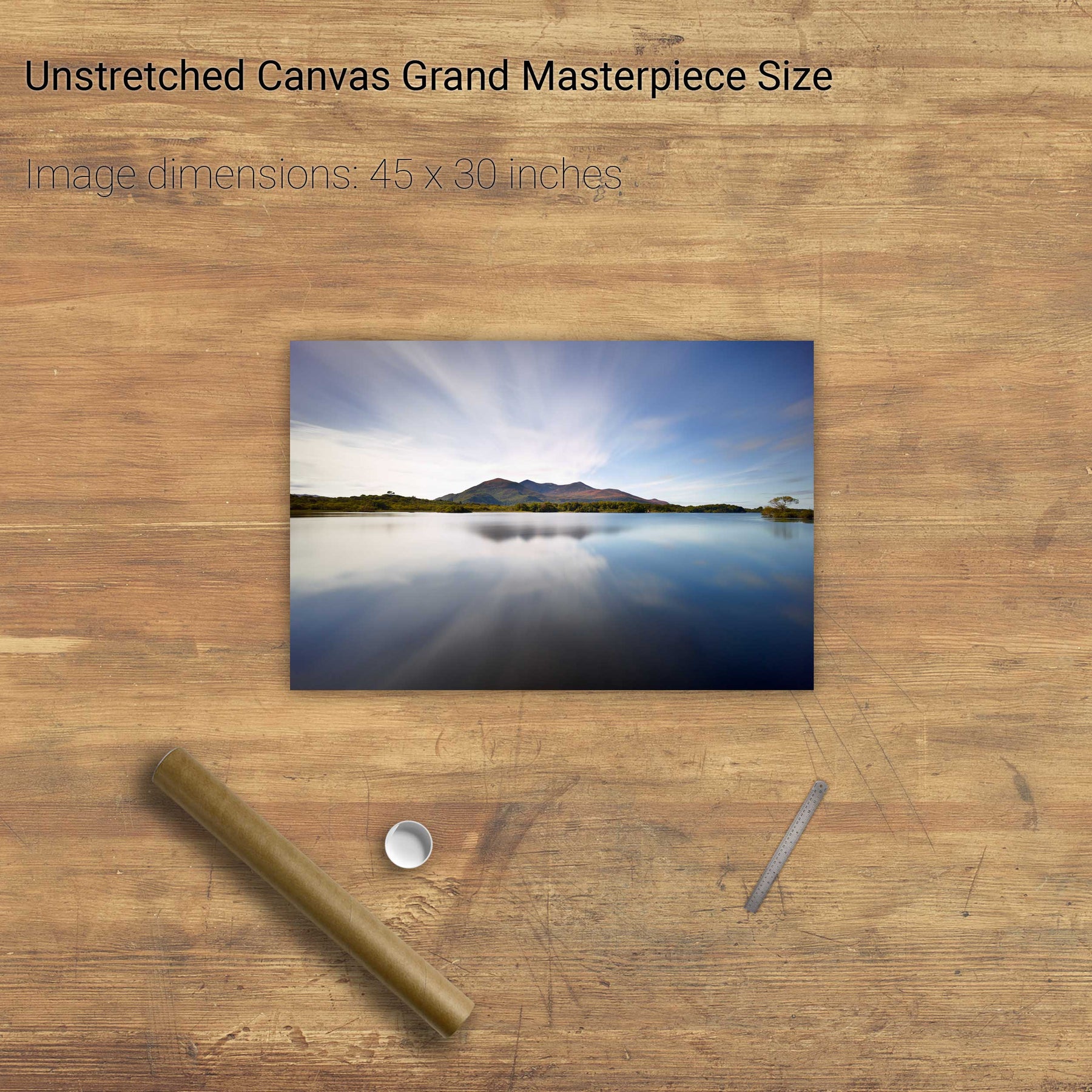
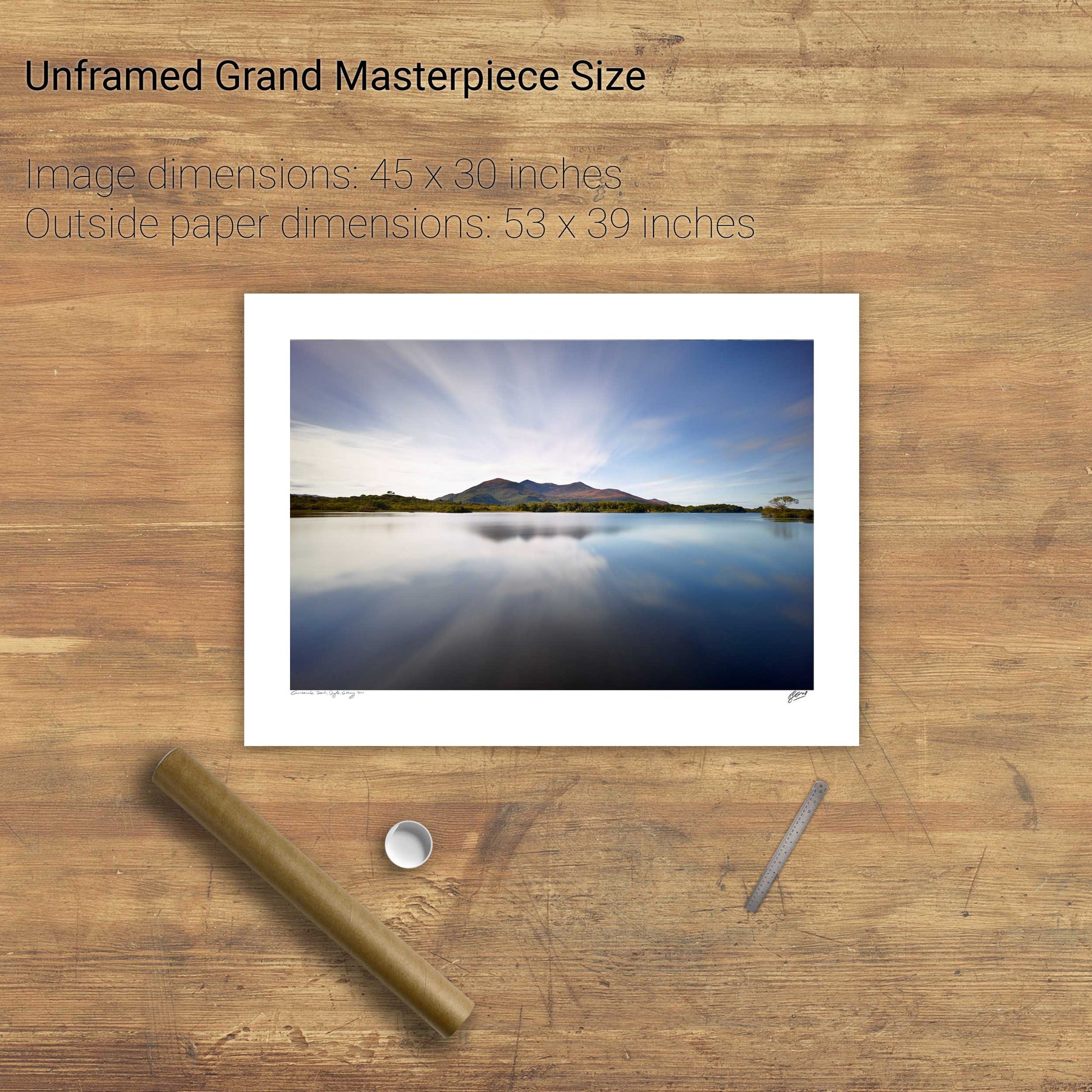
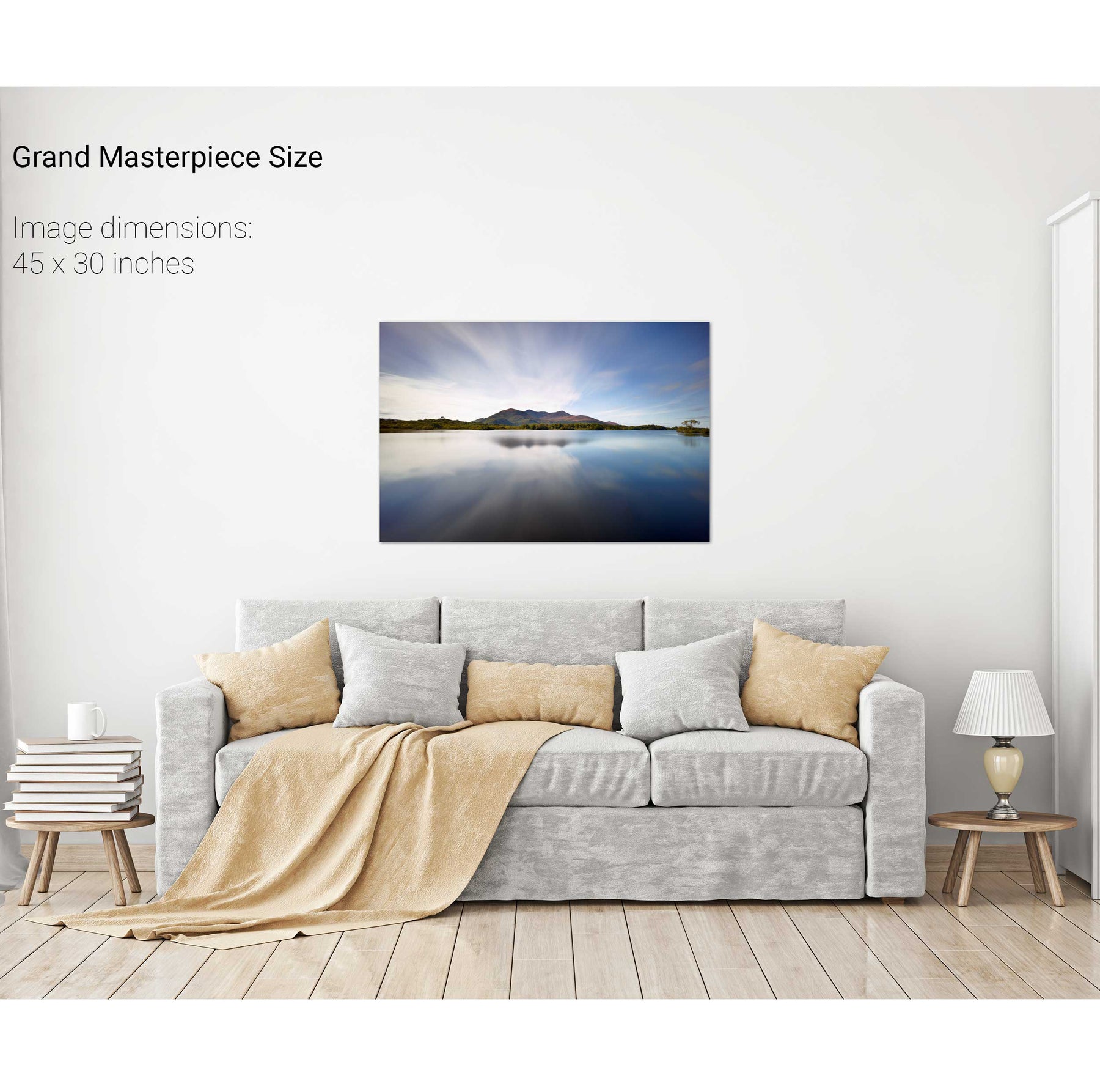
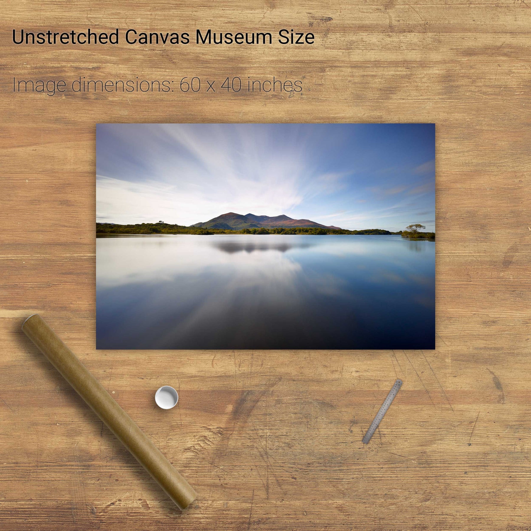
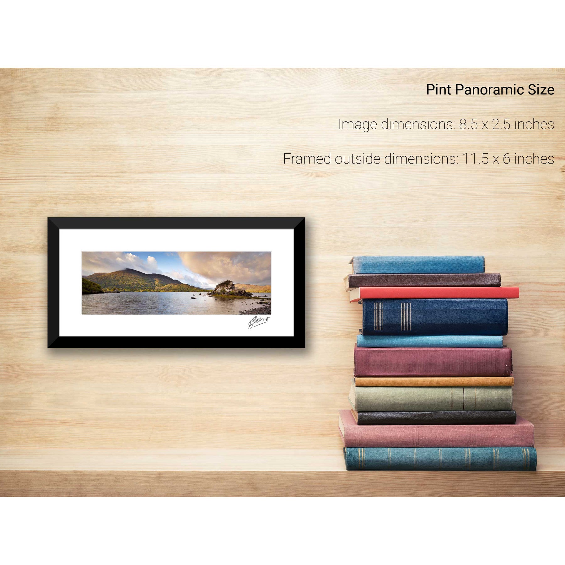
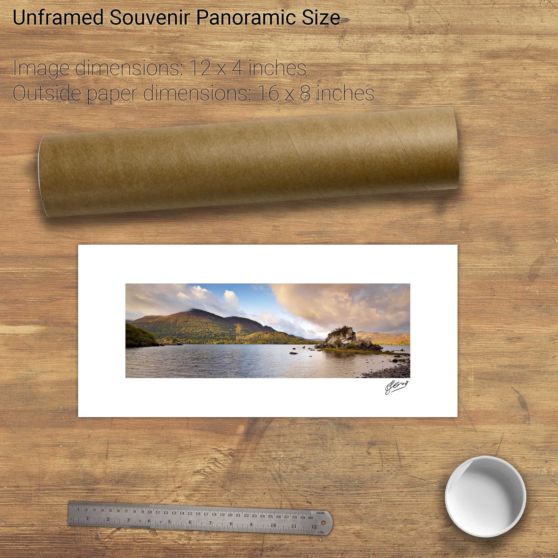
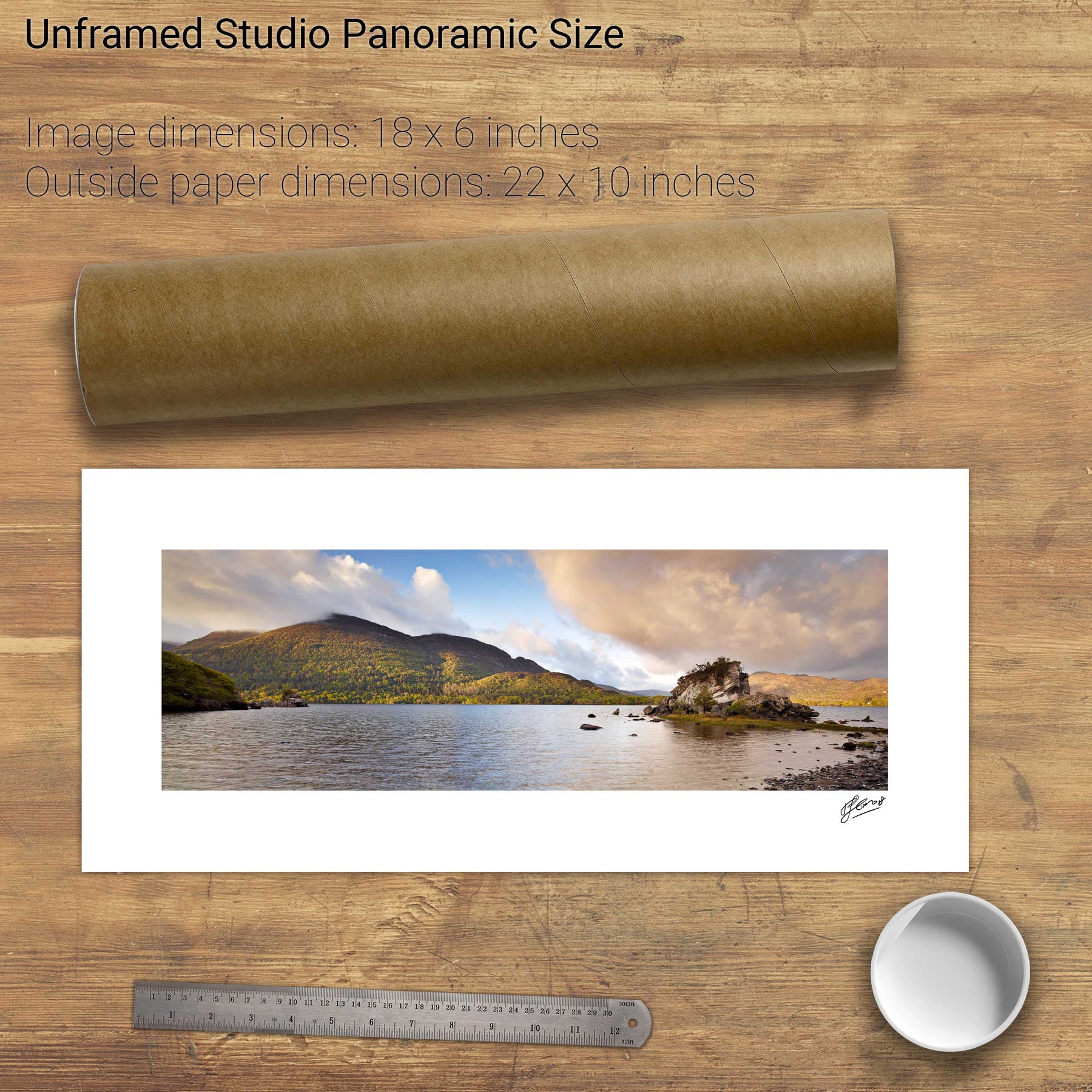
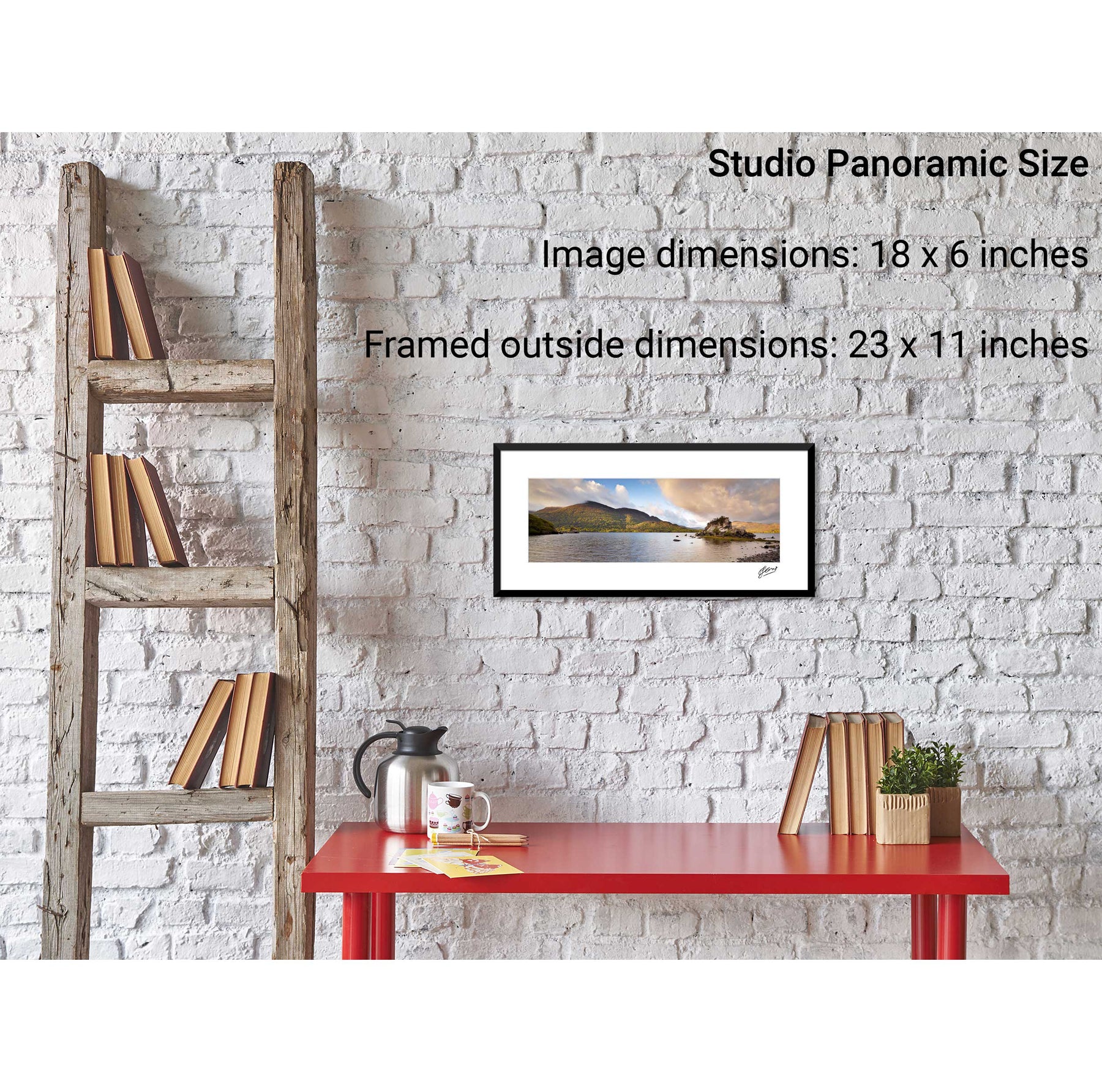
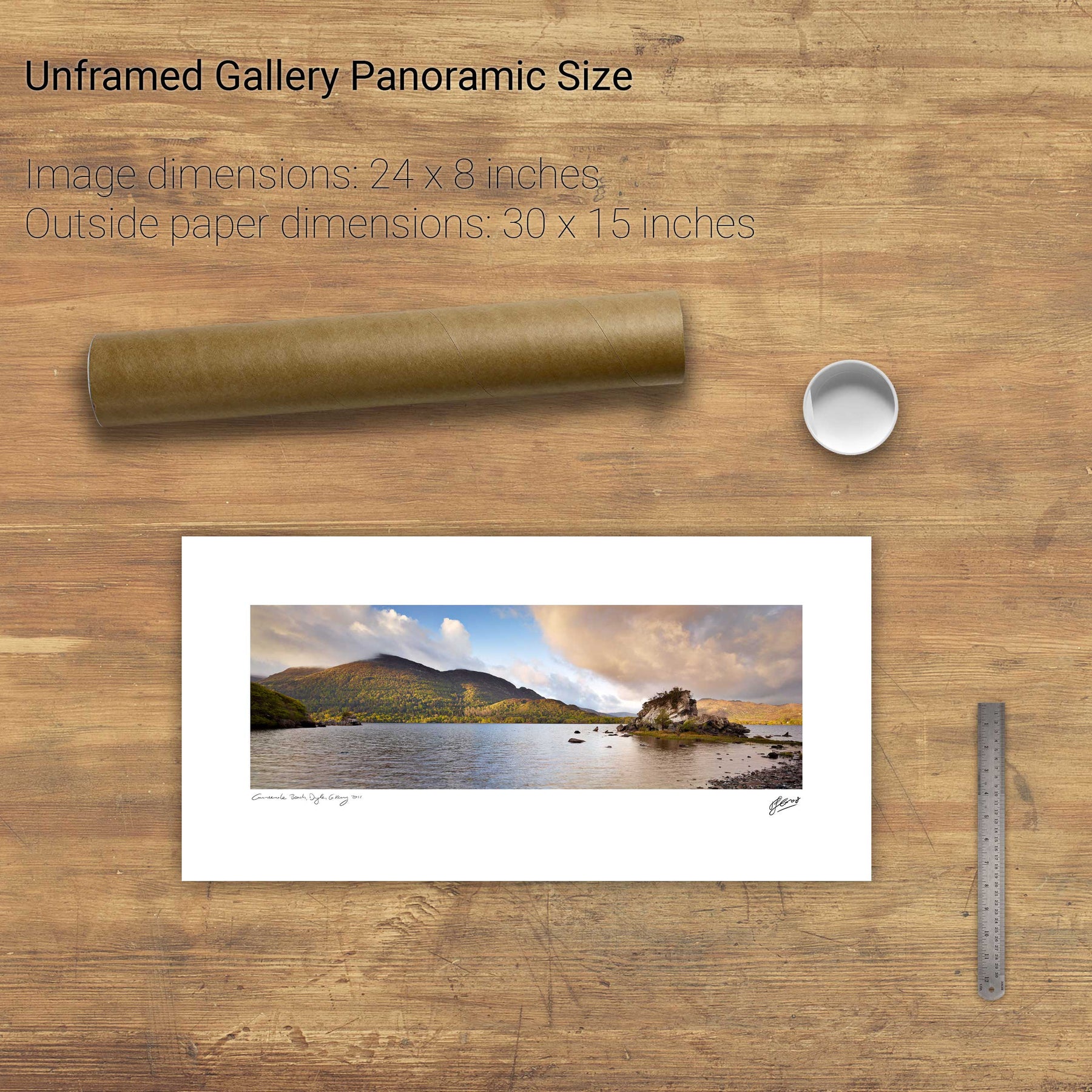
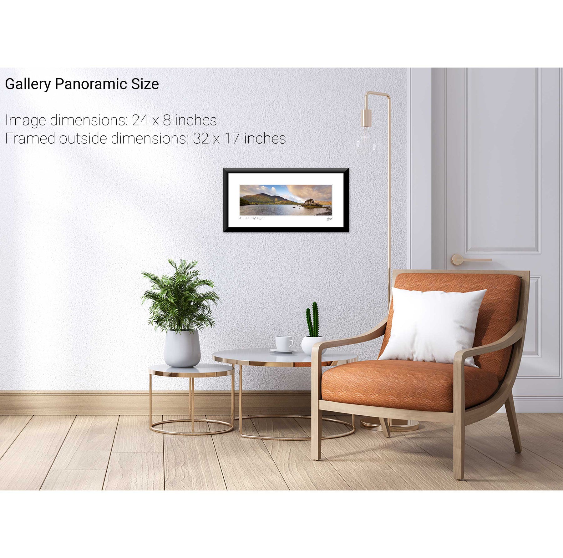
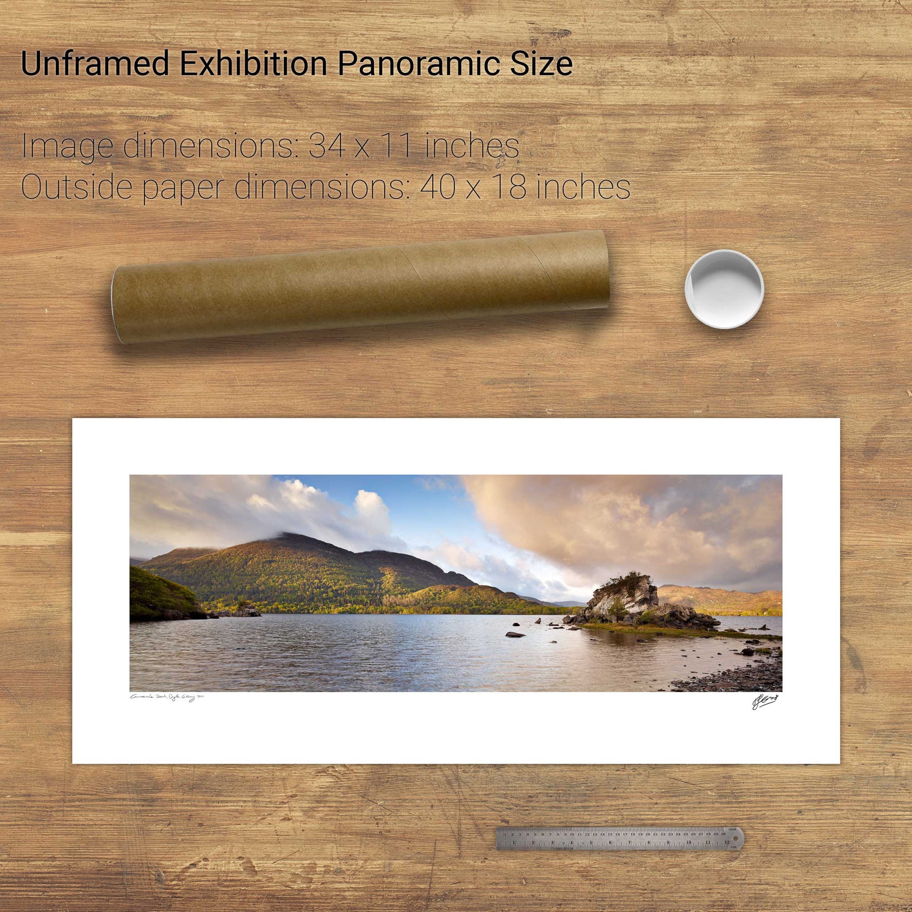
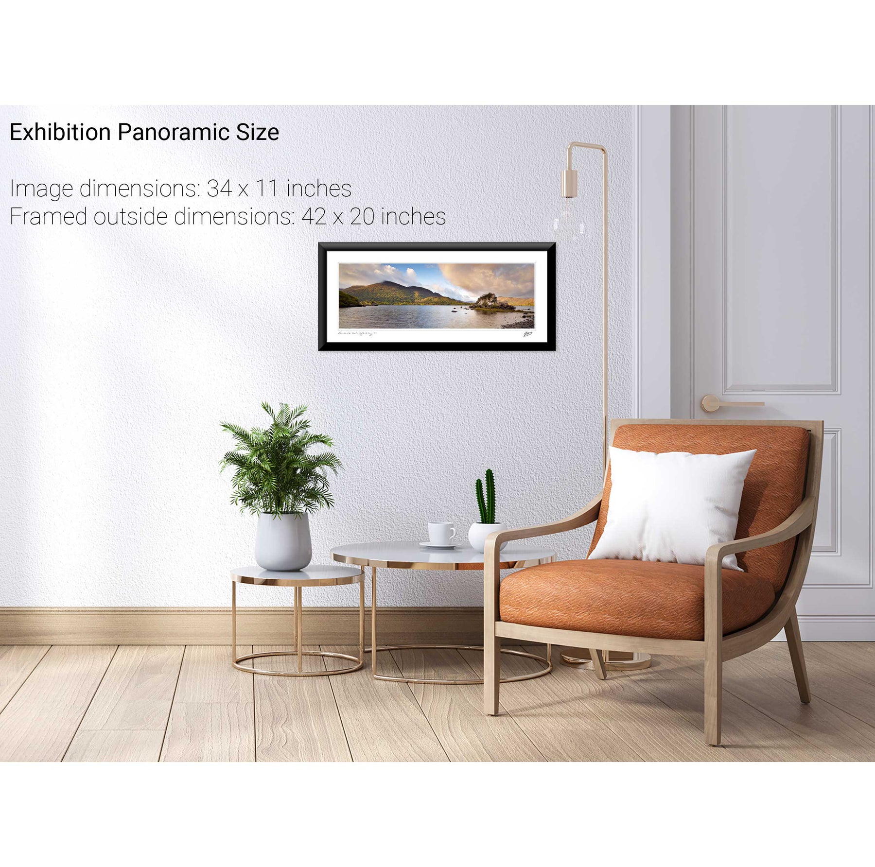
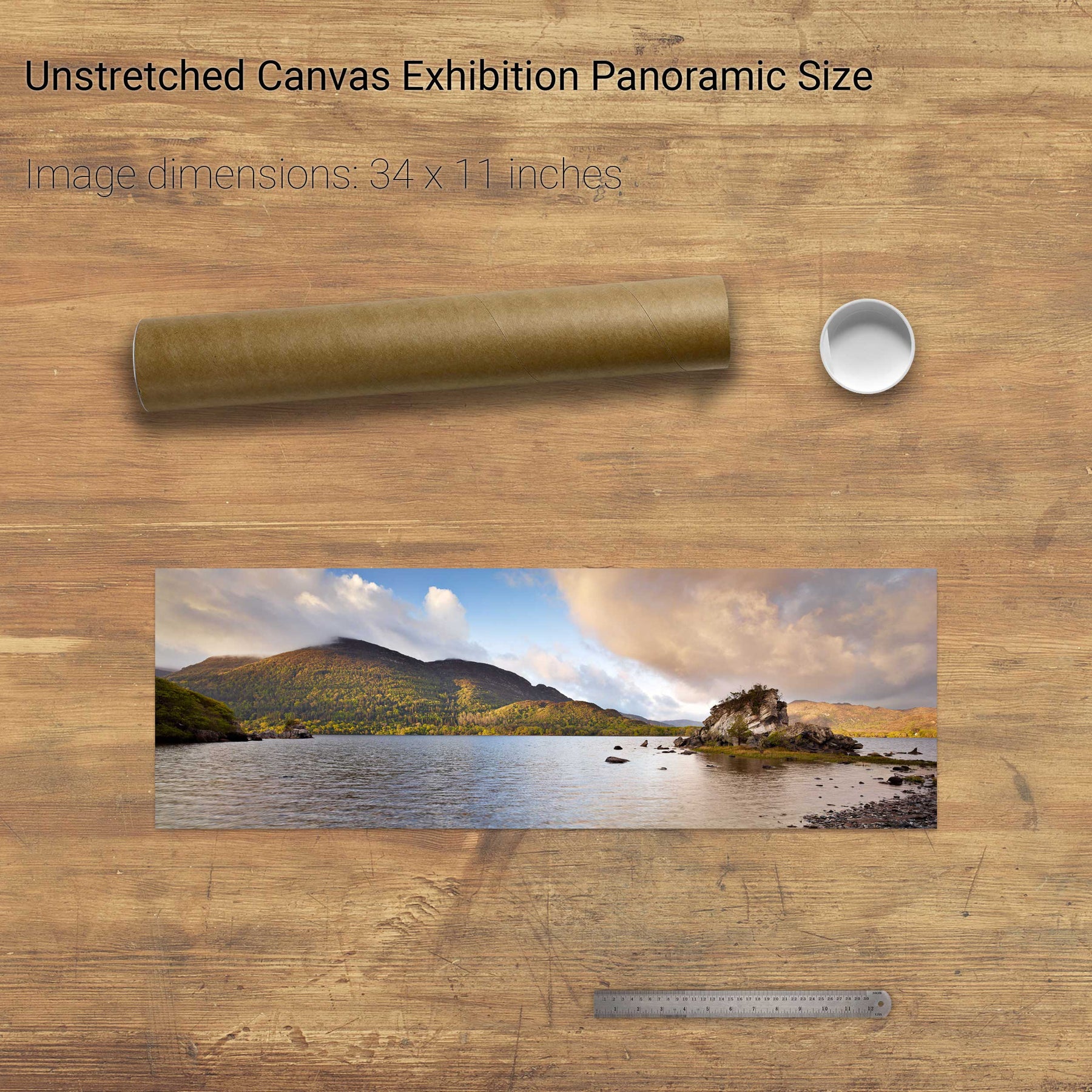
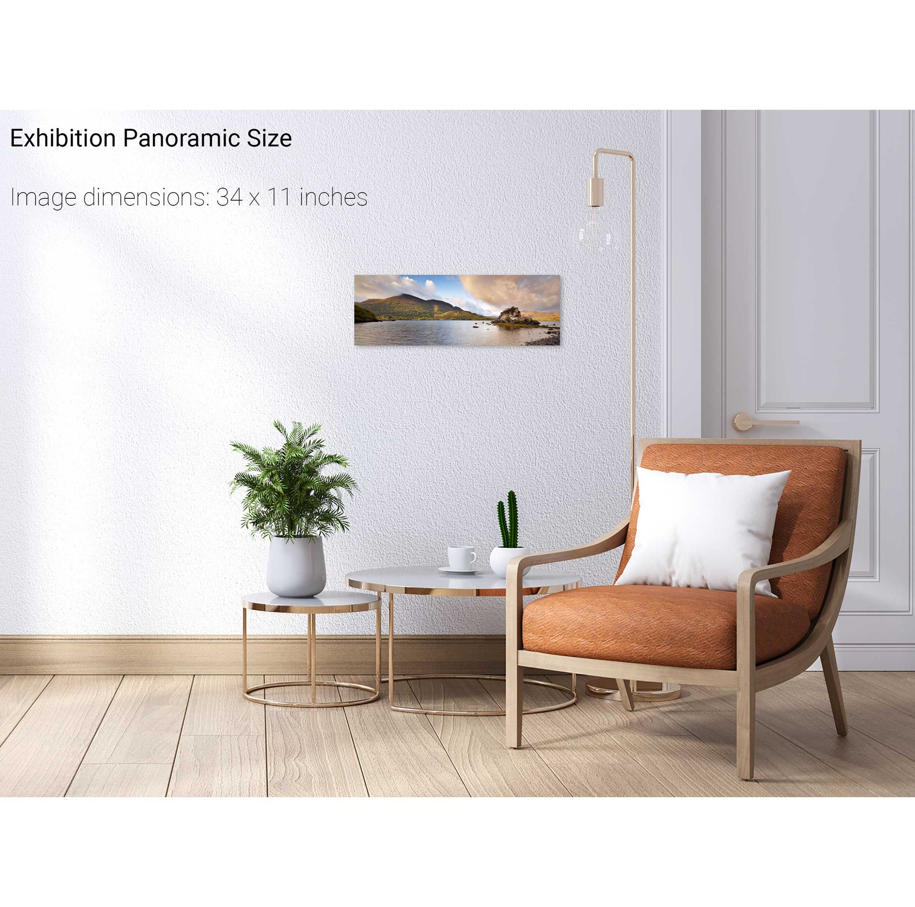
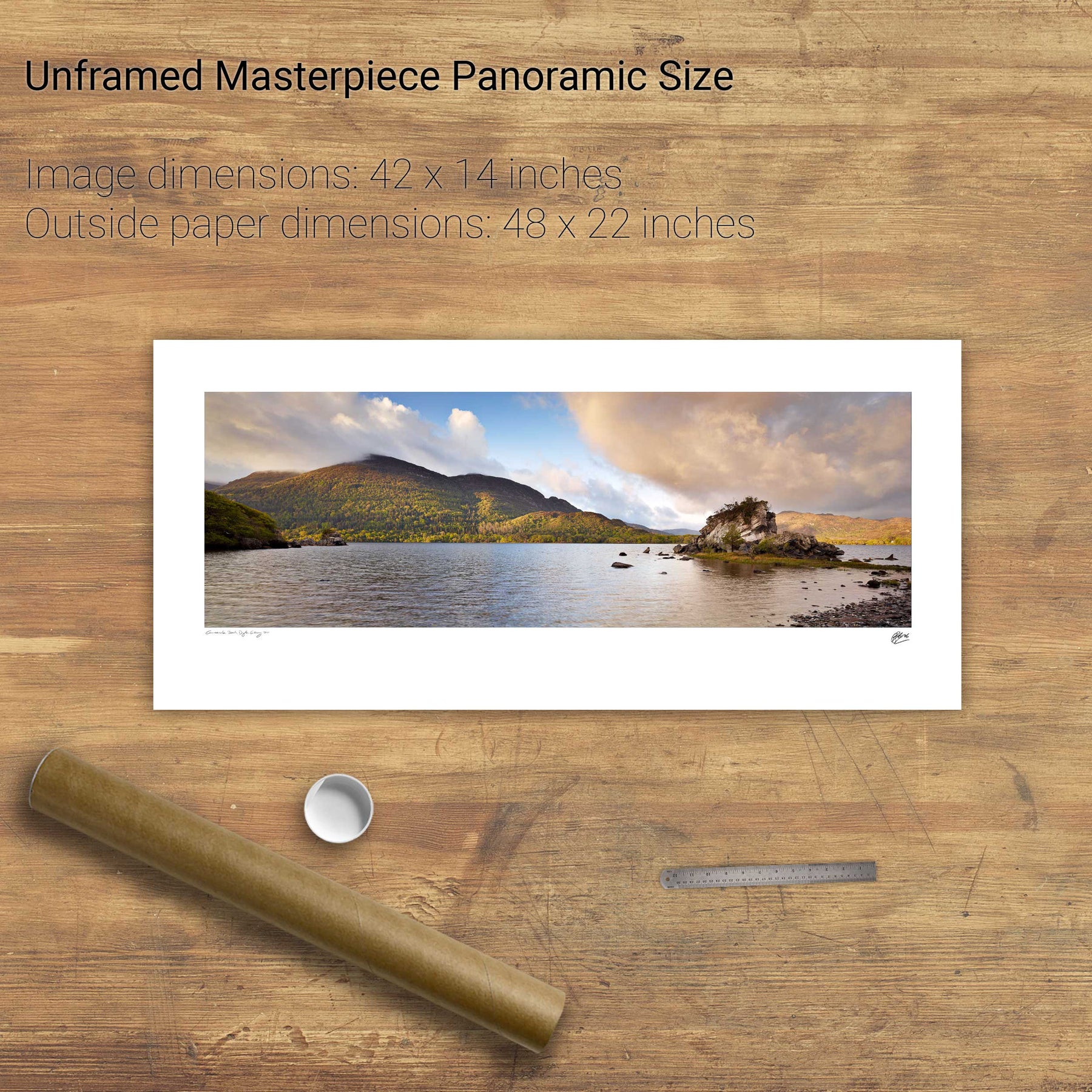
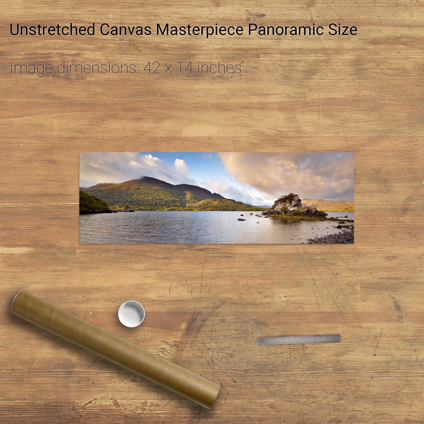
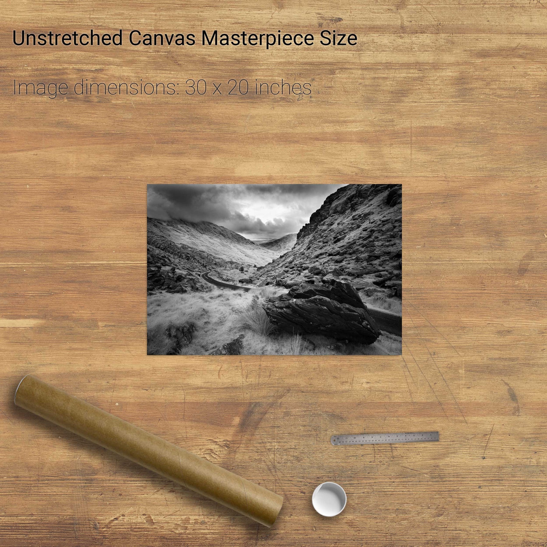
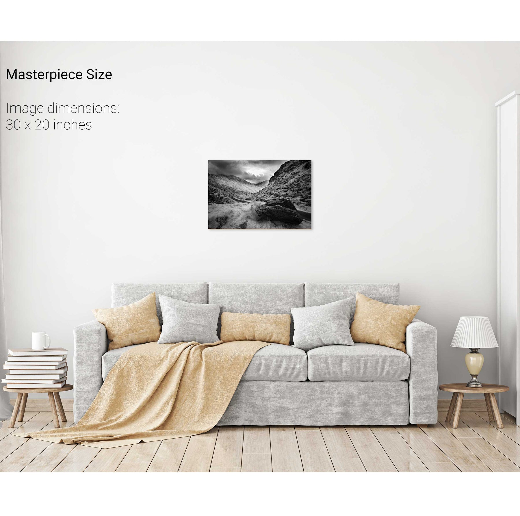
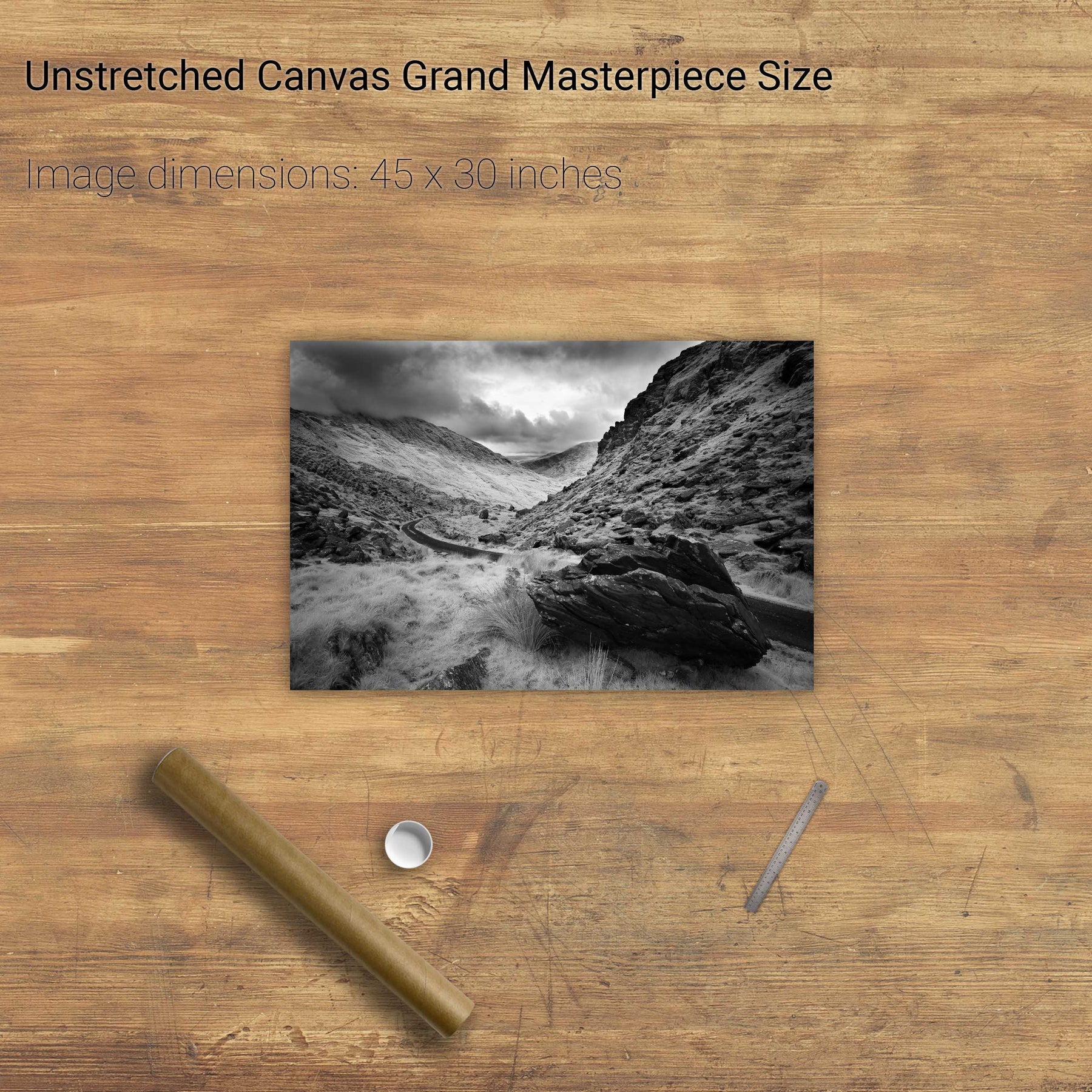
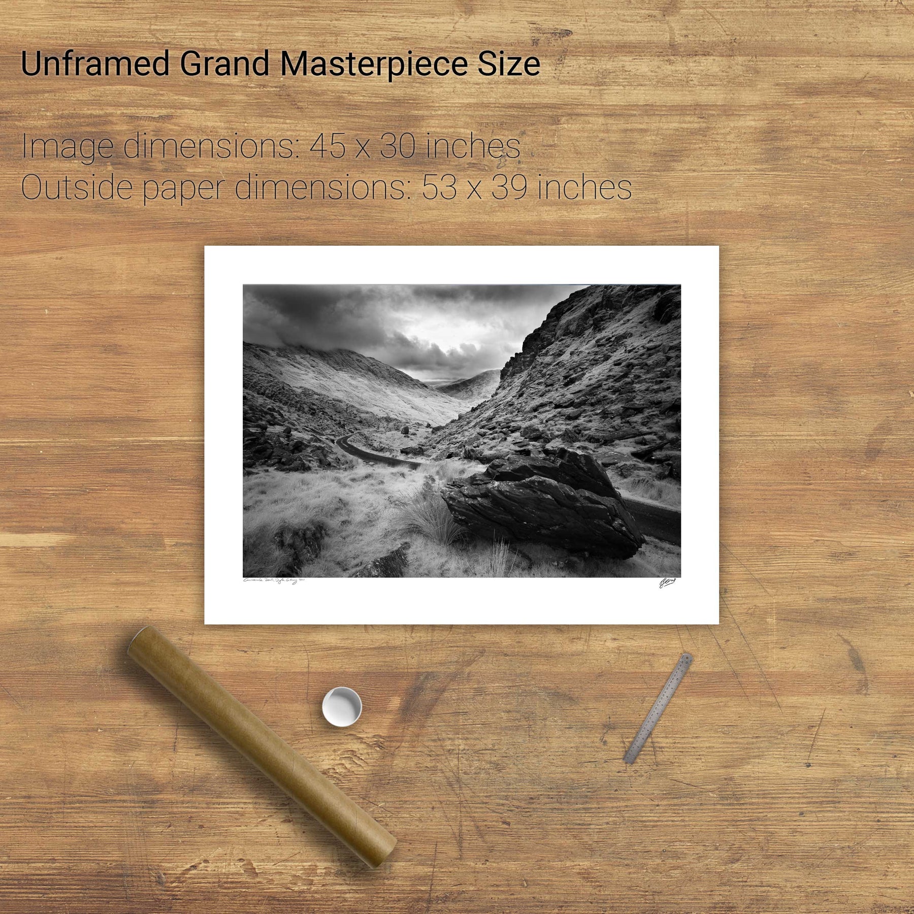
Colleen Bawn Rock, Killarney National Park, Co. Kerry
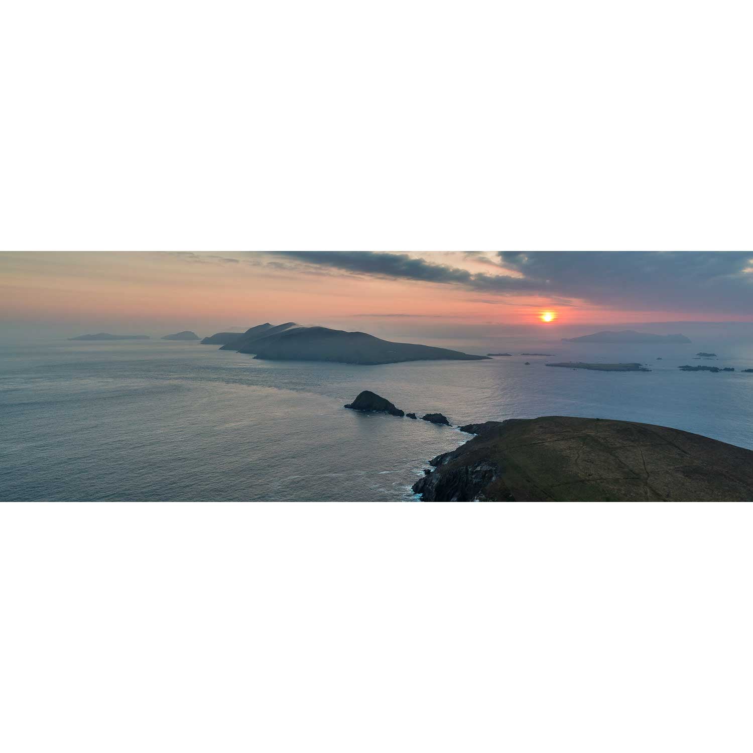
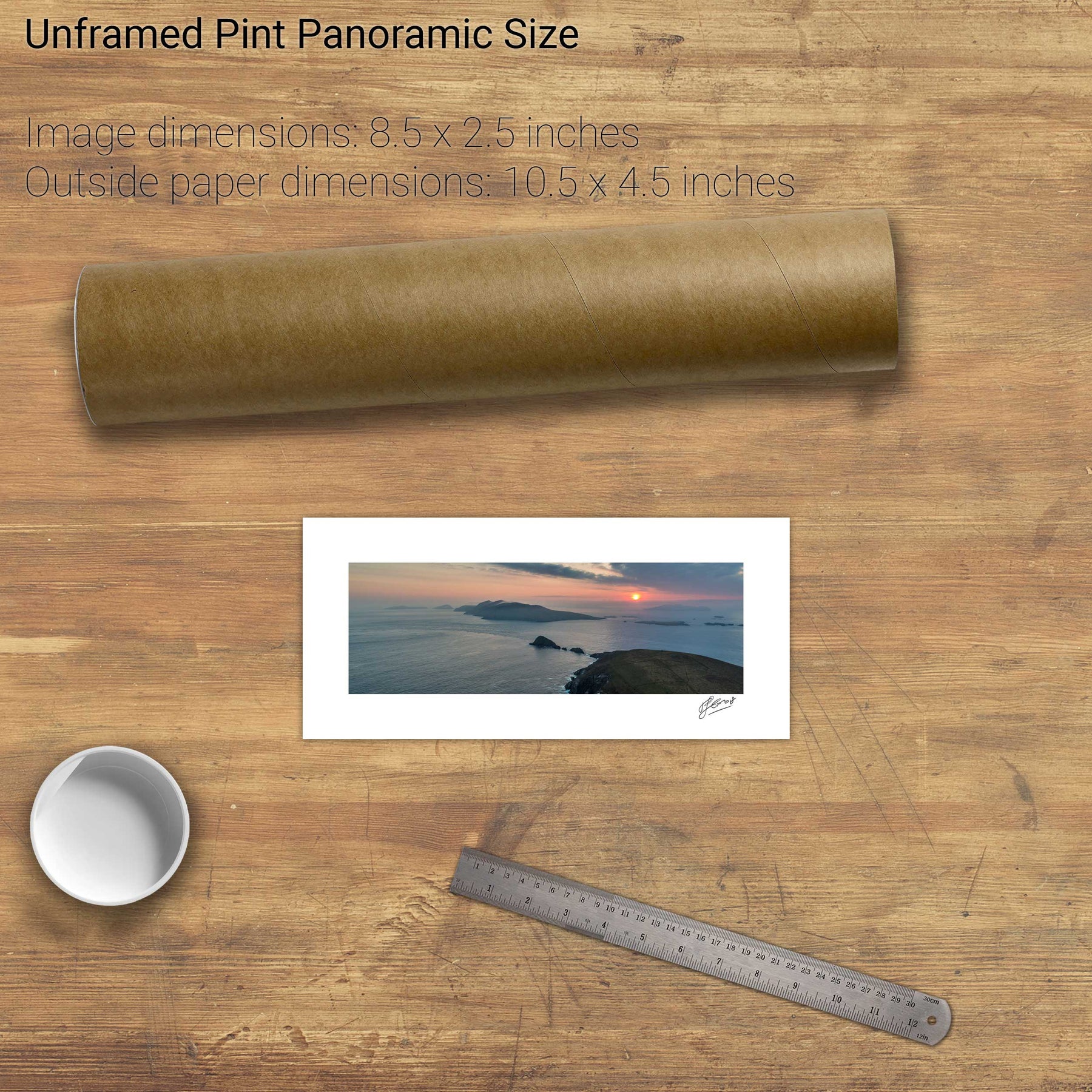
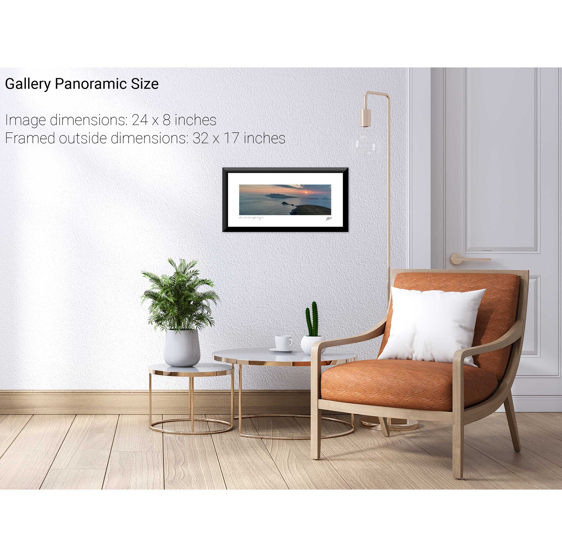
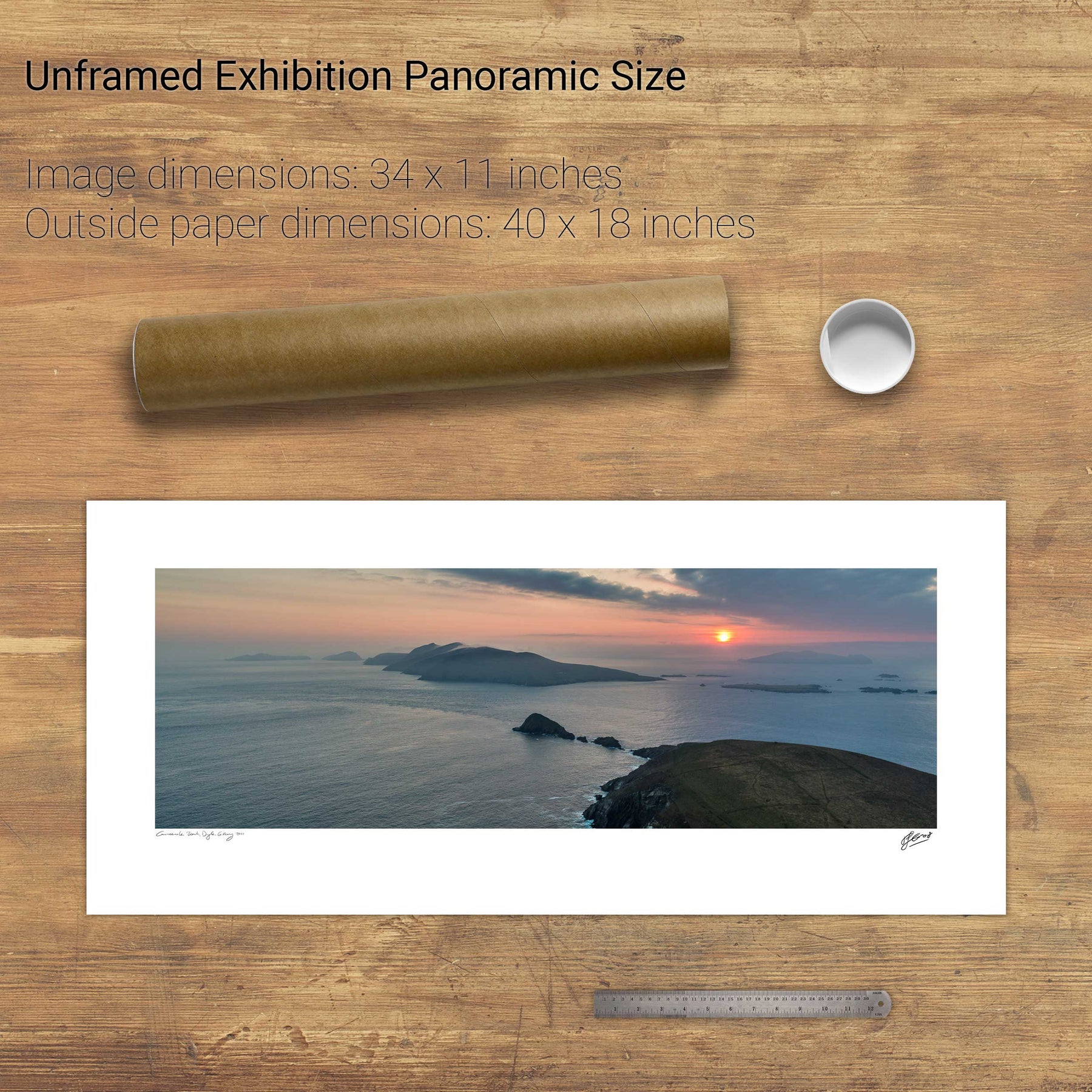
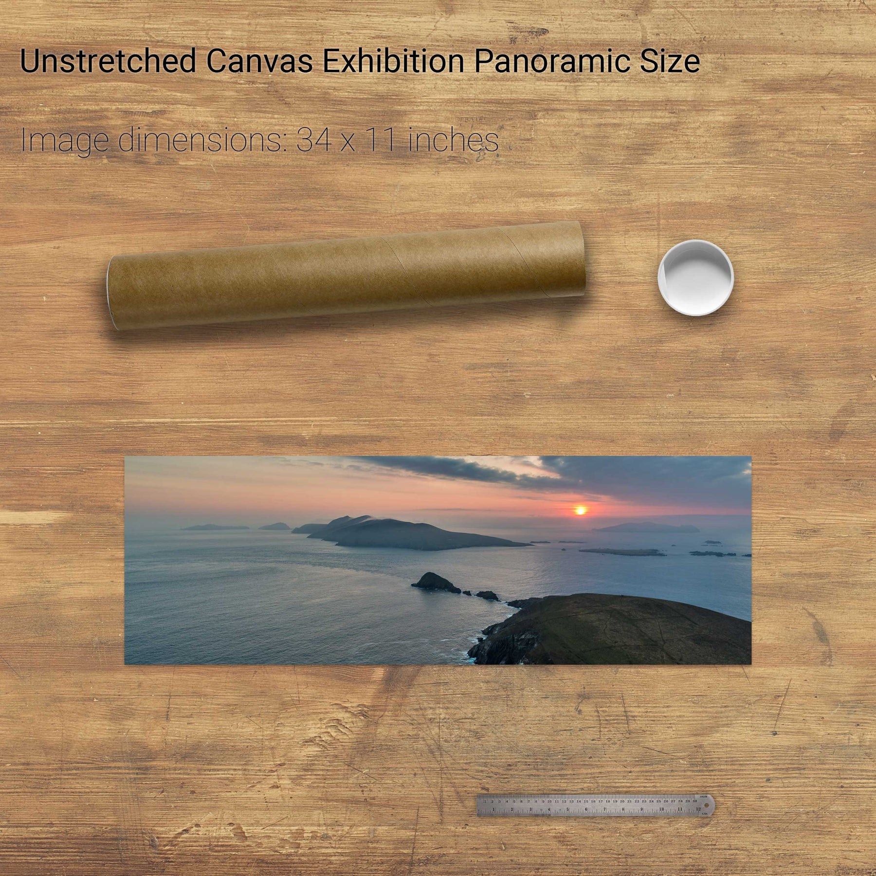
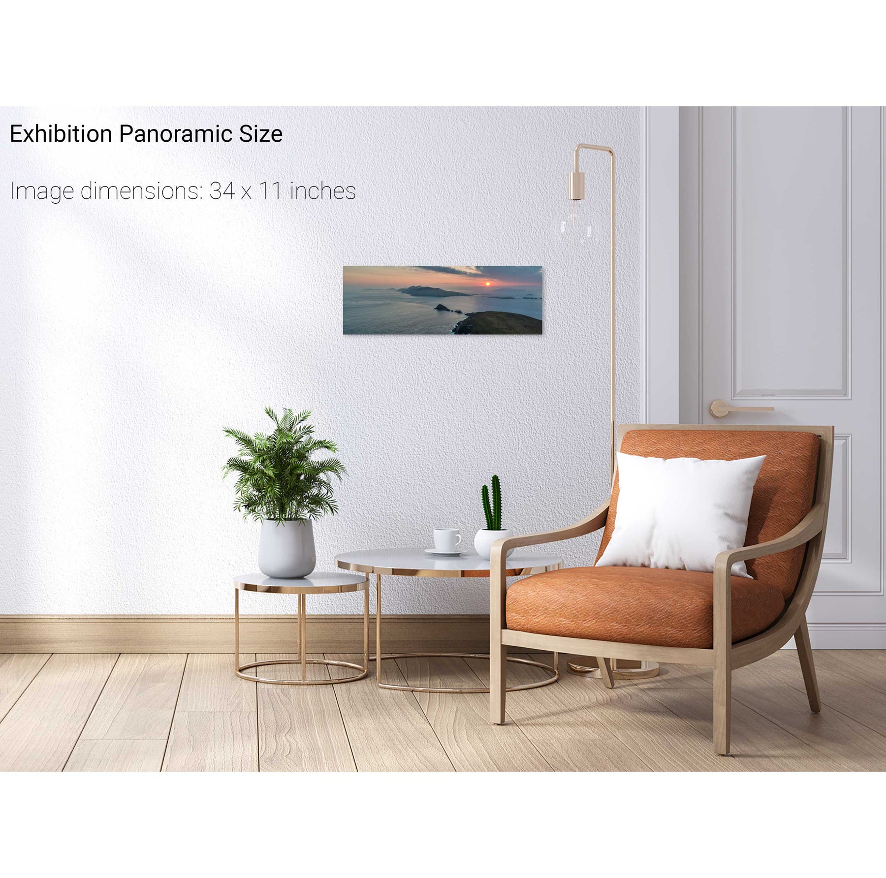
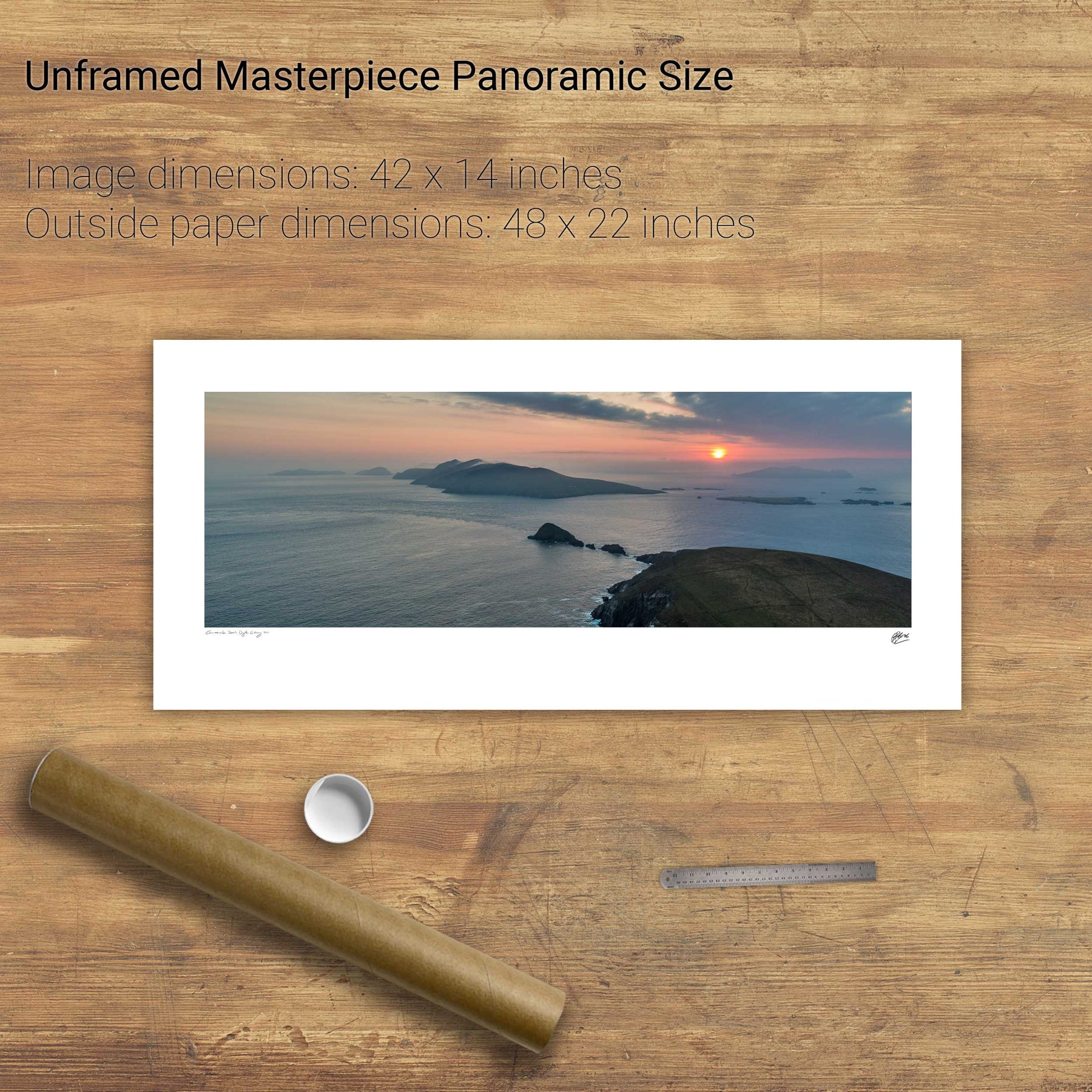
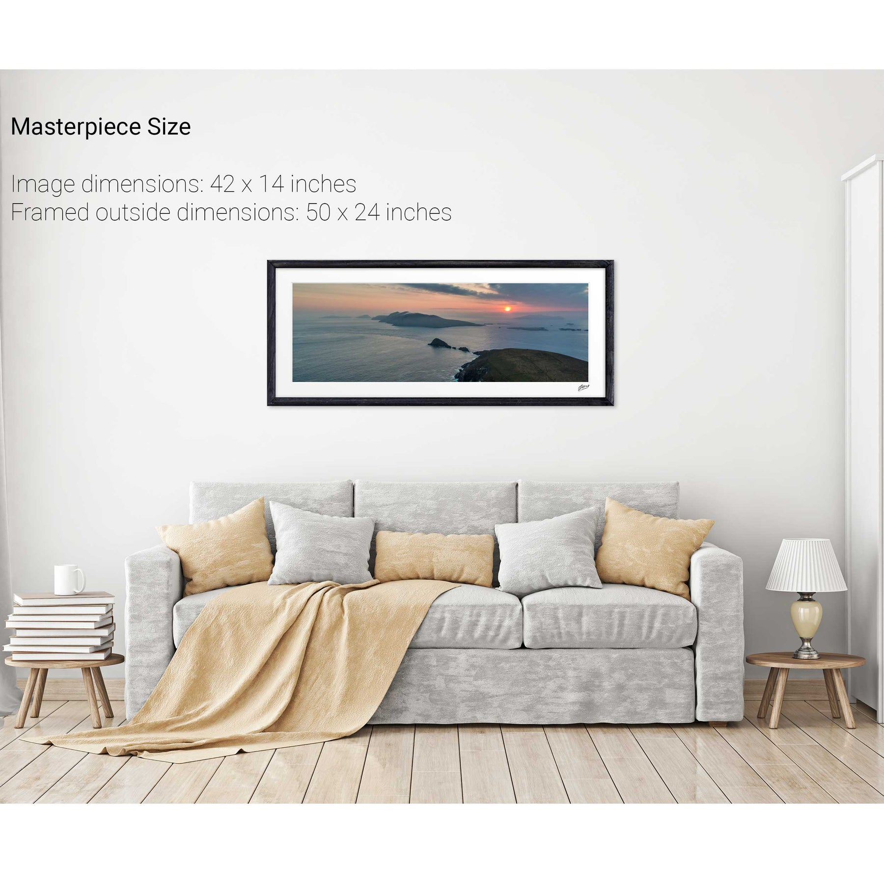
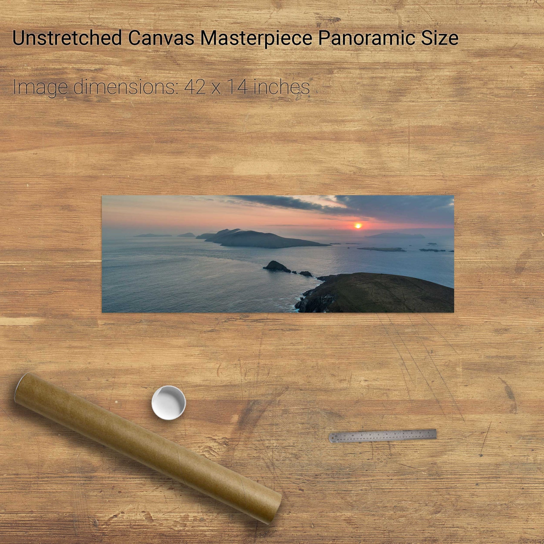
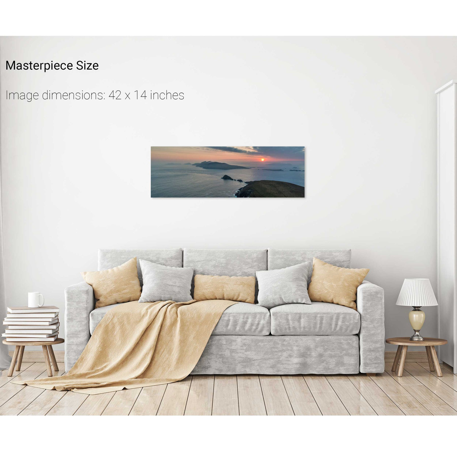
Dunmore Head at Sunset, Dingle, Co. Kerry
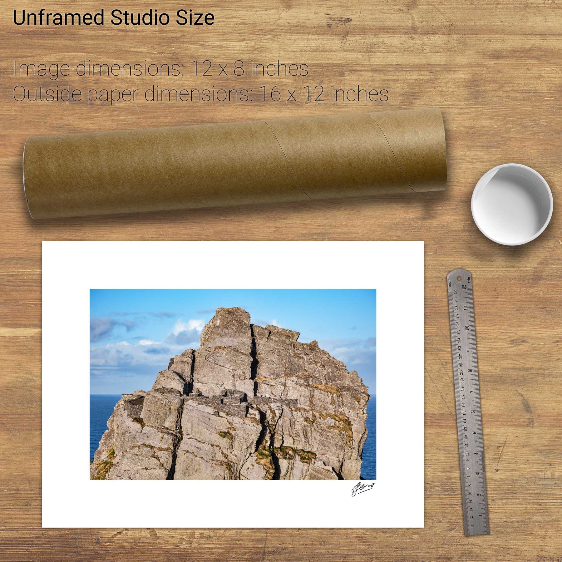
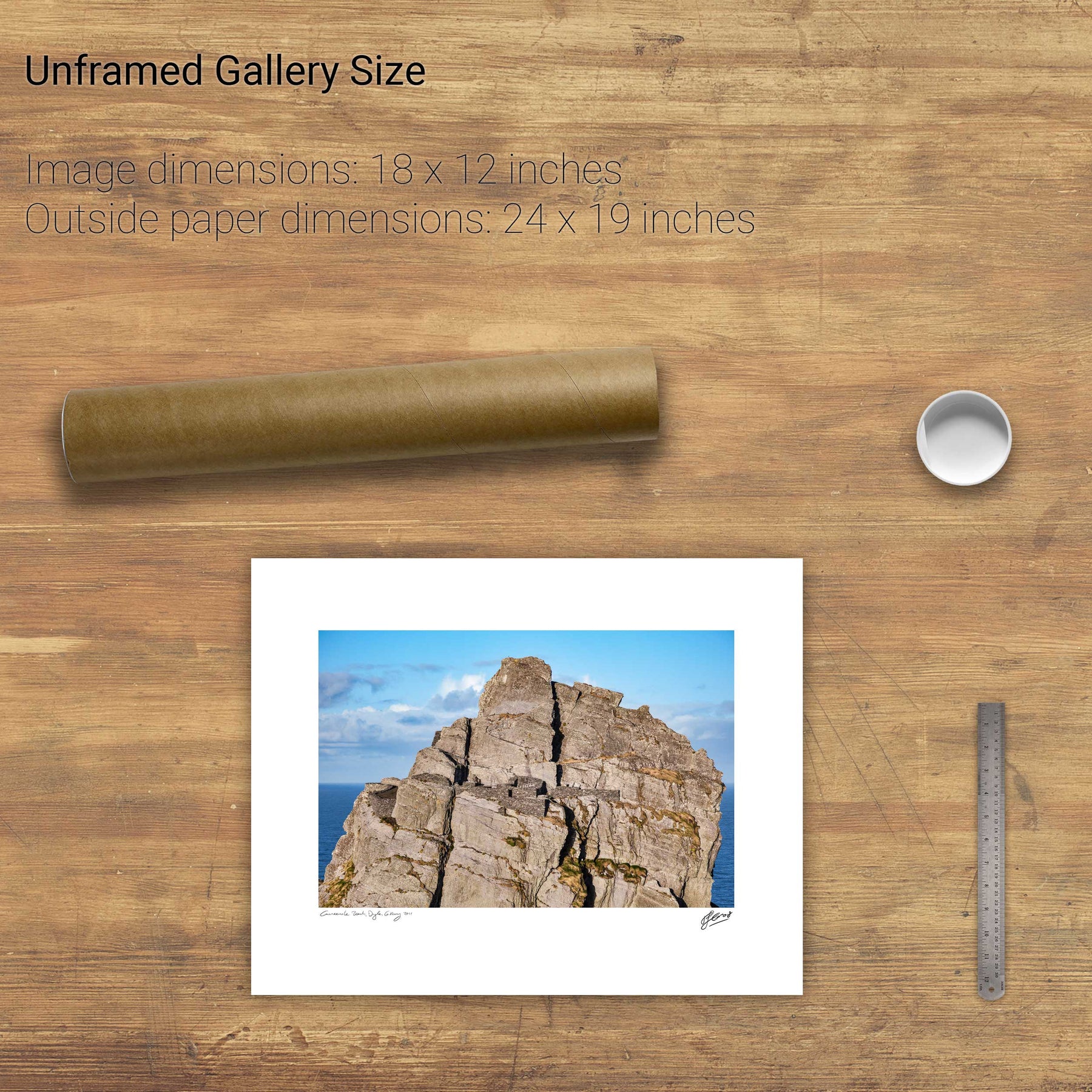
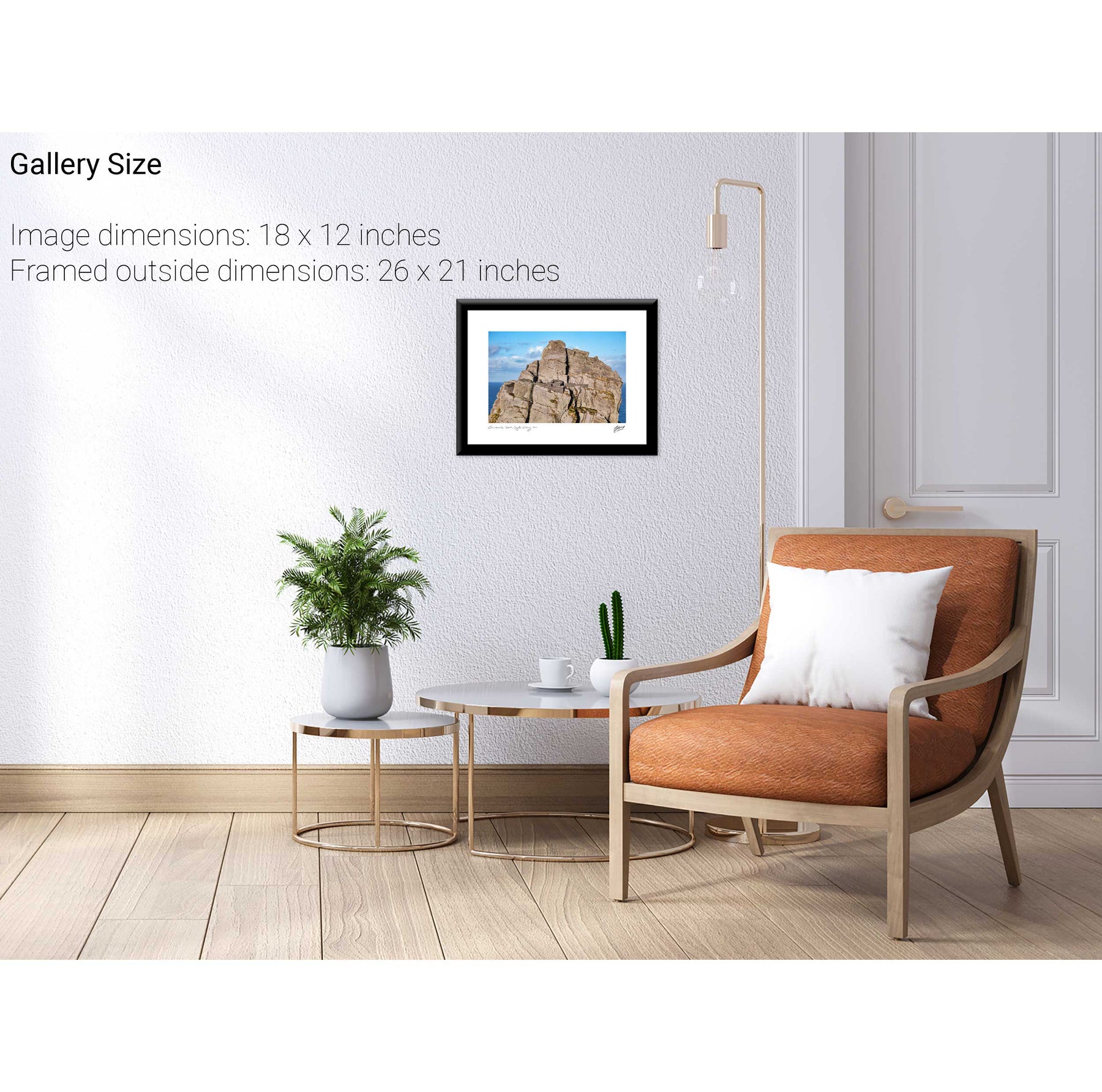
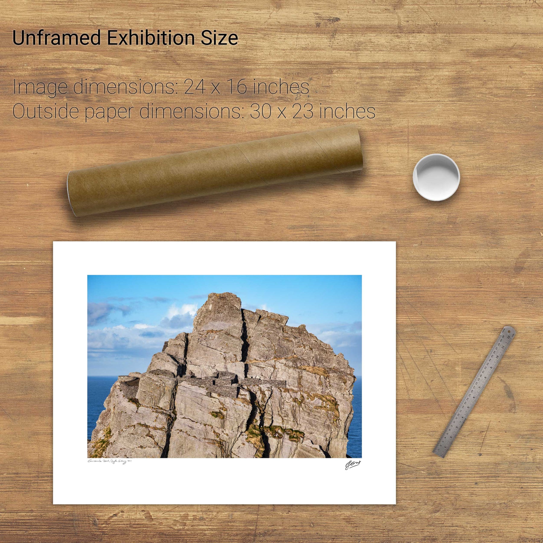
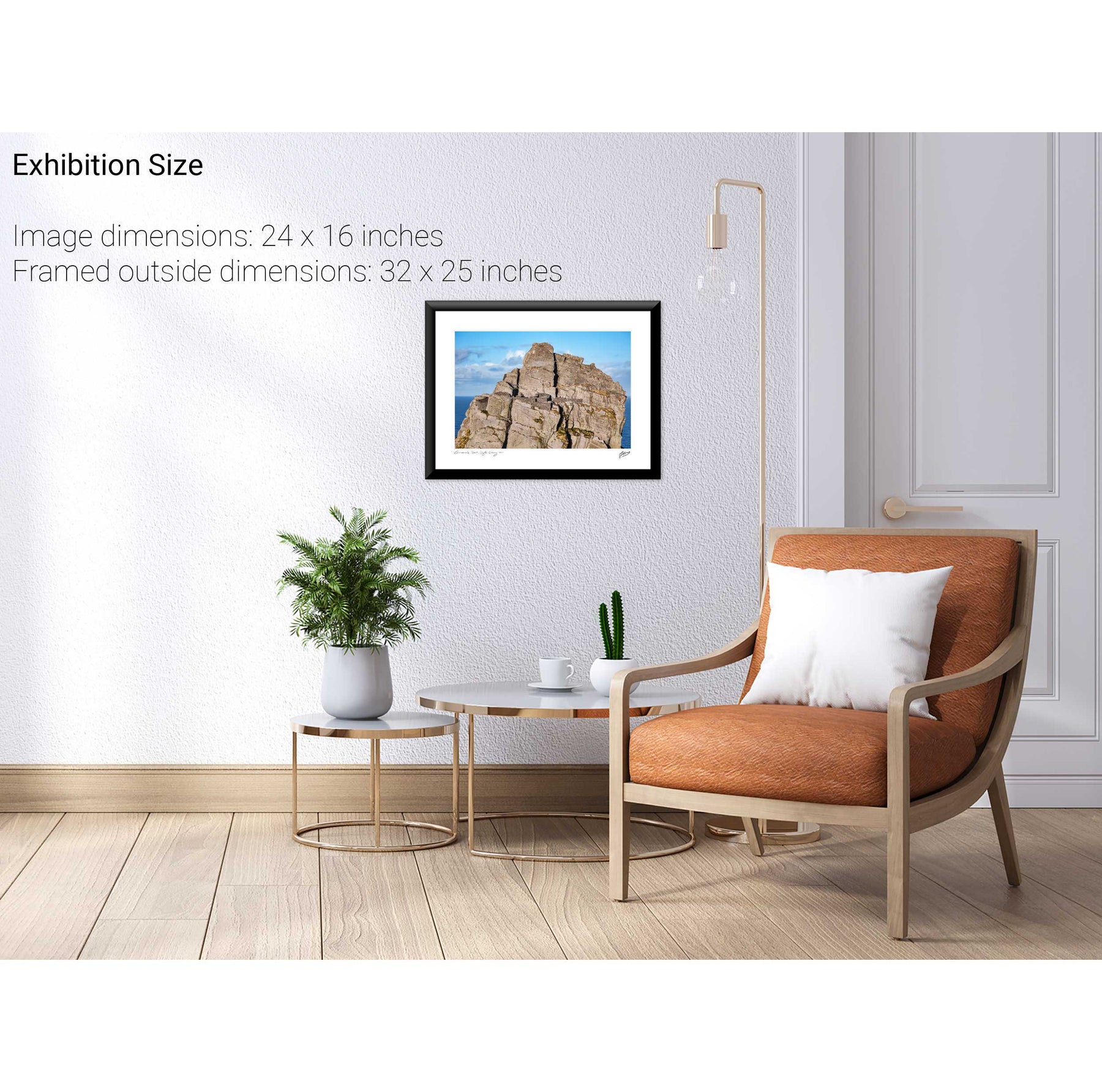
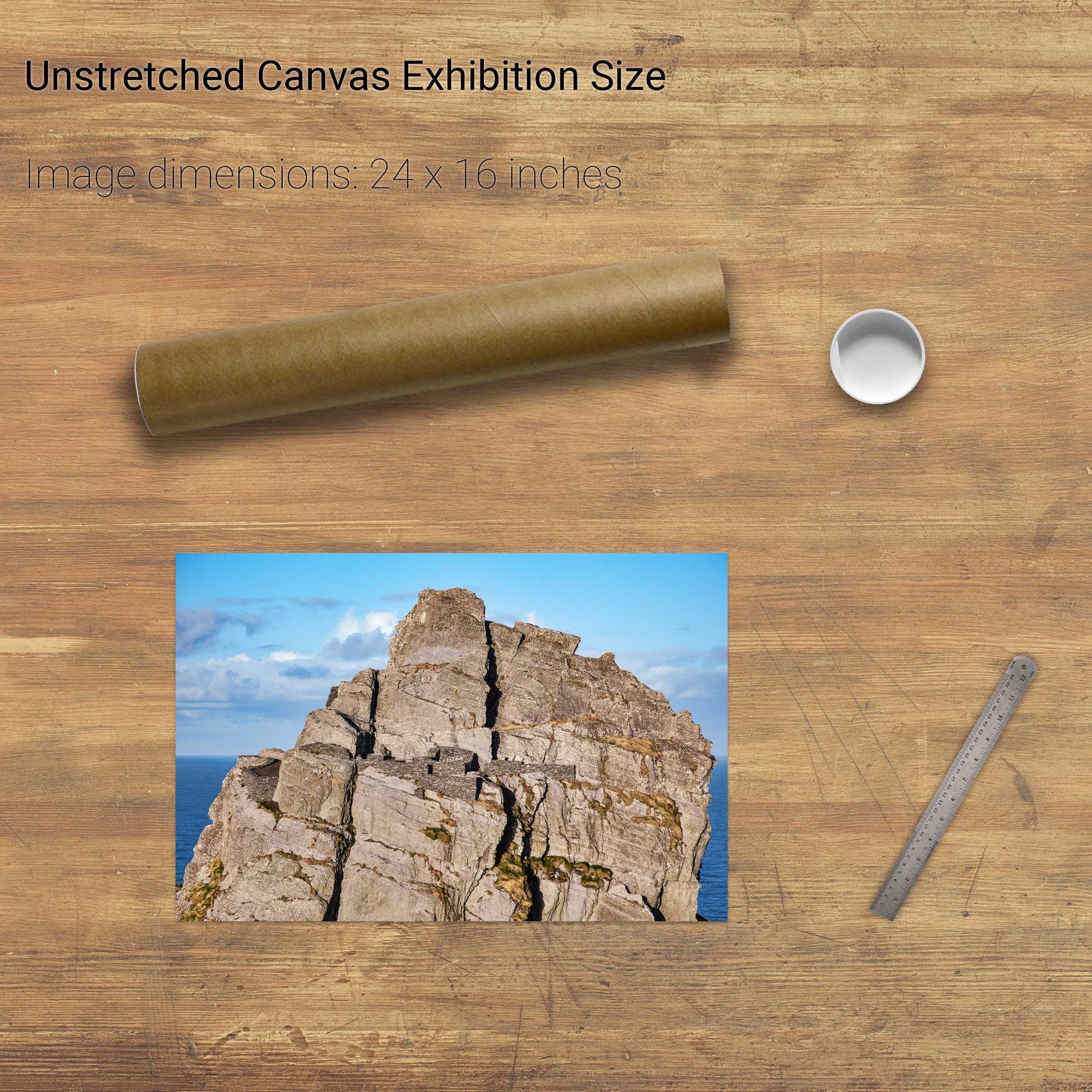
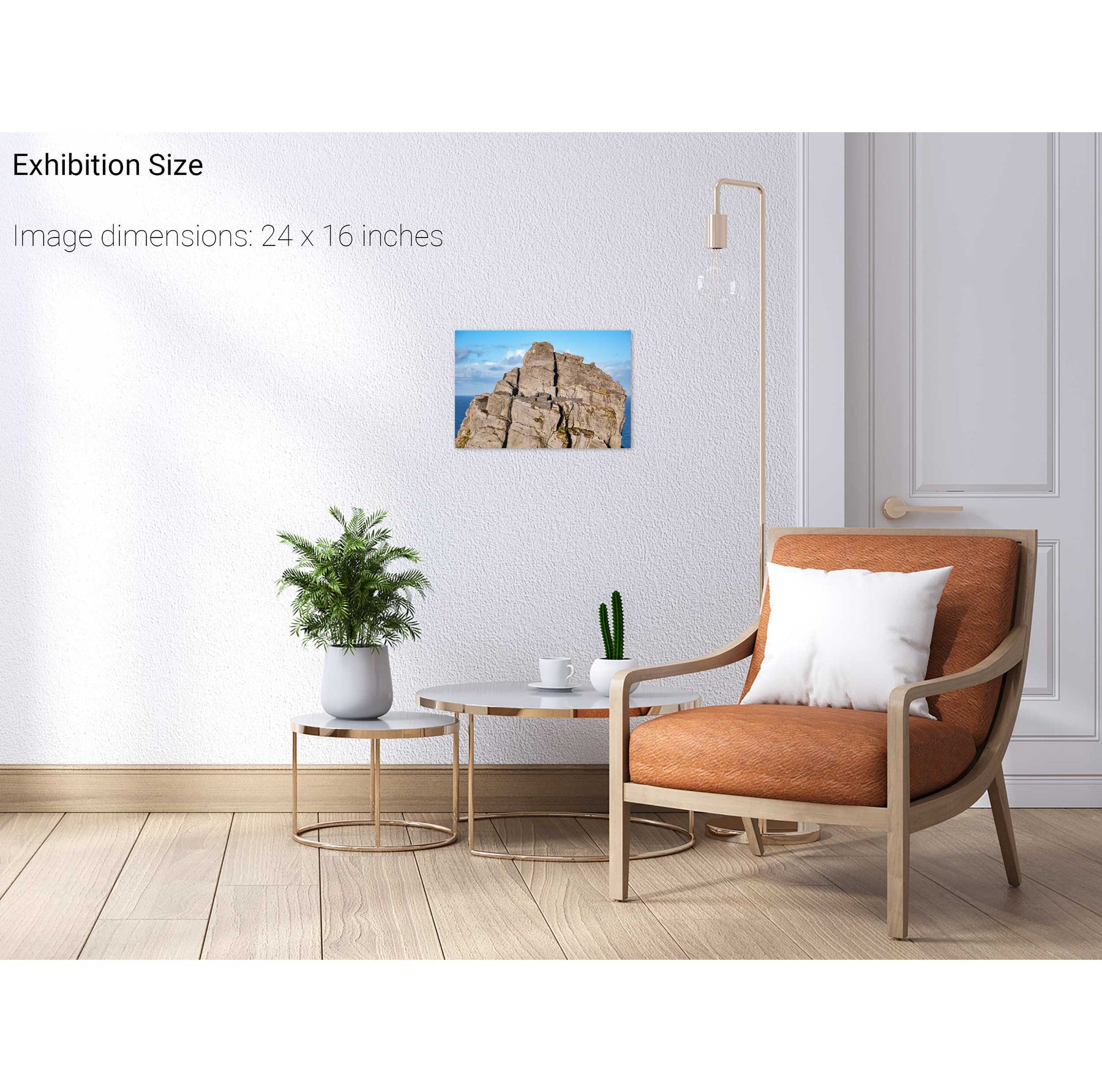
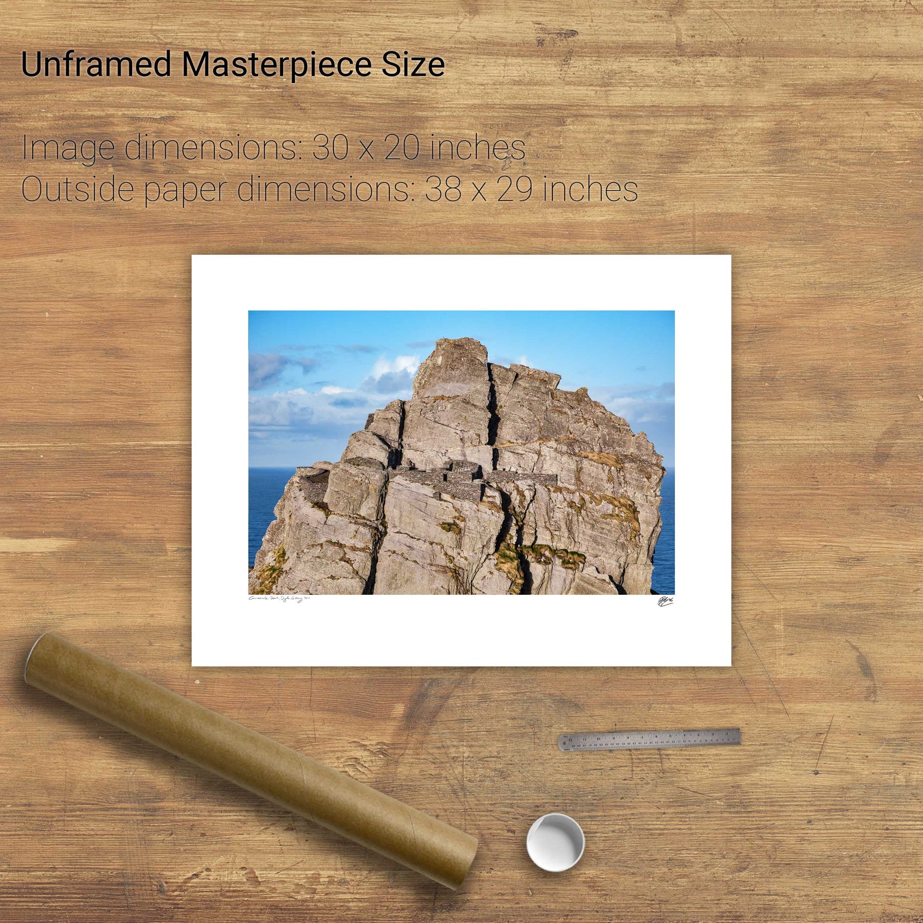
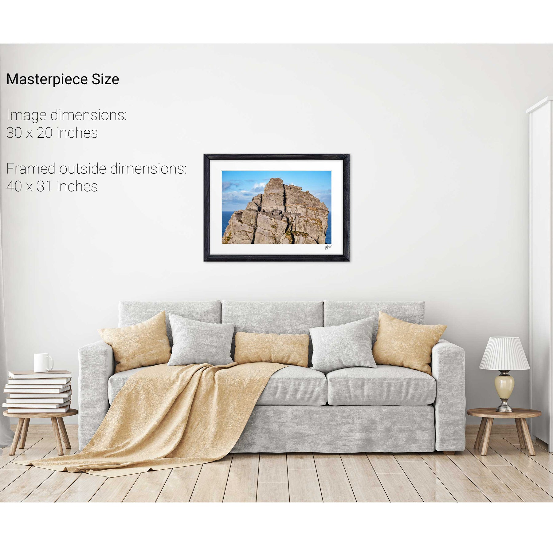
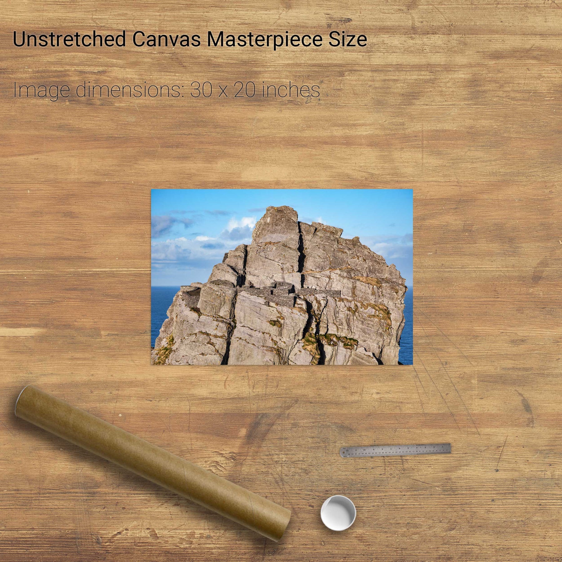
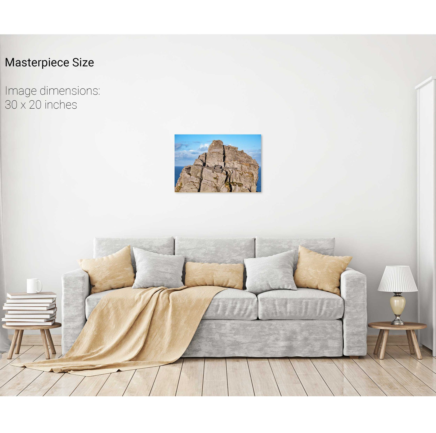
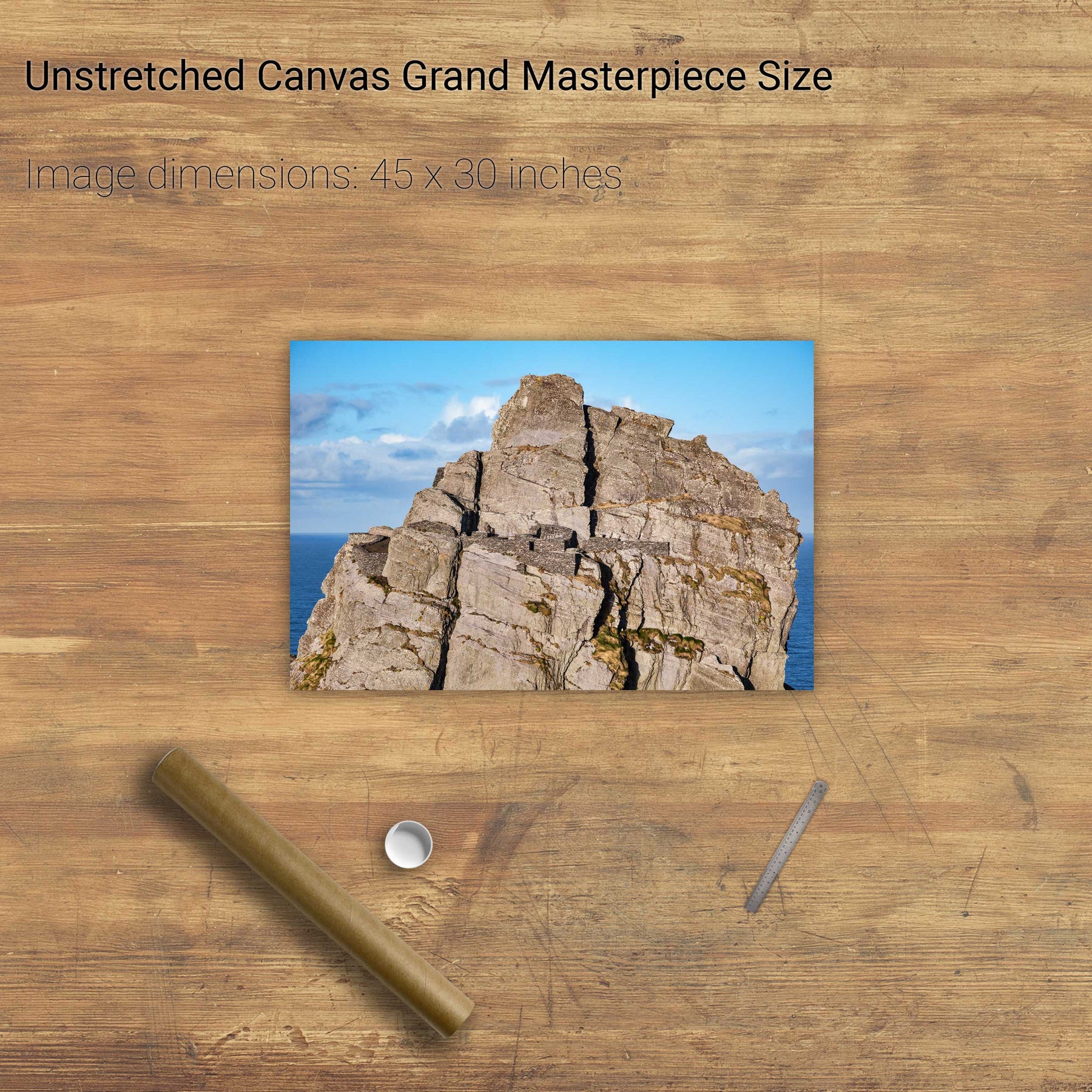
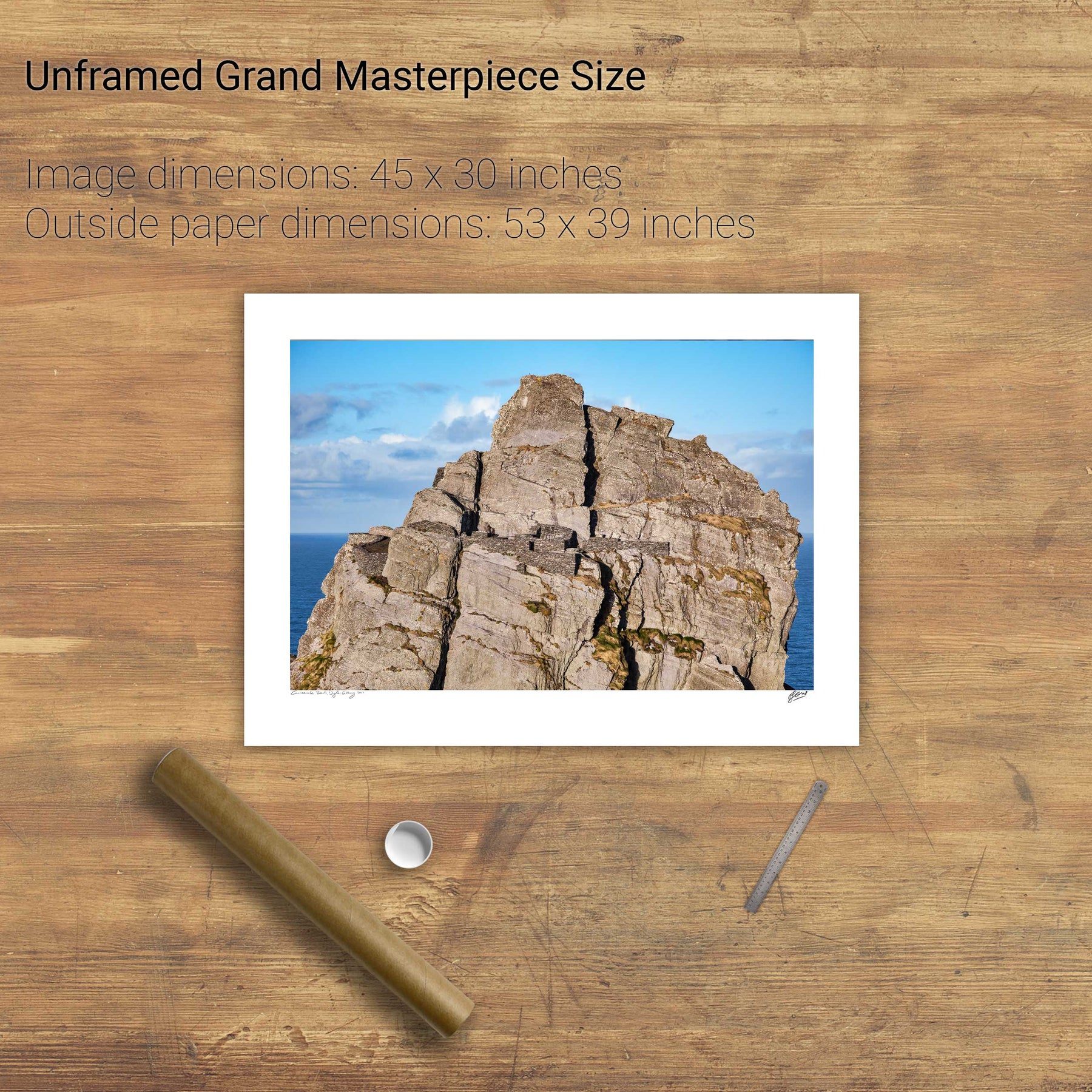
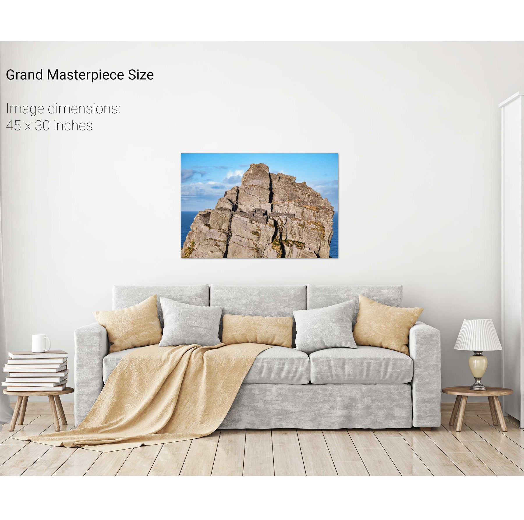
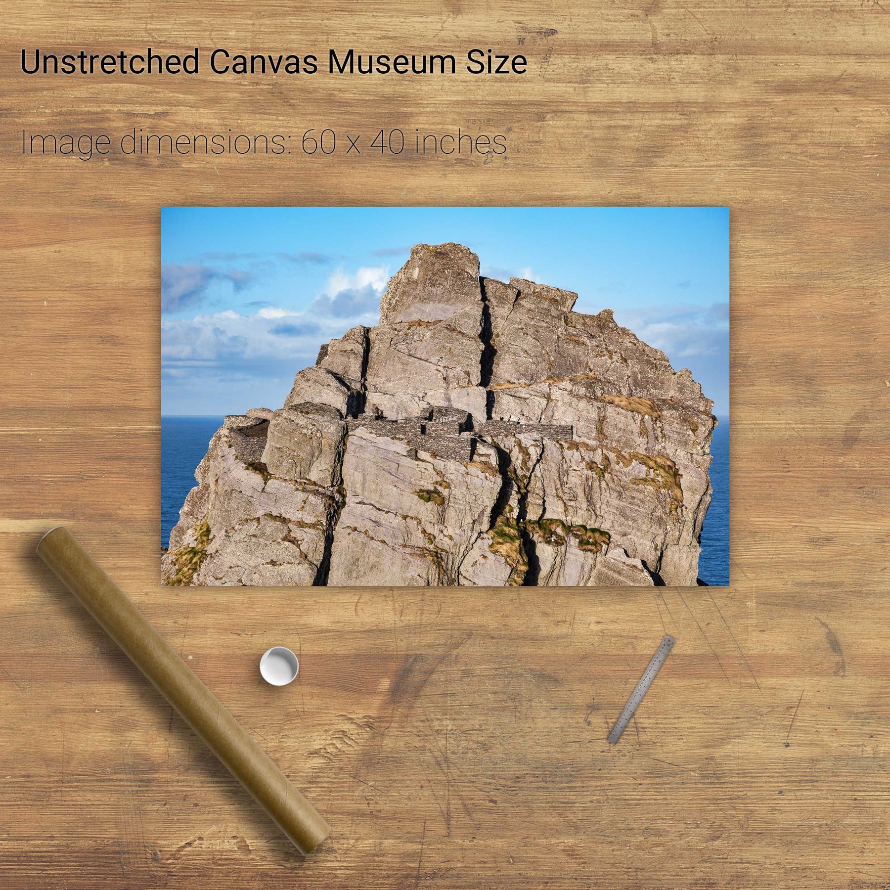
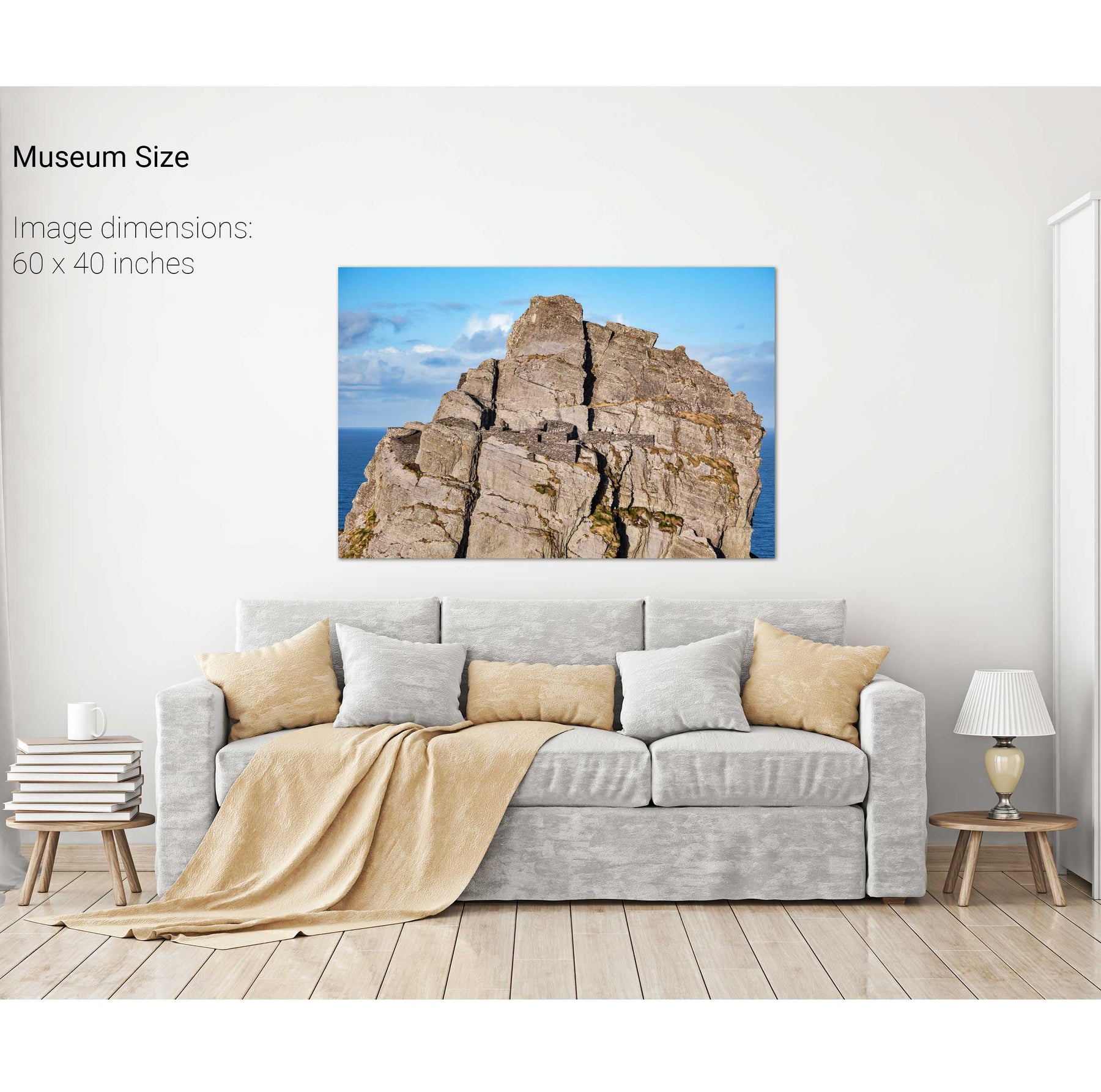
The South Peak Hermitage, Skellig Michael, Kerry
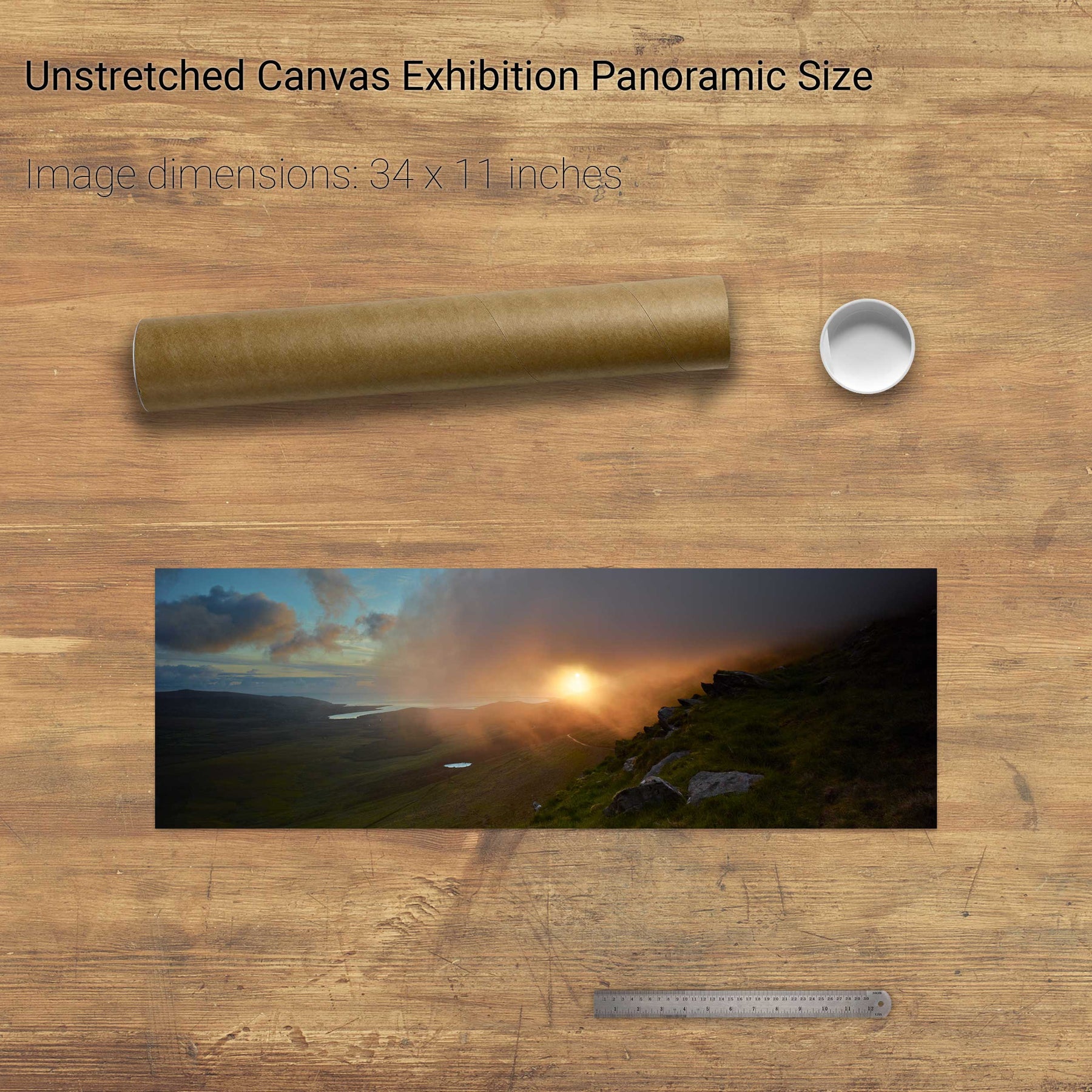
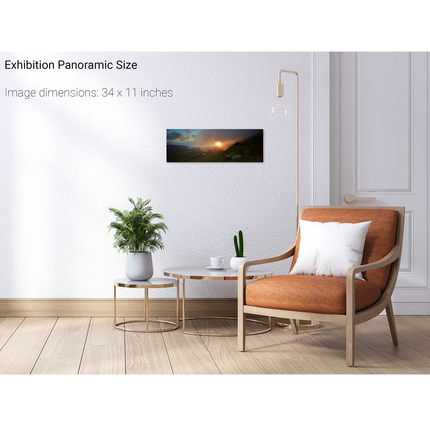
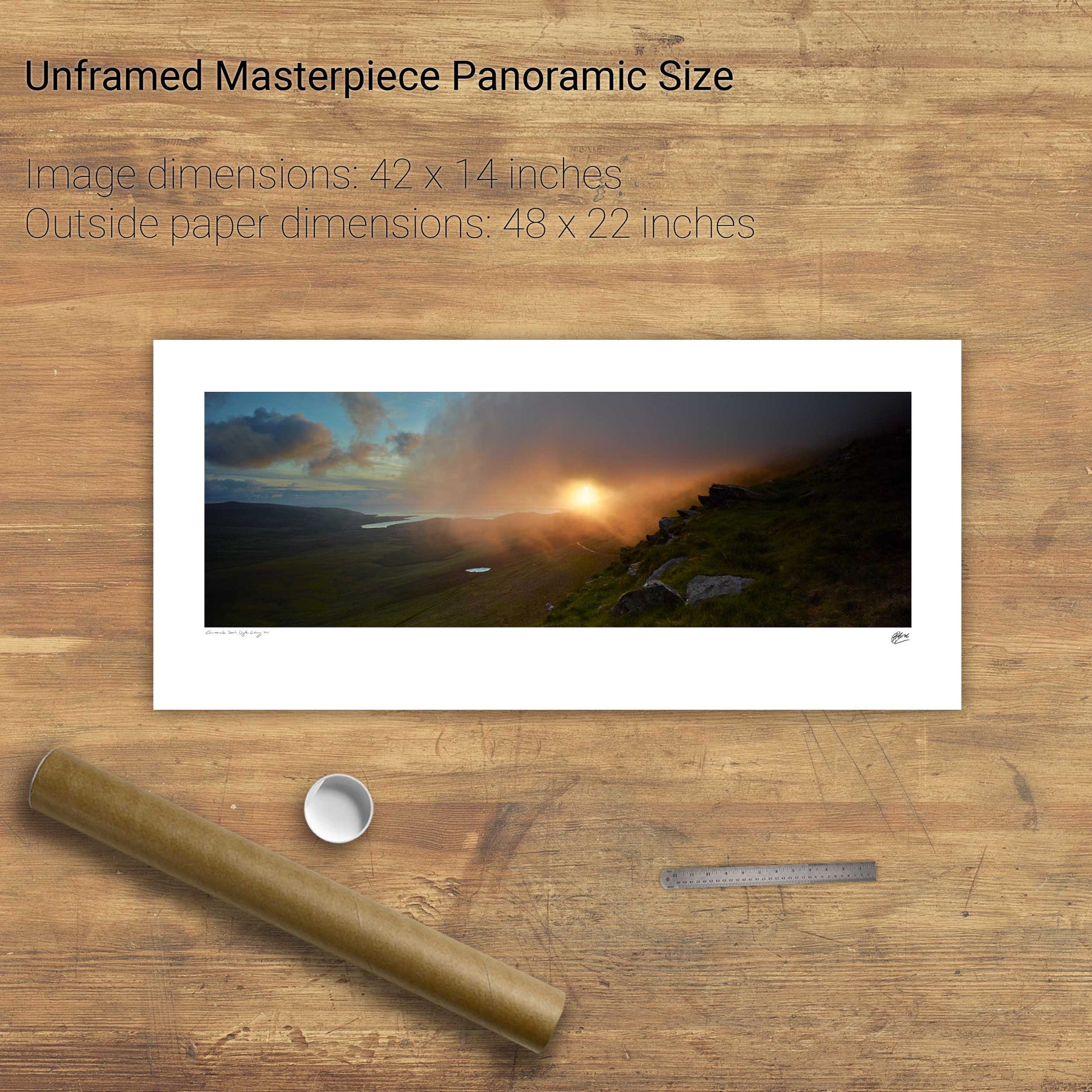
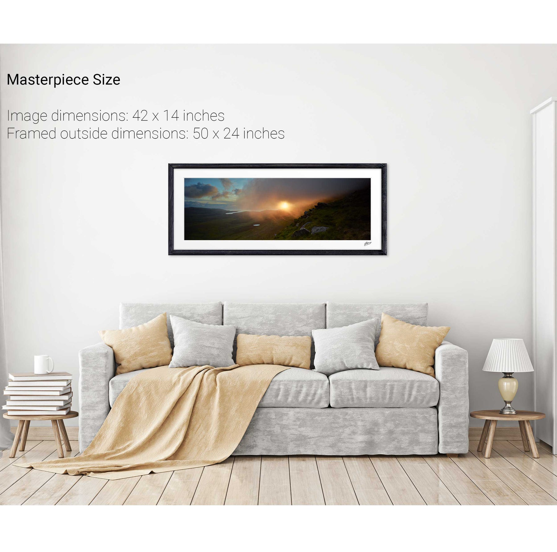
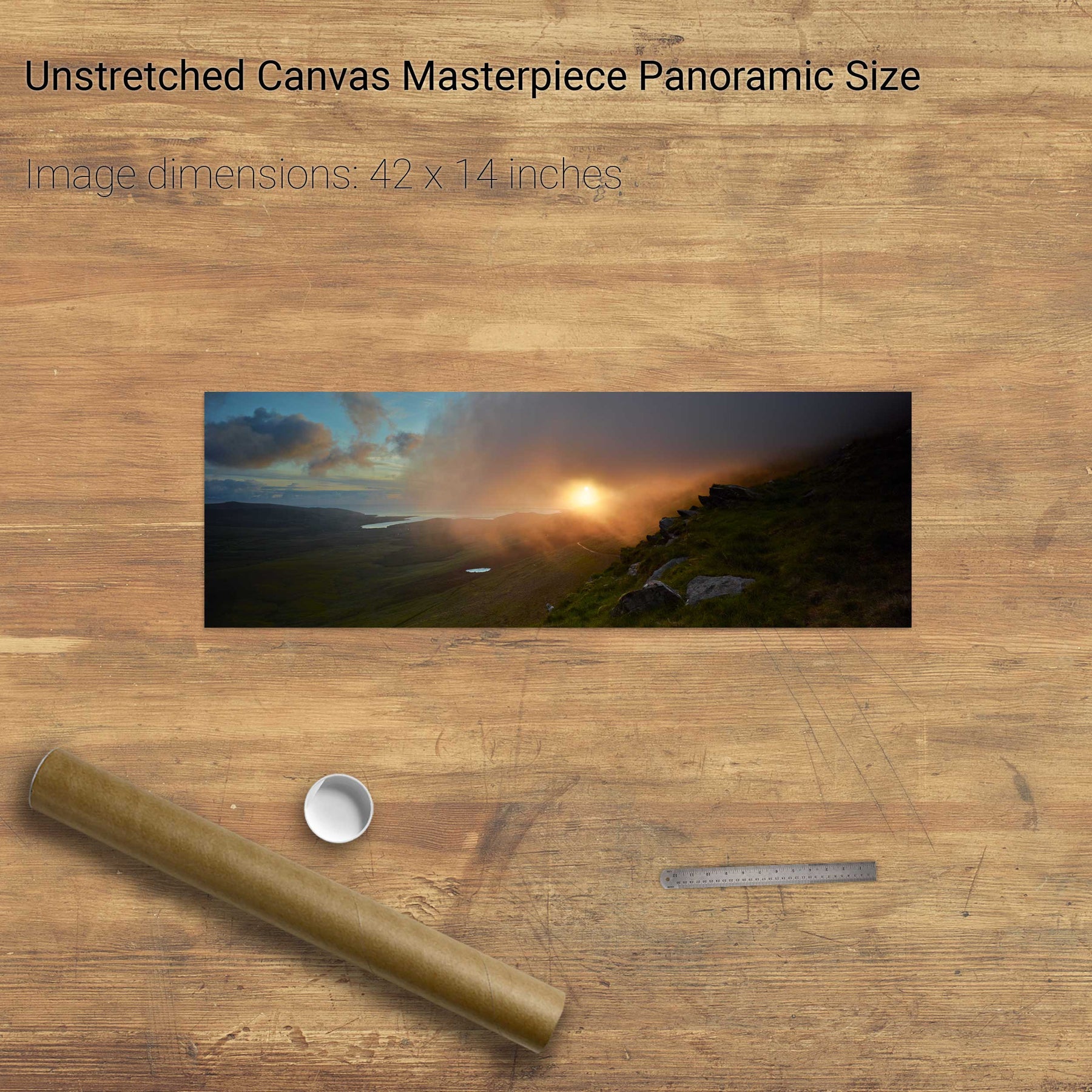
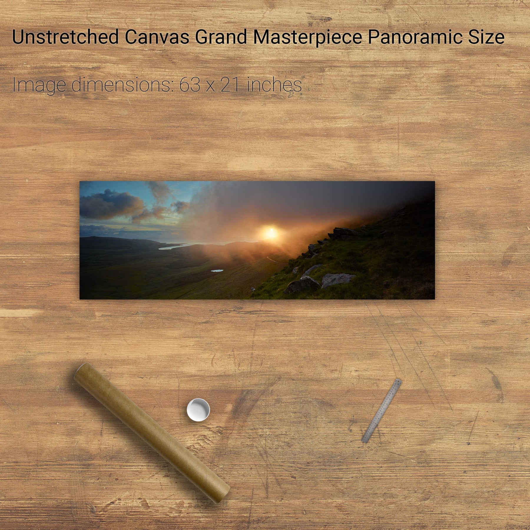
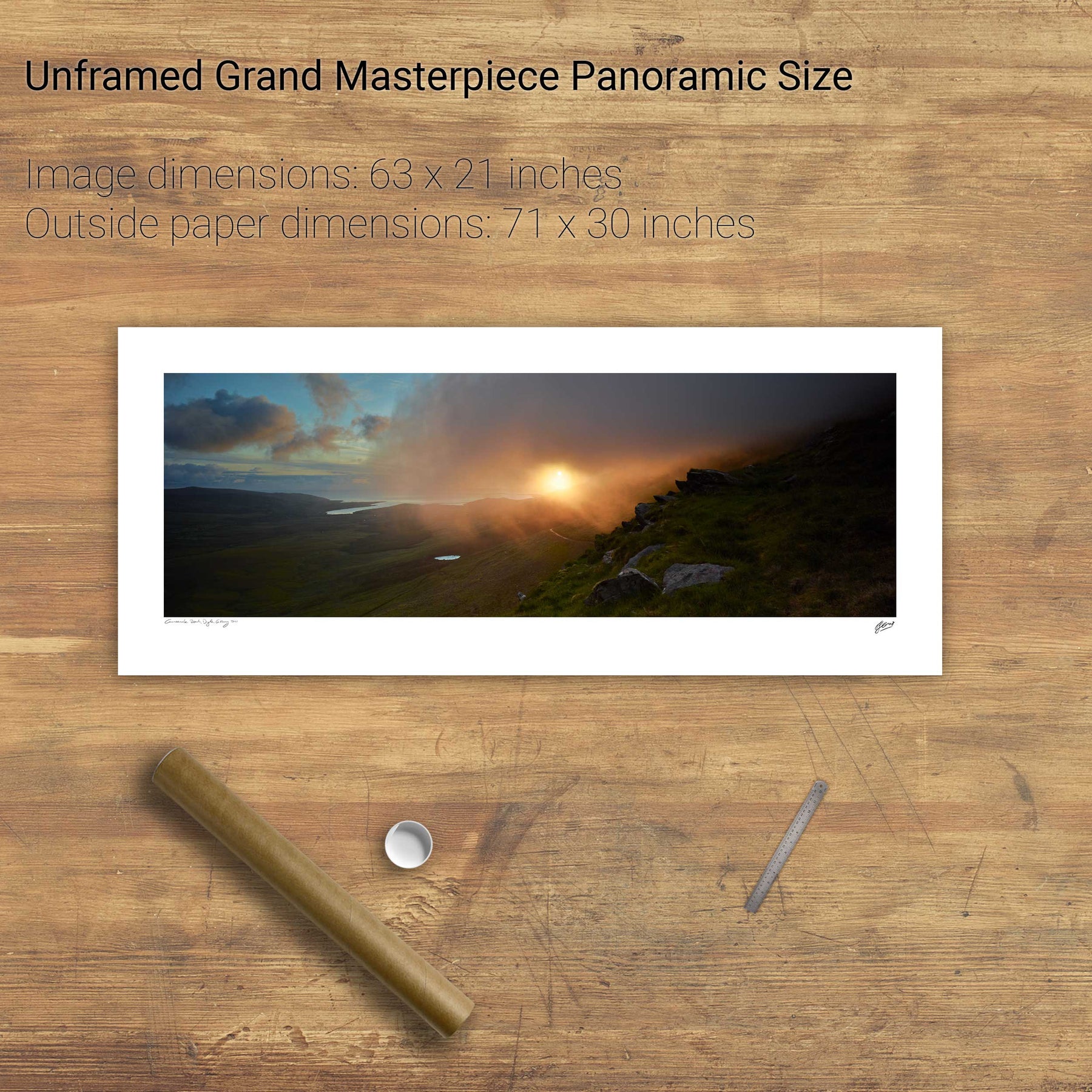
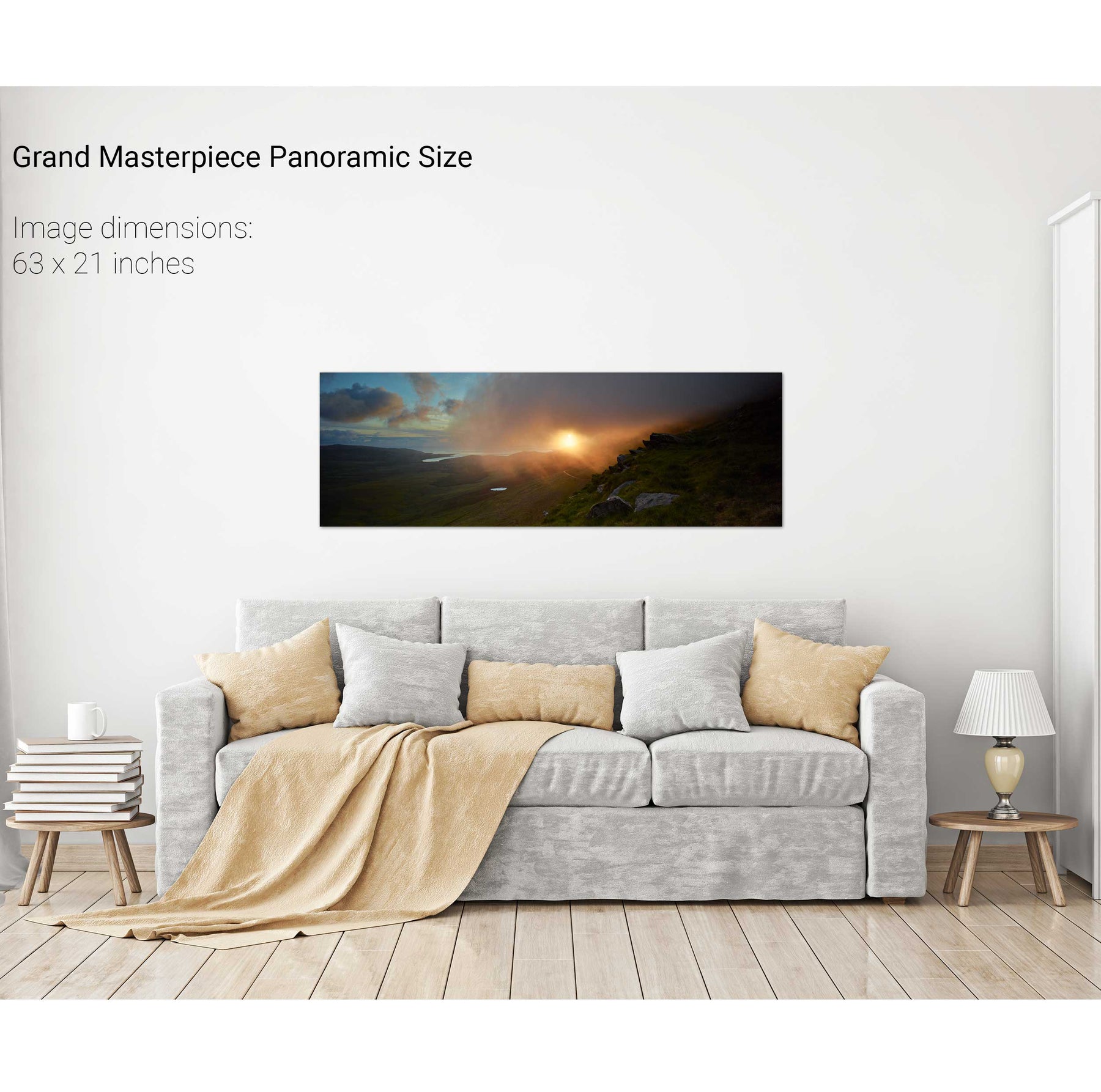
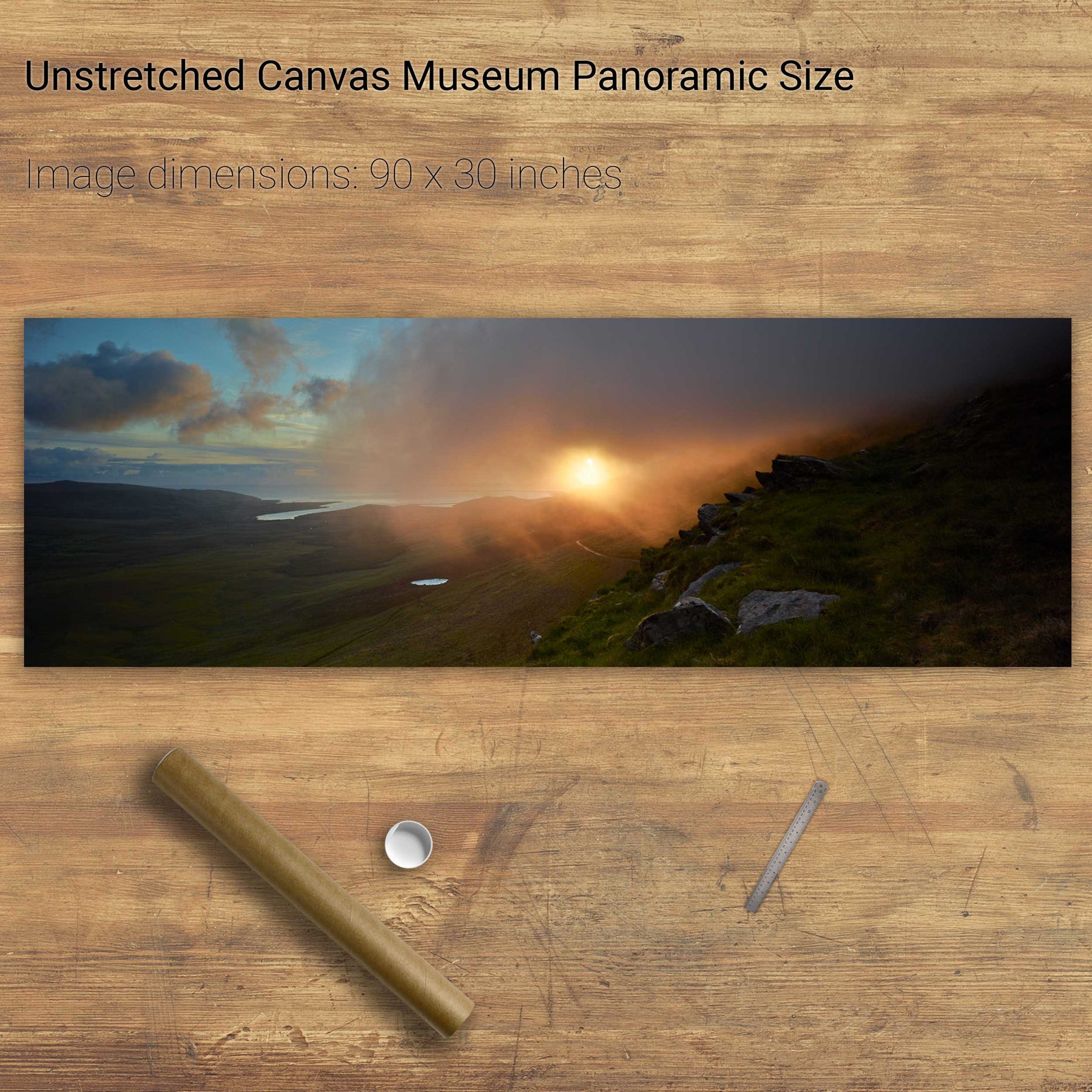
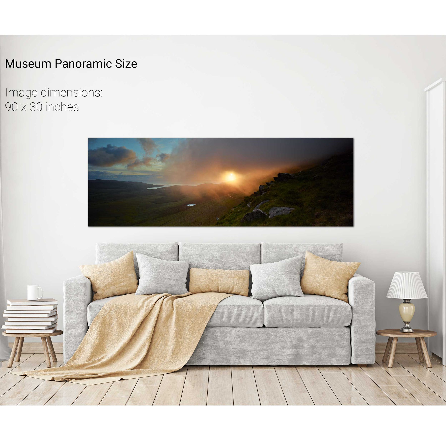
Sunrise, the Conor Pass, Dingle, Co. Kerry
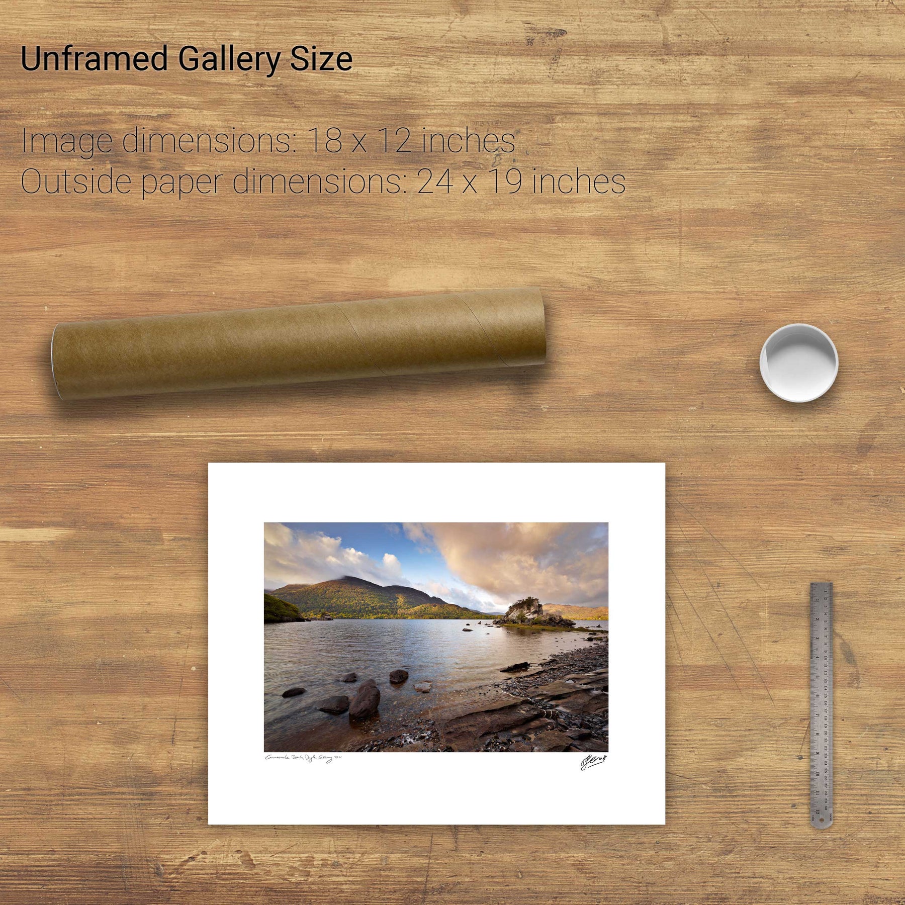
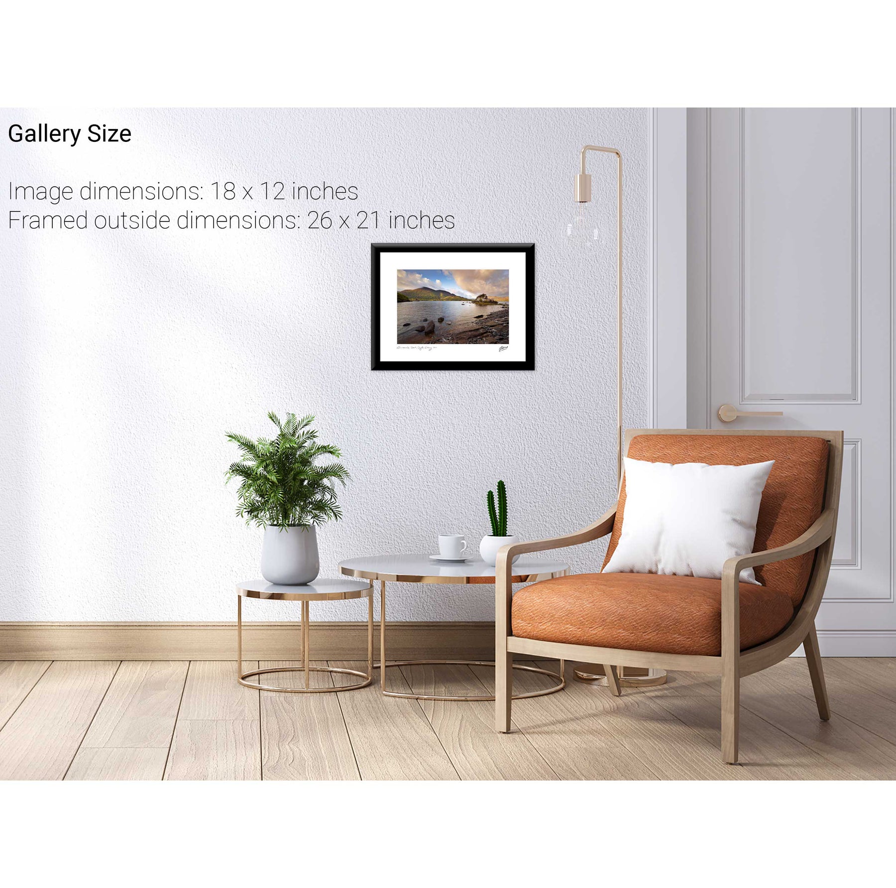
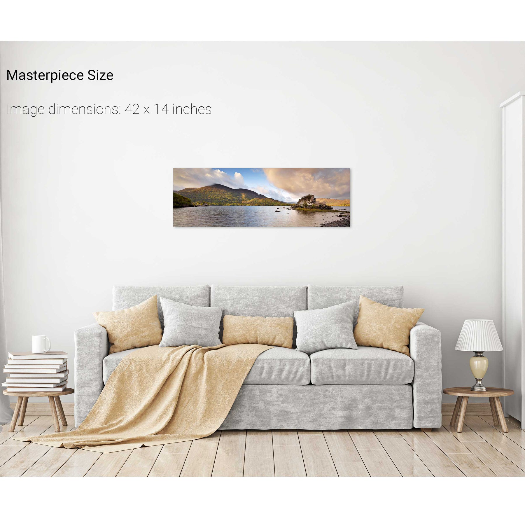
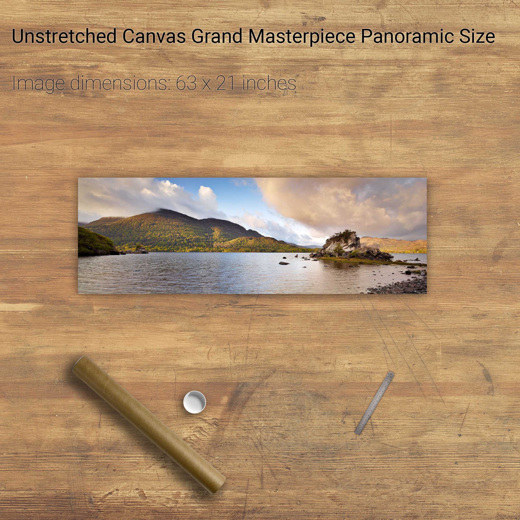
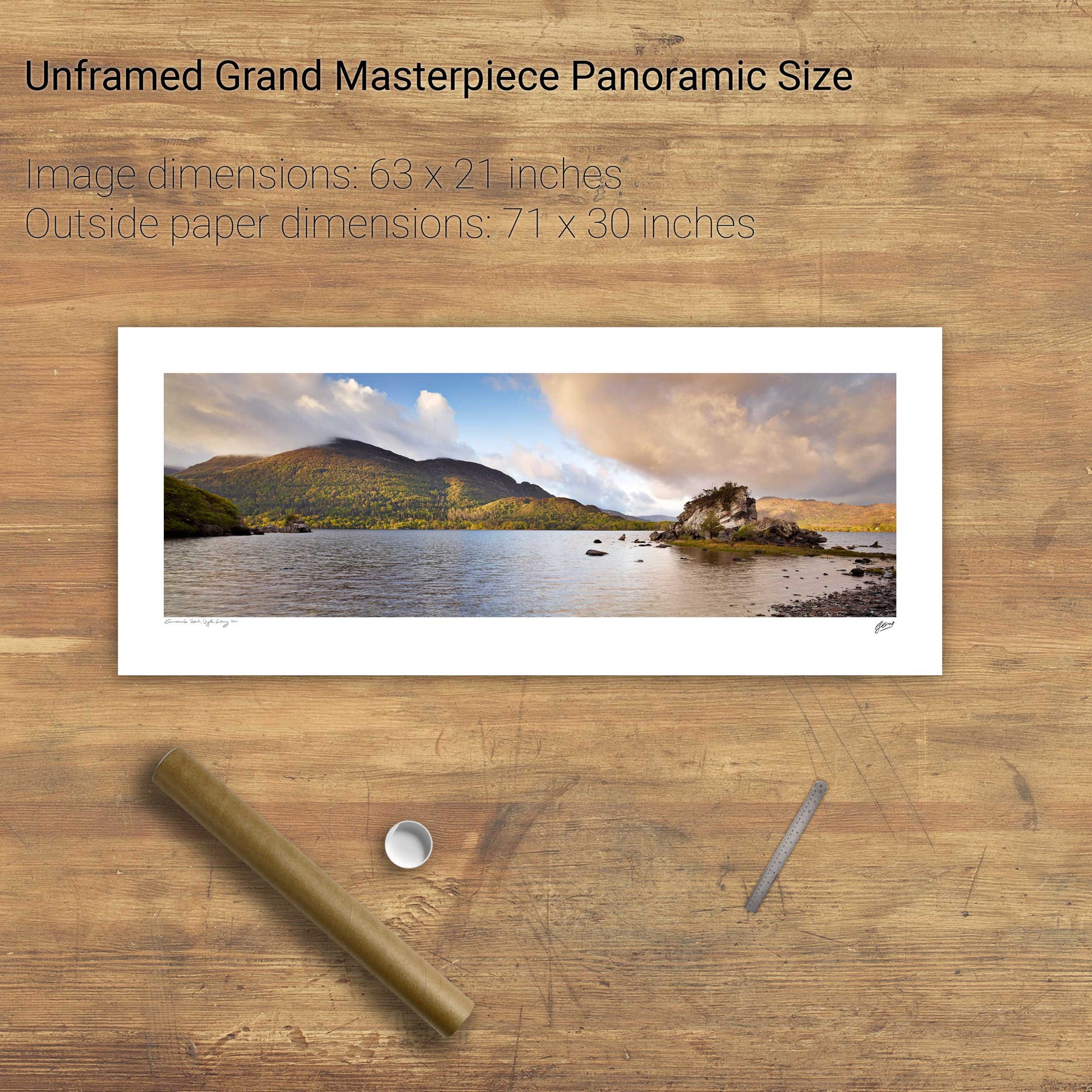
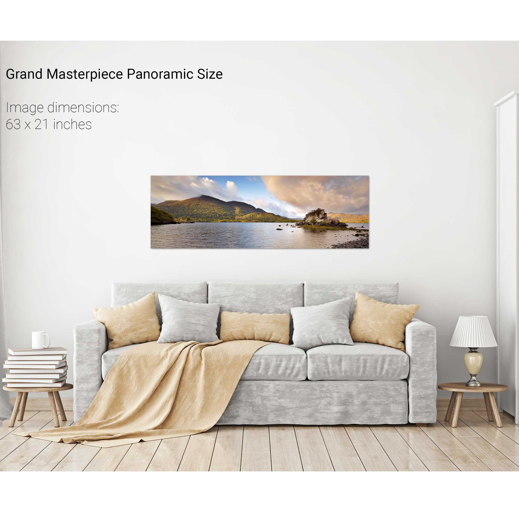
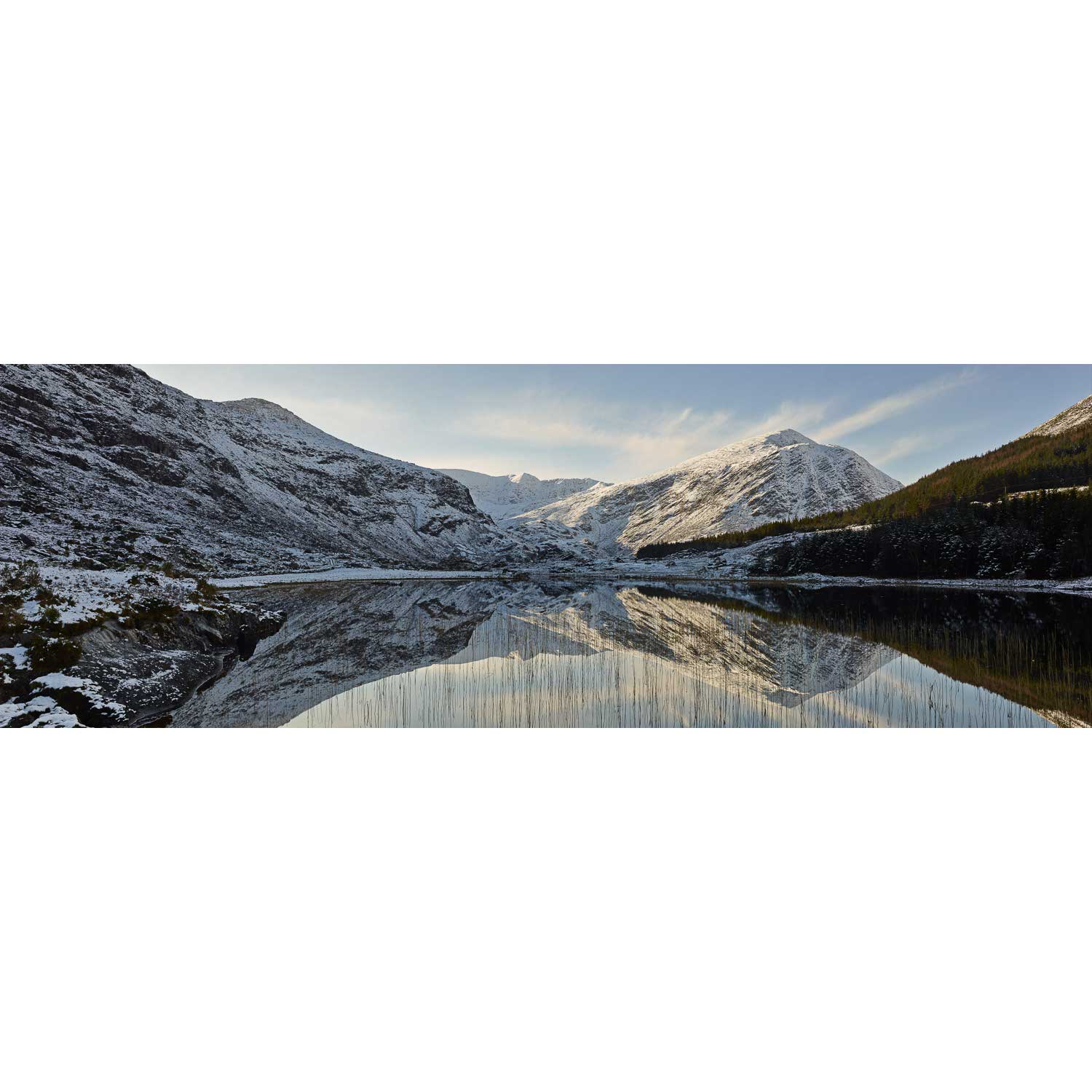
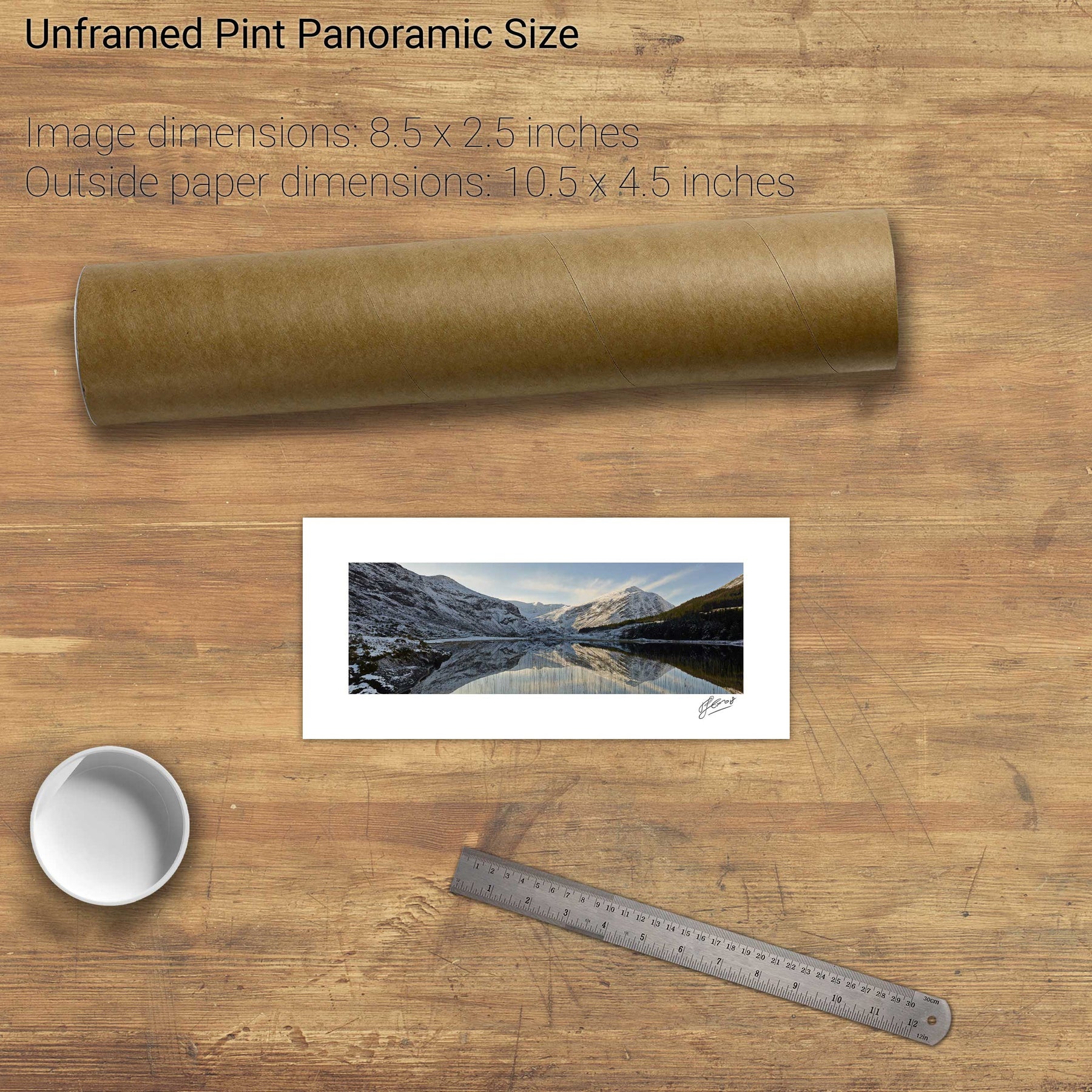
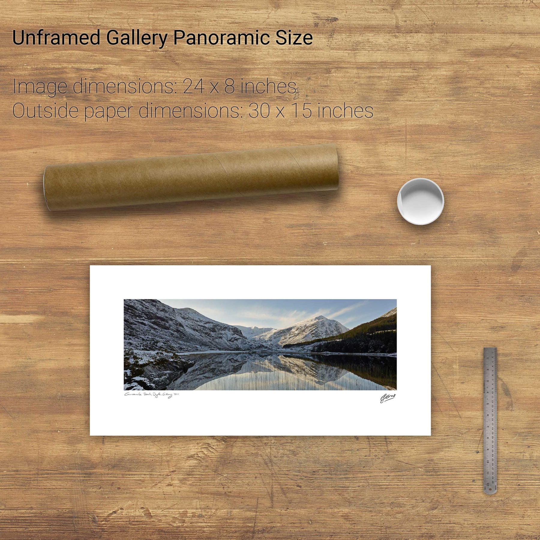
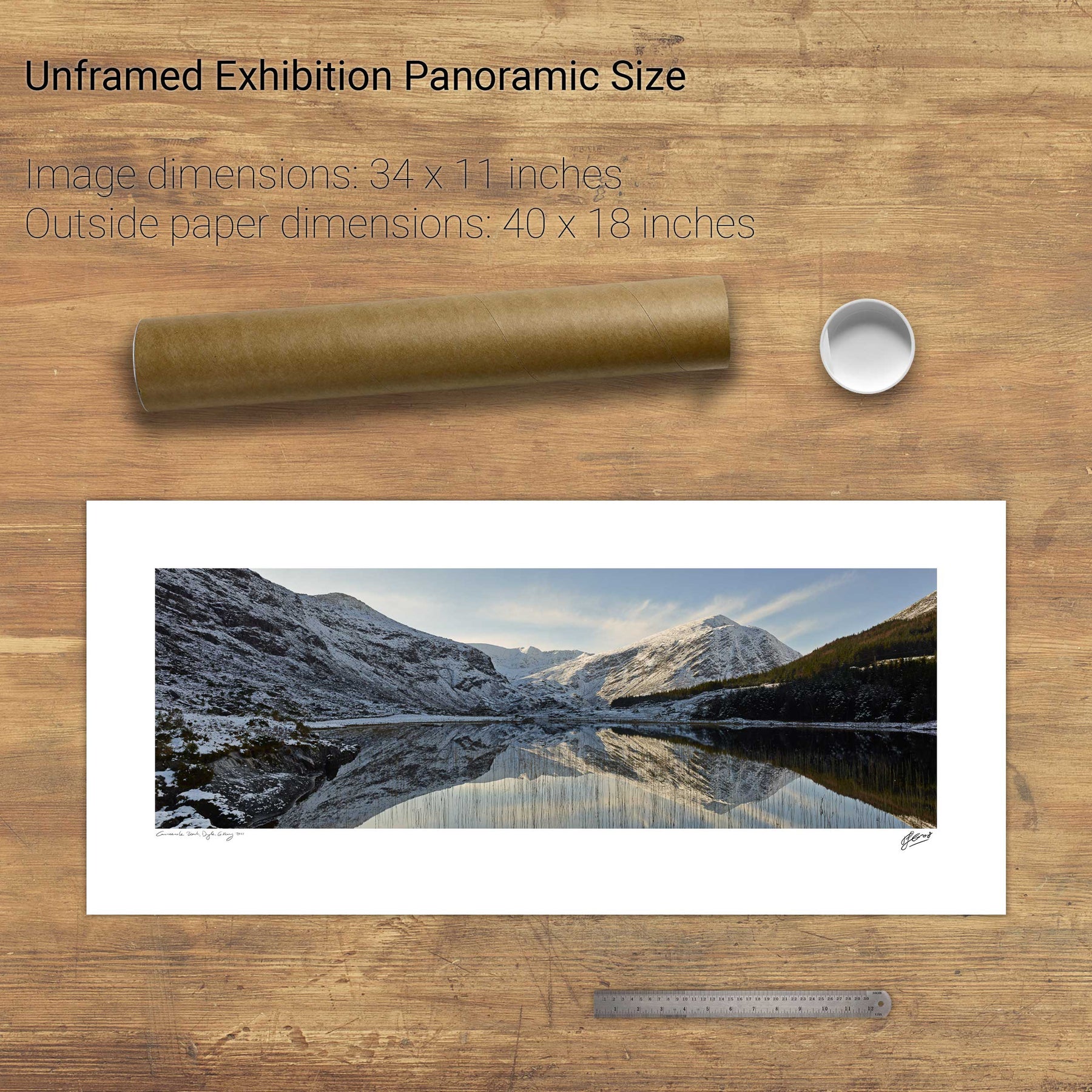
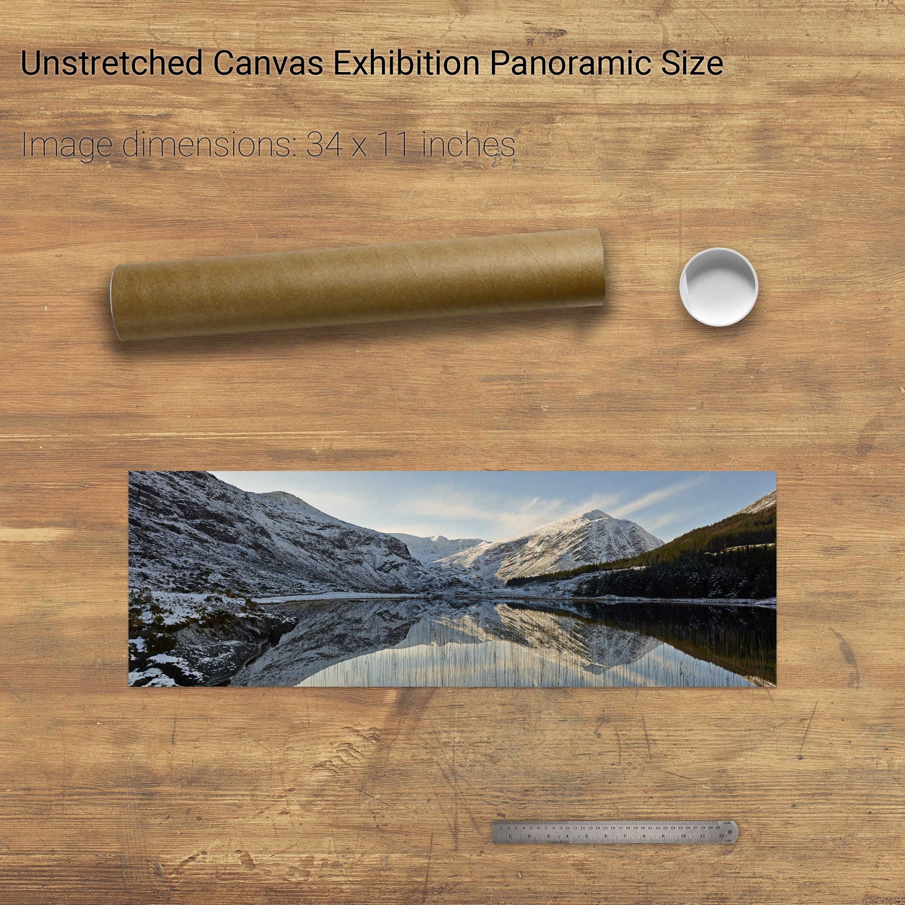
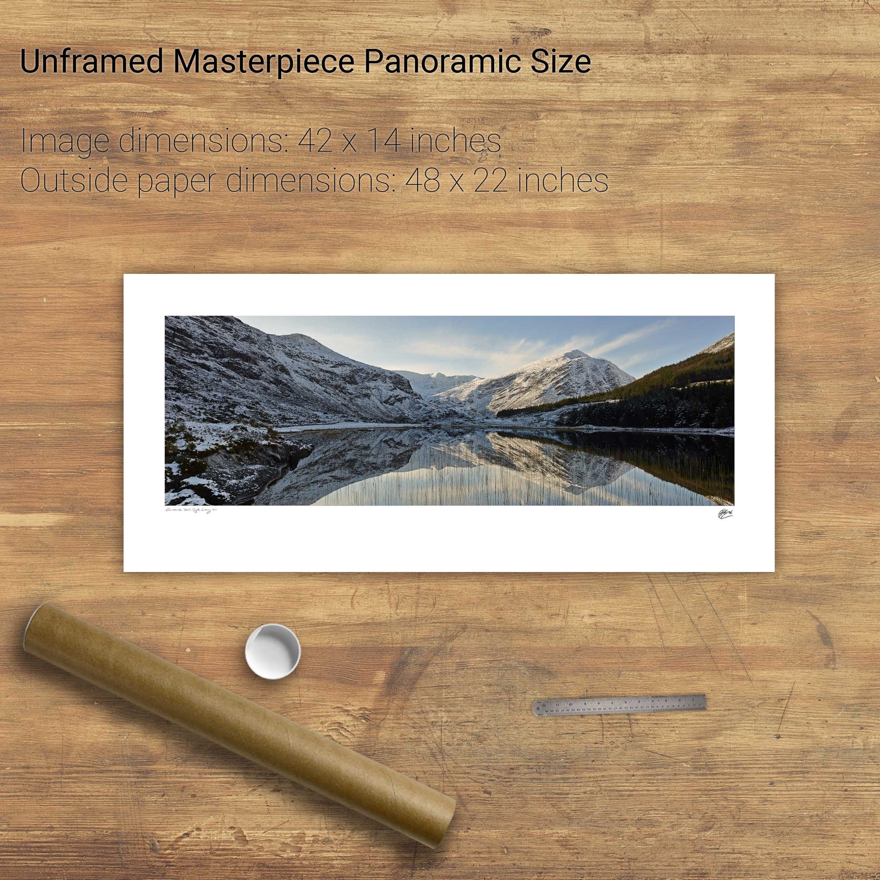
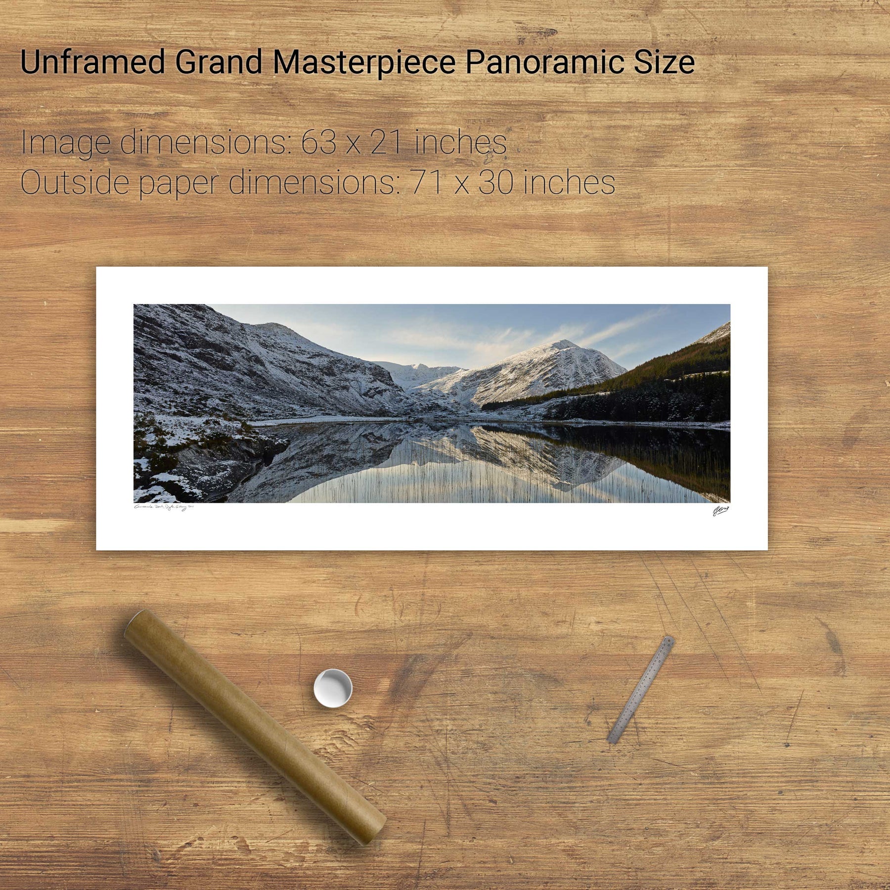
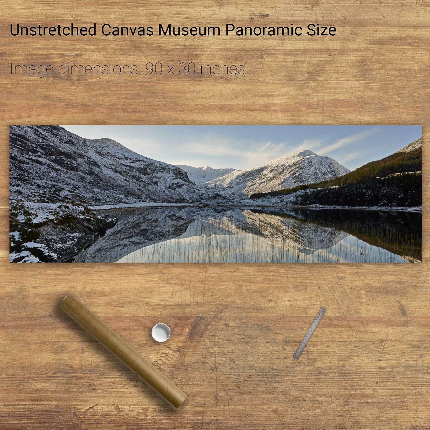
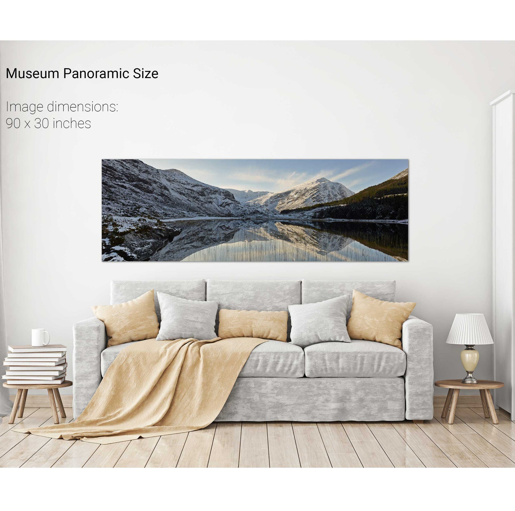
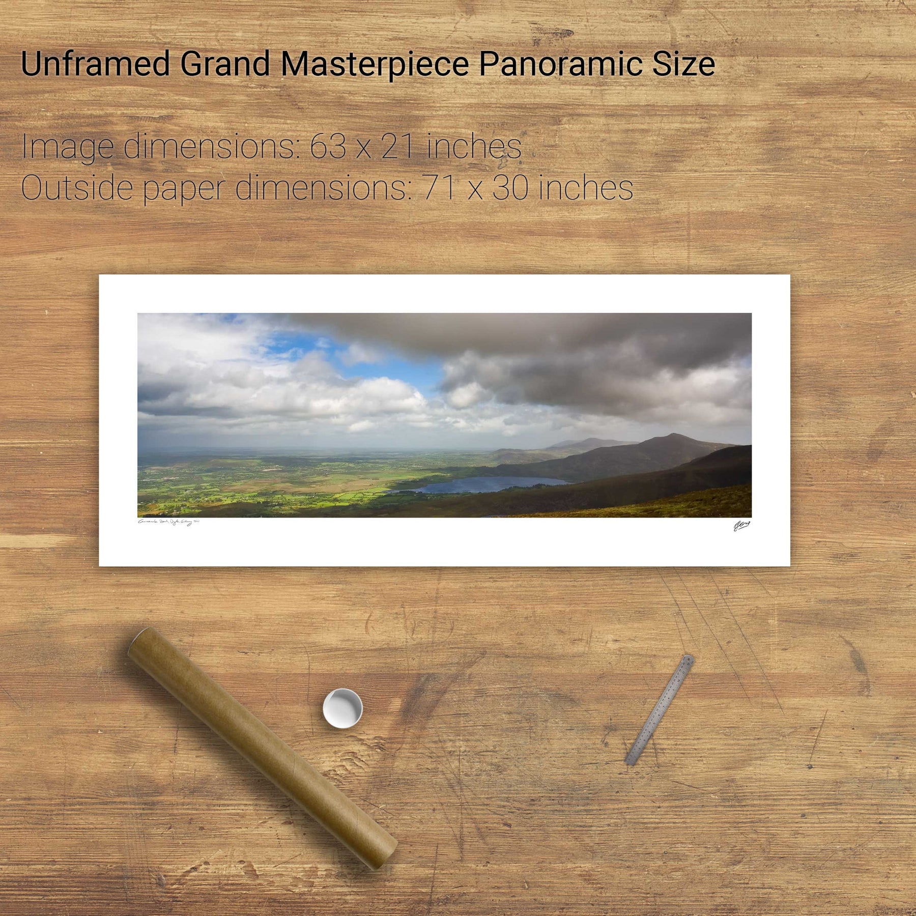
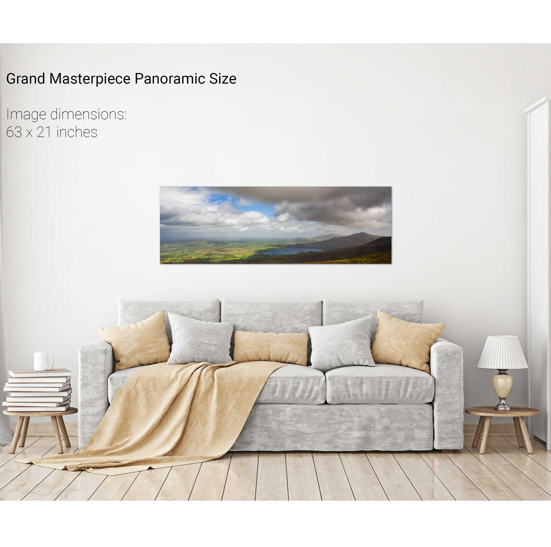
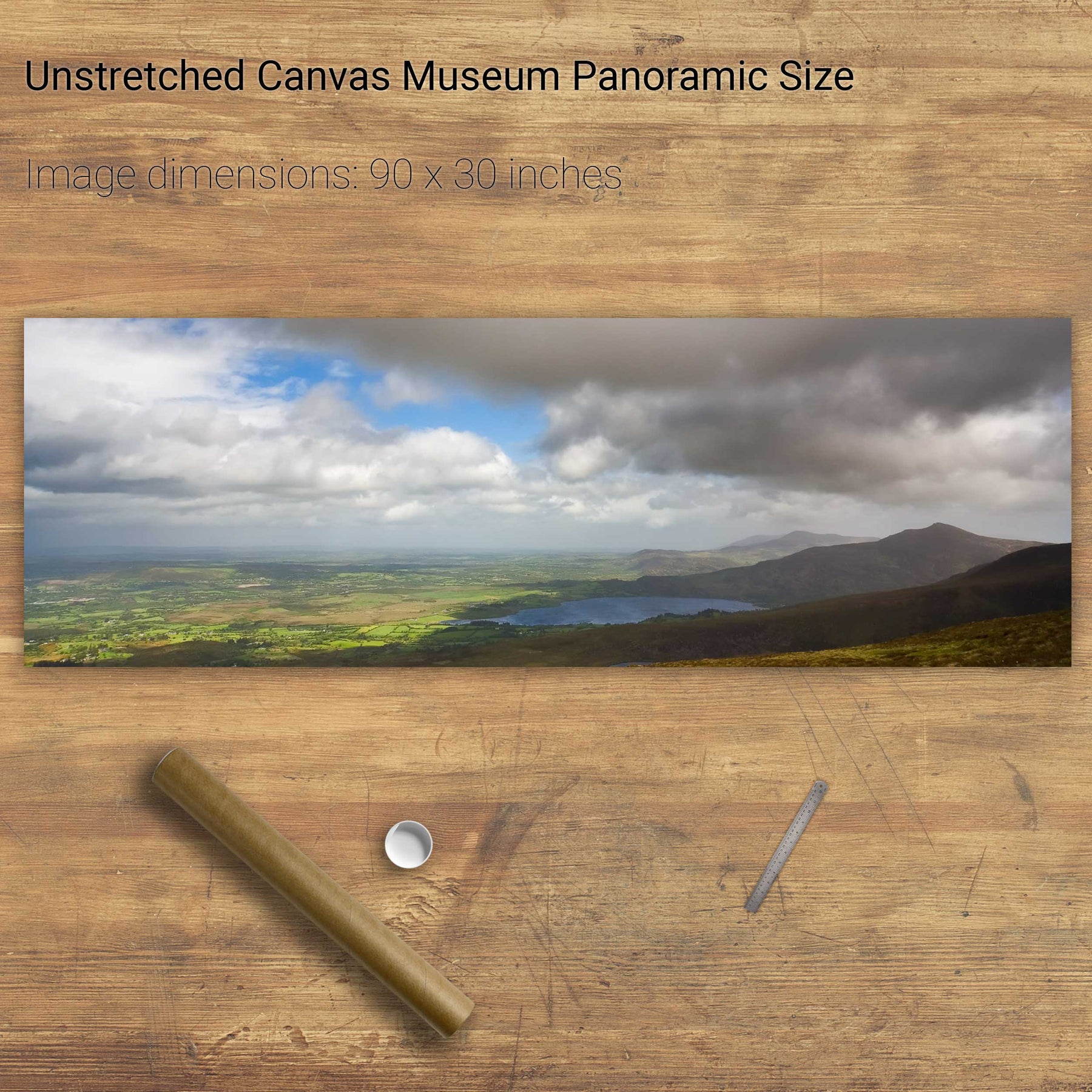
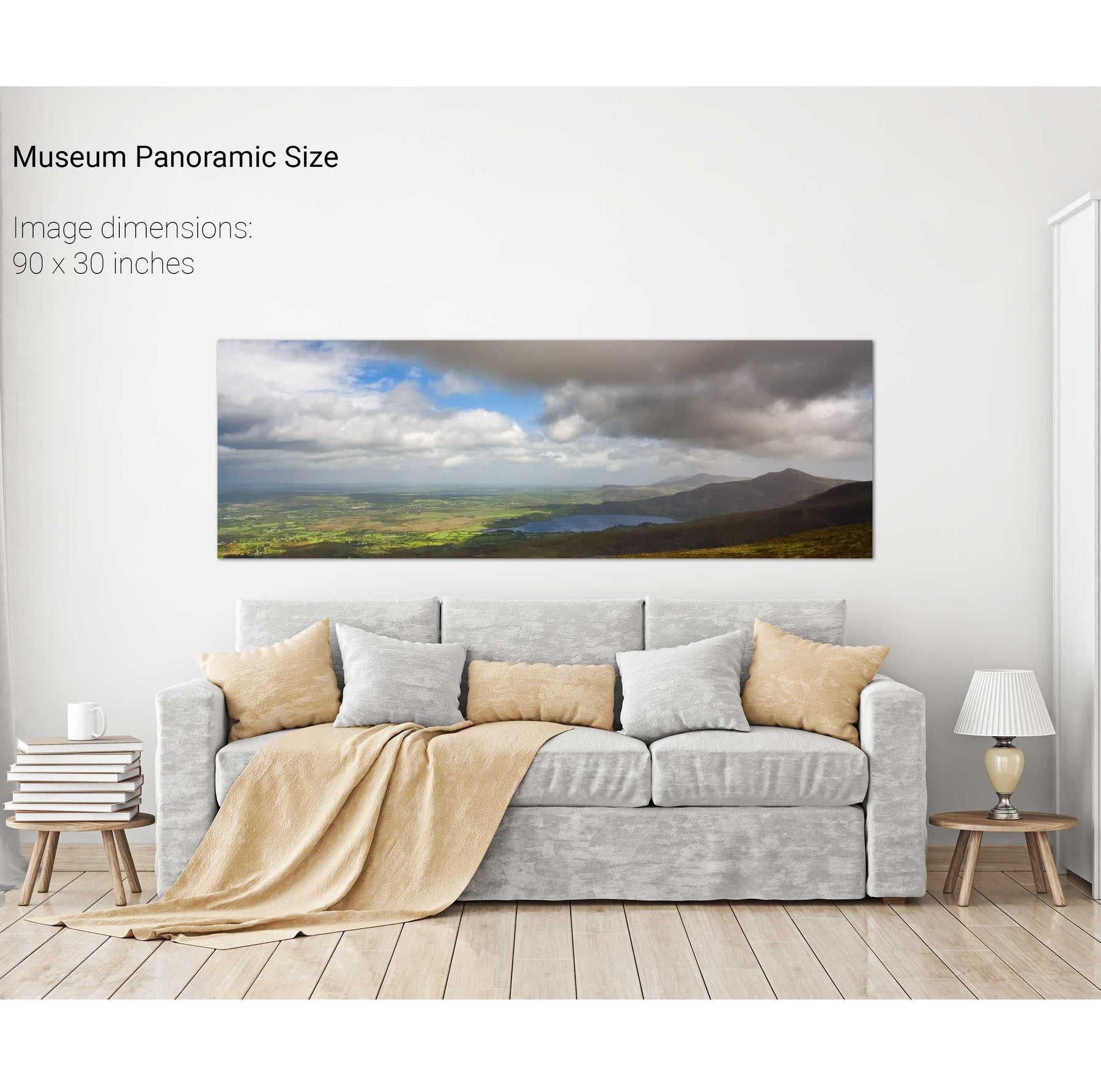
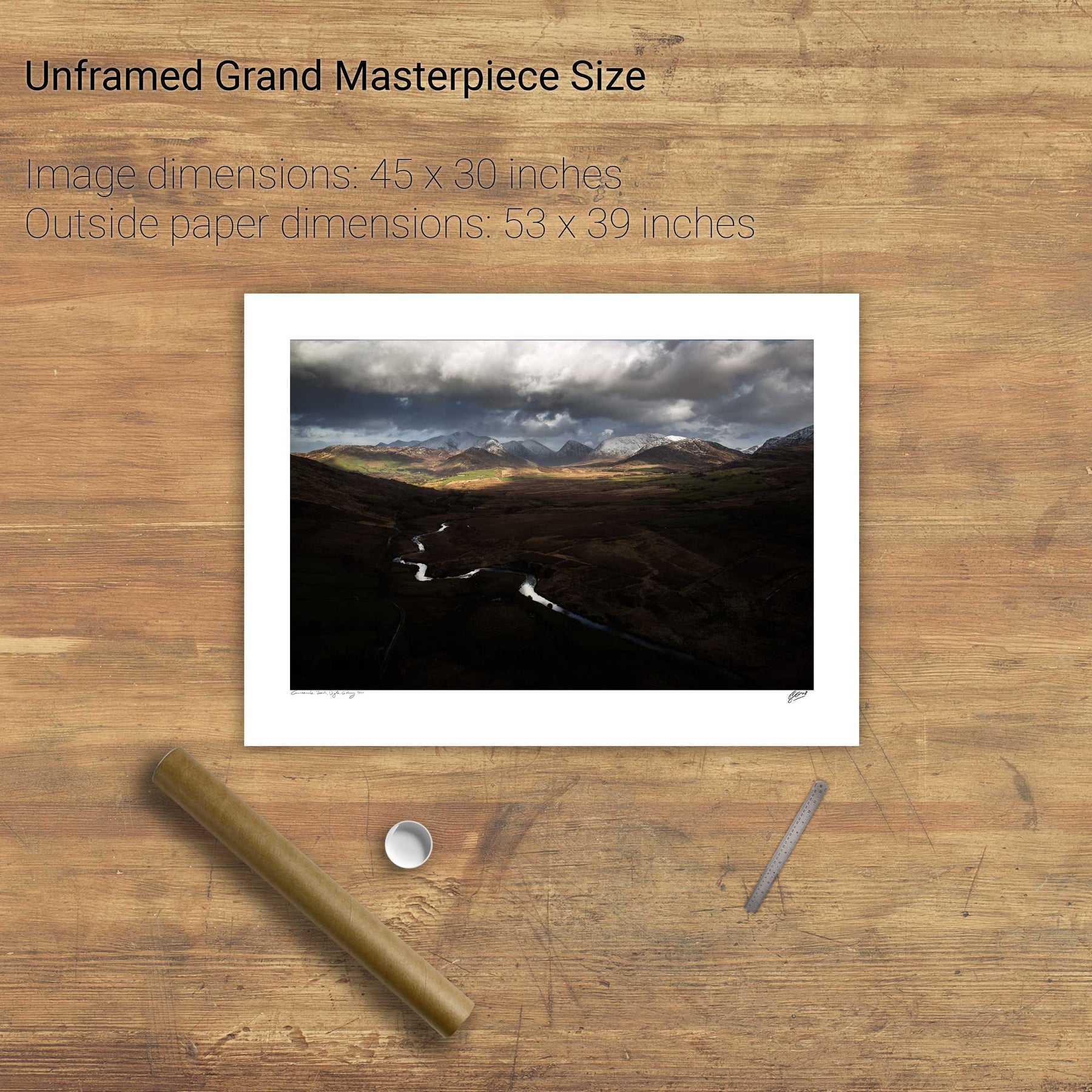
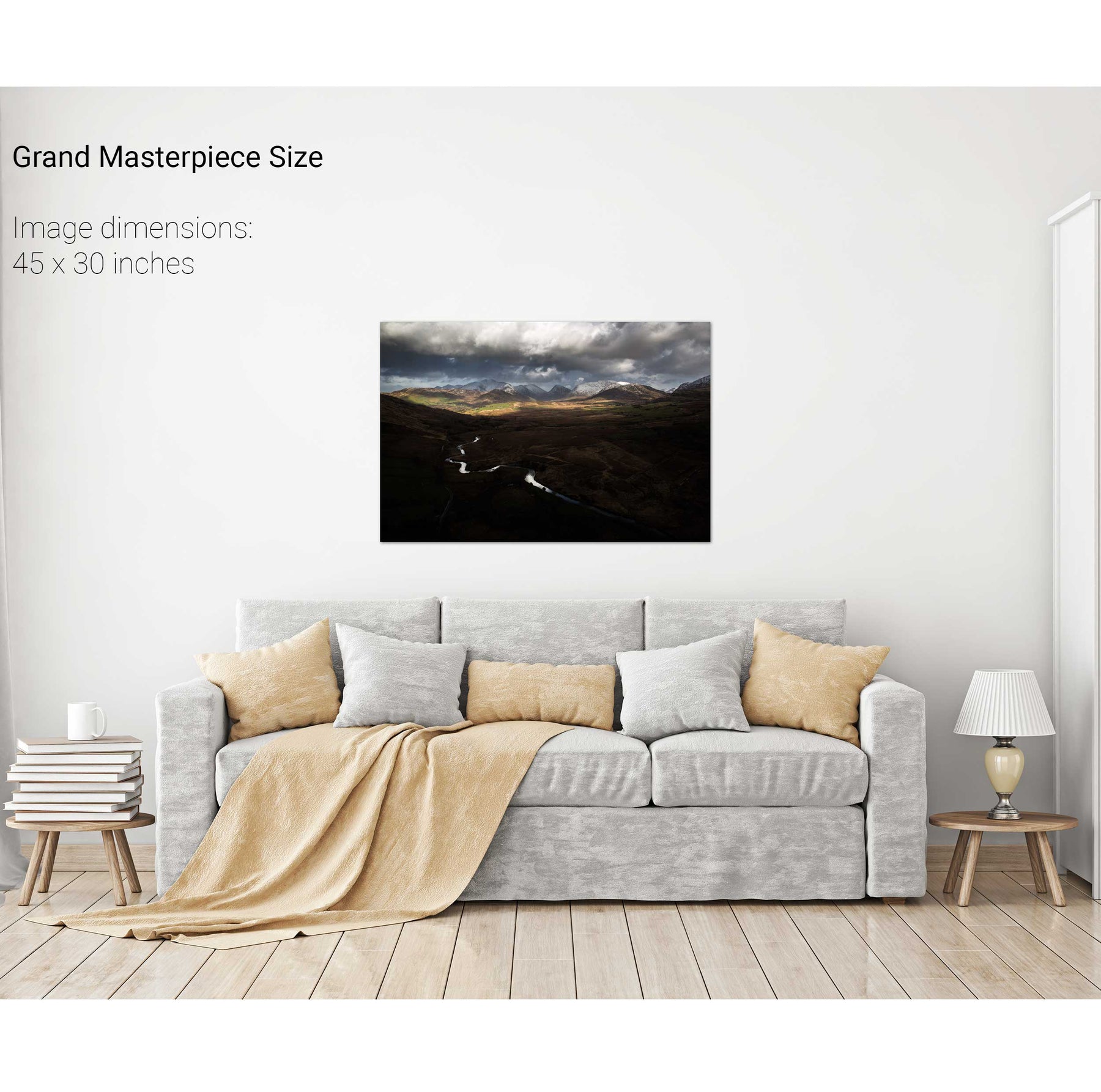
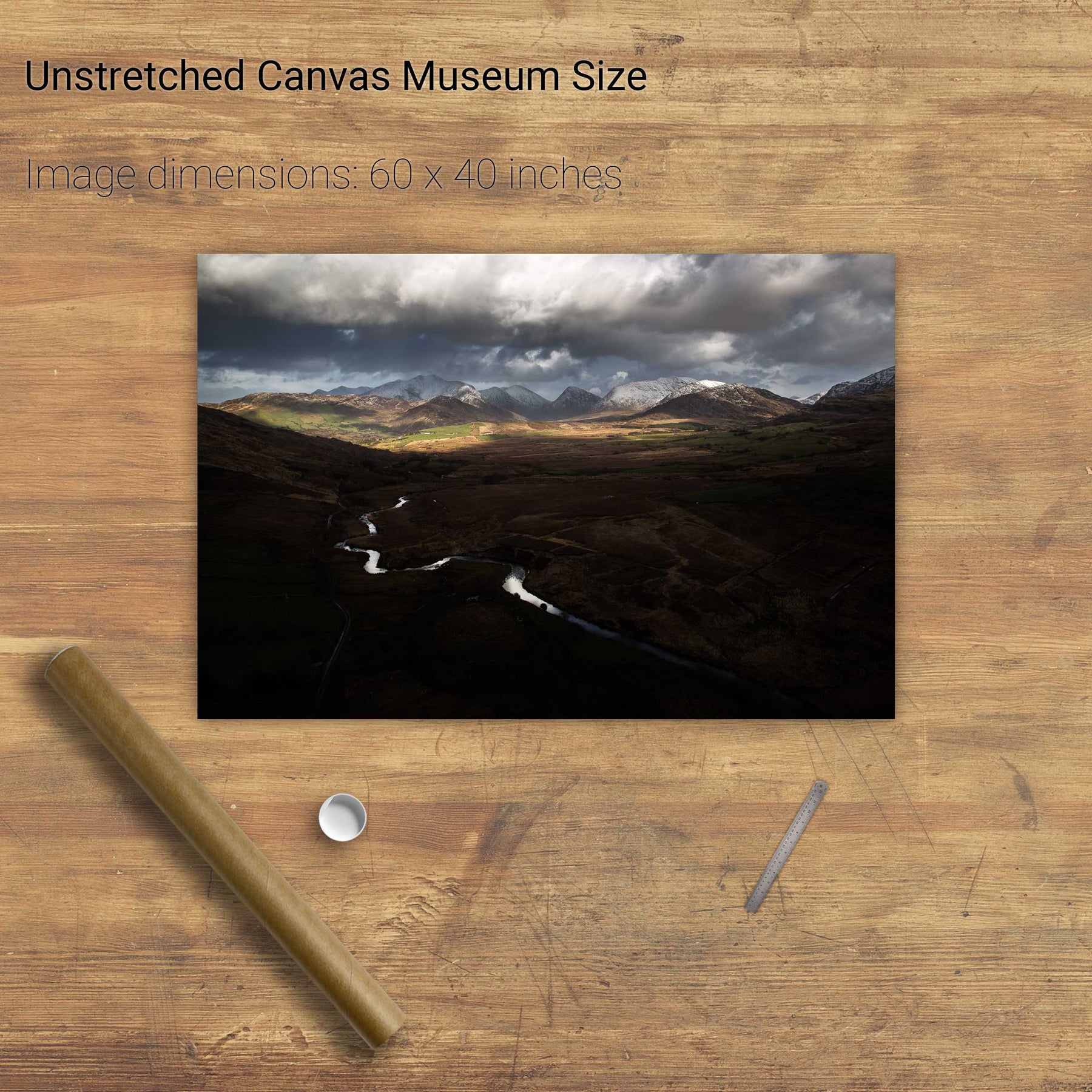
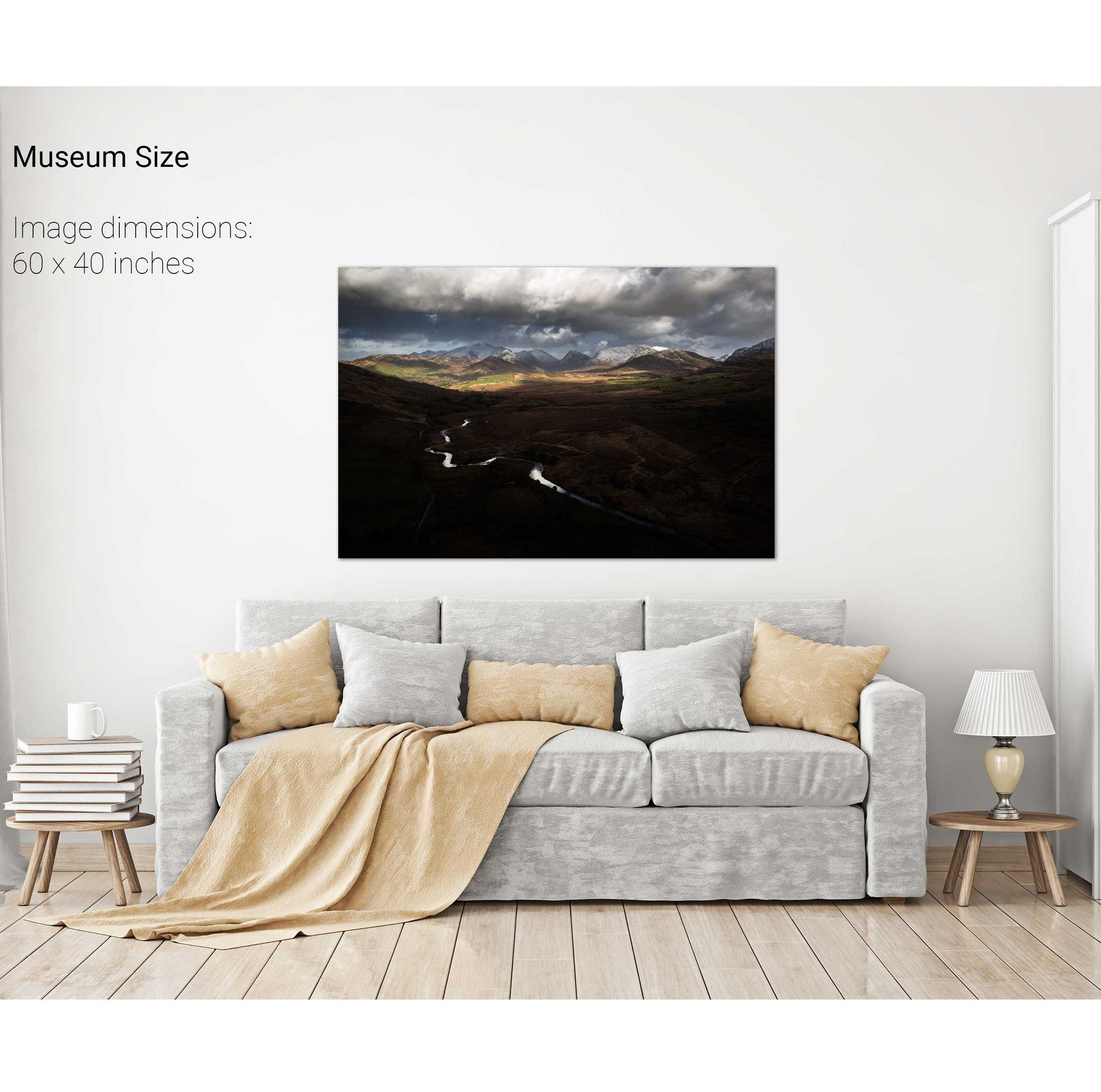
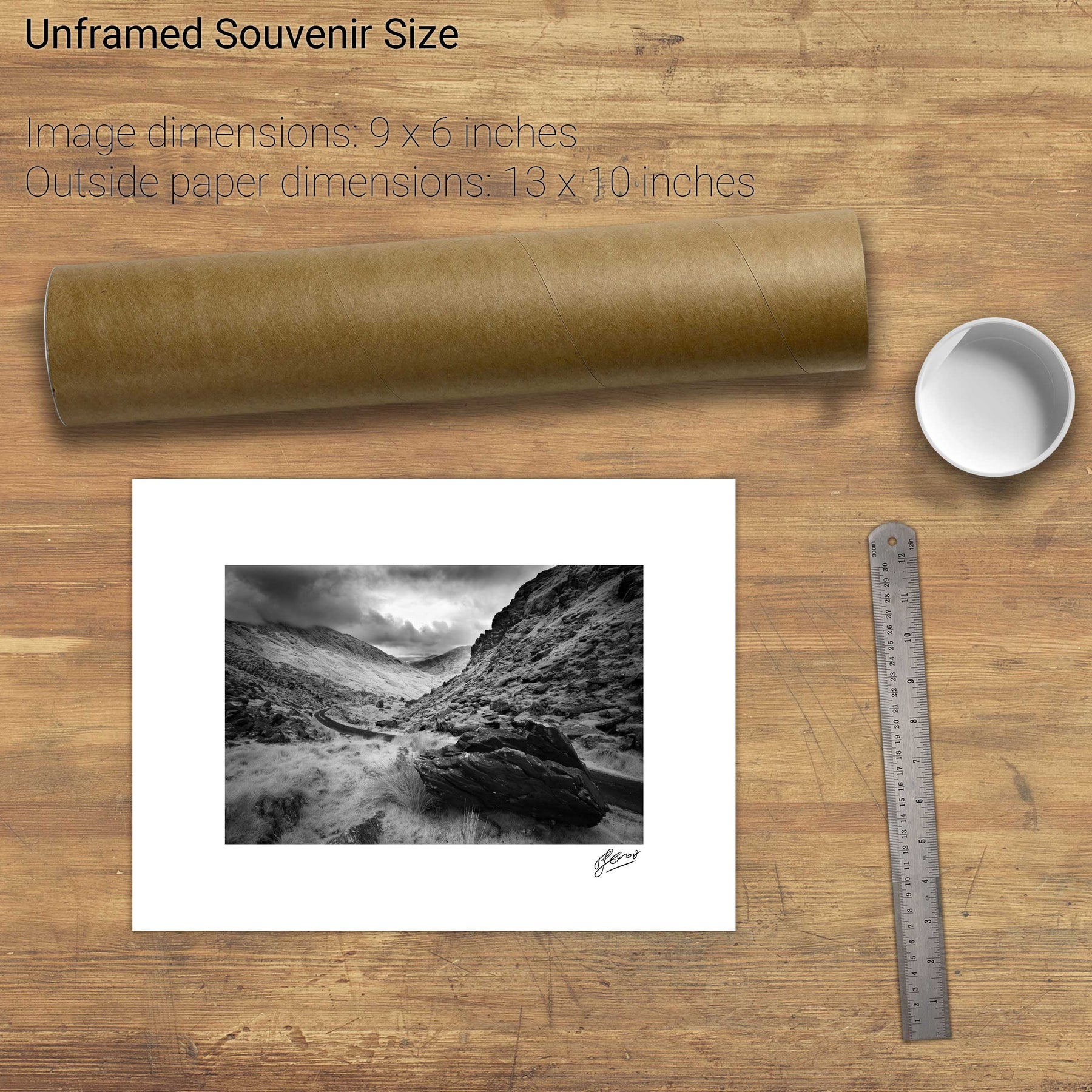
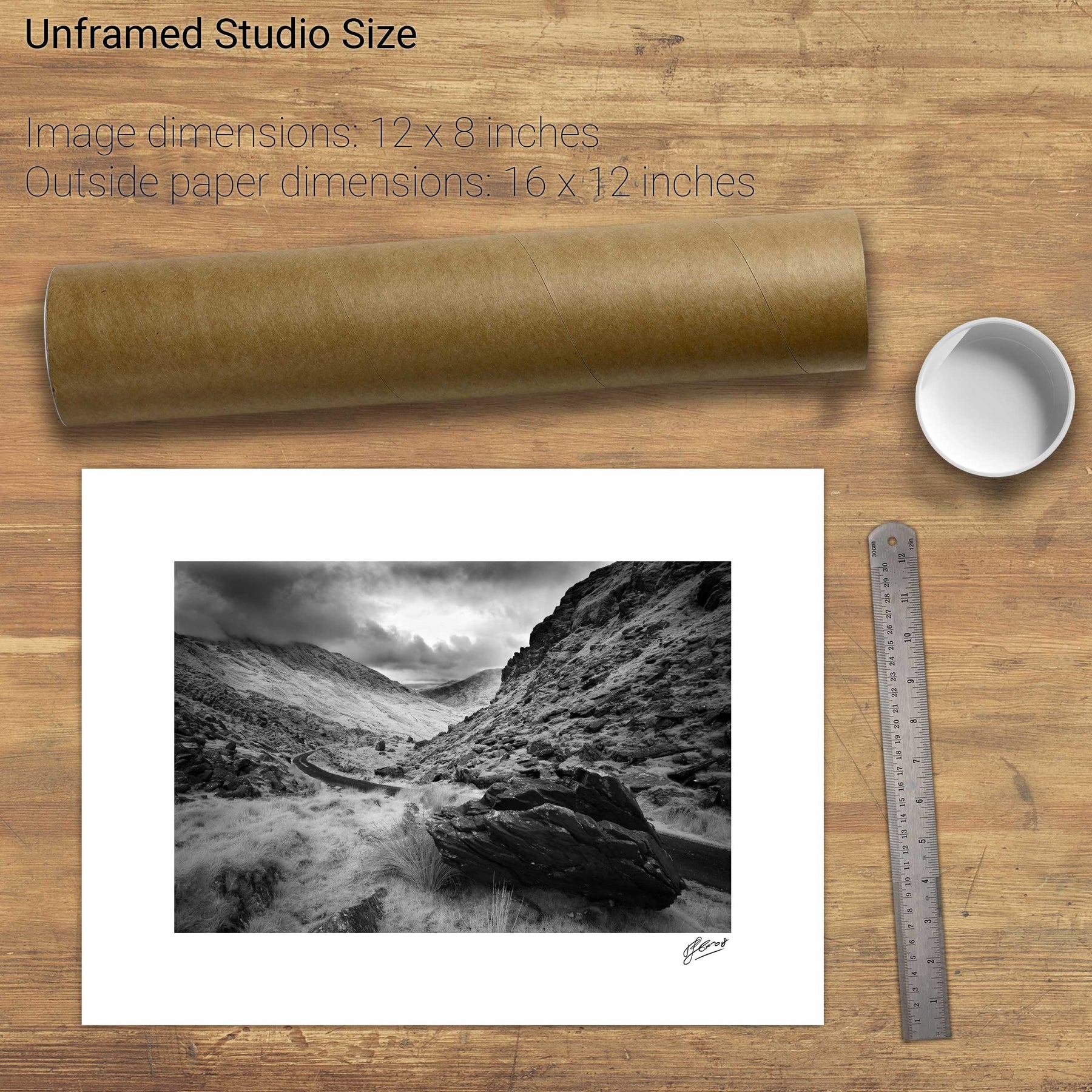
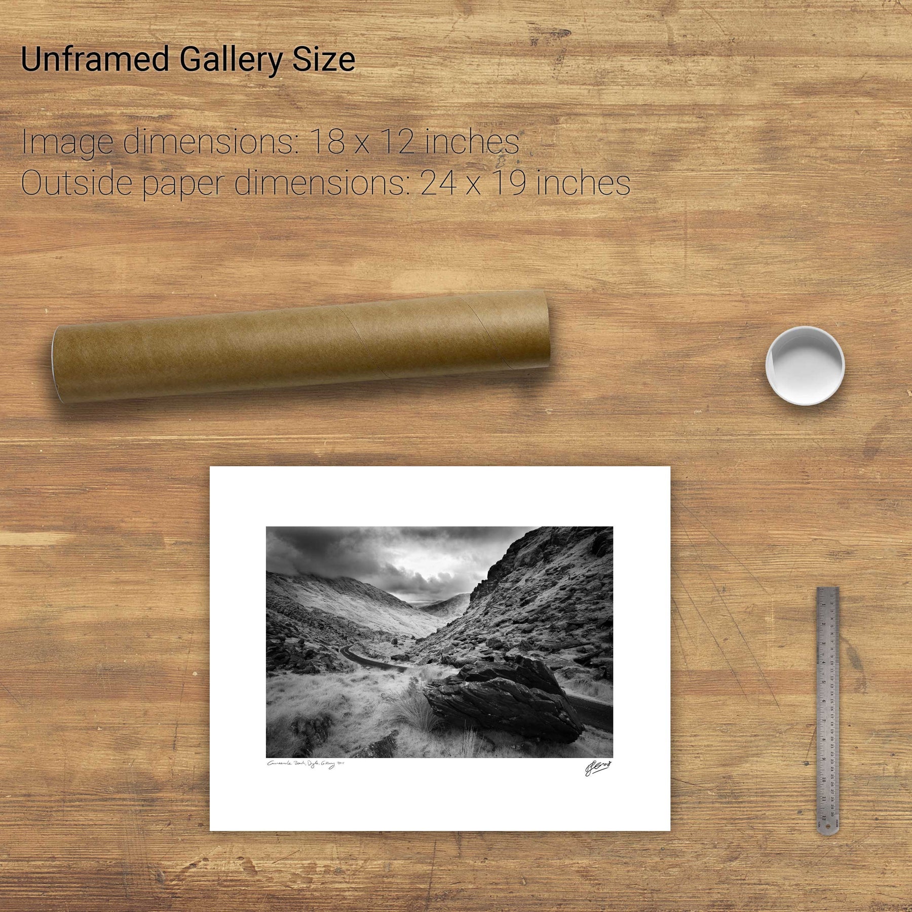
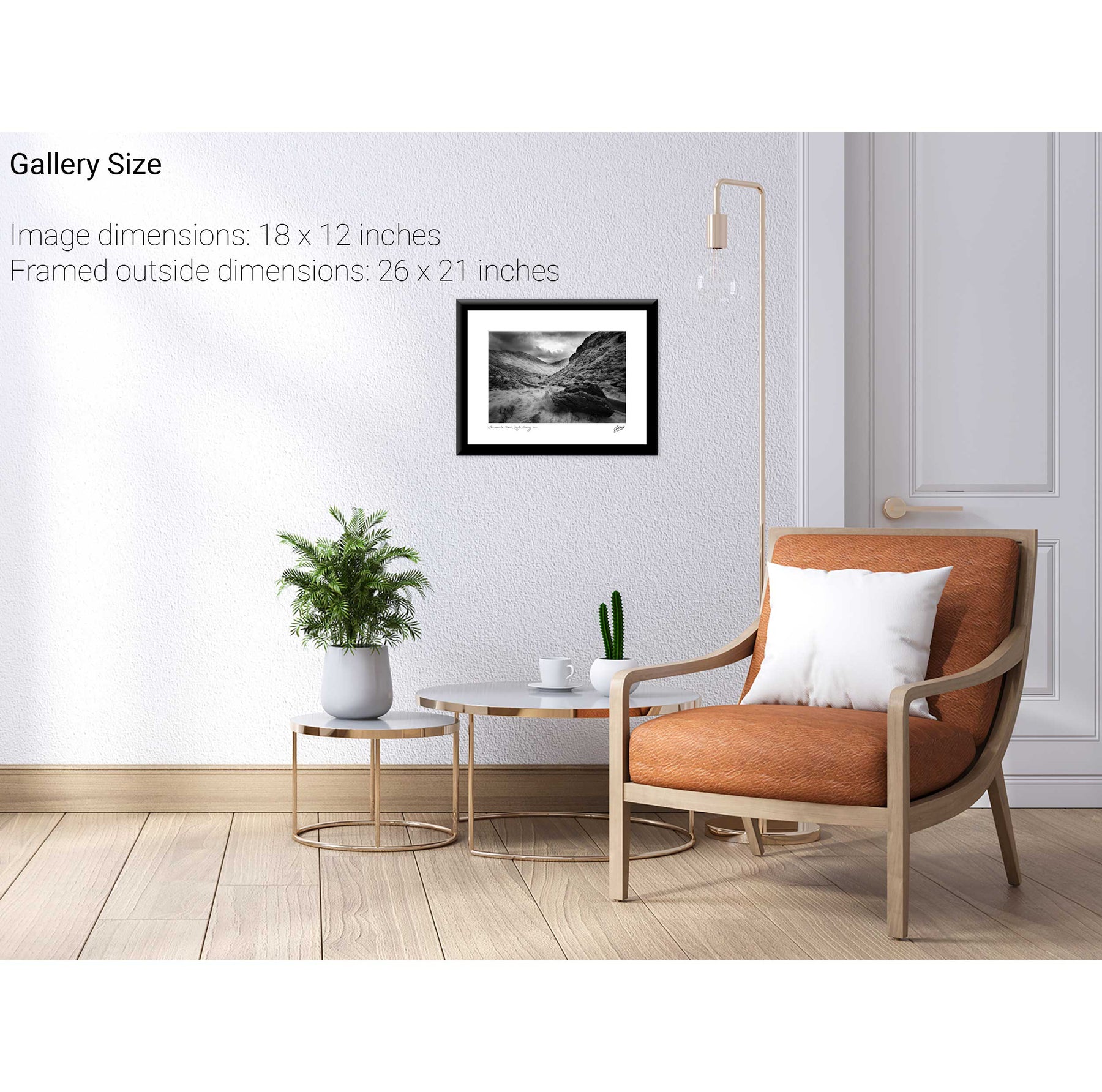
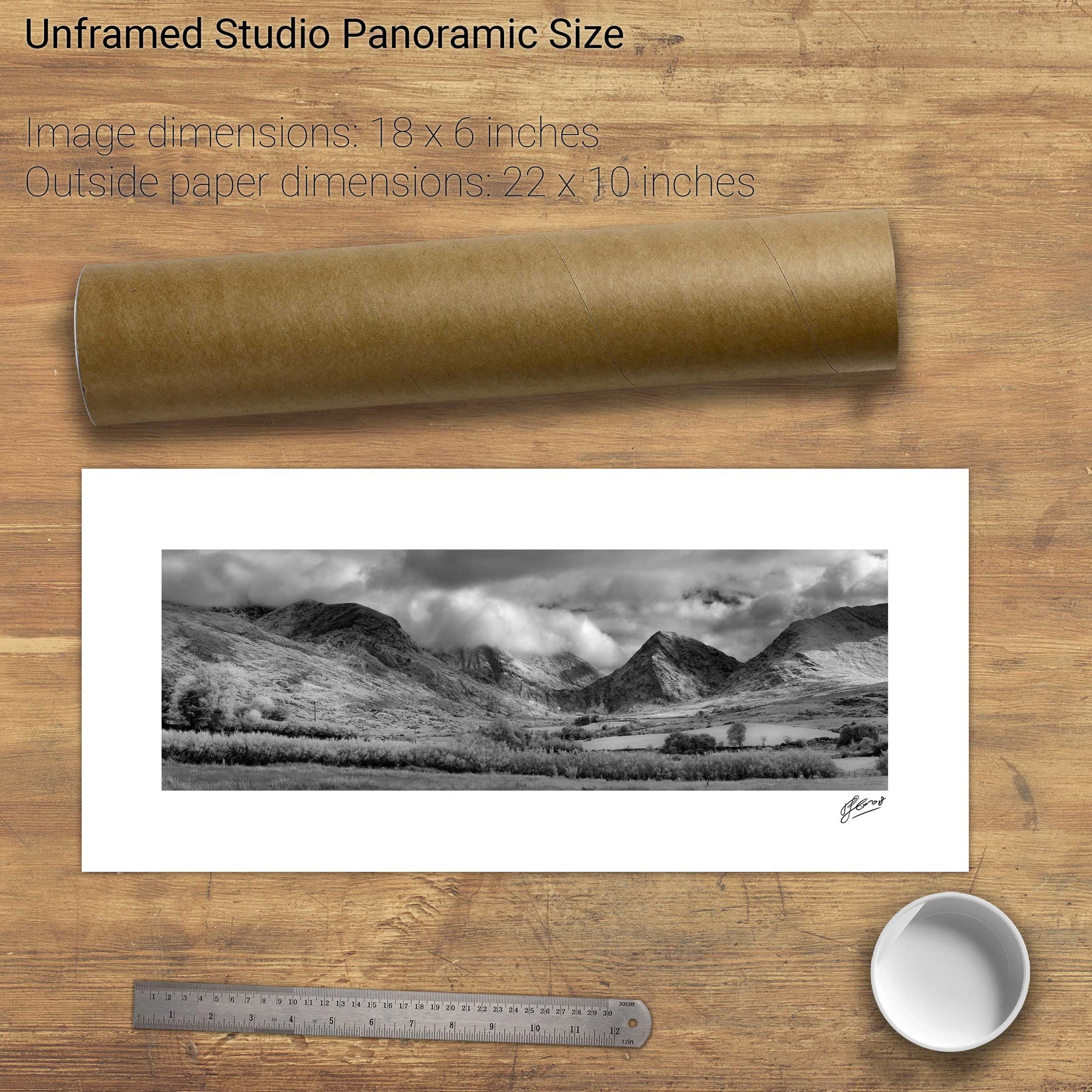
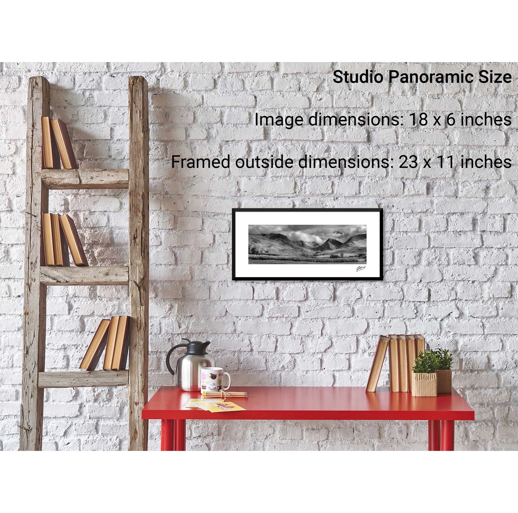
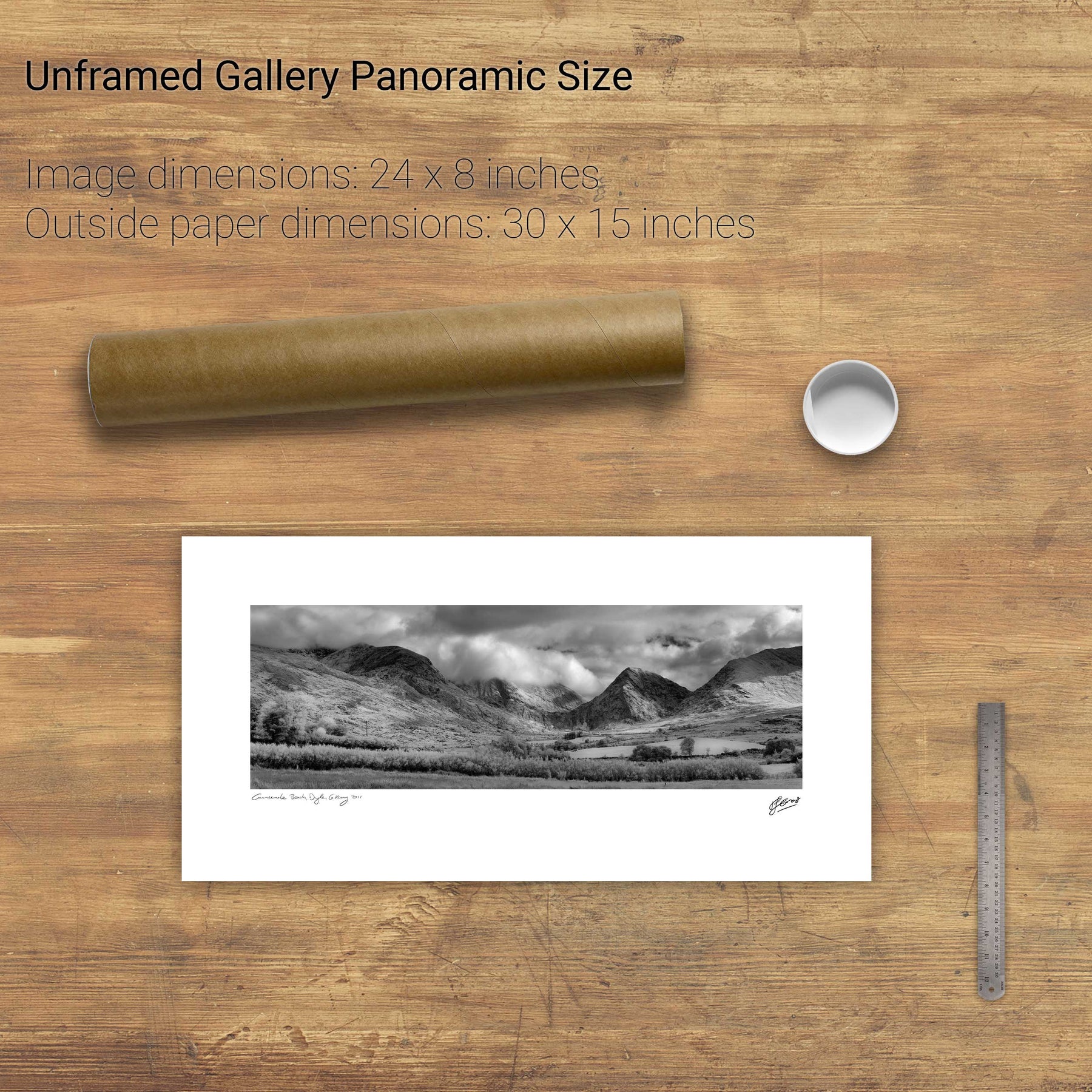
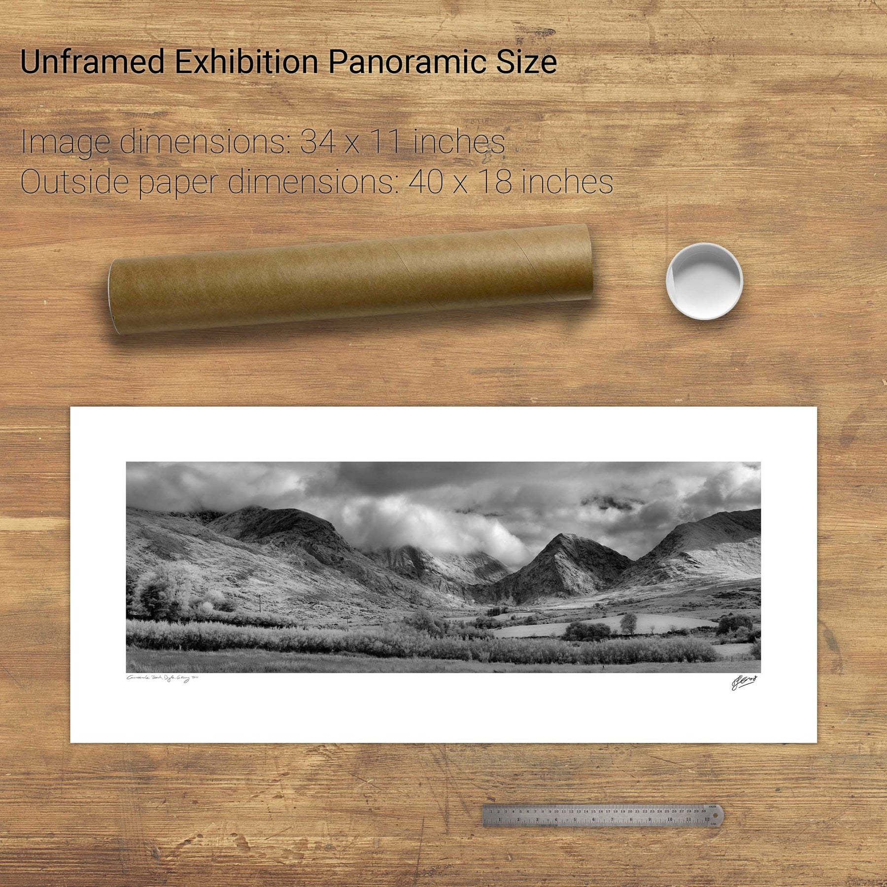
Cummeenduff Lough, Co. Kerry
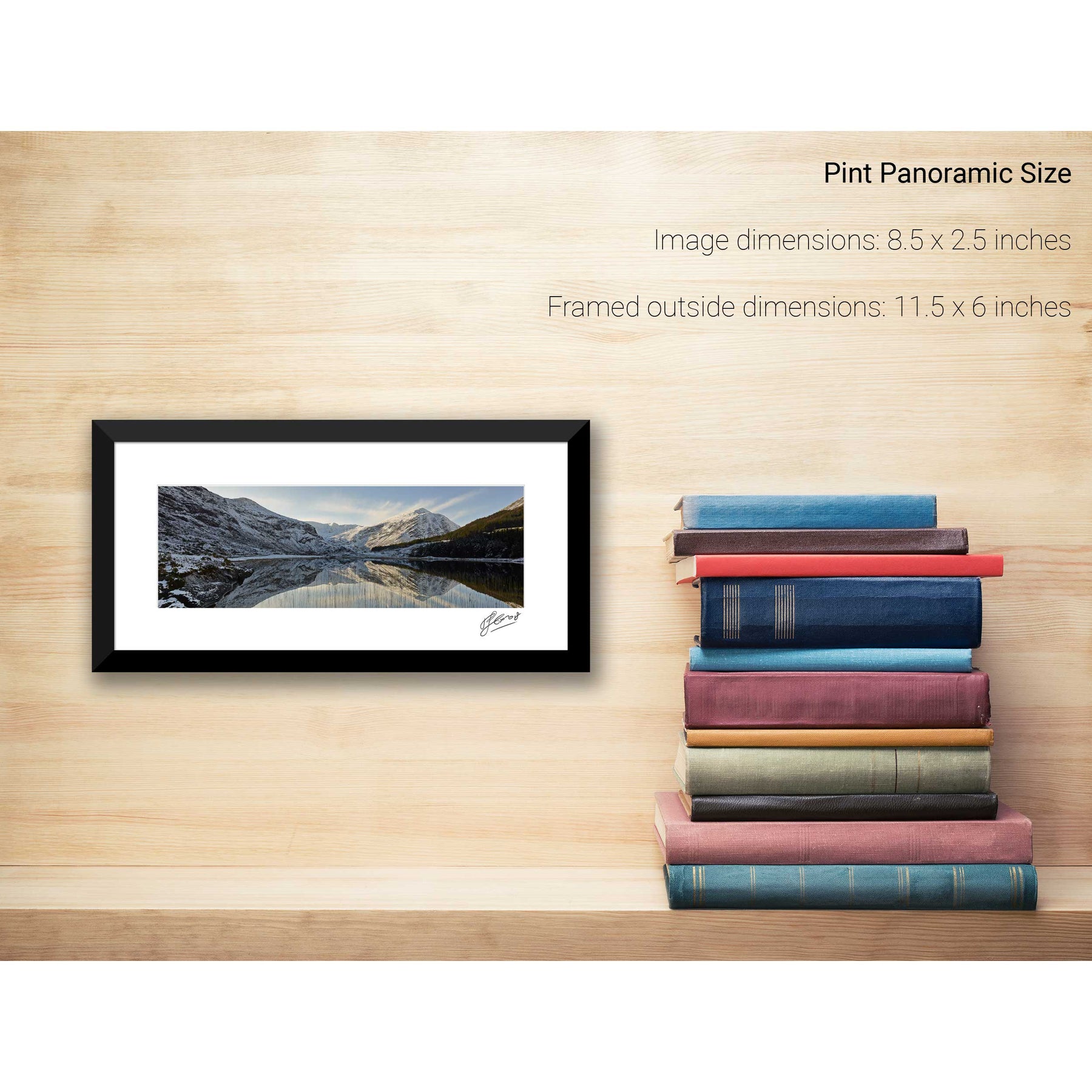
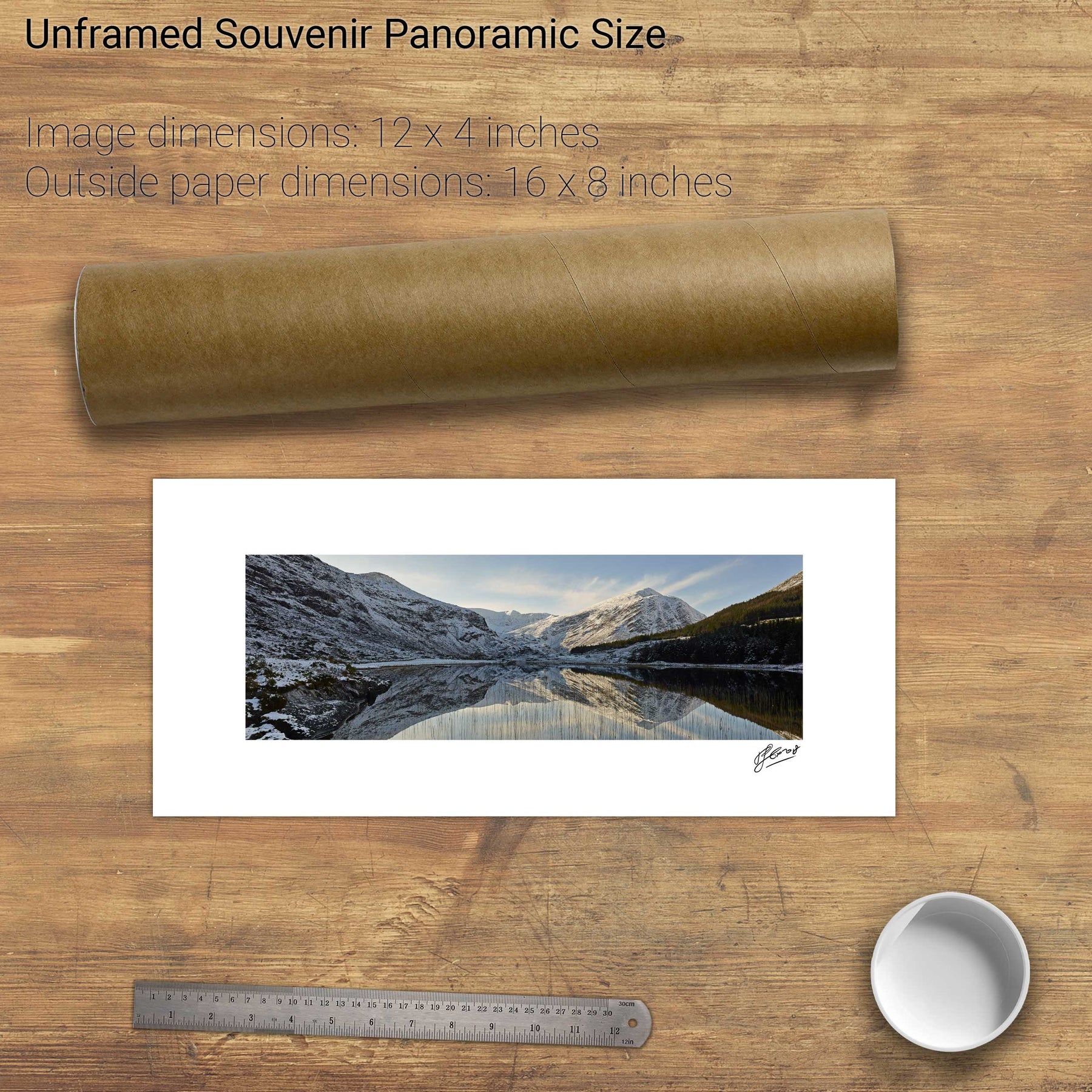
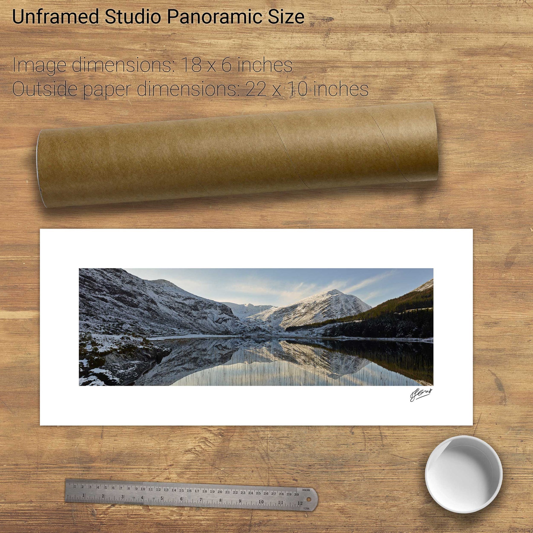
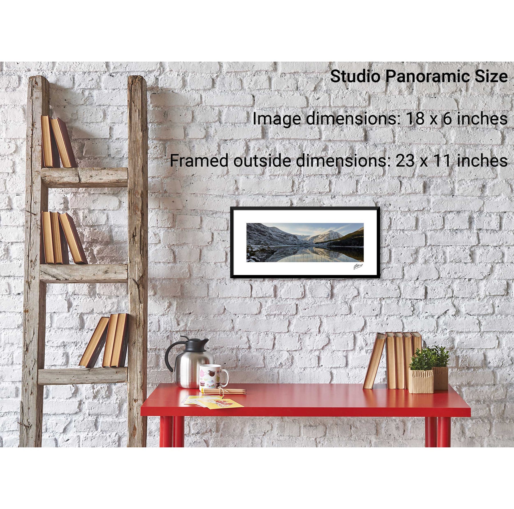
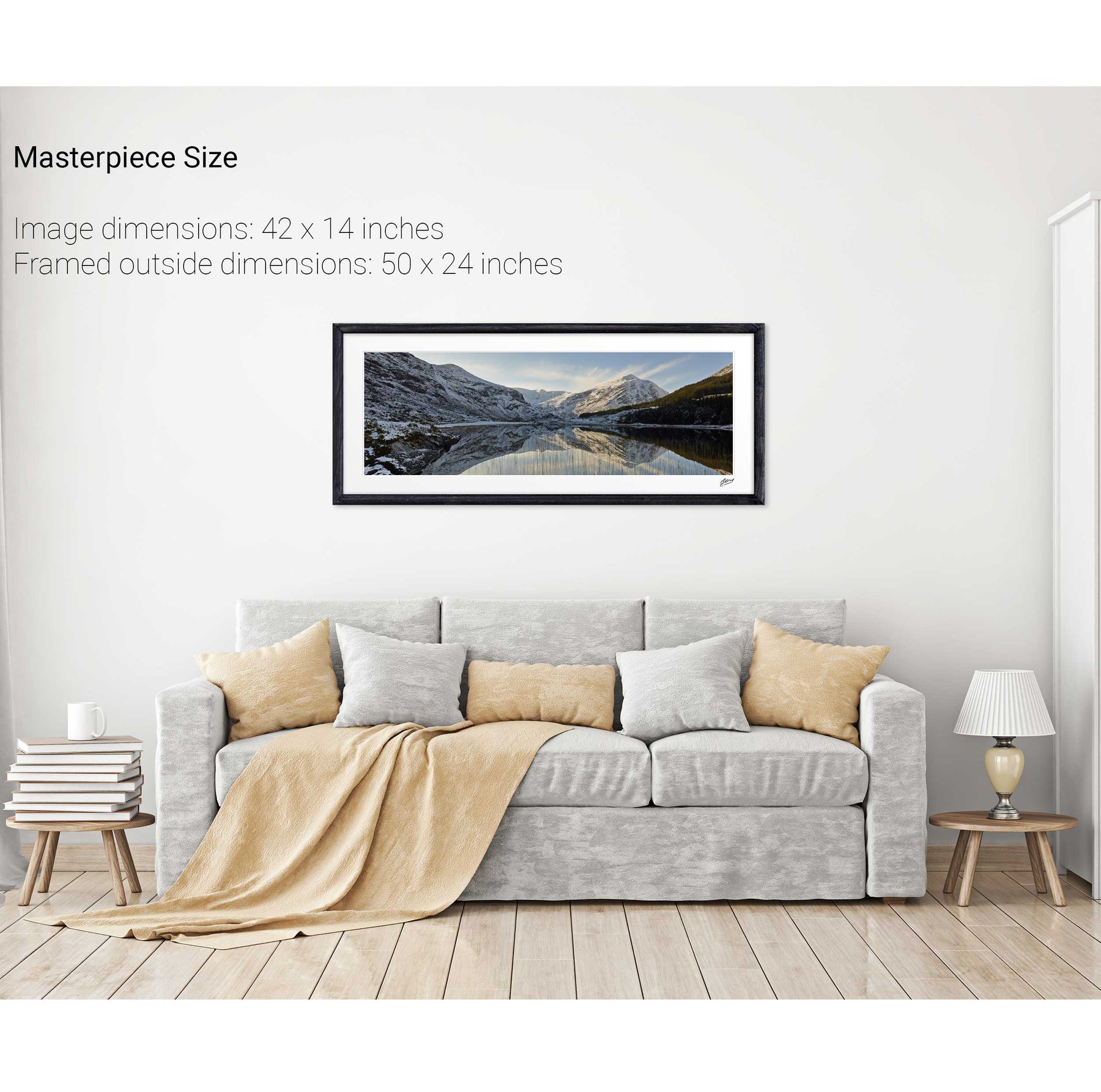
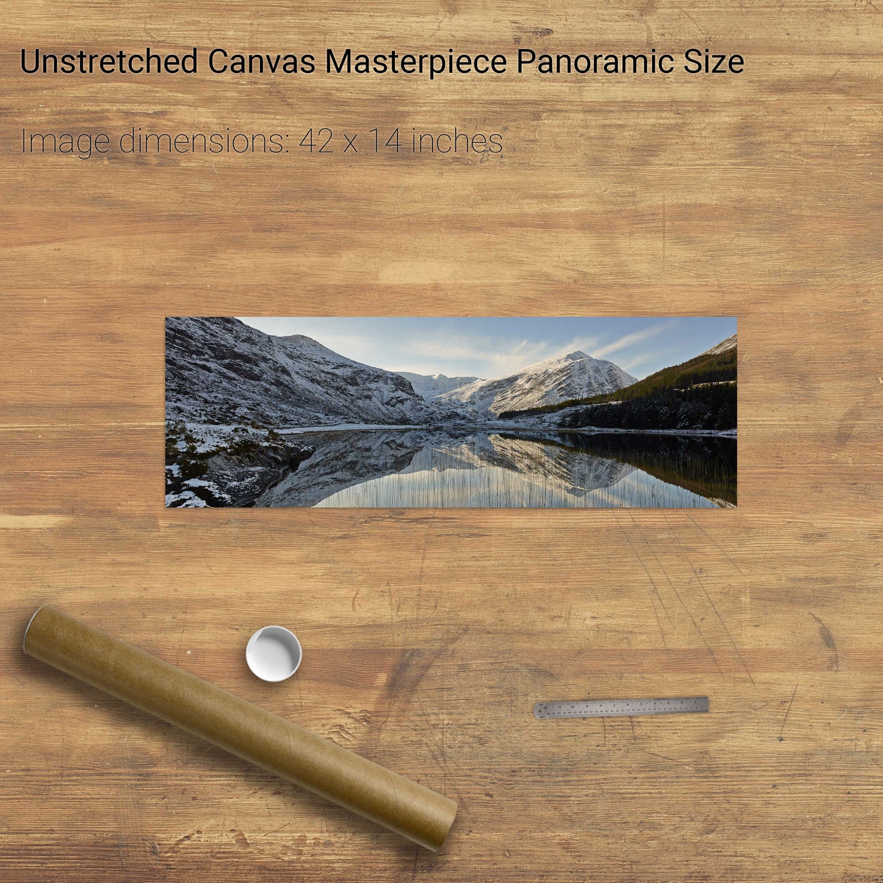
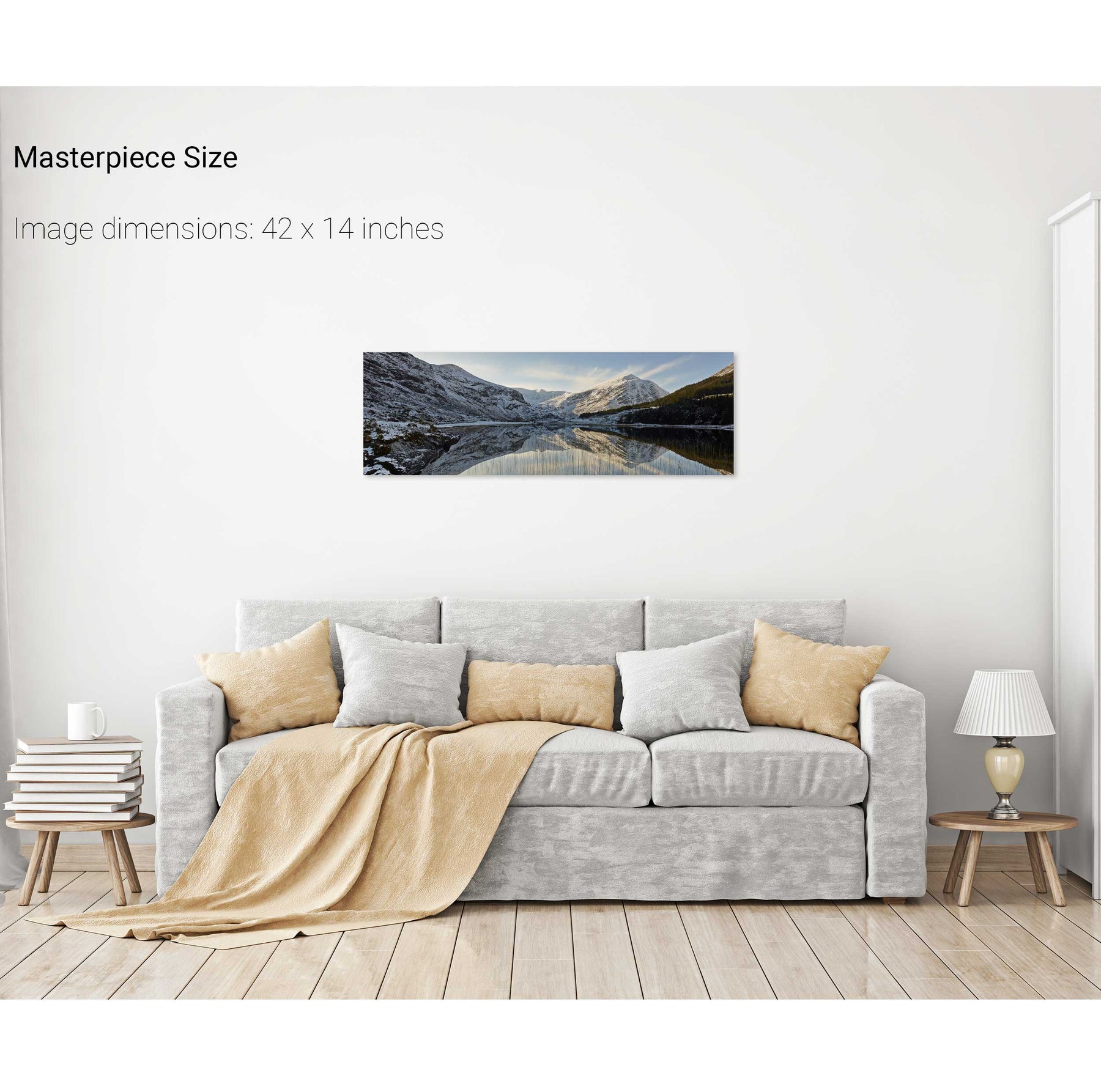
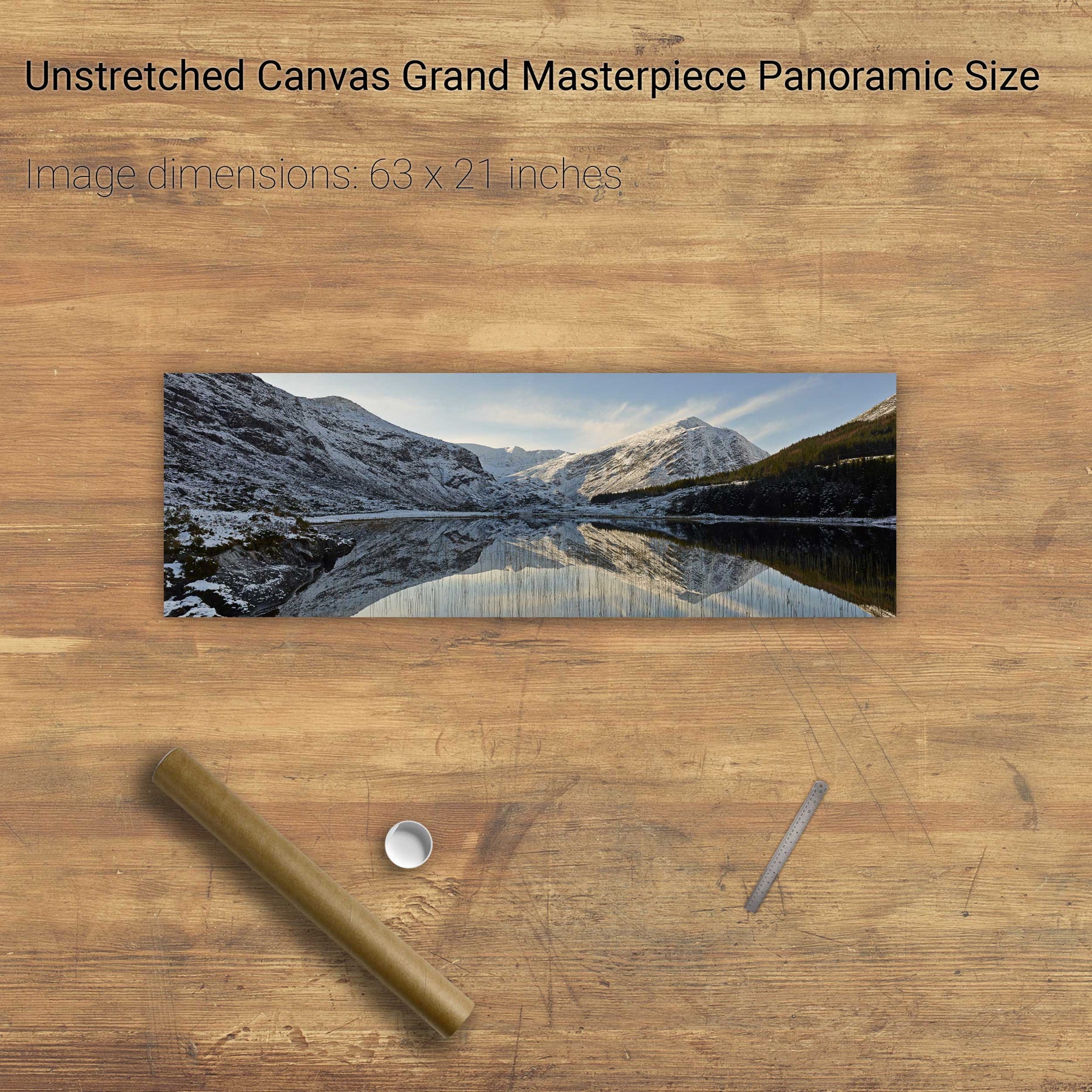
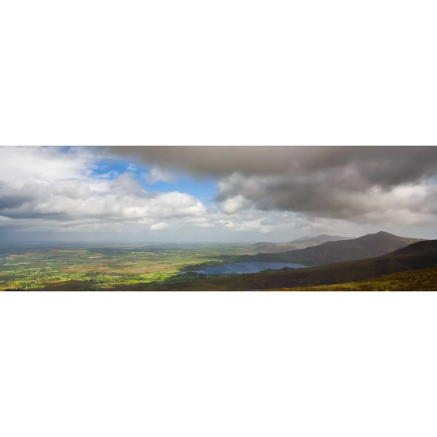
Lough Guitane, Co. Kerry
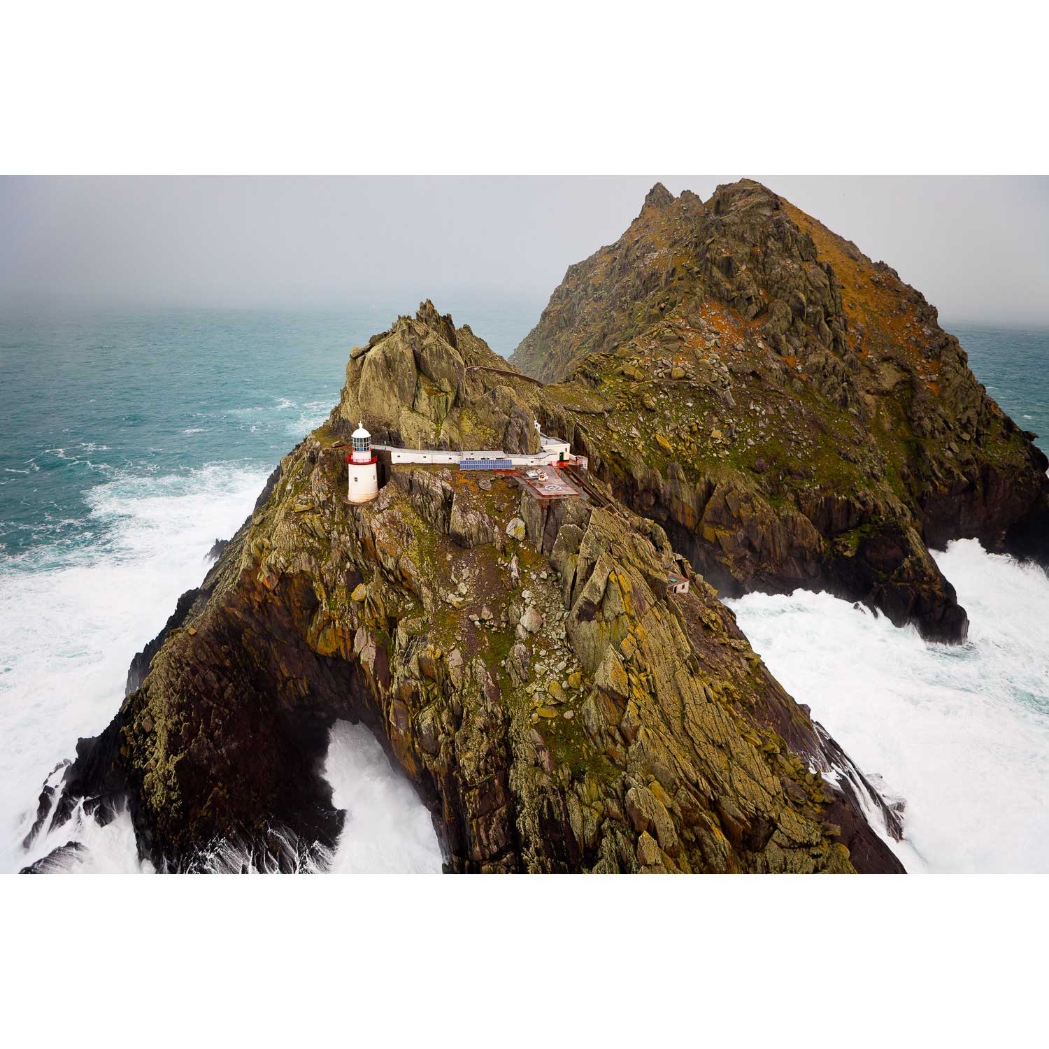
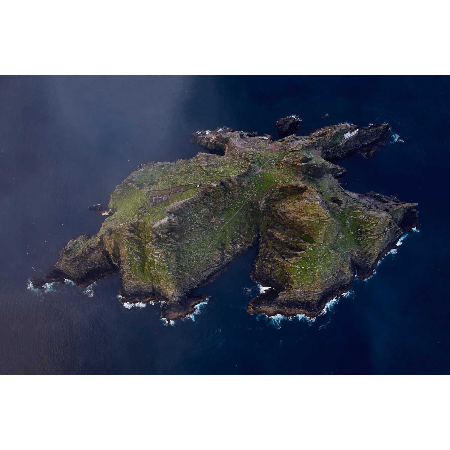
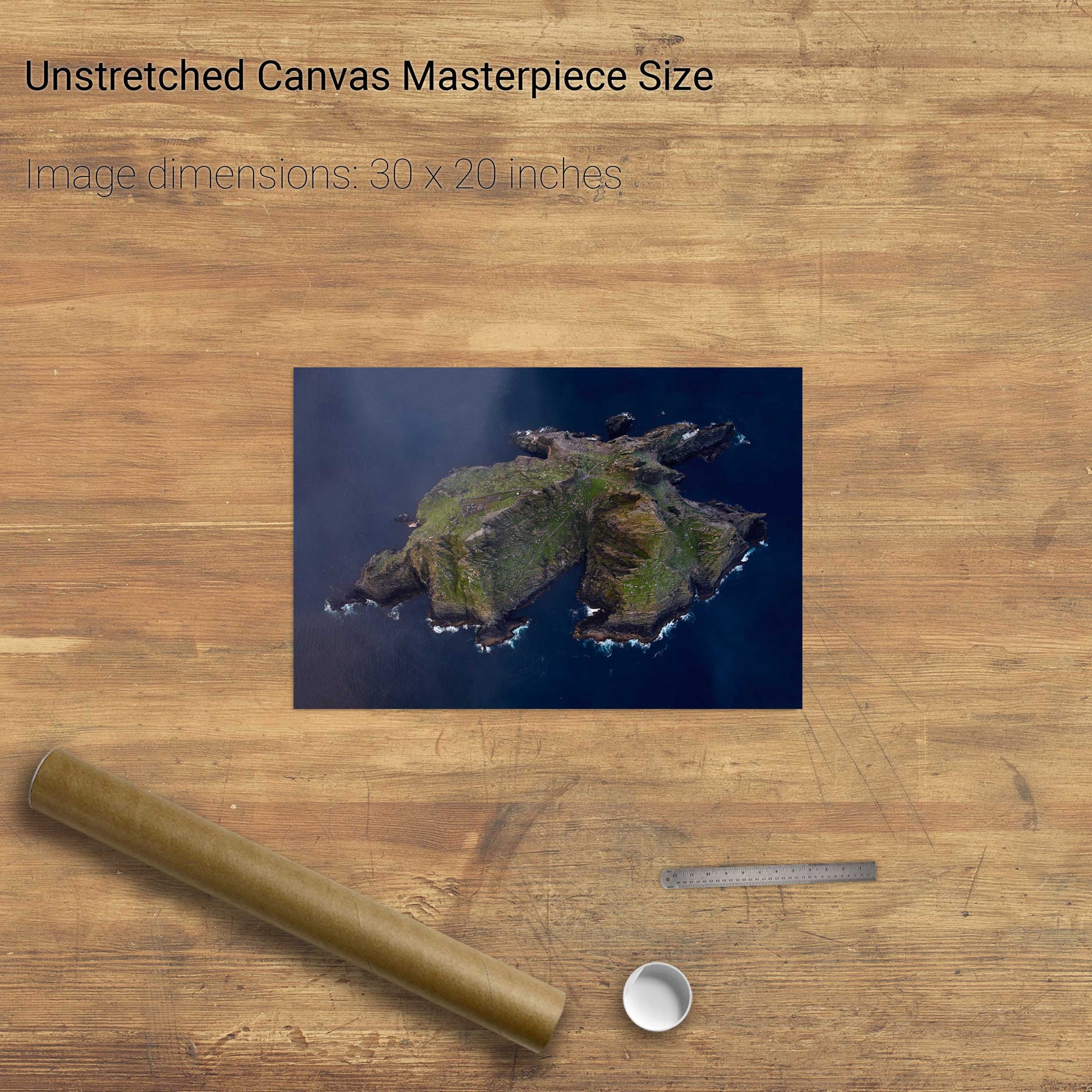
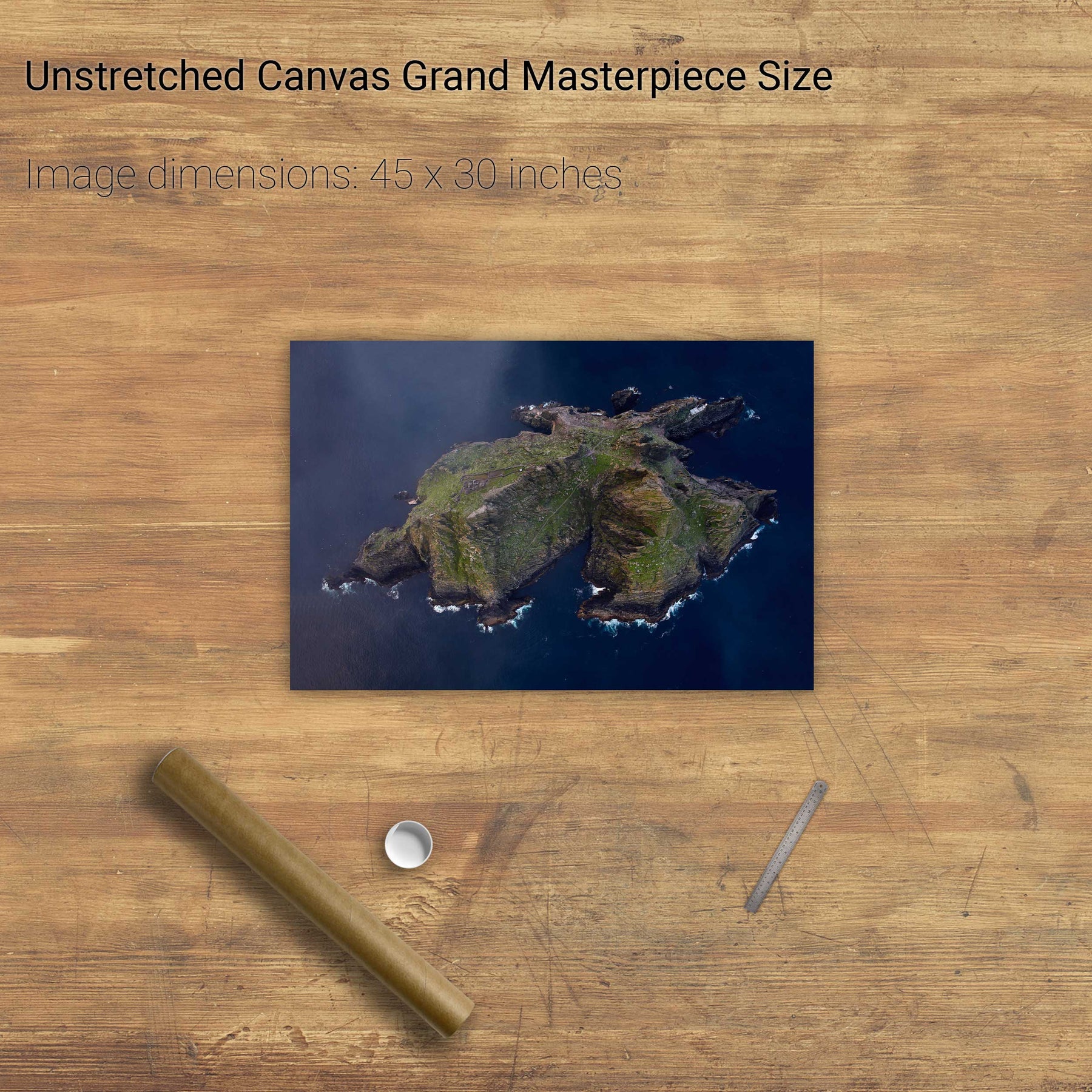
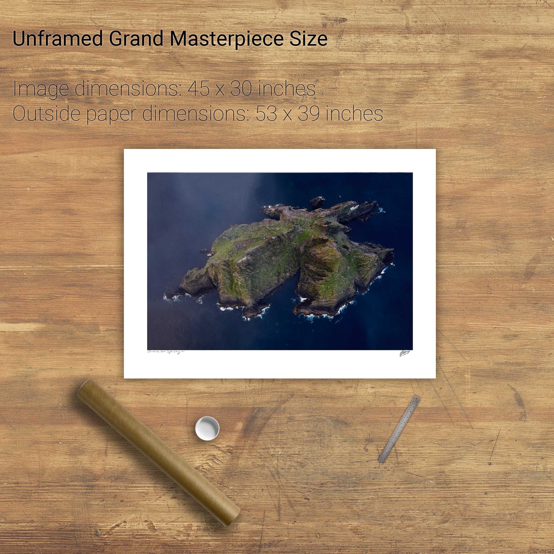
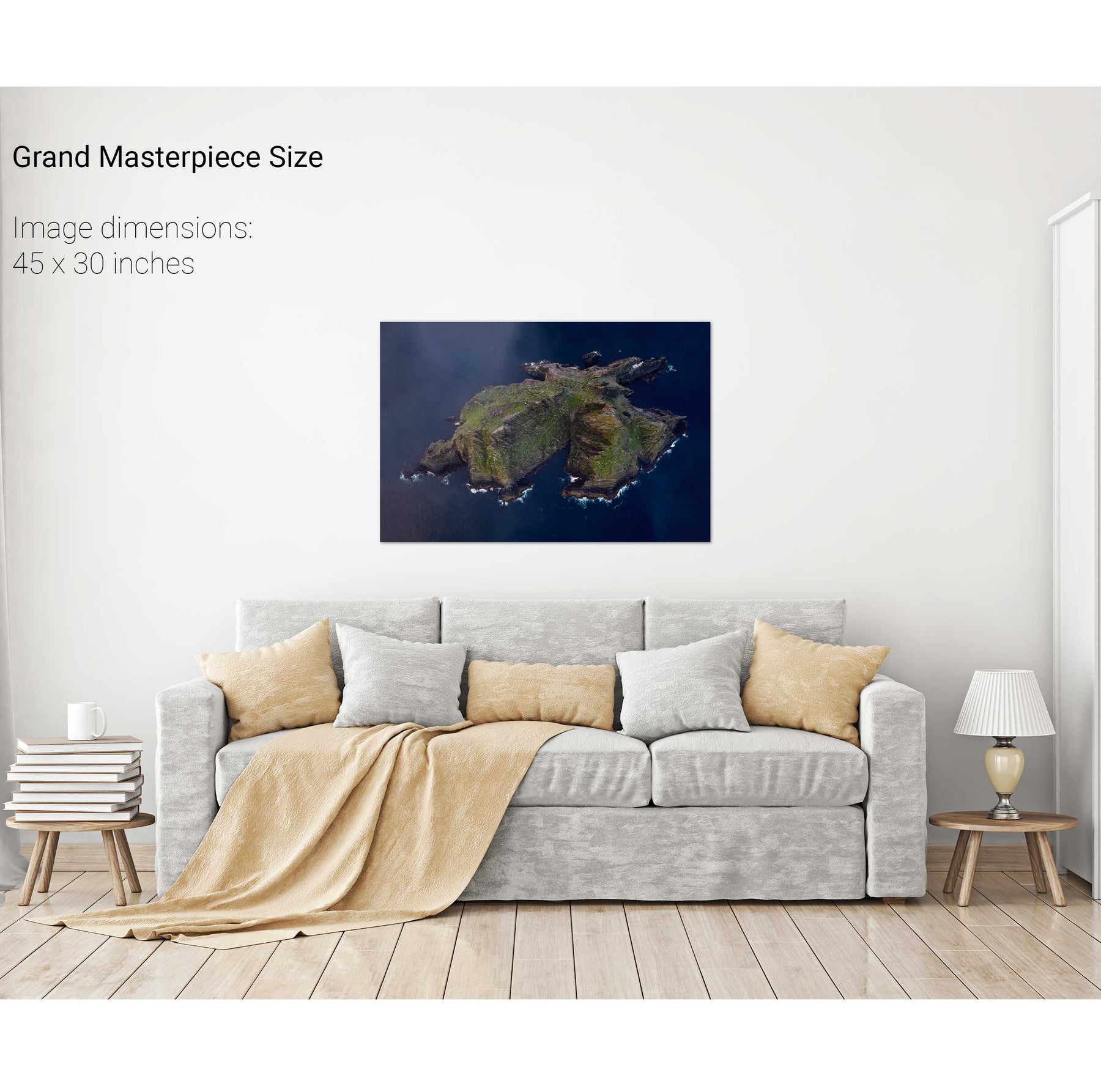
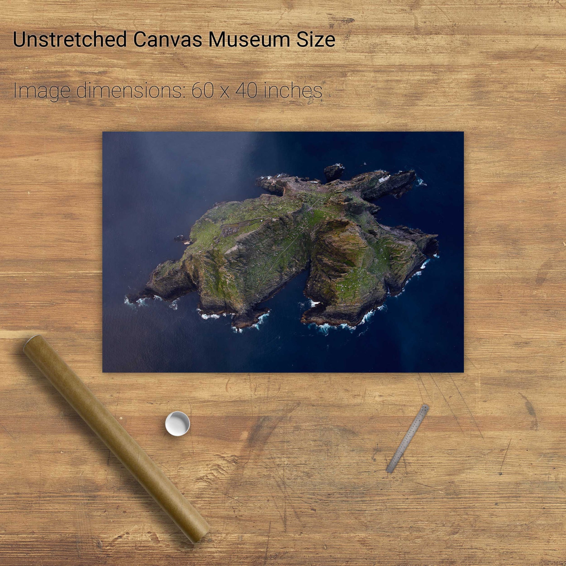
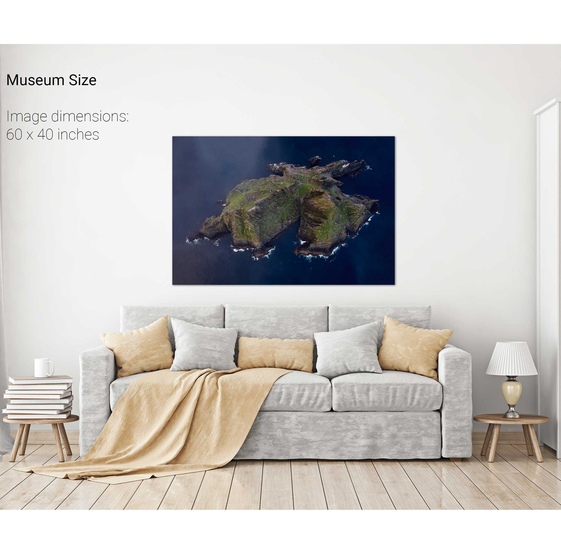
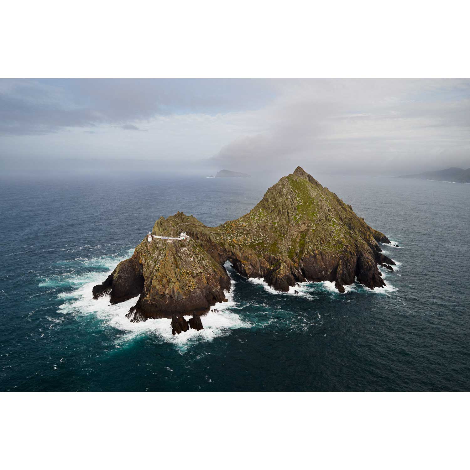
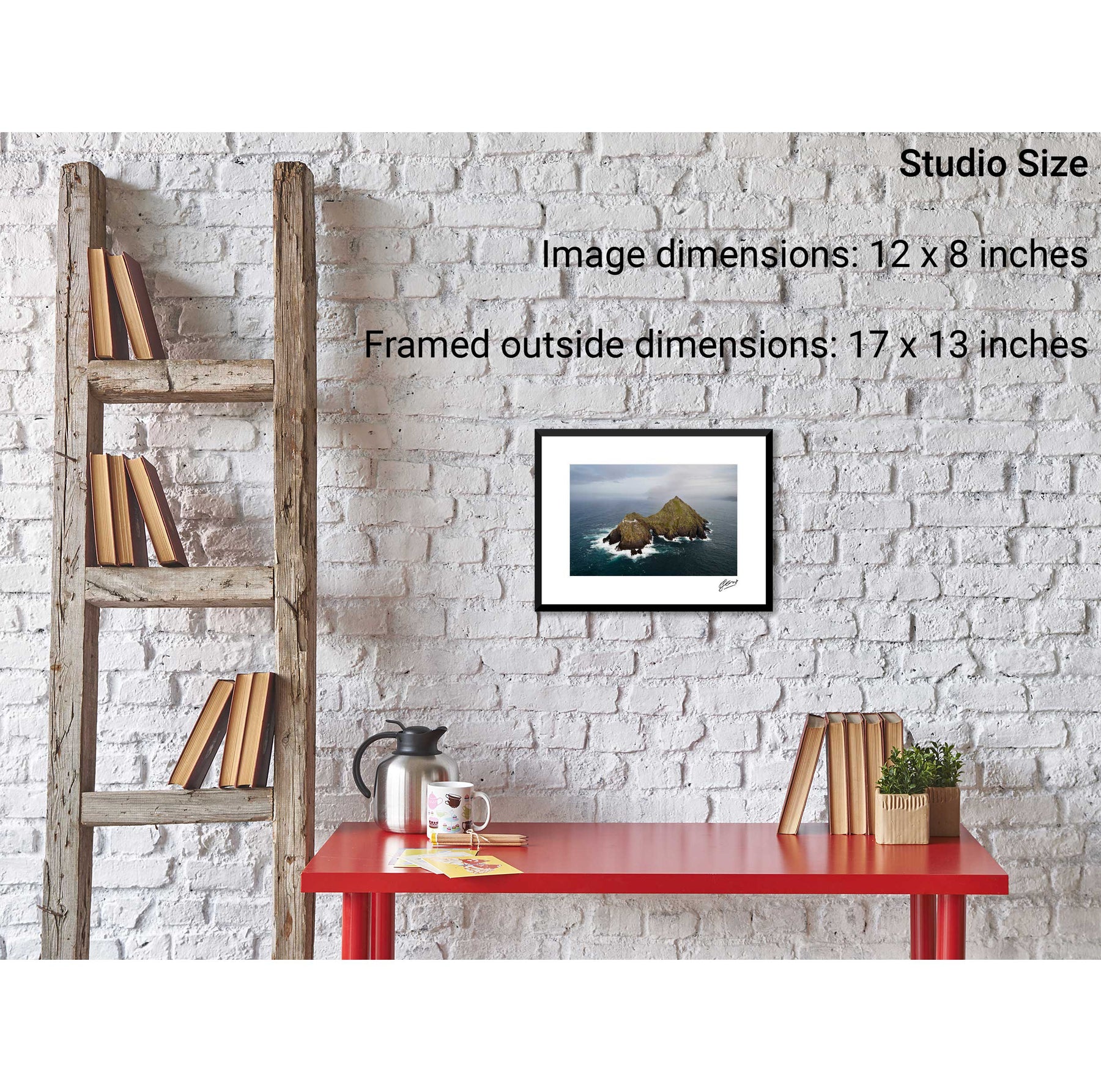
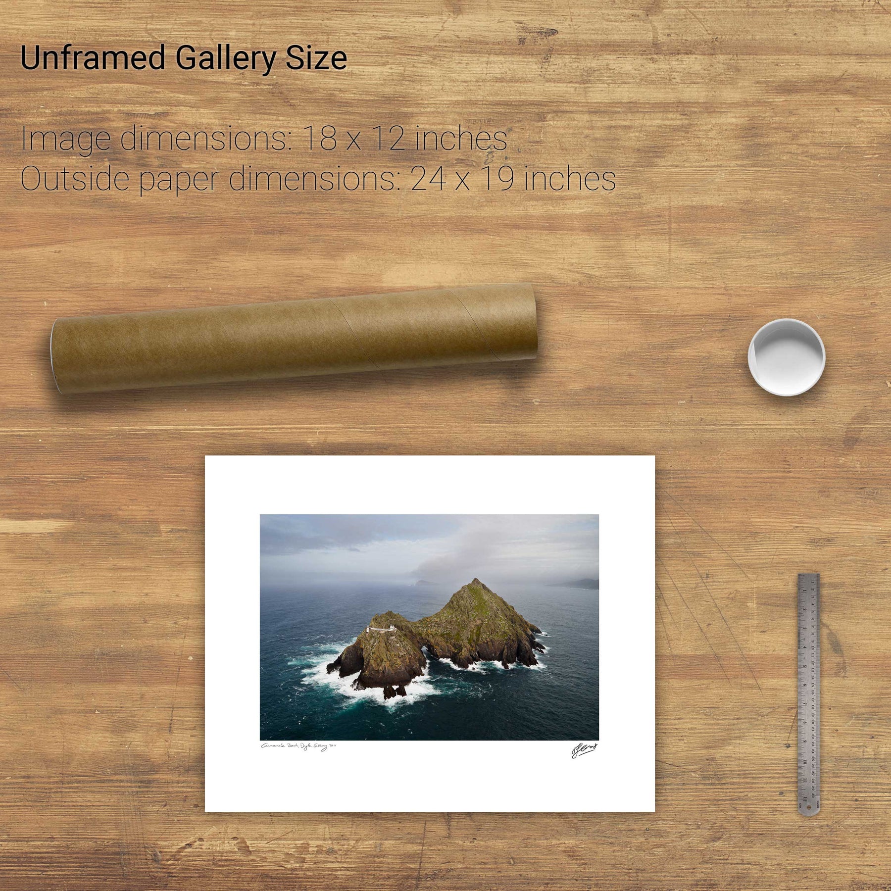
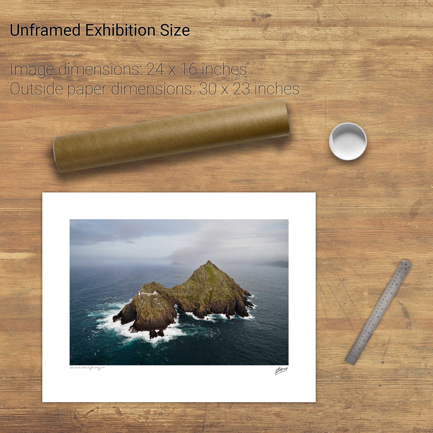
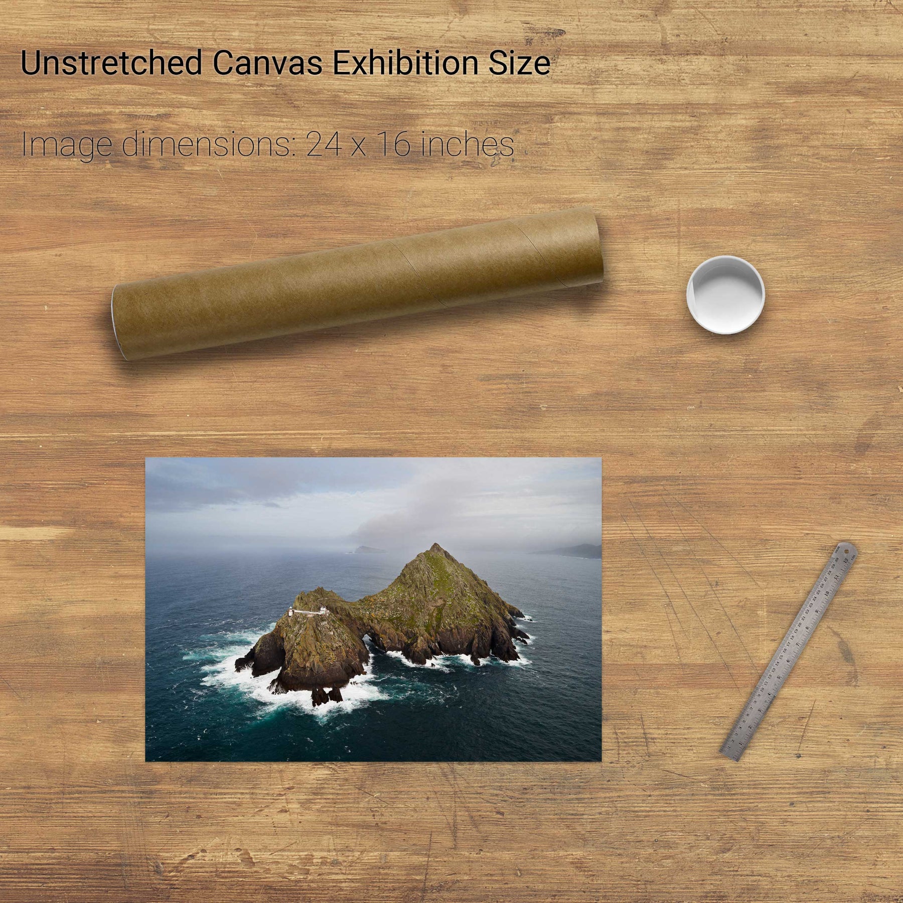
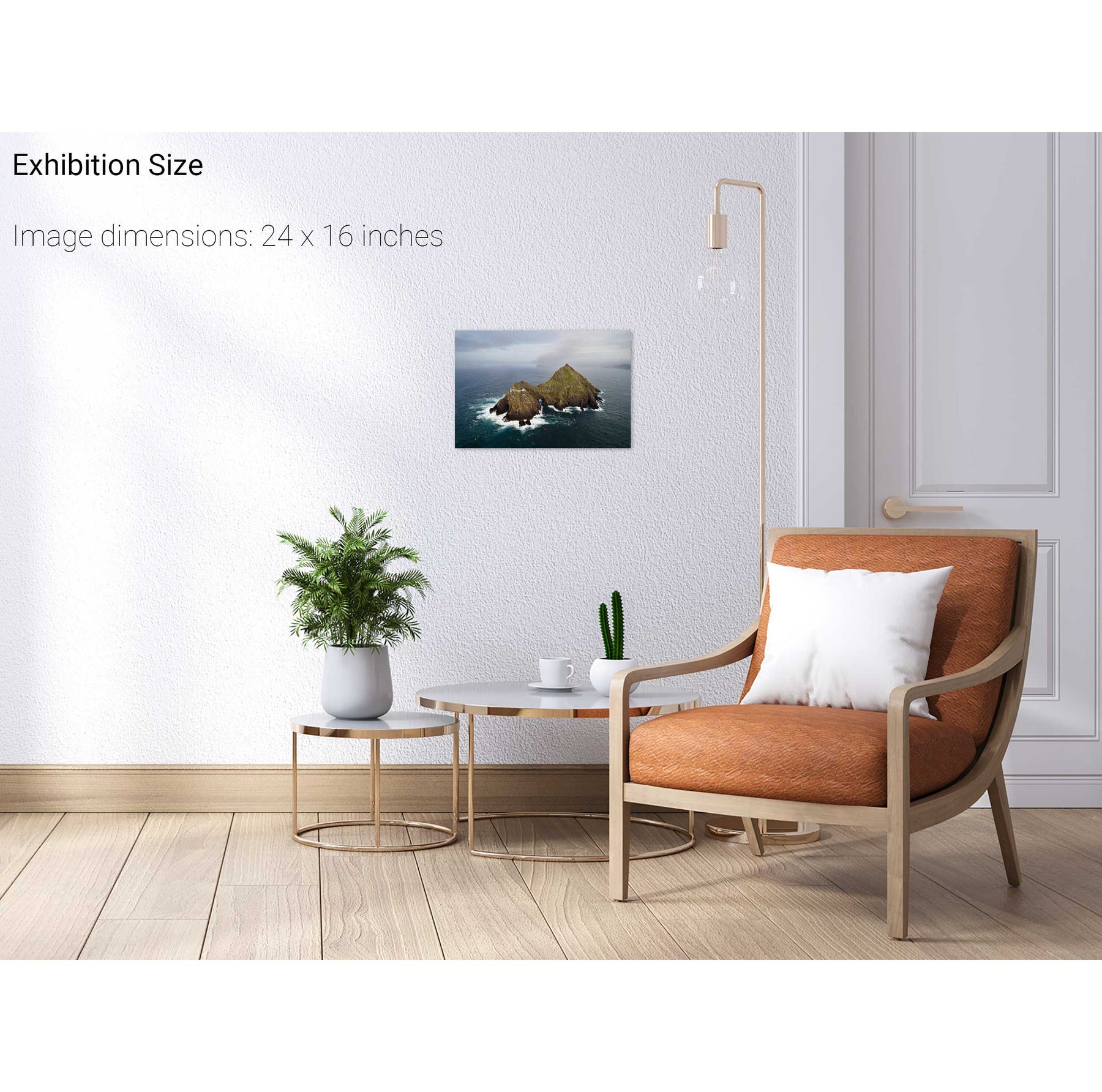
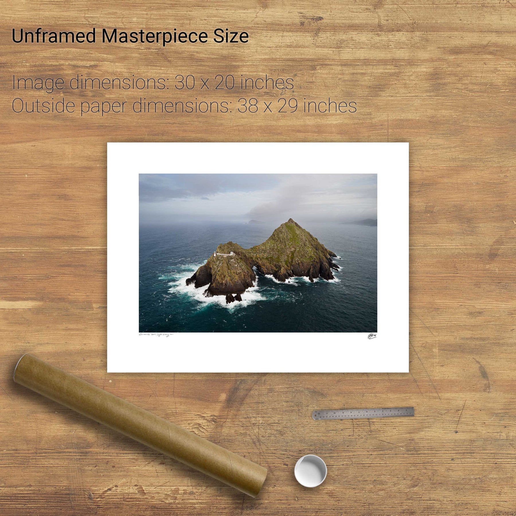
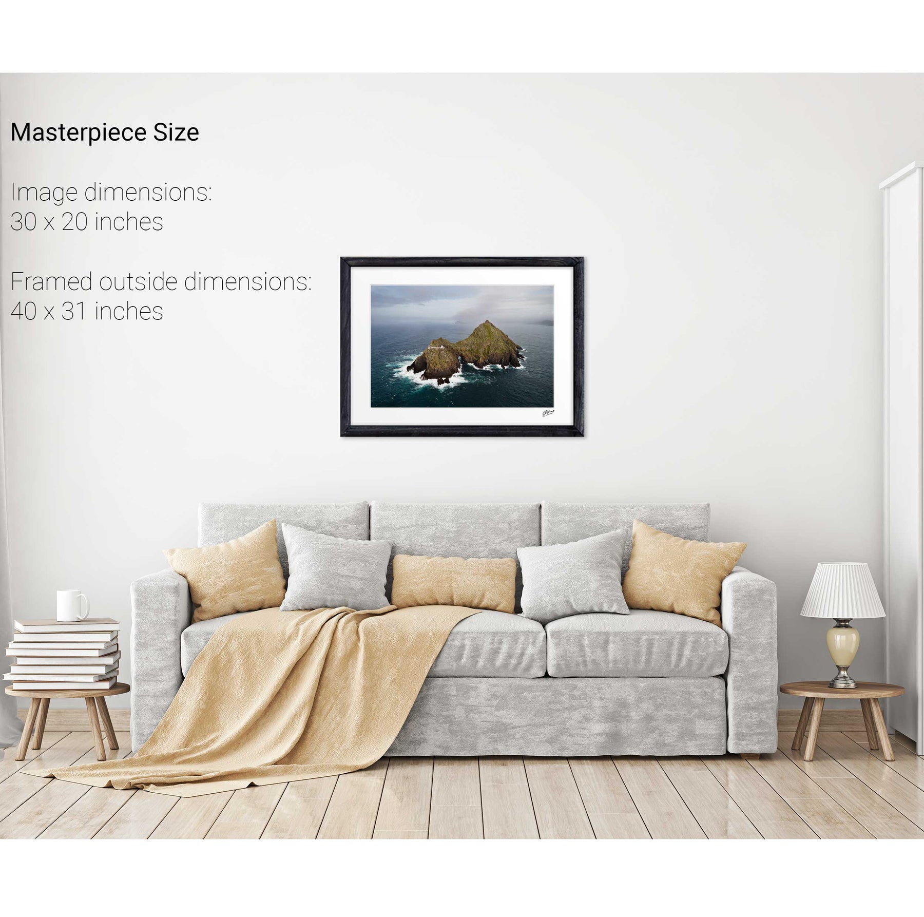
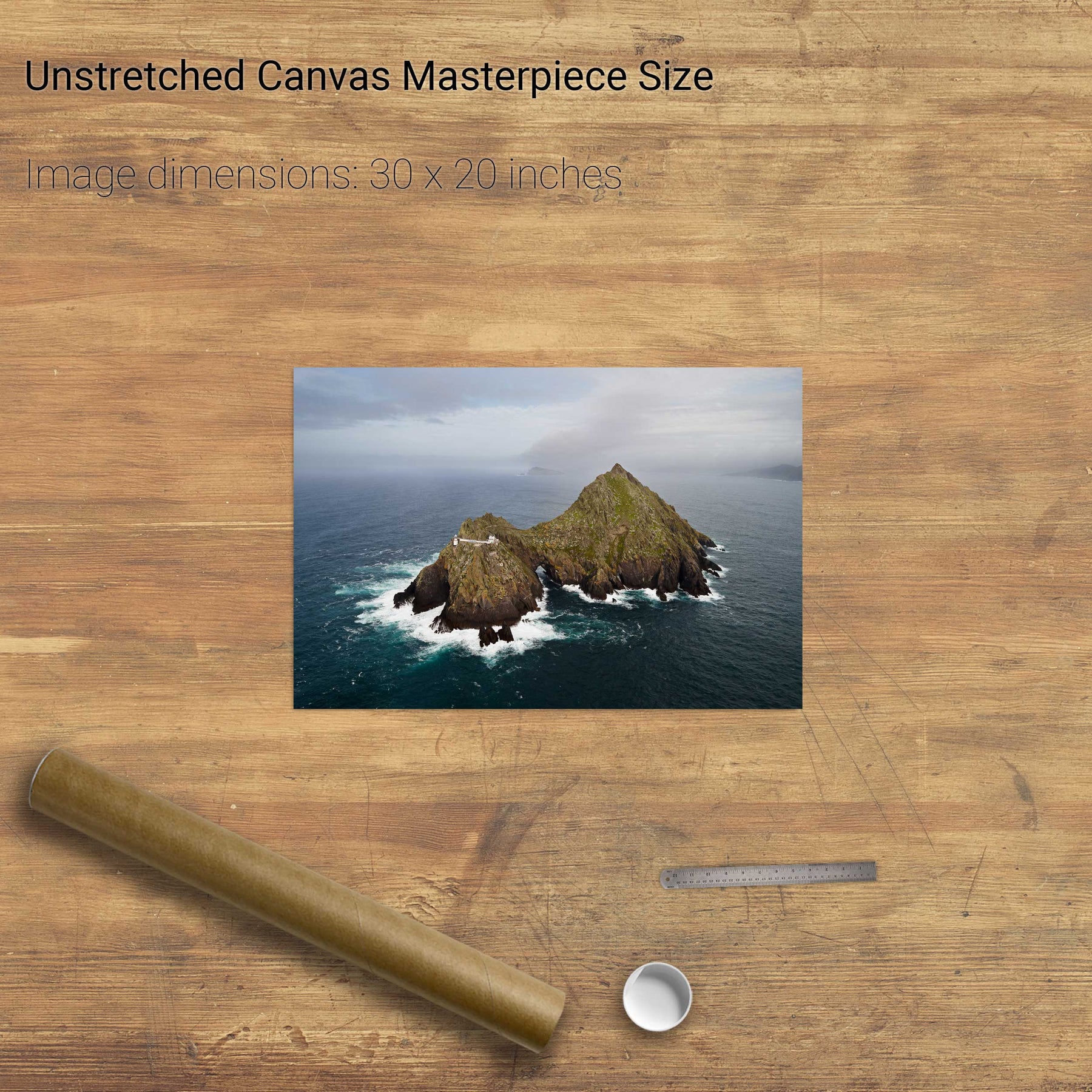
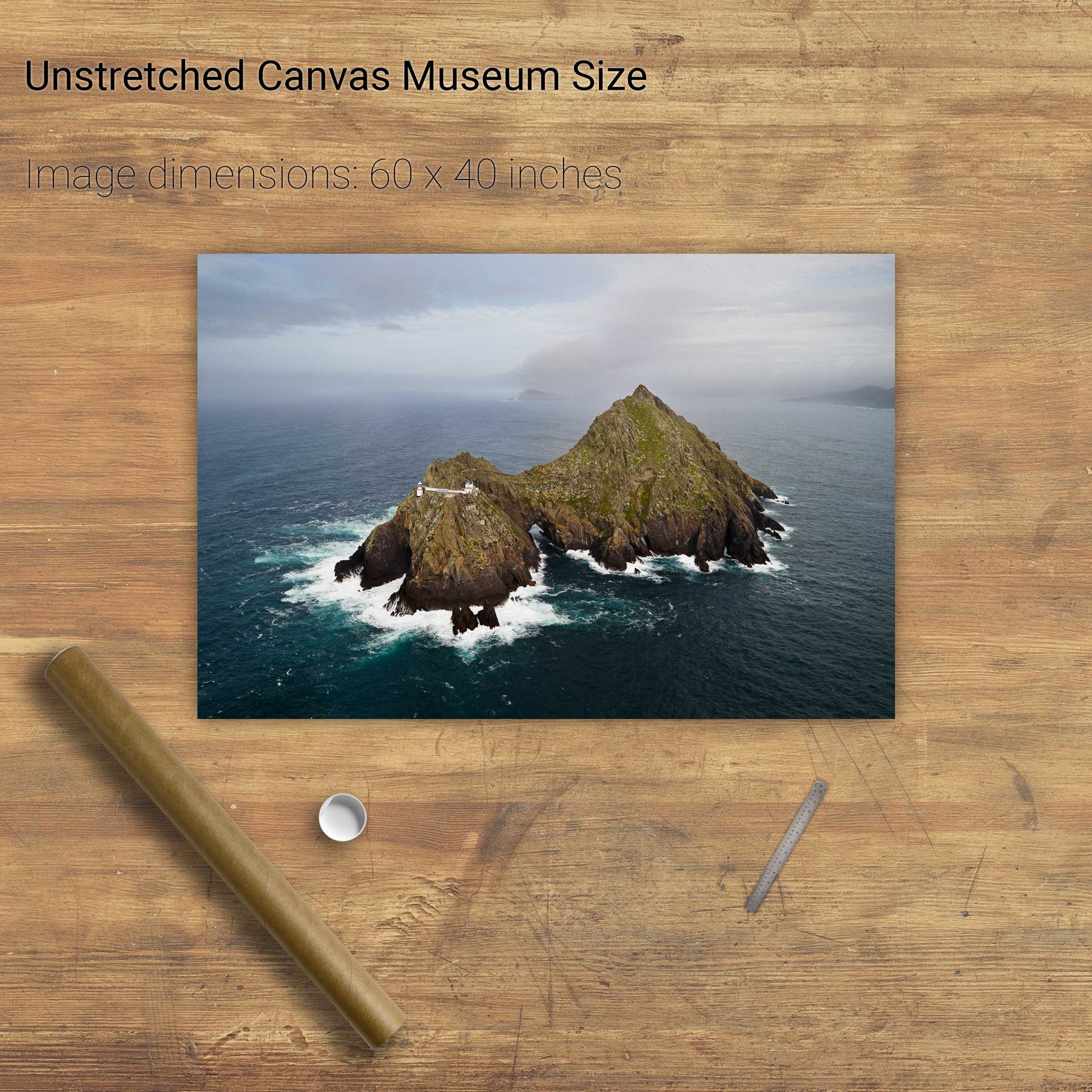
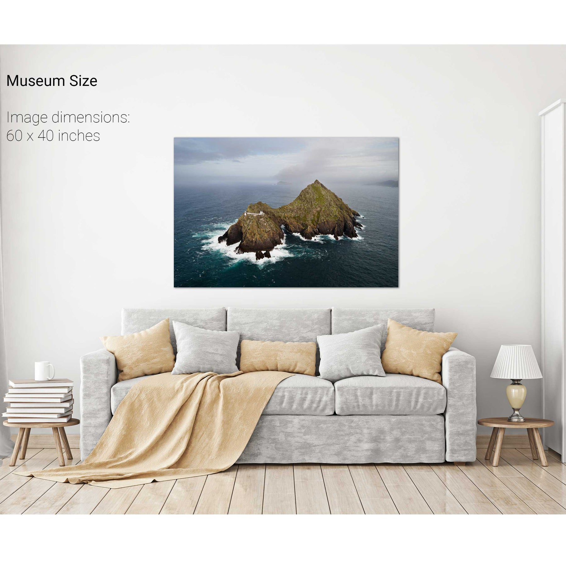
Skellig Michael from Above, Kerry
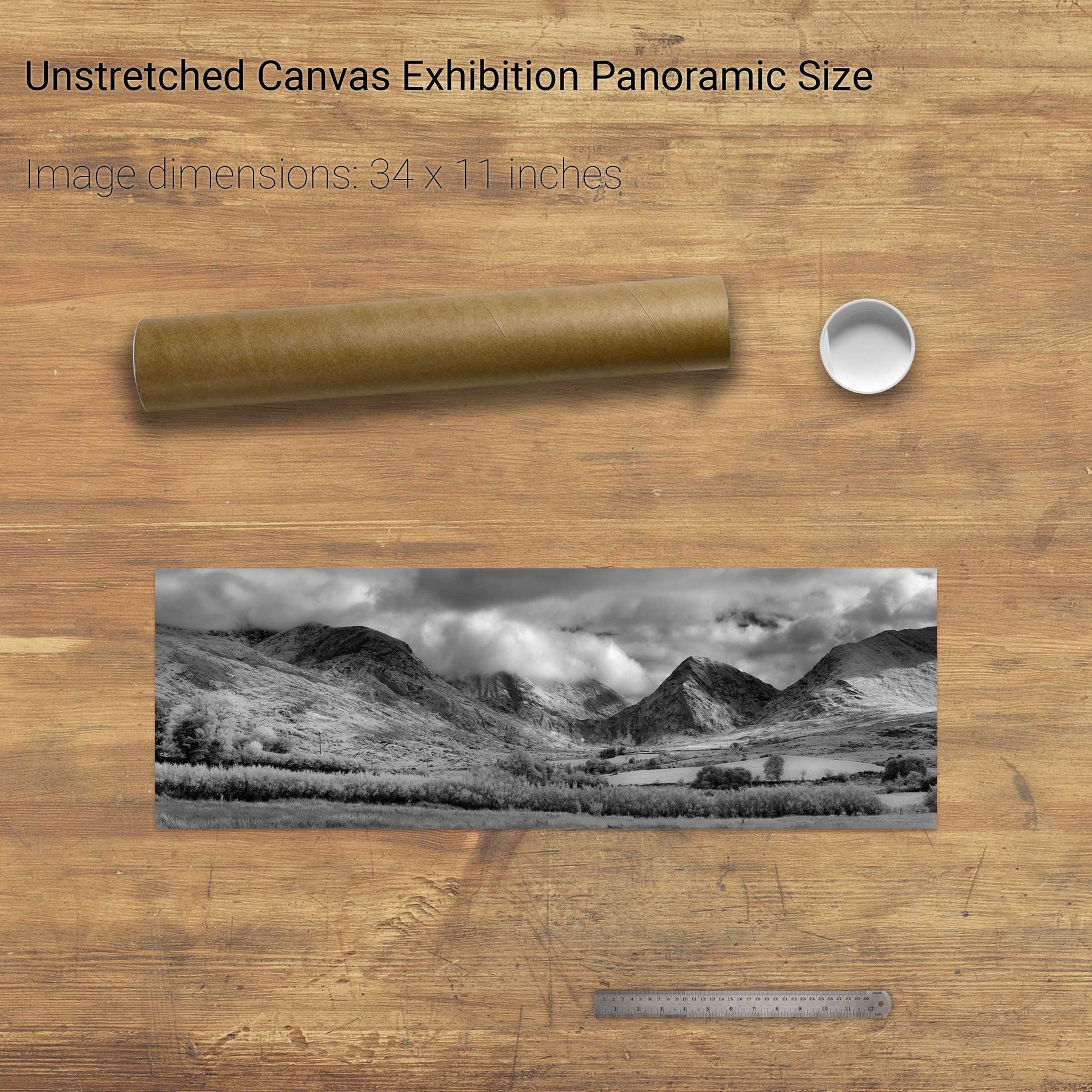
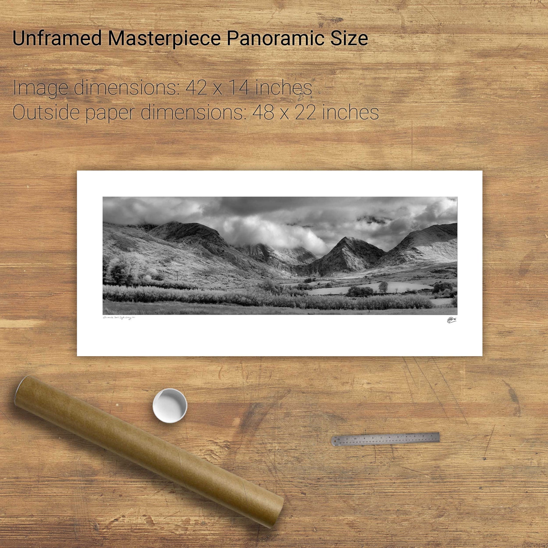
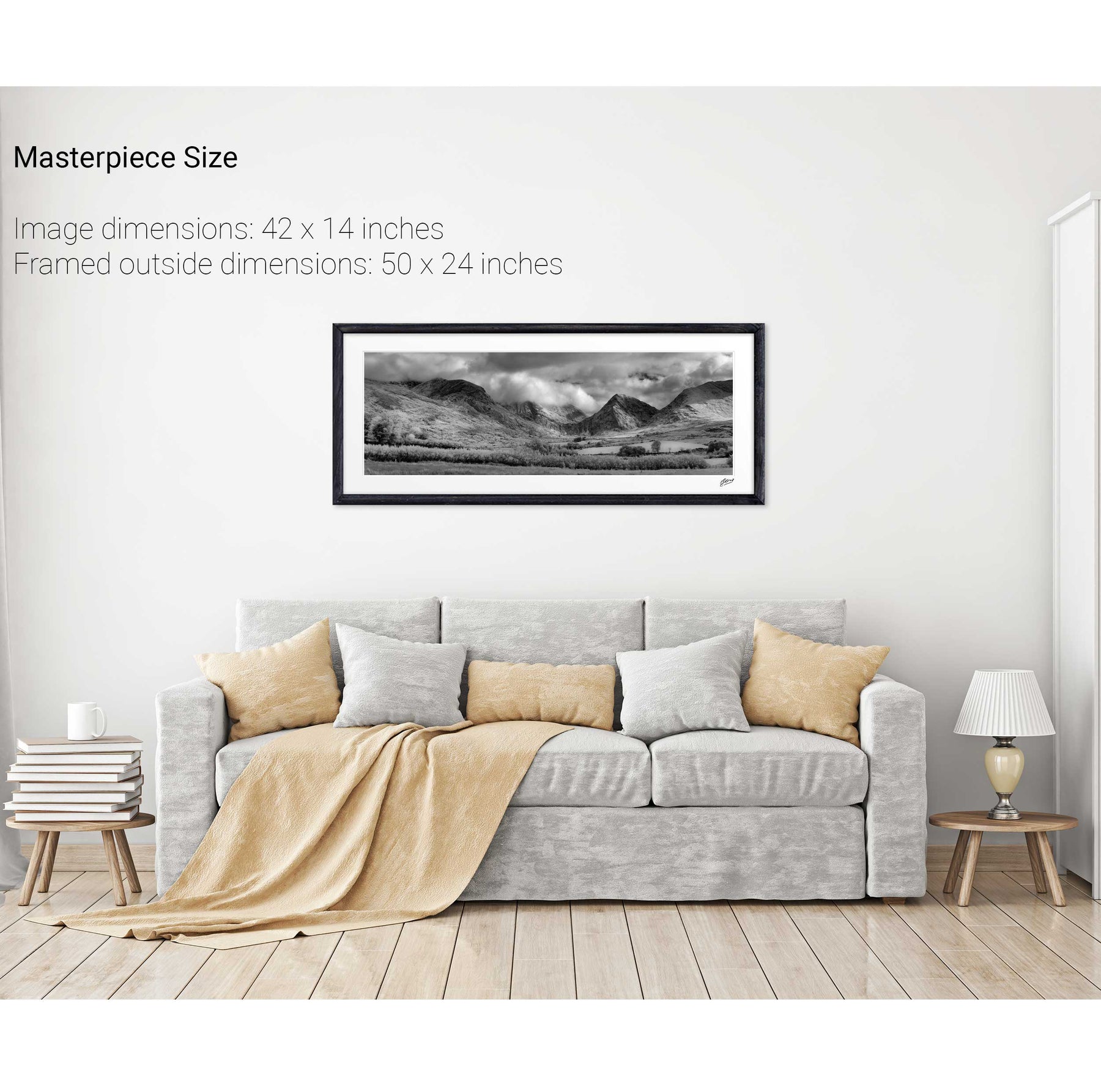
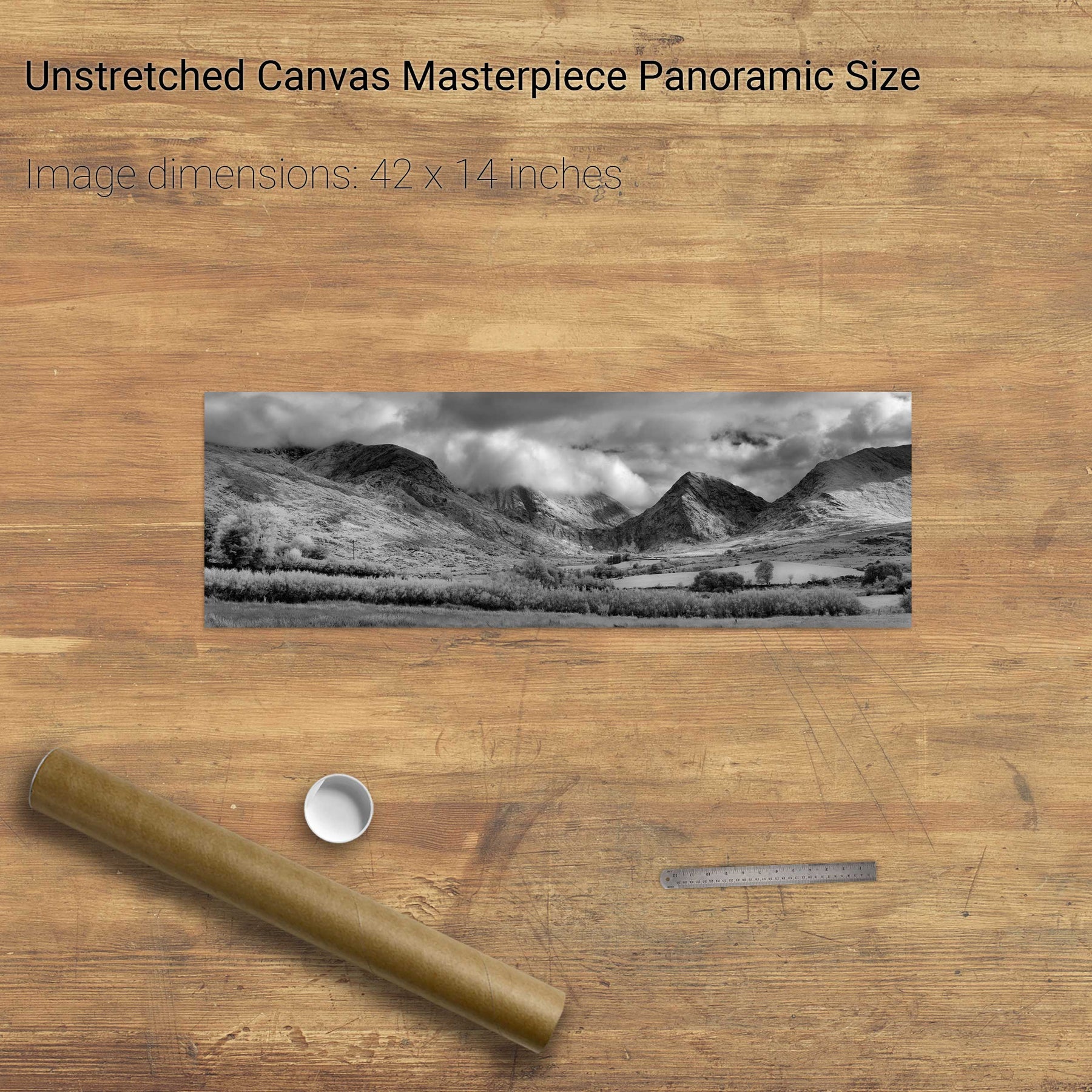
Glencar, Co. Kerry
Skellig Michael Hermitage, Co. Kerry
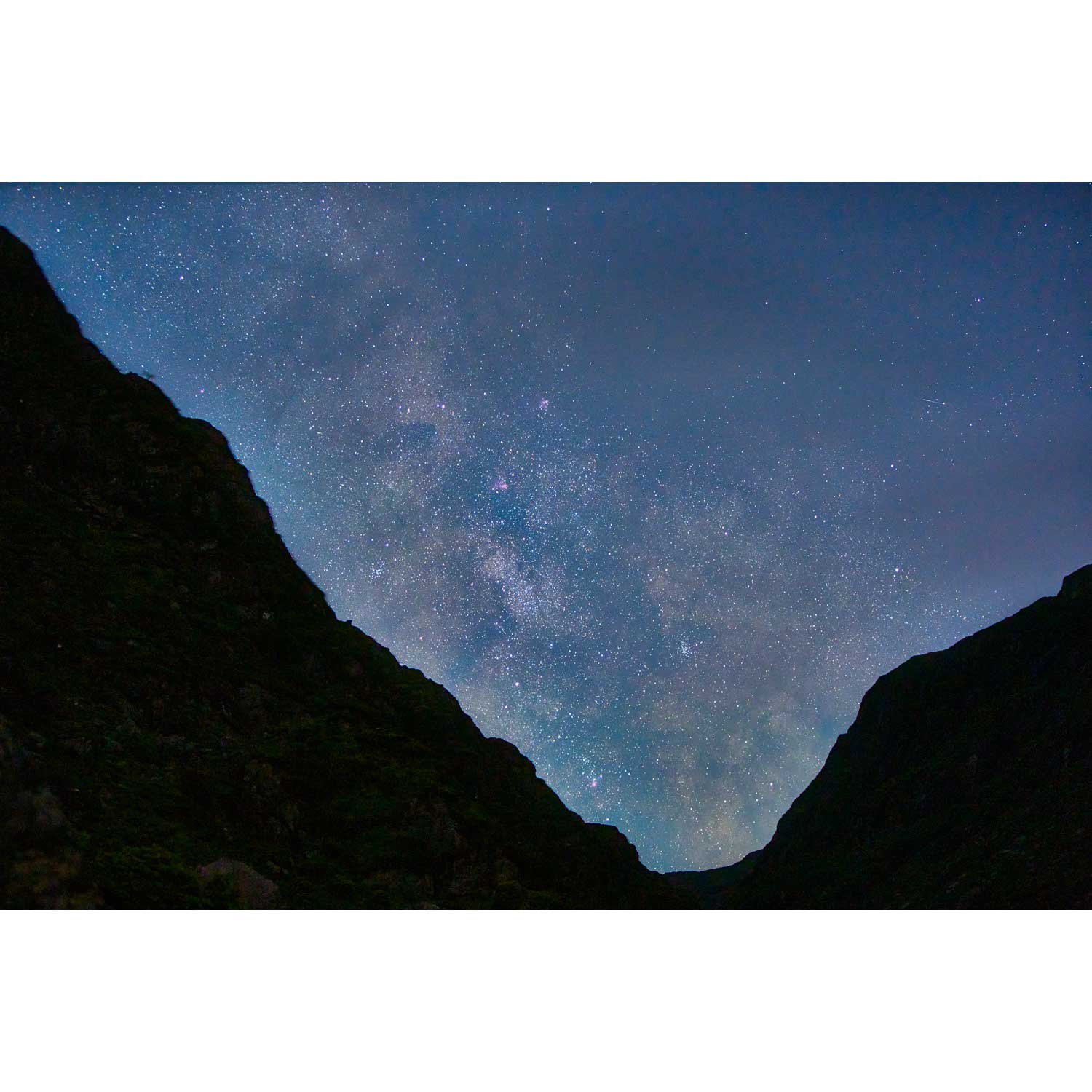
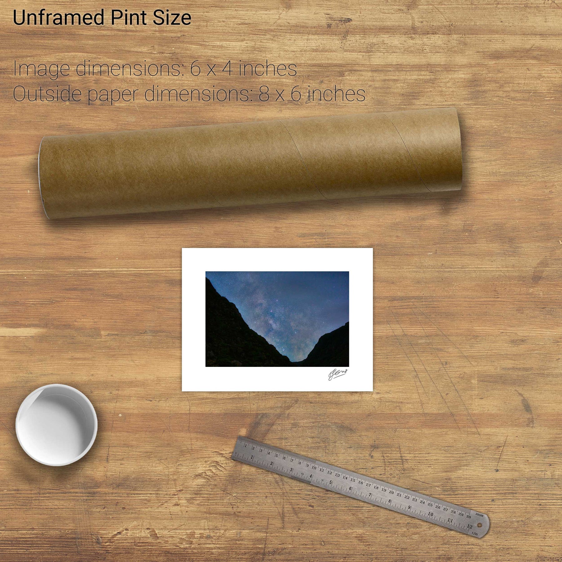
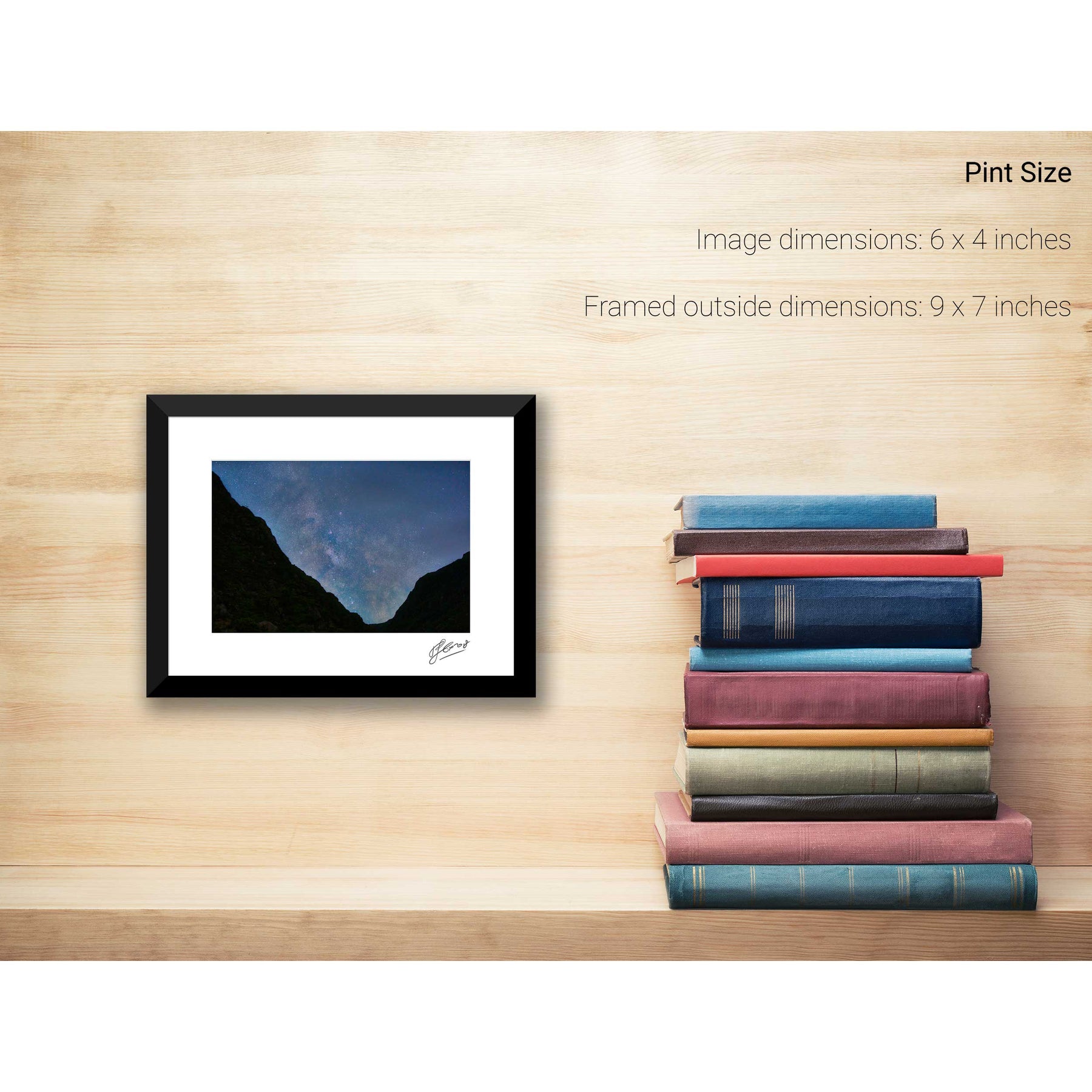
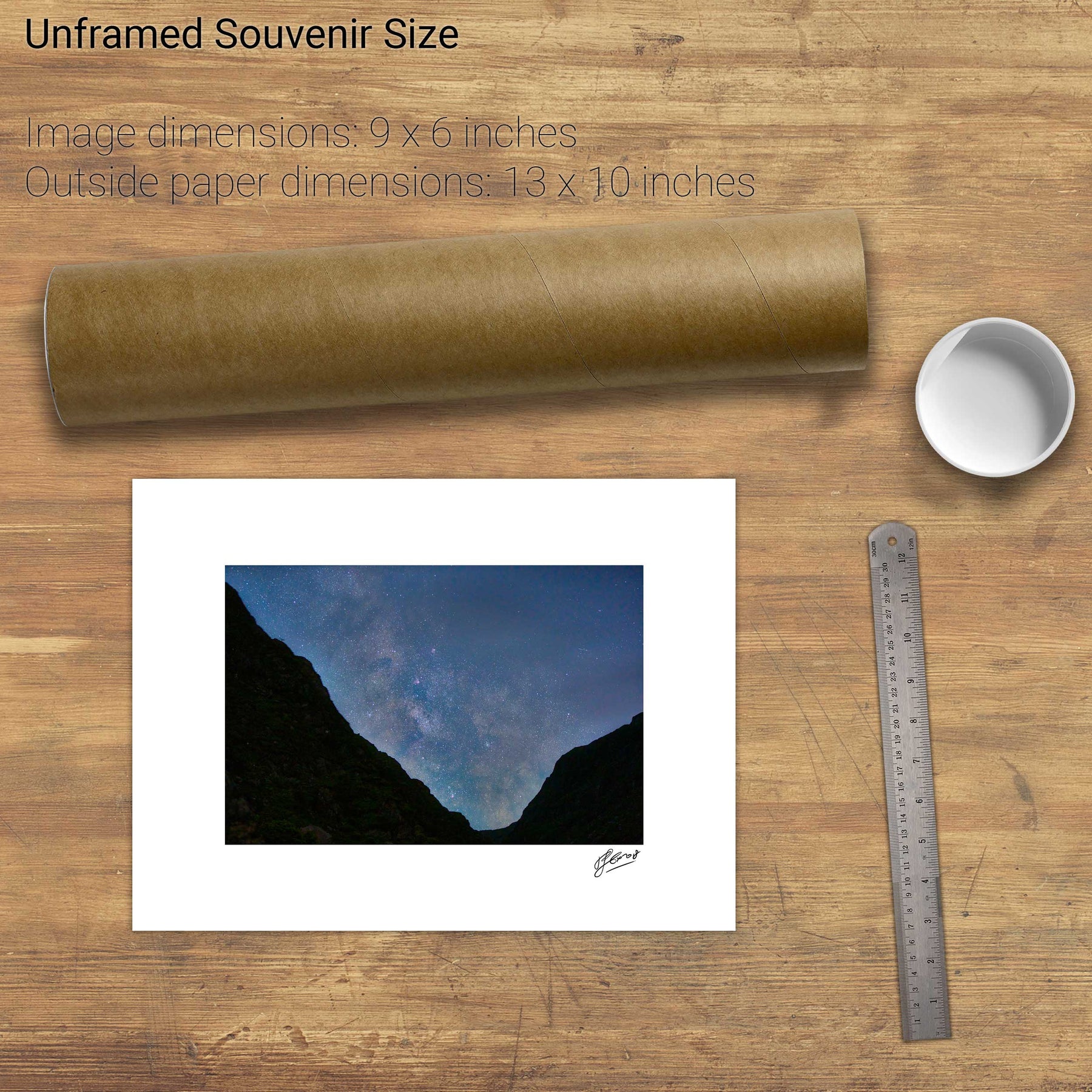
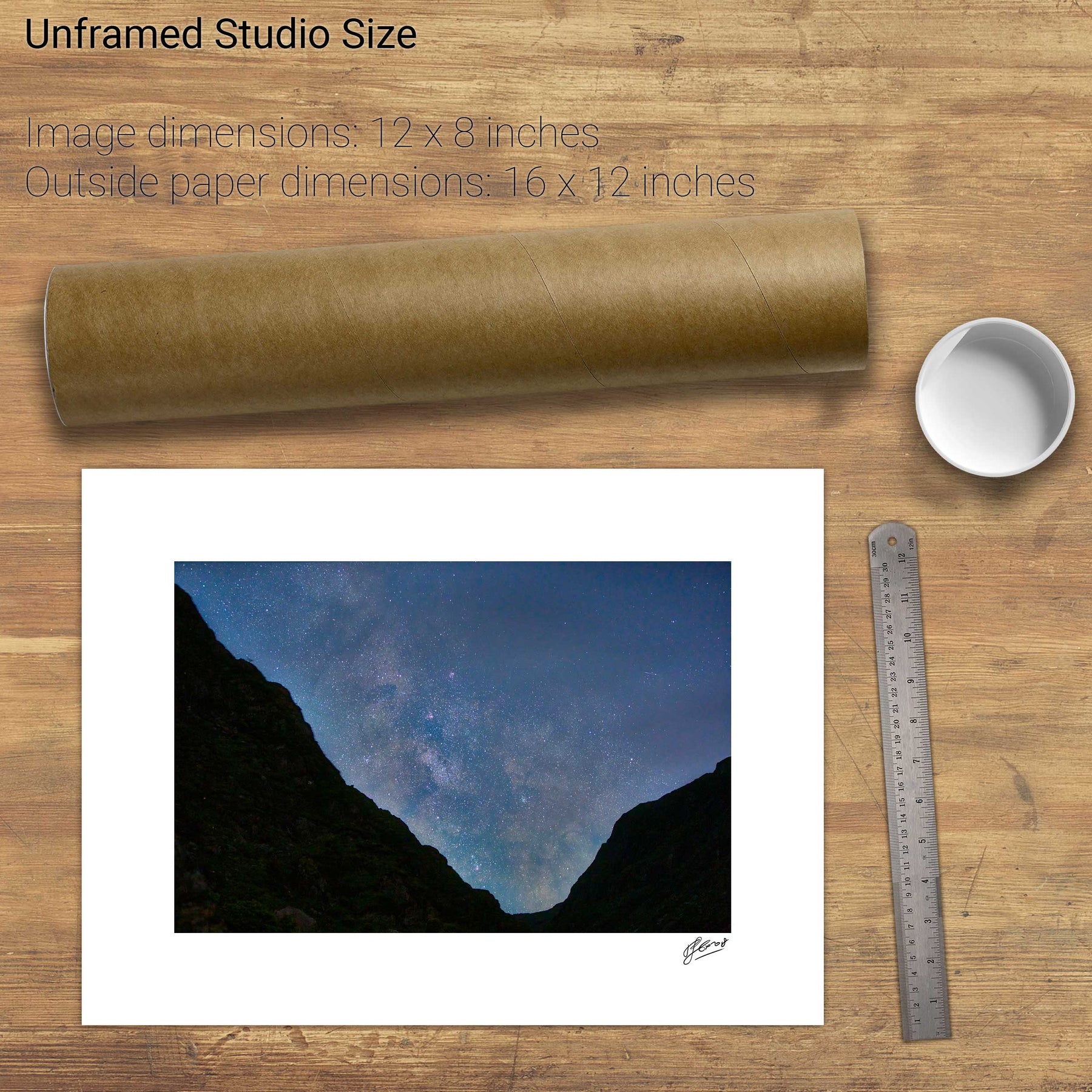
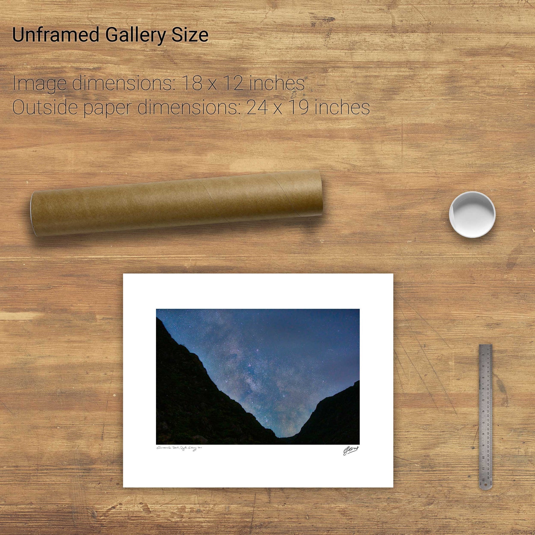
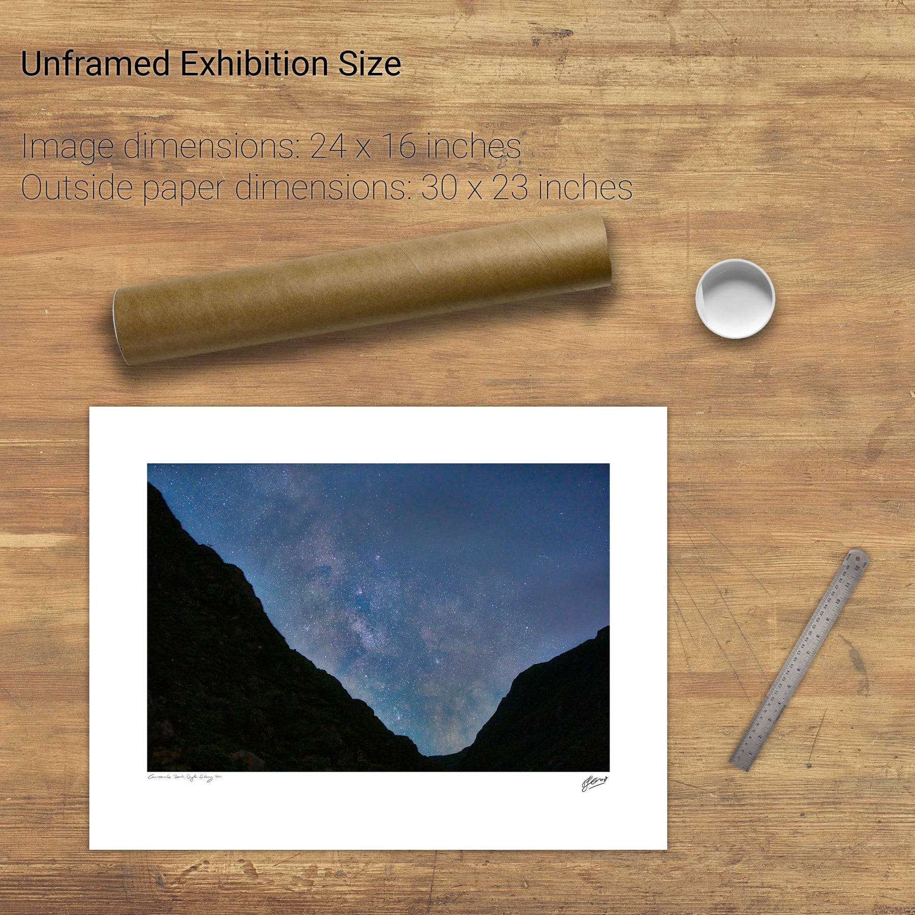
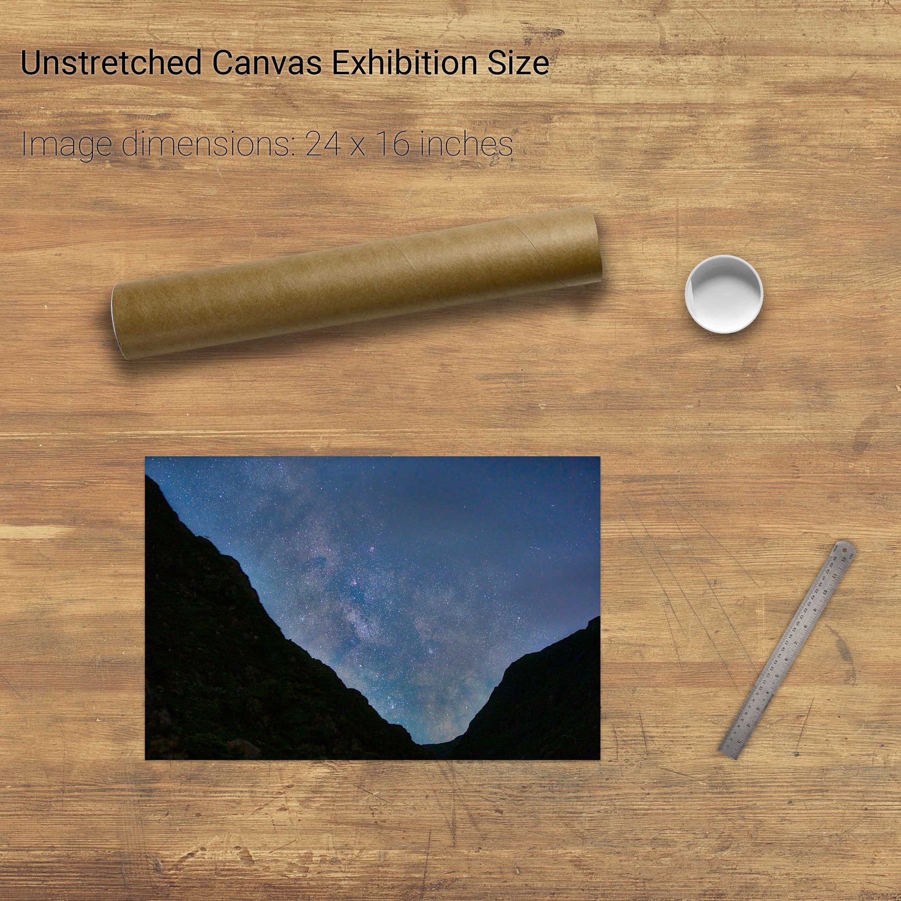
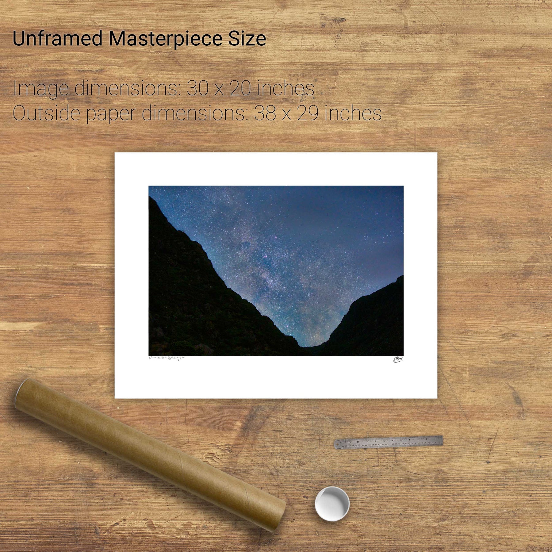
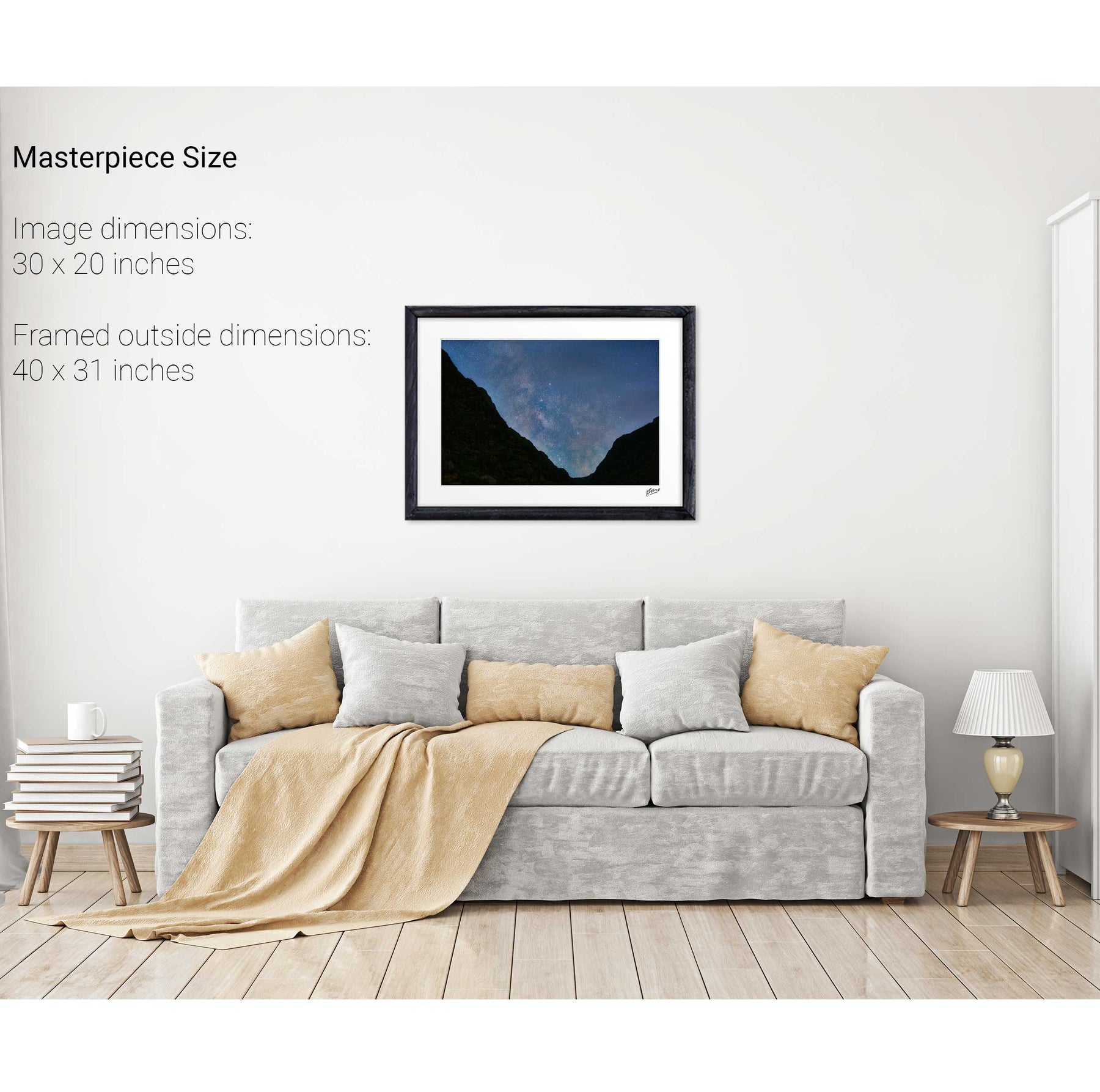
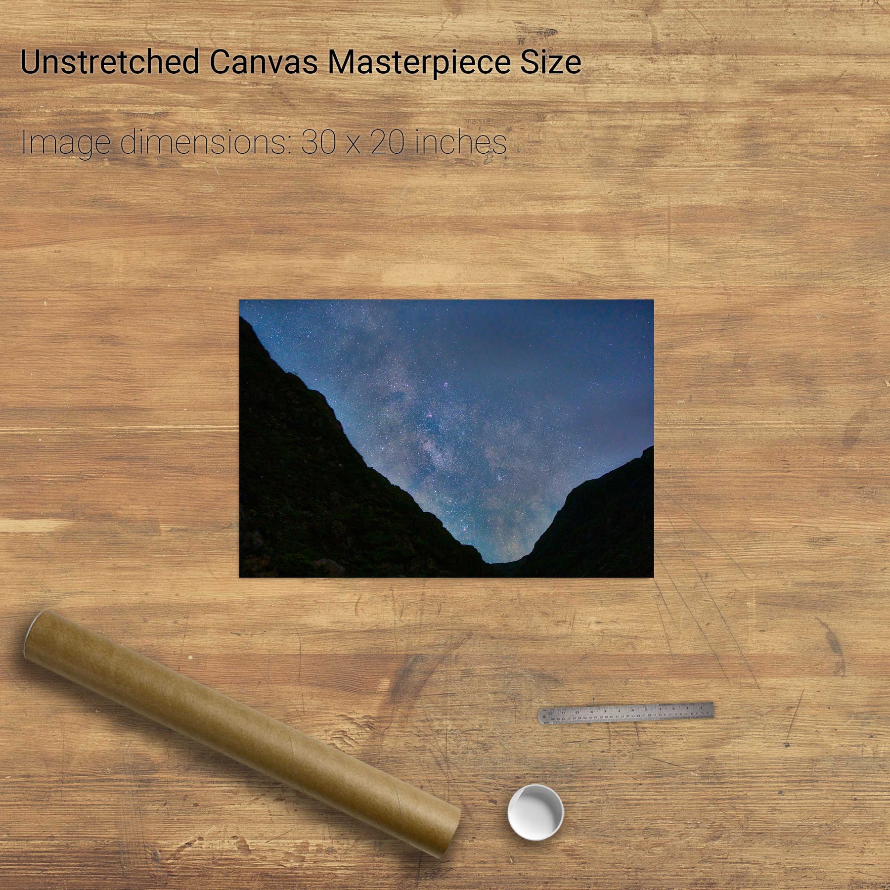
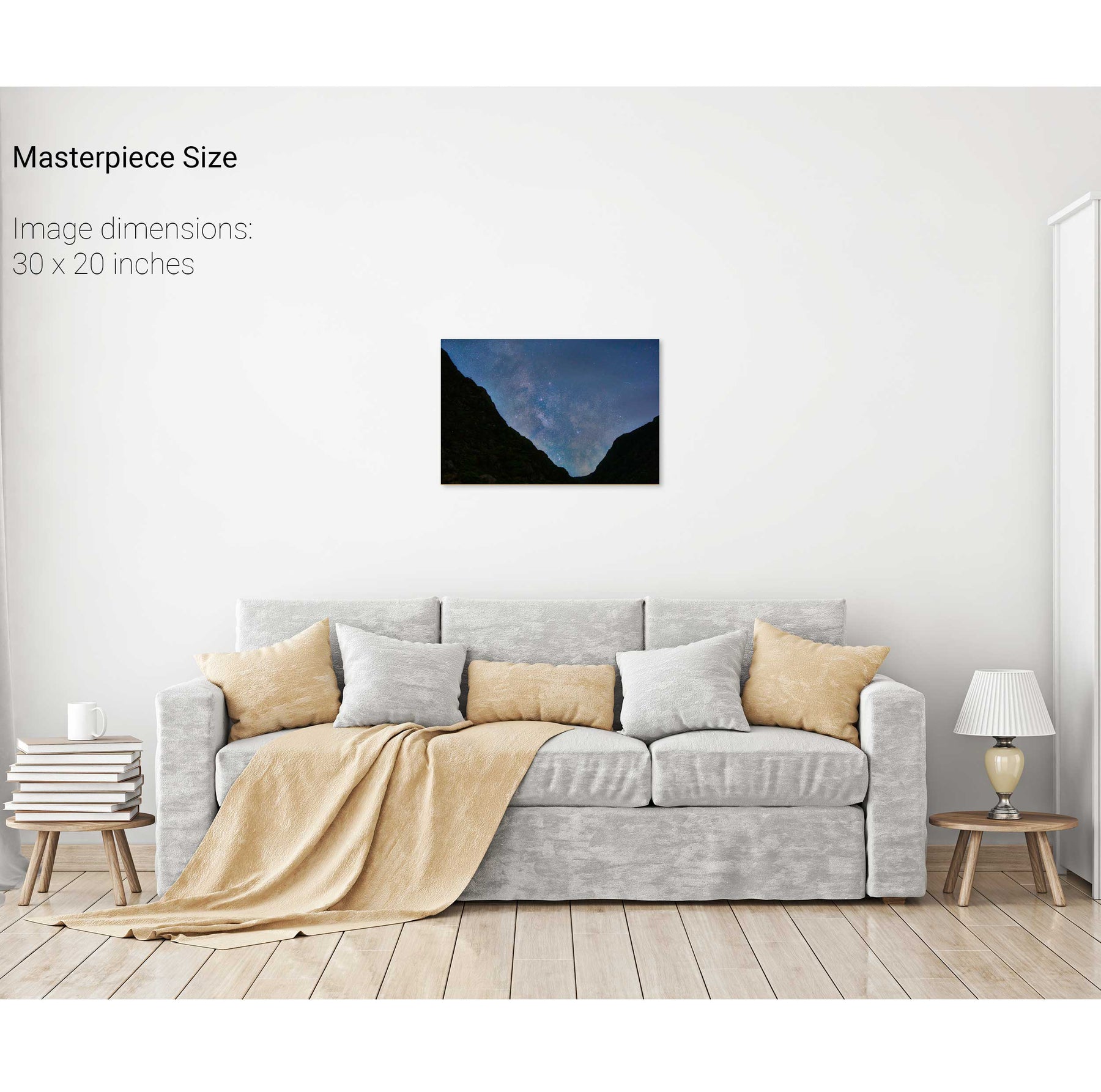
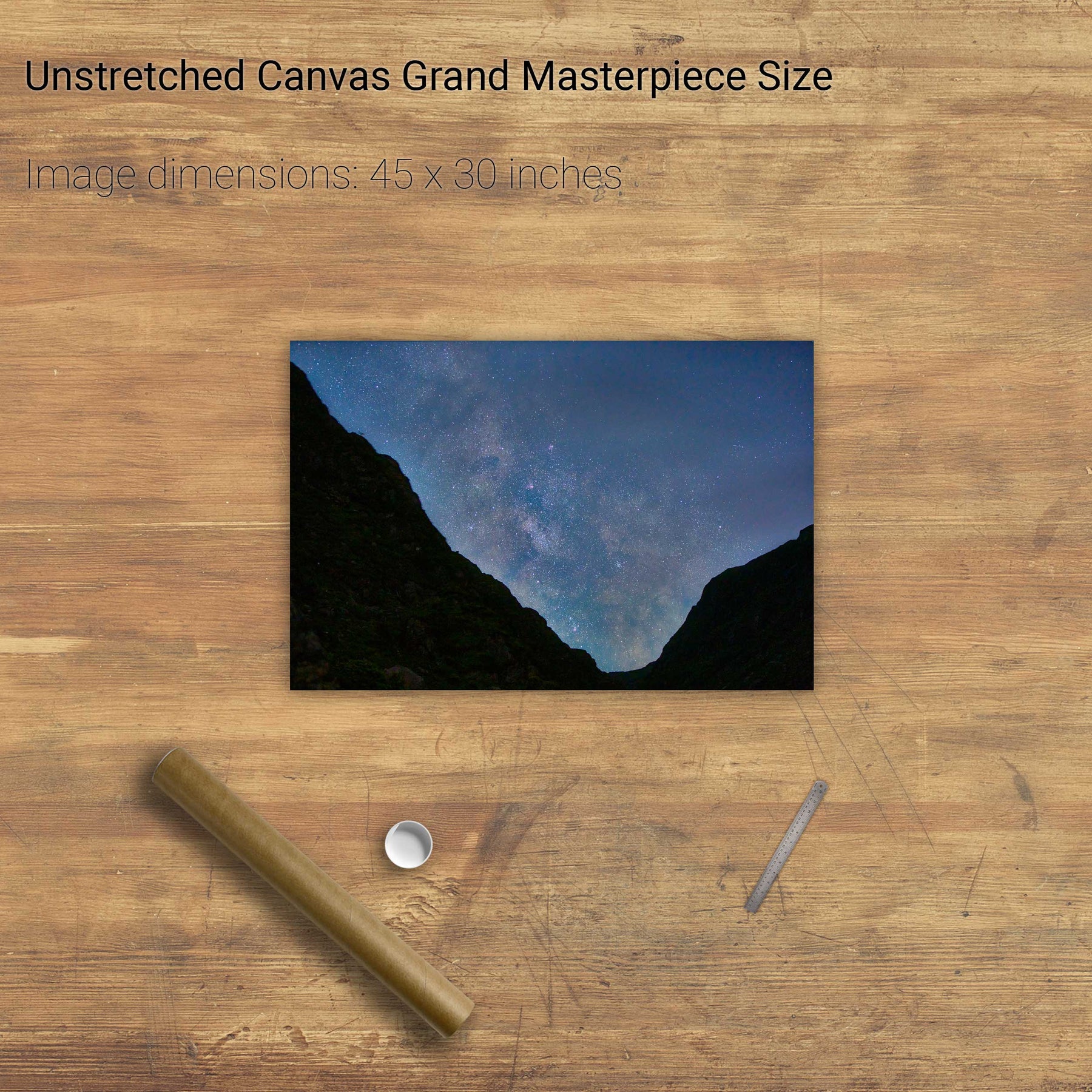
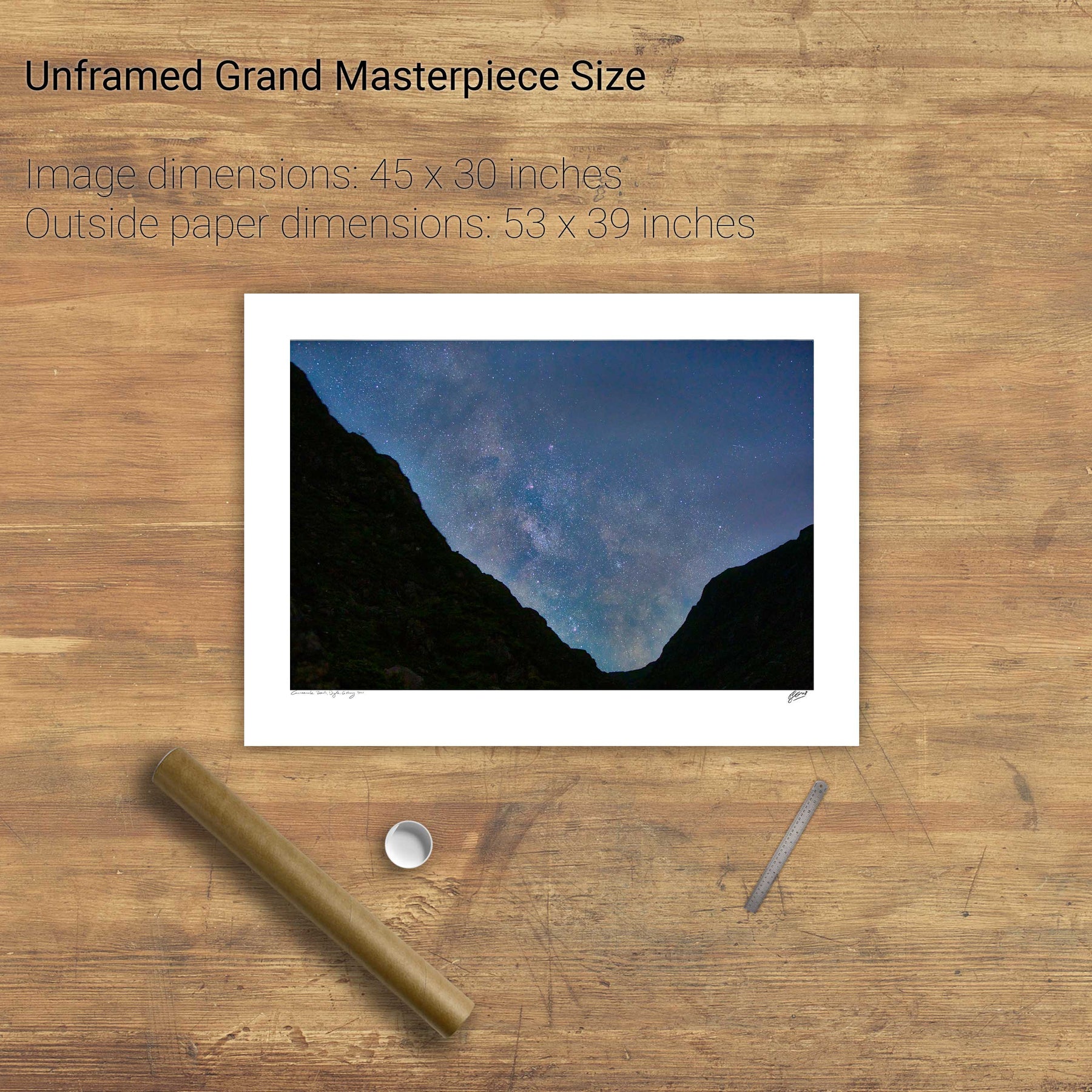
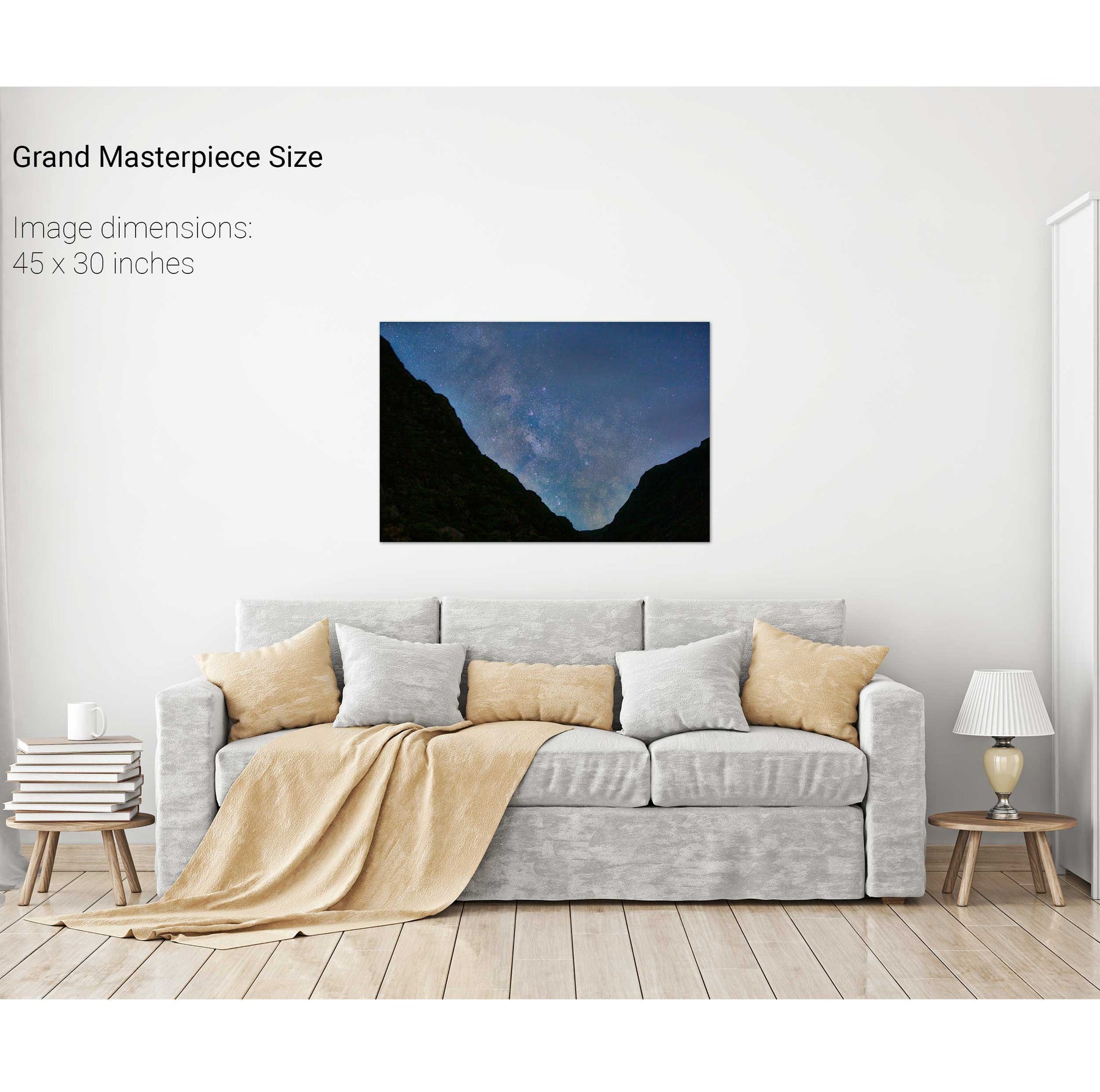
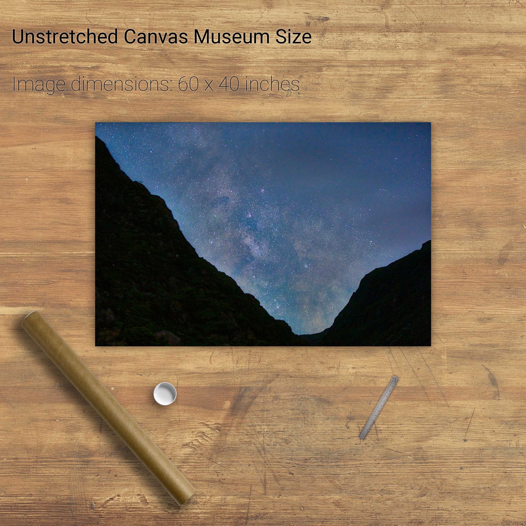
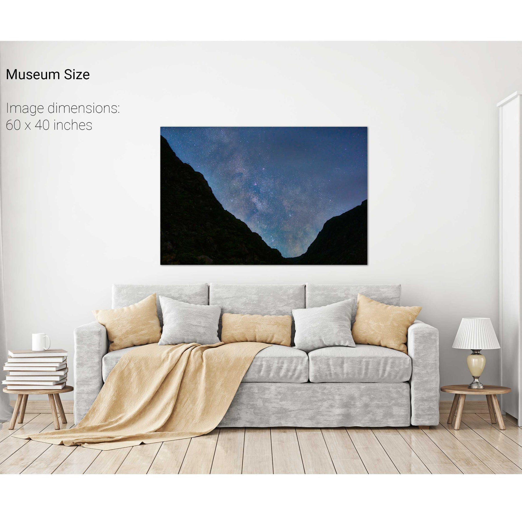
Milky Way over the Gap of Dunloe, Kerry
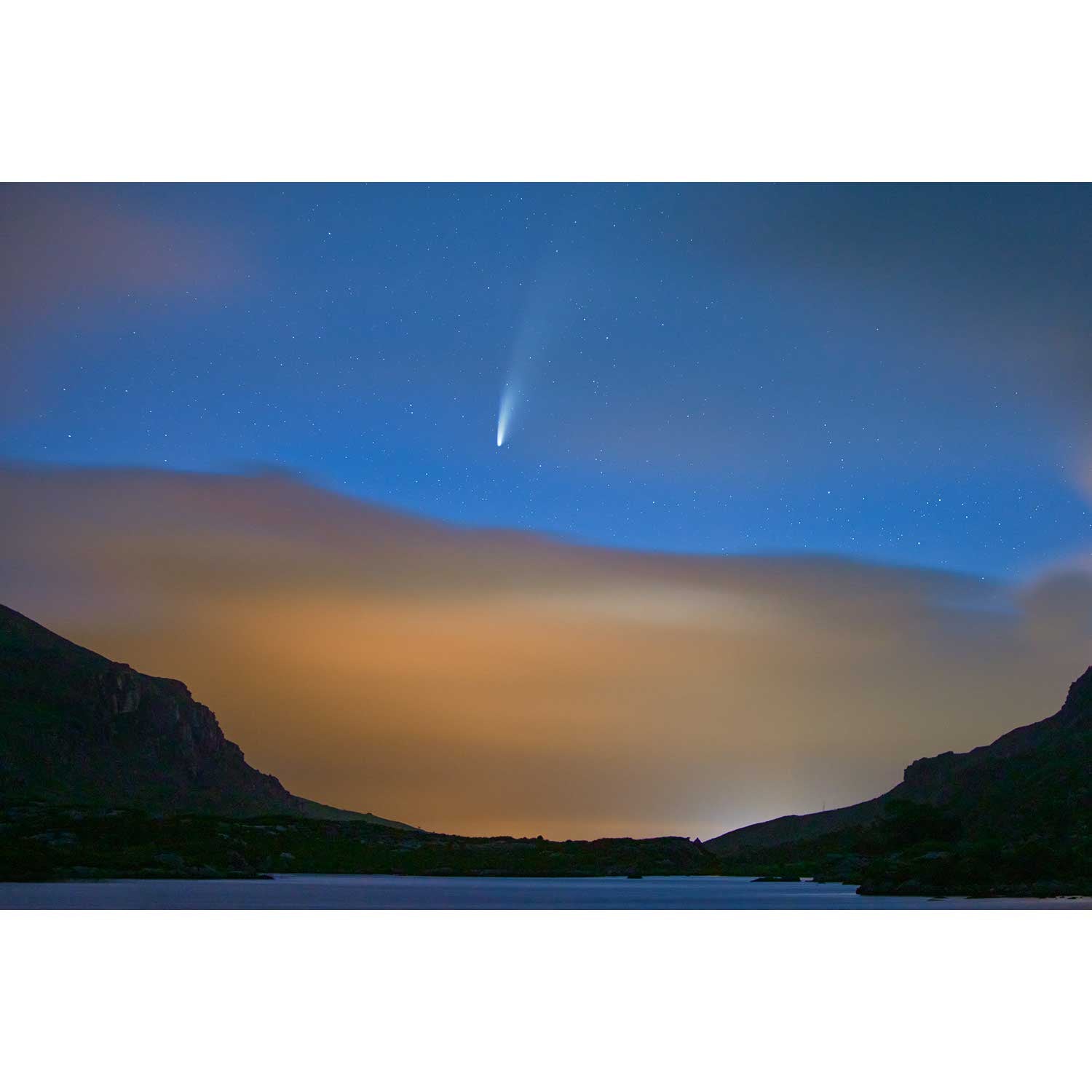
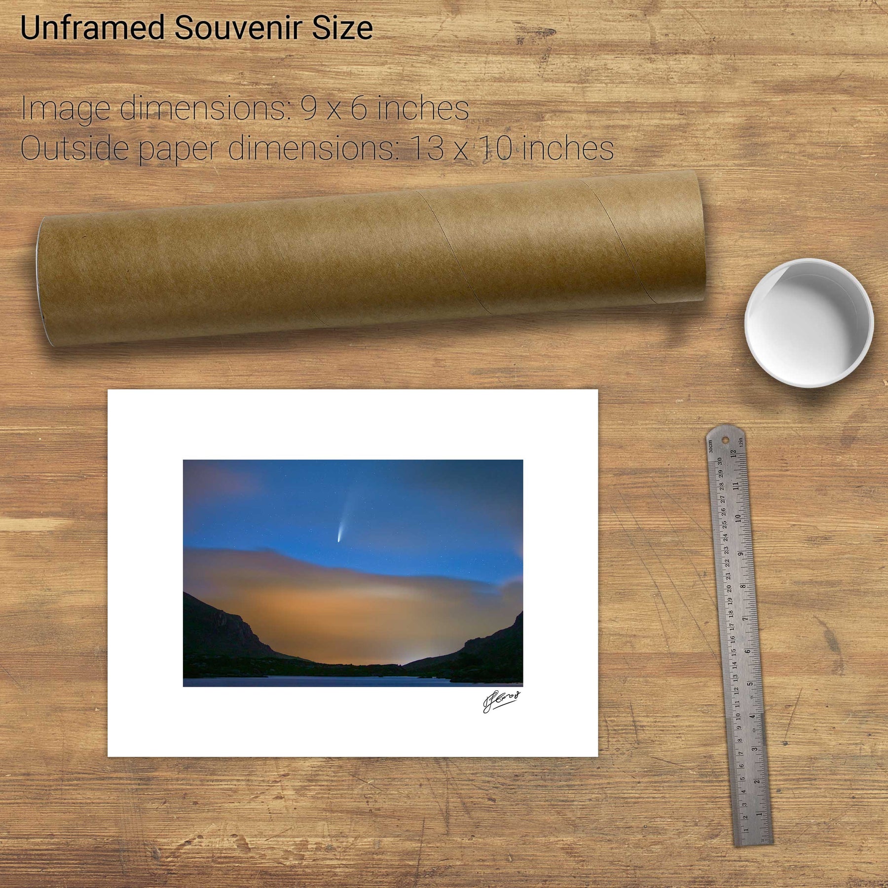
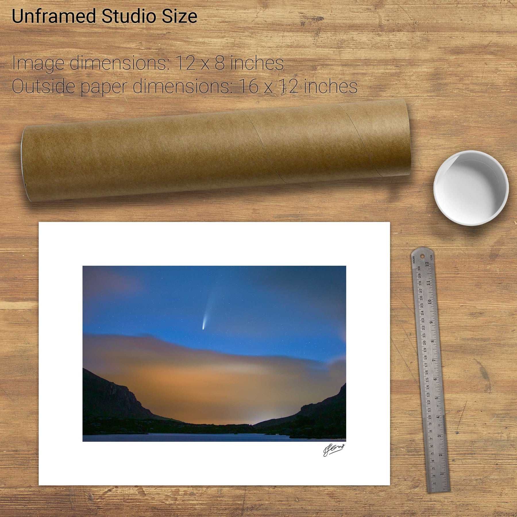
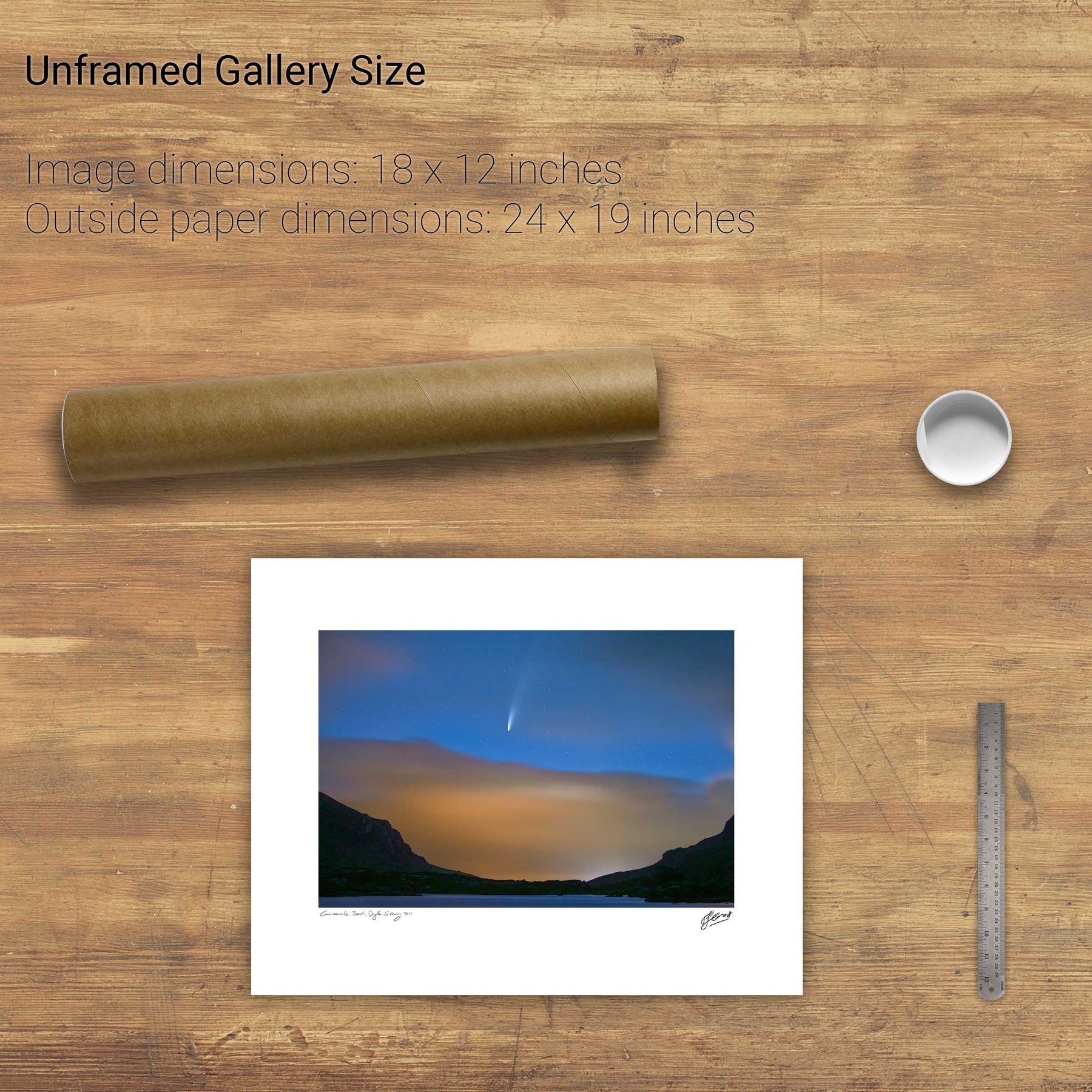
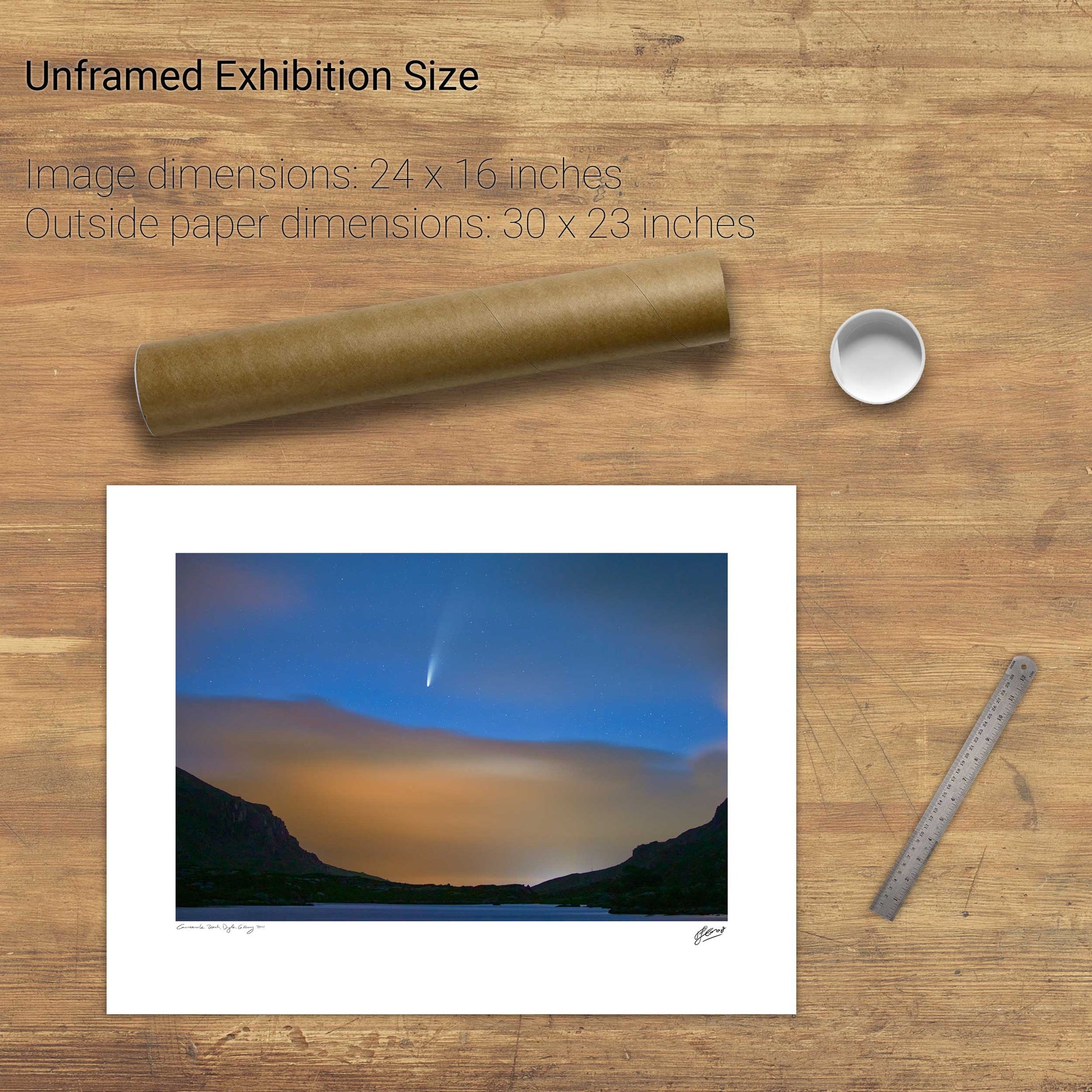
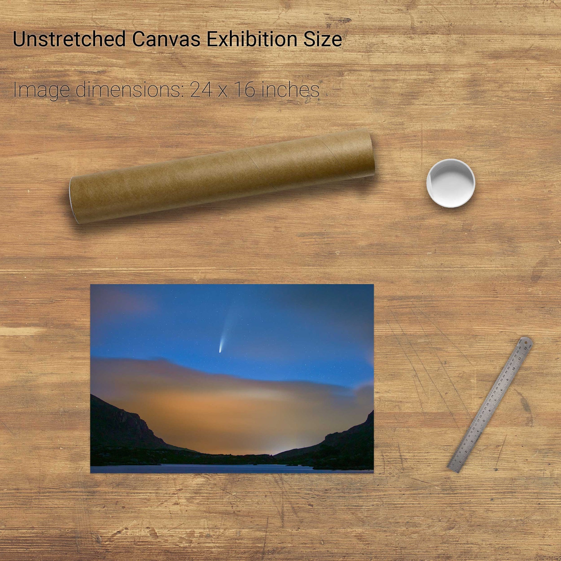
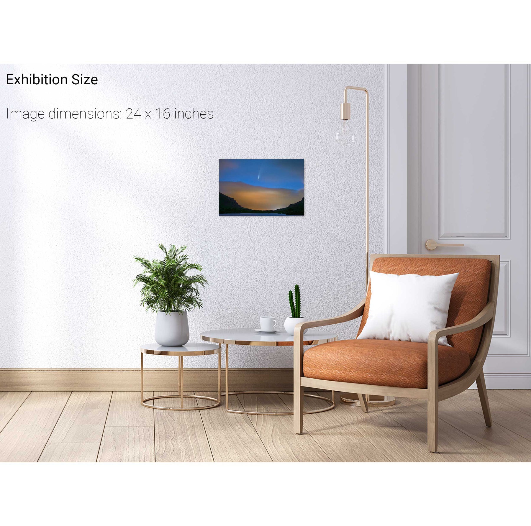
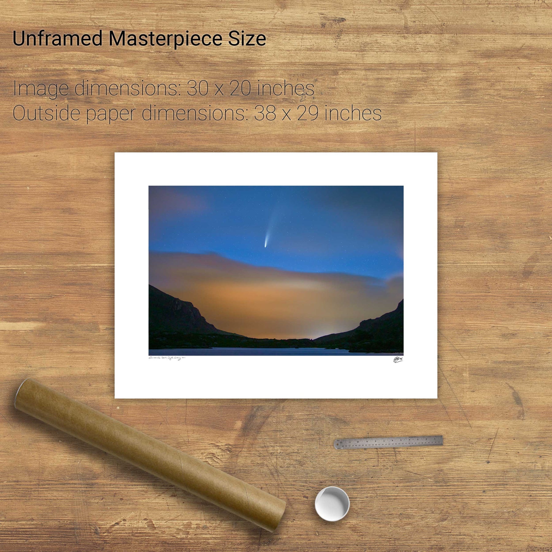
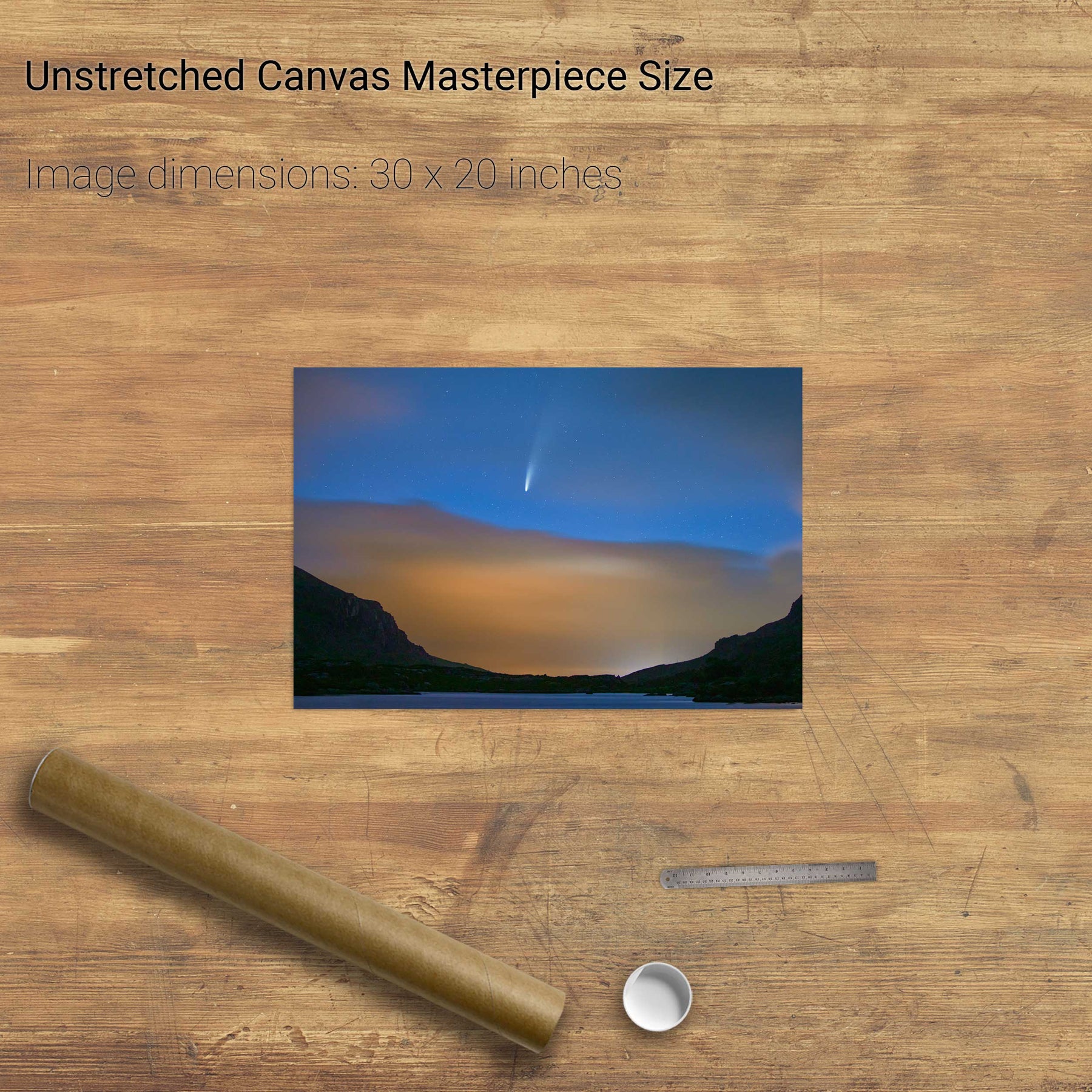
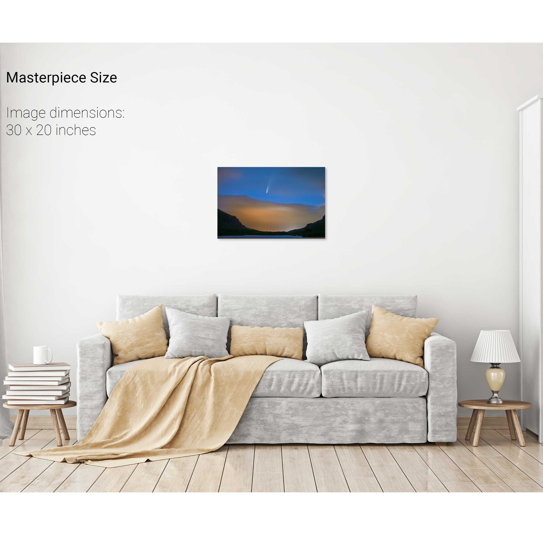
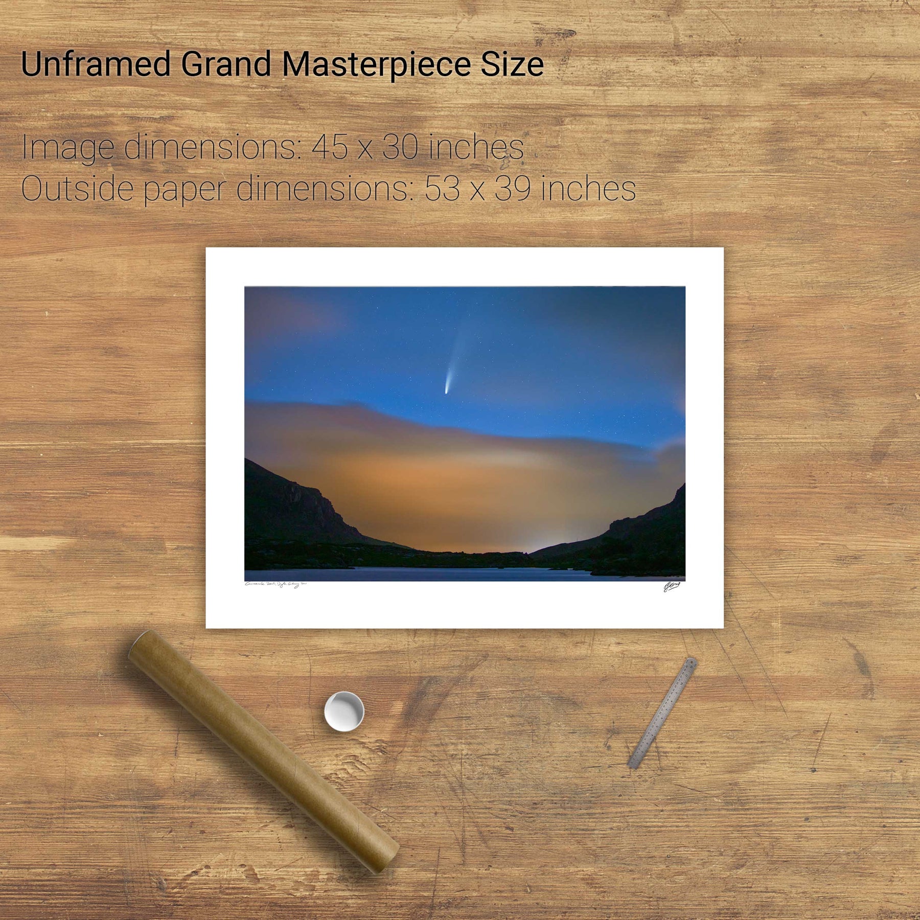
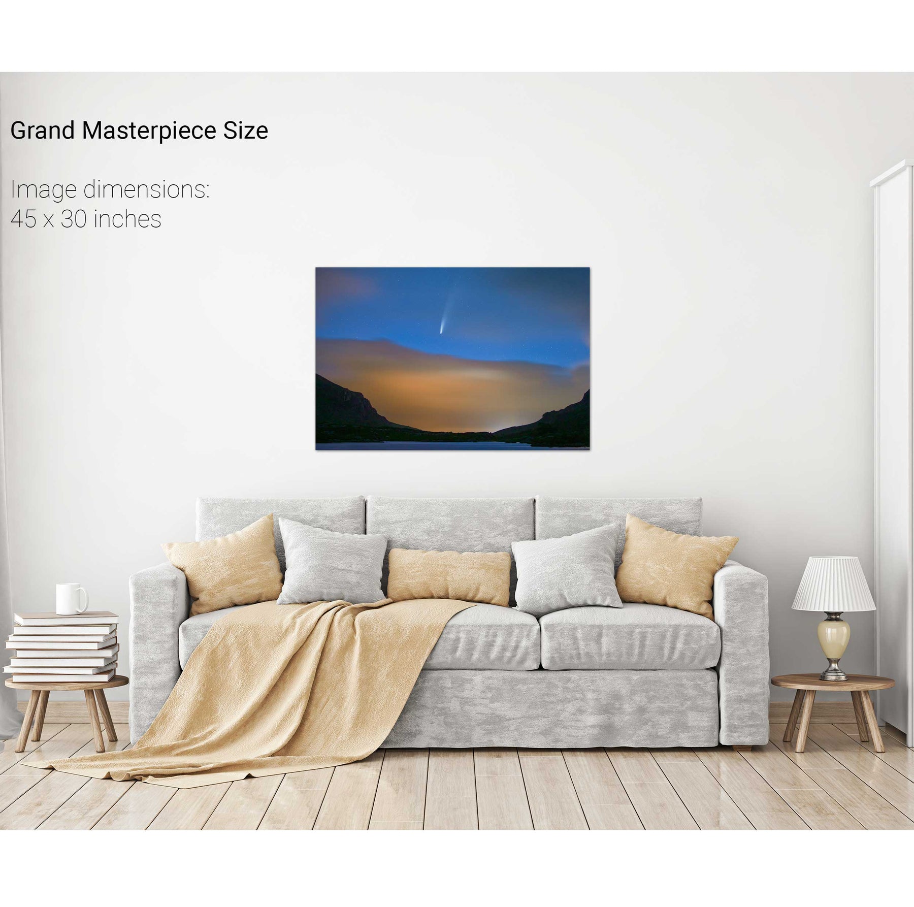
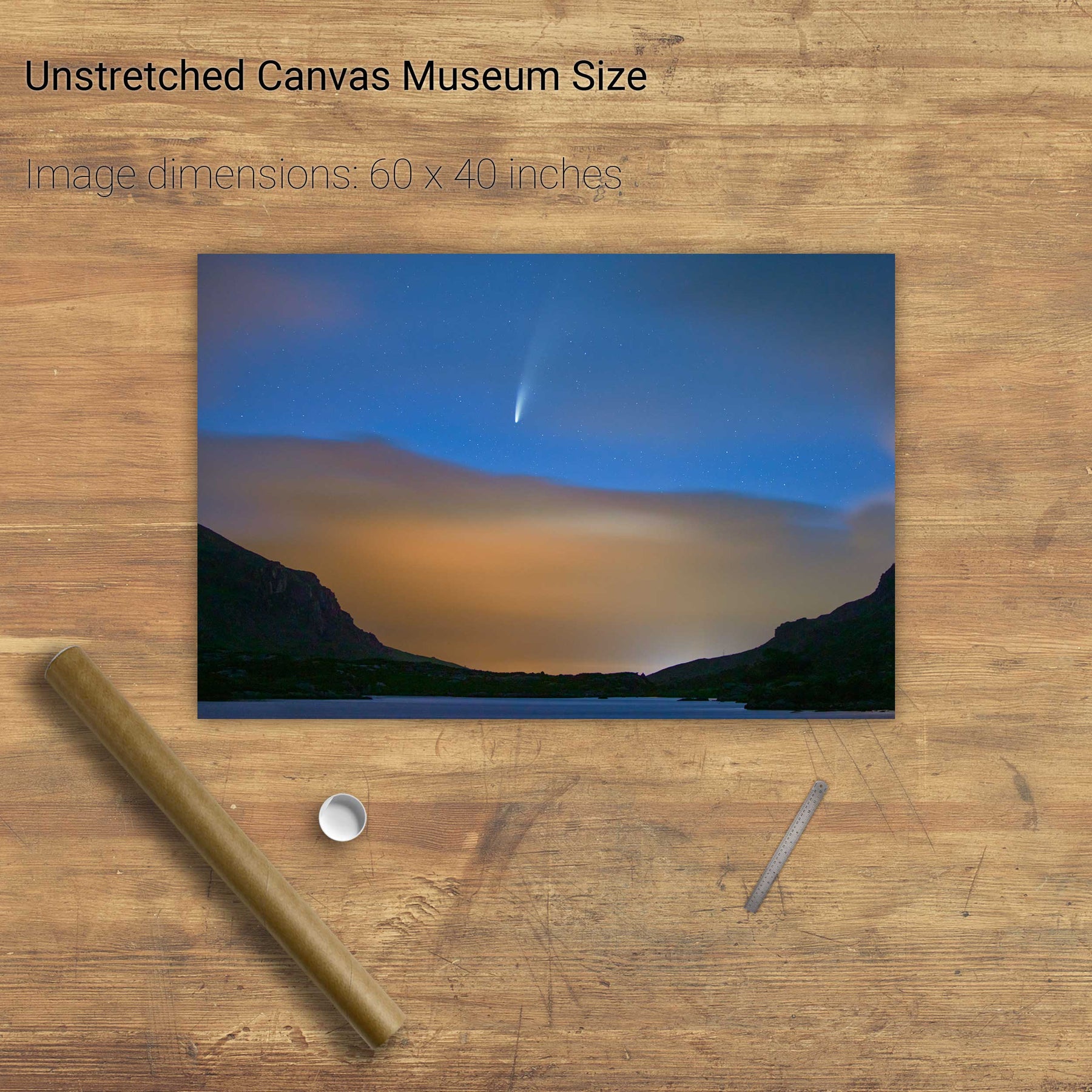
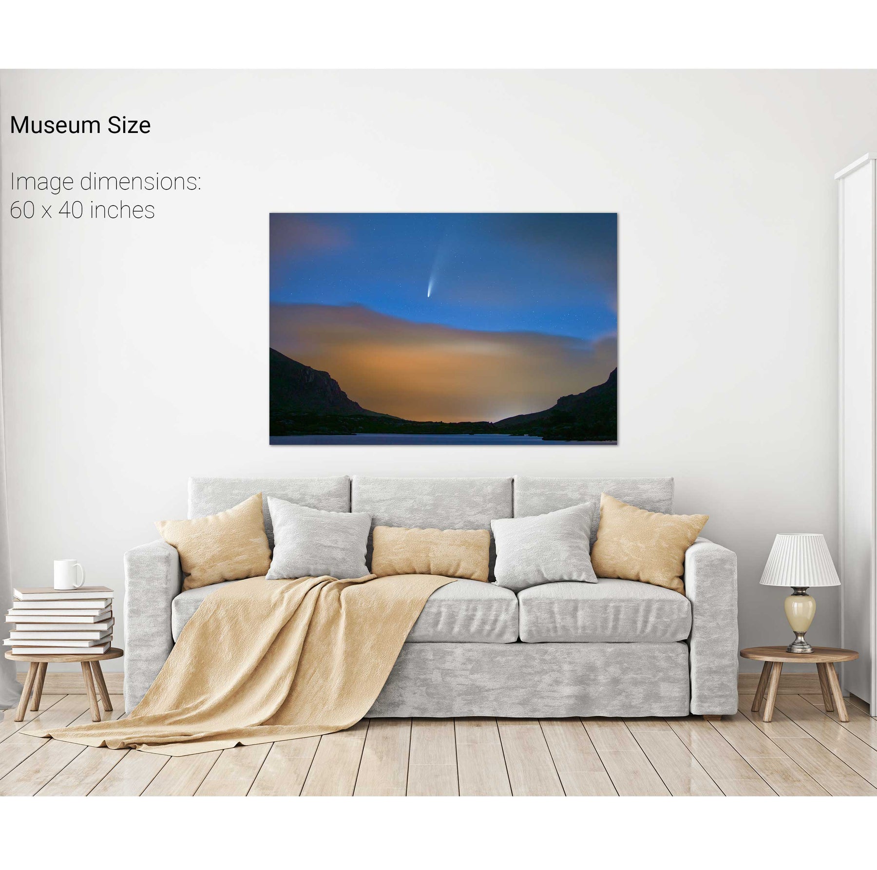
Comet NEOWISE Over the Gap of Dunloe, Kerry
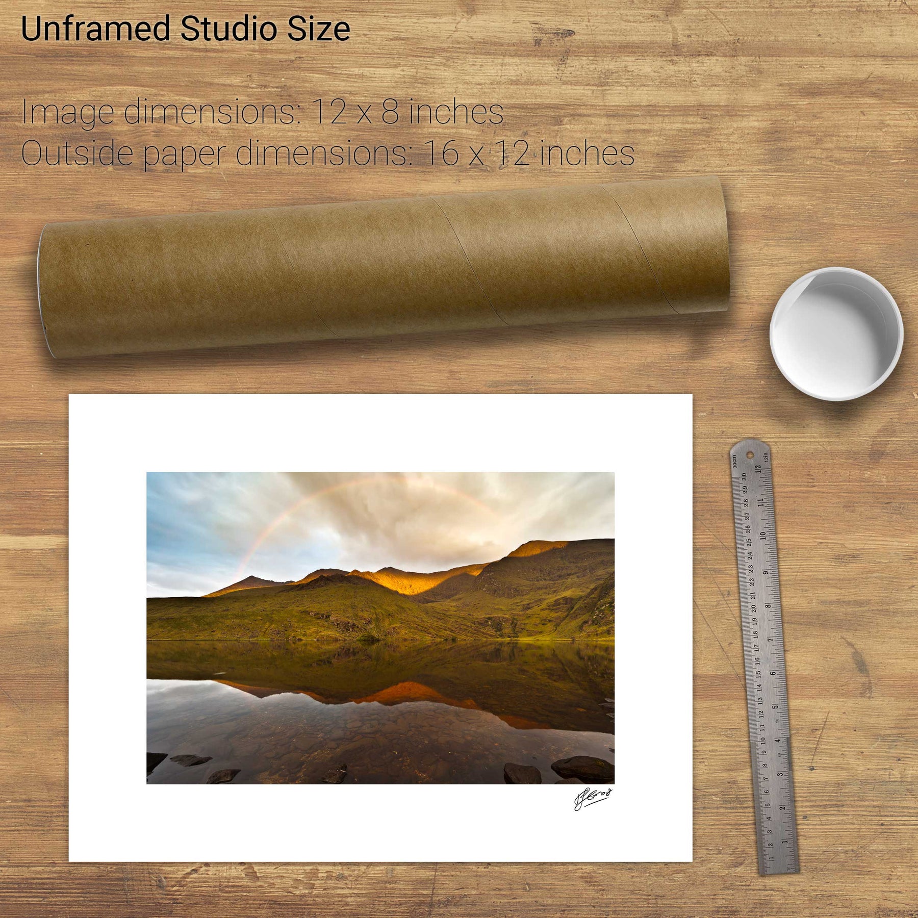
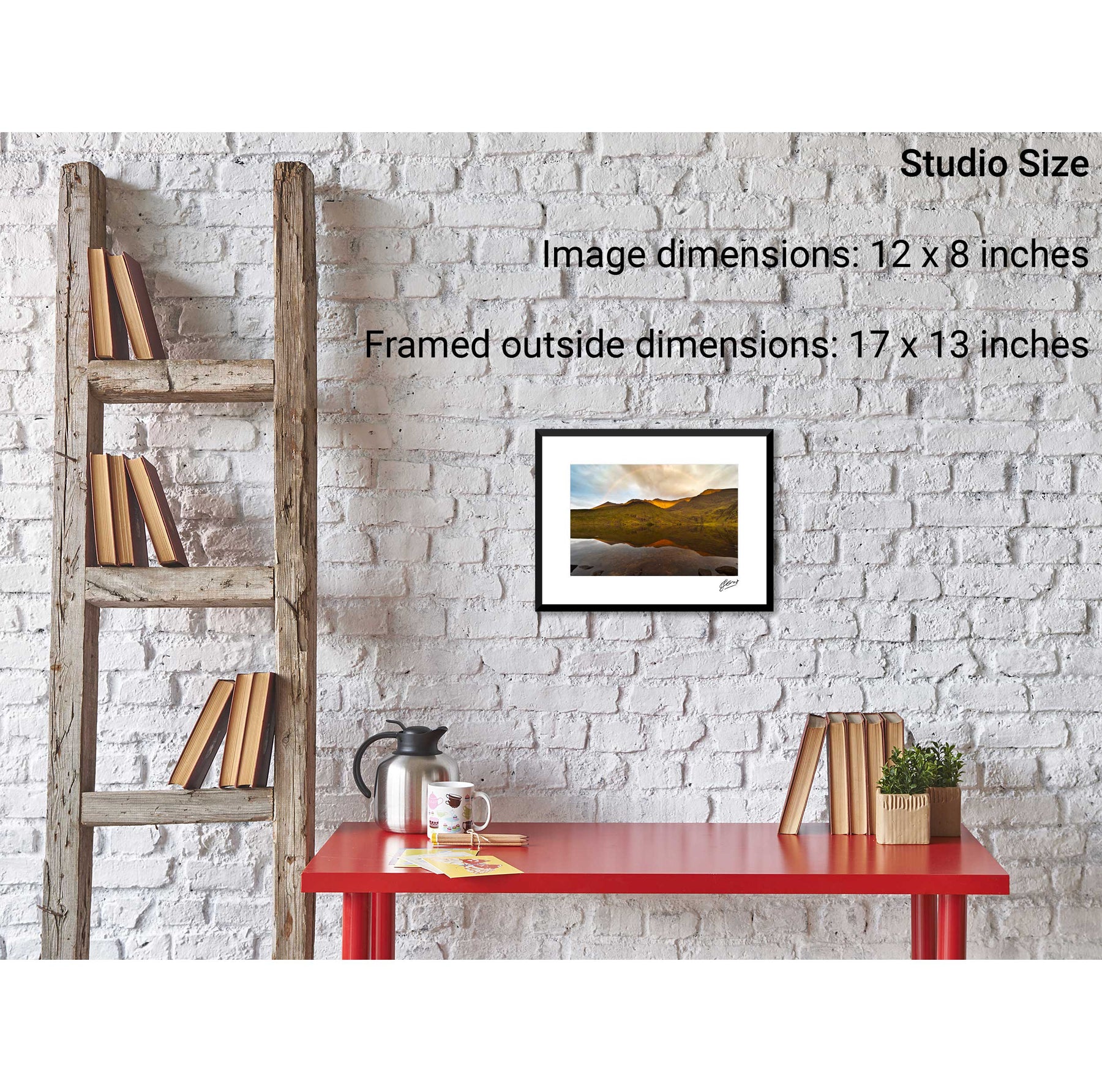
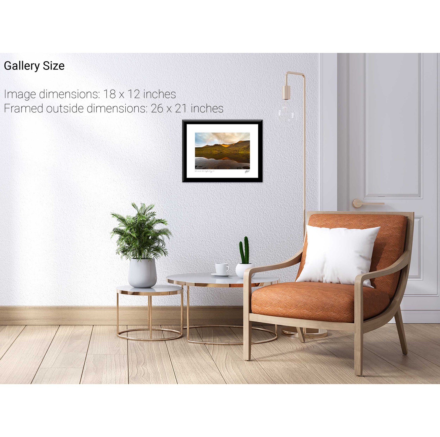
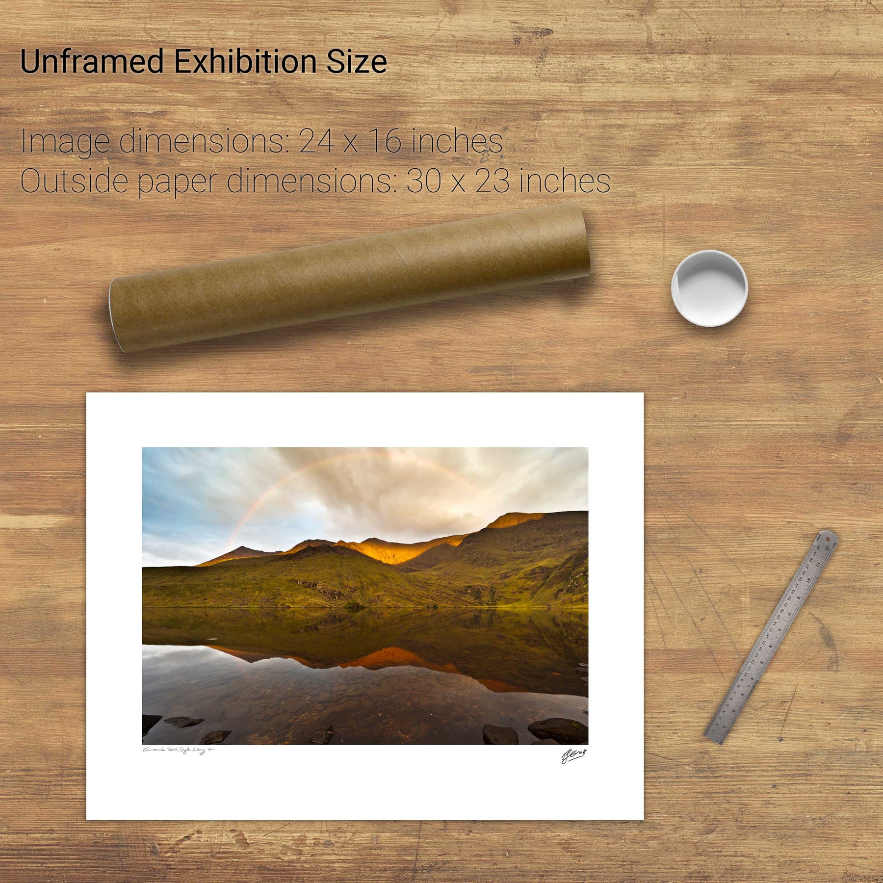
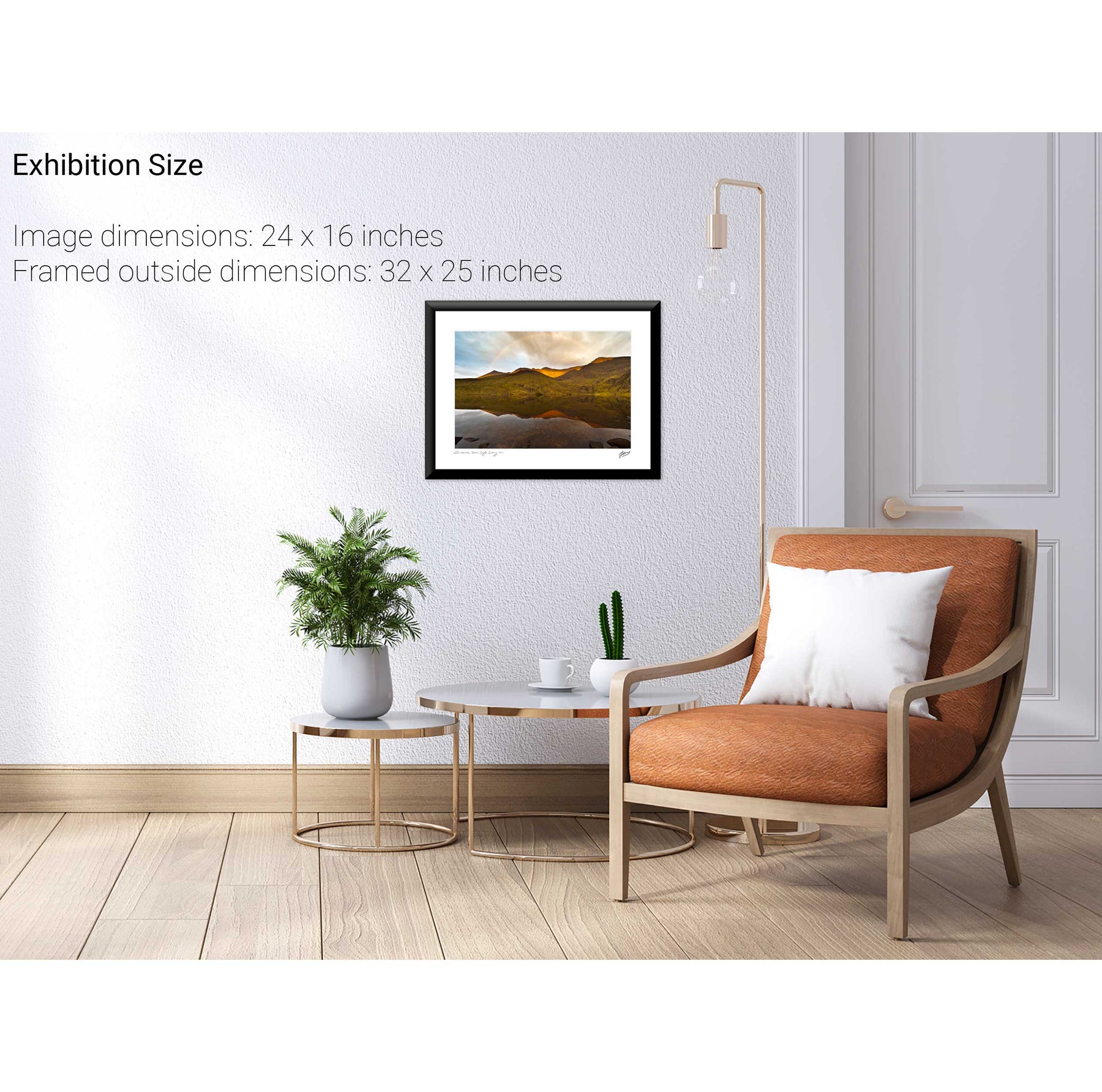
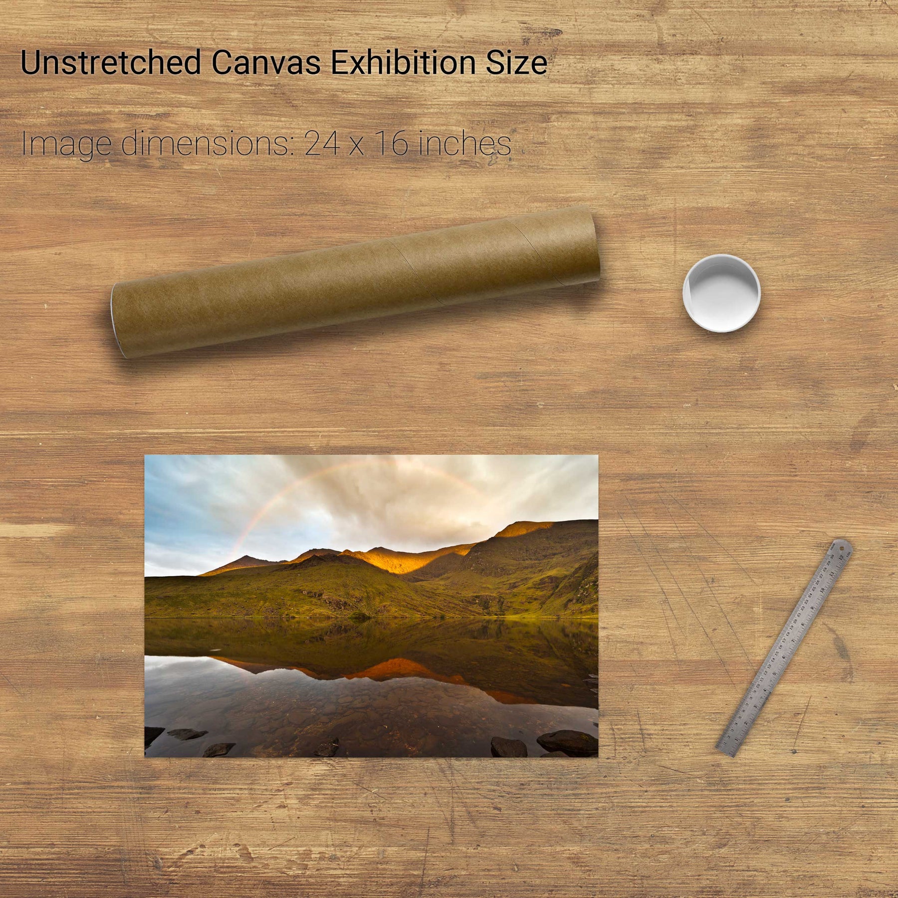
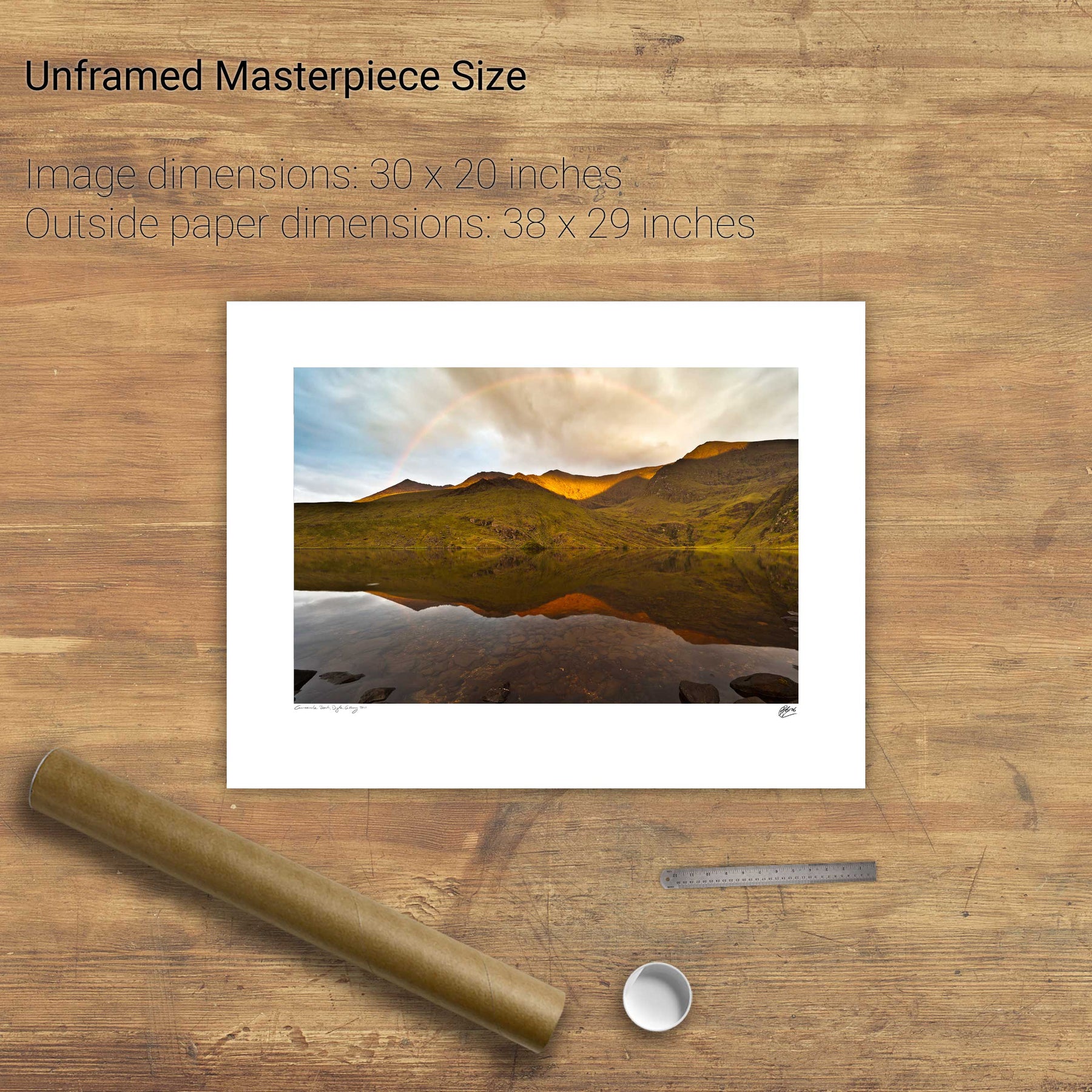
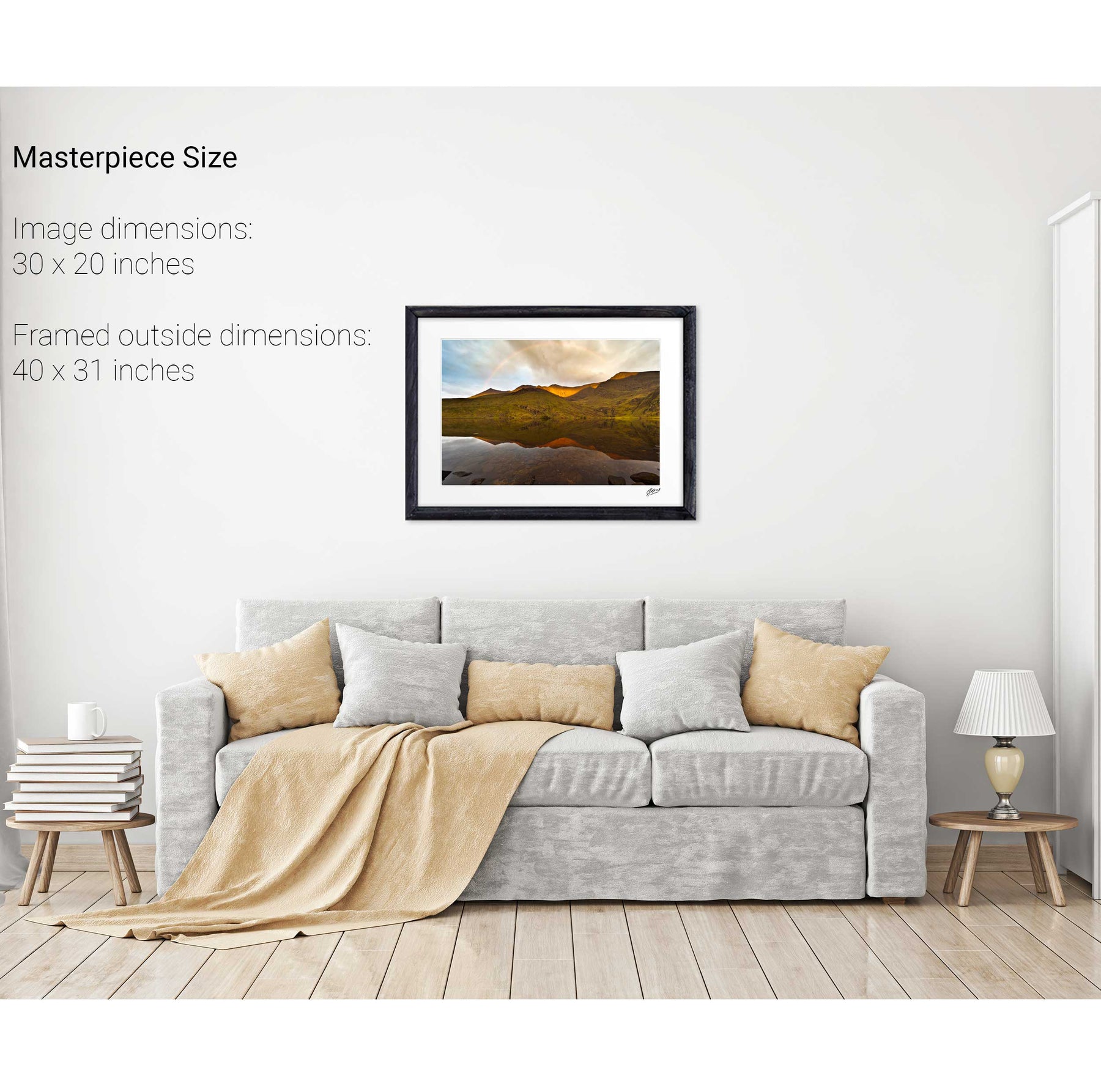
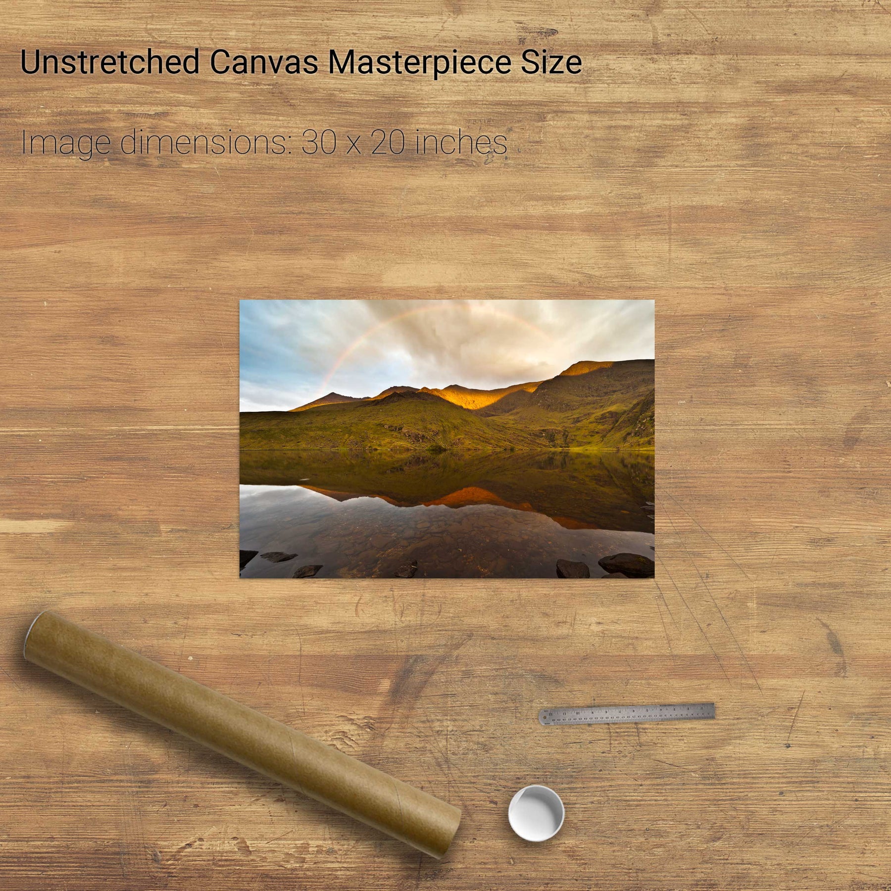
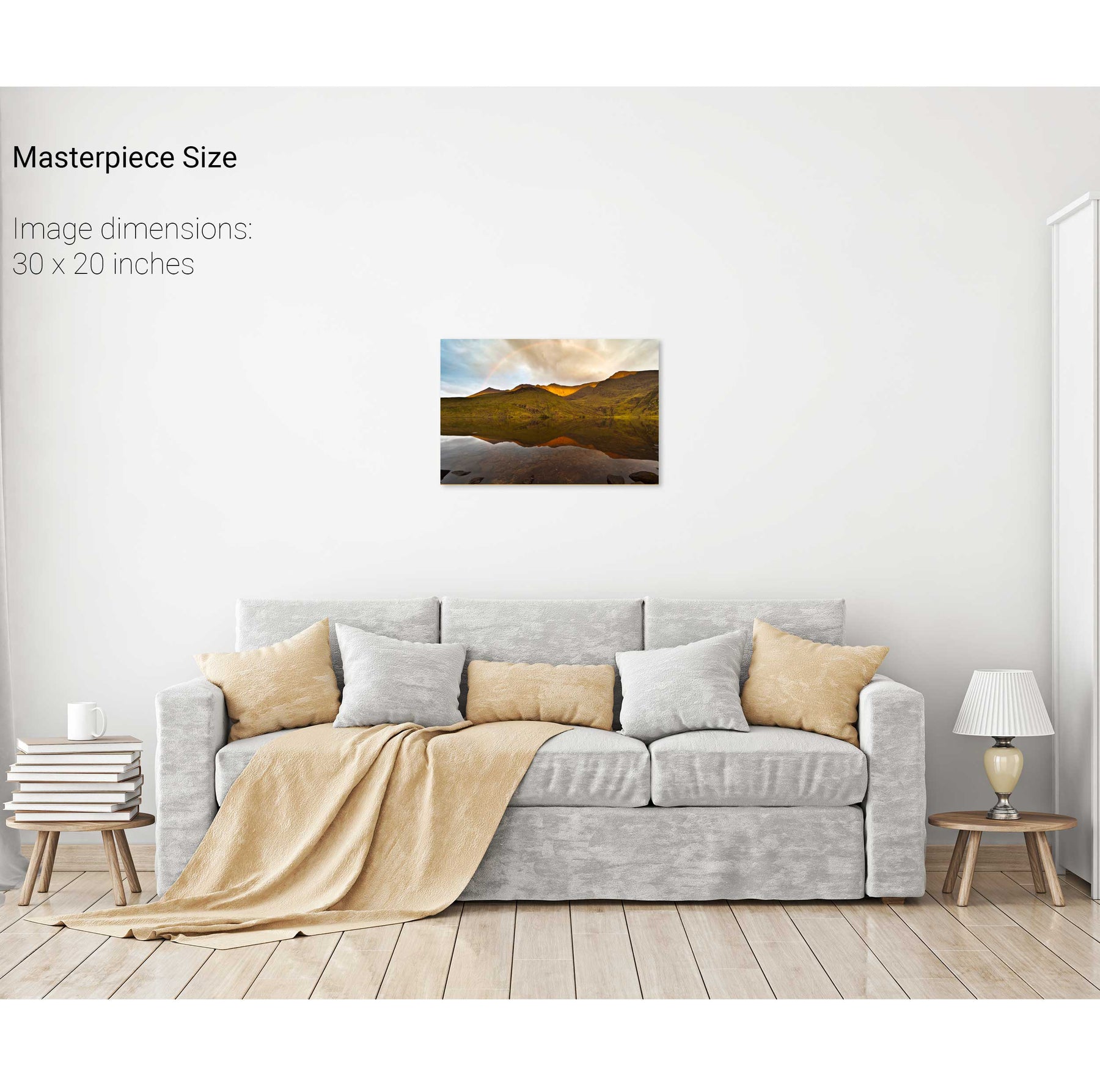
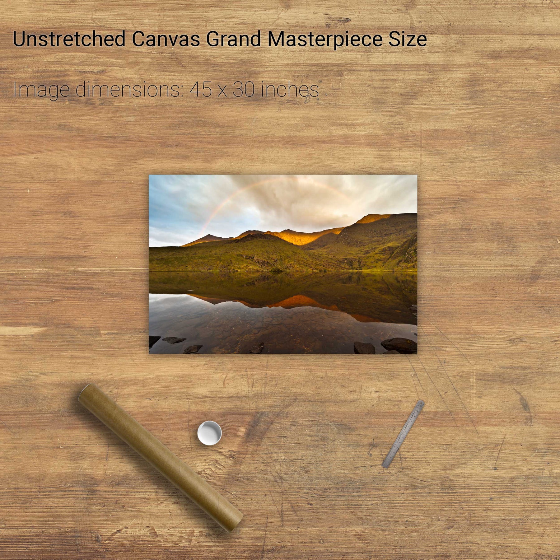
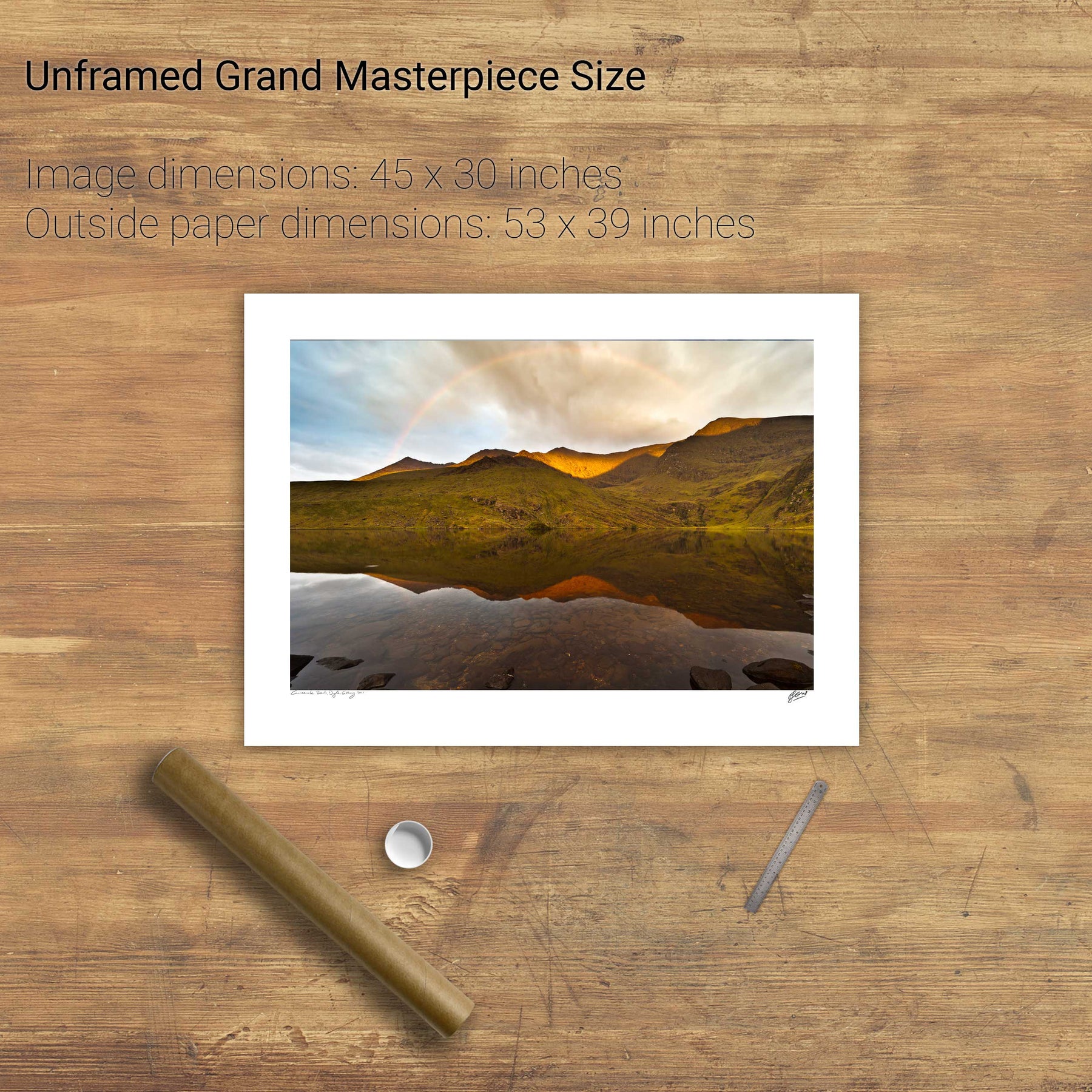
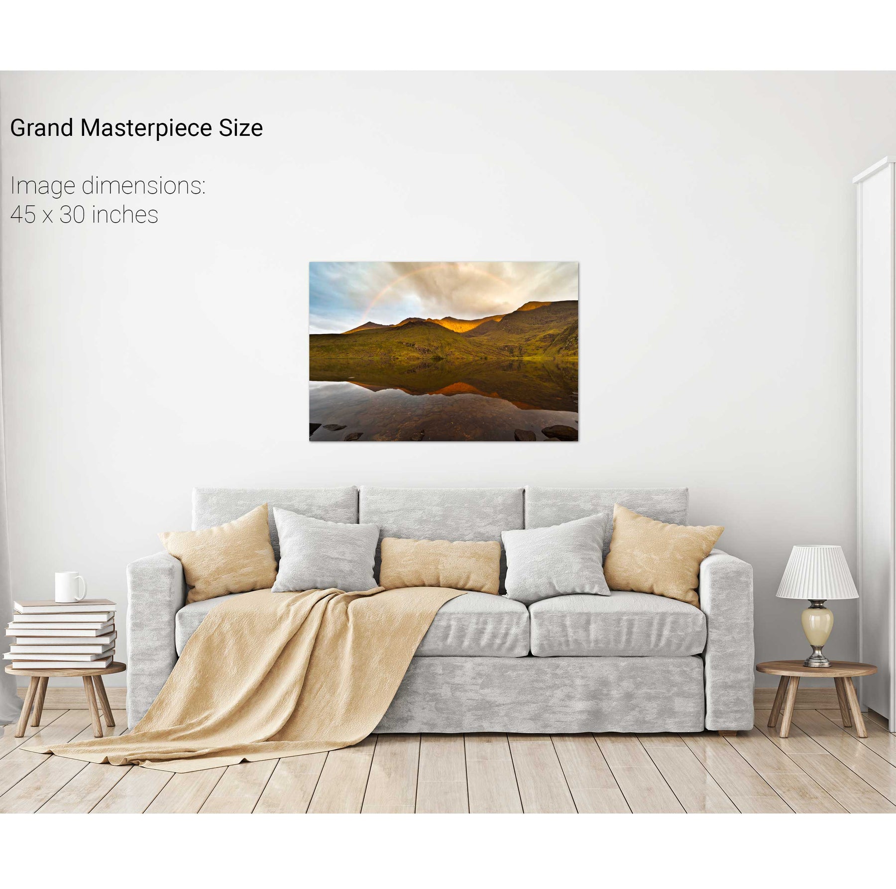
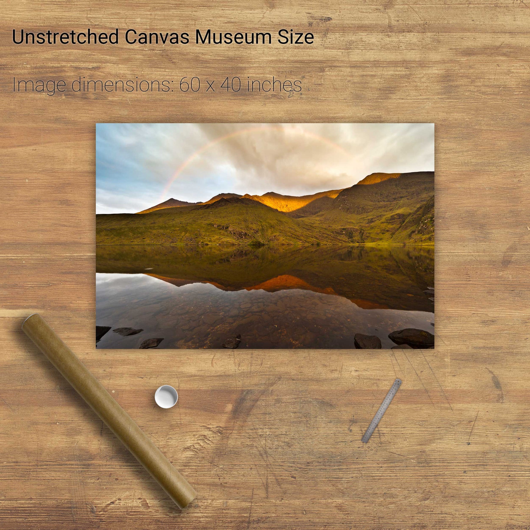
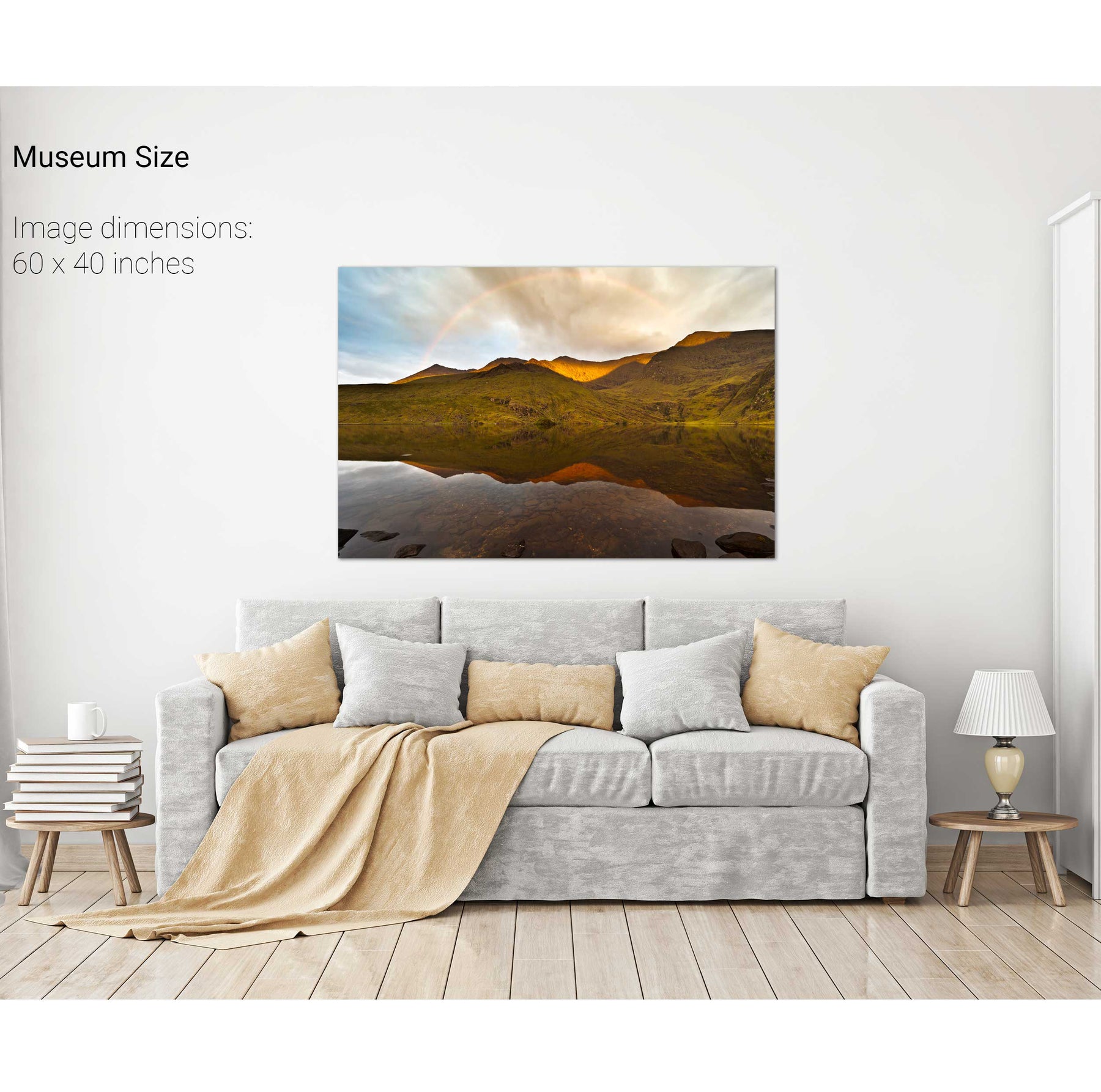
Rainbow over the Eastern Reeks, Co. Kerry
An Tiaracht, Blasket Islands, Co. Kerry
Doulus Head & Beginish from Valentia Island, Co. Kerry
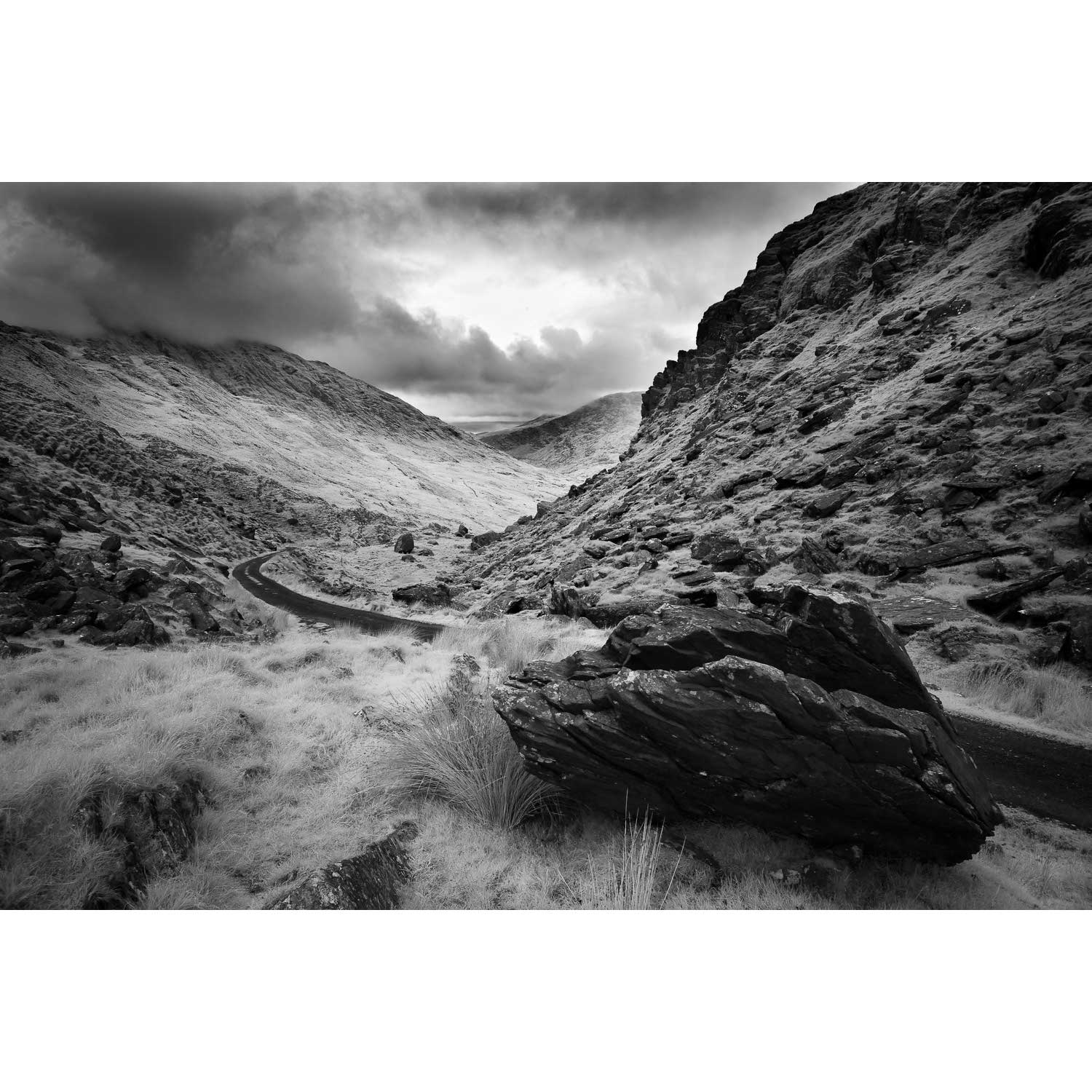
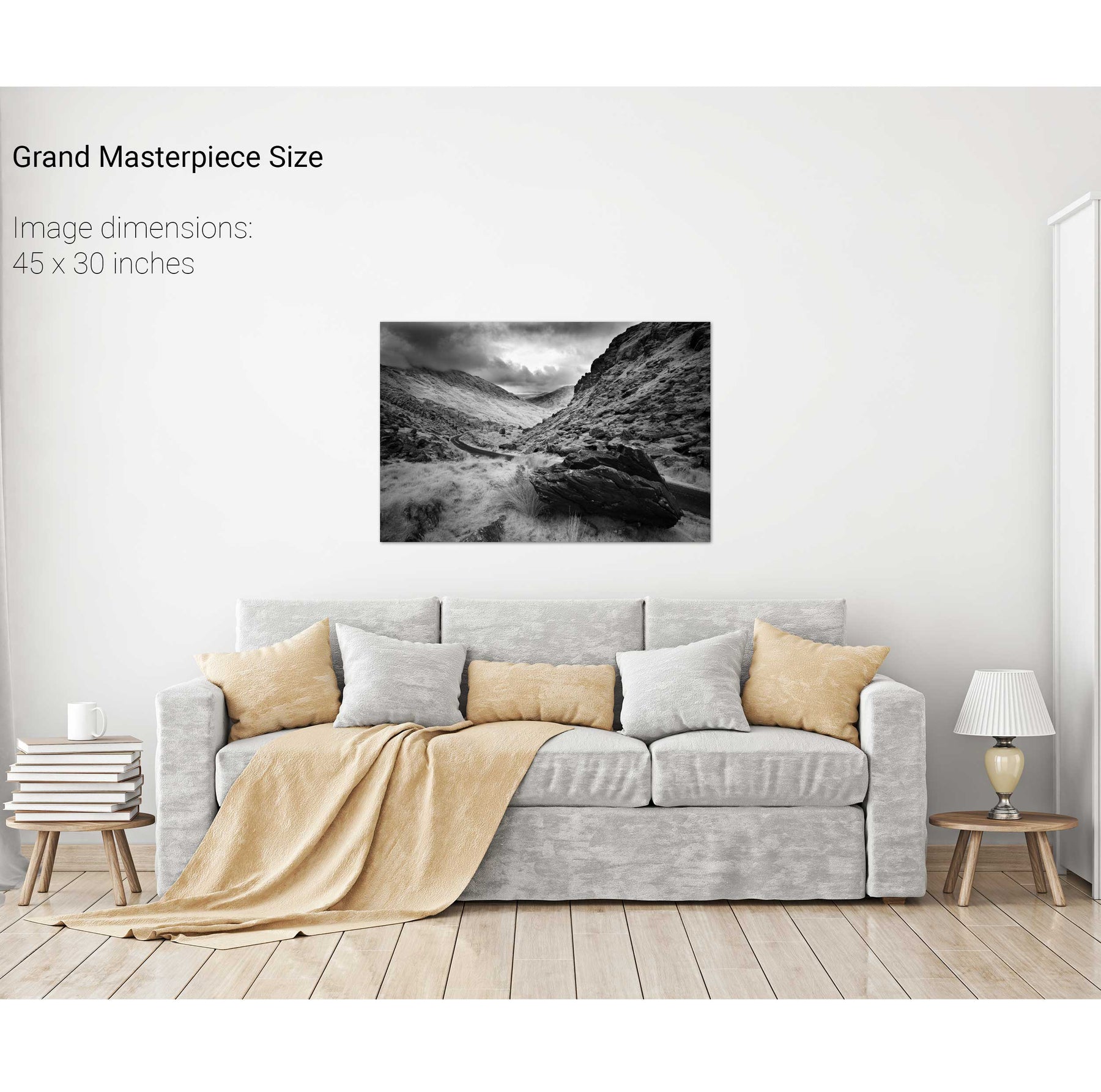
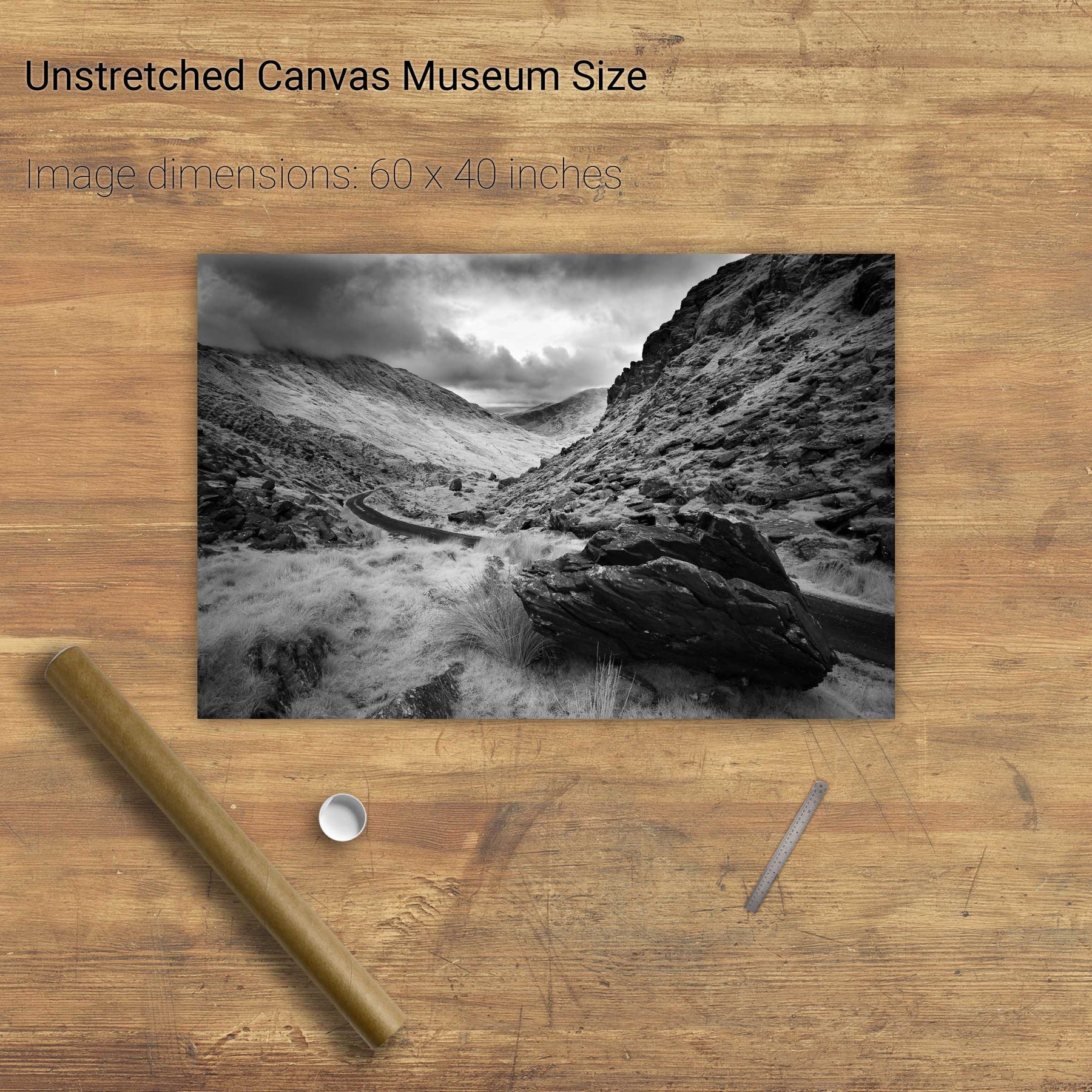
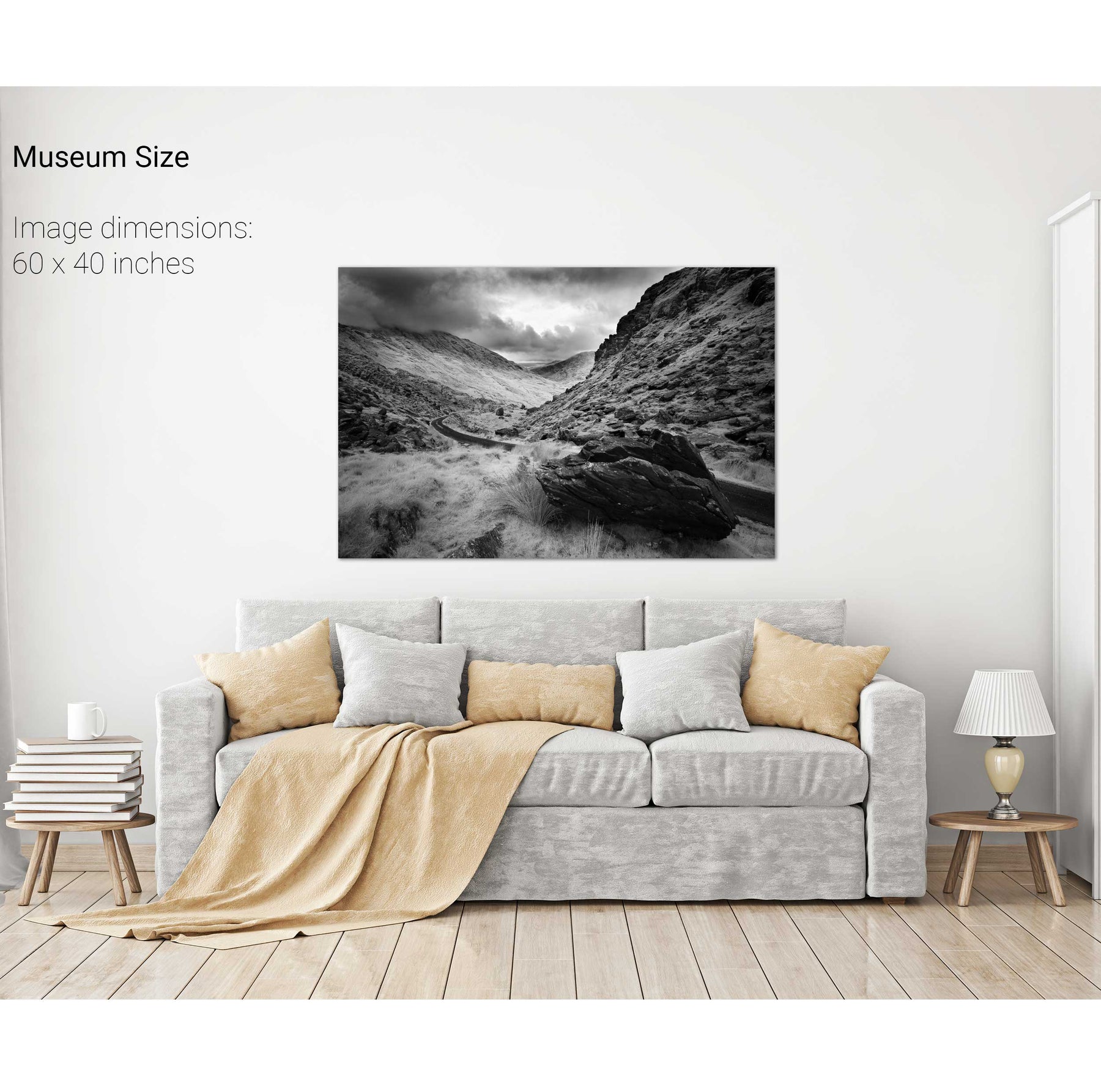
Ballaghbeama Gap, Co. Kerry
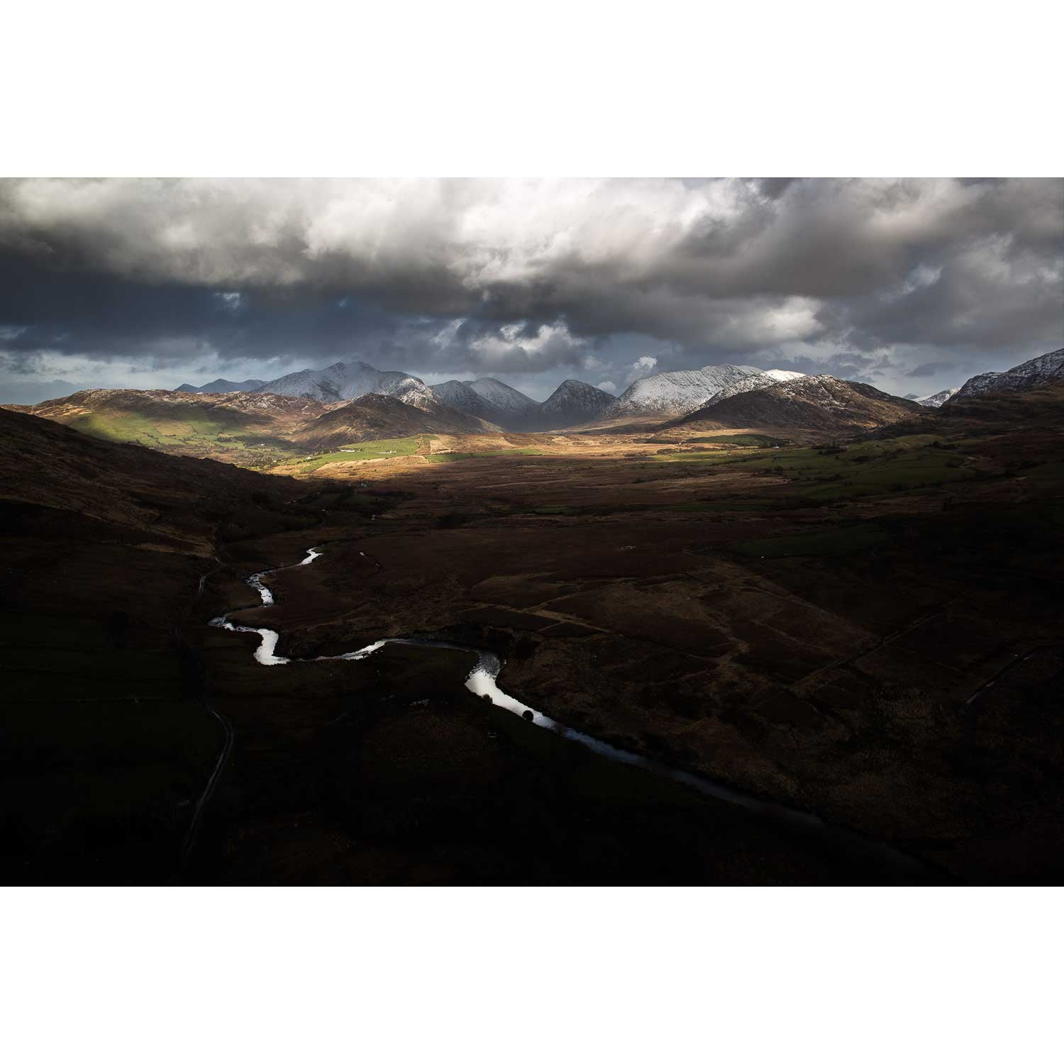
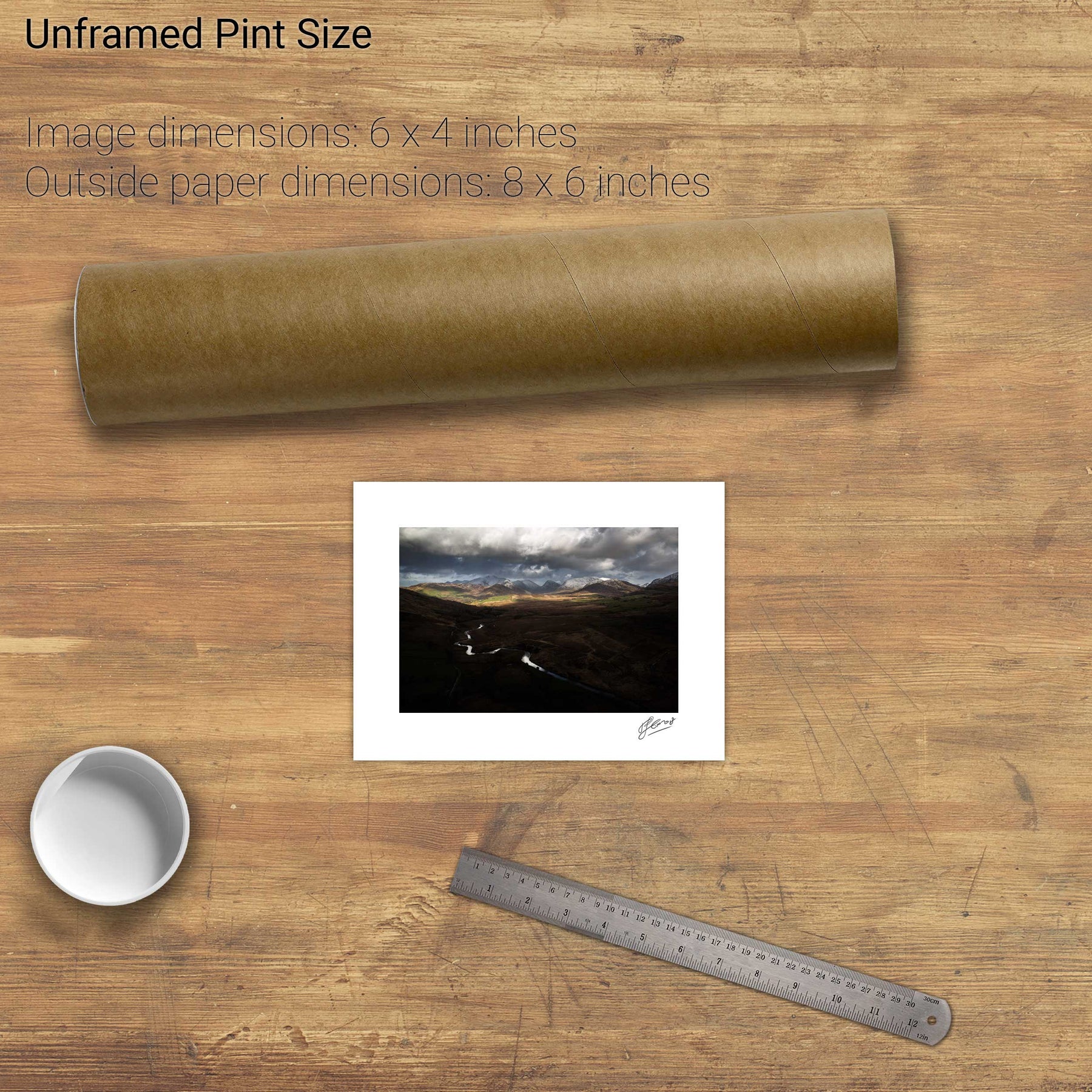
Bridia Valley, Co. Kerry
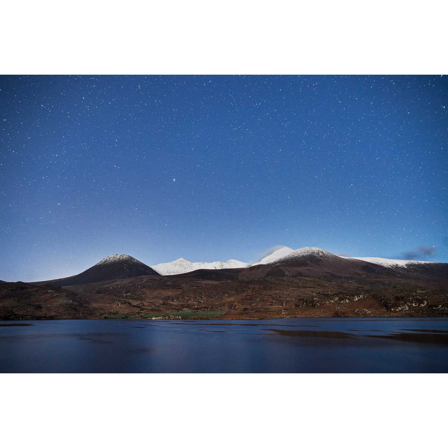
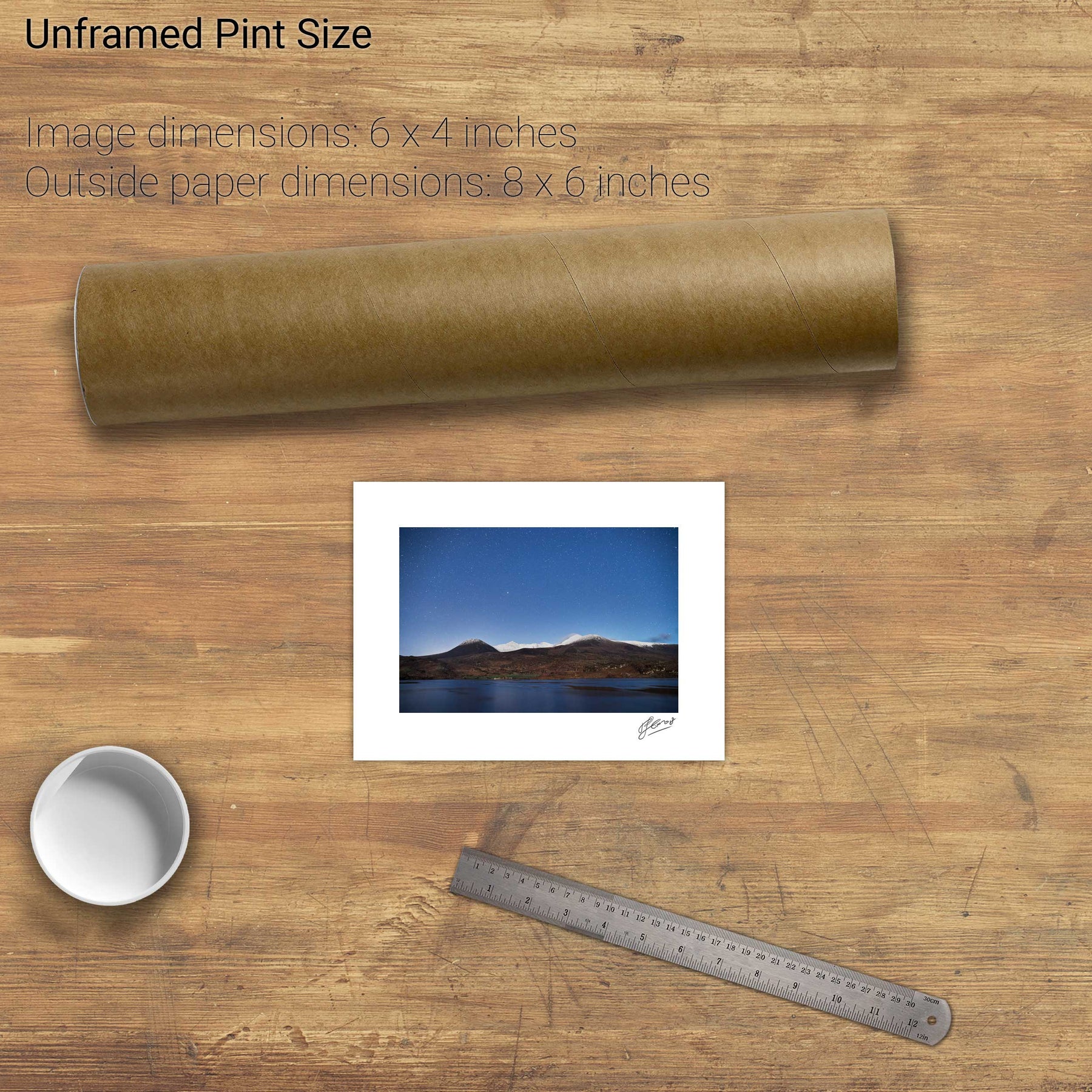
Nocturne, Lough Acoose and the Reeks, Co. Kerry