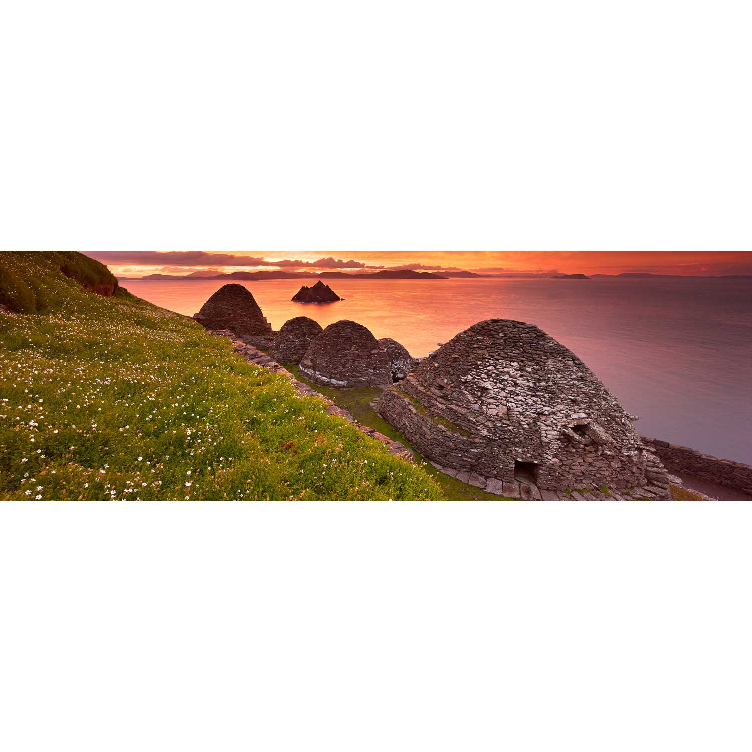
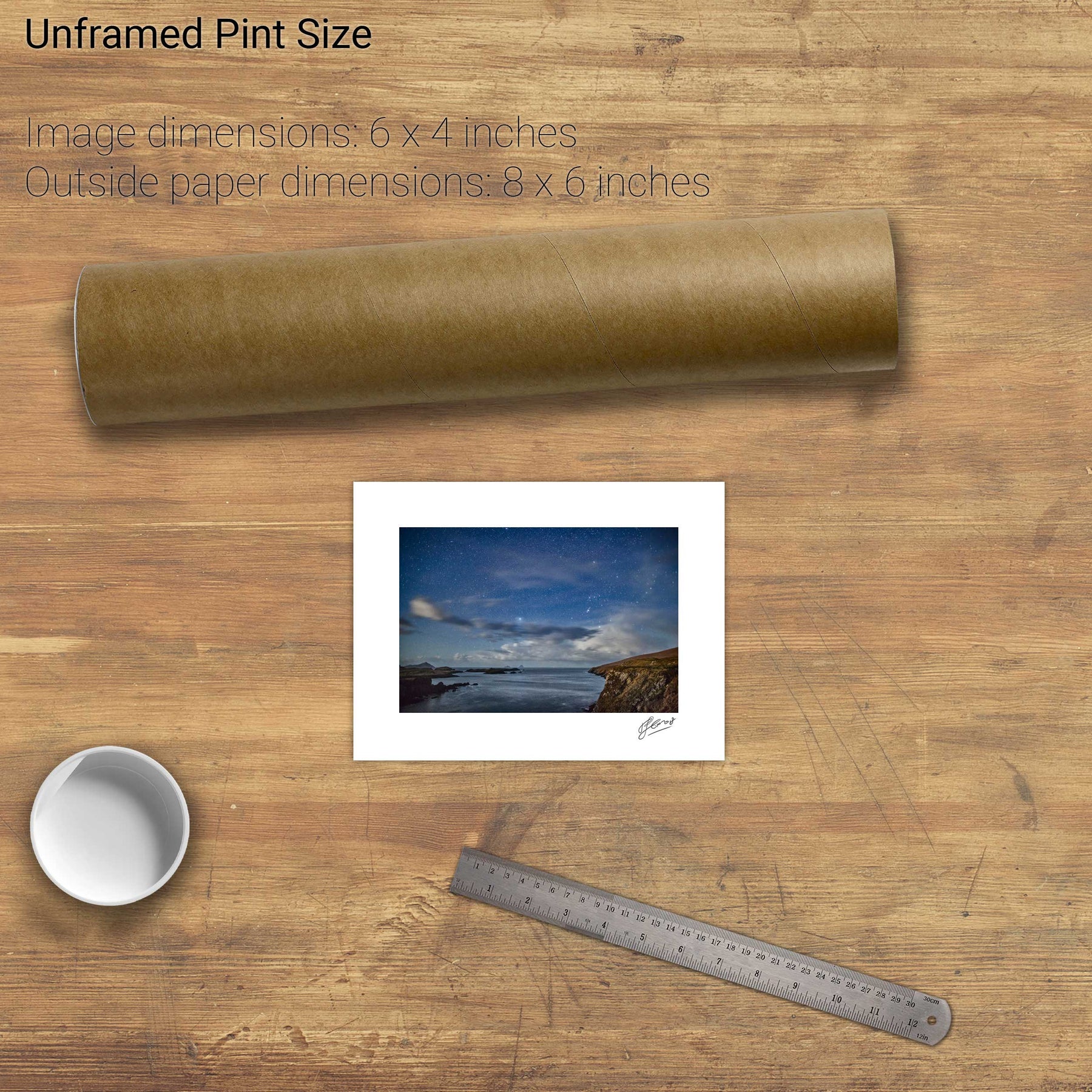
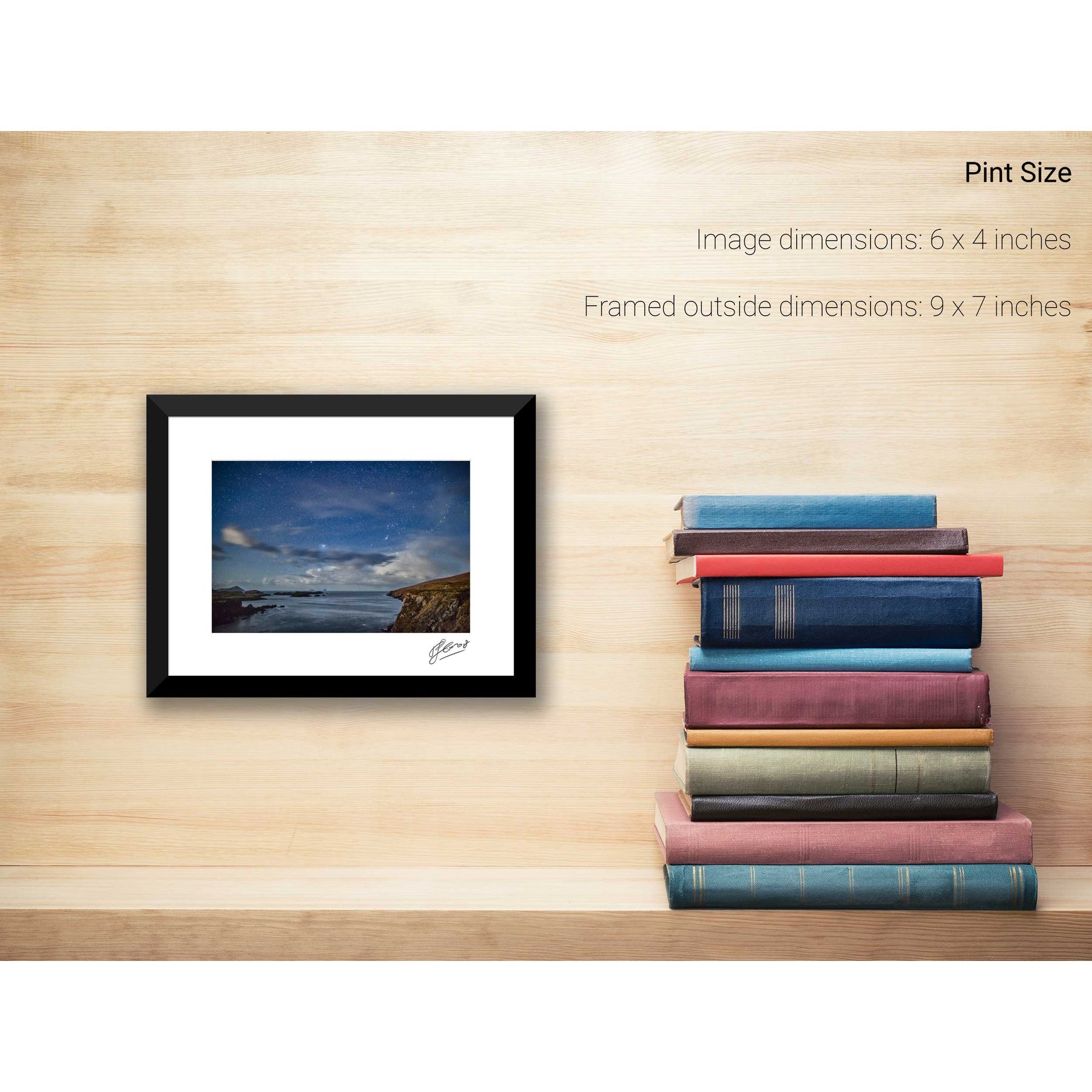
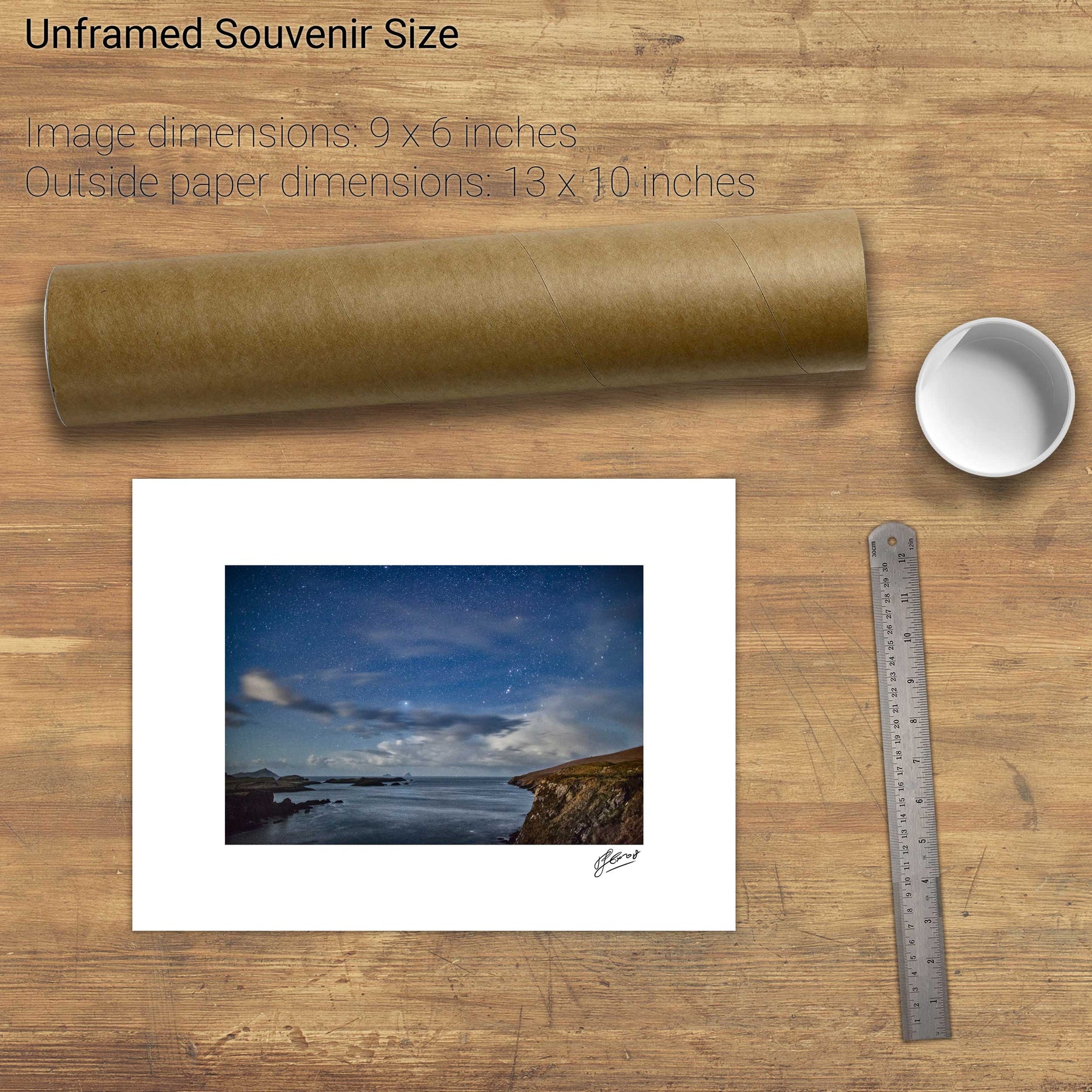
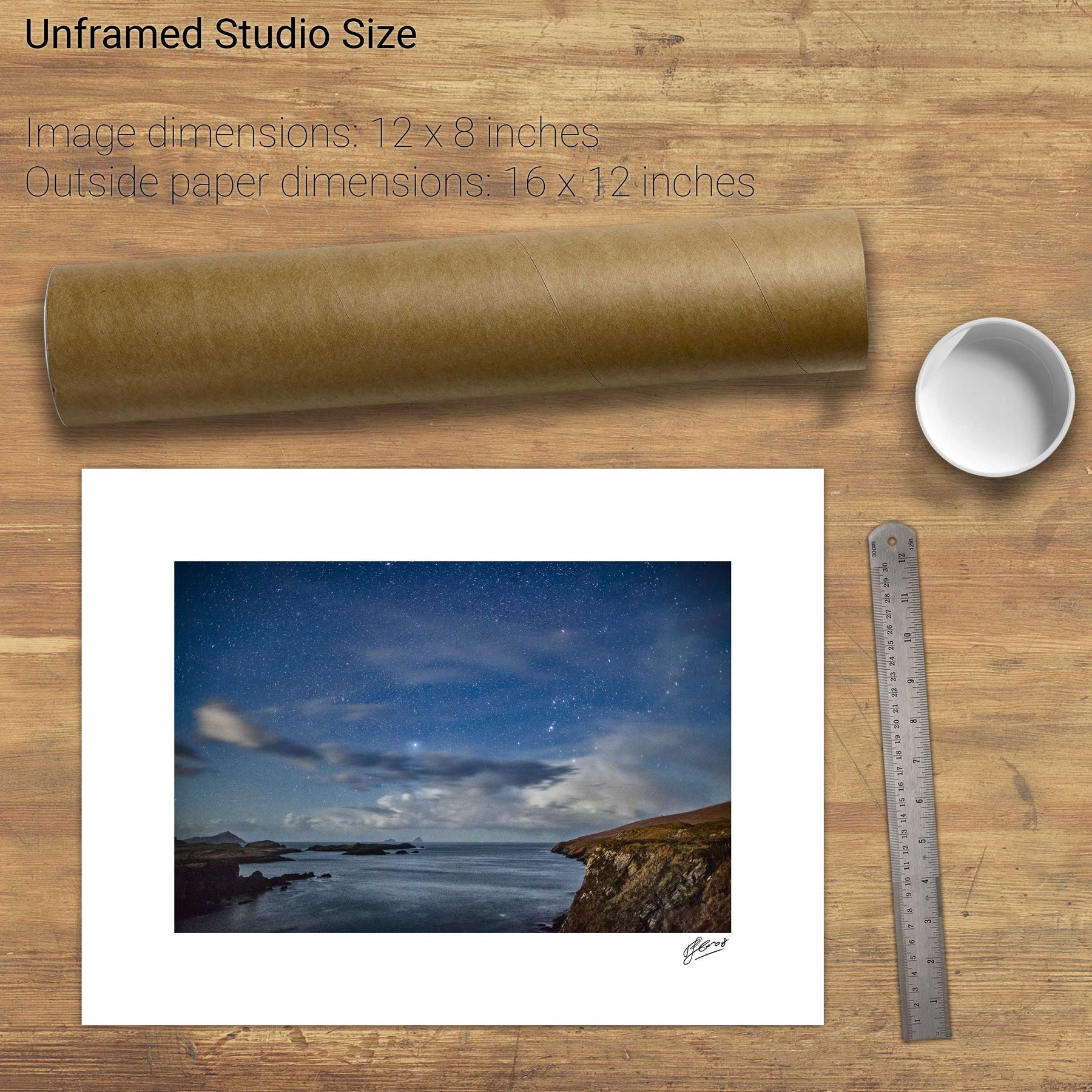
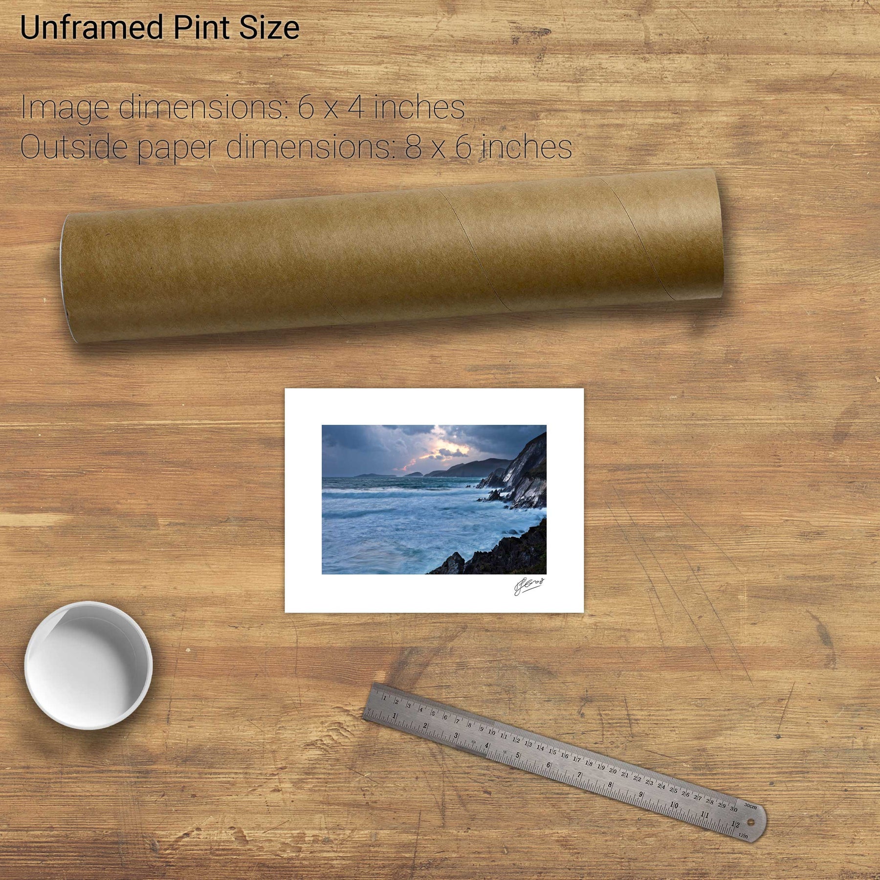
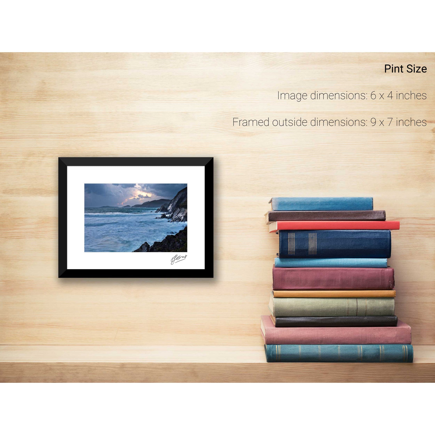
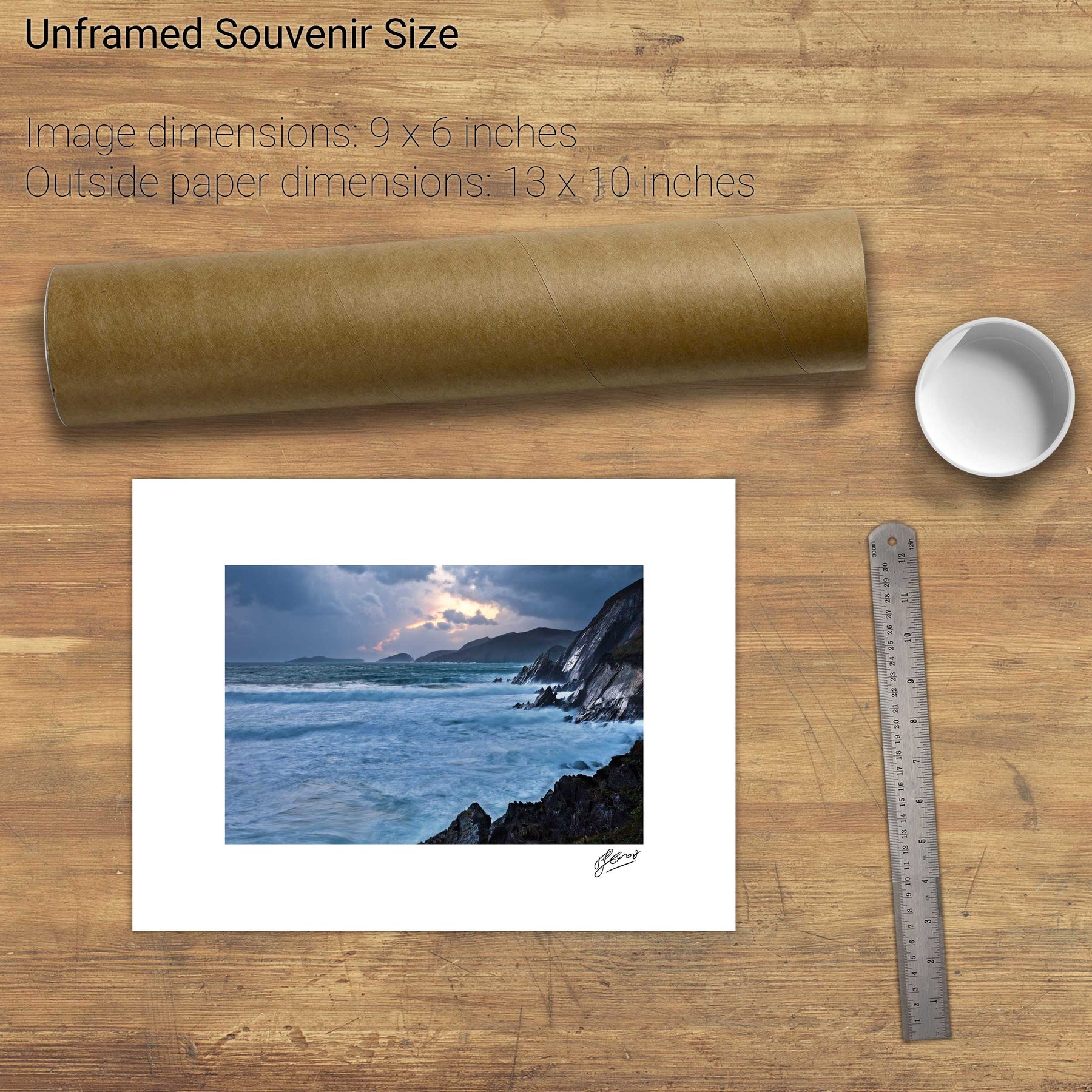
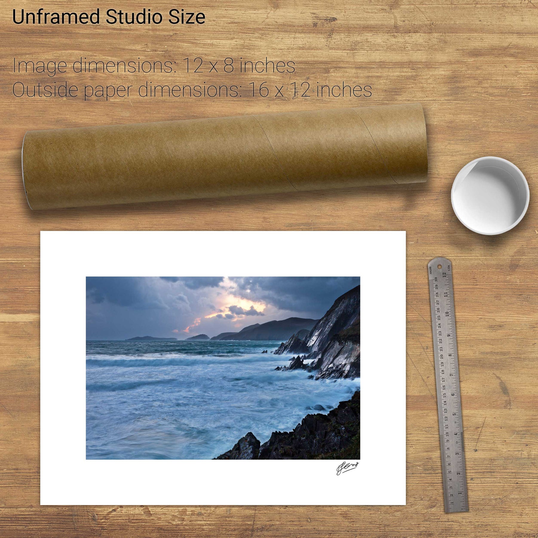
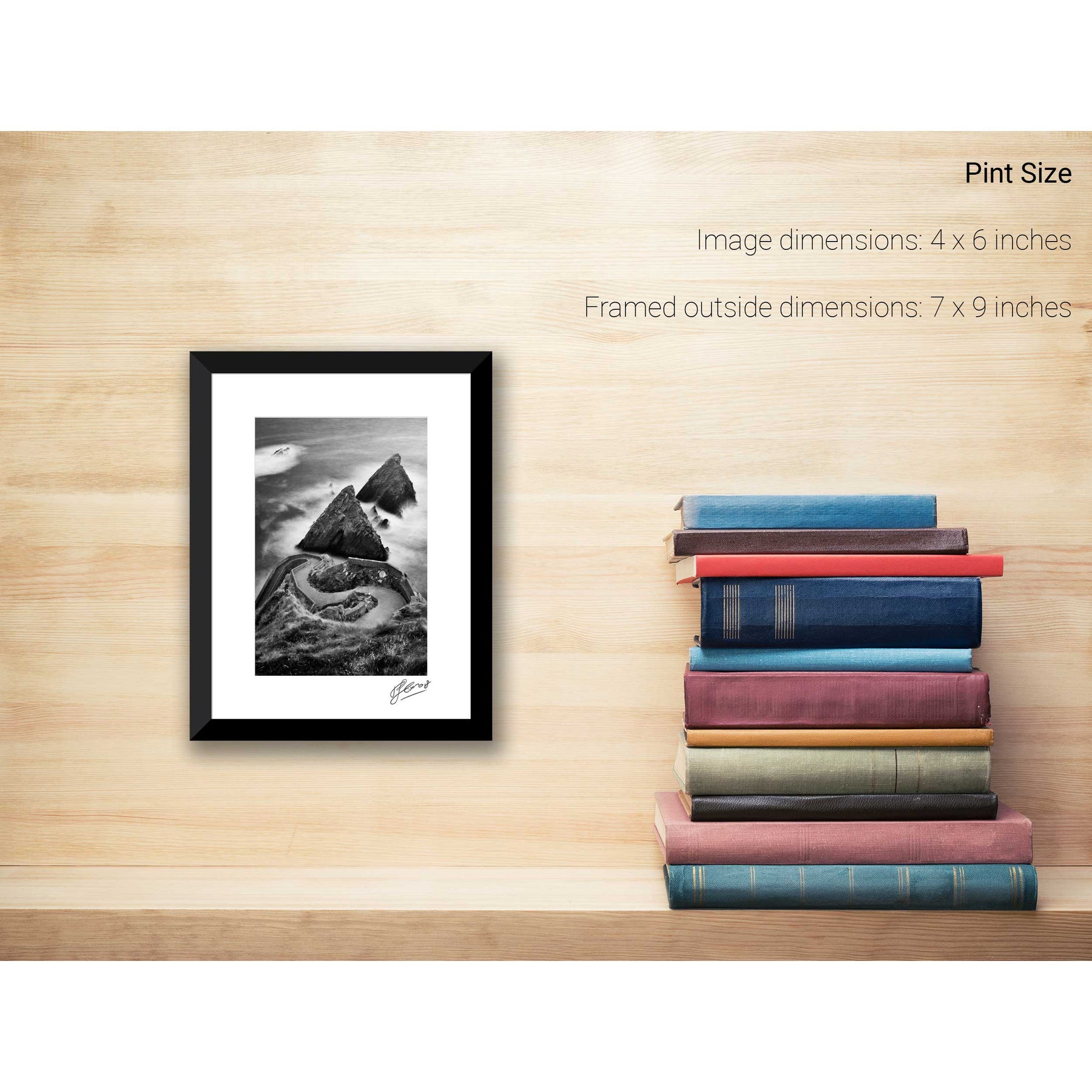
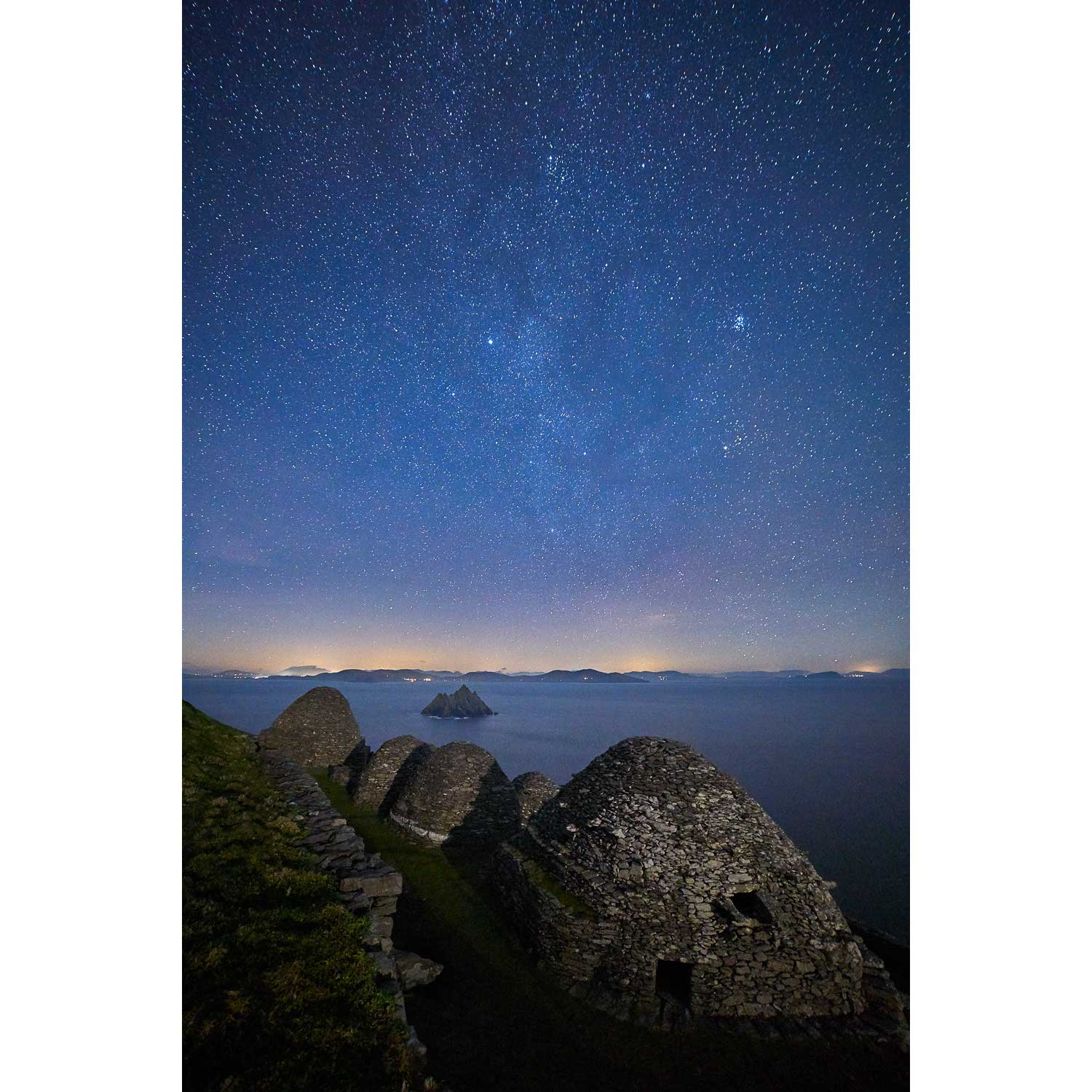
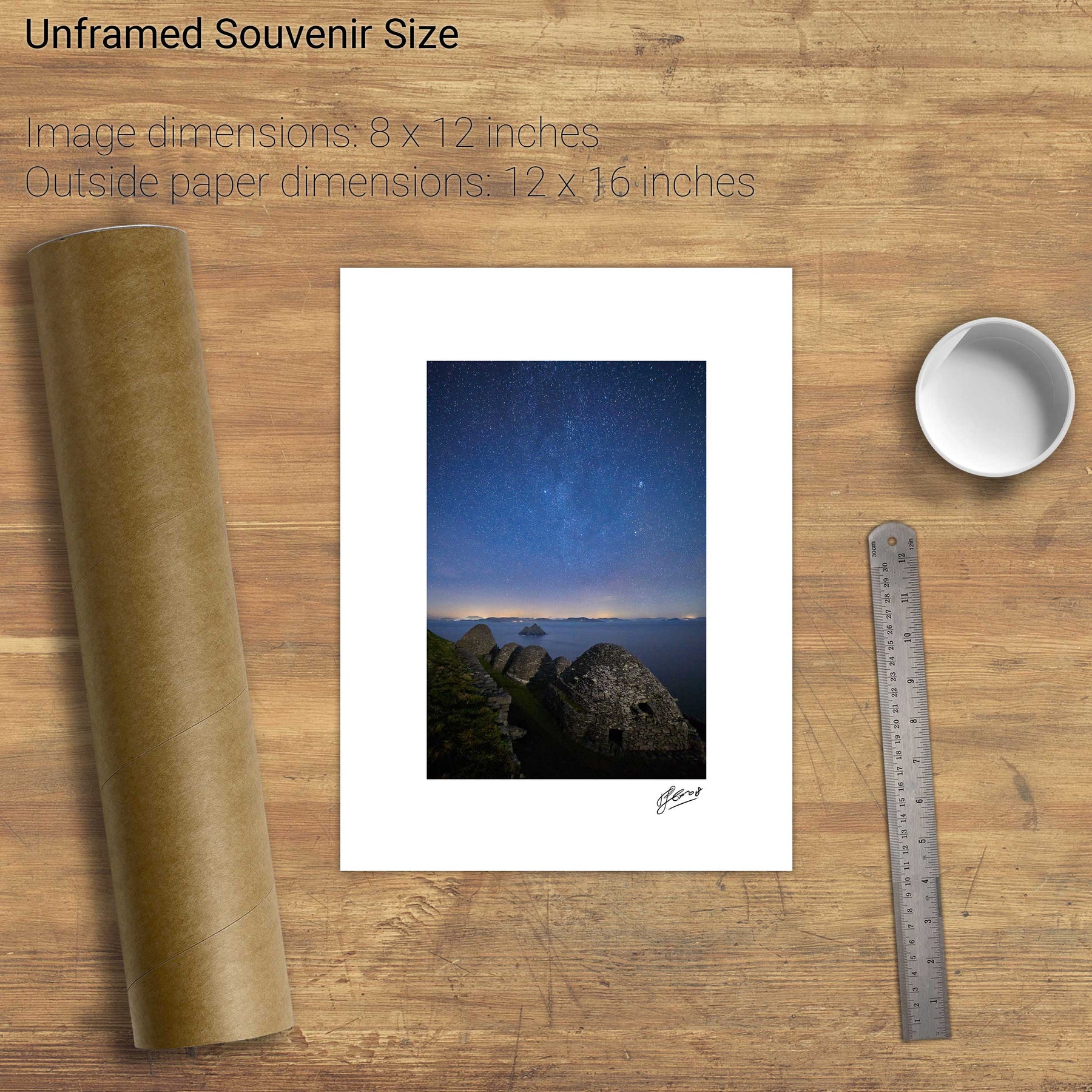
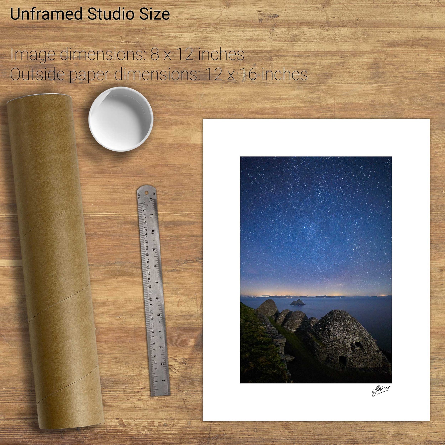
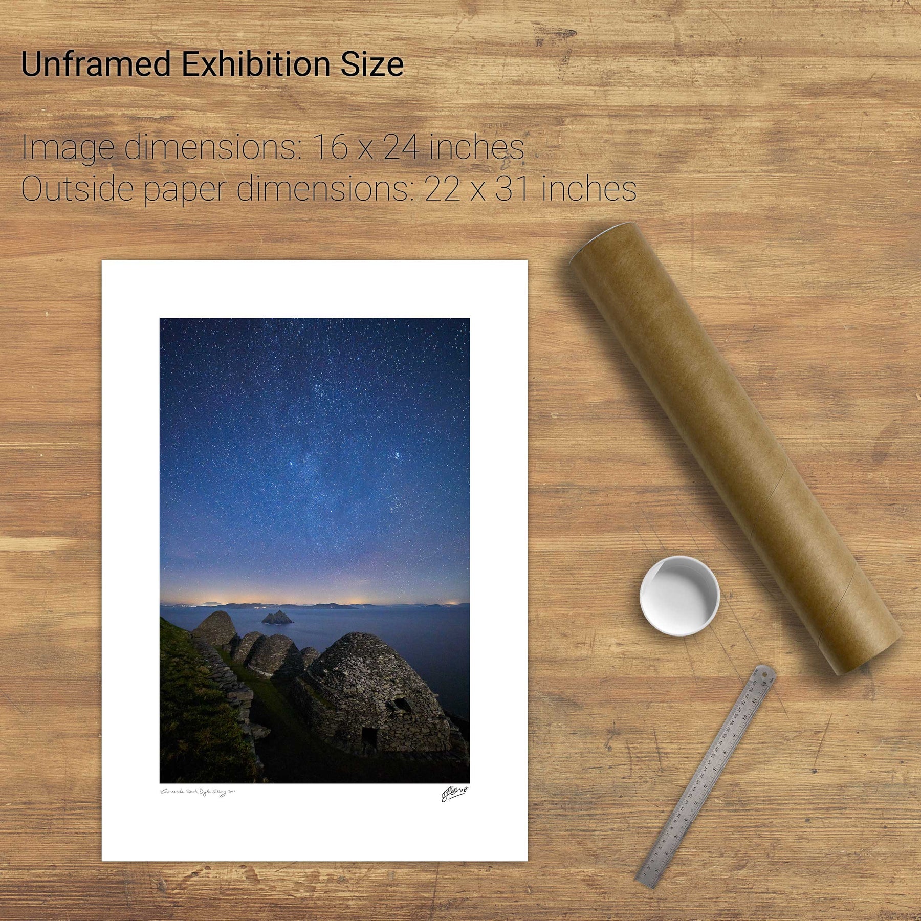
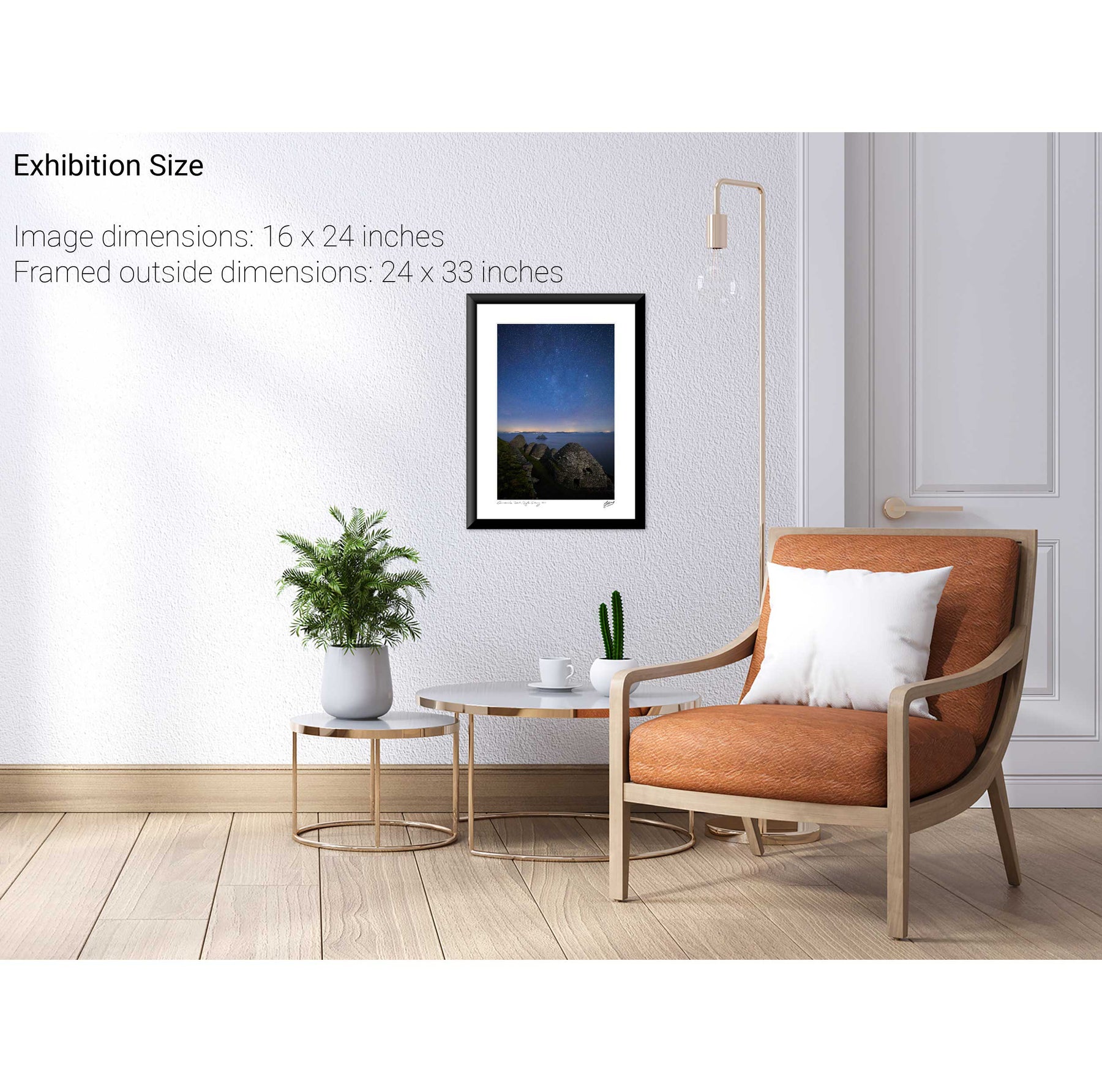
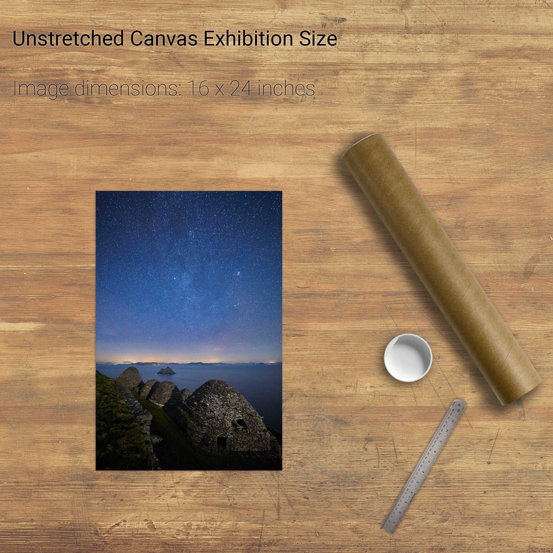
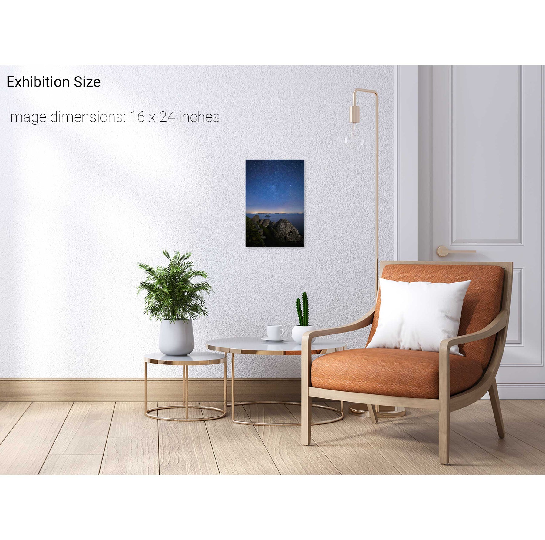
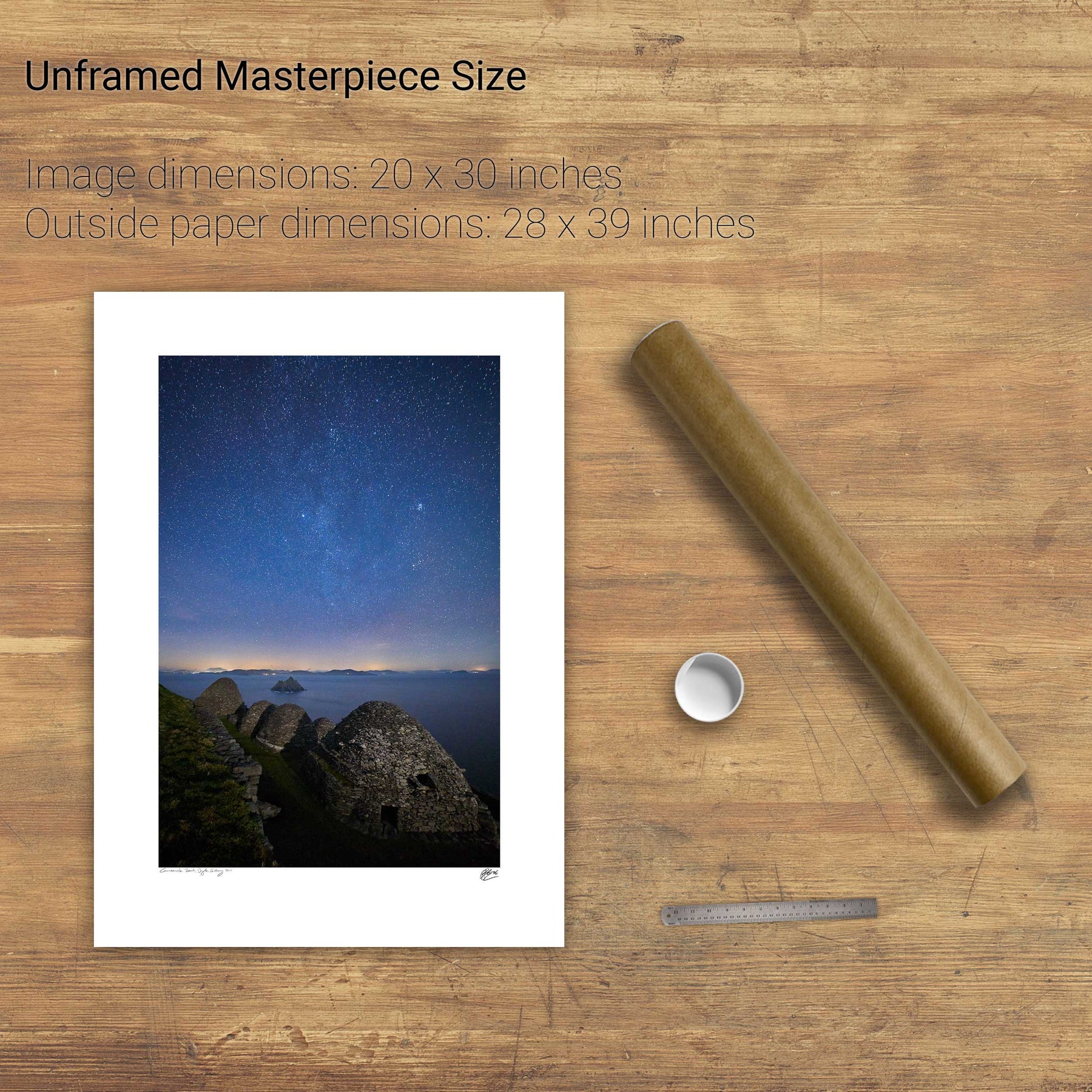
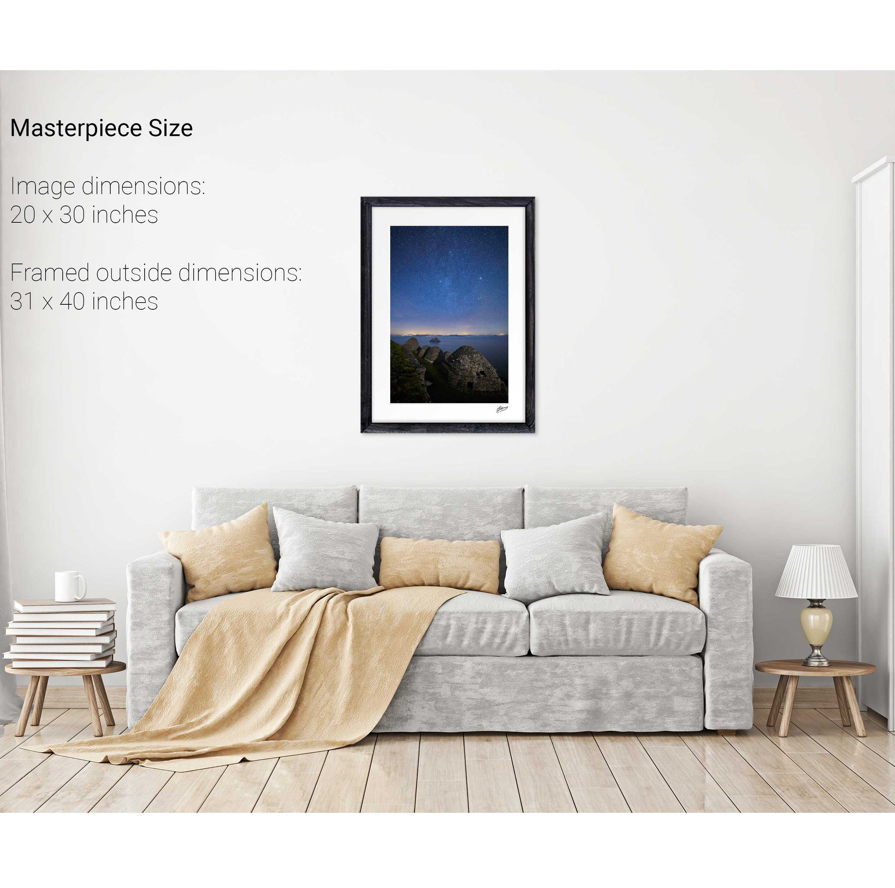
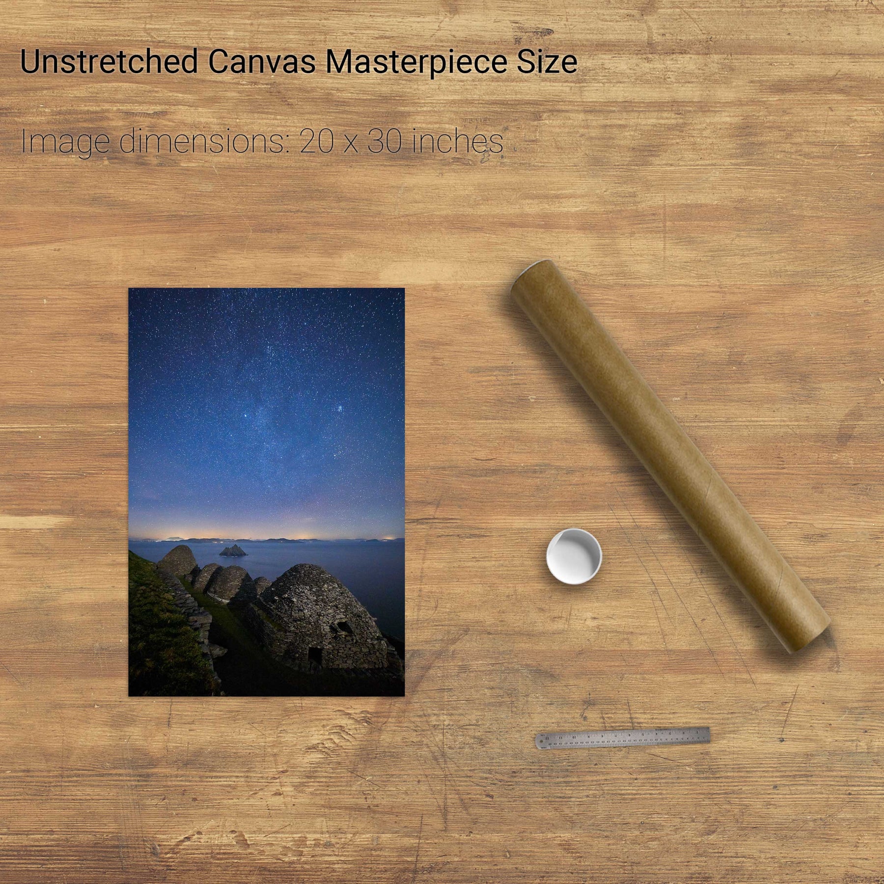
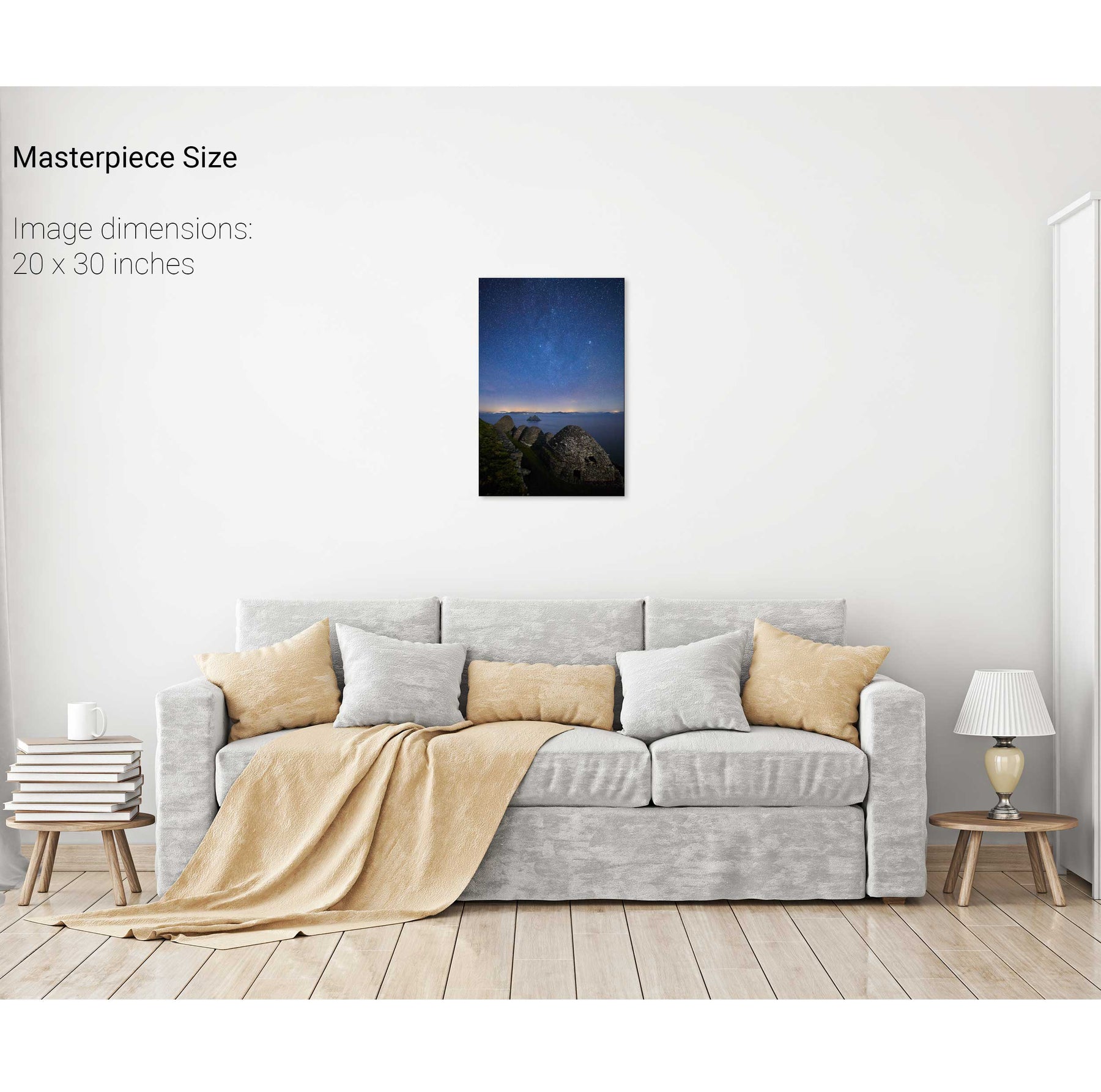
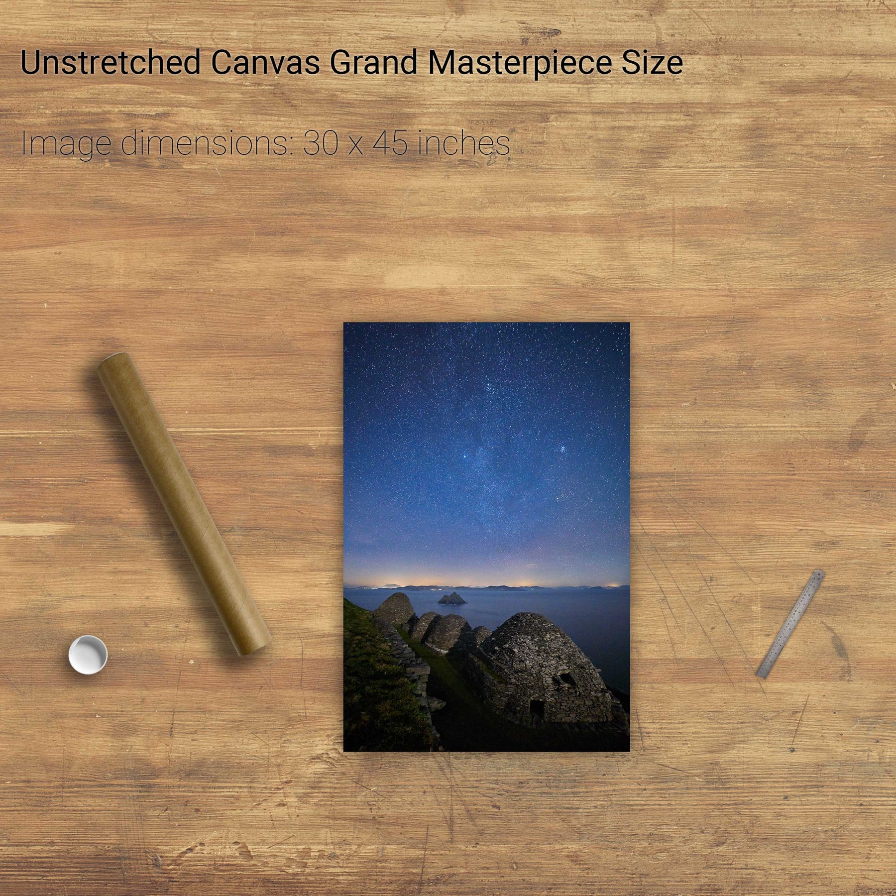
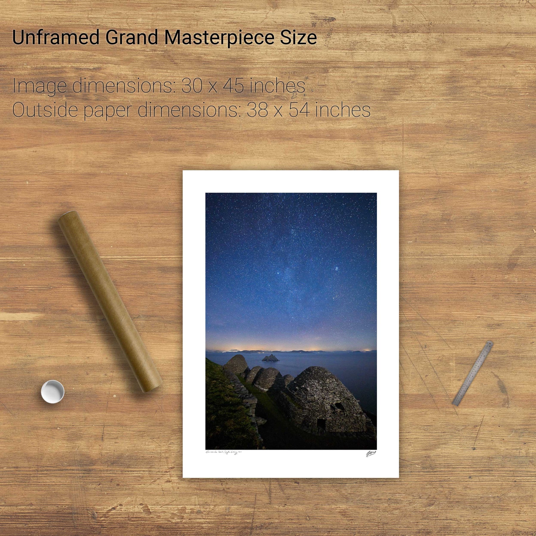
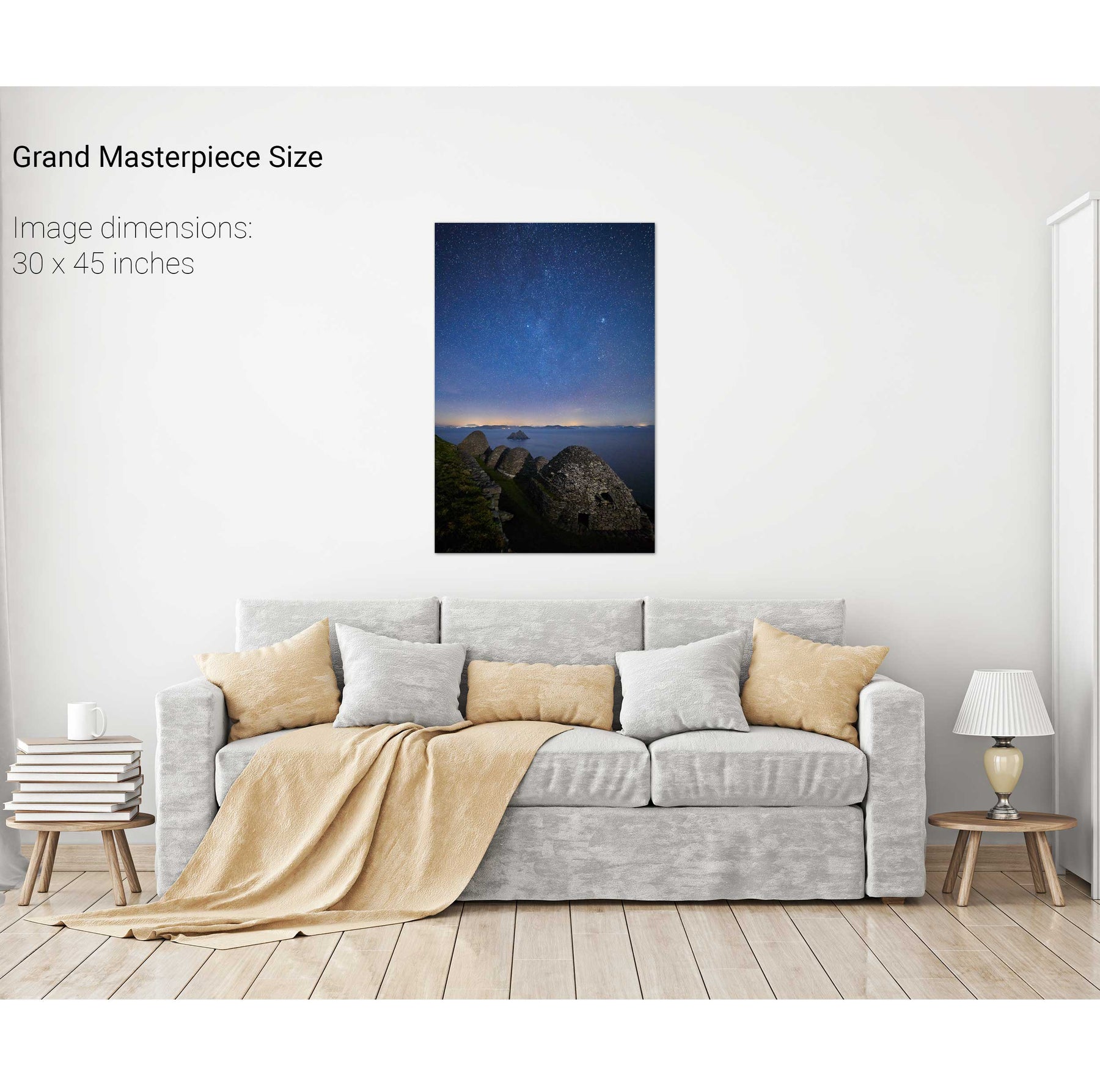
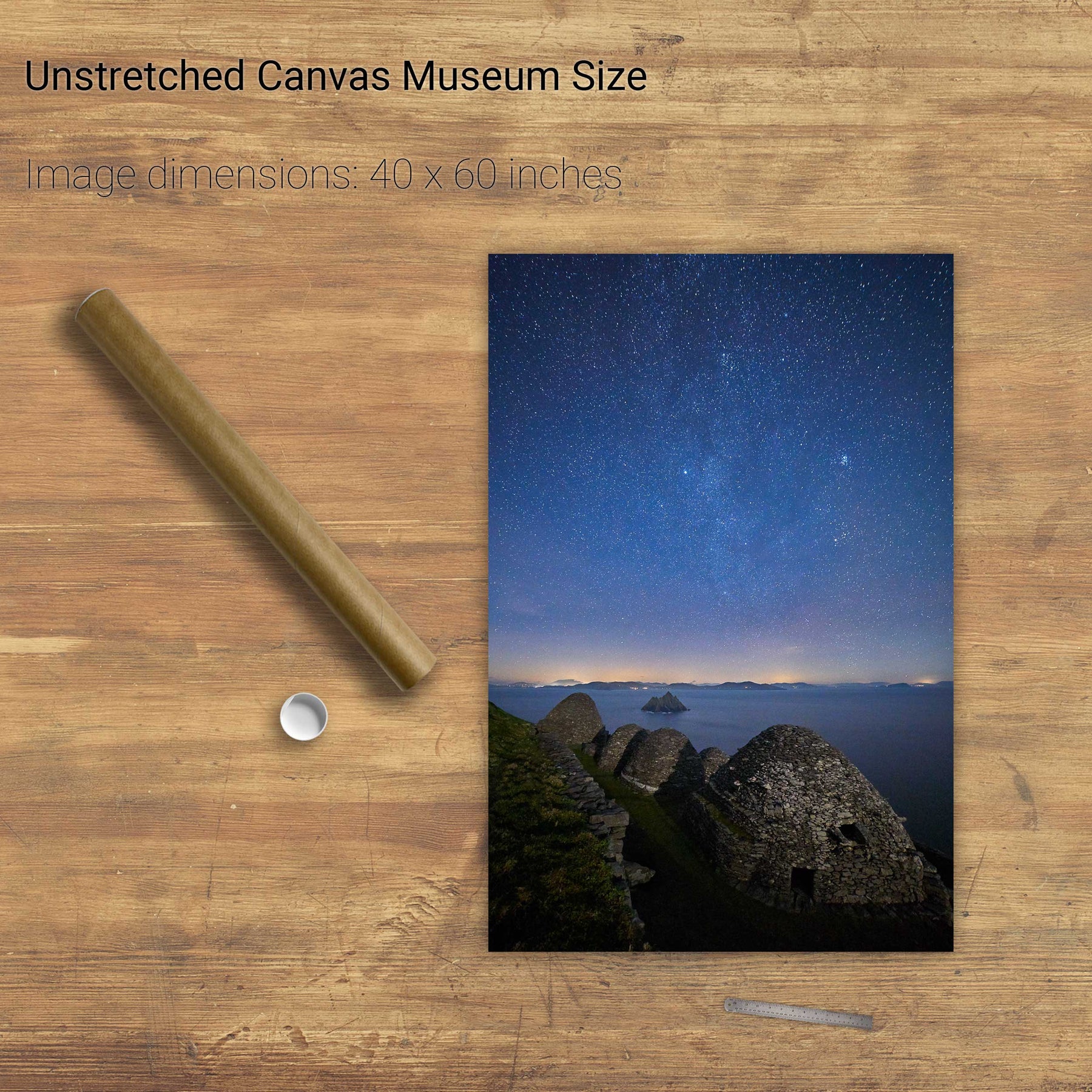
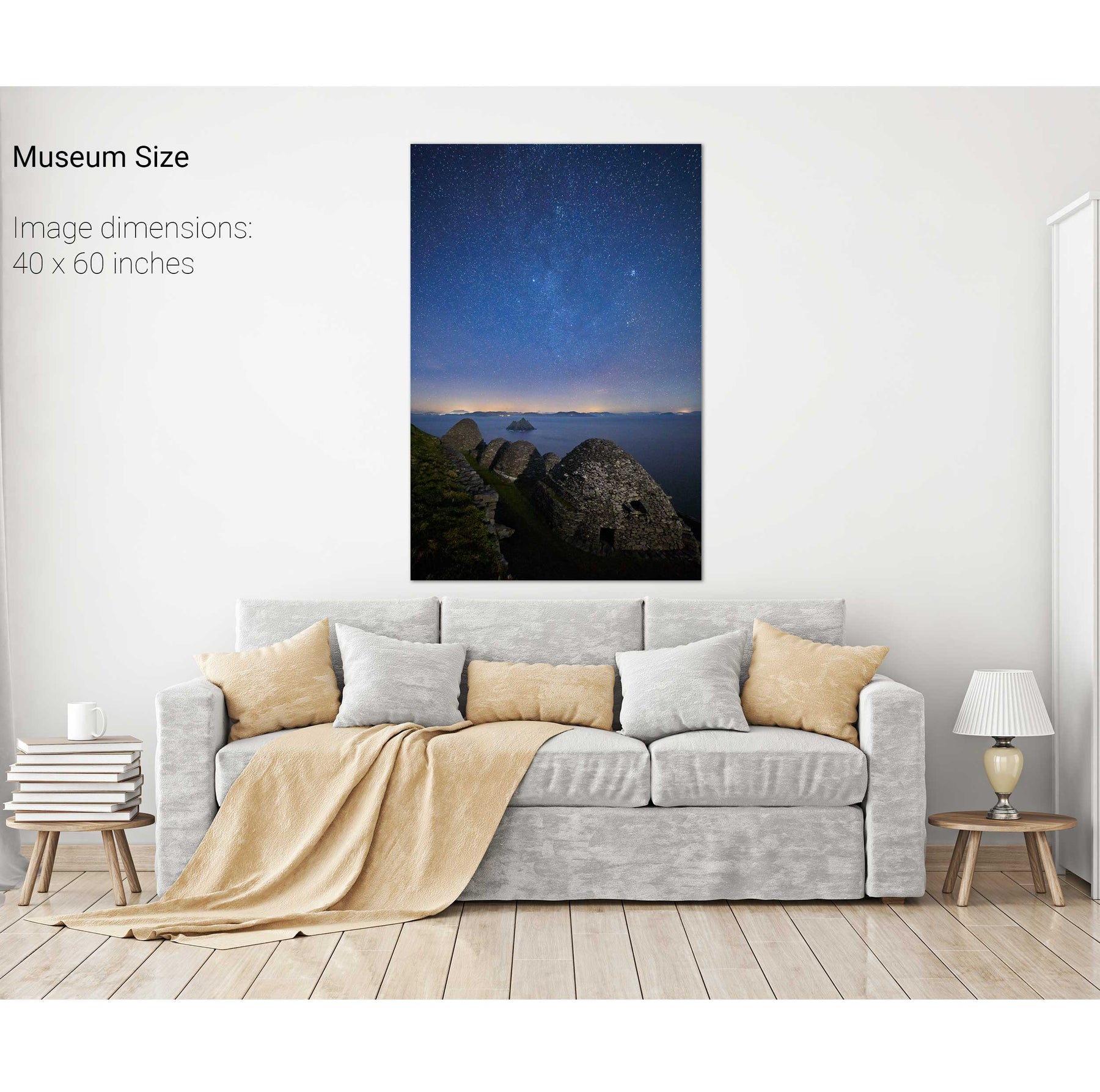
Nocturne, Skellig Michael, Kerry


We will send you an email to reset your password.

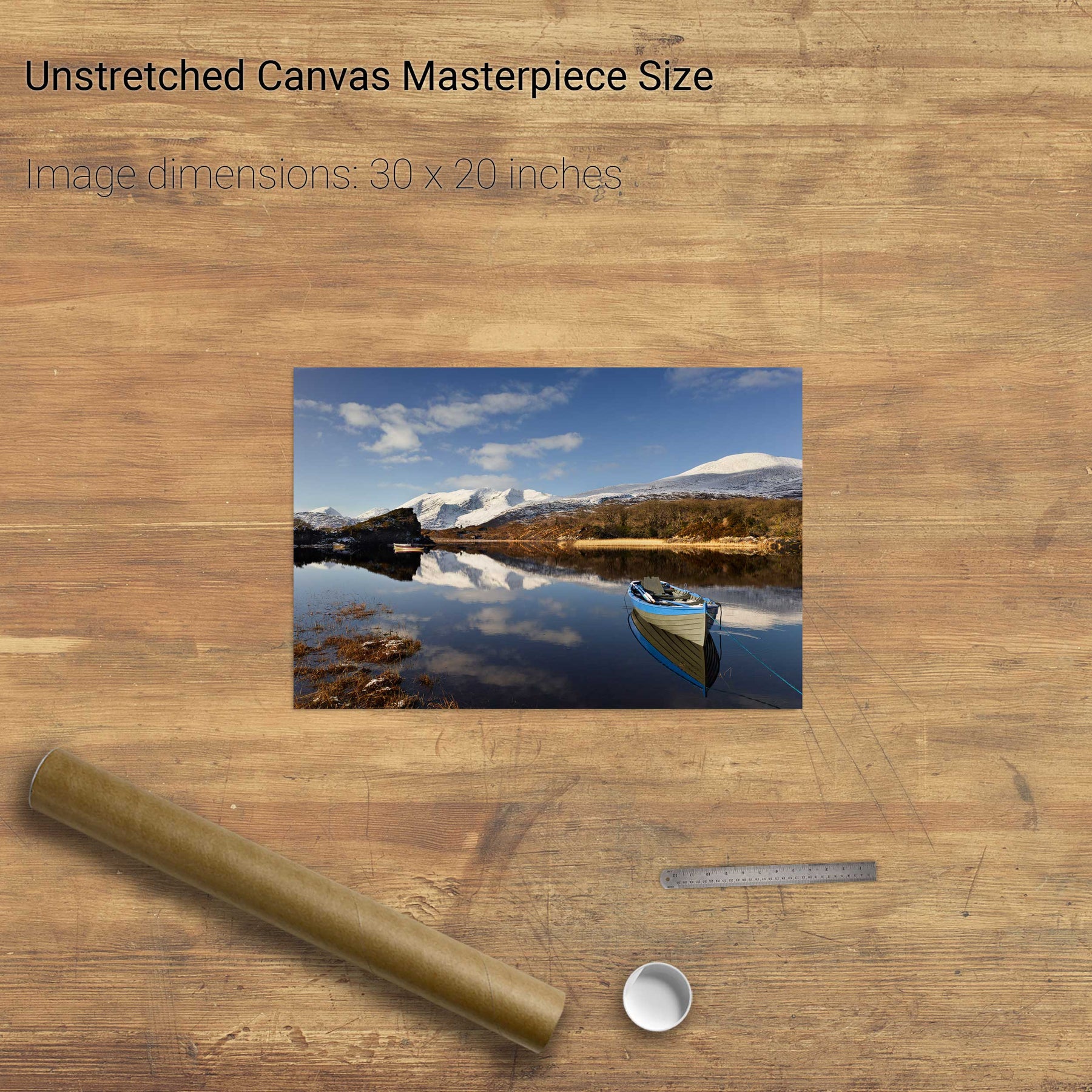
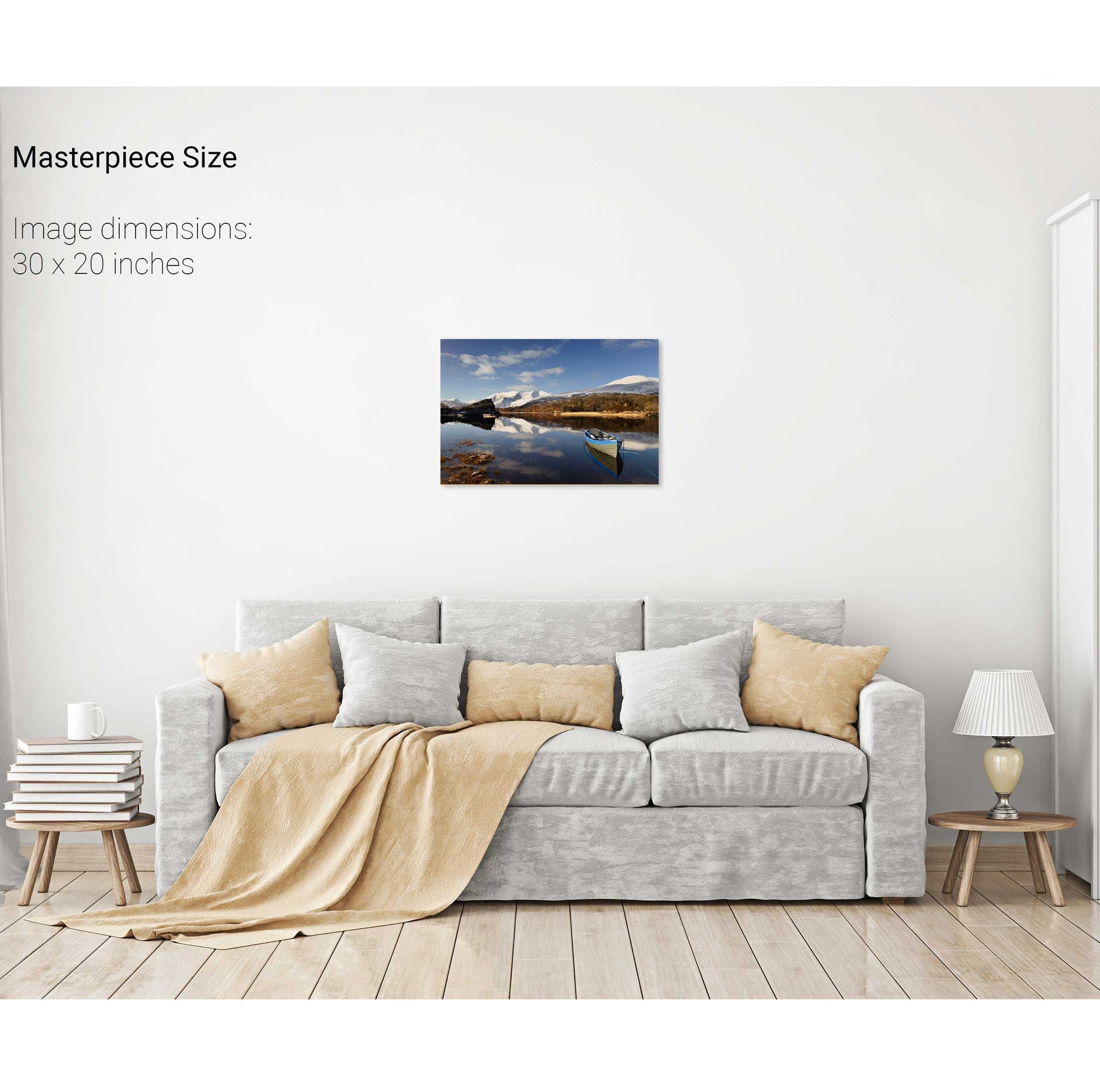
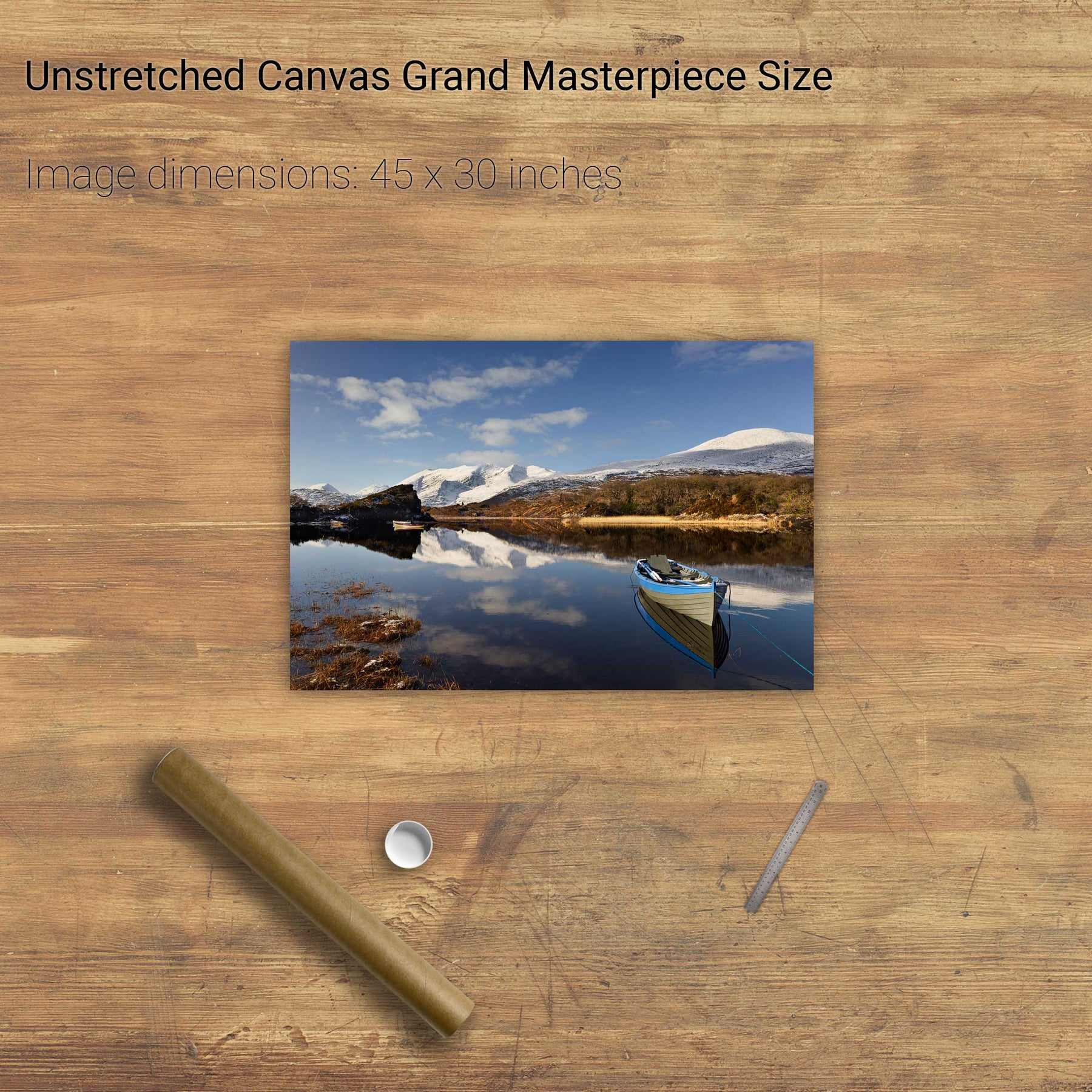
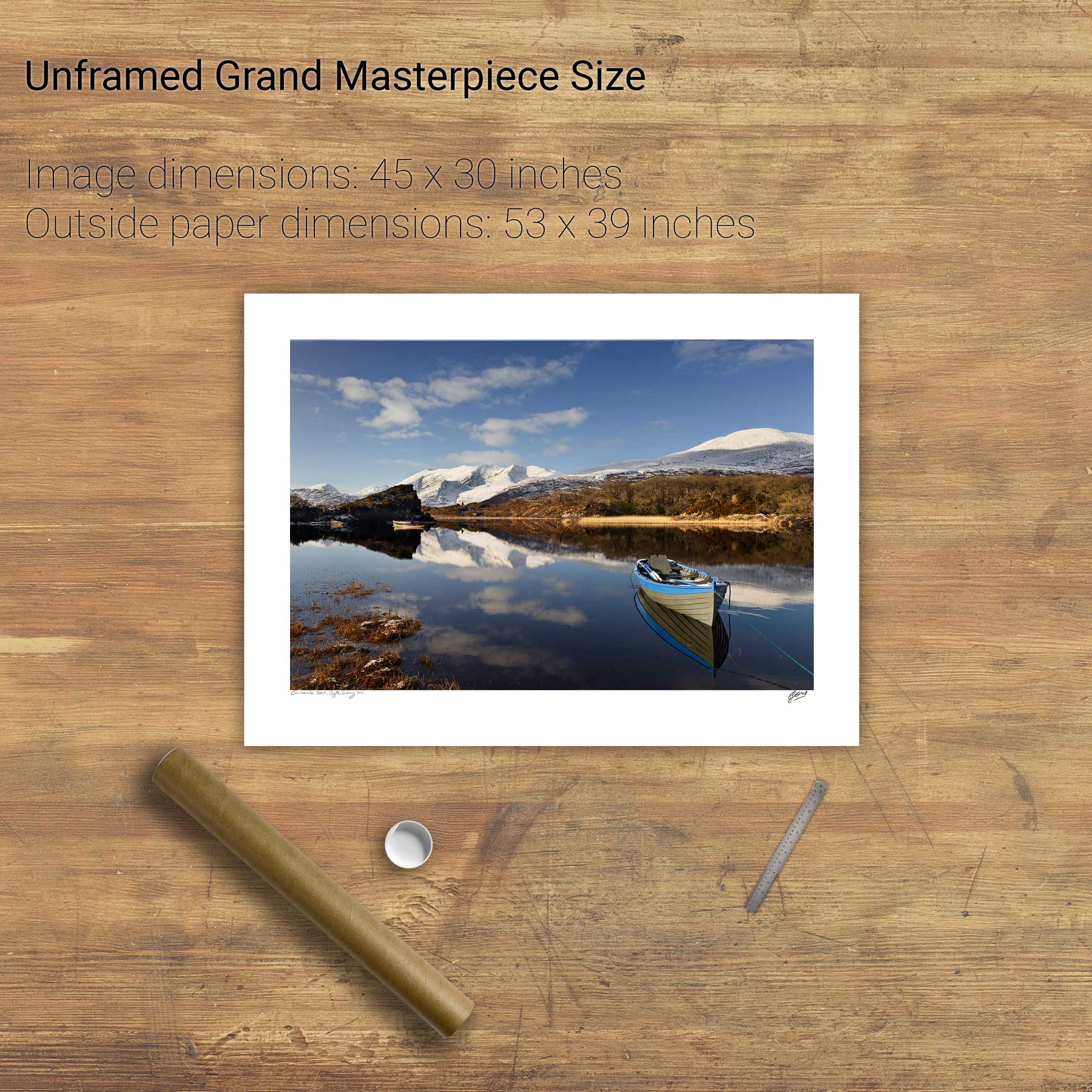
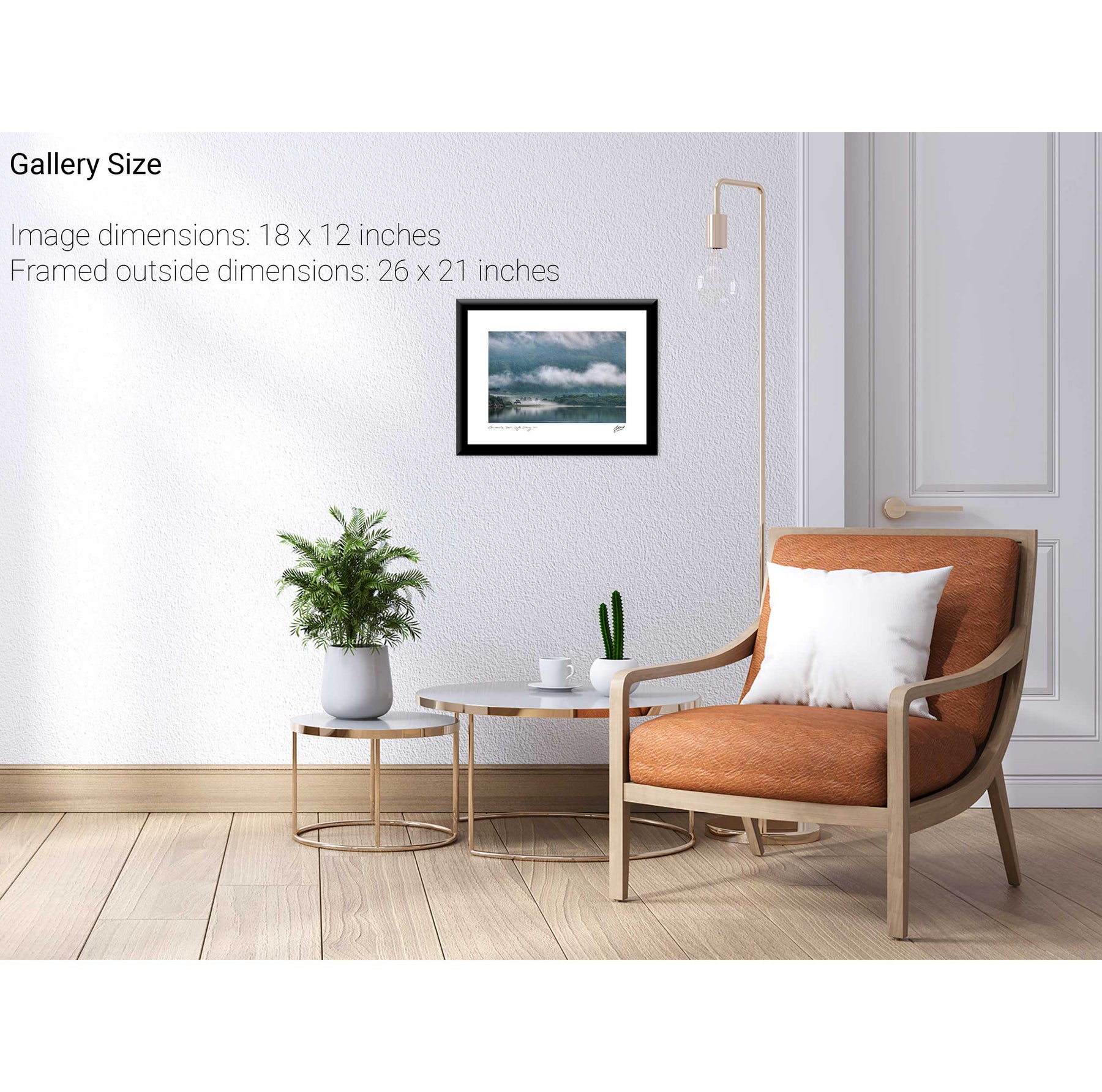
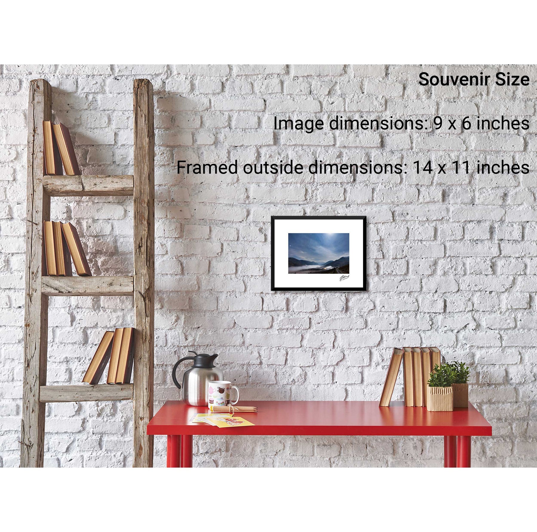
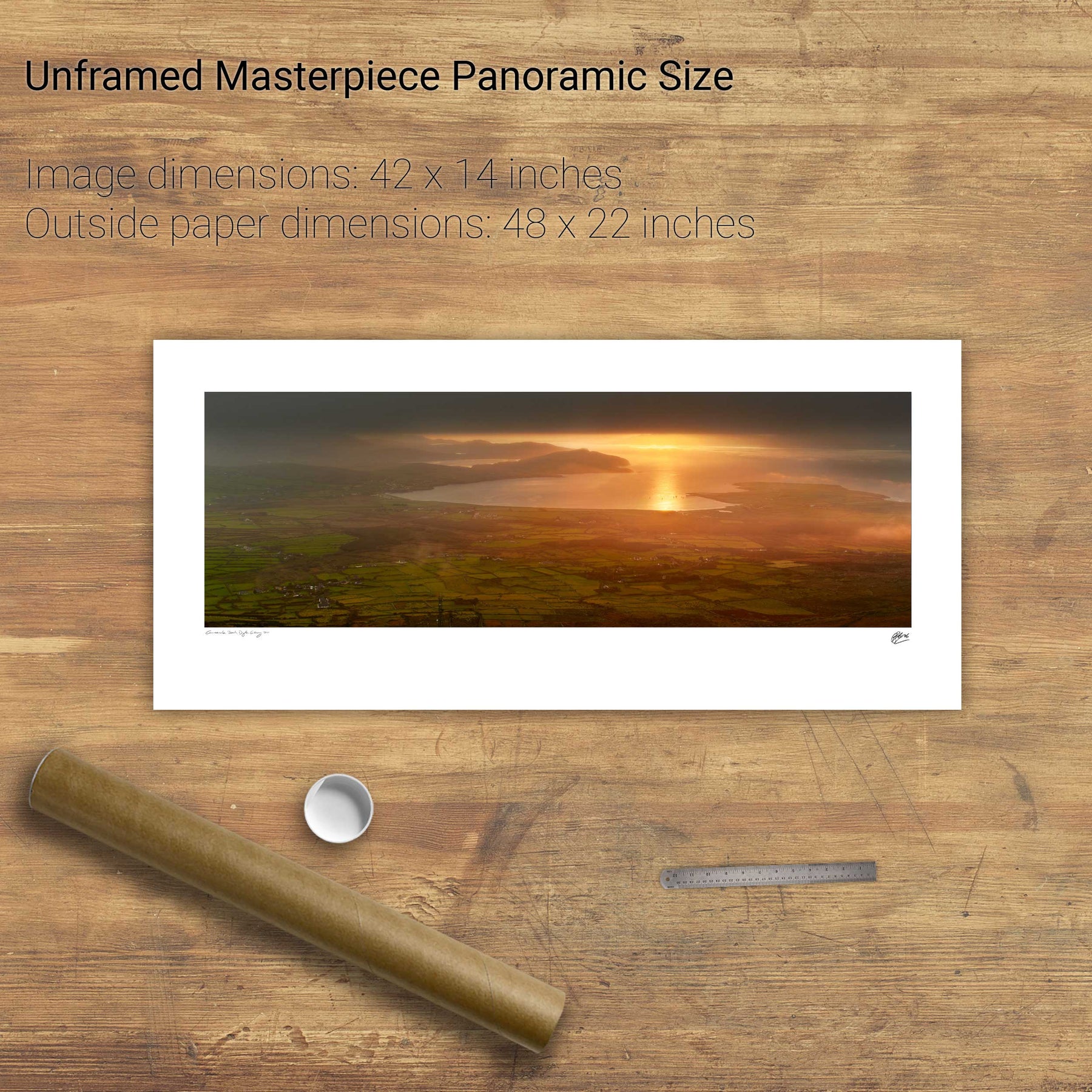
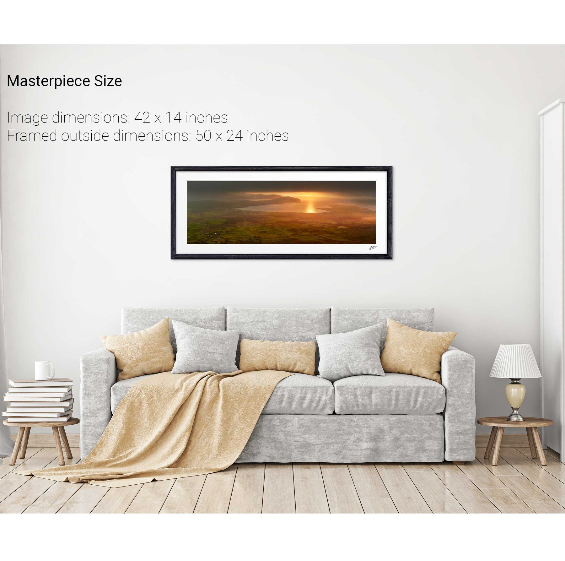
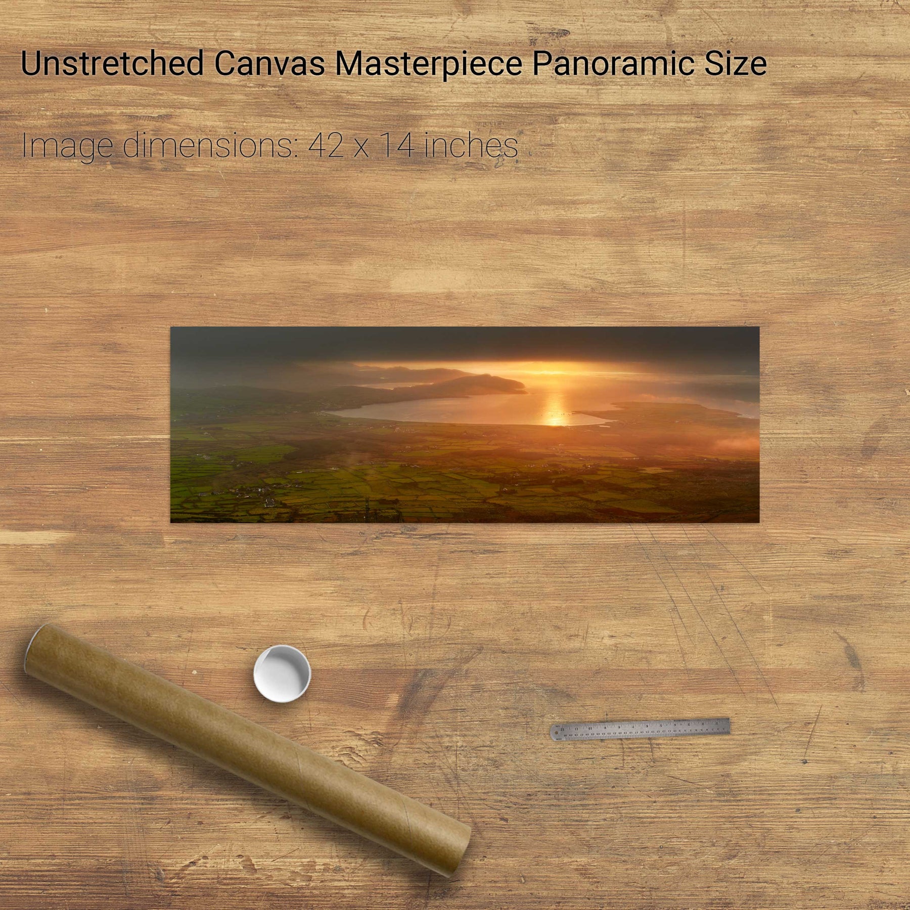
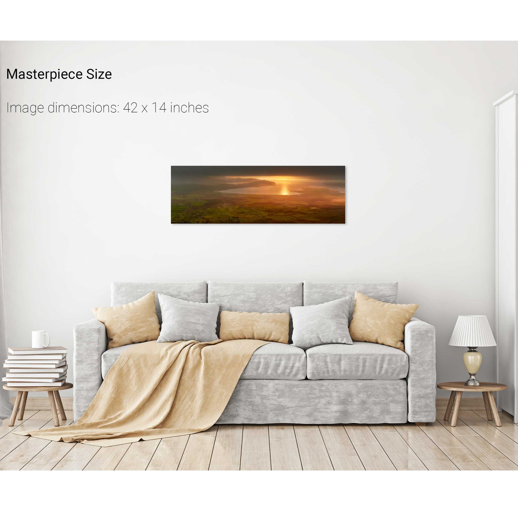
144 products
Nocturne, Skellig Michael, Kerry
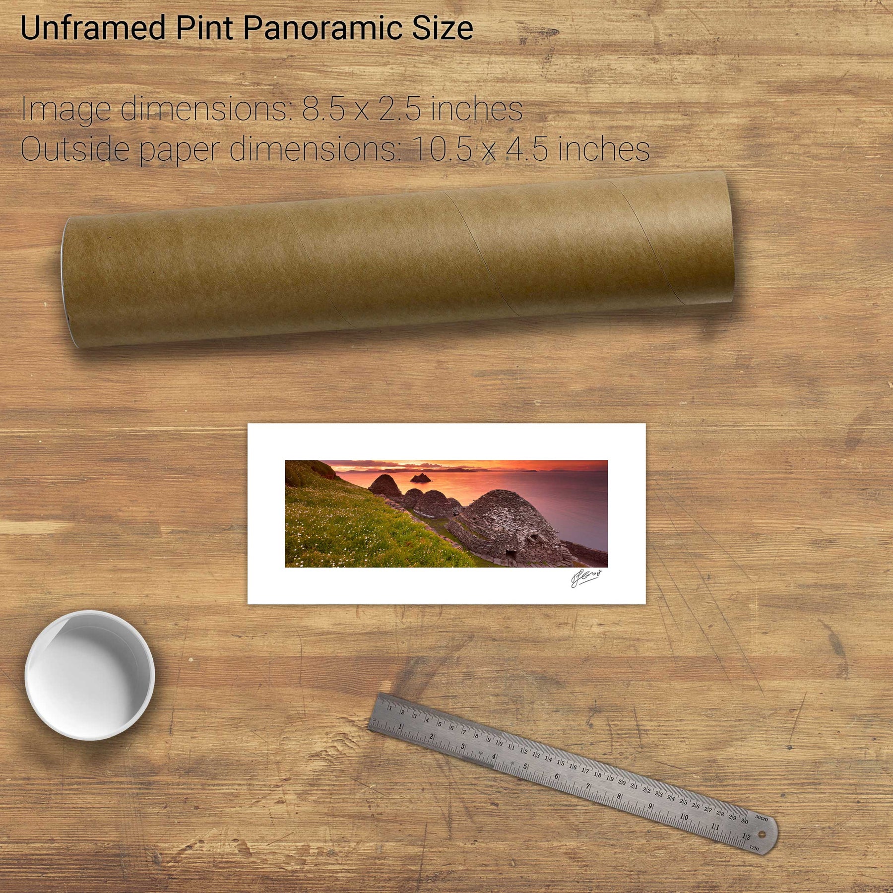
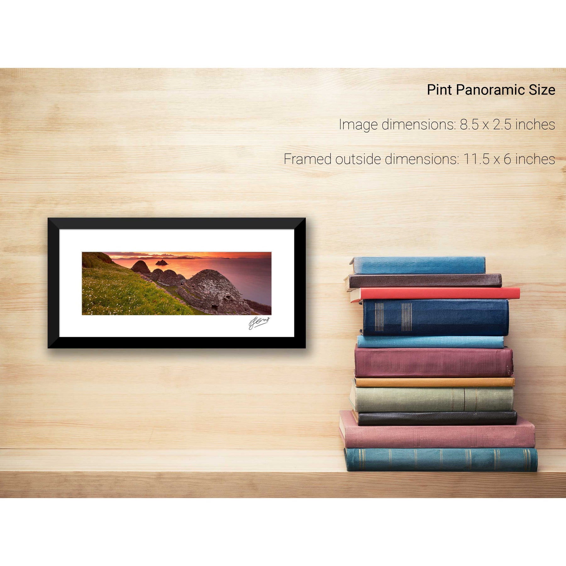
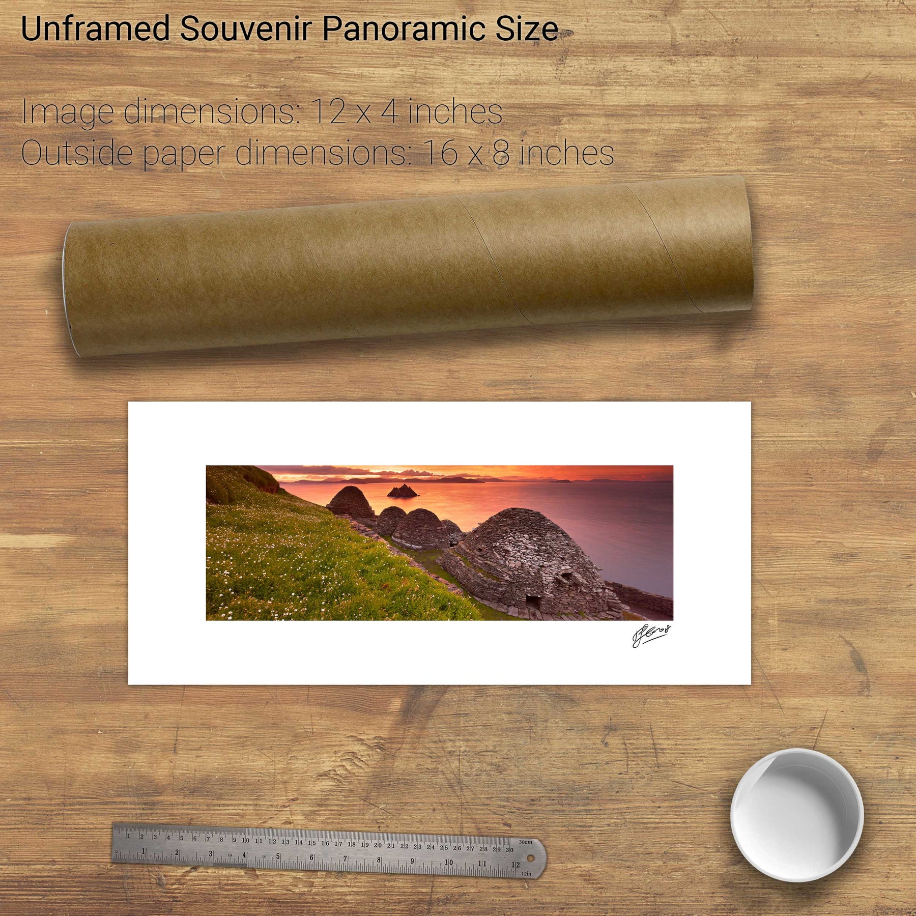
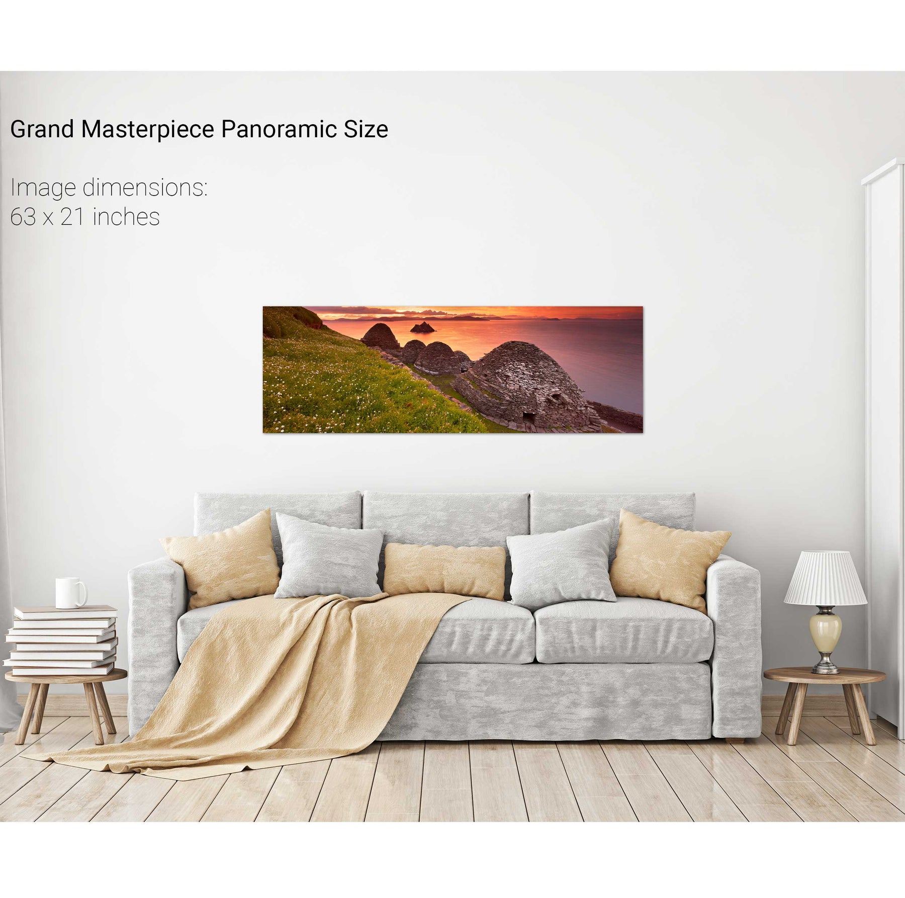
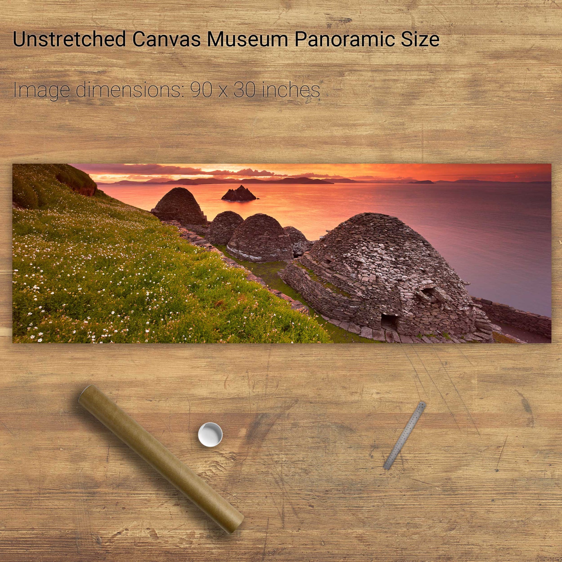
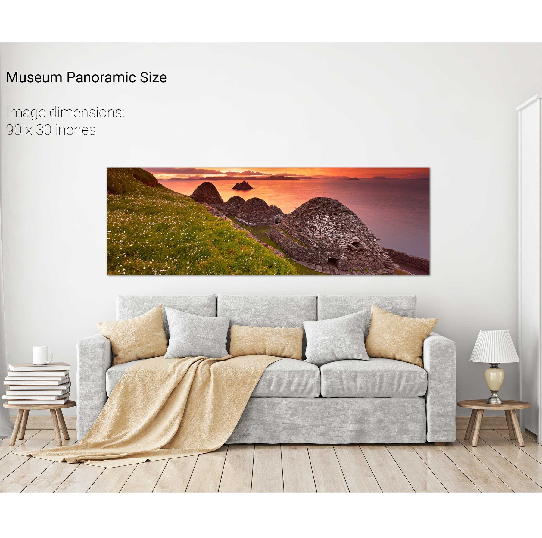
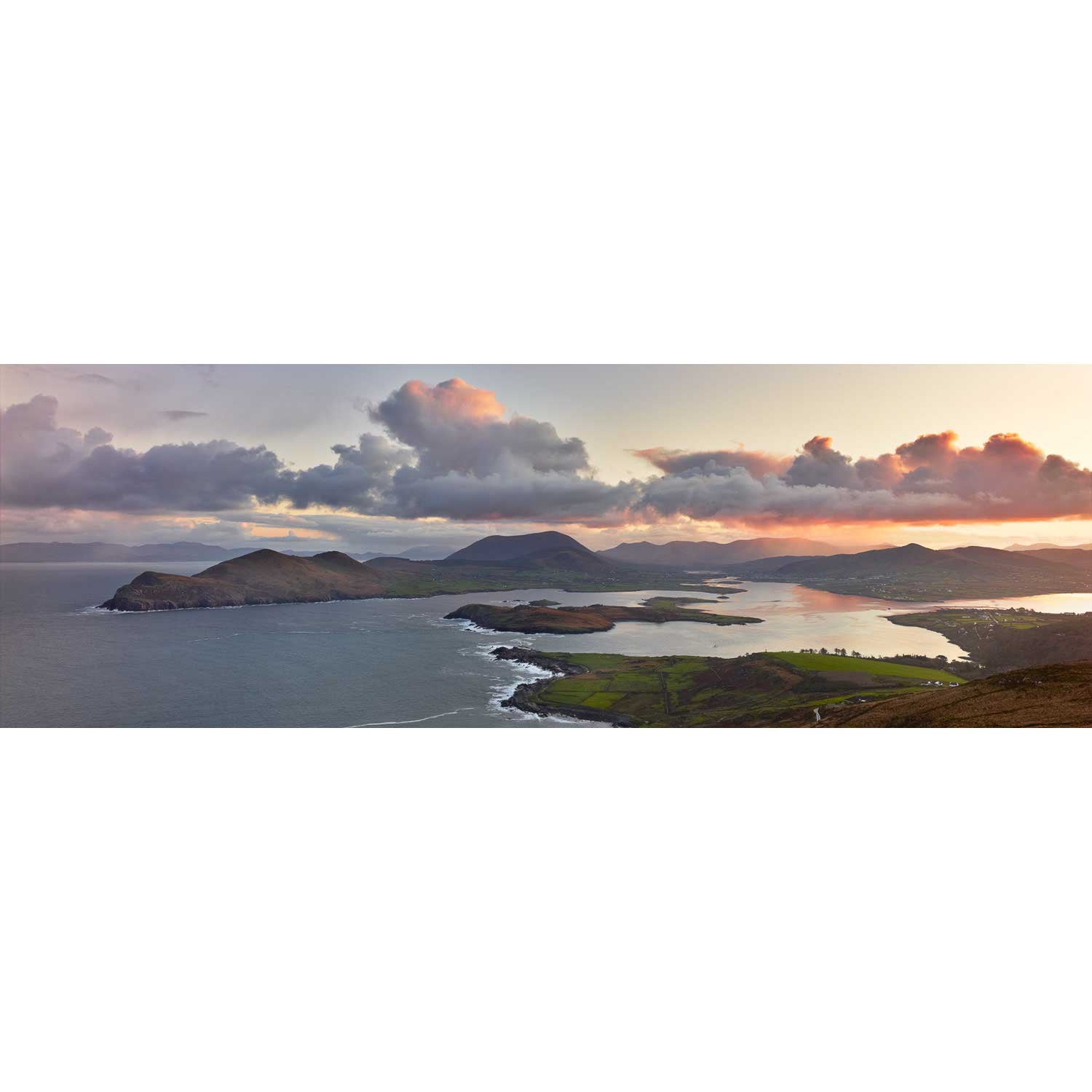
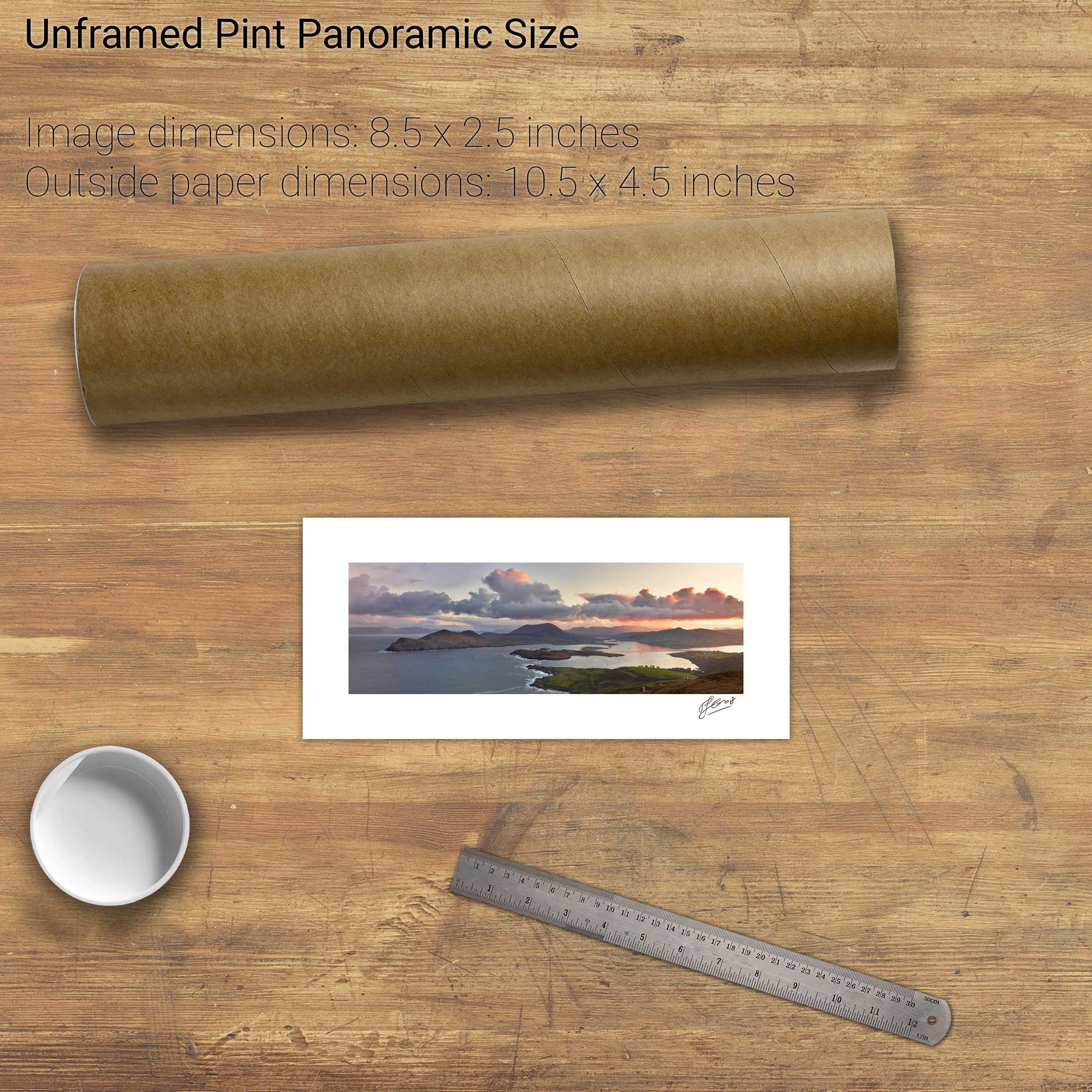
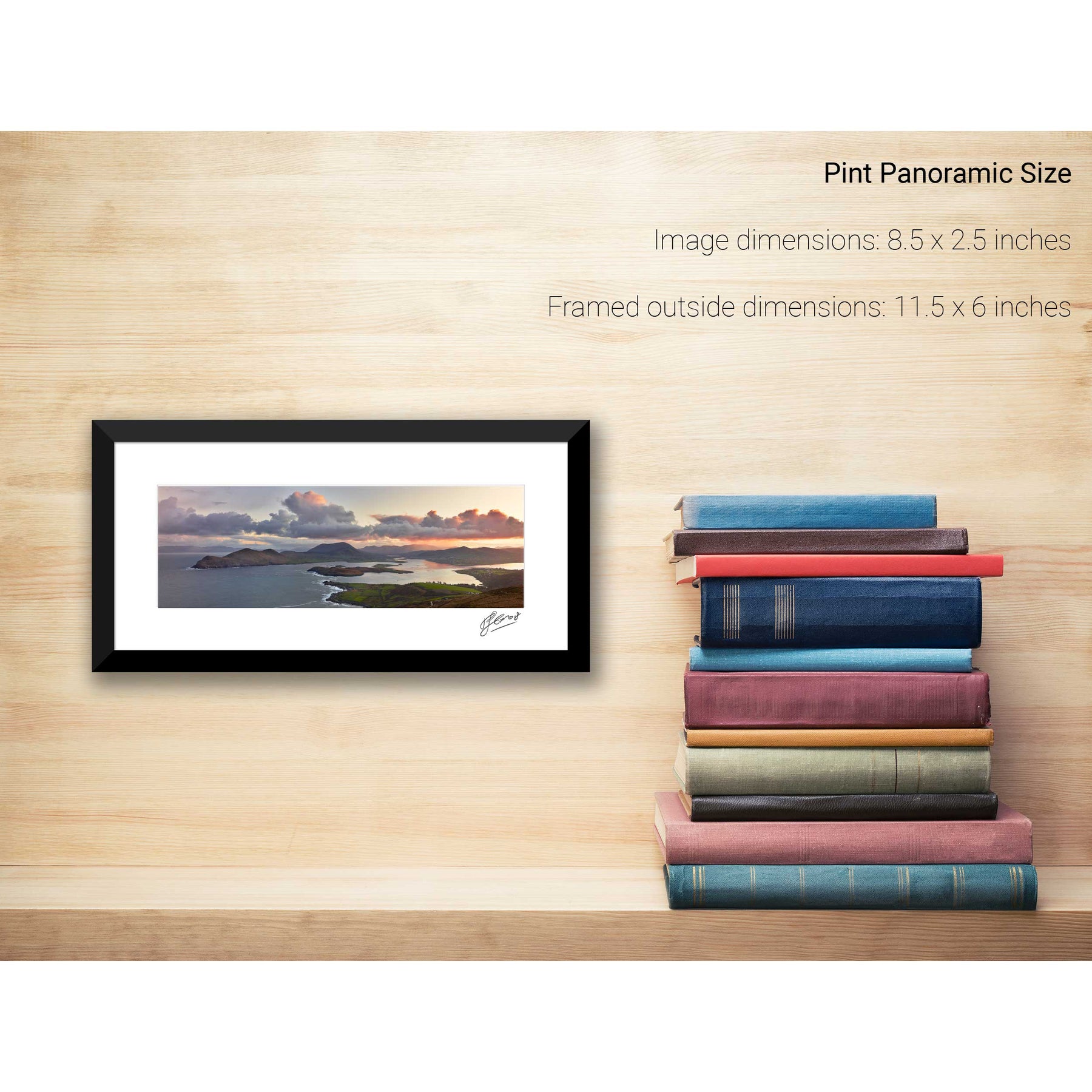
Skellig Michael Panoramic, Co. Kerry
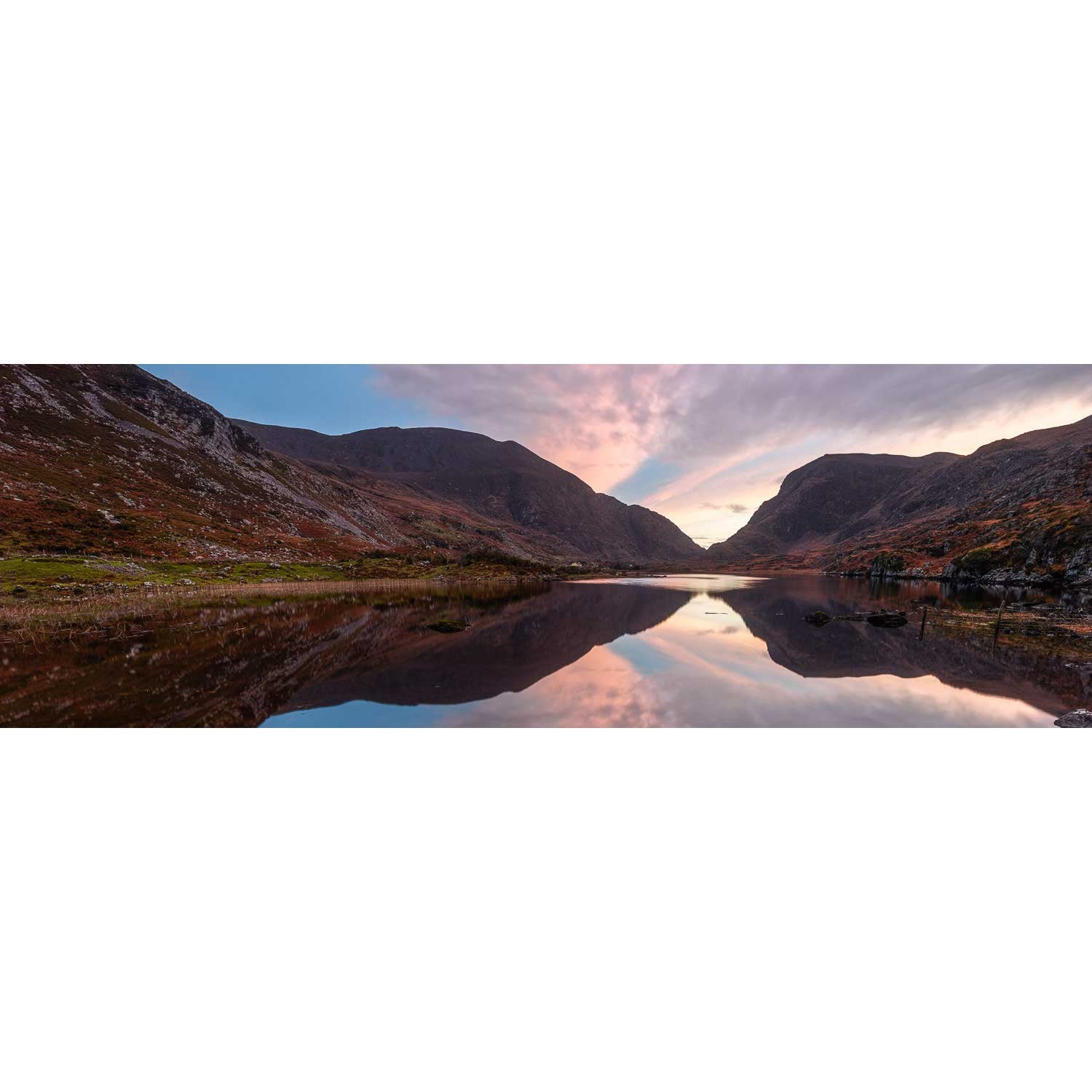
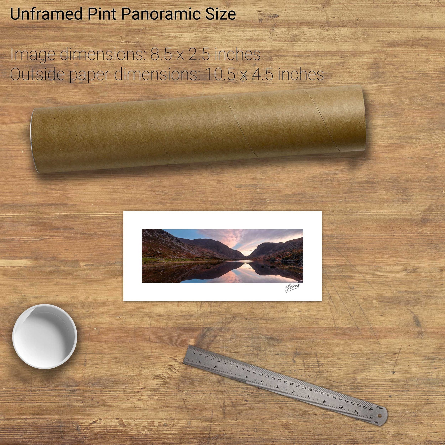
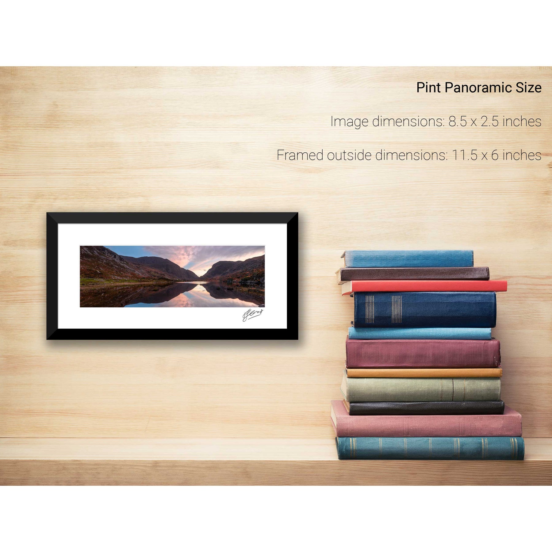
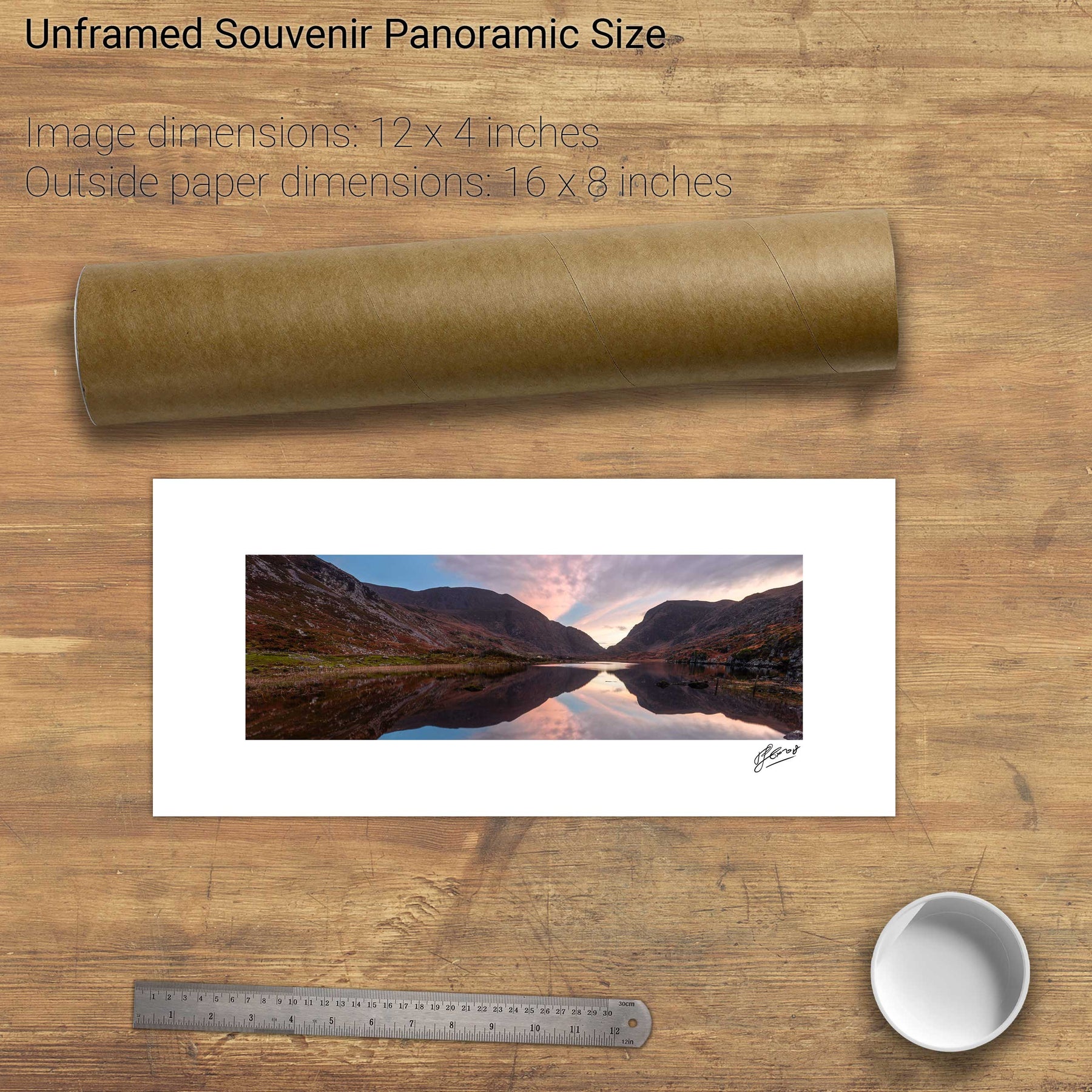
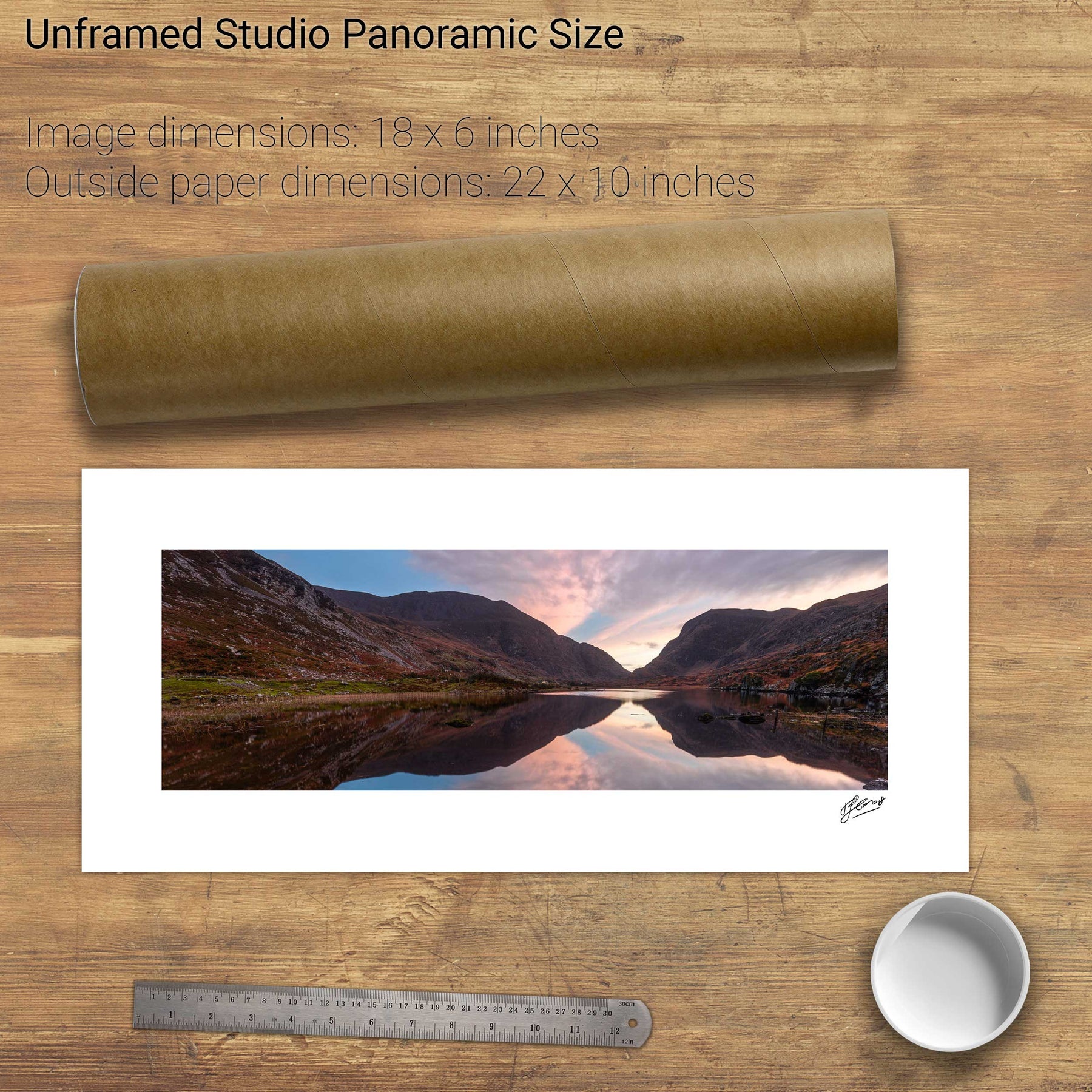
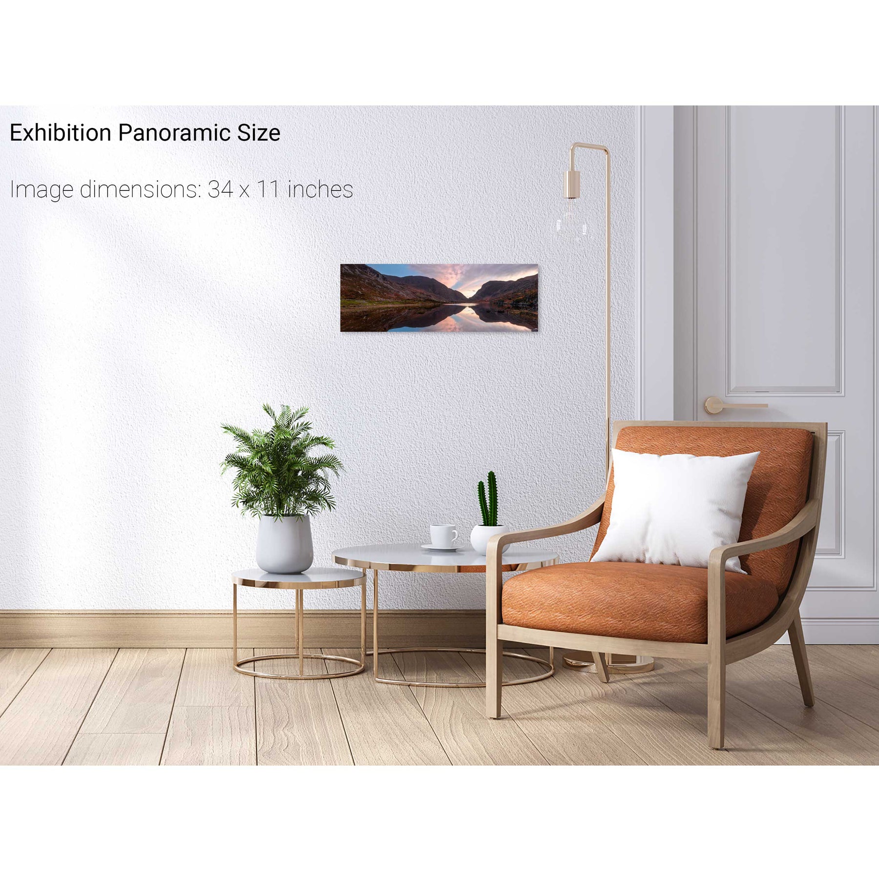
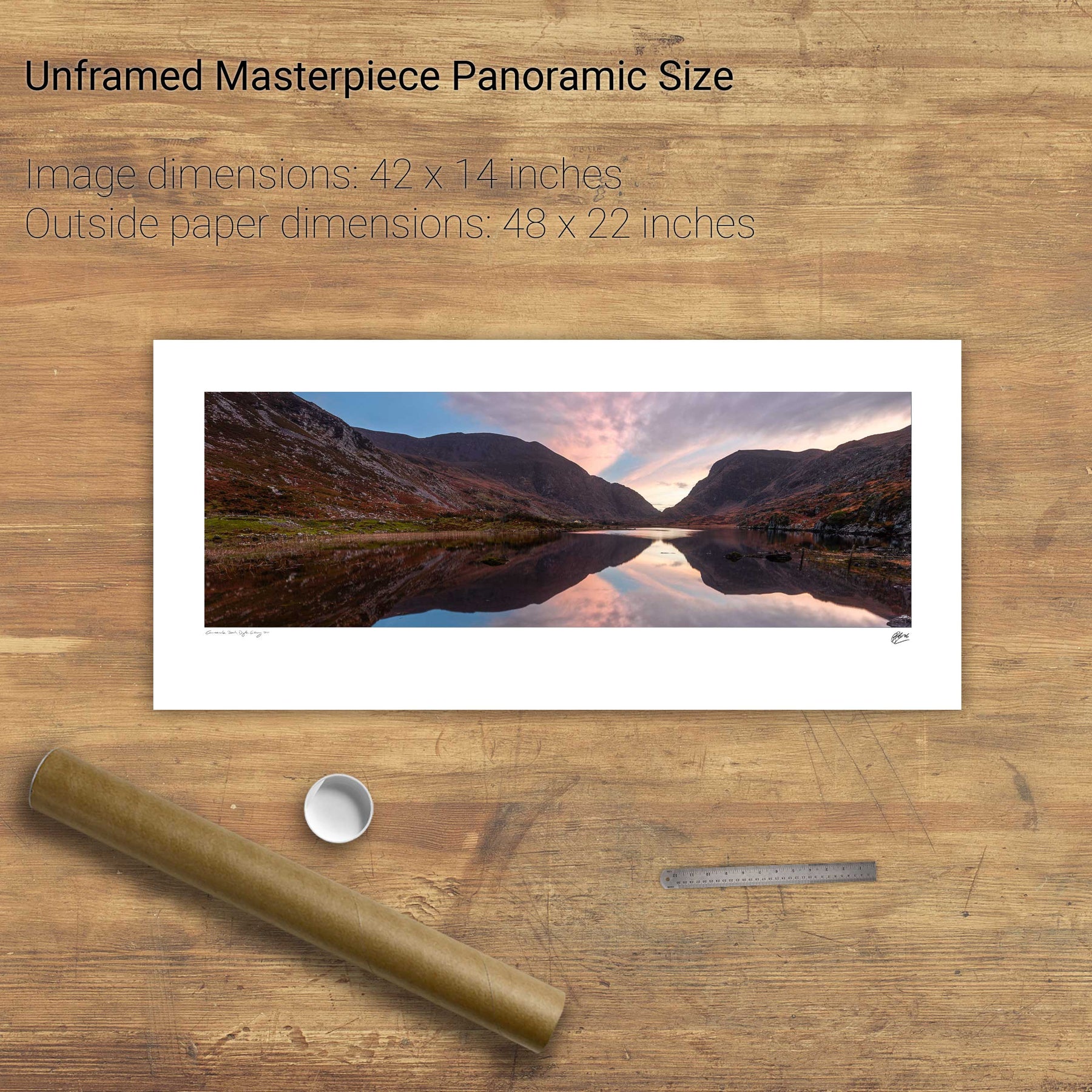
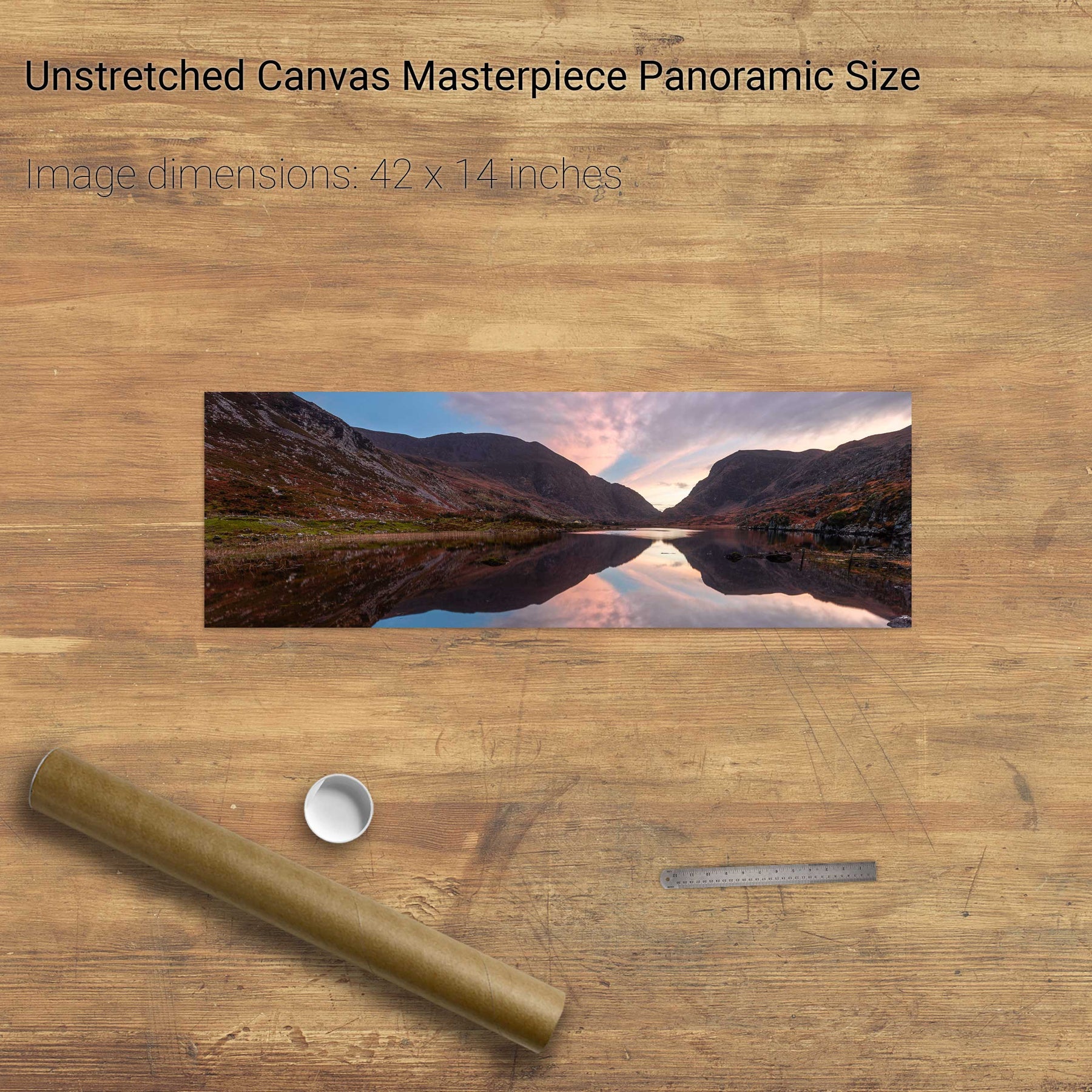
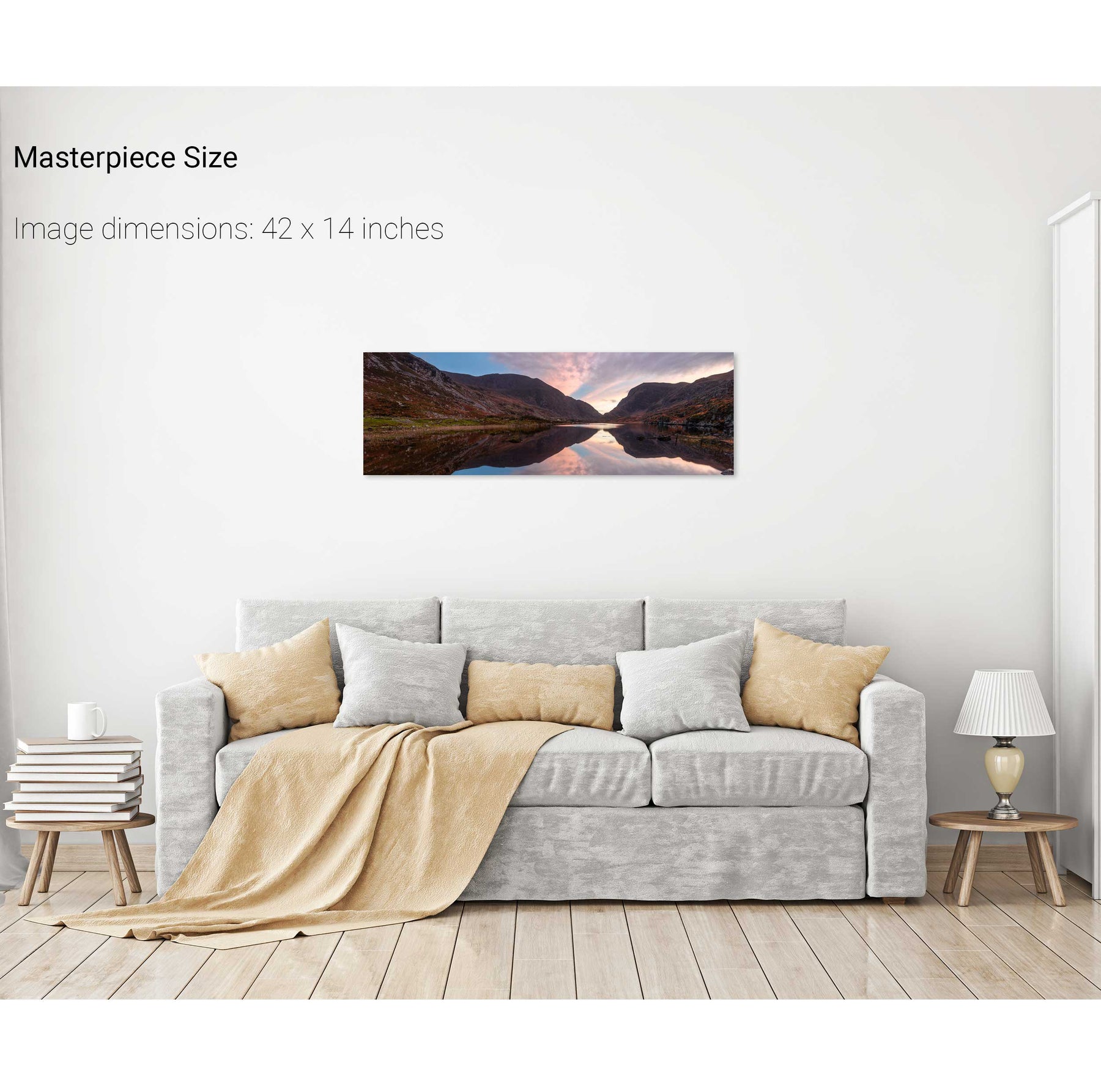
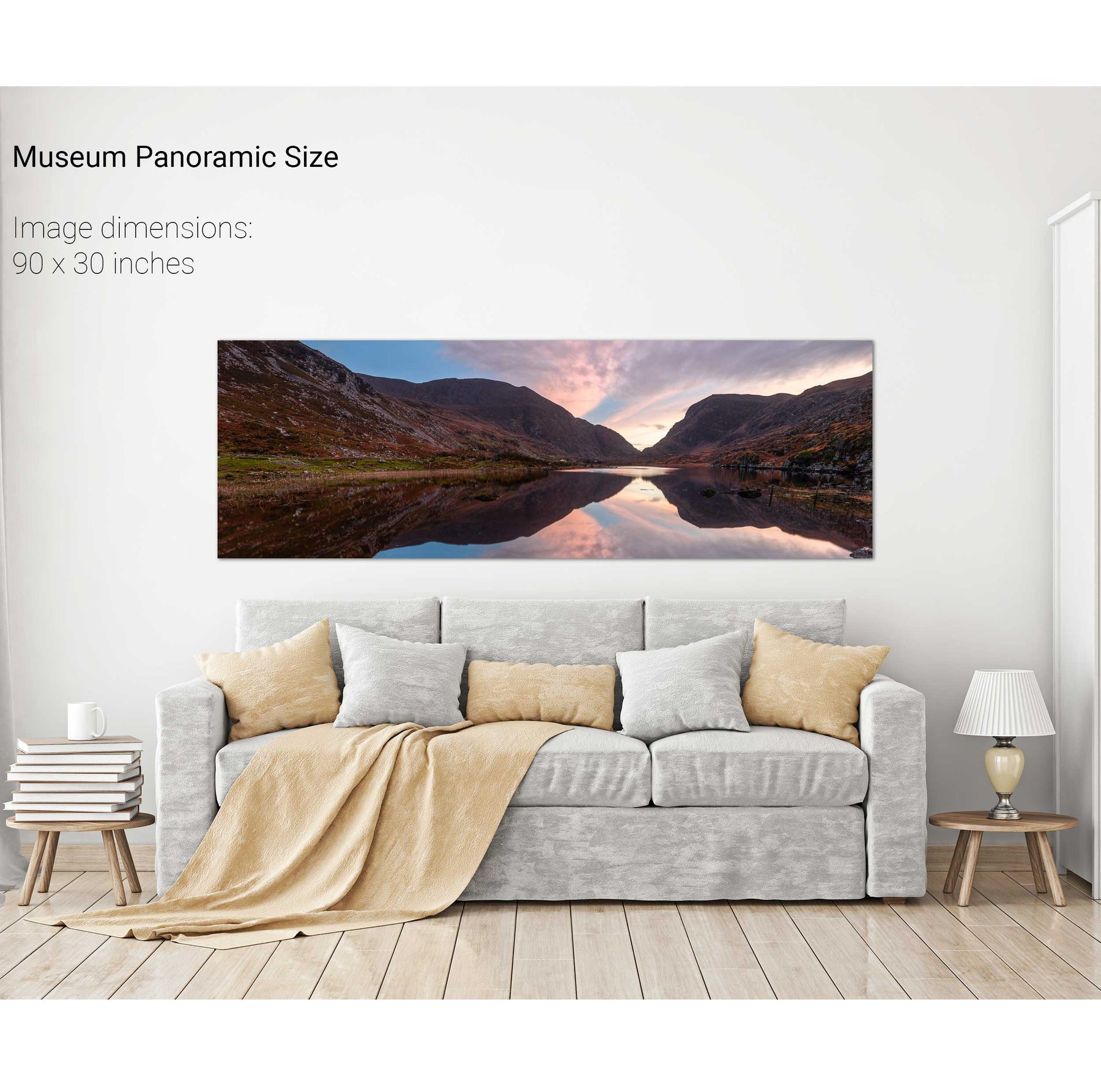
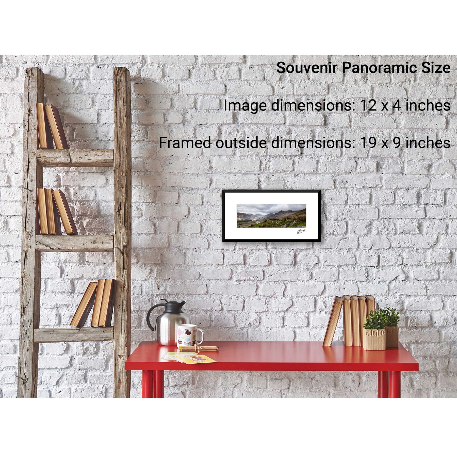
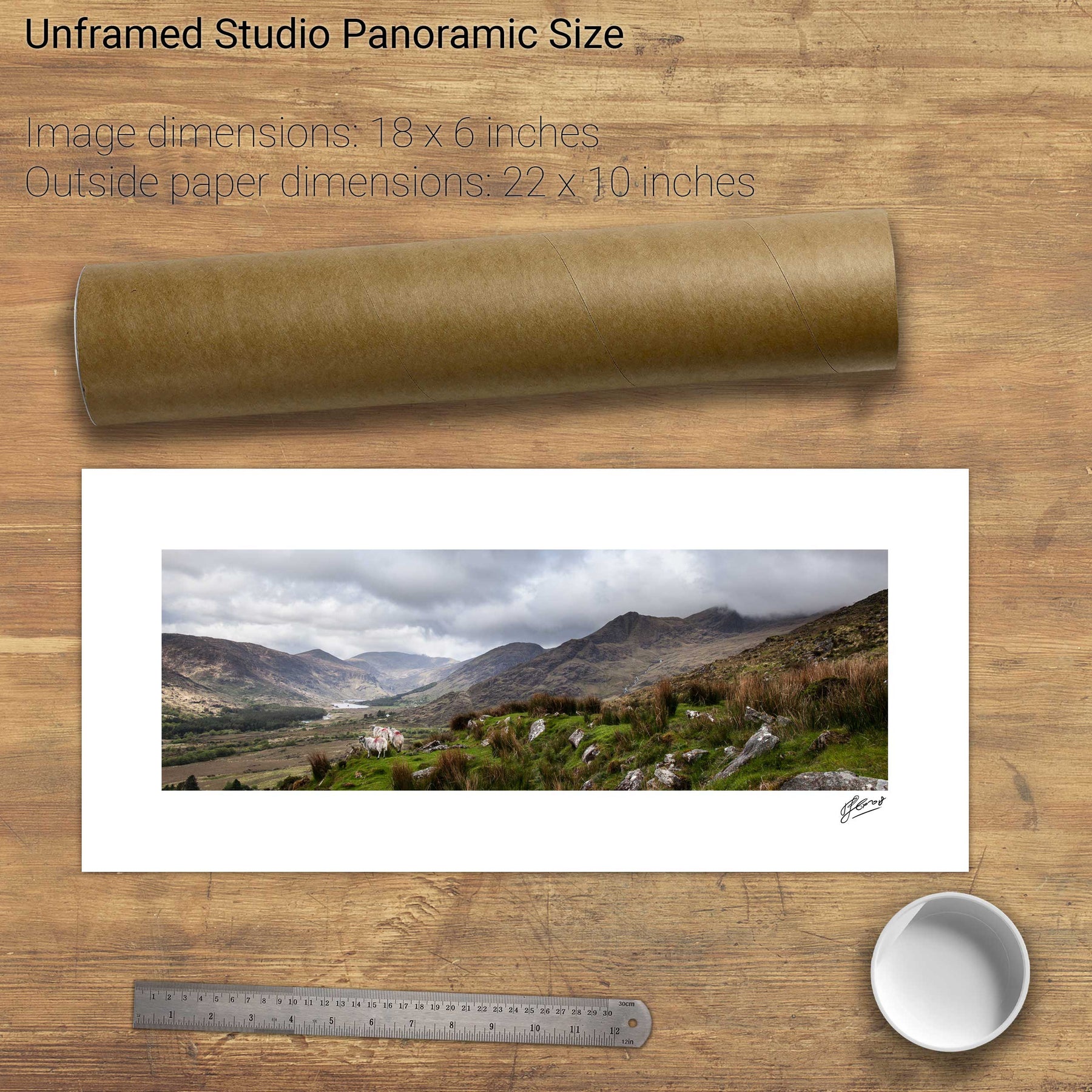
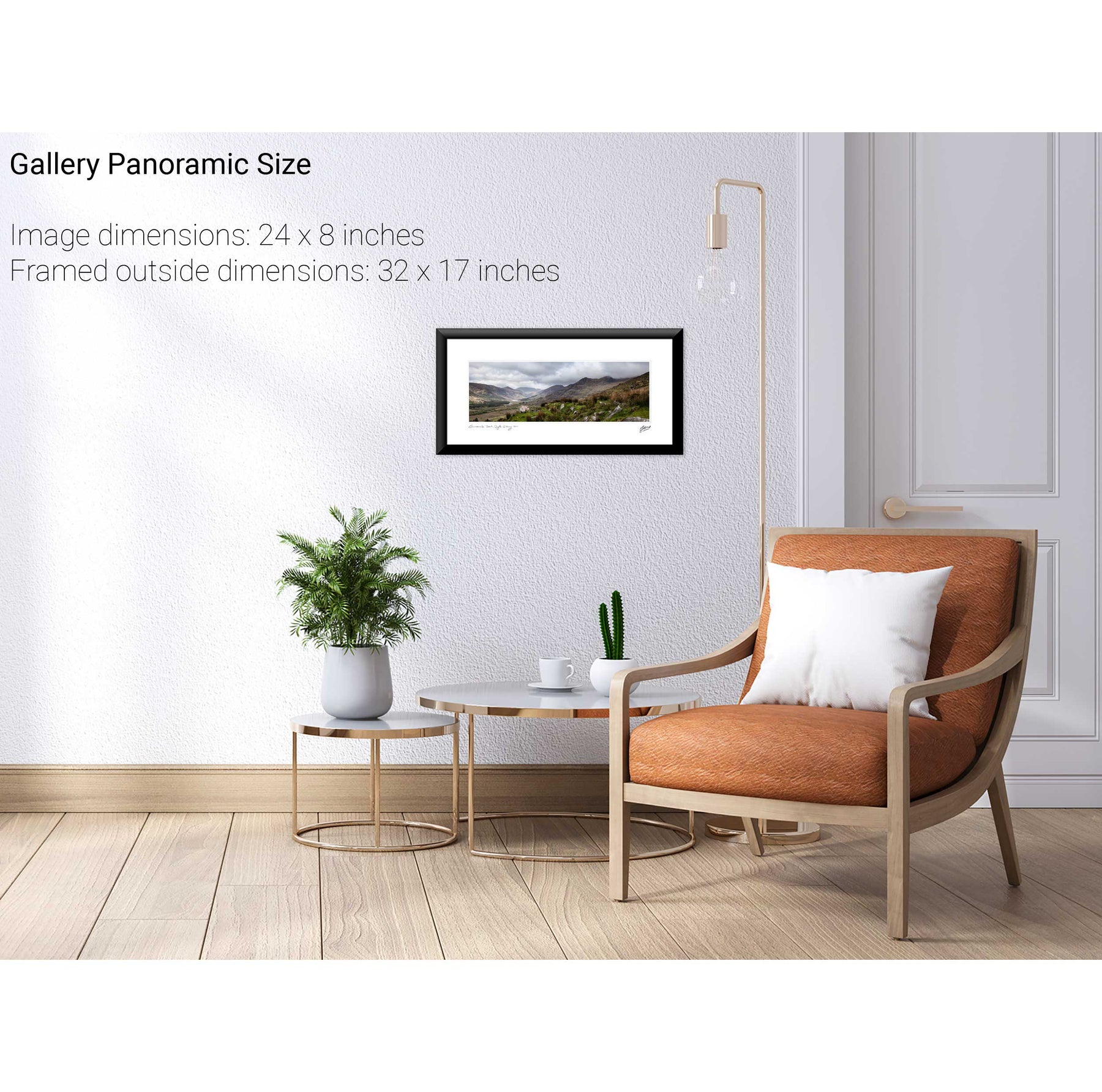
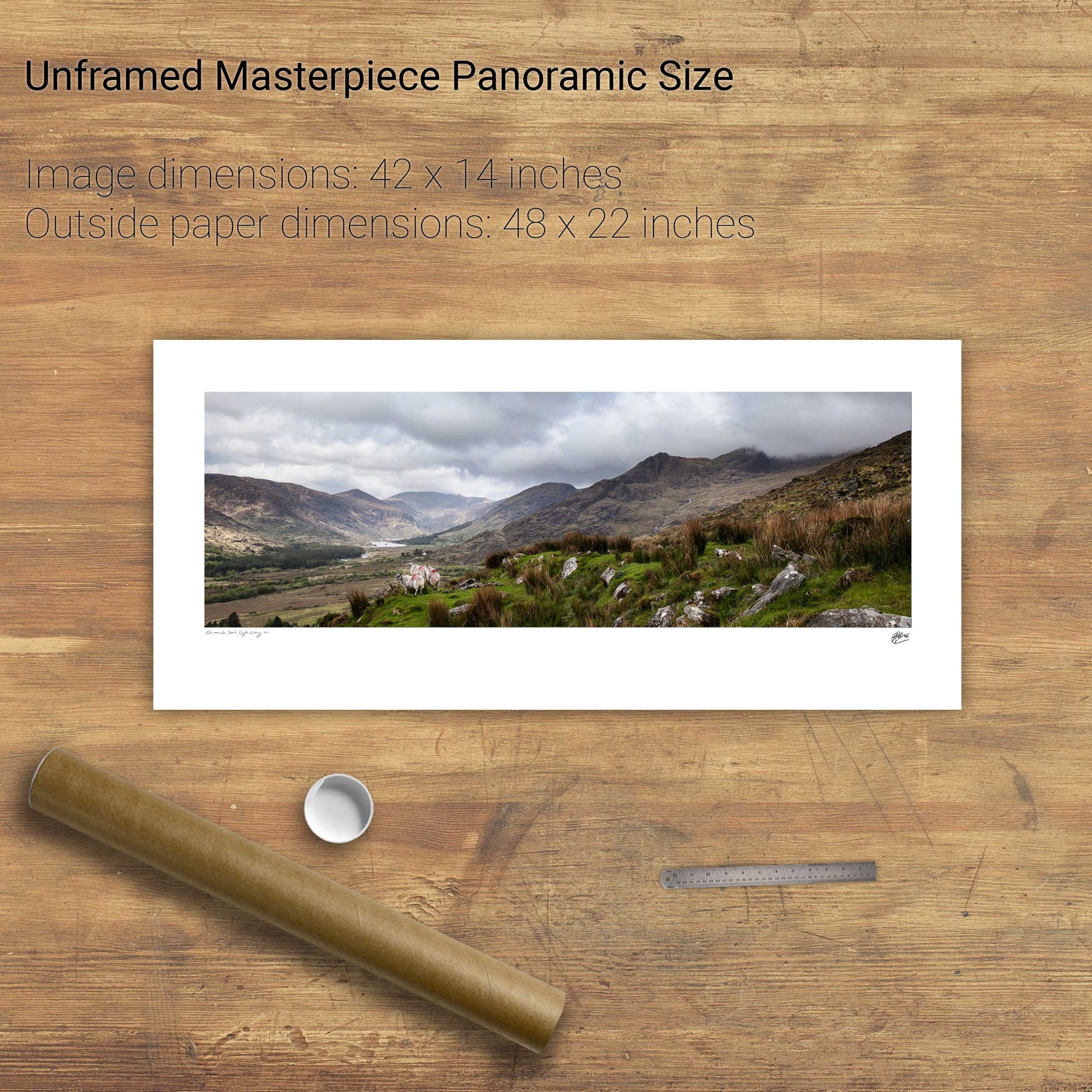
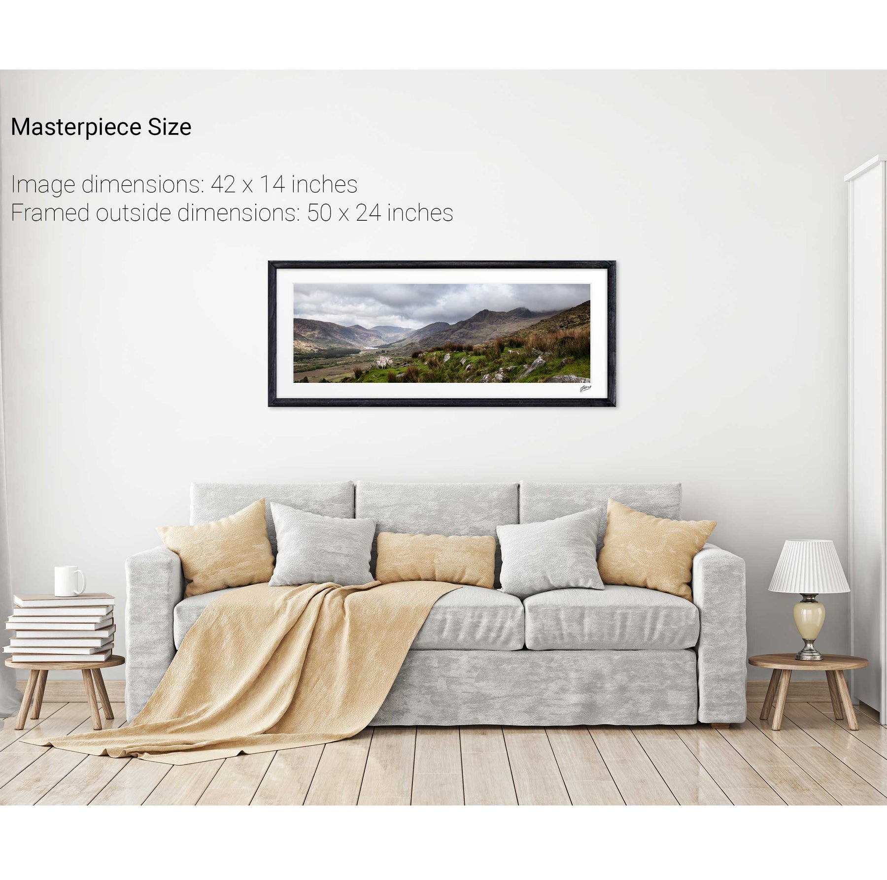
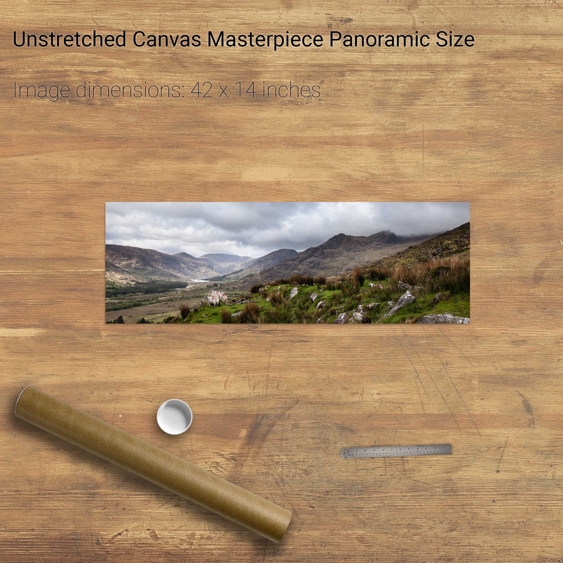
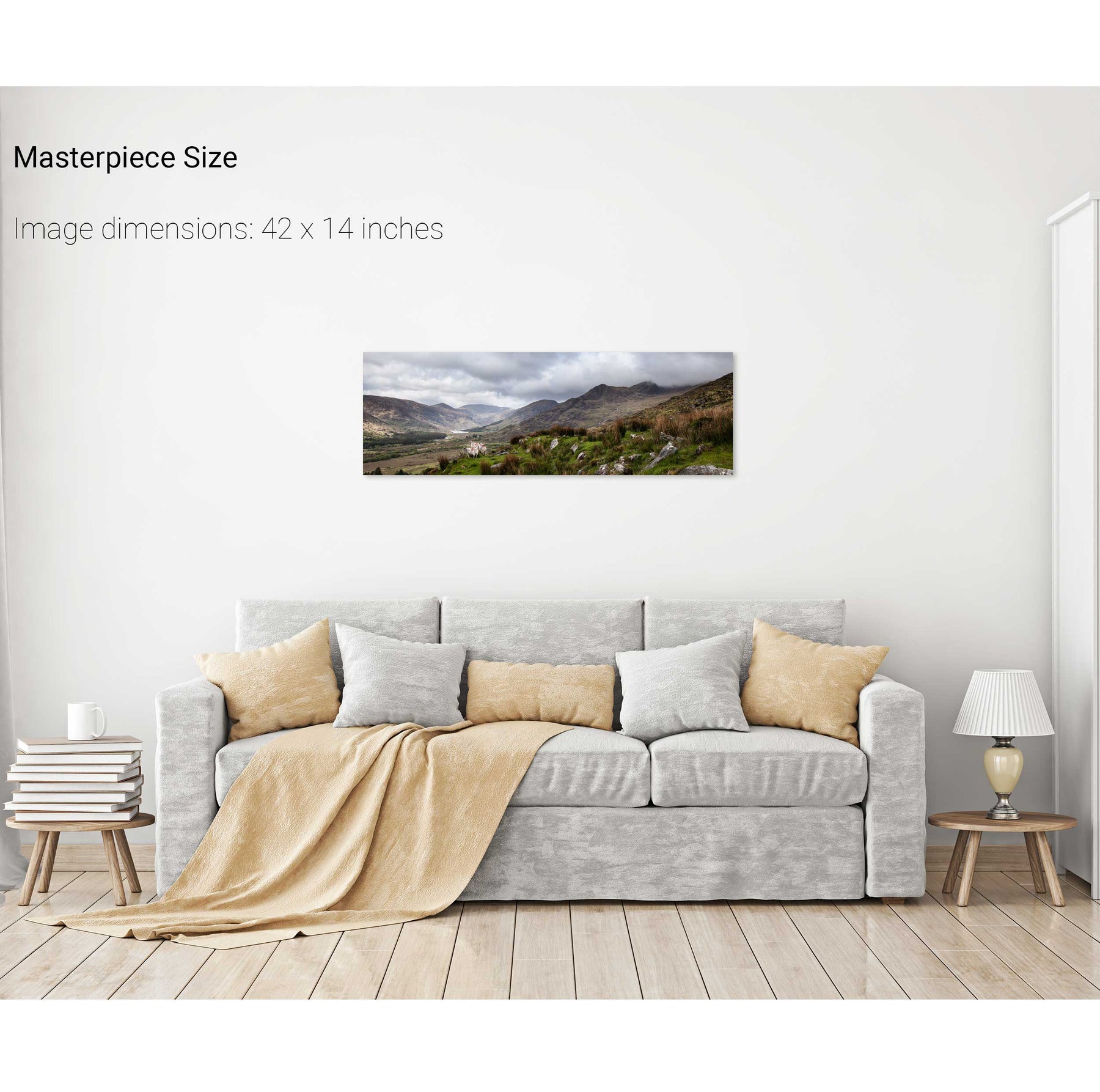
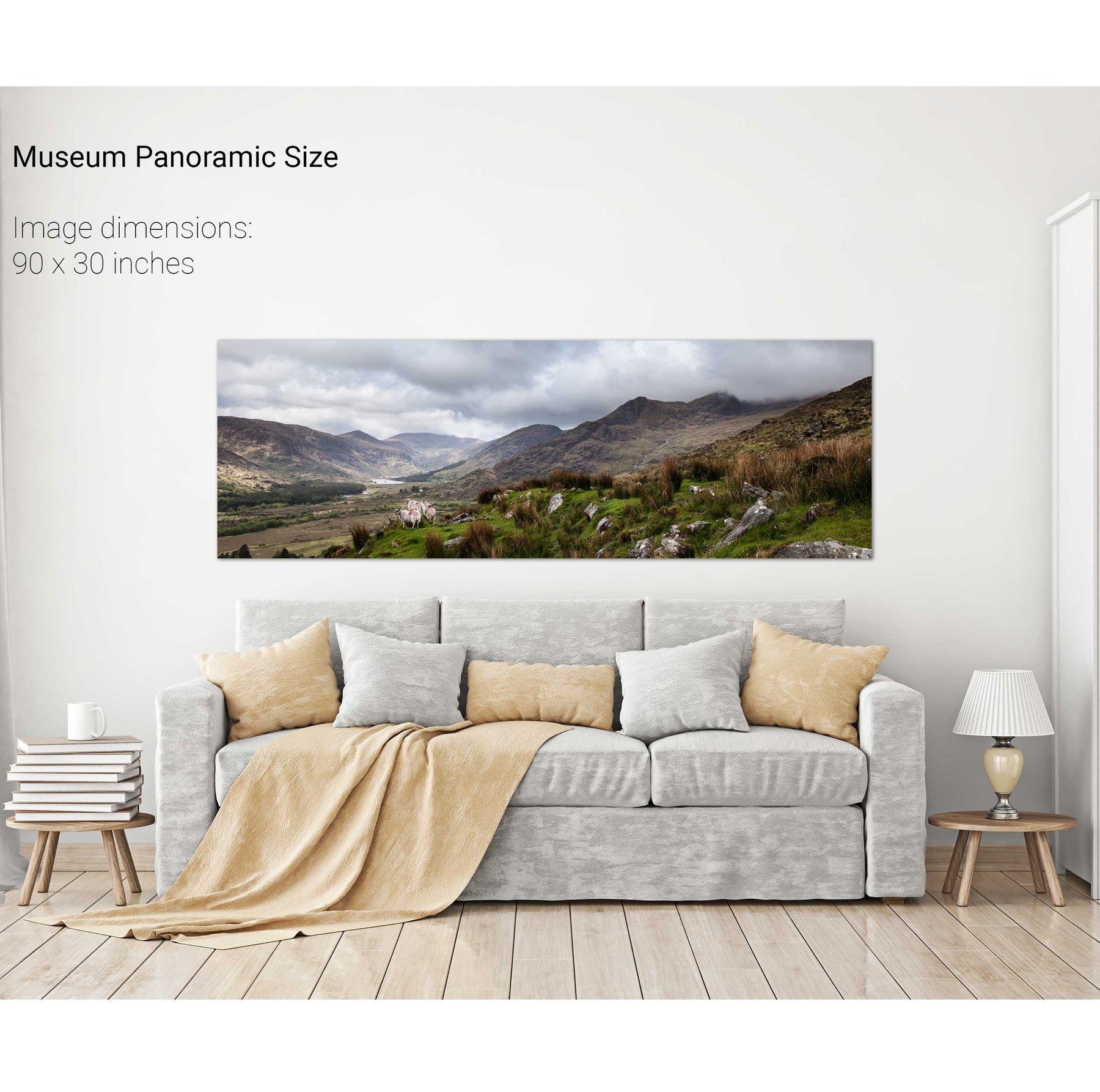
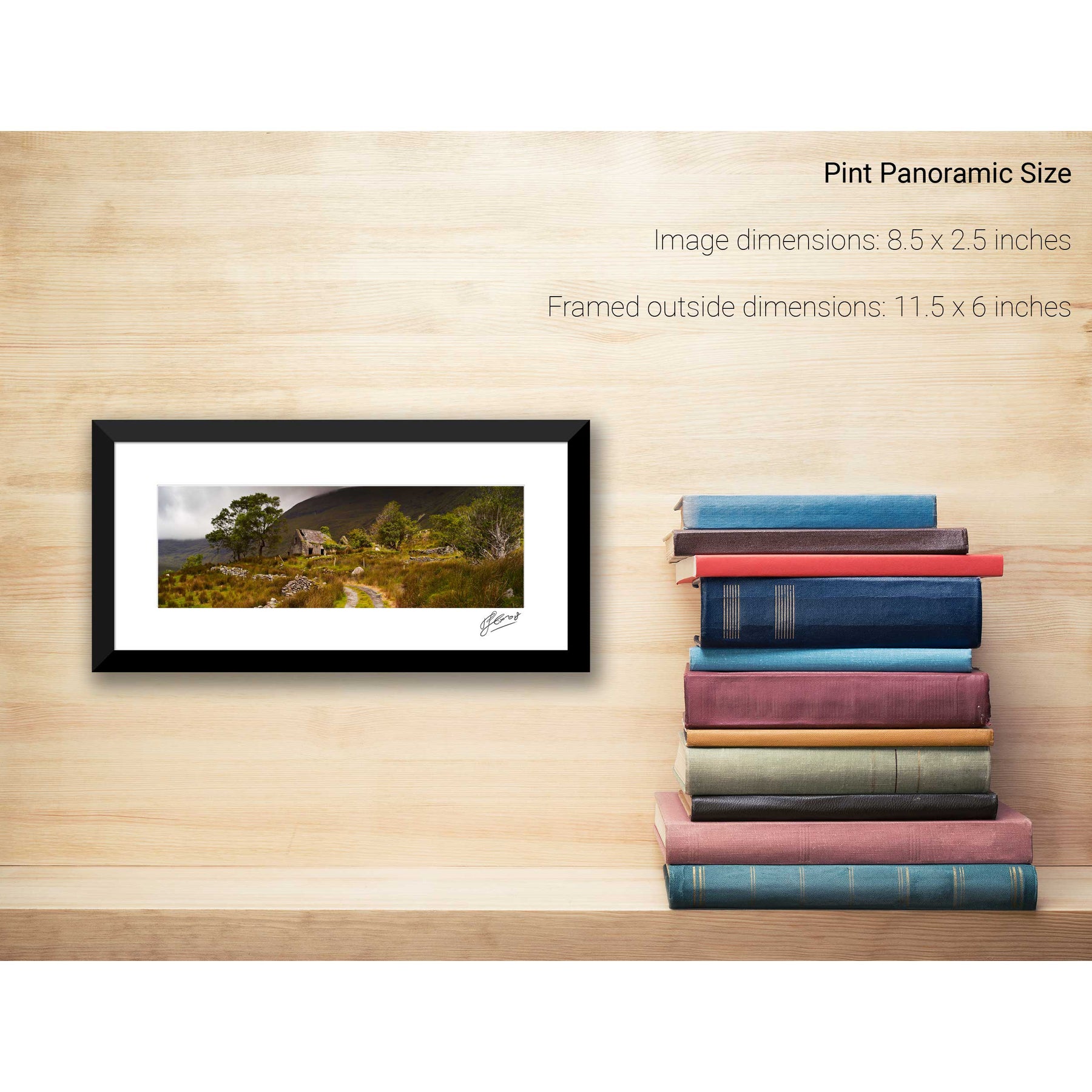
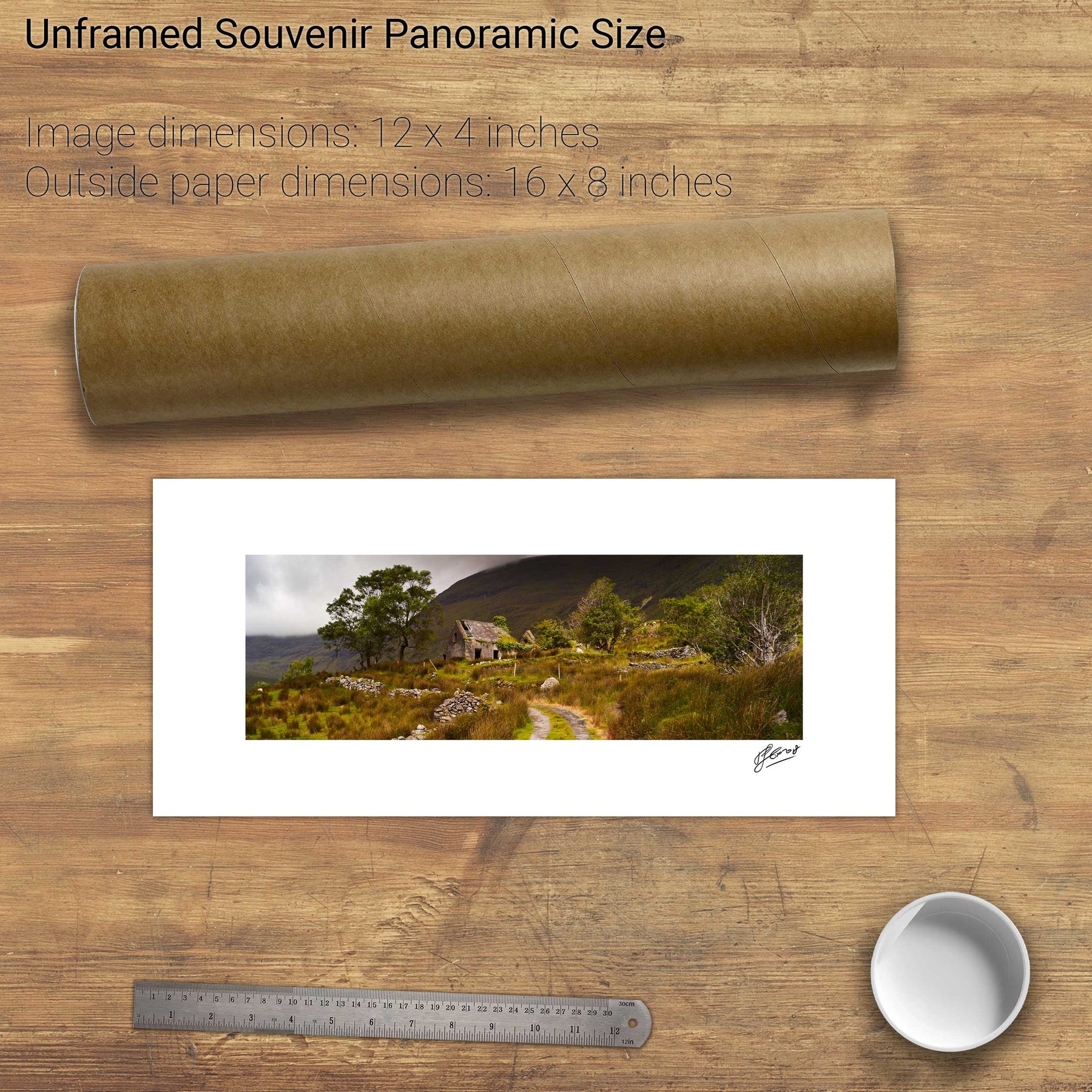
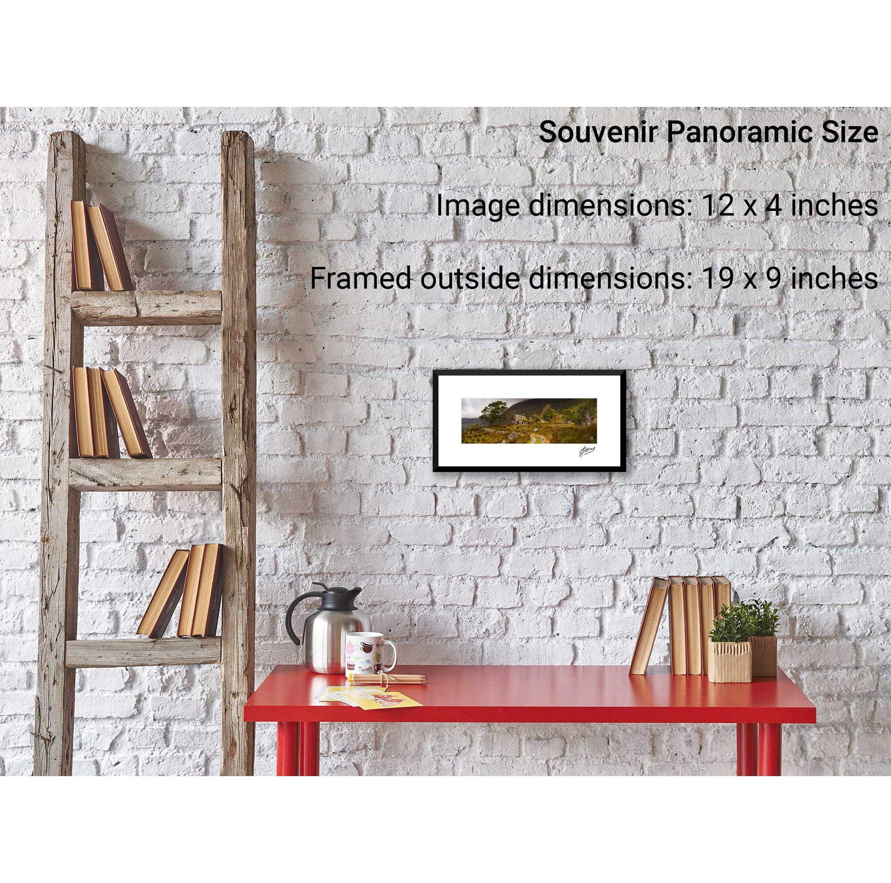
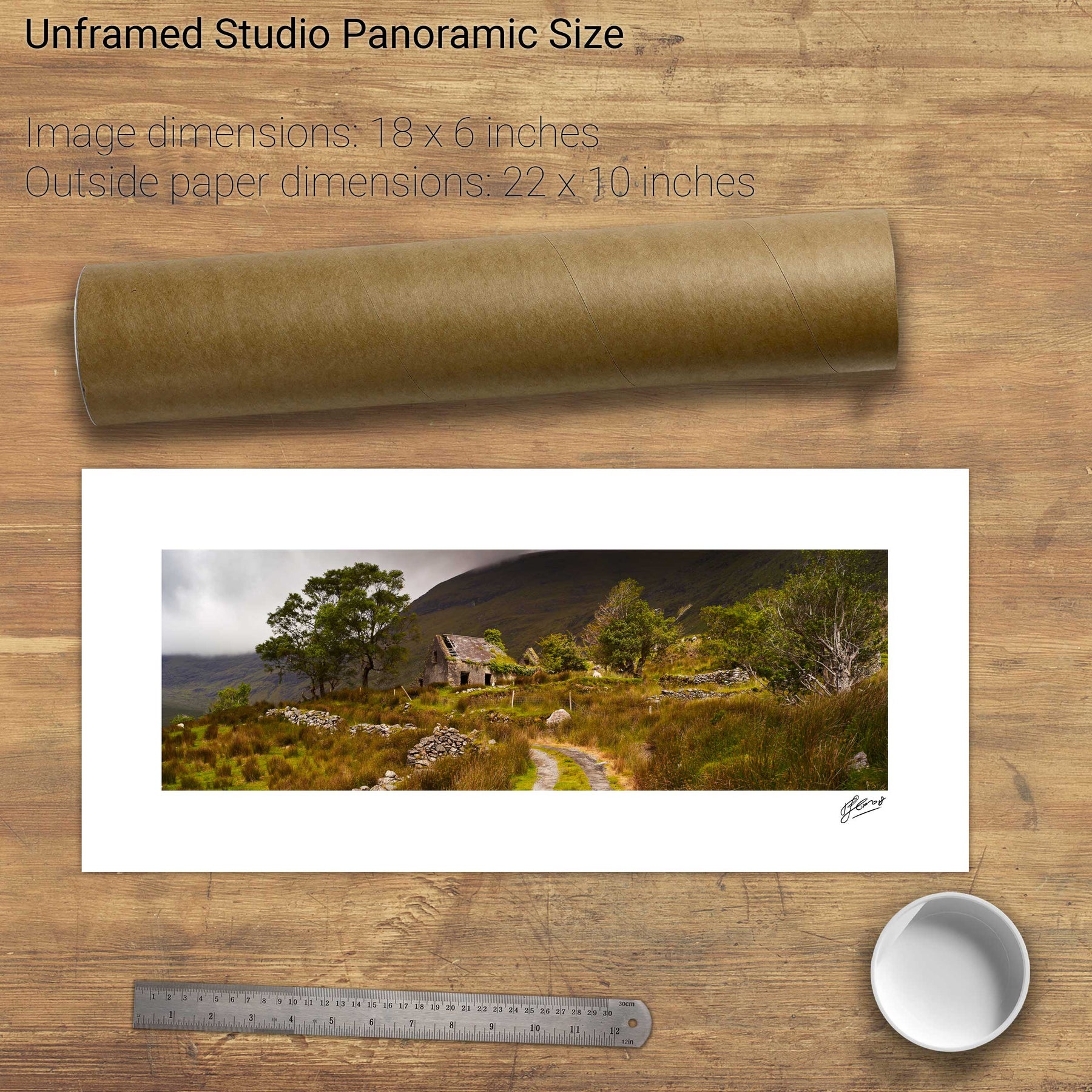
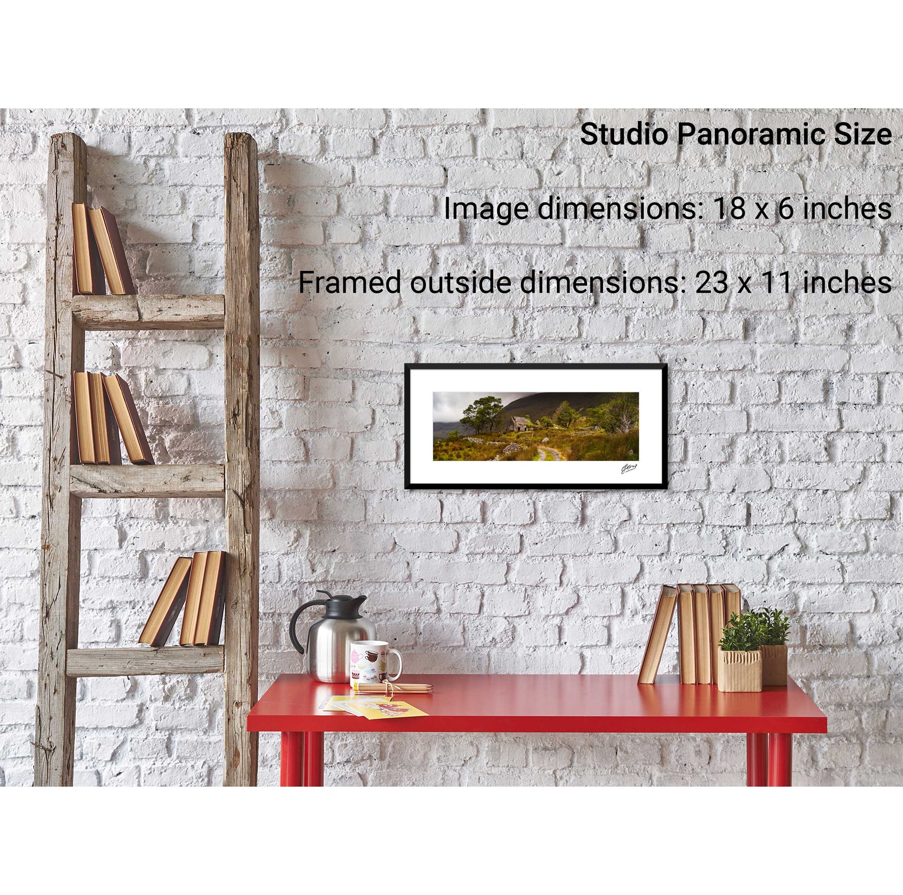
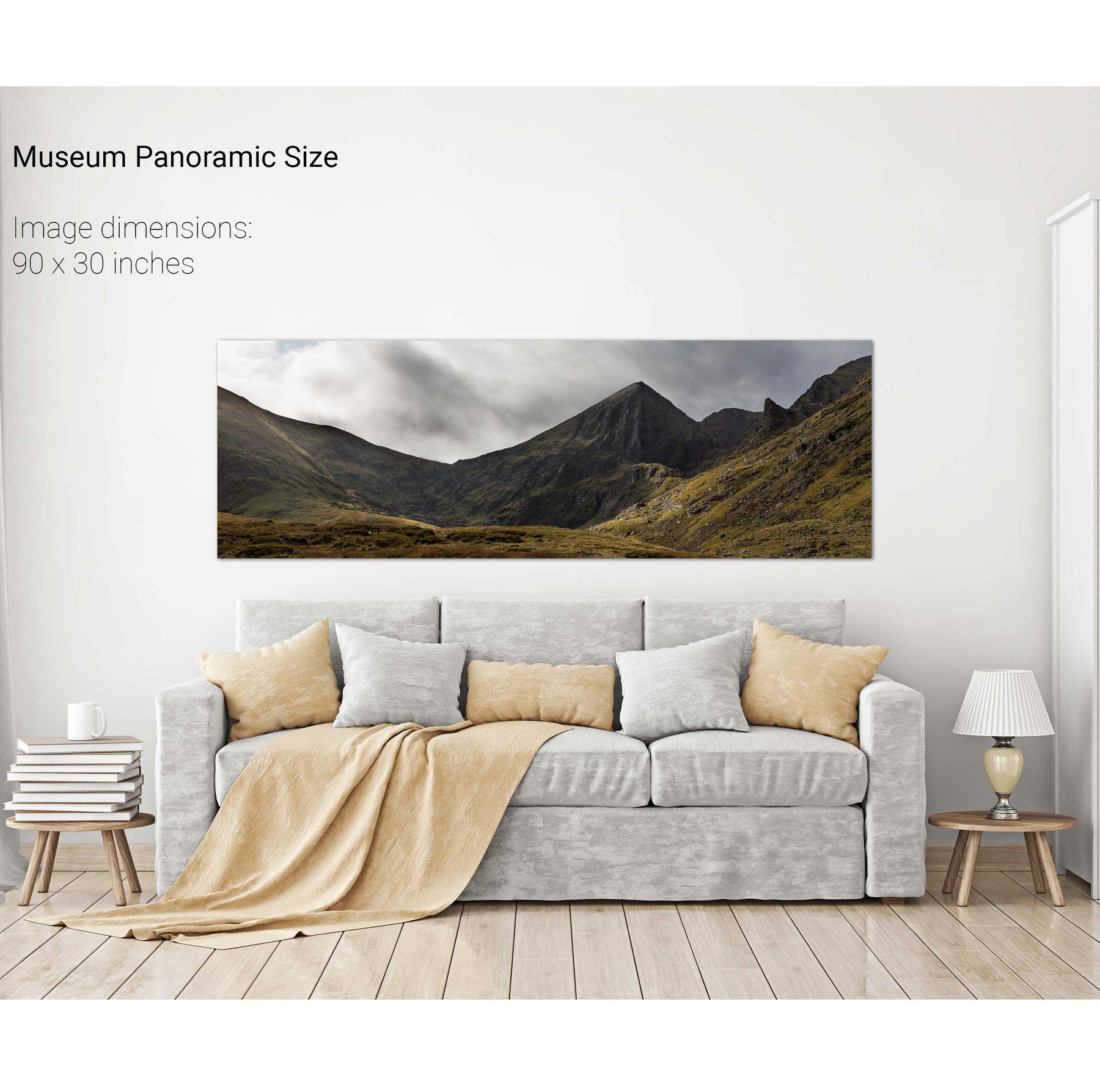
Gap of Dunloe Panoramic, Co. Kerry
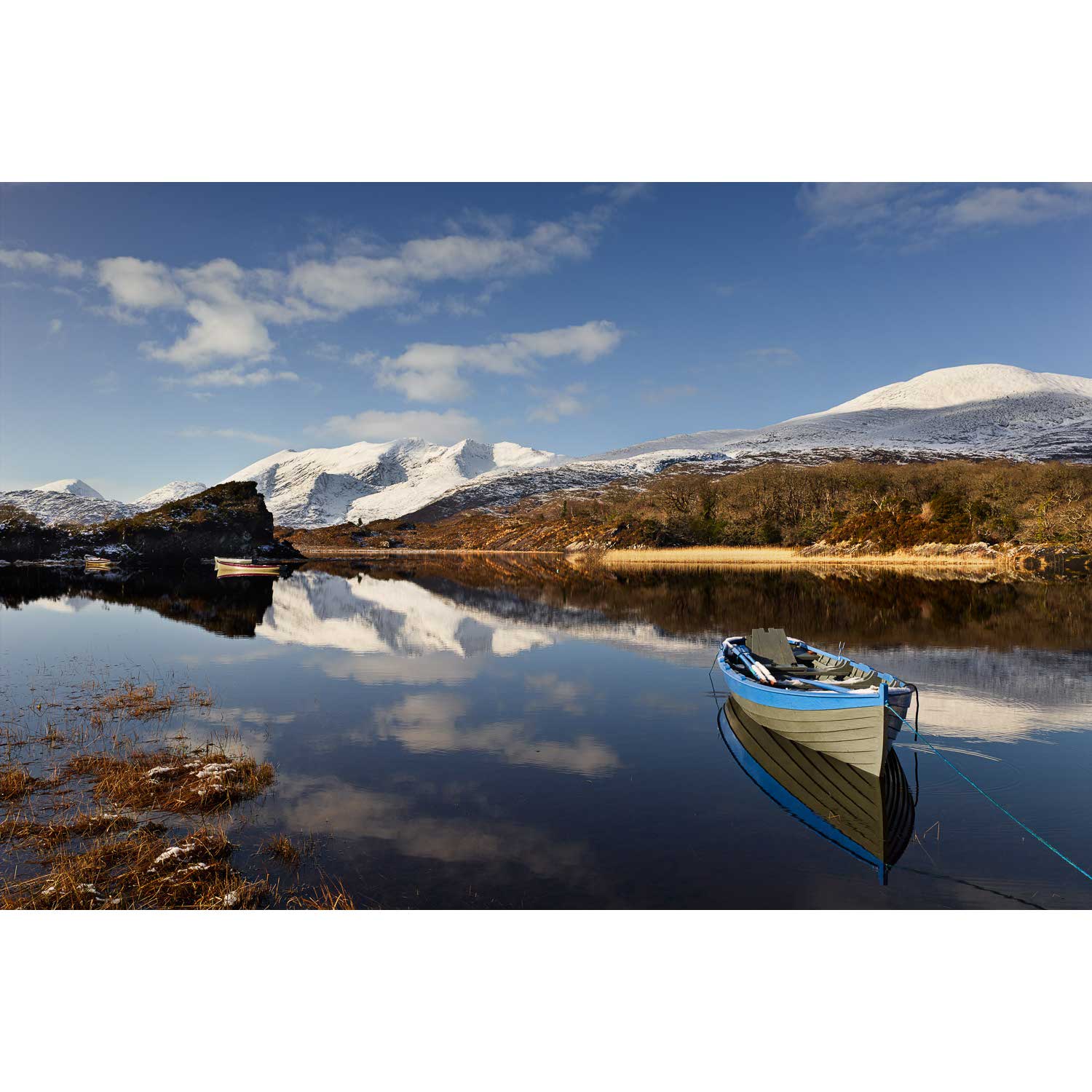
Upper Lake, Killarney, Co. Kerry
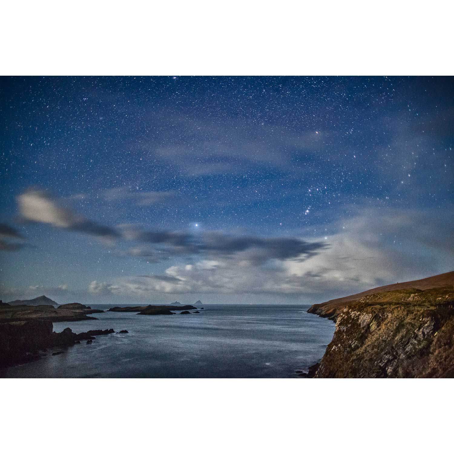
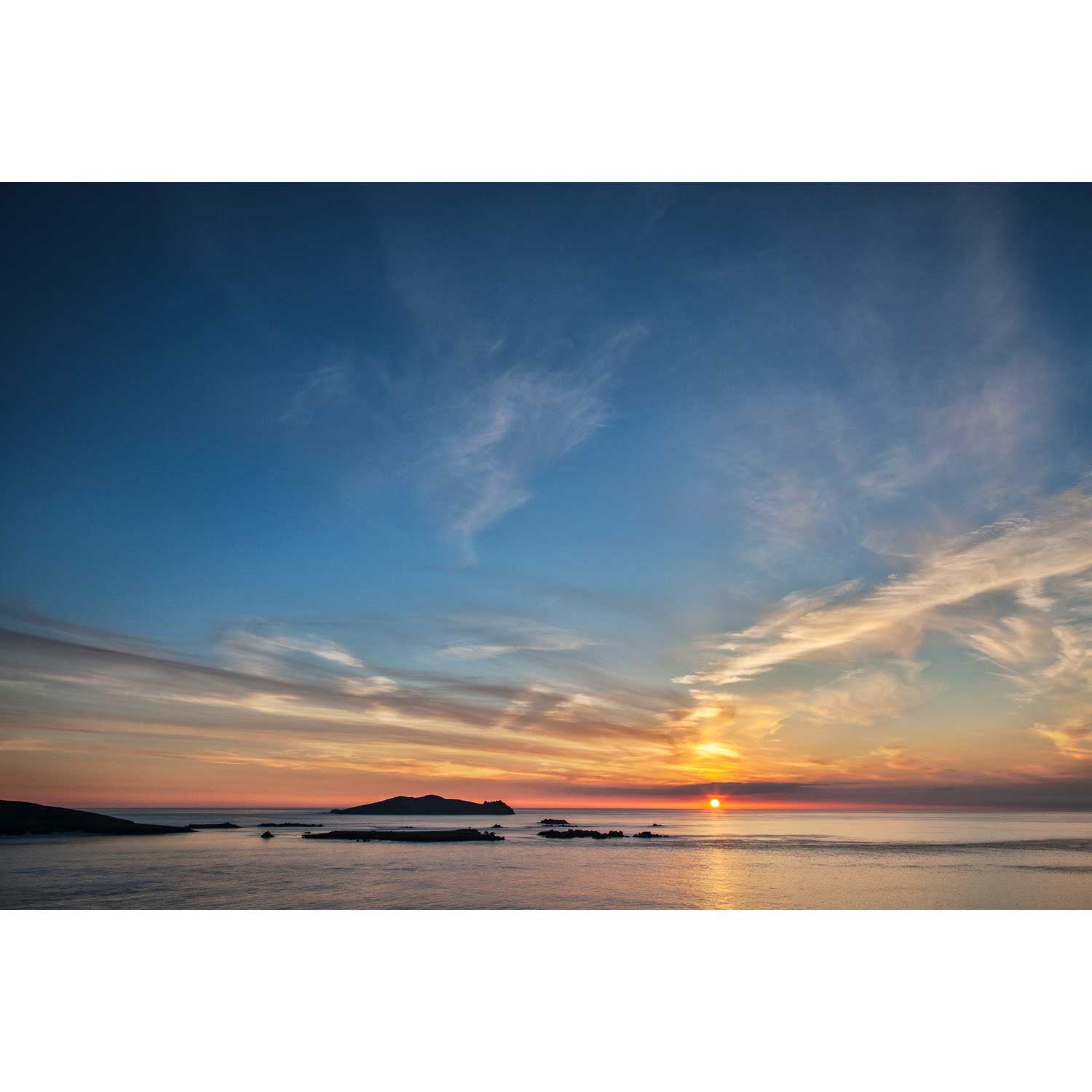
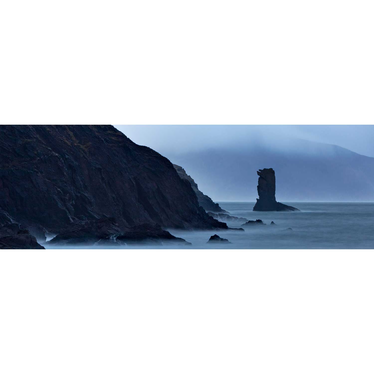
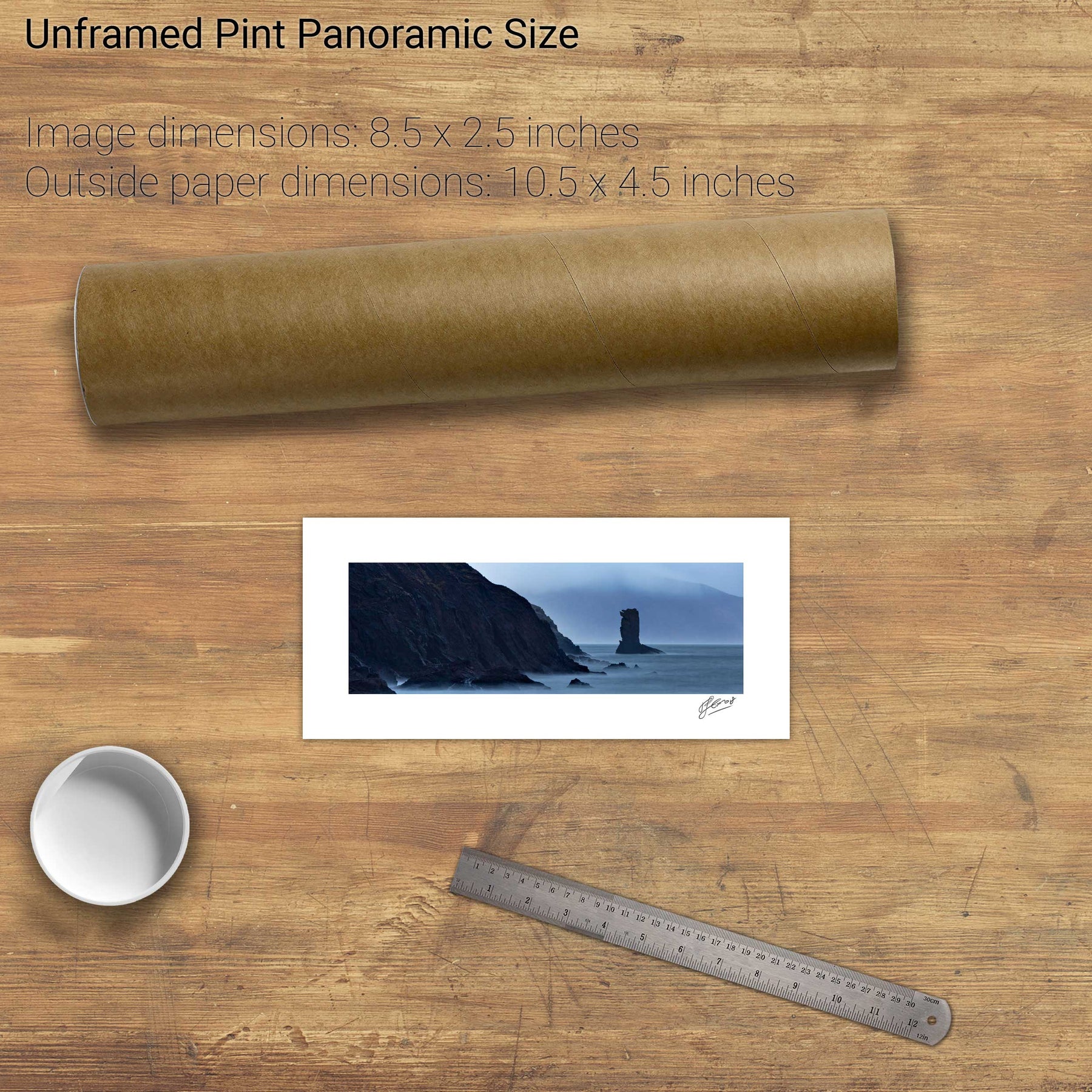
Skelligs and Orion from Valentia, Co. Kerry
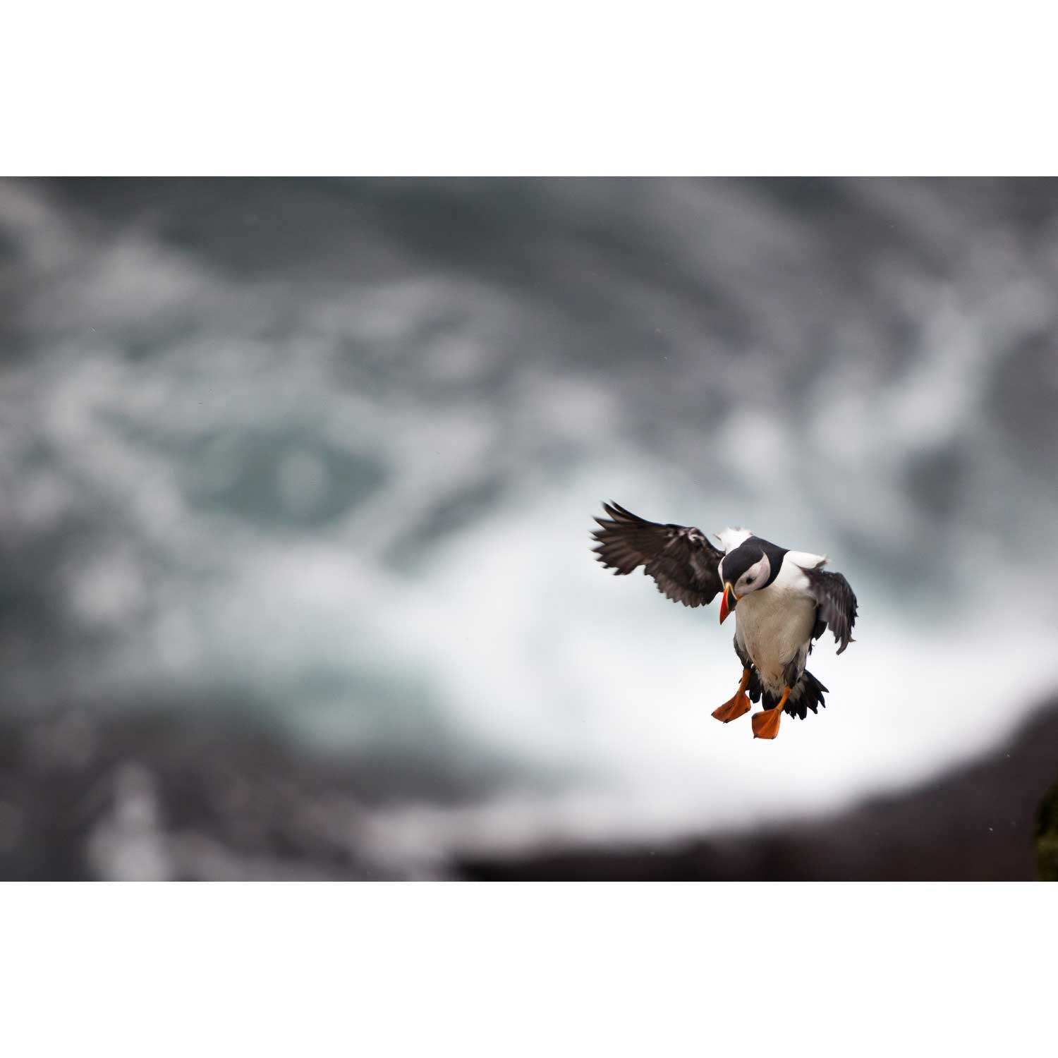
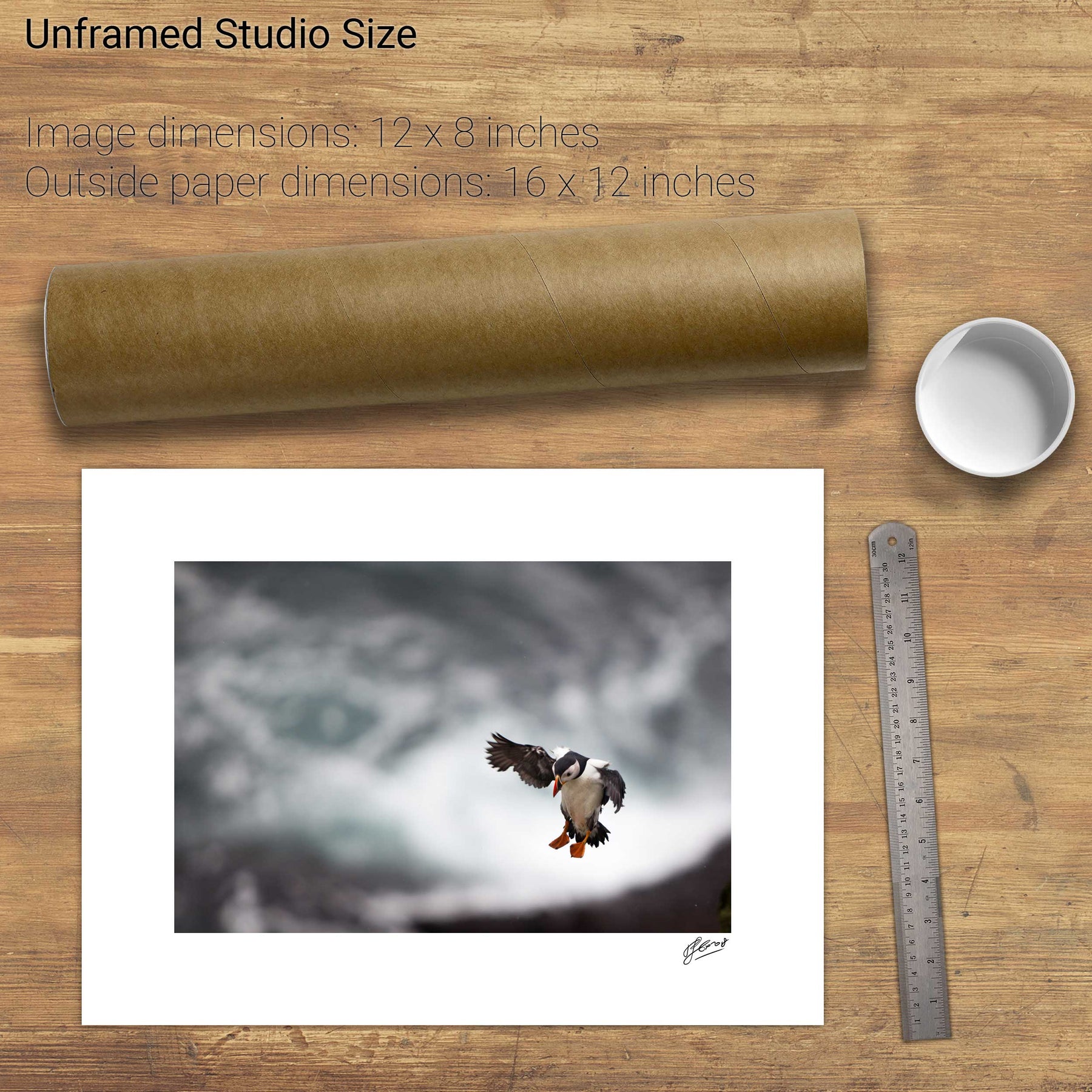
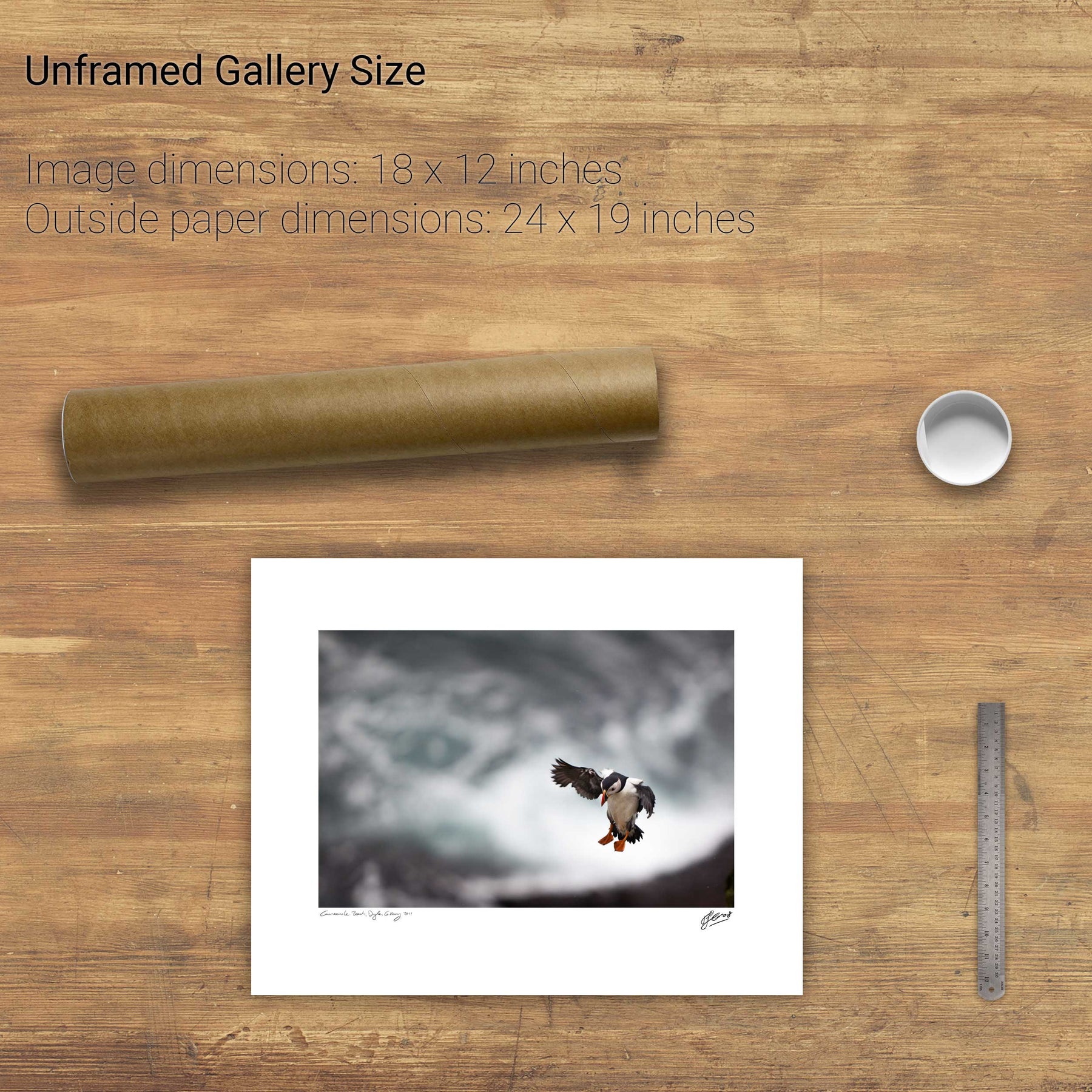
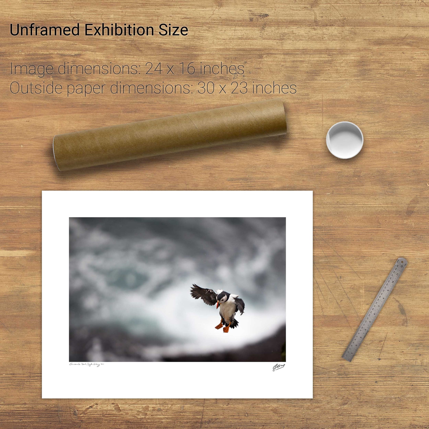
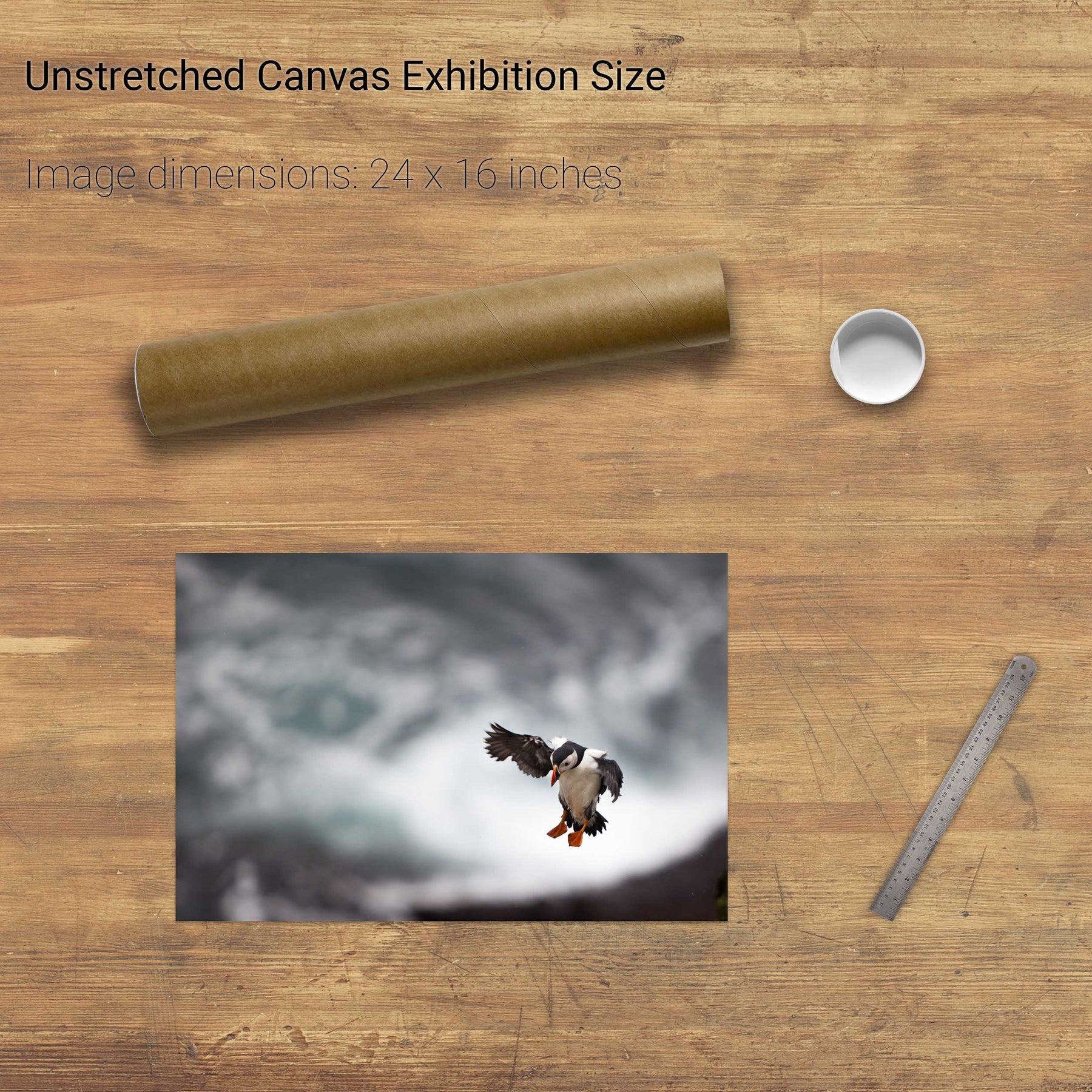
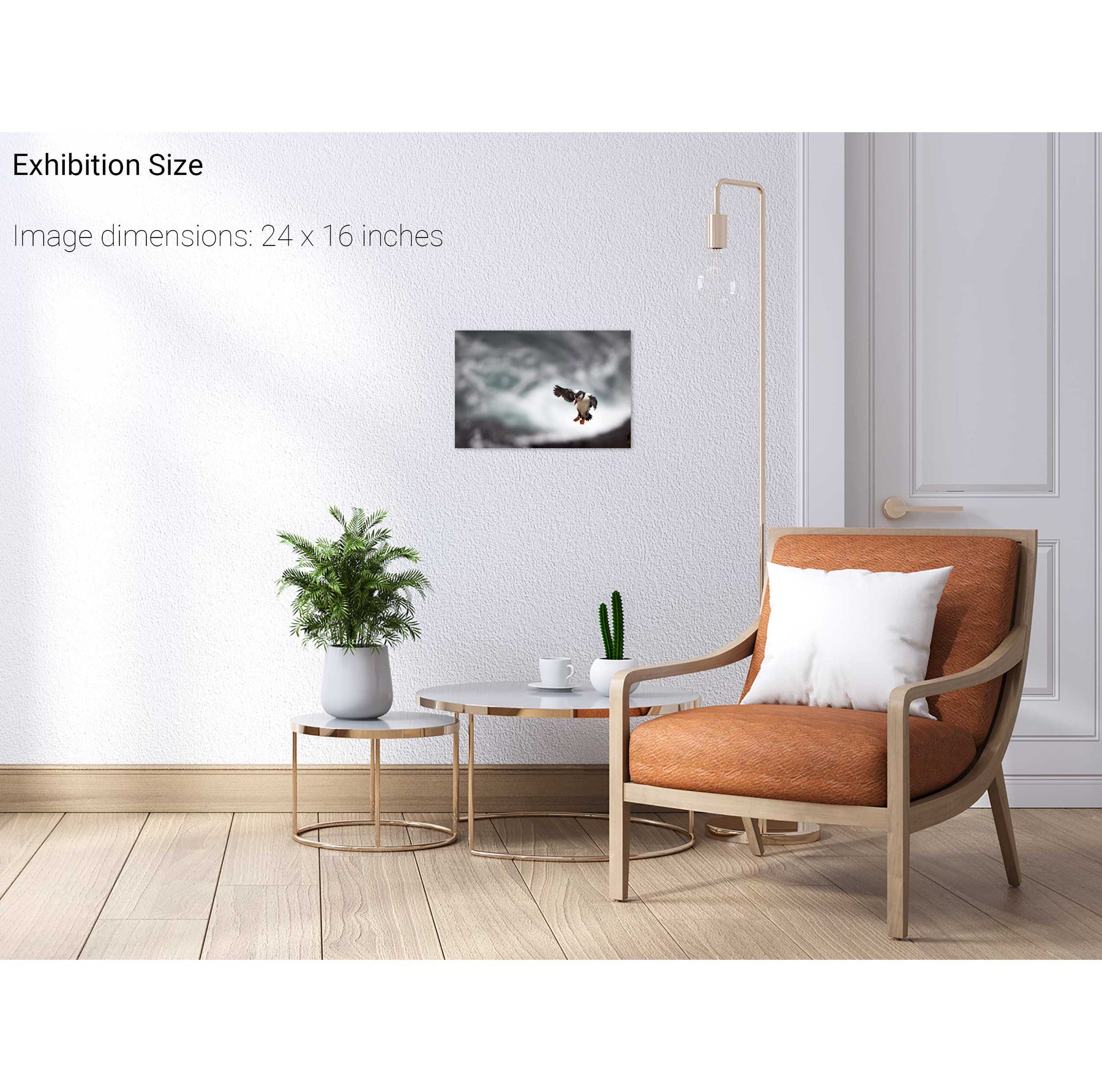
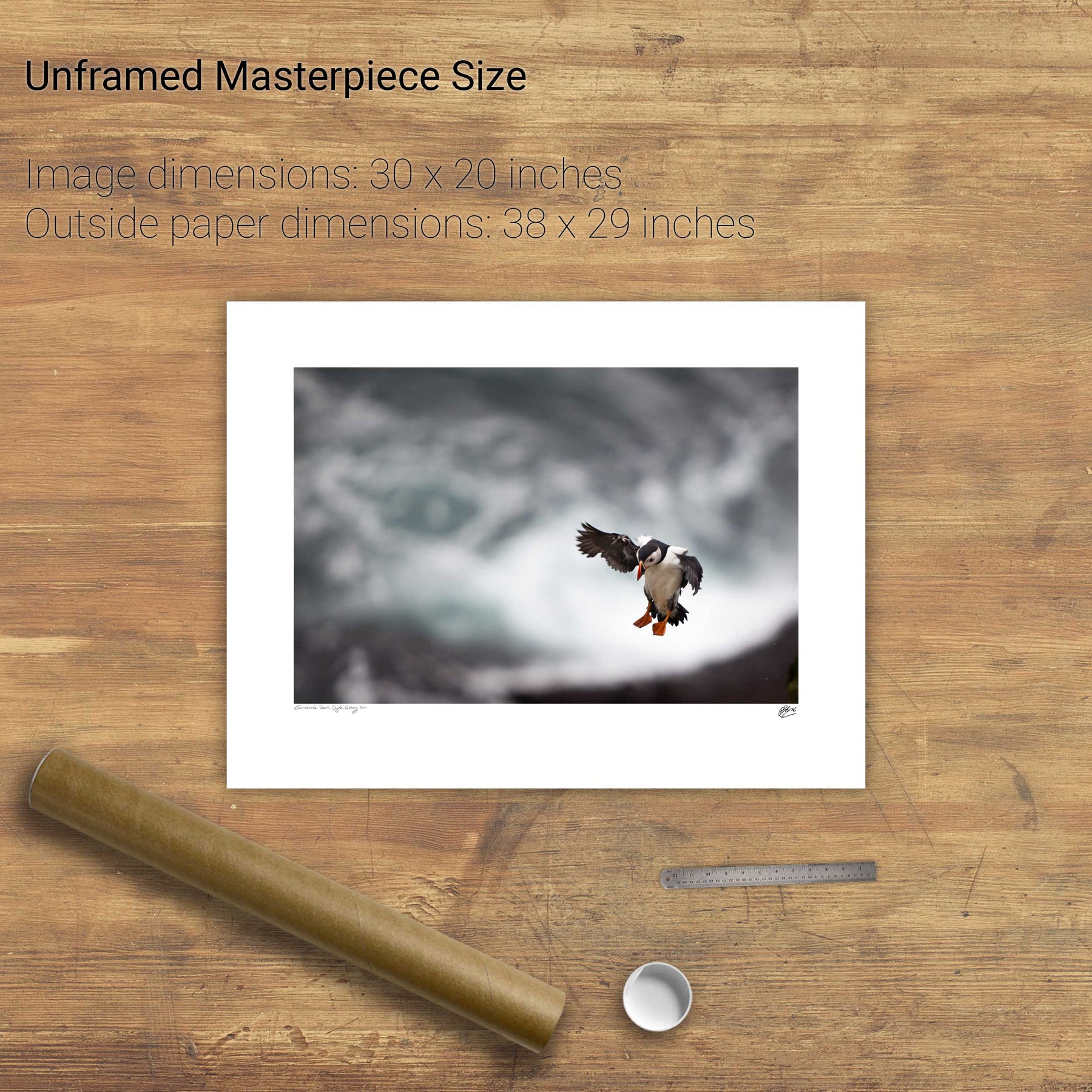
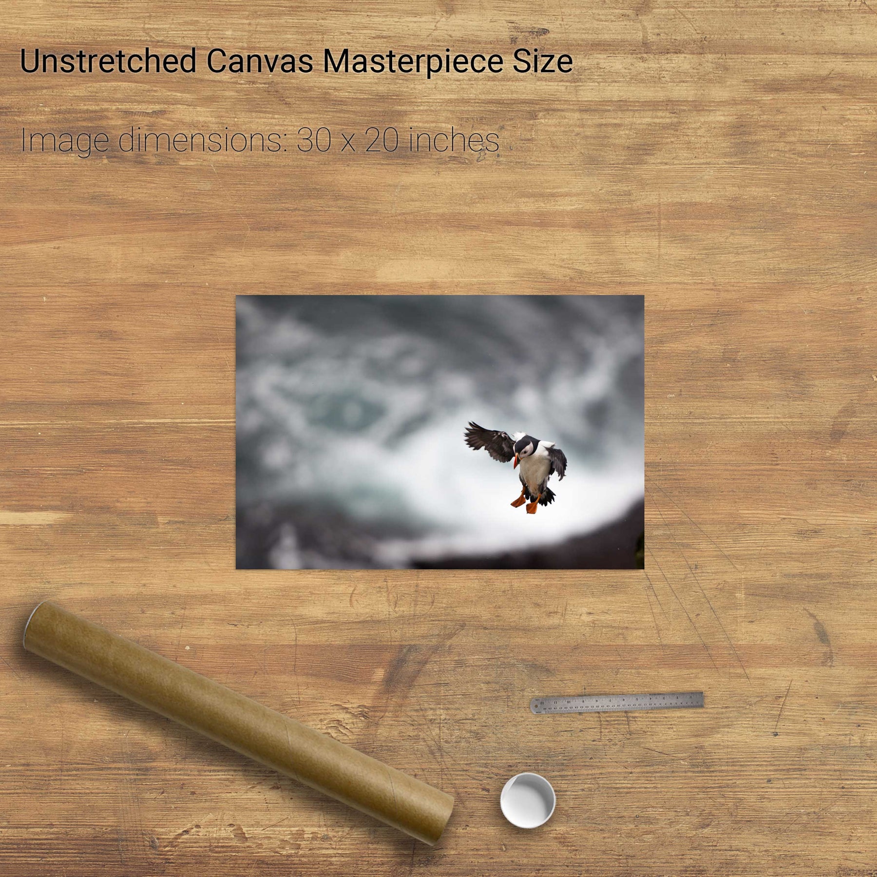
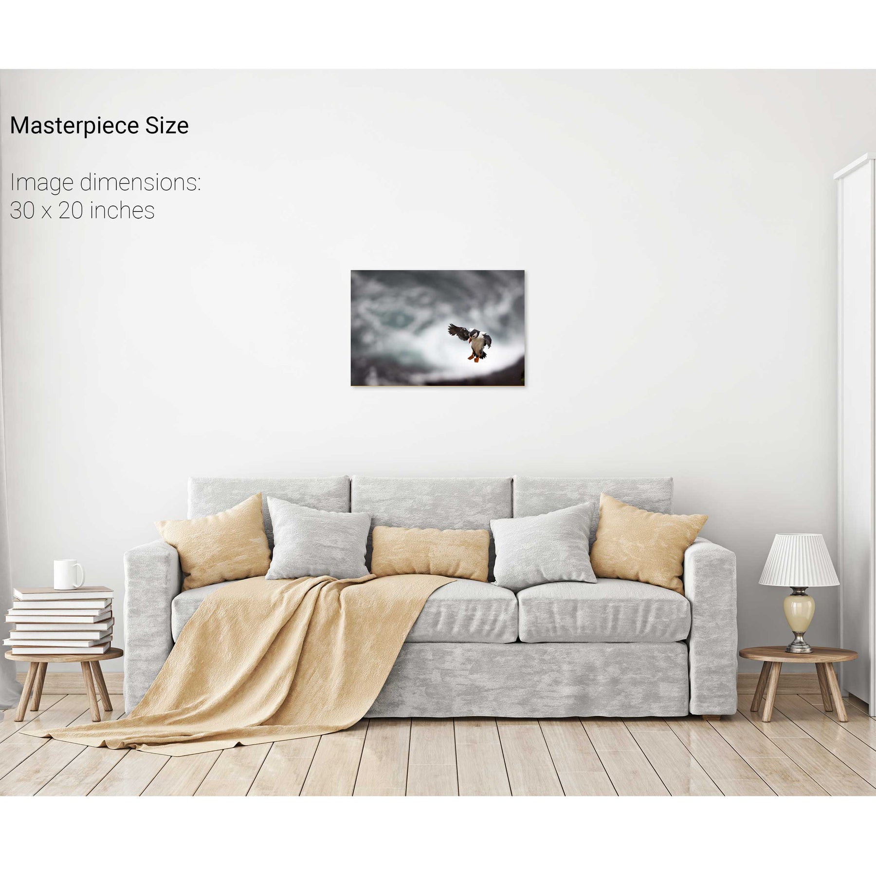
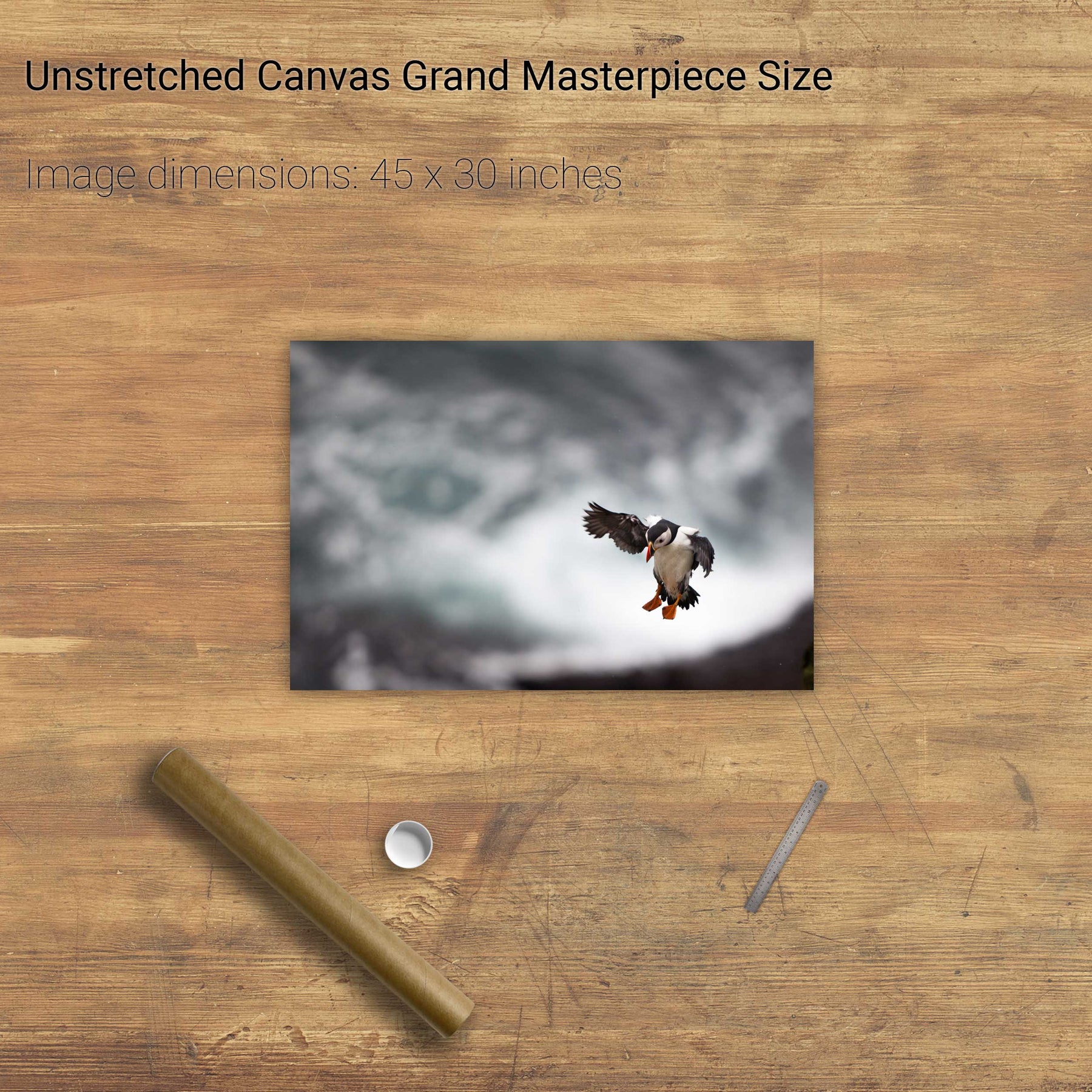
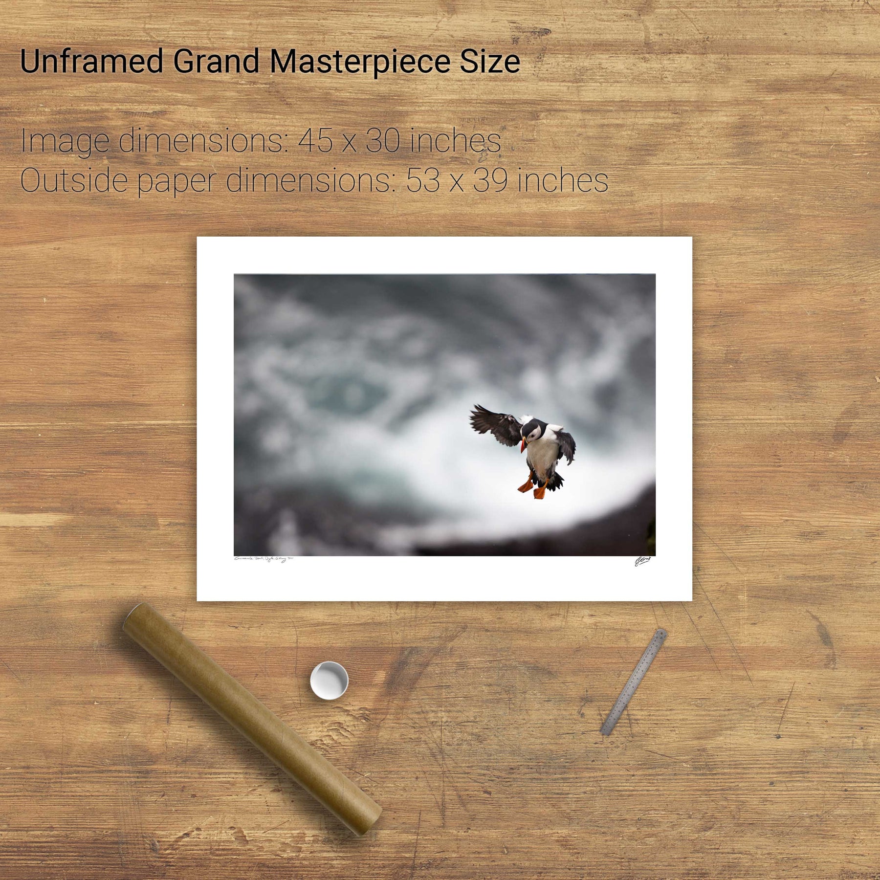
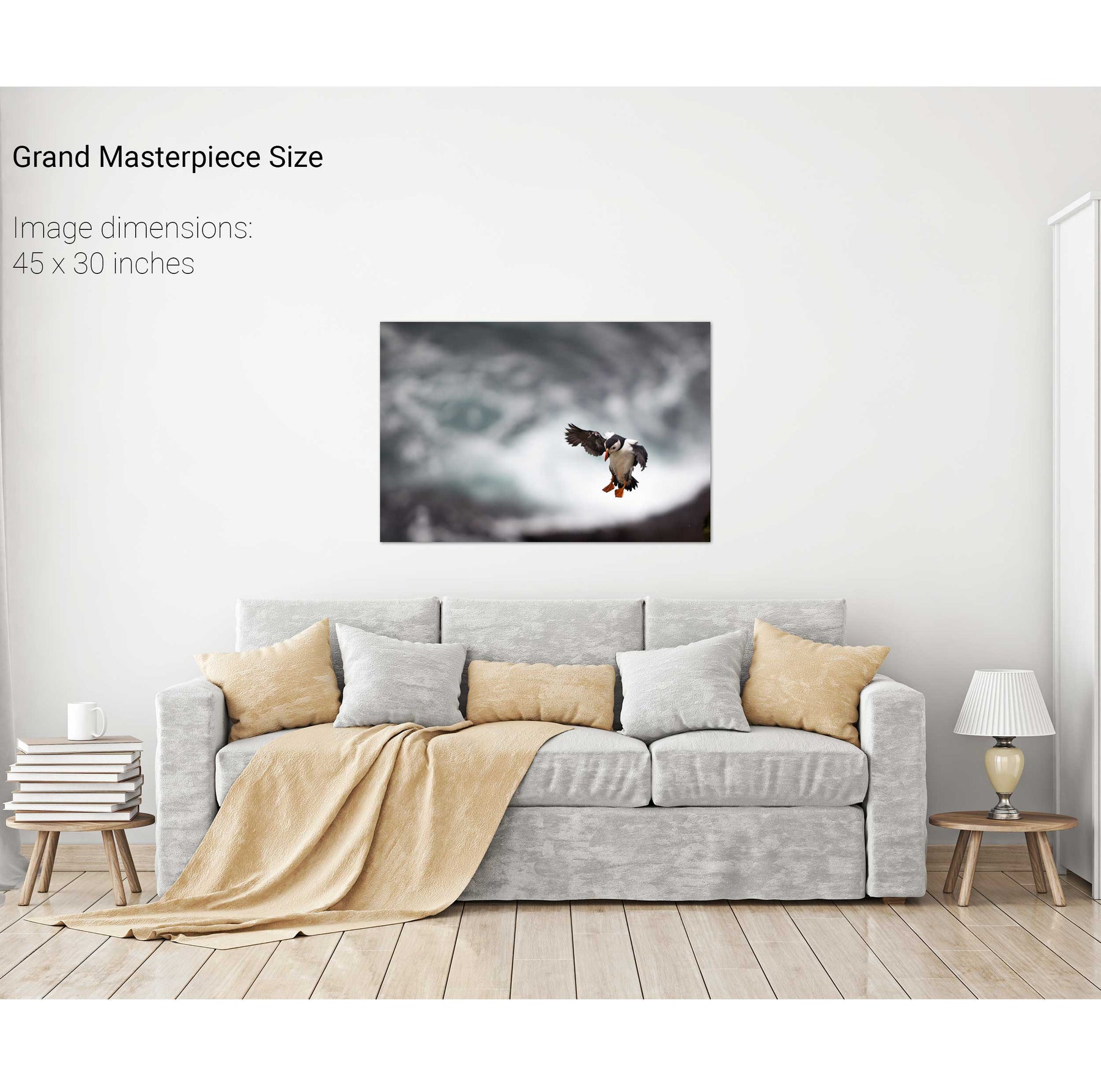
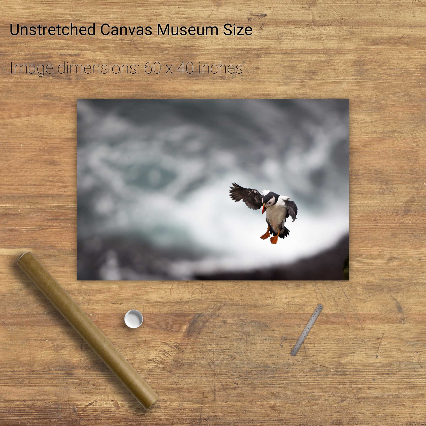
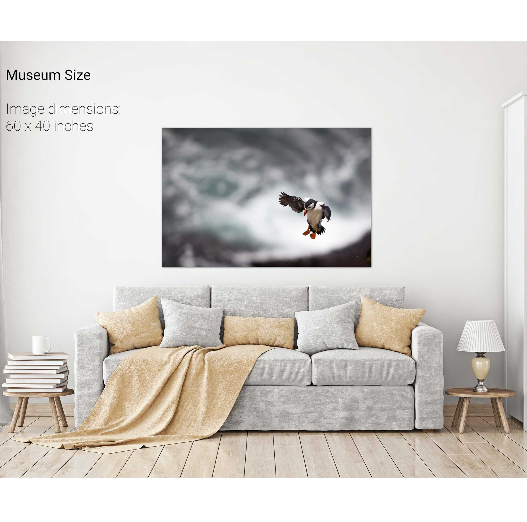
Puffin Landing, Skellig Michael, Co. Kerry
The Sleeping Giant, Dingle, Co. Kerry
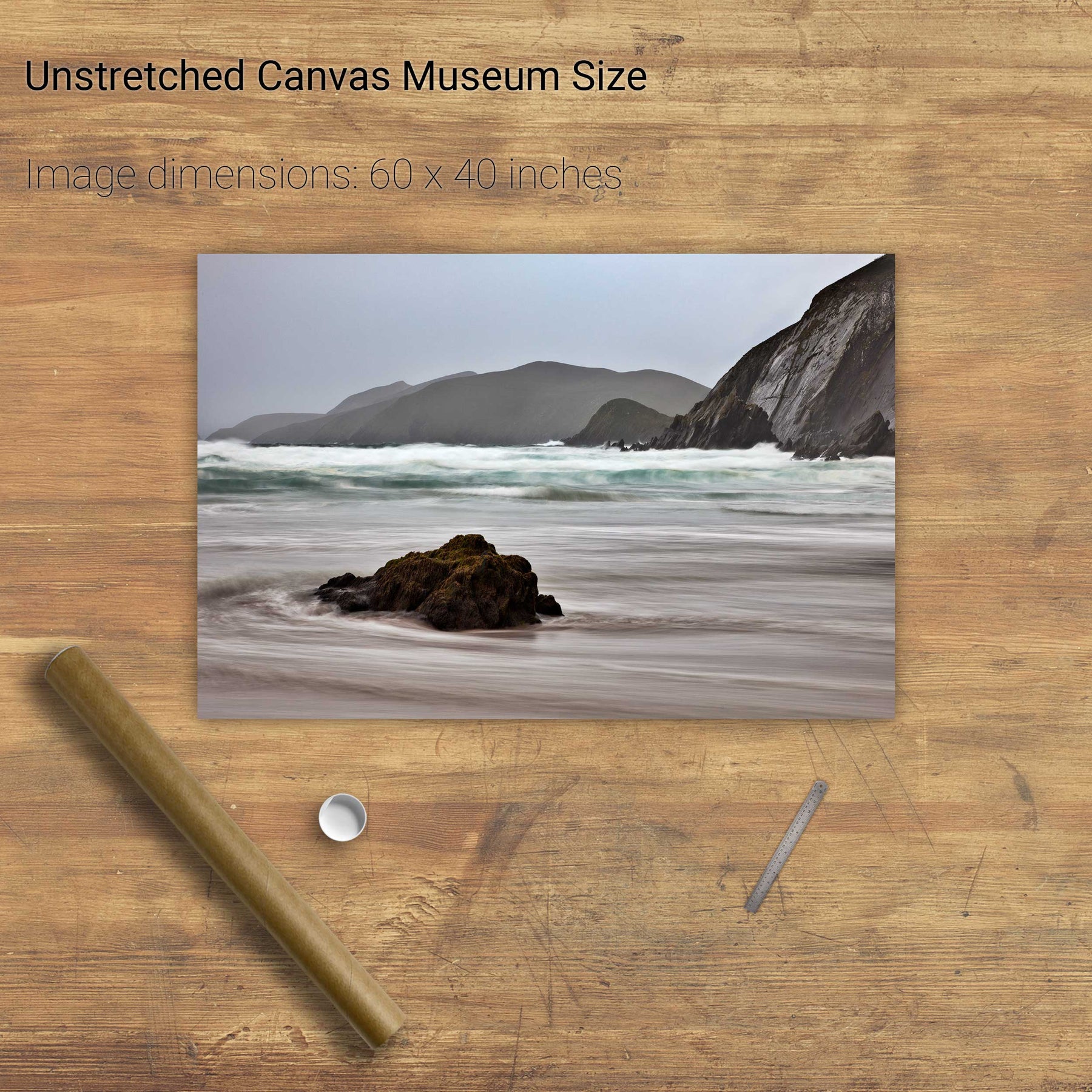
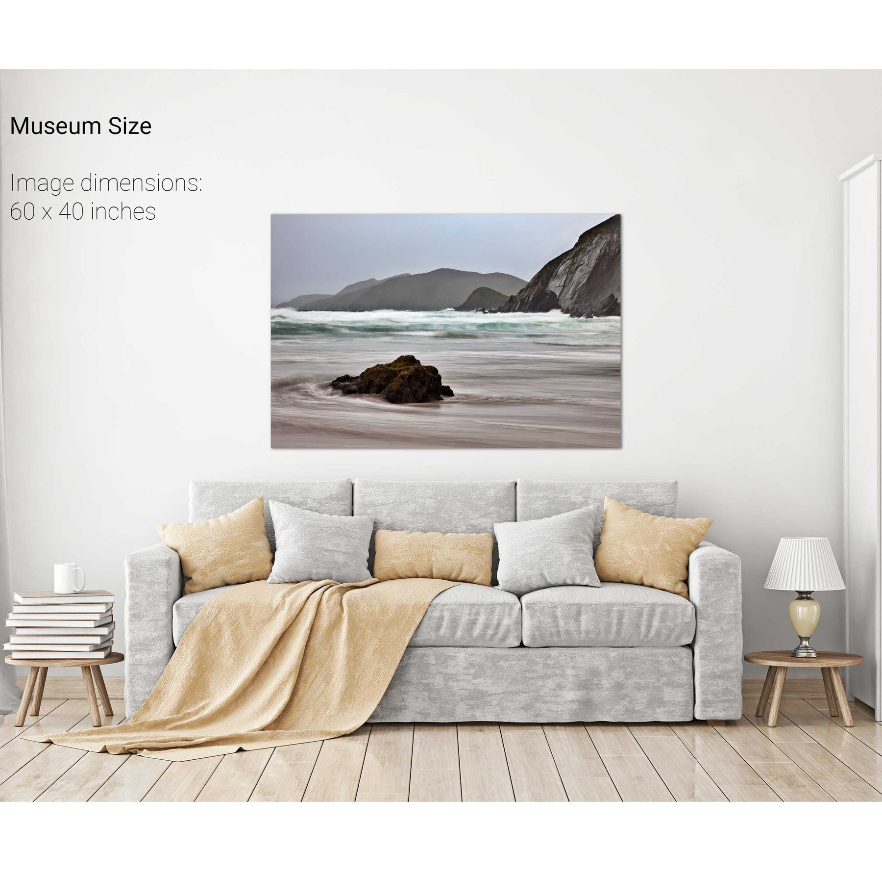
Slea Head, Dingle. Co. Kerry
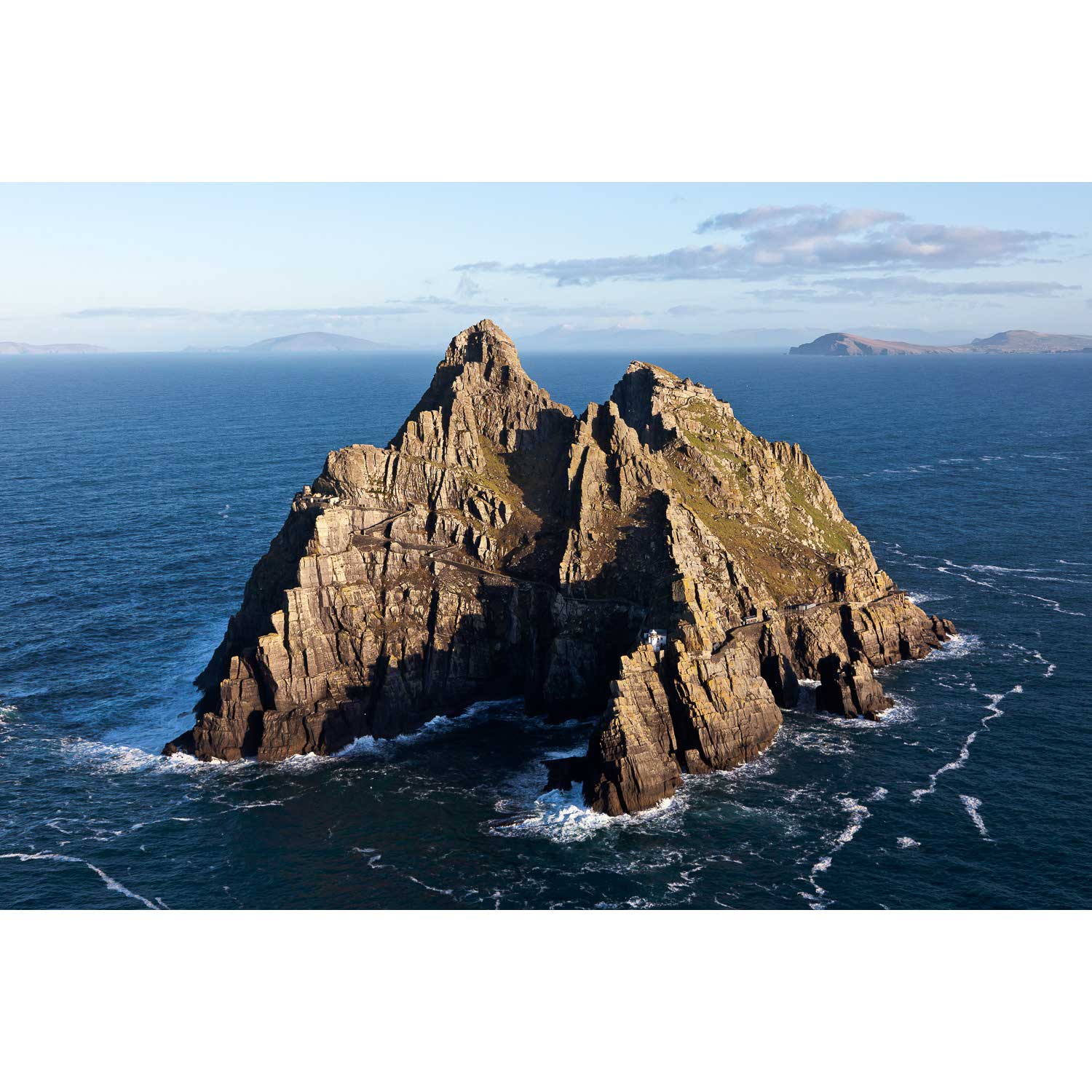
Skellig Michael, Co. Kerry
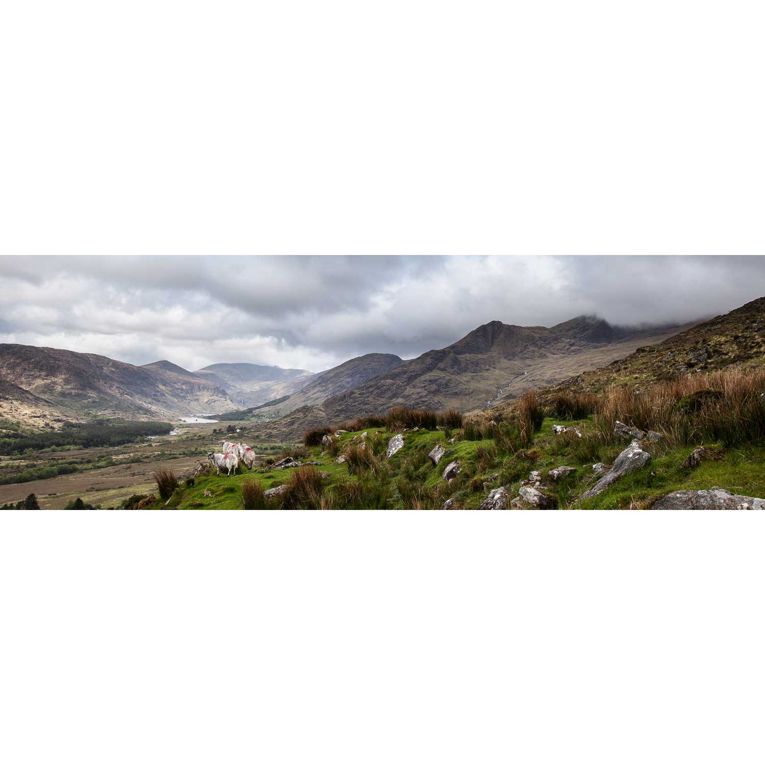
Sheep, the Black Valley, Co. Kerry
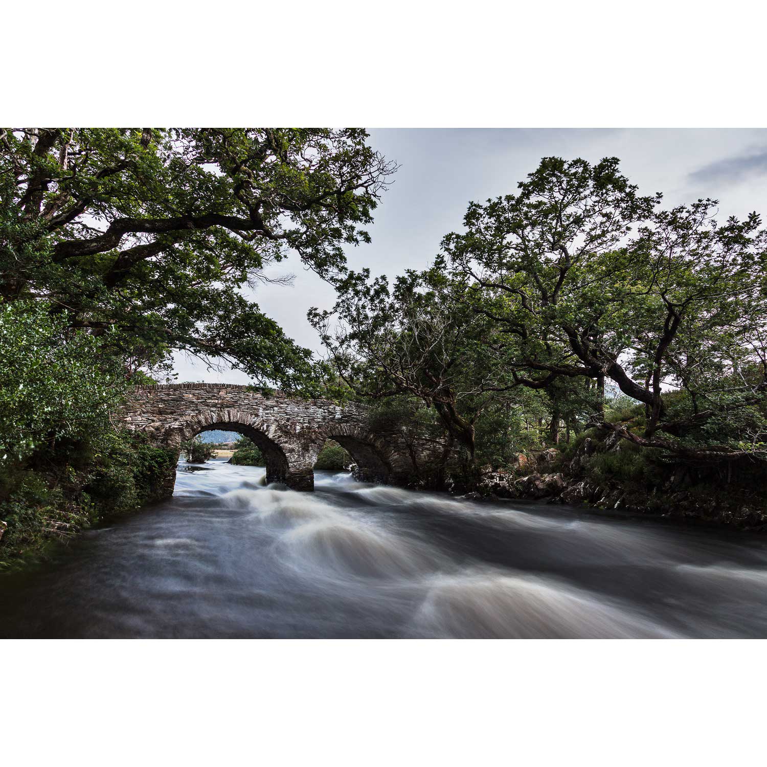
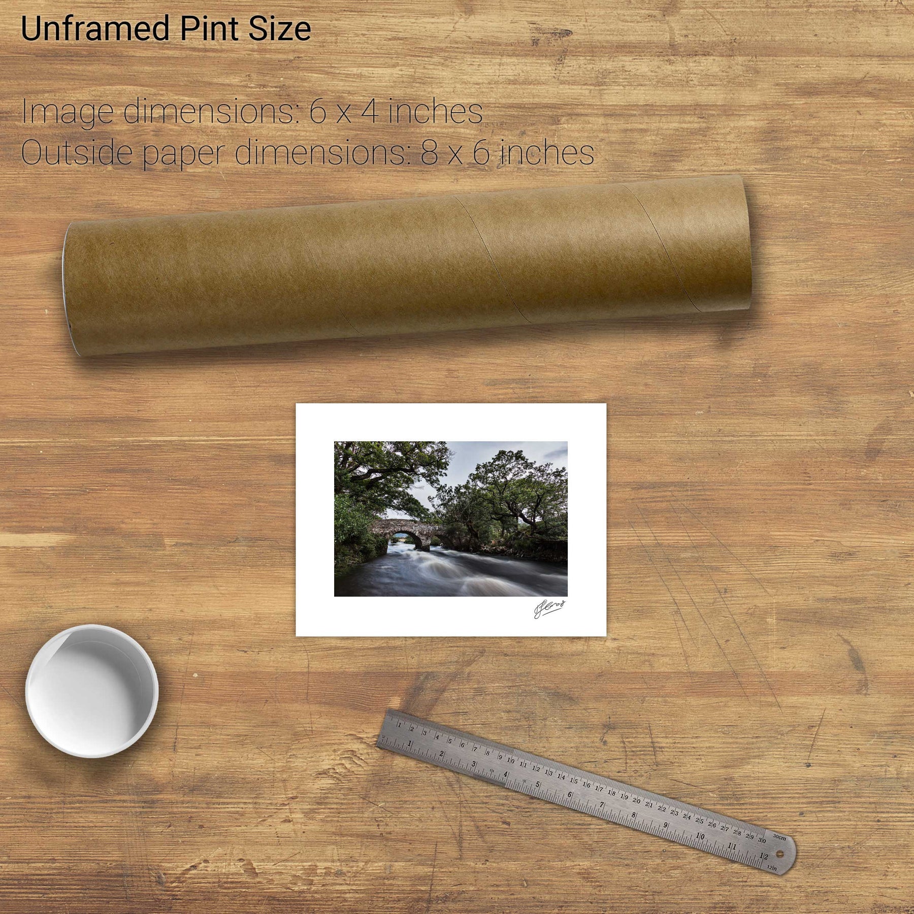
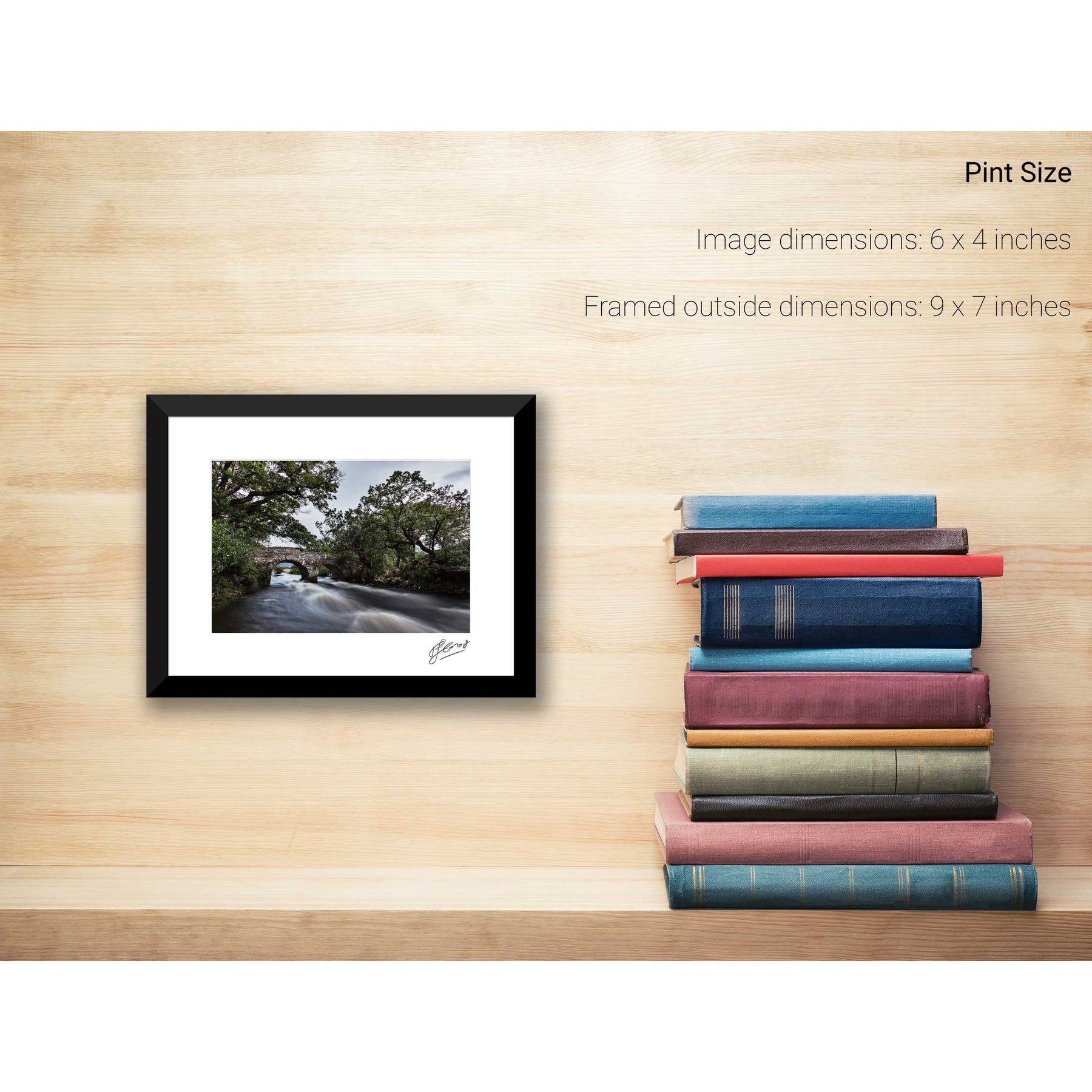
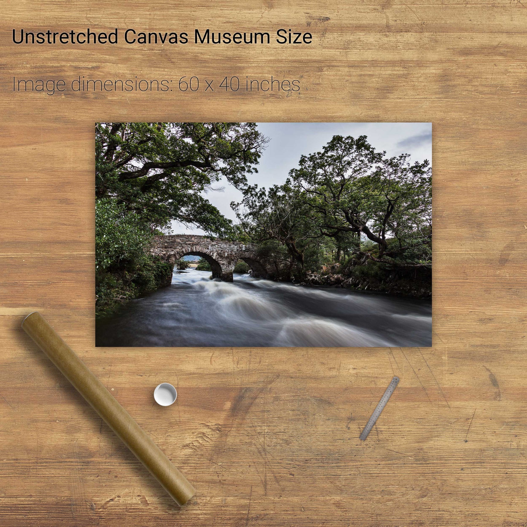
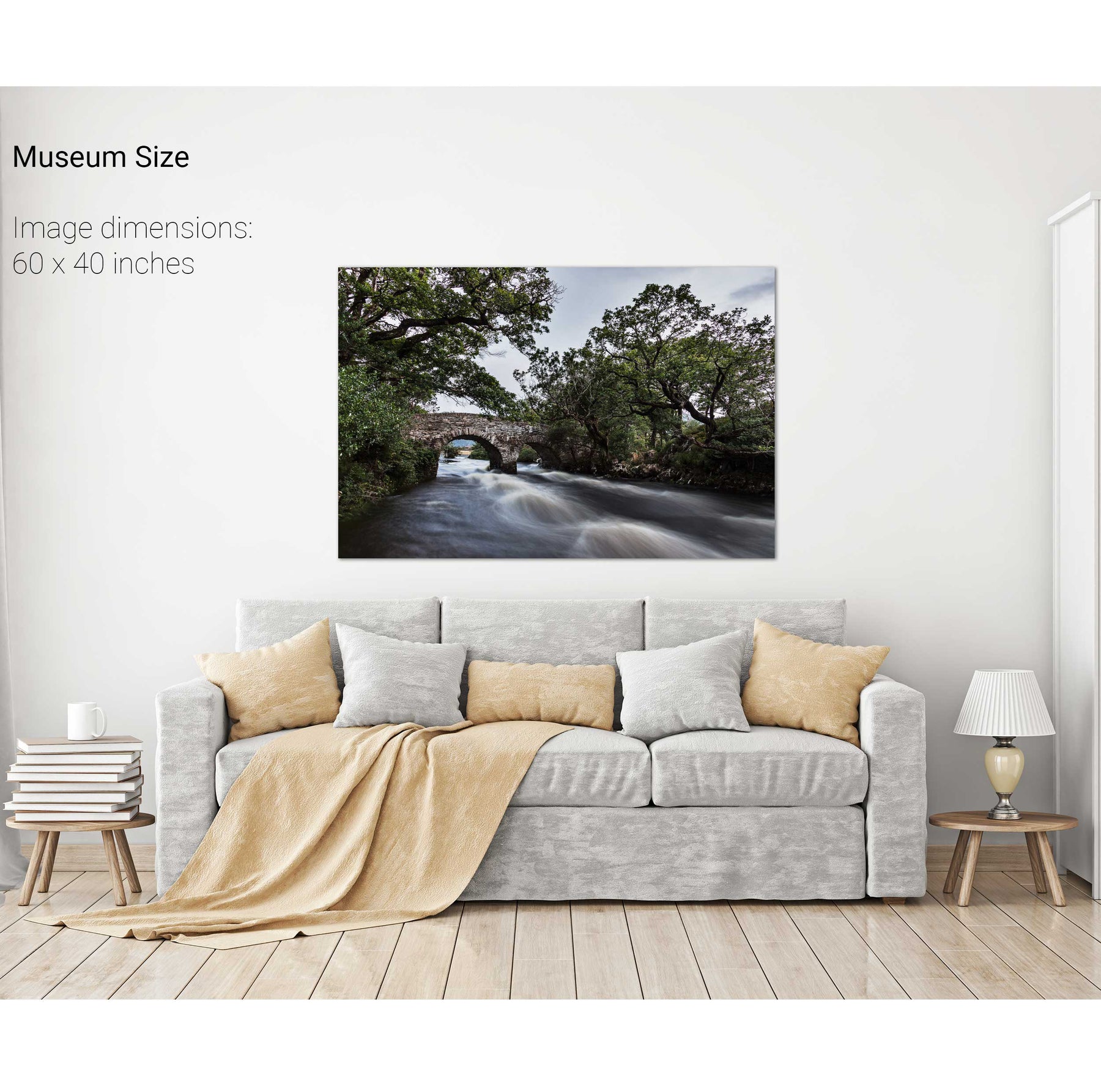
The Meeting of the Waters, Killarney, Co. Kerry
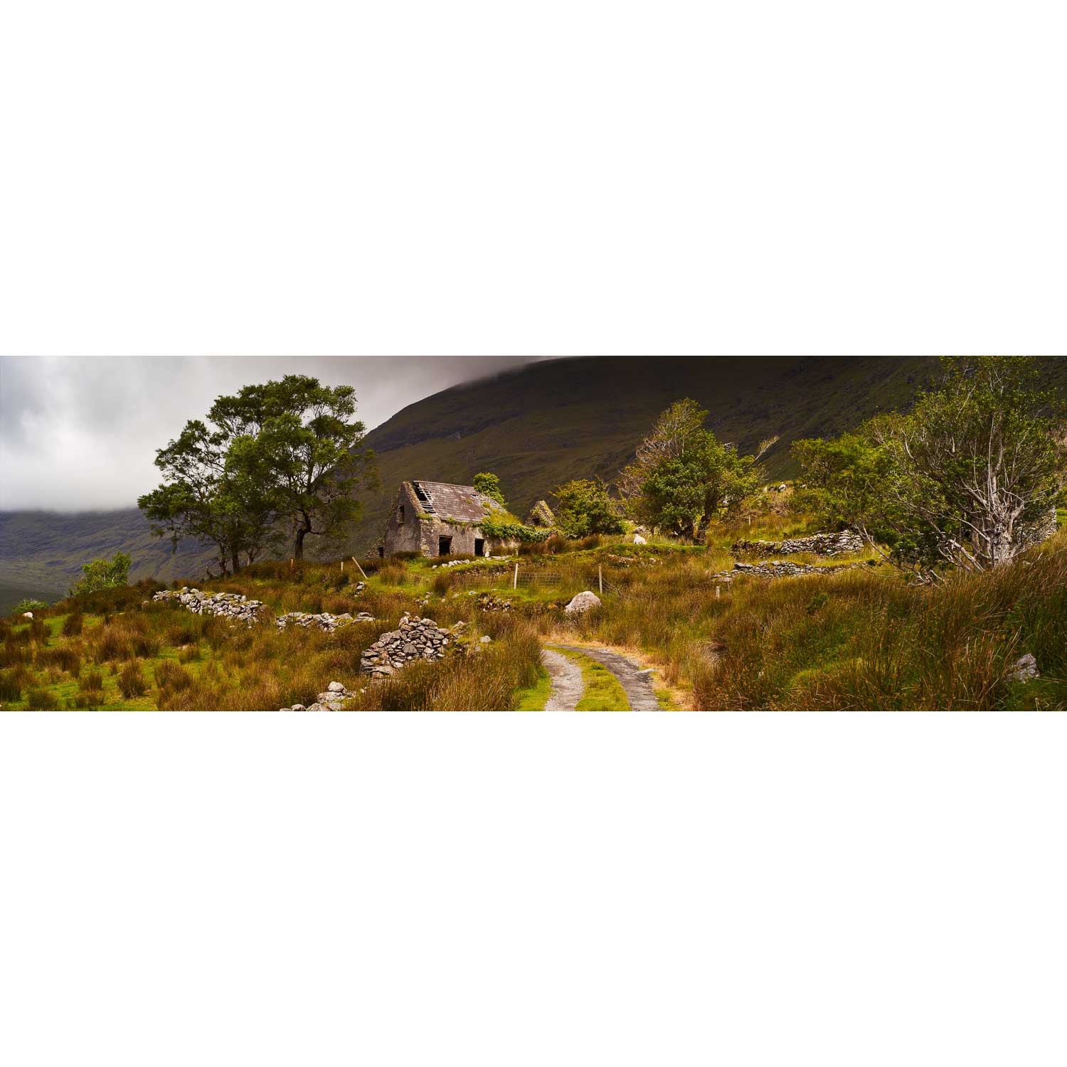
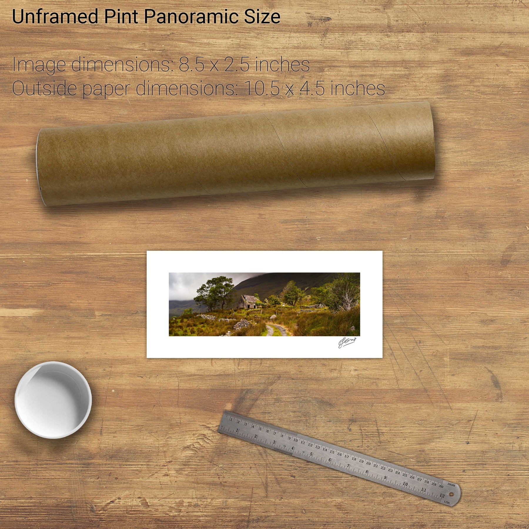
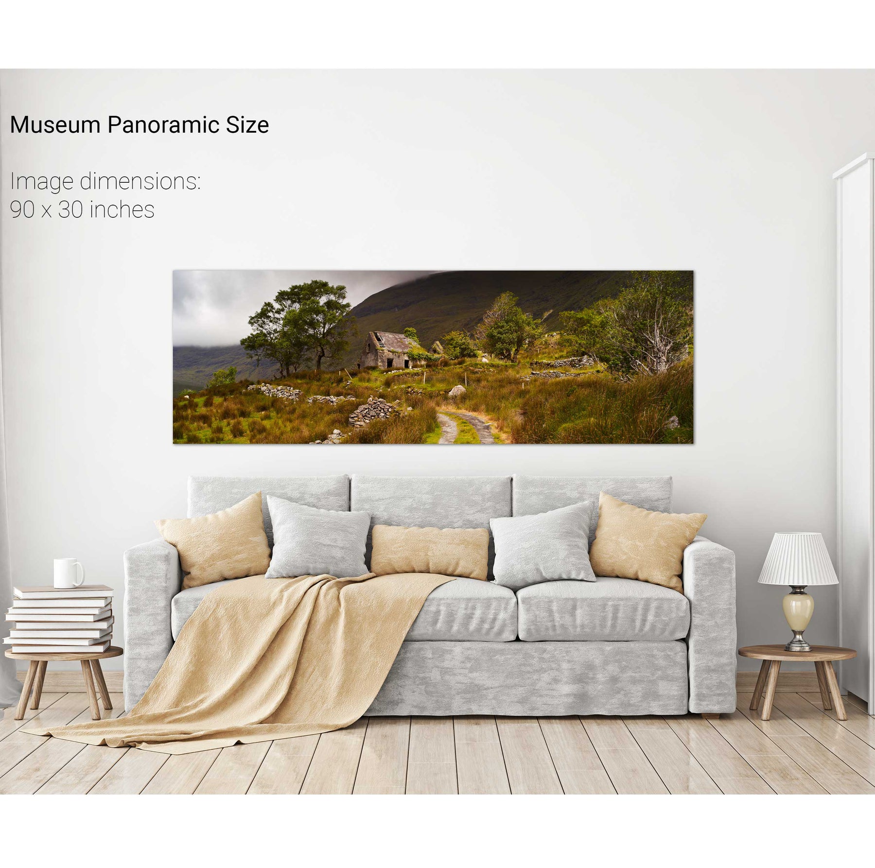
The Black Valley, Co. Kerry
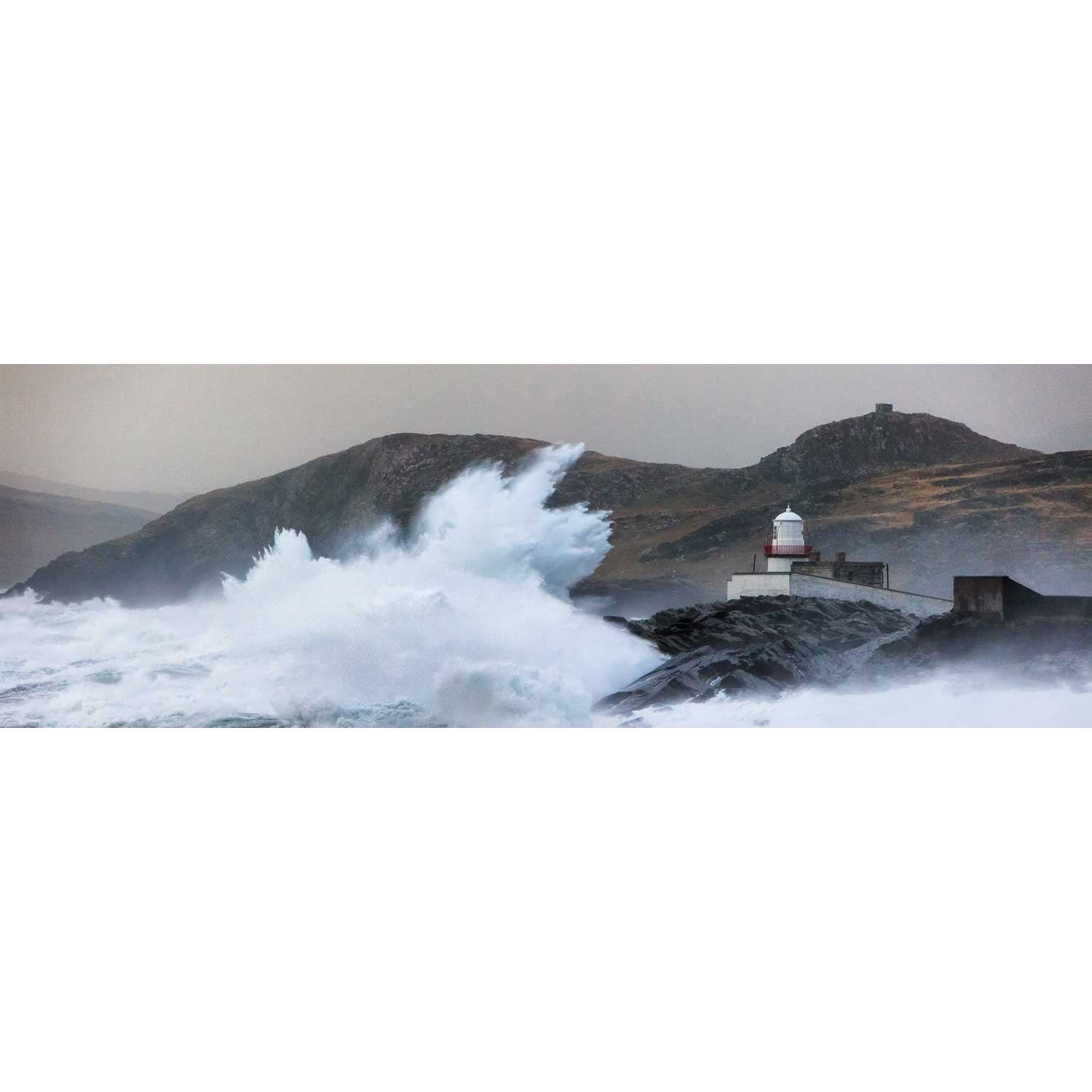
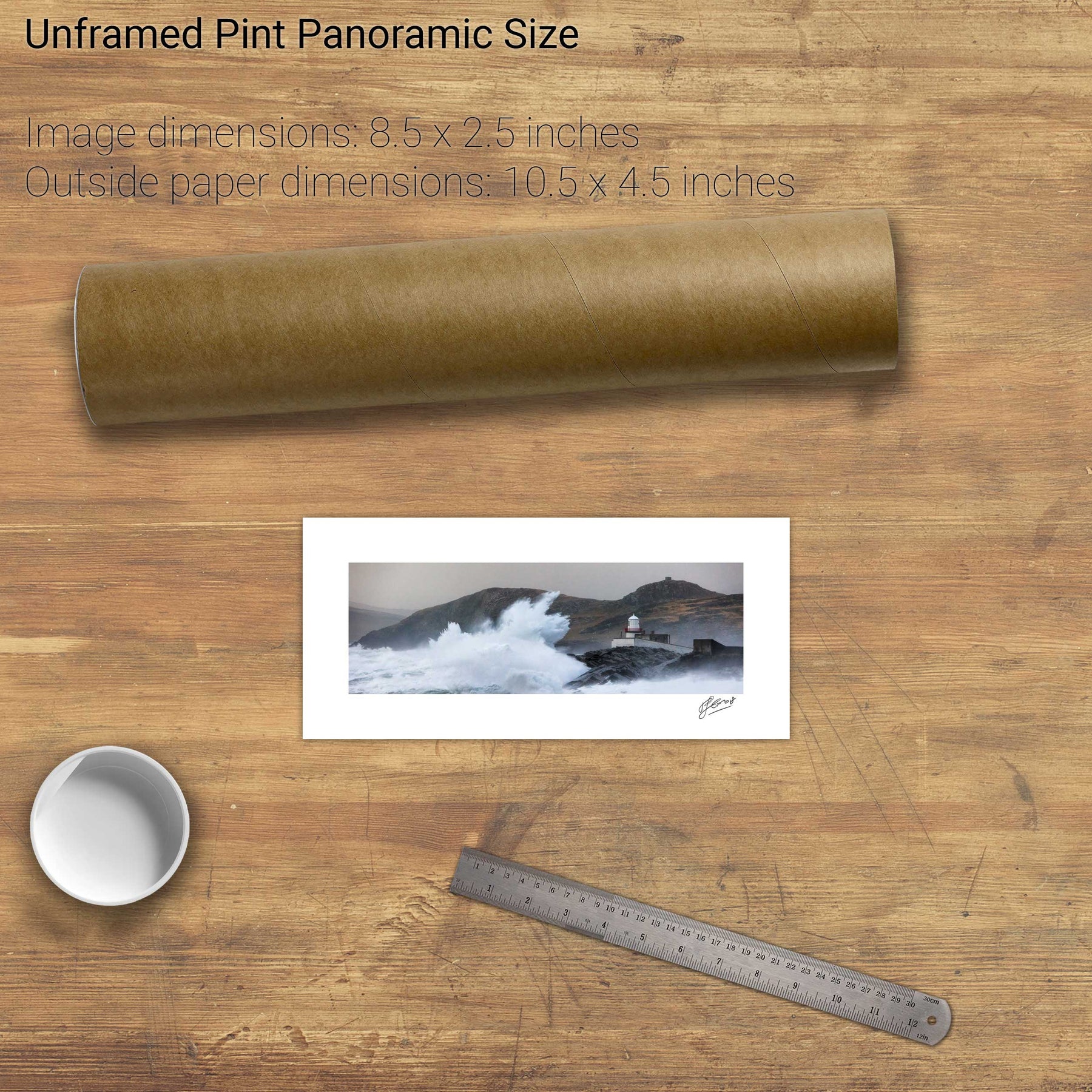
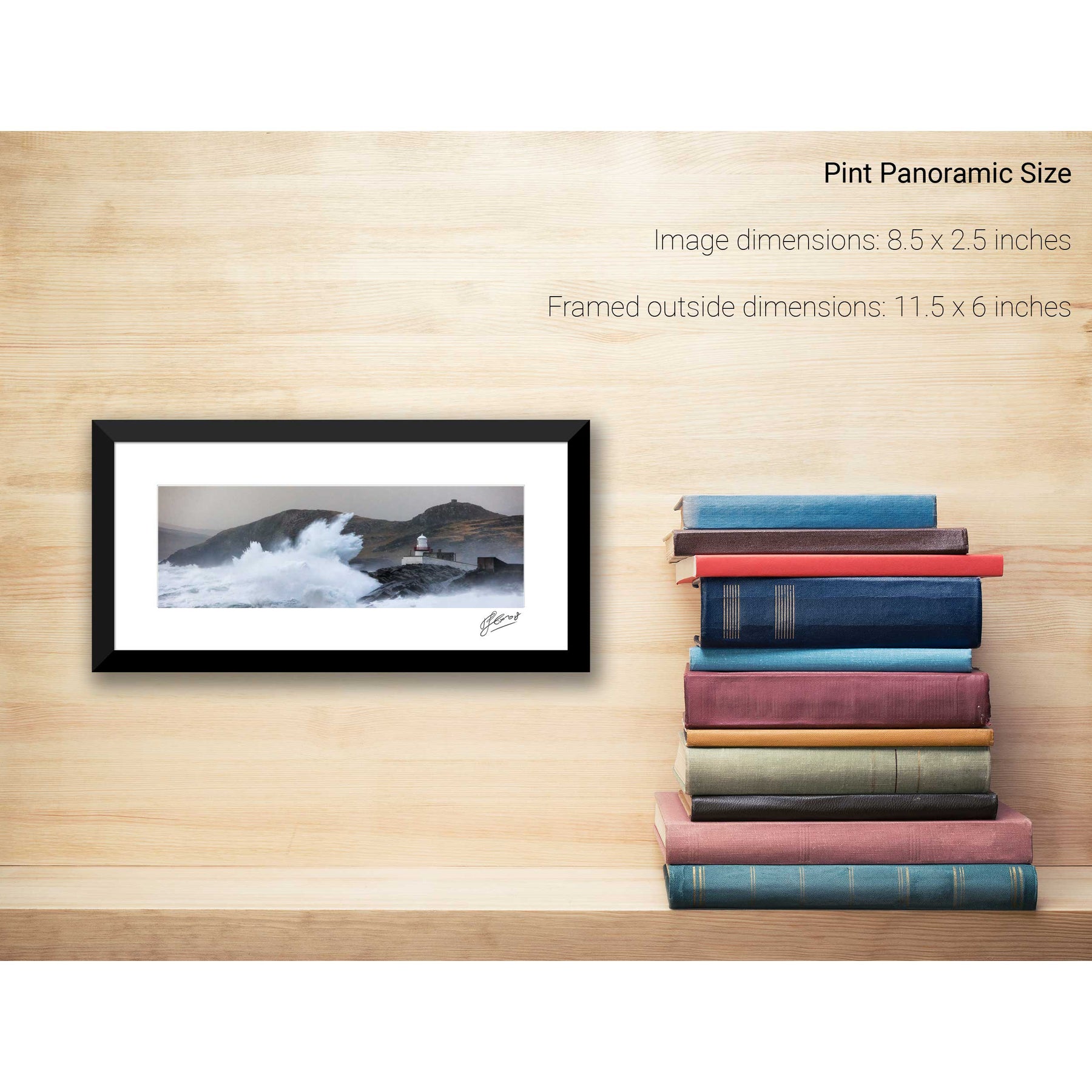
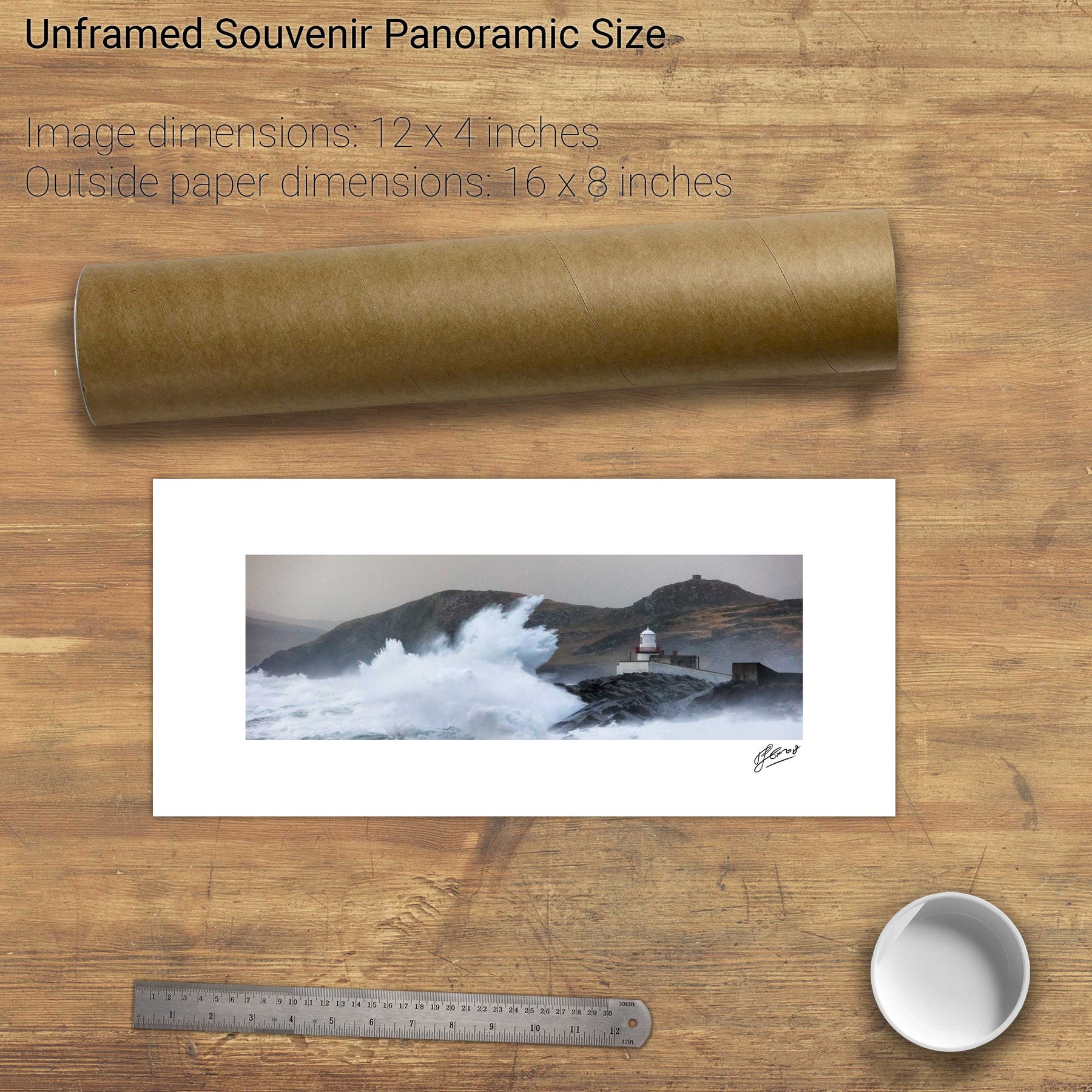
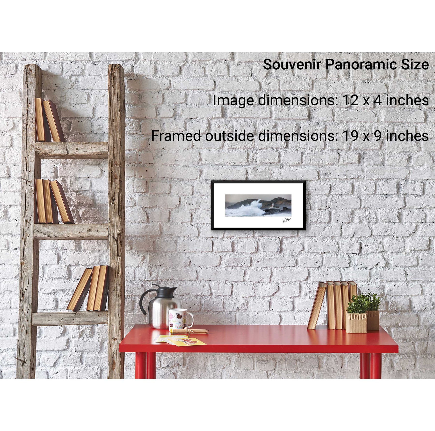
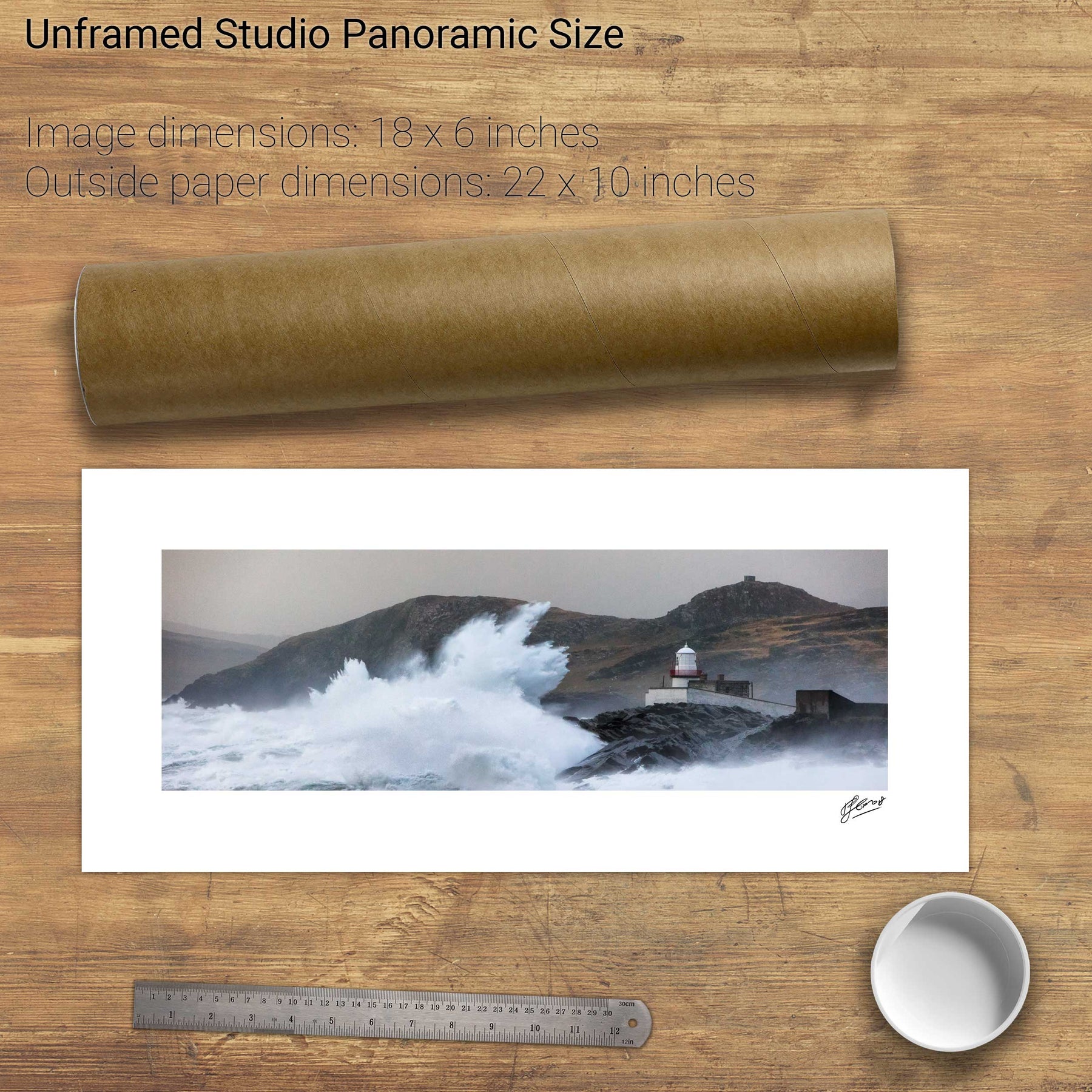
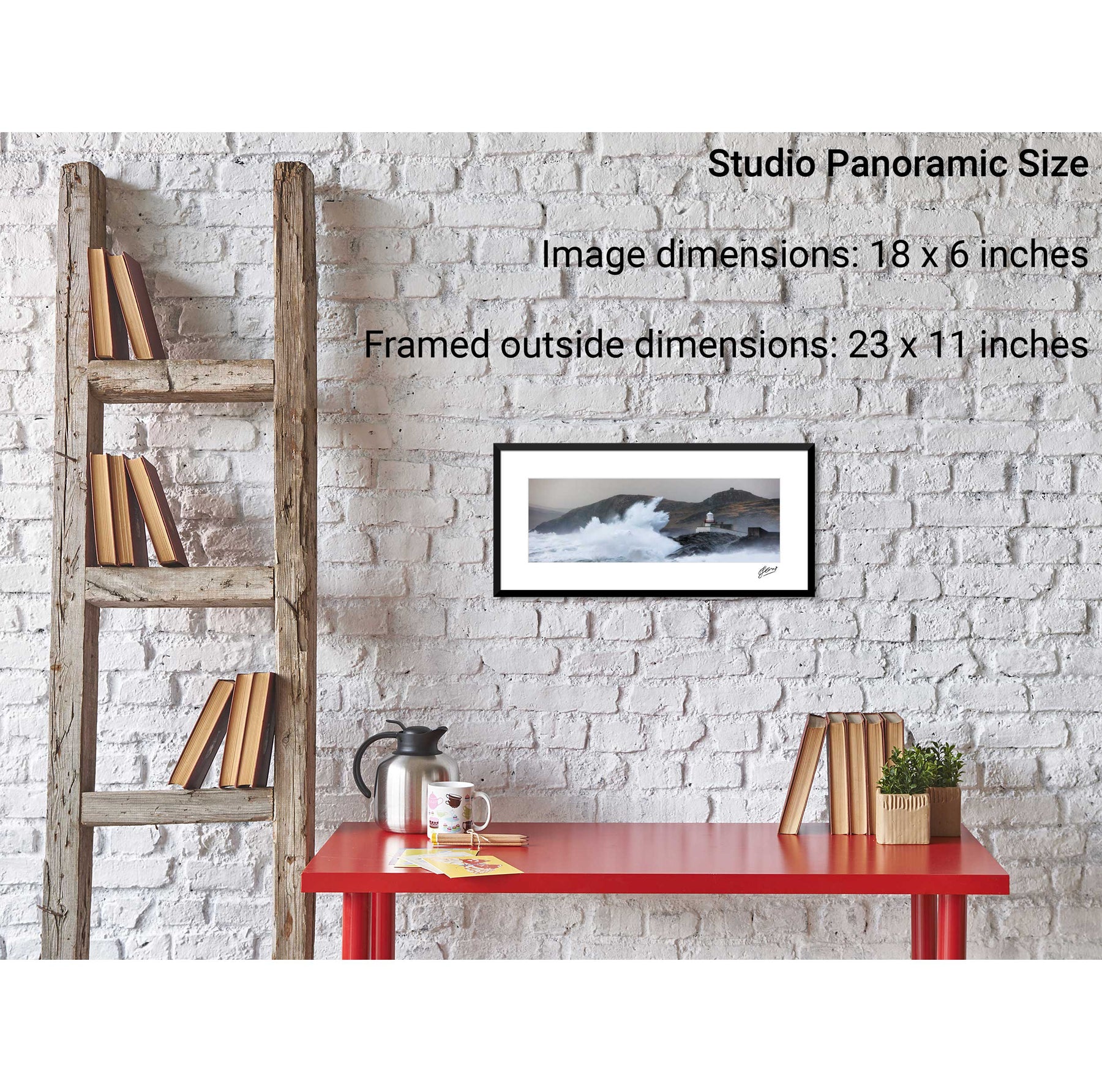
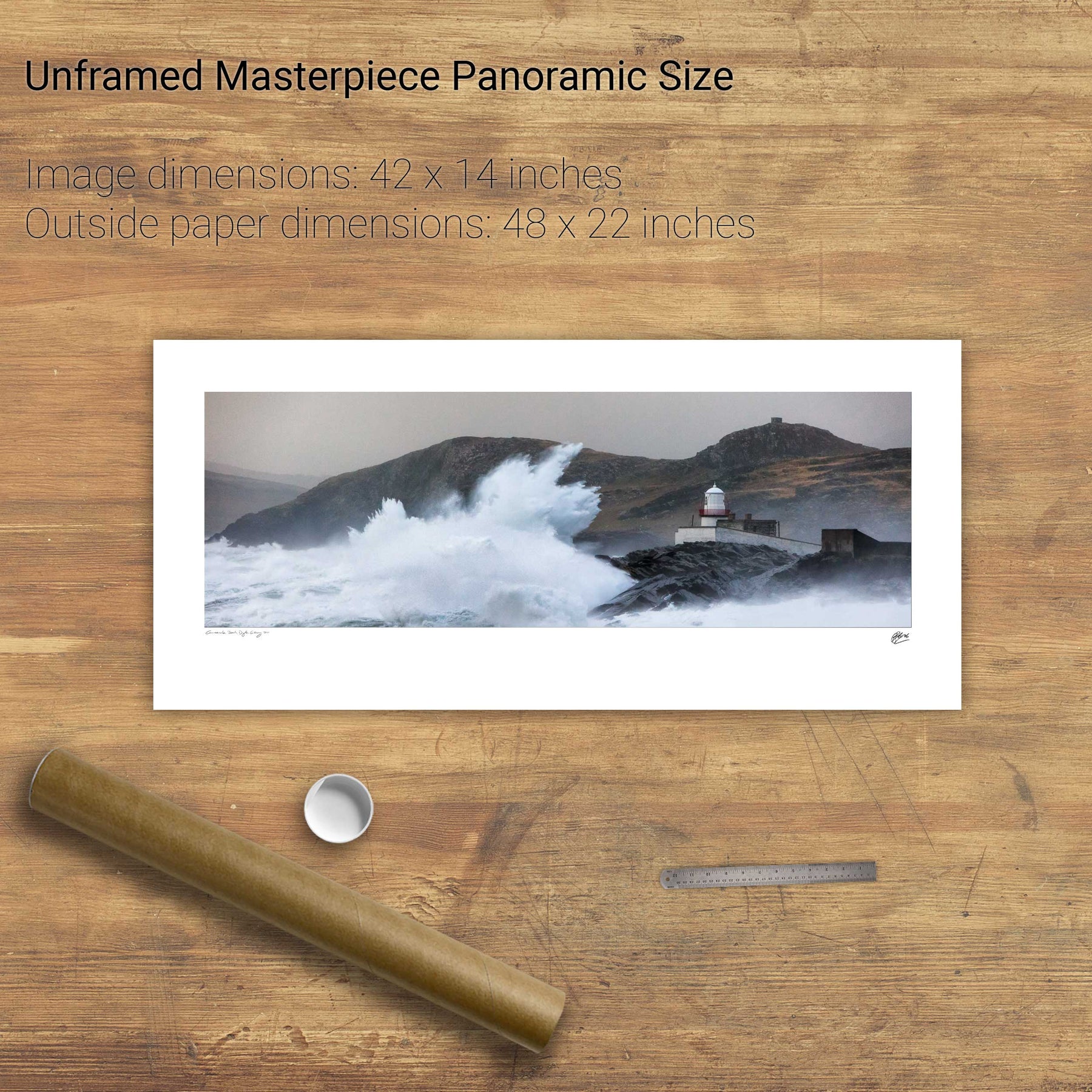
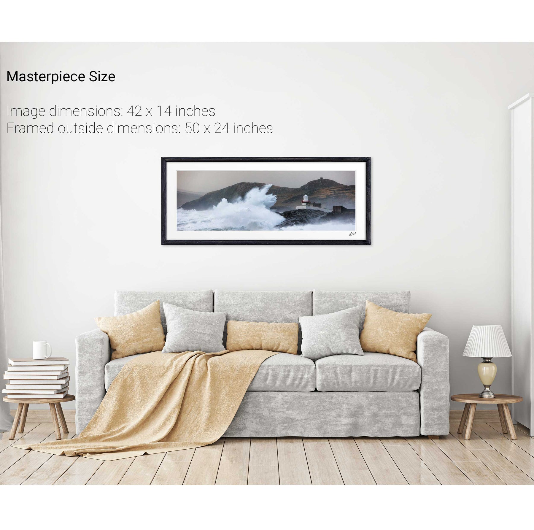
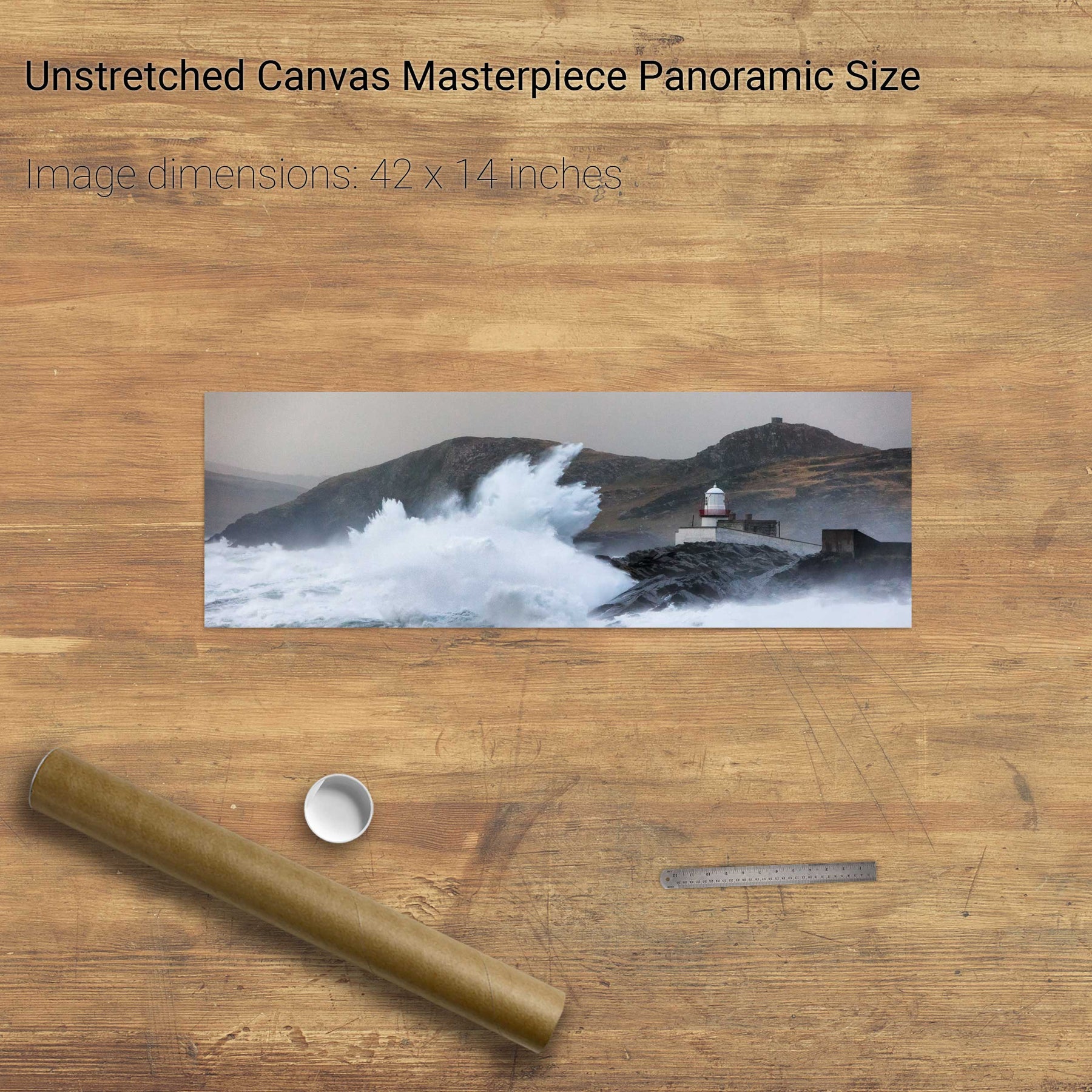
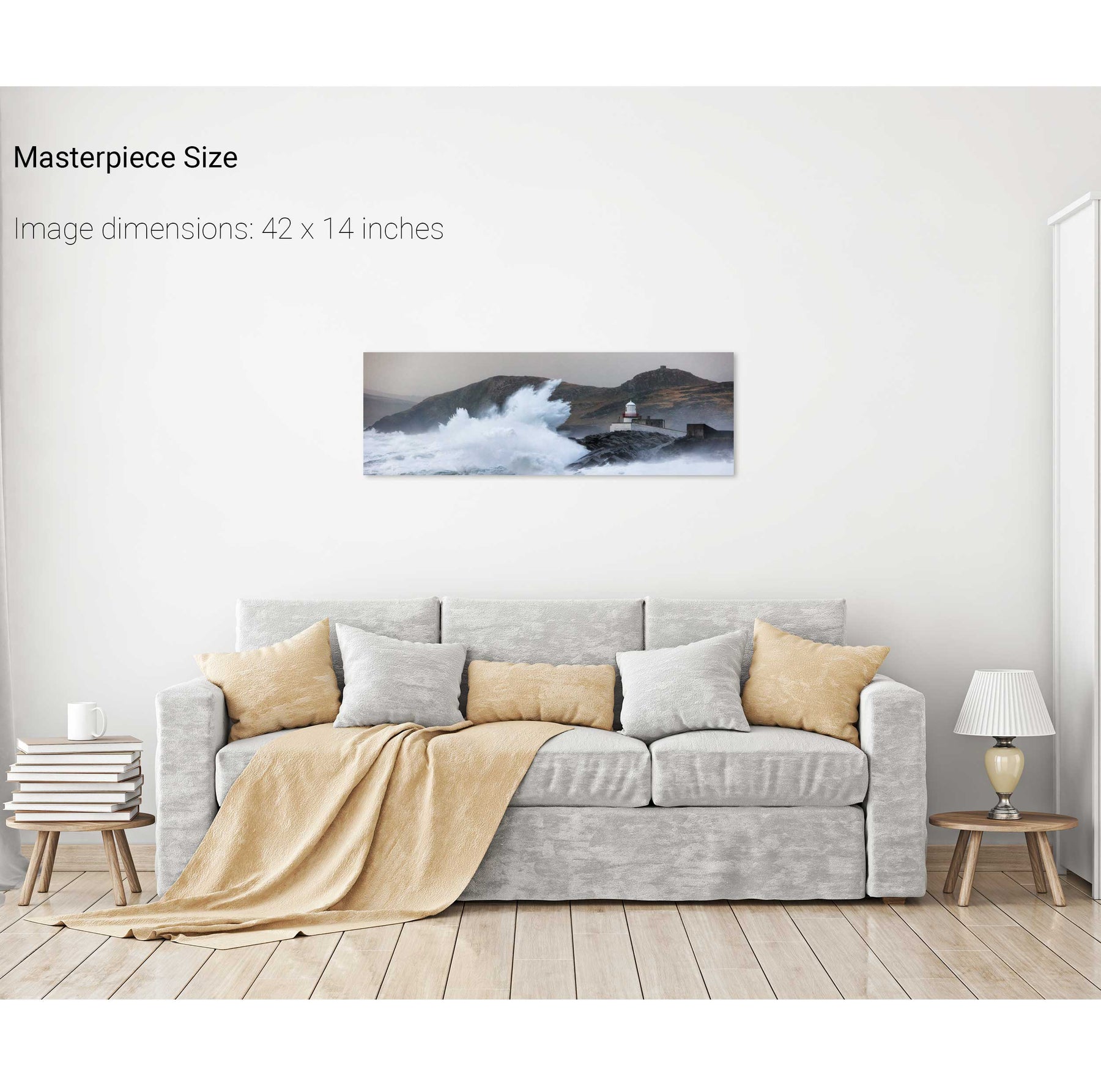
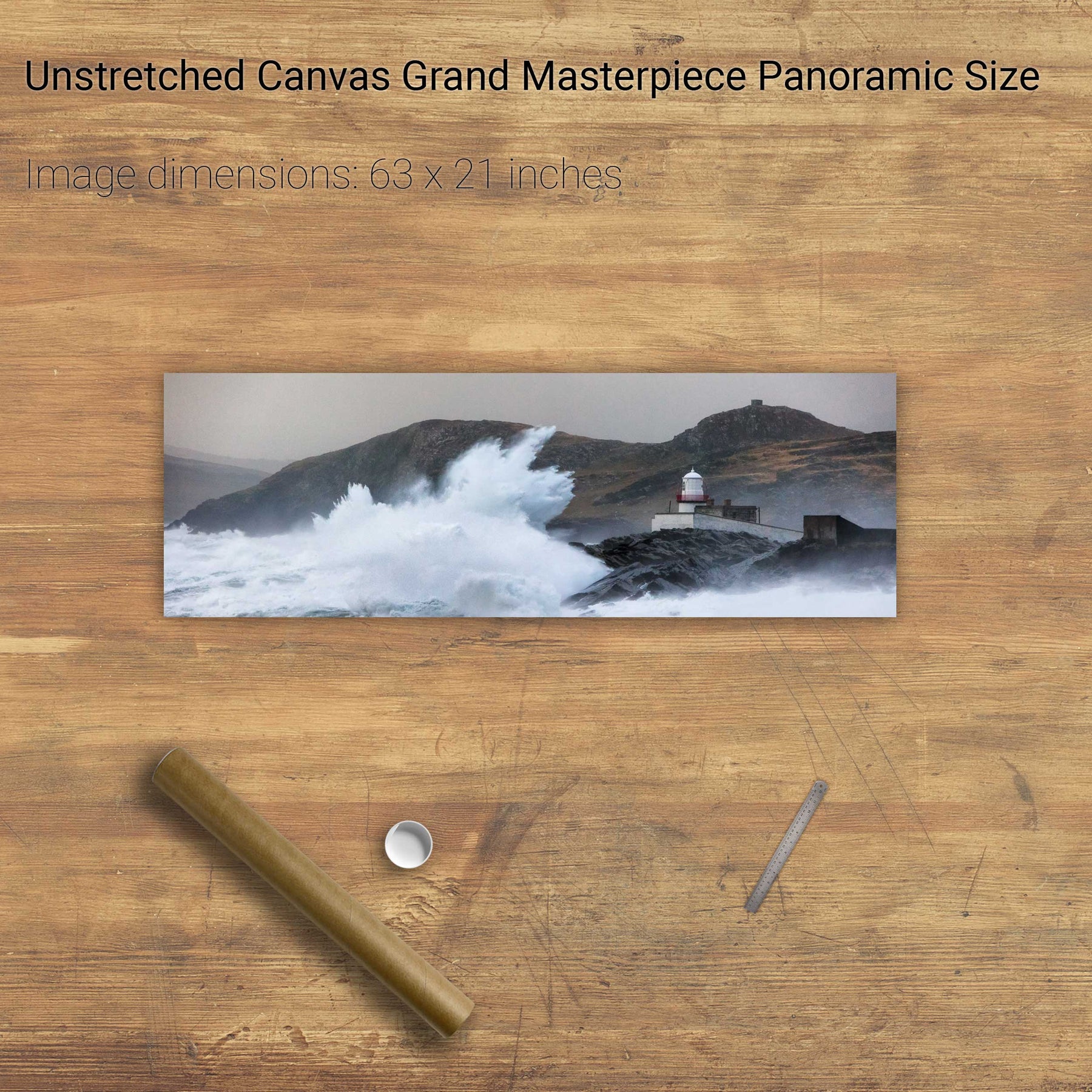
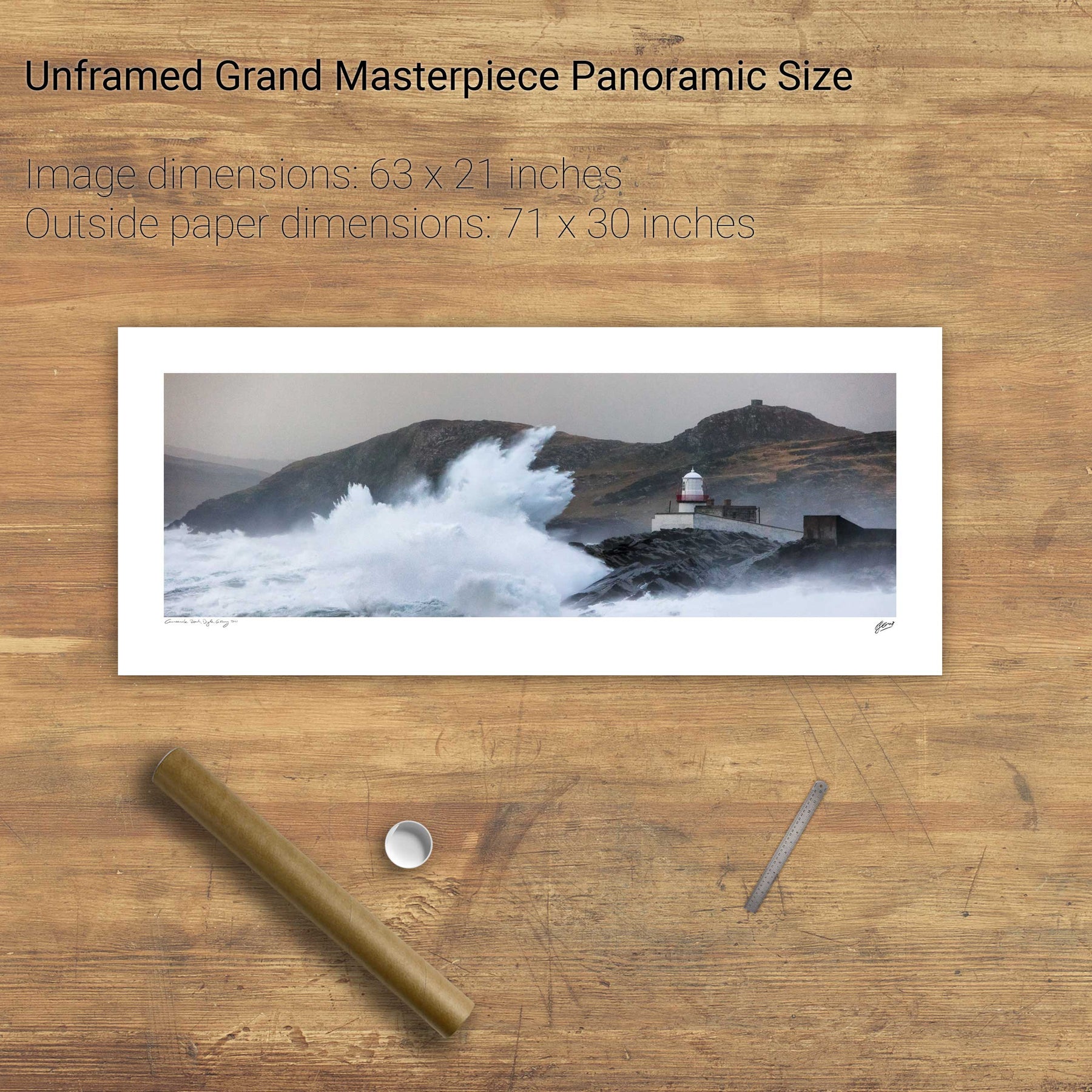
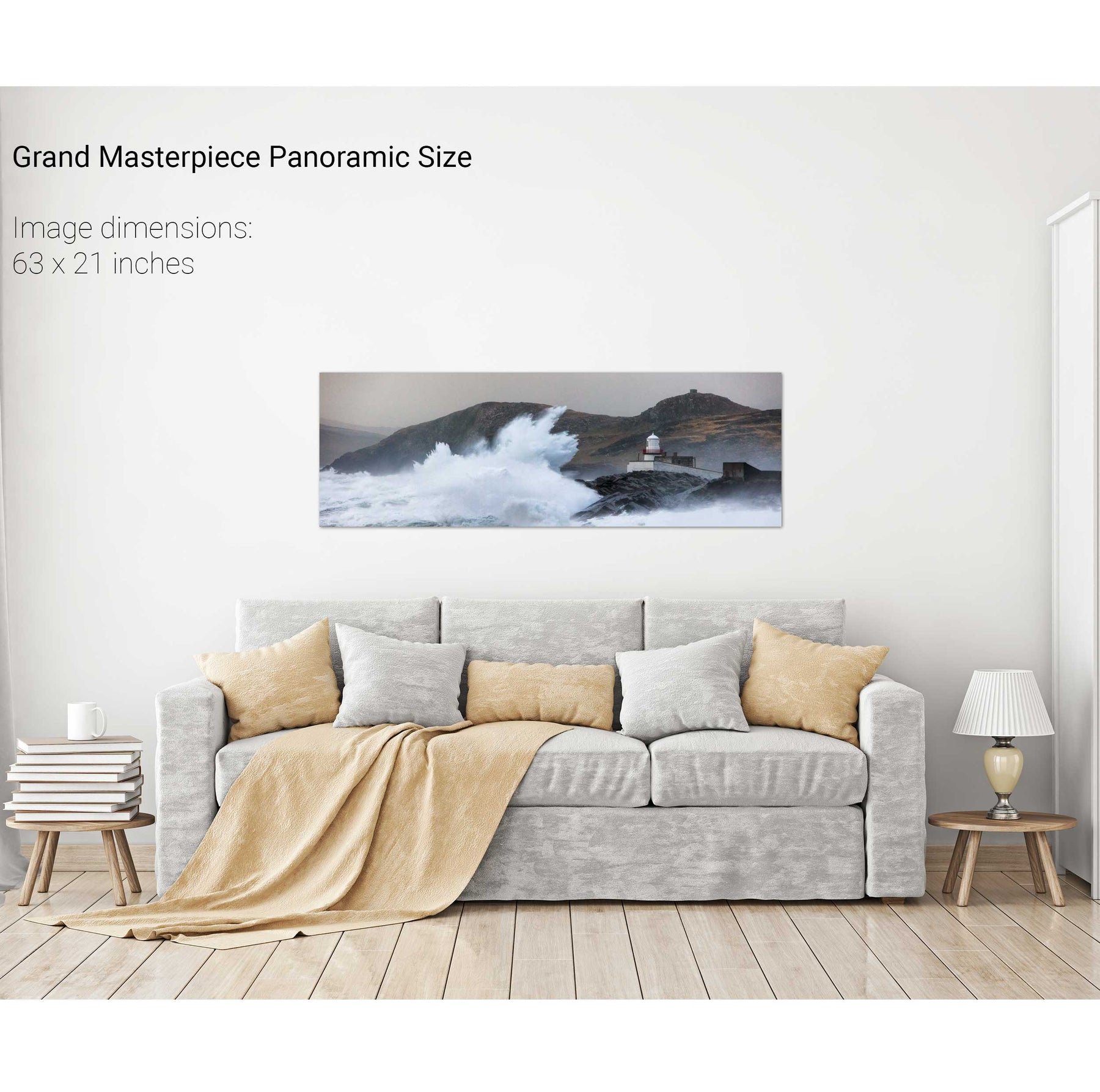
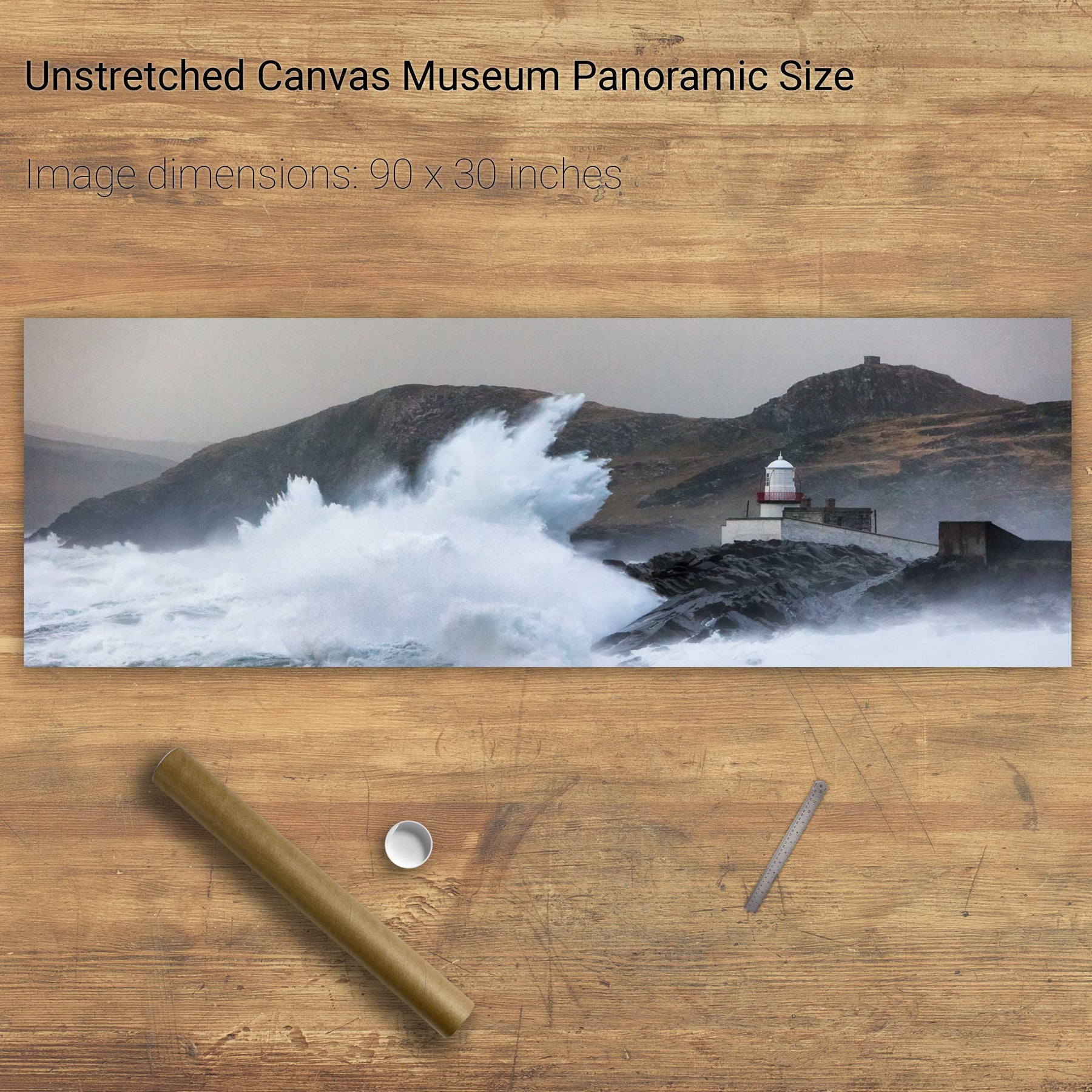
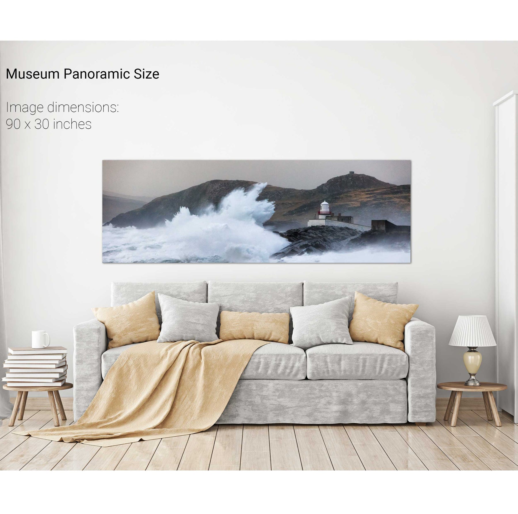
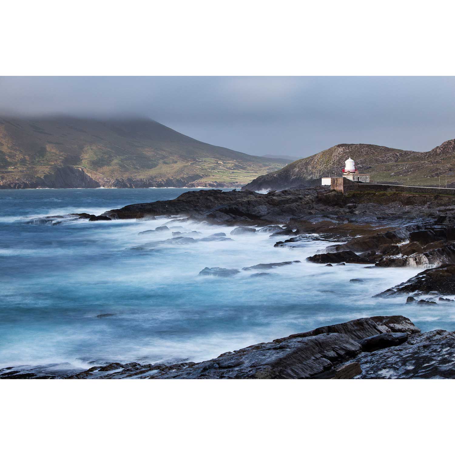
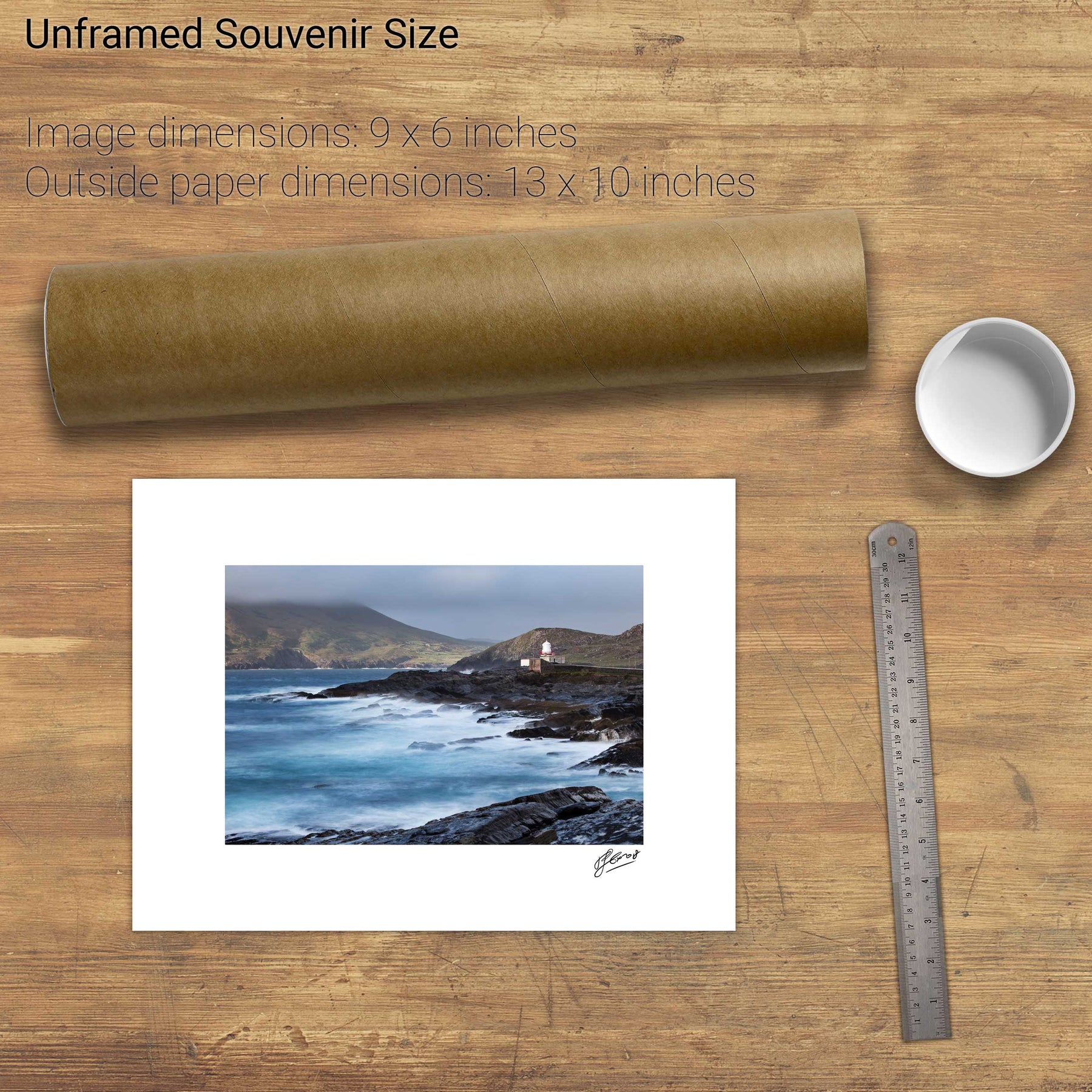
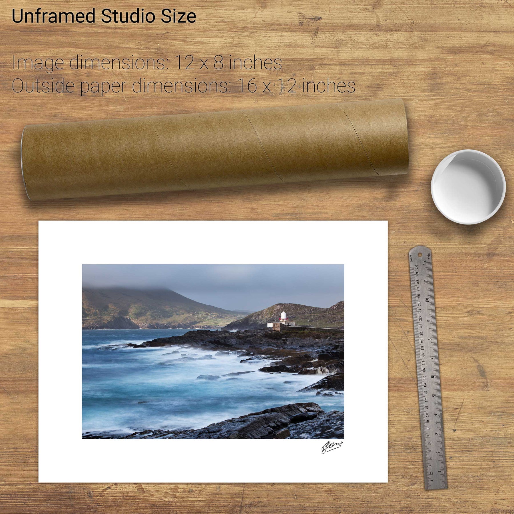
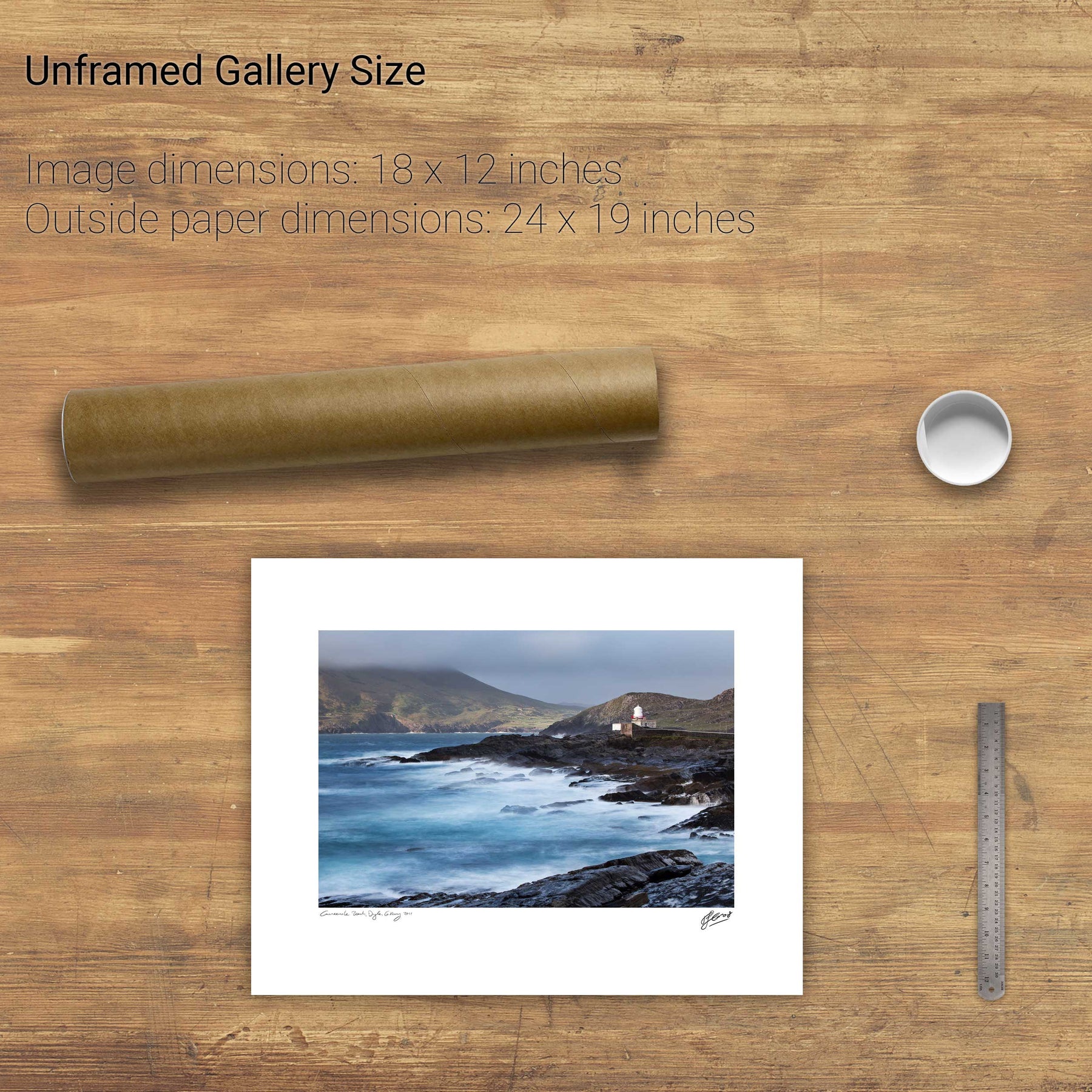
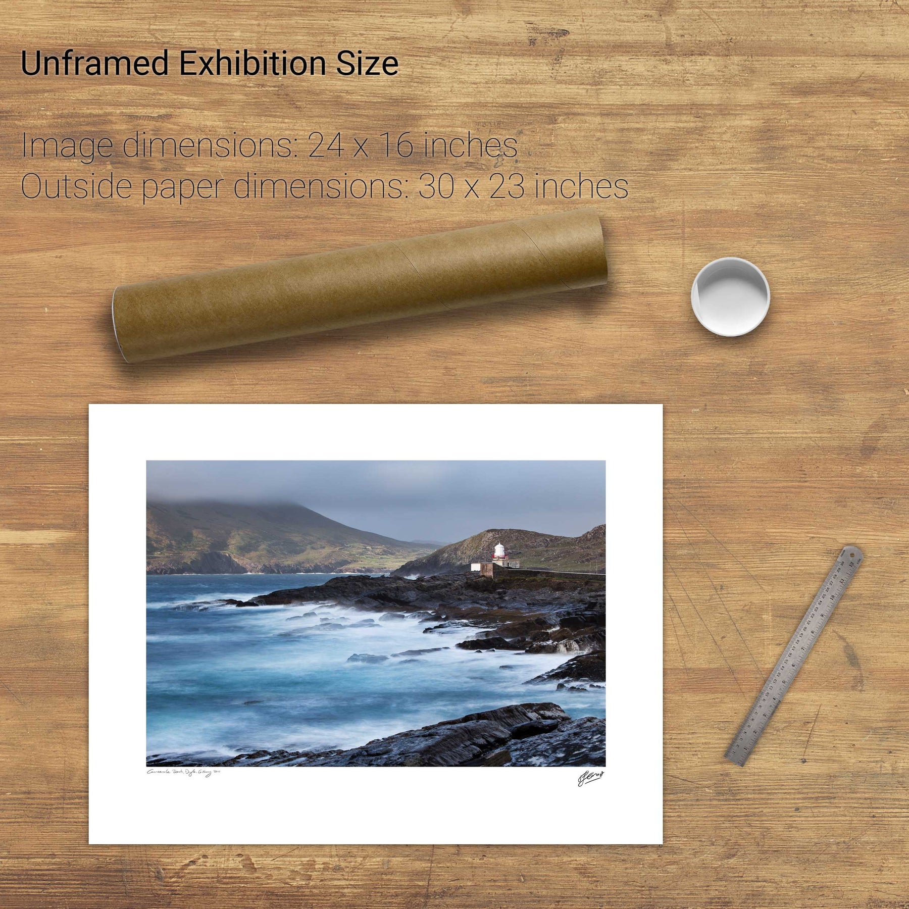
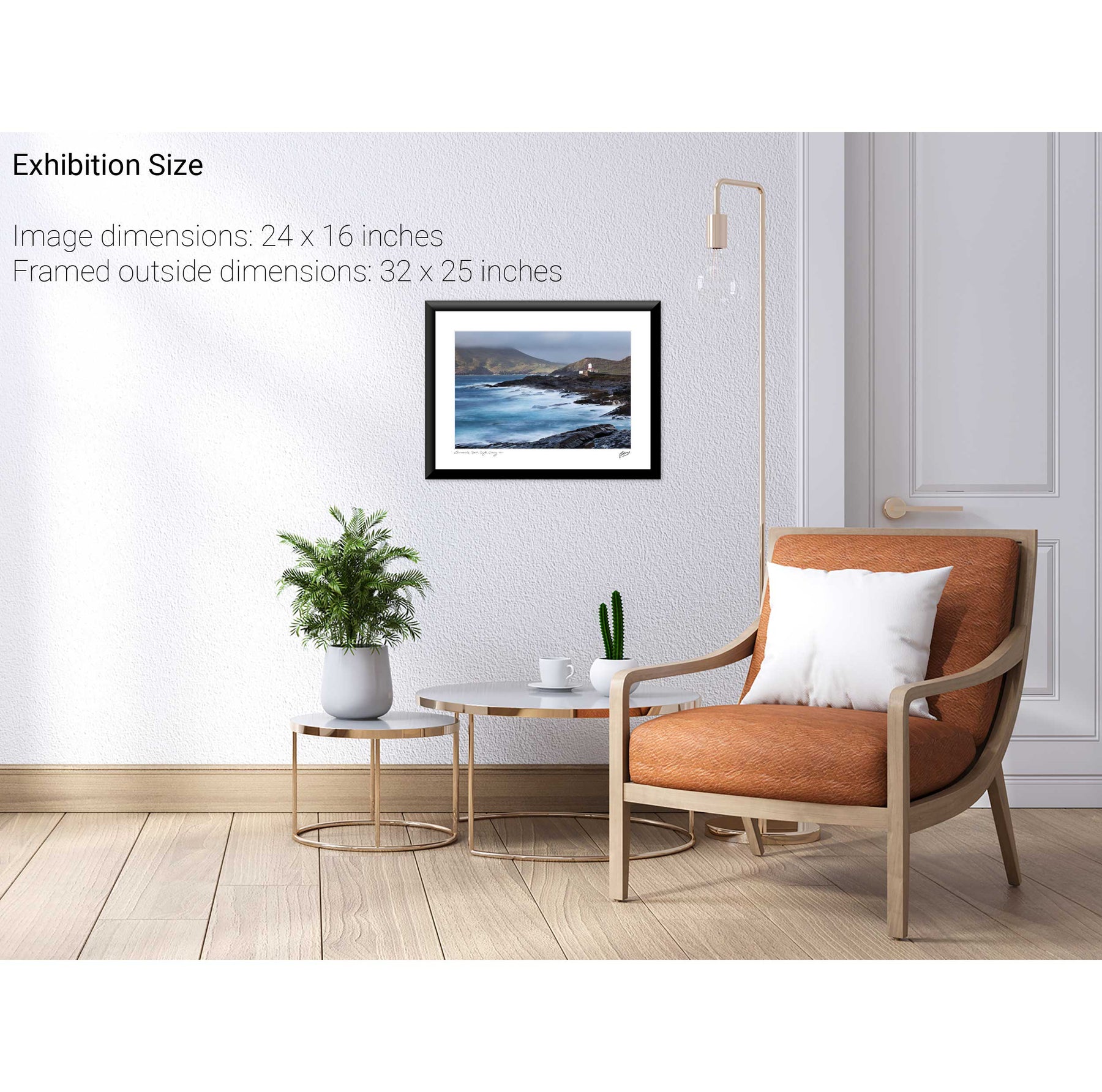
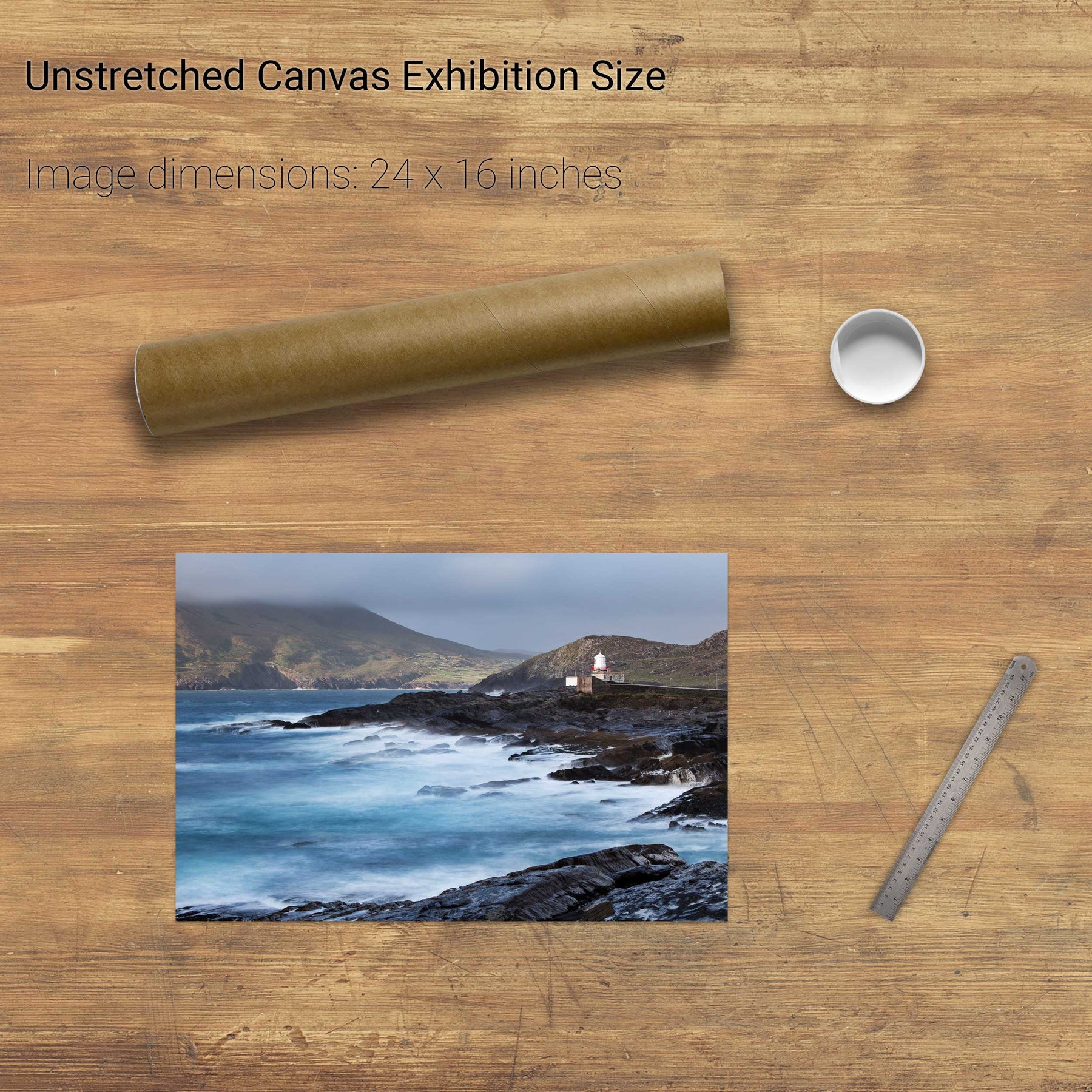
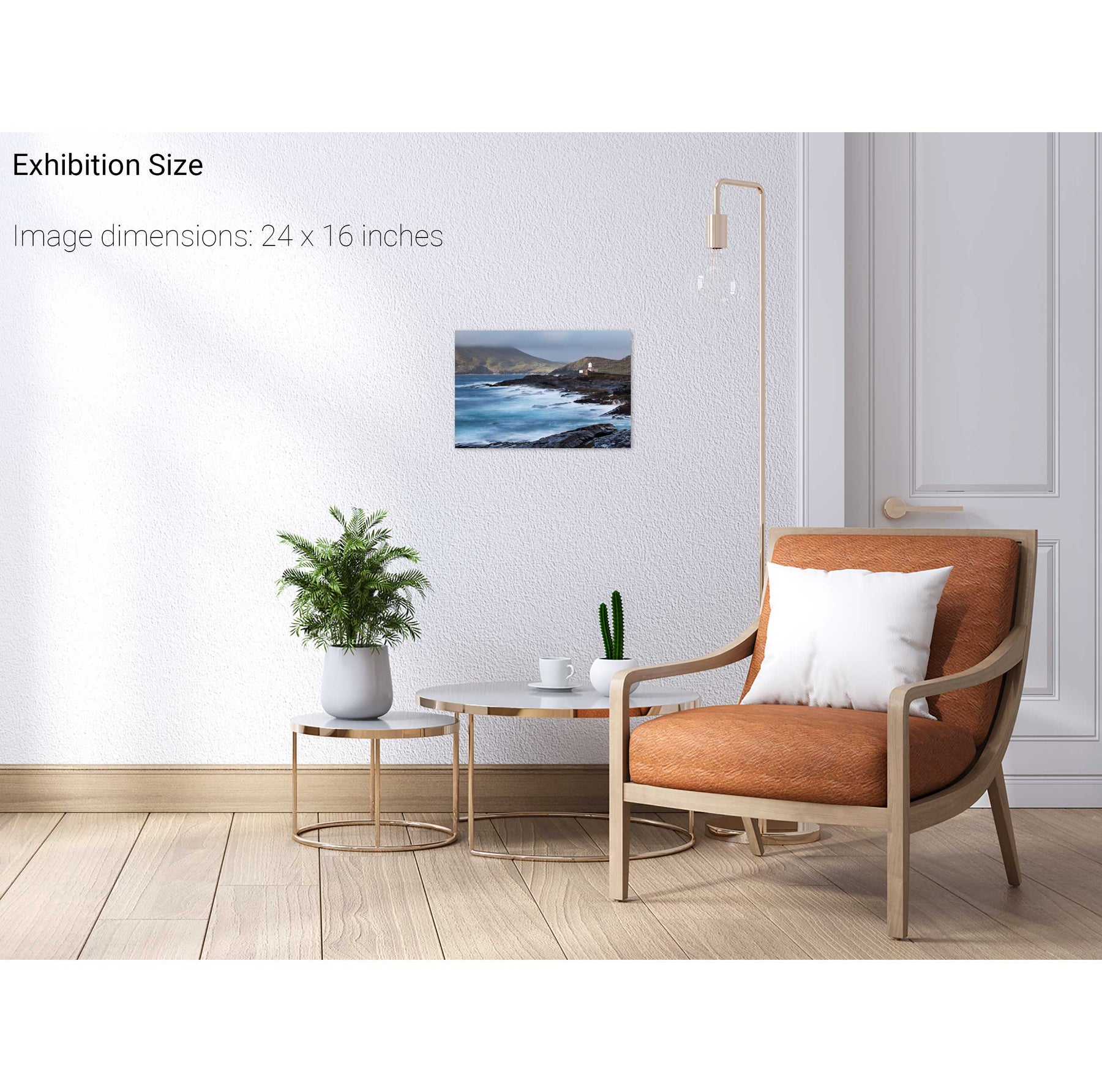
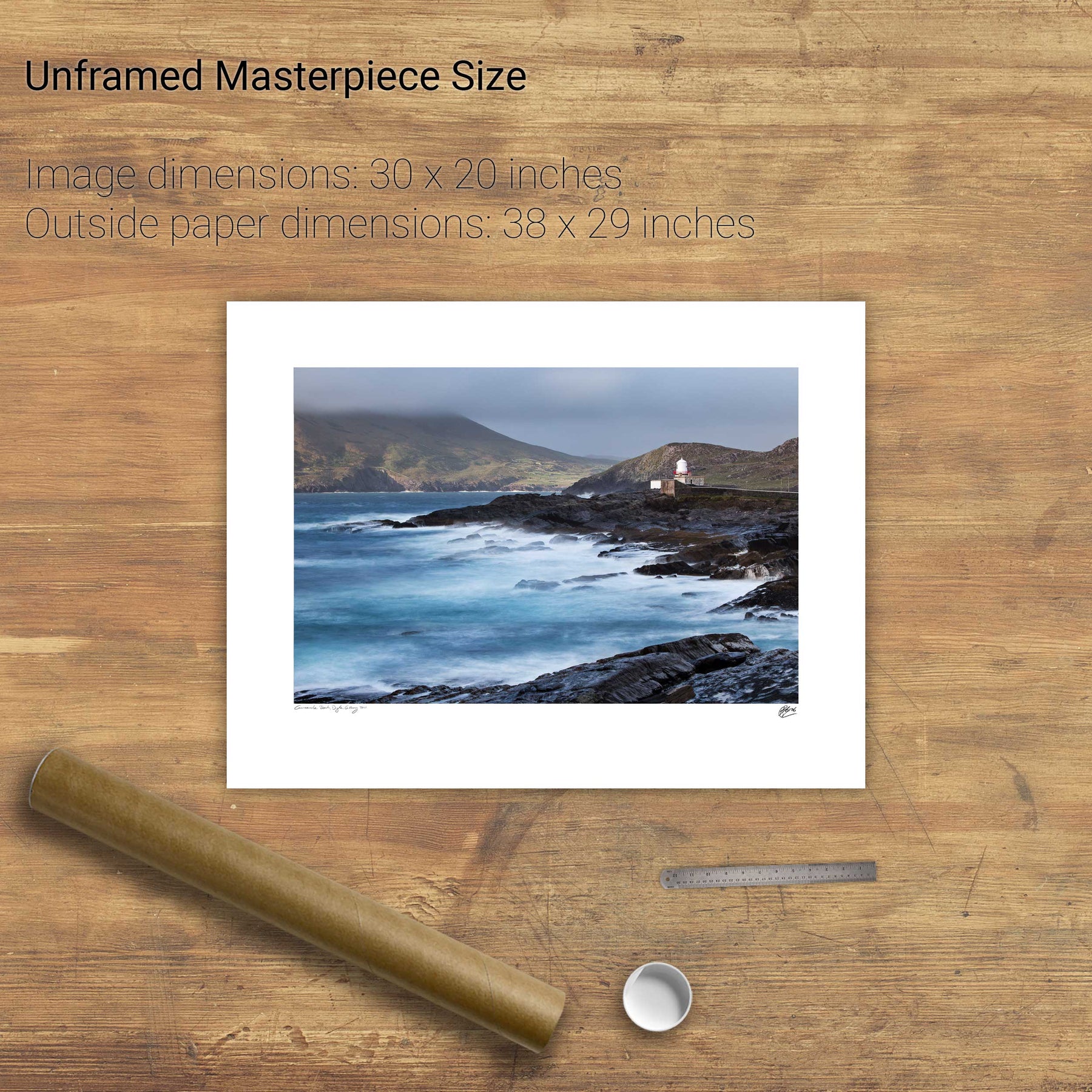
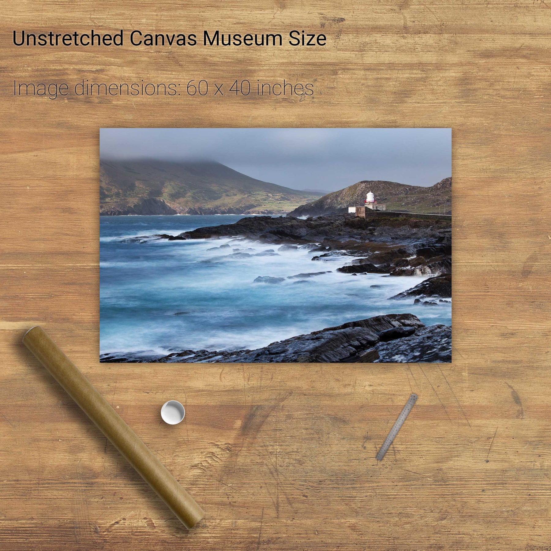
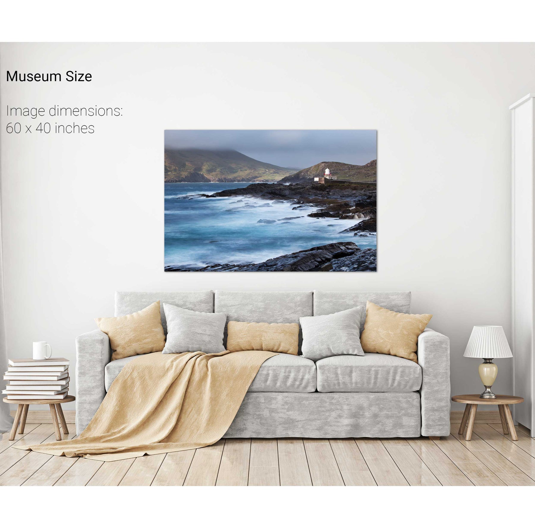
Storm, Cromwell Point Lighthouse, Co. Kerry
Sunrise, the Maharees, Co. Kerry
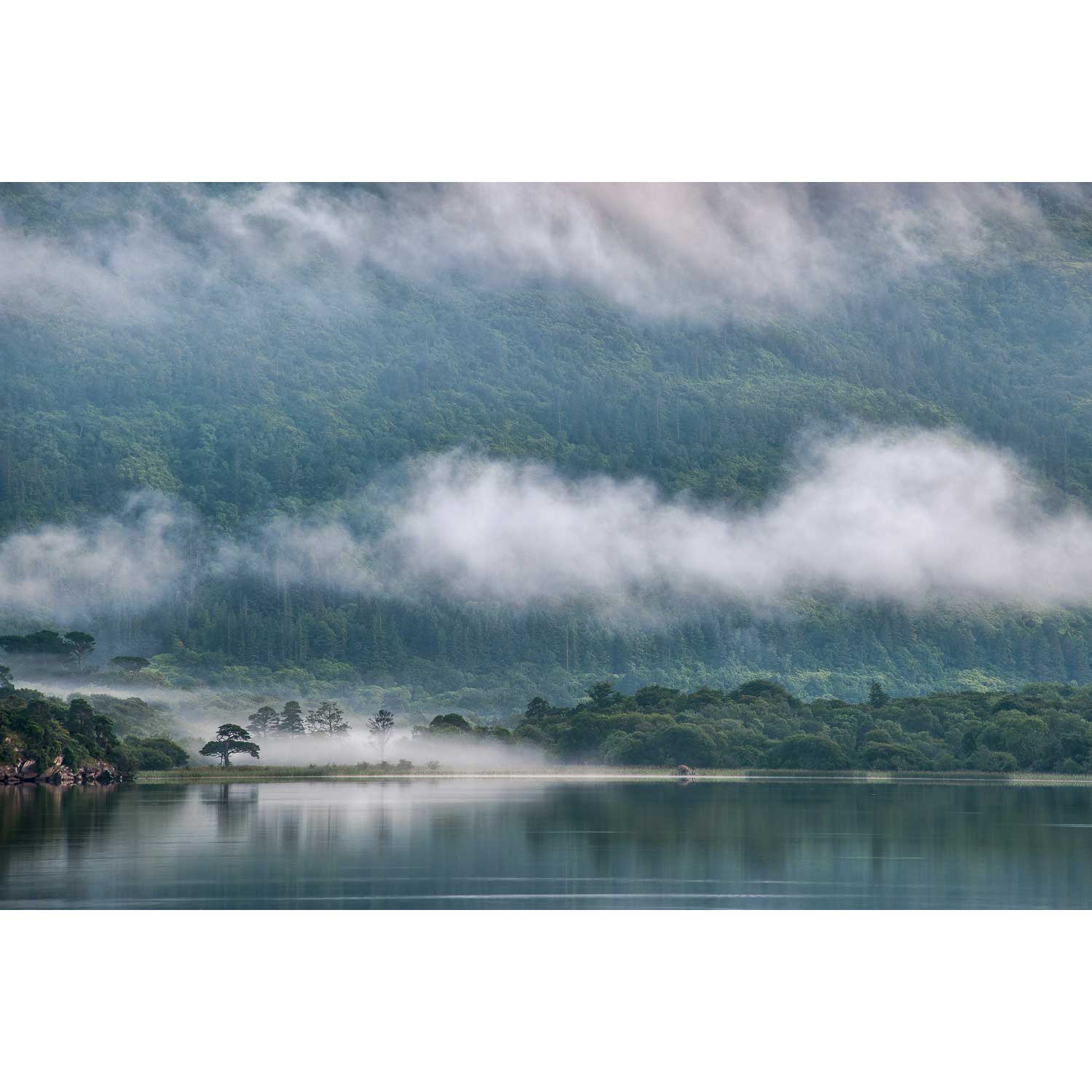
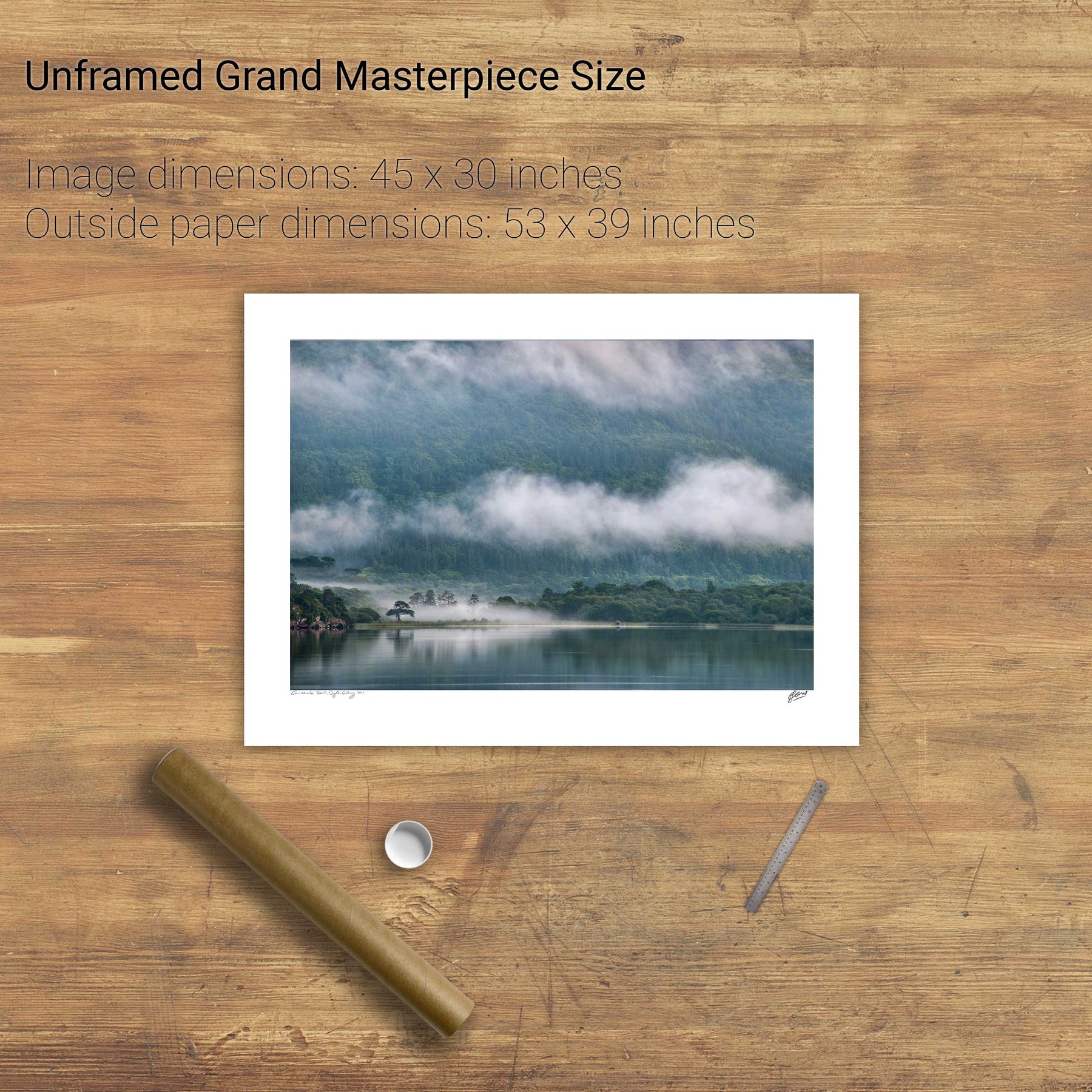
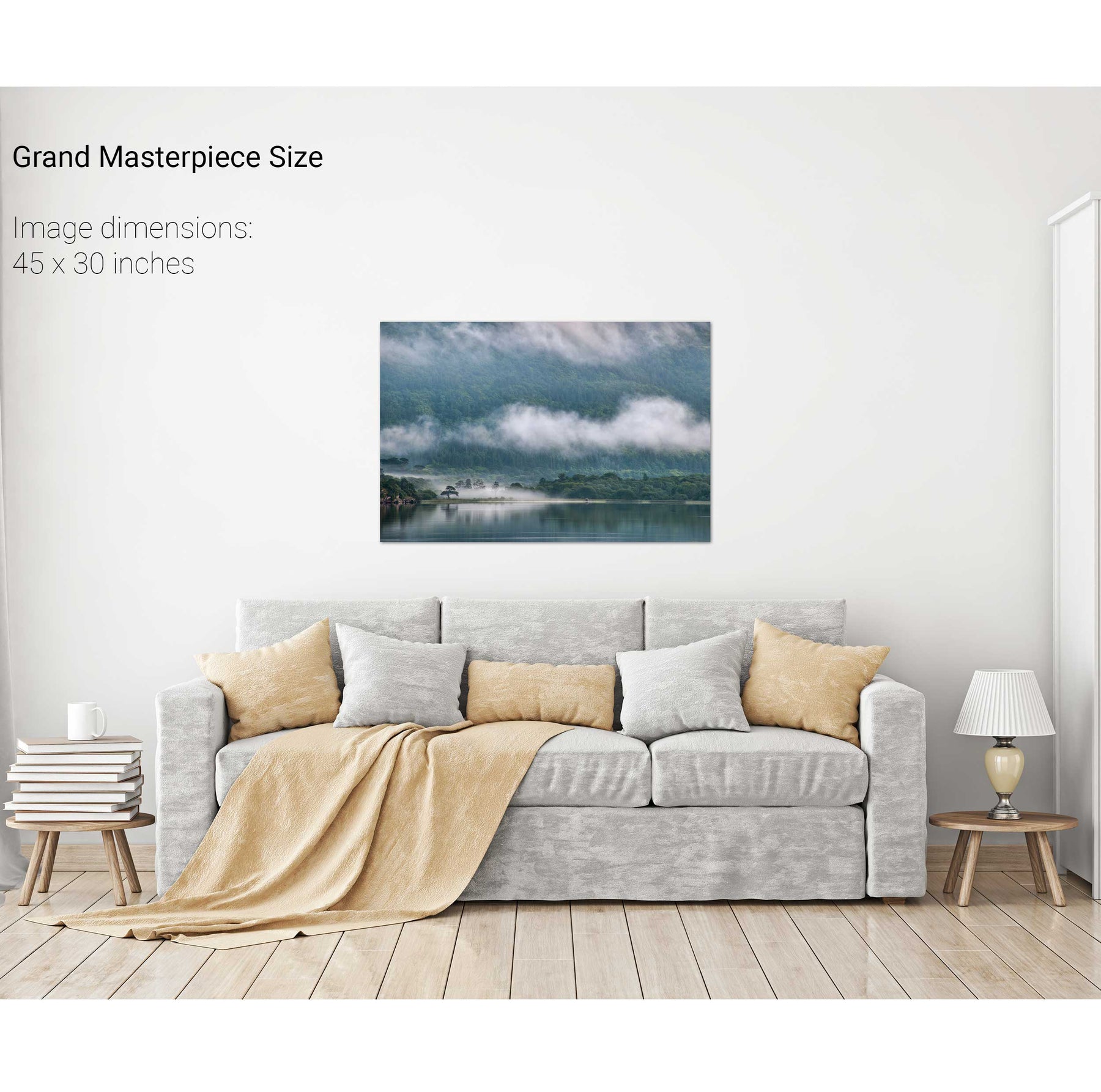
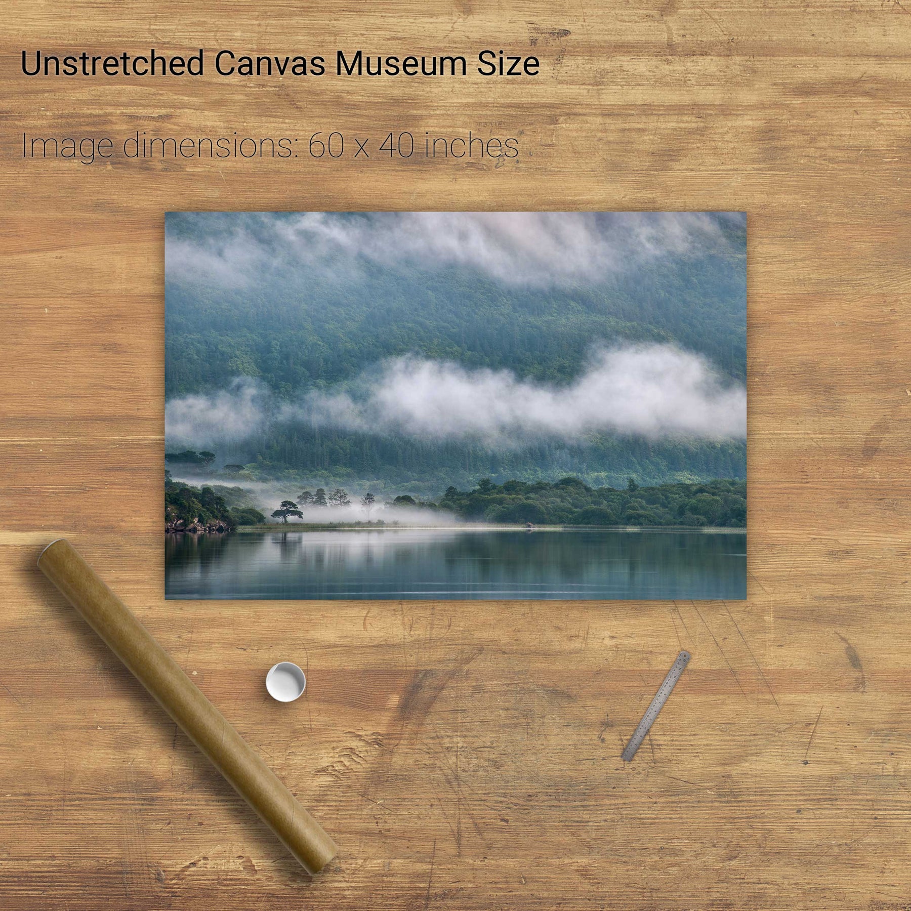
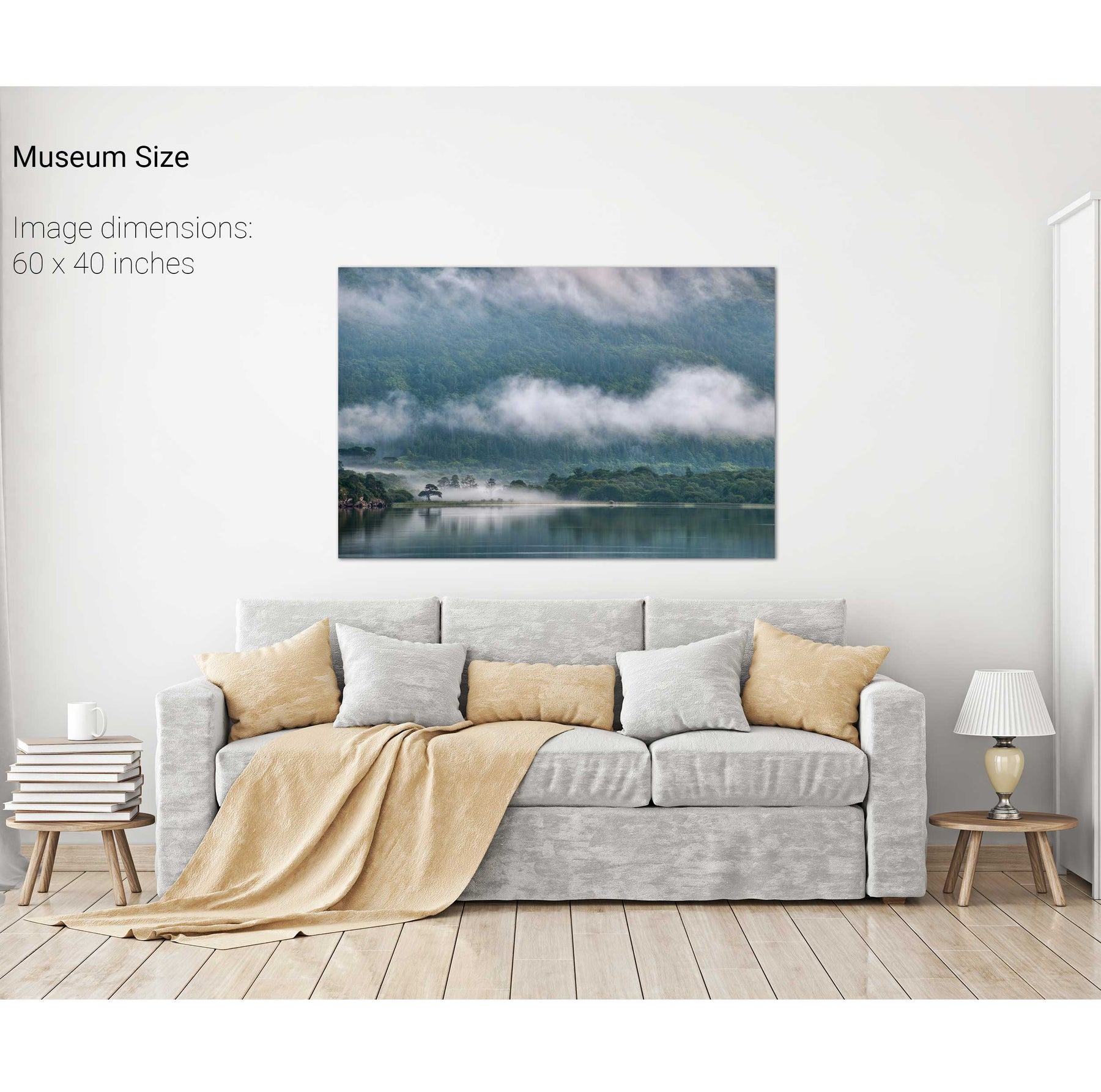
Lone Tree, Lough Leane, Killarney, Co. Kerry
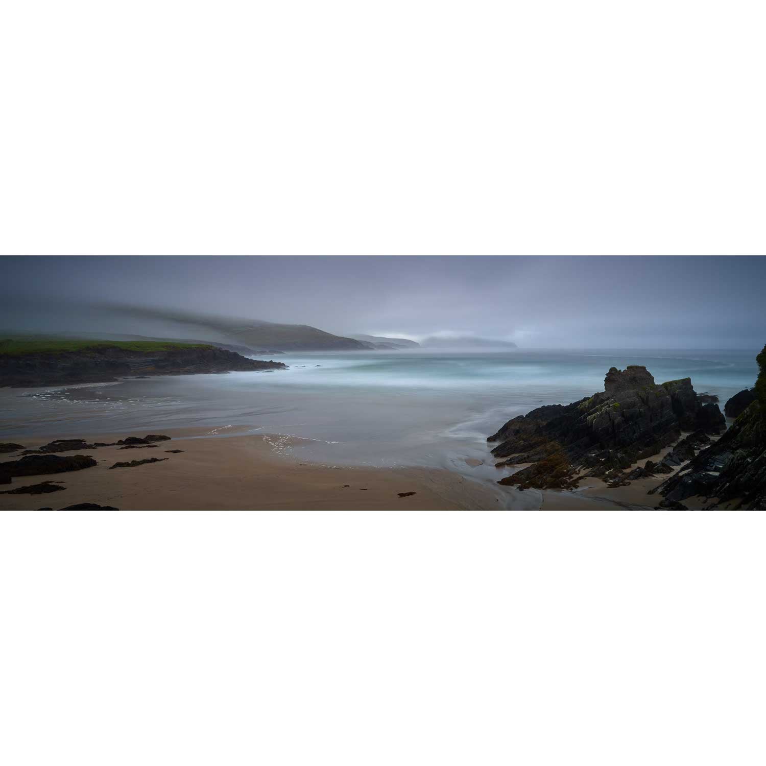
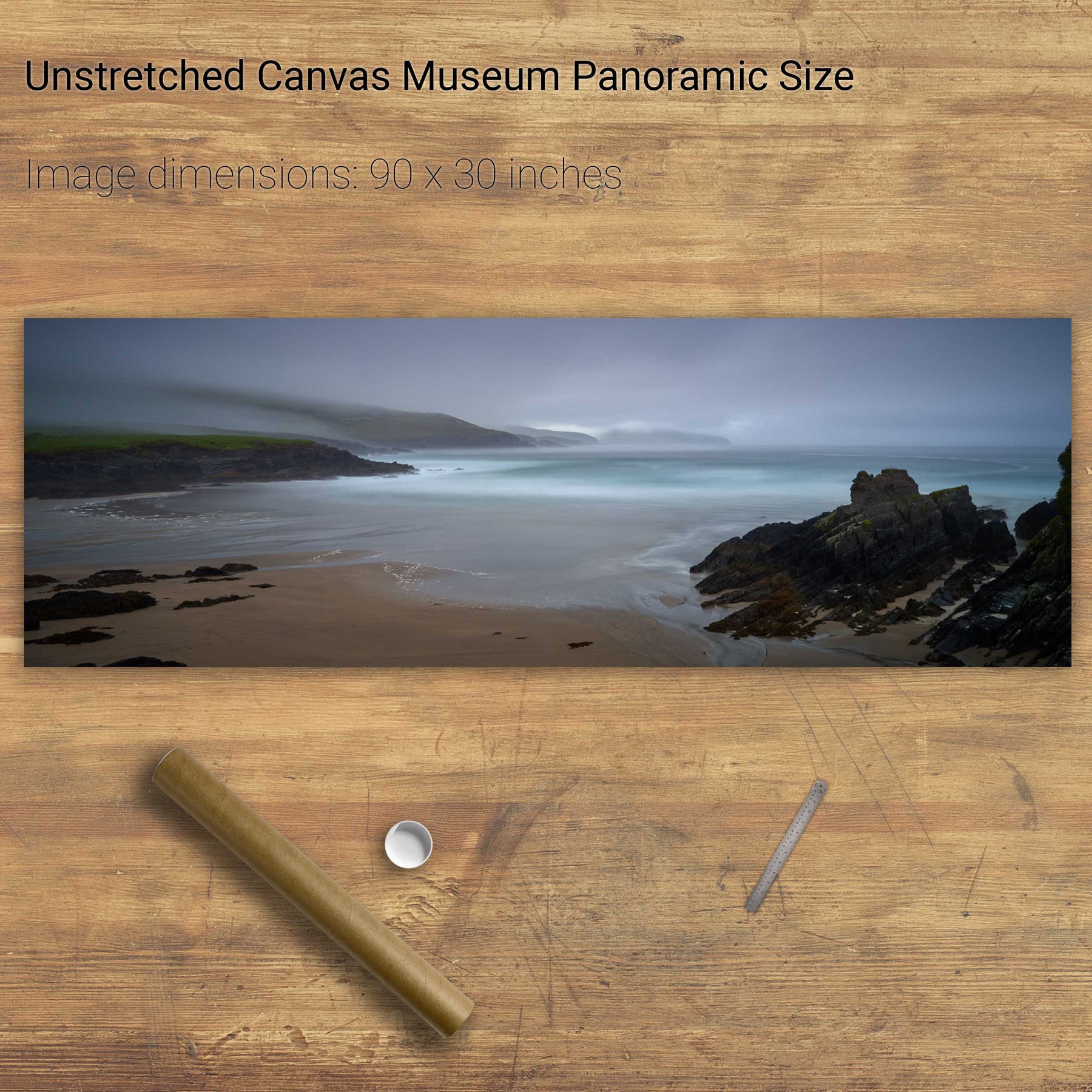
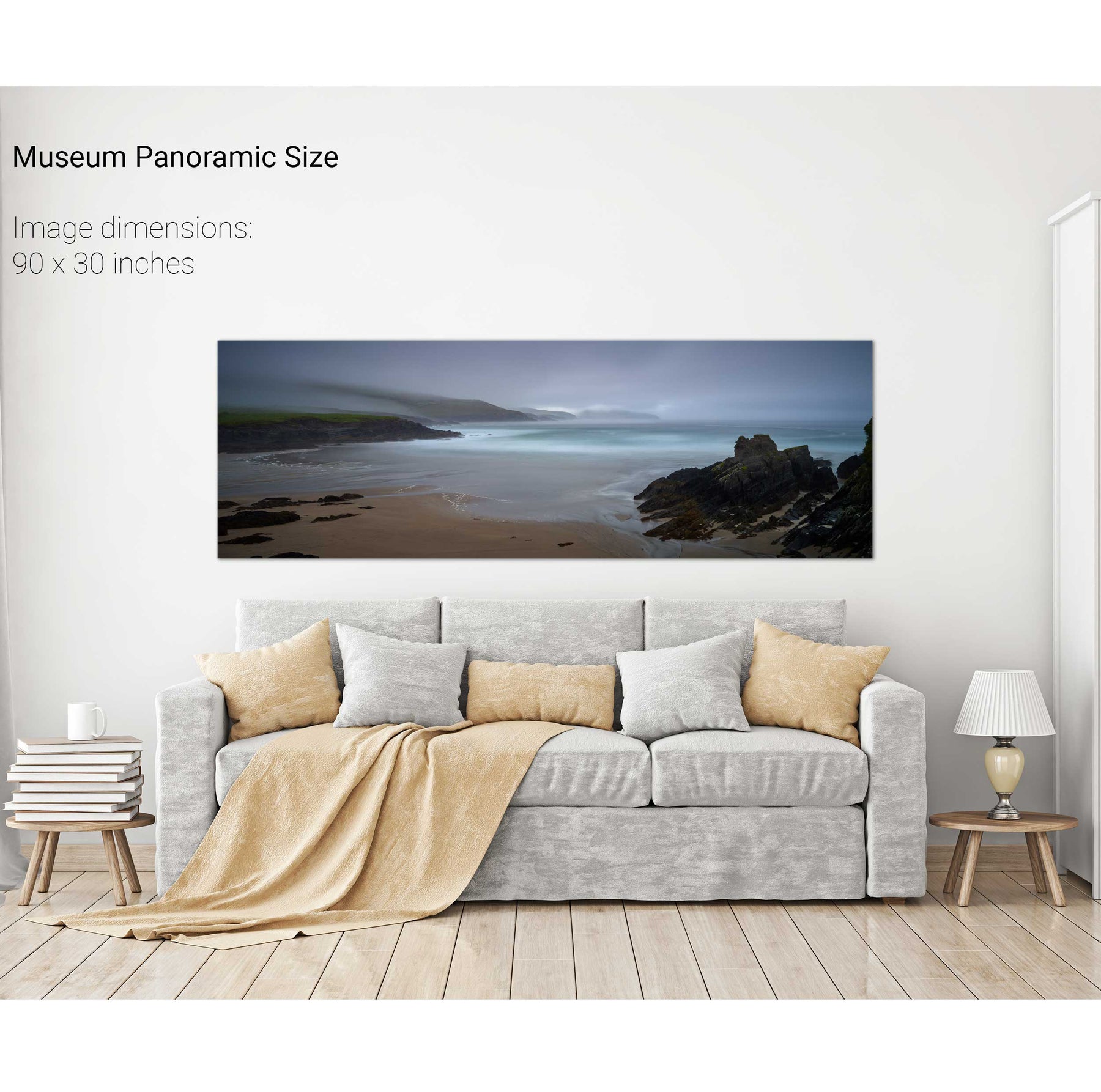
Glen Beach, St. Finian's Bay, Kerry
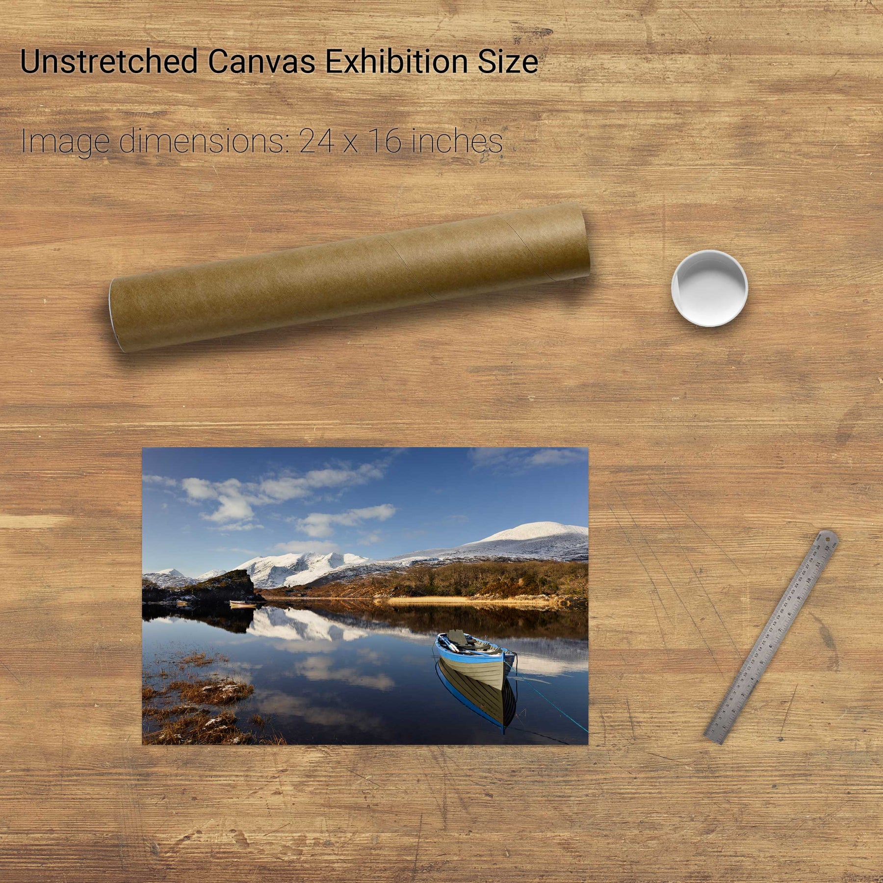
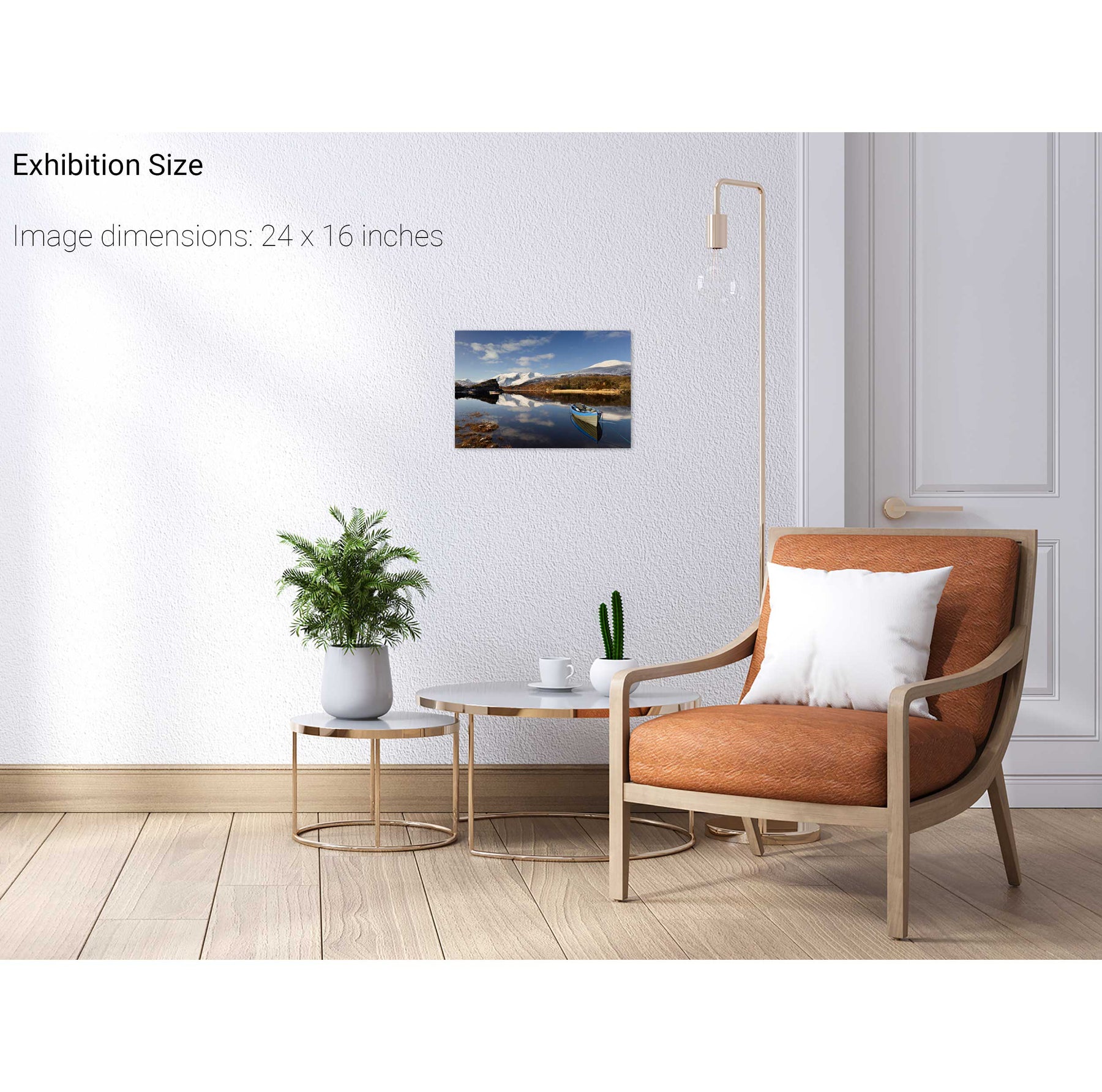
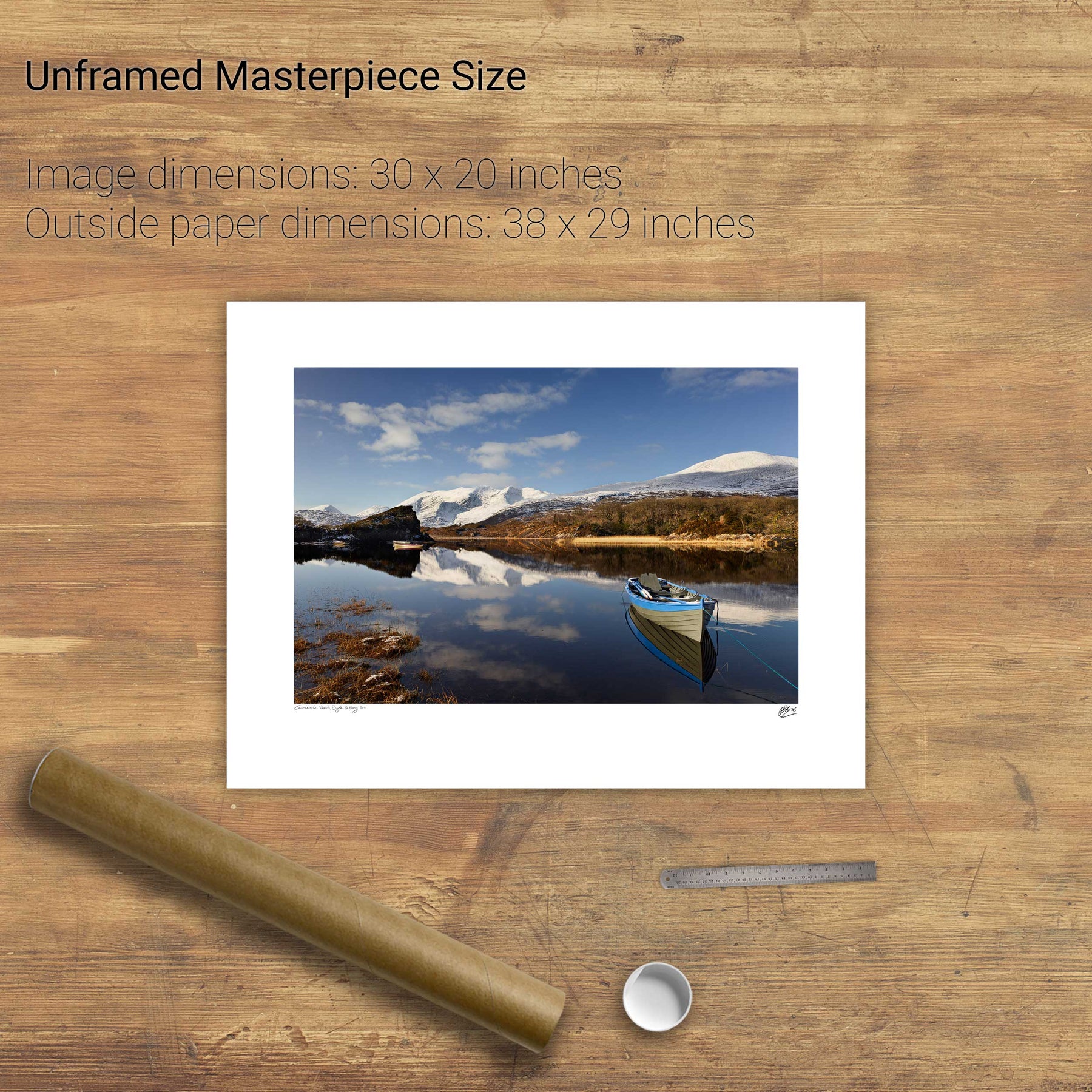
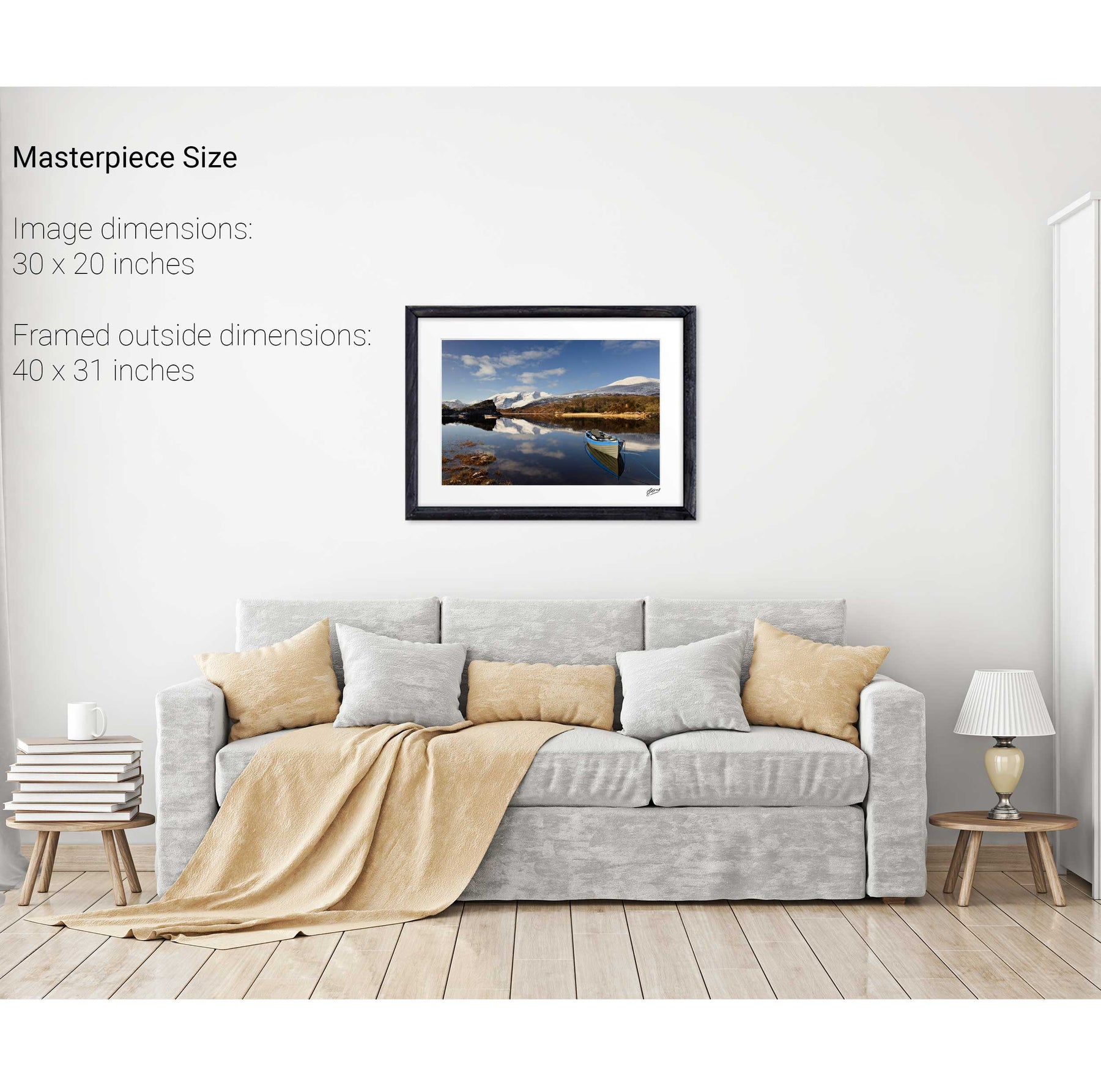
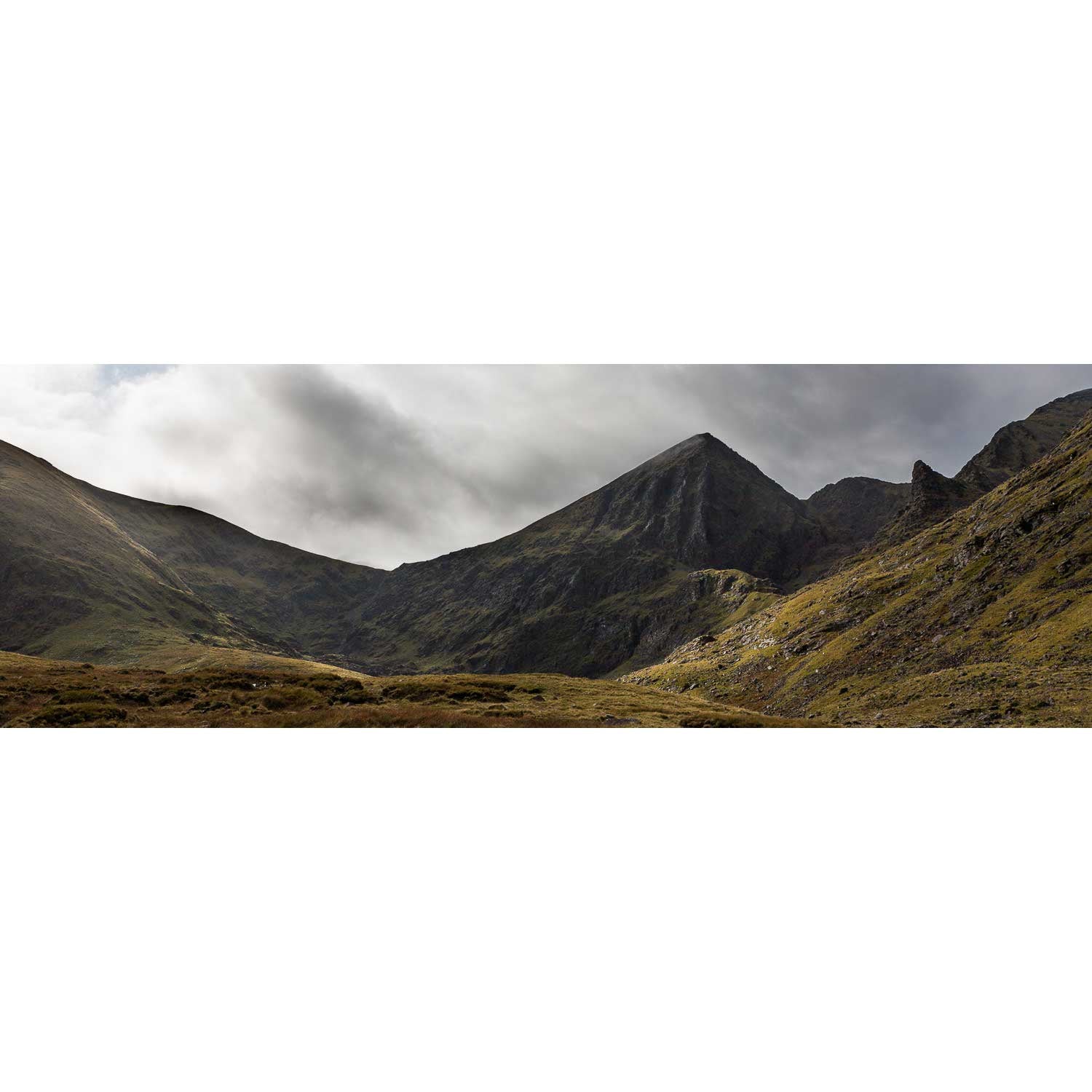
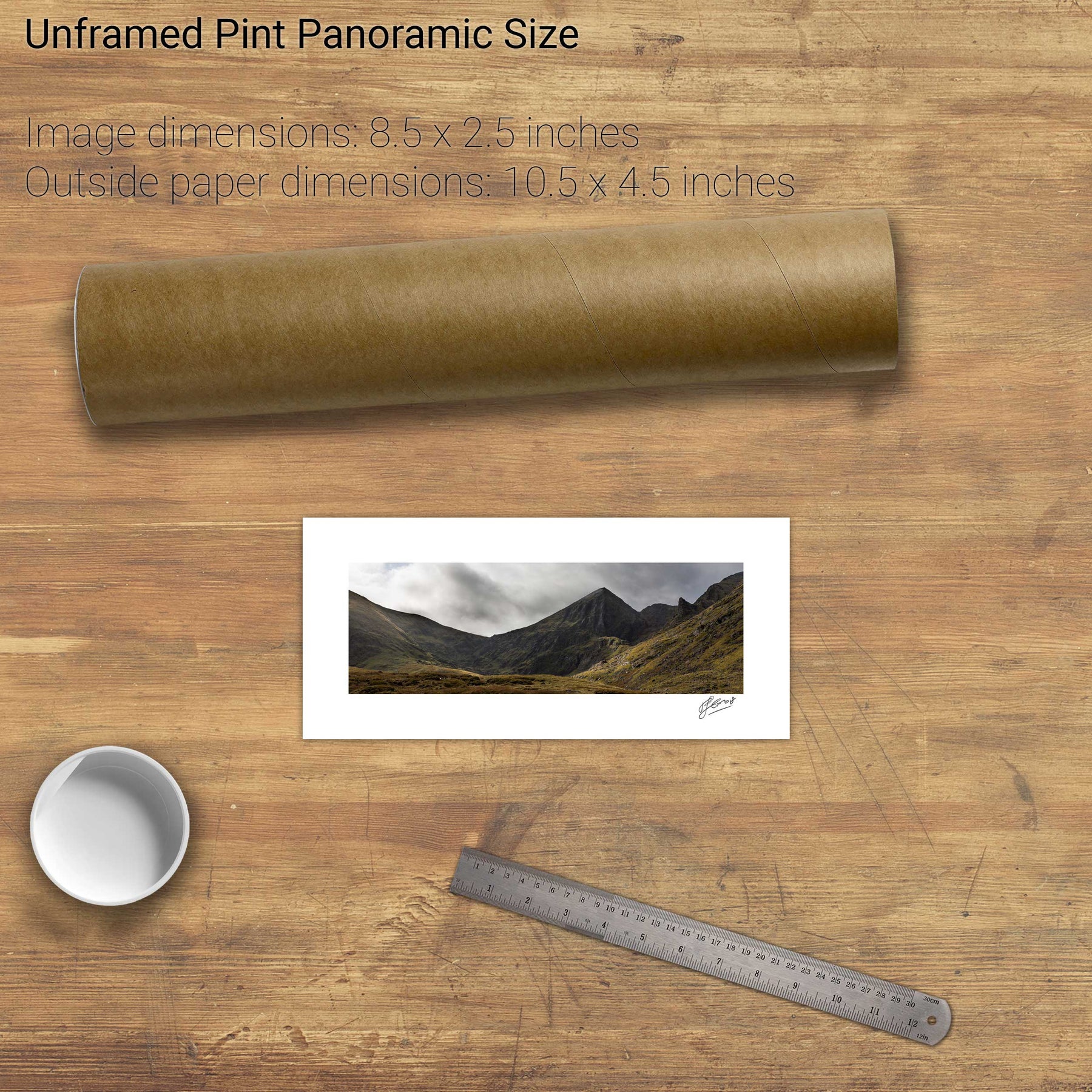
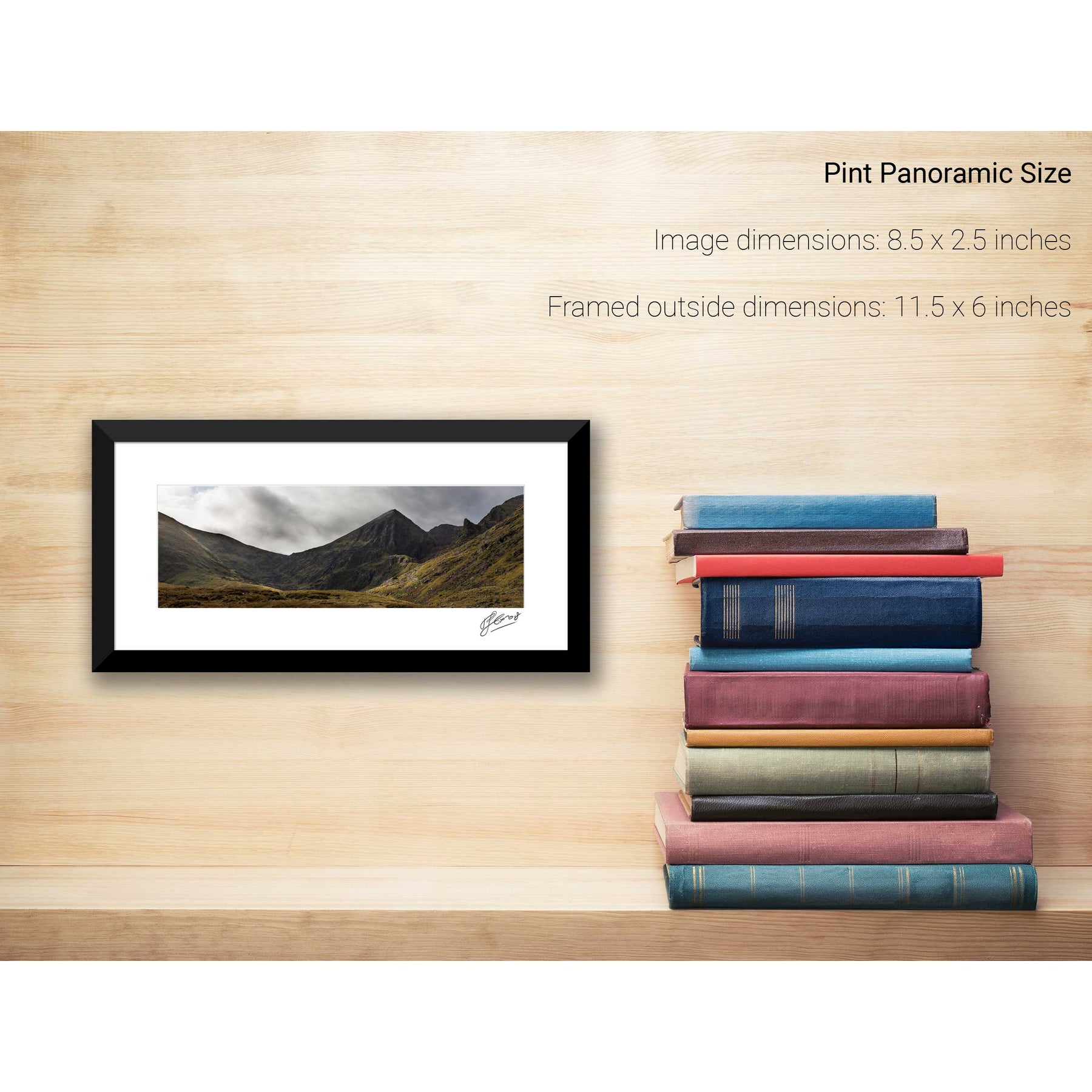
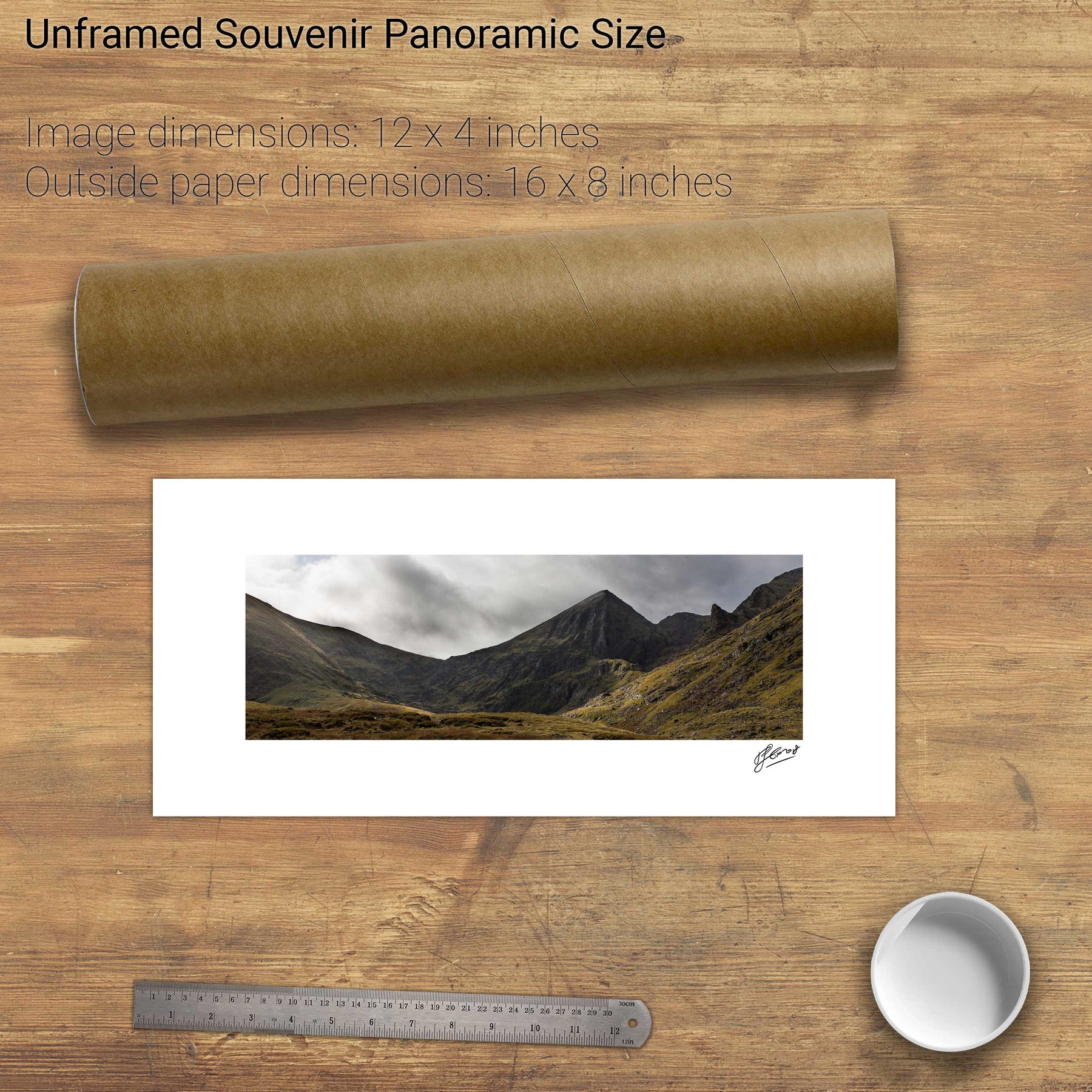
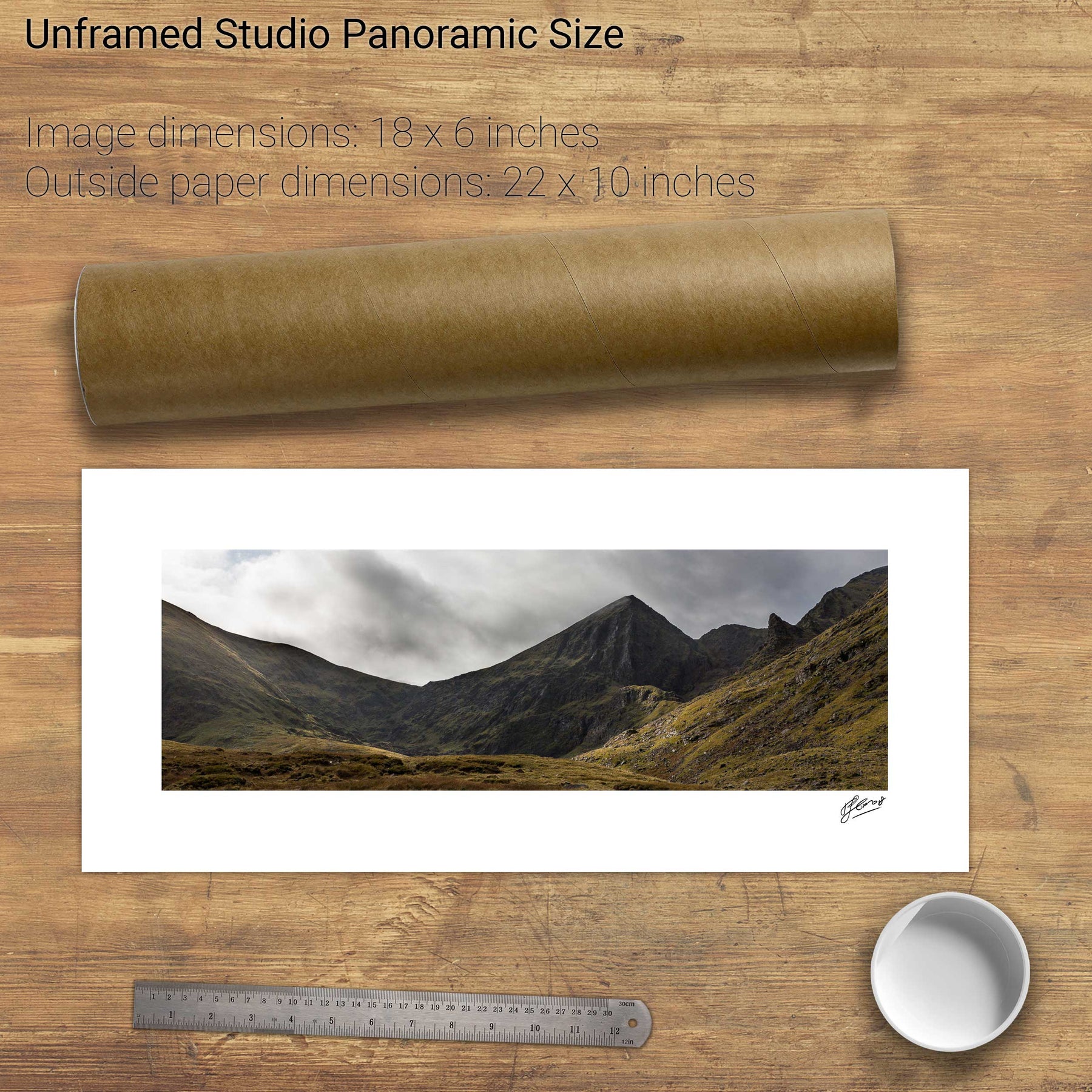
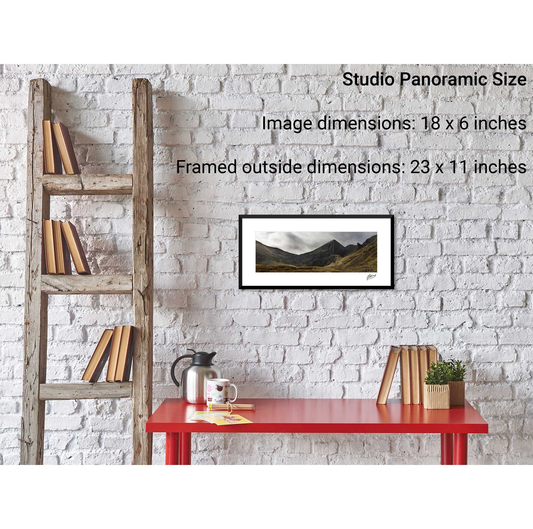
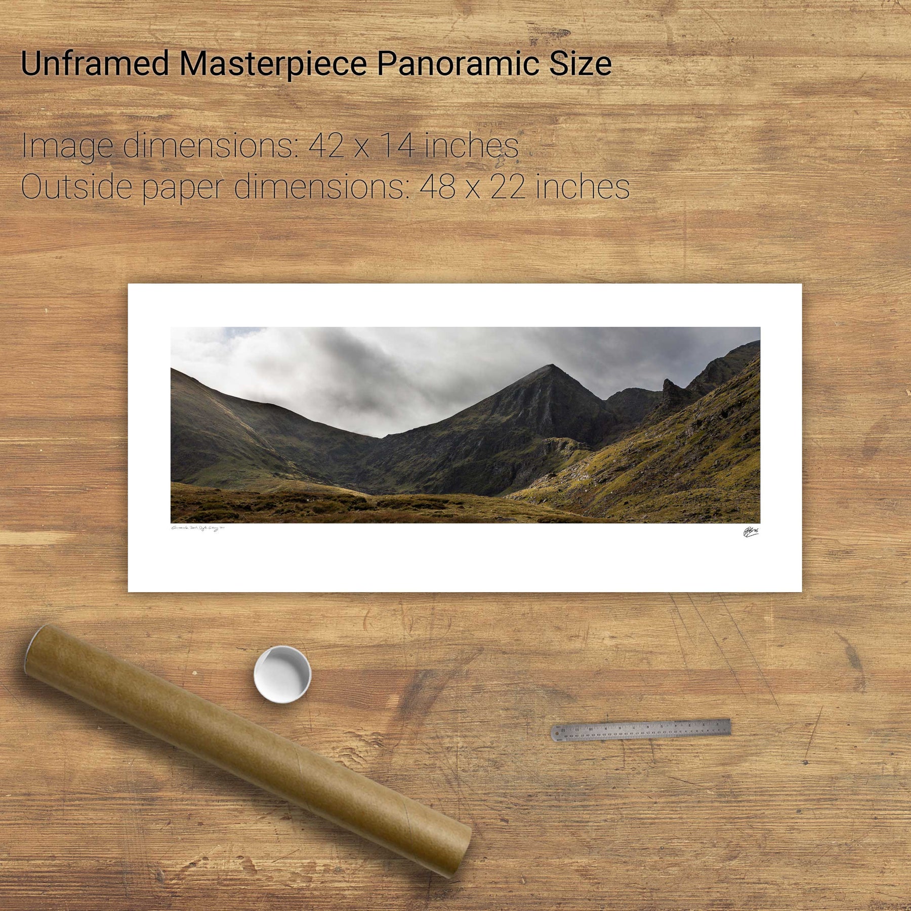
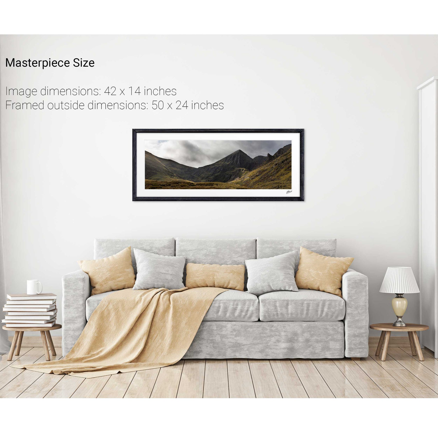
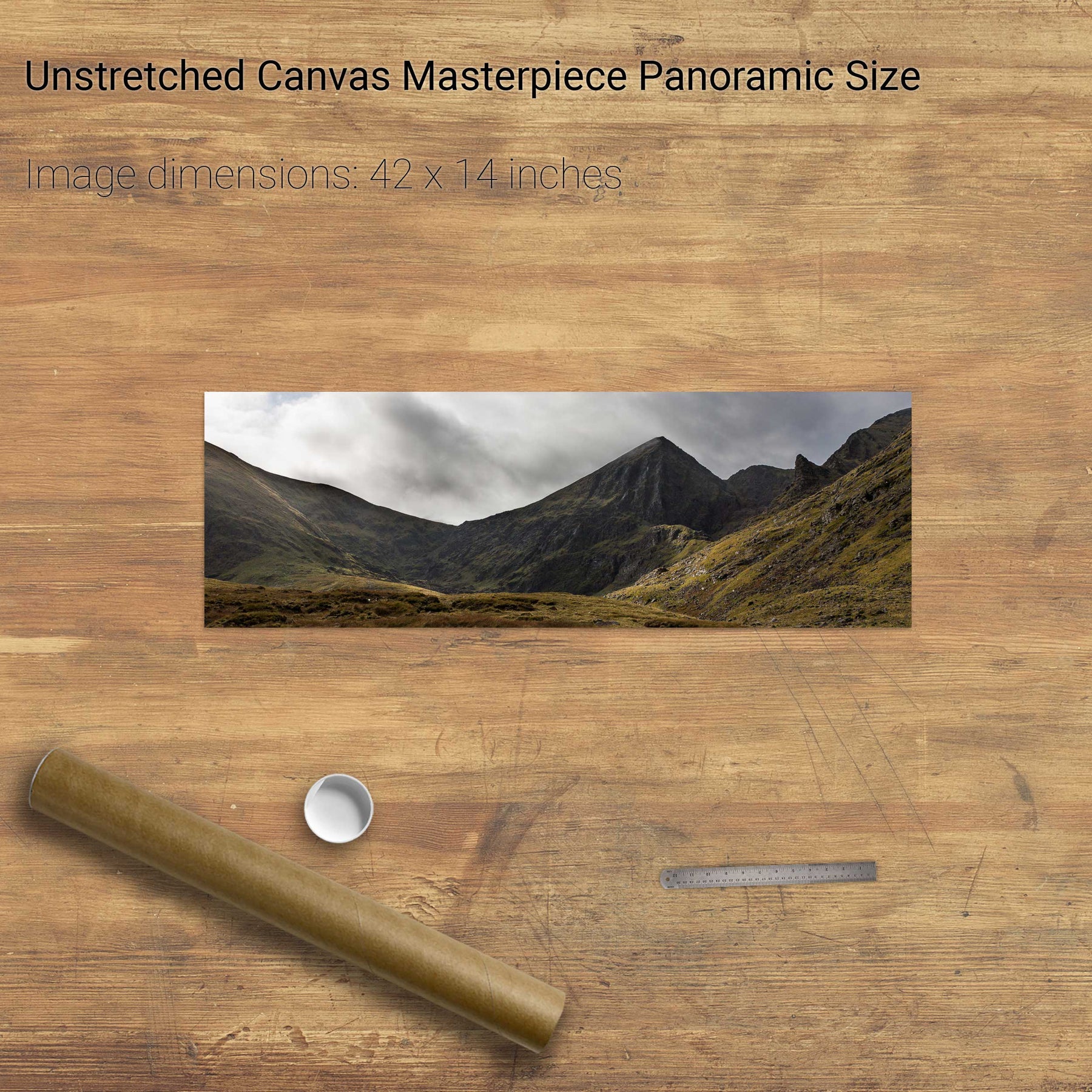
Carrauntoohil, Co. Kerry
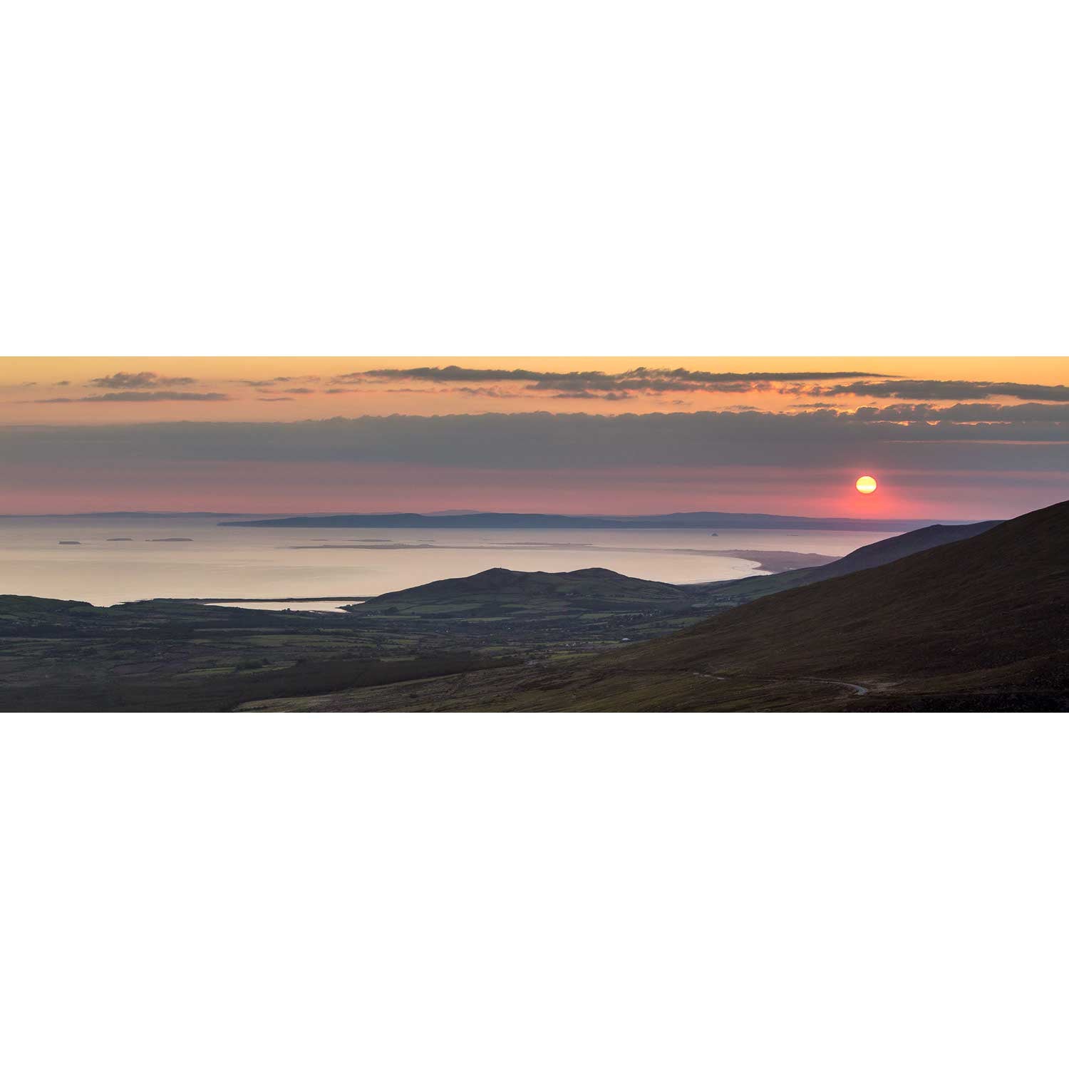
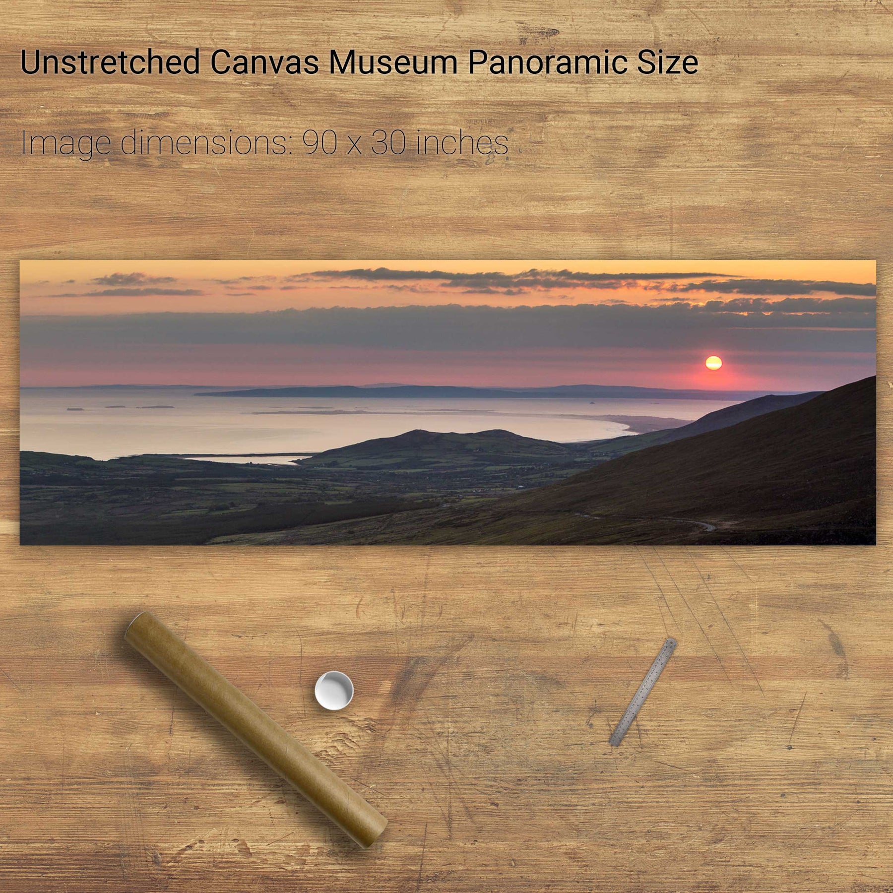
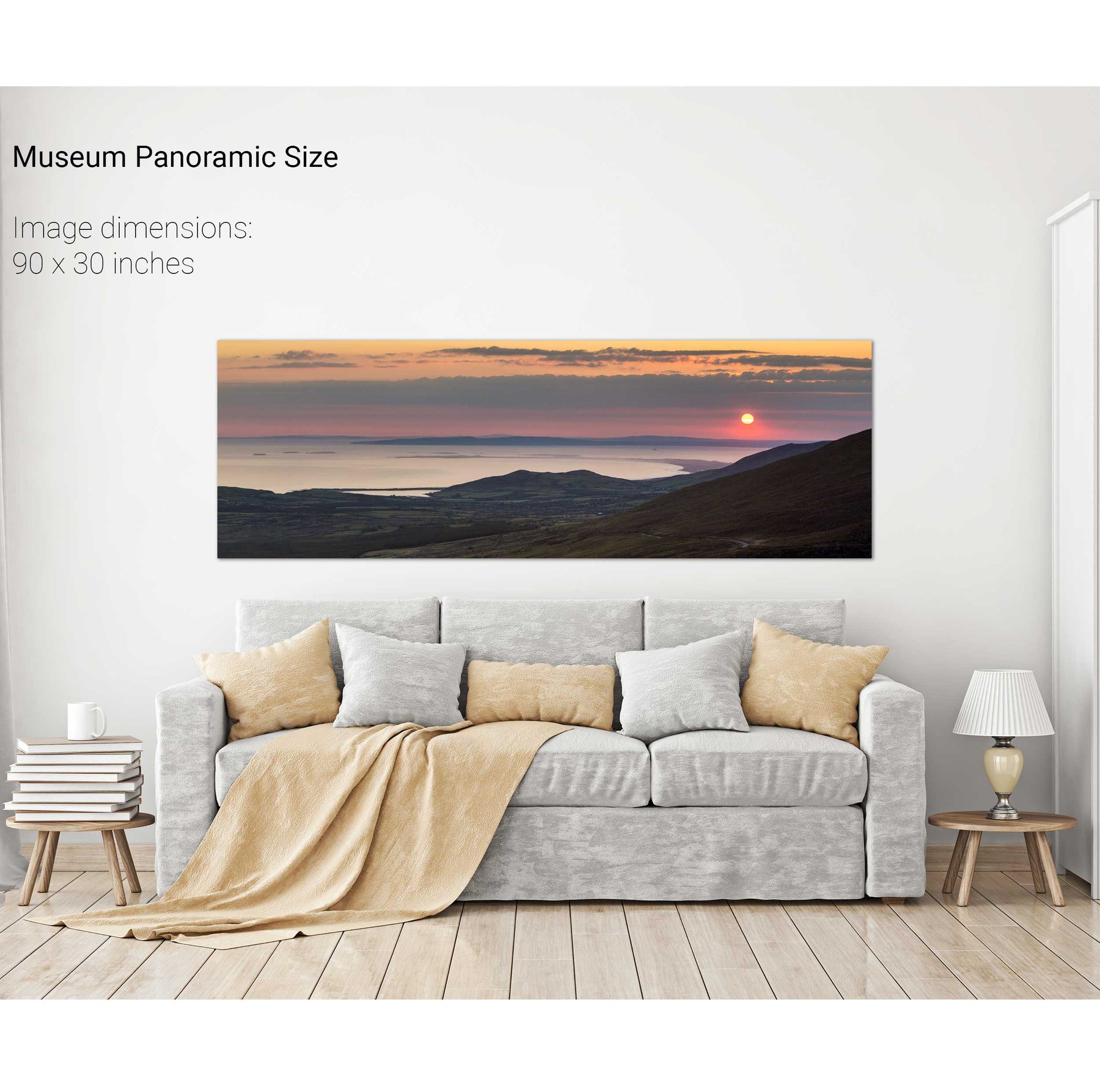
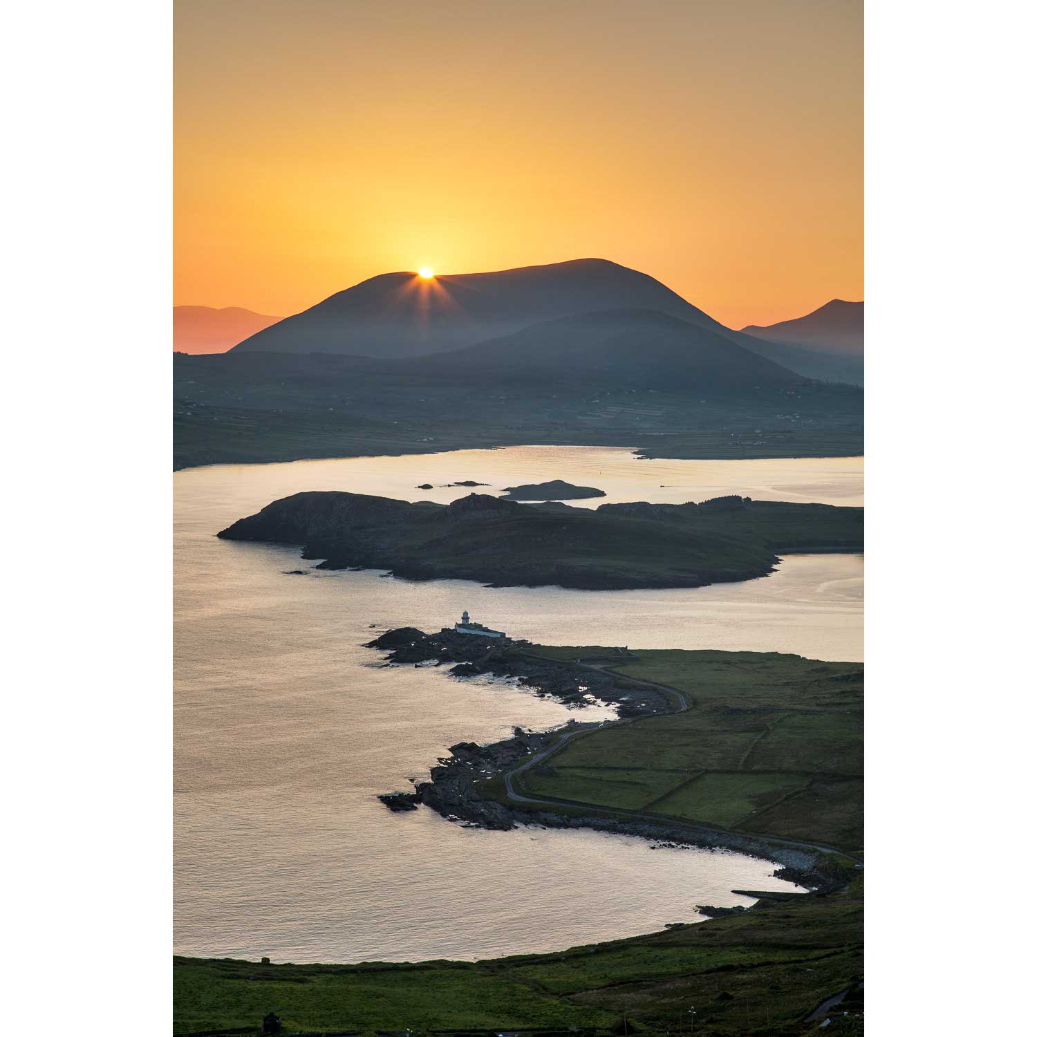
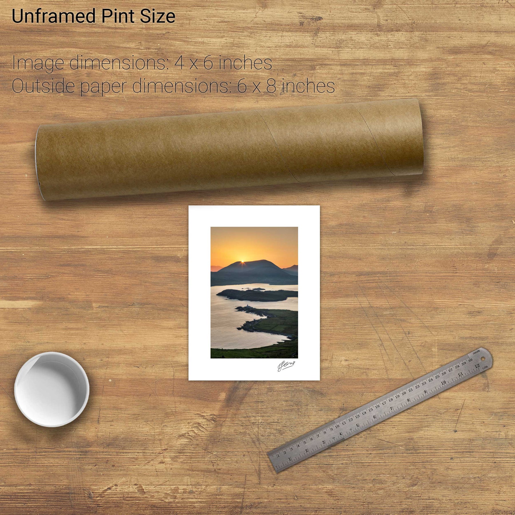
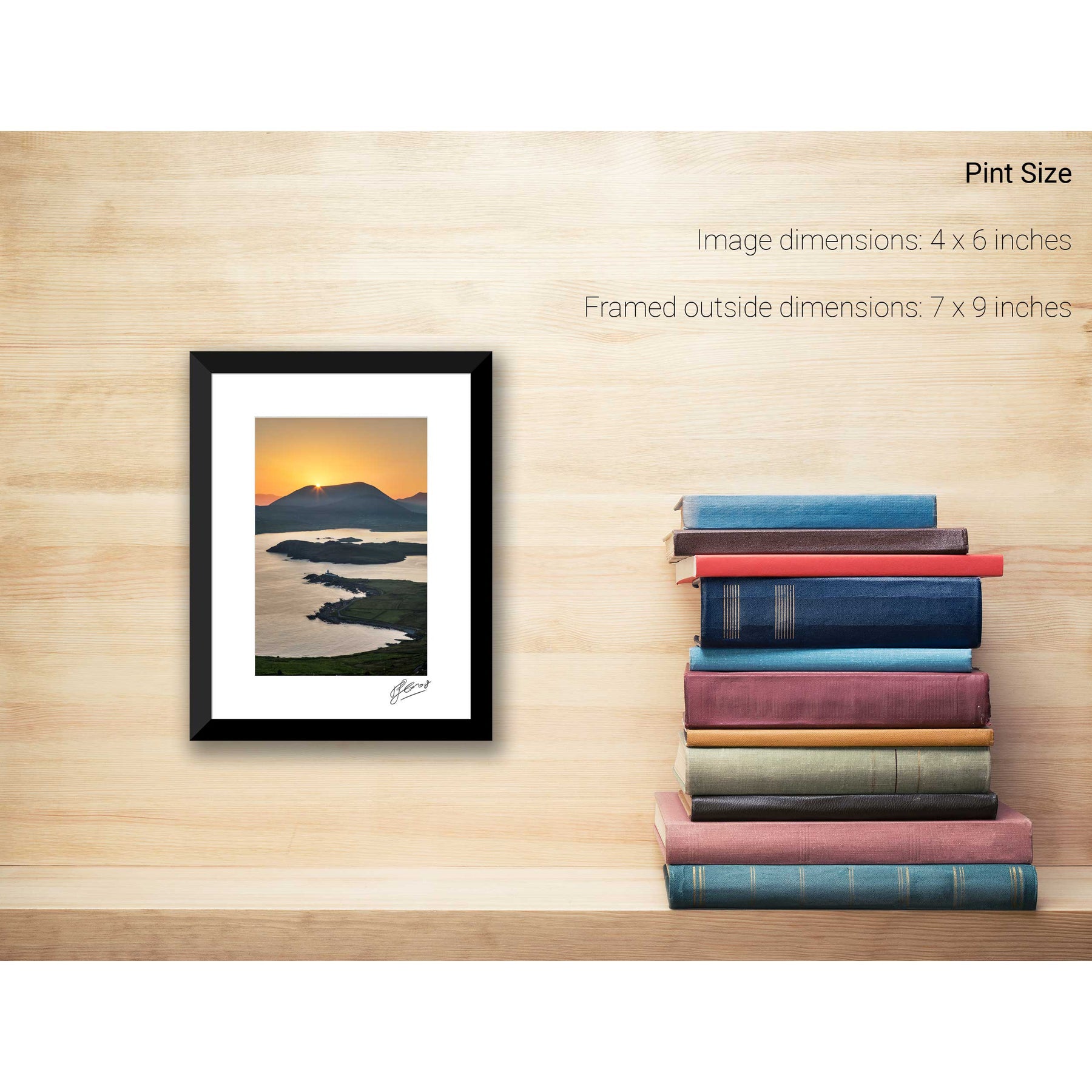
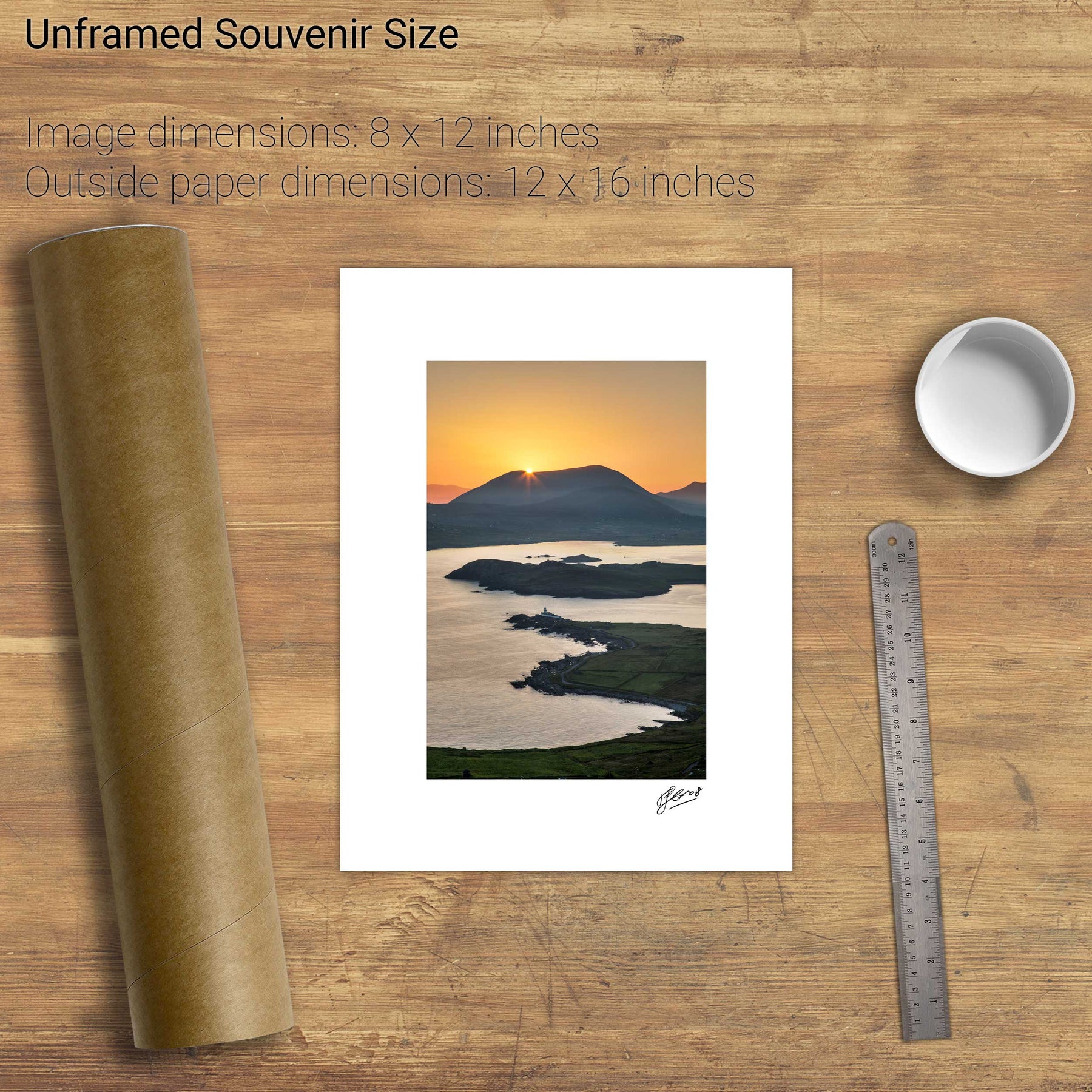
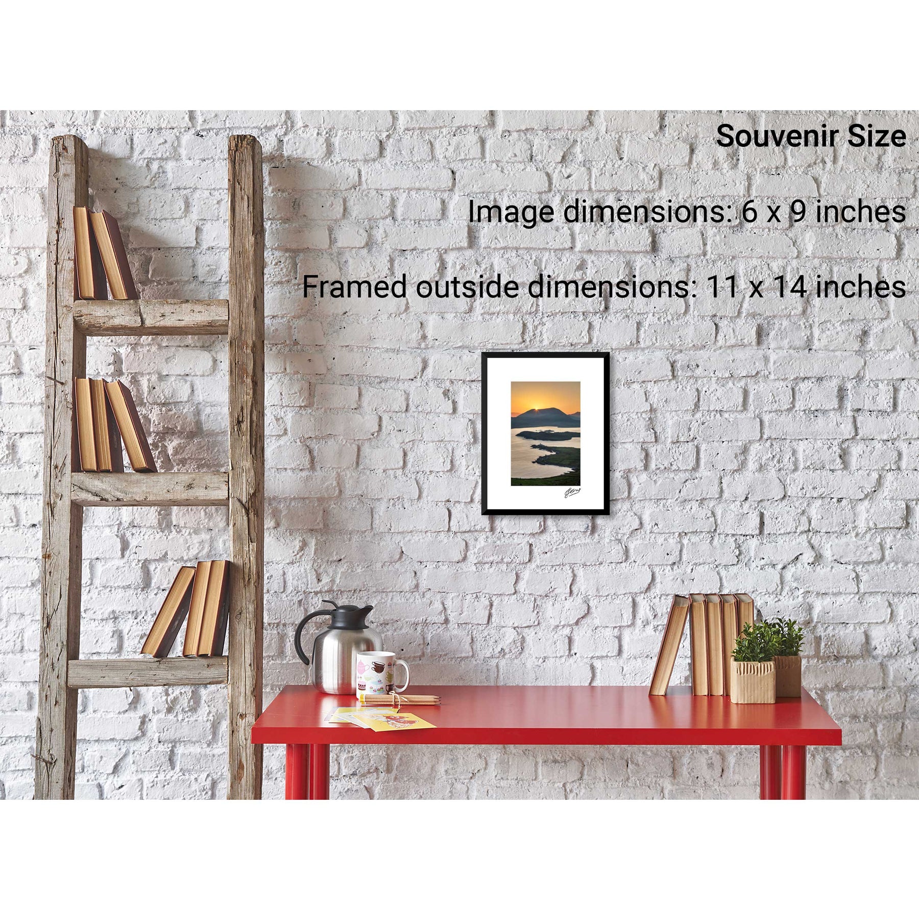
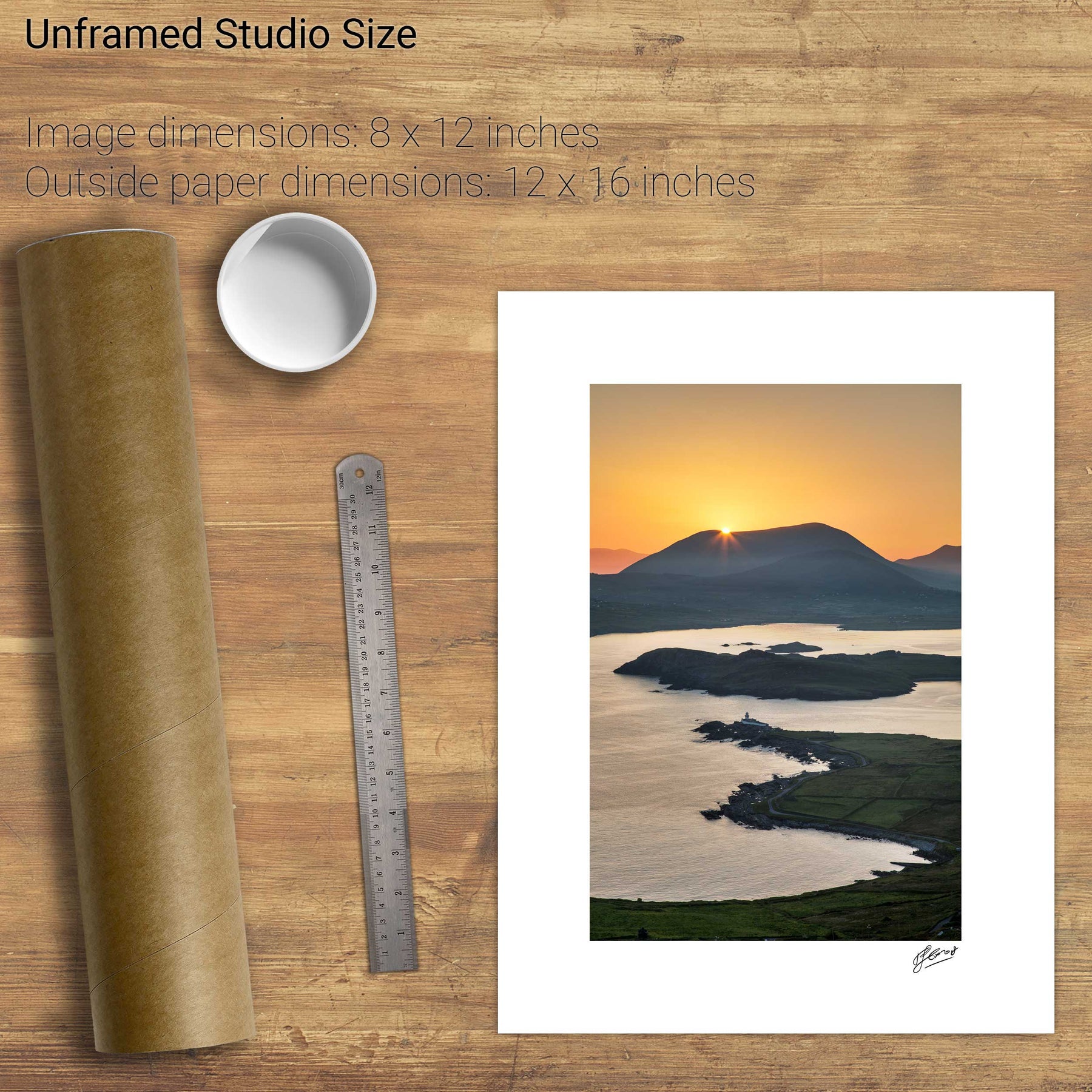
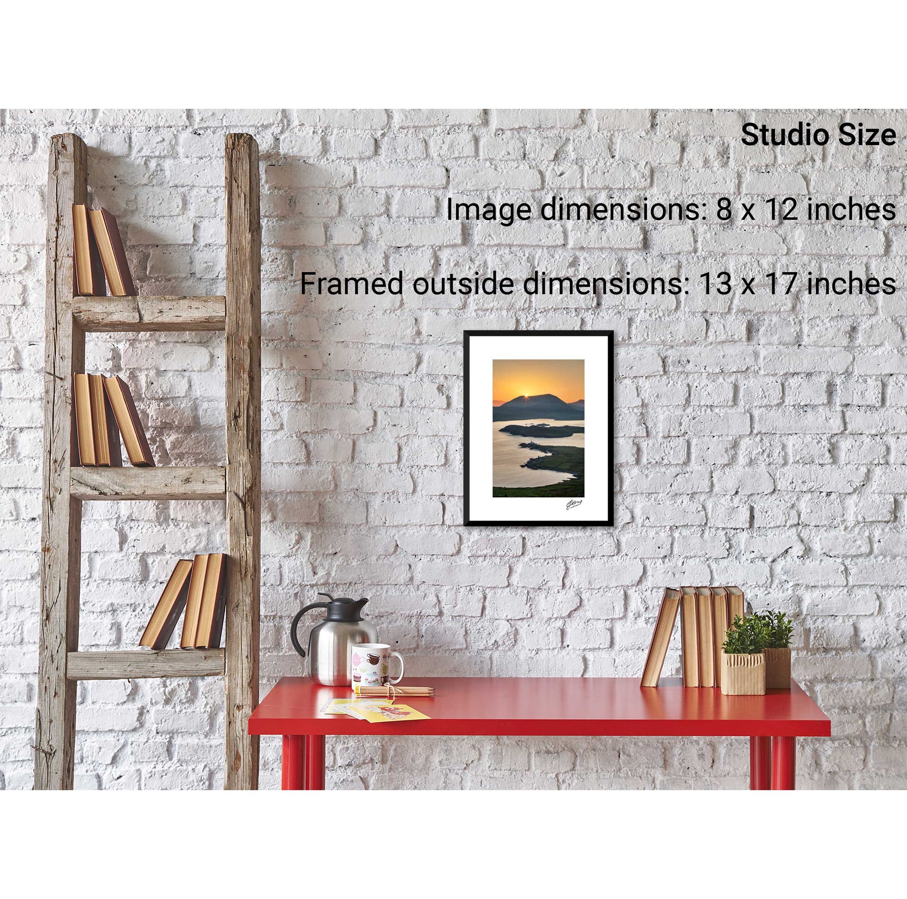
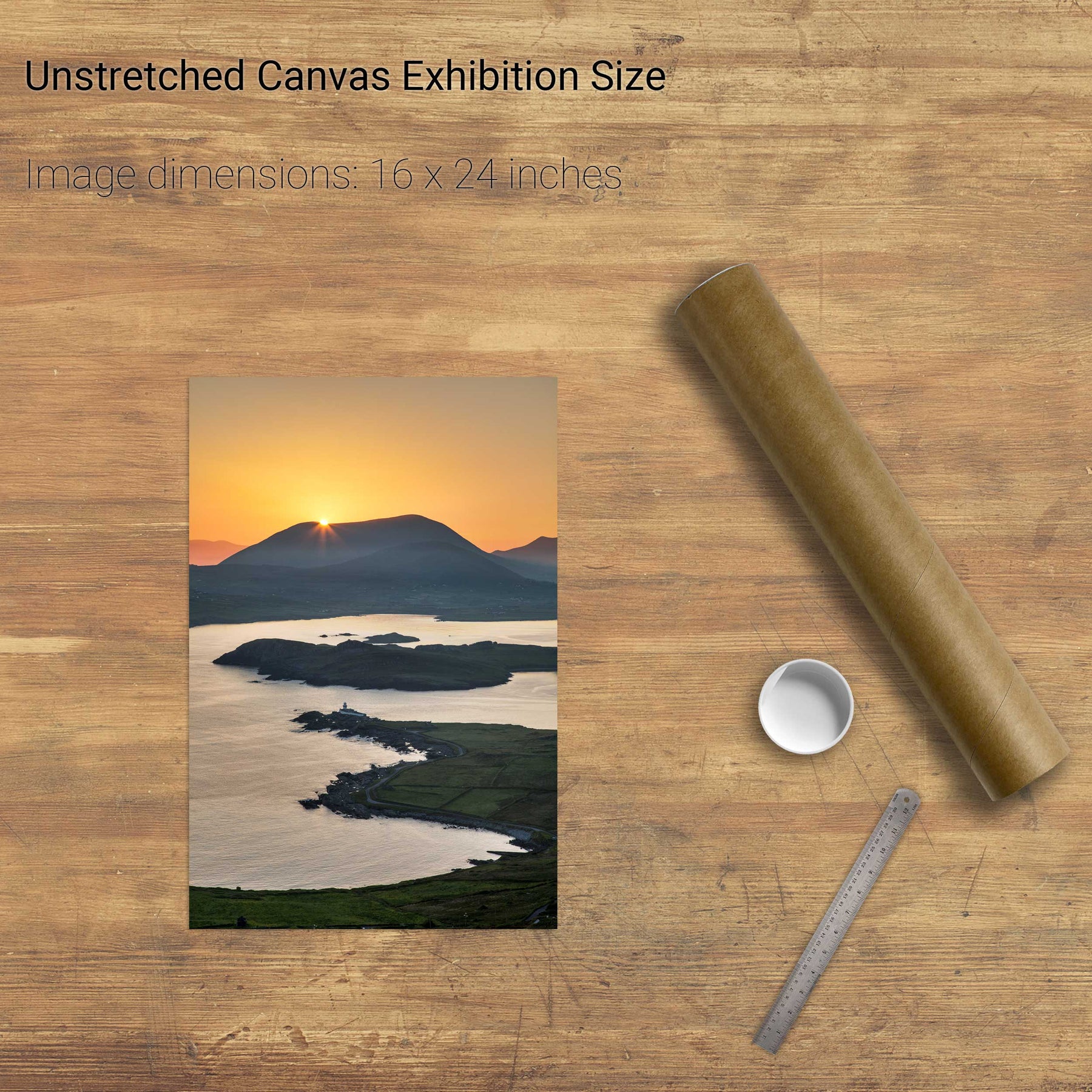
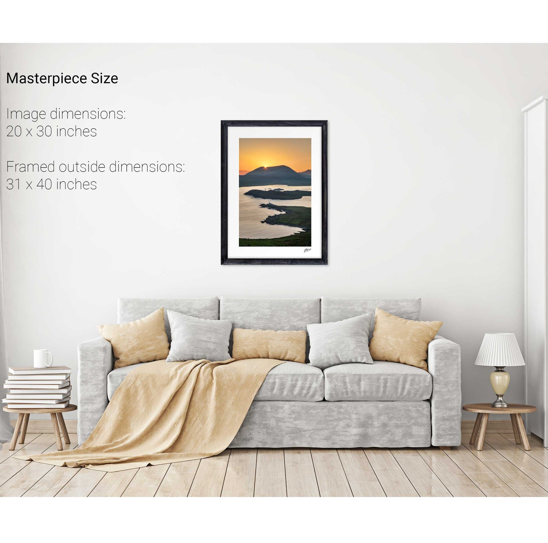
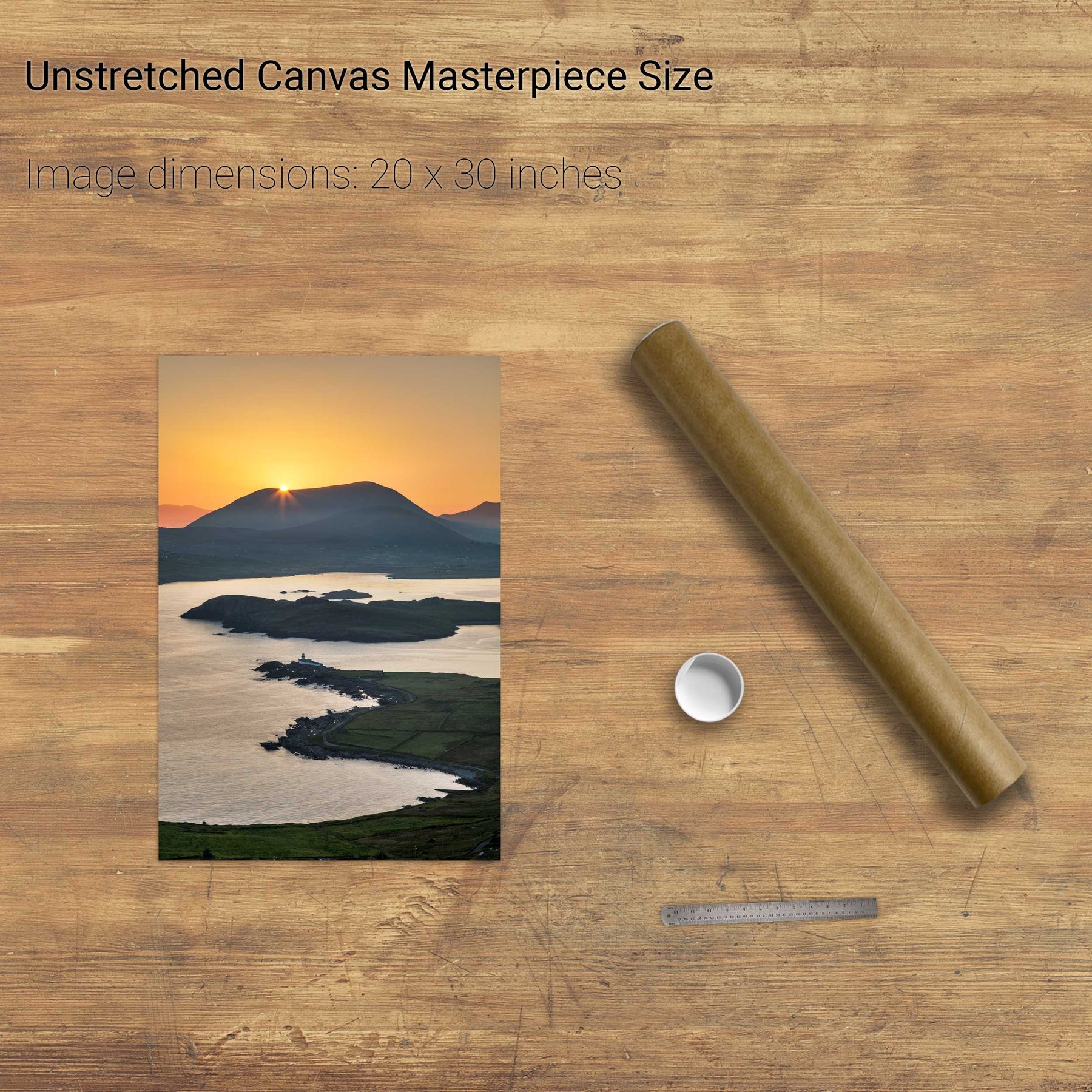
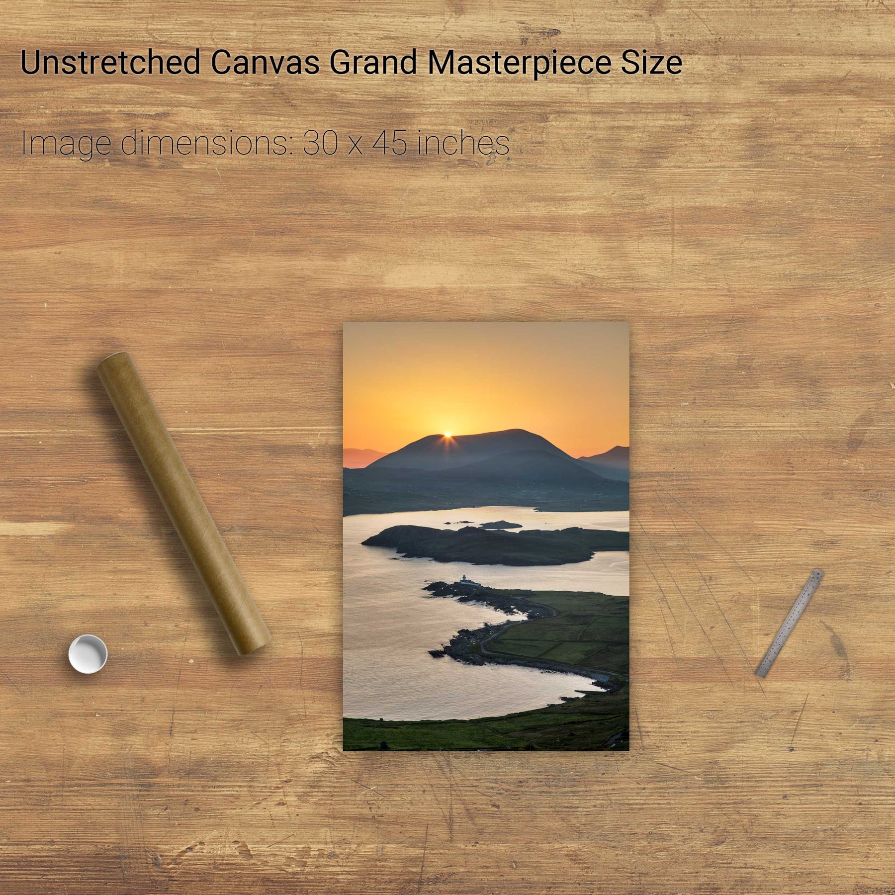
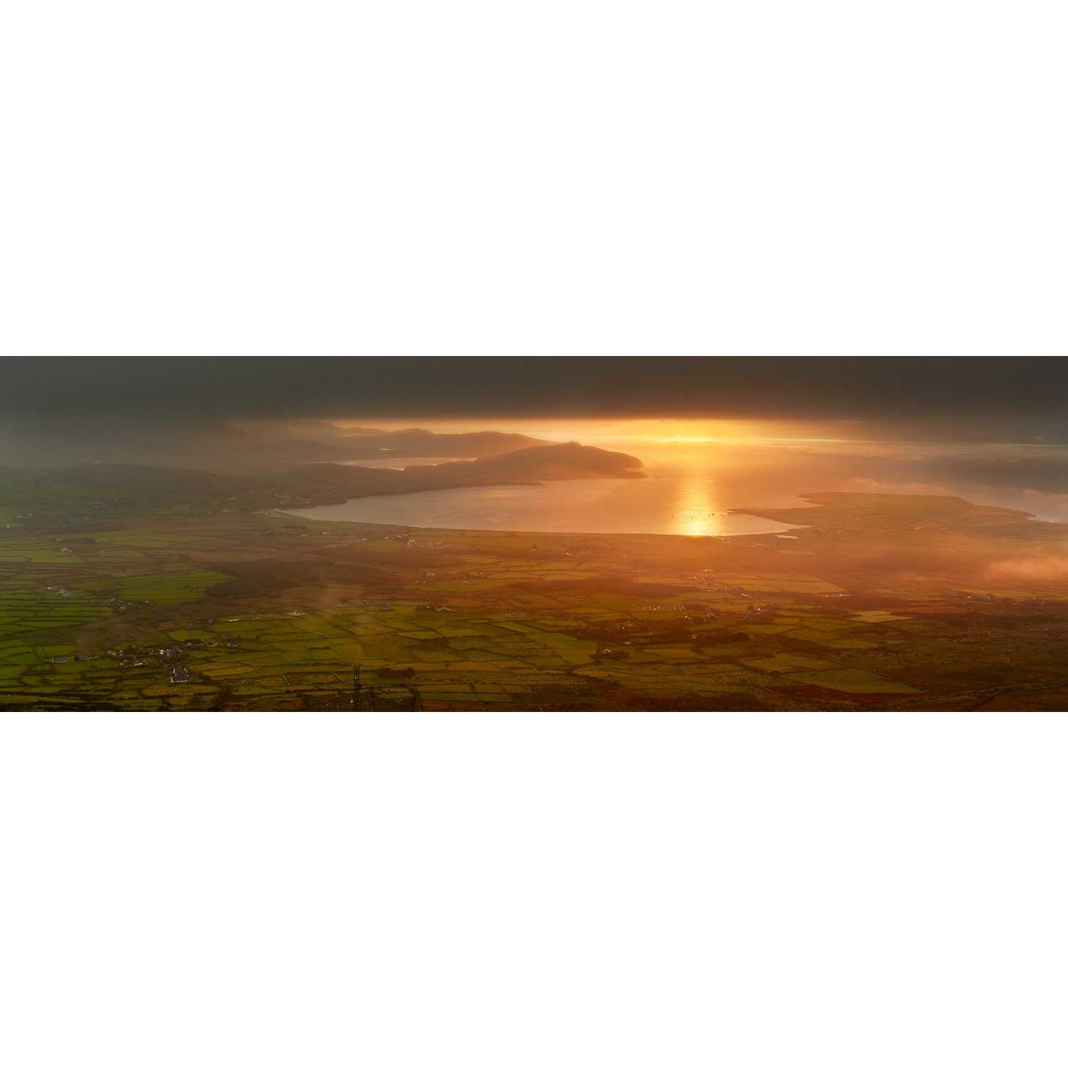
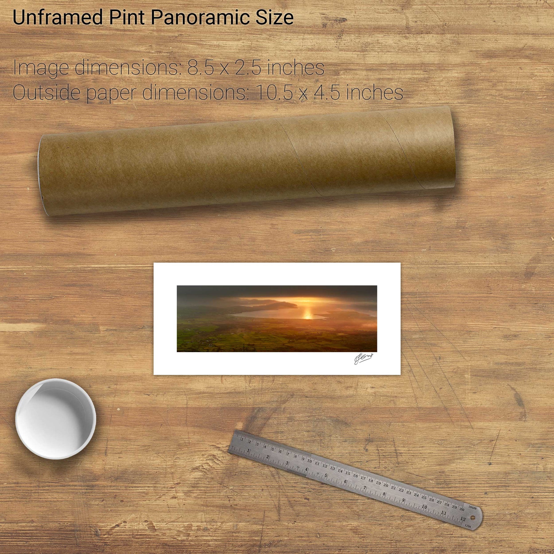
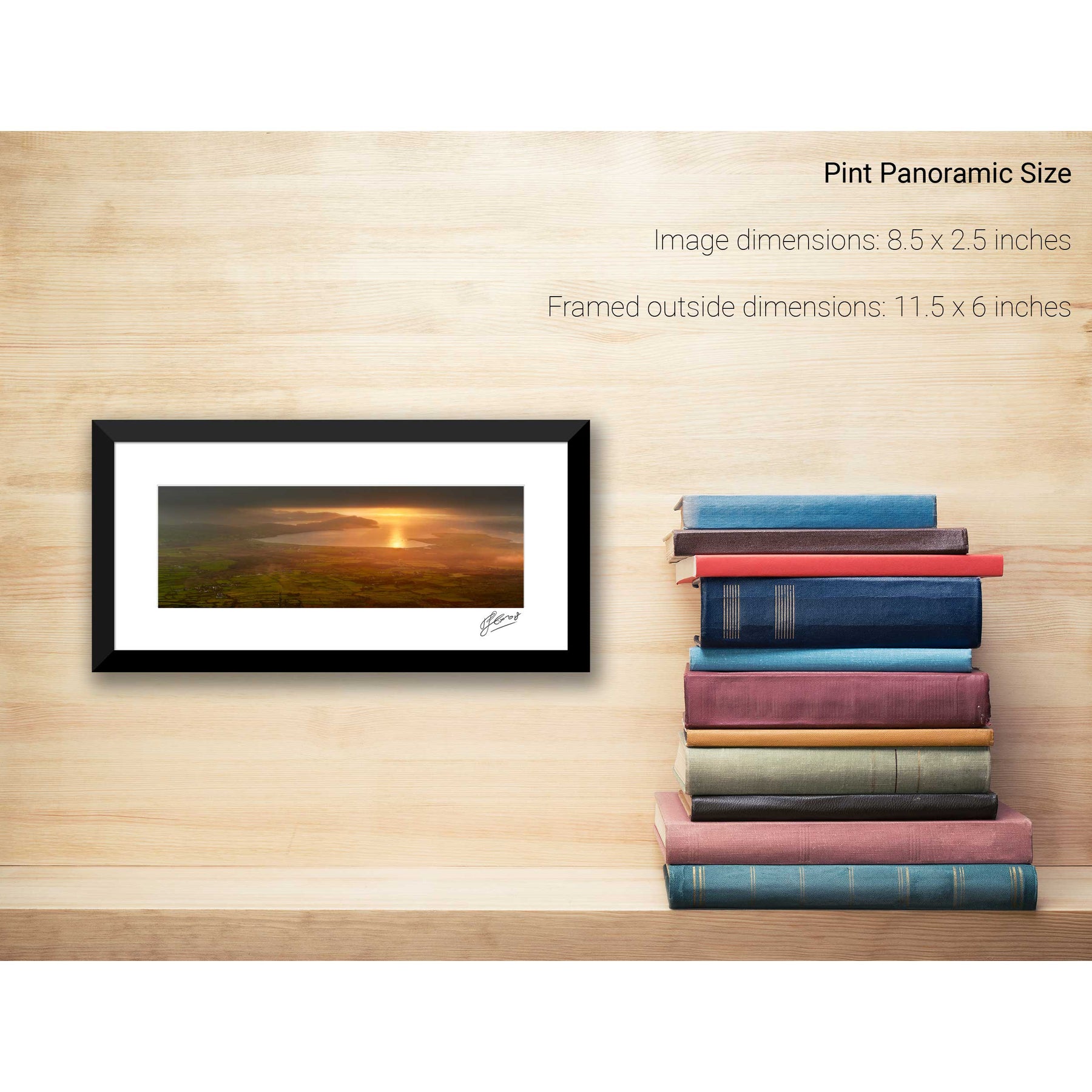
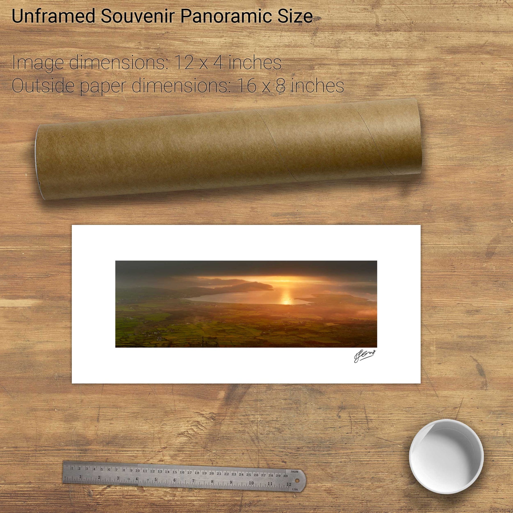
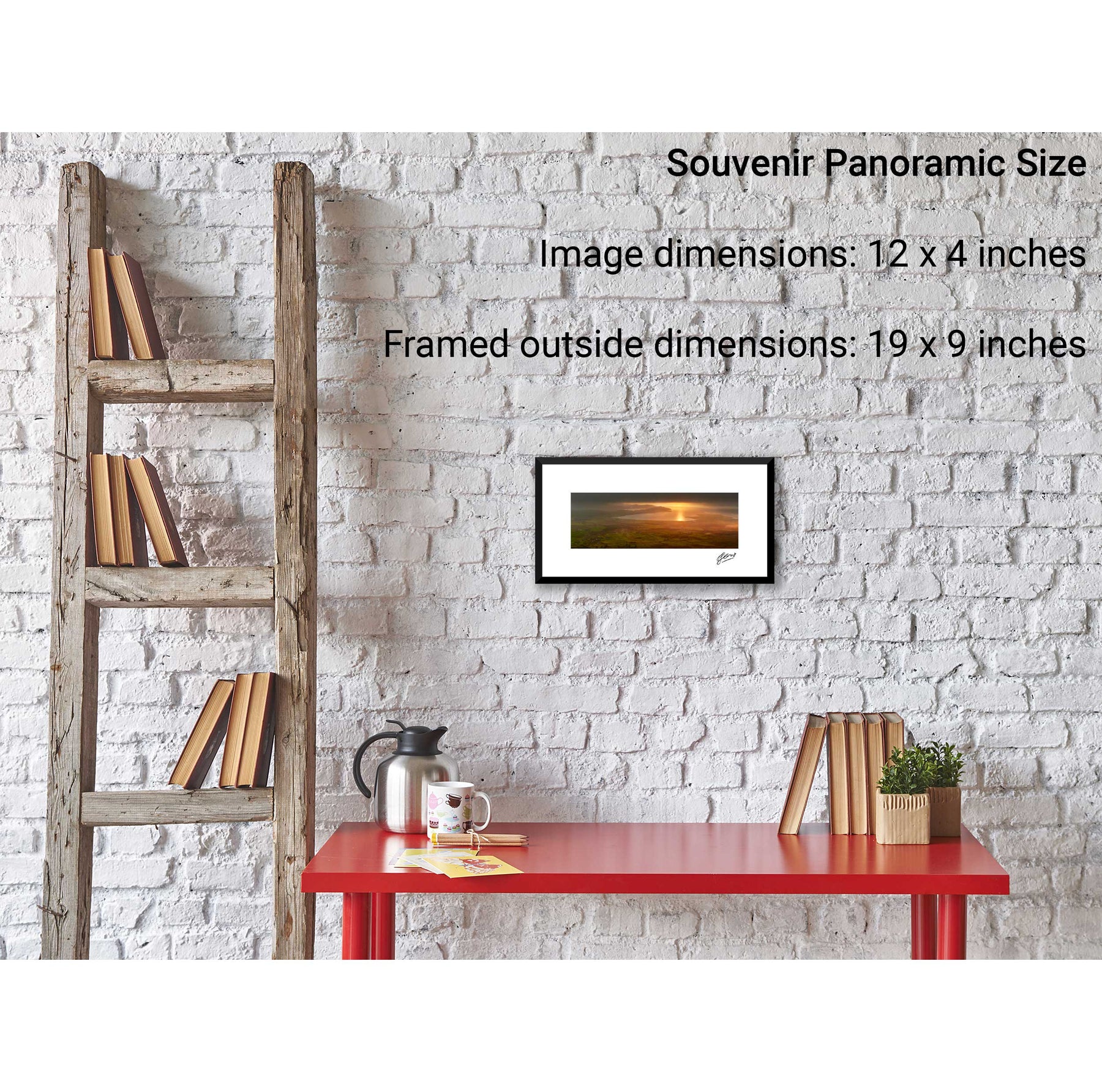
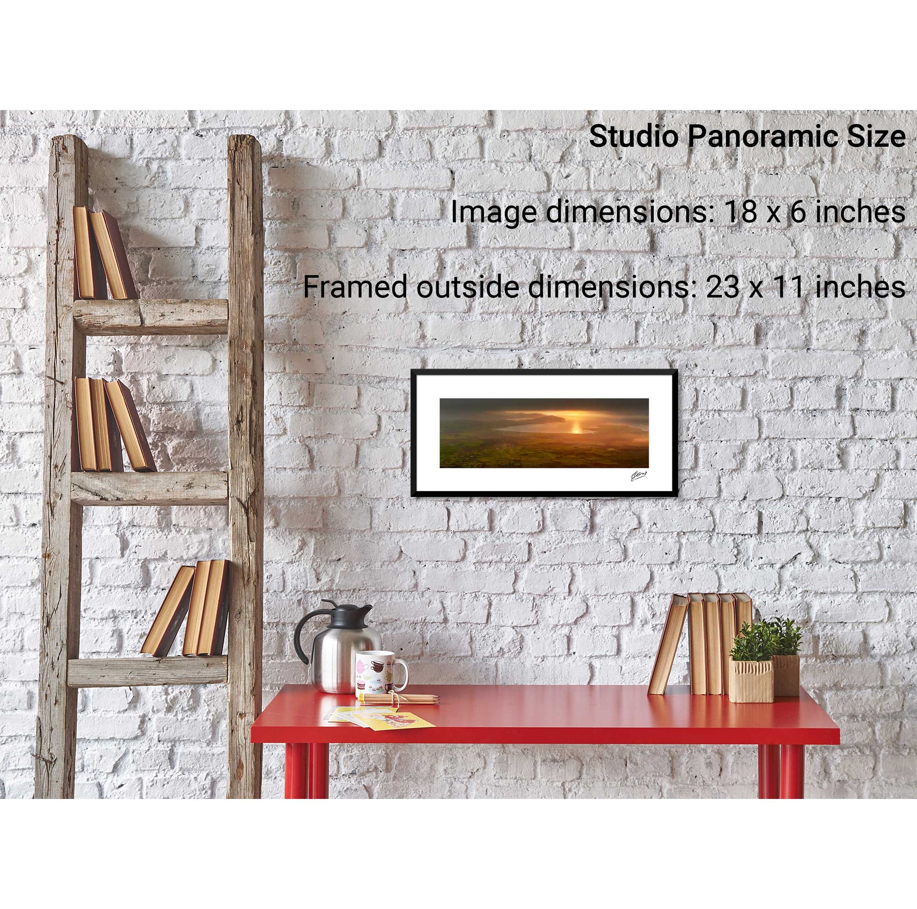
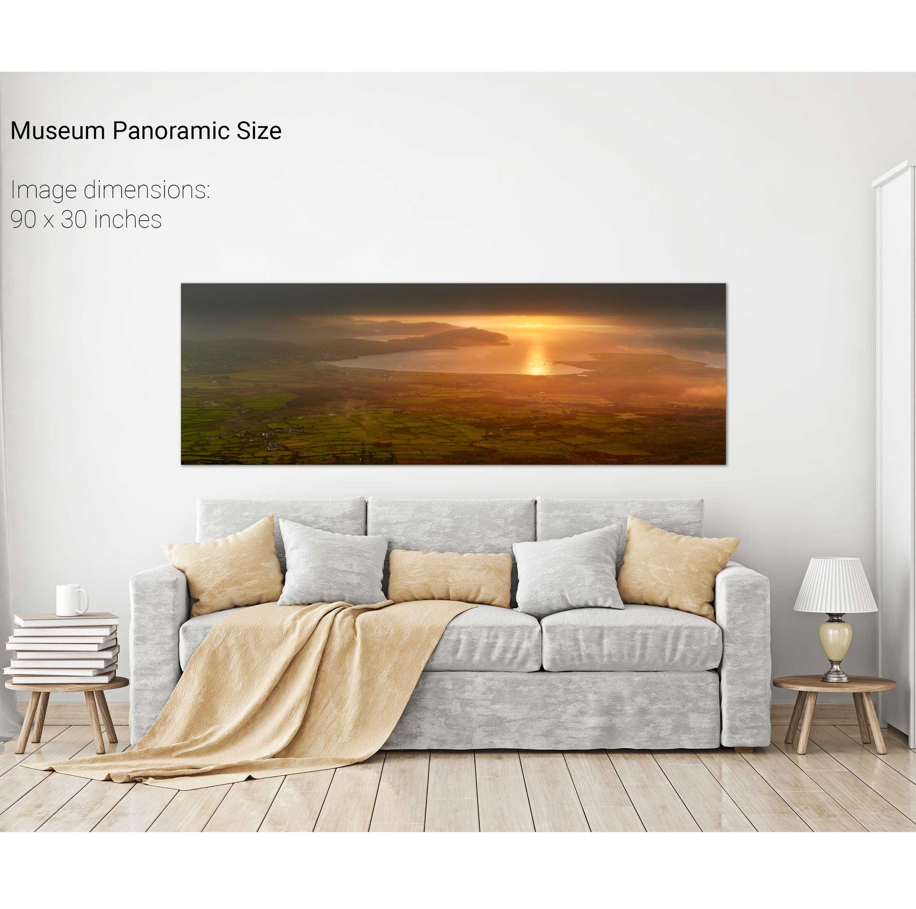
Sunrise, Geokaun, Valentia Island, Co. Kerry
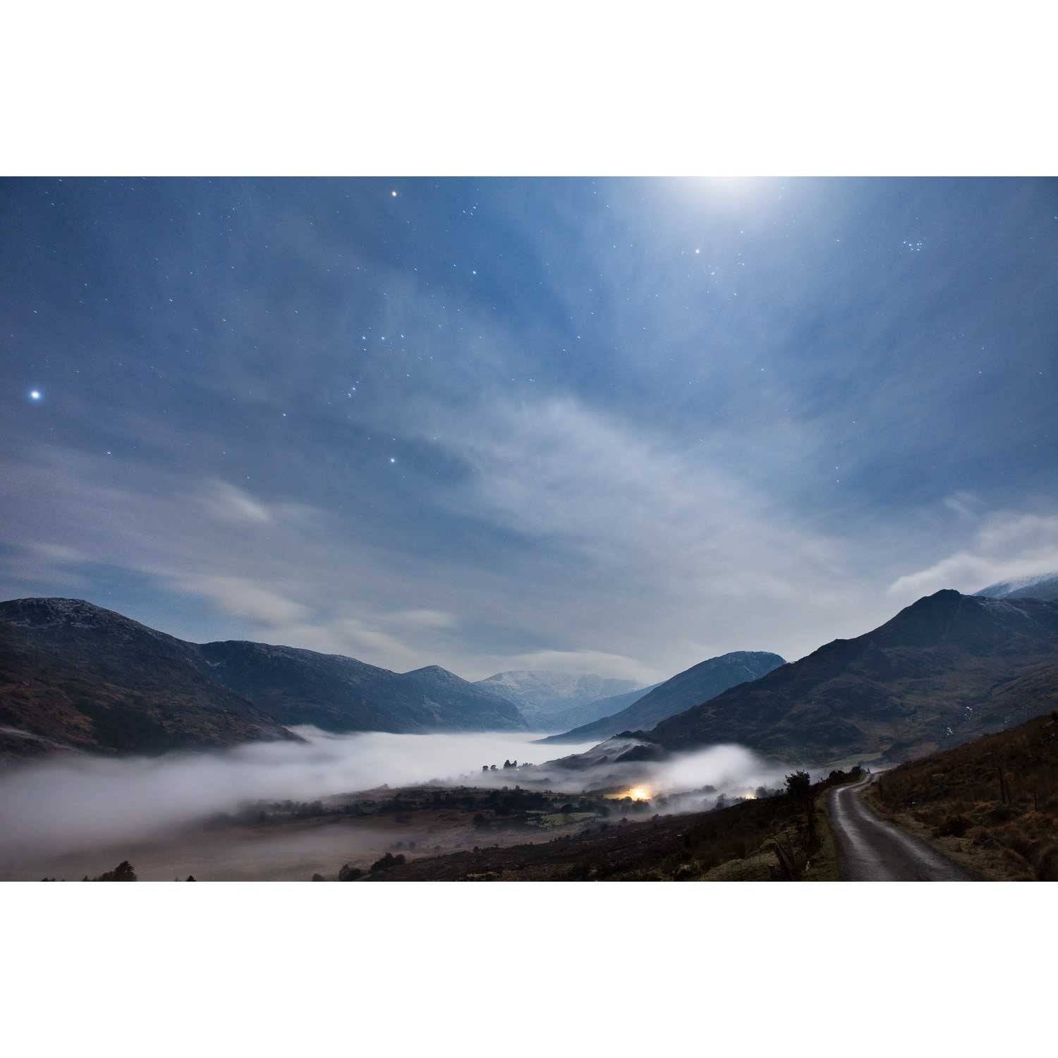
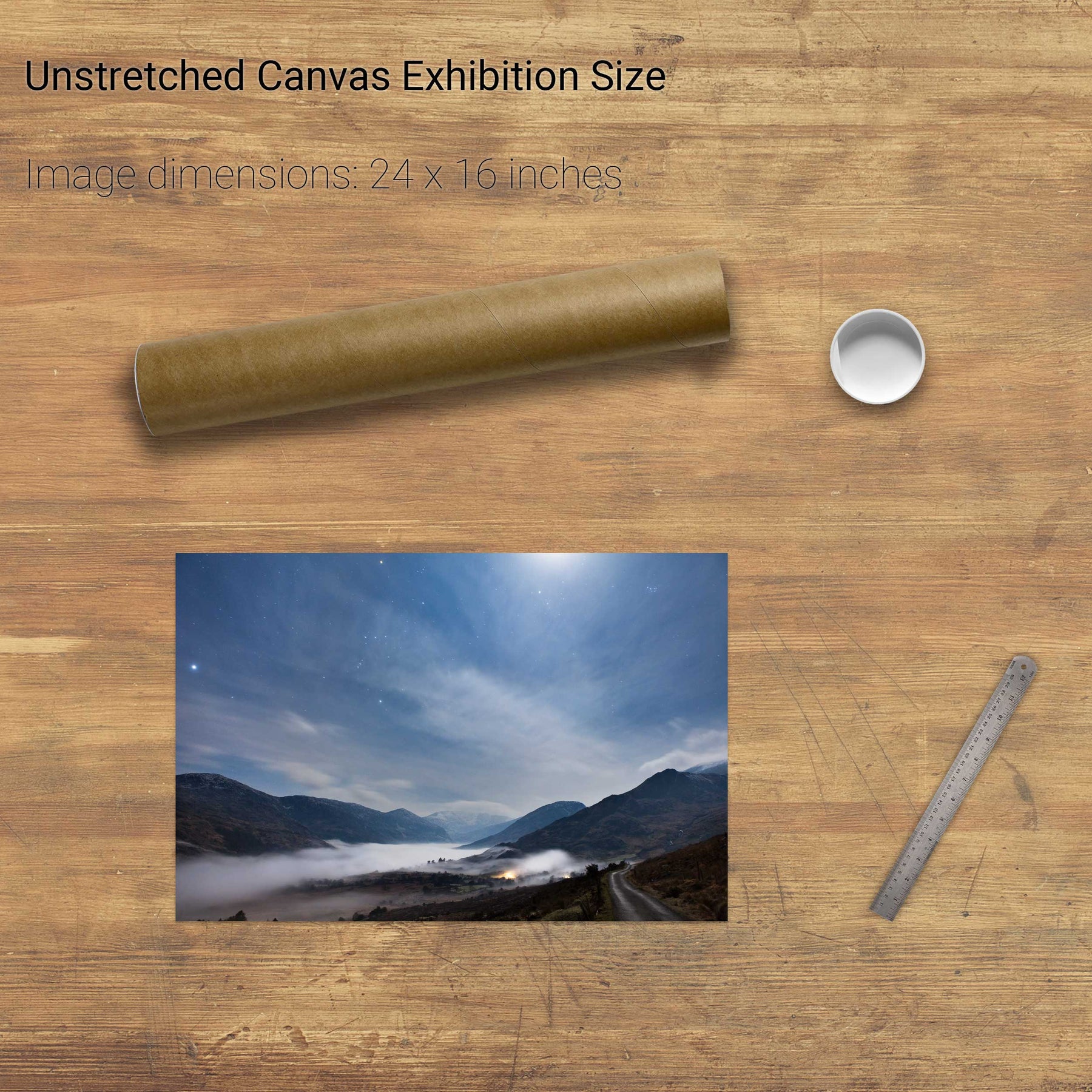
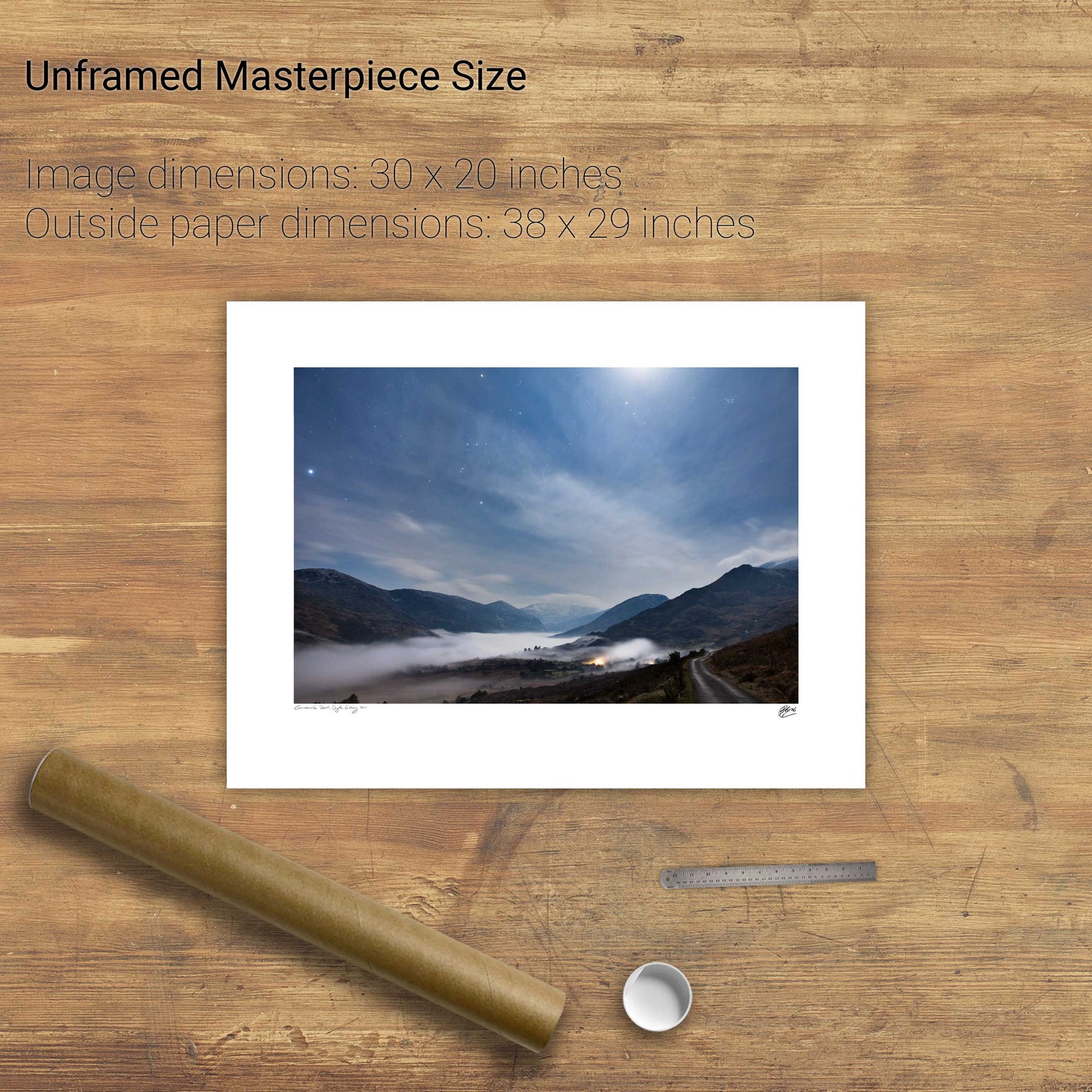
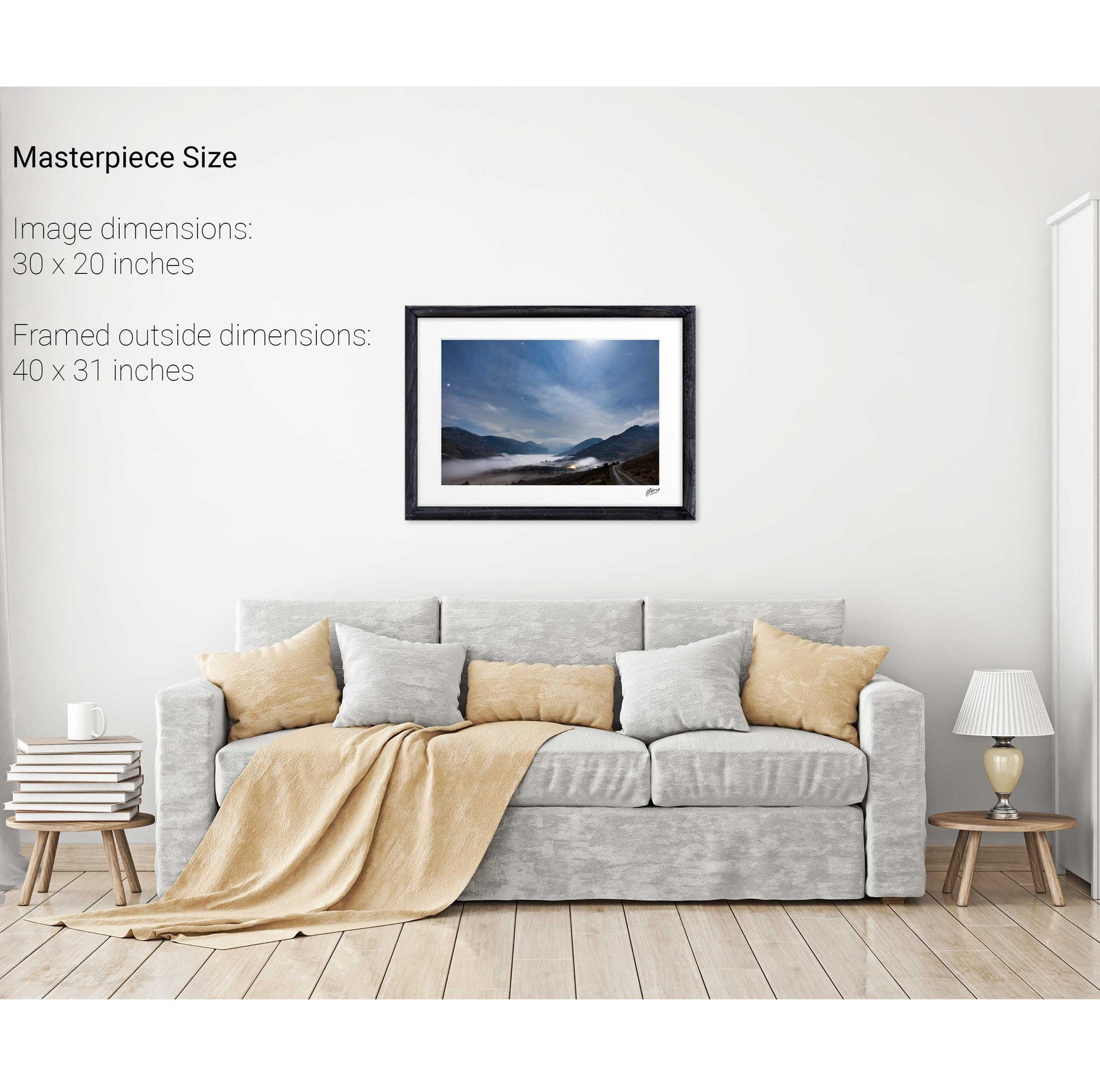
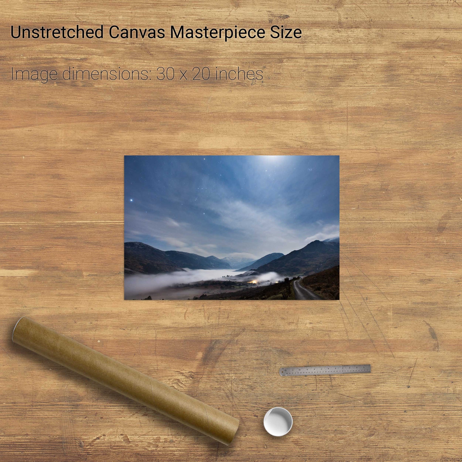
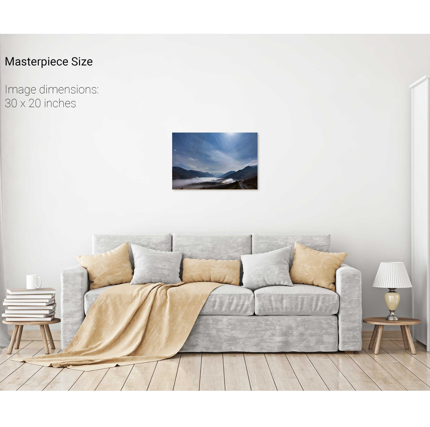
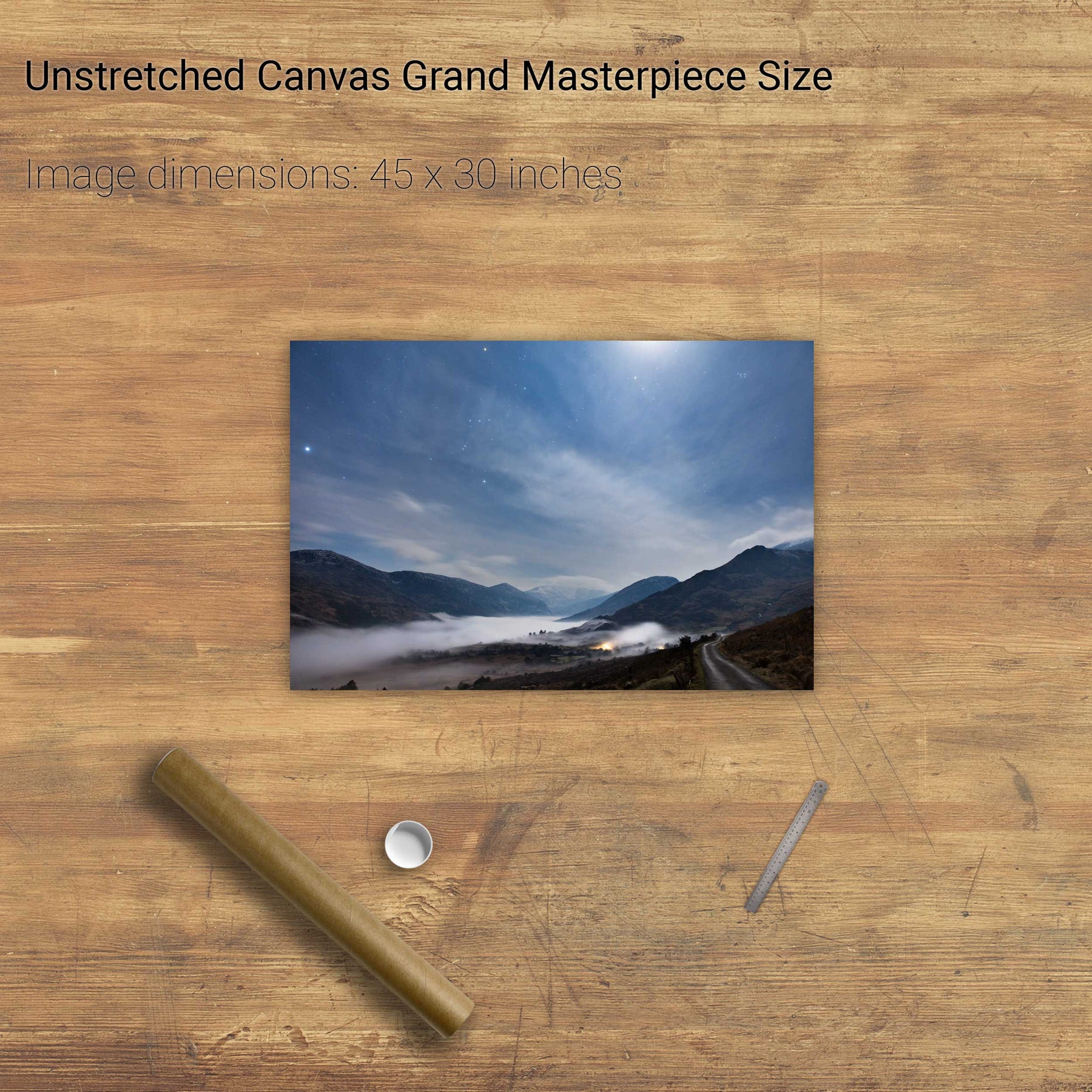
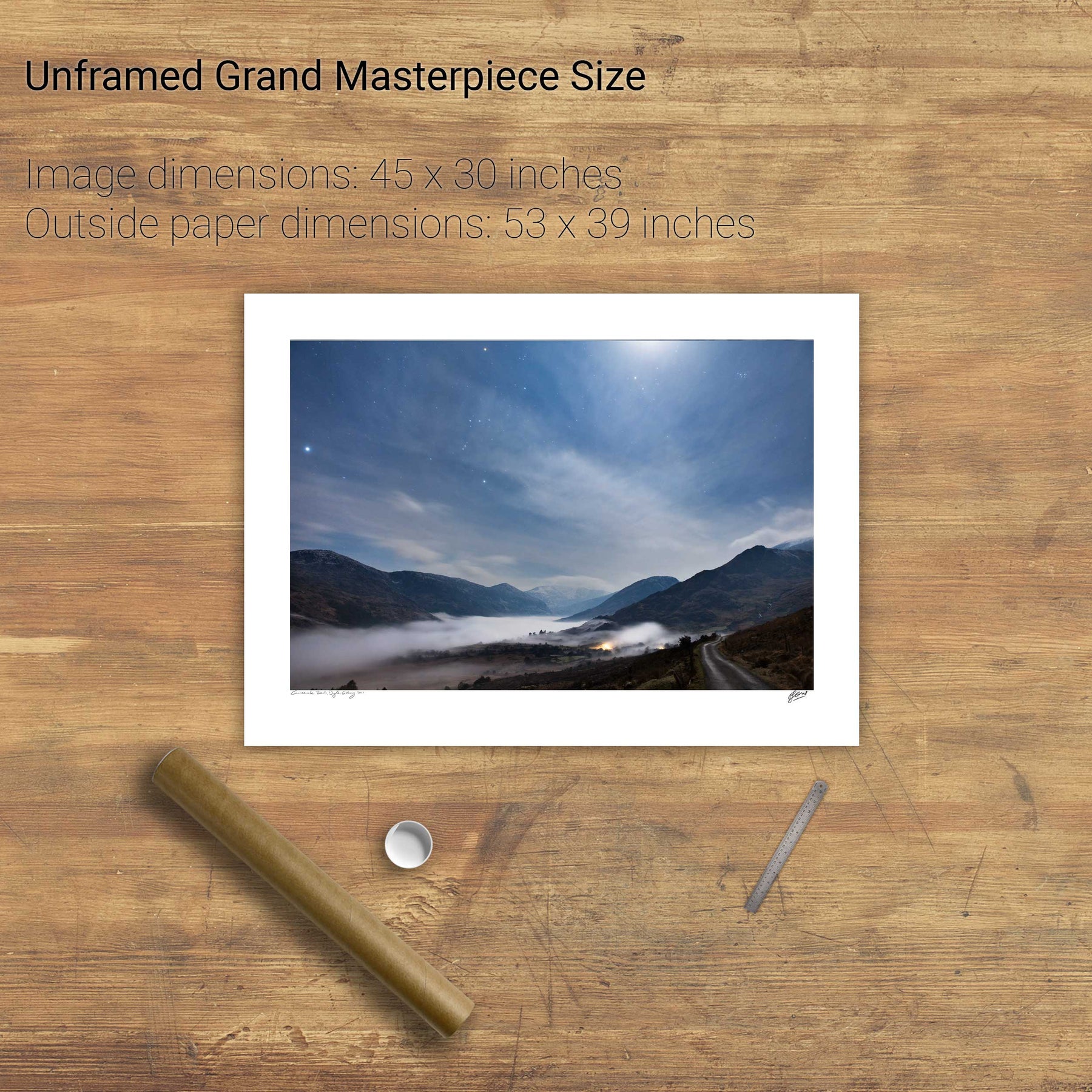
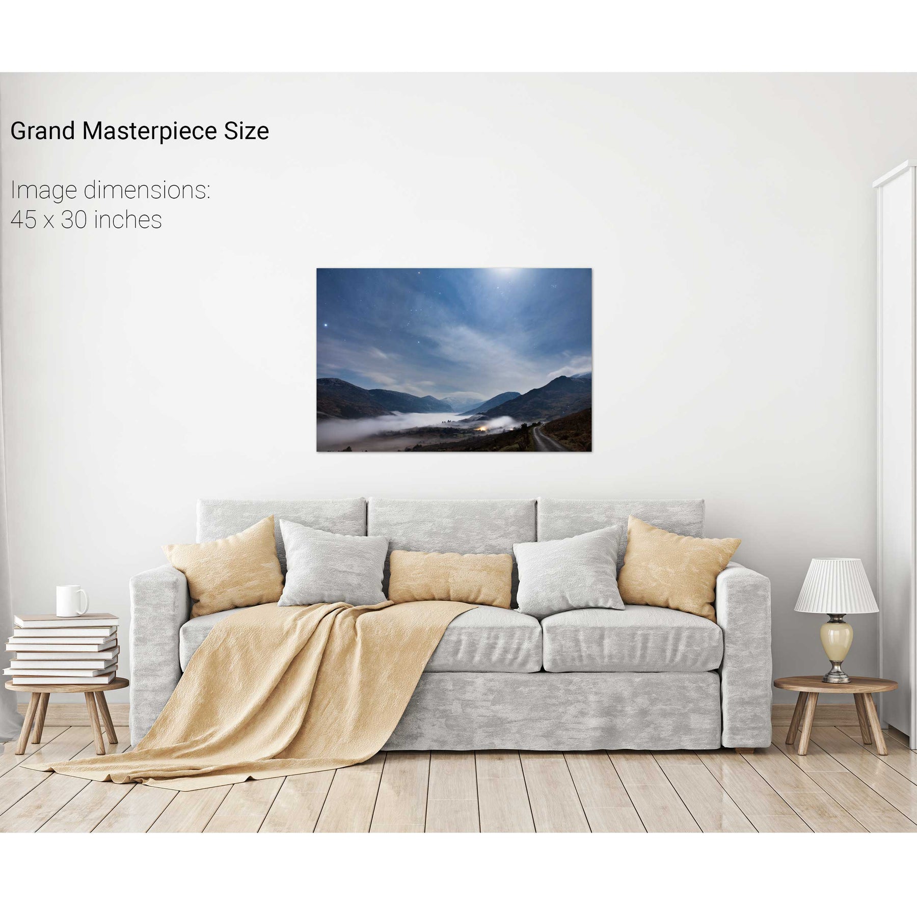
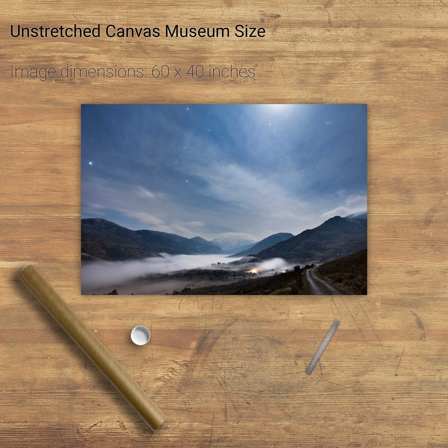
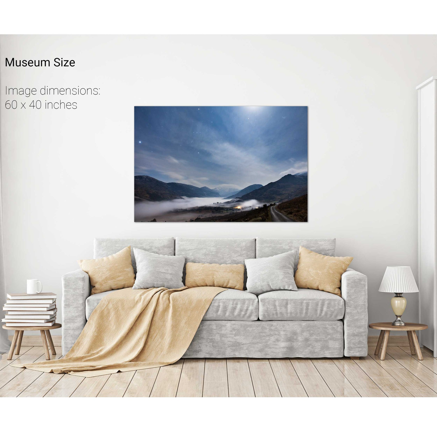
Nocturne, the Black Valley, Co. Kerry
Ventry Harbour, Dingle, Co. Kerry
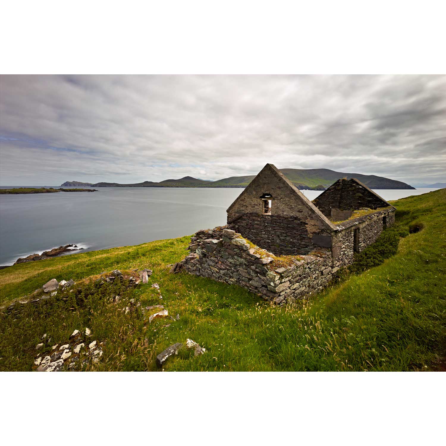
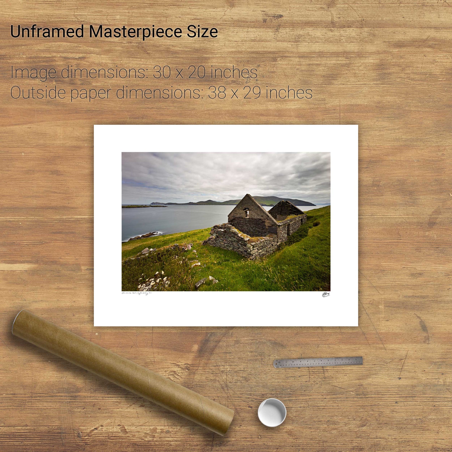
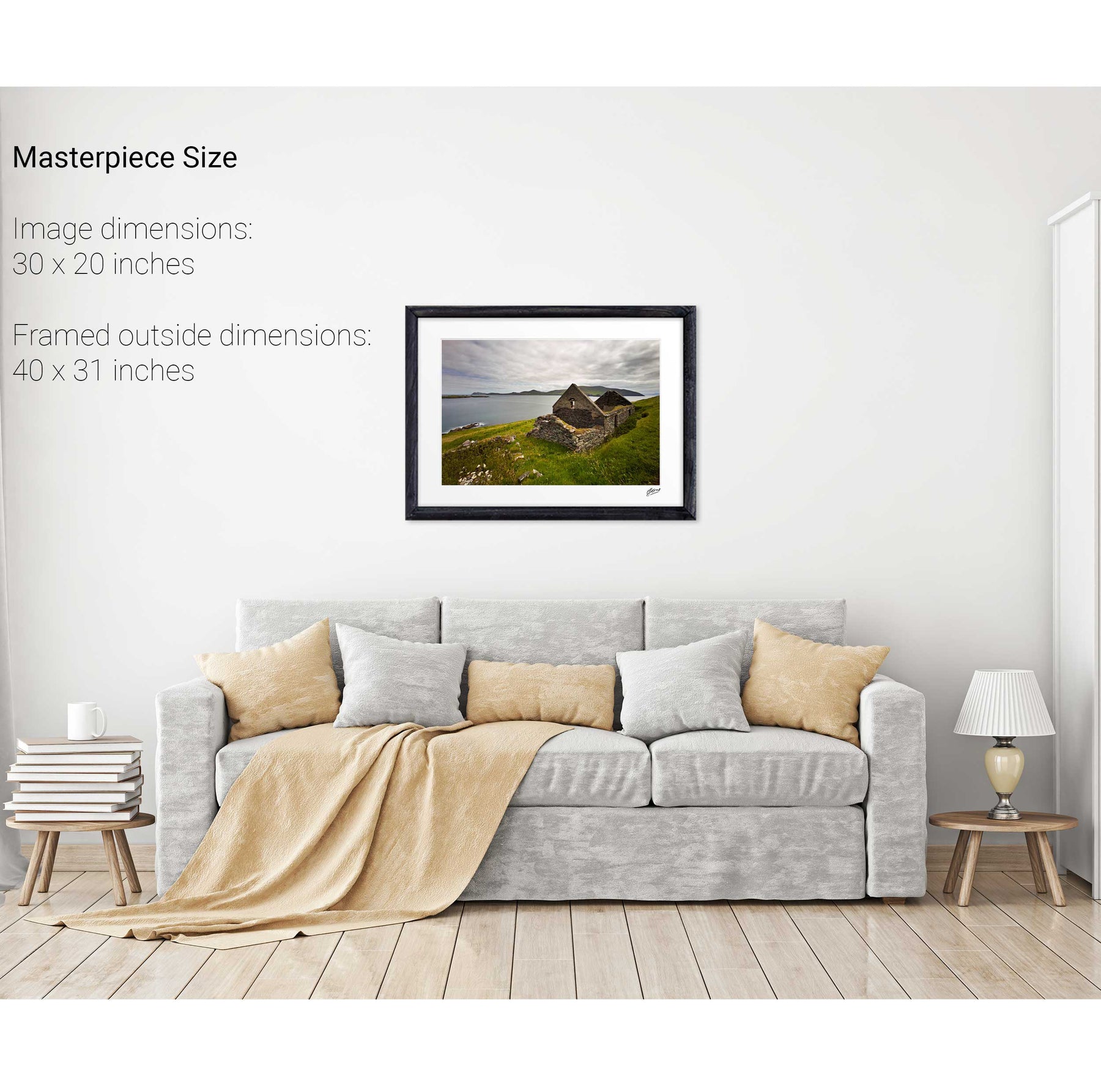
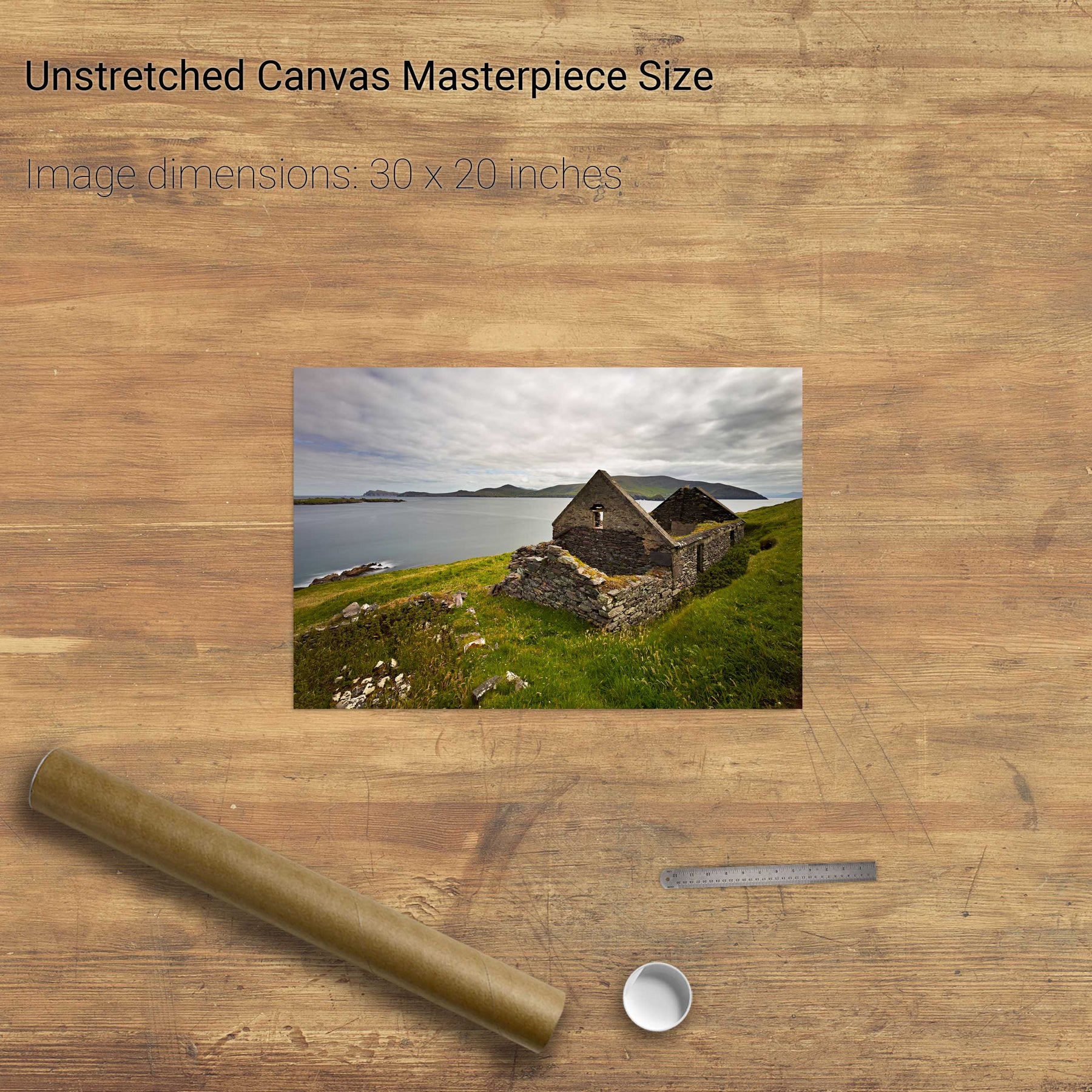
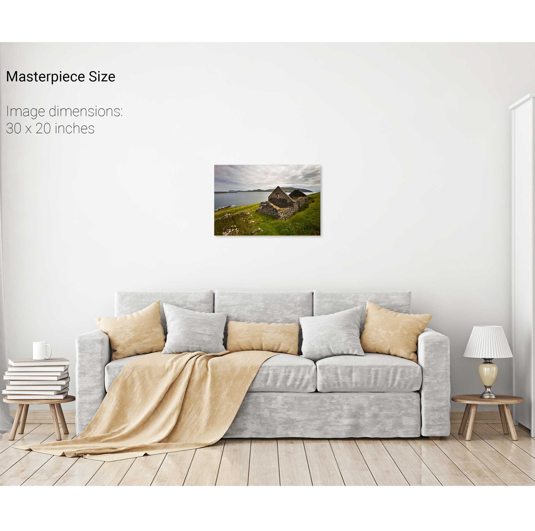
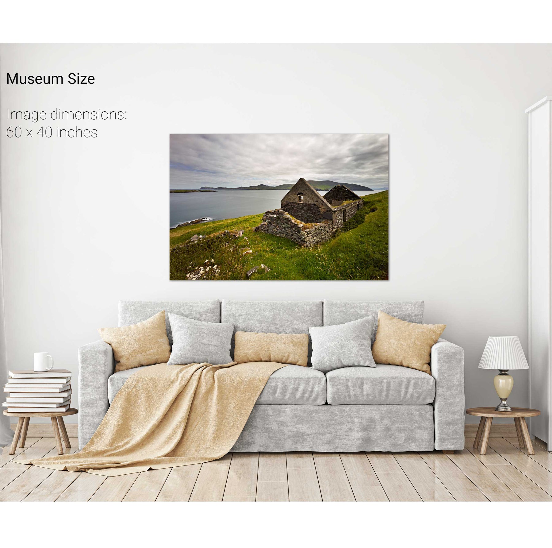
Cottage, the Great Blasket Island, Dingle, Co. Kerry
Derrynane Bay, Co. Kerry
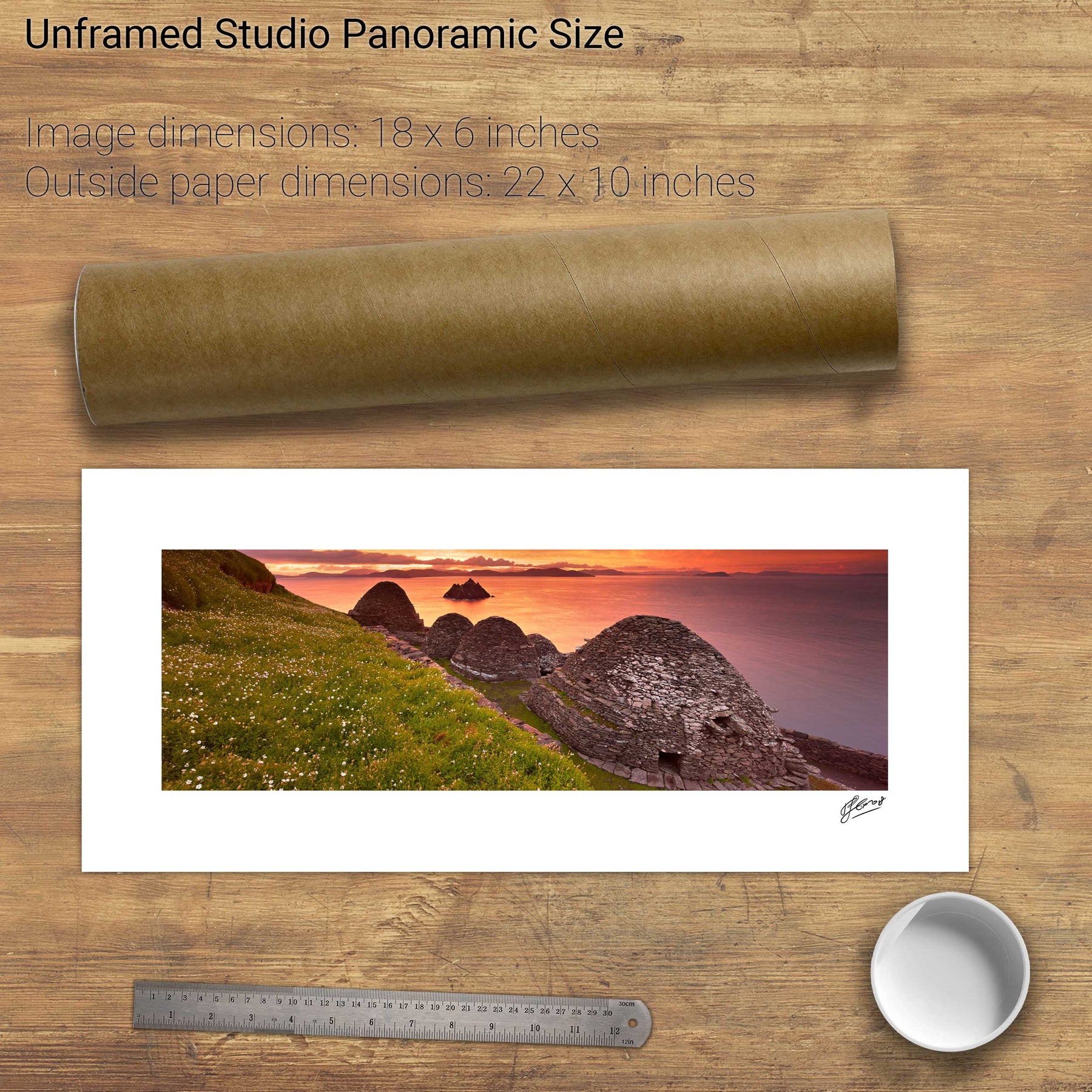
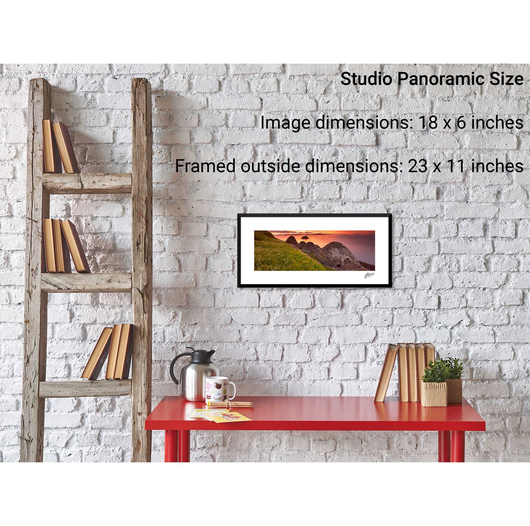
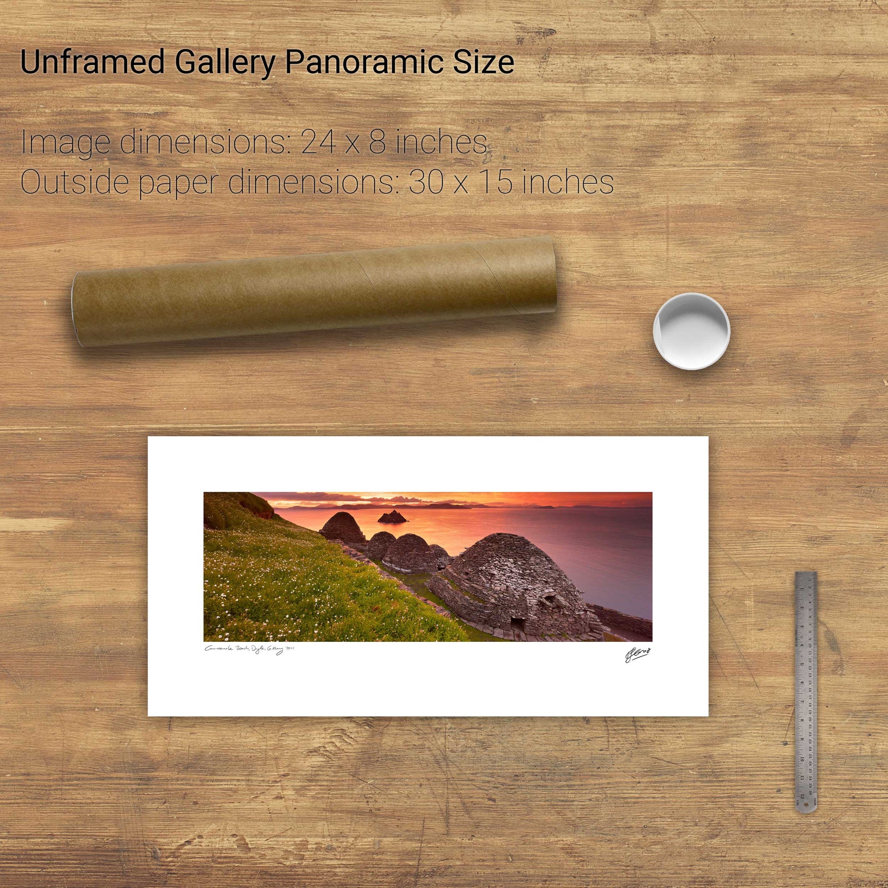
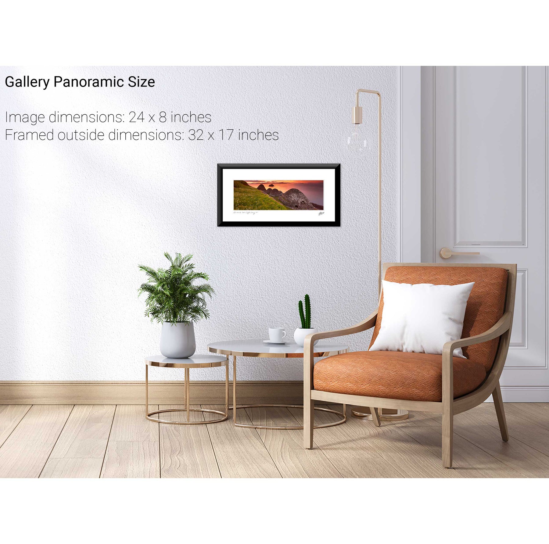
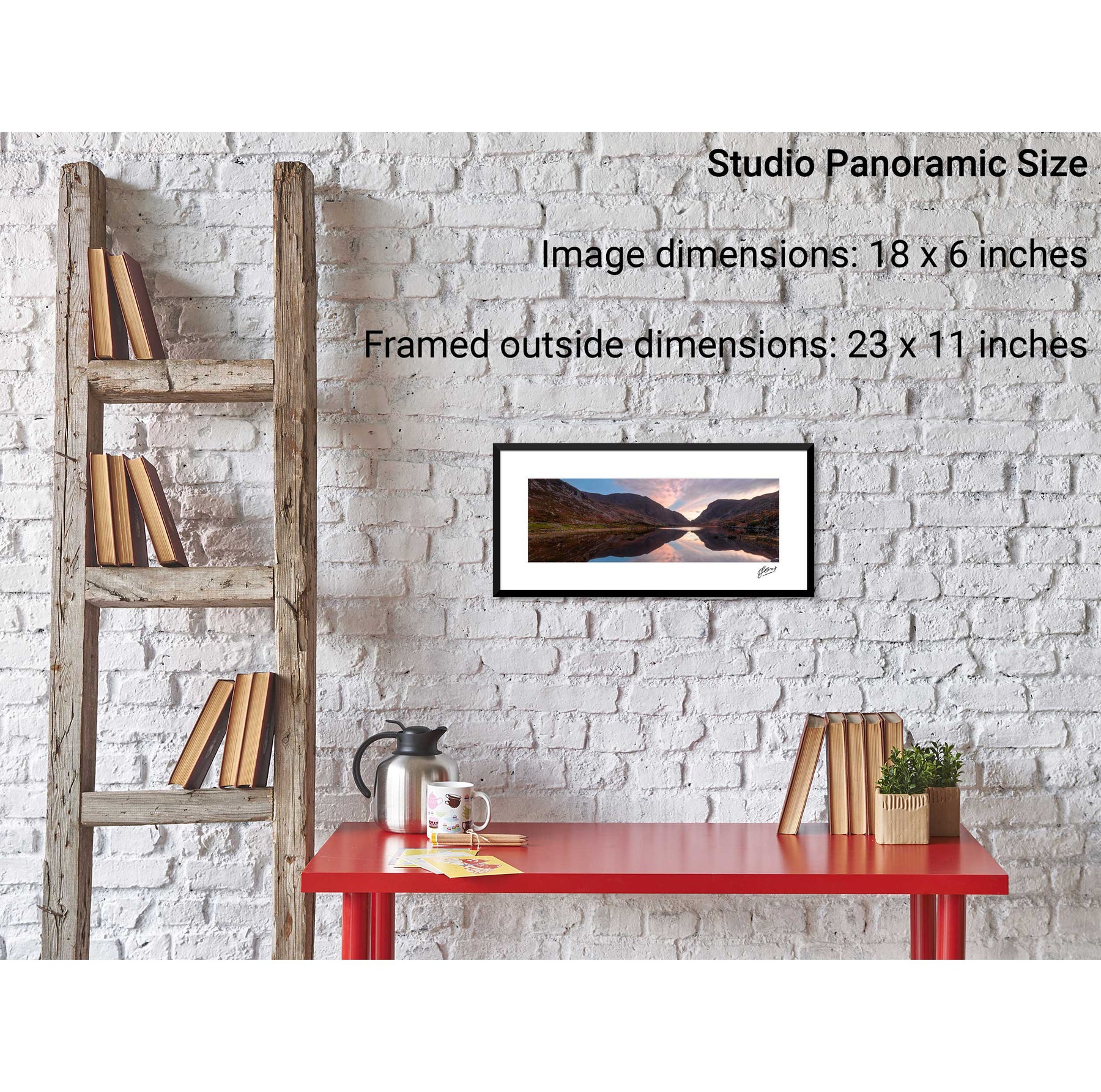
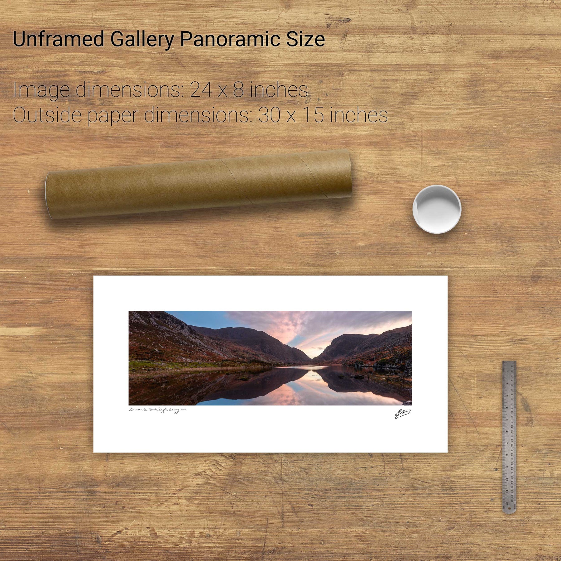
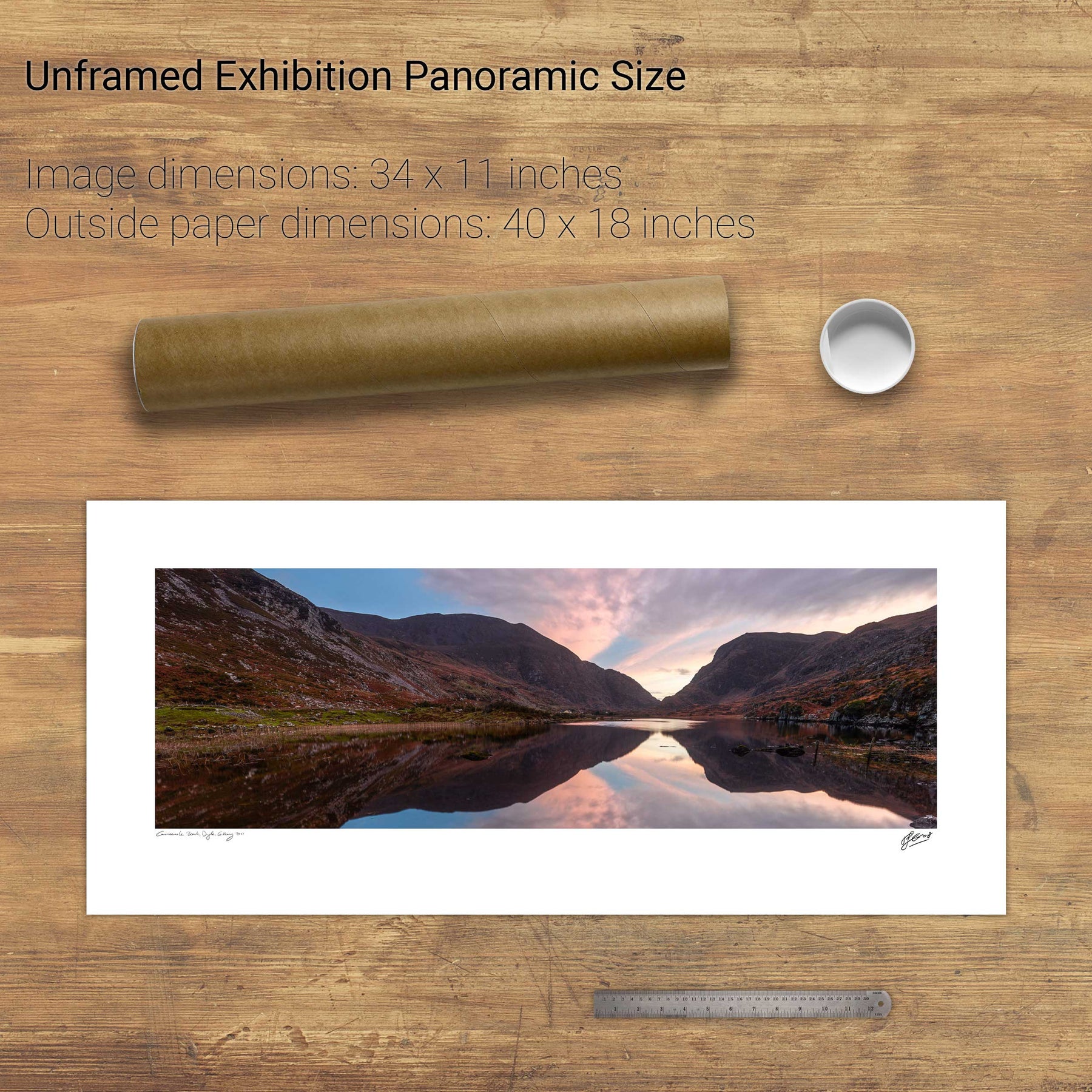
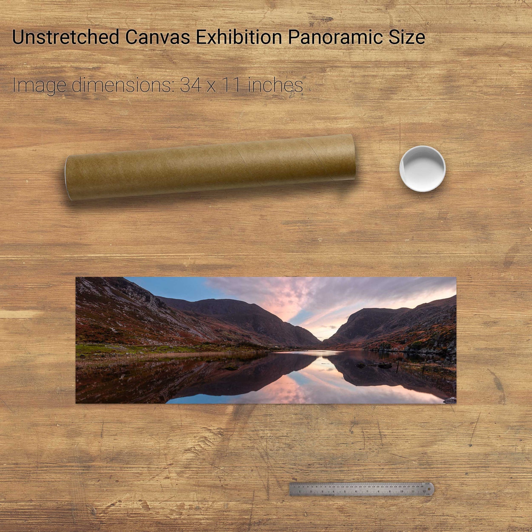
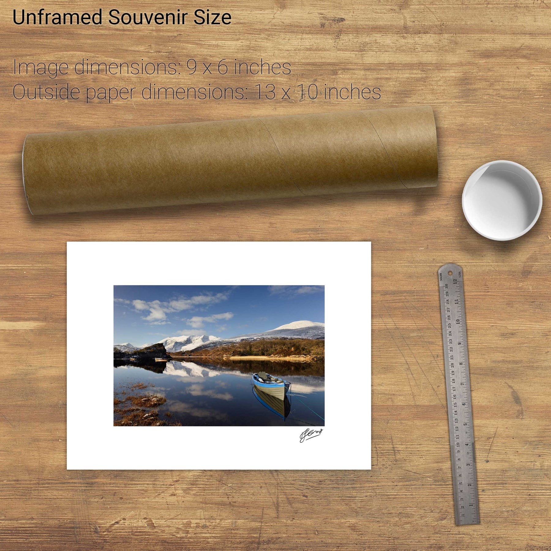
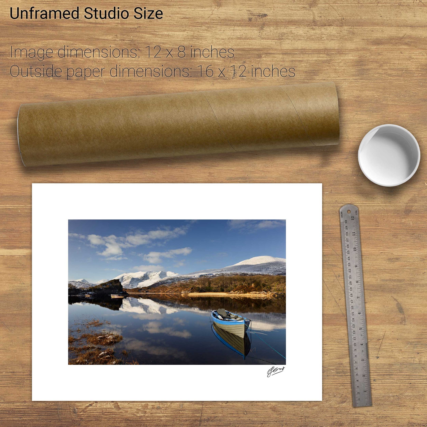
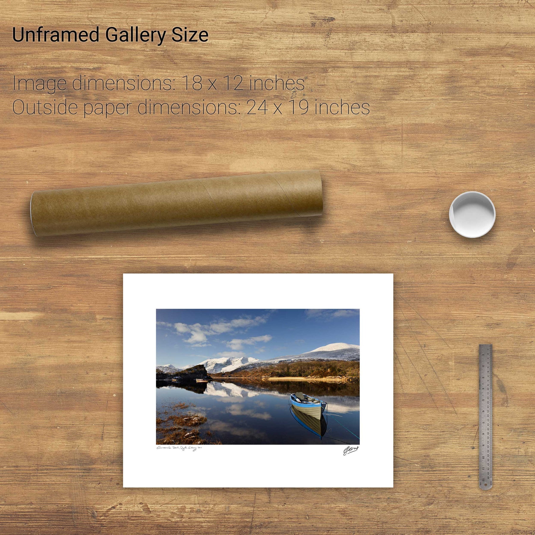
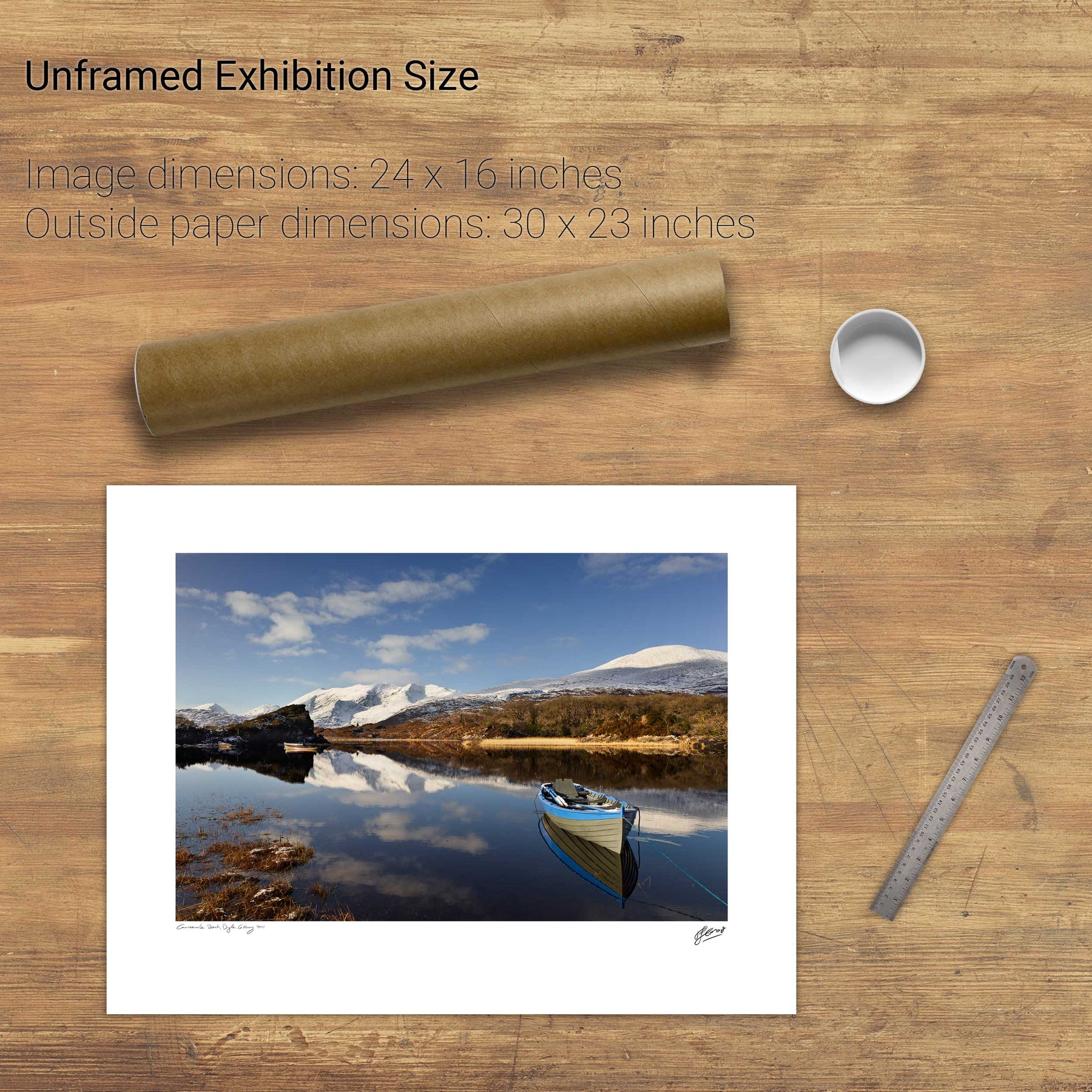
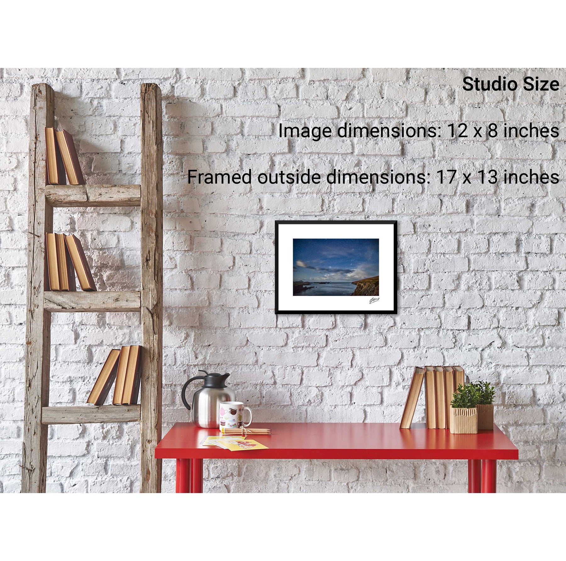
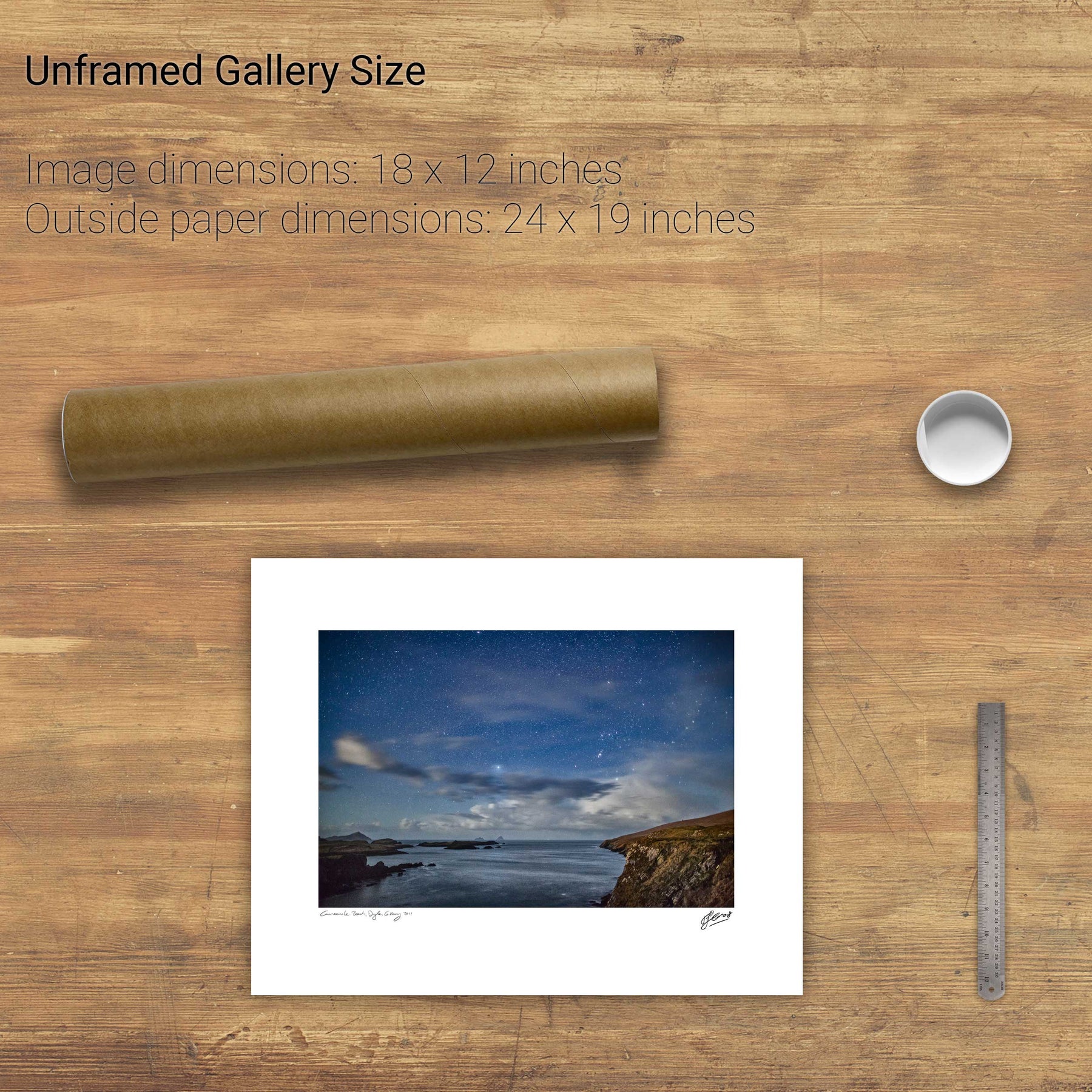
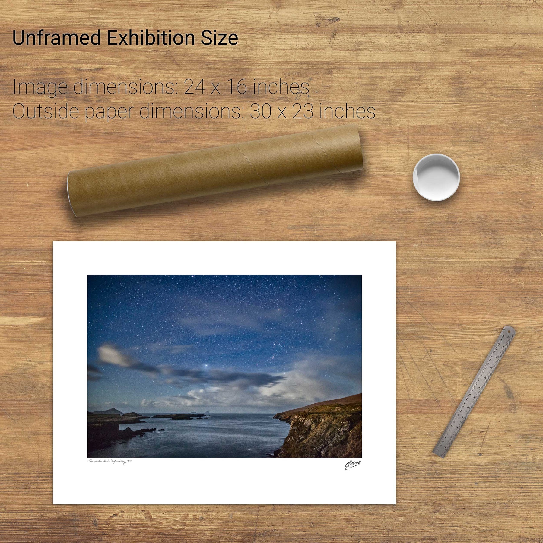
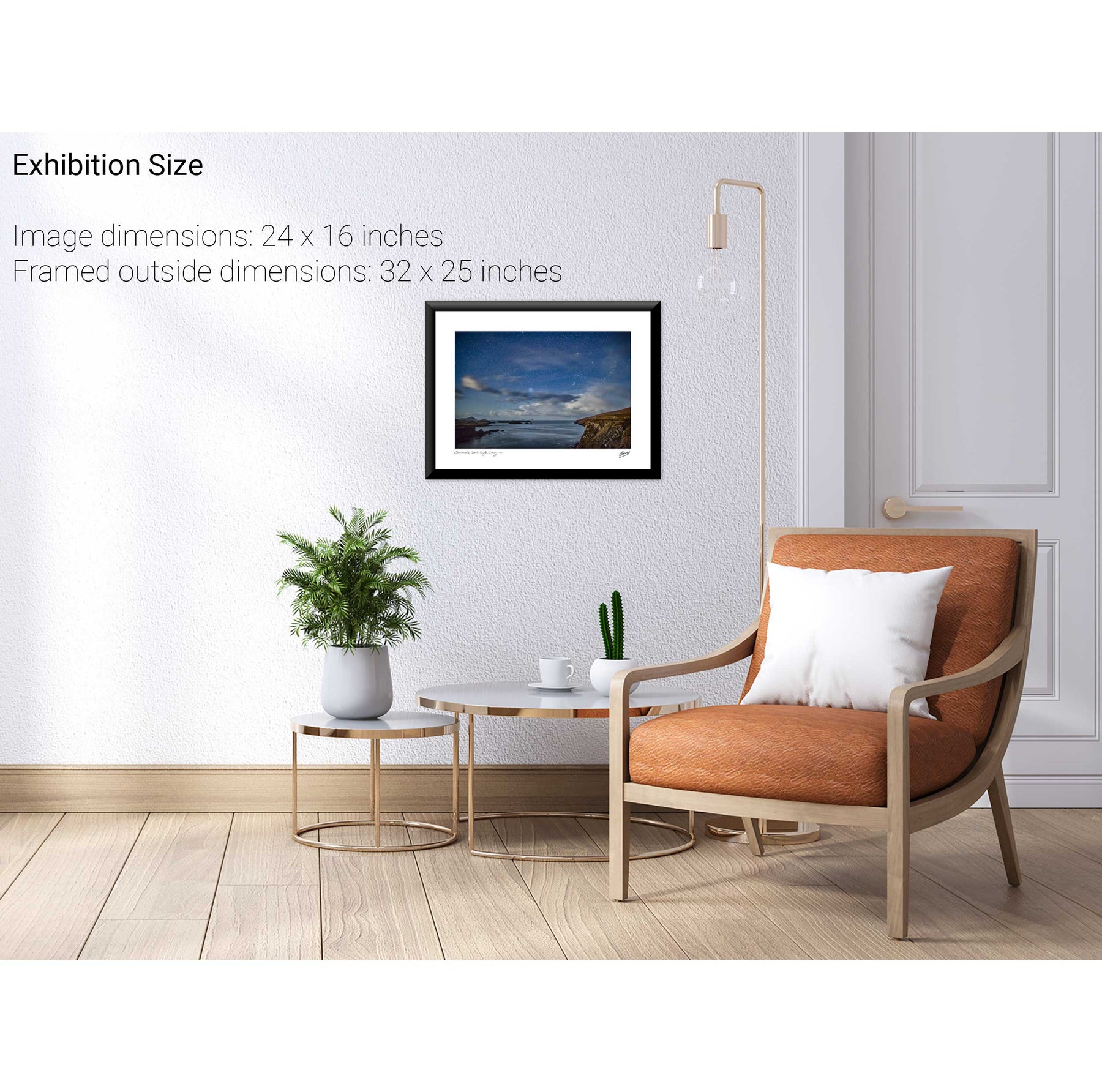
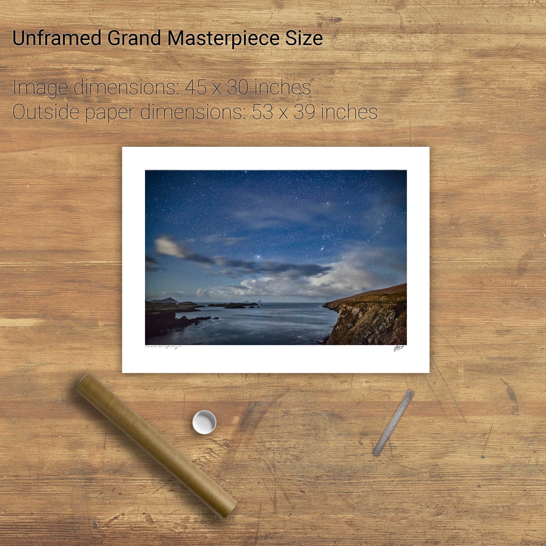
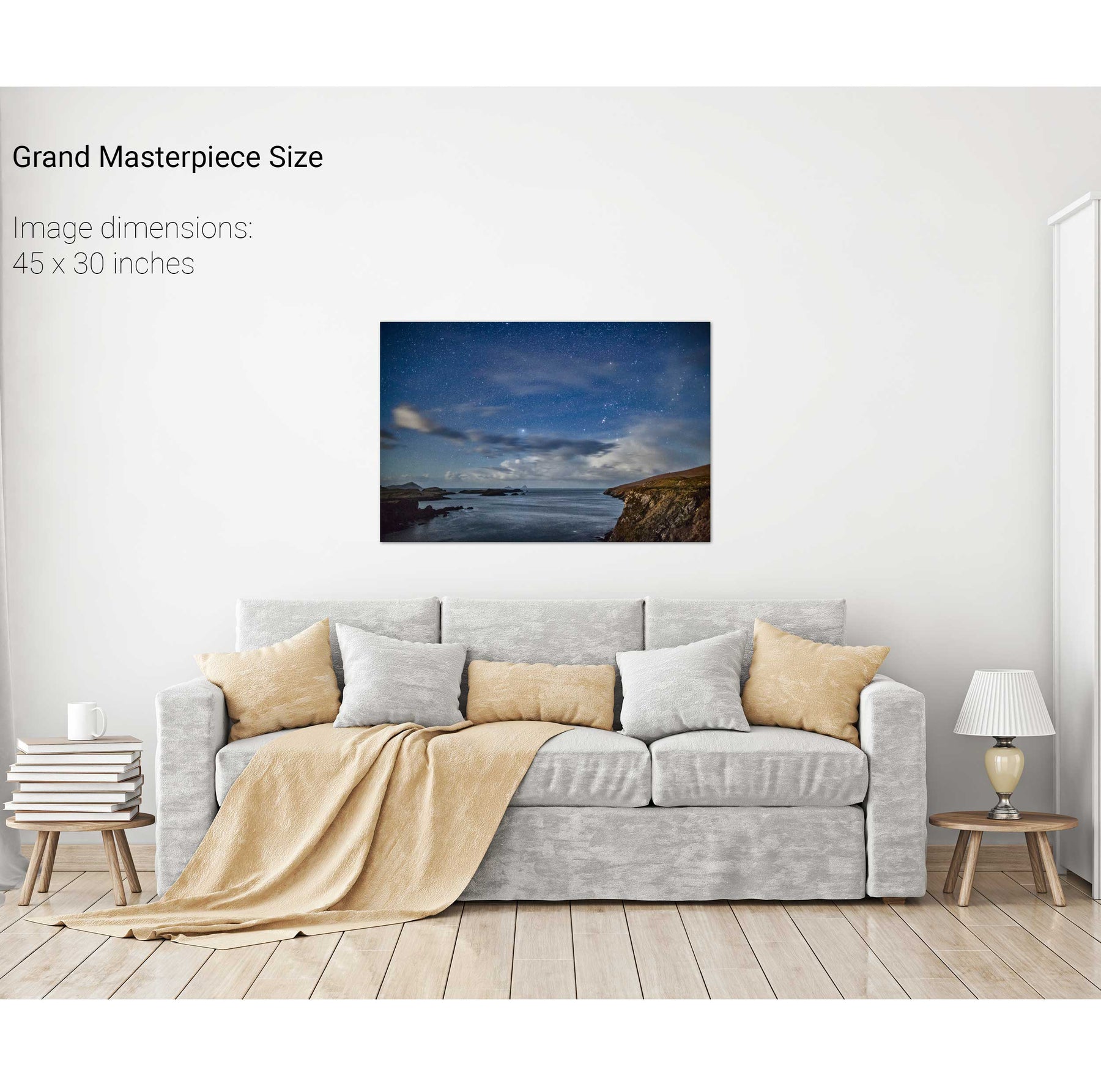
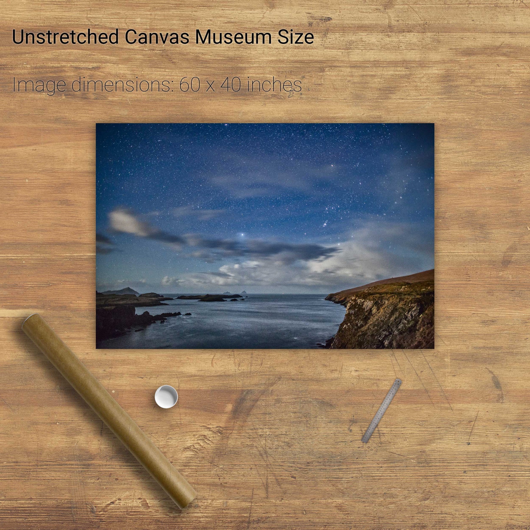
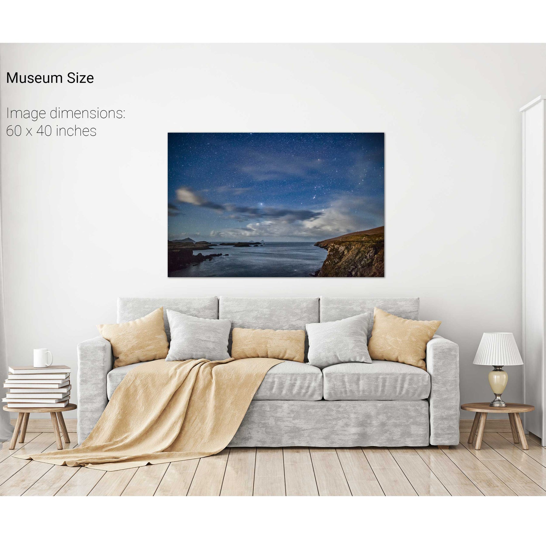
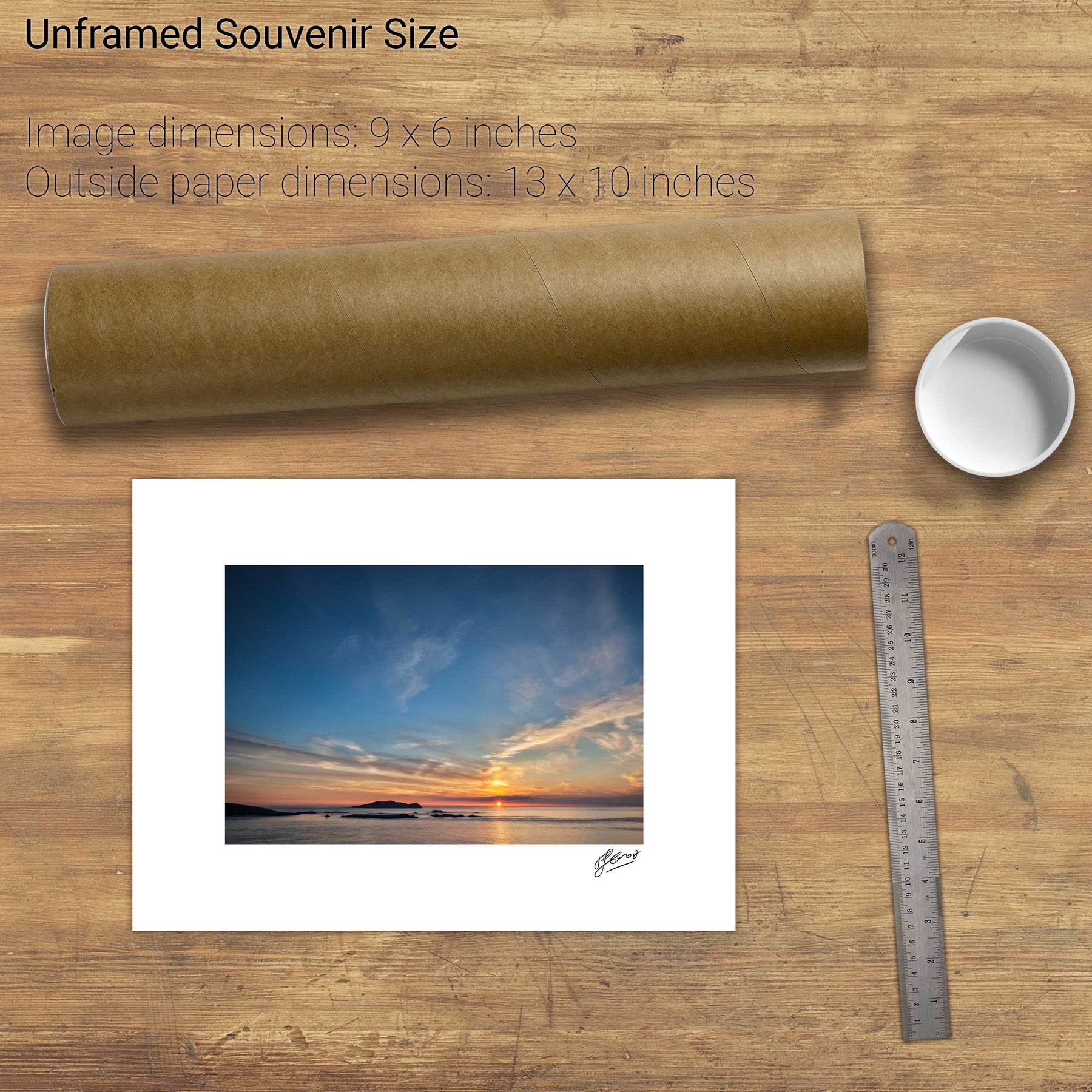
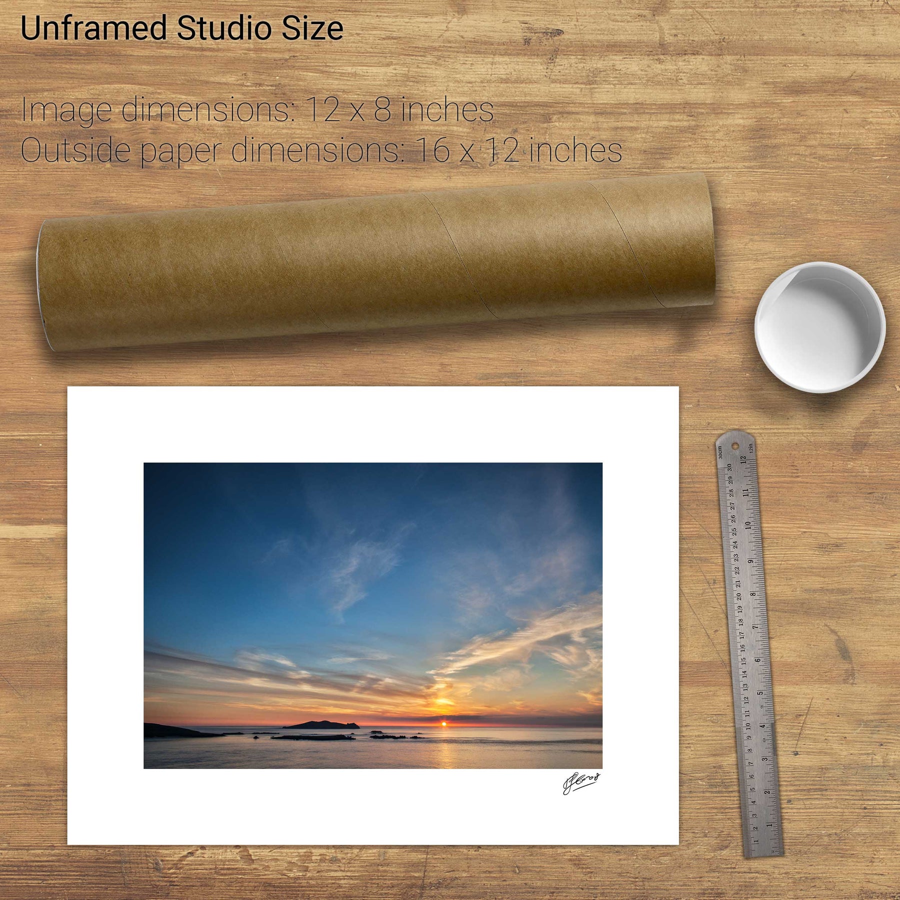
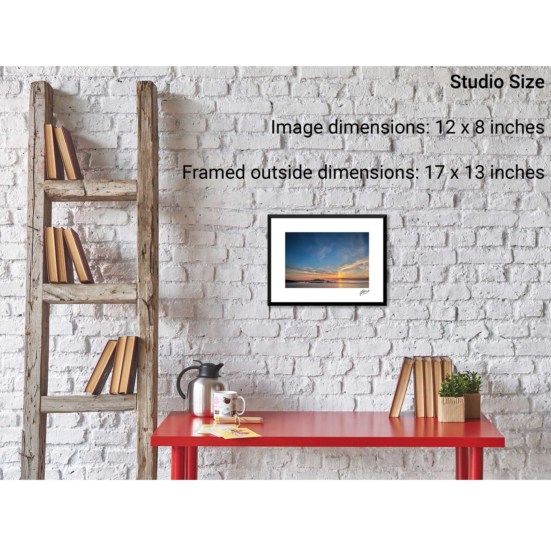
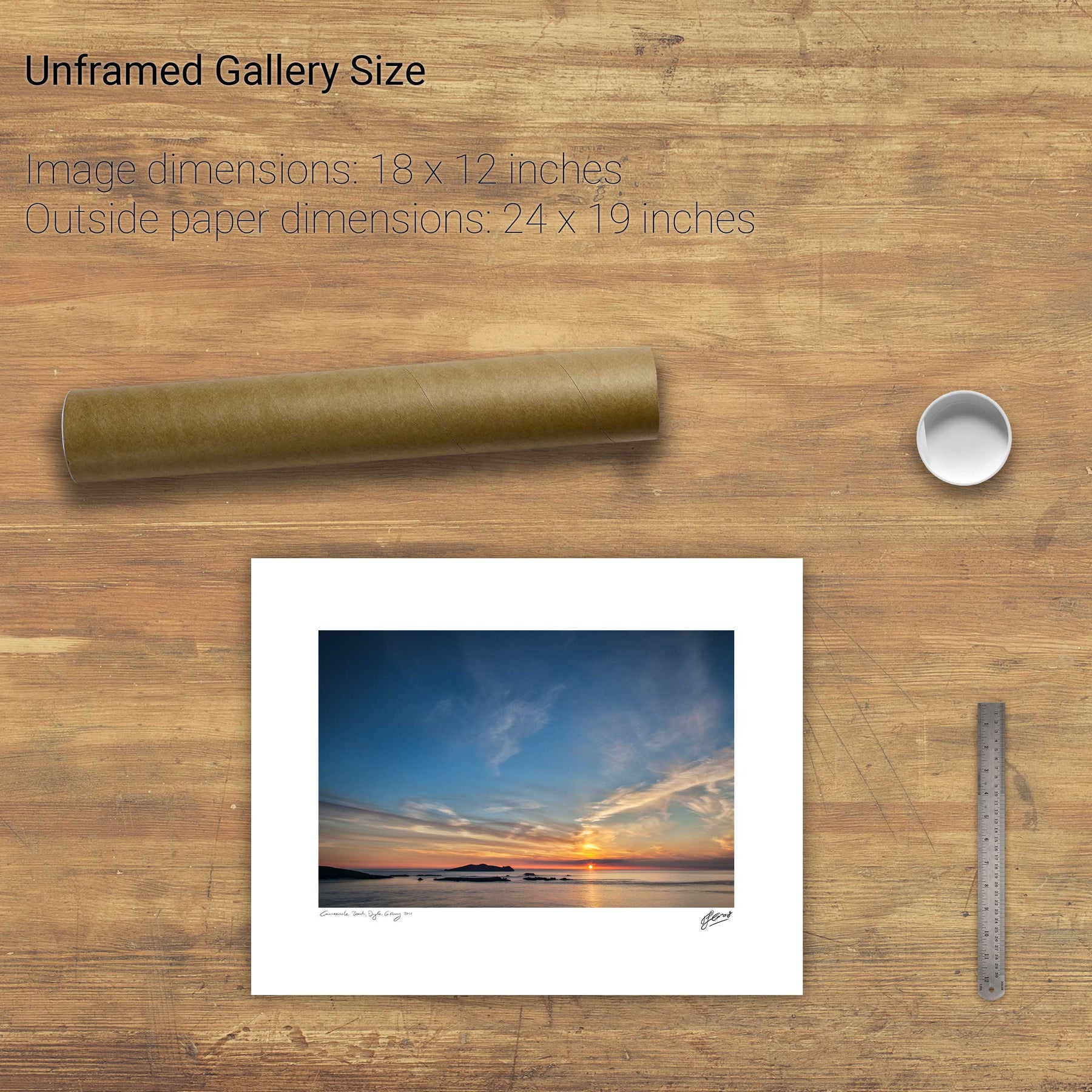
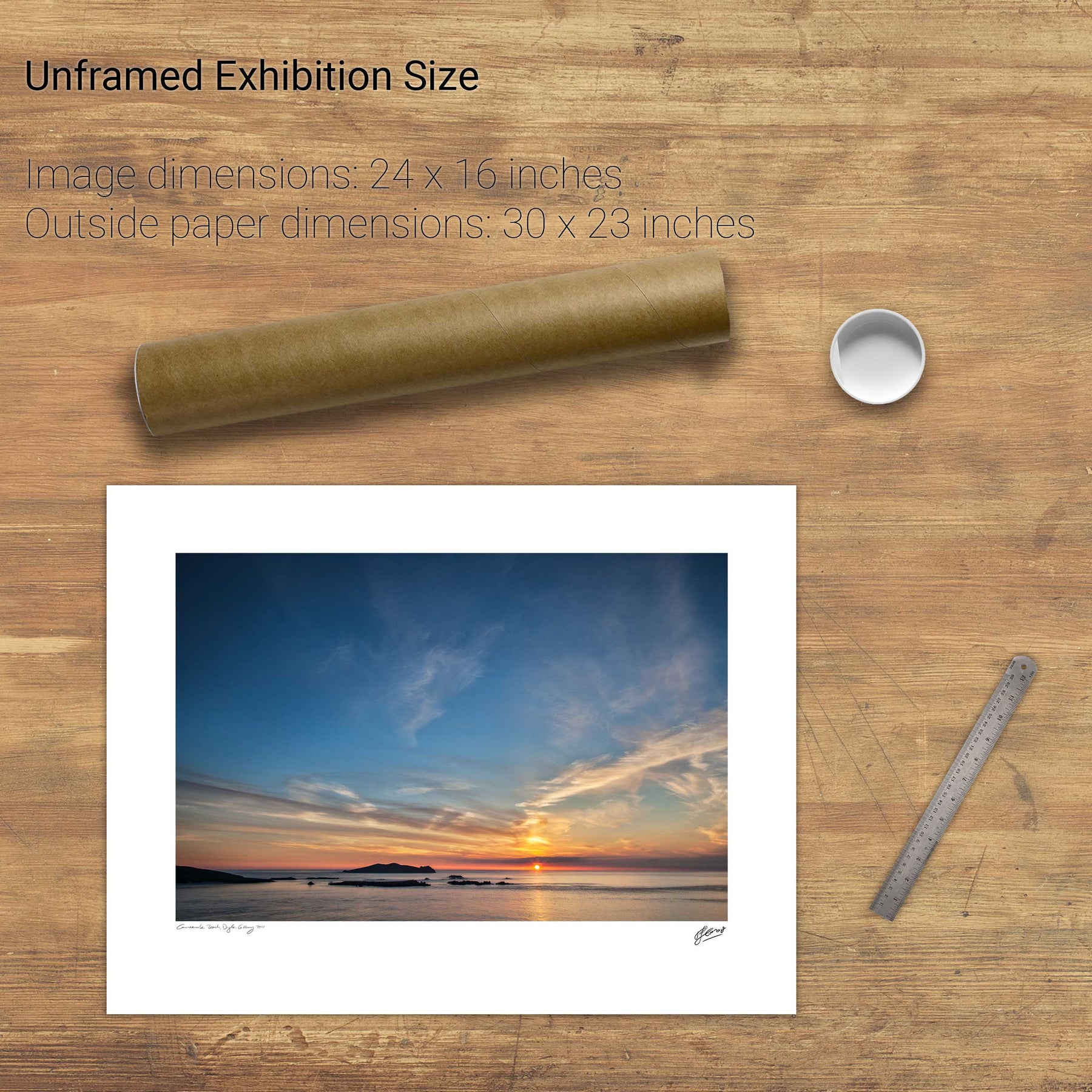
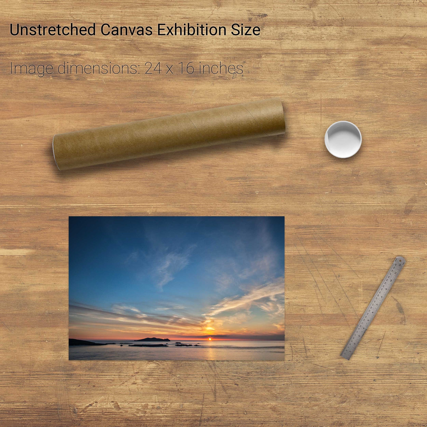
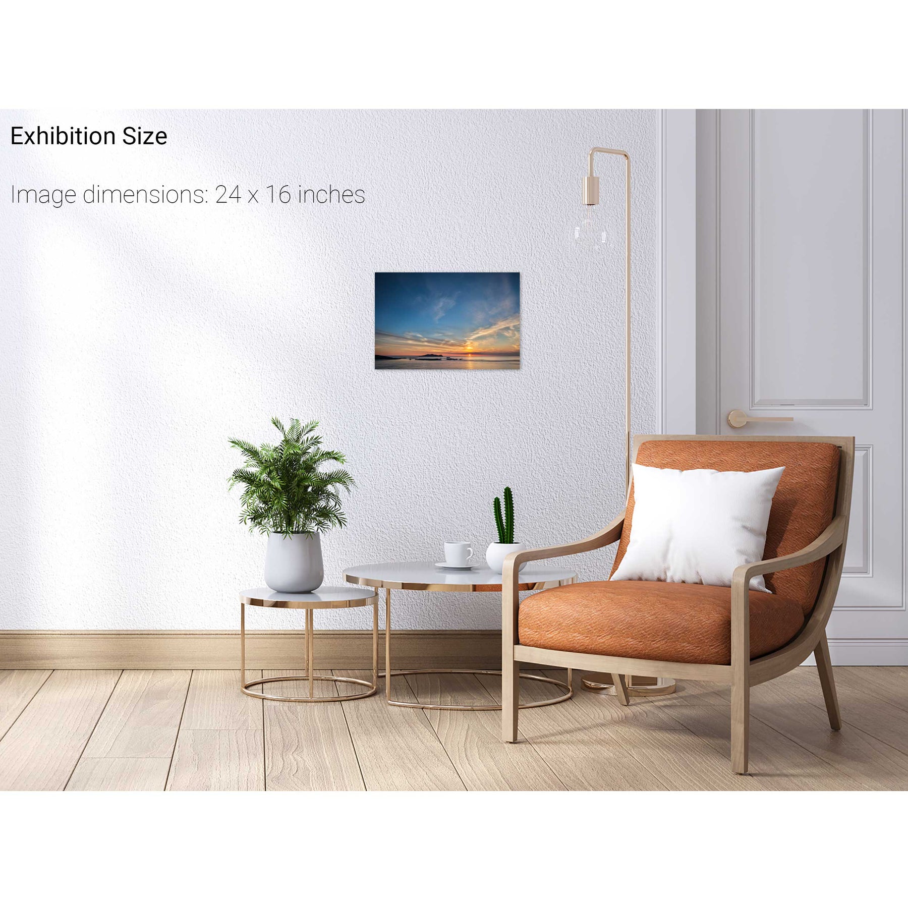
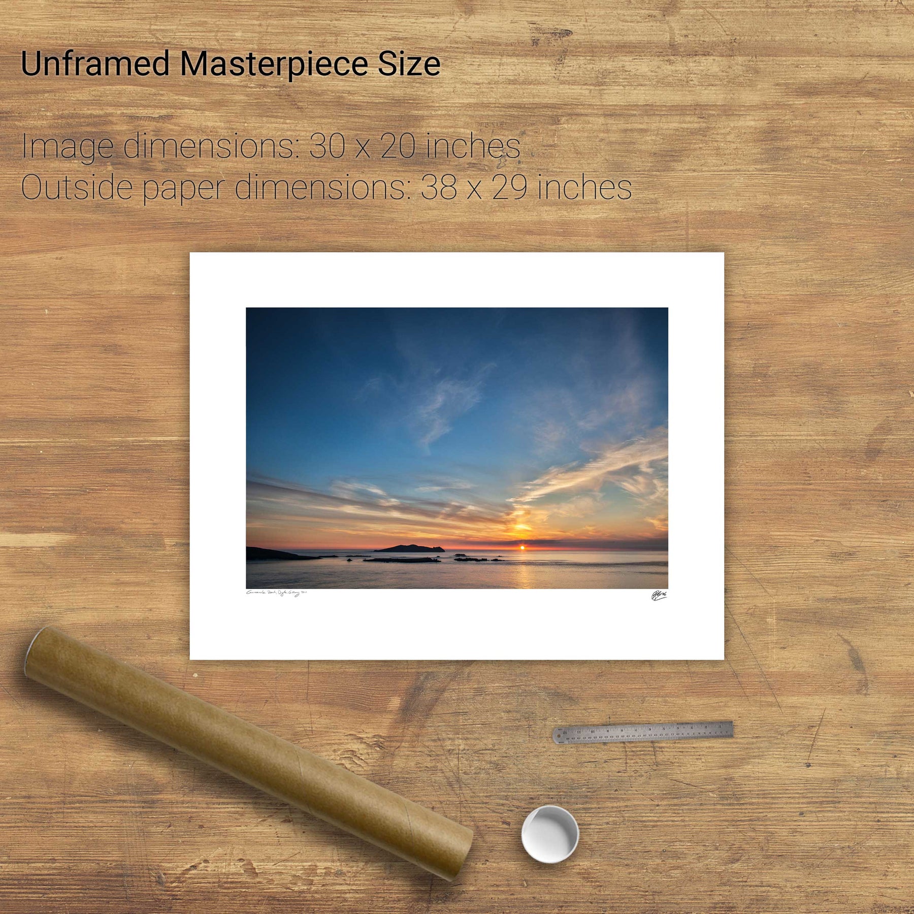
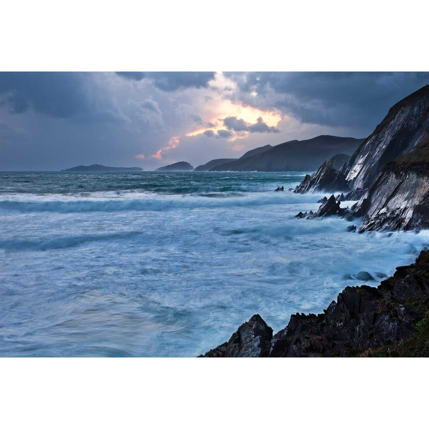
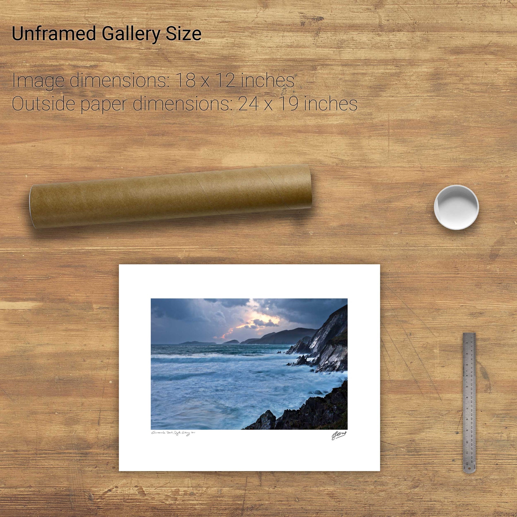
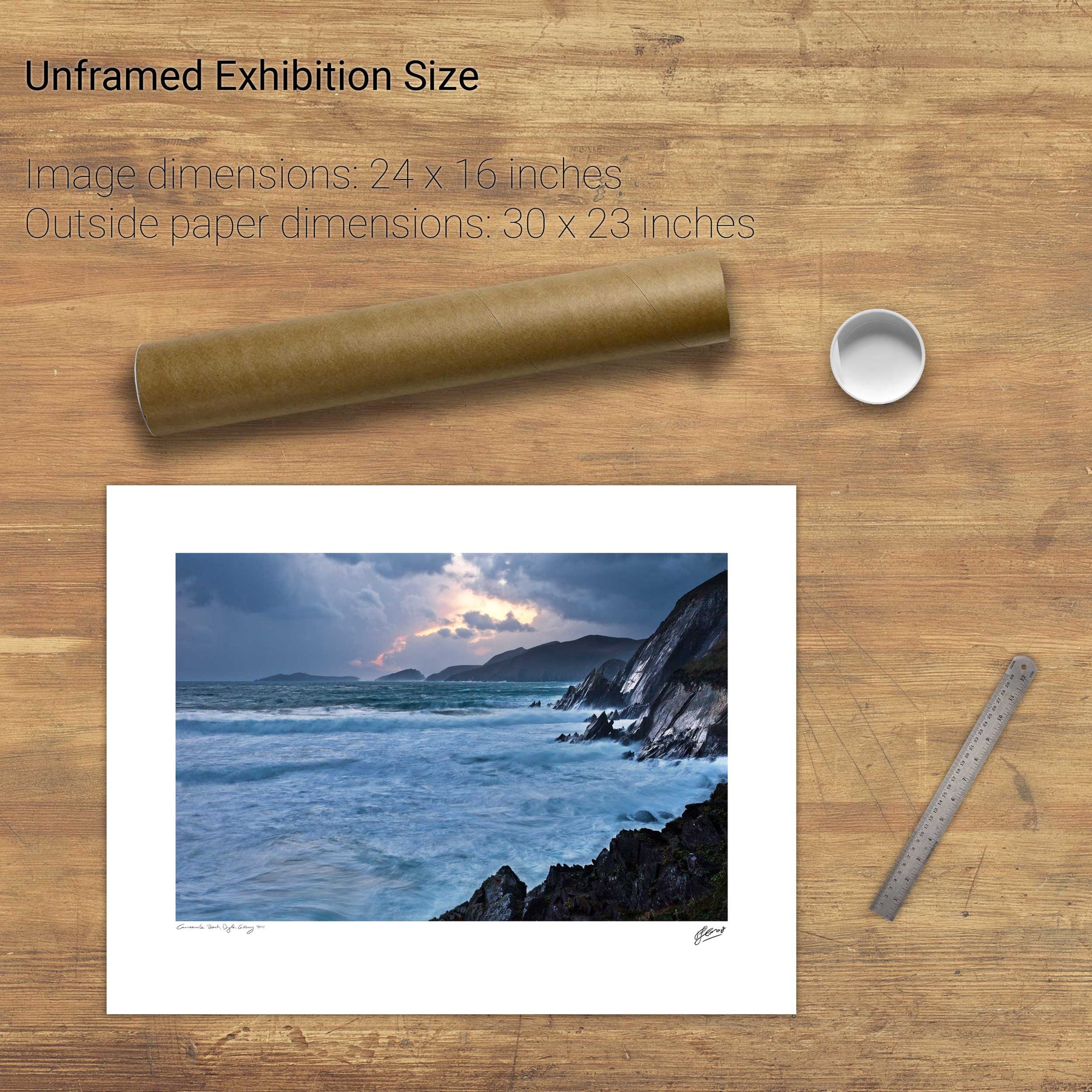
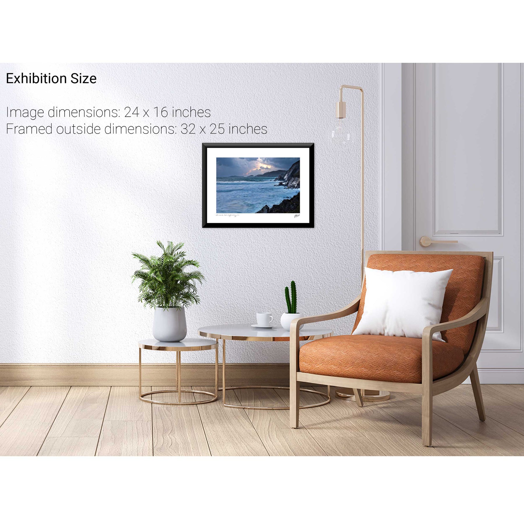
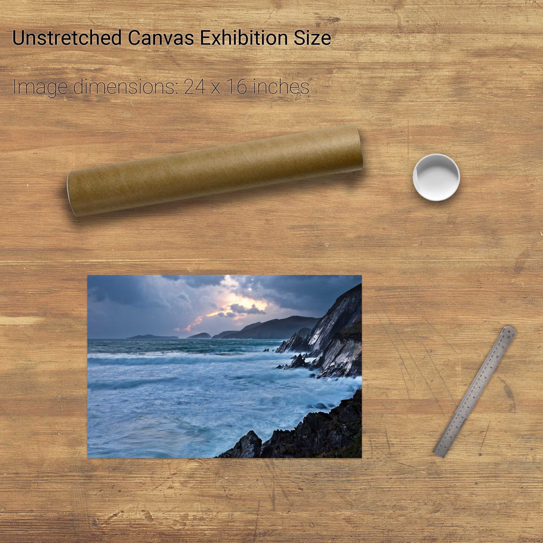
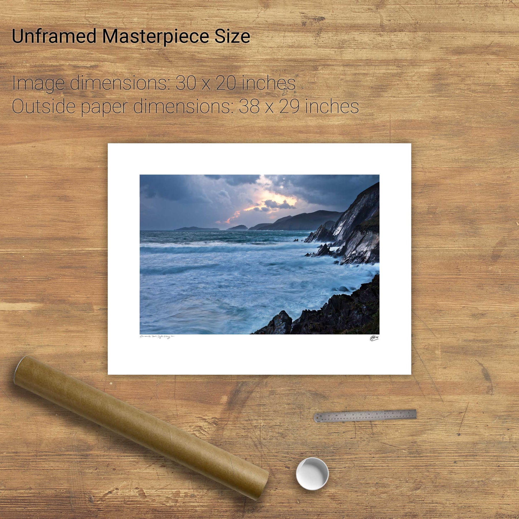
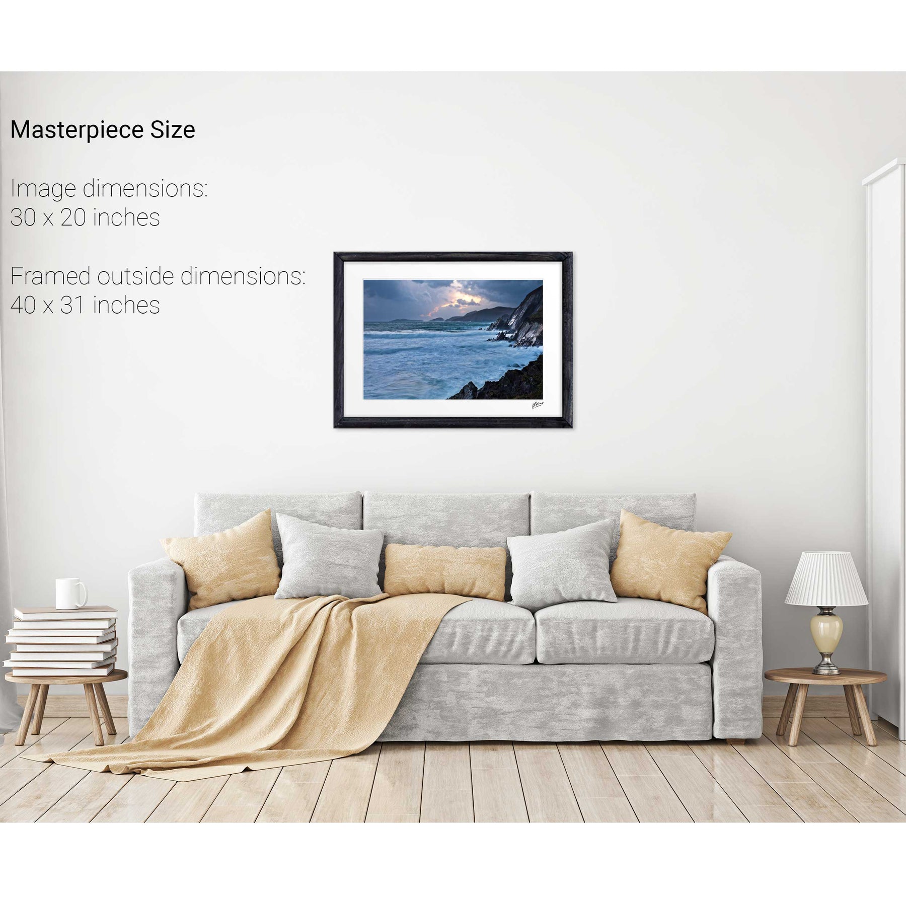
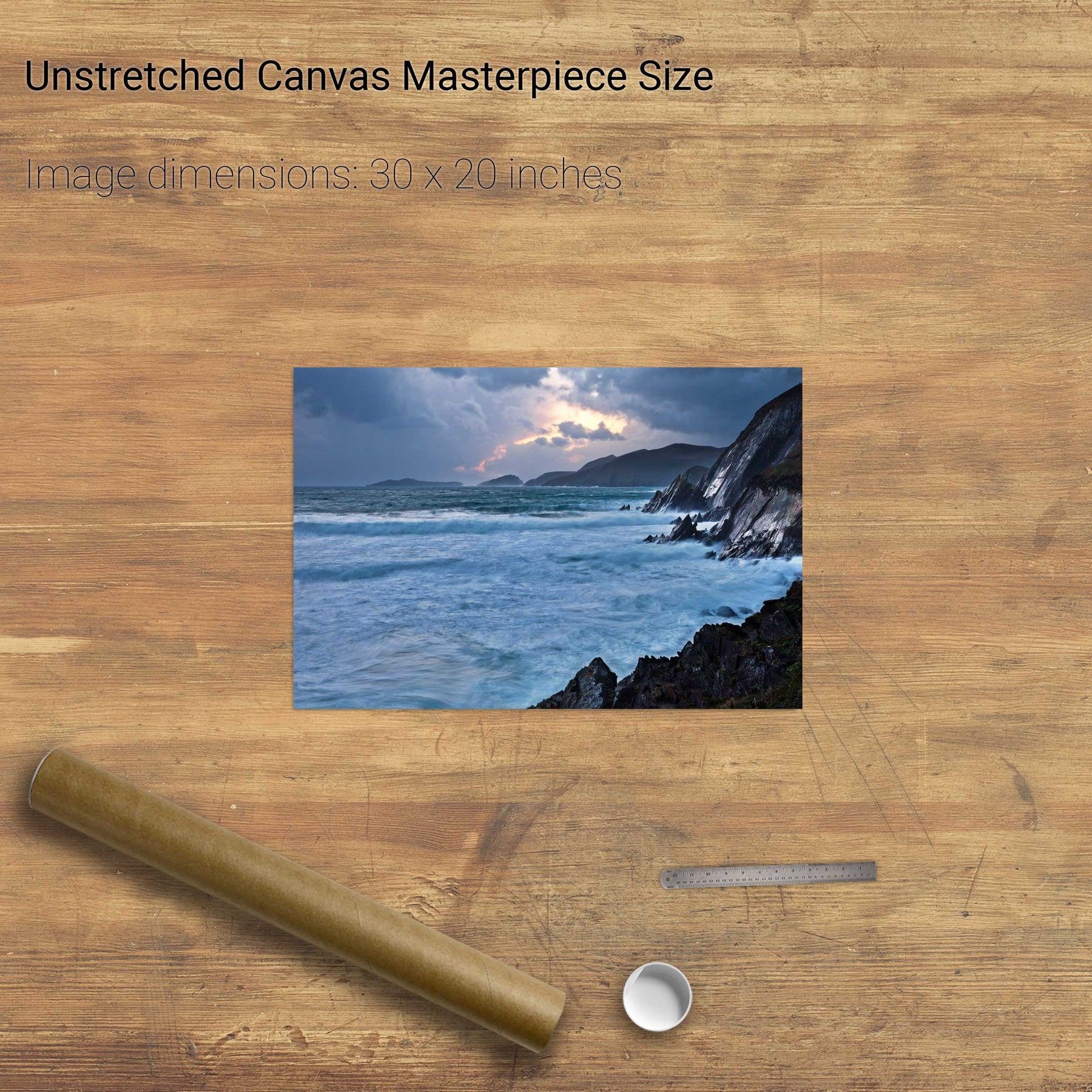
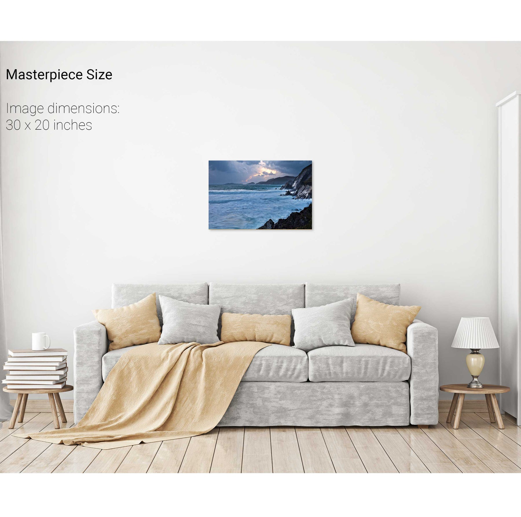
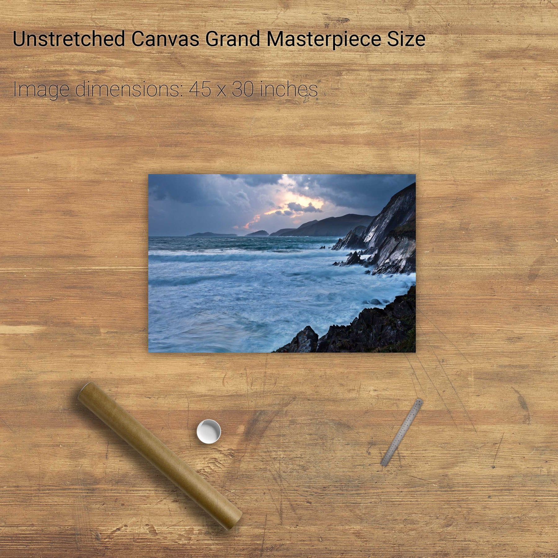
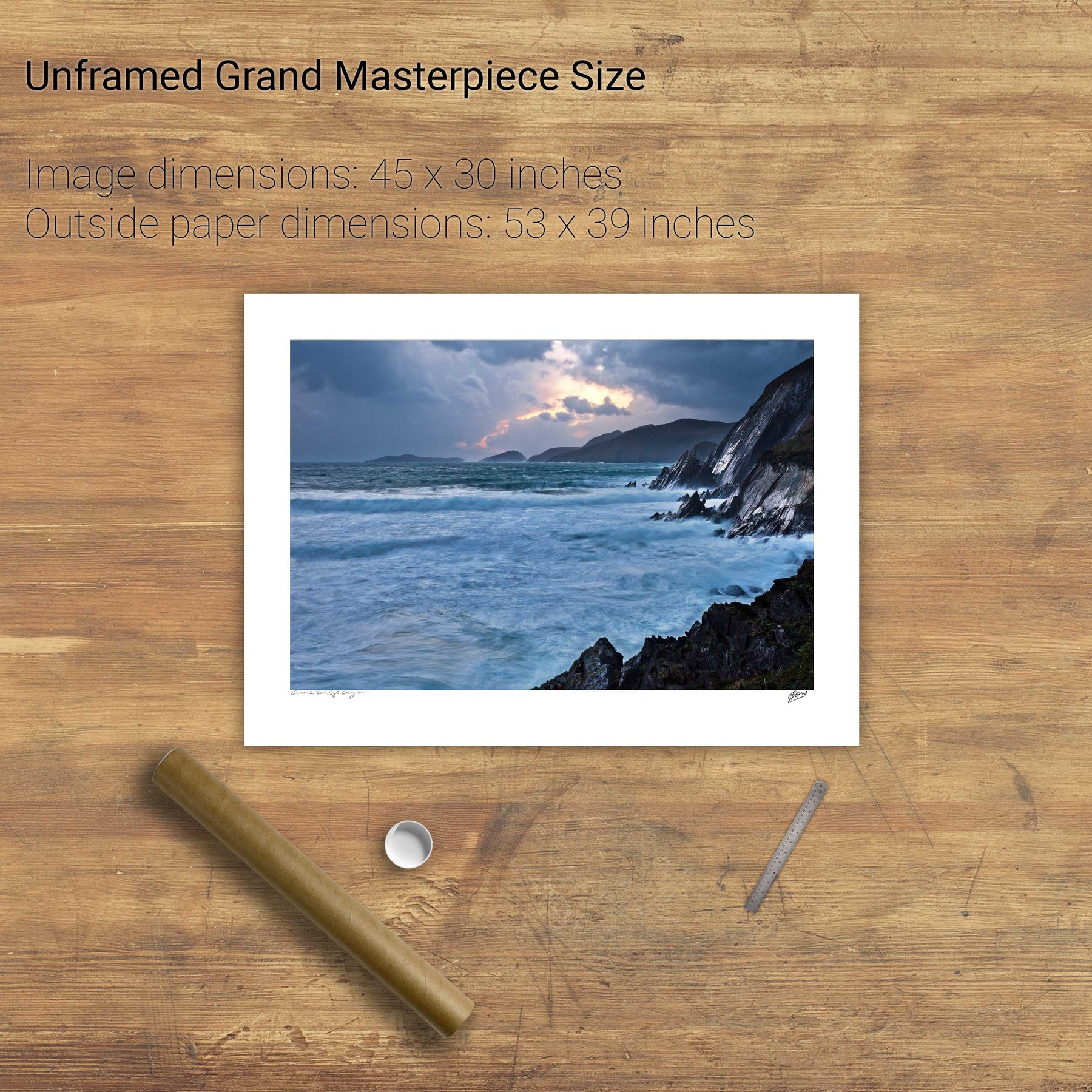
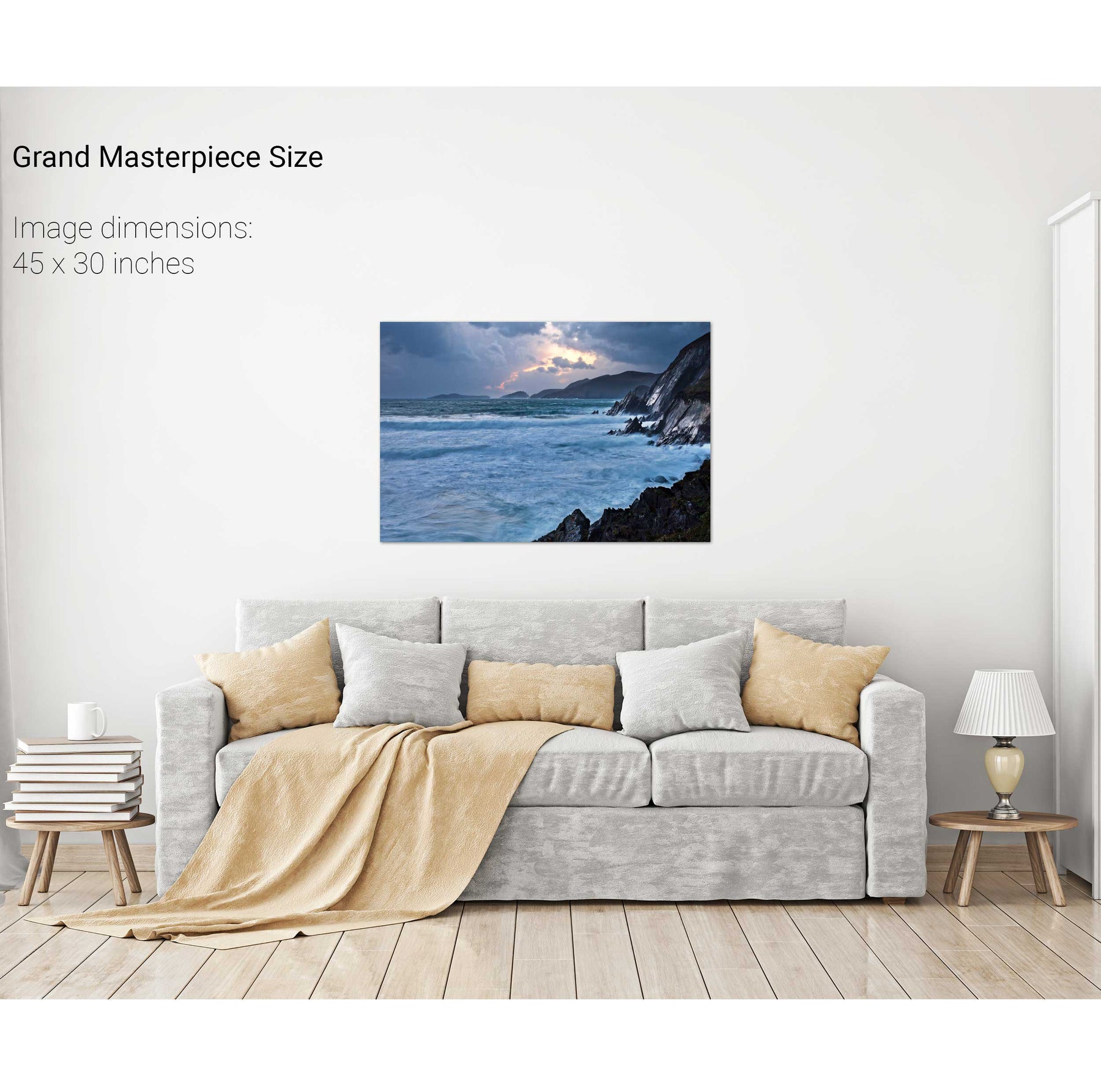
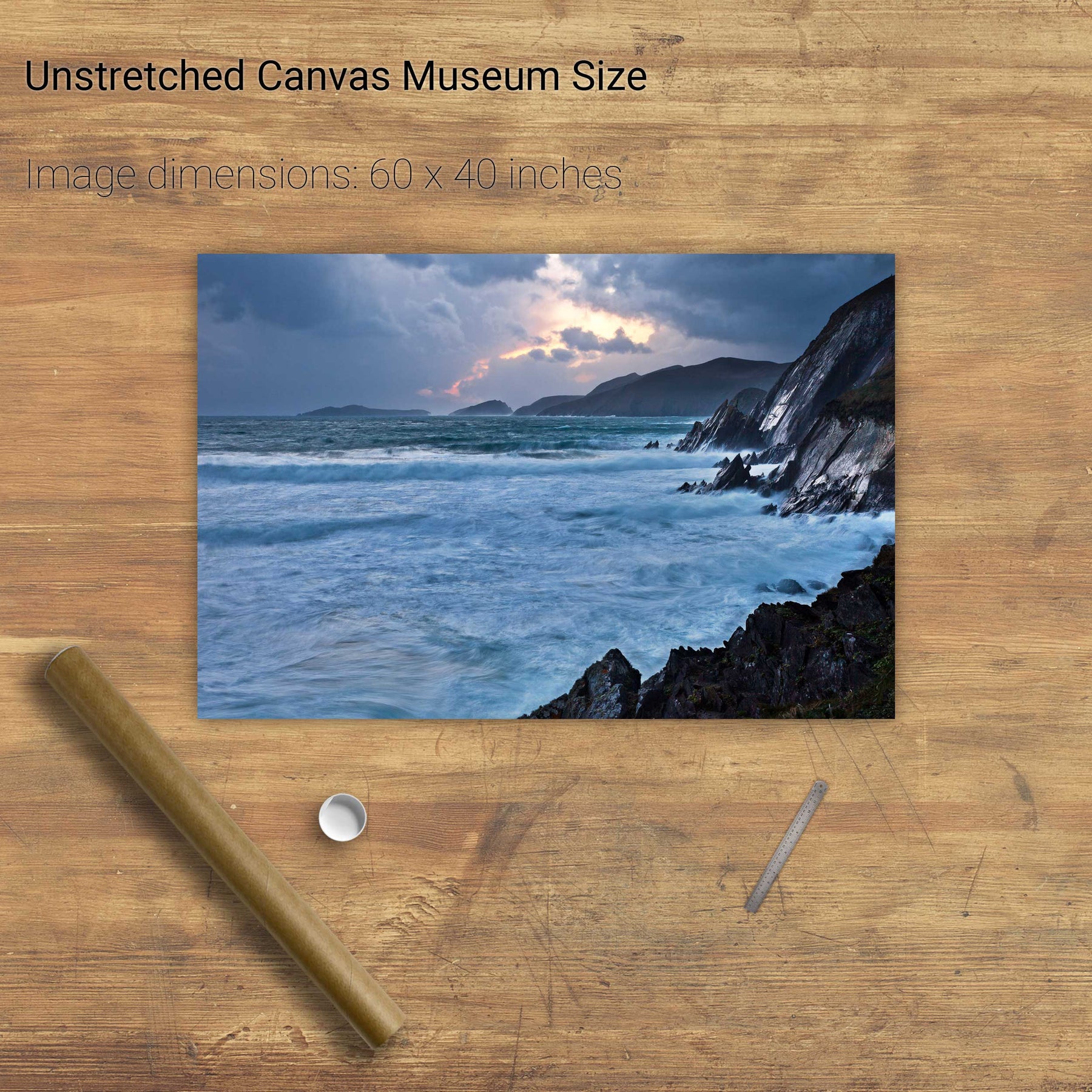
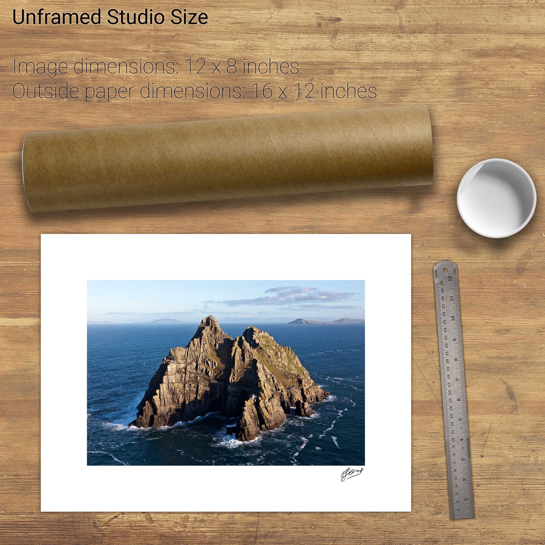
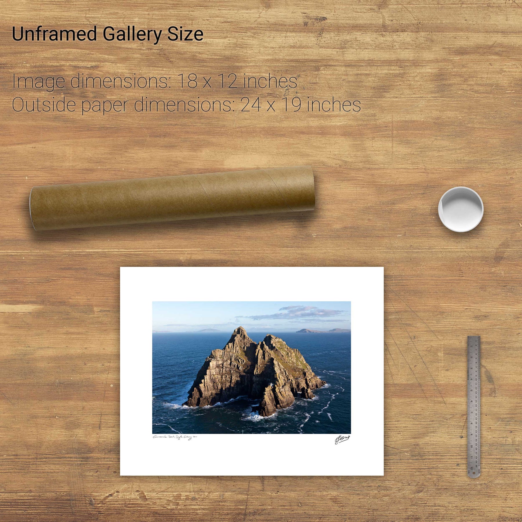
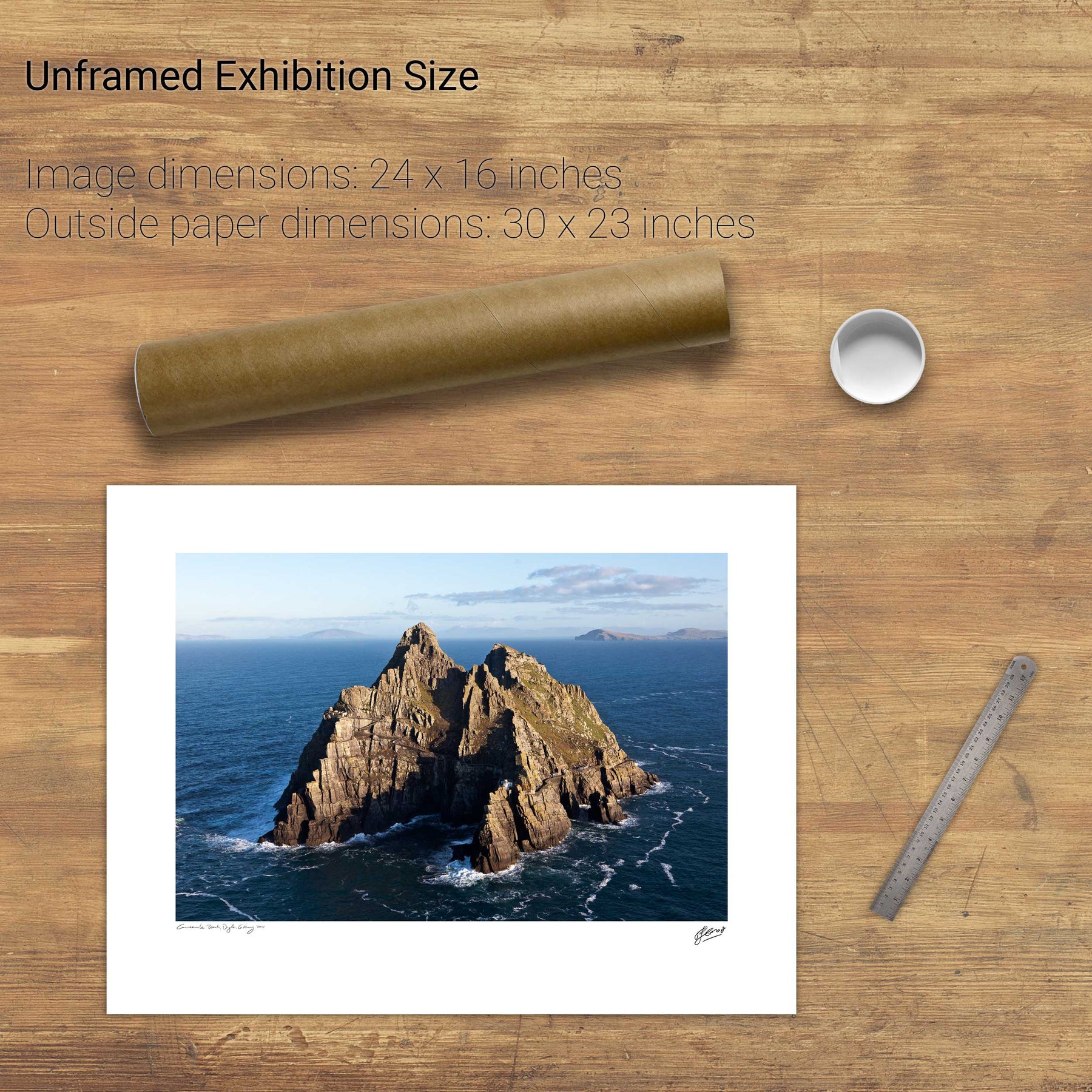
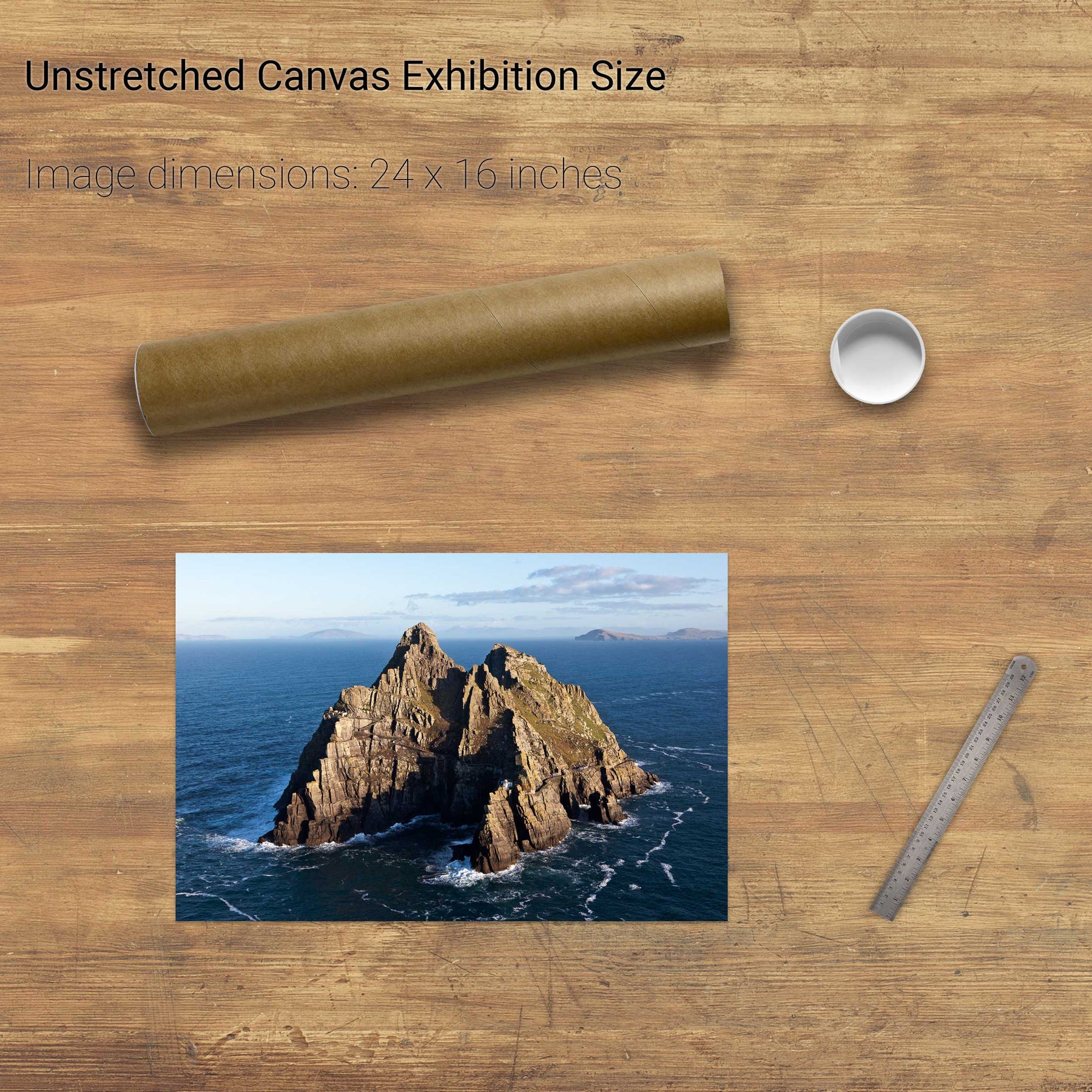
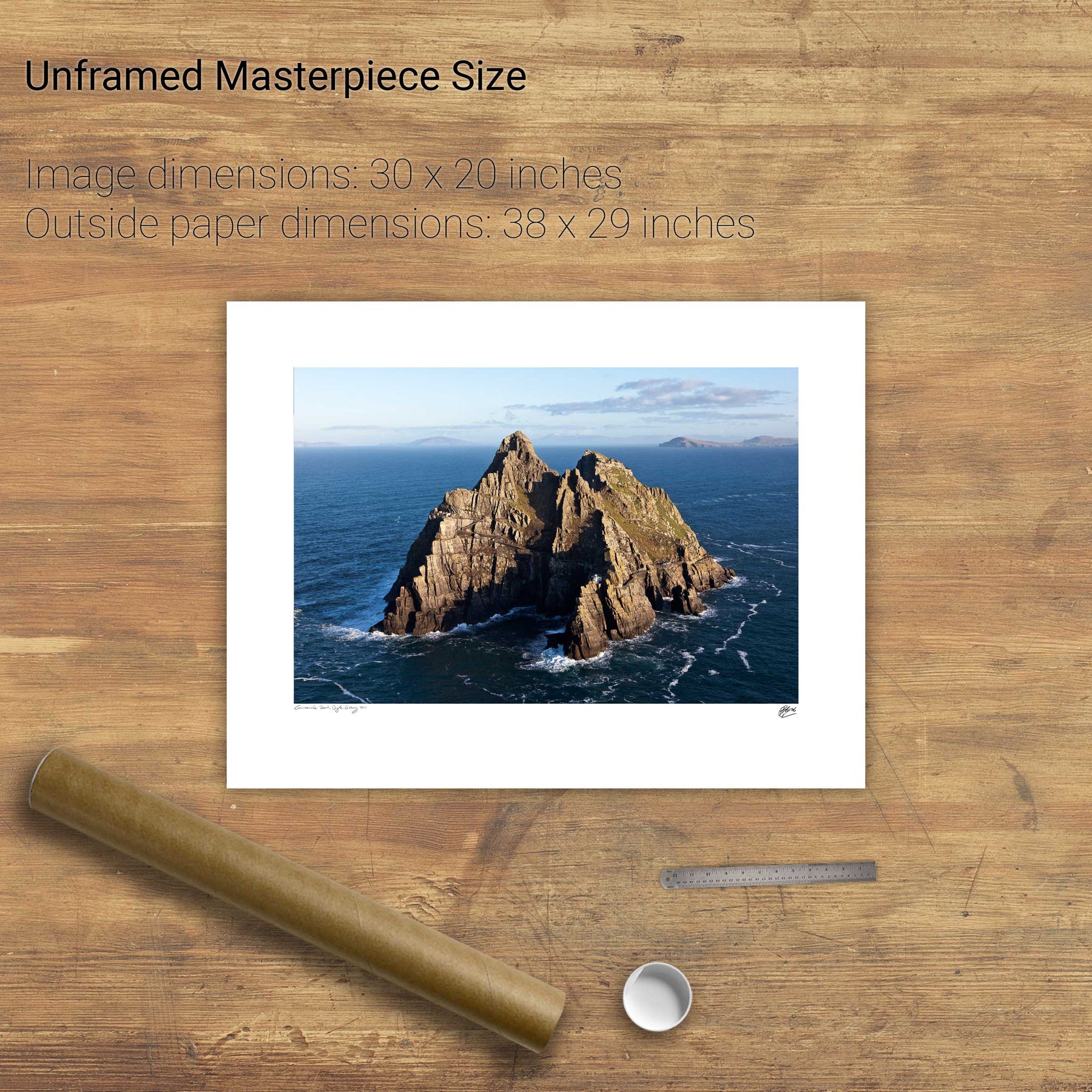
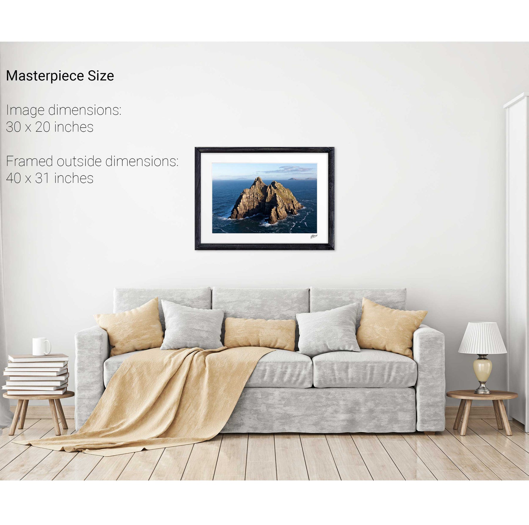
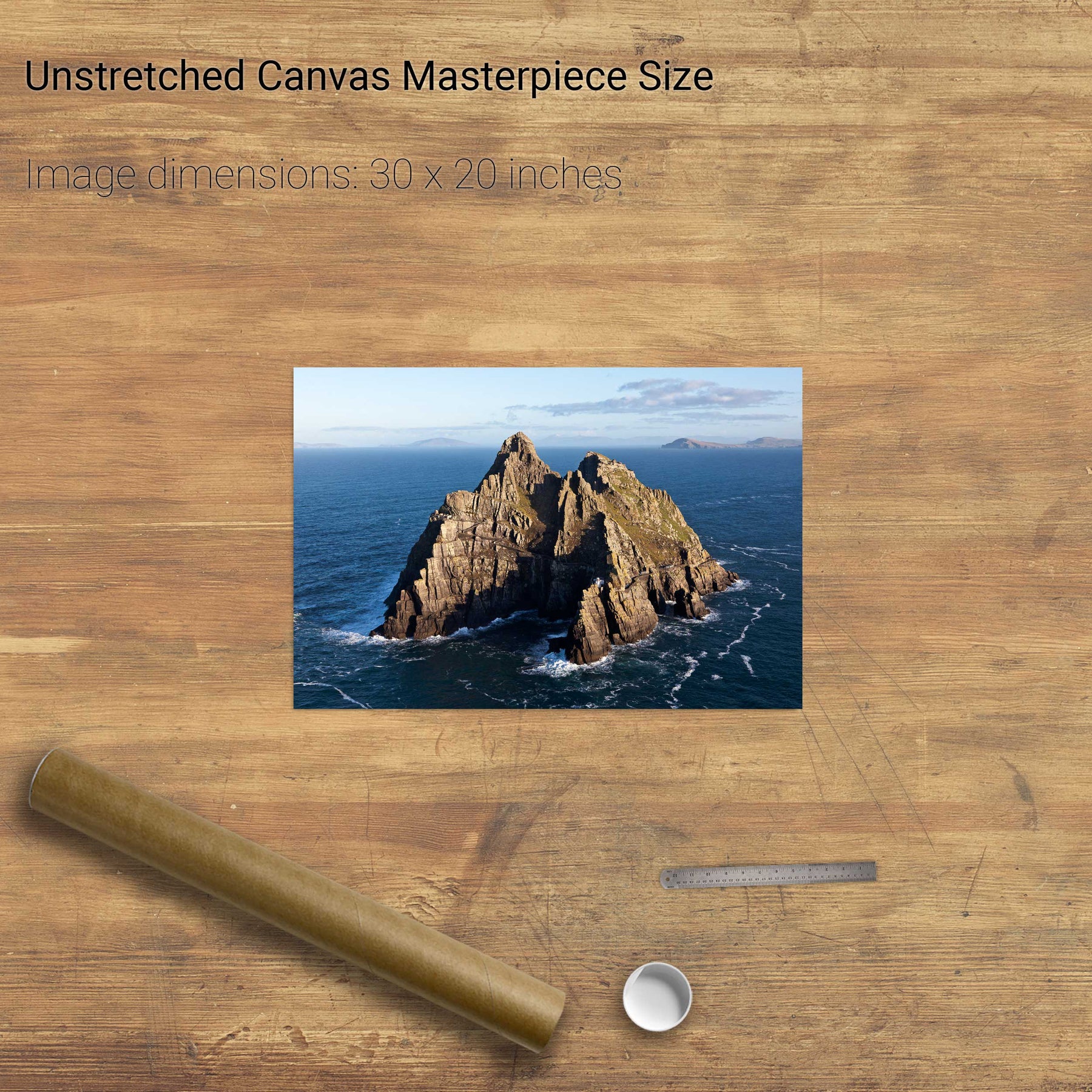
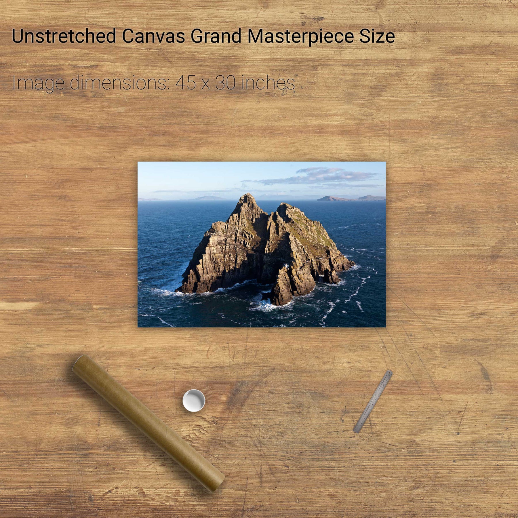
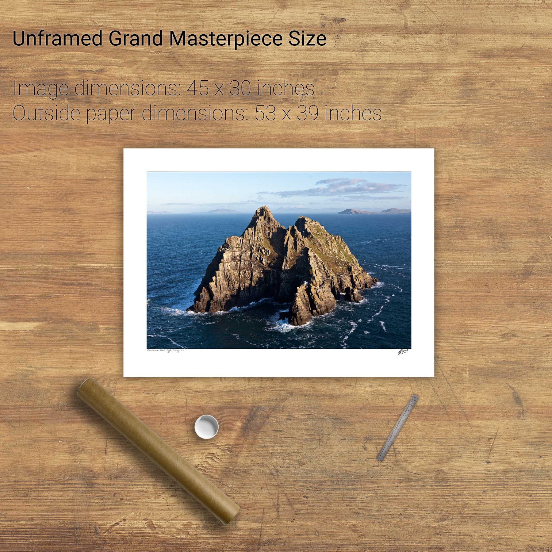
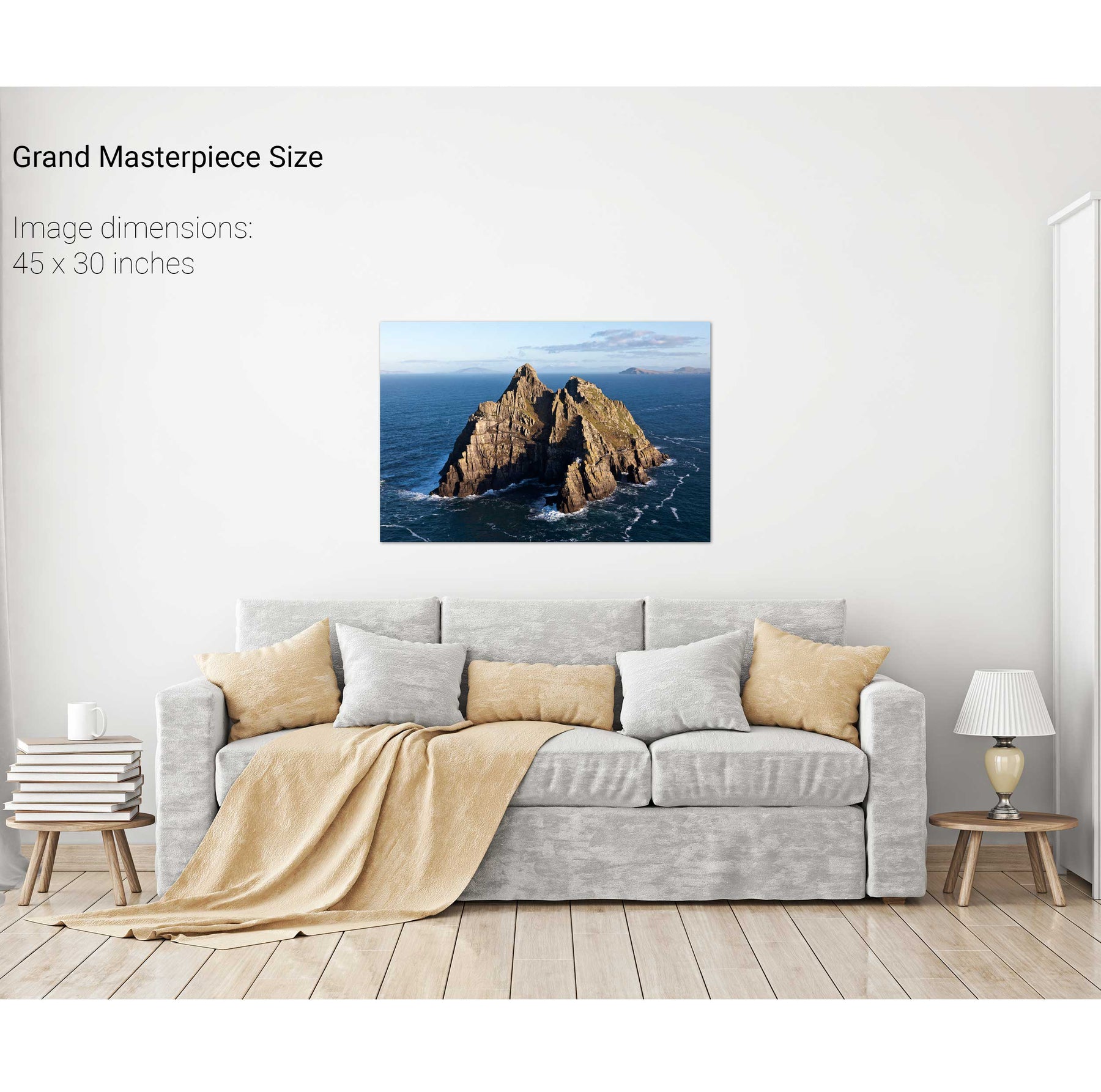
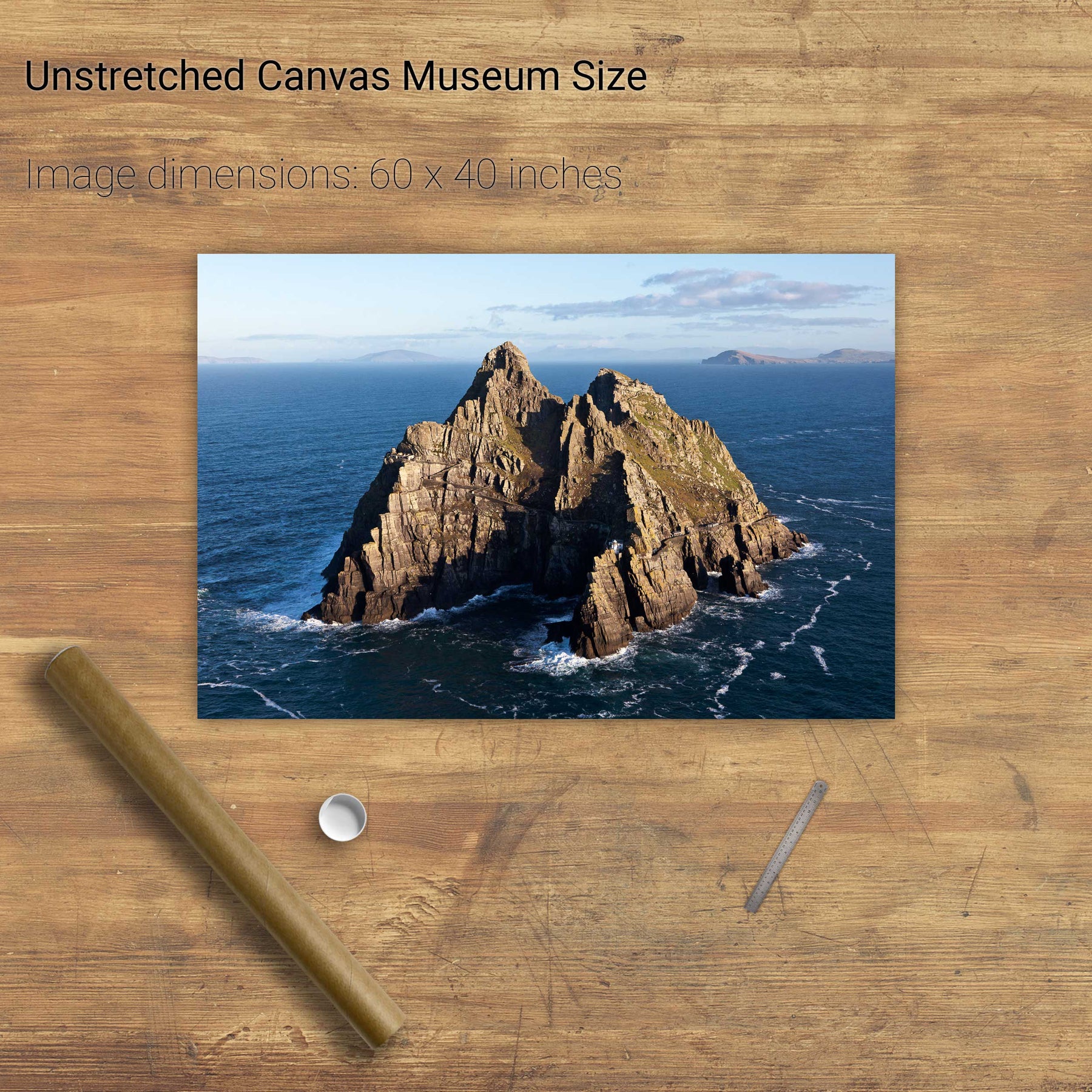
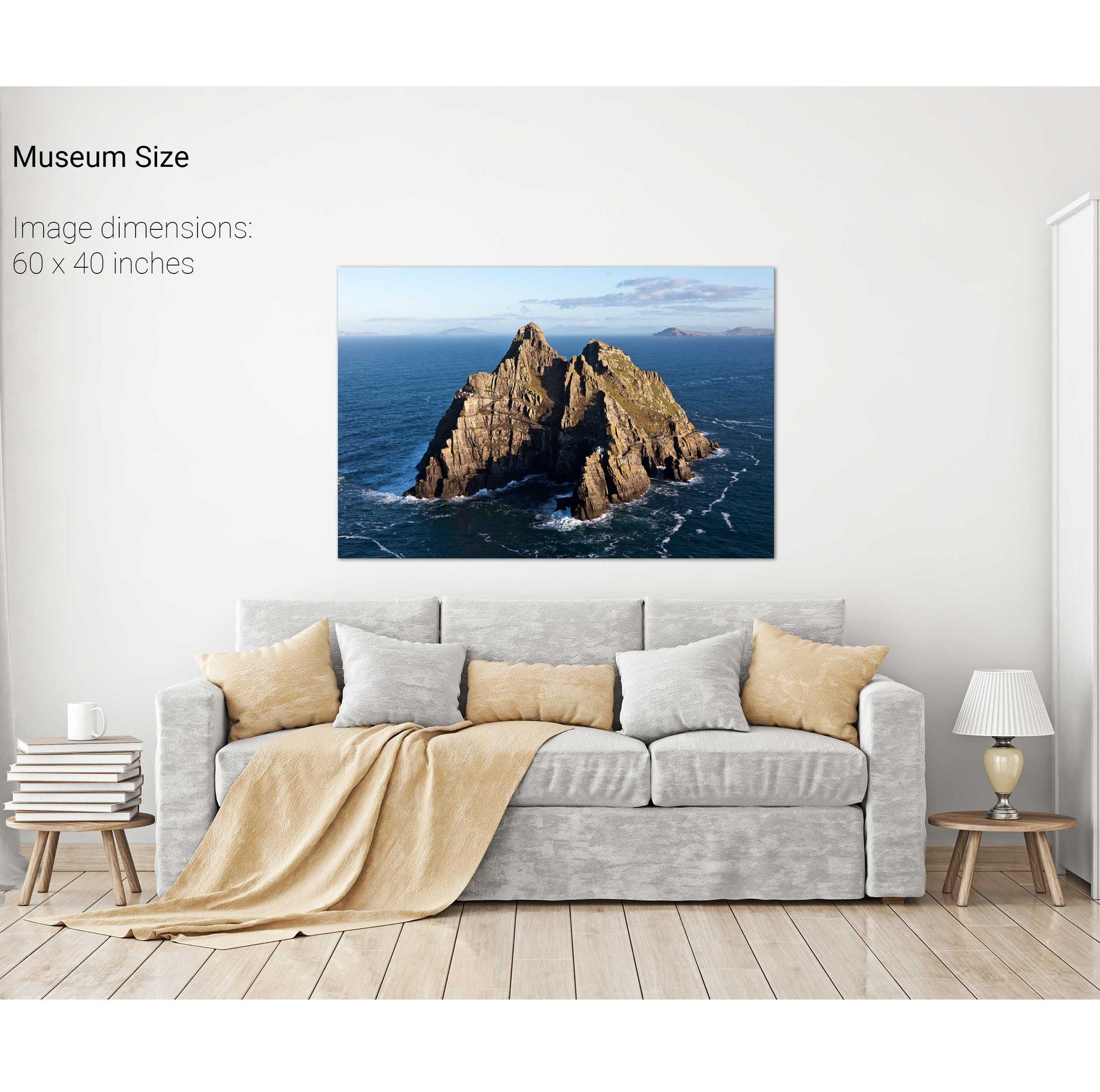
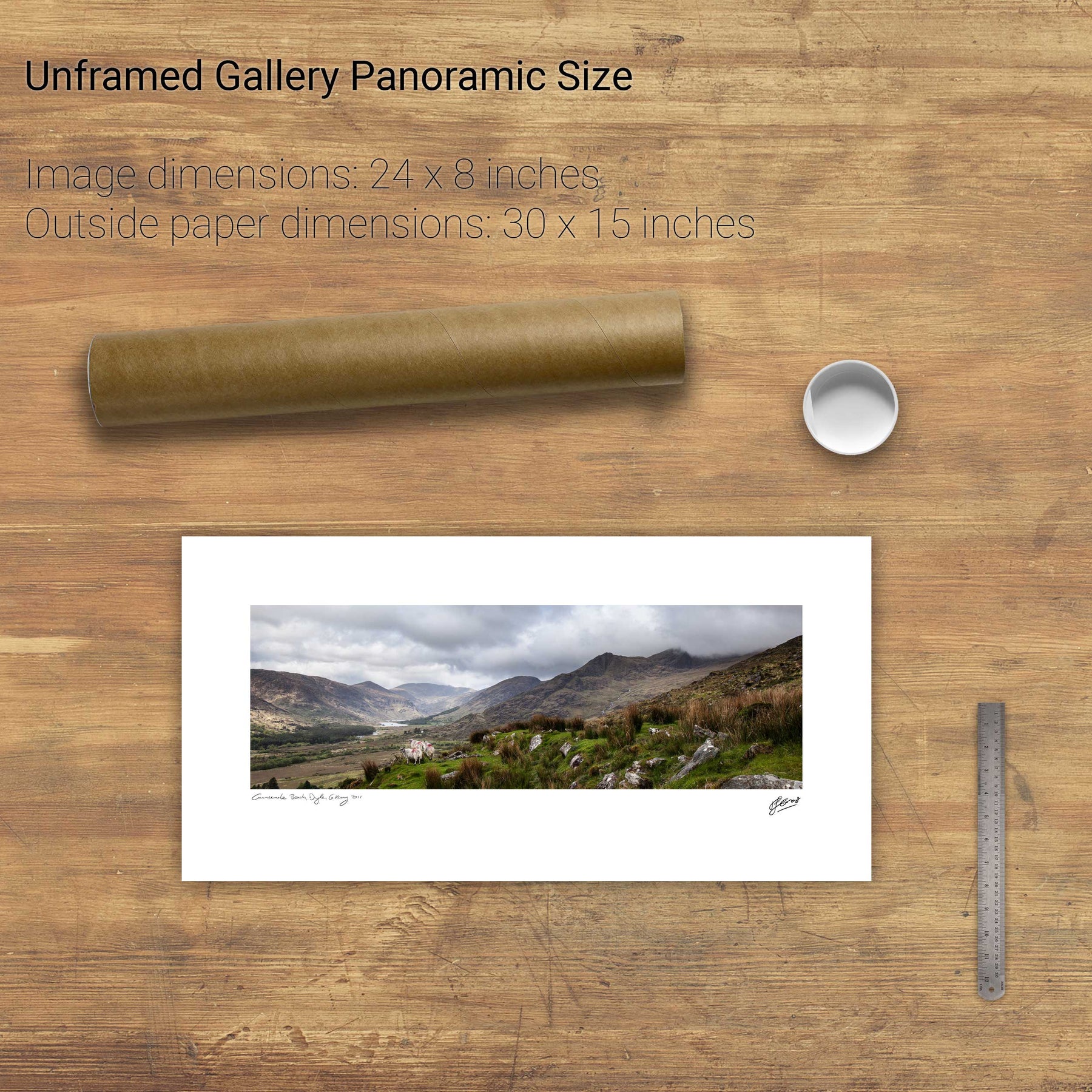
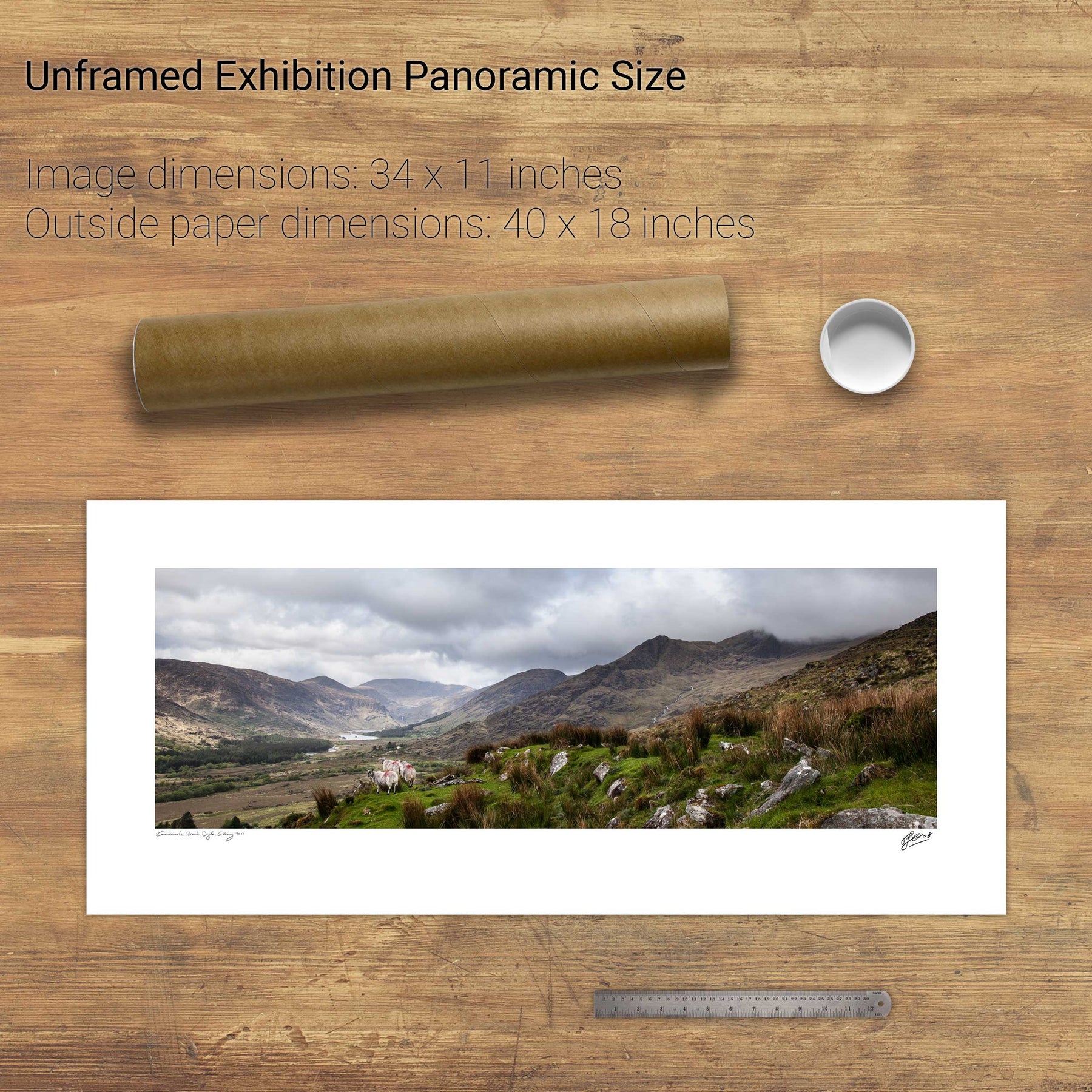
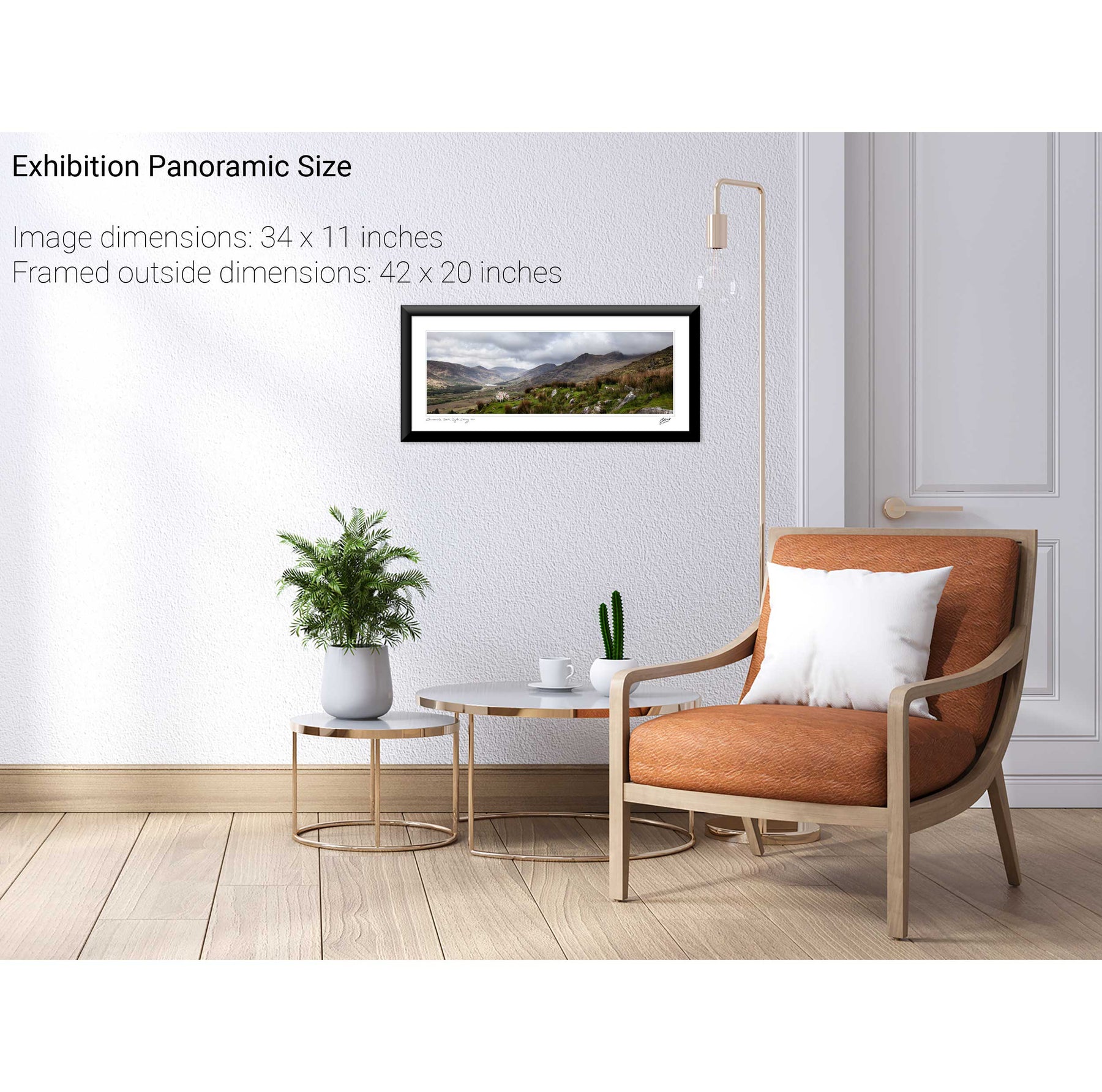
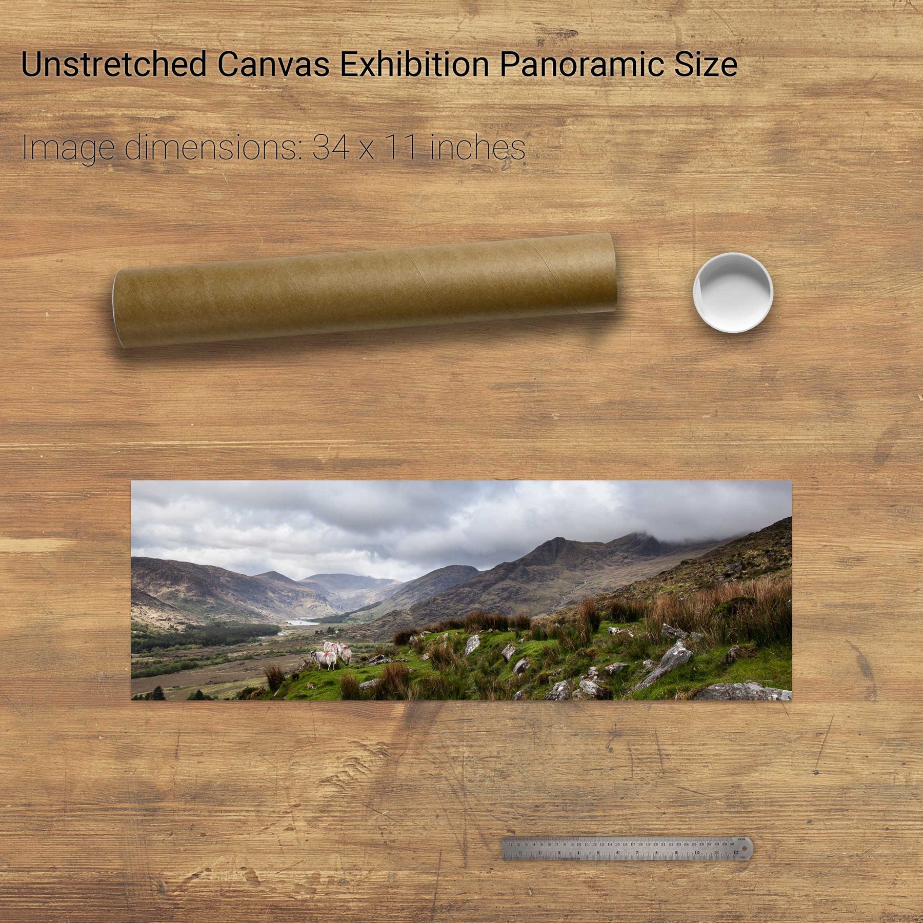
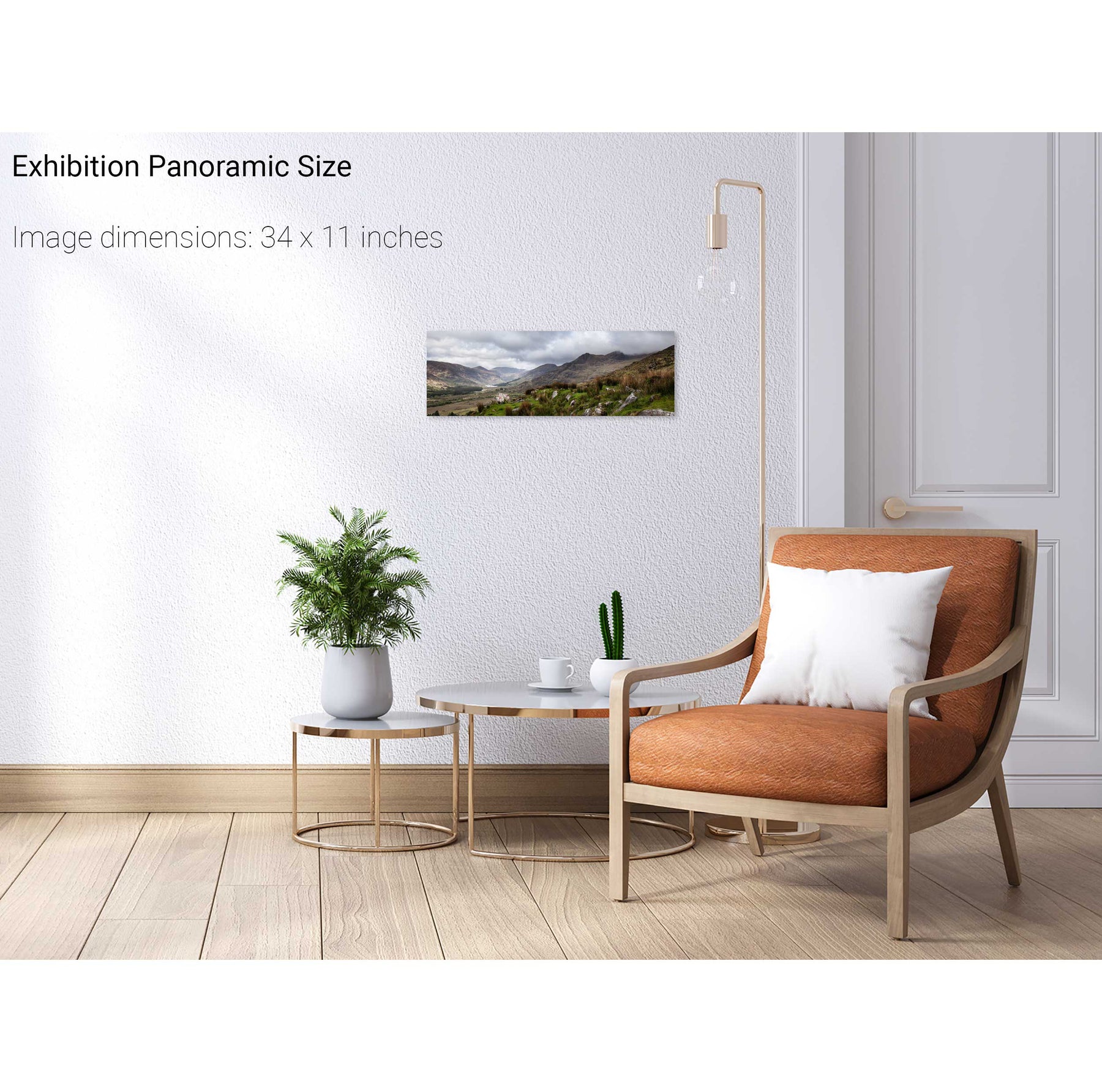
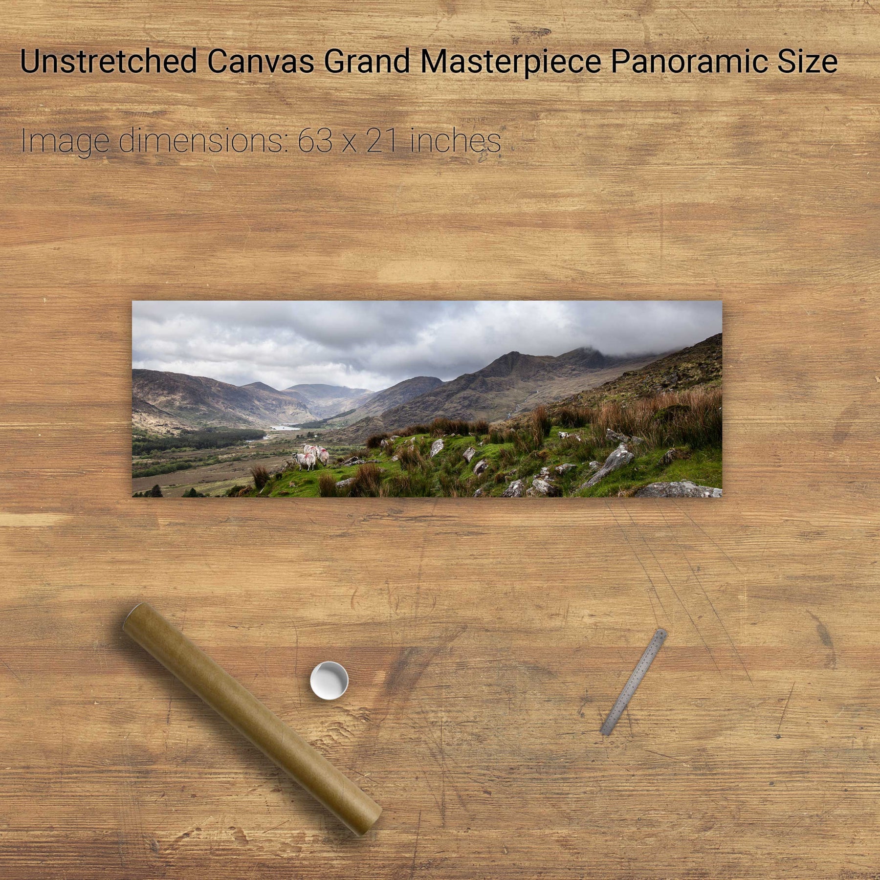
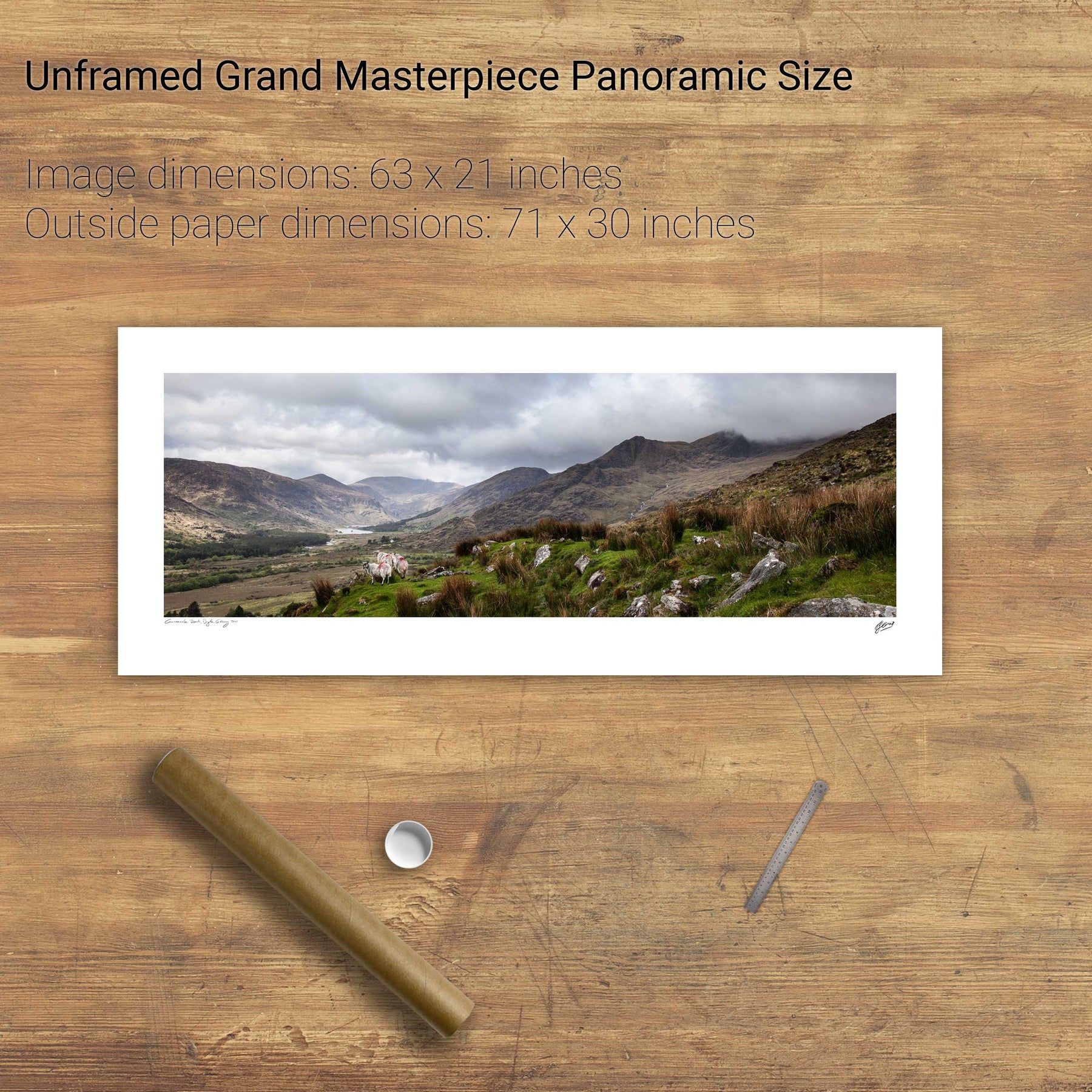
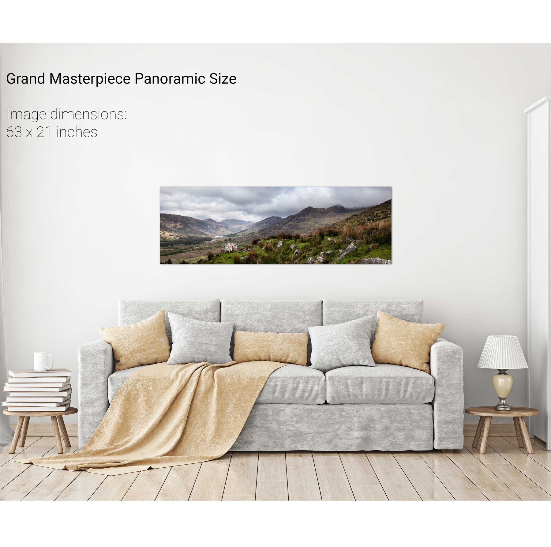
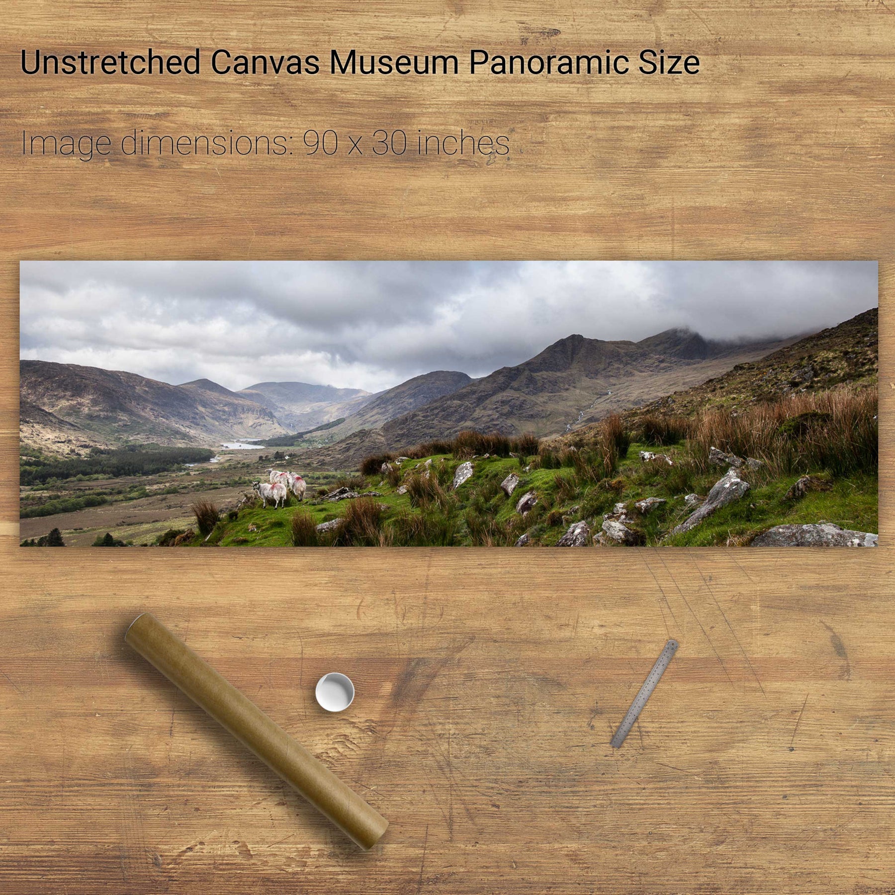
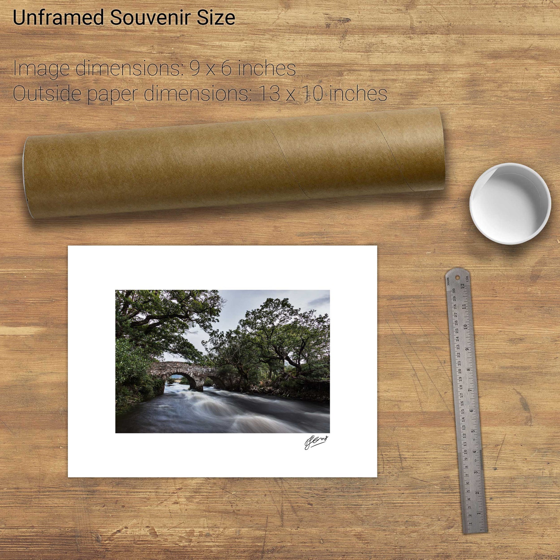
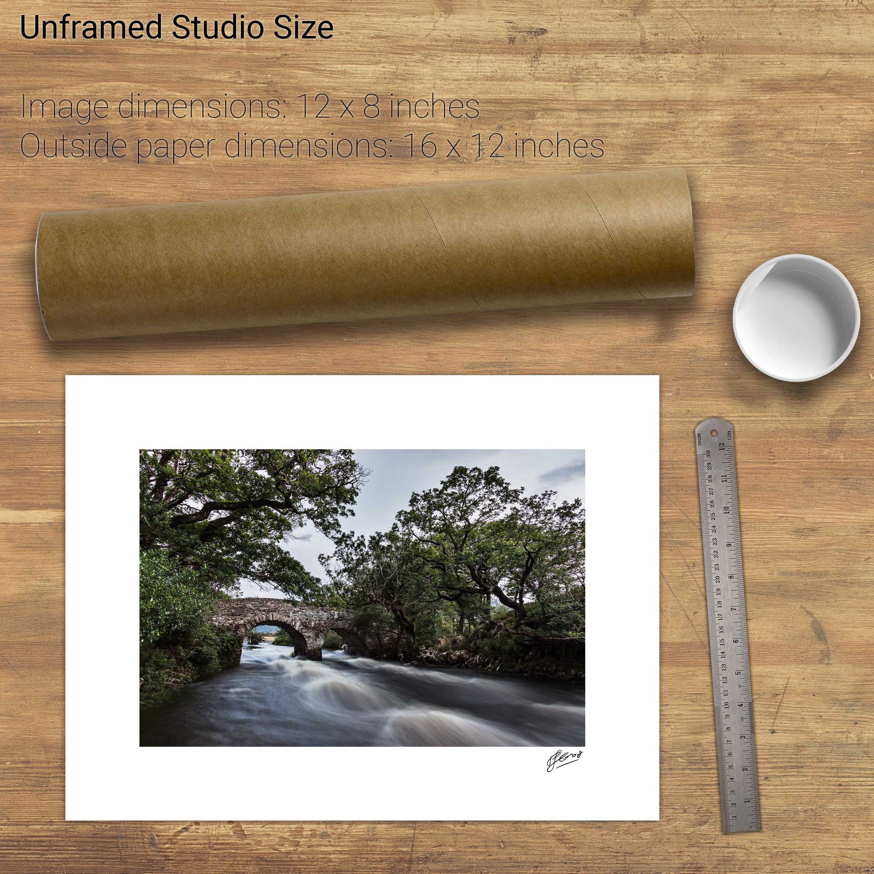
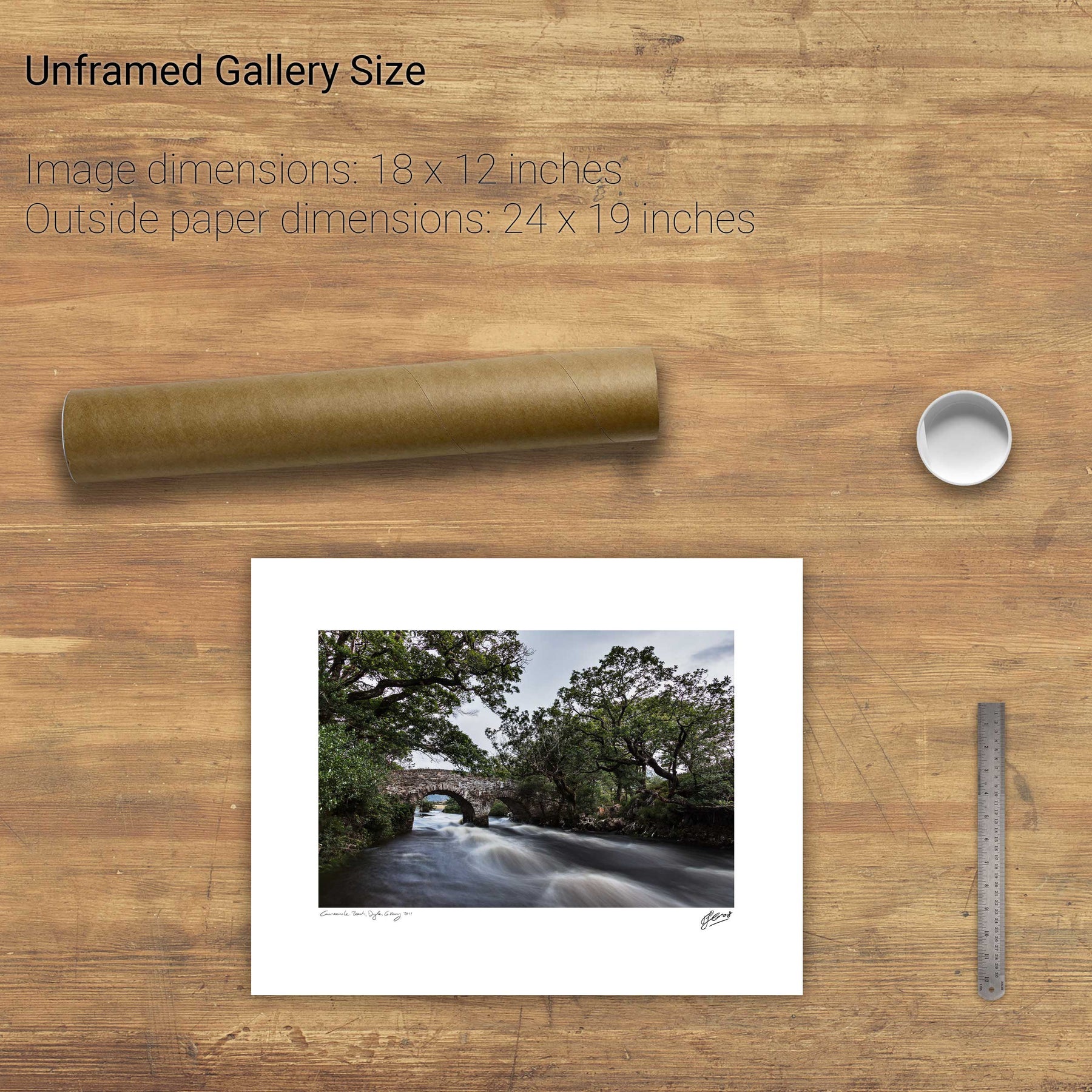
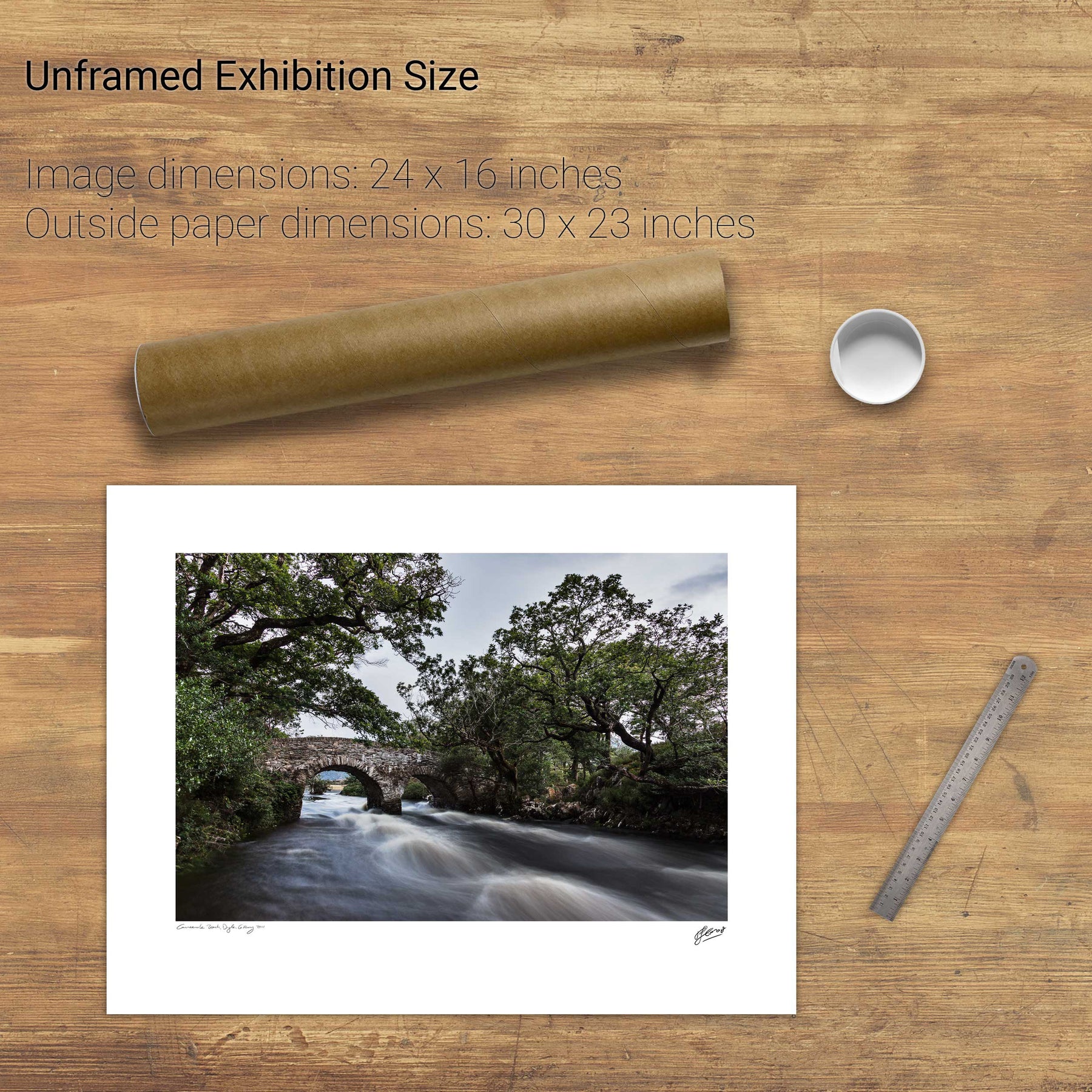
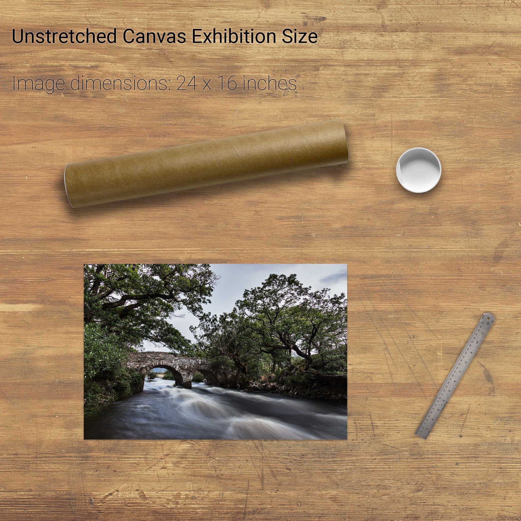
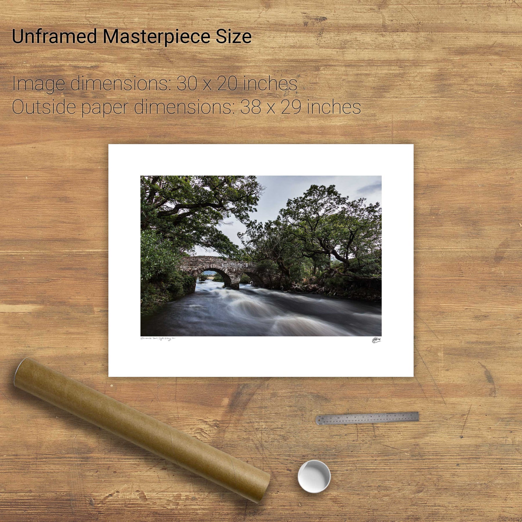
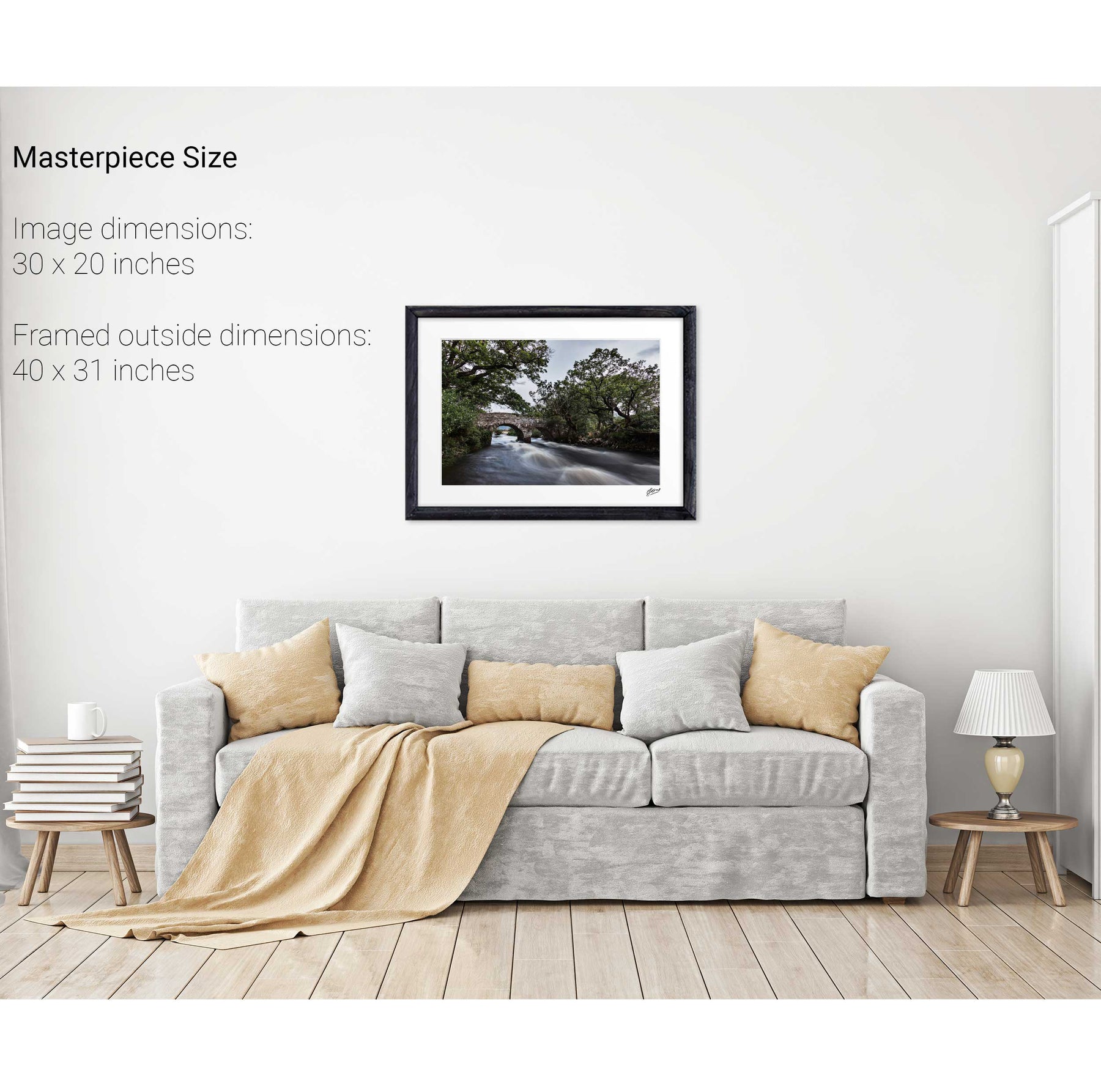
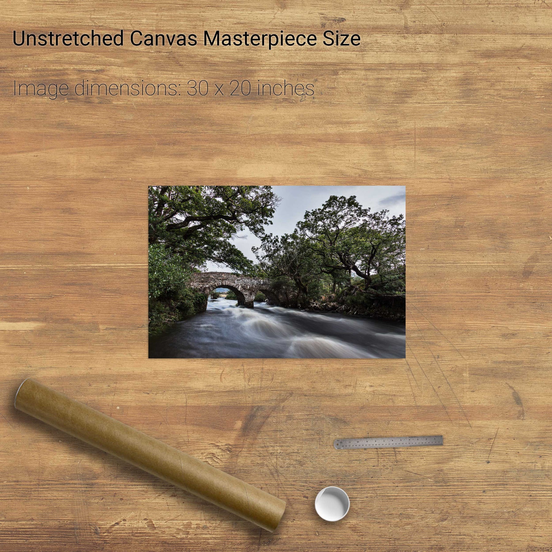
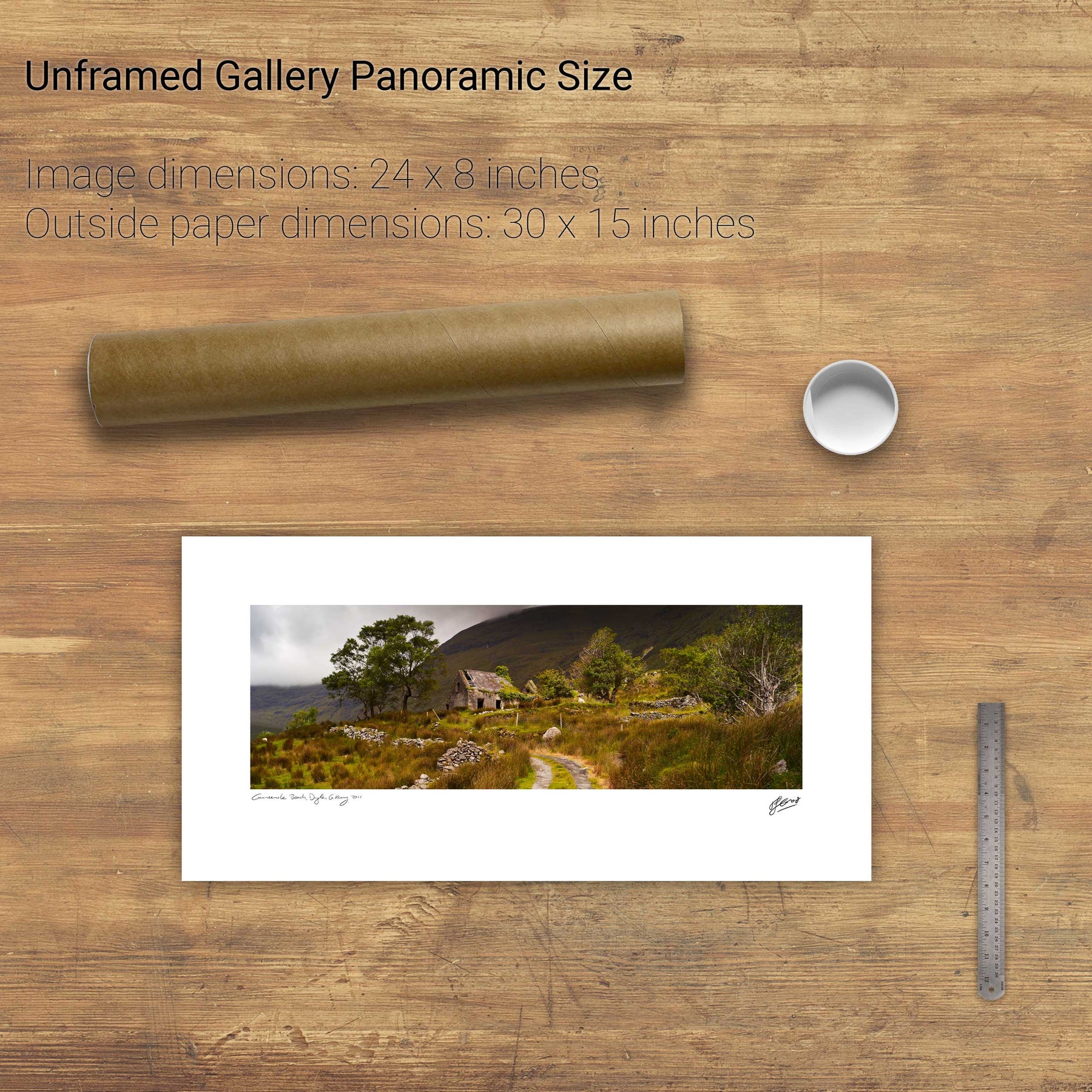
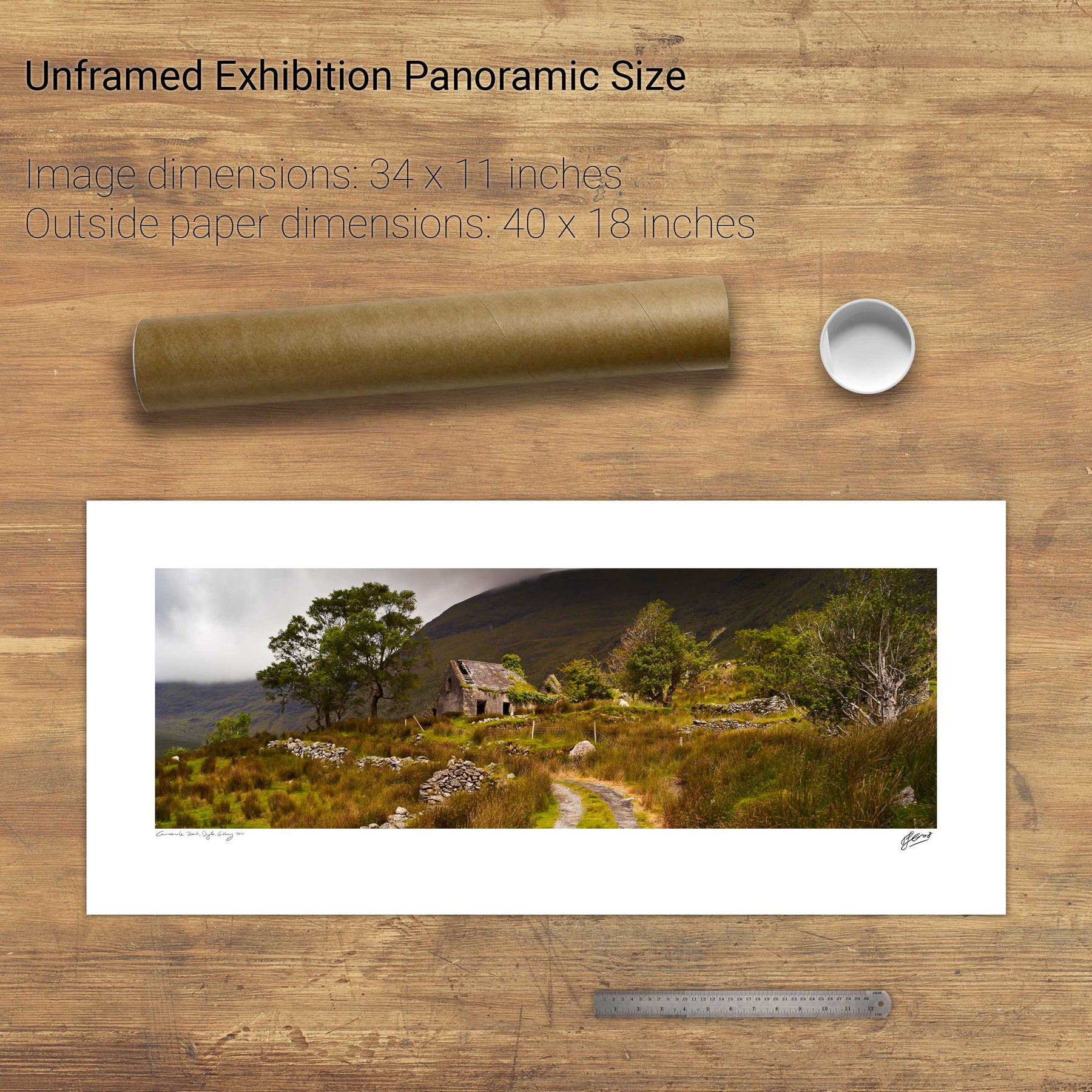
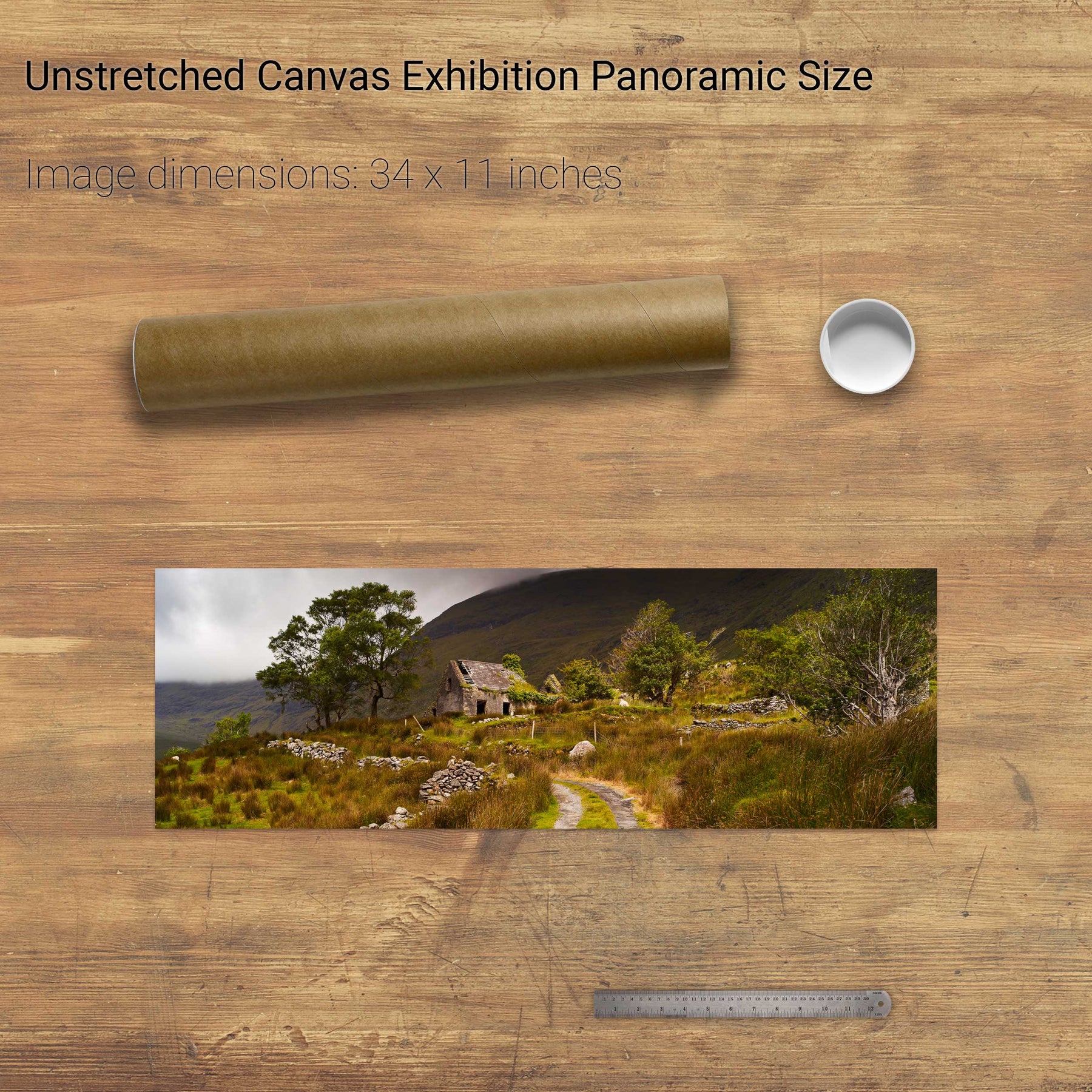
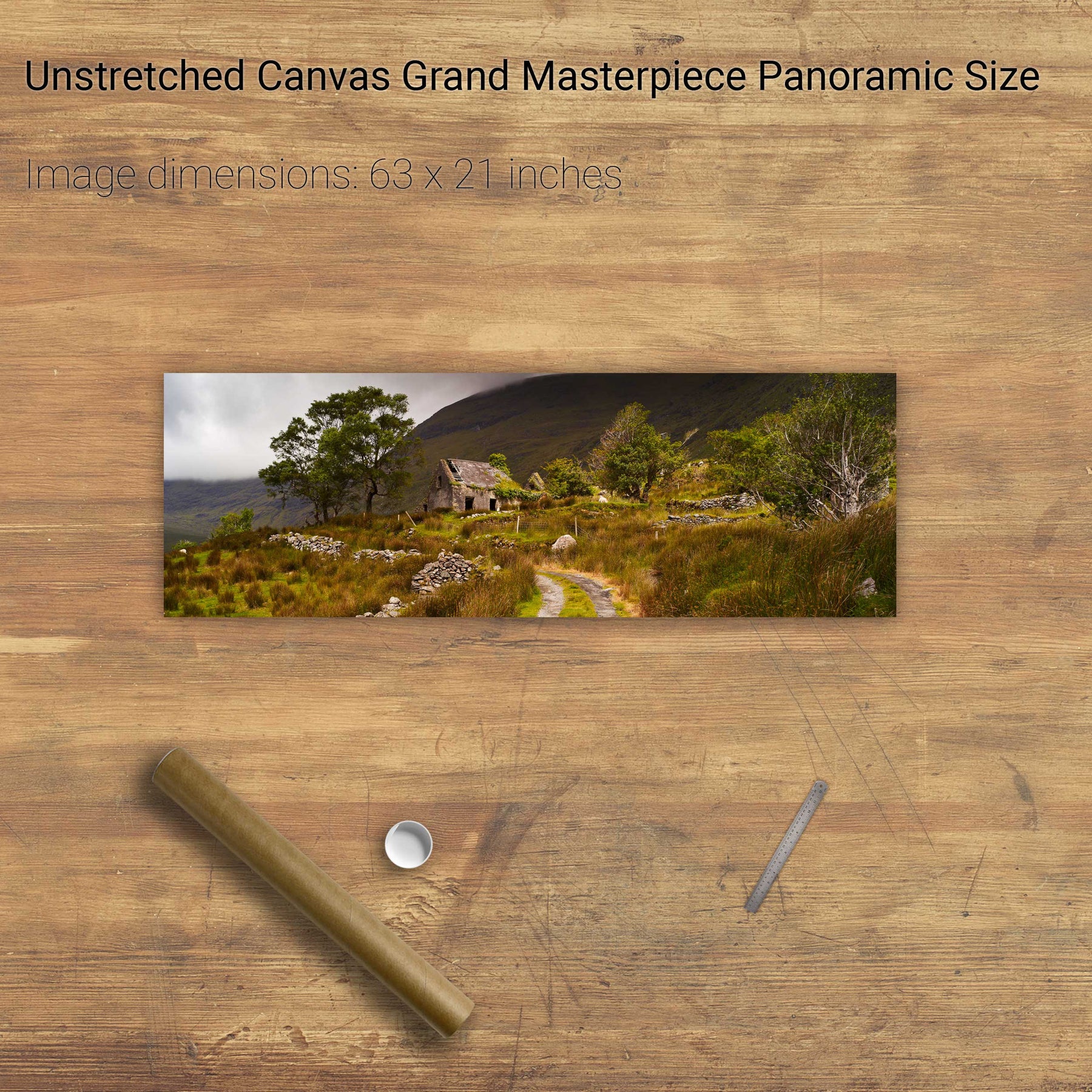
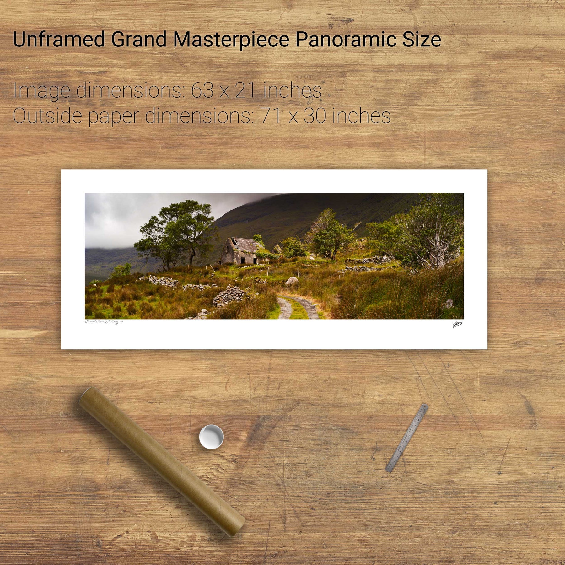
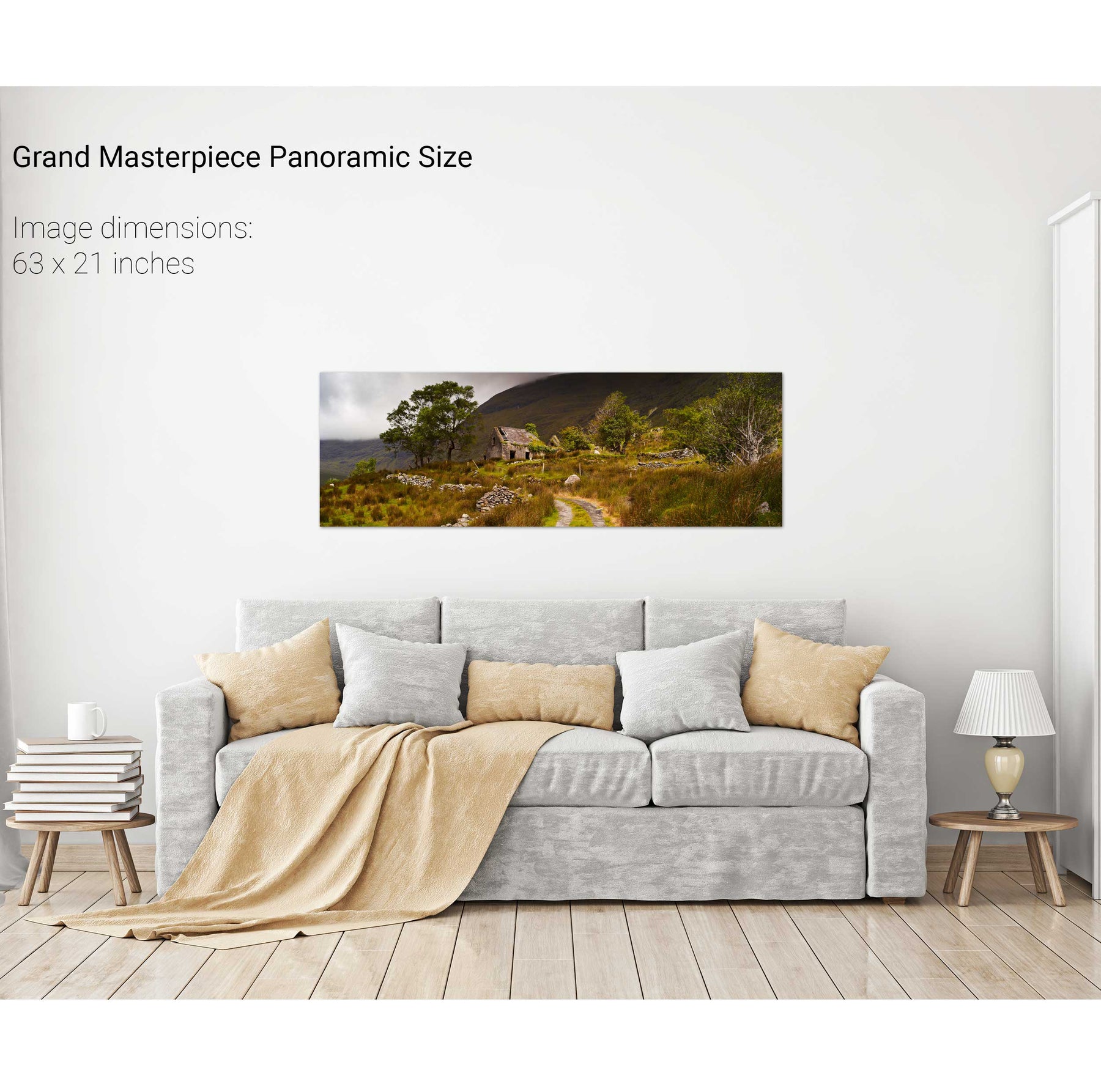
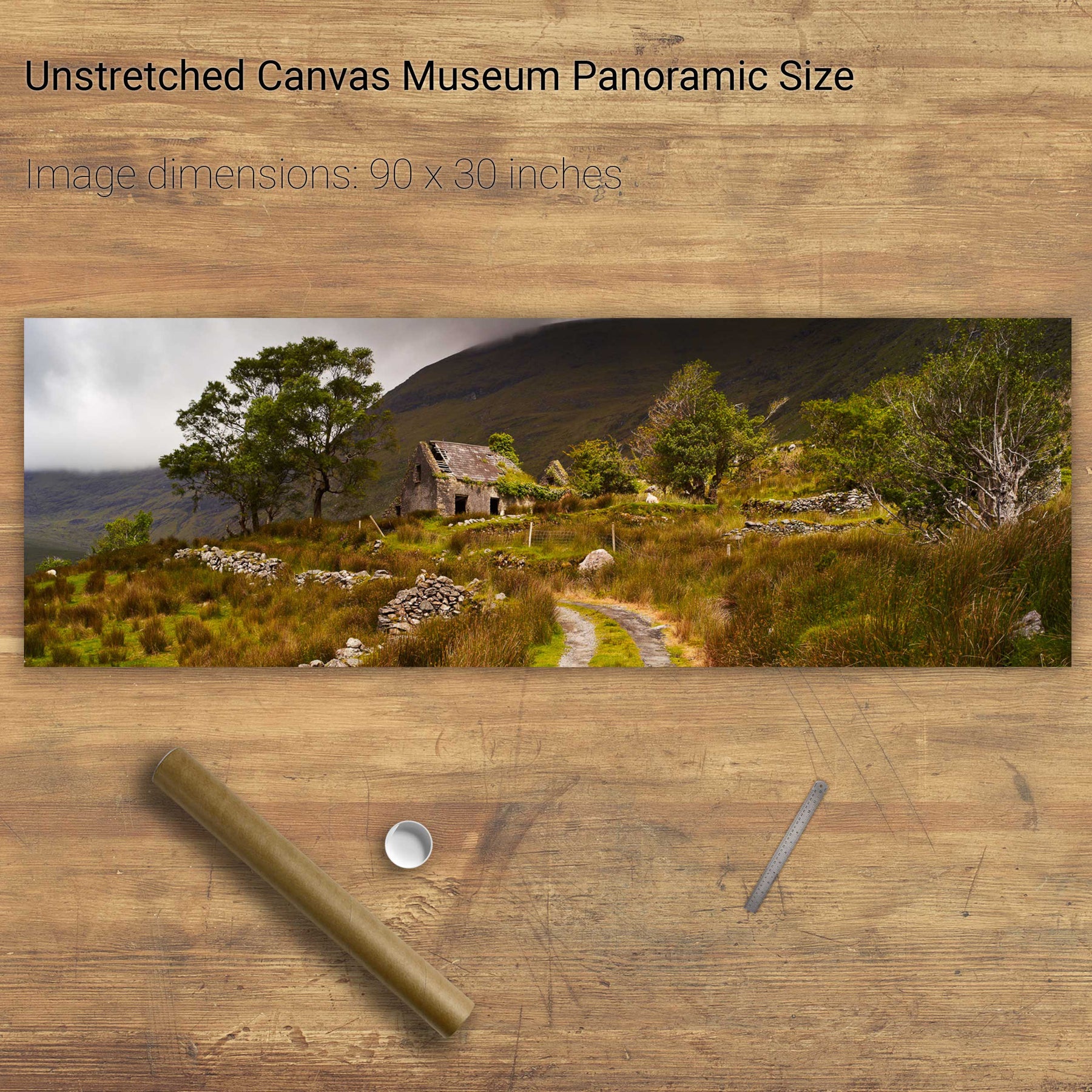
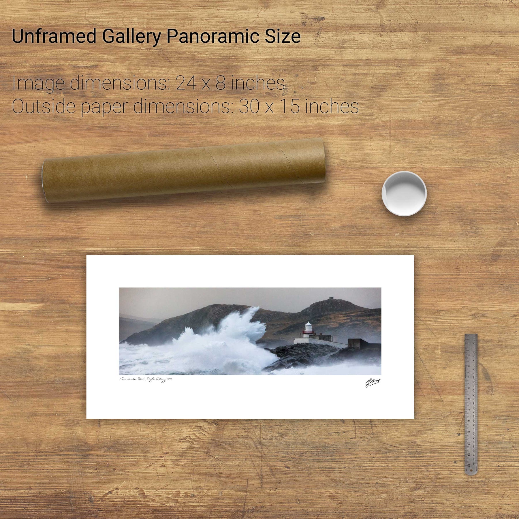
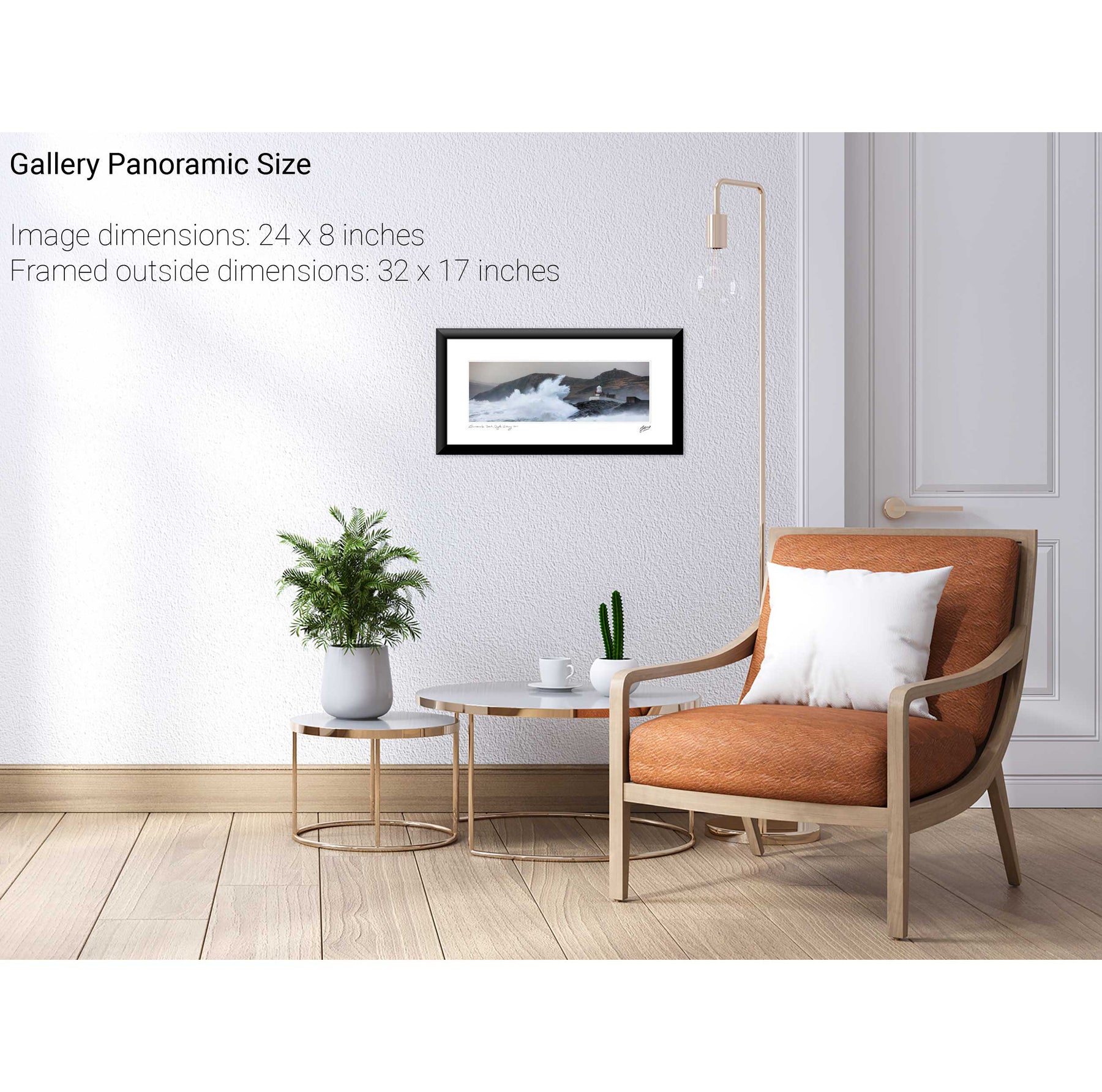
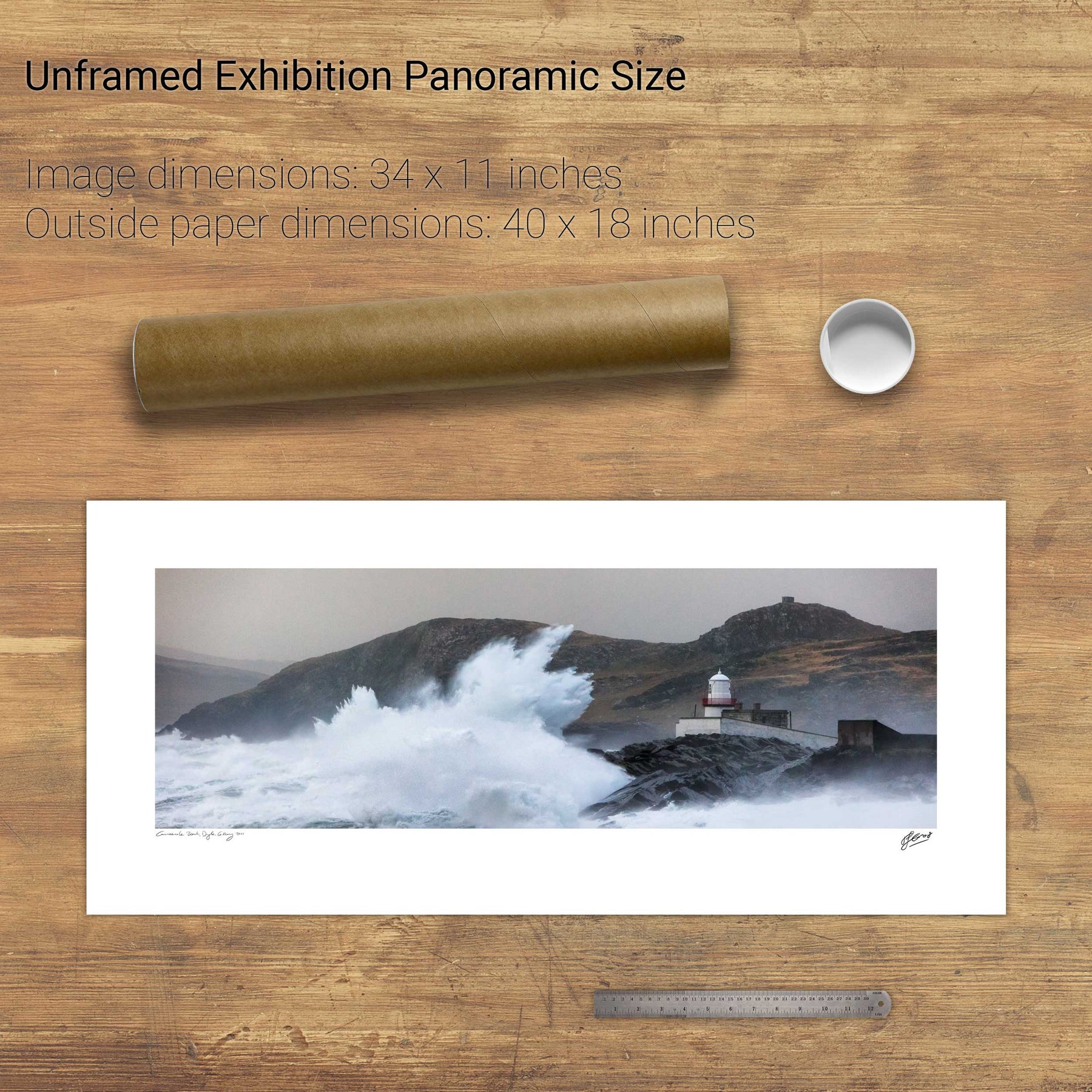
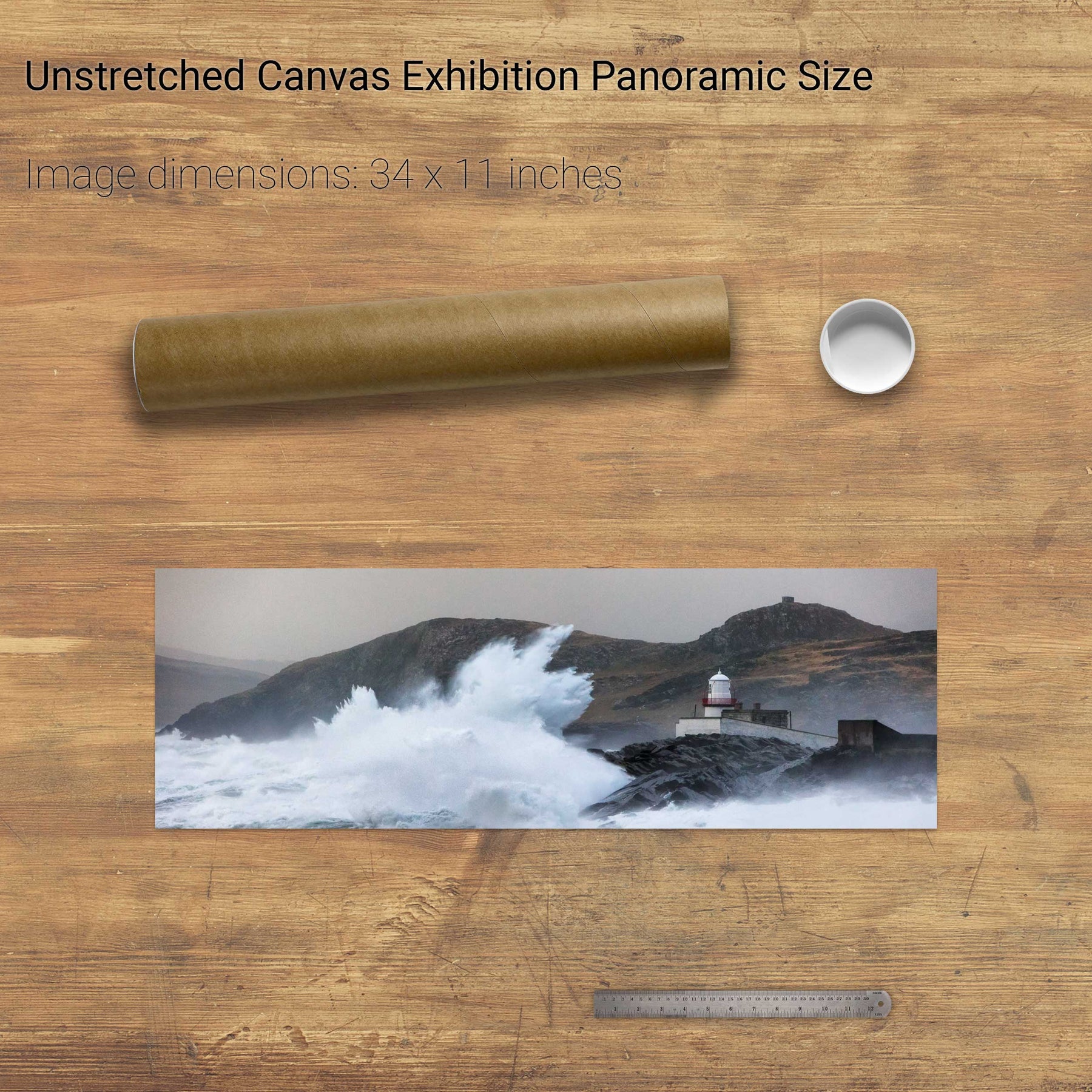
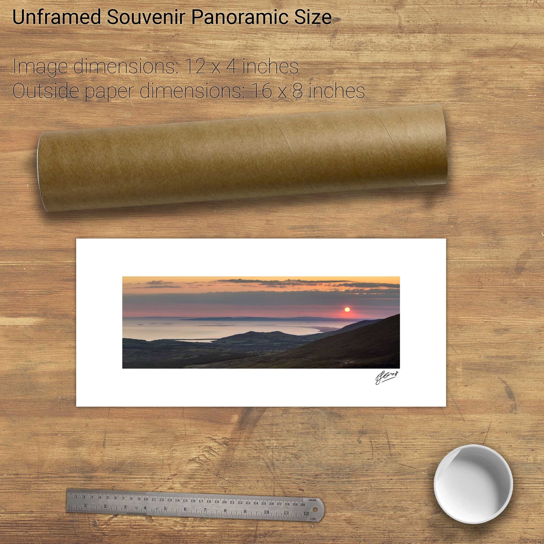
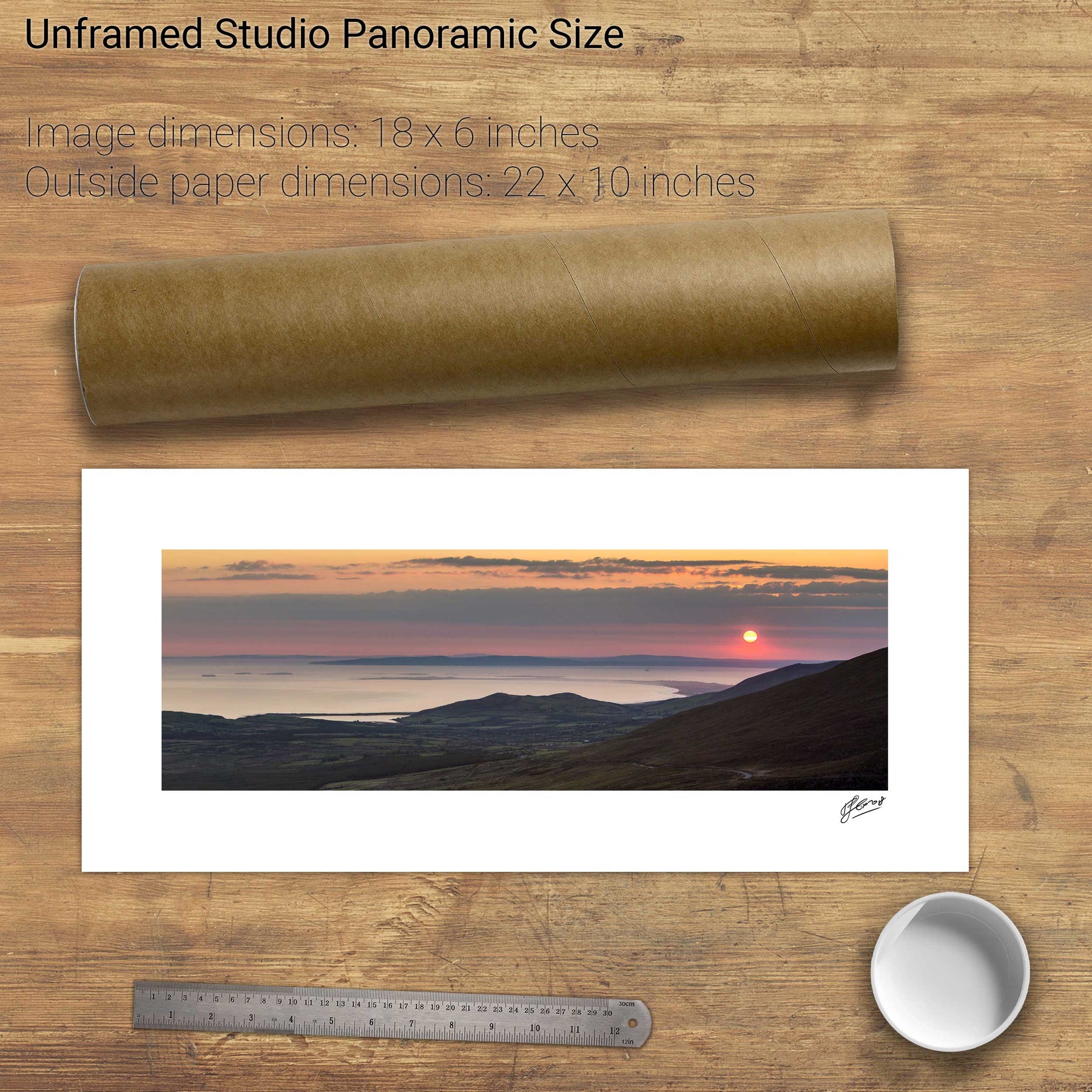
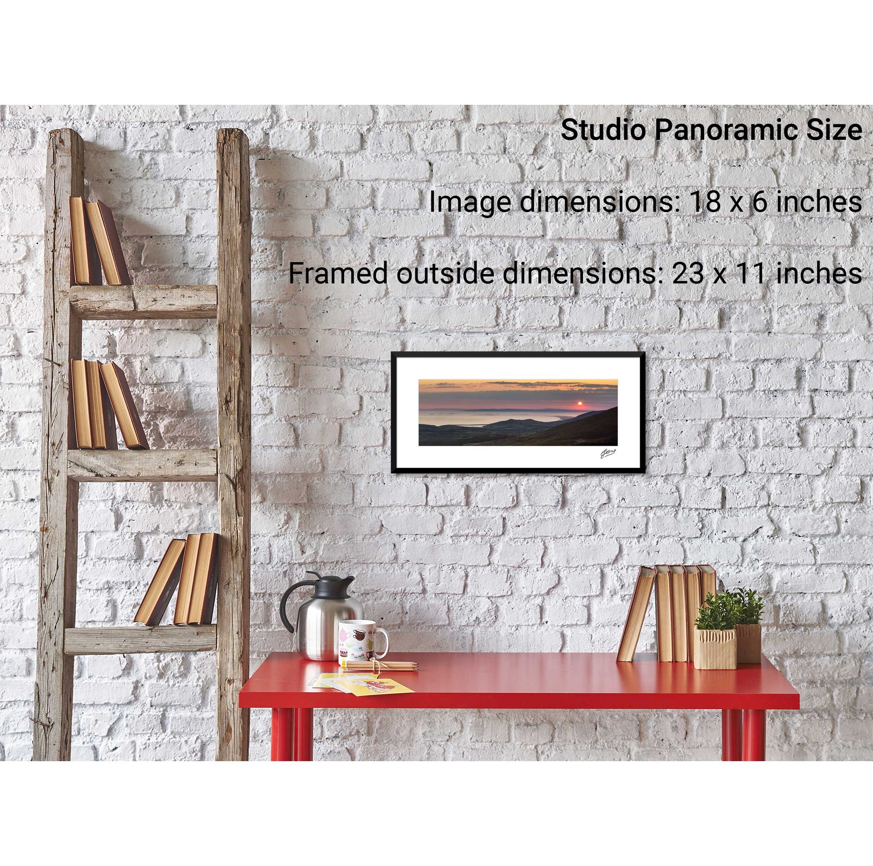
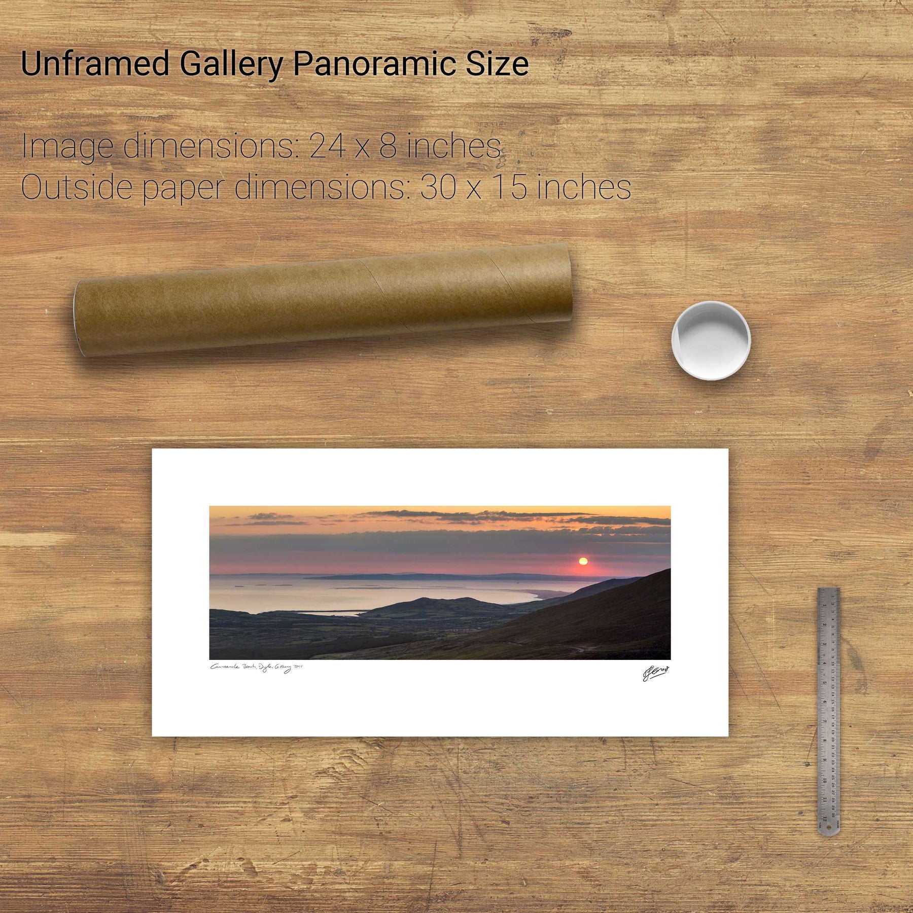
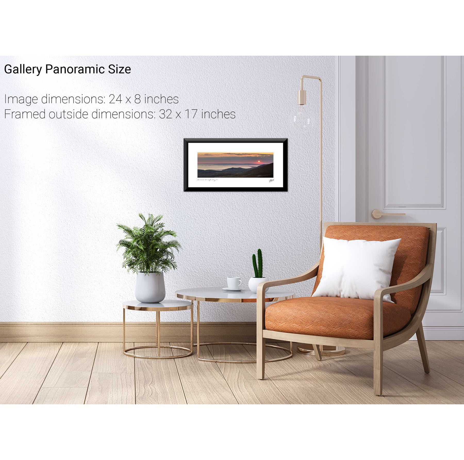
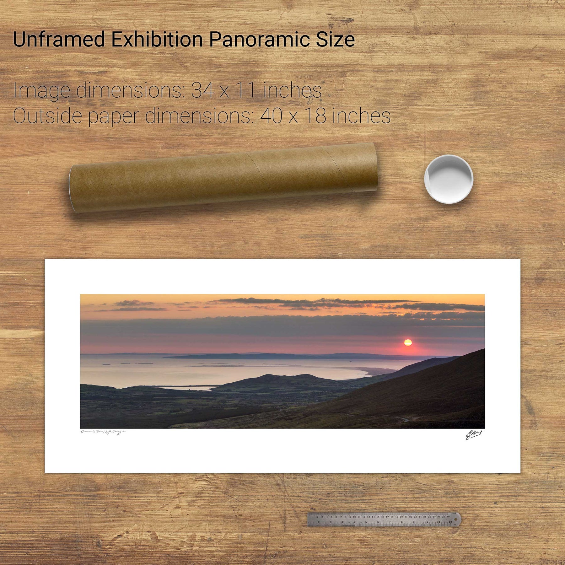
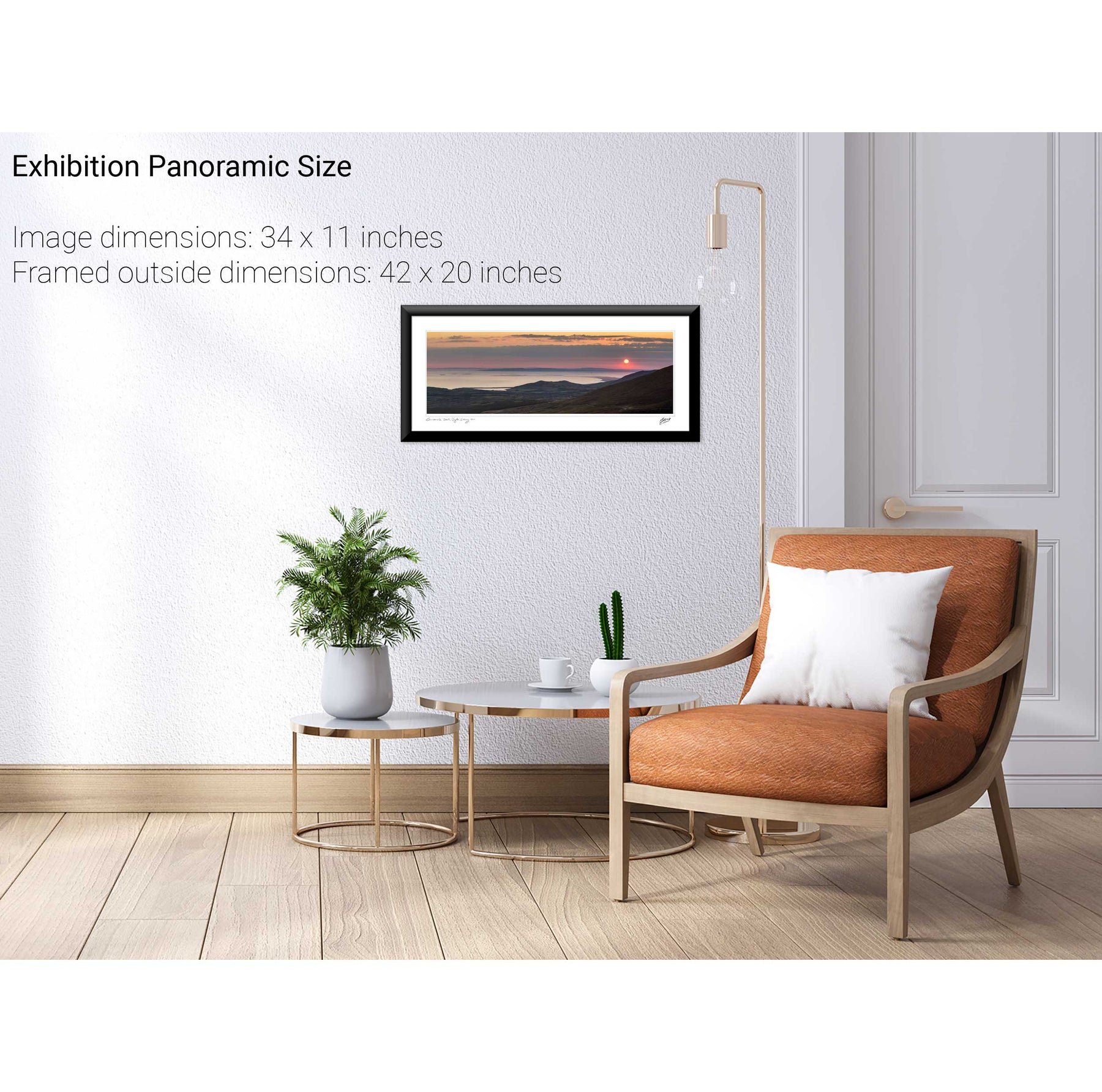
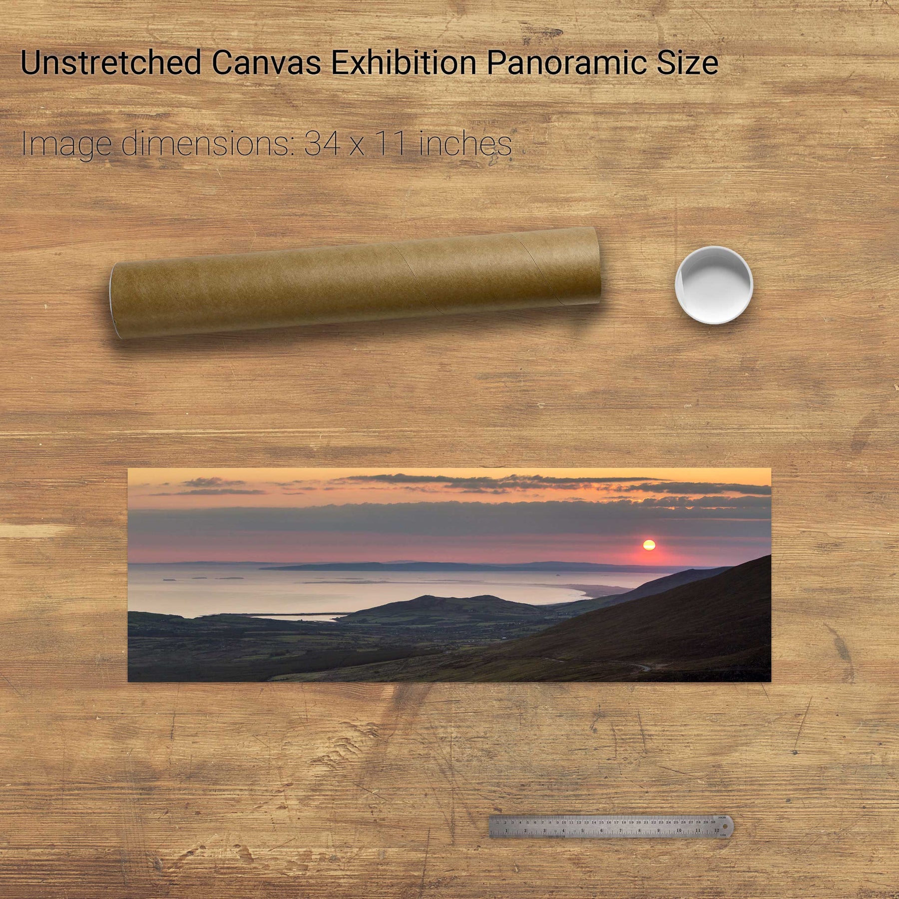
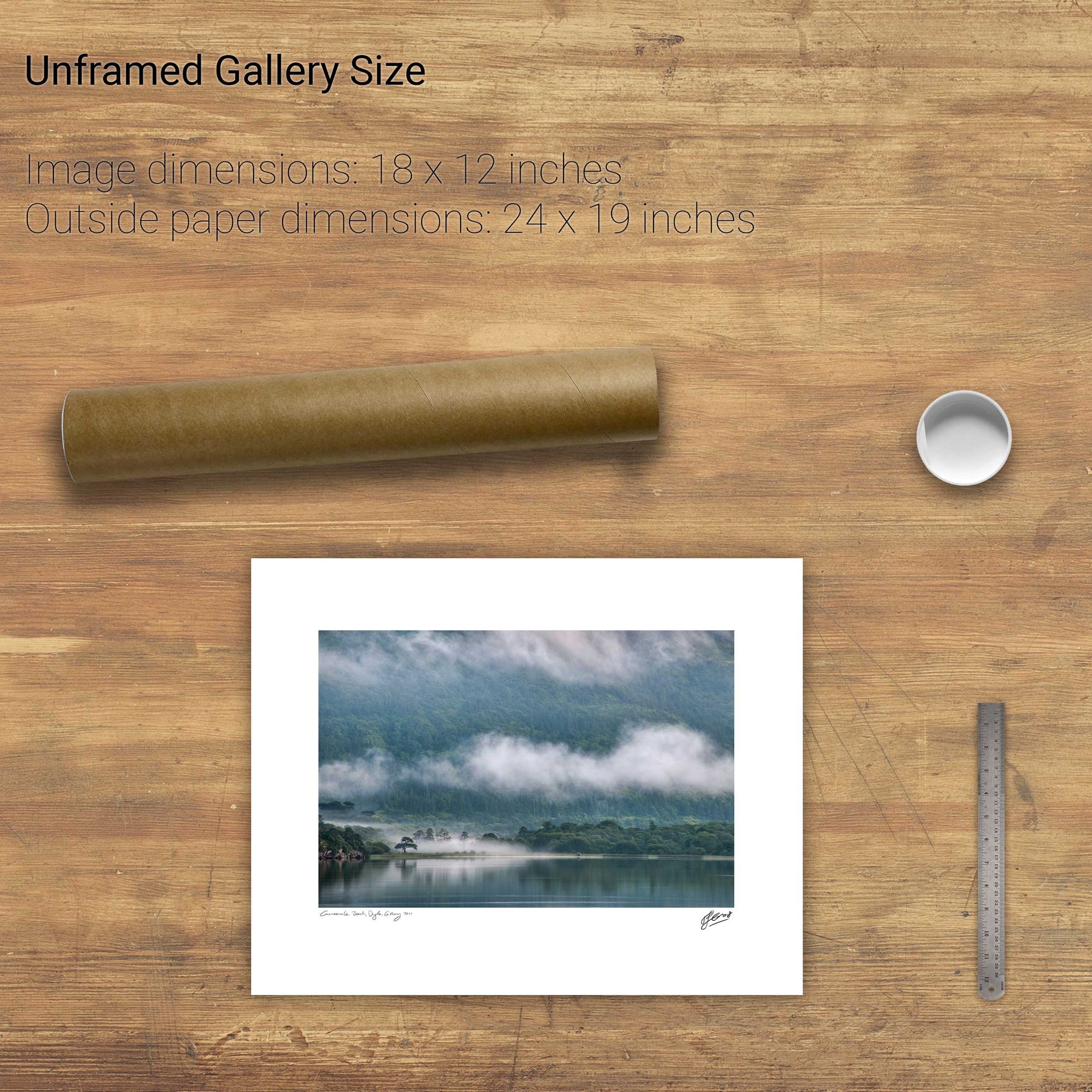
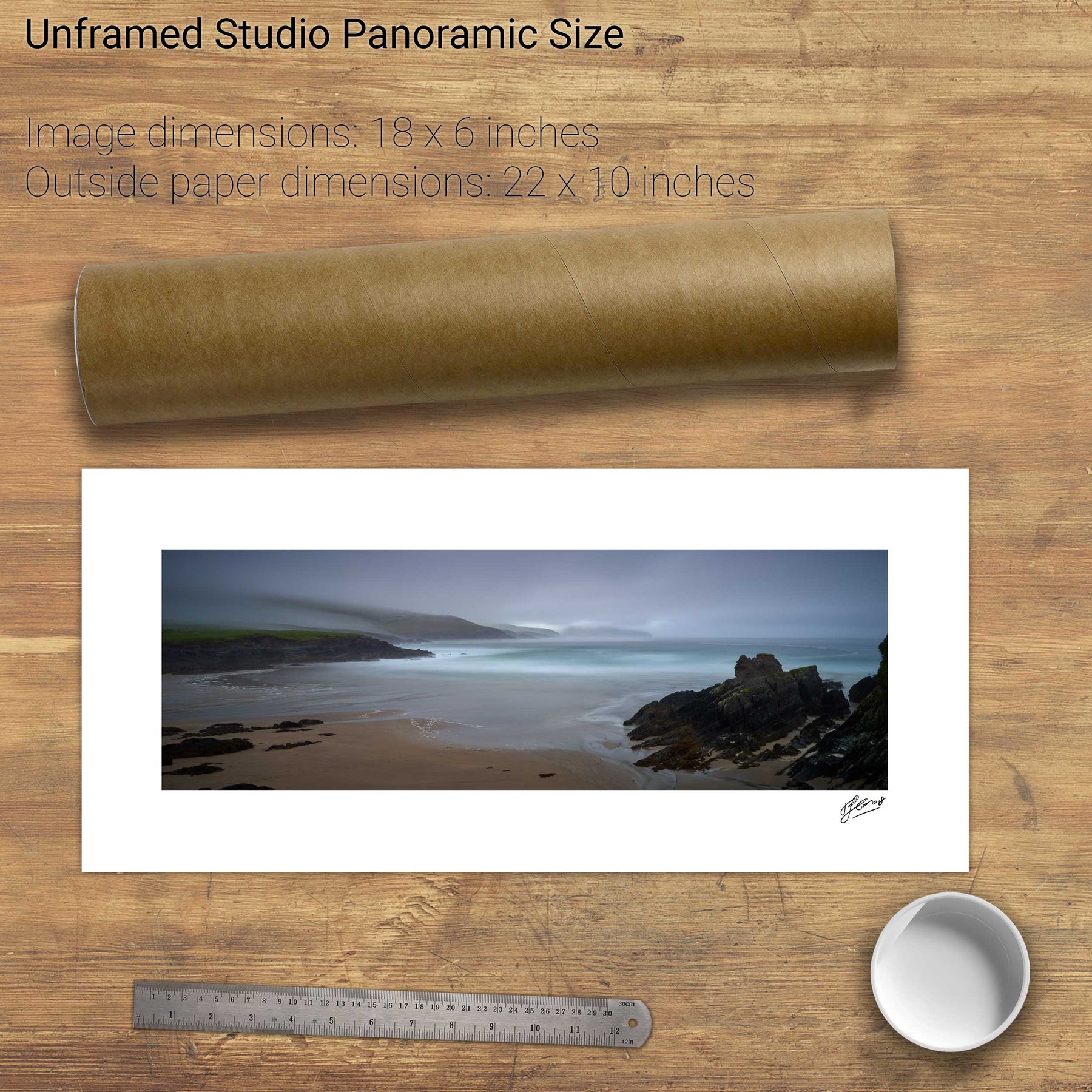
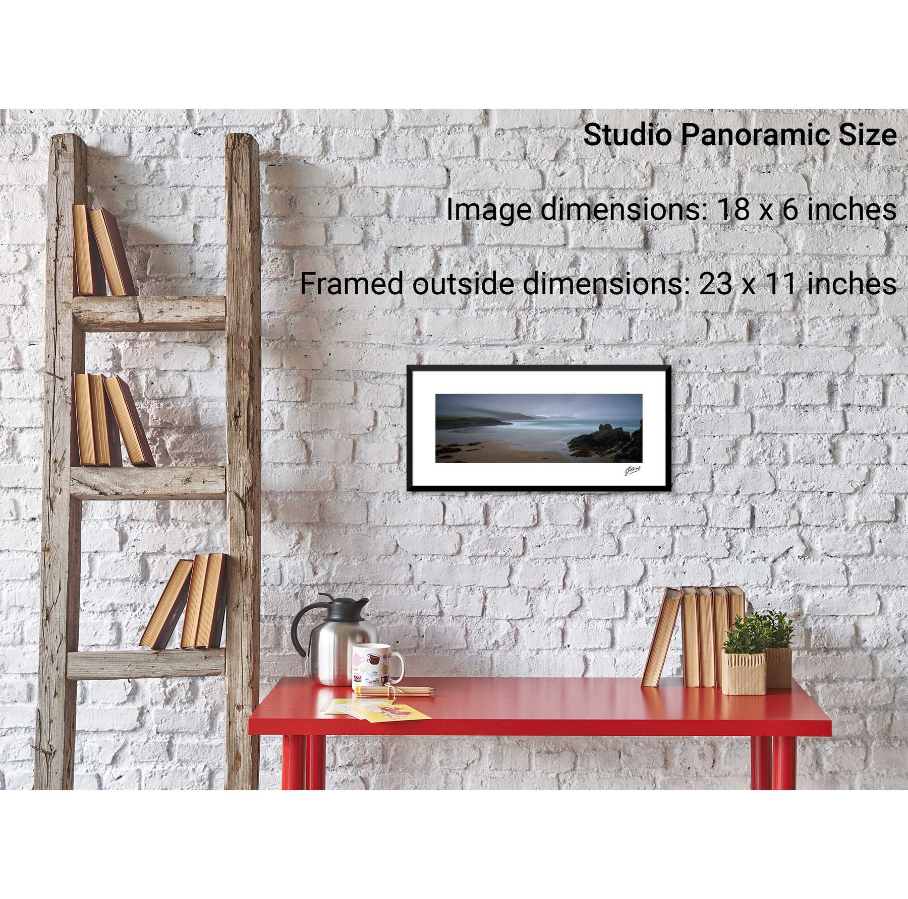
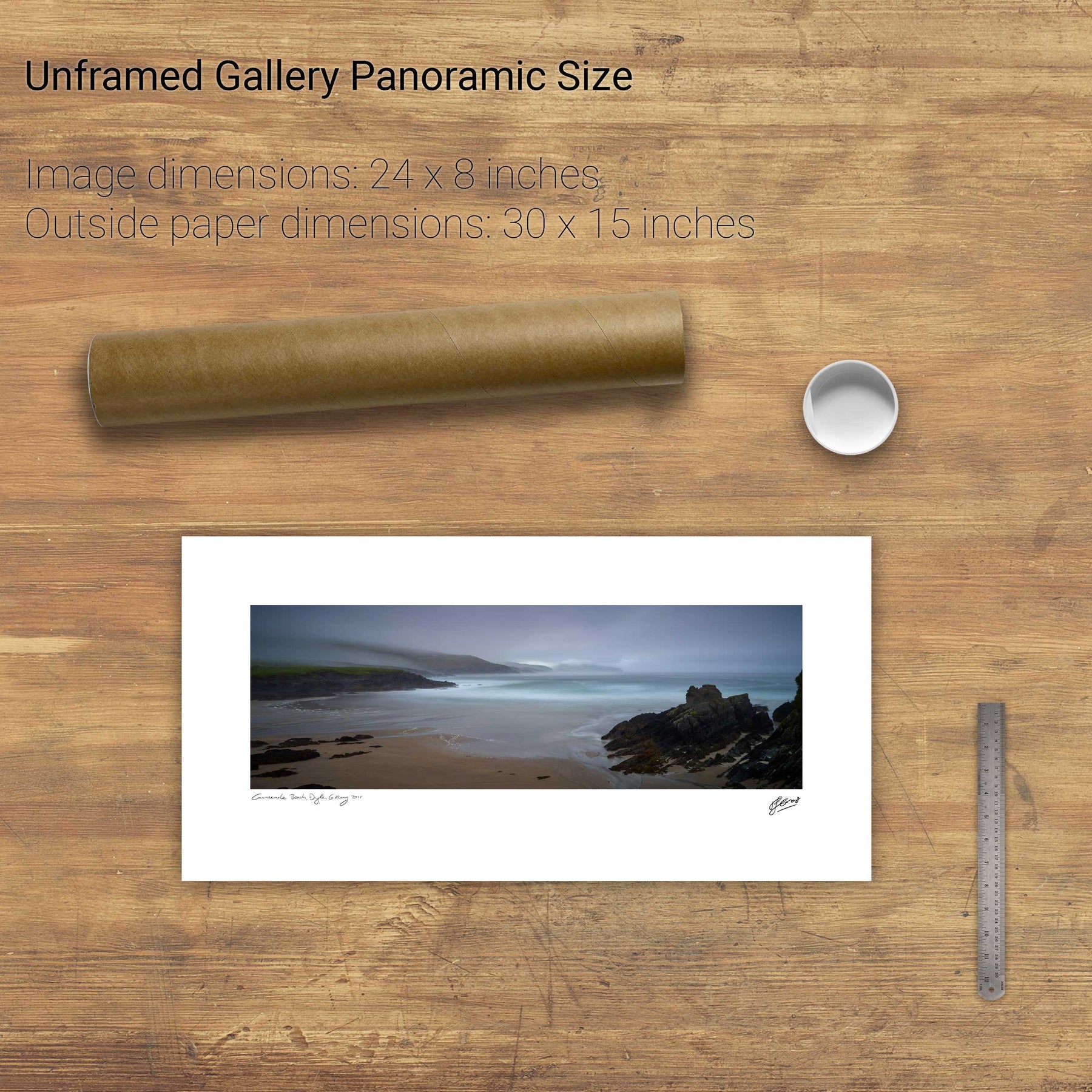
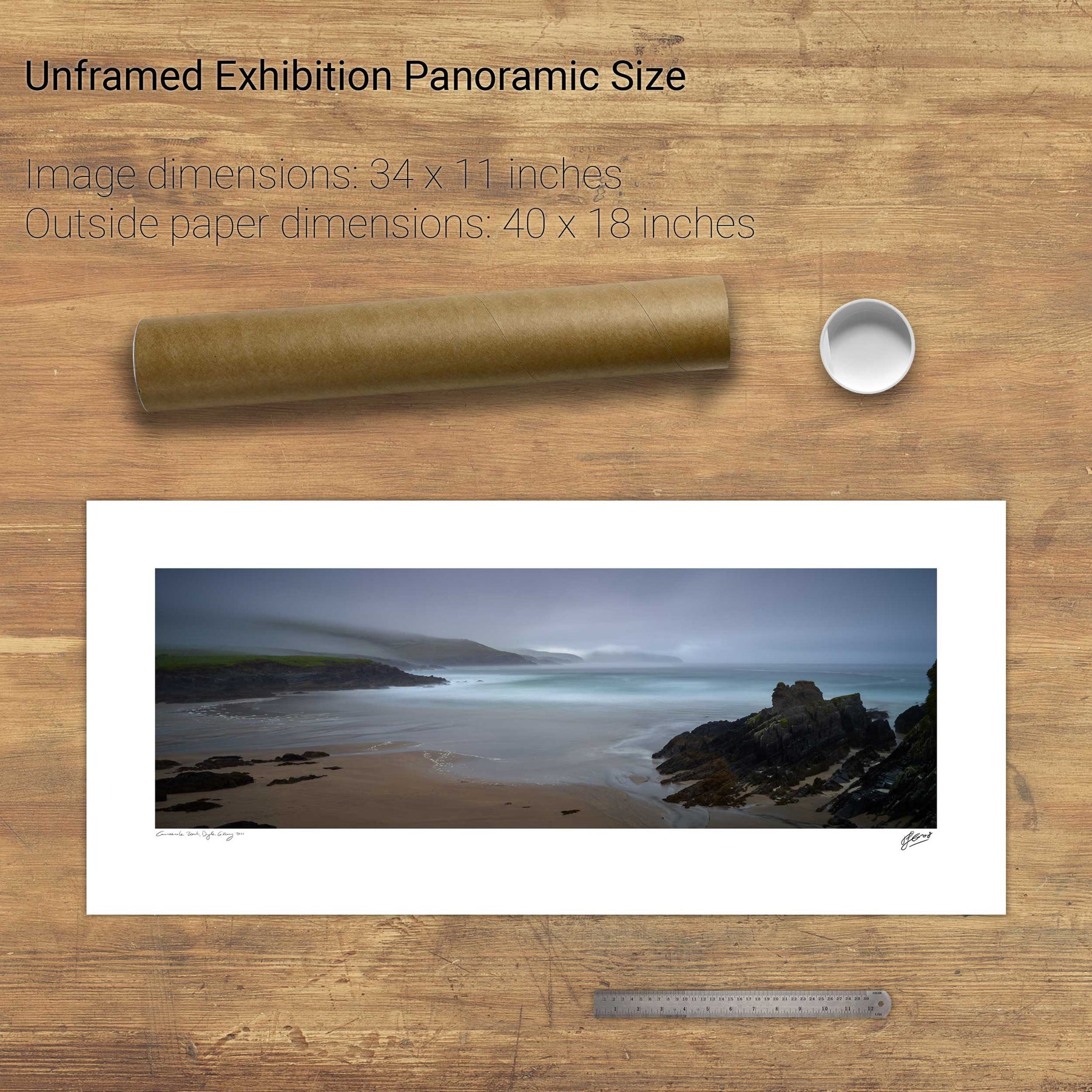
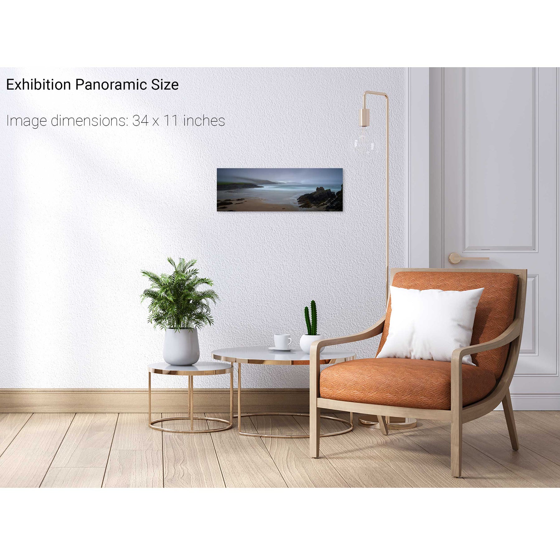
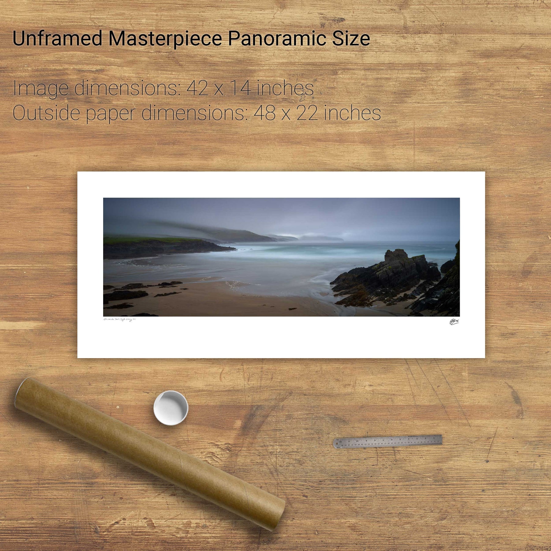
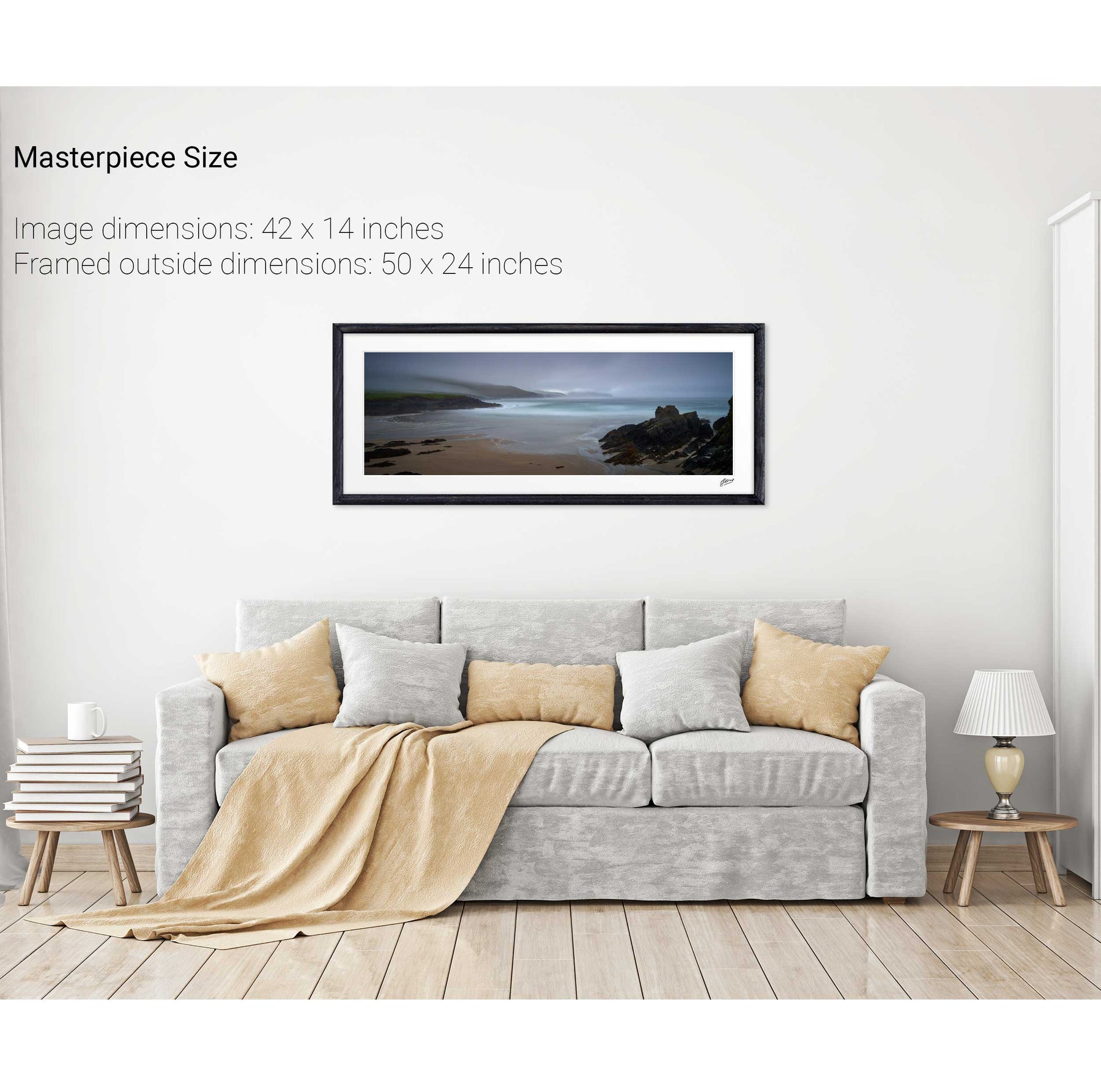
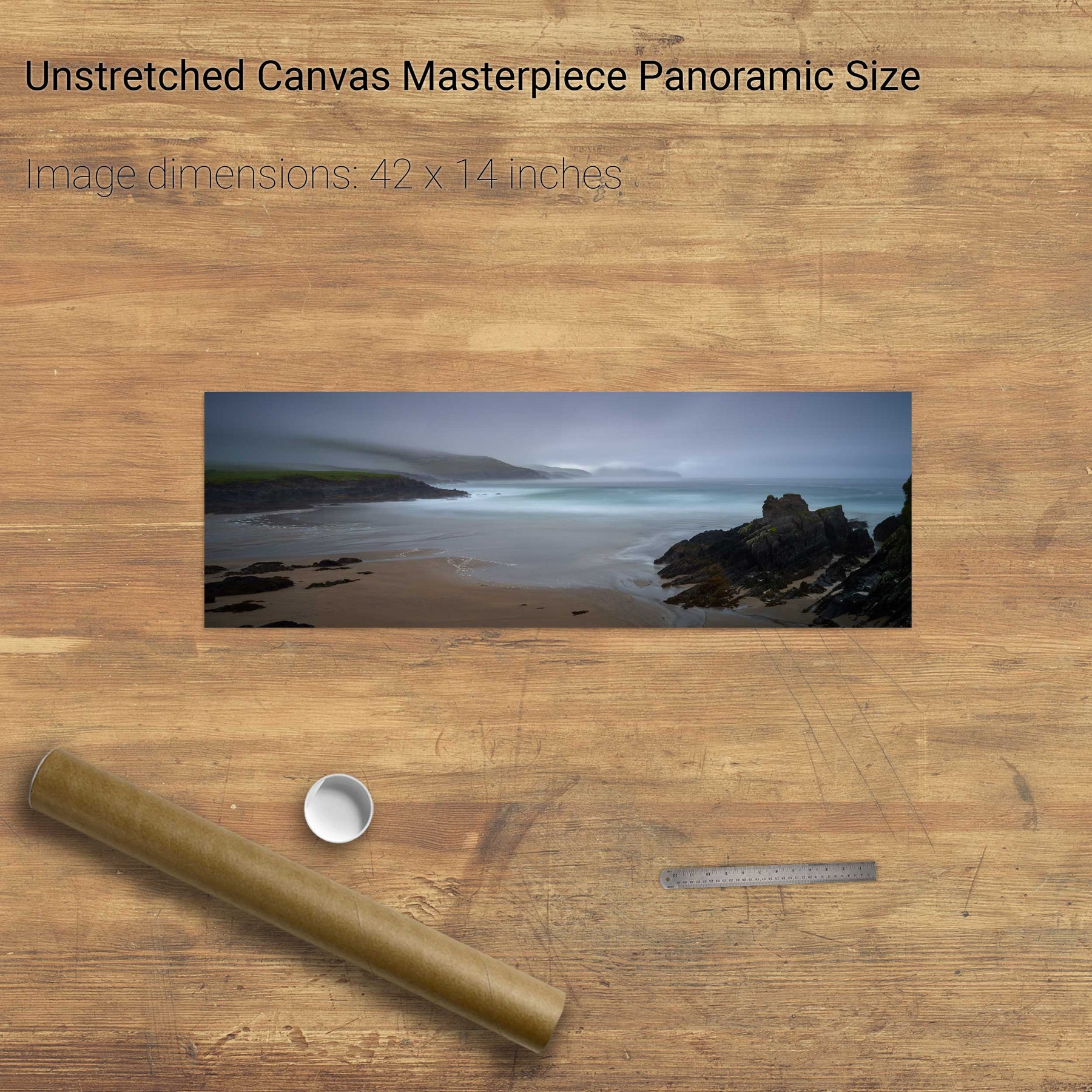
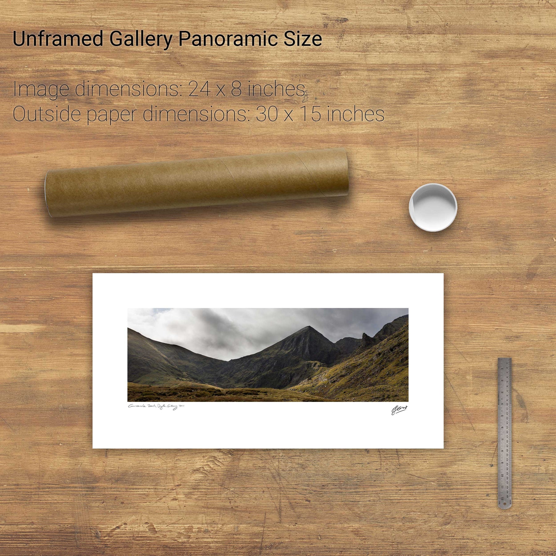
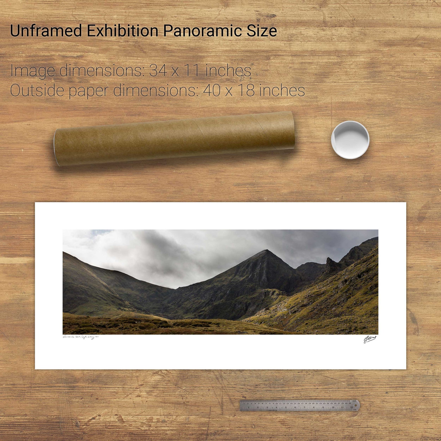
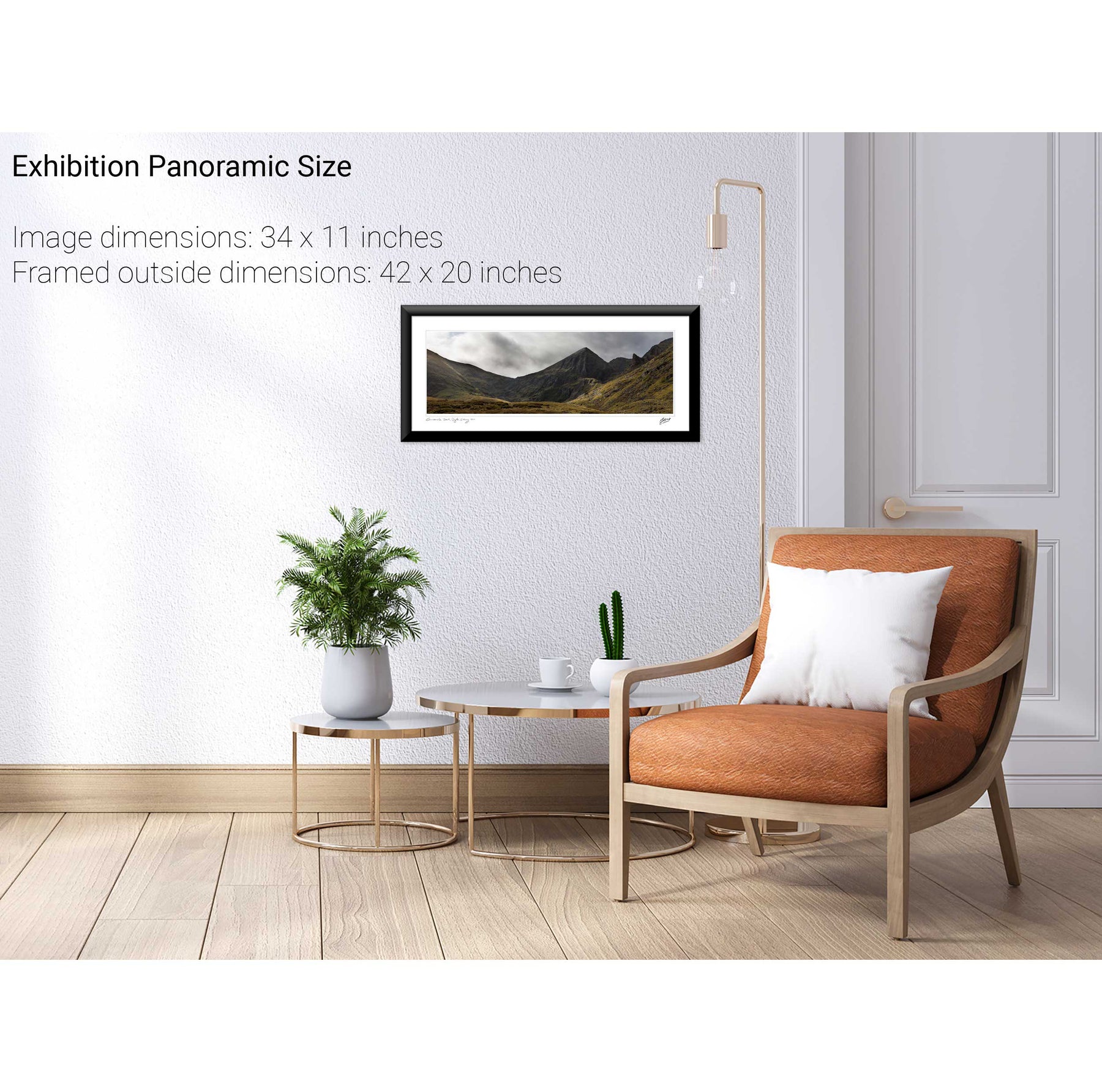
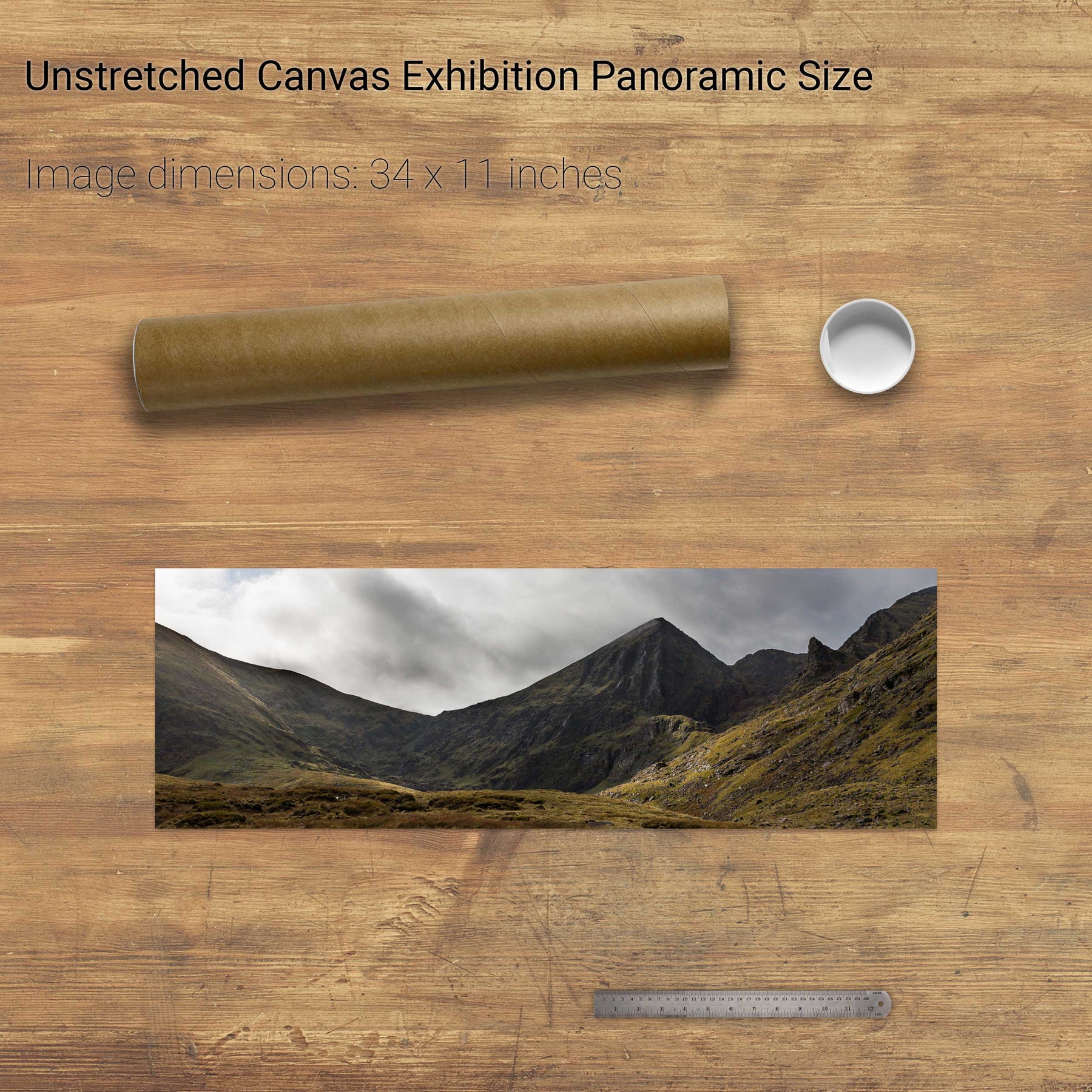
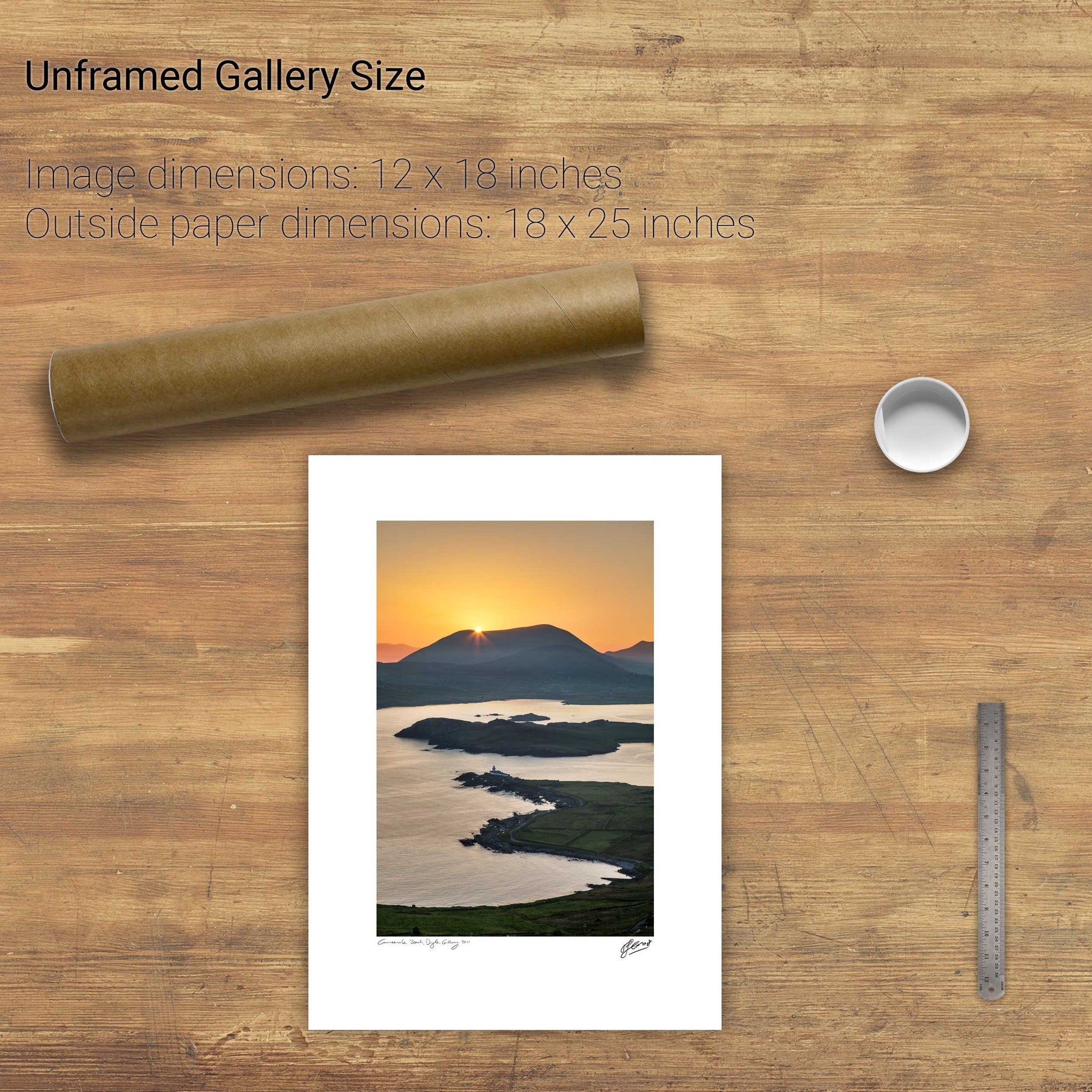
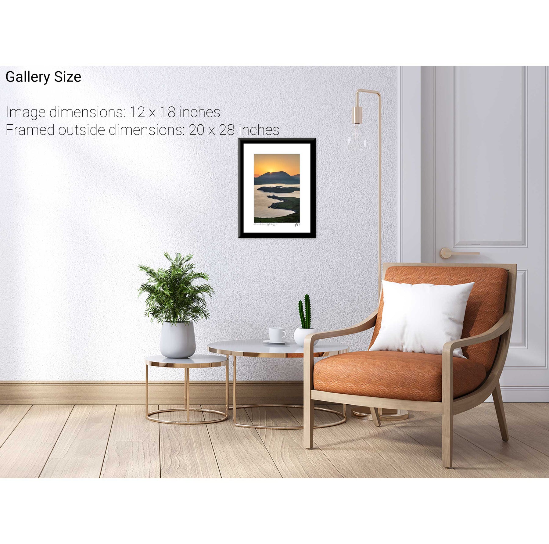
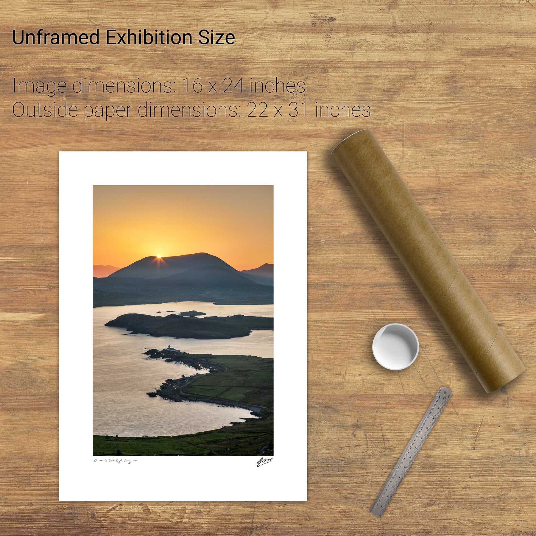
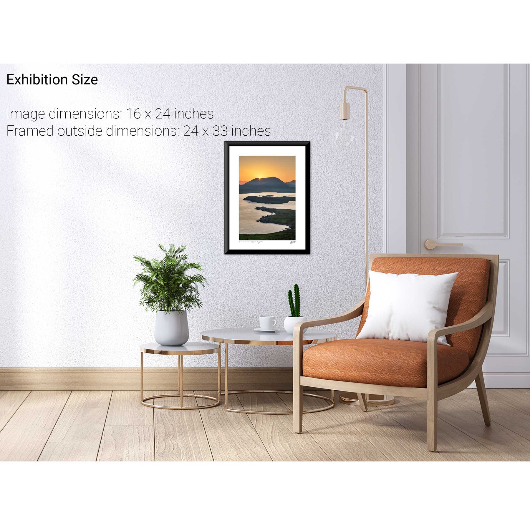
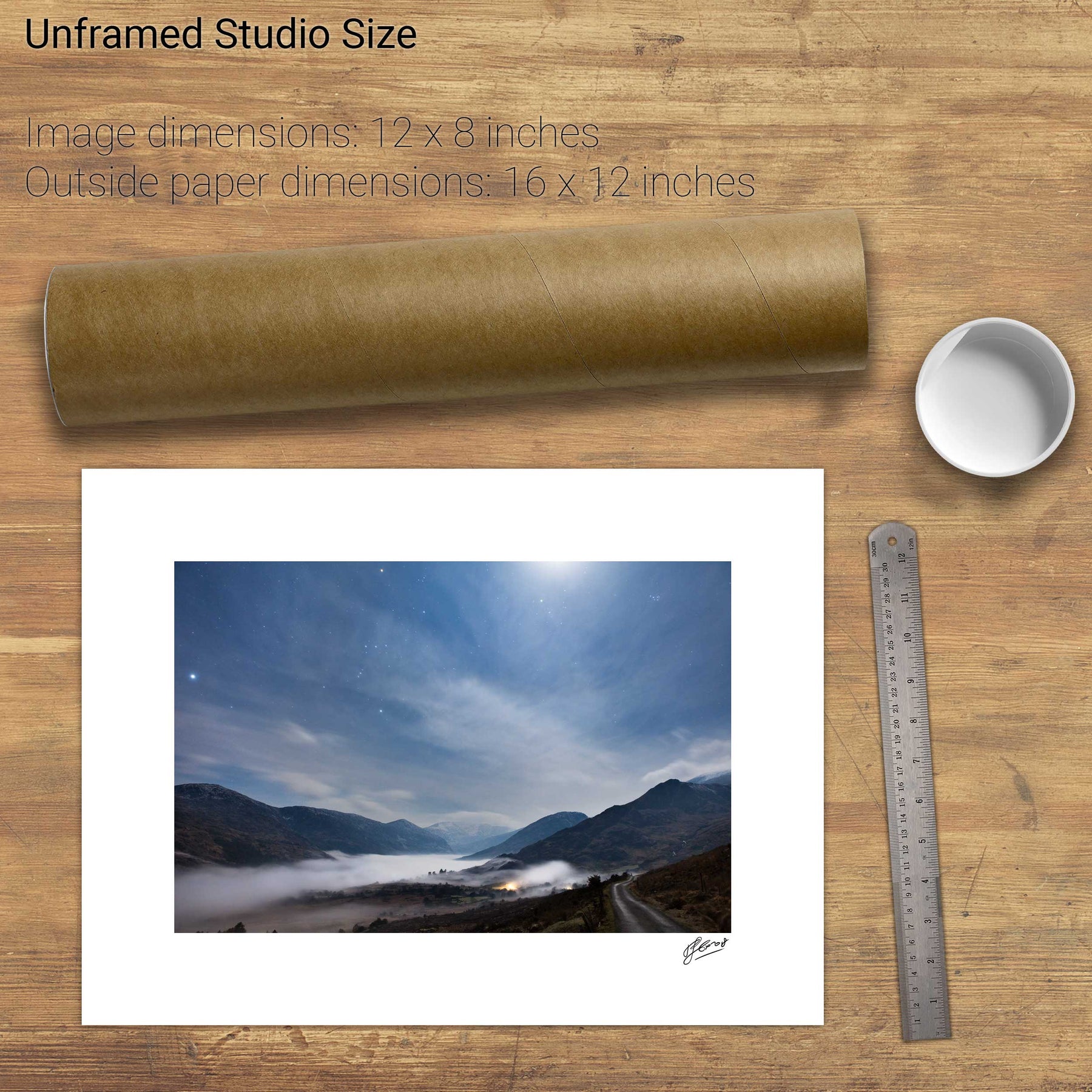
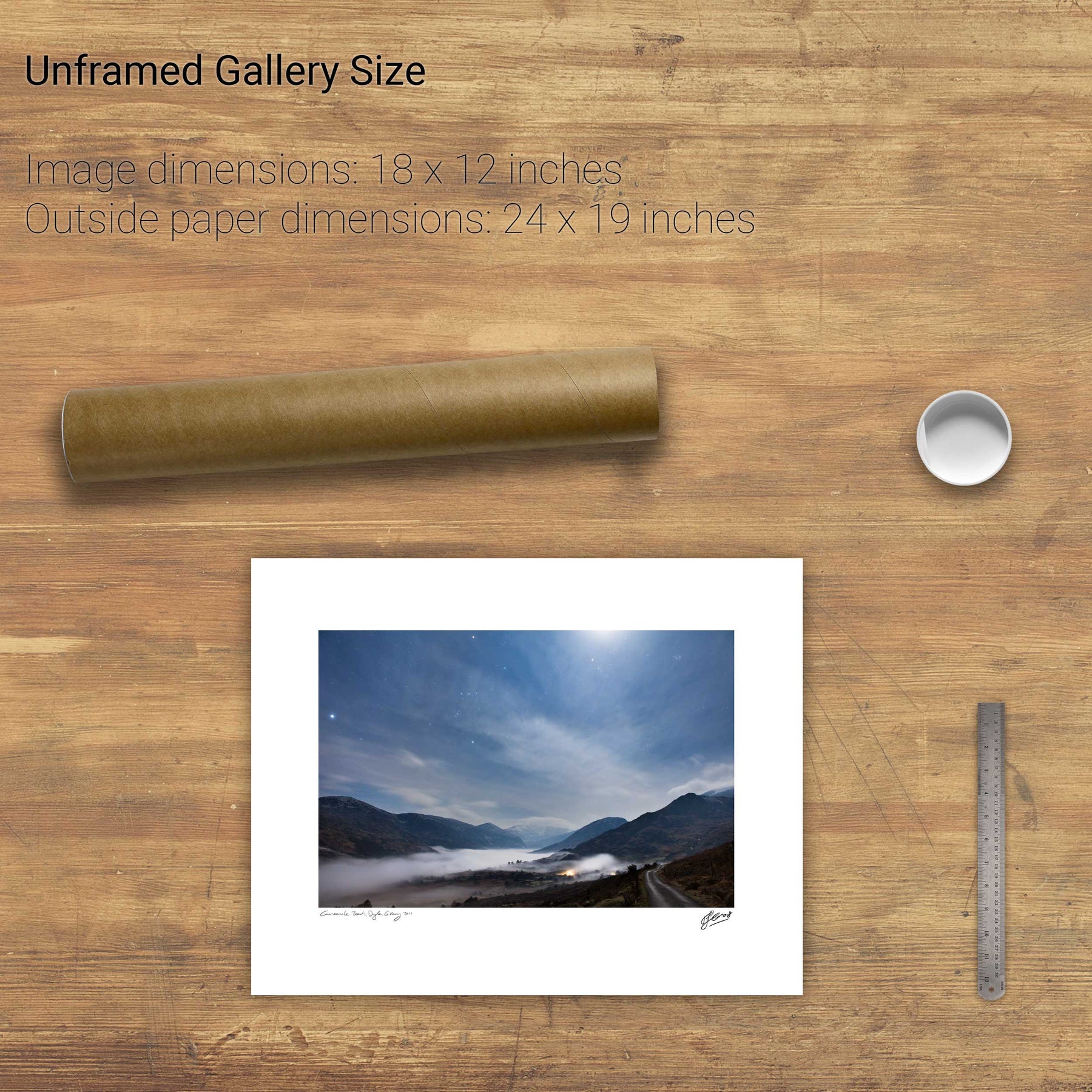
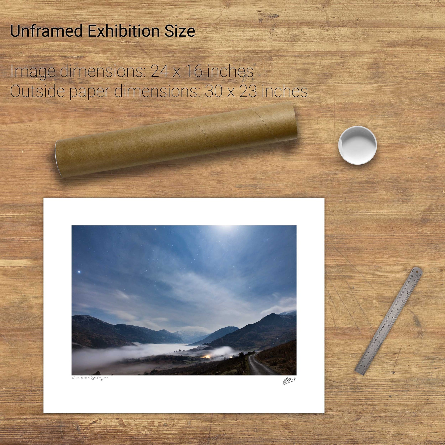
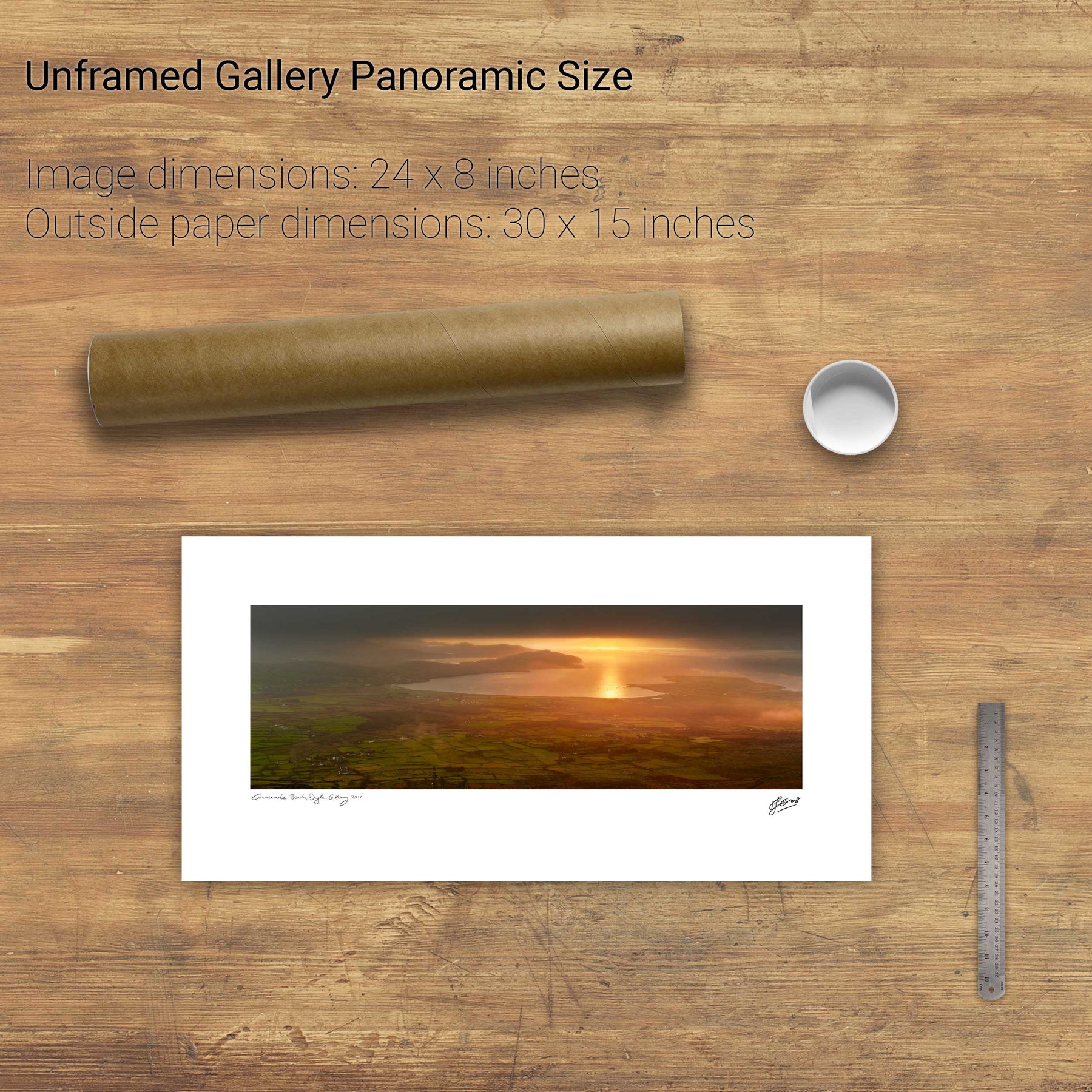
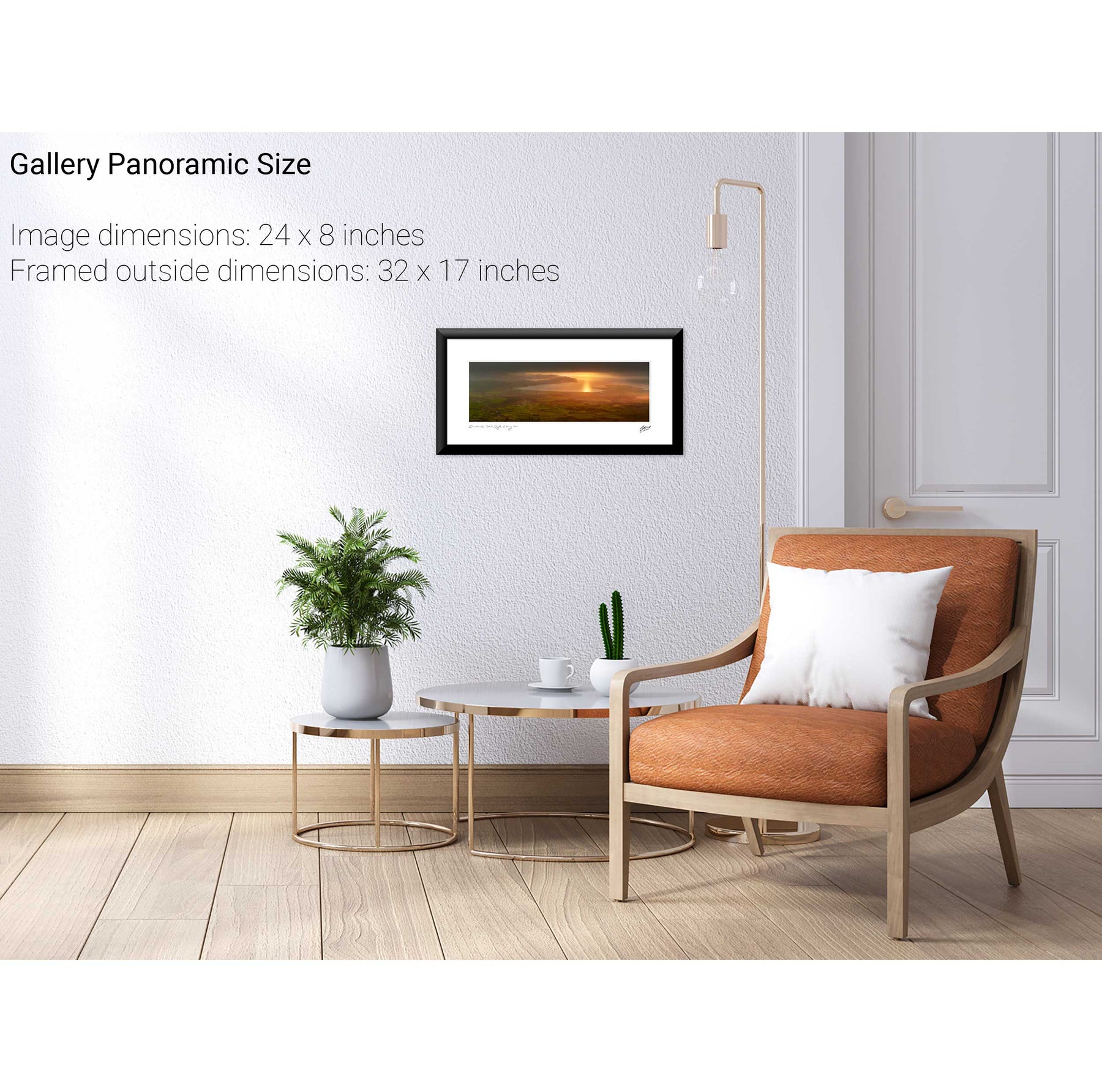
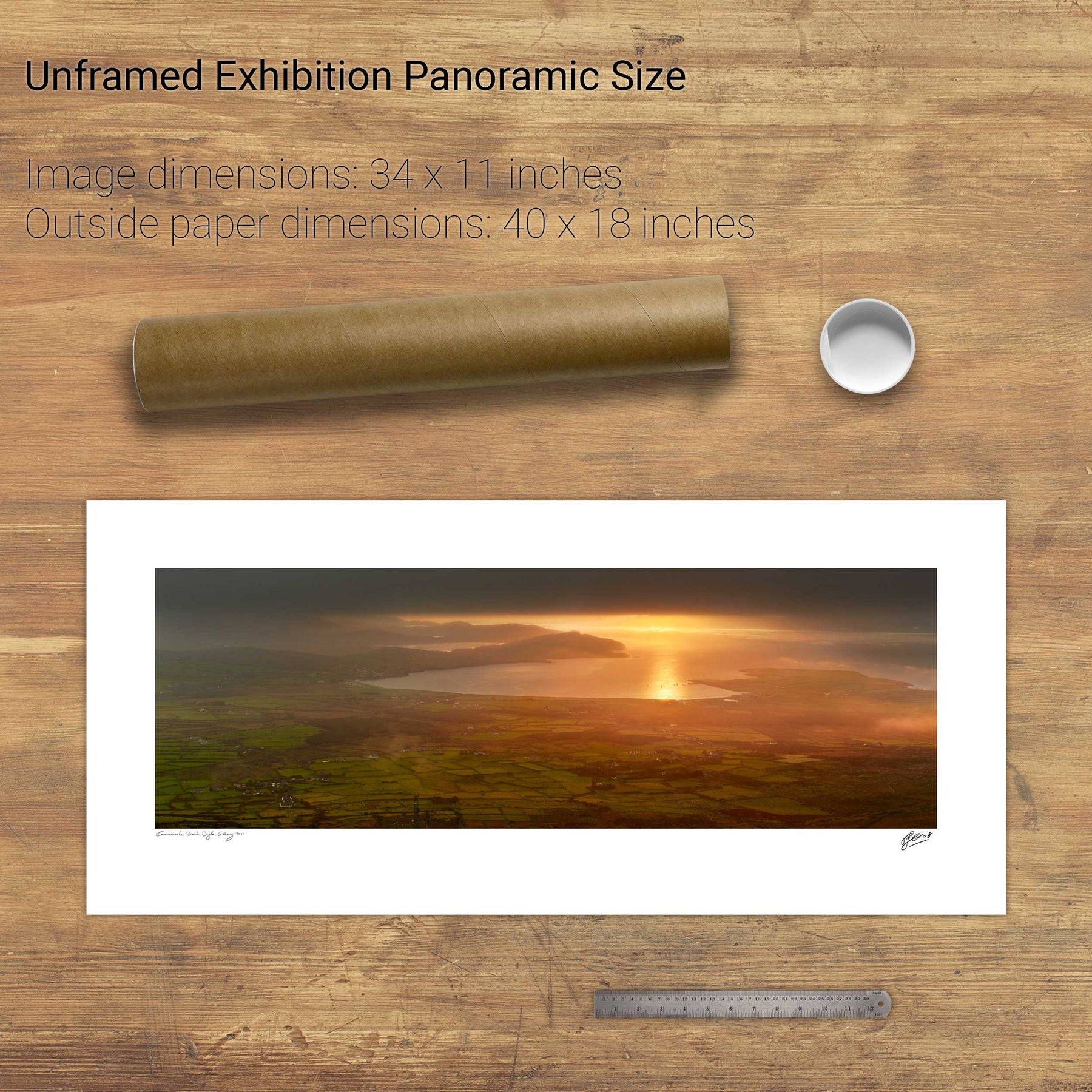
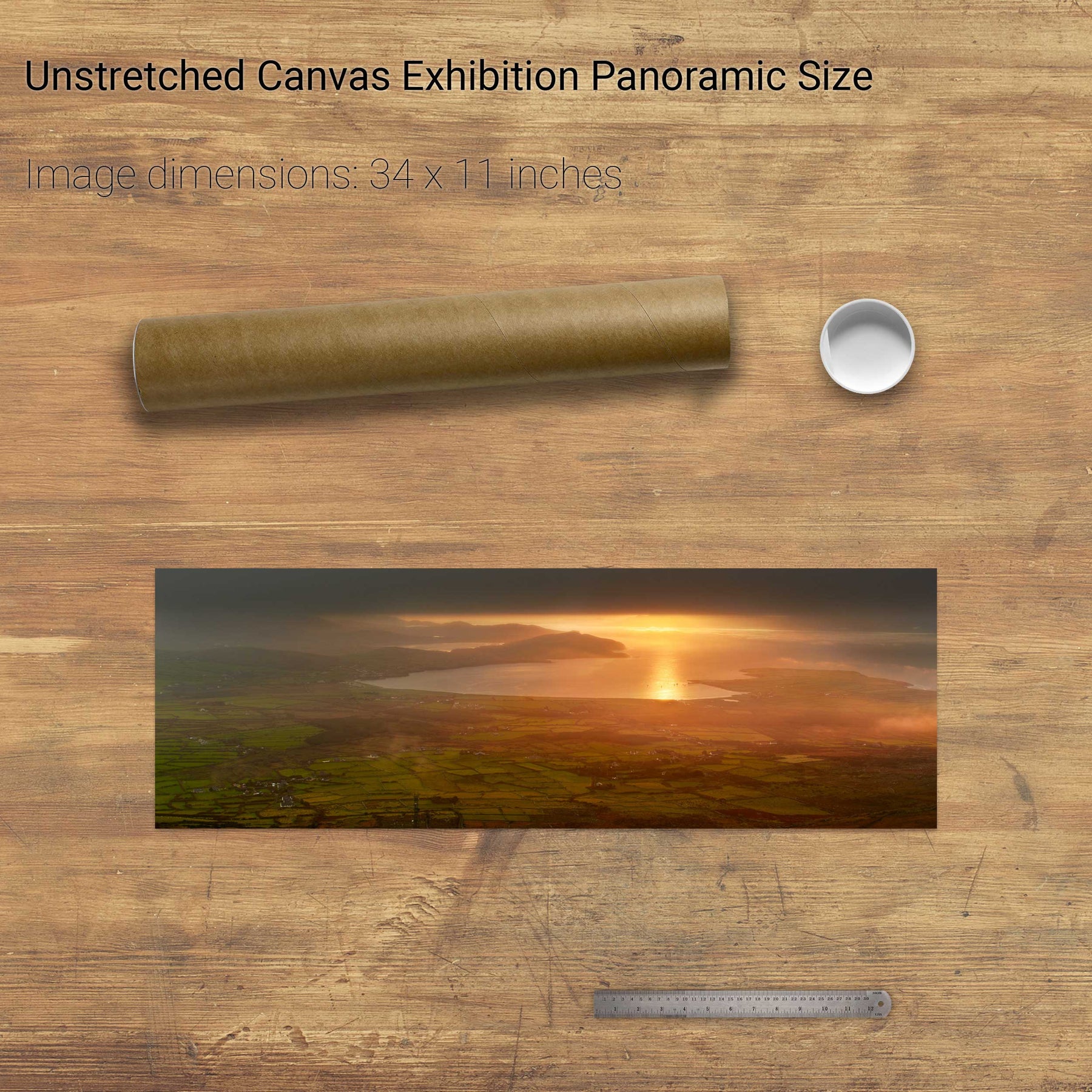
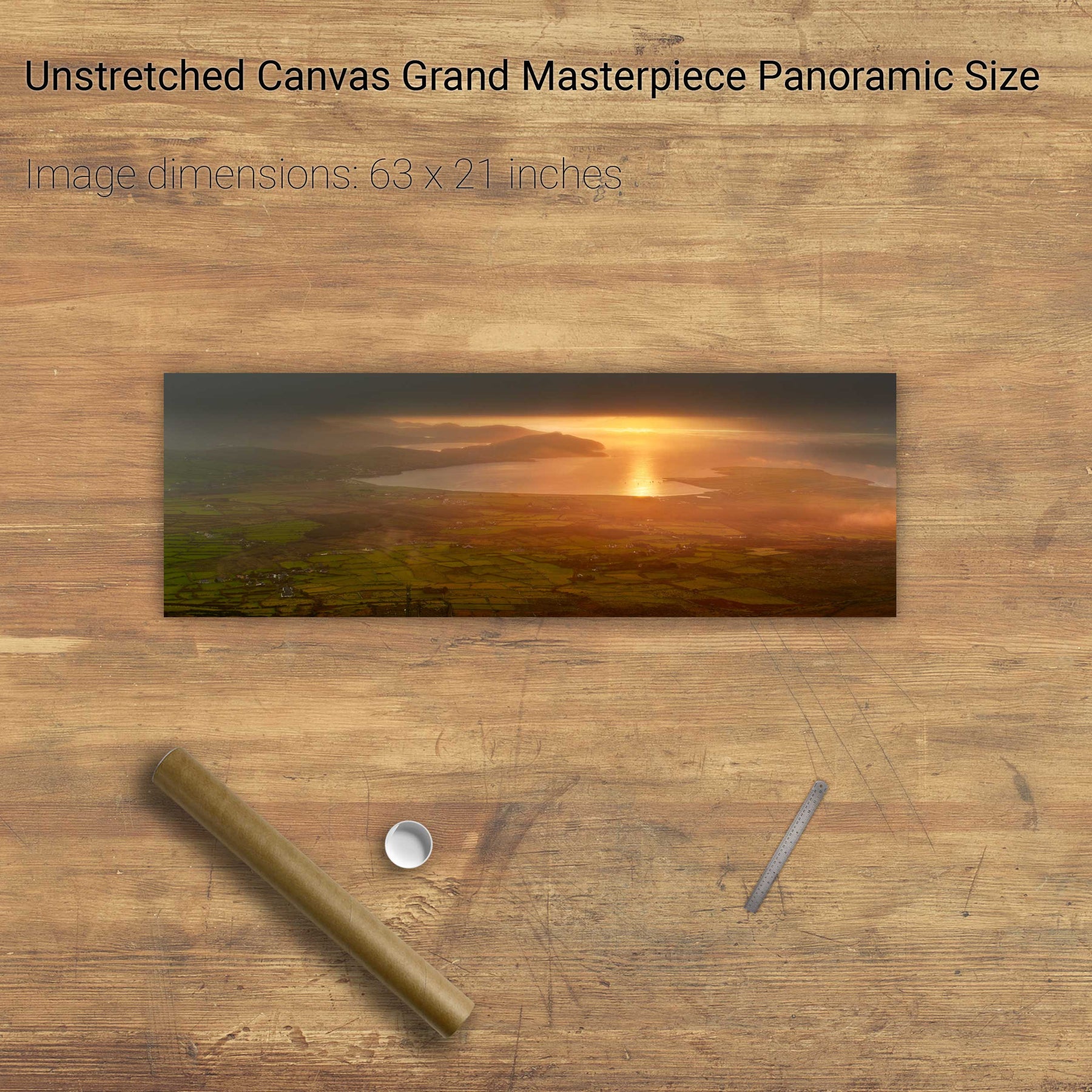
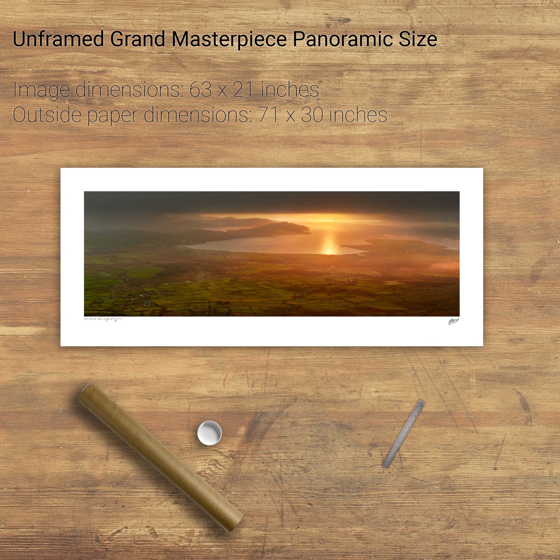
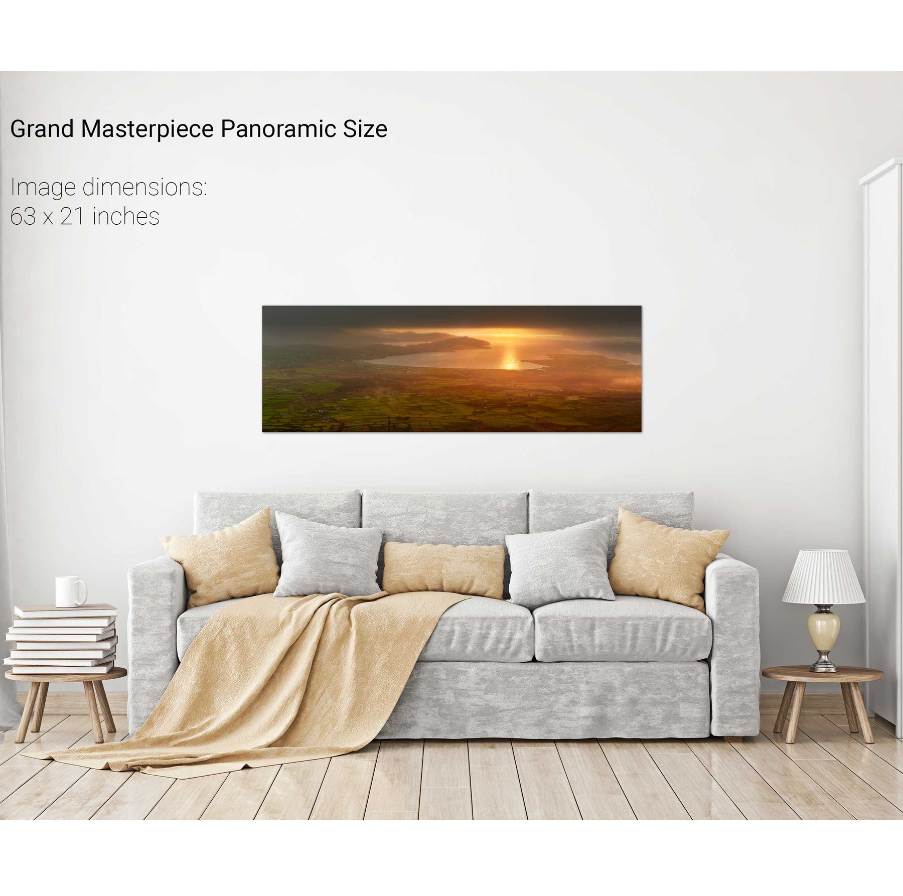
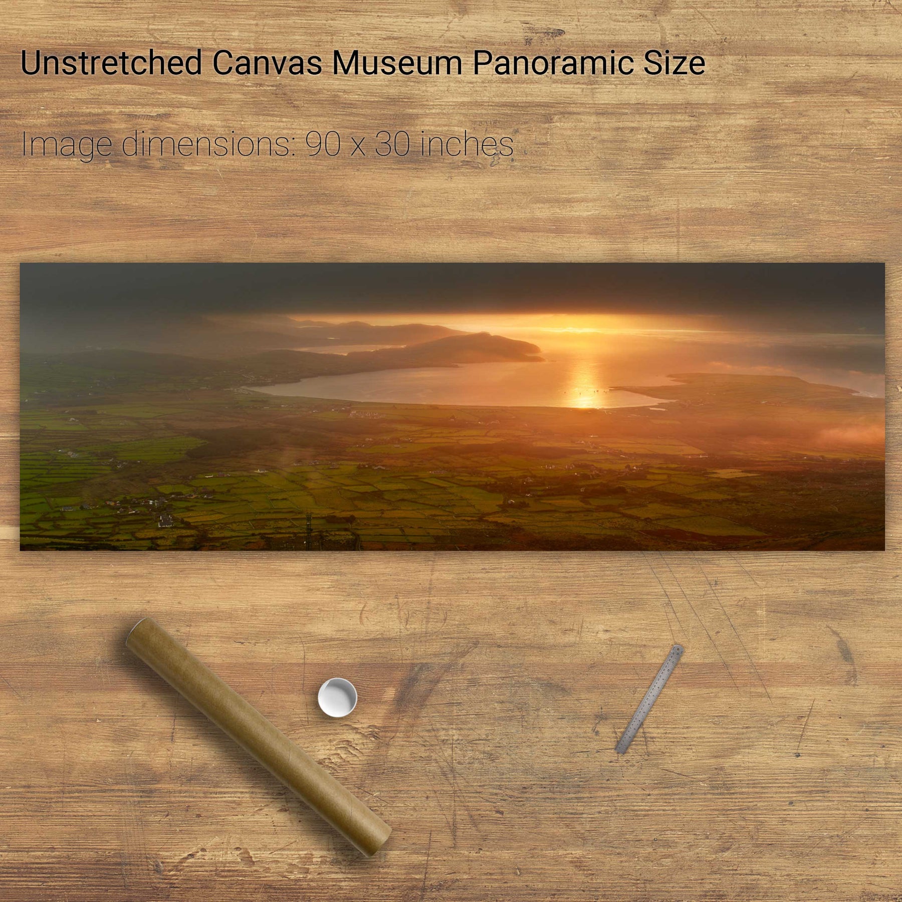
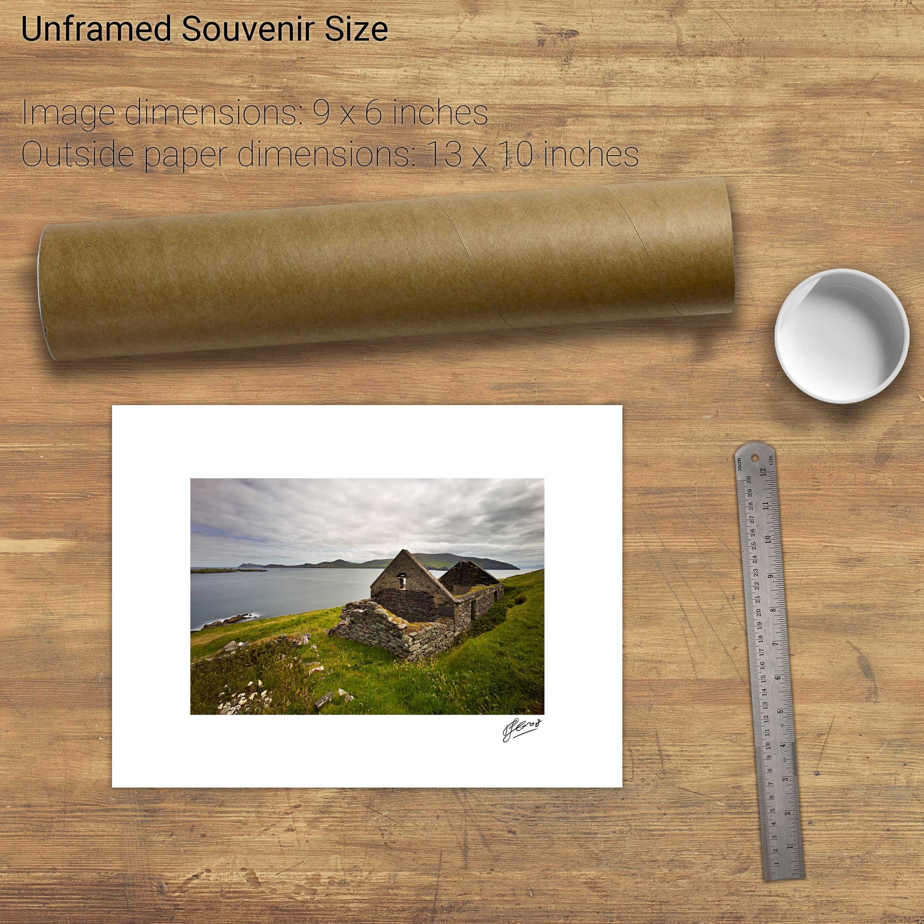
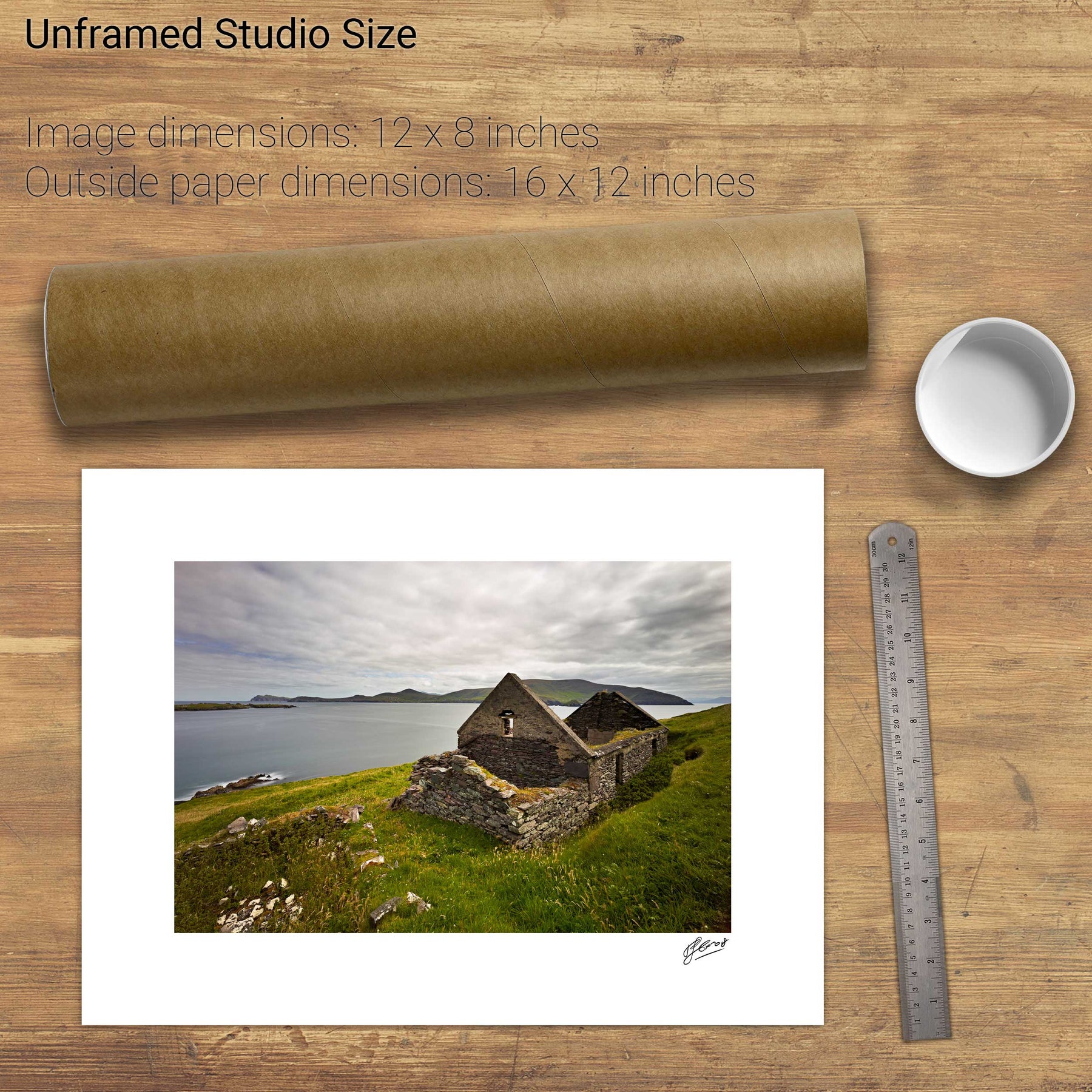
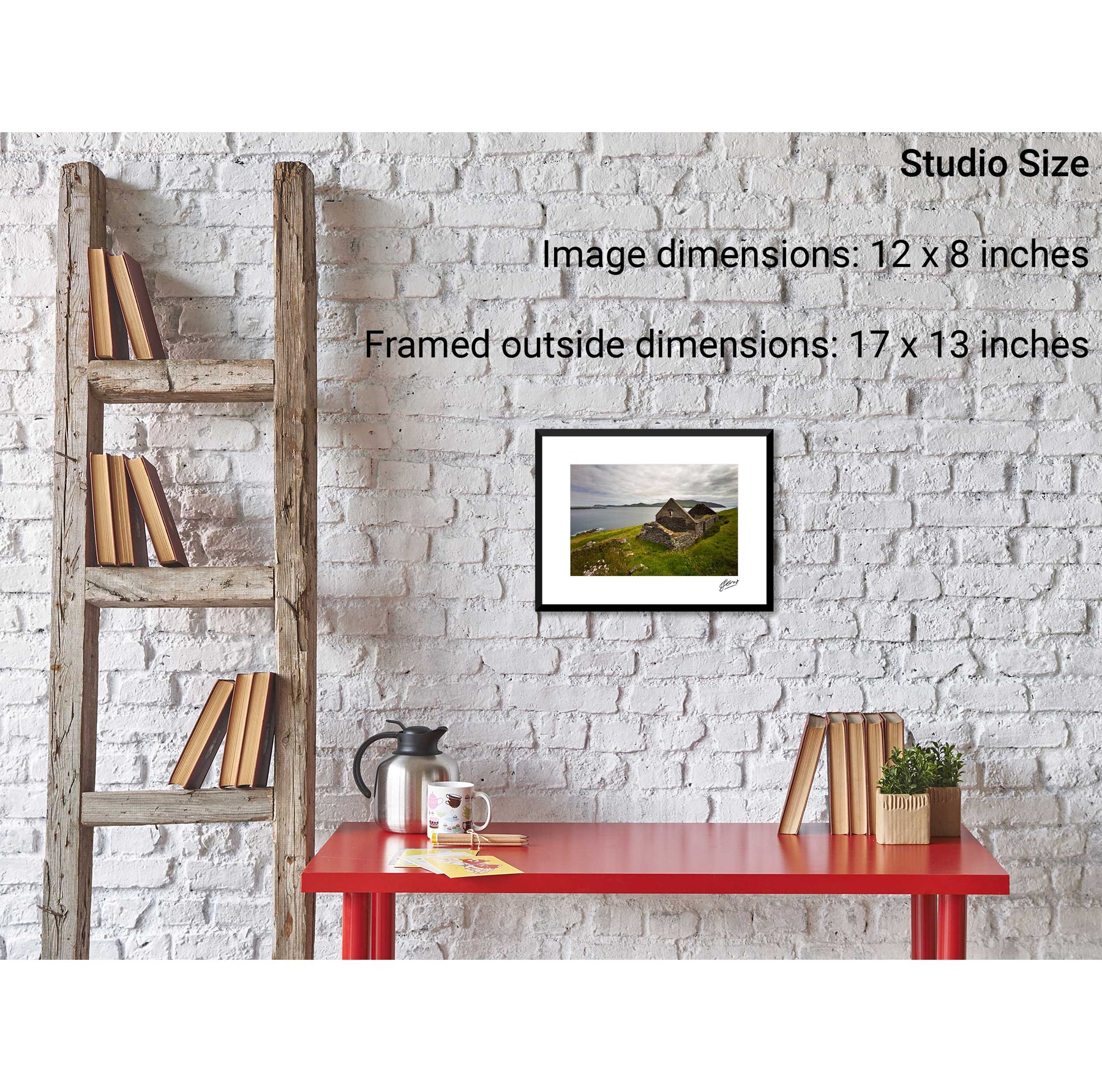
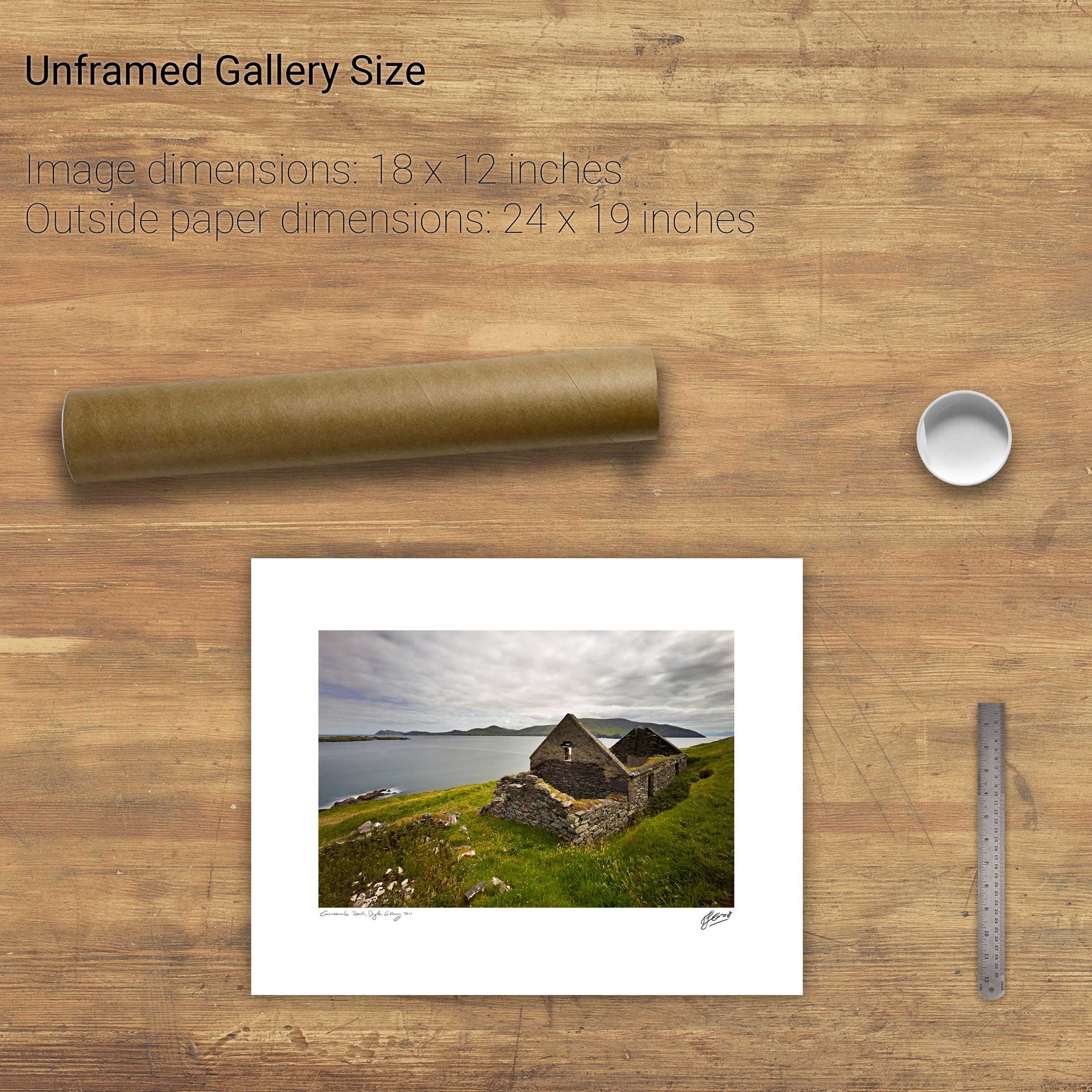
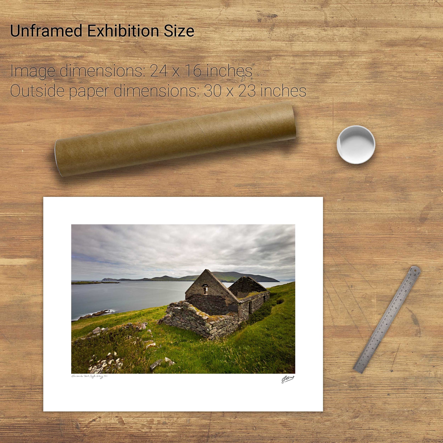
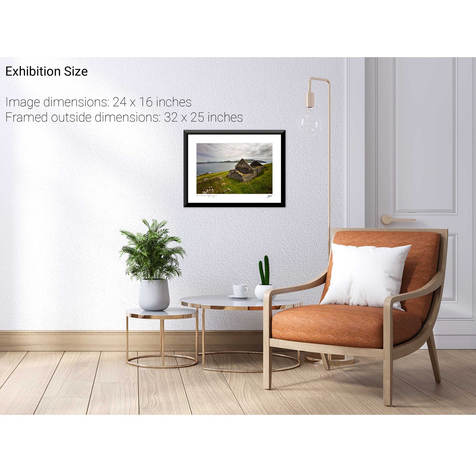
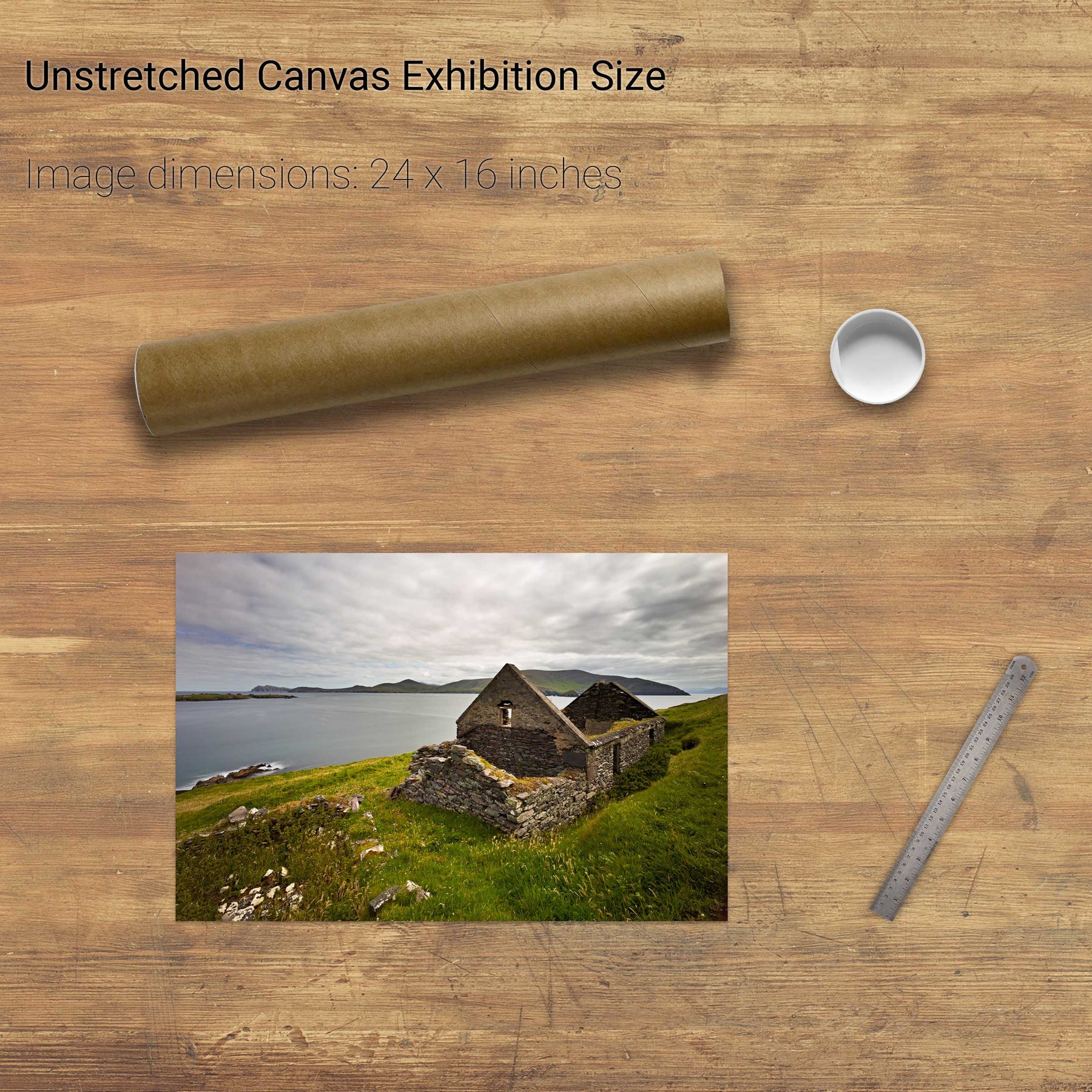
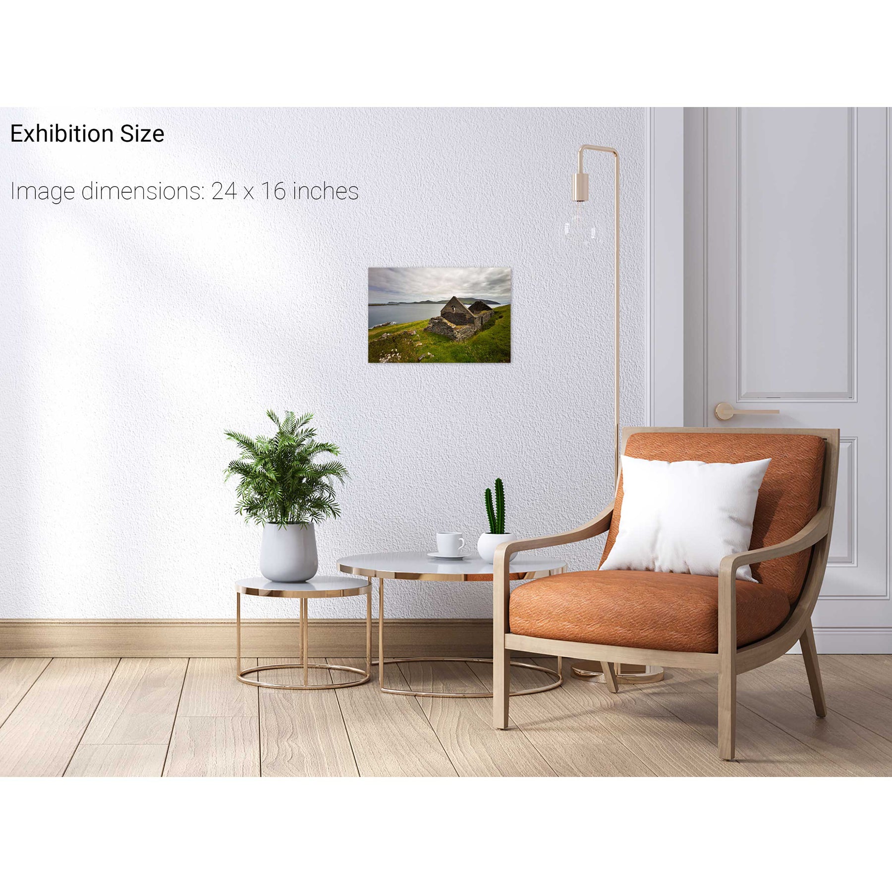
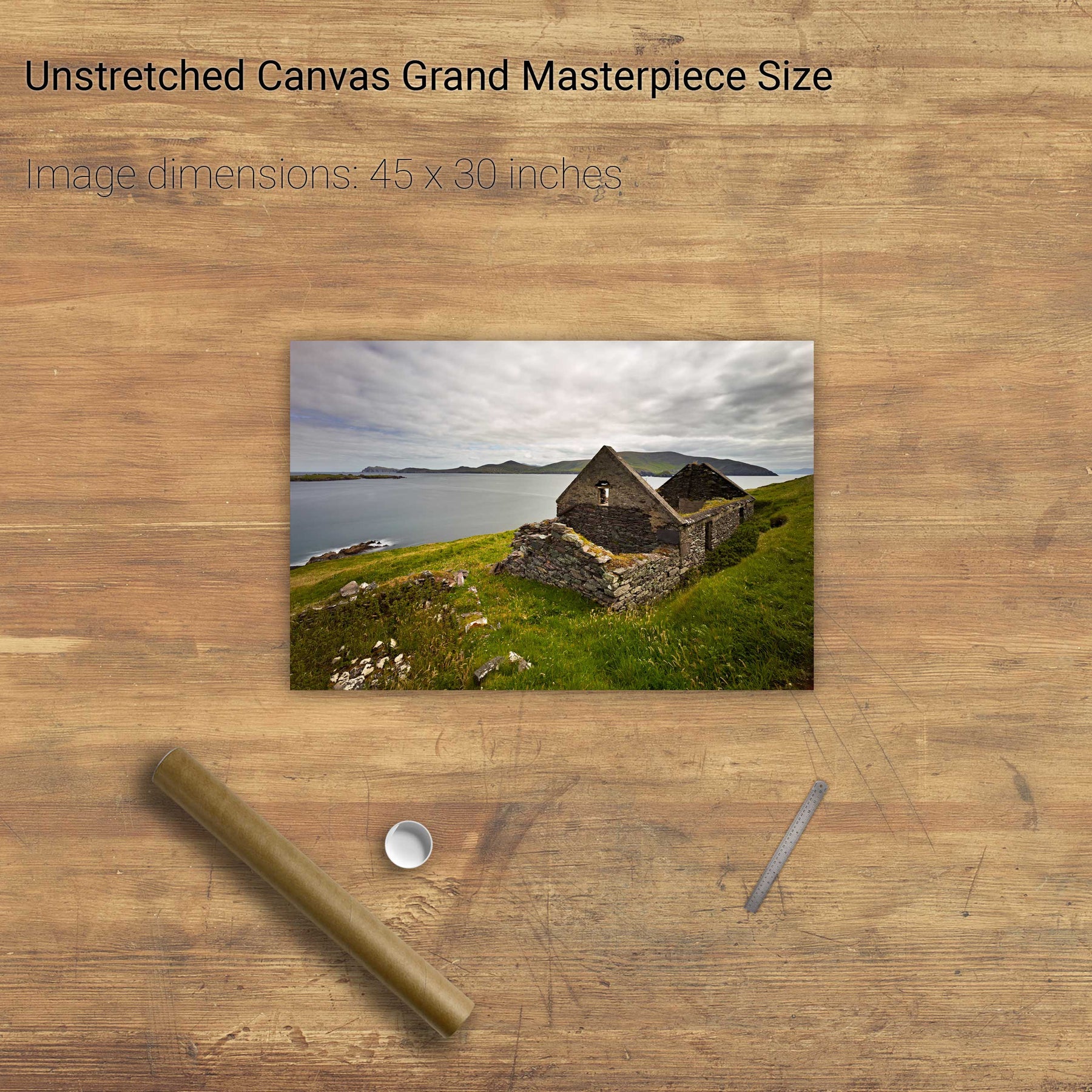
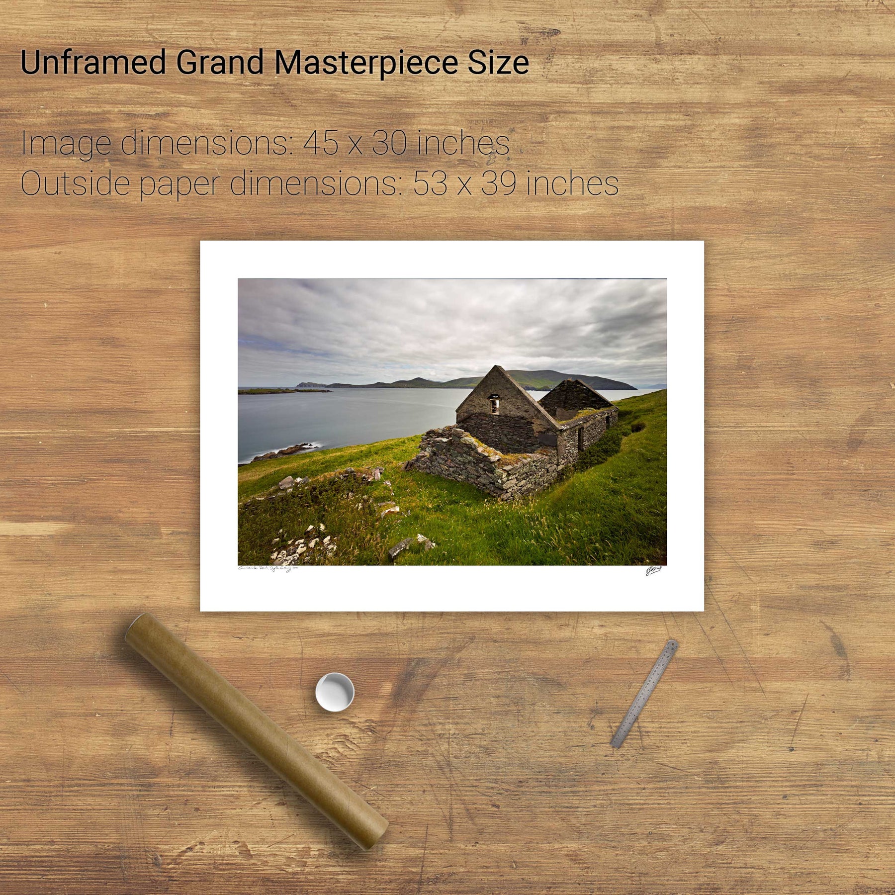
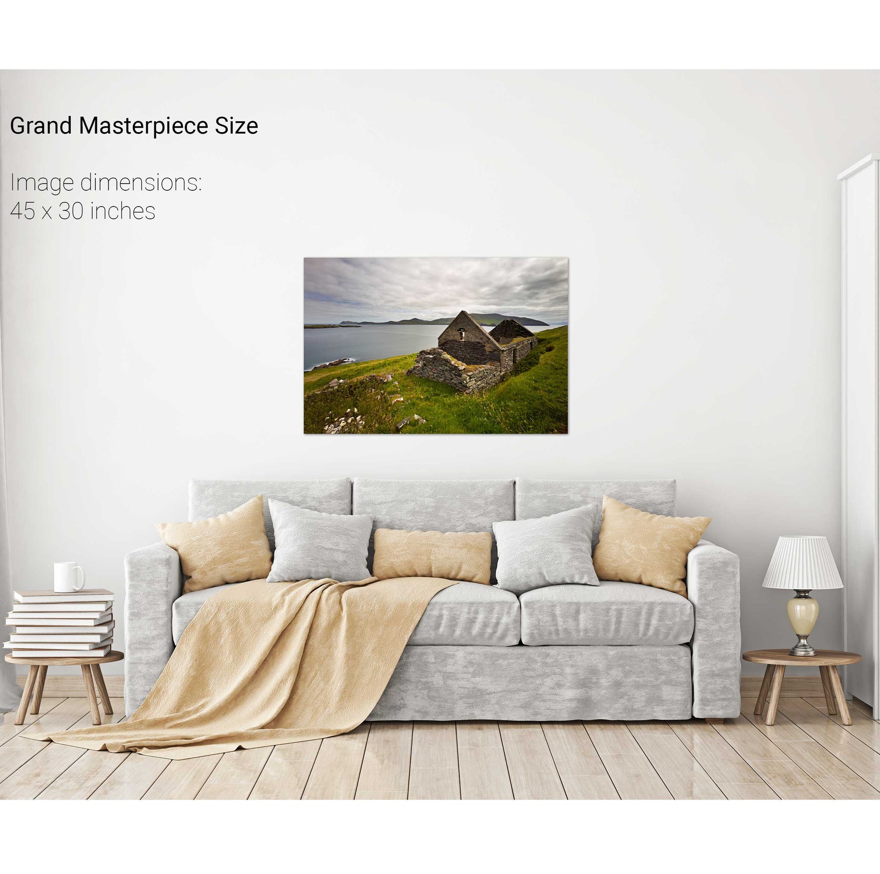
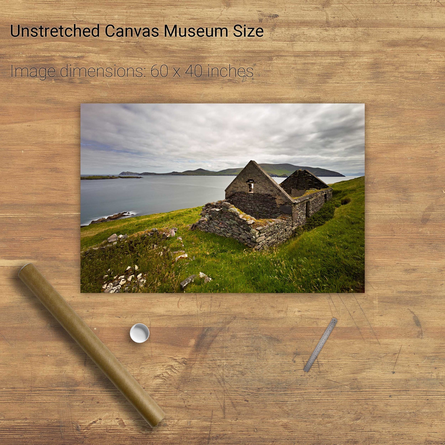
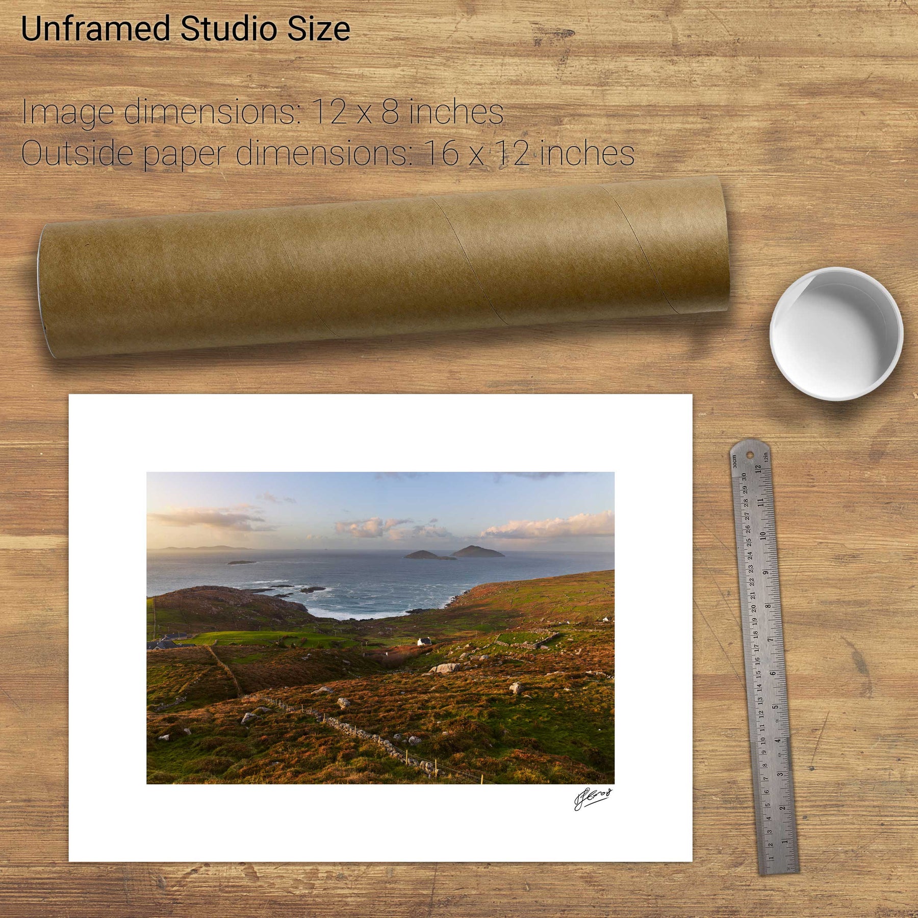
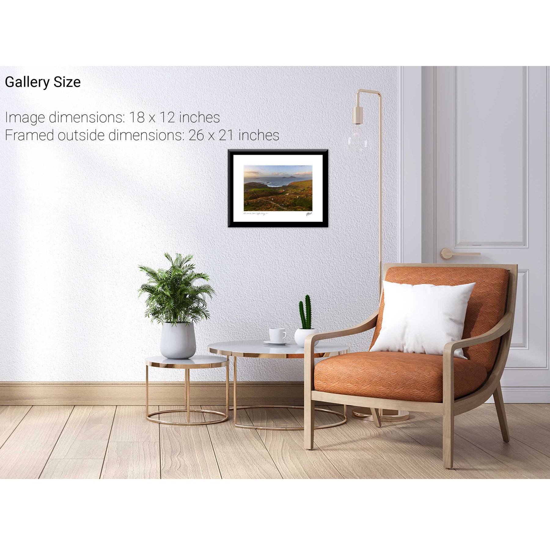
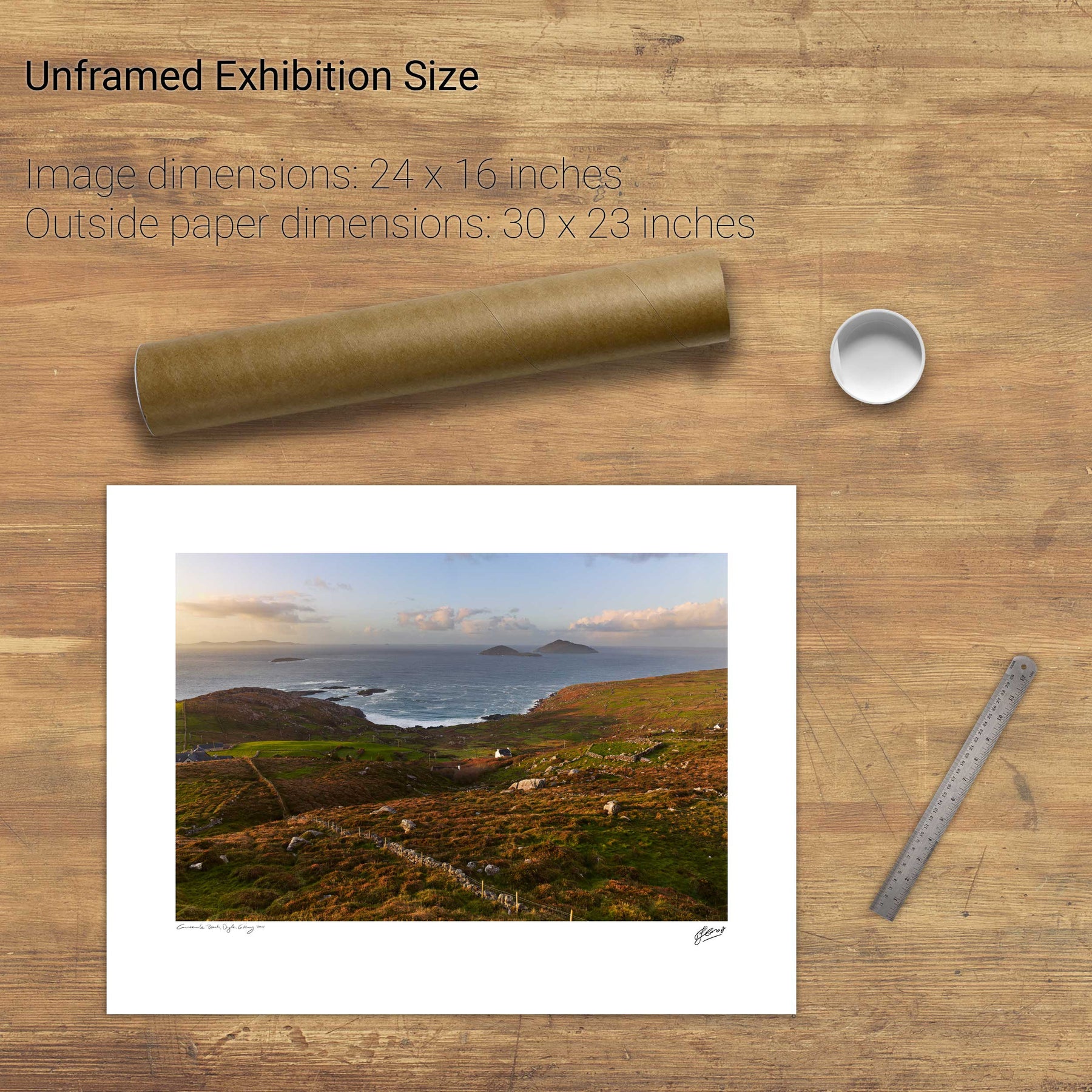
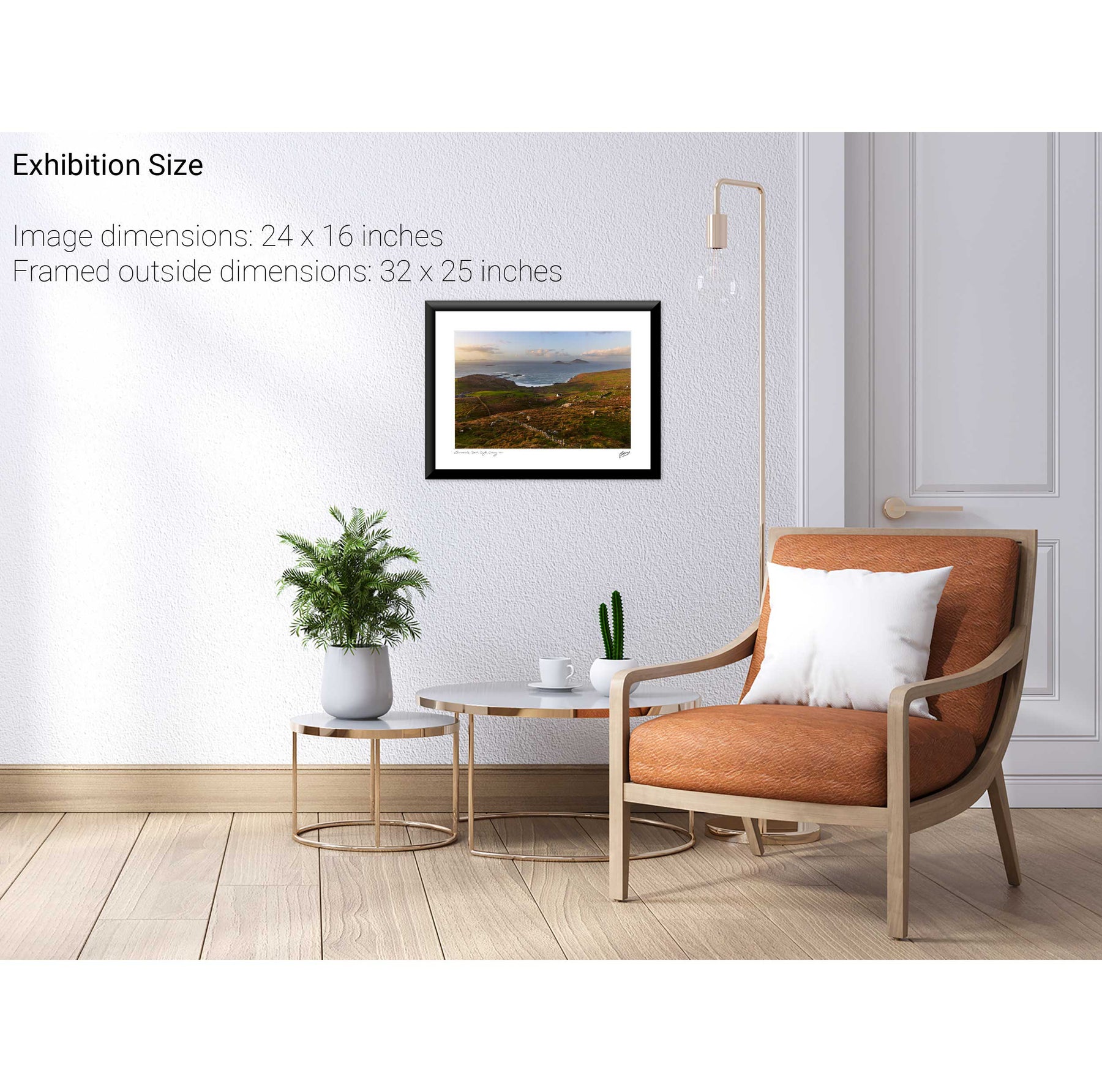
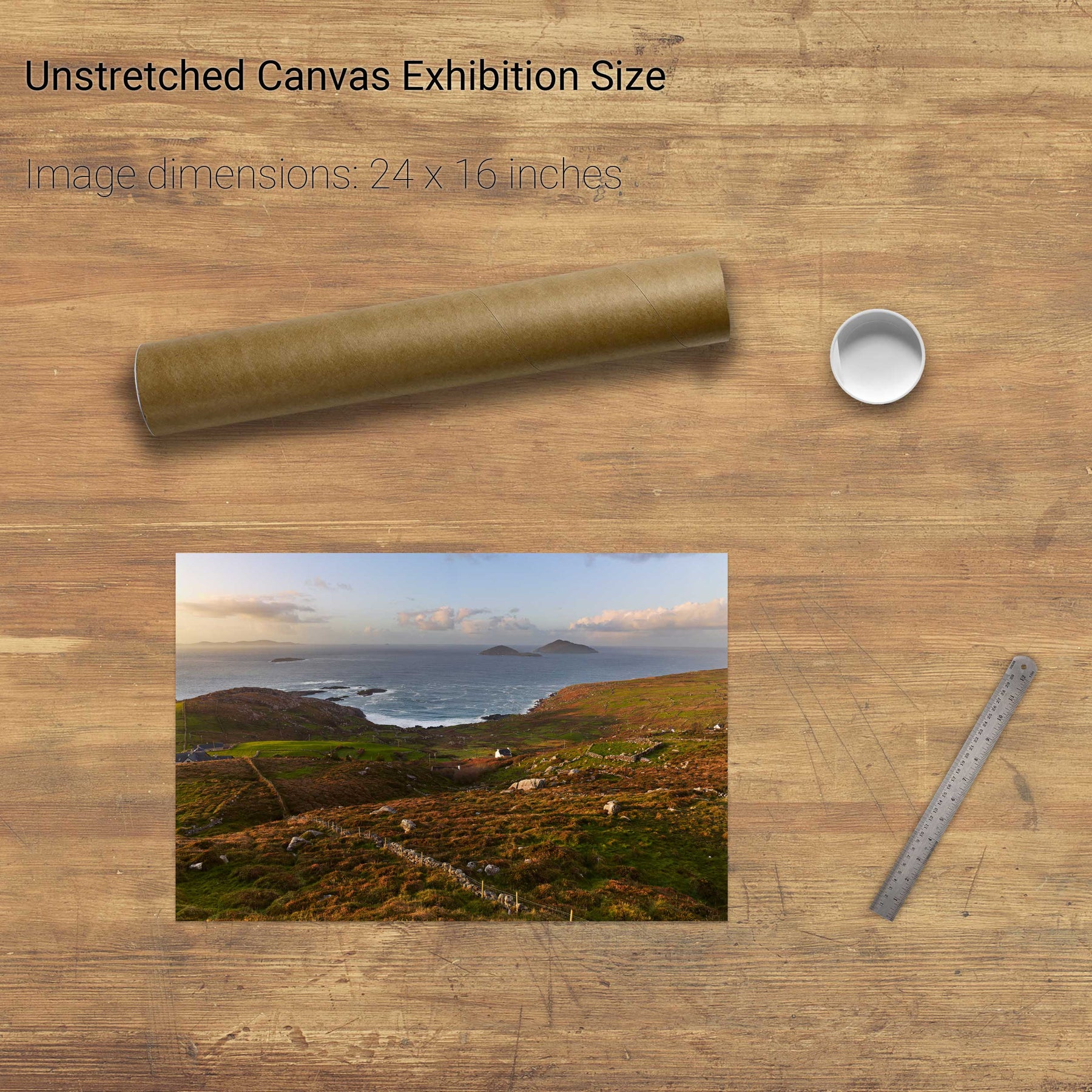
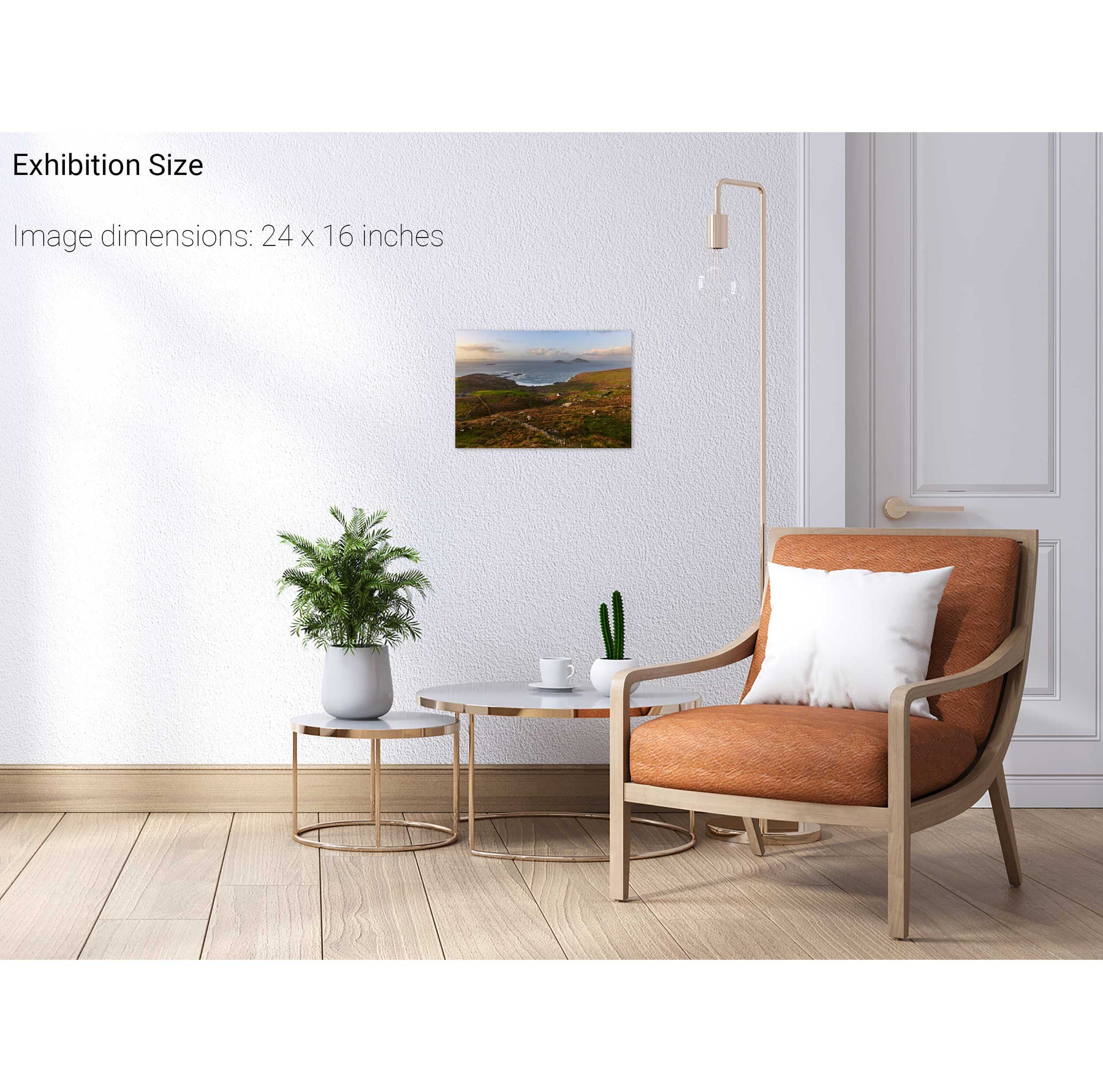
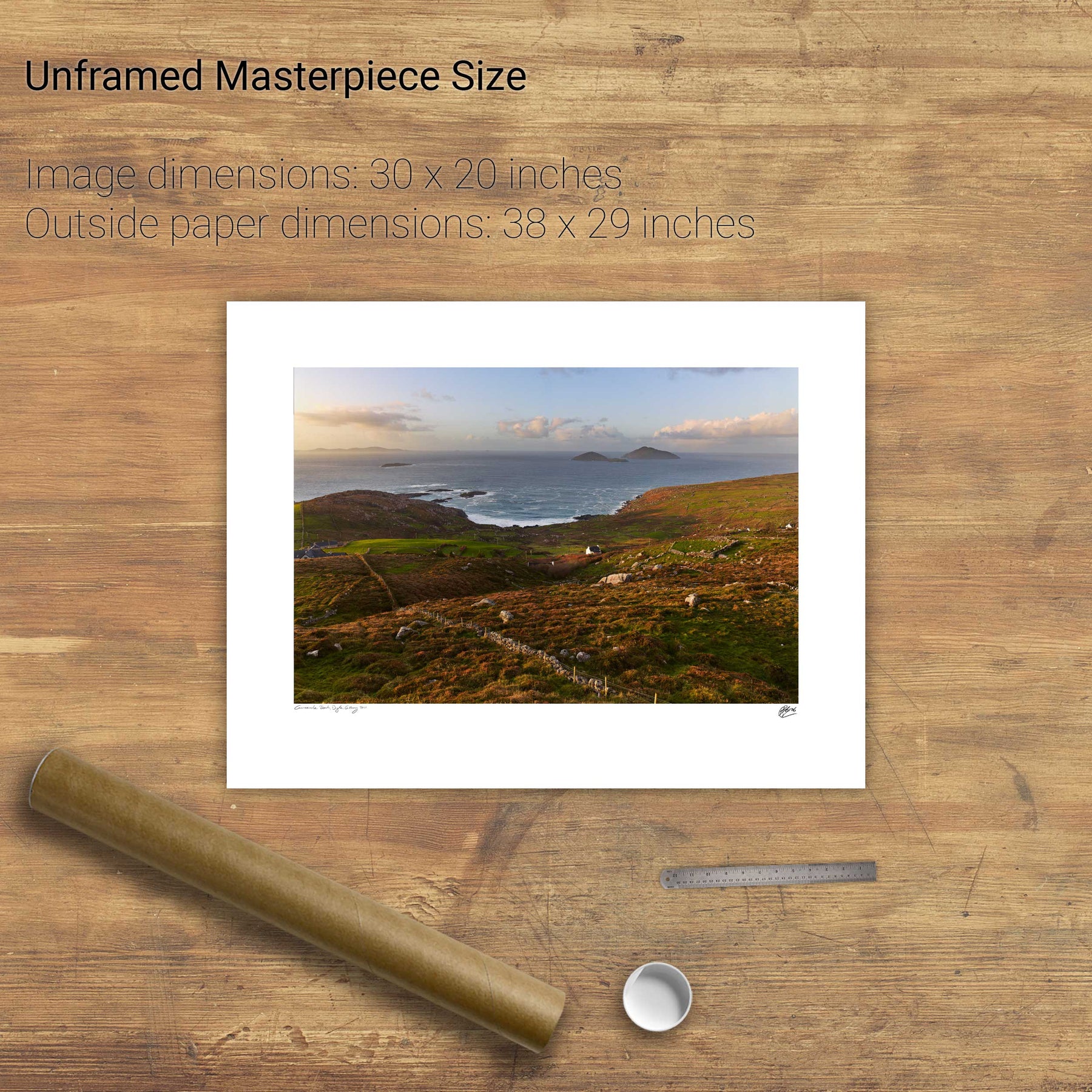
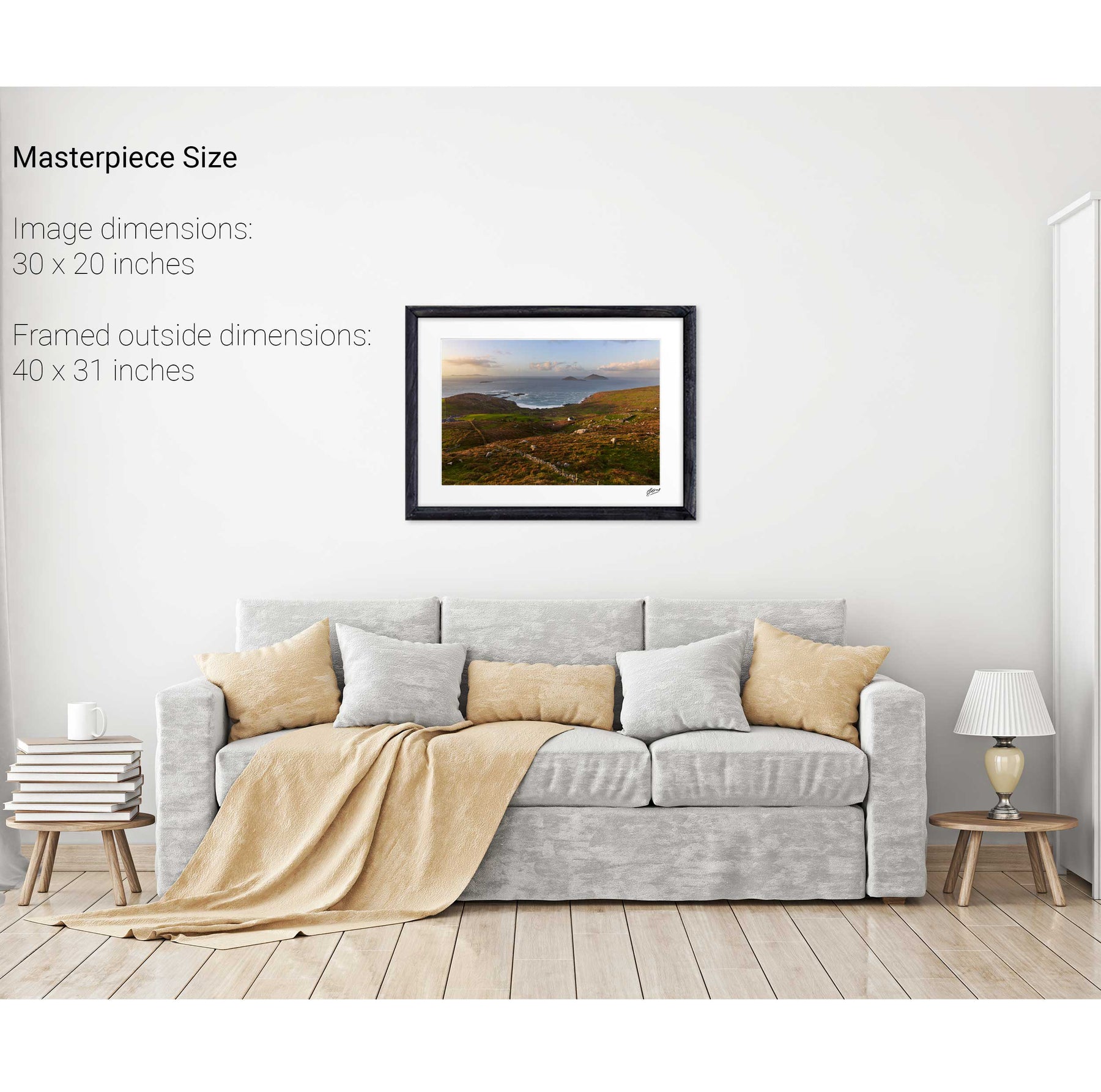
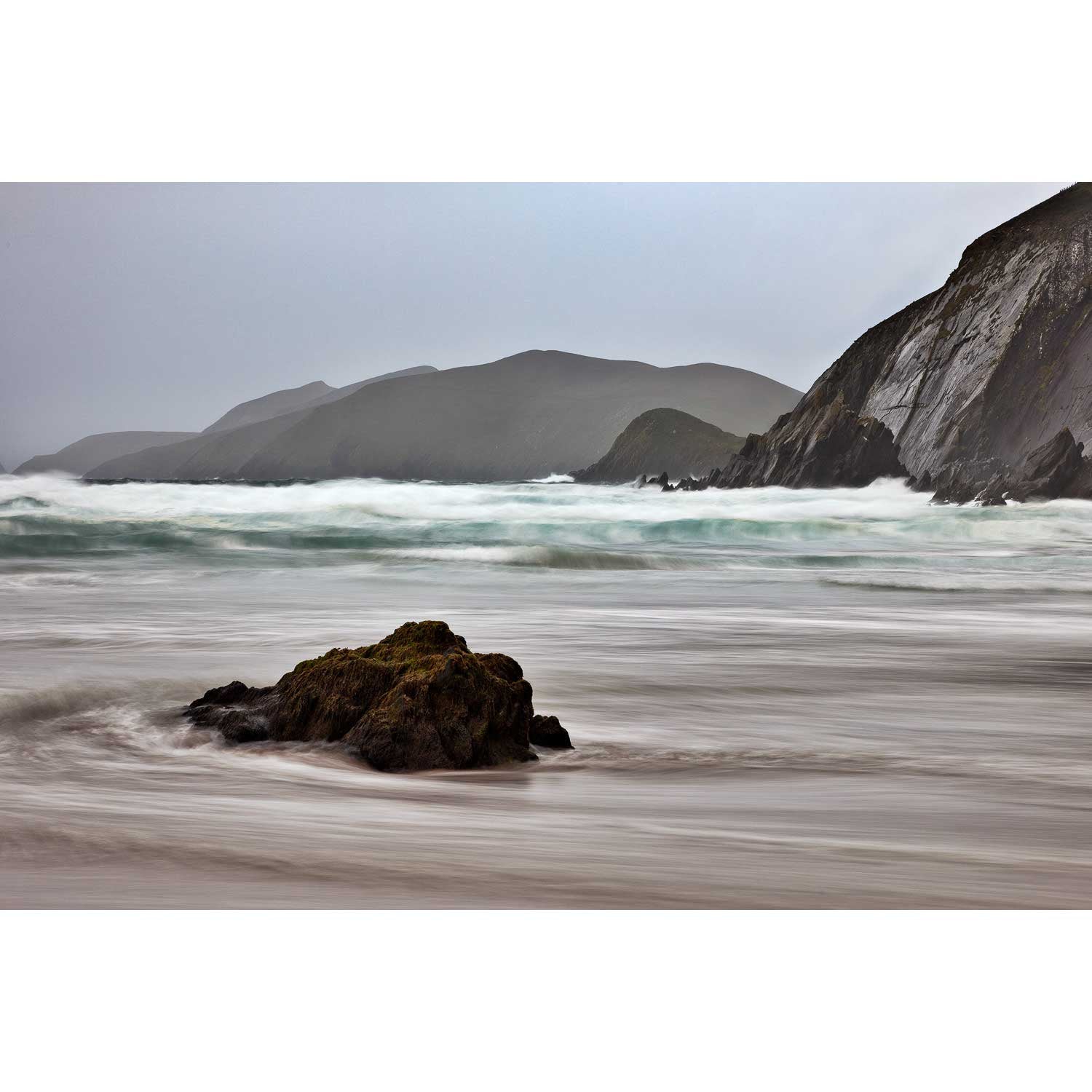
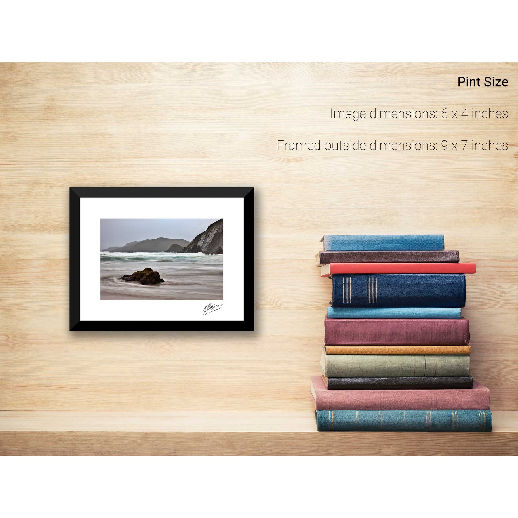
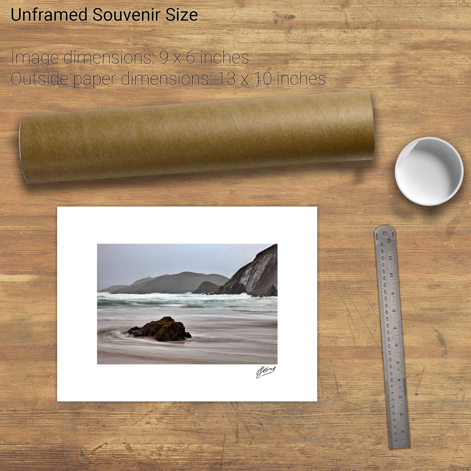
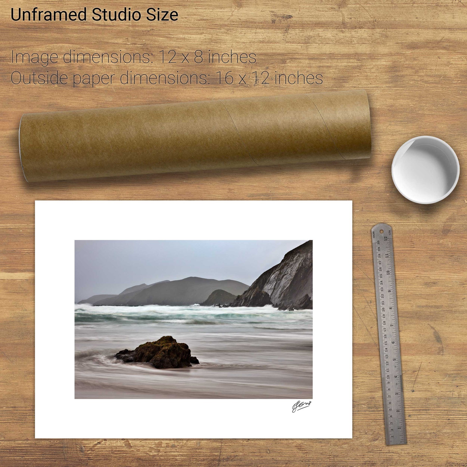
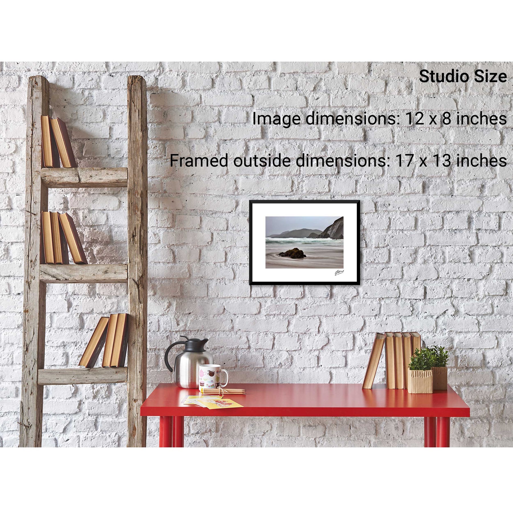
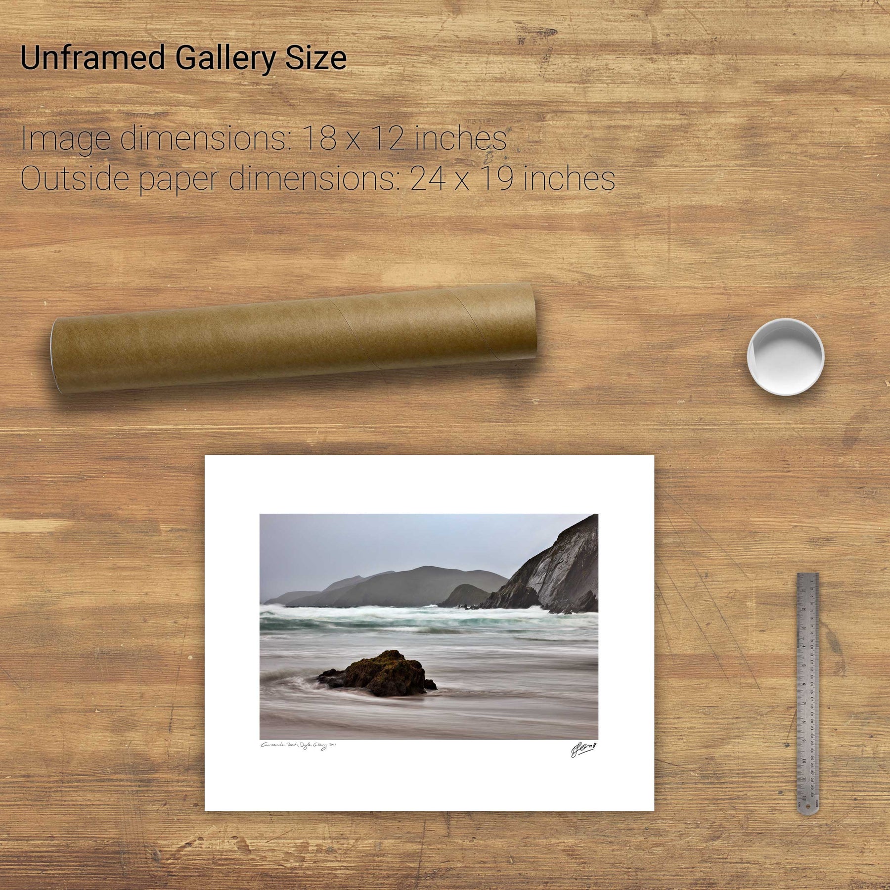
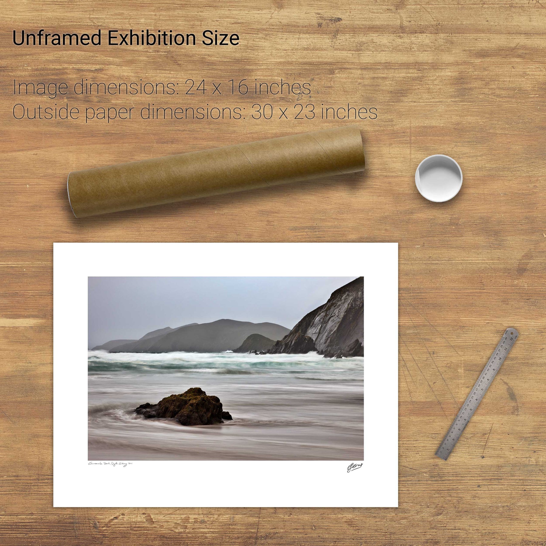
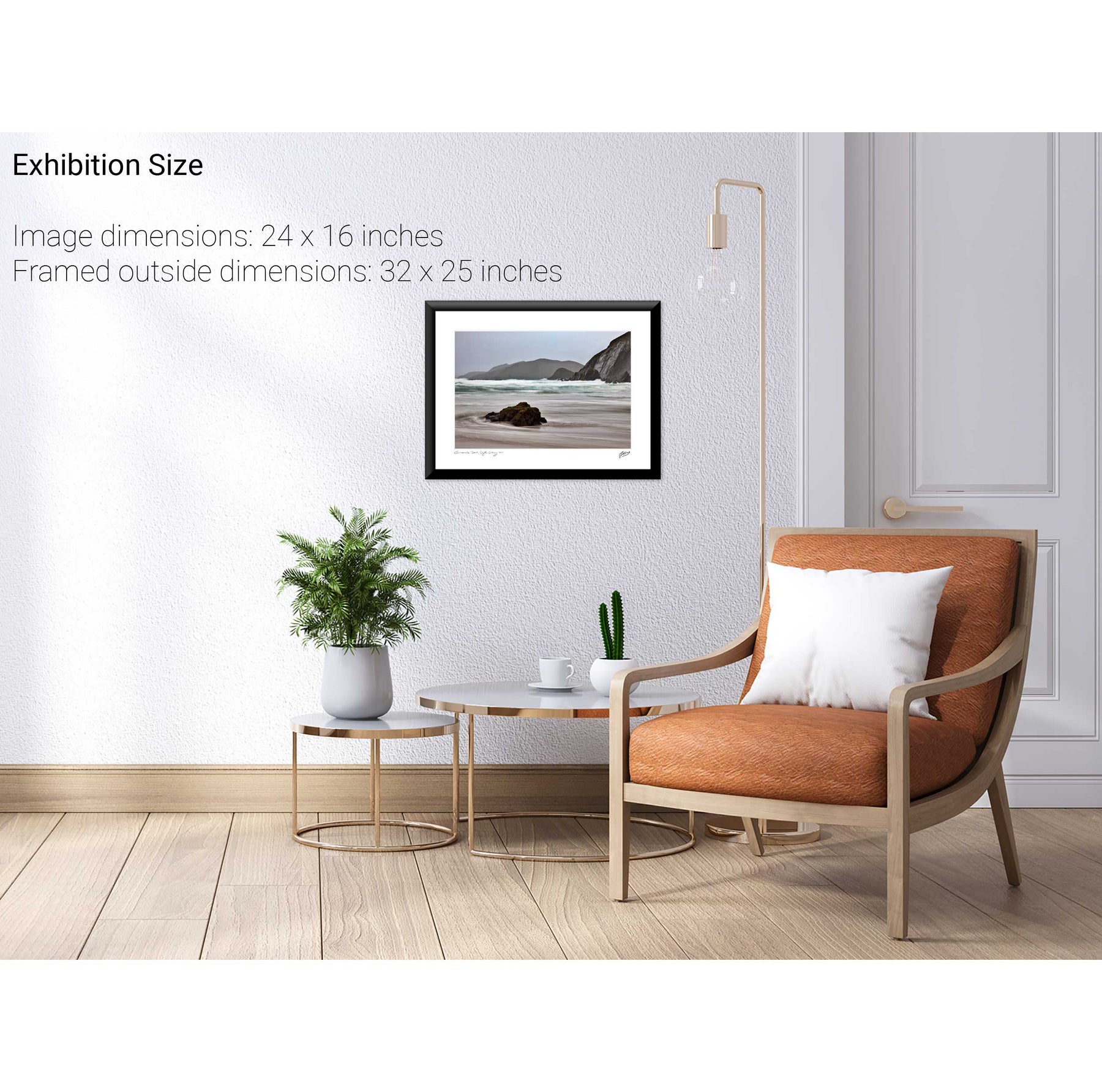
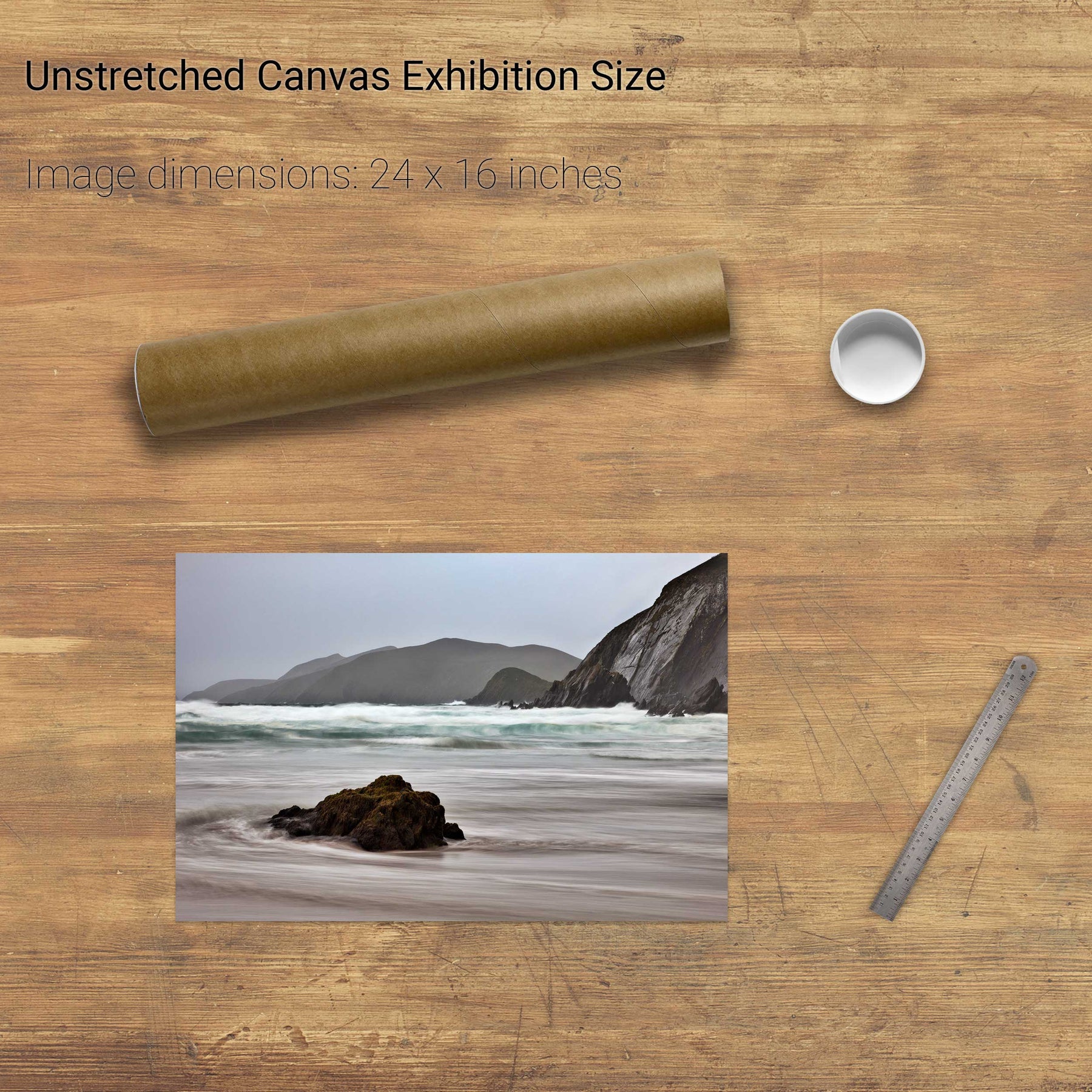
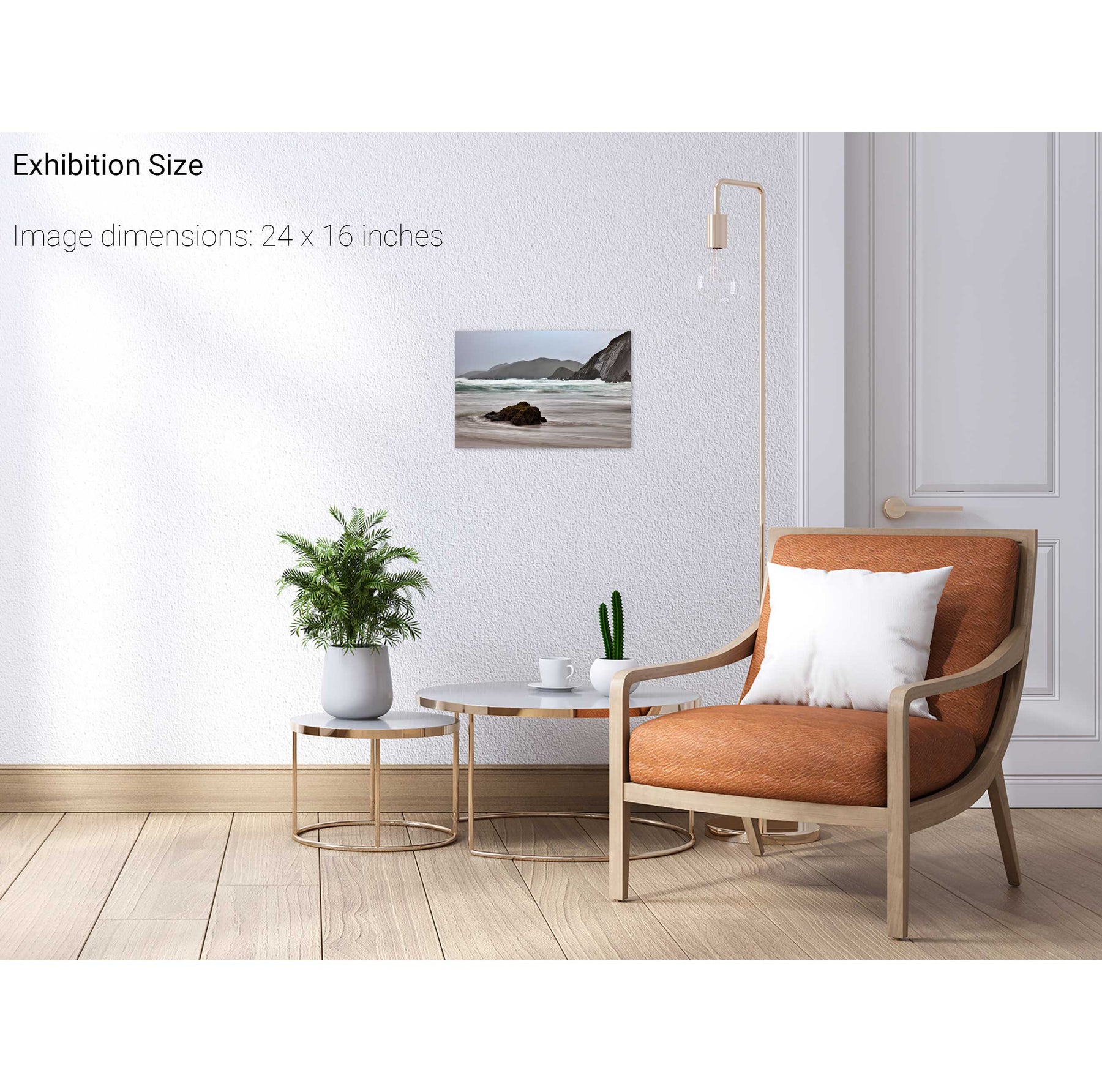
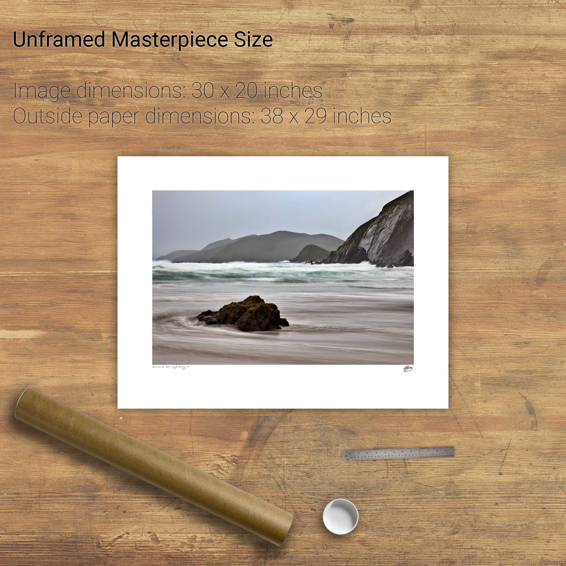
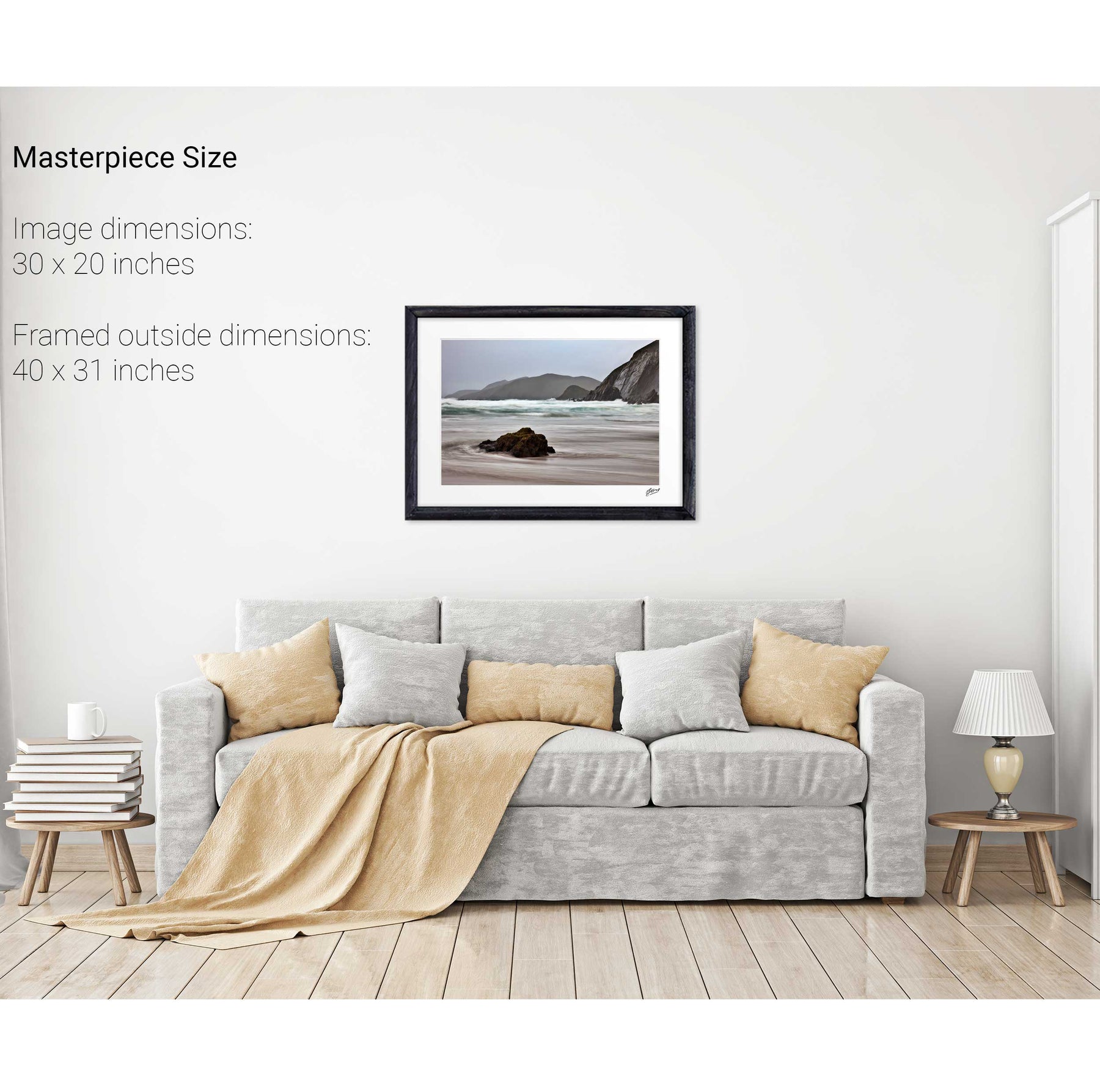
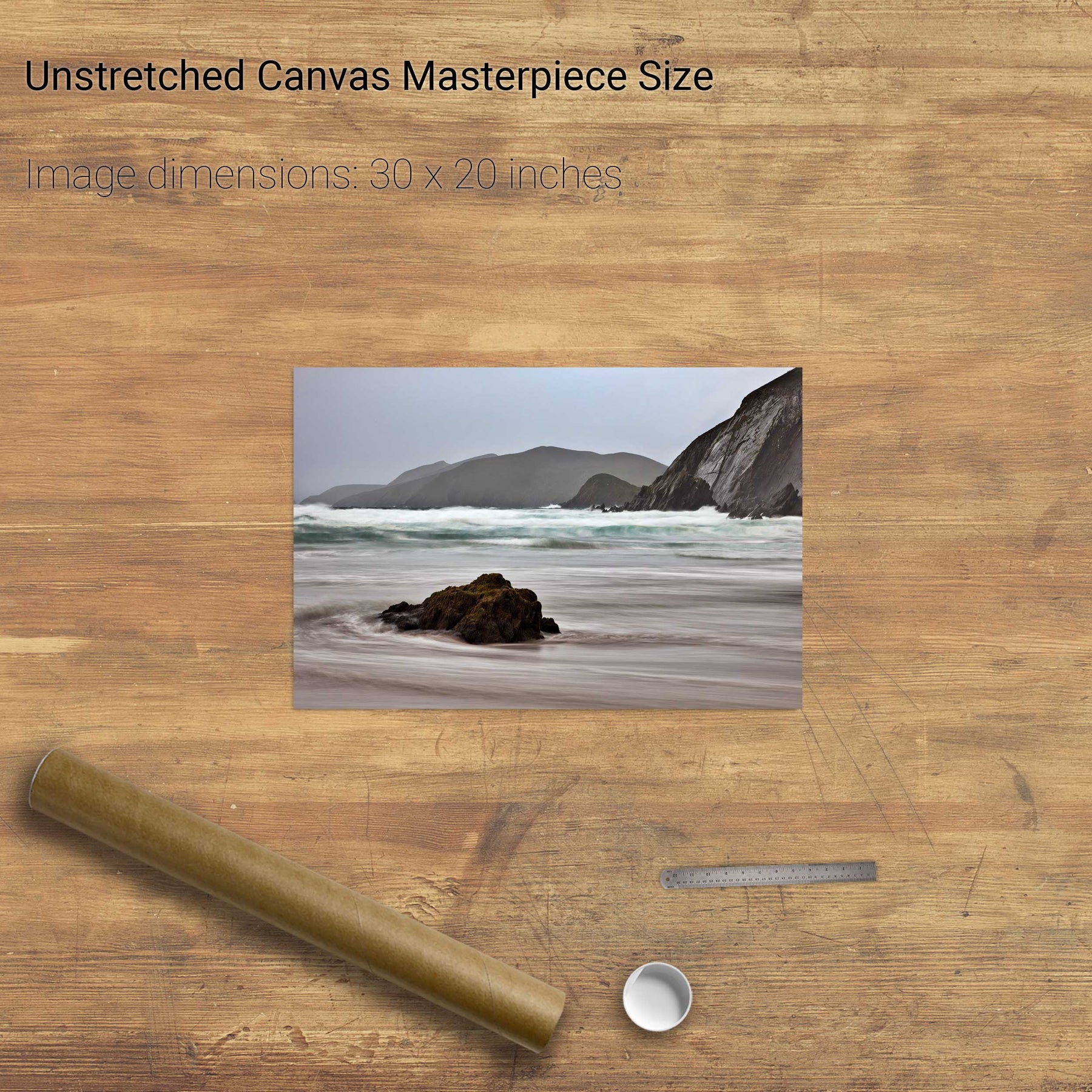
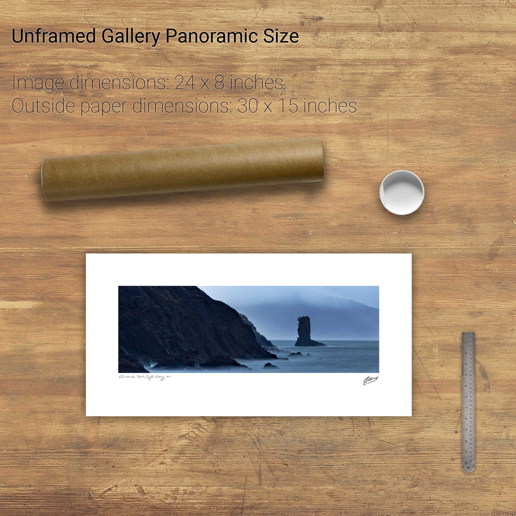
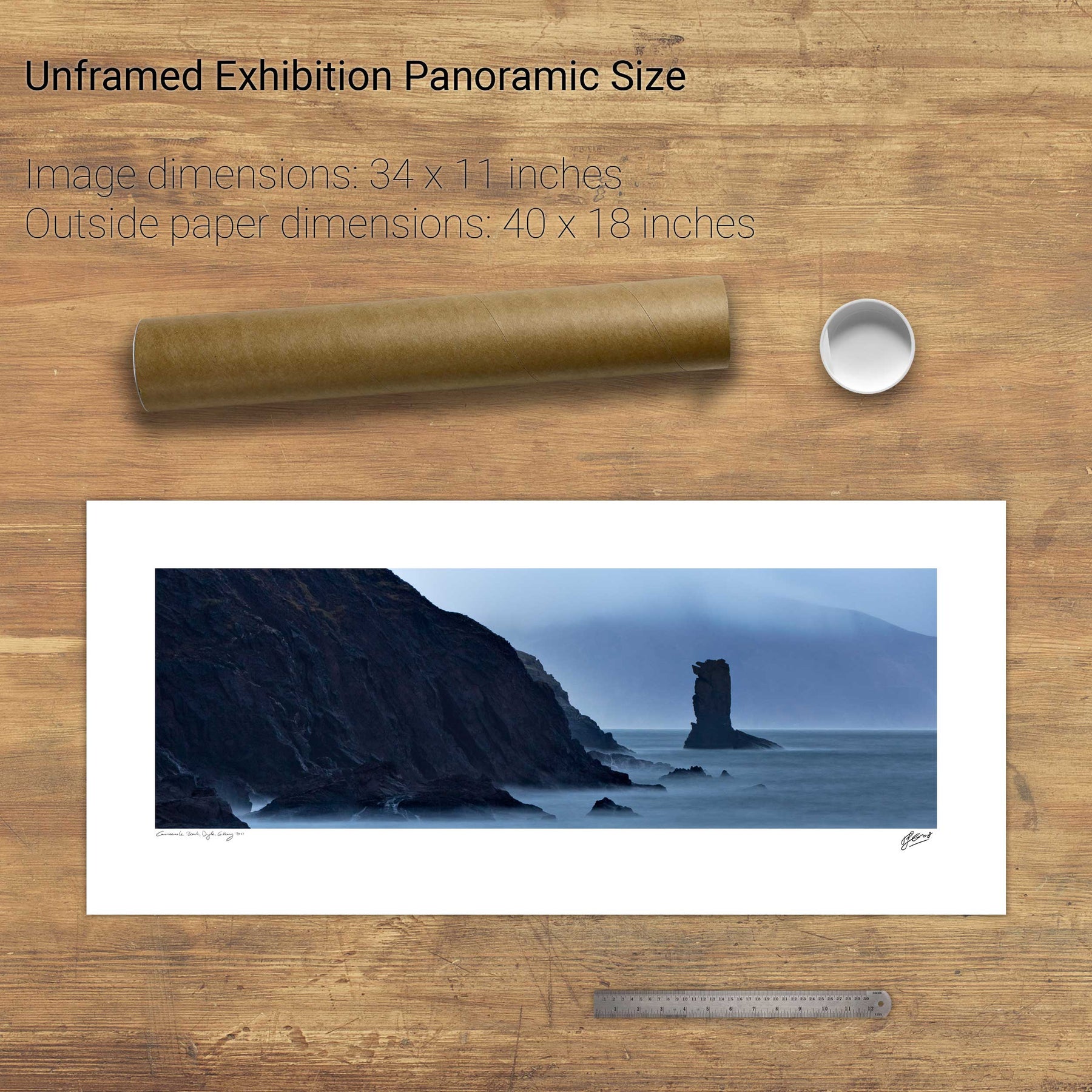
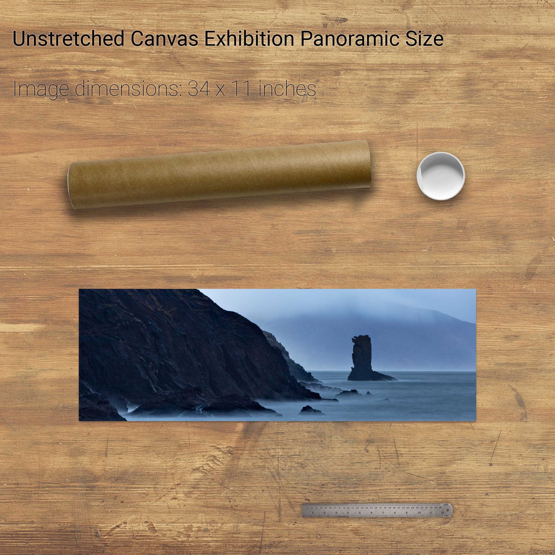
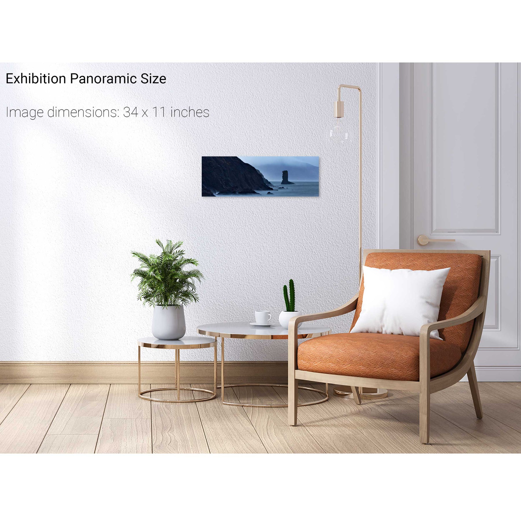
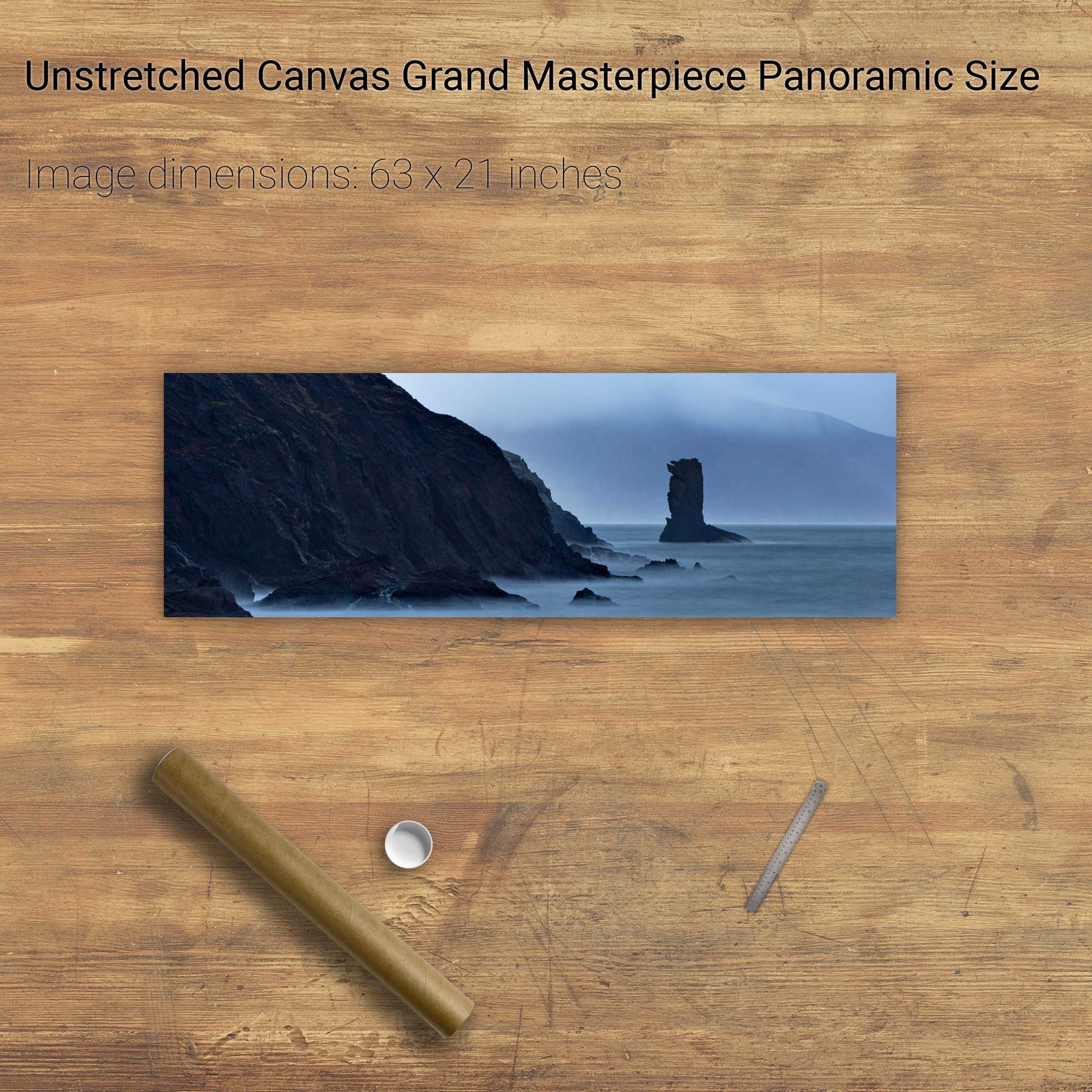
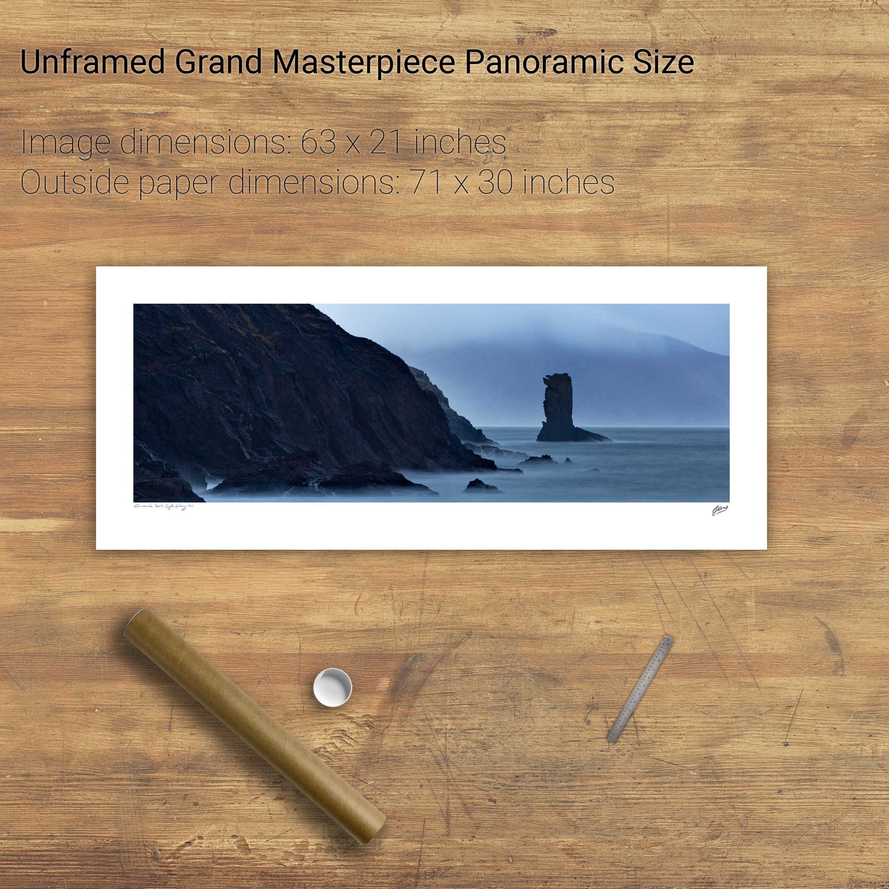
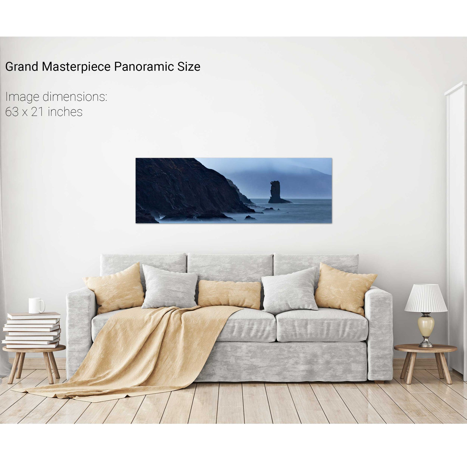
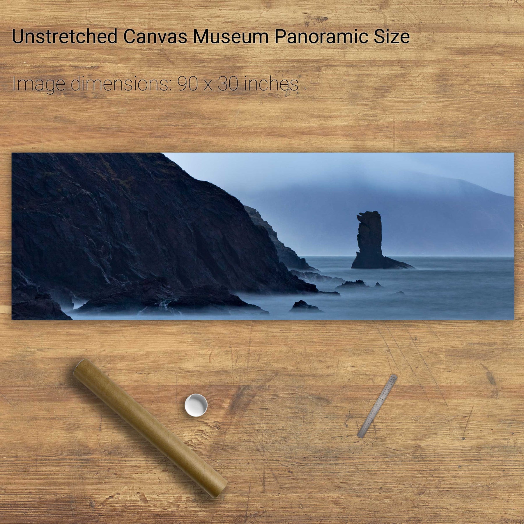
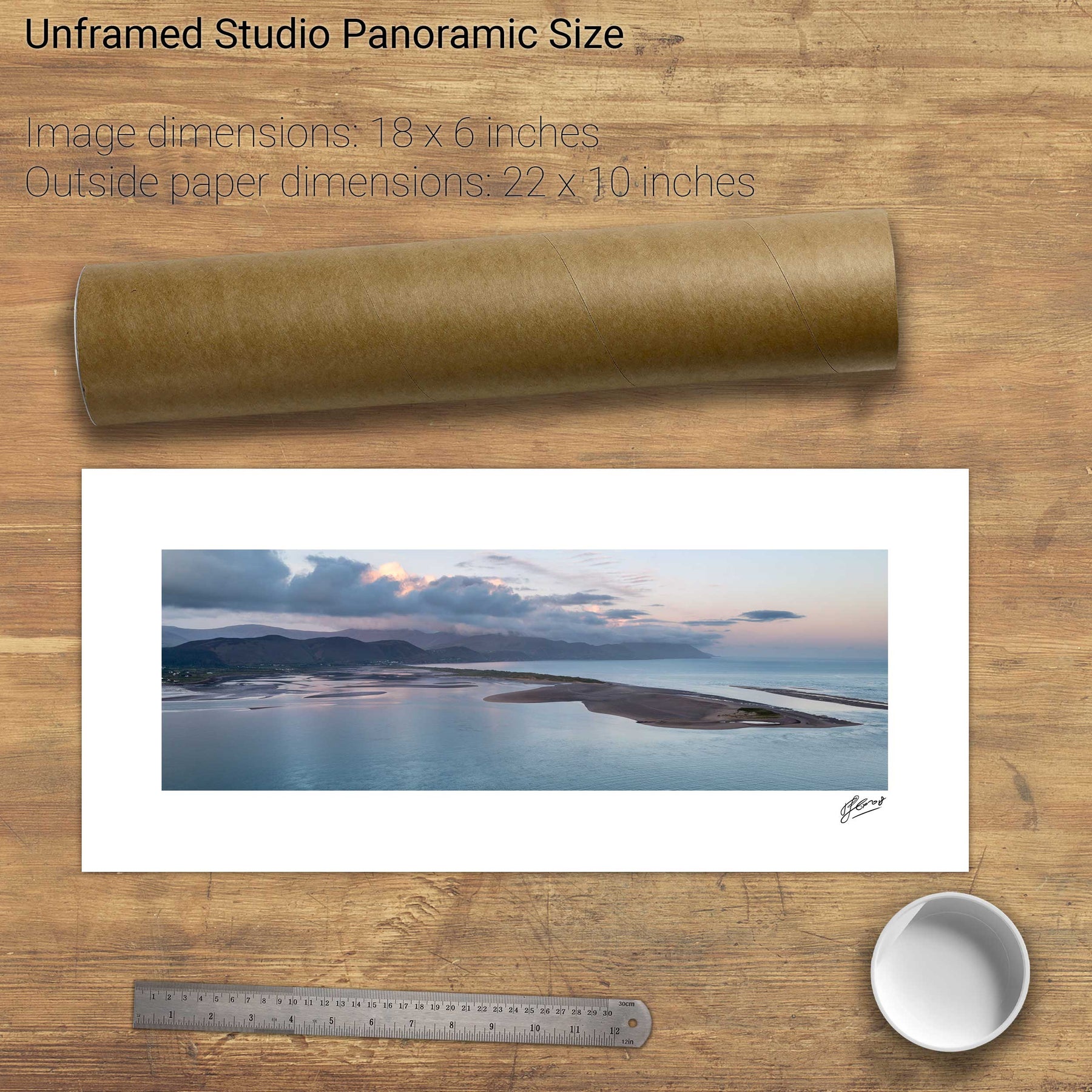
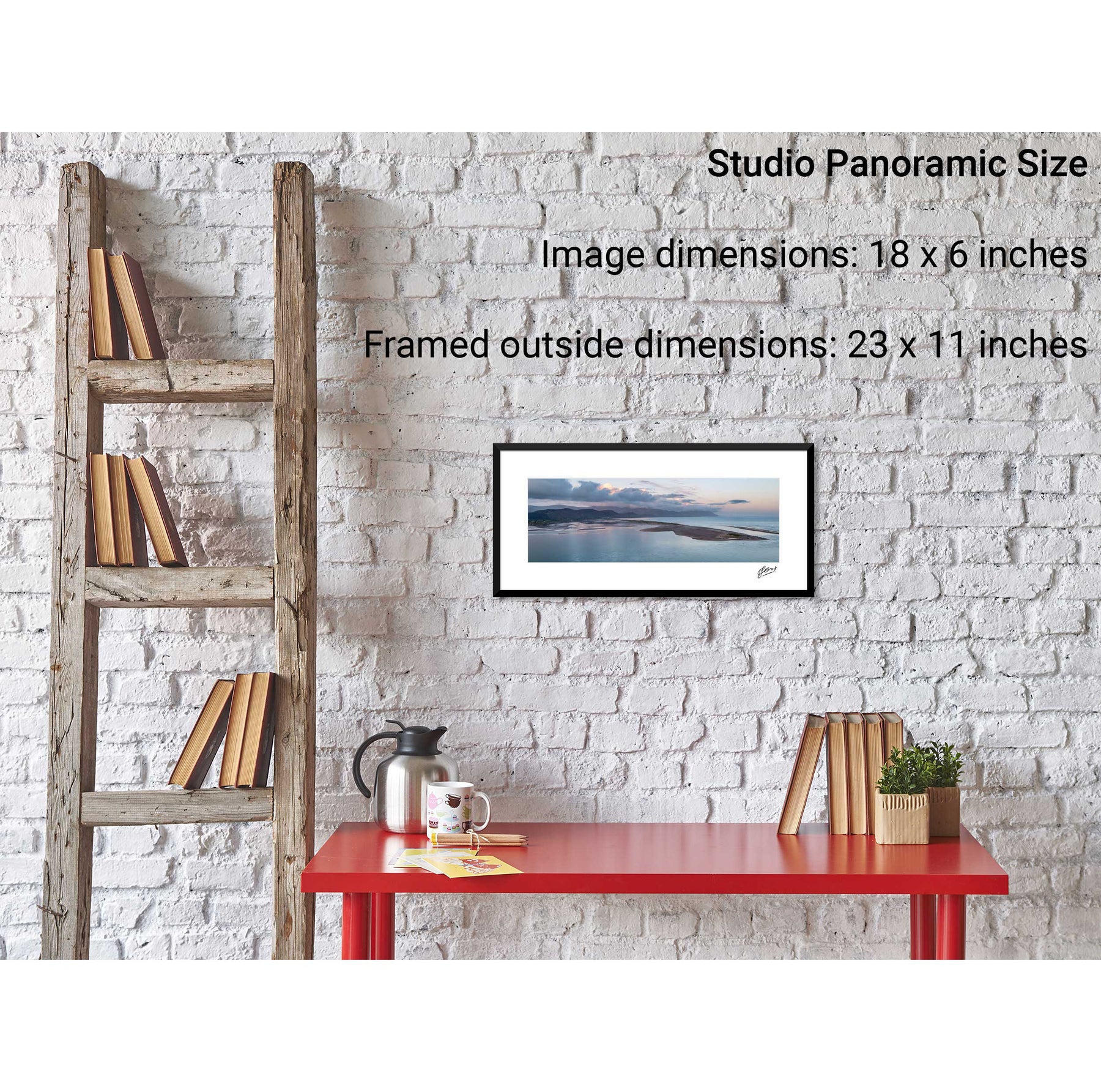
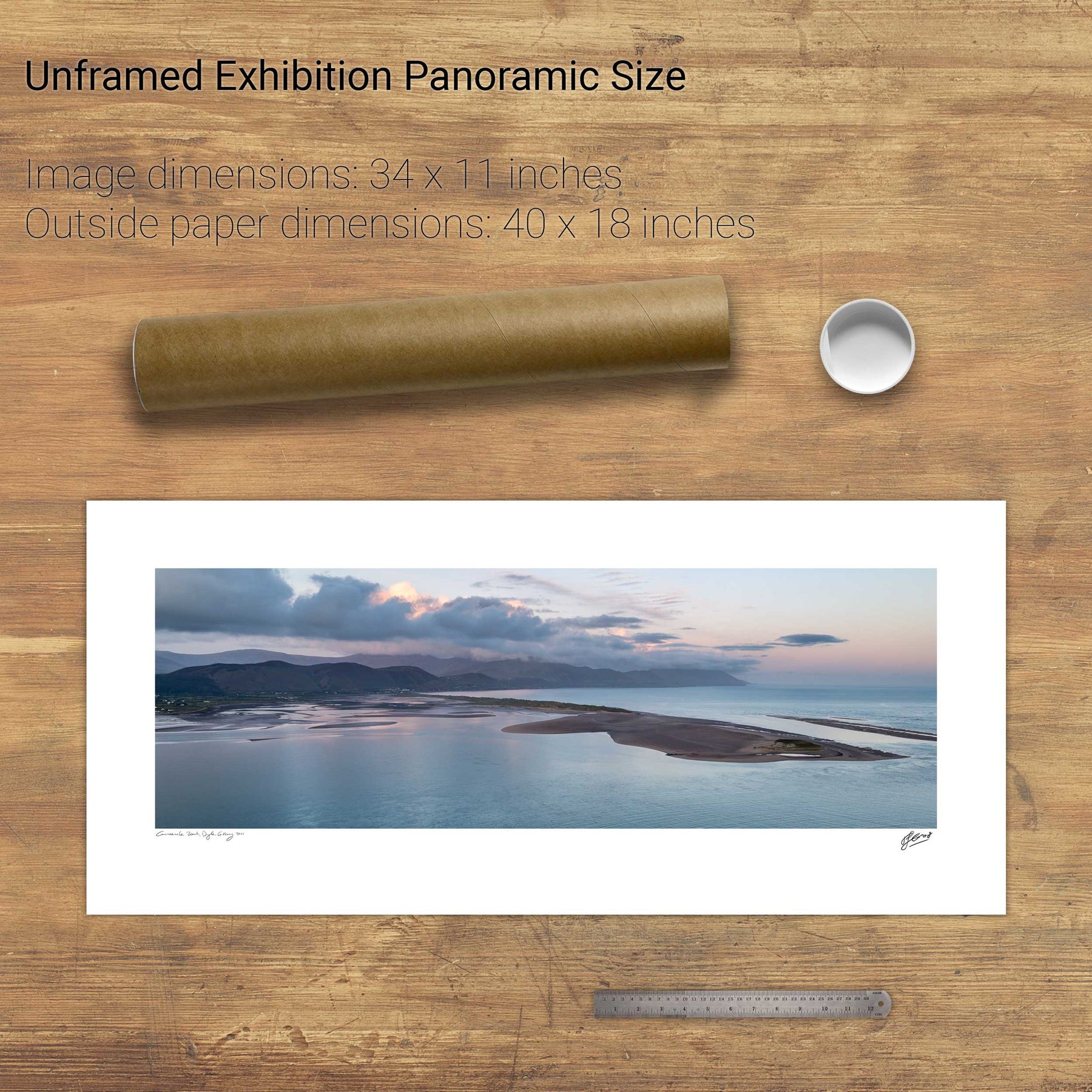
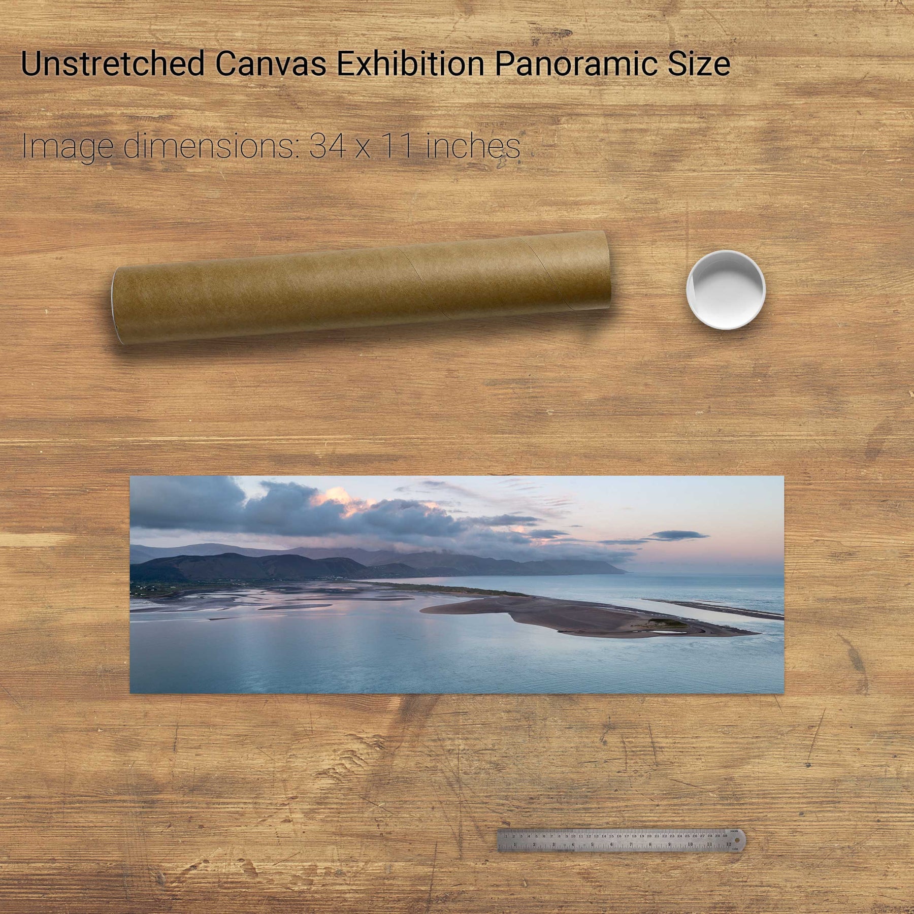
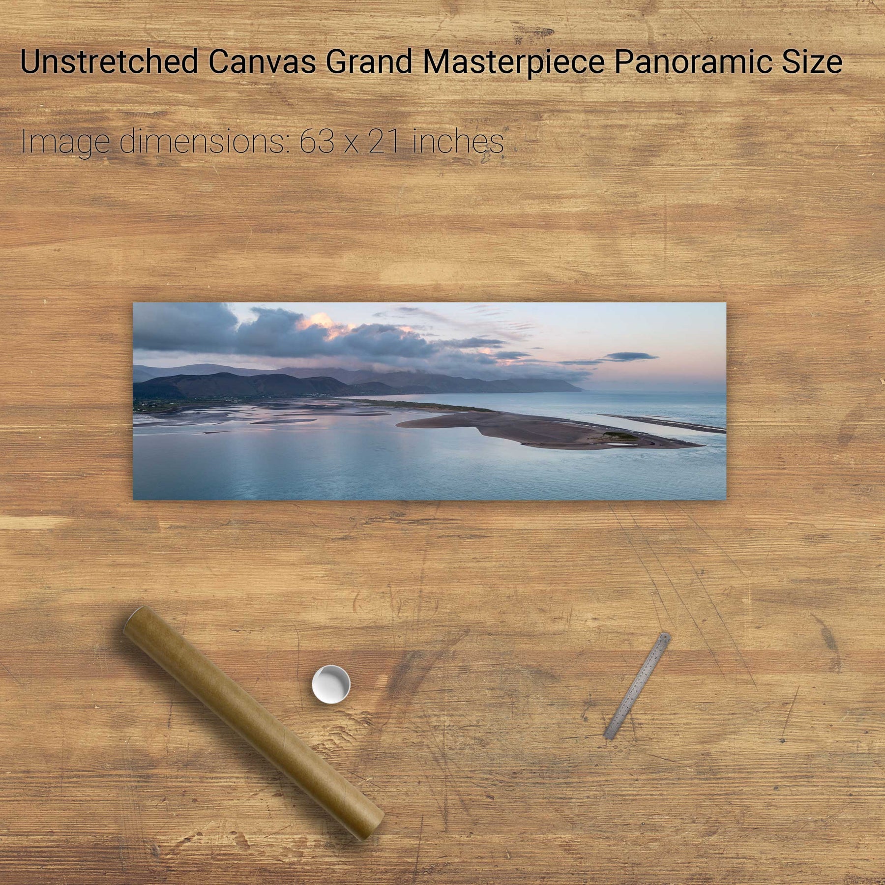
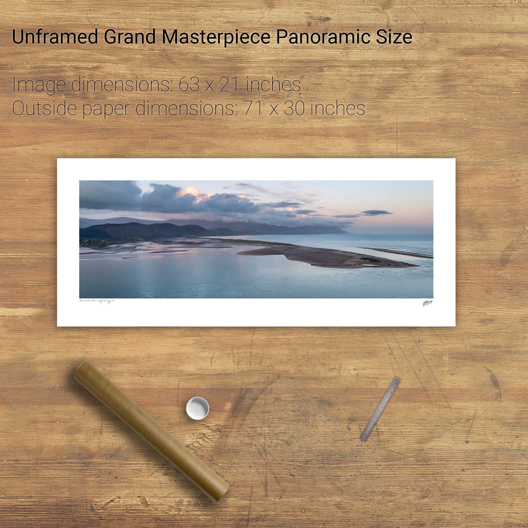
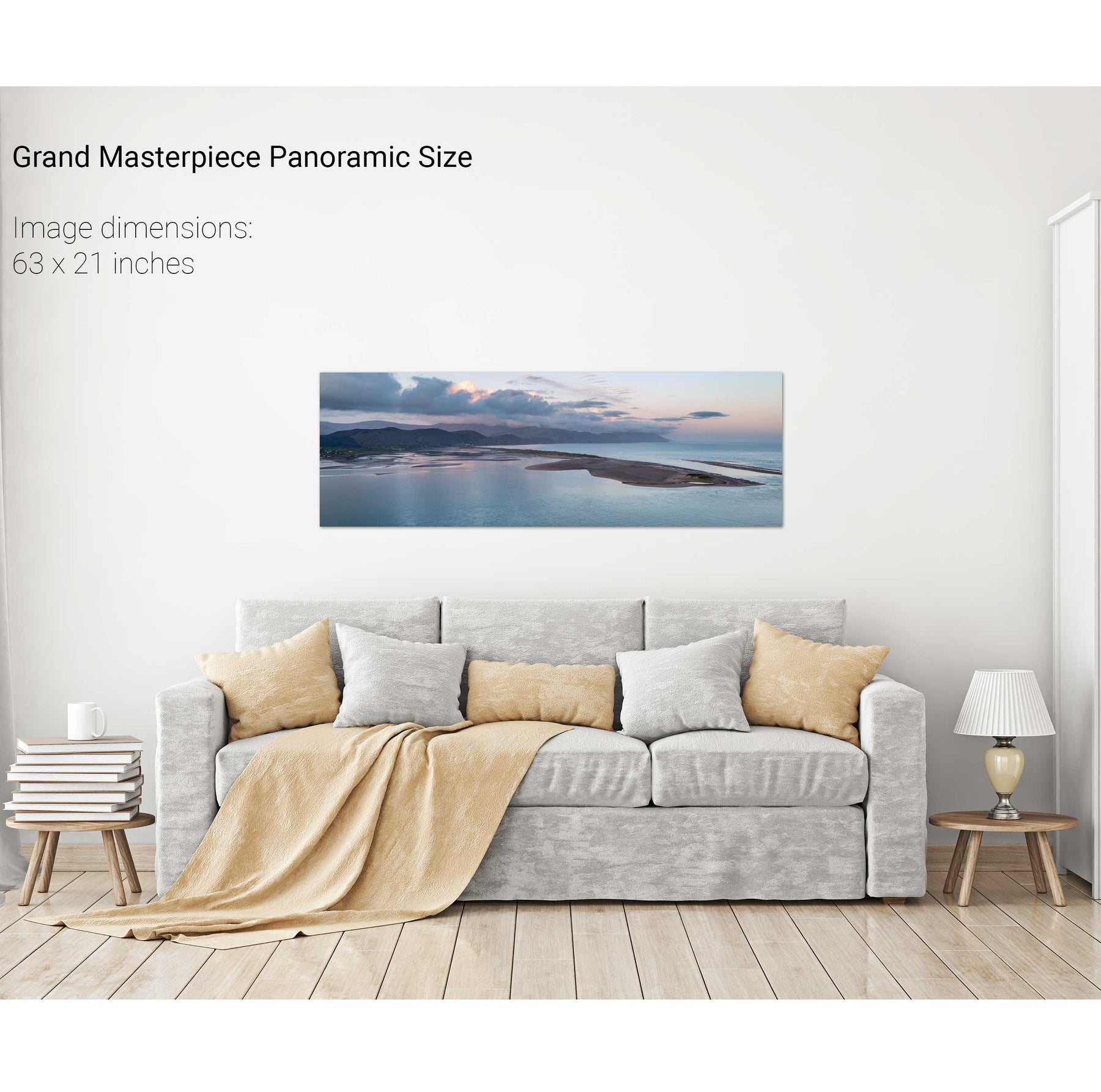
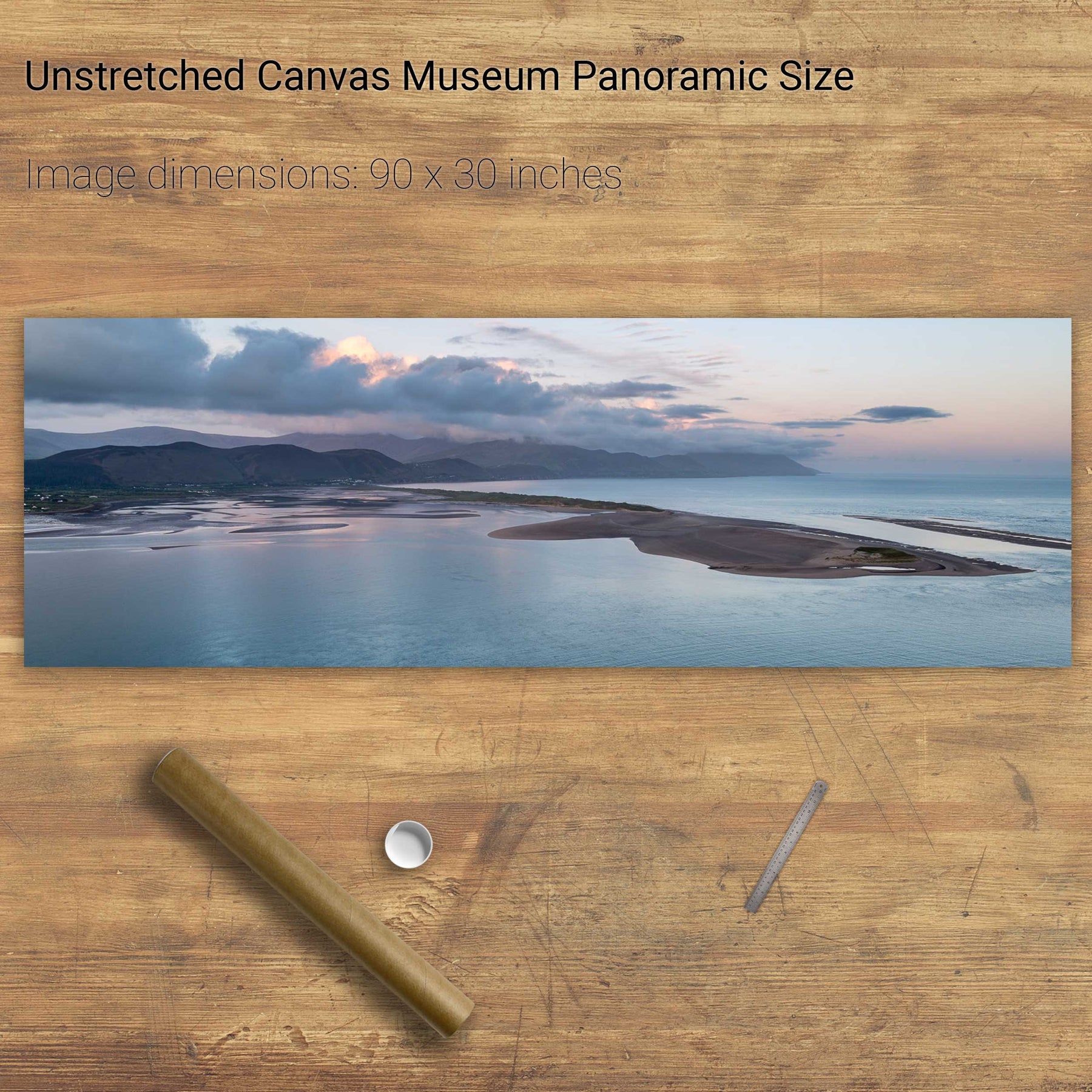
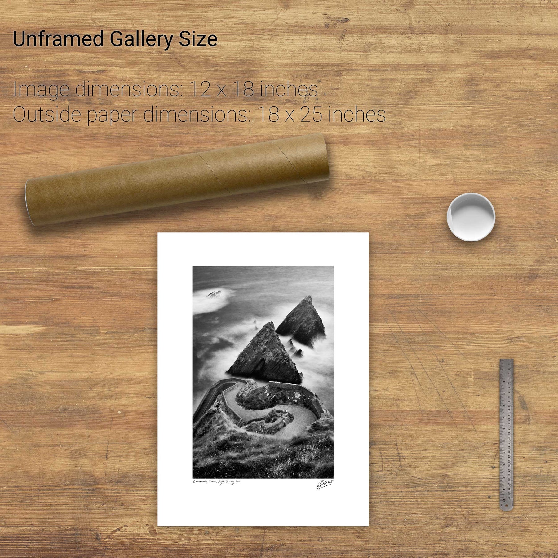
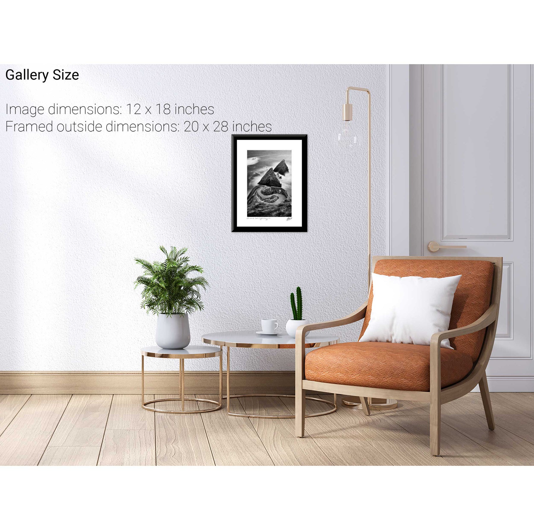
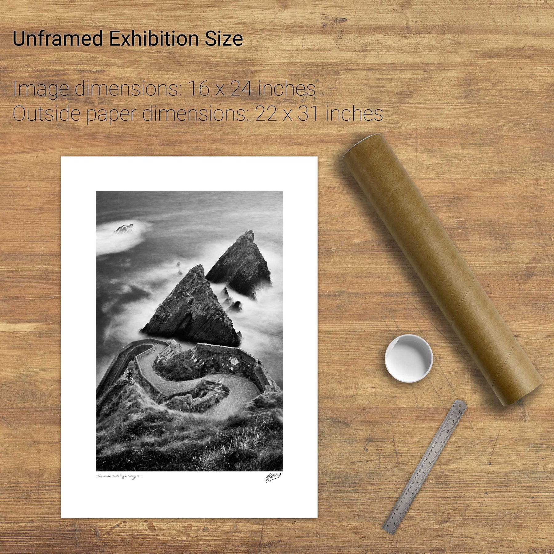
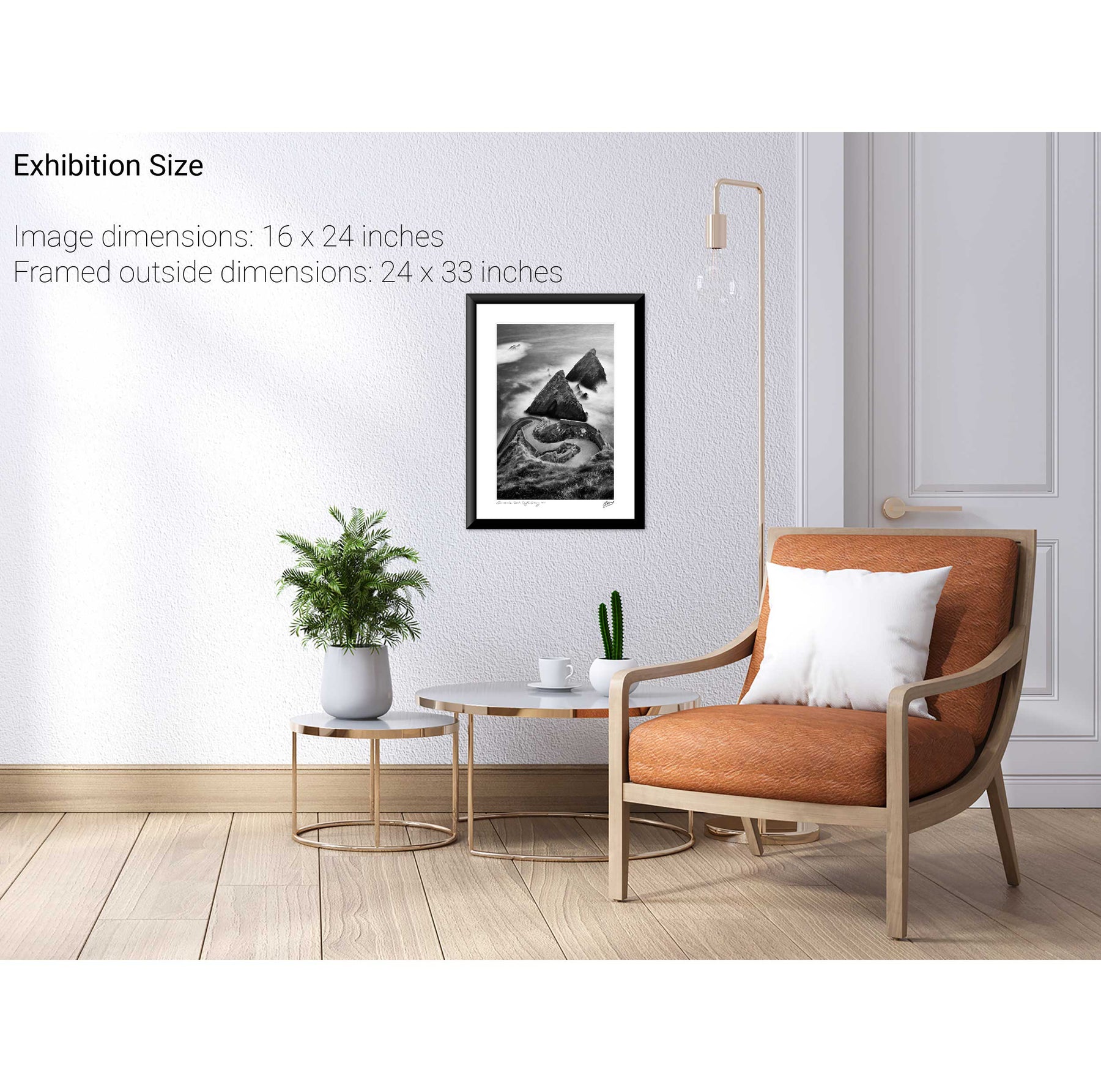
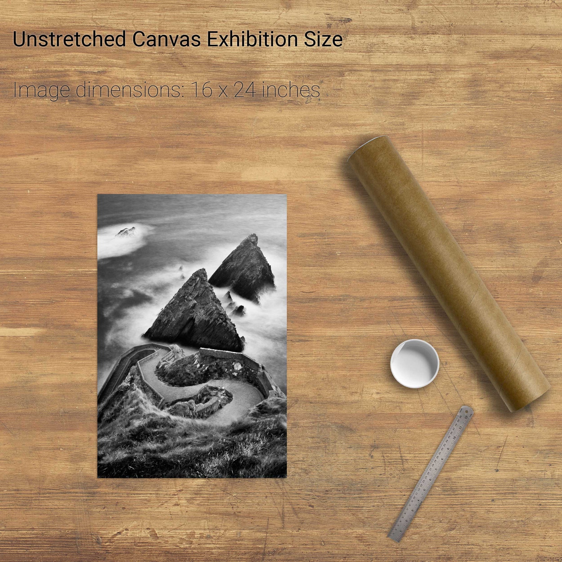
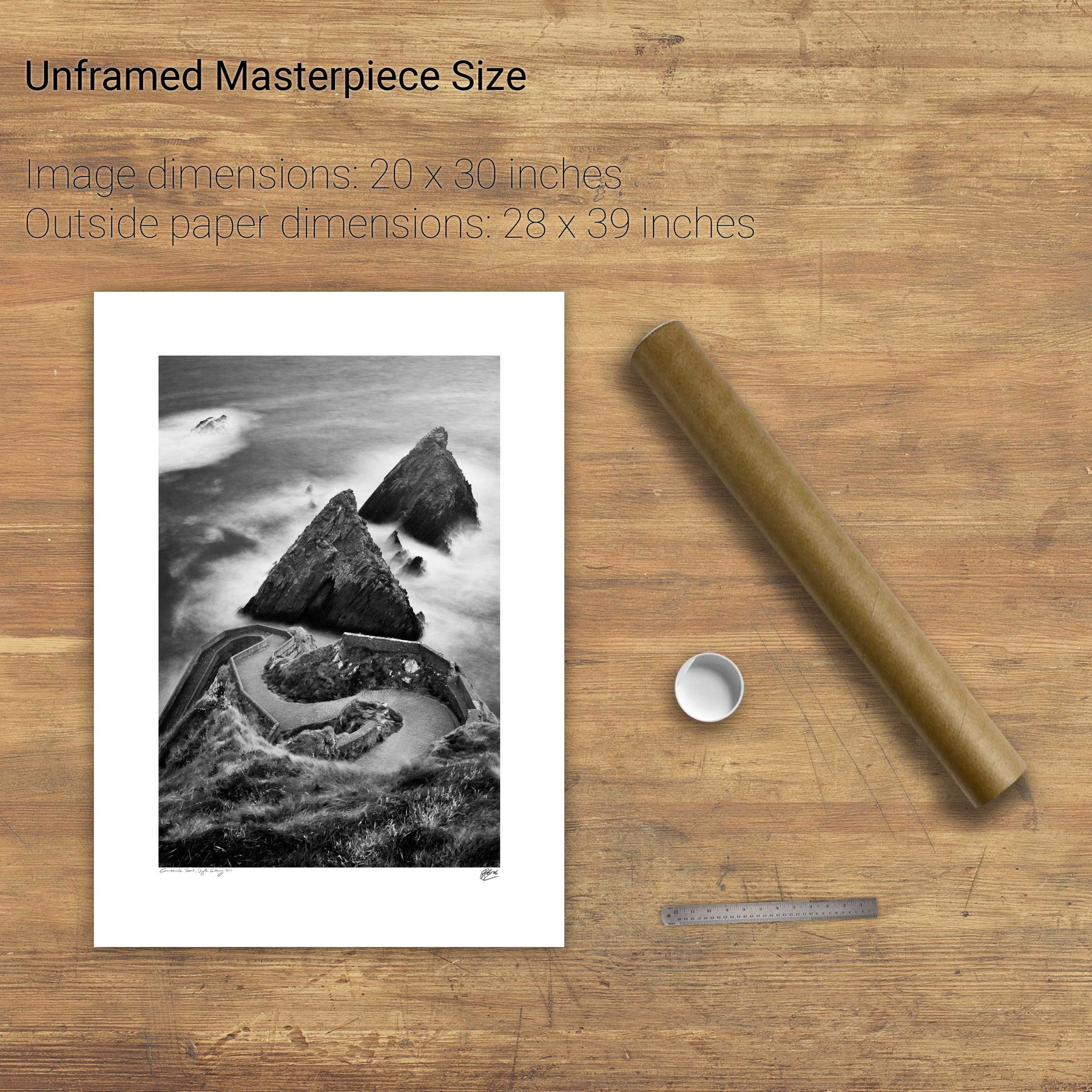
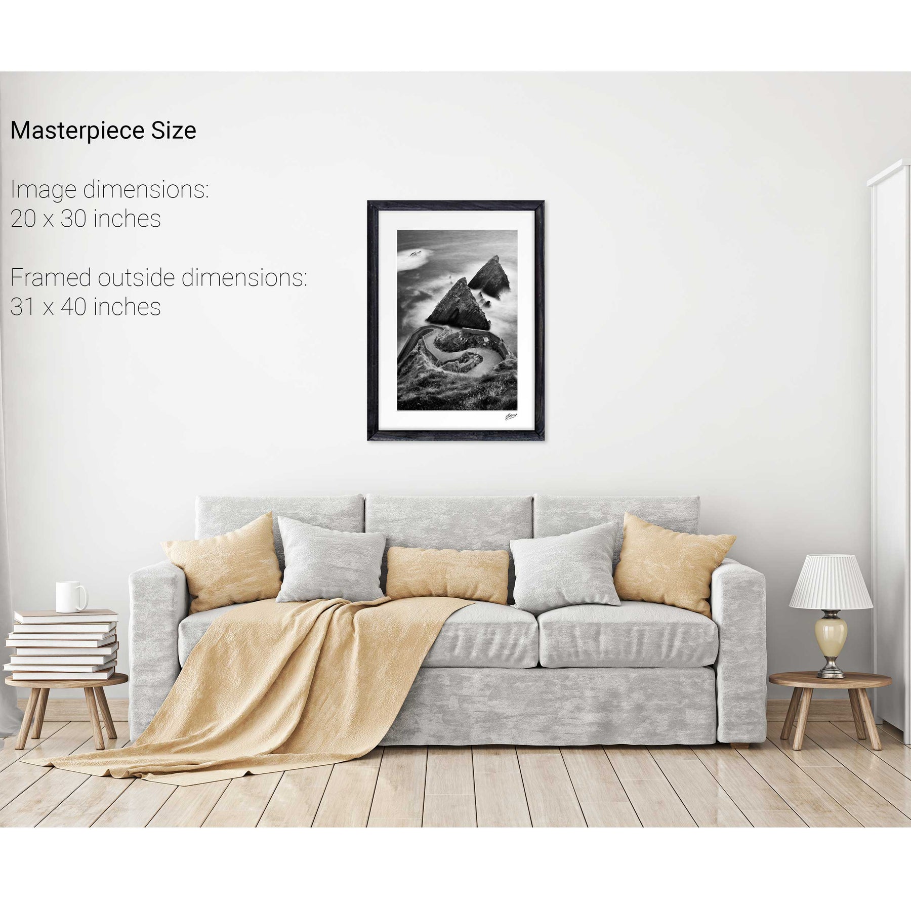
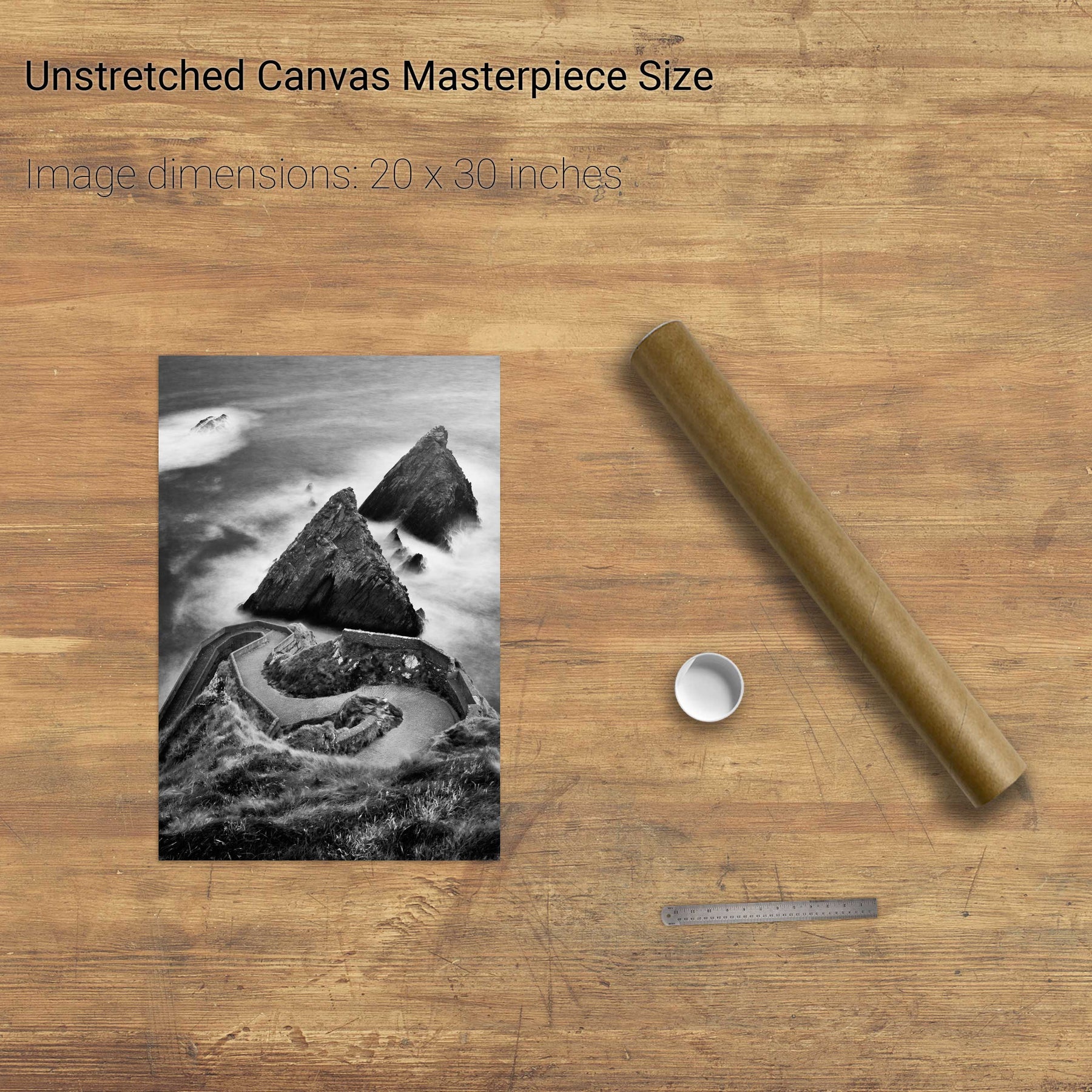
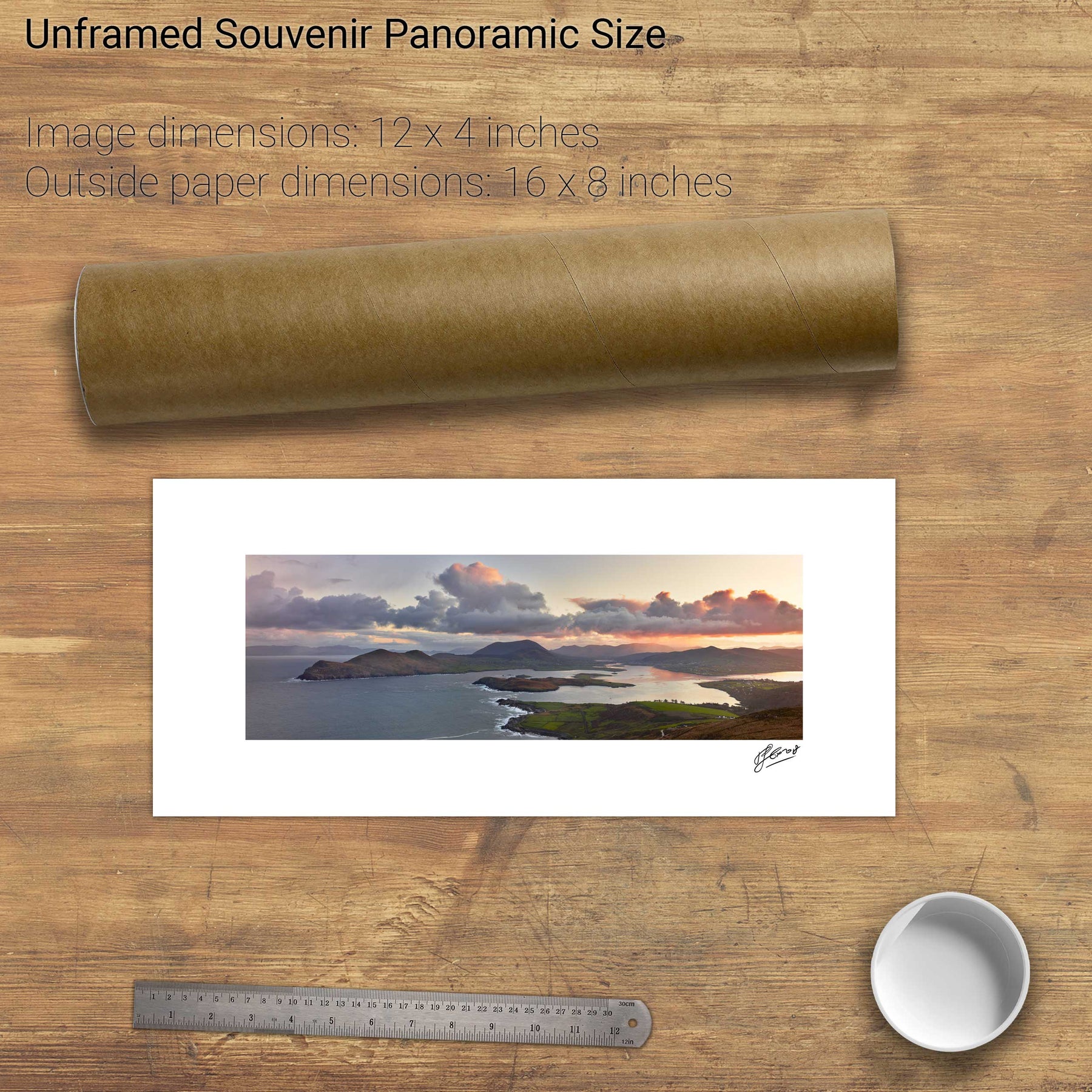
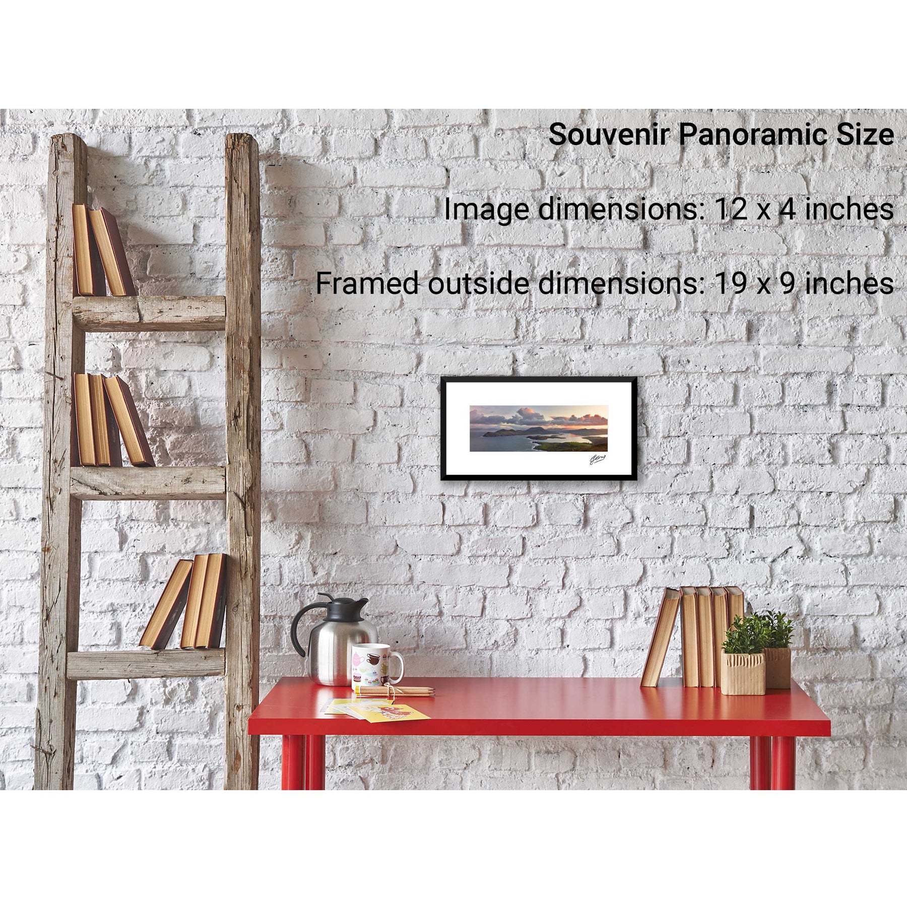
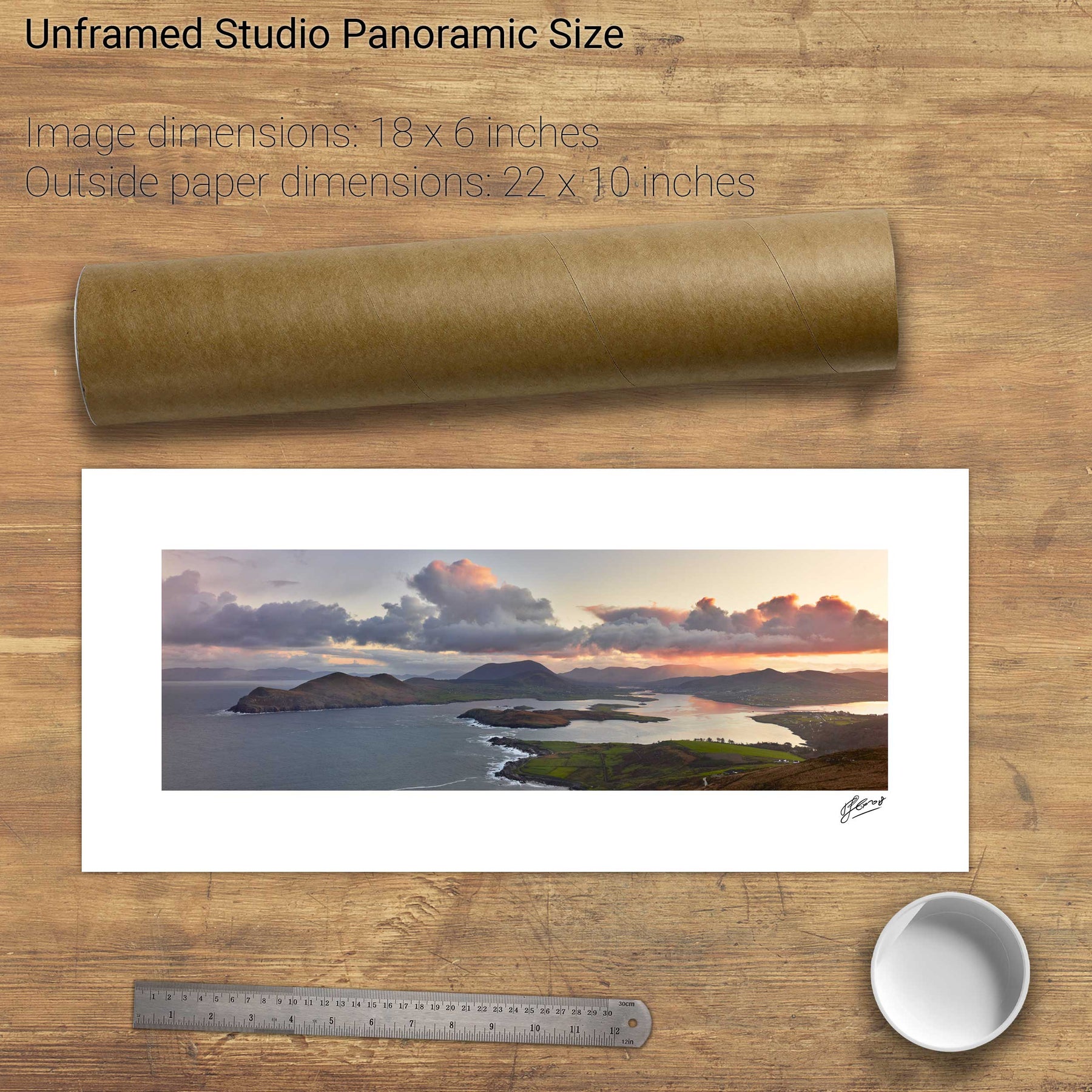
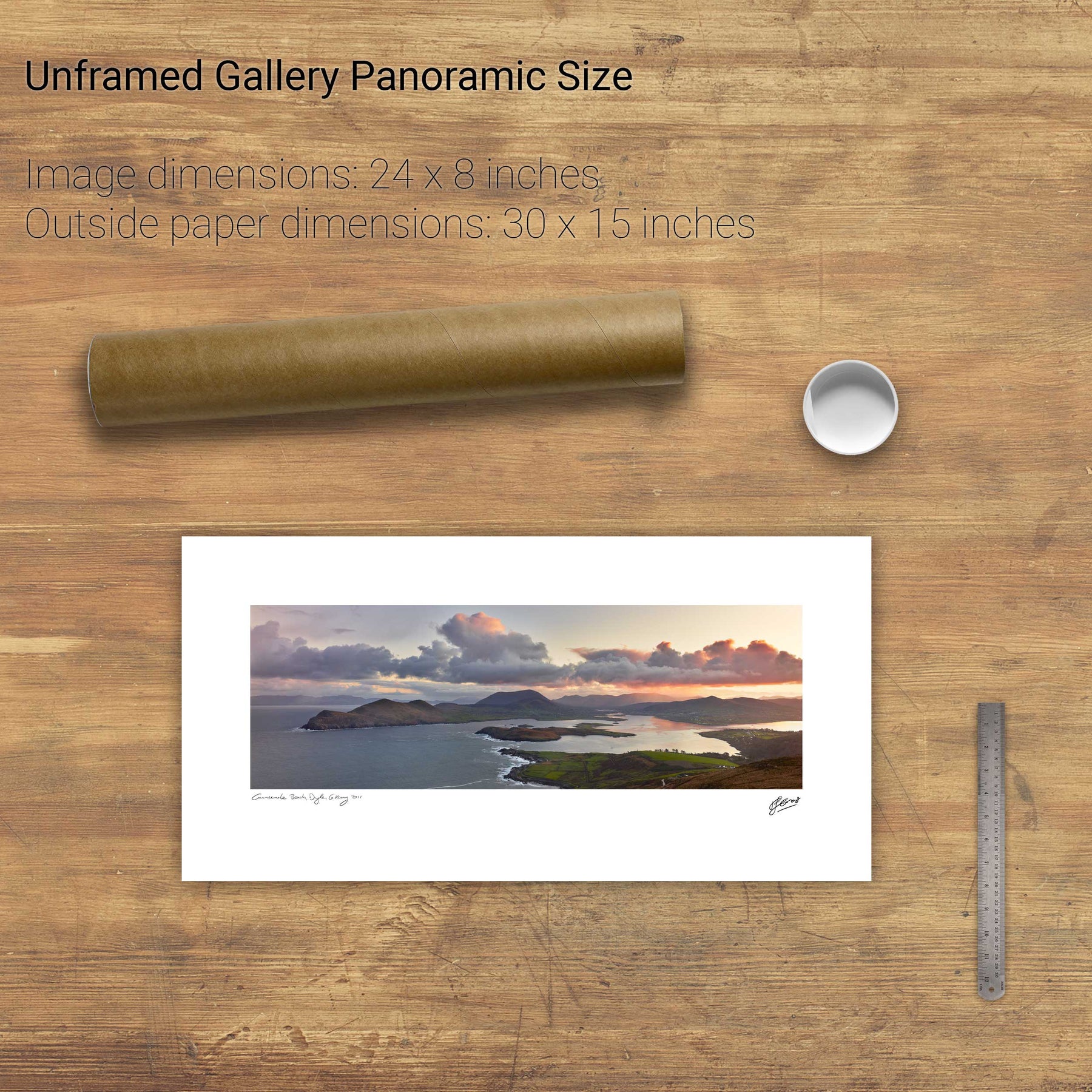
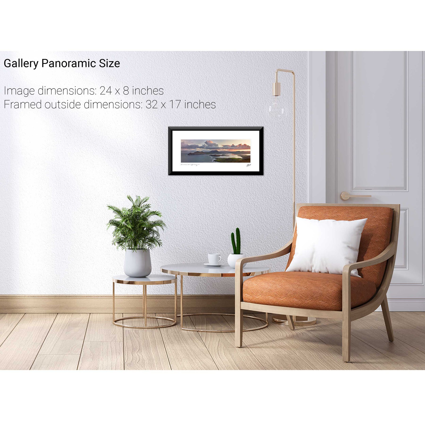
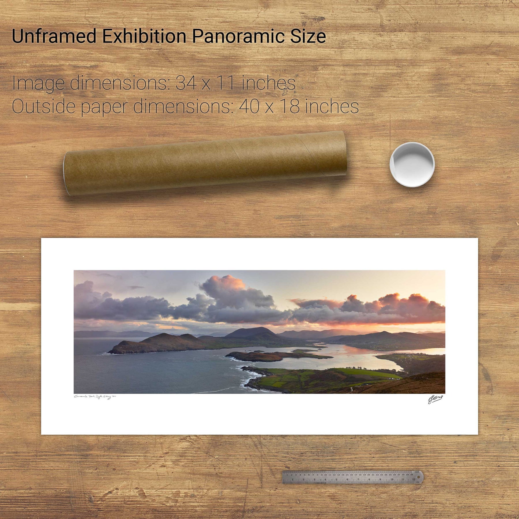
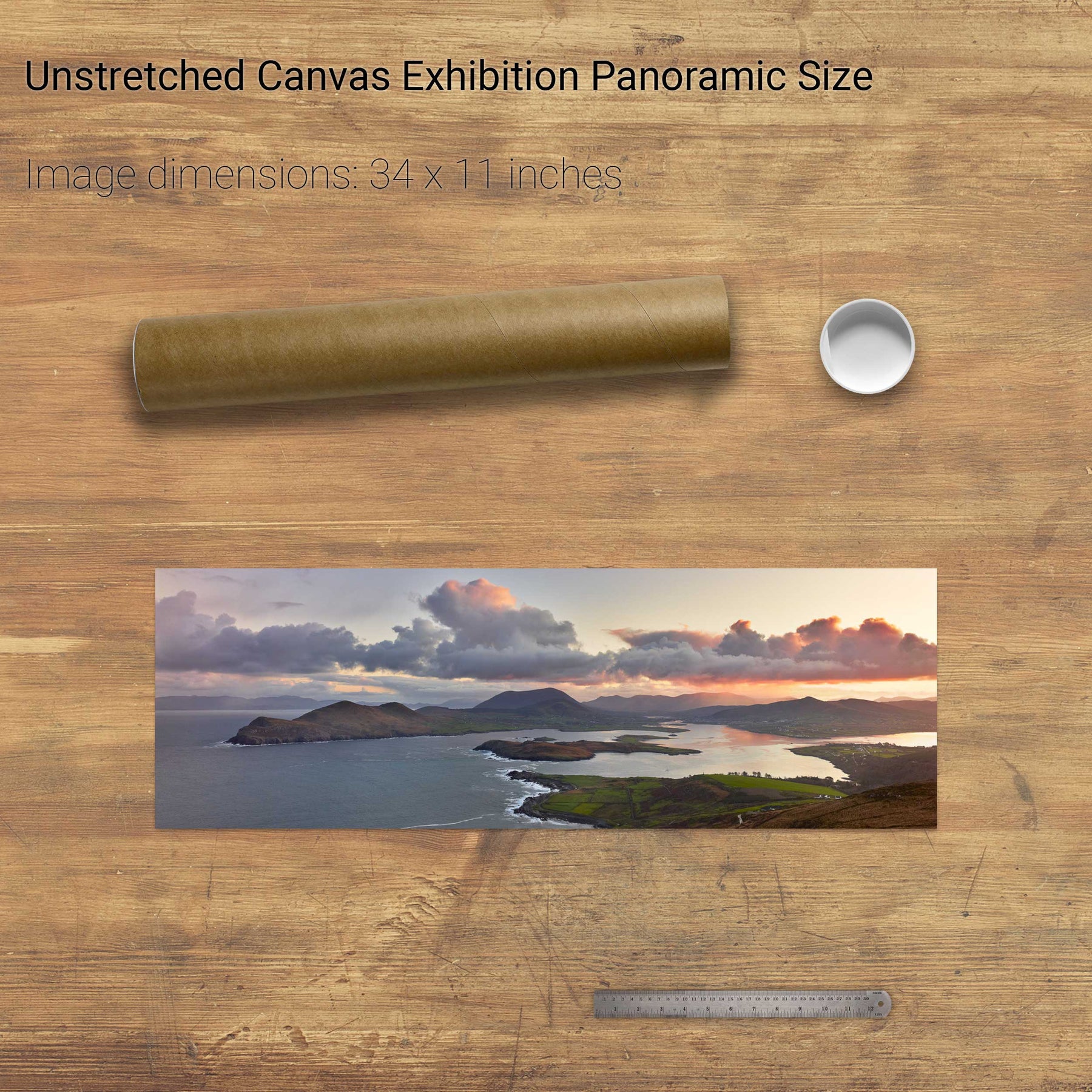
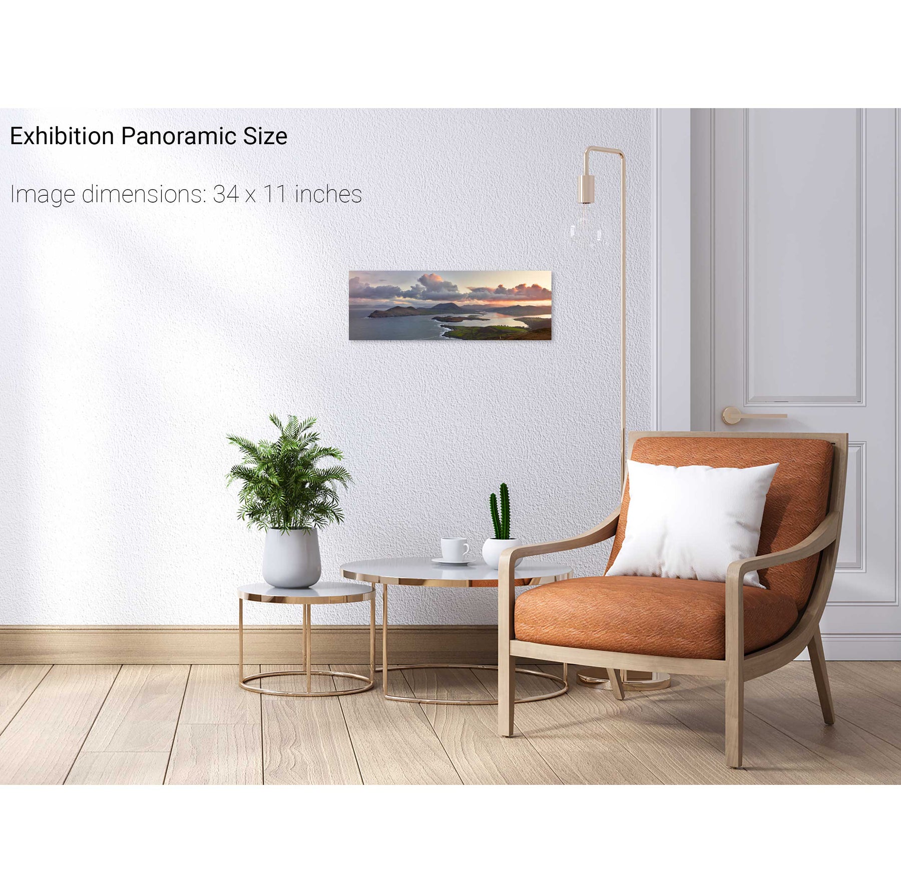
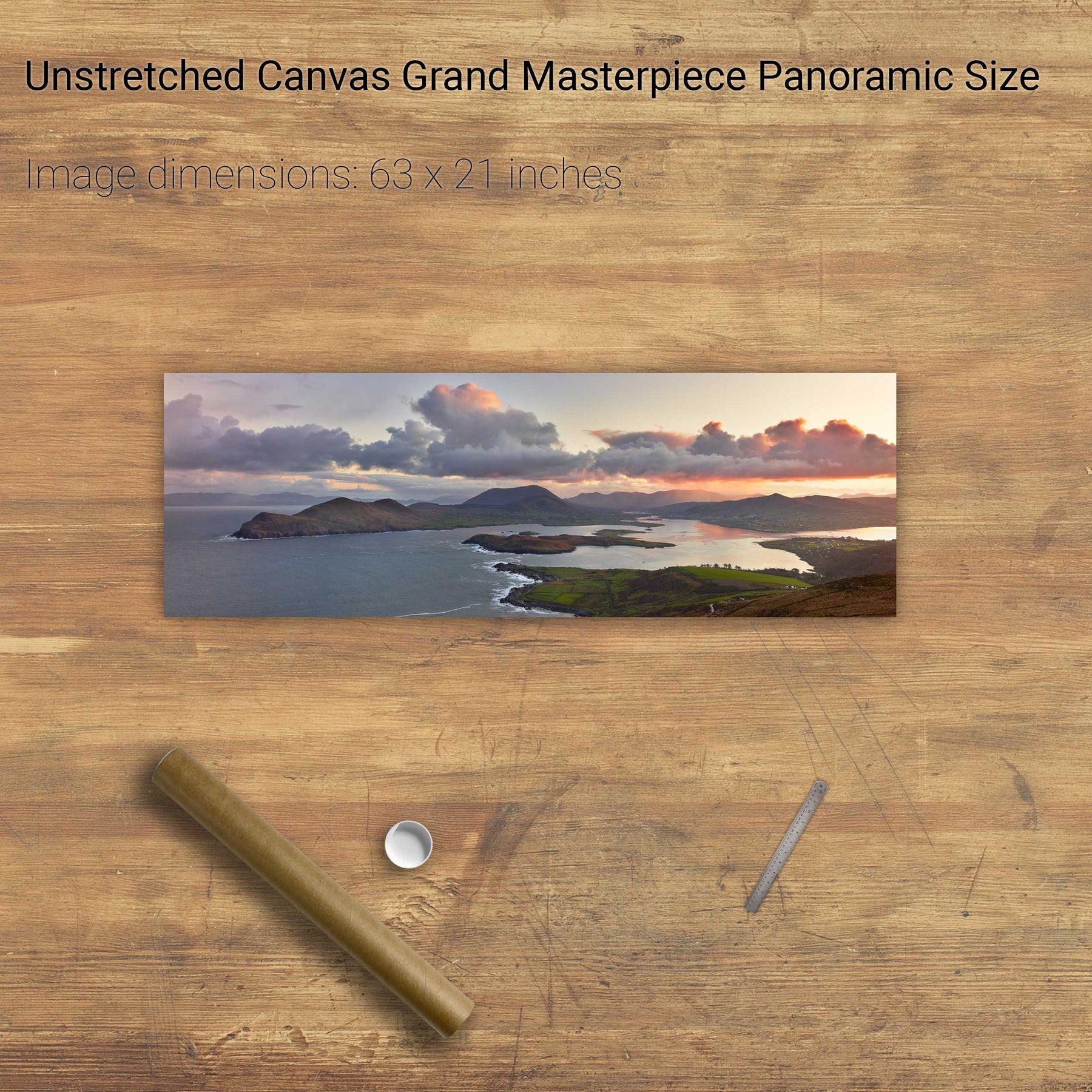
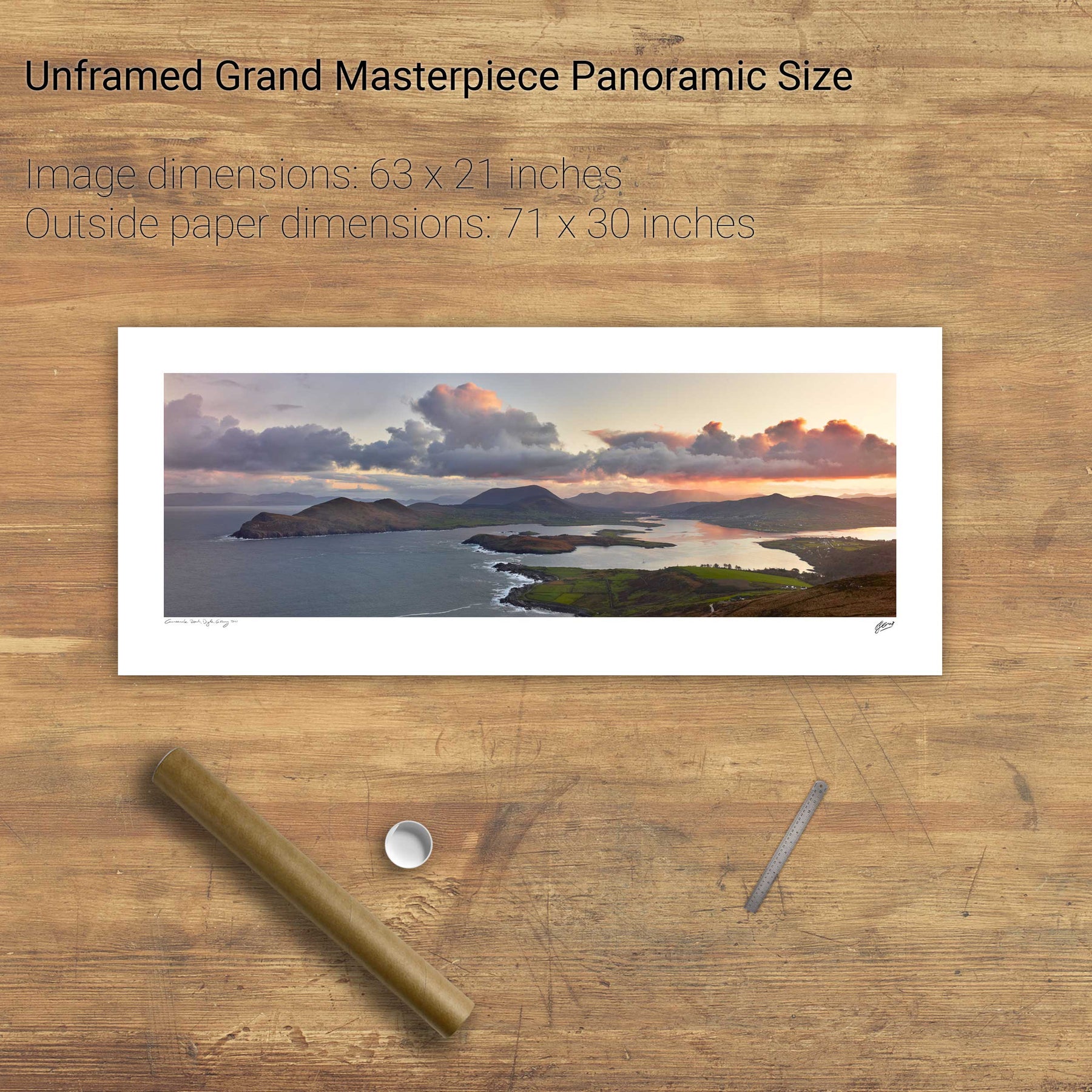
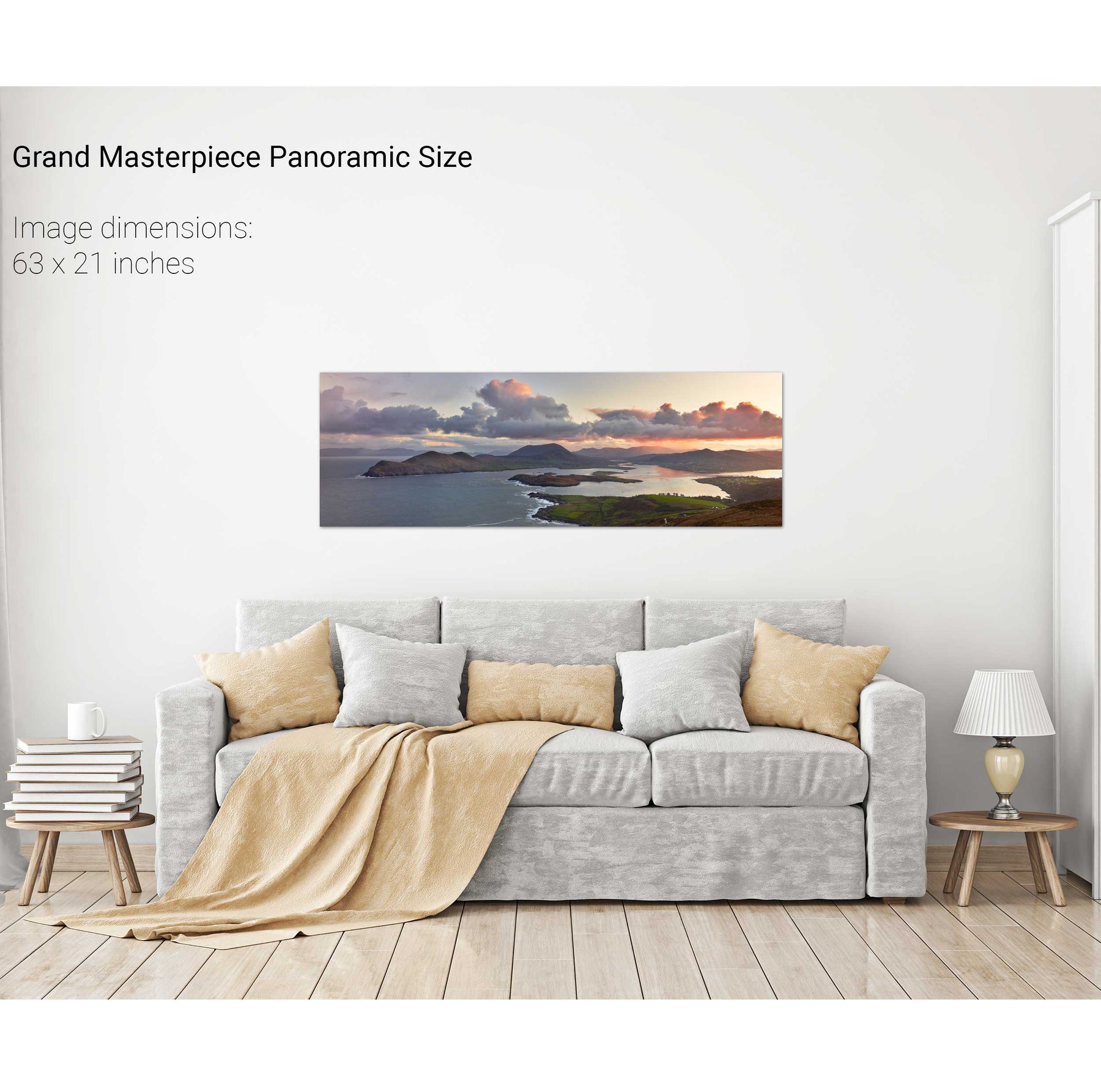
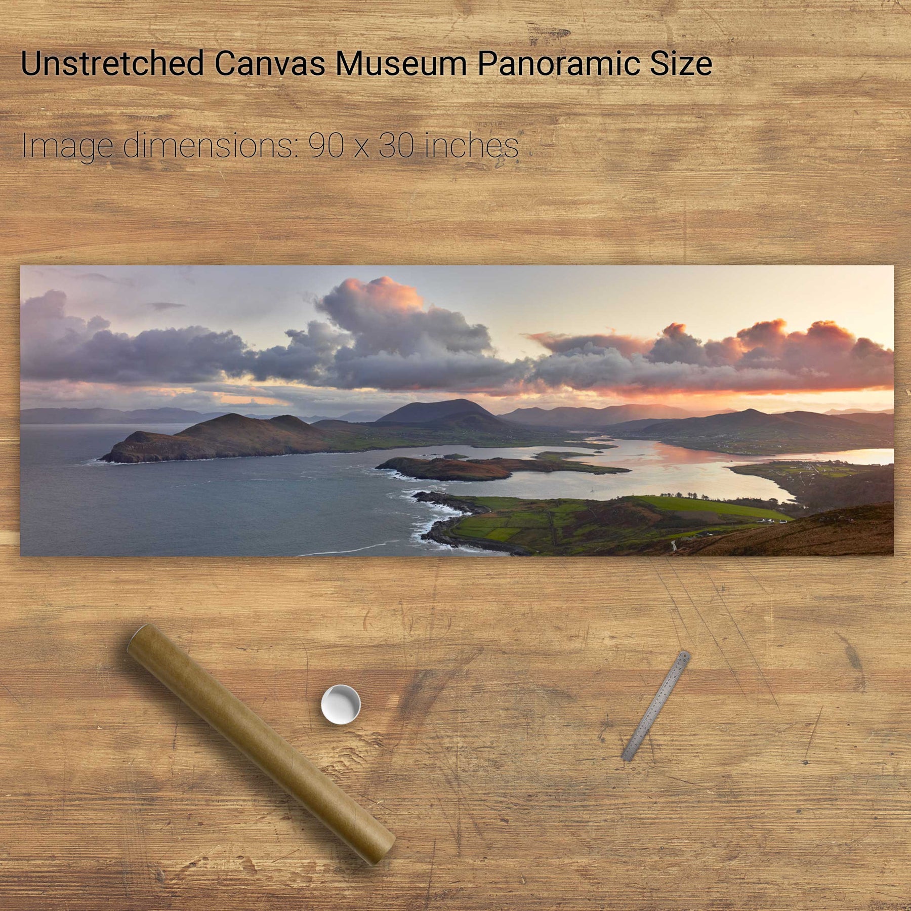
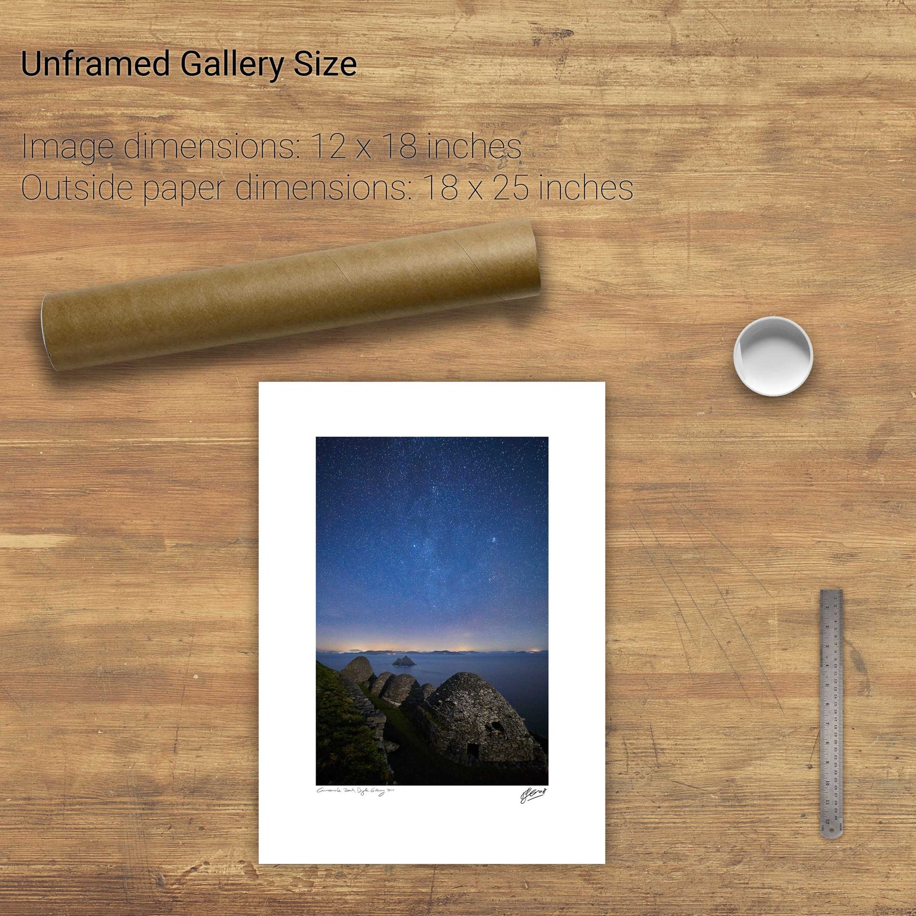
Coumeenole Beach, Slea Head, Dingle, Co. Kerry
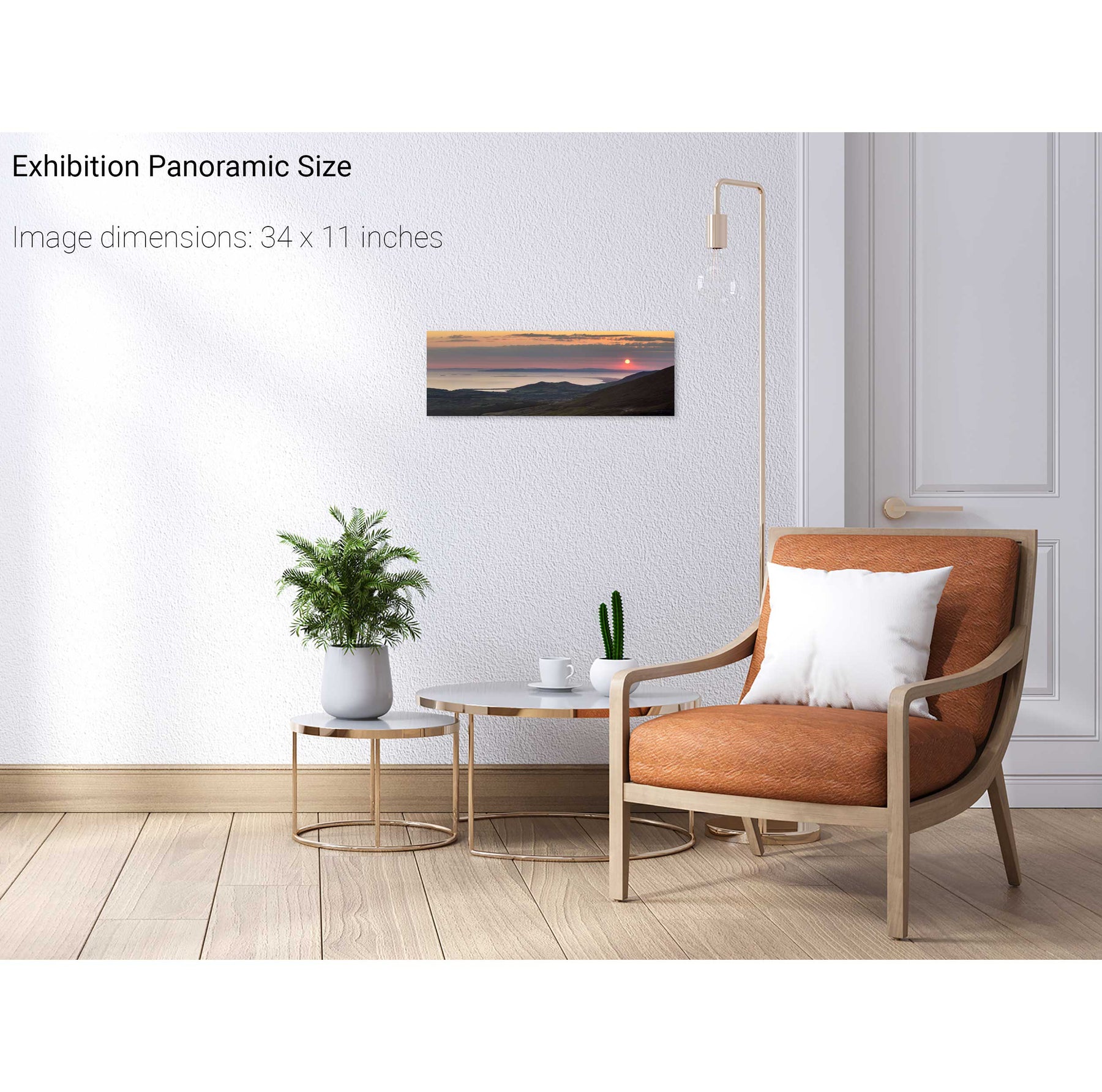
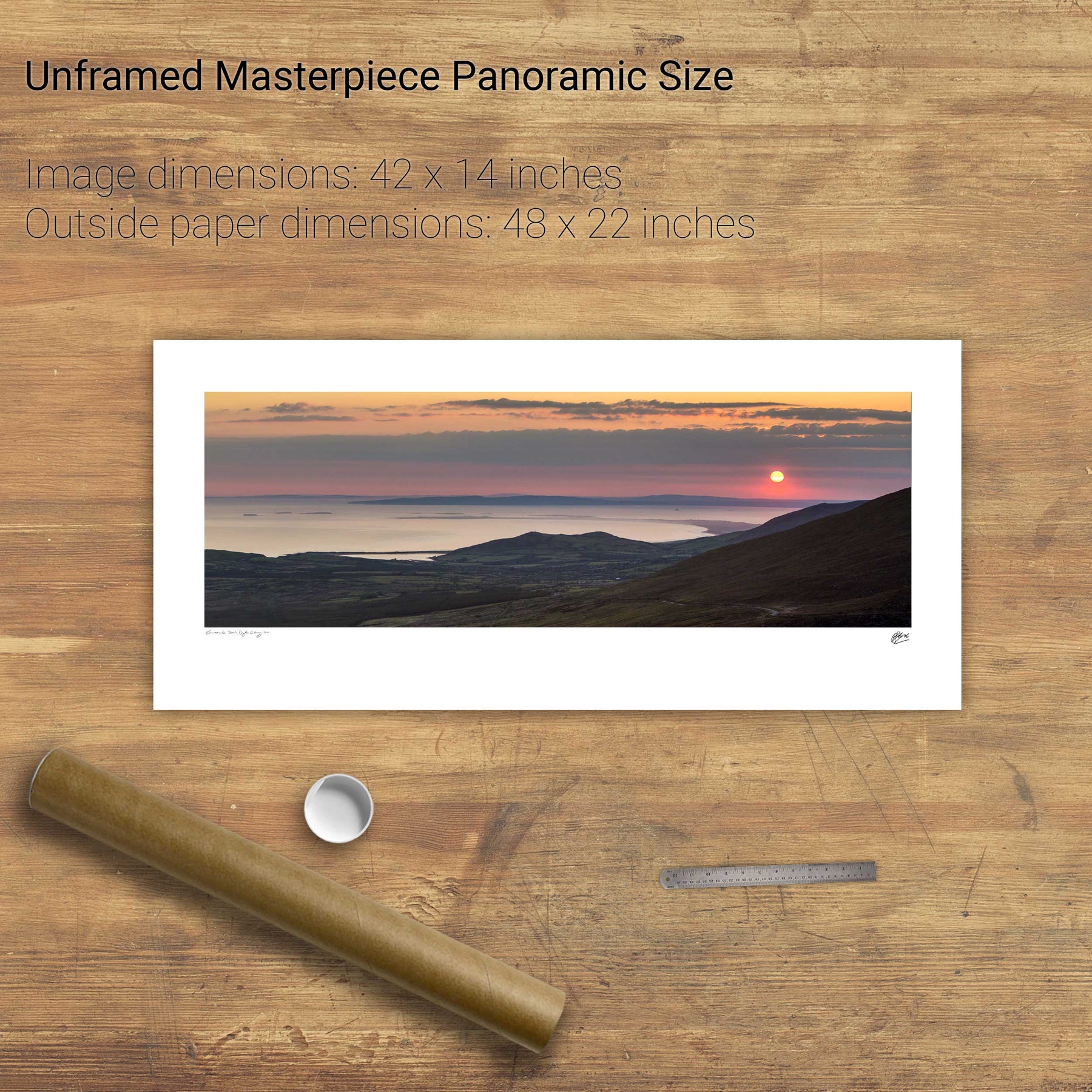
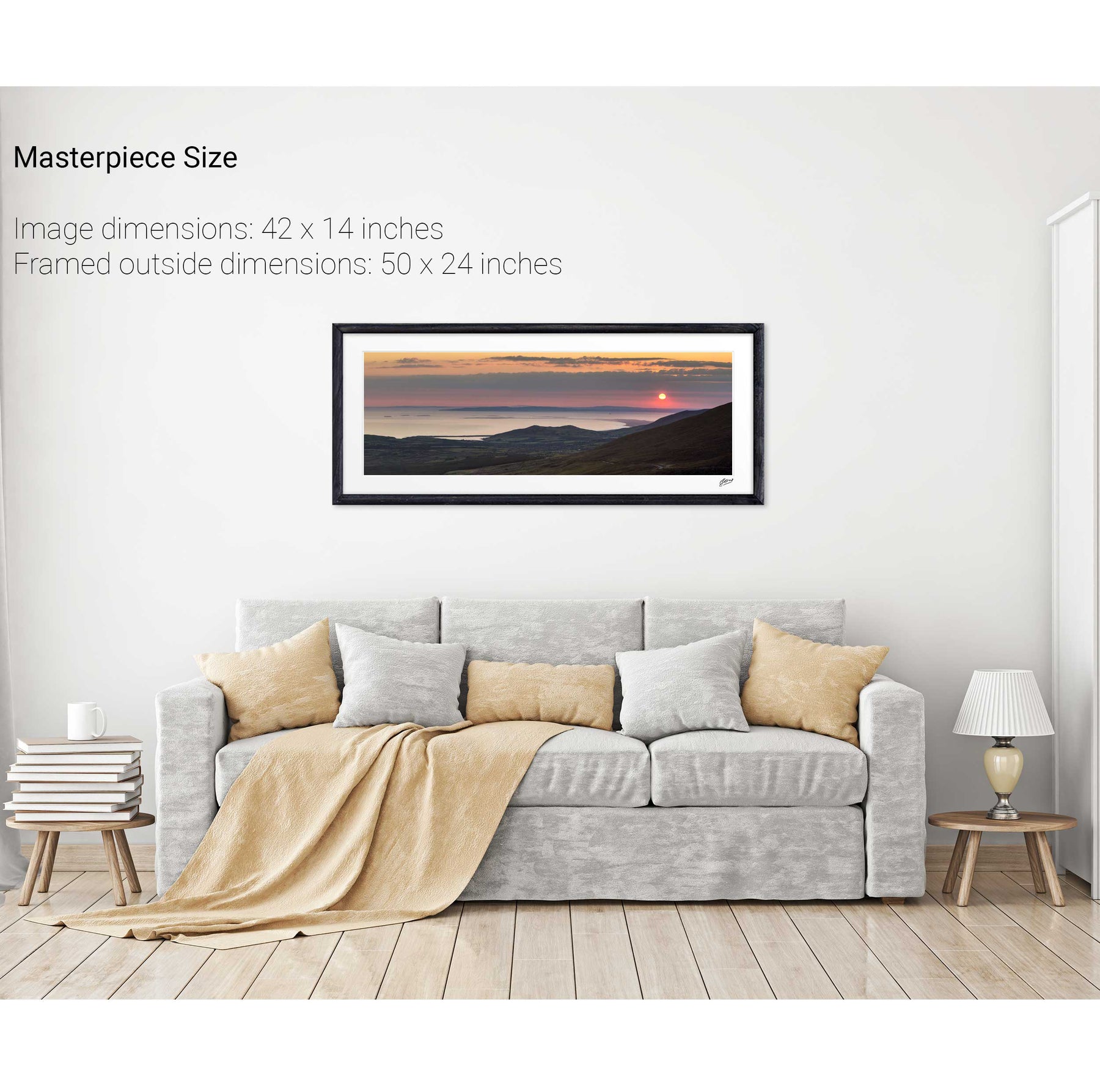
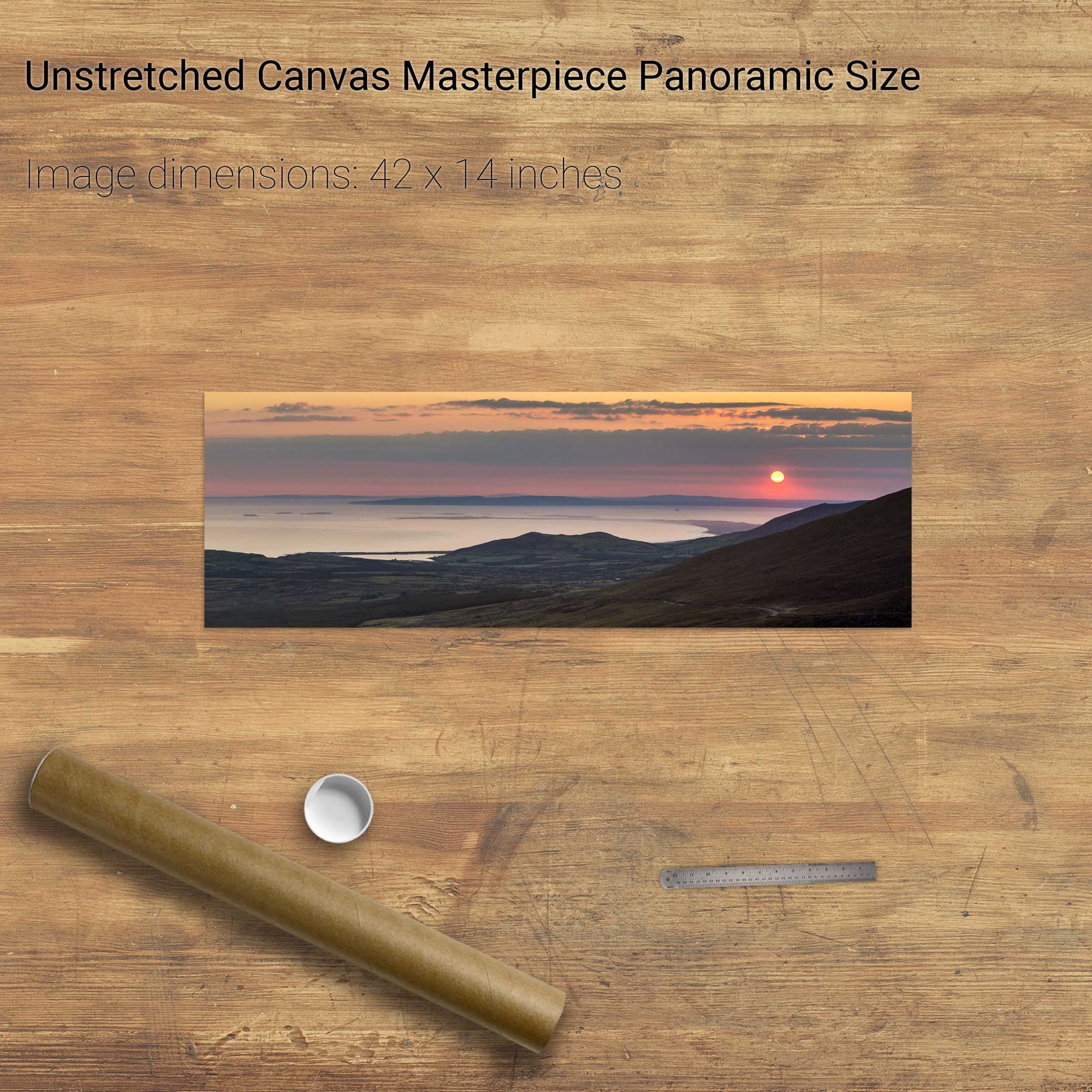
An Searrach, Dingle, Co. Kerry
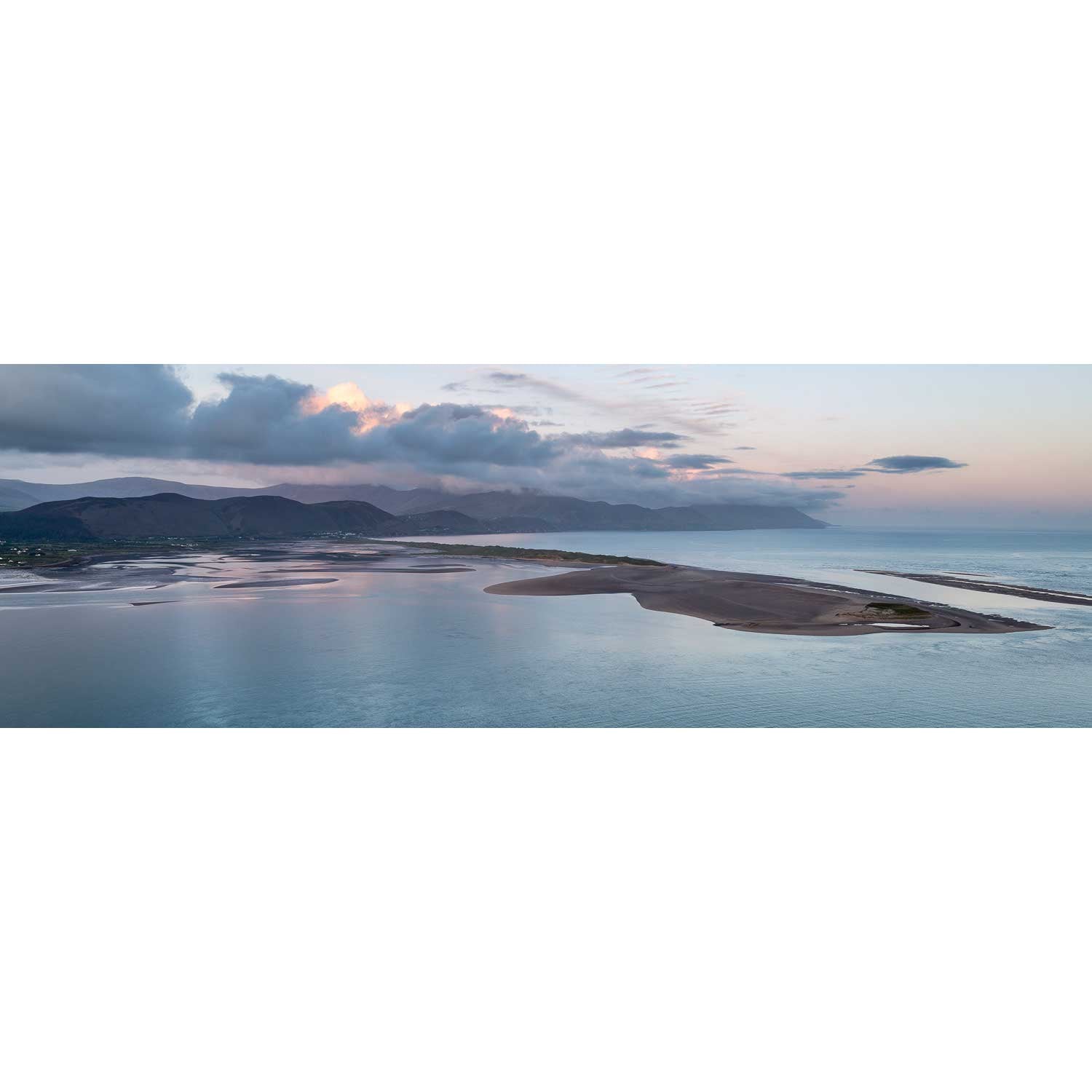
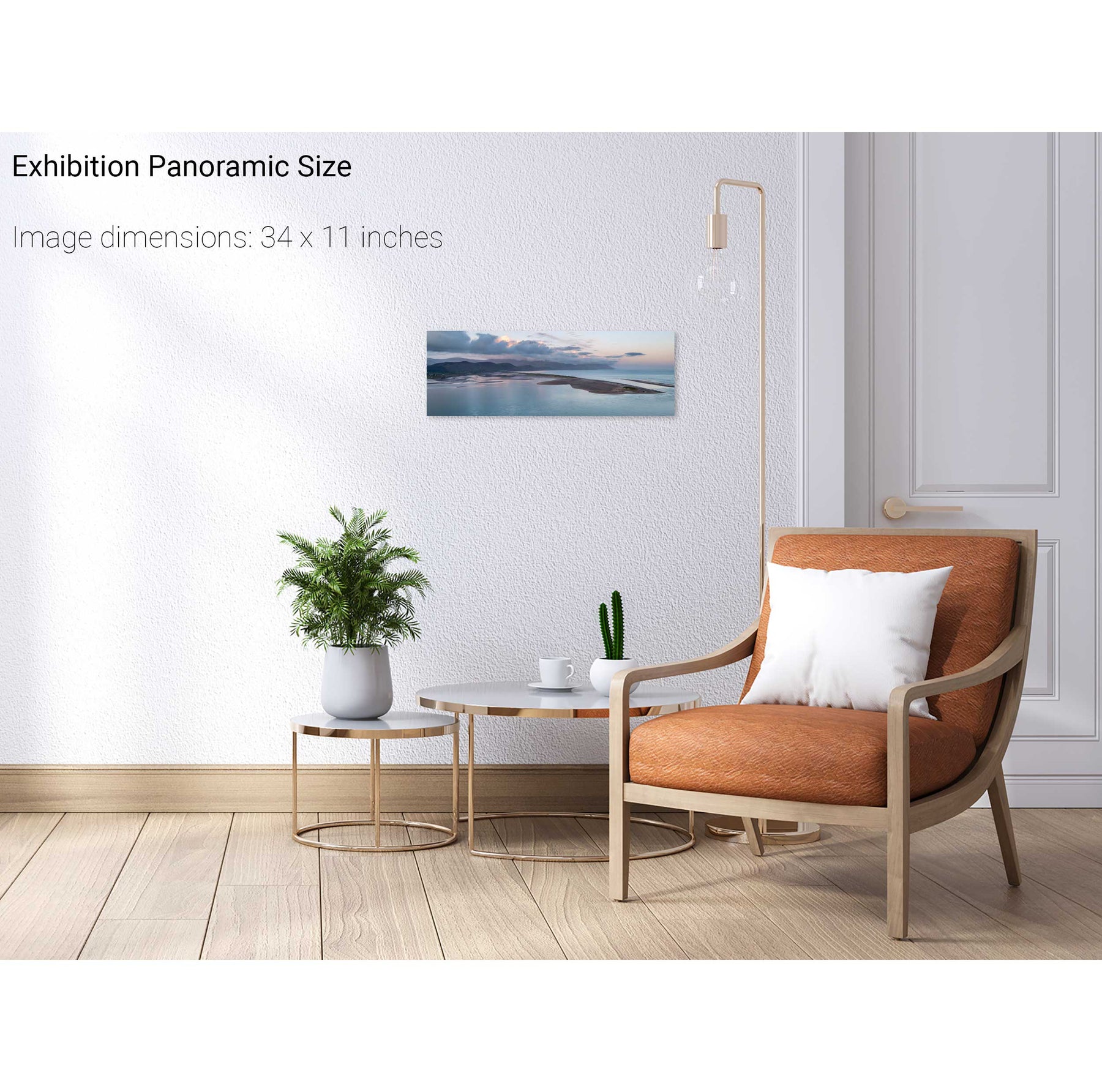
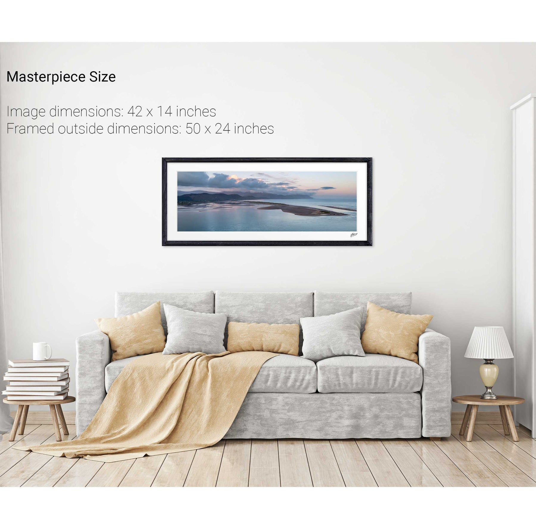
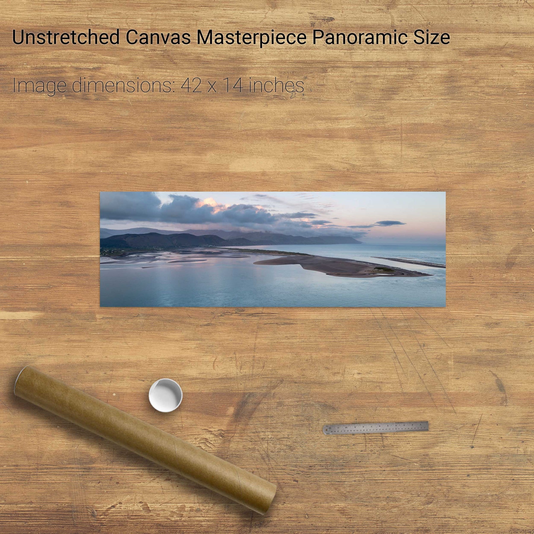
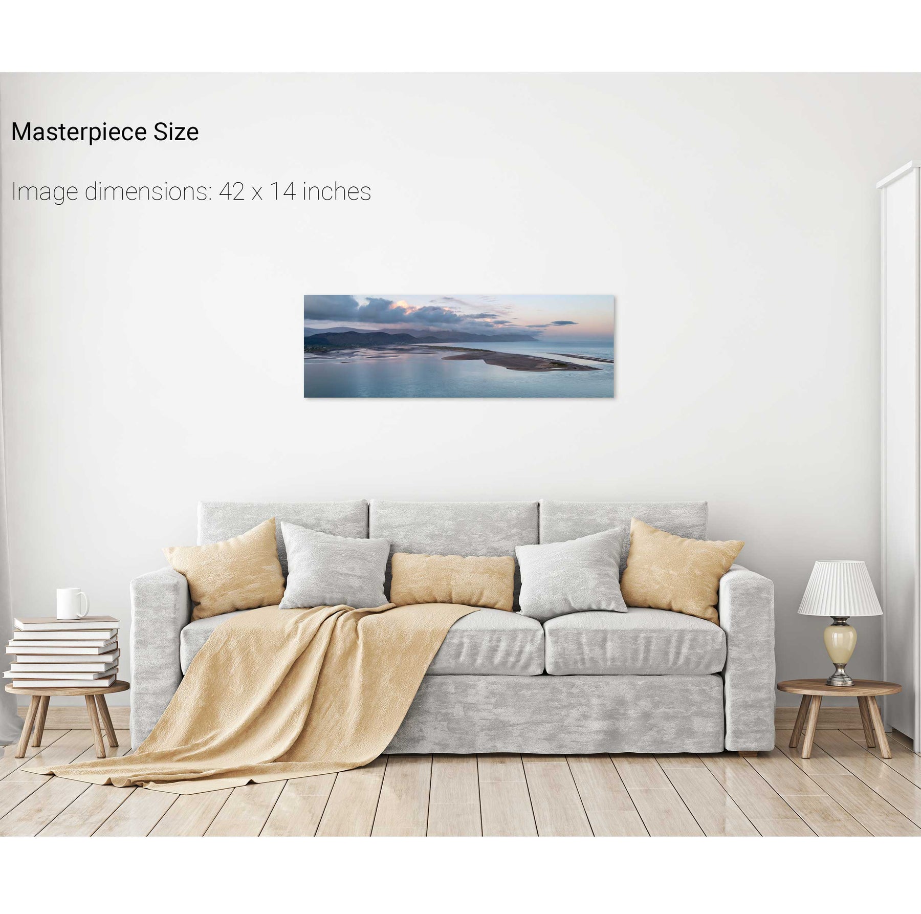
Rossbeigh, Co. Kerry
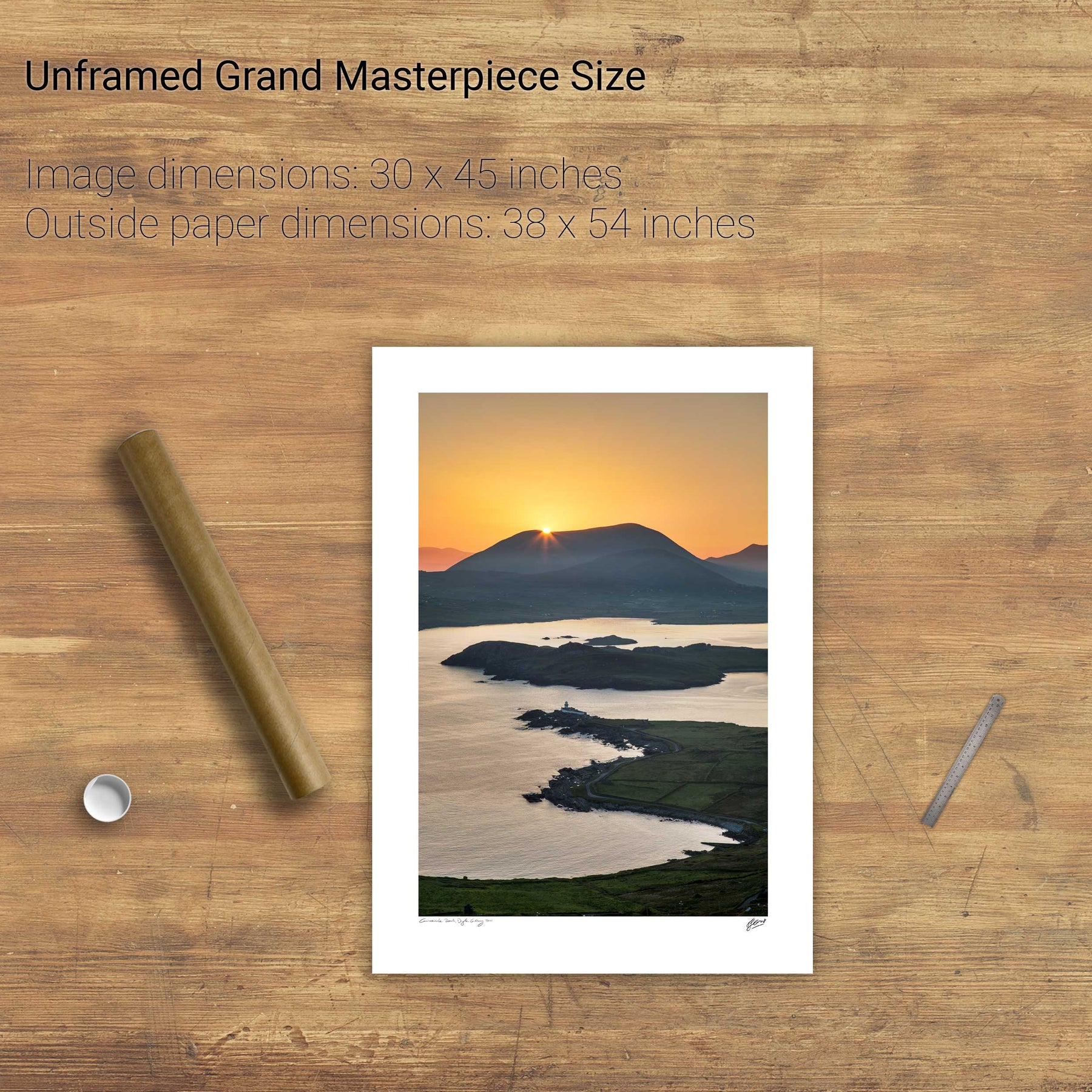
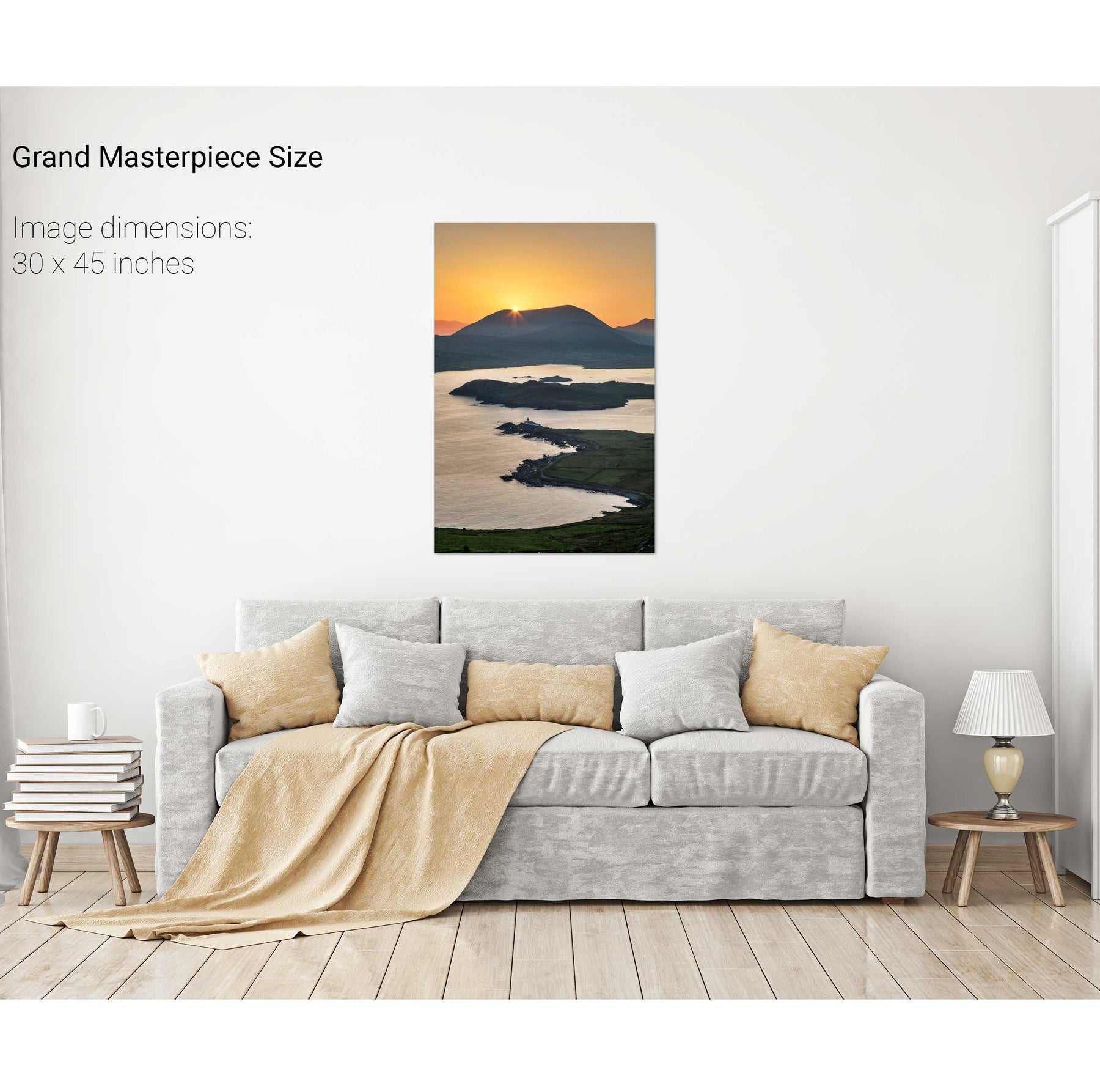
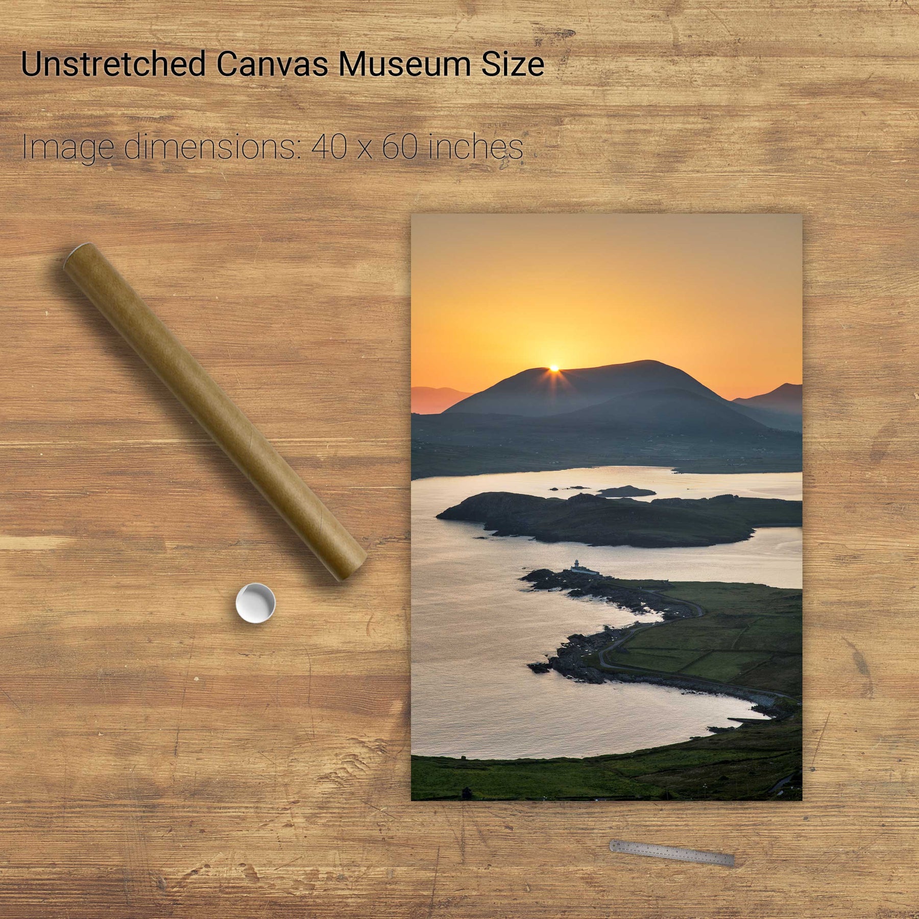
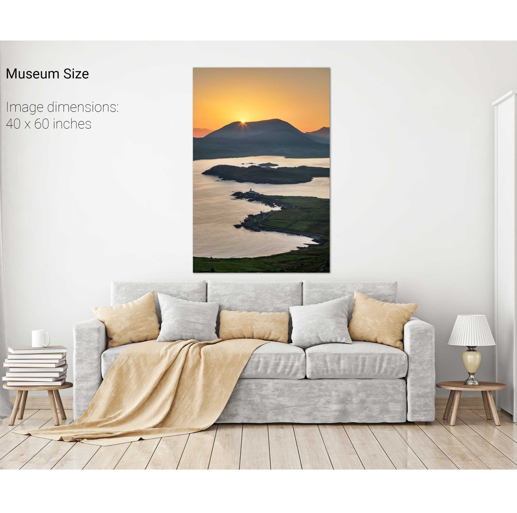
Cromwell Point, Valentia Island, Co. Kerry
Dunquin, Dingle, Co. Kerry
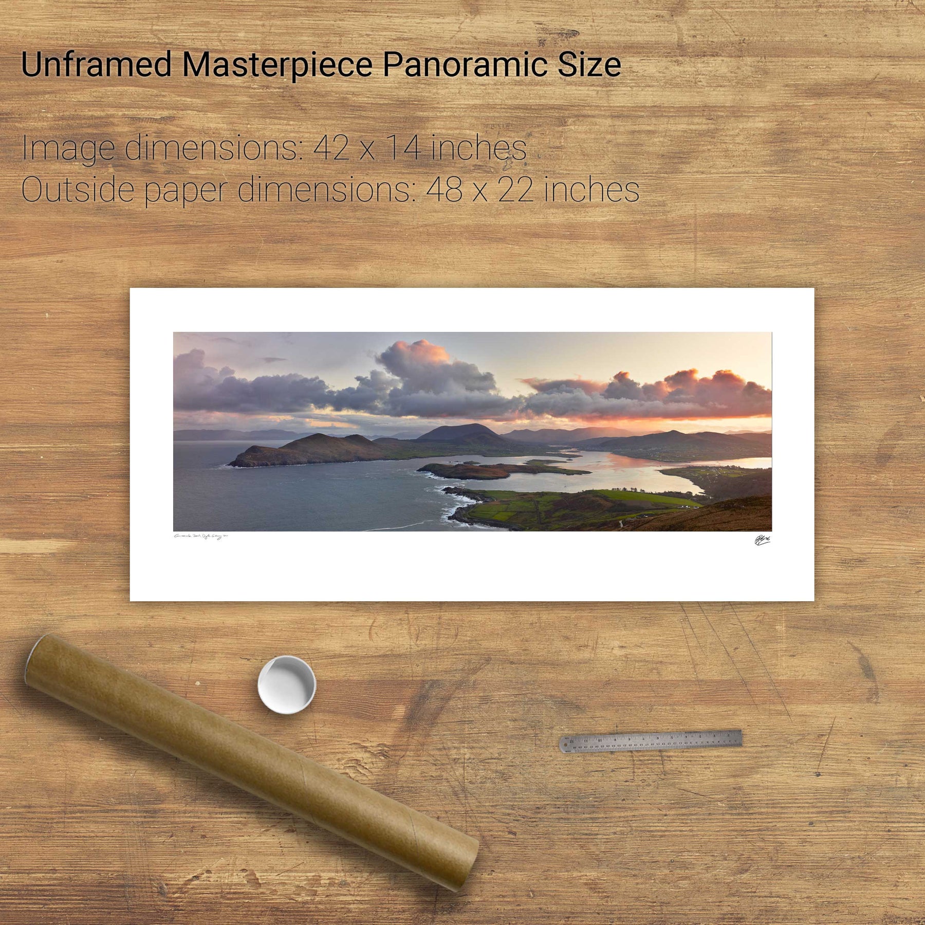
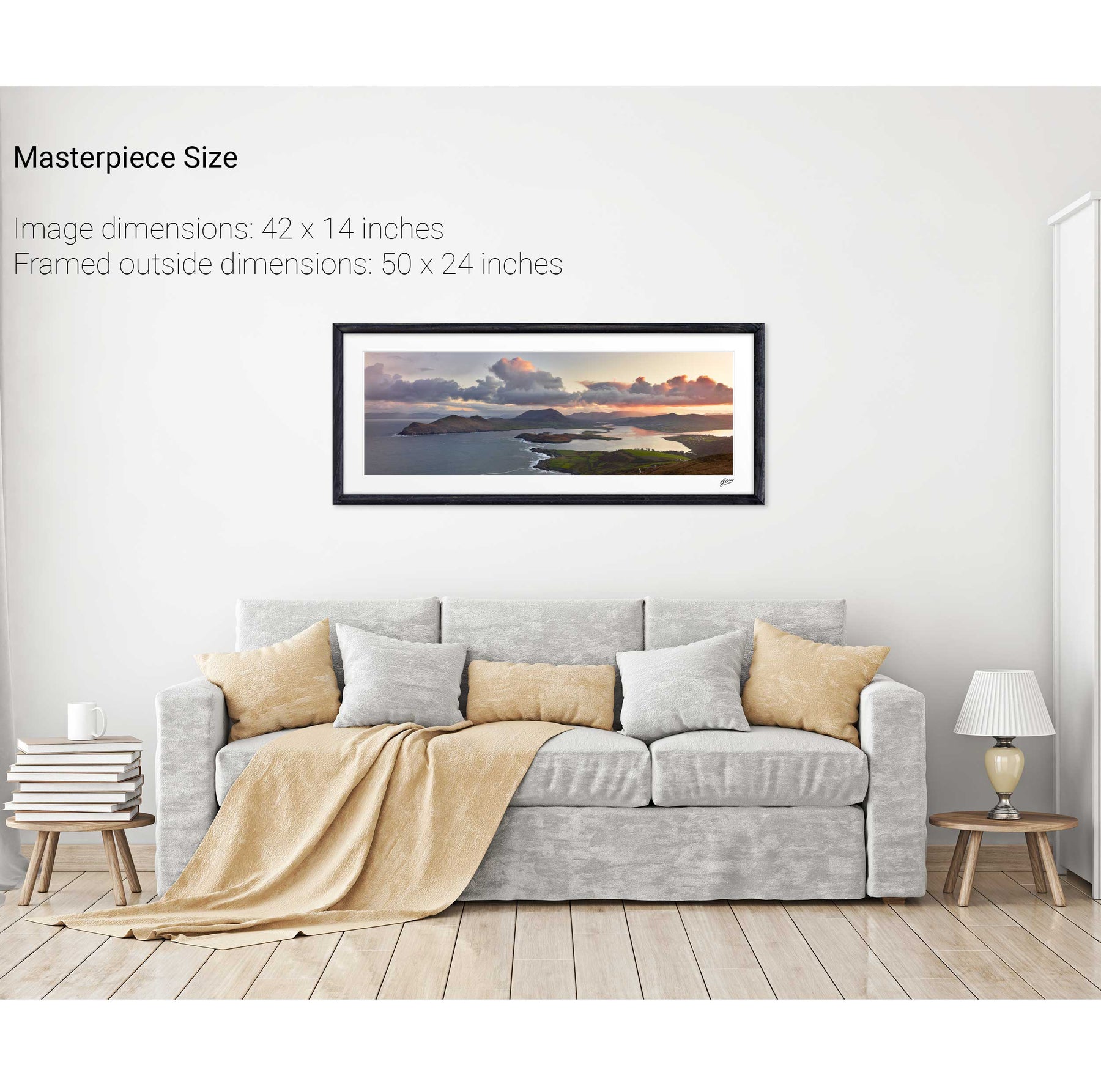
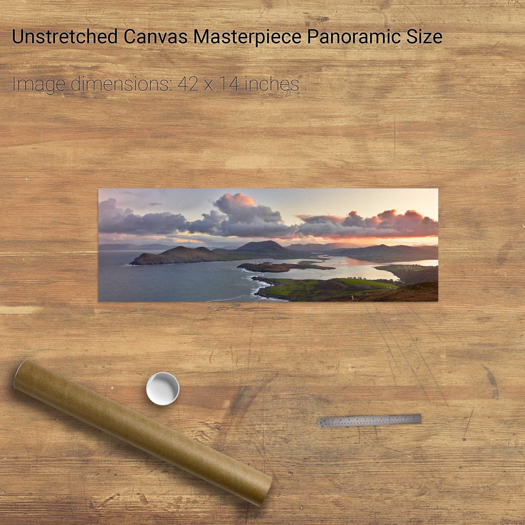
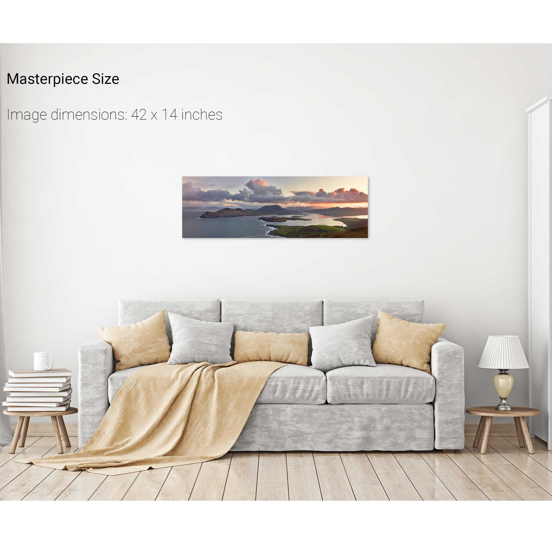
Doulus Bay, Valentia, Co. Kerry