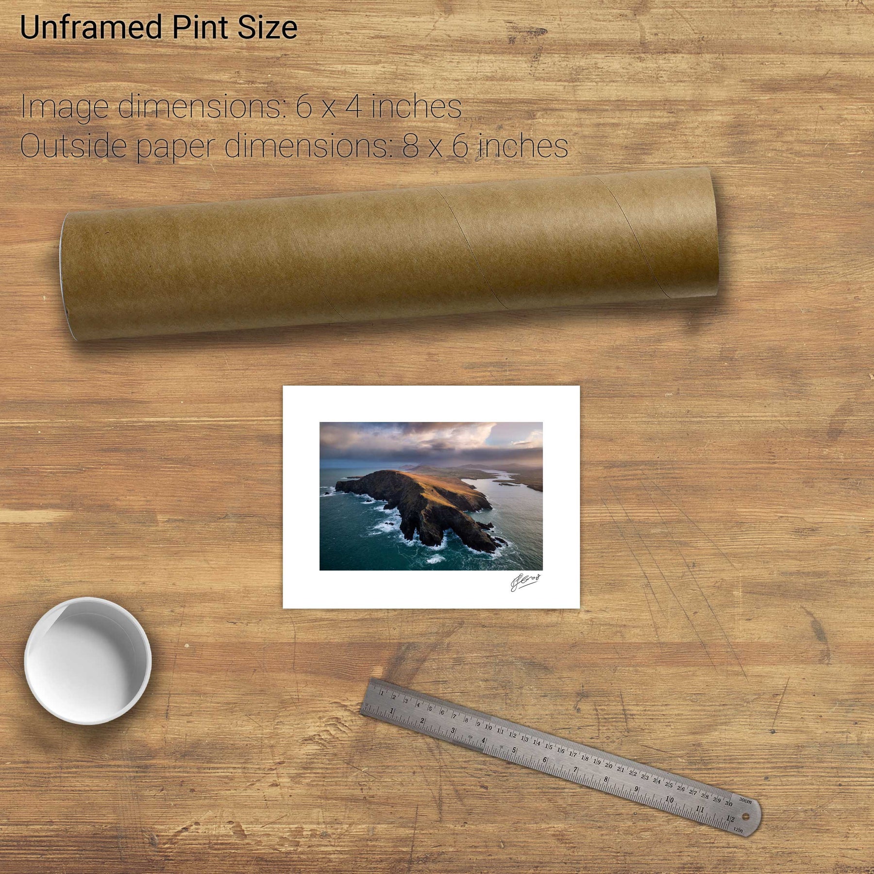
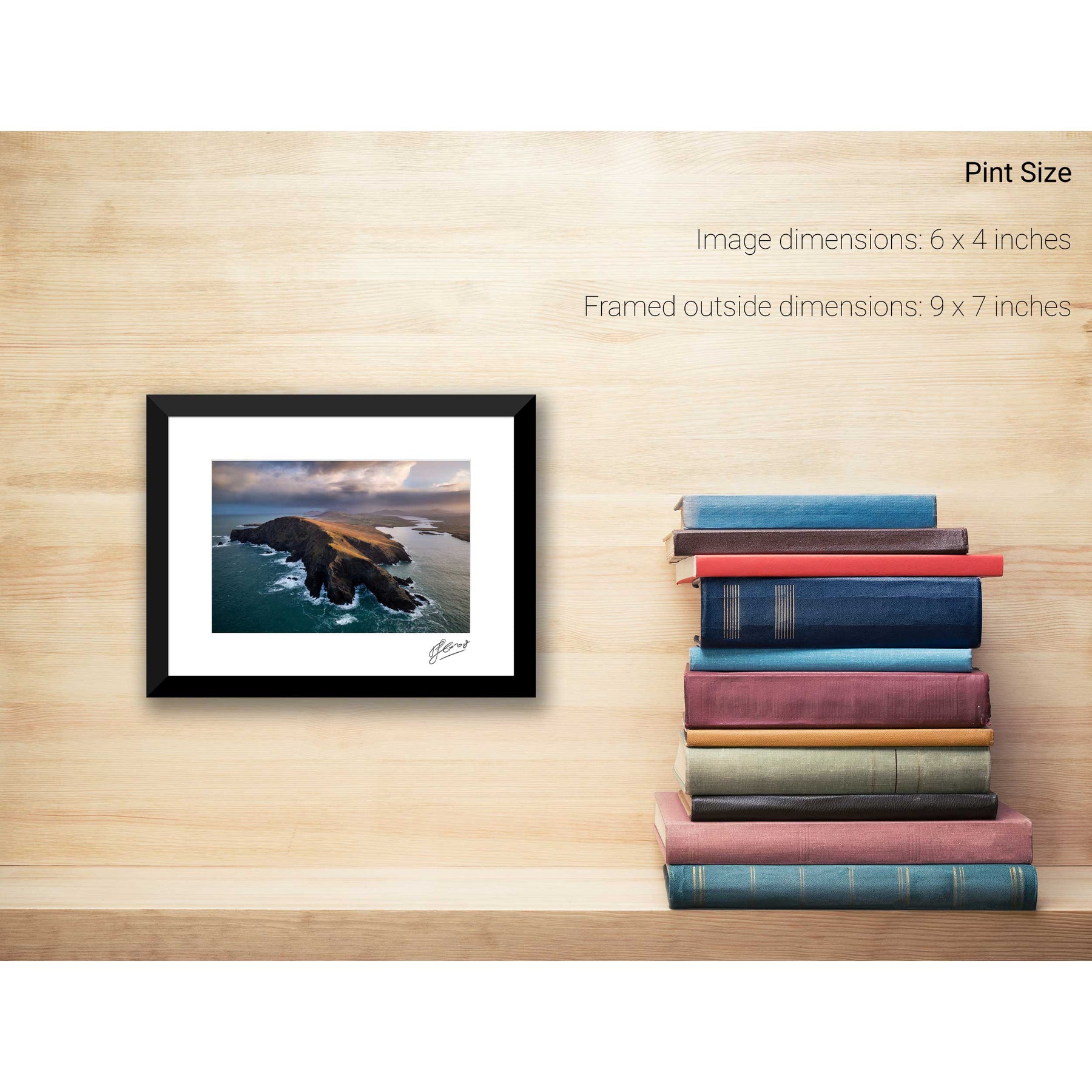
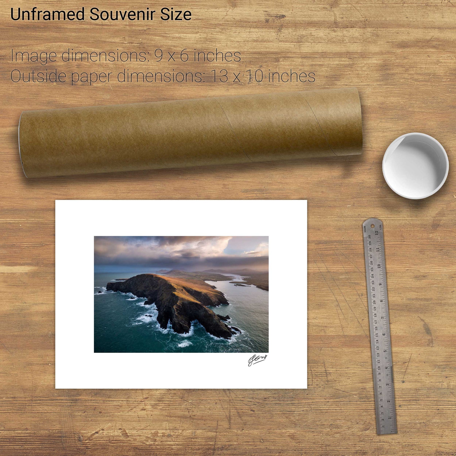
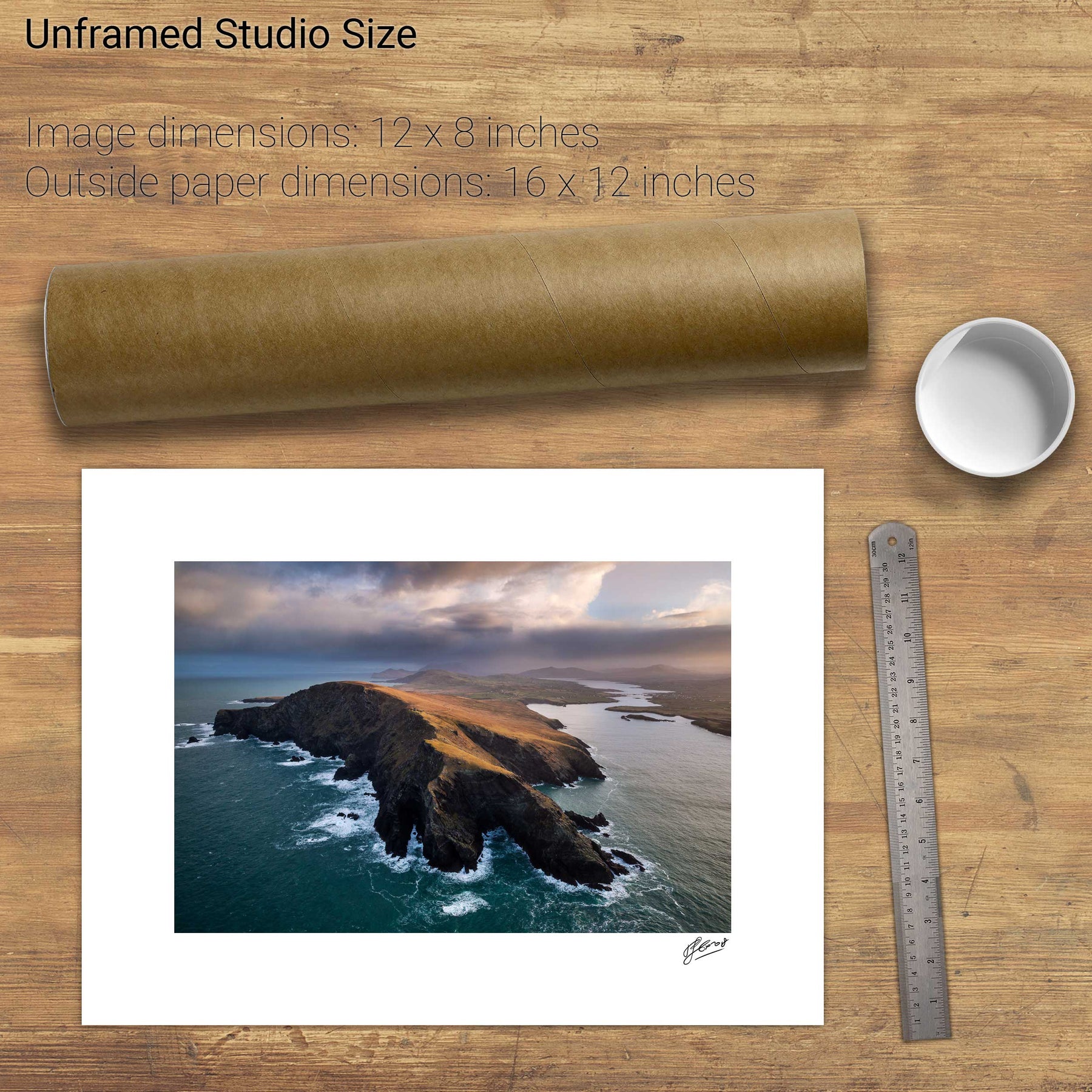
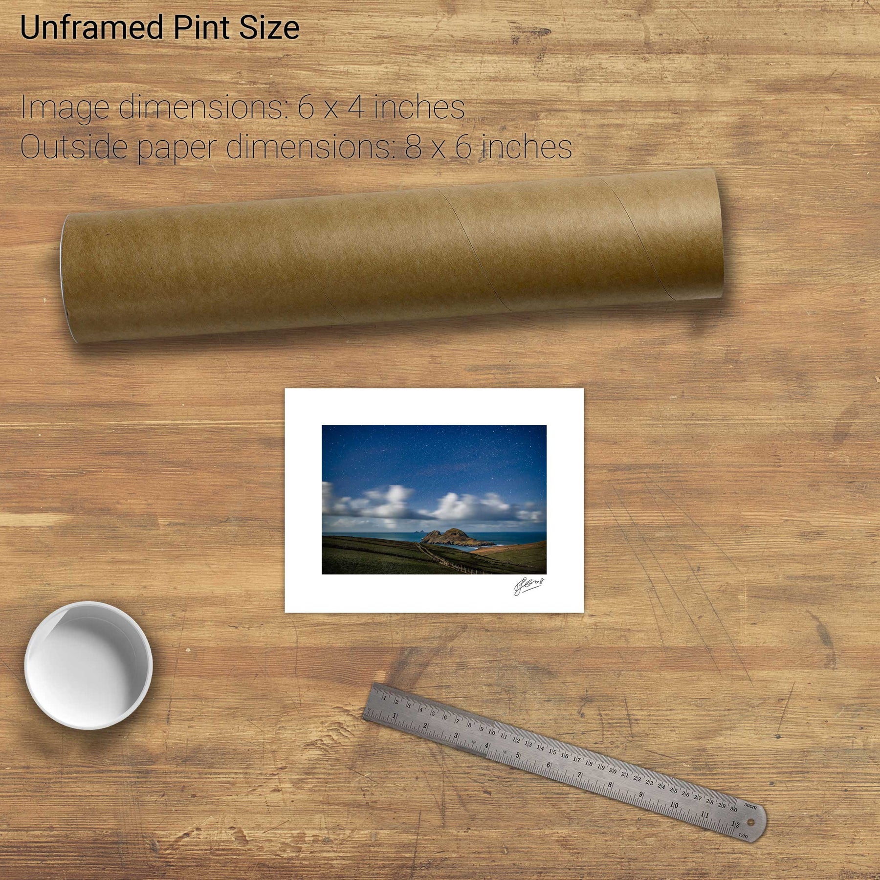
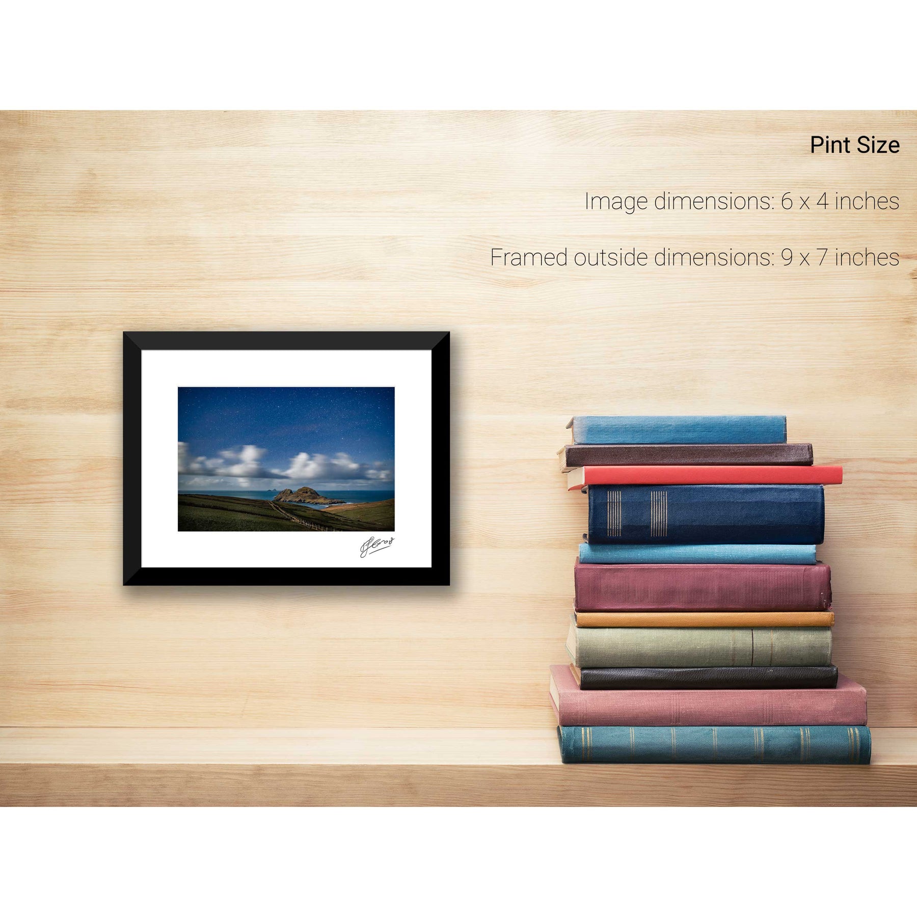
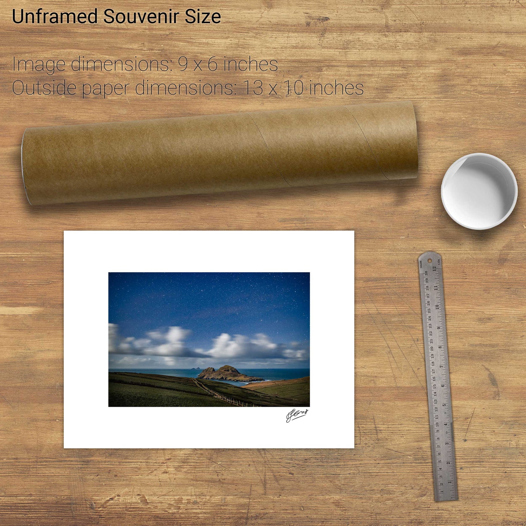
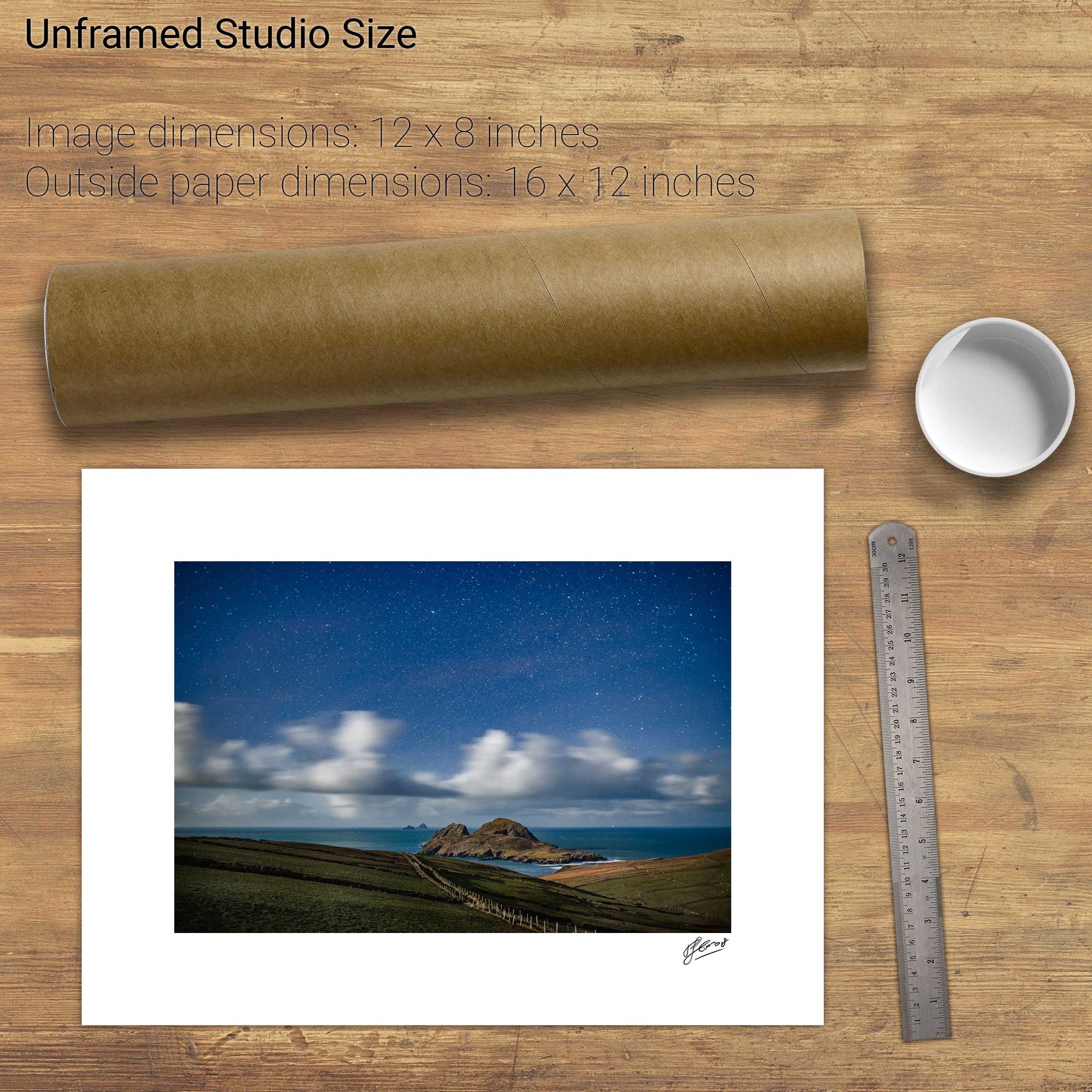
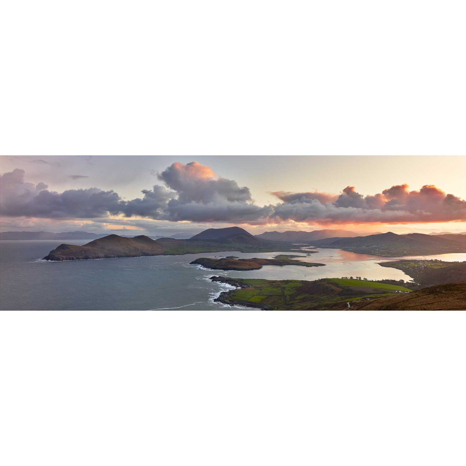
Doulus Bay, Valentia, Co. Kerry


We will send you an email to reset your password.

72 products
Doulus Bay, Valentia, Co. Kerry
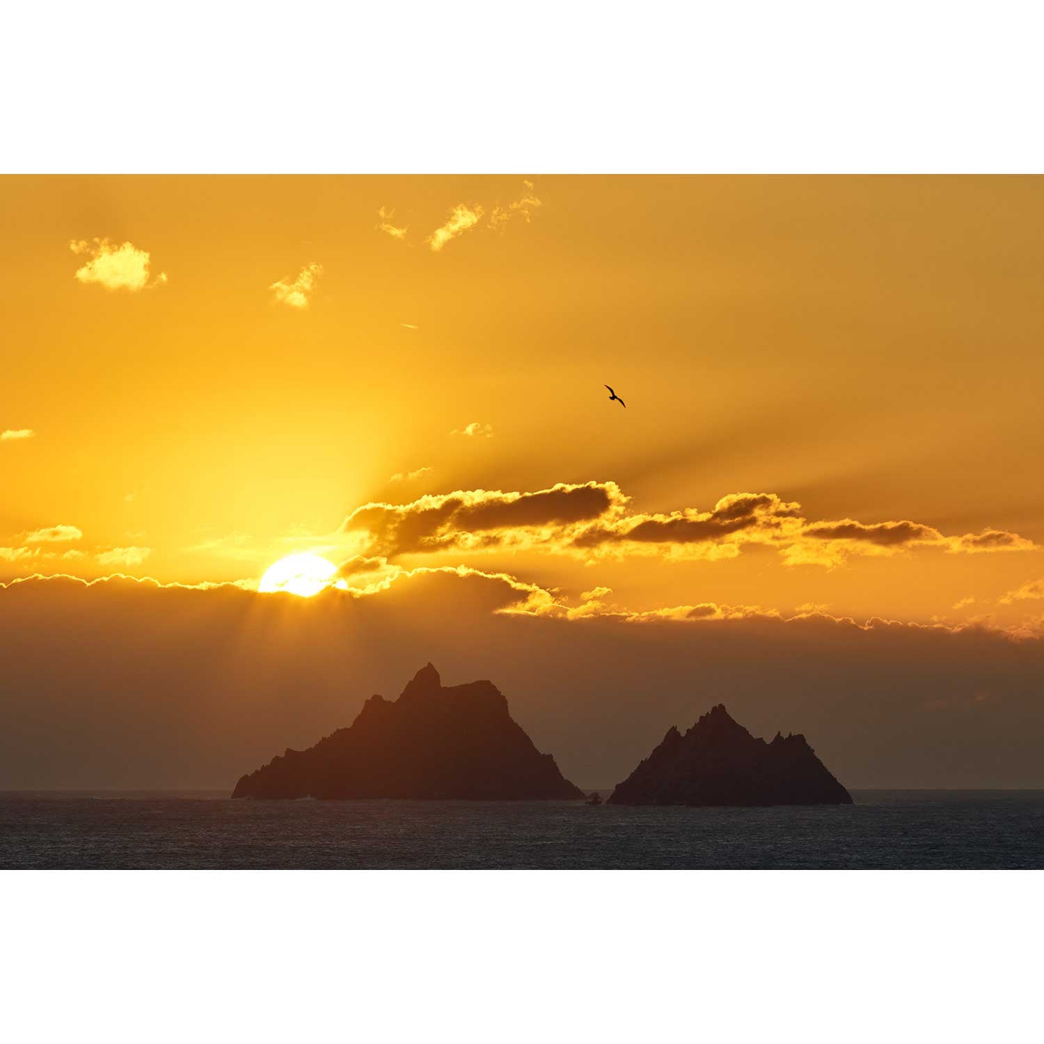
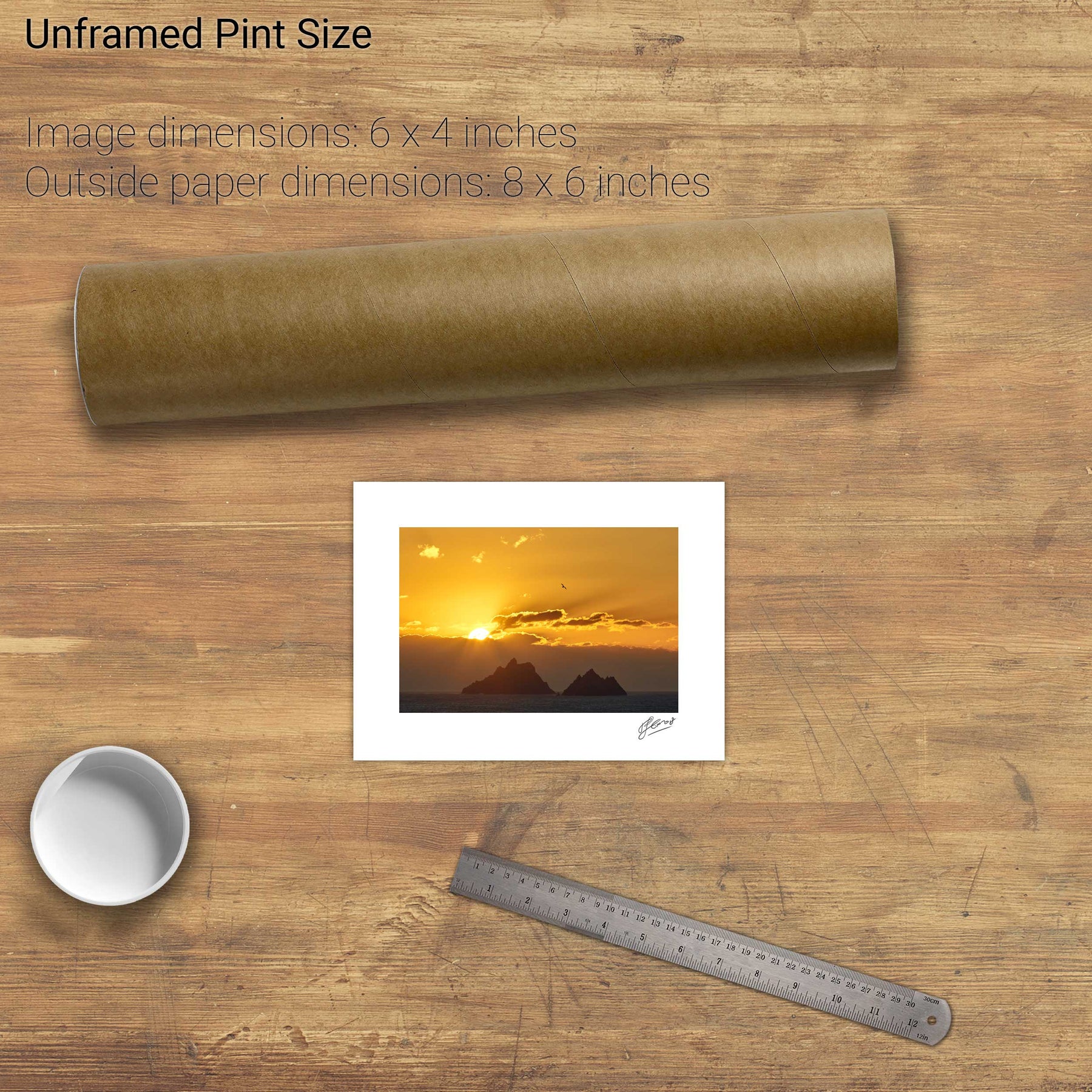
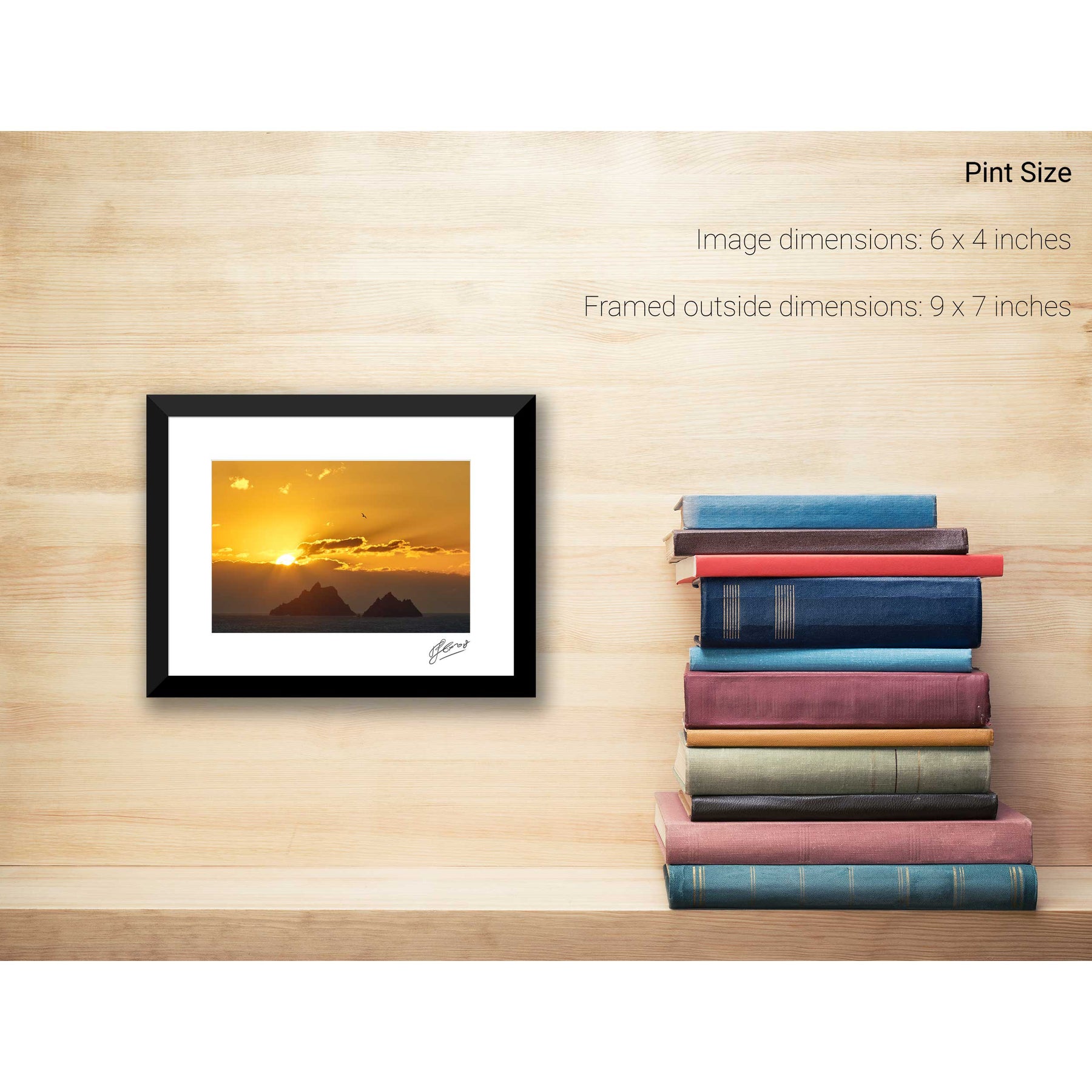
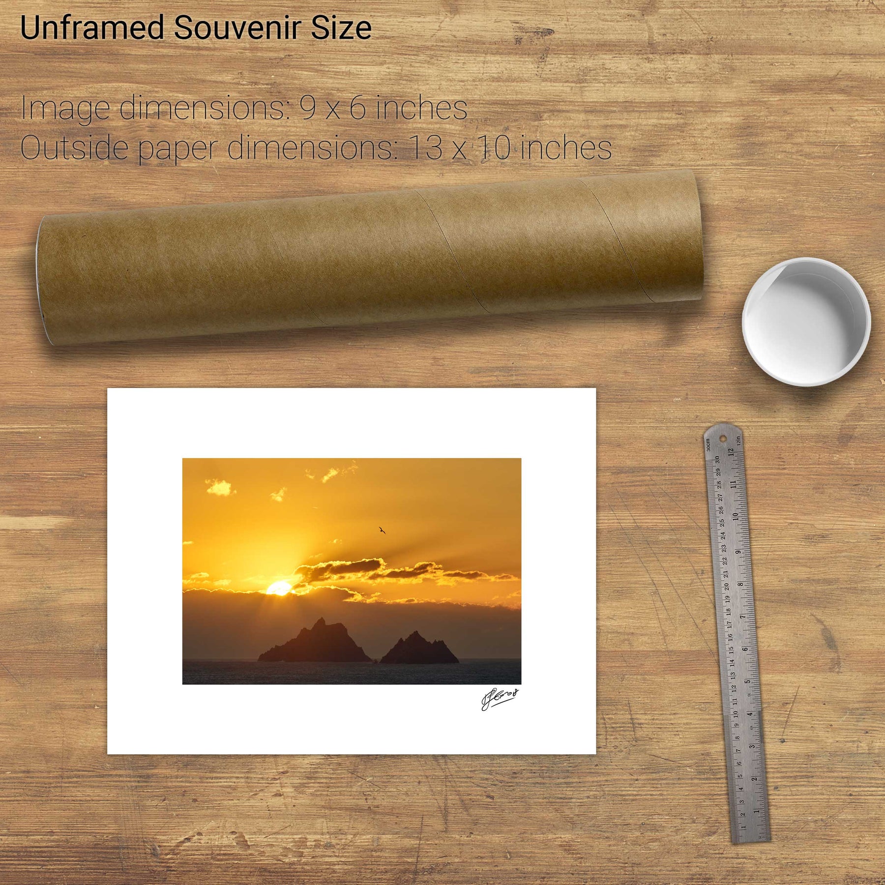
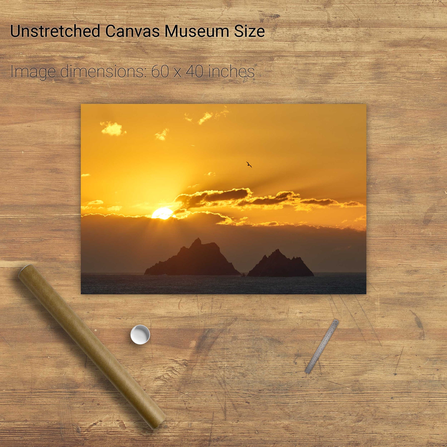
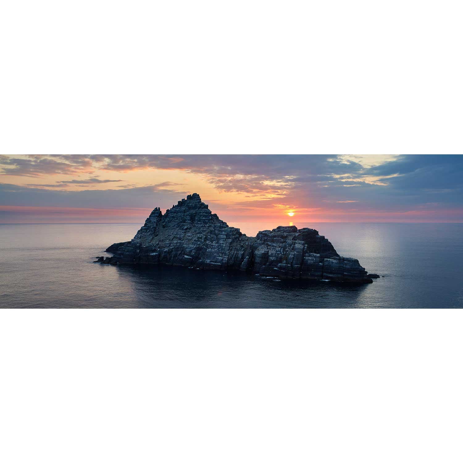
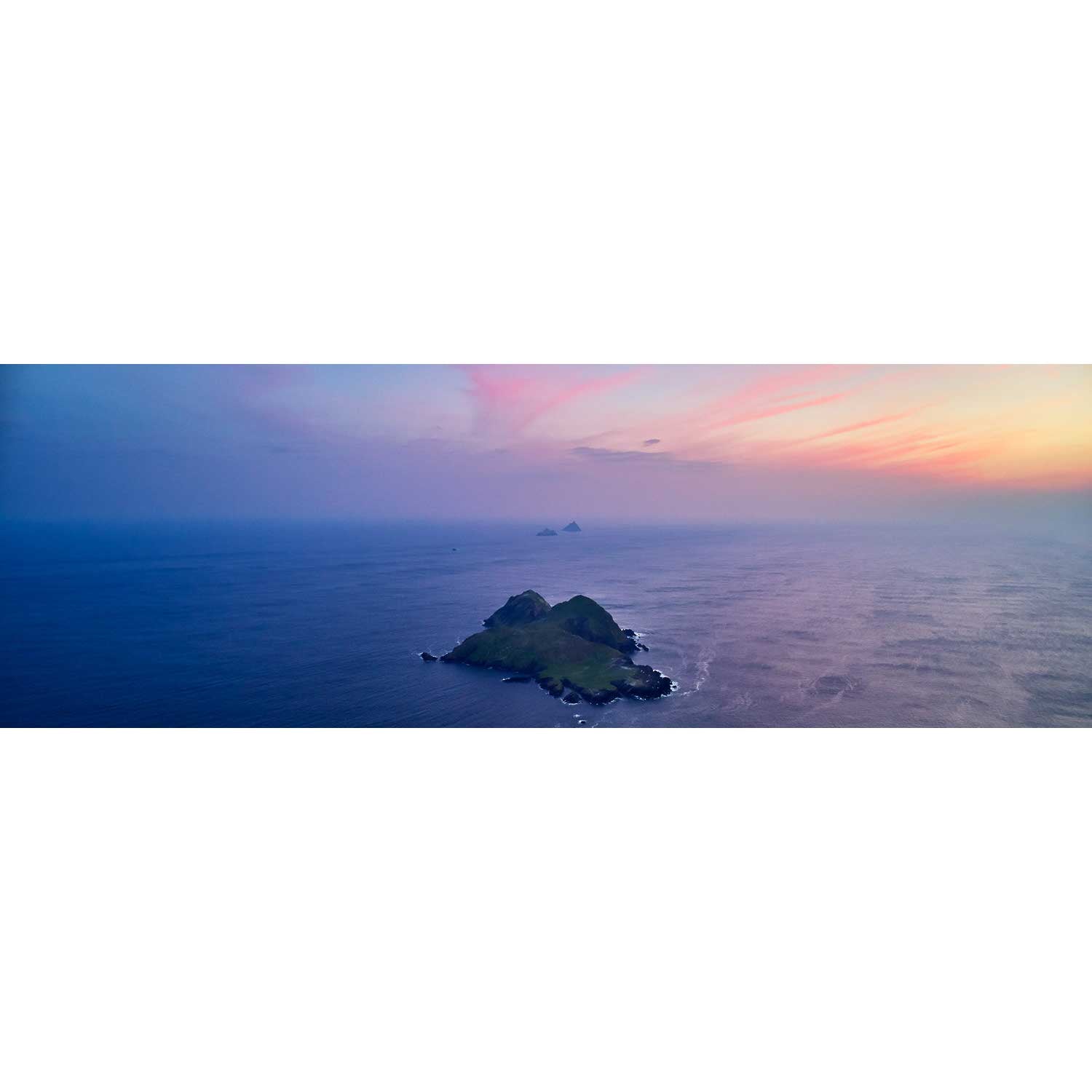
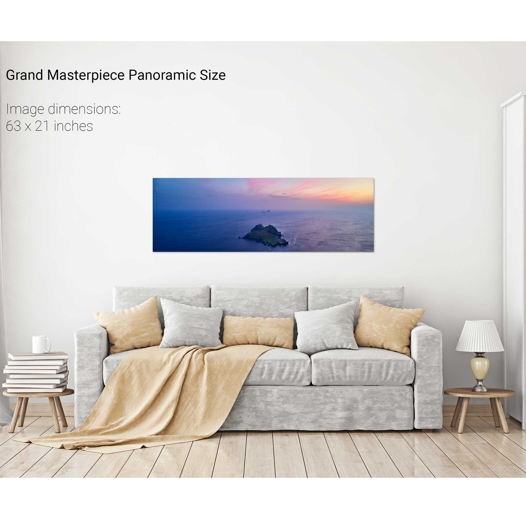
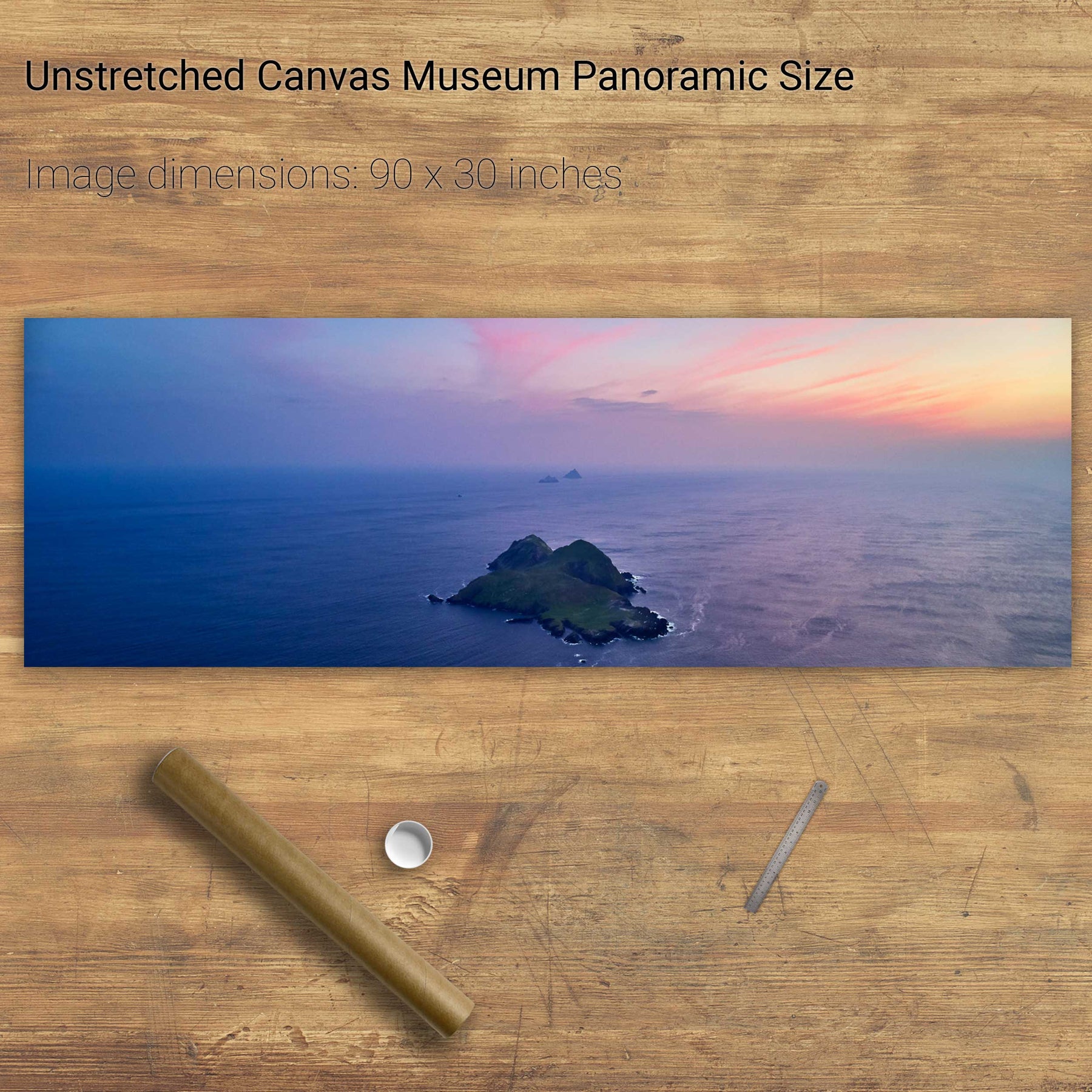
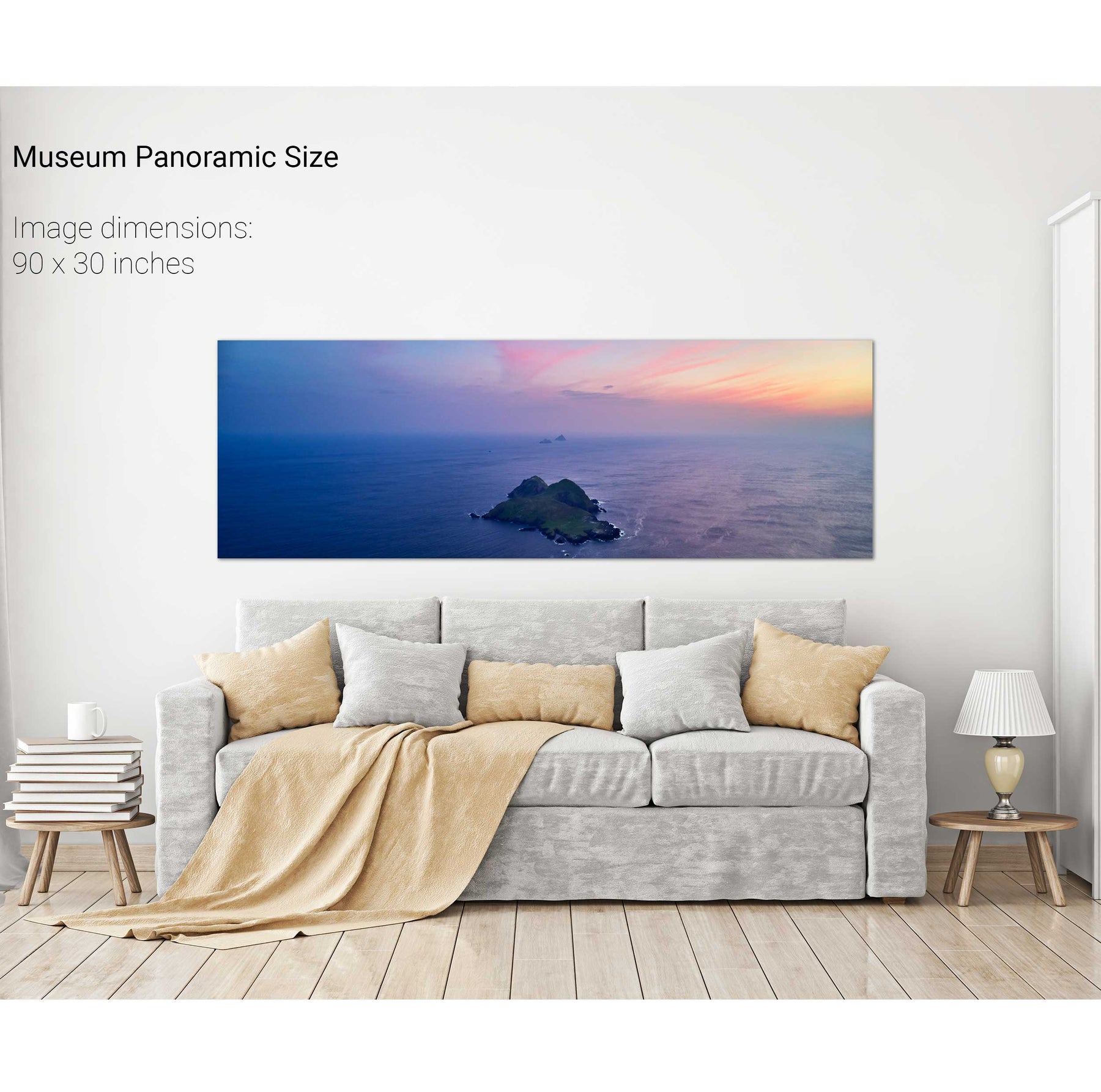
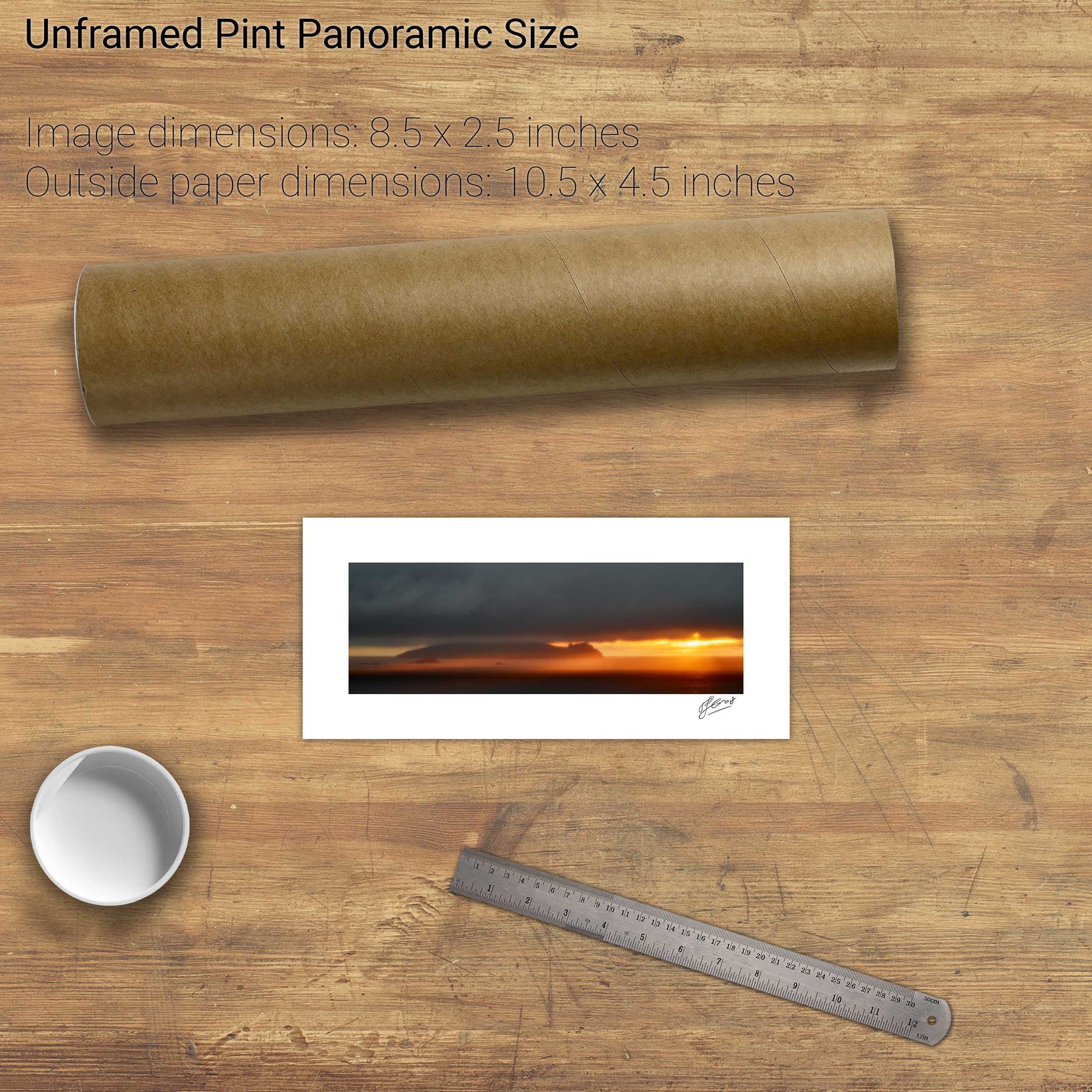
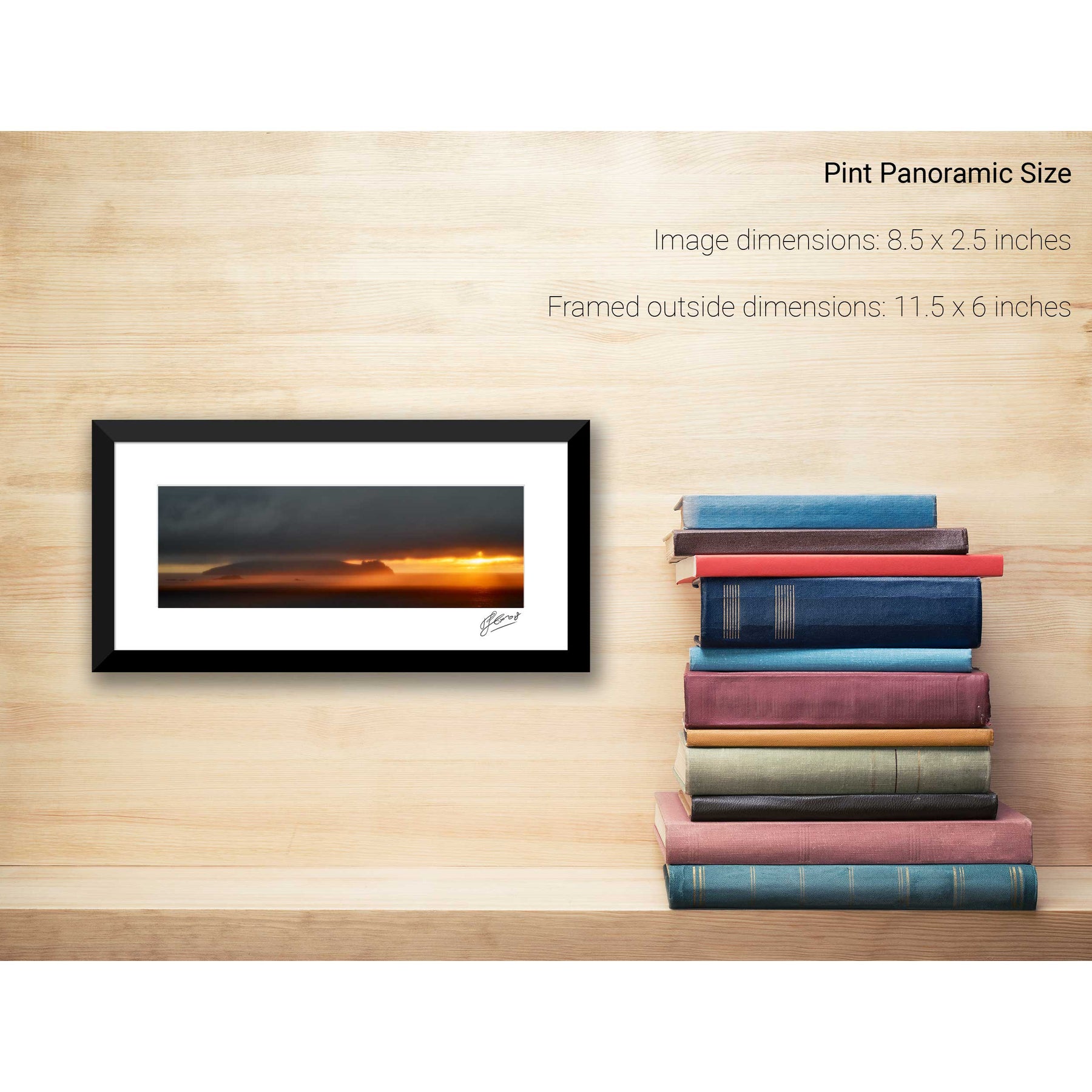
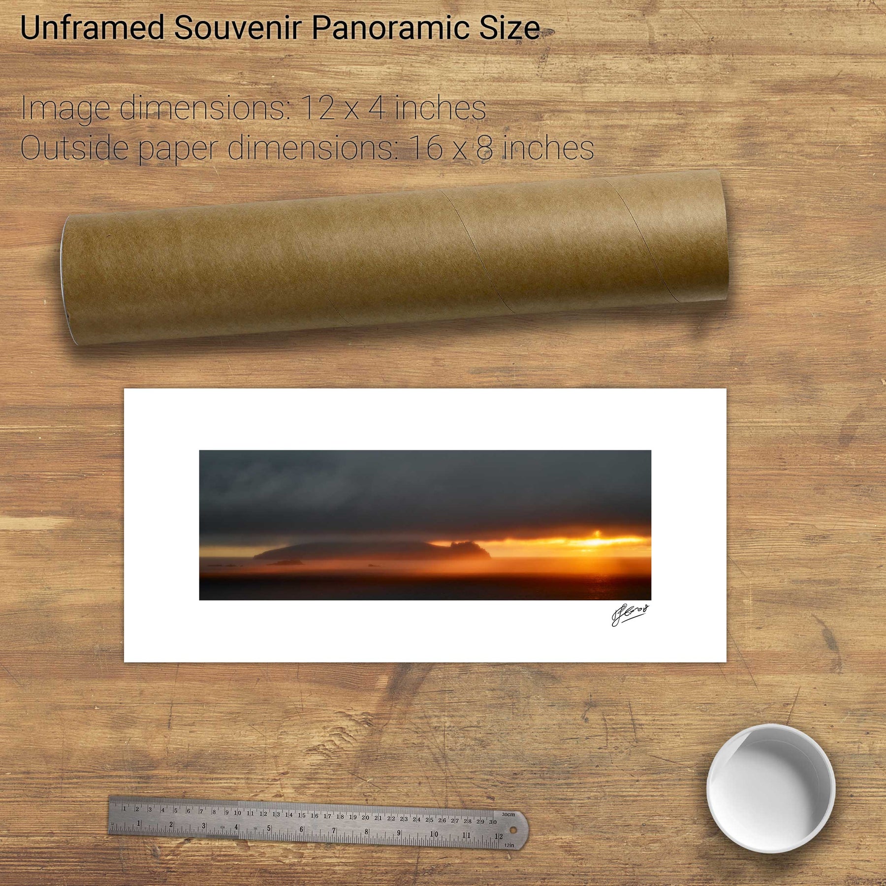
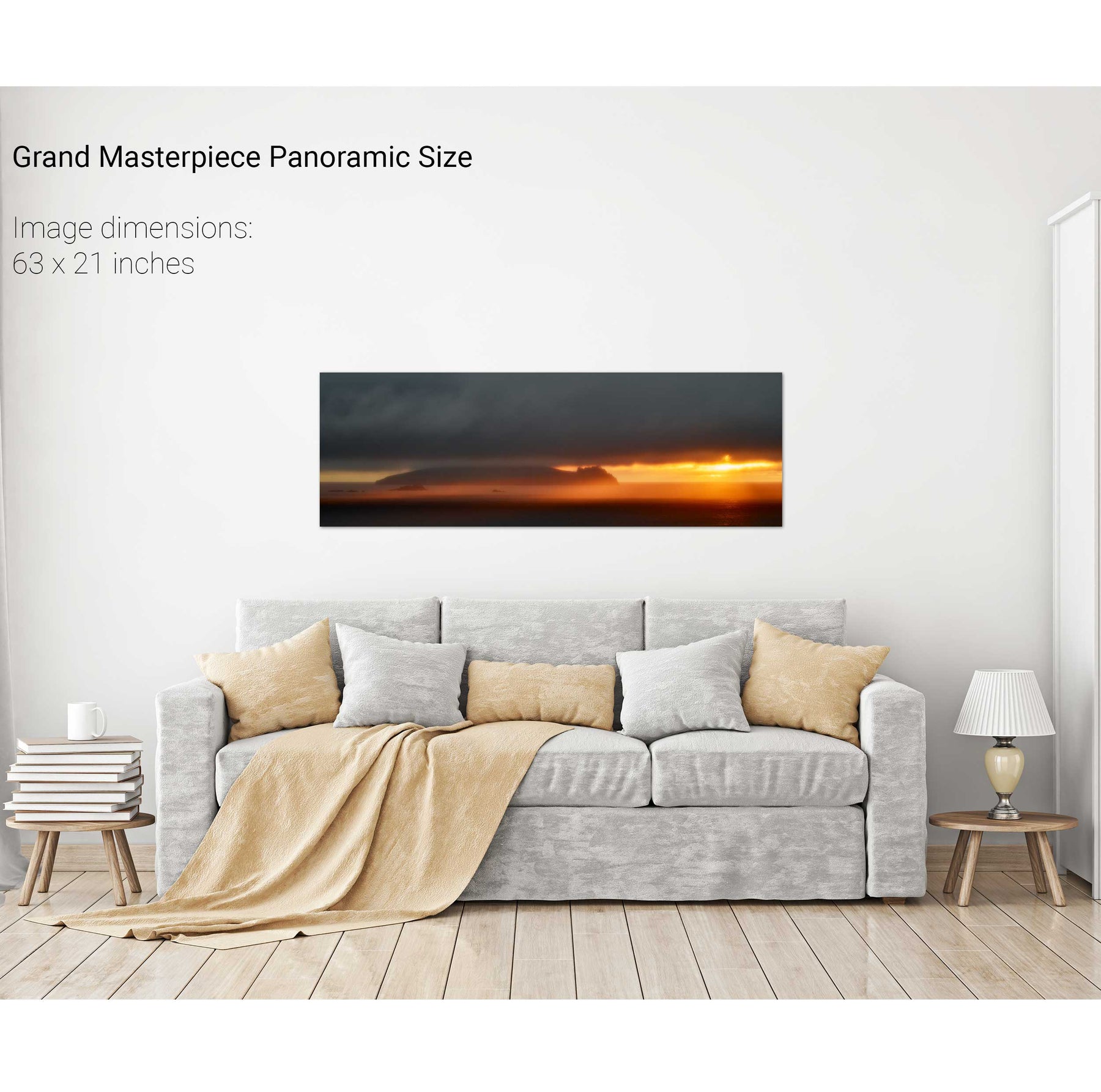
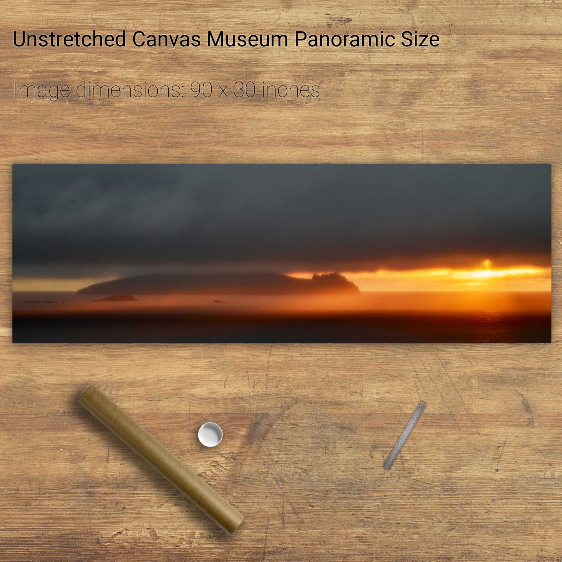
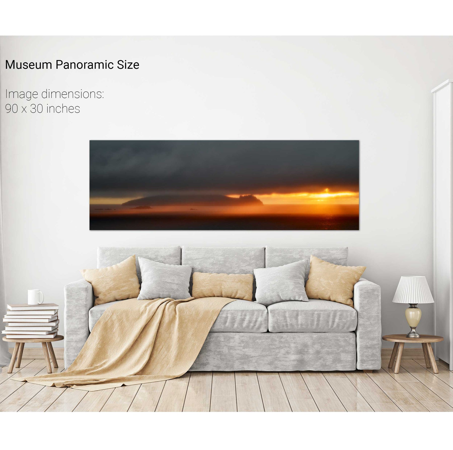
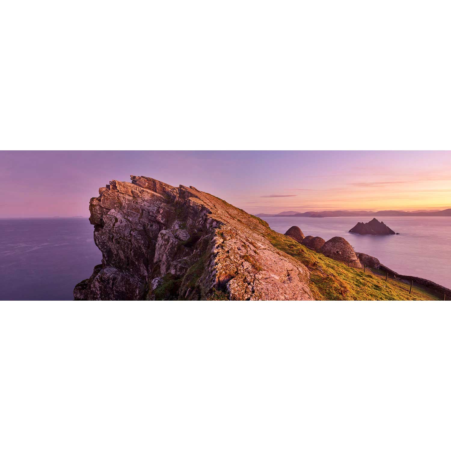
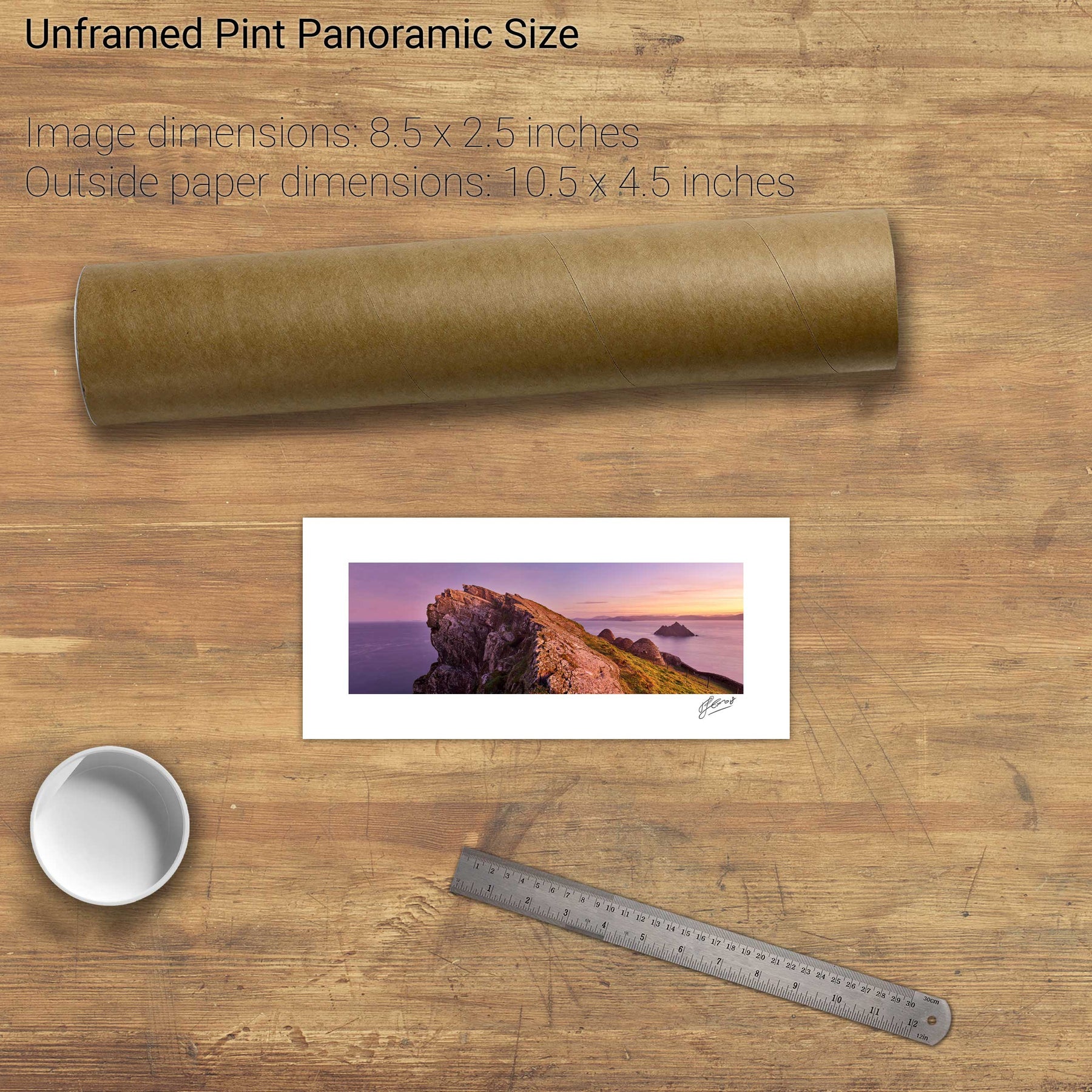
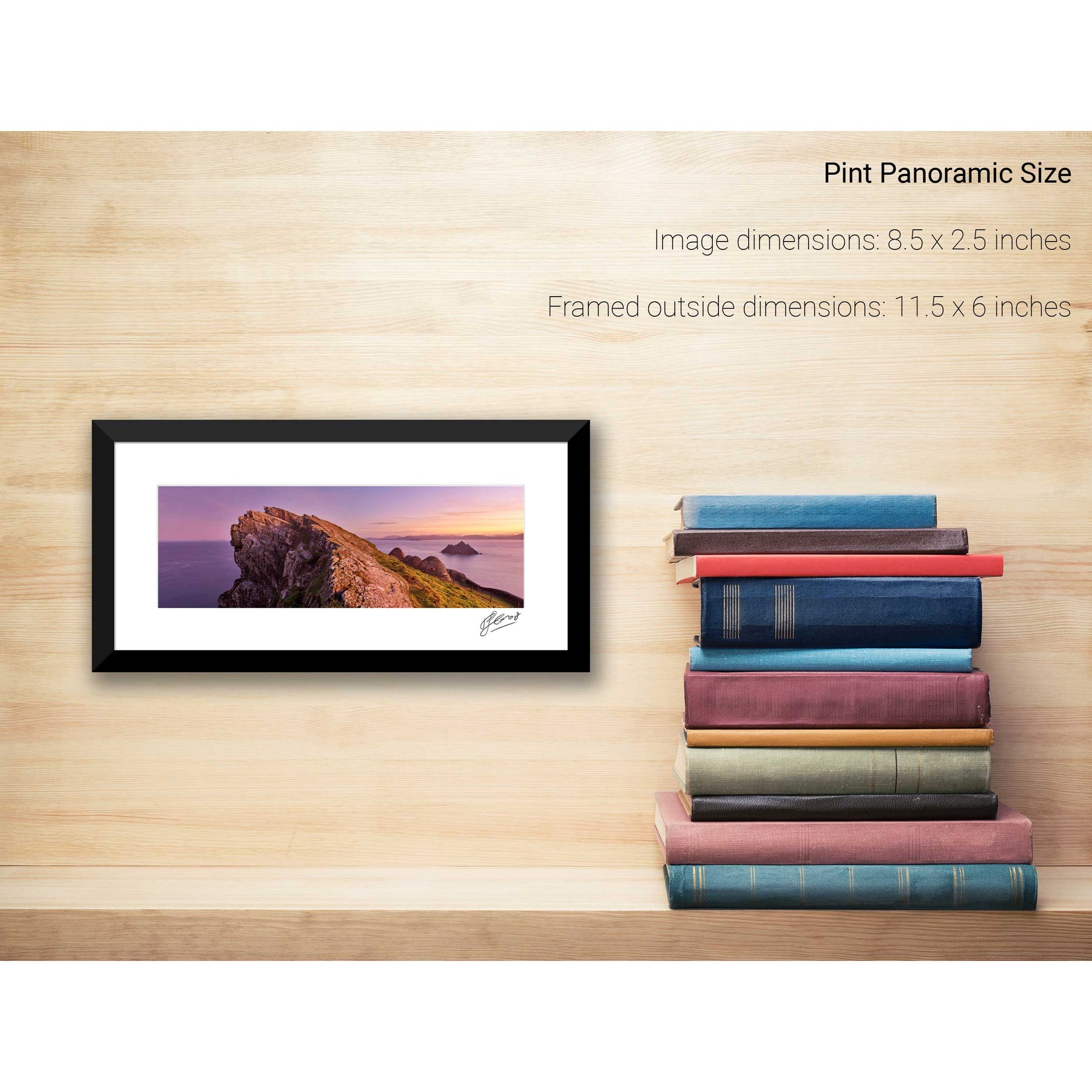
Skelligs Sunset, Co. Kerry
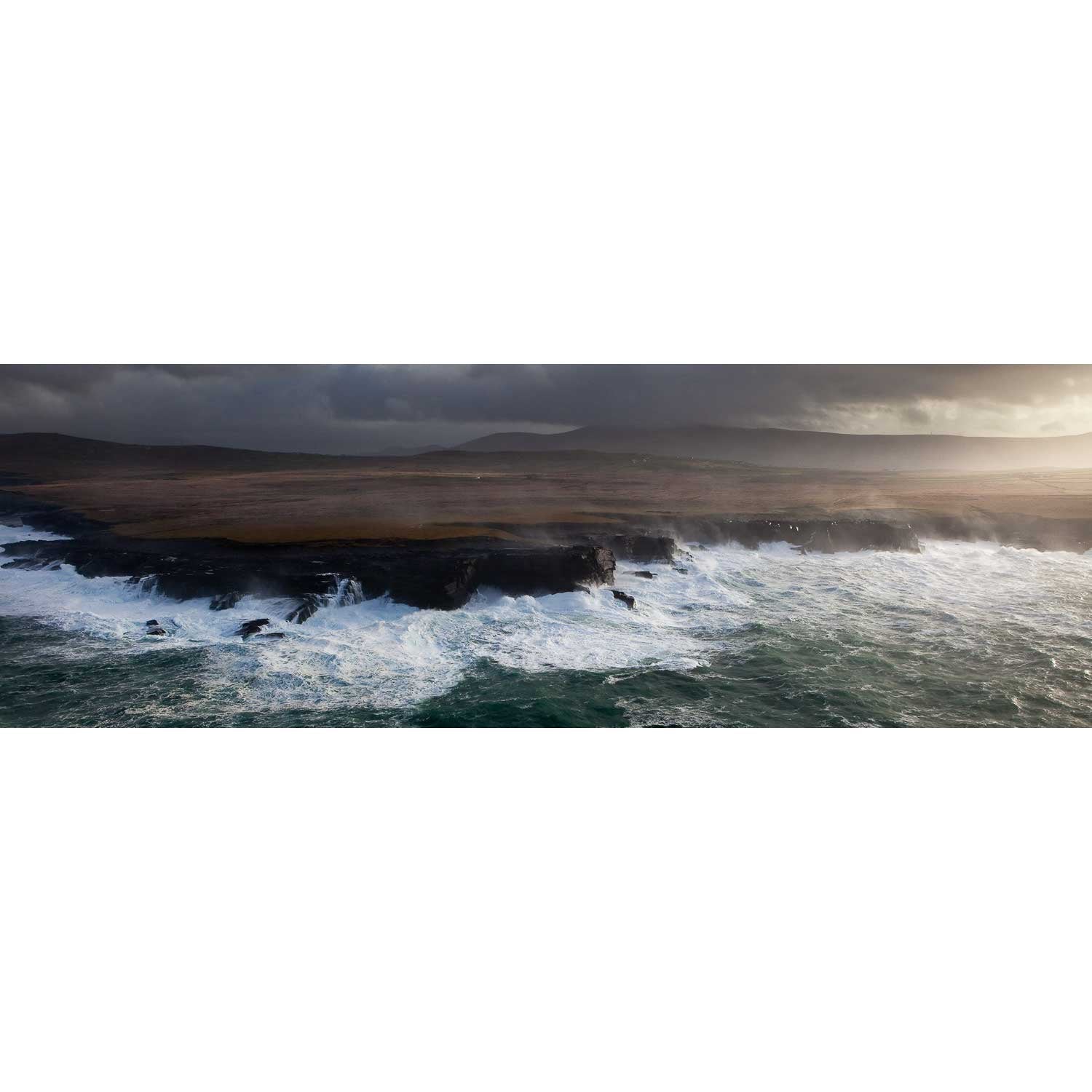
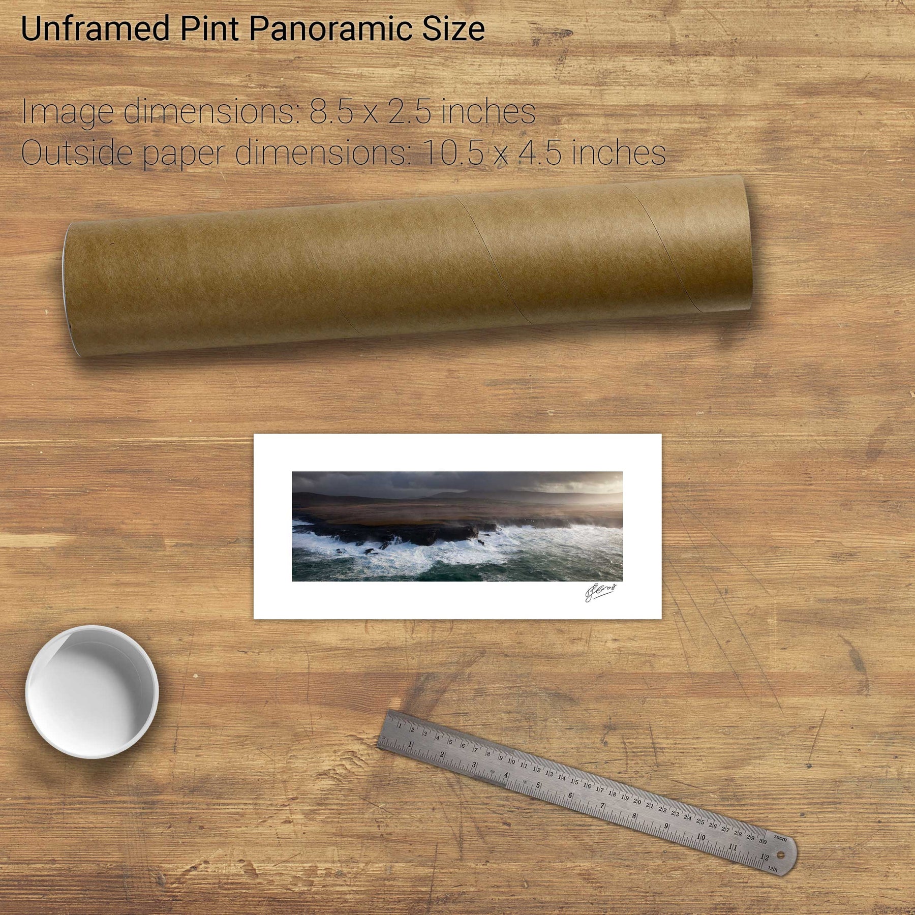
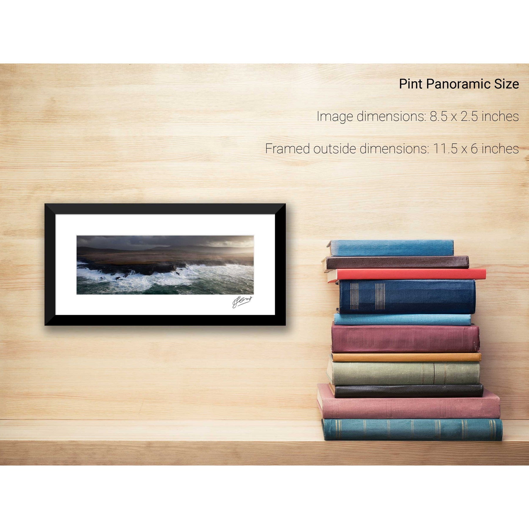
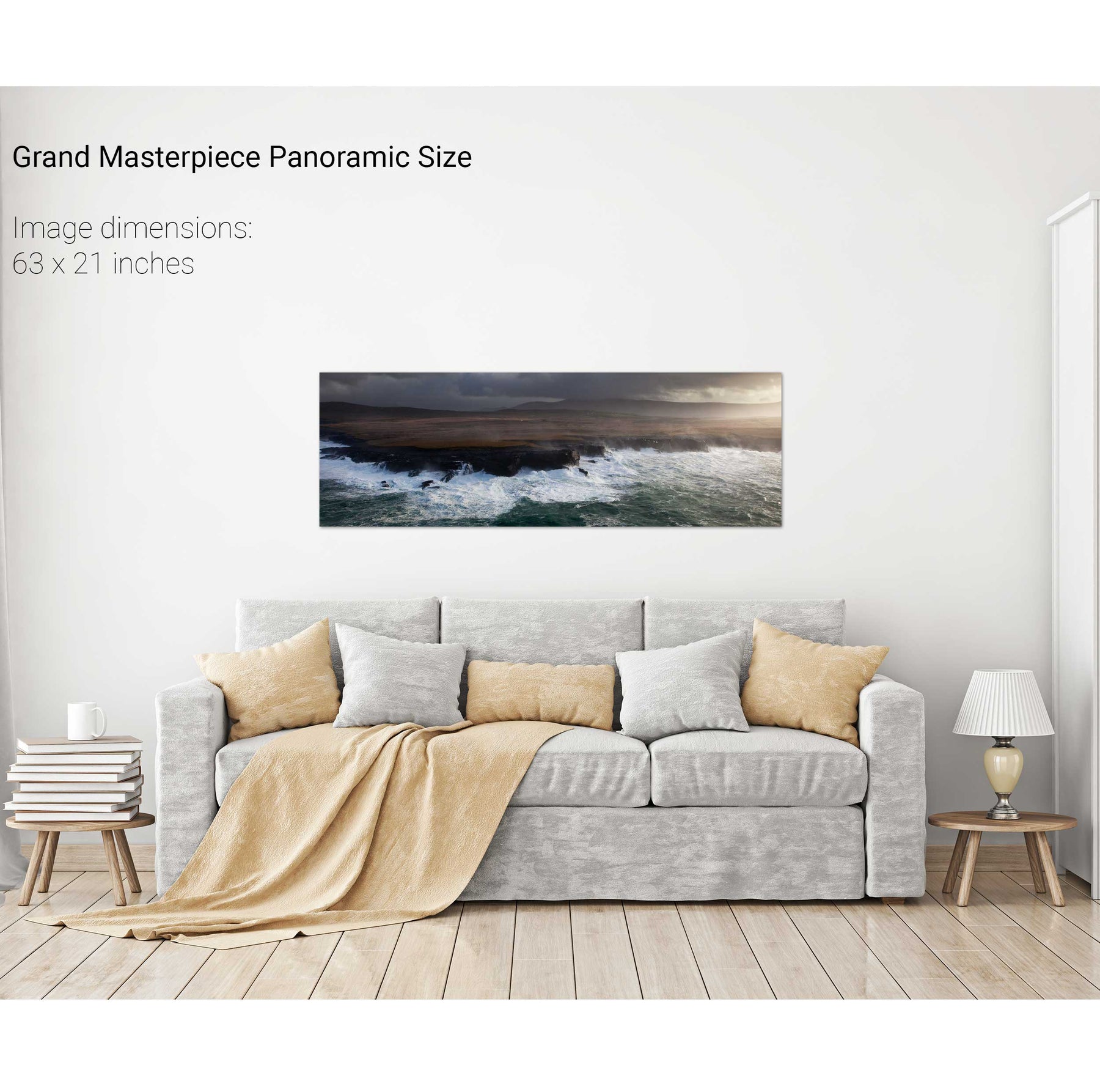
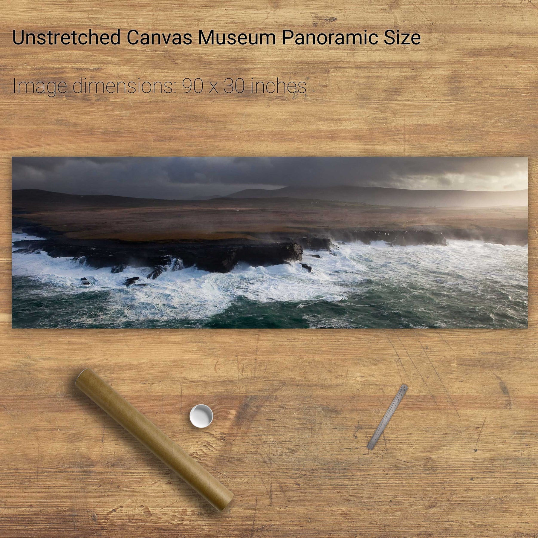
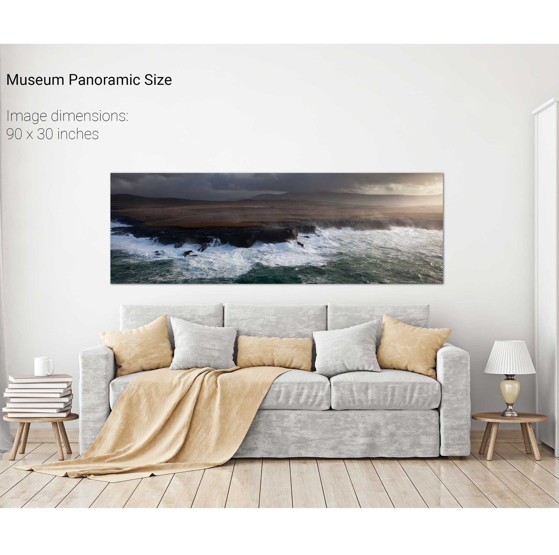
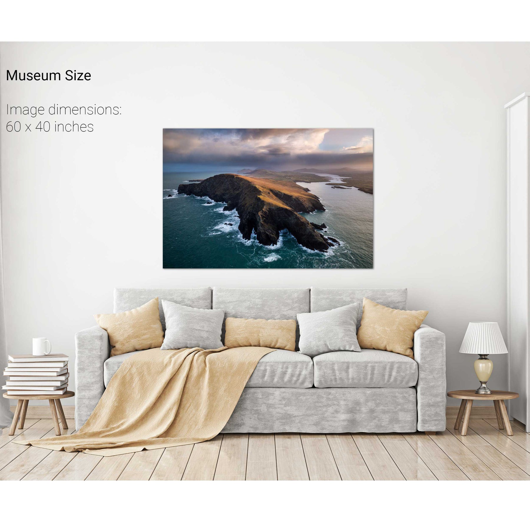
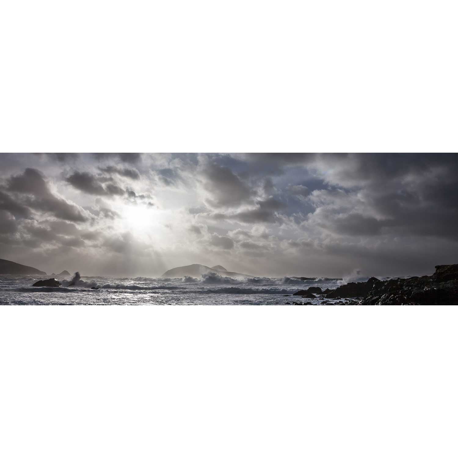
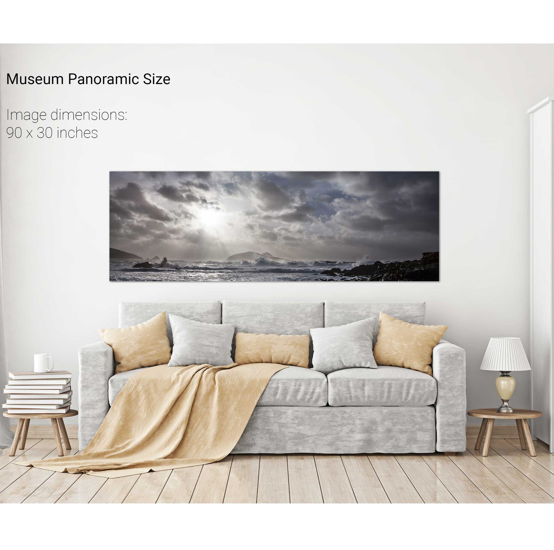
Valentia Island Coast in a Storm, Co. Kerry
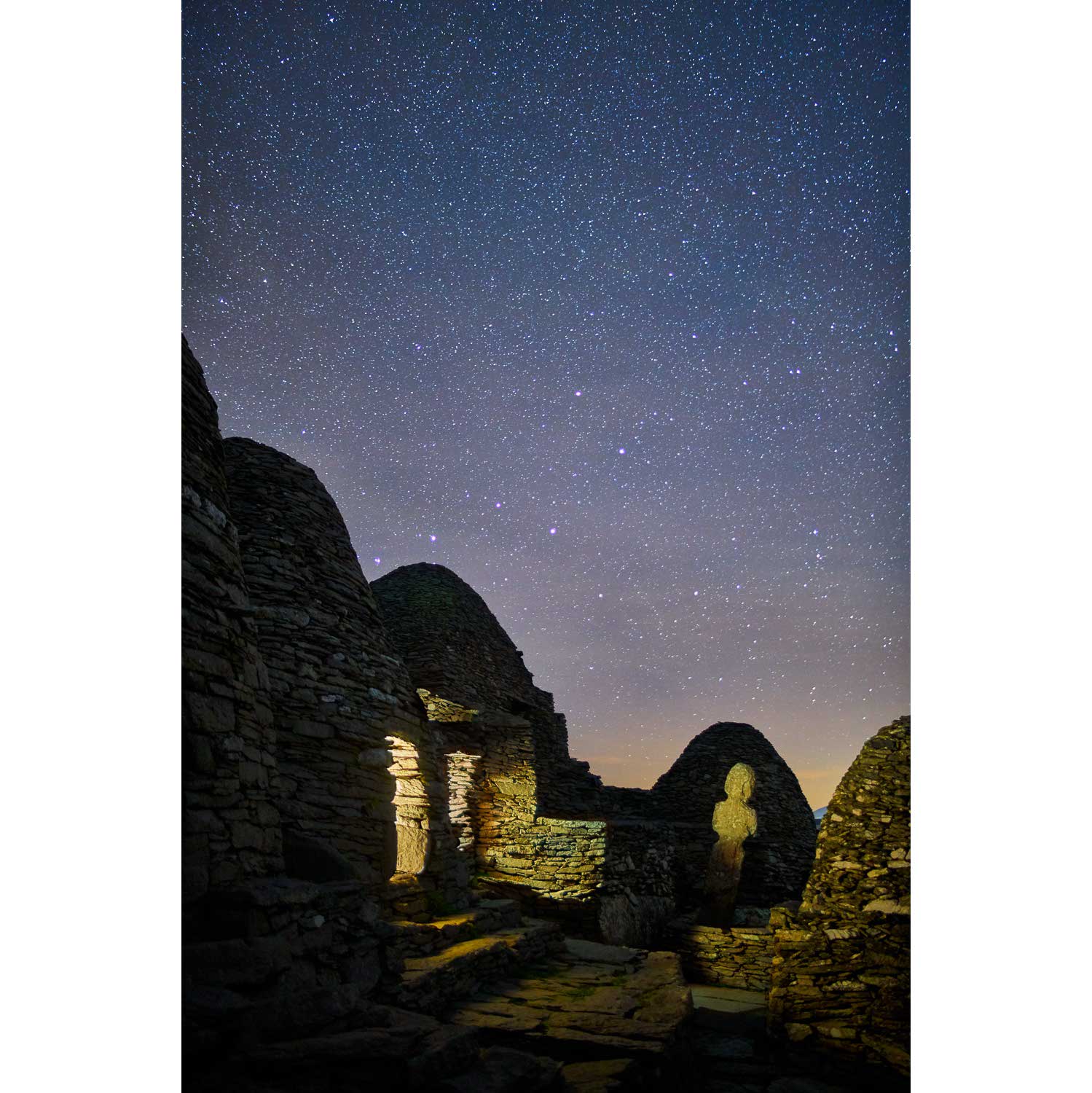
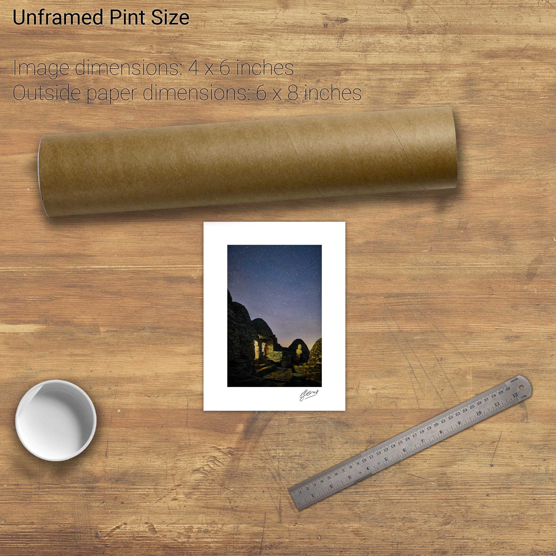
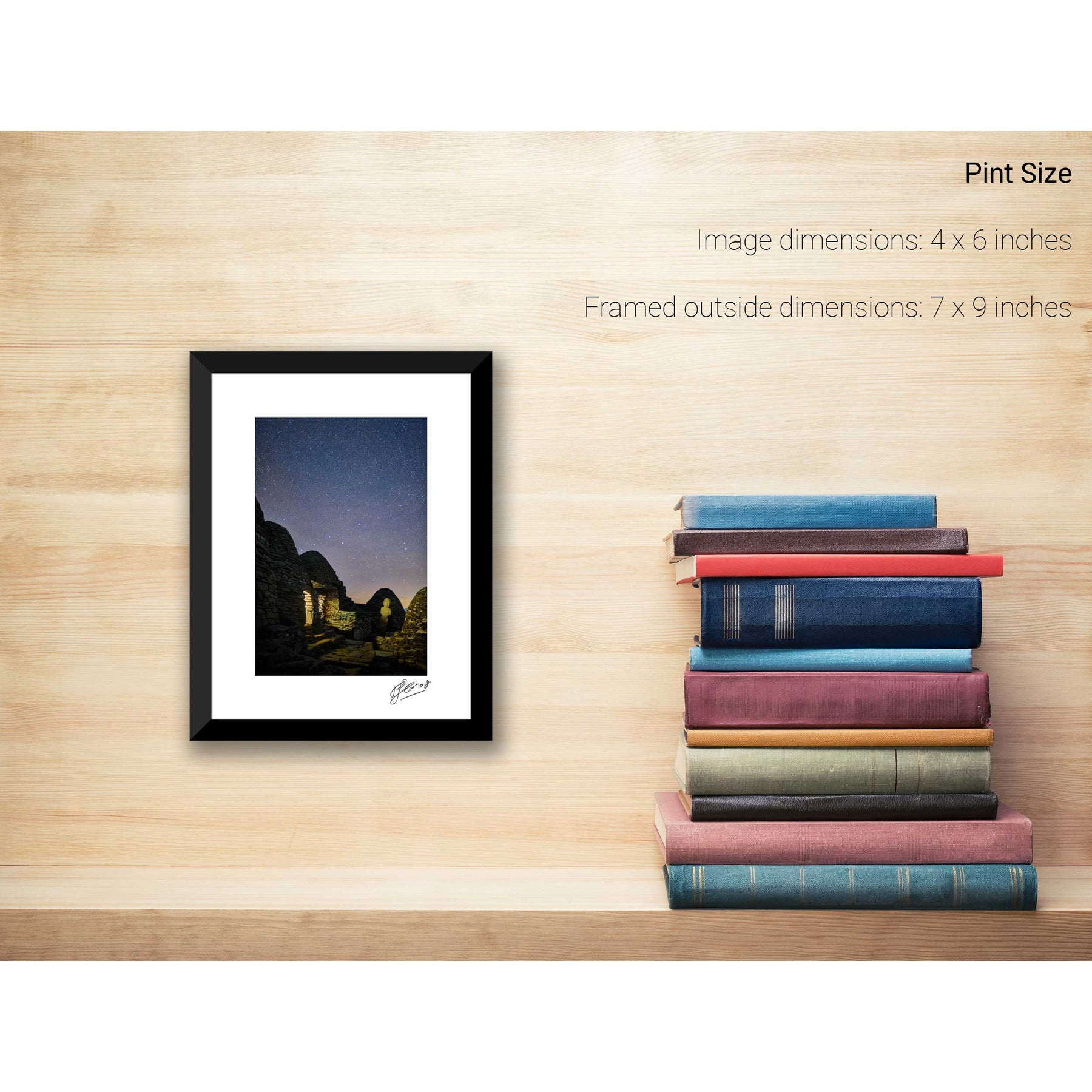
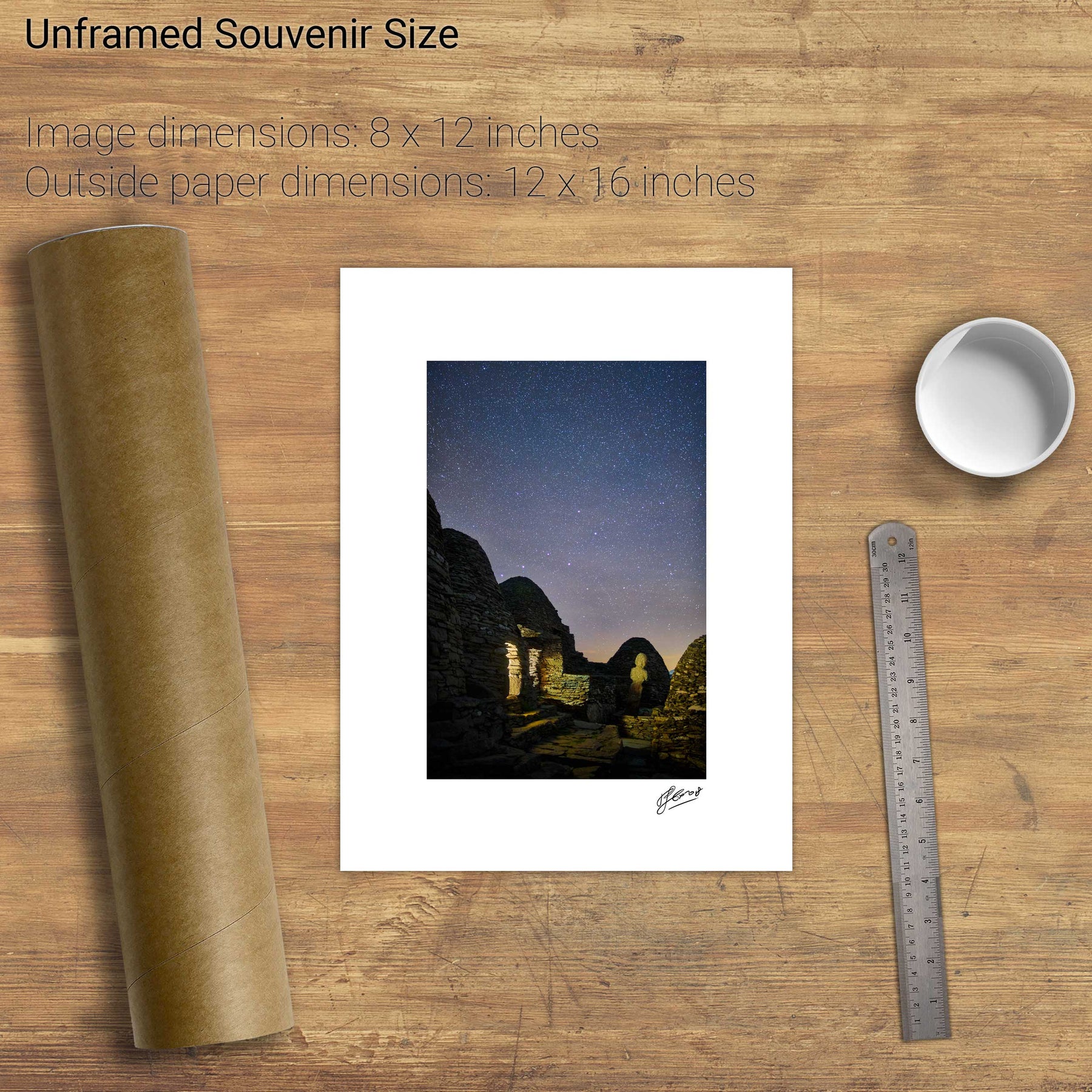
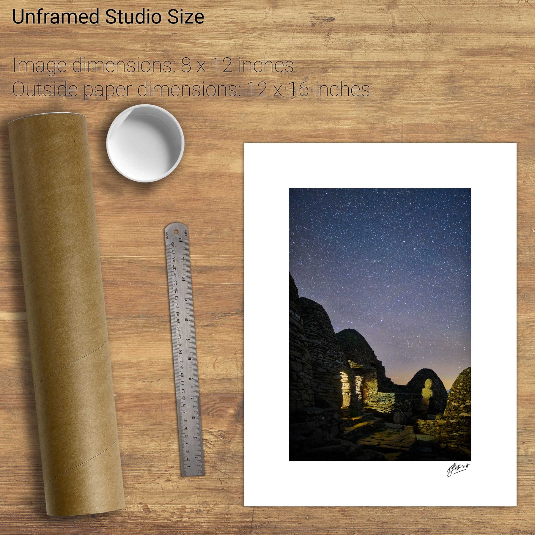
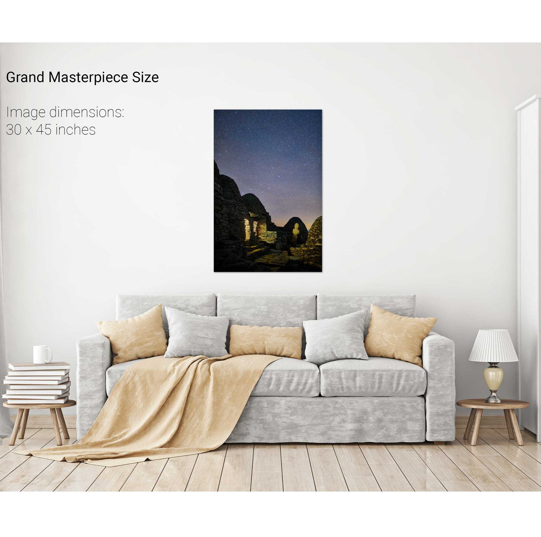
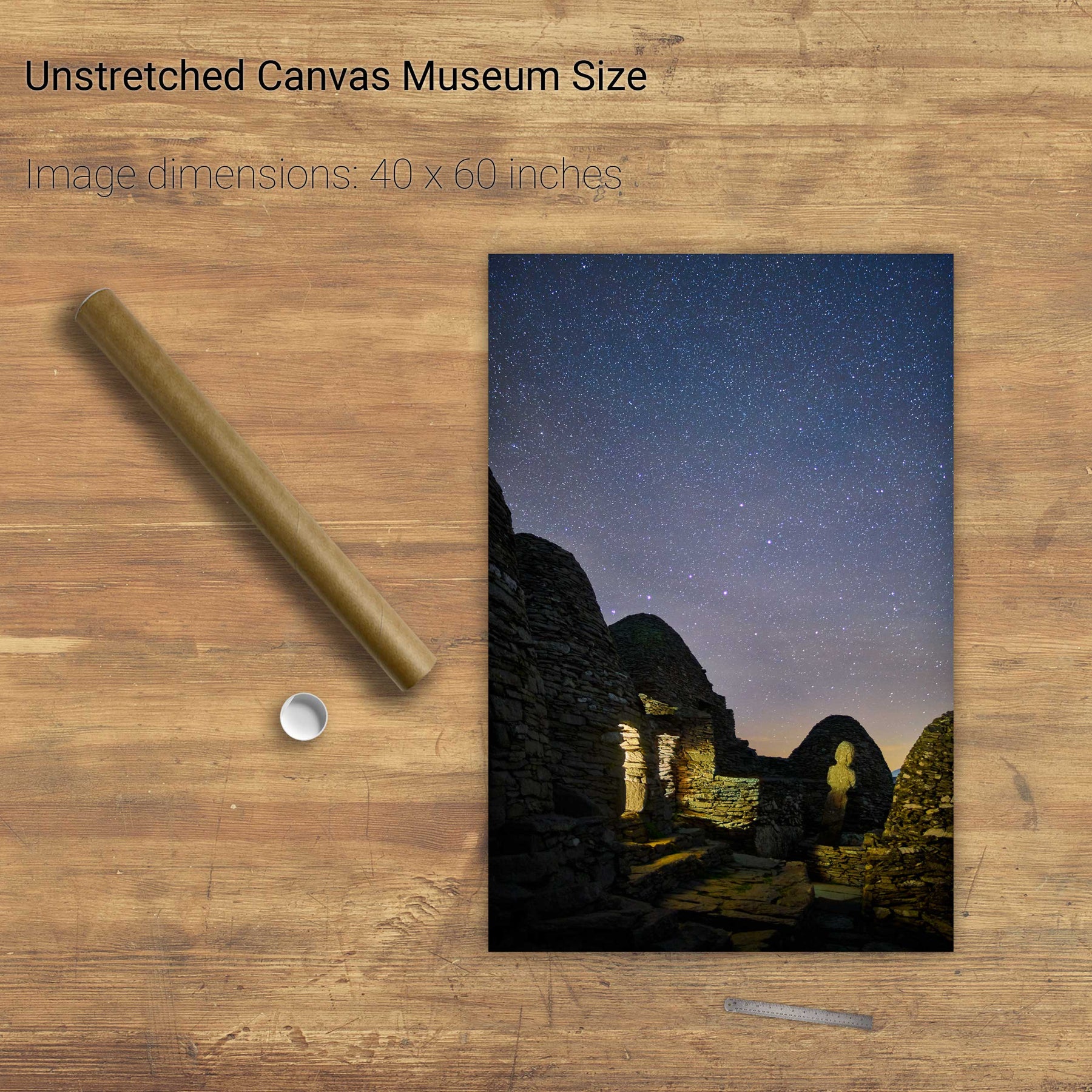
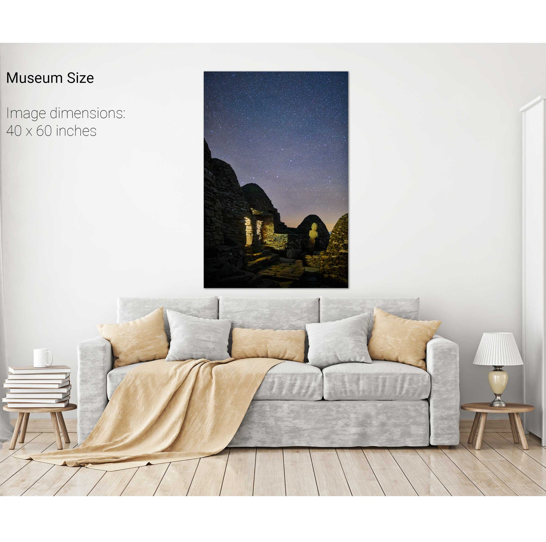
Nocturne, the Monastery, Skellig Michael, Kerry
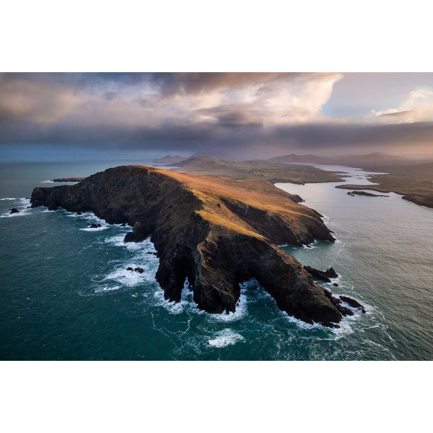
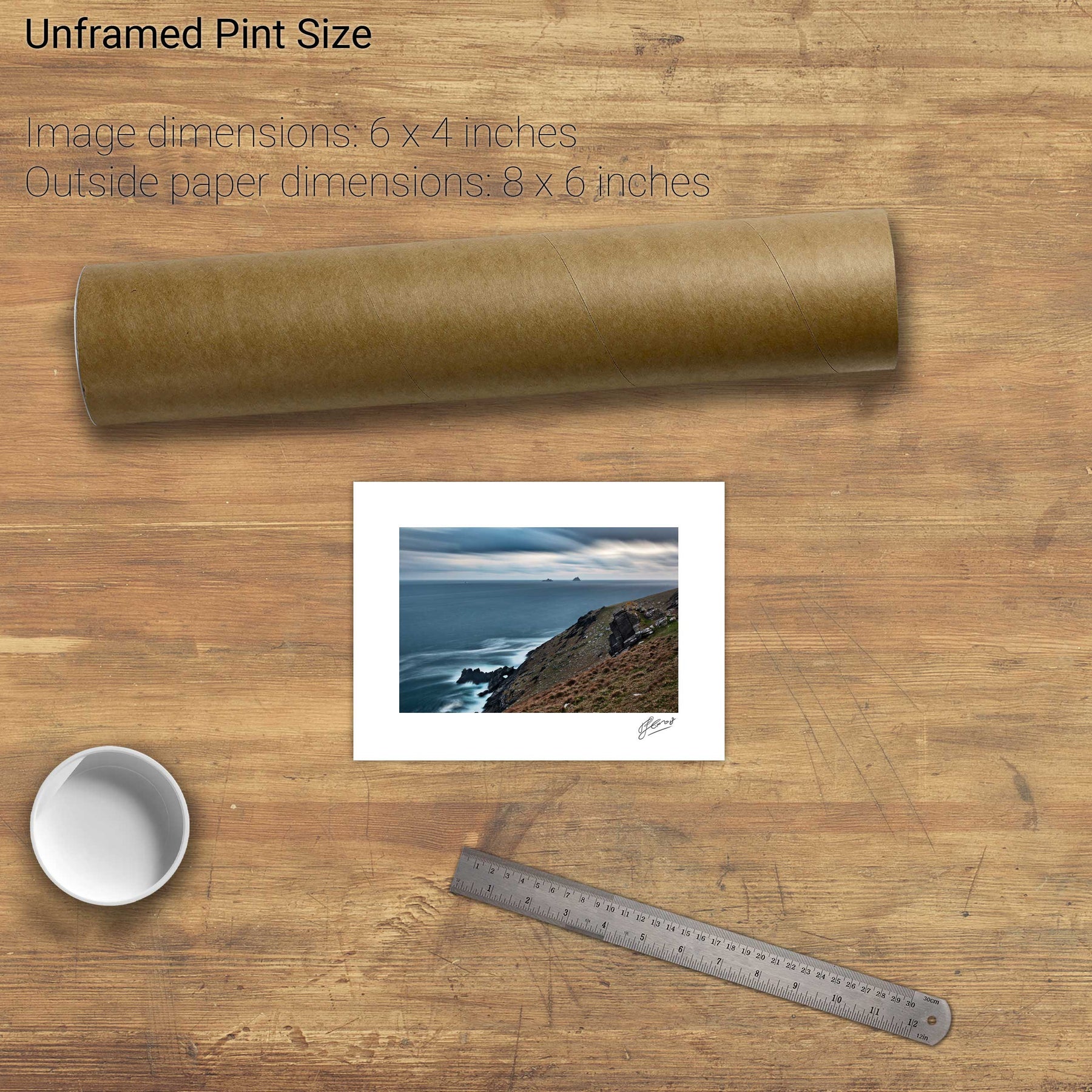
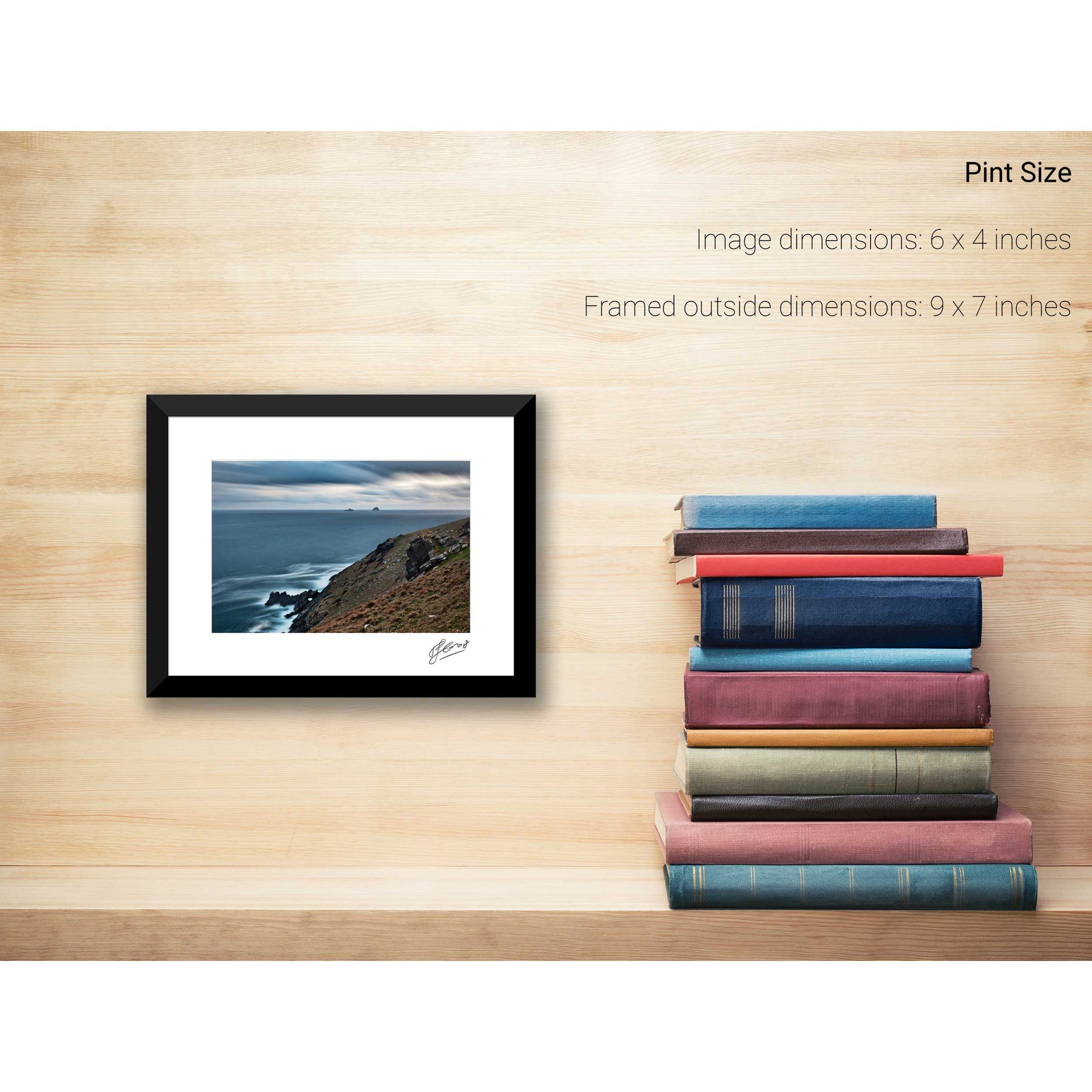
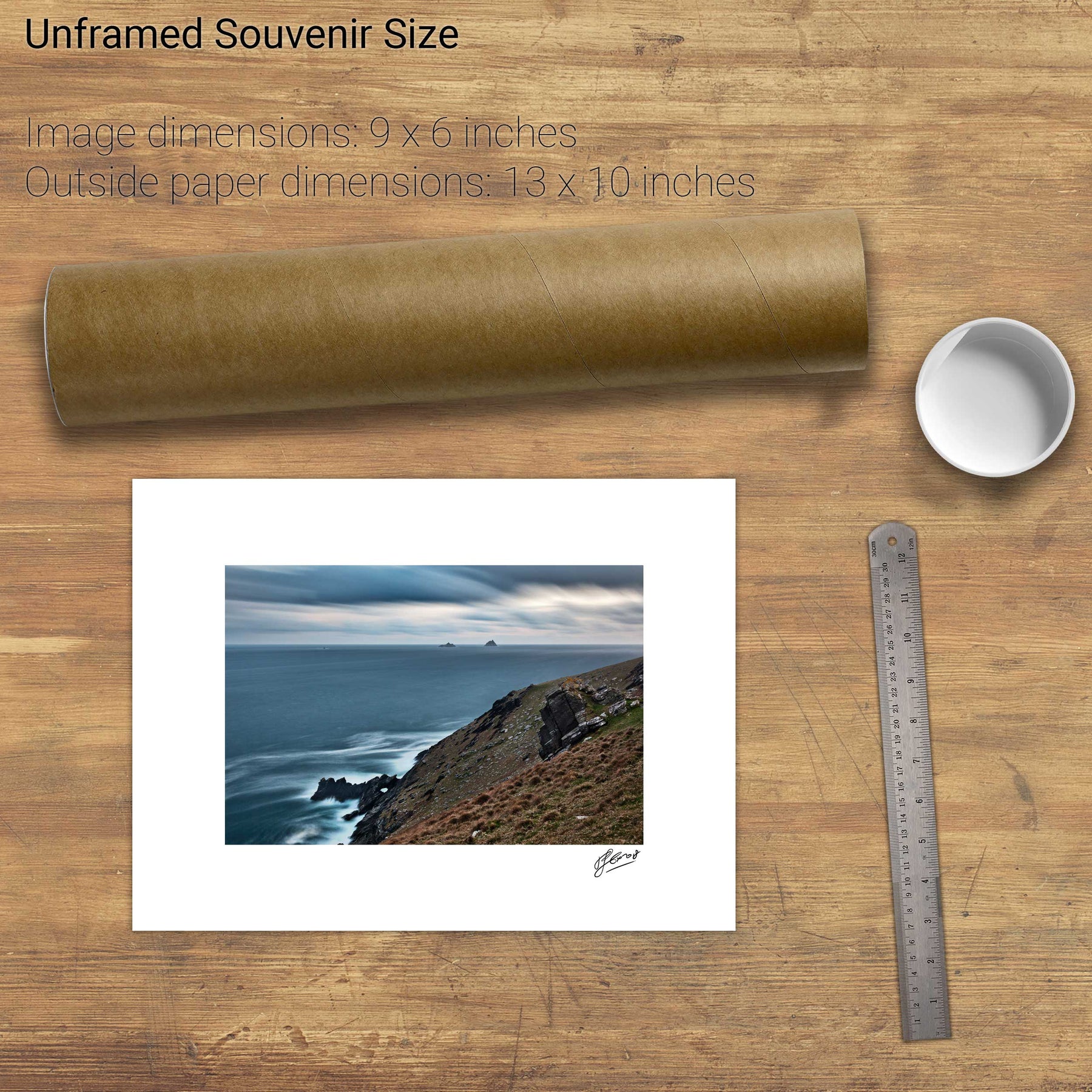
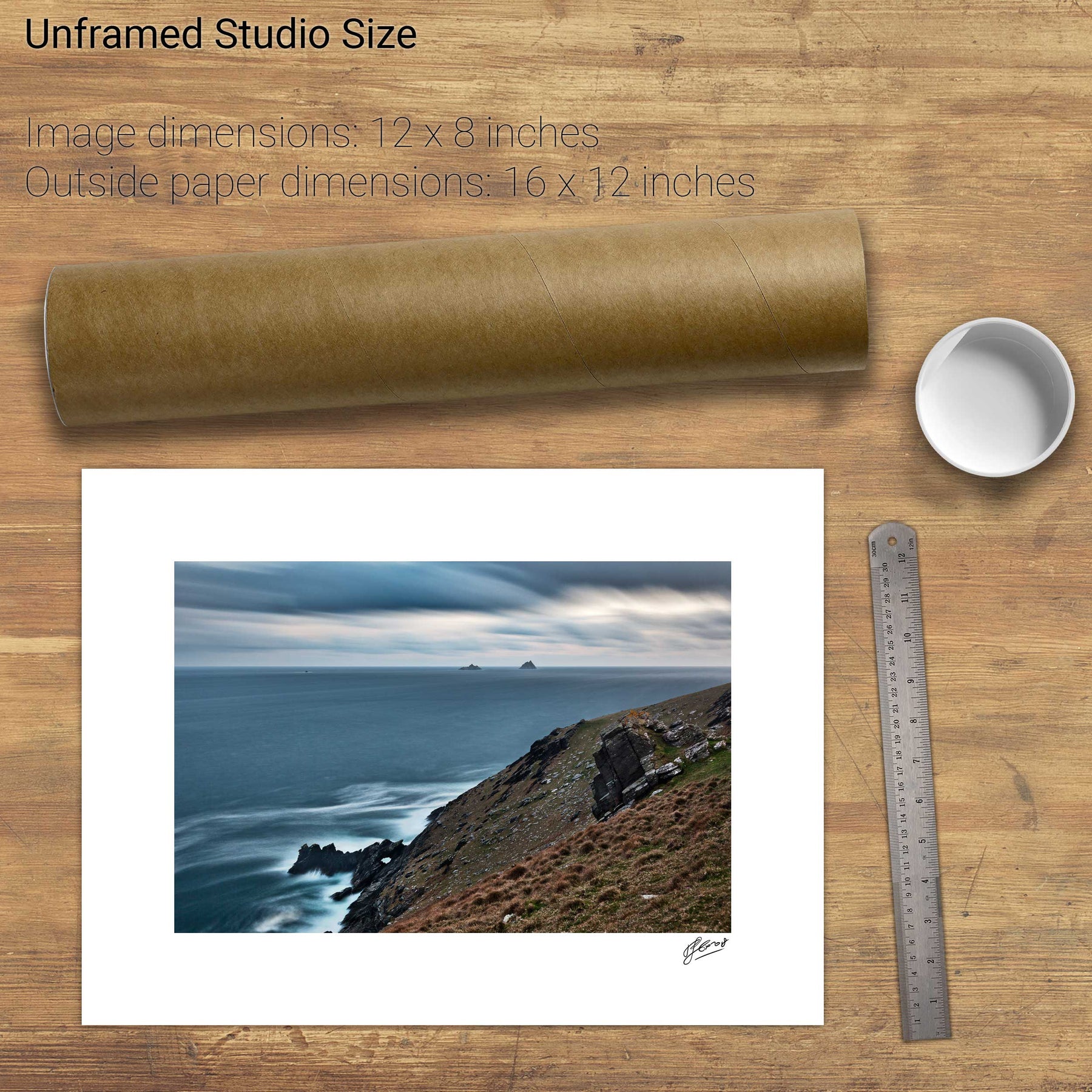
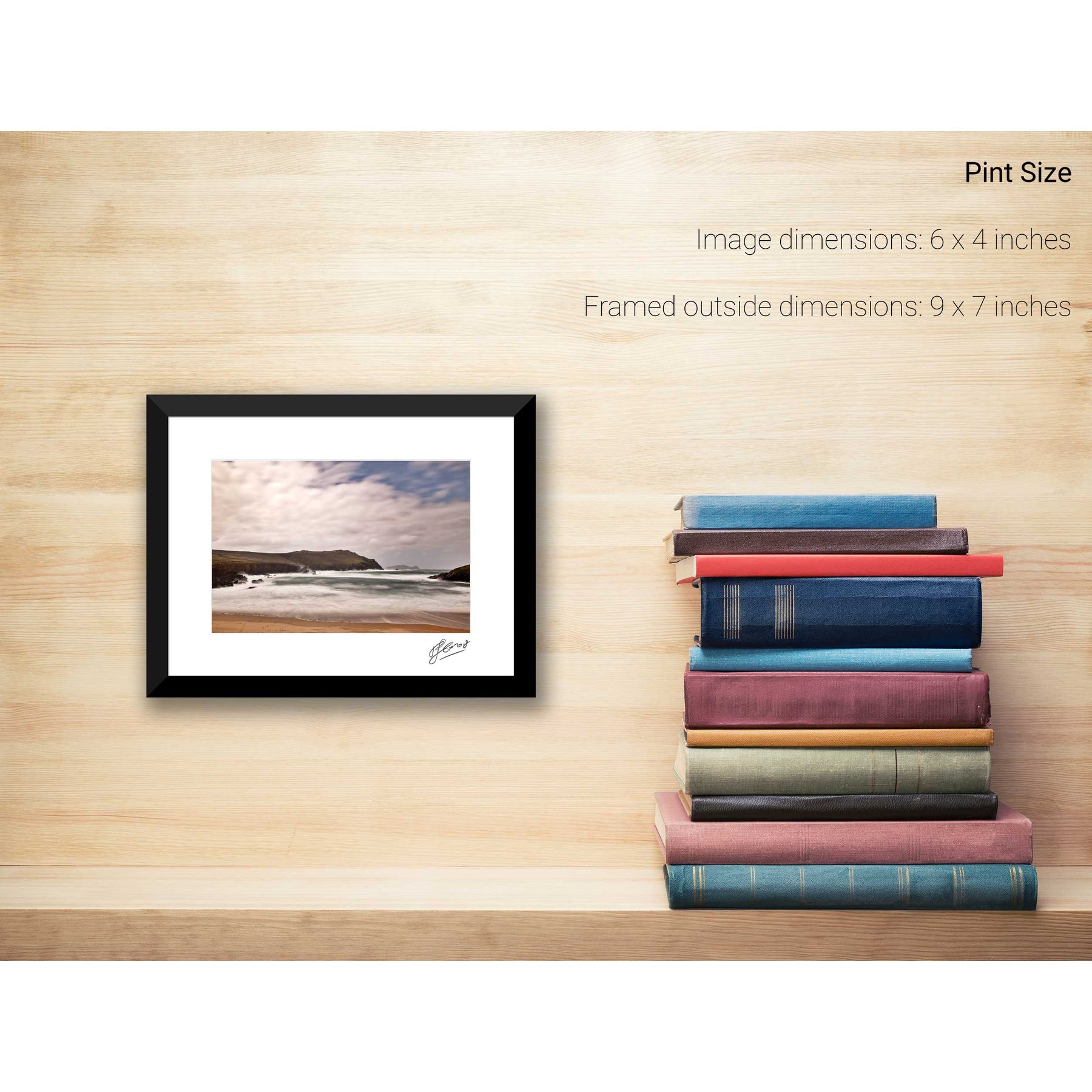
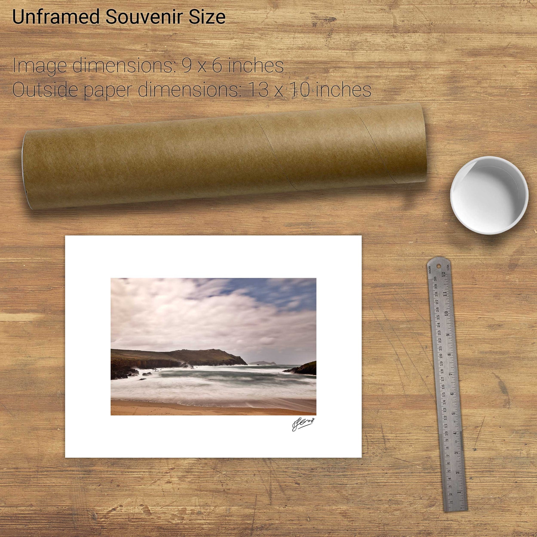
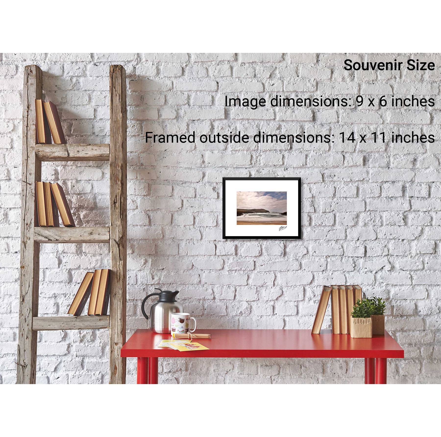
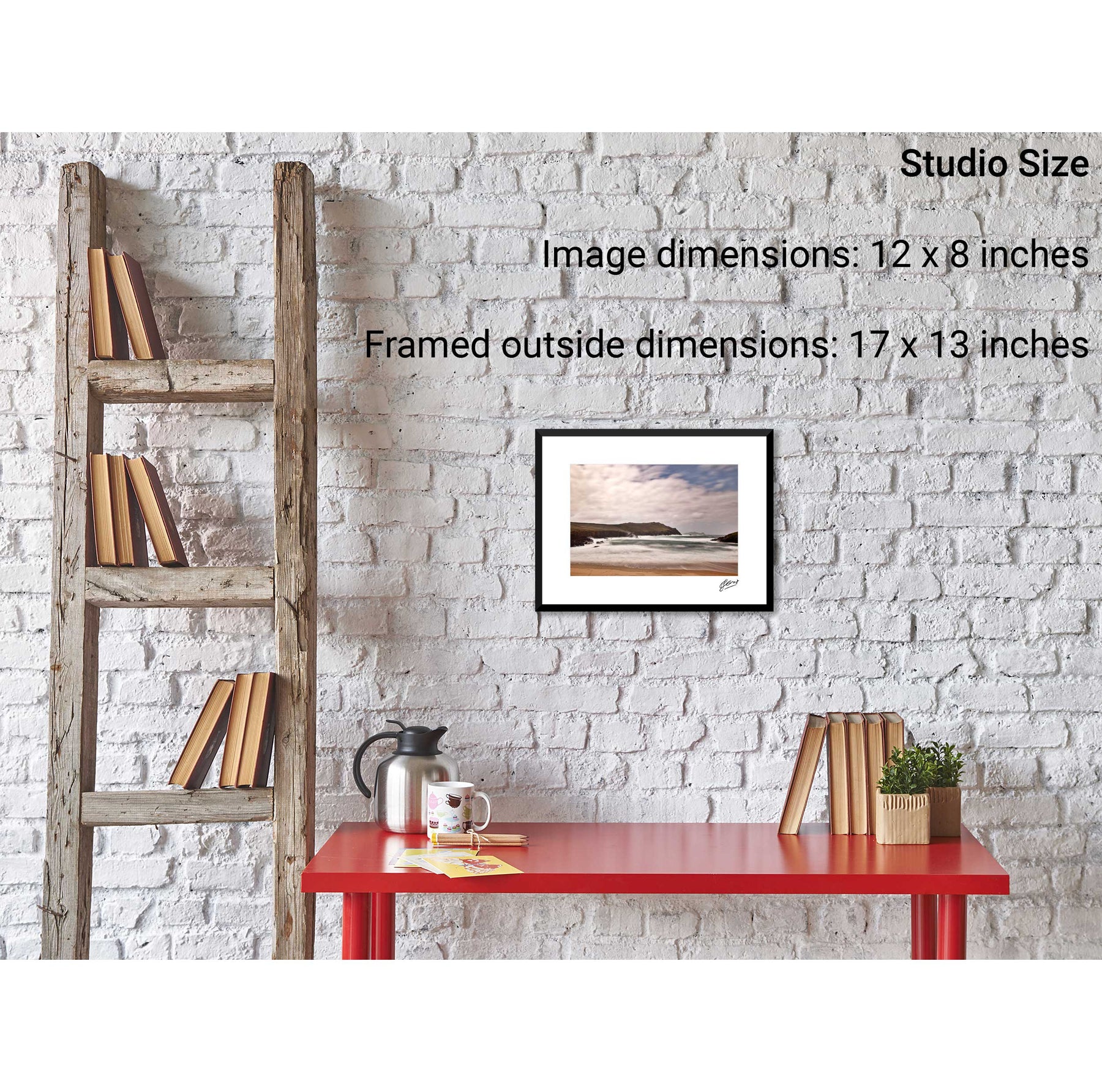
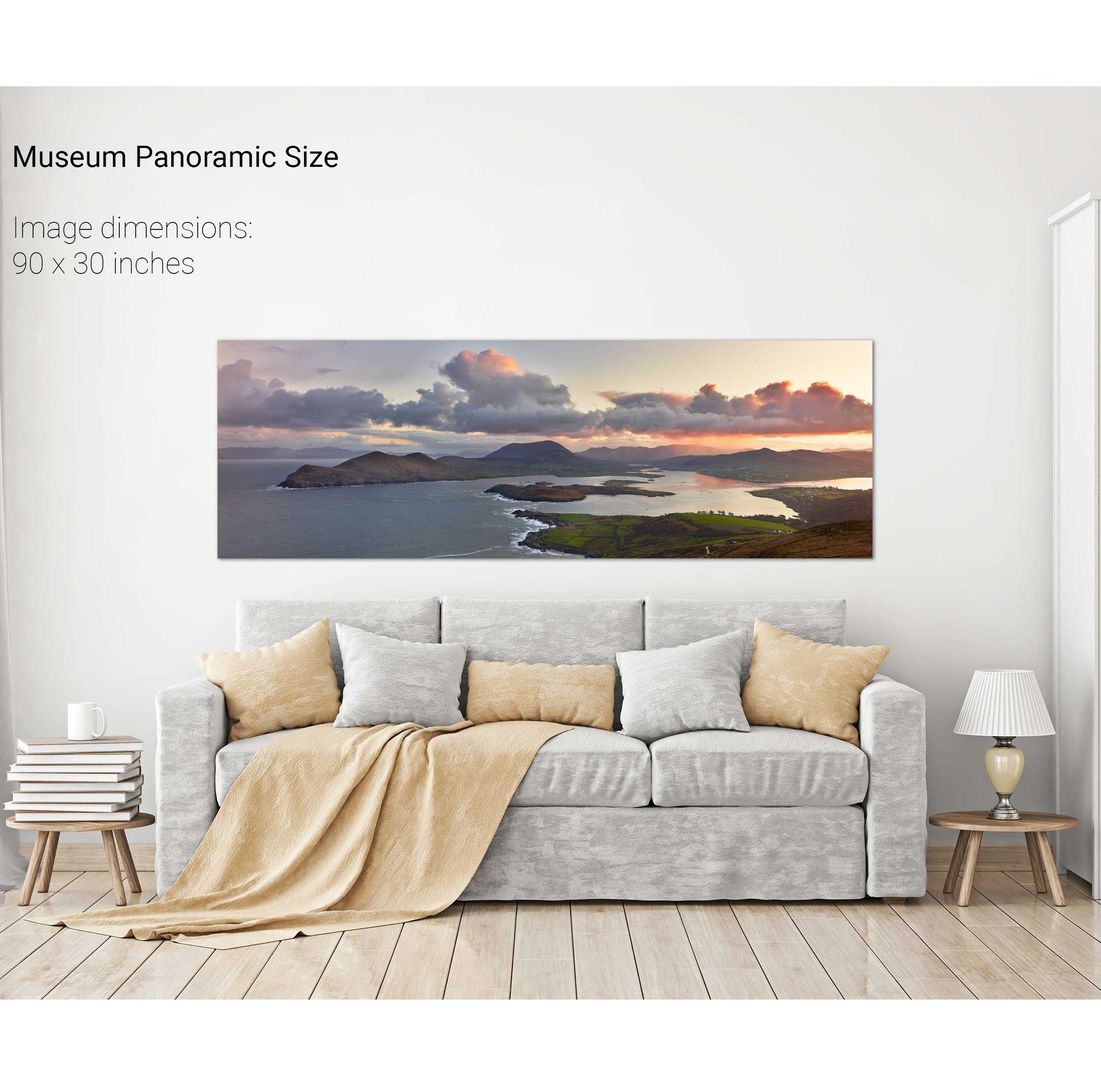
Valentia Island, Co. Kerry
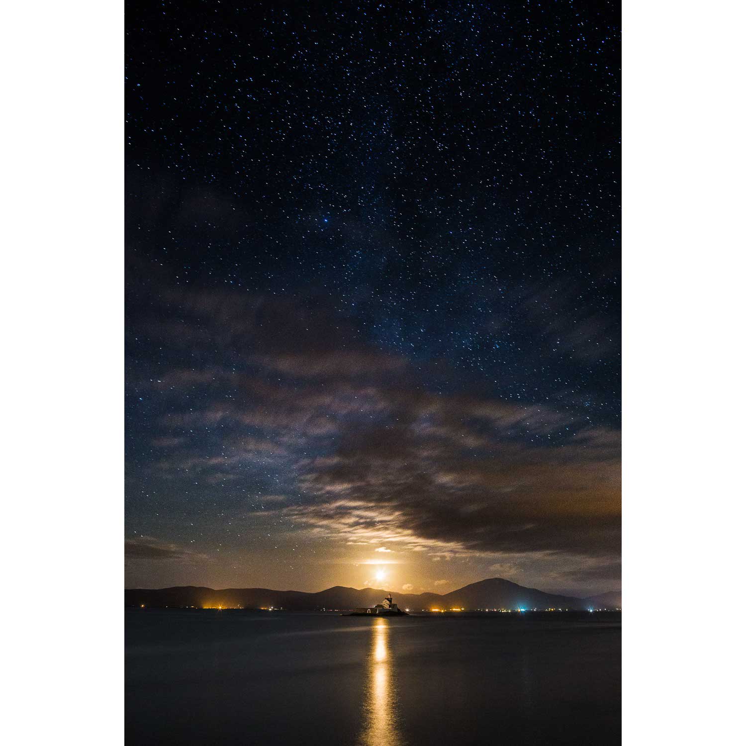
Nocturne, Fenit Lighthouse, Co. Kerry
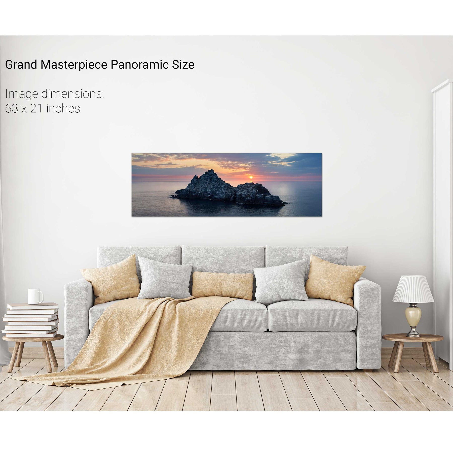
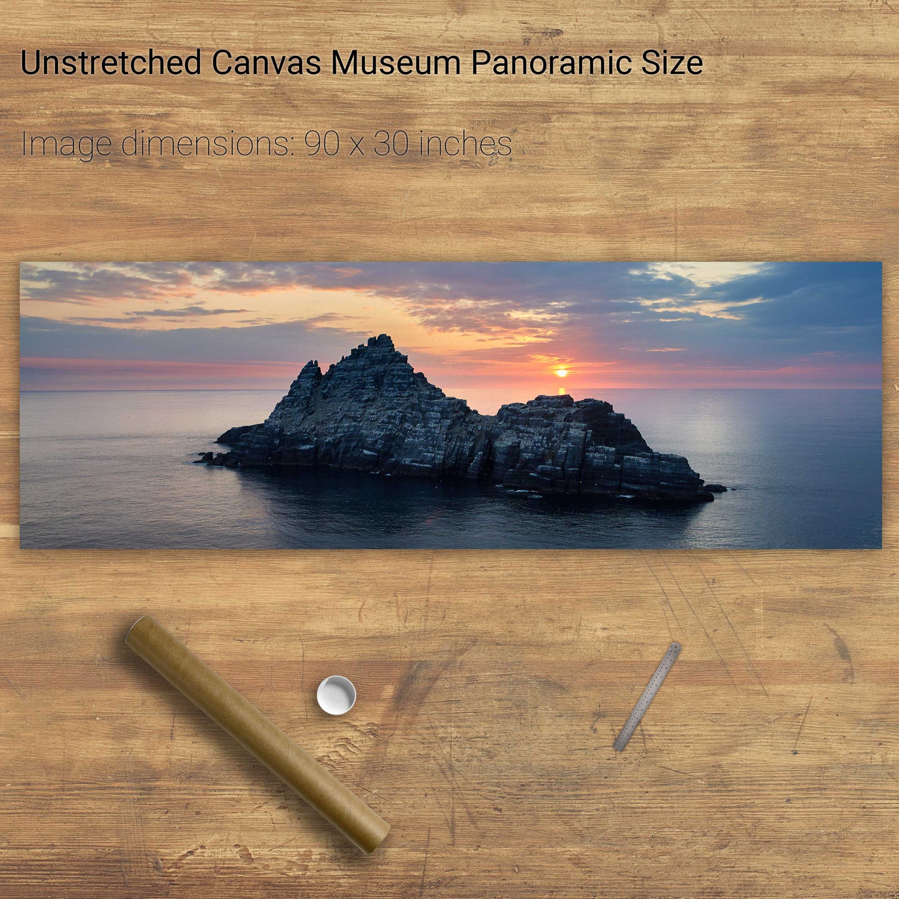
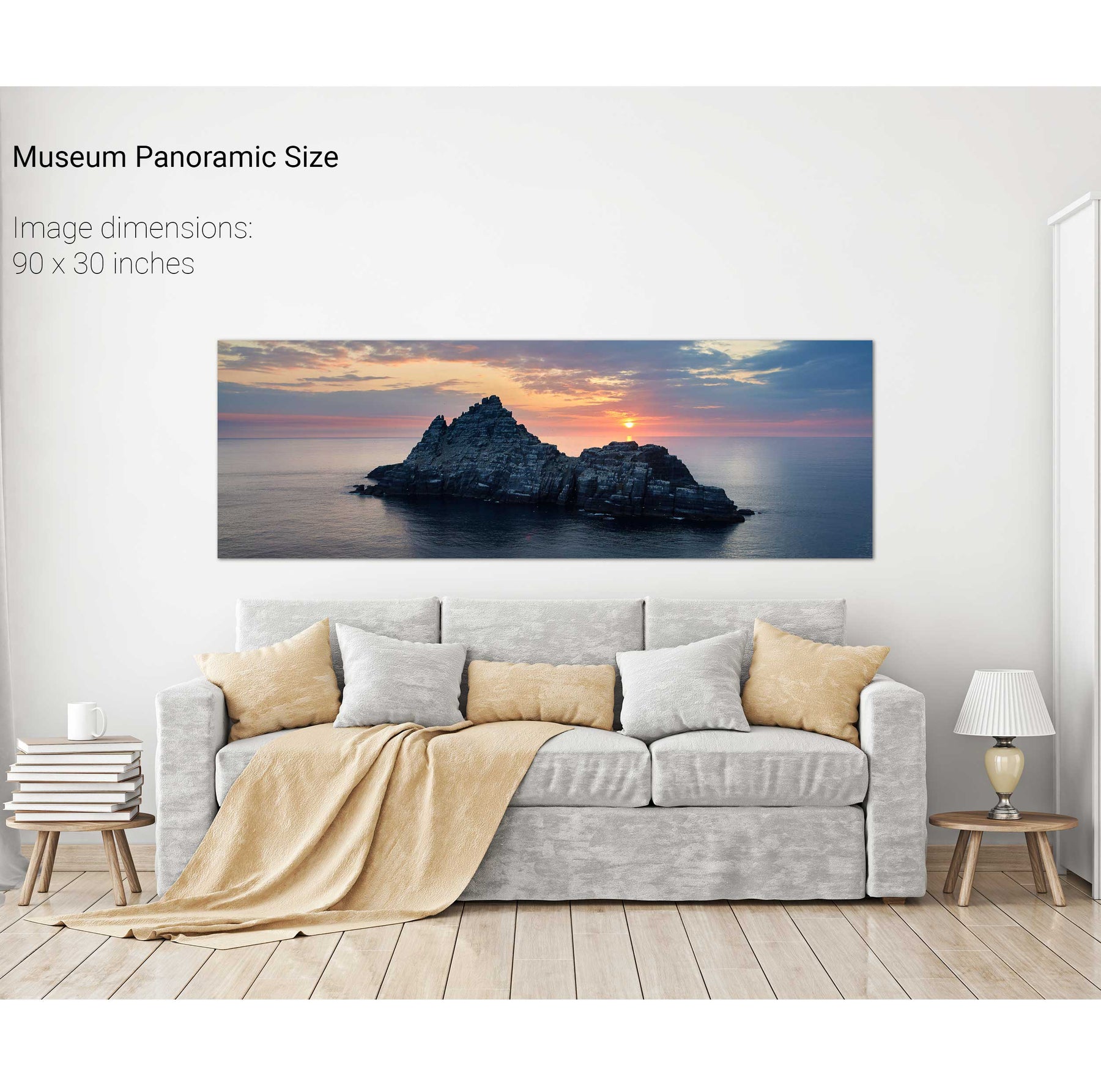
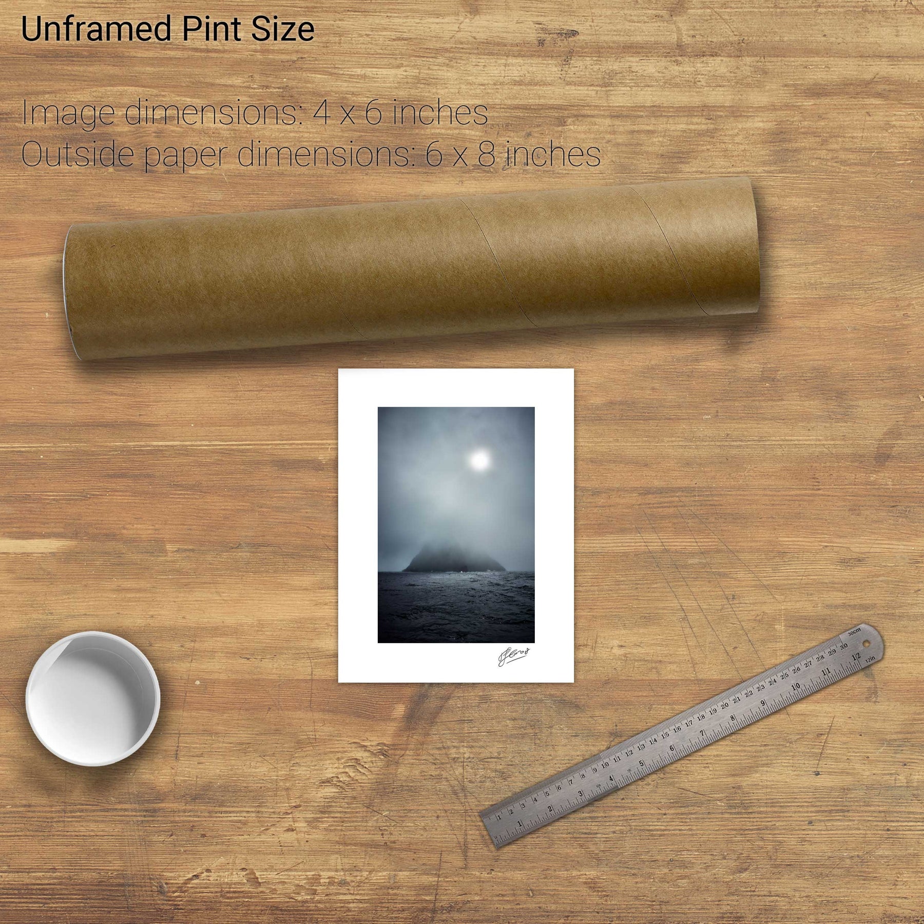
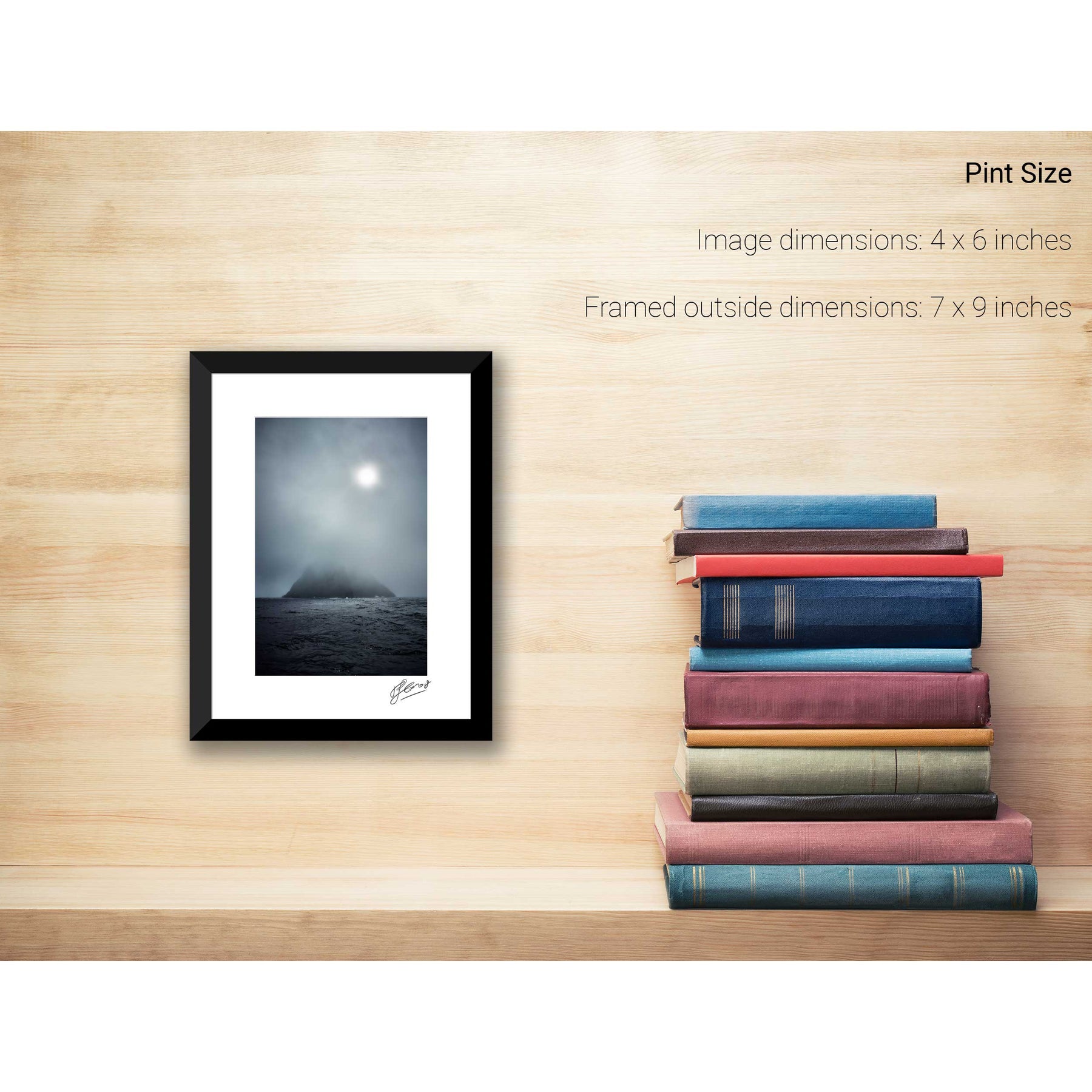
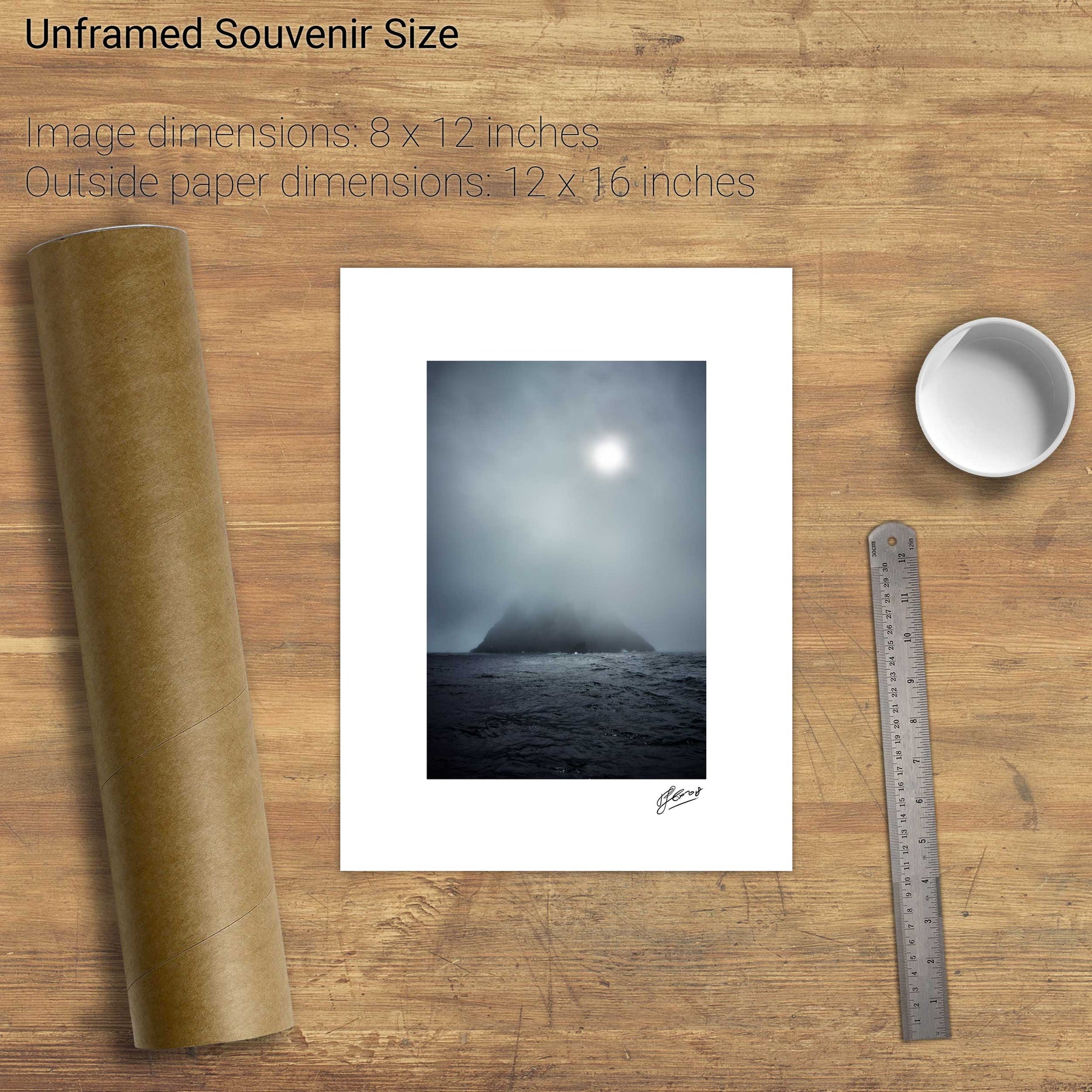
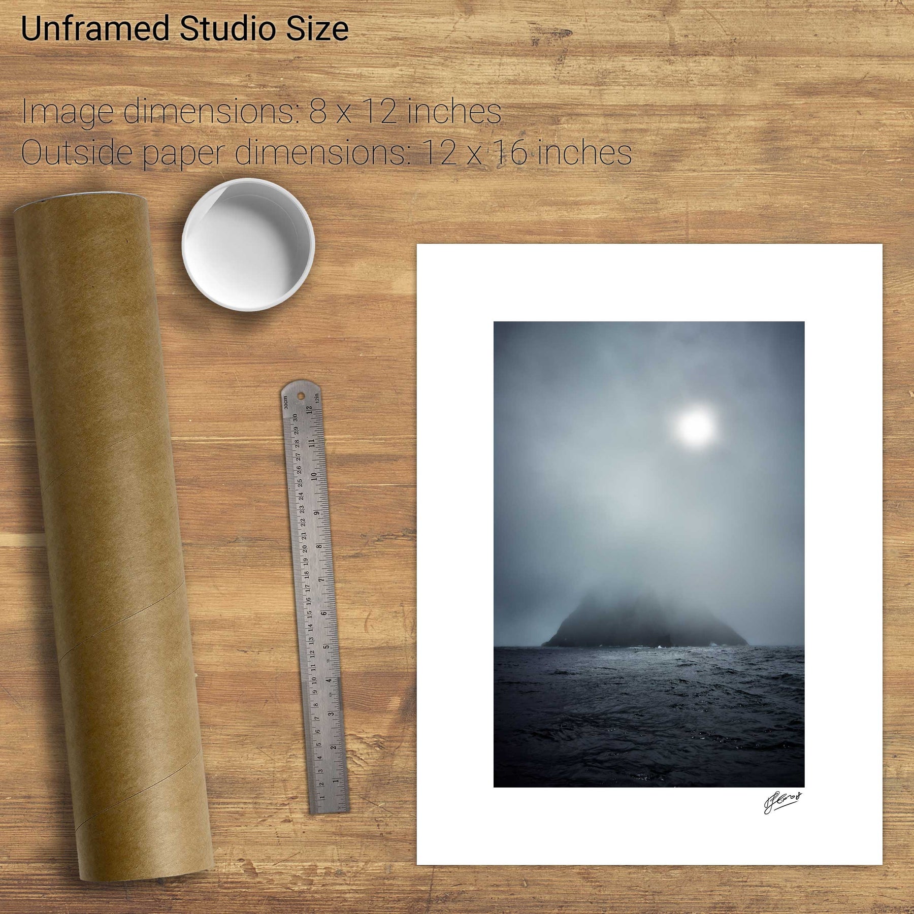
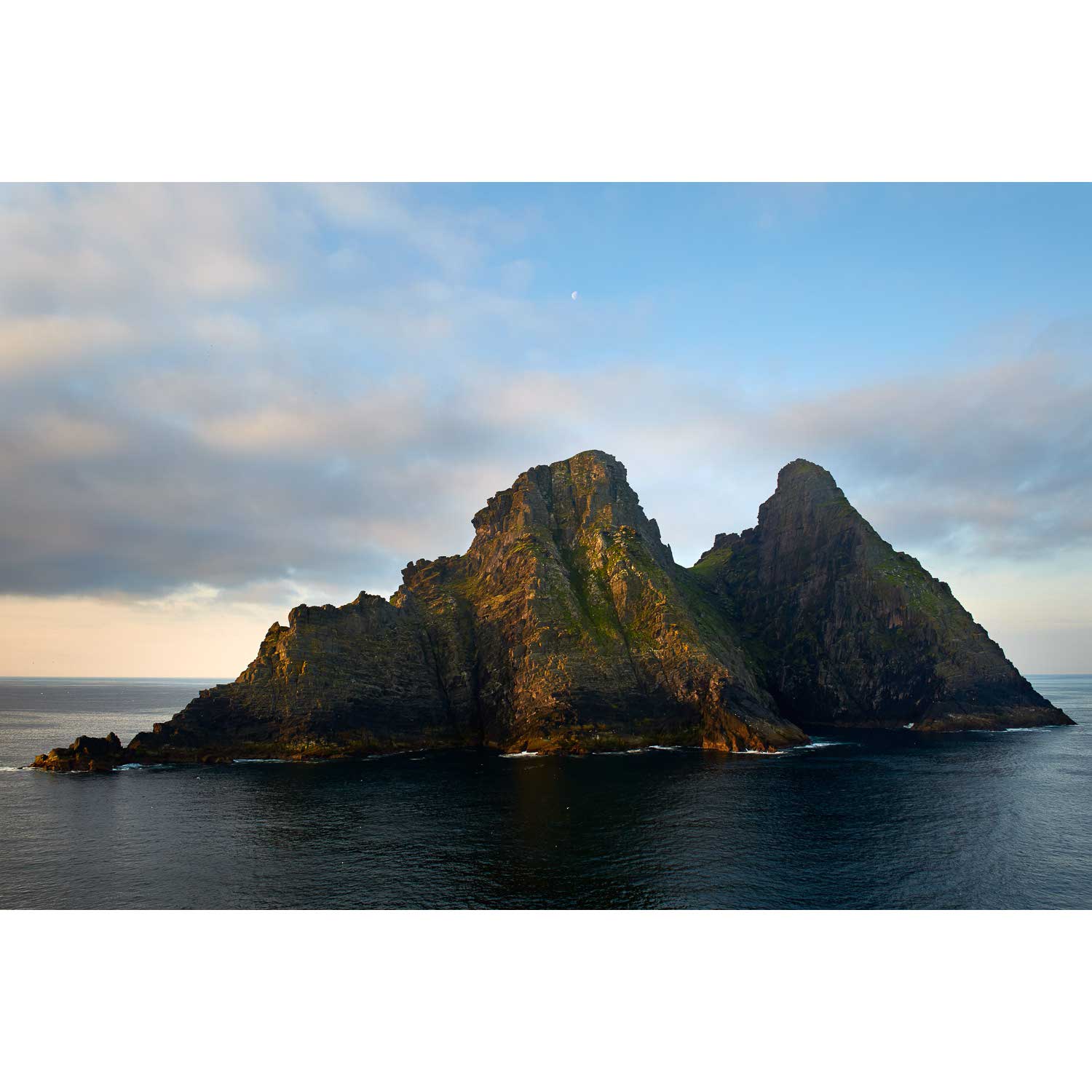
Small Skellig, Kerry
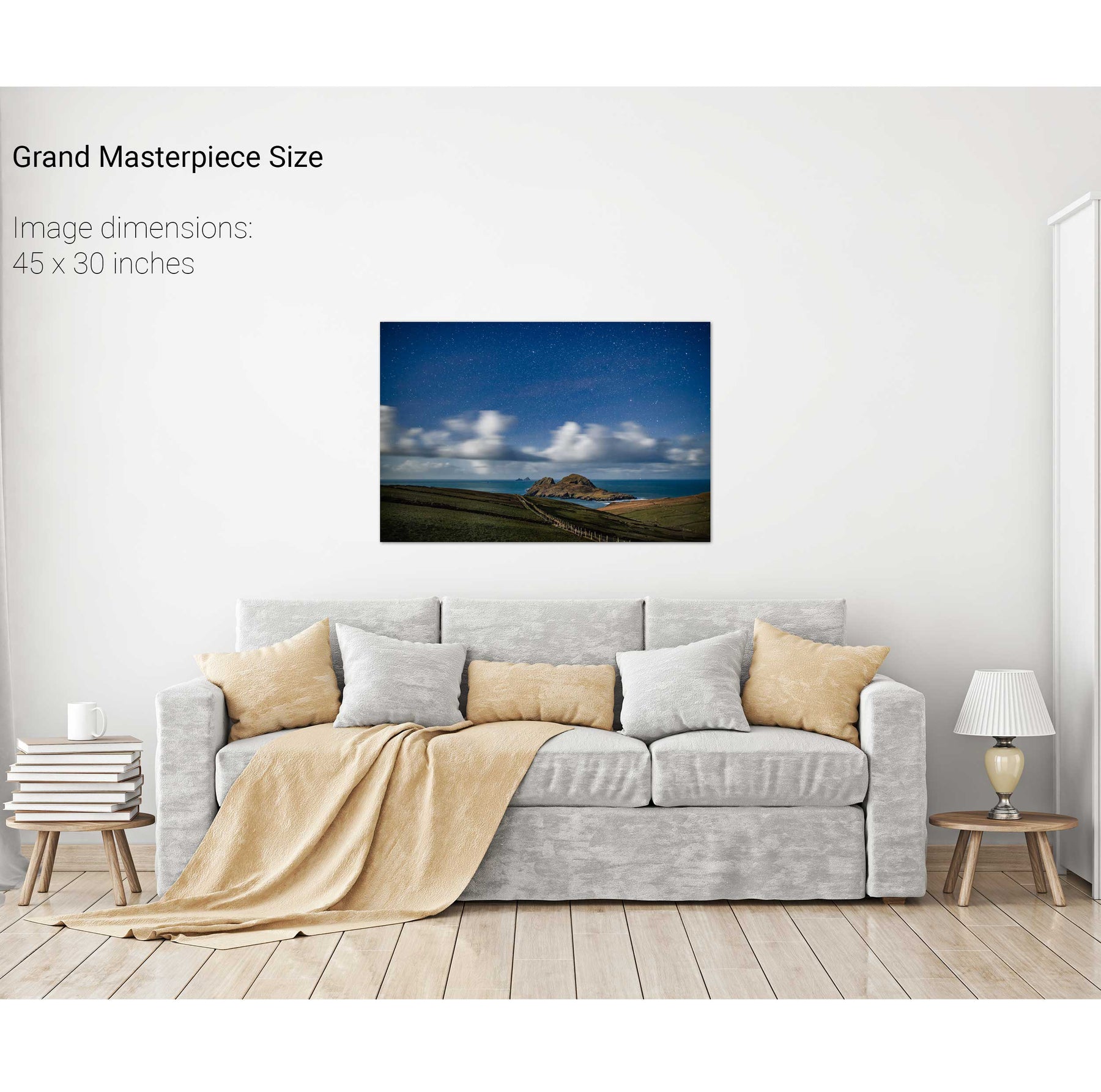
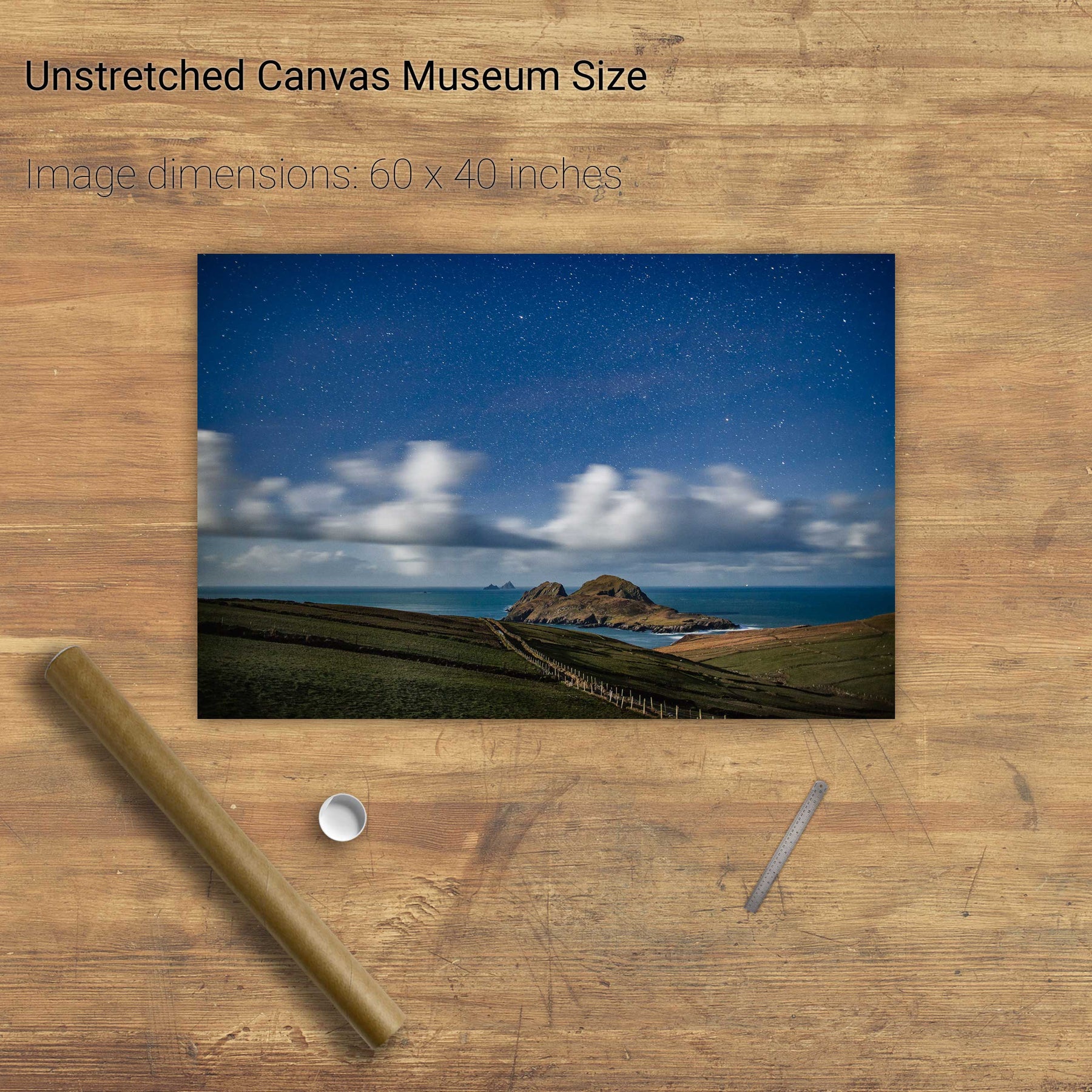
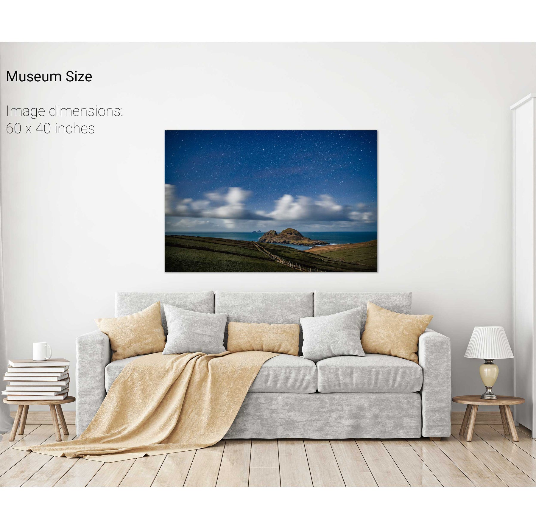
Nocturne, Puffin Island, Co. Kerry
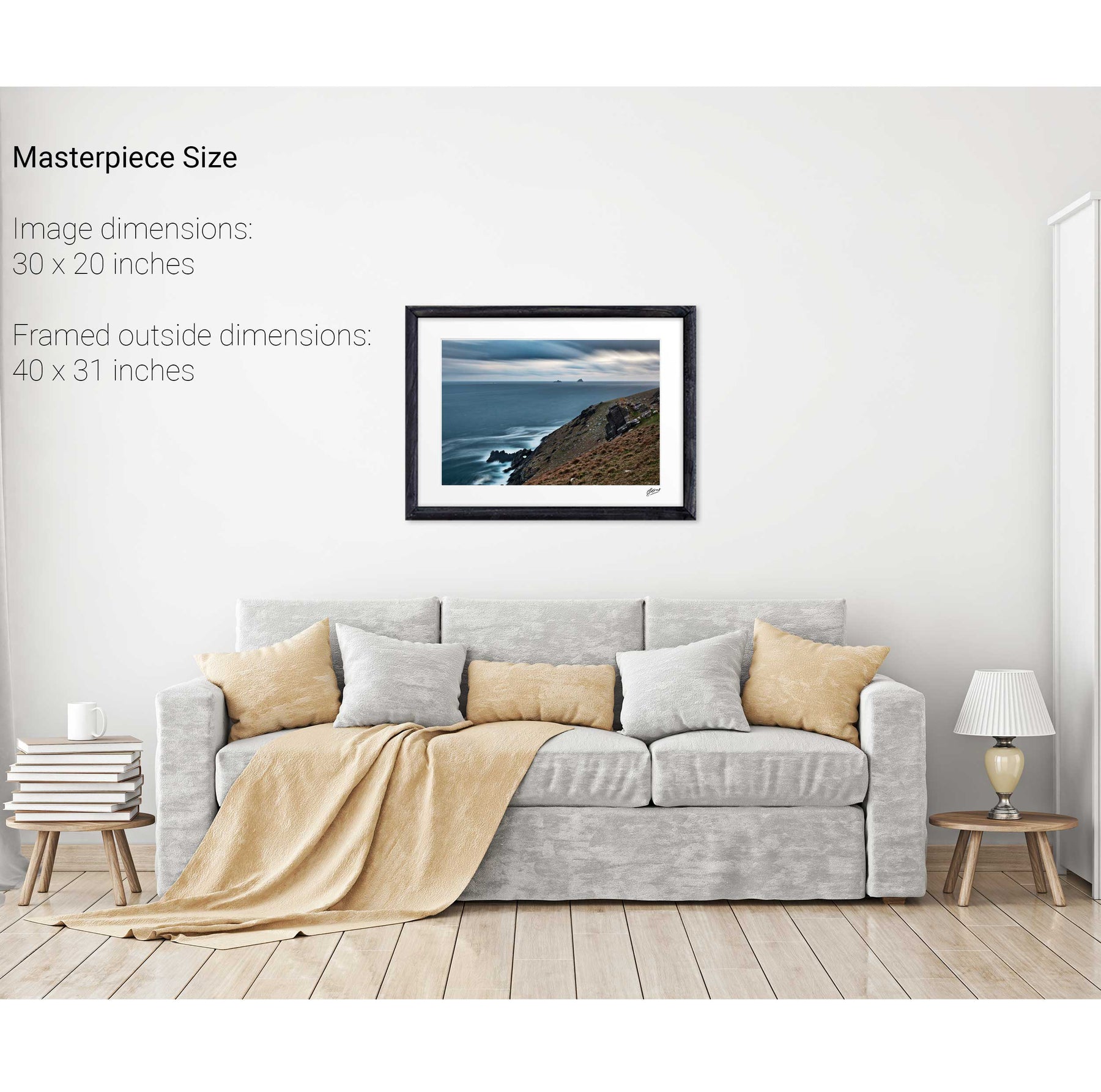
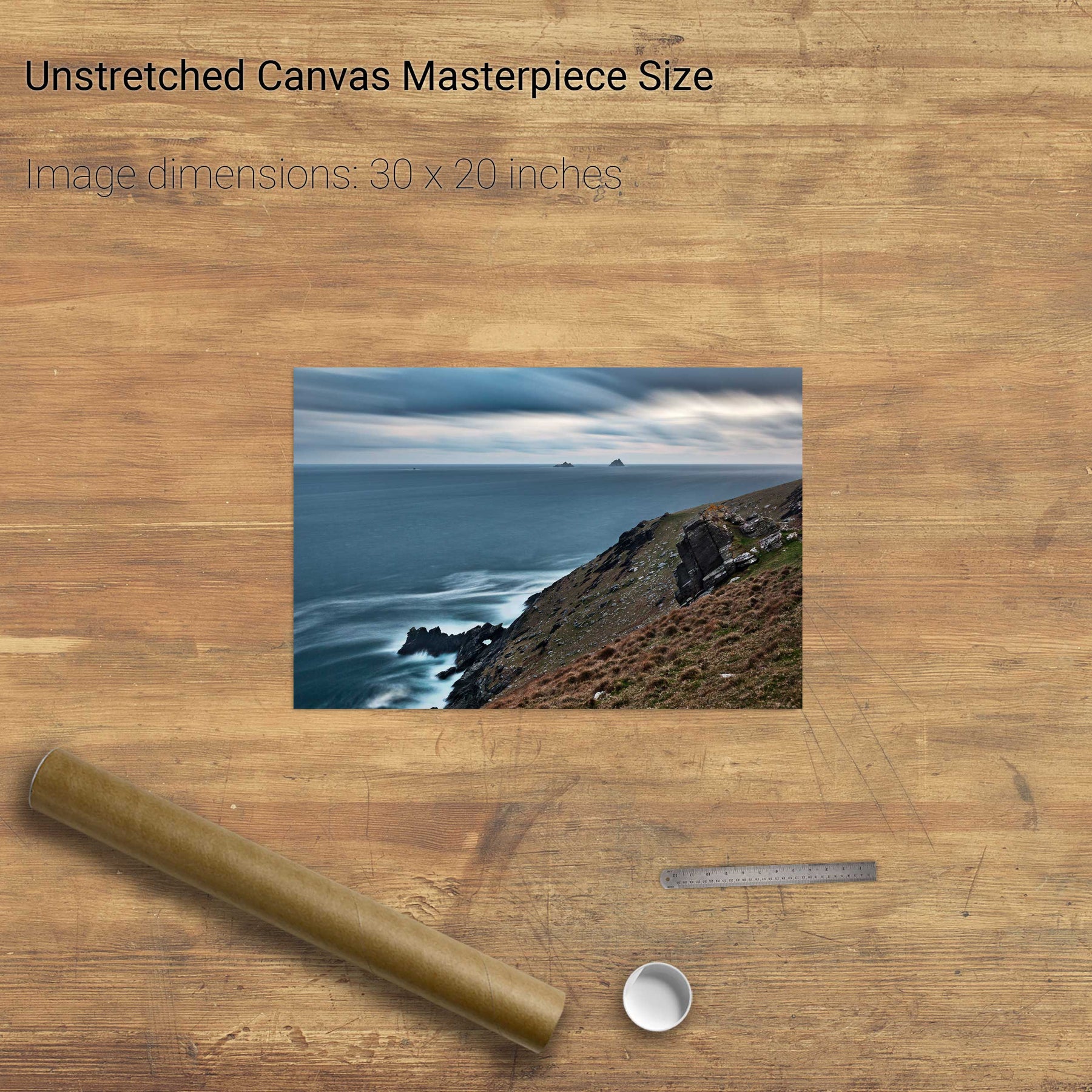
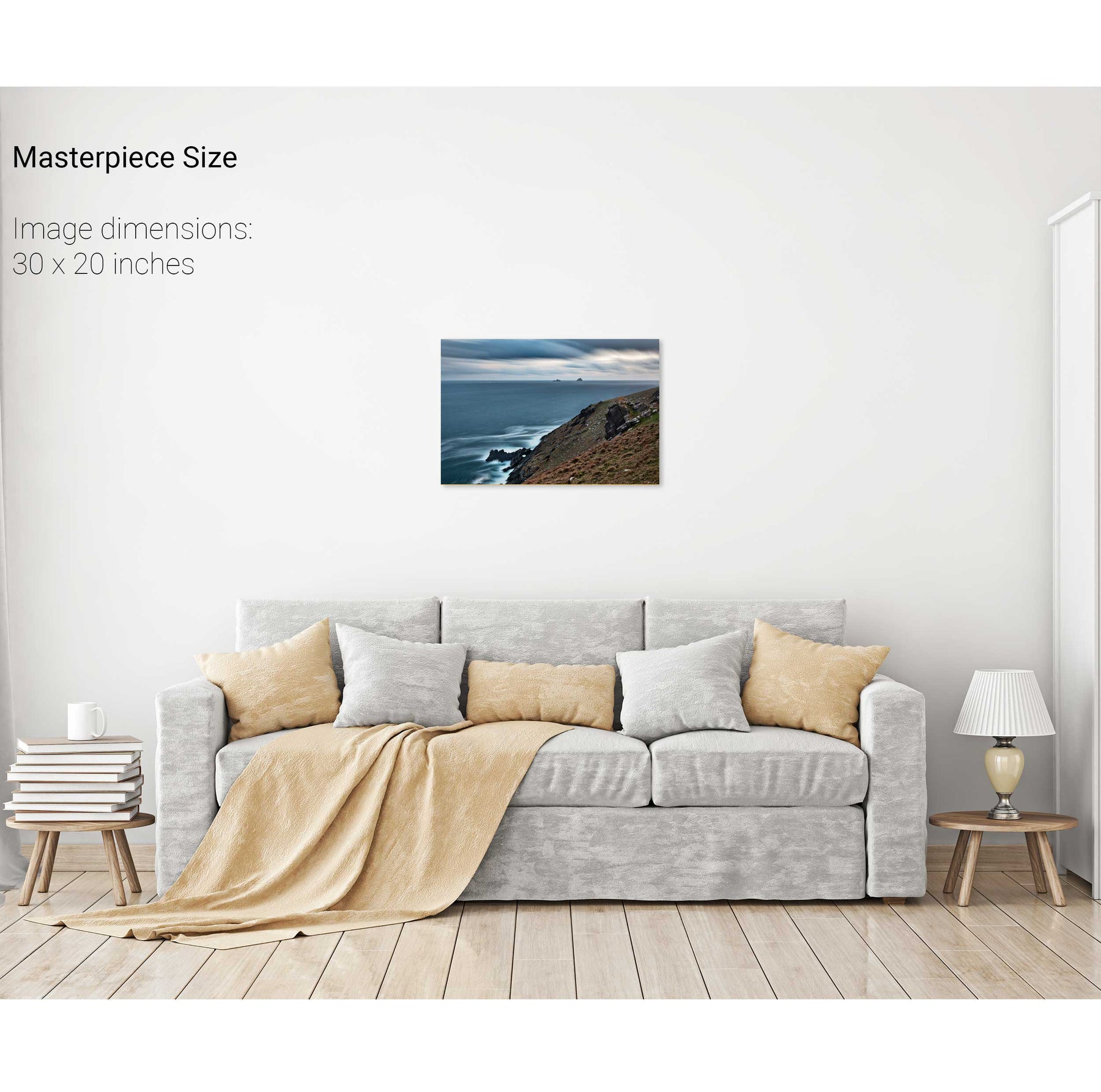
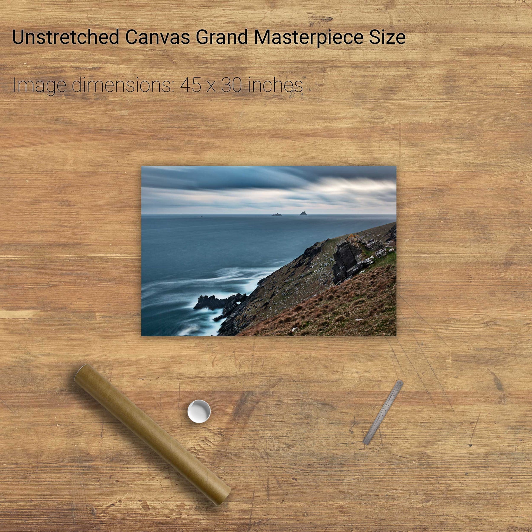
The Skelligs from Valentia Island, Co. Kerry
Inis Tiaracht, Blasket Islands, Co. Kerry
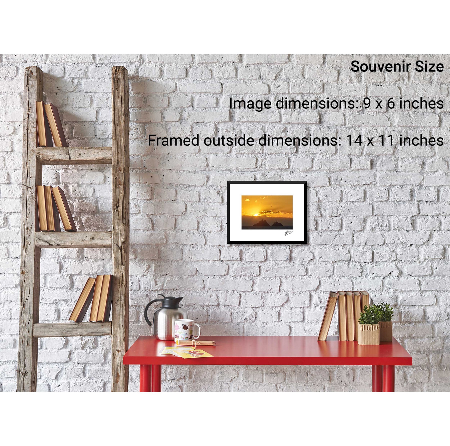
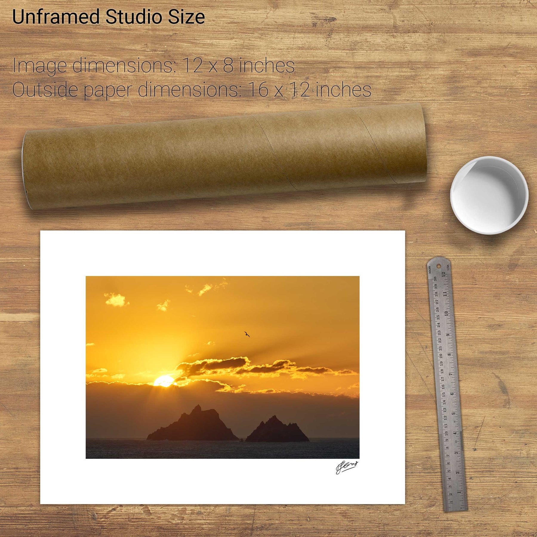
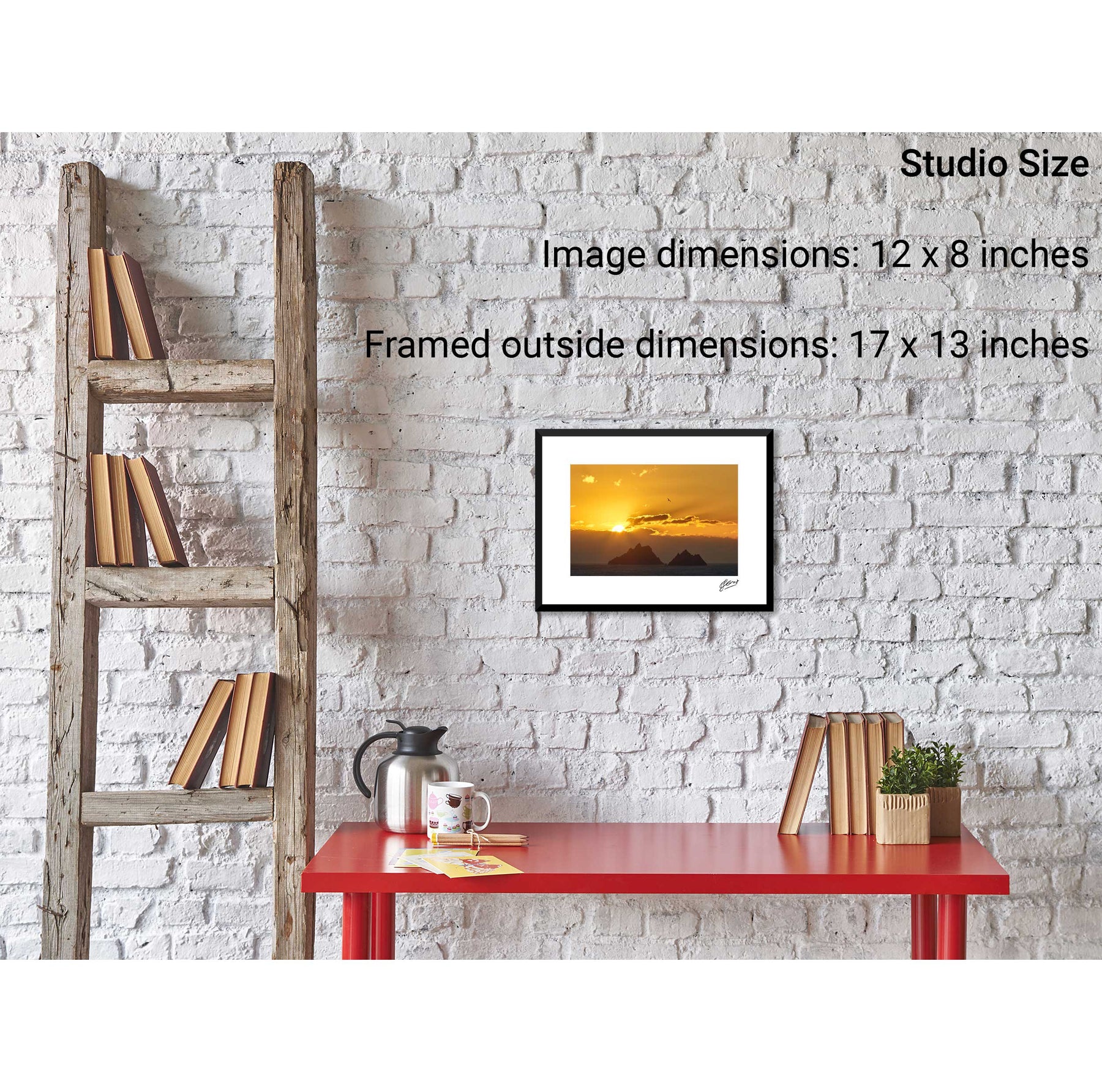
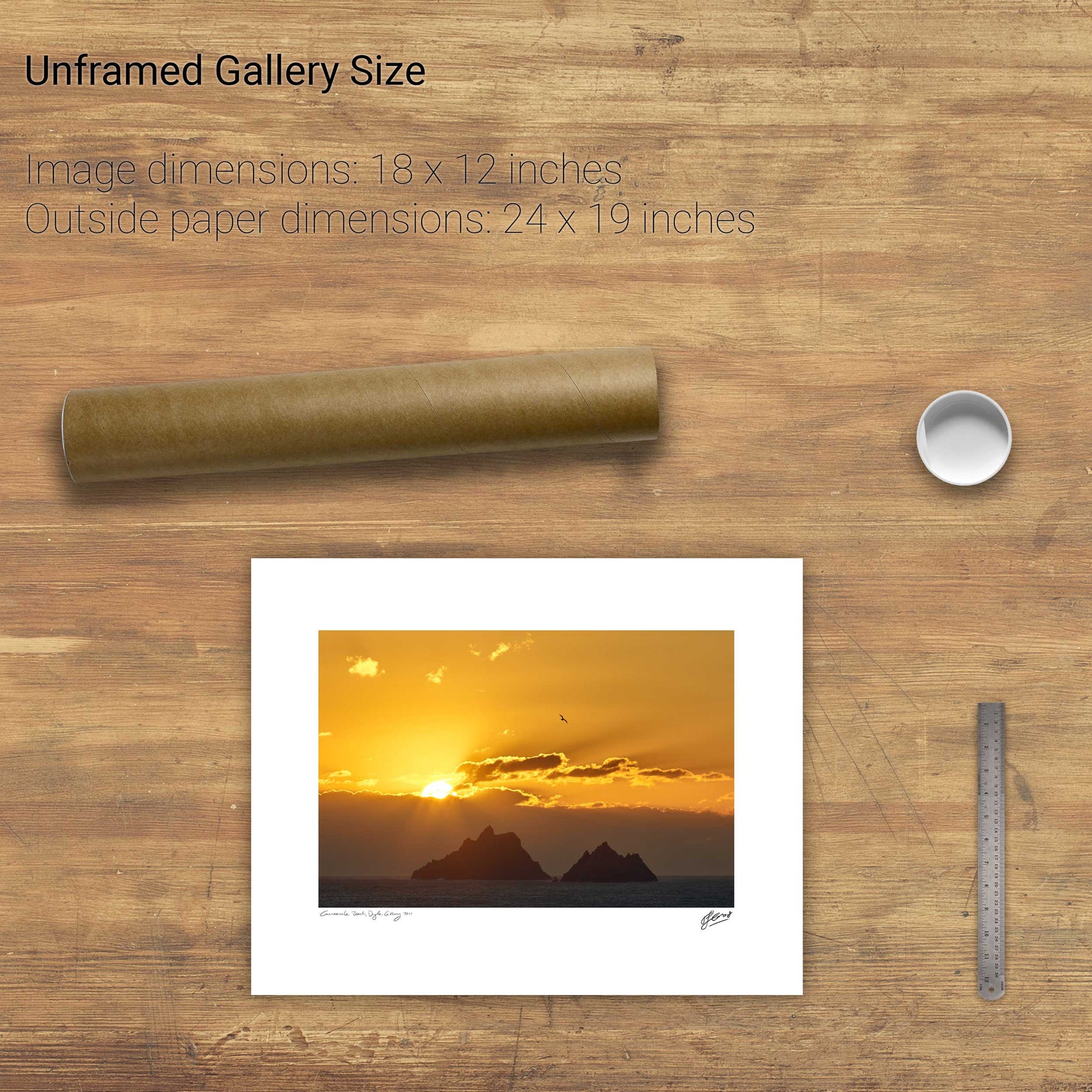
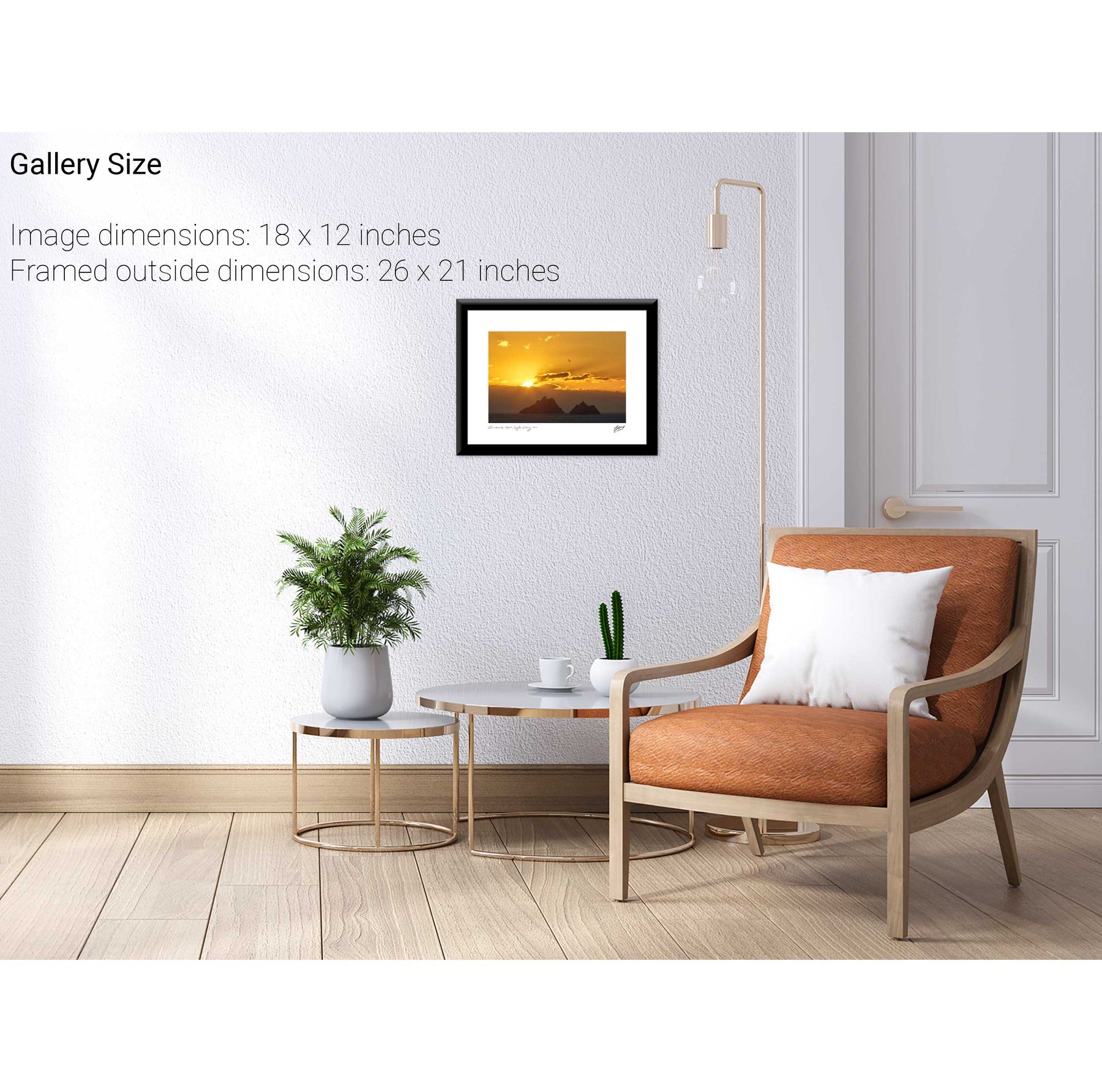
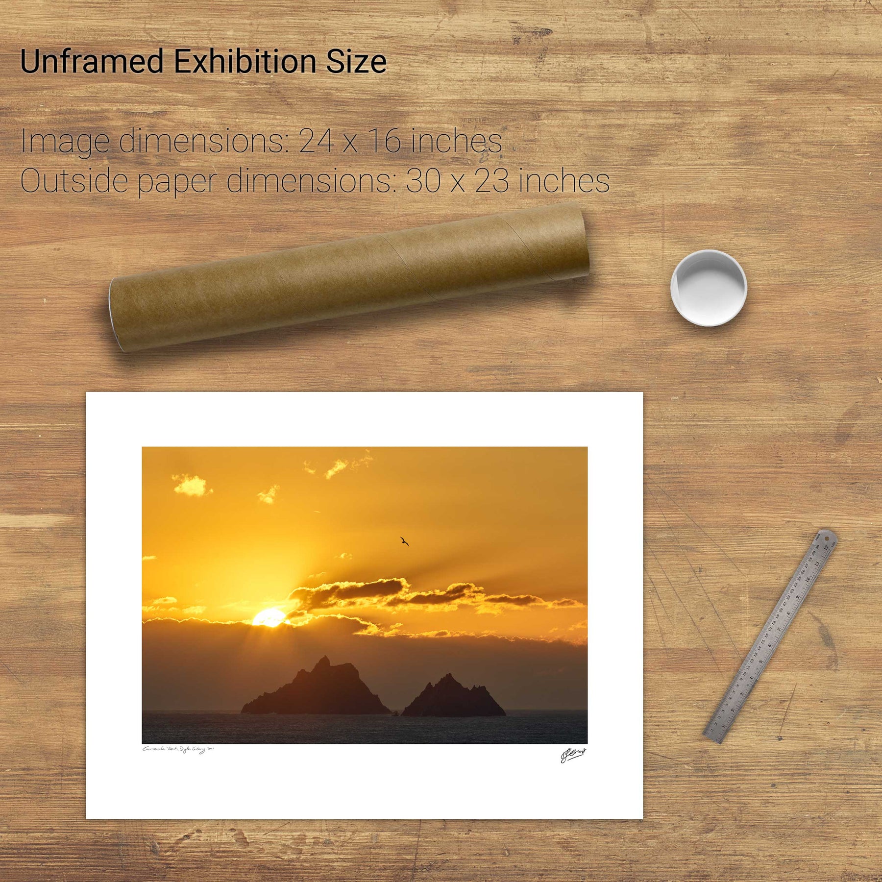
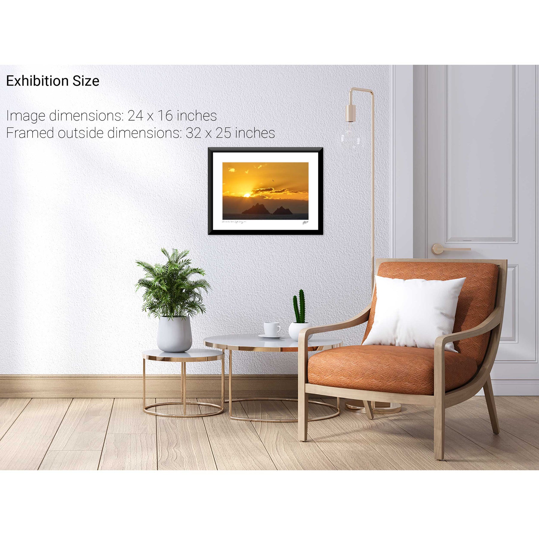
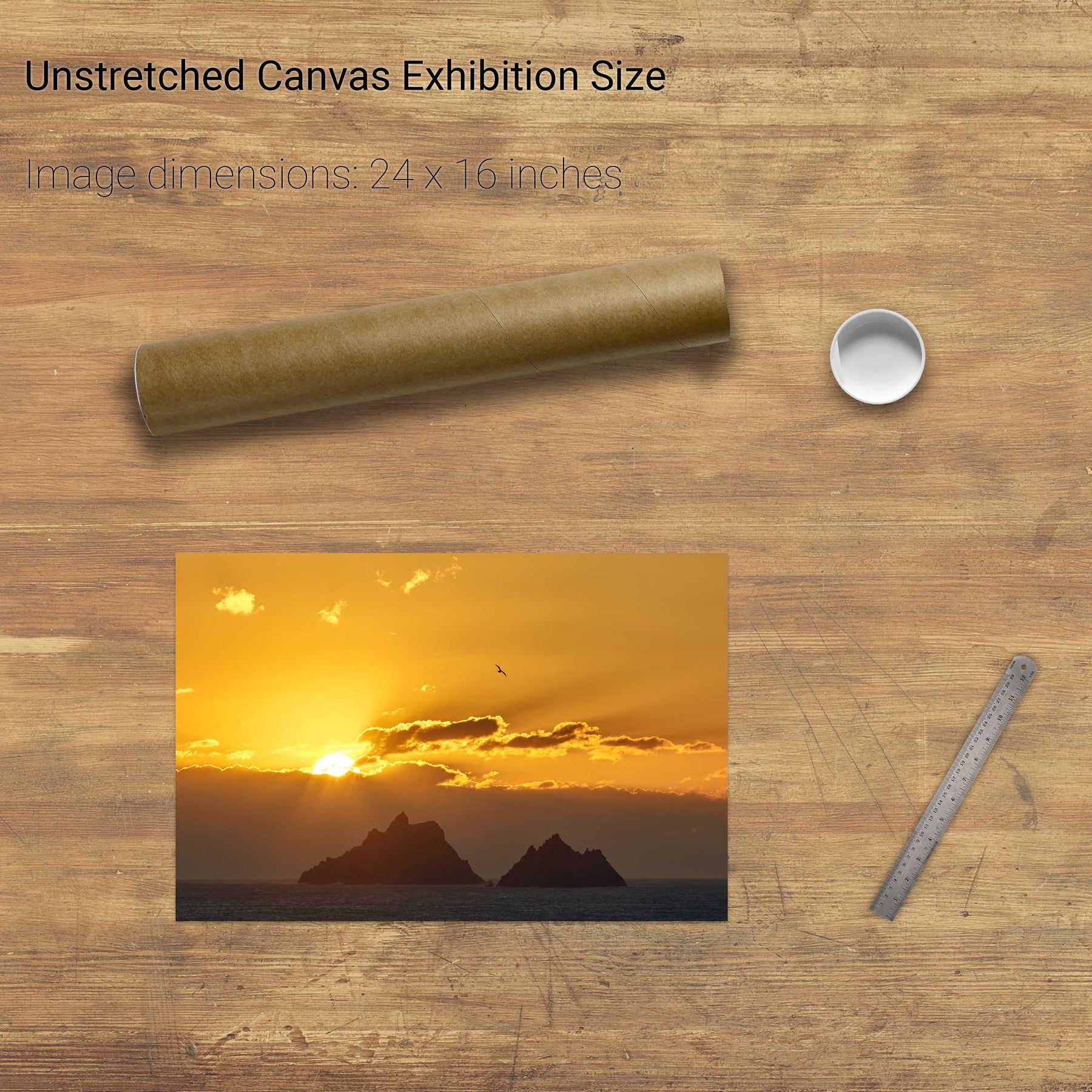
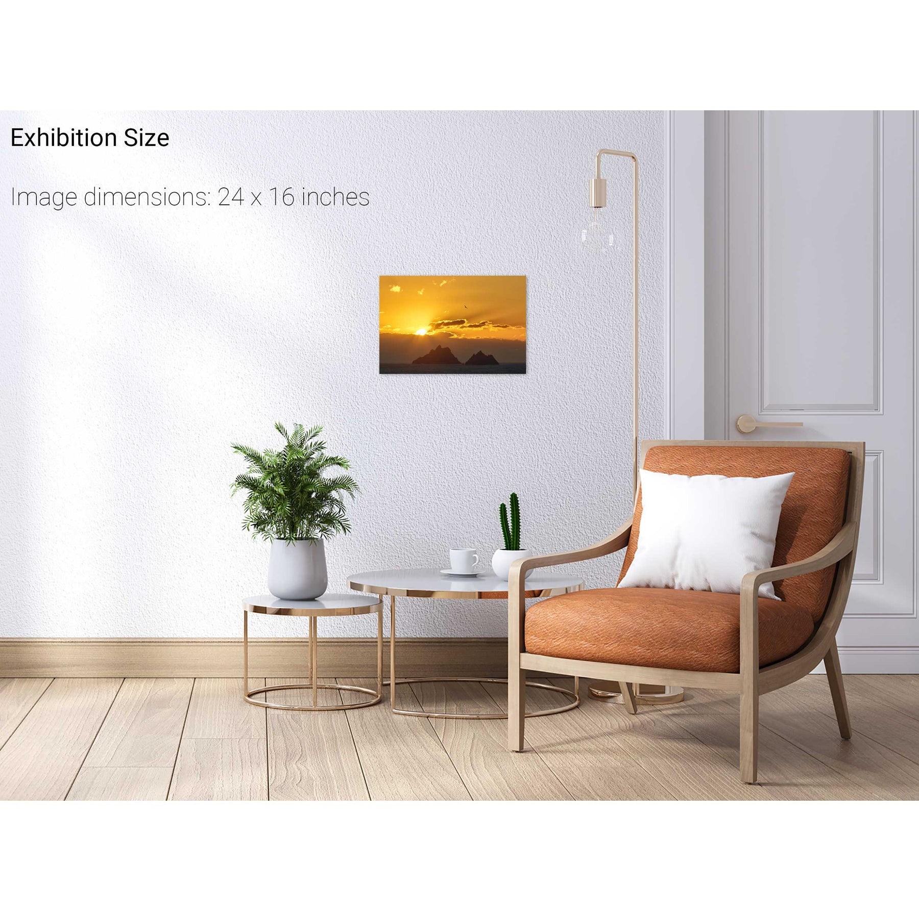
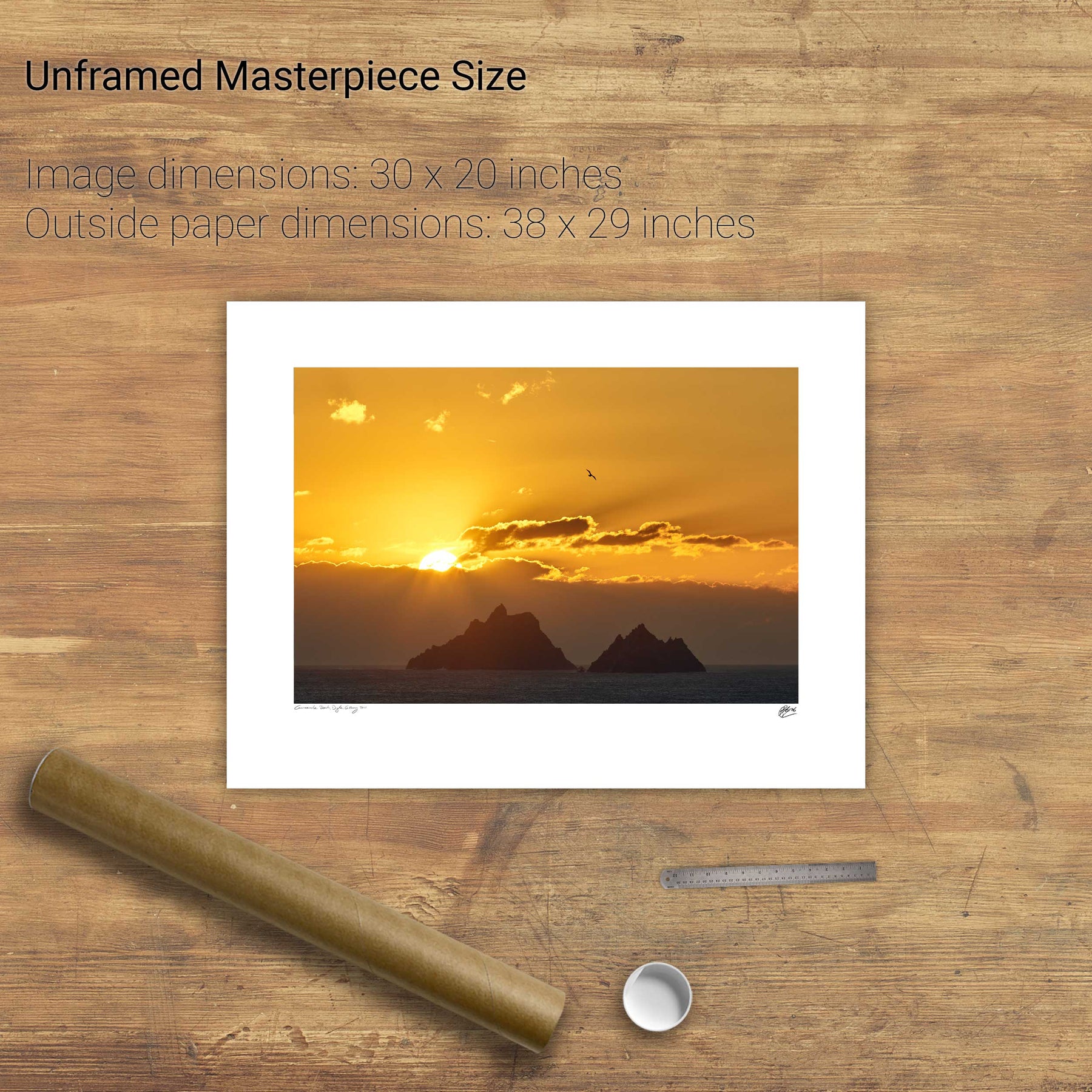
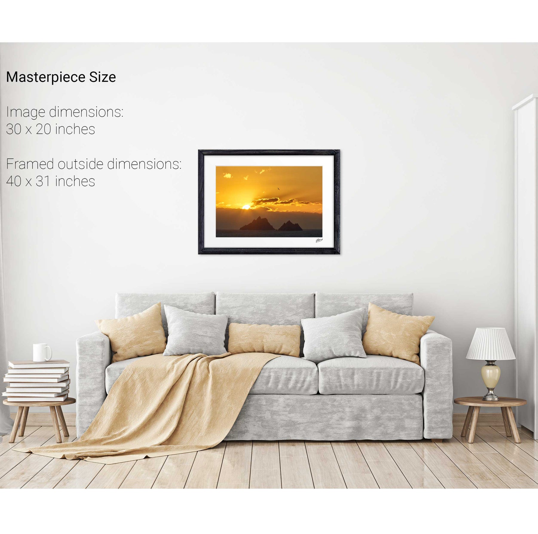
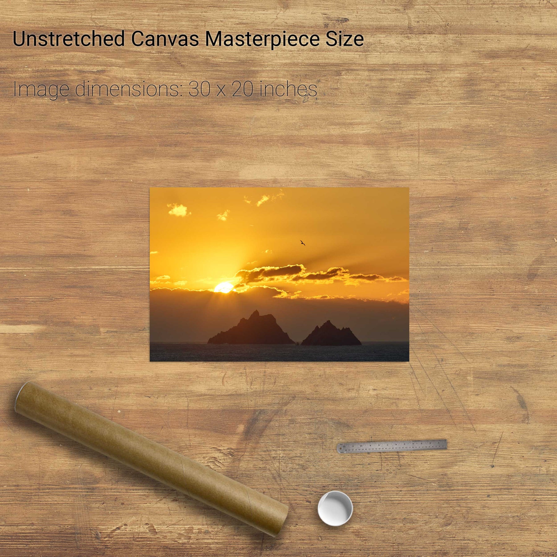
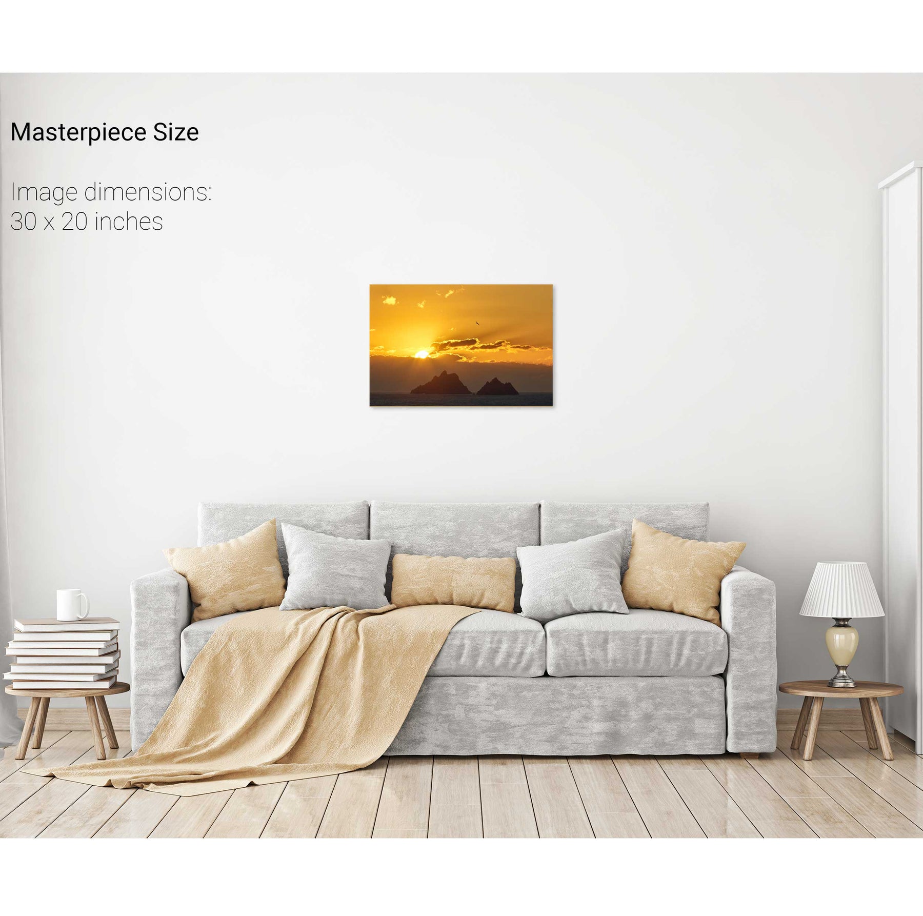
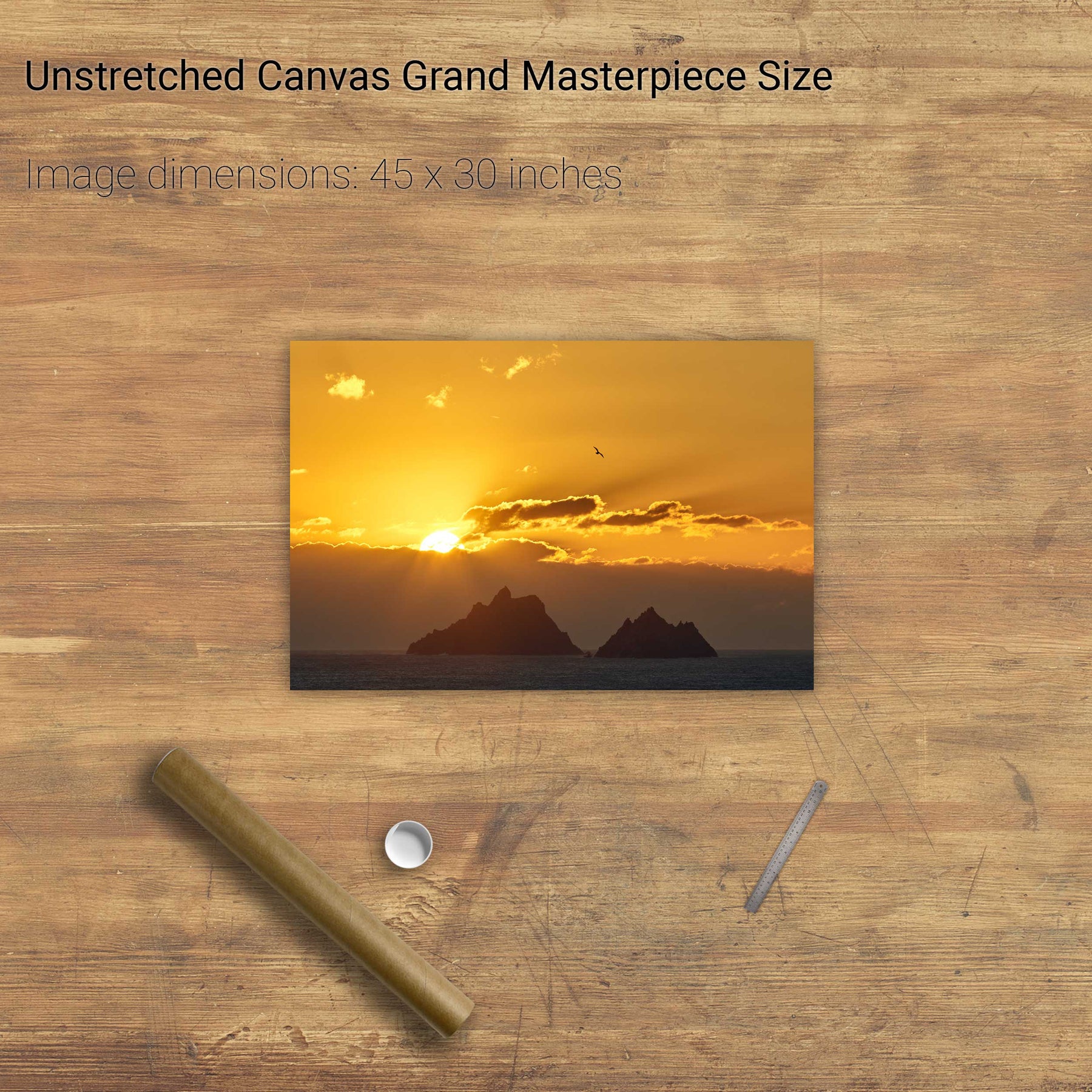
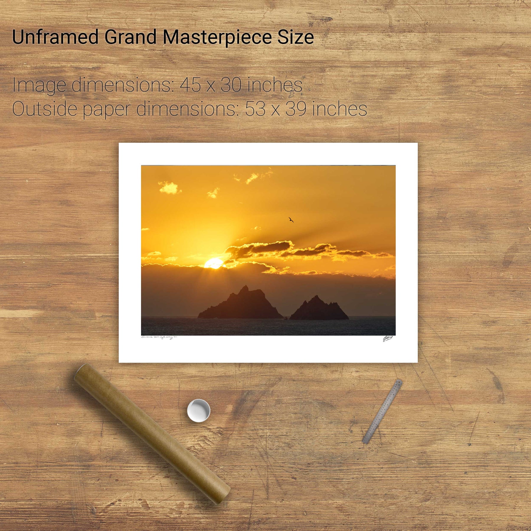
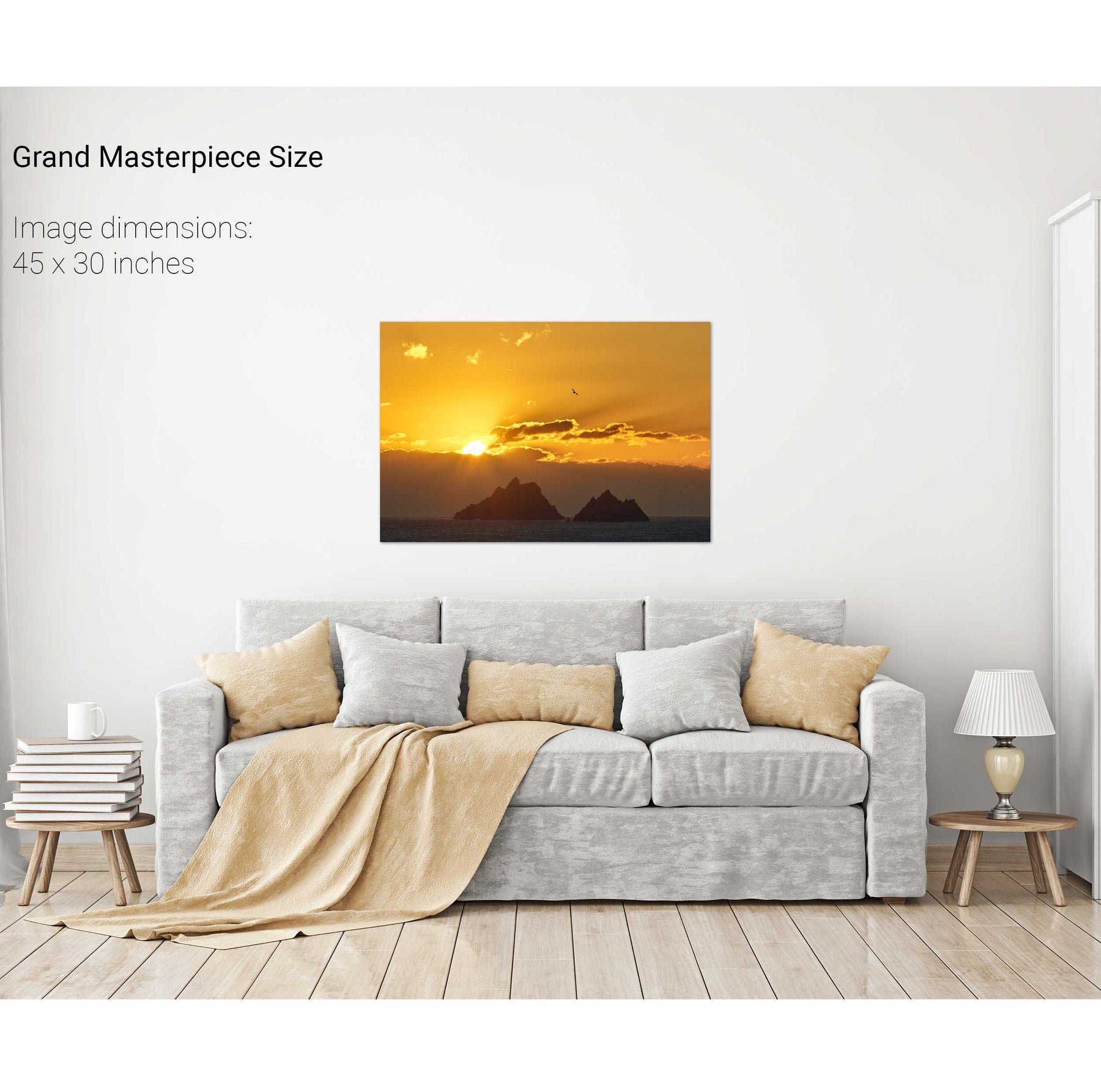
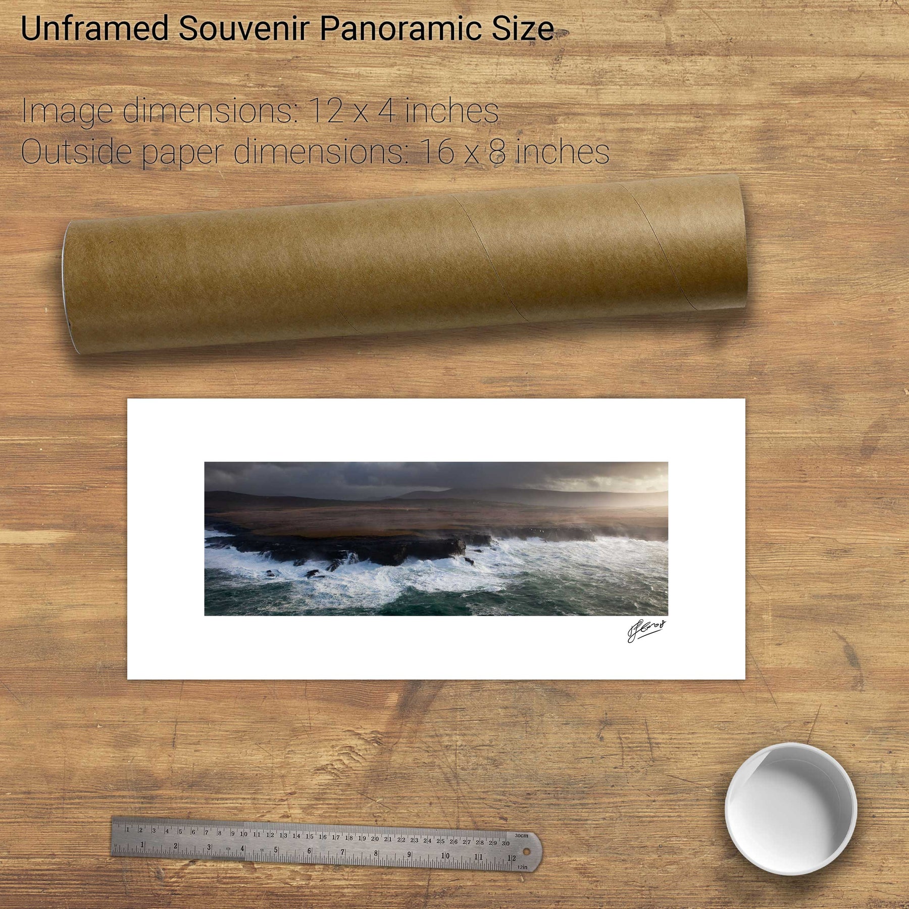
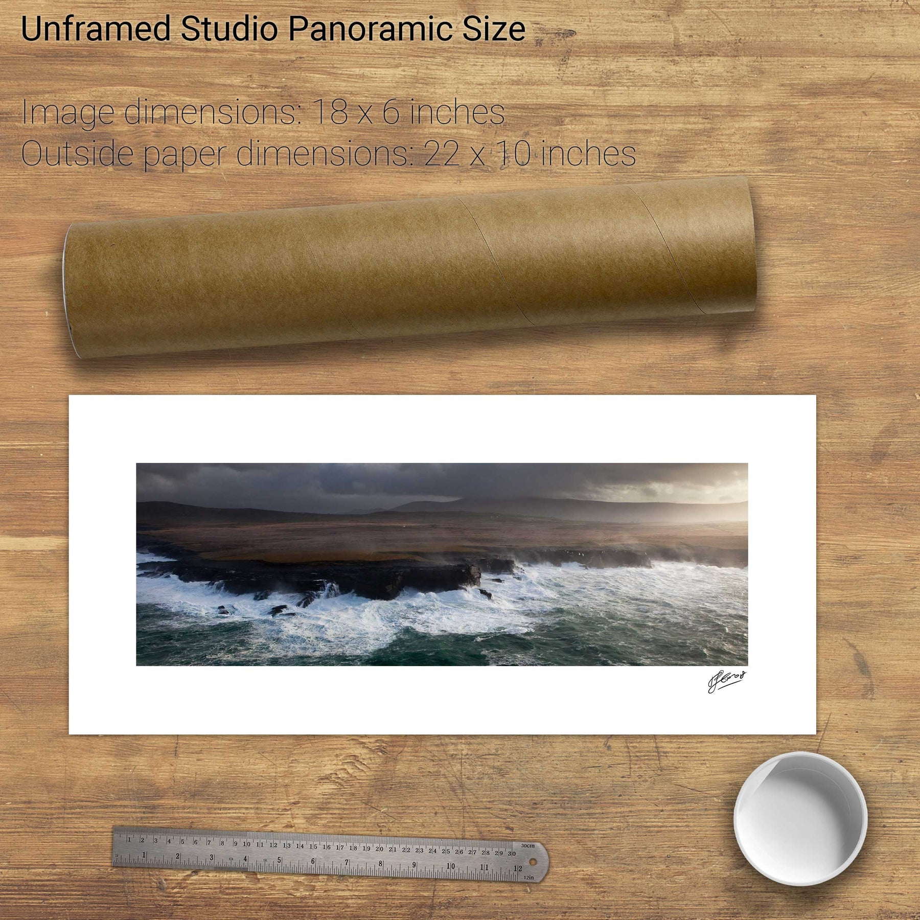
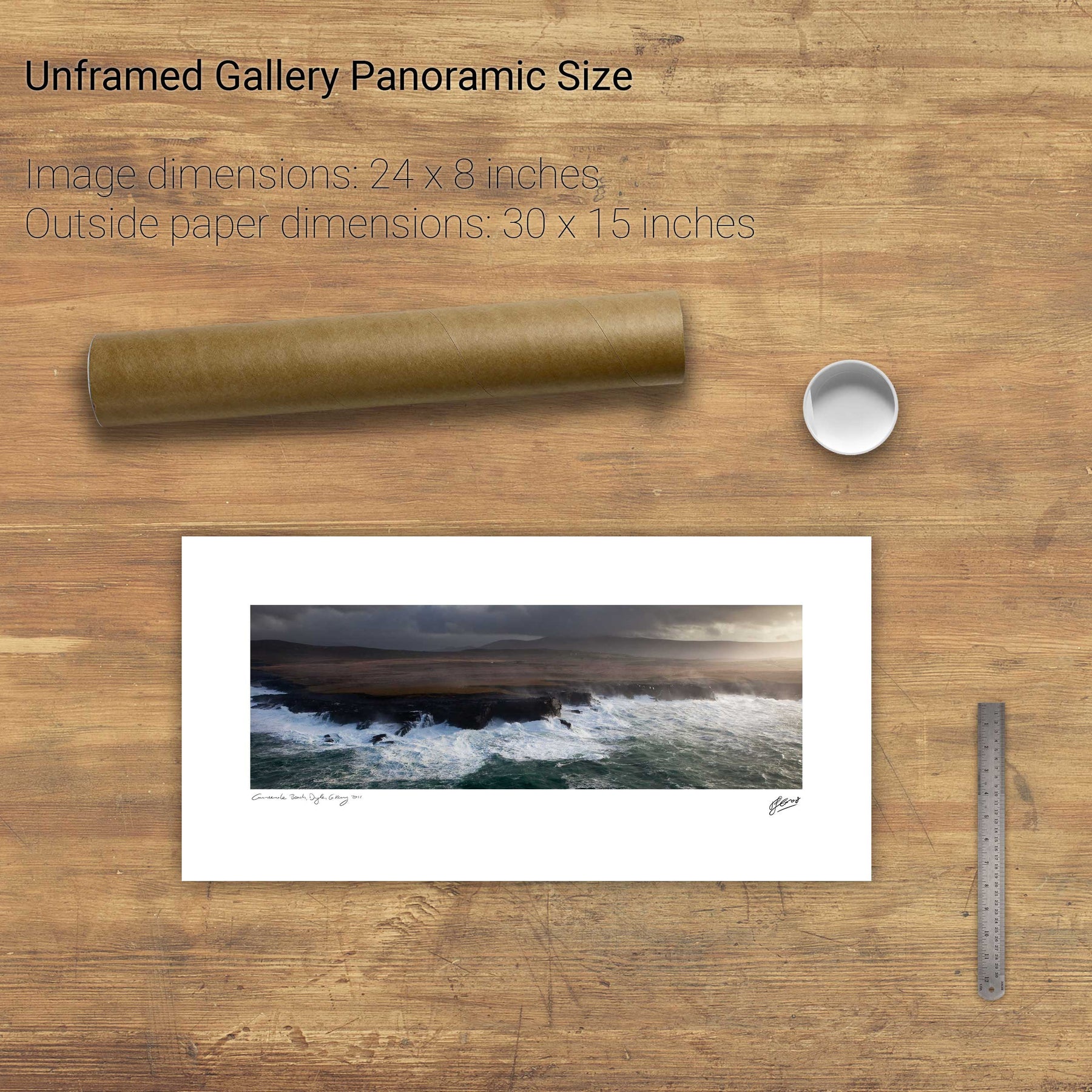
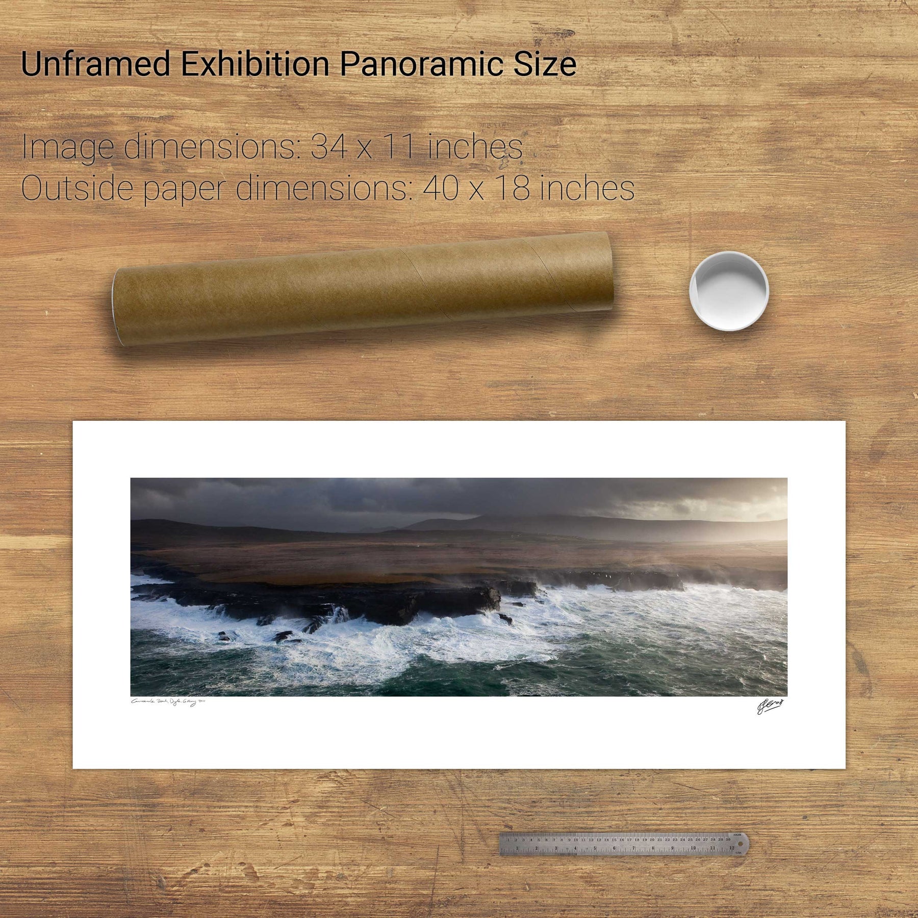
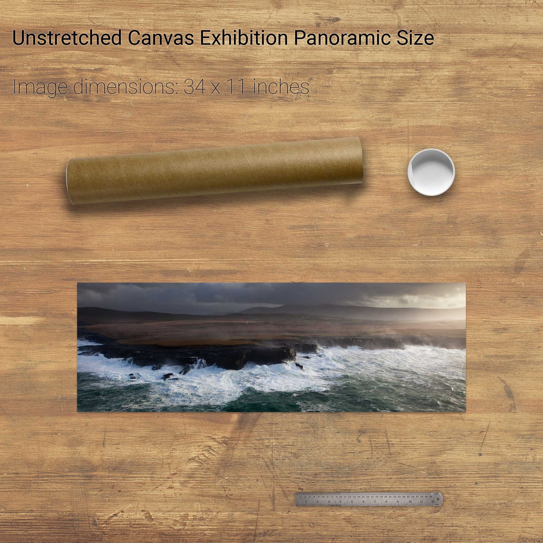
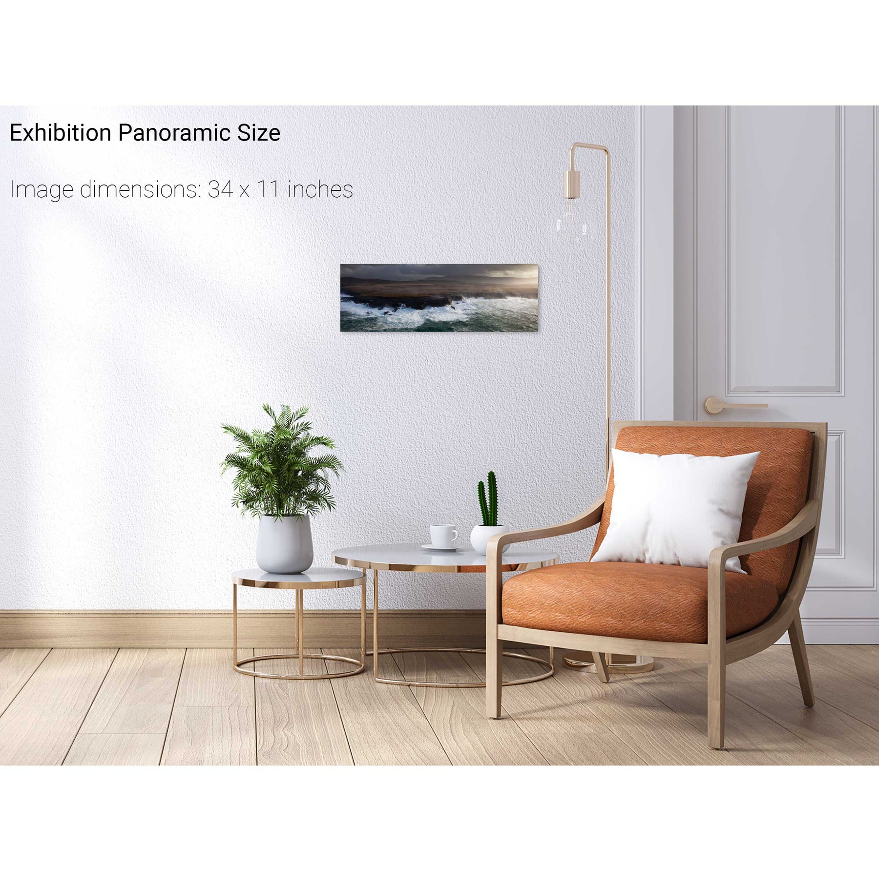
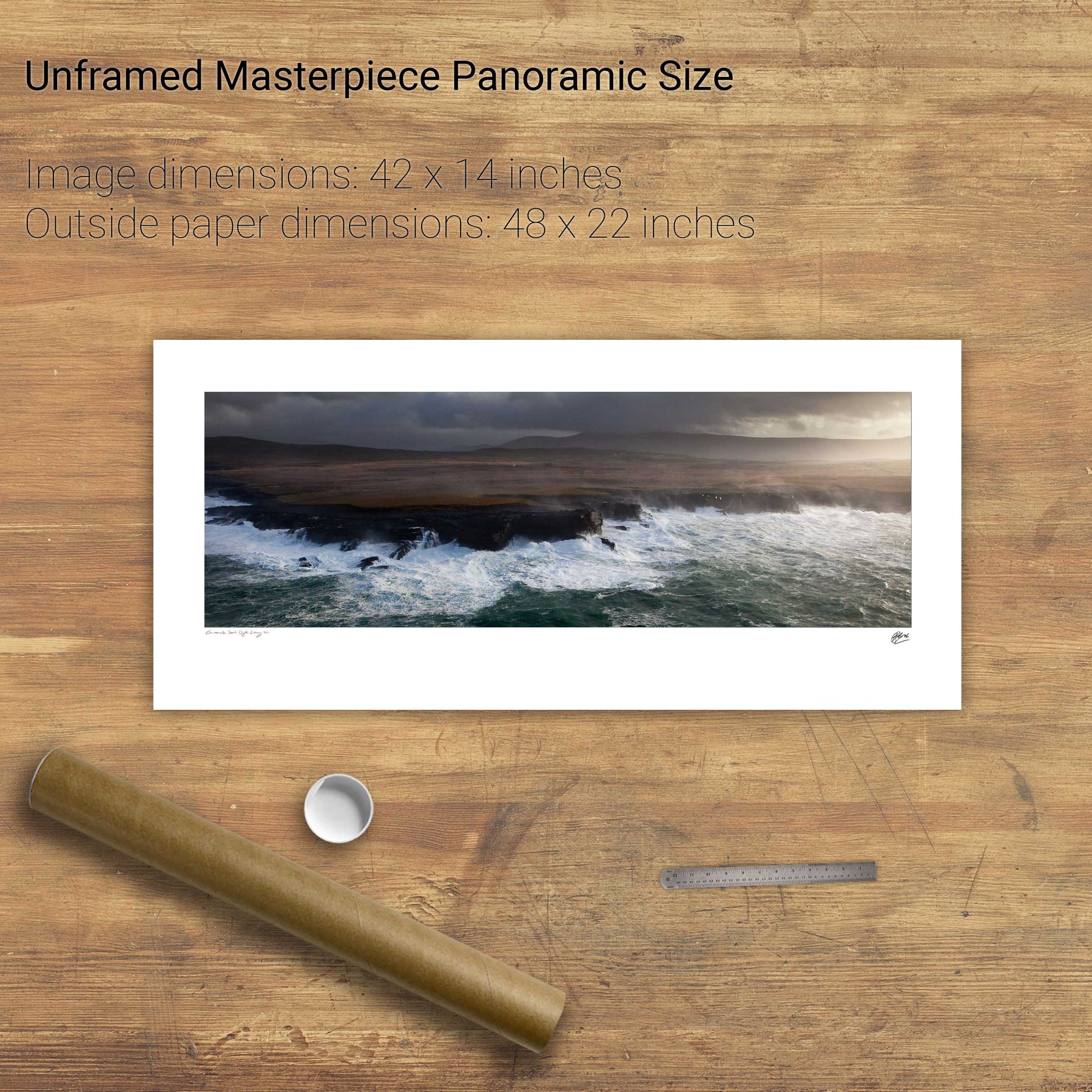
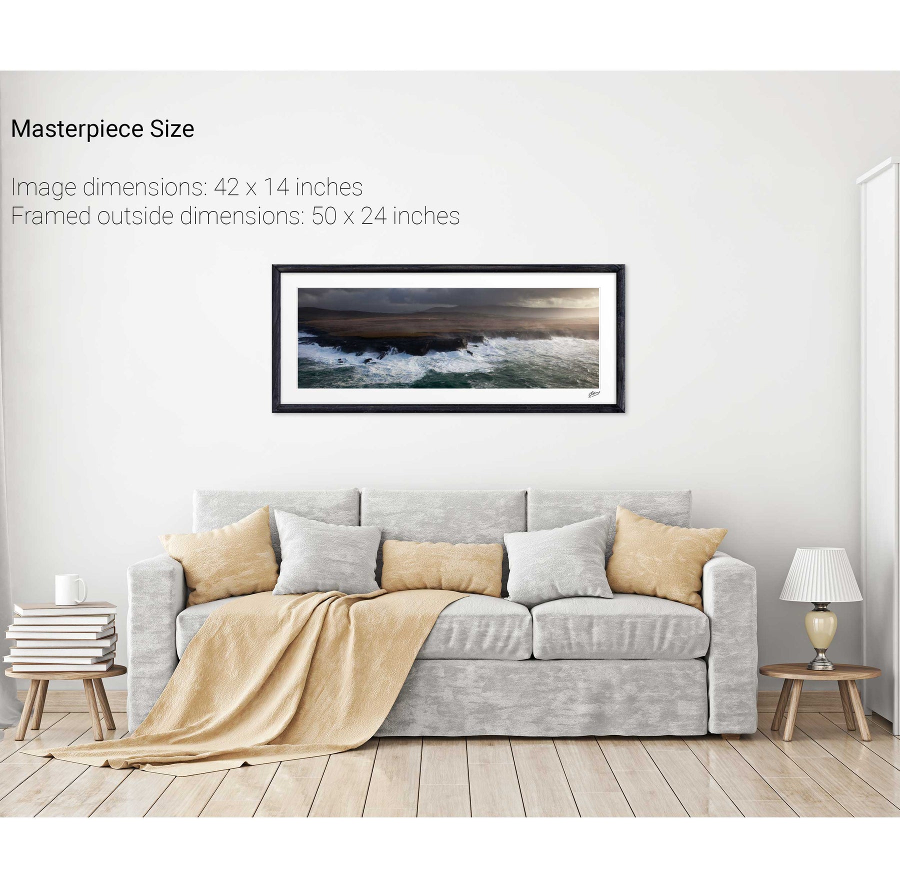
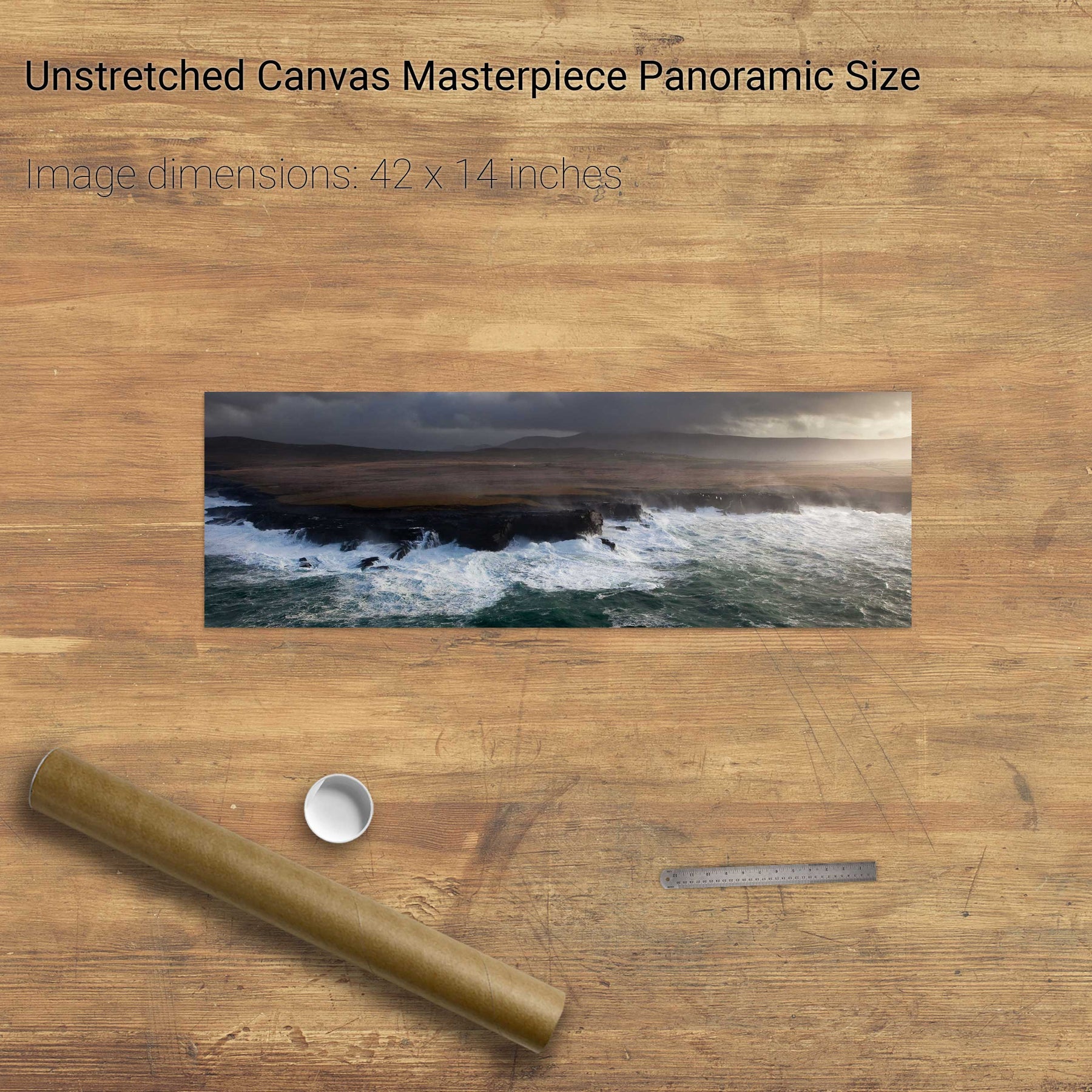
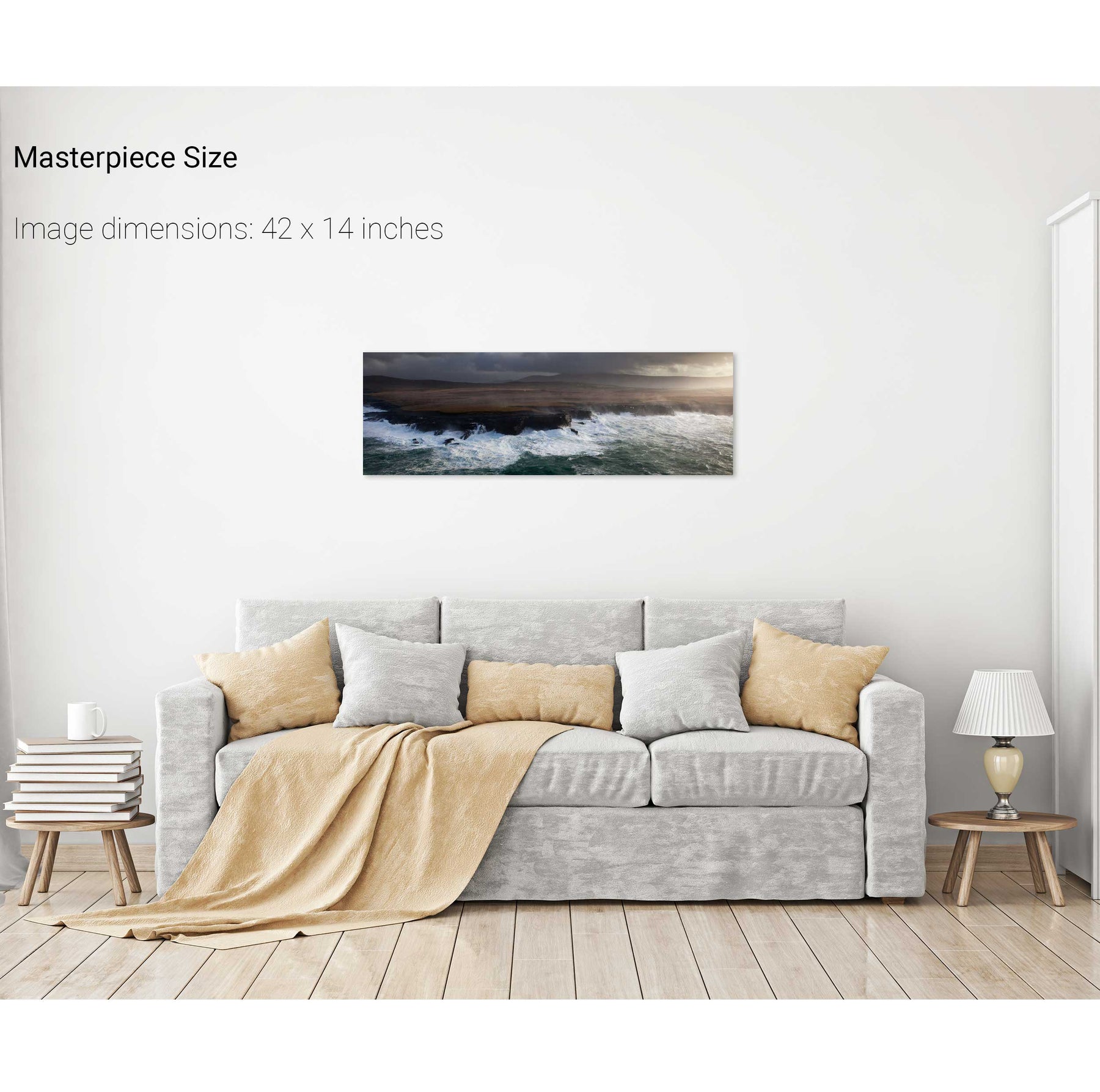
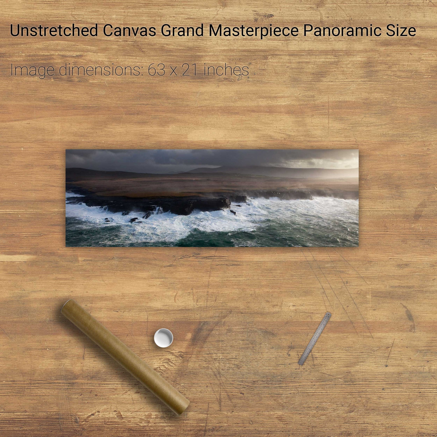
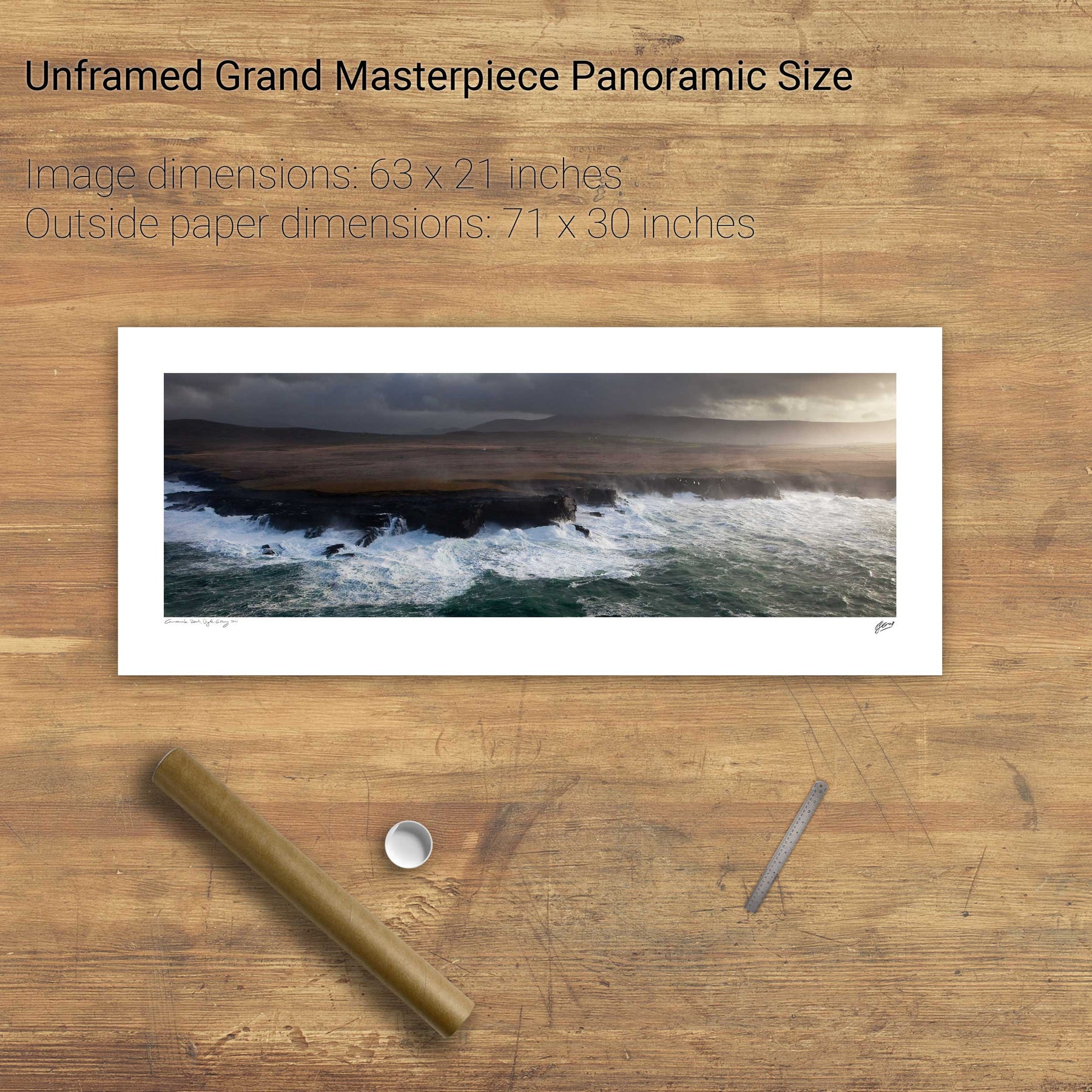
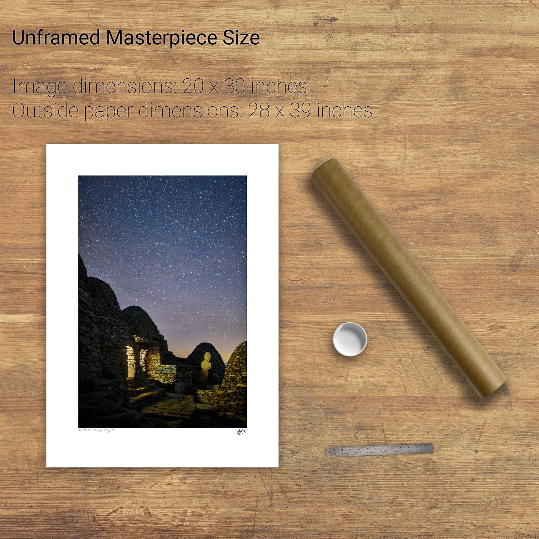
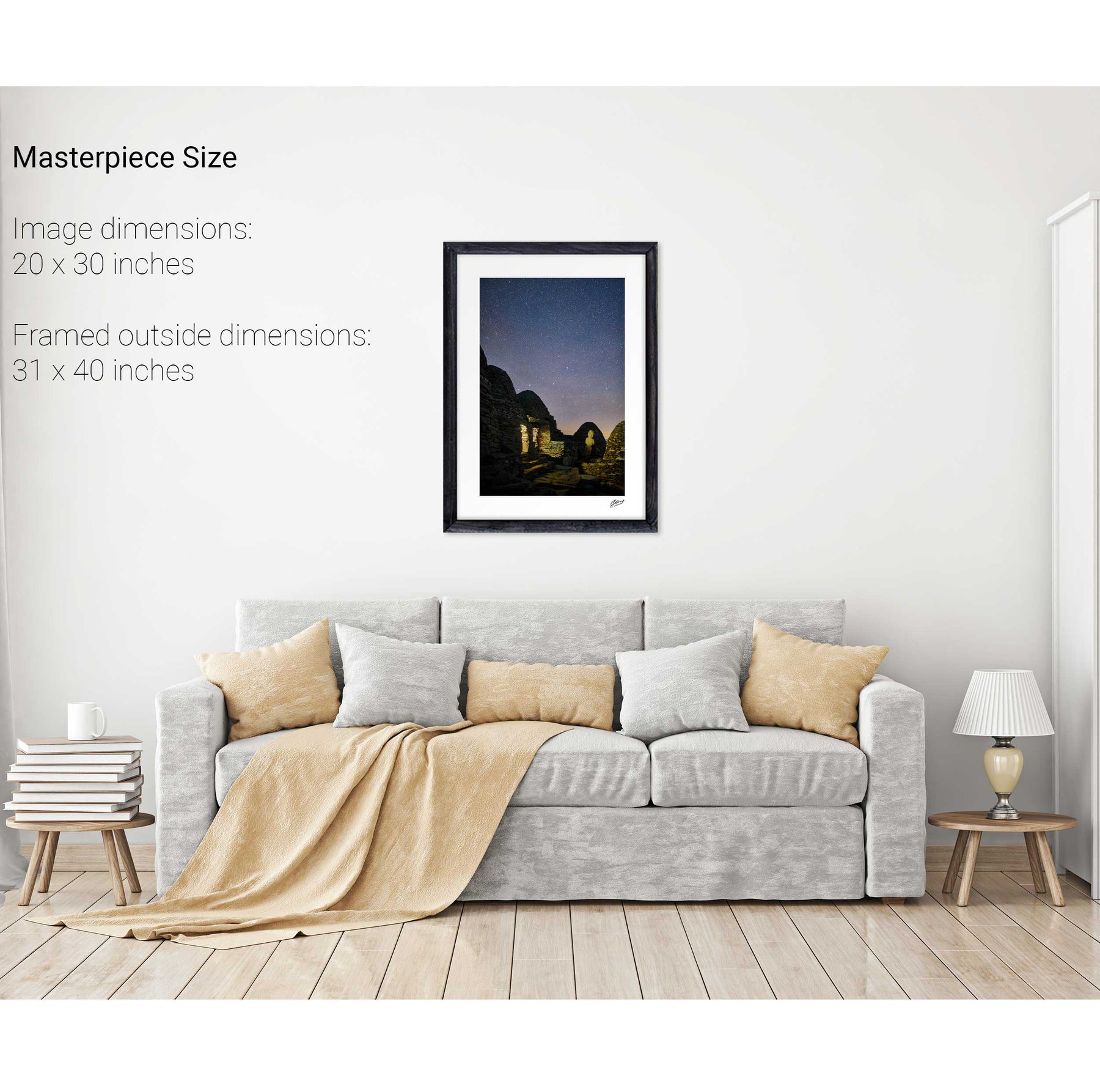
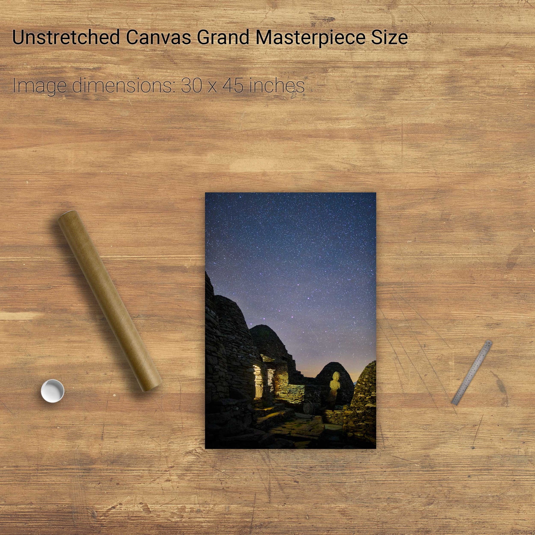
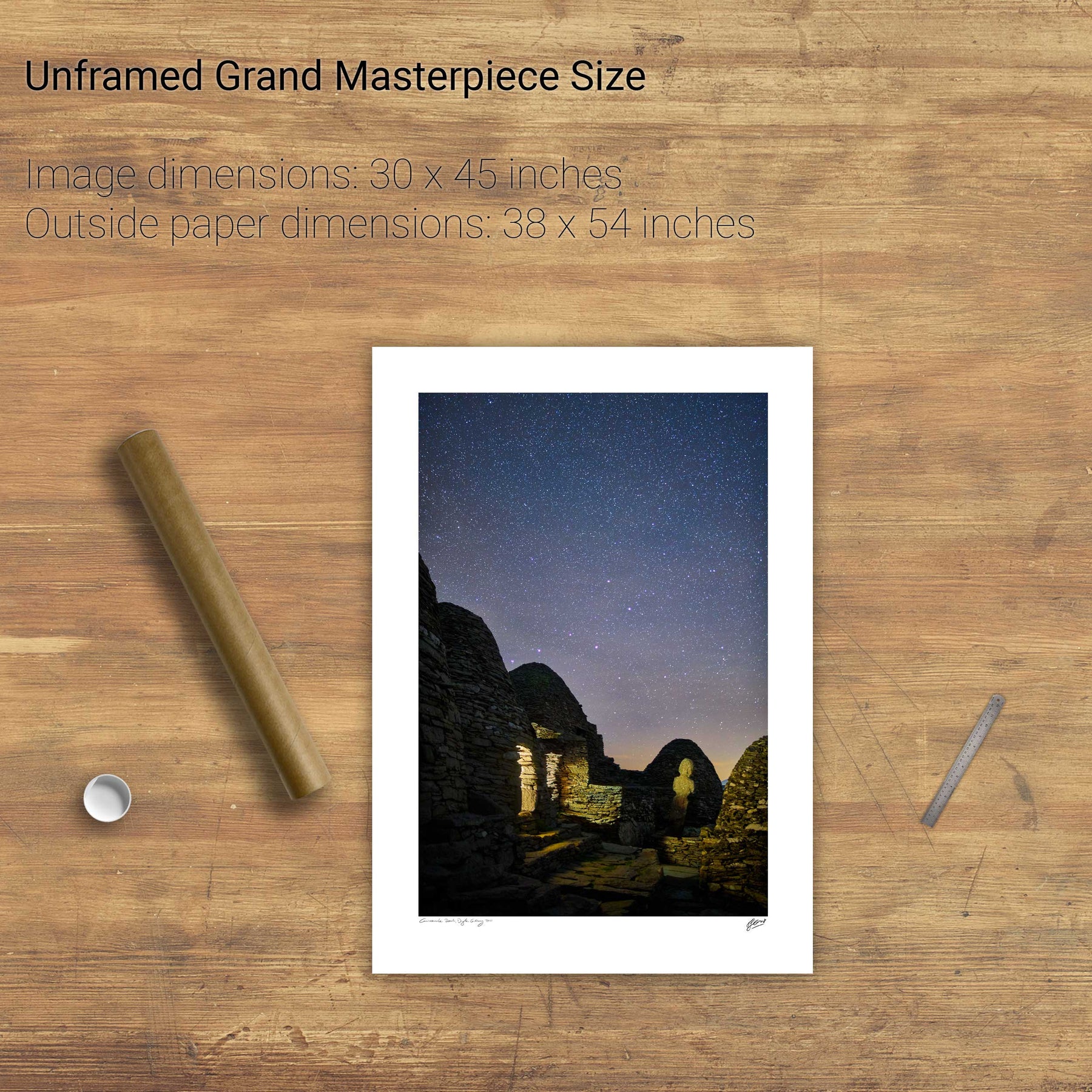
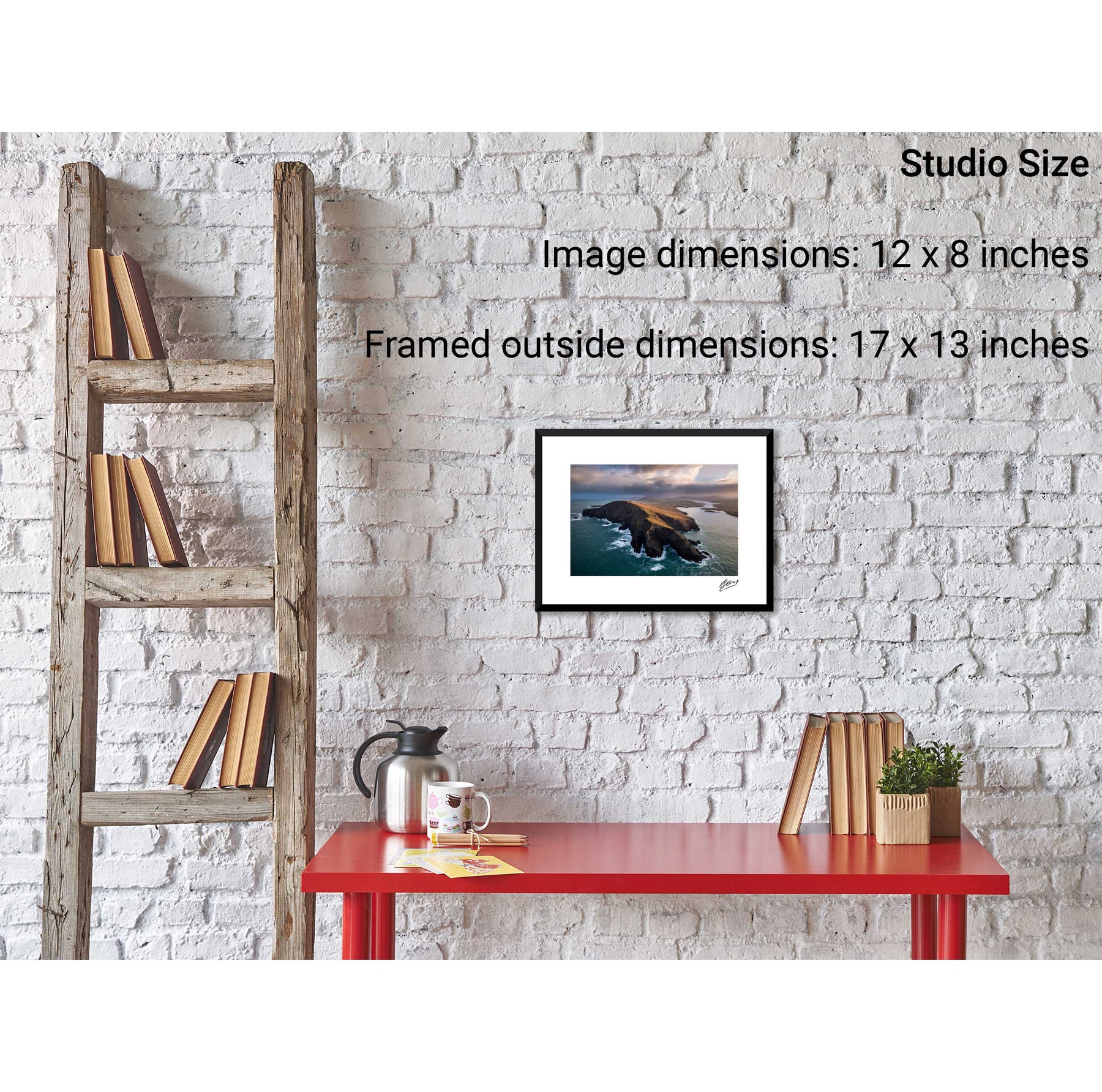
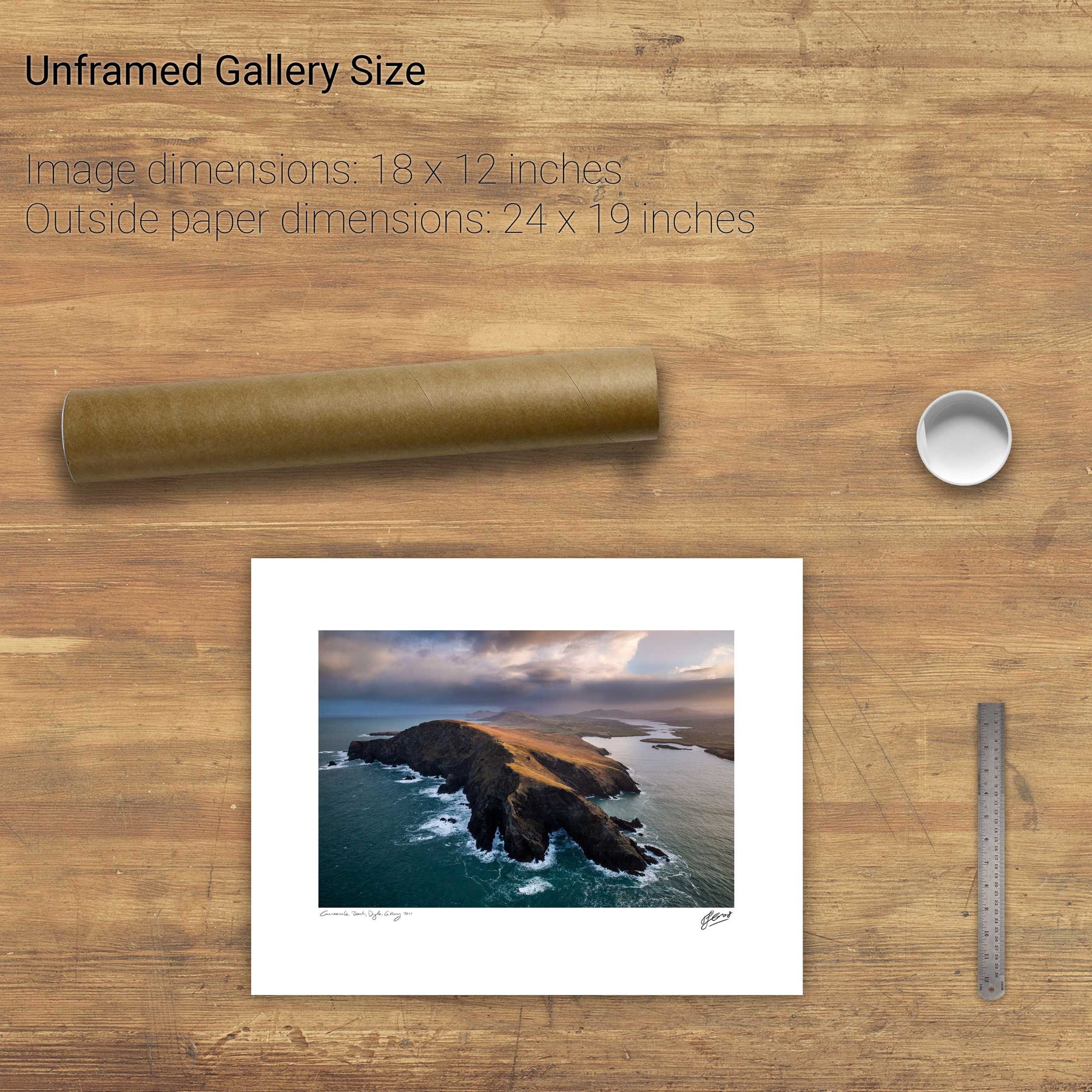
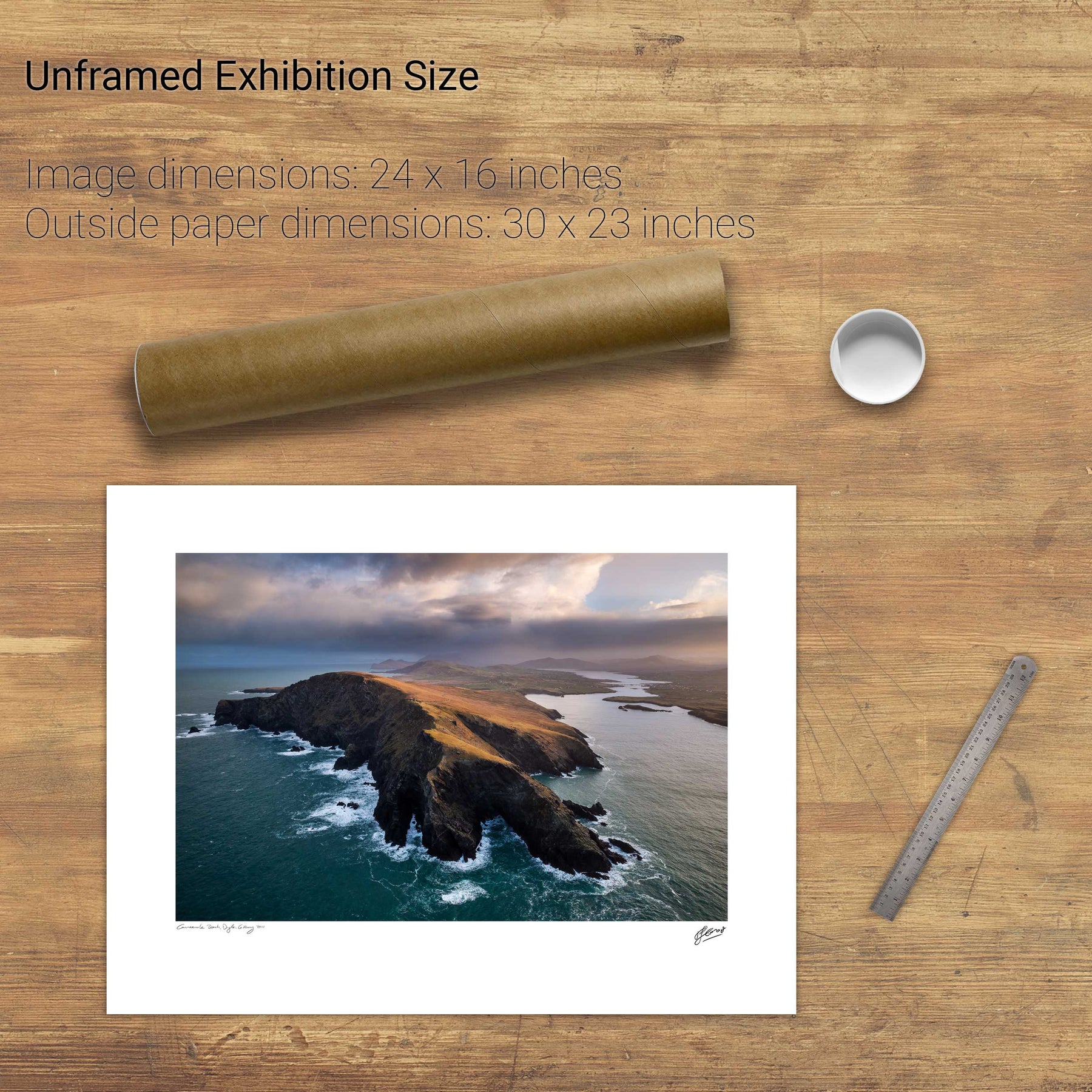
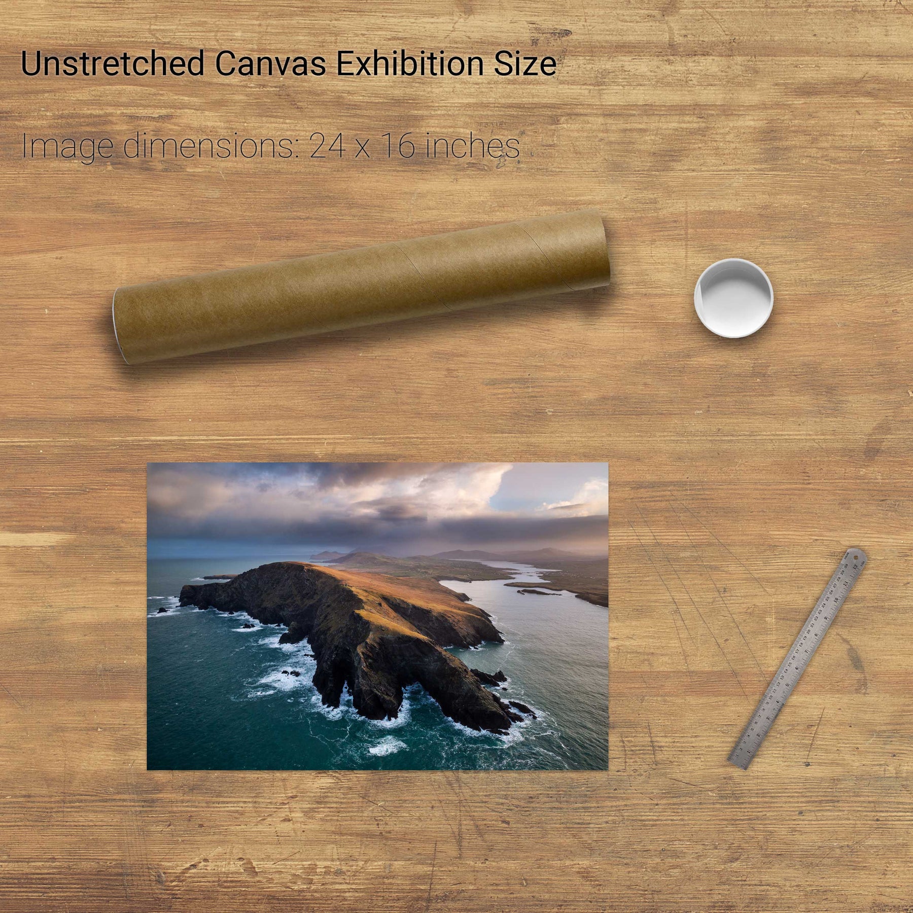
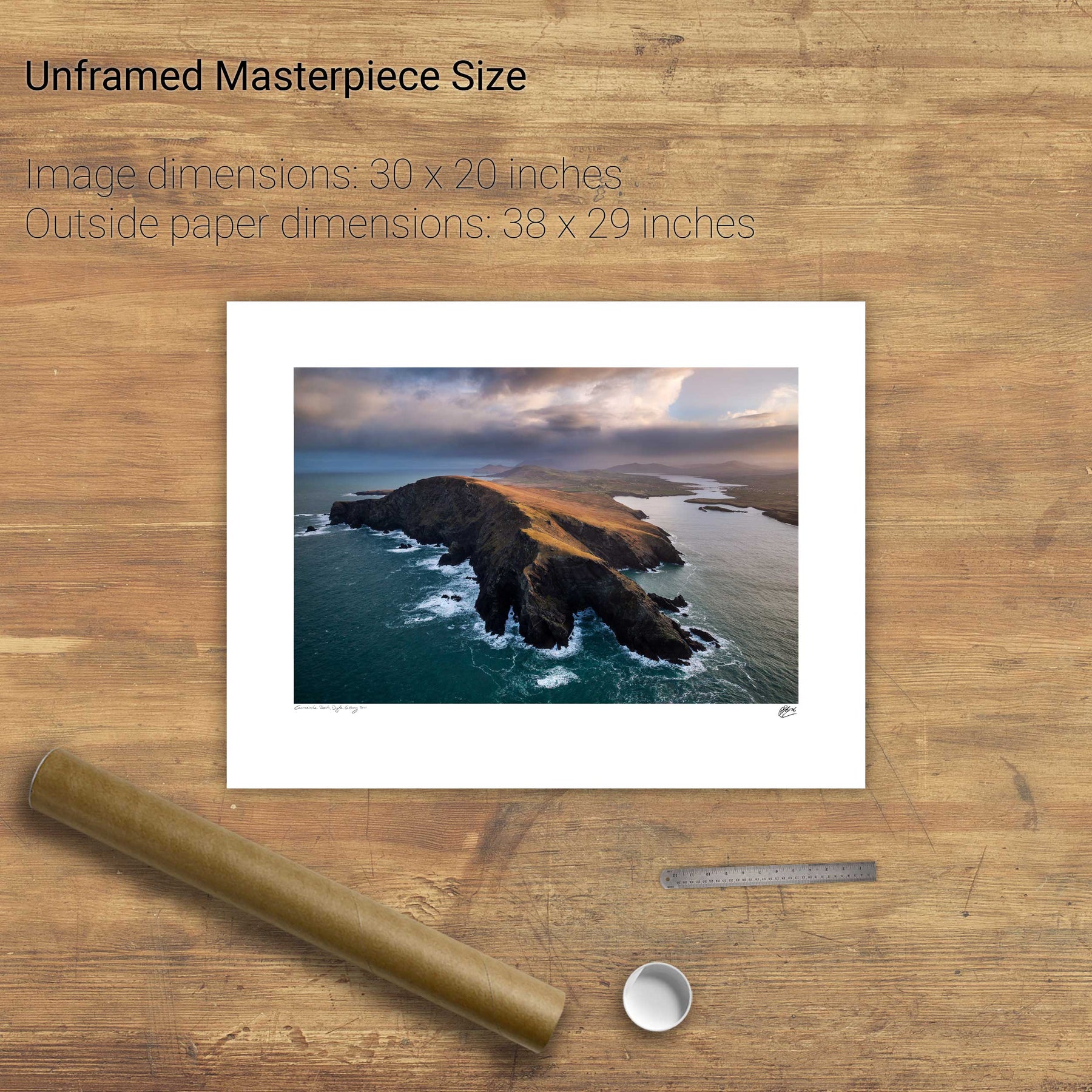
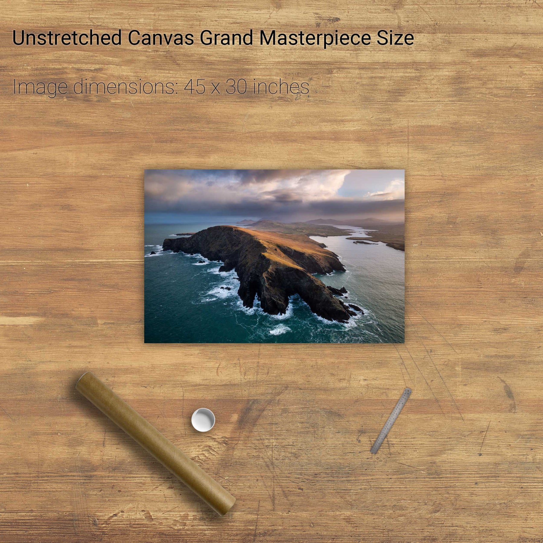
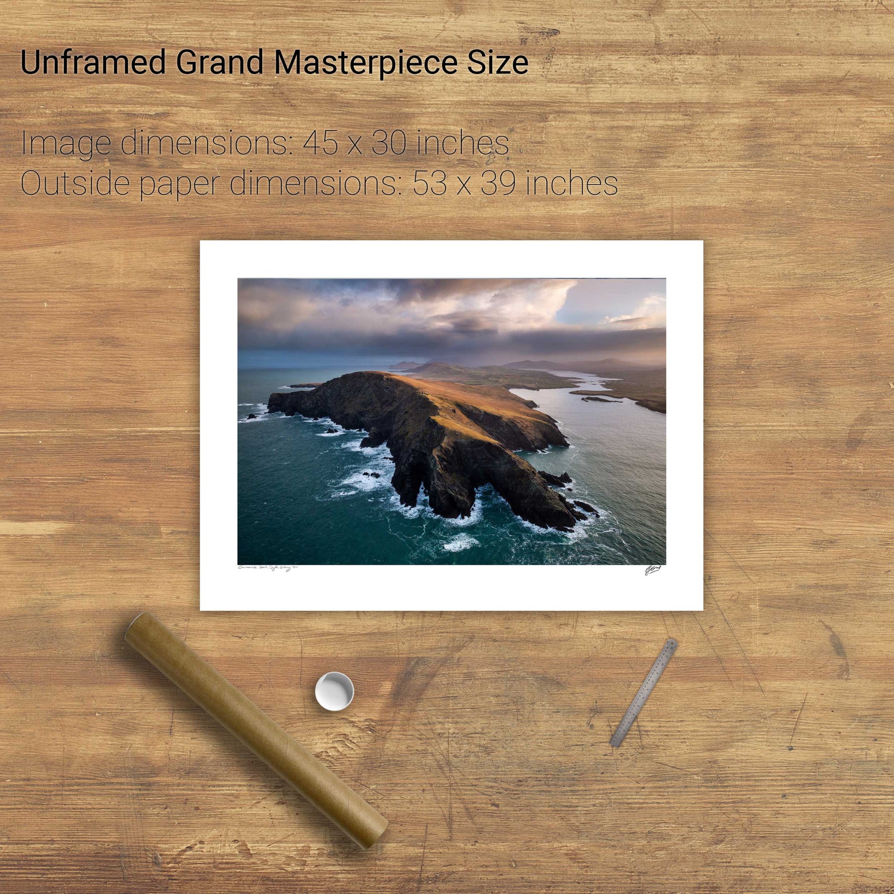
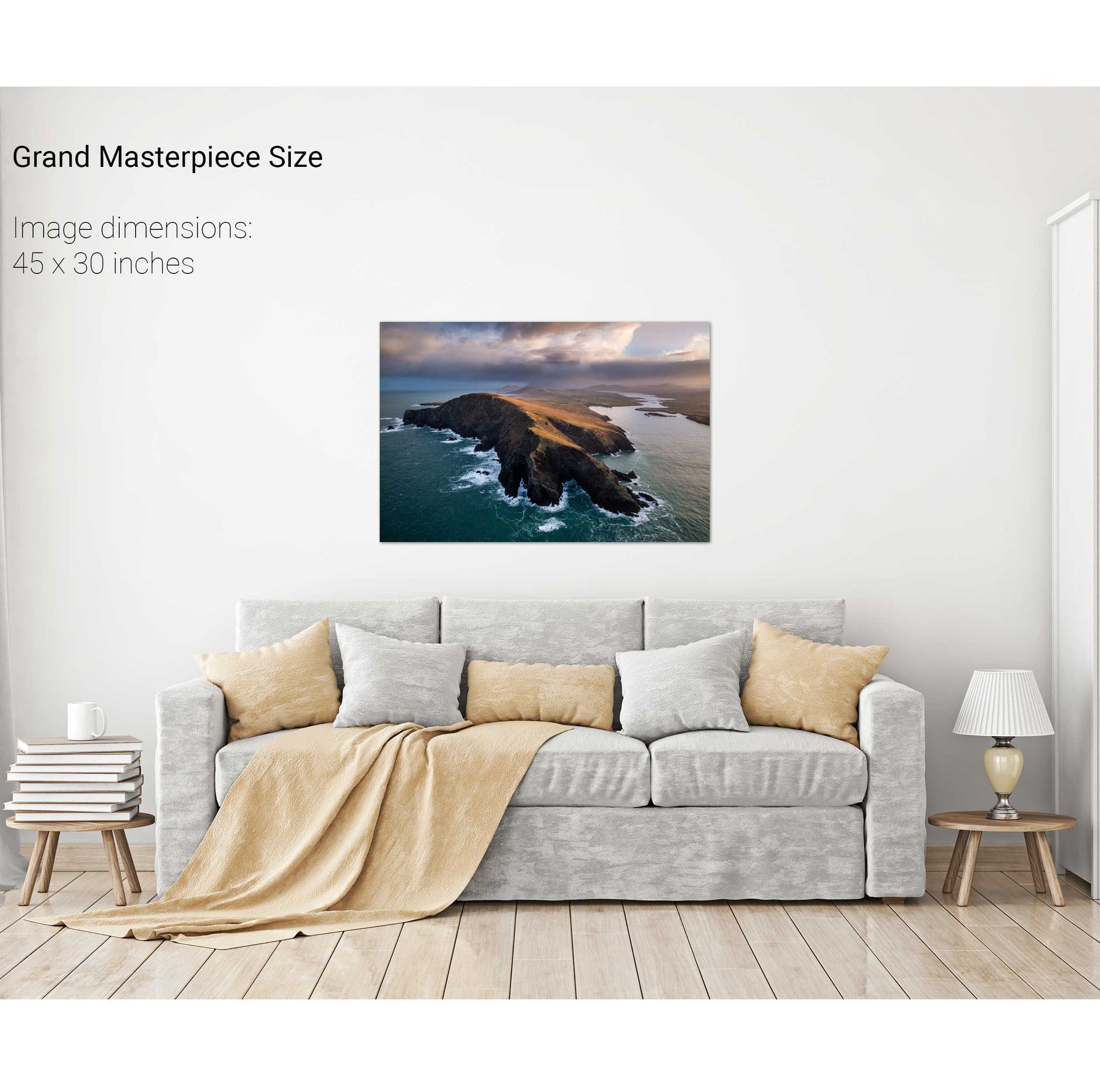
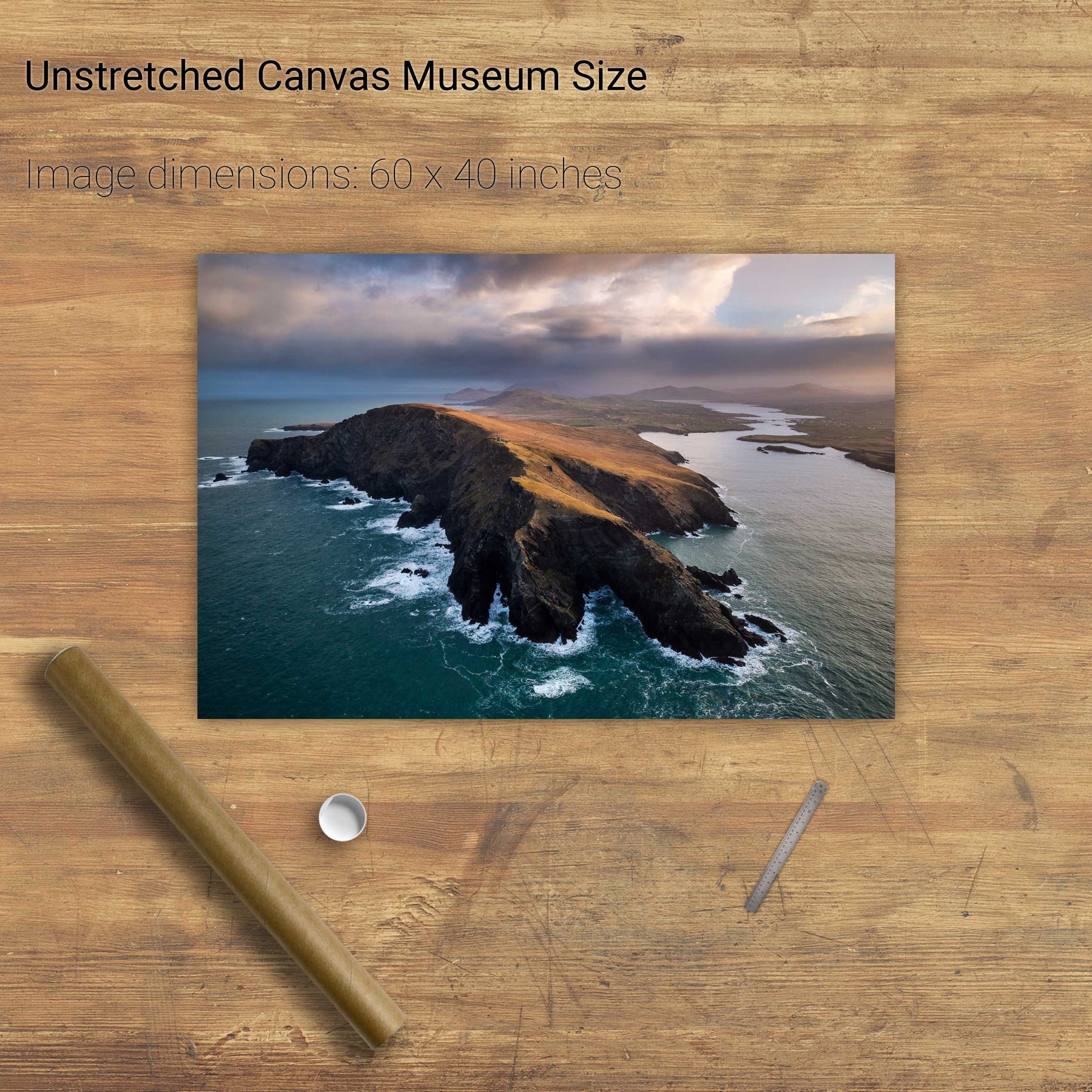
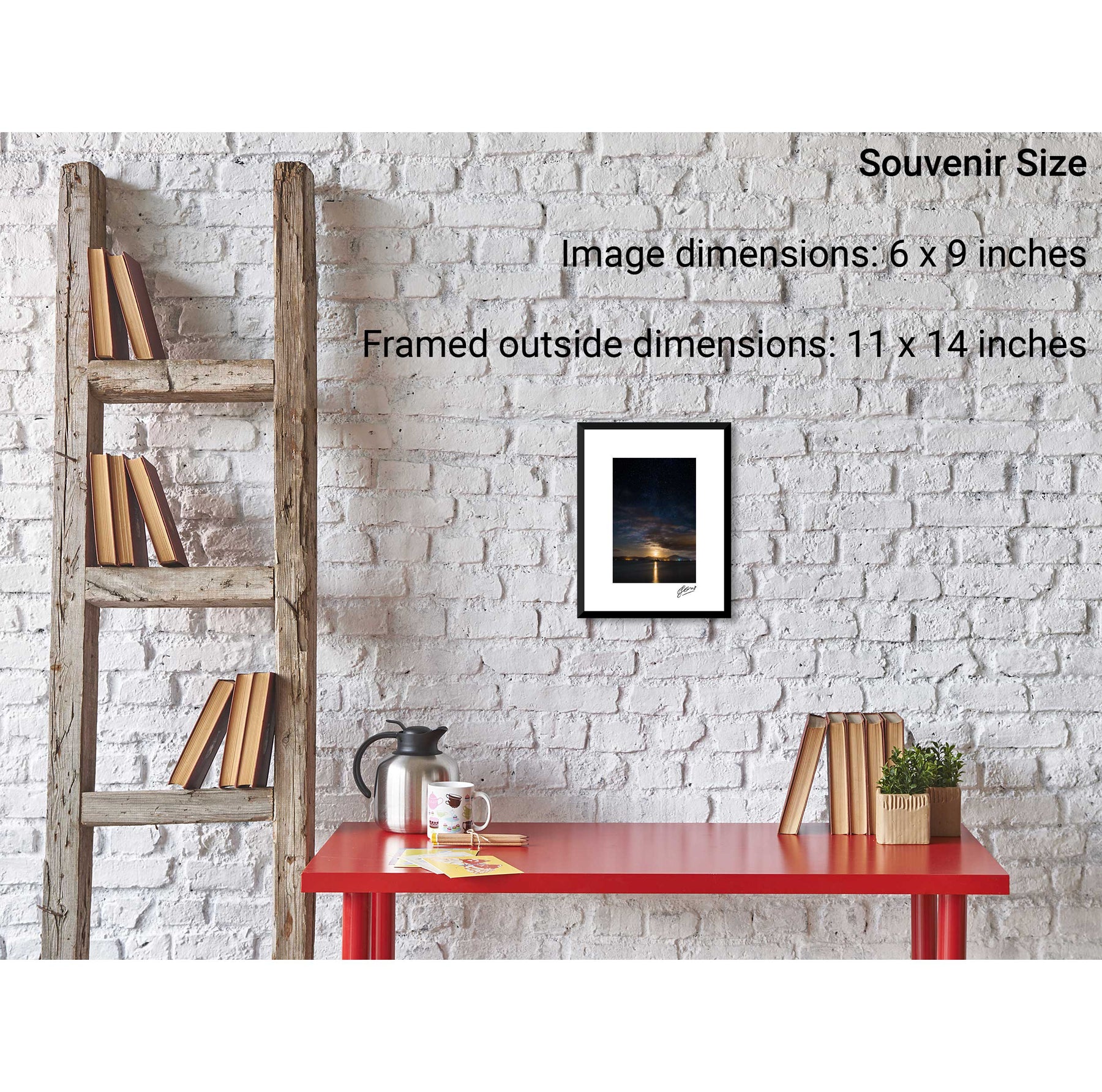
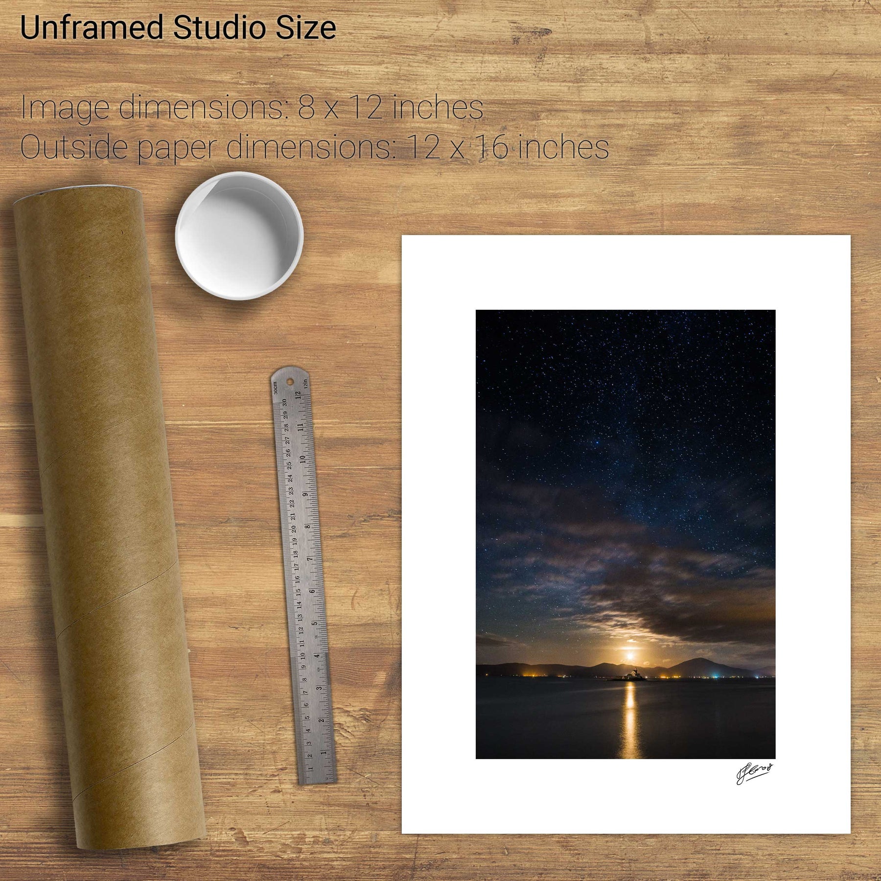
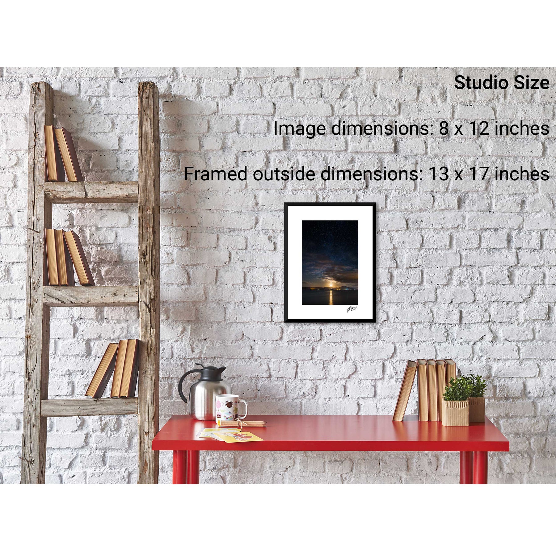
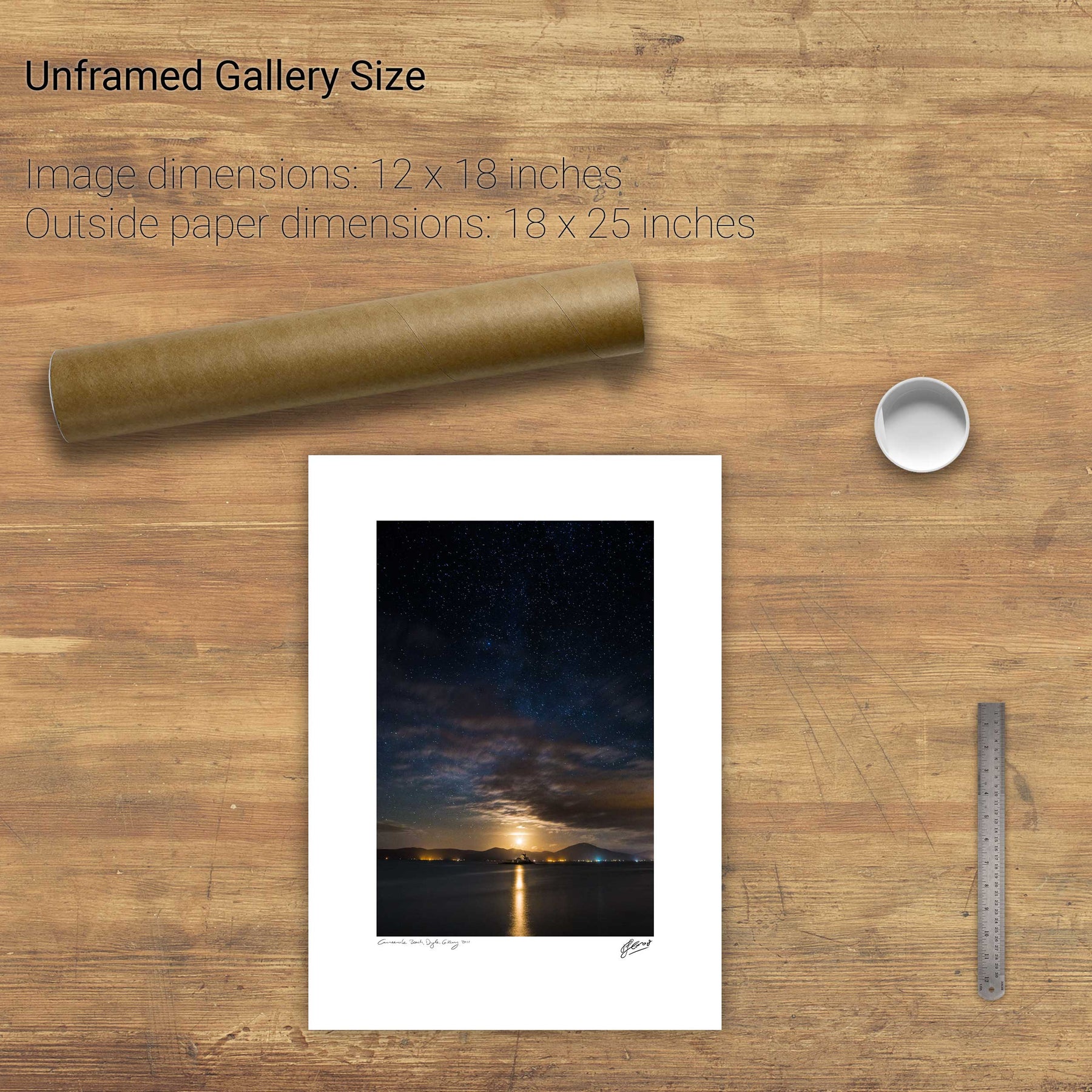
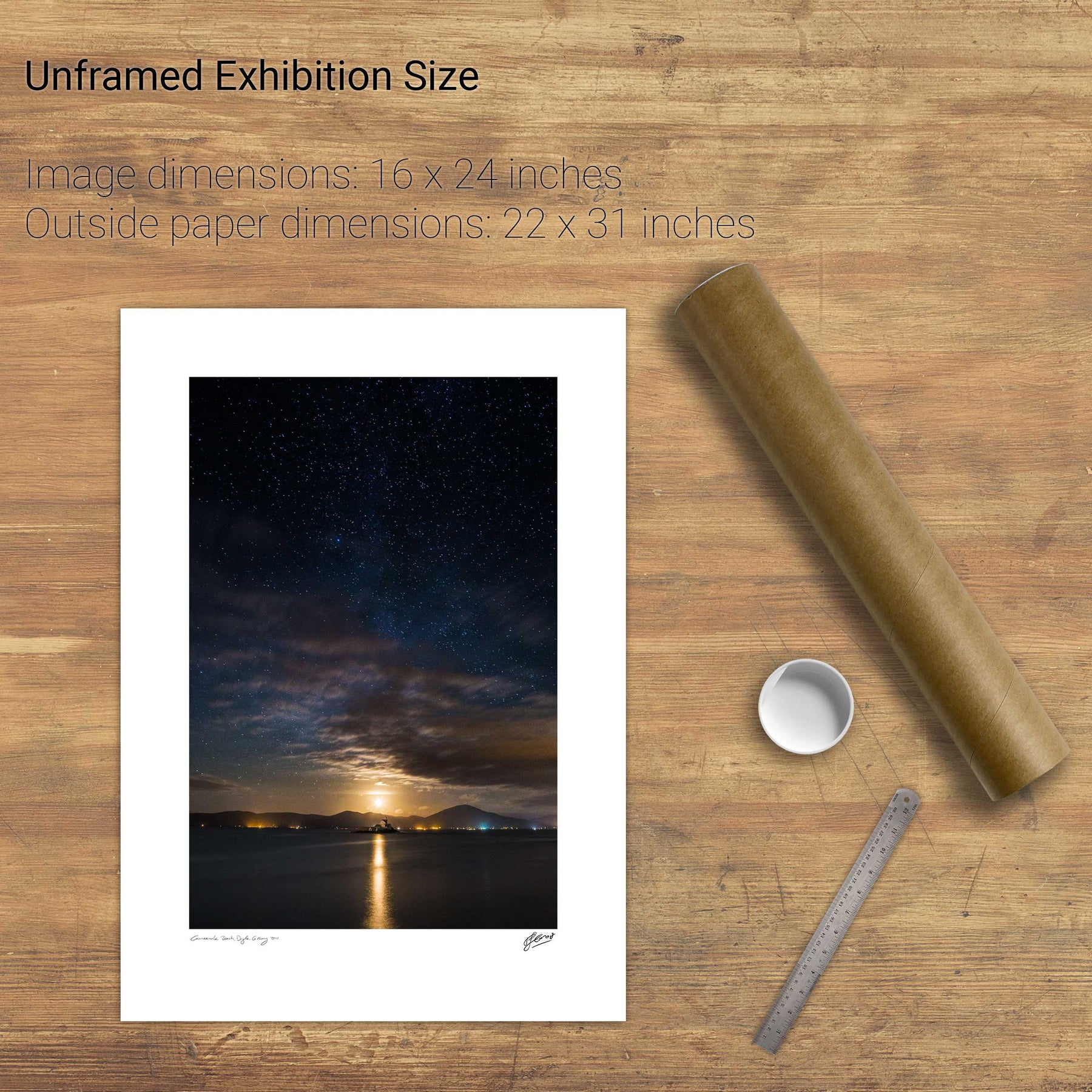
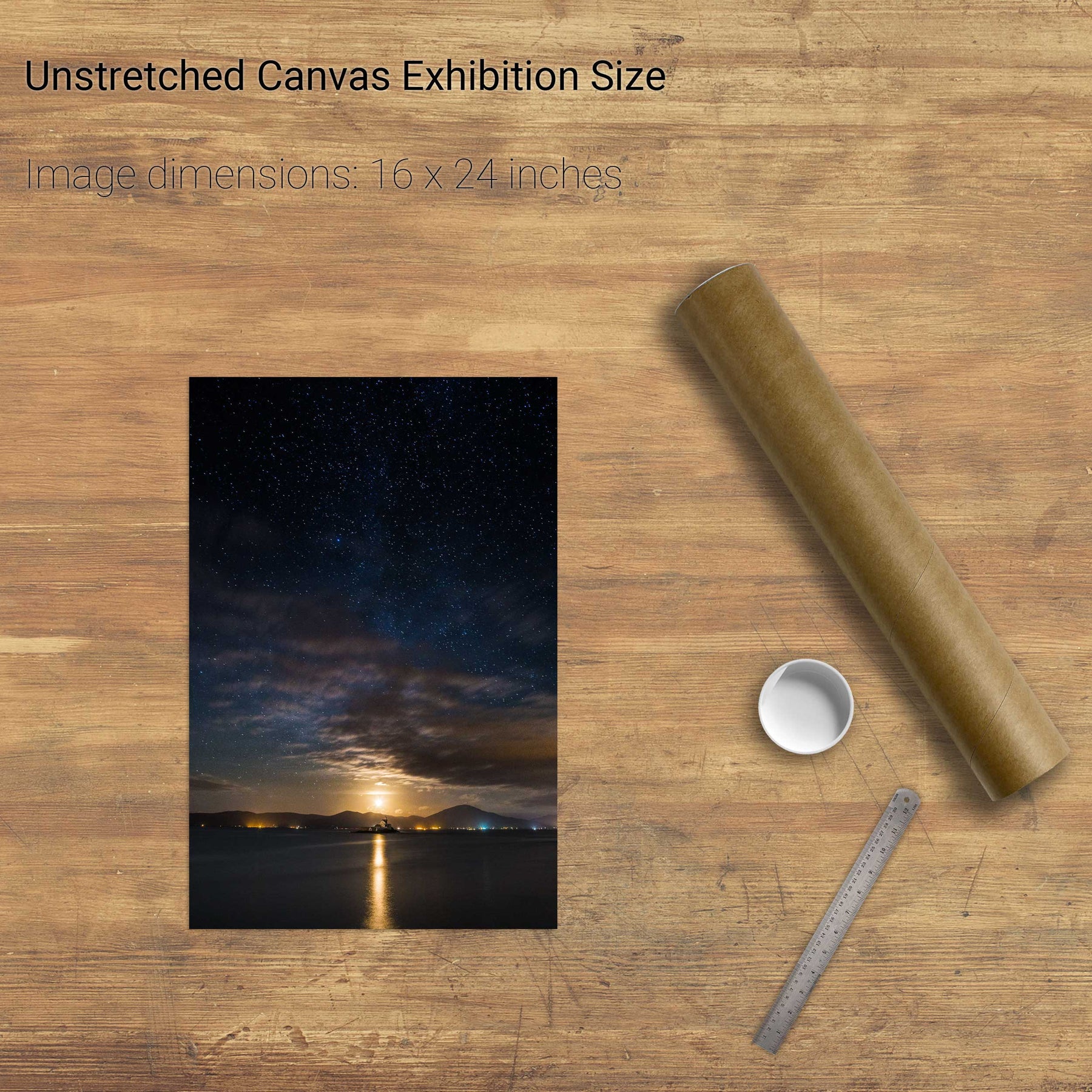
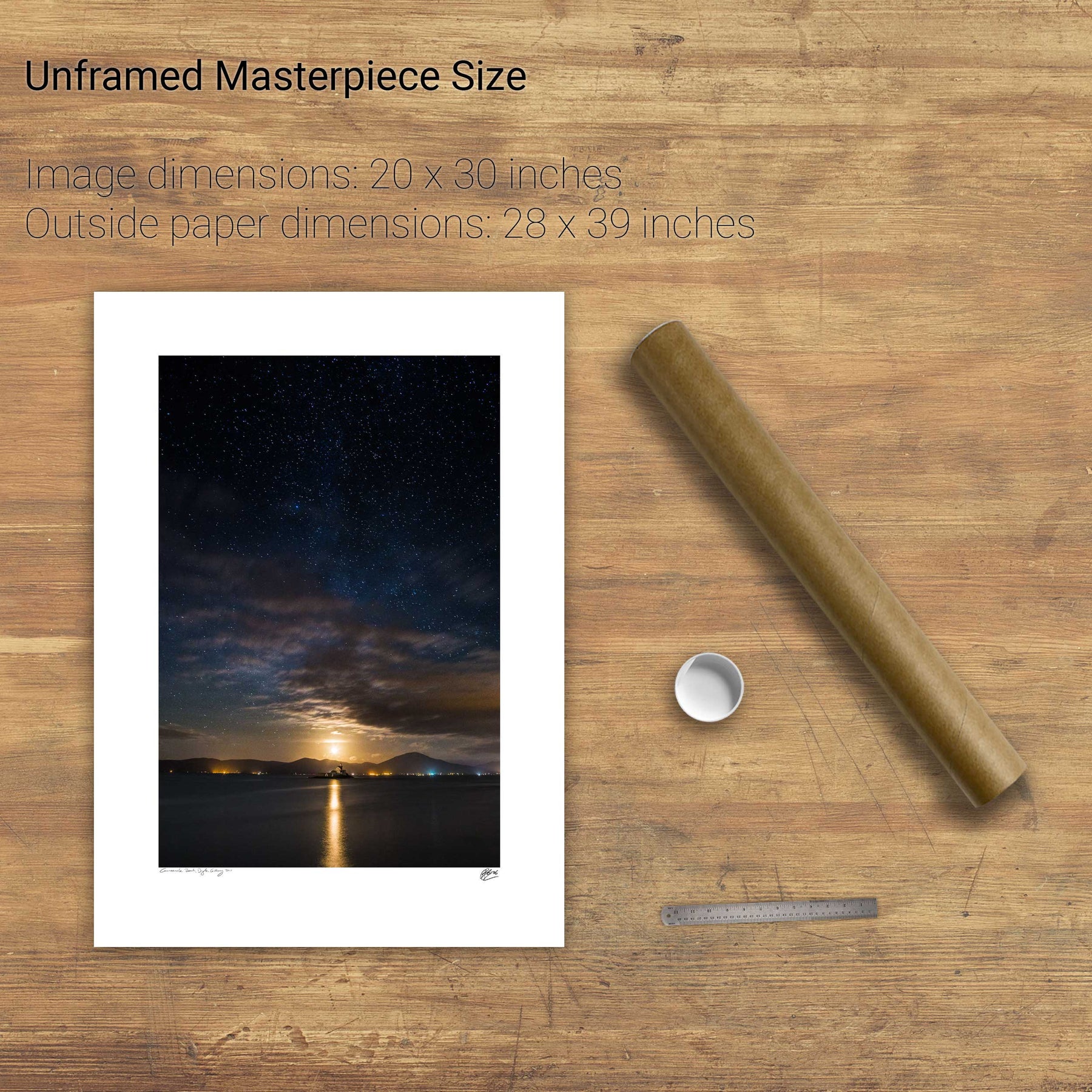
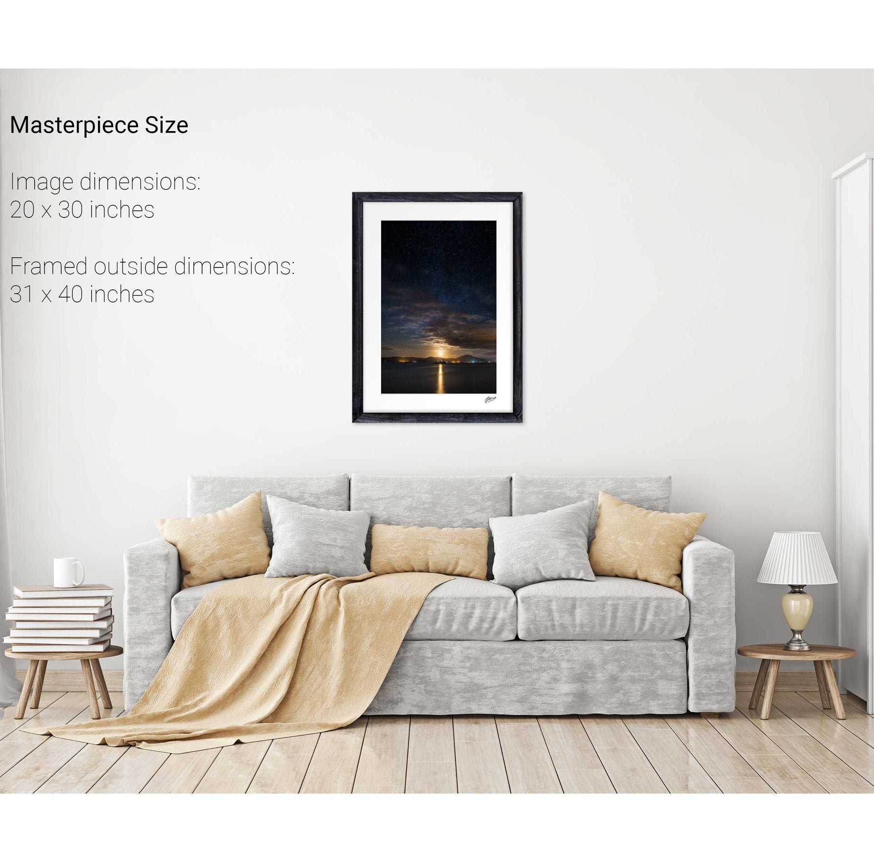
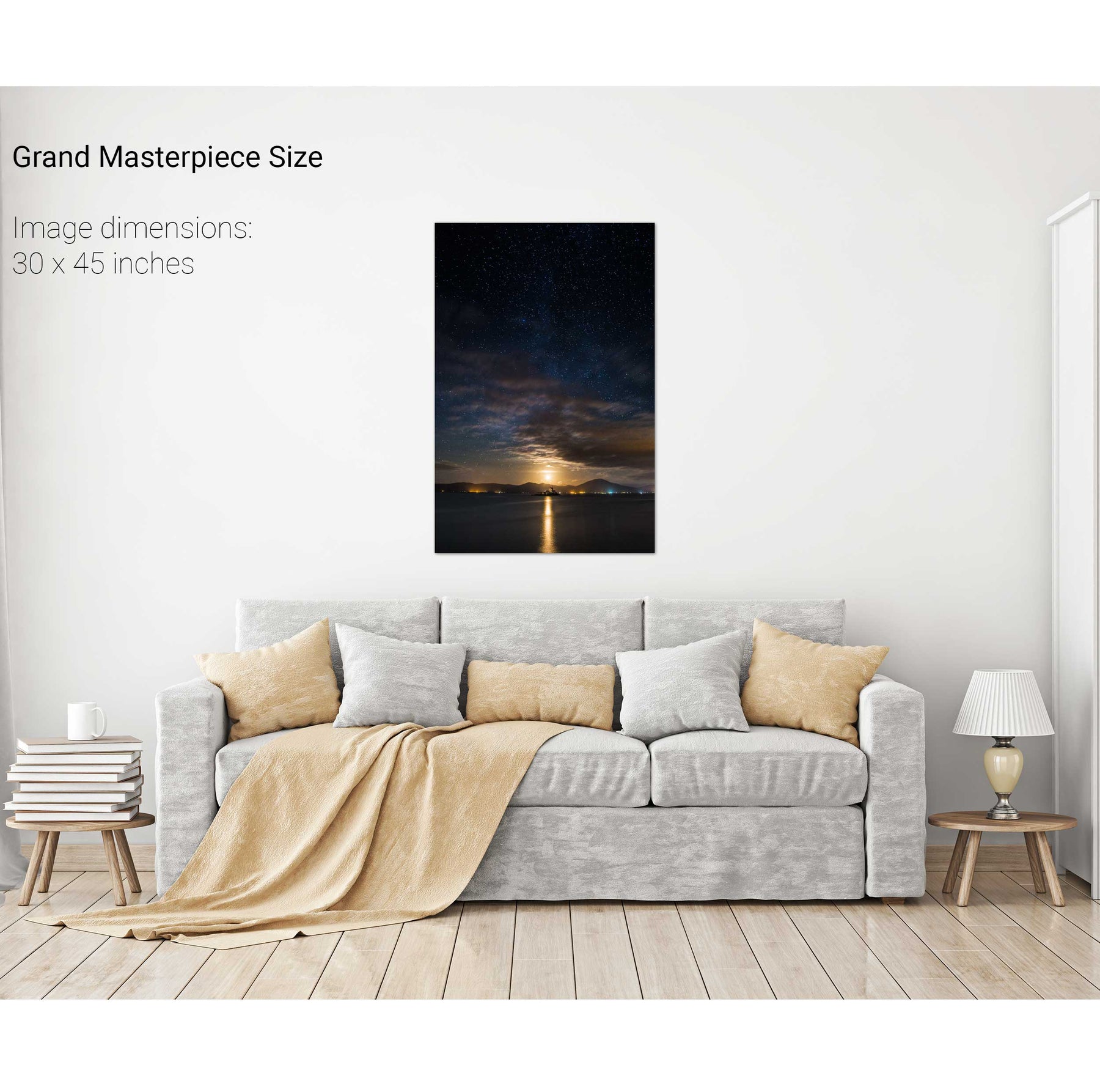
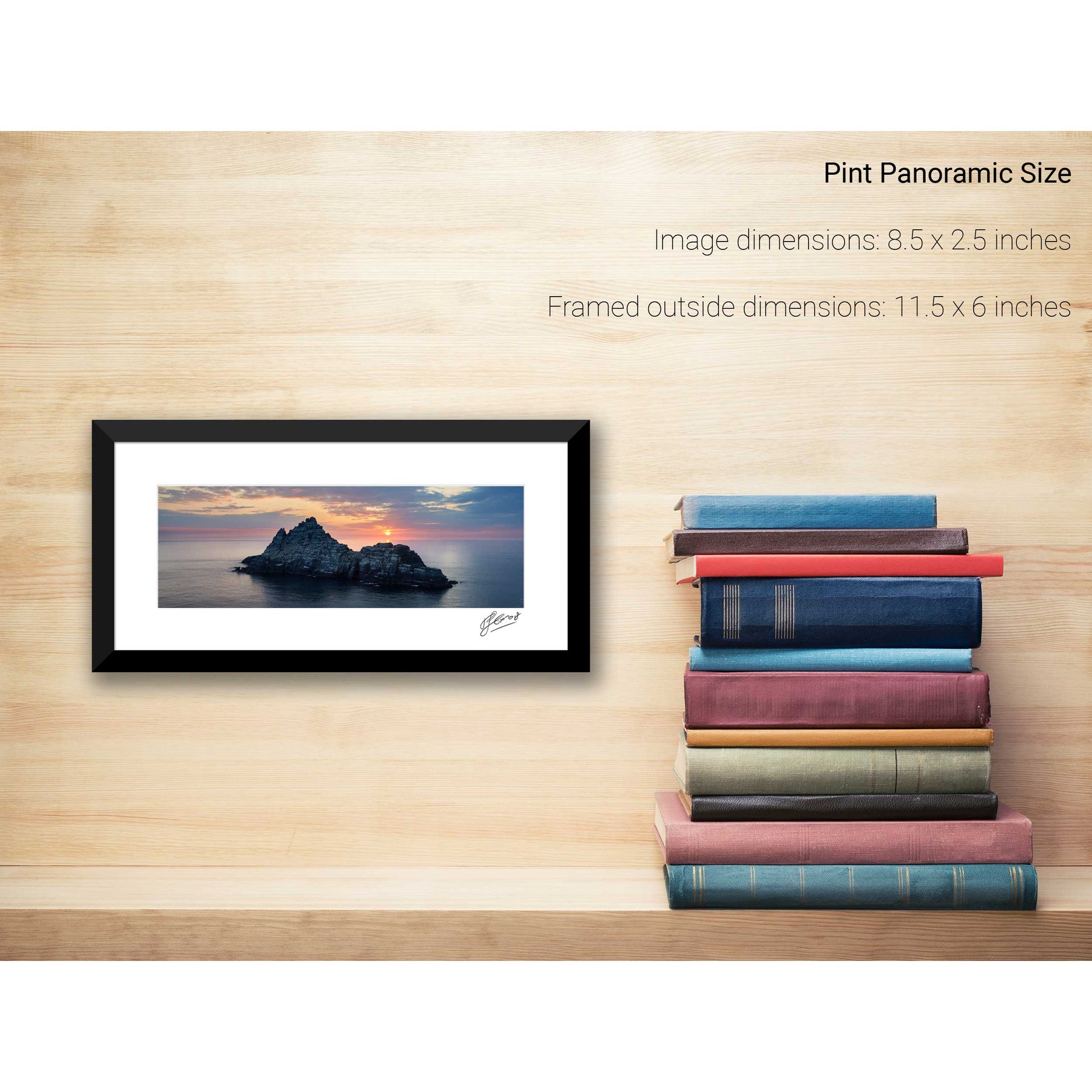
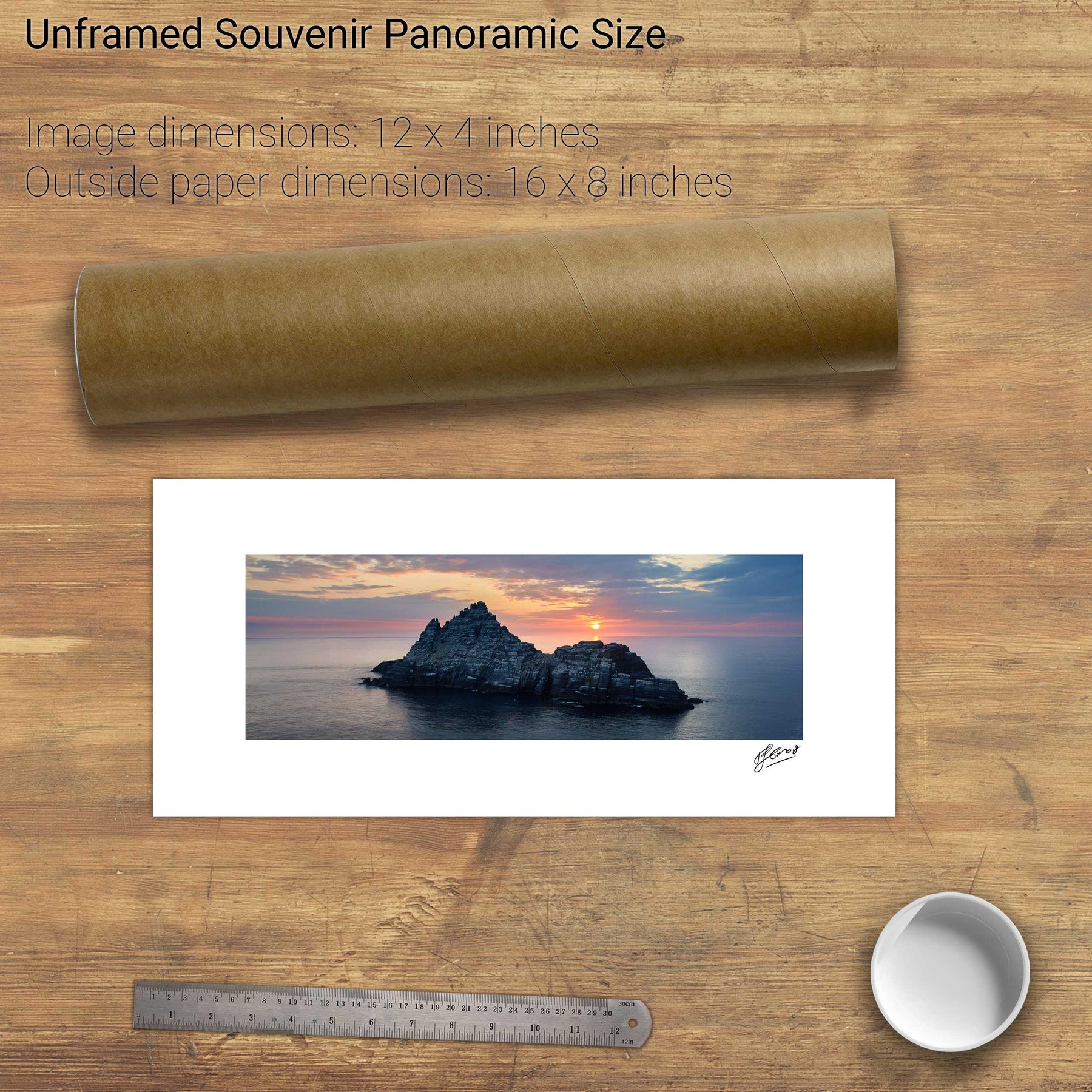
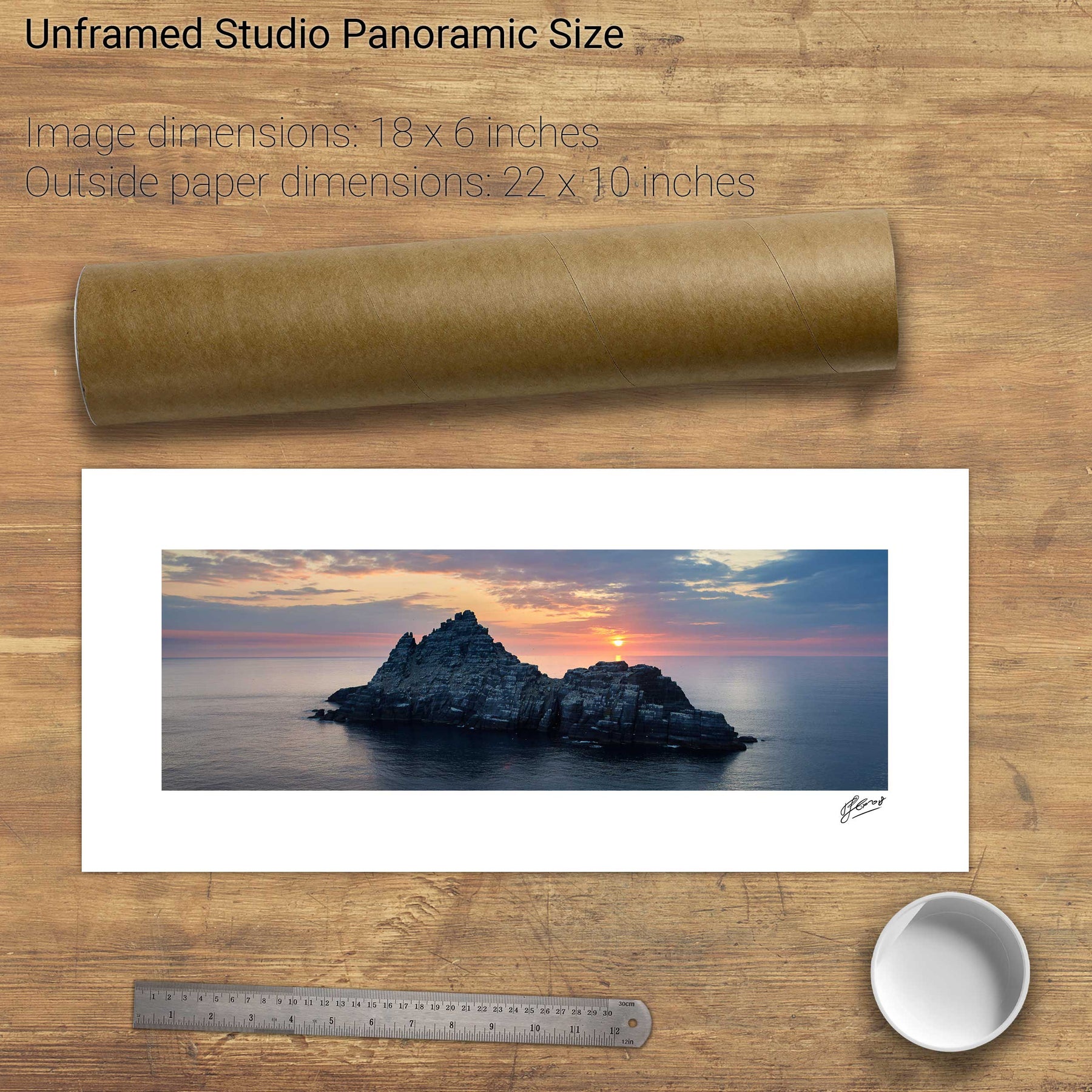
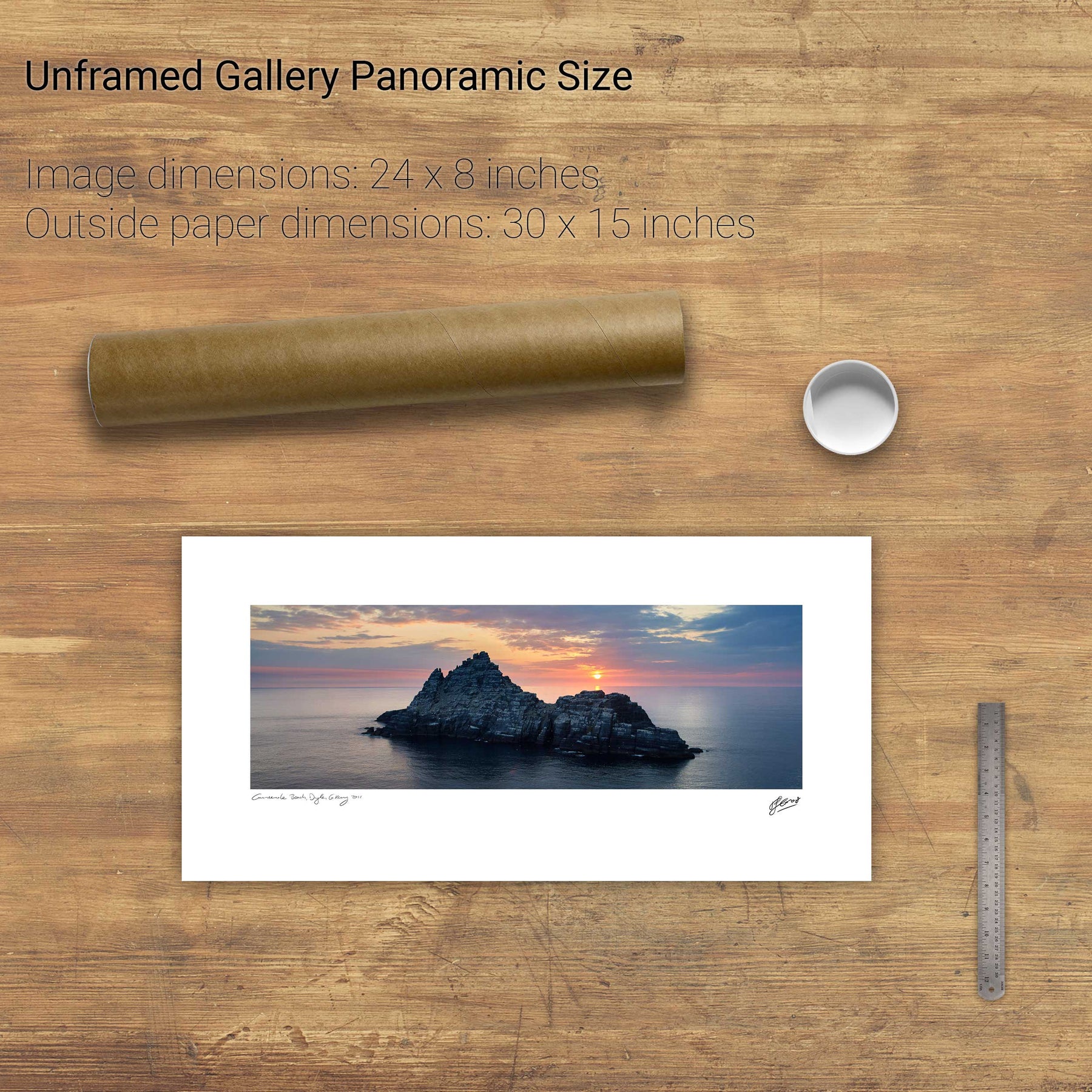
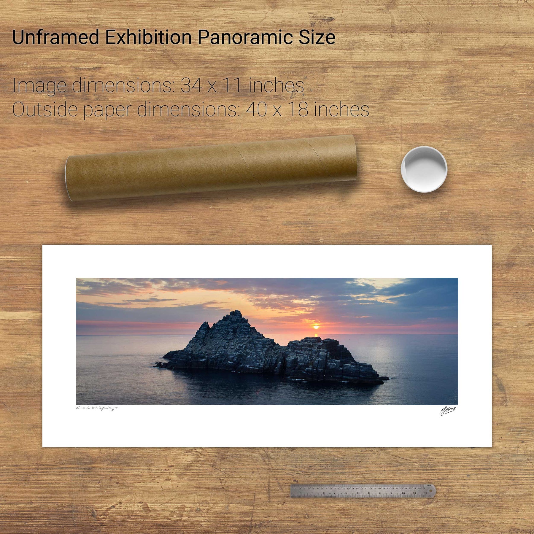
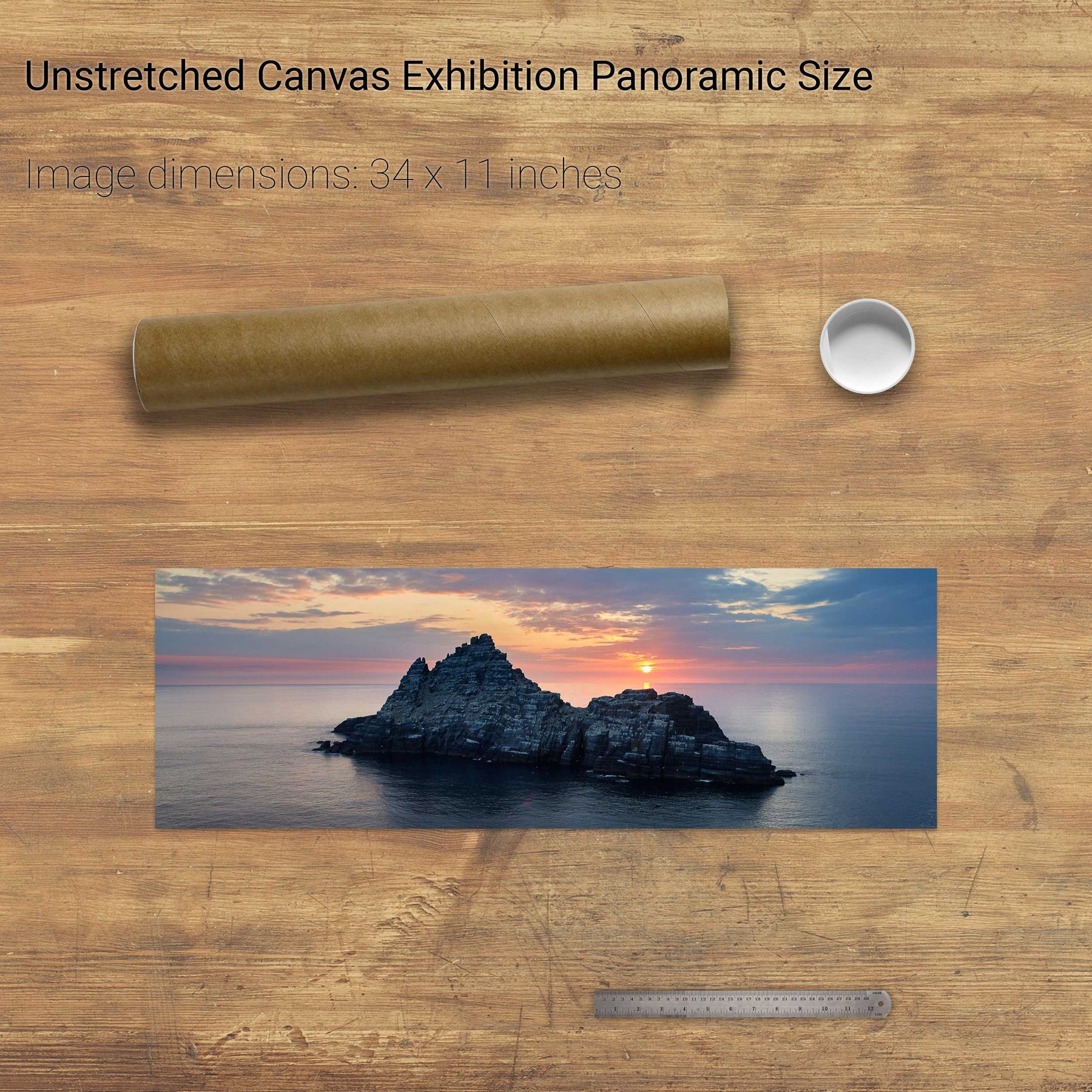
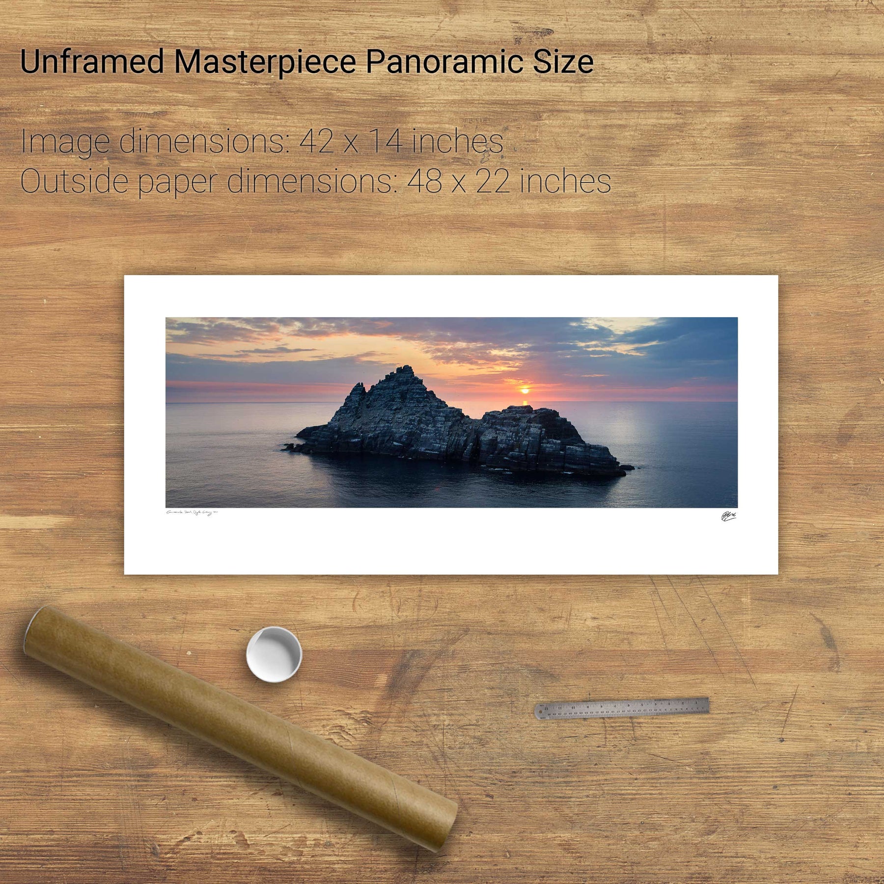
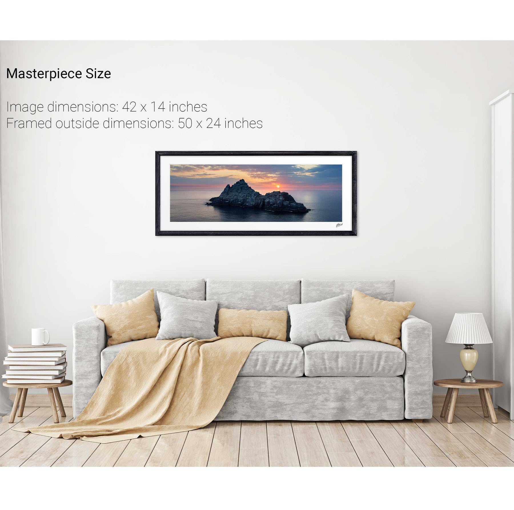
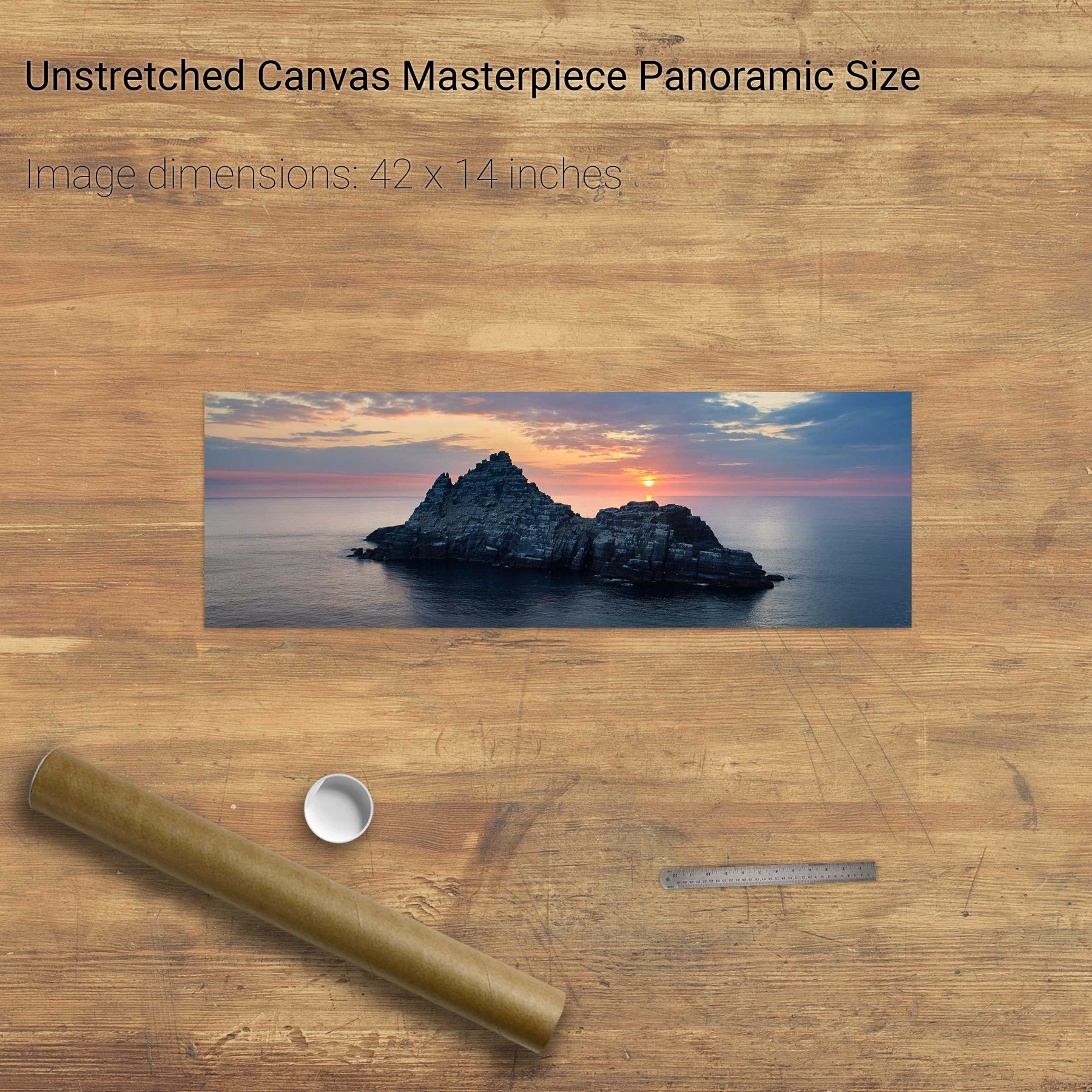
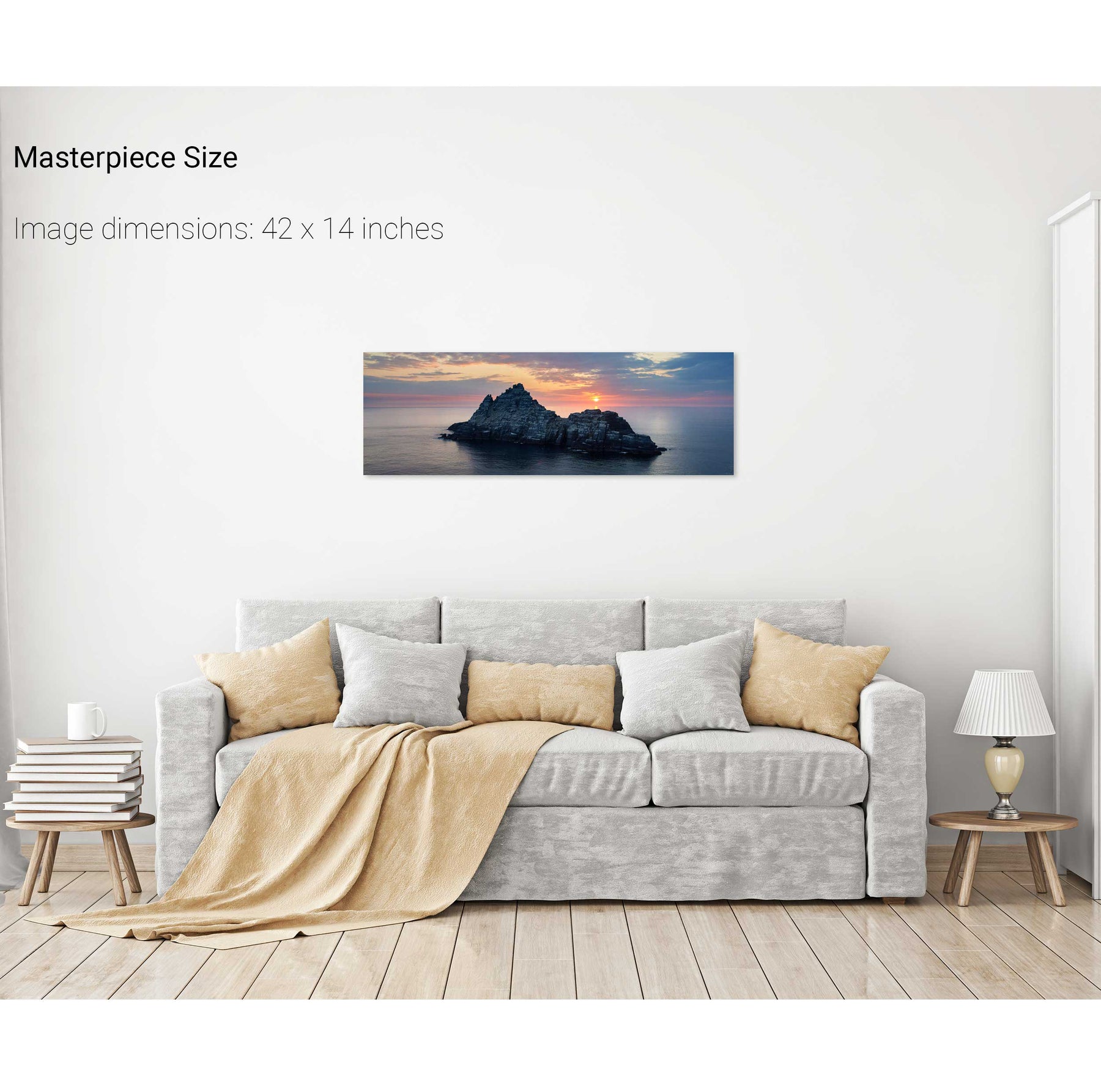
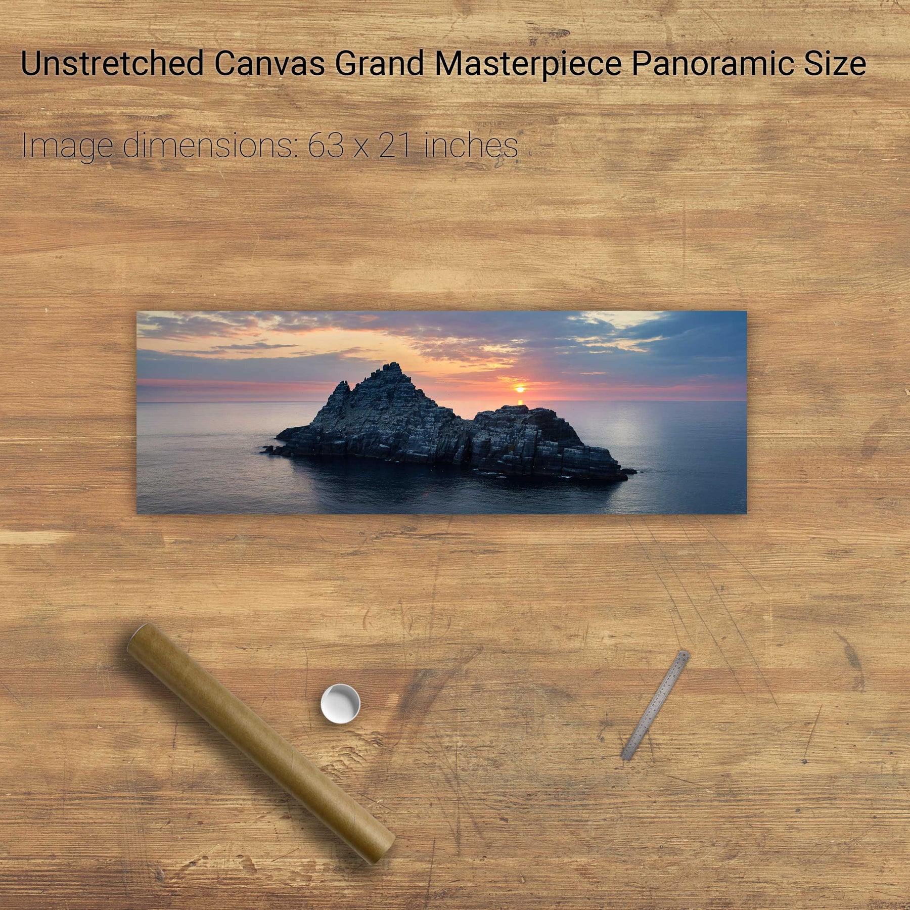
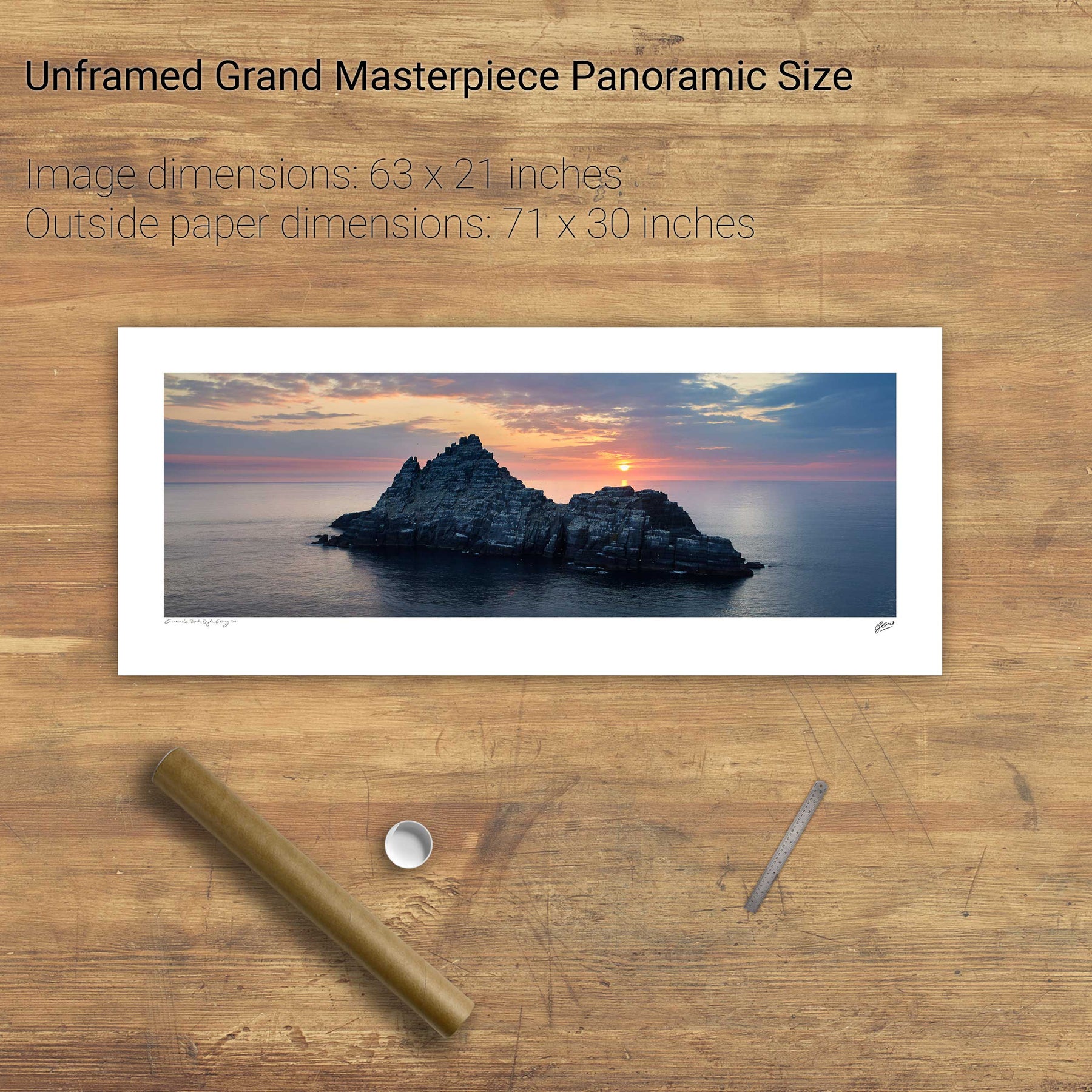
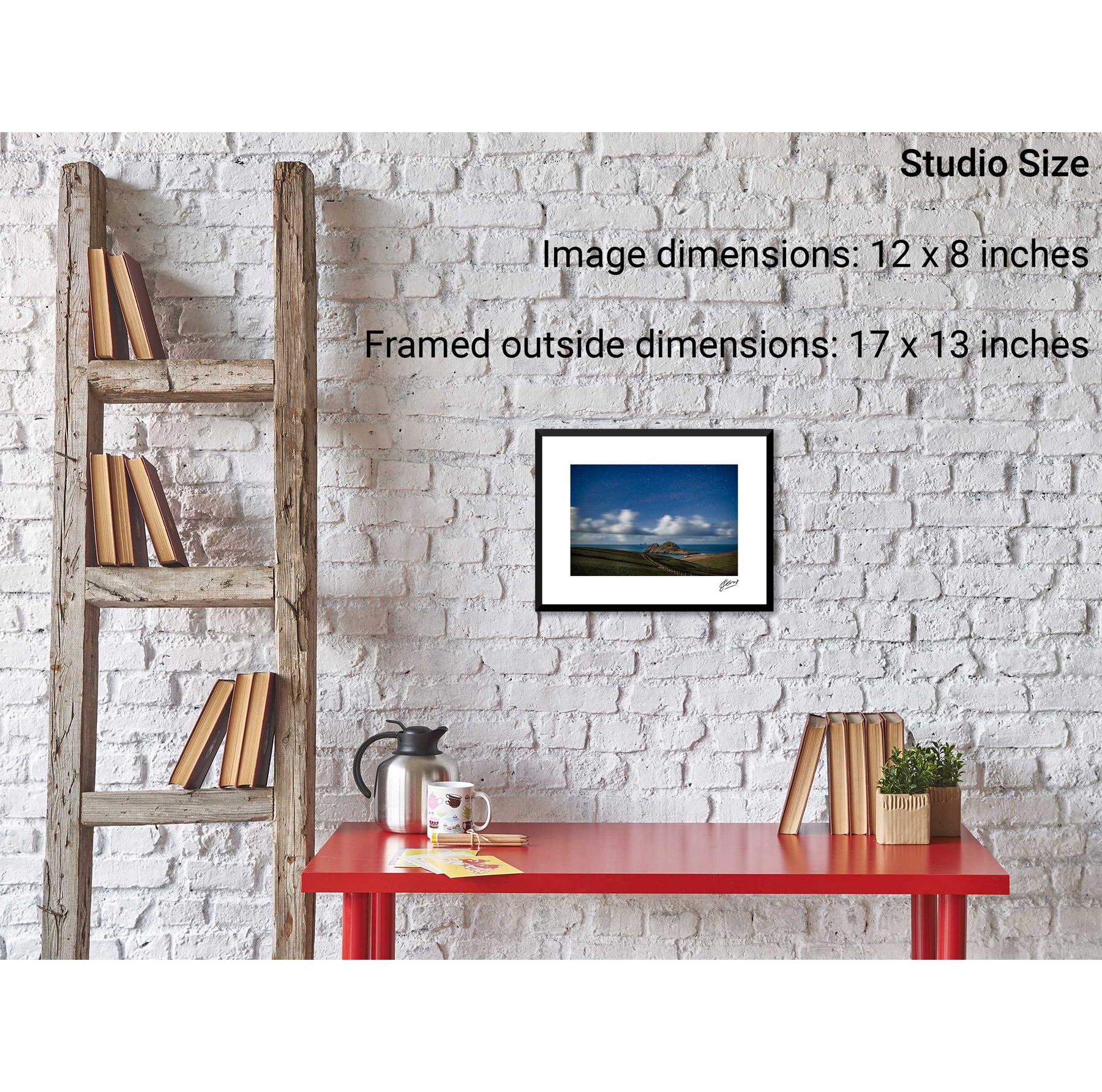
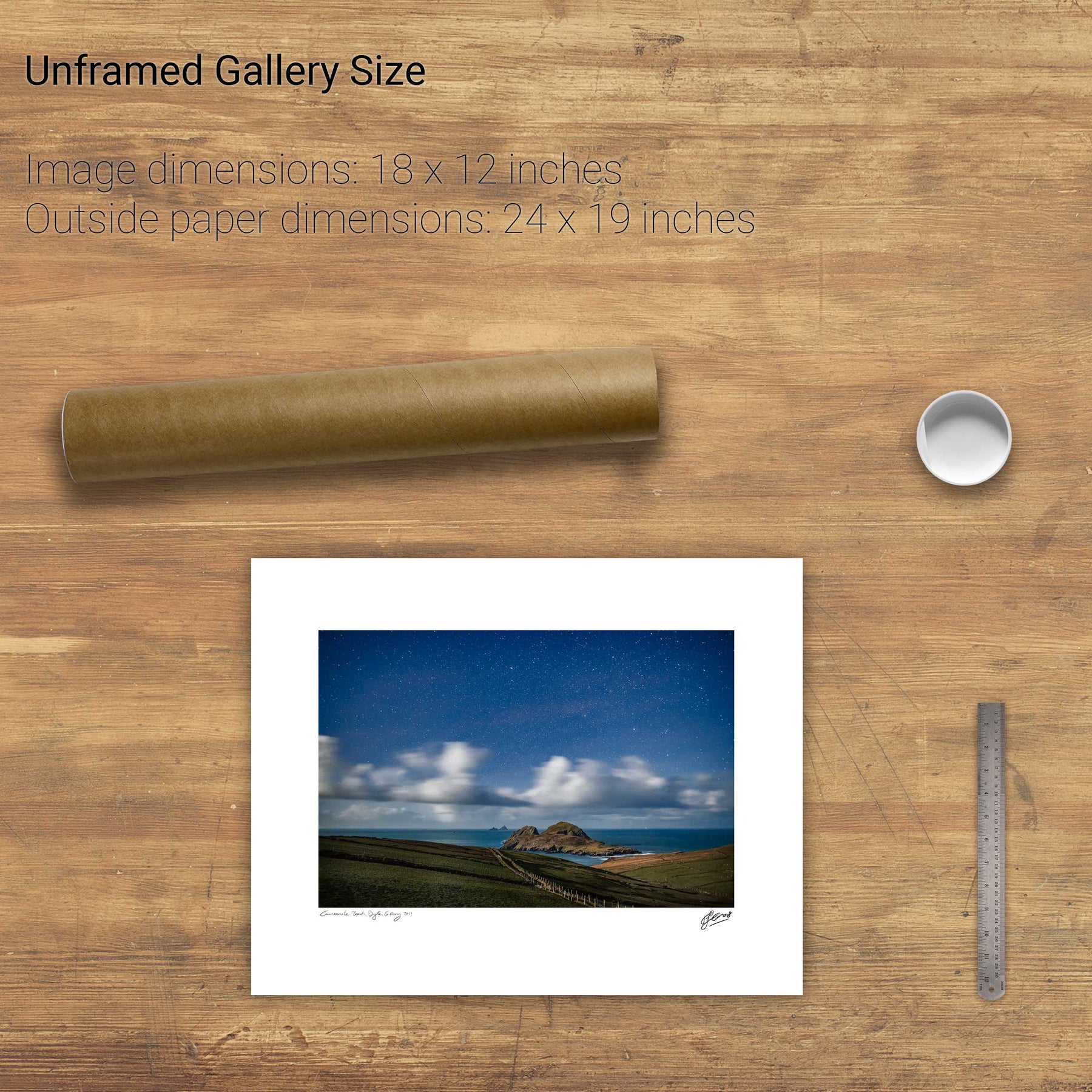
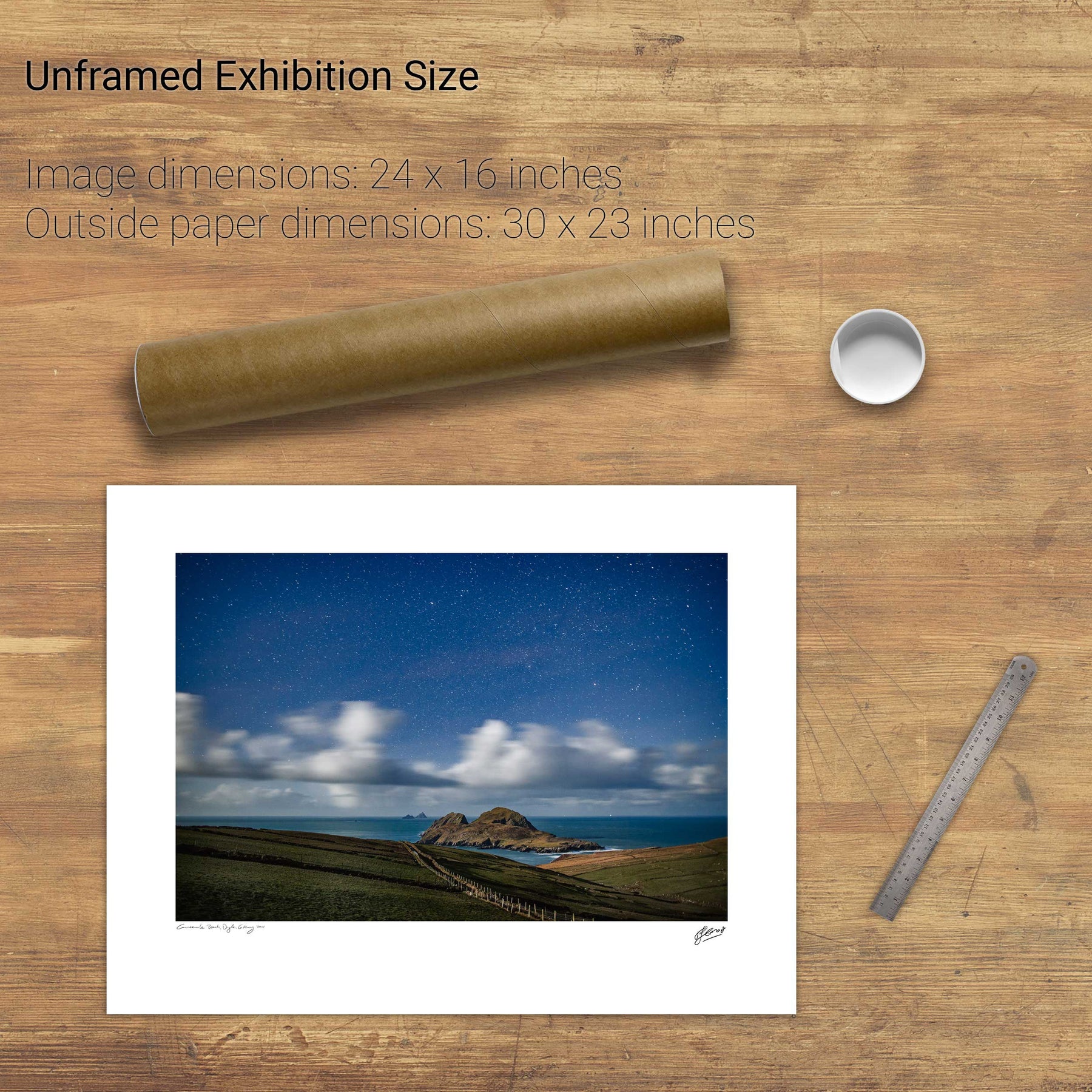
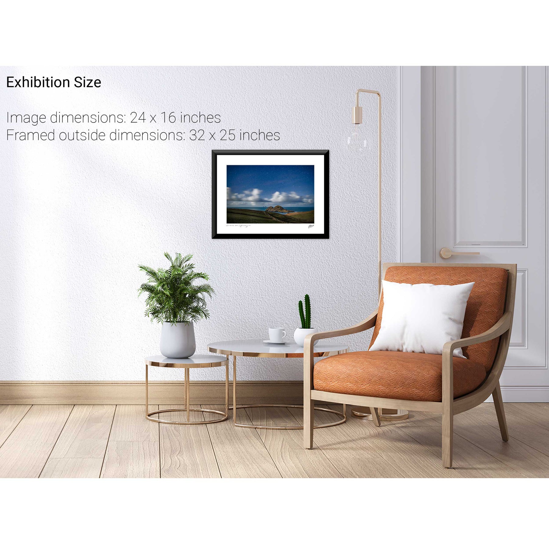
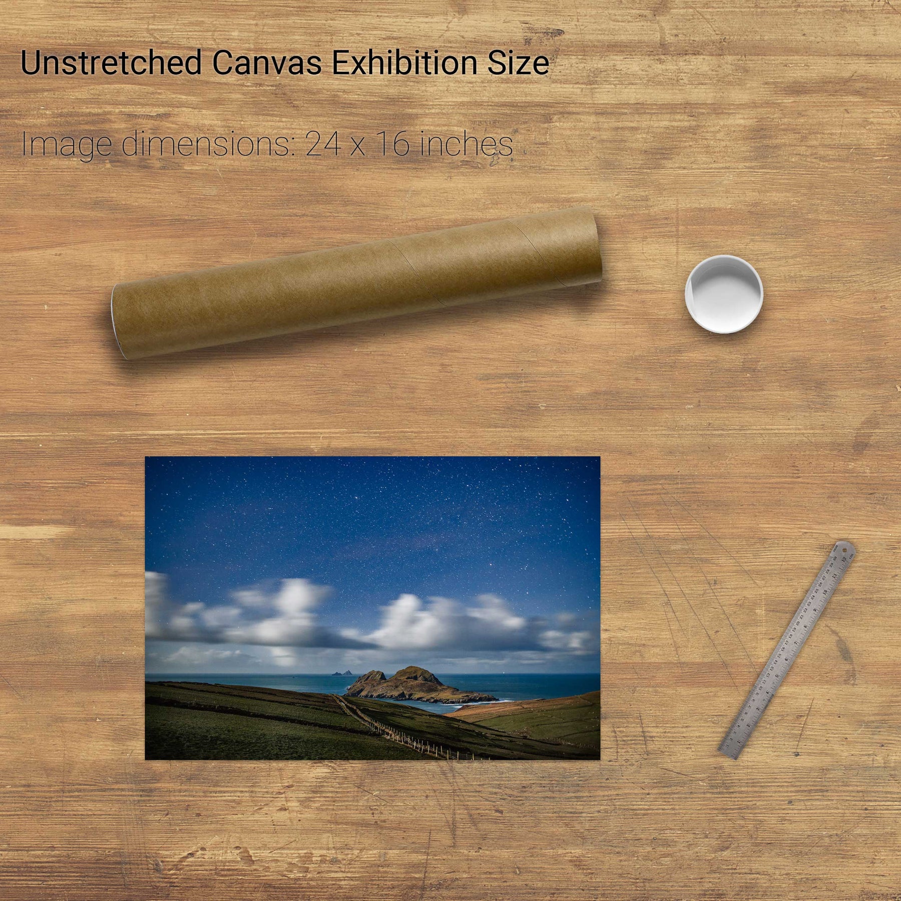
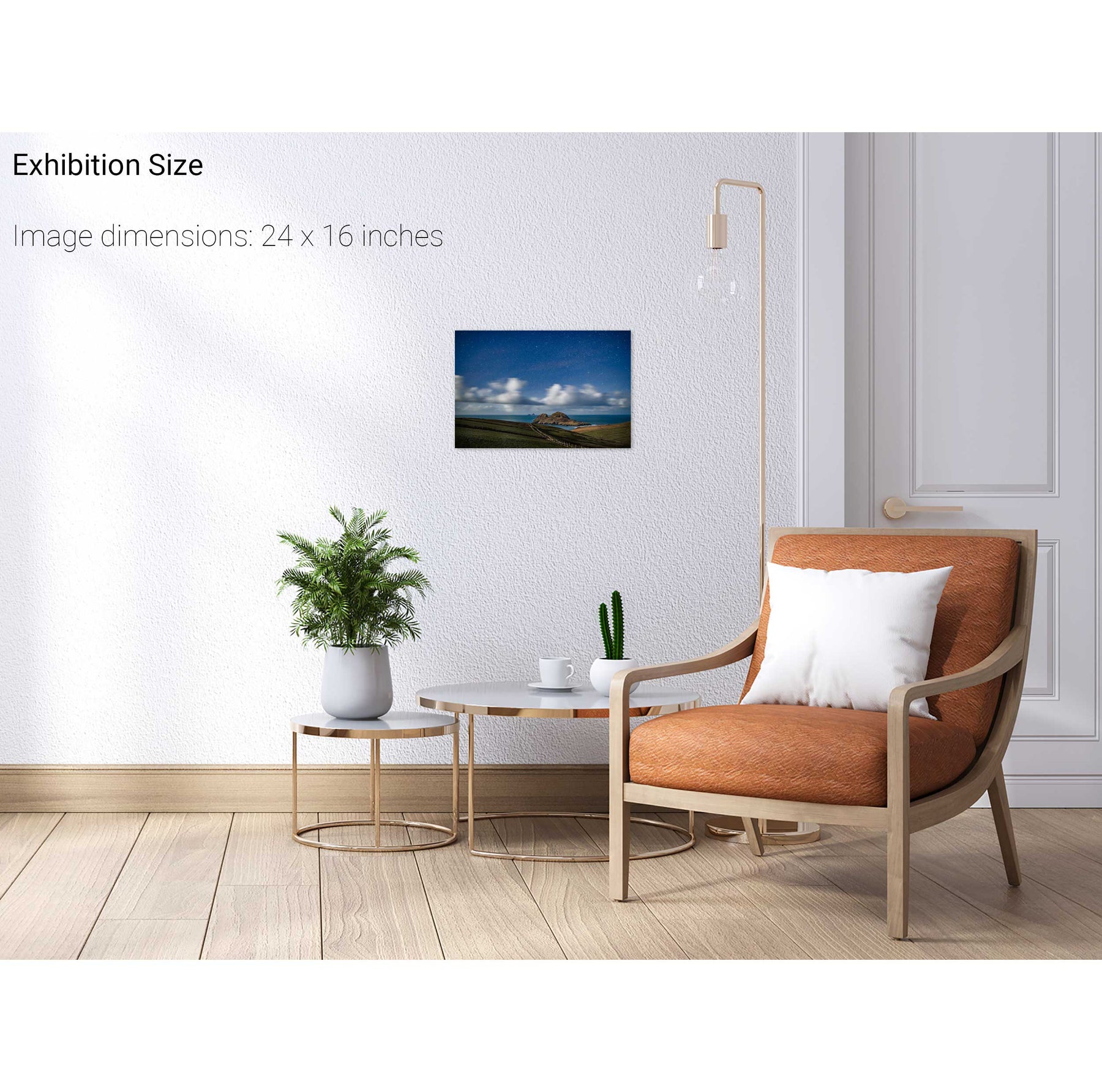
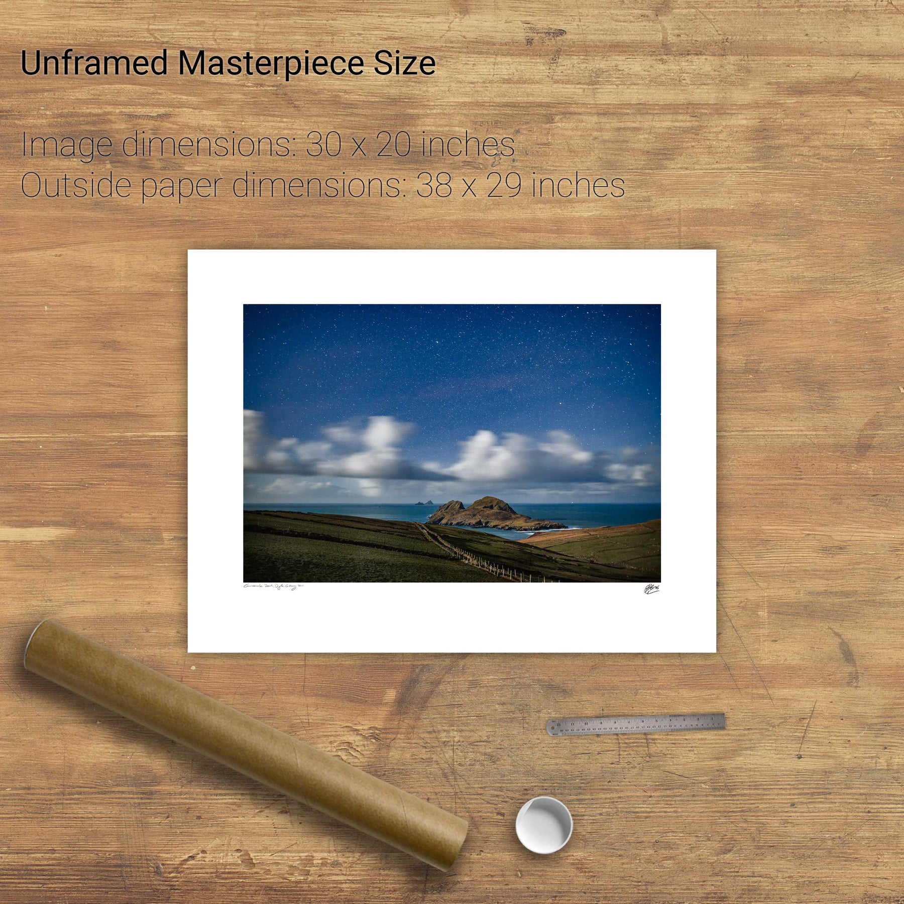
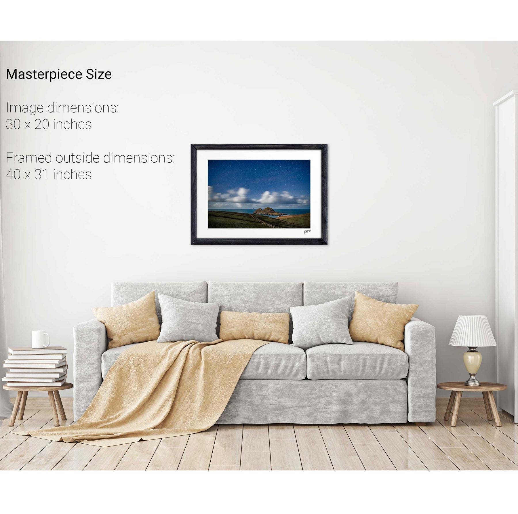
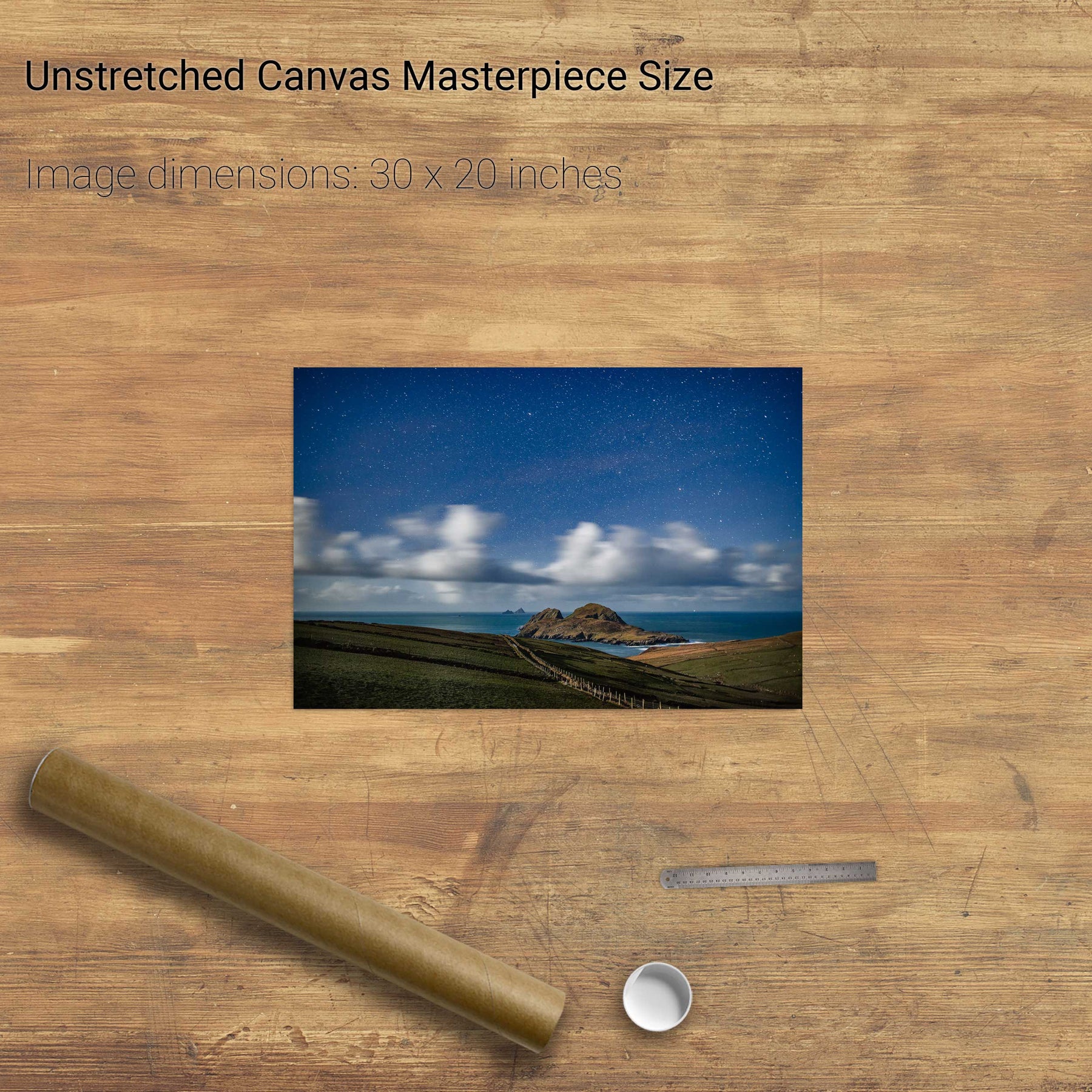
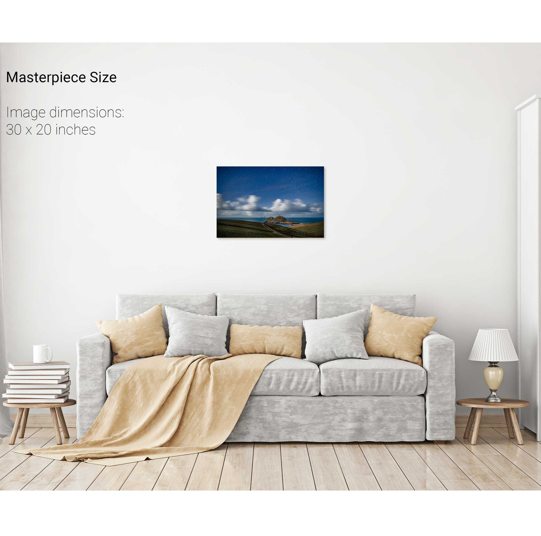
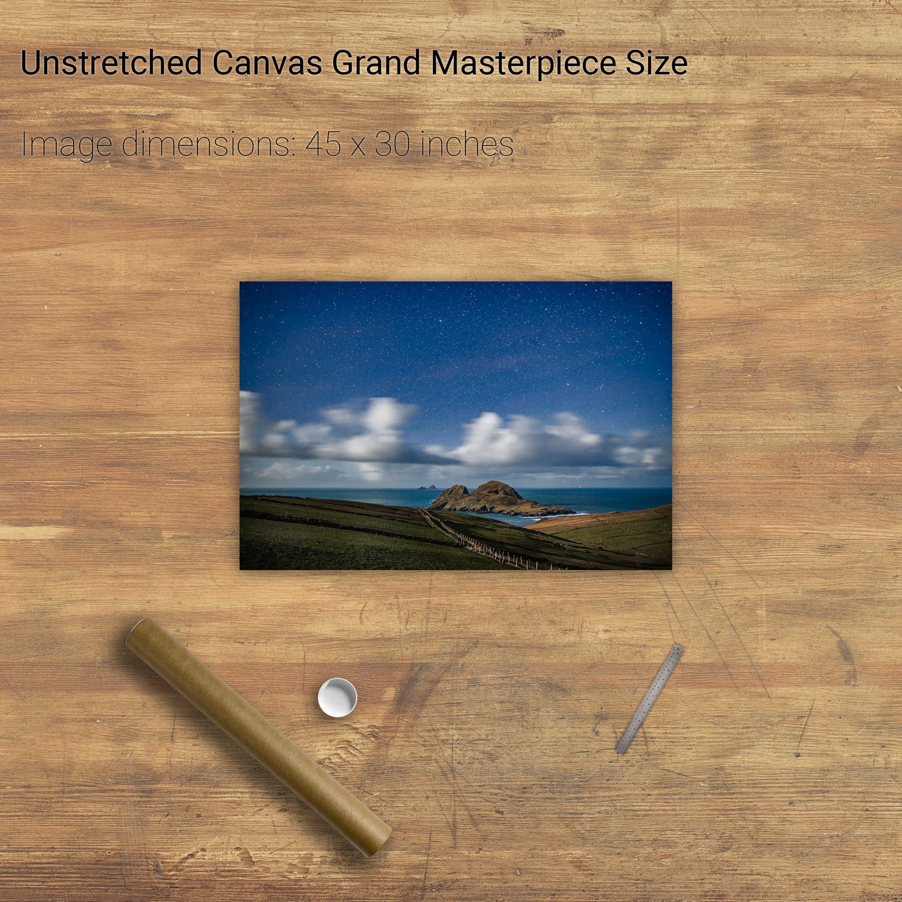
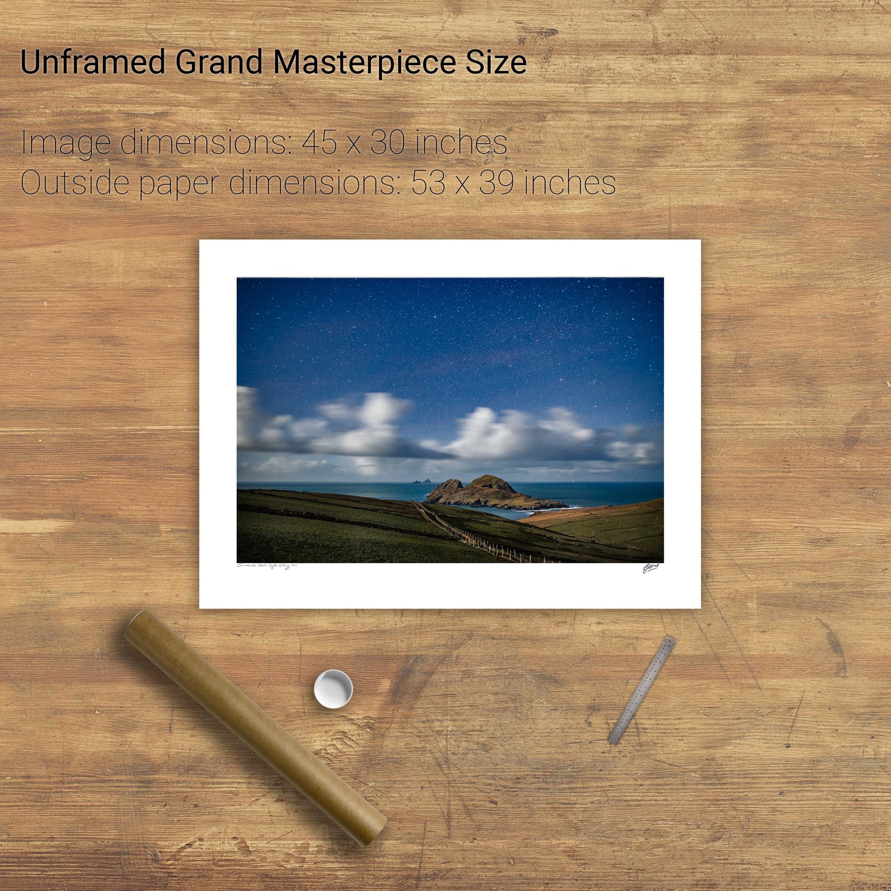
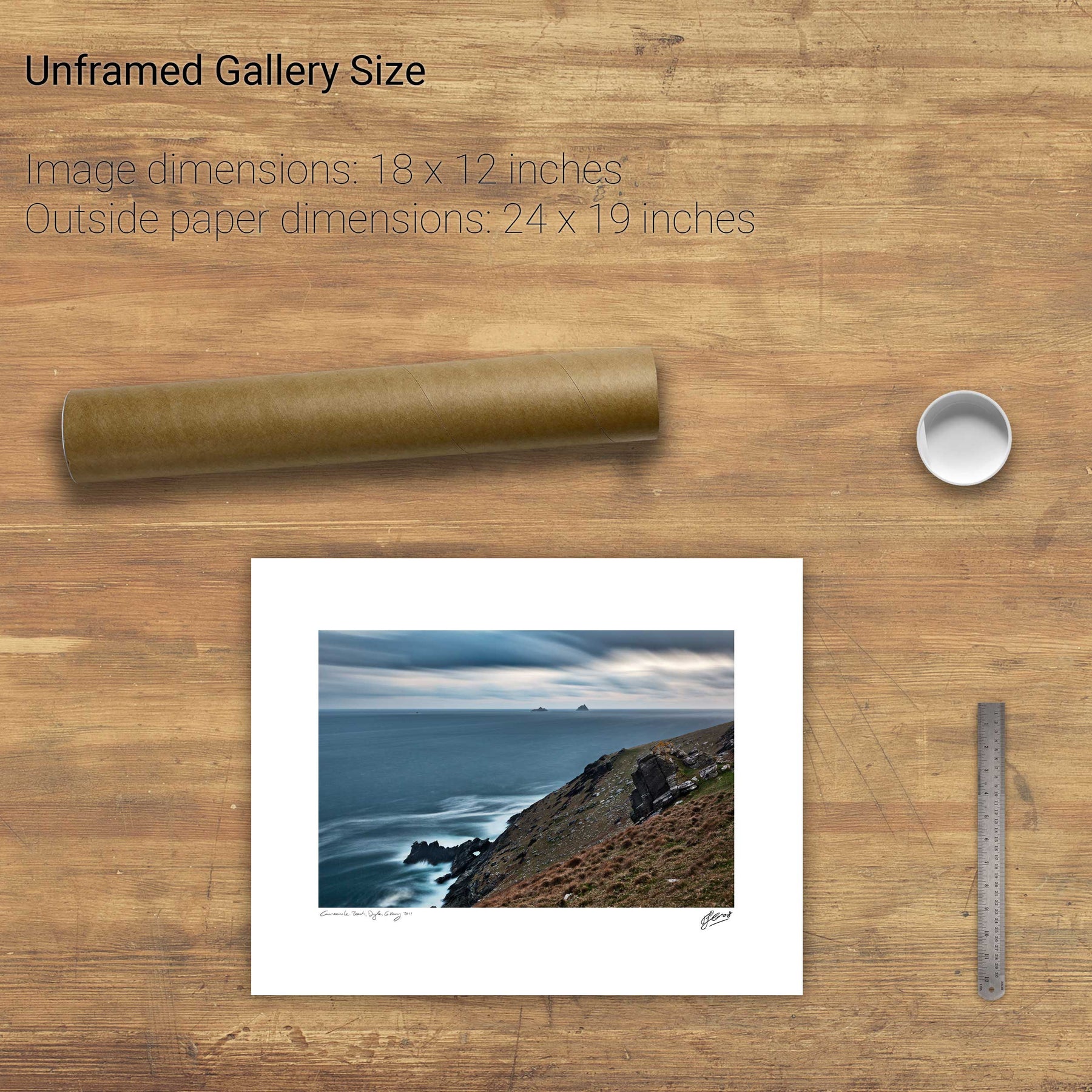
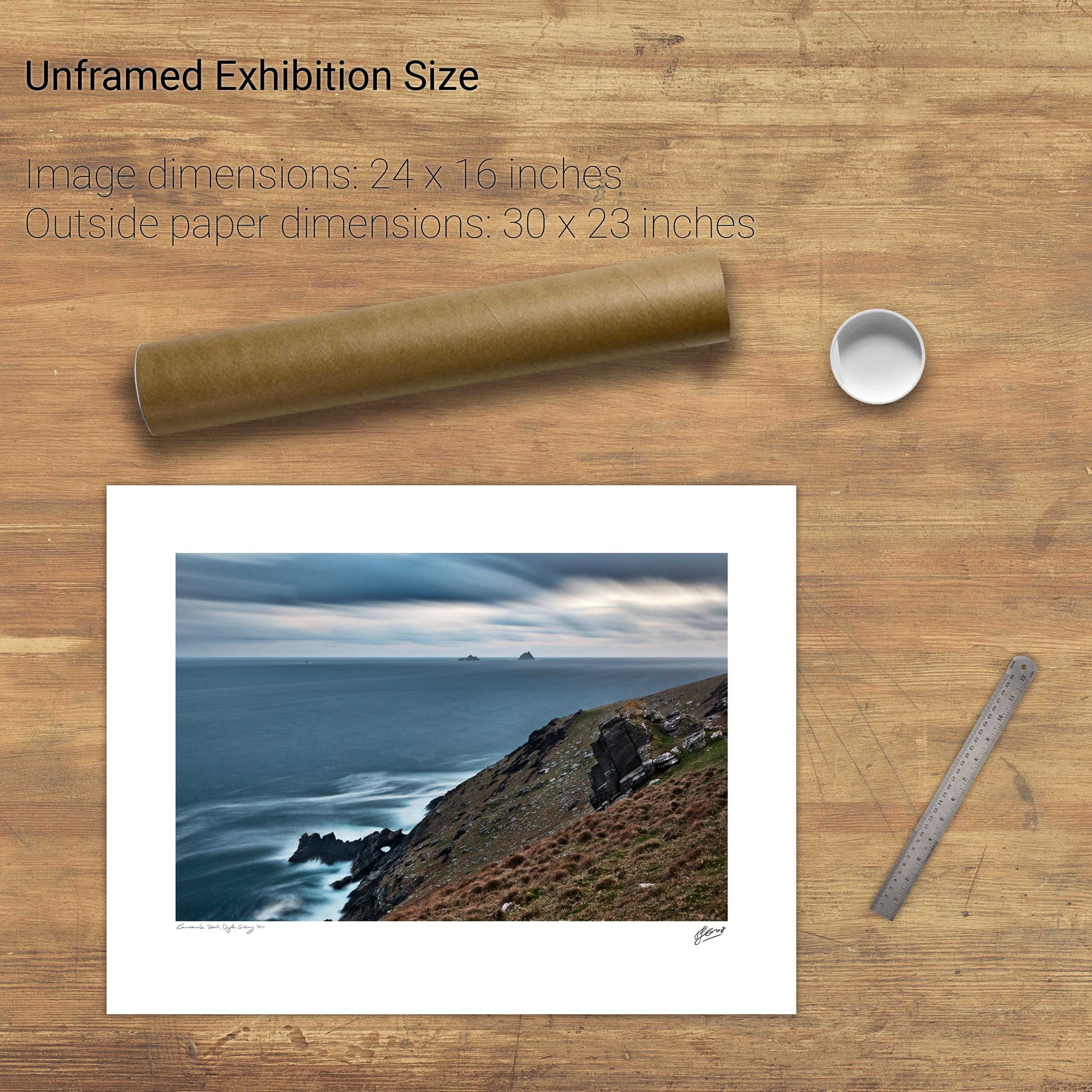
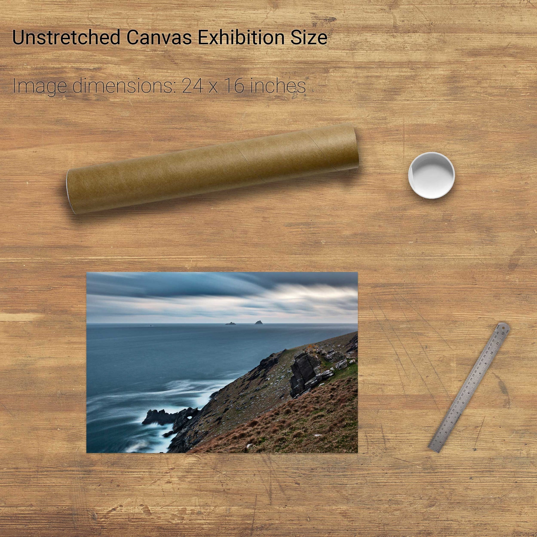
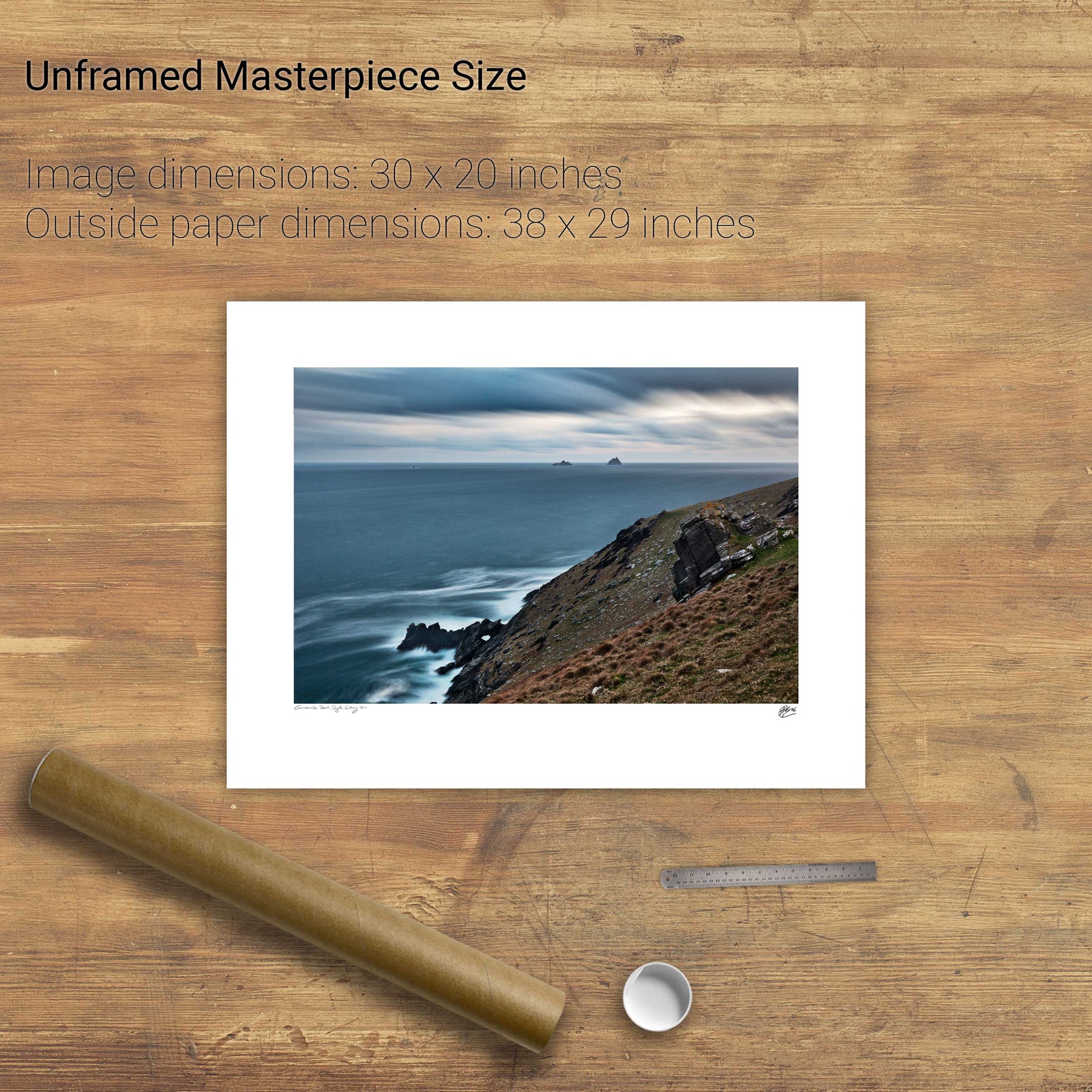
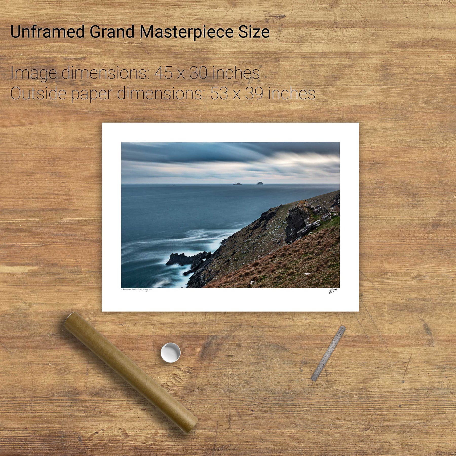
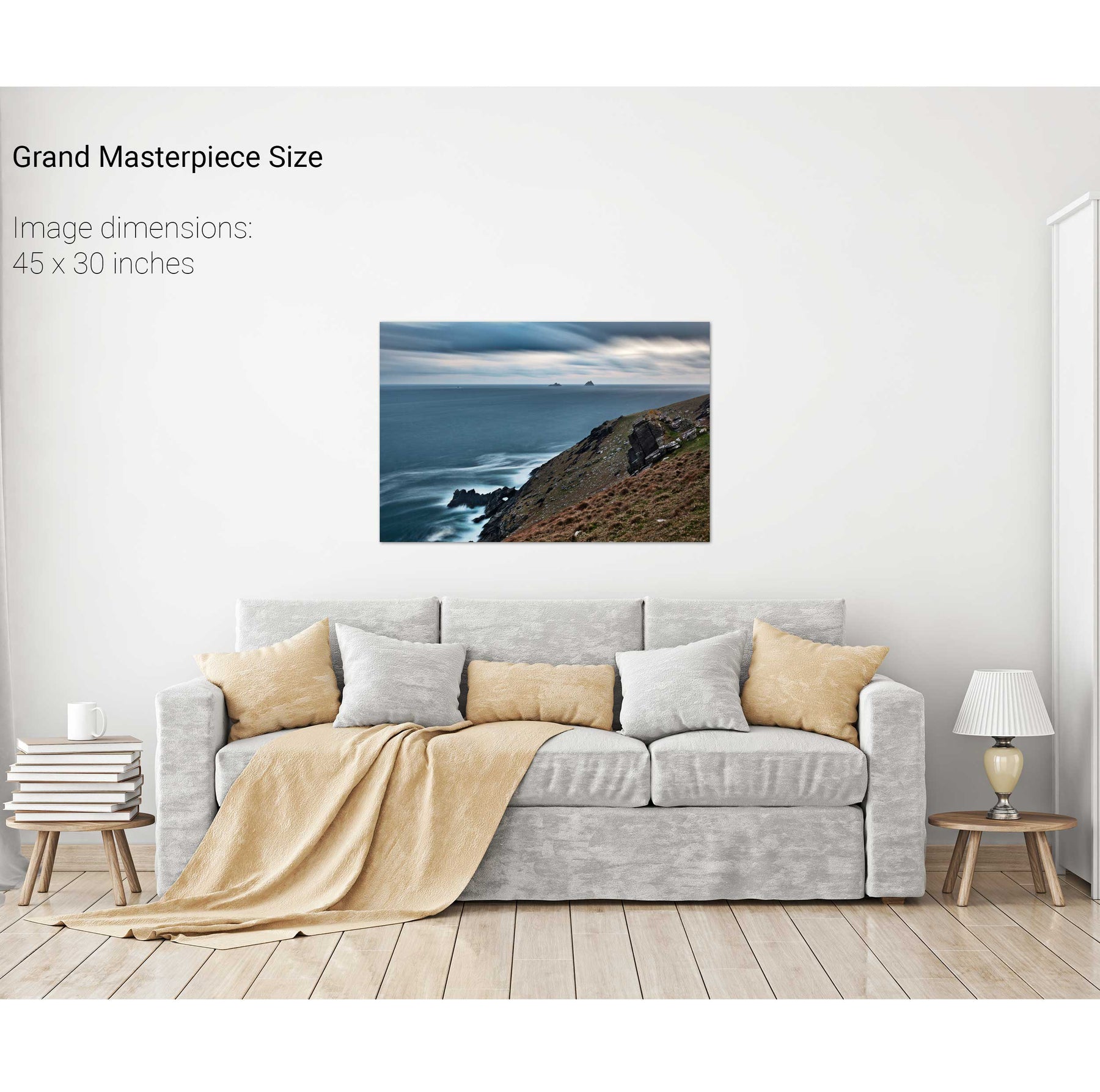
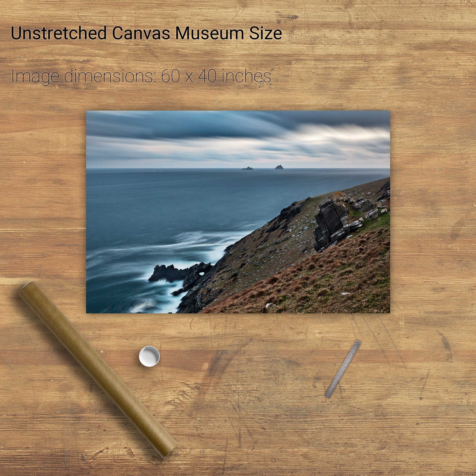
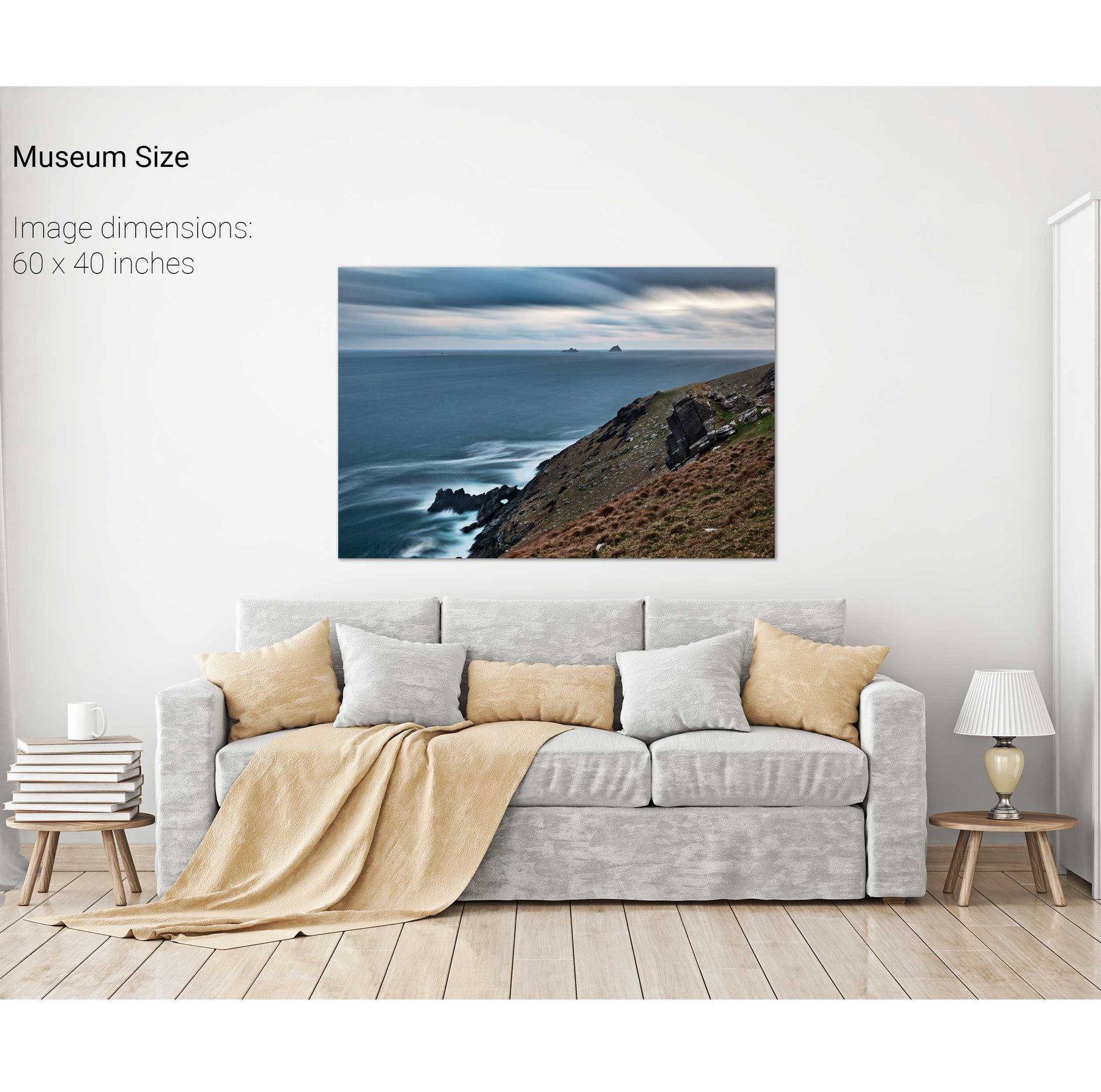
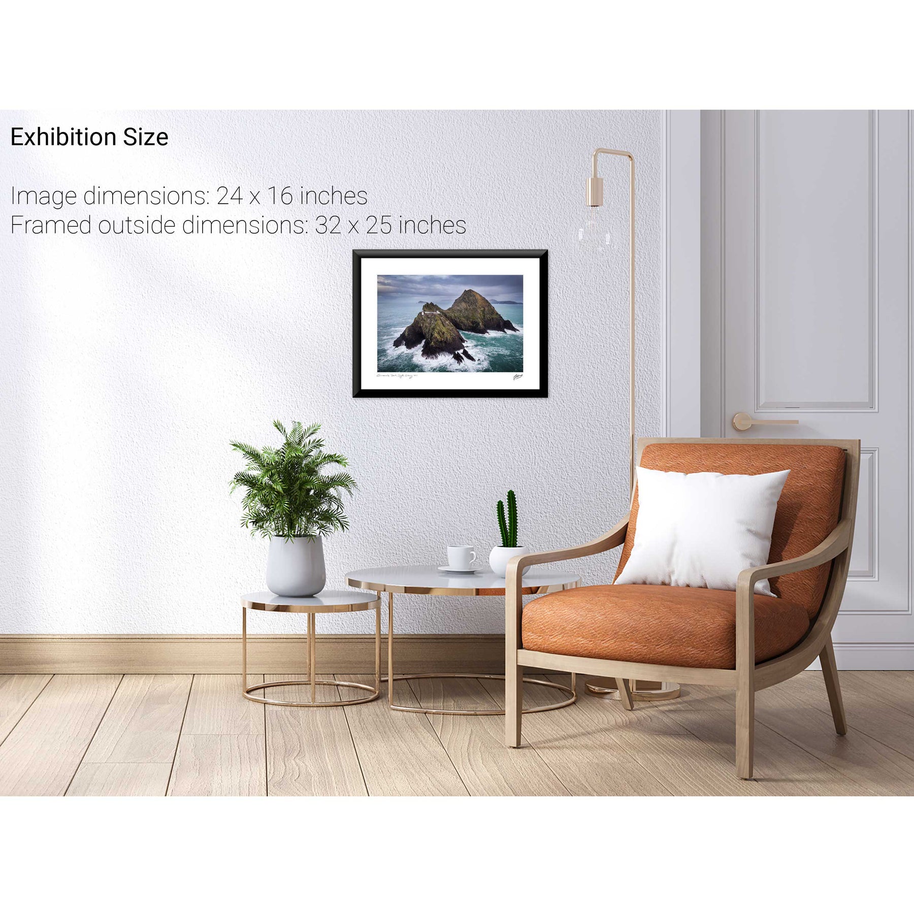
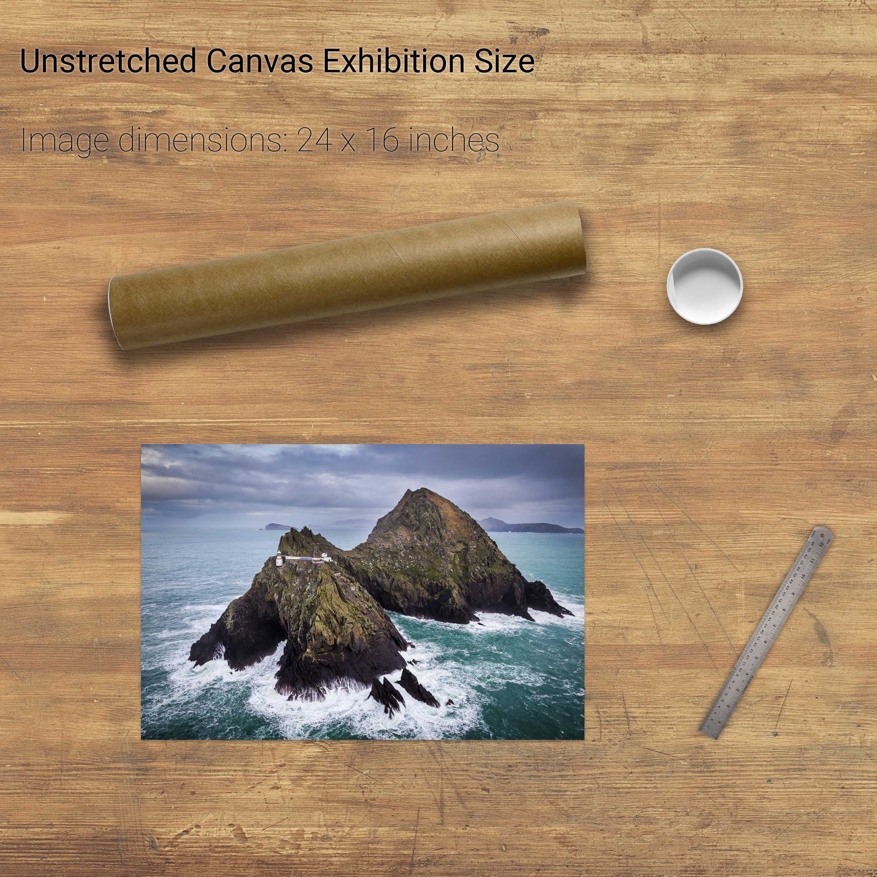
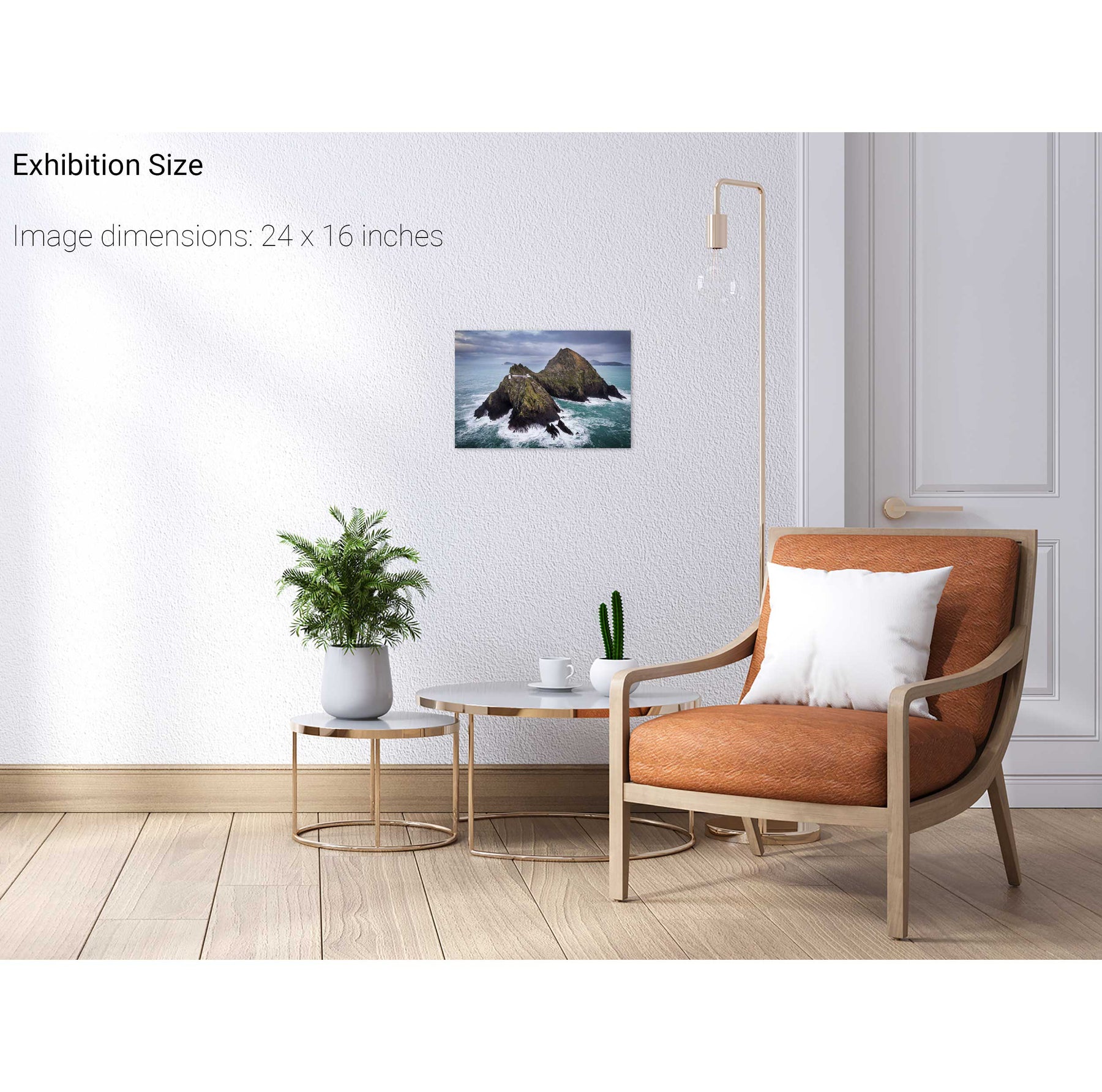
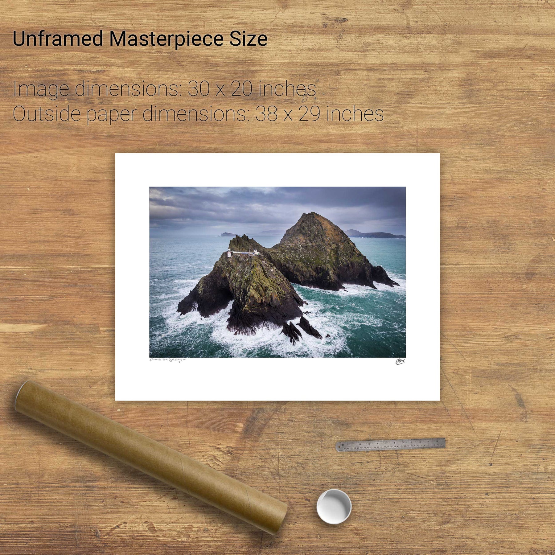
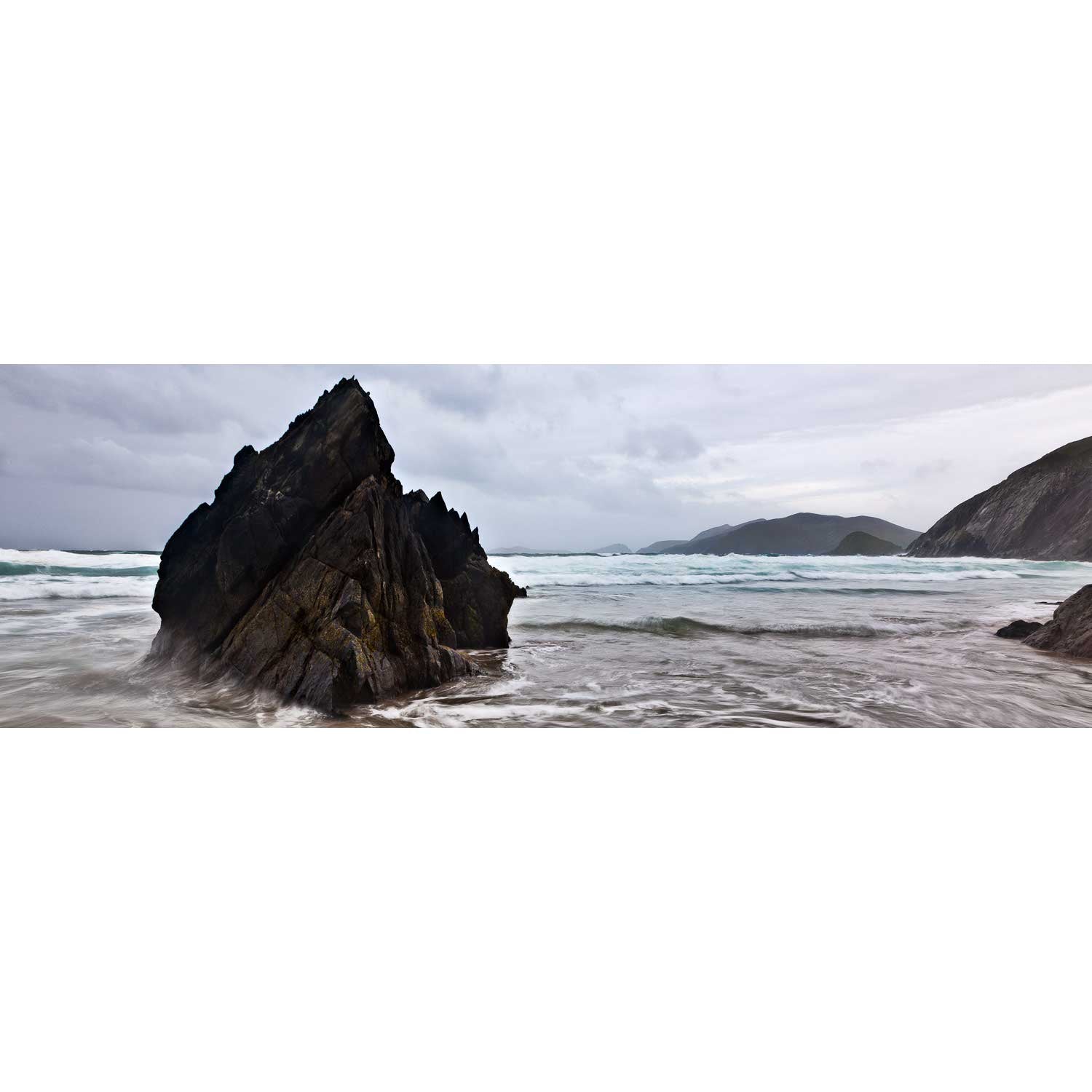
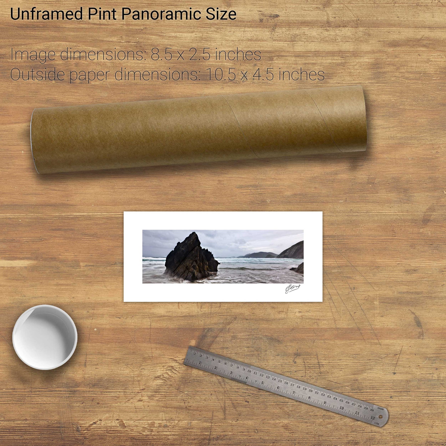
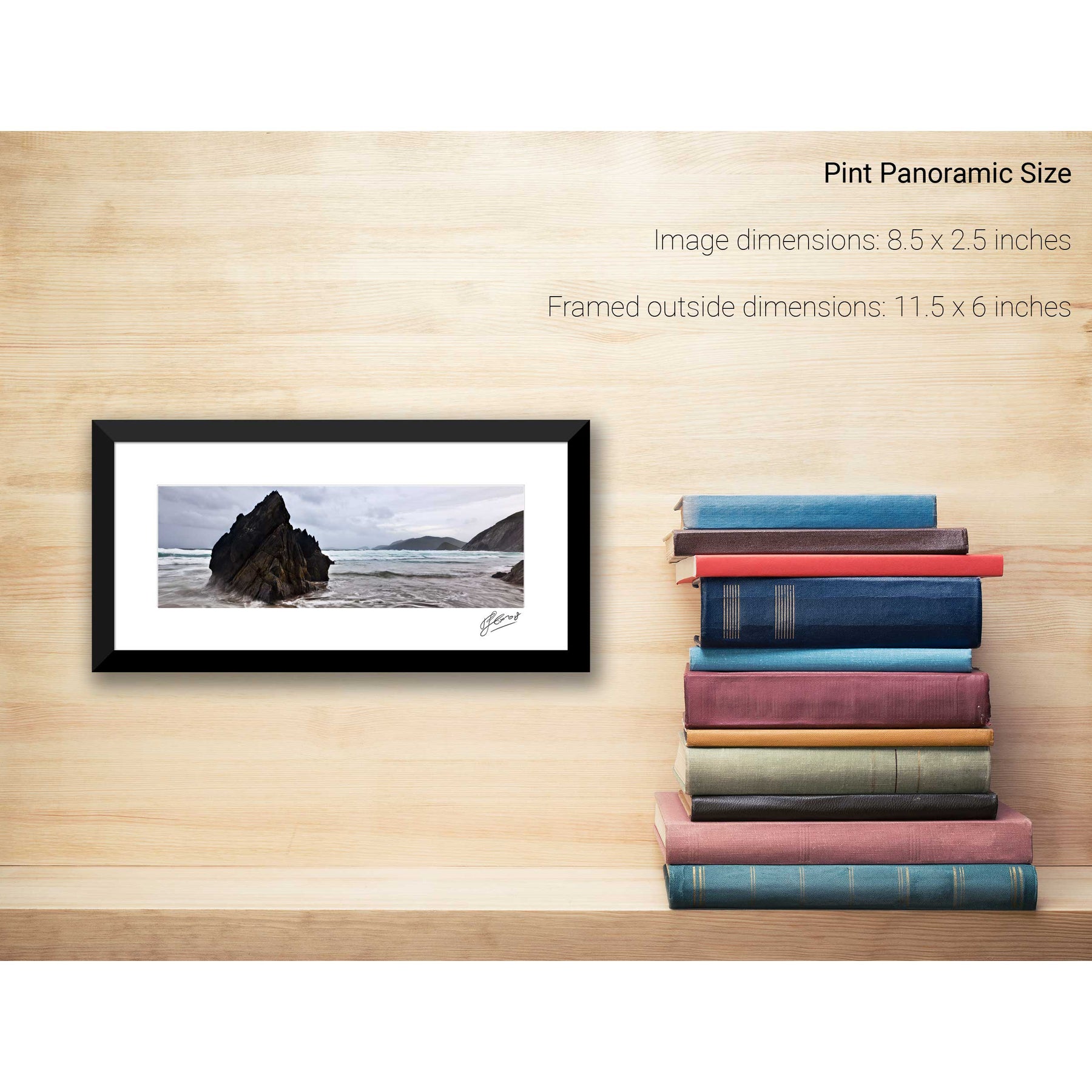
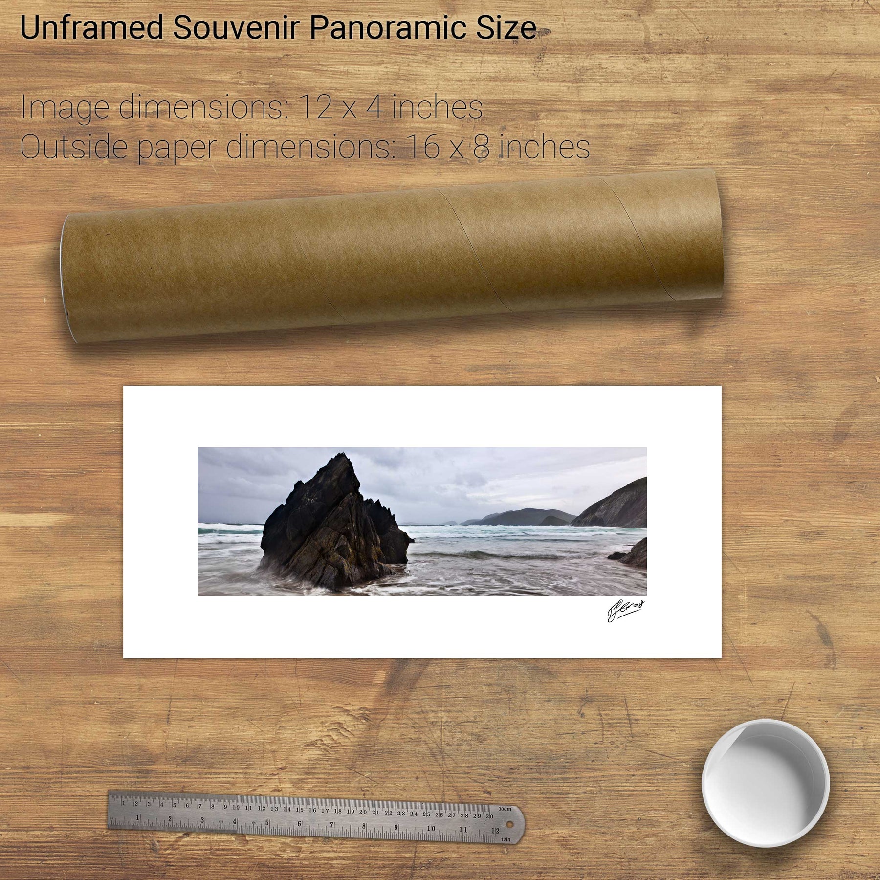
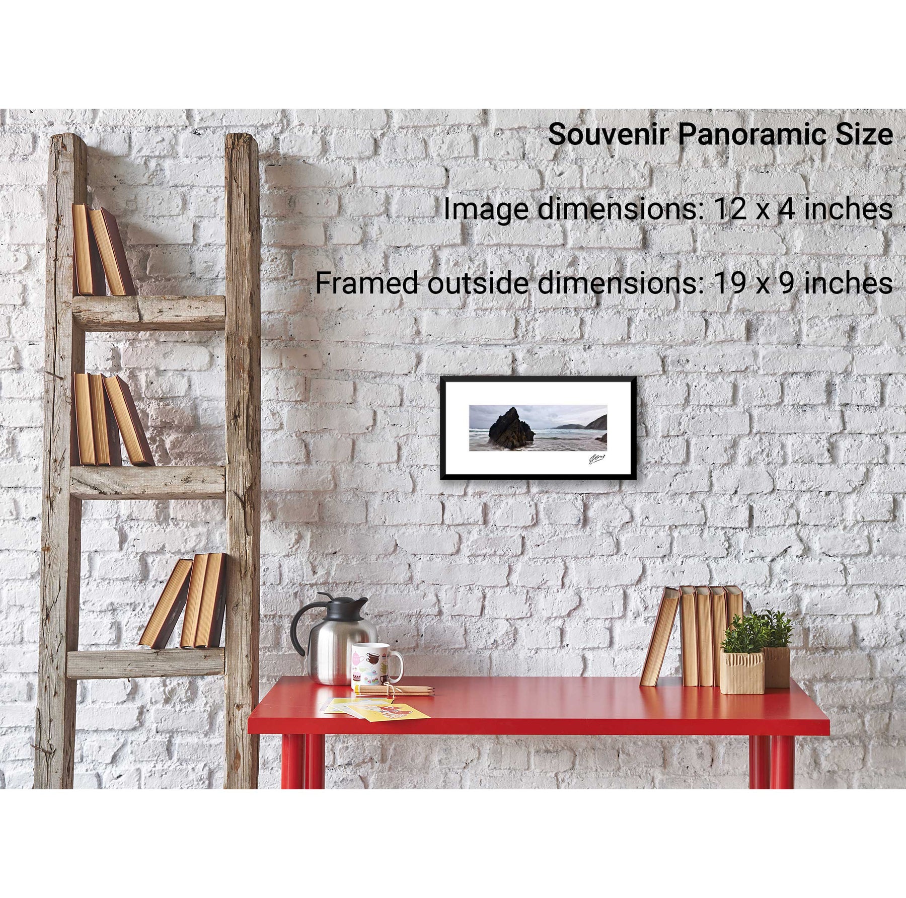
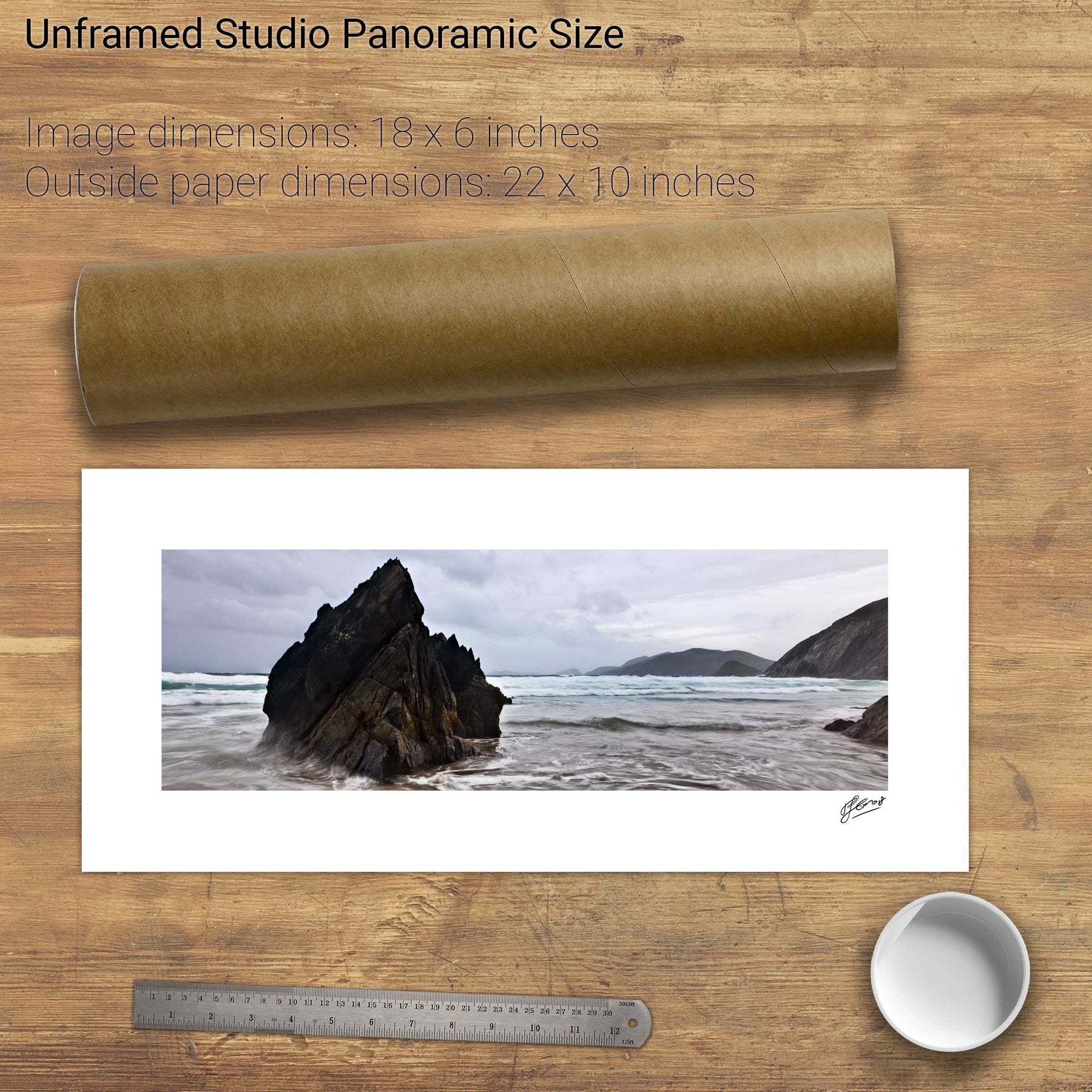
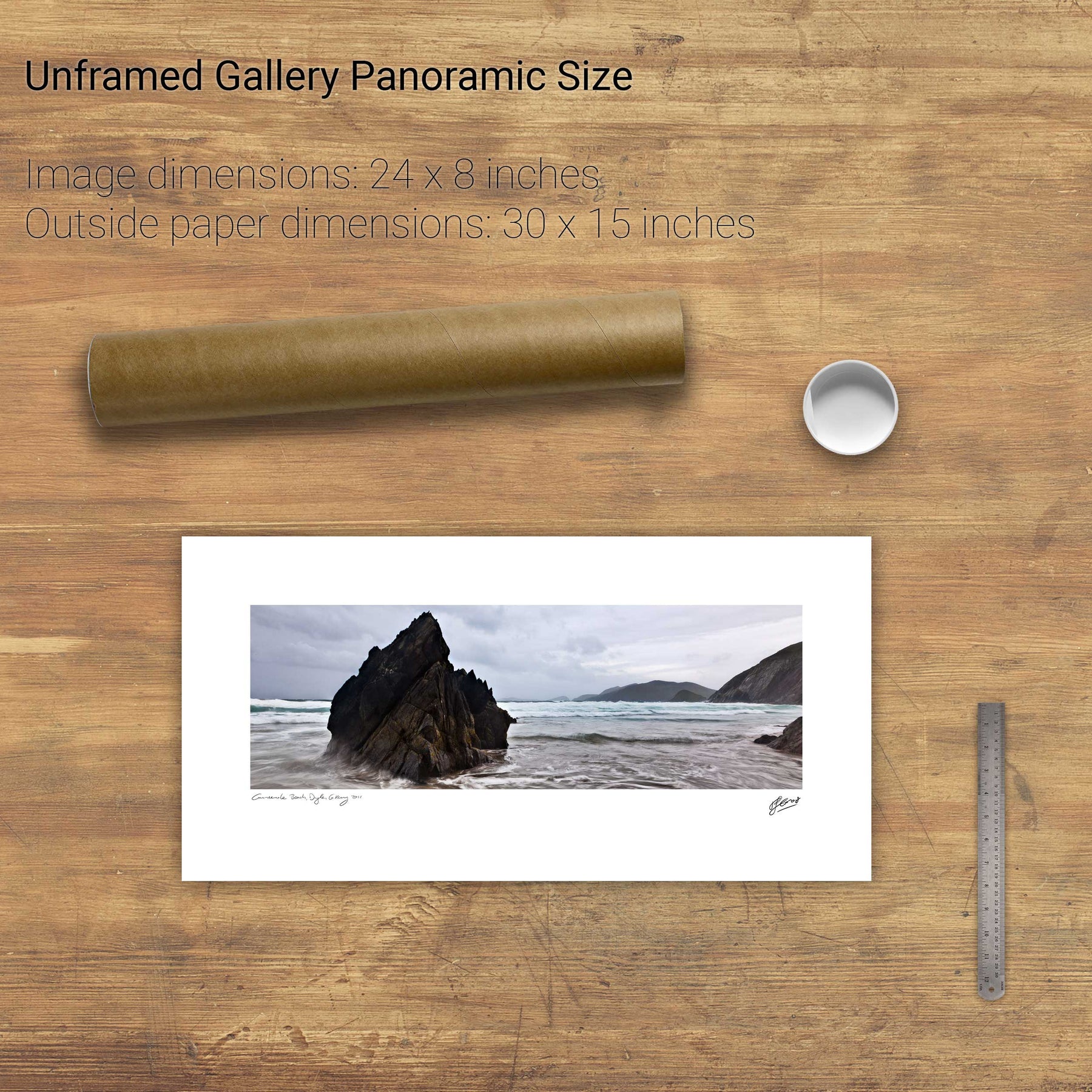
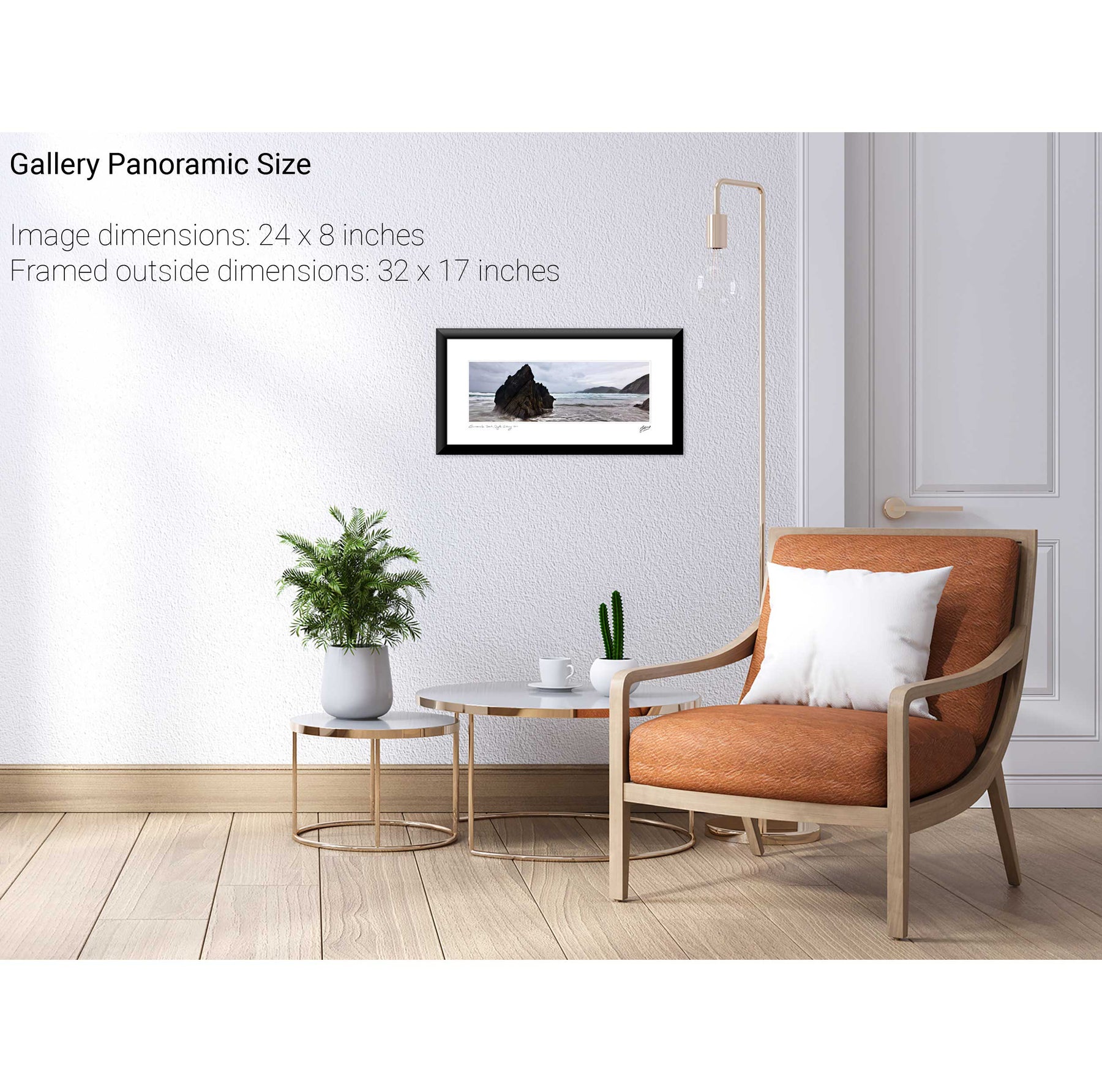
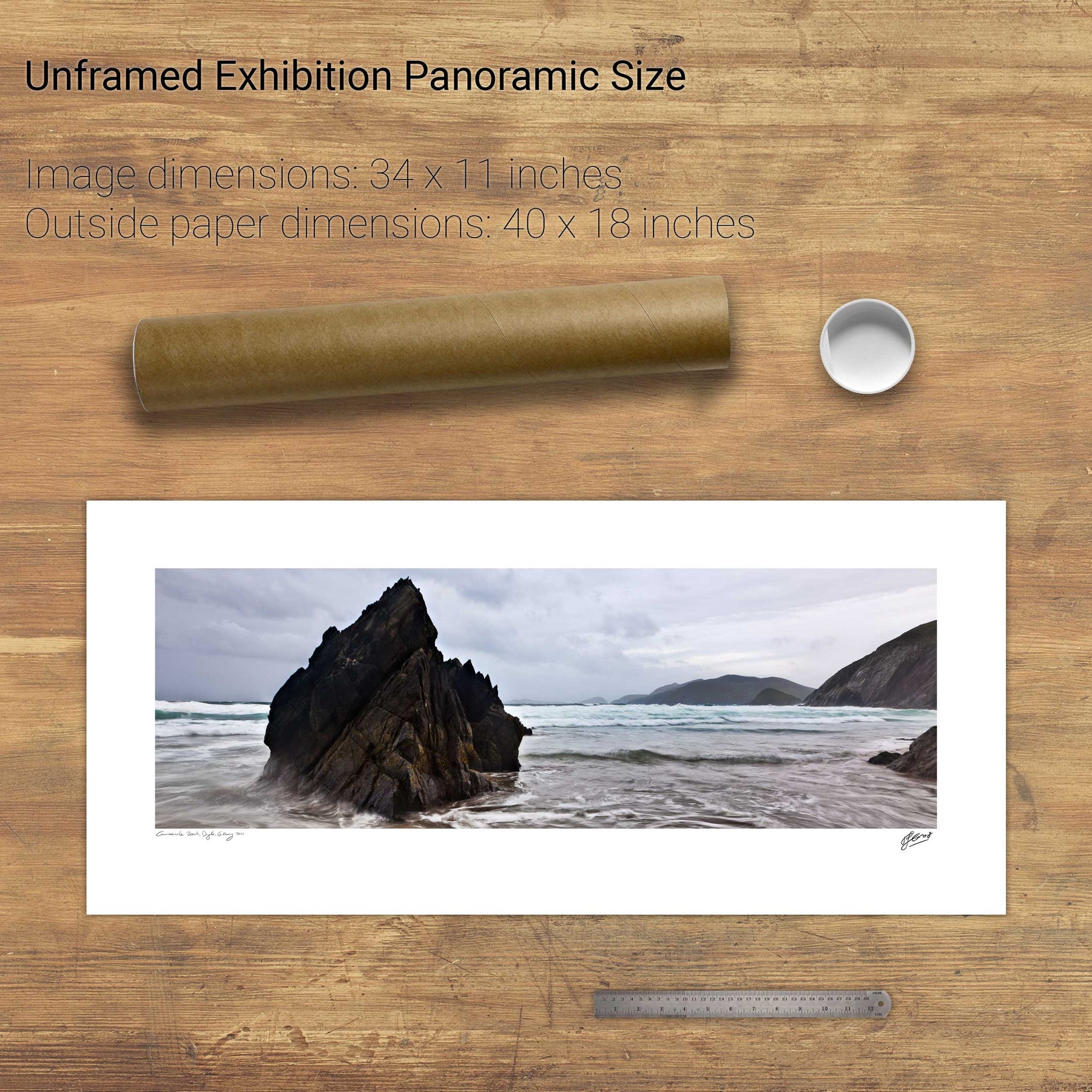
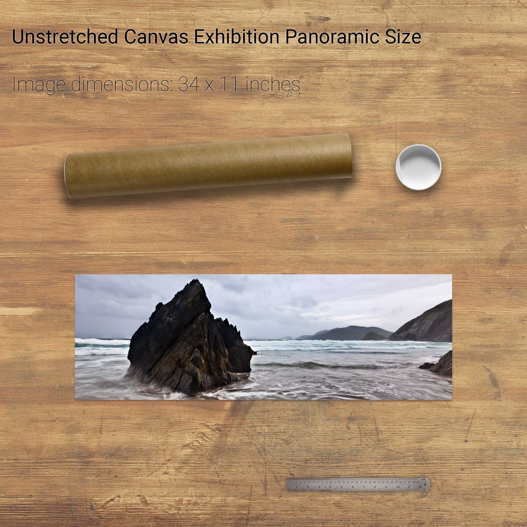
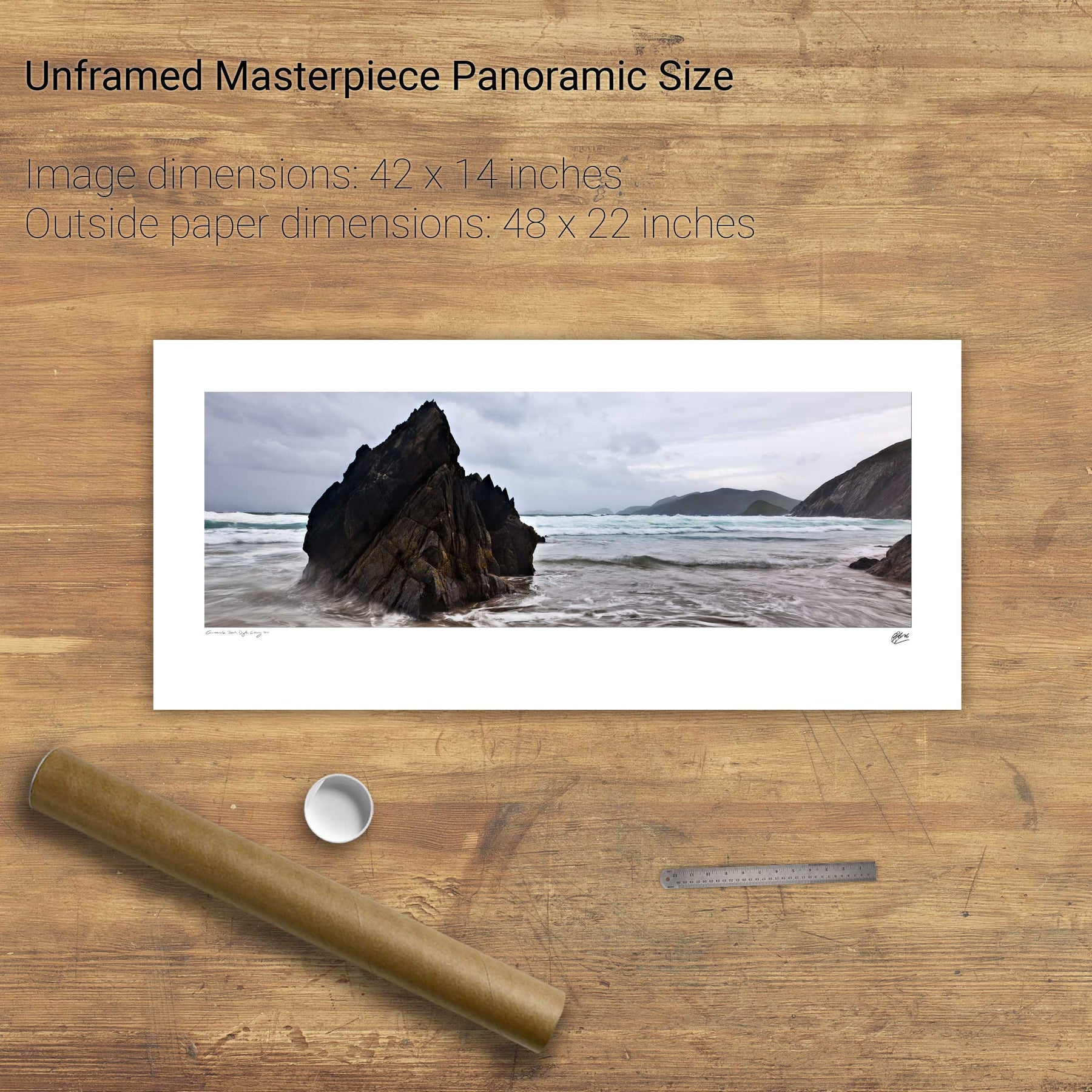
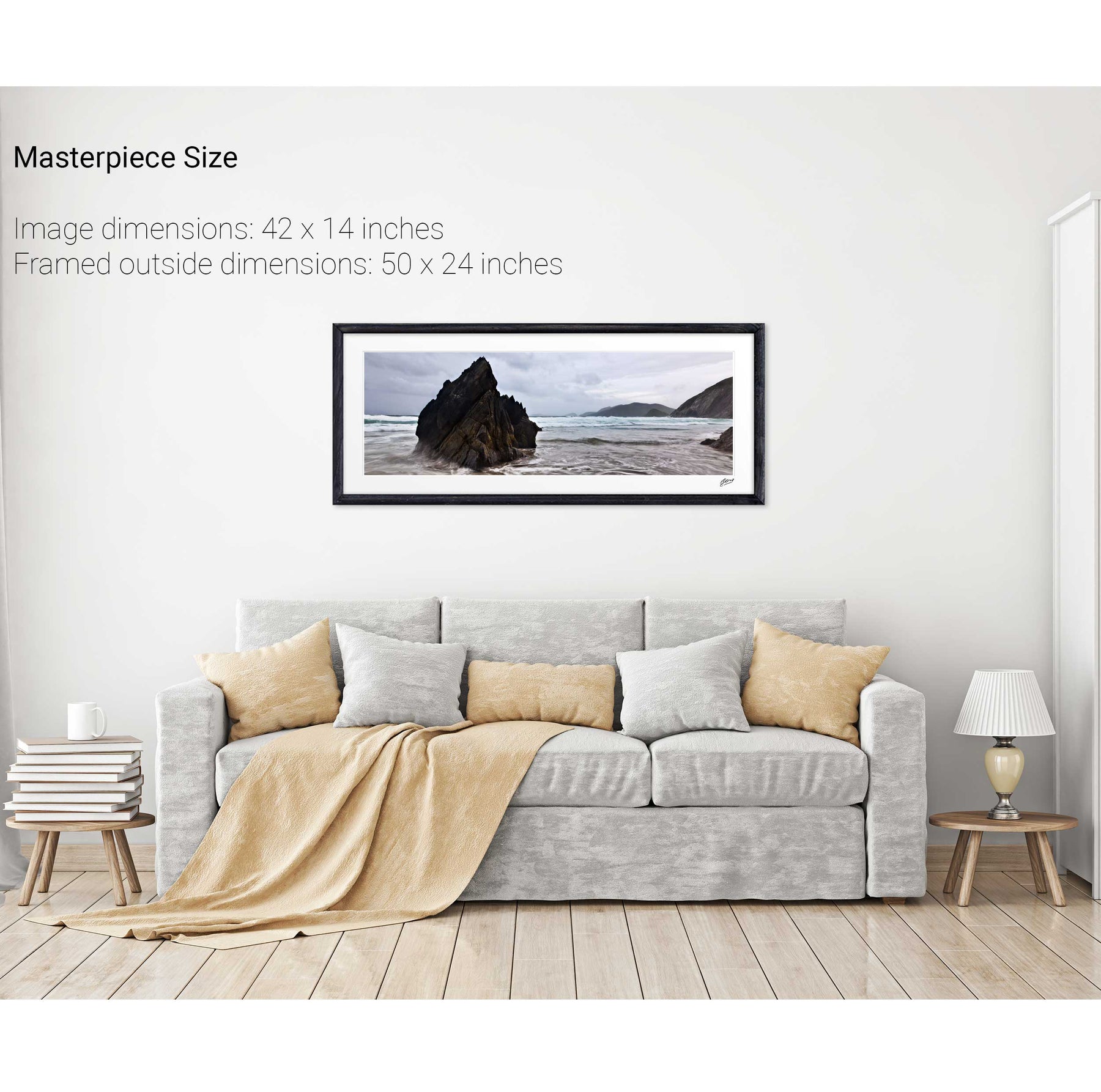
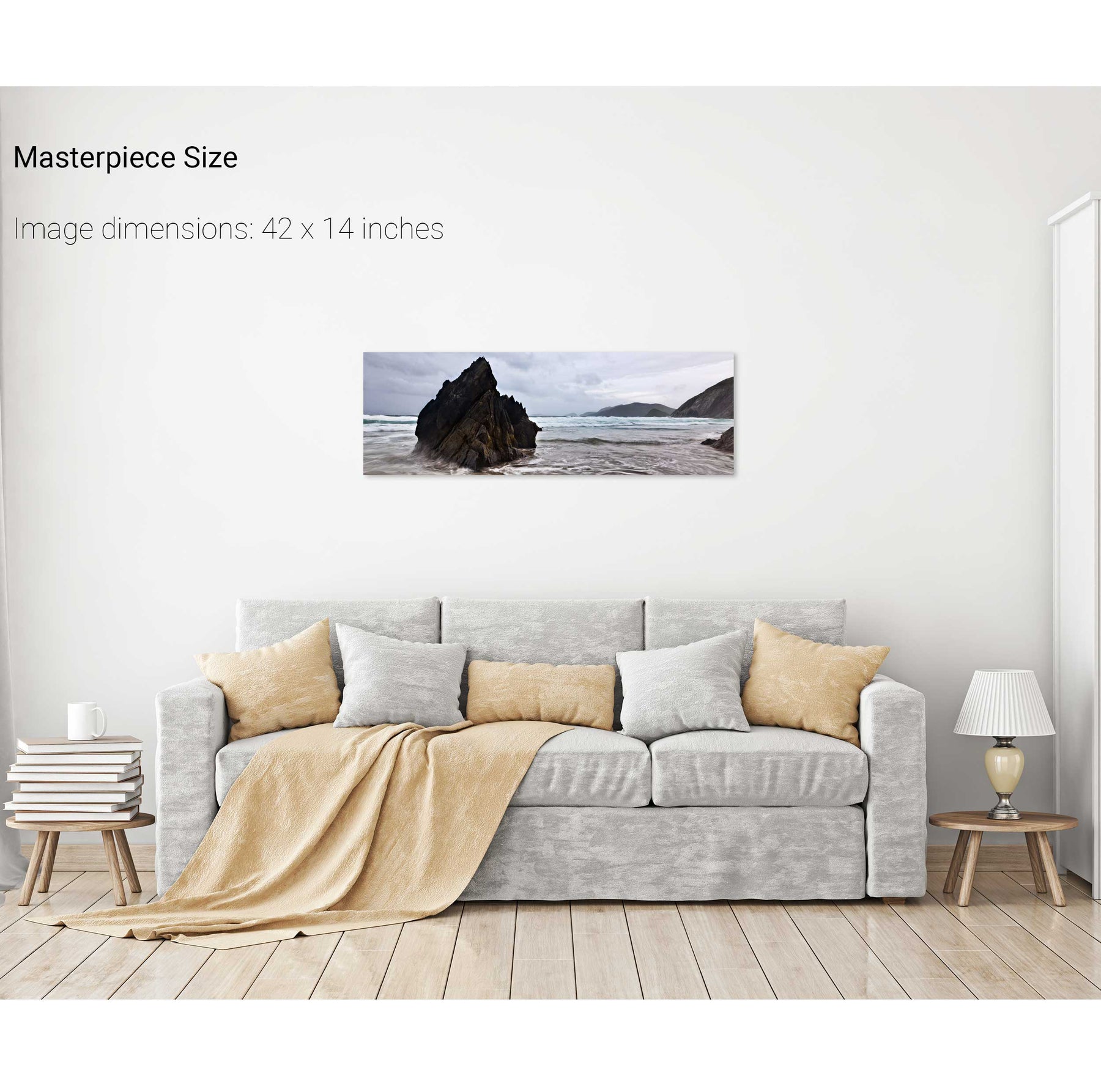
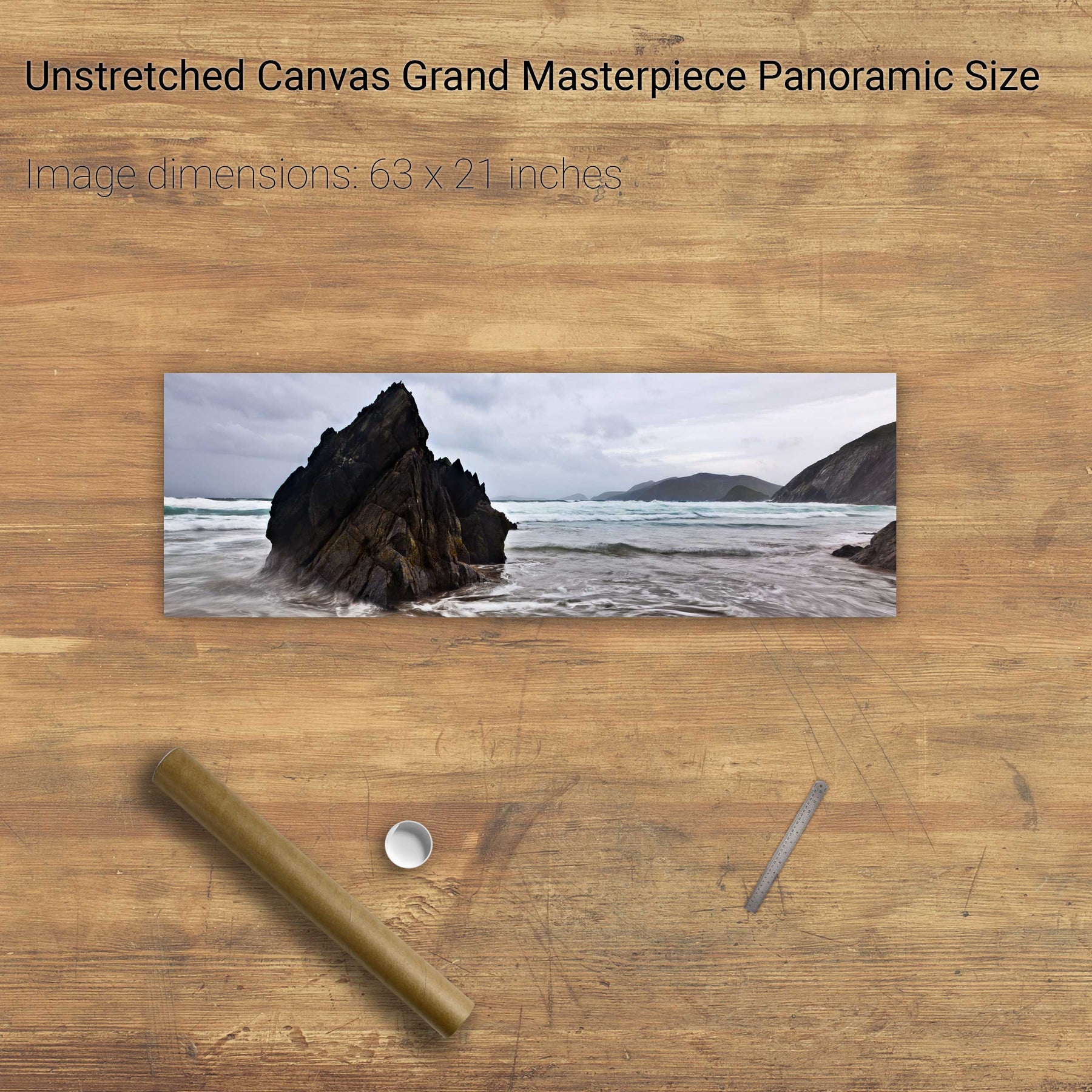
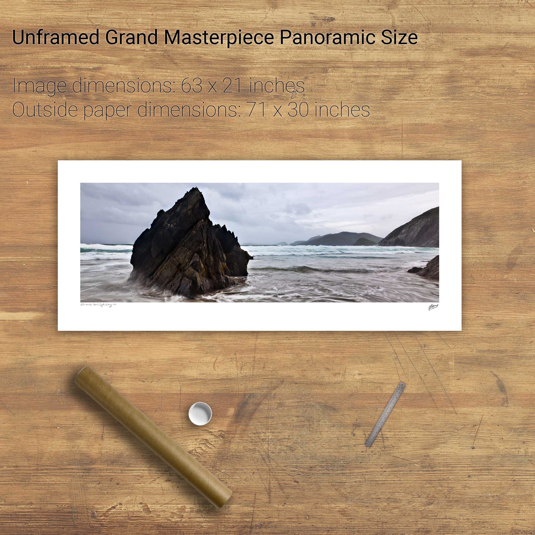
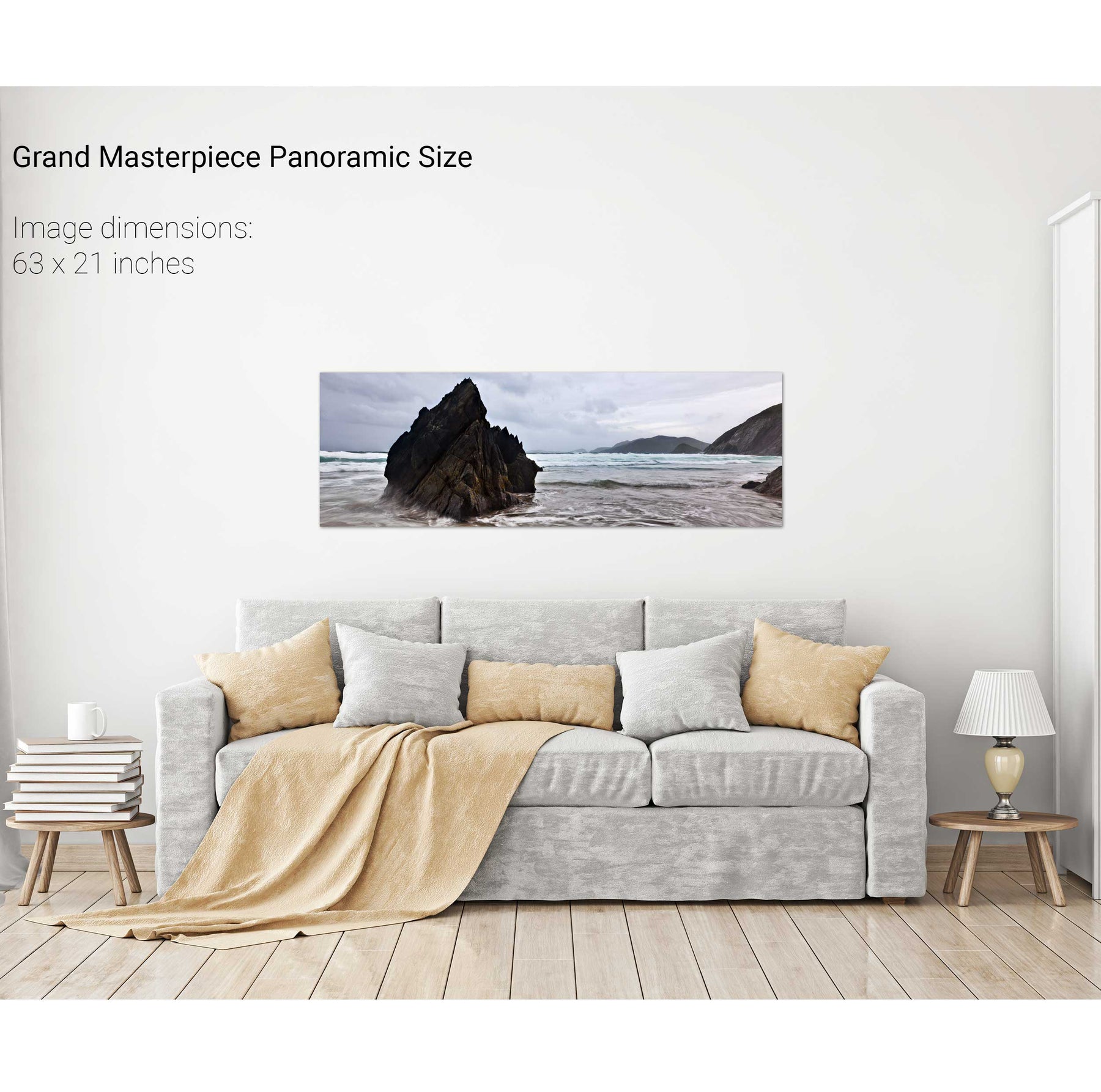
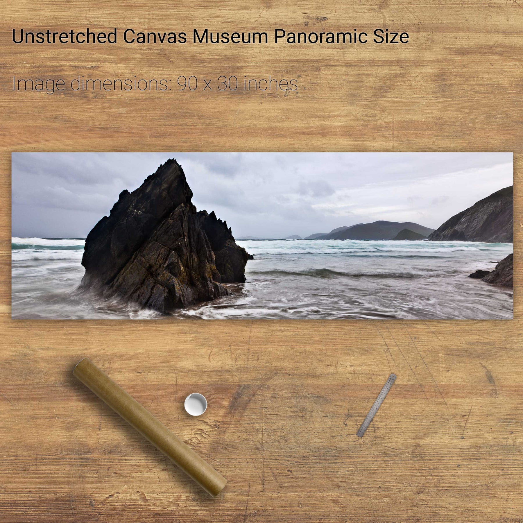
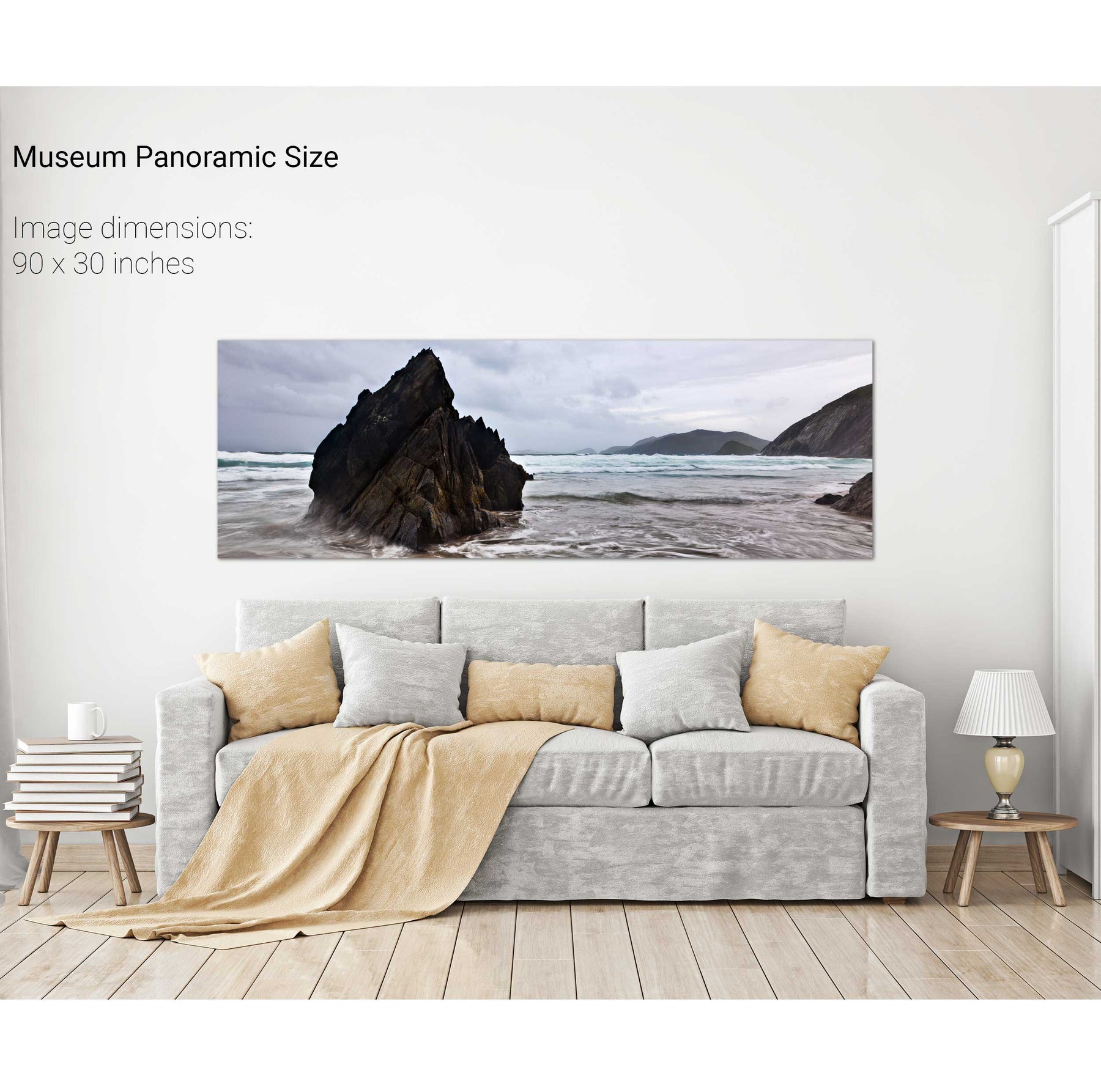
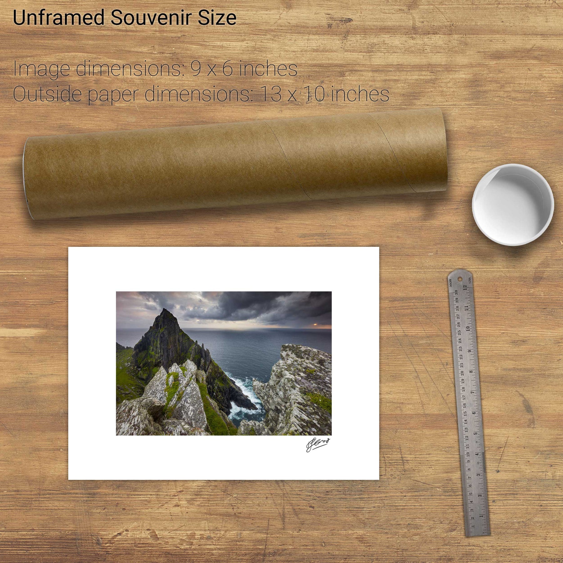
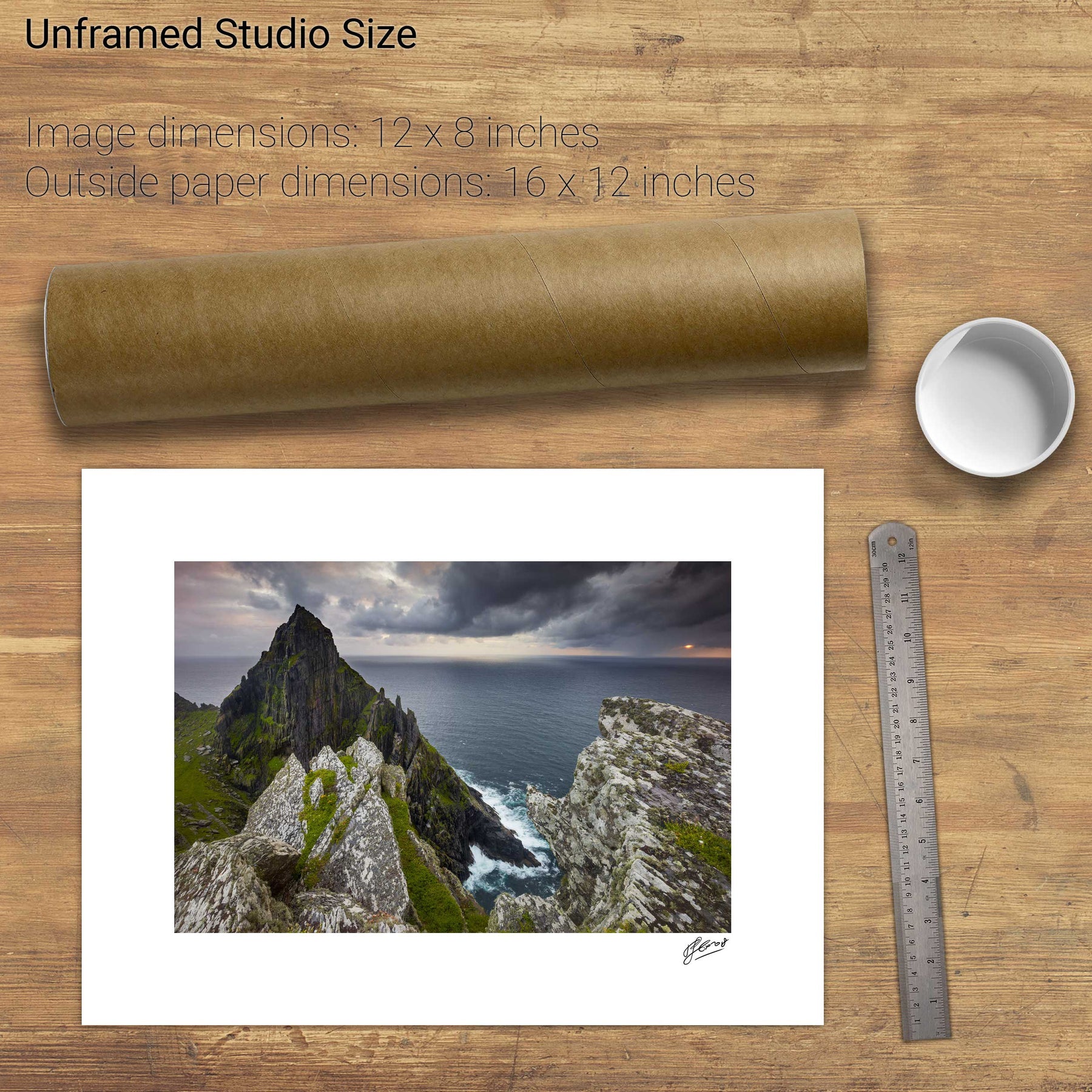
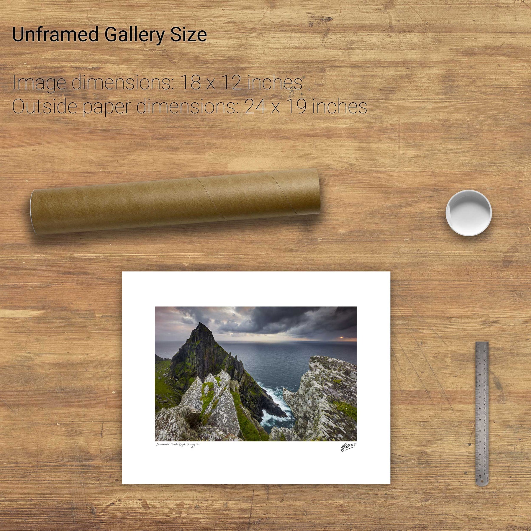
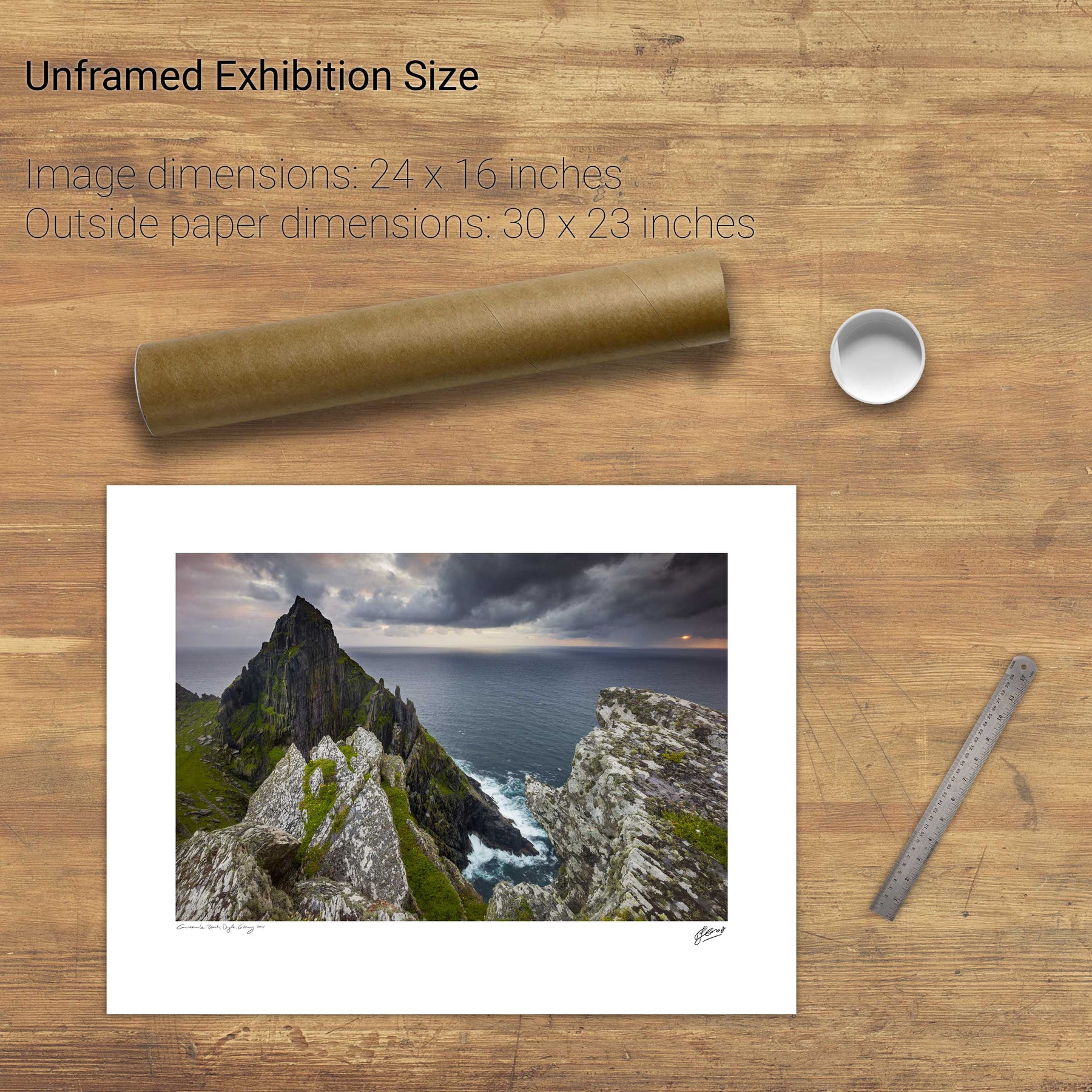
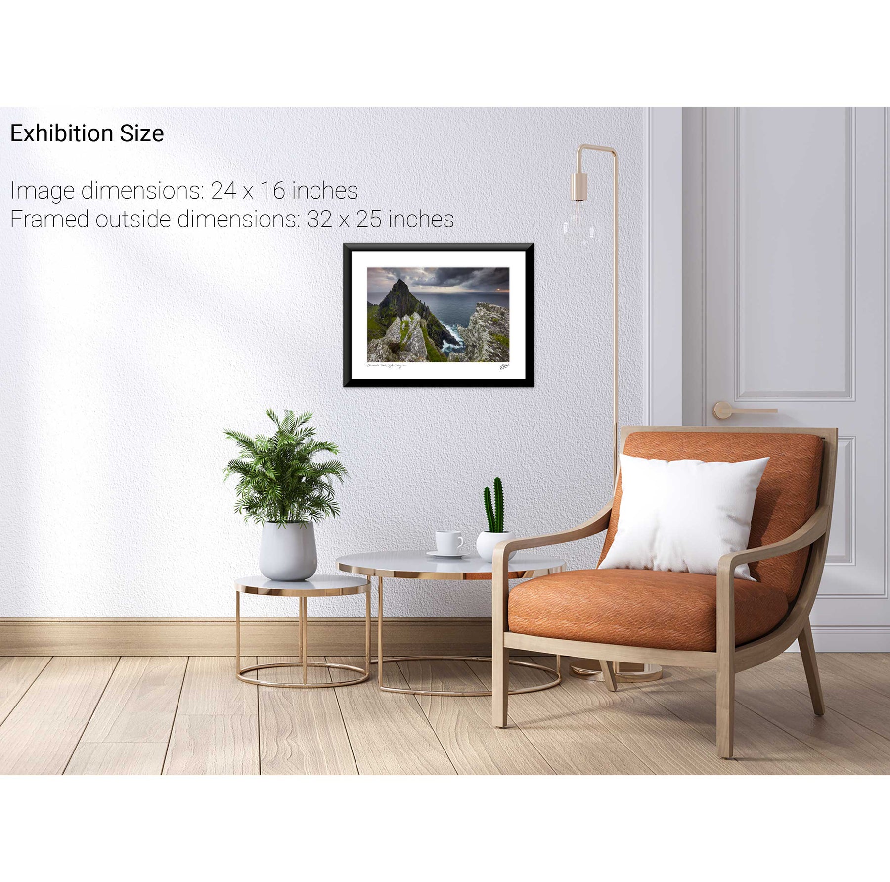
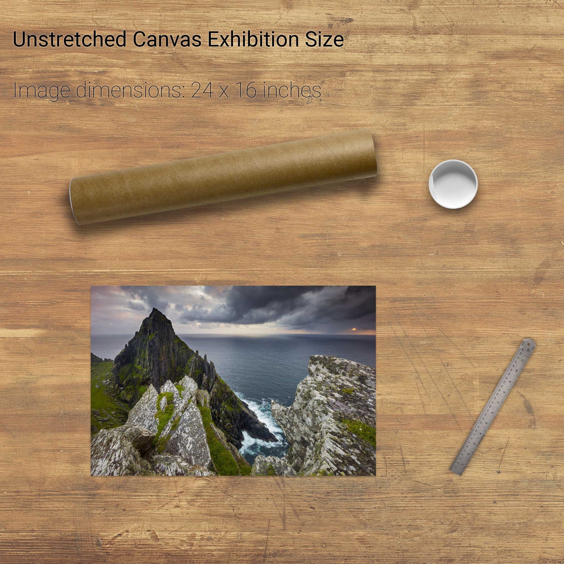
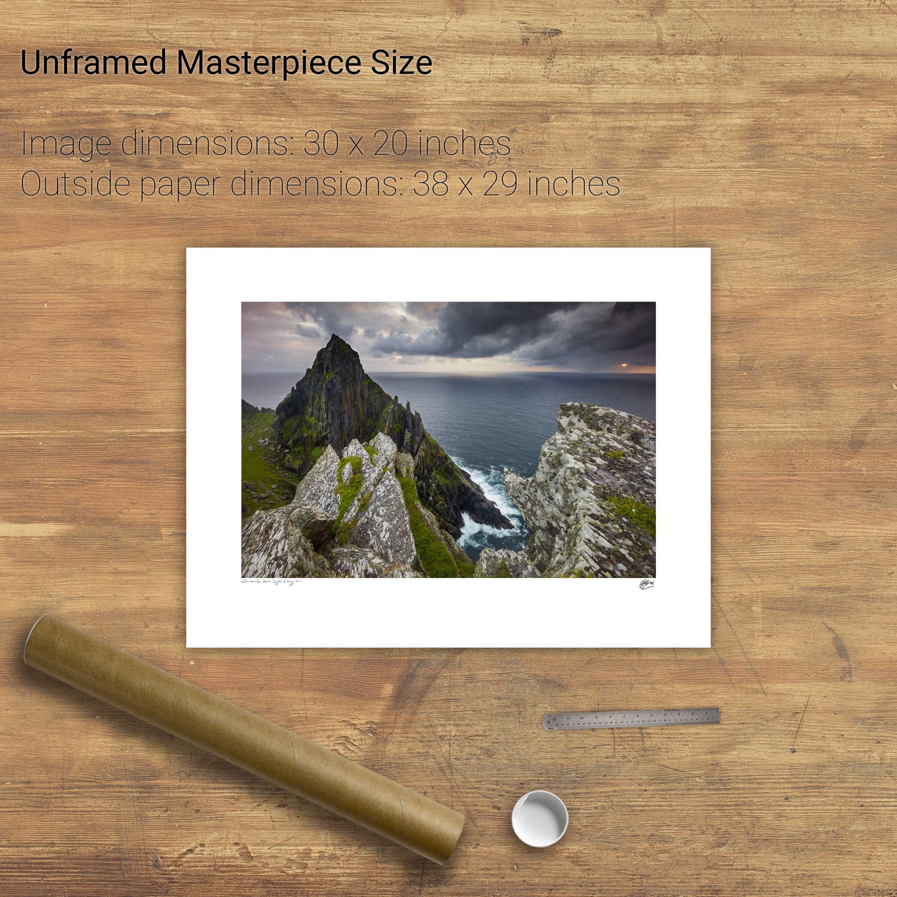
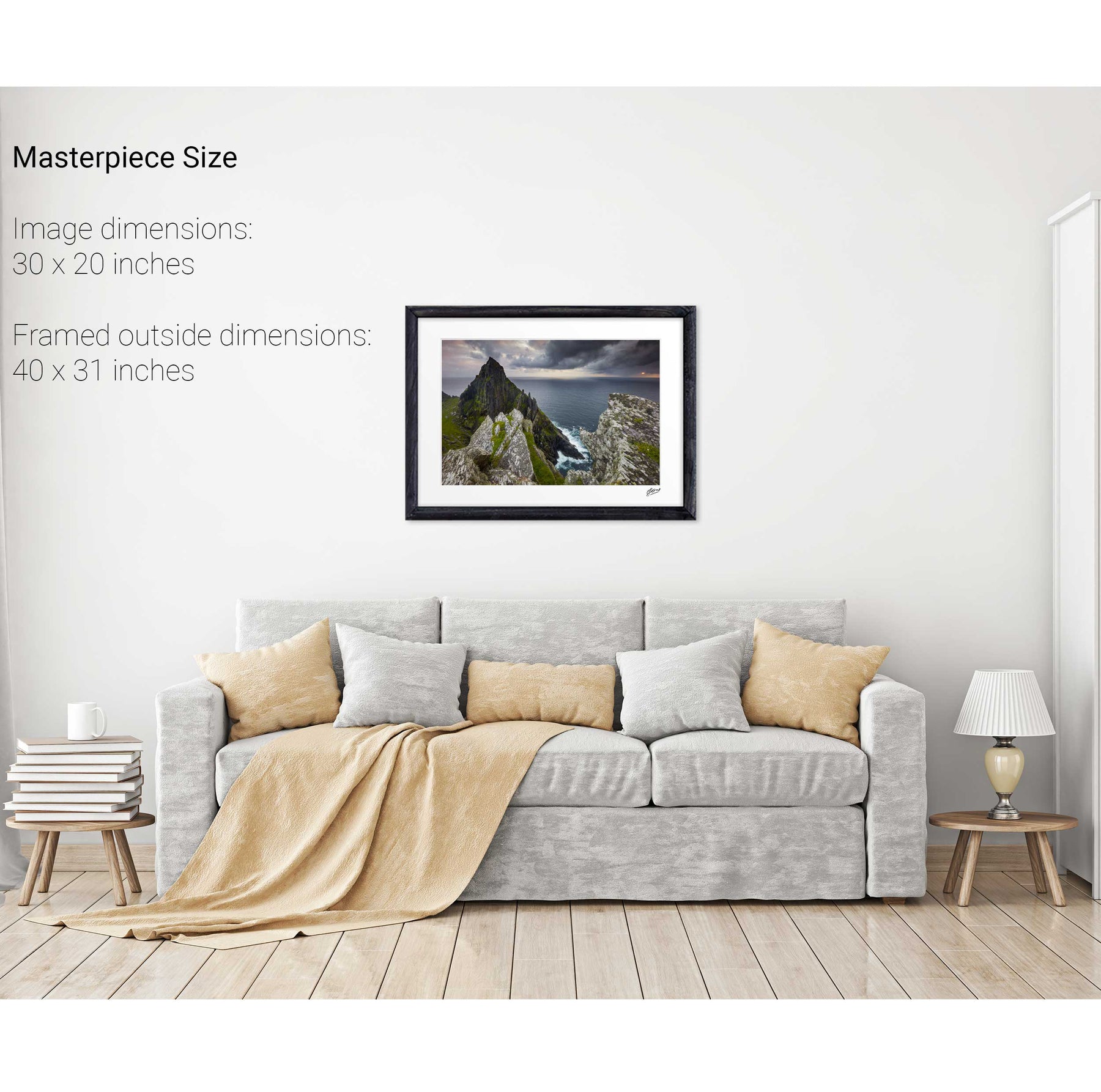
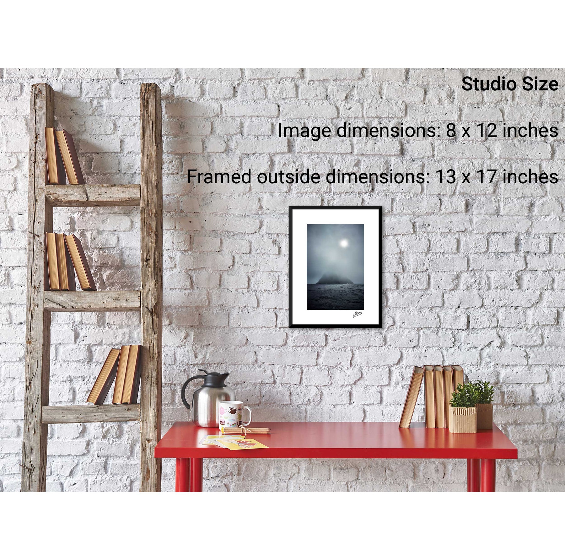
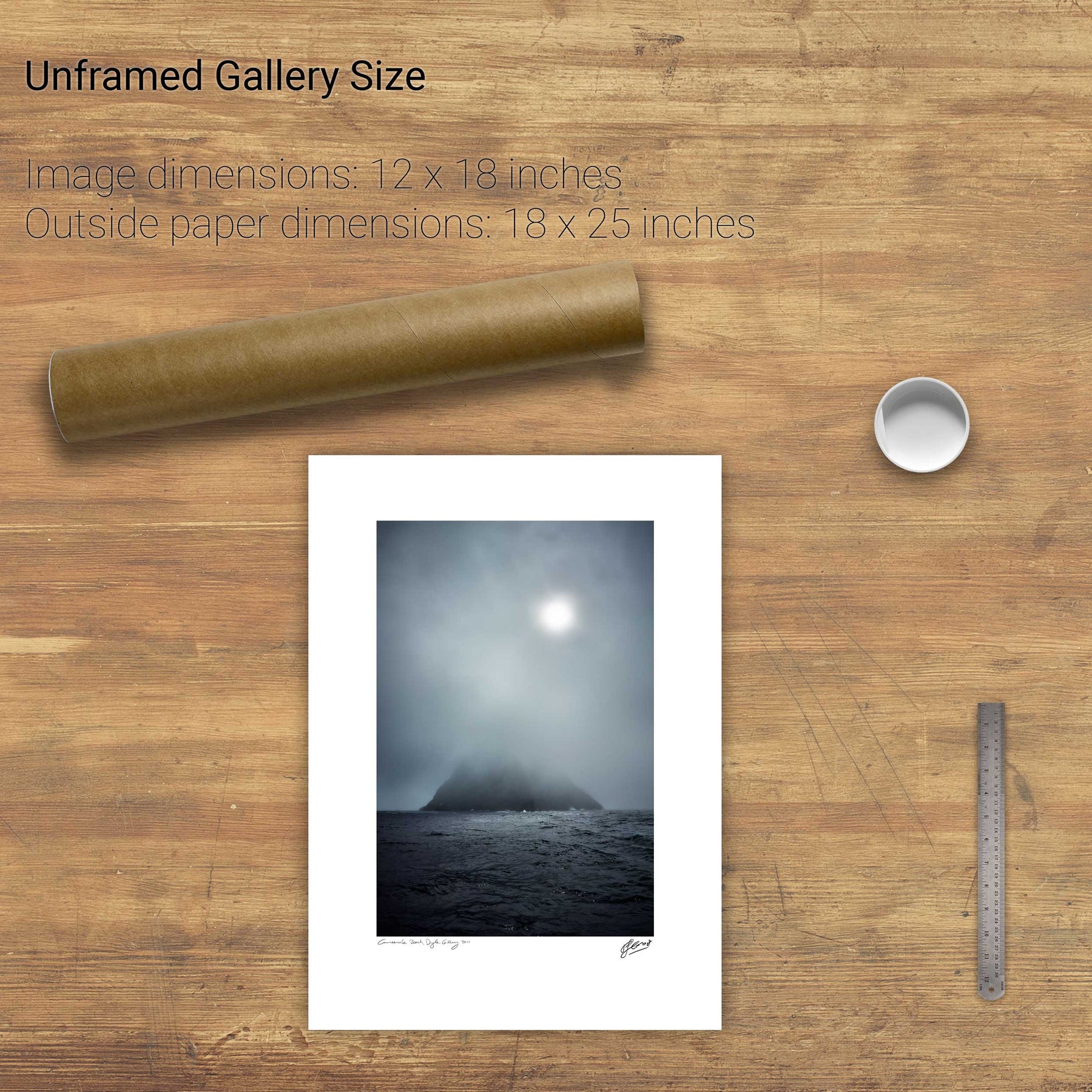
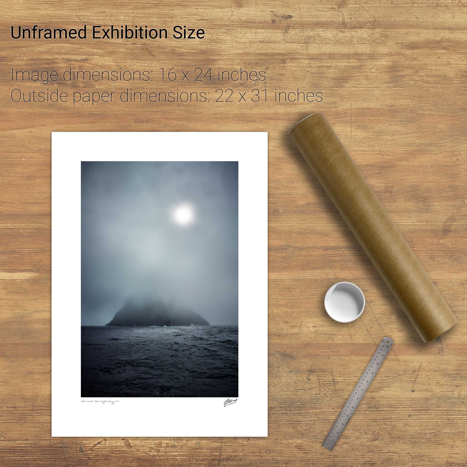
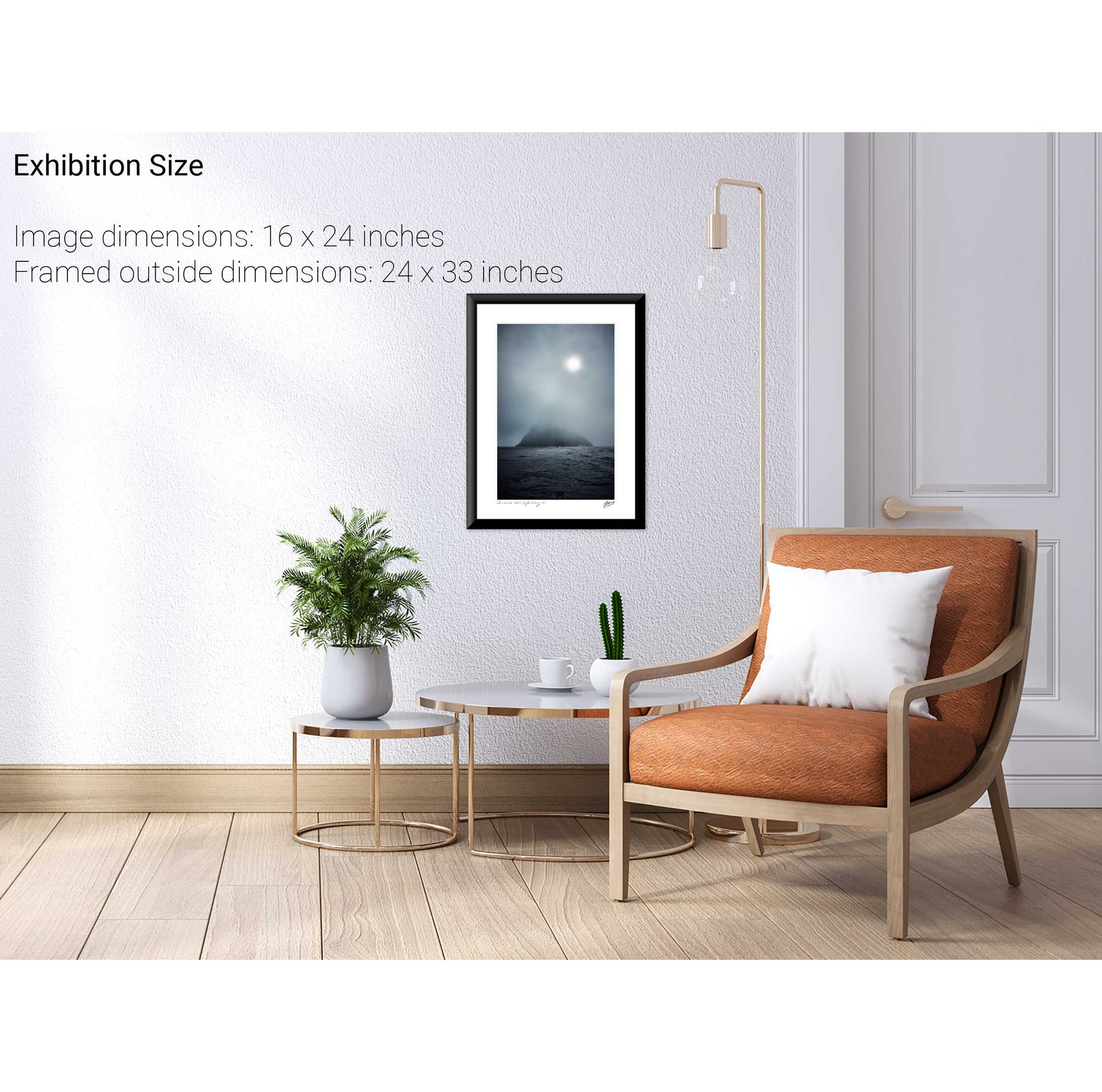
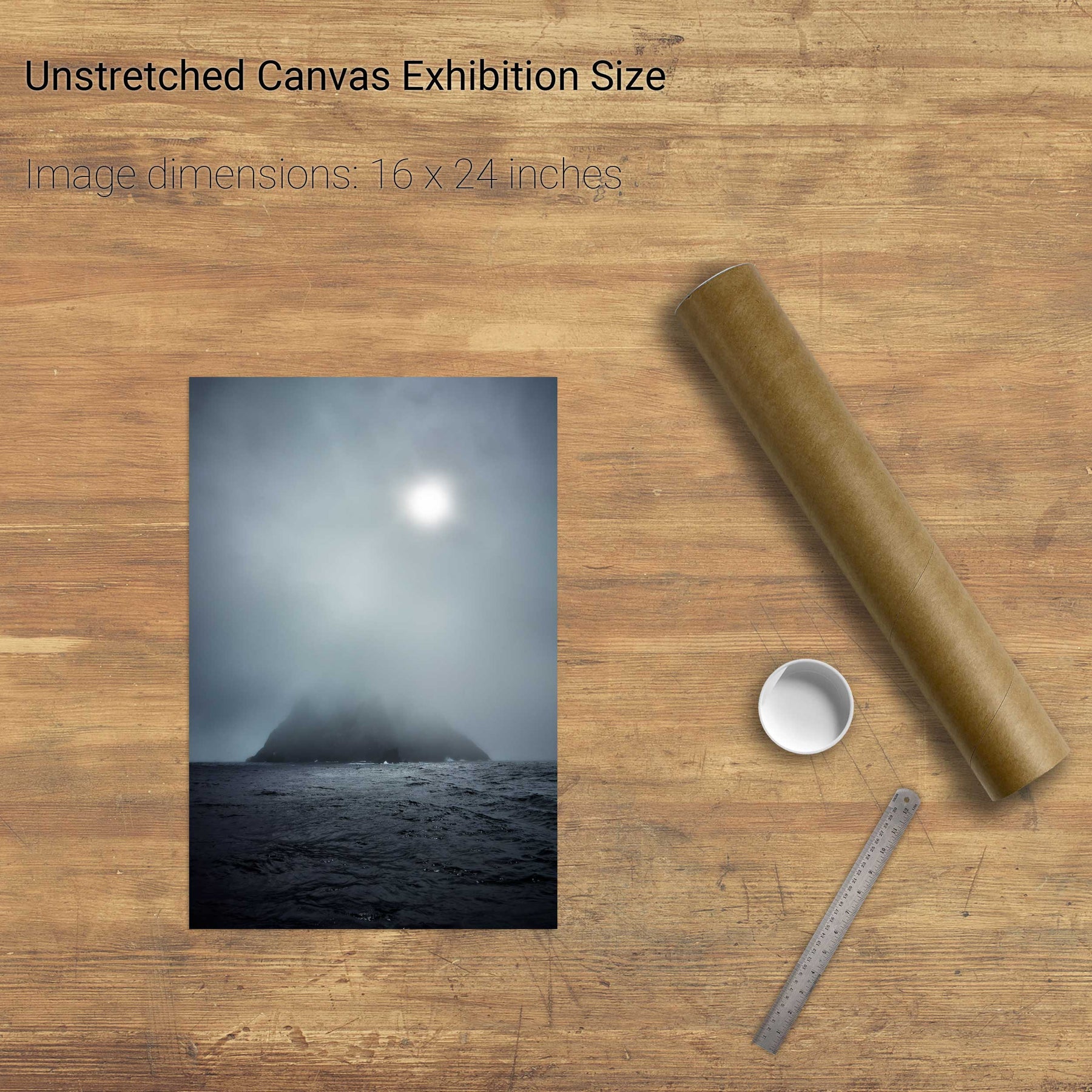
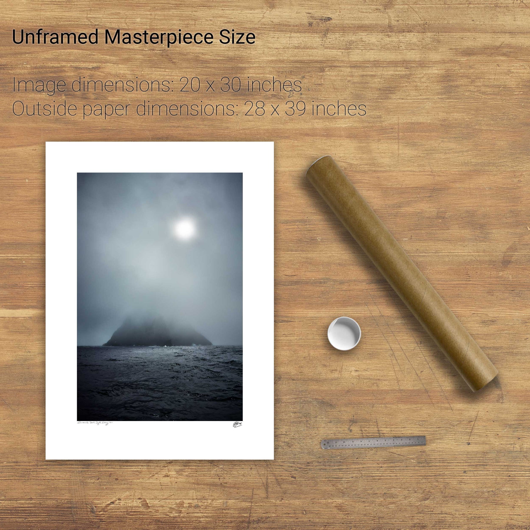
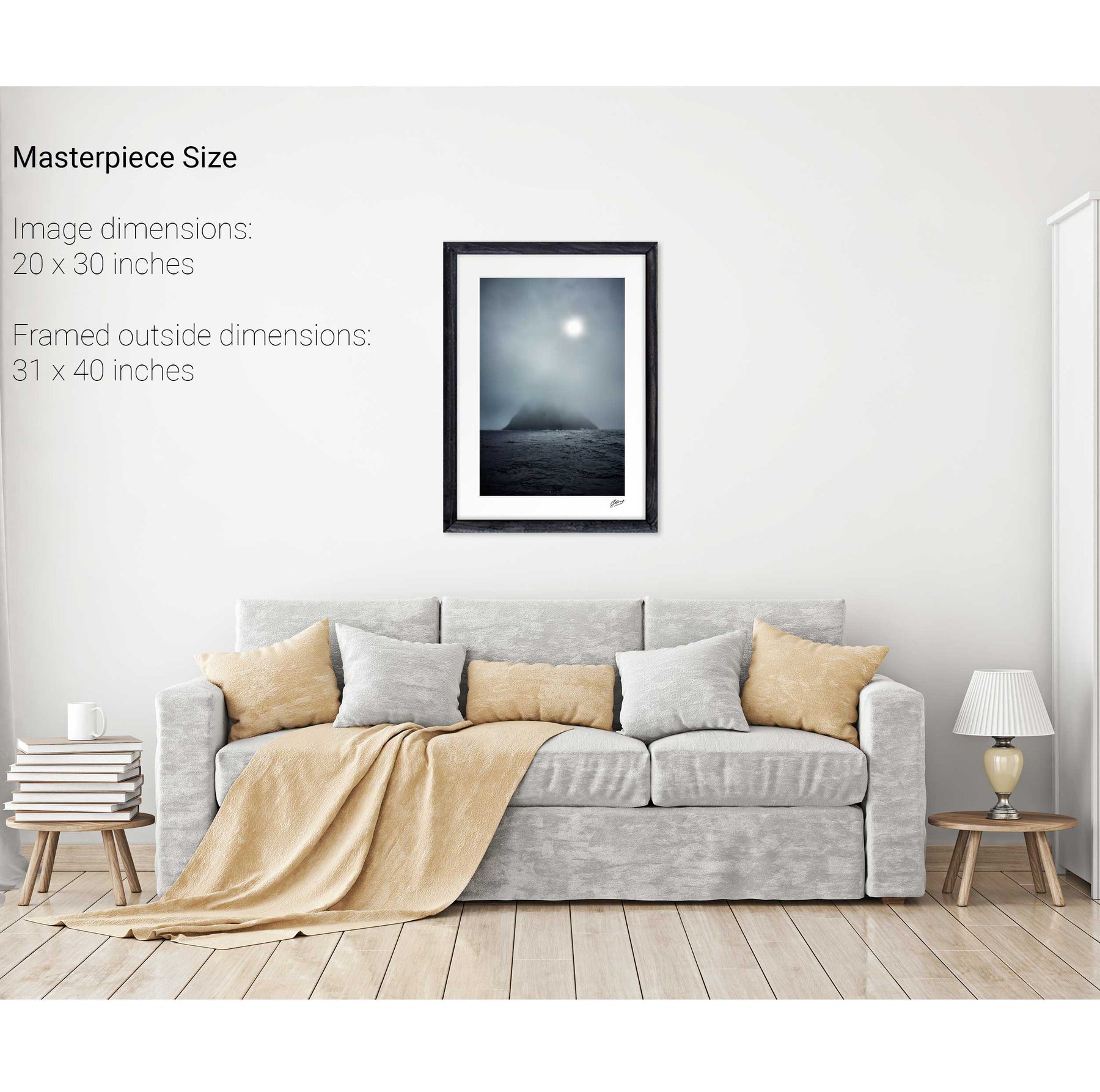
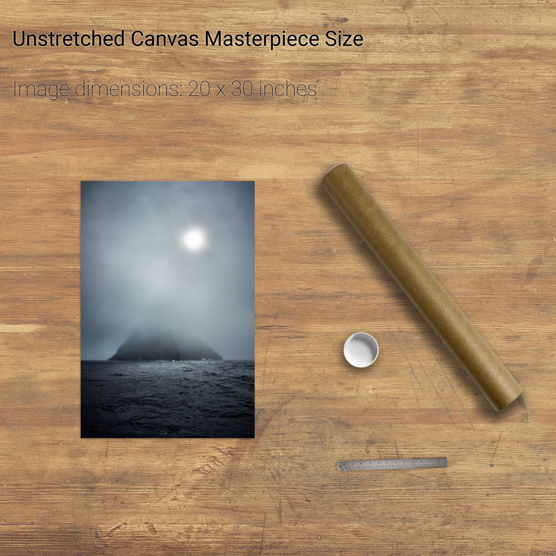
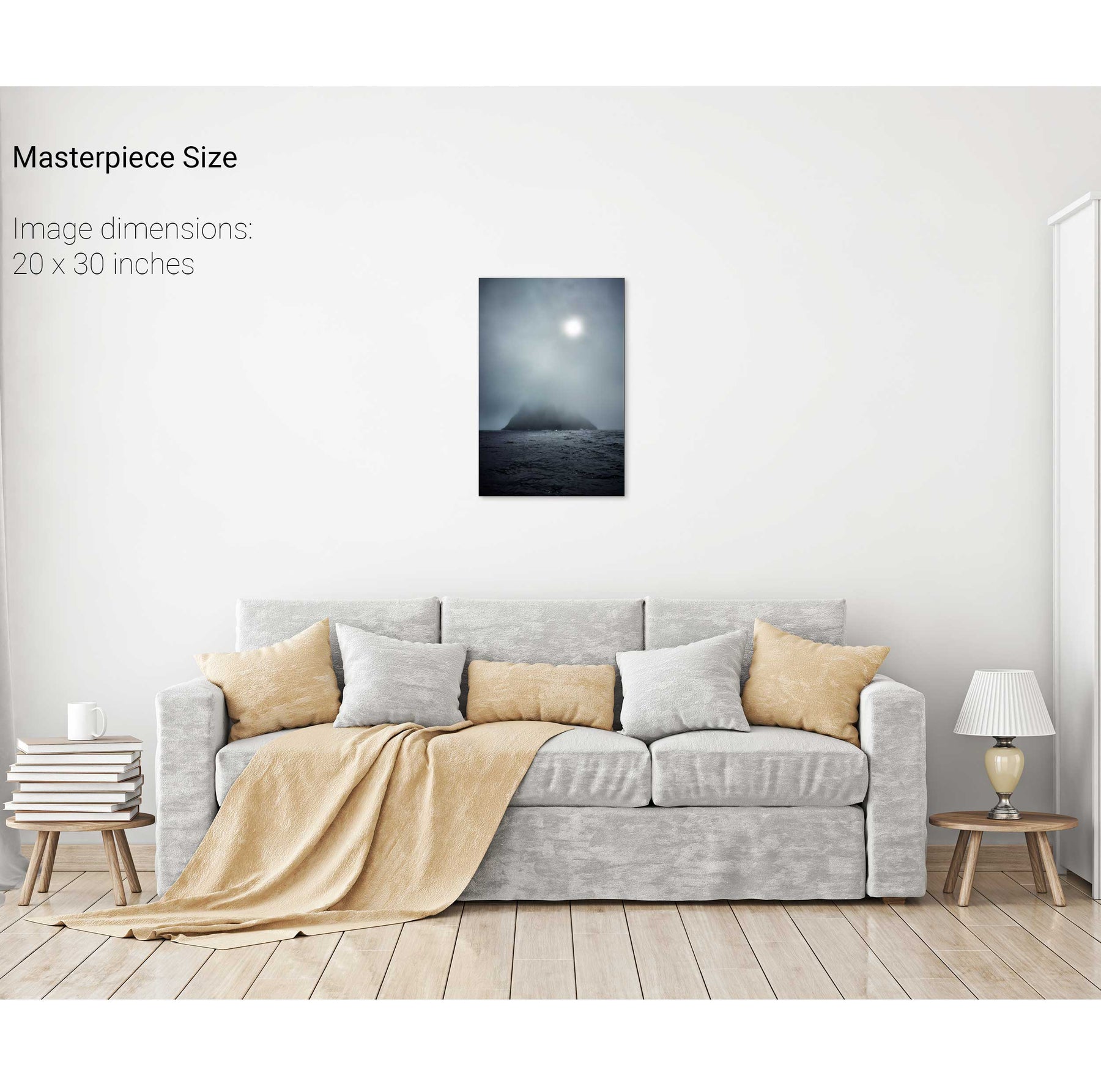
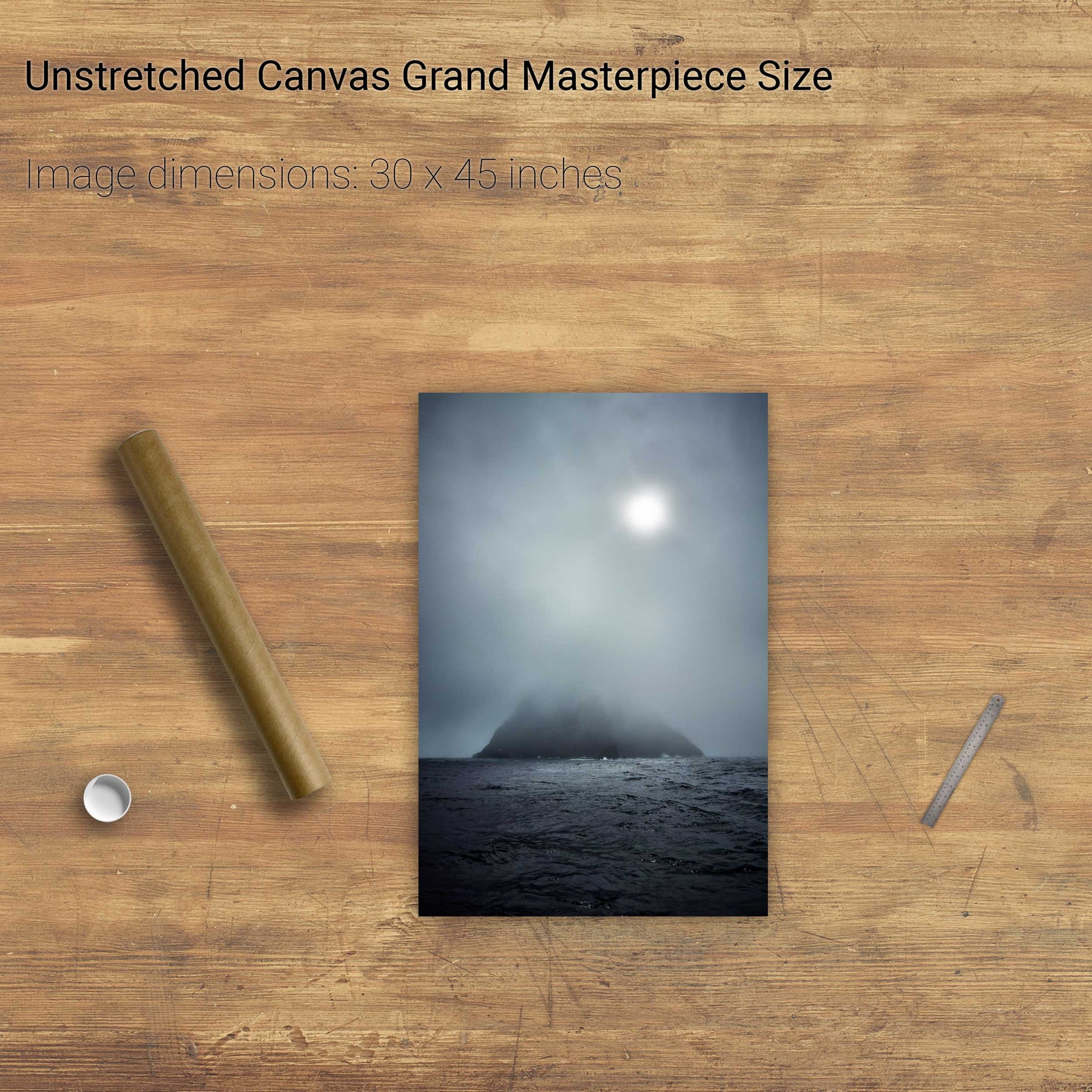
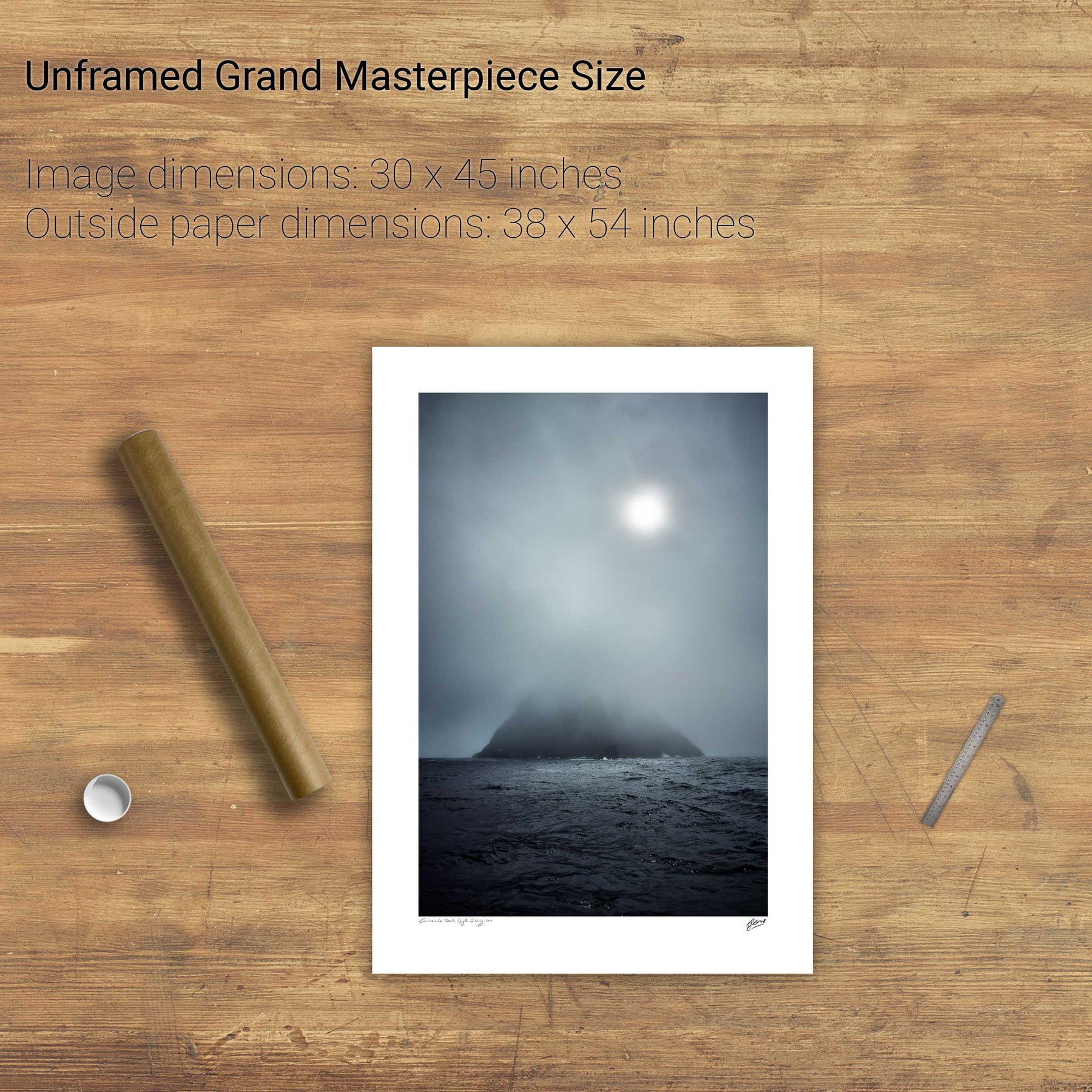
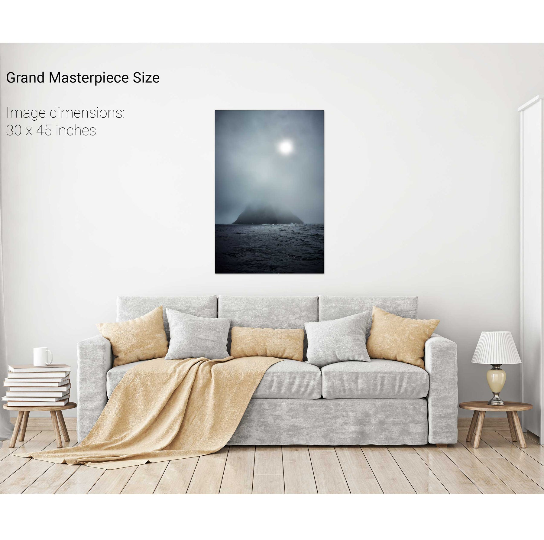
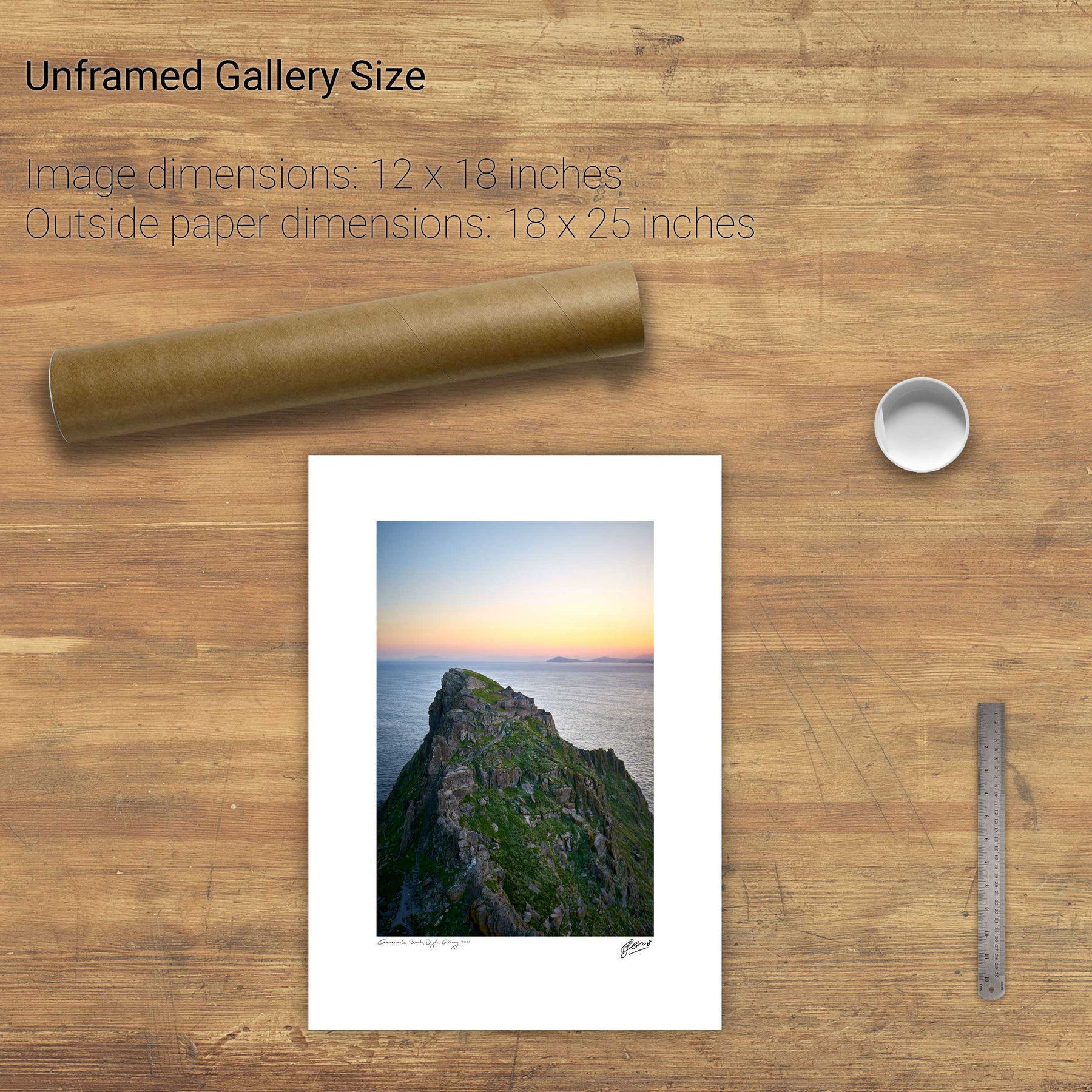
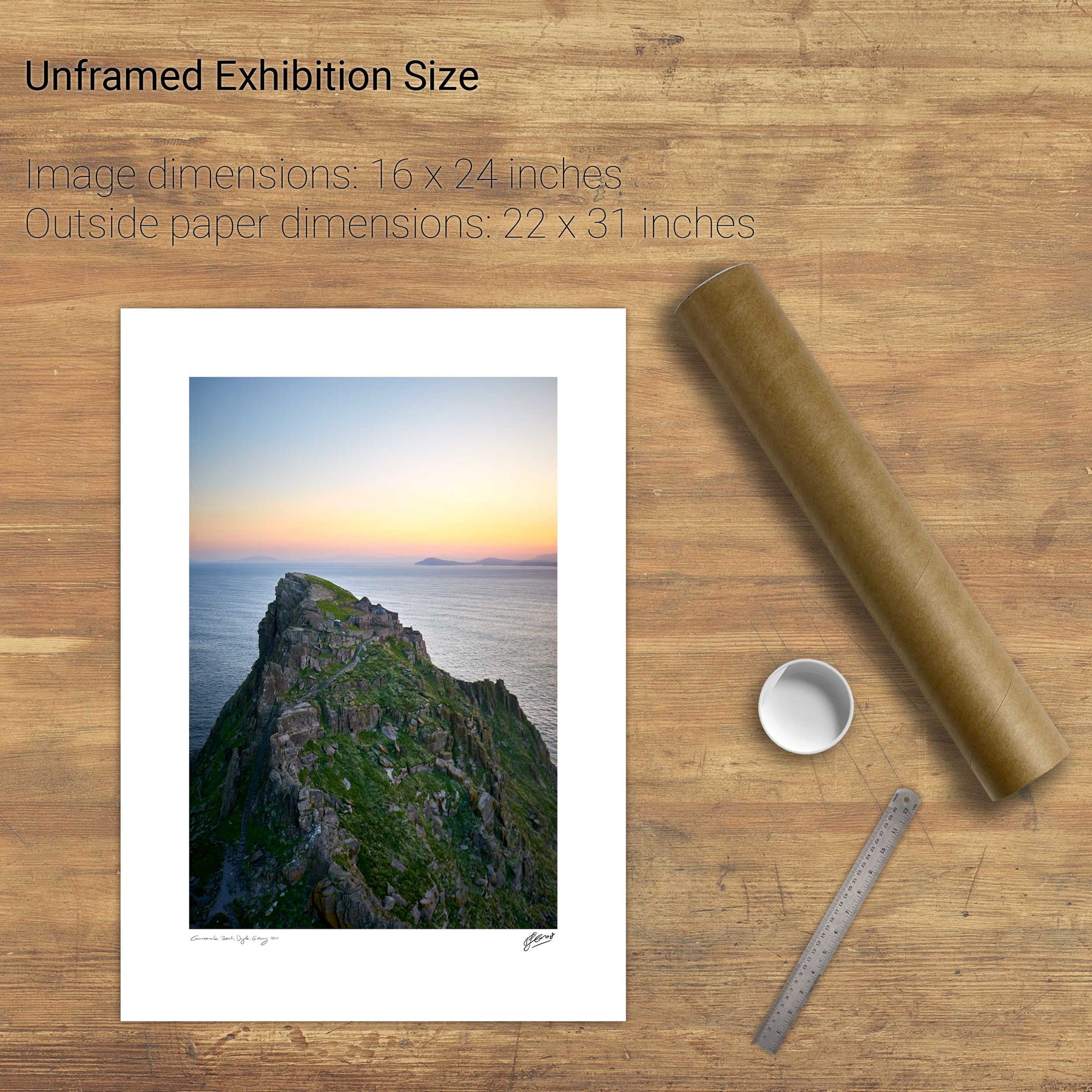
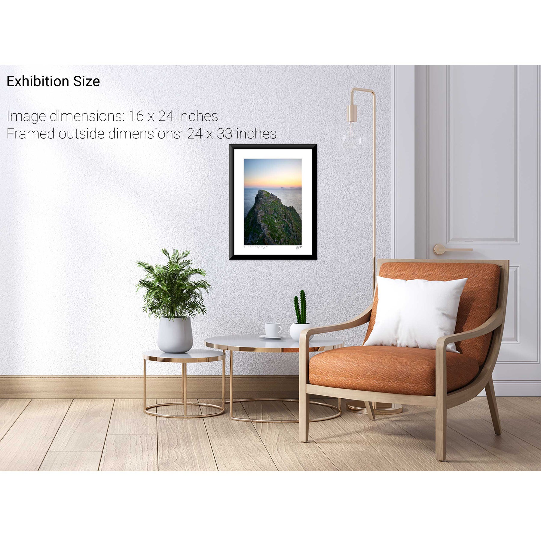
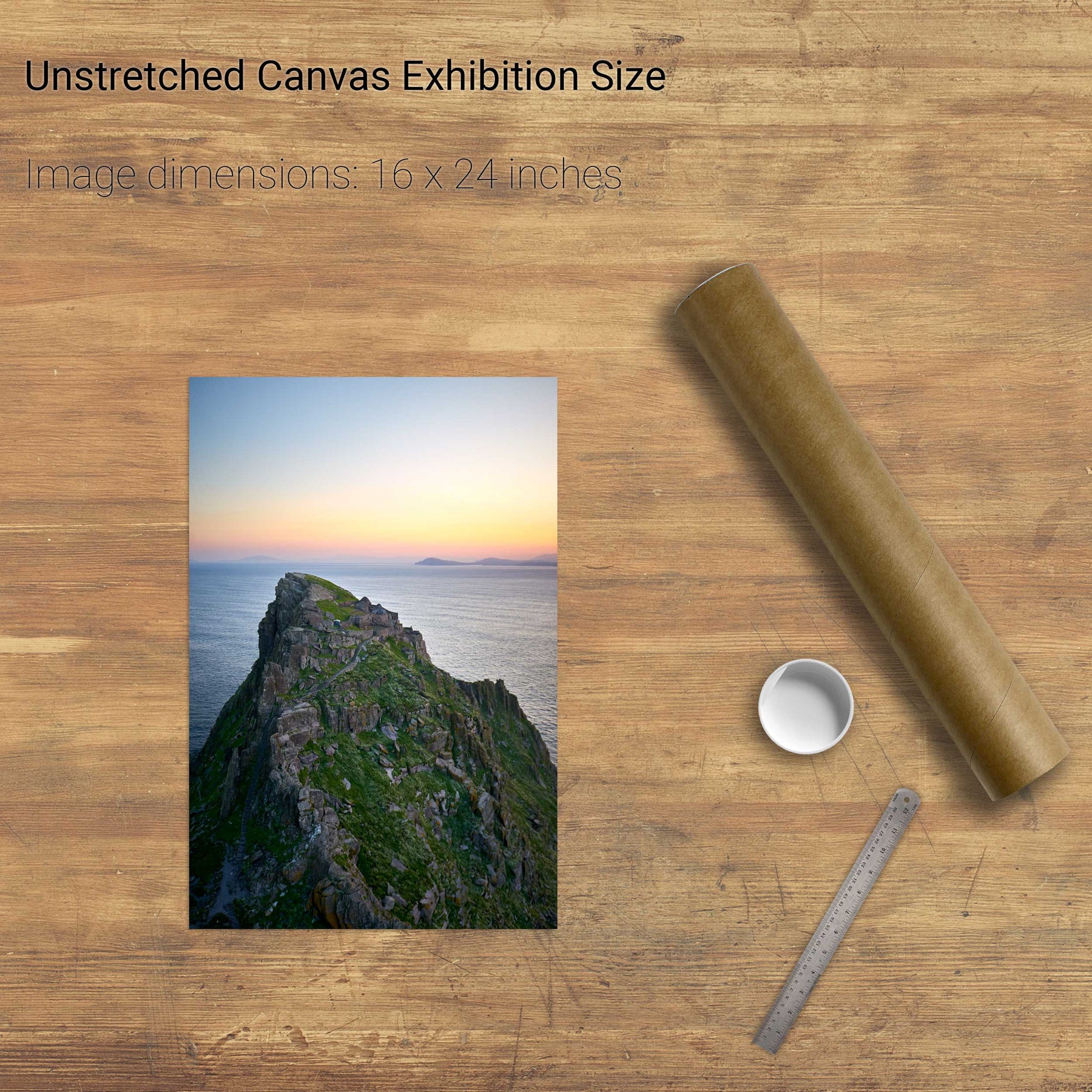
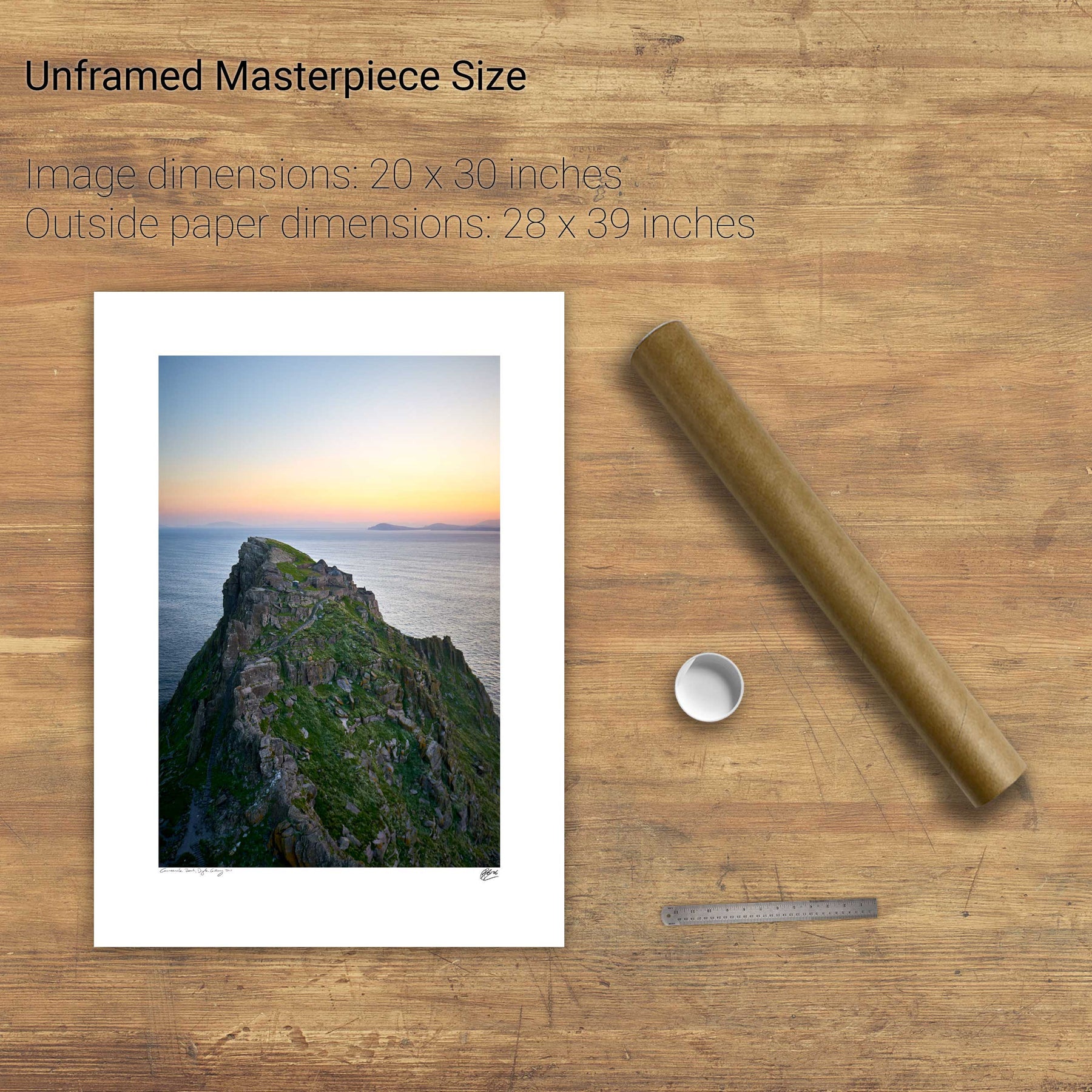
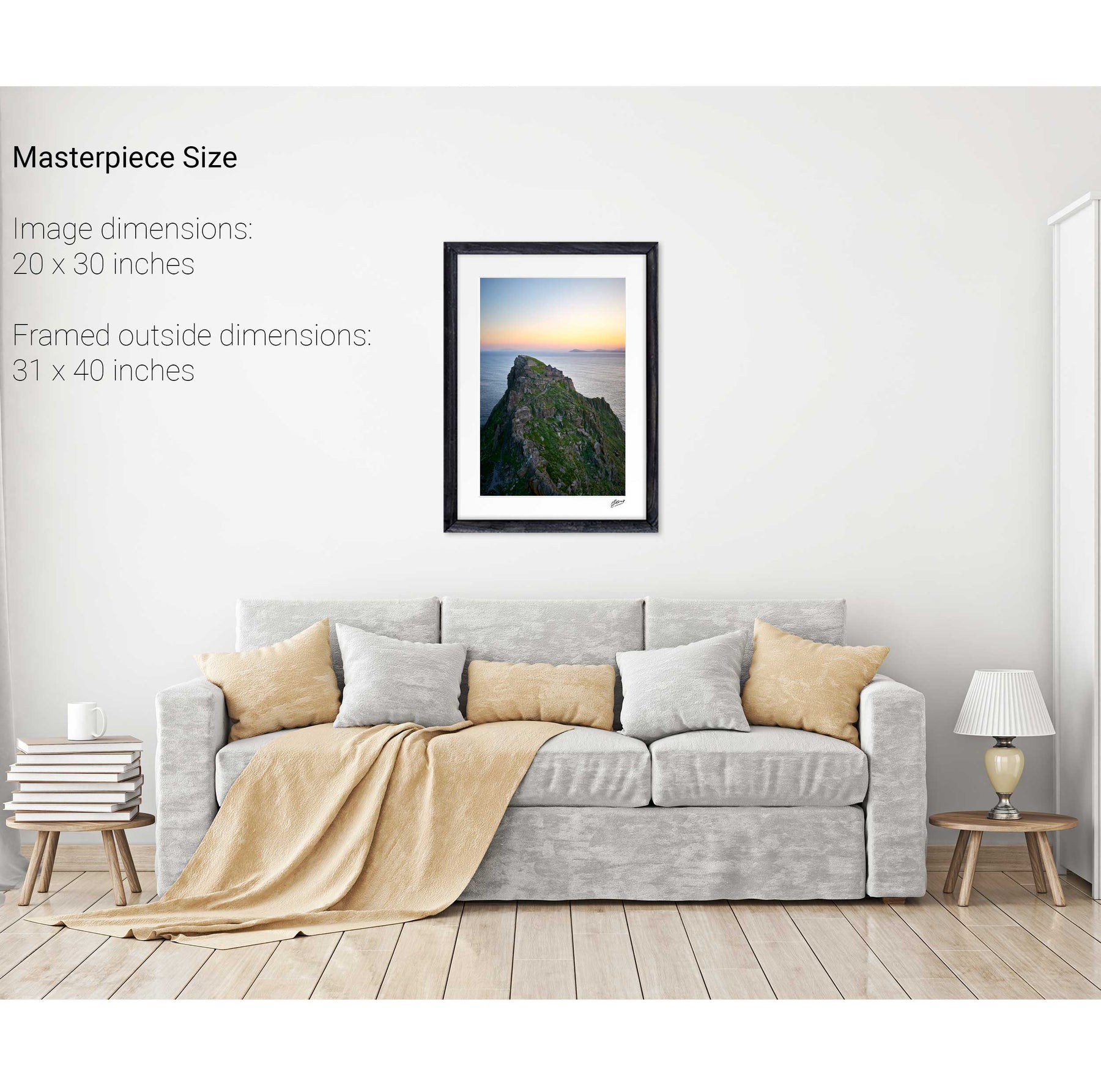
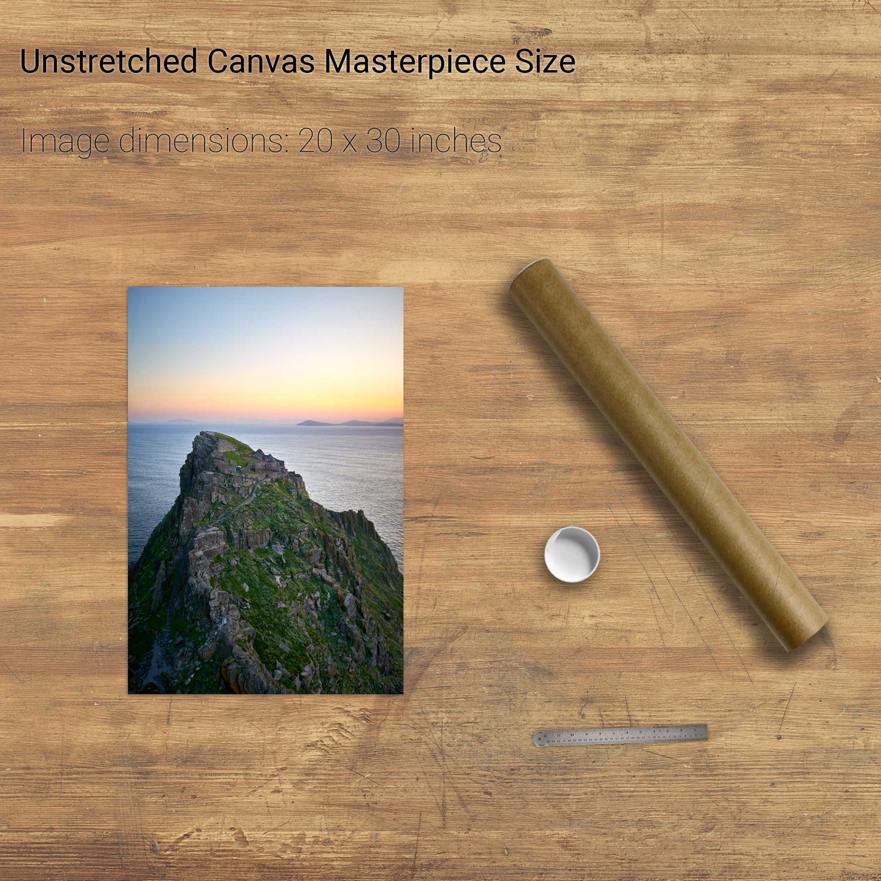
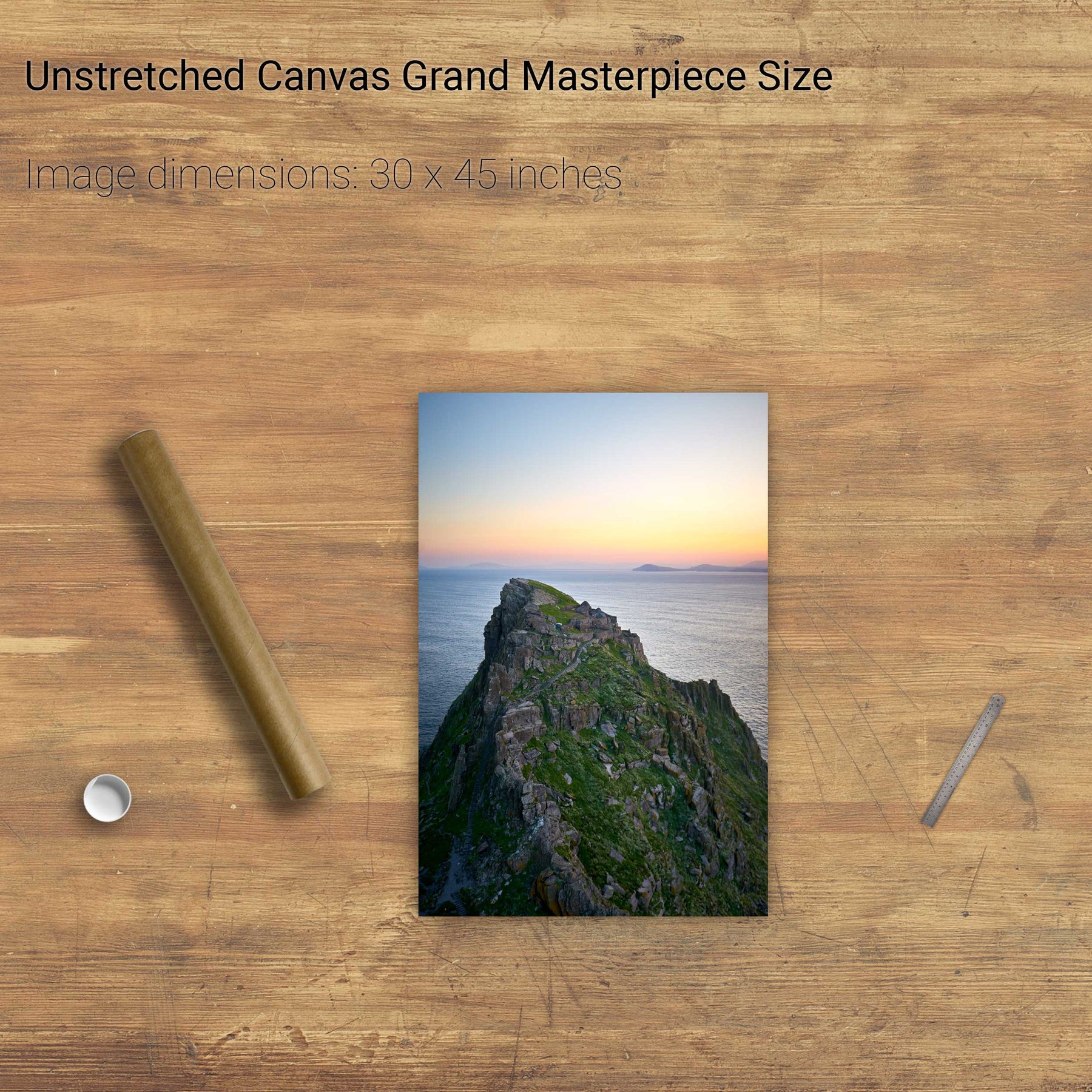
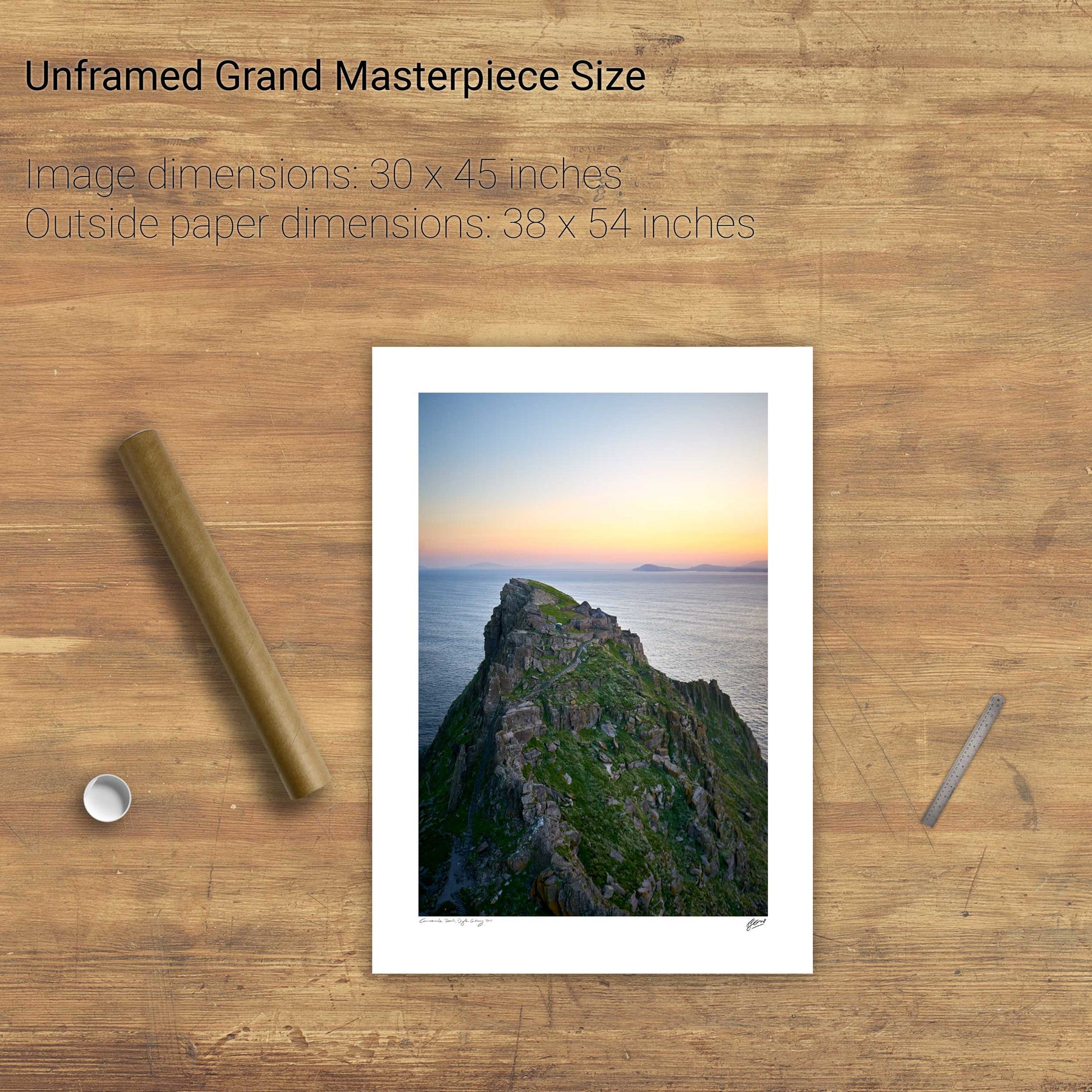
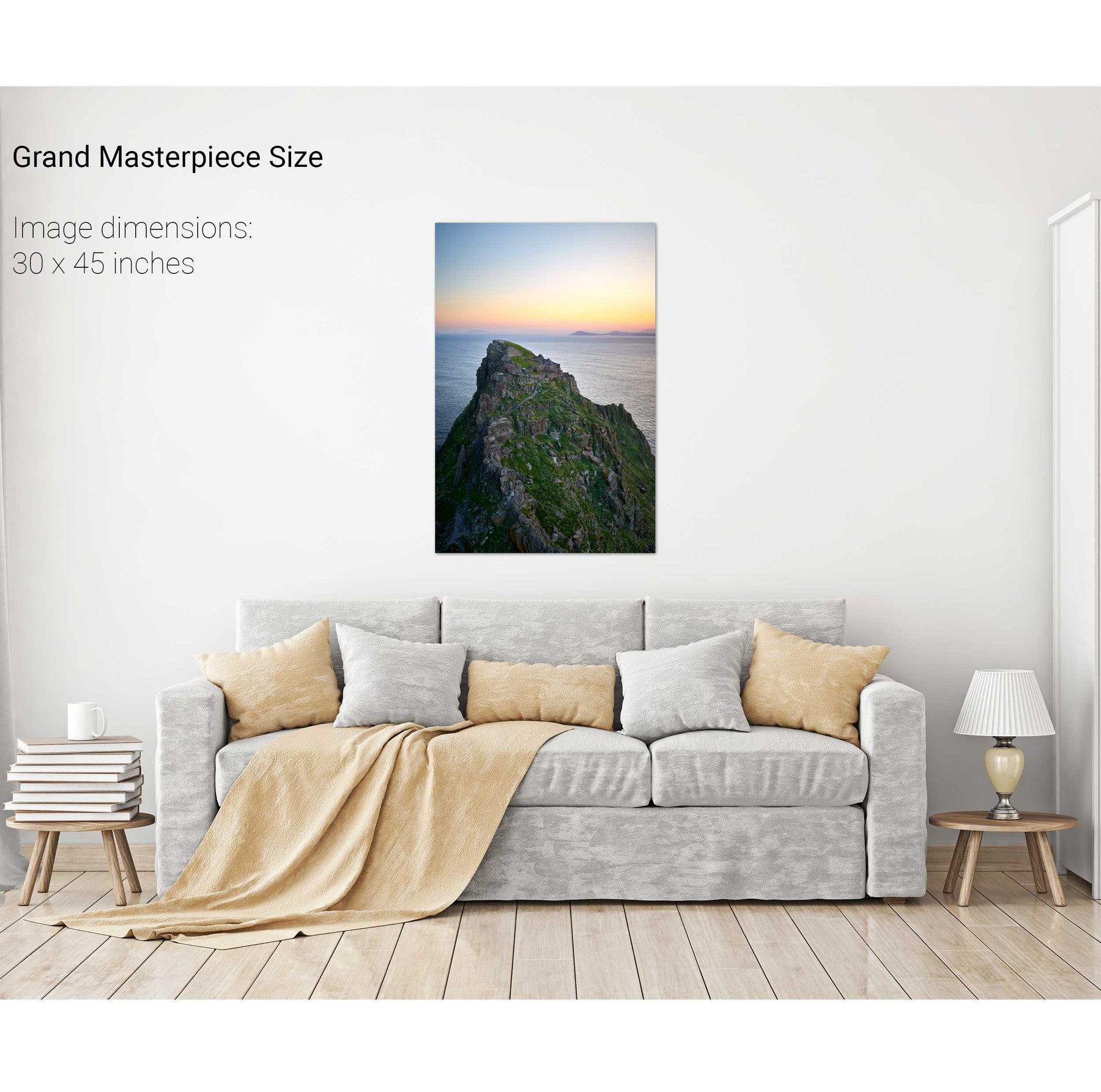
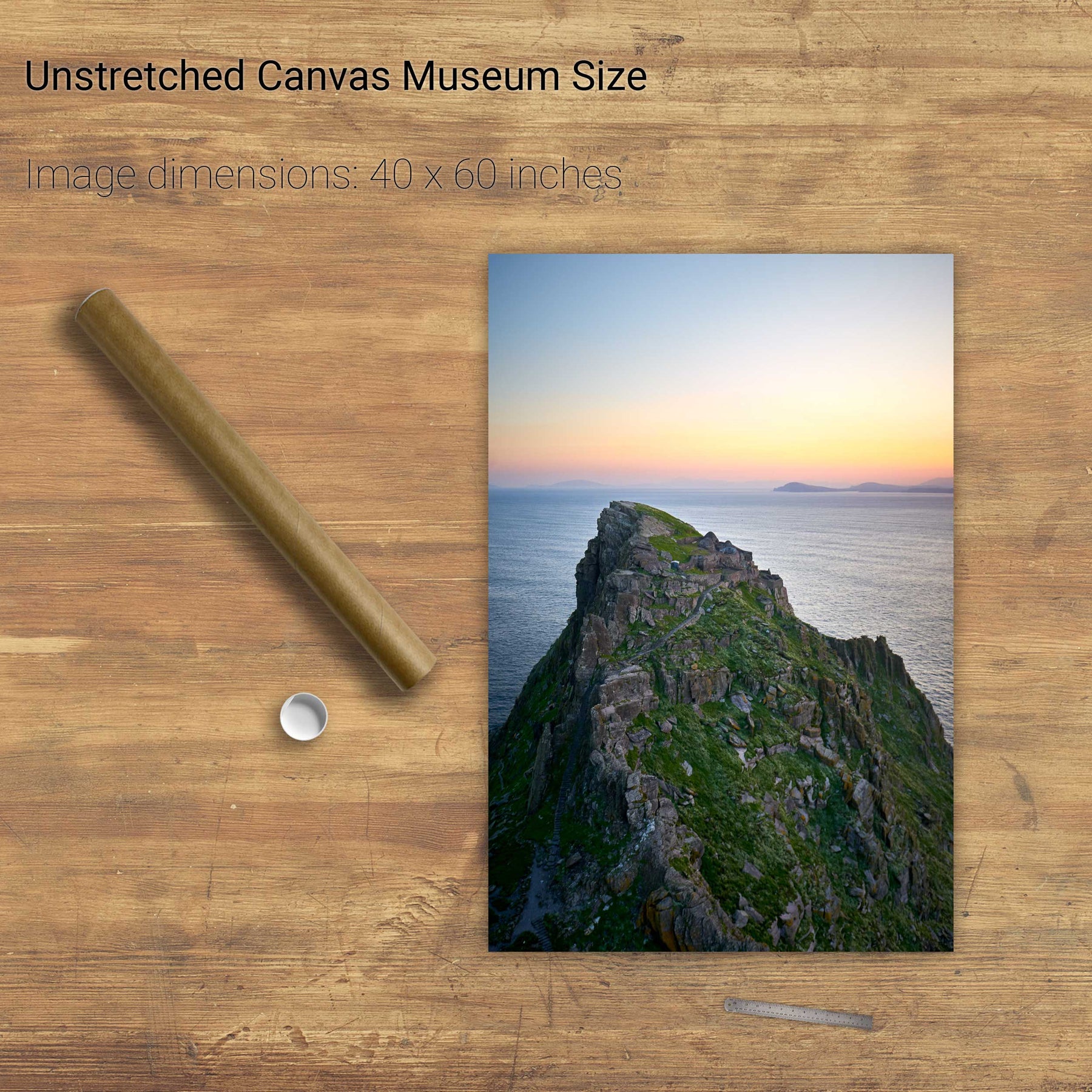
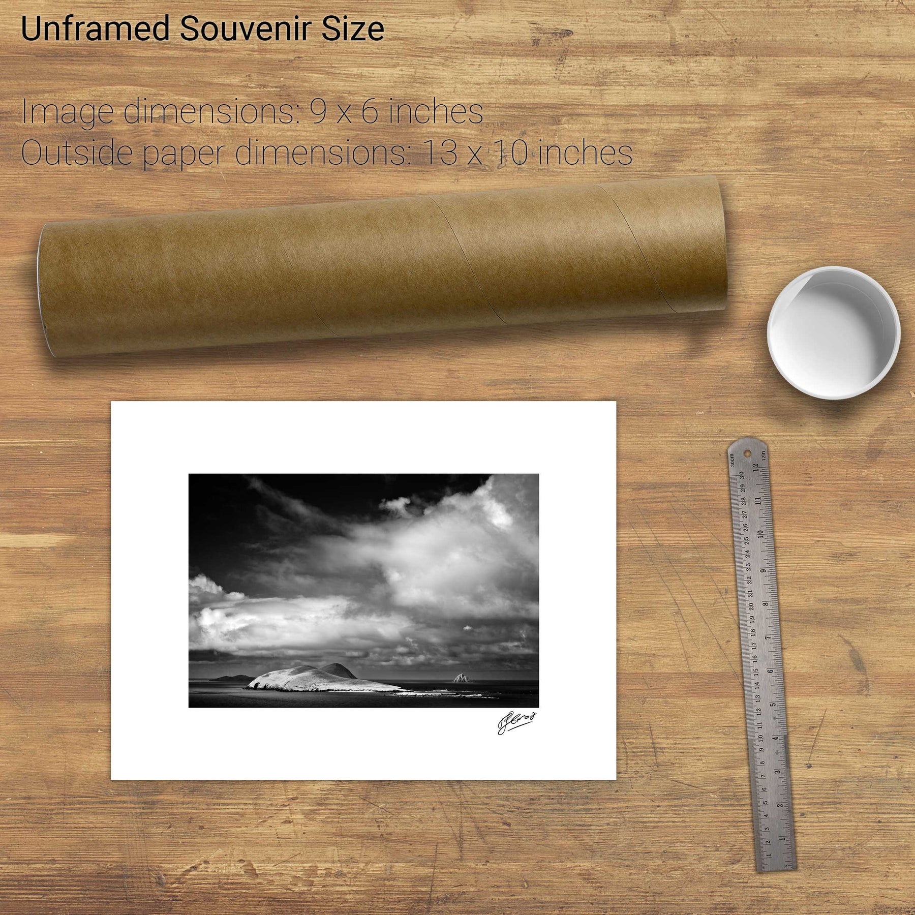
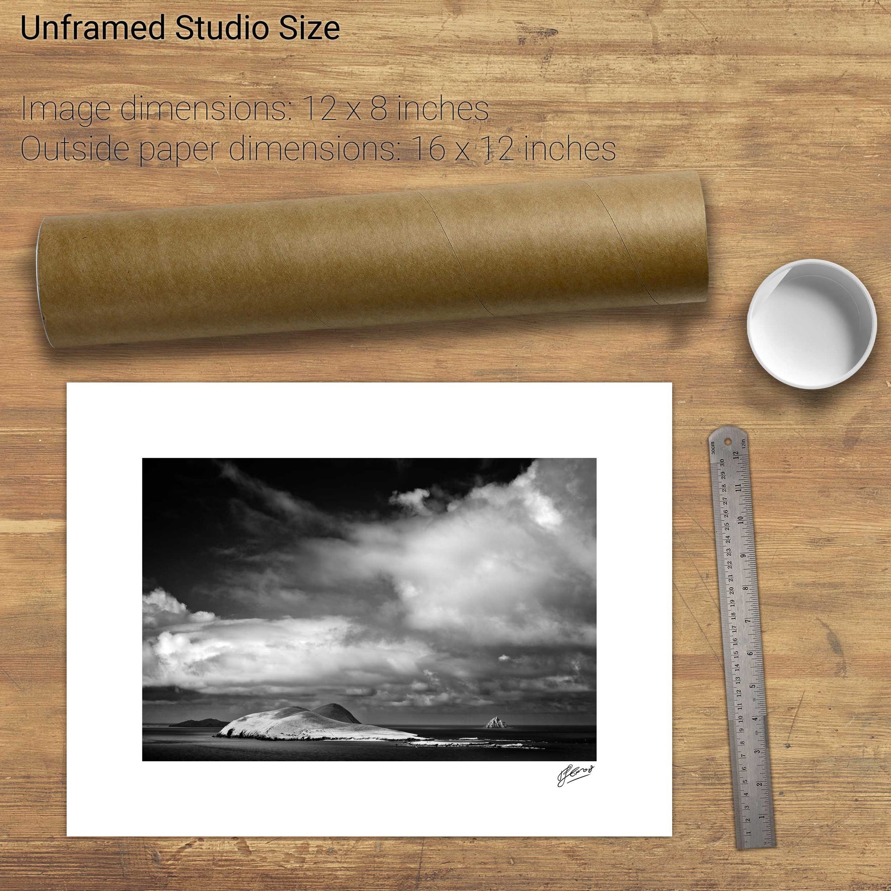
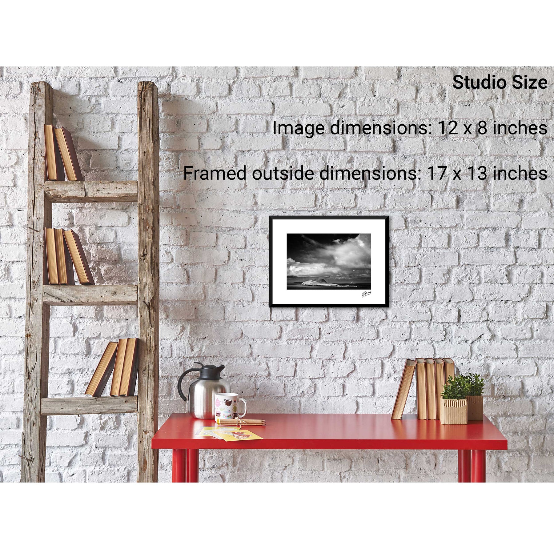
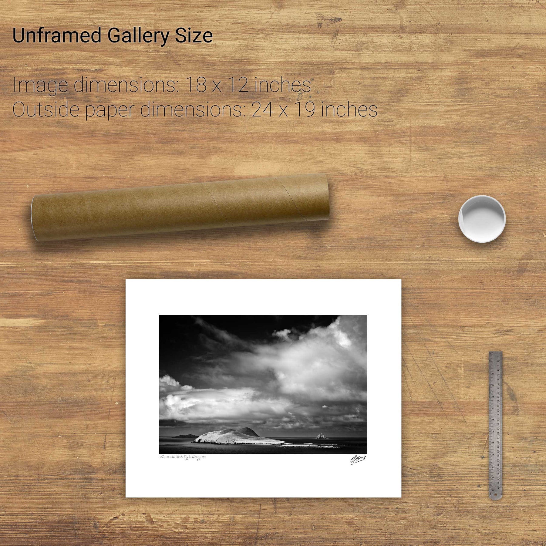
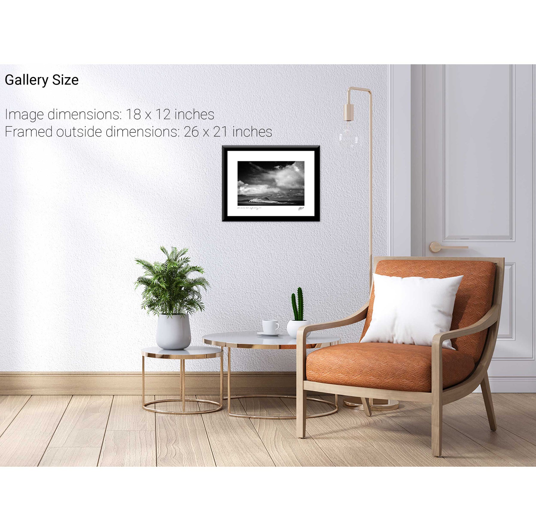
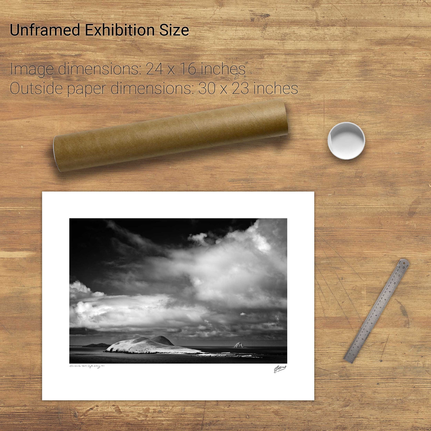
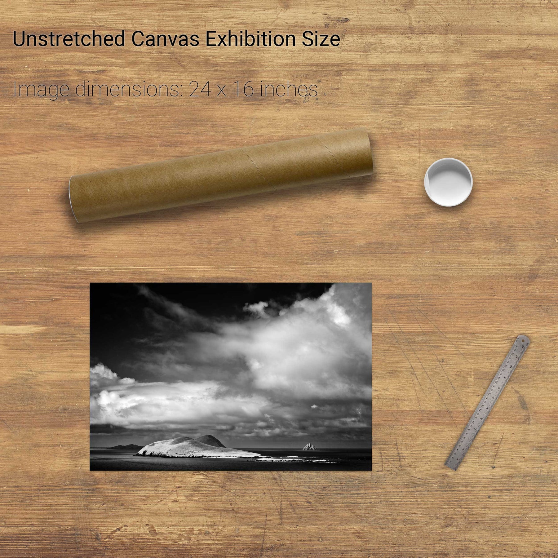
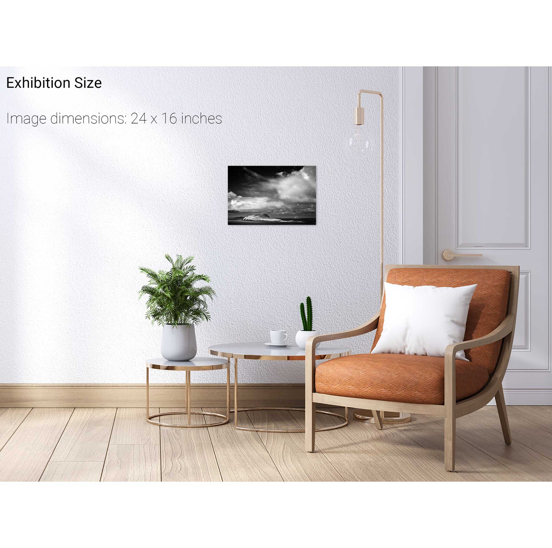
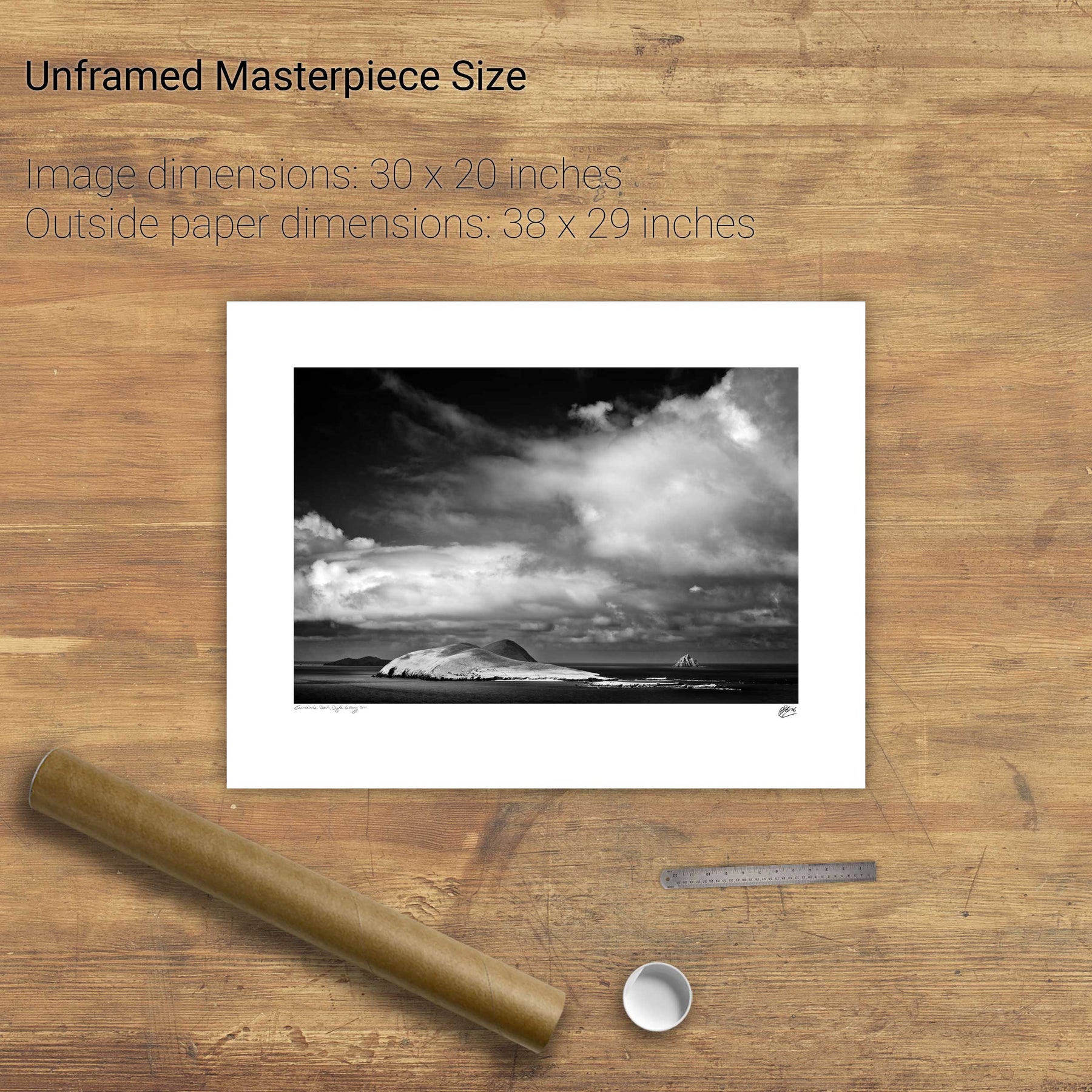
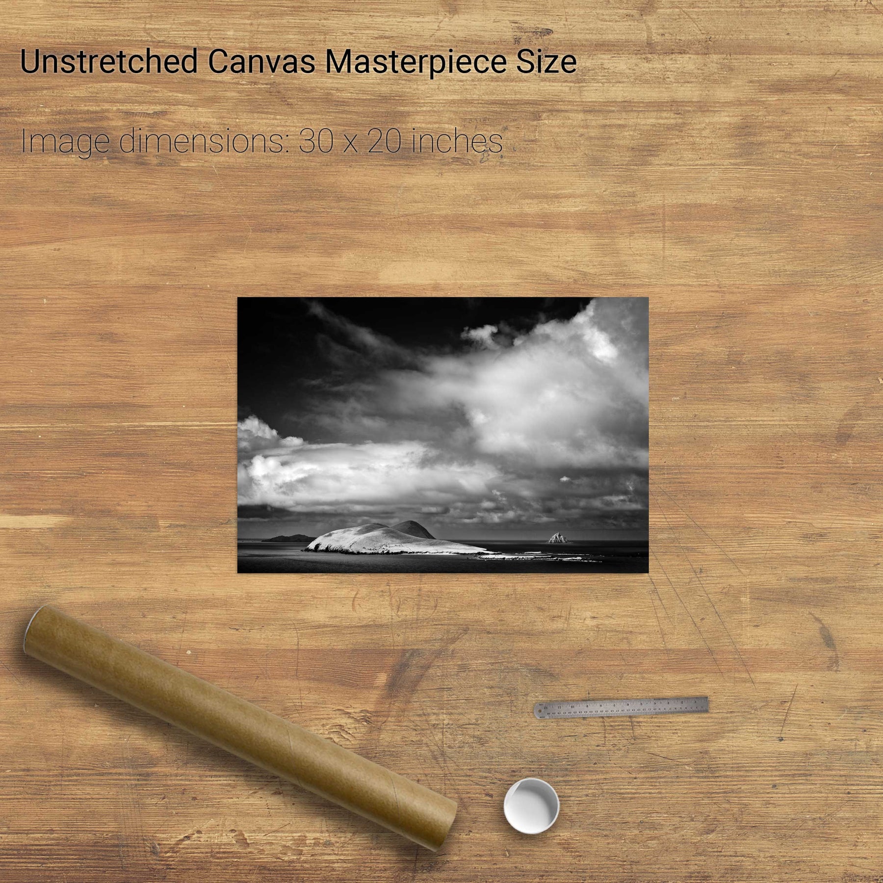
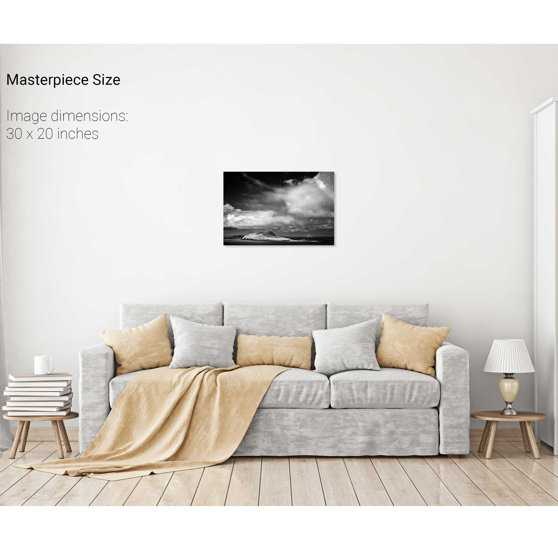
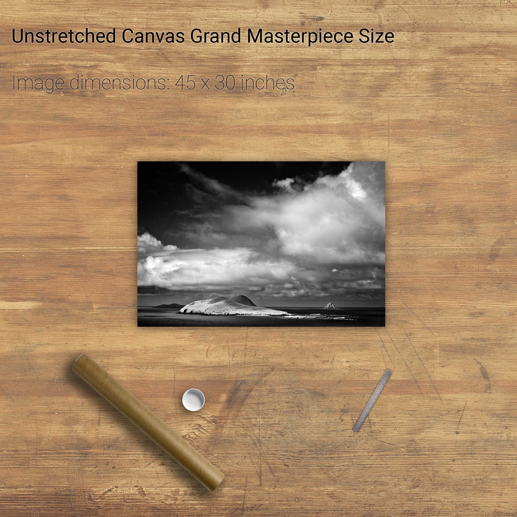
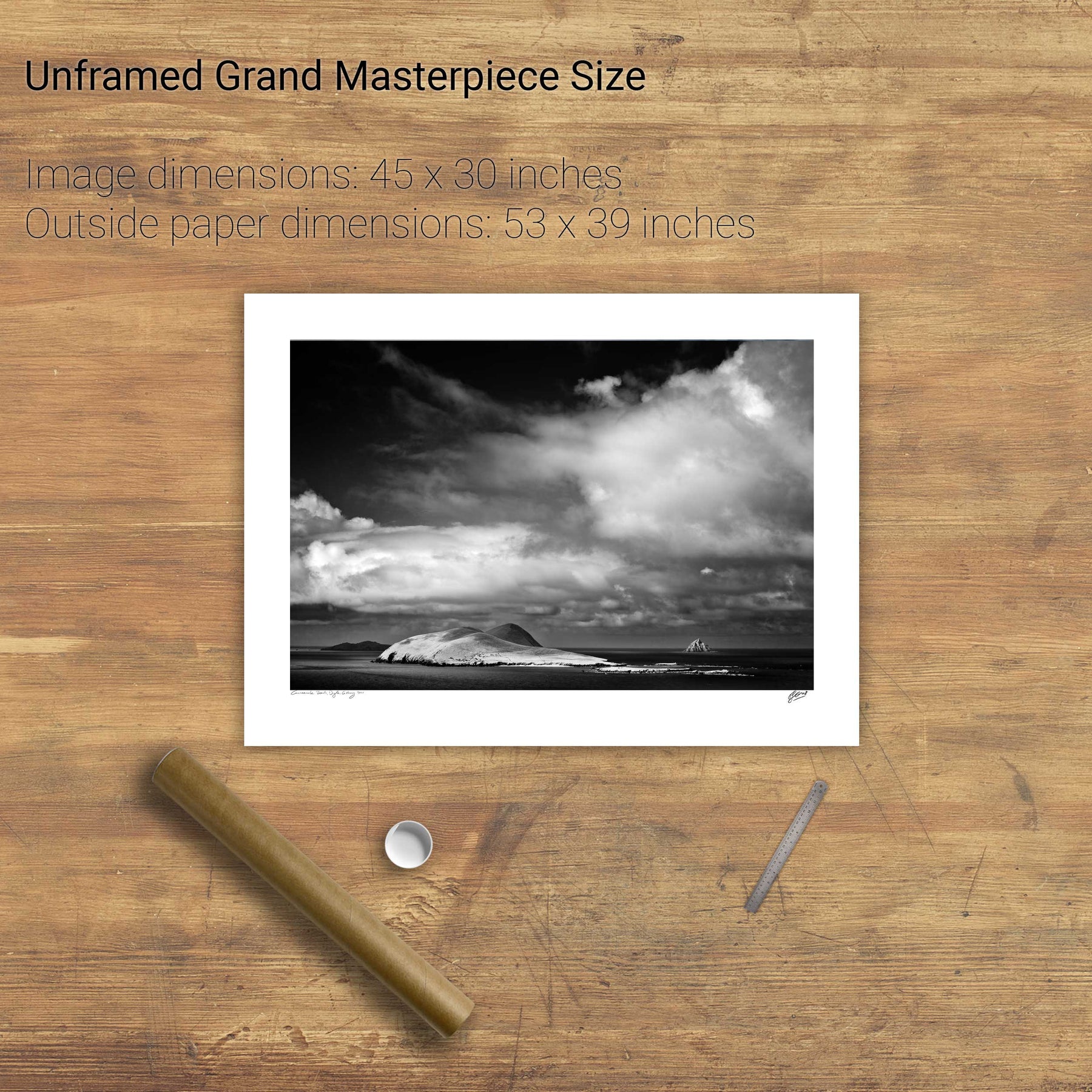
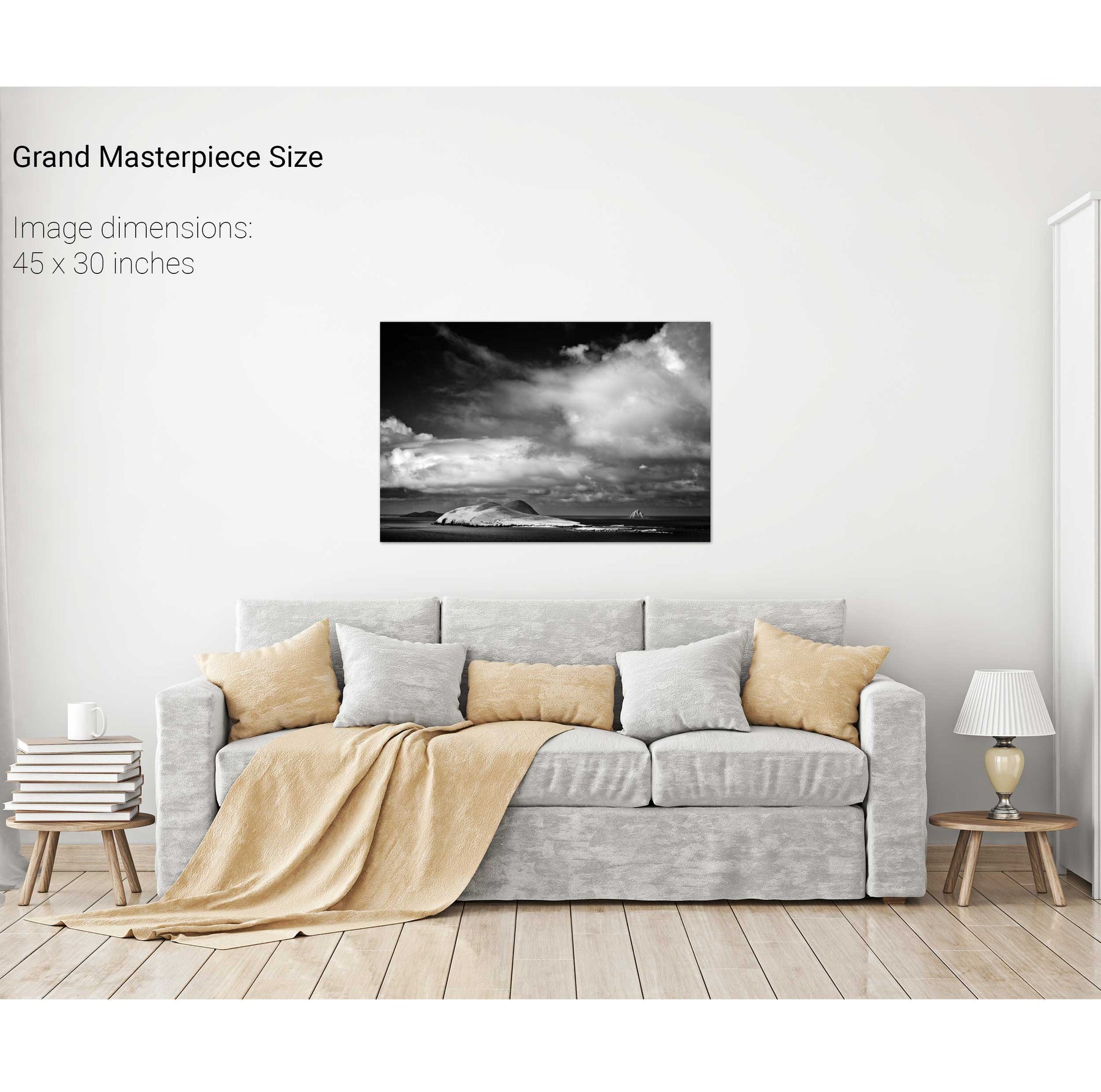
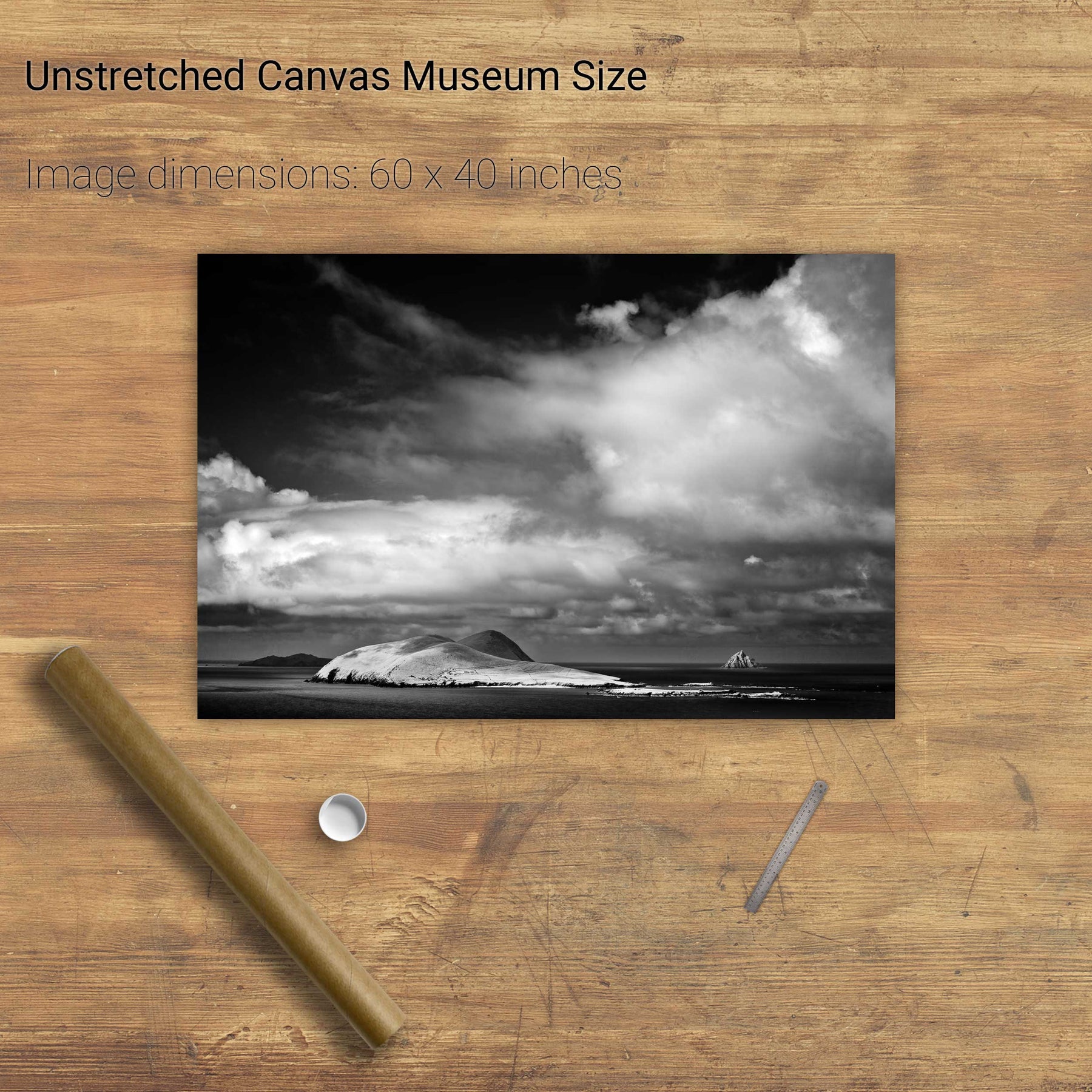
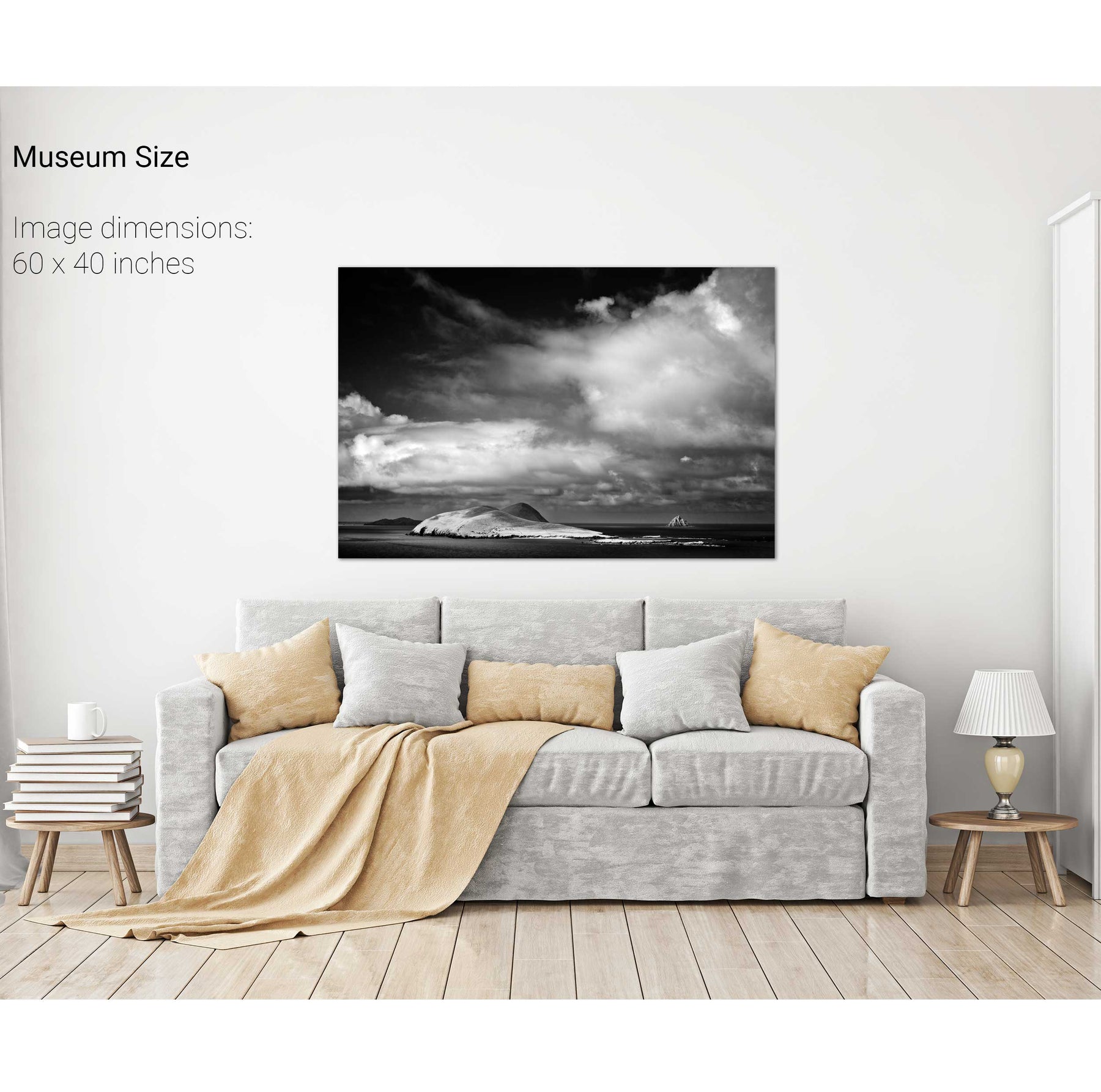
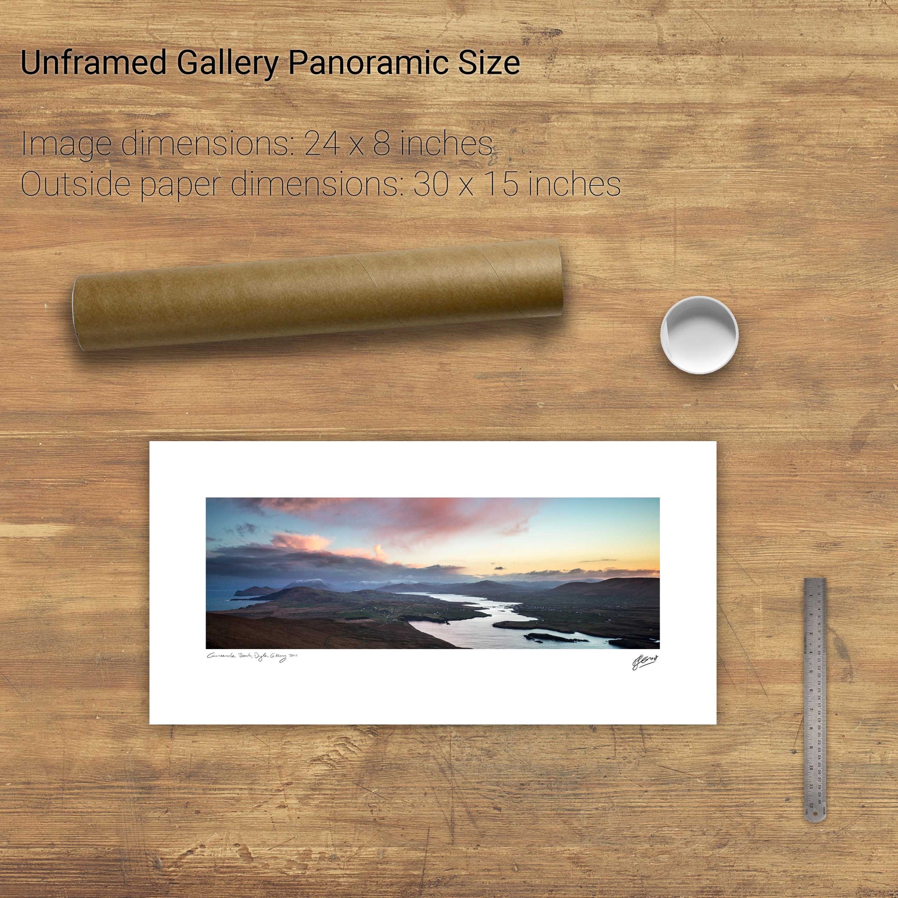
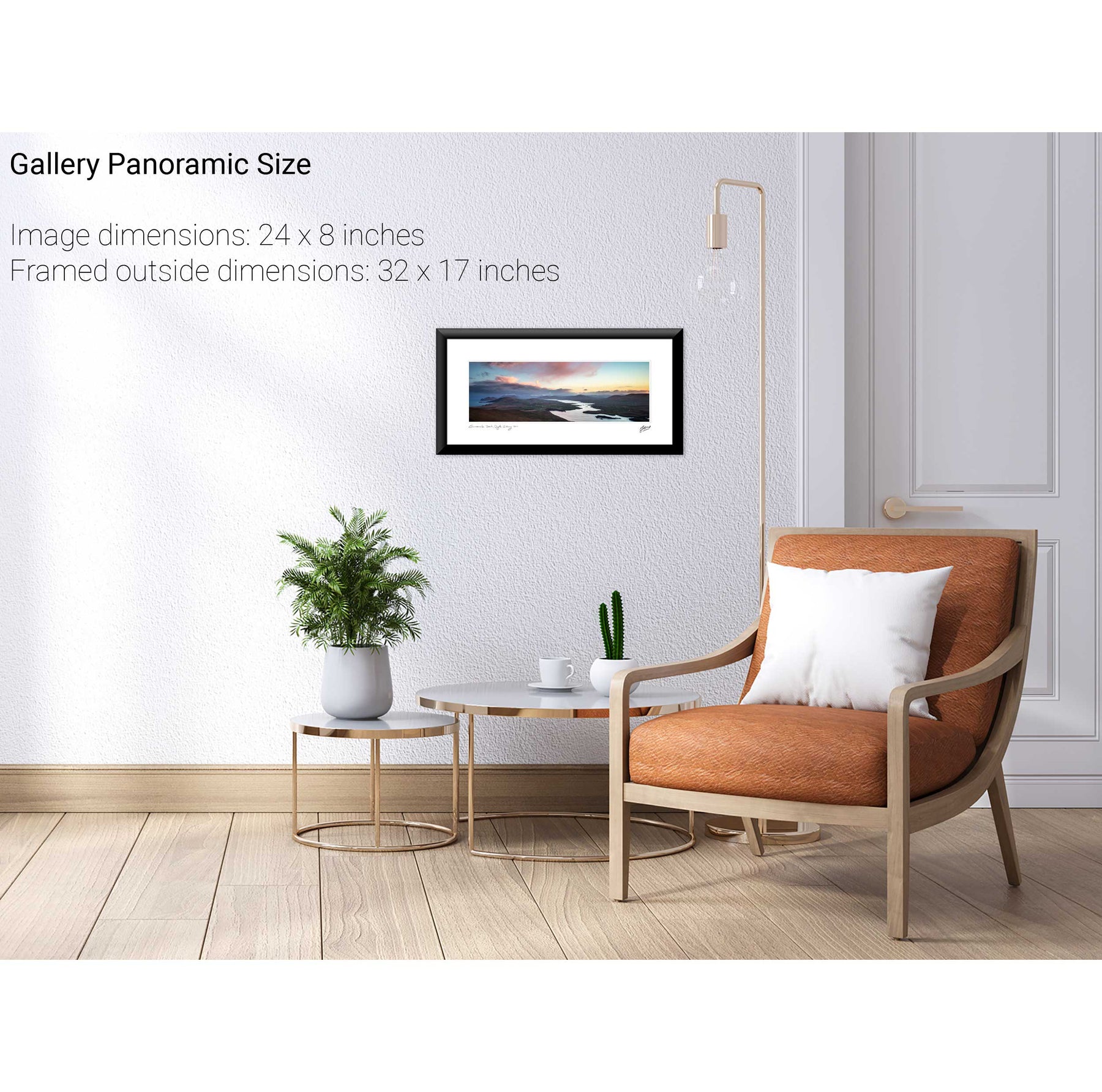
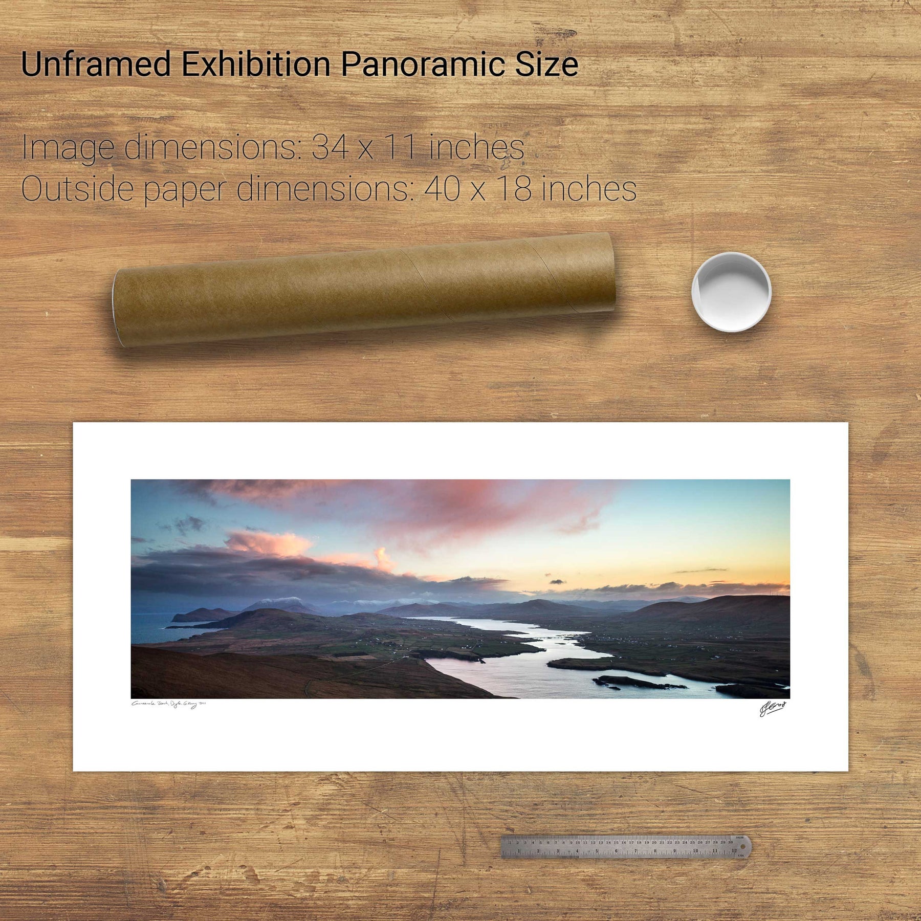
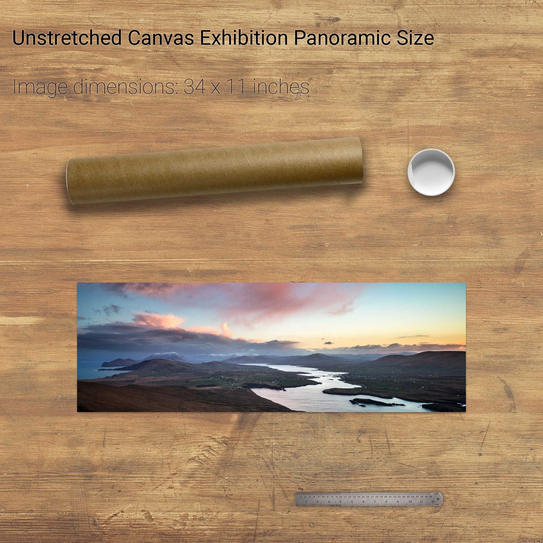
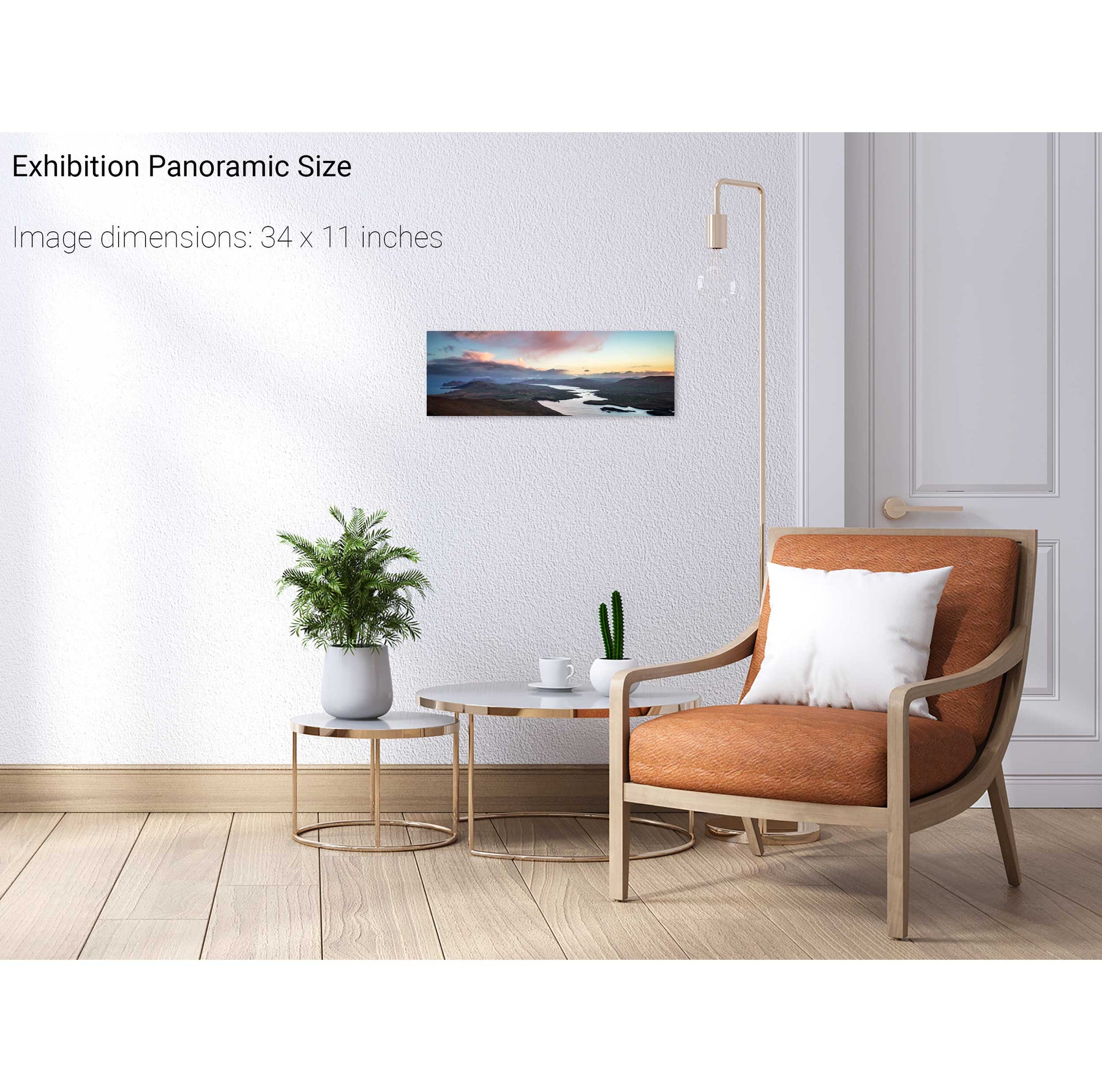
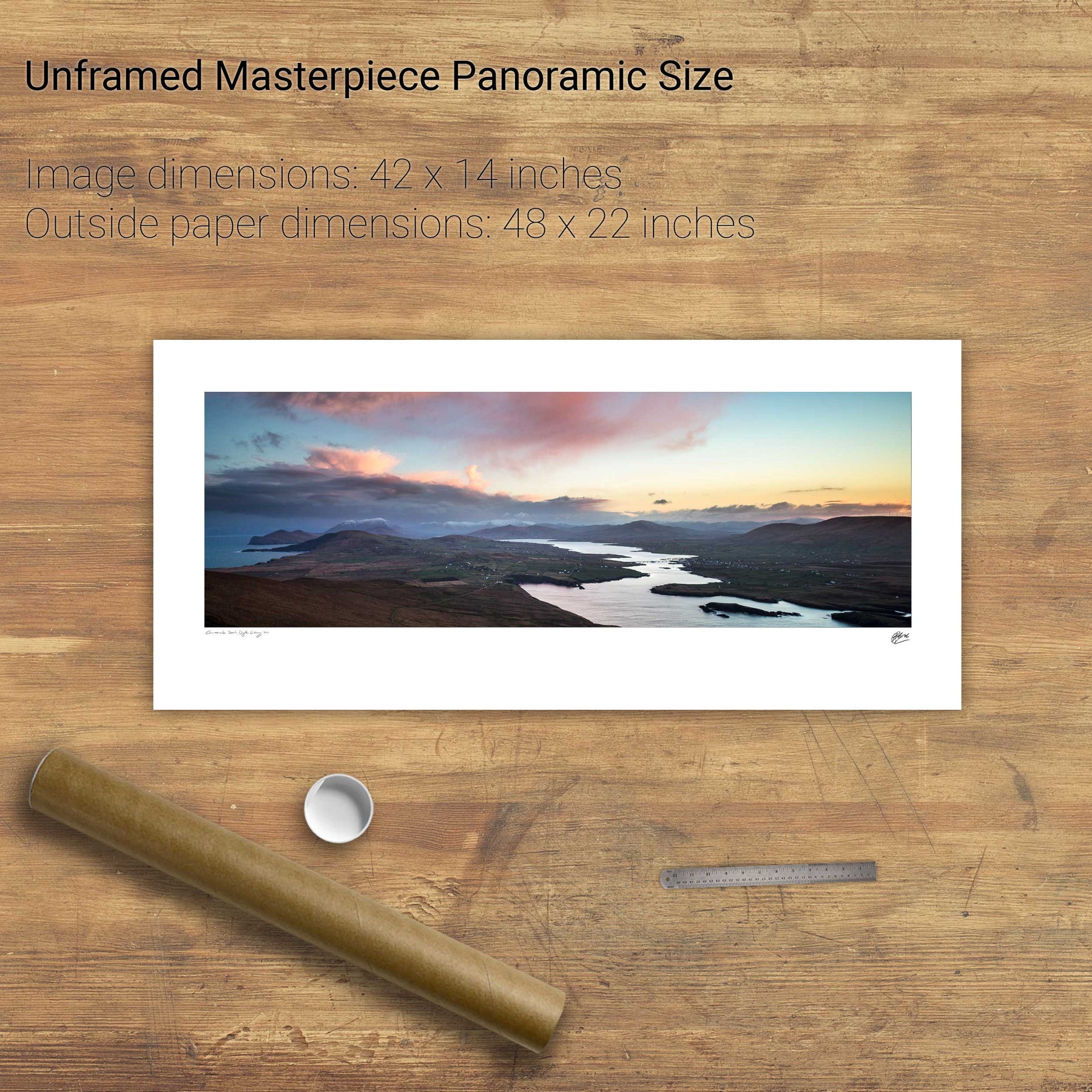
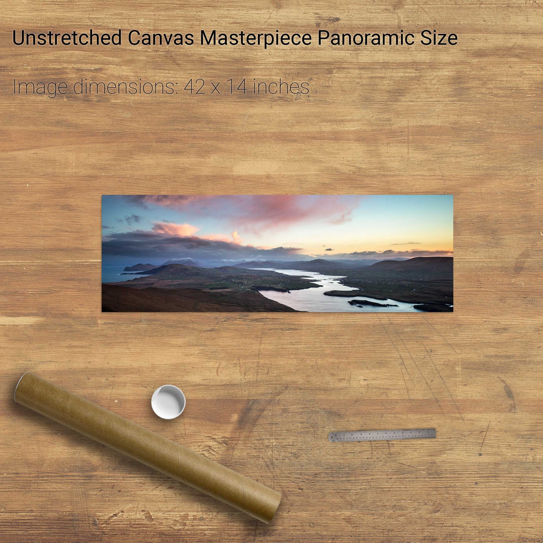
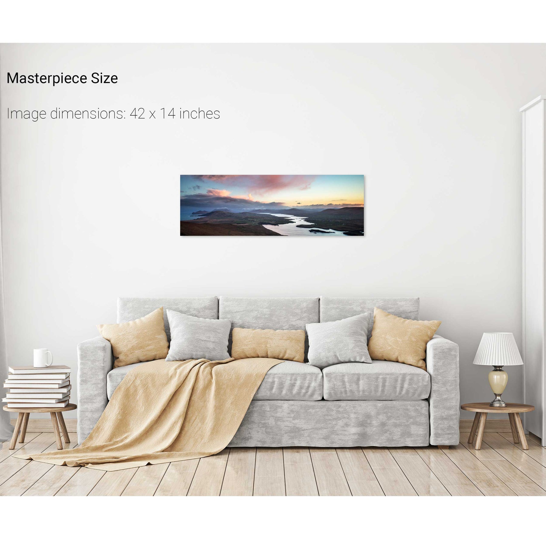
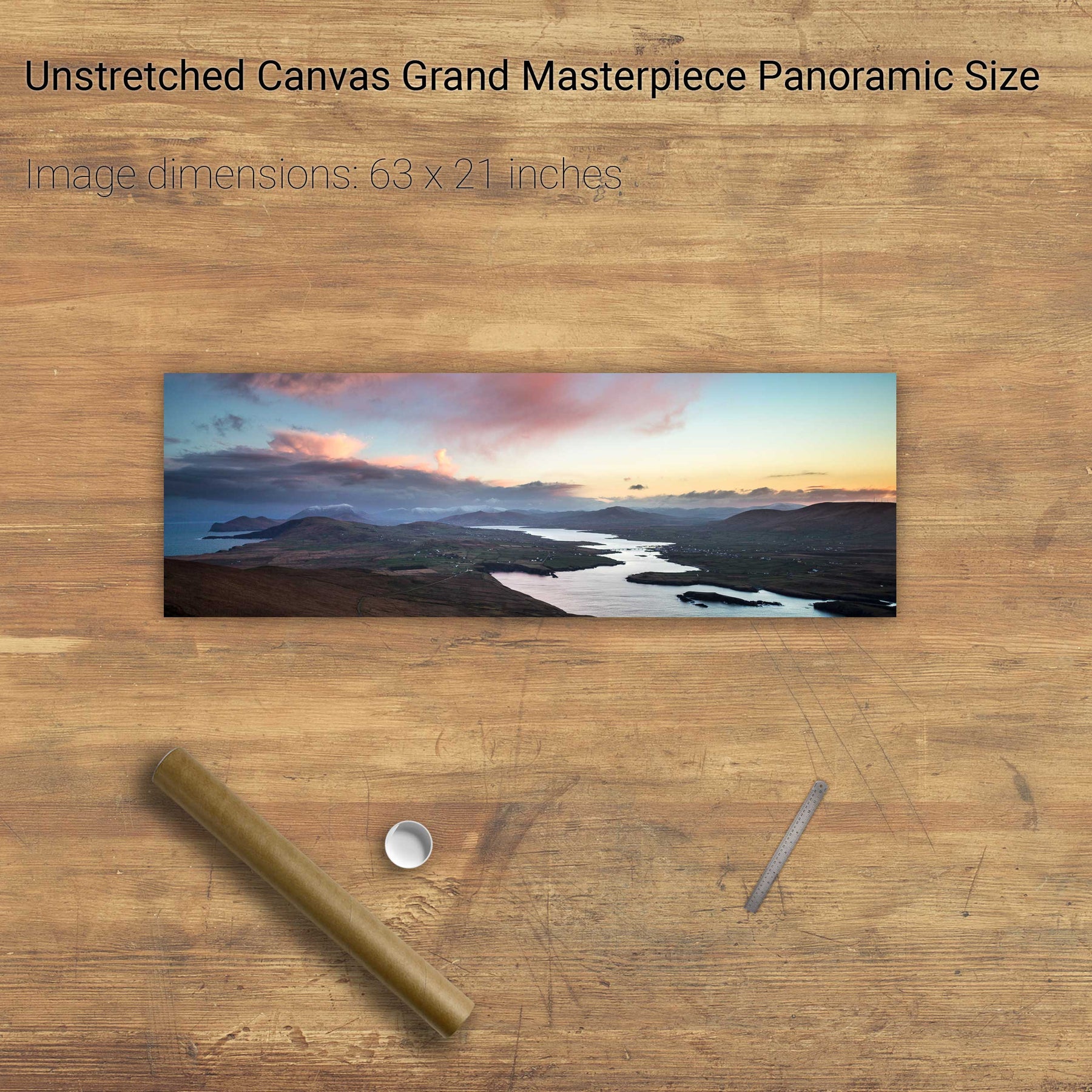
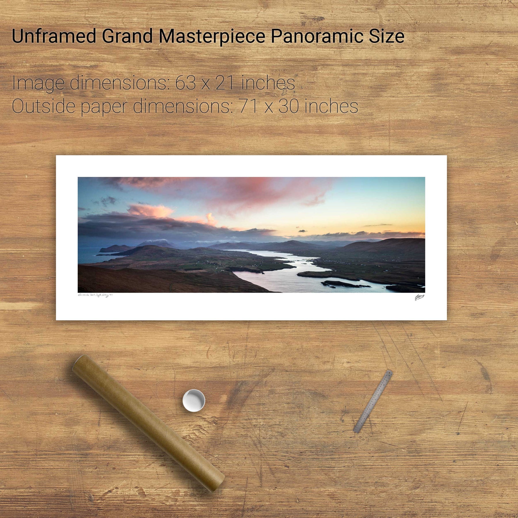
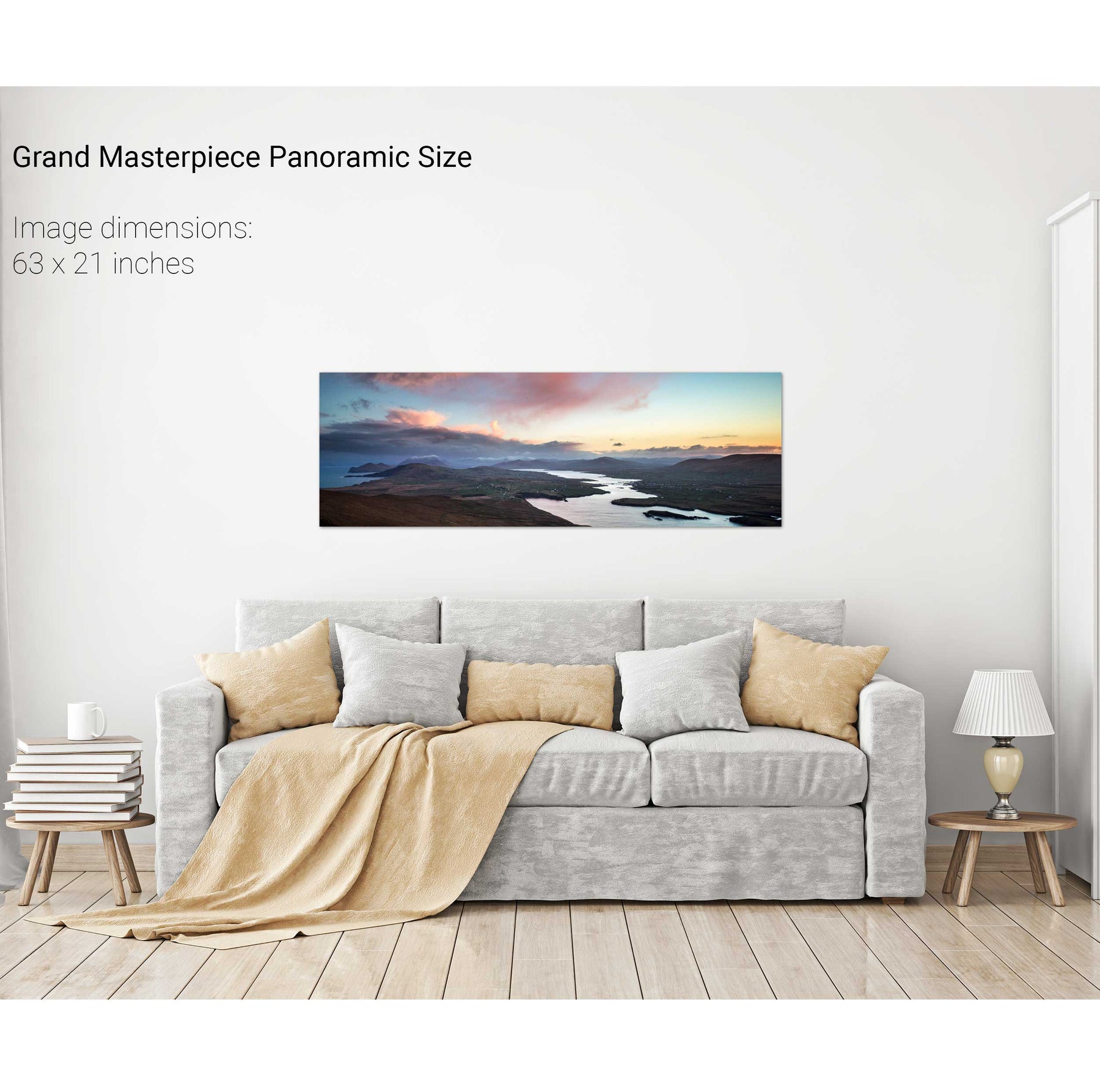
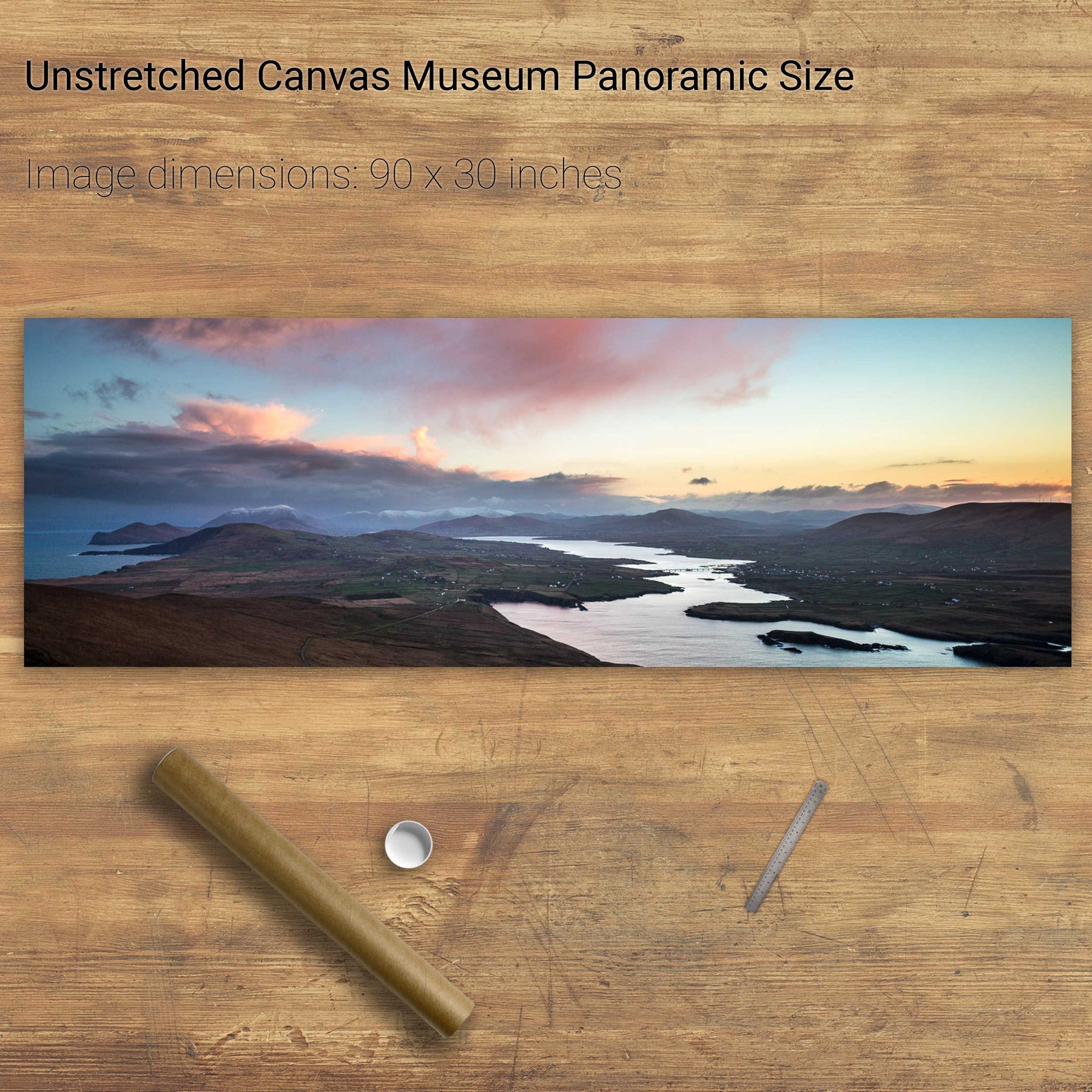
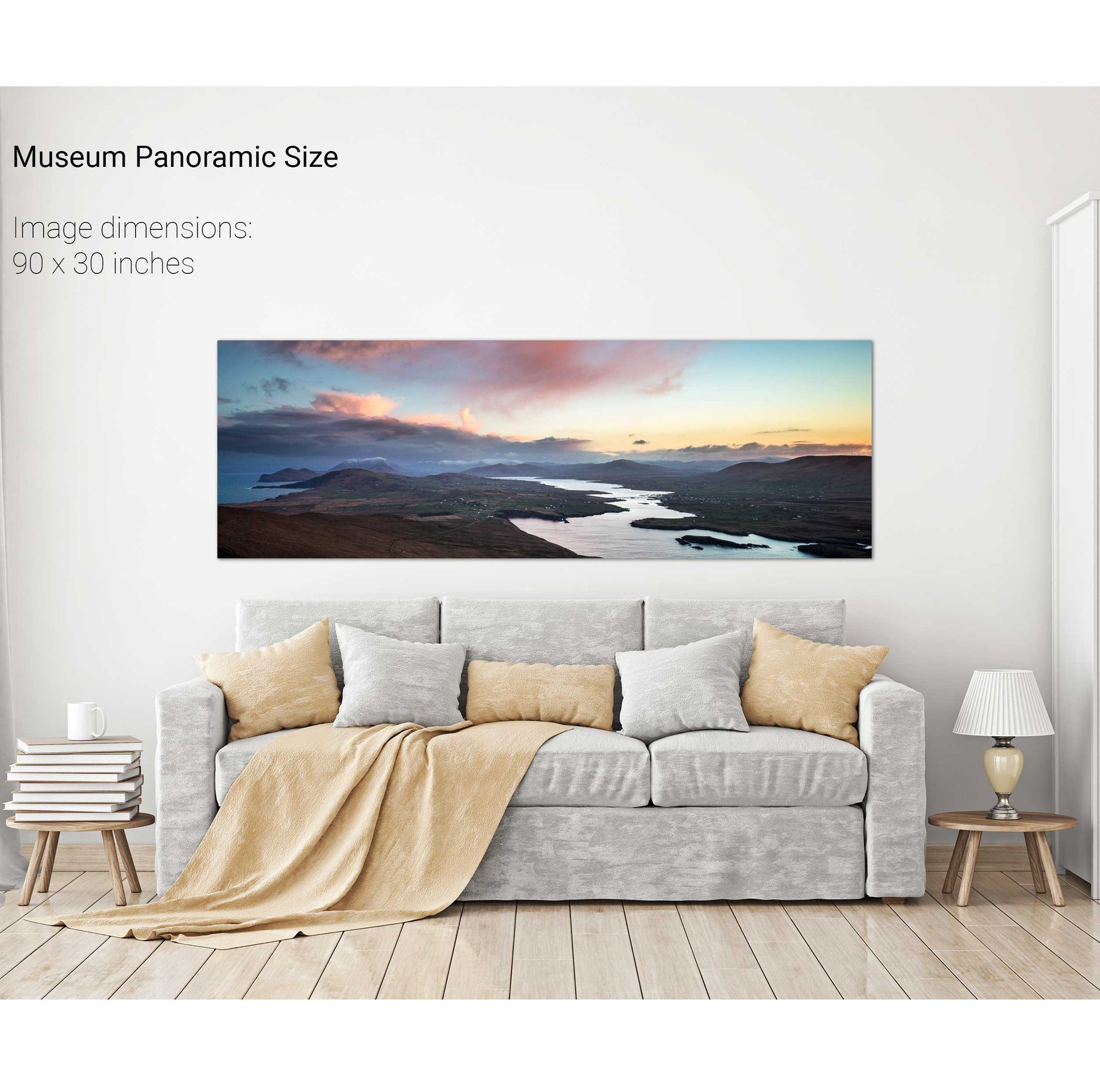
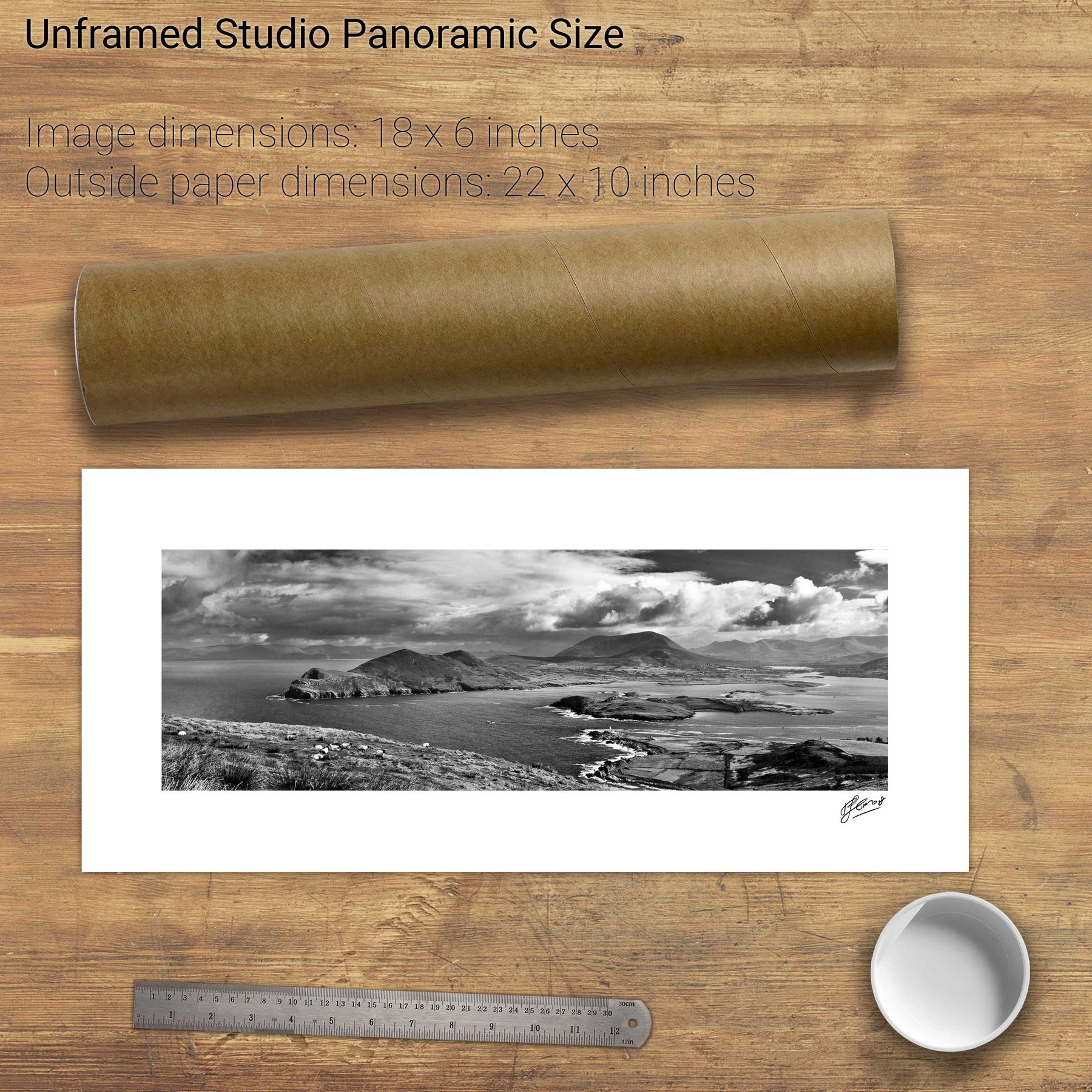
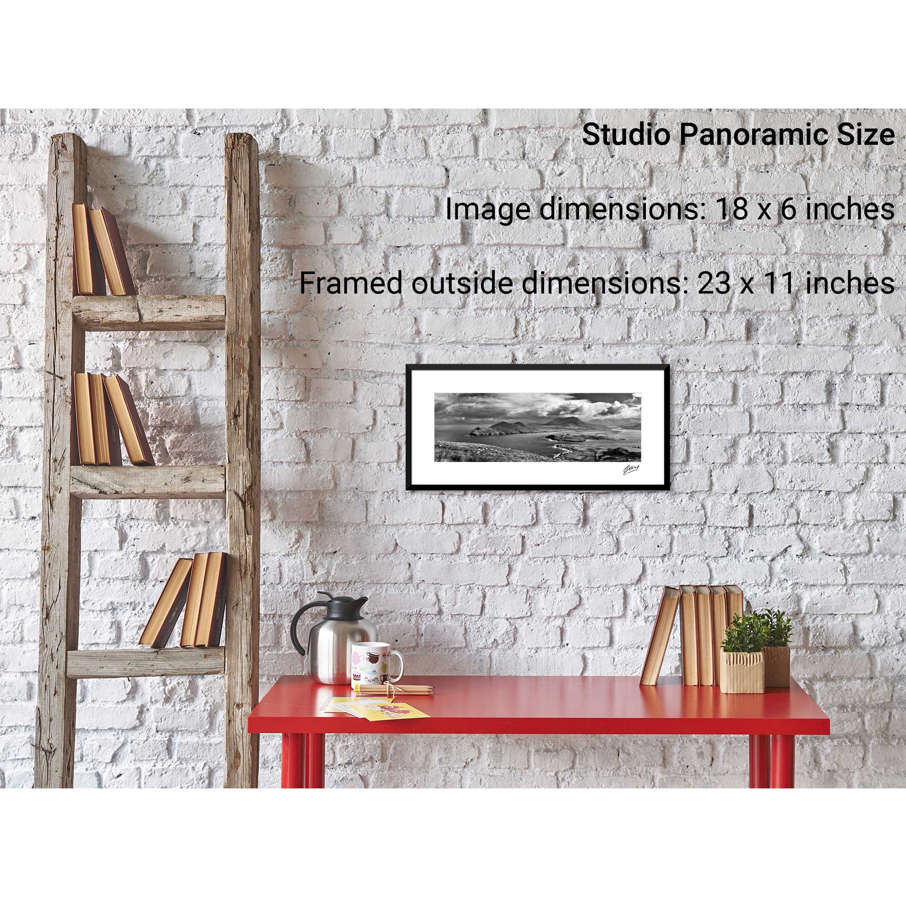
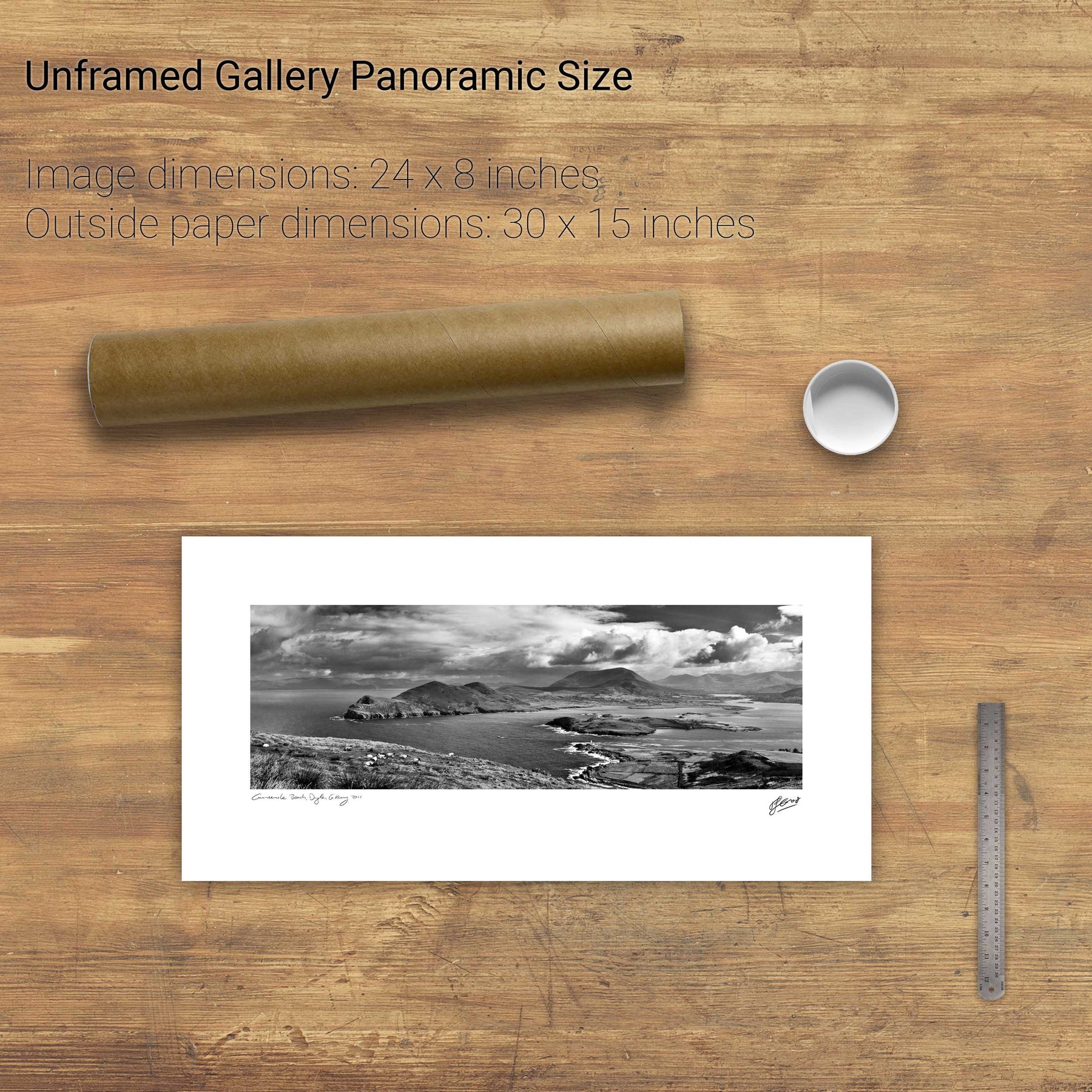
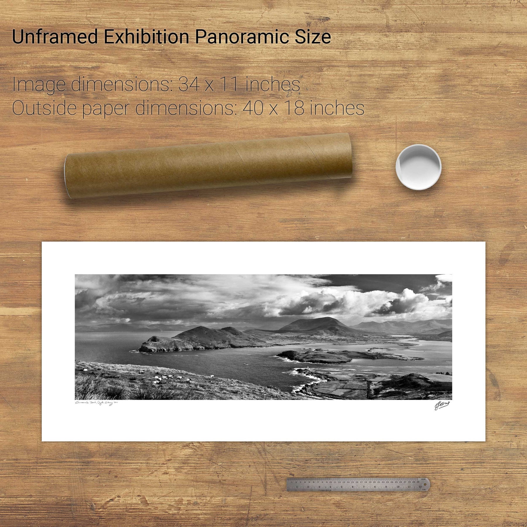
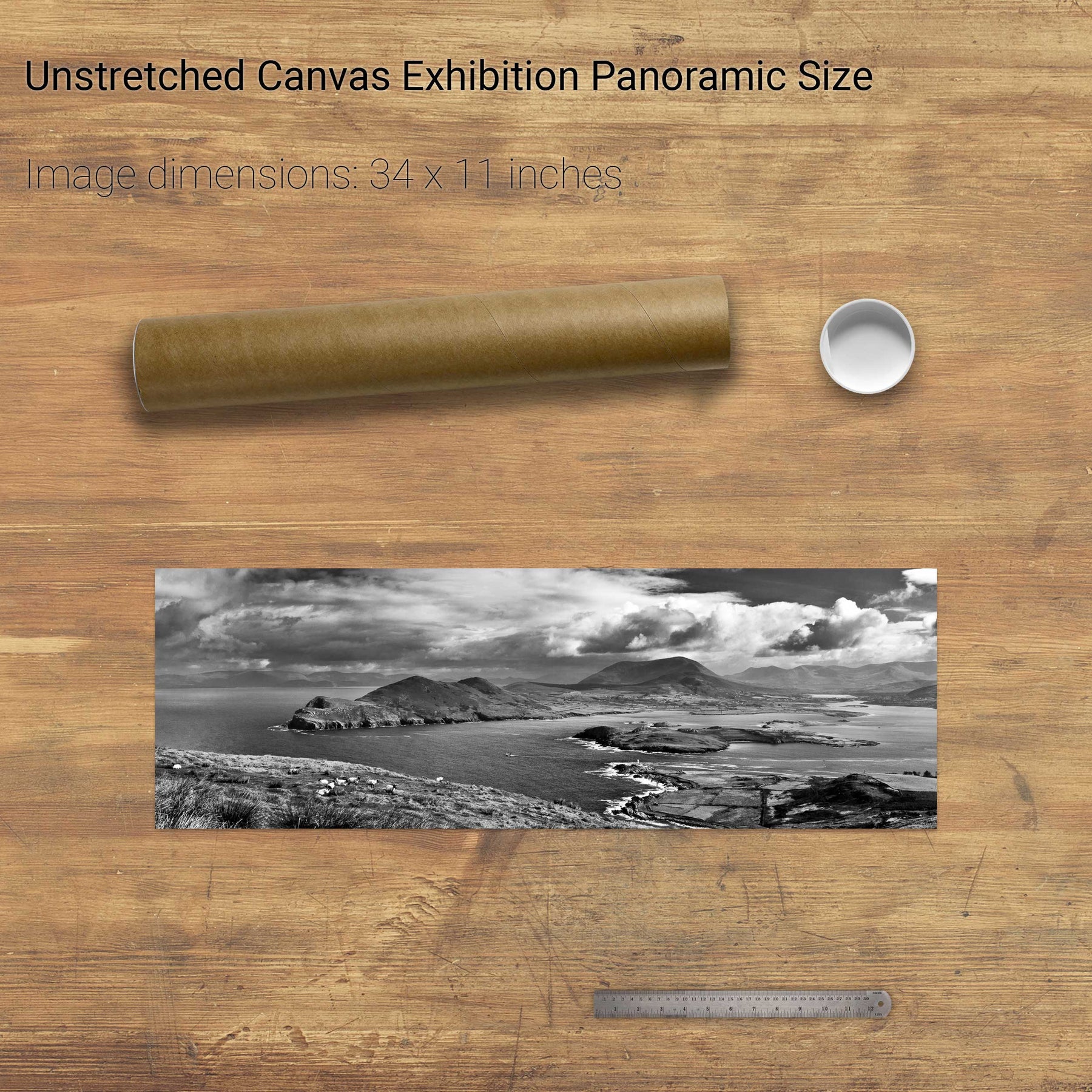
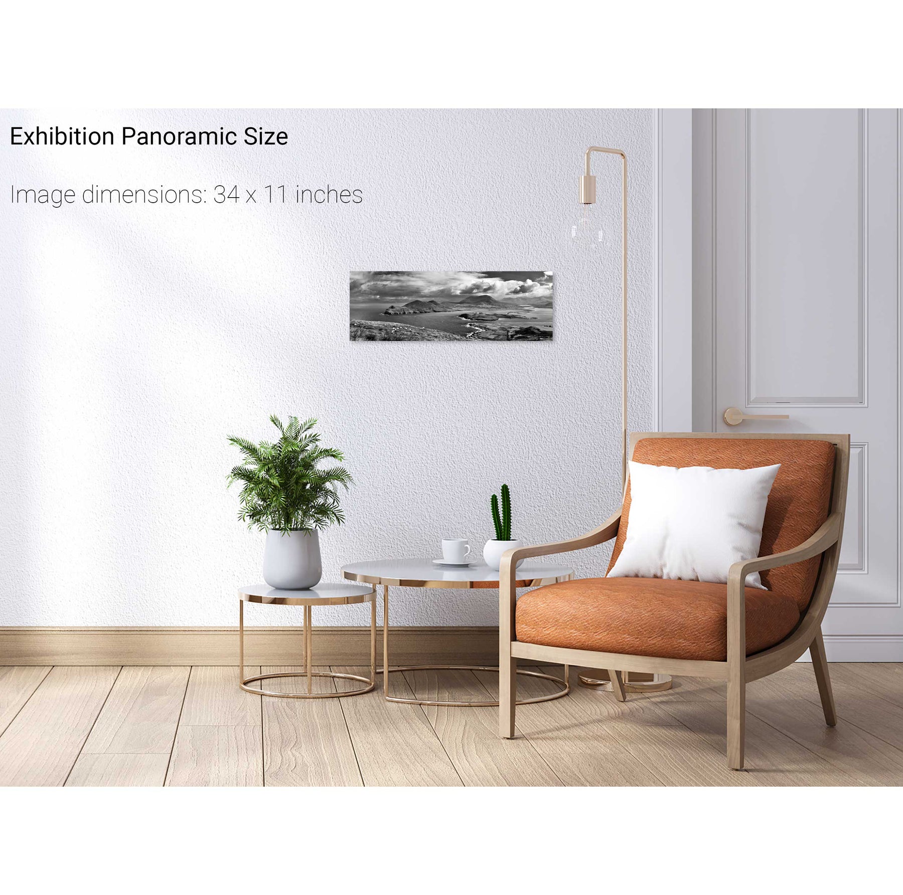
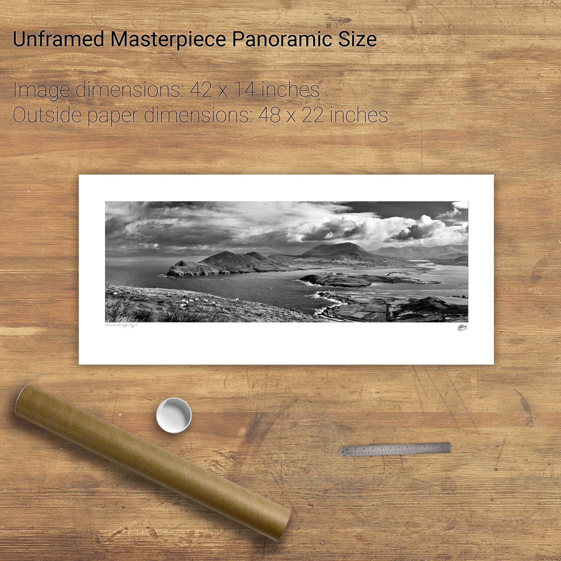
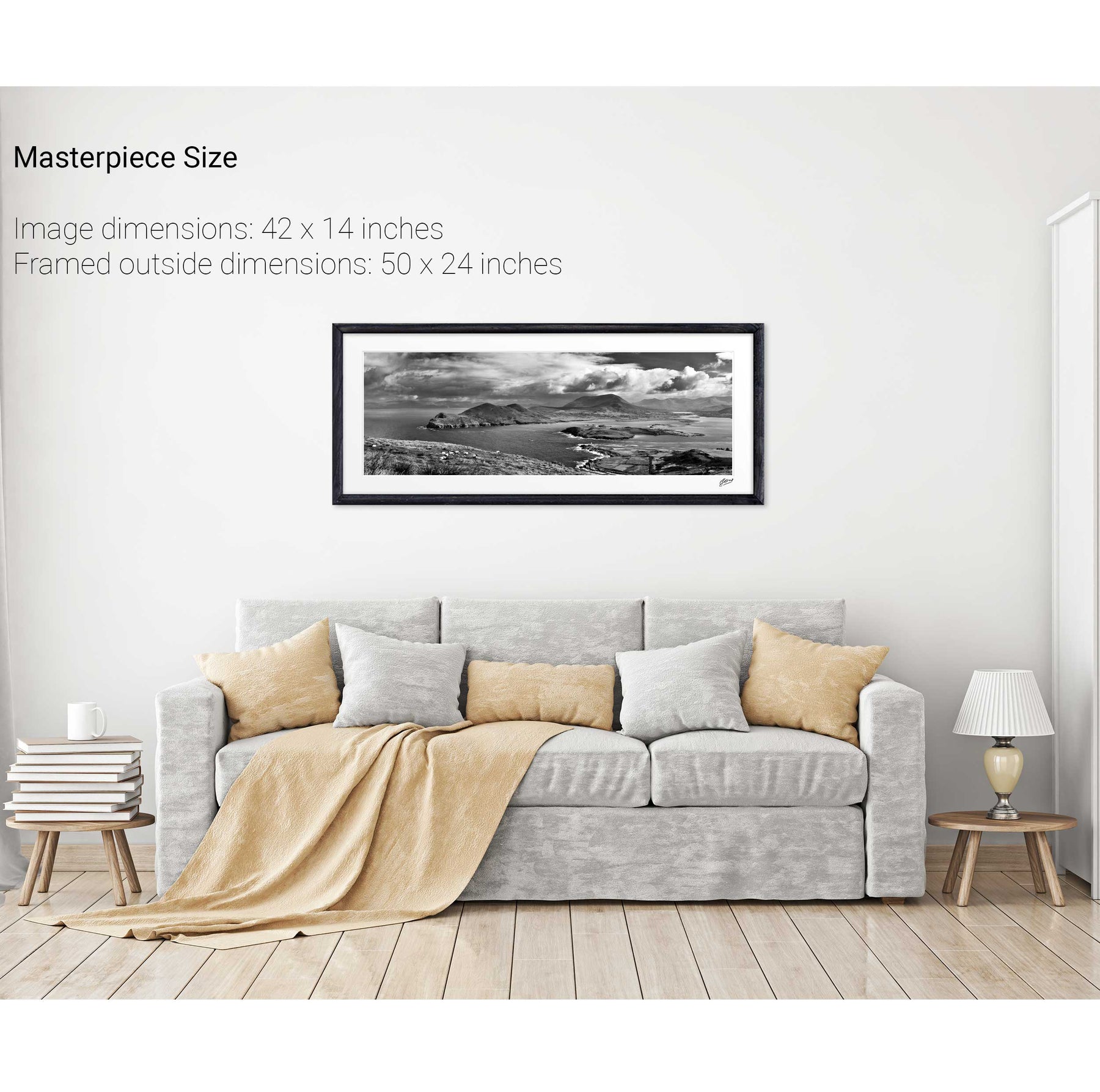
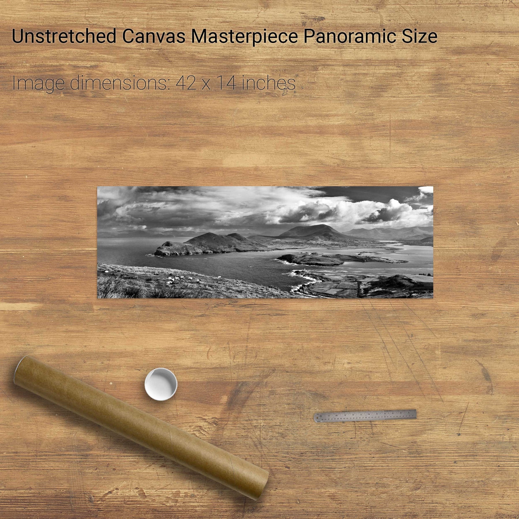
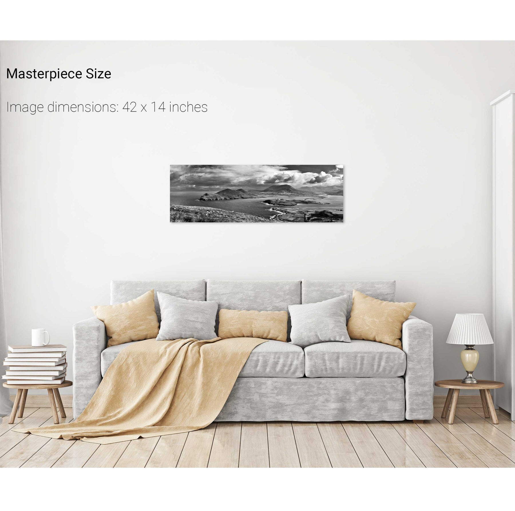
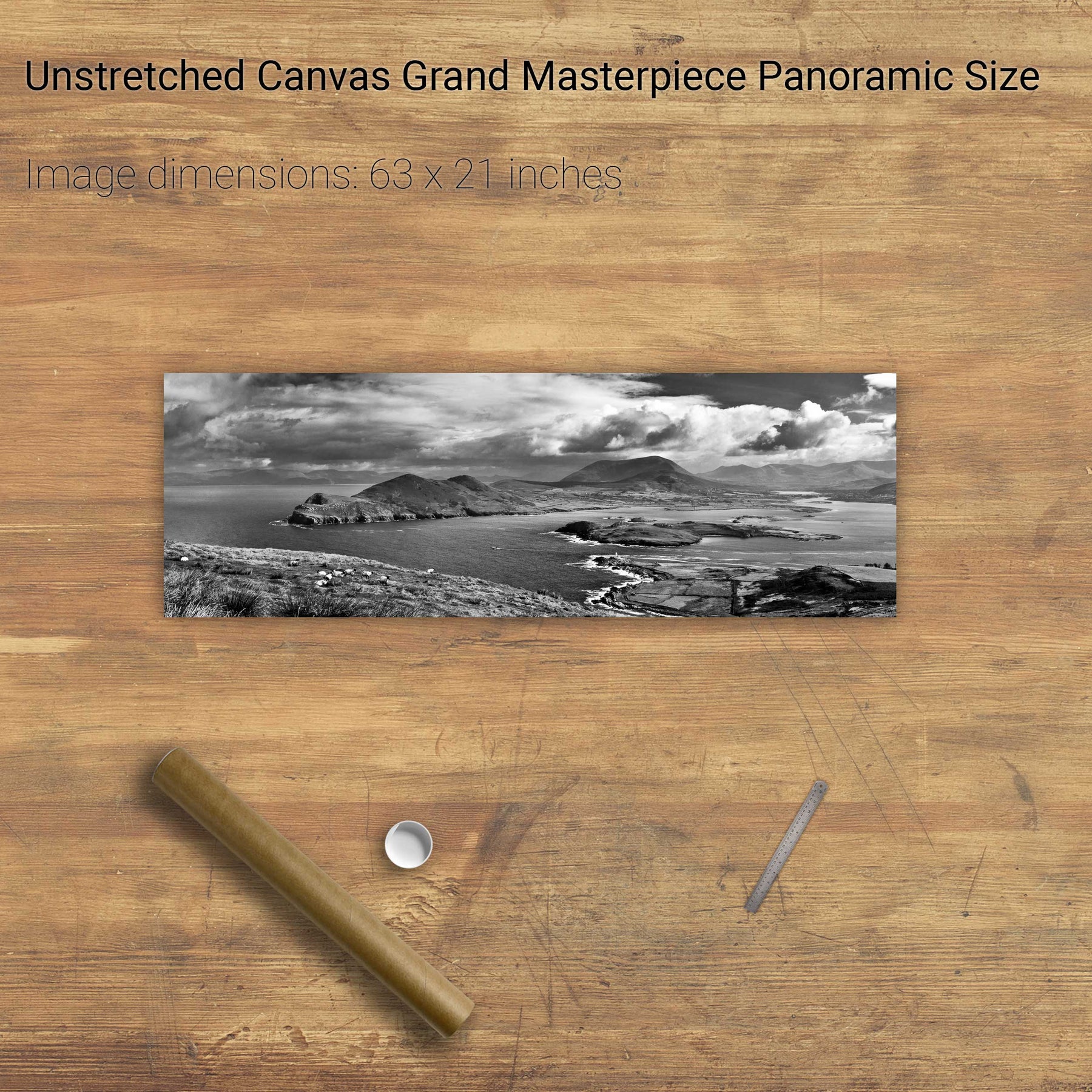
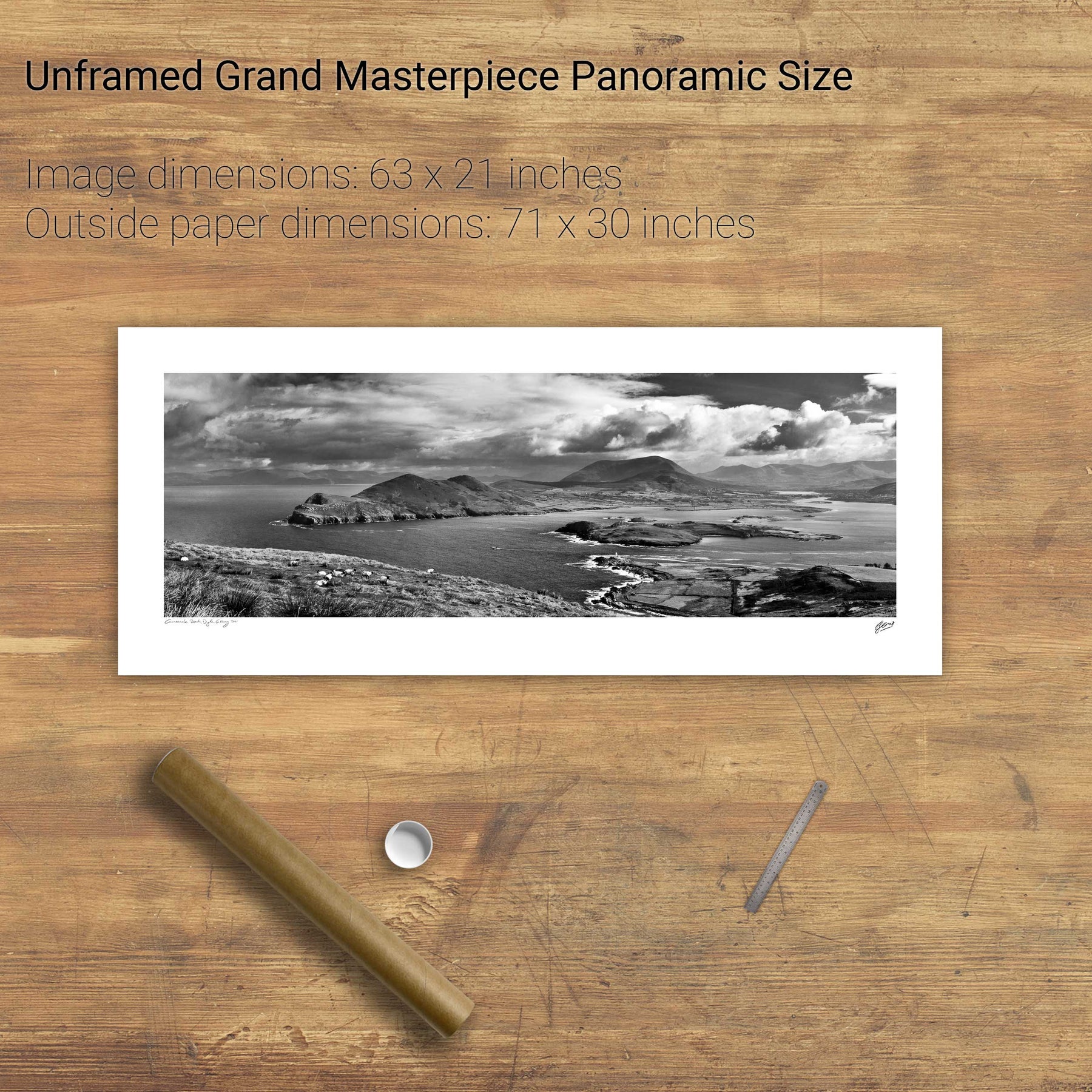
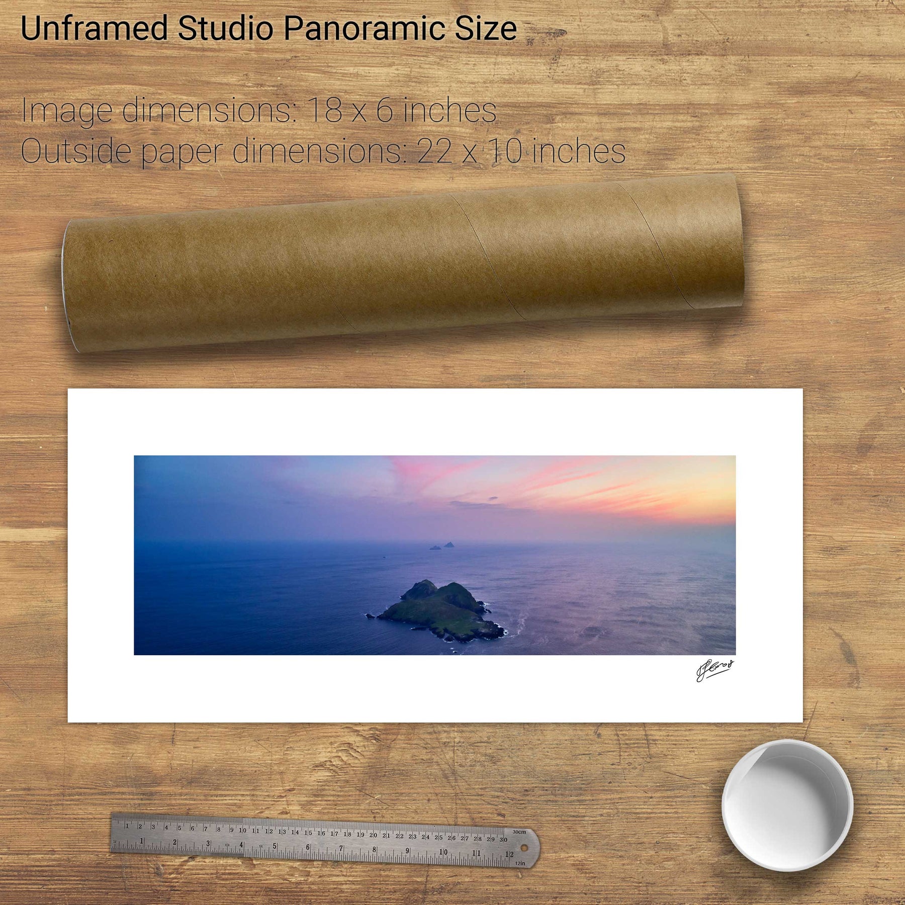
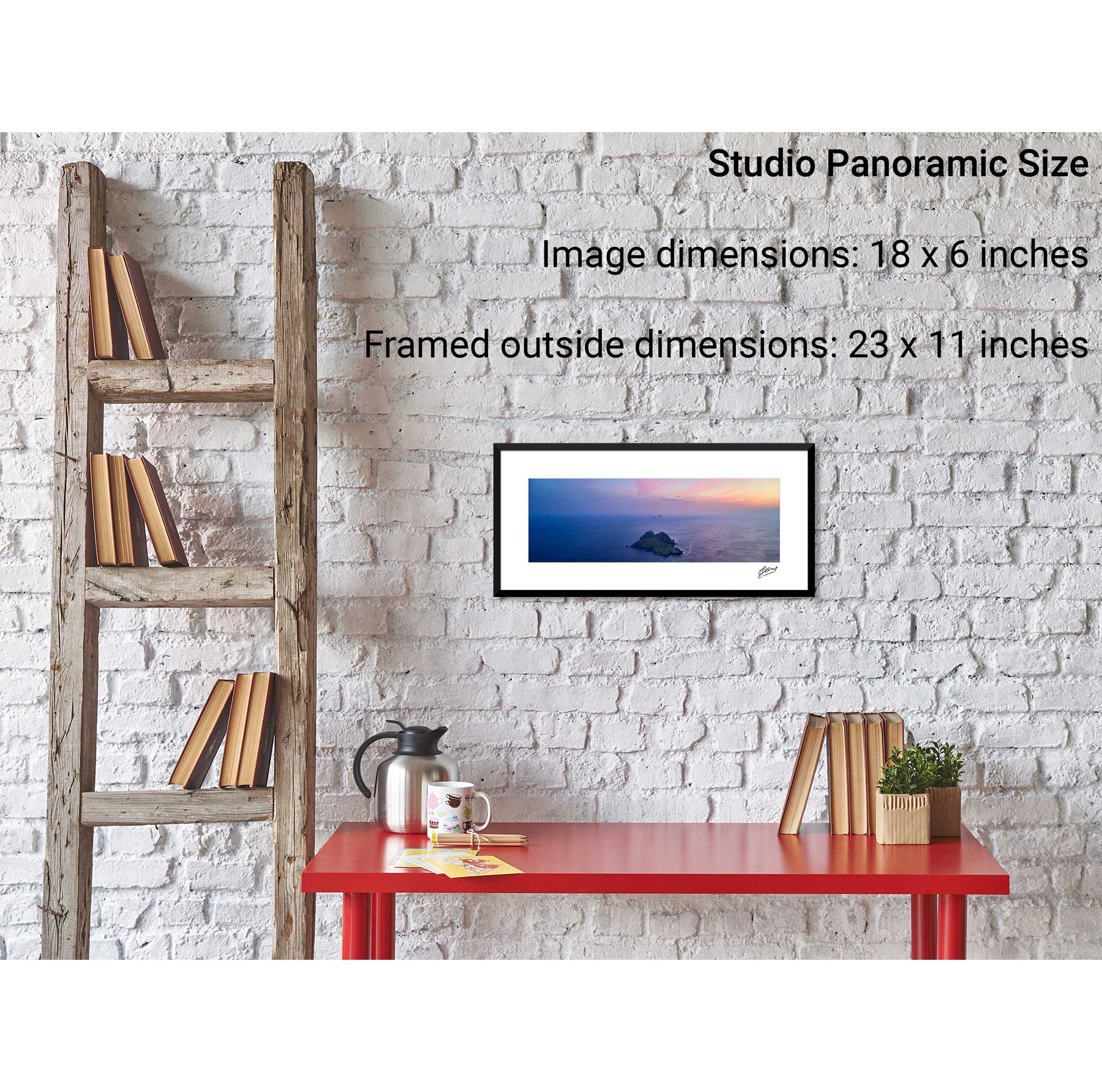
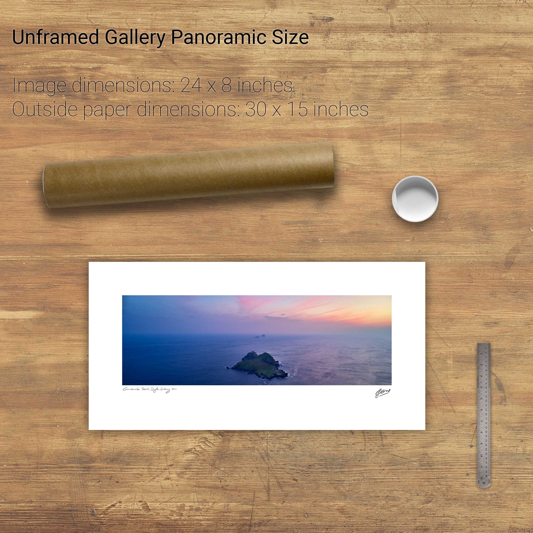
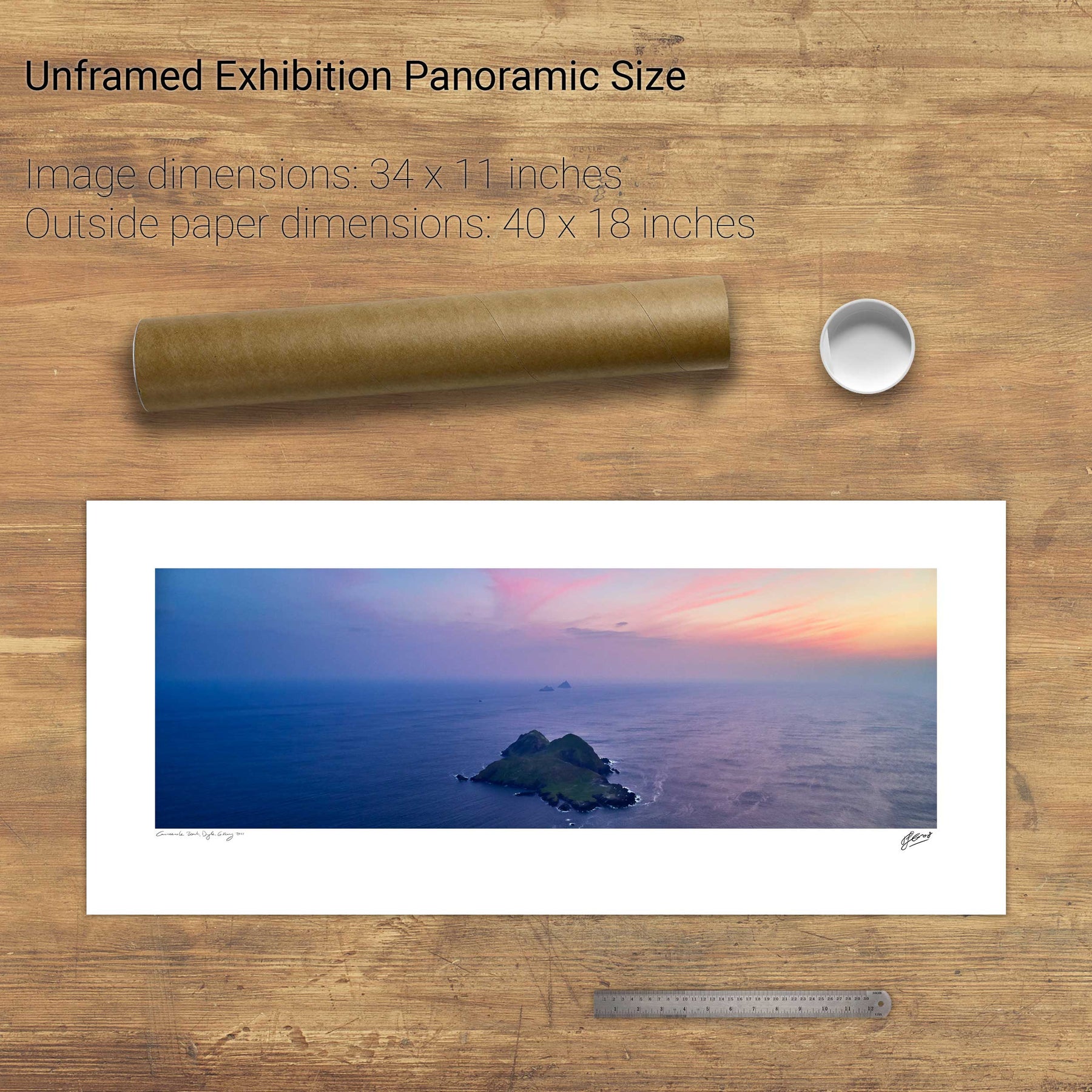
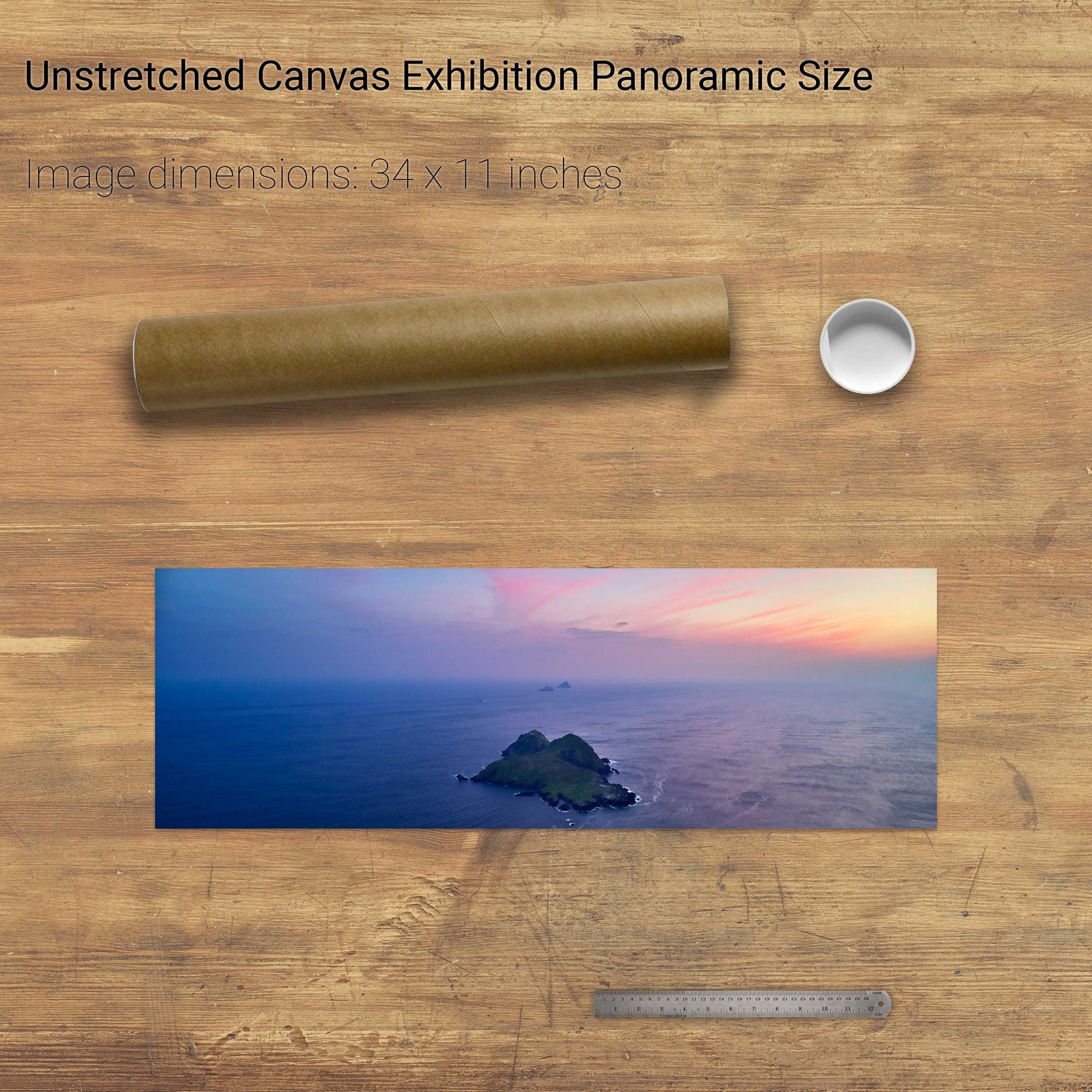
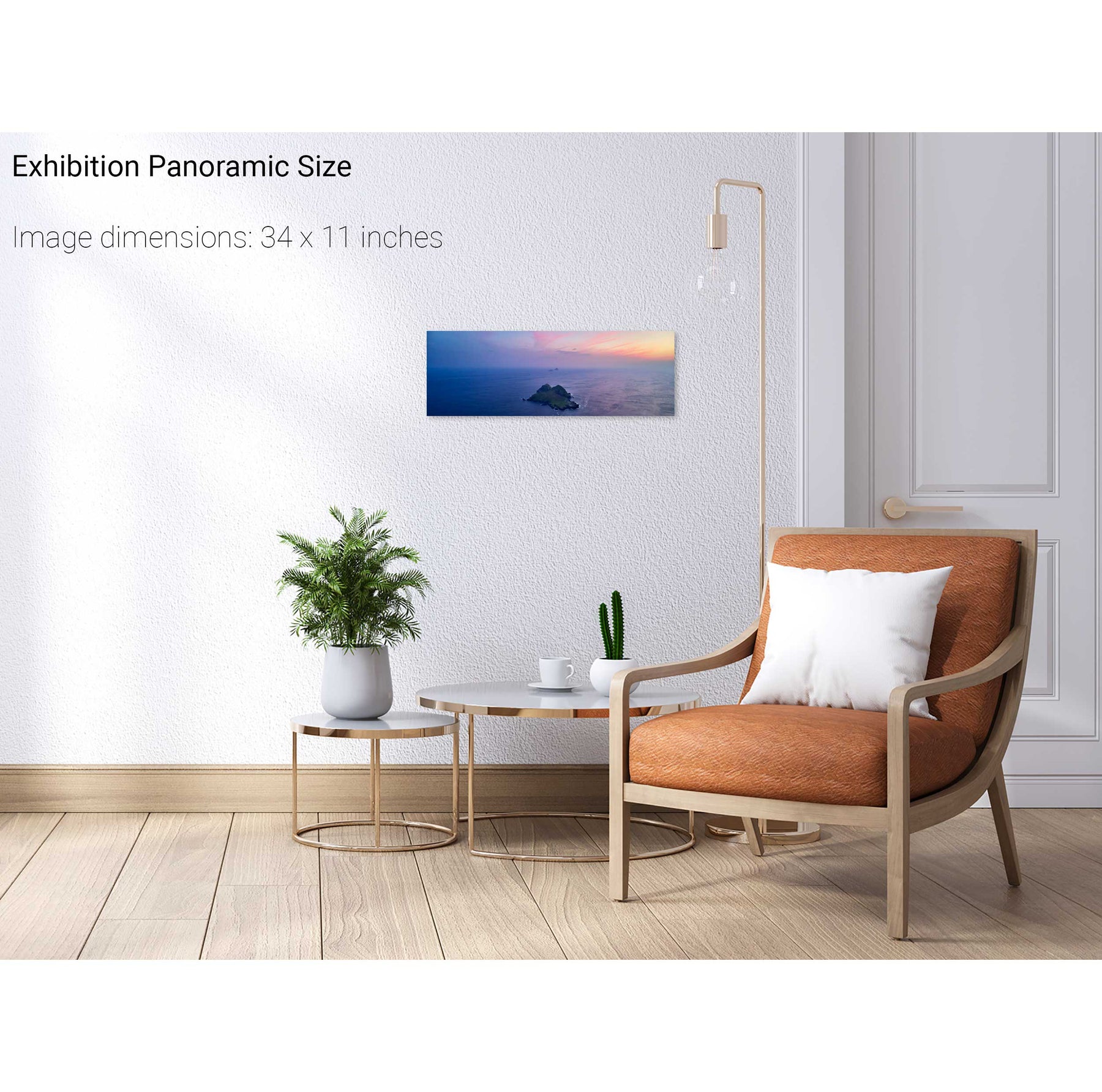
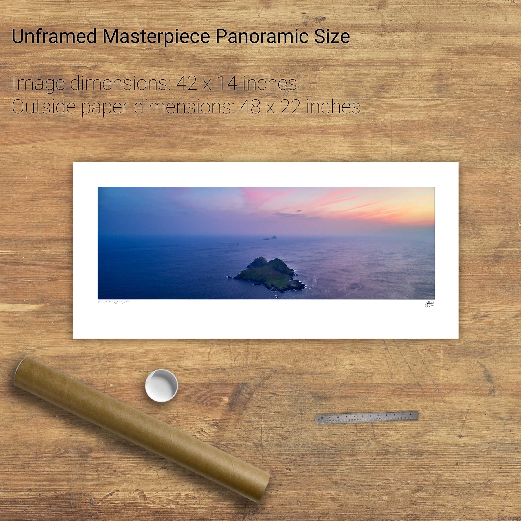
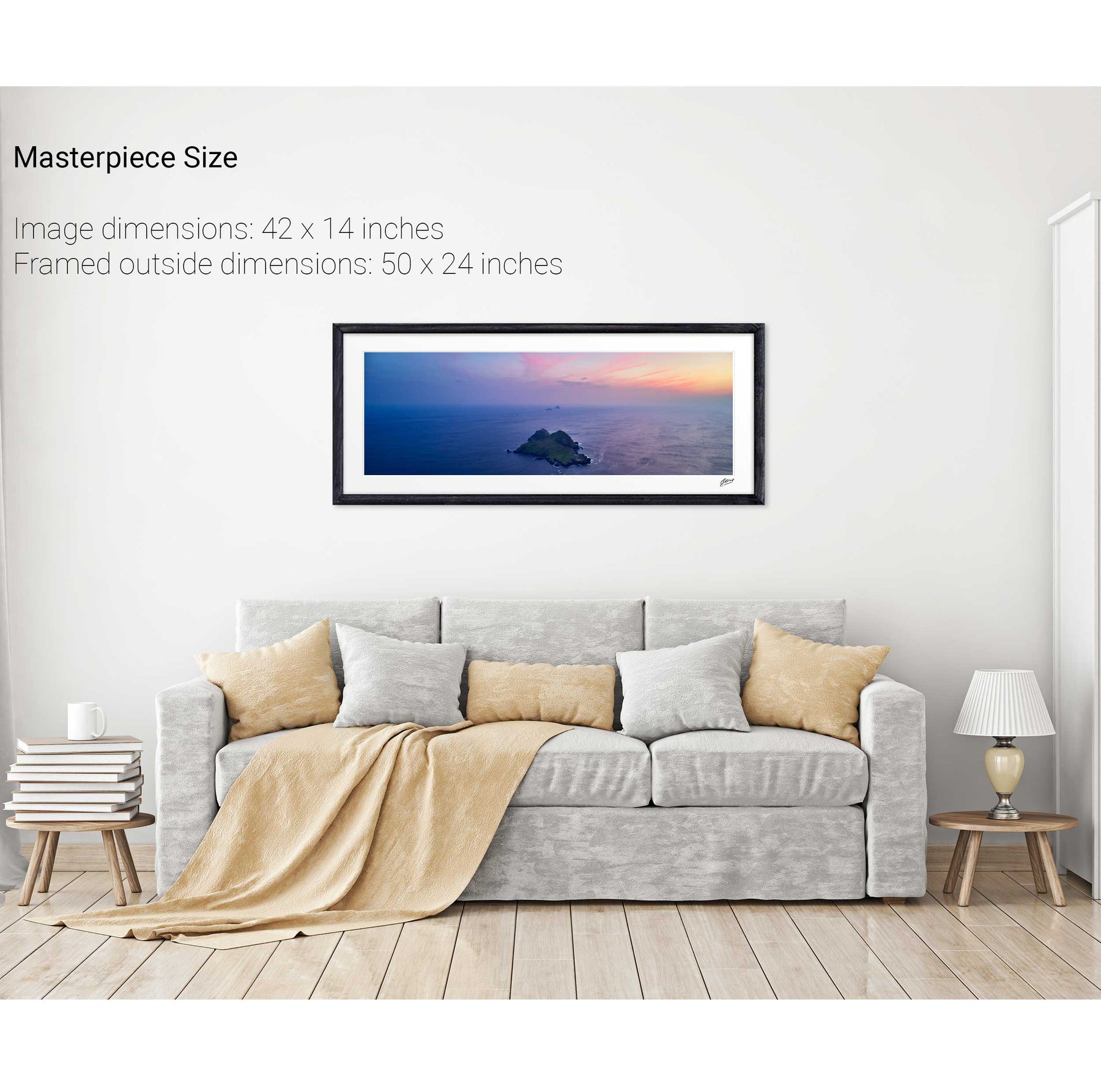
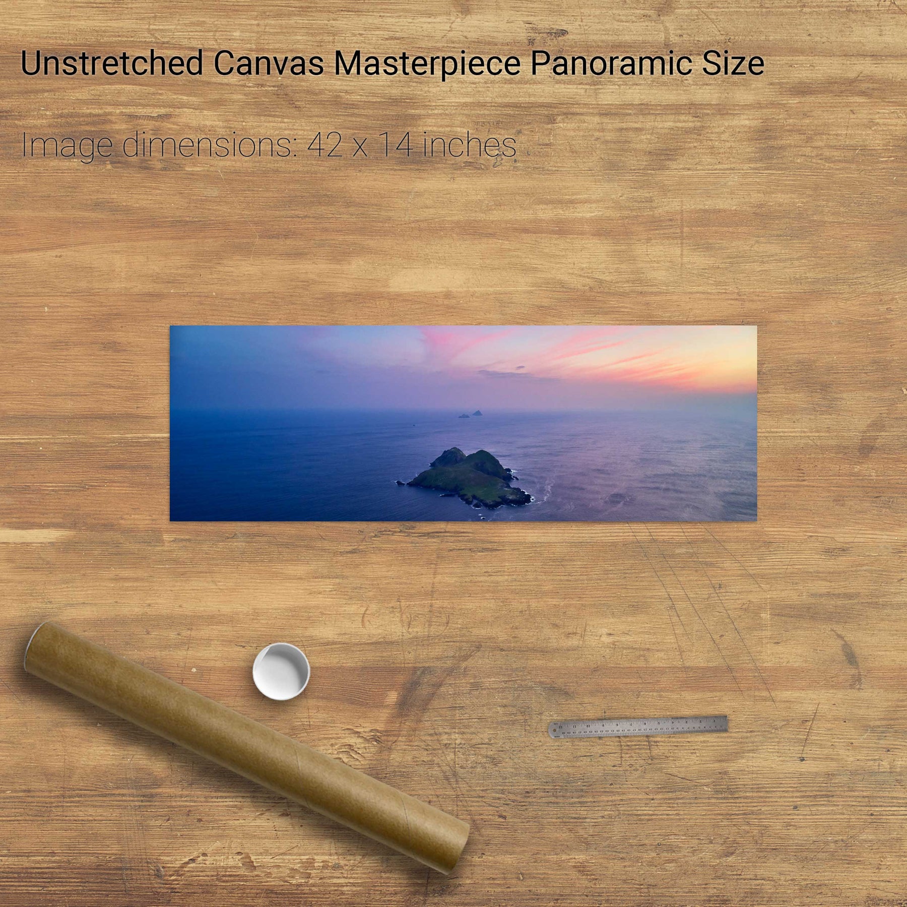
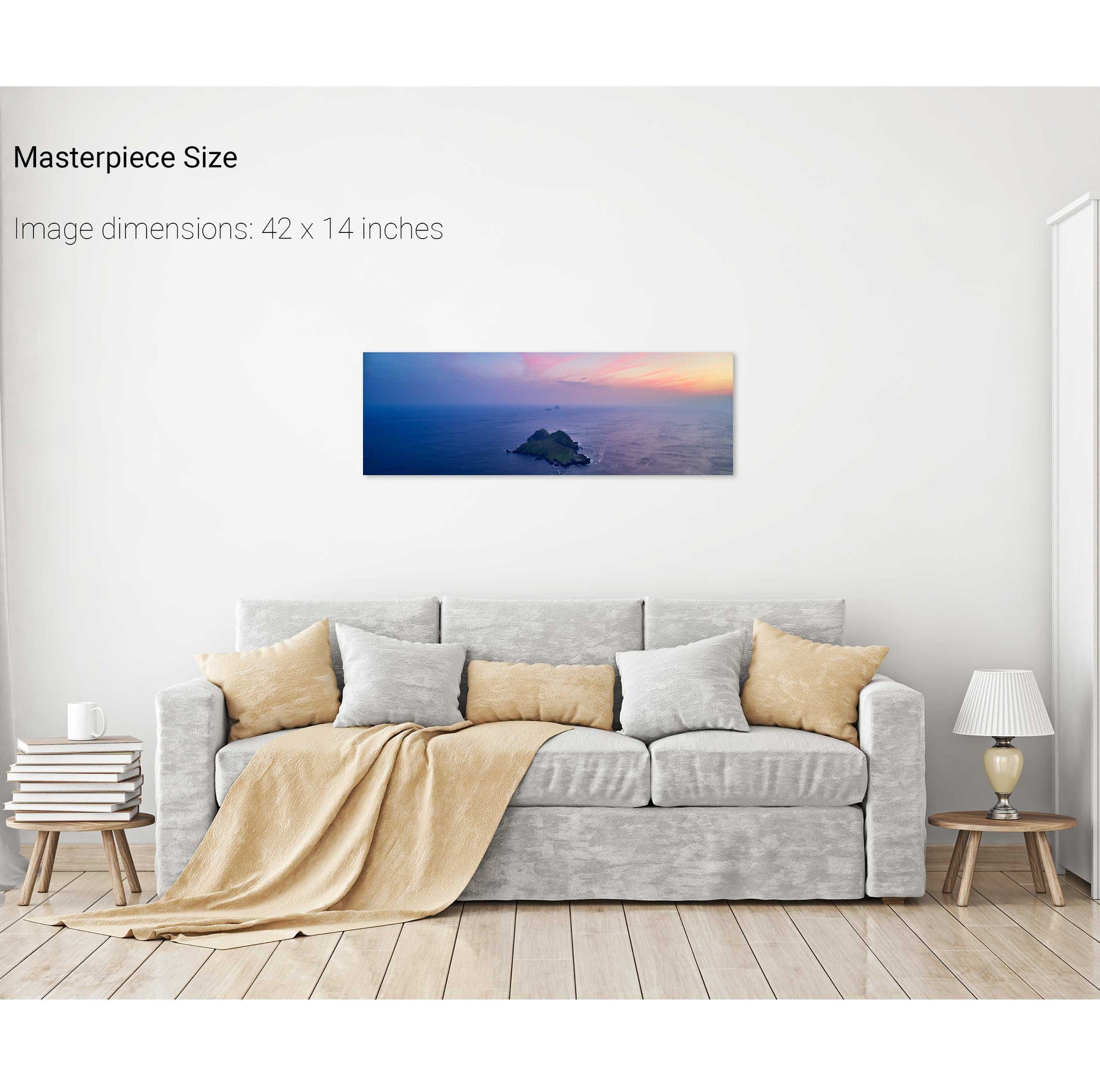
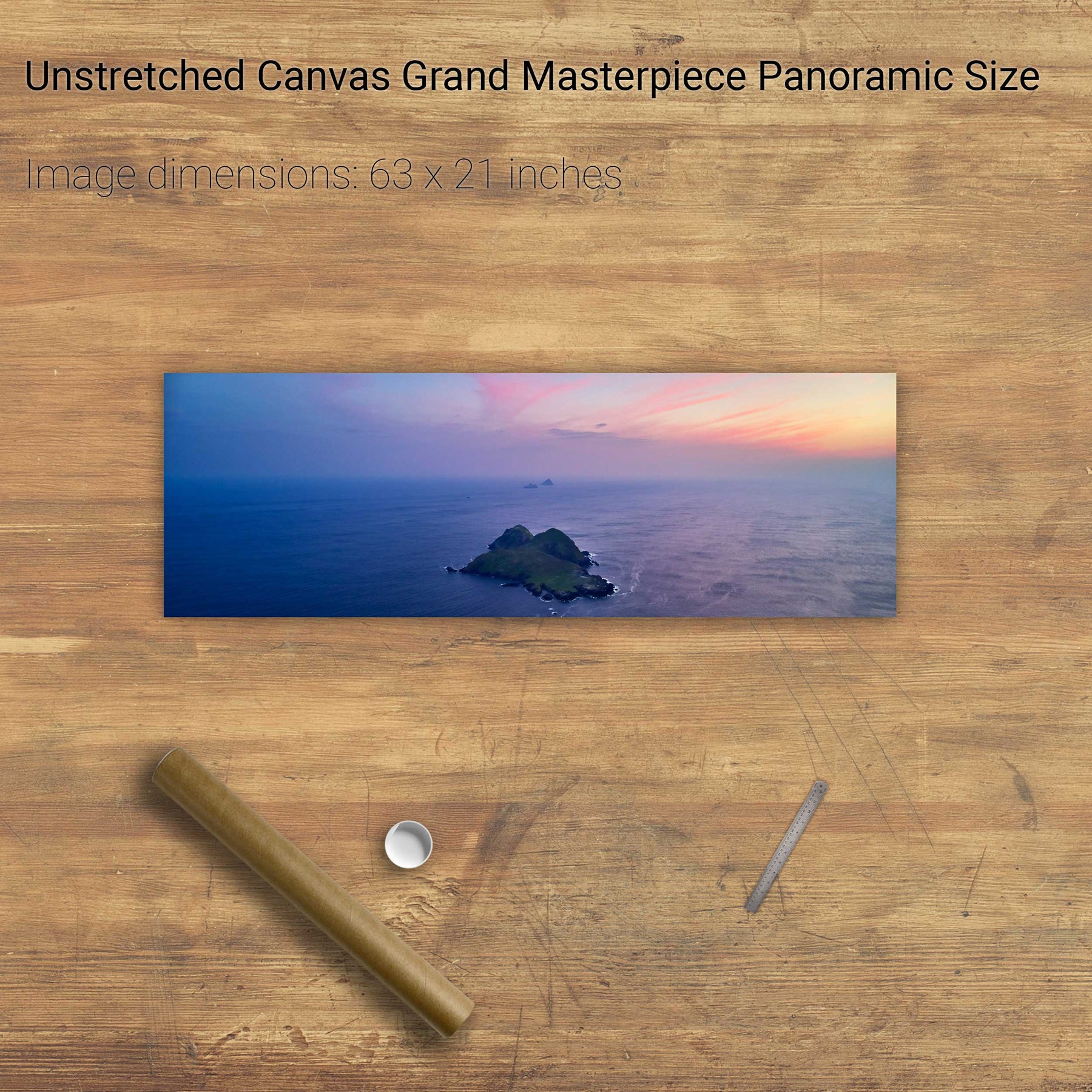
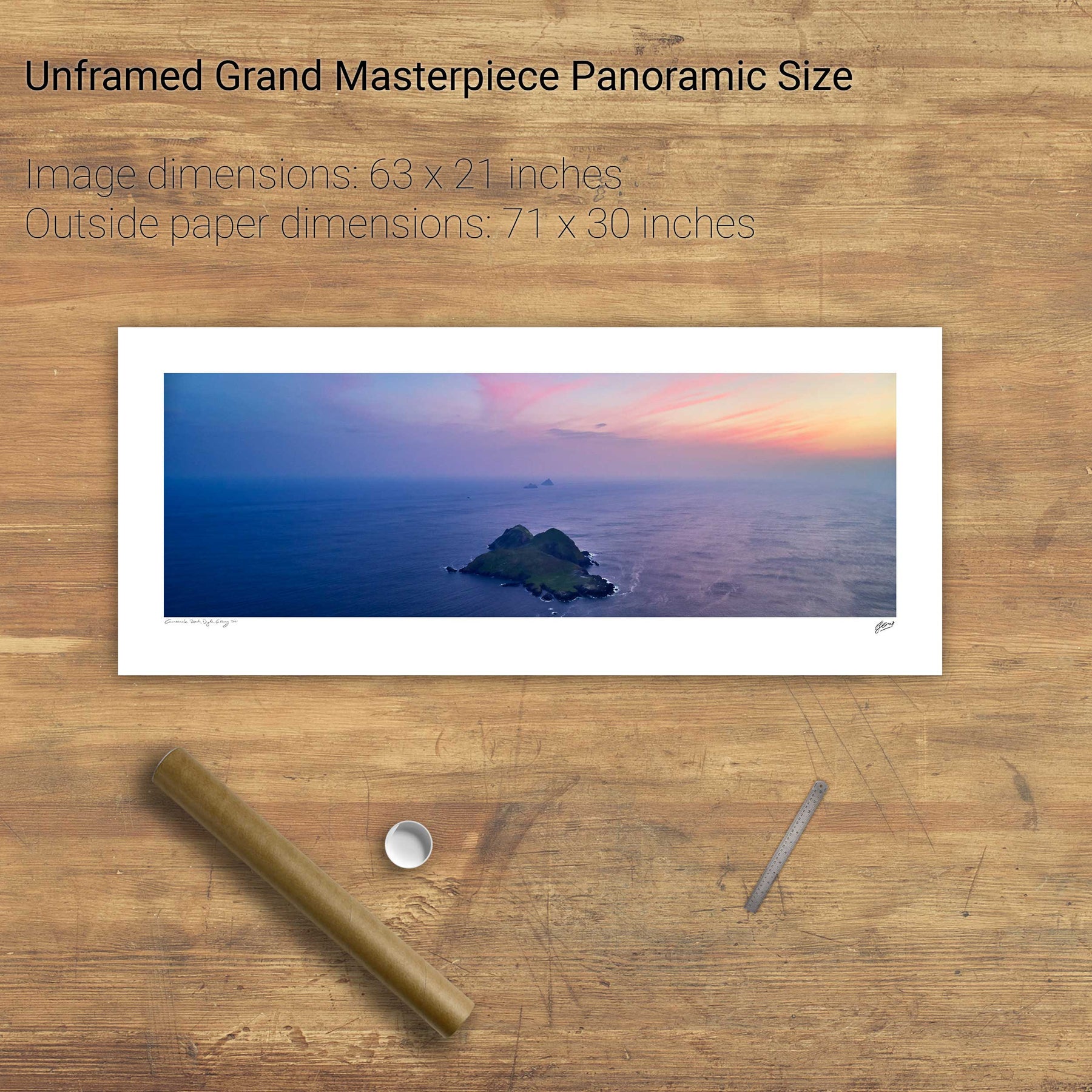
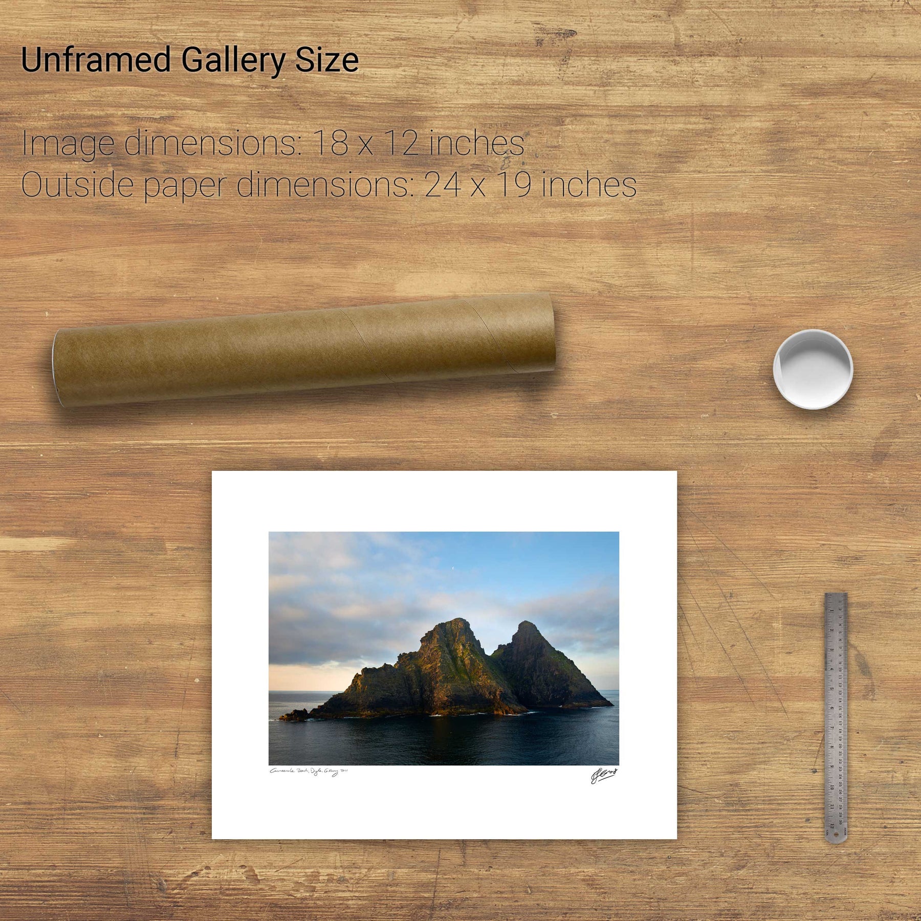
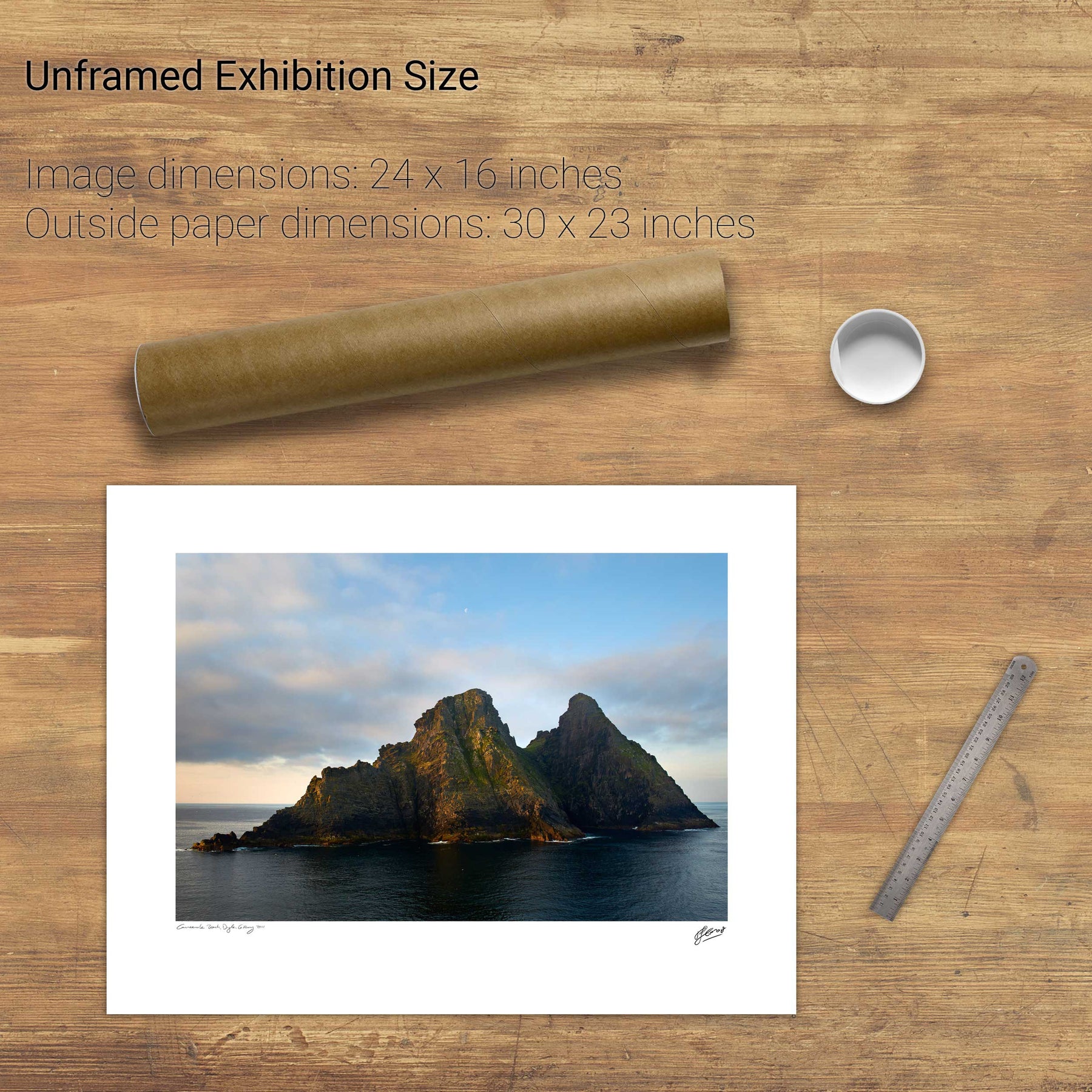
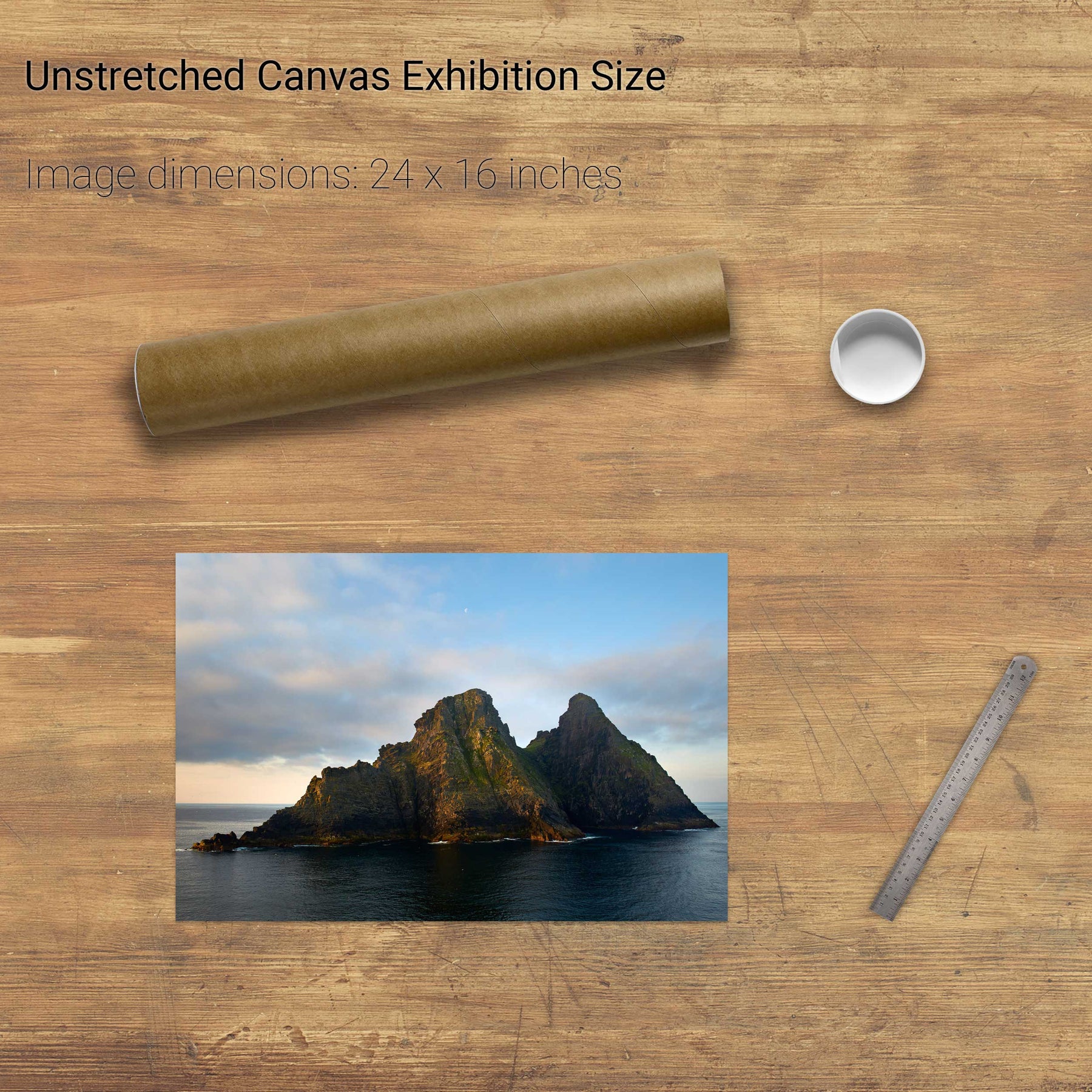
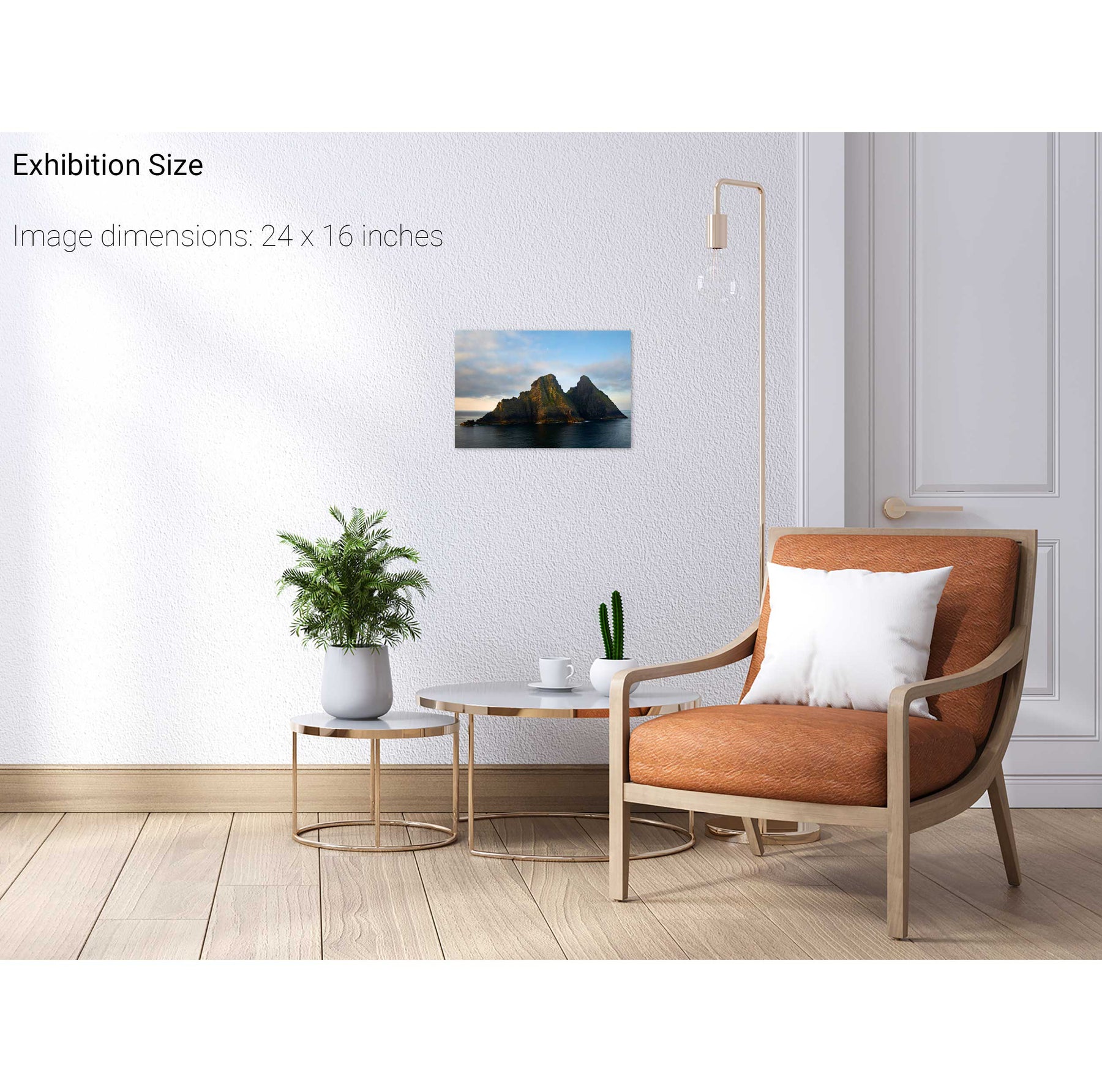
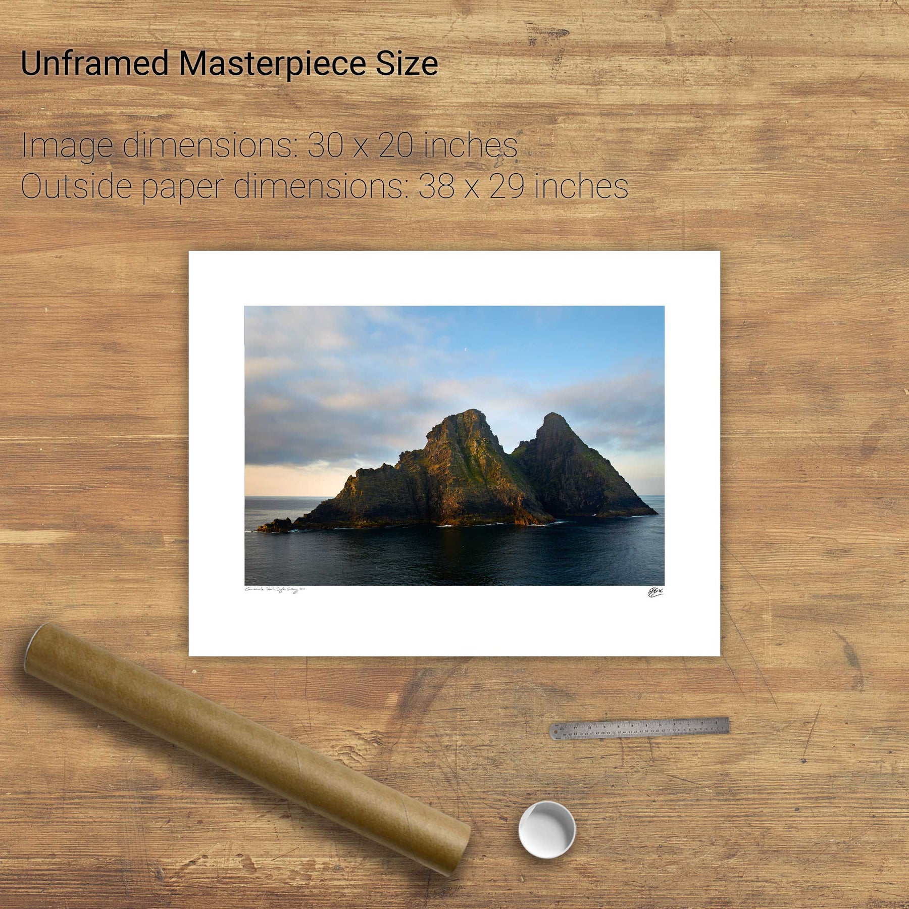
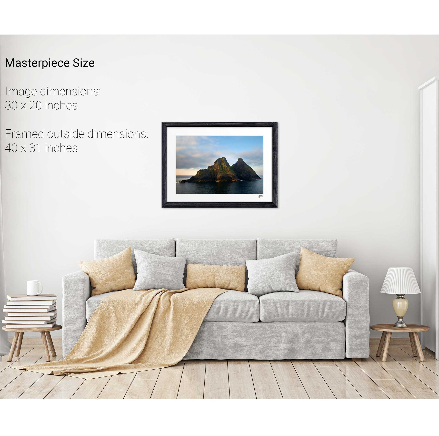
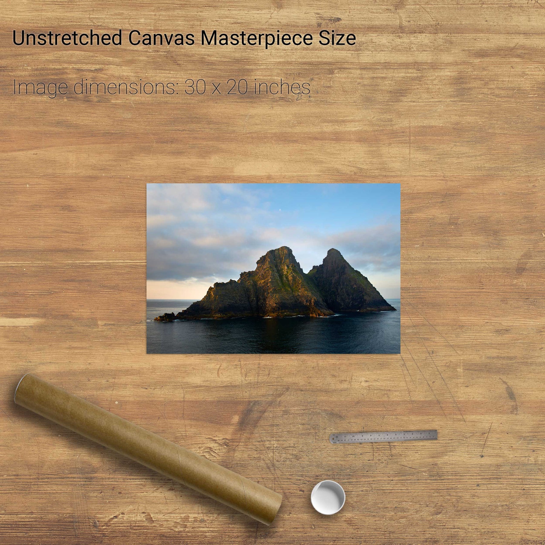
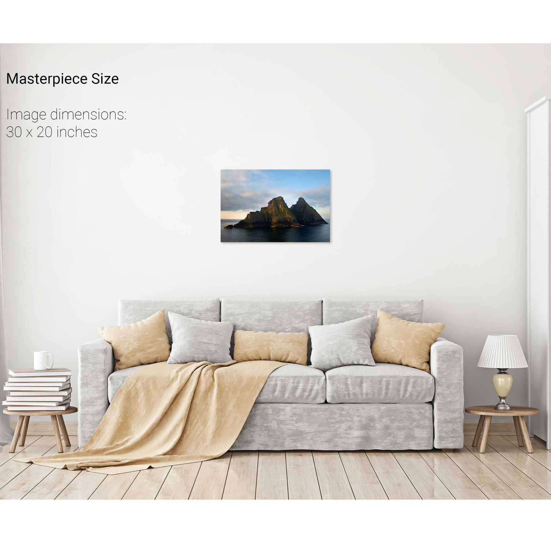
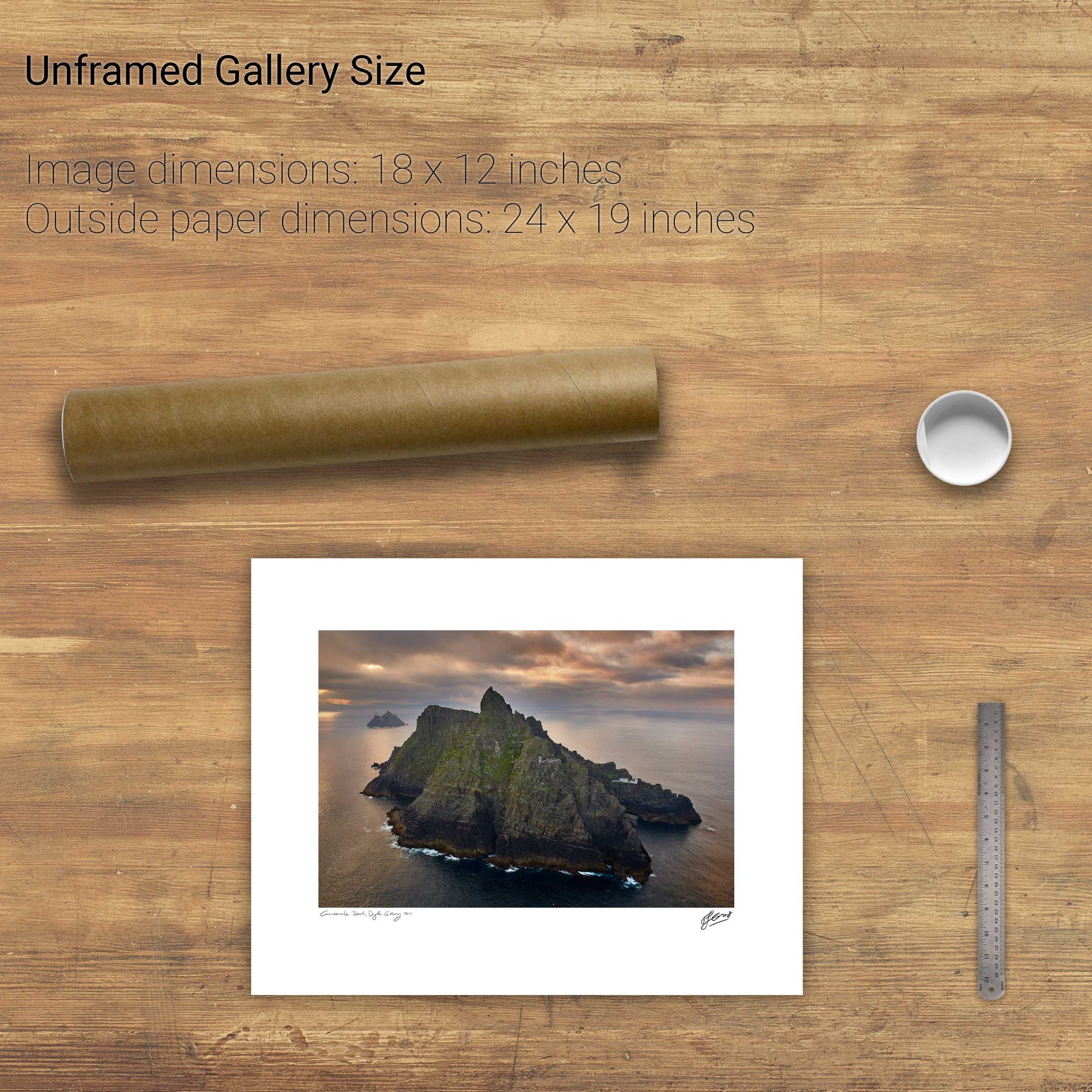
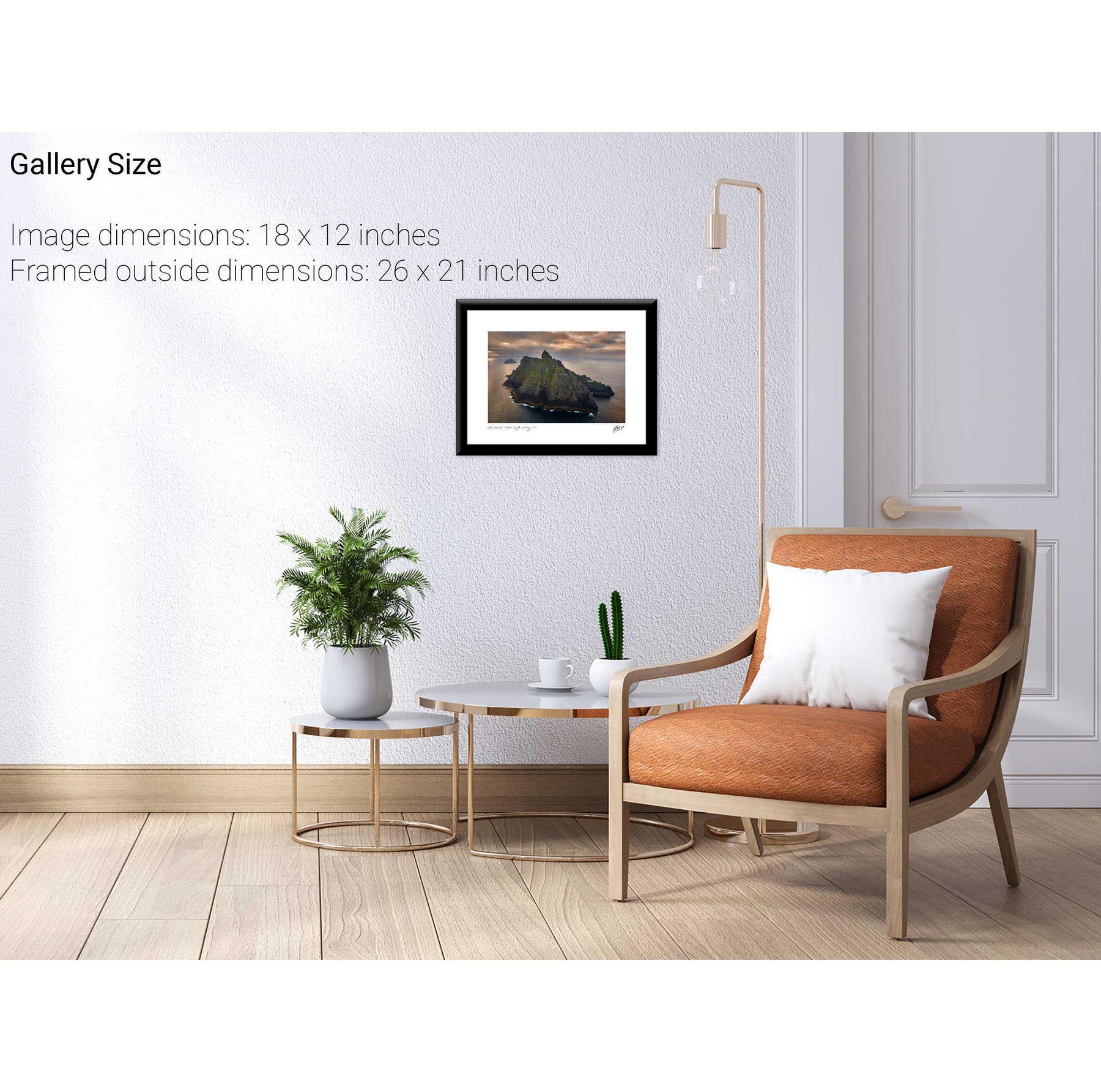
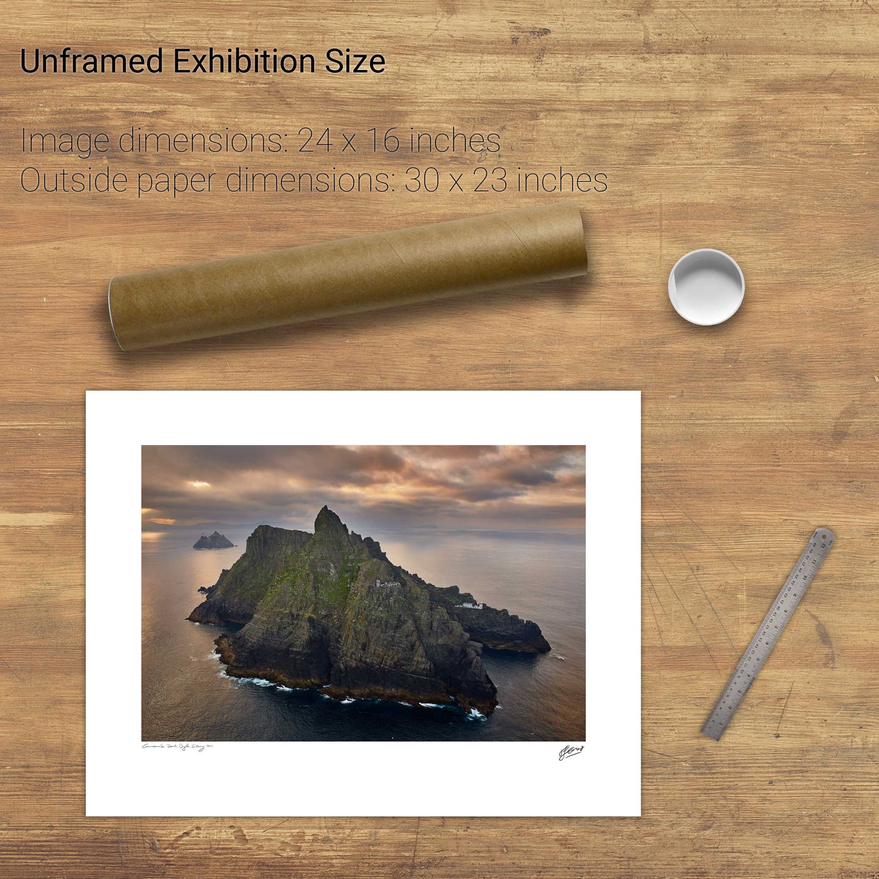
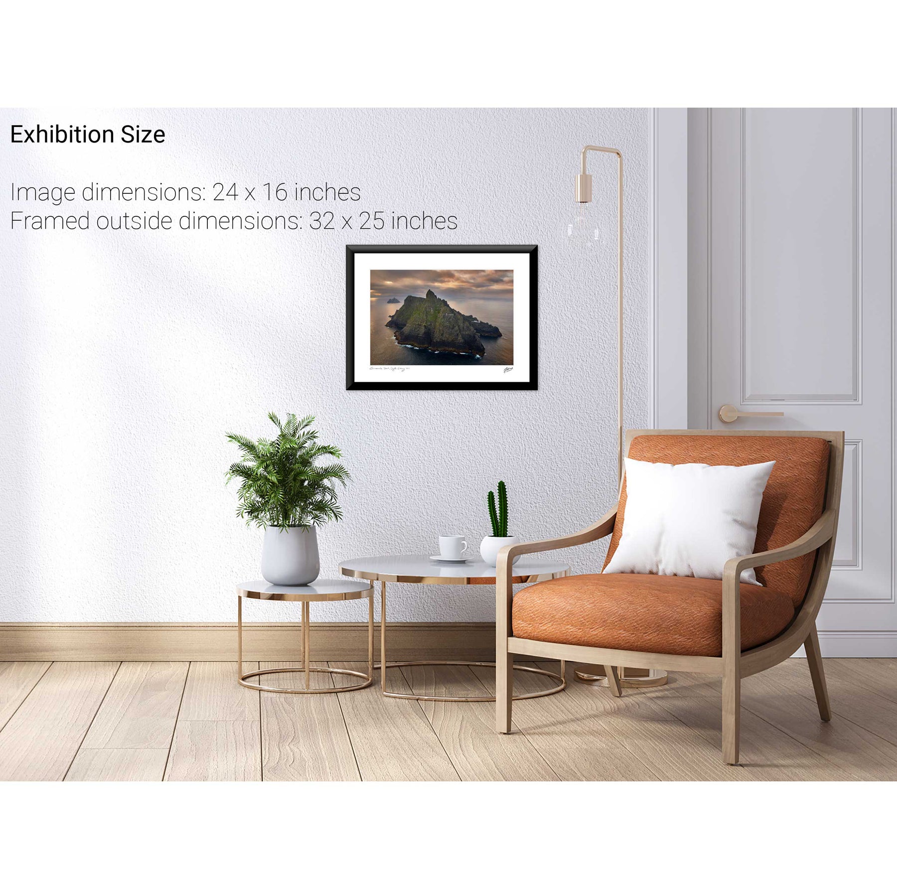
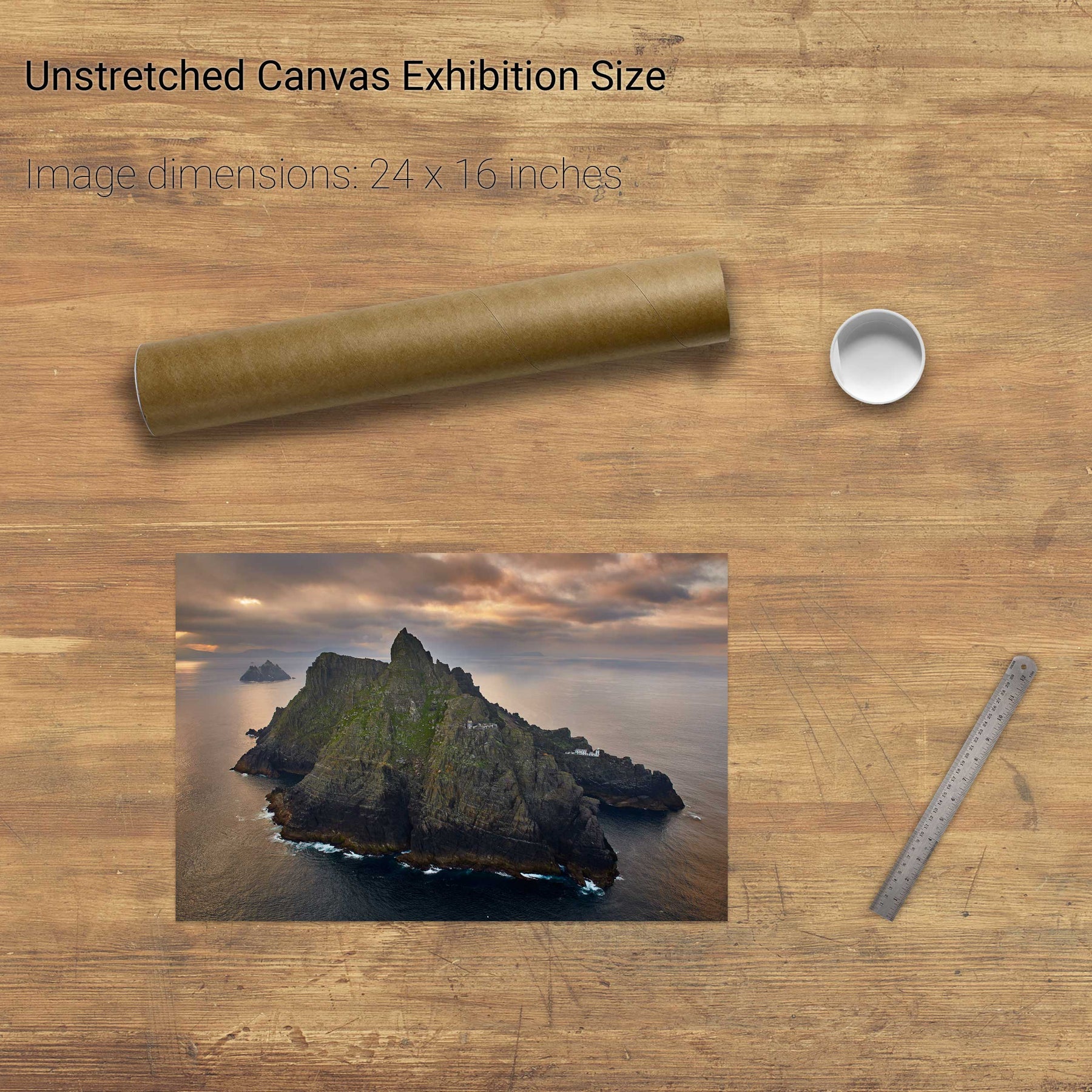
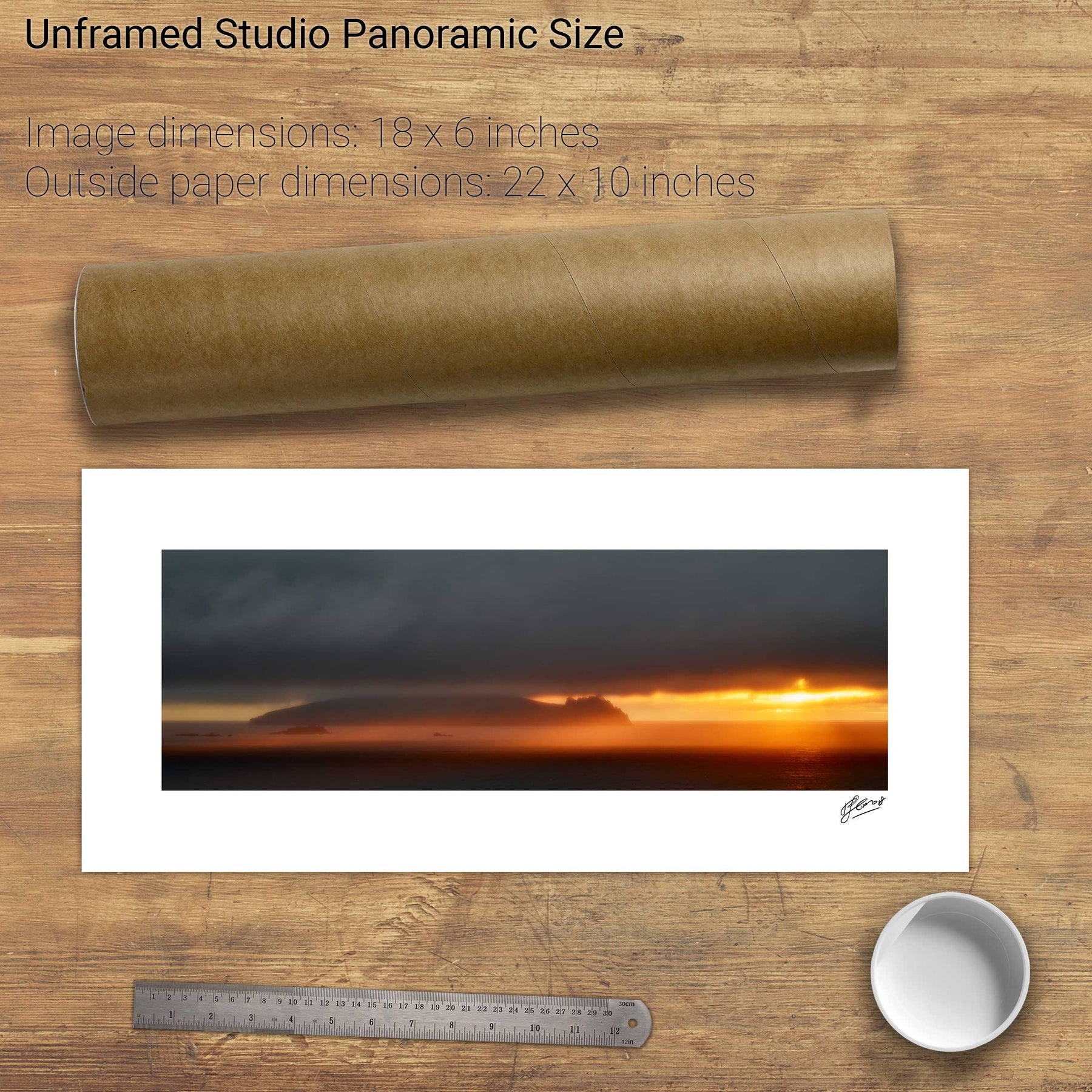
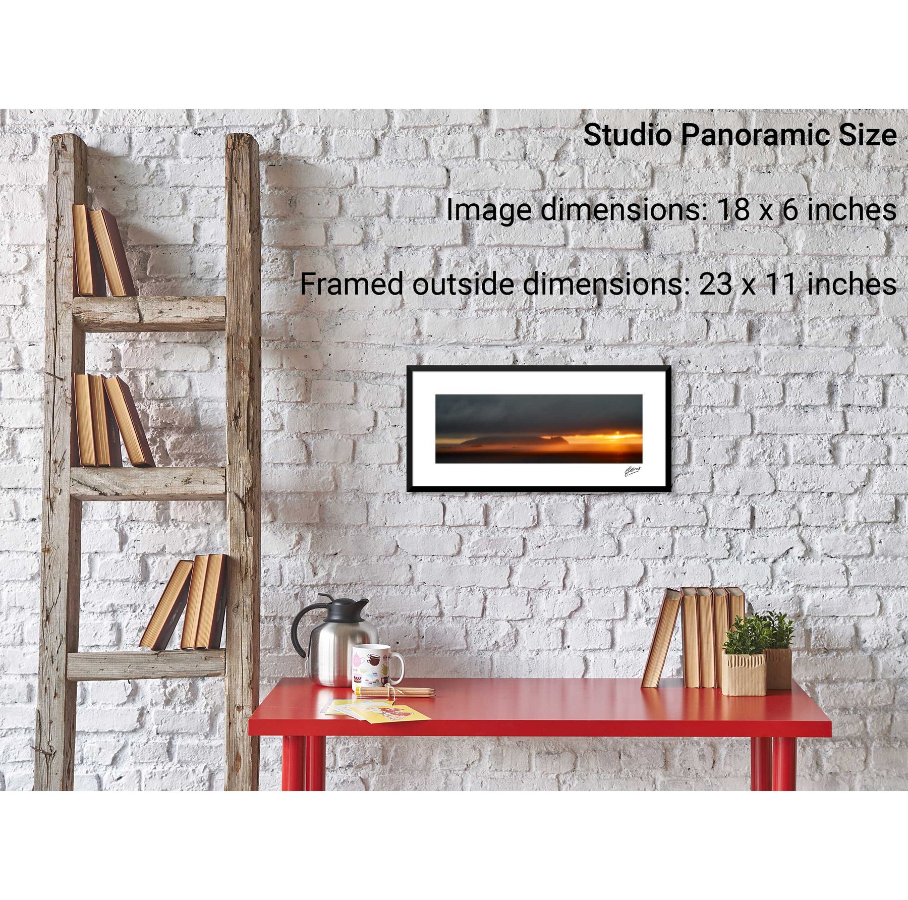
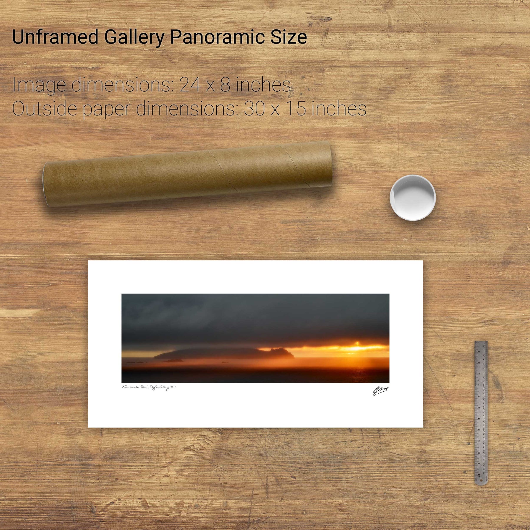
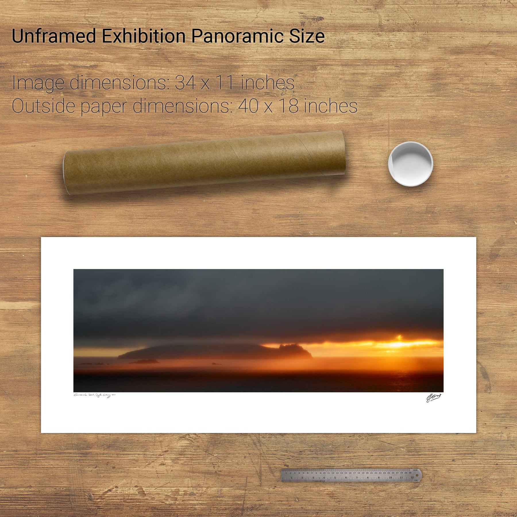
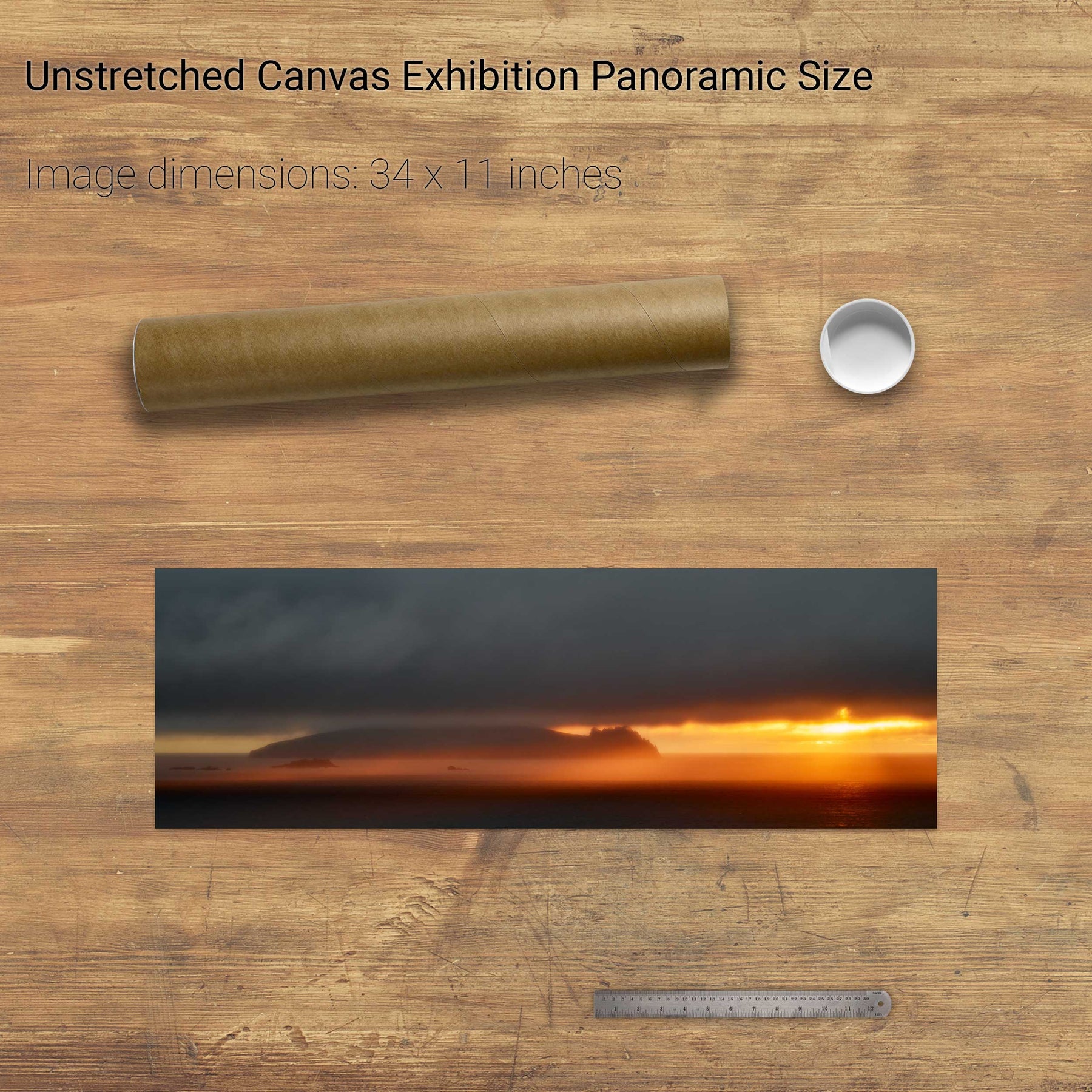
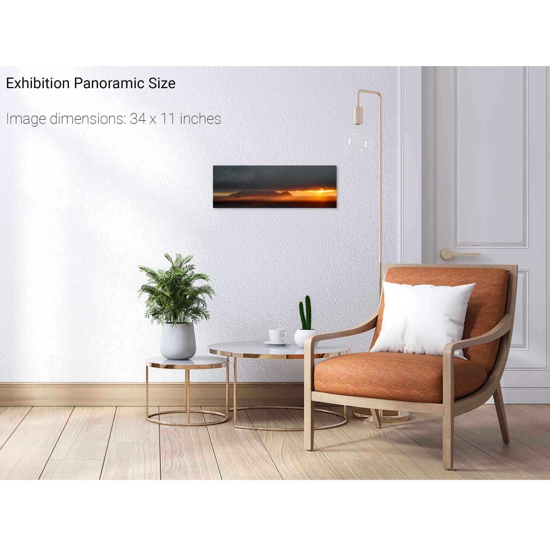
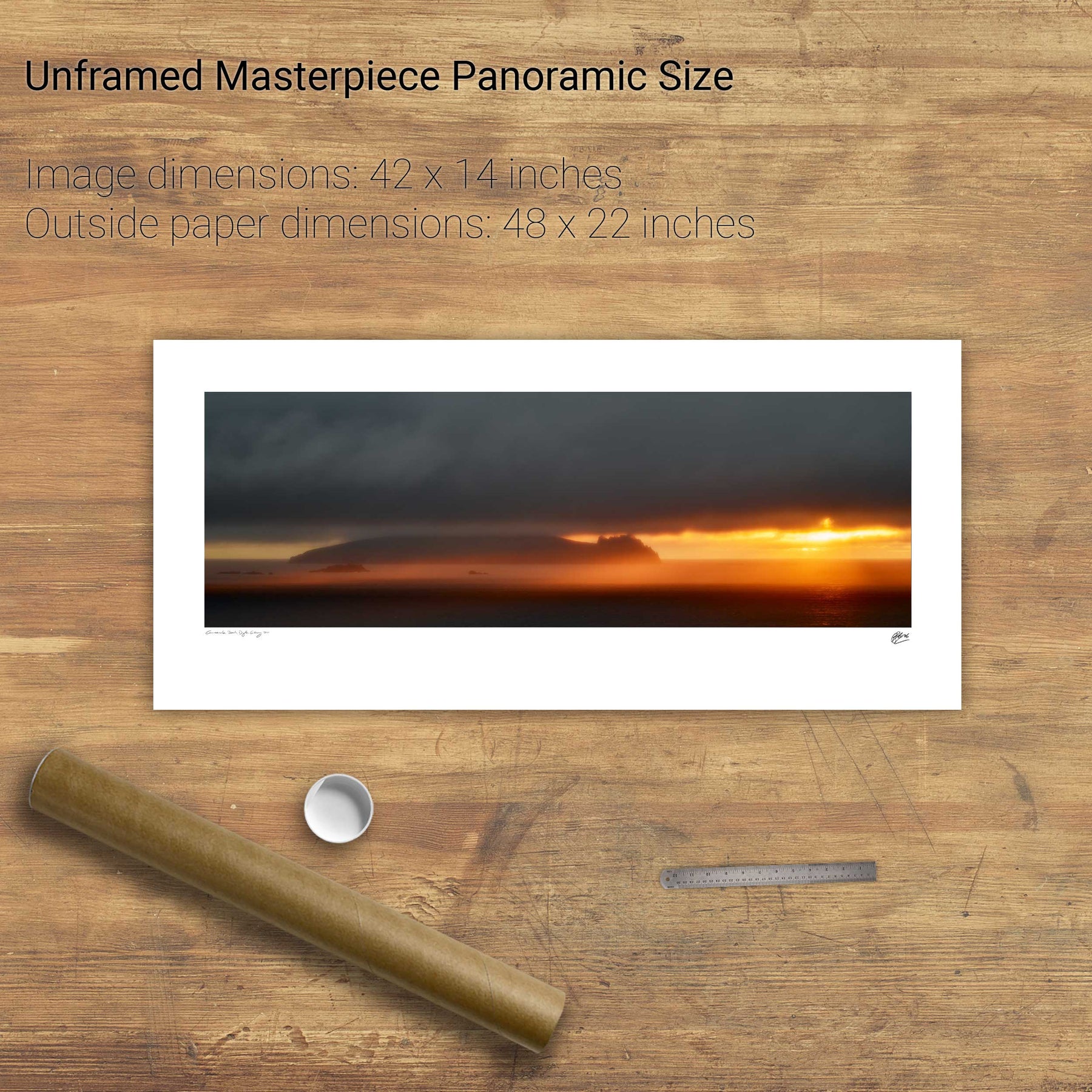
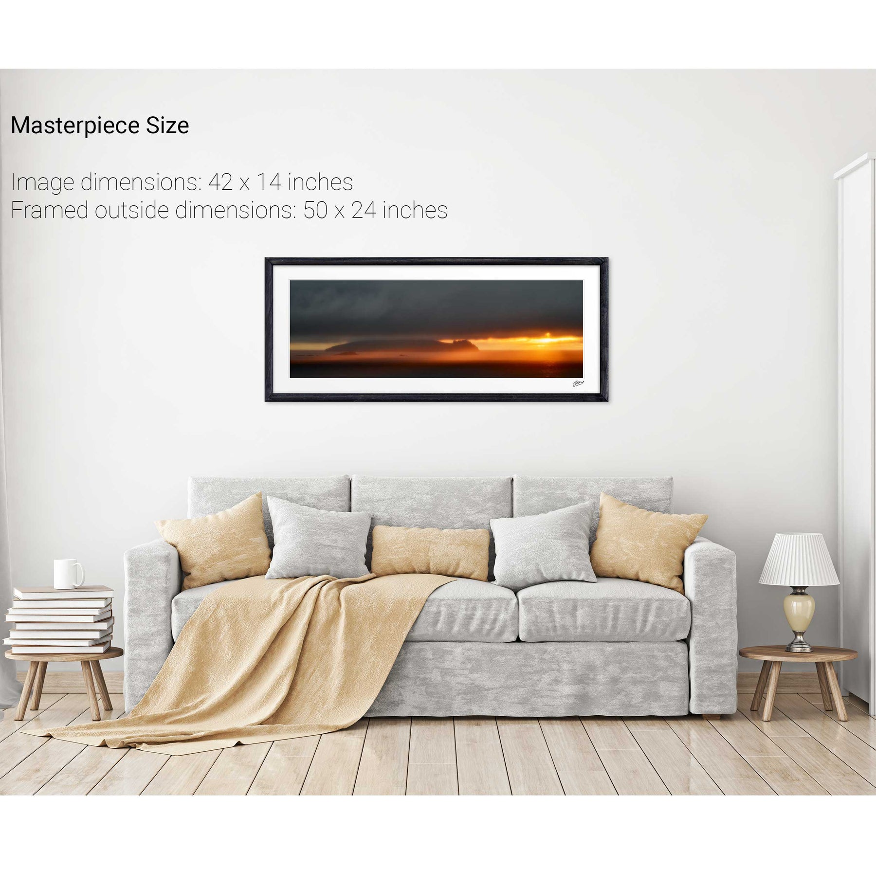
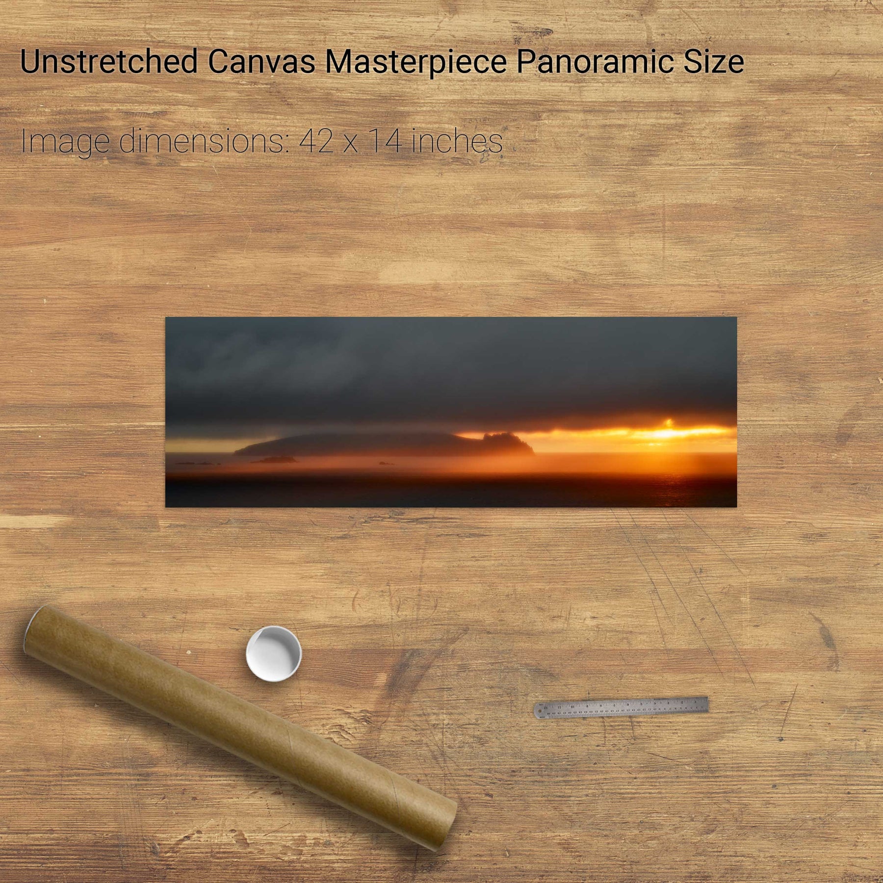
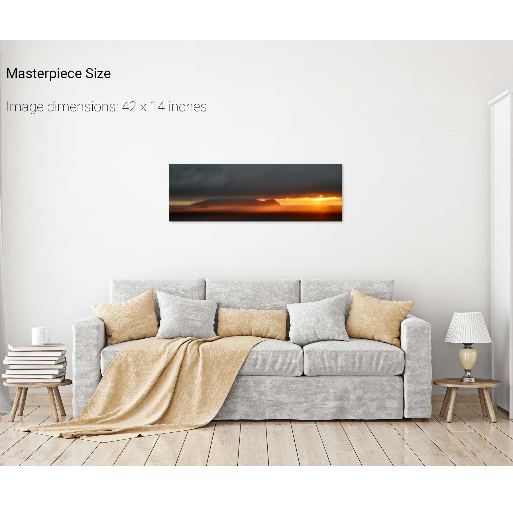
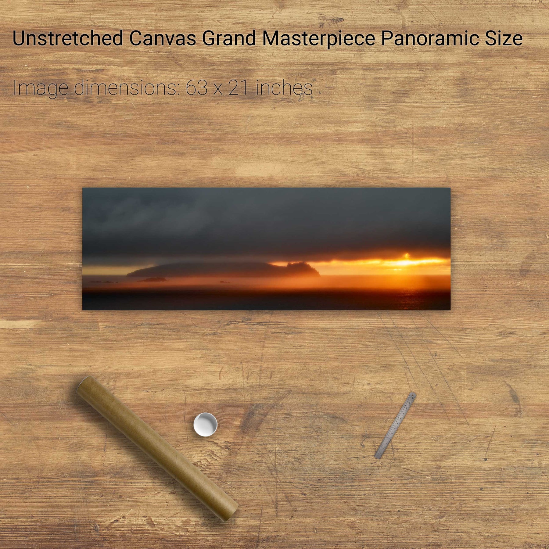
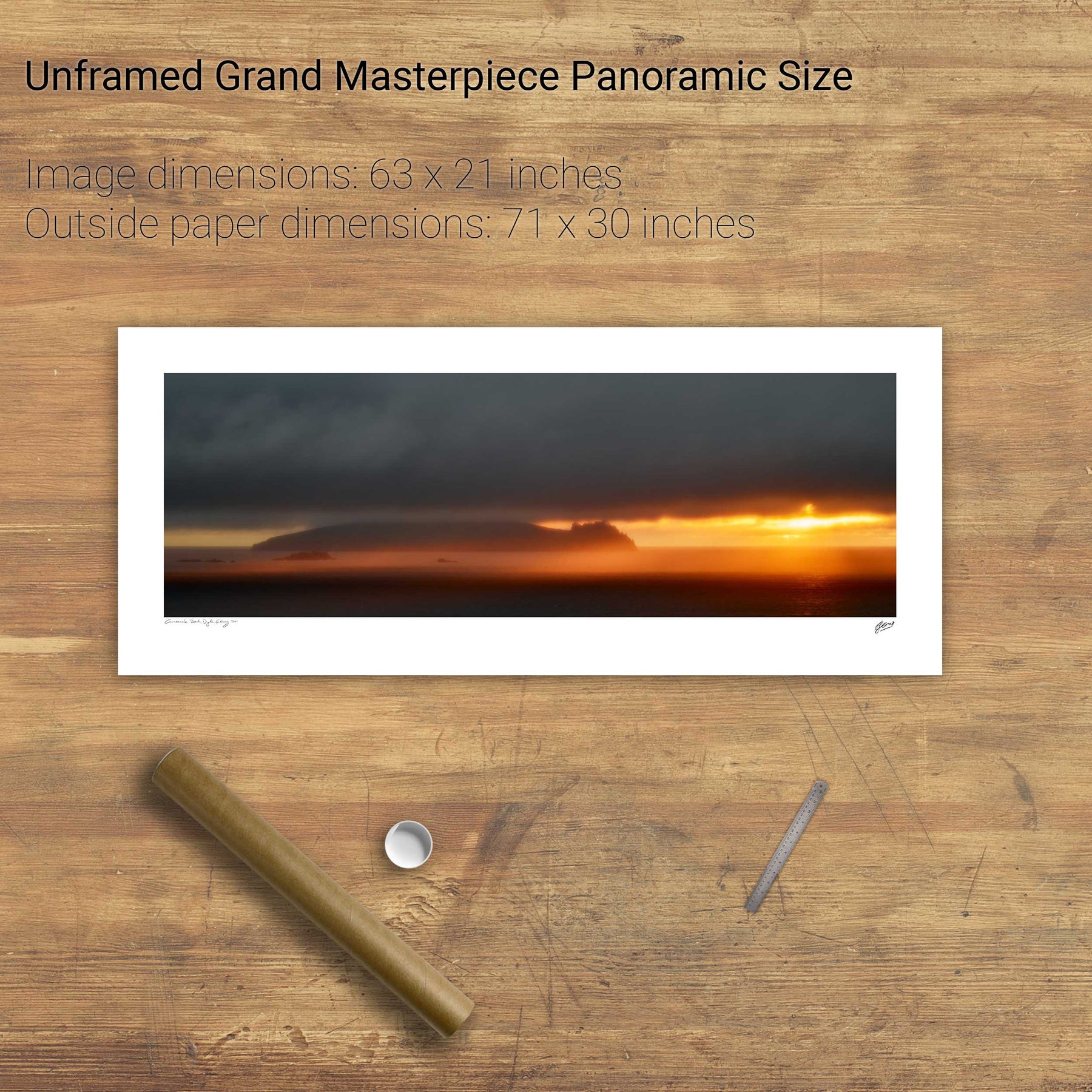
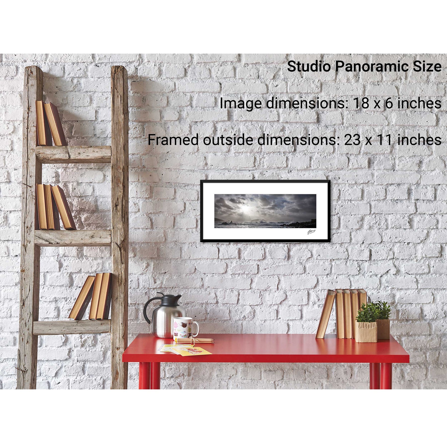
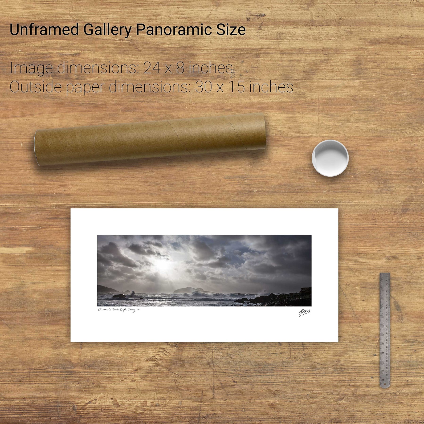
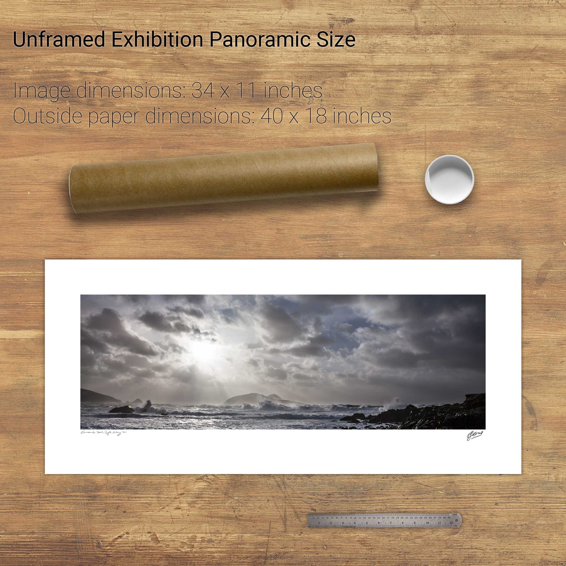
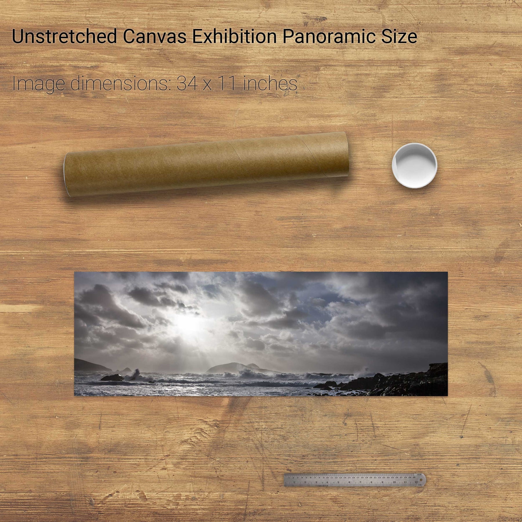
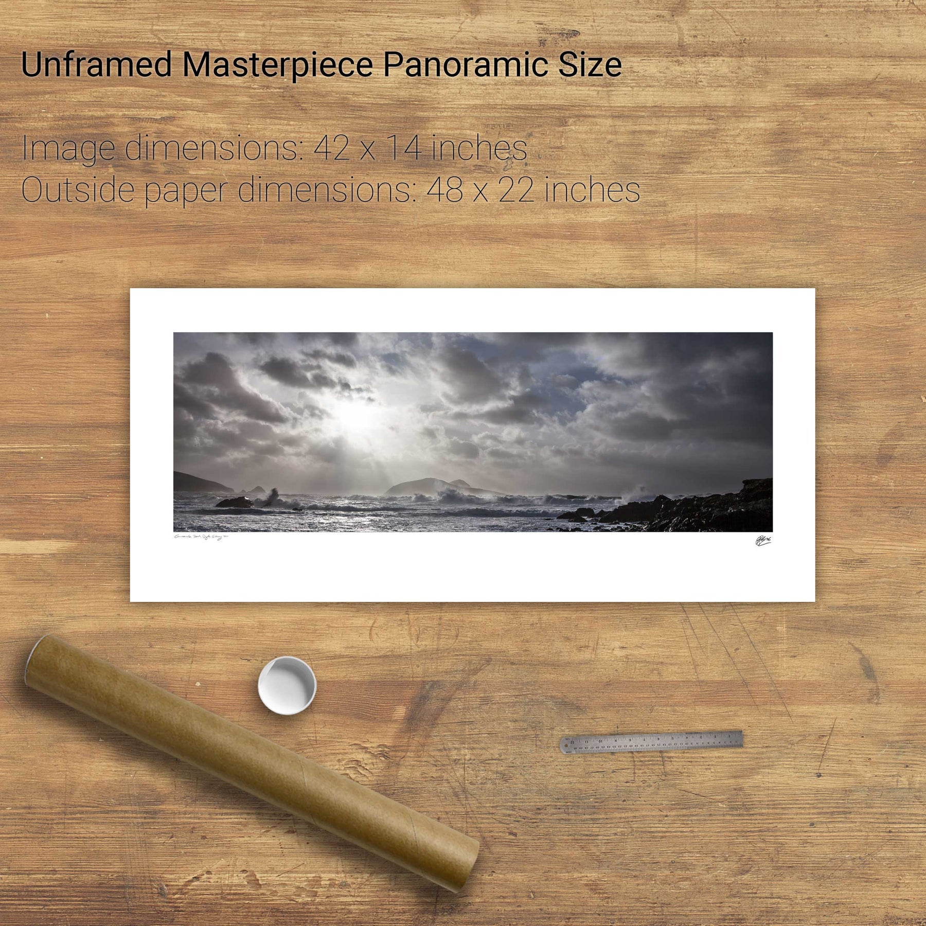
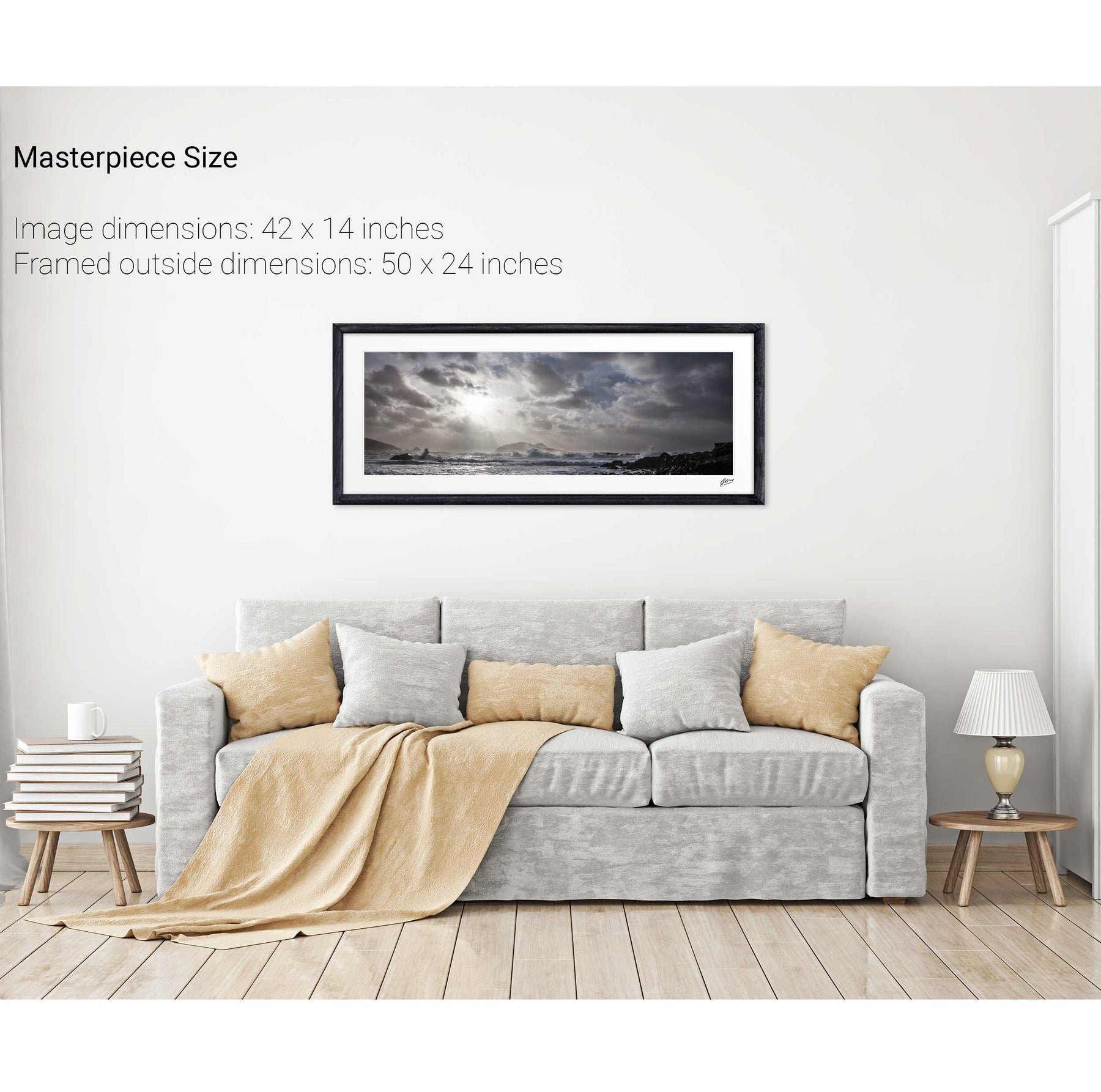
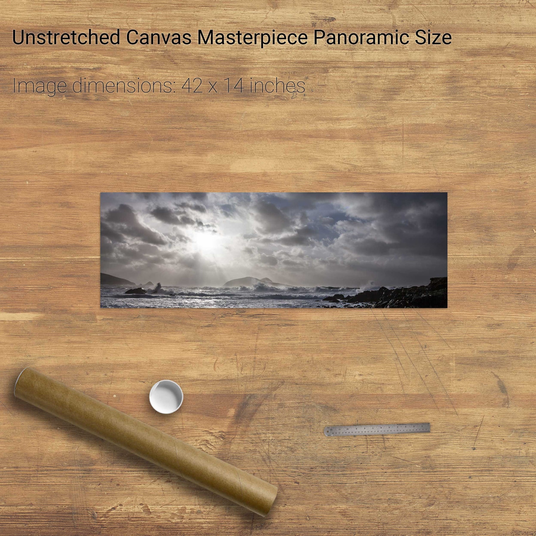
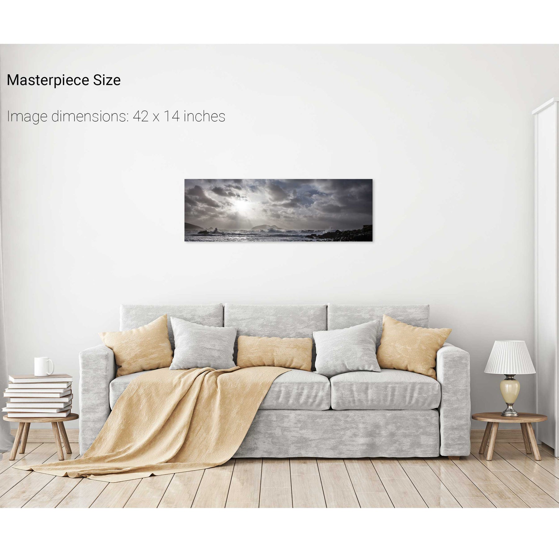
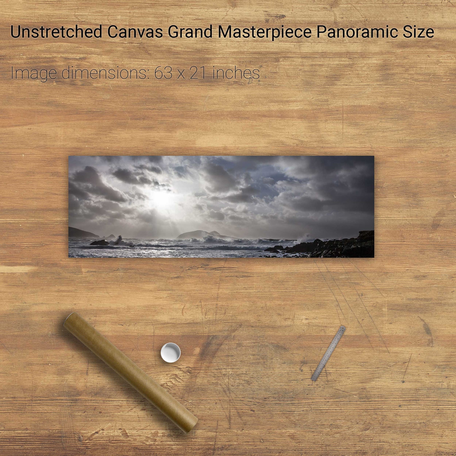
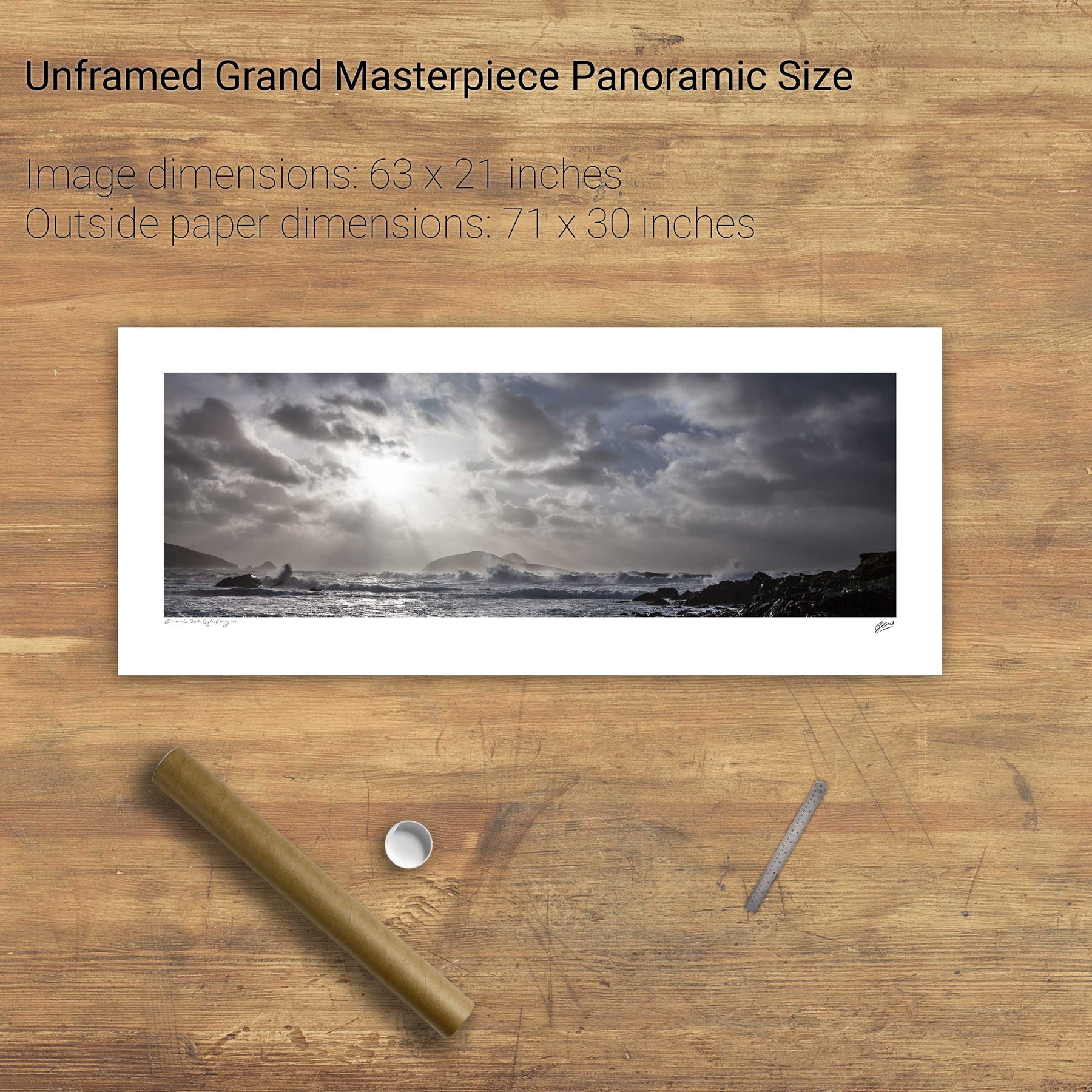
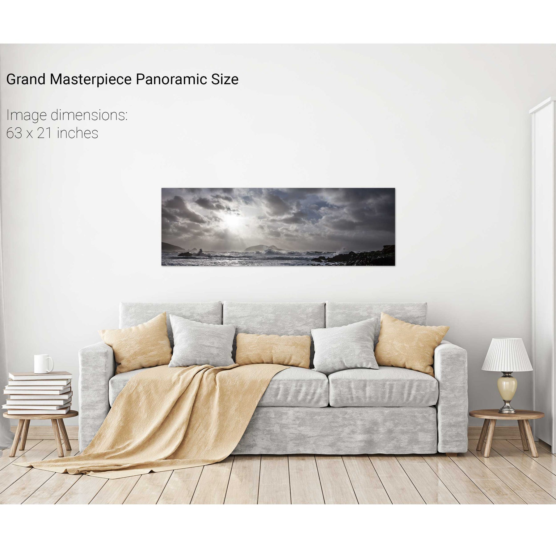
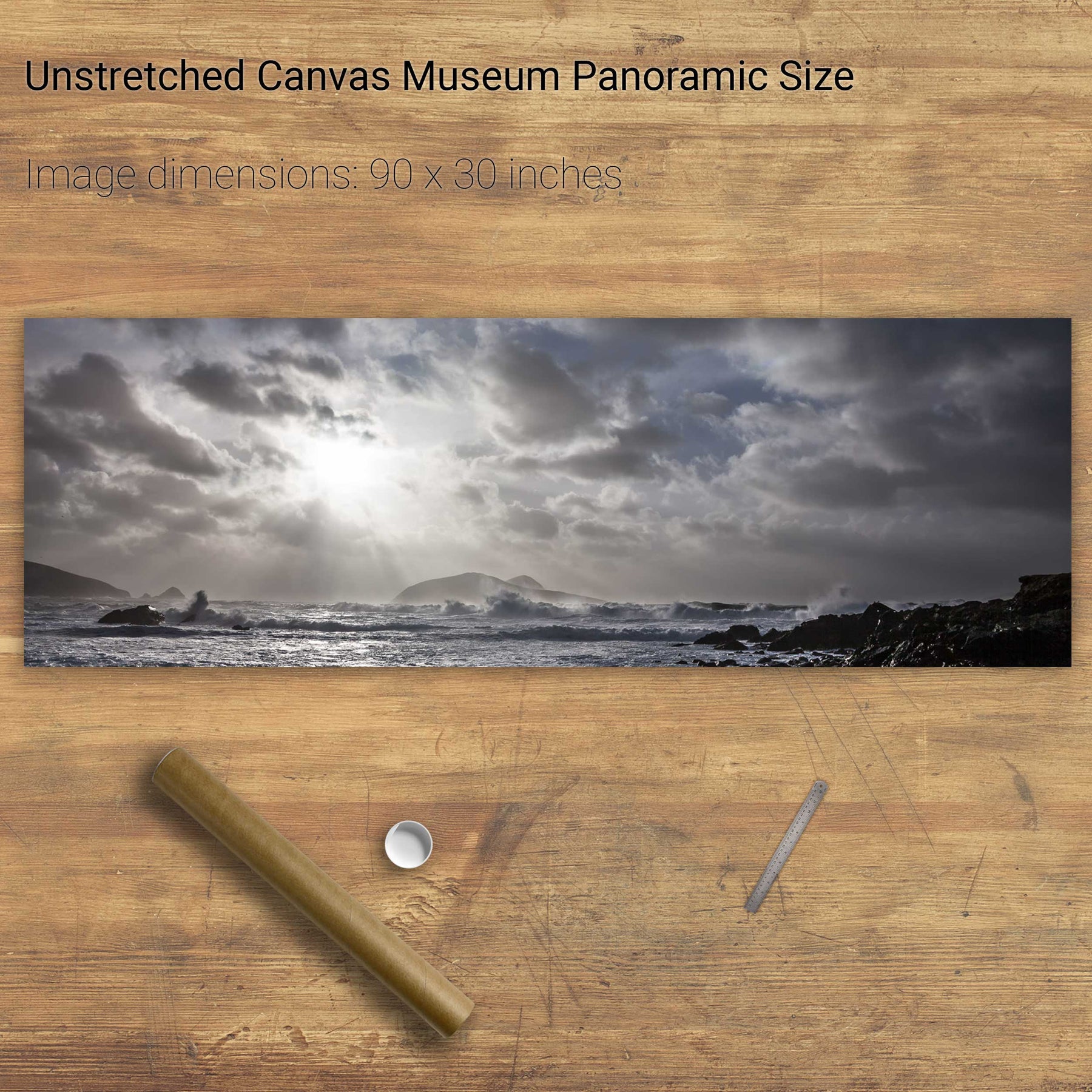
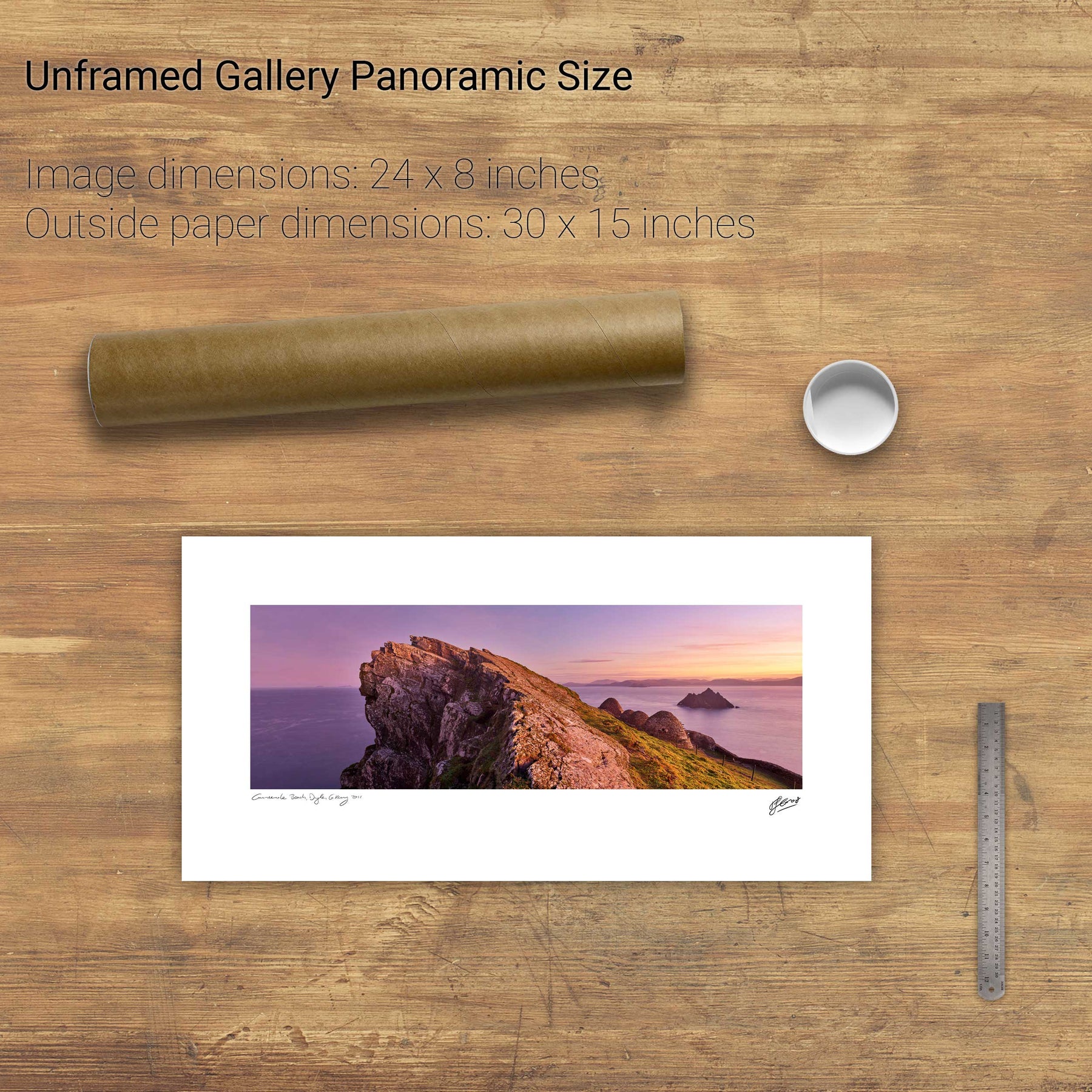
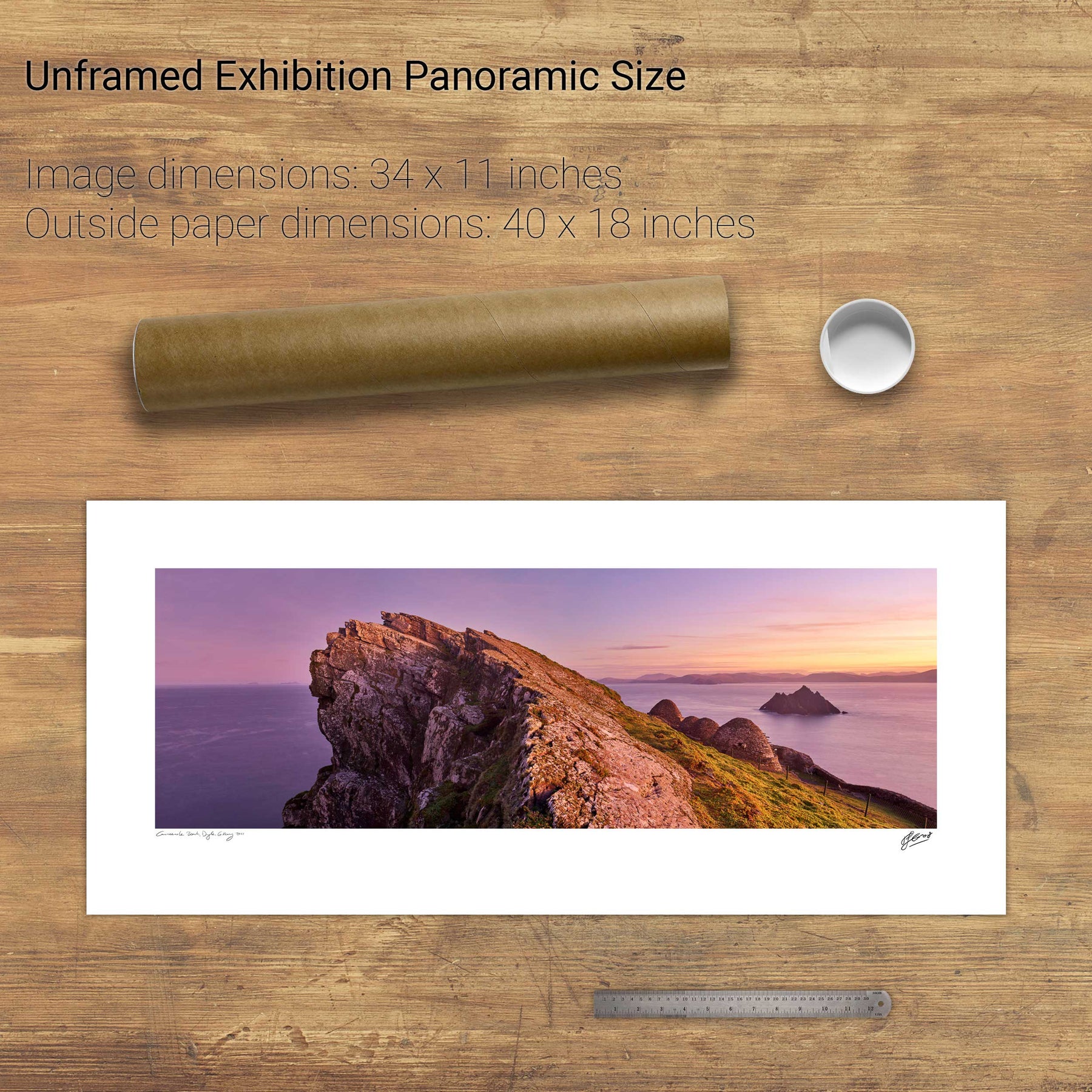
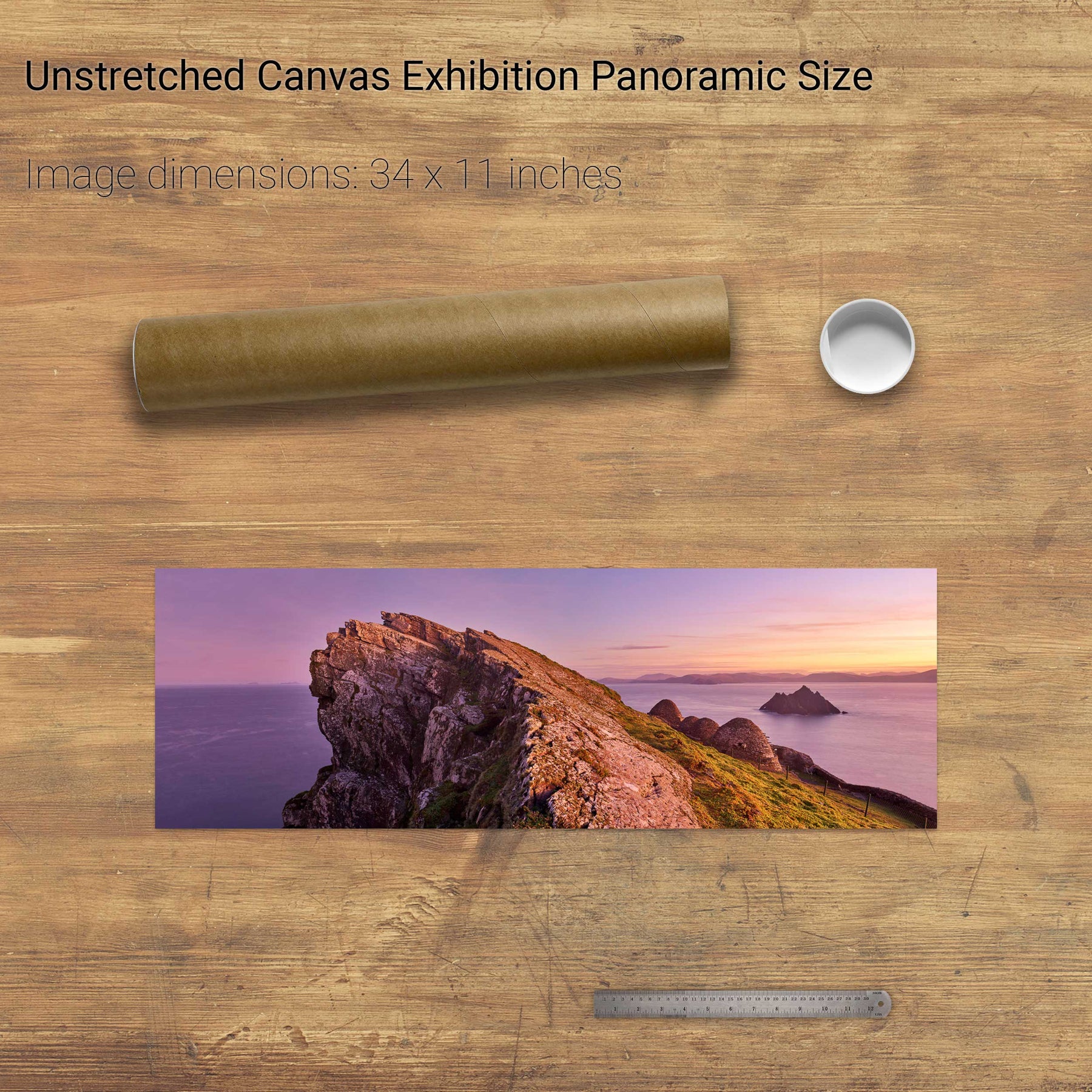
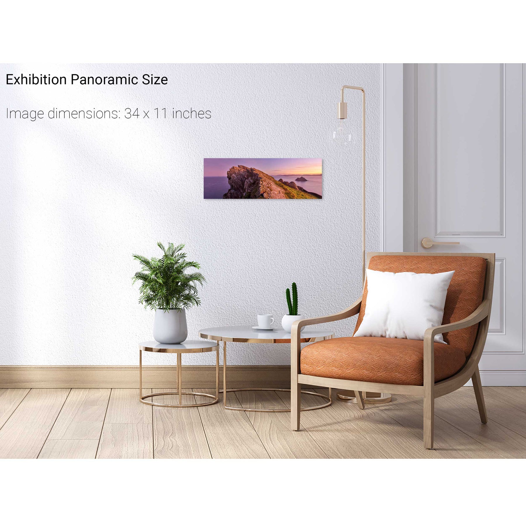
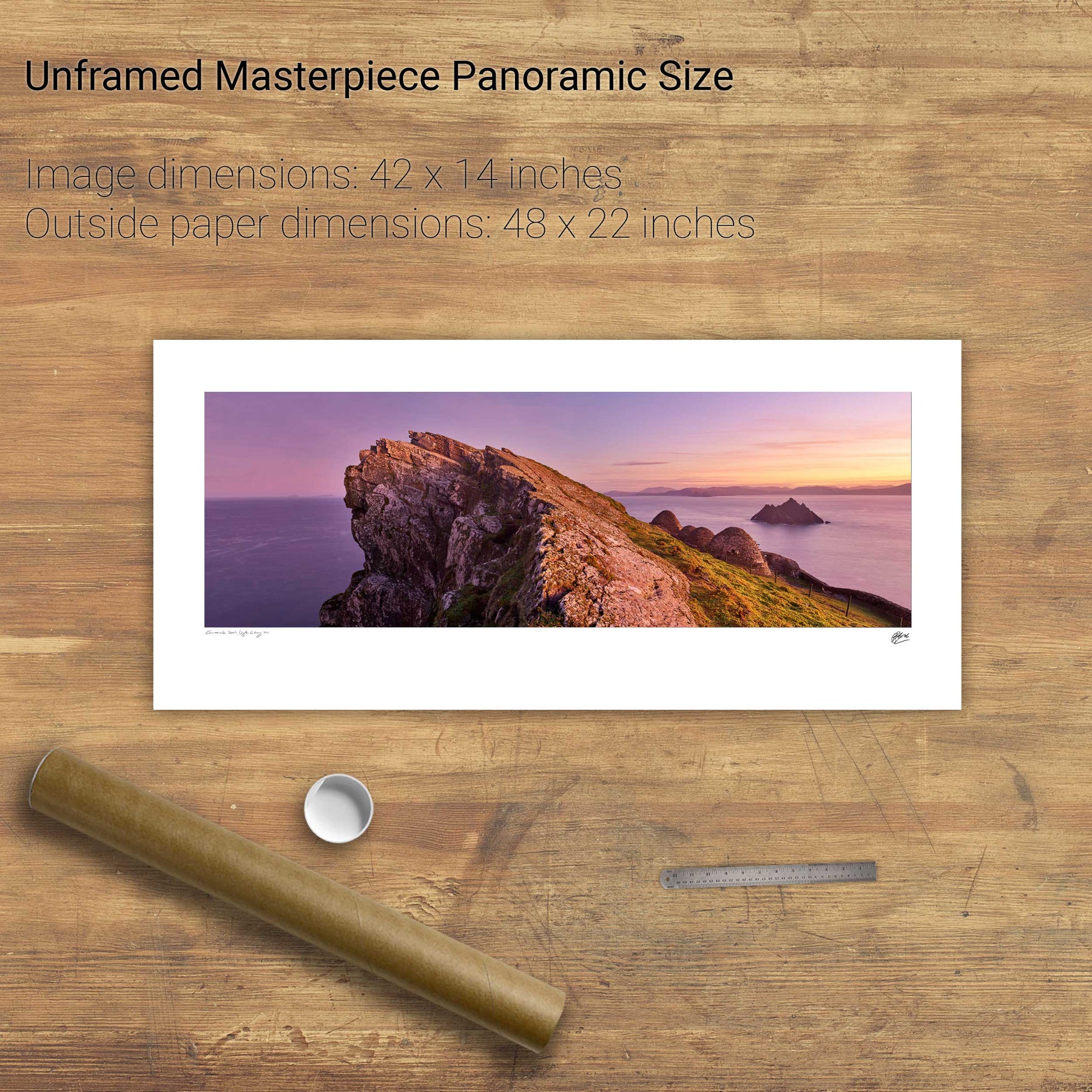
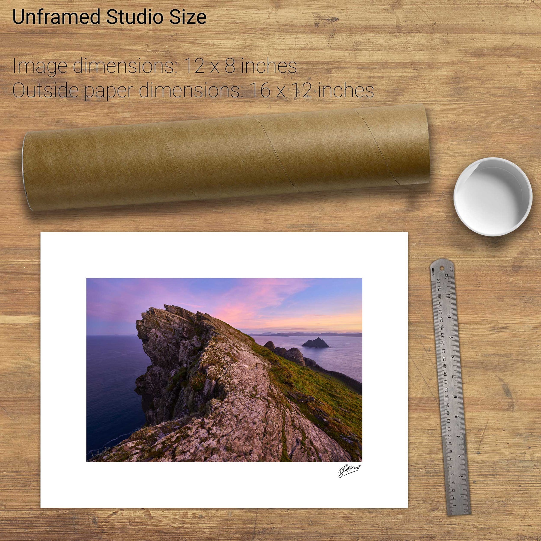
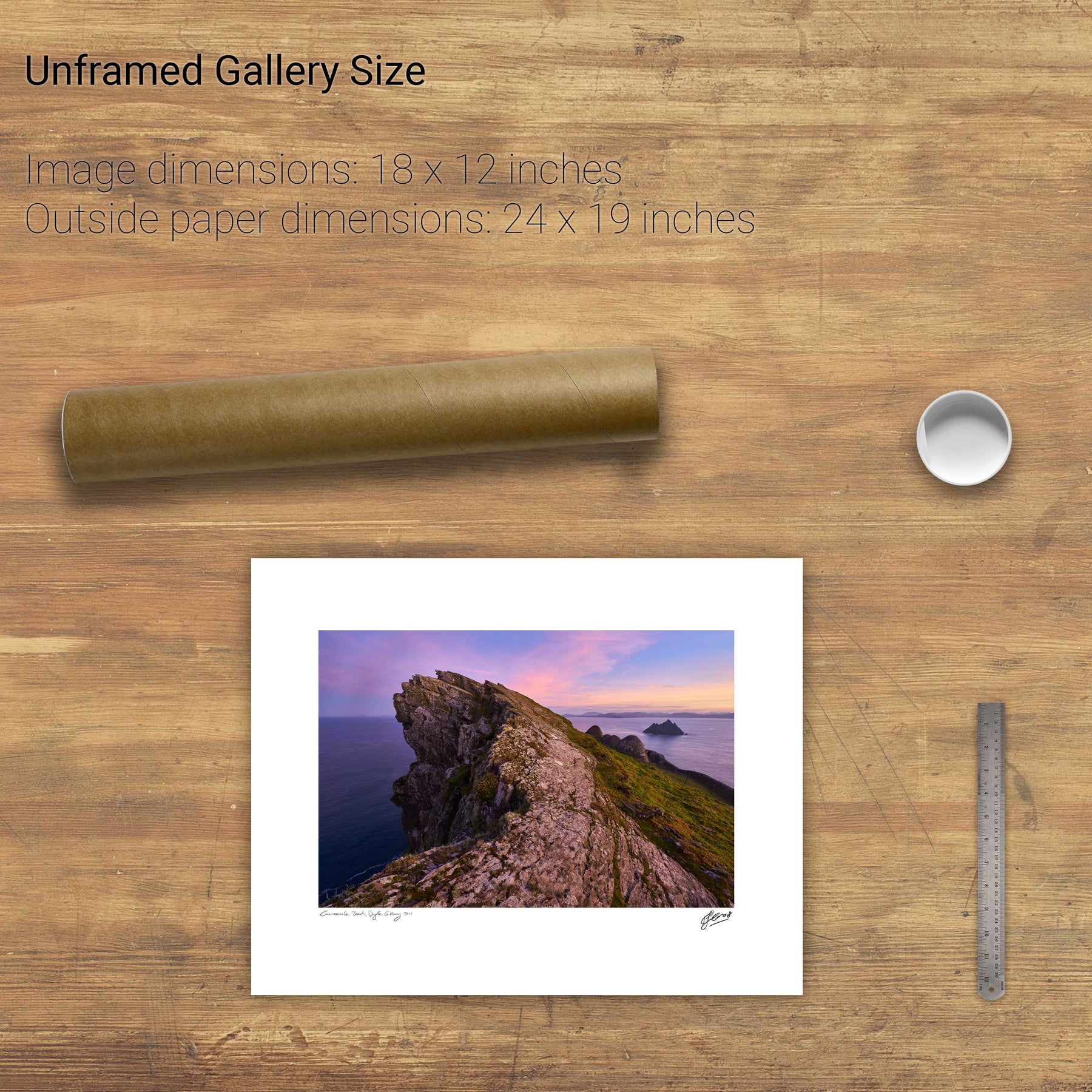
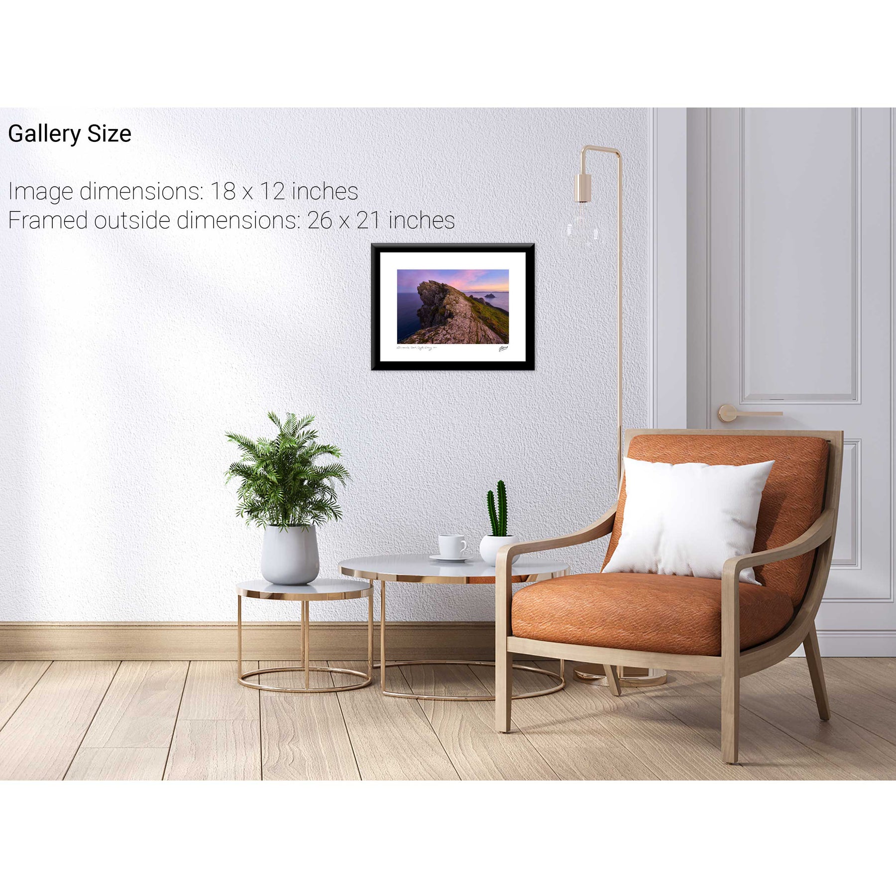
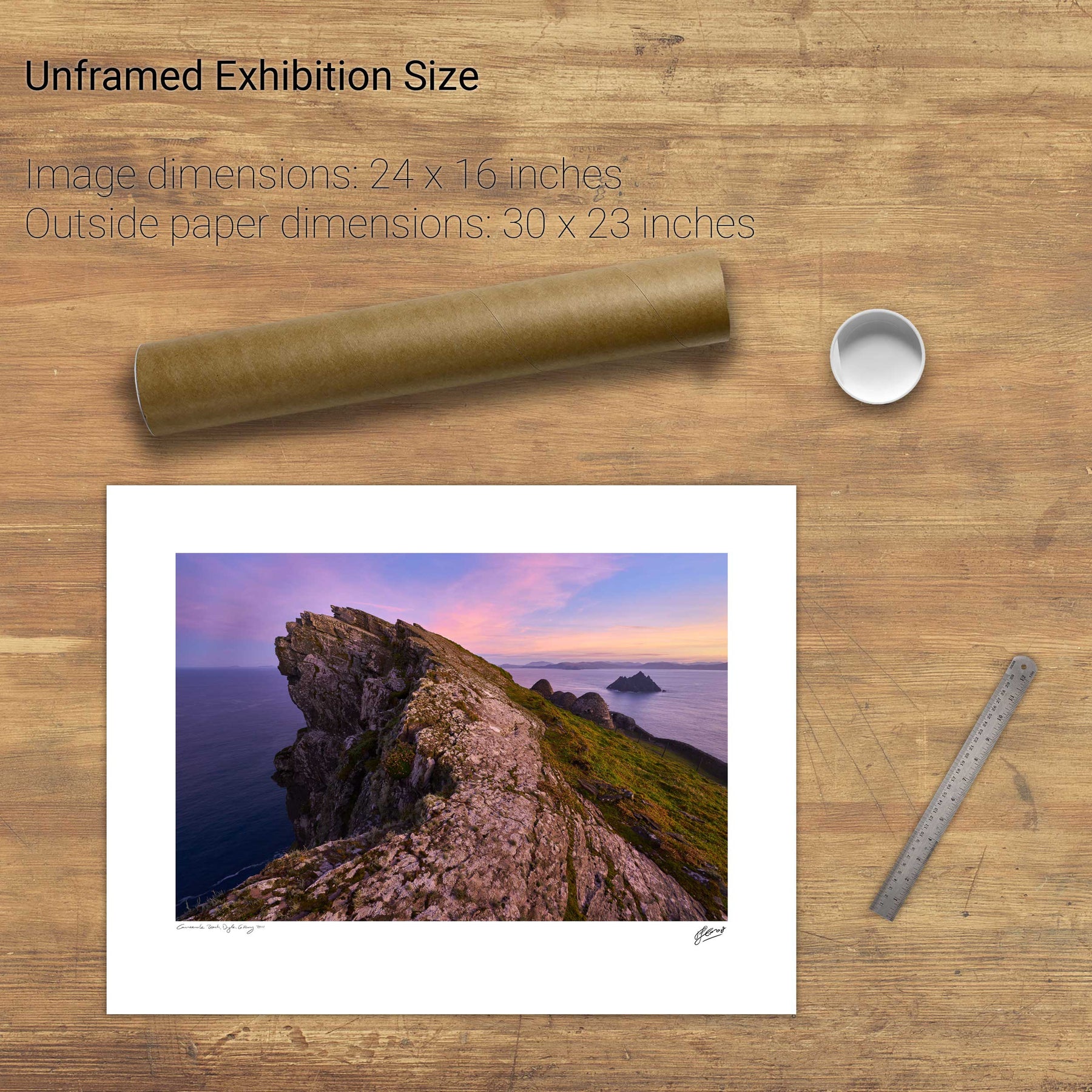
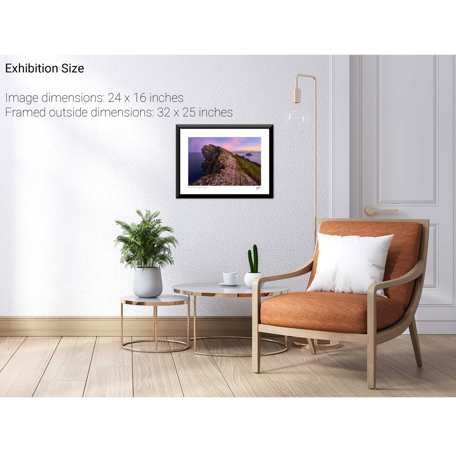
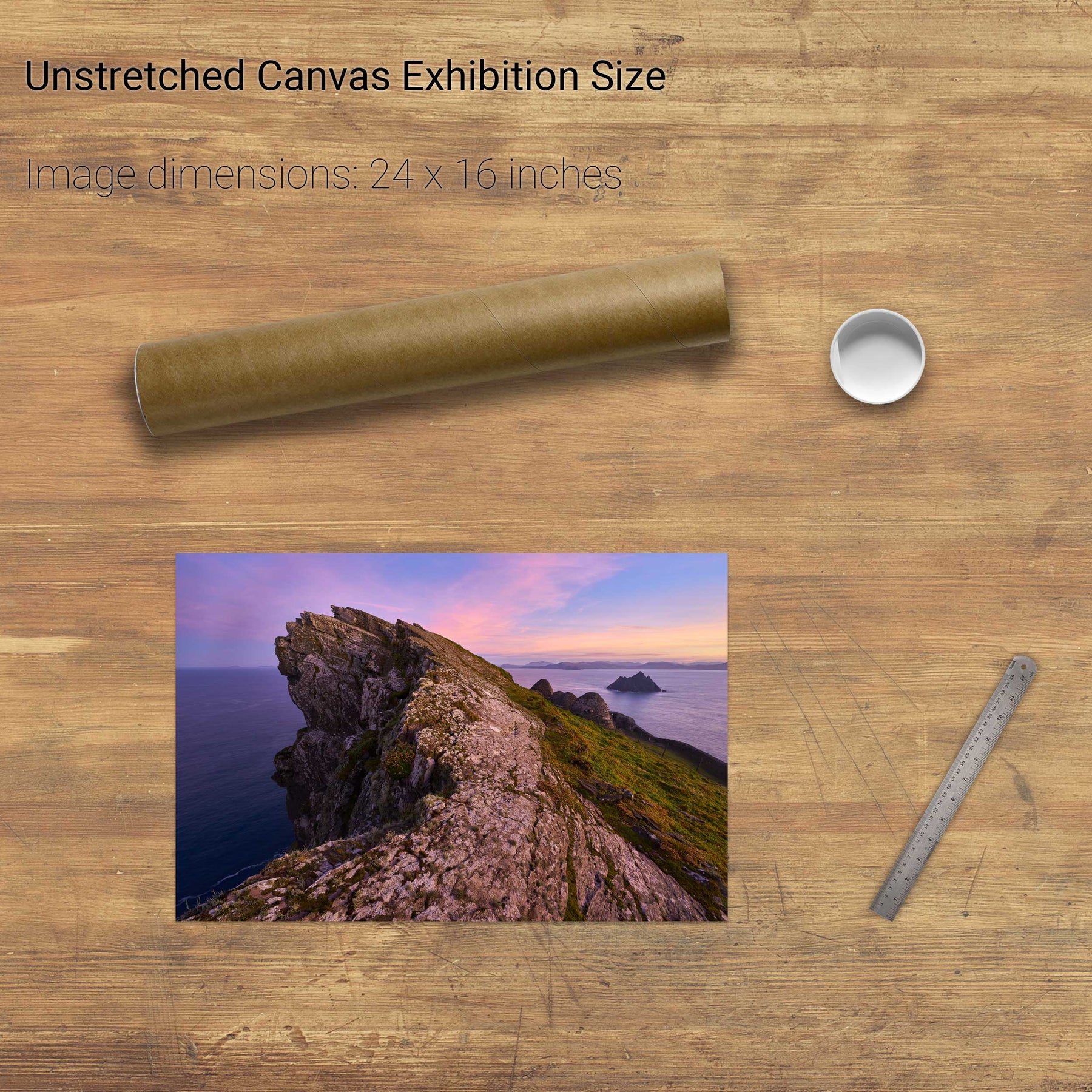
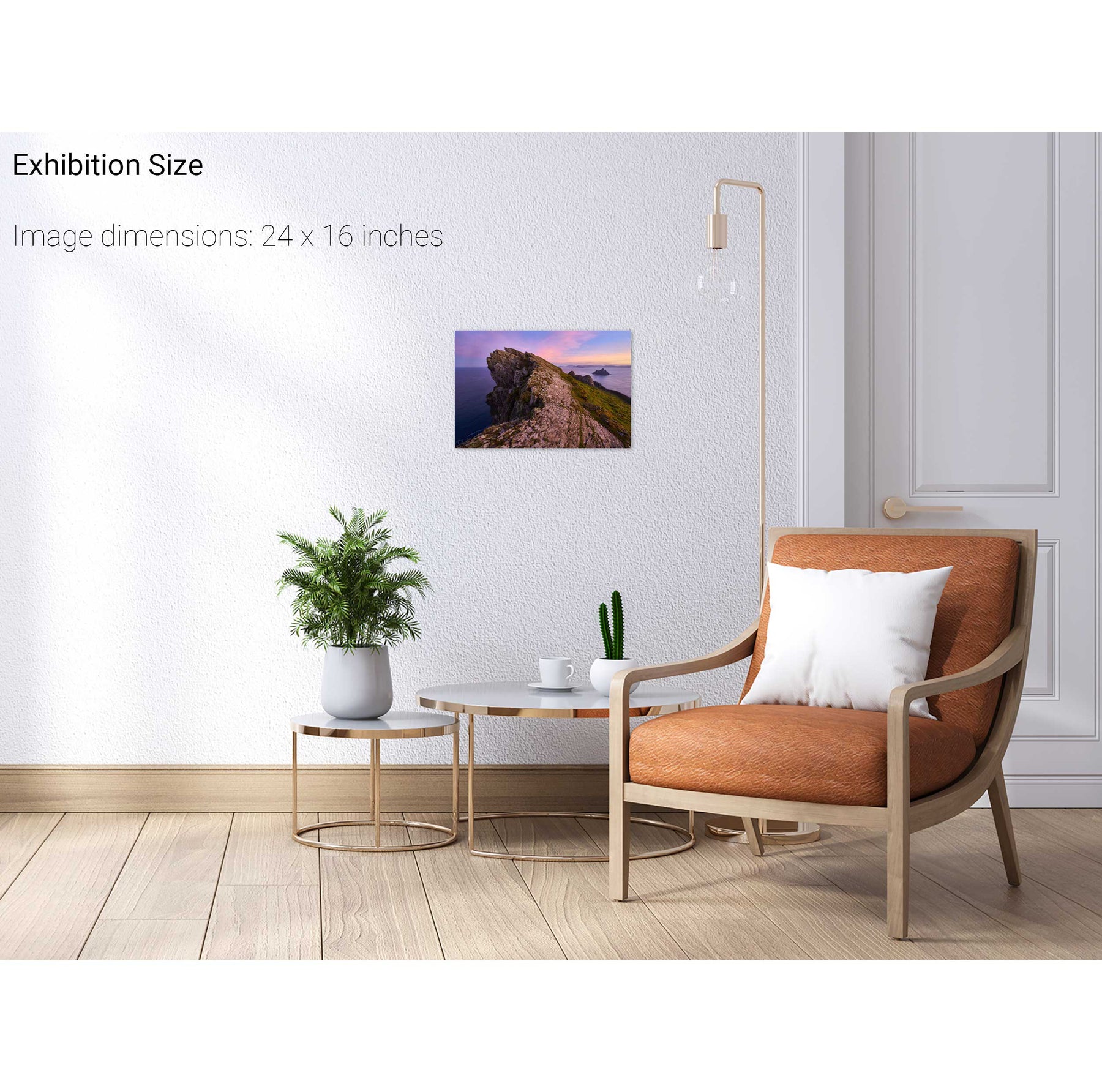
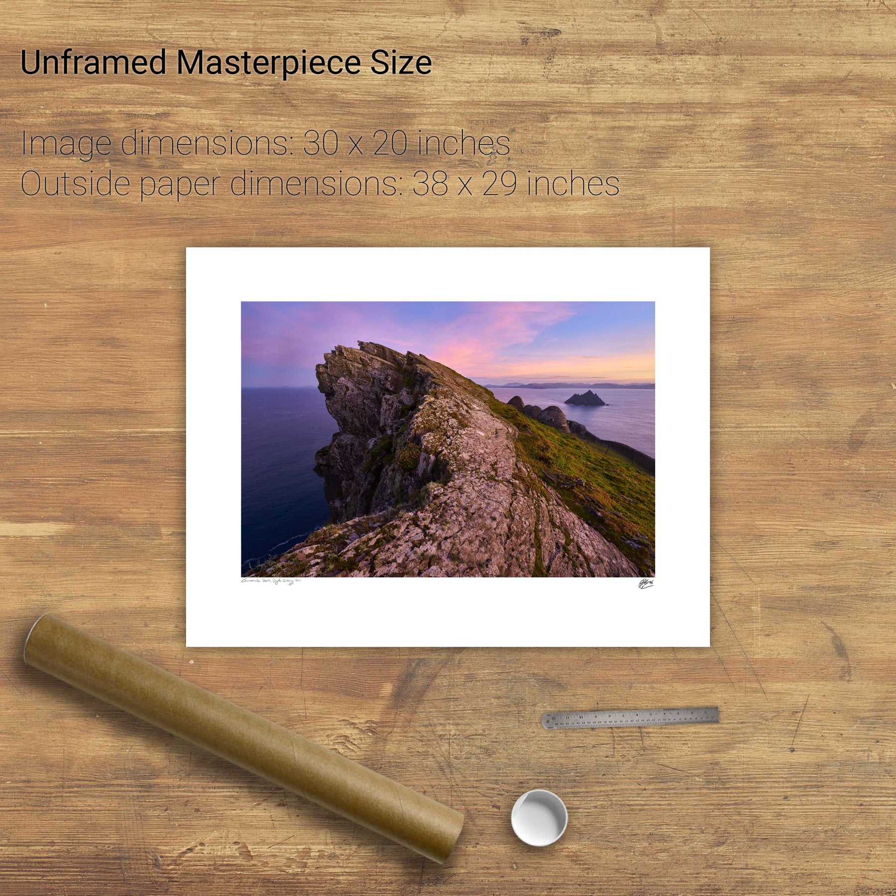
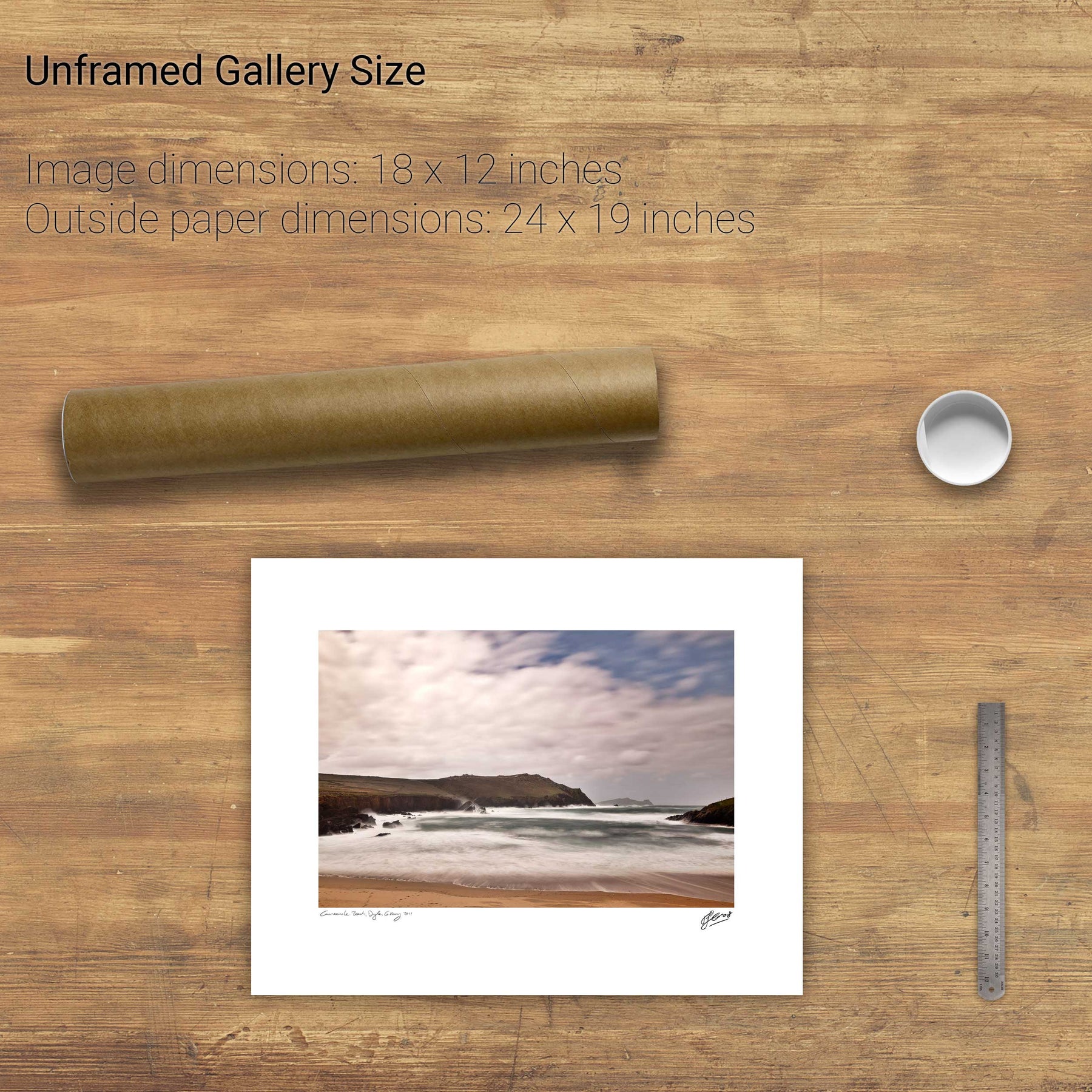
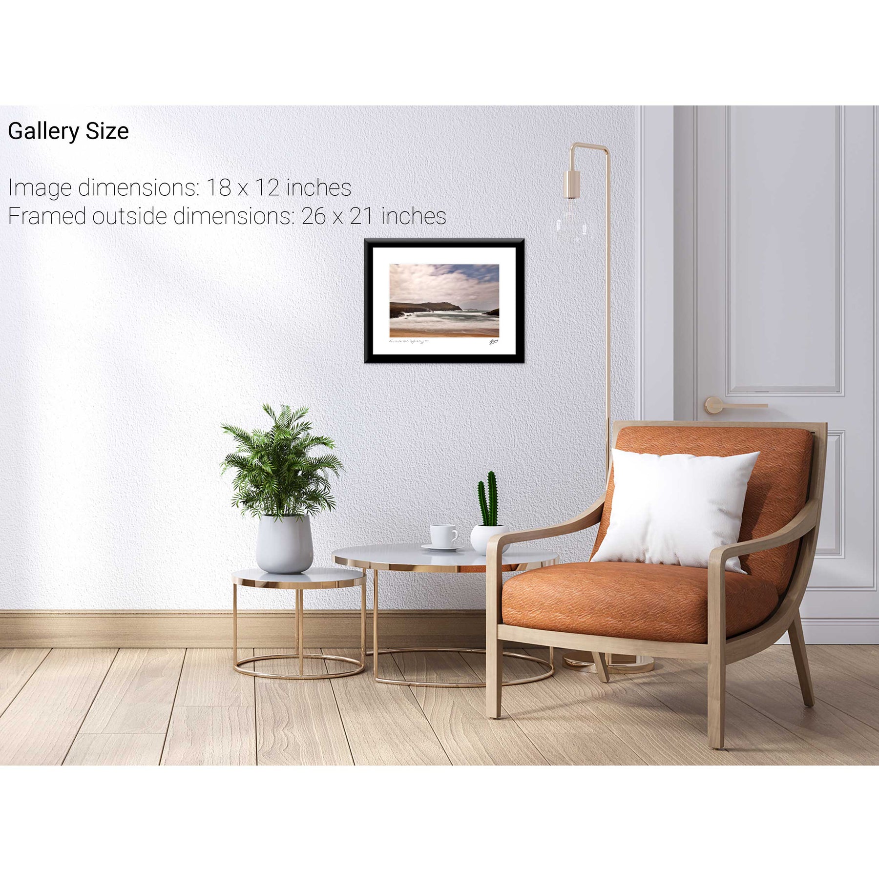
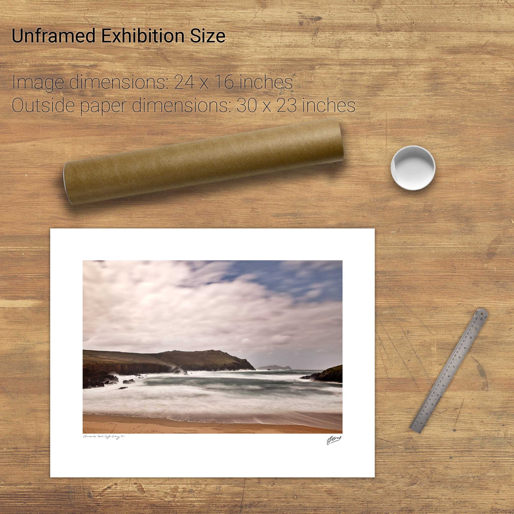
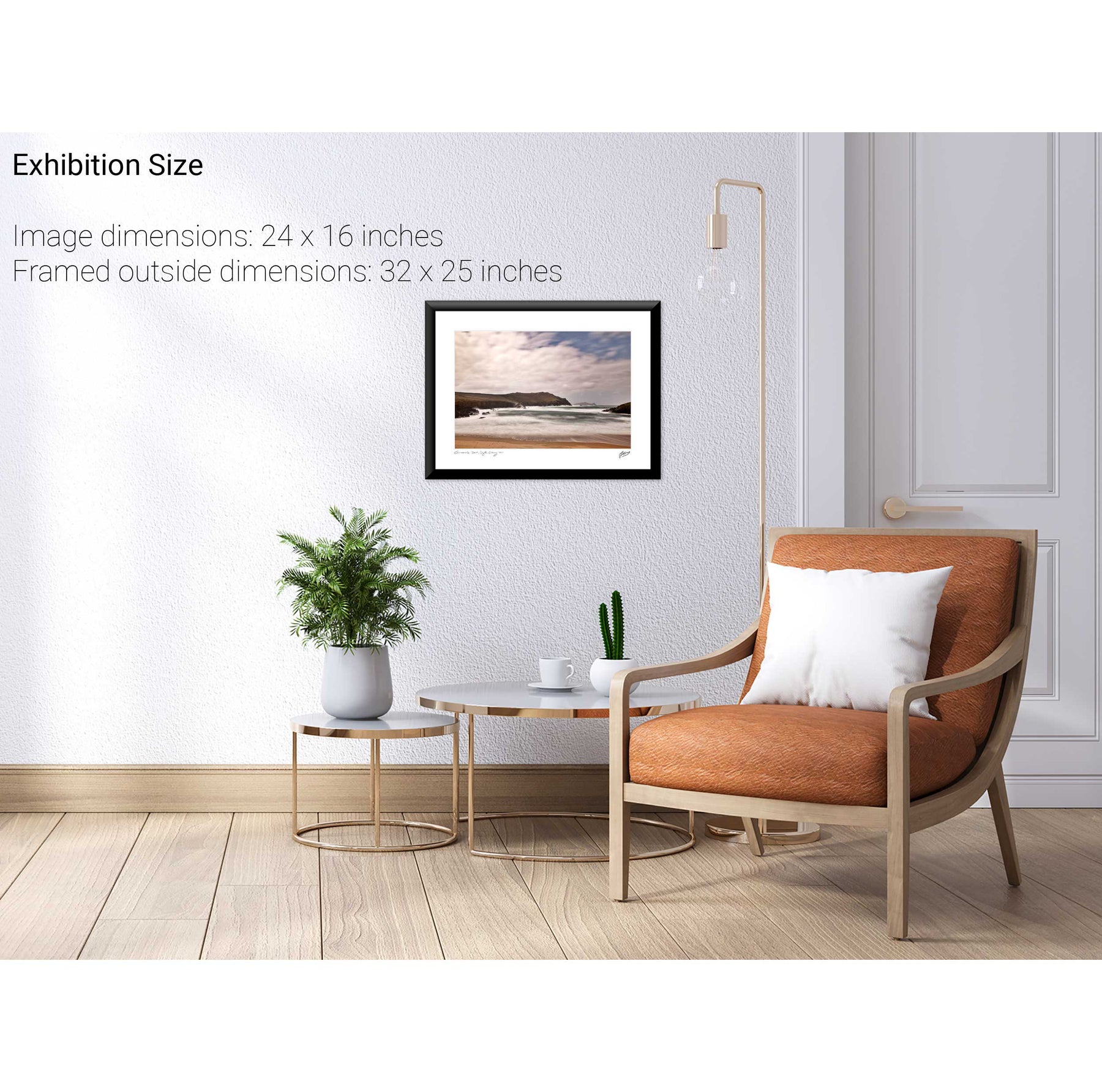
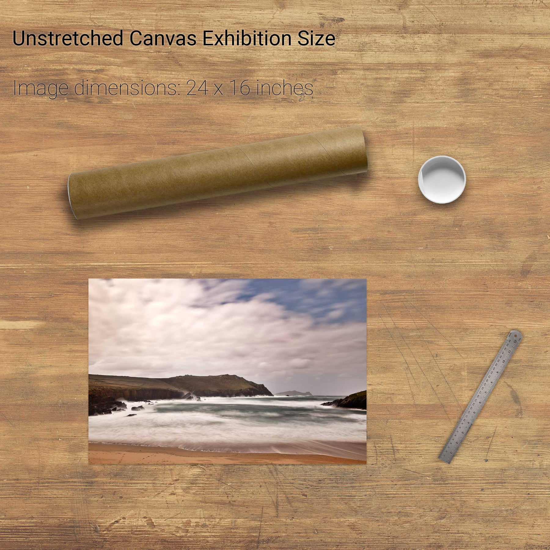
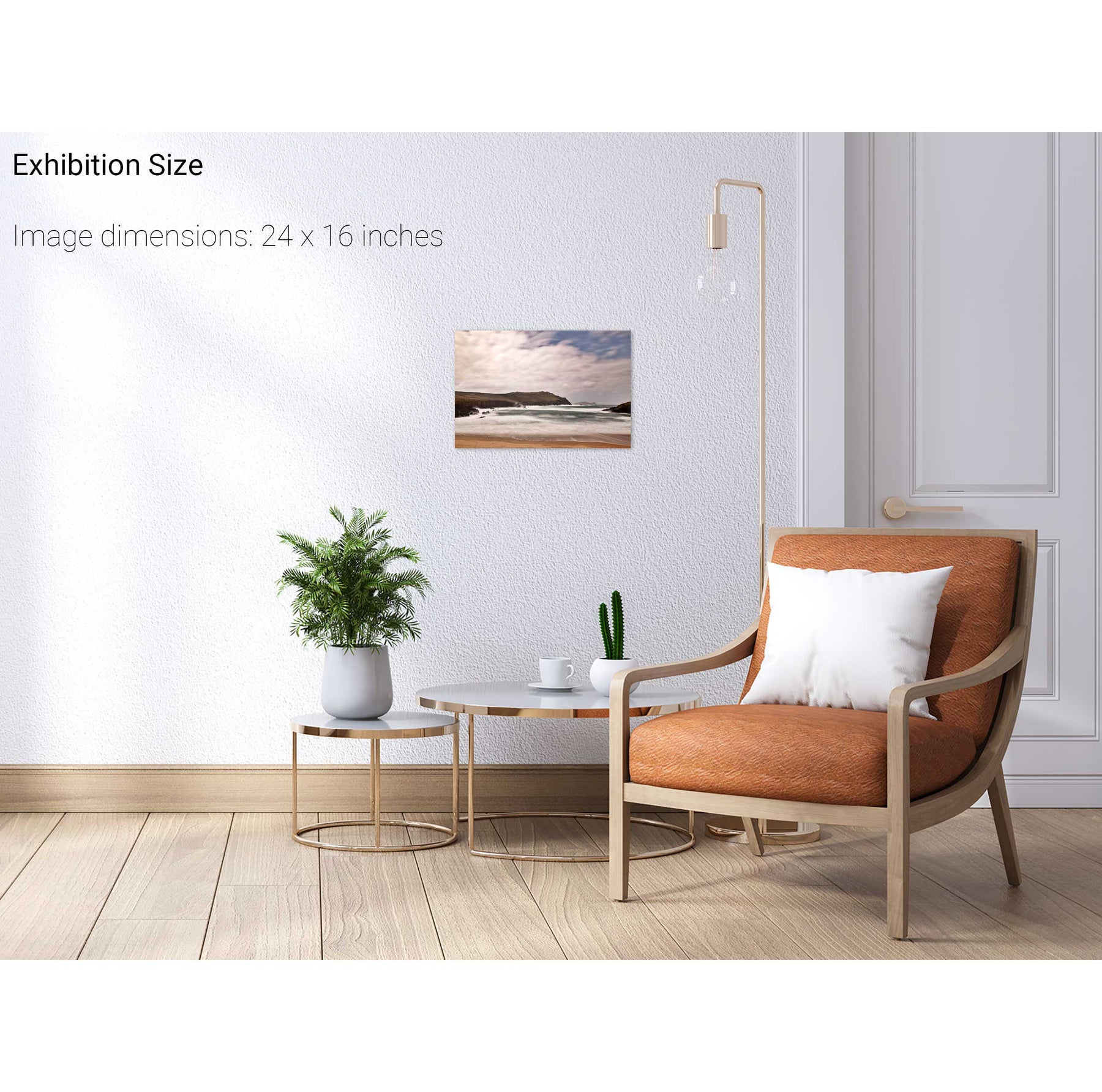
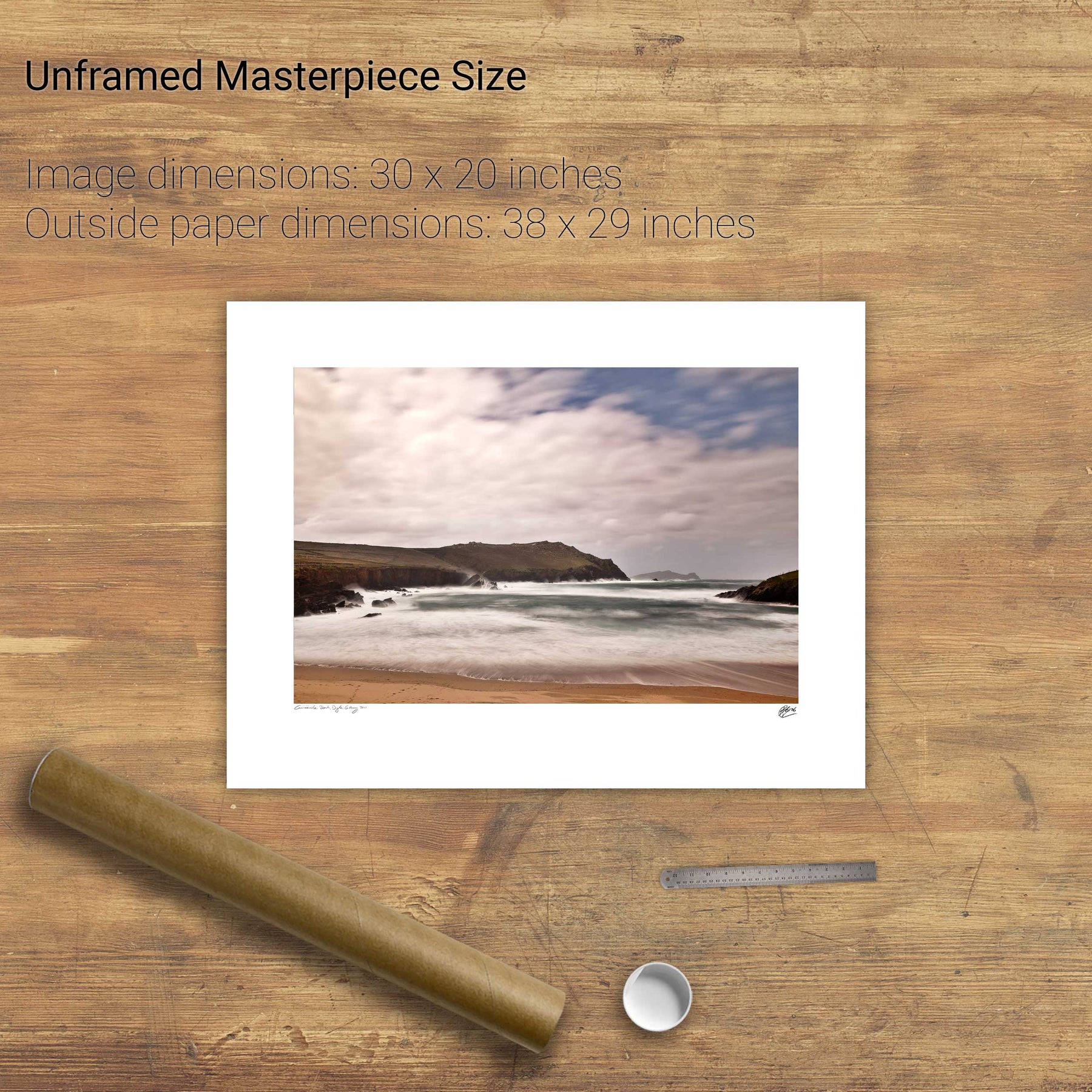
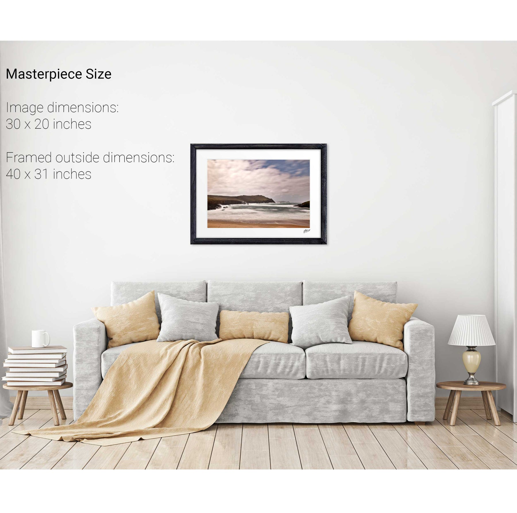
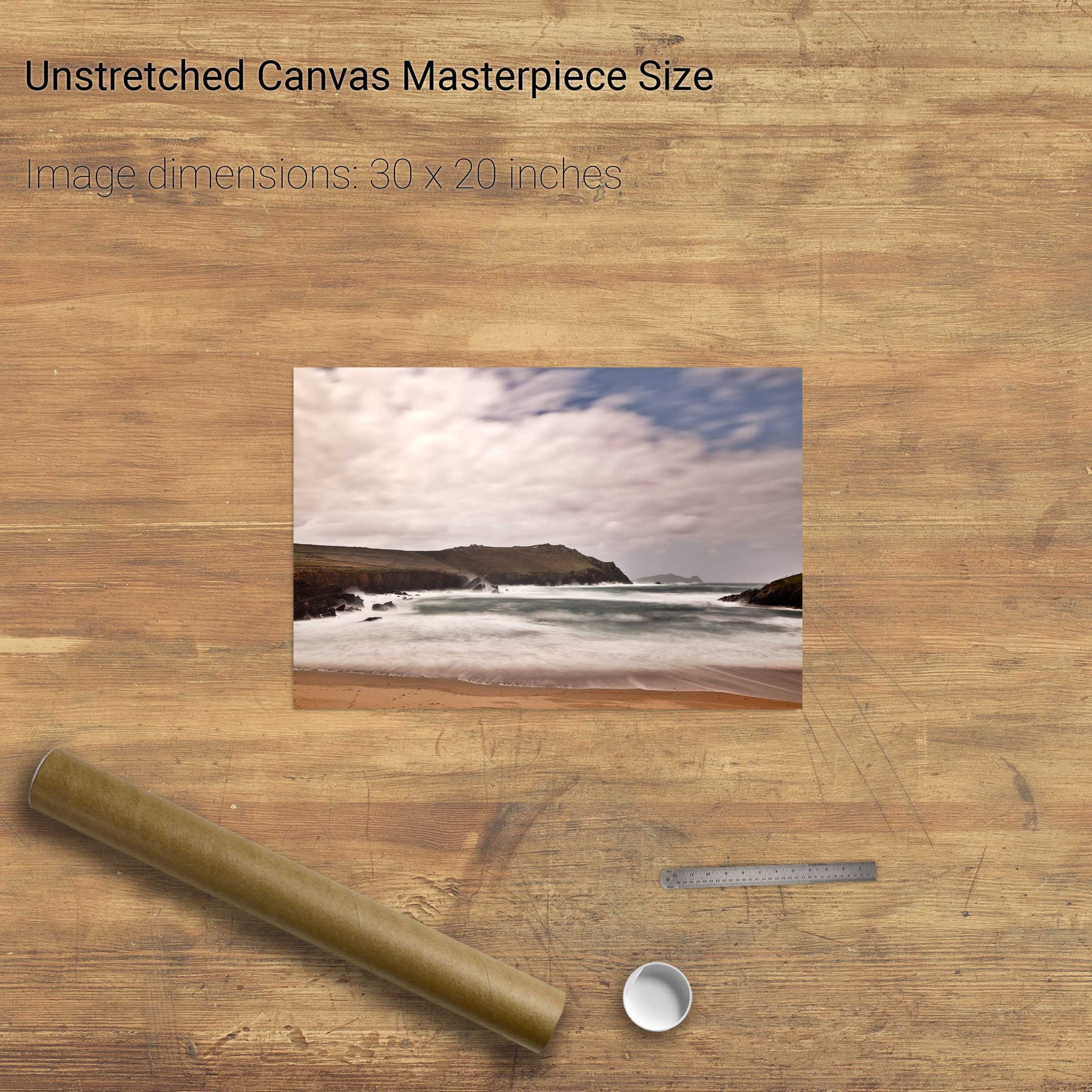
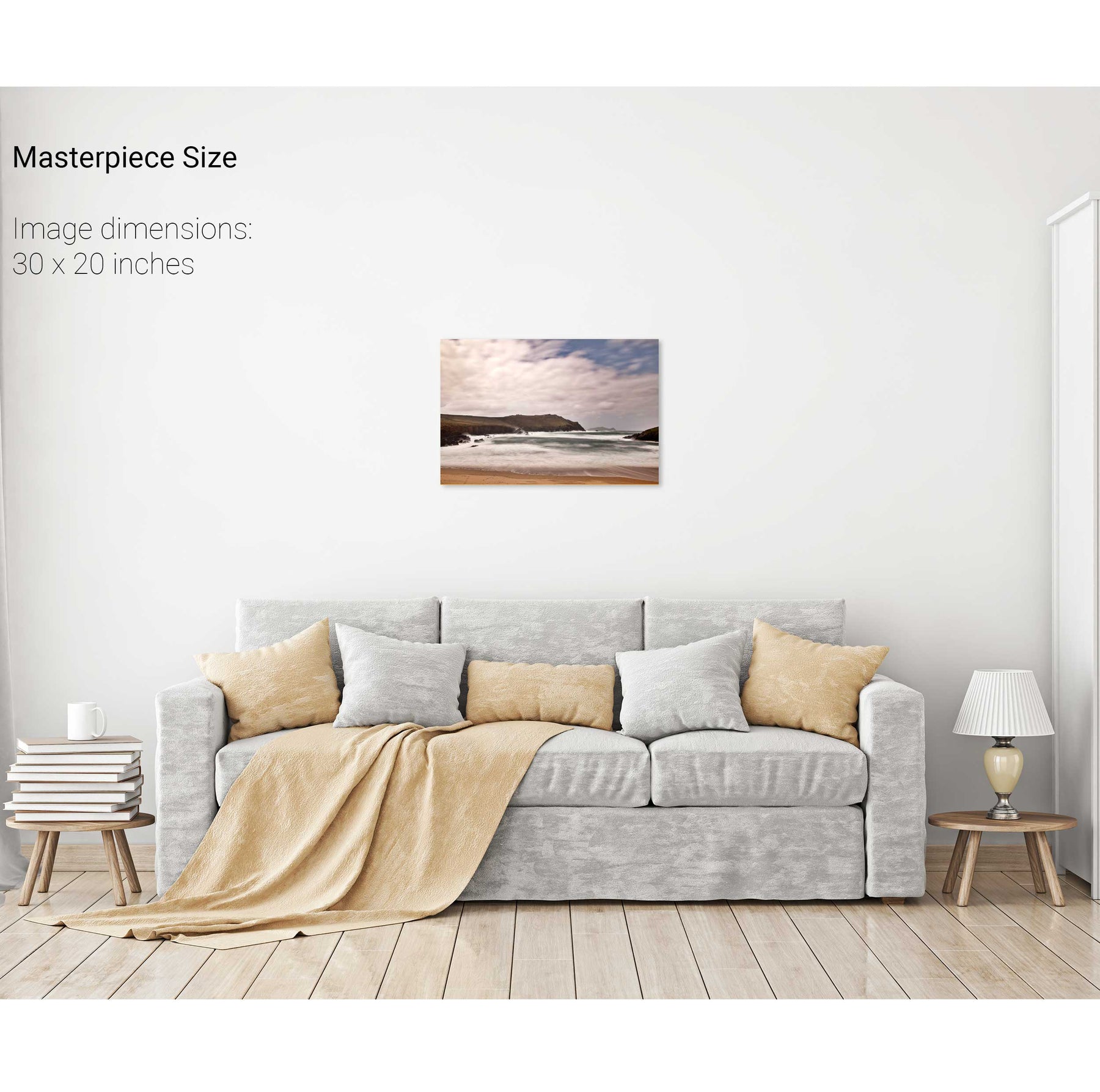
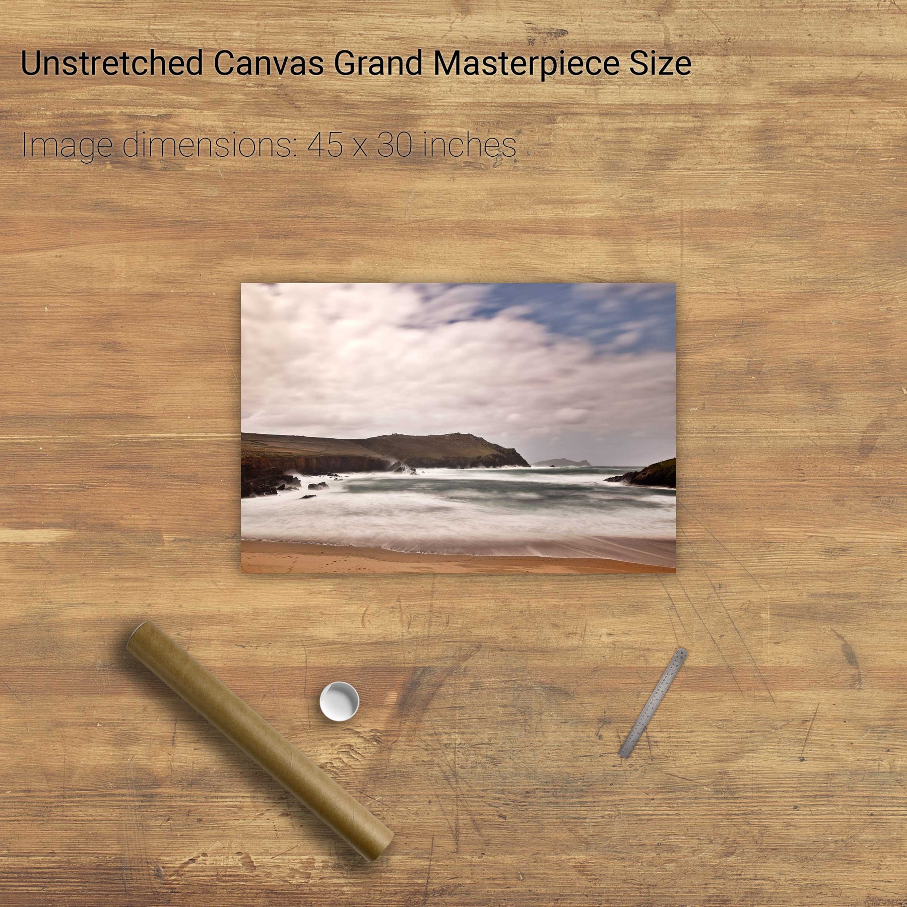
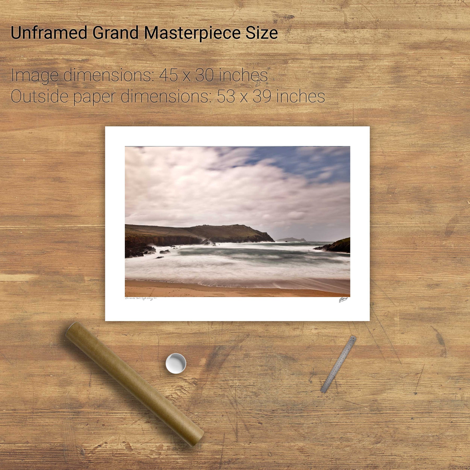
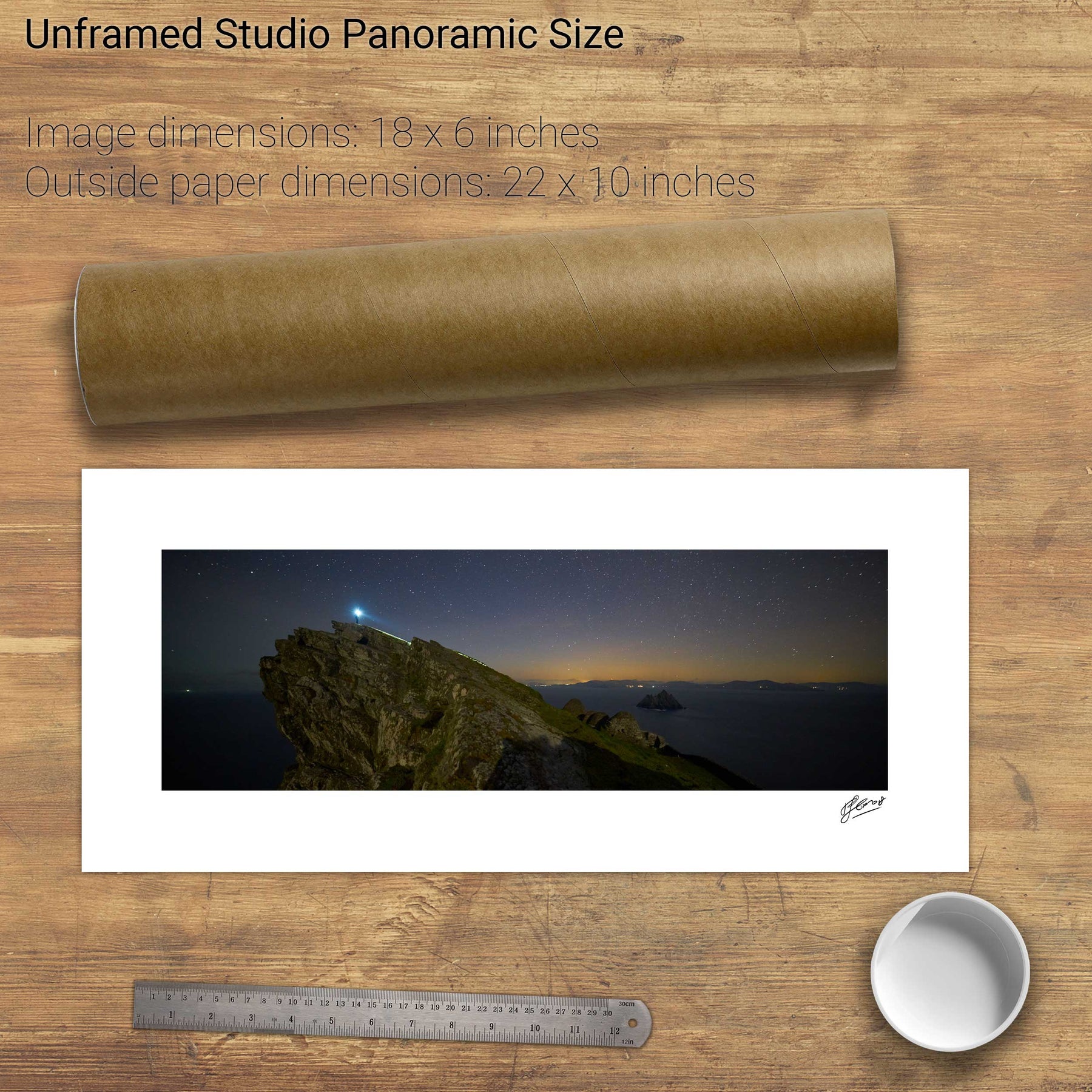
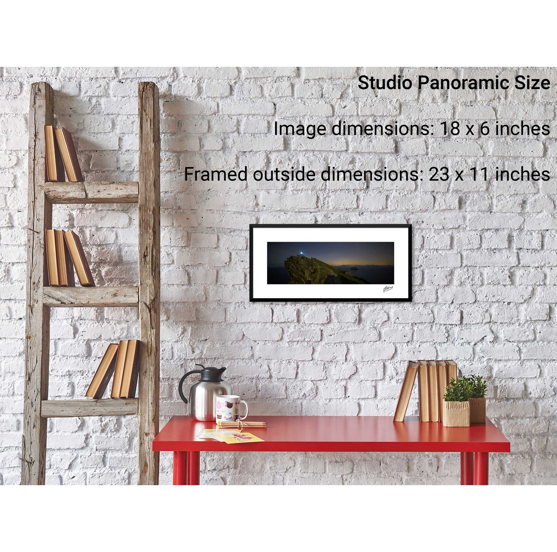
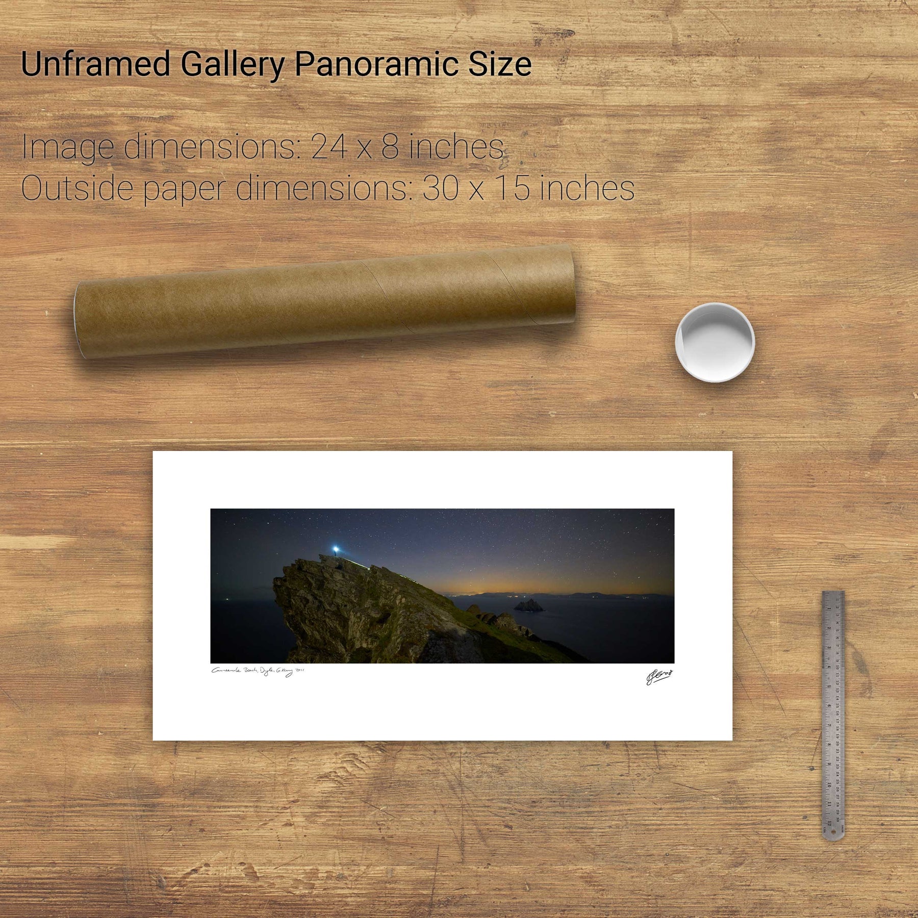
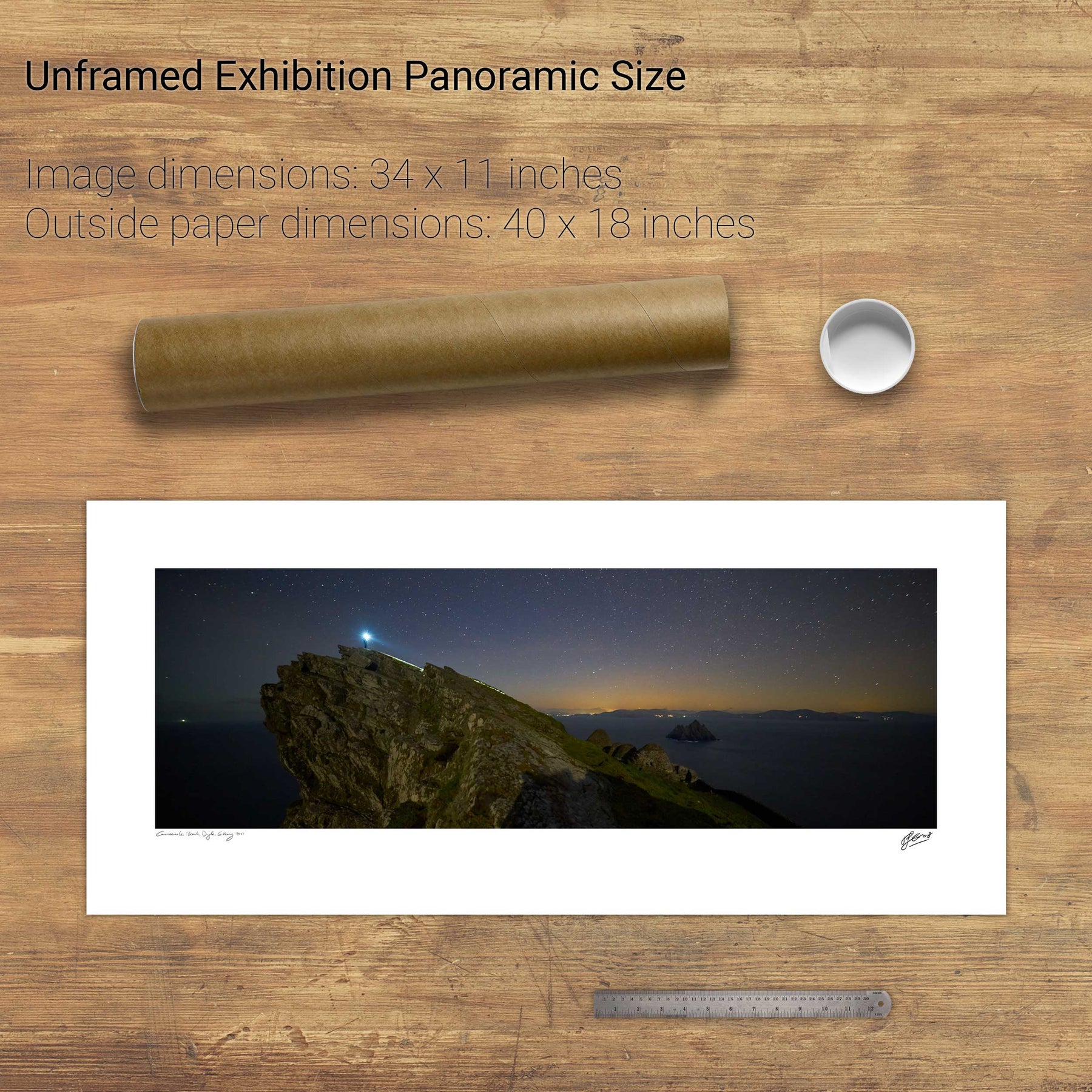
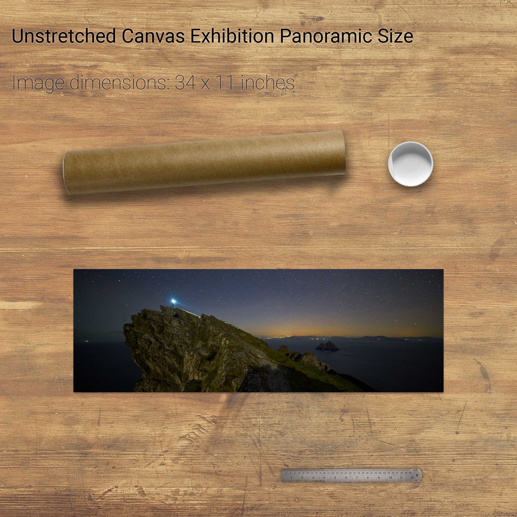
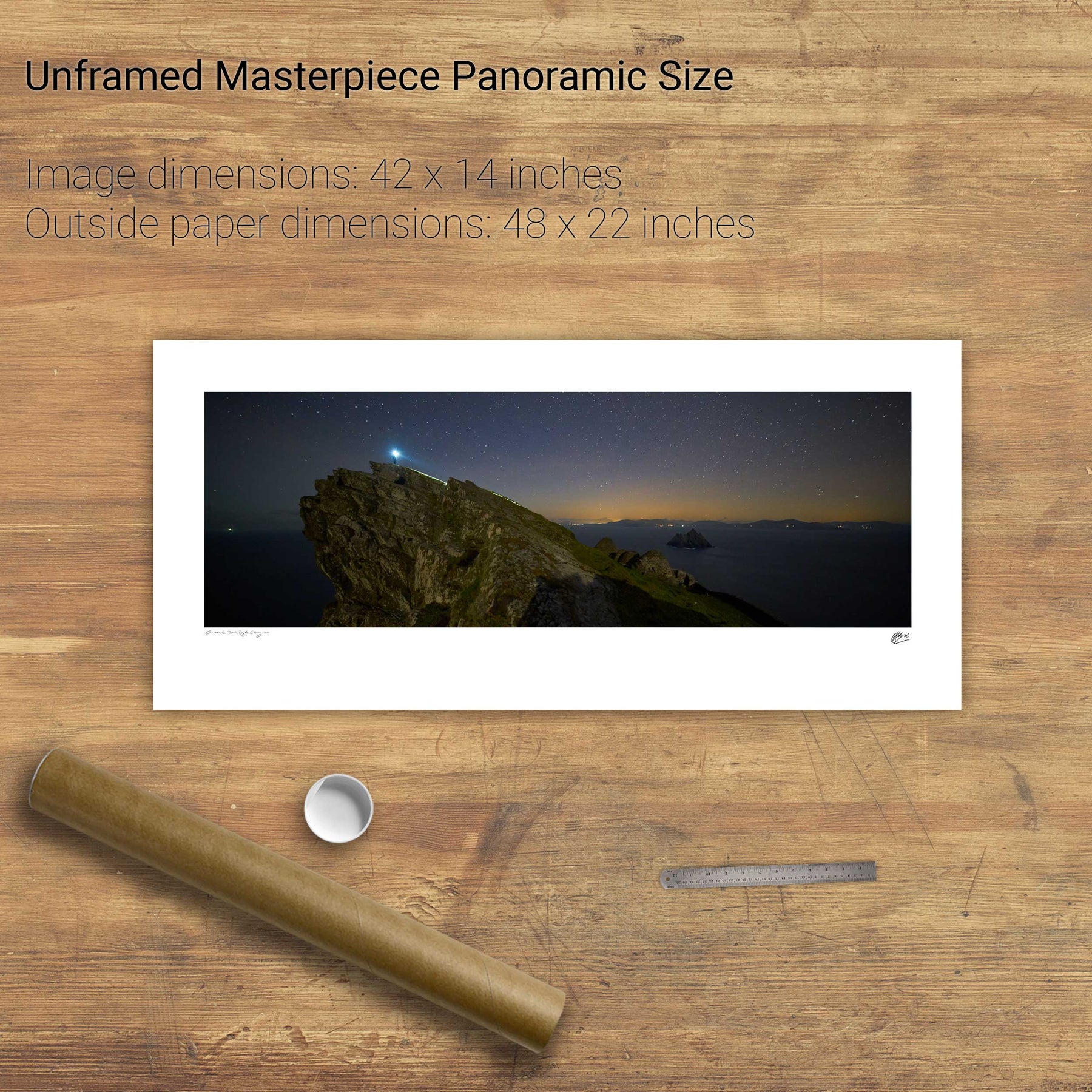
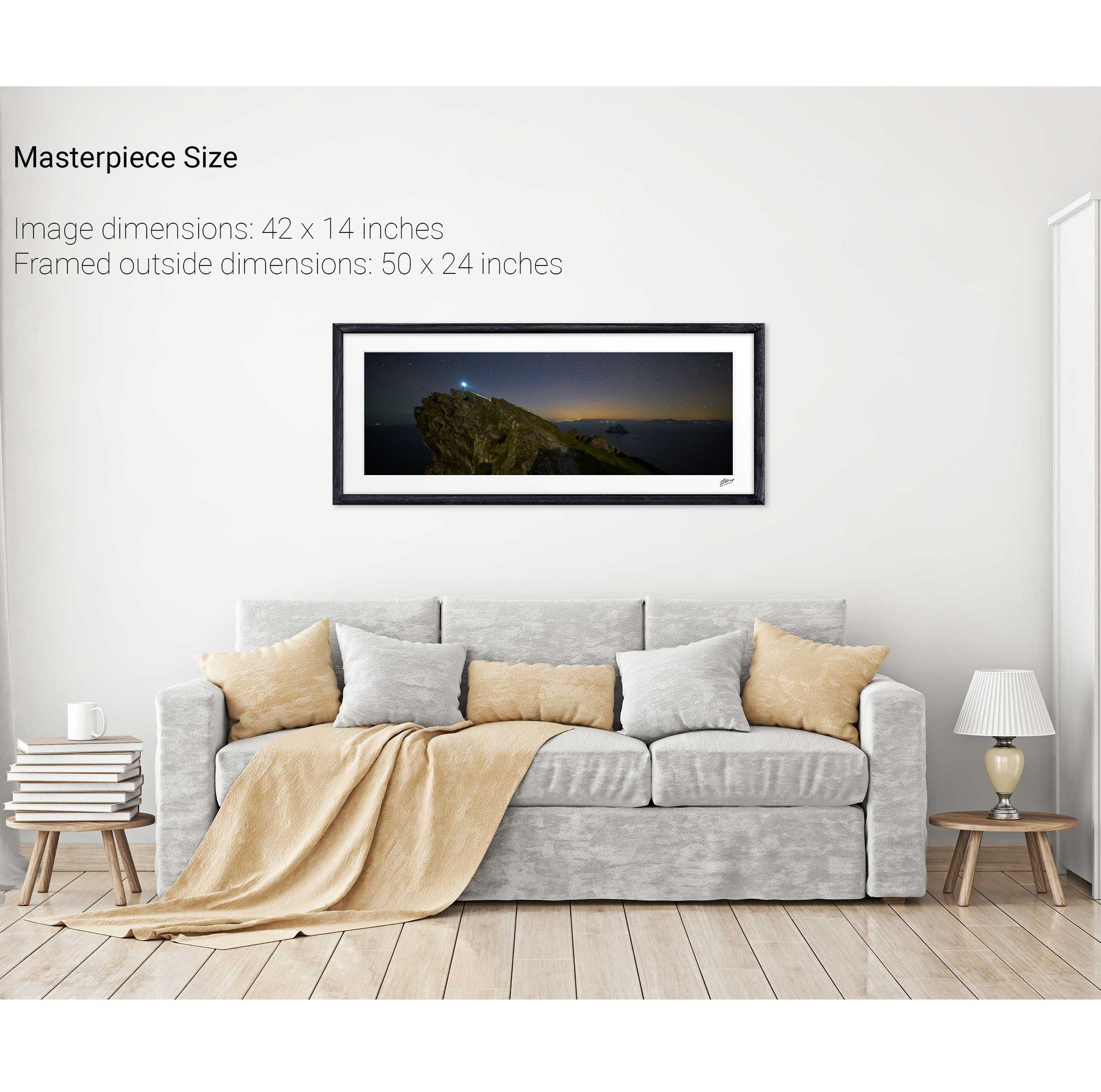
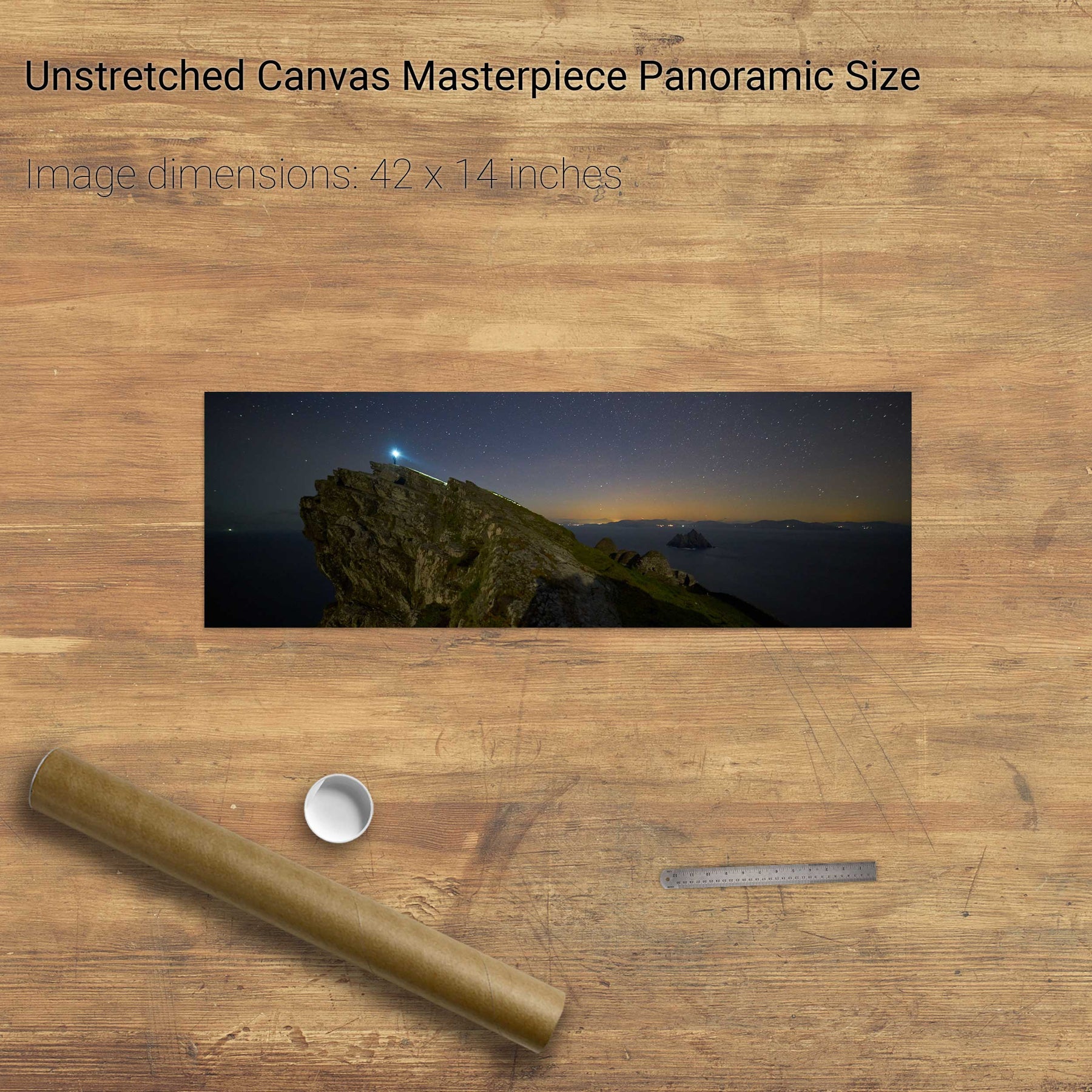
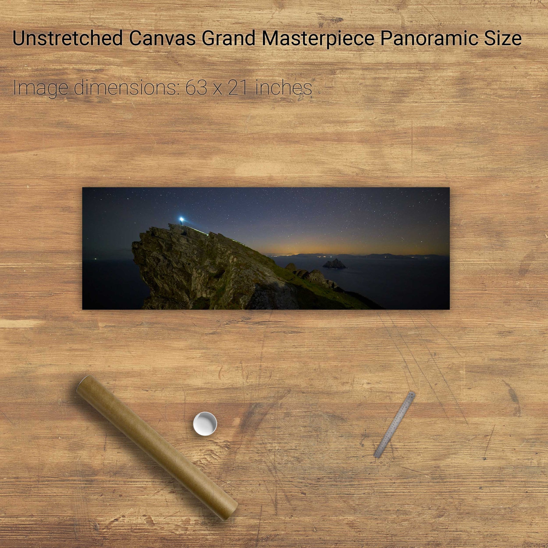
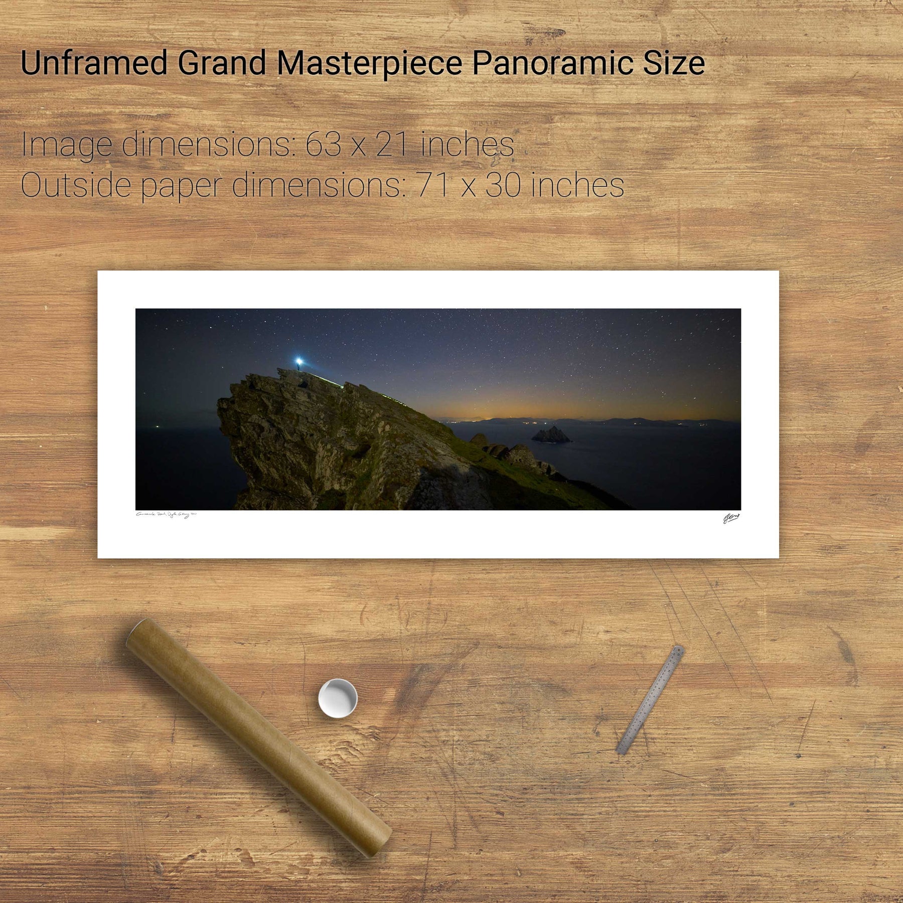
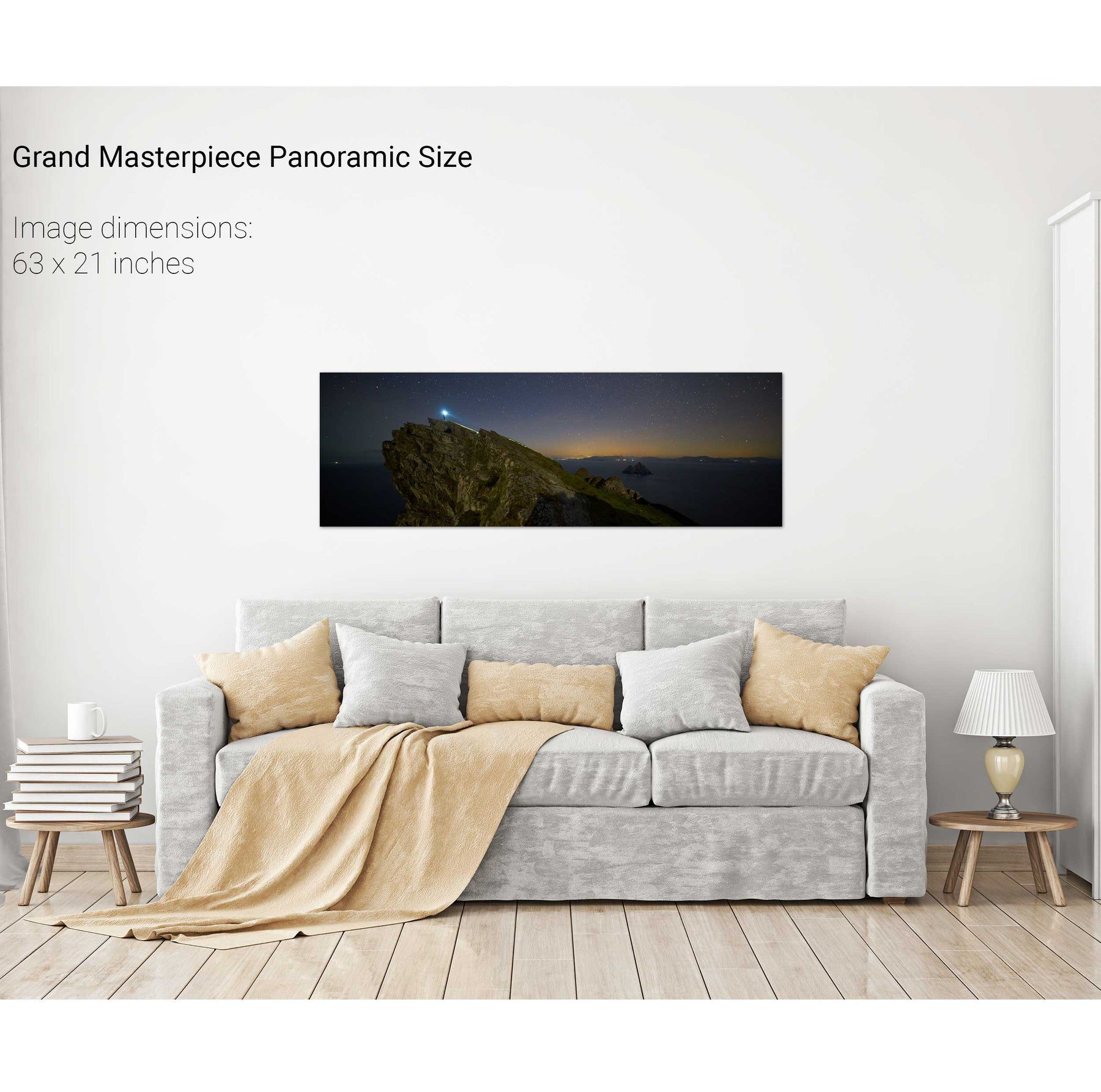
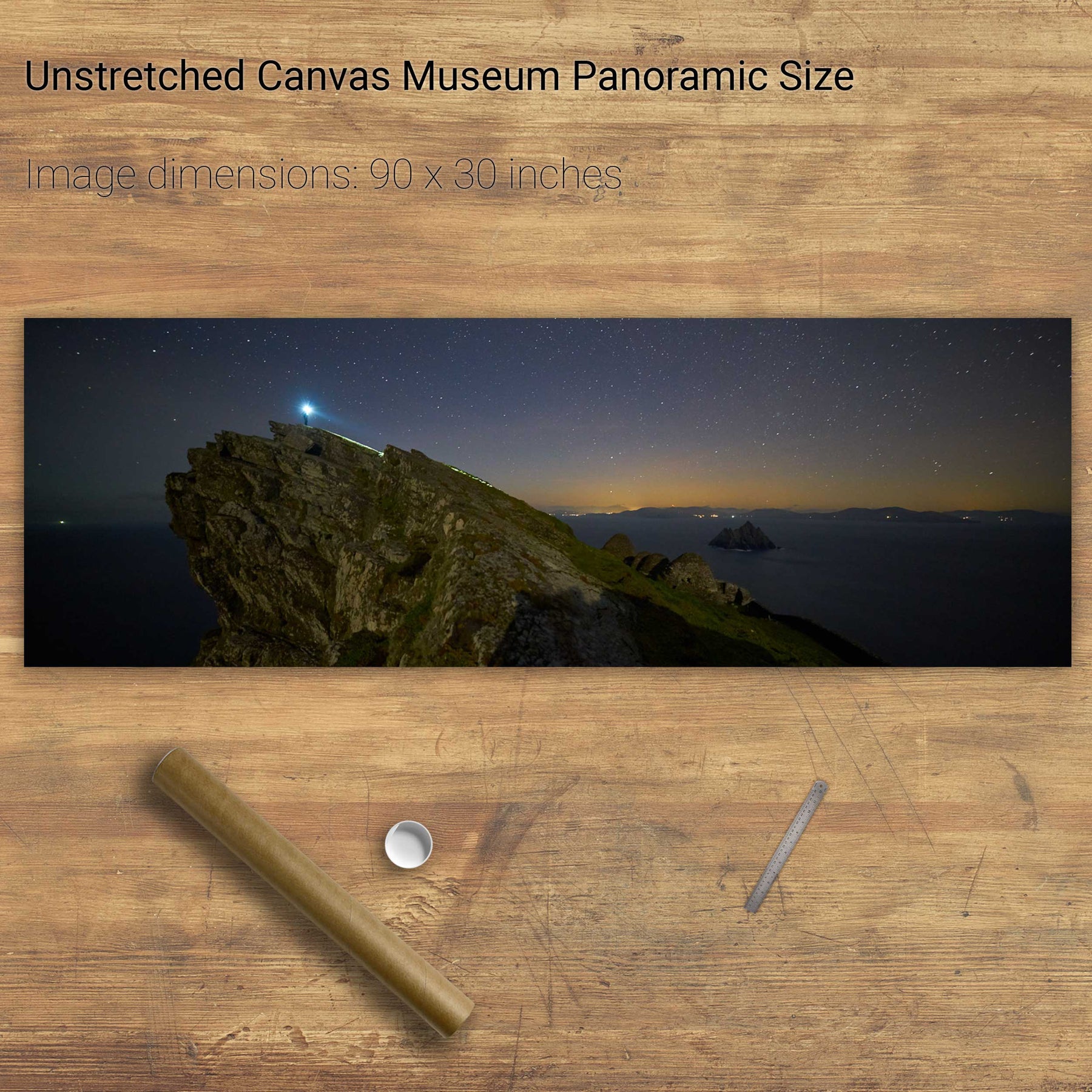
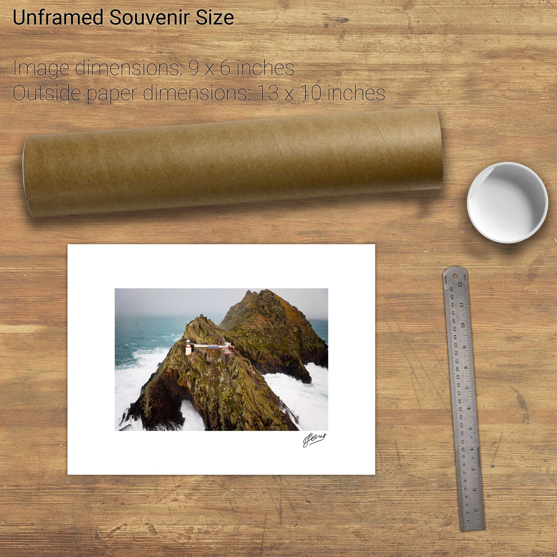
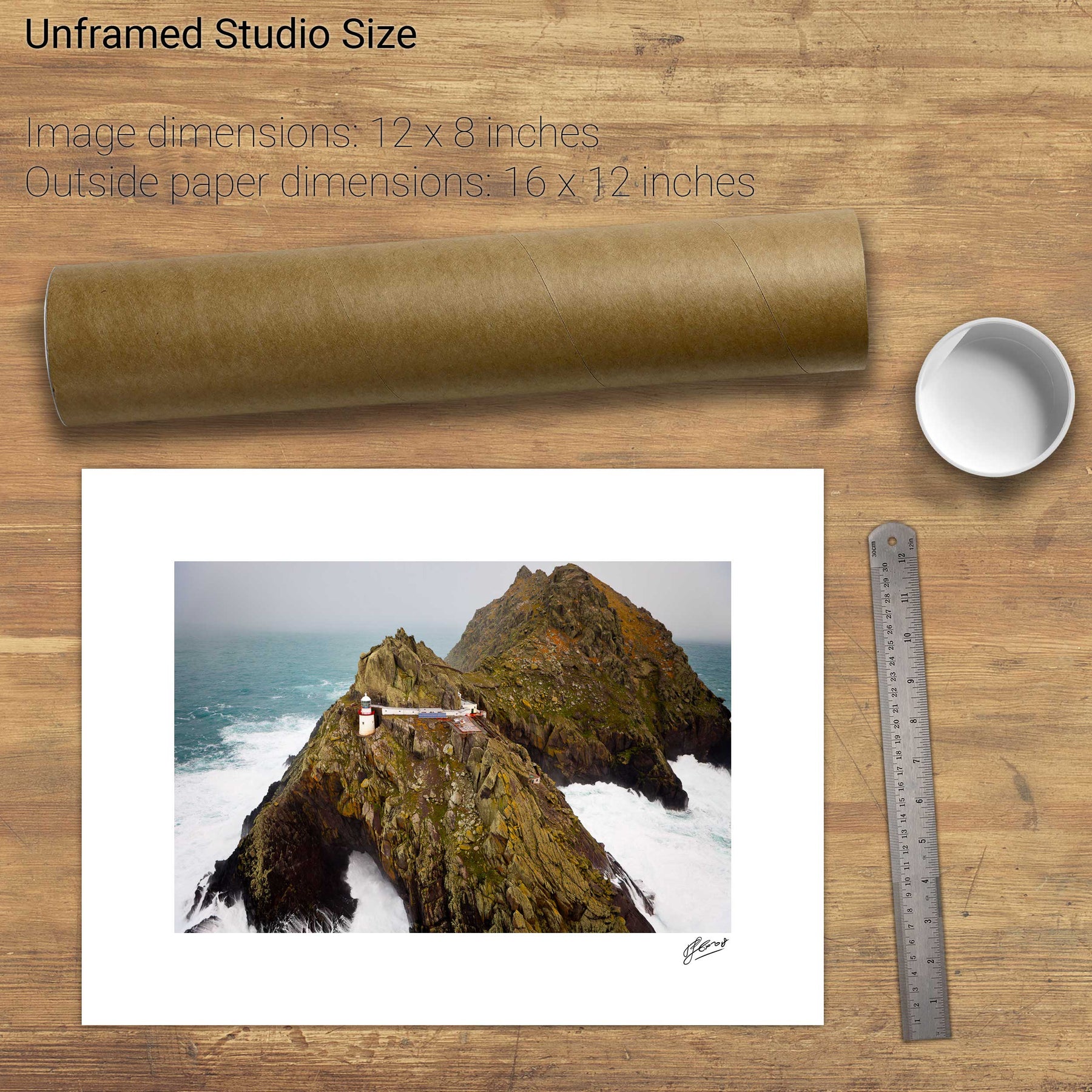
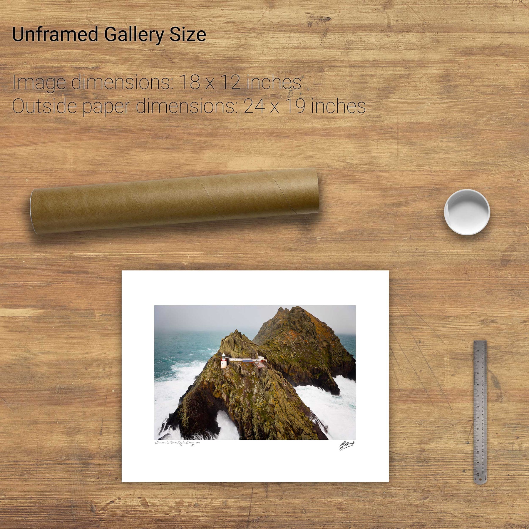
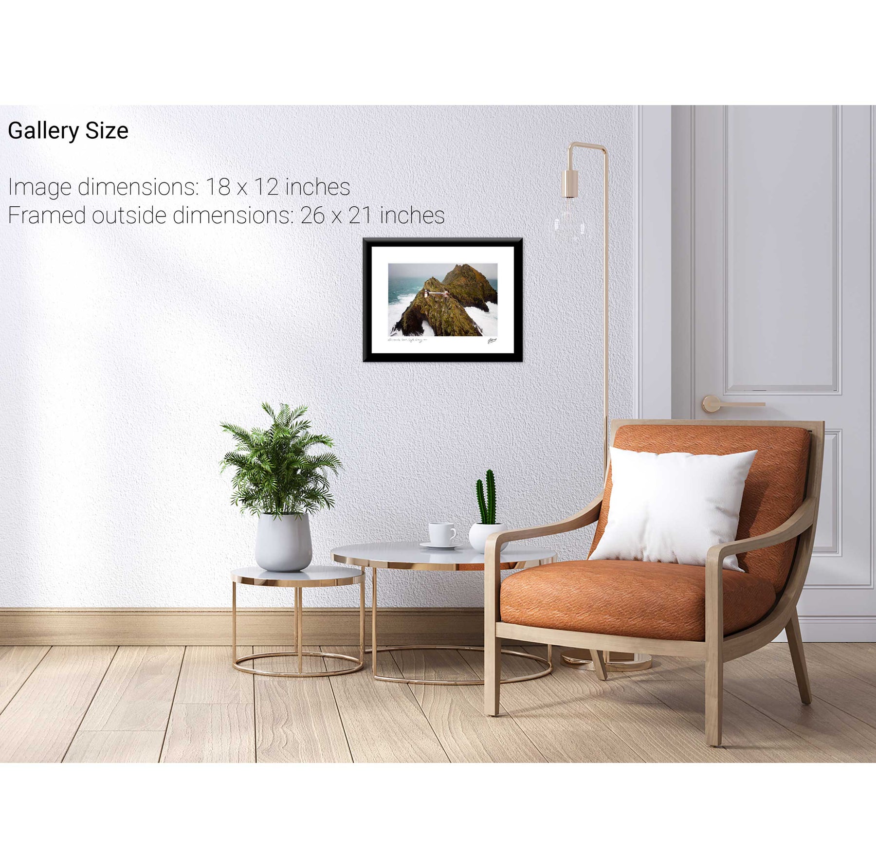
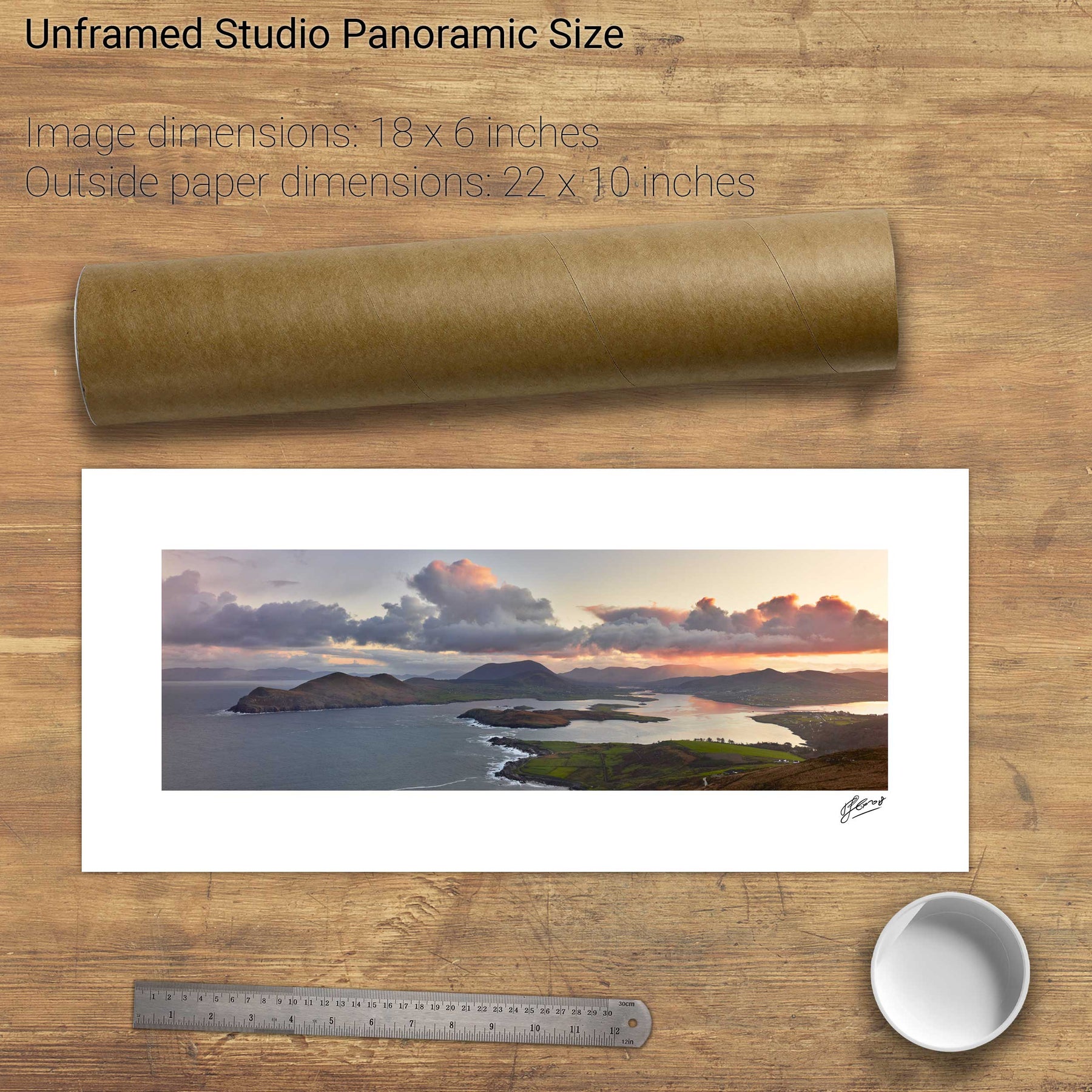
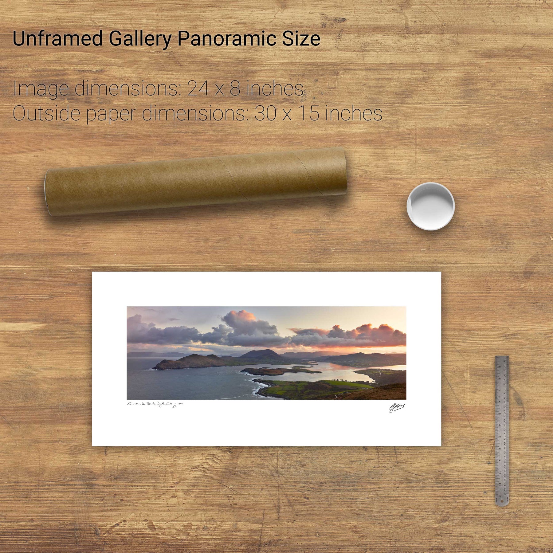
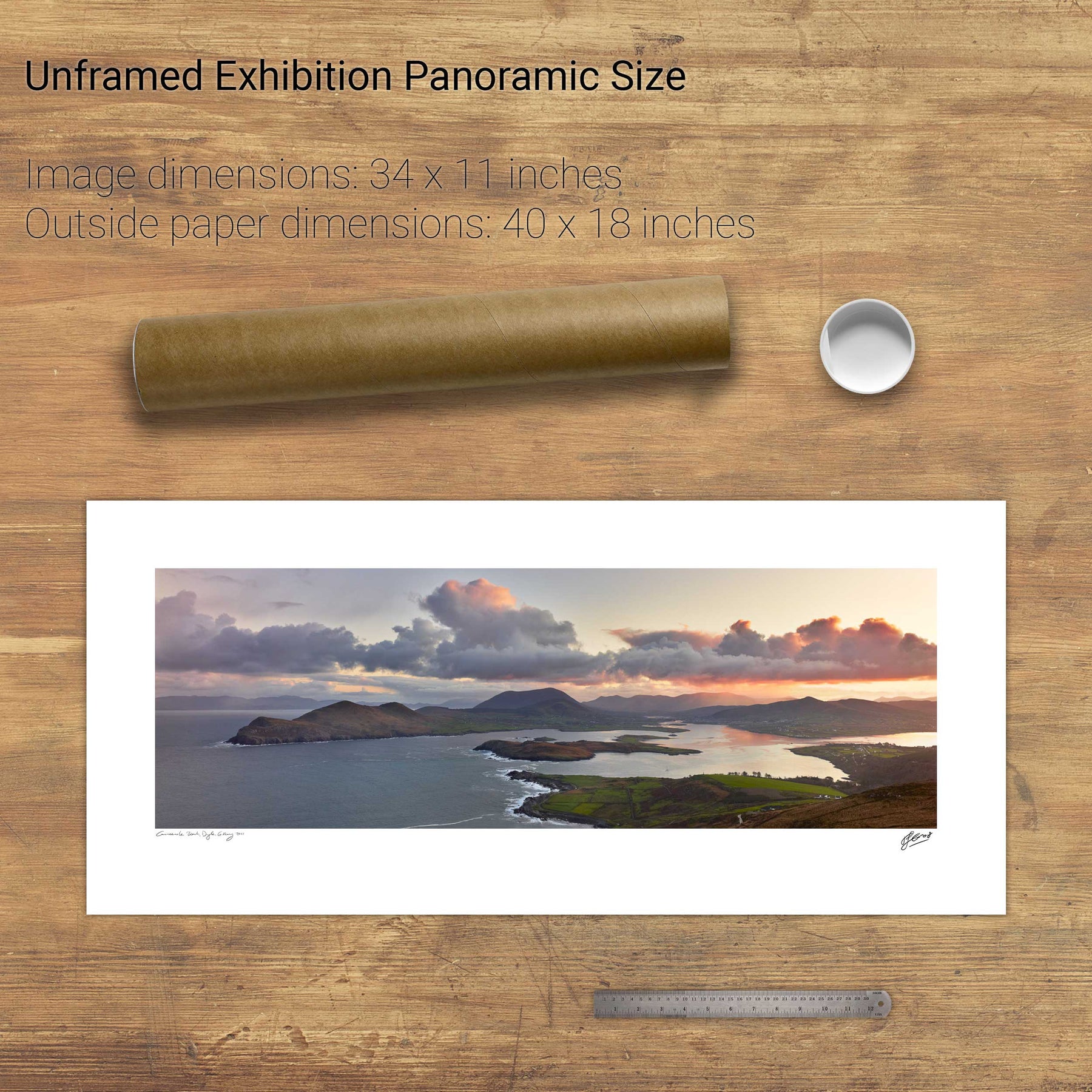
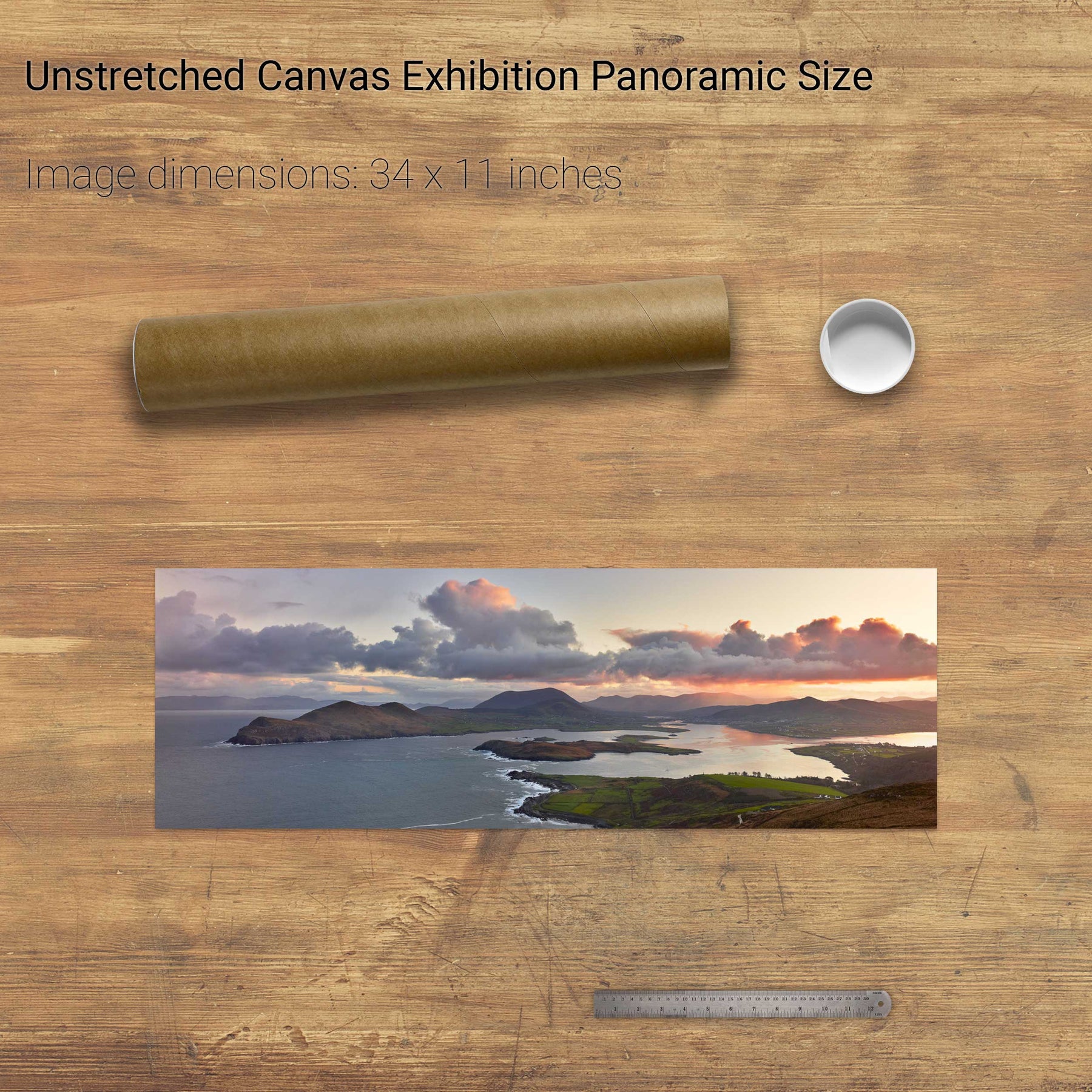
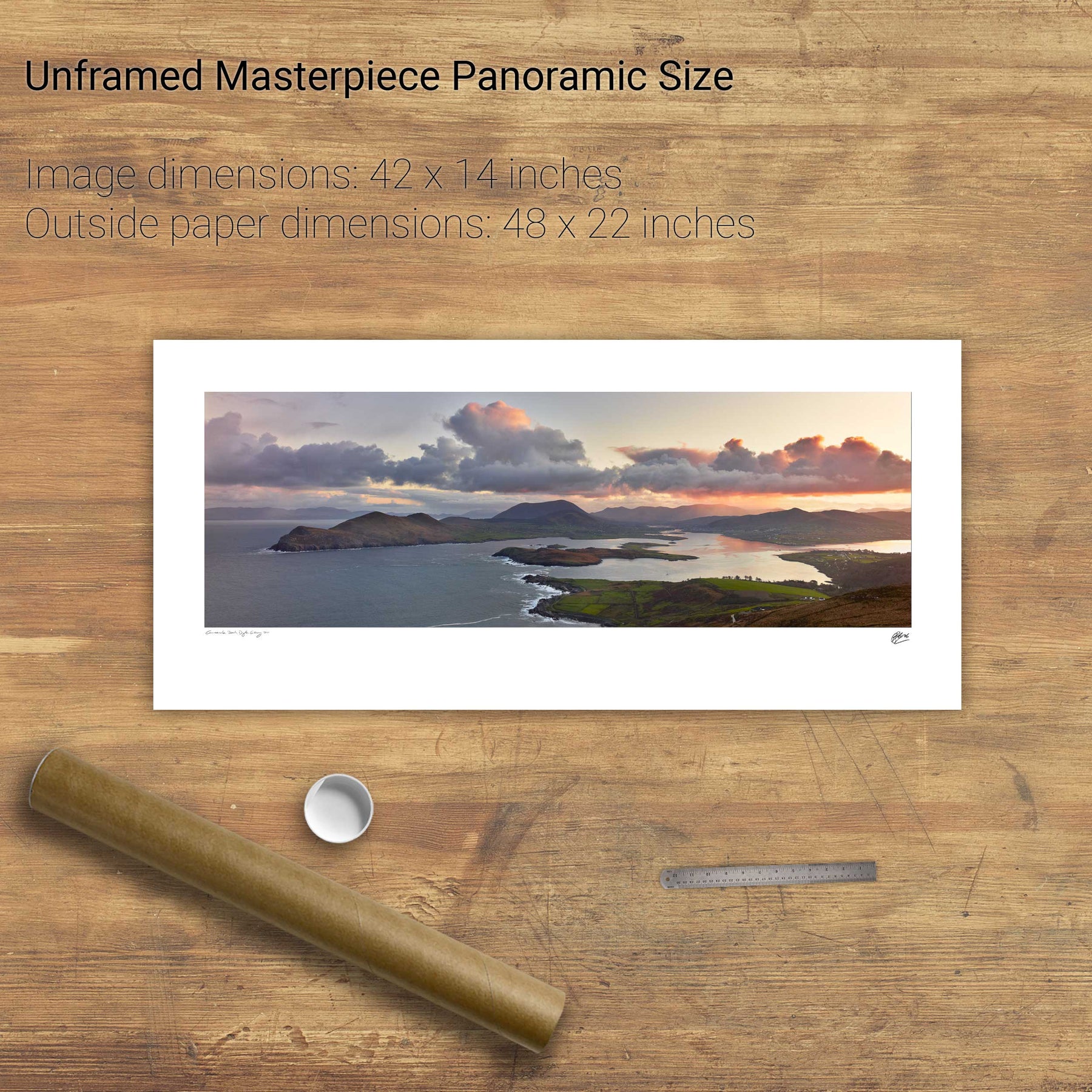
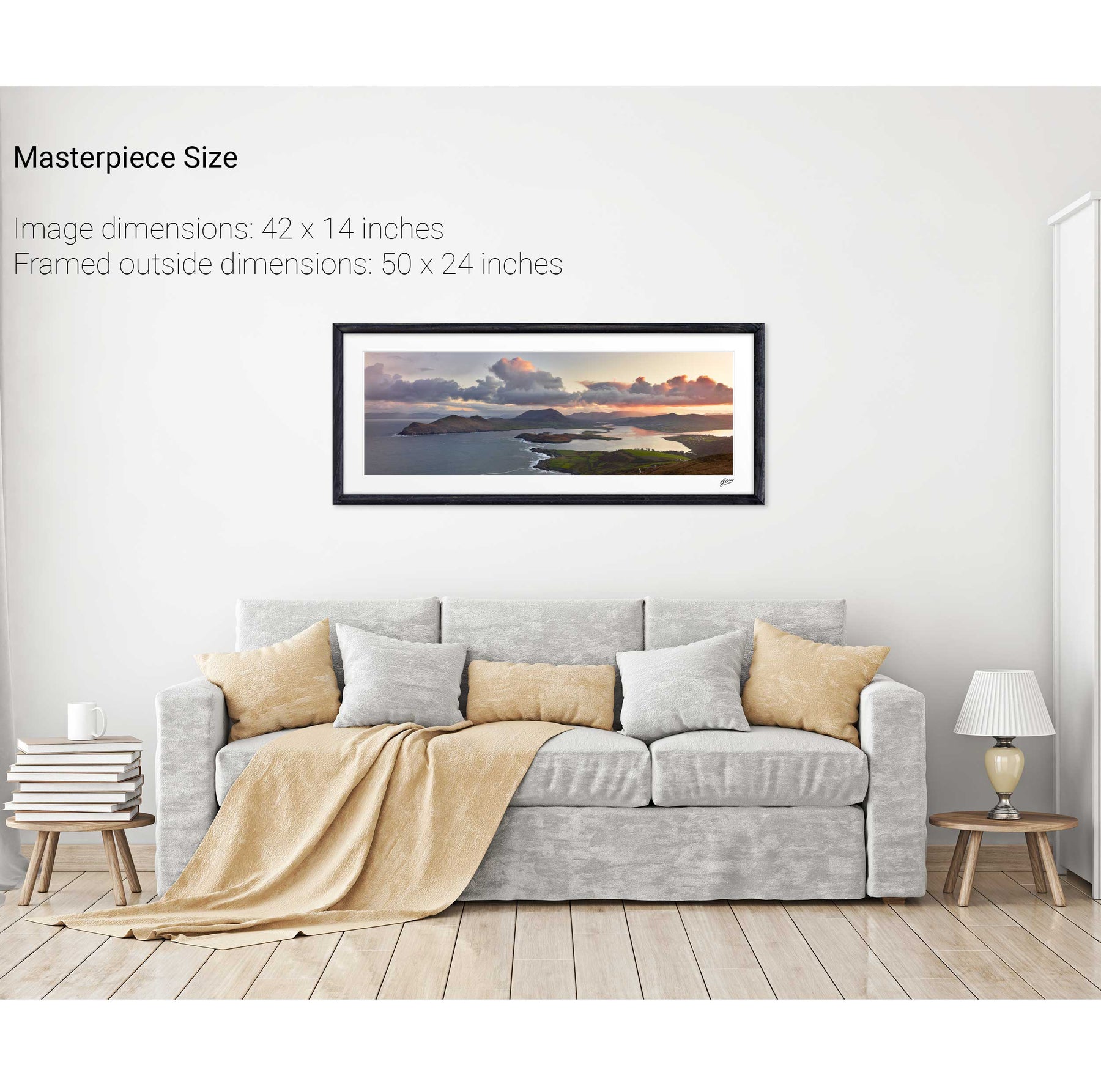
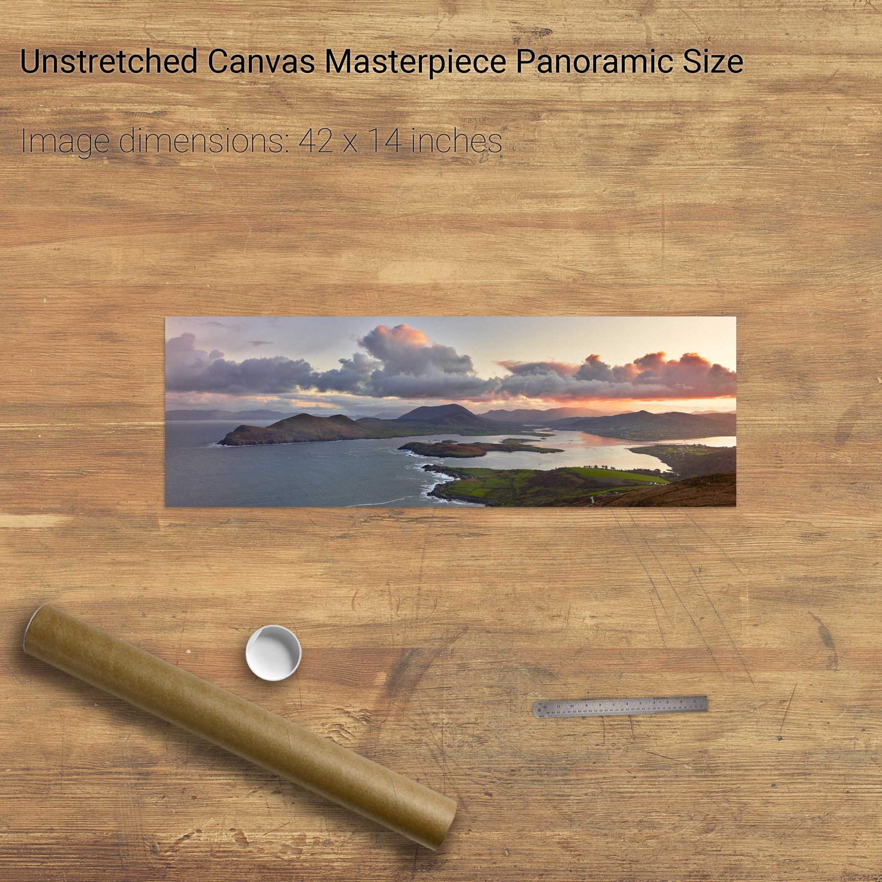
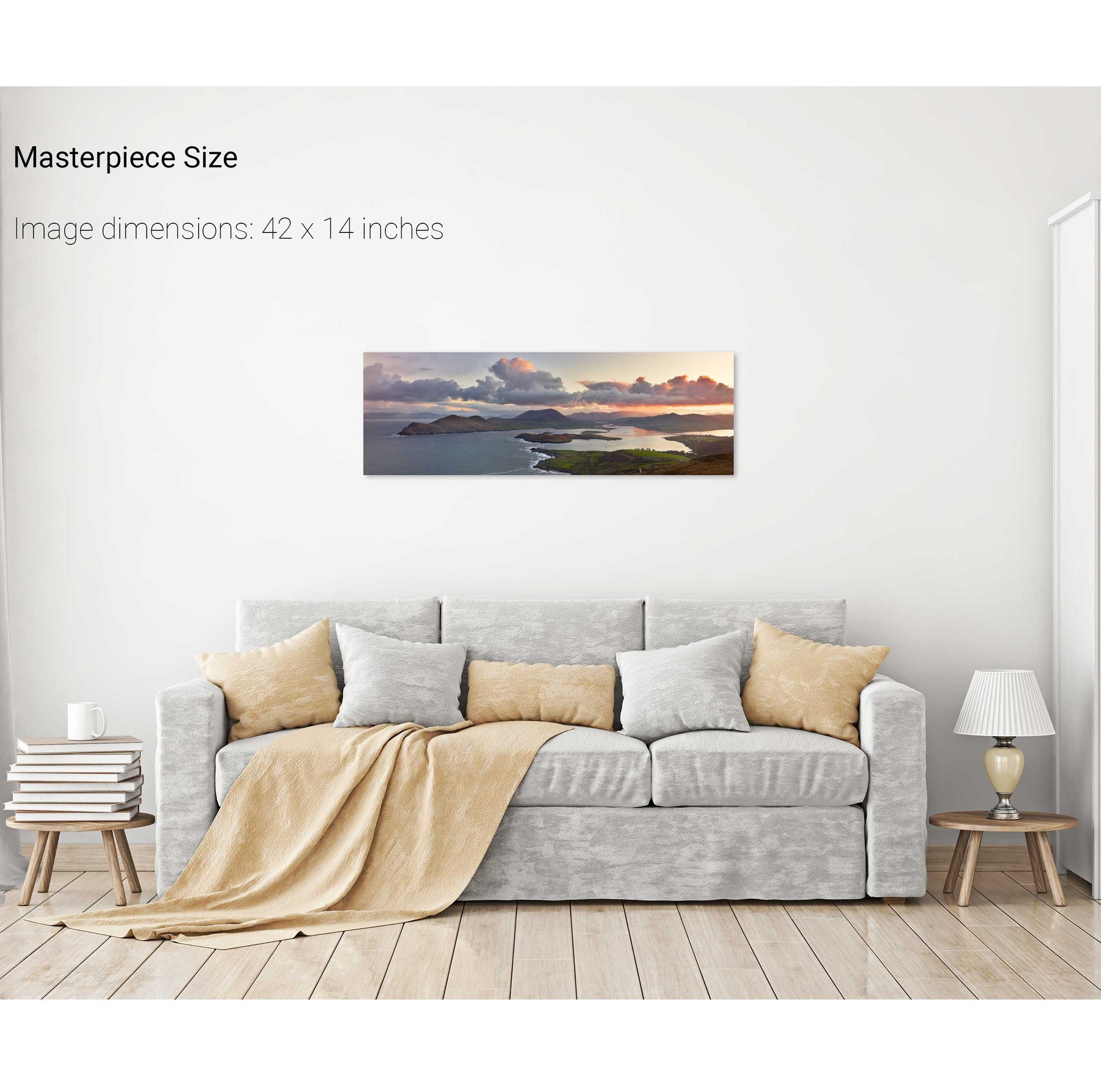
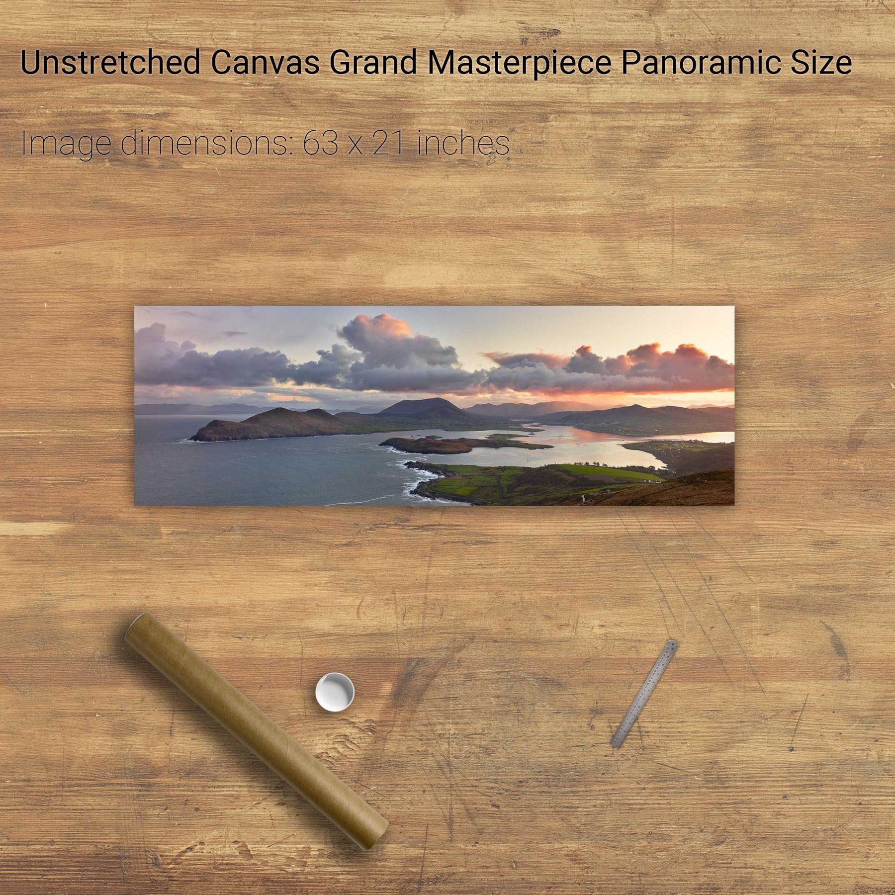
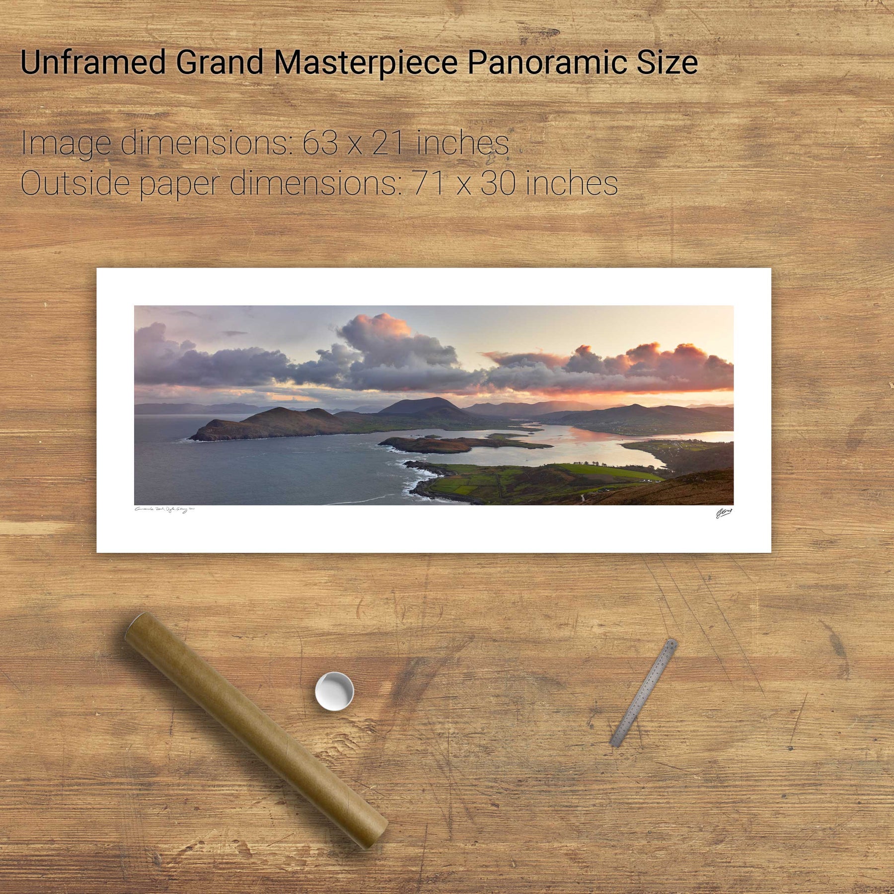
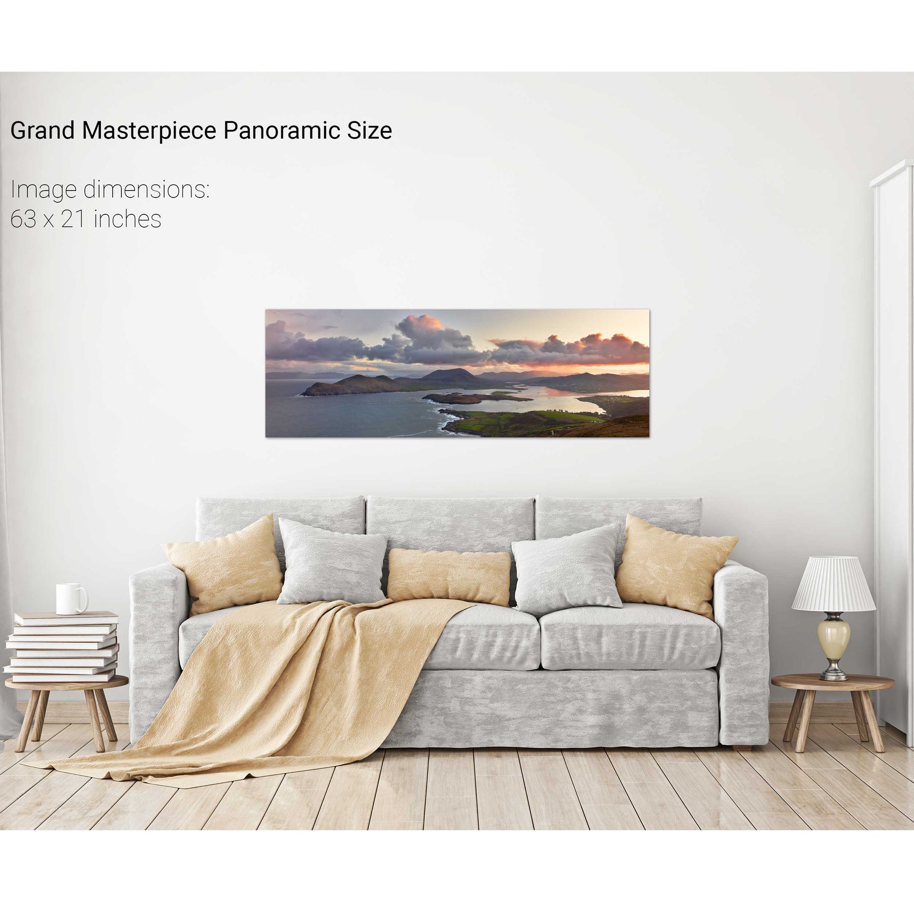
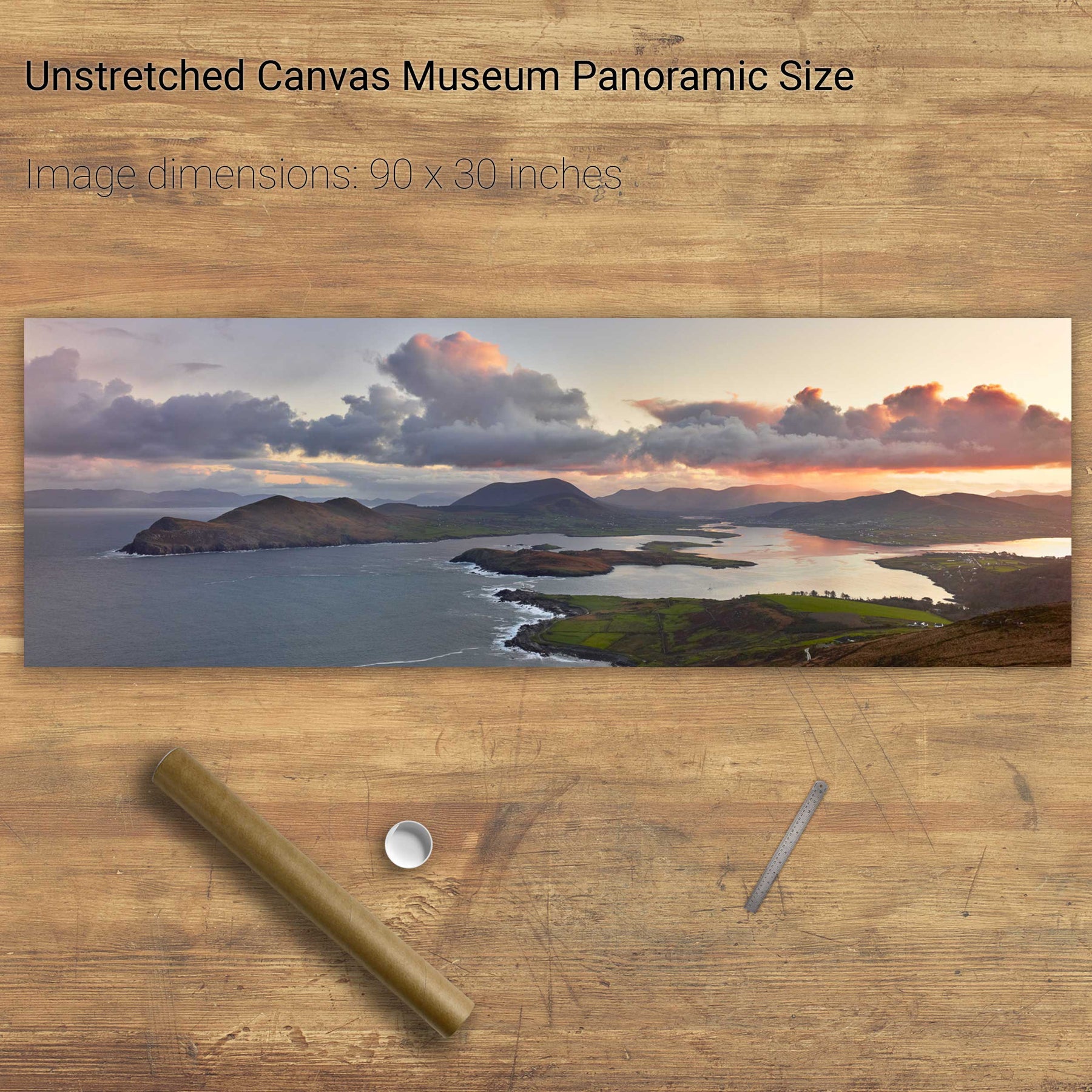
Coumeenole Beach Panoramic, Dingle, Co. Kerry
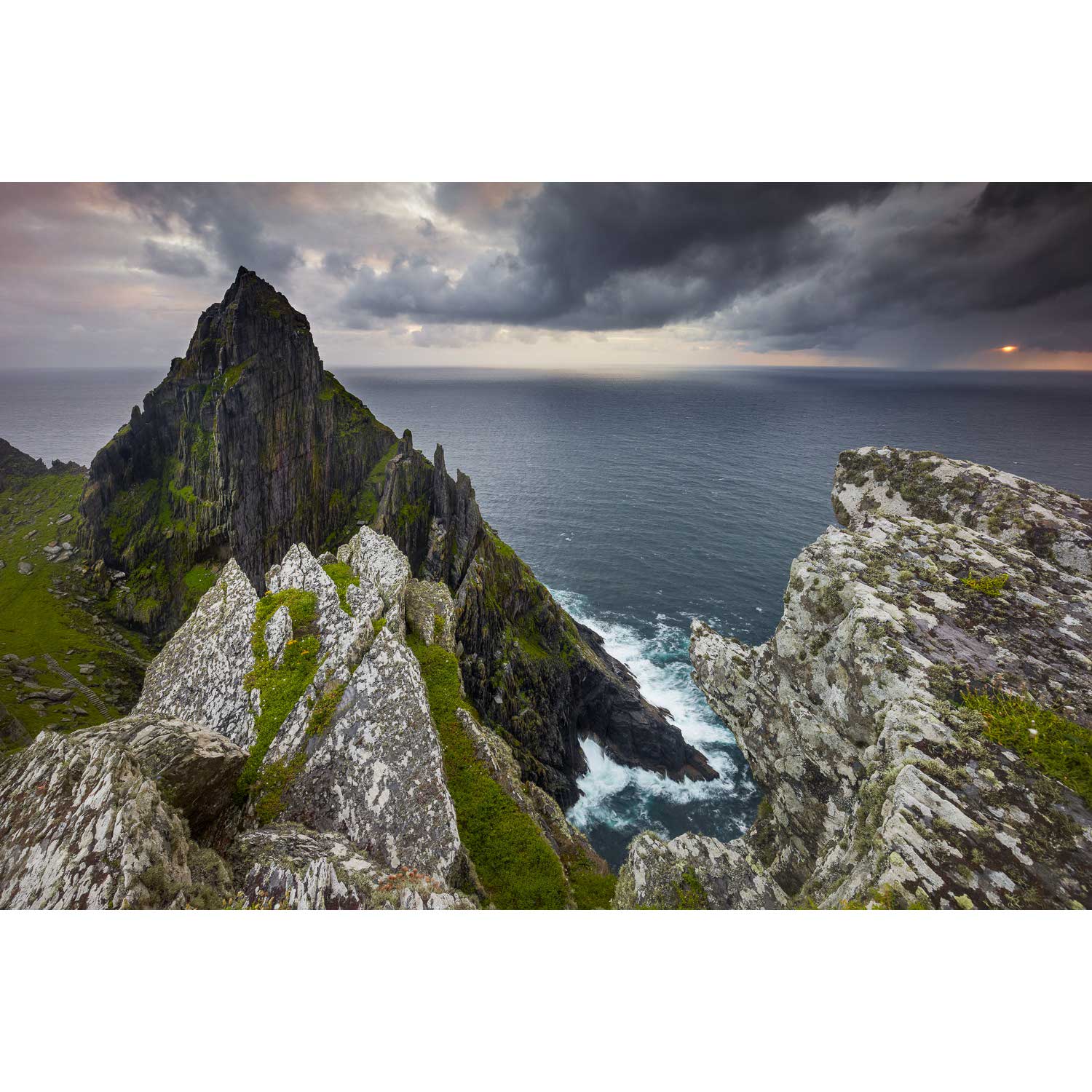
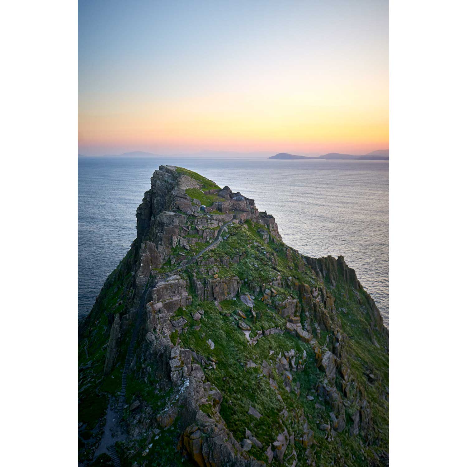
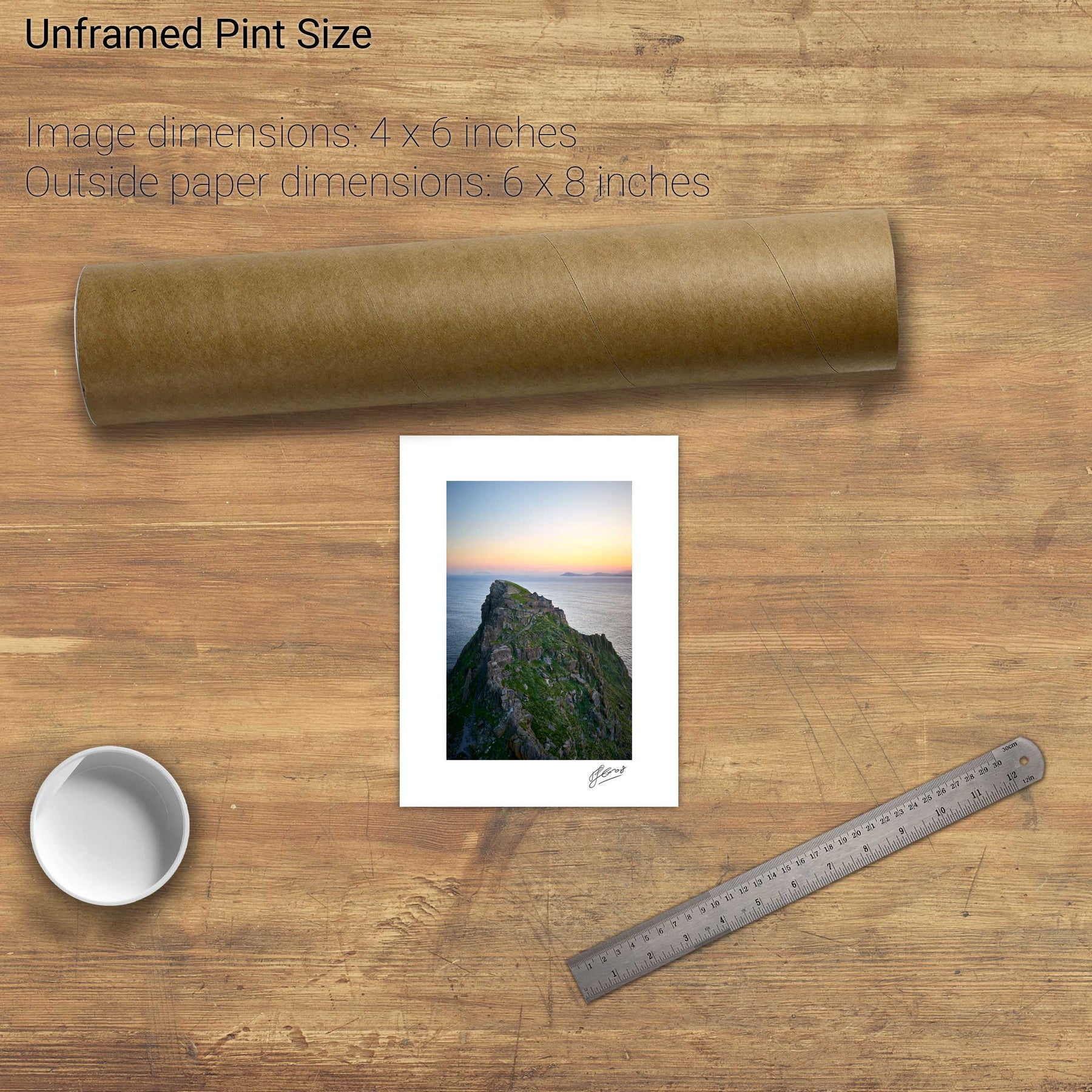
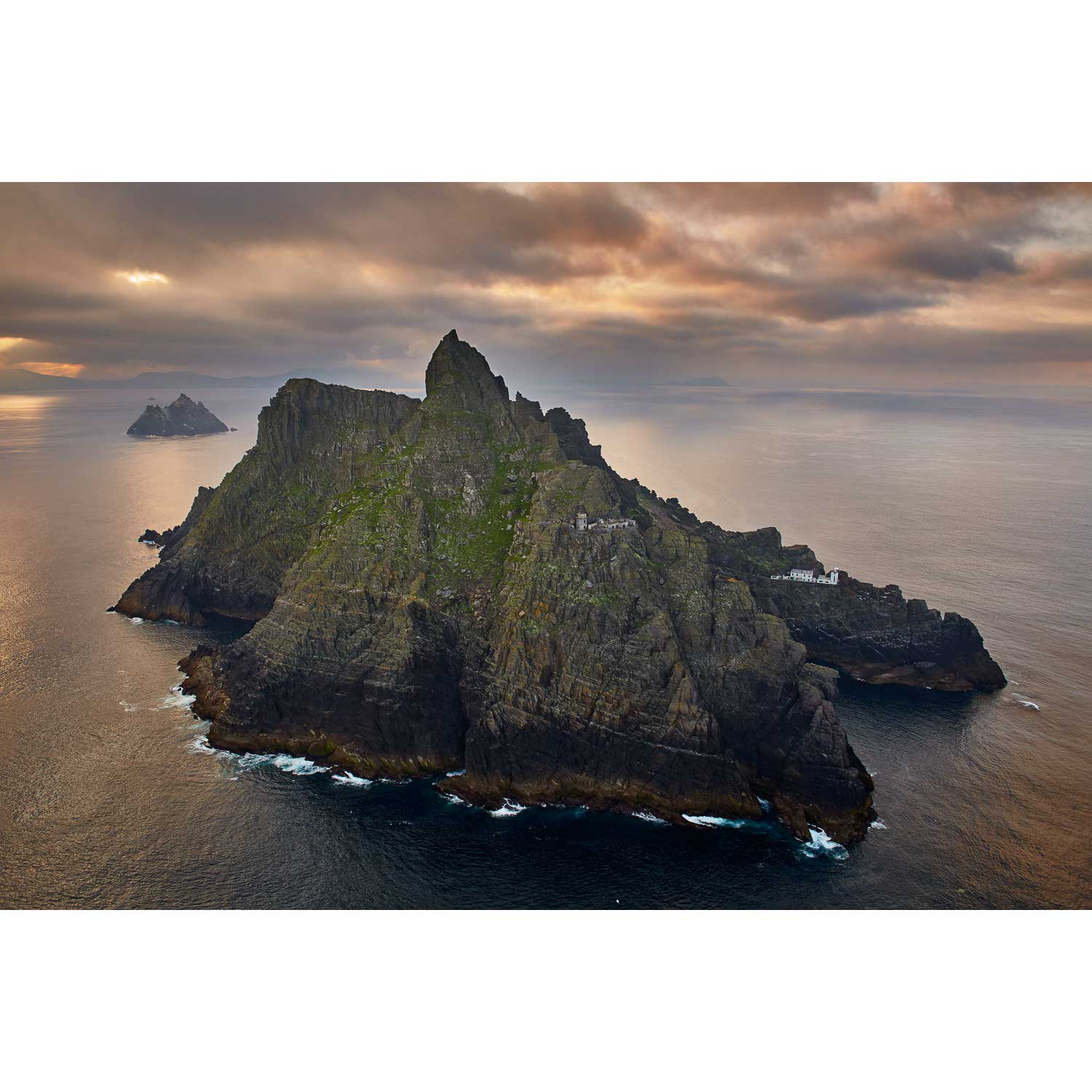
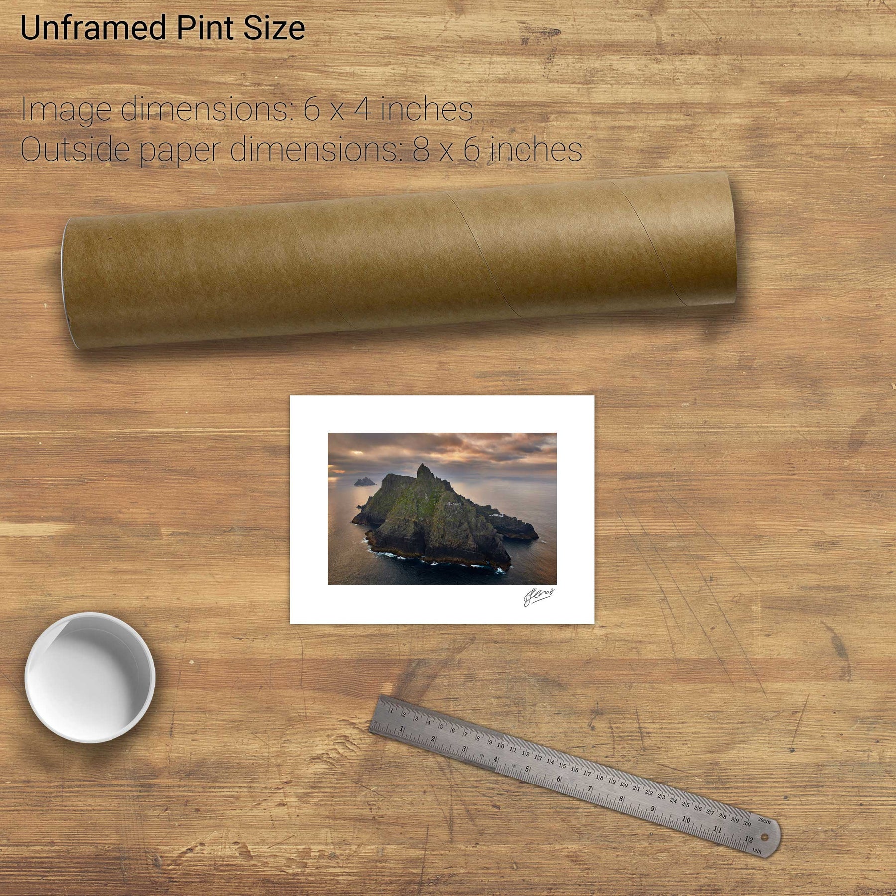
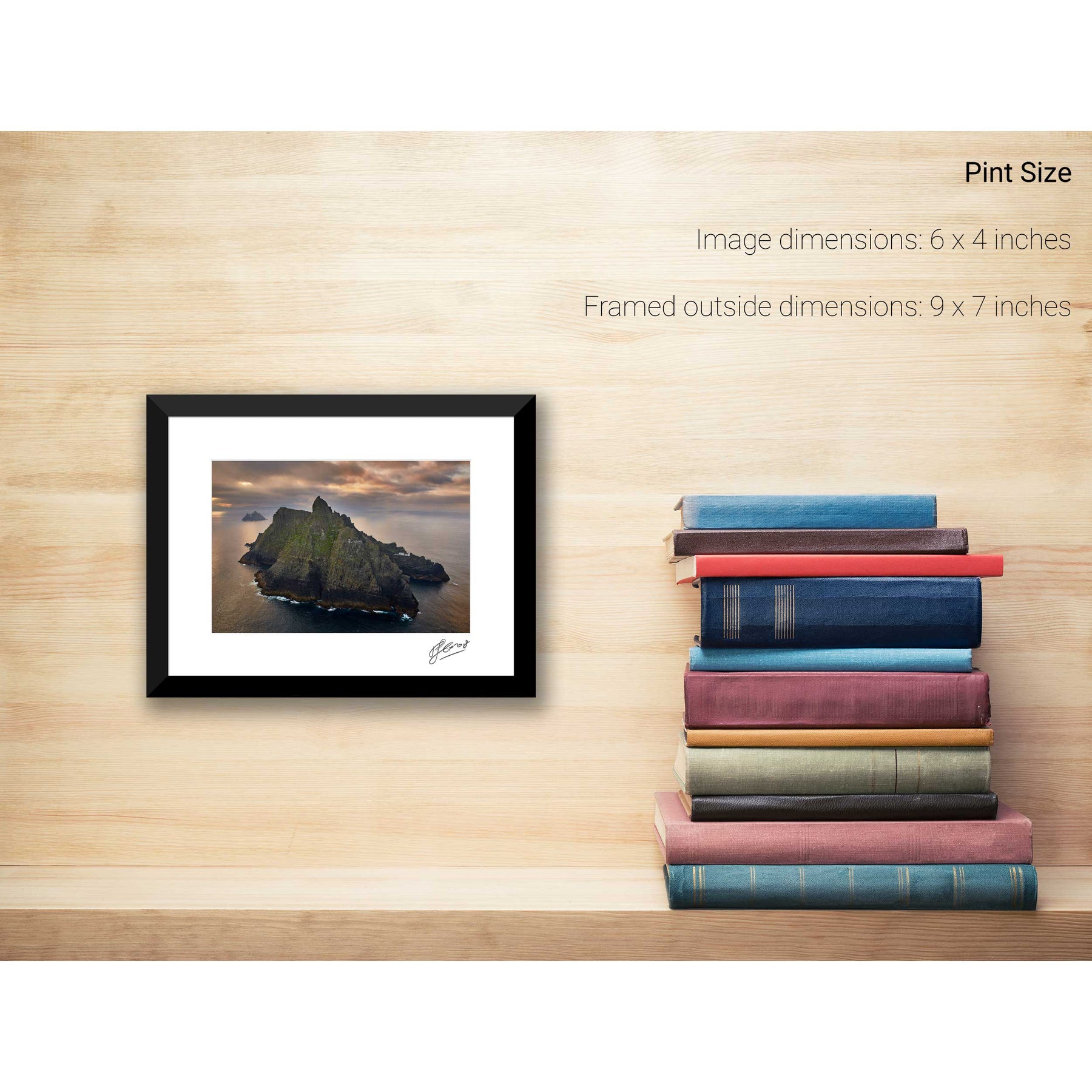
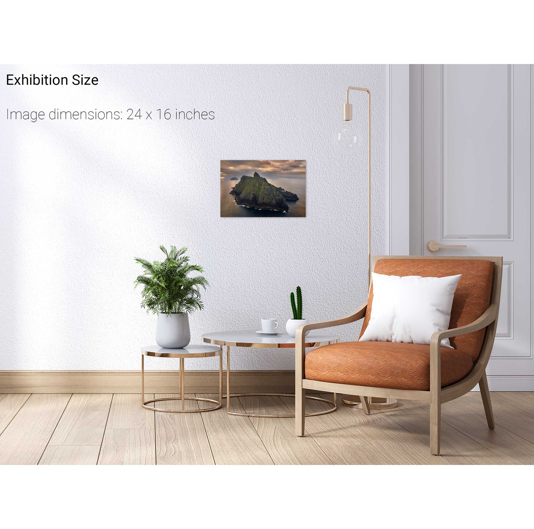
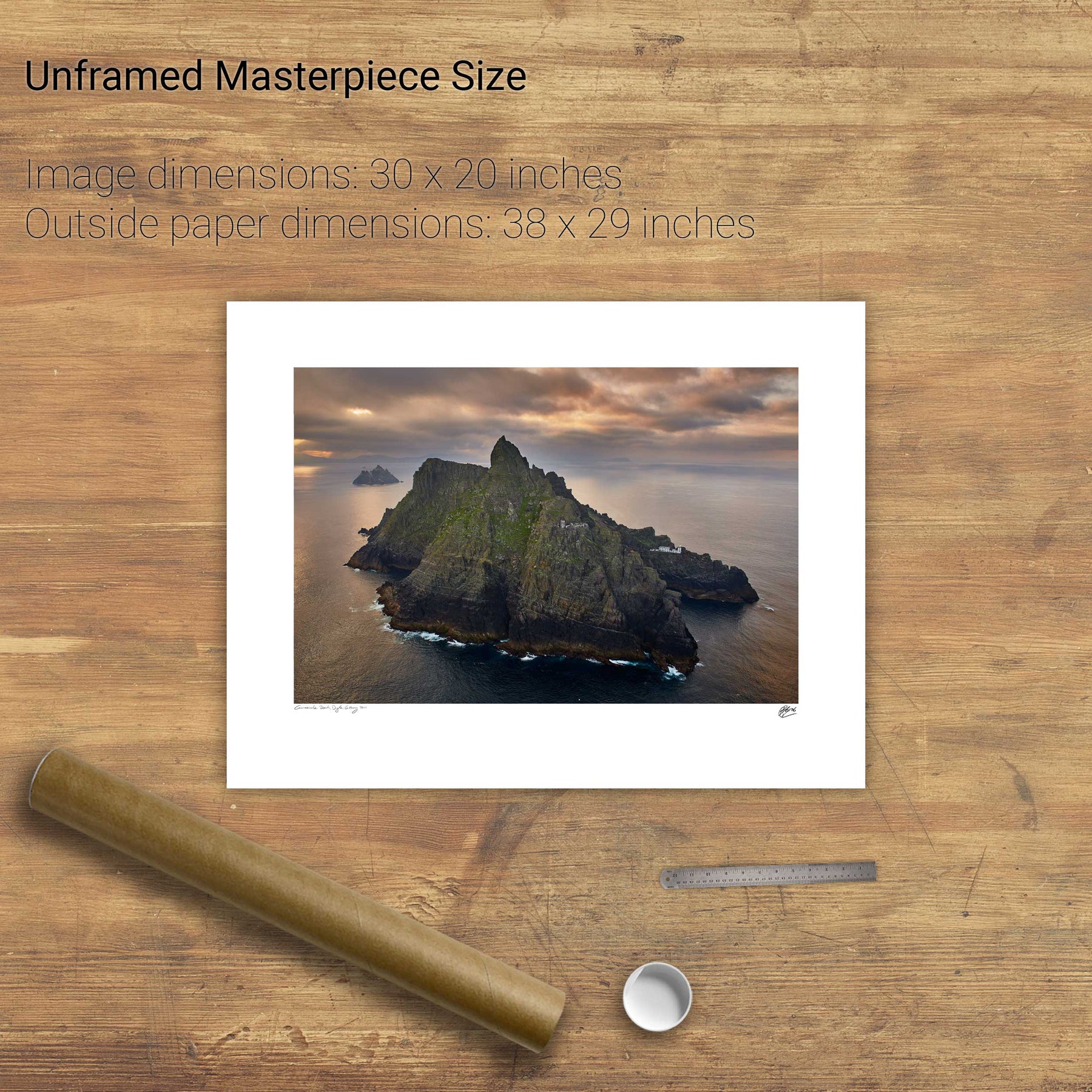
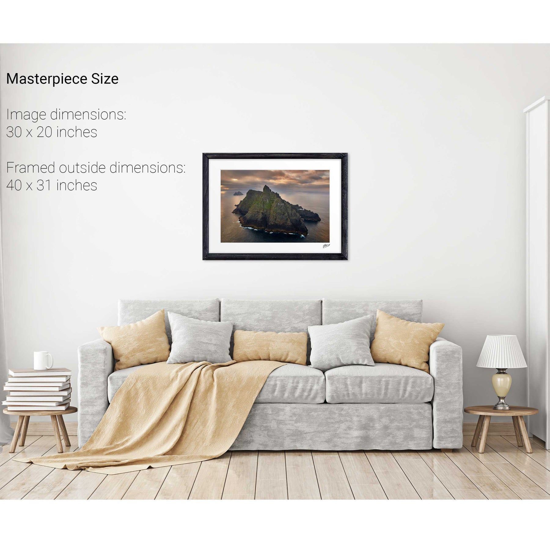
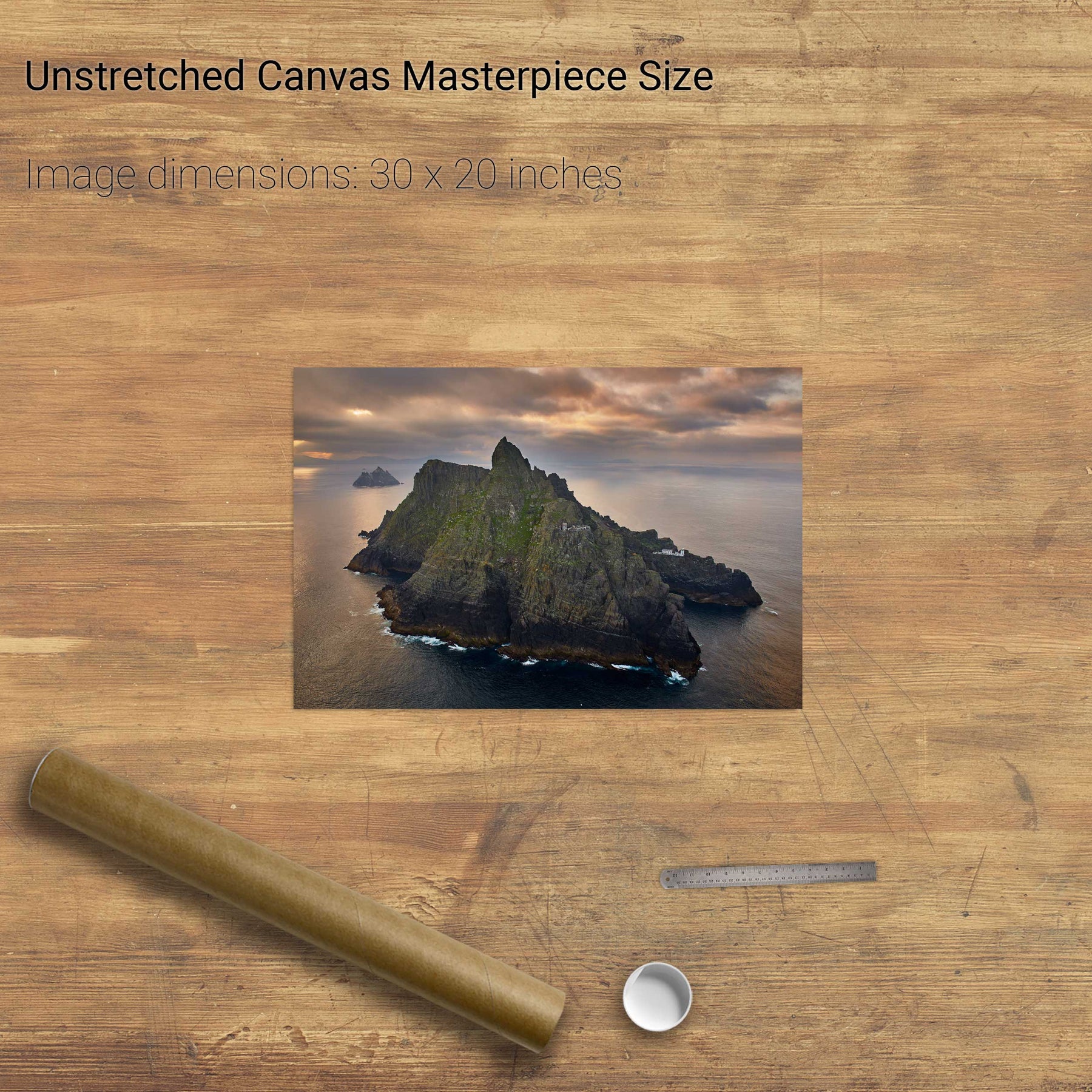
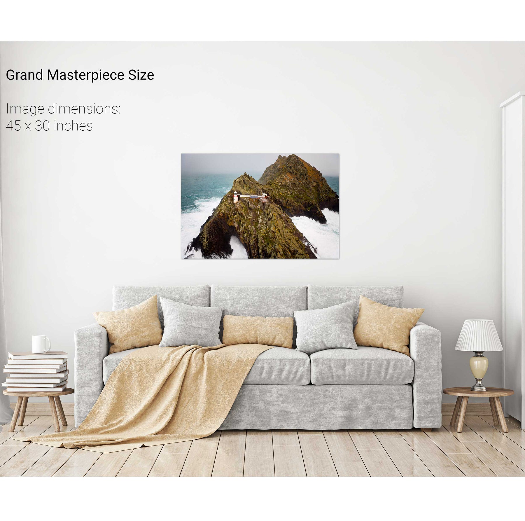
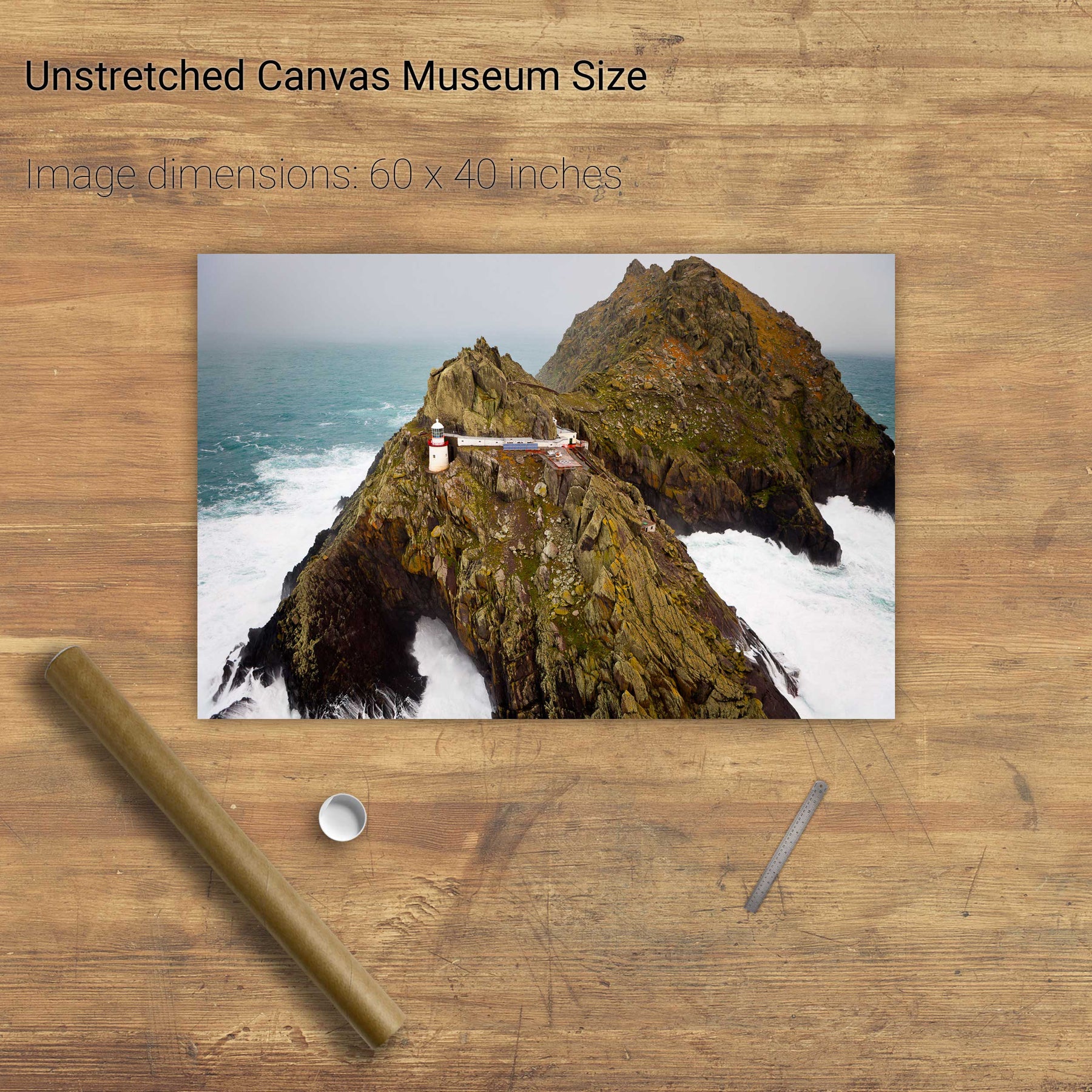
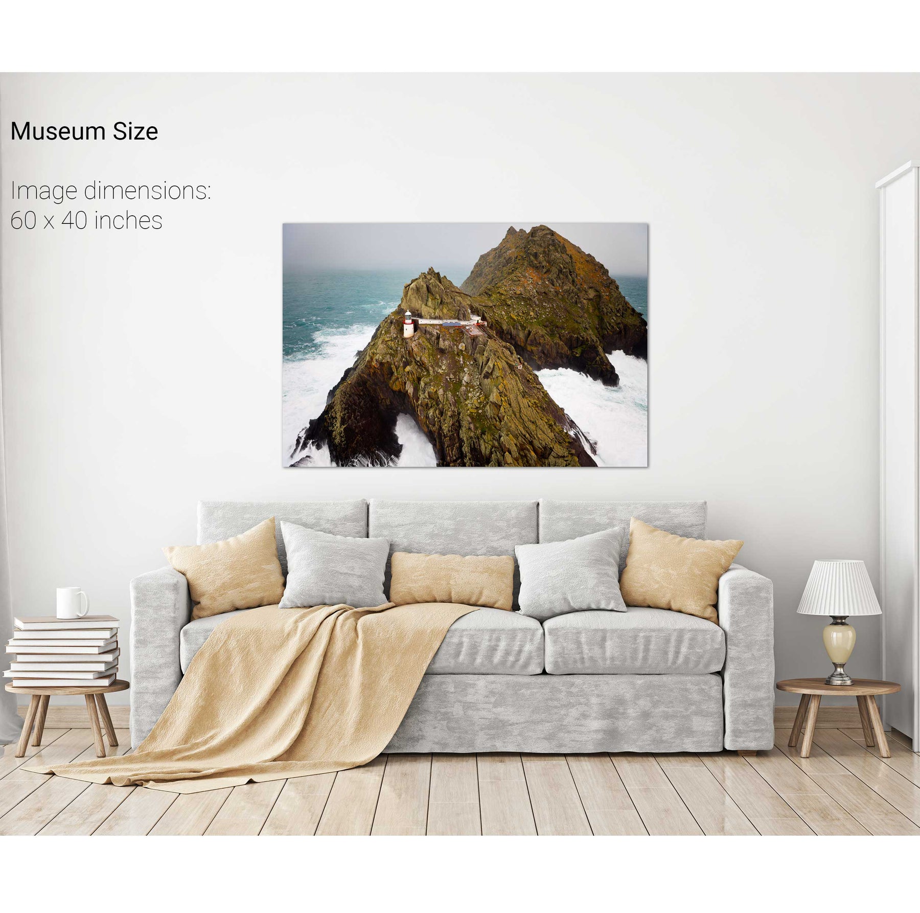
South Peak, Skellig Michael, Co. Kerry
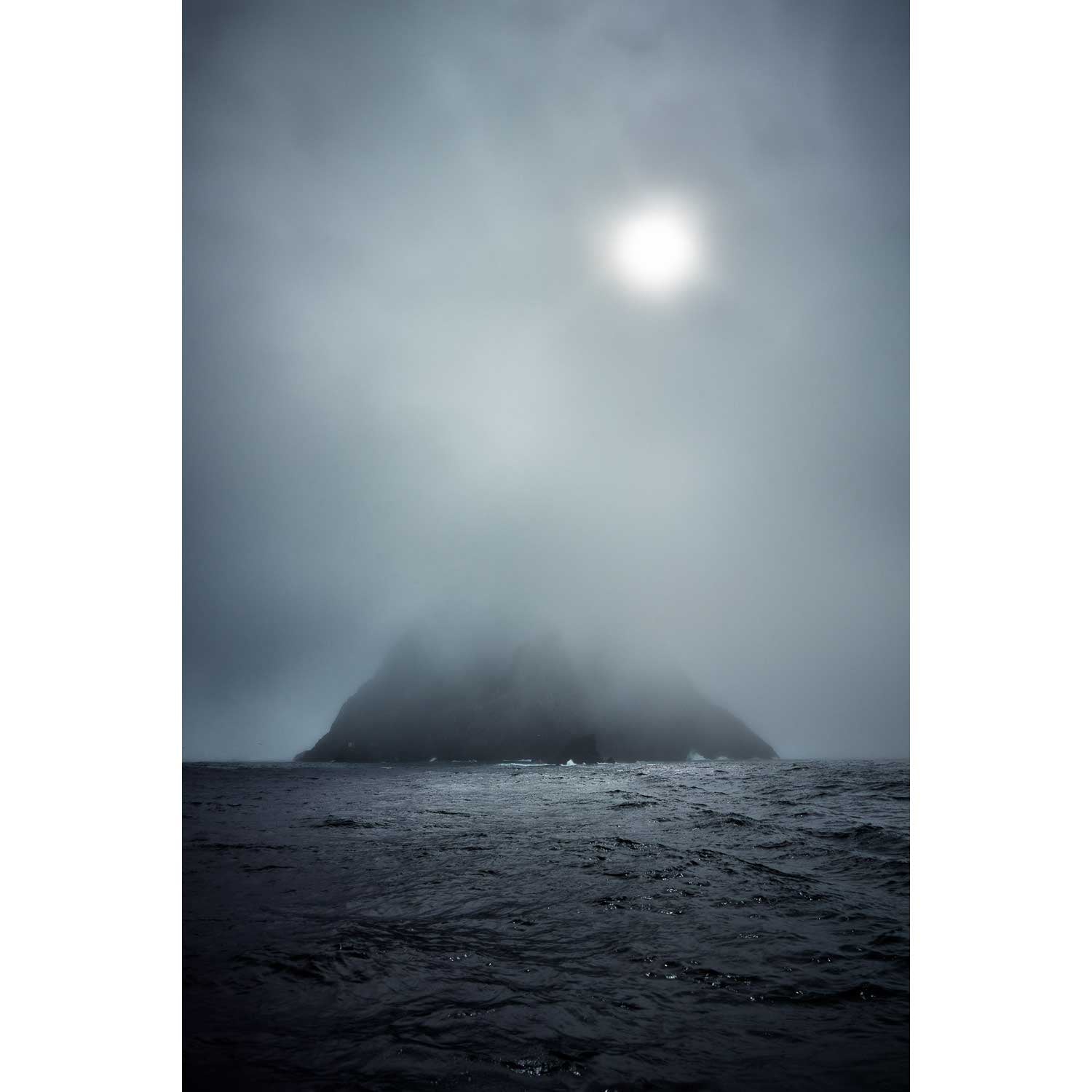
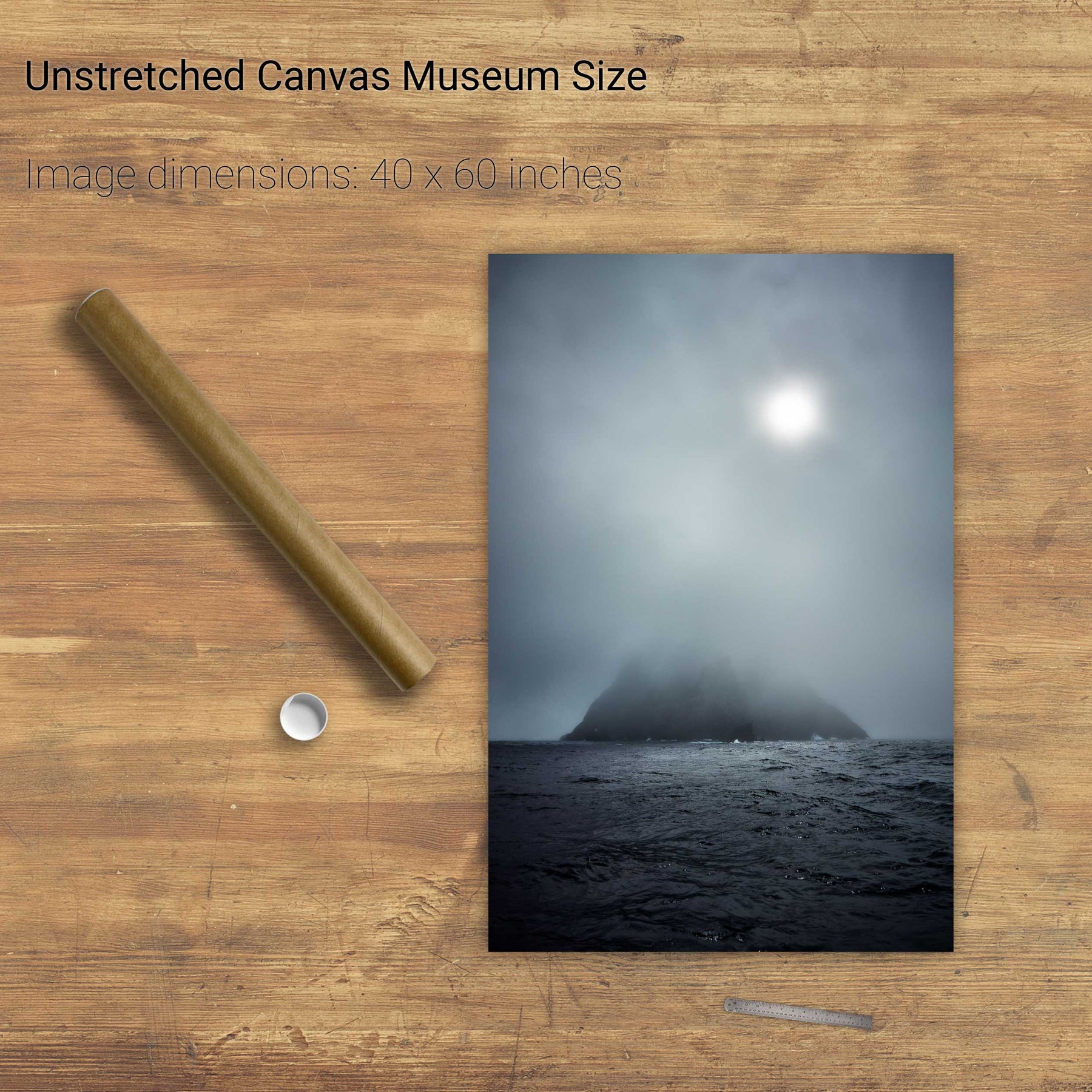
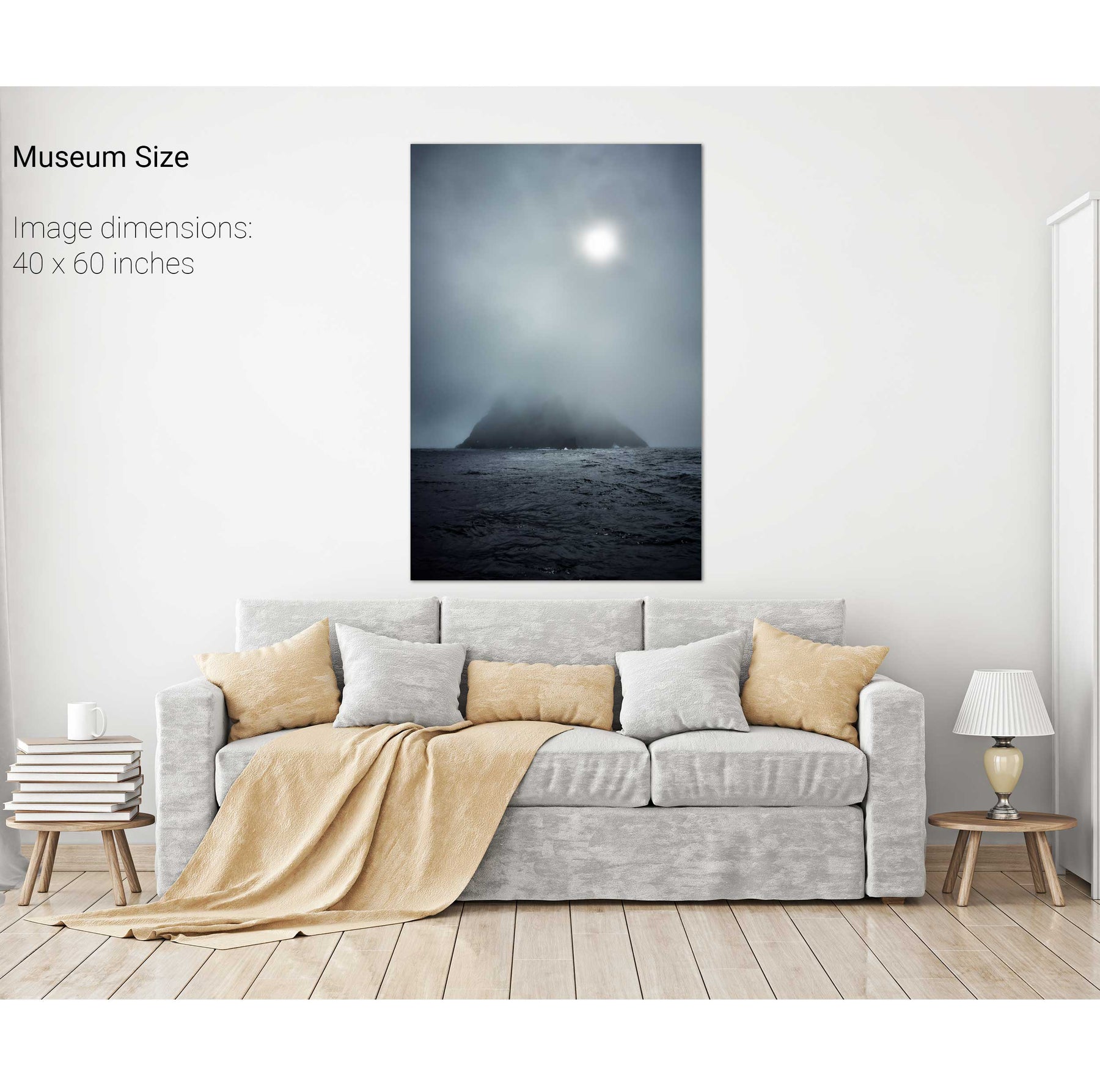
Skellig Michael in the Mist, Kerry
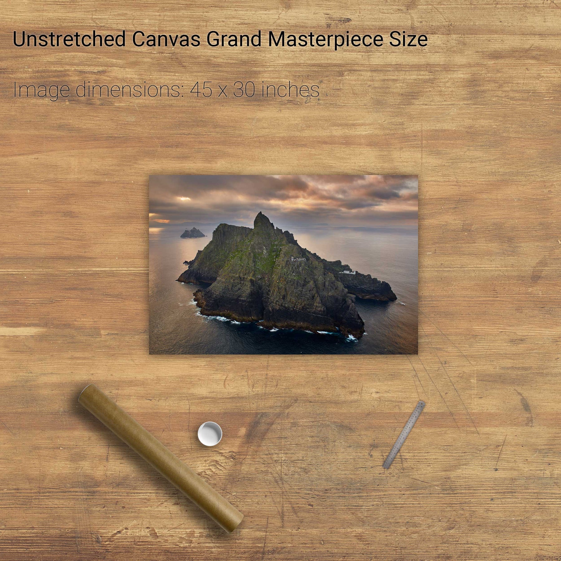
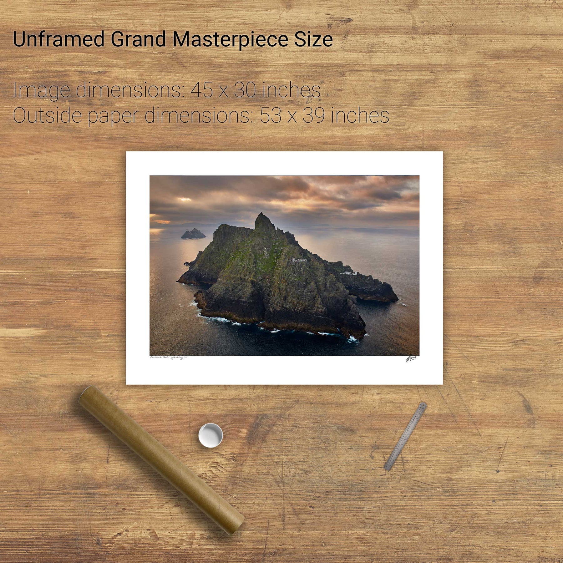
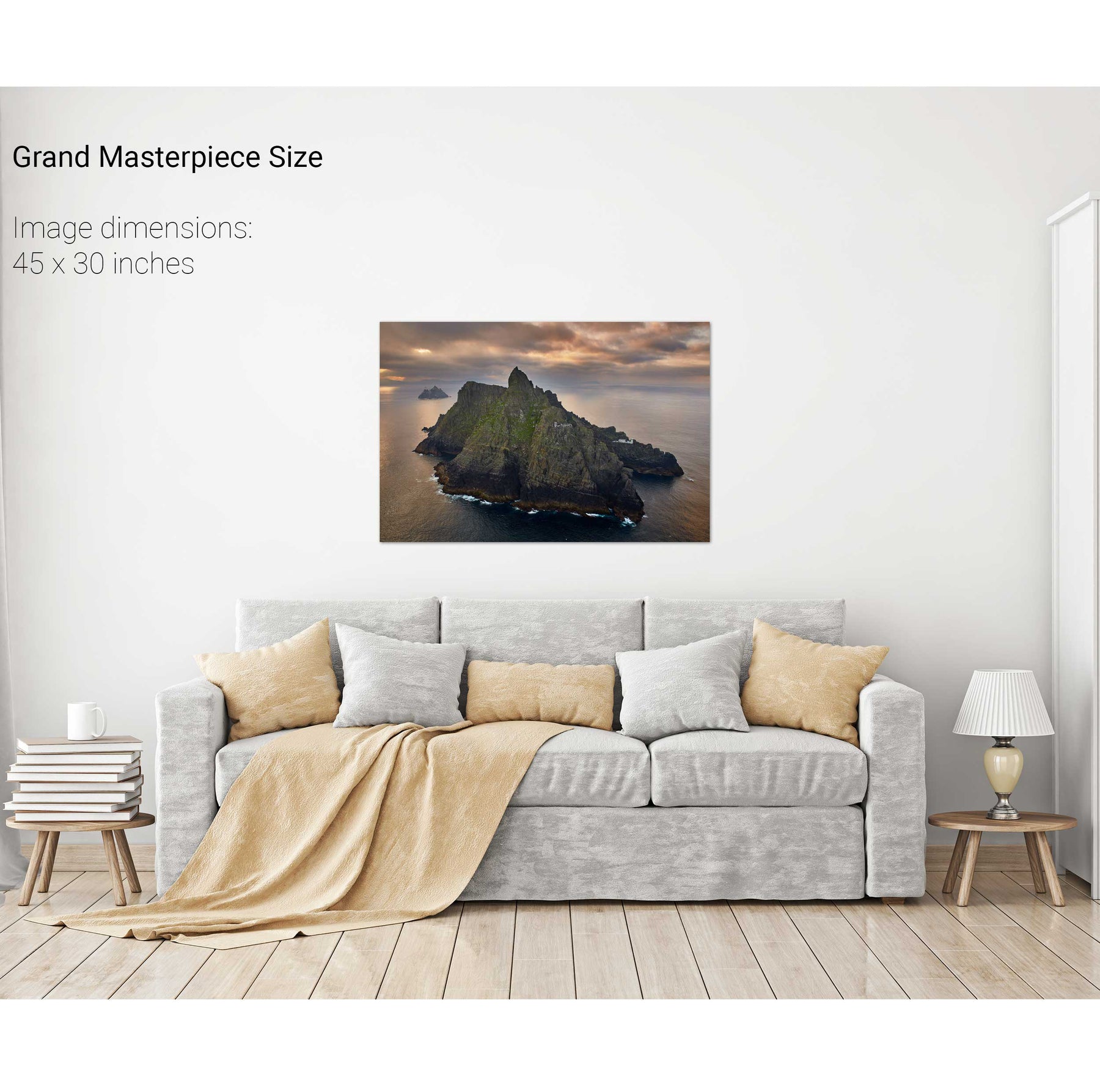
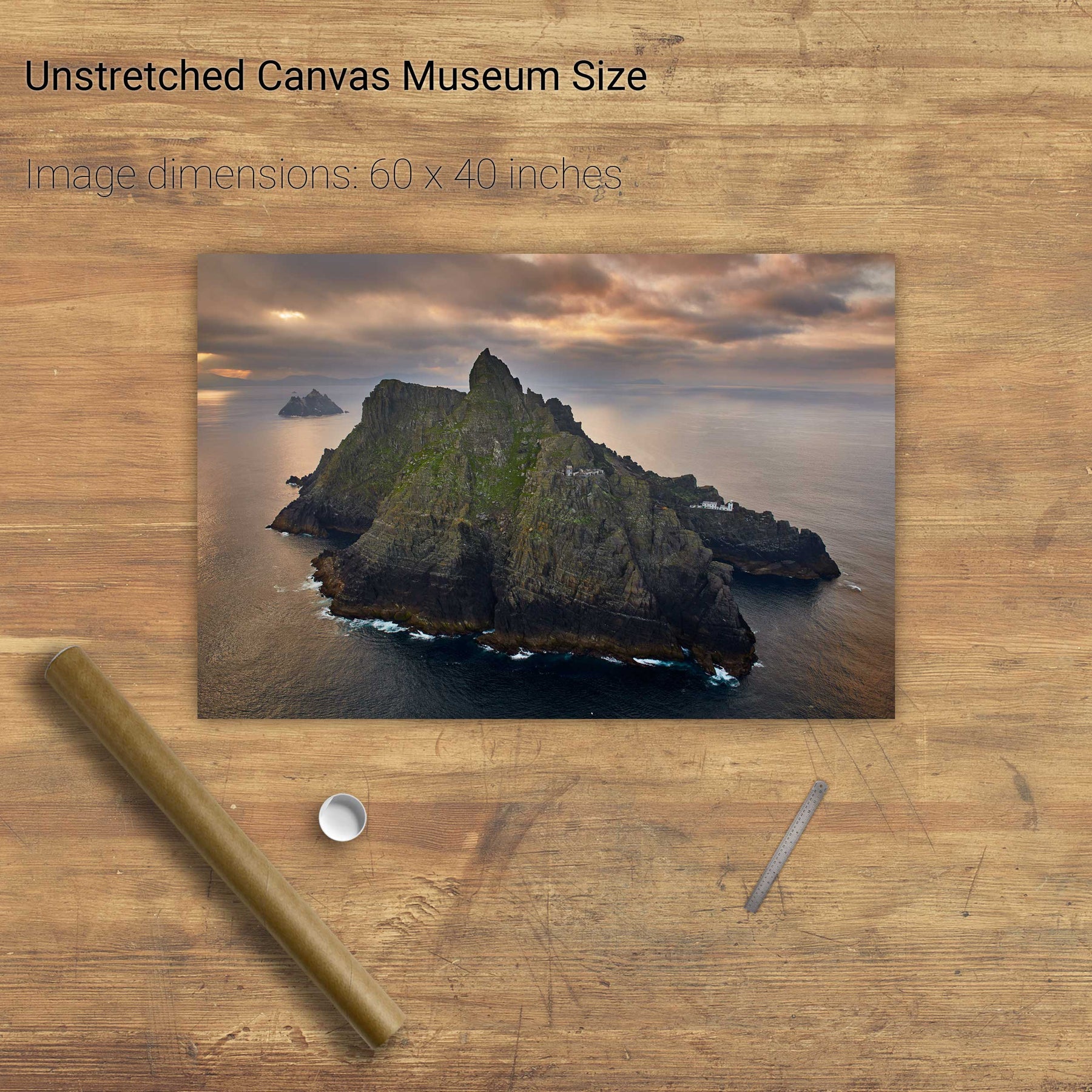
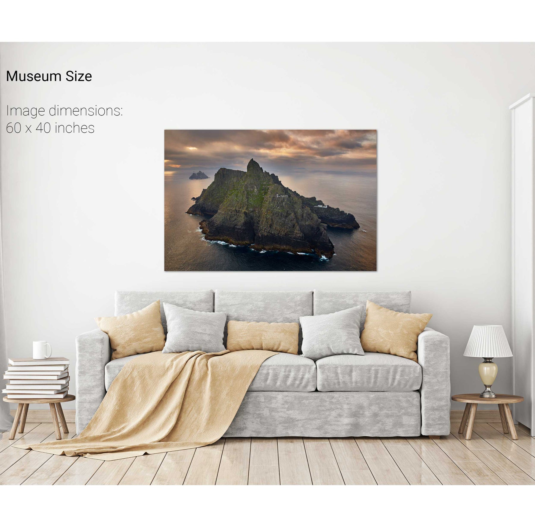
Skellig Michael, Kerry
Great Blasket Island & an Tiaracht, Co. Kerry
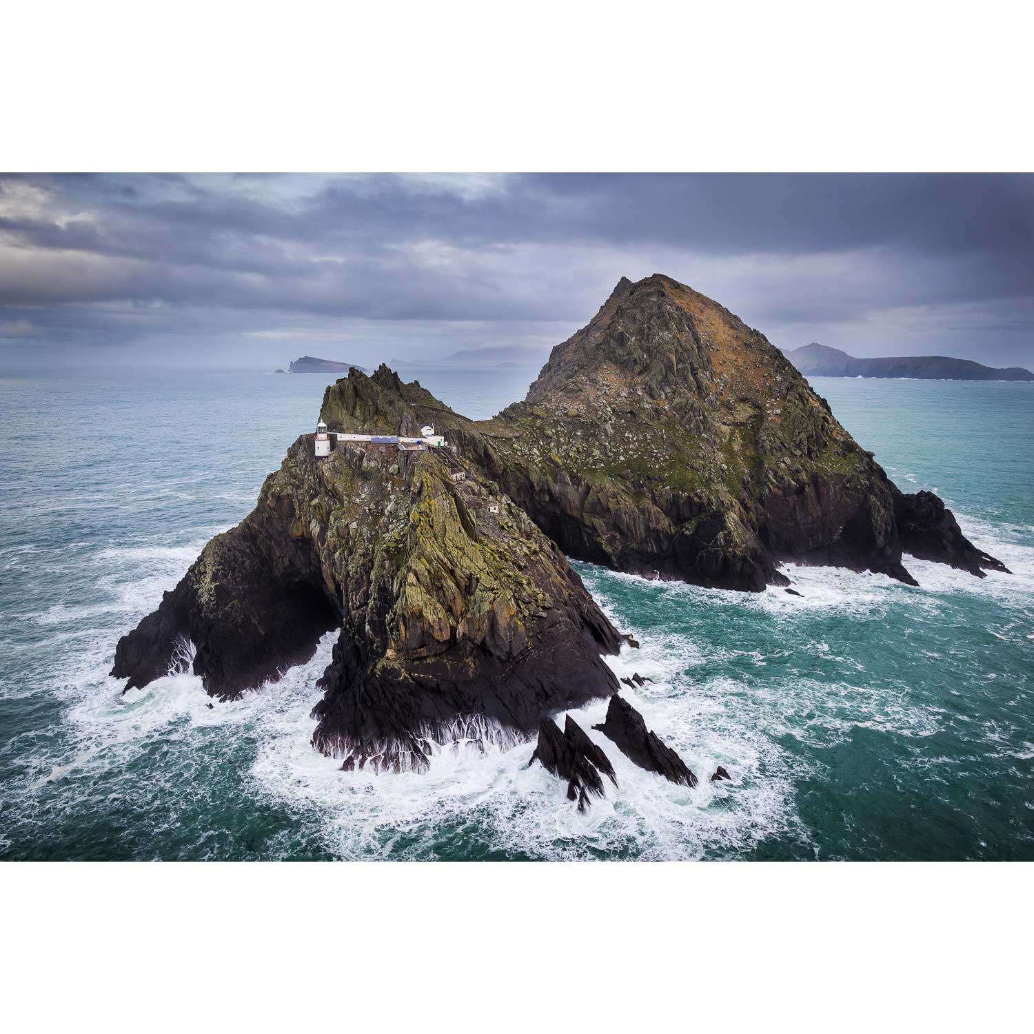
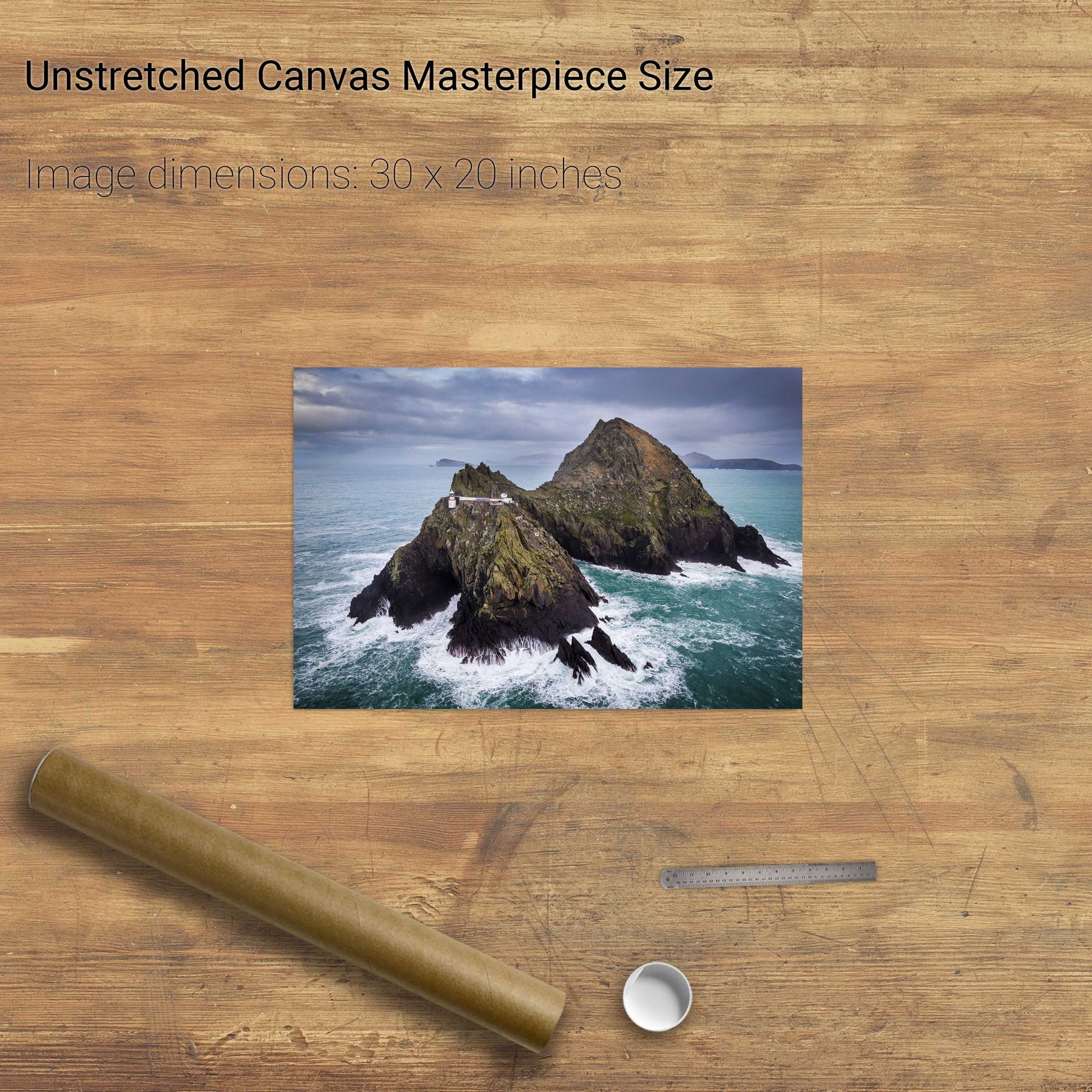
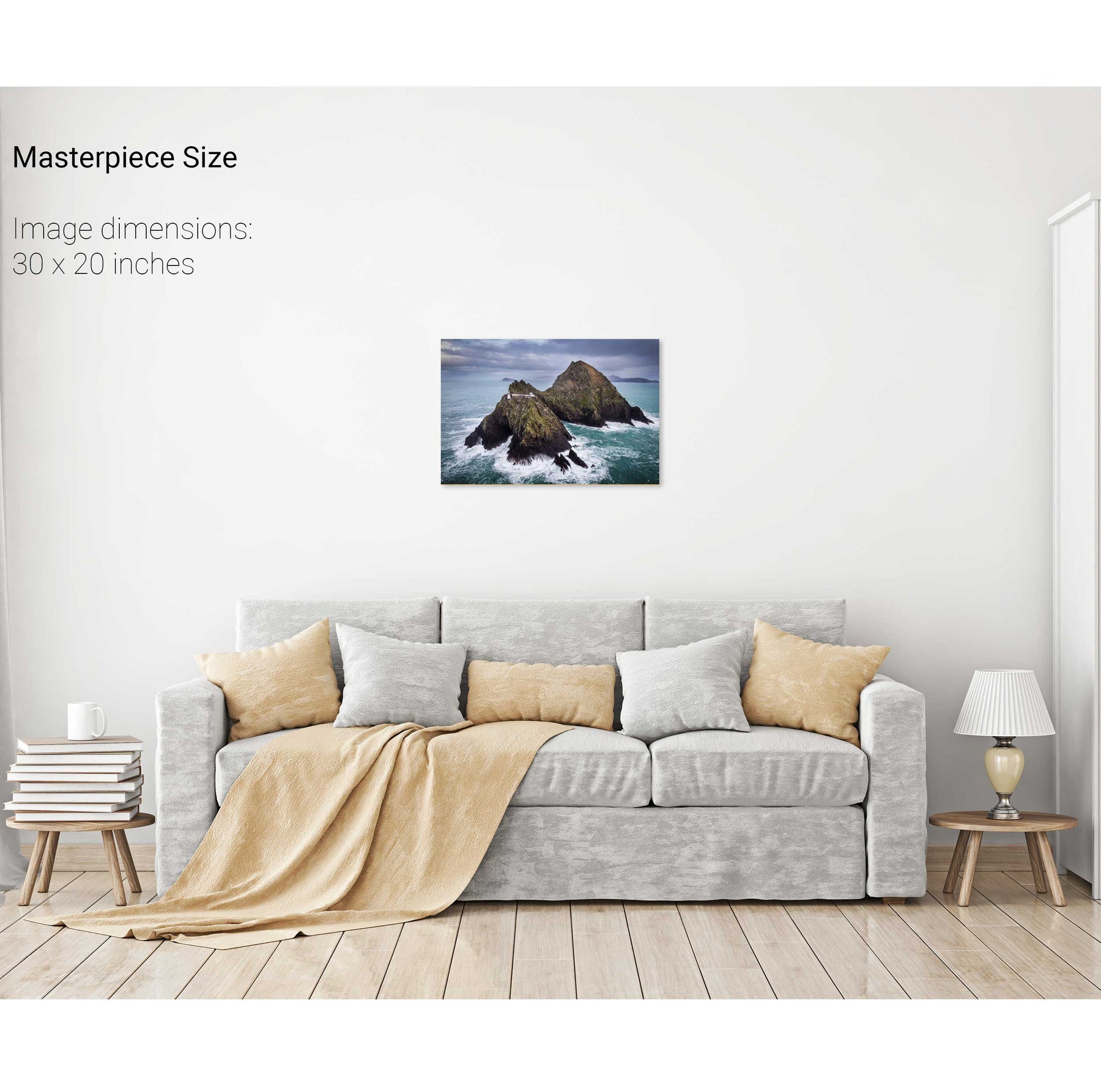
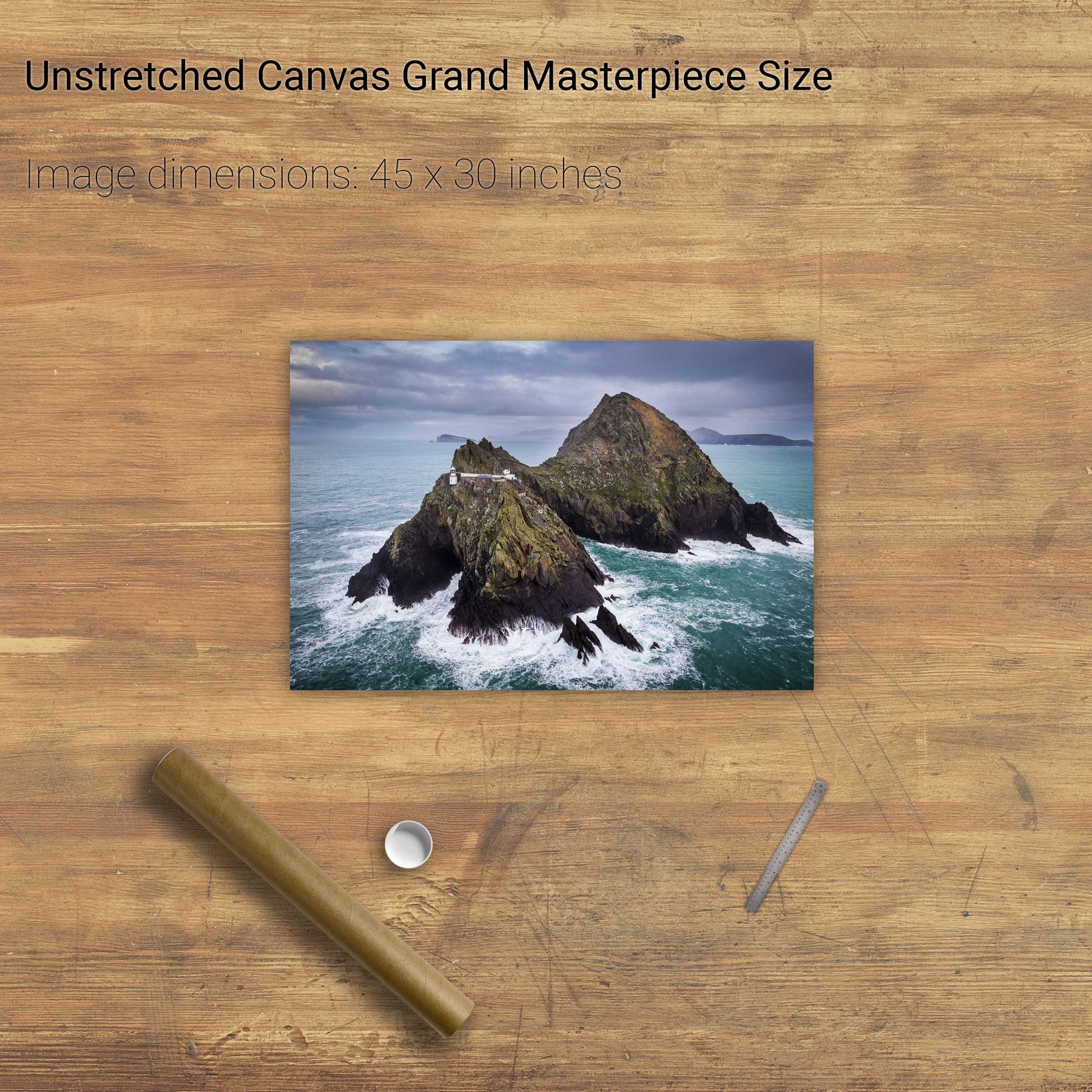
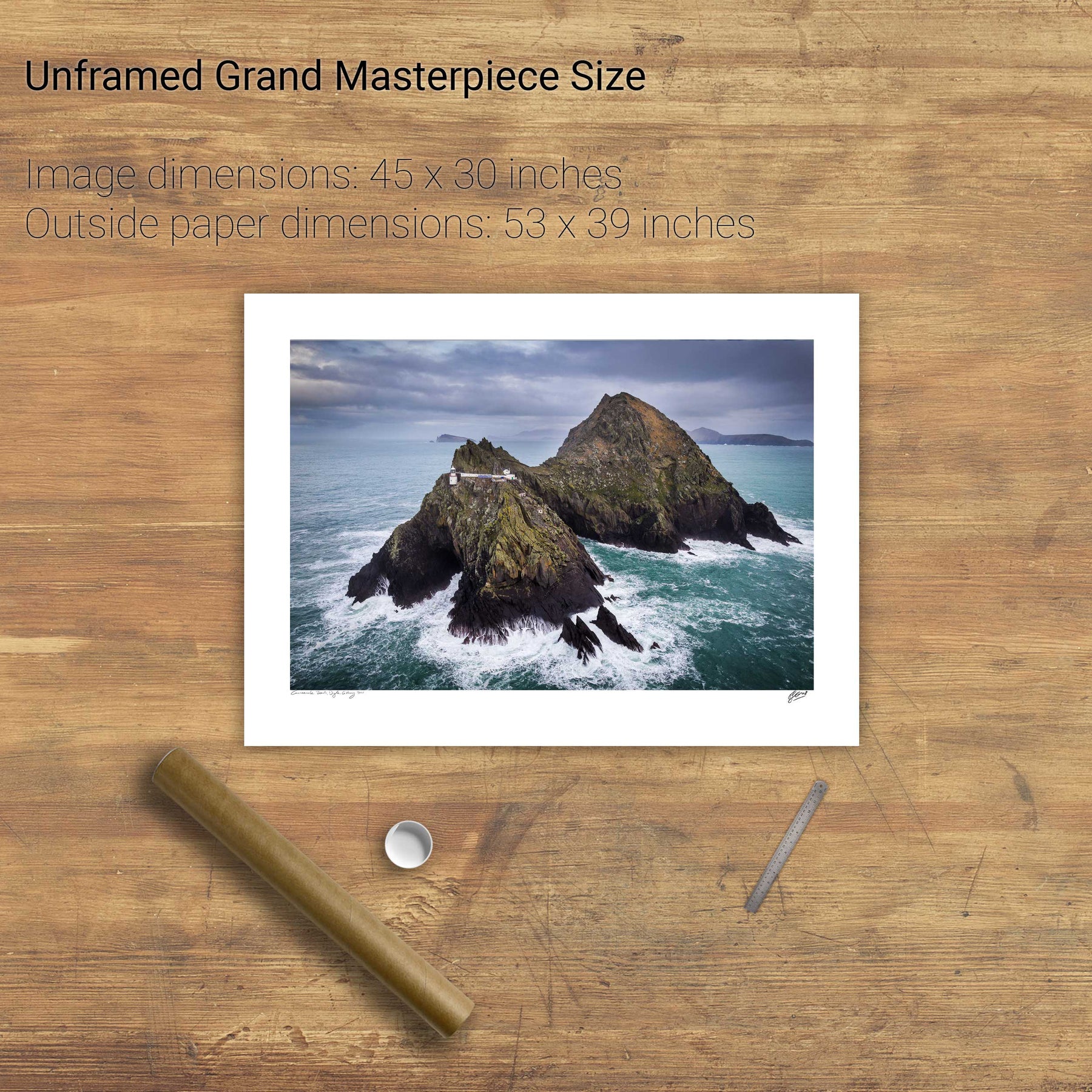
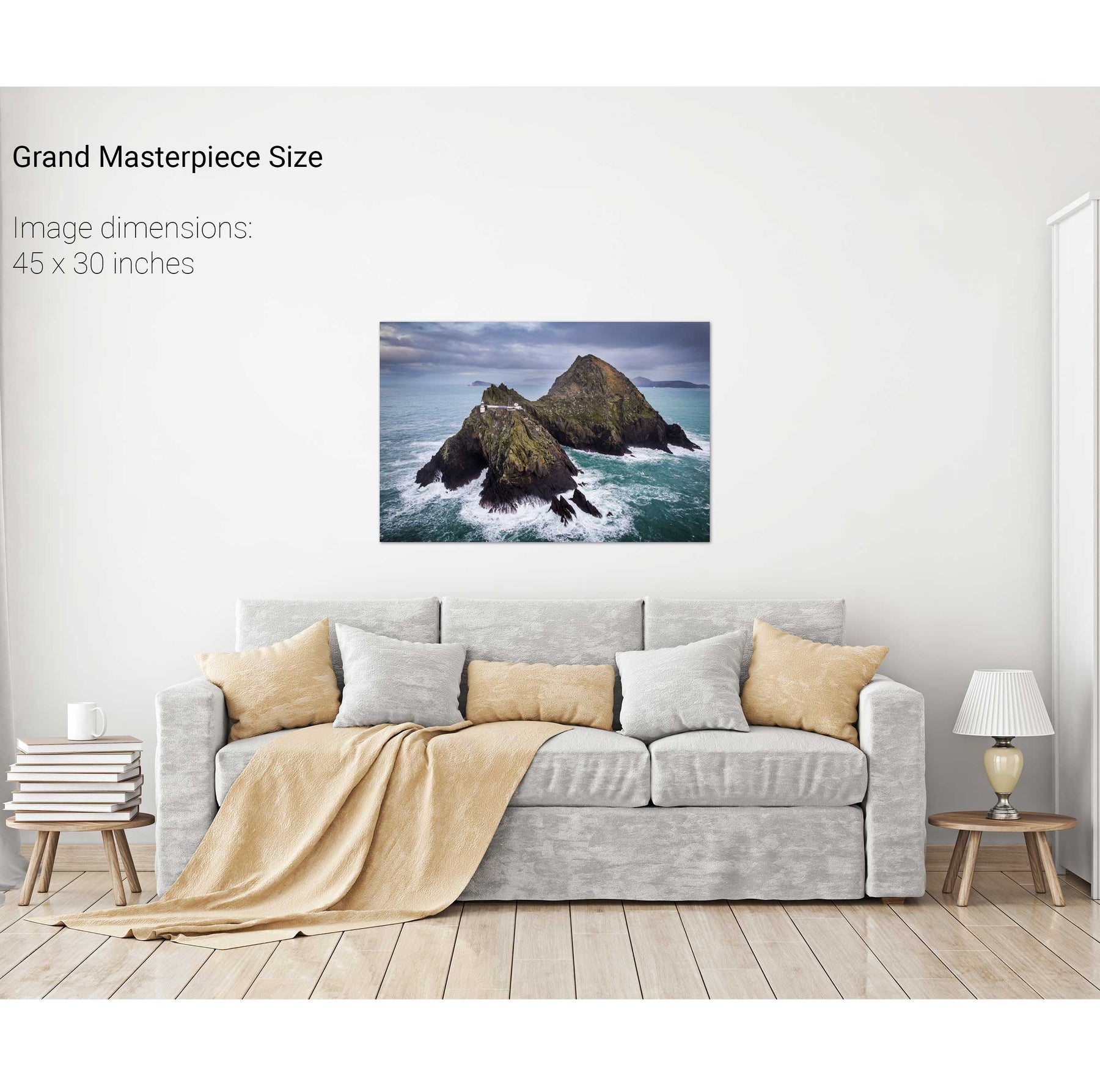
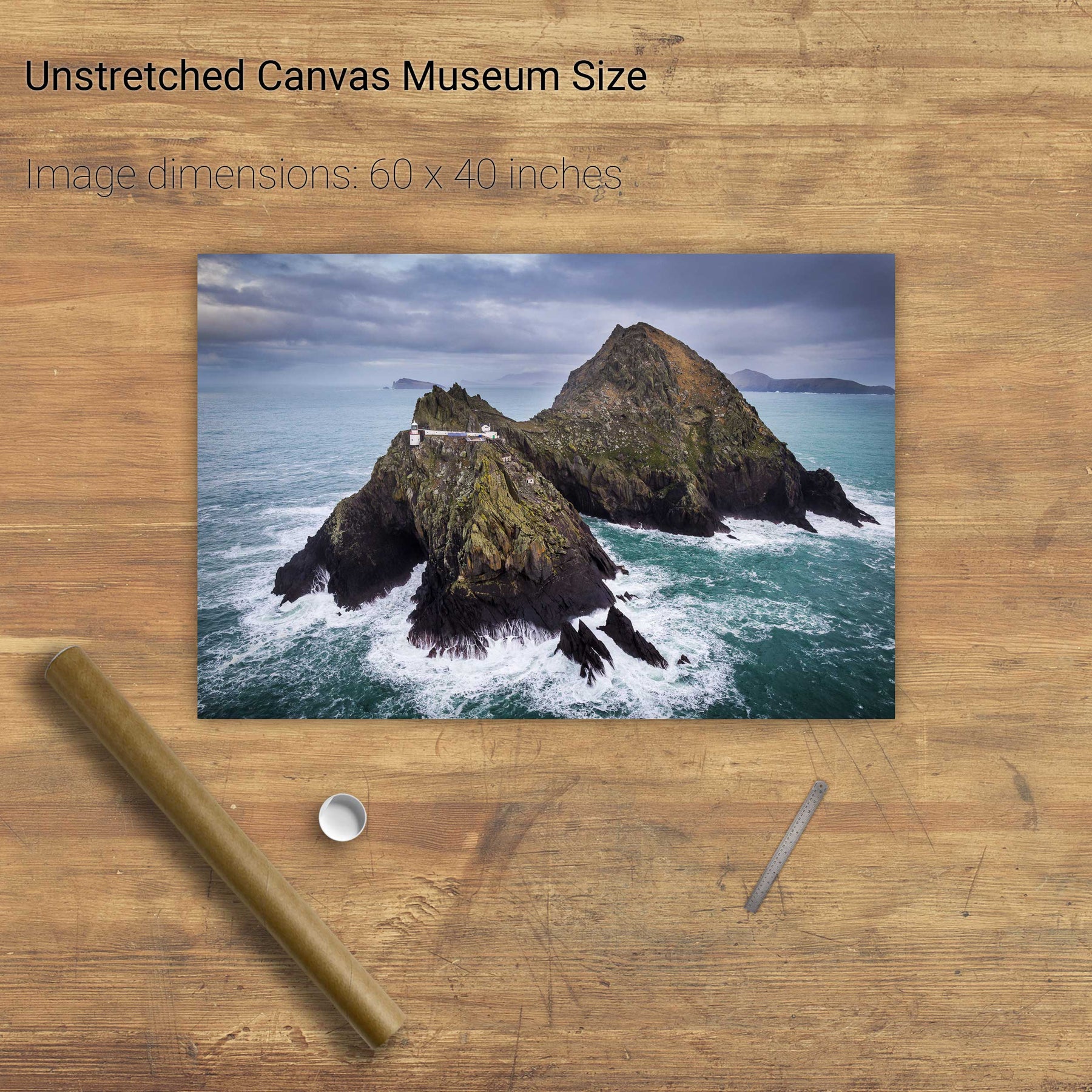
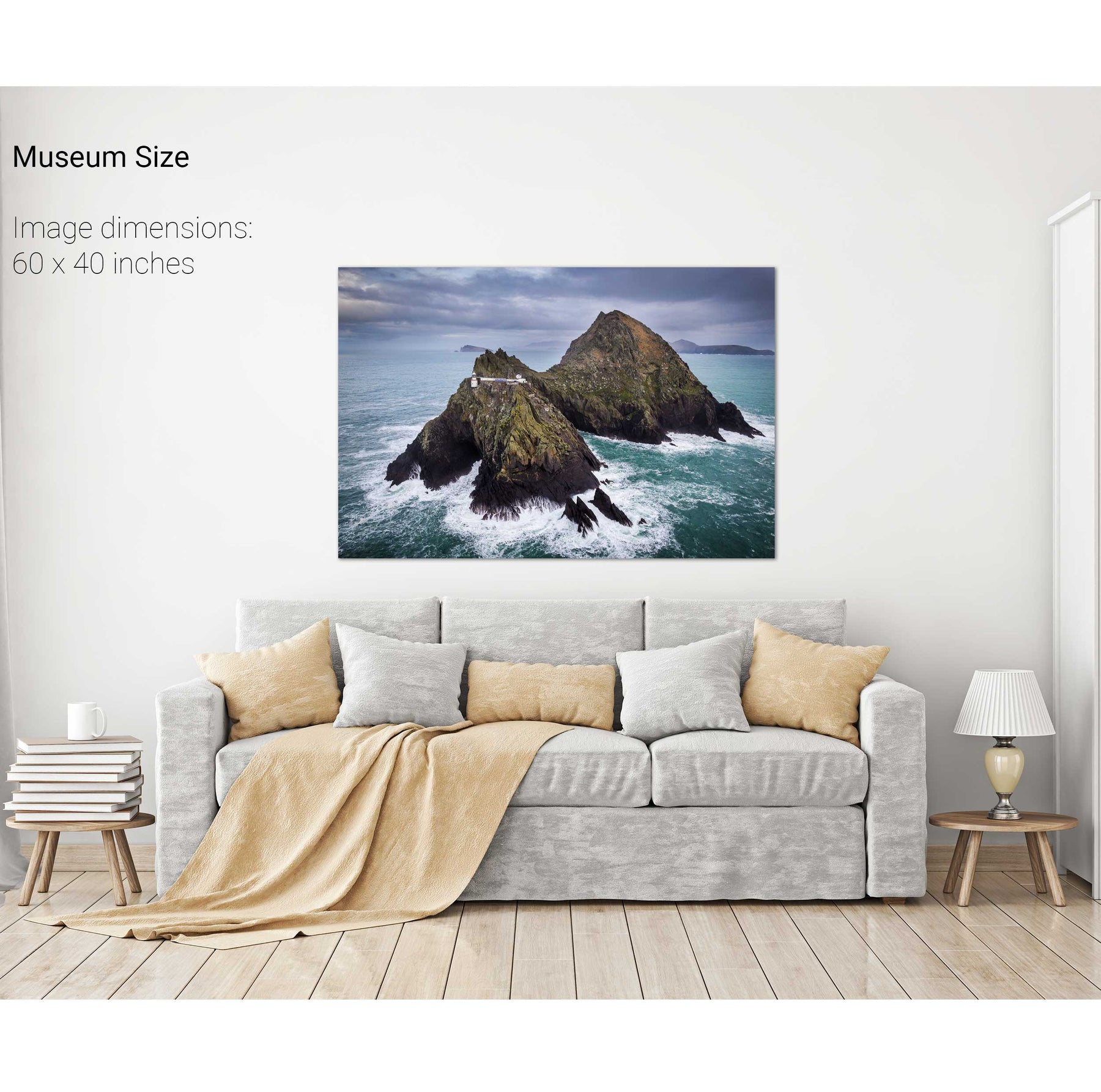
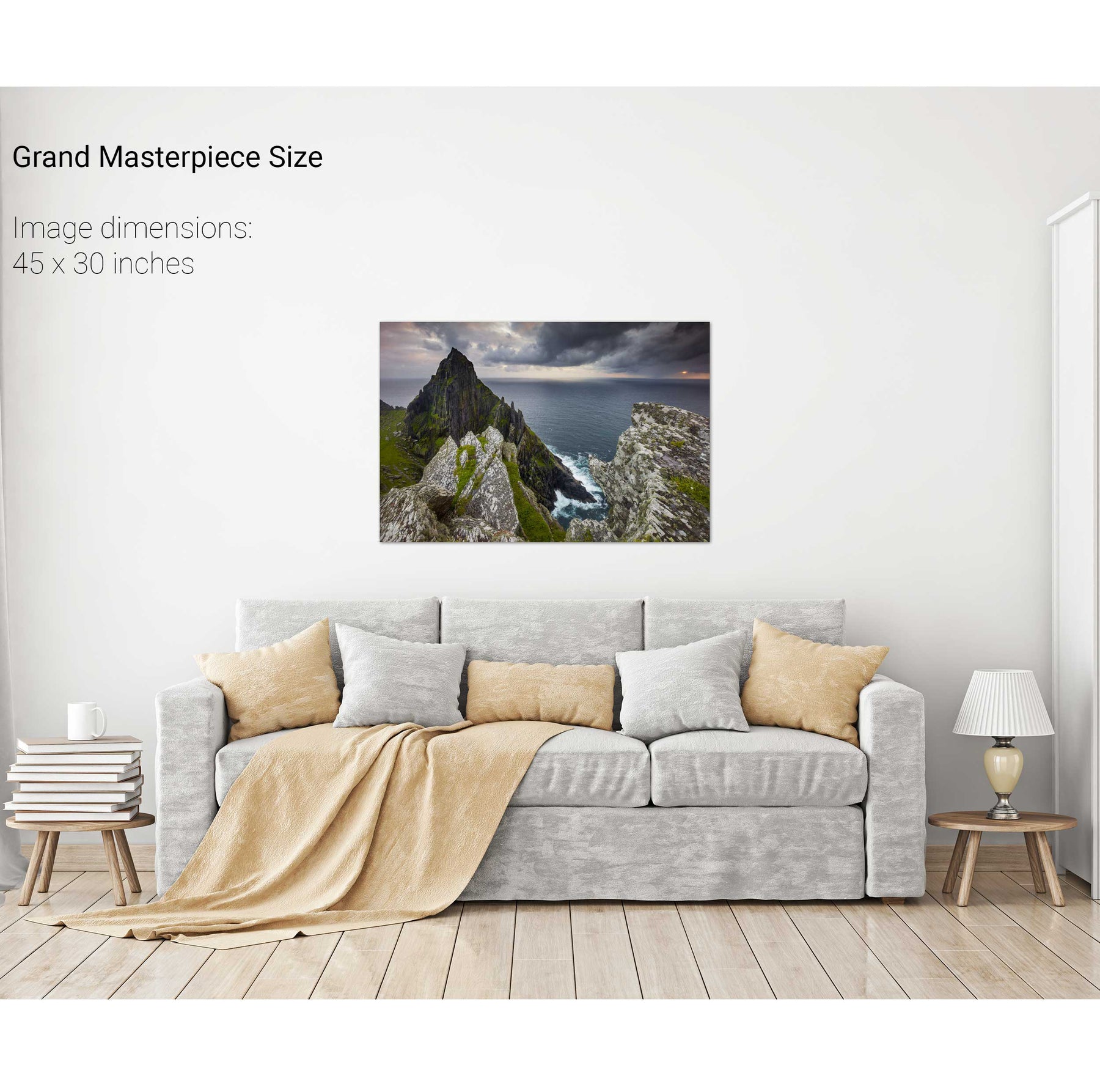
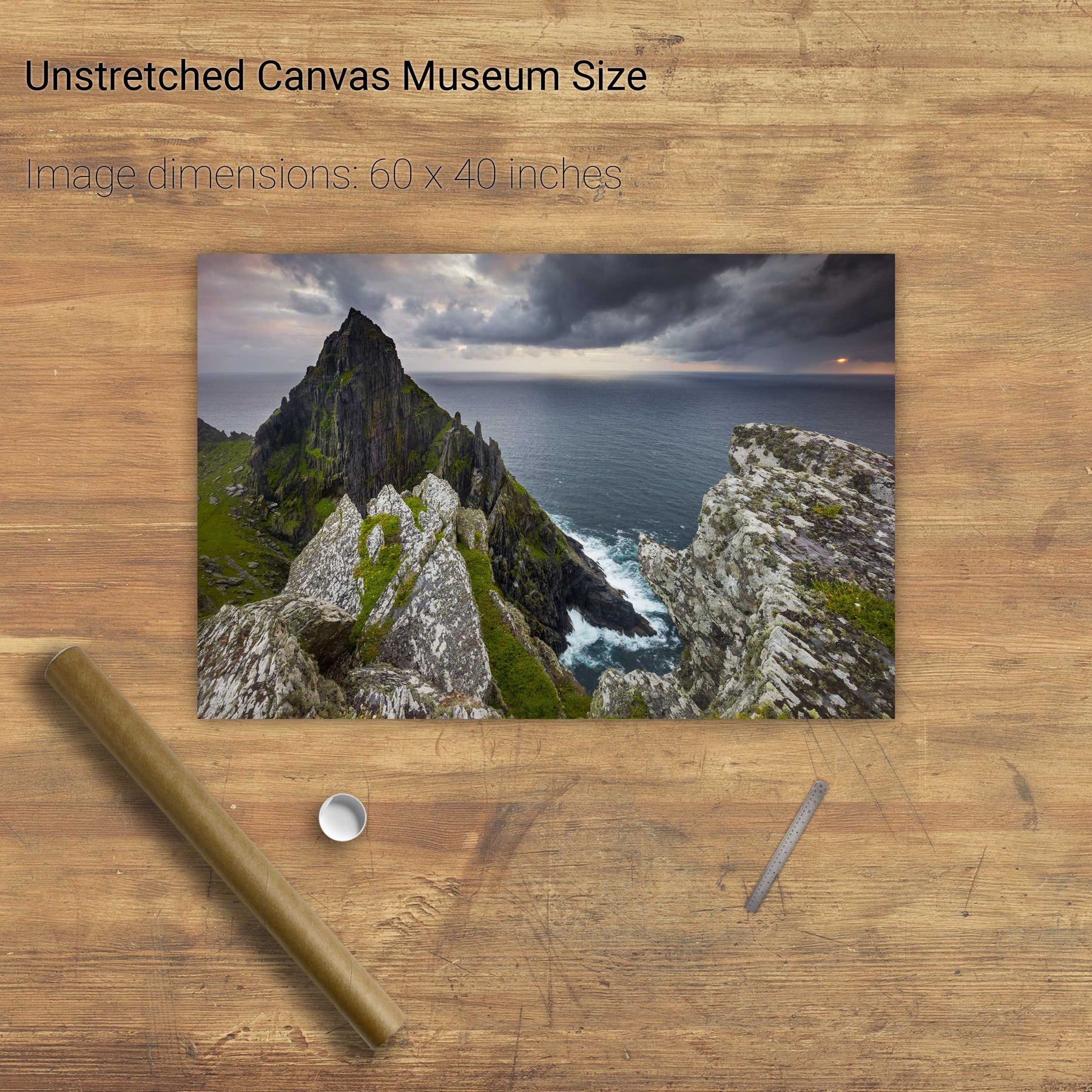
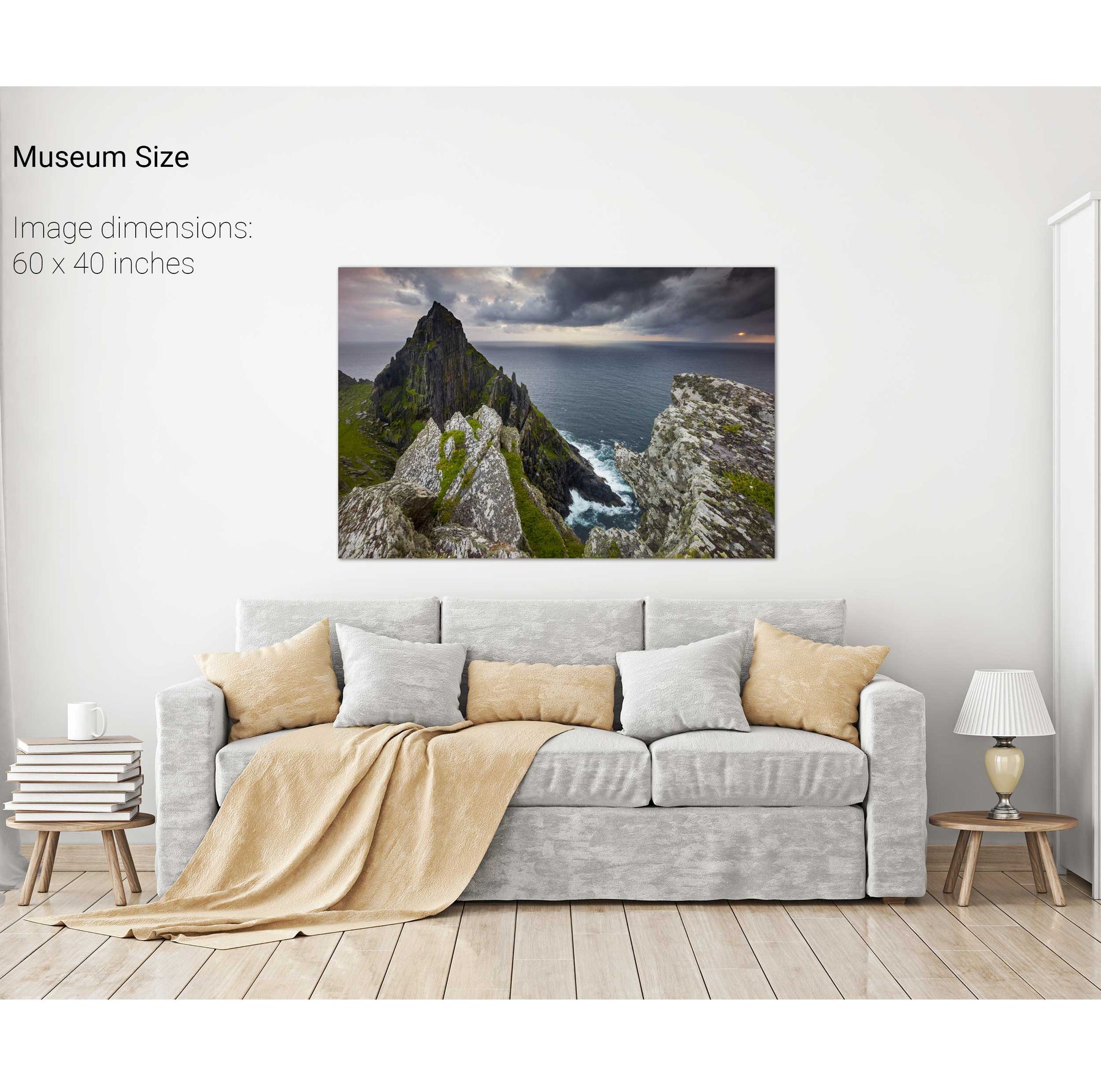
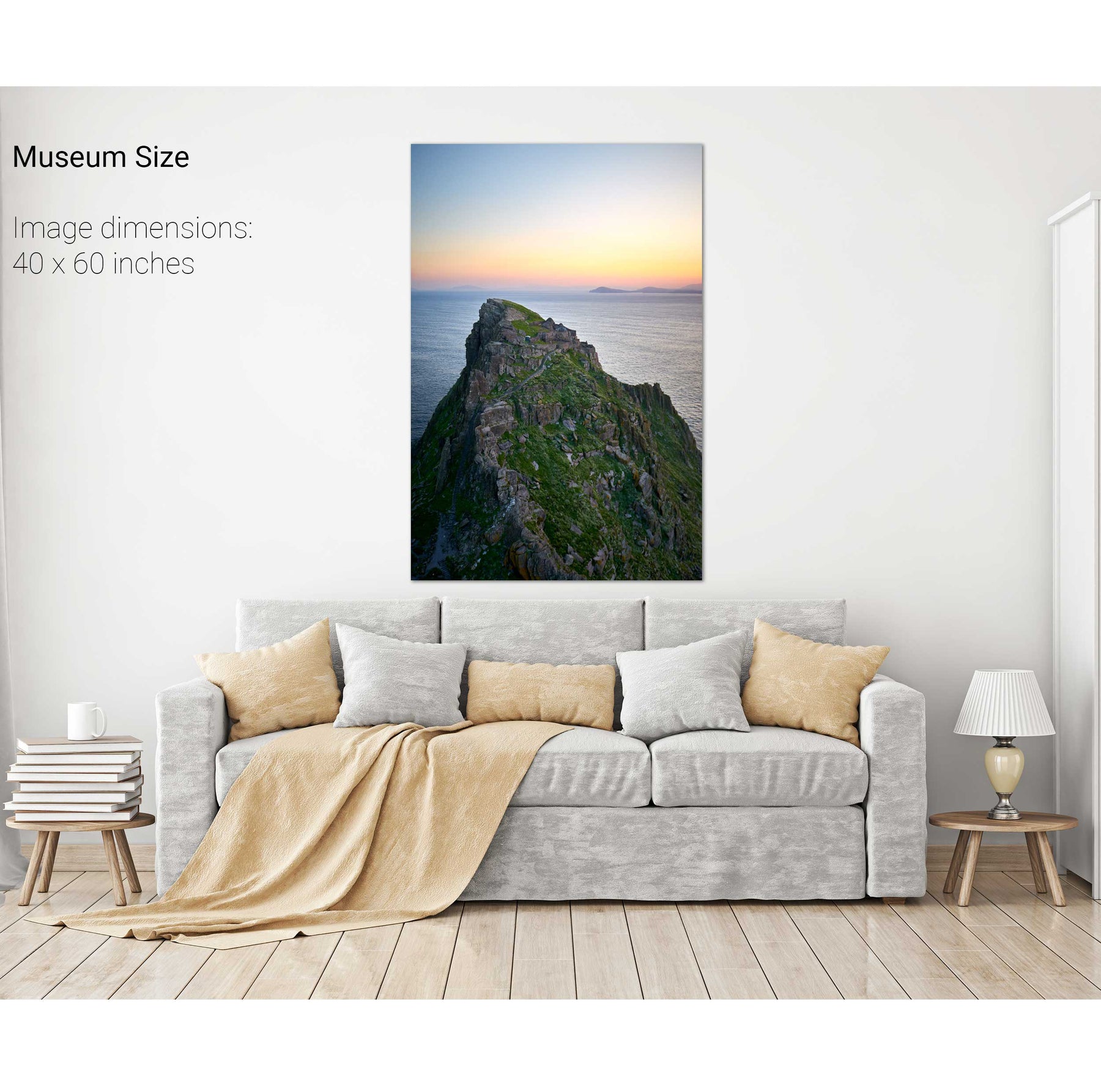
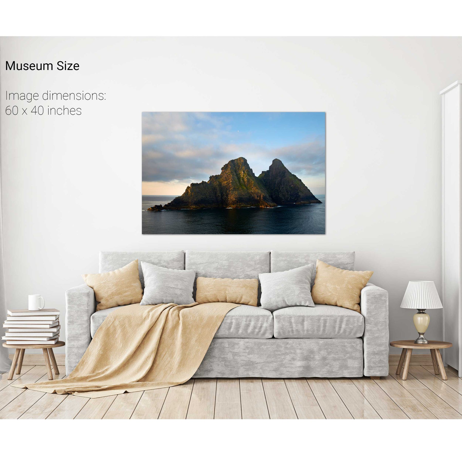
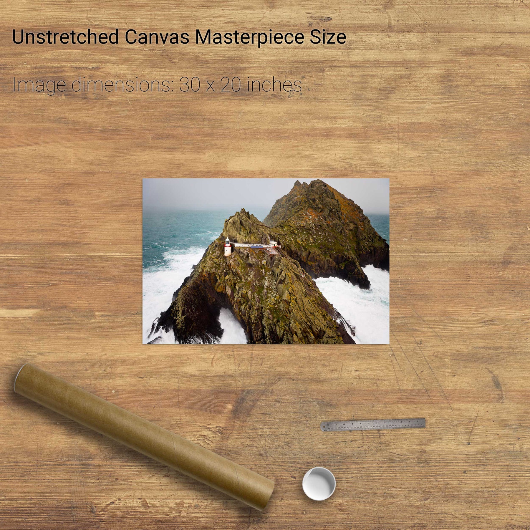
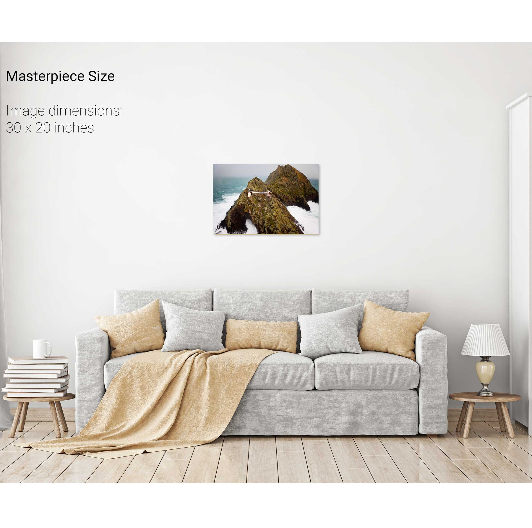
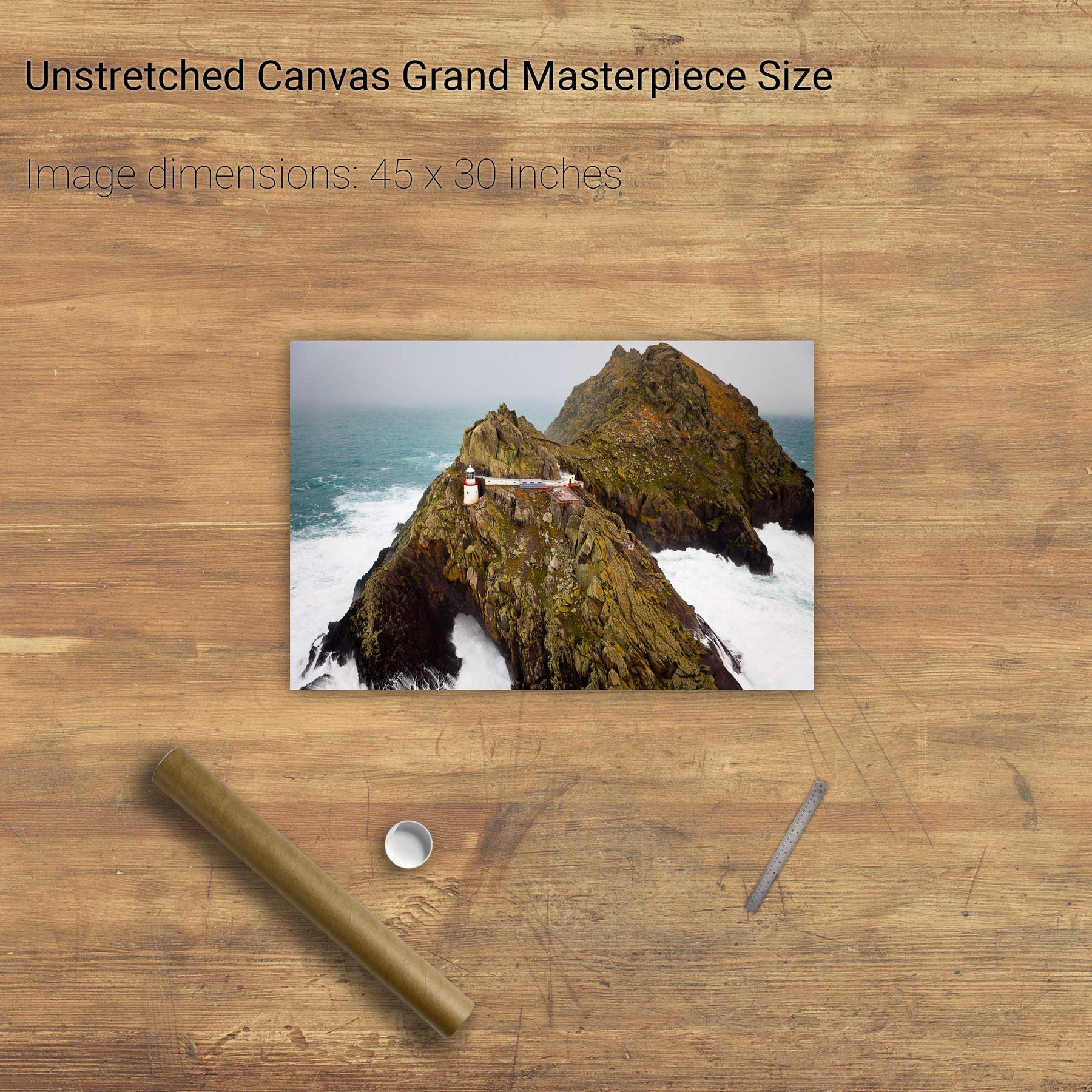
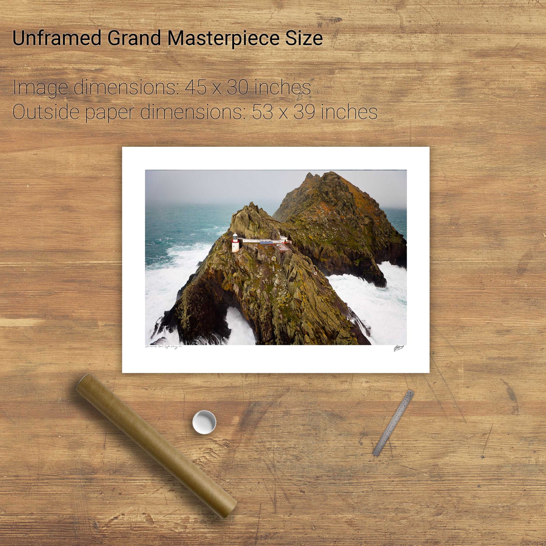
North Peak, Skellig Michael, Co. Kerry
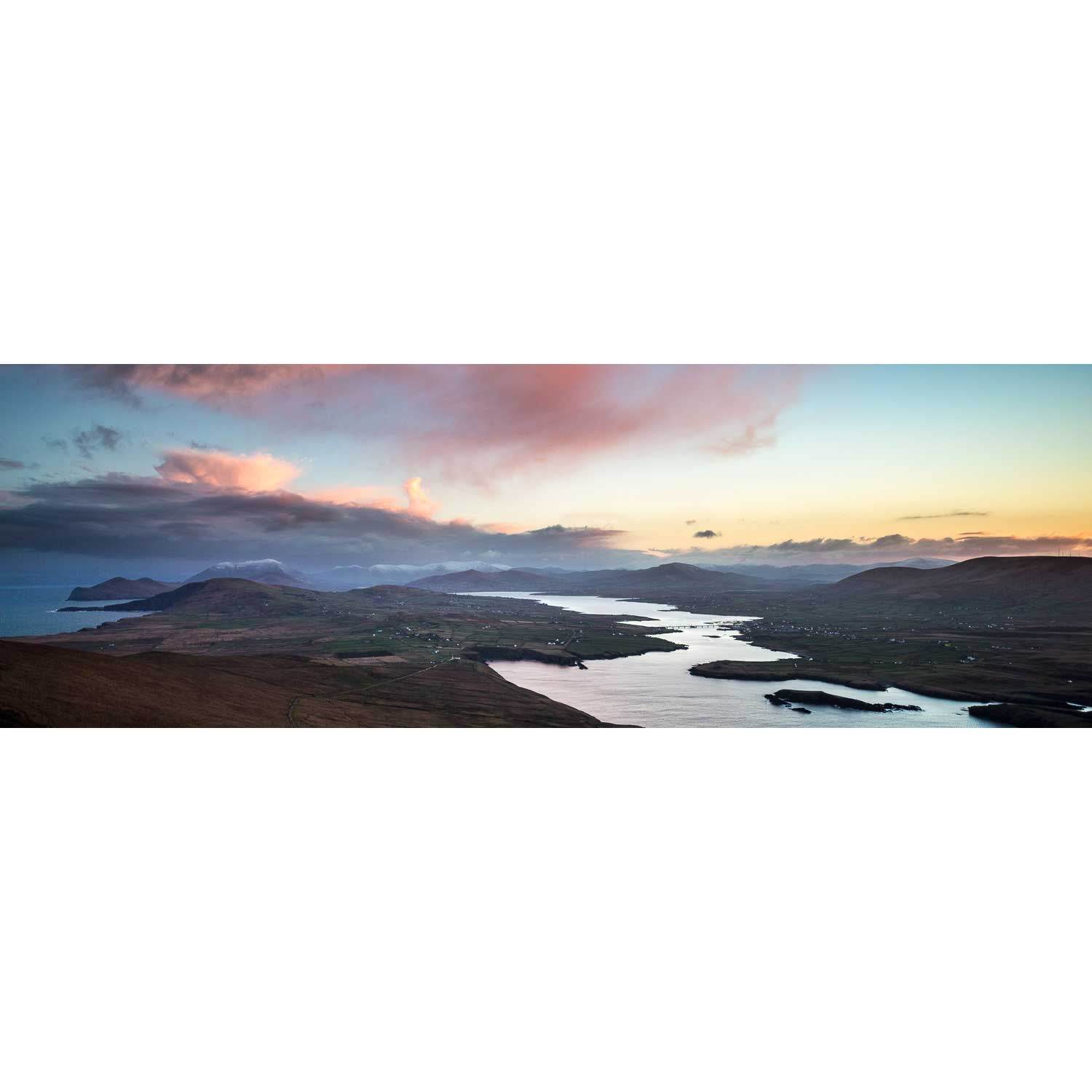
Valentia Sound, Co. Kerry
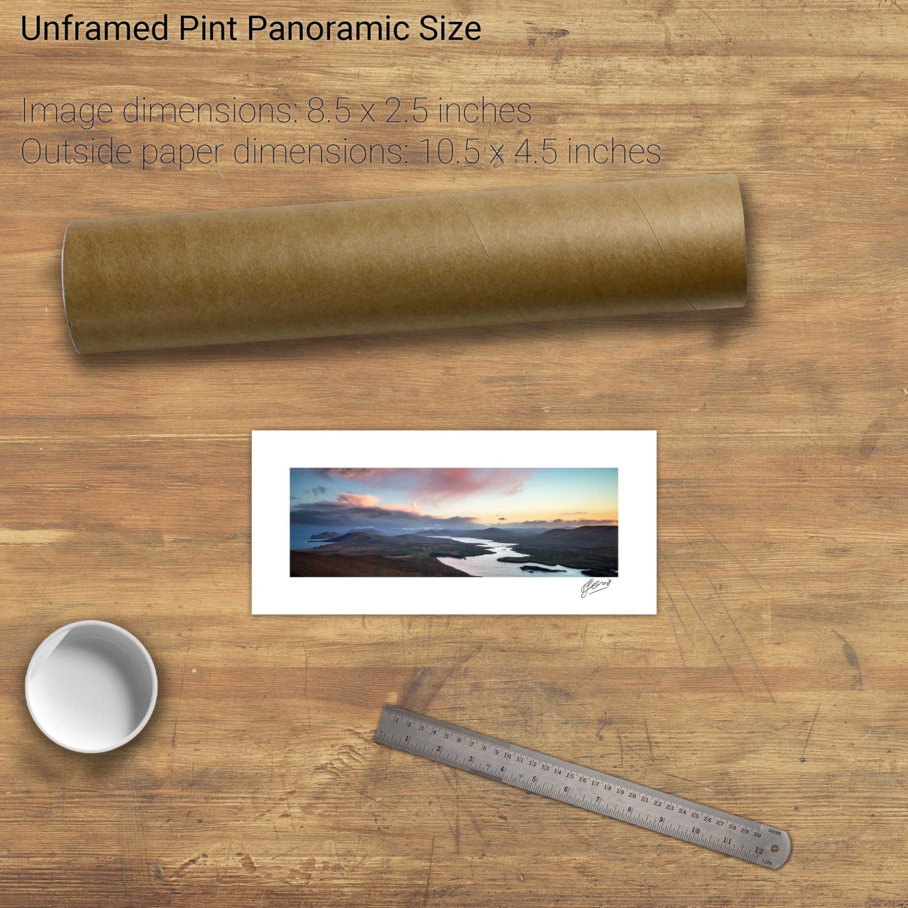
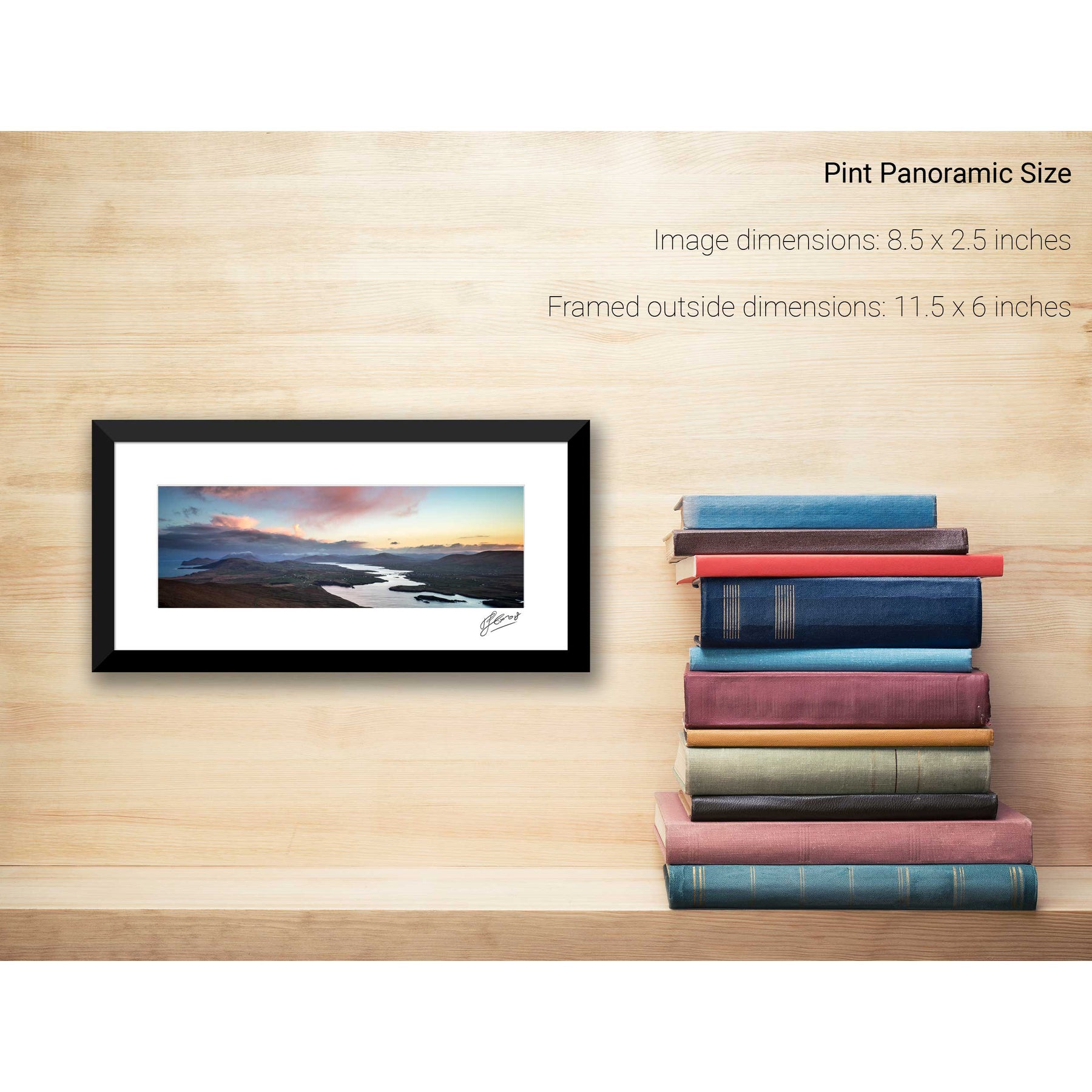
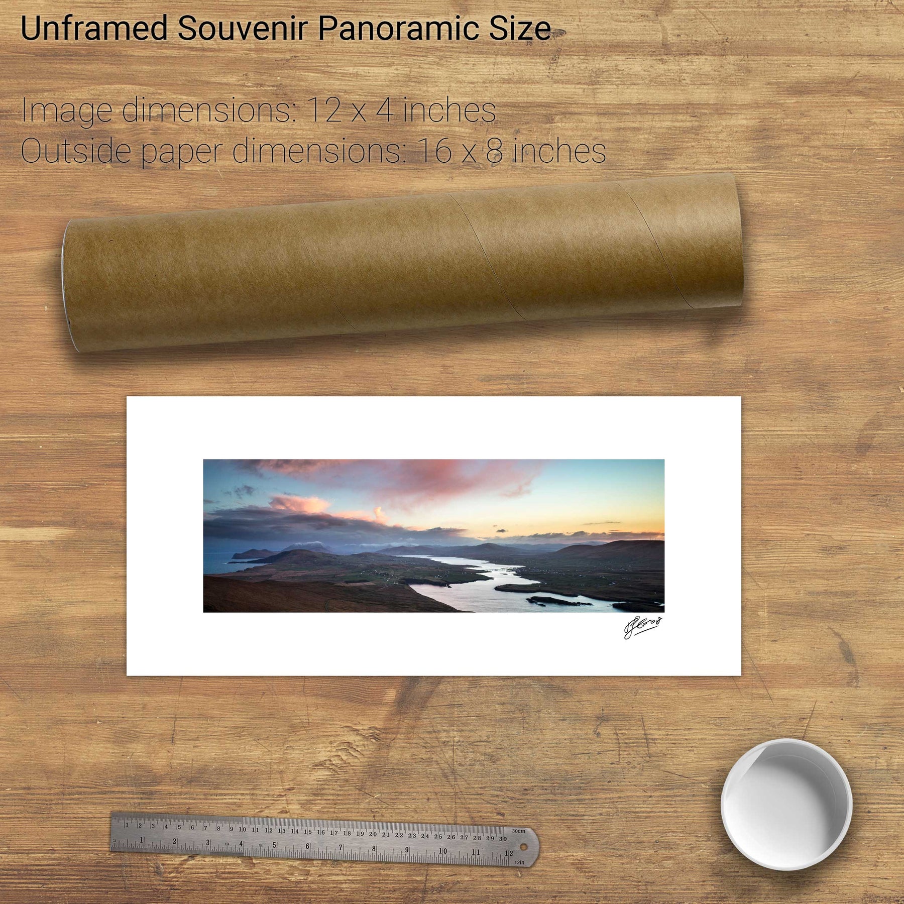
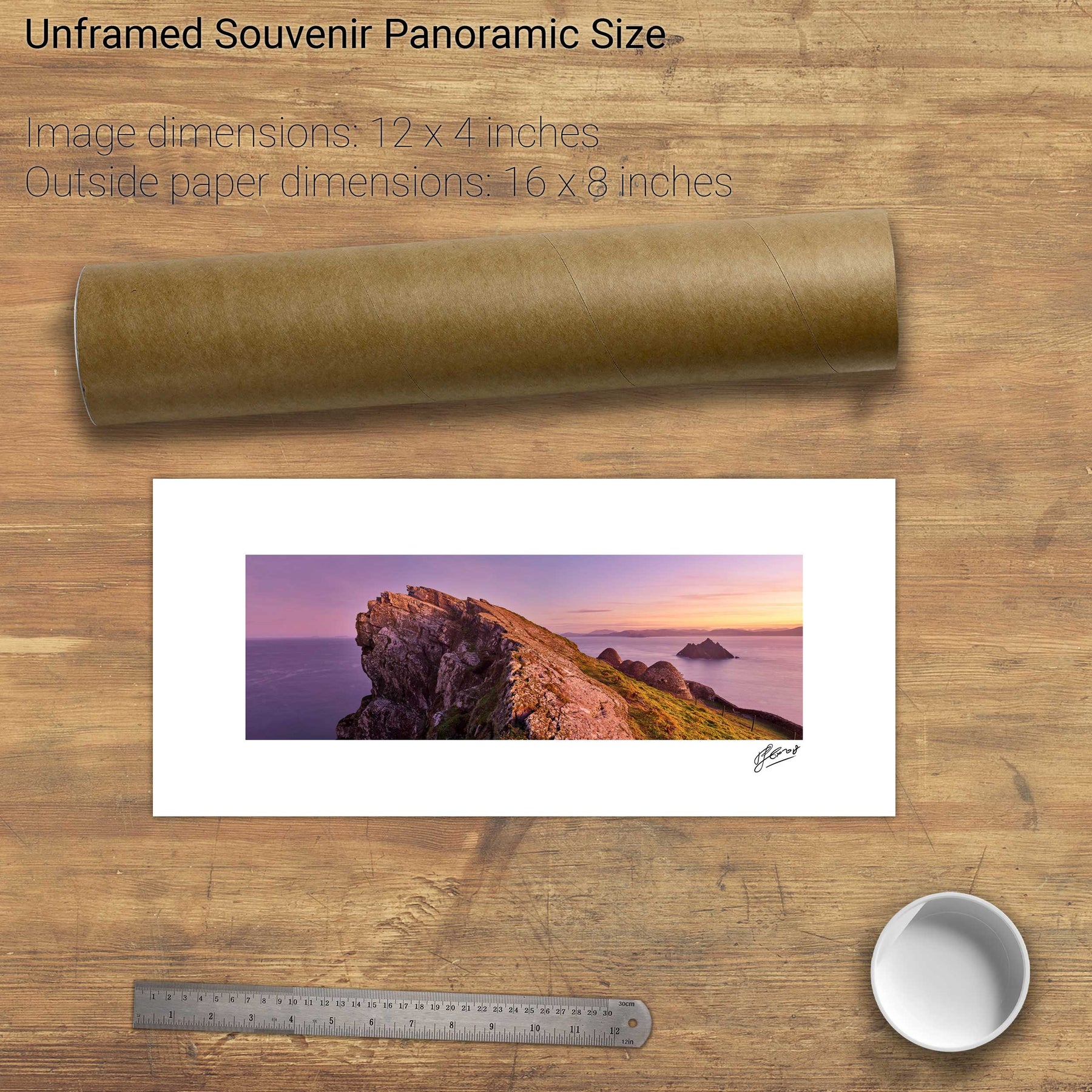
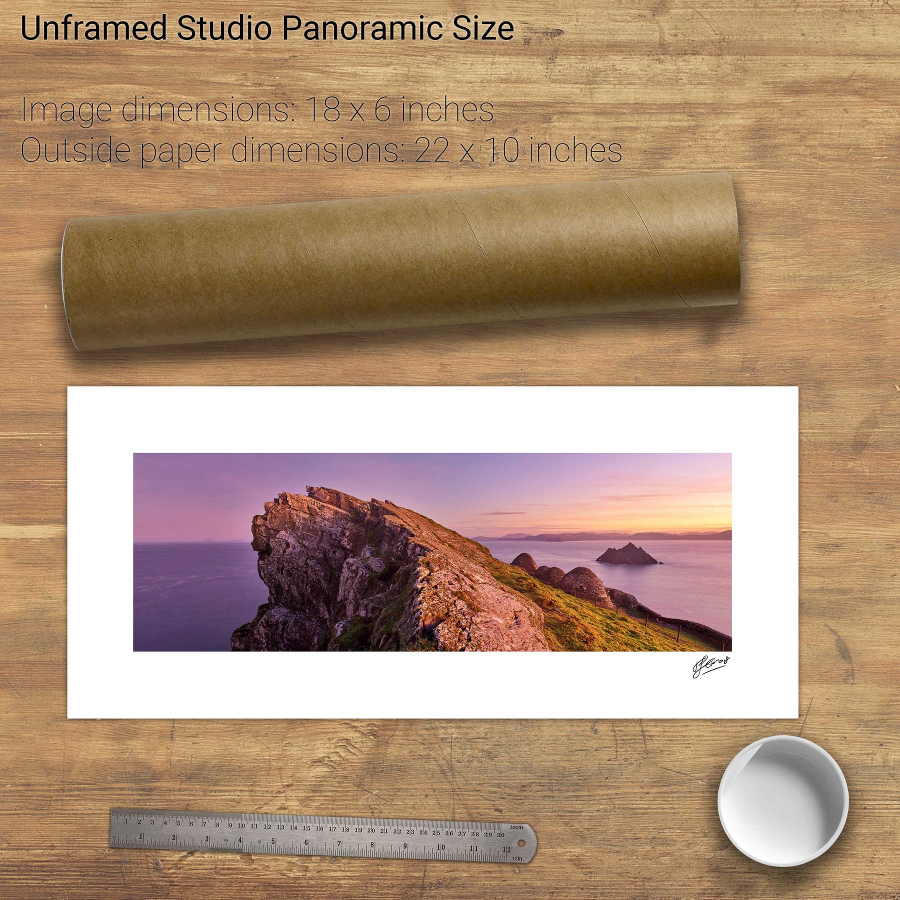
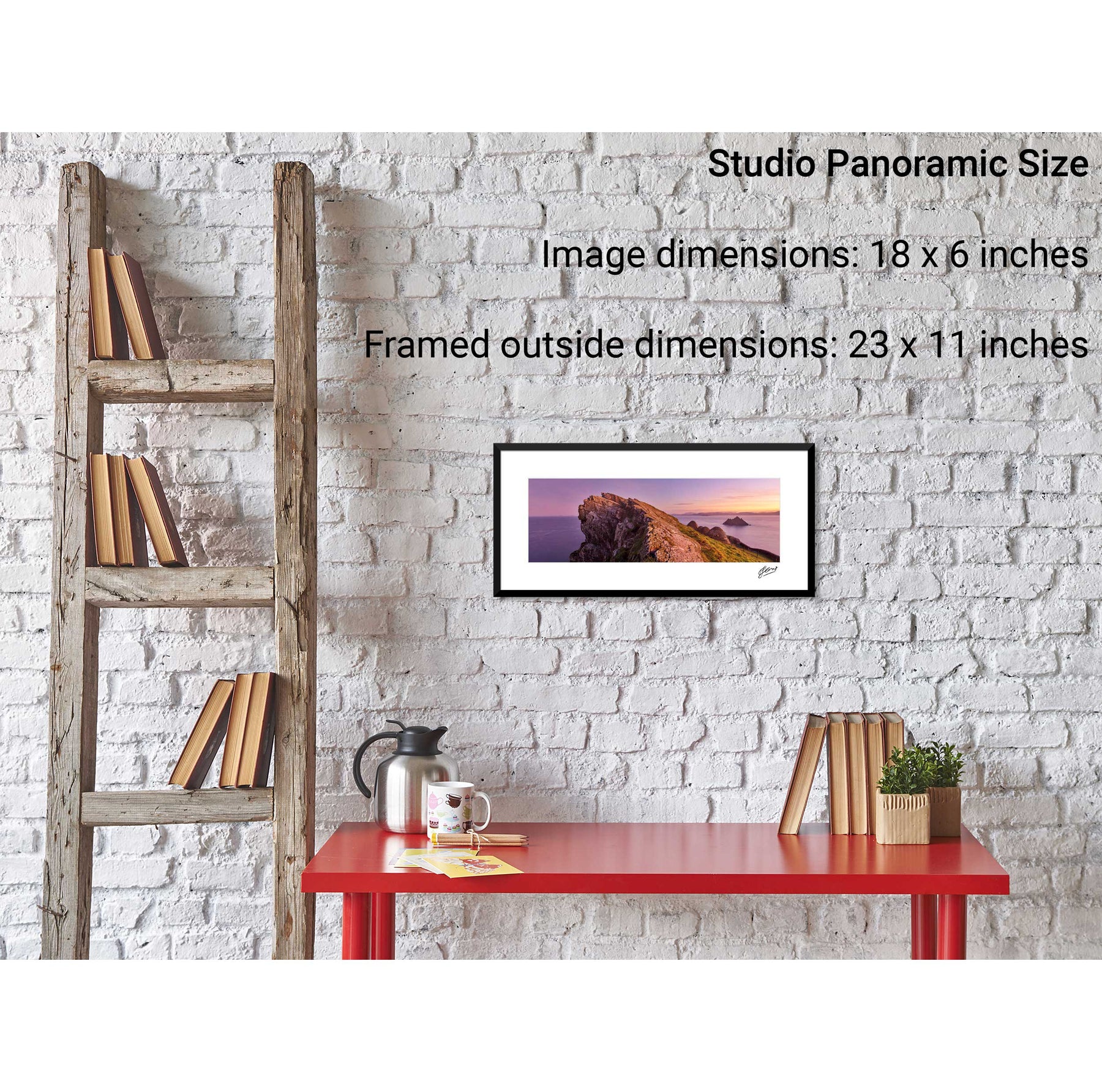
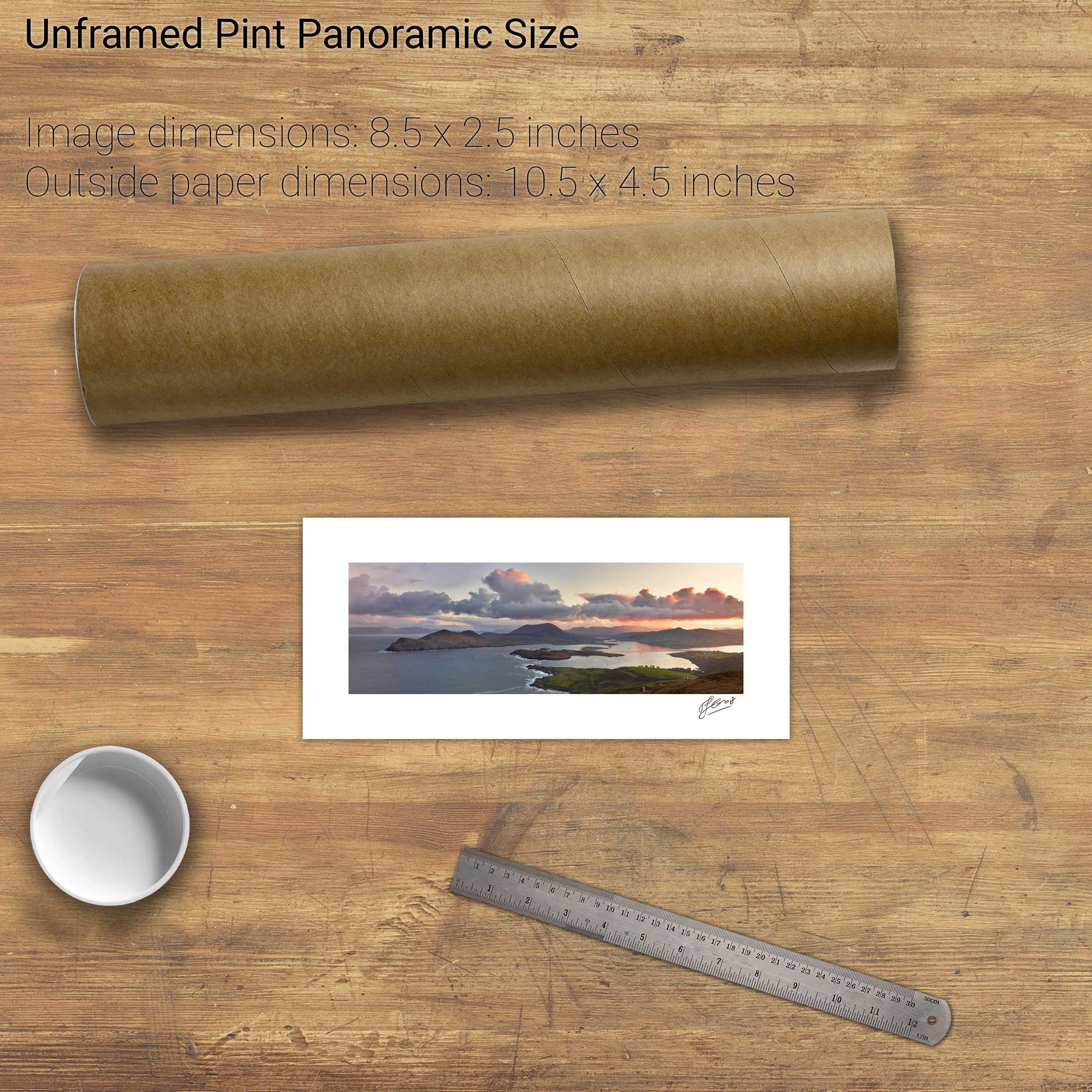
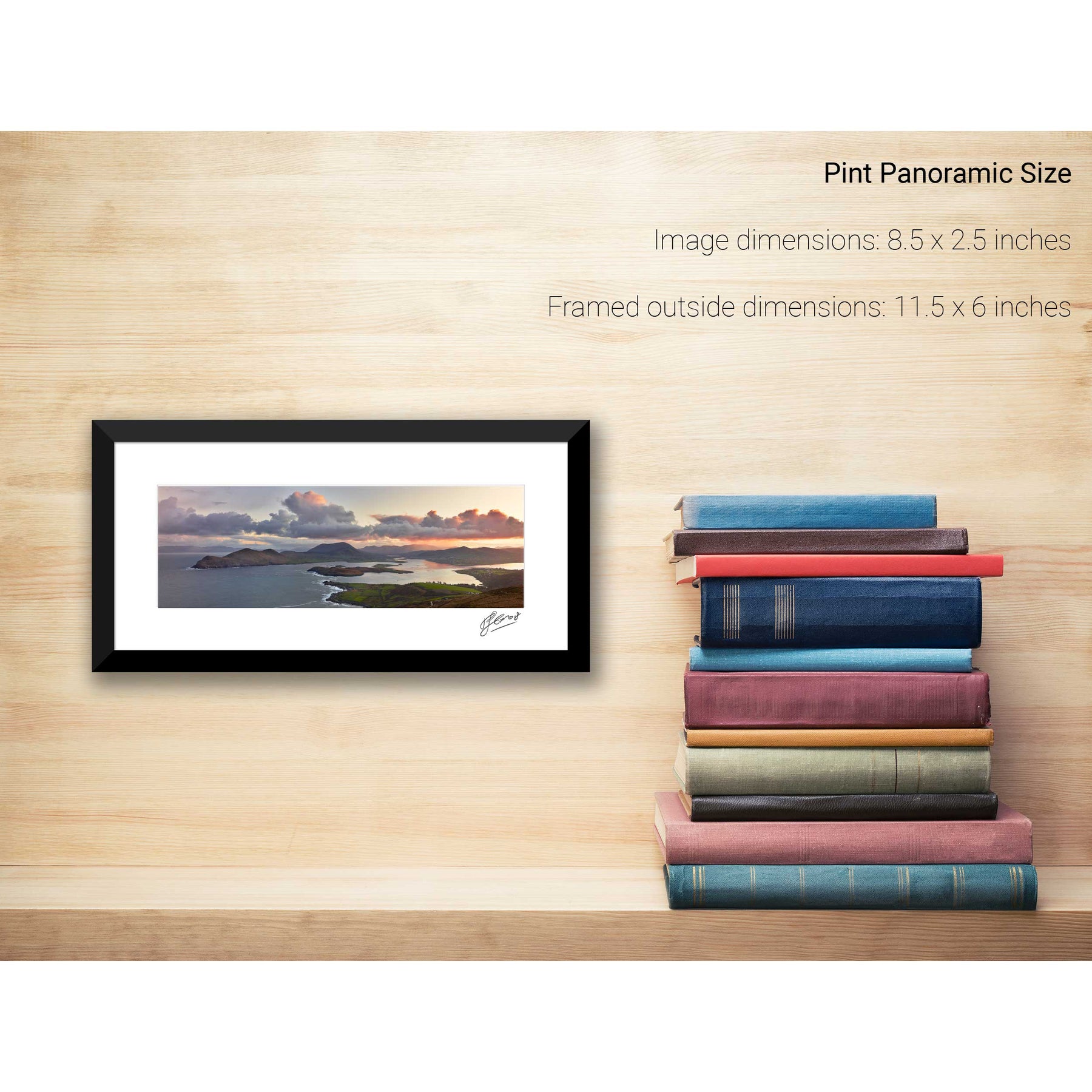
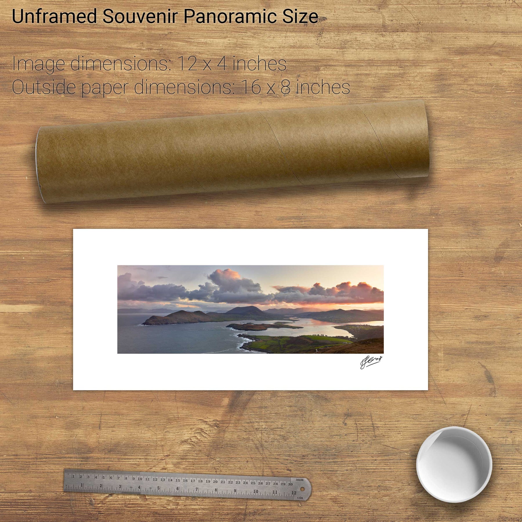
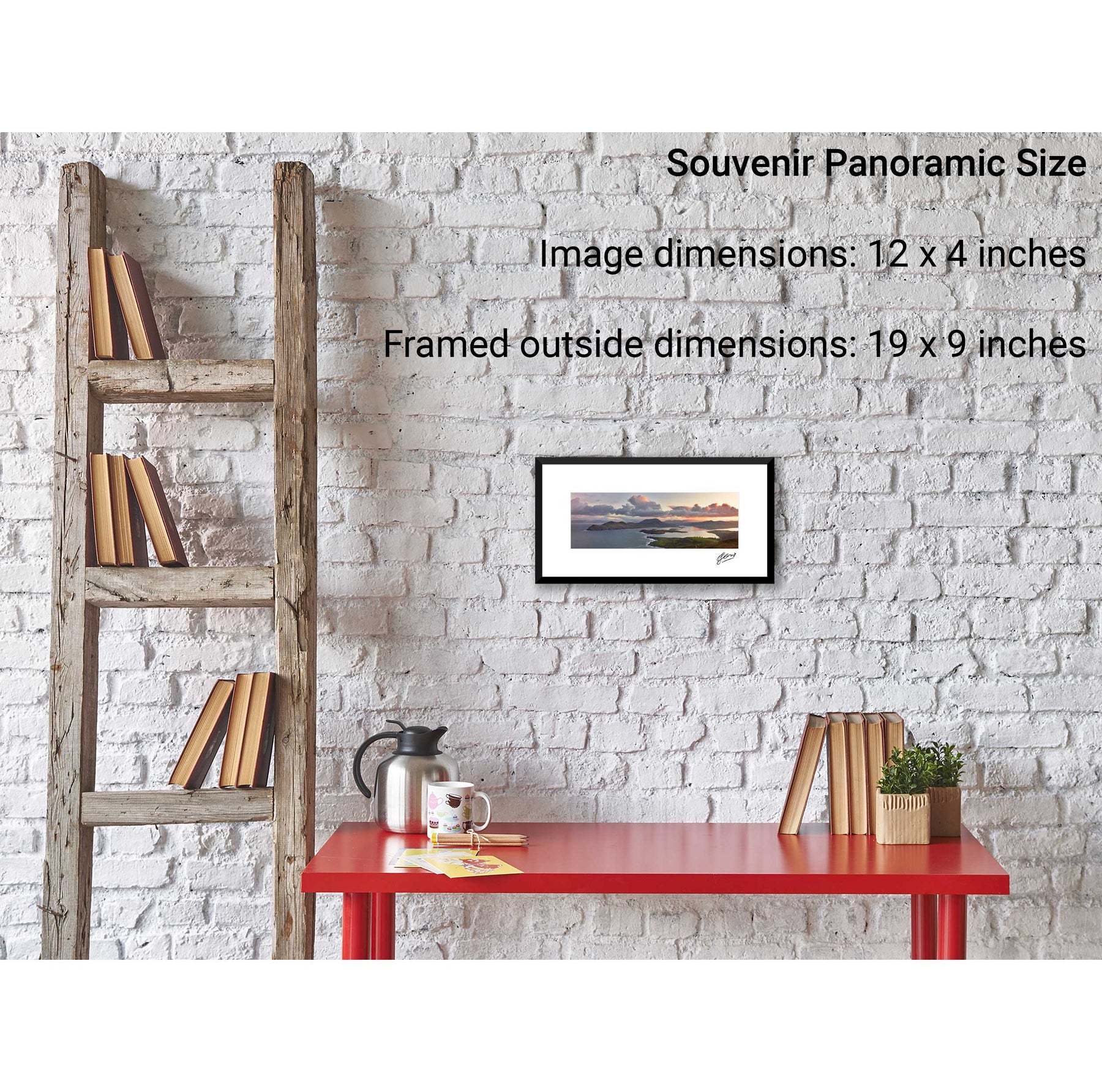
Geokaun Mountain Panoramic, Co. Kerry
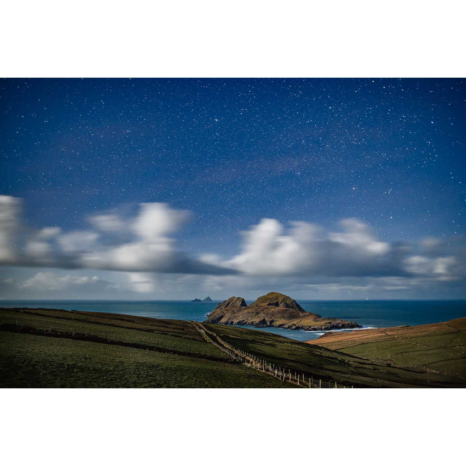
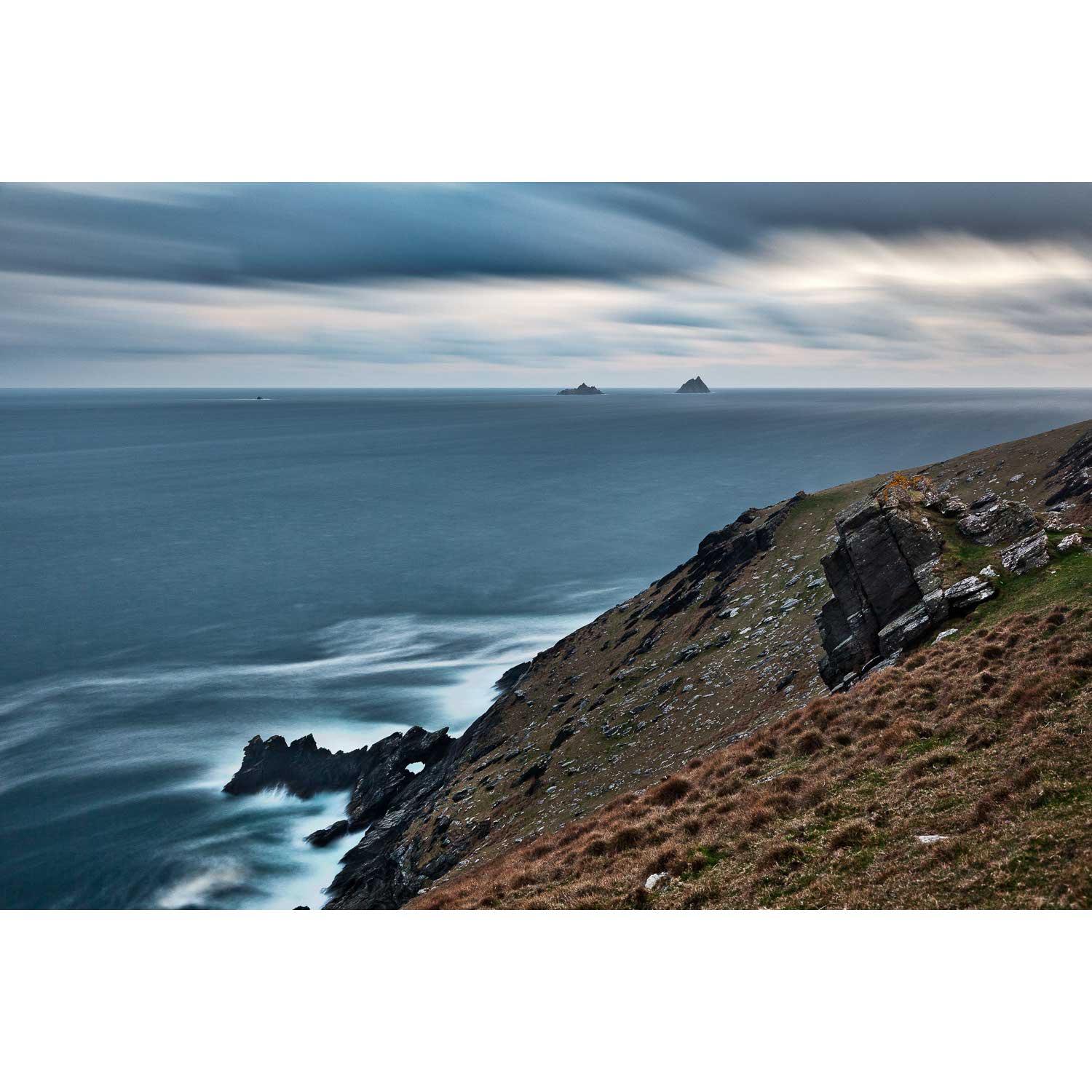
Puffin Island and the Skelligs, Kerry
Skellig Michael from the North, Kerry
Skellig Michael with Brooding Clouds, Kerry
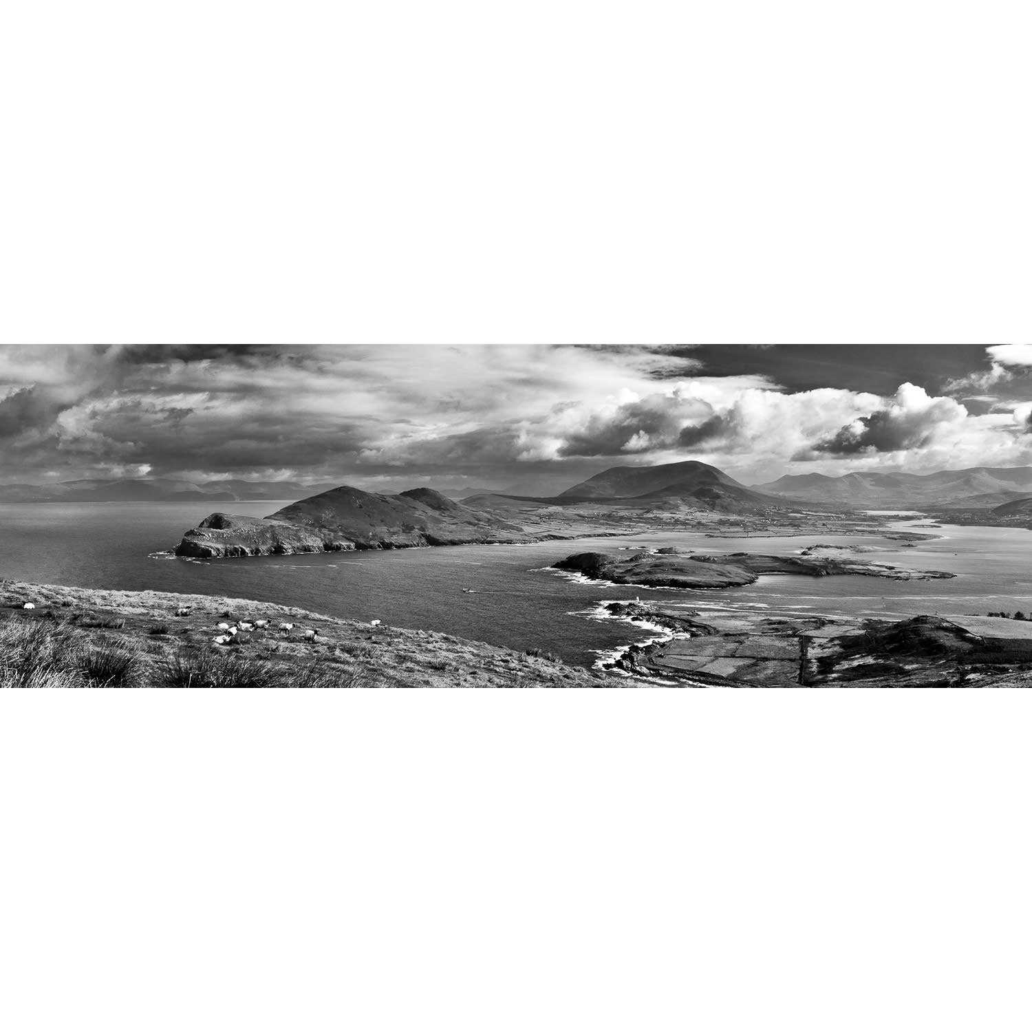
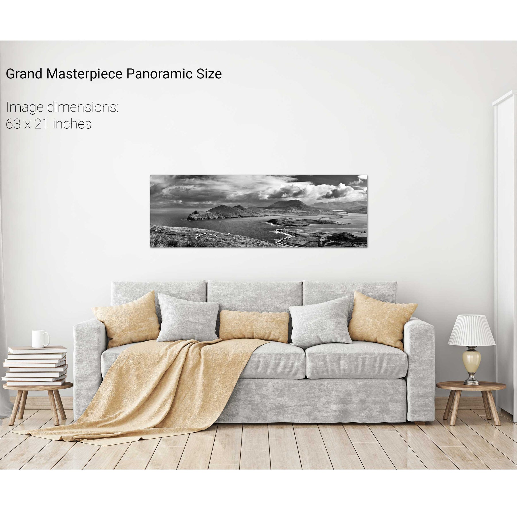
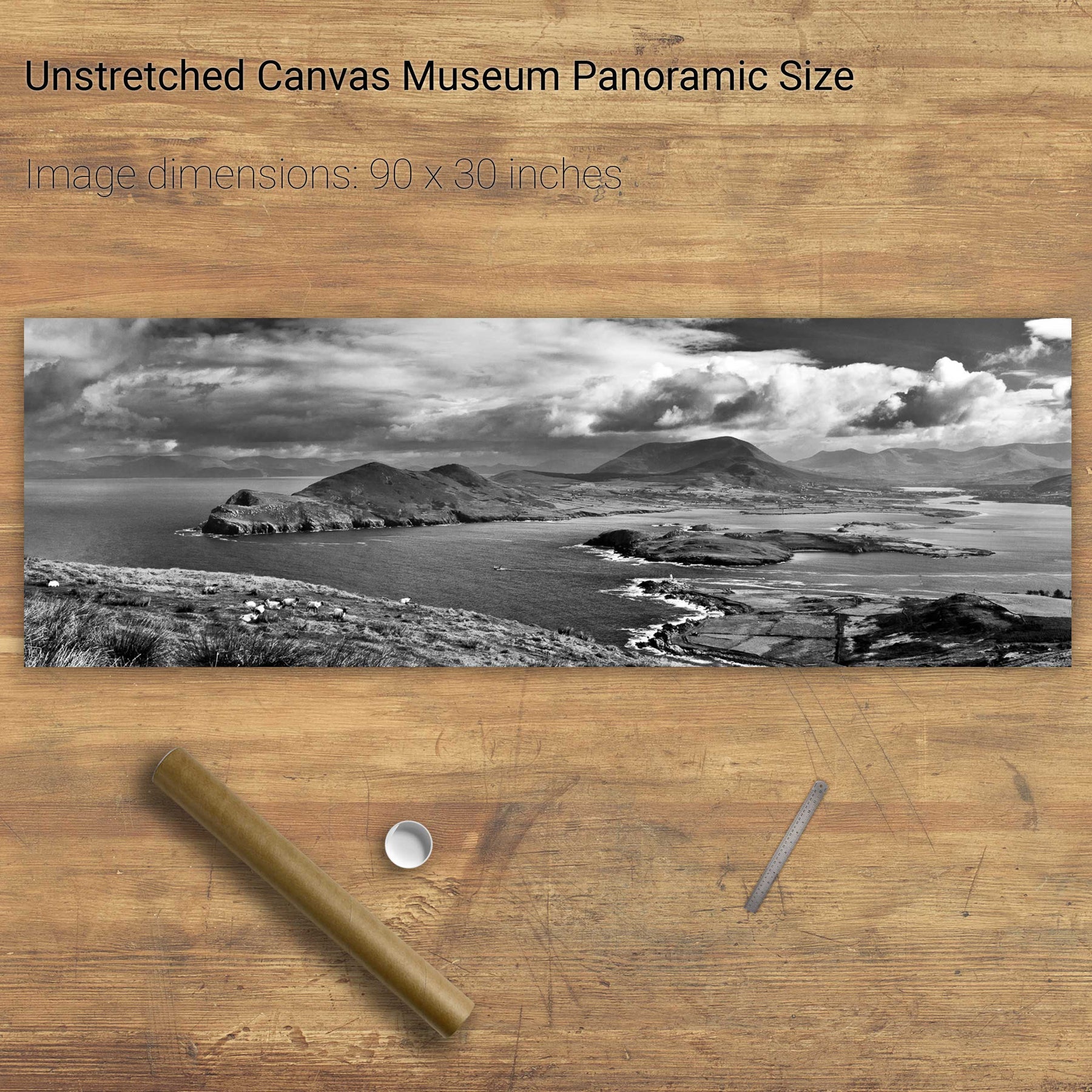
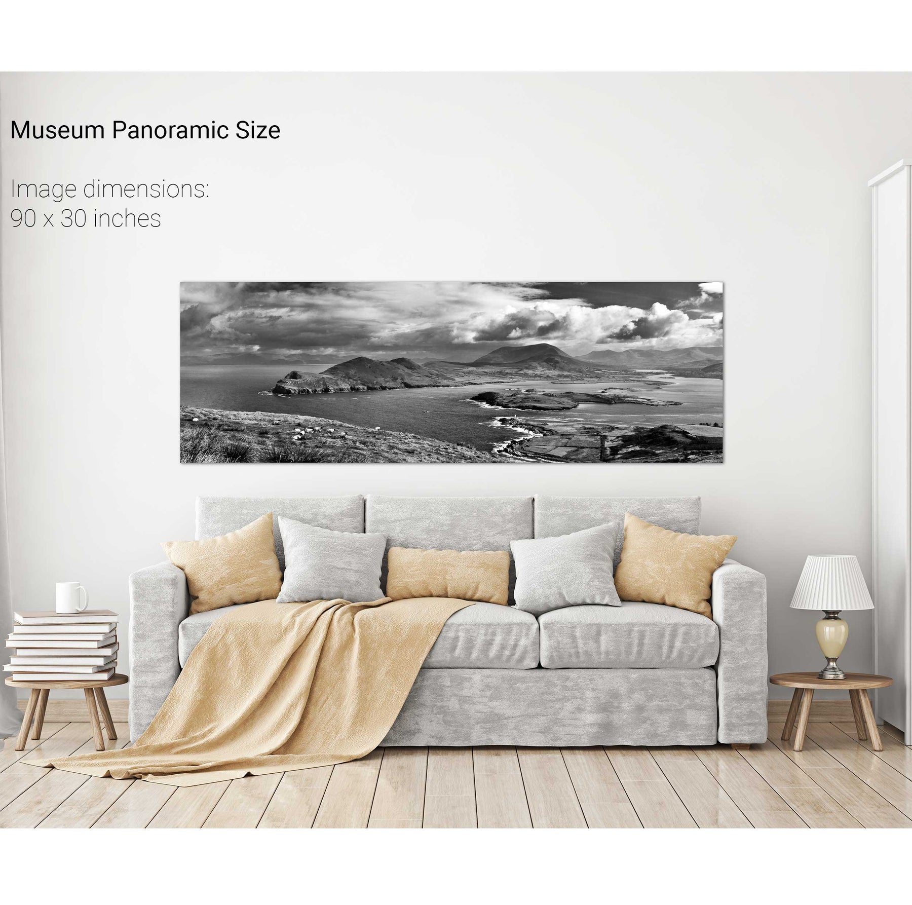
The Sleeping Giant, Dingle, Kerry
Storm, the Great Blasket, Dingle, Co. Kerry
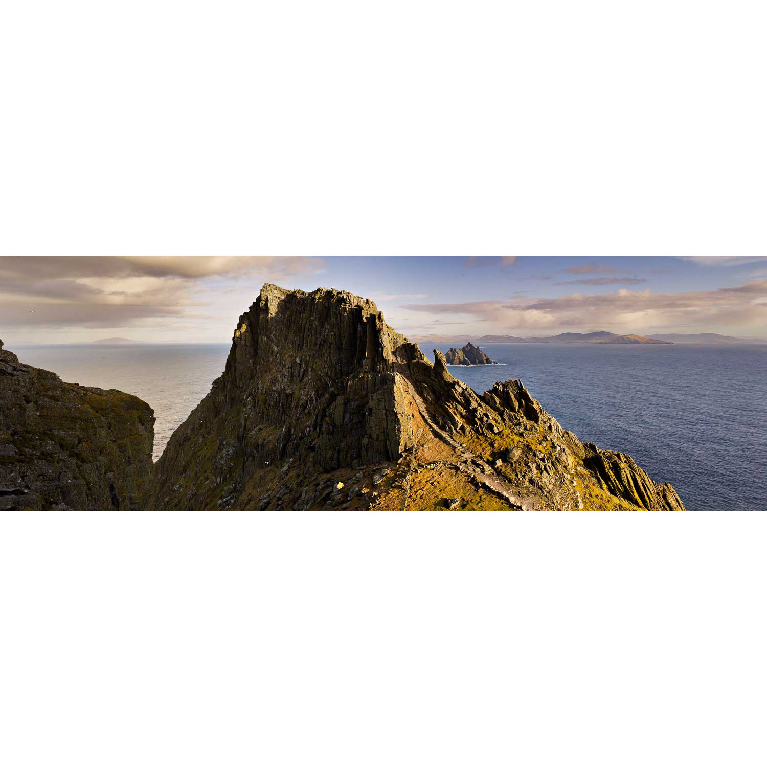
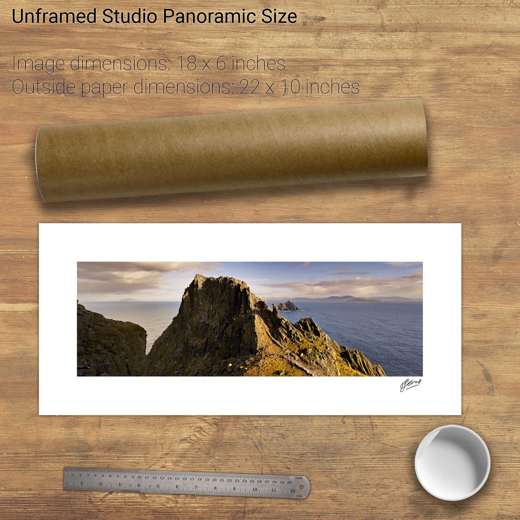
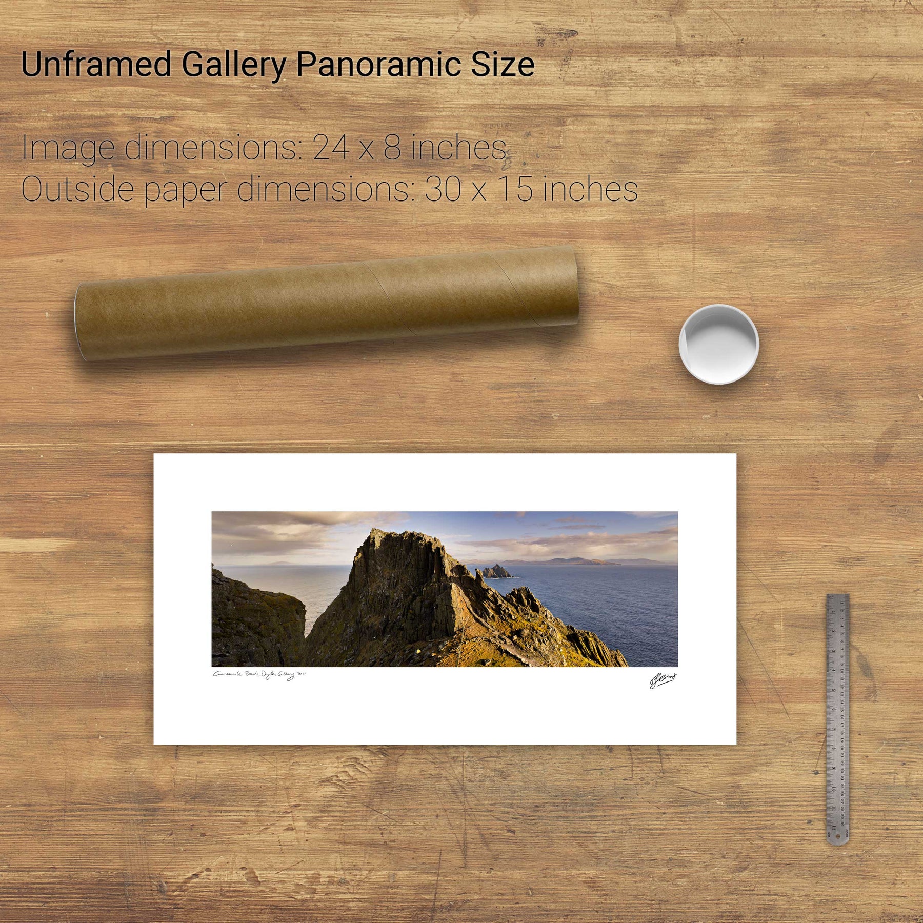
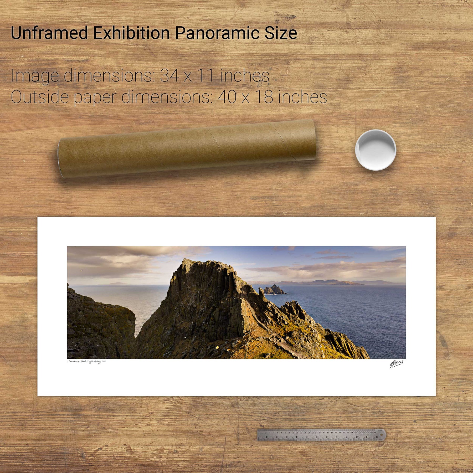
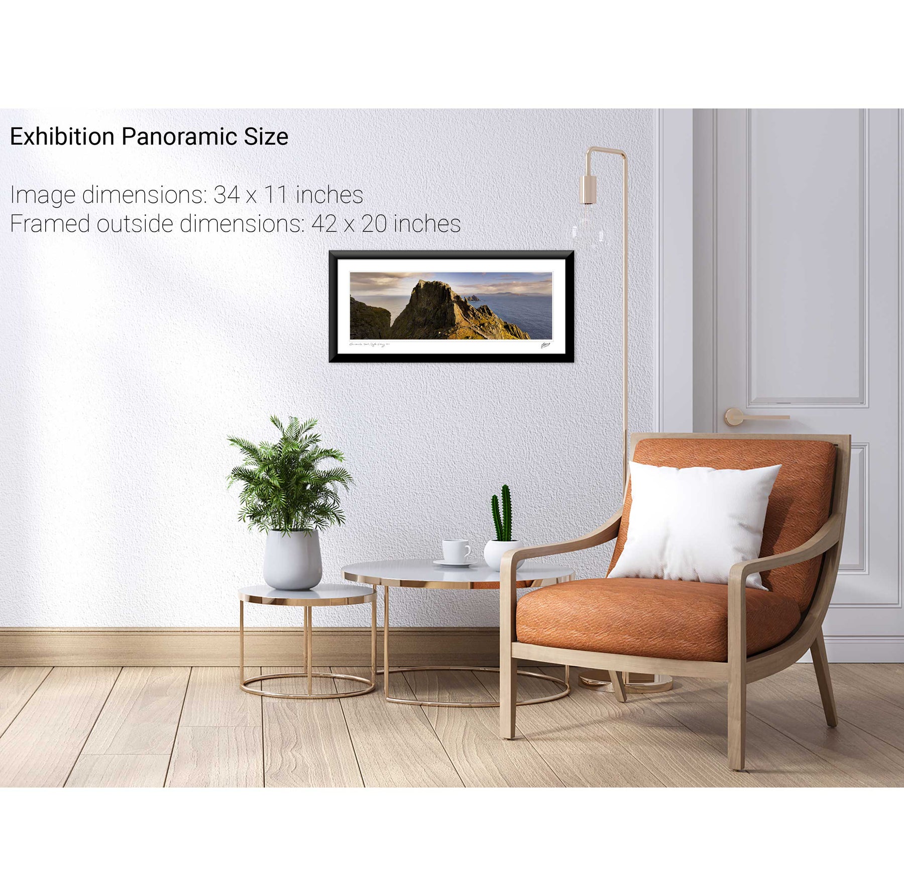
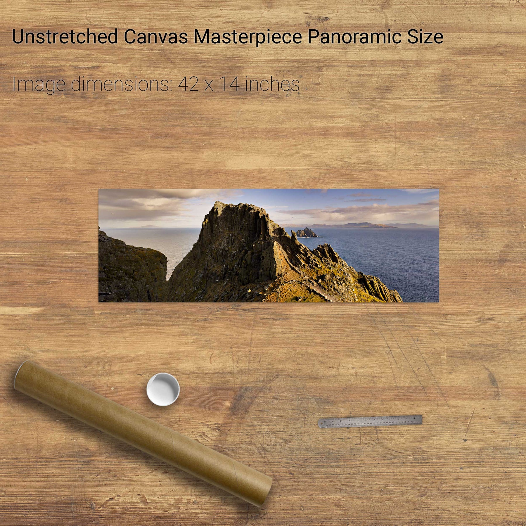
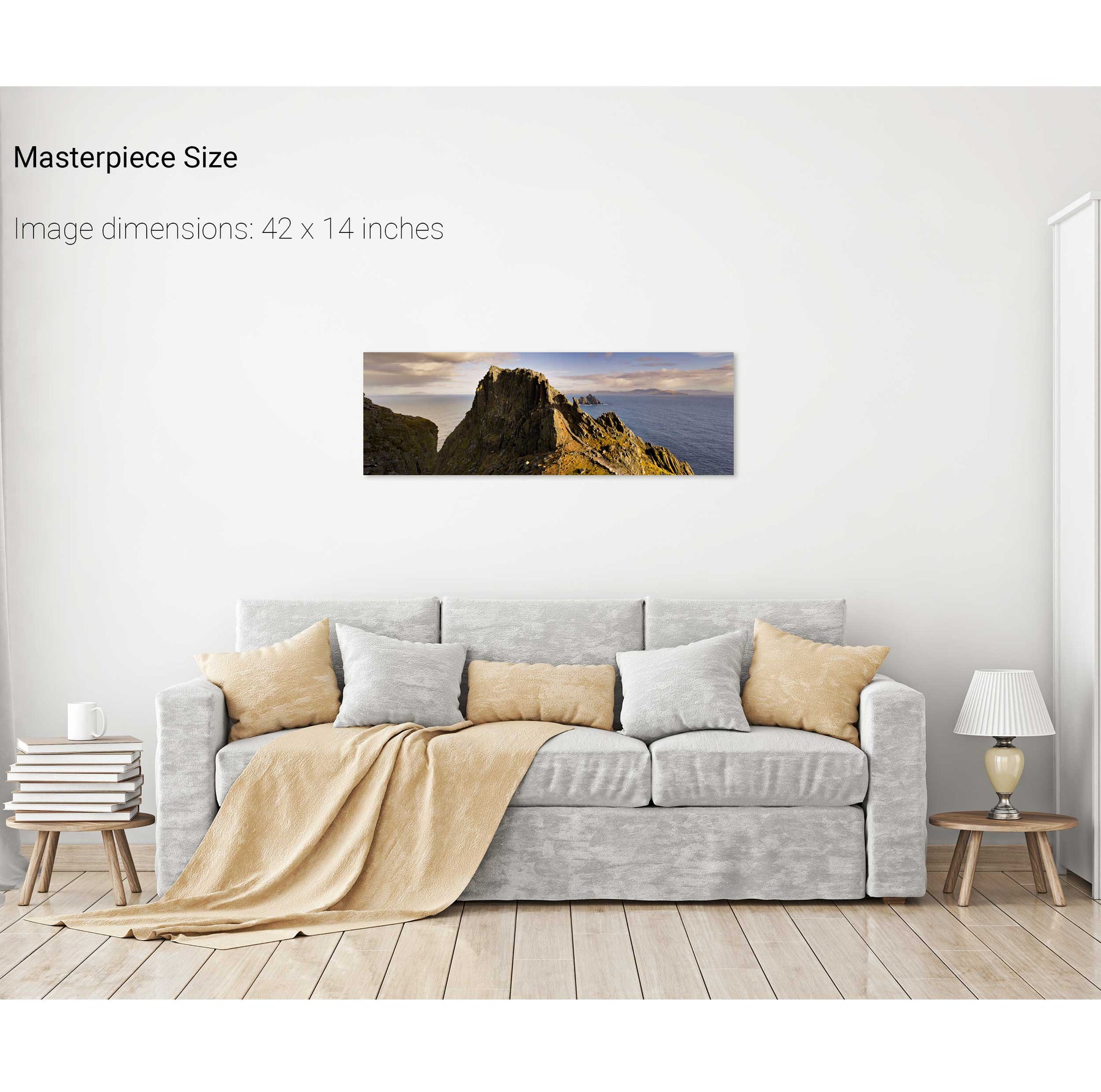
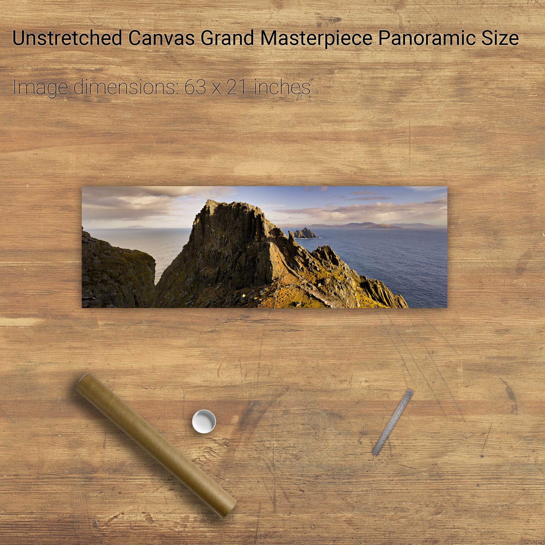
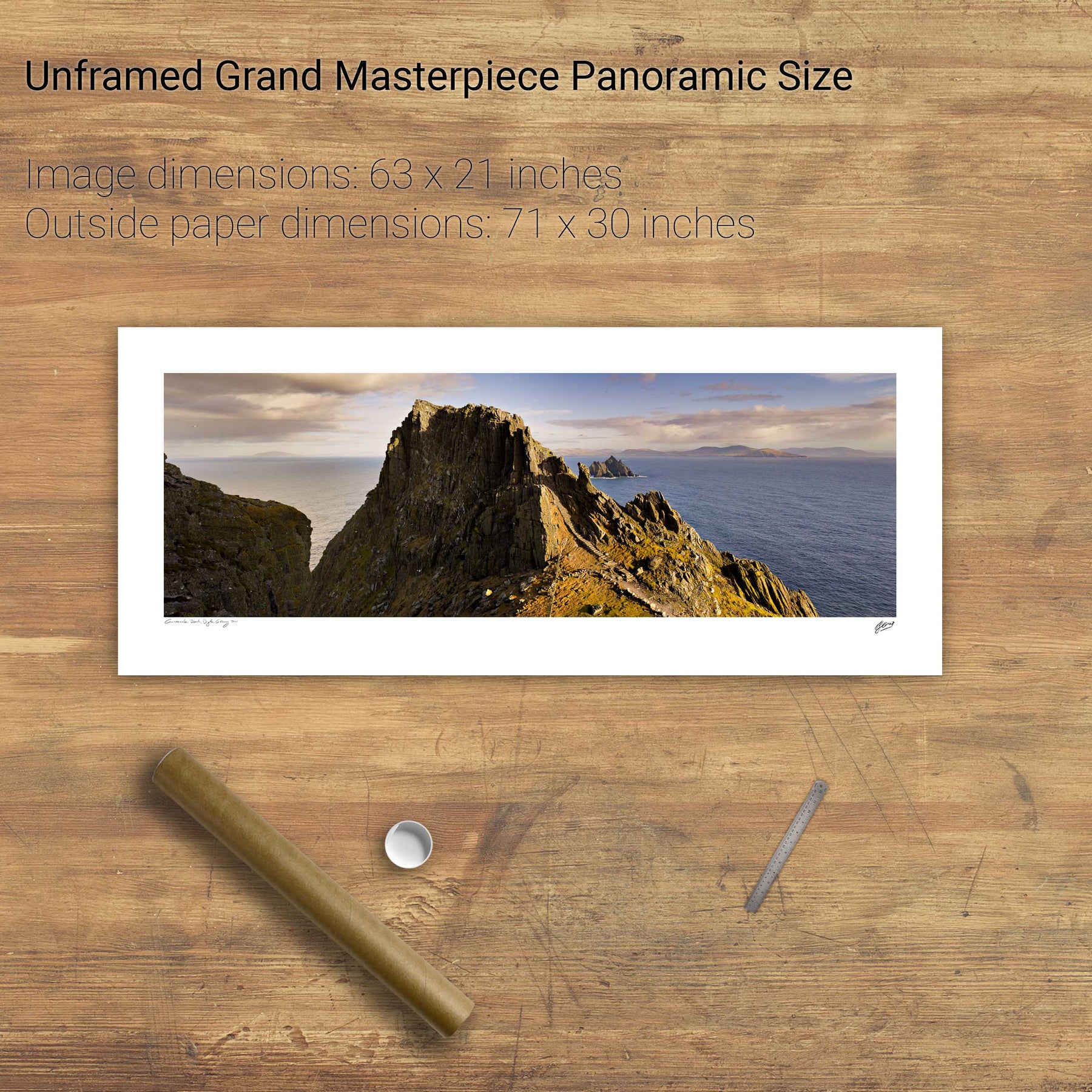
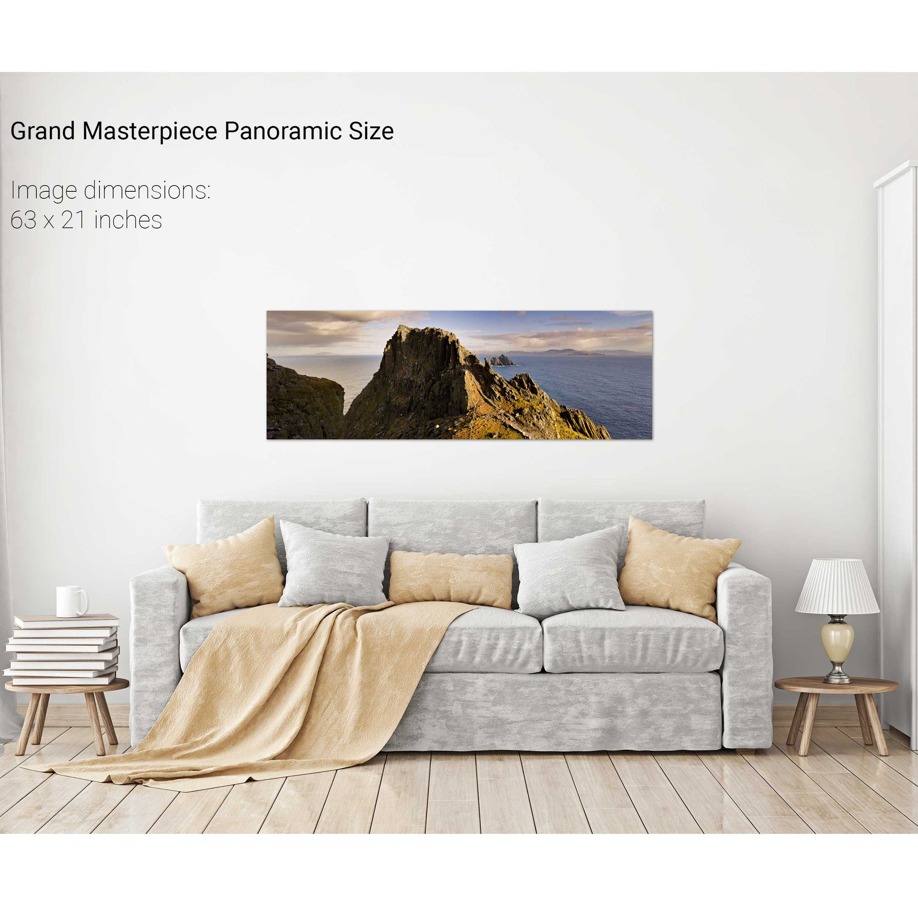
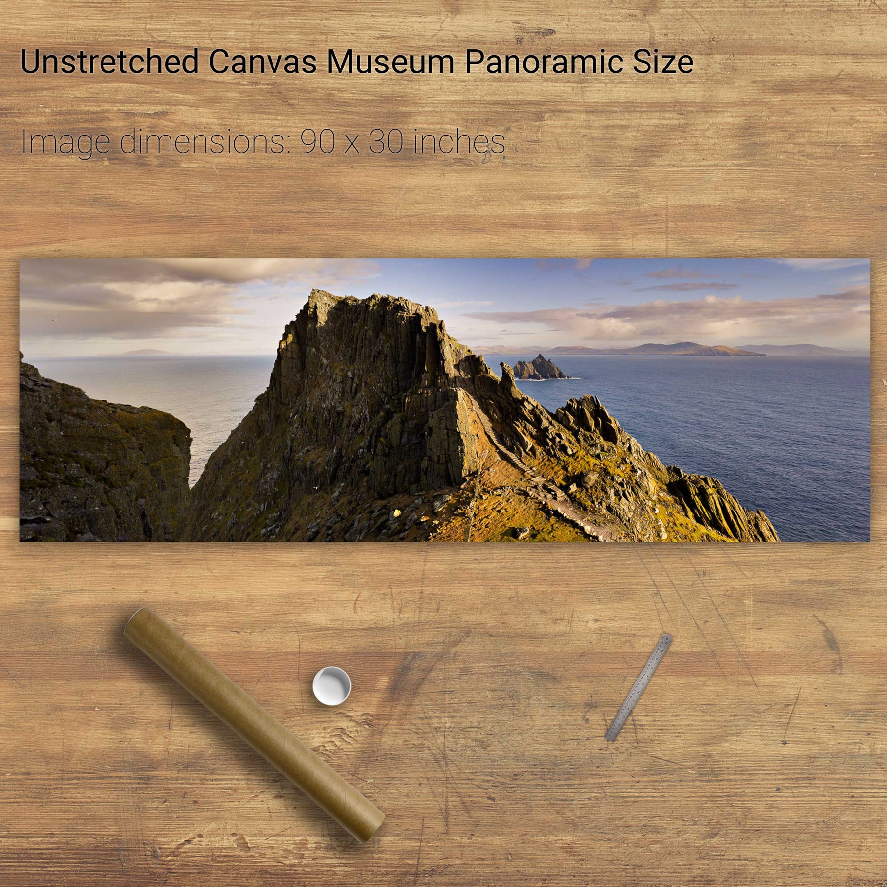
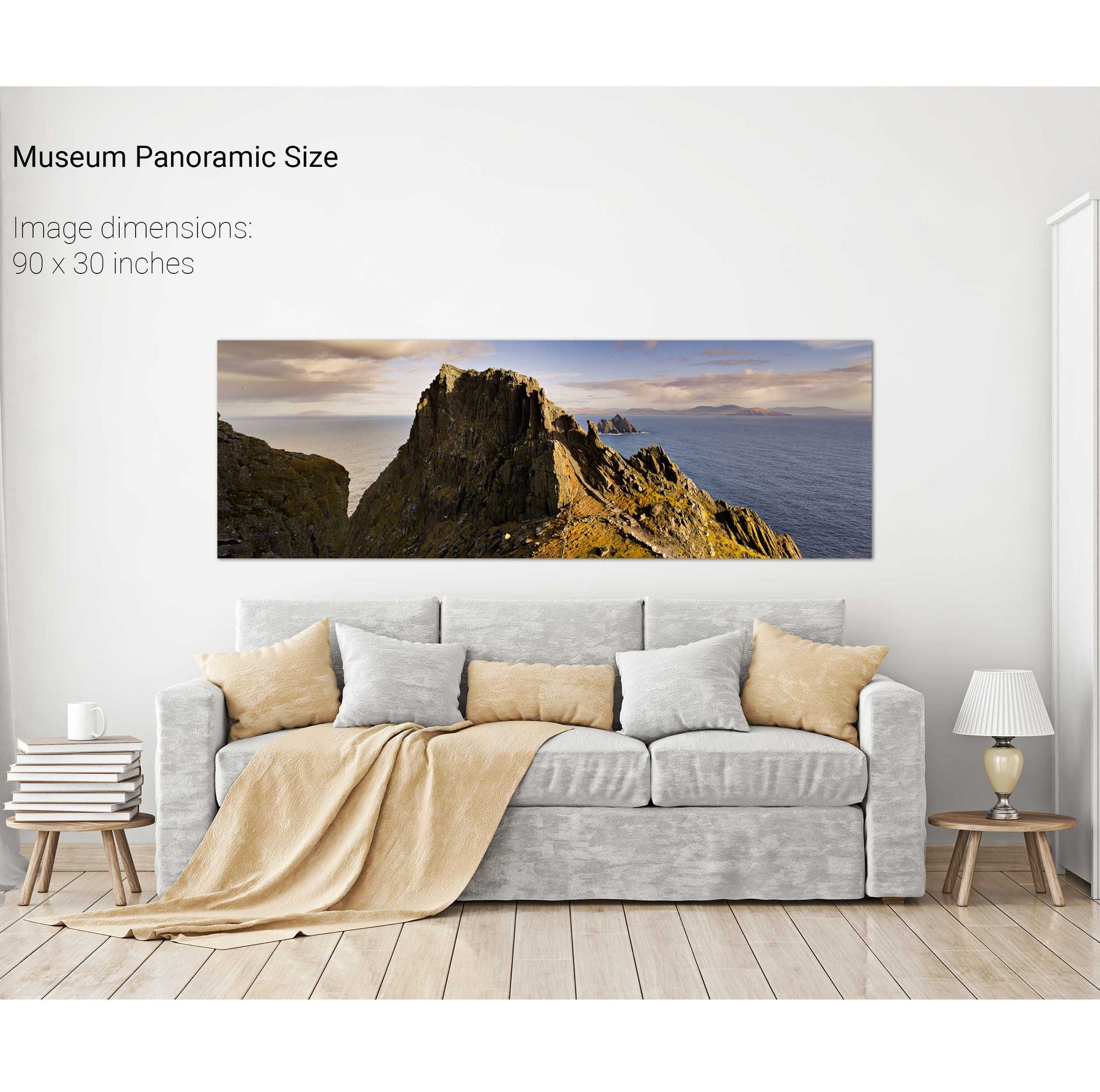
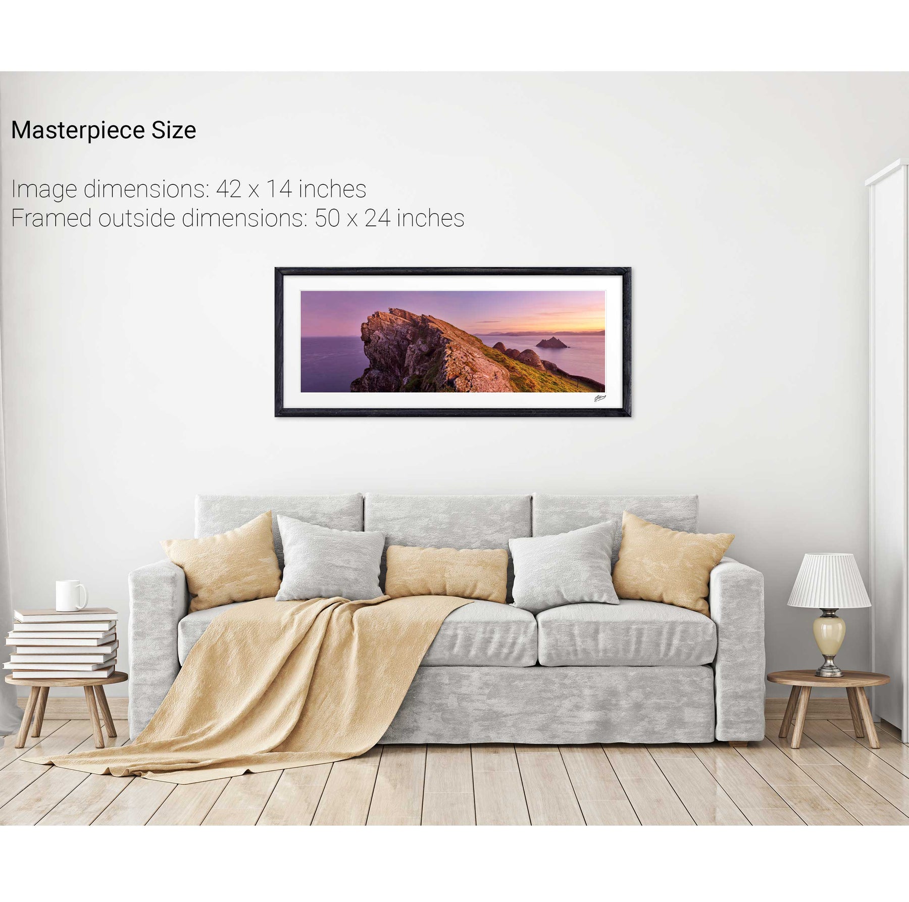
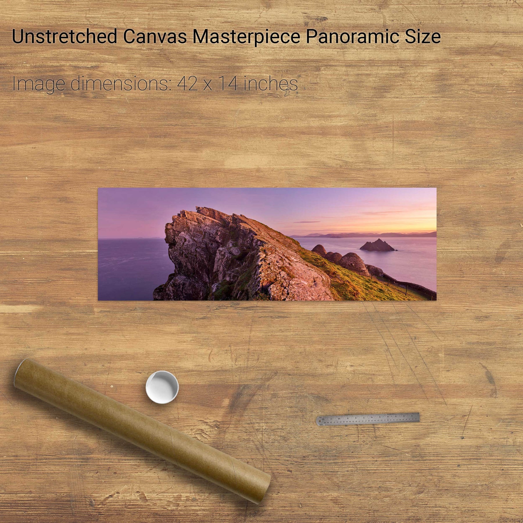
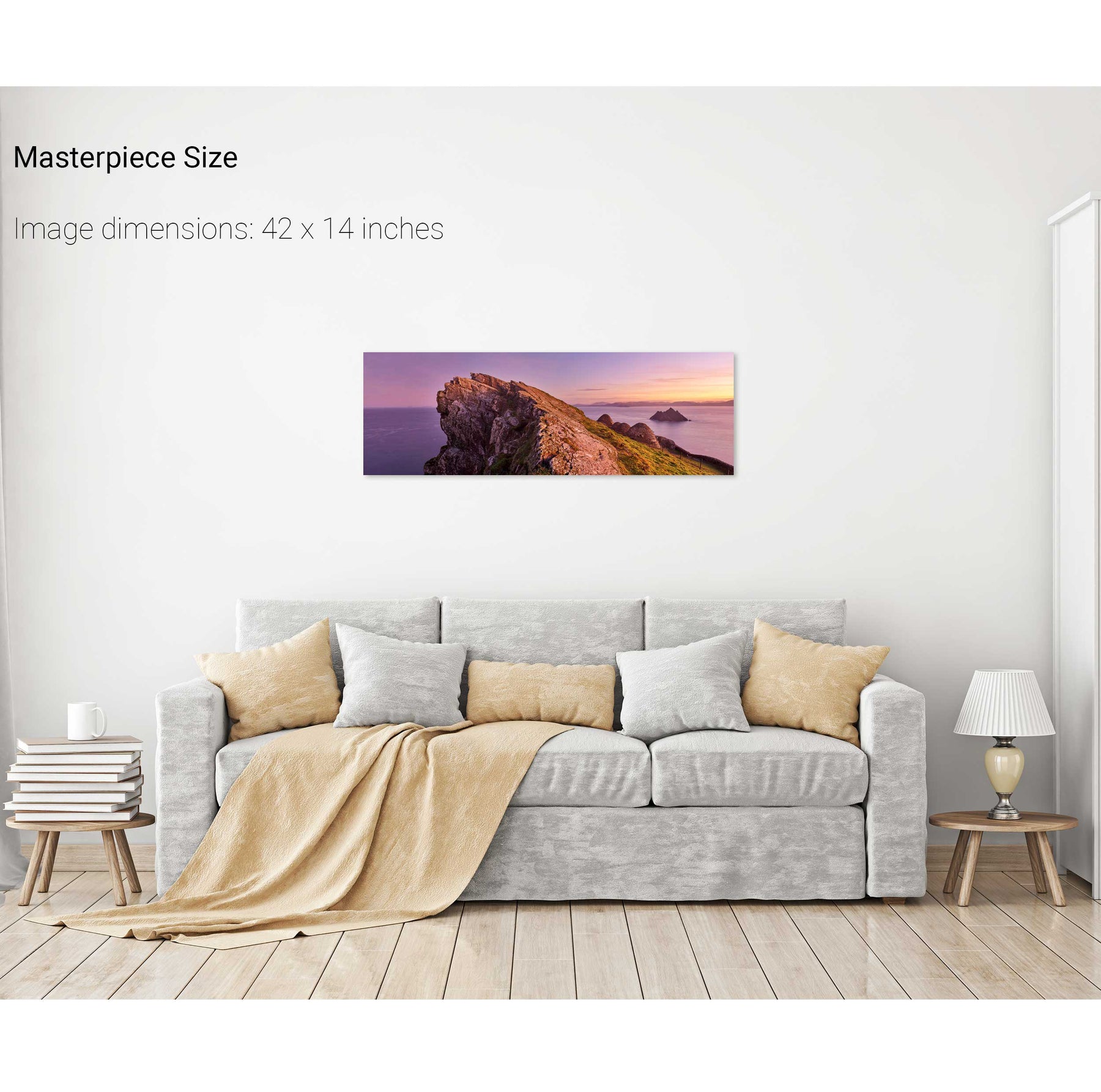
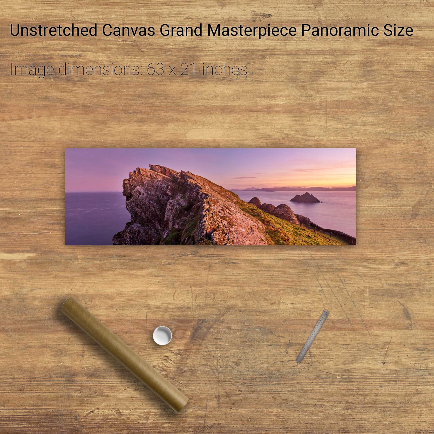
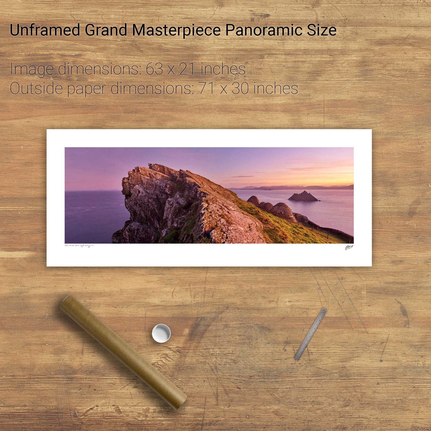
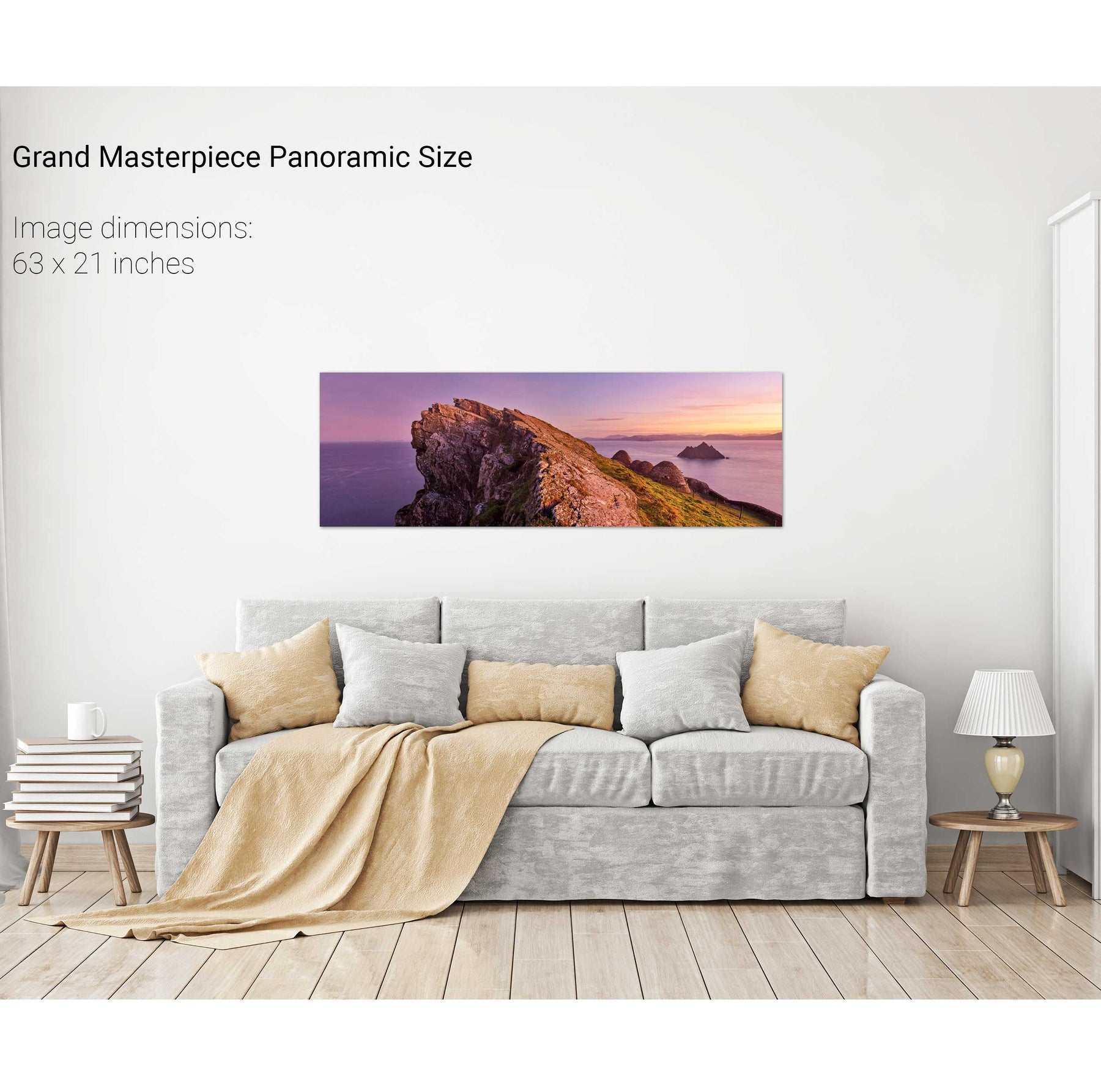
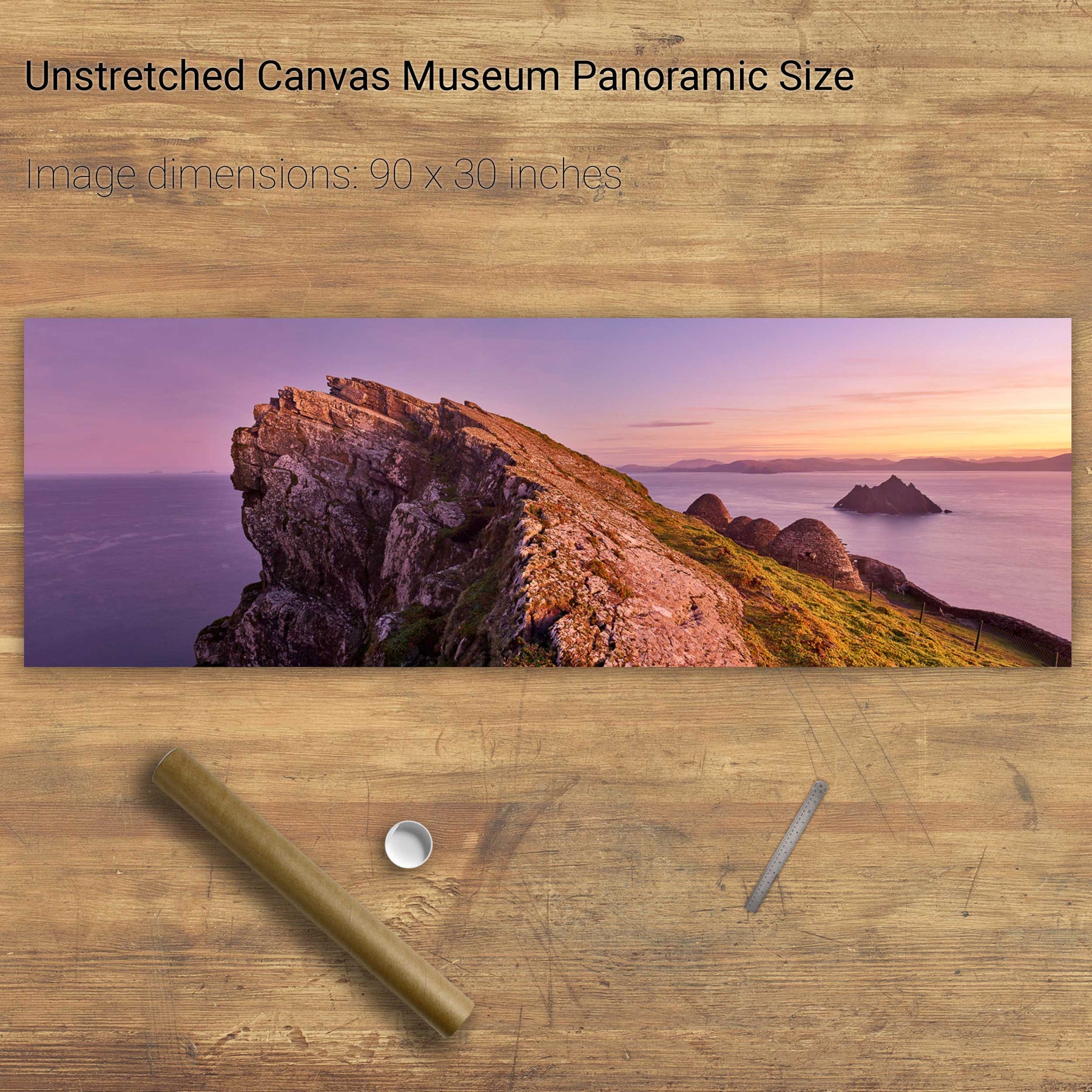
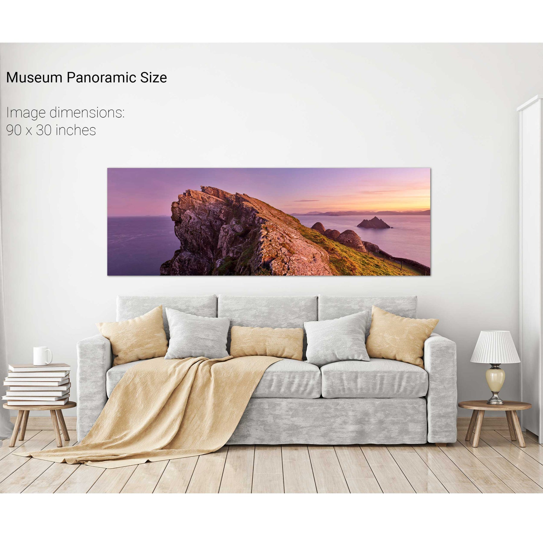
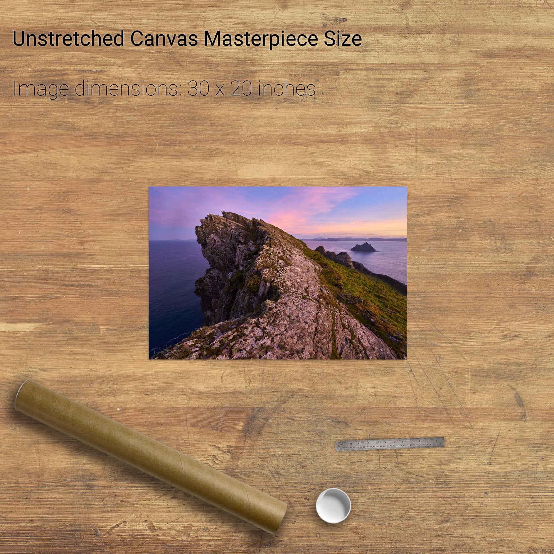
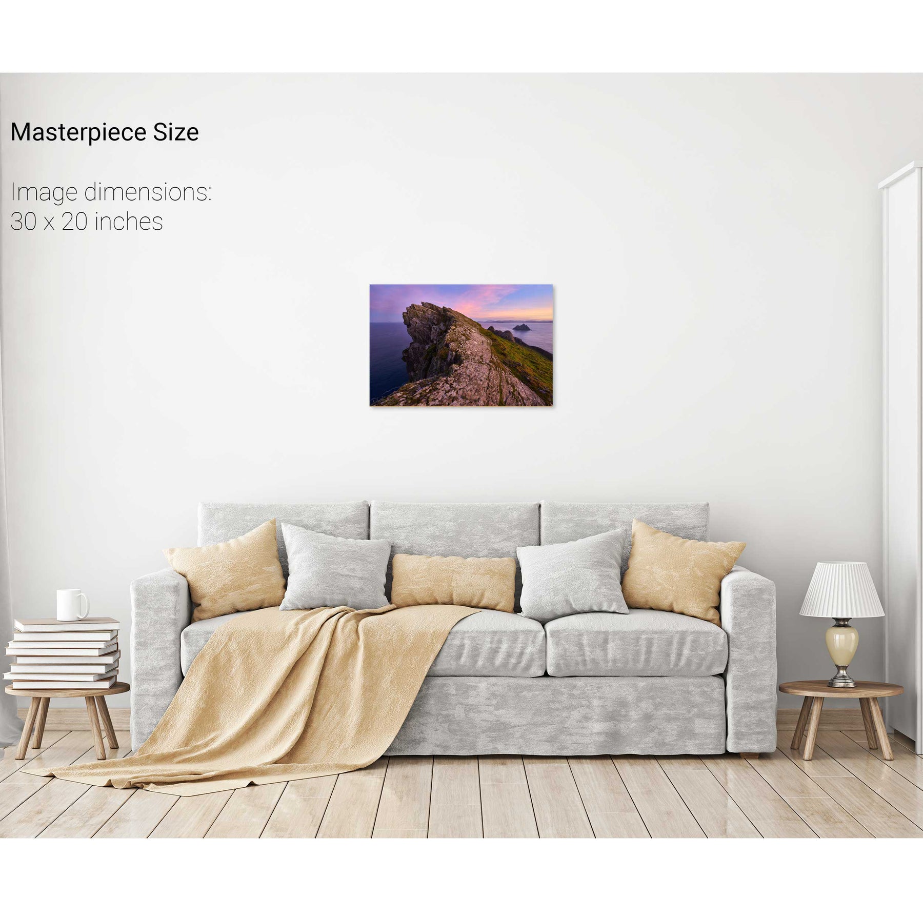
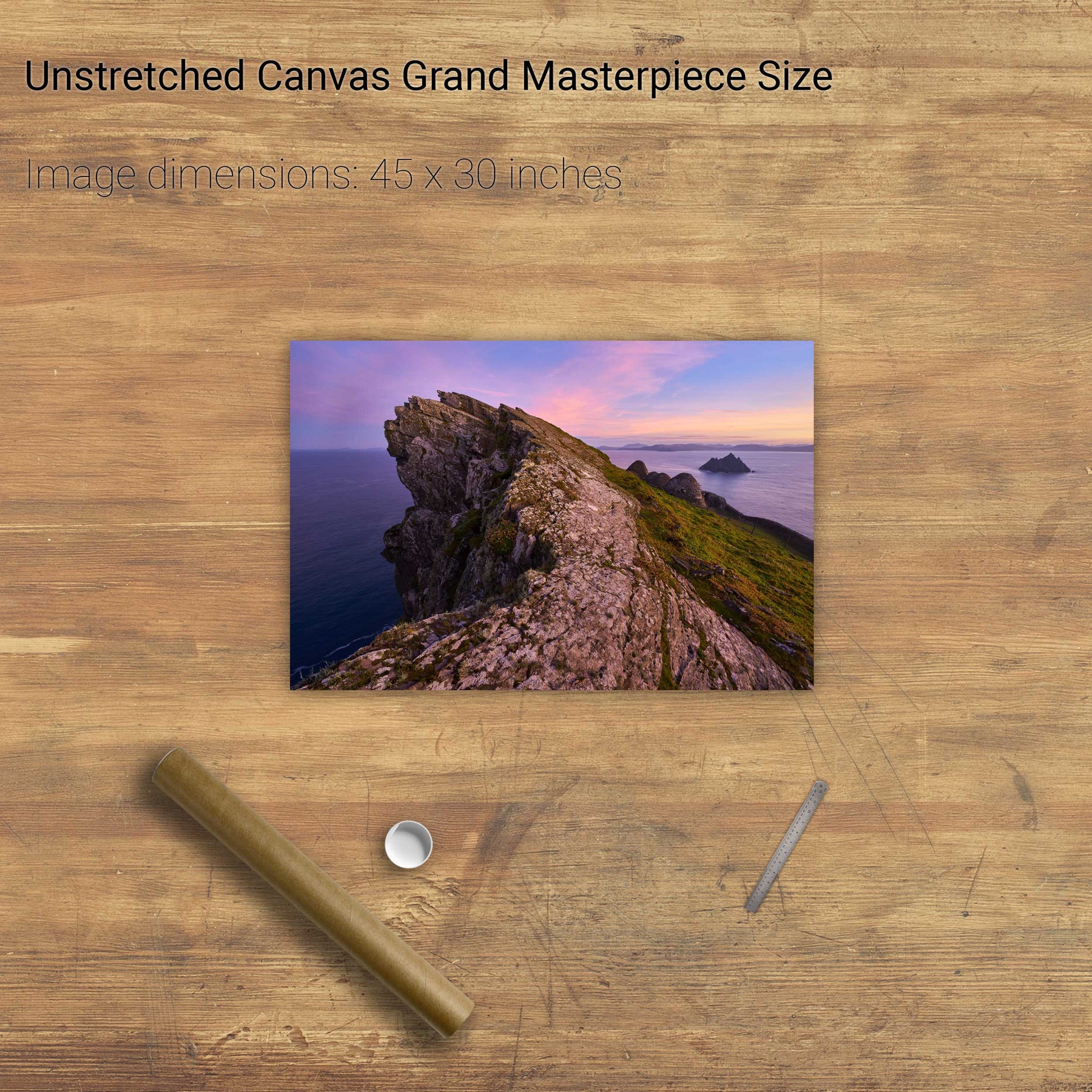
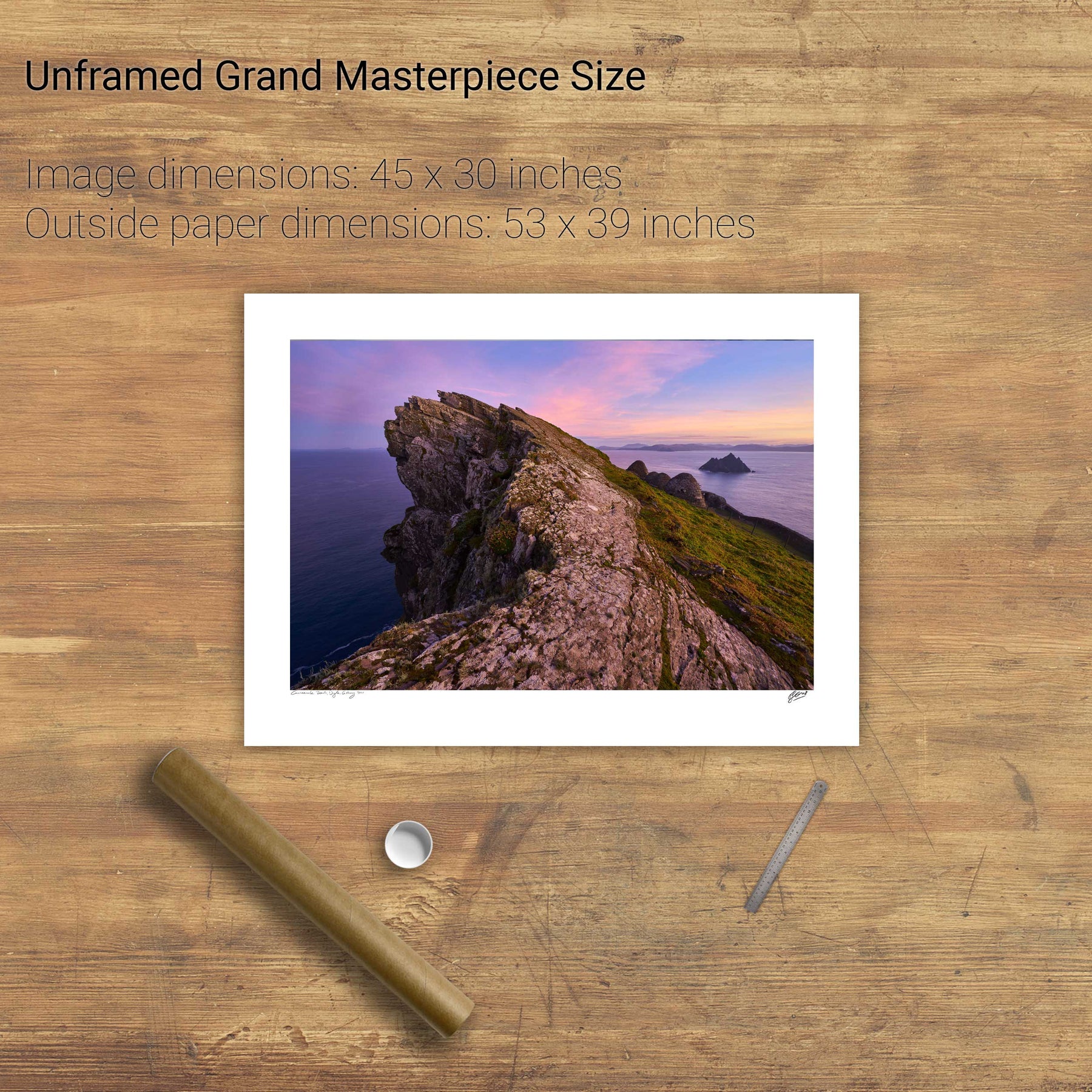
North Peak Ridge Pano, Skellig Michael, Kerry
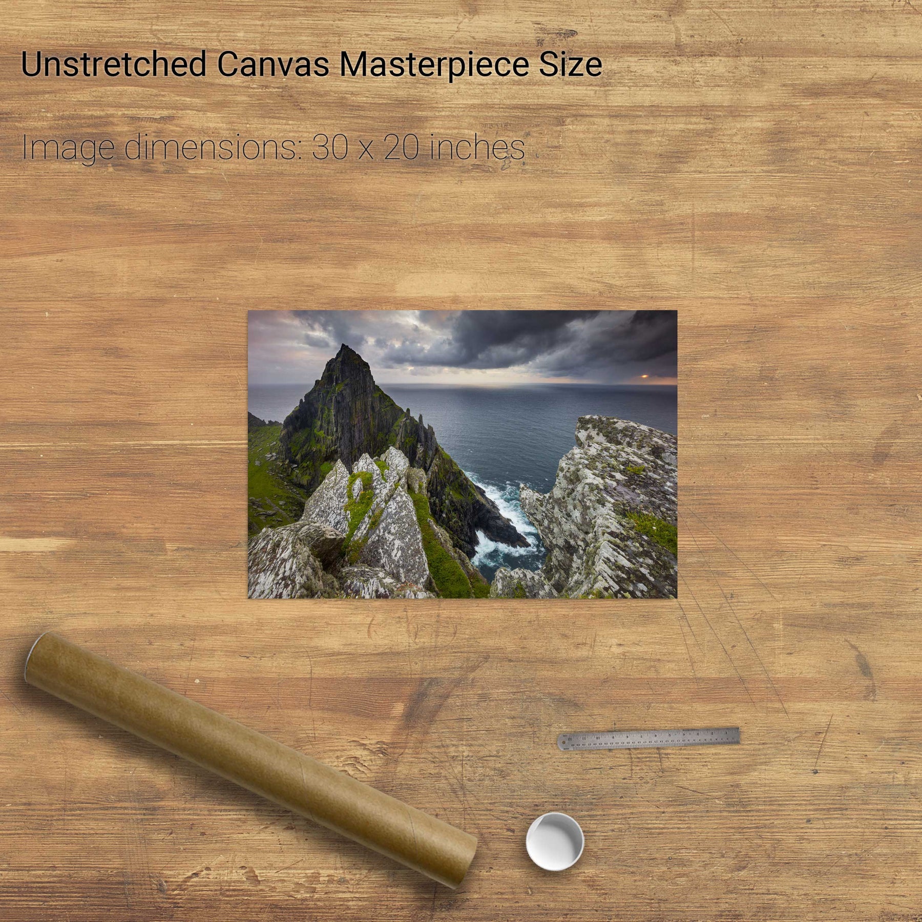
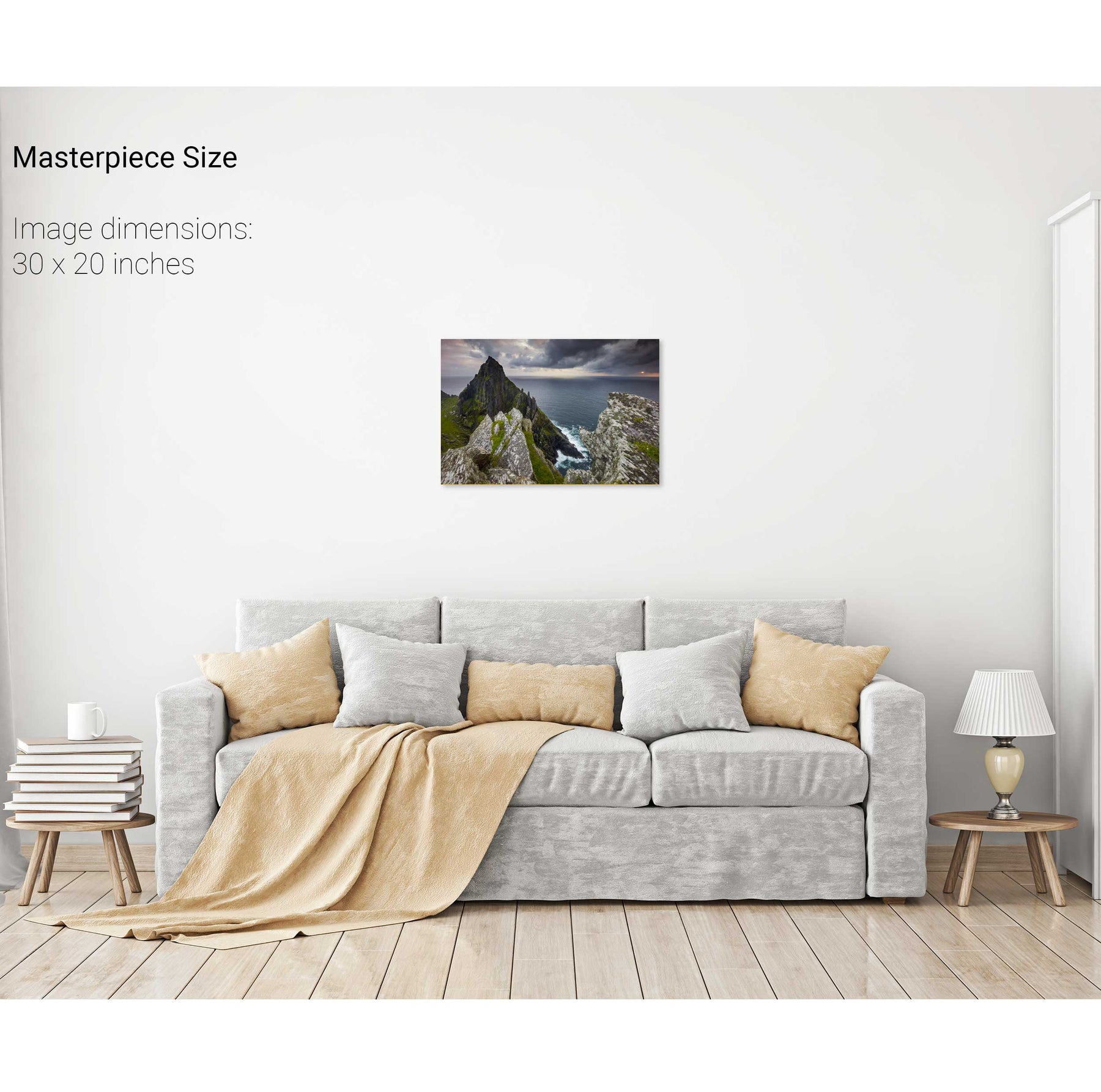
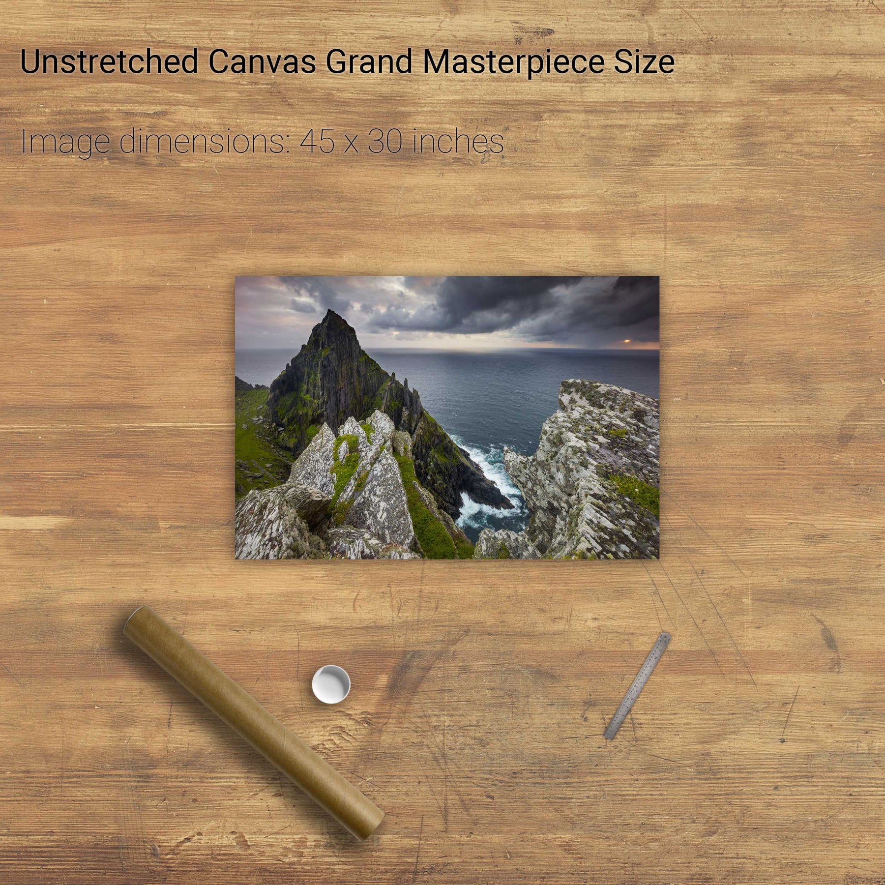
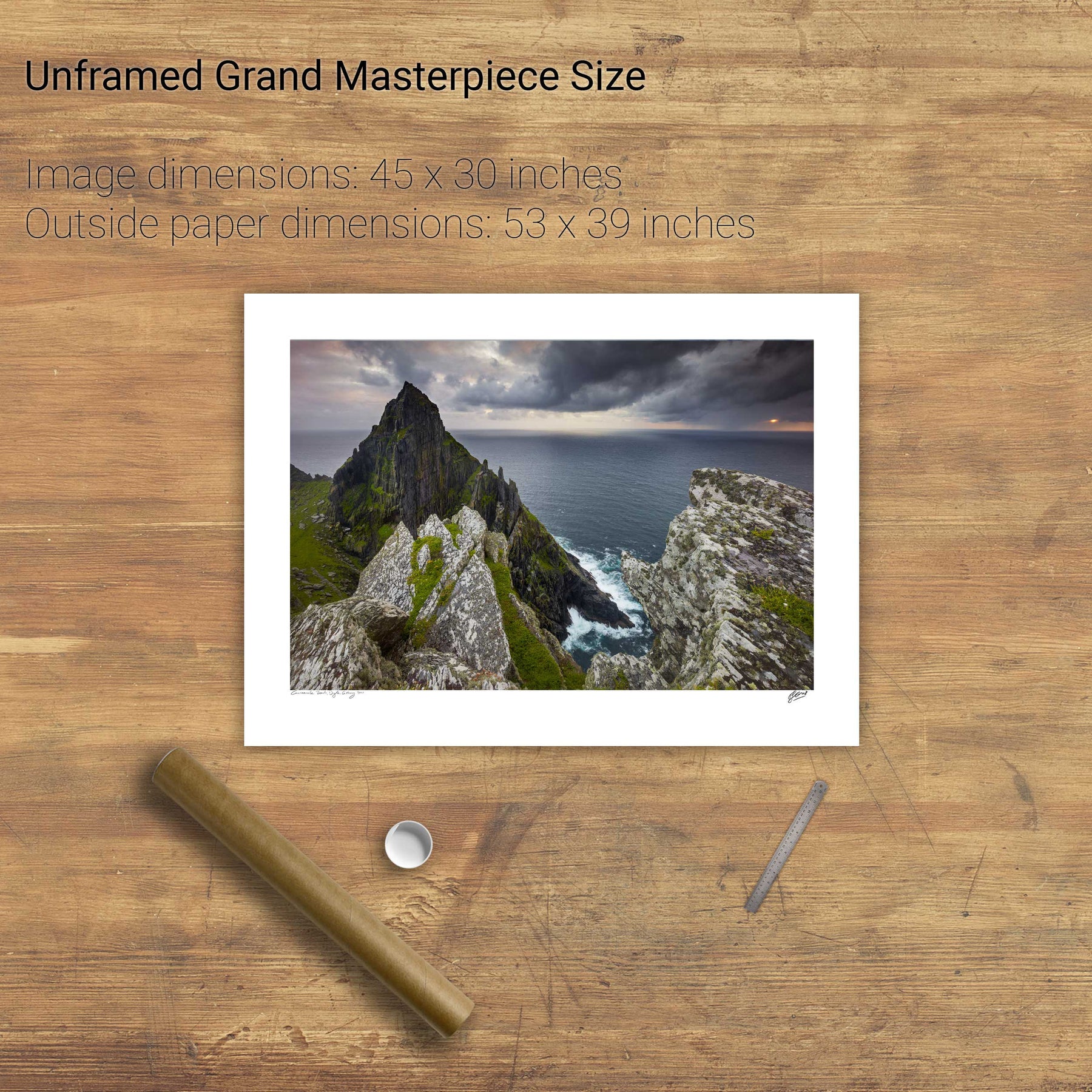
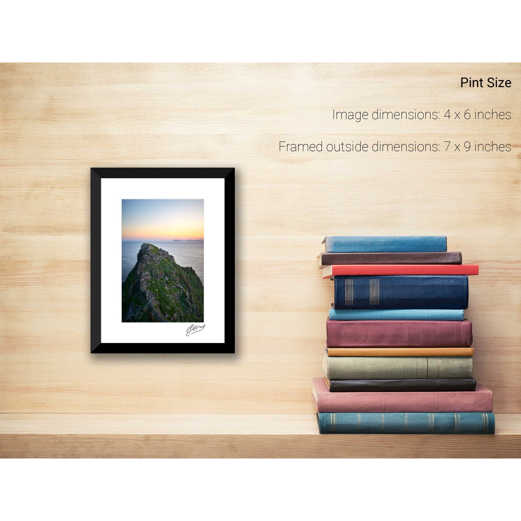
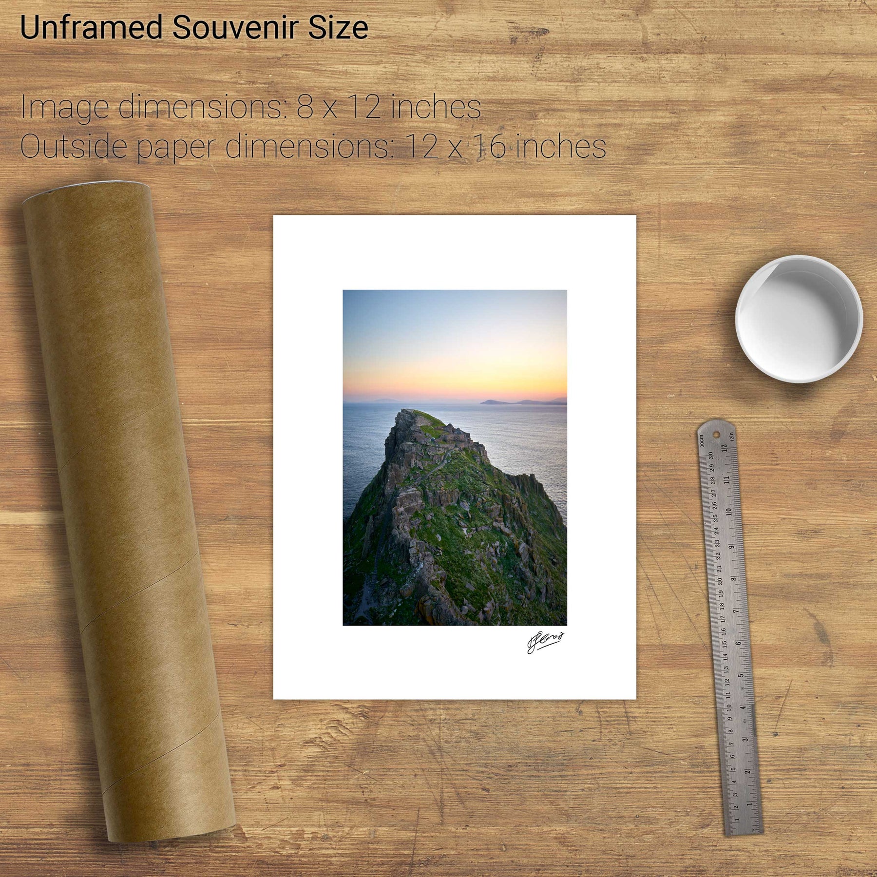
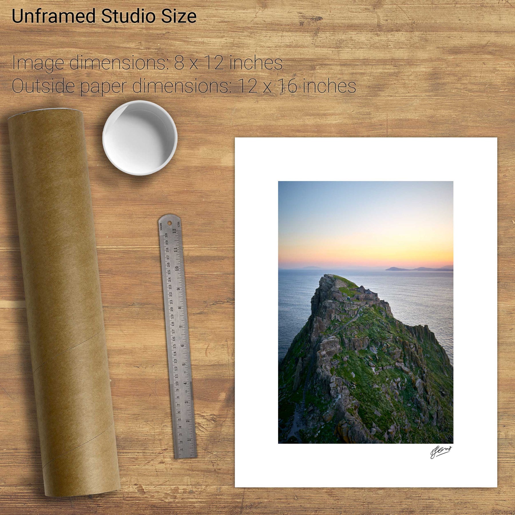
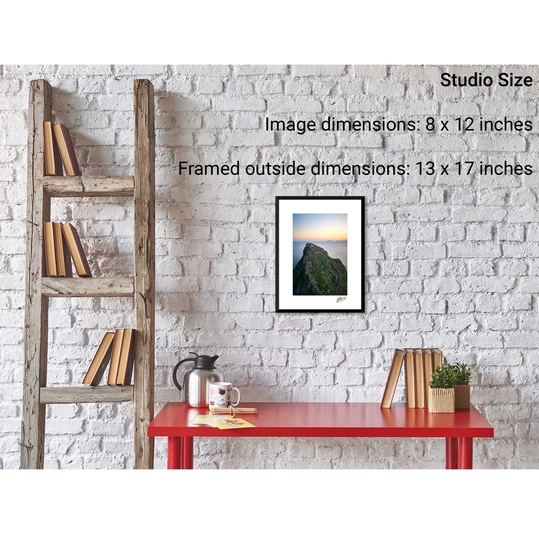
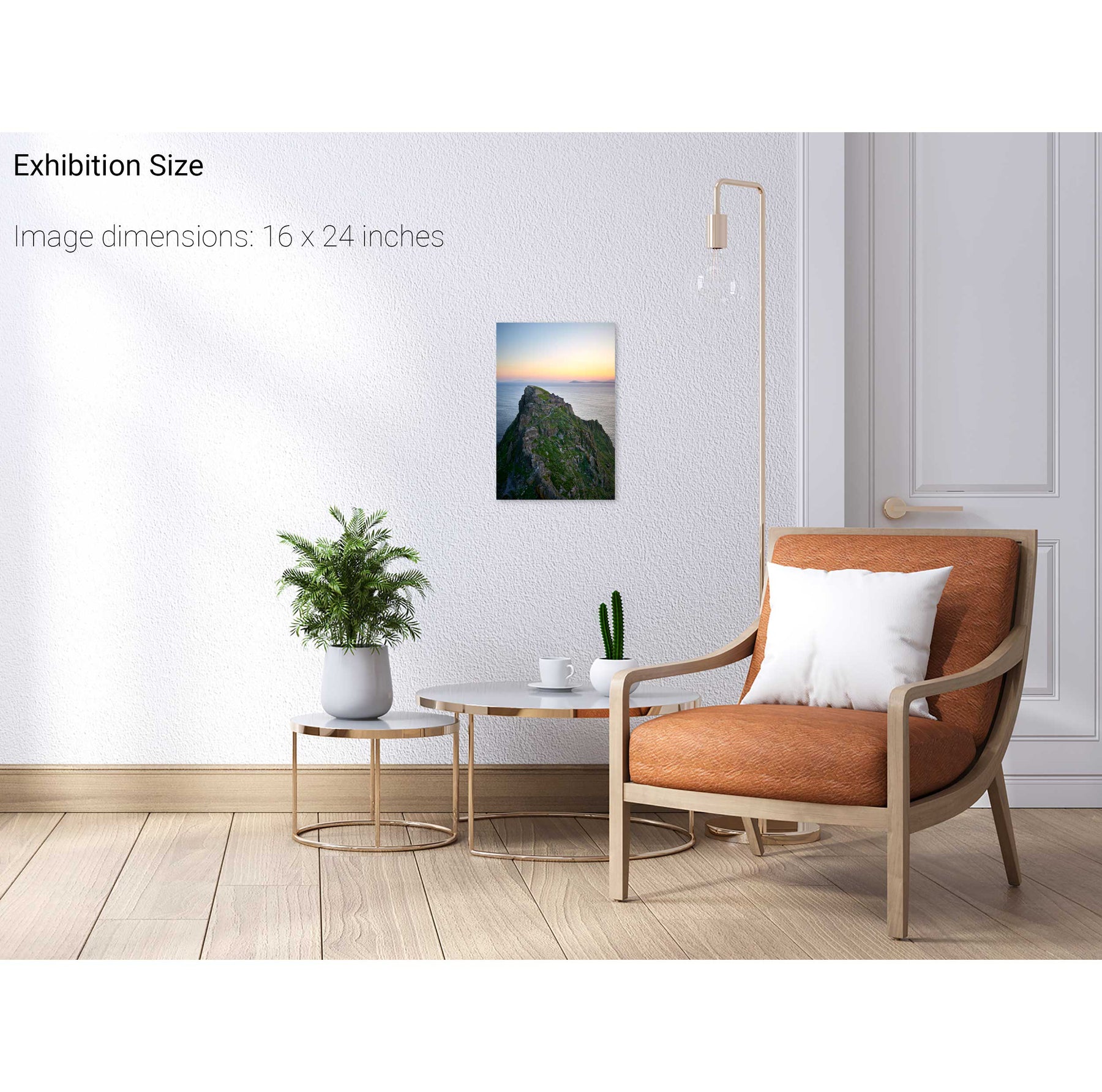
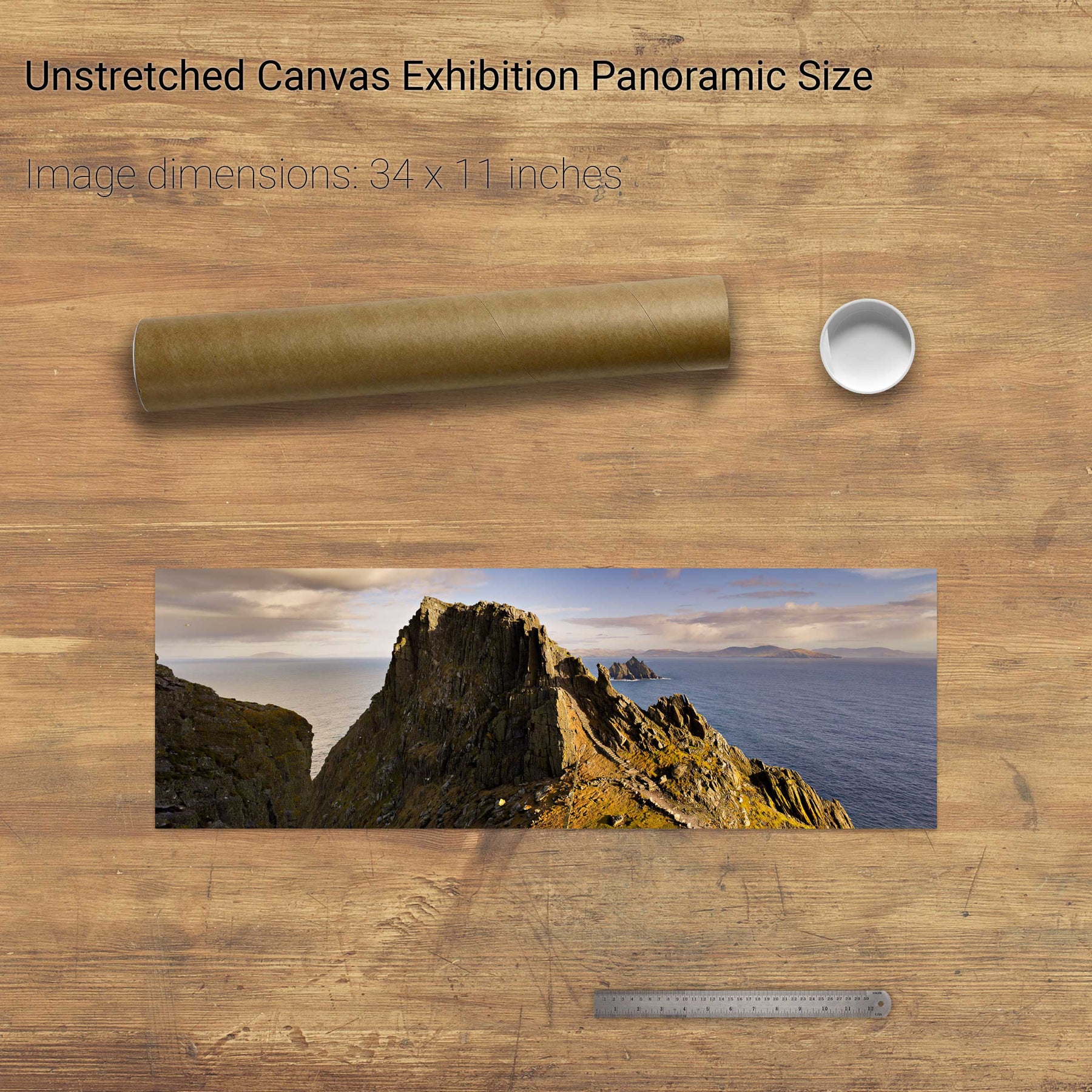
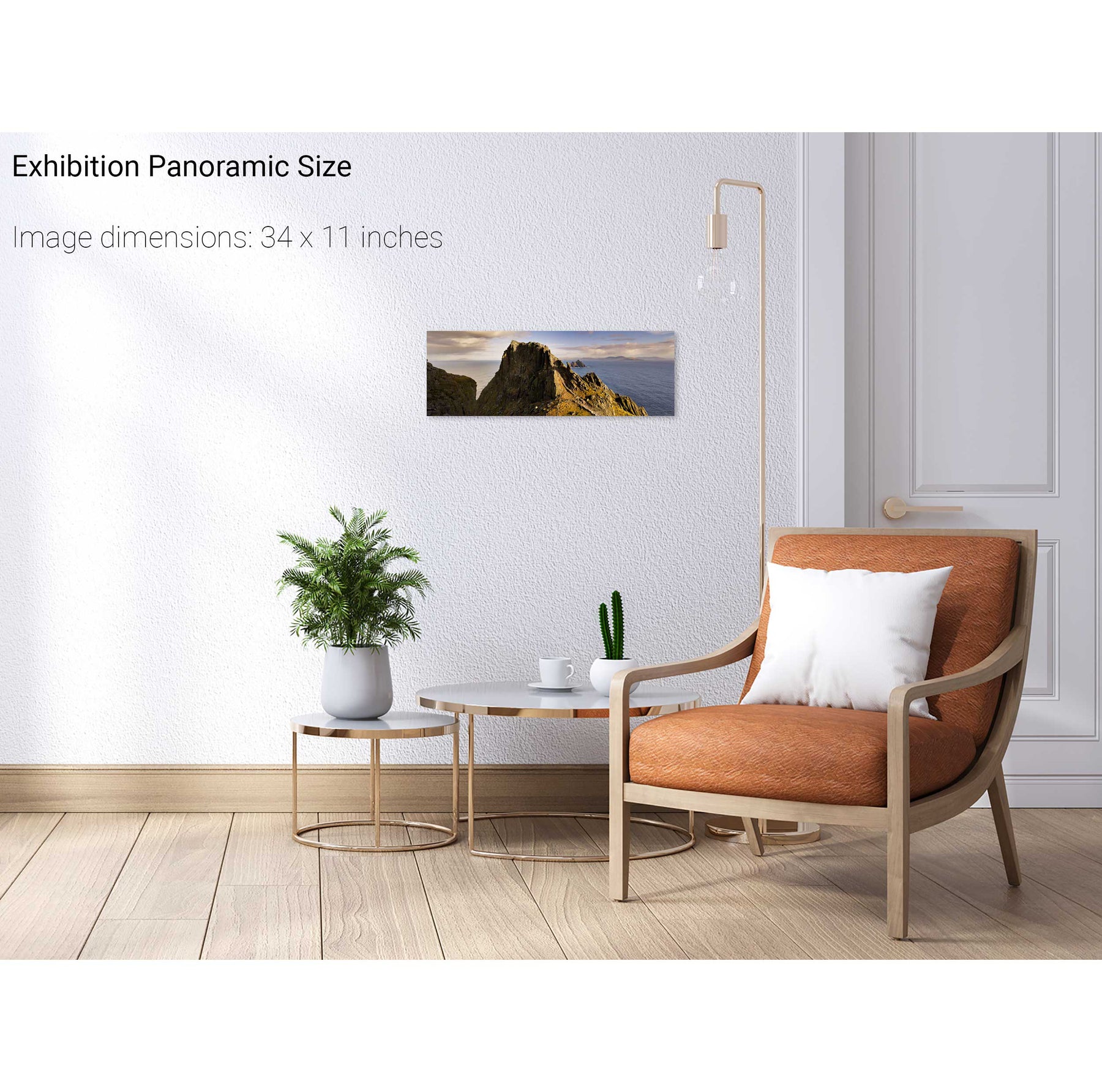
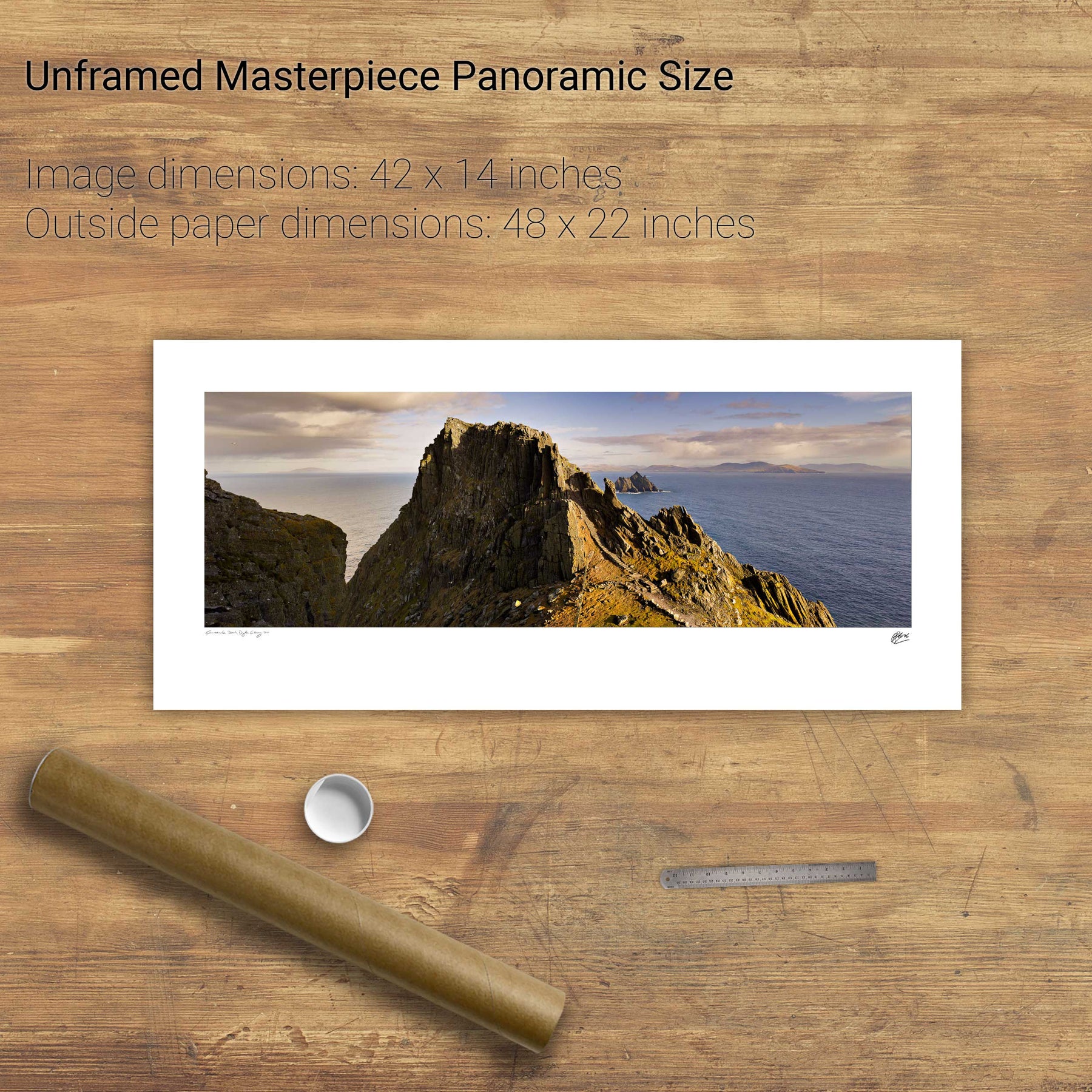
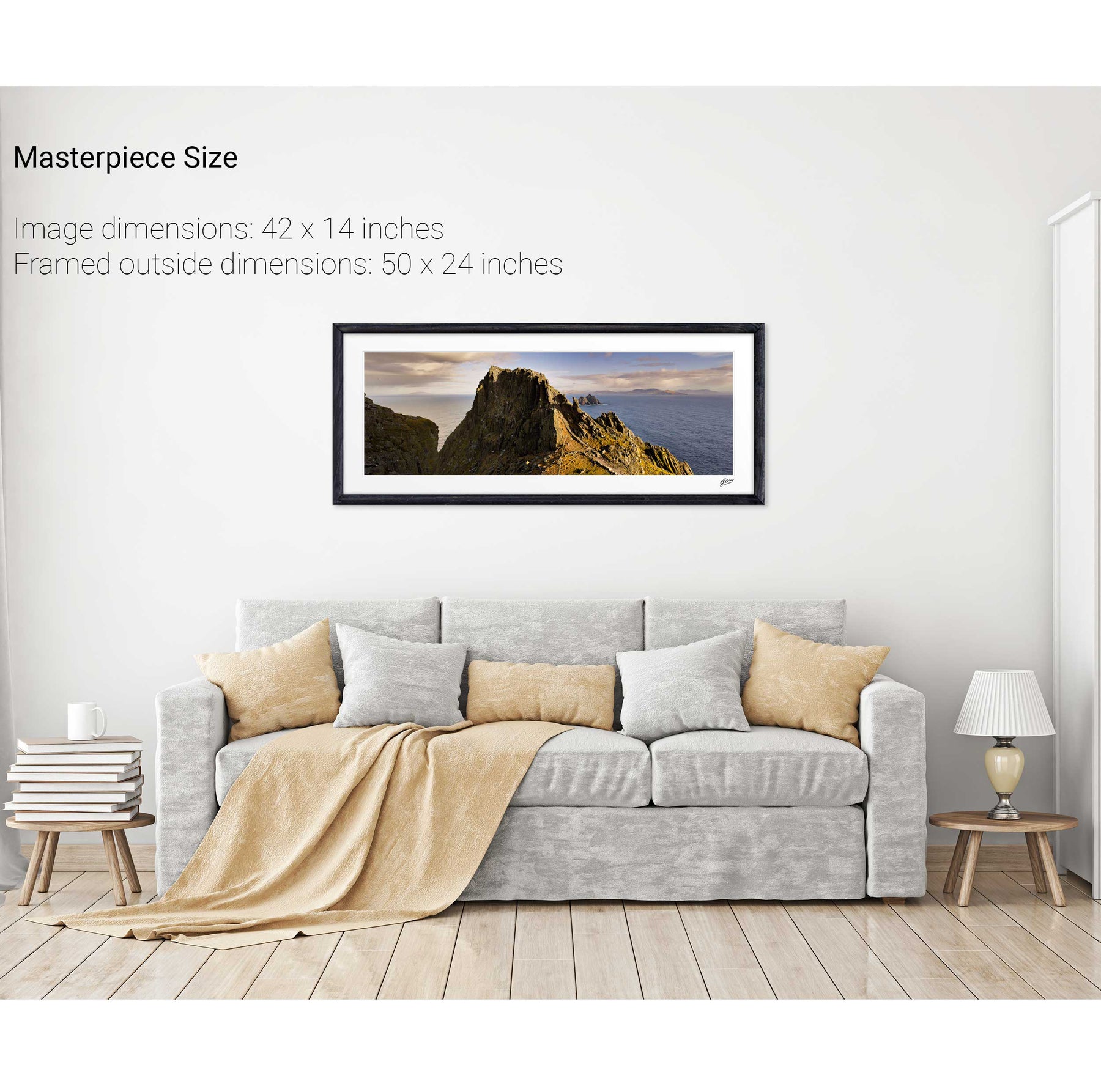
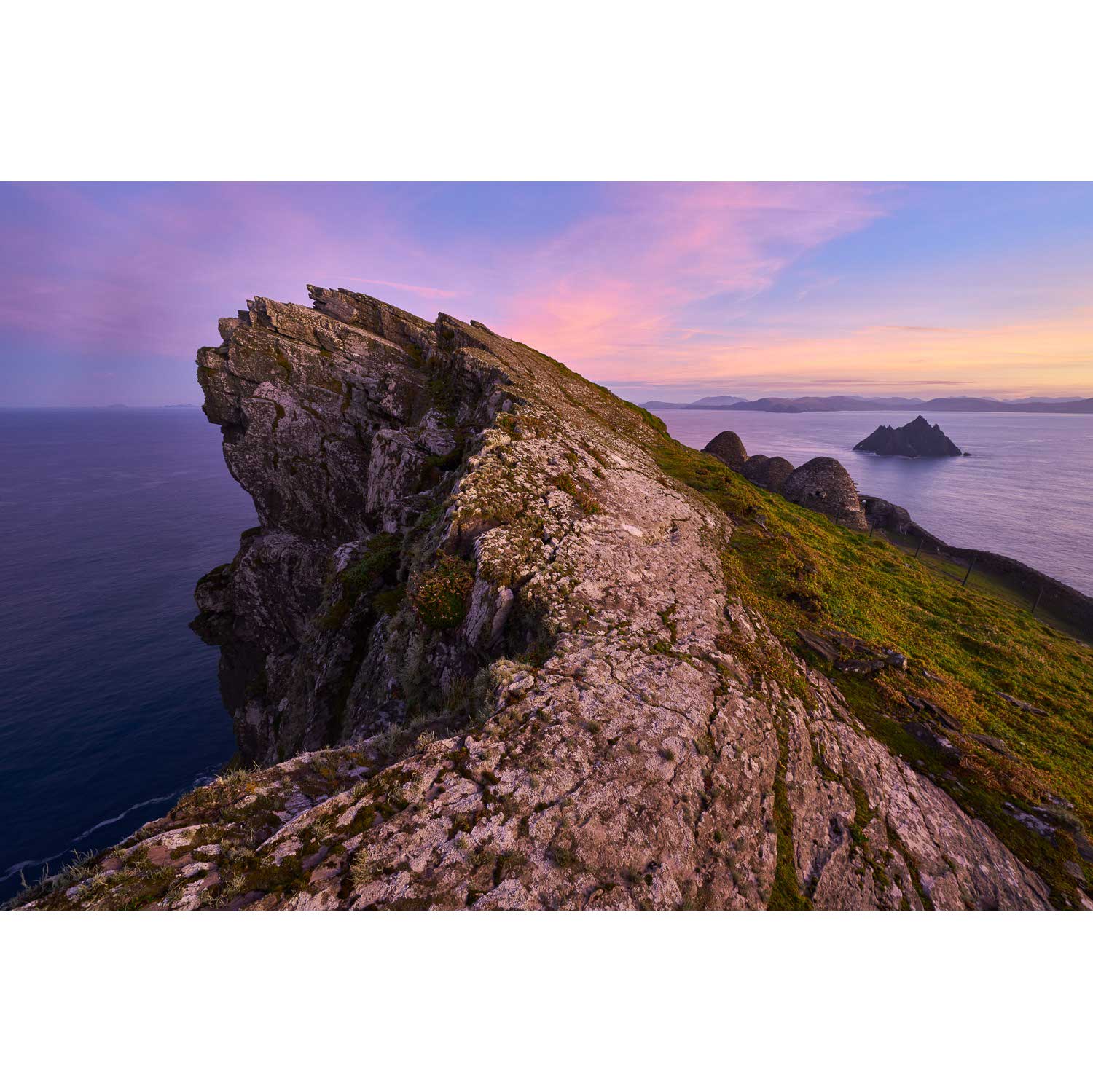
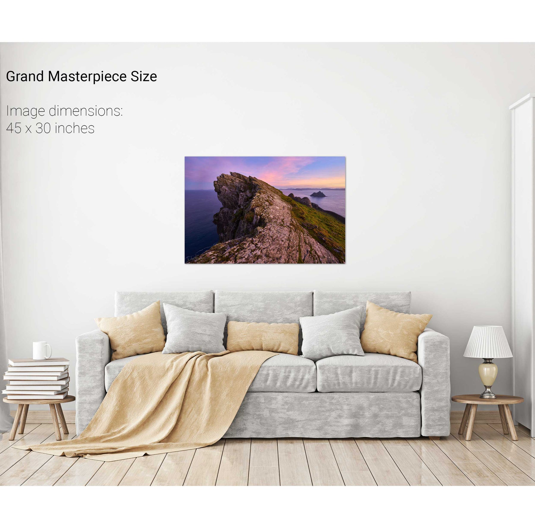
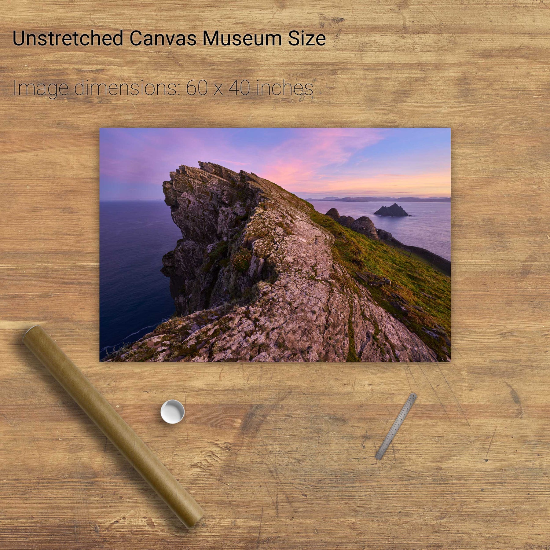
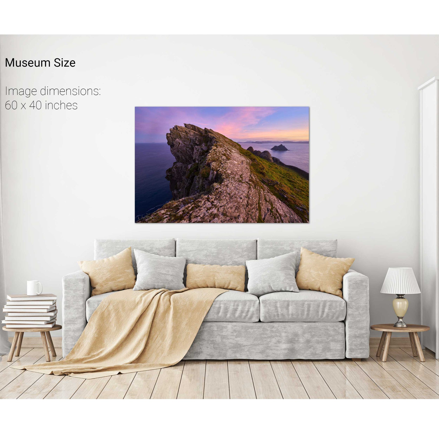
North Peak Ridge, Skellig Michael, Kerry
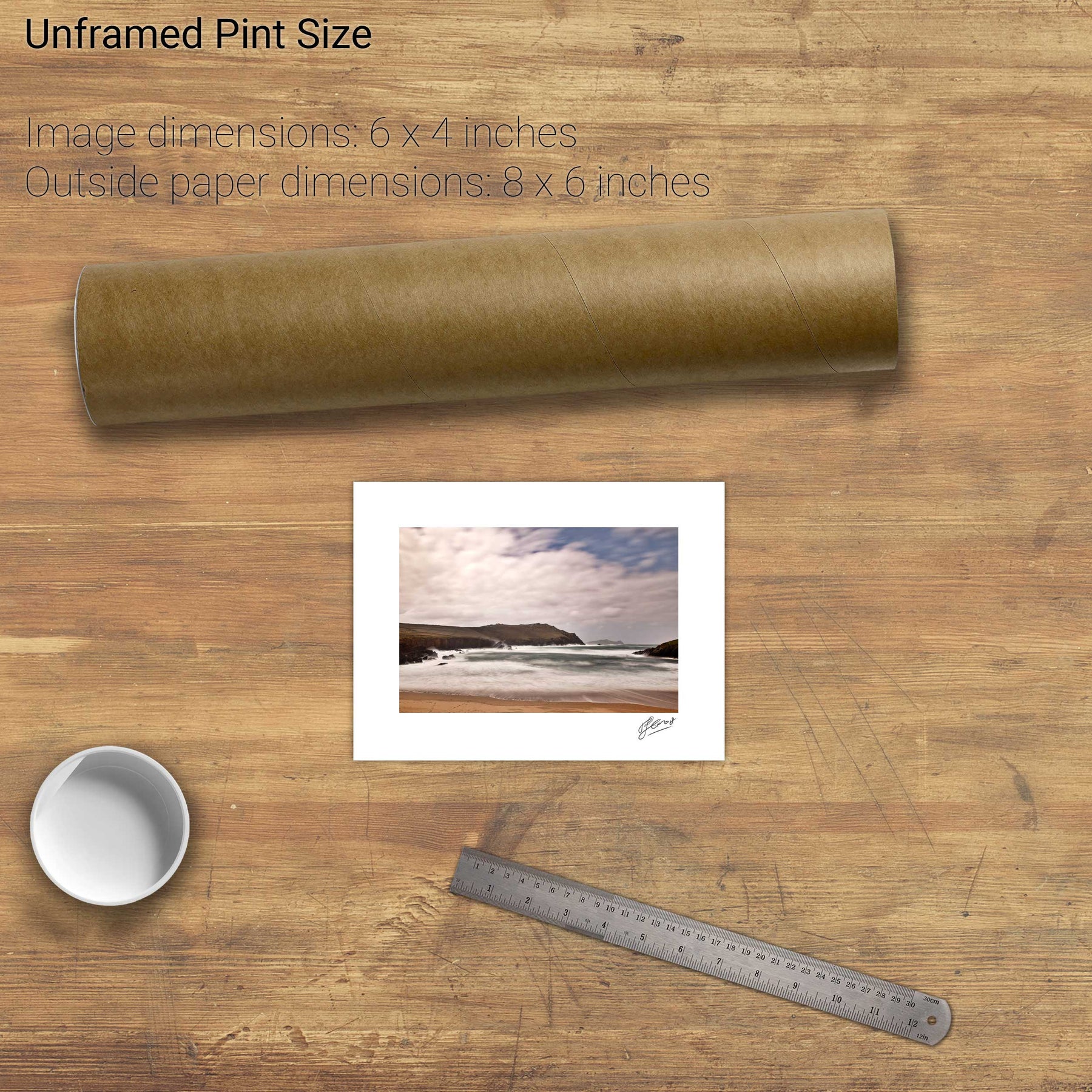
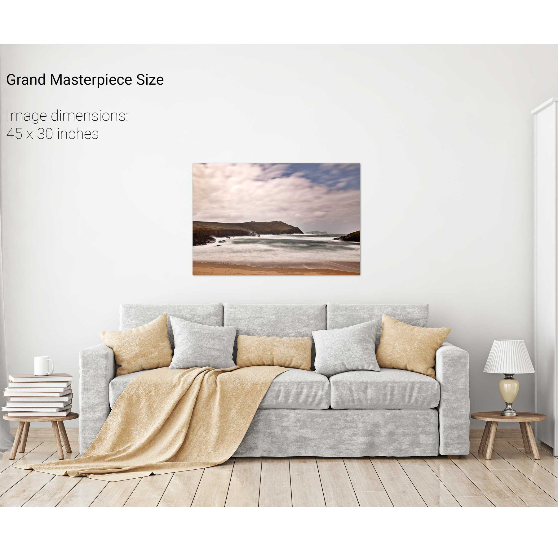
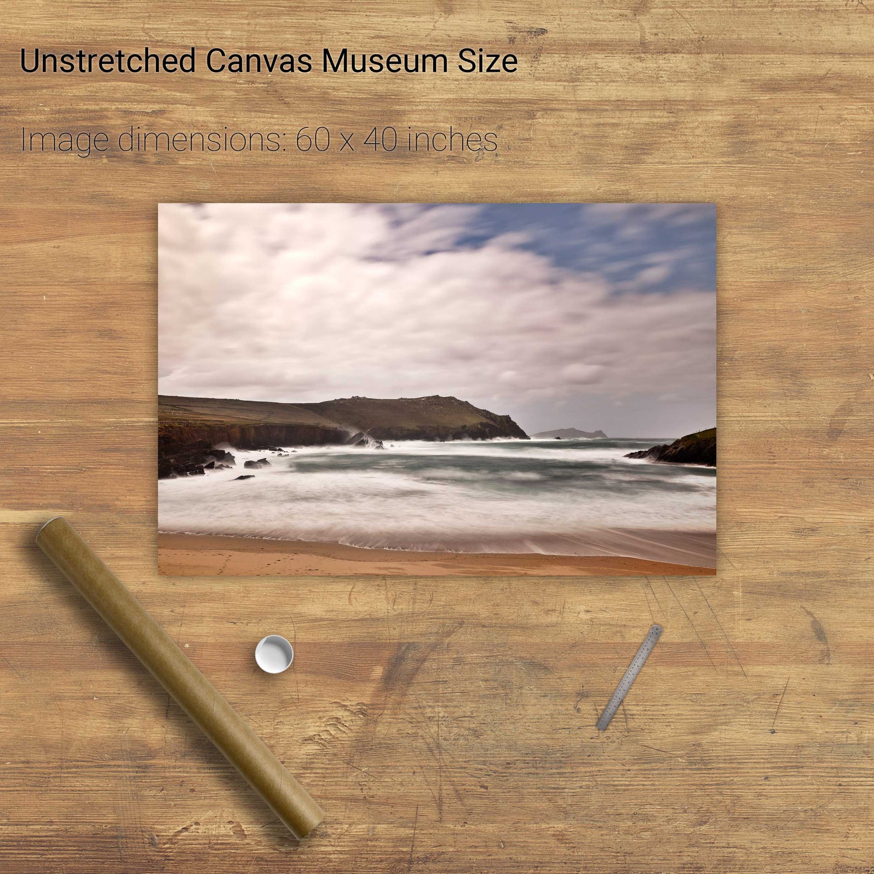
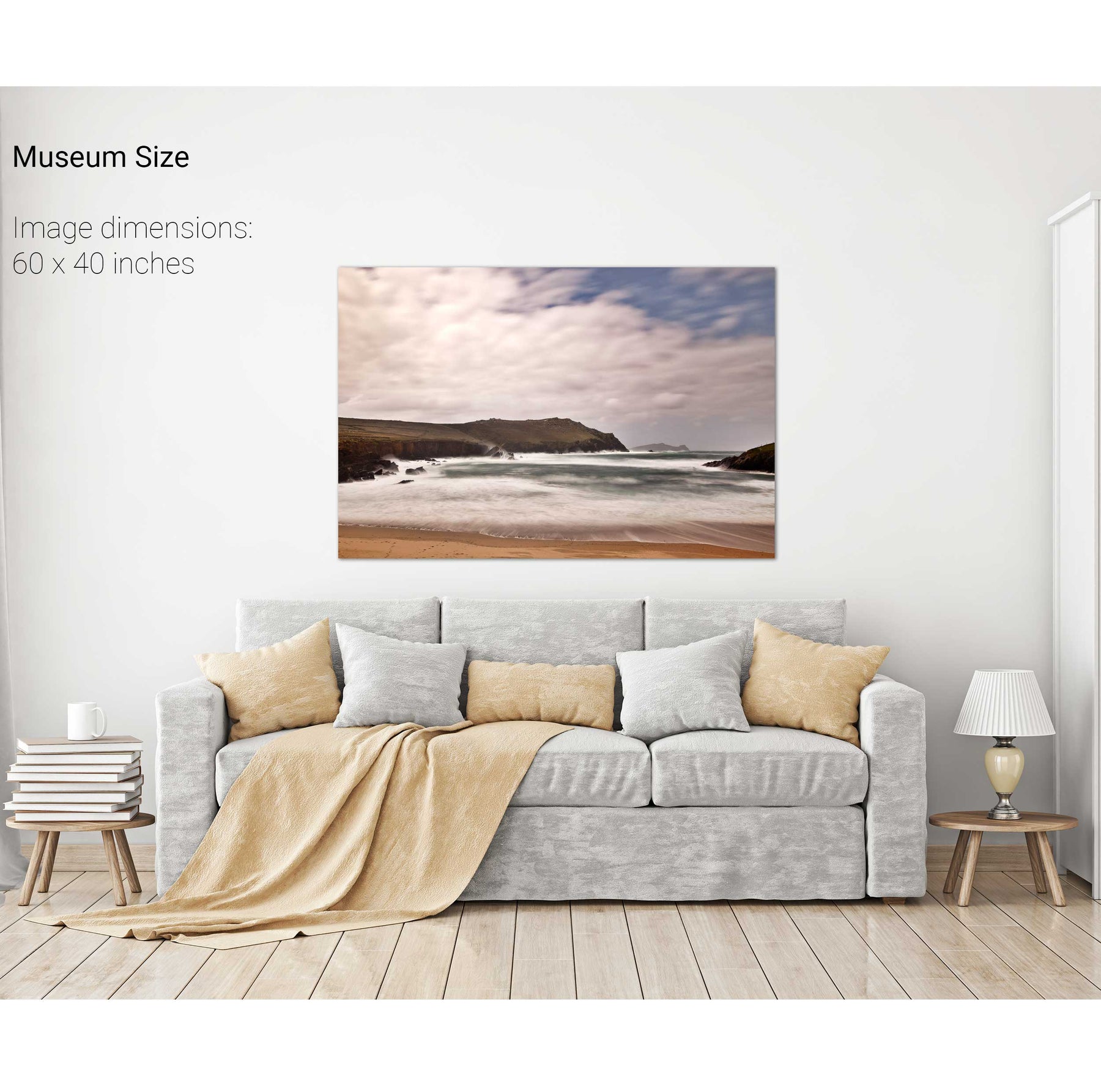
Clogher Strand, Dingle, Co. Kerry
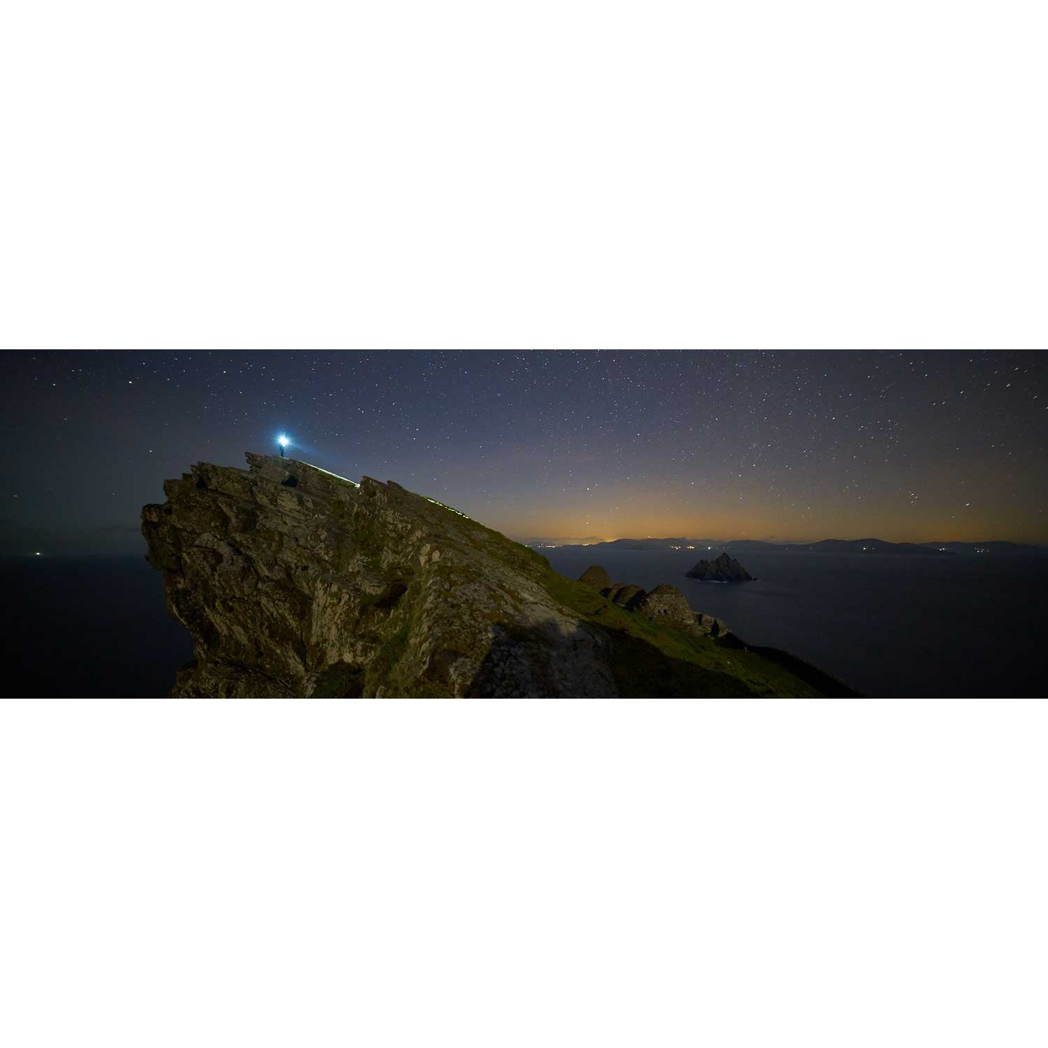
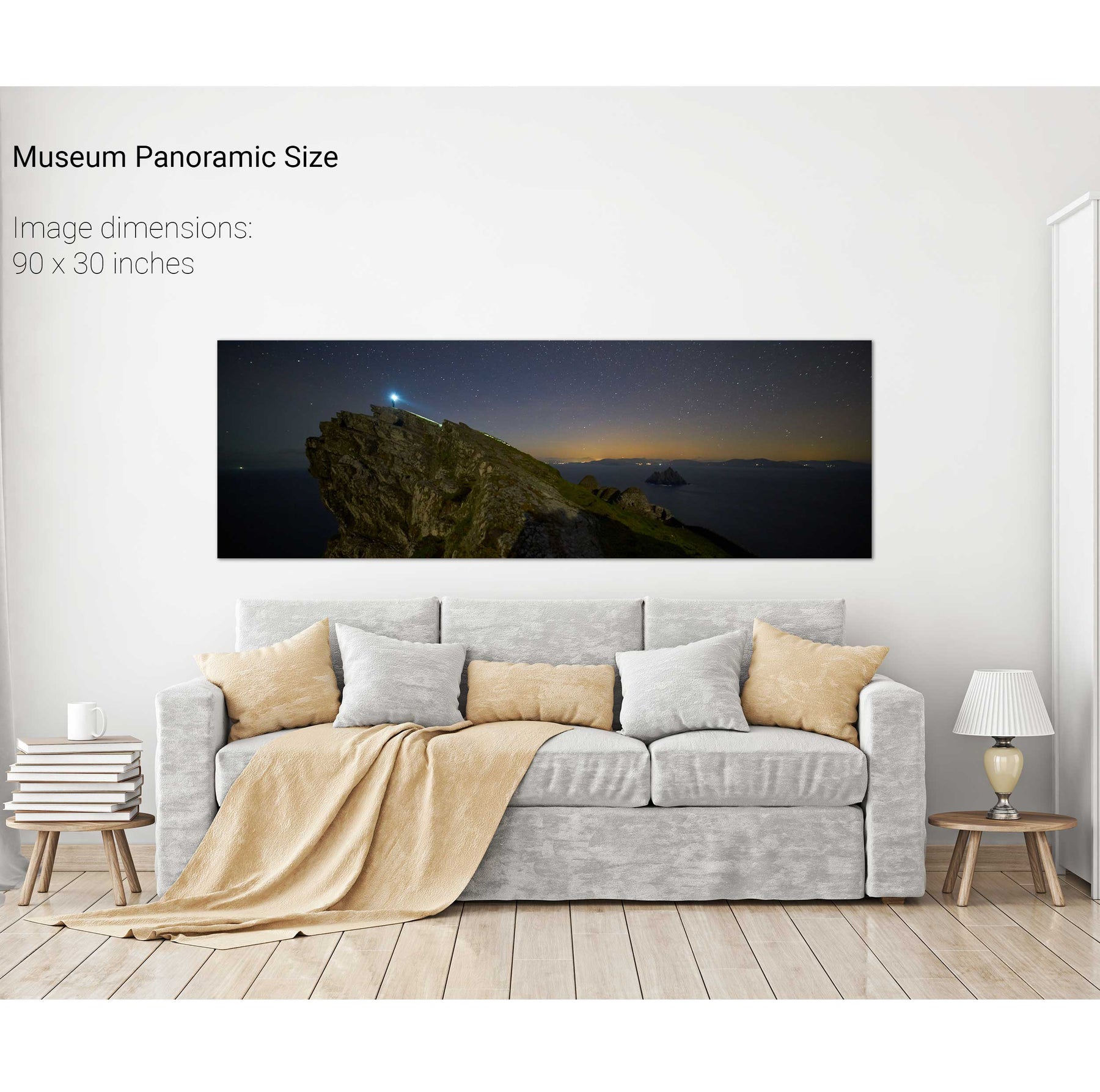
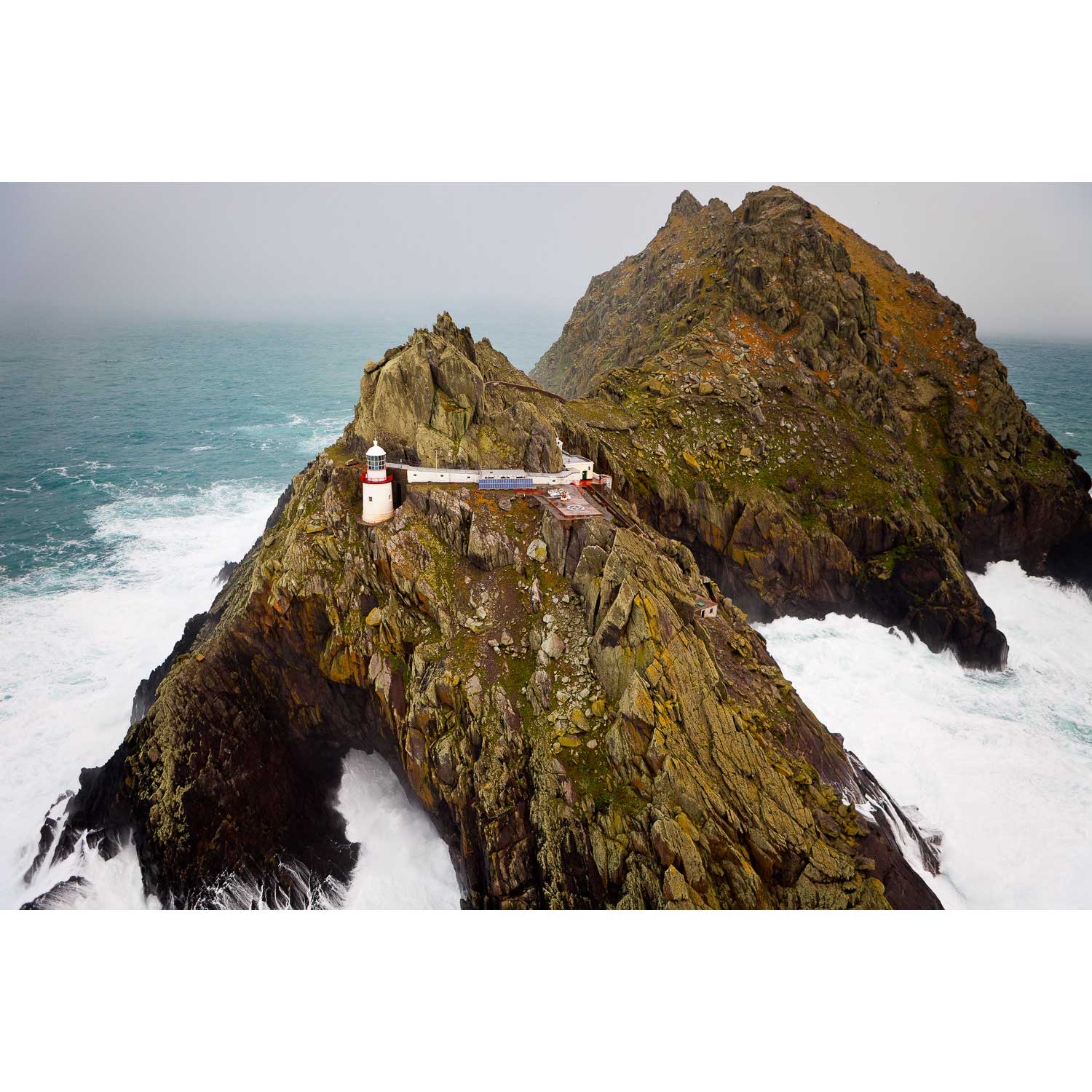
Light the Way, Skellig Michael, Kerry
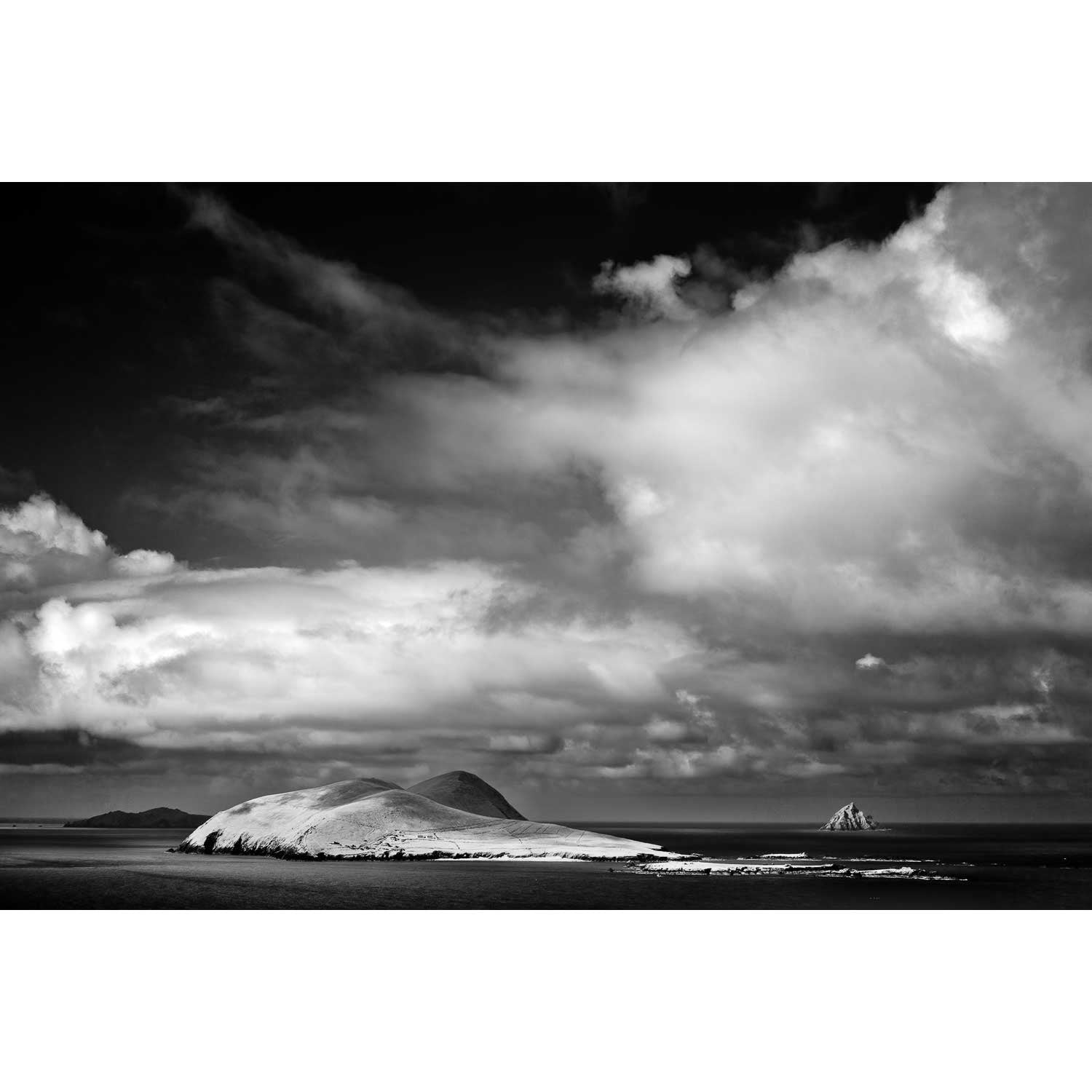
A Stormy Day, An Tiaracht, Co. Kerry