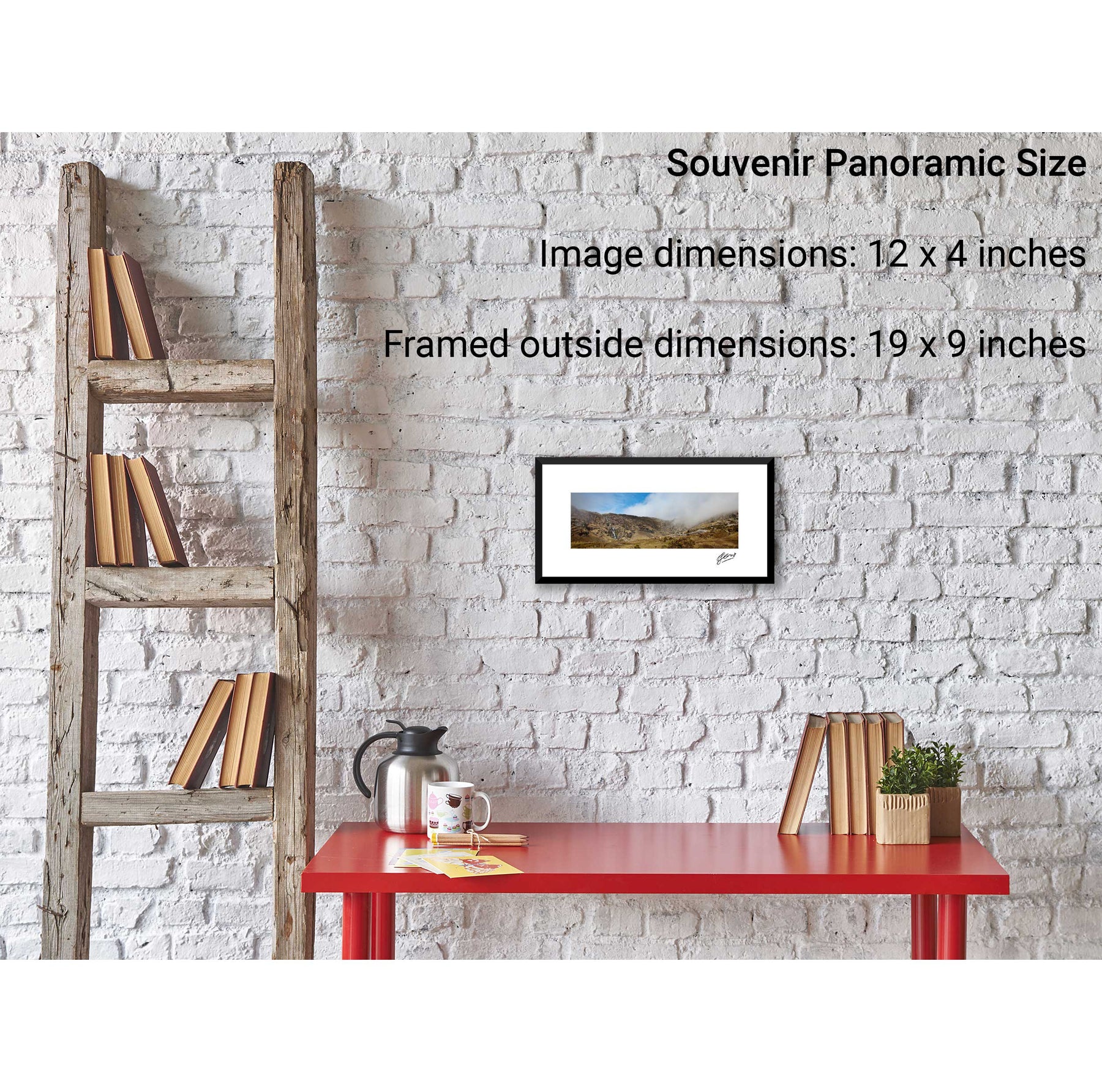
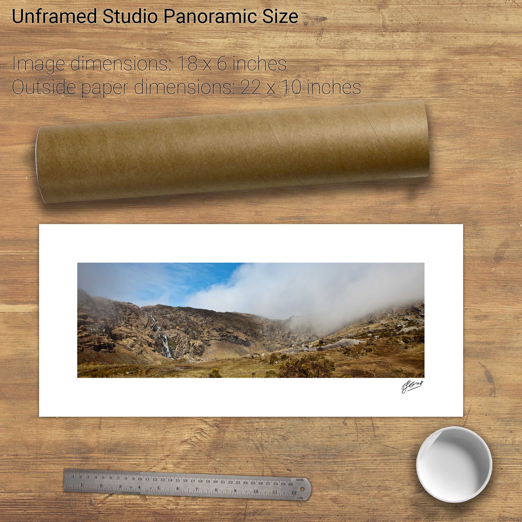
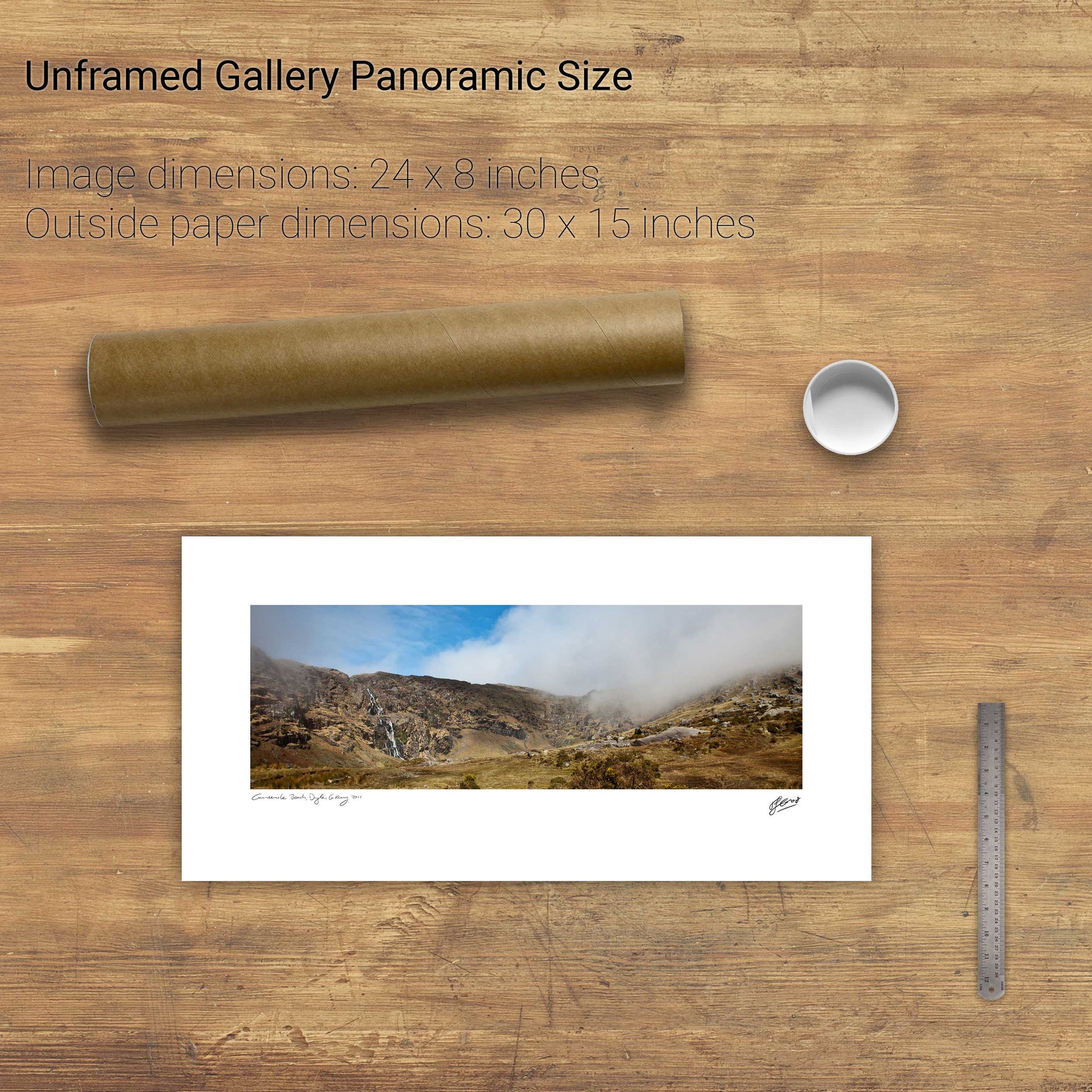
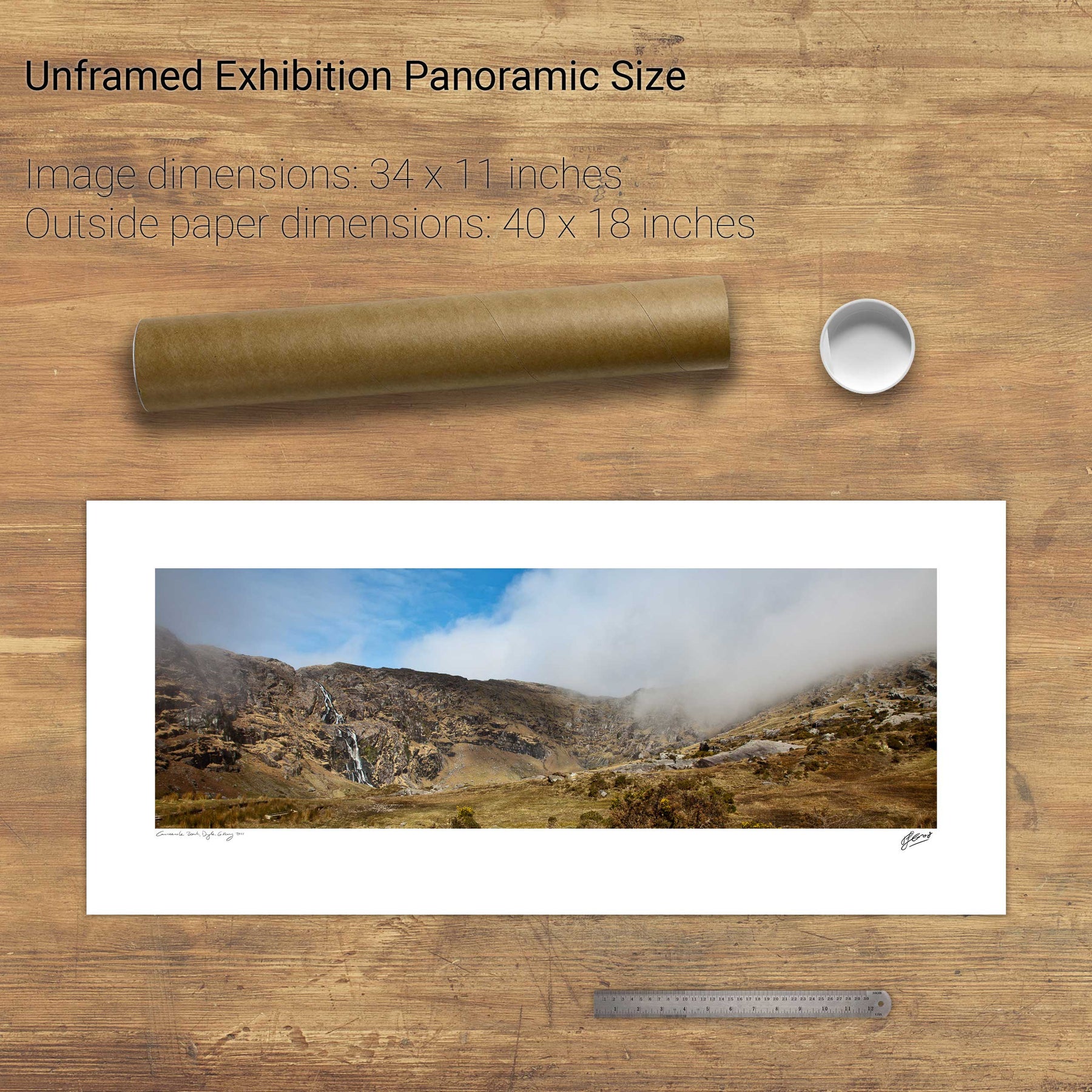
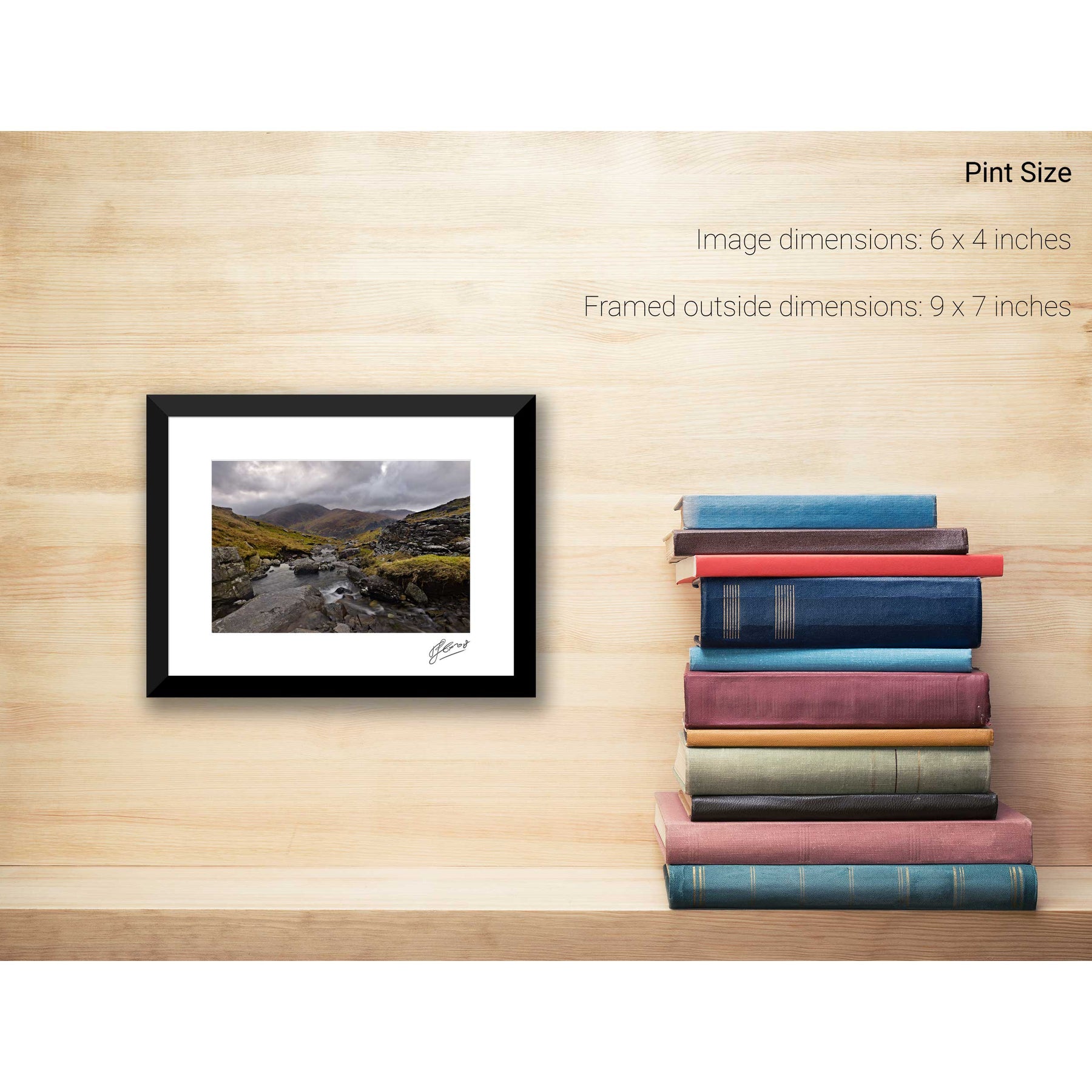
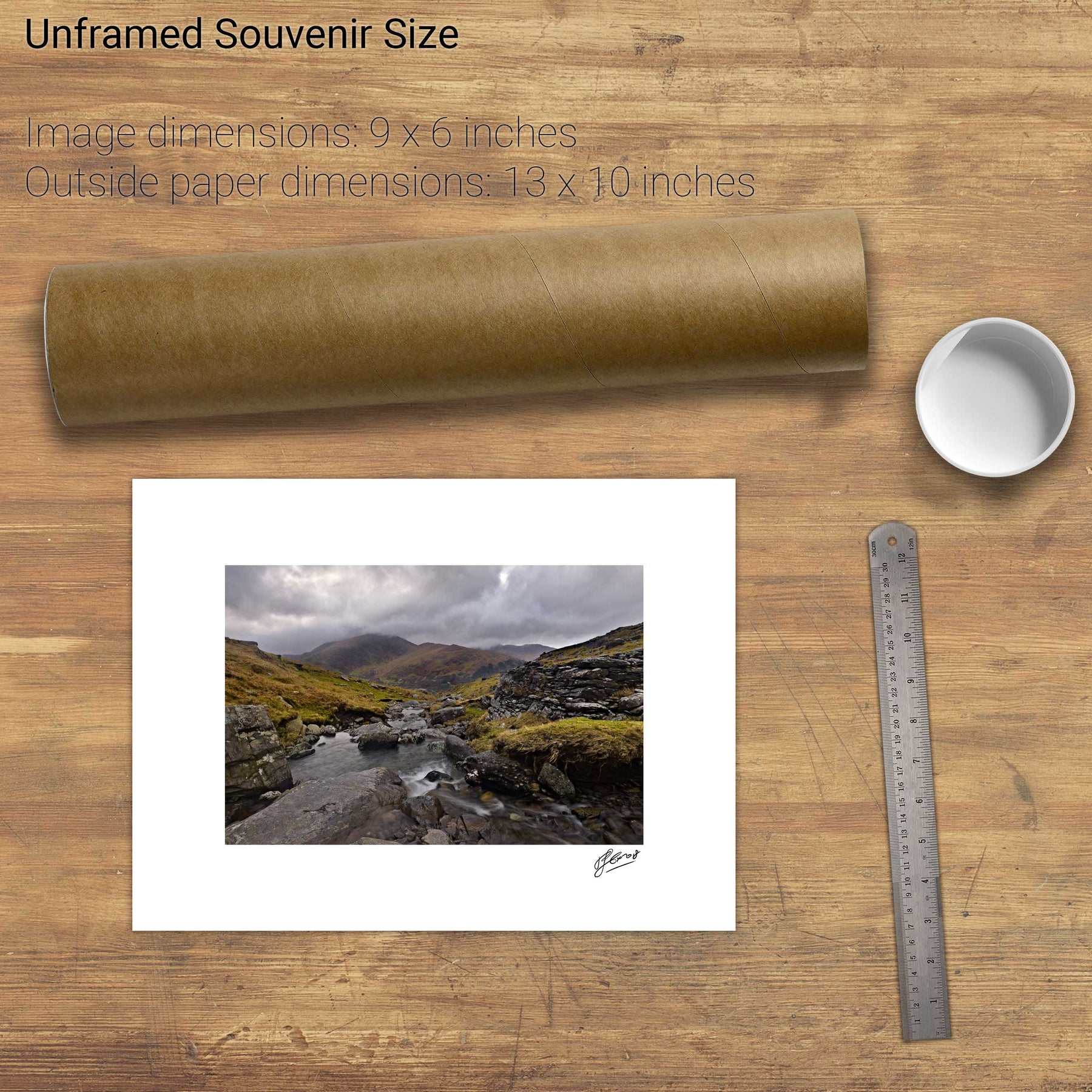
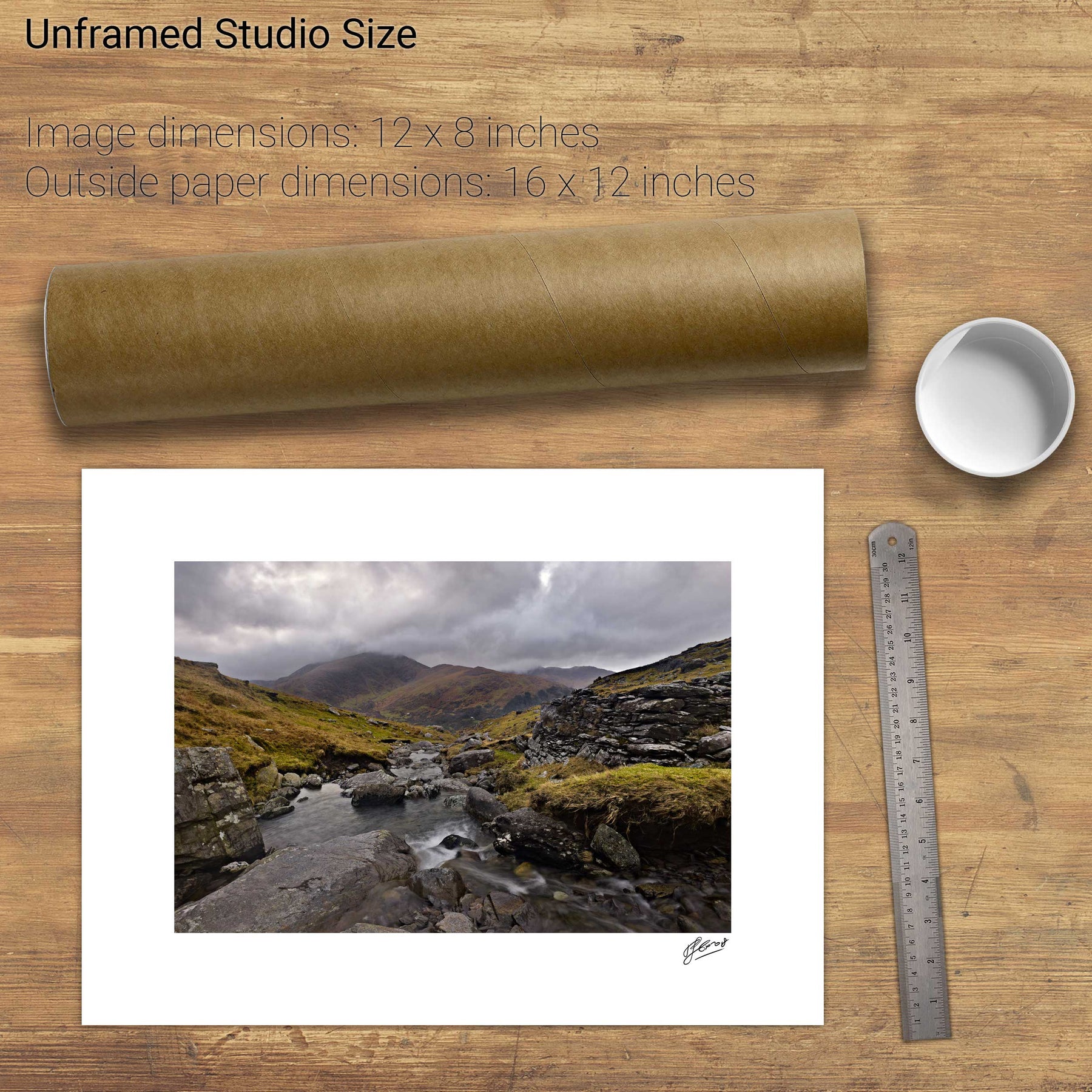
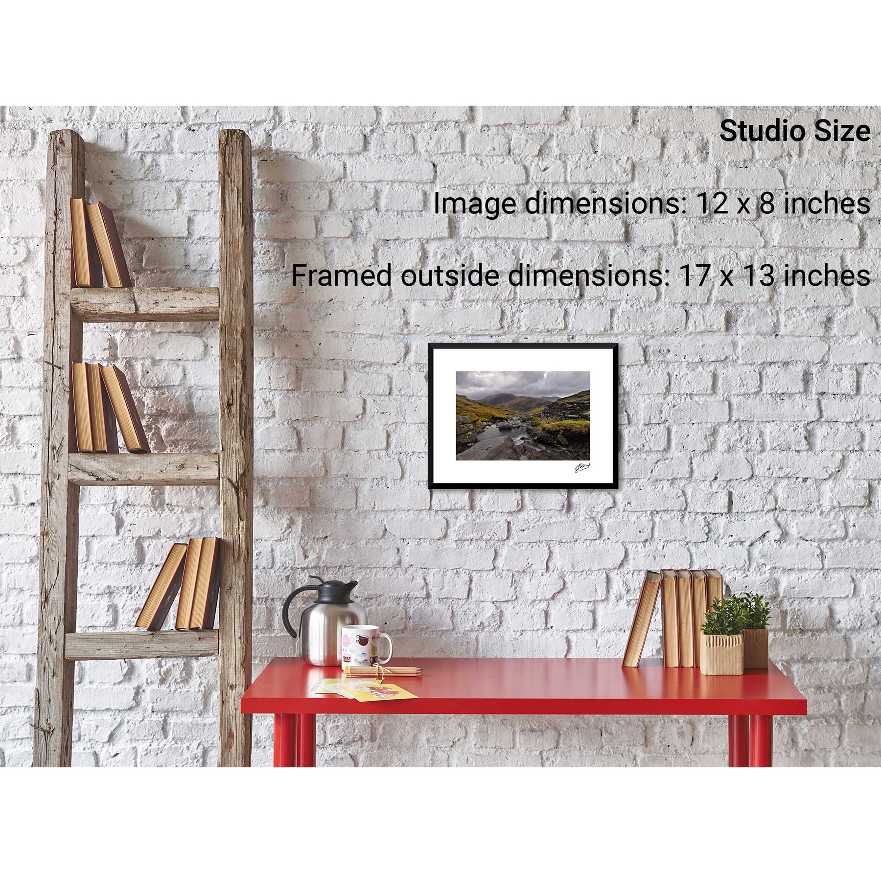
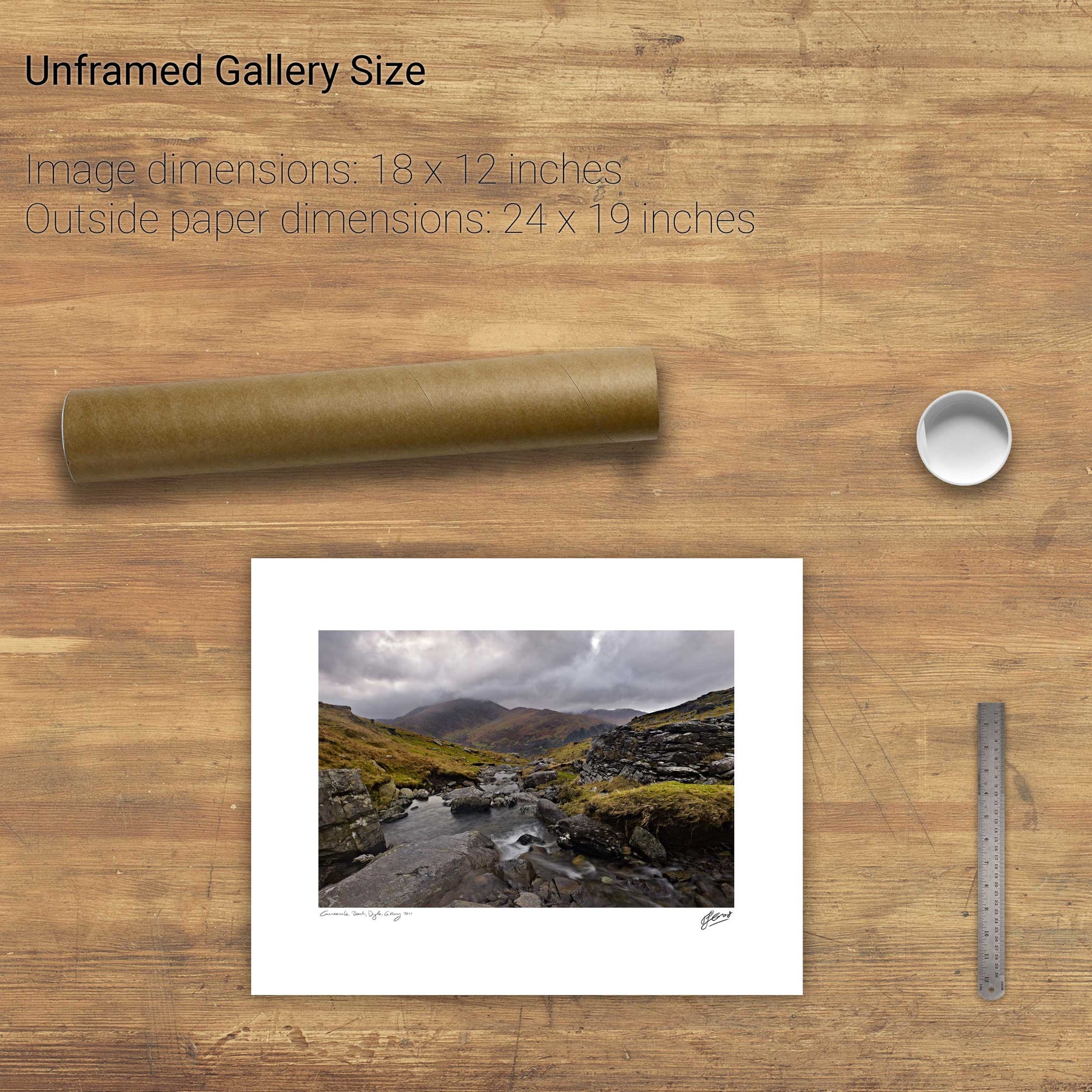
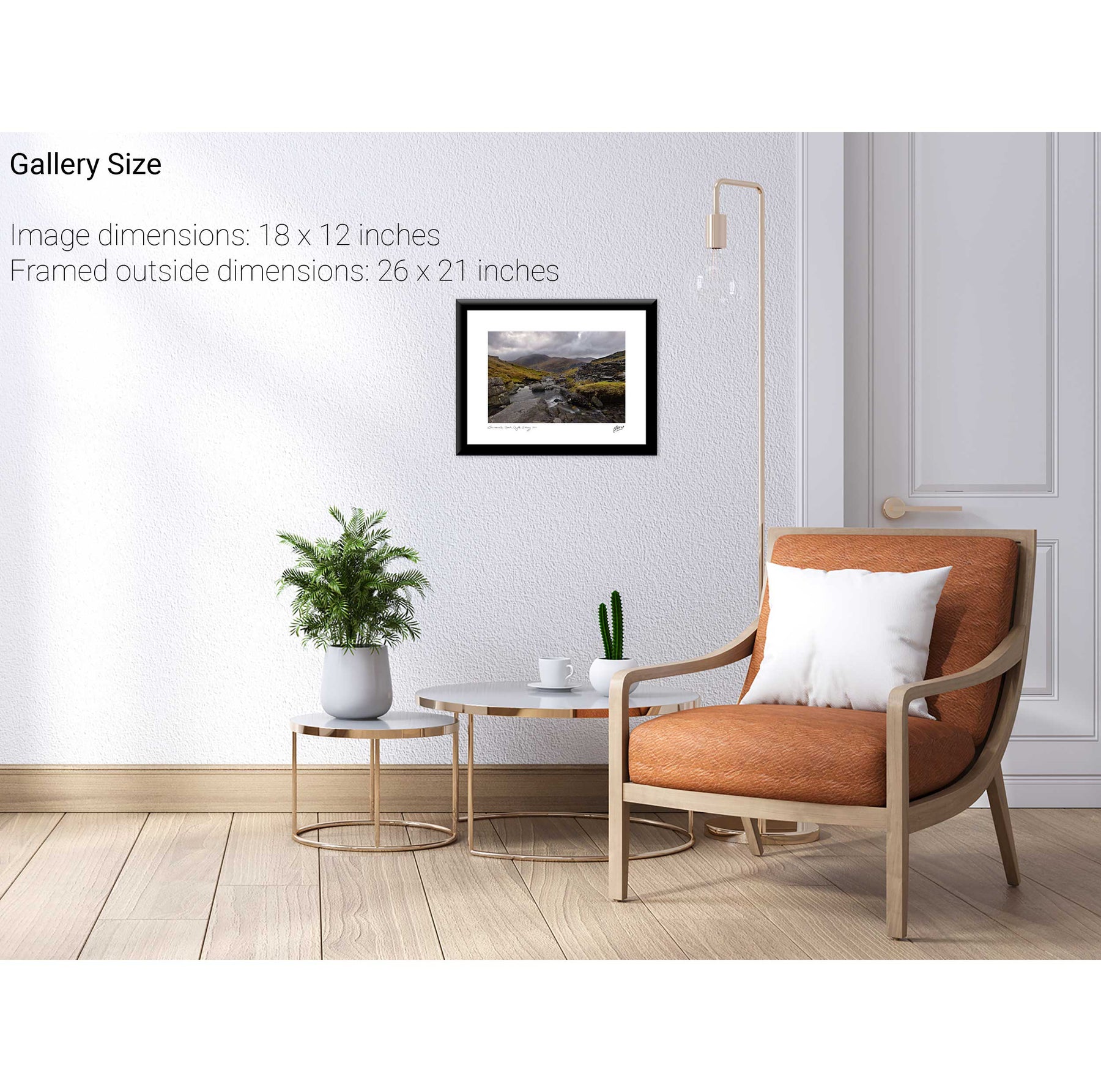
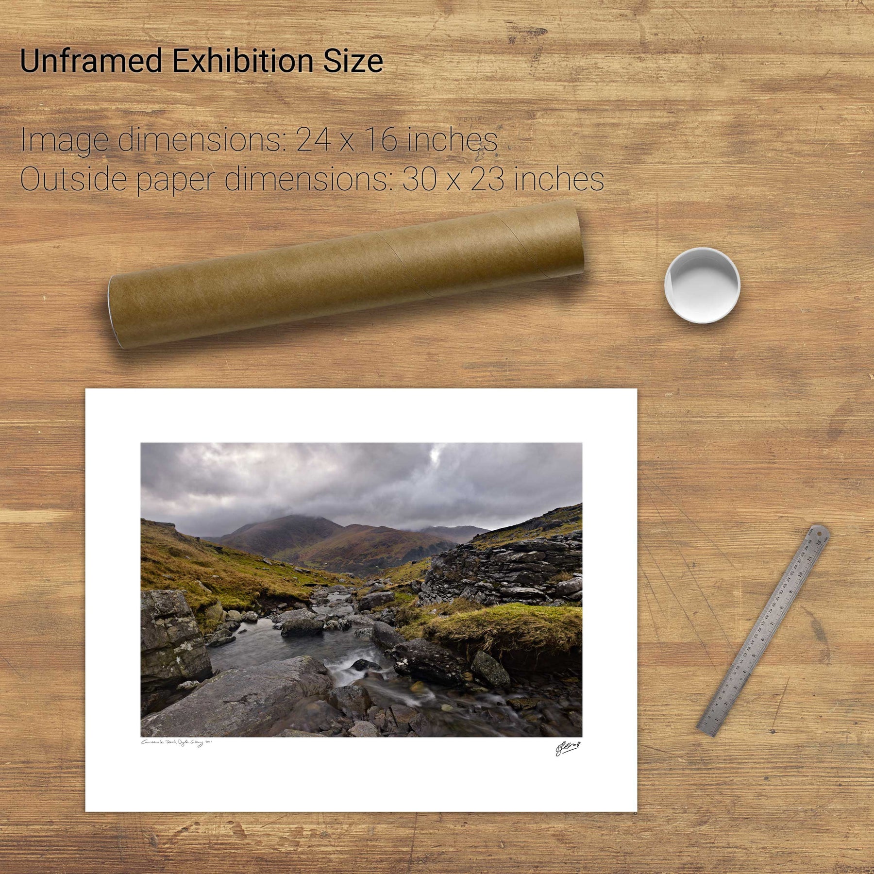
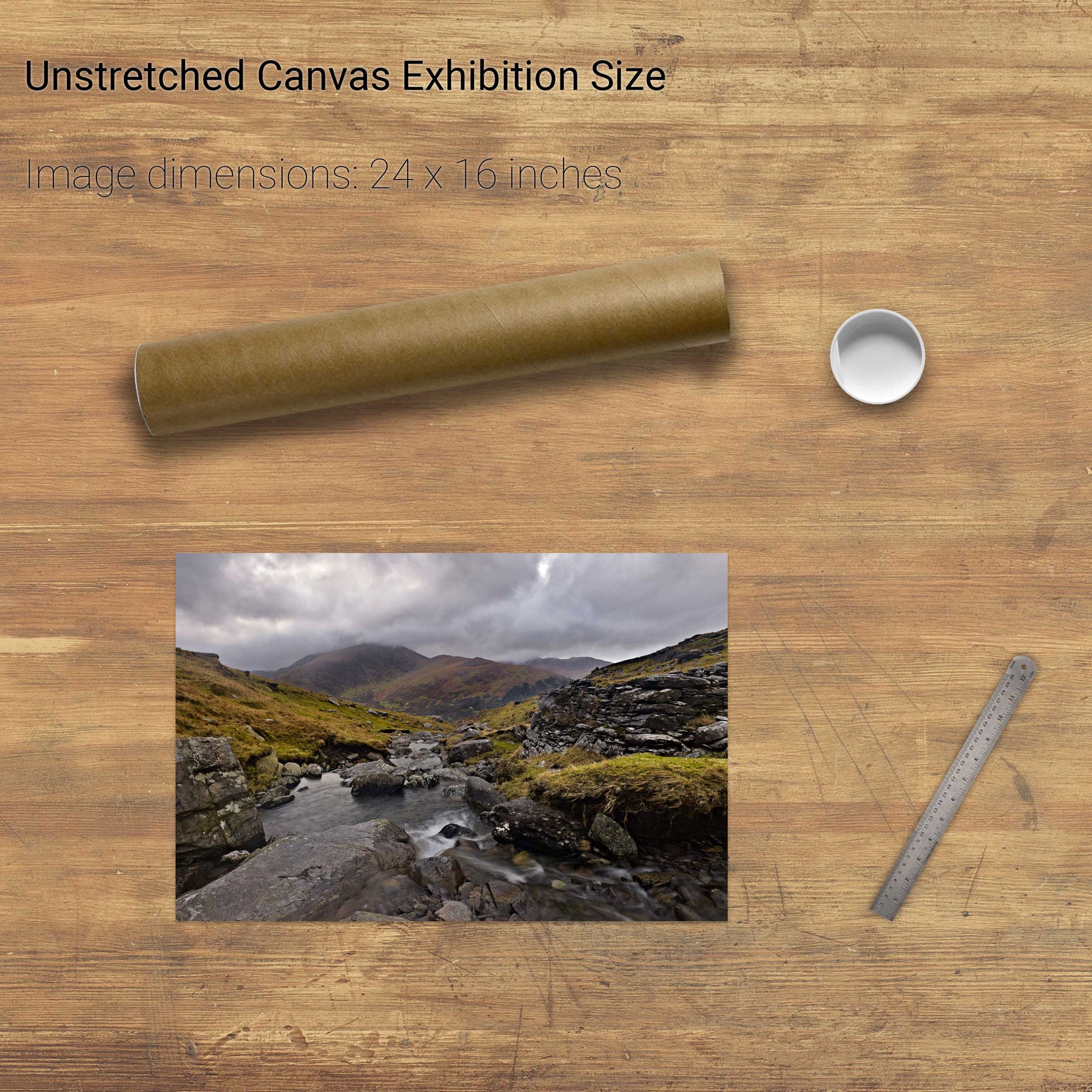
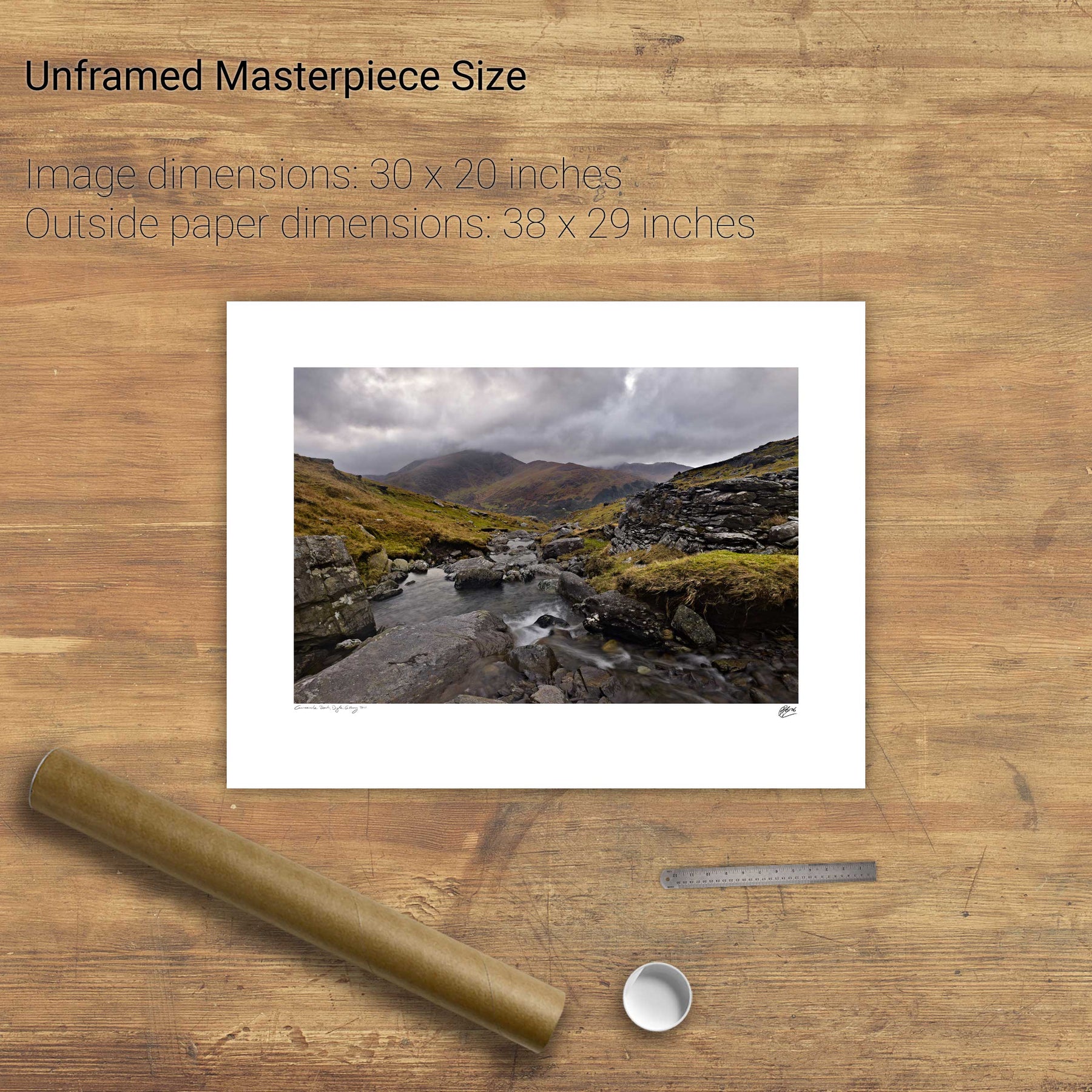
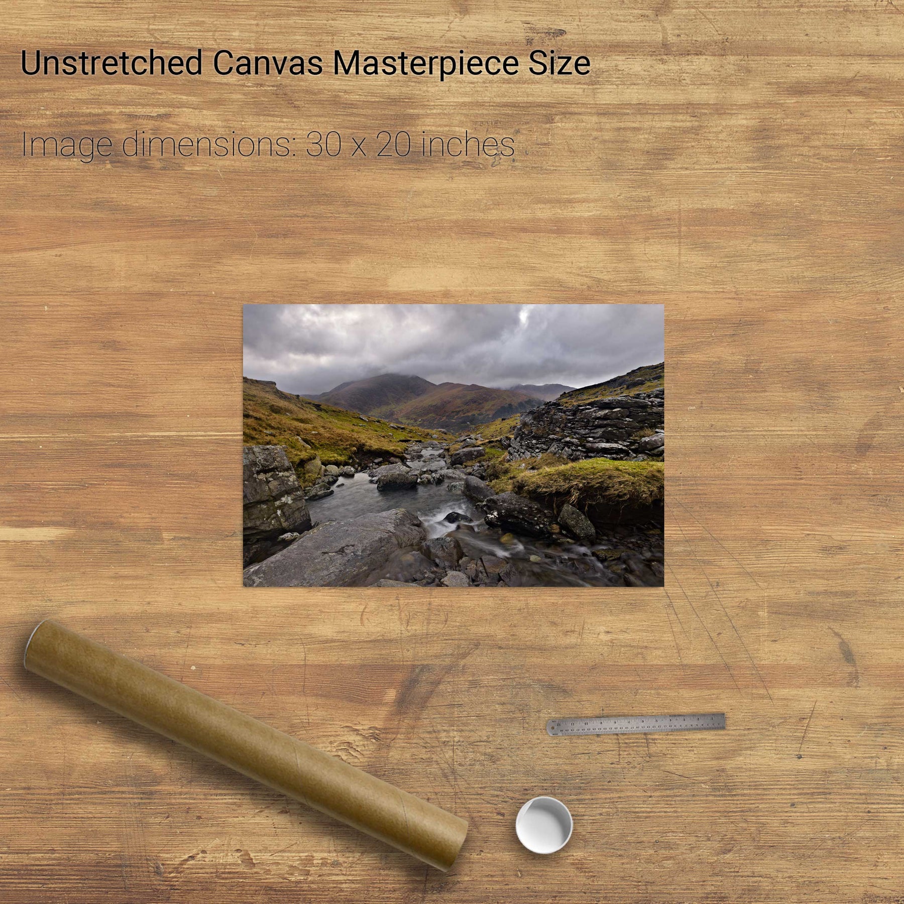
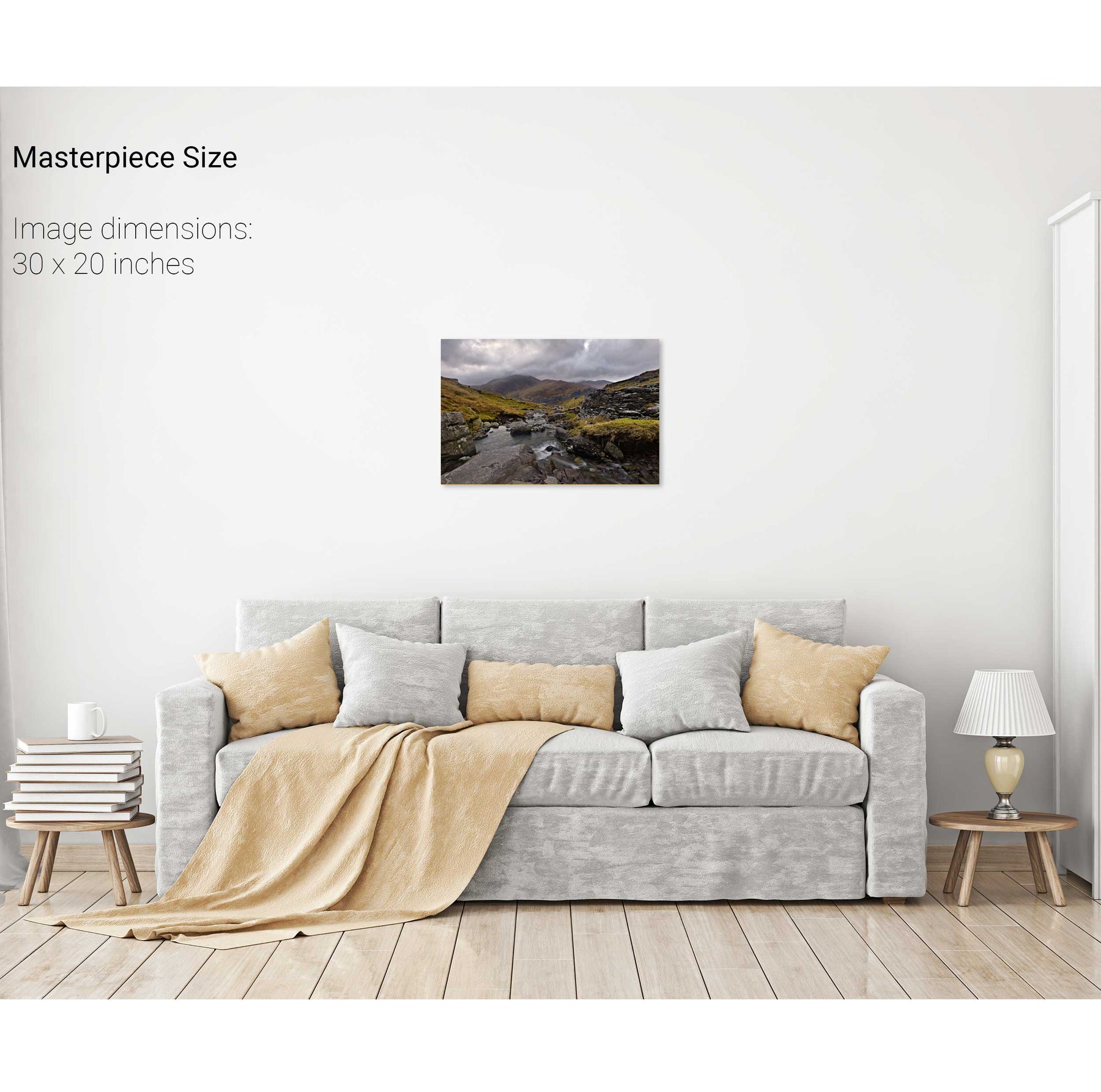
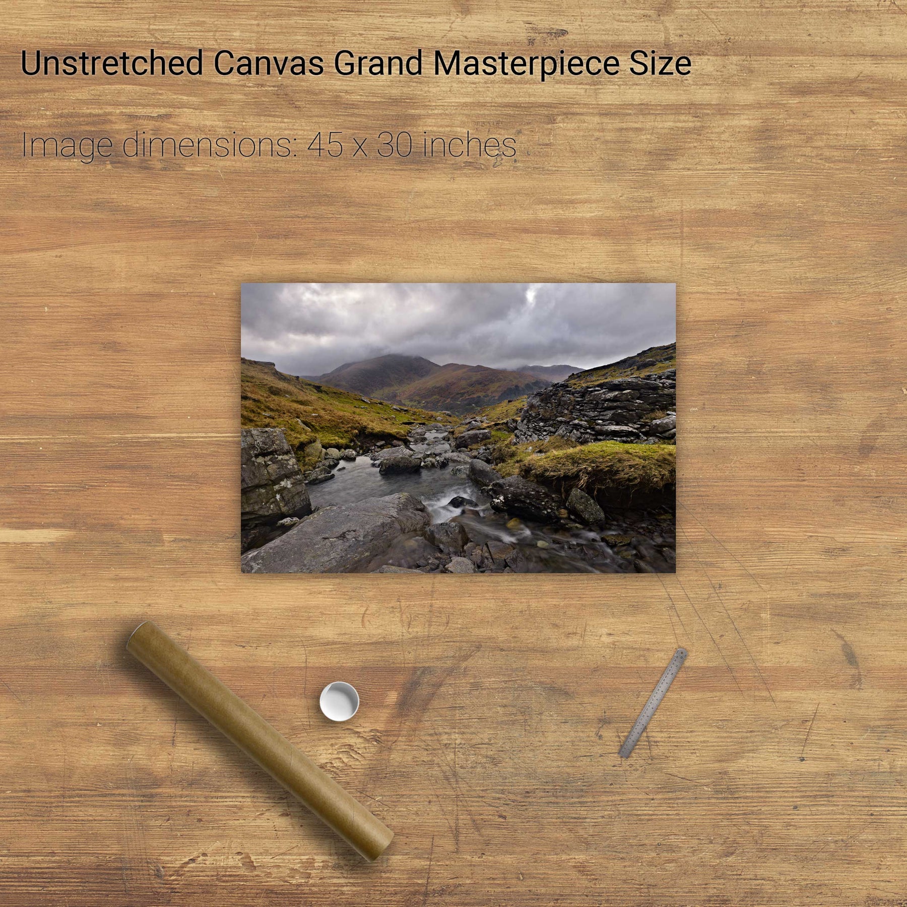
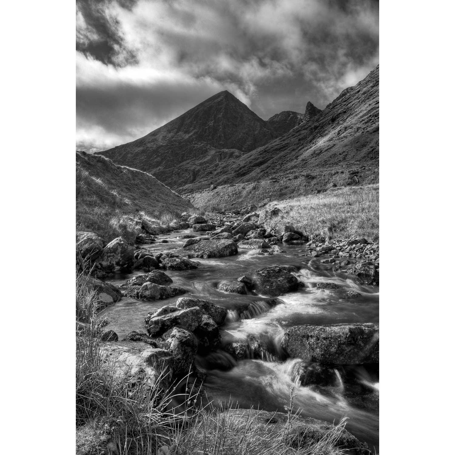
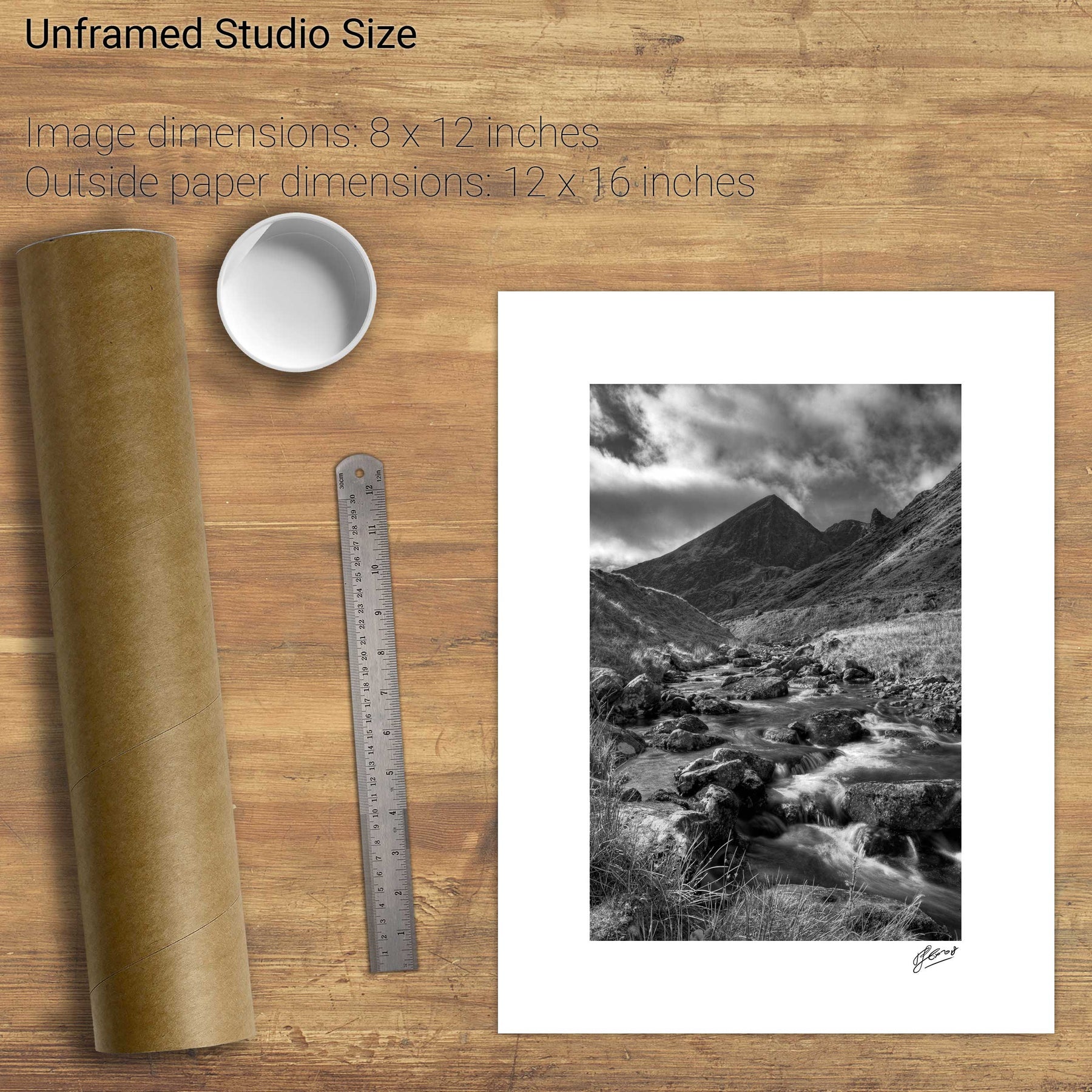
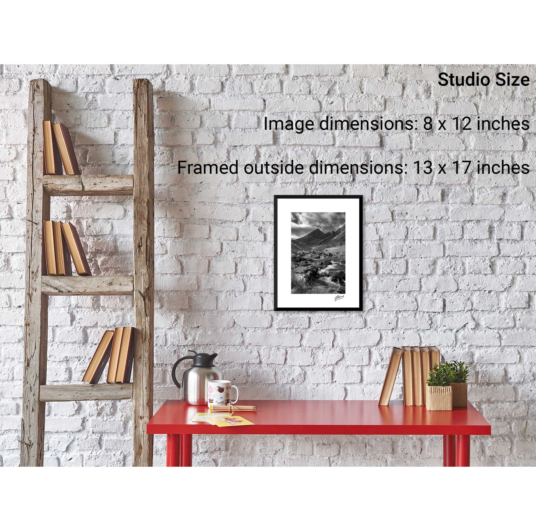
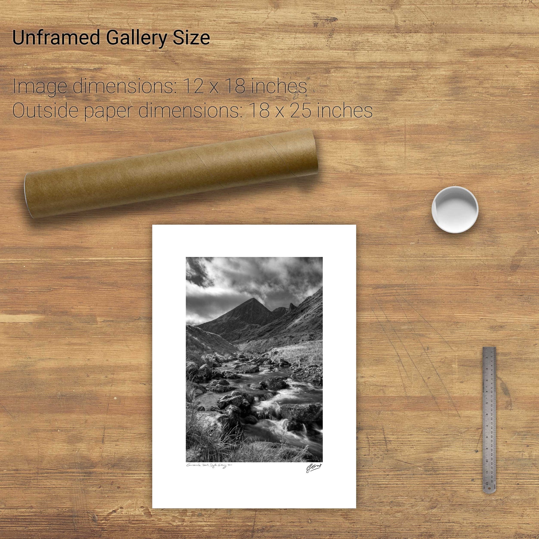
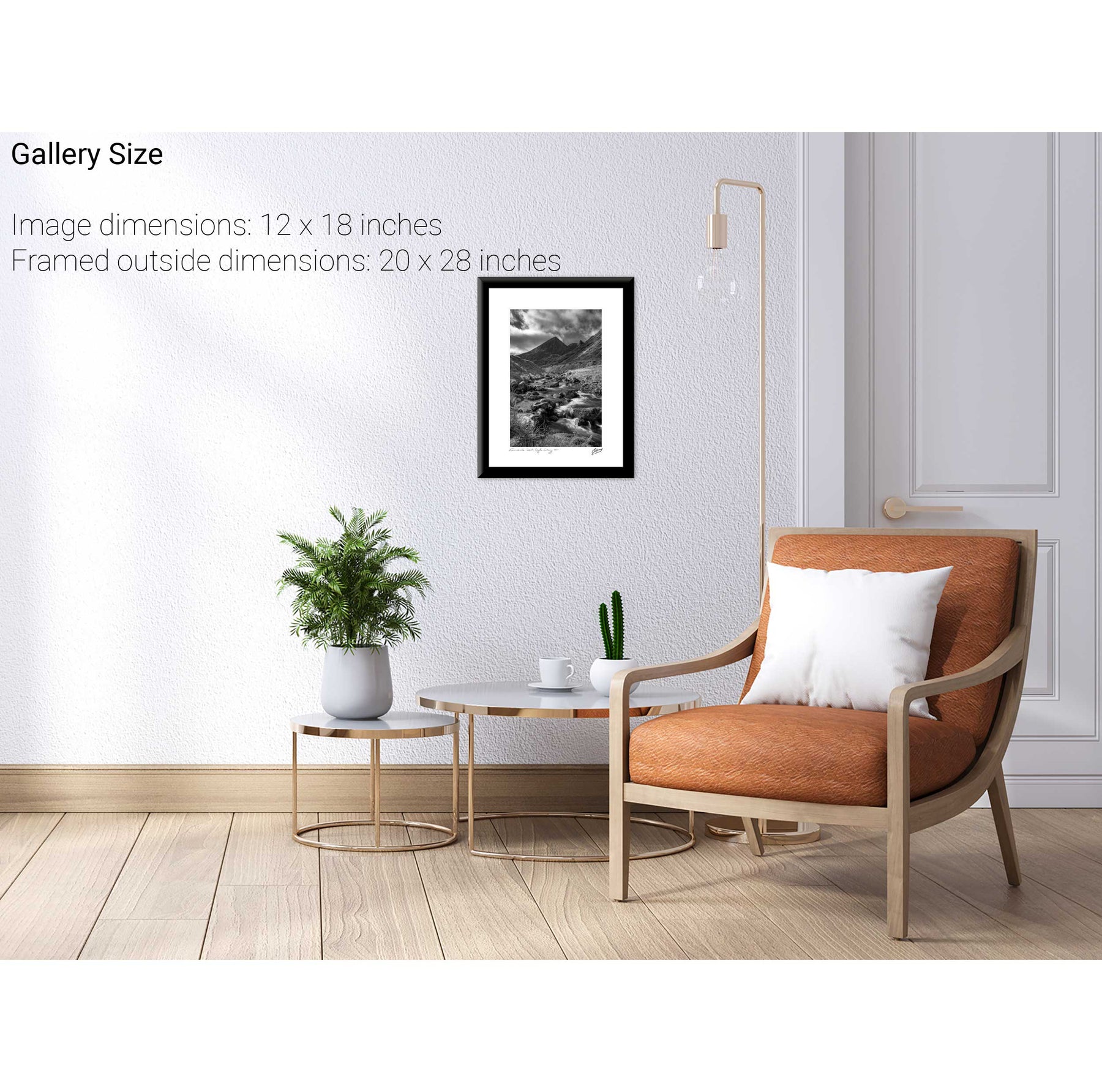
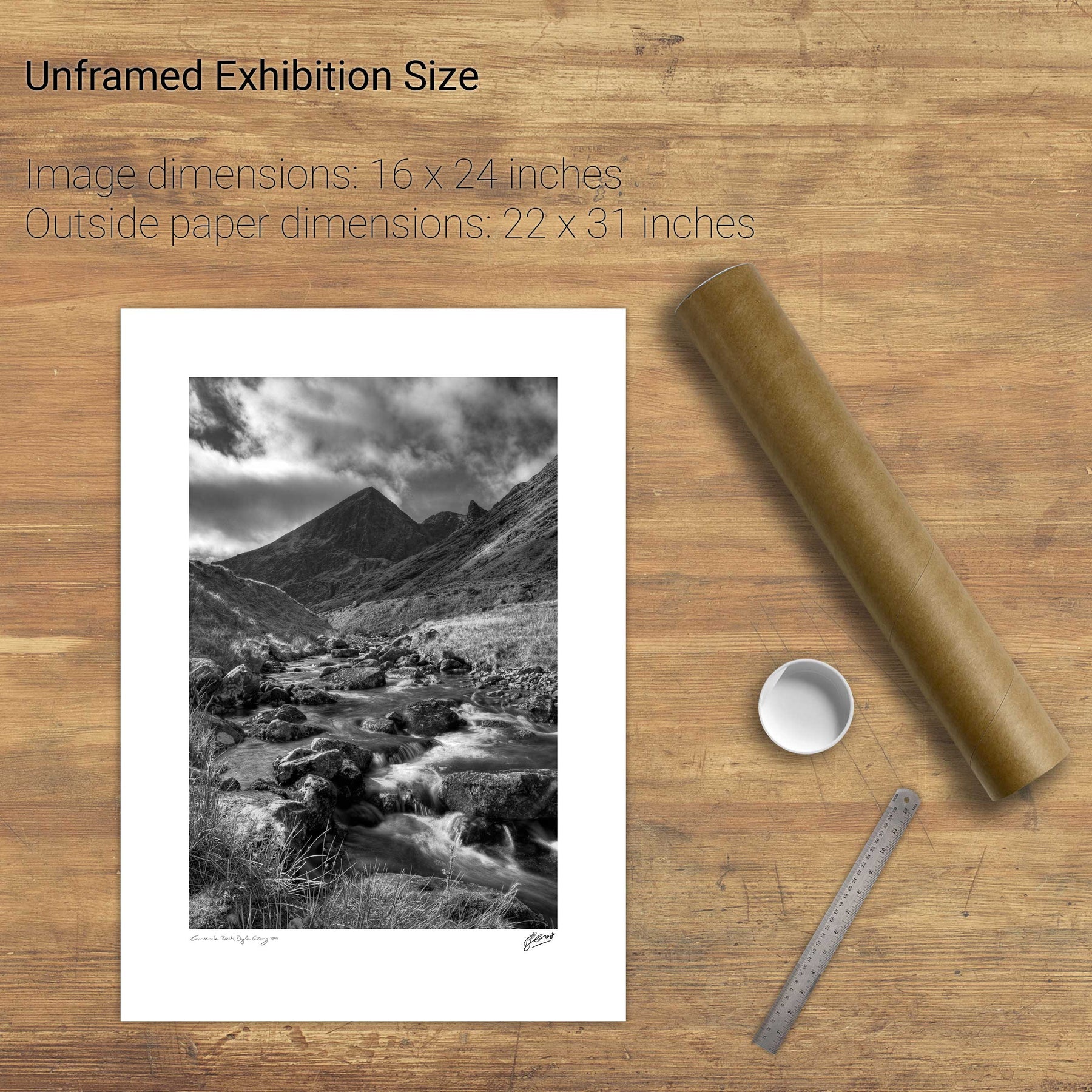
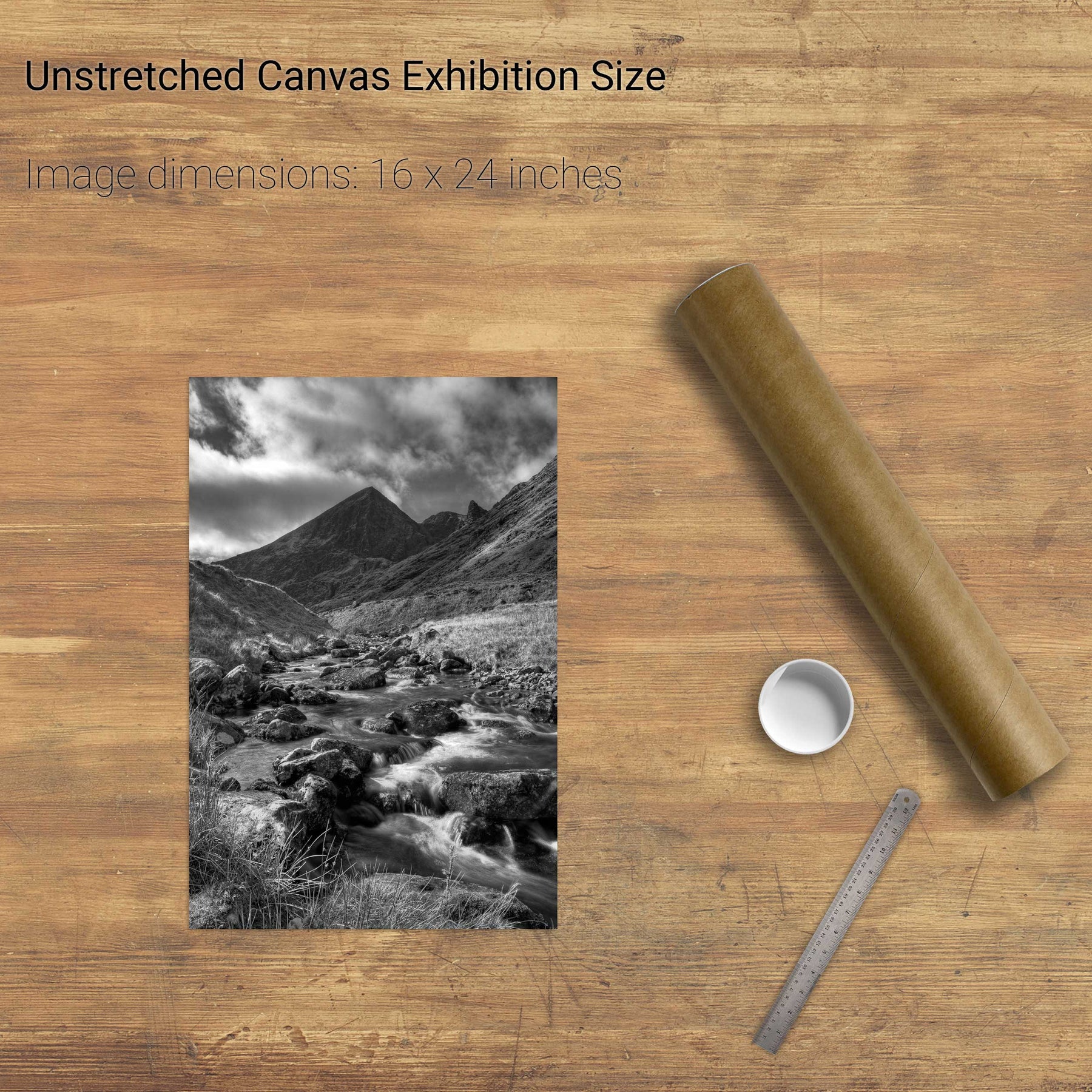
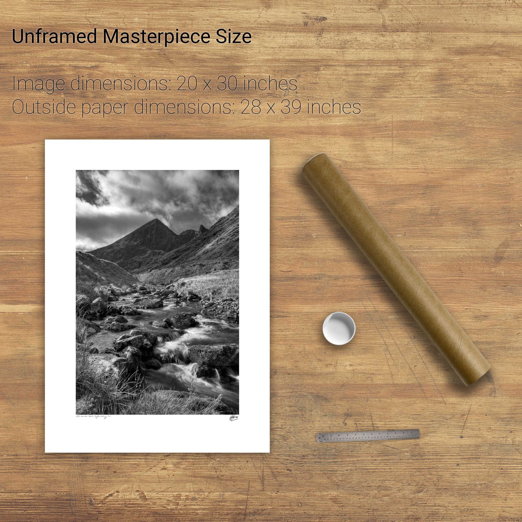
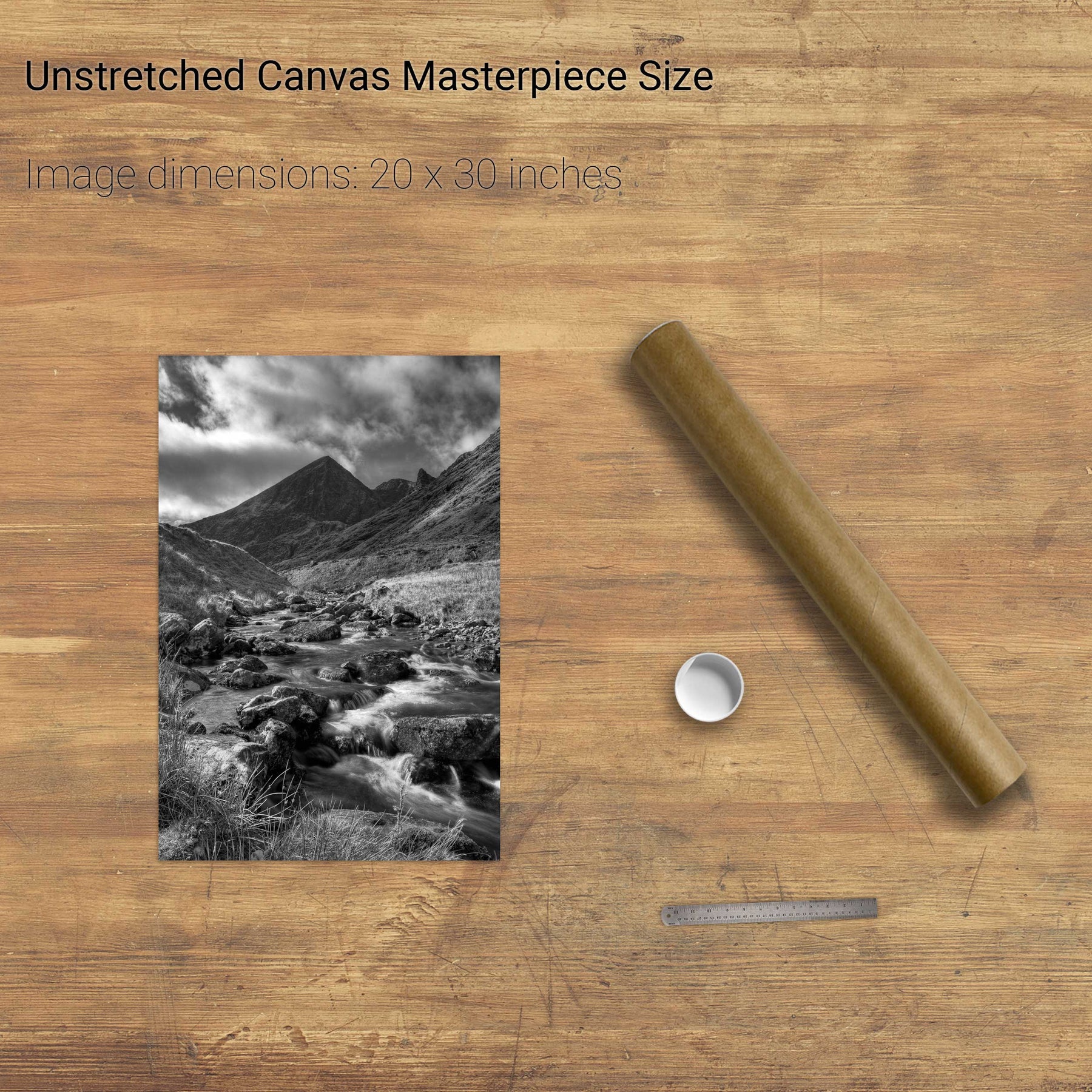
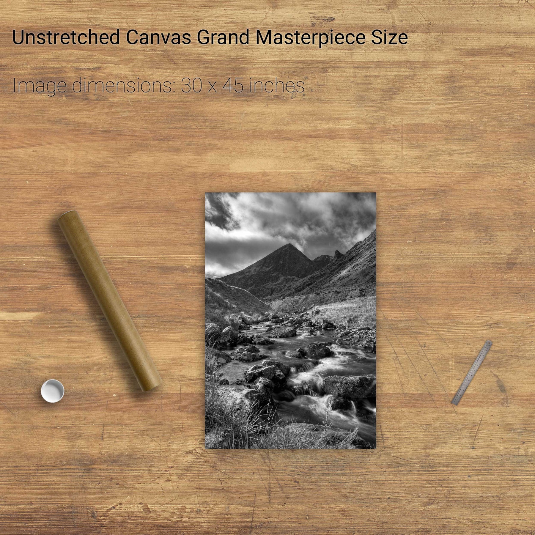
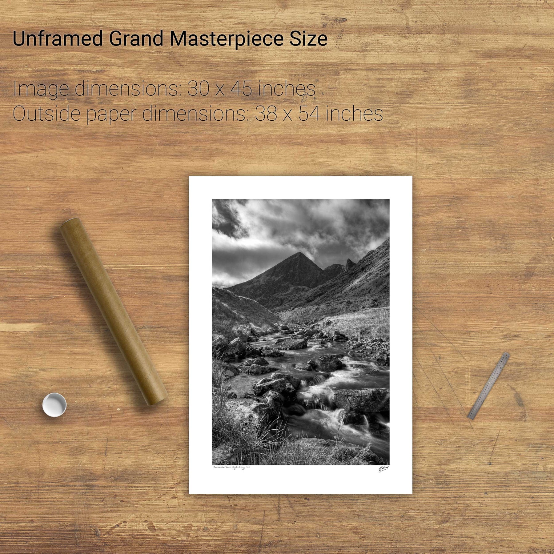
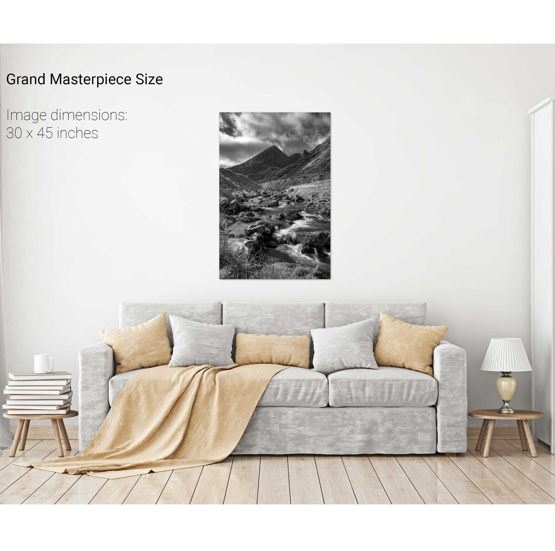
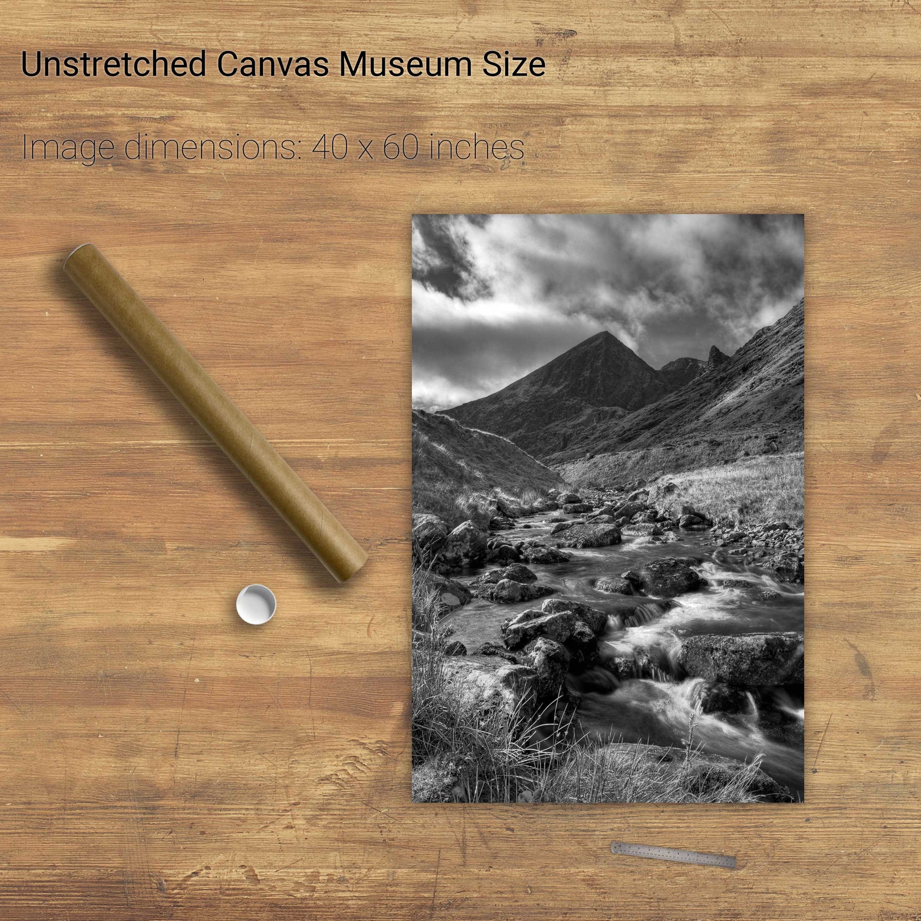
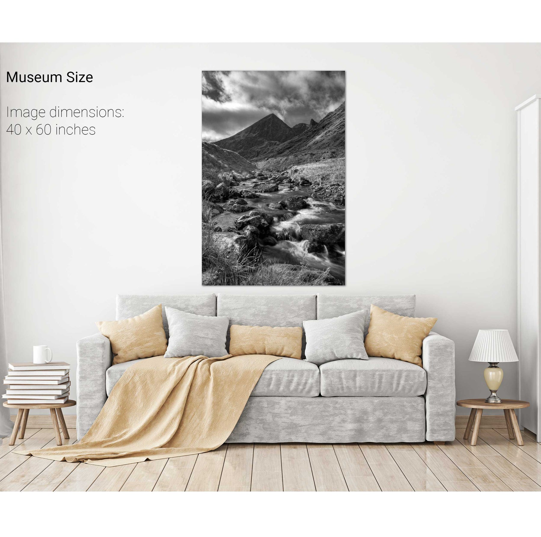
Carrauntoohil, Co. Kerry


We will send you an email to reset your password.

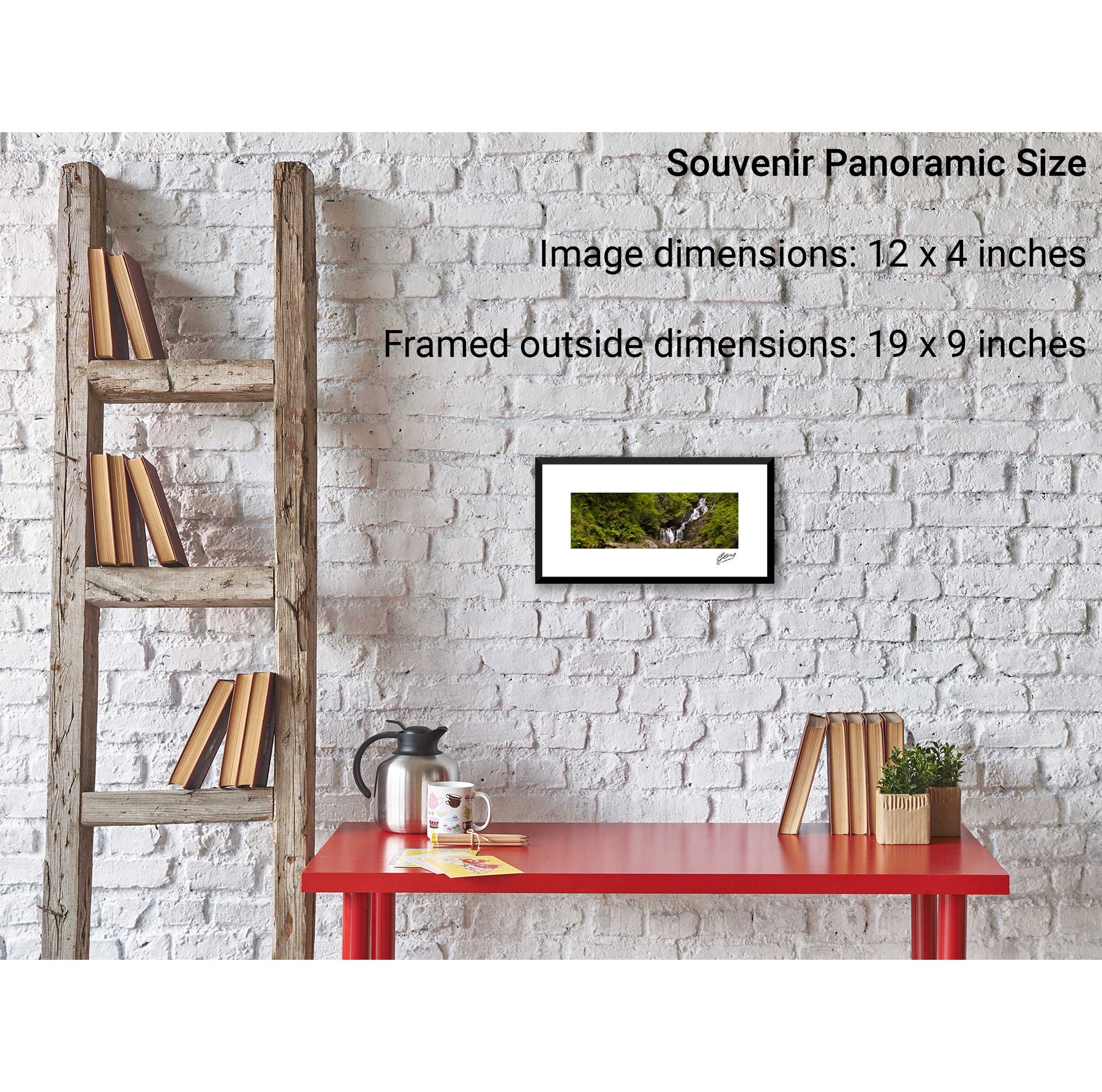
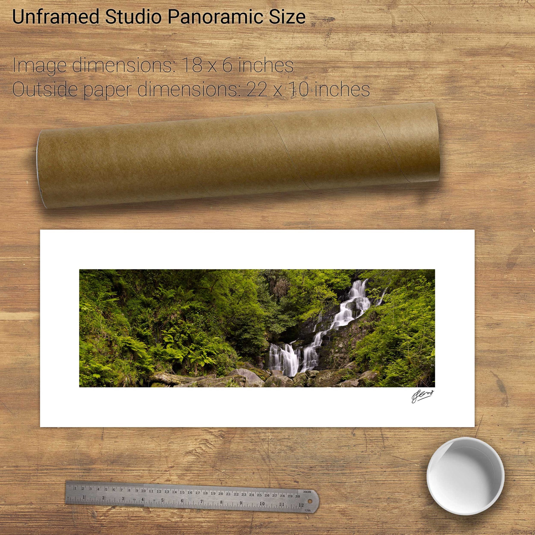
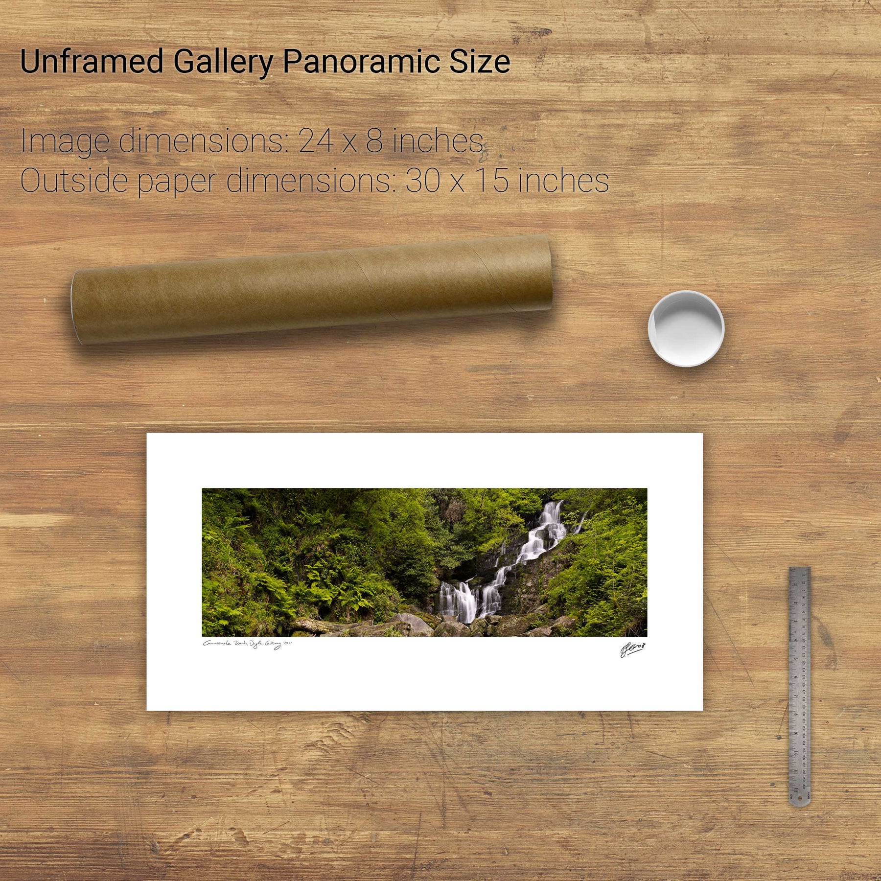
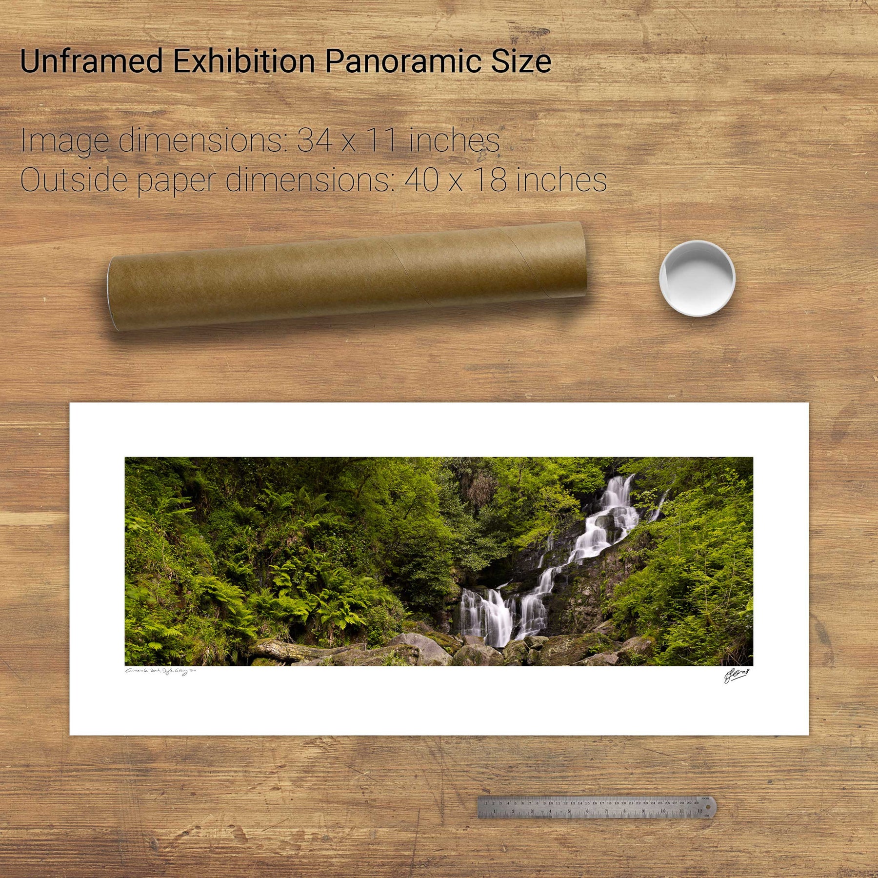
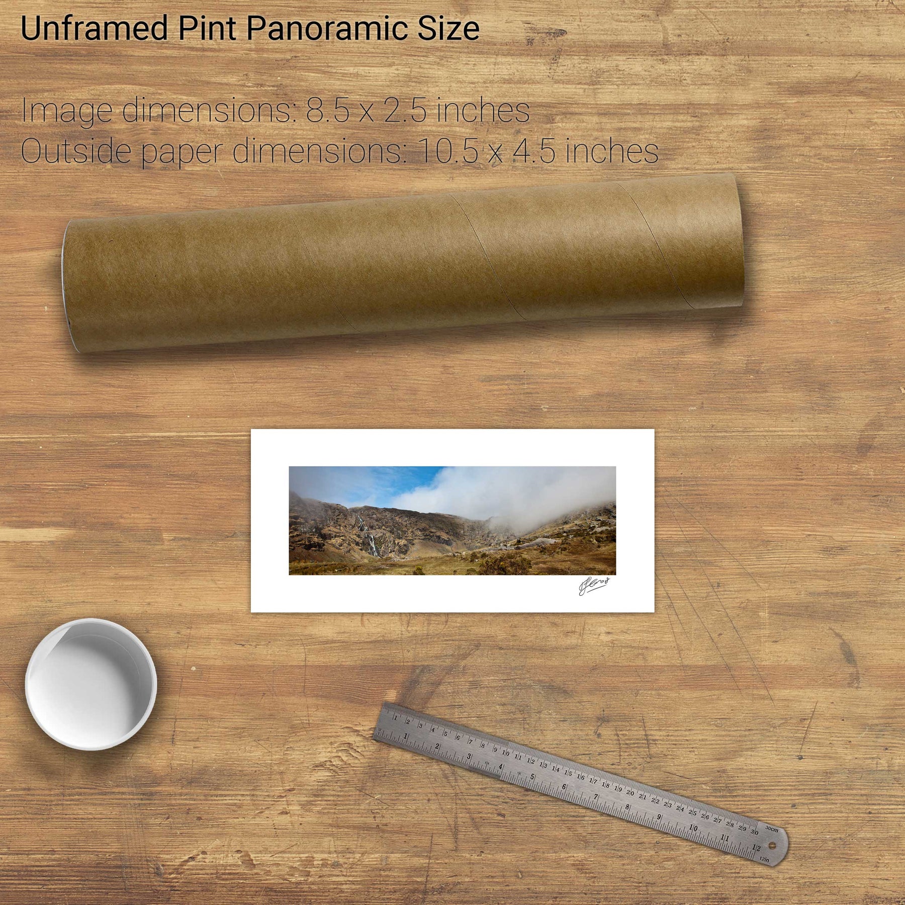
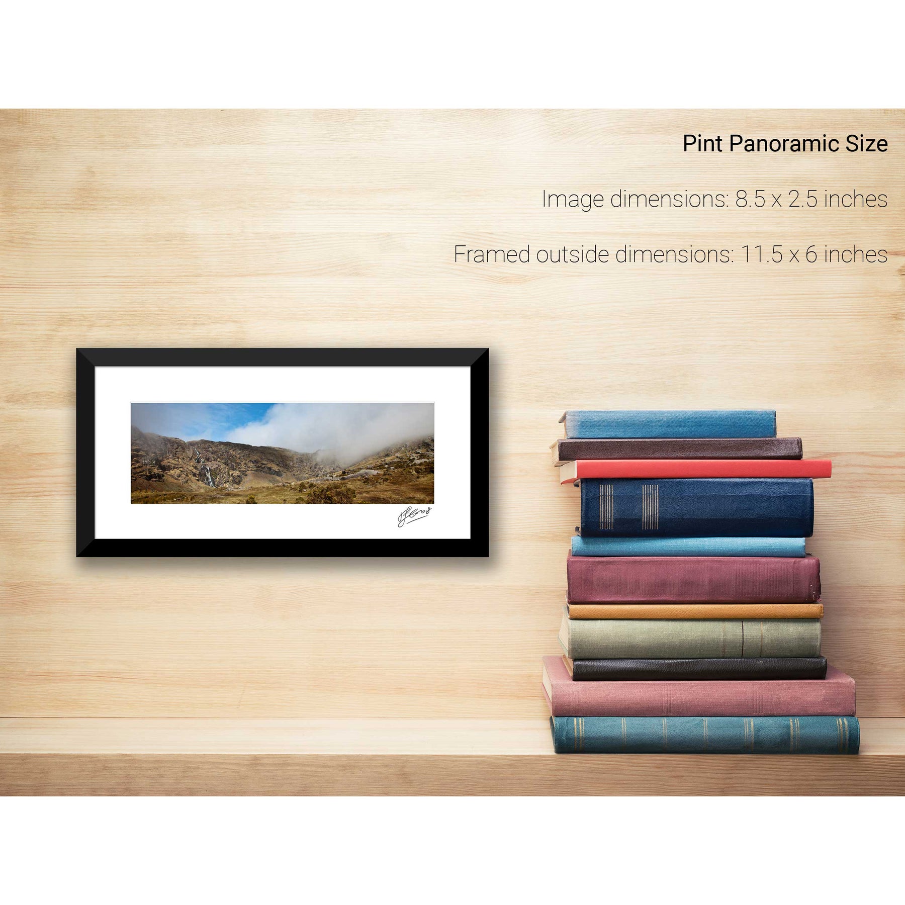
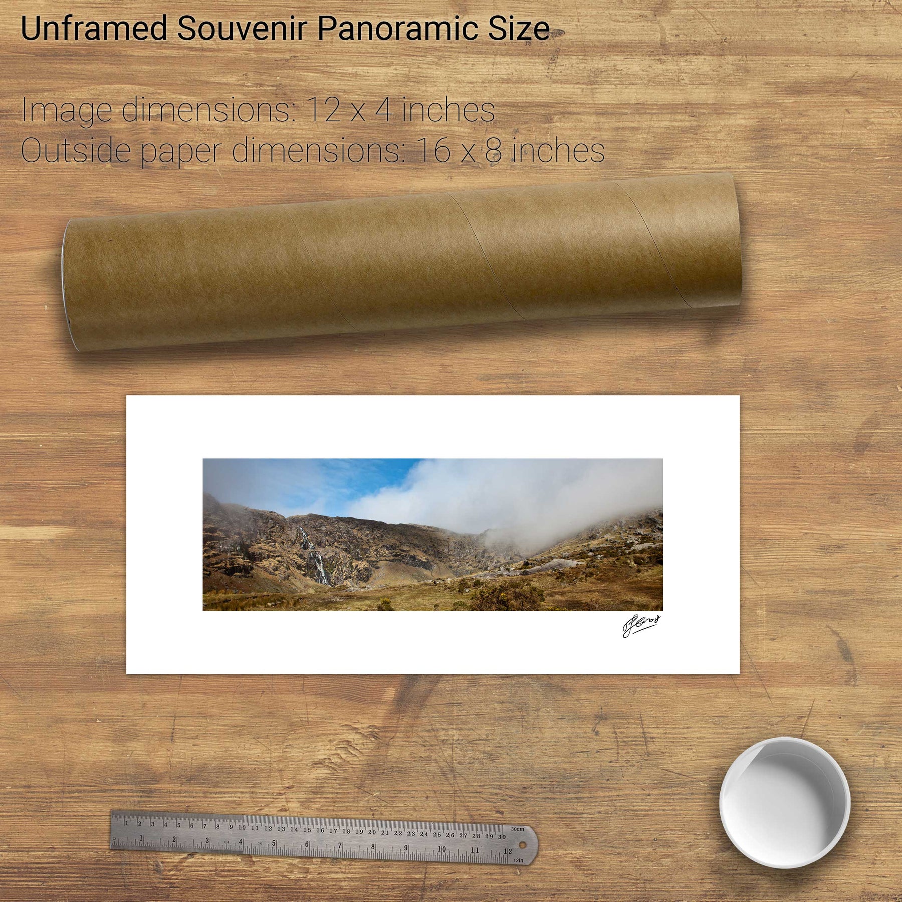
5 products
Carrauntoohil, Co. Kerry
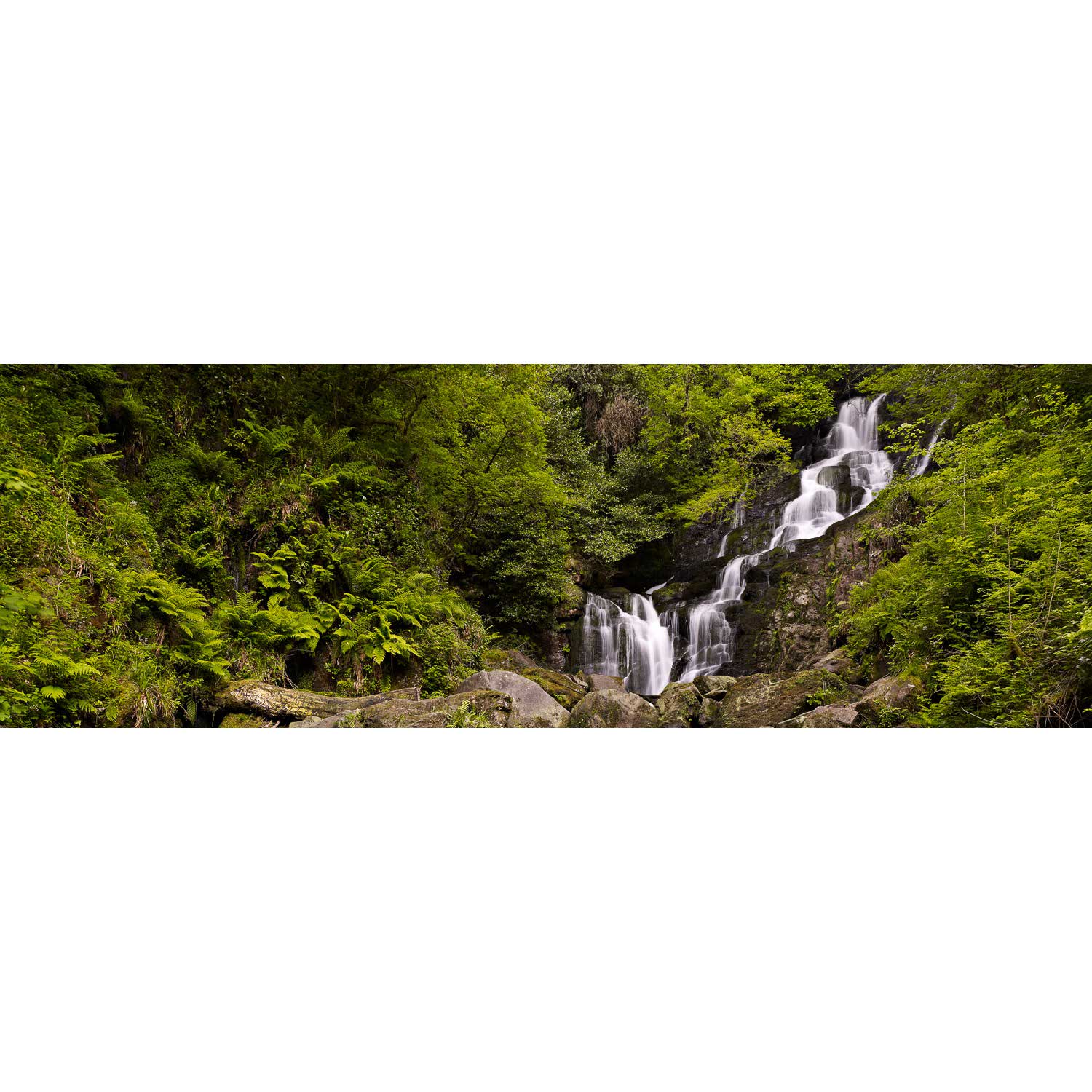
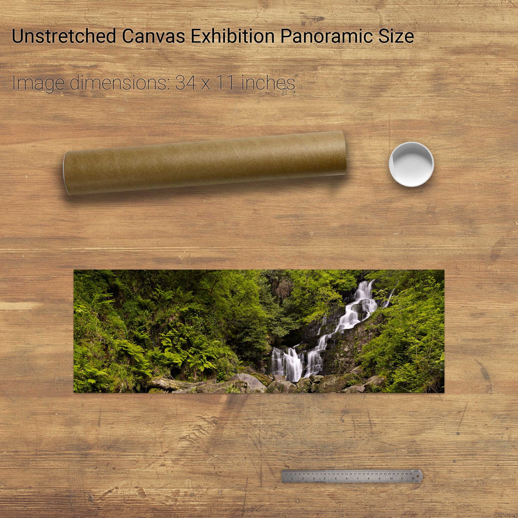
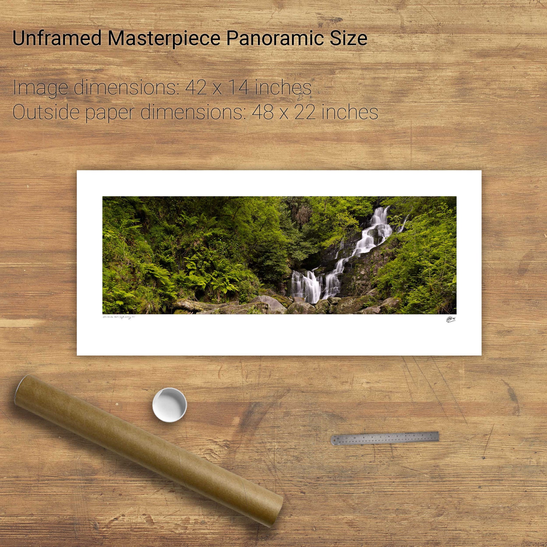
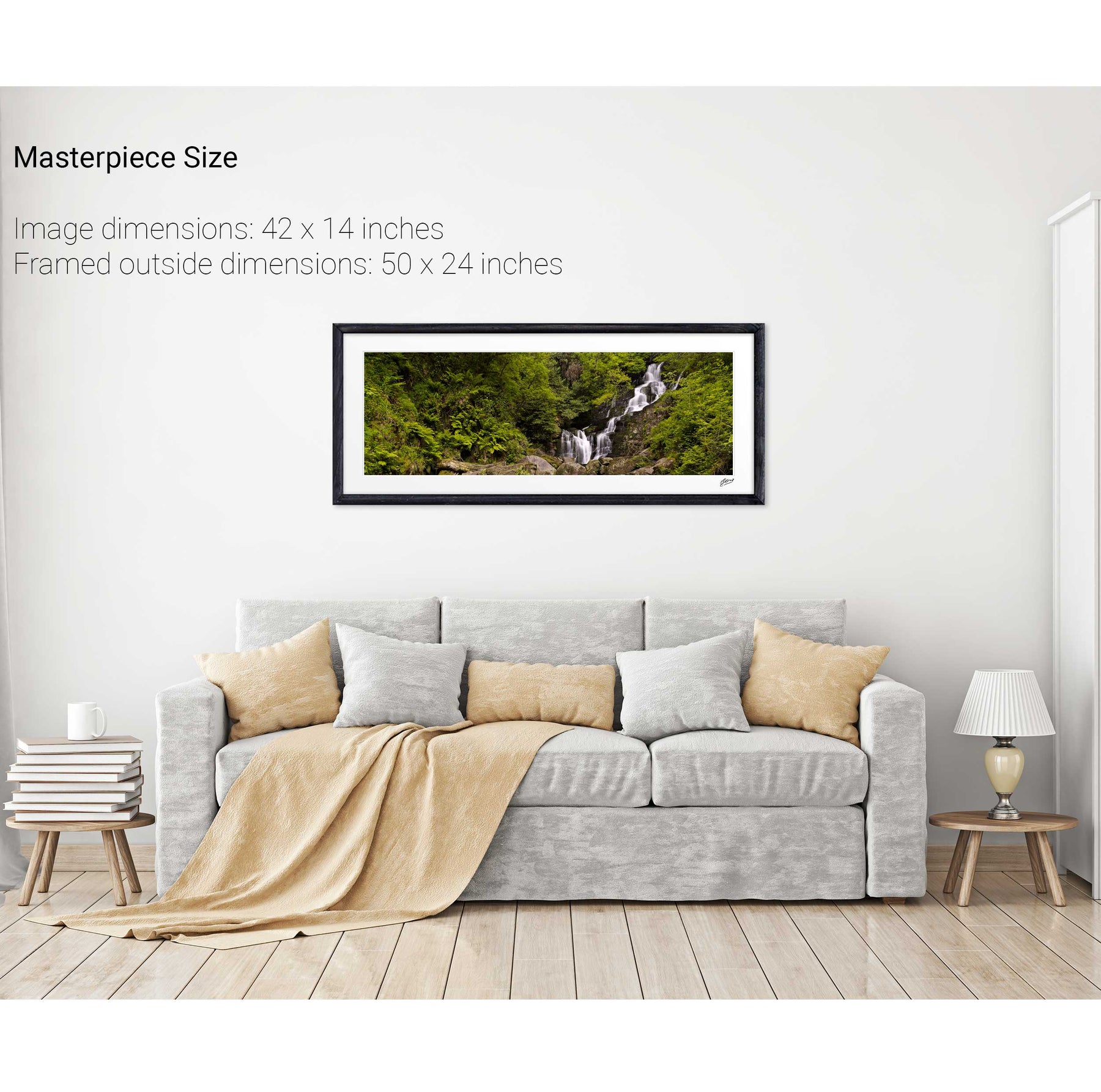
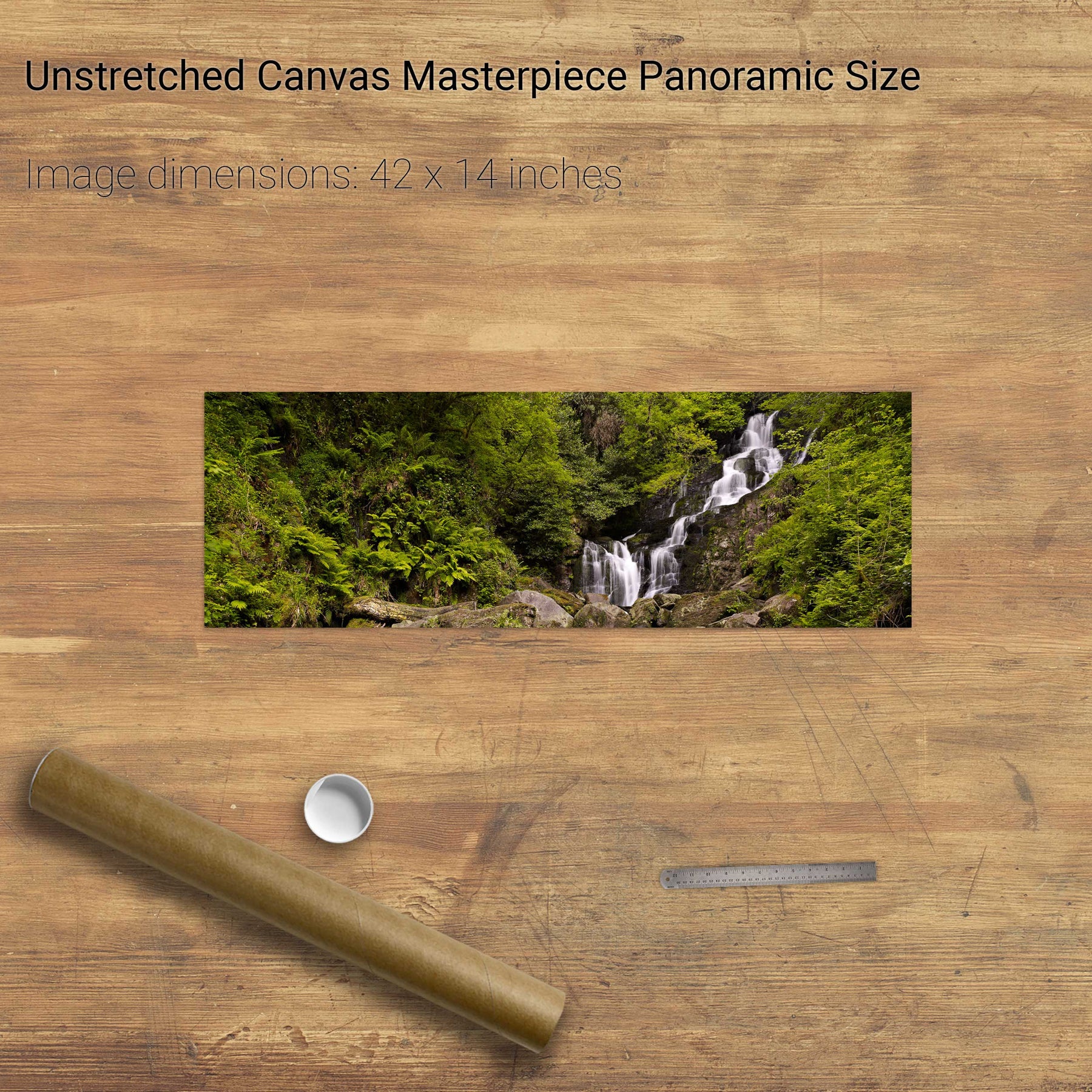
Torc Waterfall, Killarney, Co. Kerry
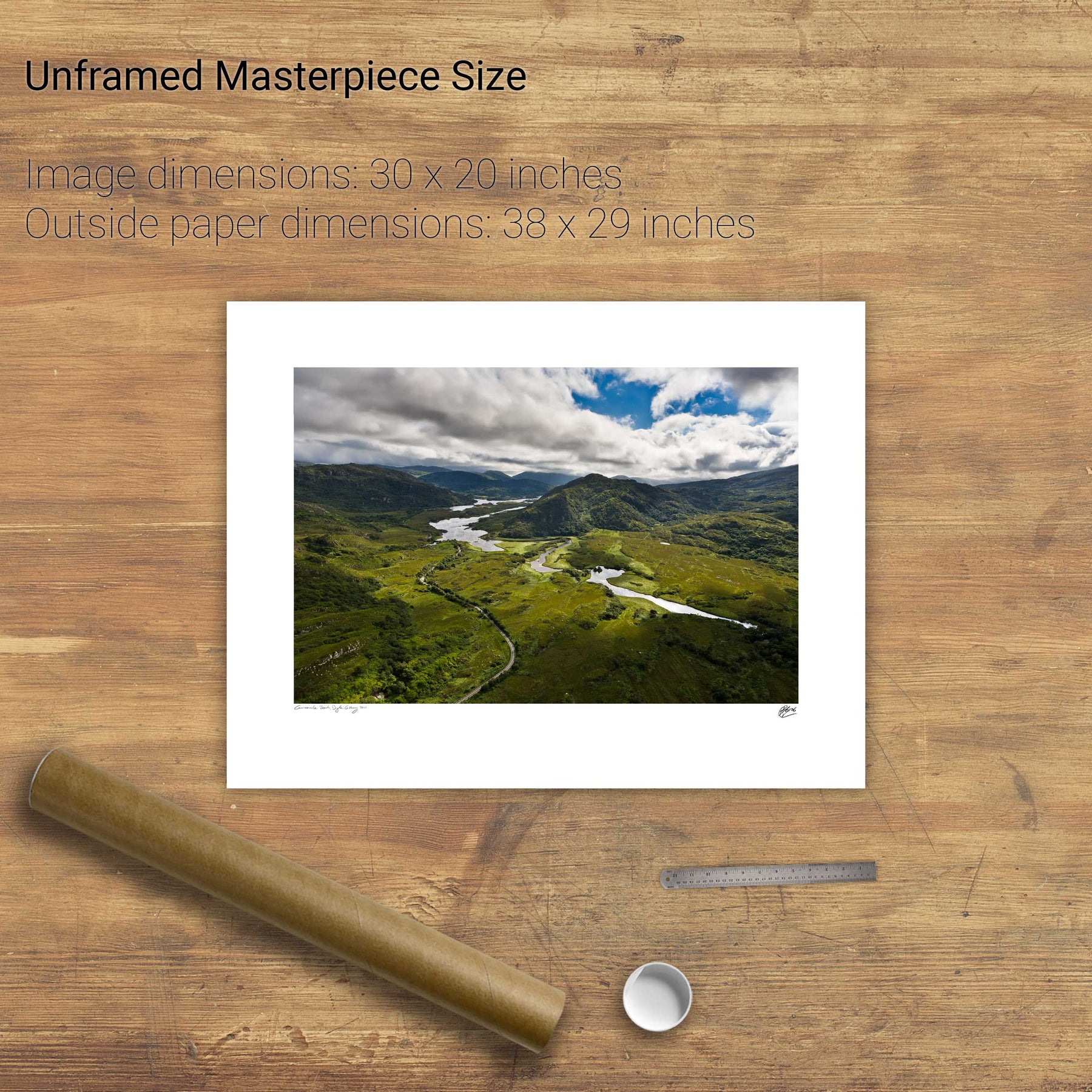
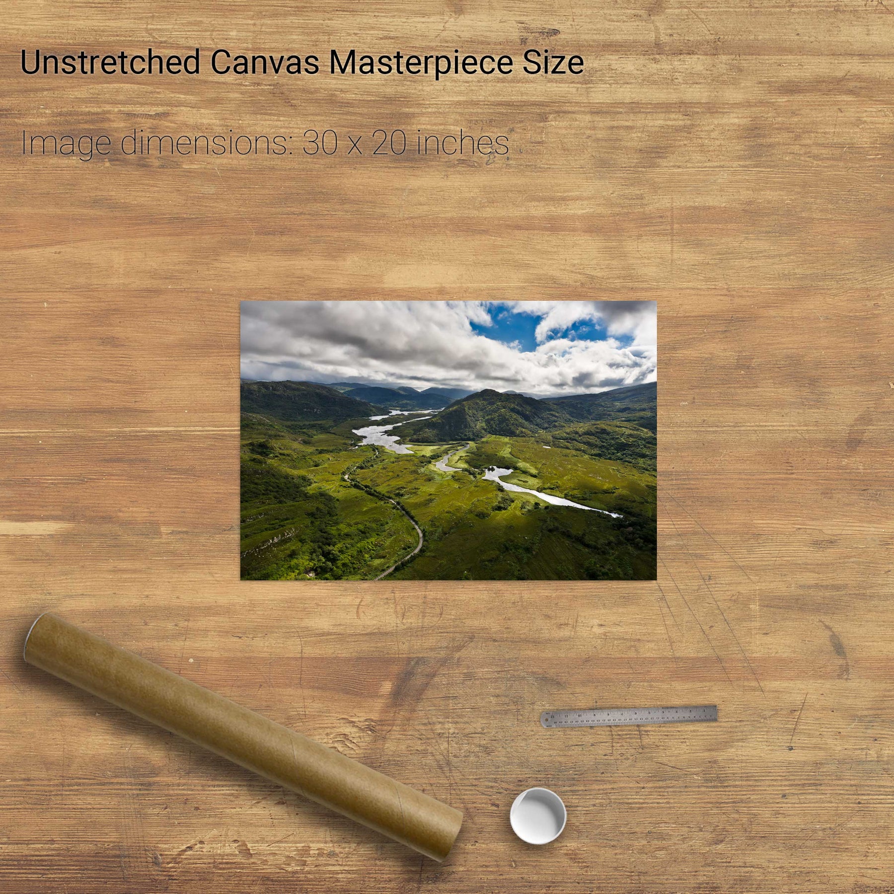
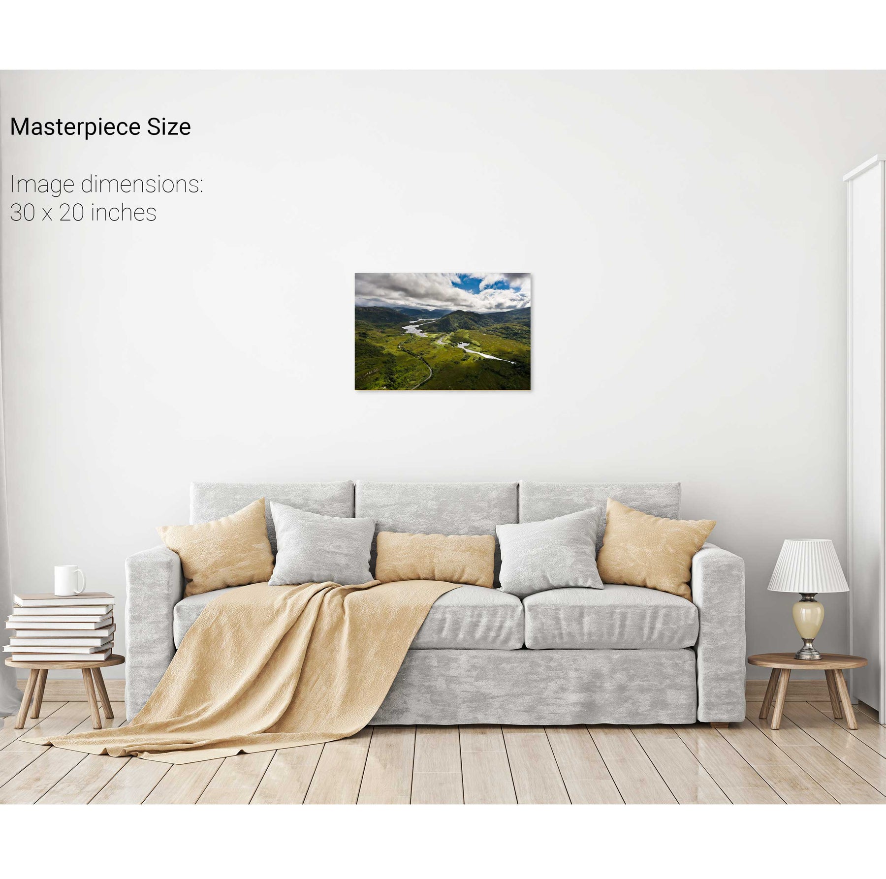
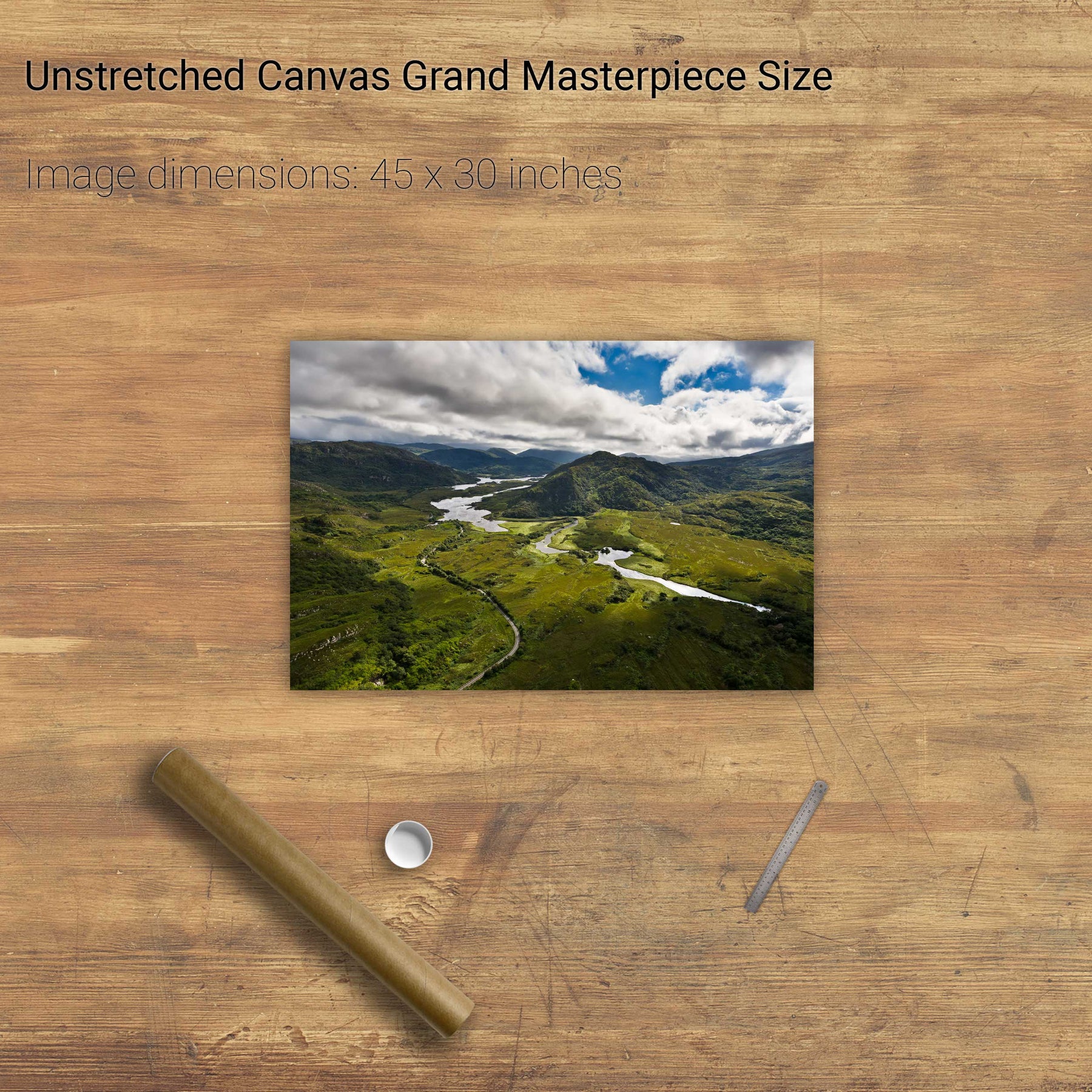
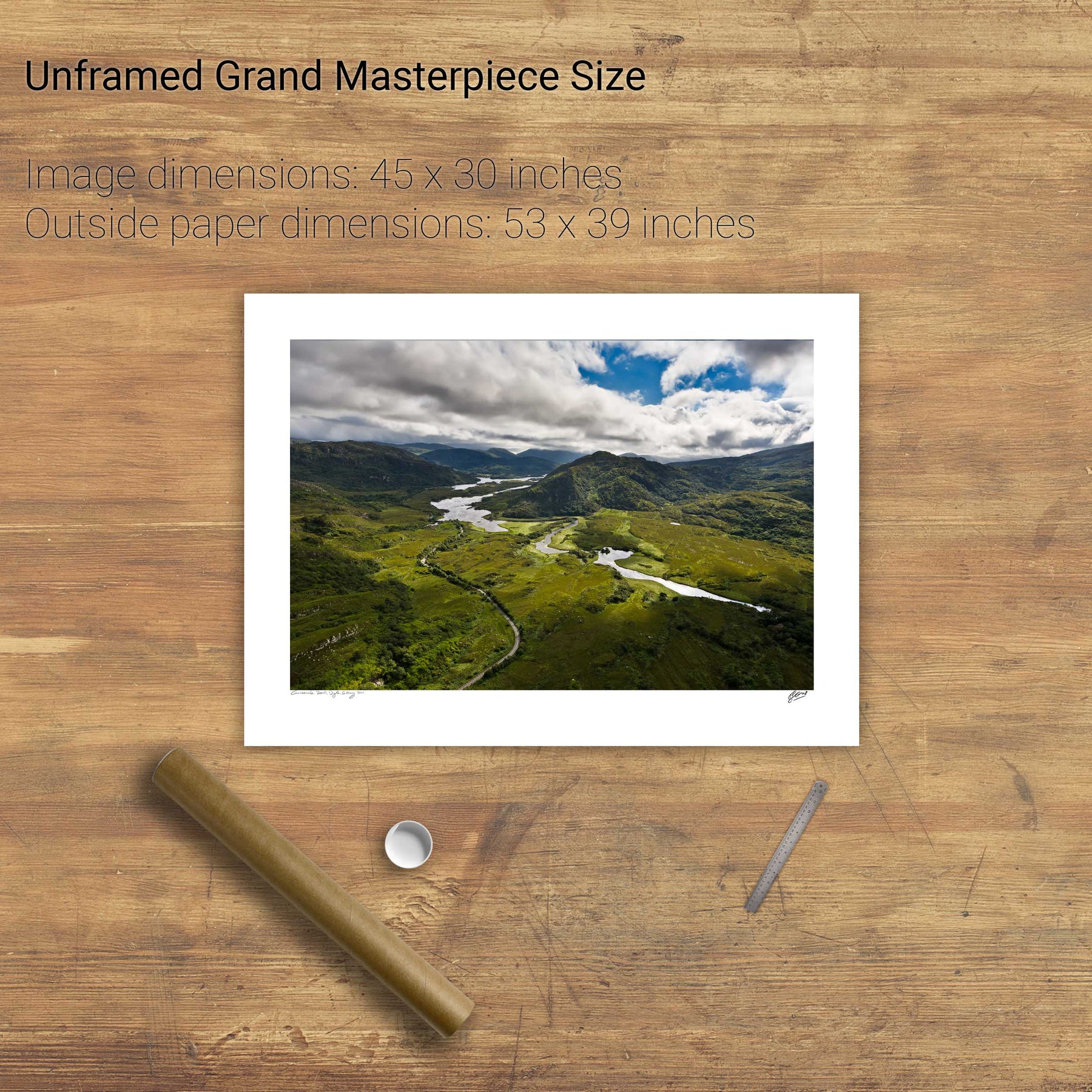
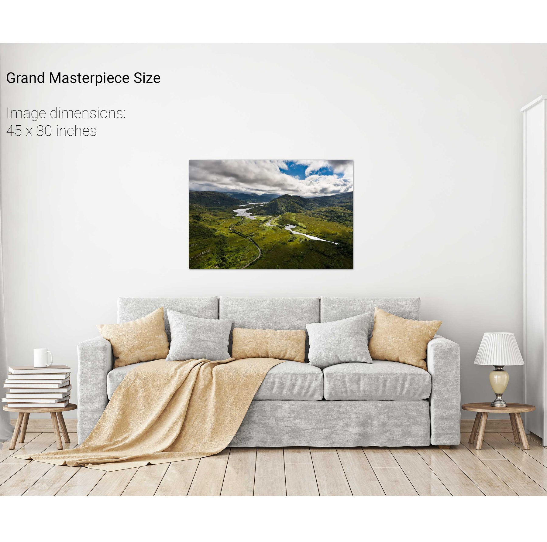
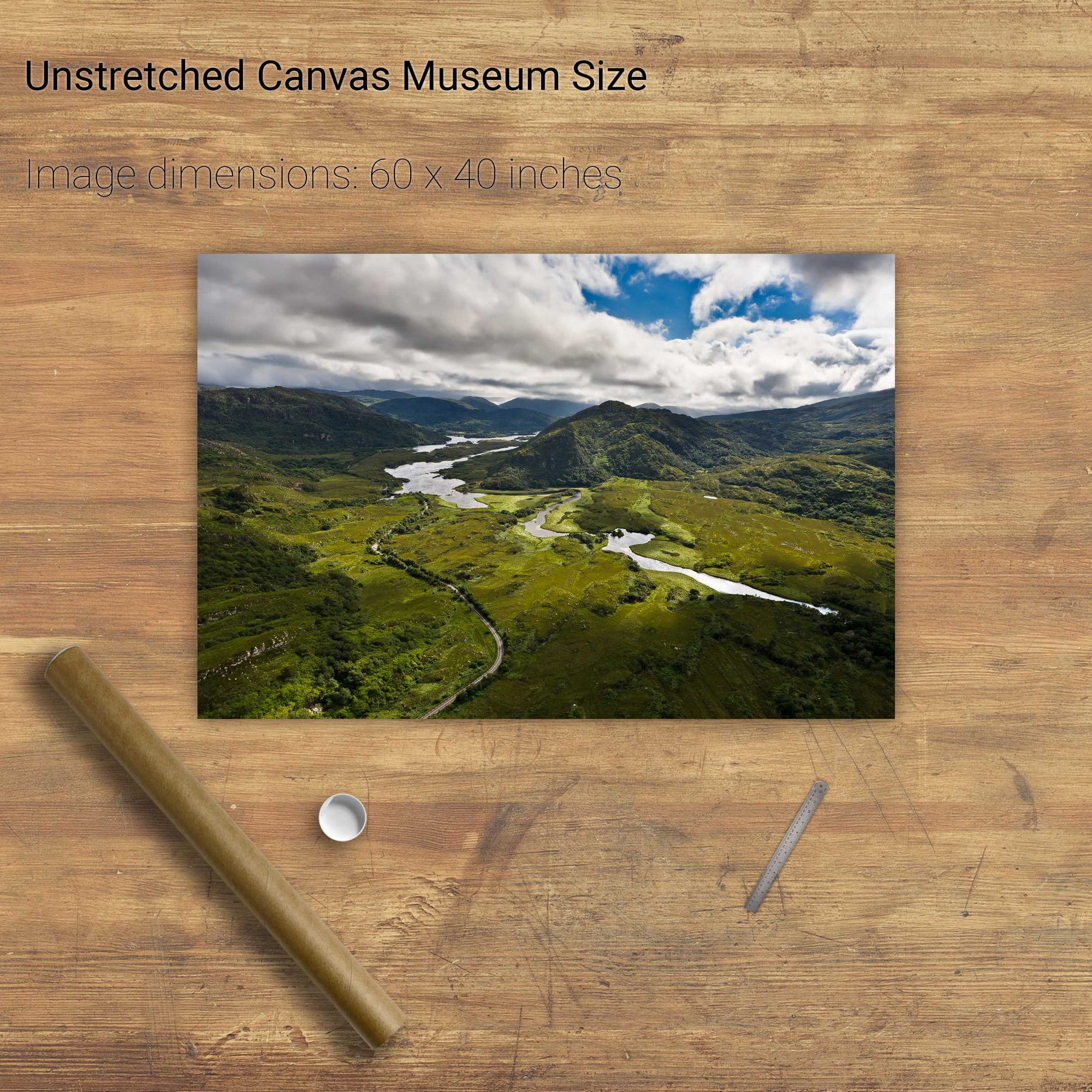
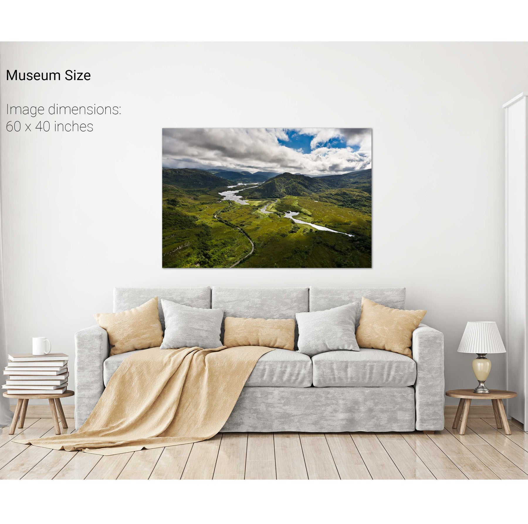
The Long Range, Killarney, Co. Kerry
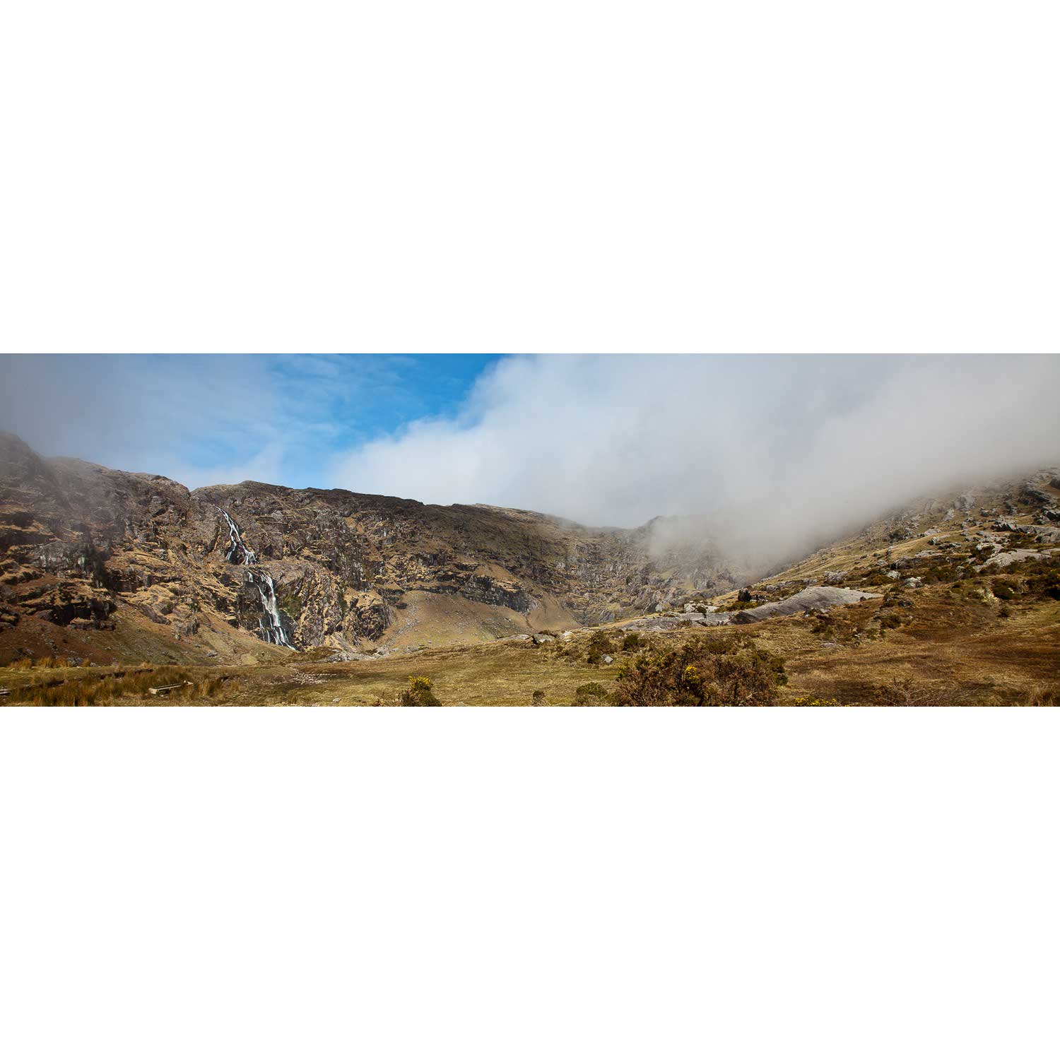
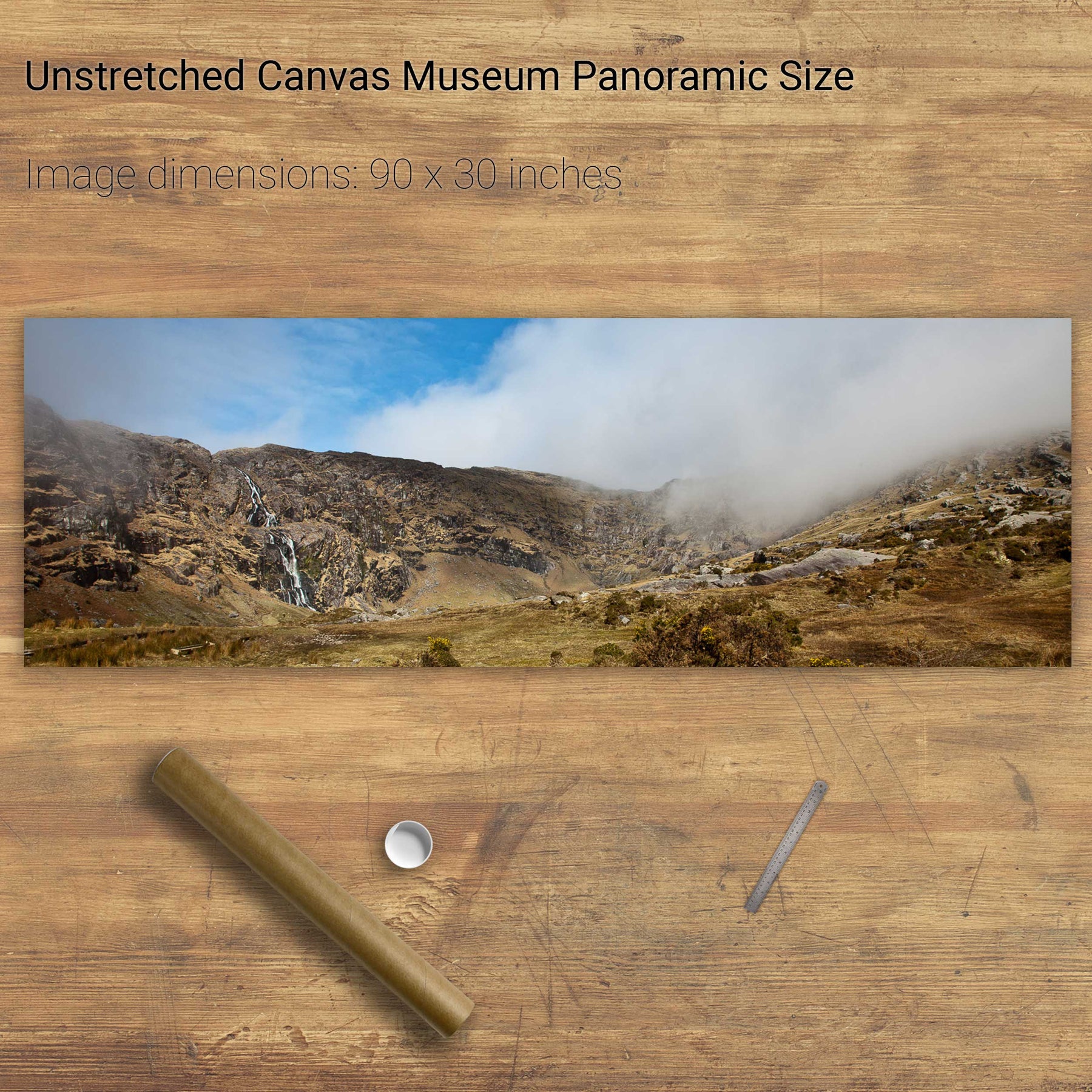
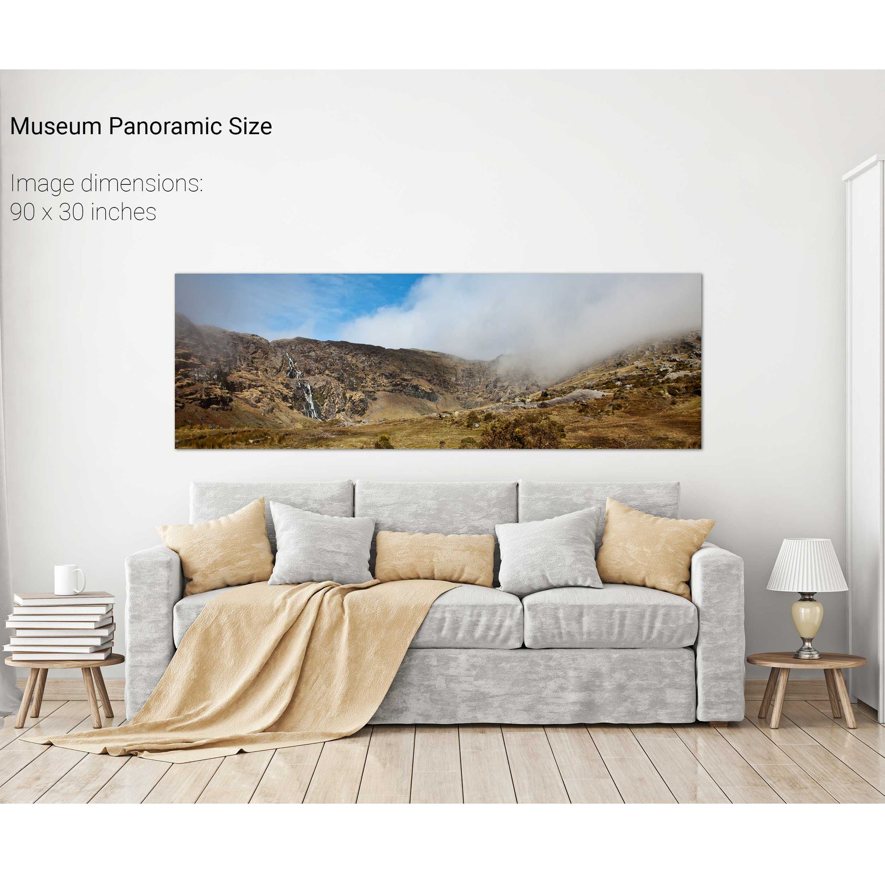
The Mare's Tail, Beara, Co. Cork
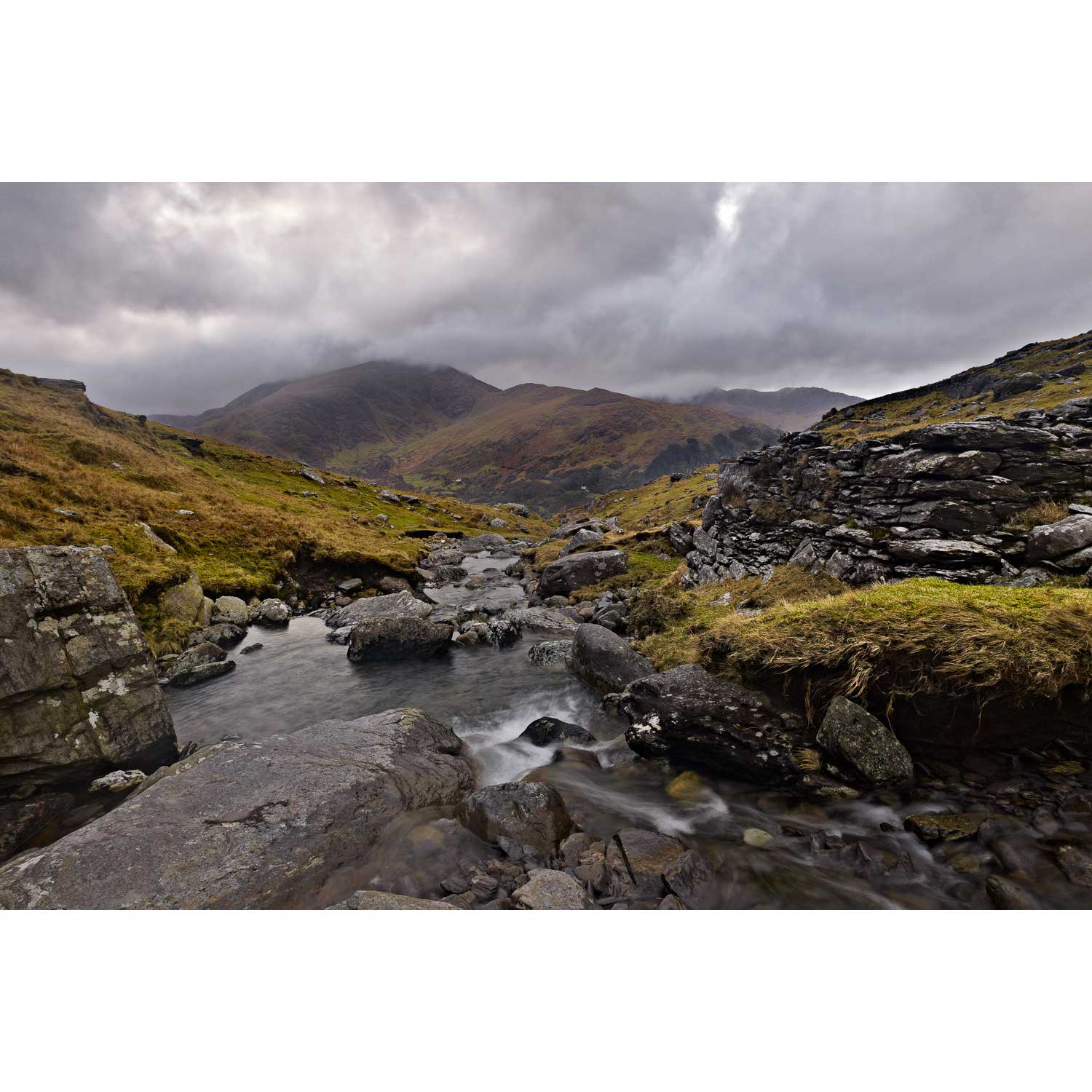
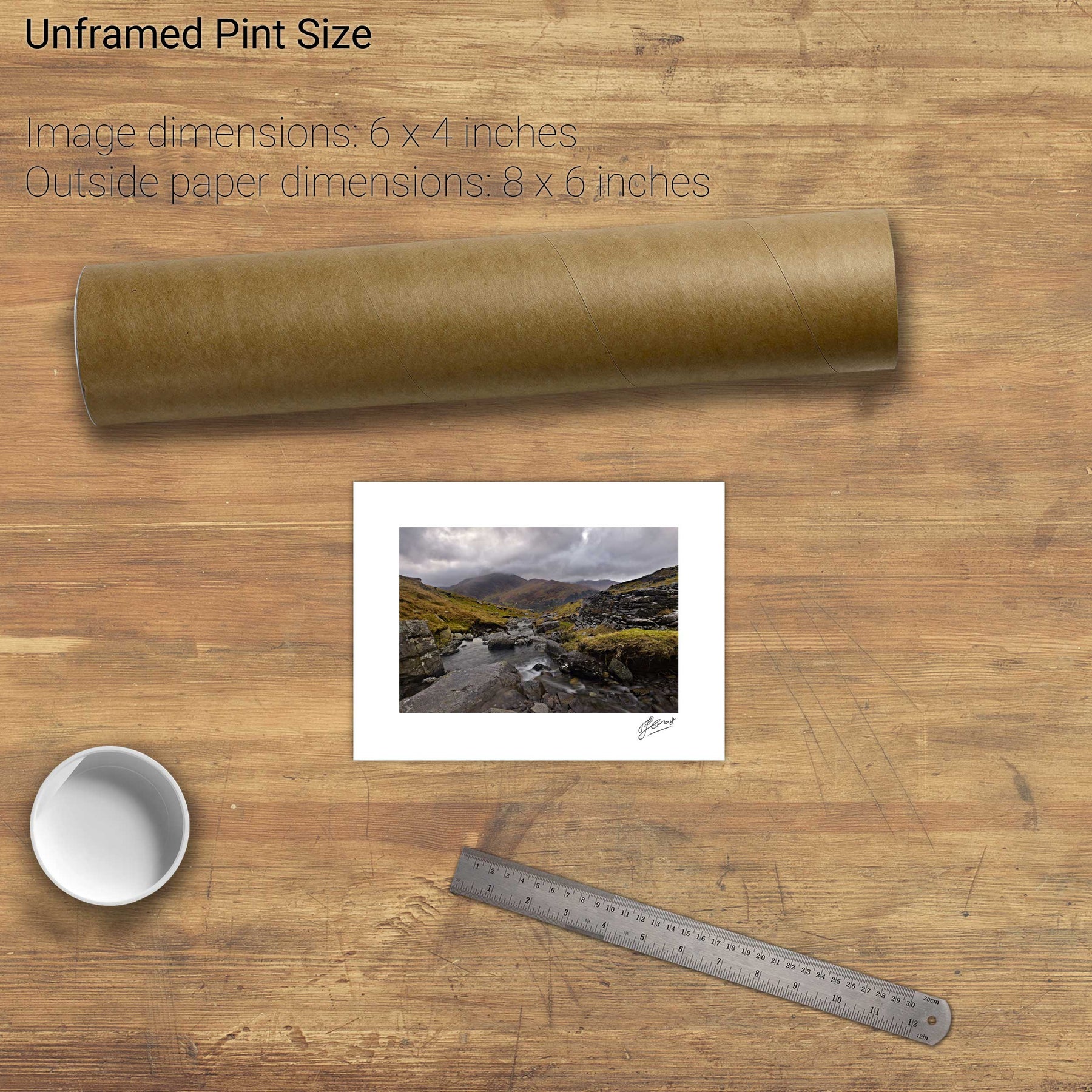
Lackabane from Coolcrean, Caha Mountains, Co. Kerry