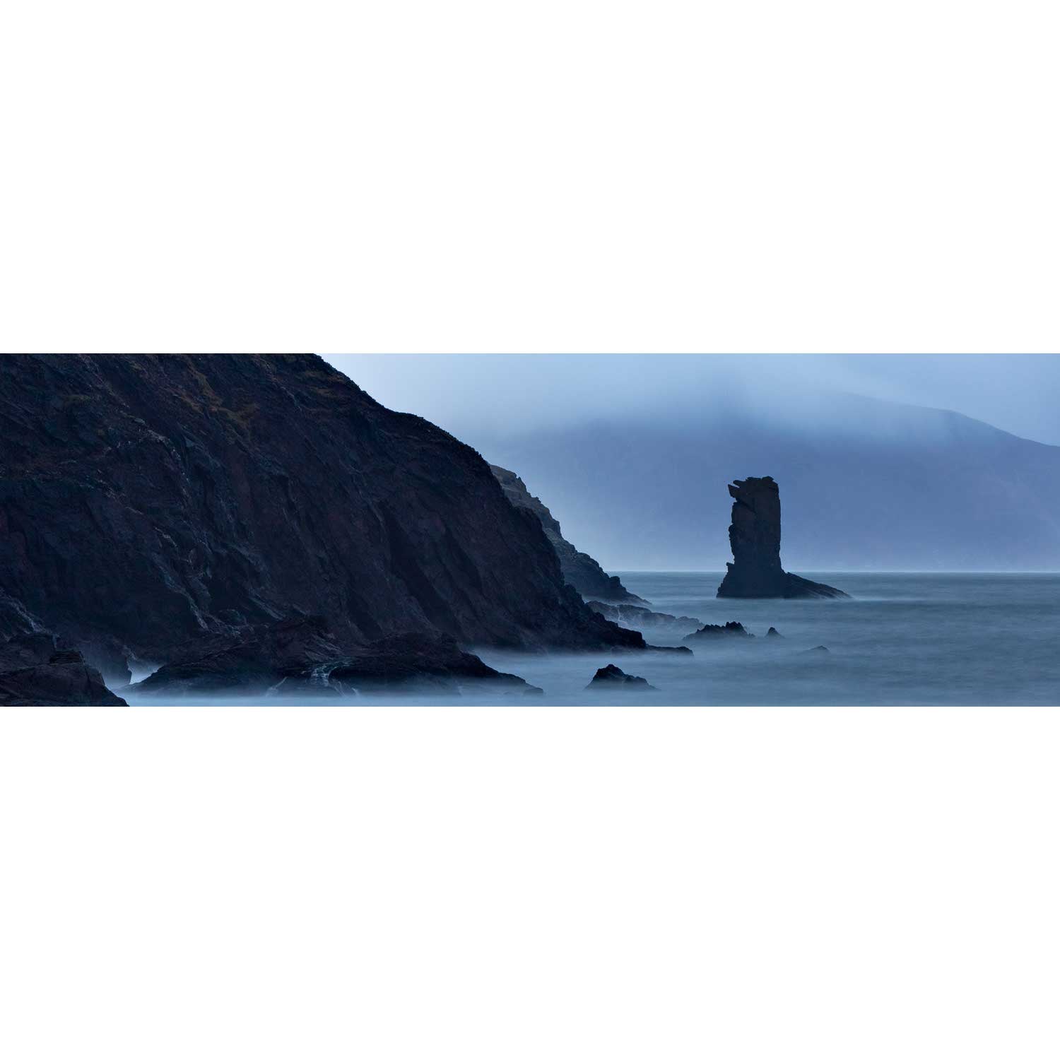
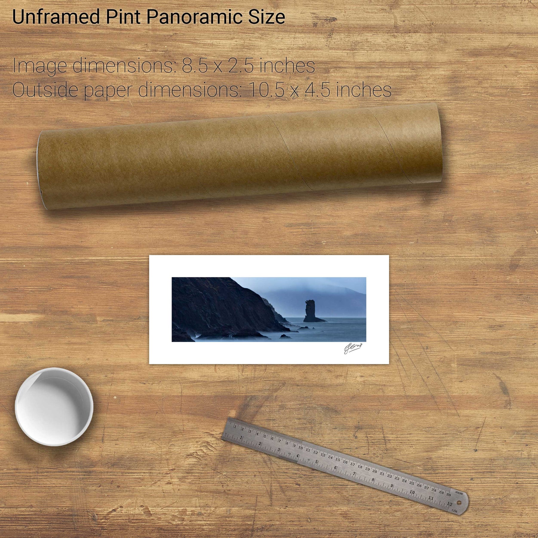
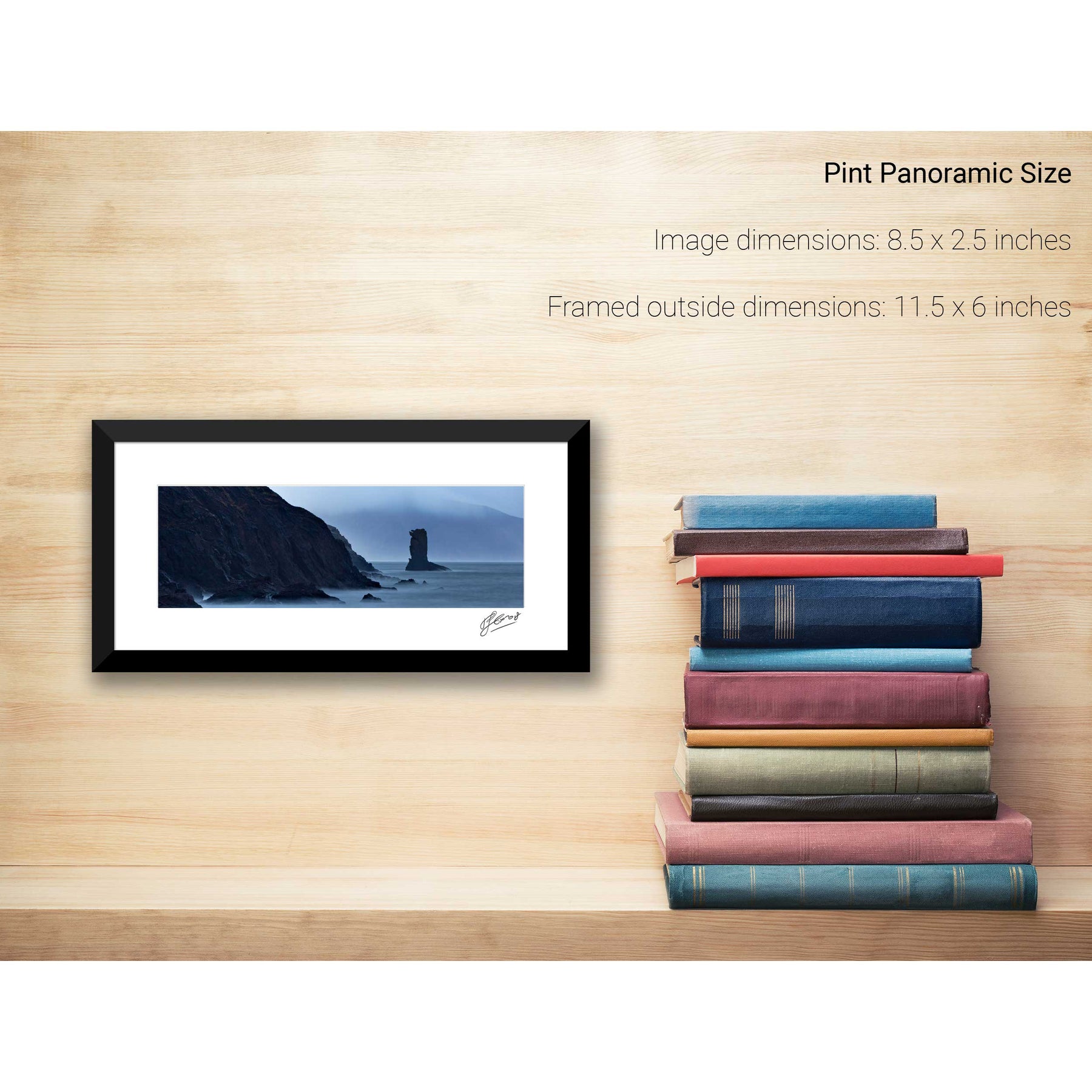
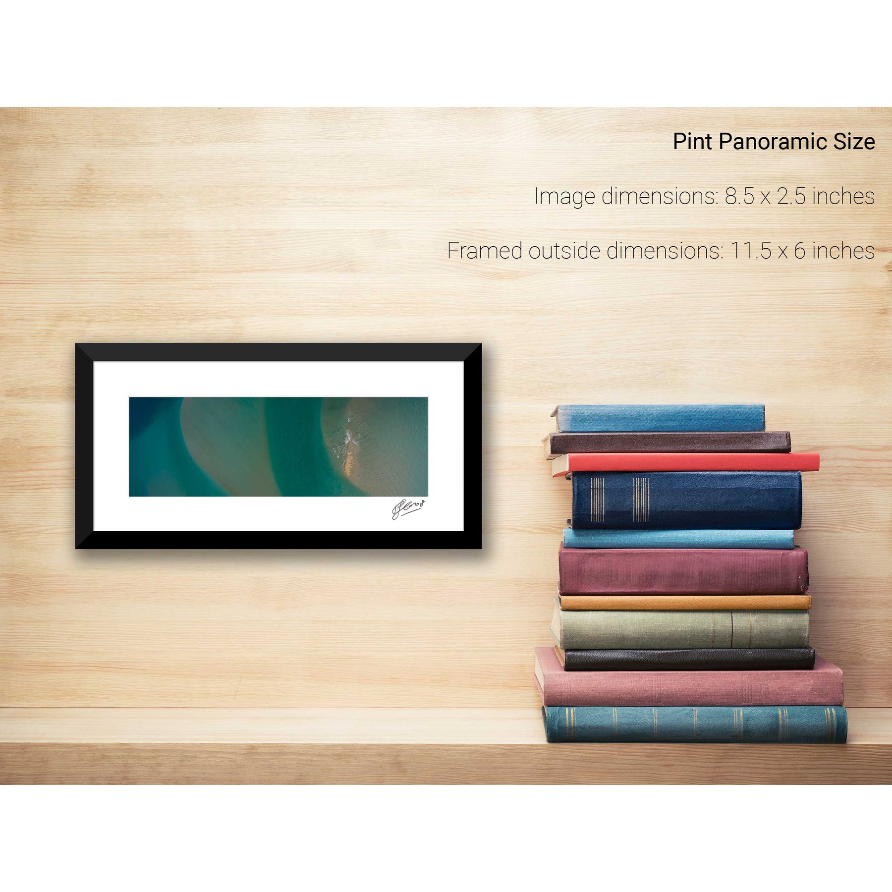
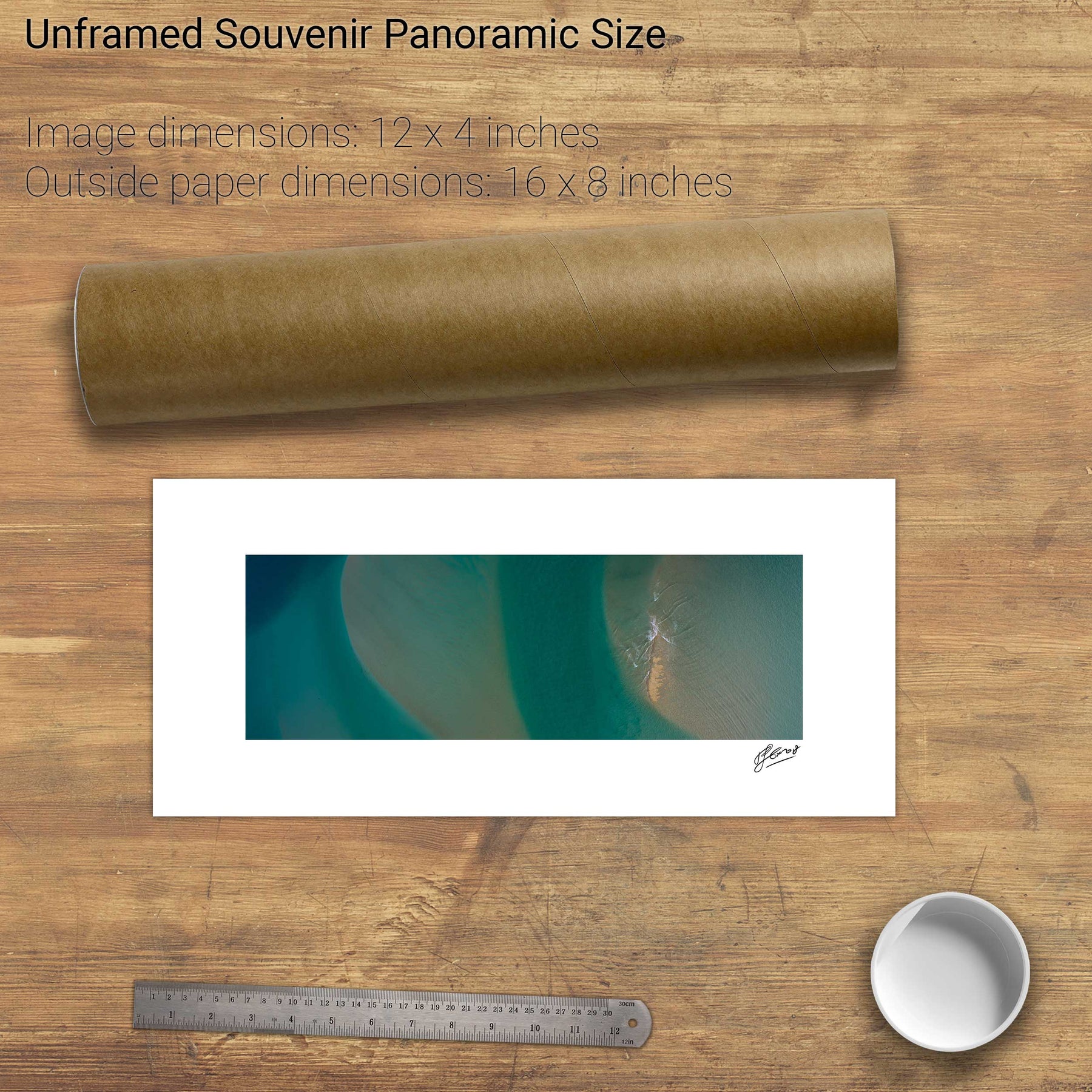
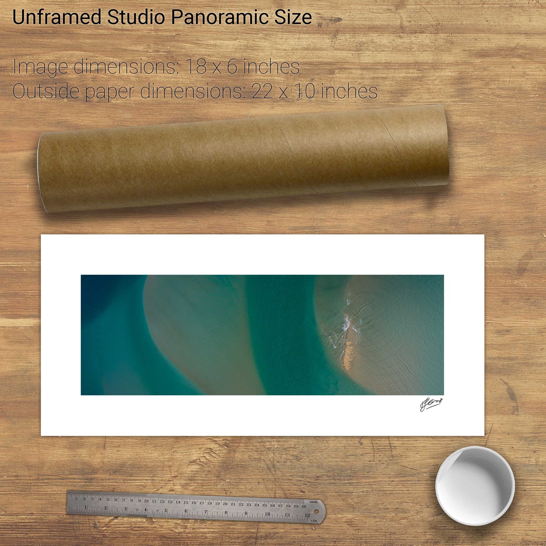
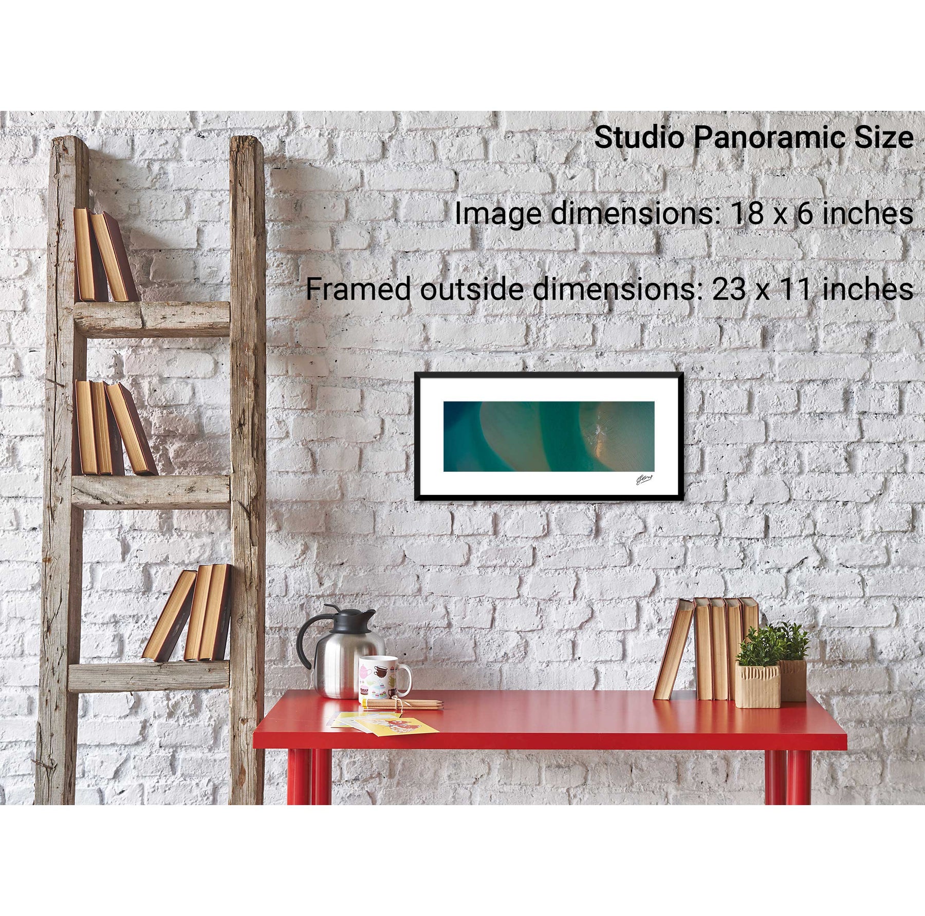
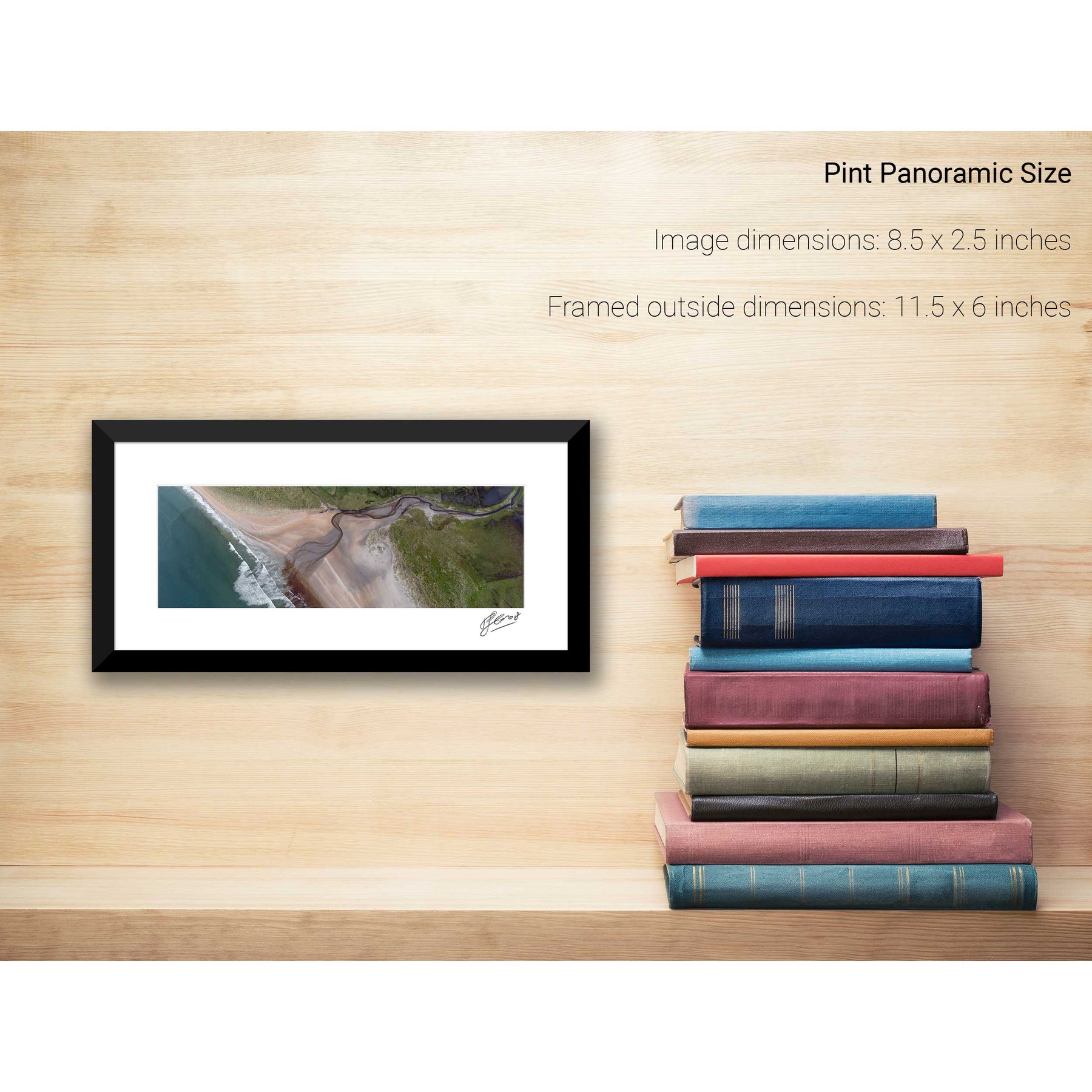
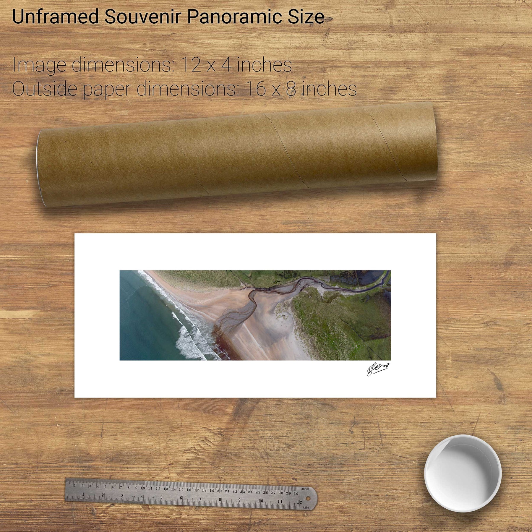
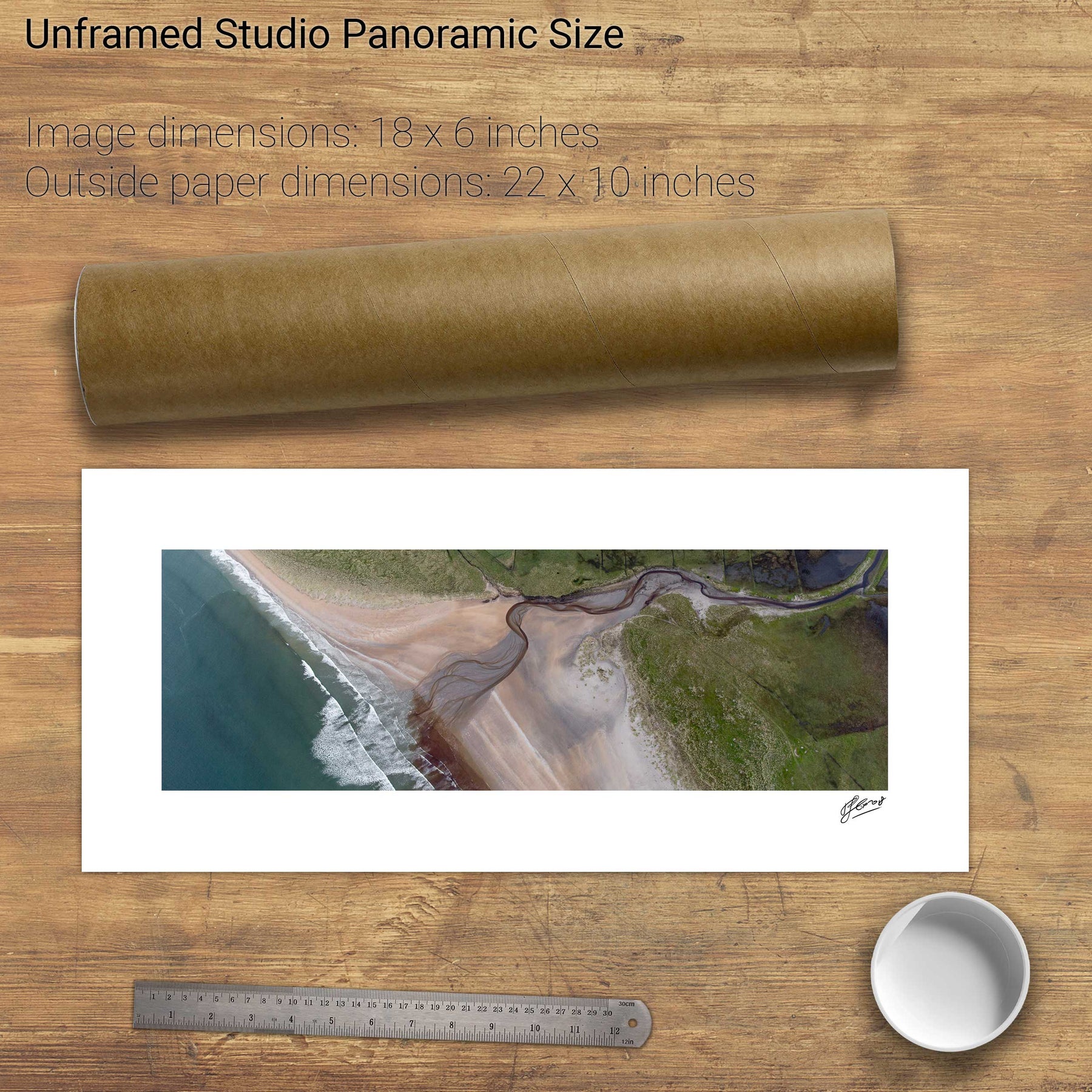
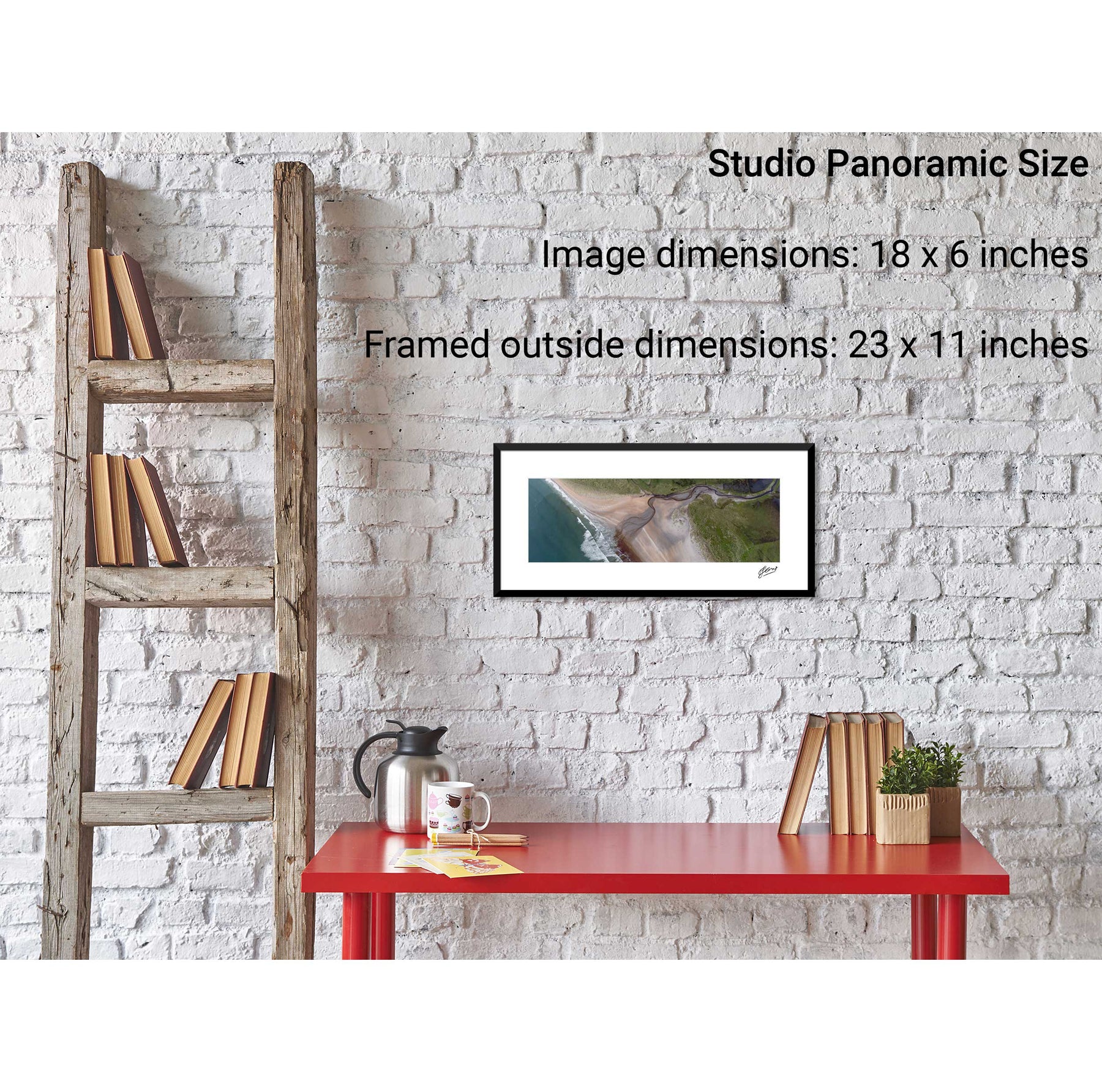
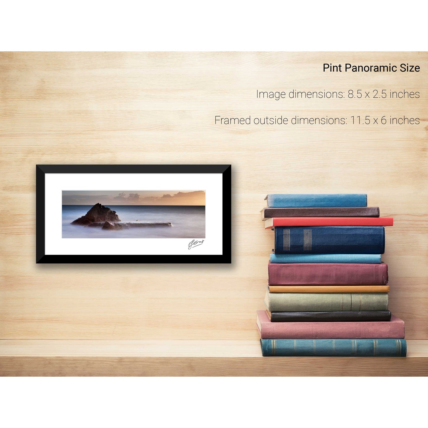
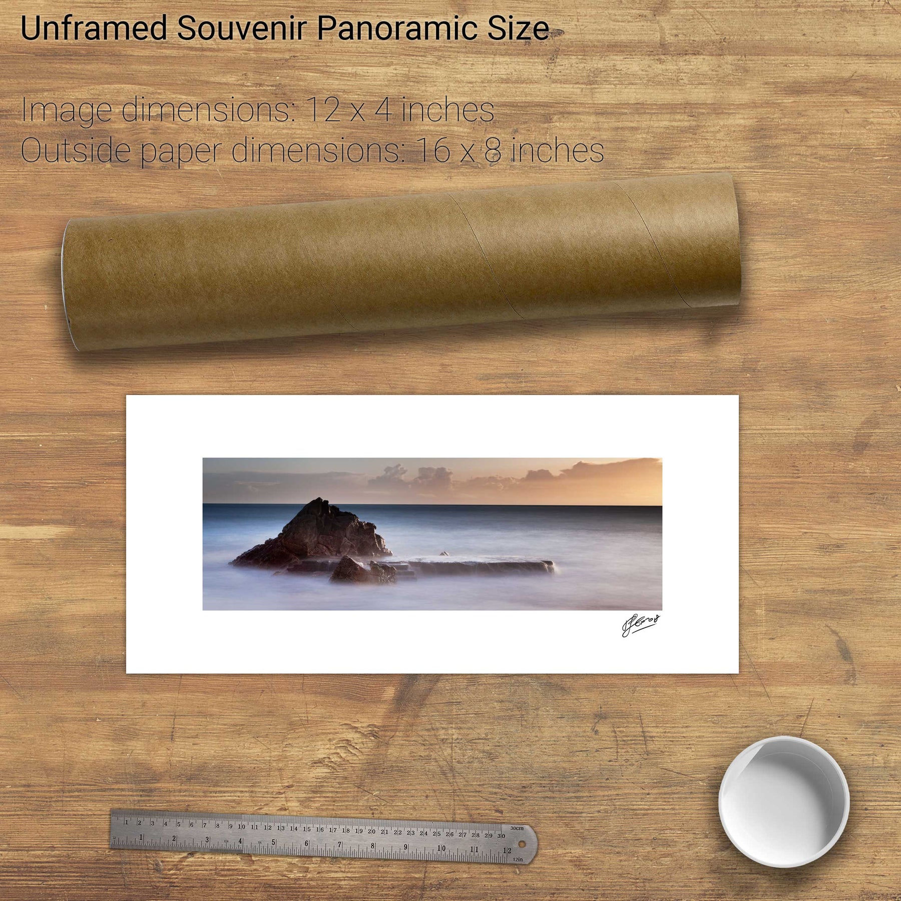
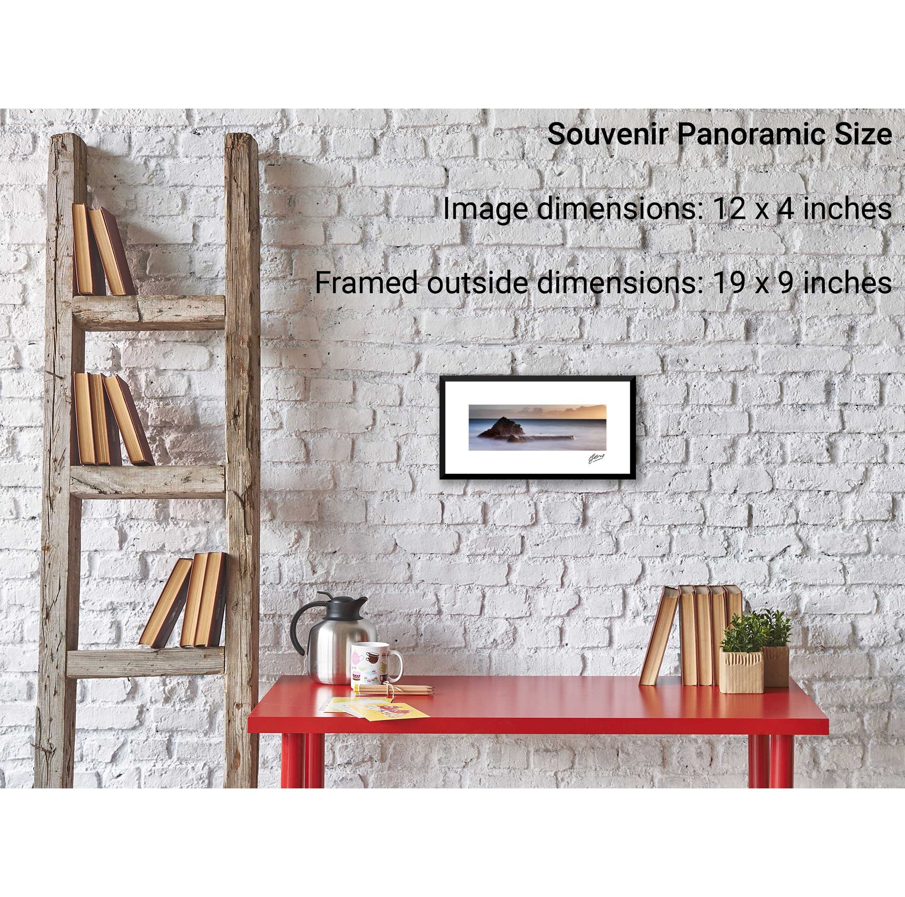
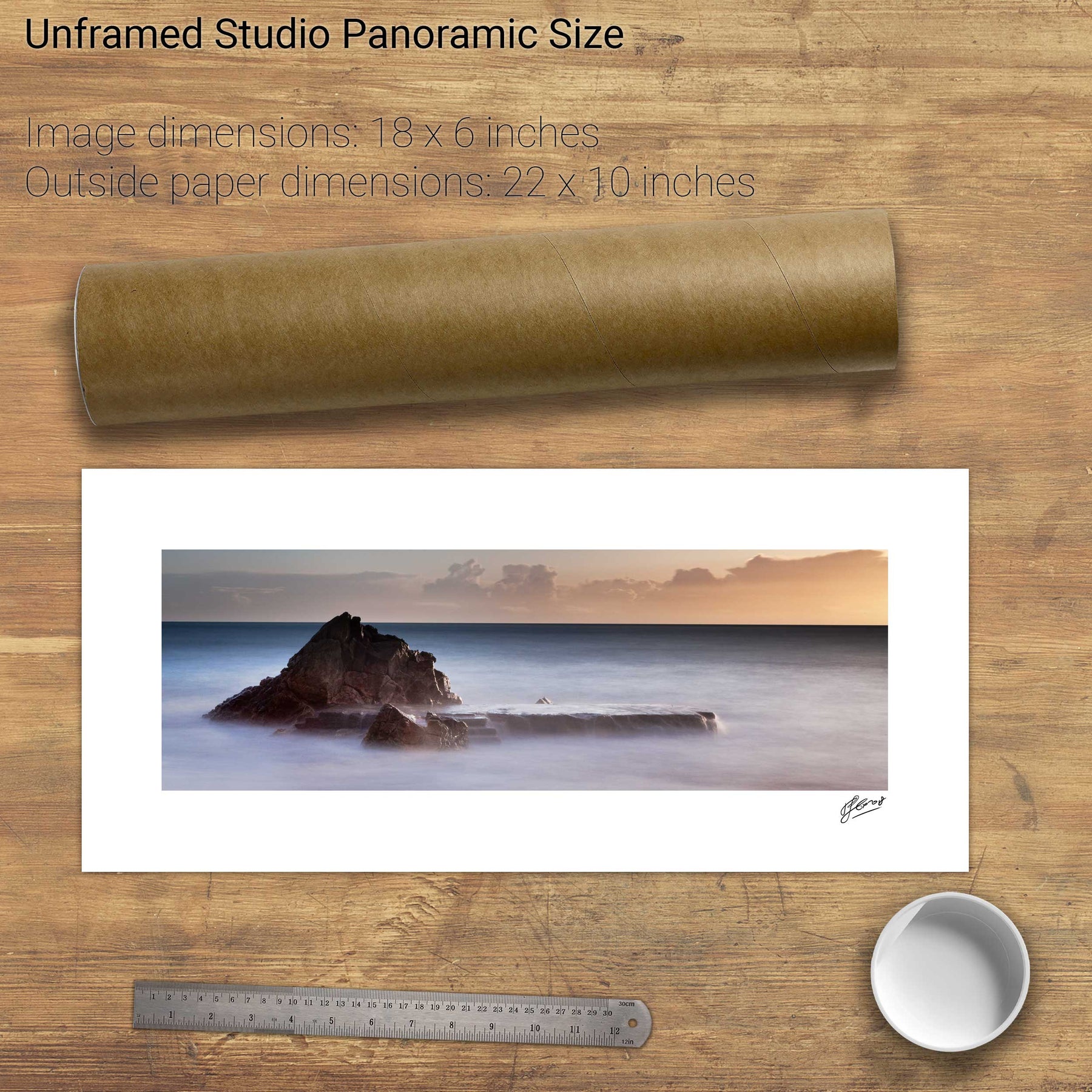
Roonagh Point, Co. Mayo


We will send you an email to reset your password.

104 products
Roonagh Point, Co. Mayo
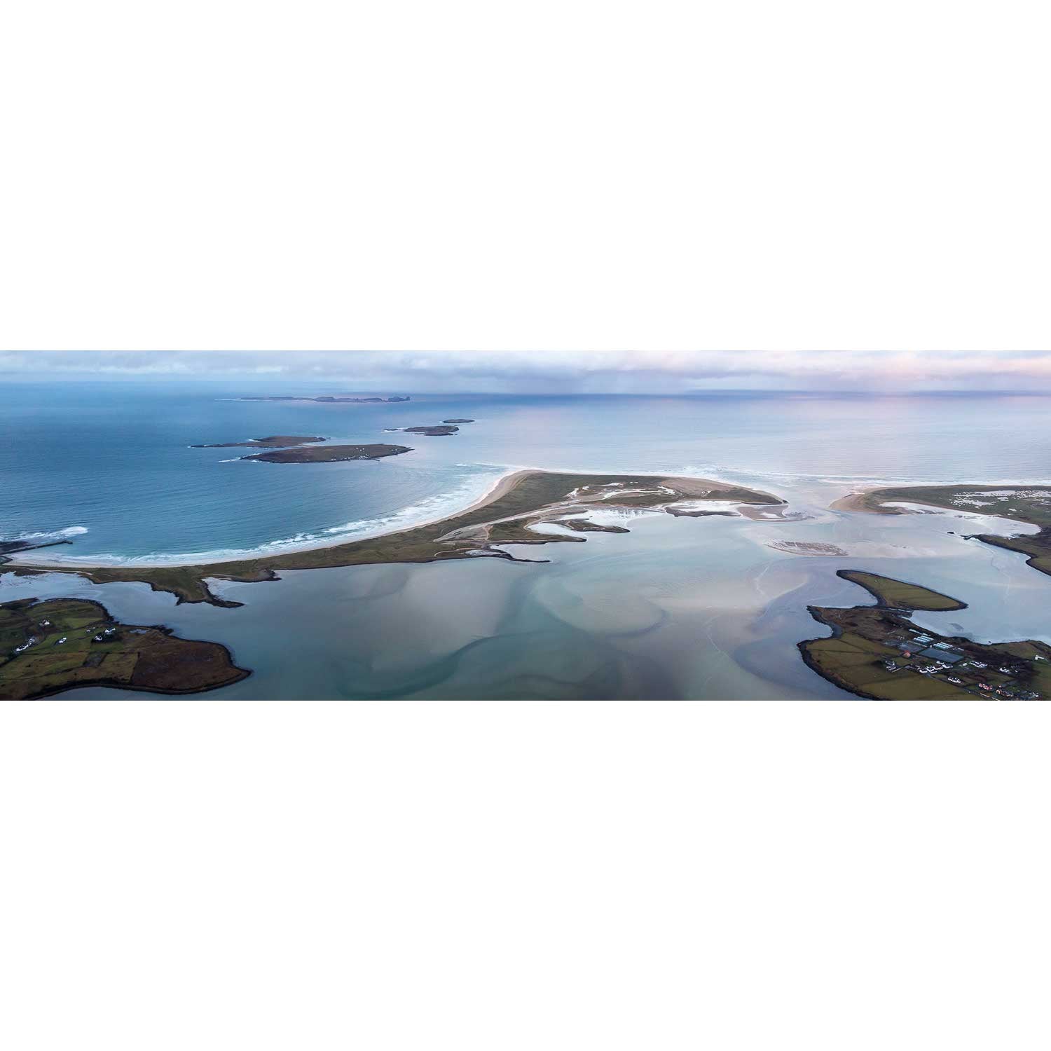
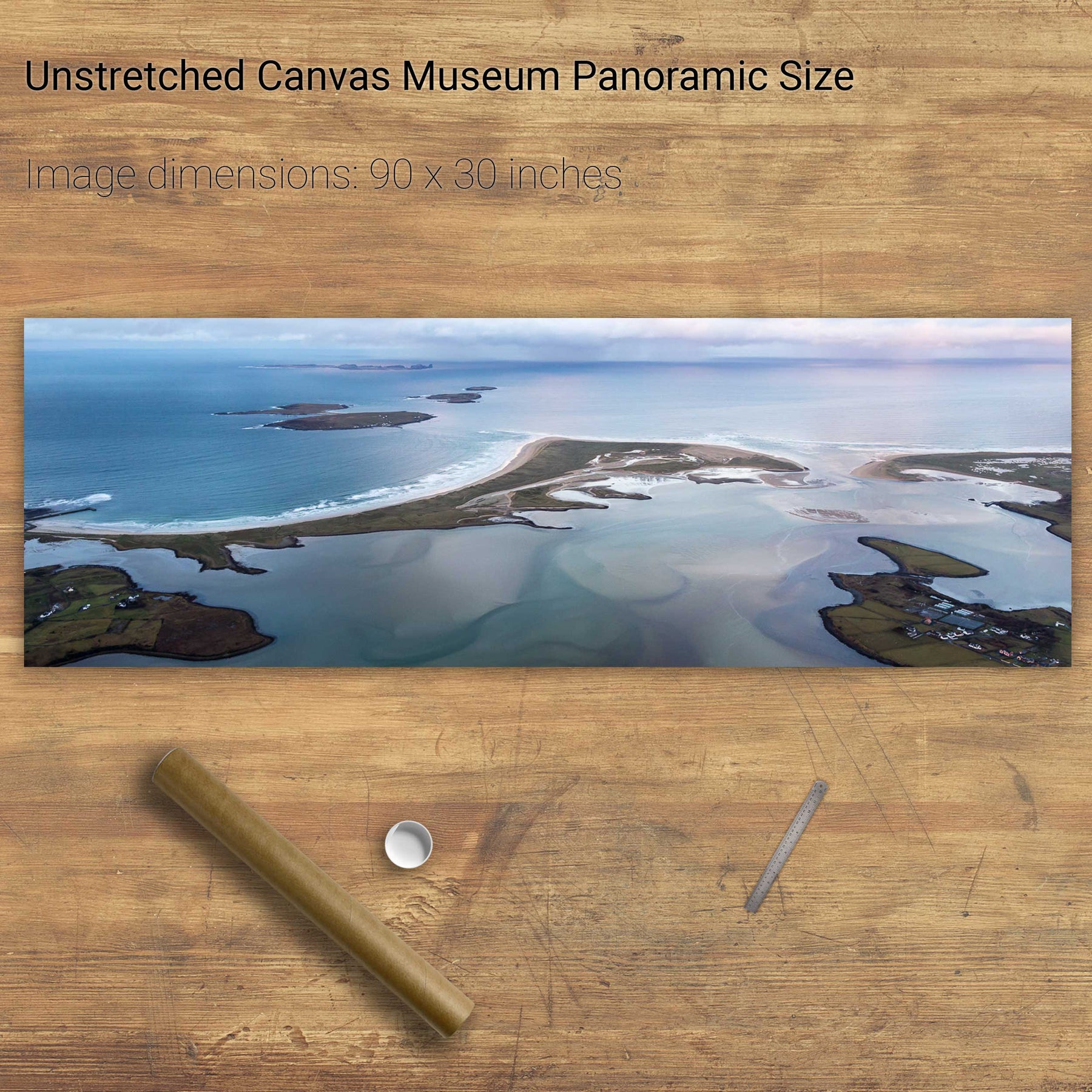
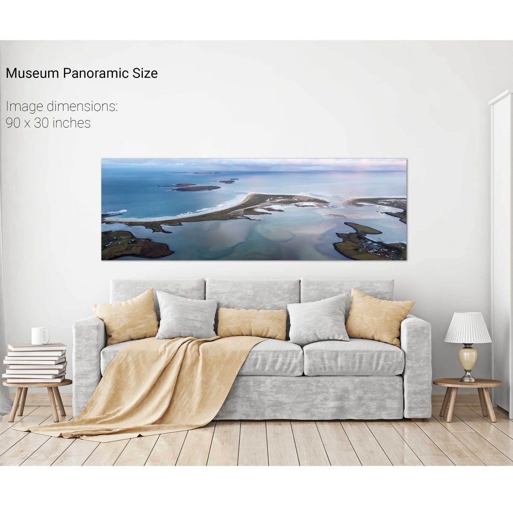
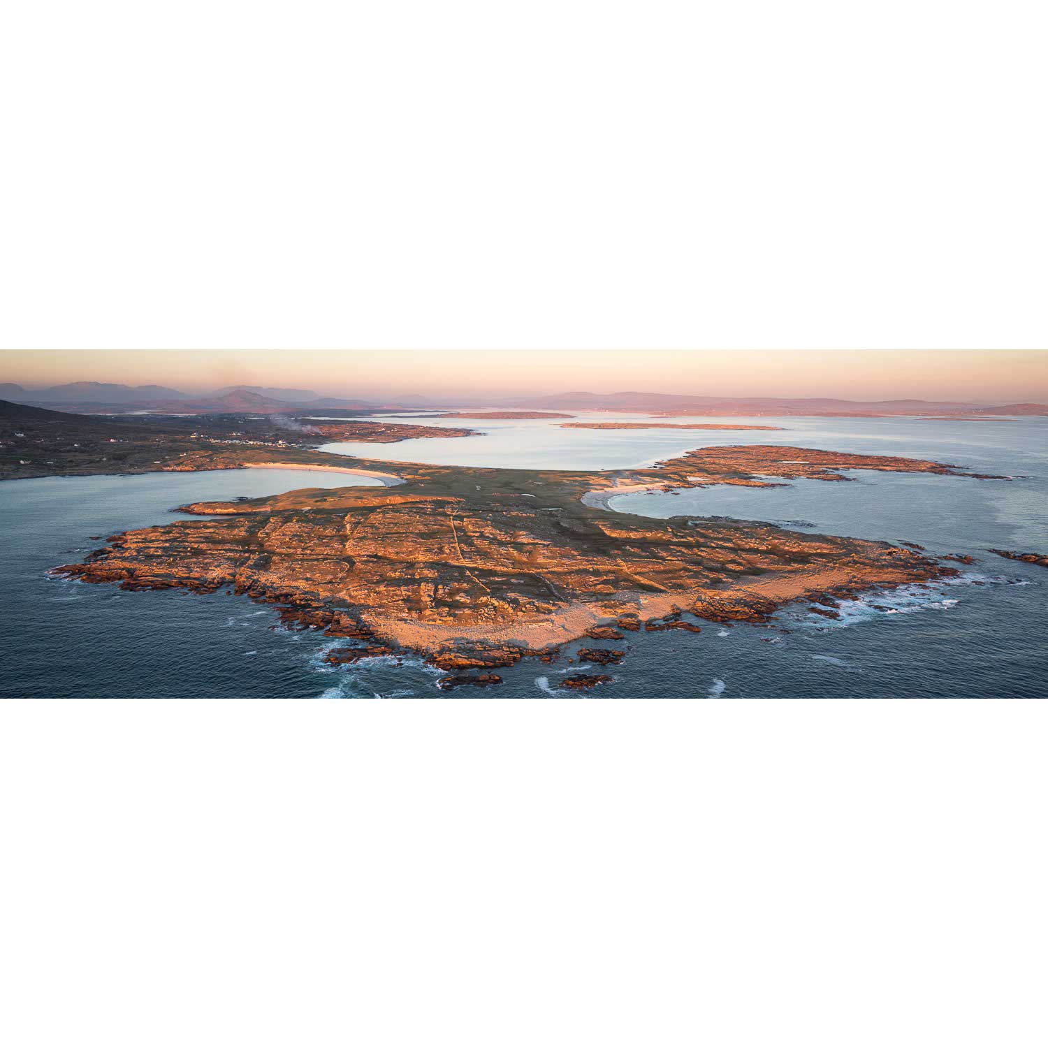
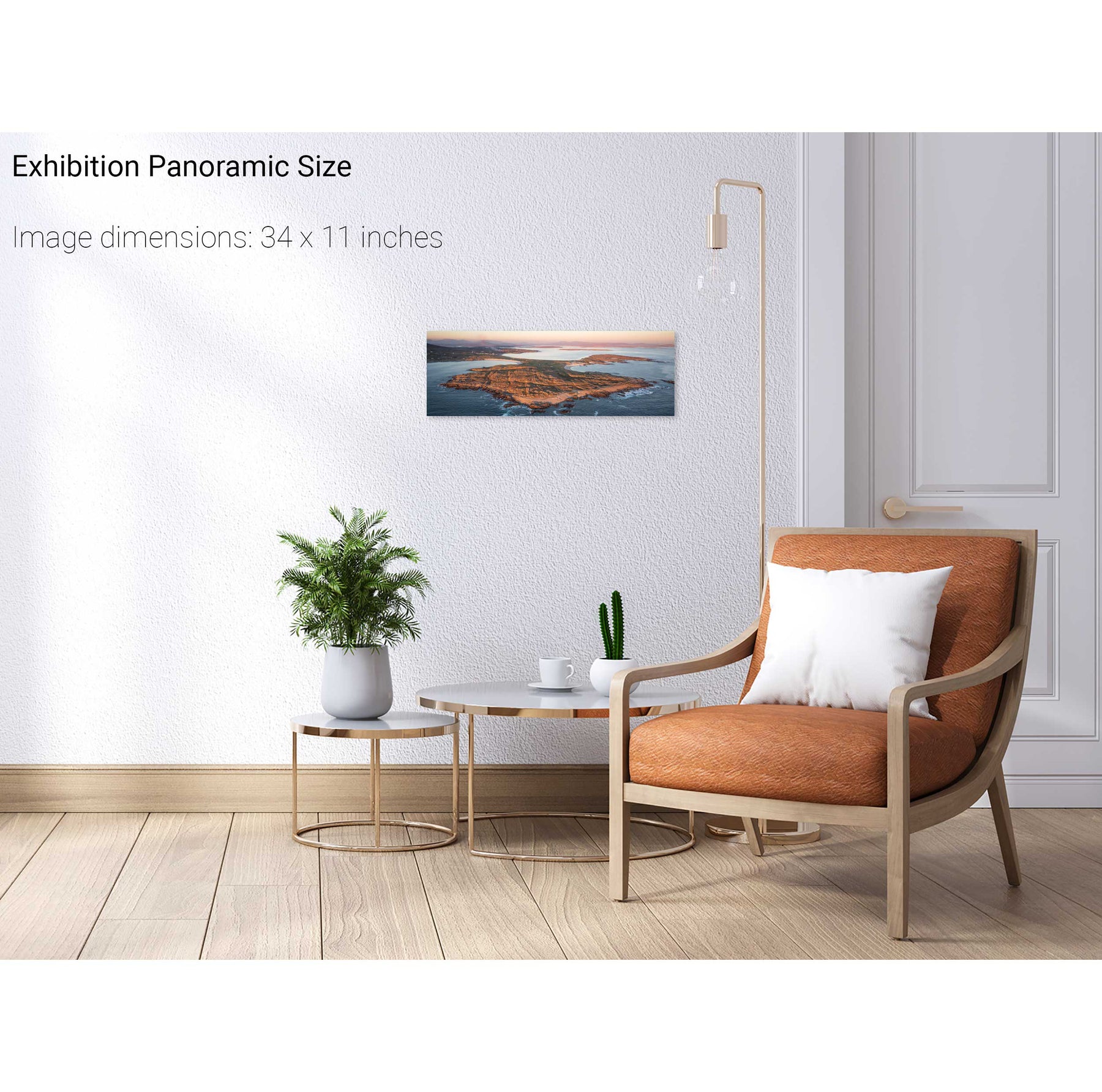
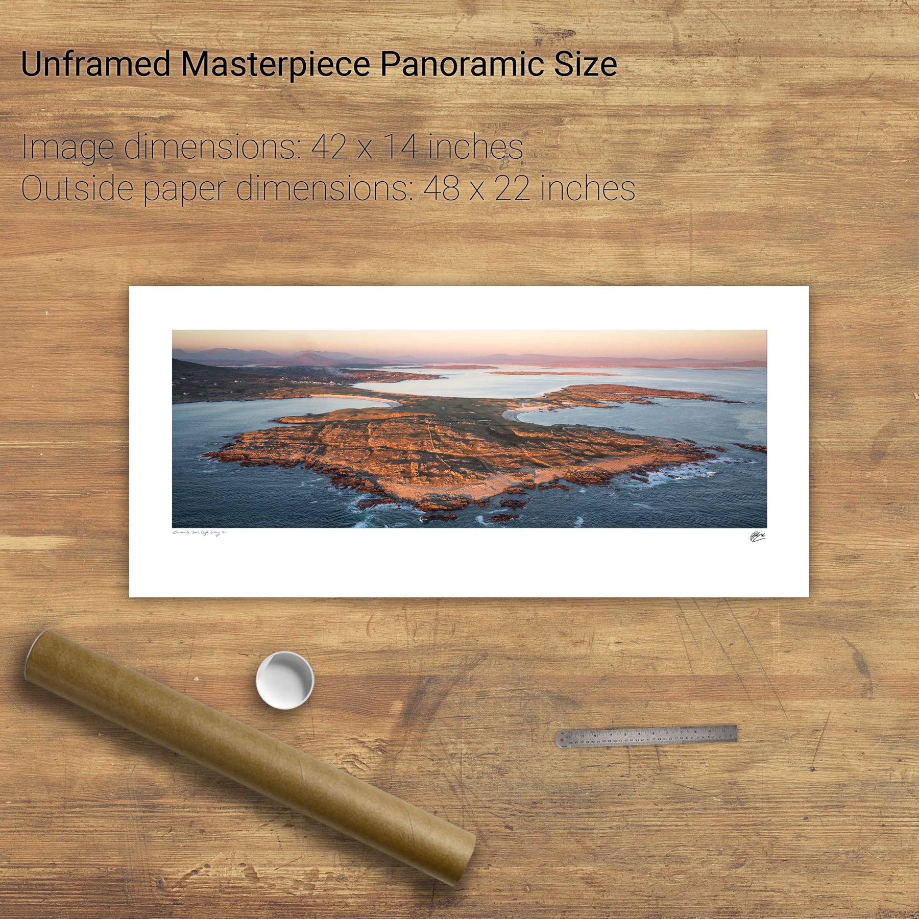
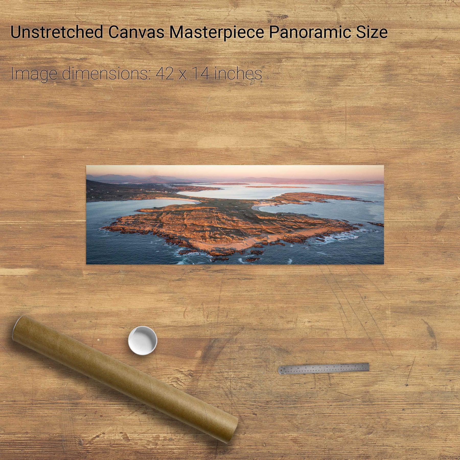
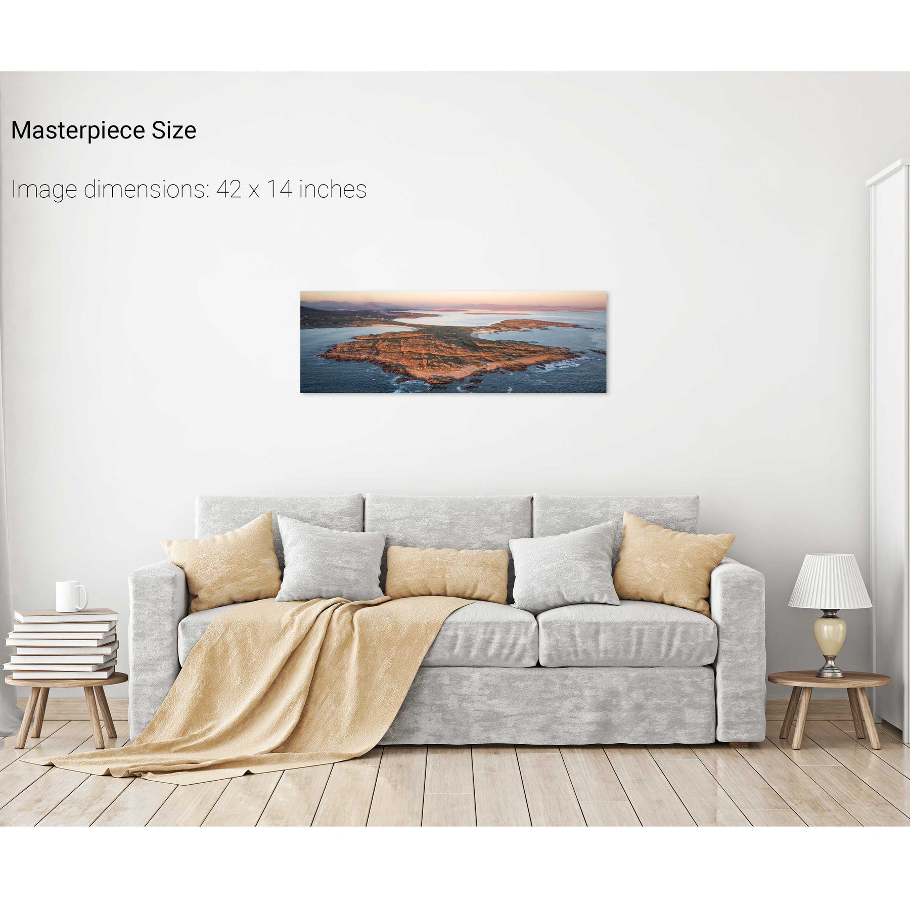
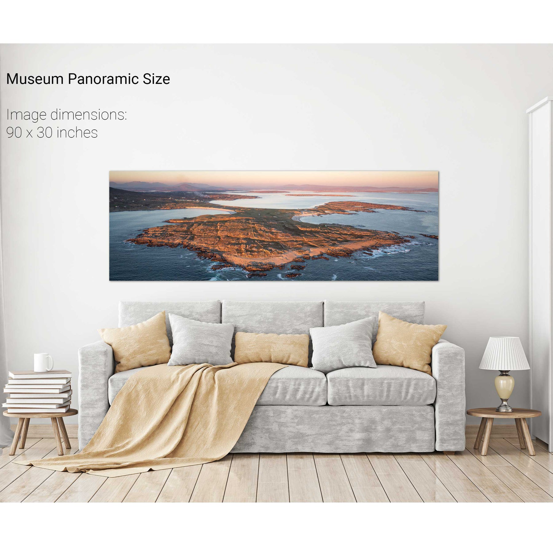
Dooey Peninsula, Co. Donegal
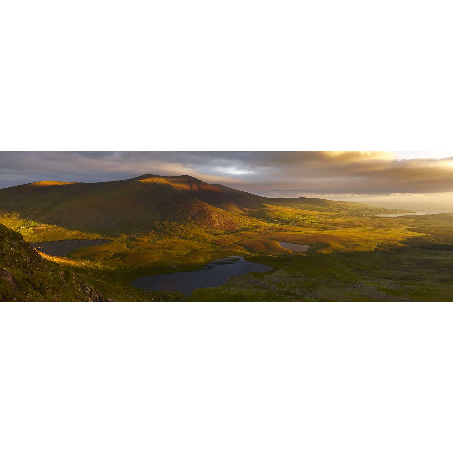
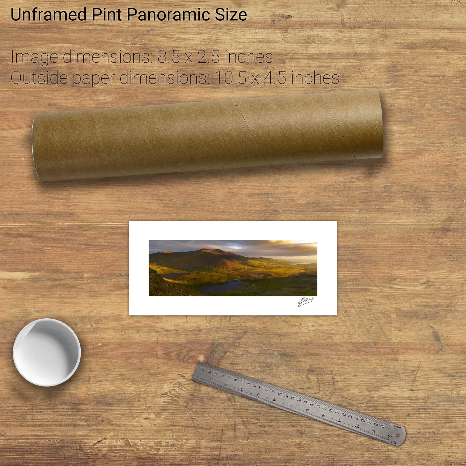
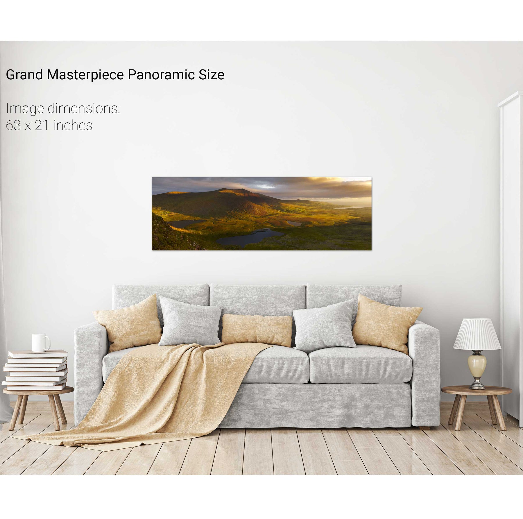
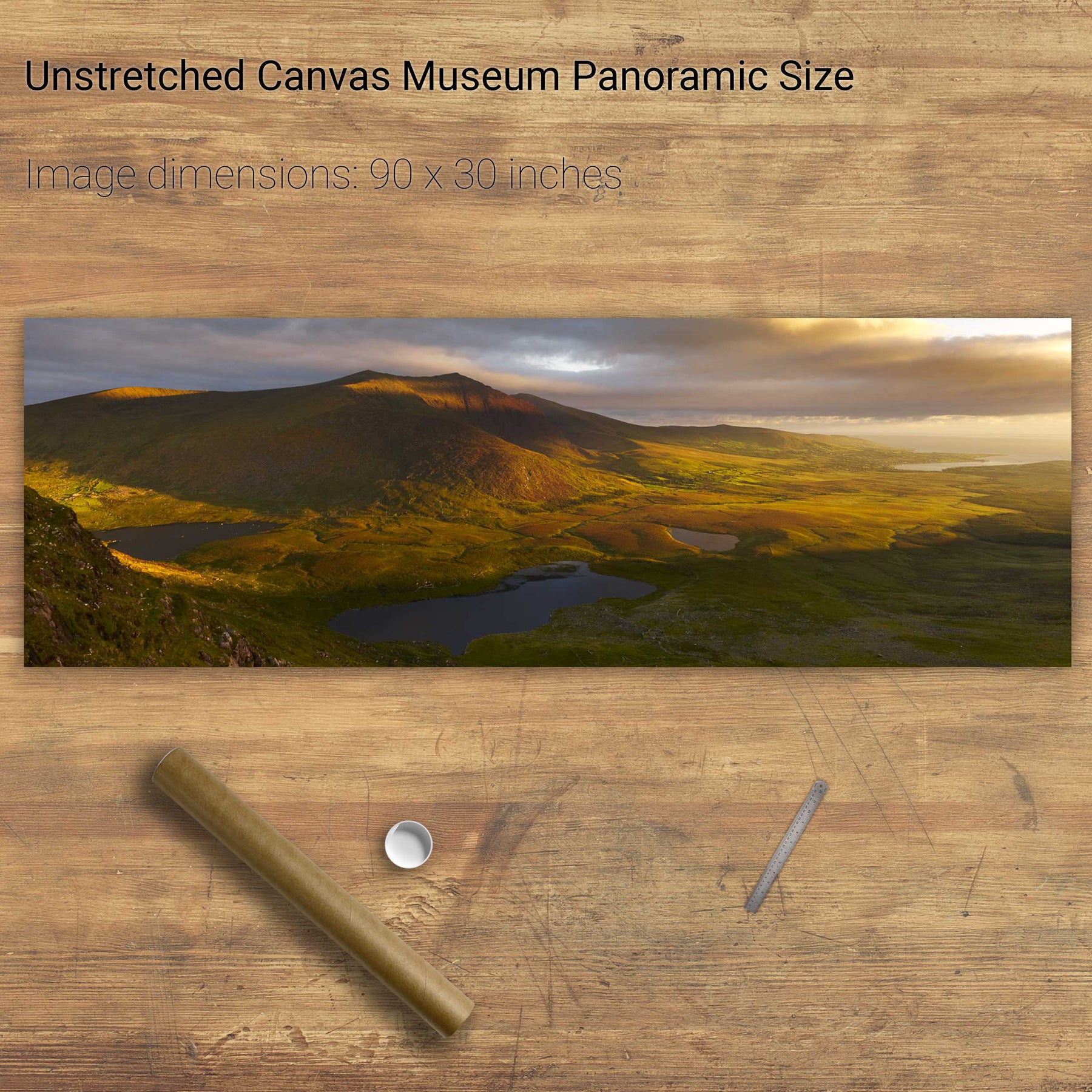
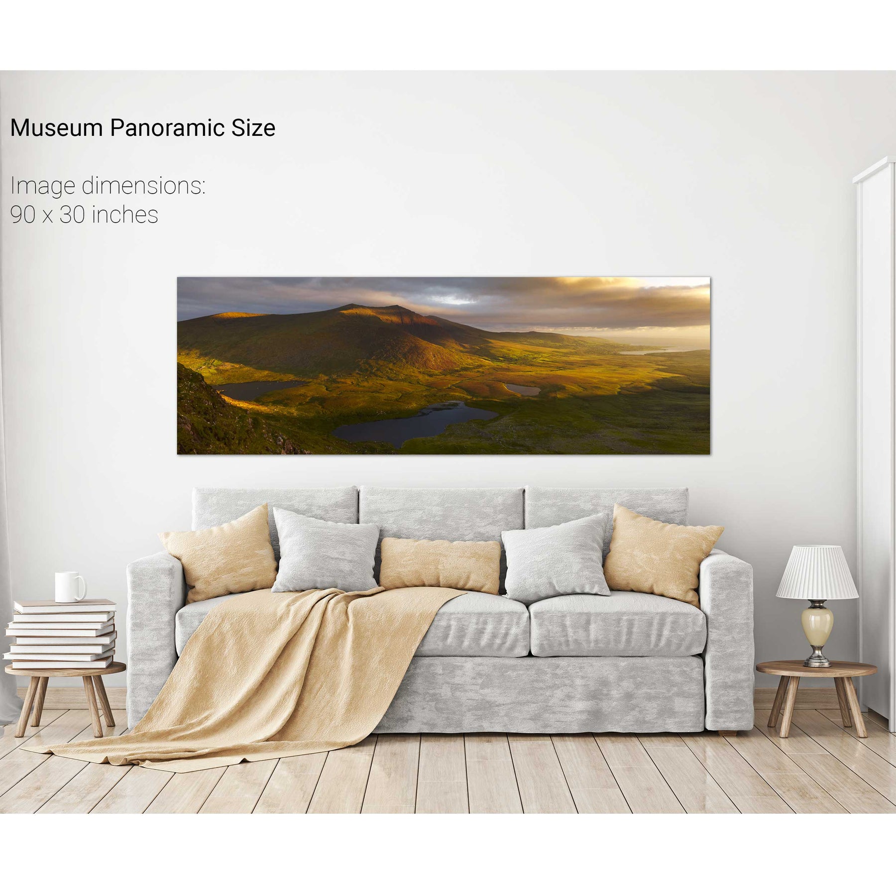
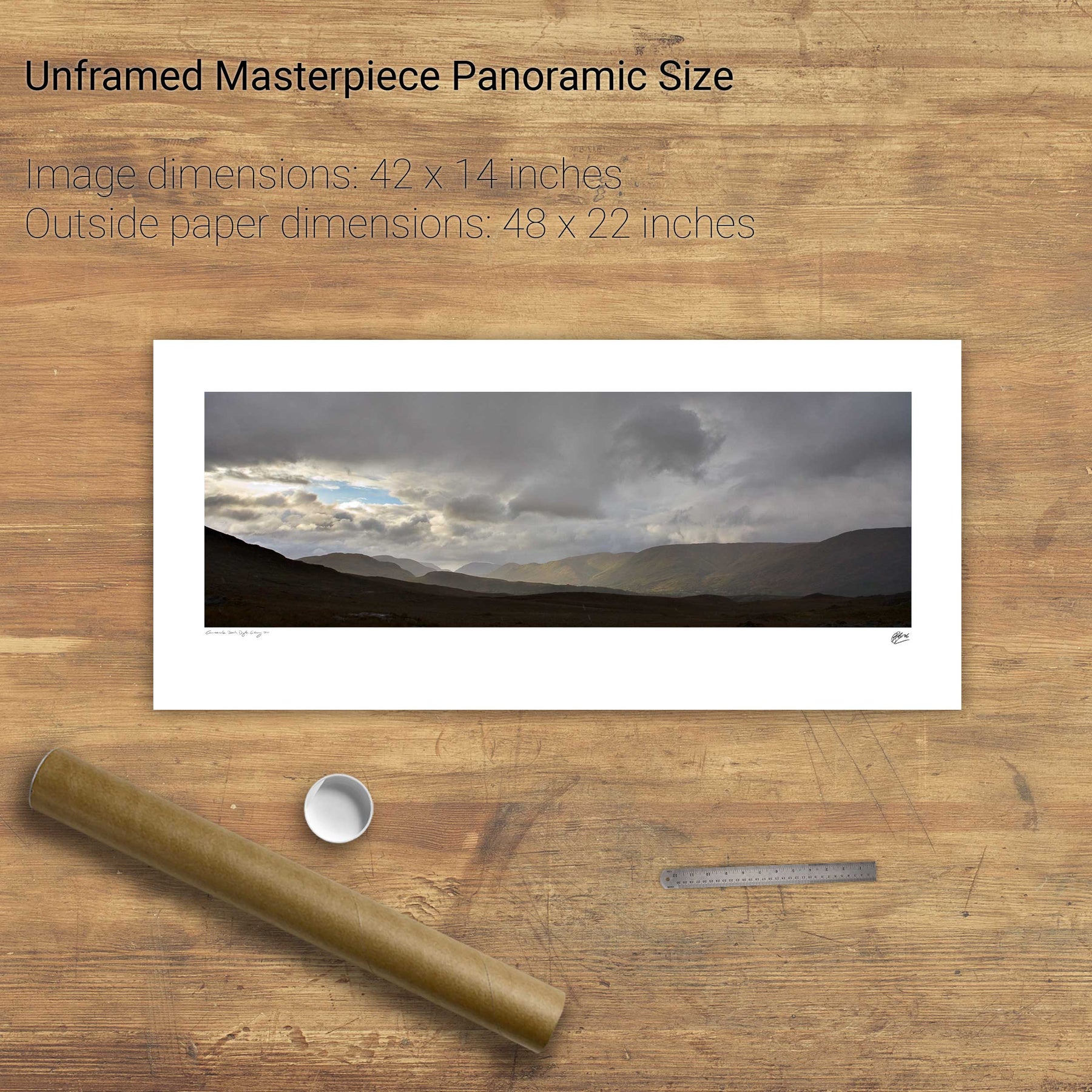
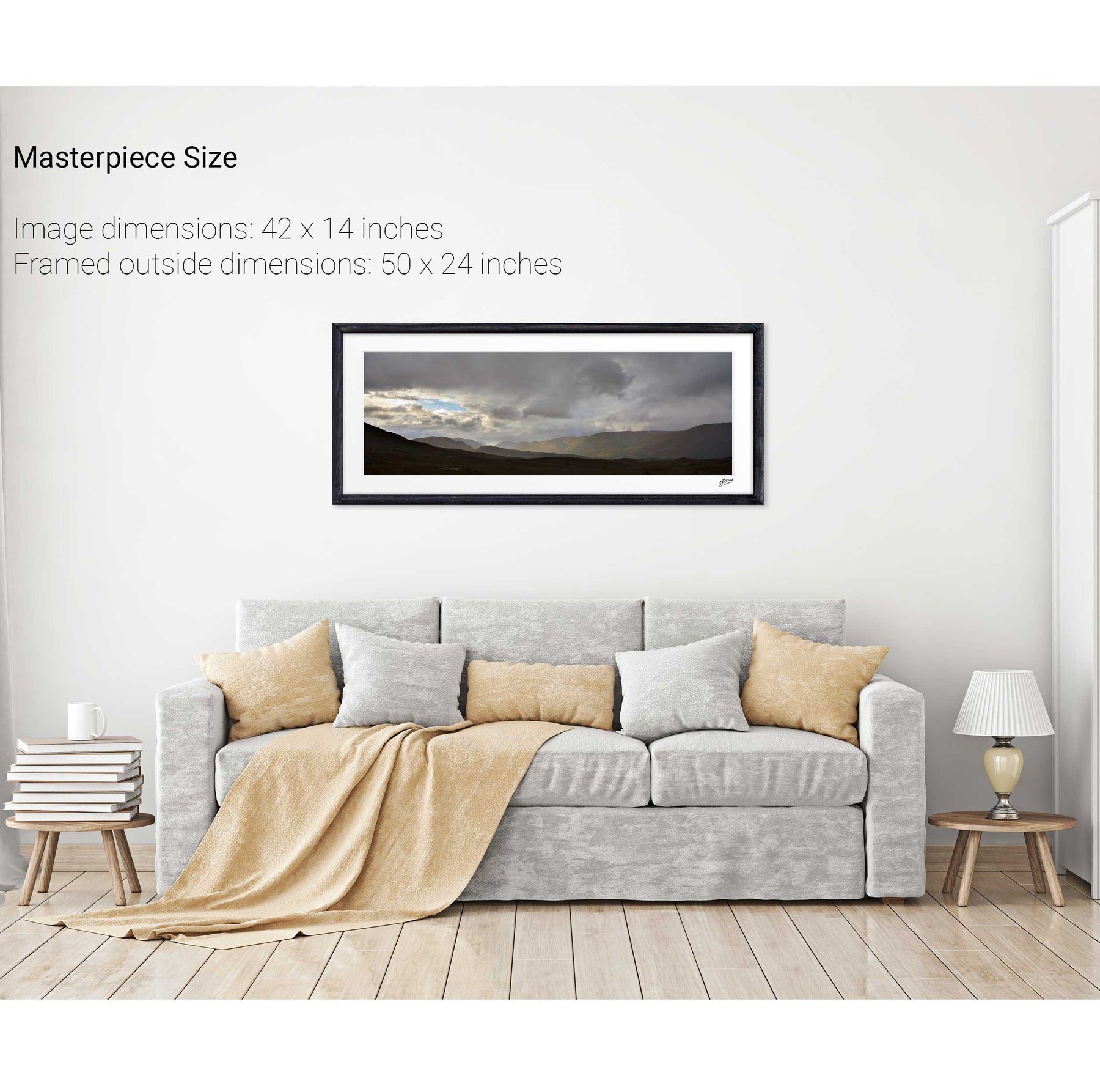
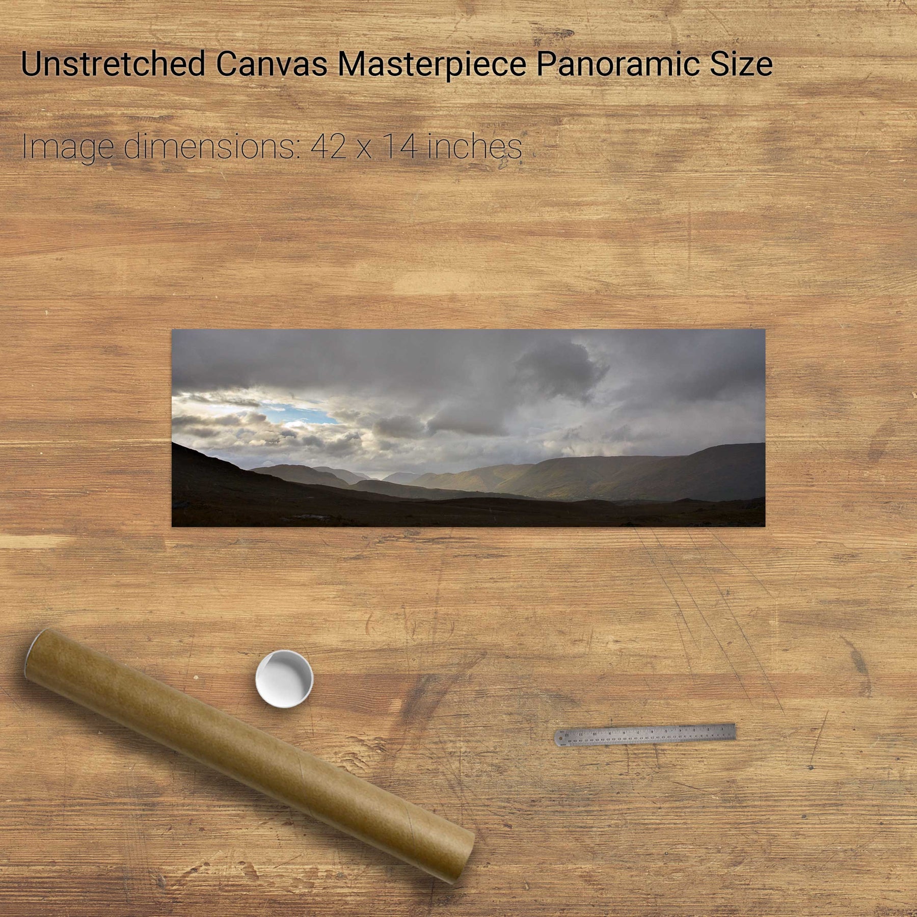
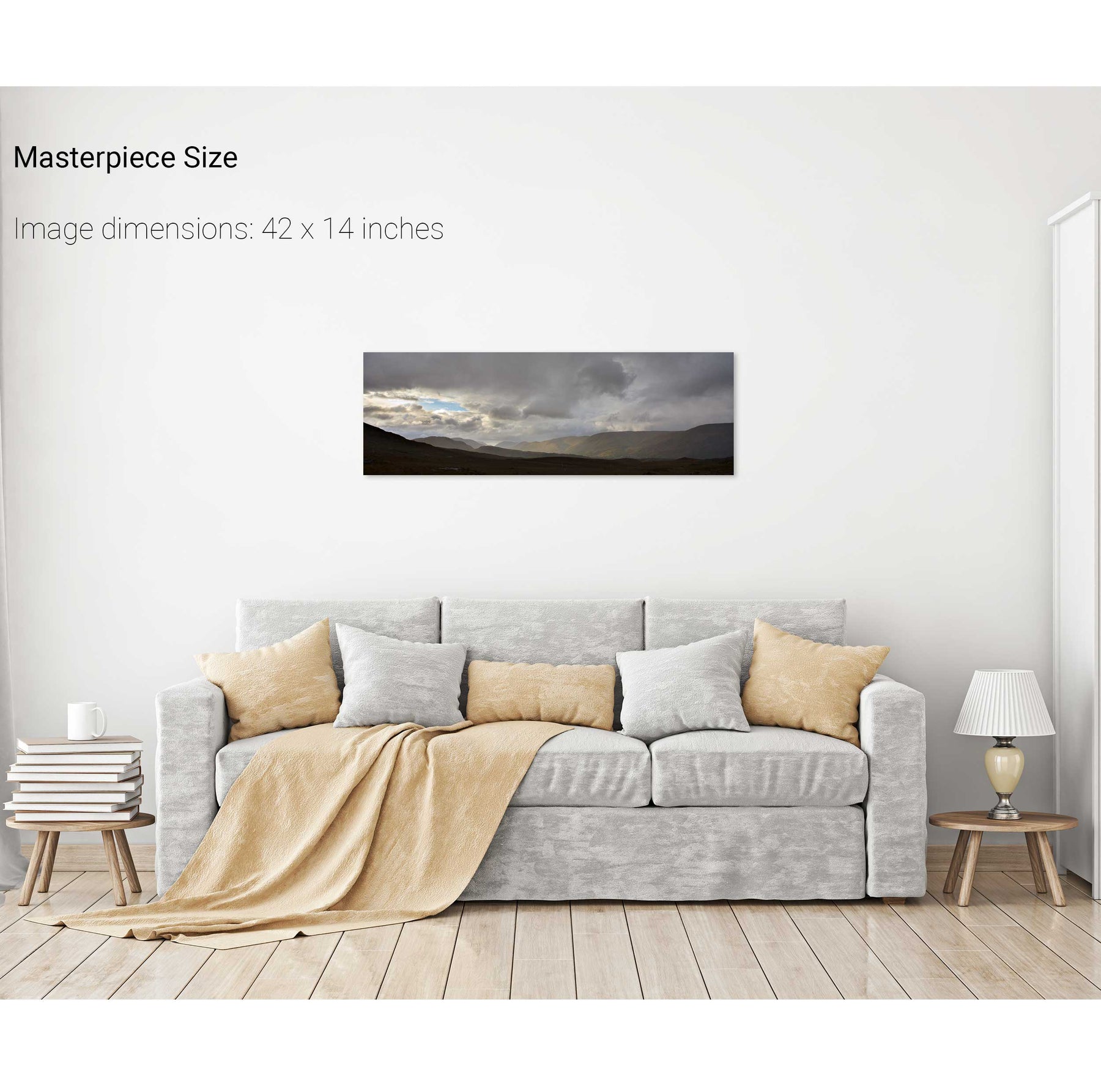
Conor Pass, Dingle, Co. Kerry
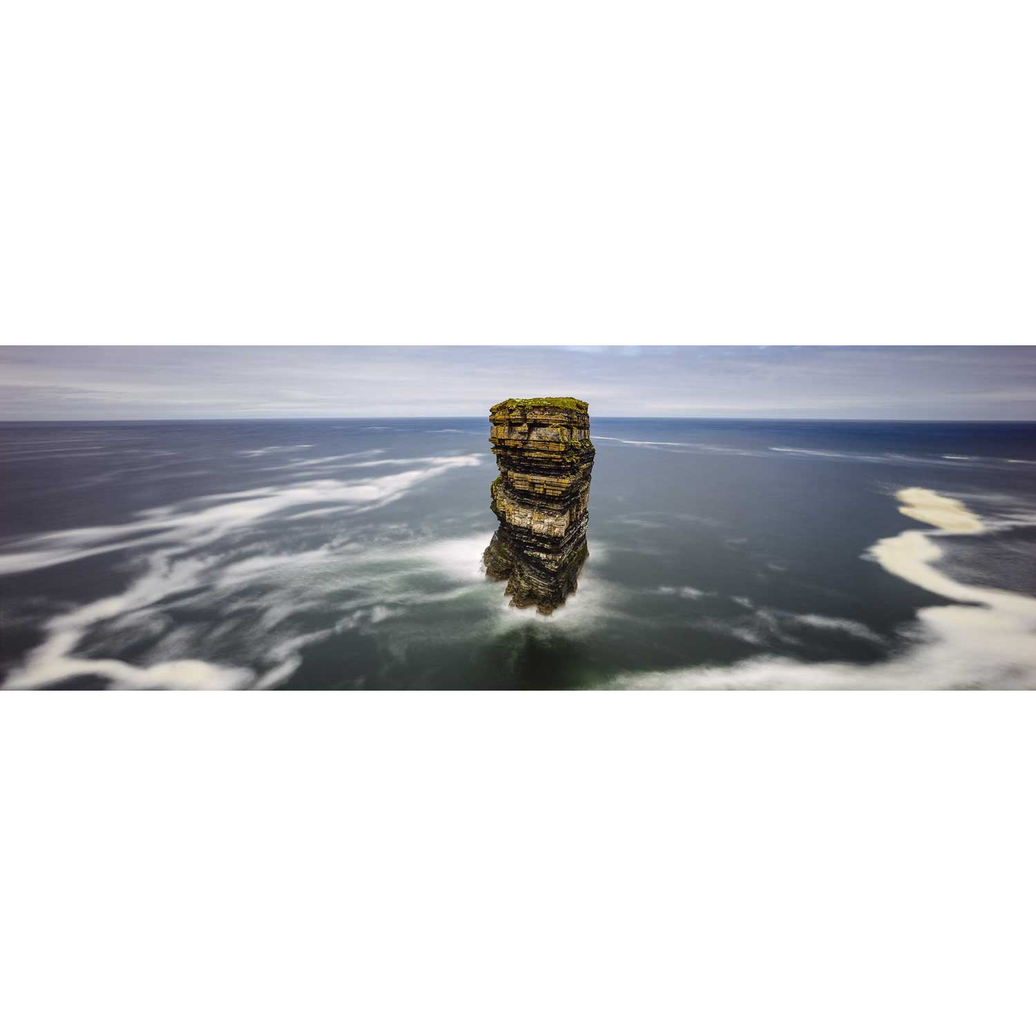
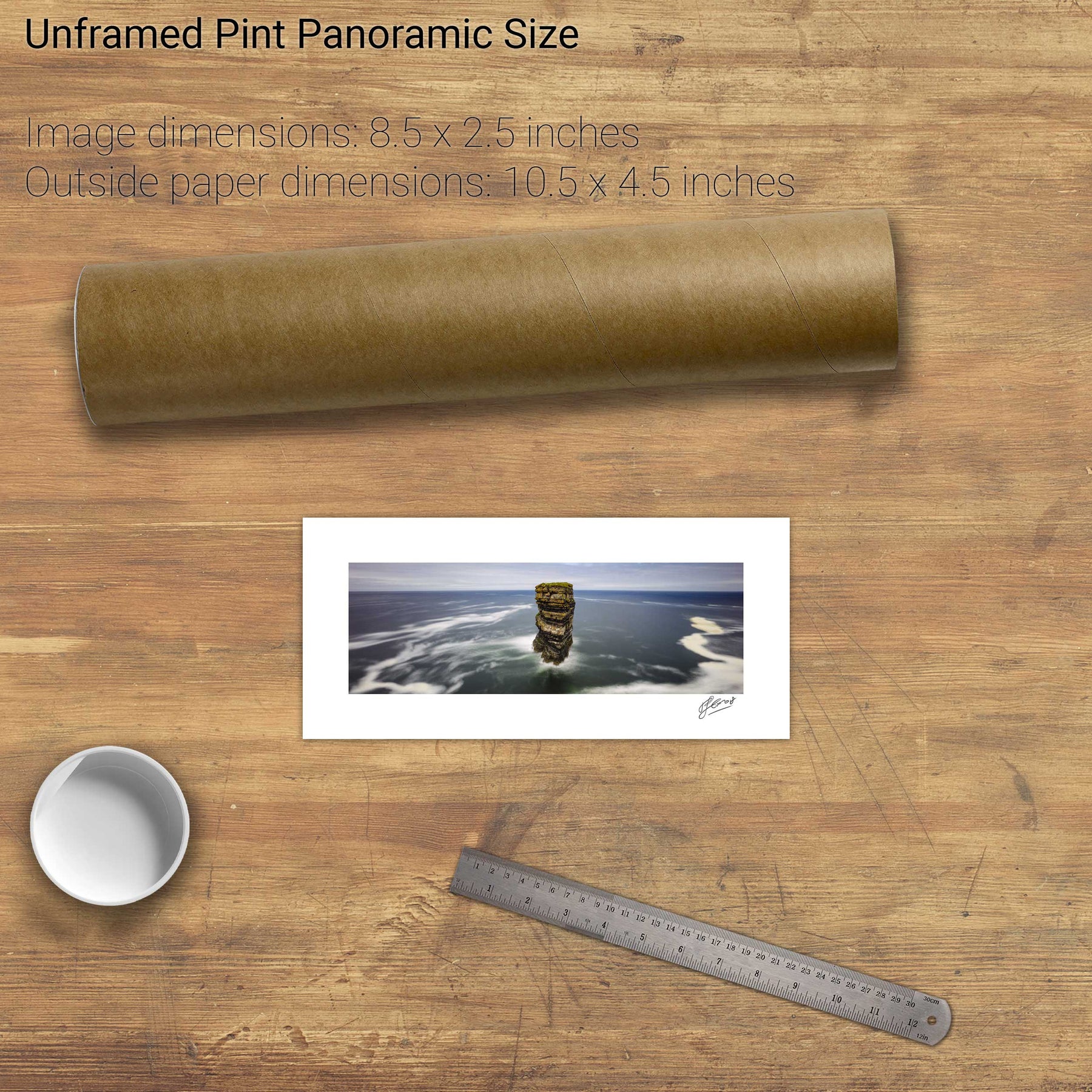
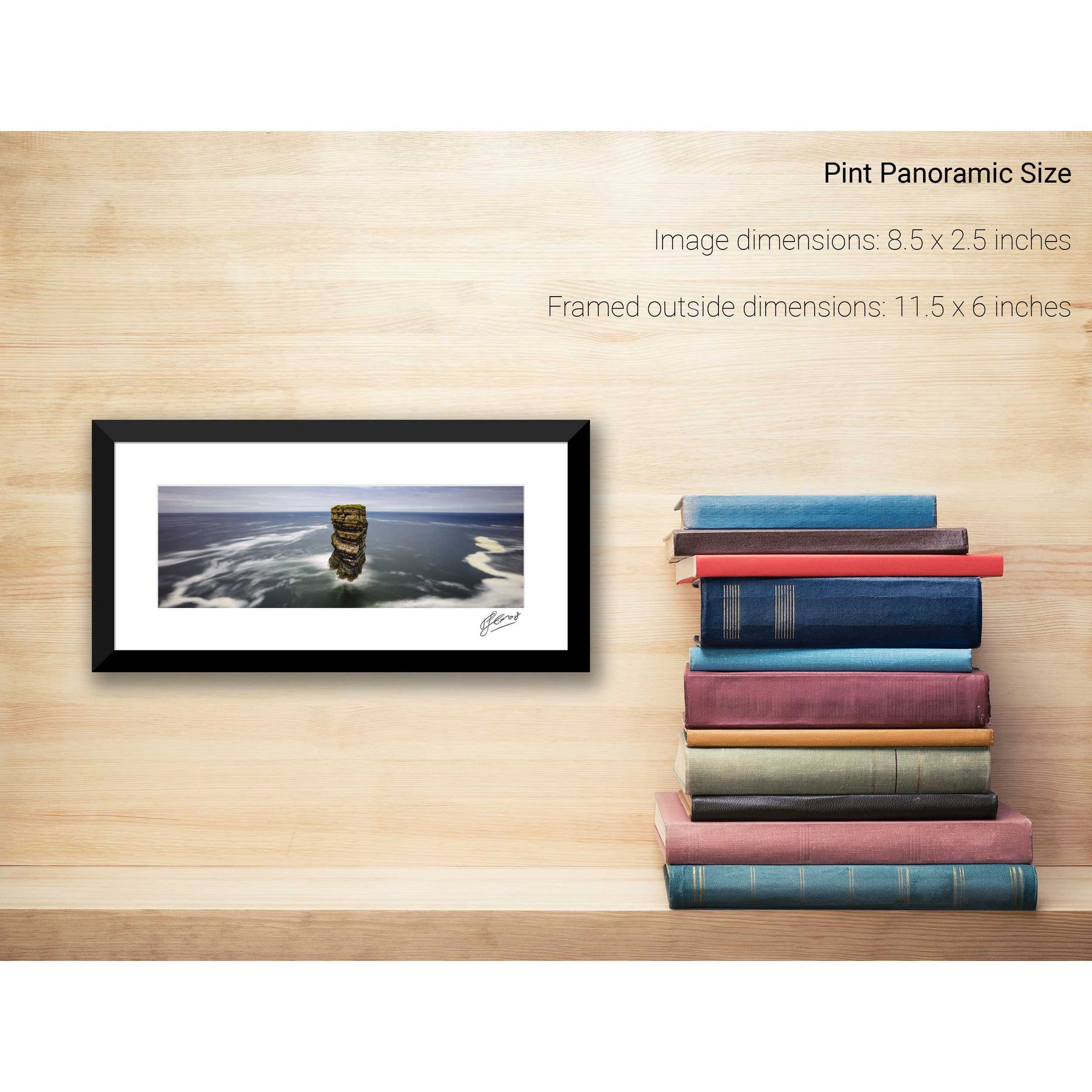
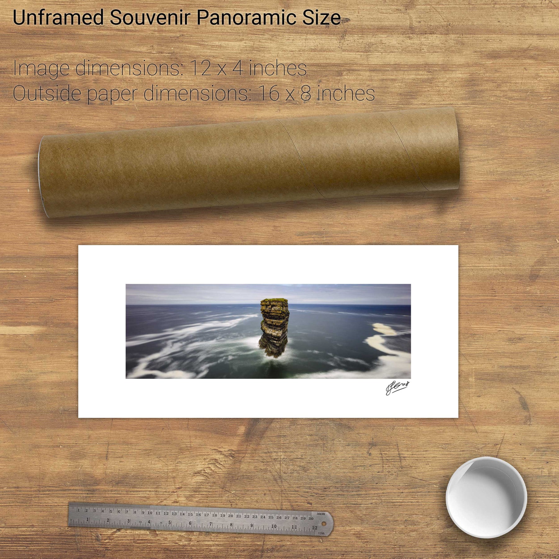
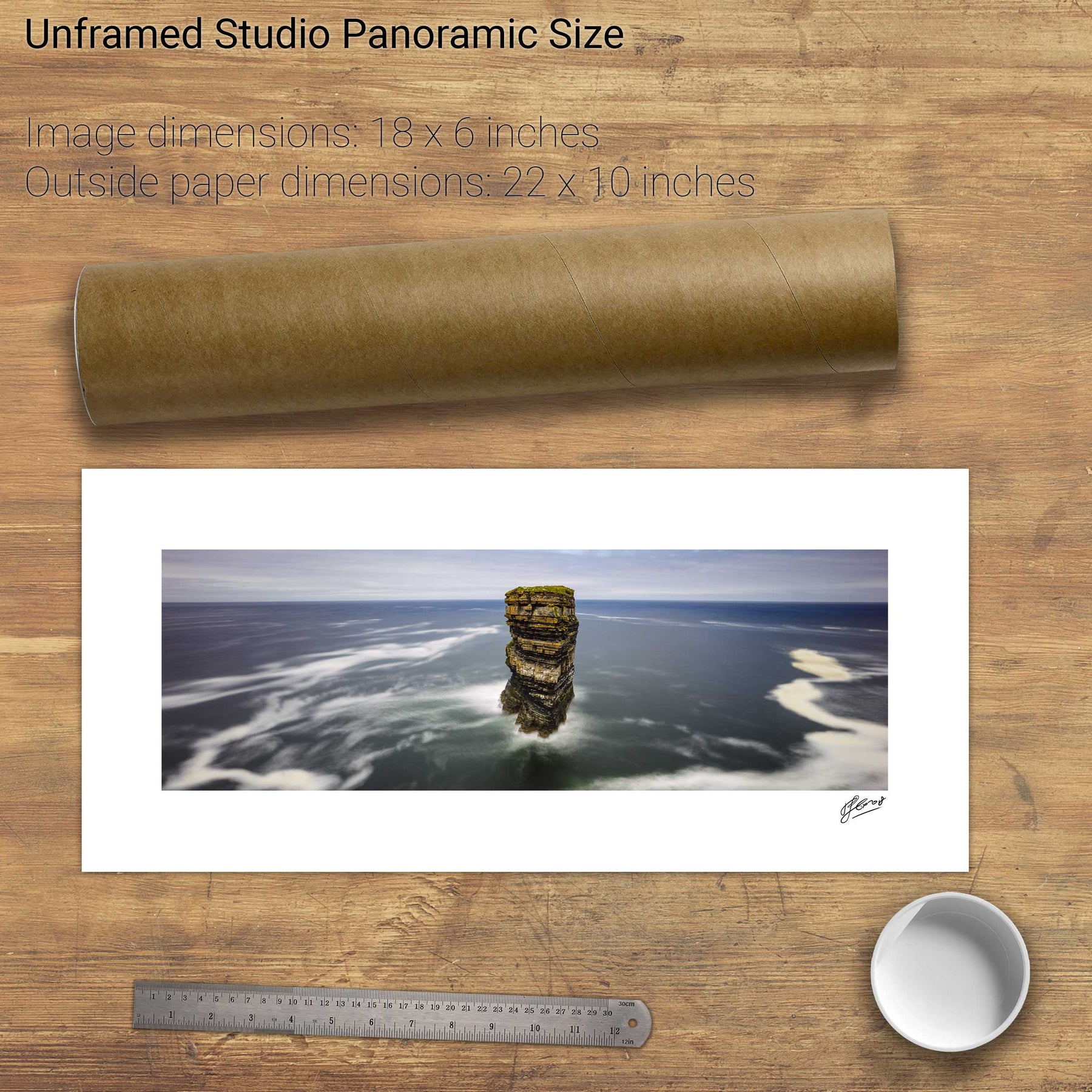
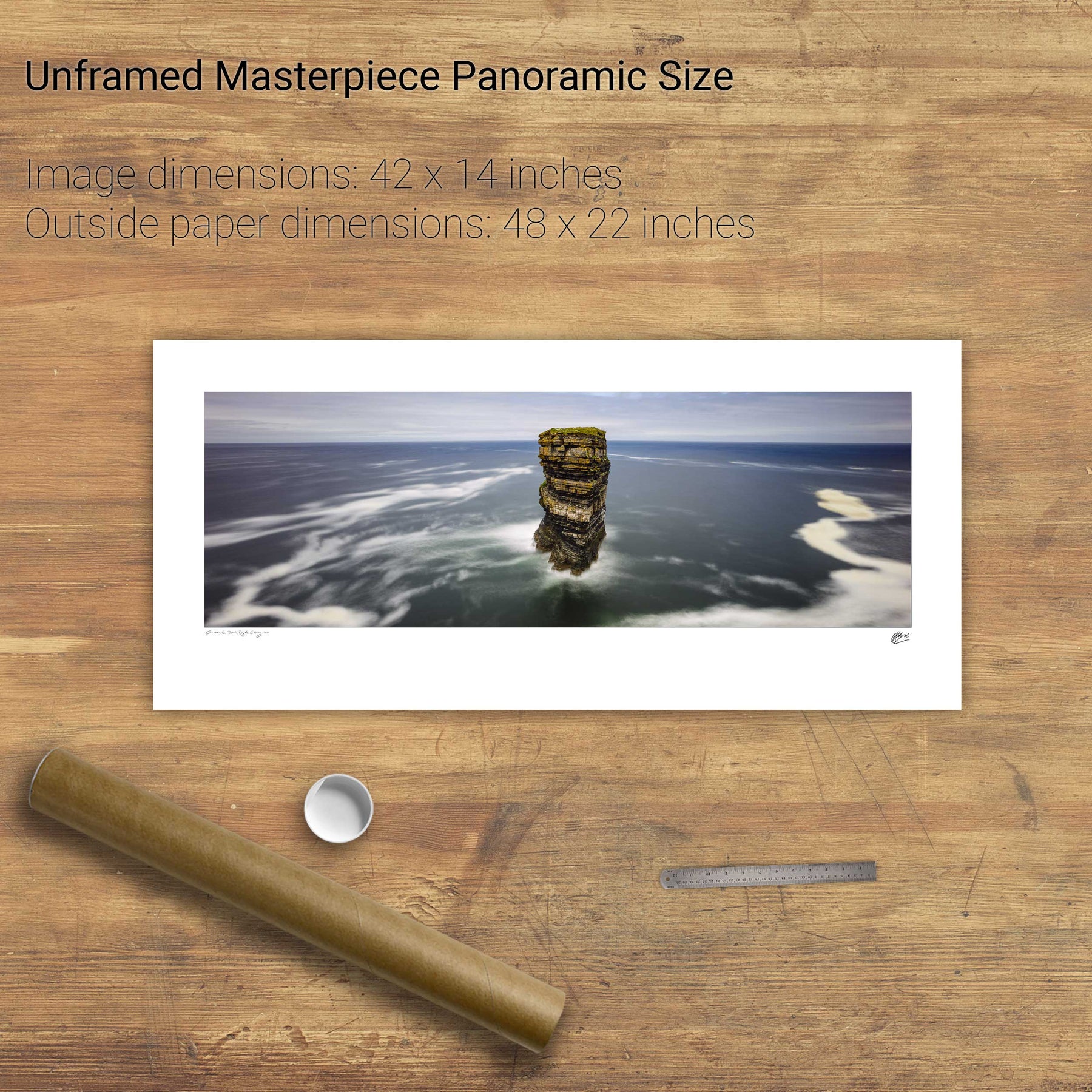
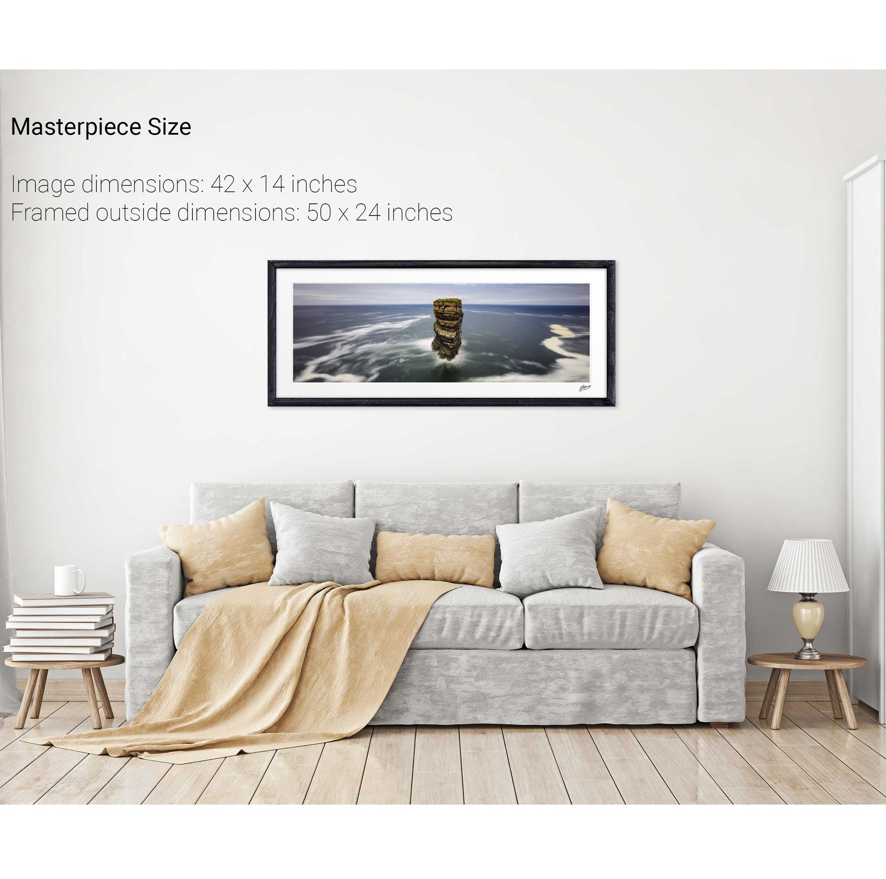
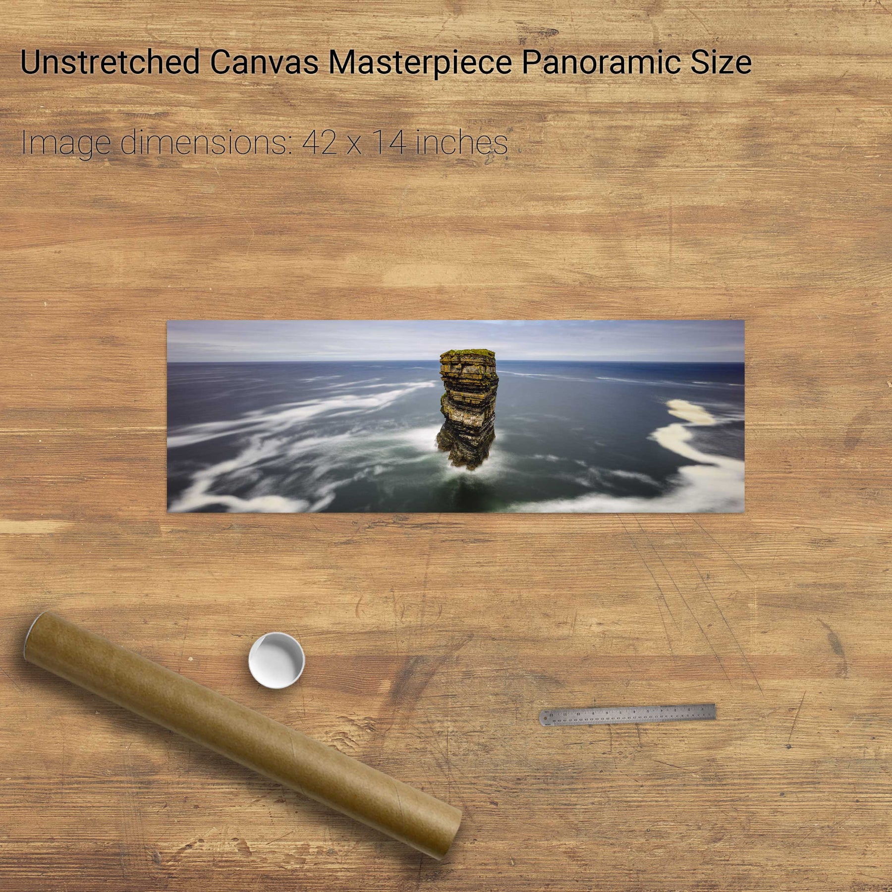
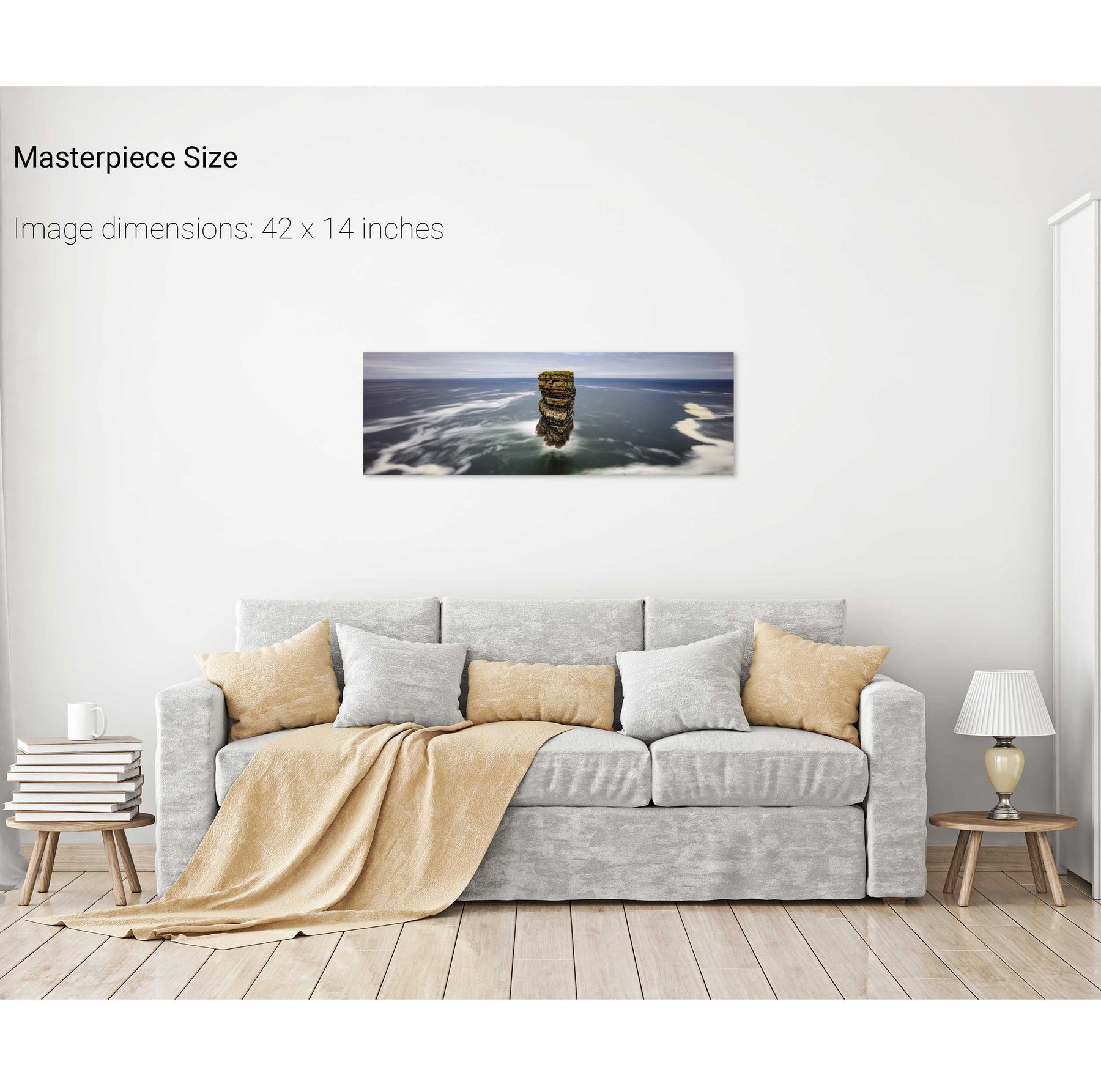
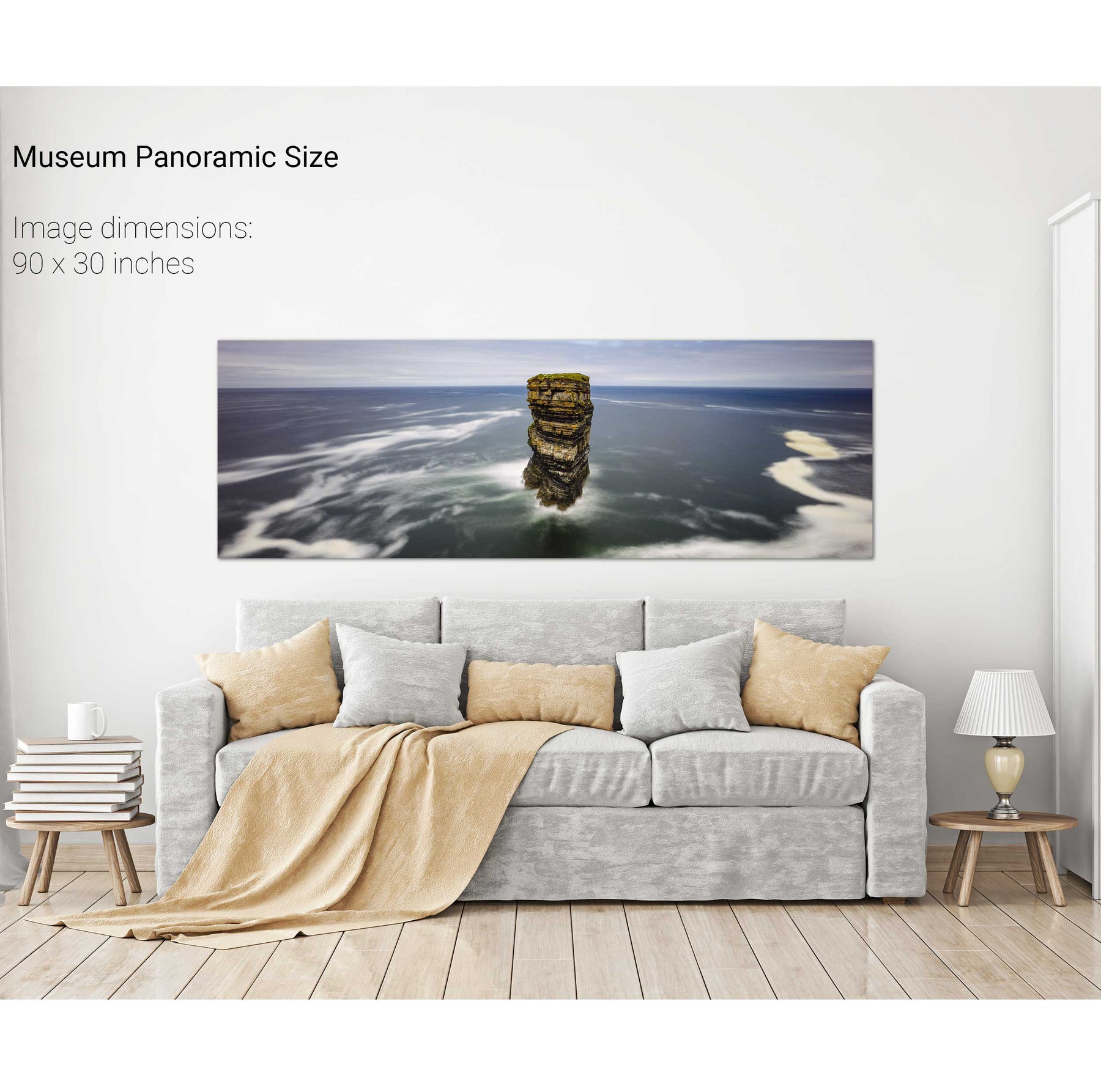
Dún Briste, Downpatrick Head, Co. Mayo
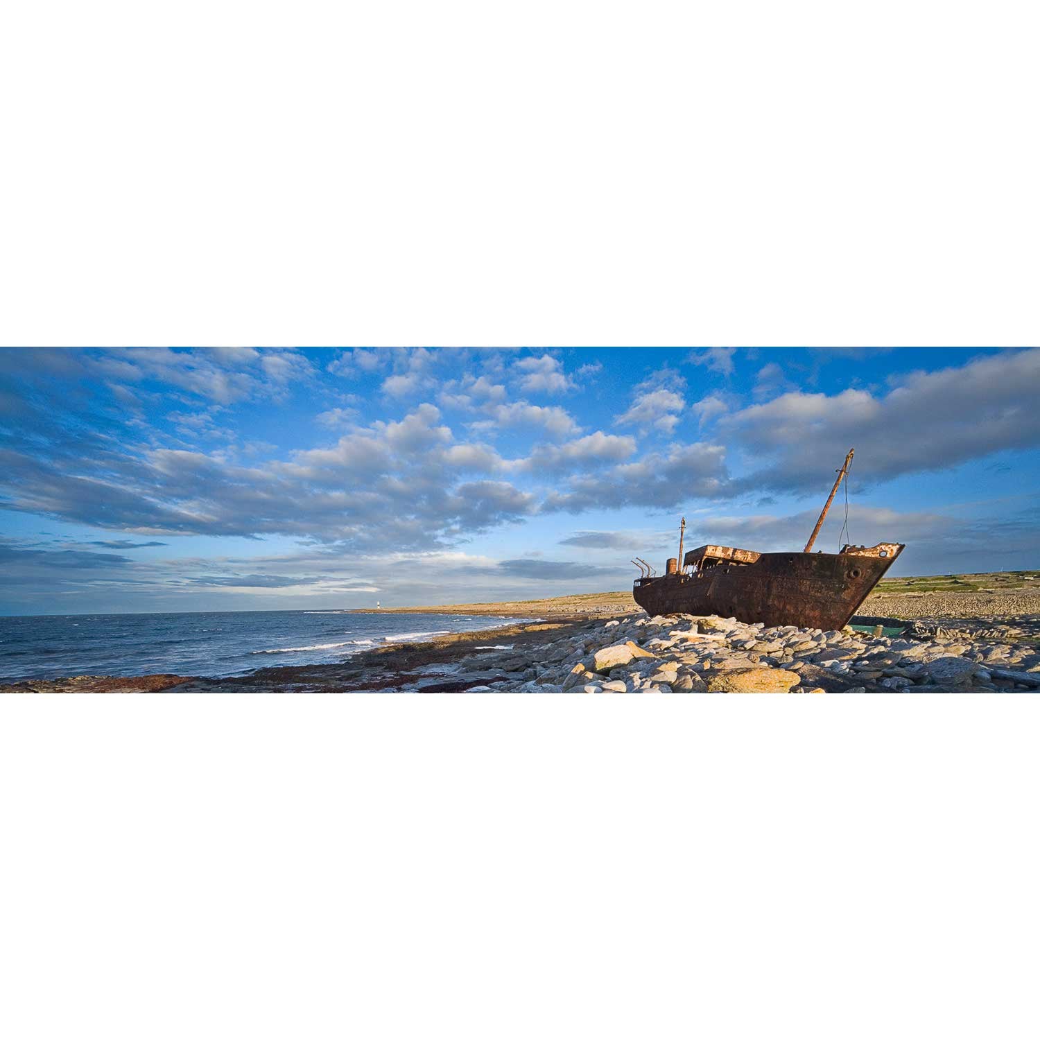
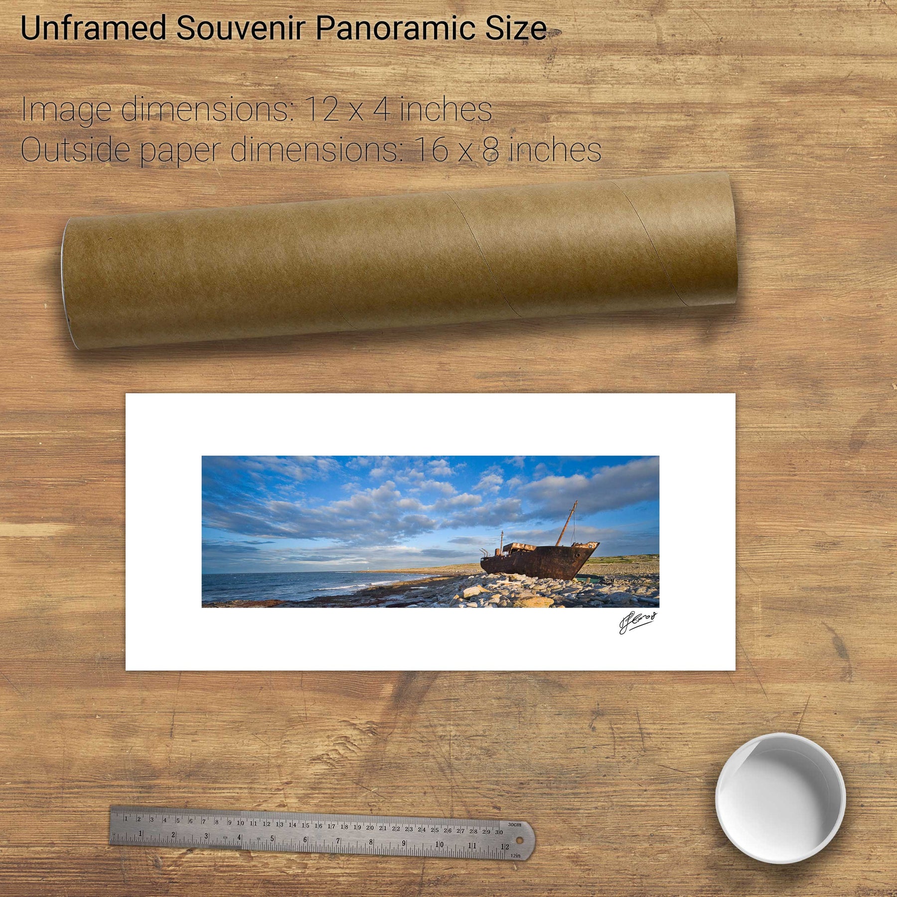
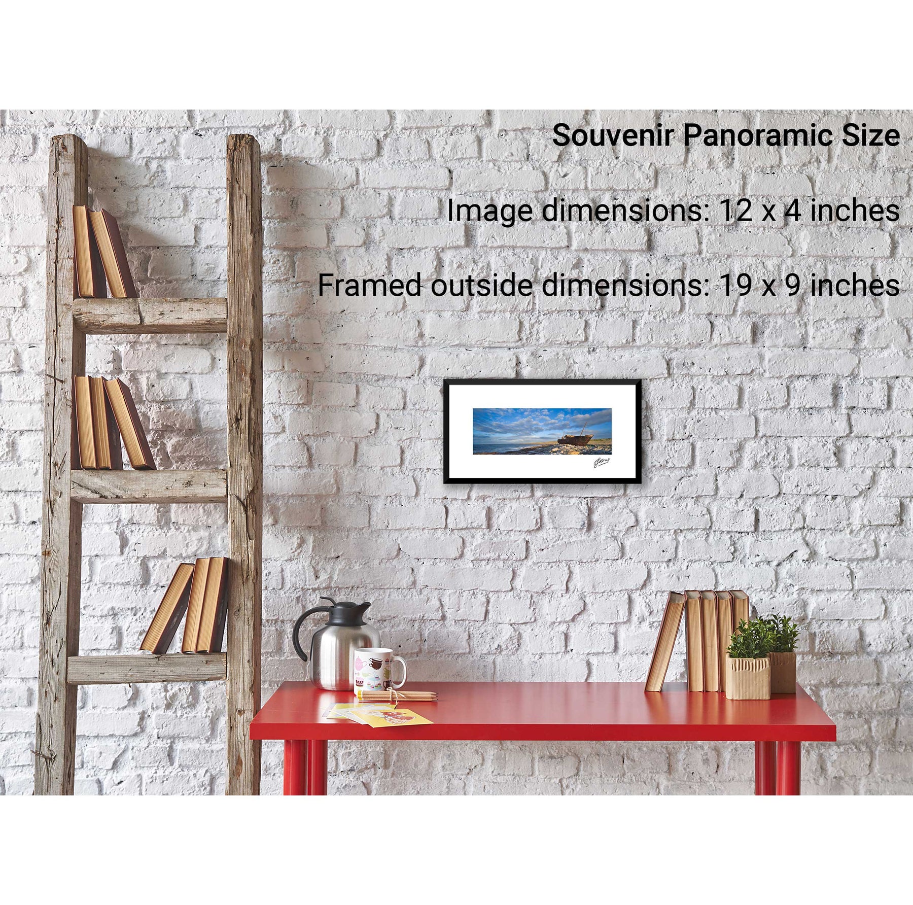
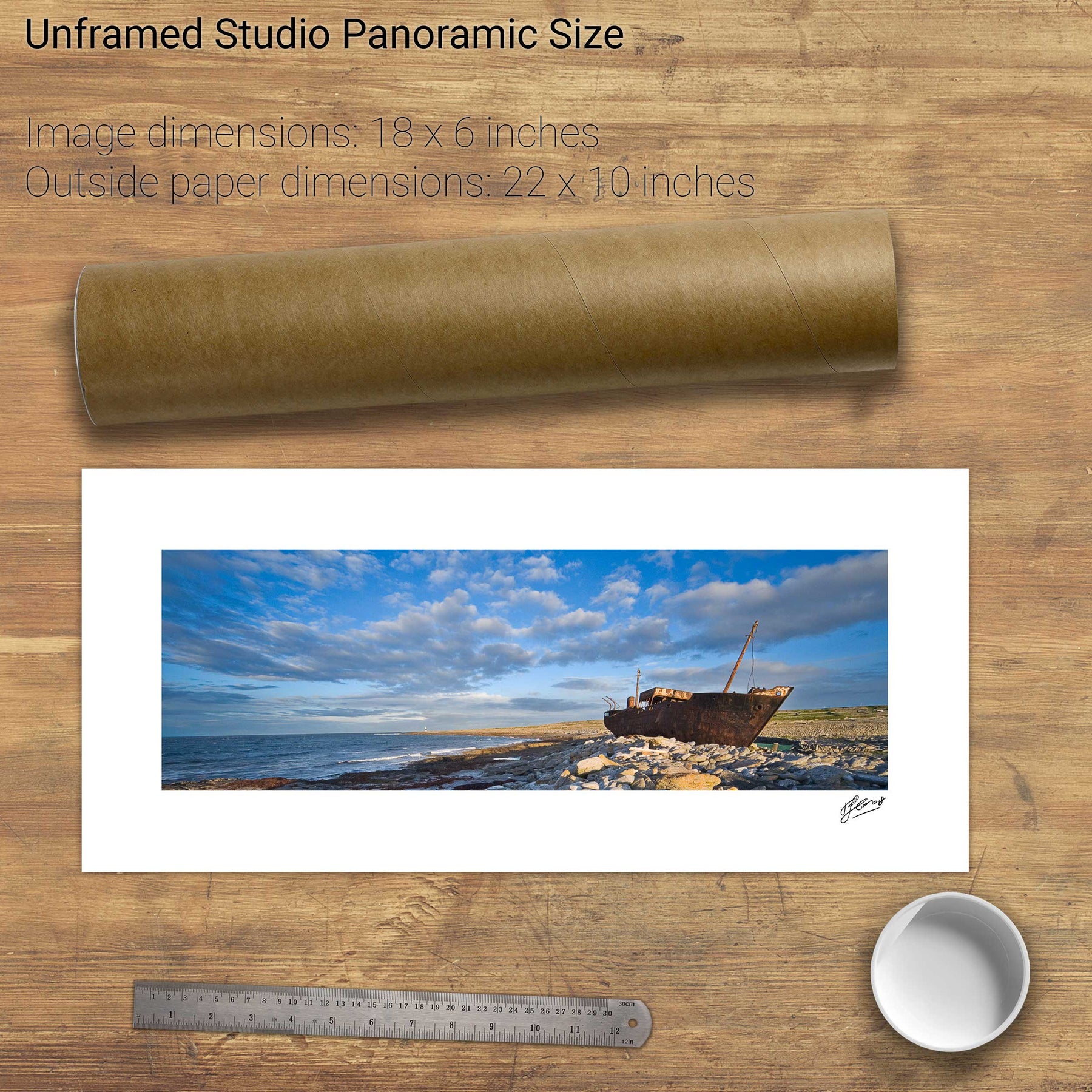
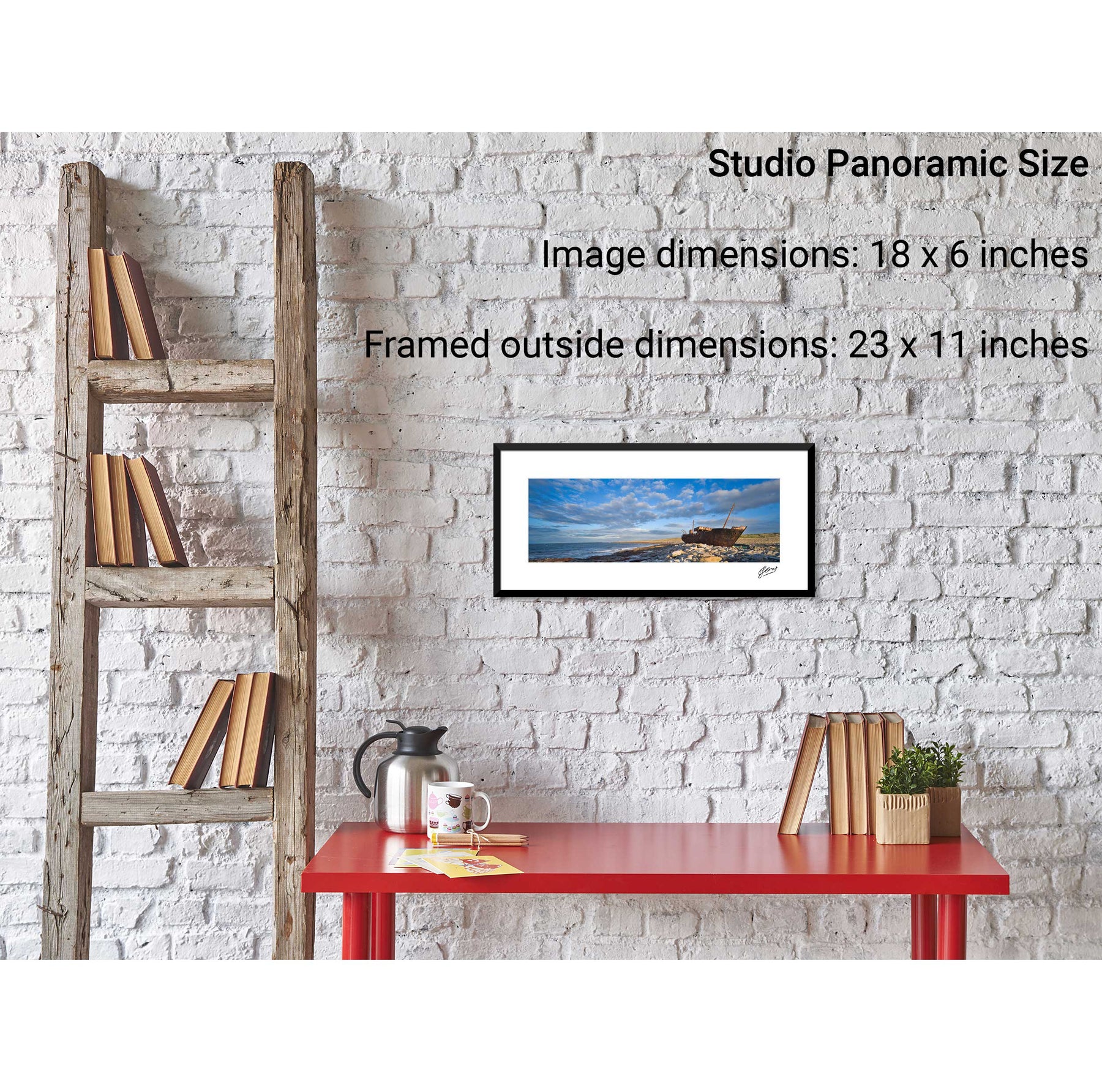
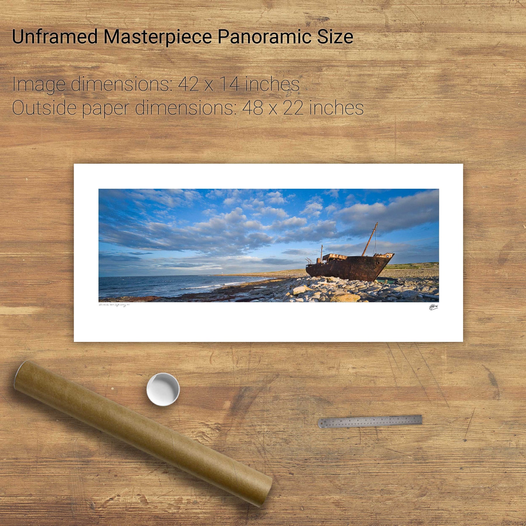
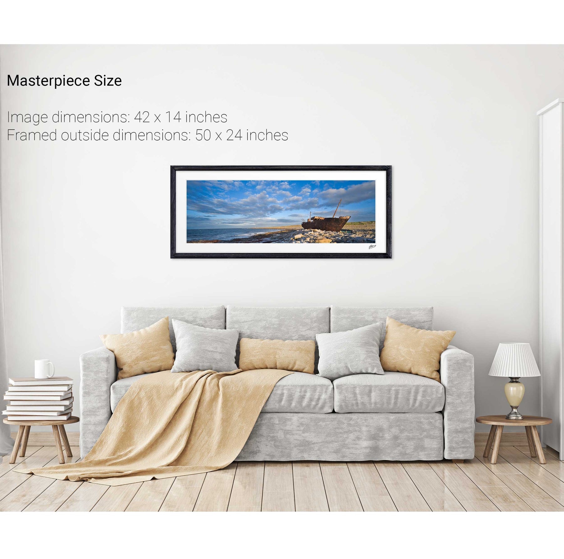
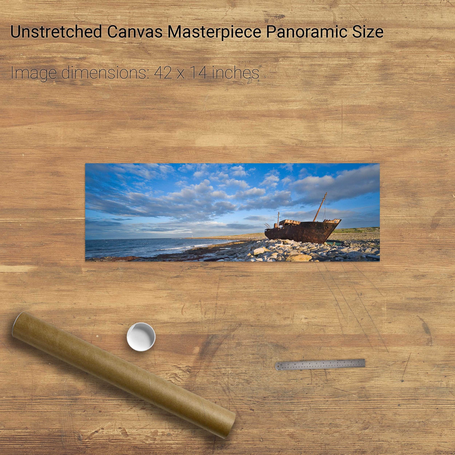
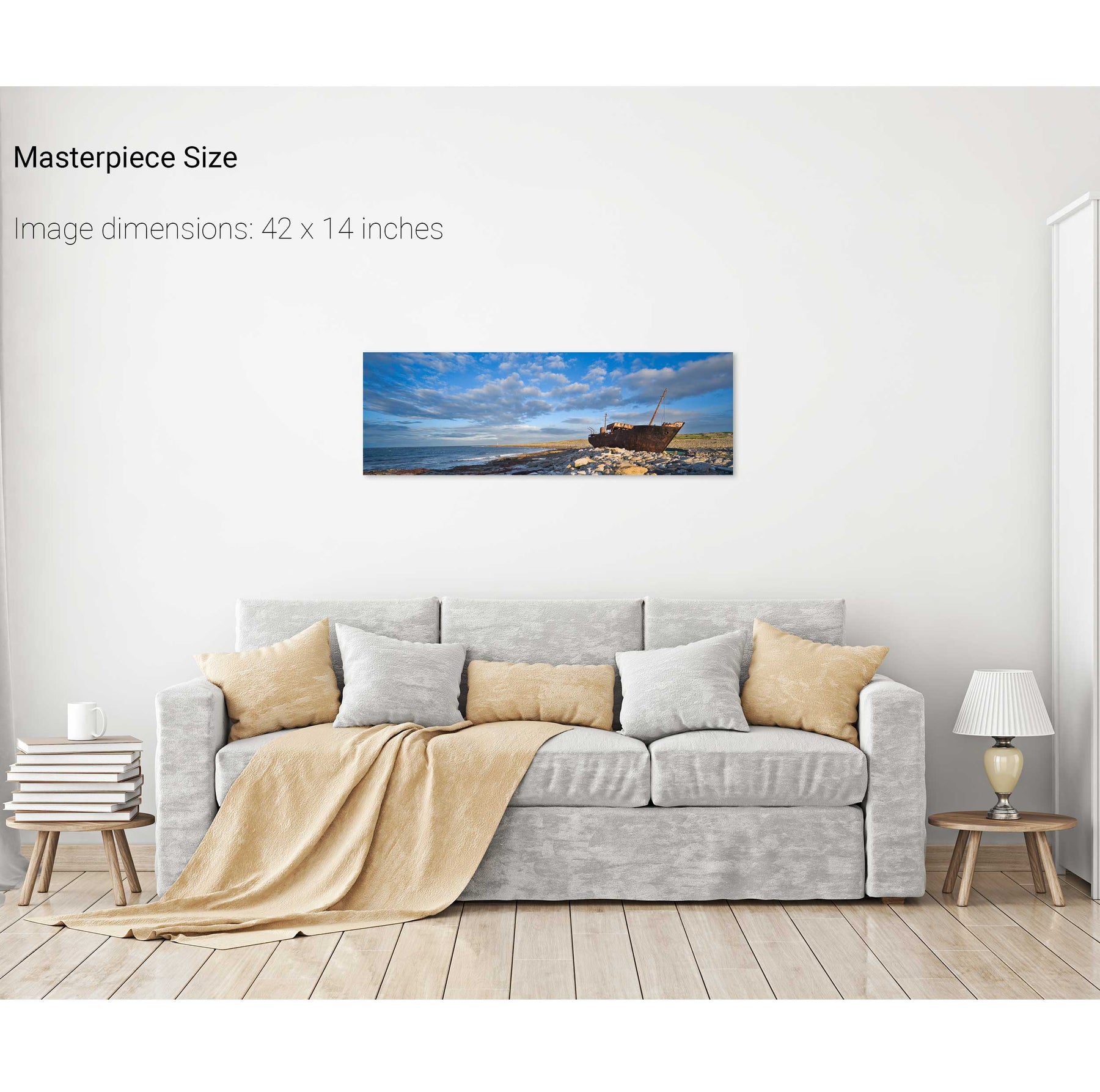
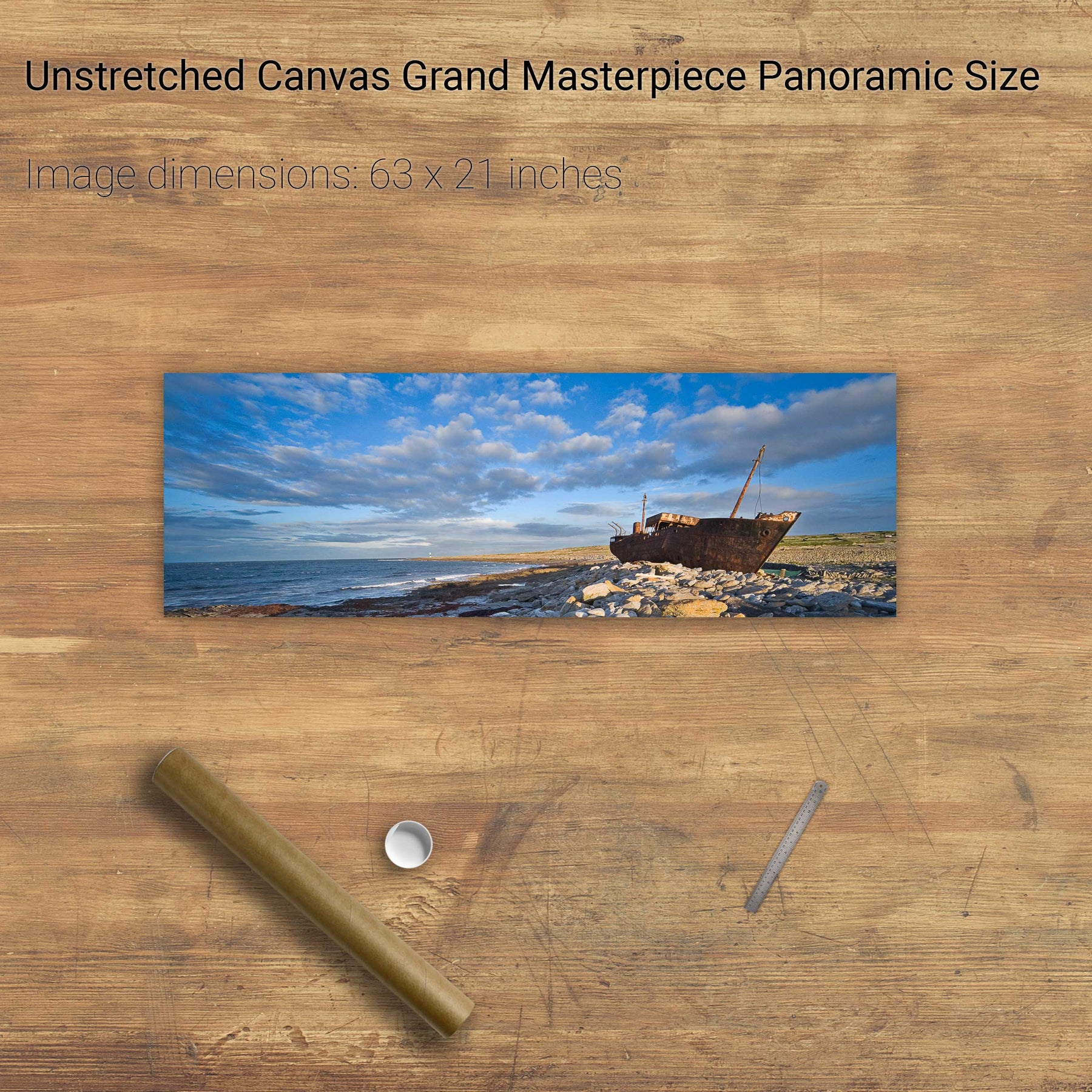
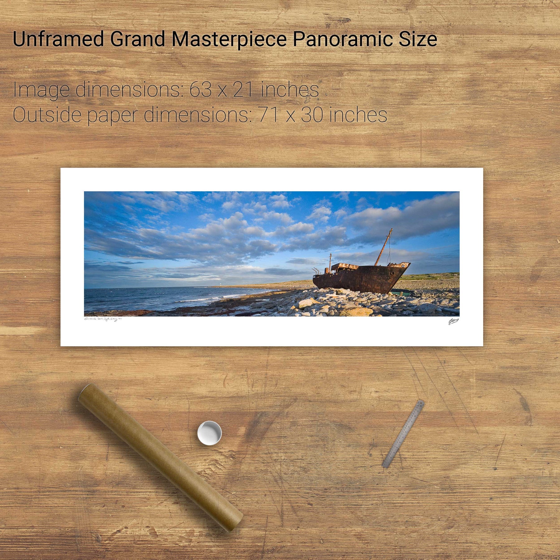
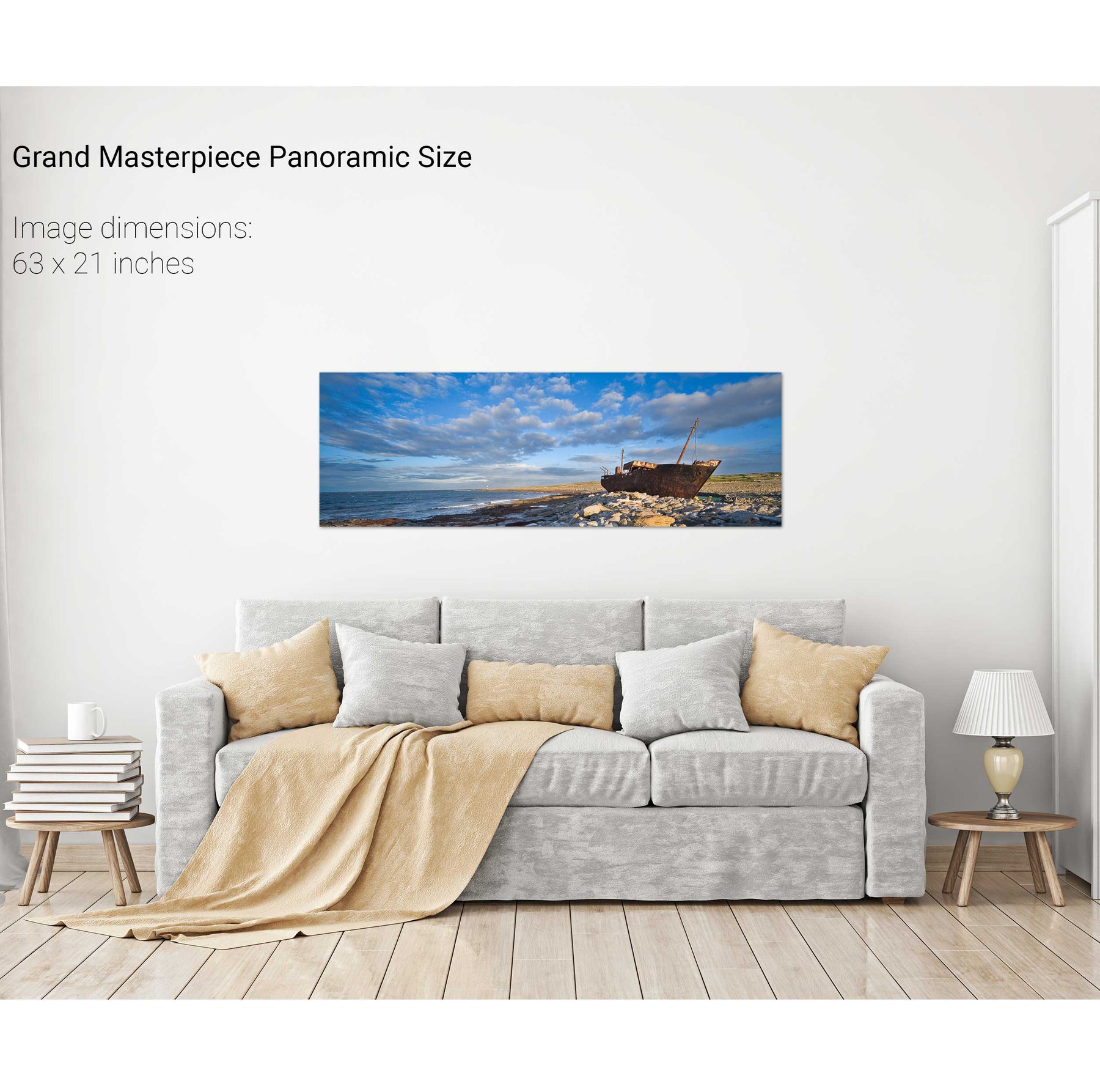
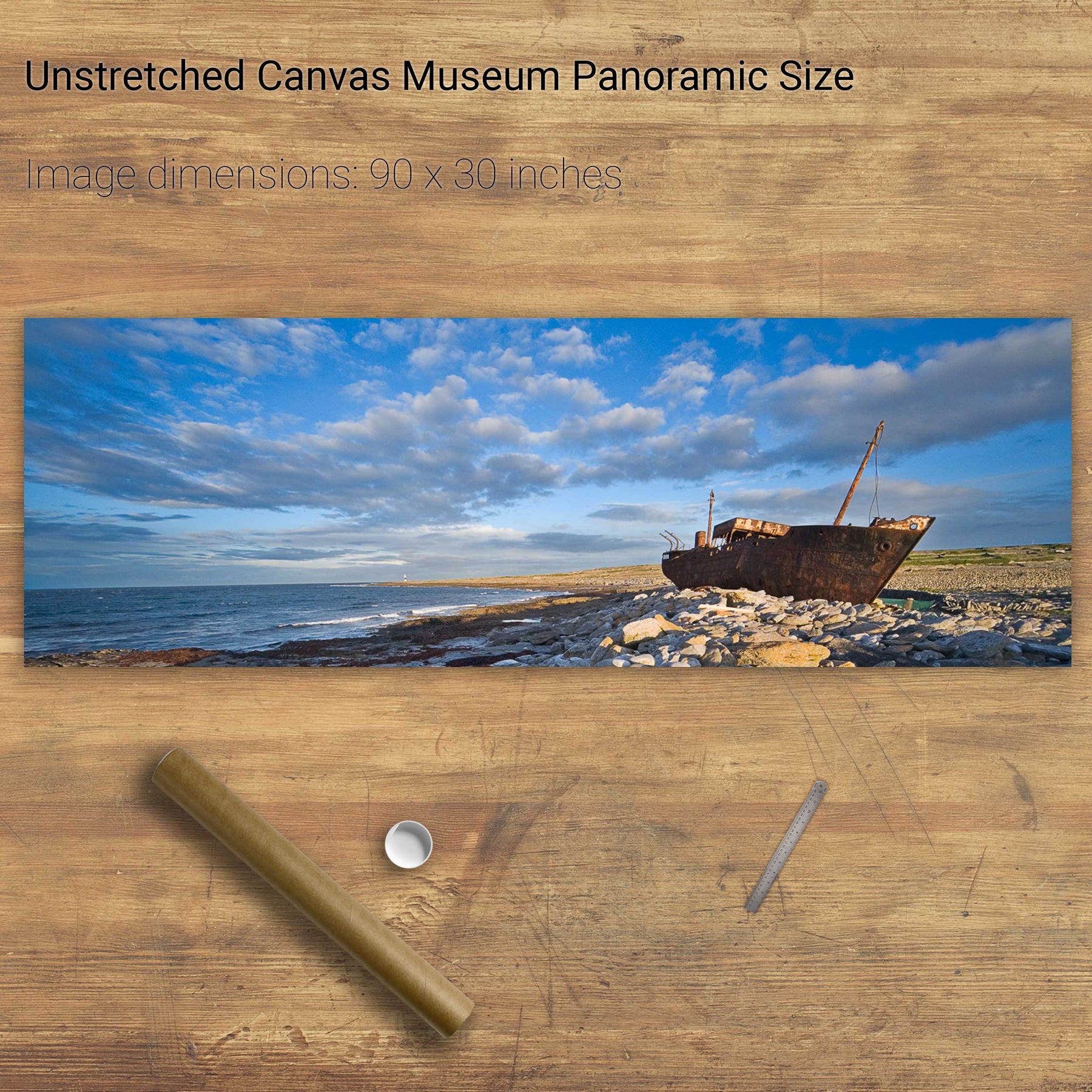
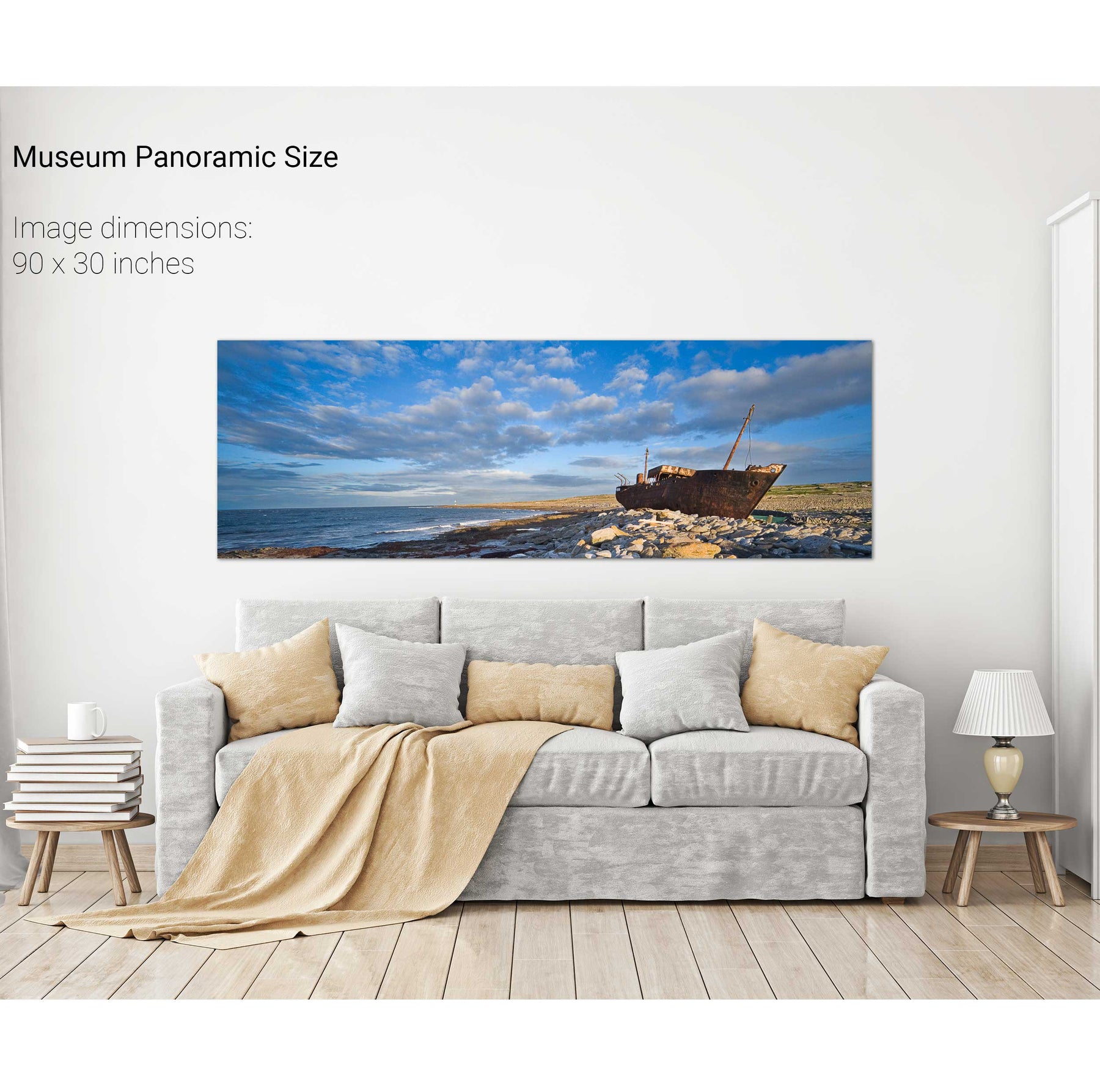
The Plassey, Inis Oirr, Aran Islands, Co. Galway
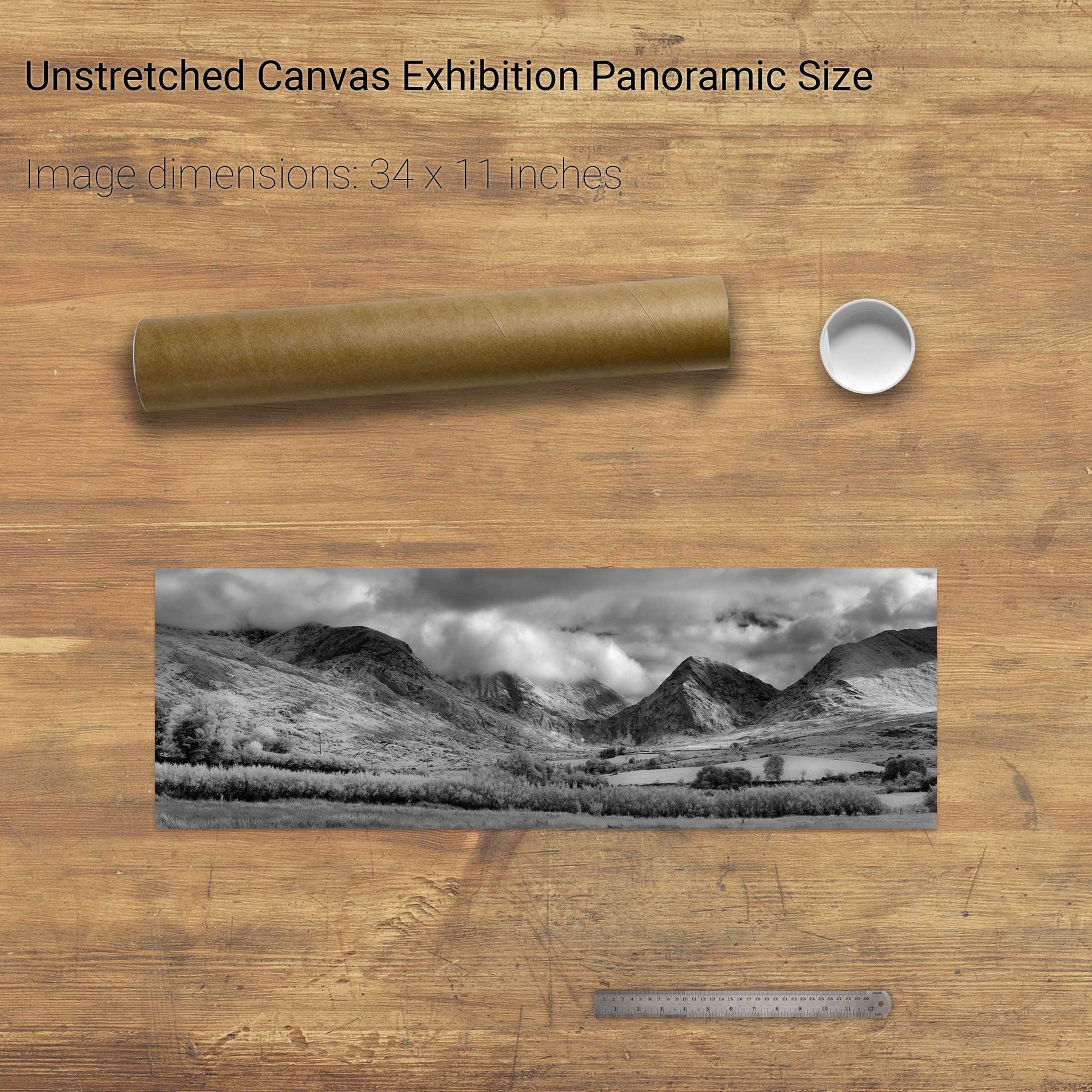
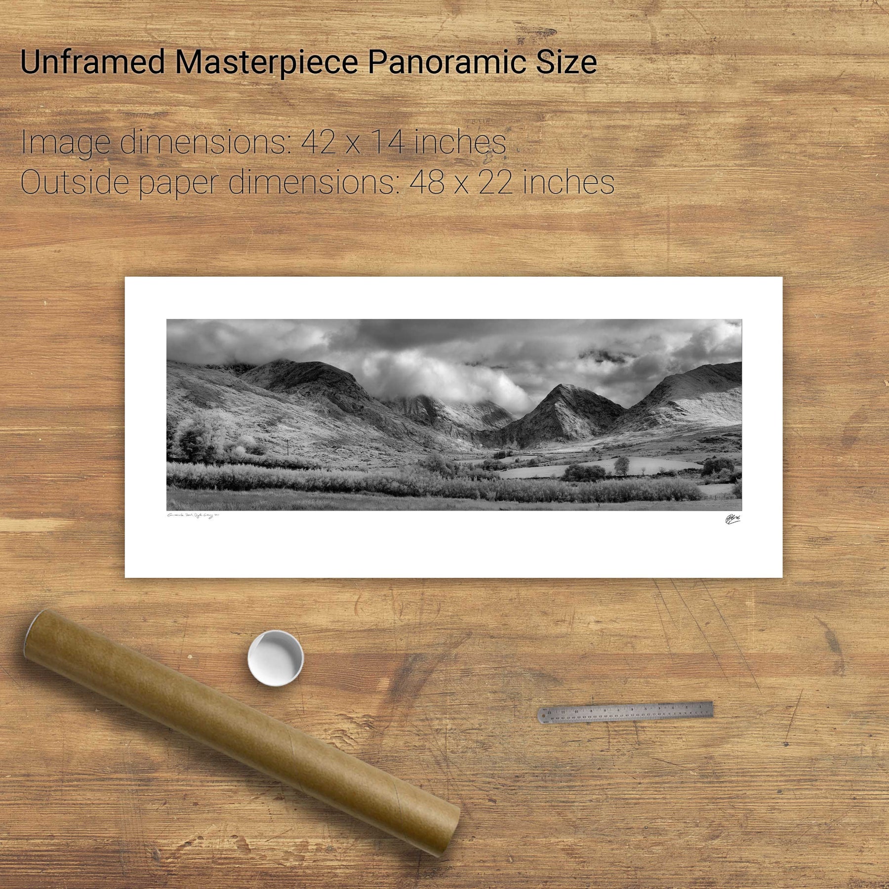
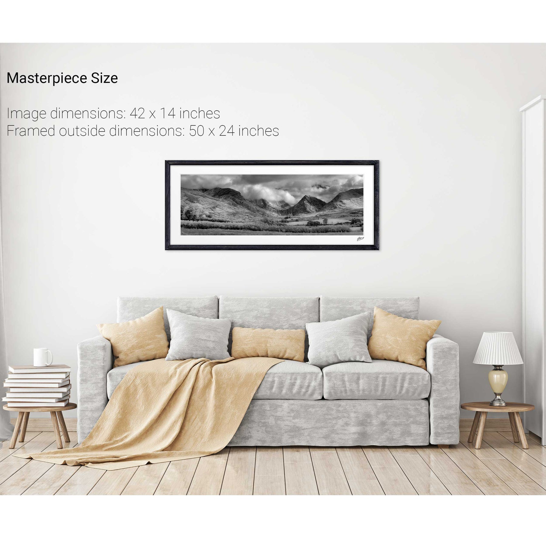
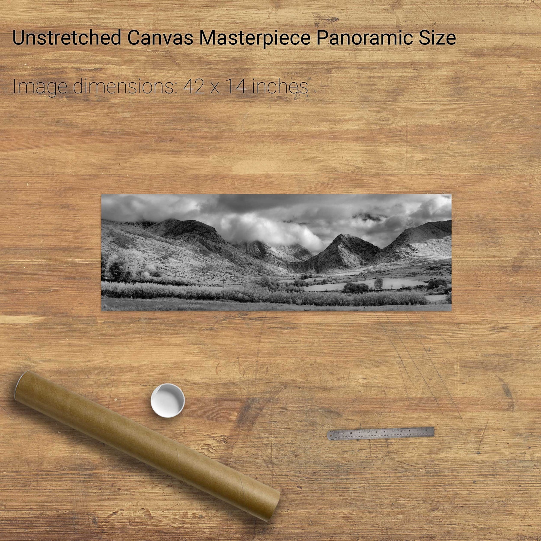
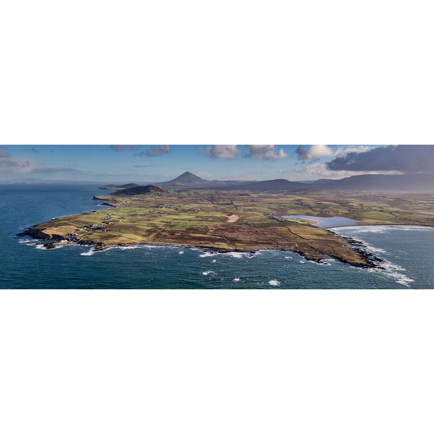
Mweelrea from the Inagh Valley, Co. Galway
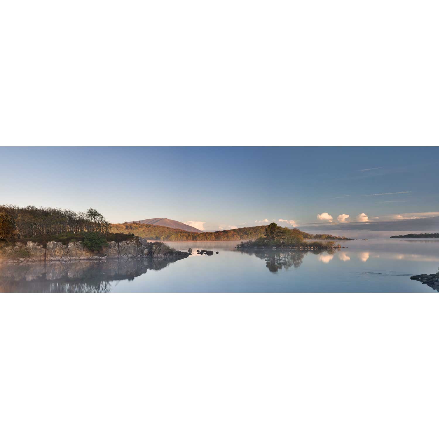
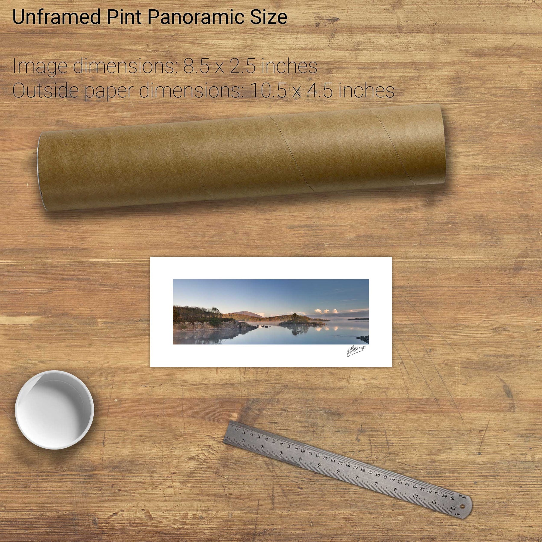
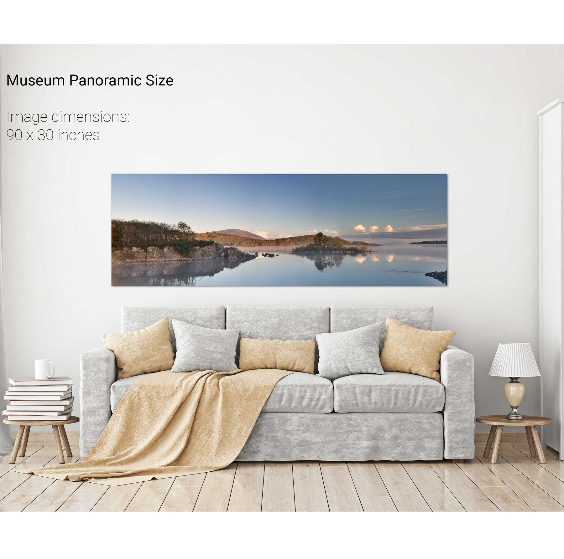
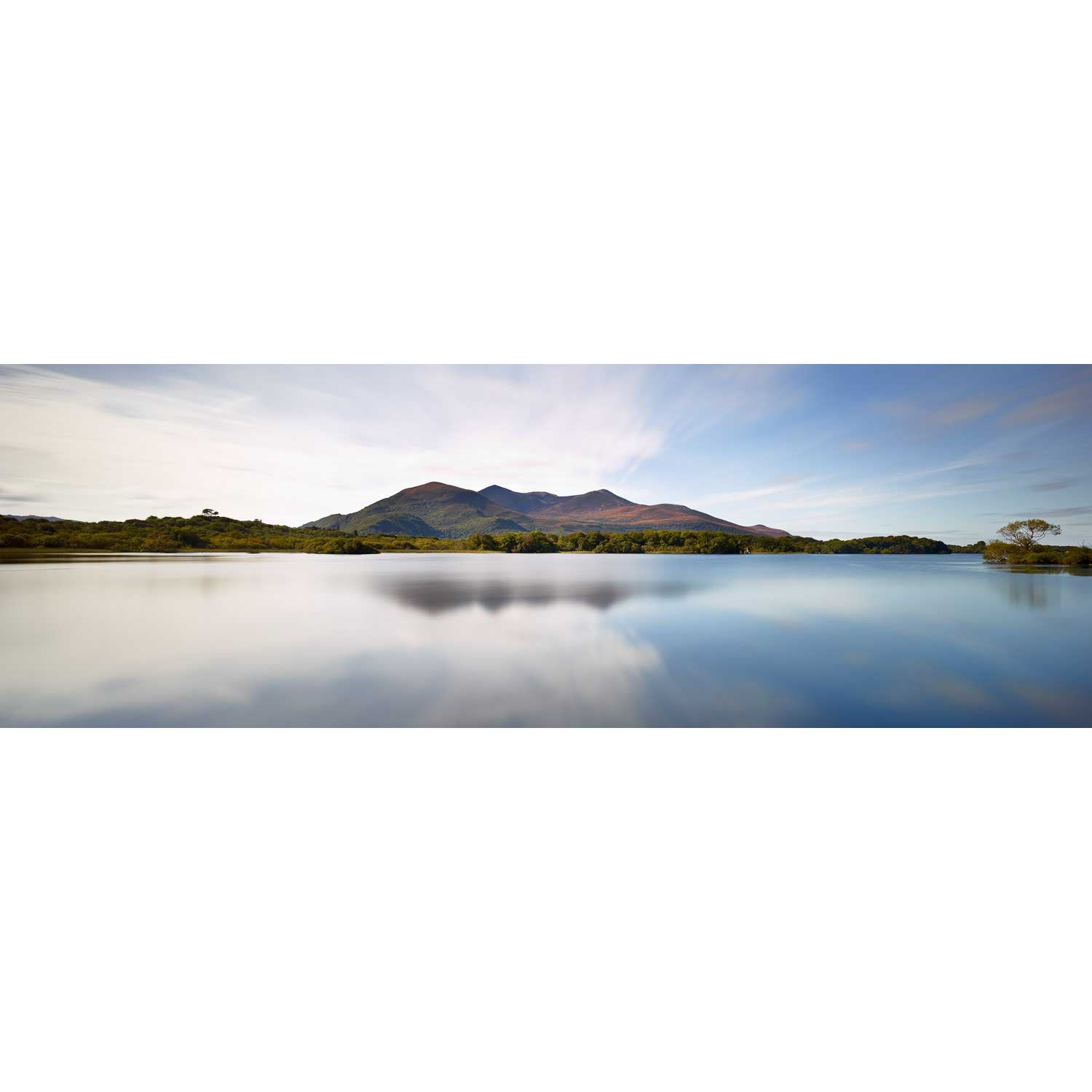
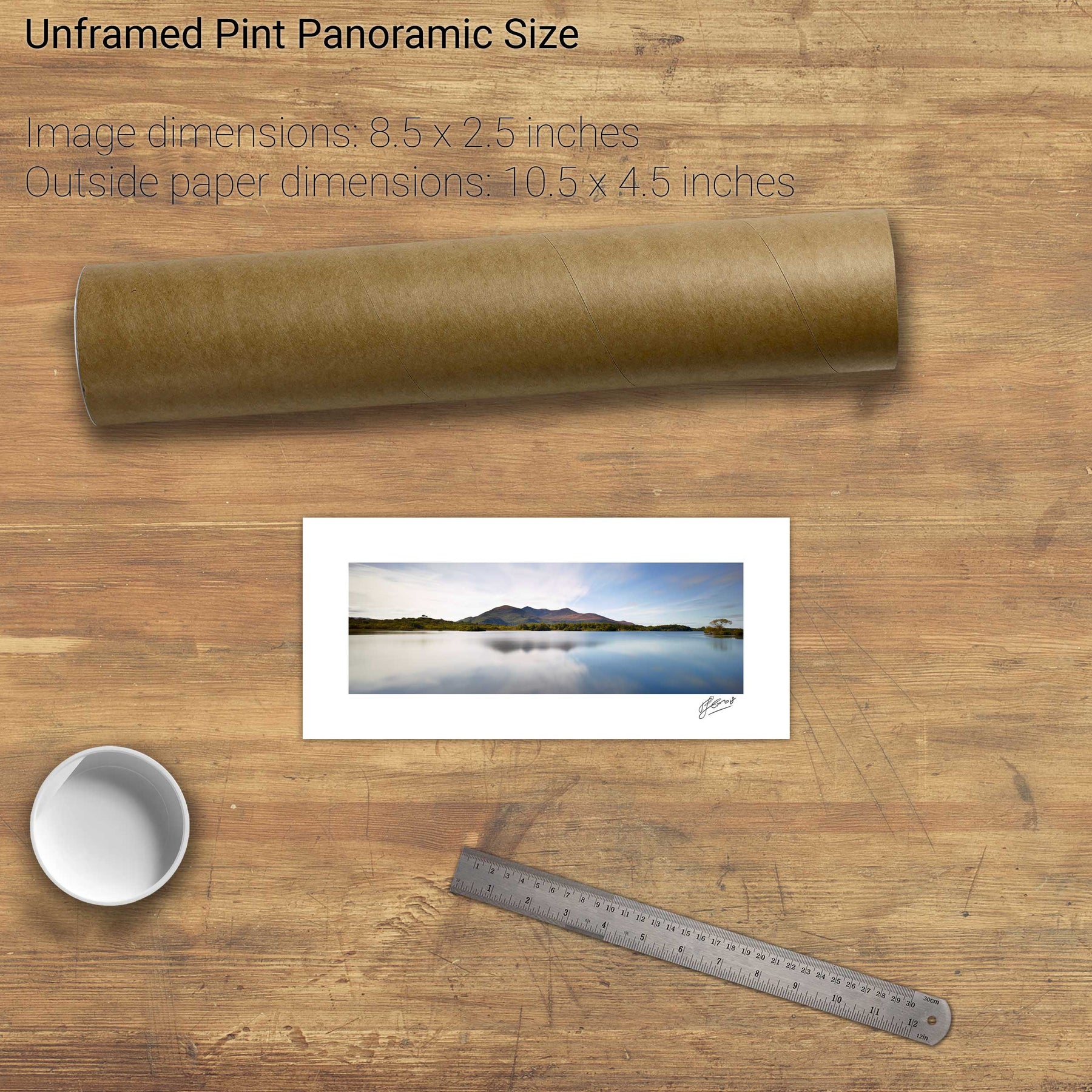
Lough Conn and Nephin, Co. Mayo
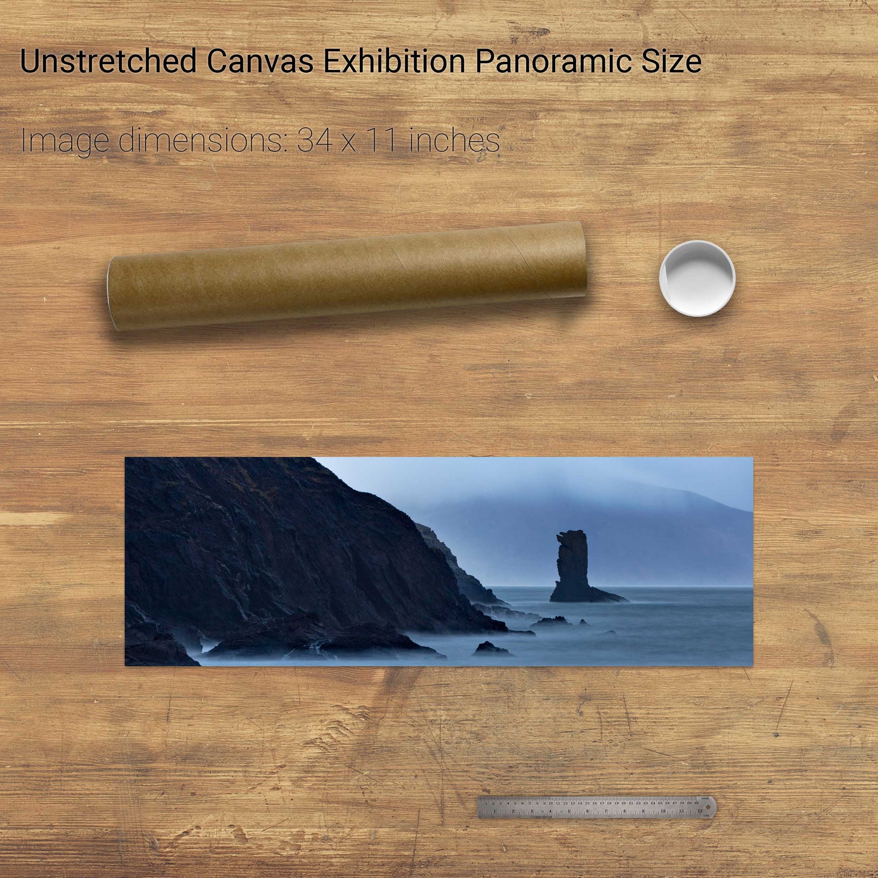
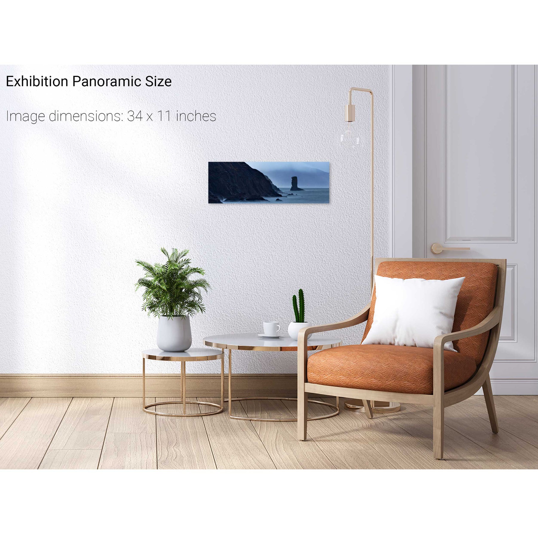
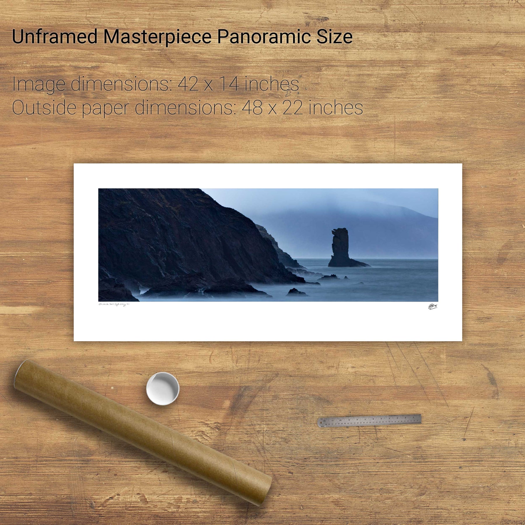
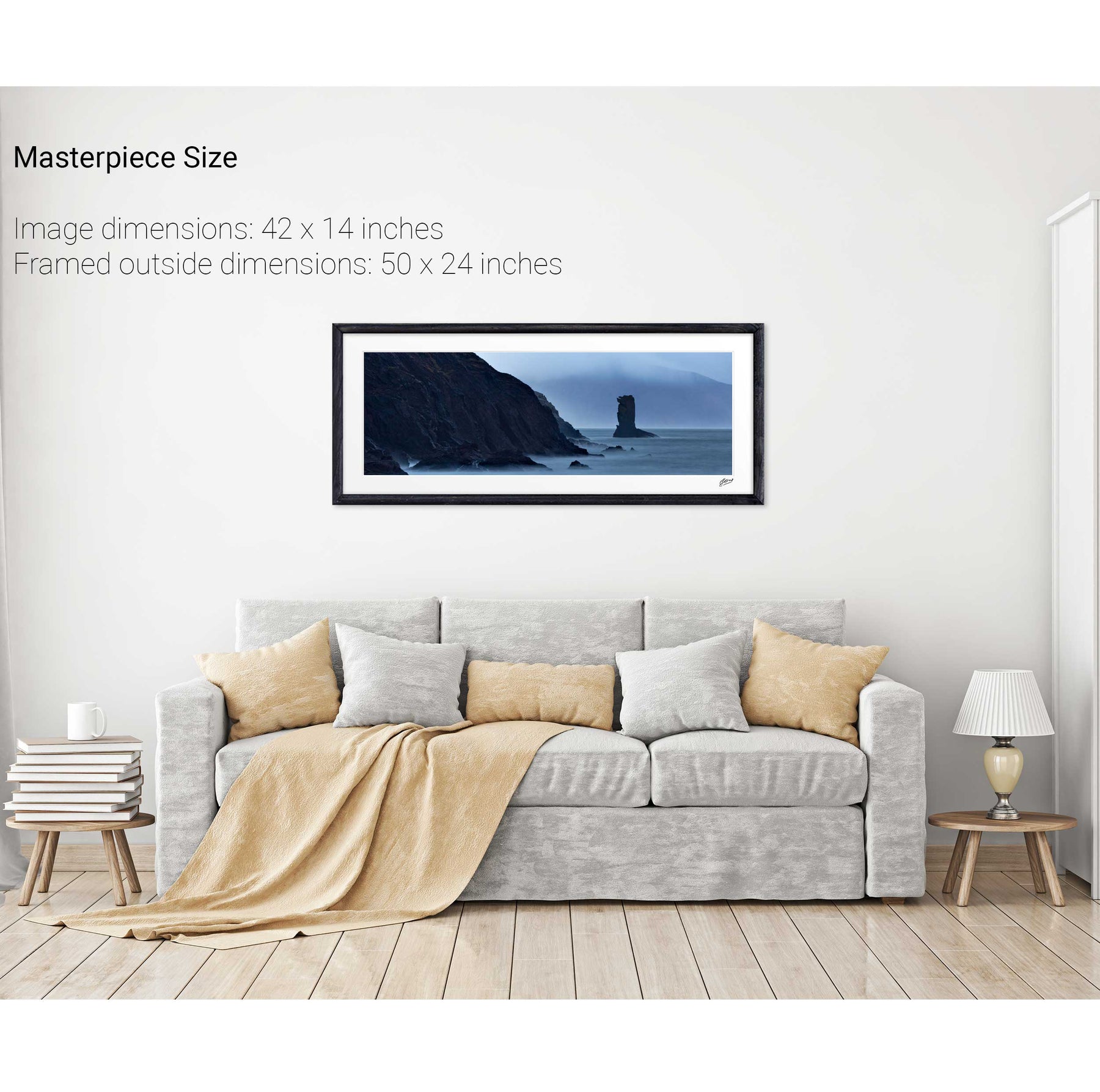
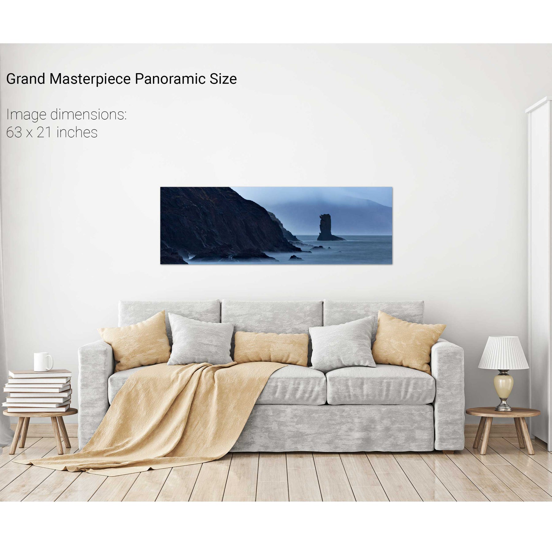
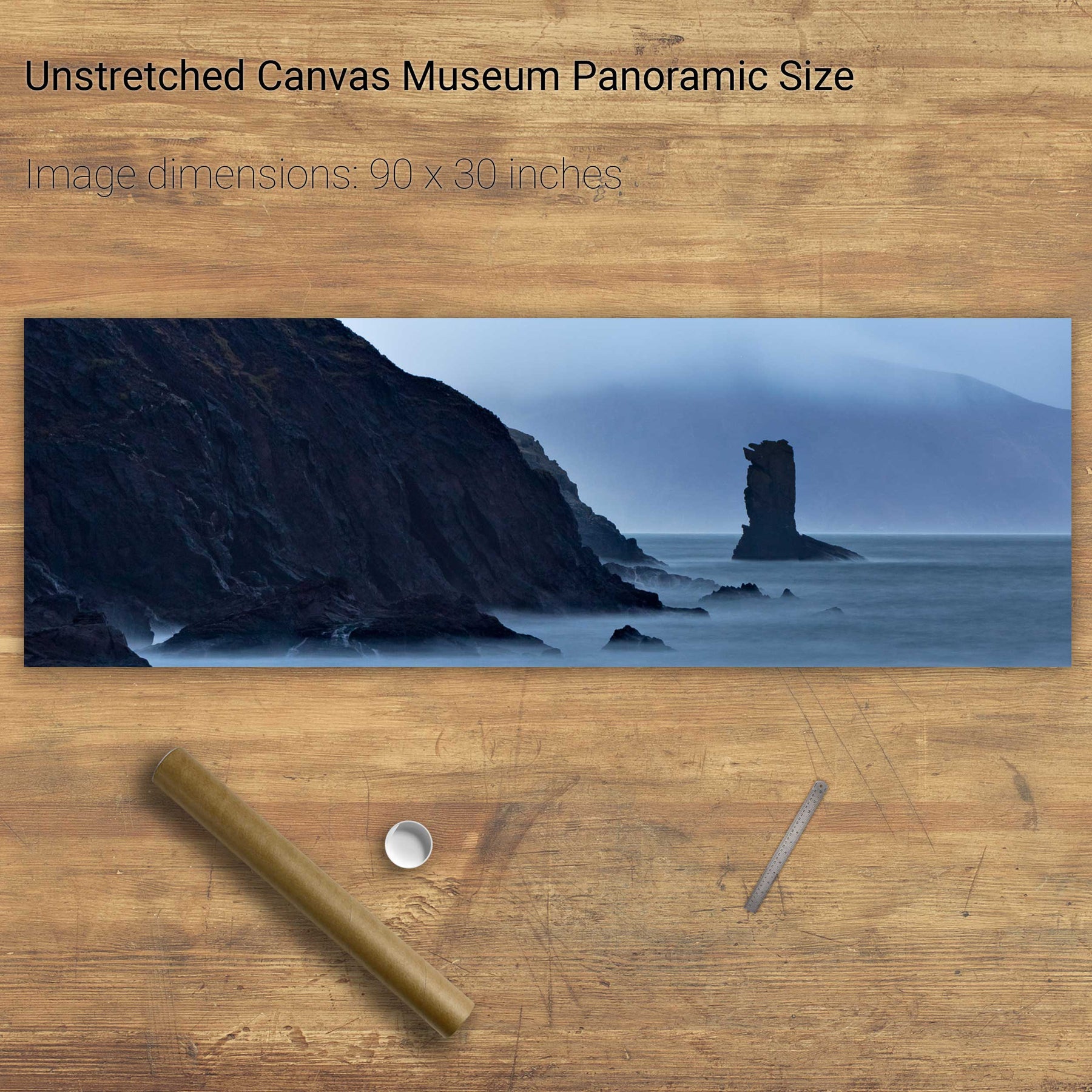
An Searrach, Dingle, Co. Kerry
Gweebarra River I, Portnoo, Donegal
Dog's Bay, Co. Galway
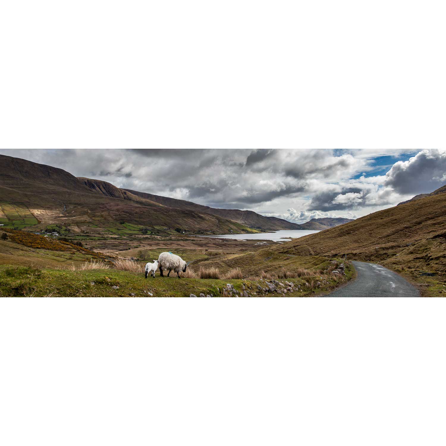
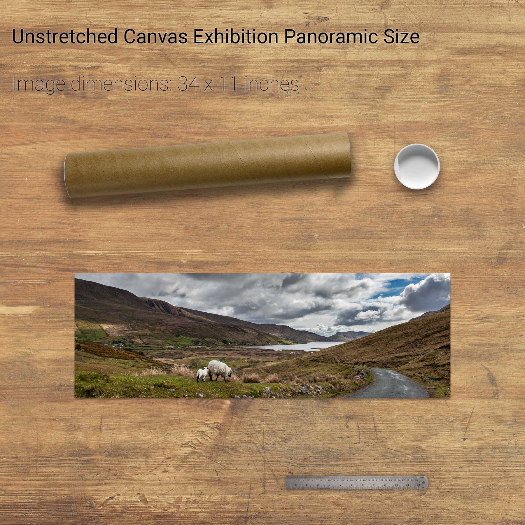
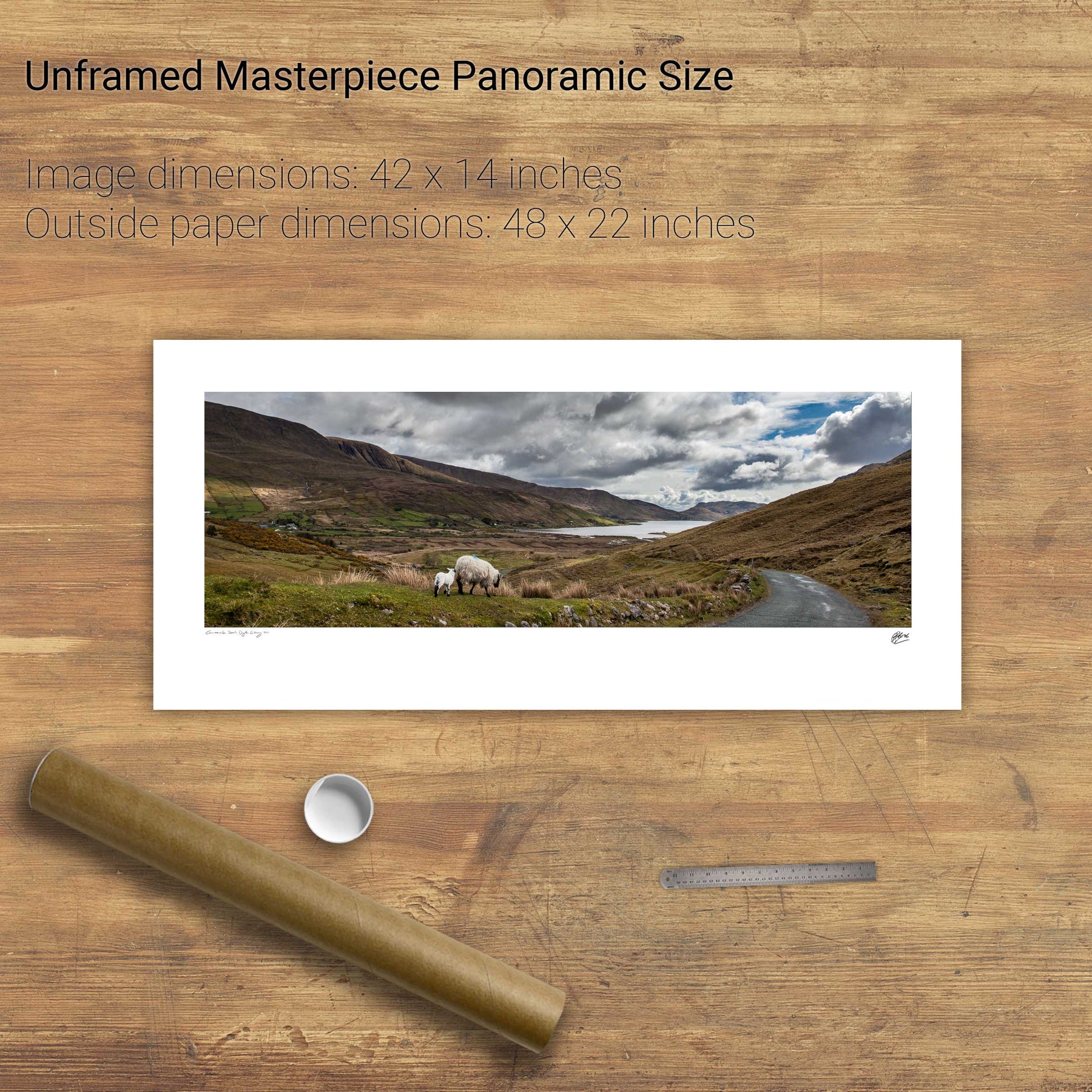
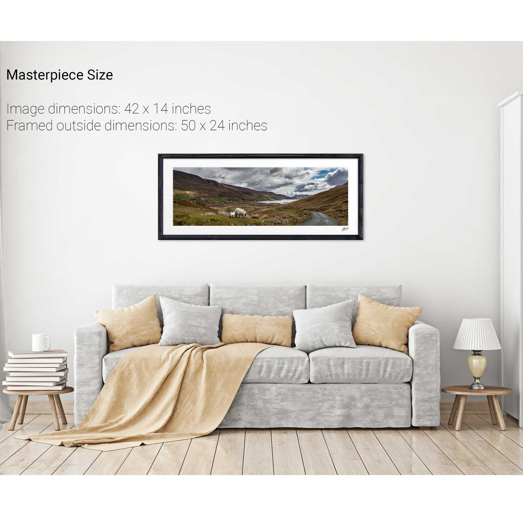
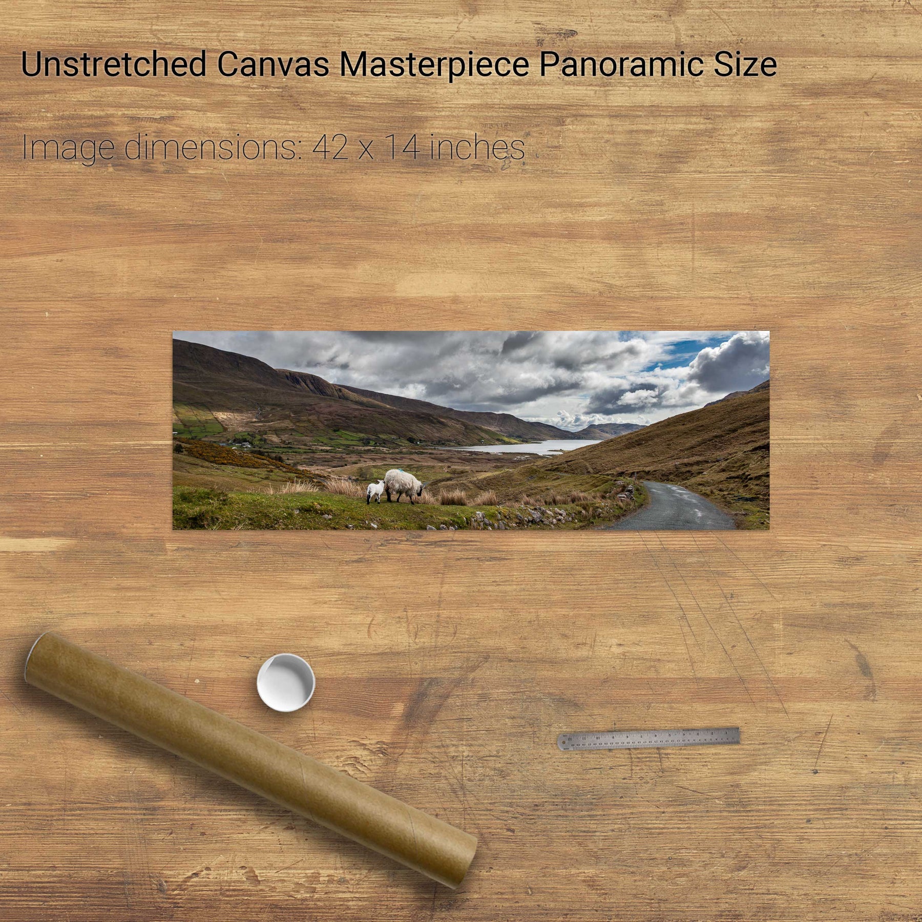
Lough Nafooey and Sheep, Co. Galway
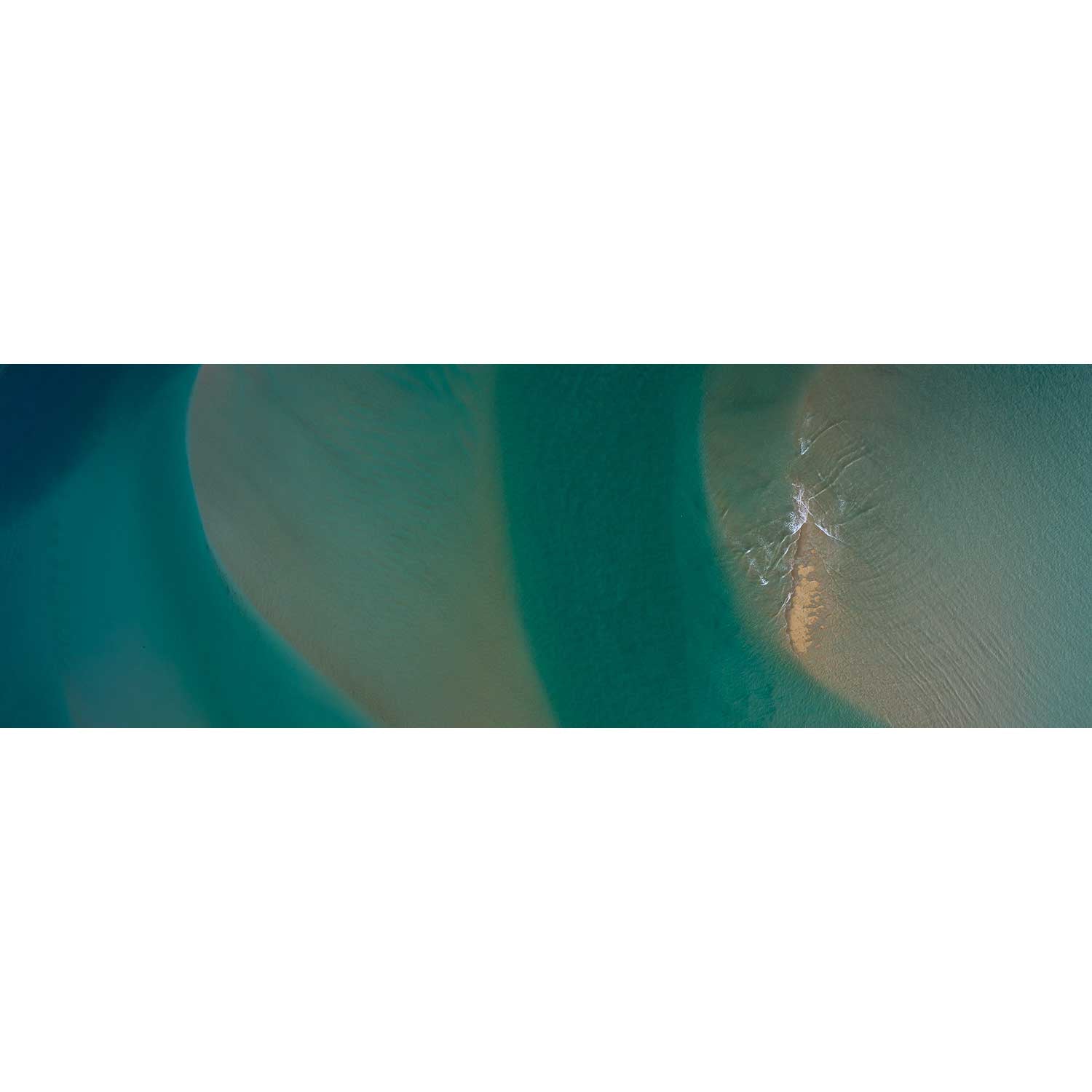
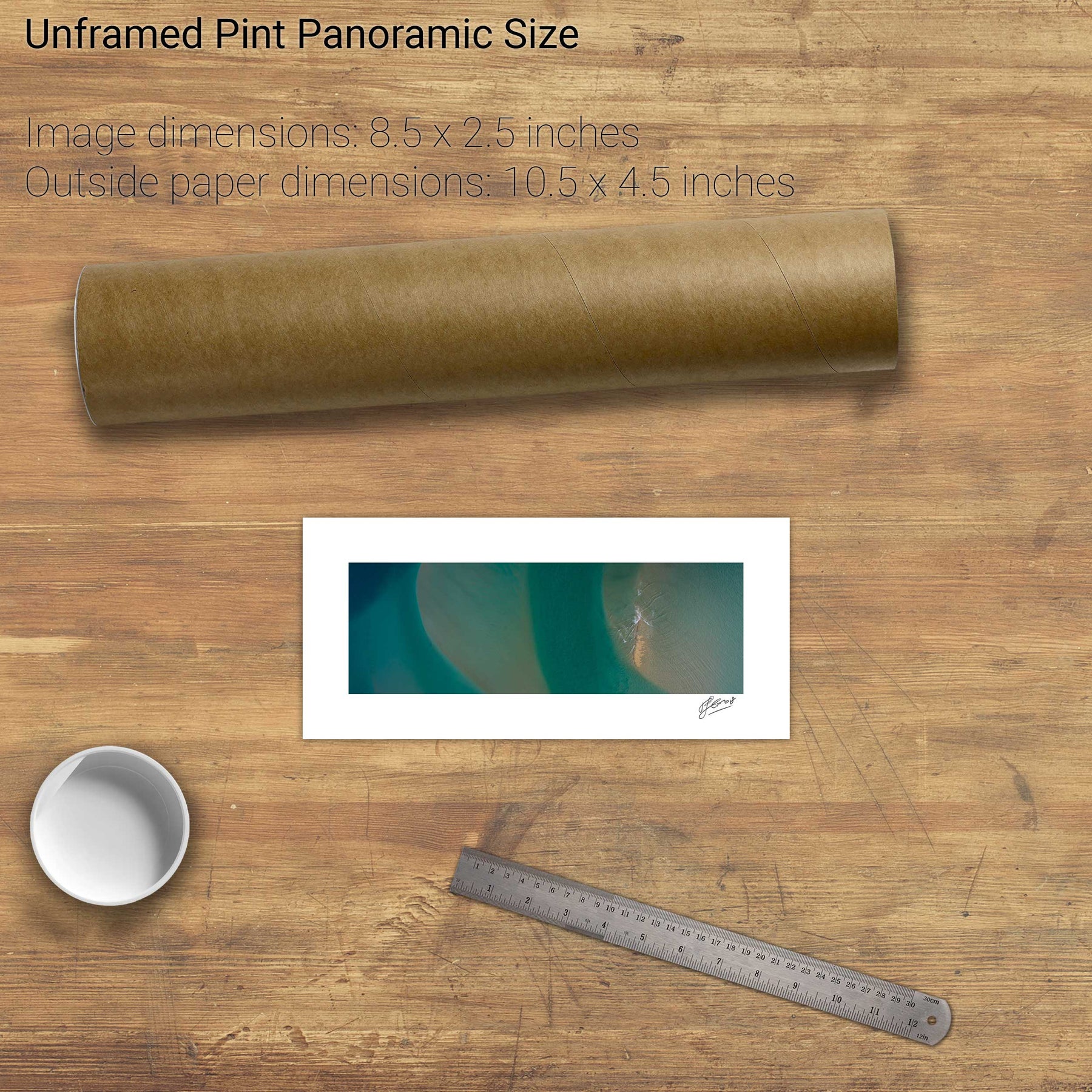
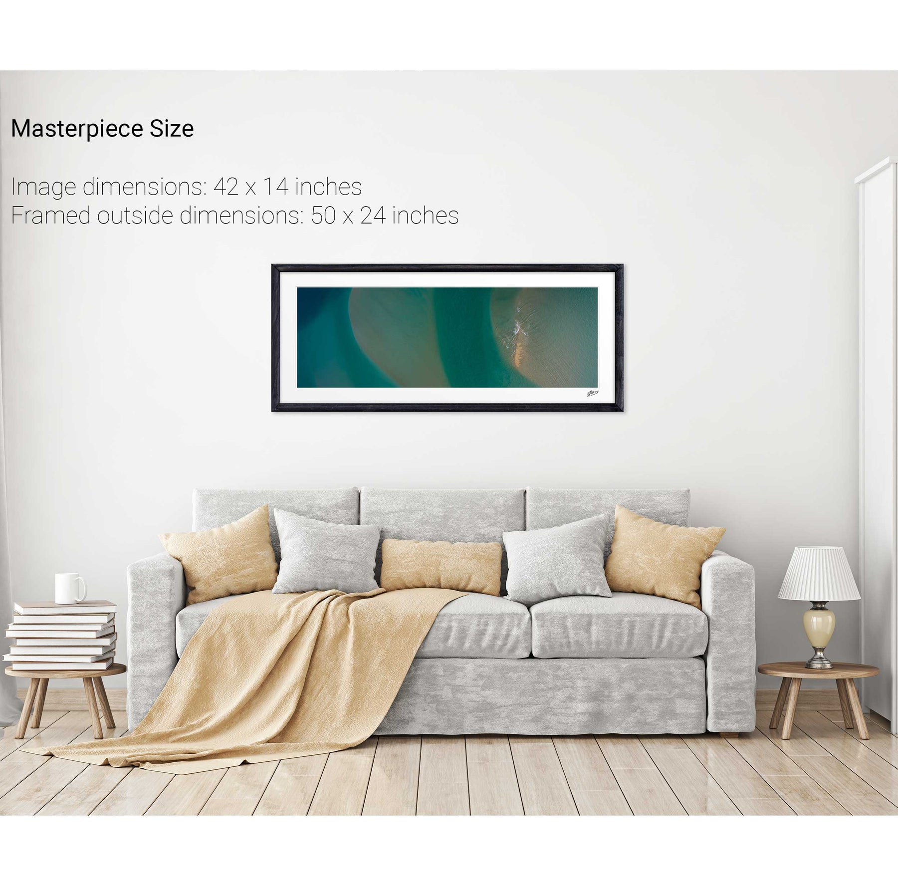
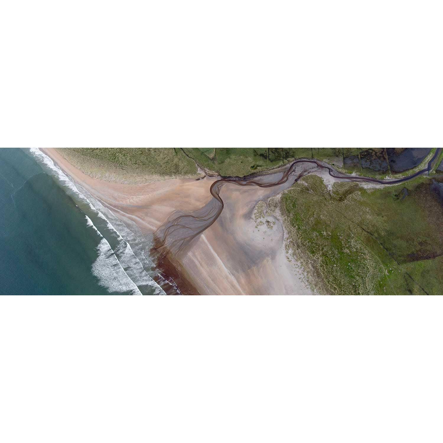
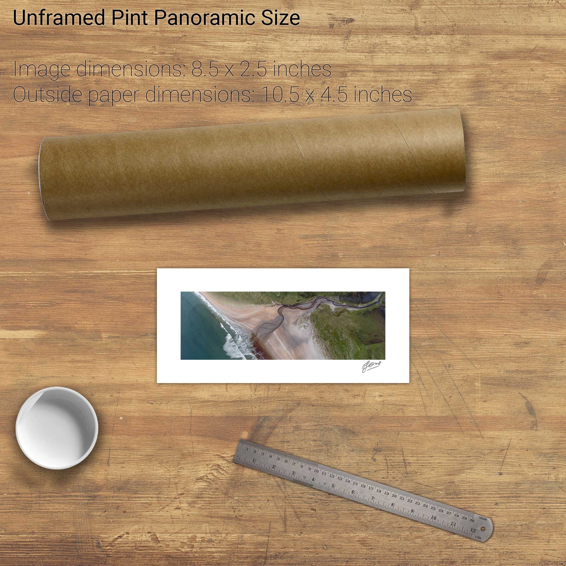
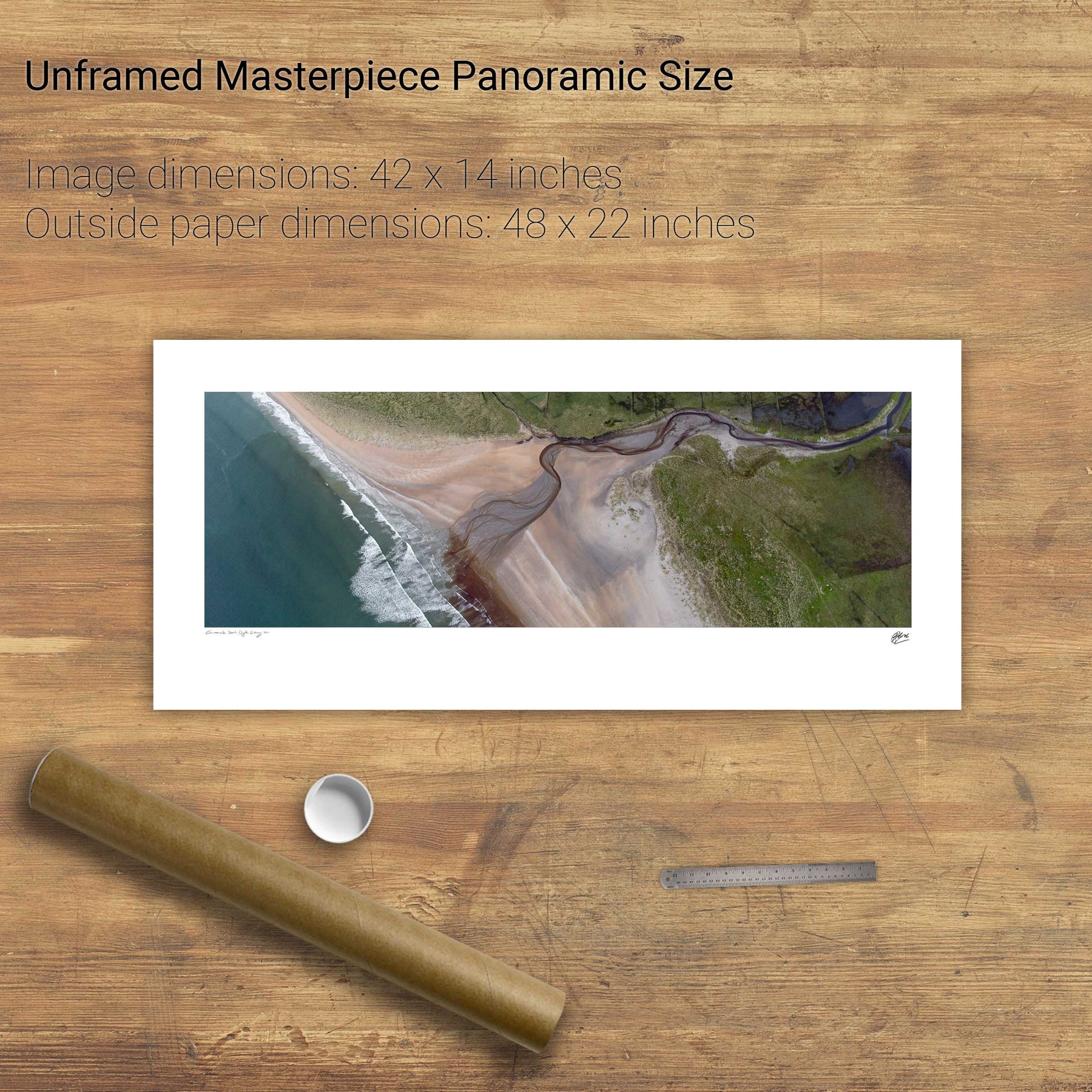
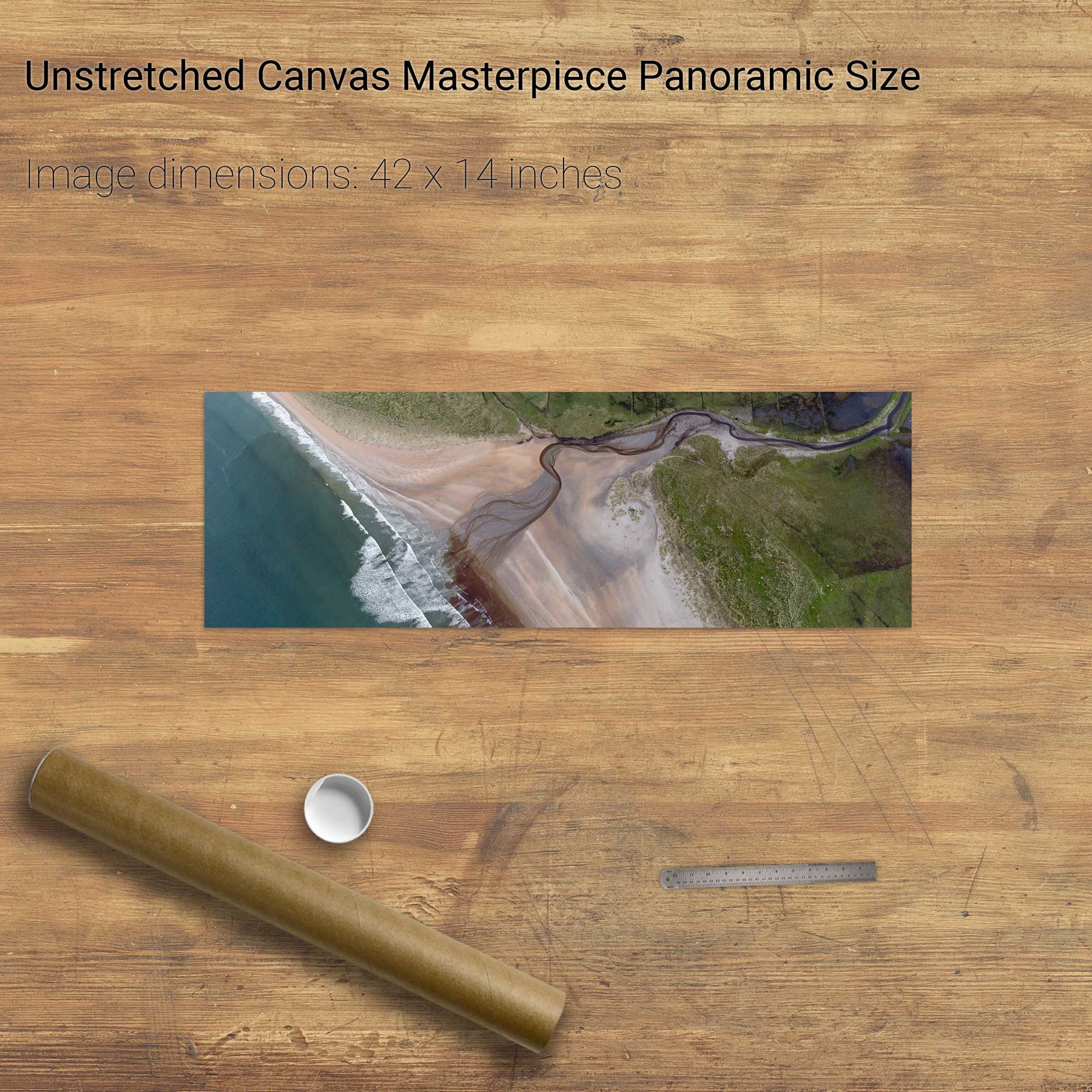
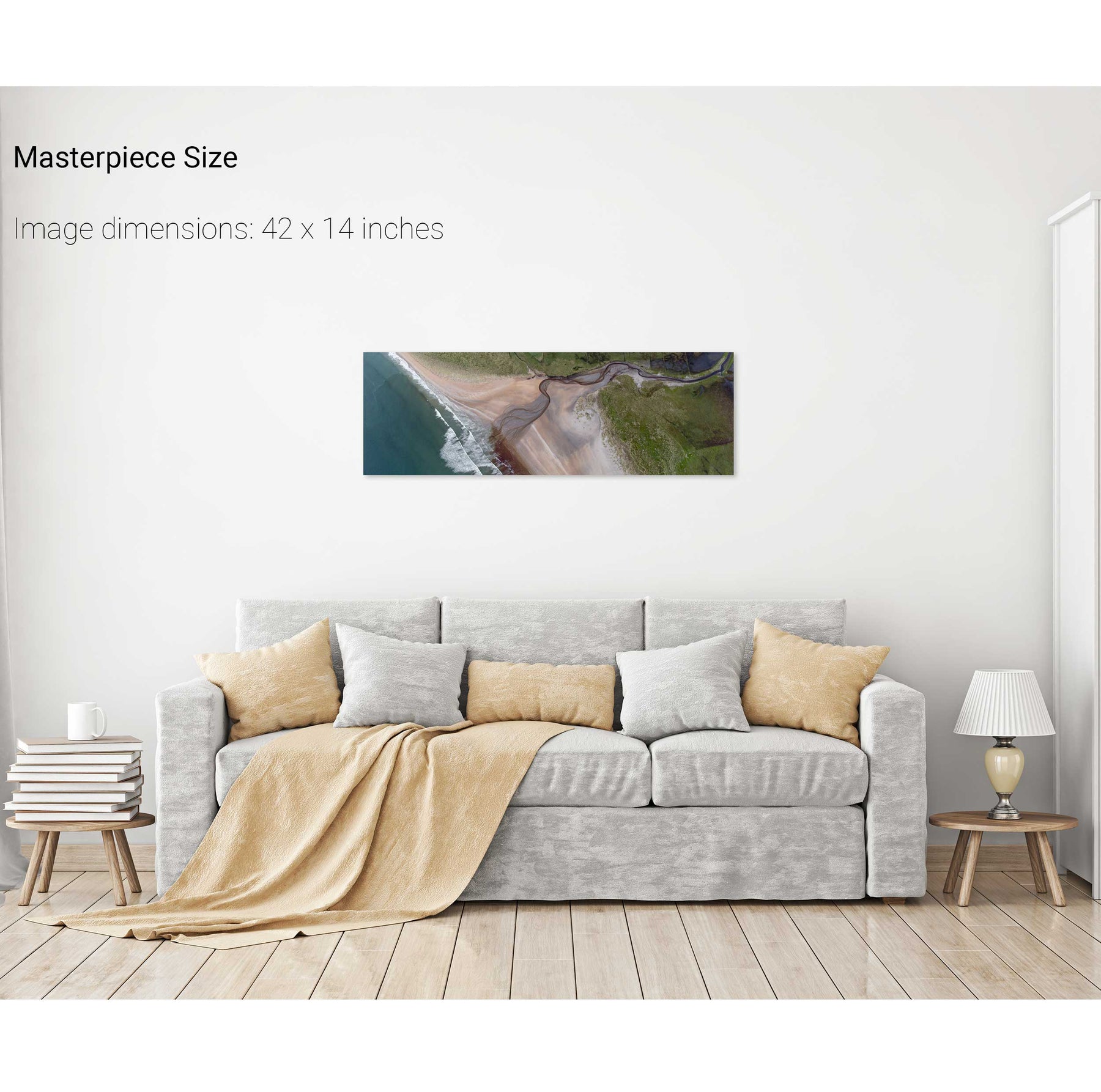
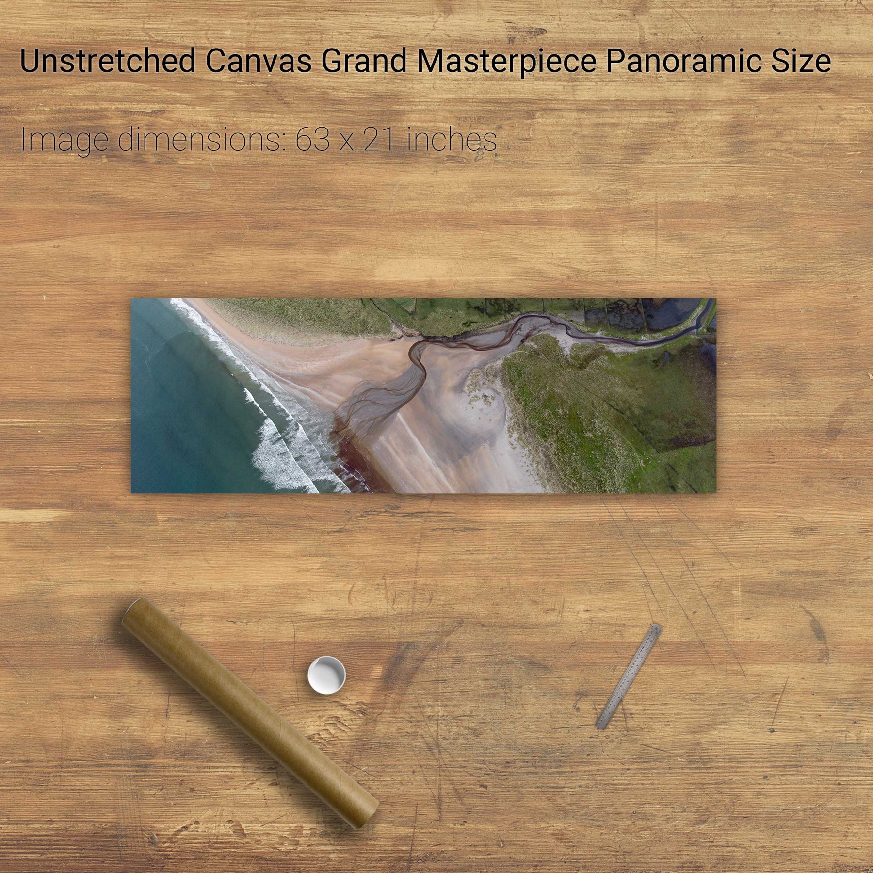
Beach Detail, Co. Sligo
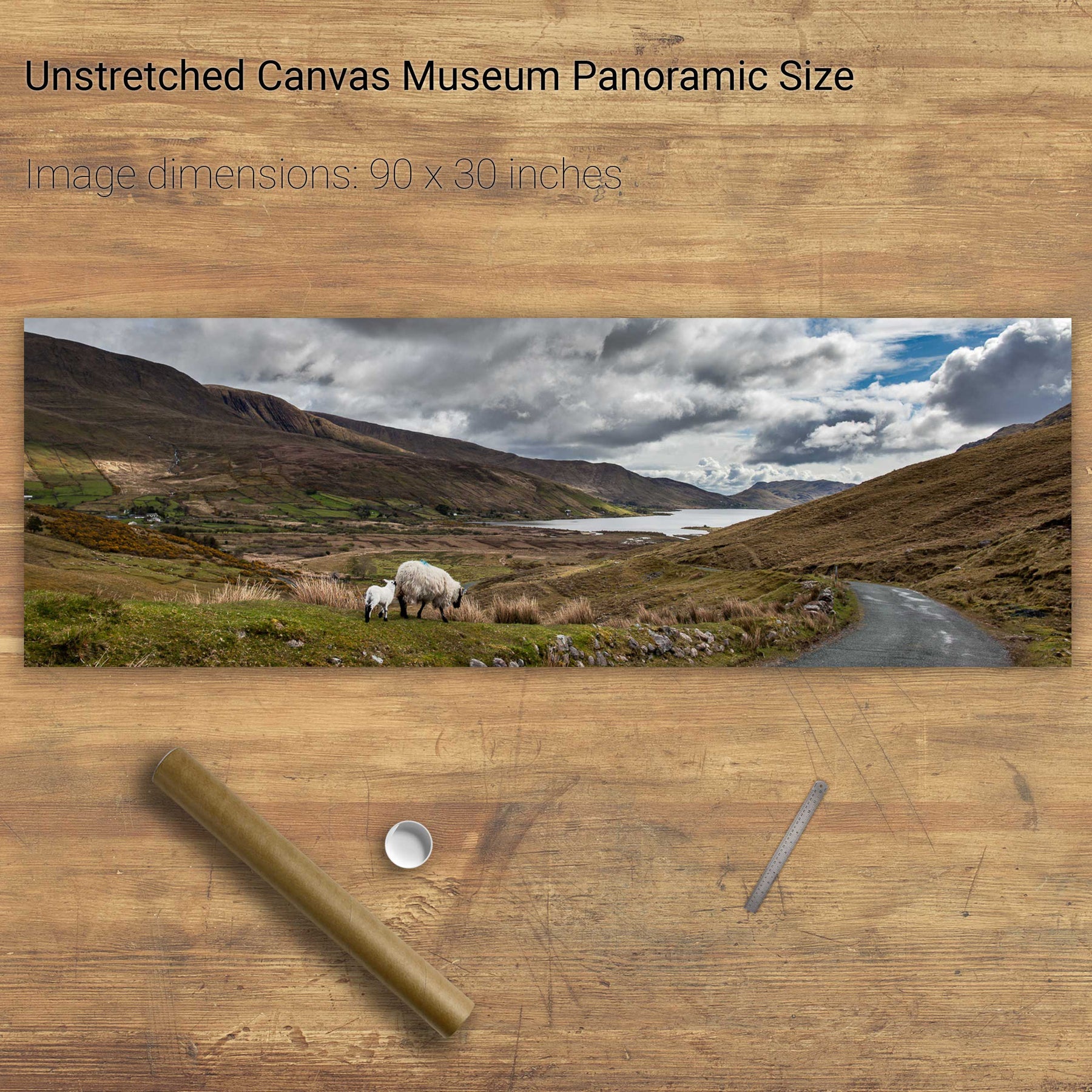
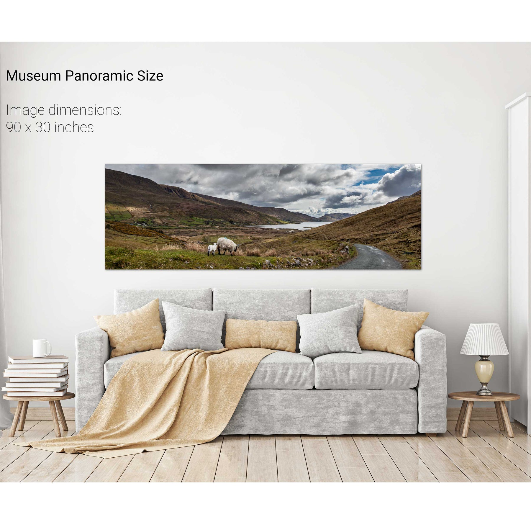
The Road to Leenaun, Co. Galway
North Peak, Skellig Michael, Co. Kerry
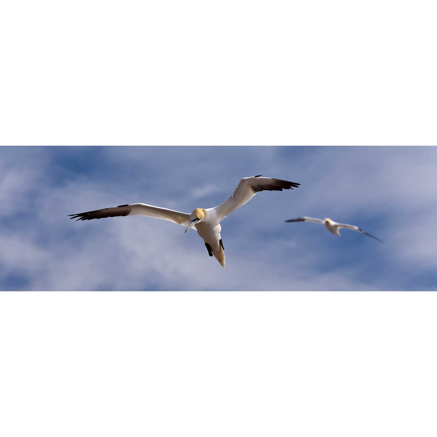
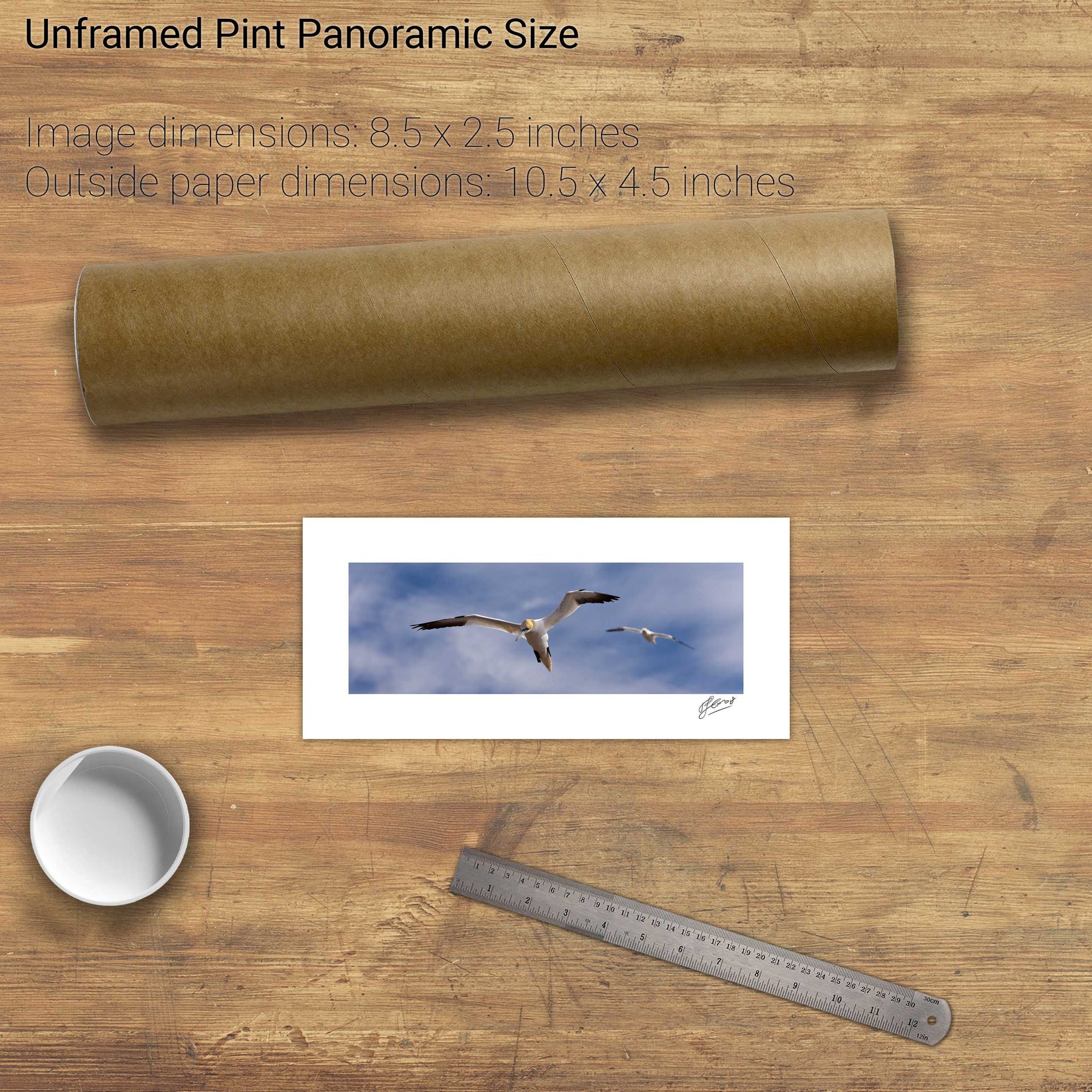
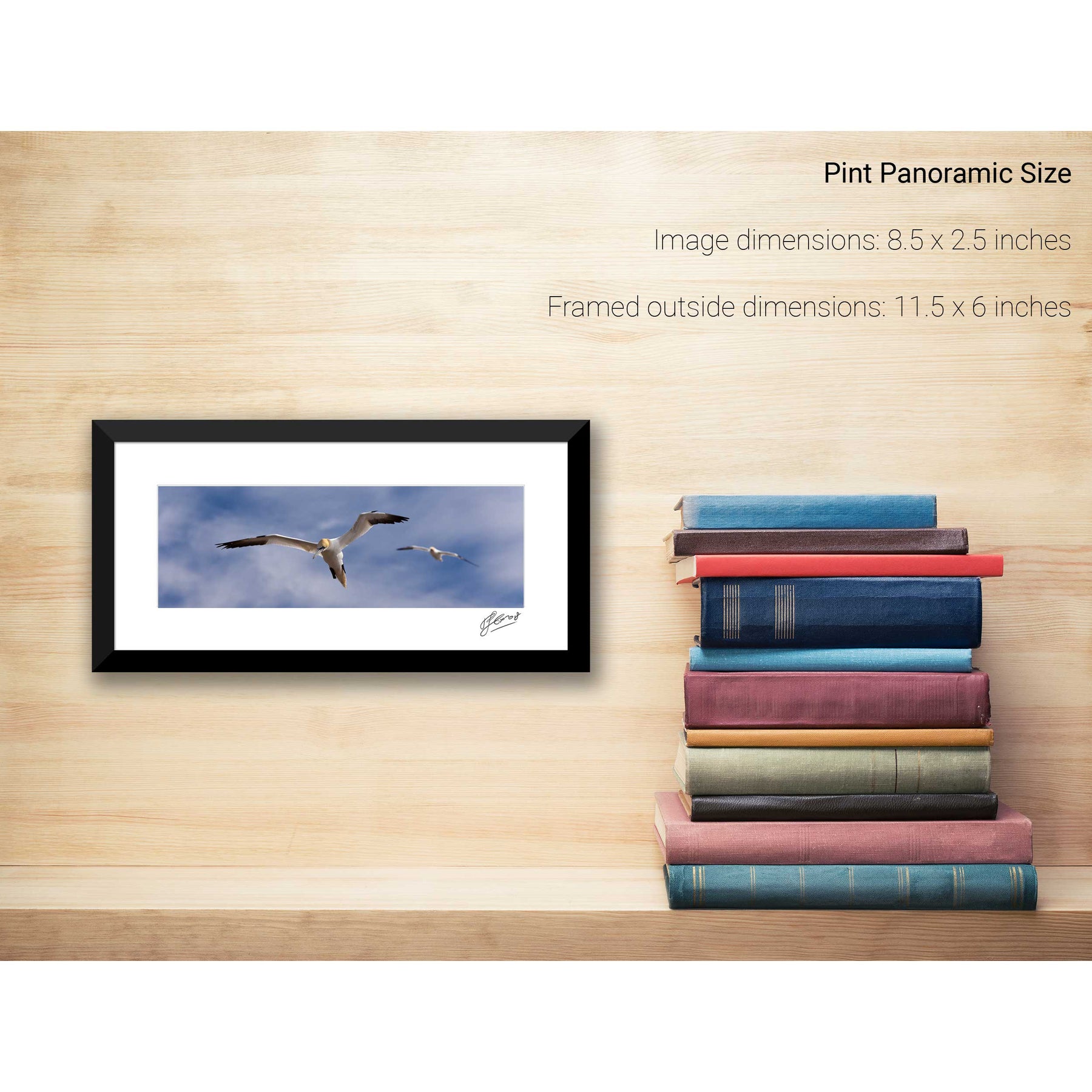
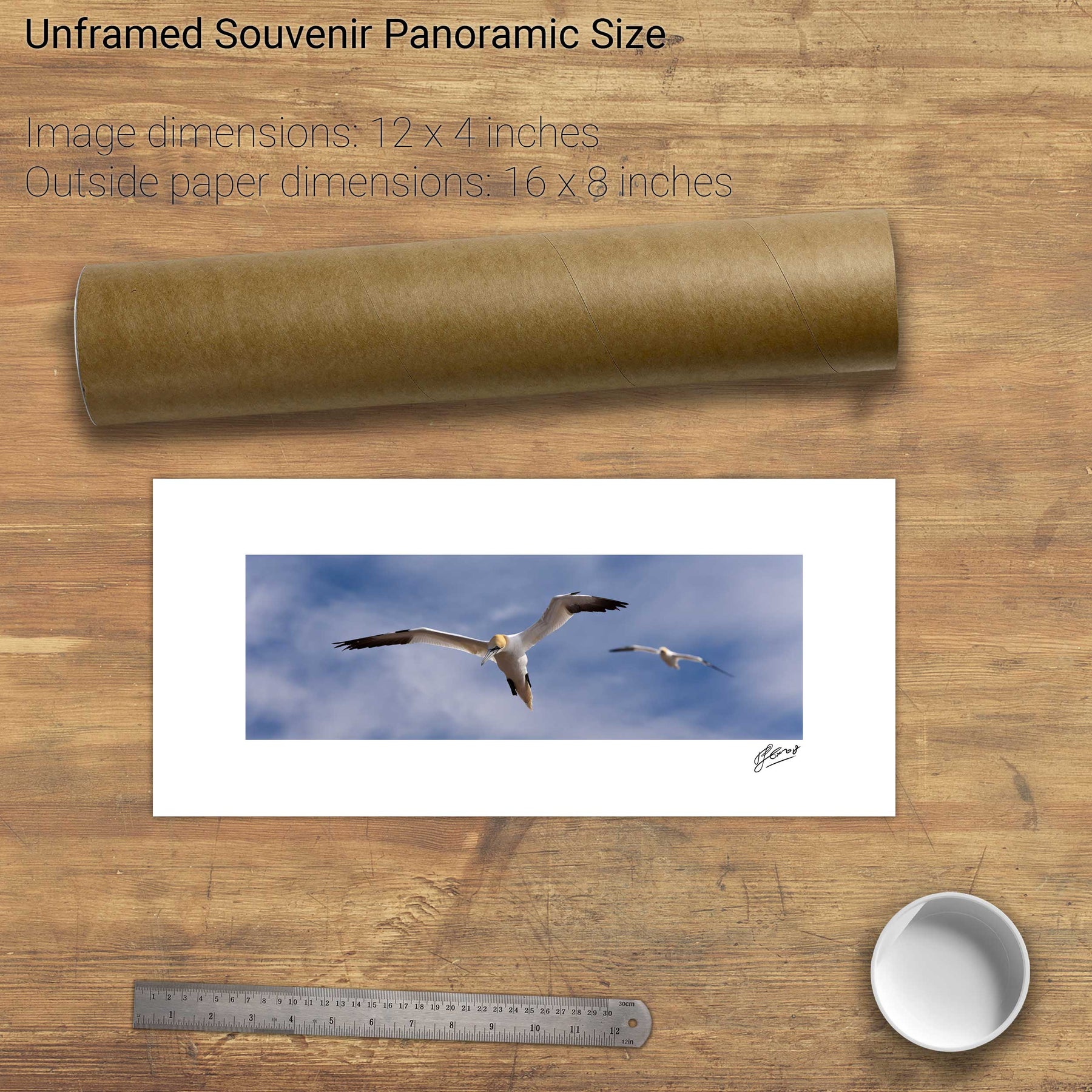
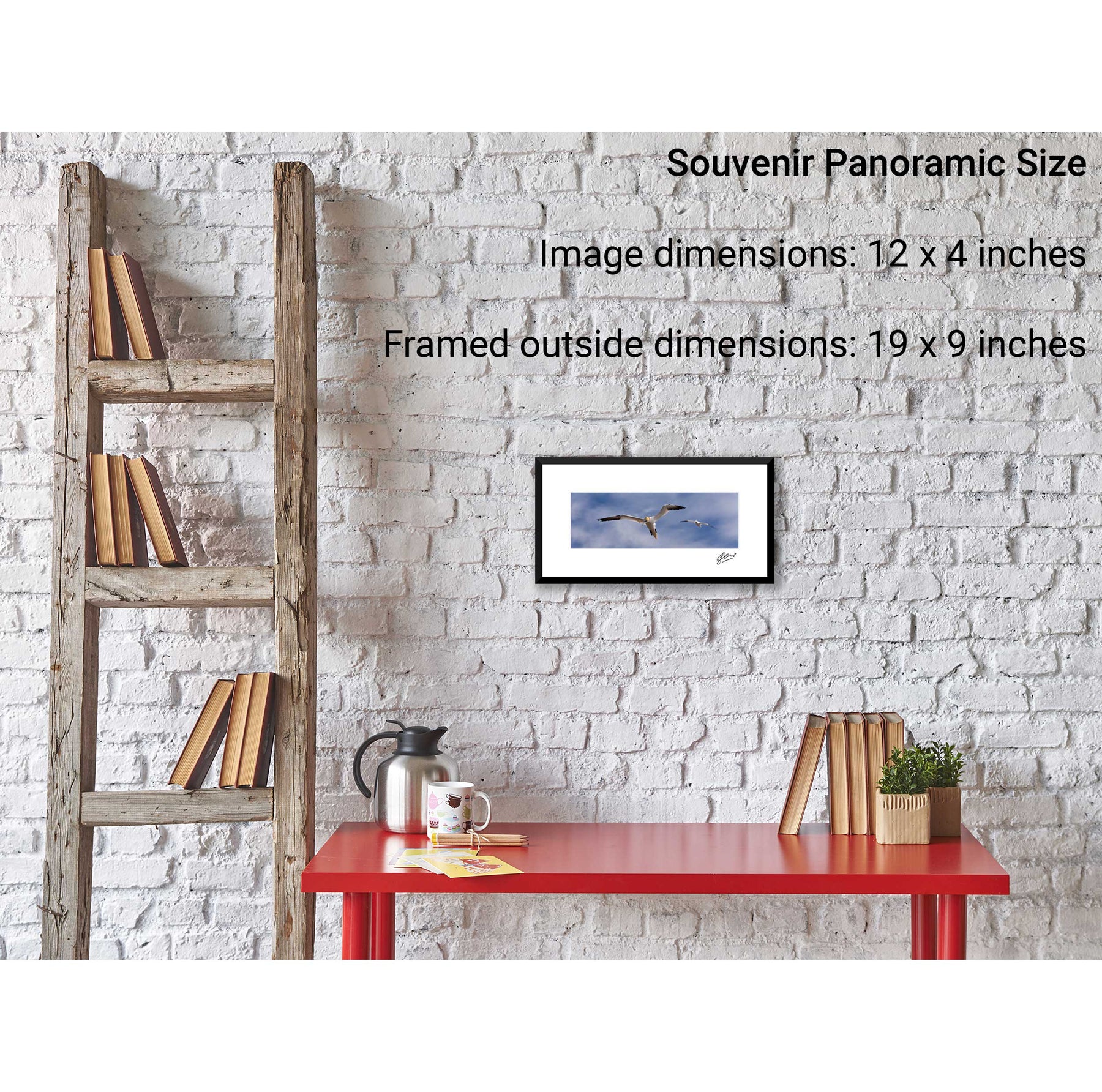
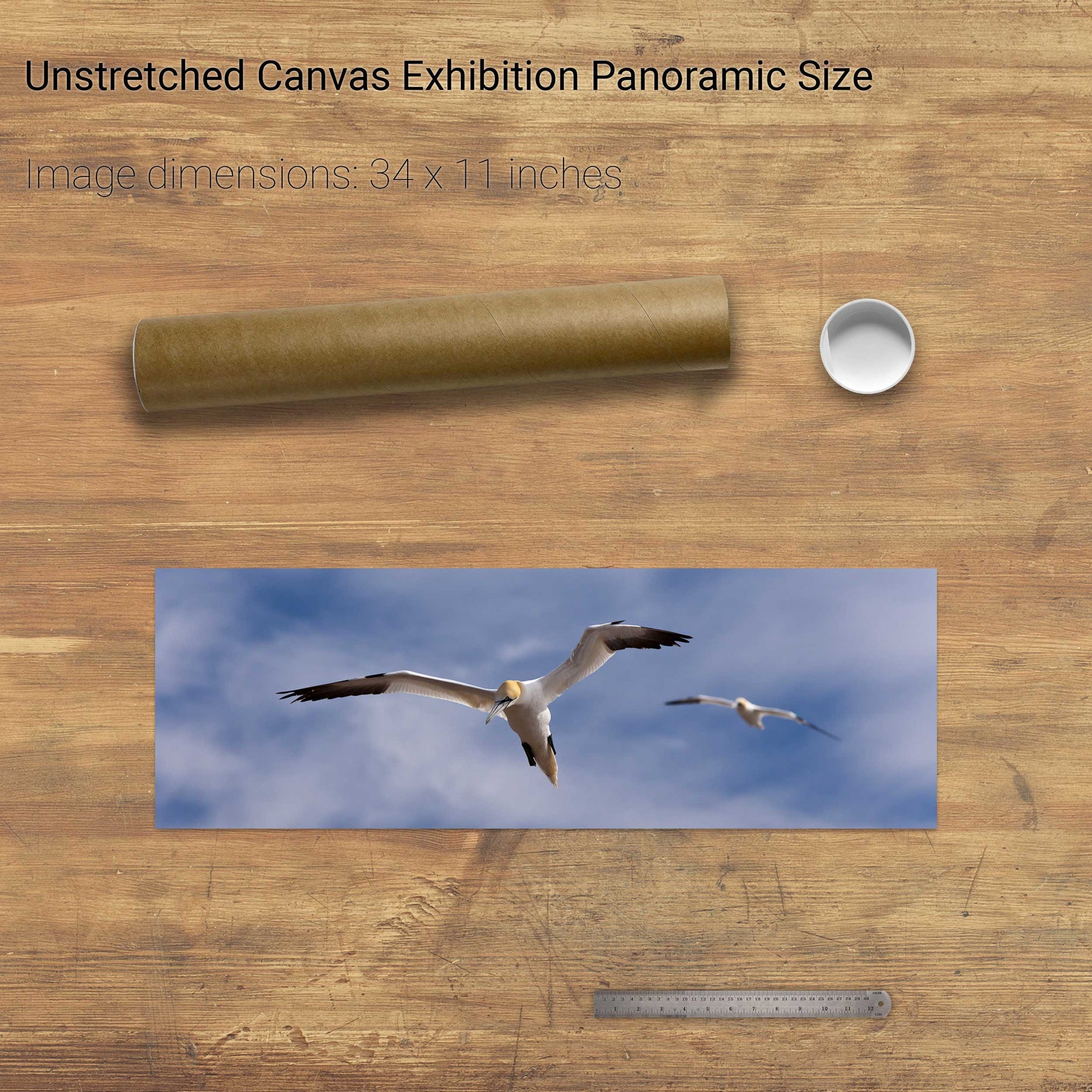
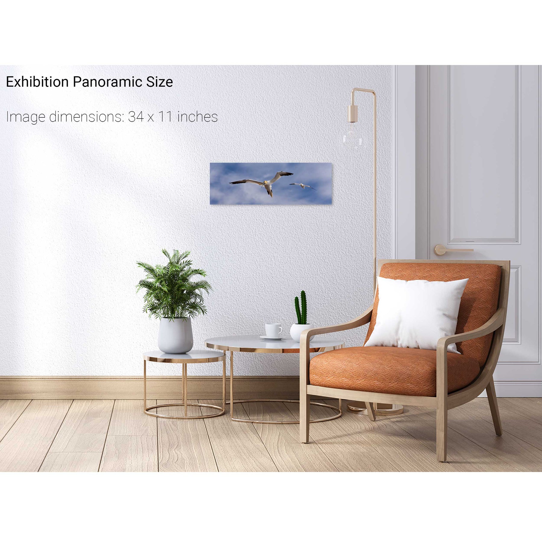
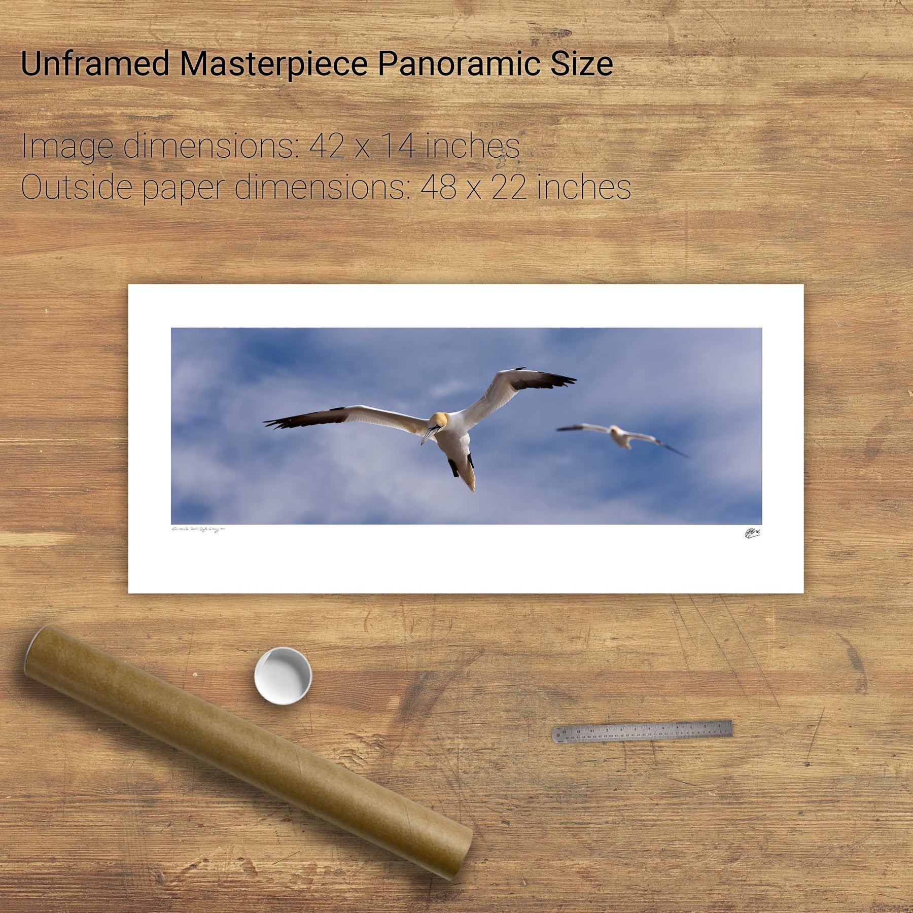
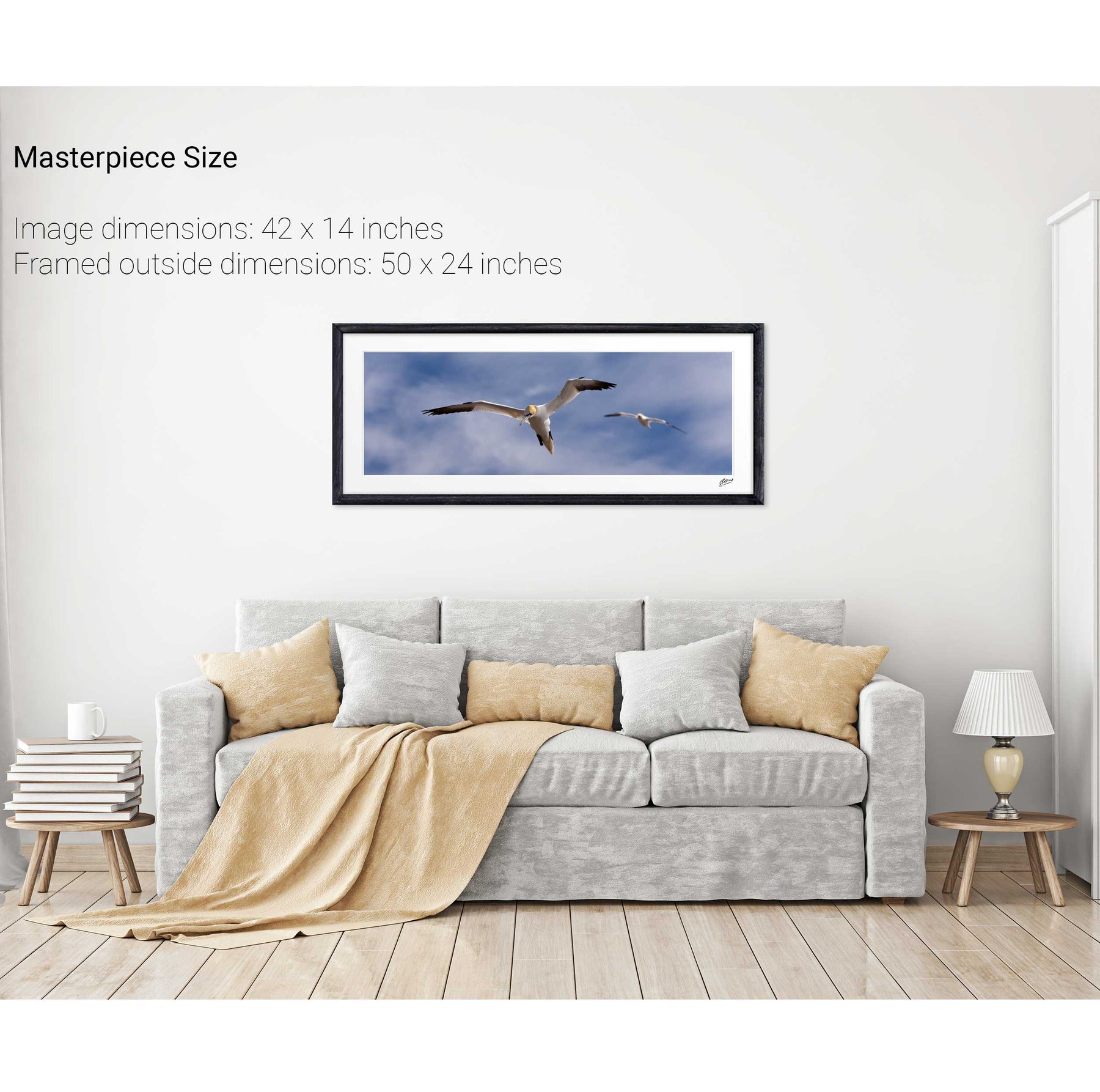
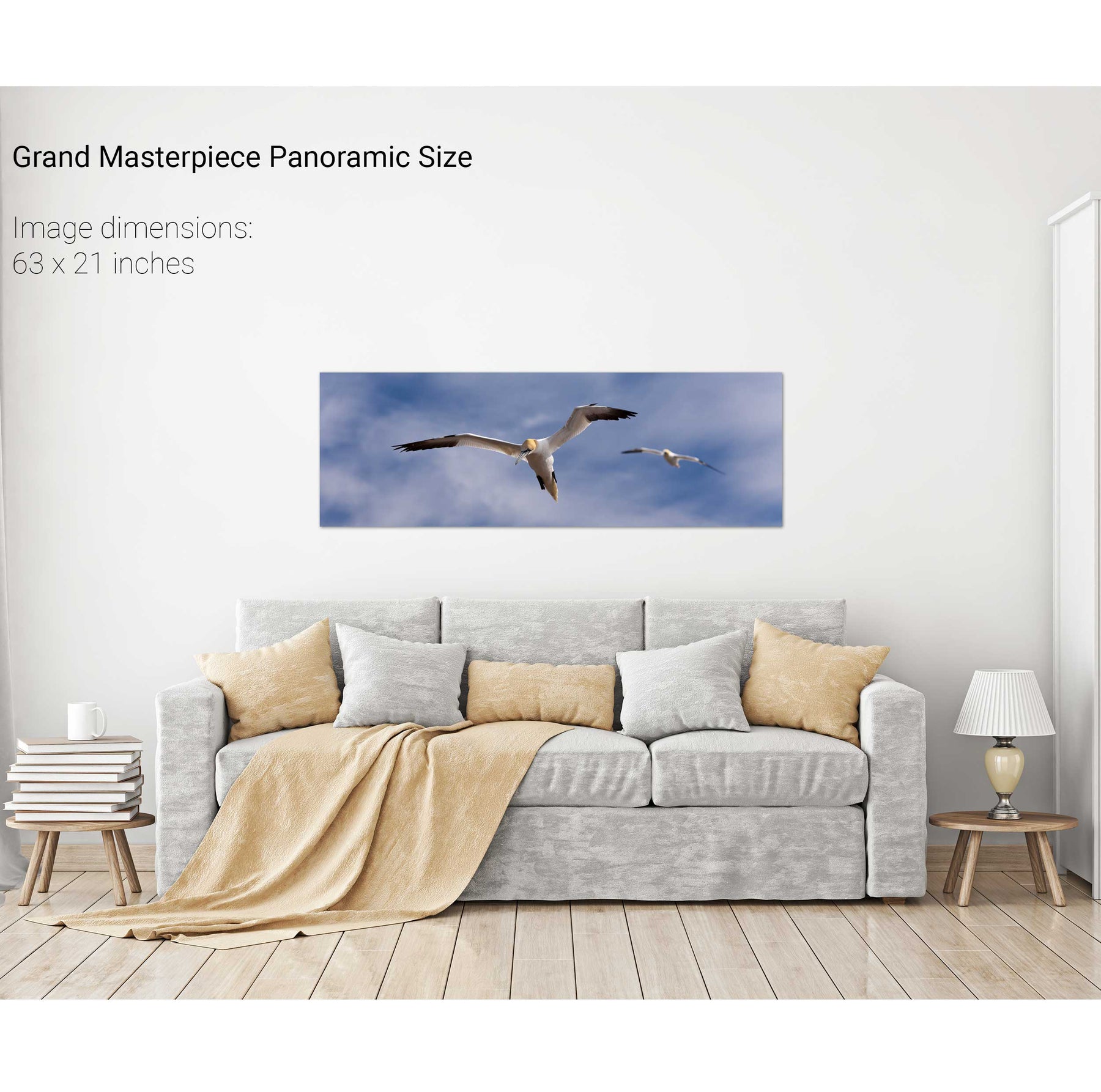
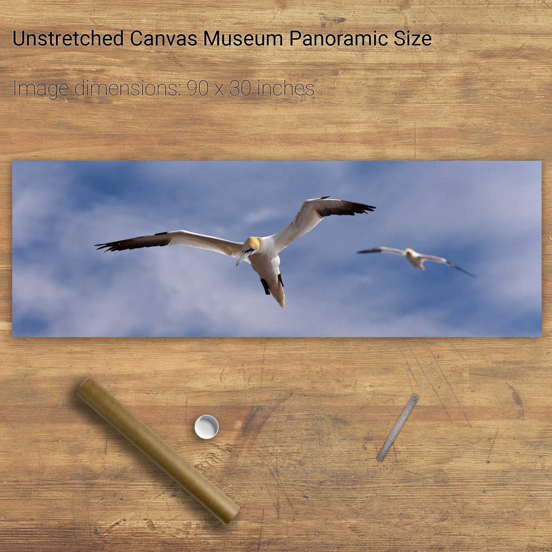
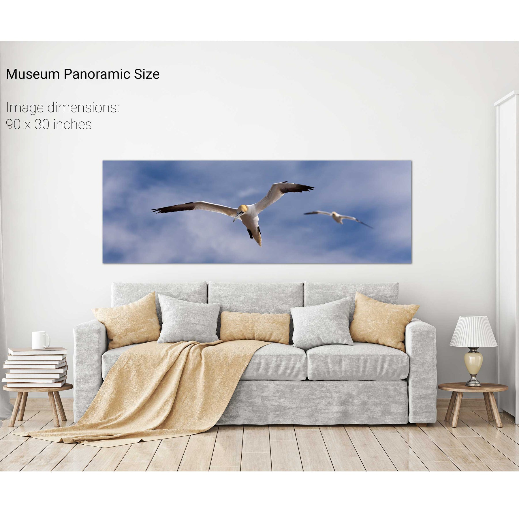
Gannets at Bull Rock Lighthouse
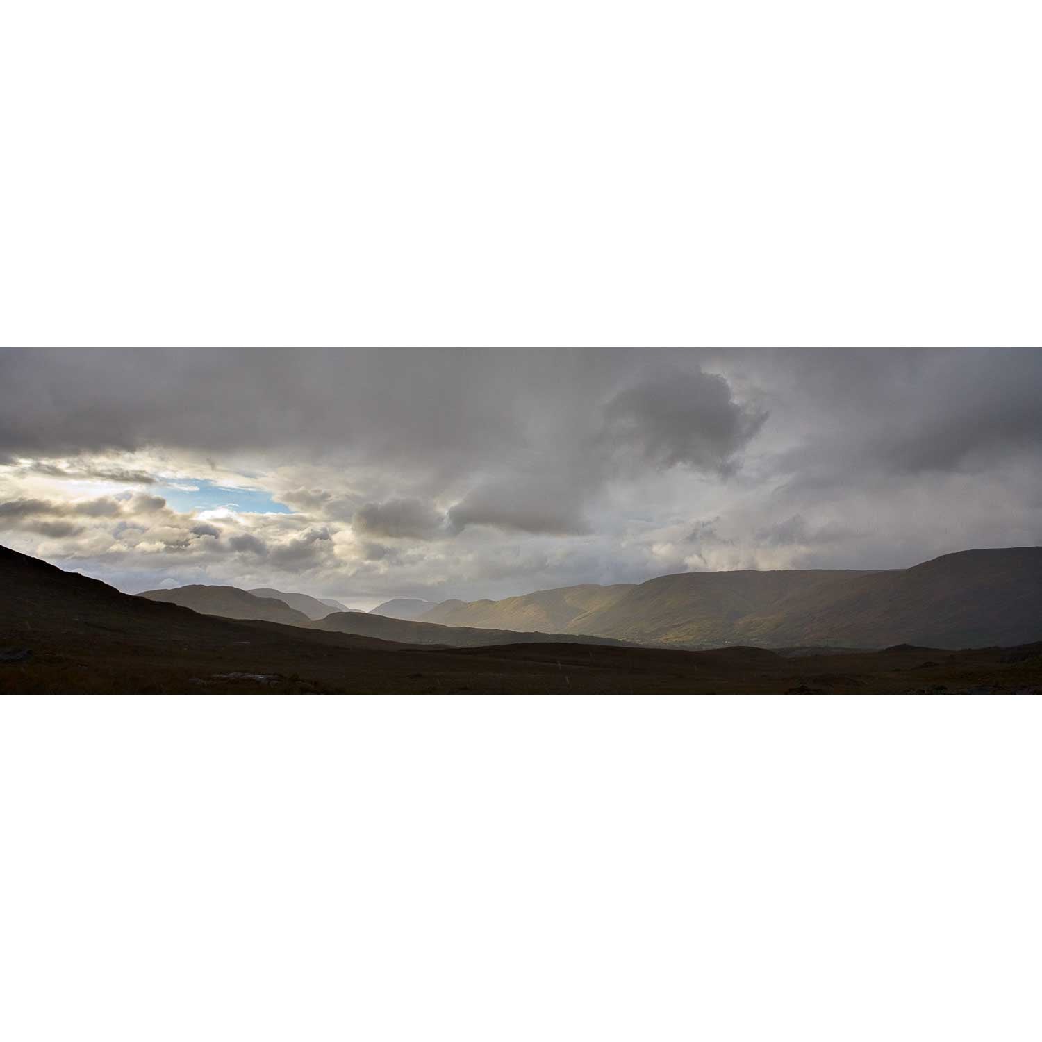
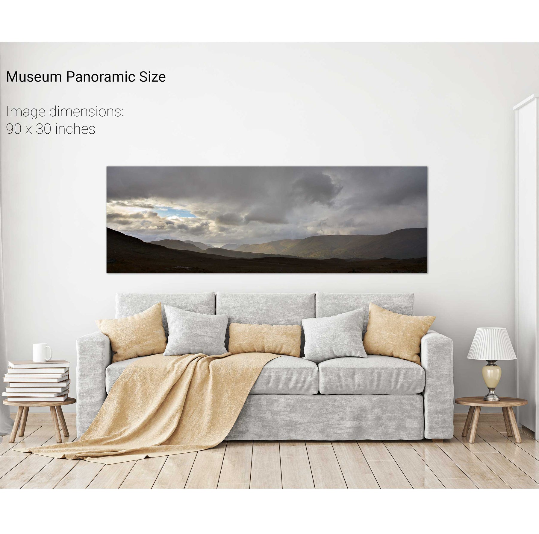
Bridia Valley, Co. Kerry
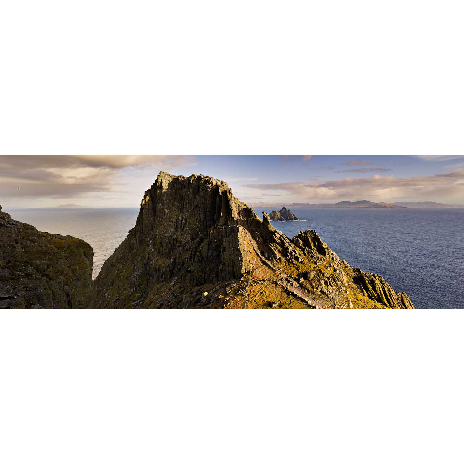
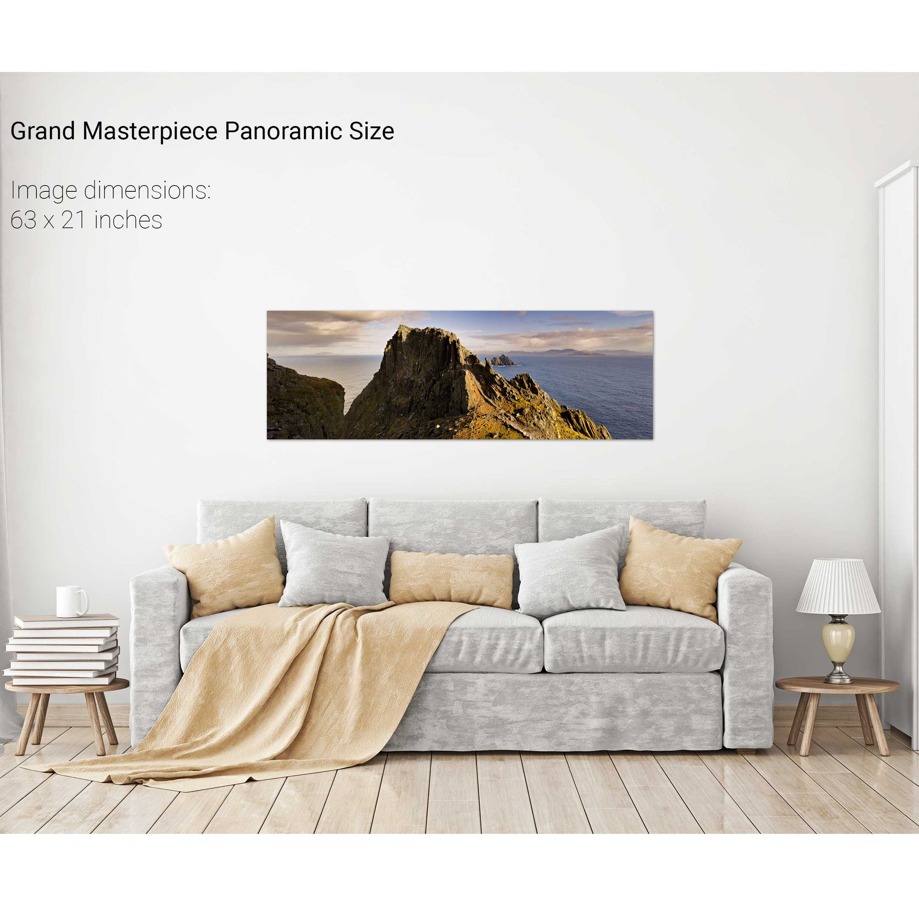
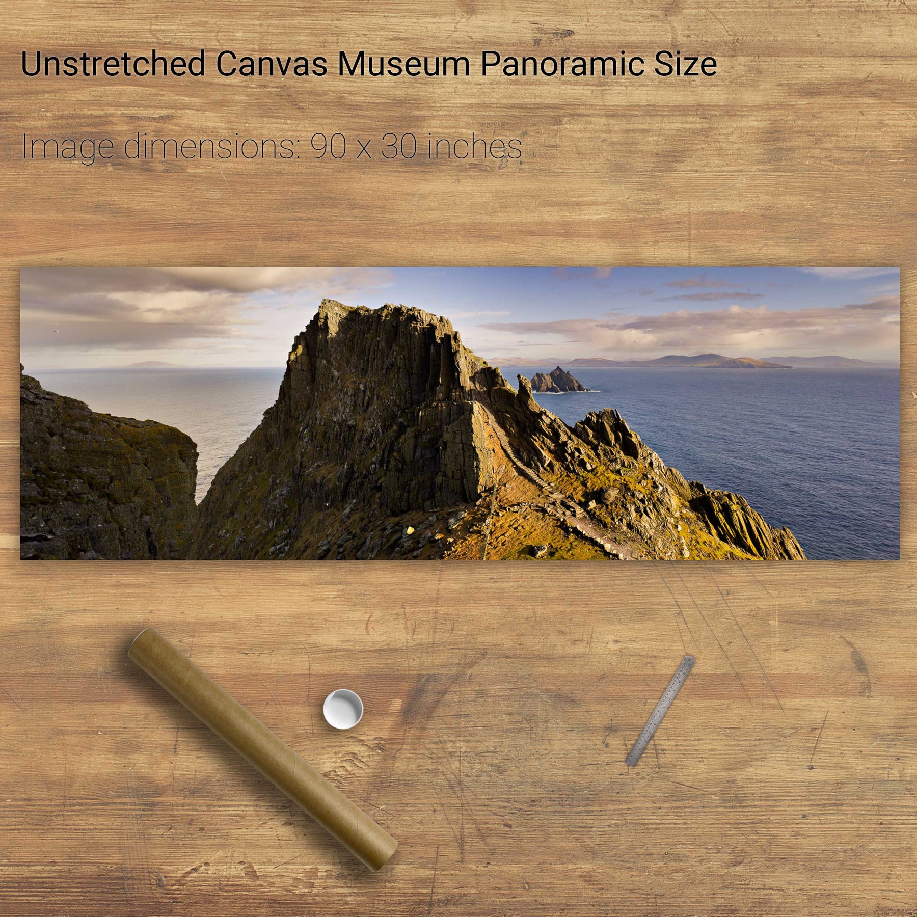
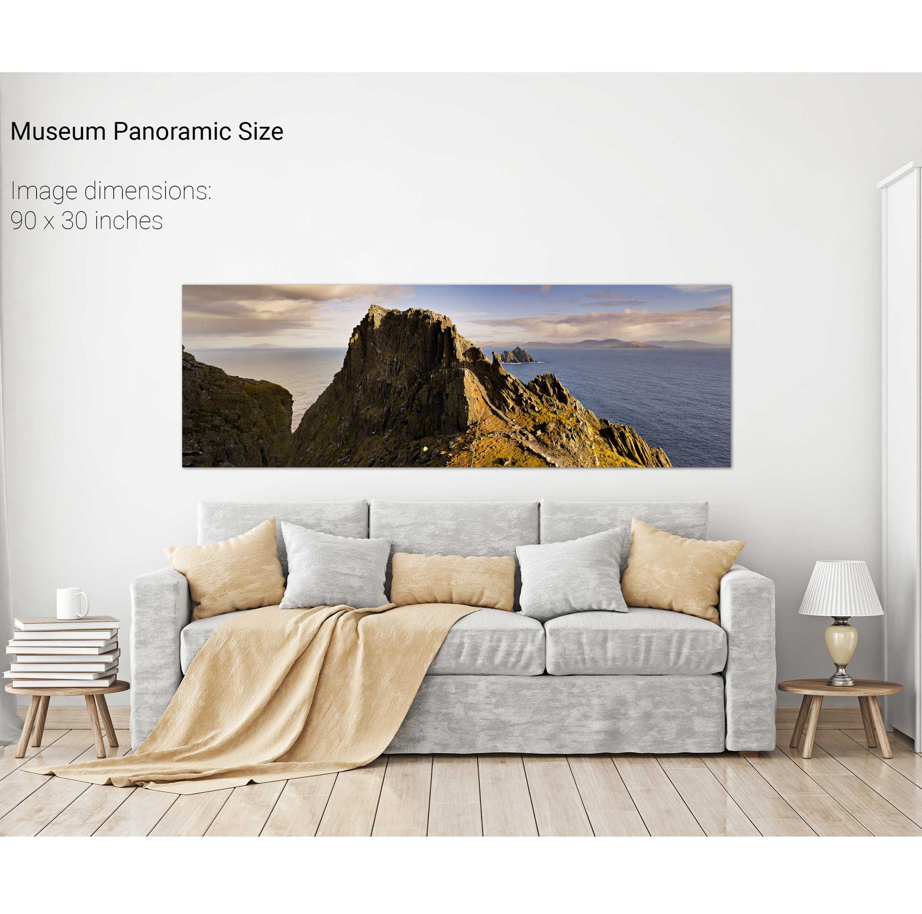
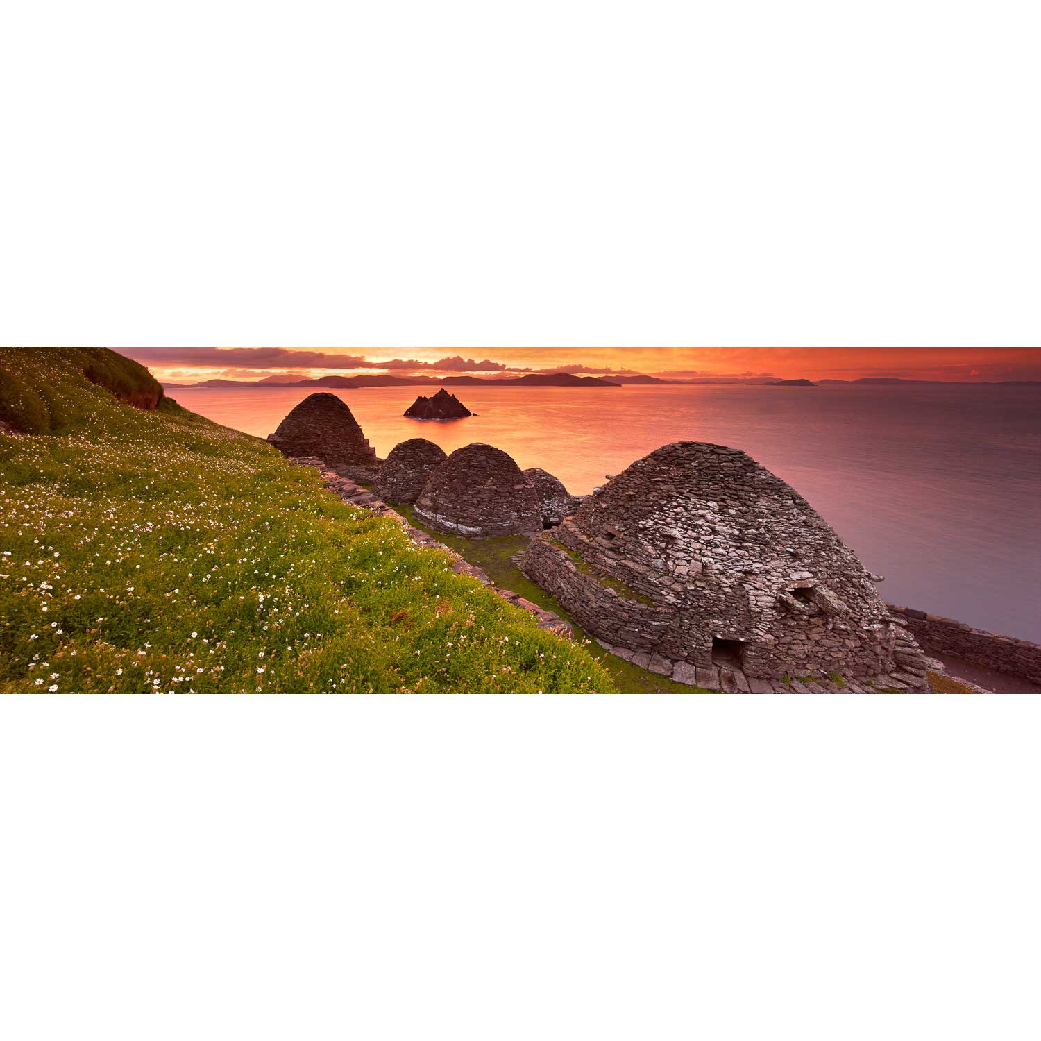
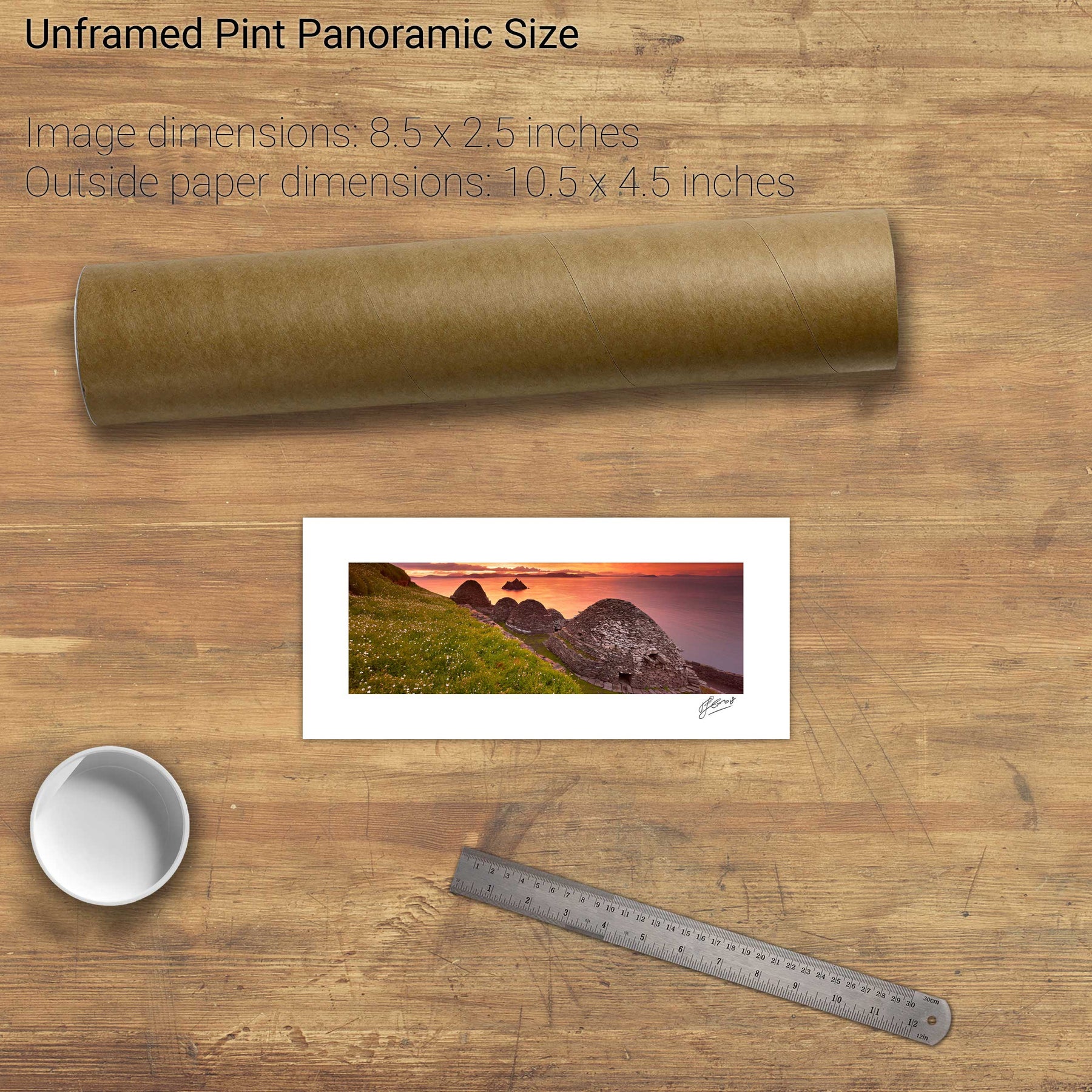
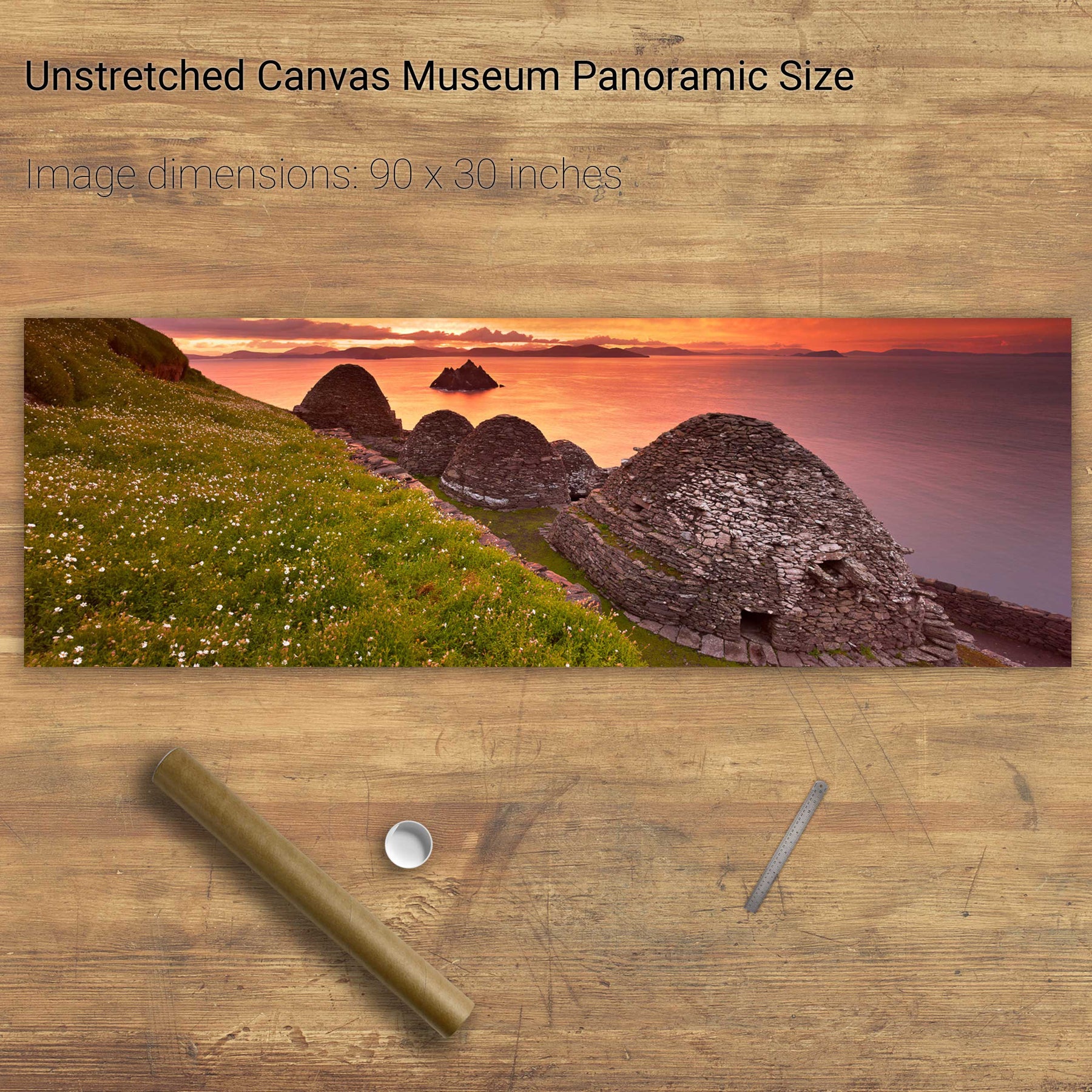
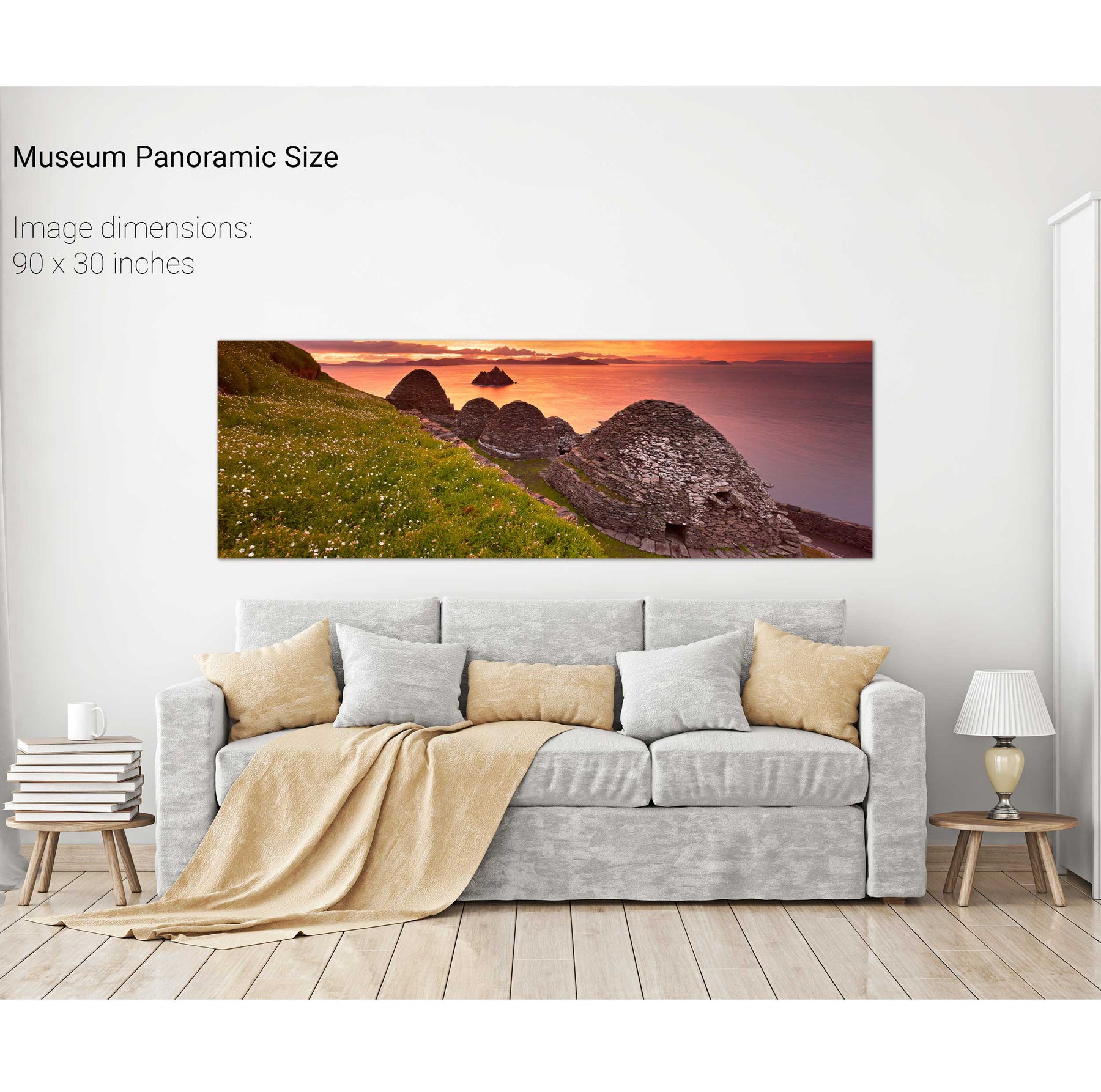
Skellig Michael Panoramic, Co. Kerry
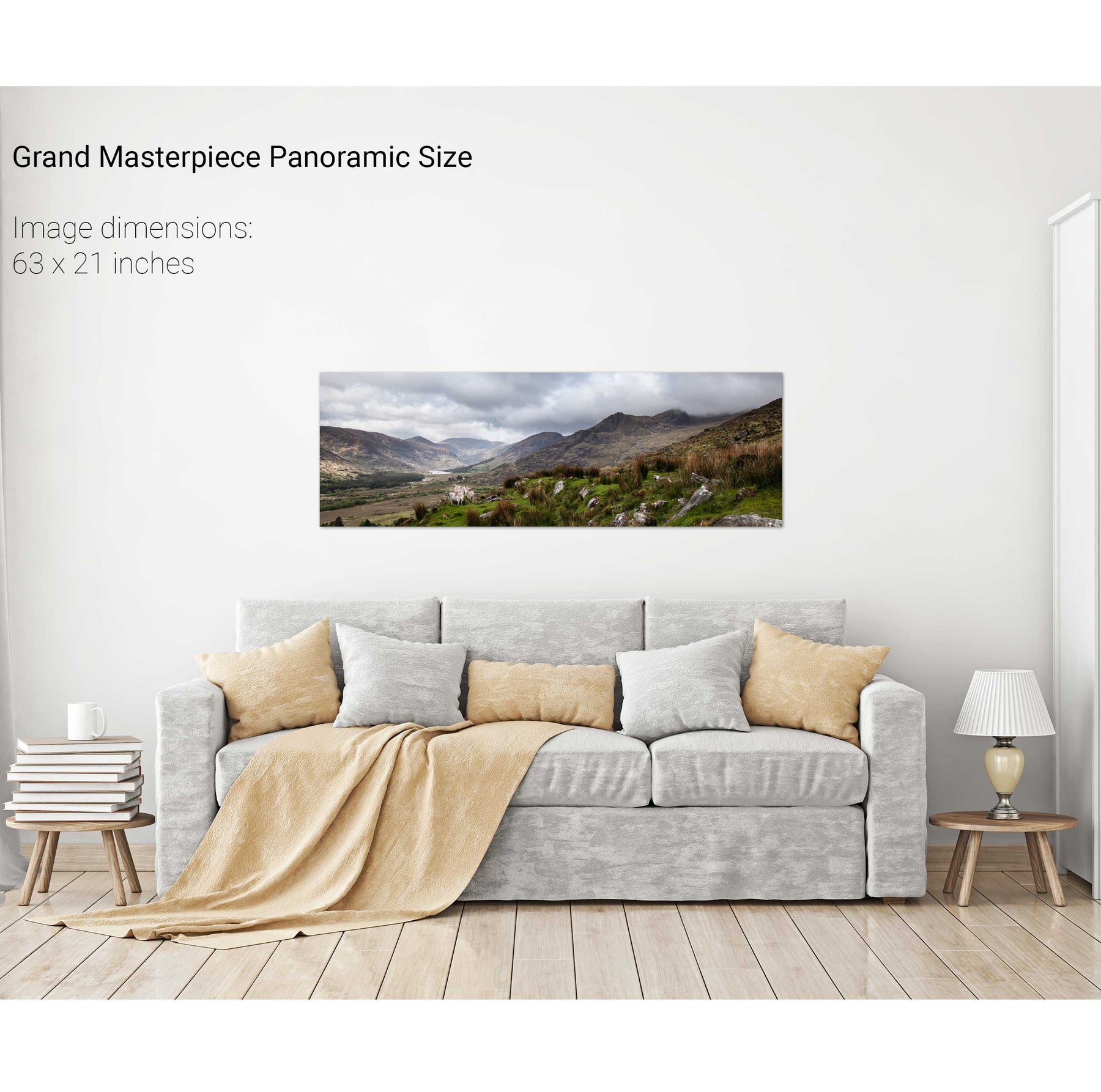
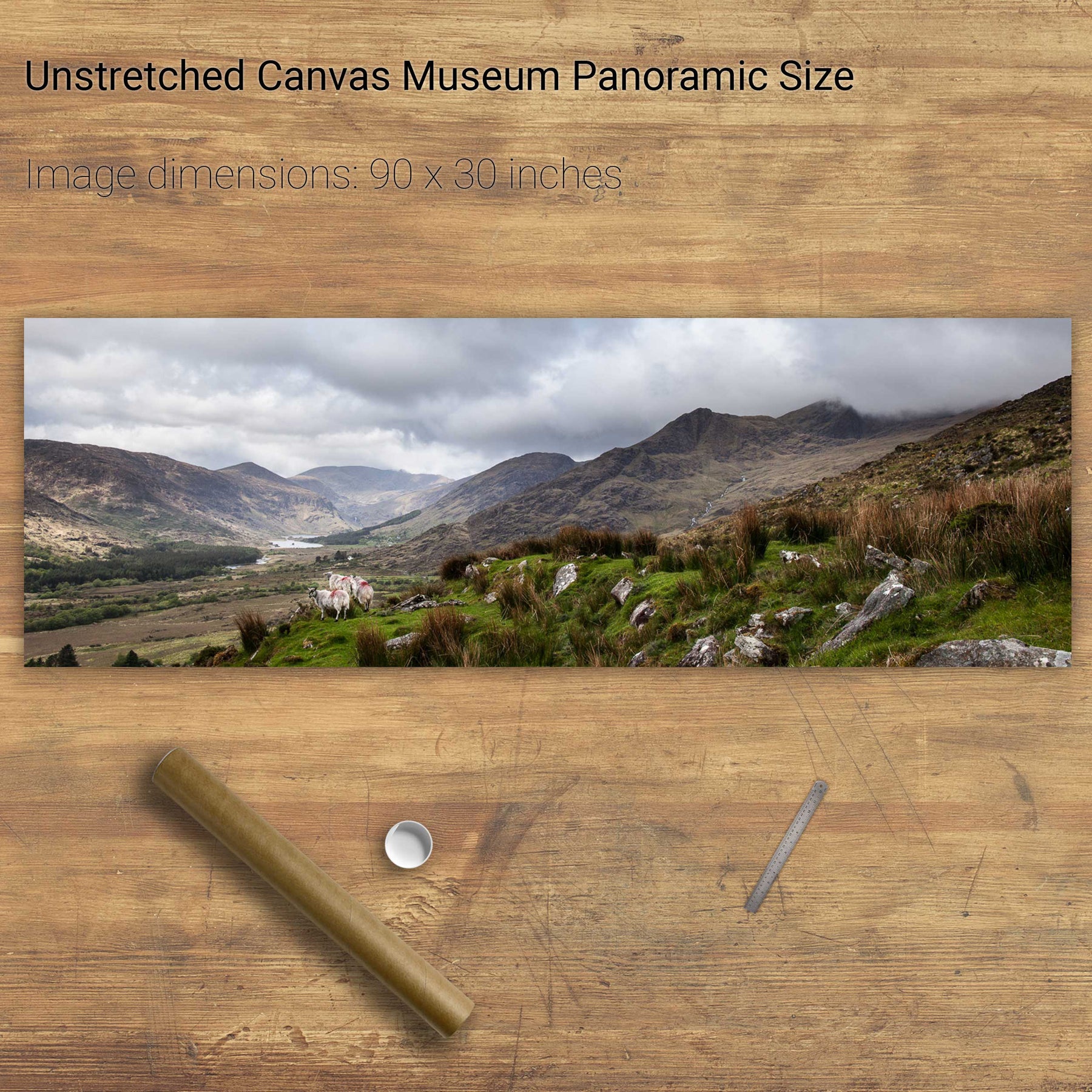
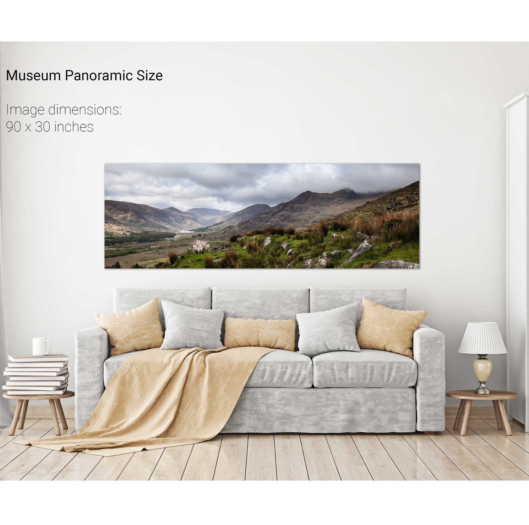
Sheep, the Black Valley, Co. Kerry
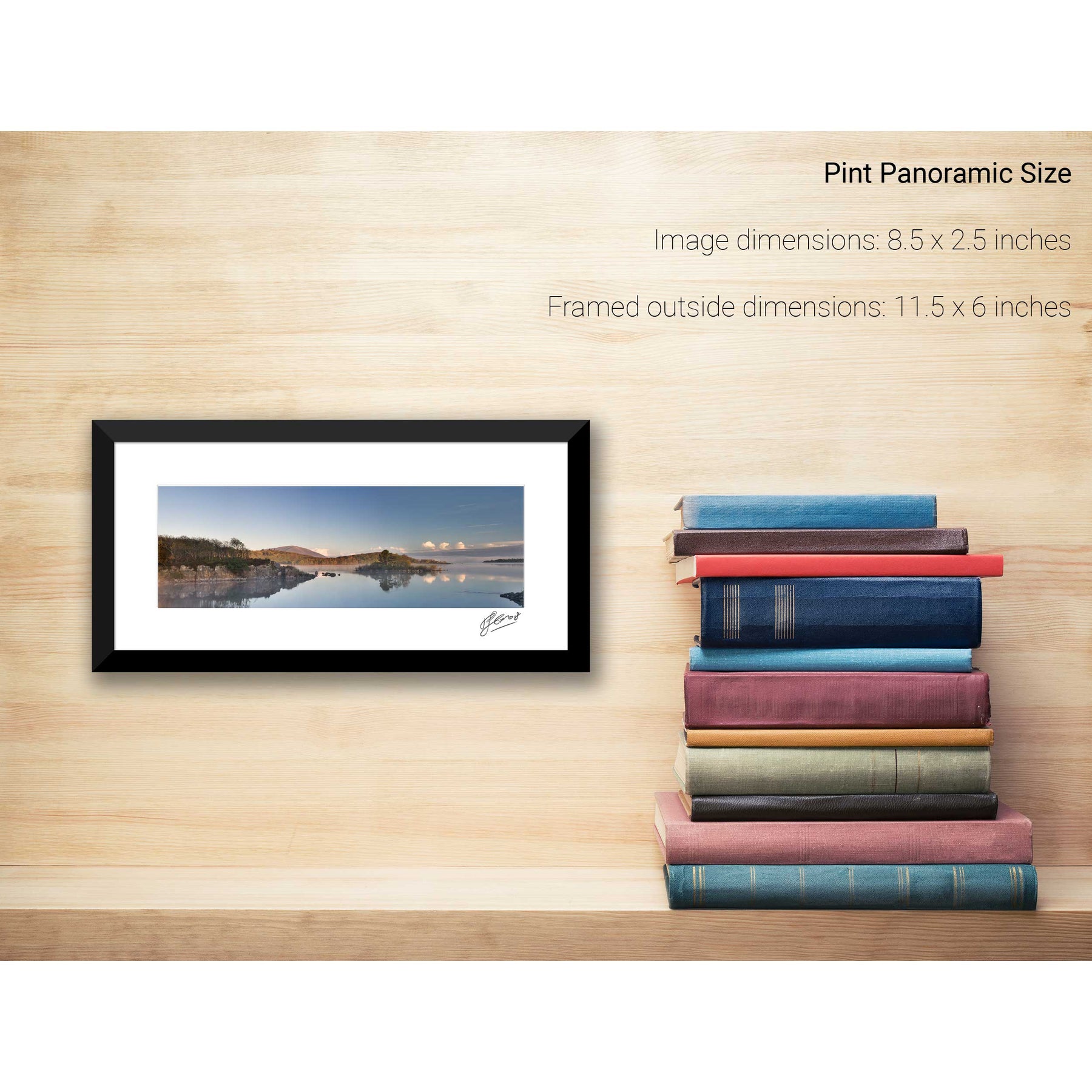
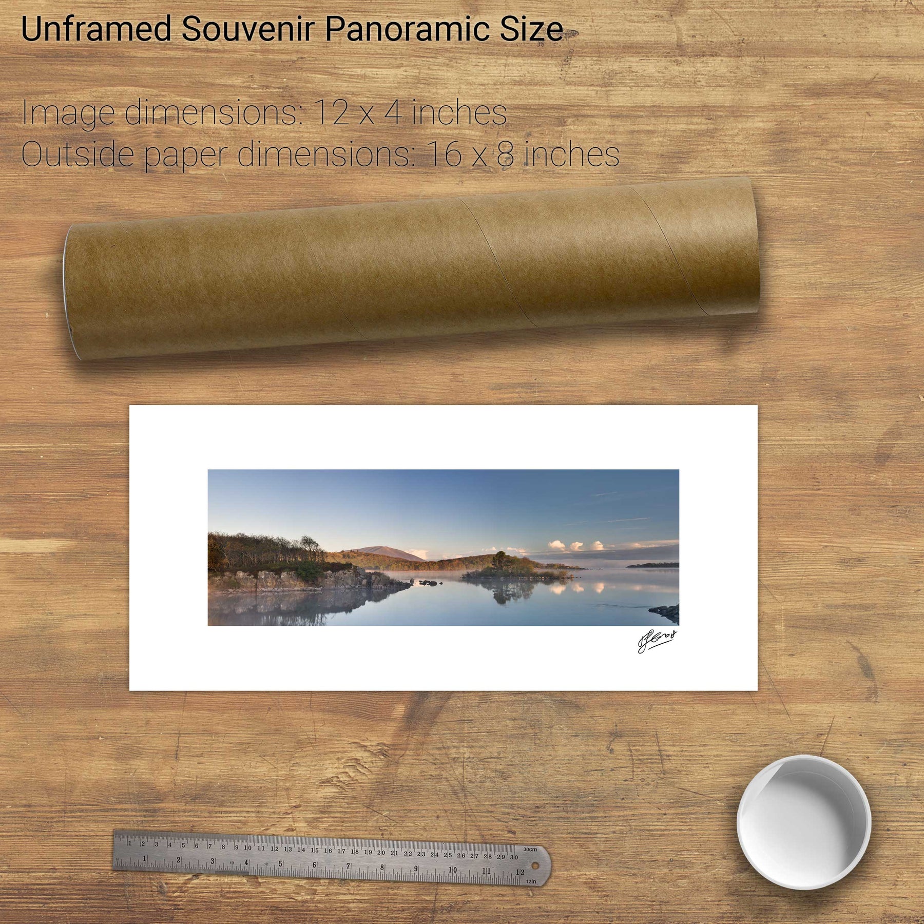
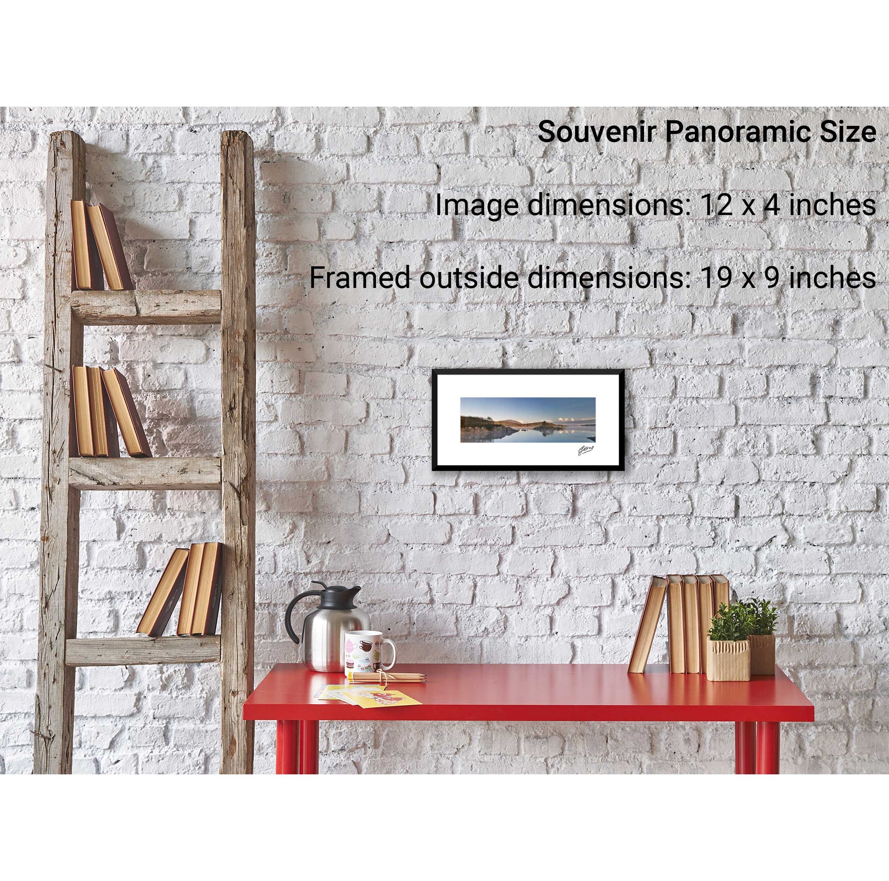
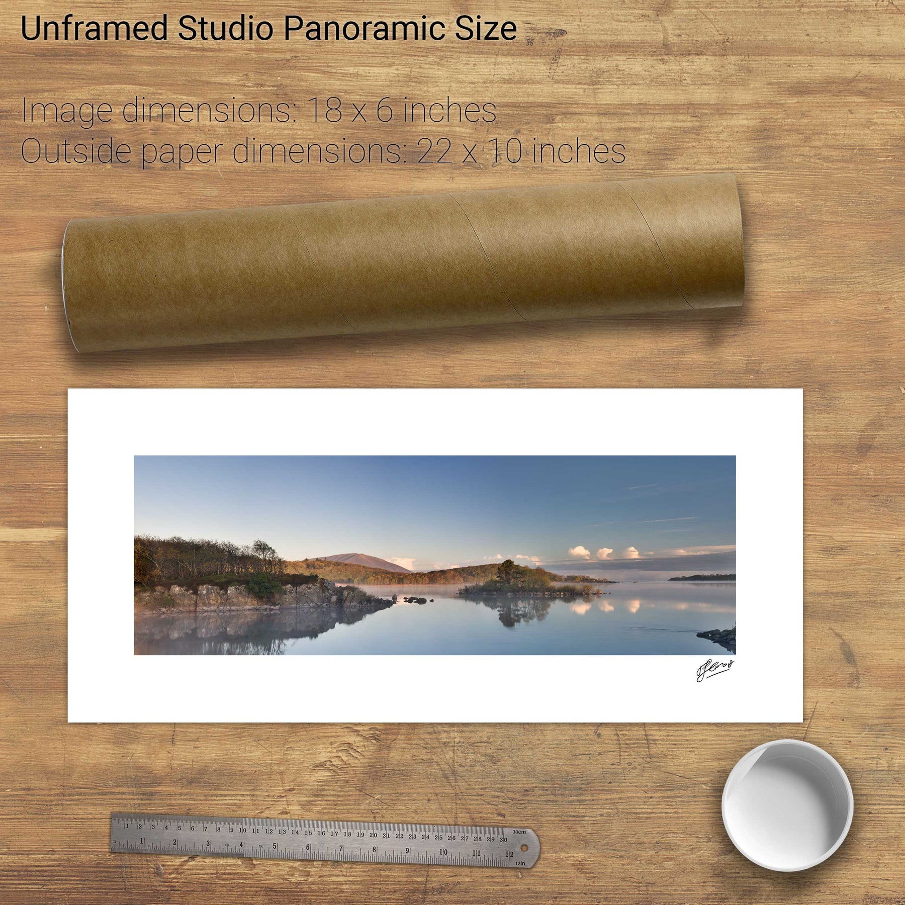
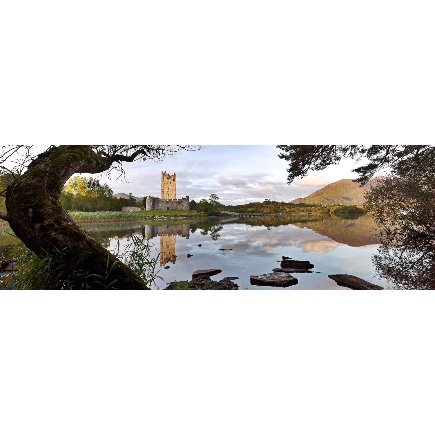
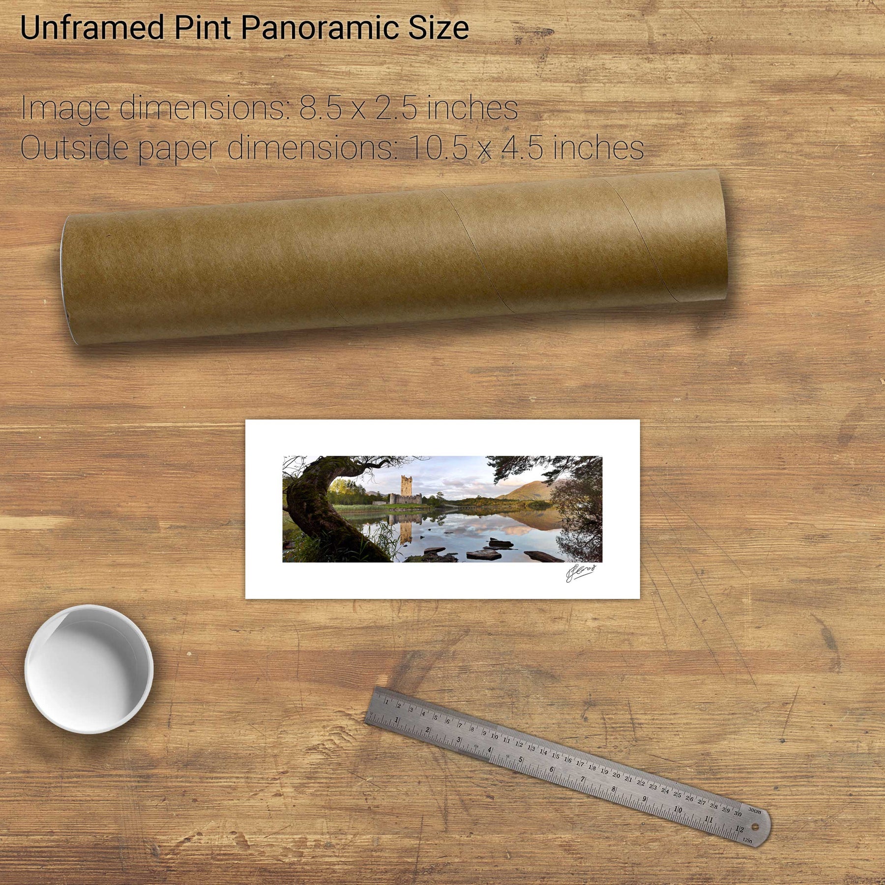
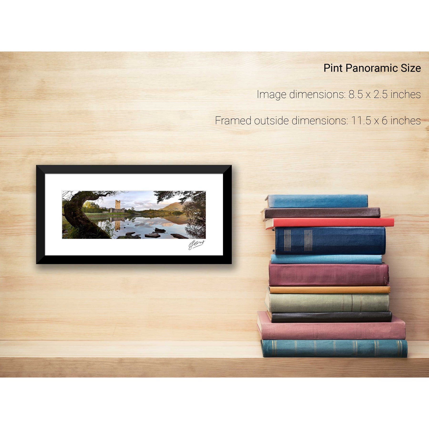
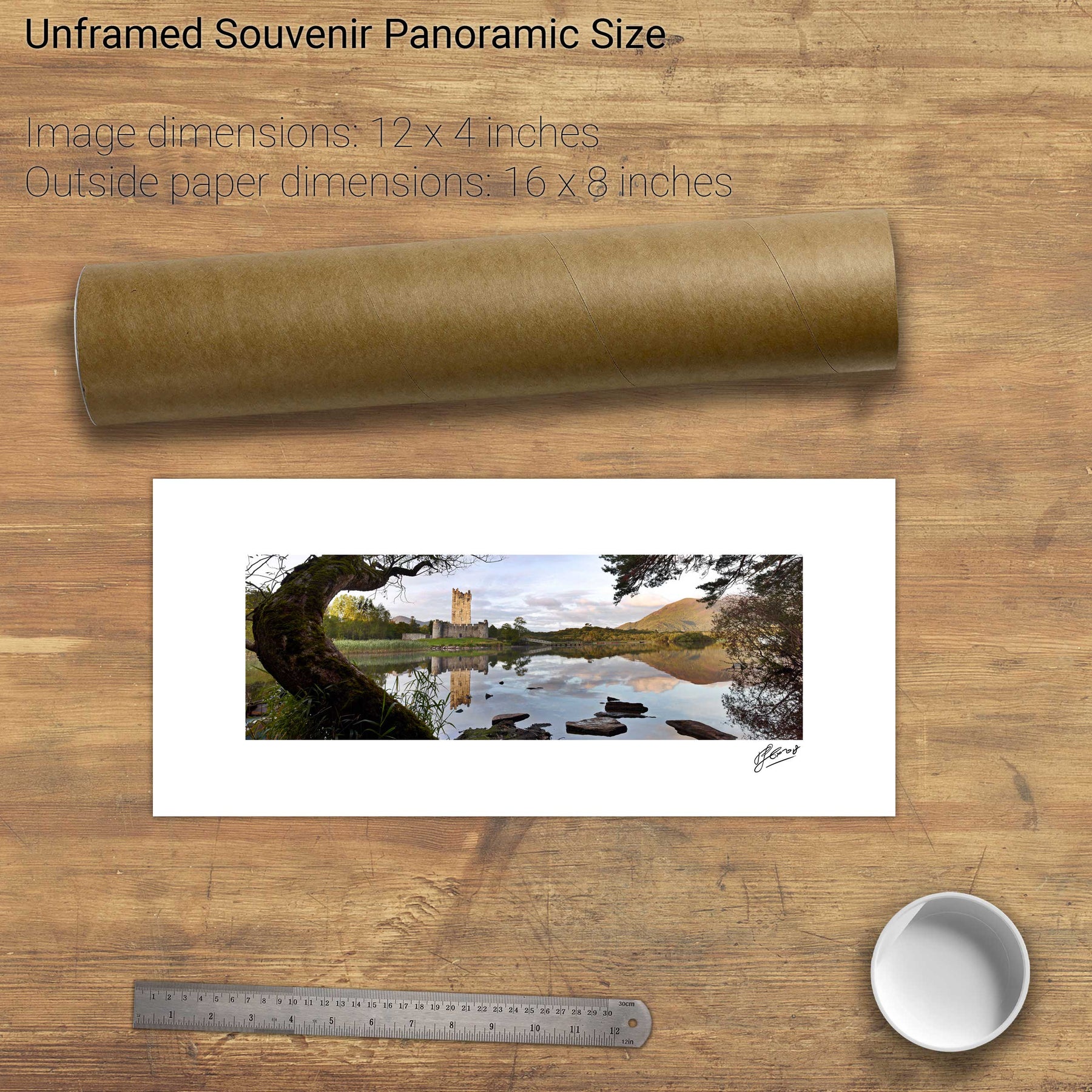
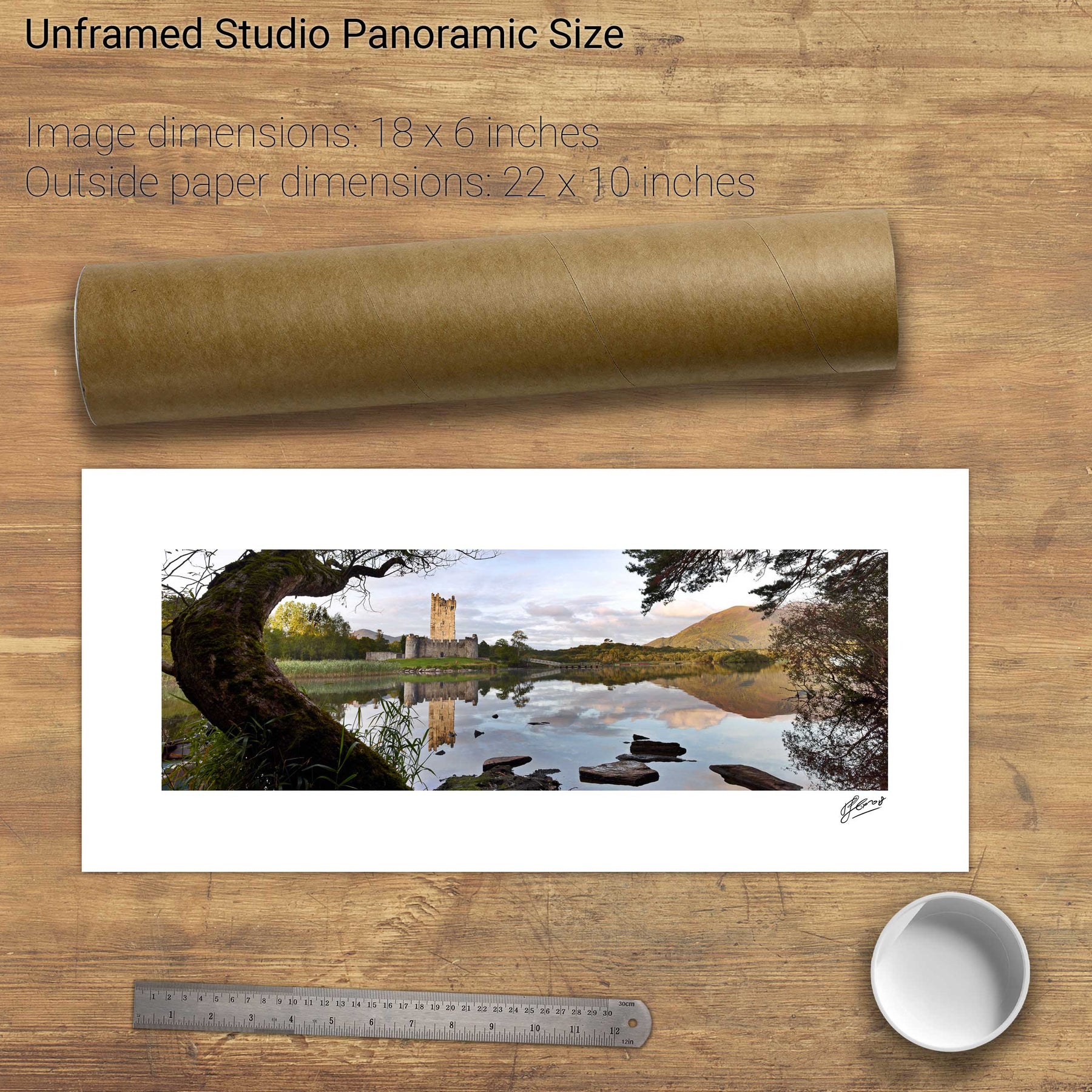
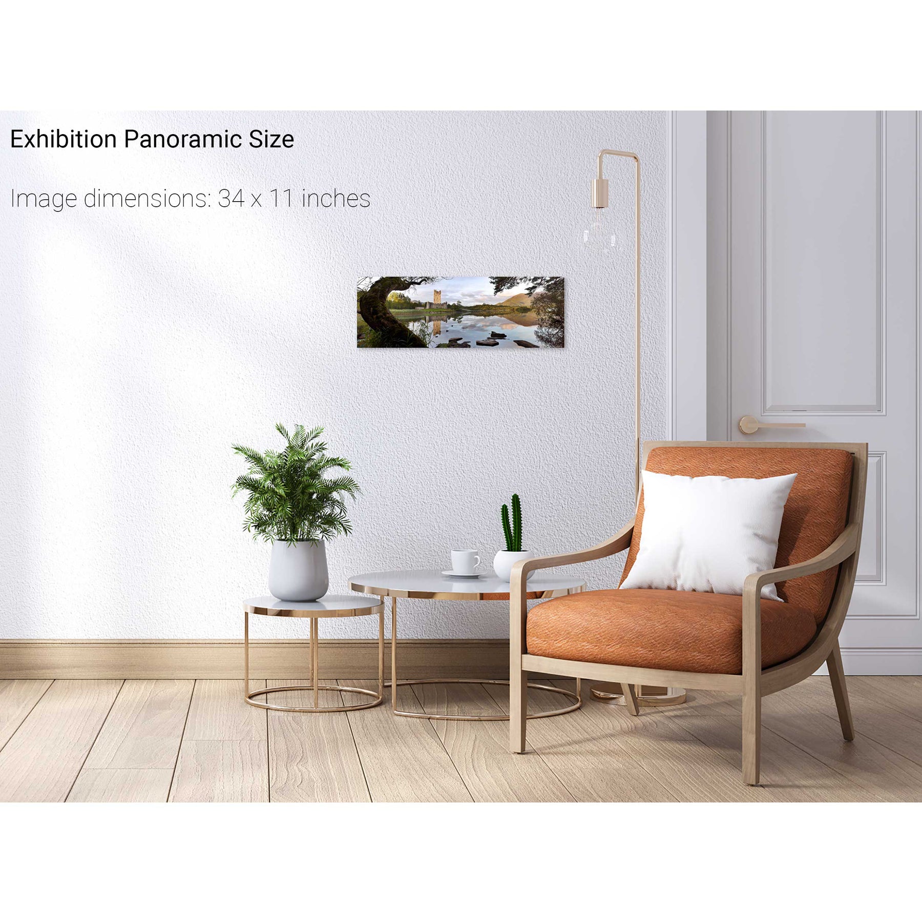
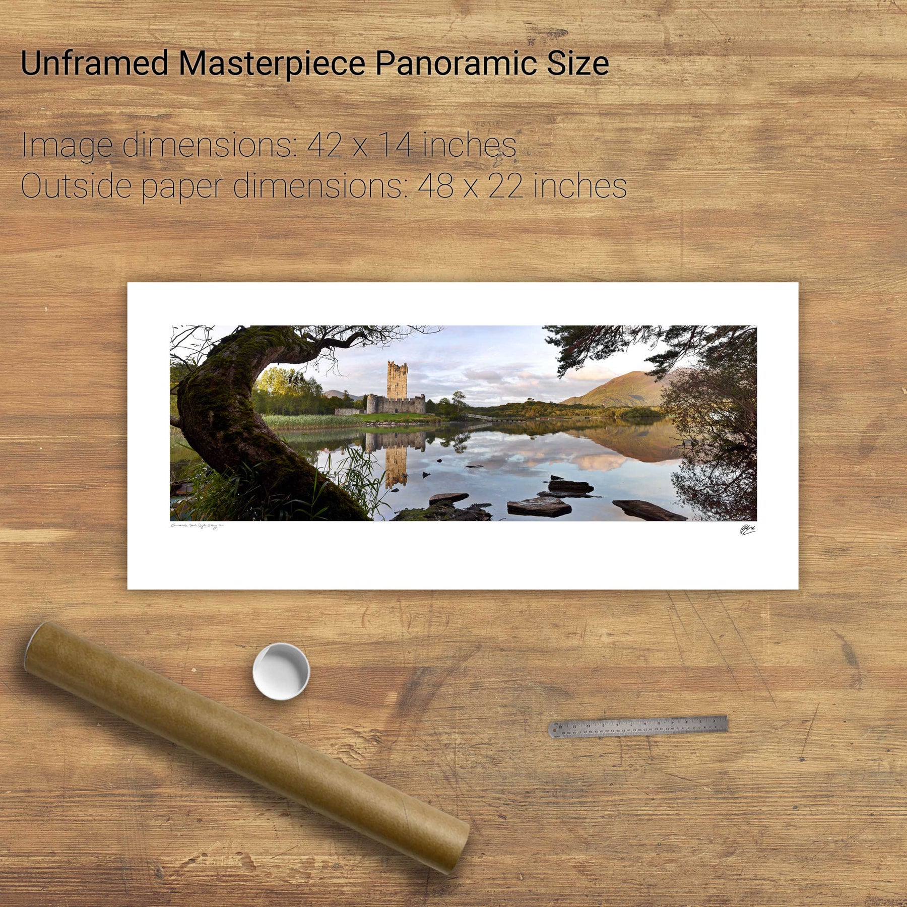
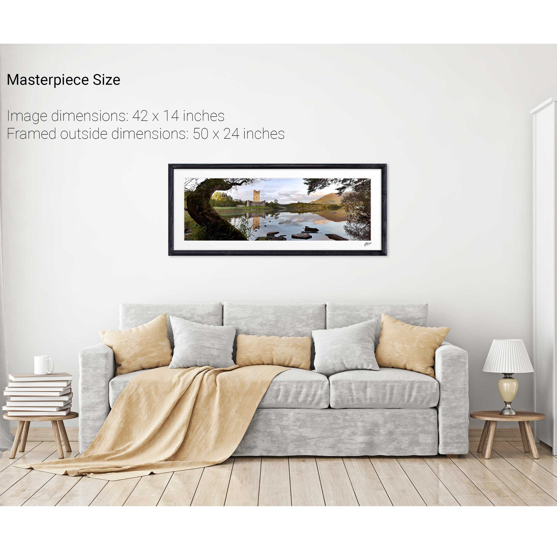
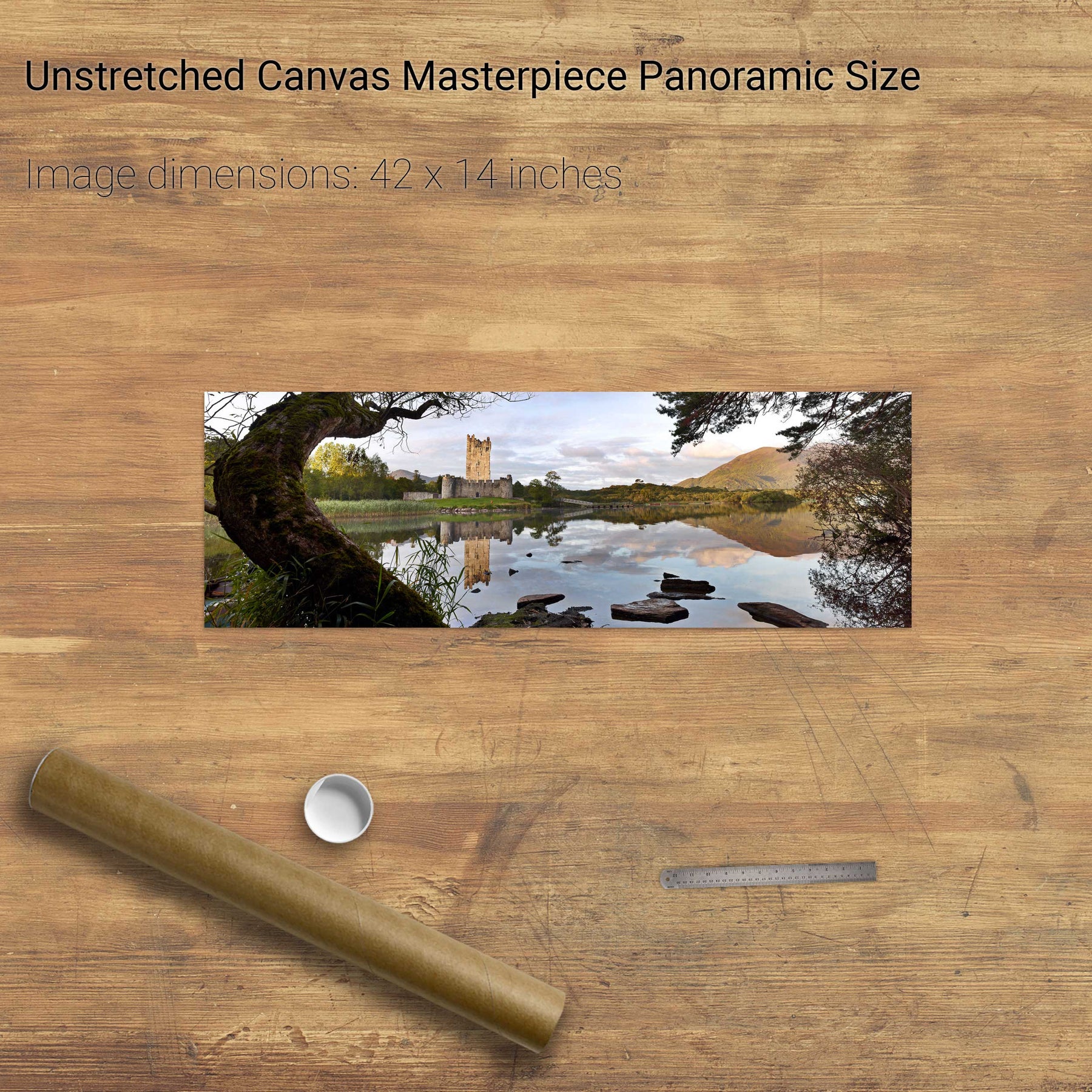
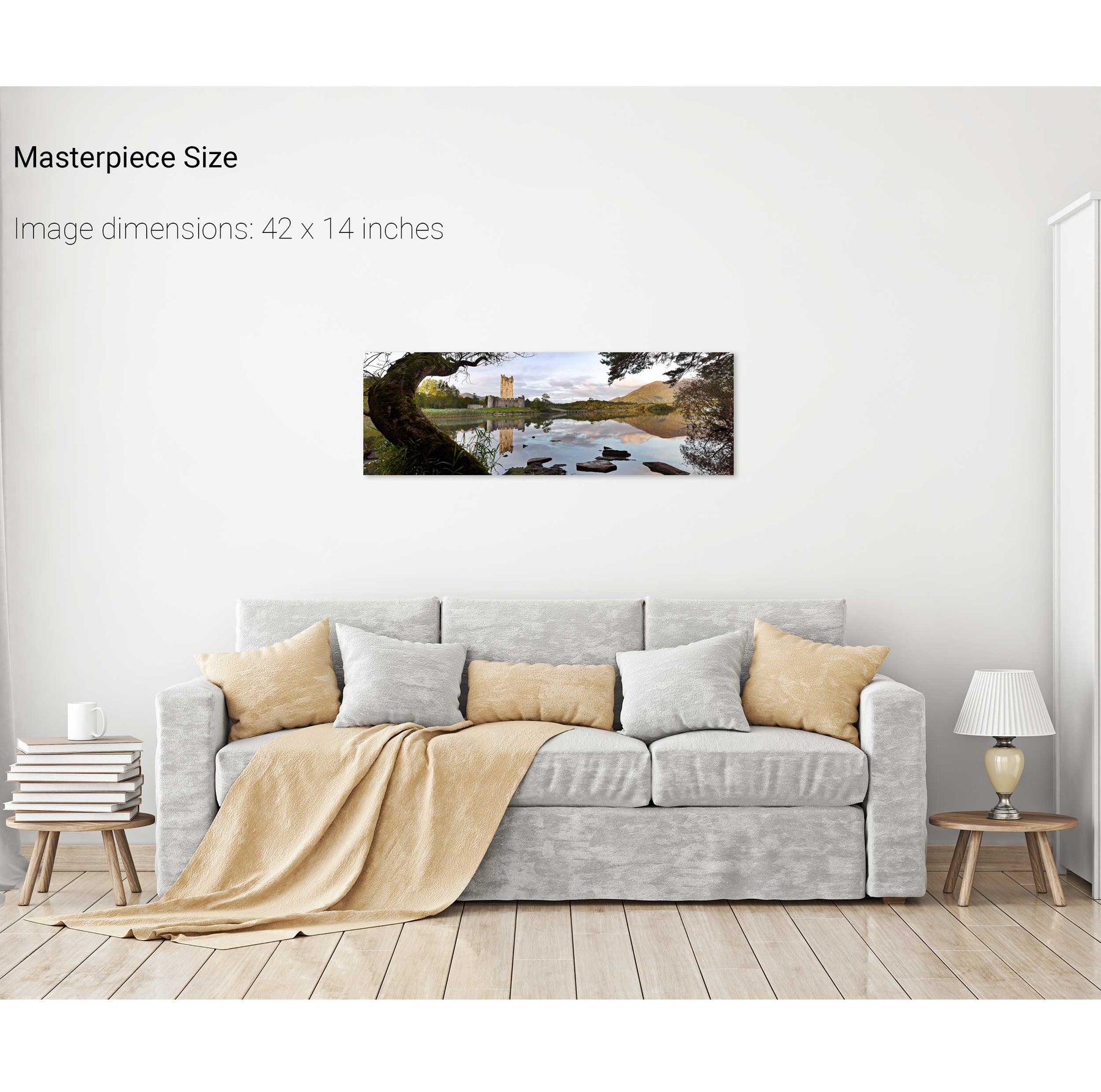
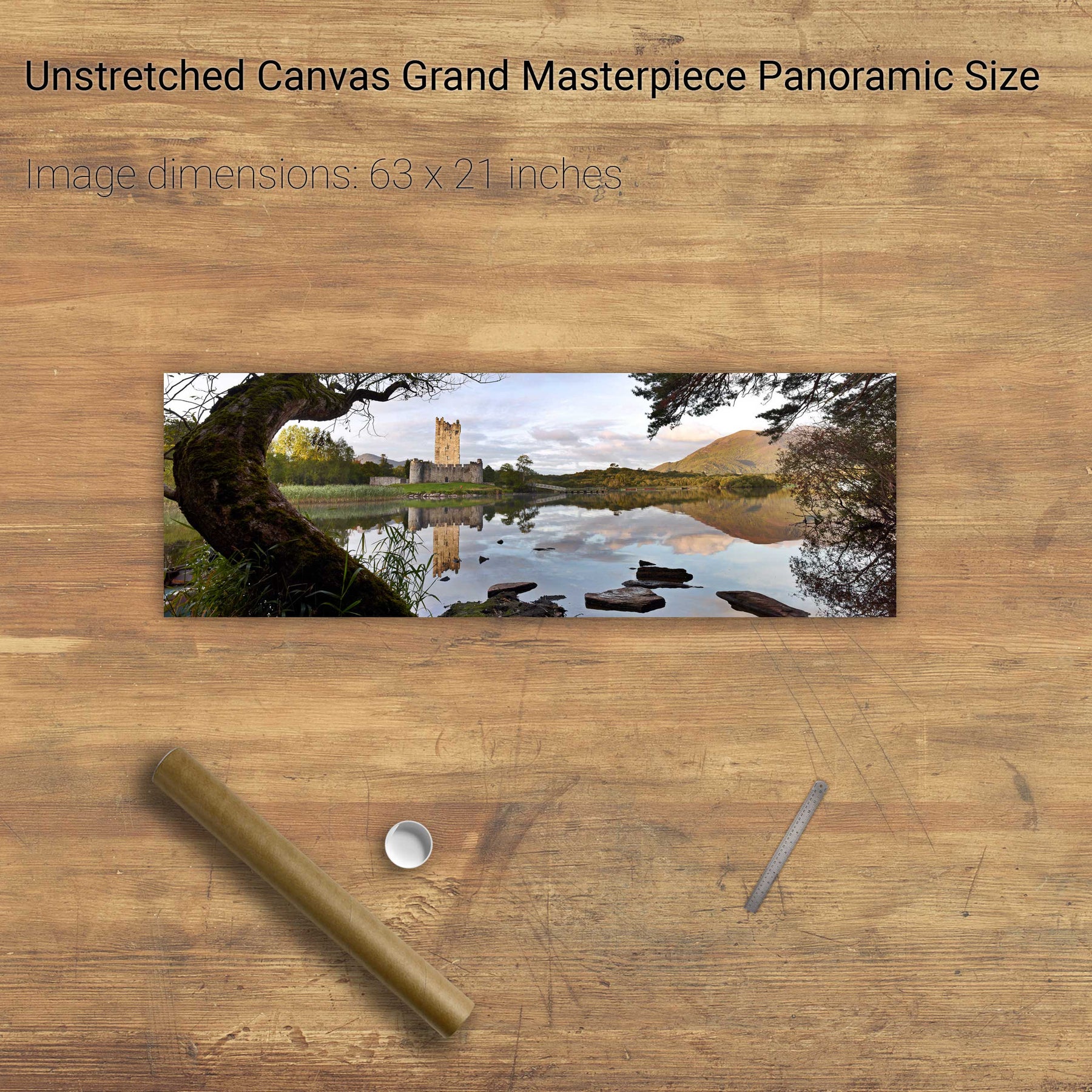
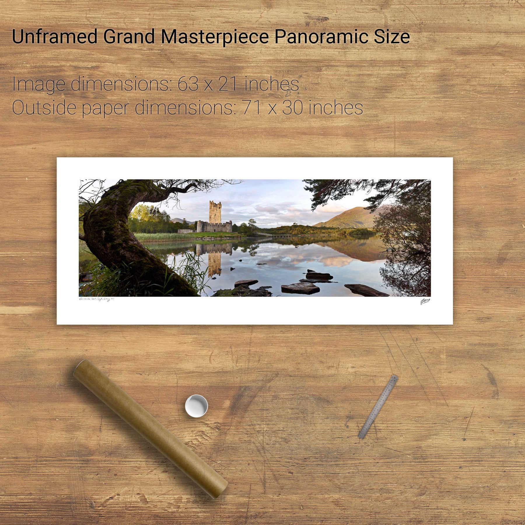
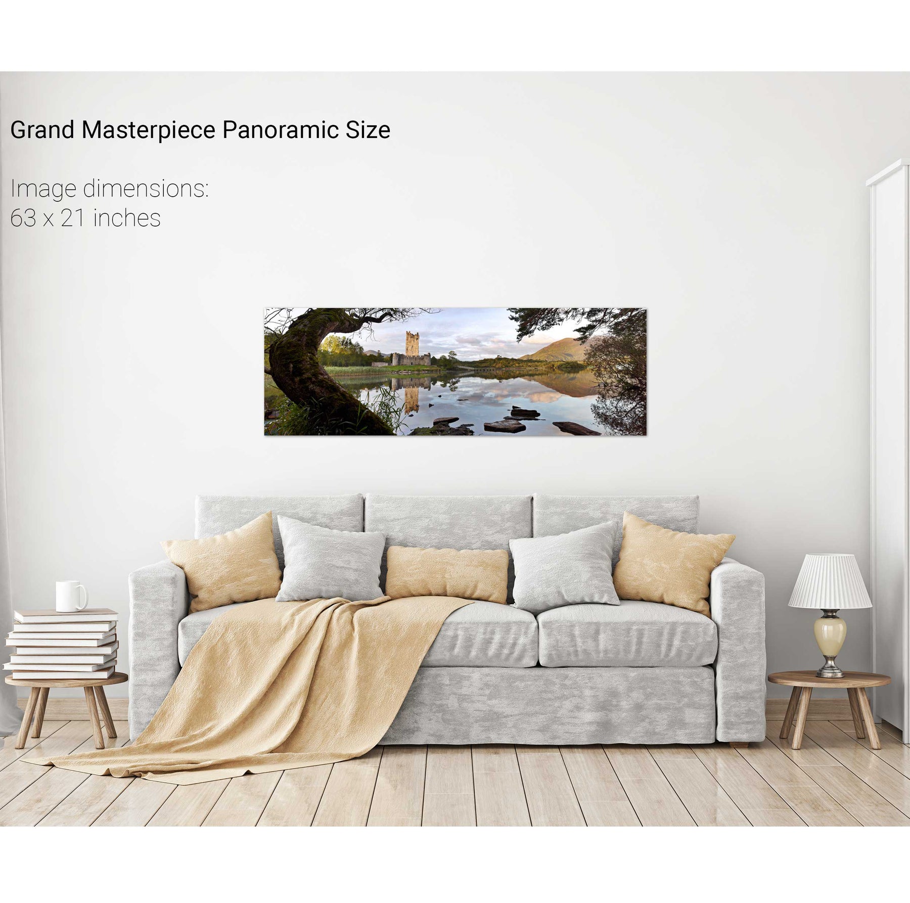
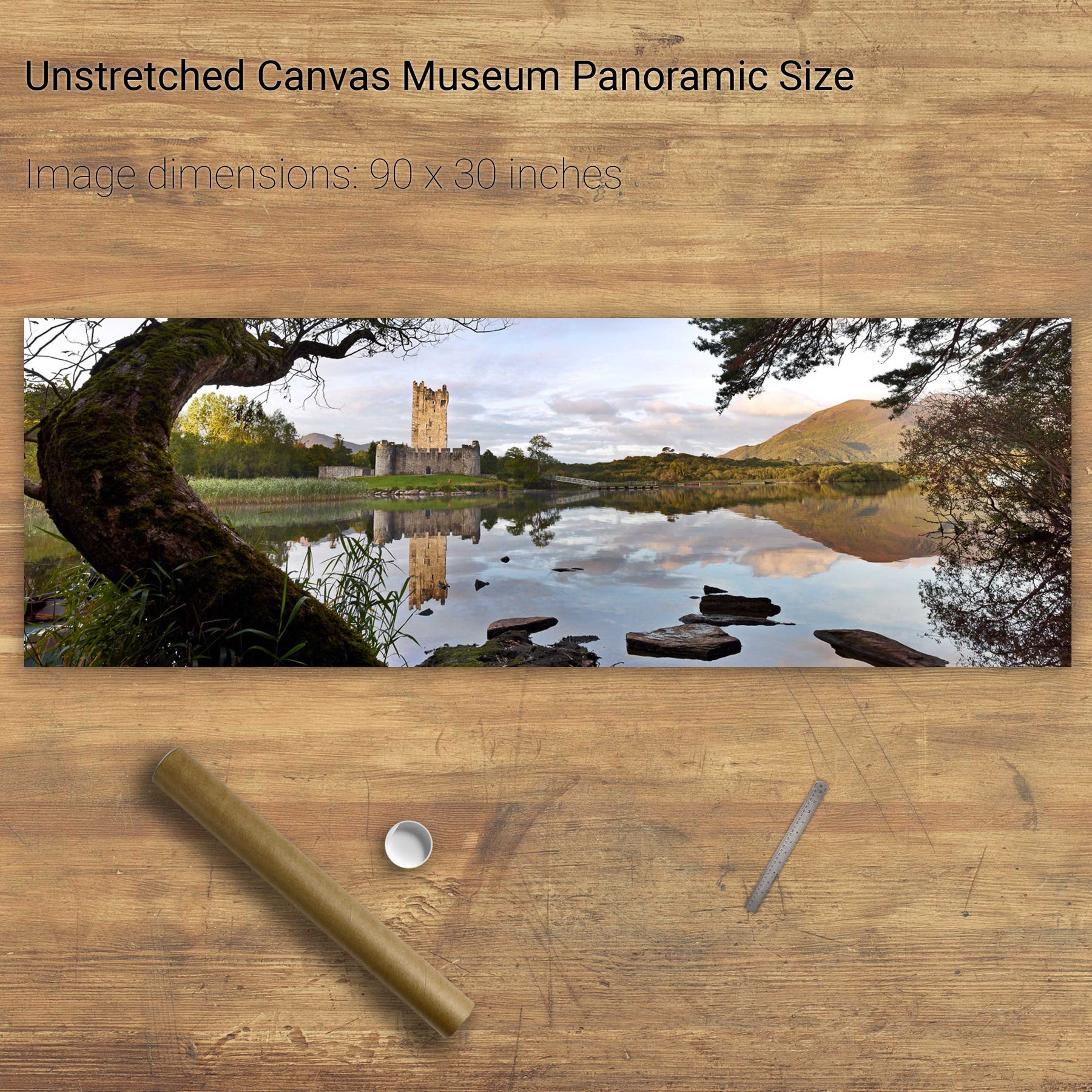
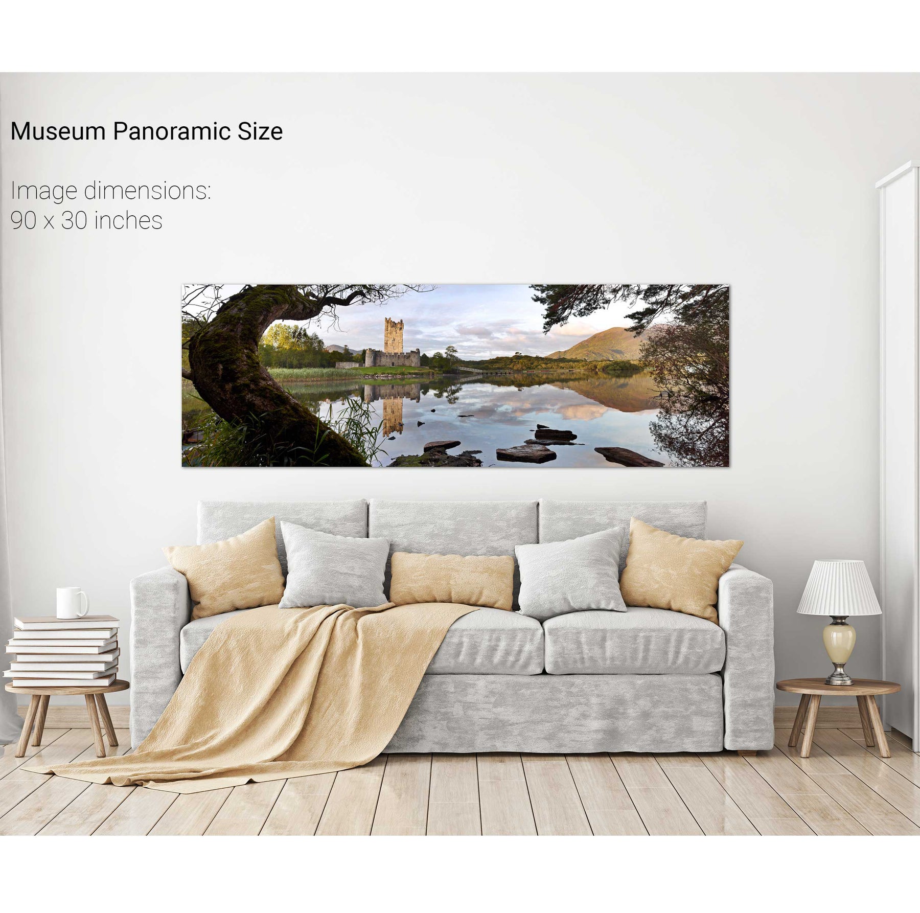
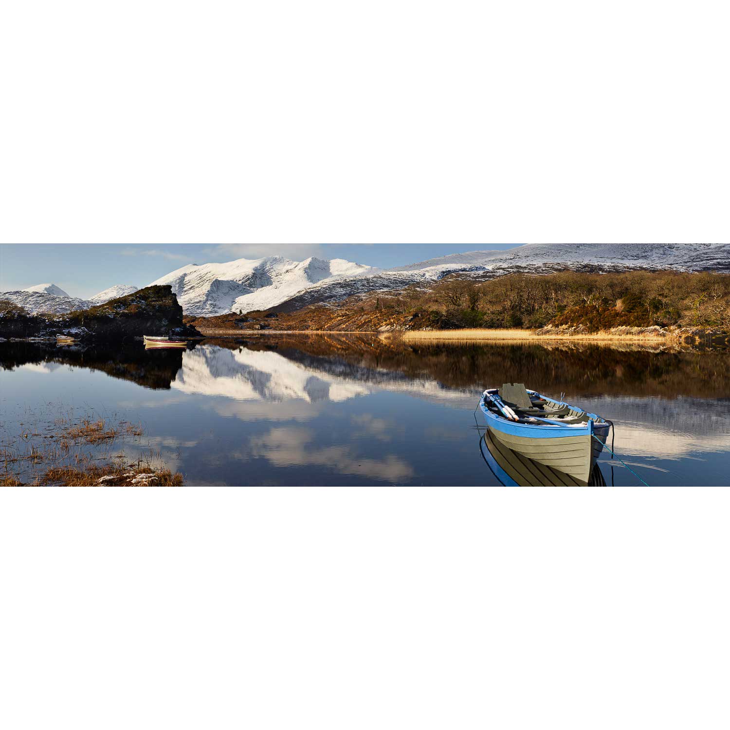
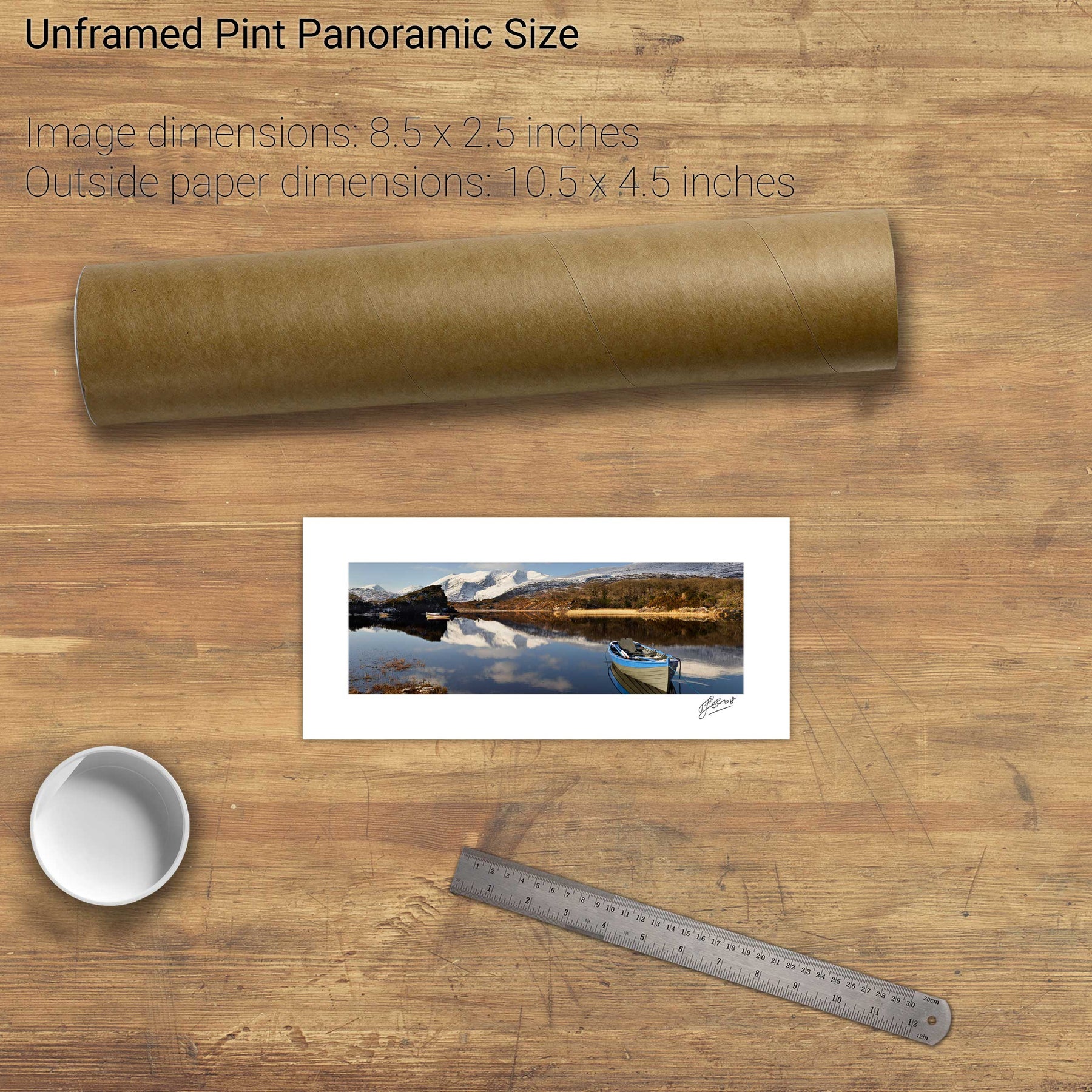
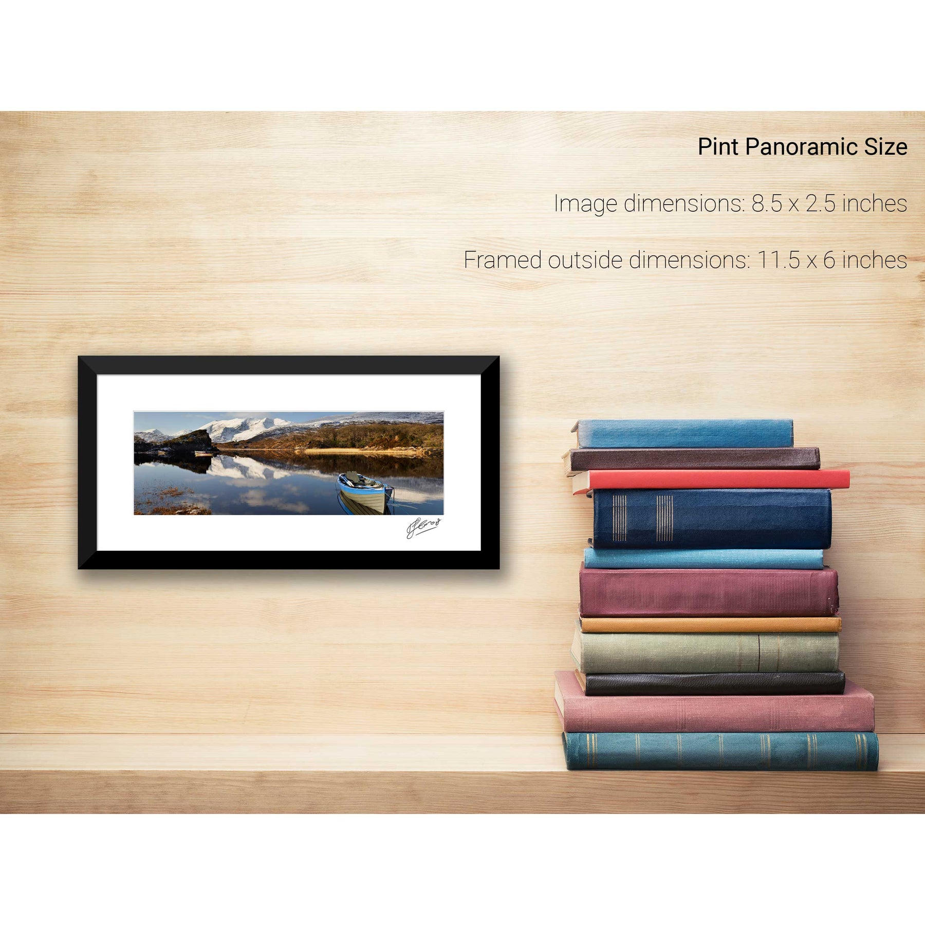
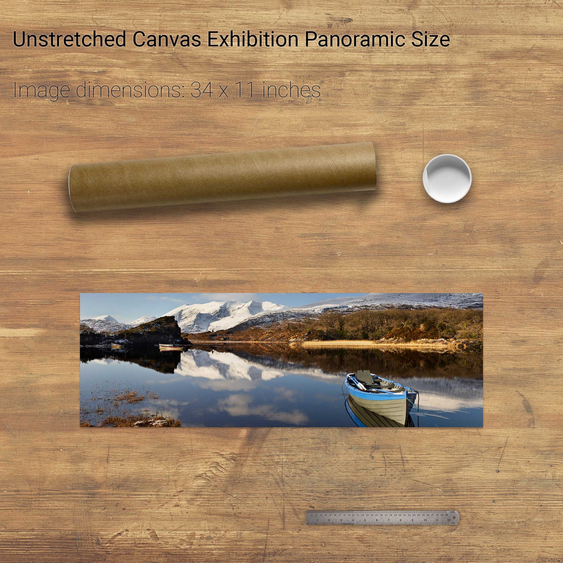
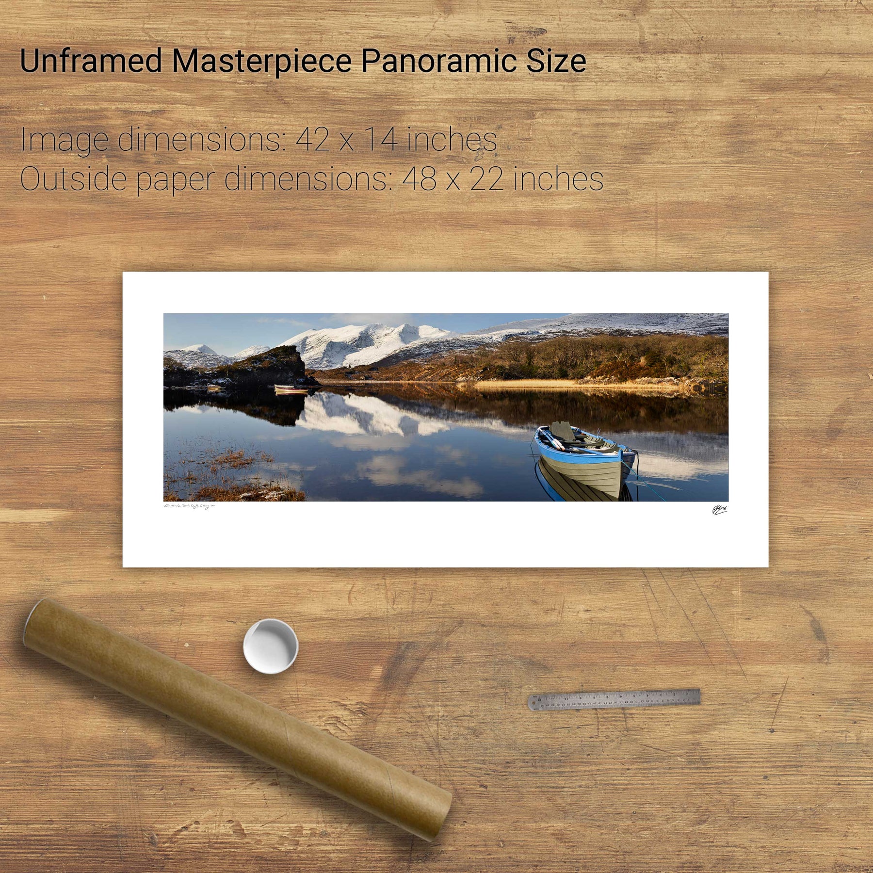
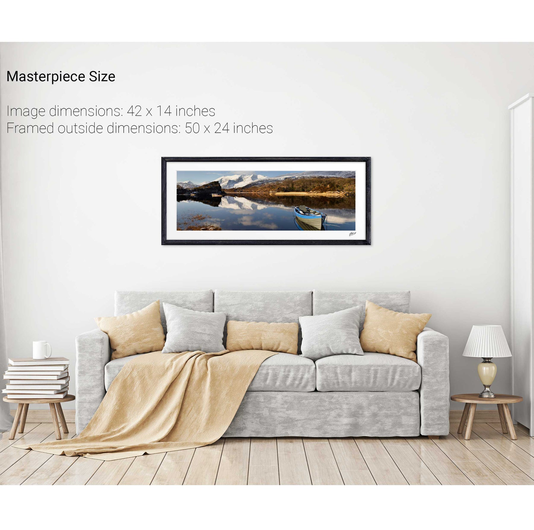
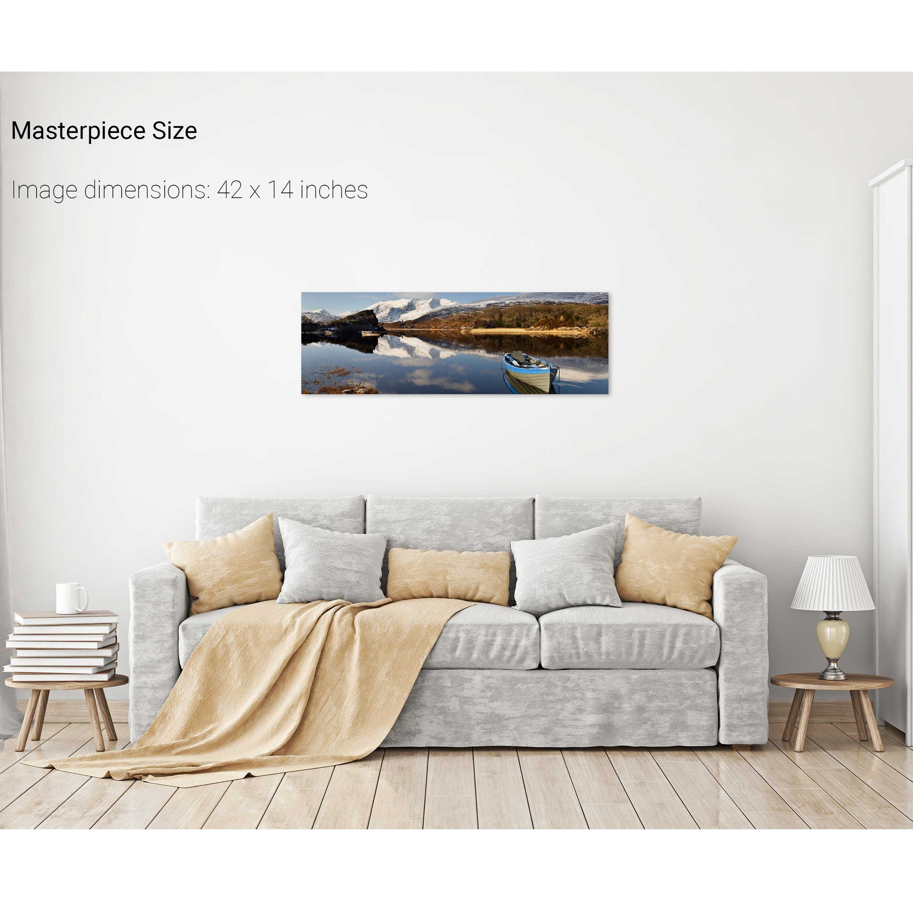
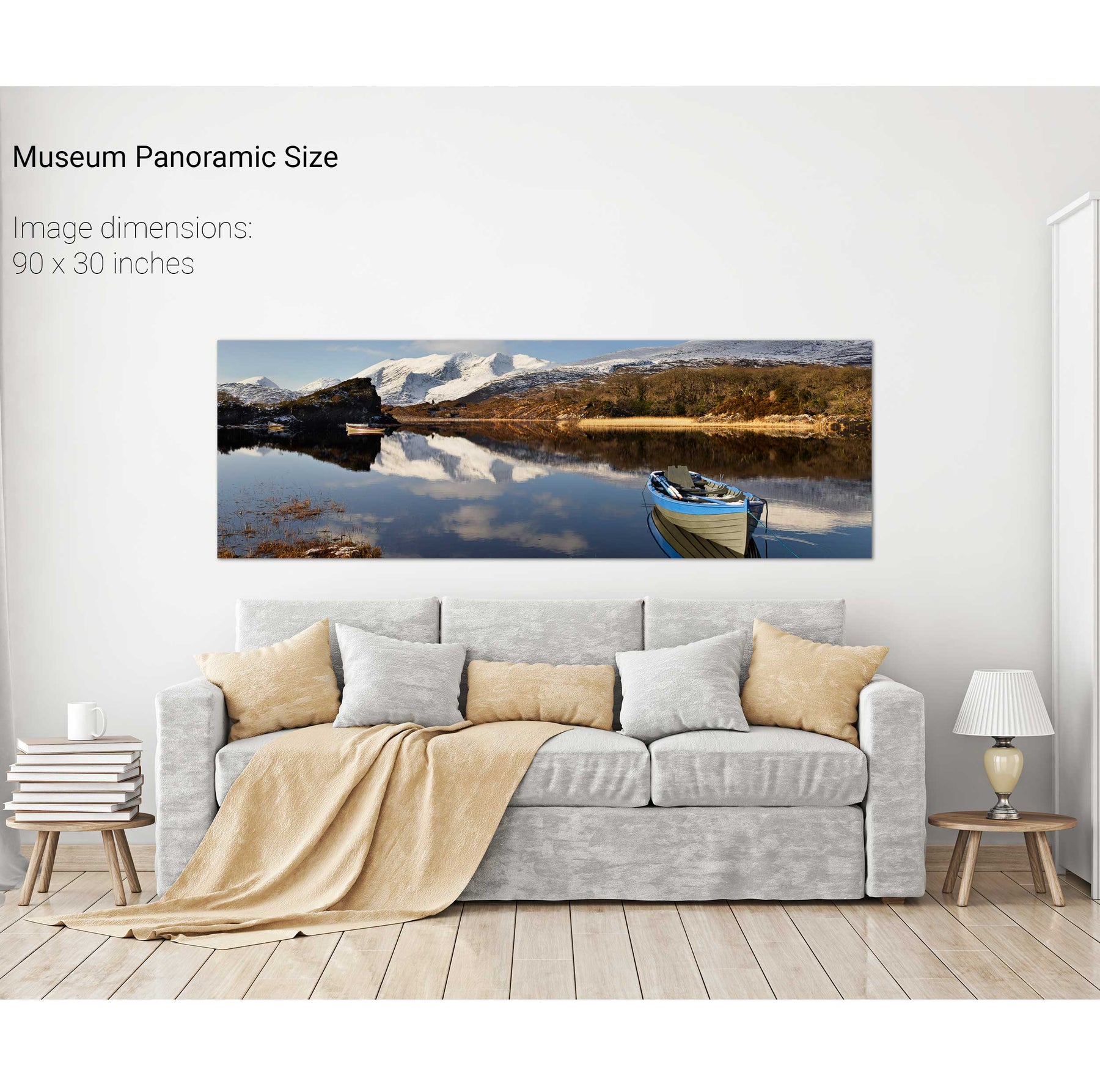
Ross Castle Panoramic, Killarney, Co. Kerry
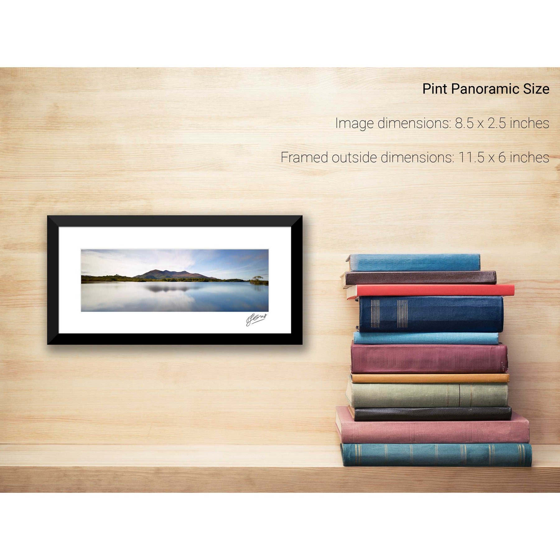
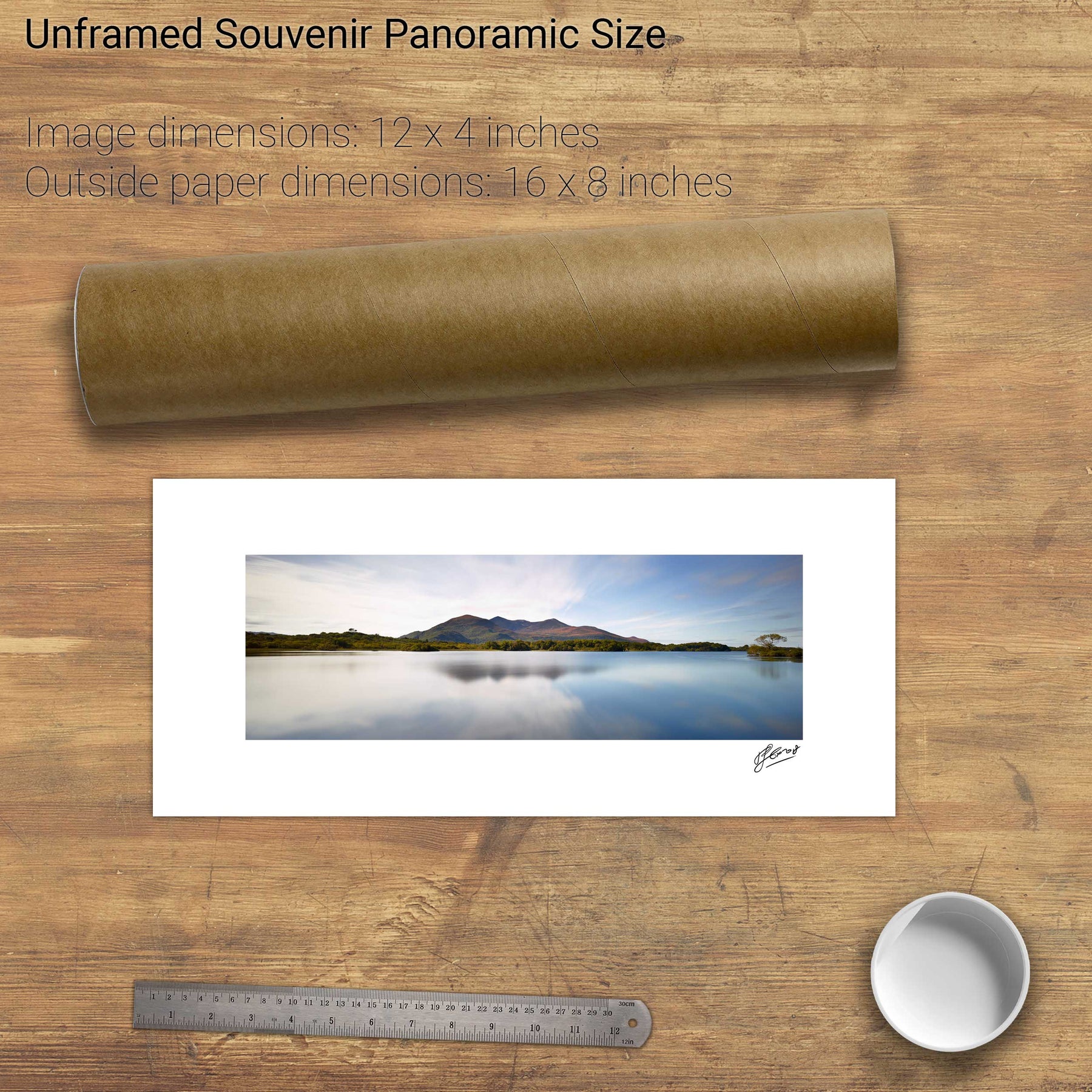
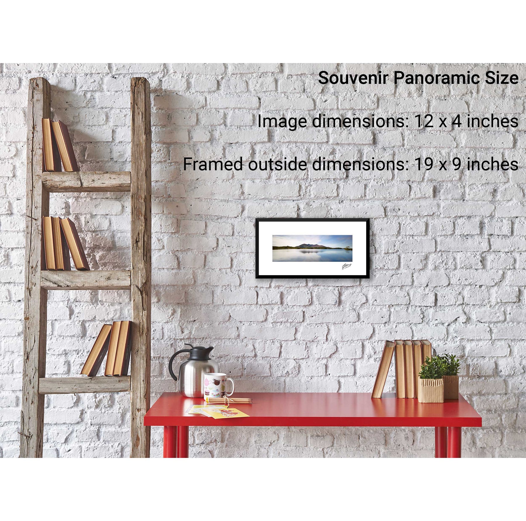
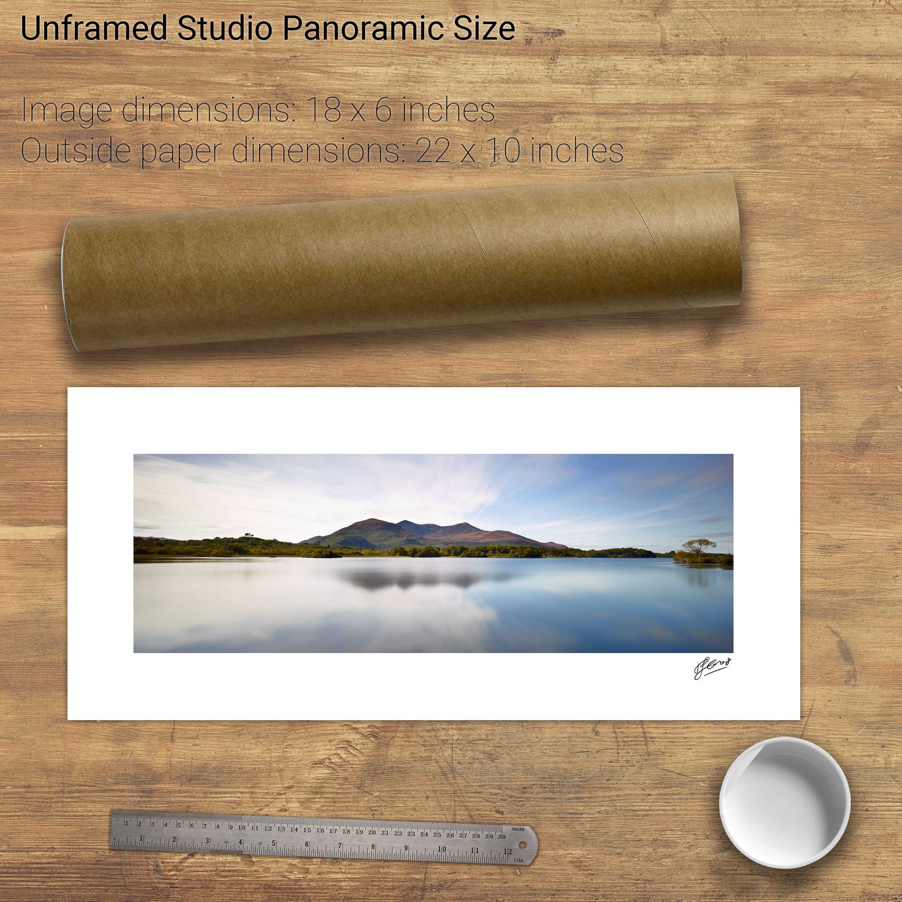
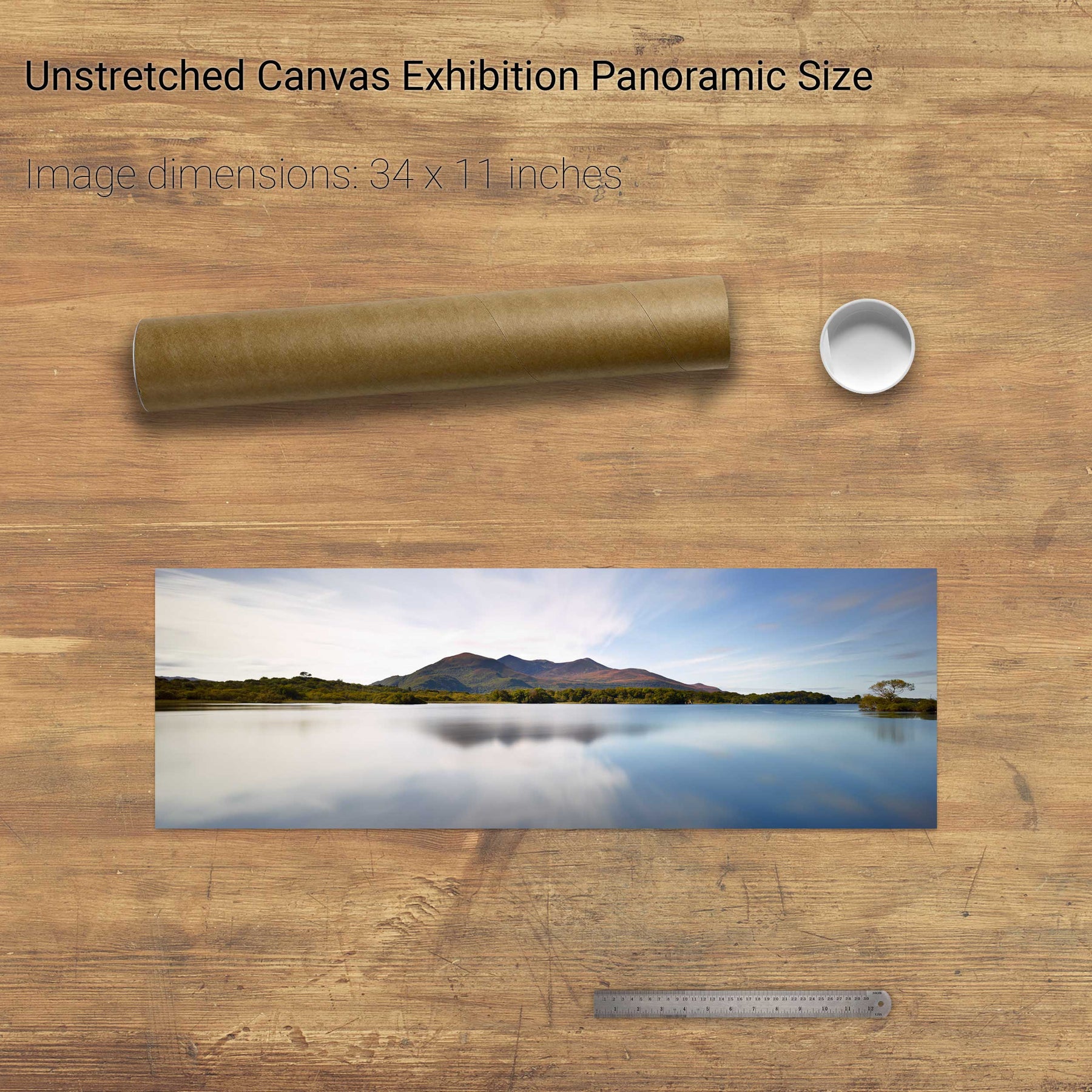
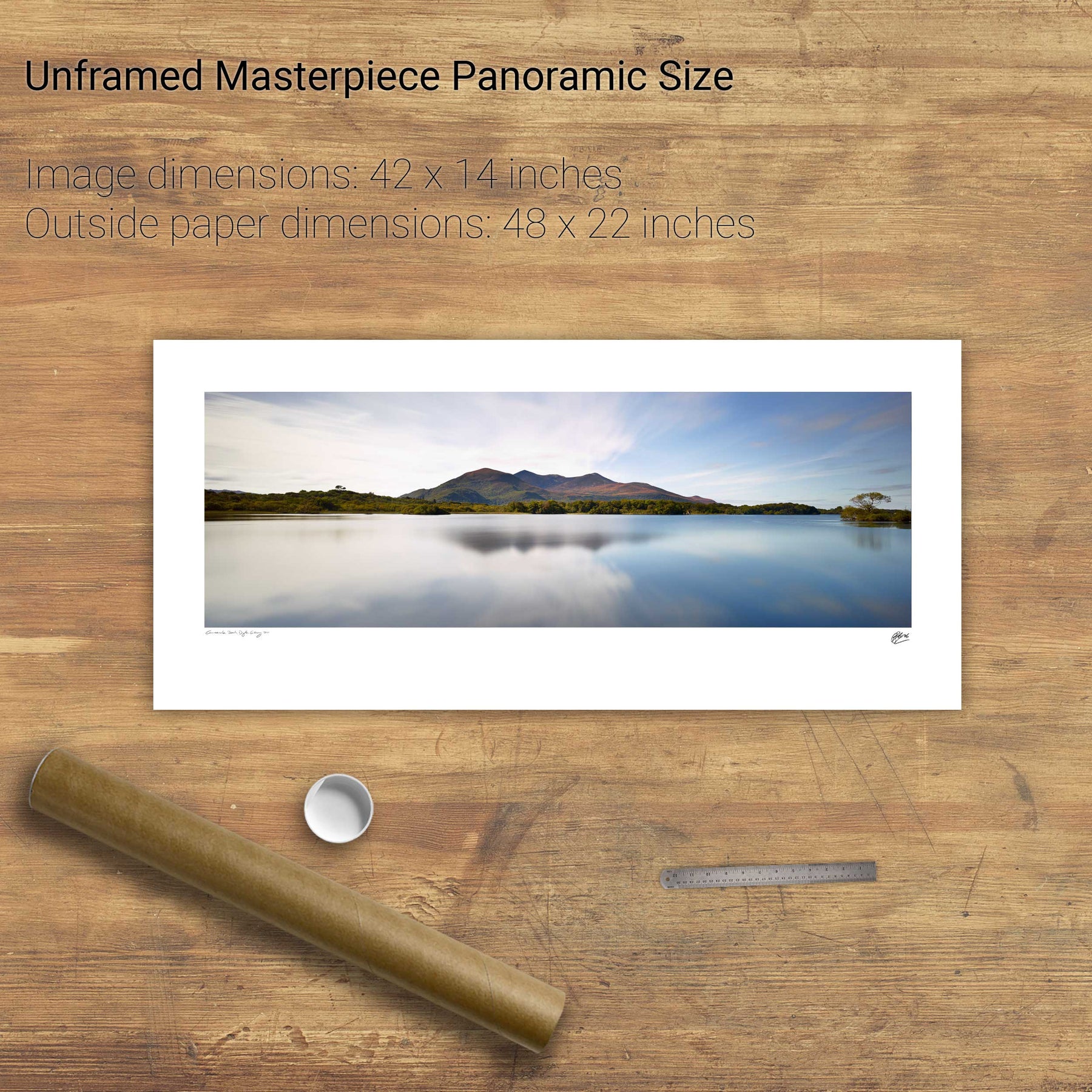
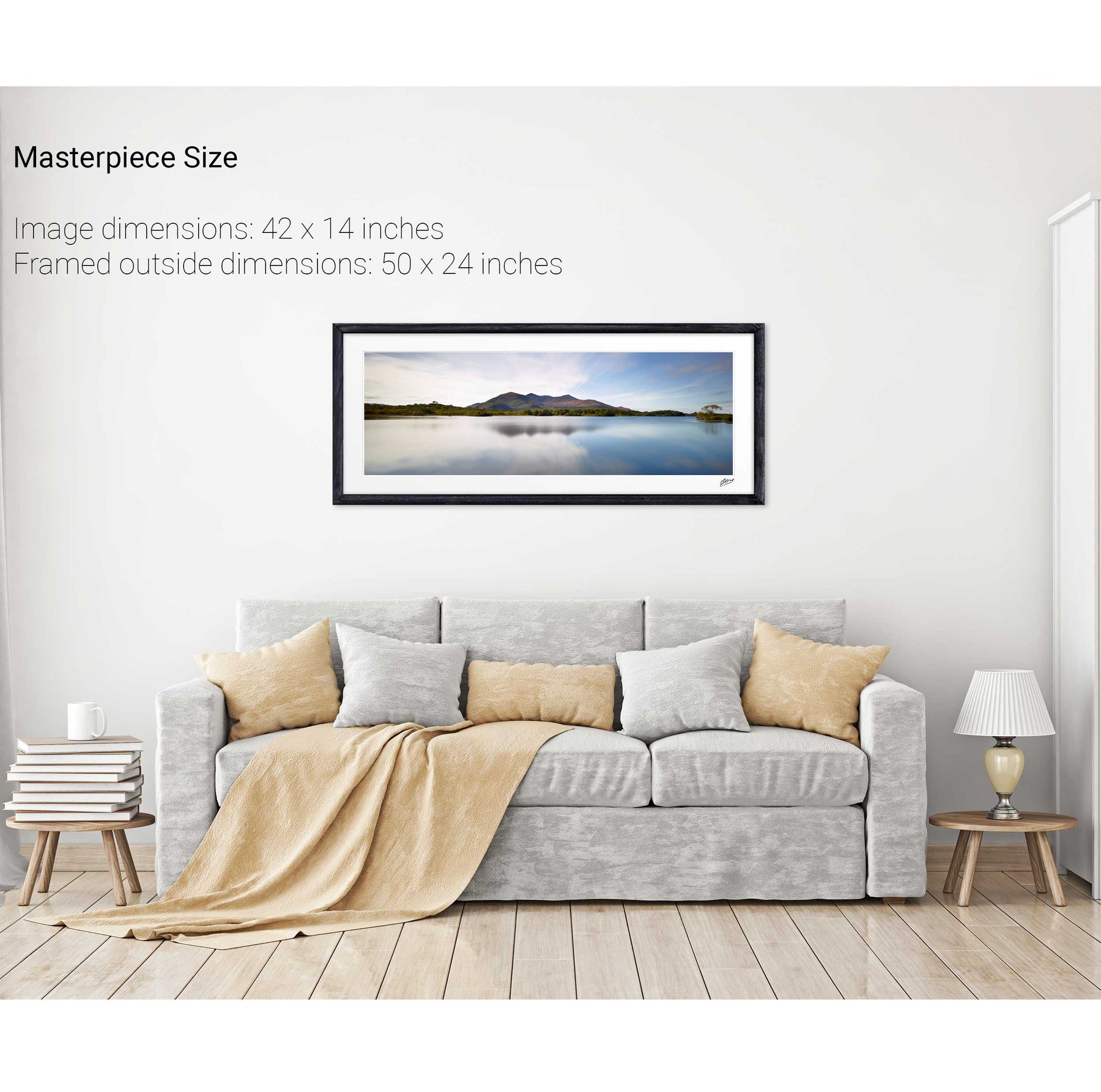
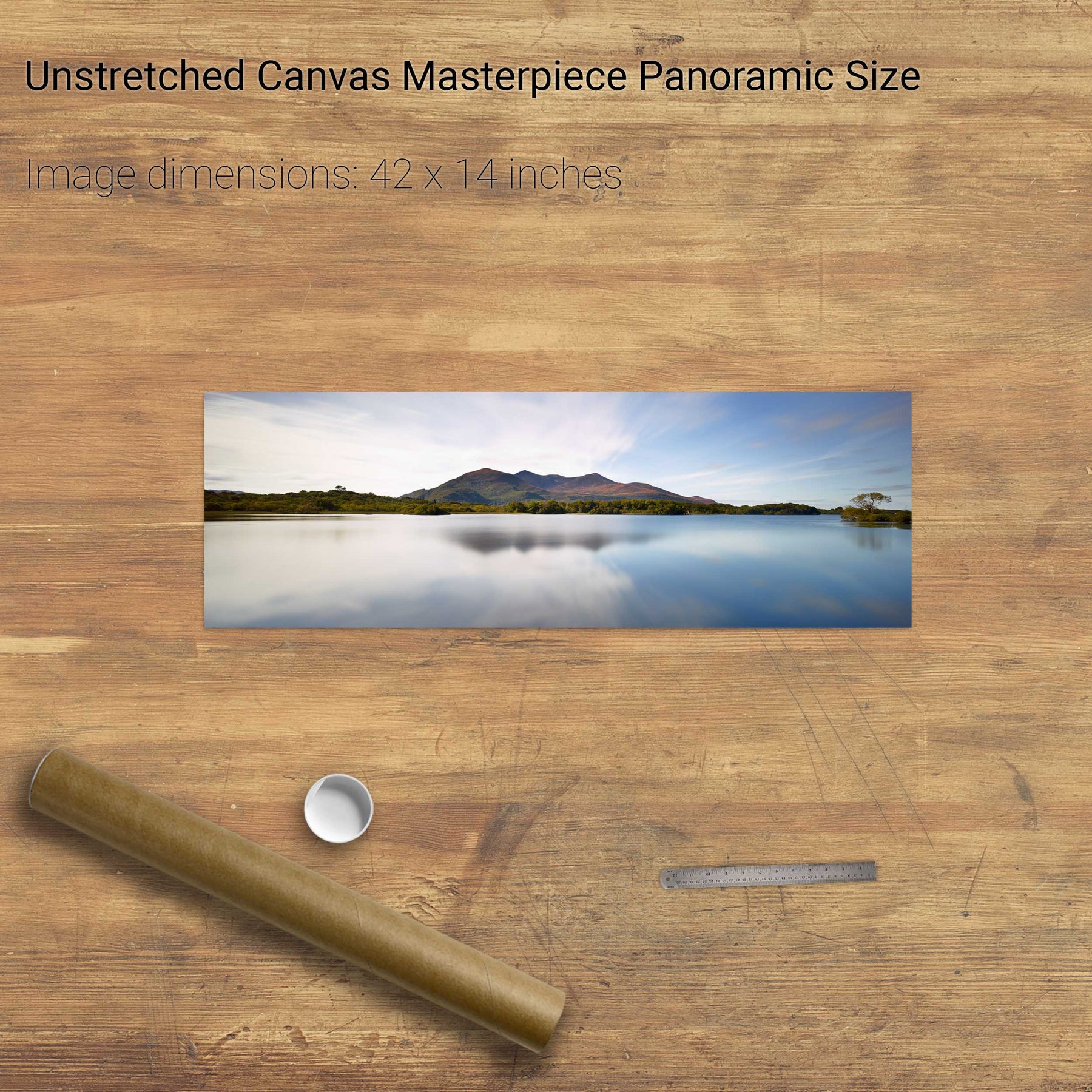
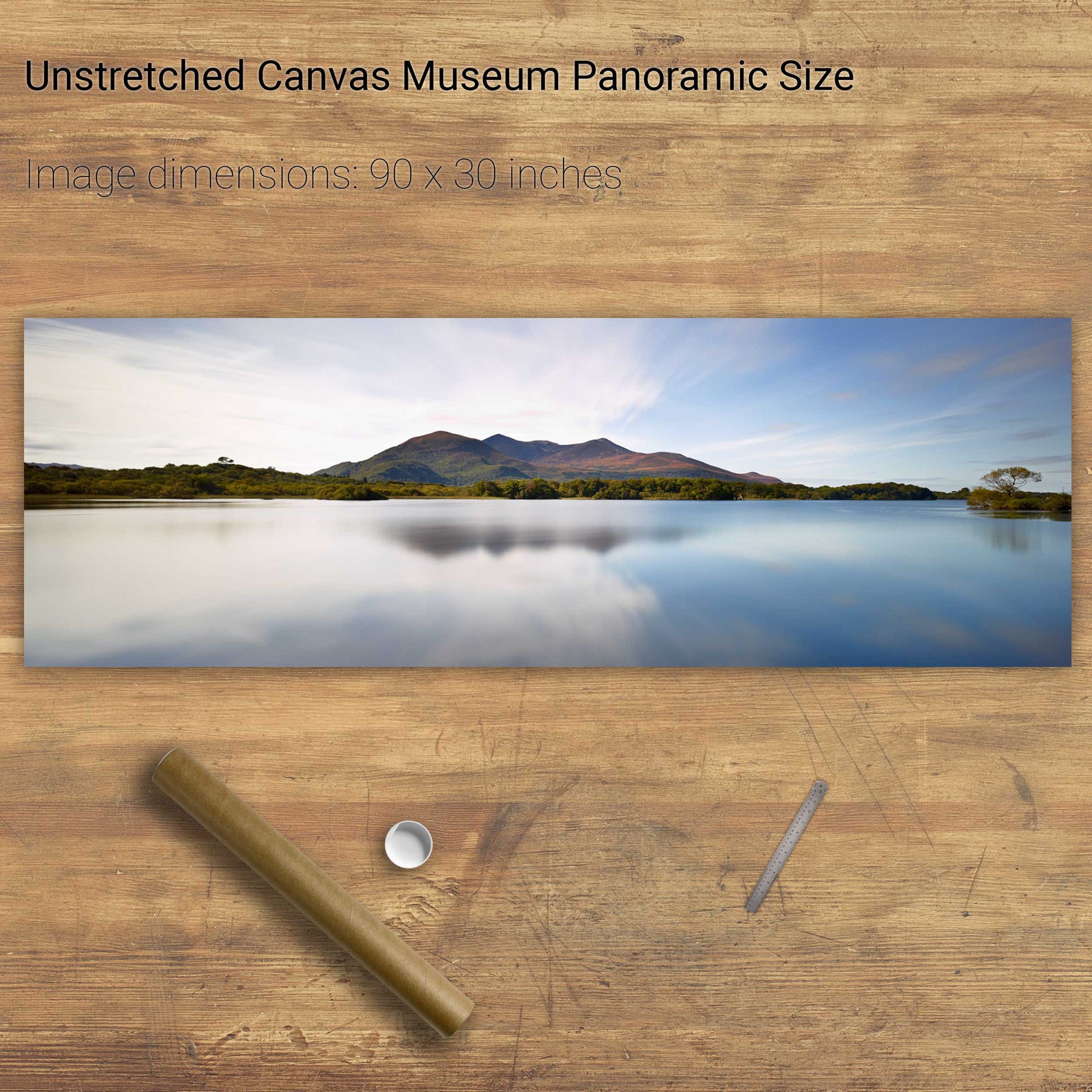
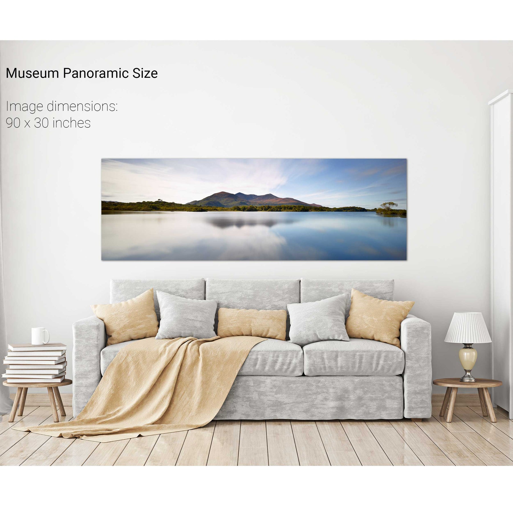
Summer, Lough Leane, Co. Kerry
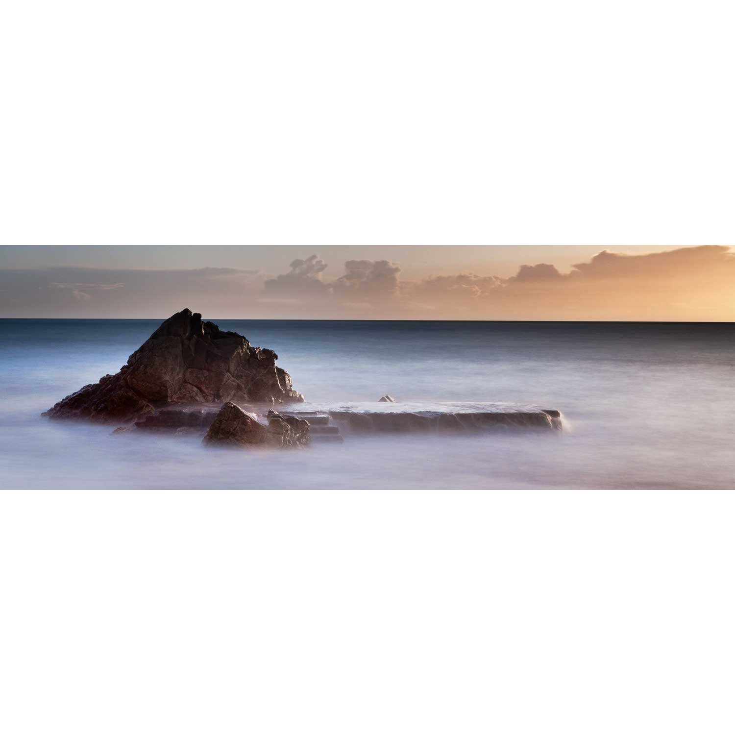
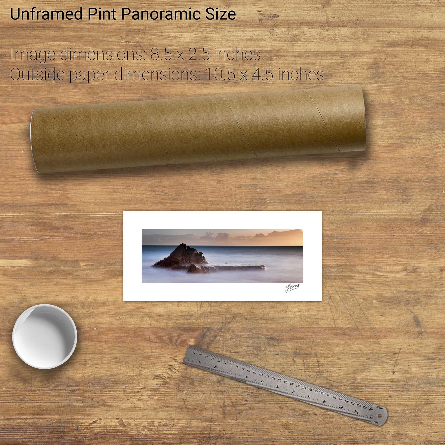
The White Rock, Killiney Bay, Co. Dublin
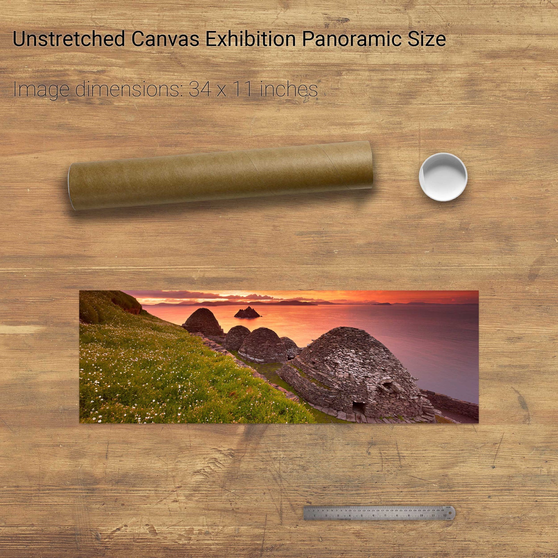
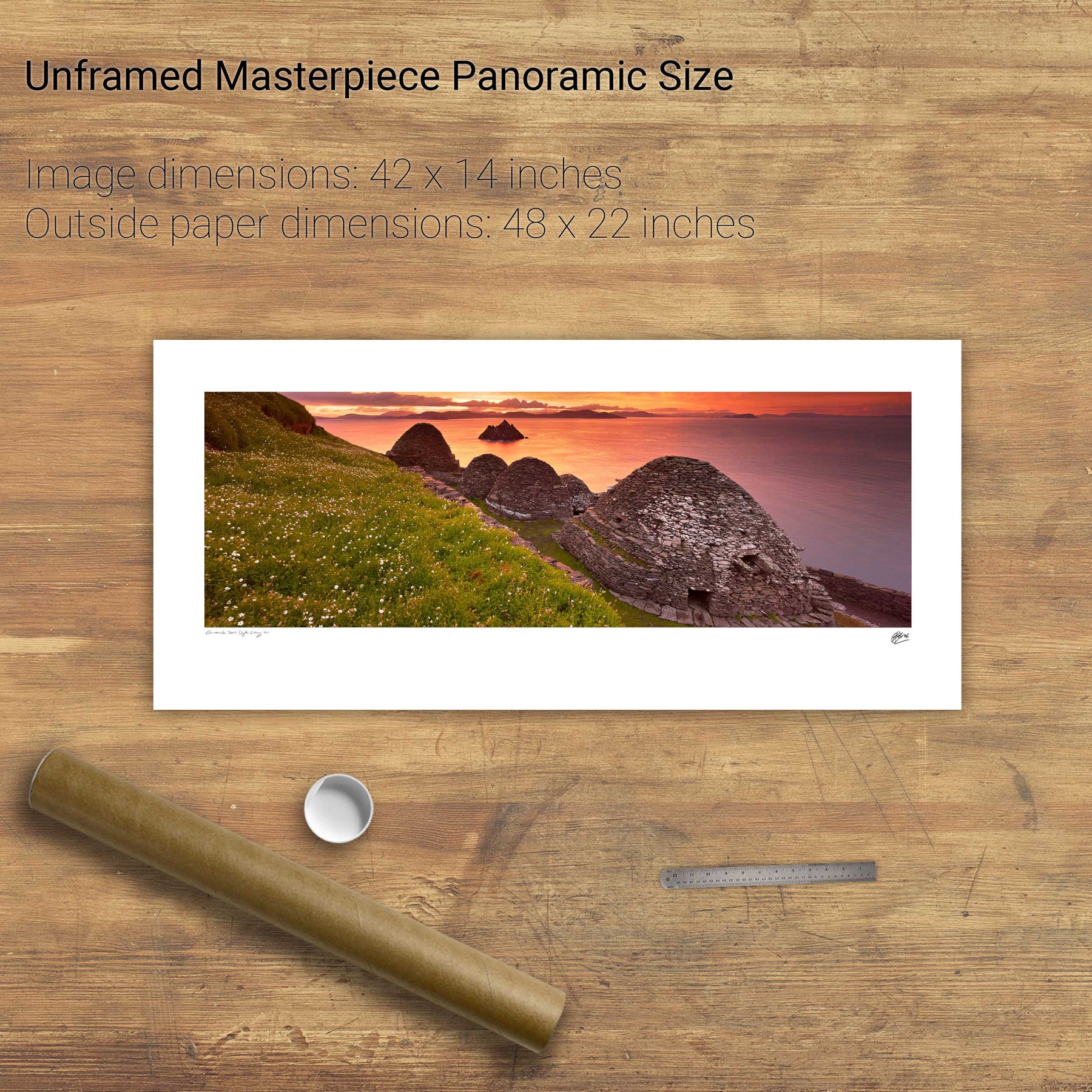
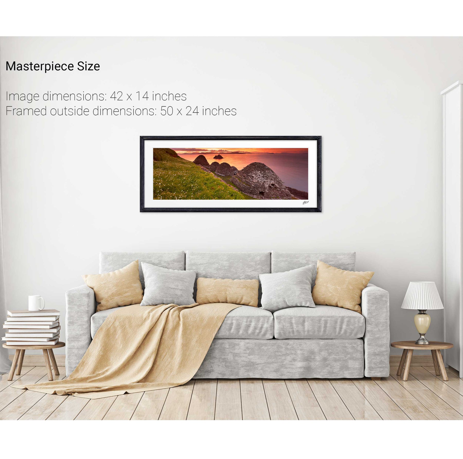
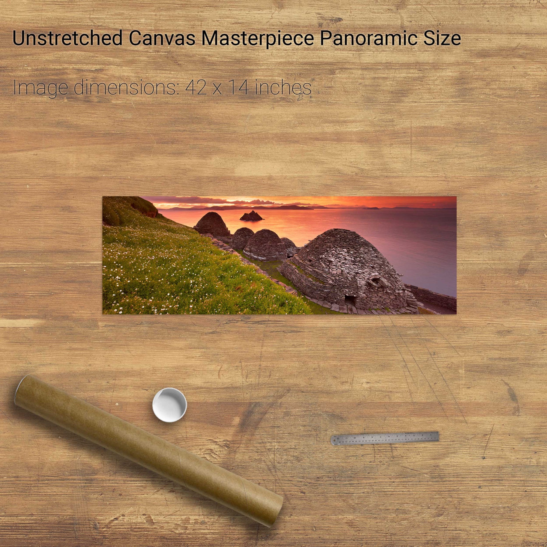
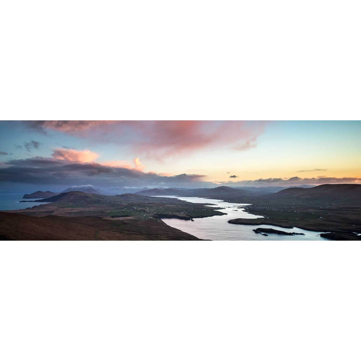
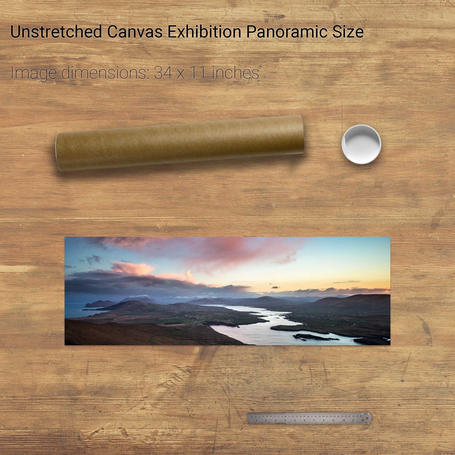
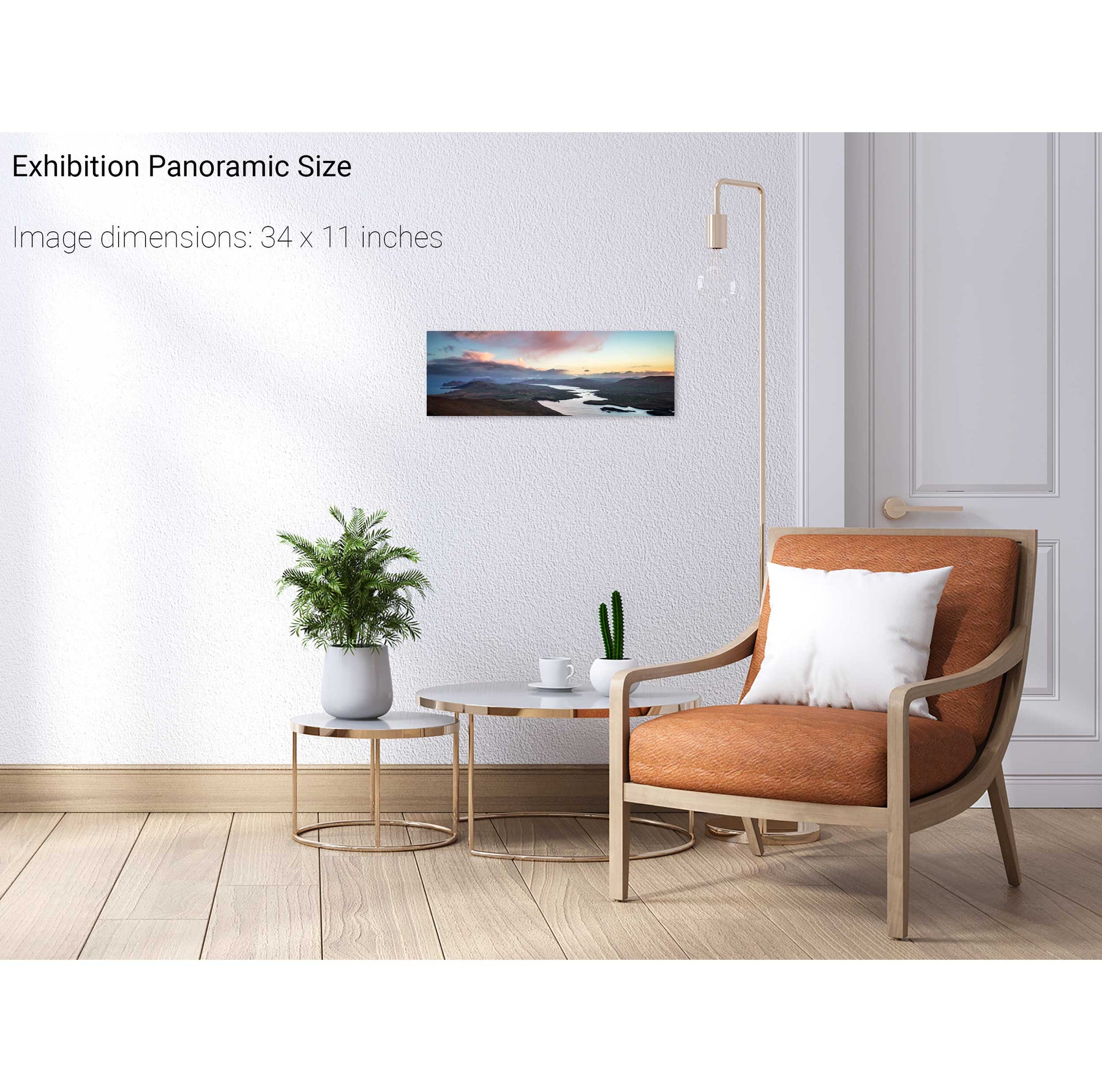
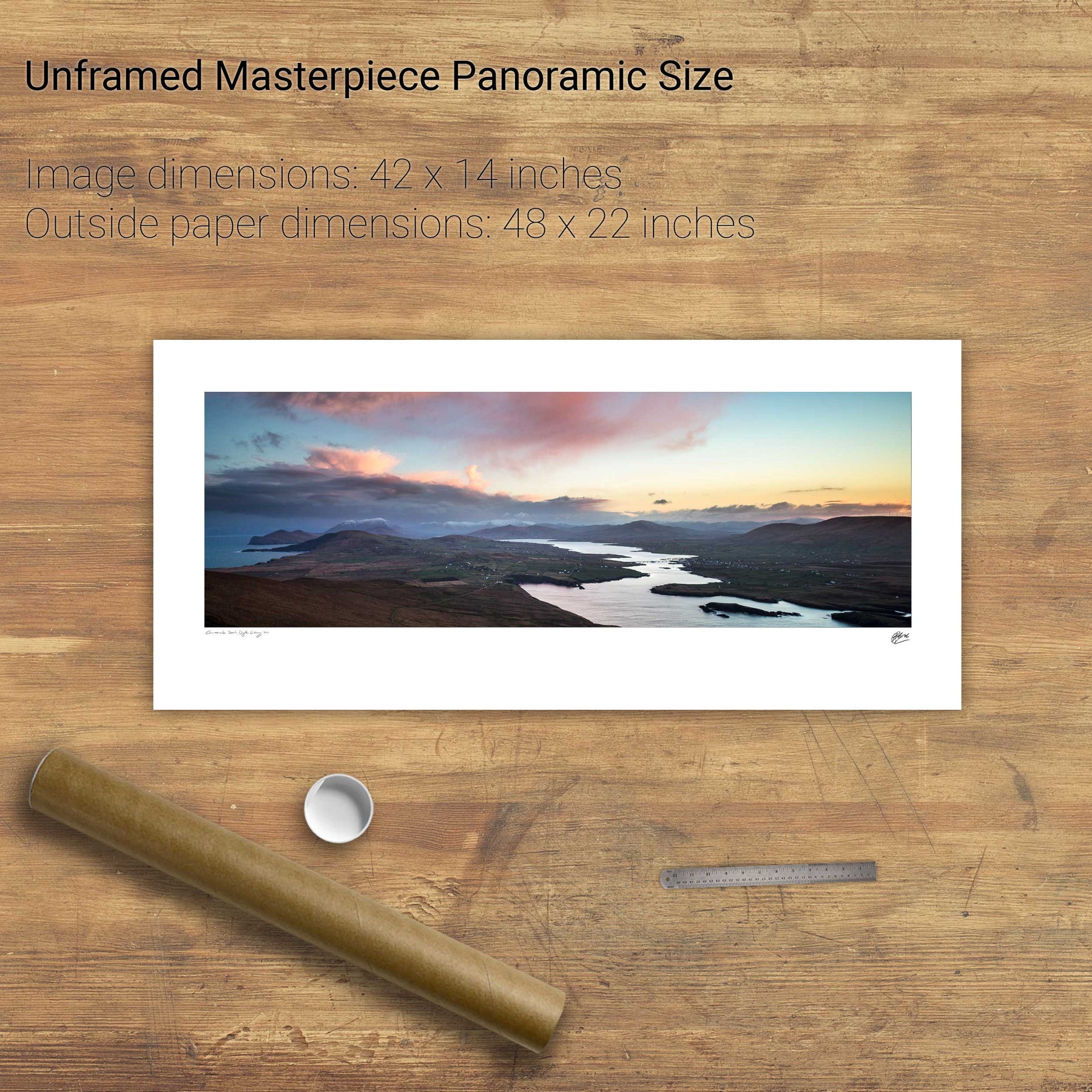
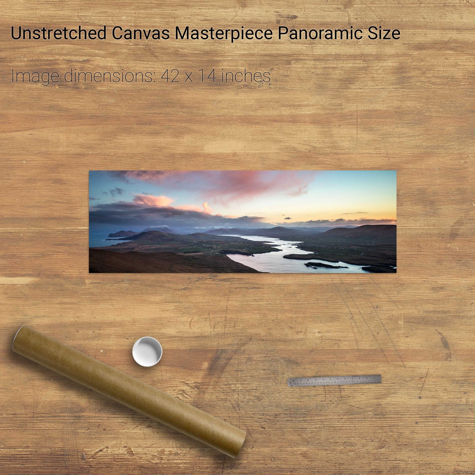
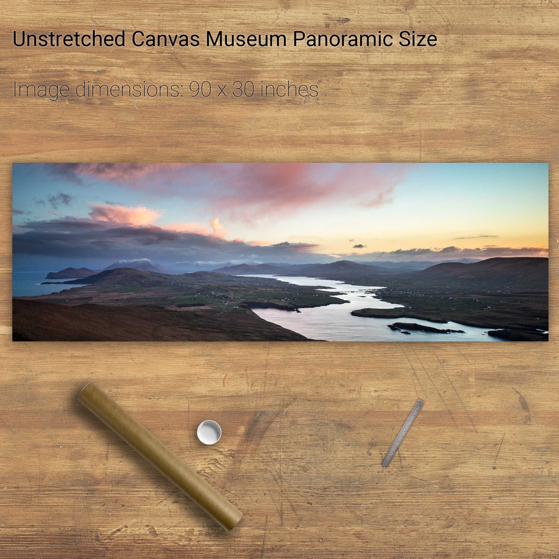
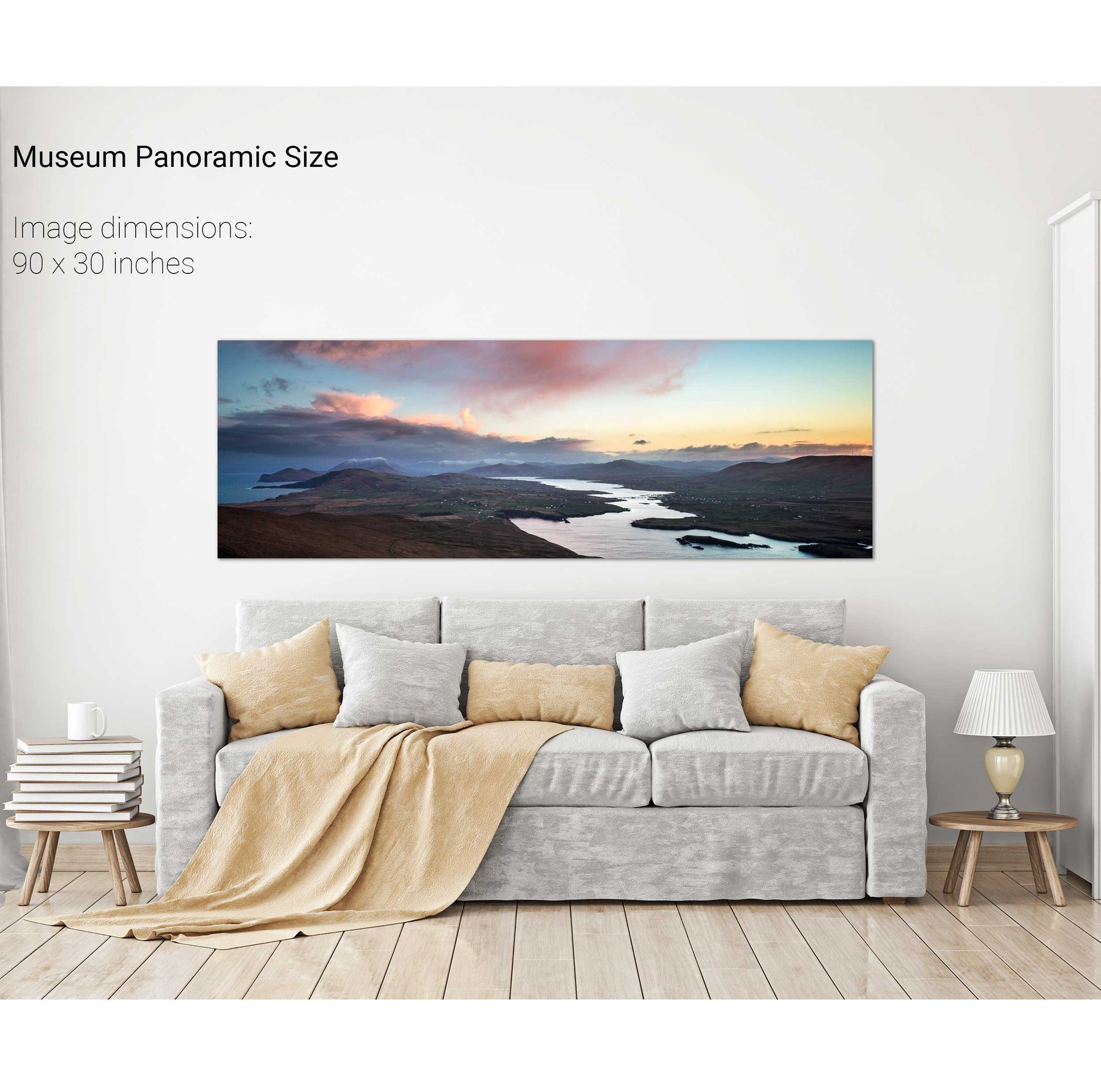
Valentia Sound, Co. Kerry
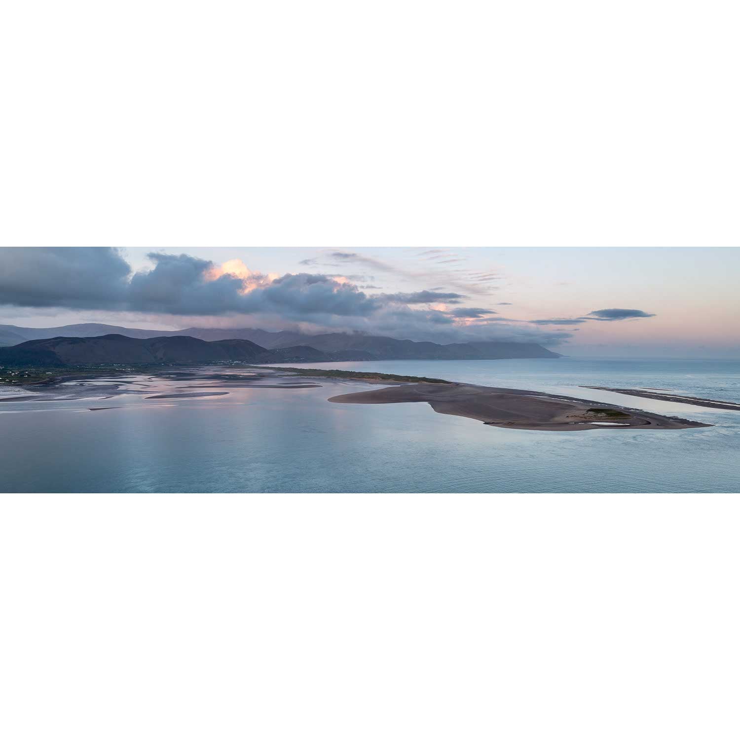
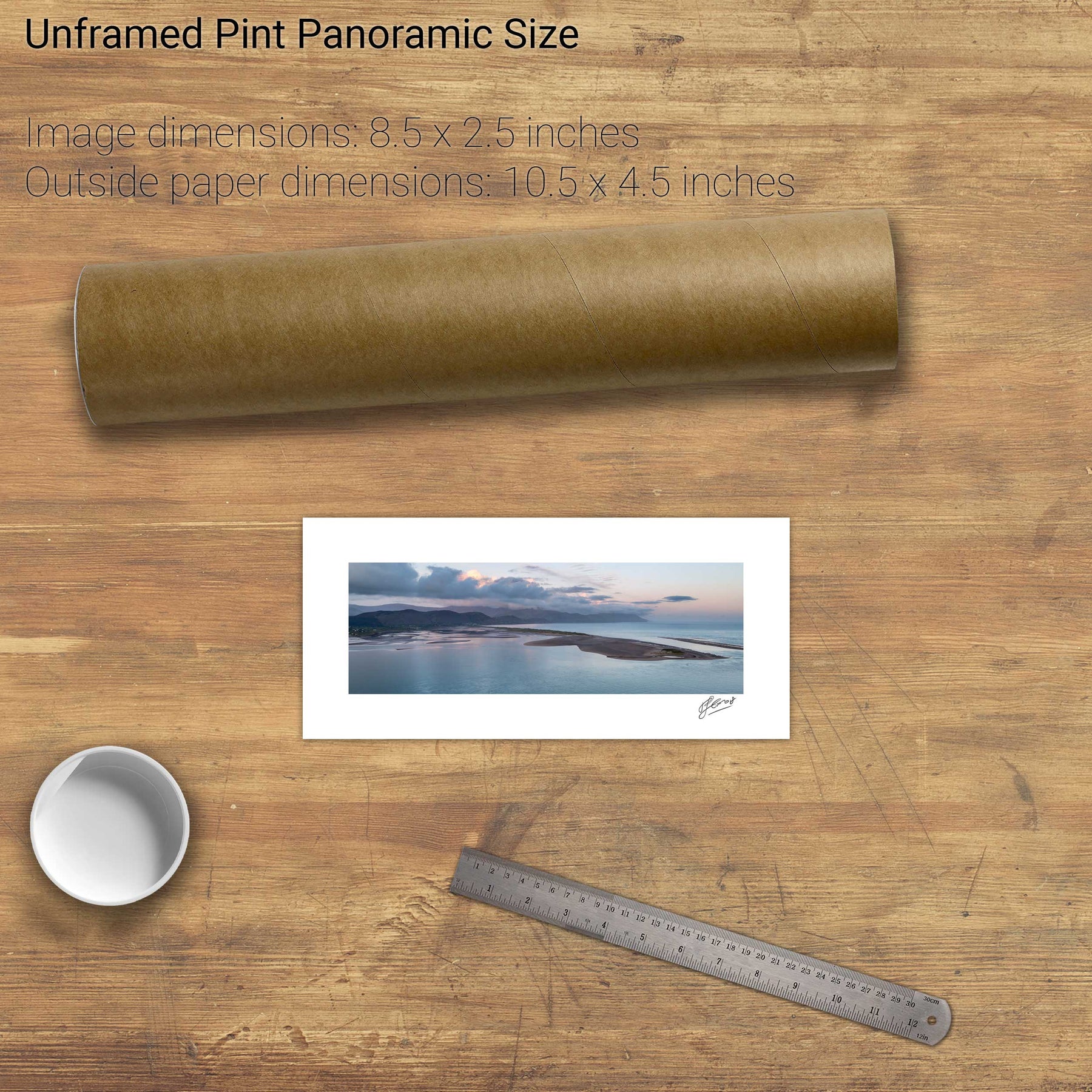
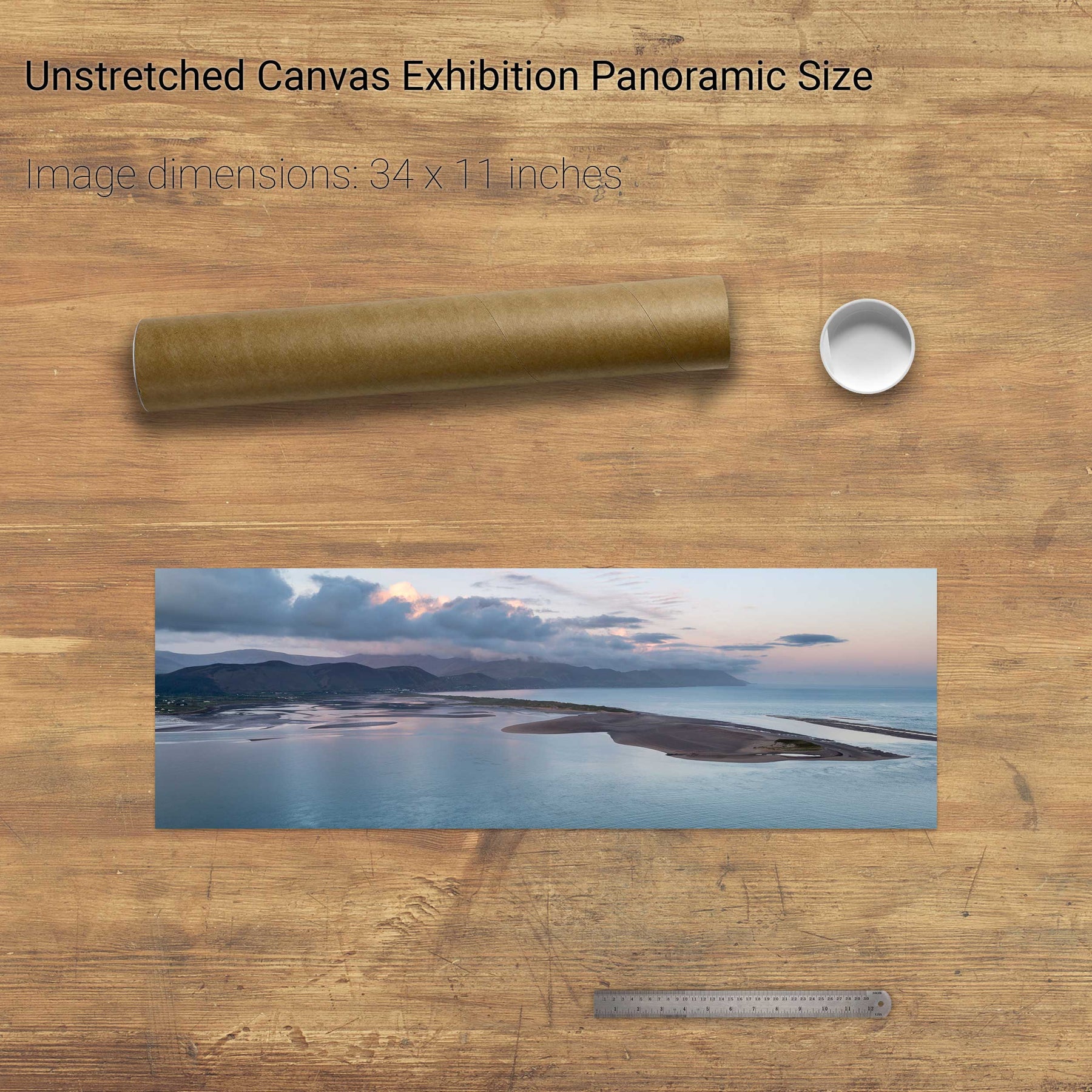
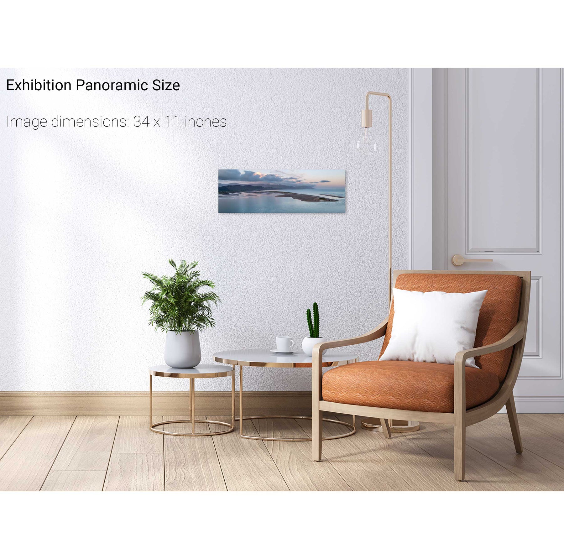
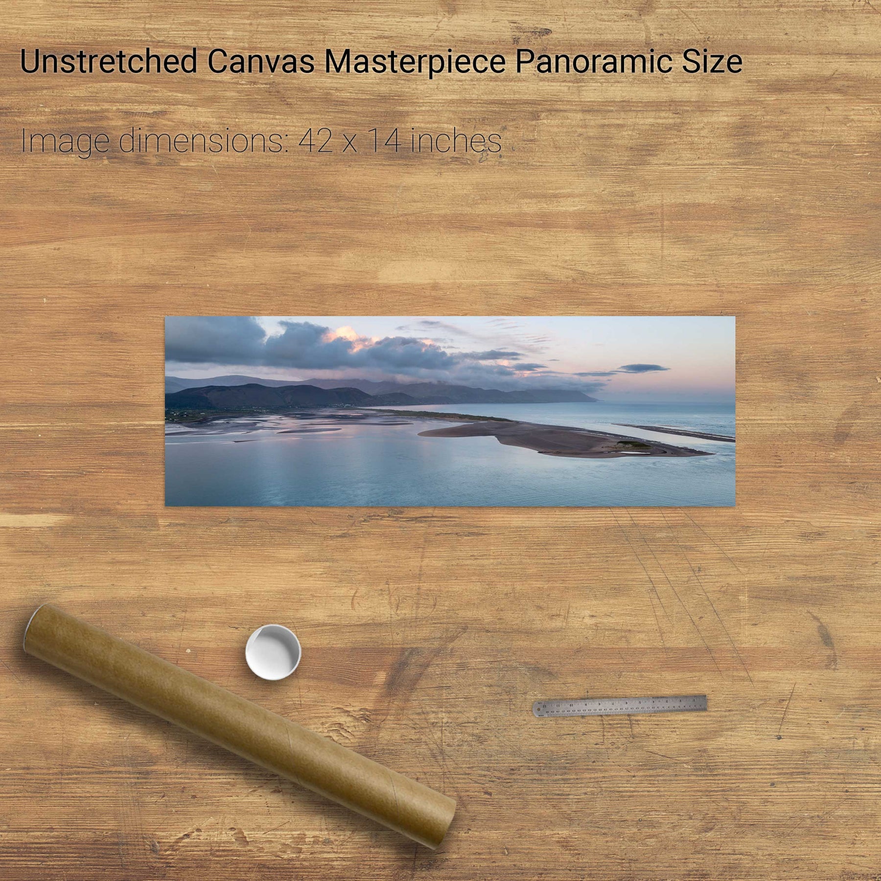
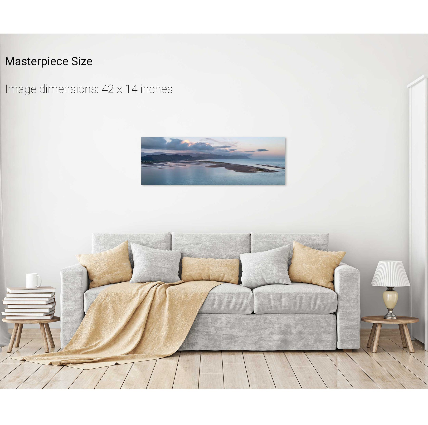
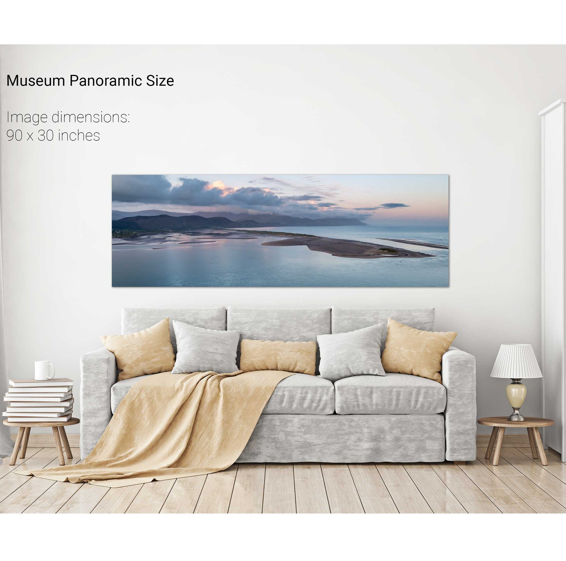
Rossbeigh, Co. Kerry
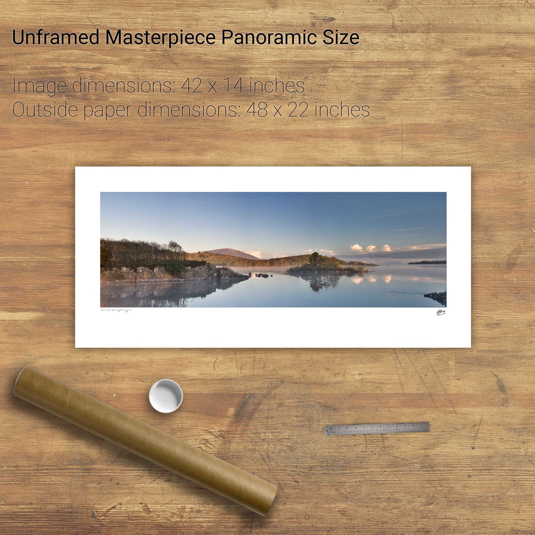
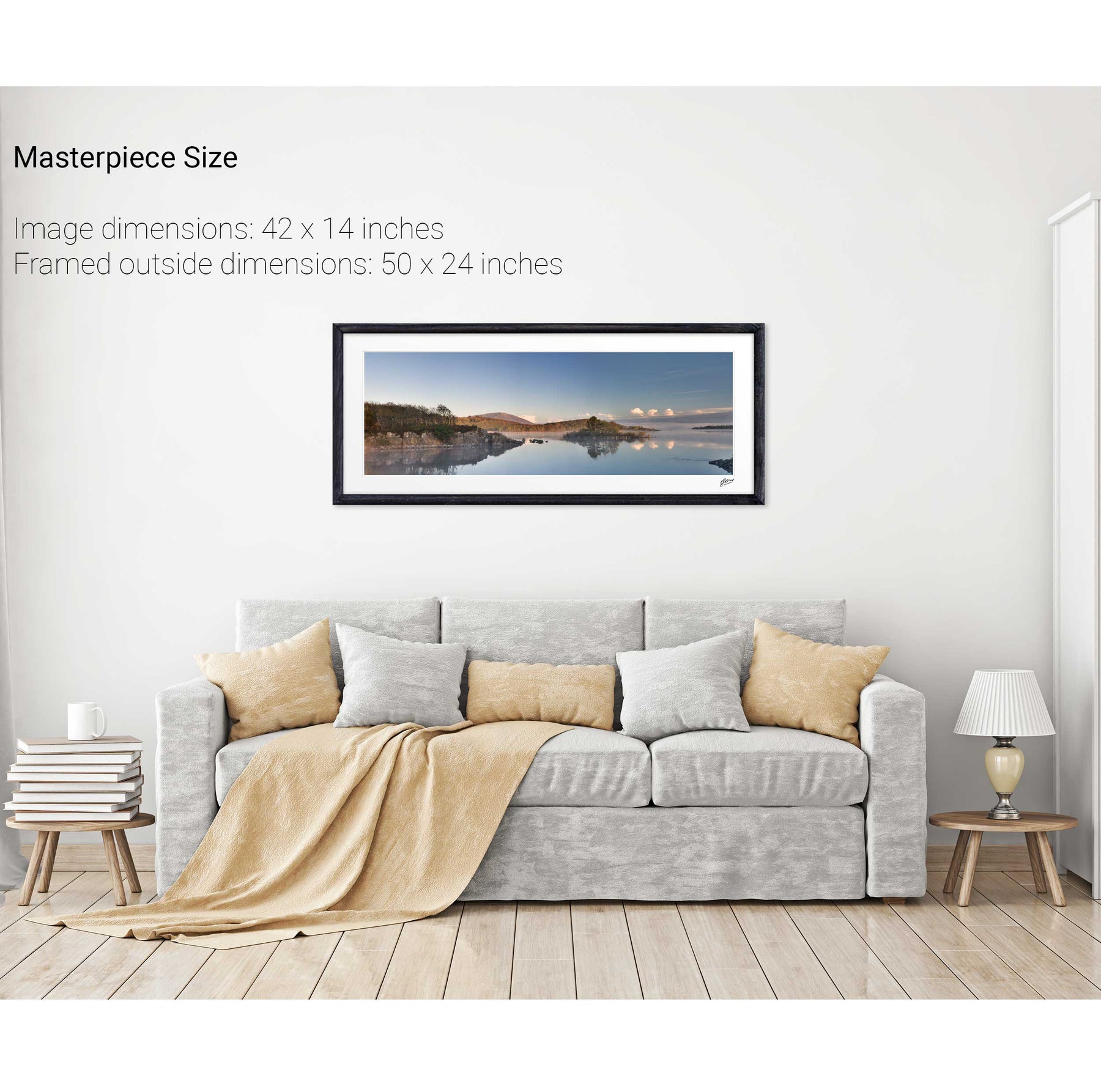
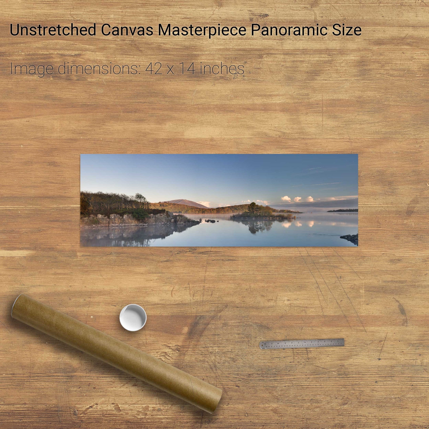
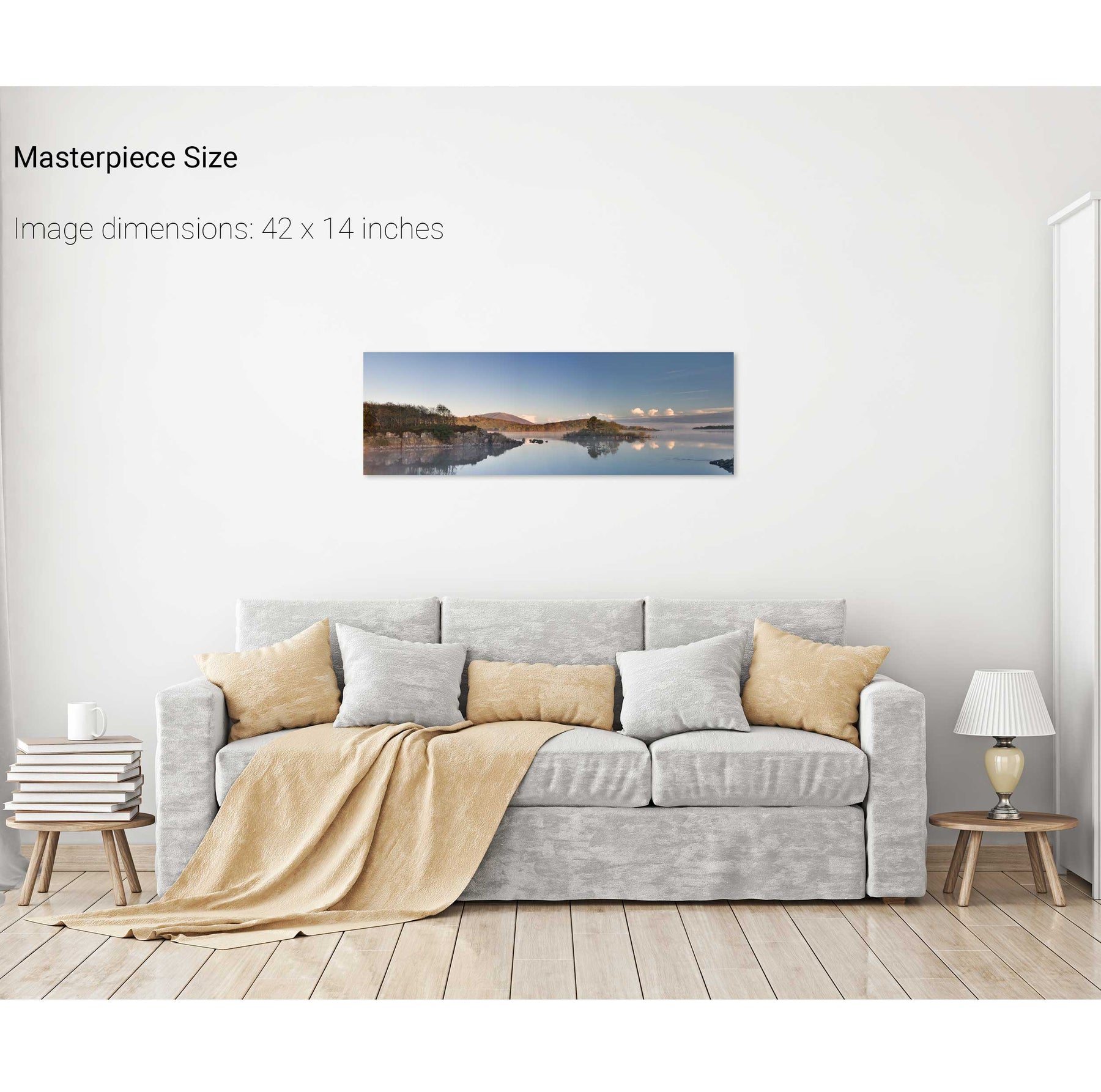
Upper Lake Panoramic, Co. Kerry
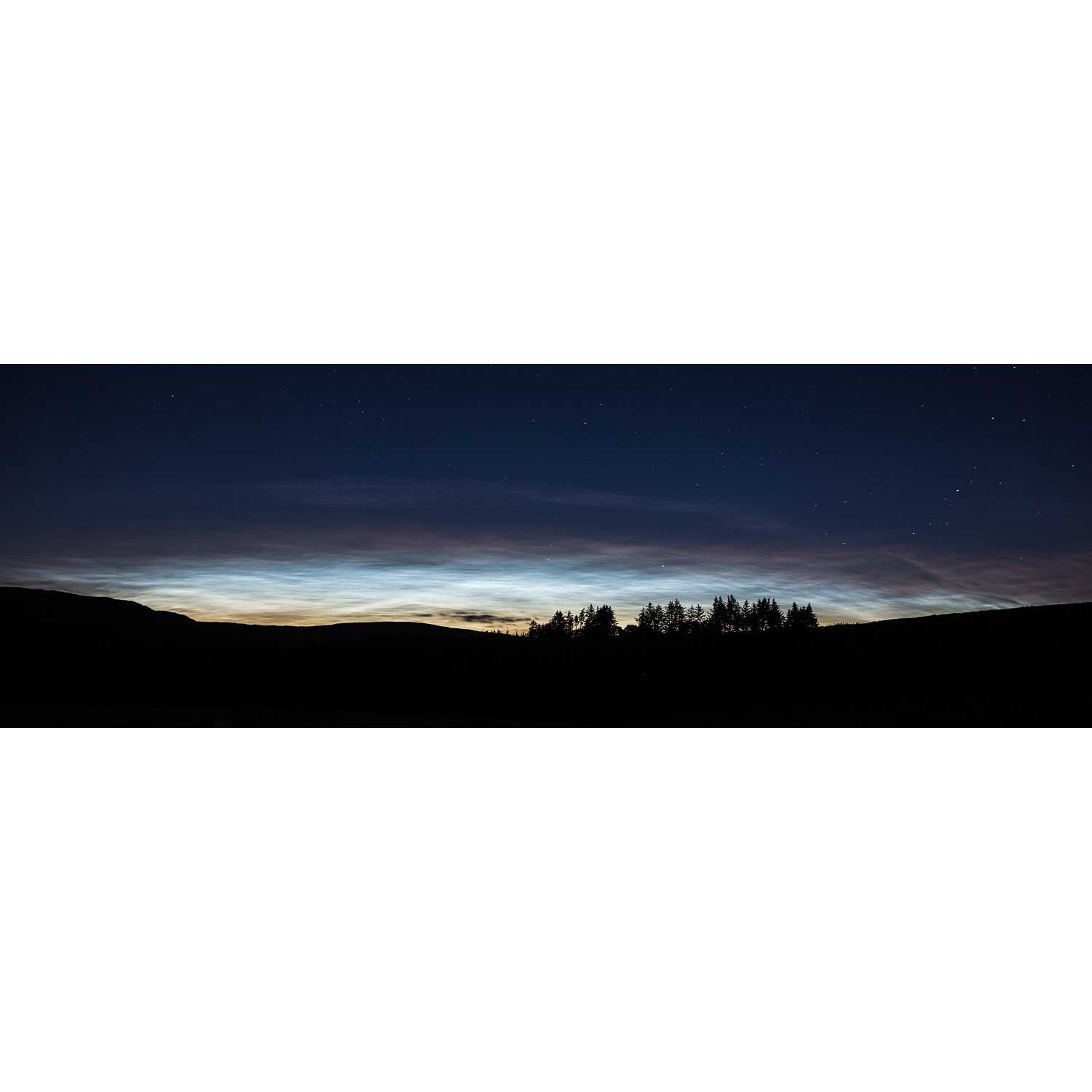
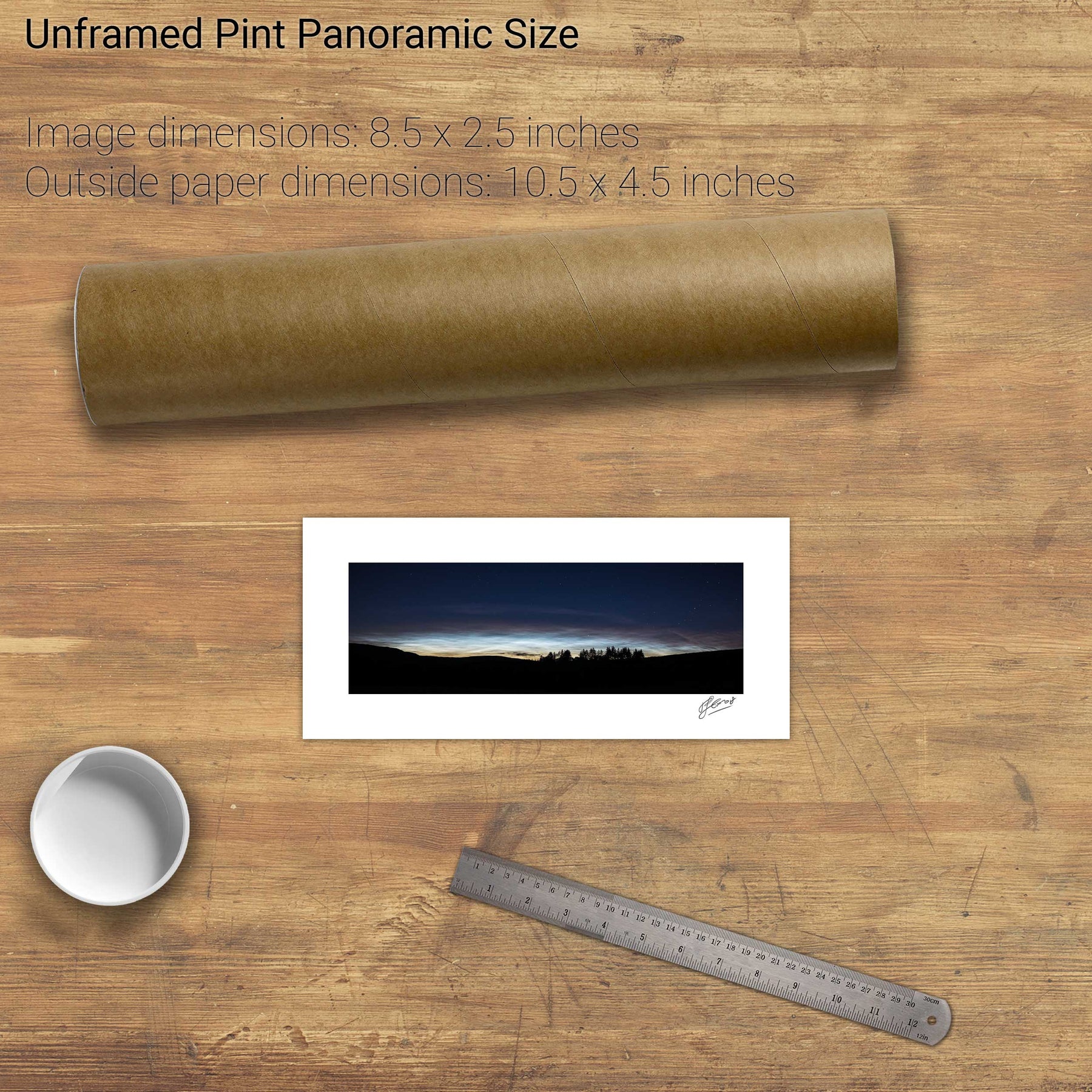
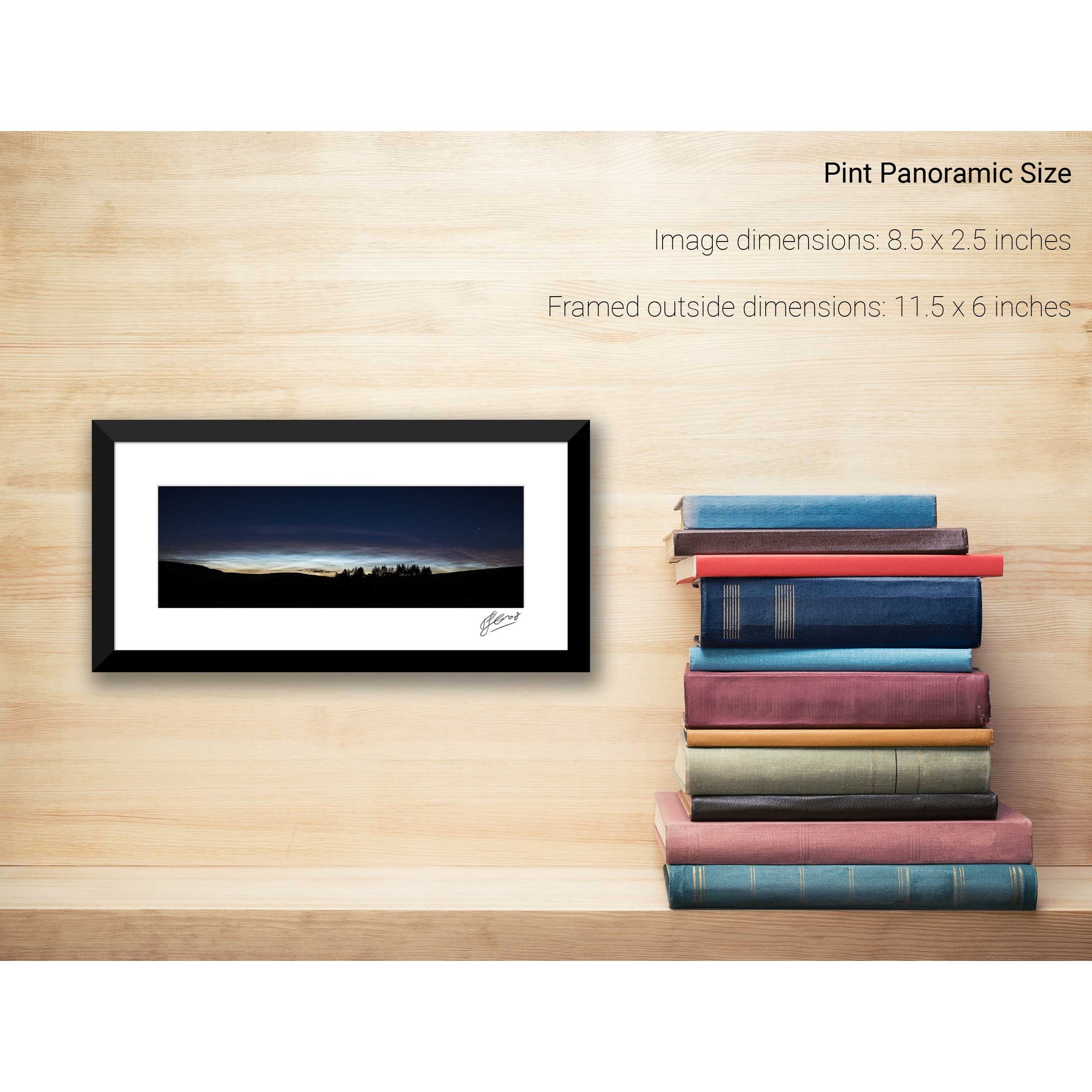
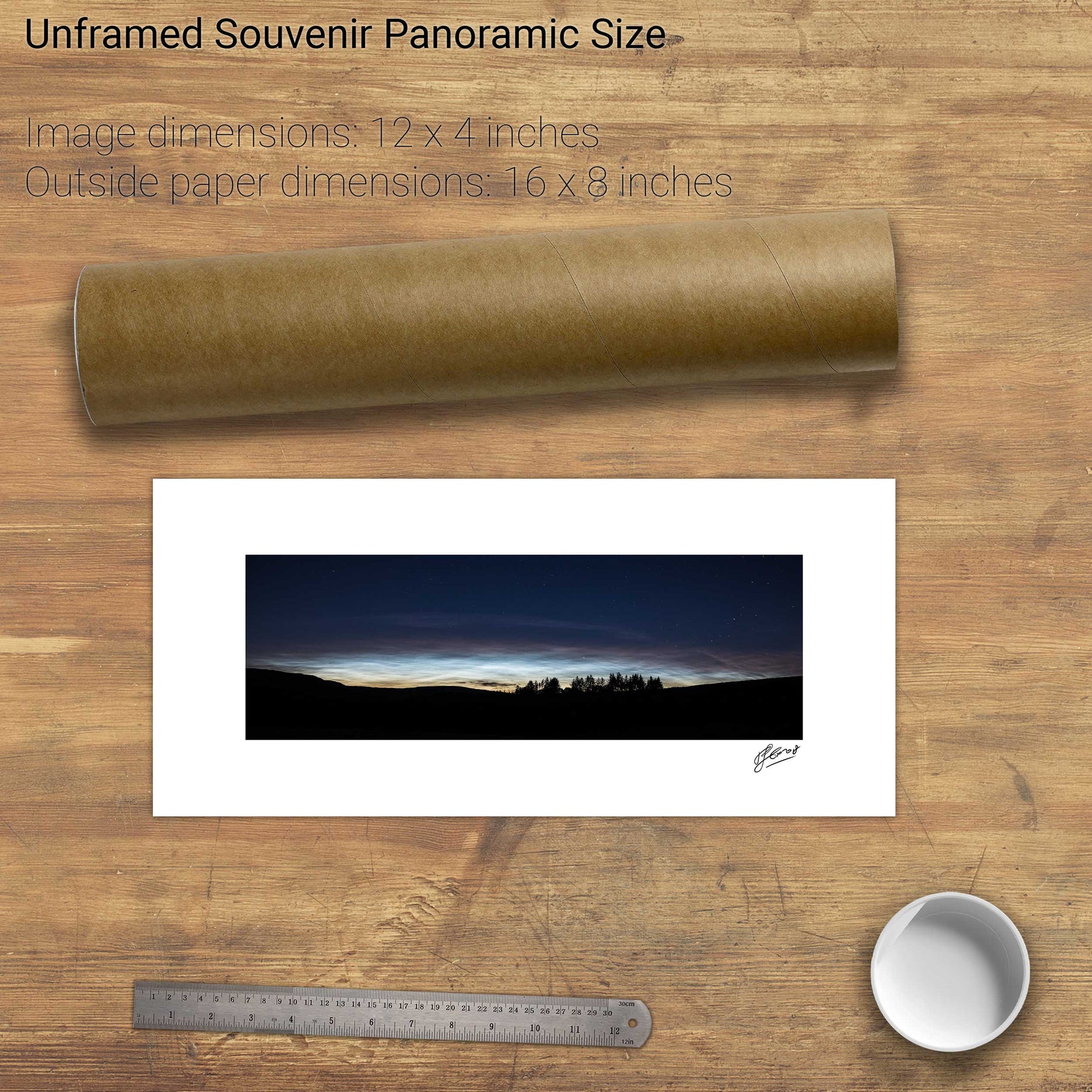
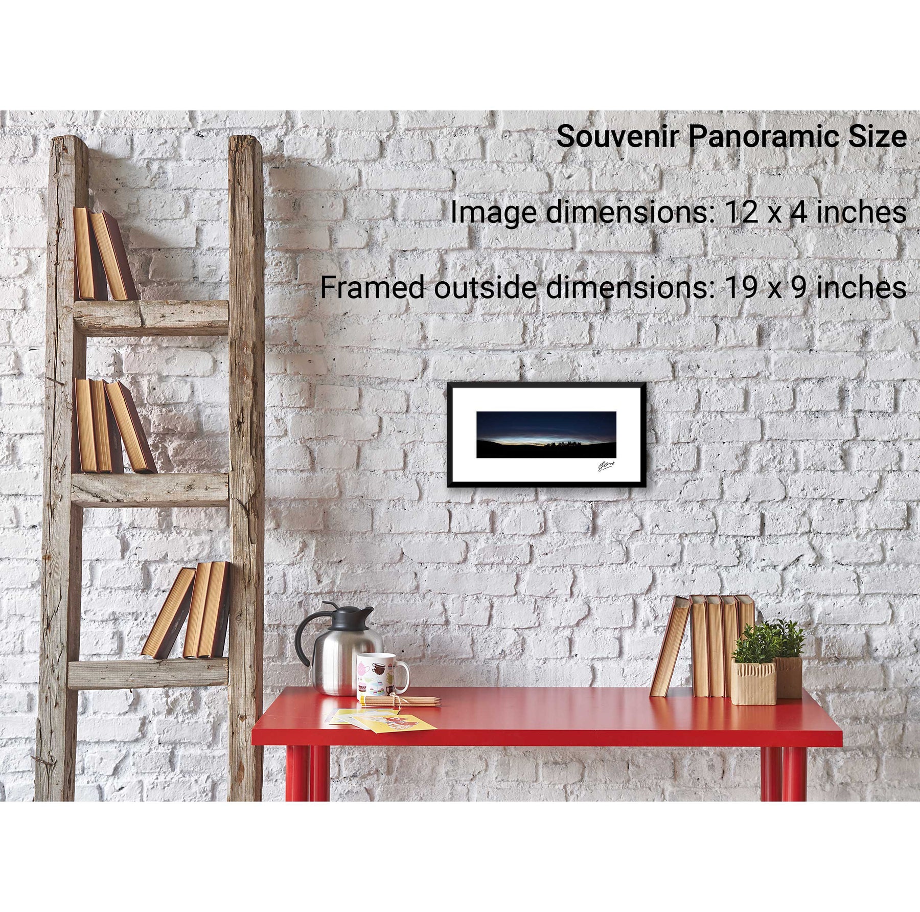
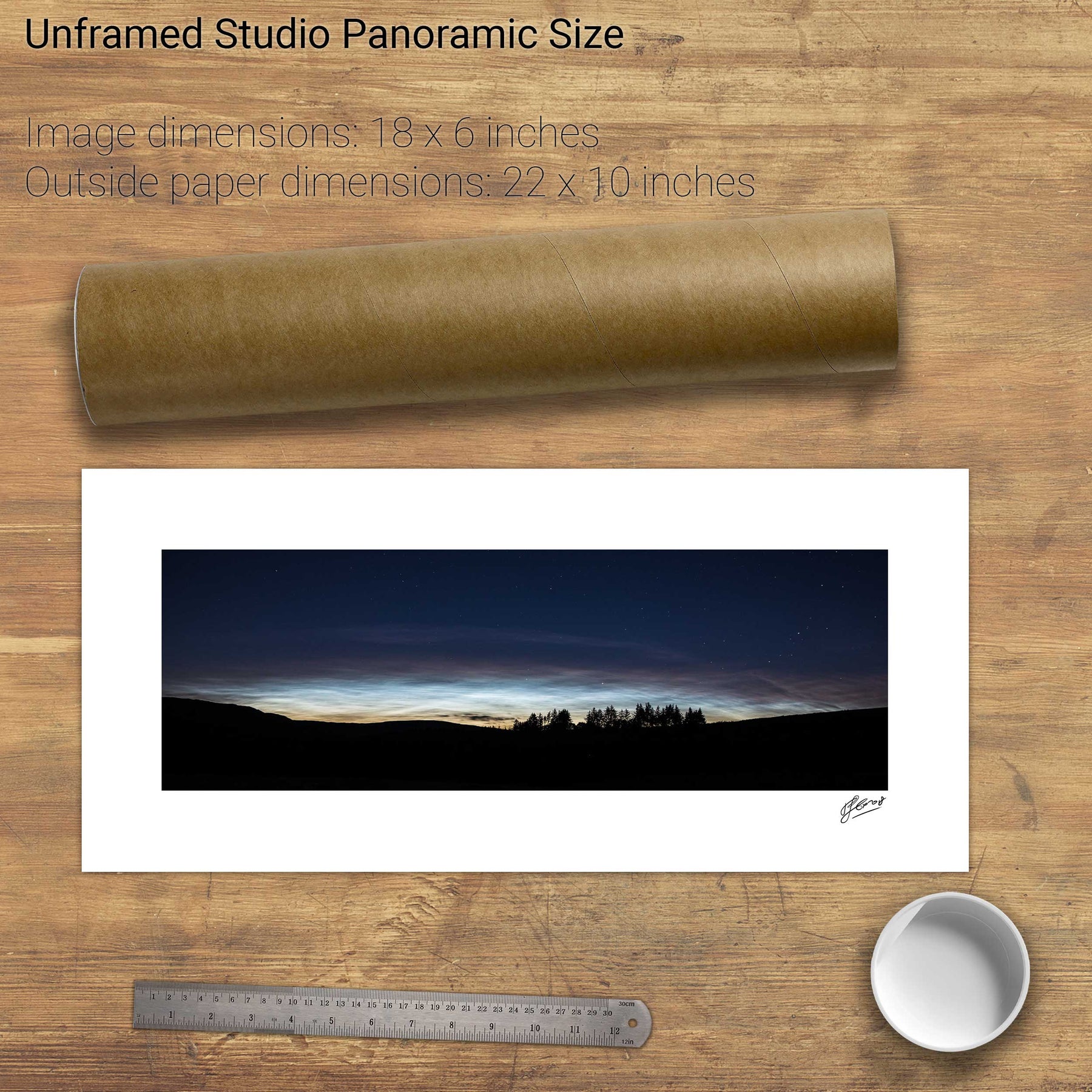
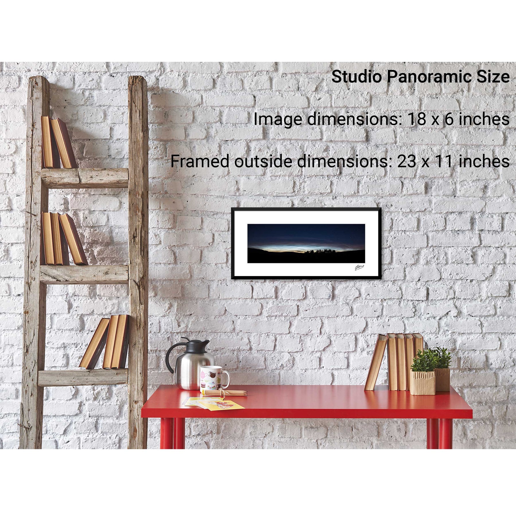
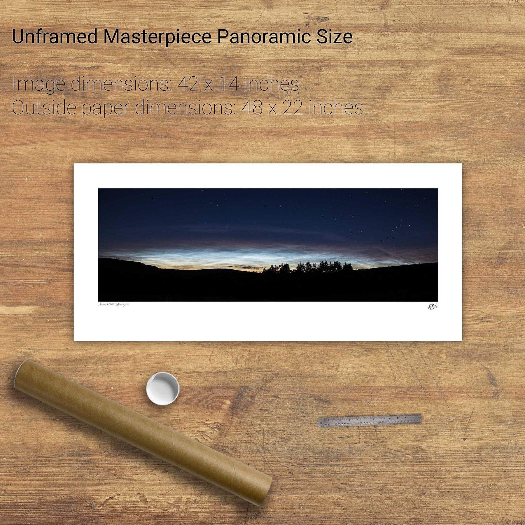
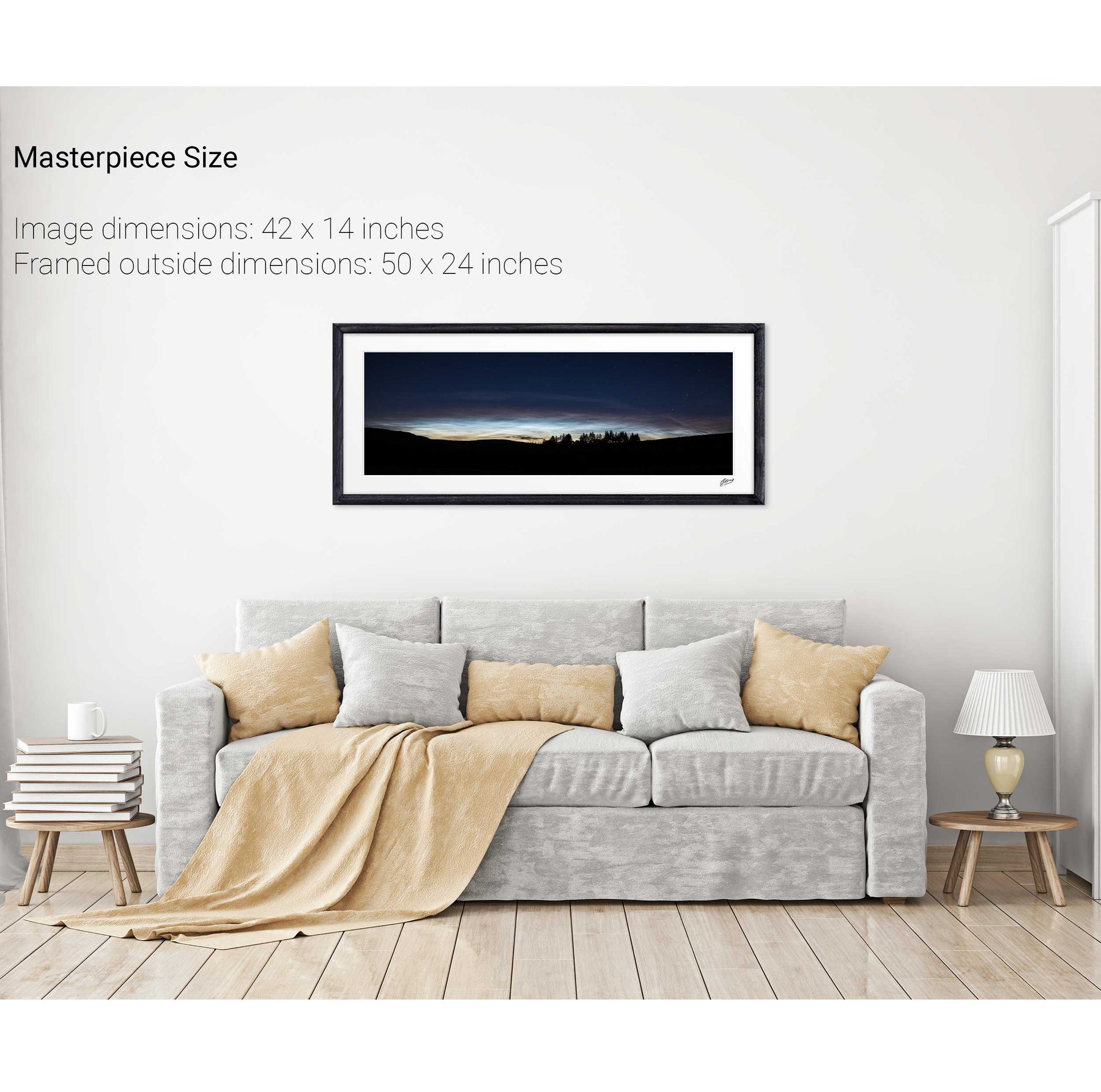
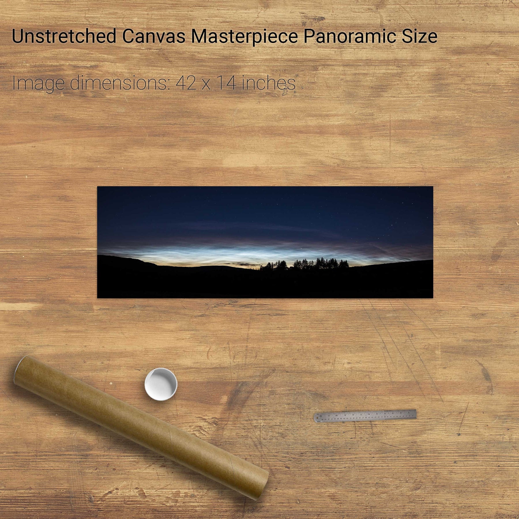
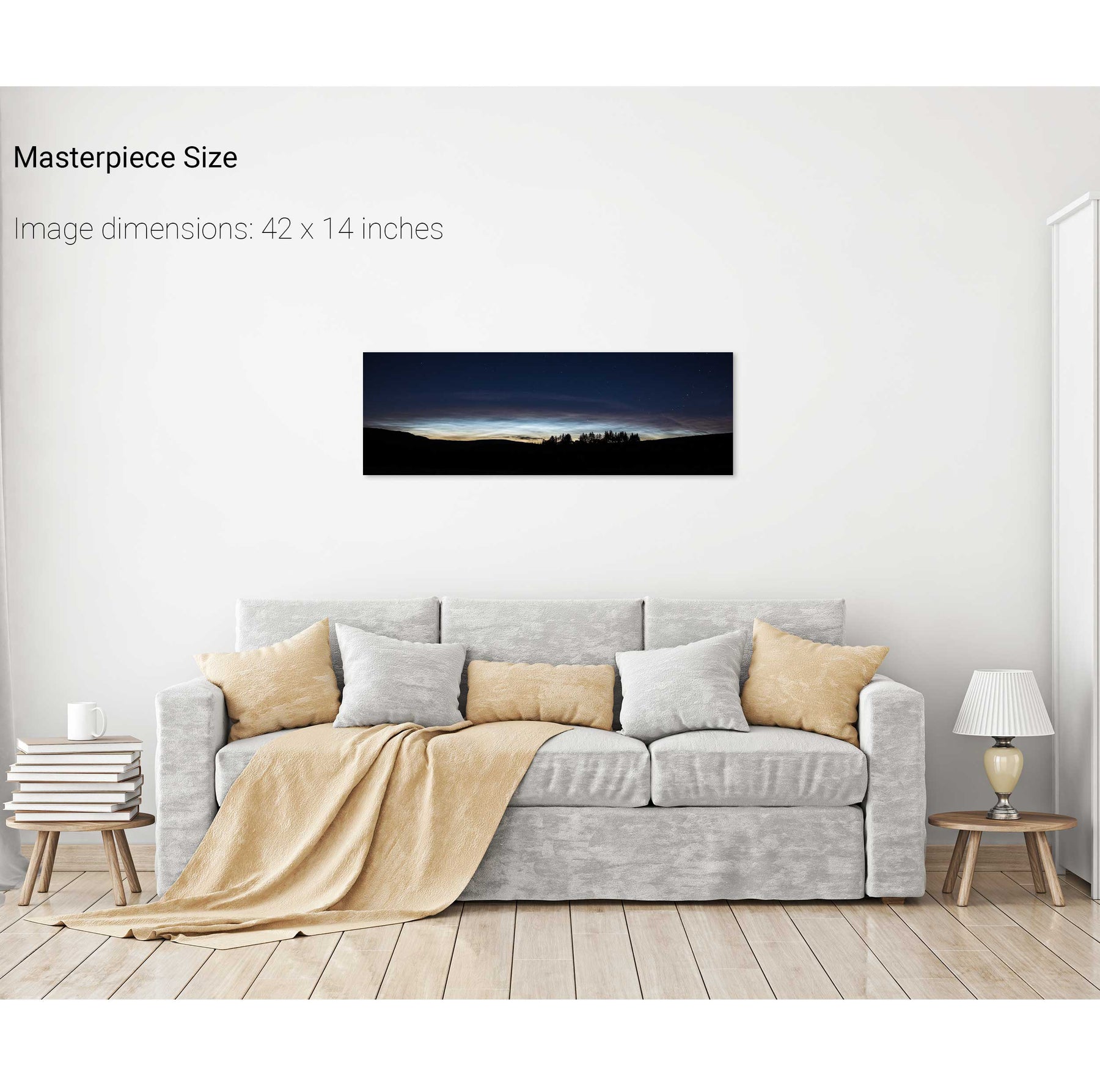
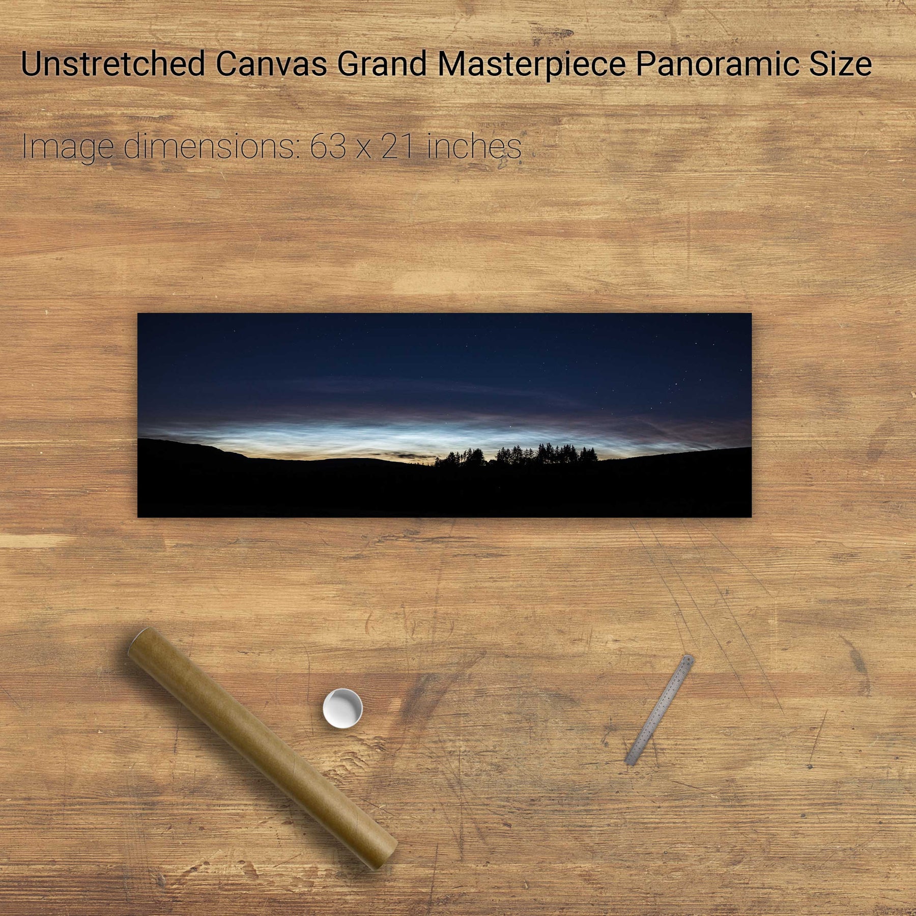
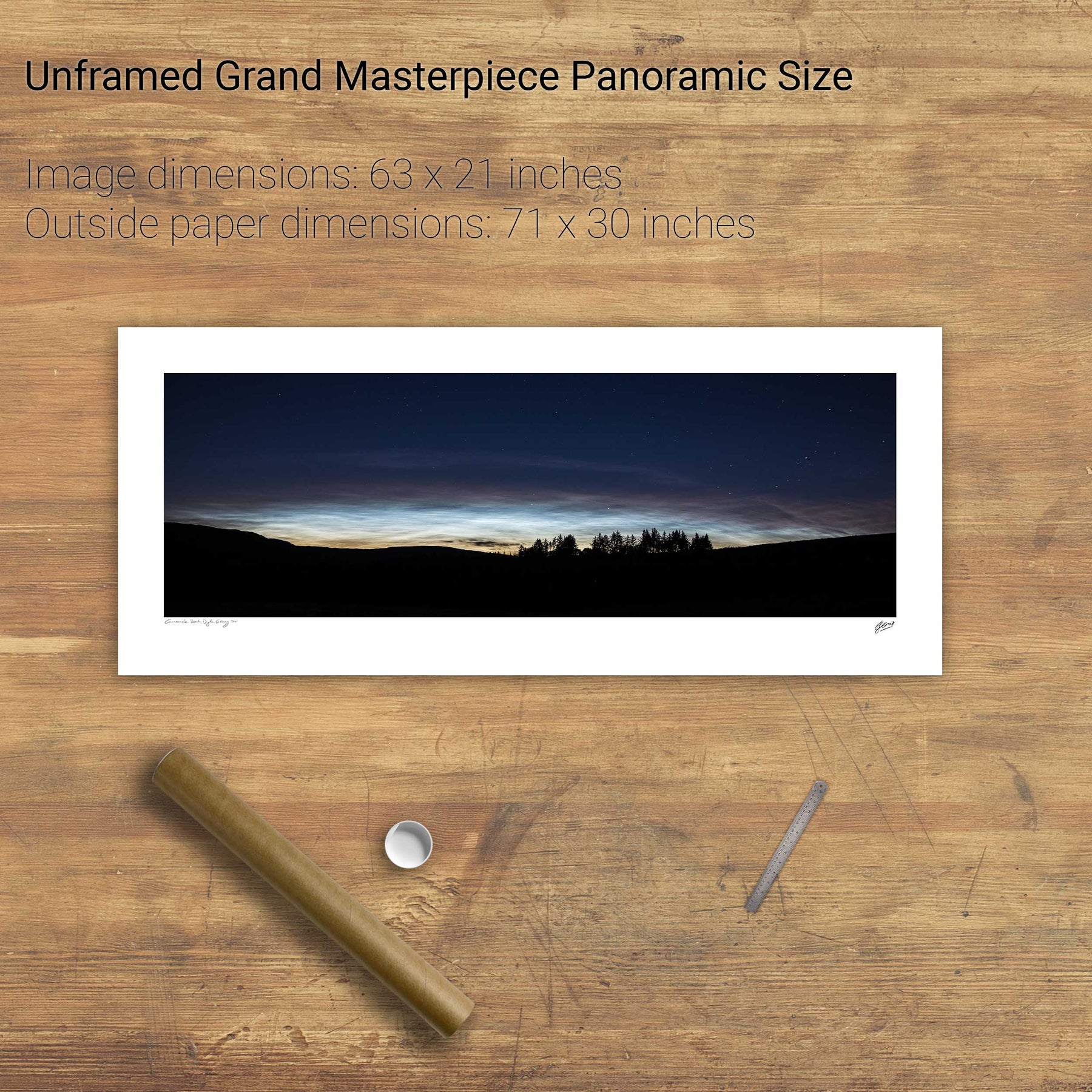
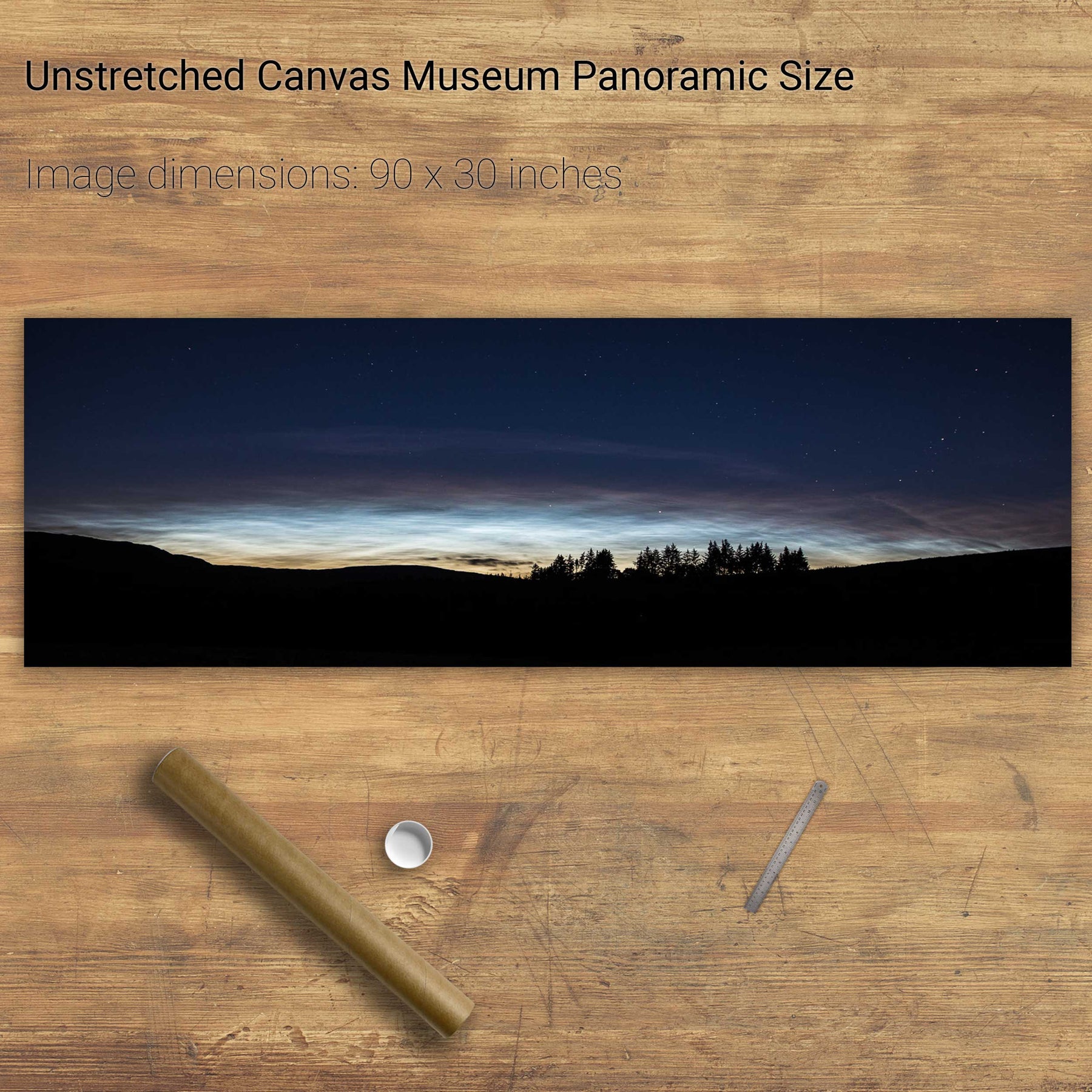
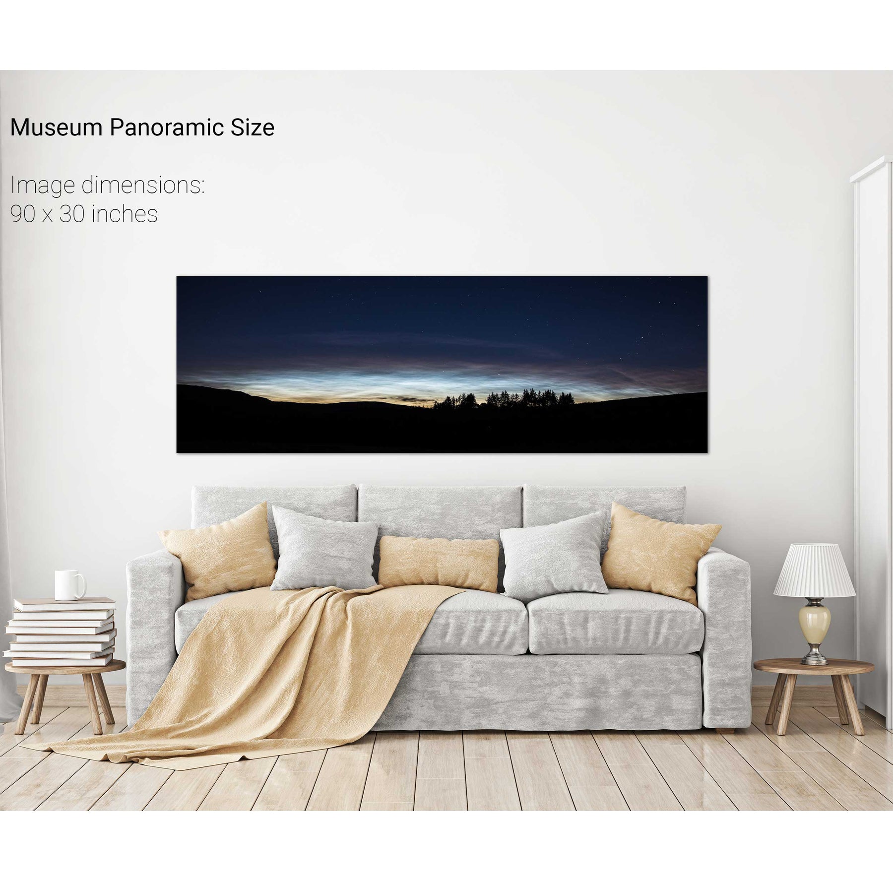
Noctilicent Clouds, Ballingeary, CO. Cork
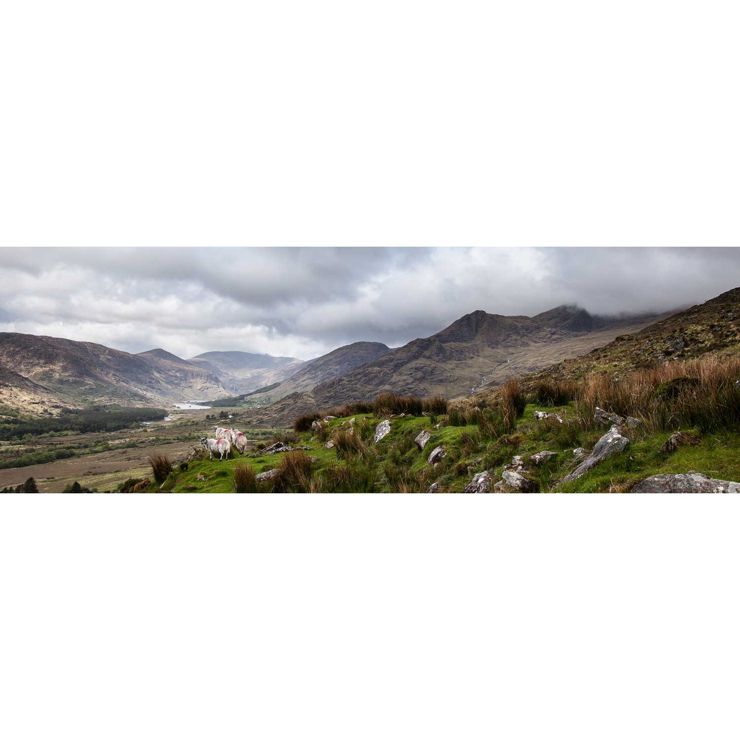
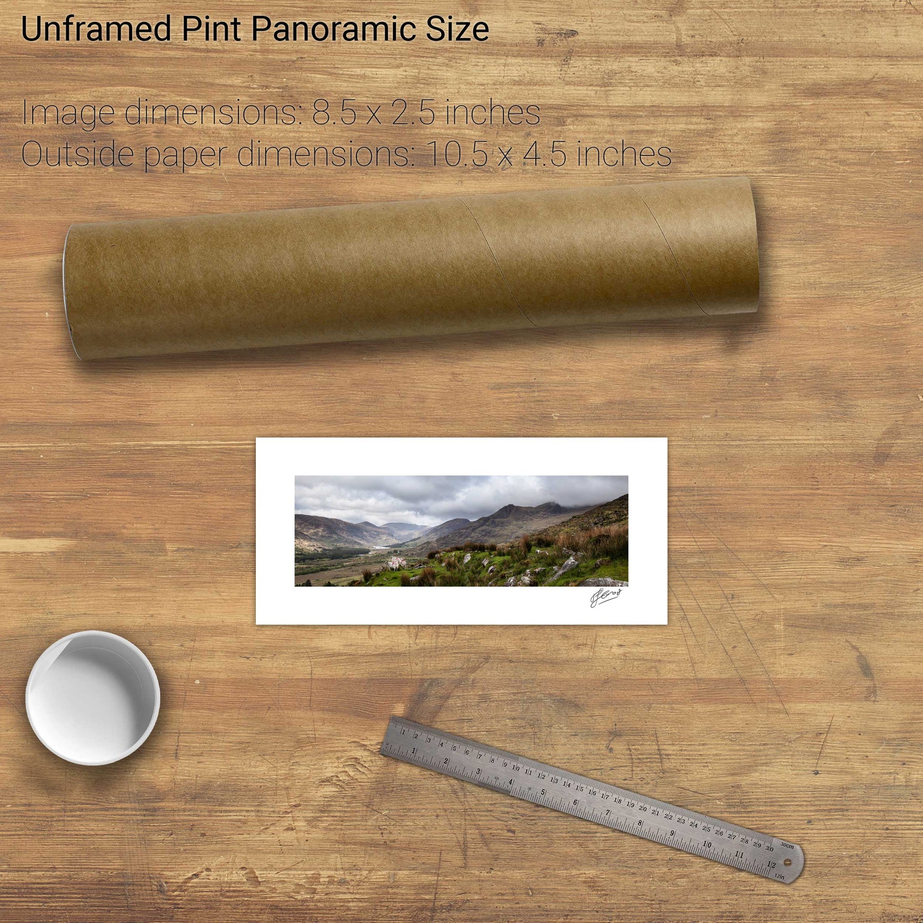
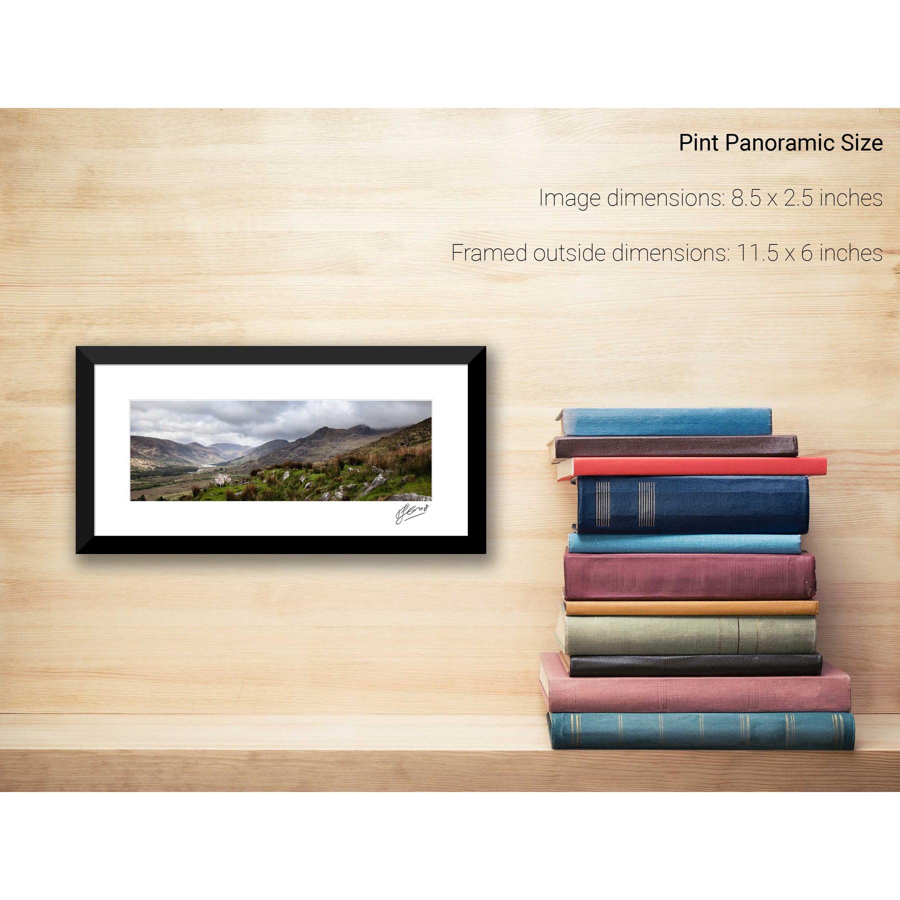
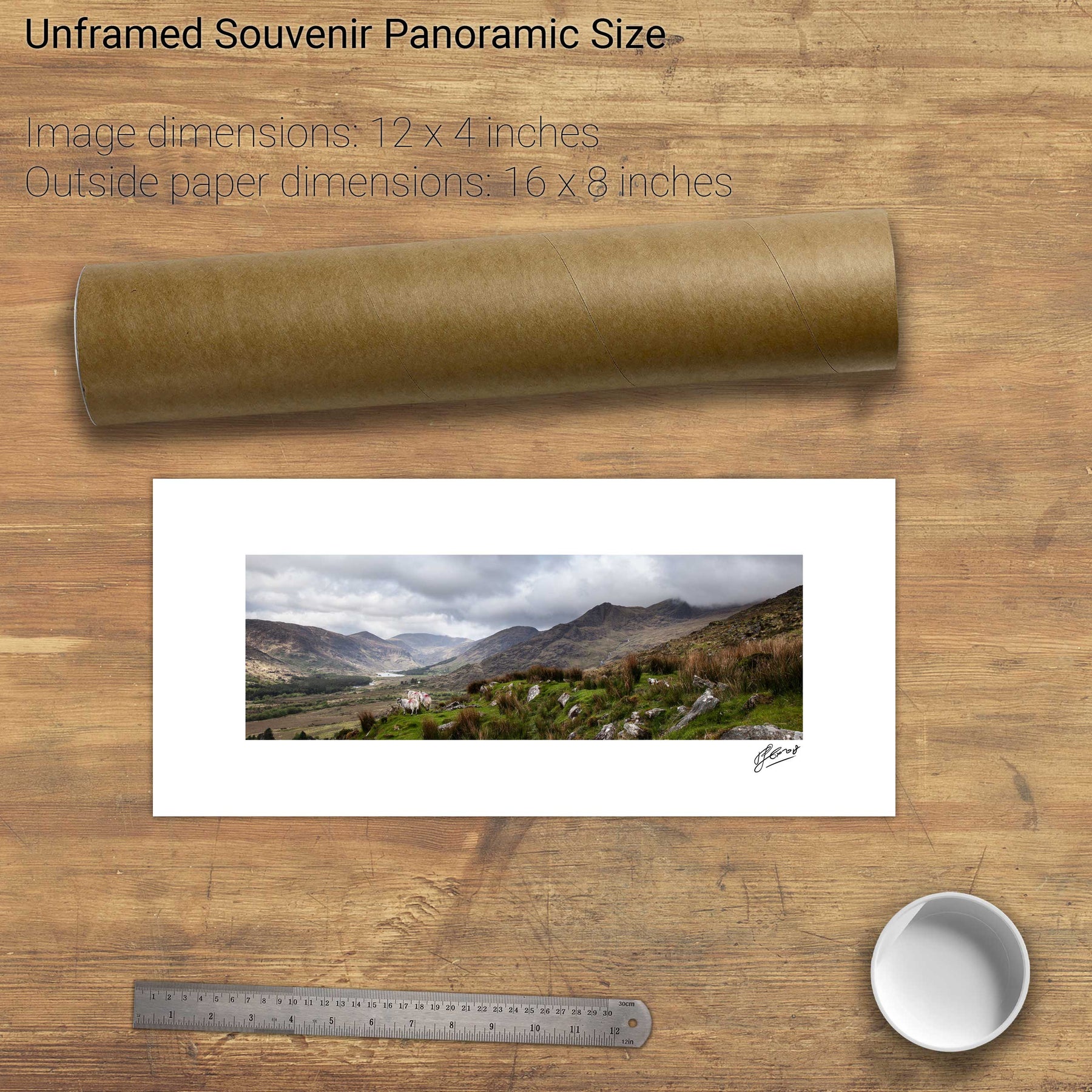
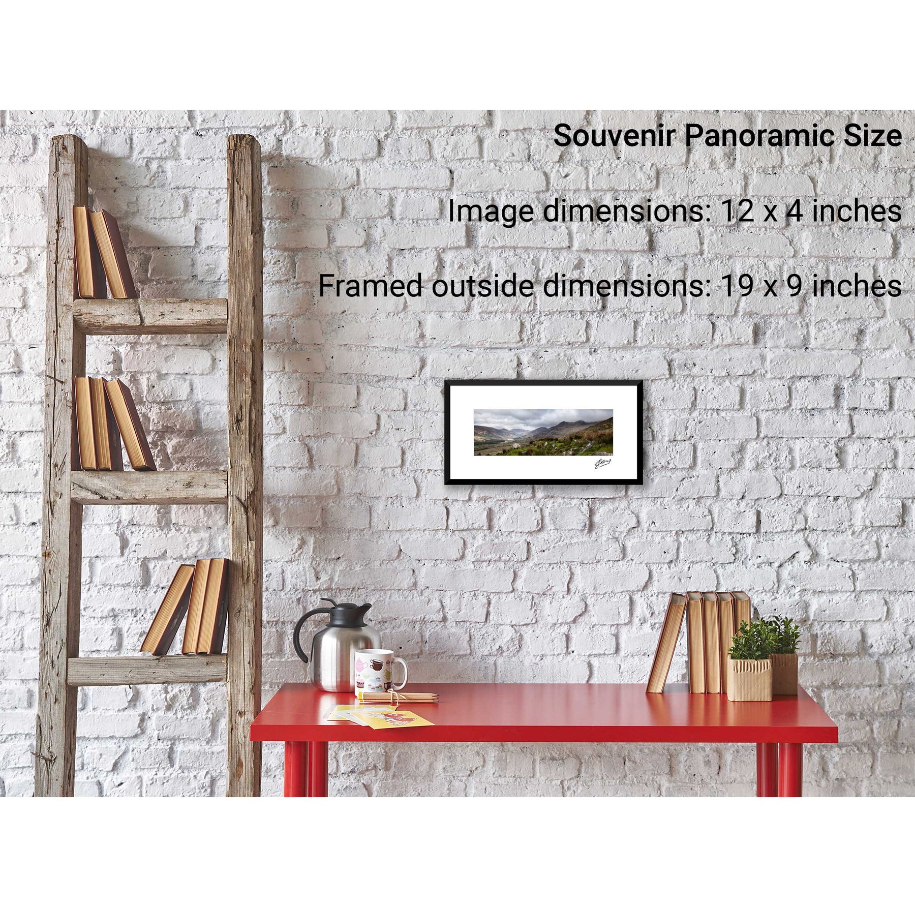
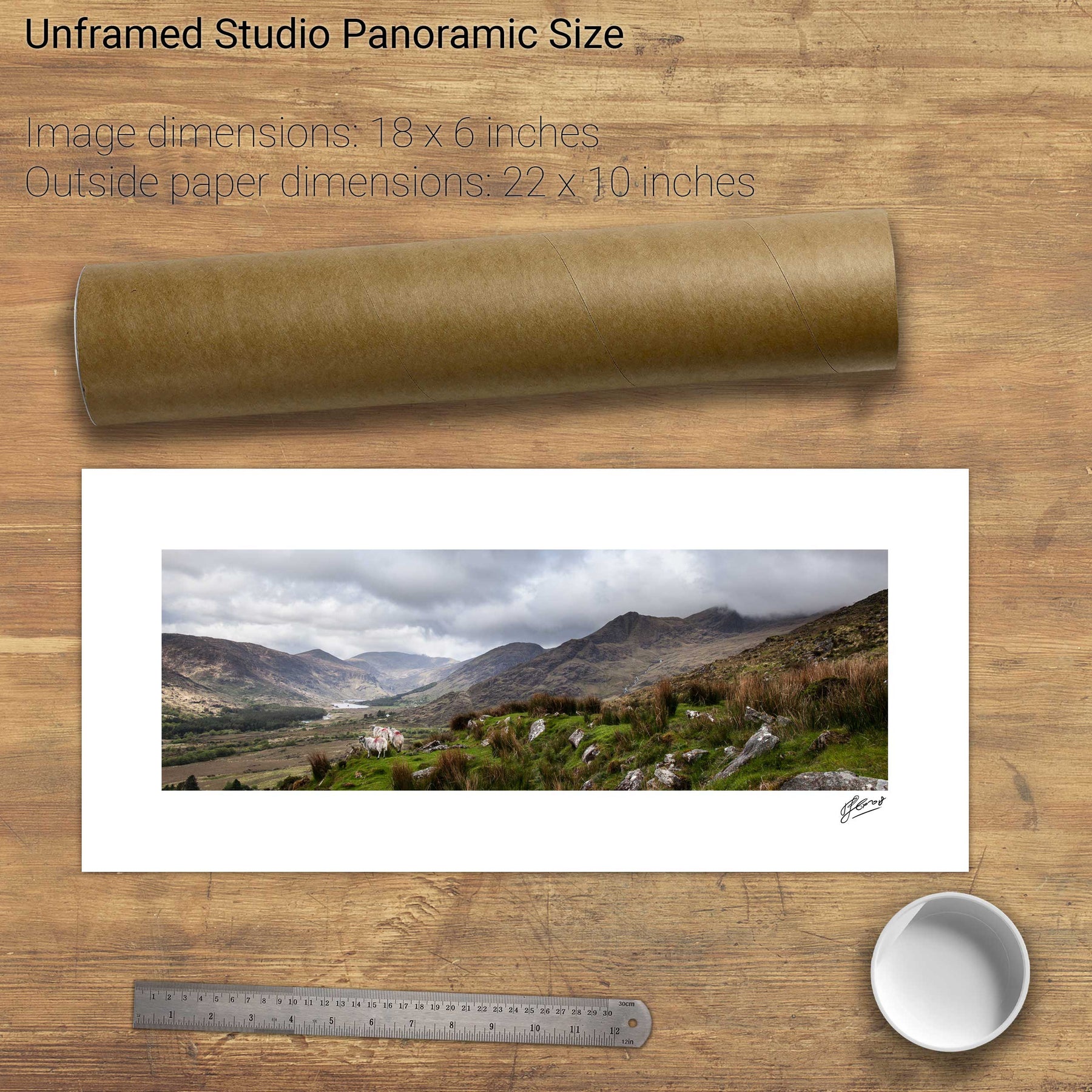
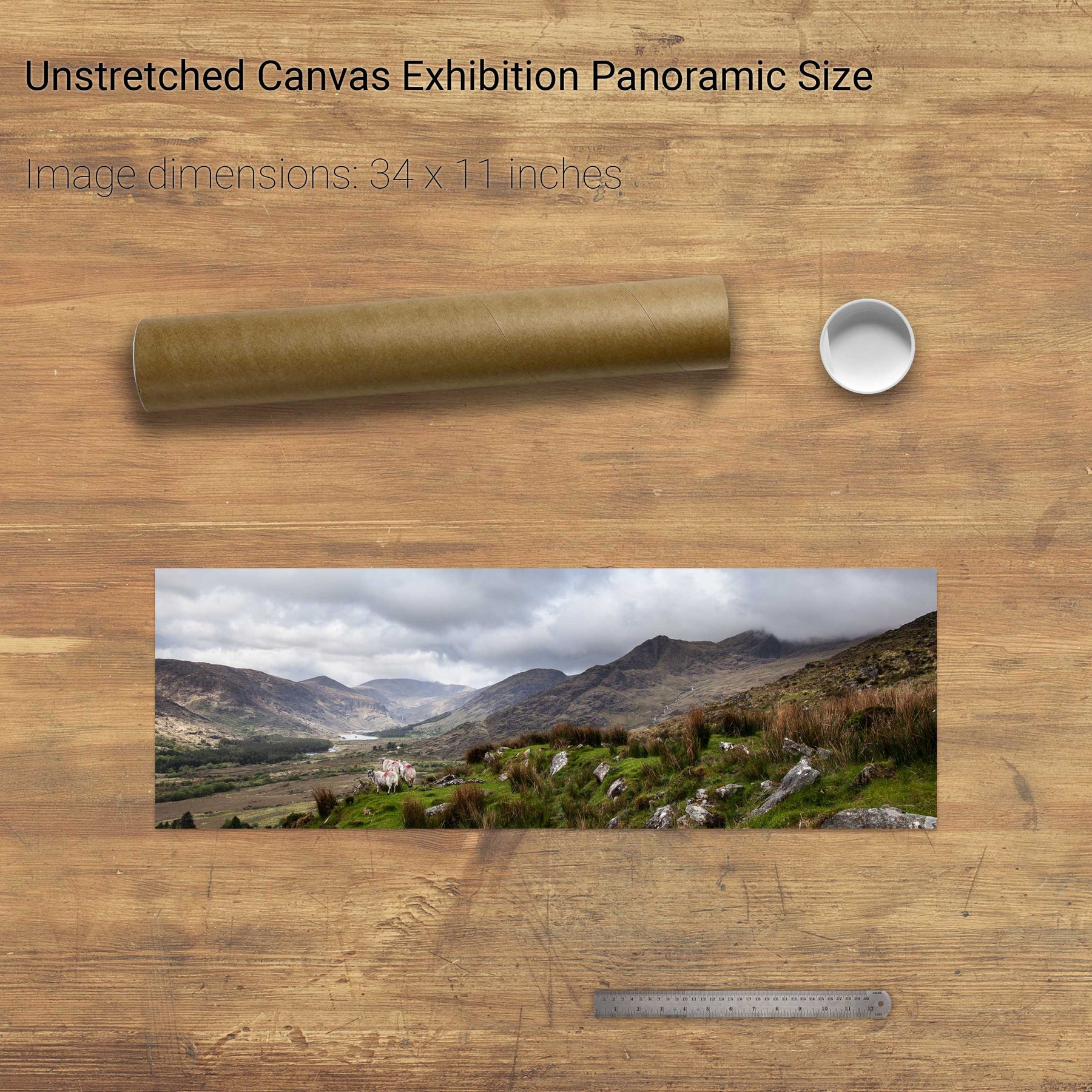
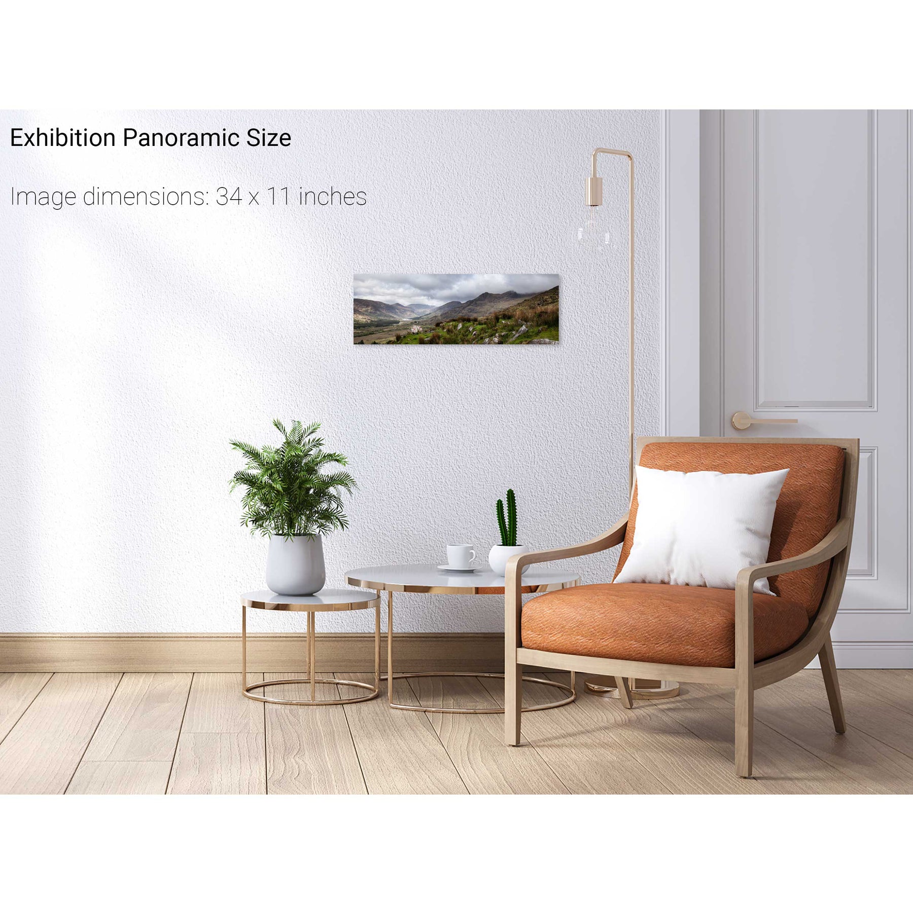
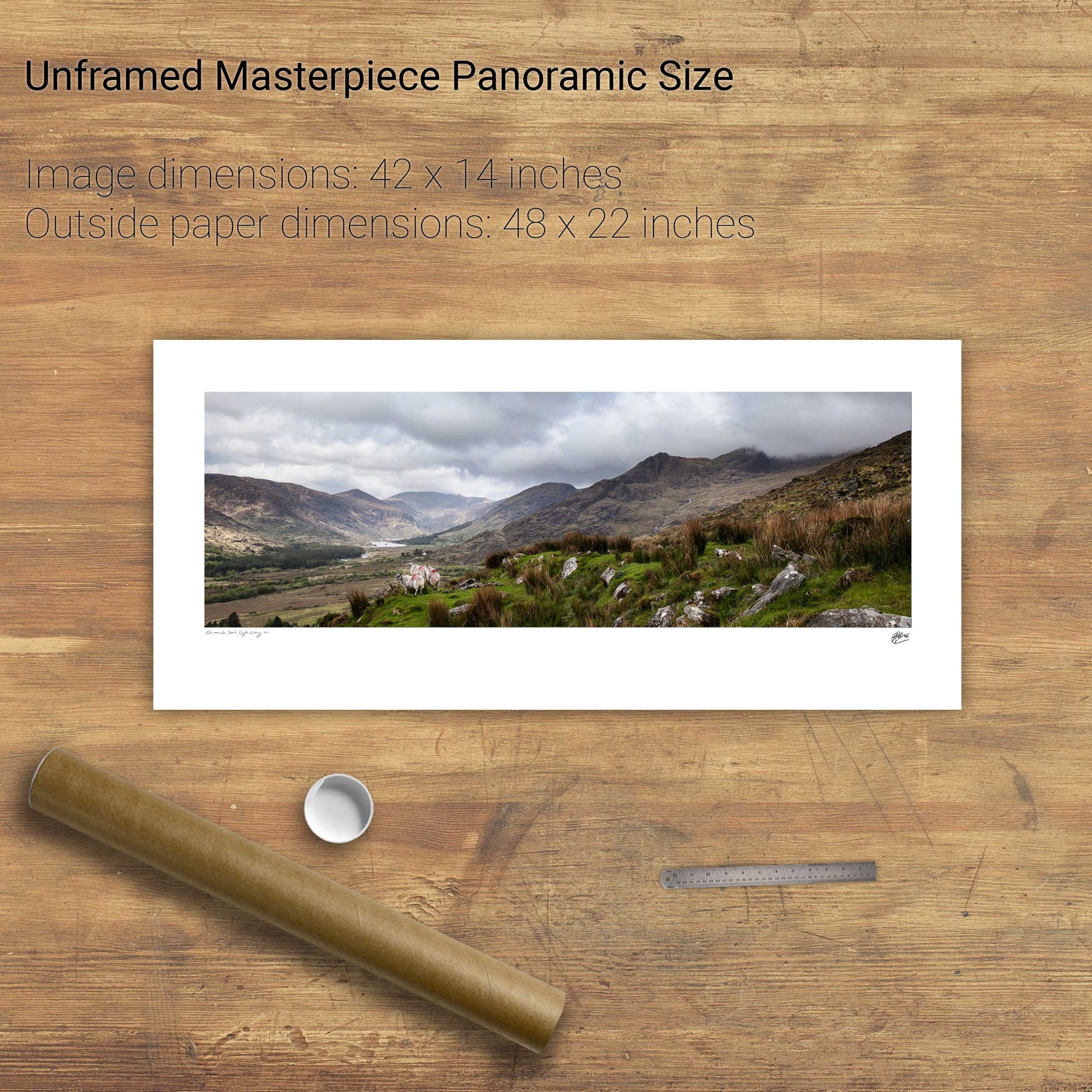
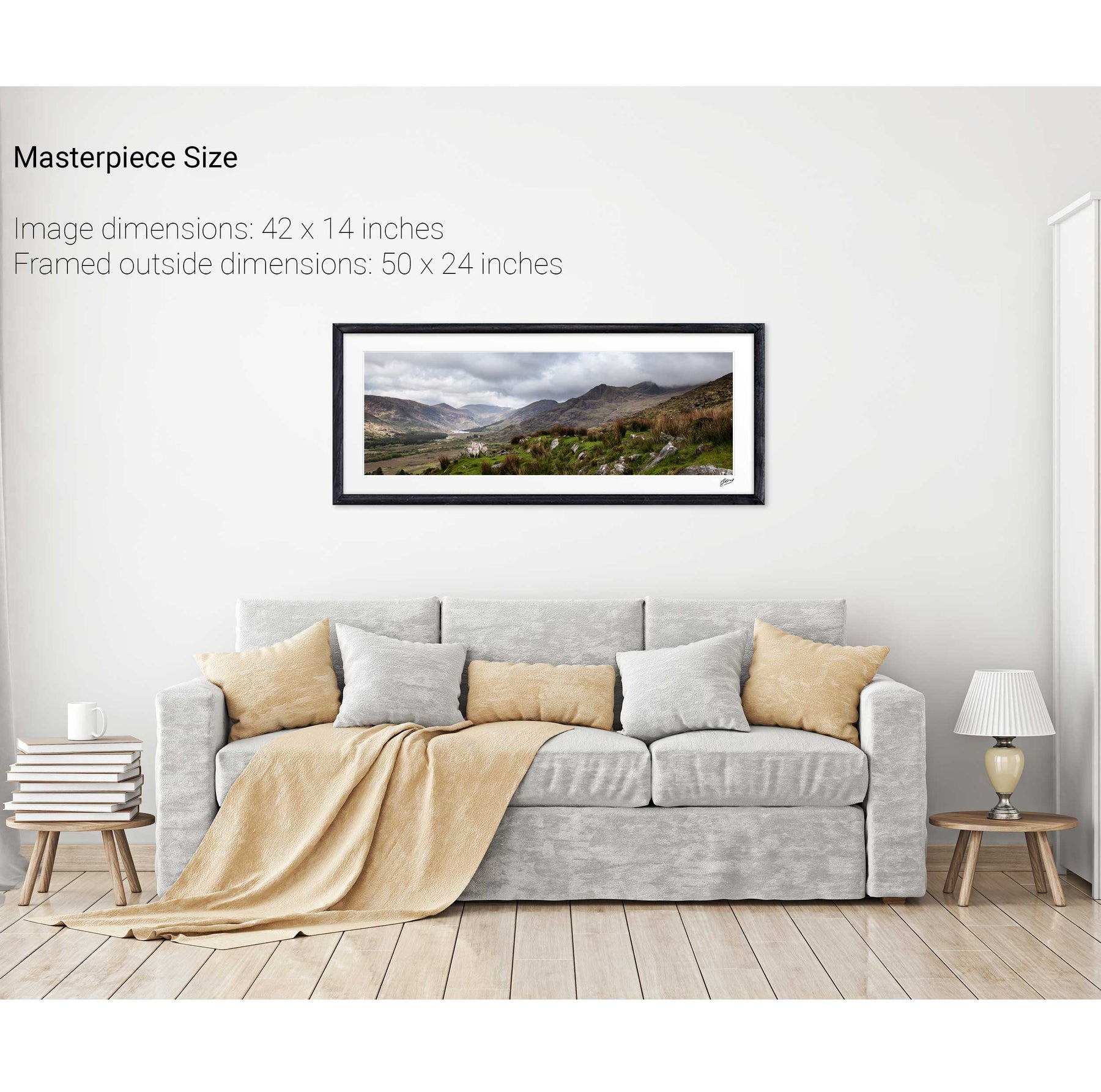
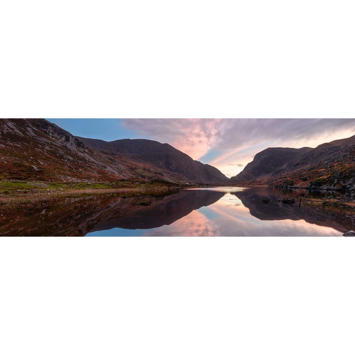
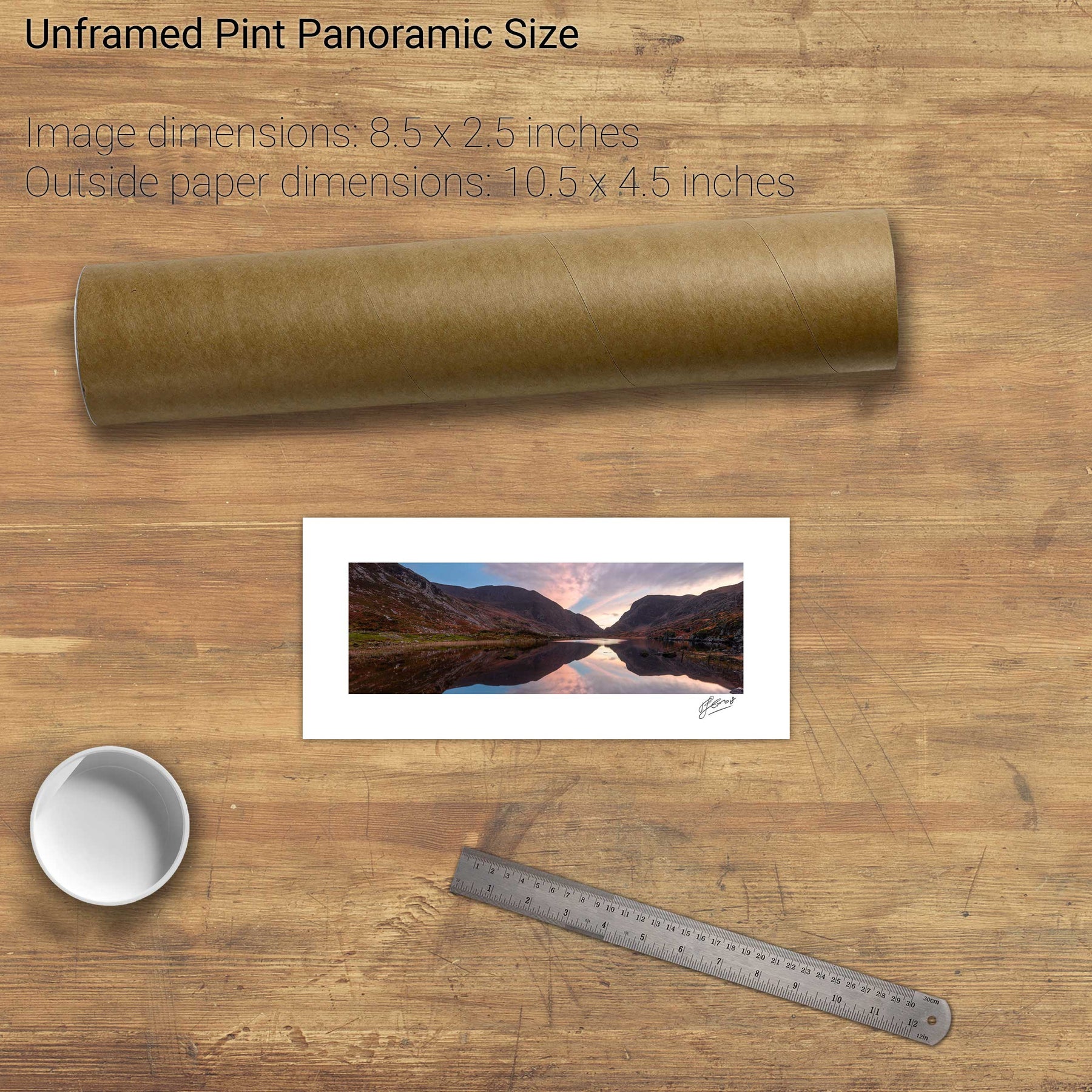
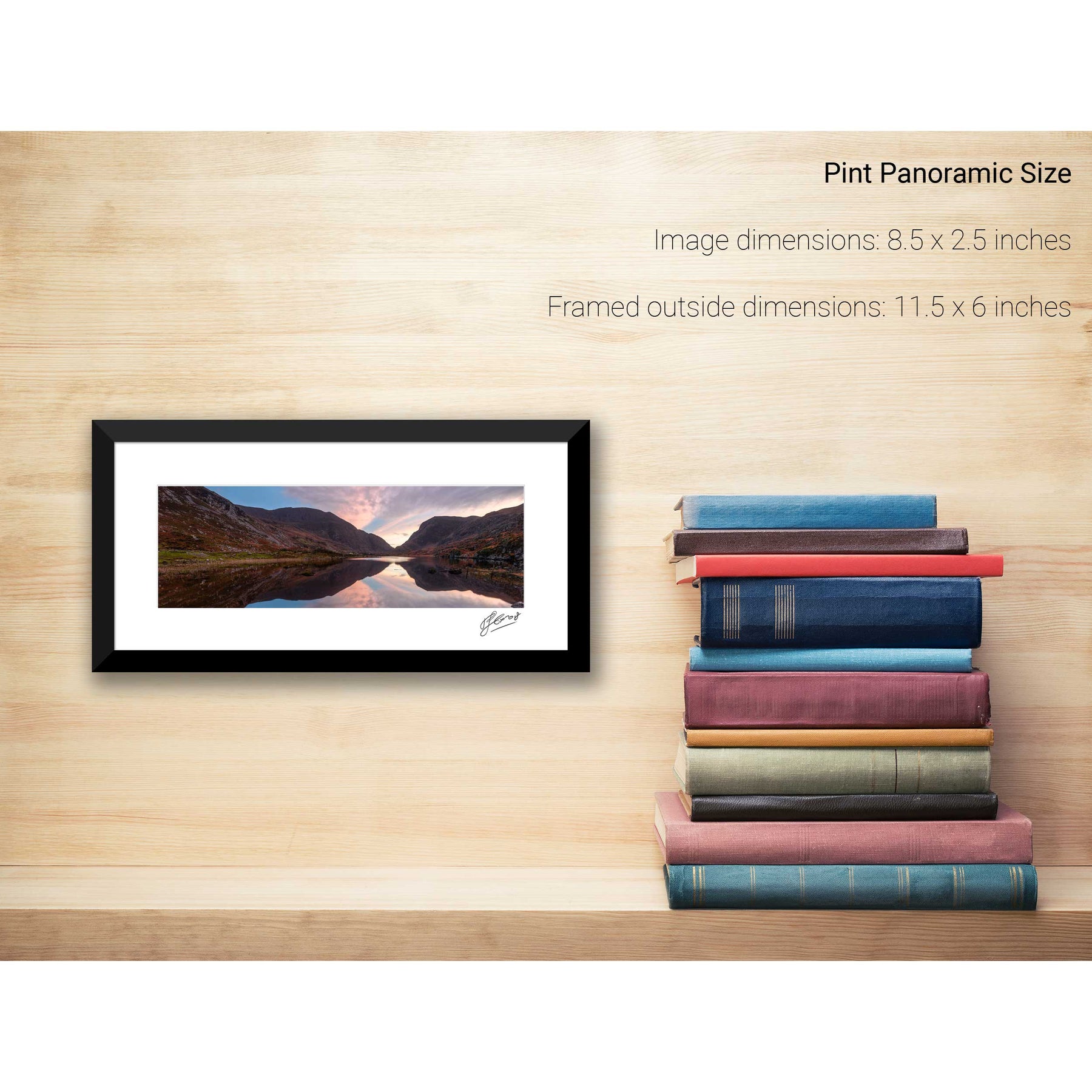
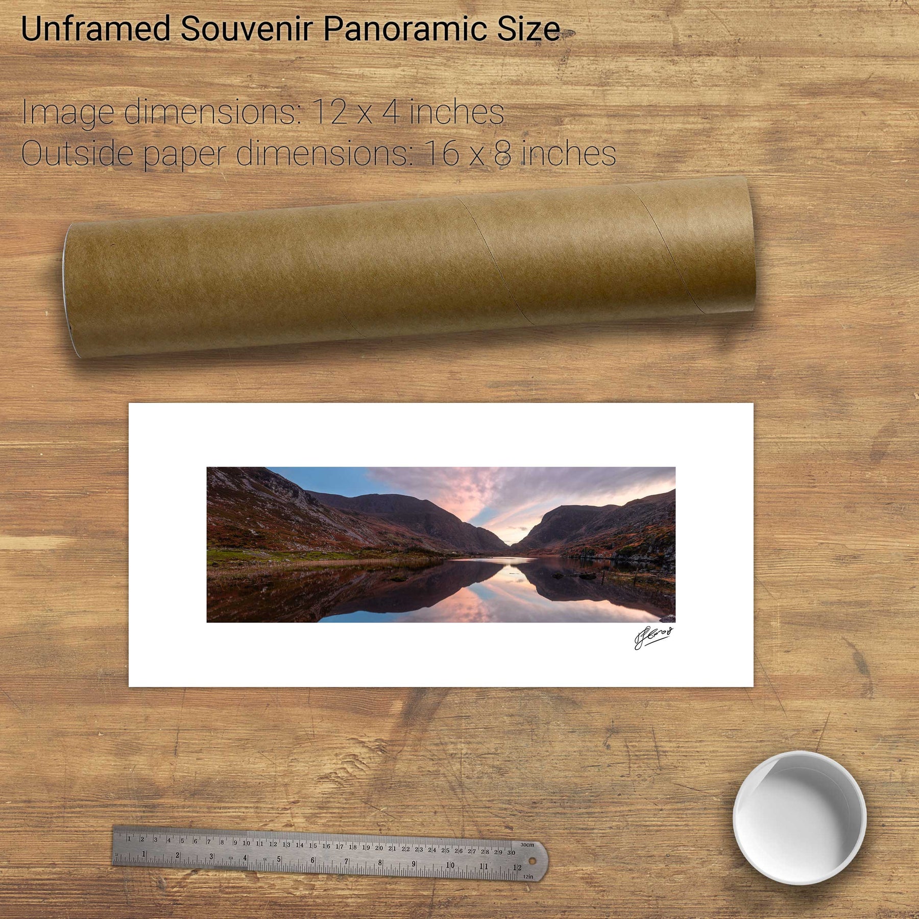
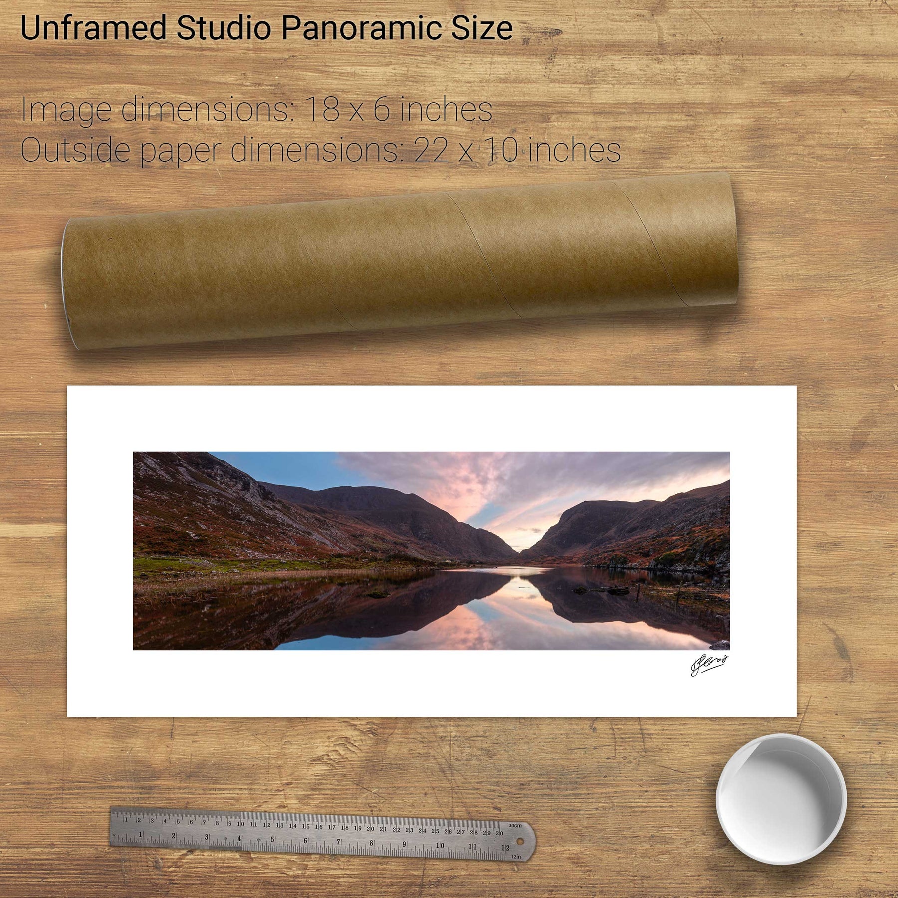
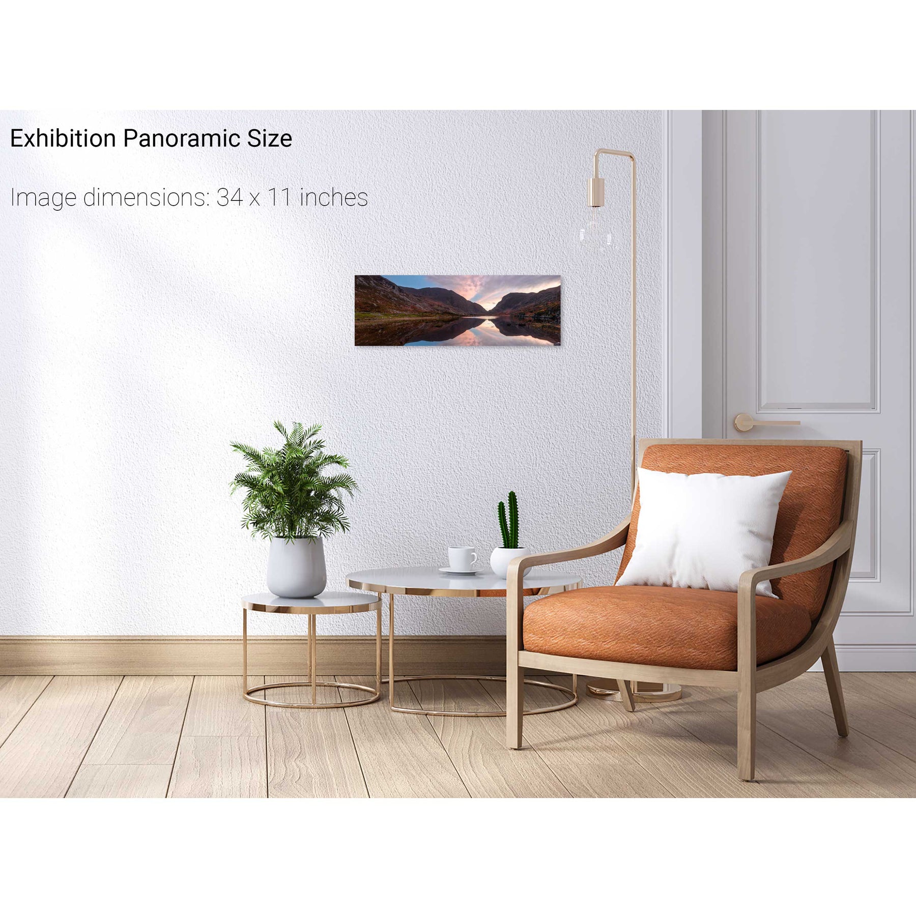
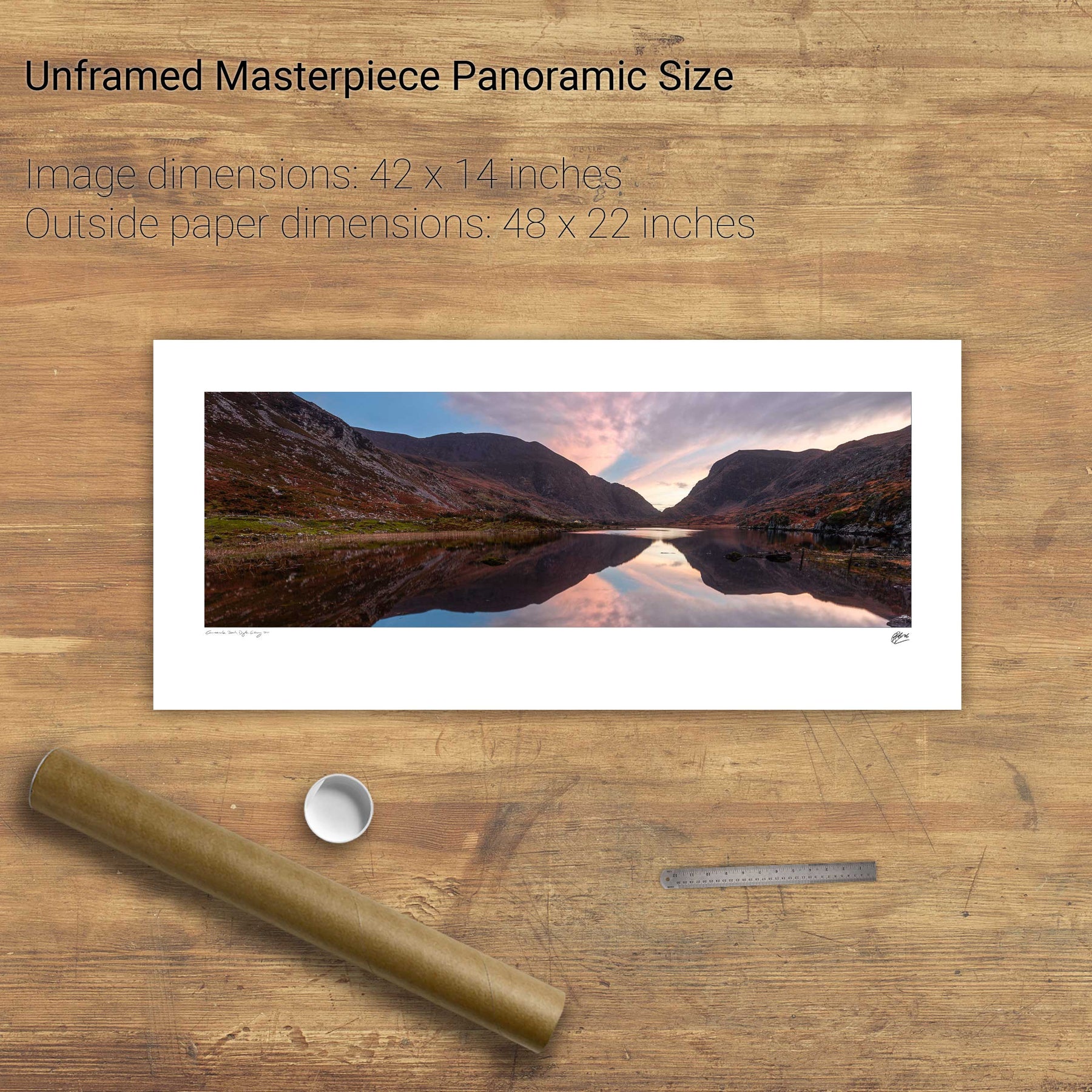
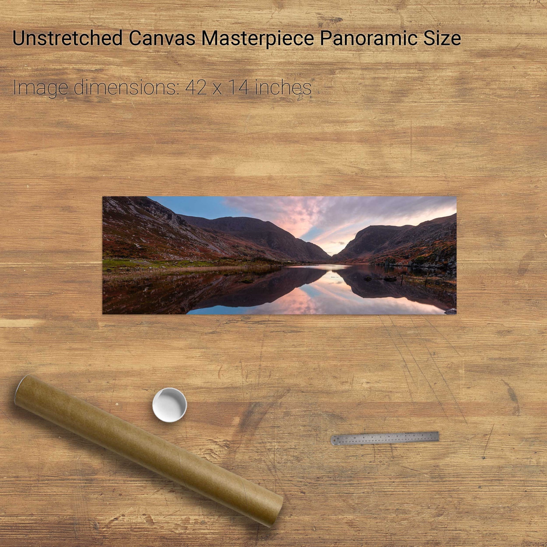
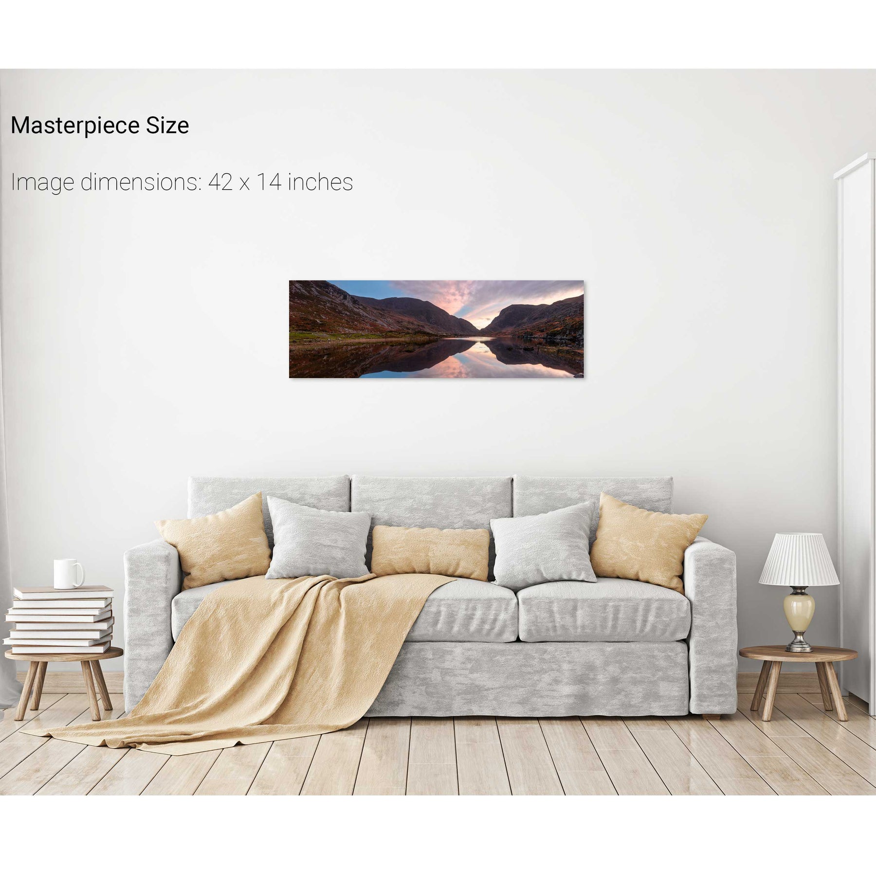
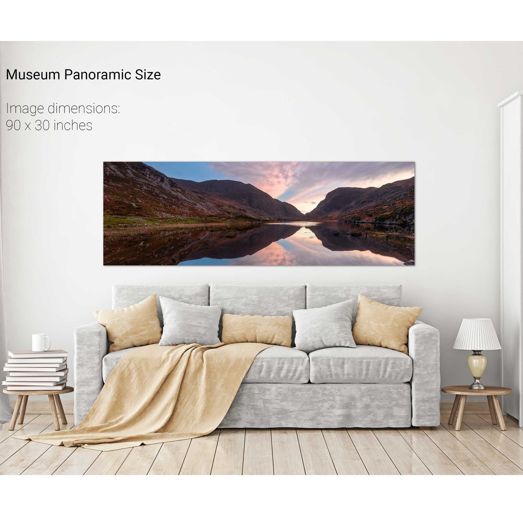
Gap of Dunloe Panoramic, Co. Kerry
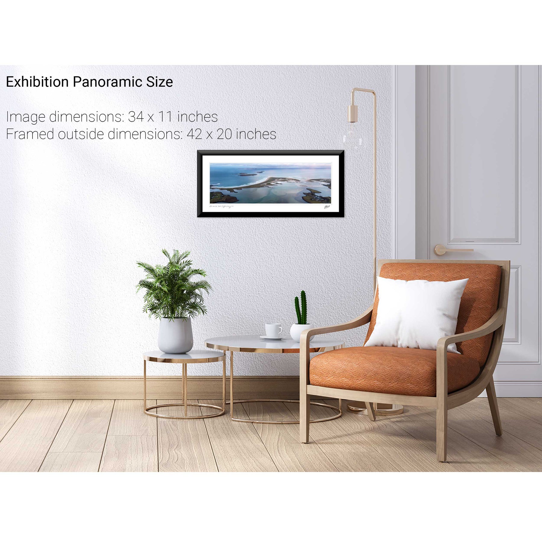
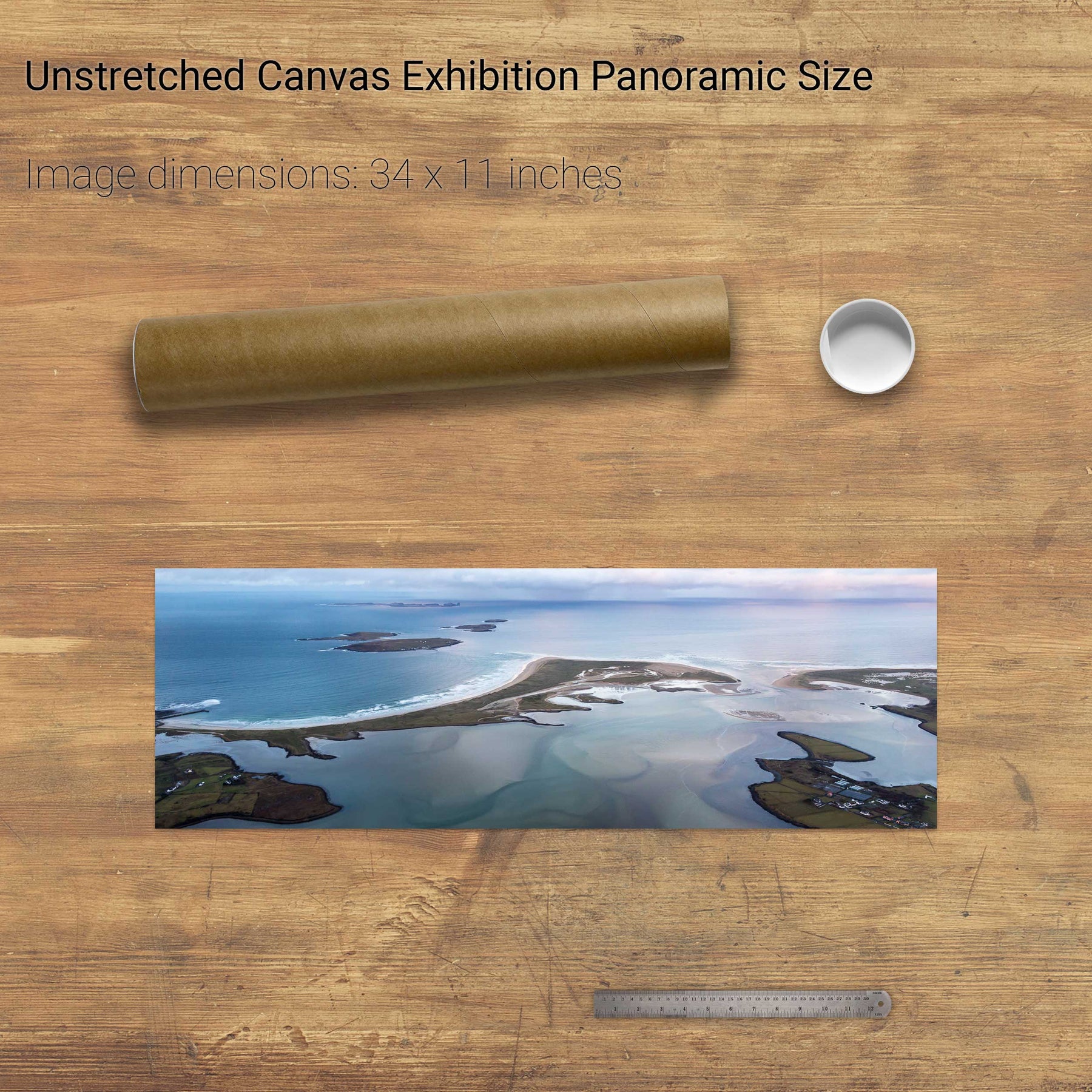
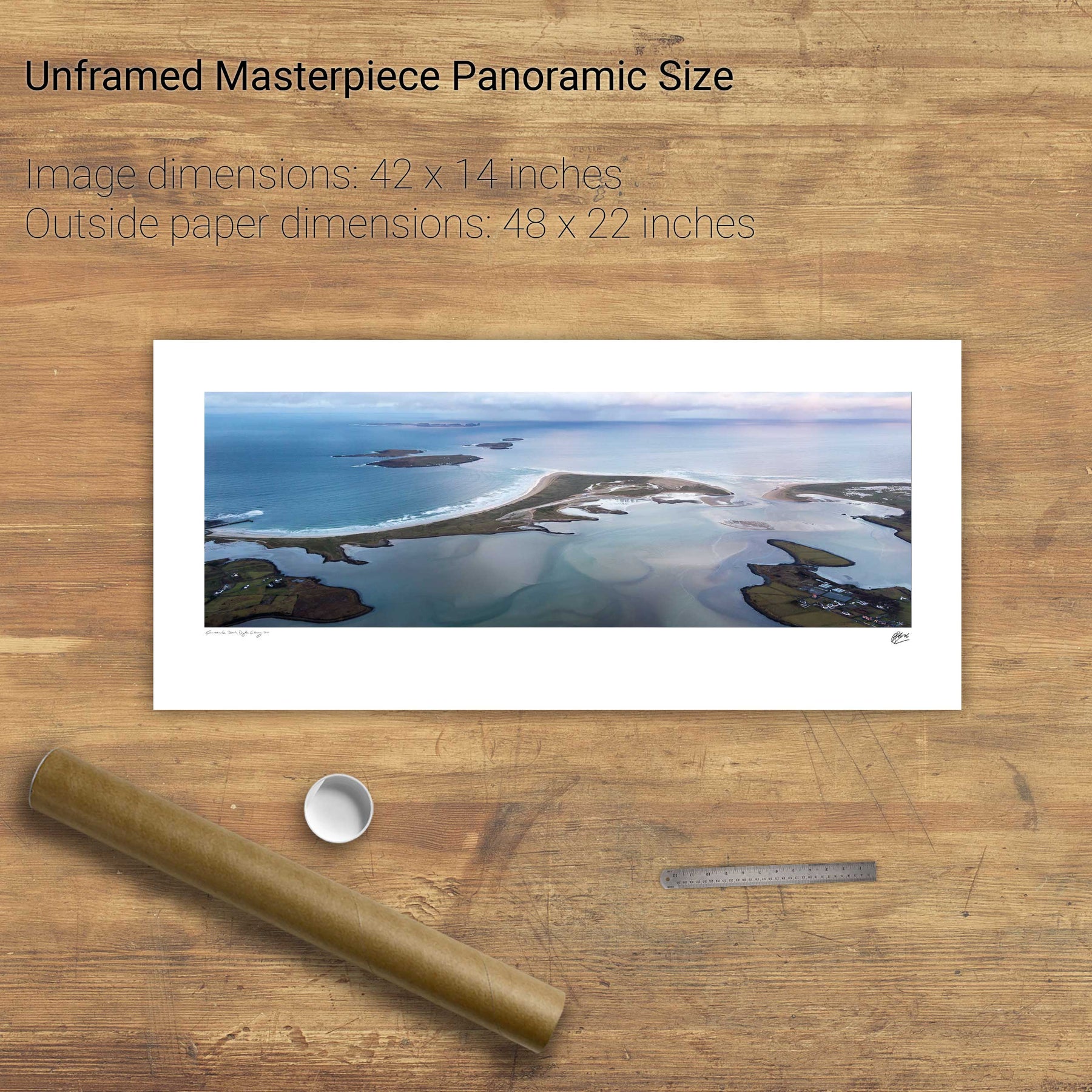
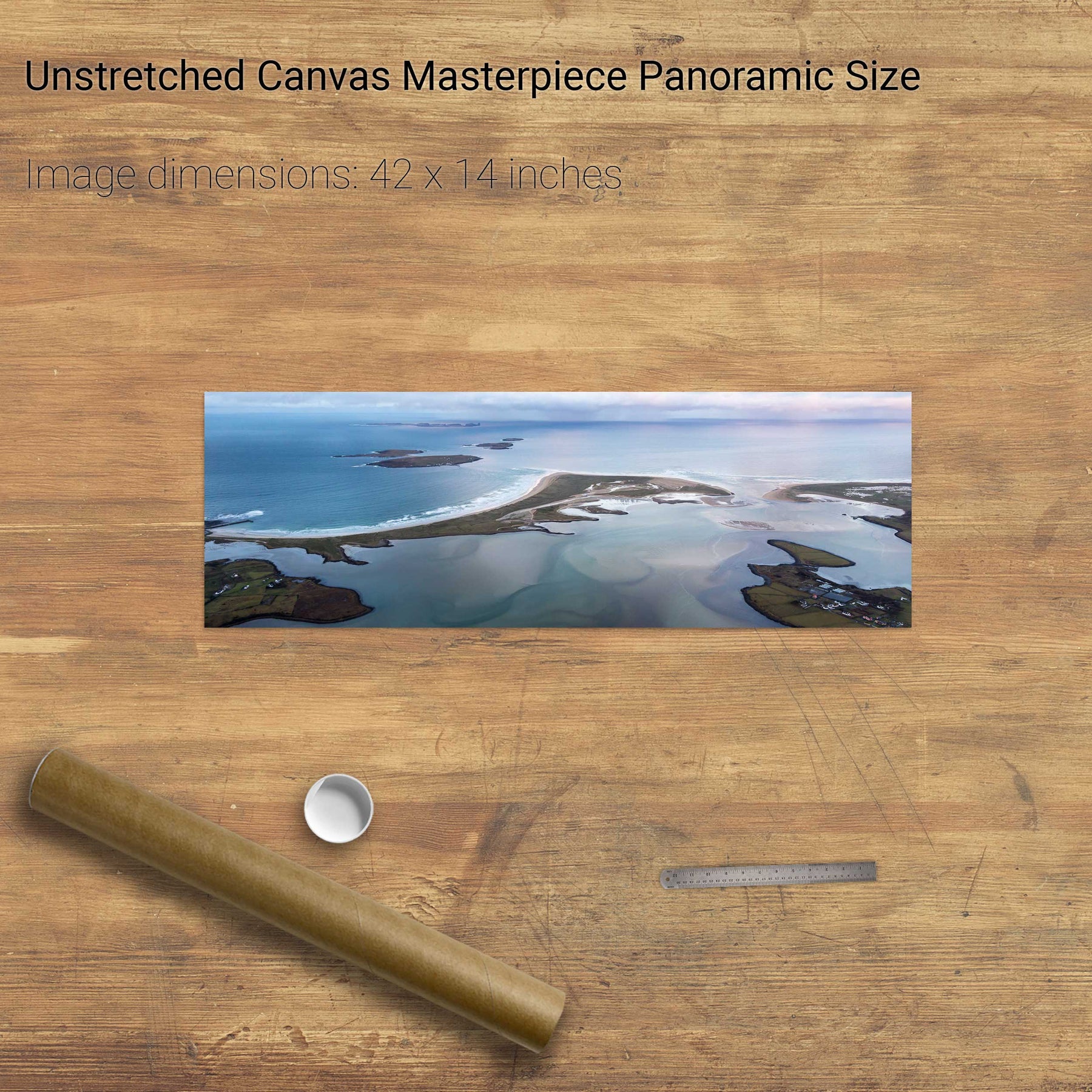
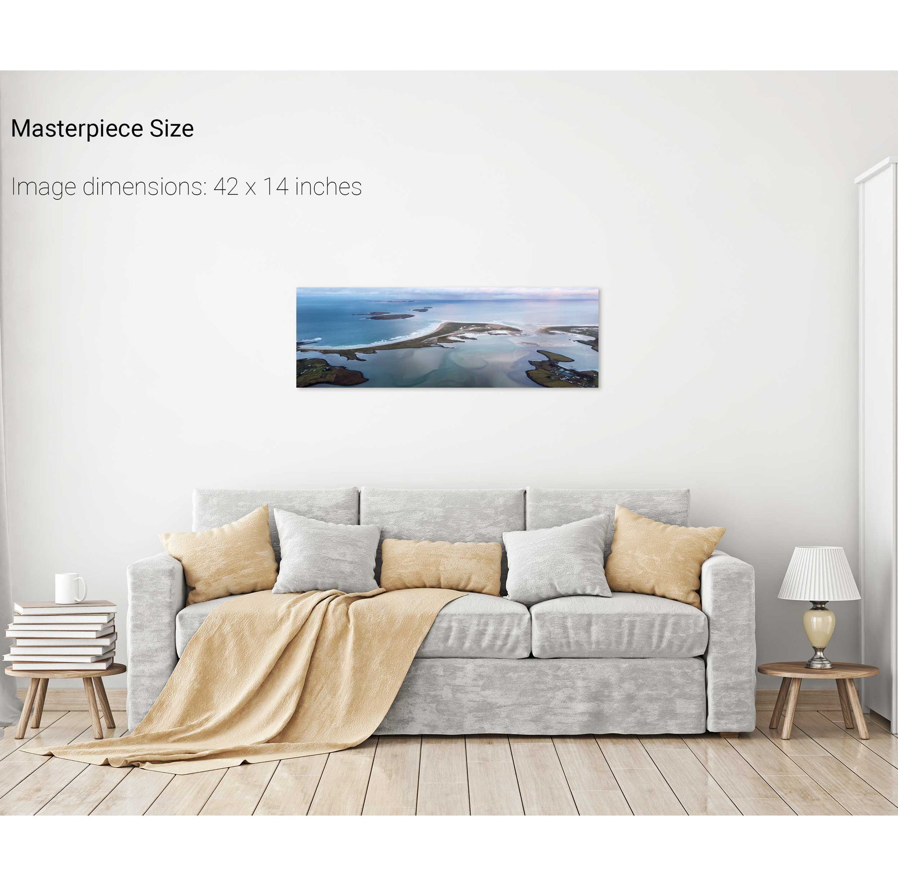
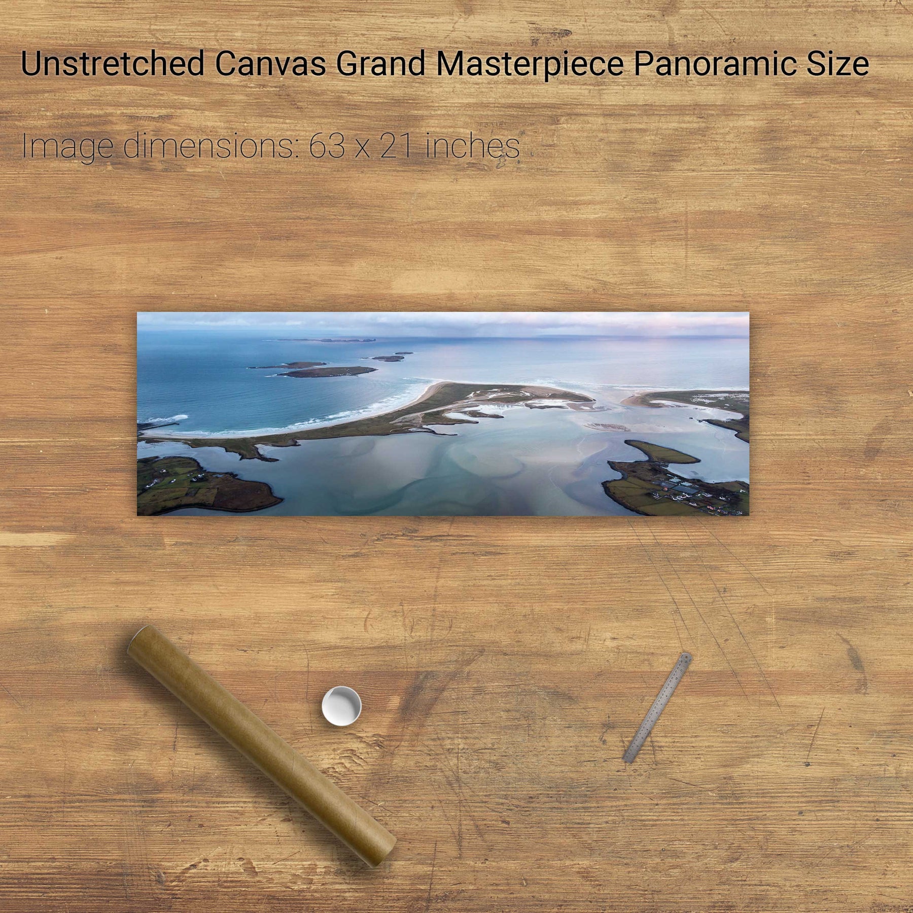
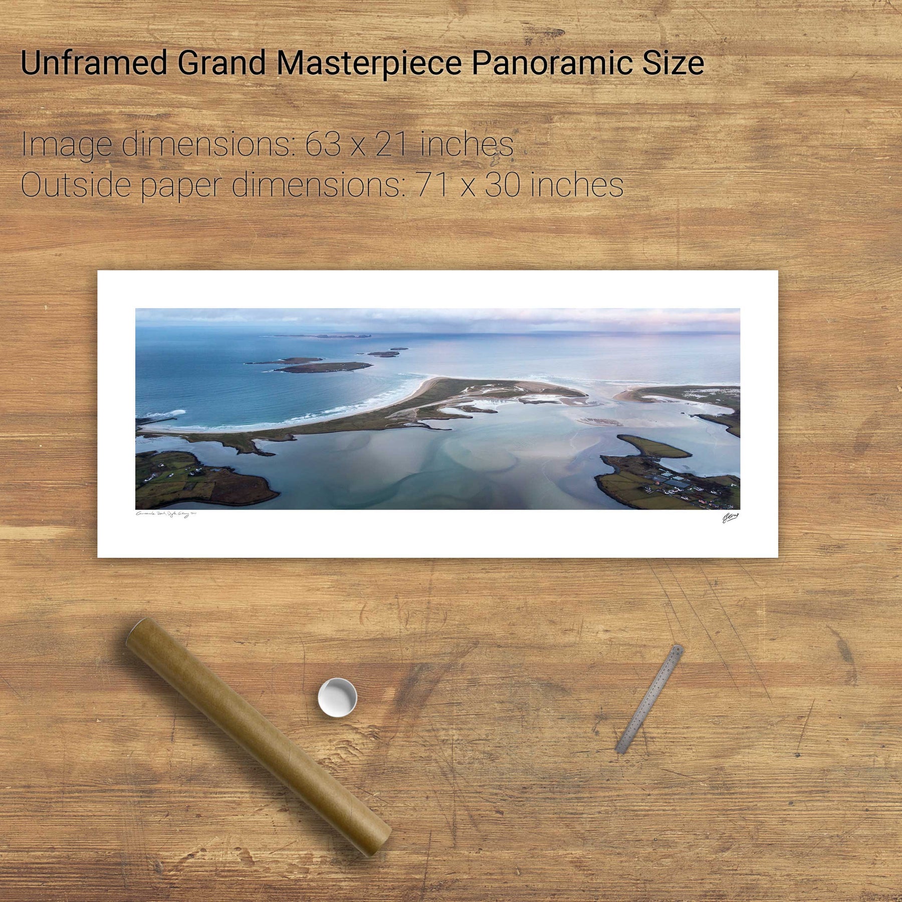
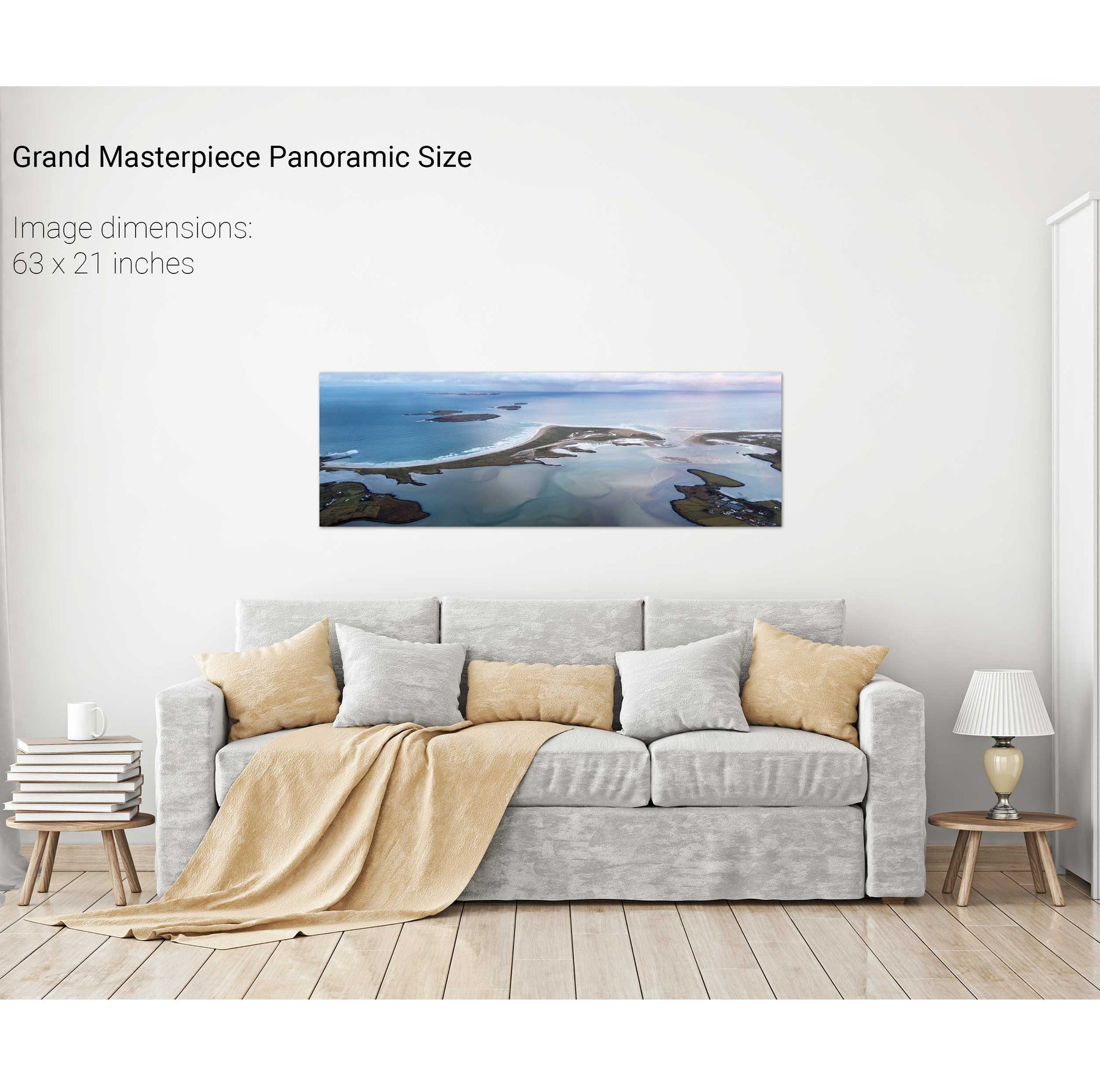
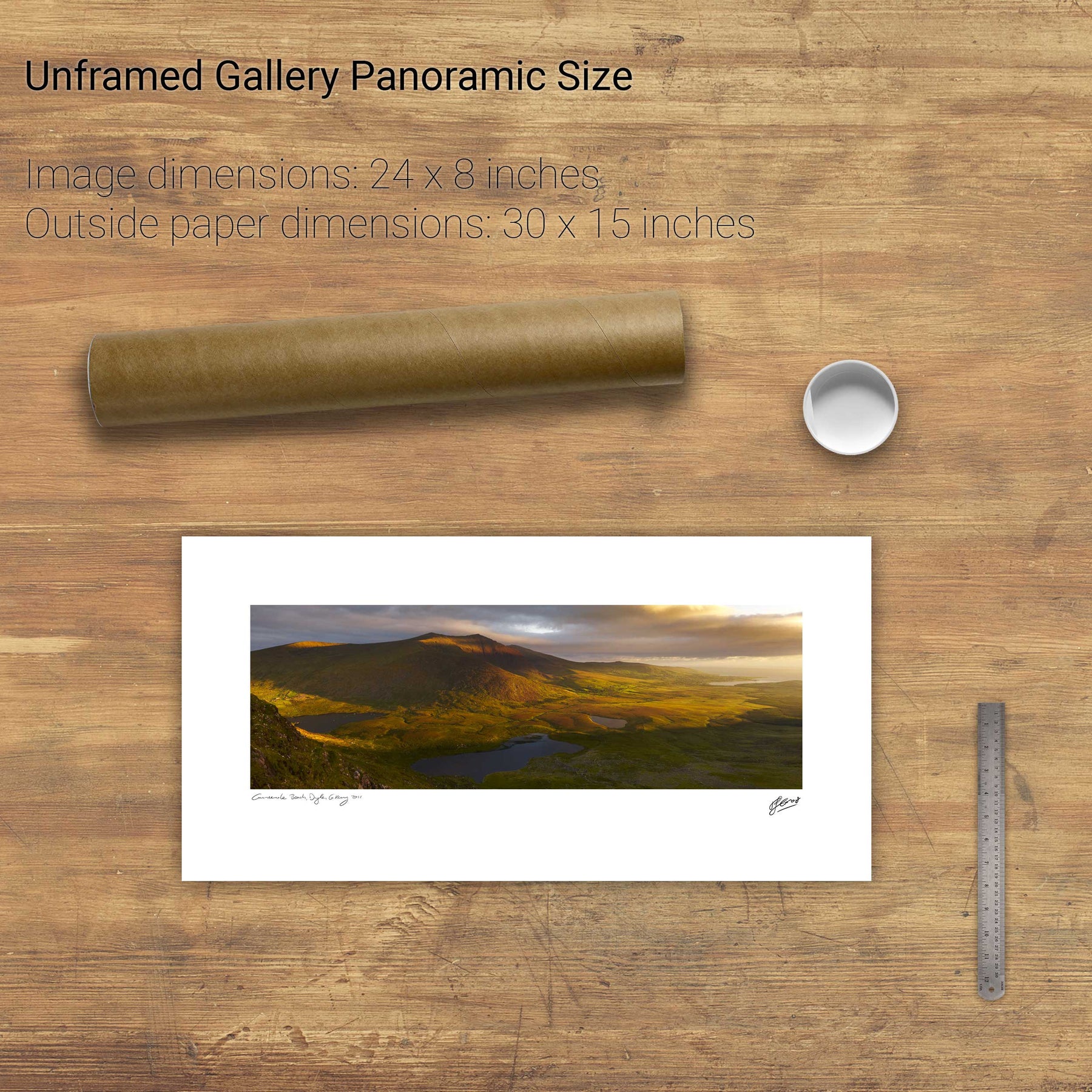
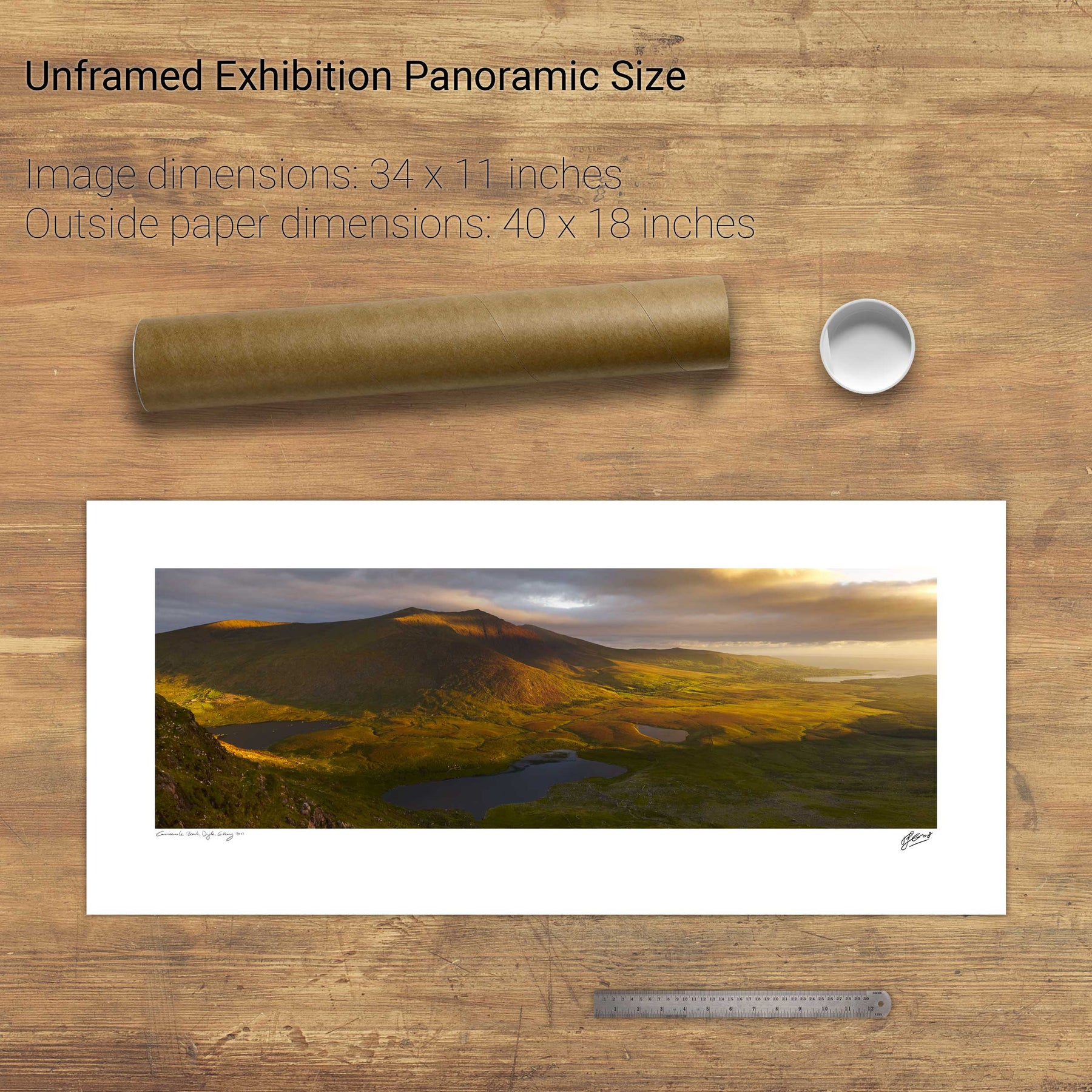
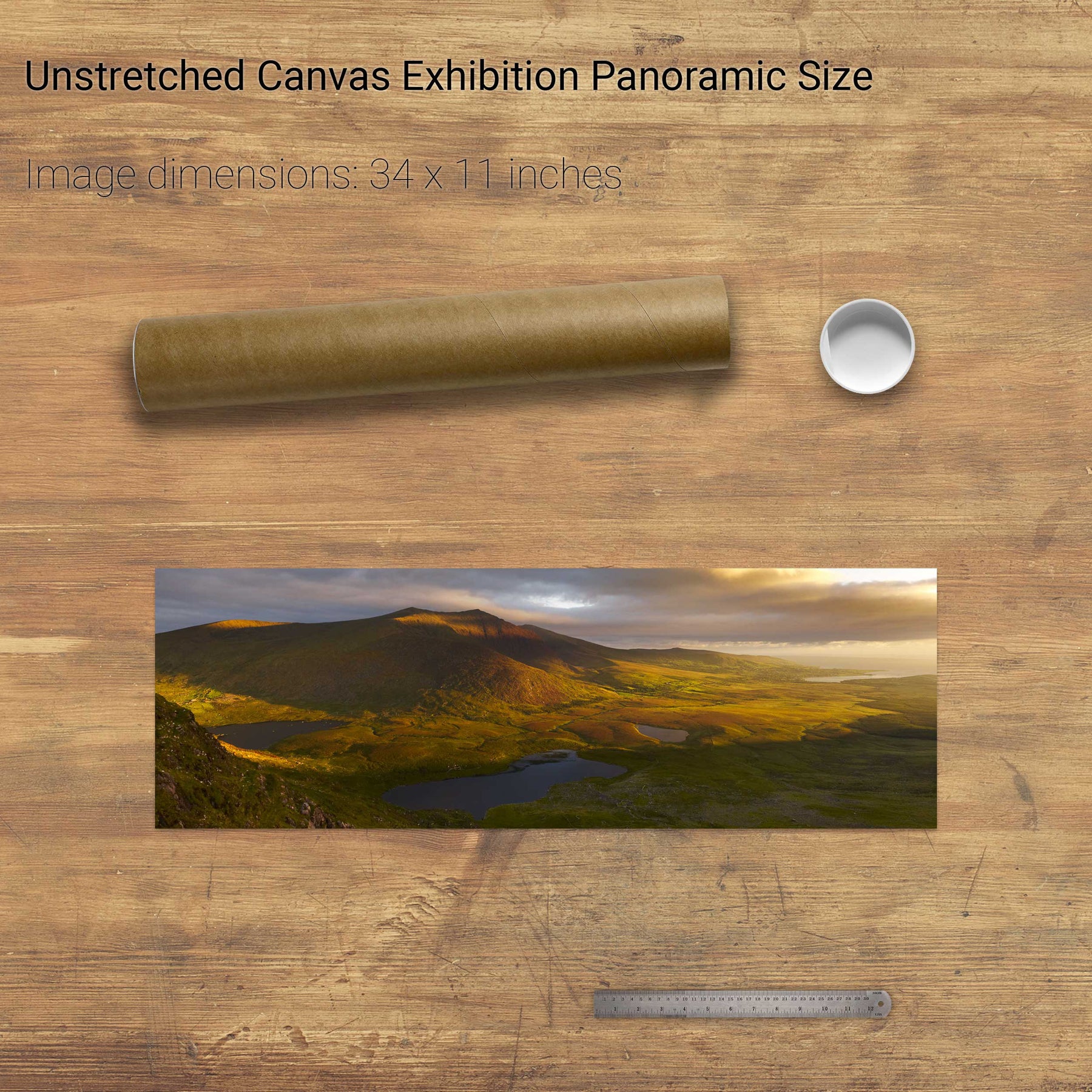
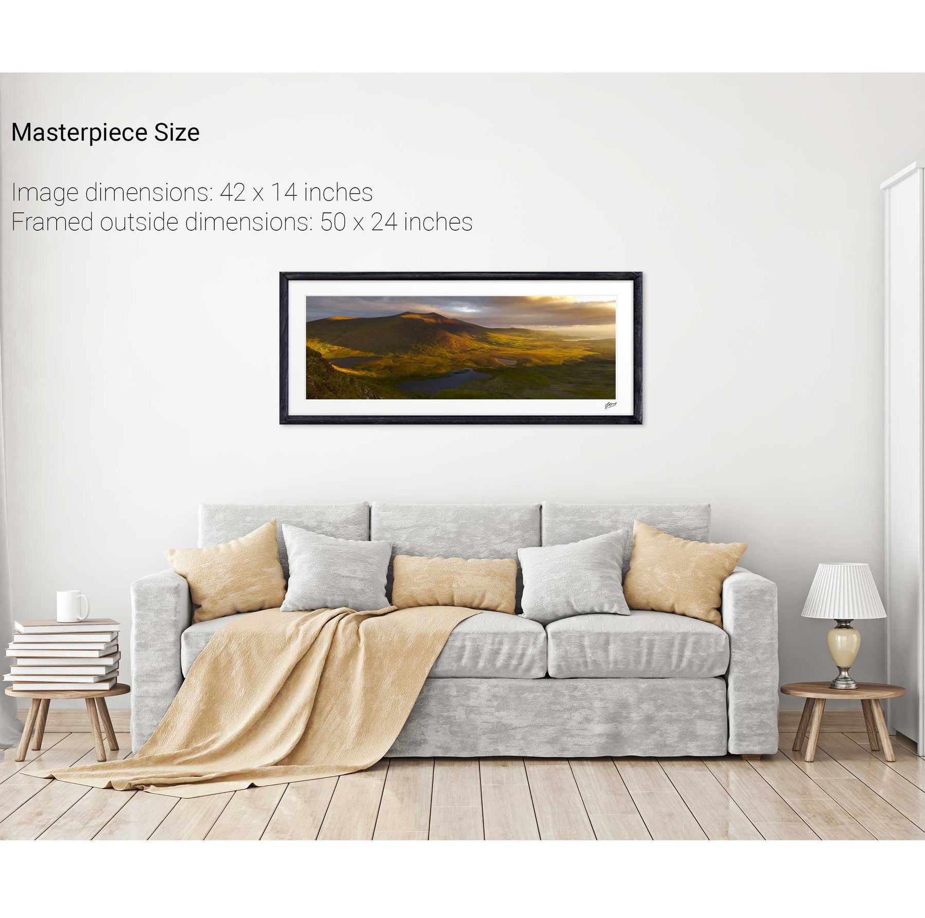
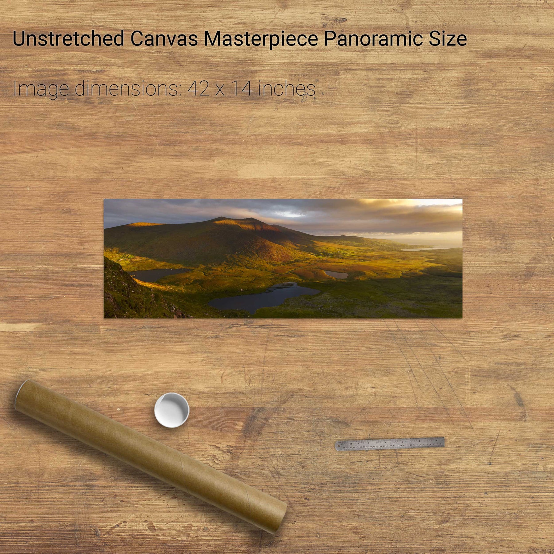
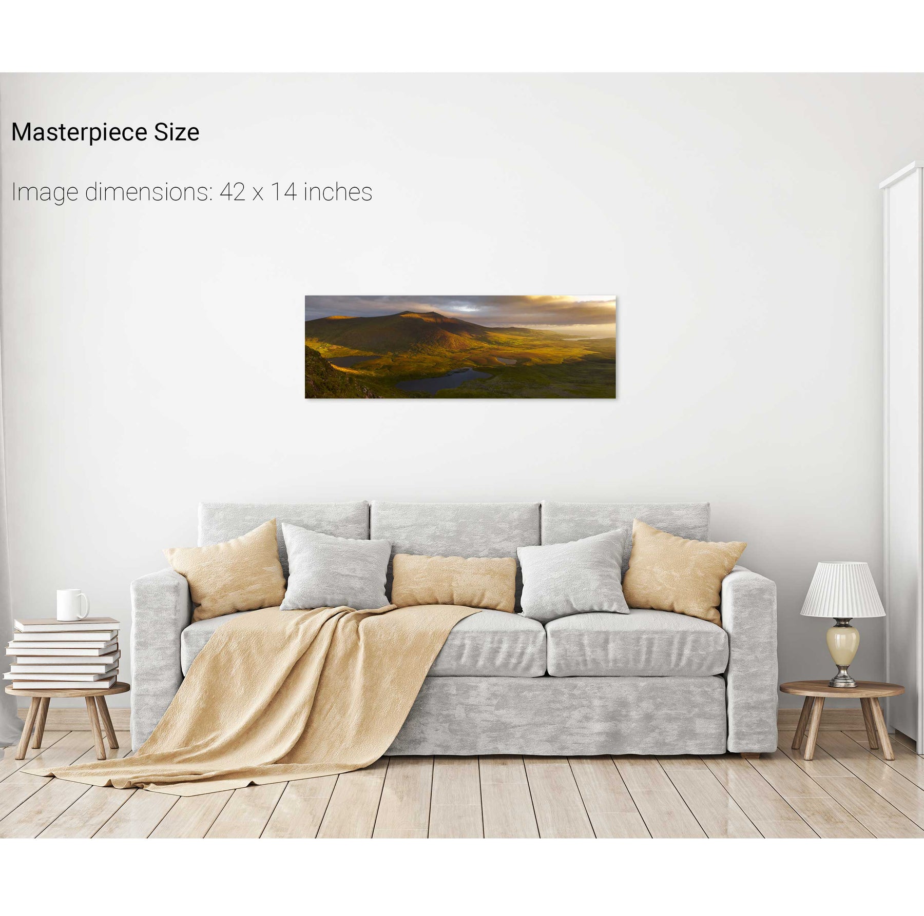
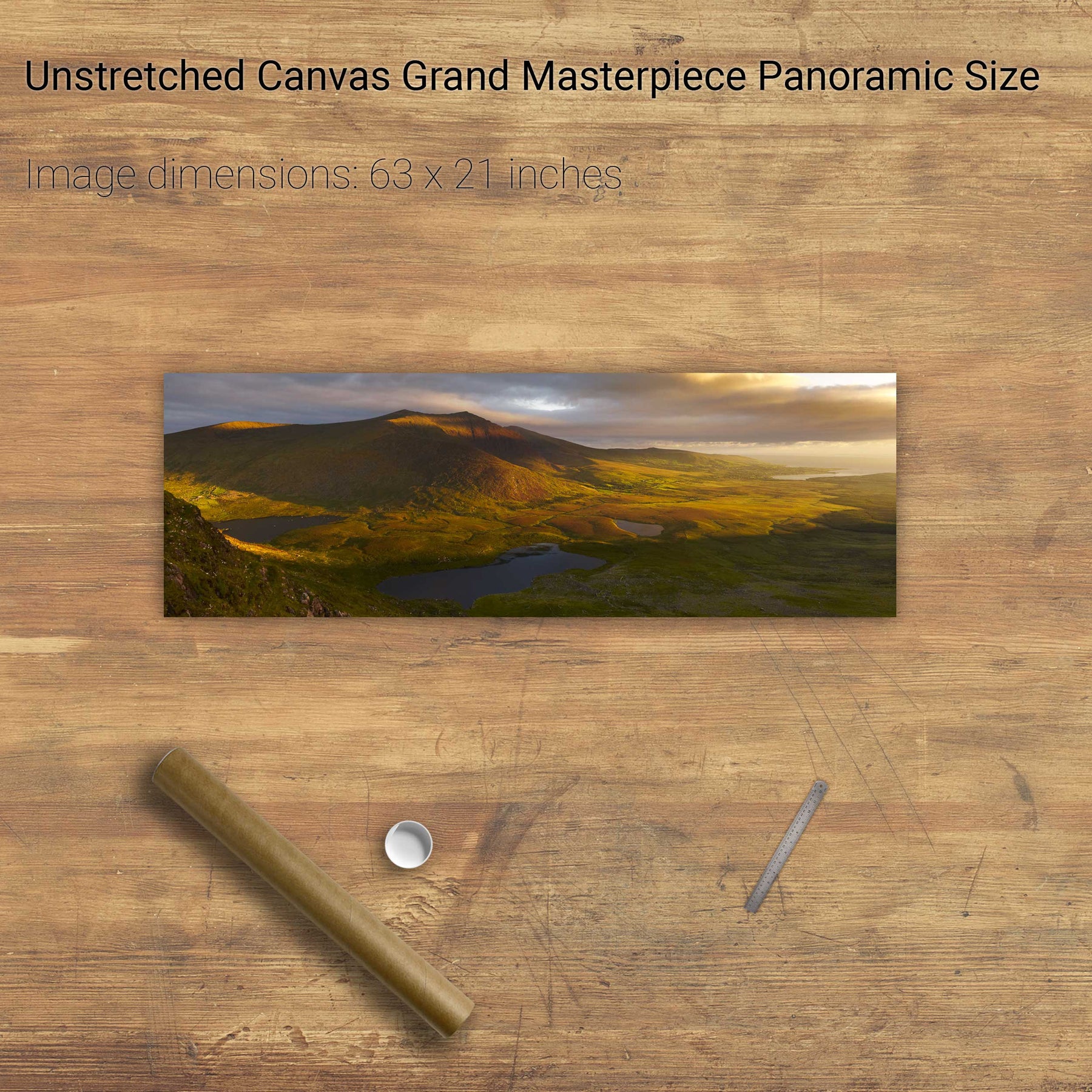
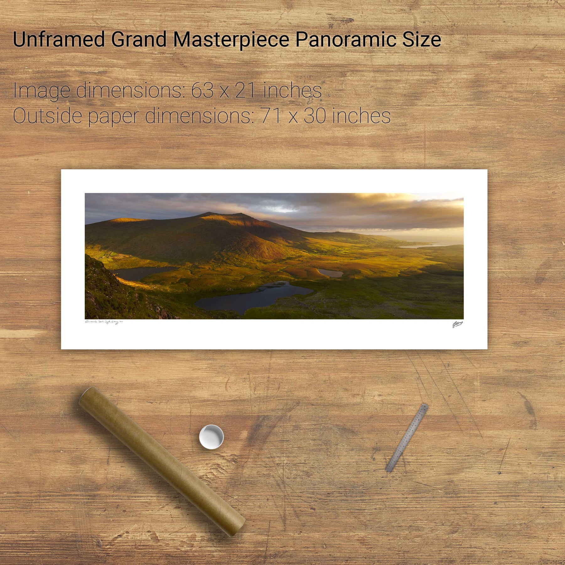
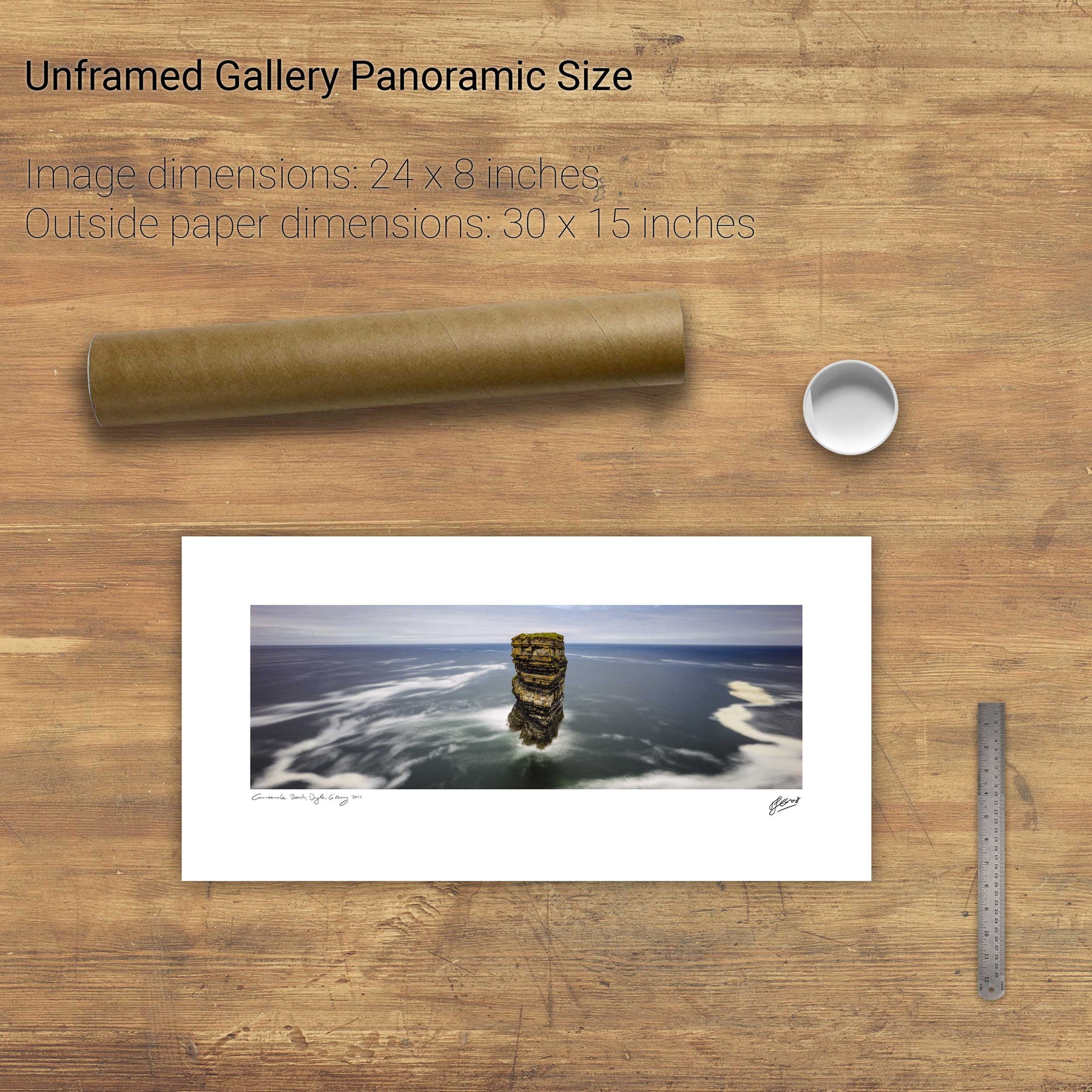
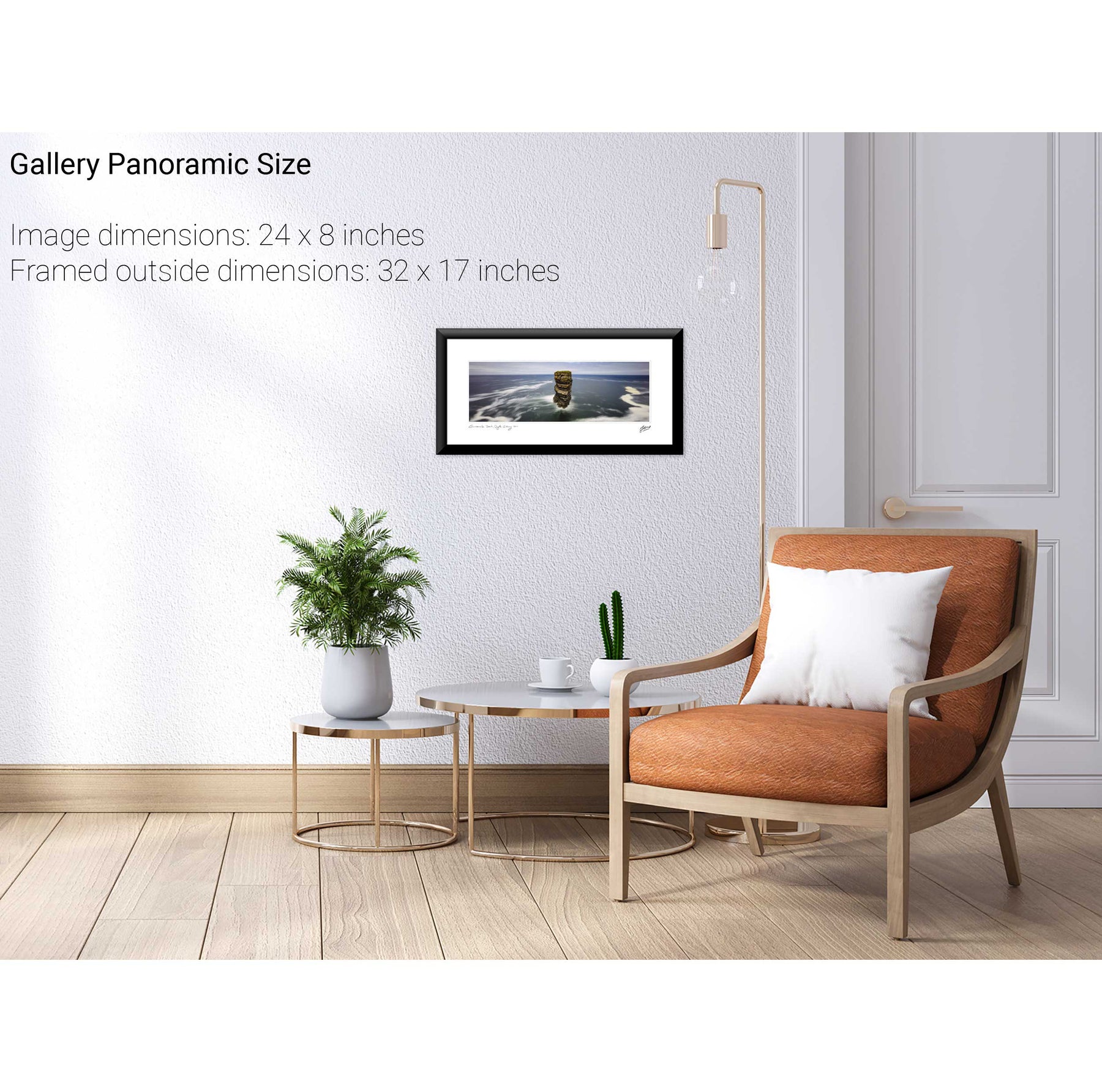
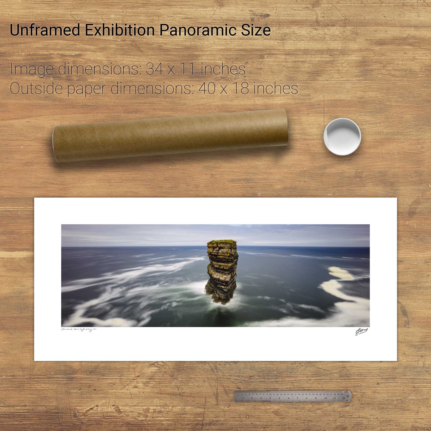
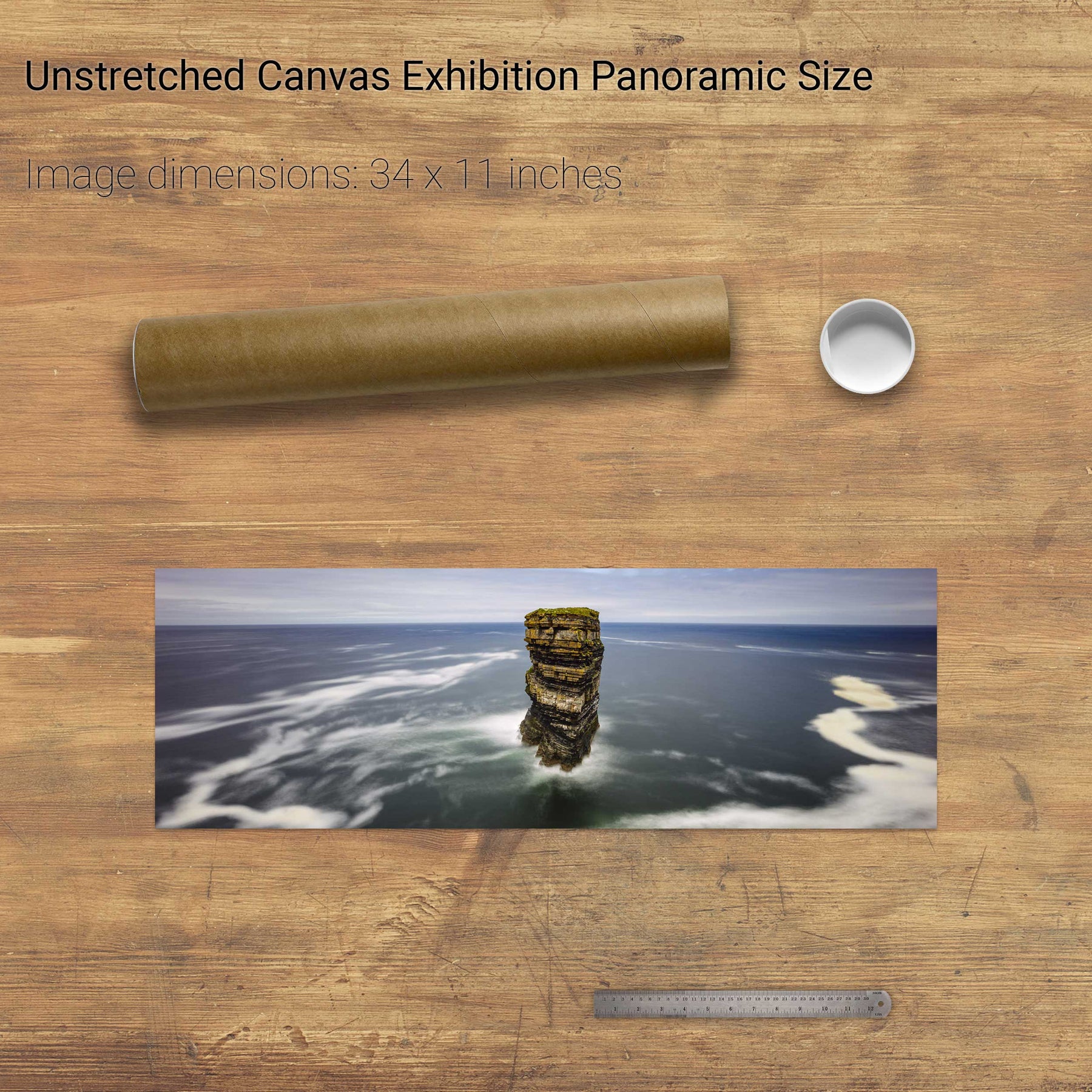
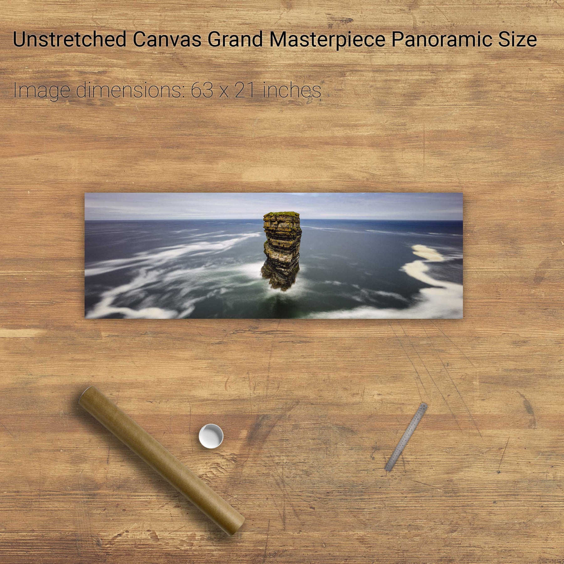
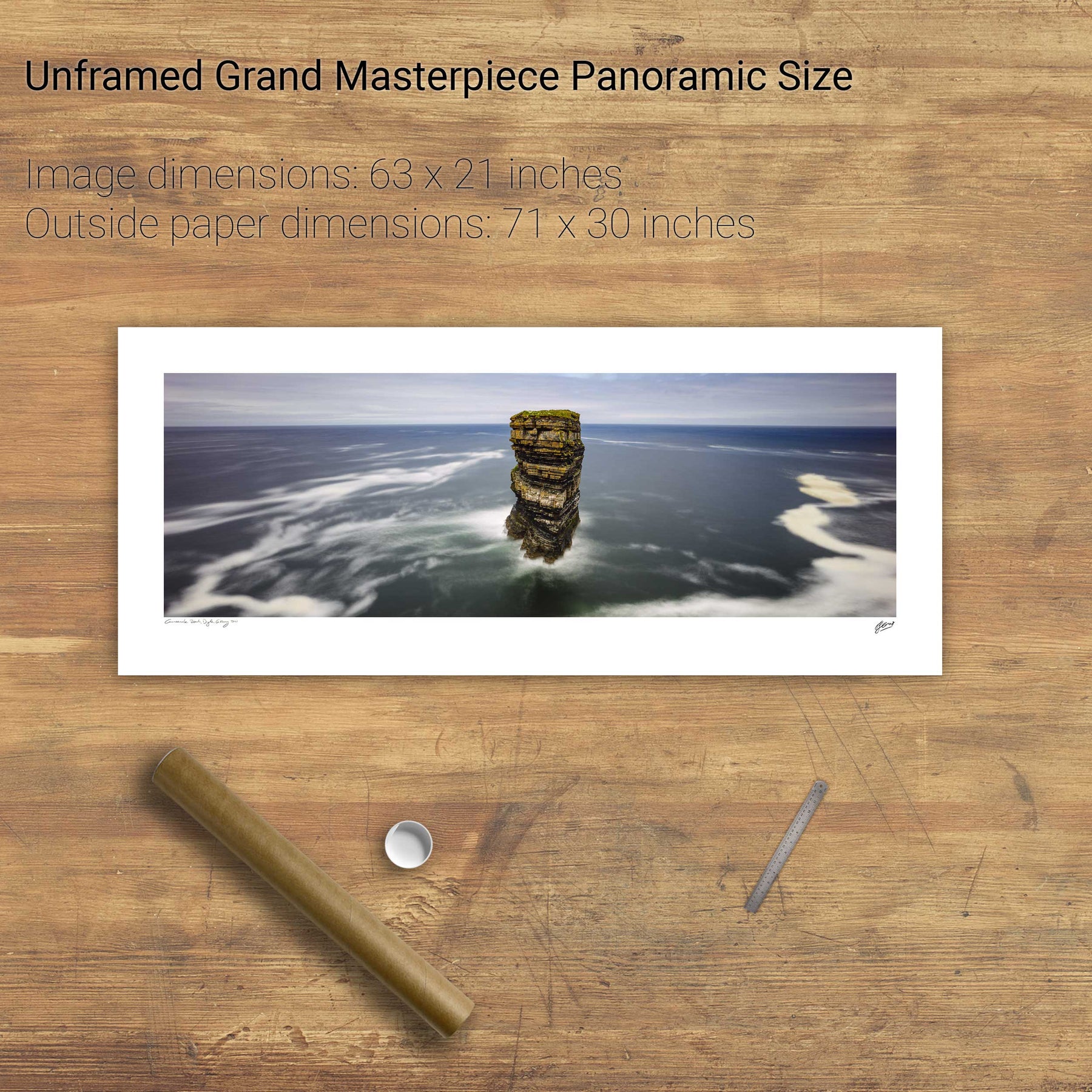
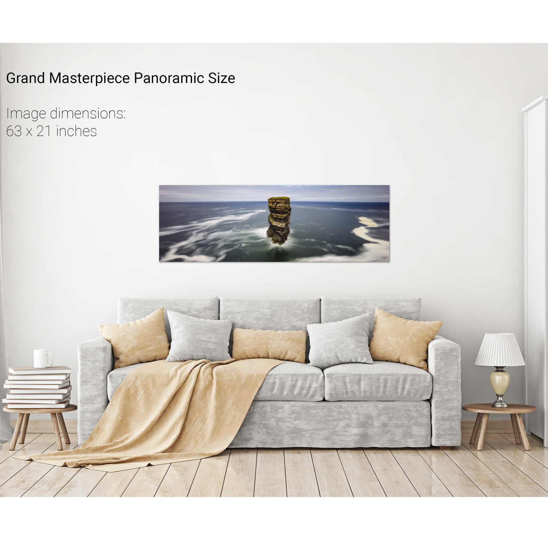
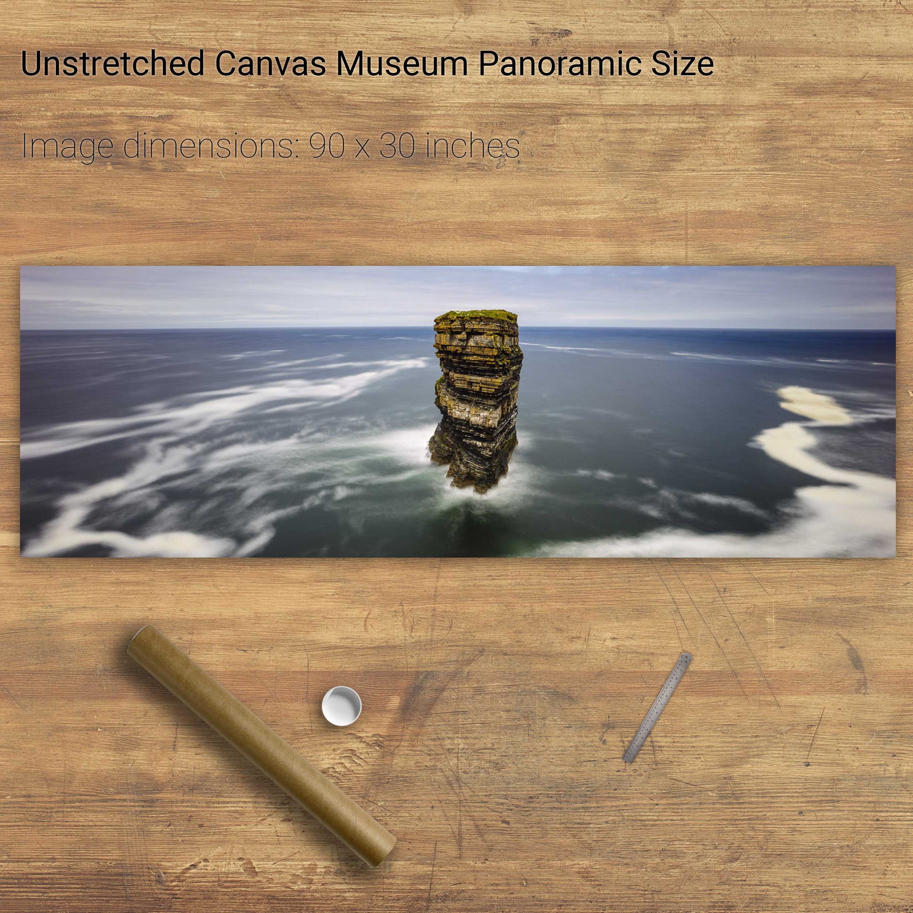
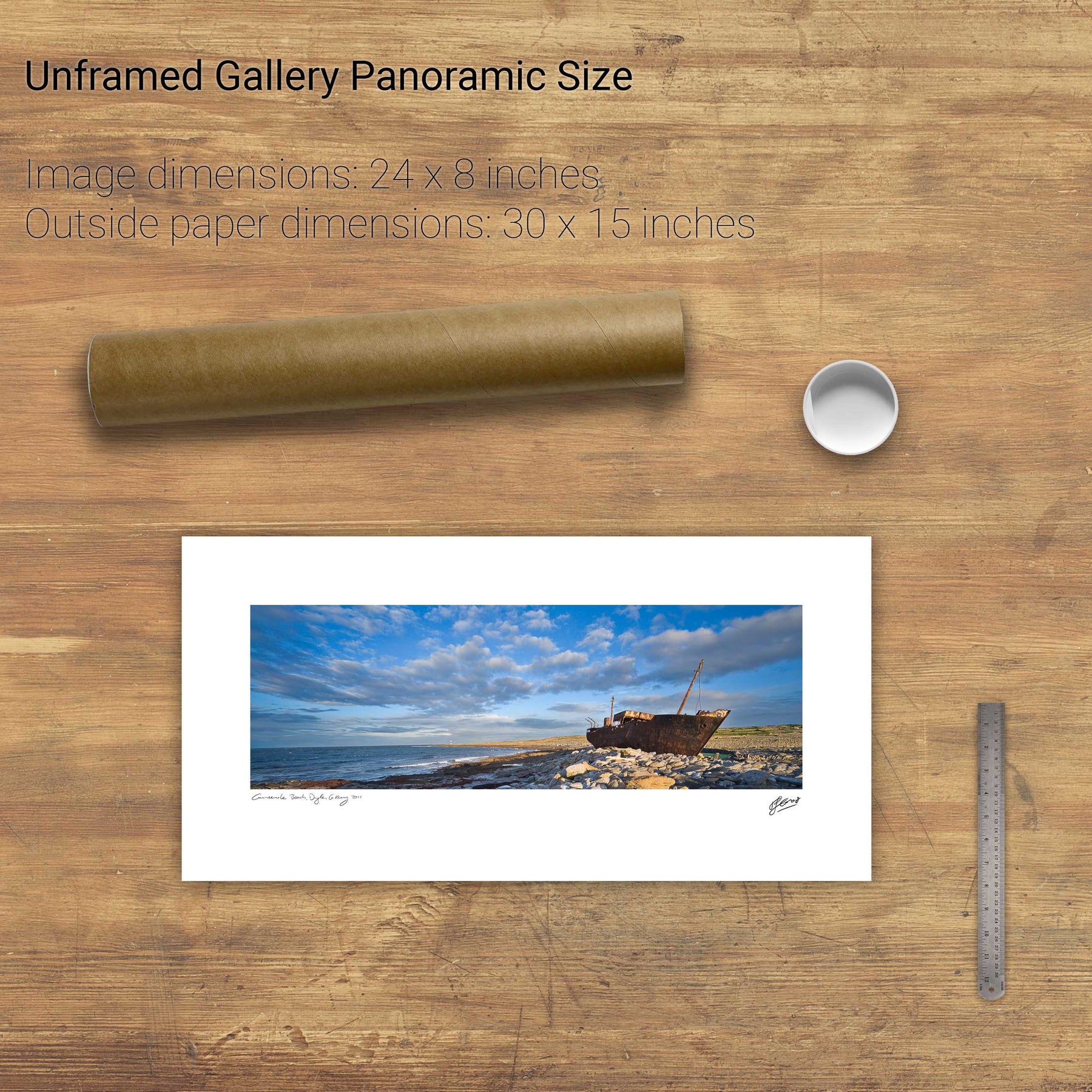
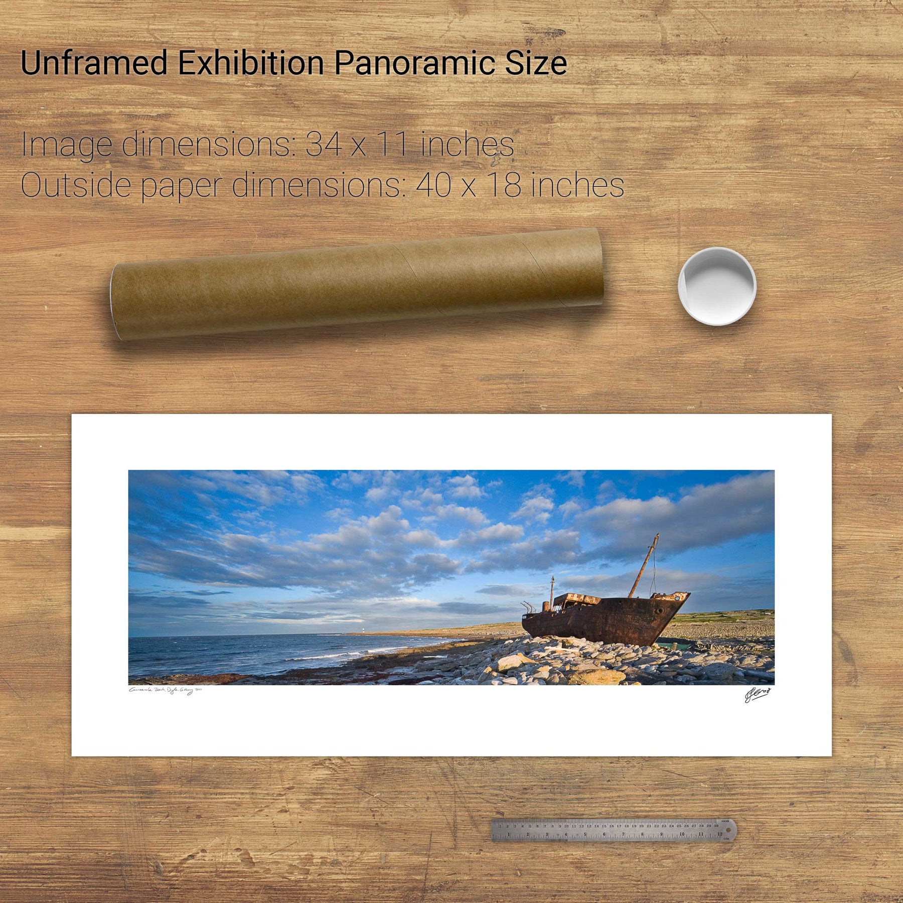
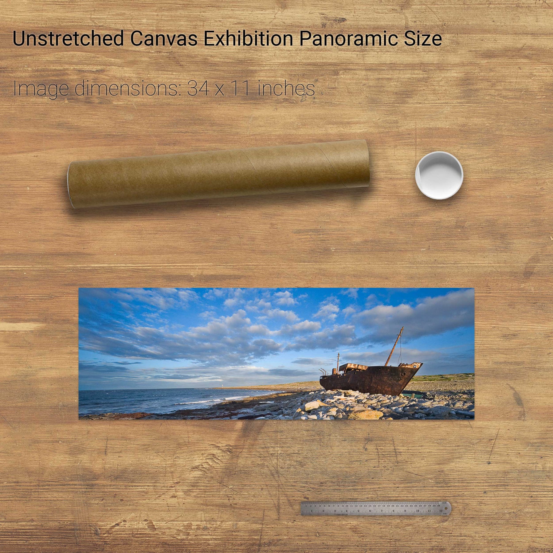
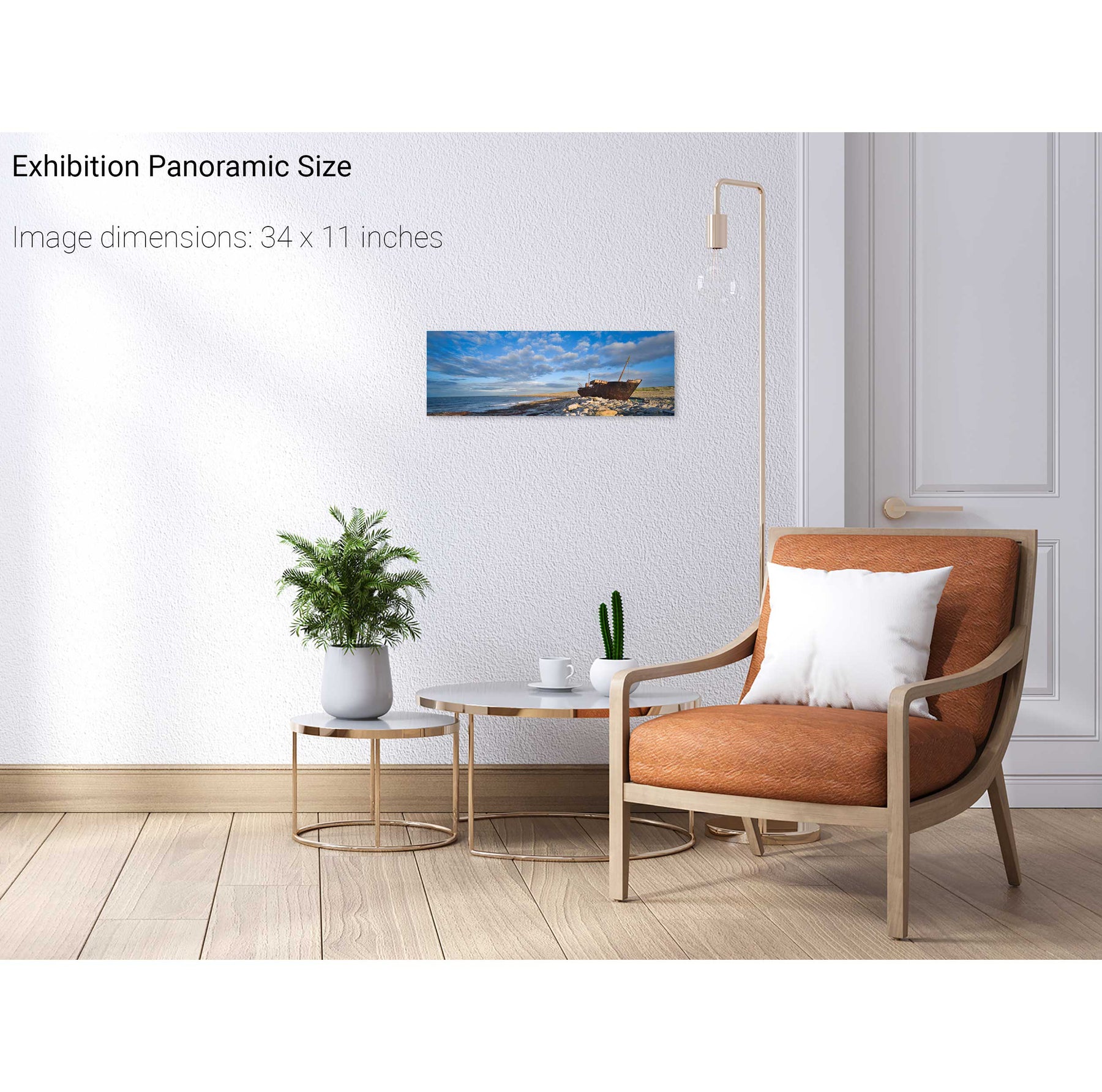
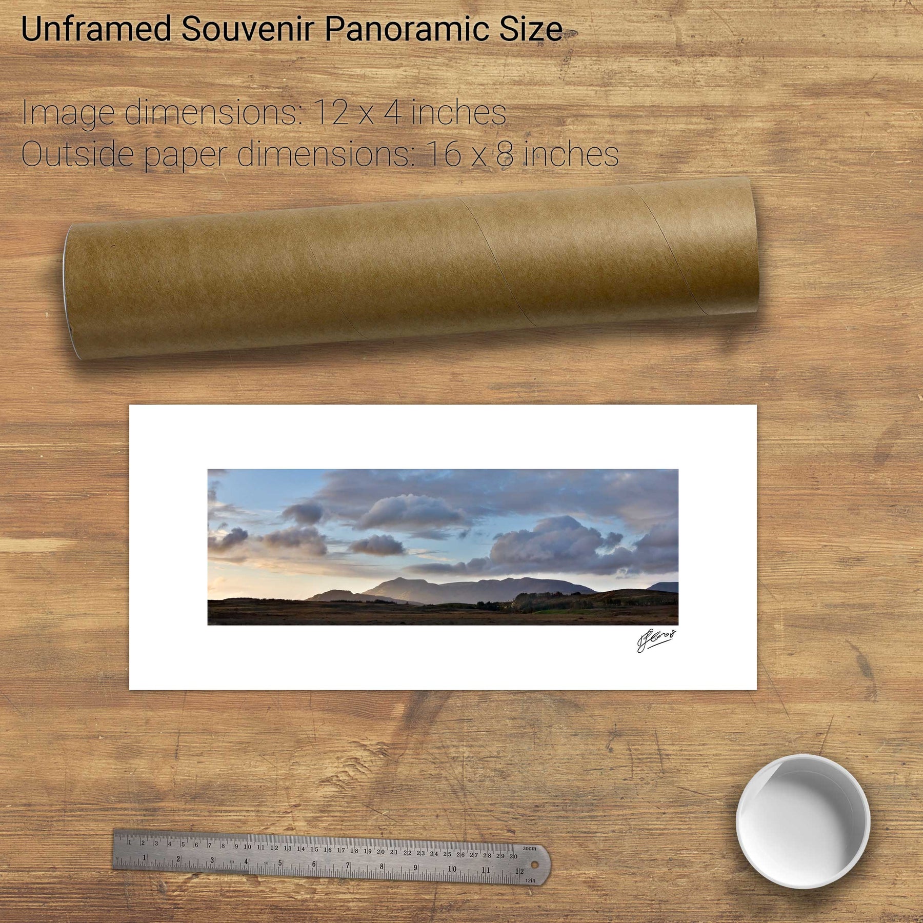
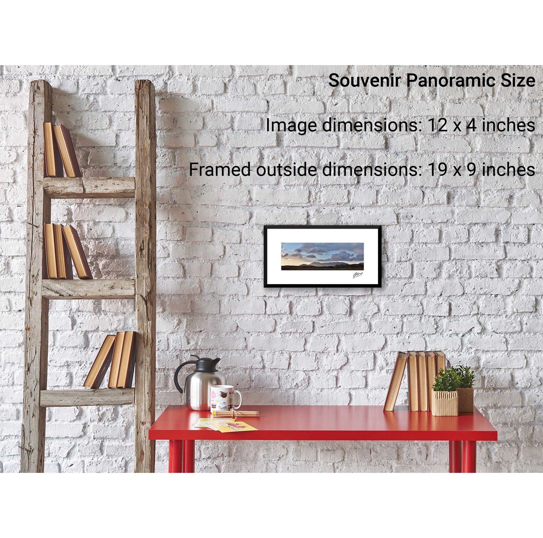
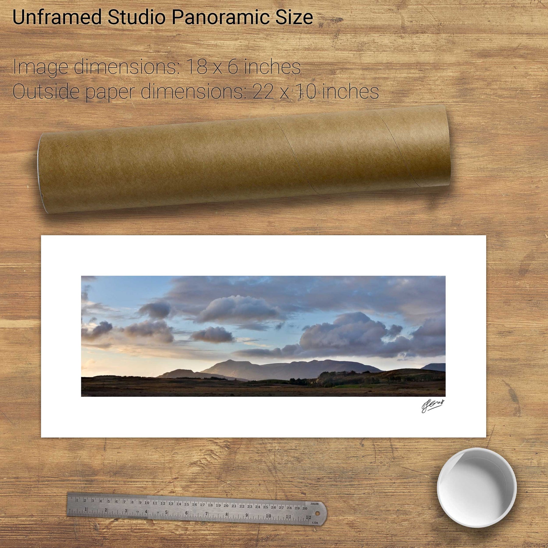
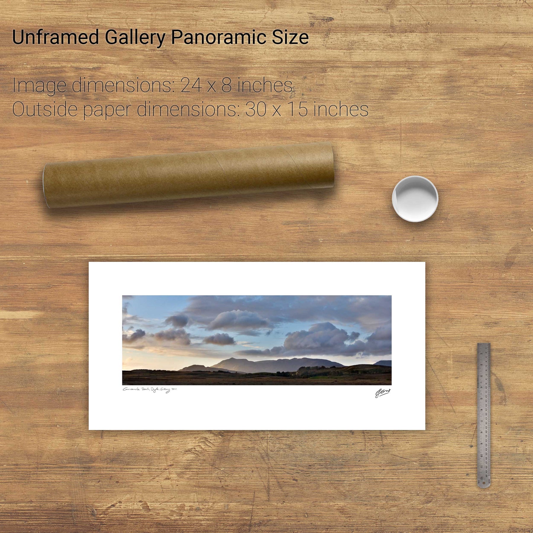
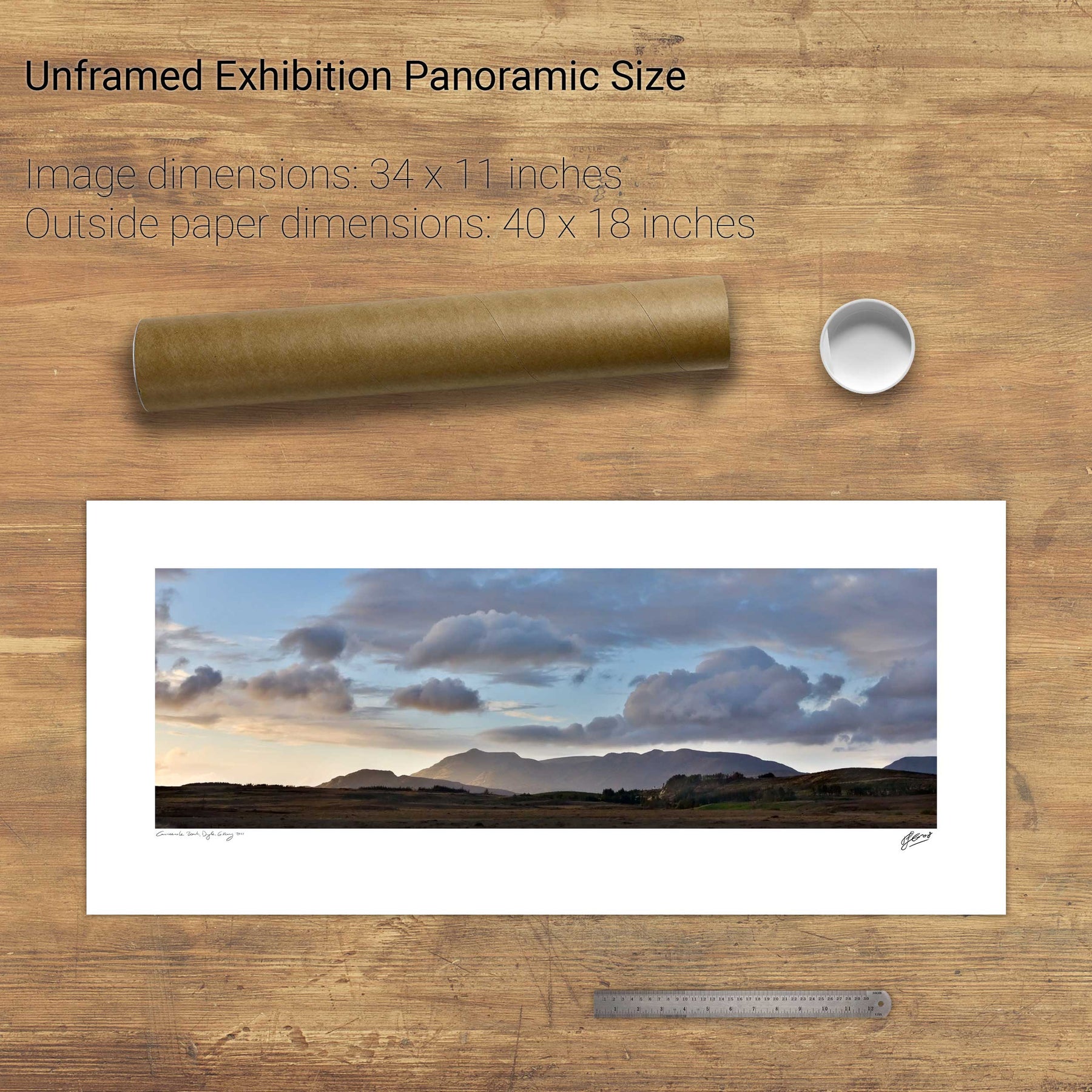
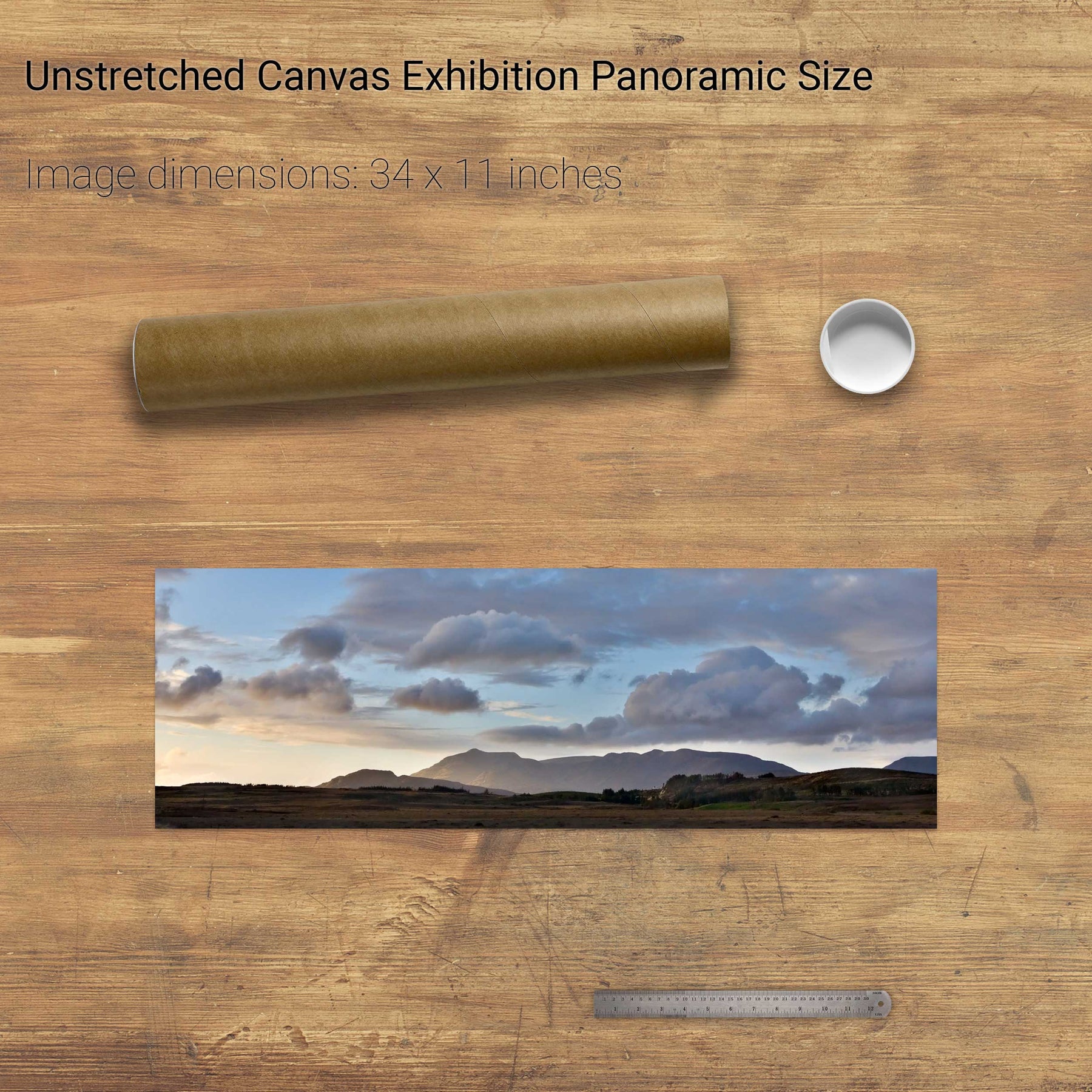
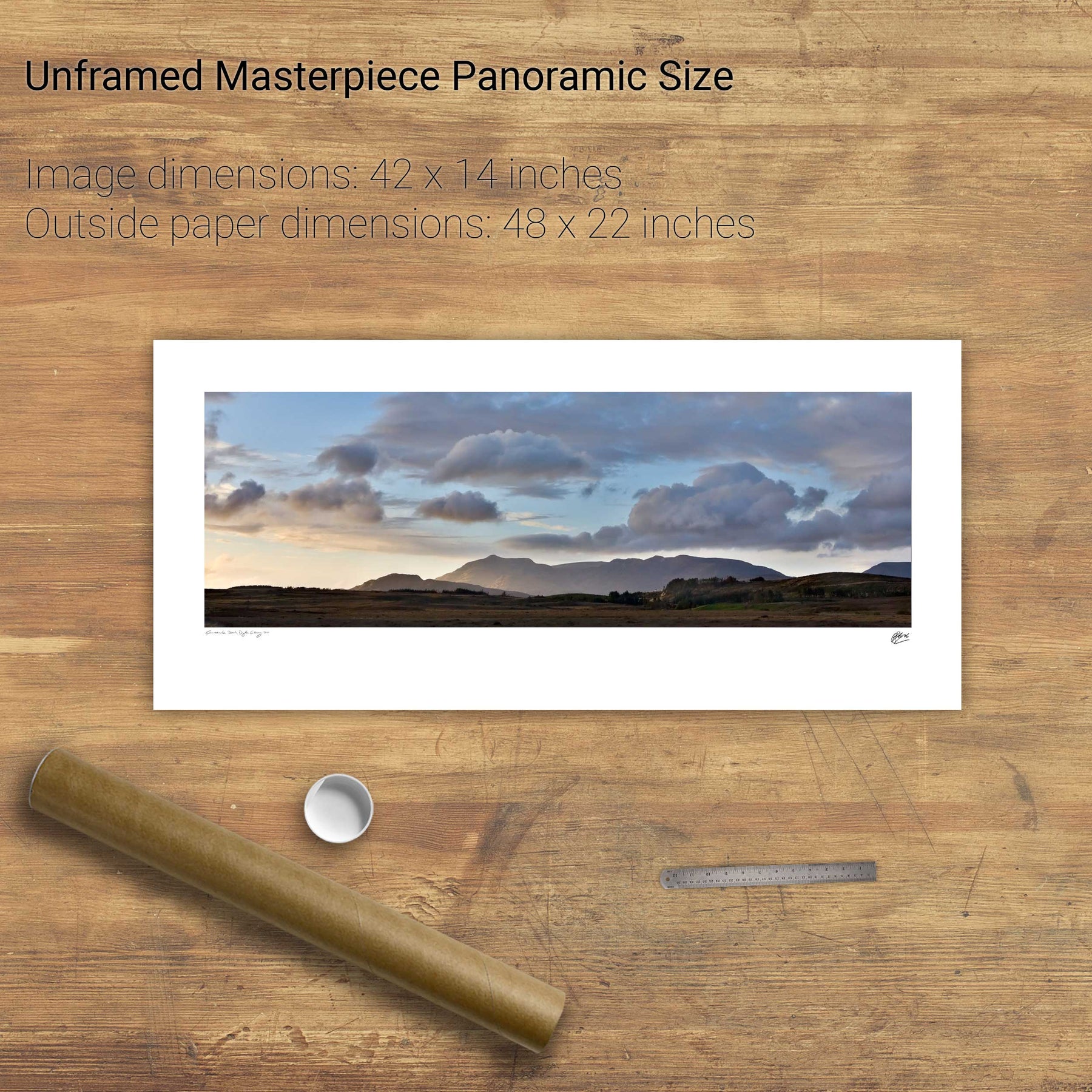
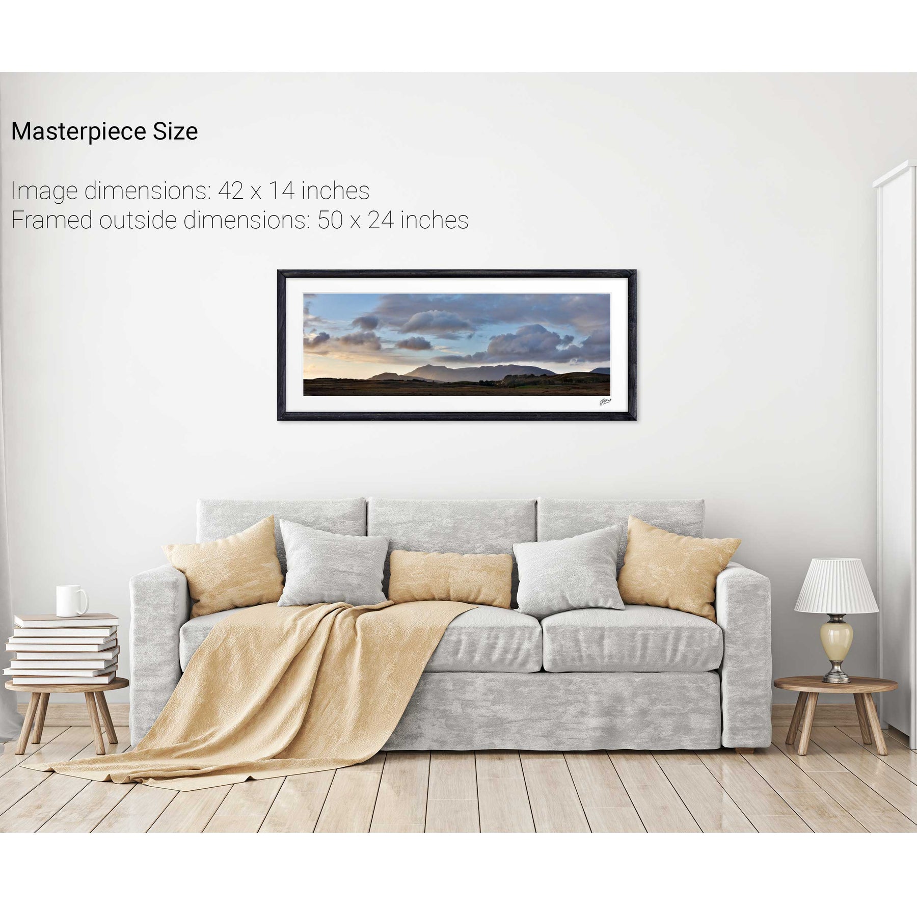
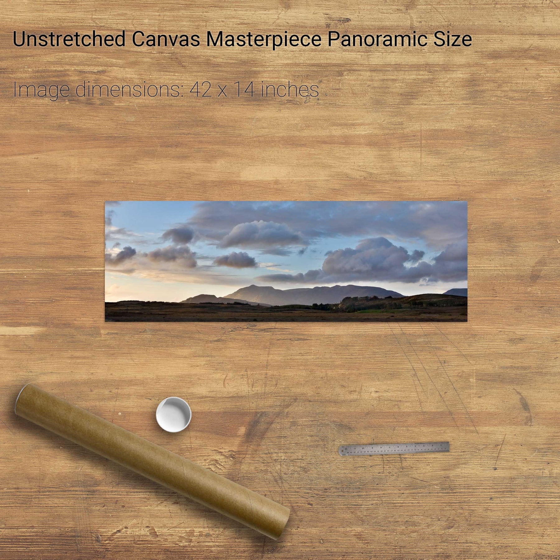
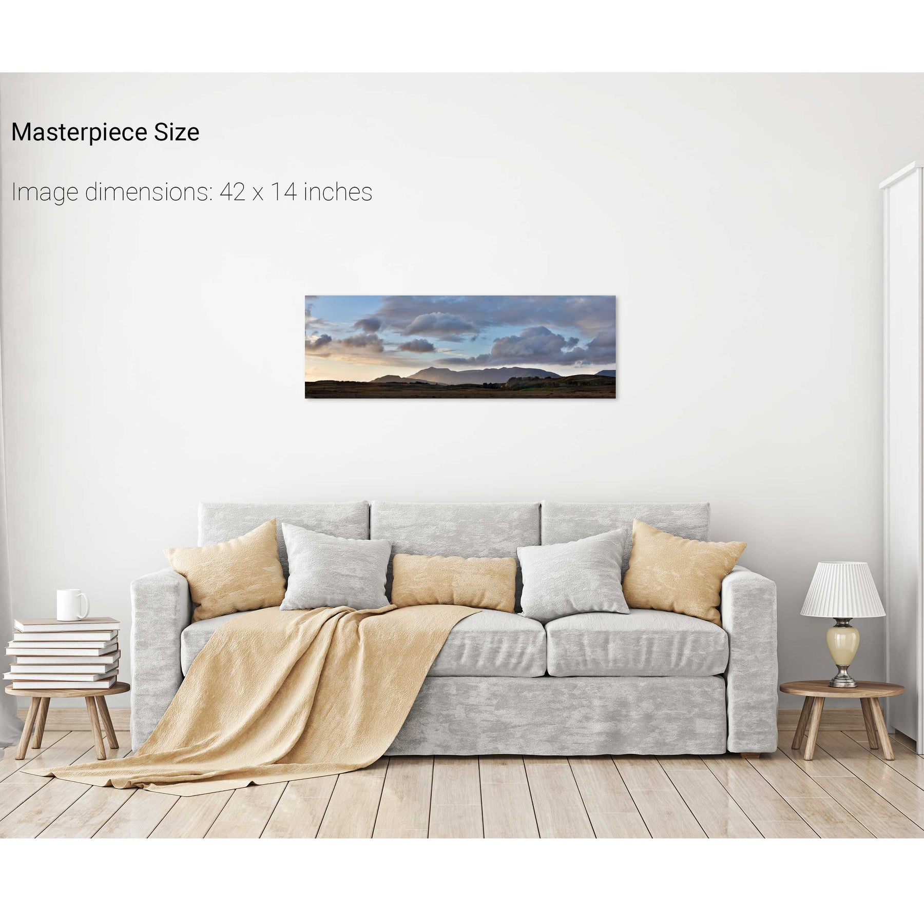
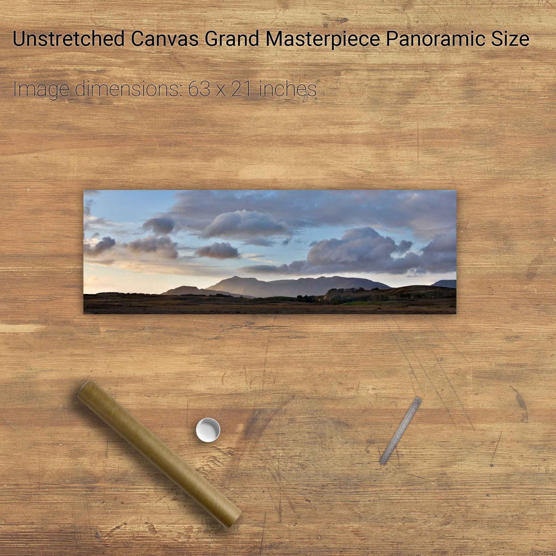
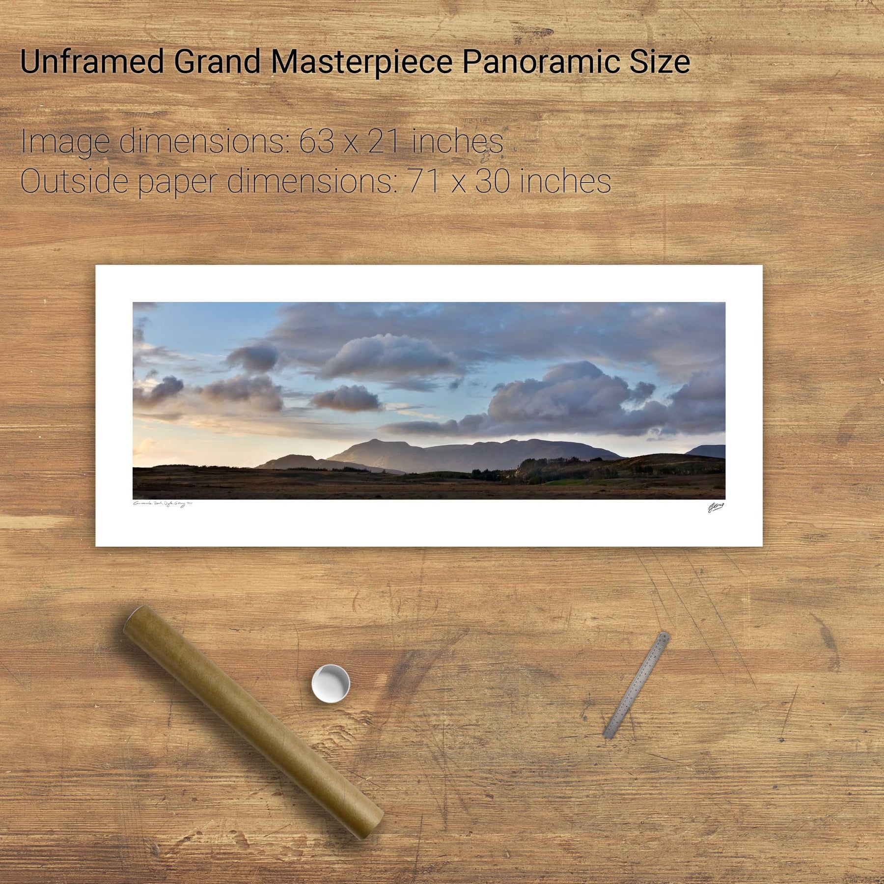
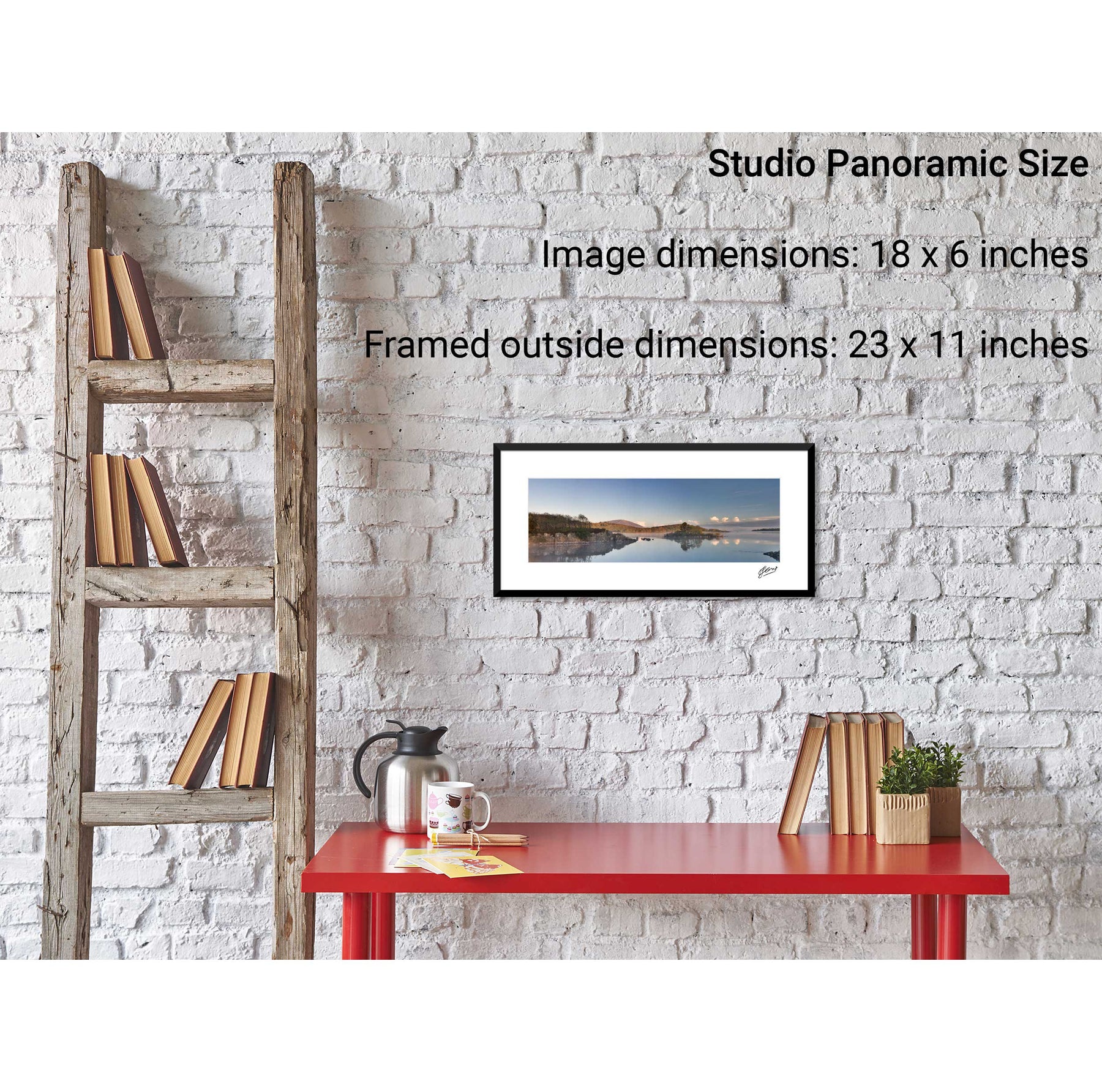
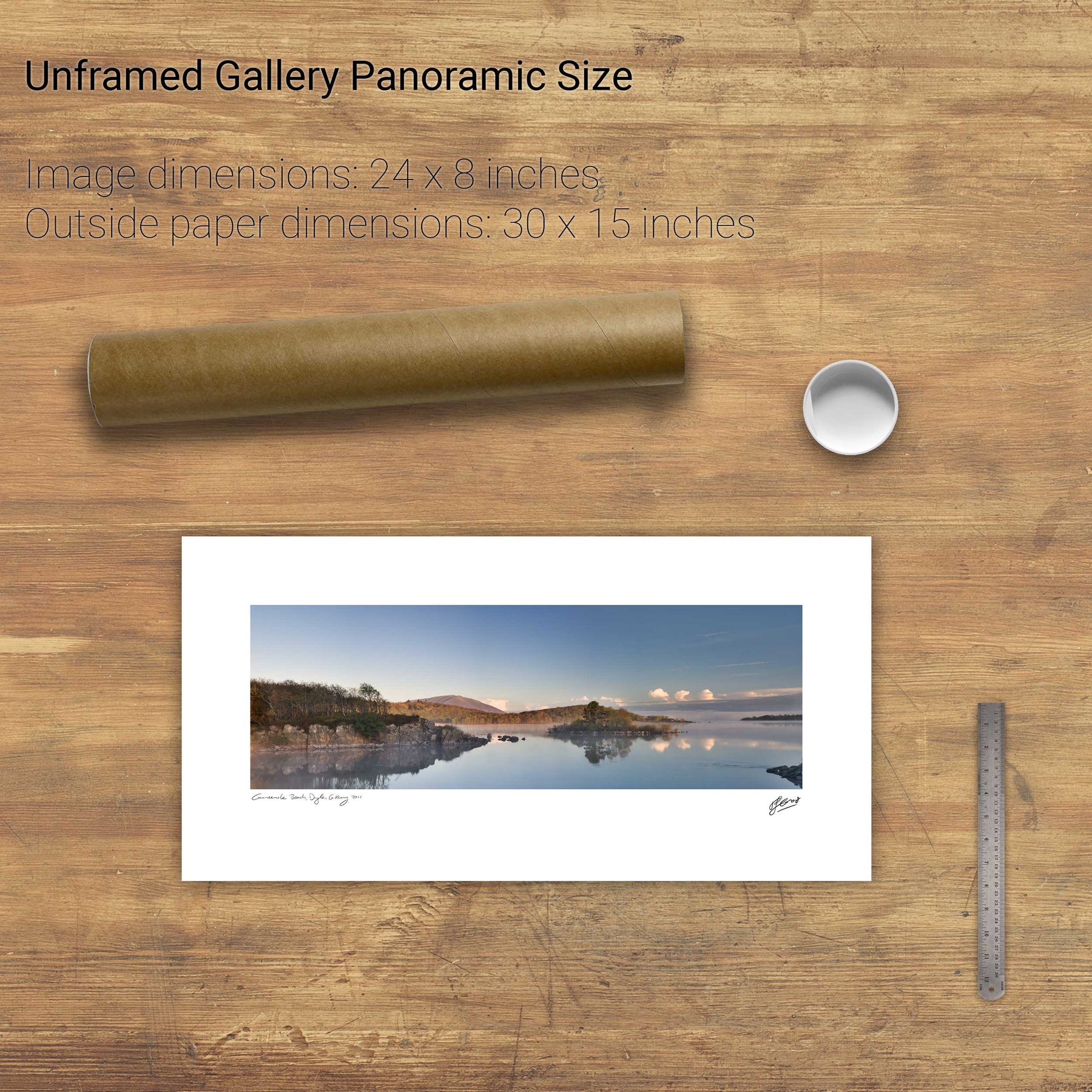
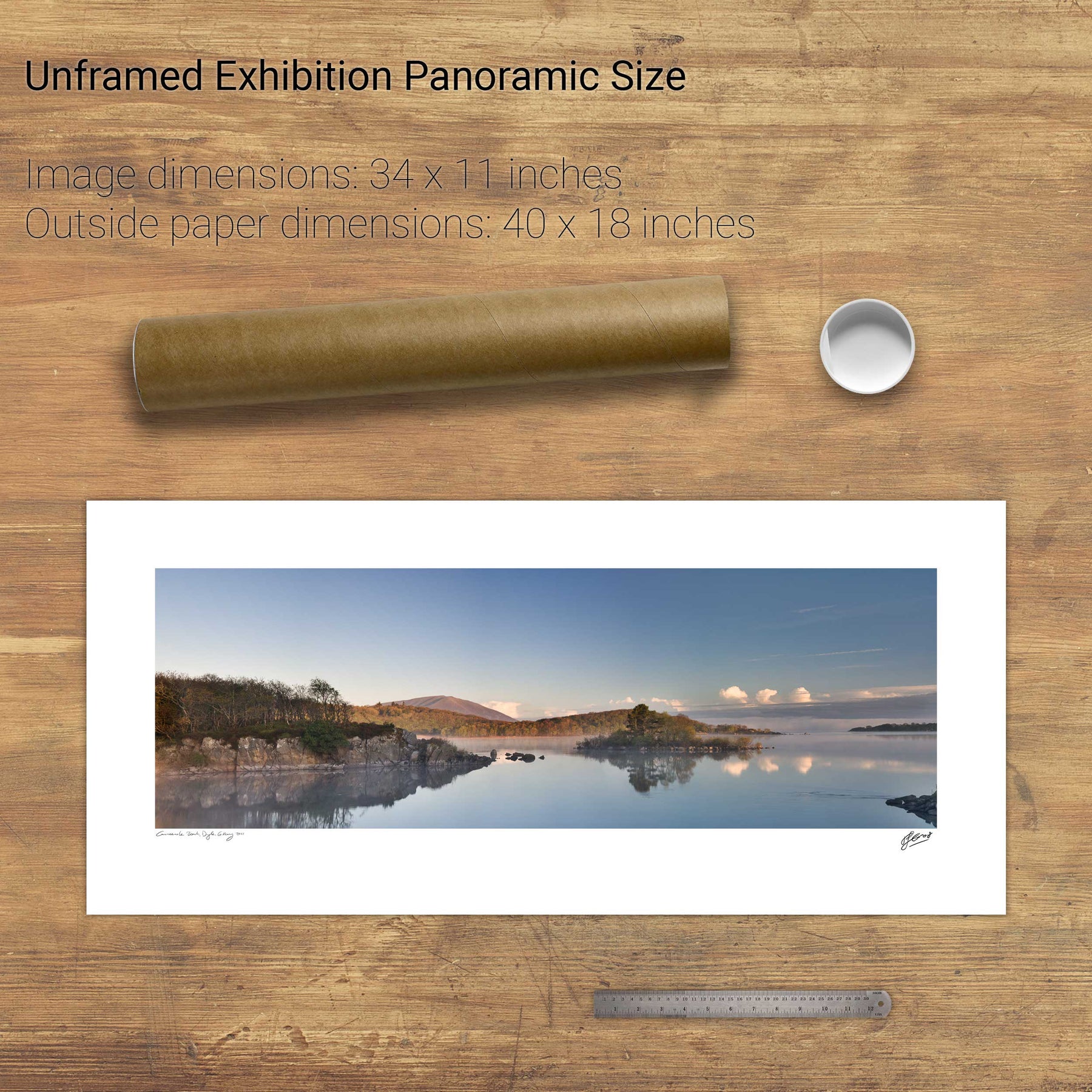
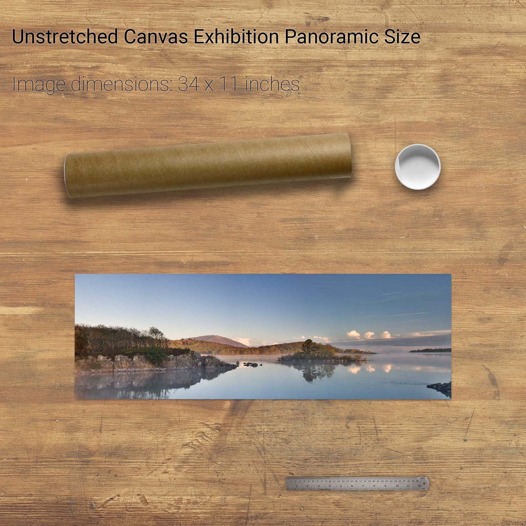
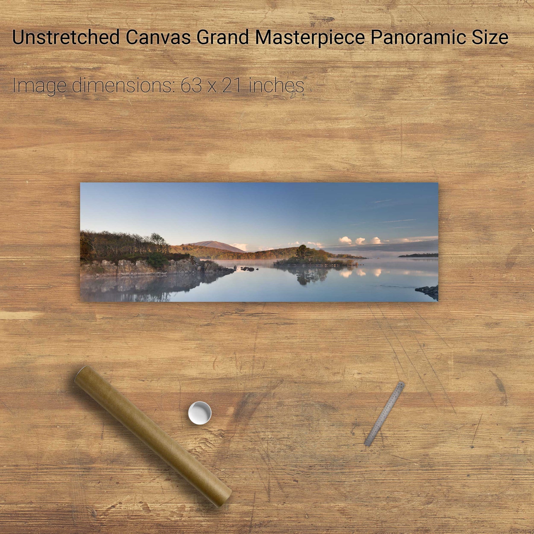
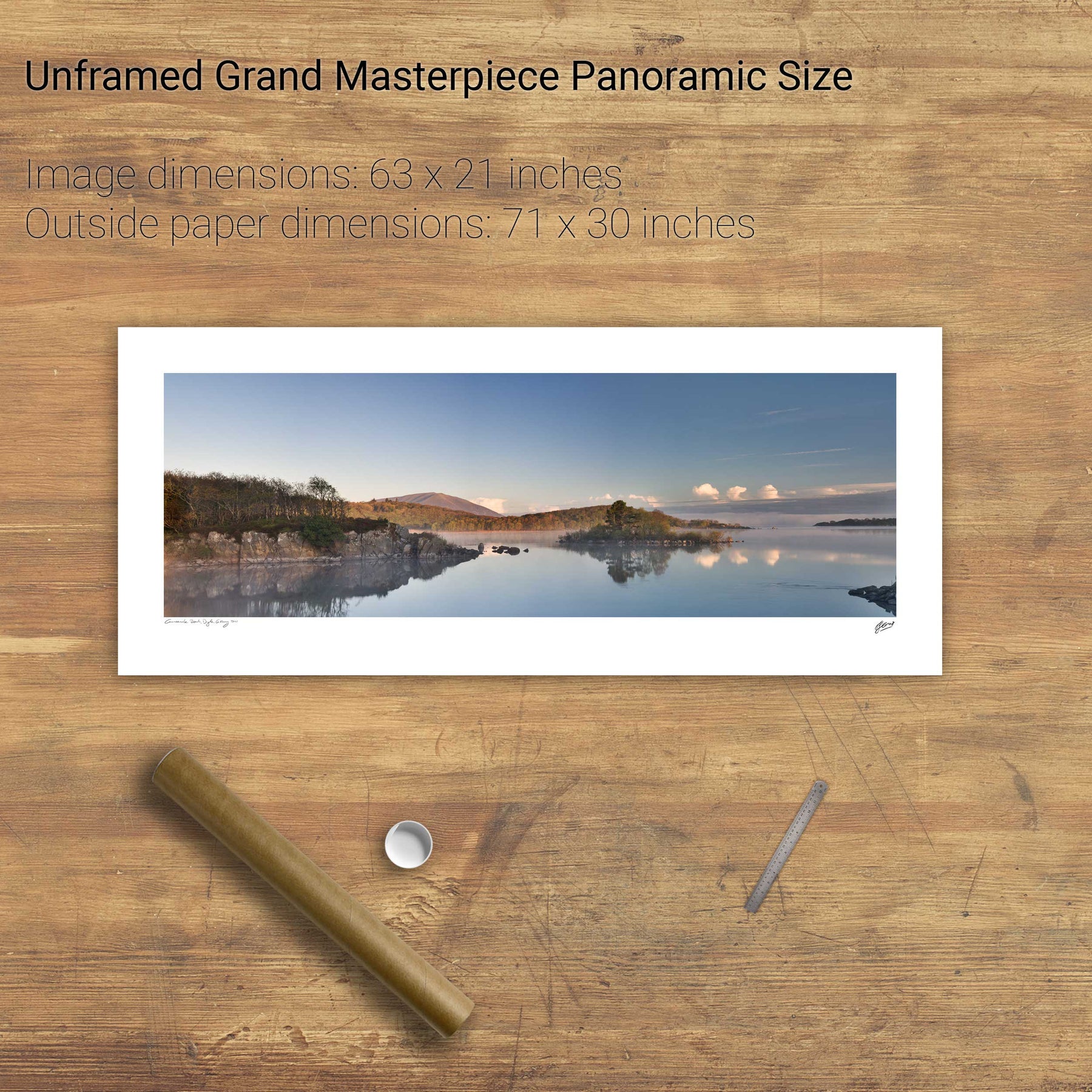
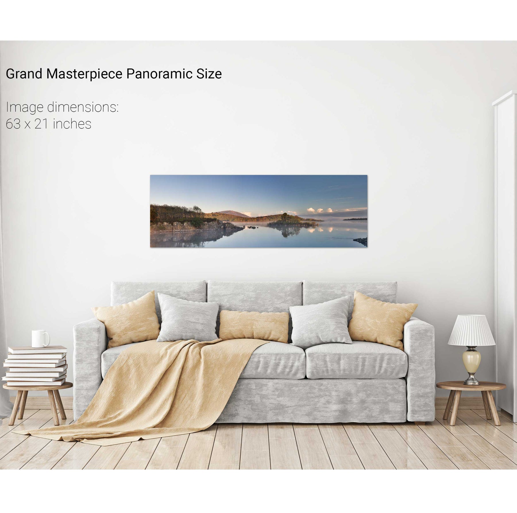
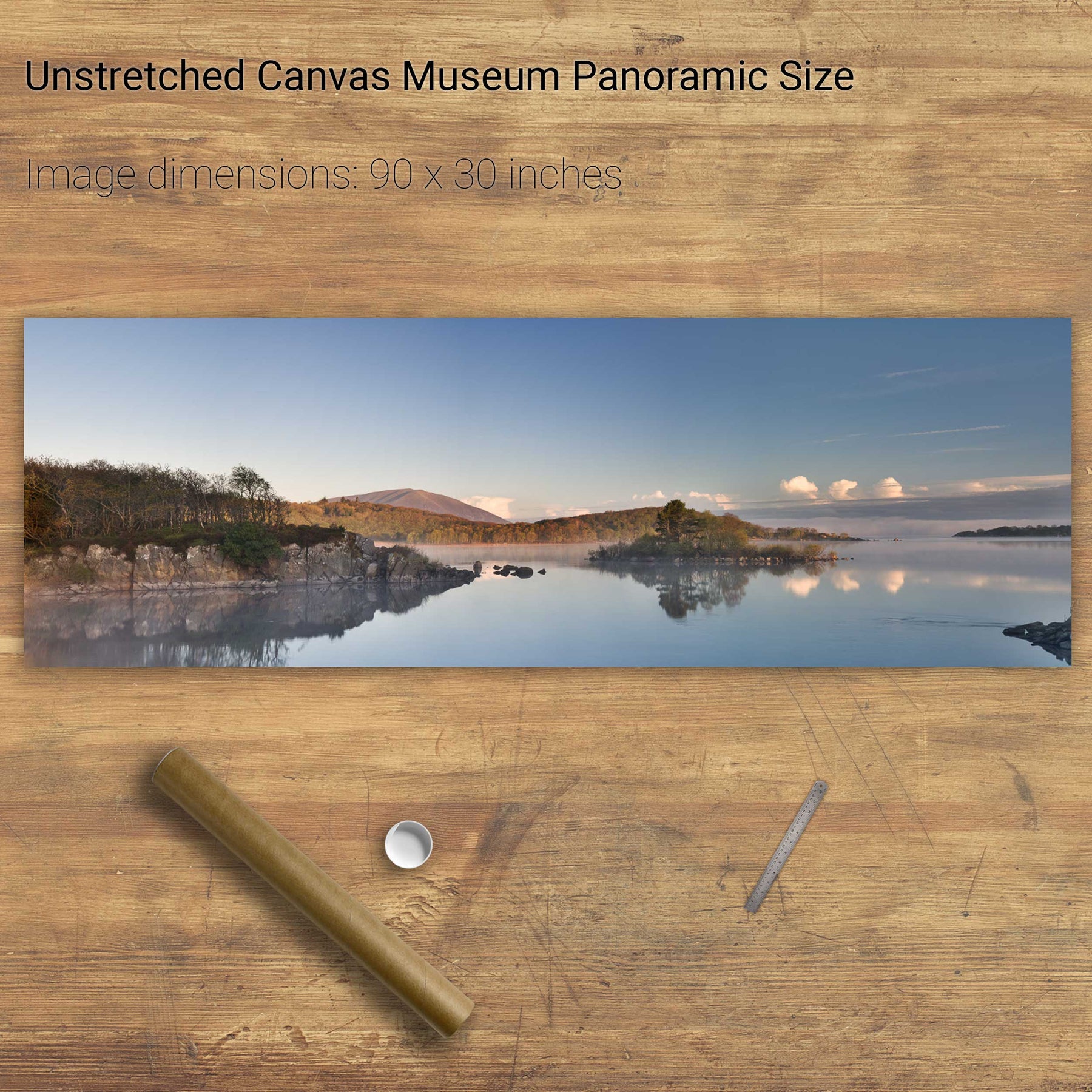
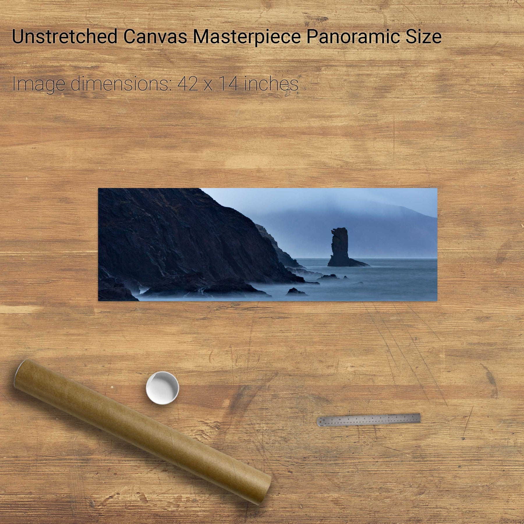
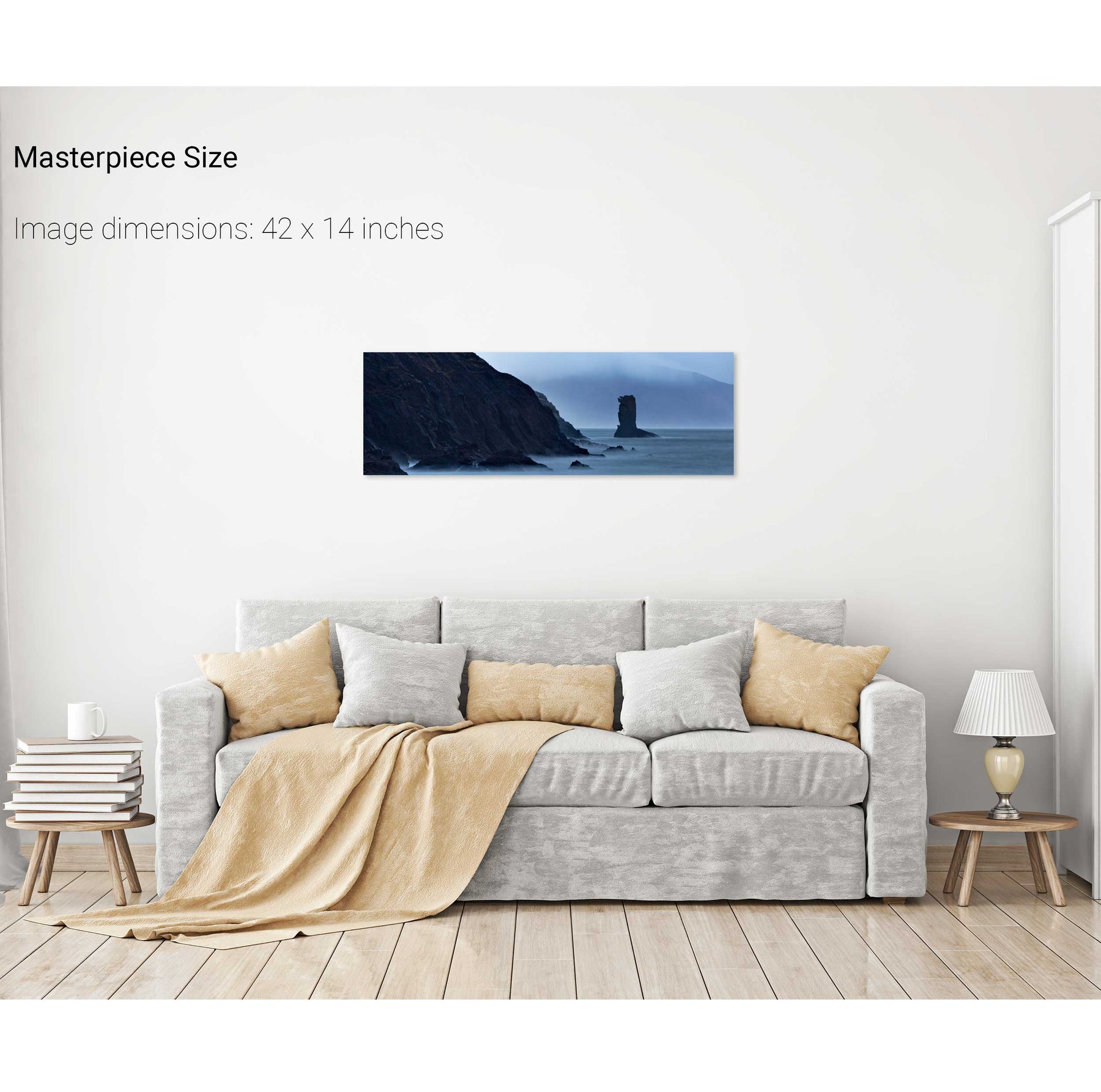
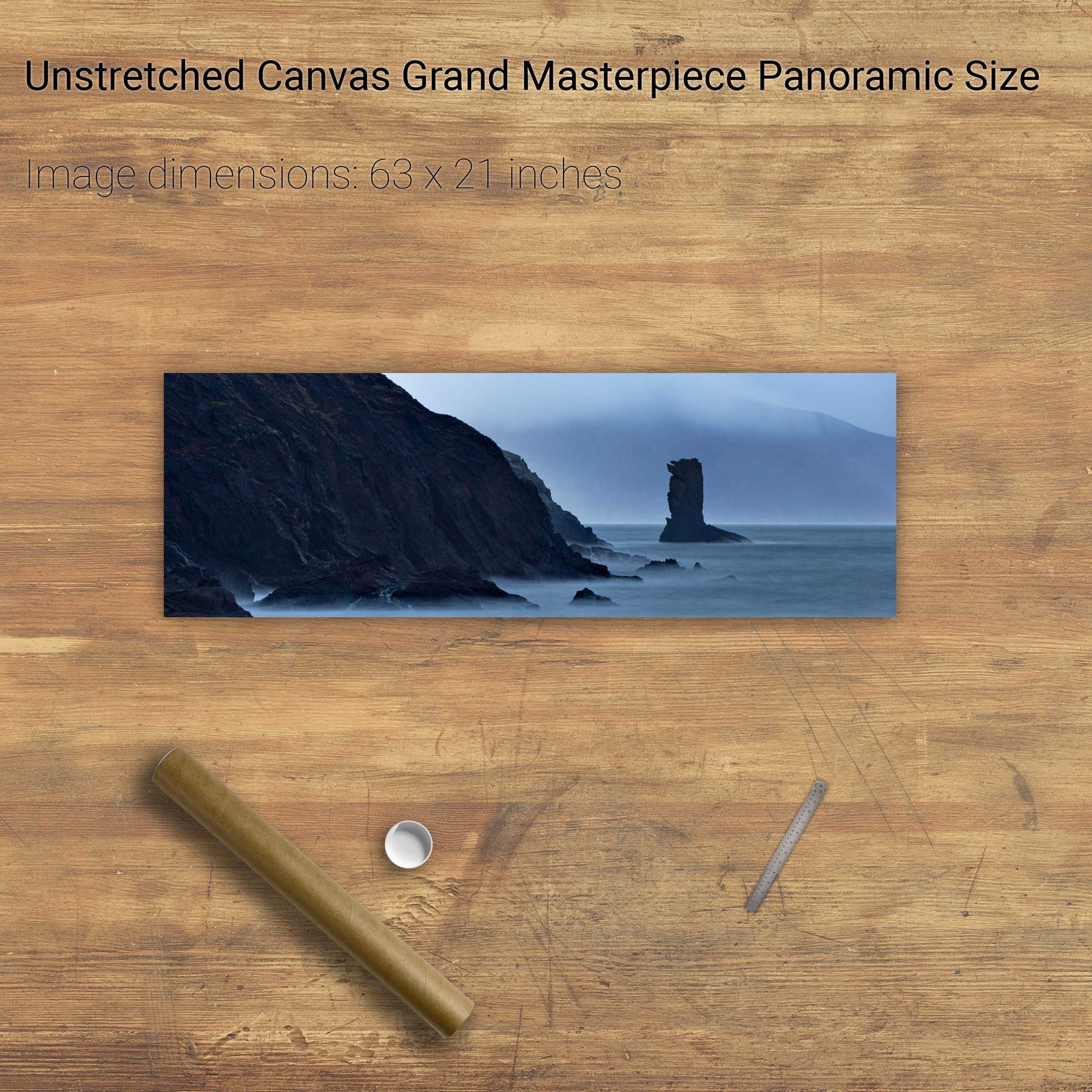
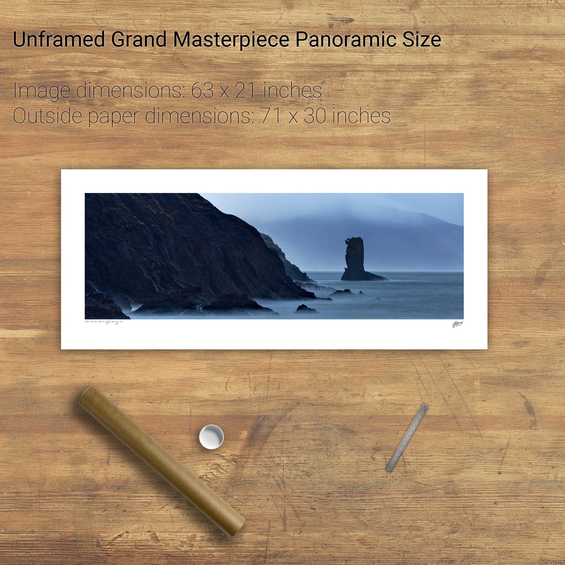
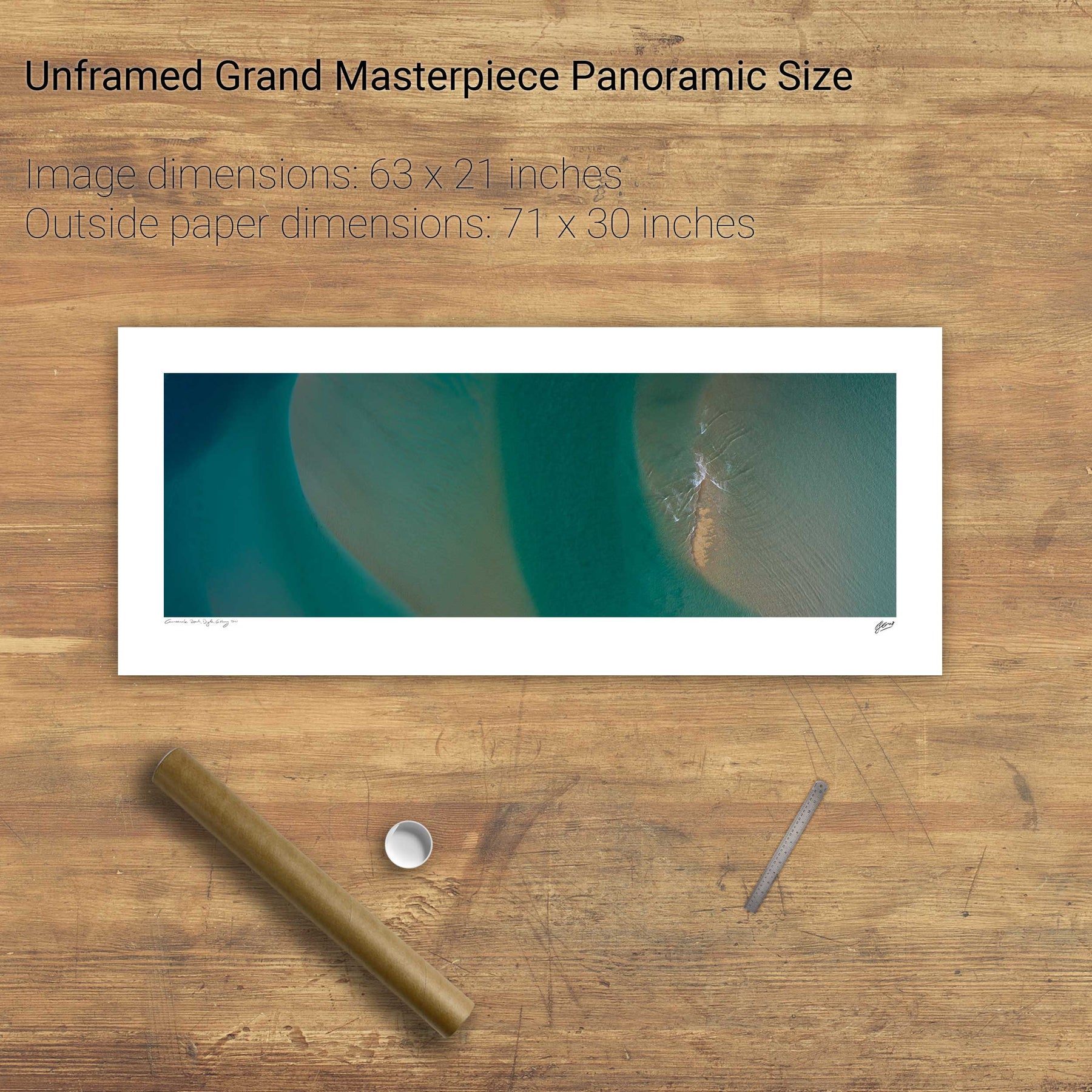
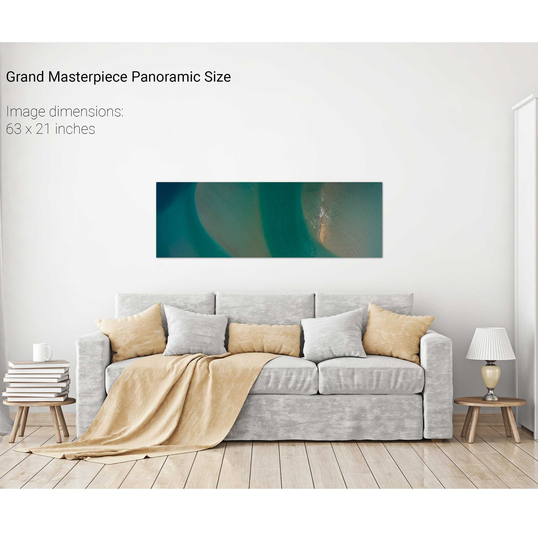
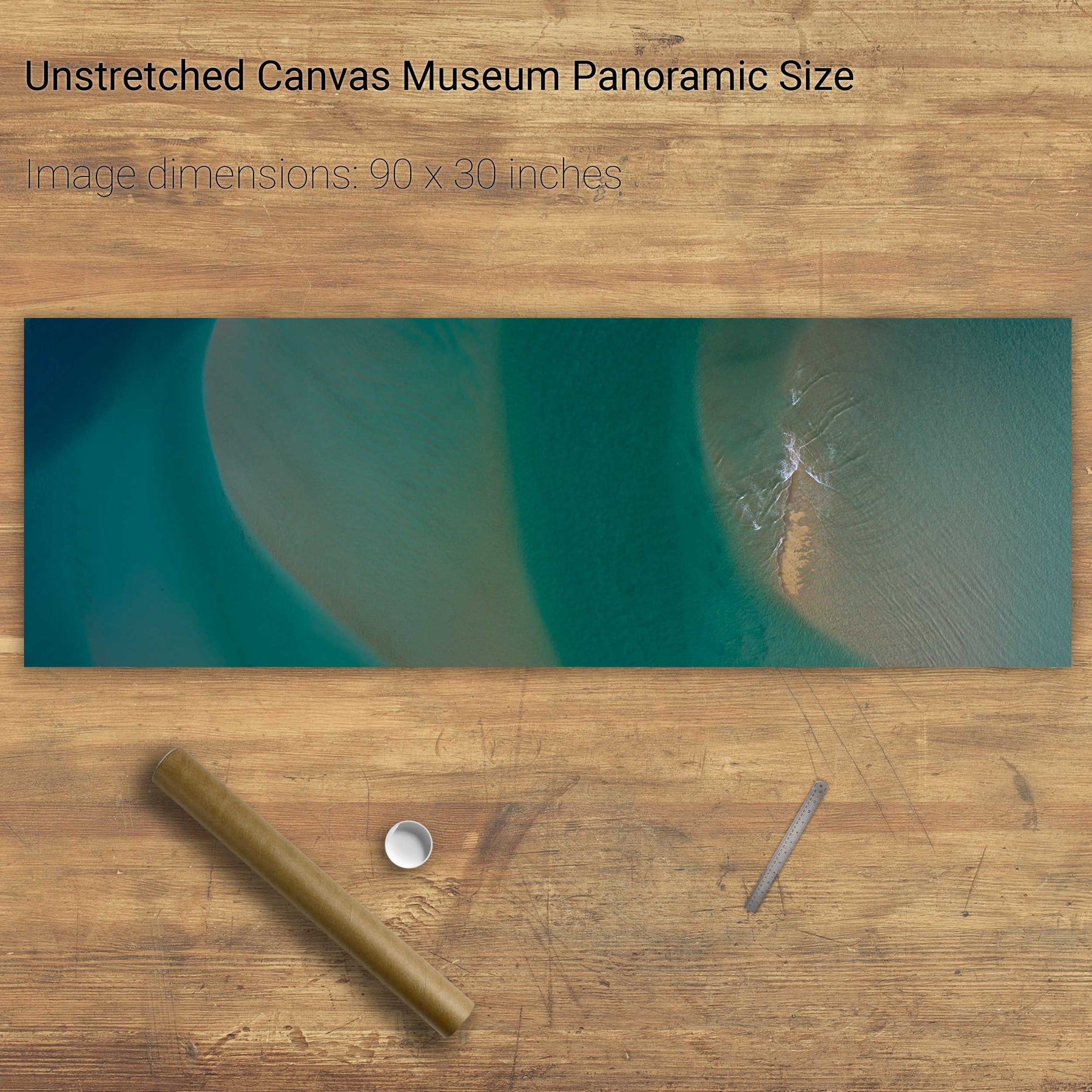
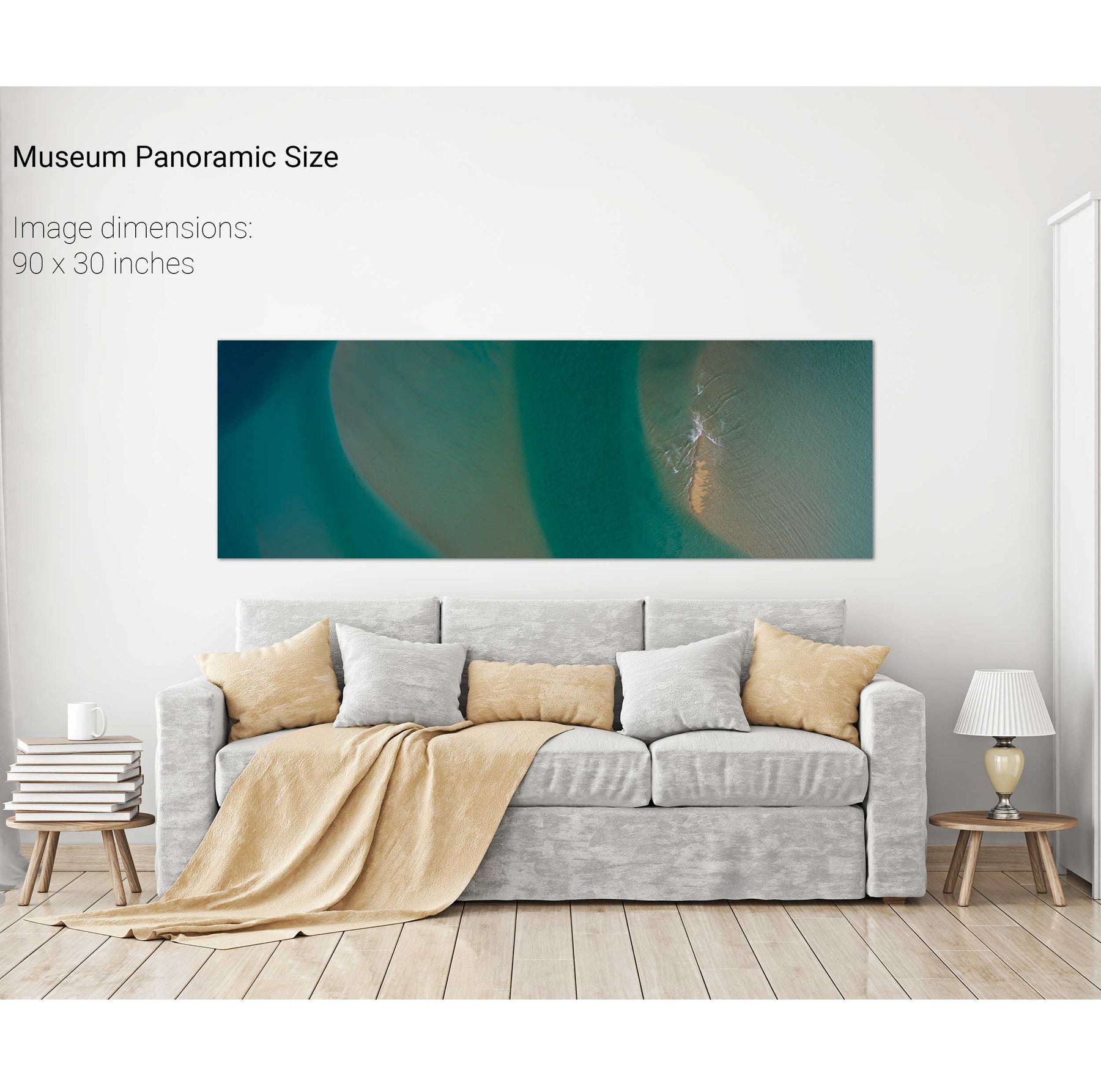
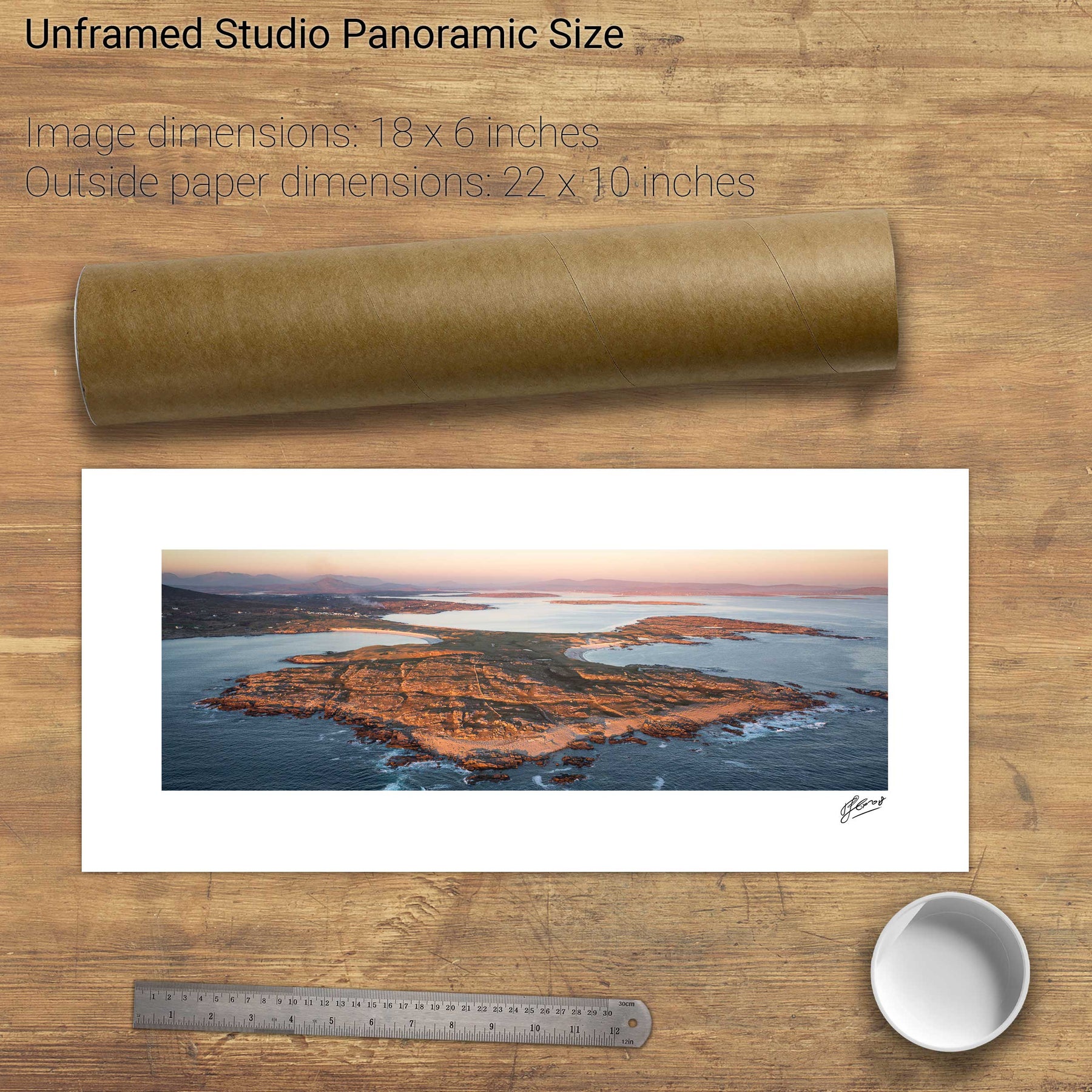
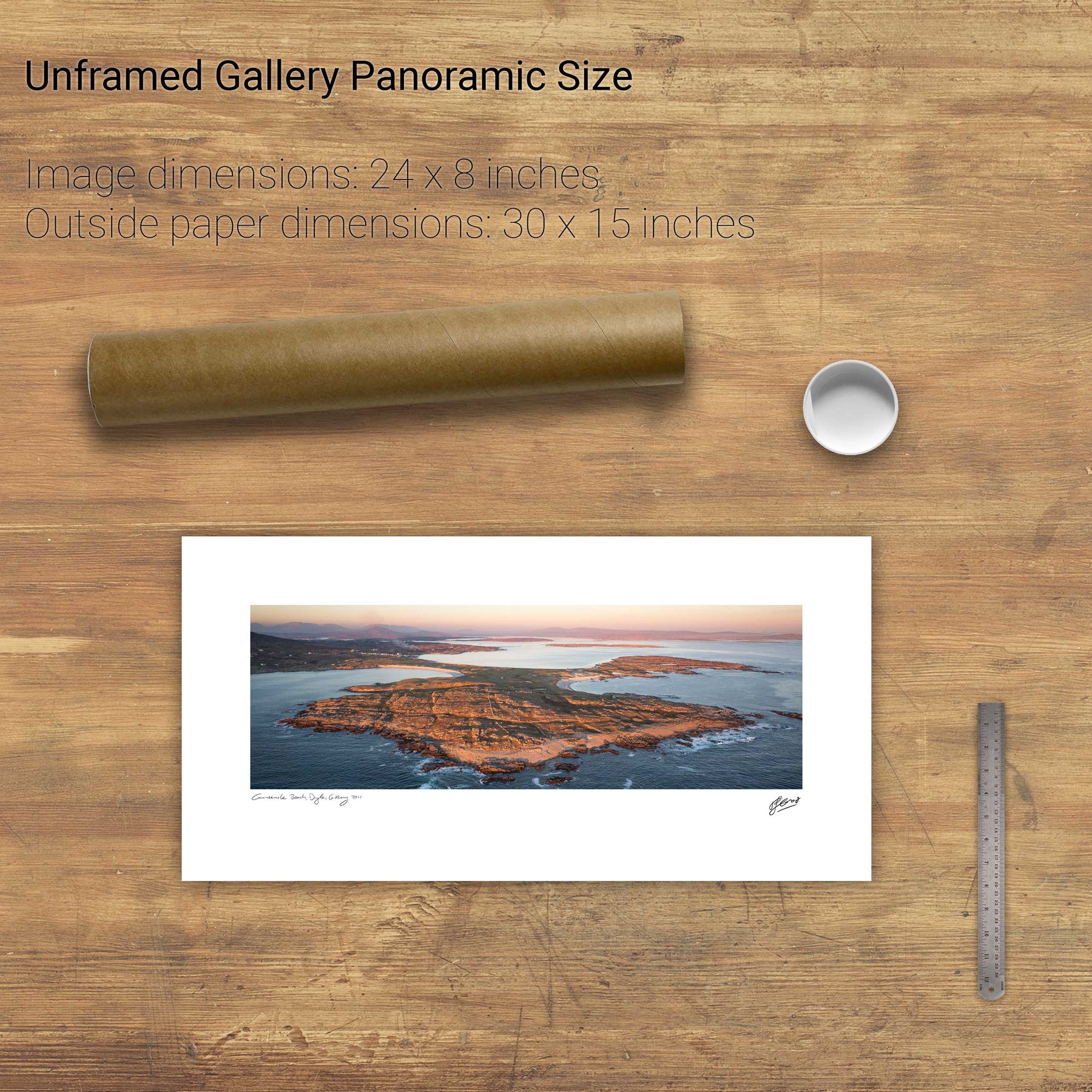
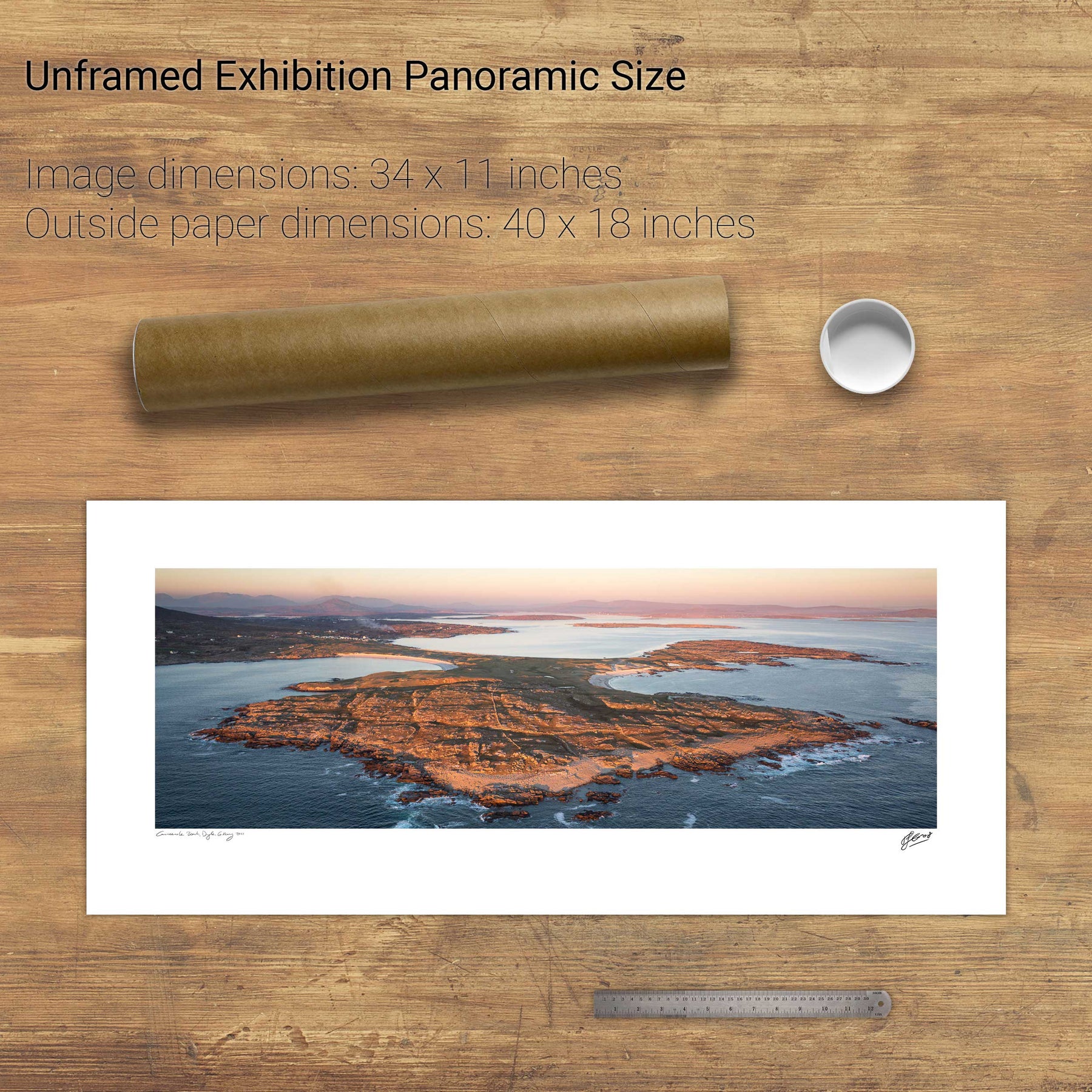
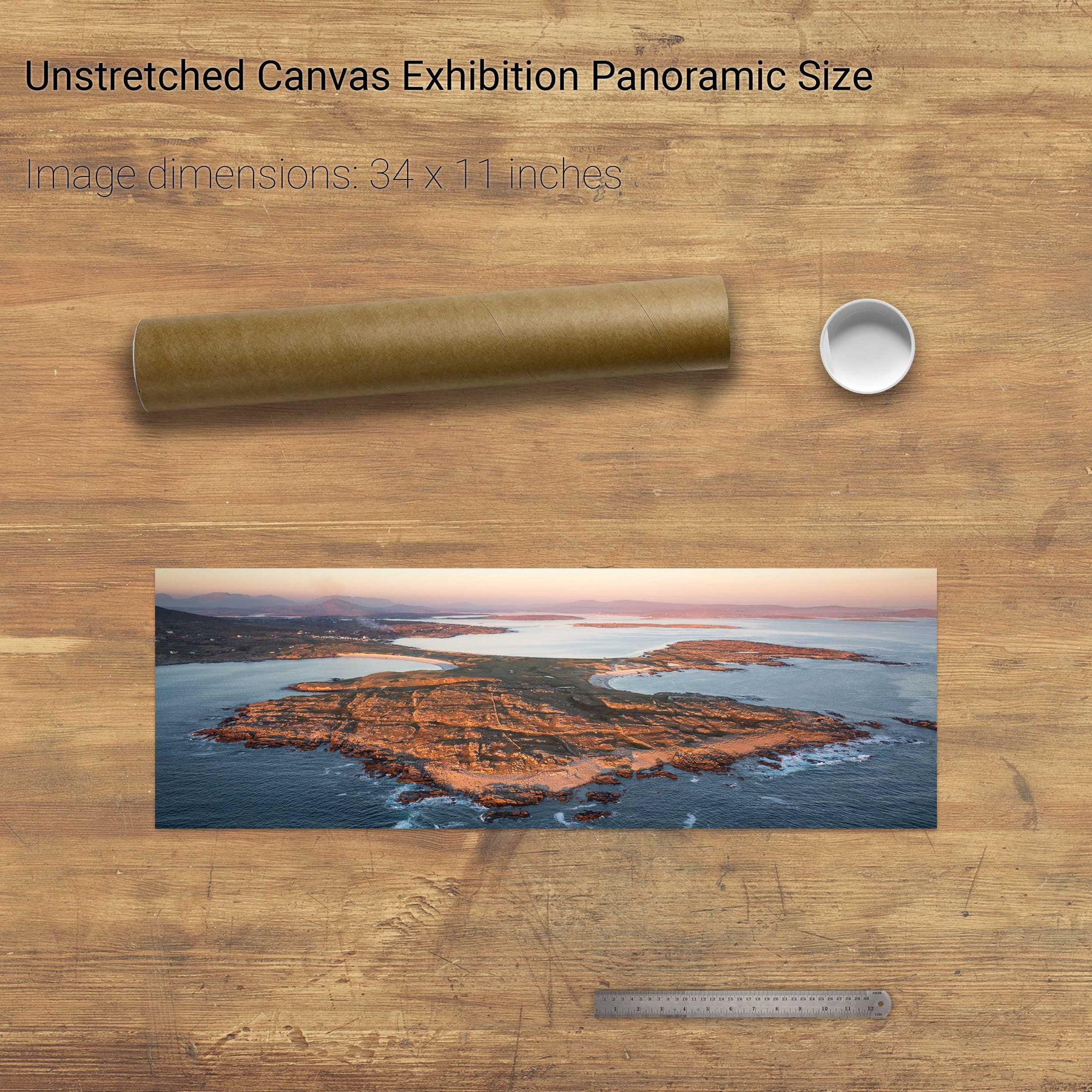
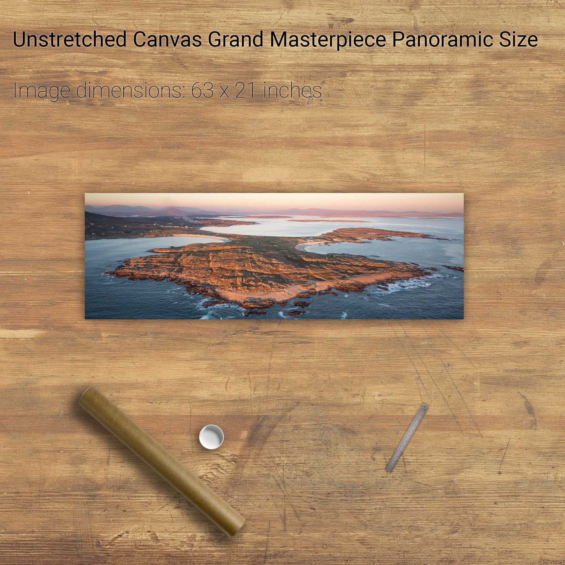
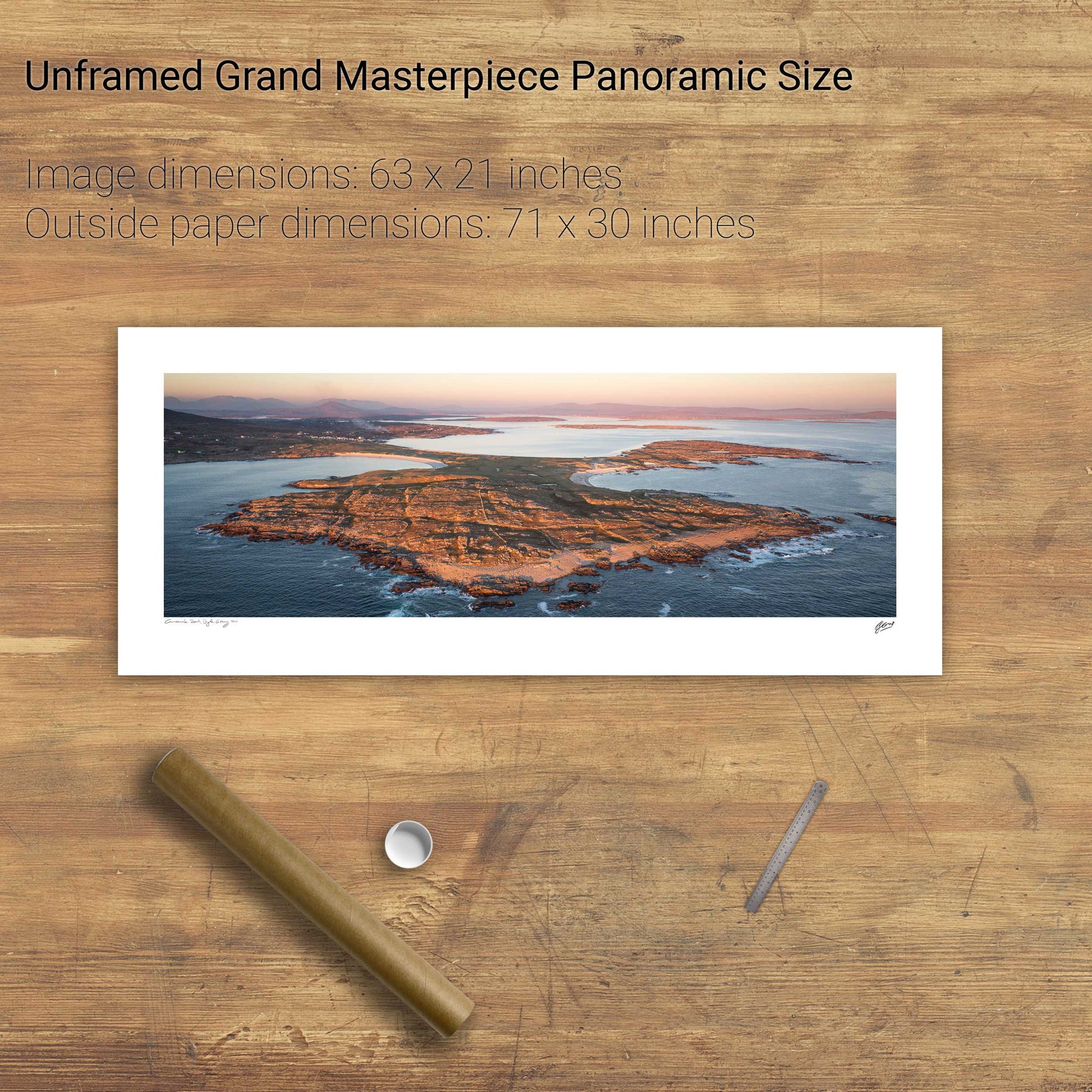
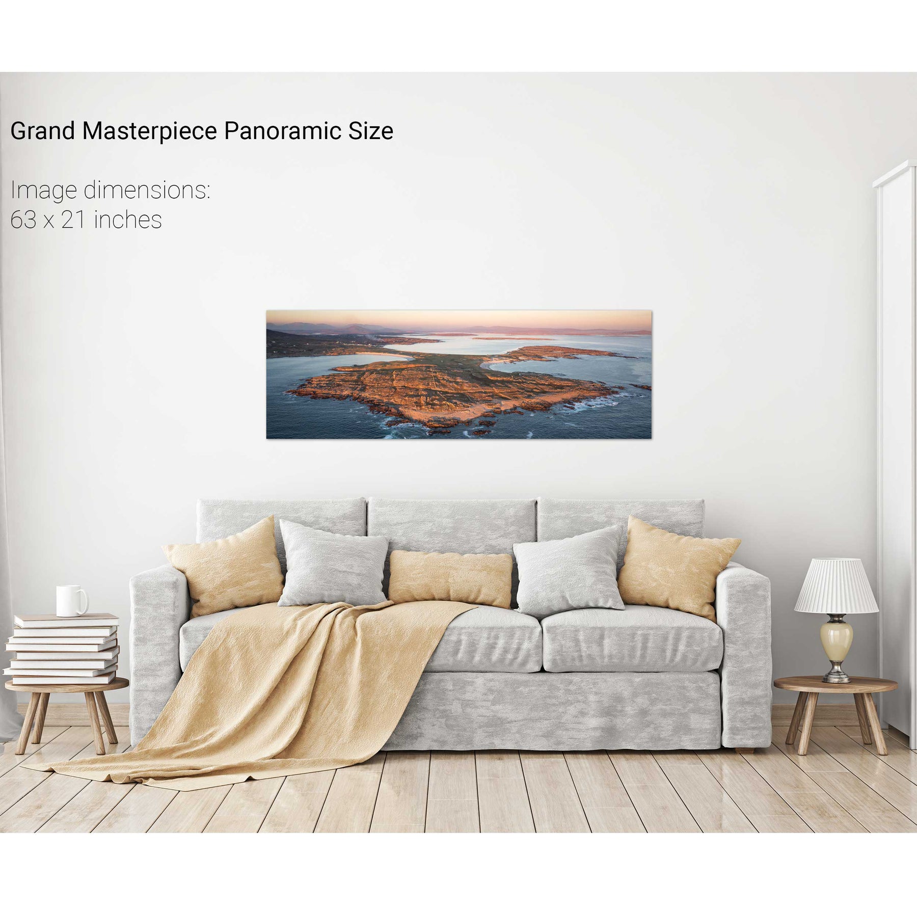
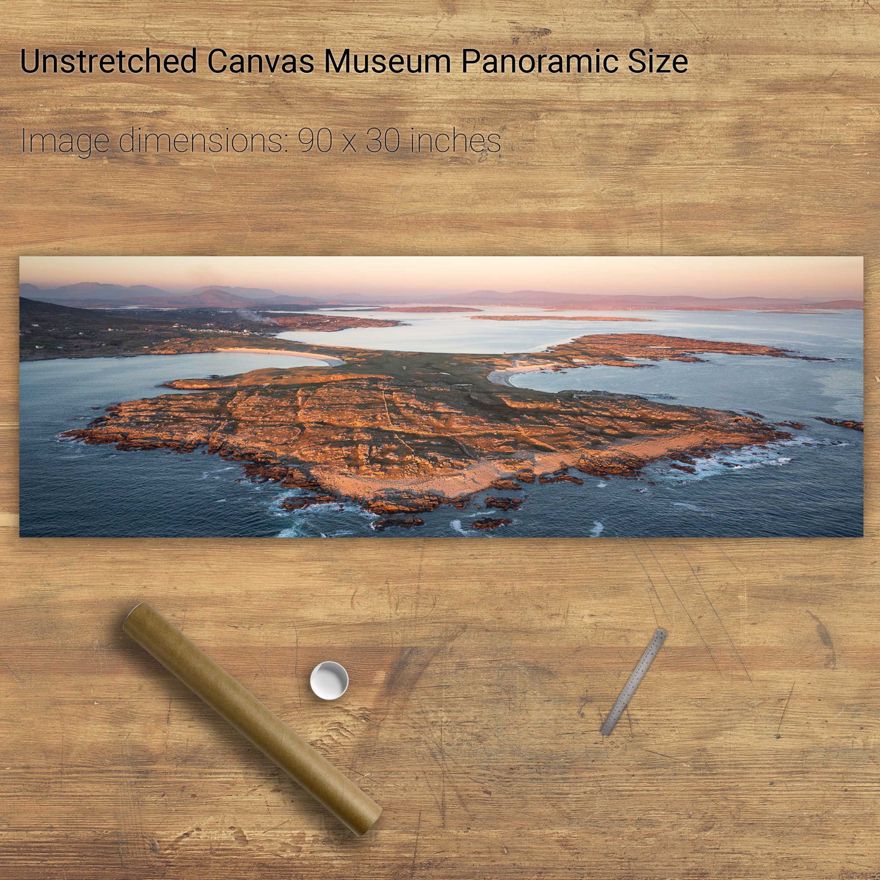
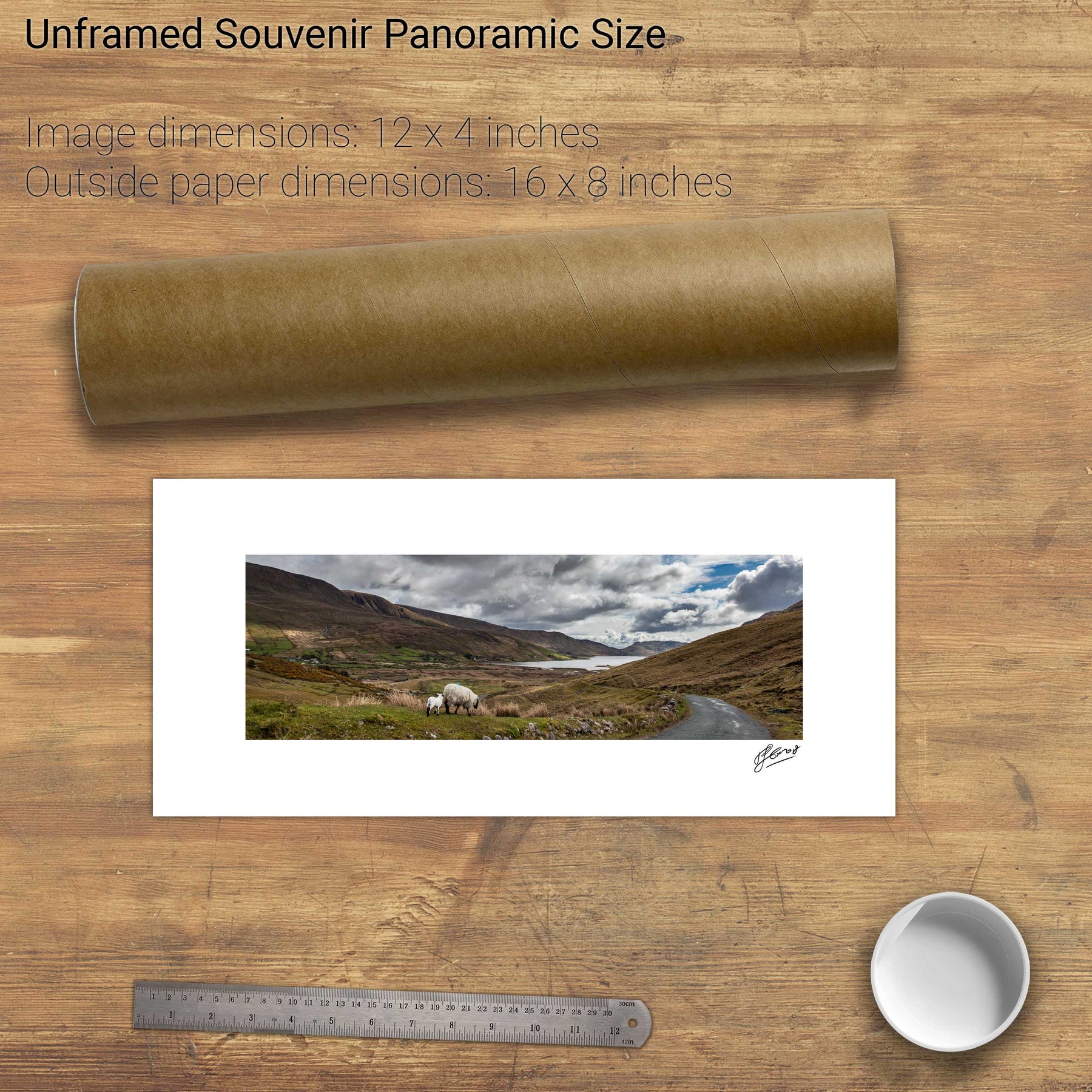
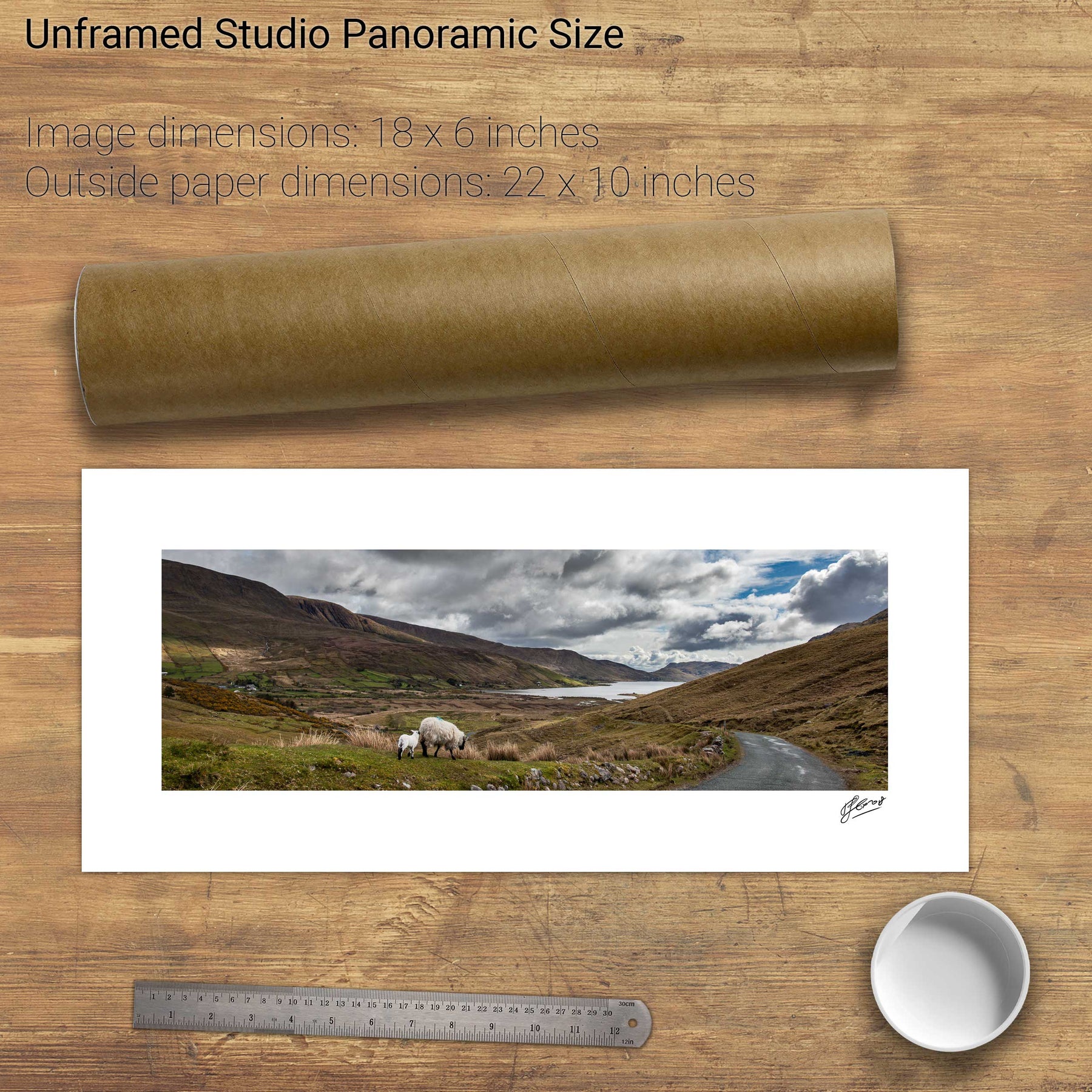
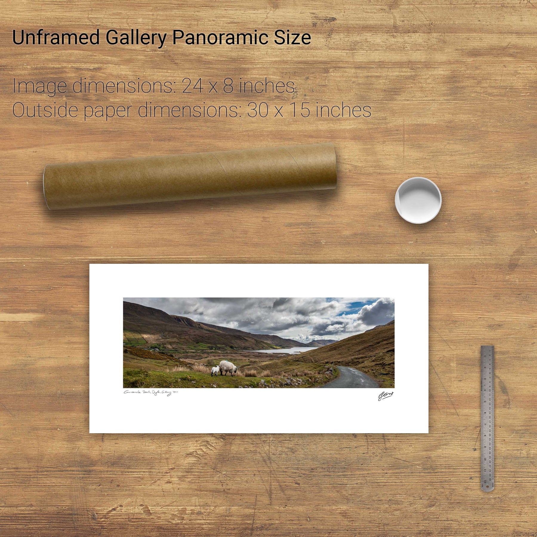
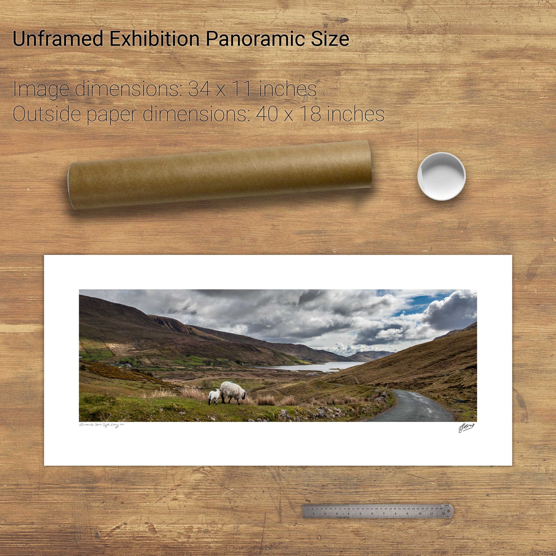
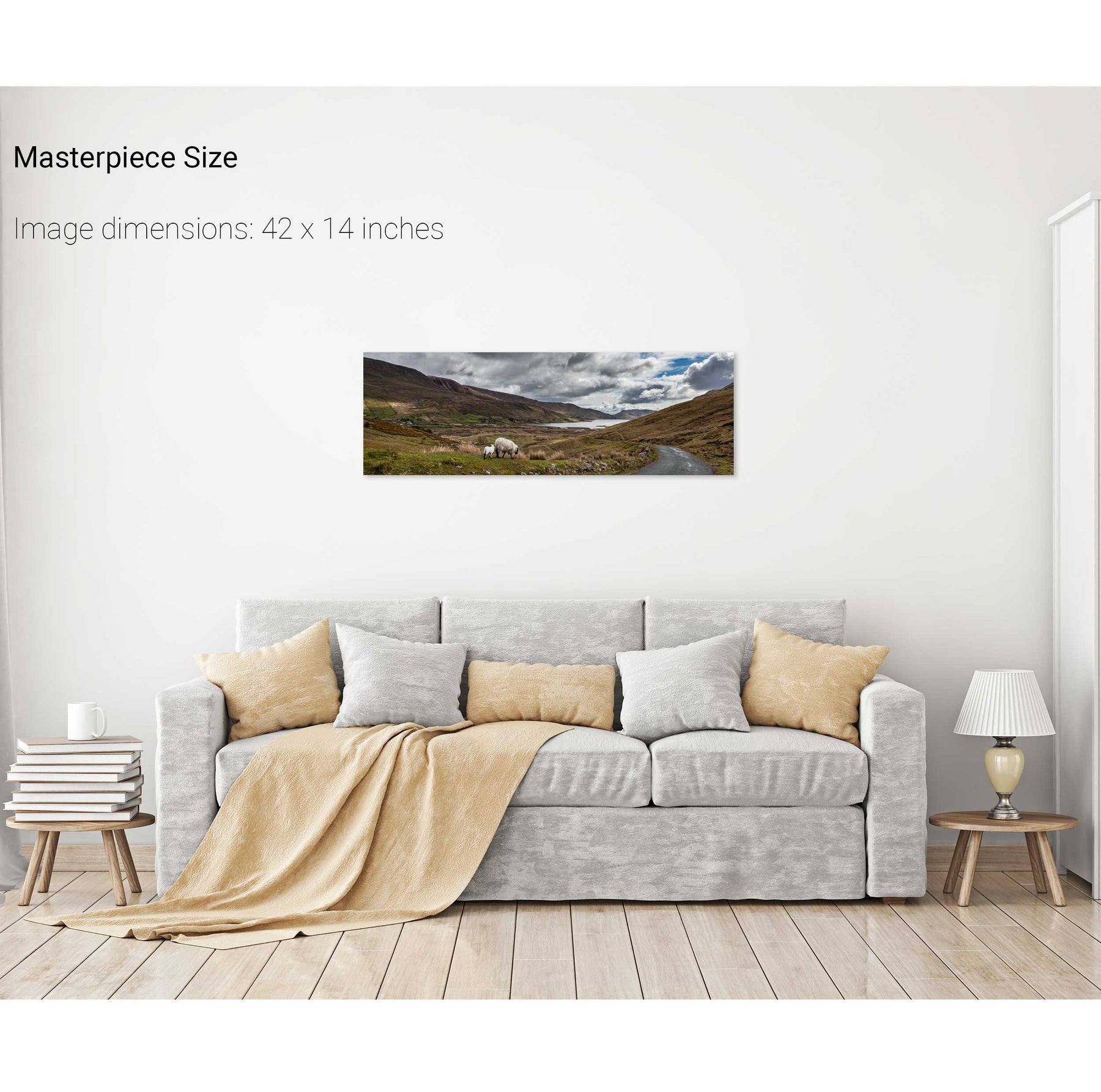
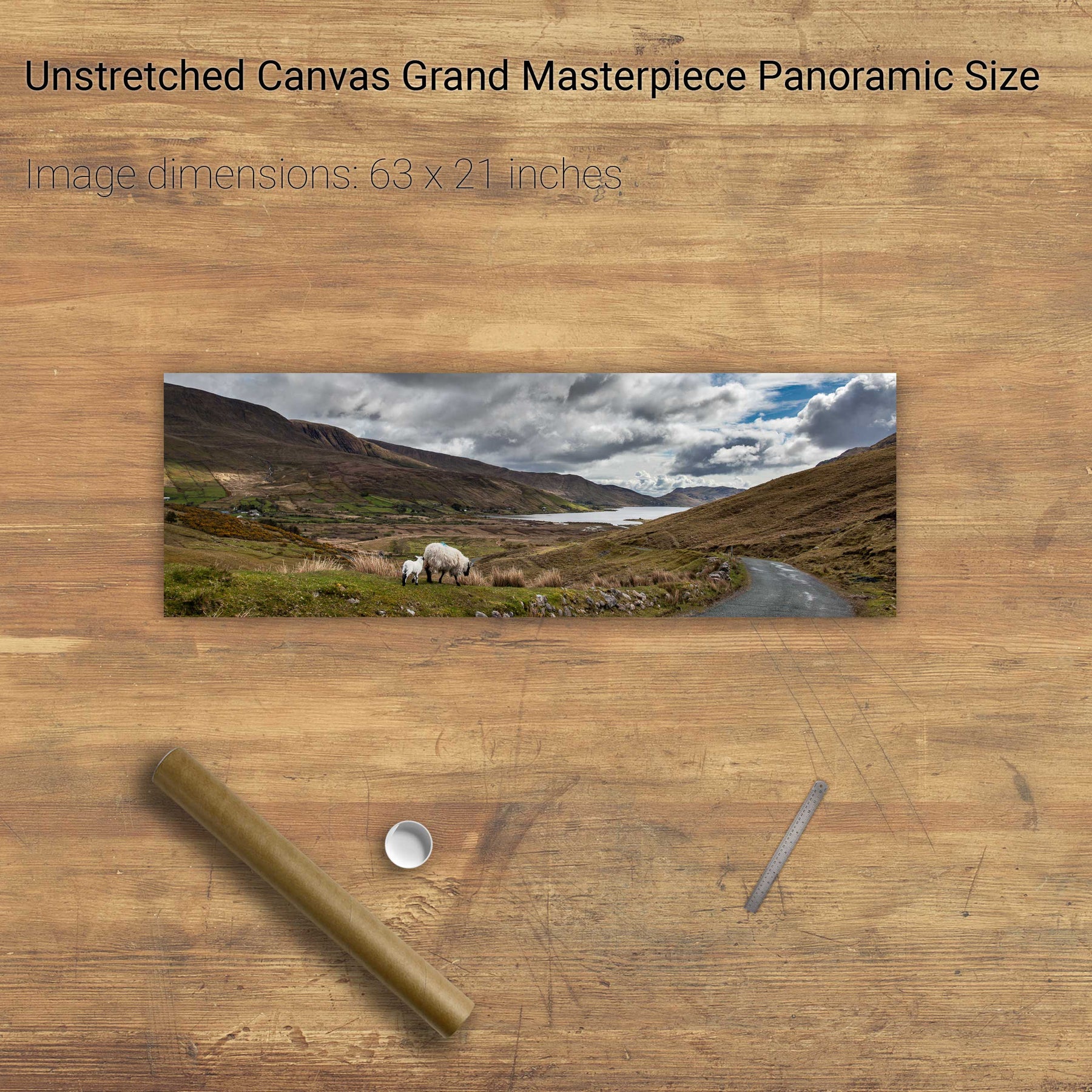
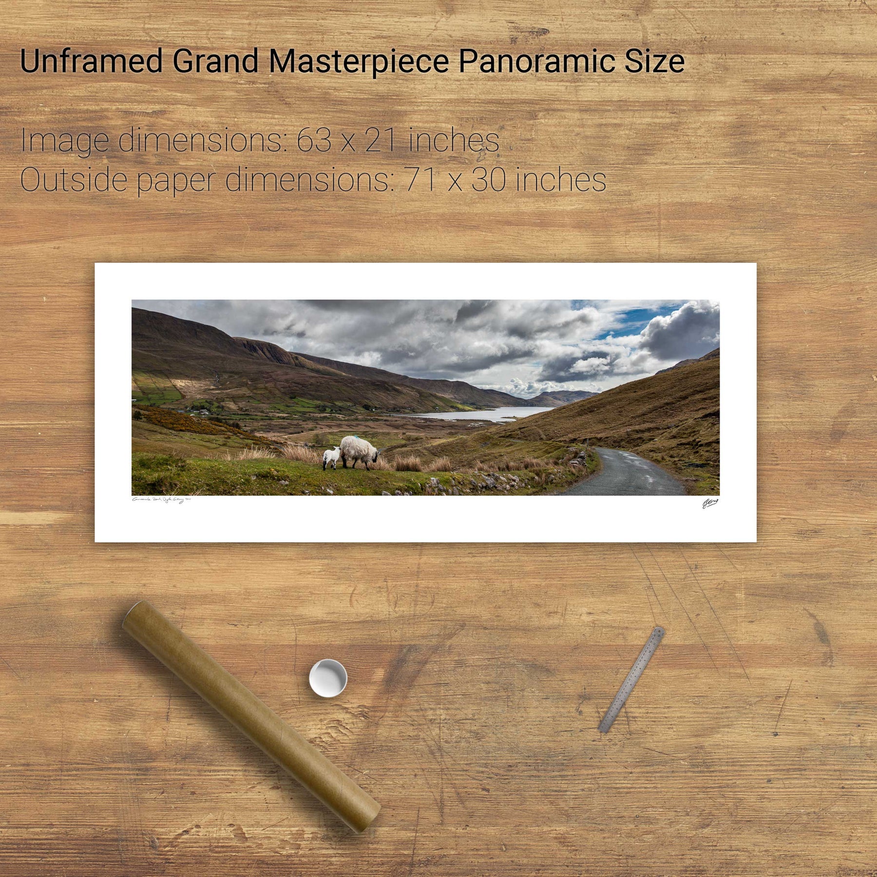
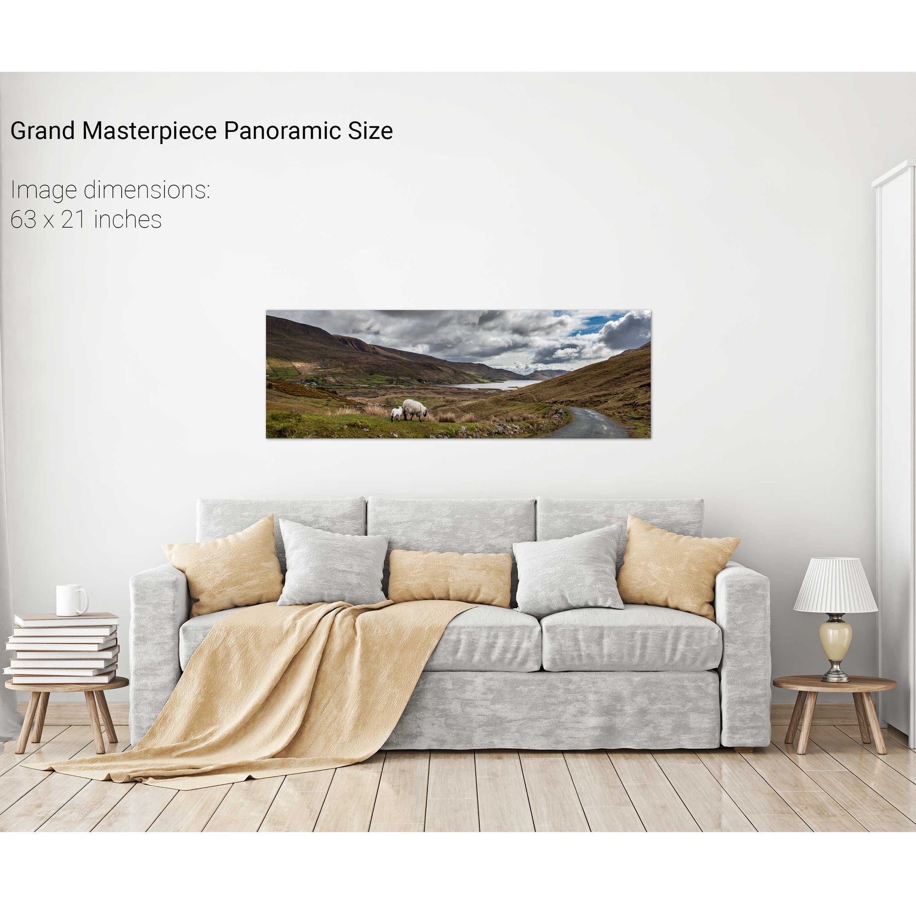
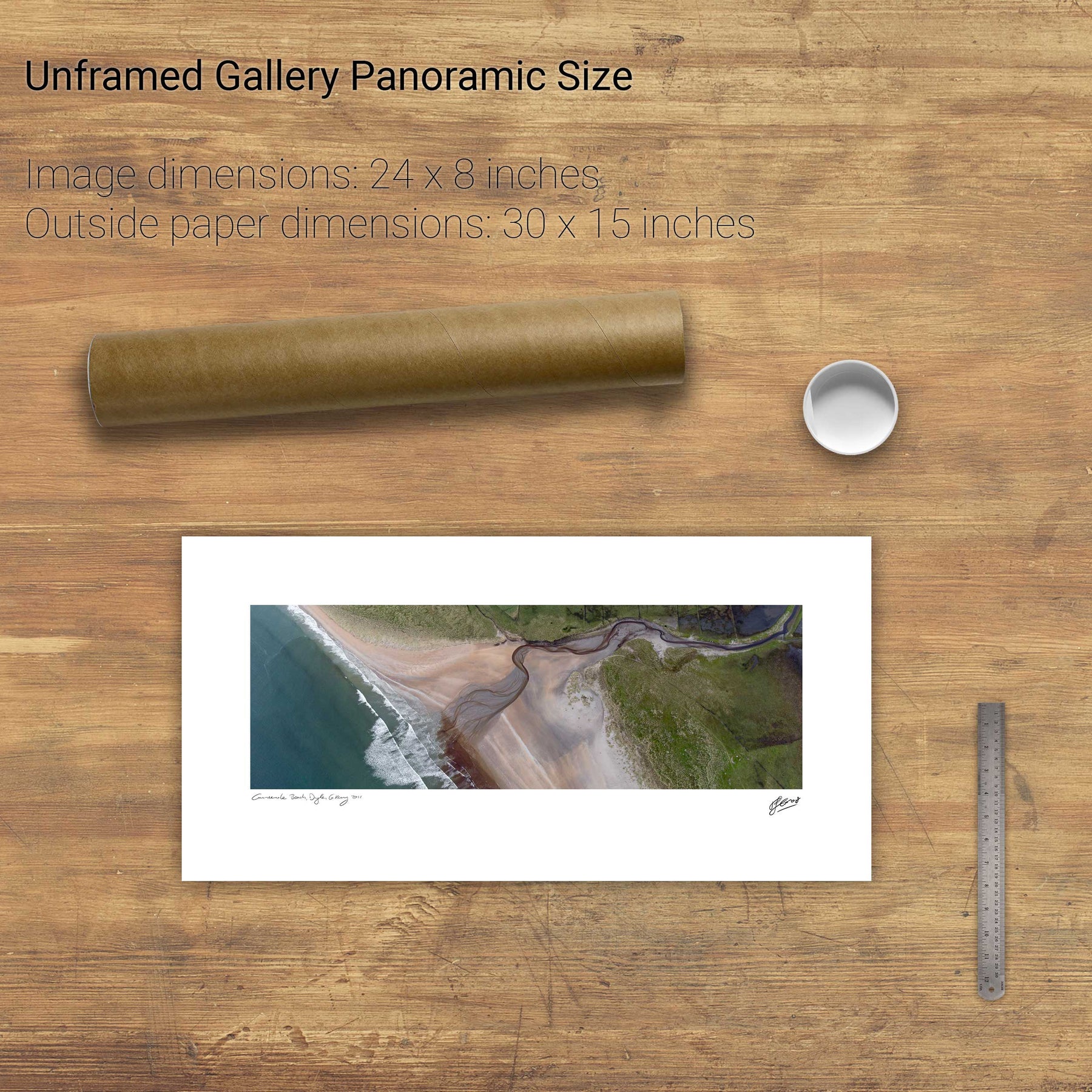
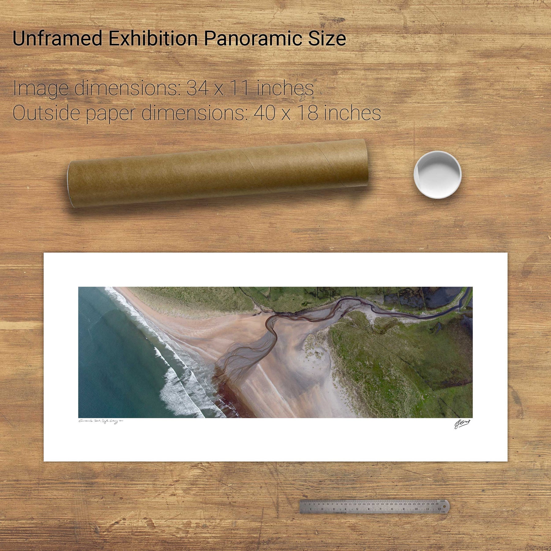
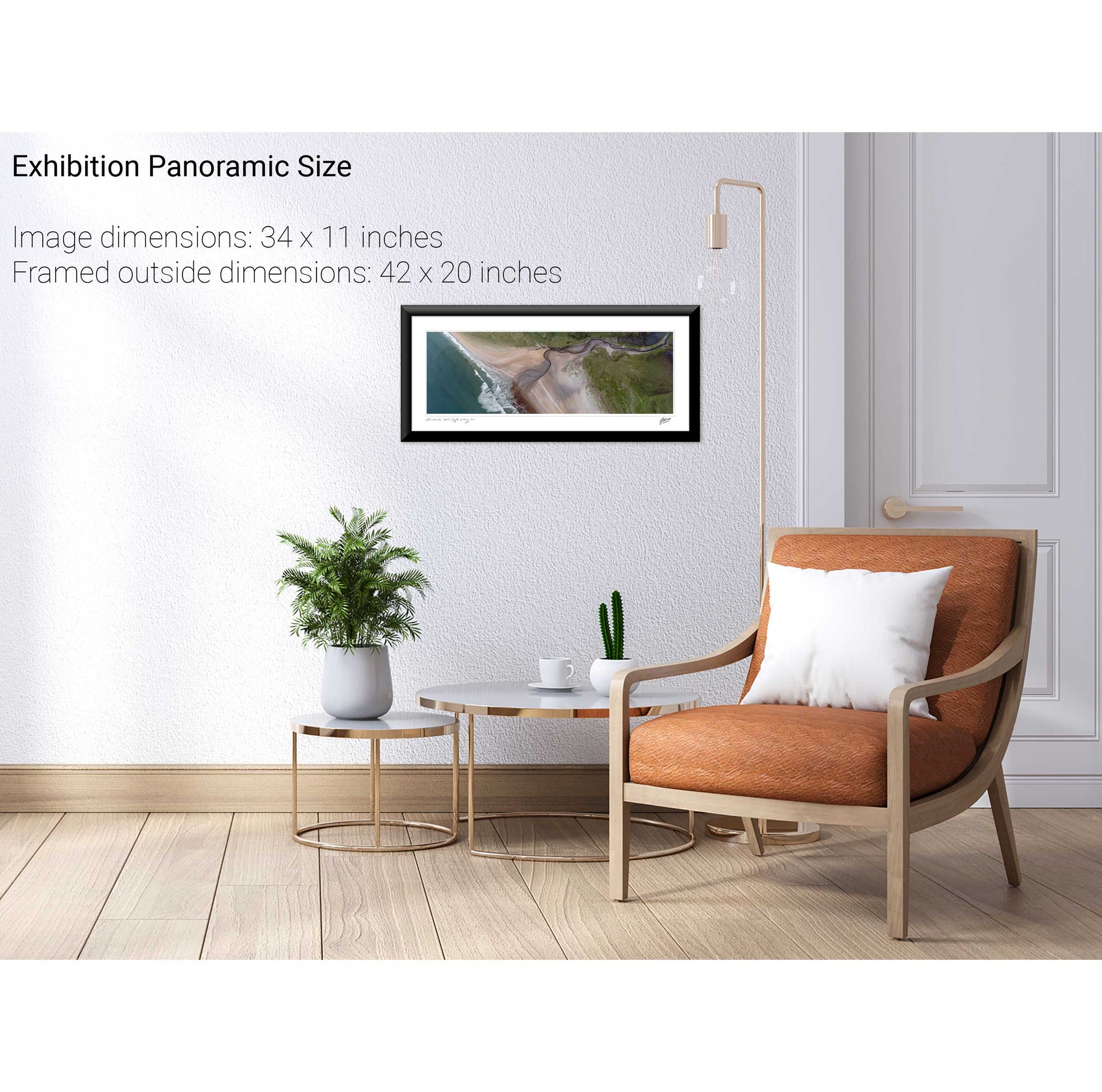
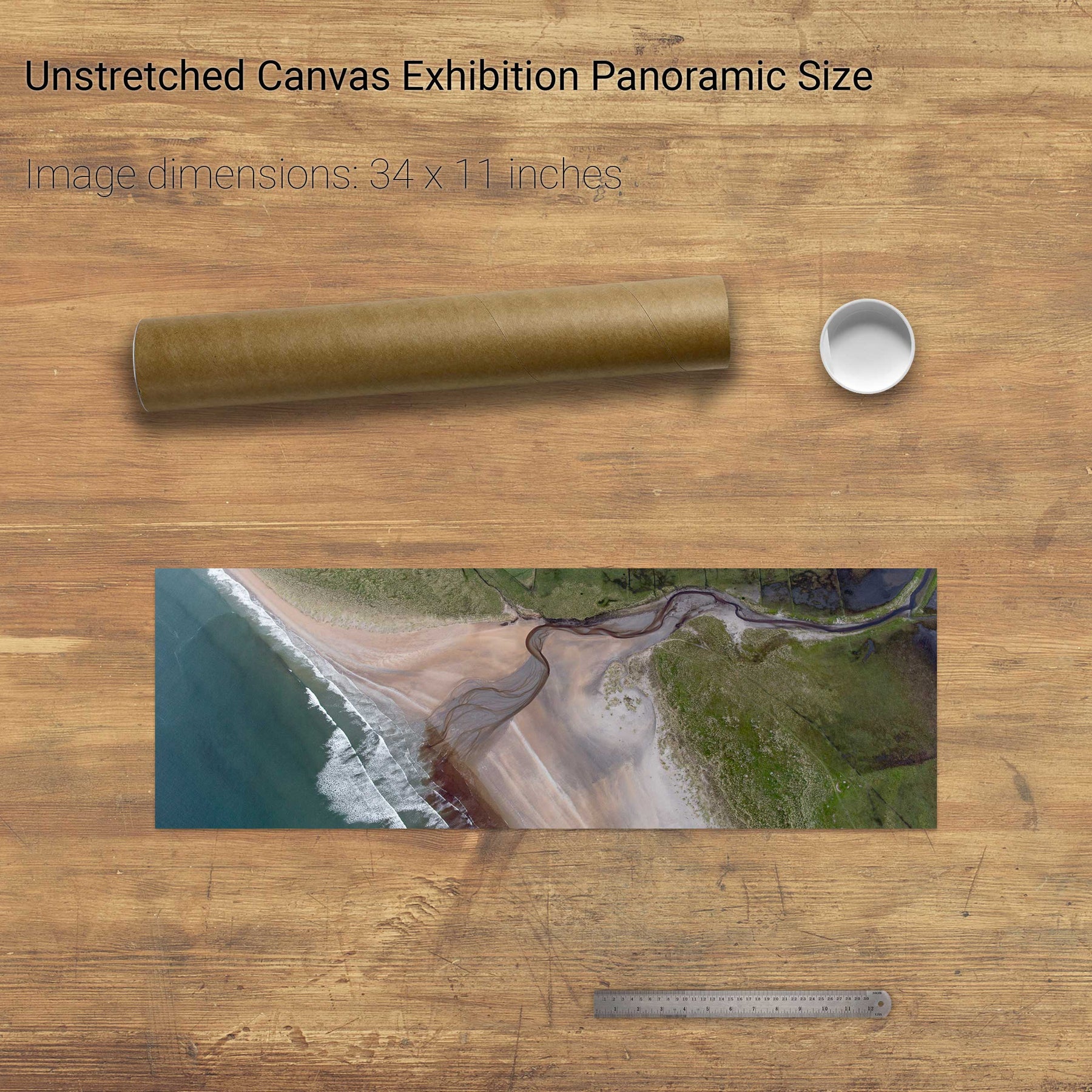
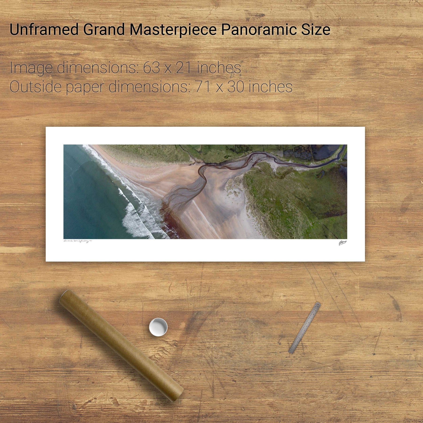
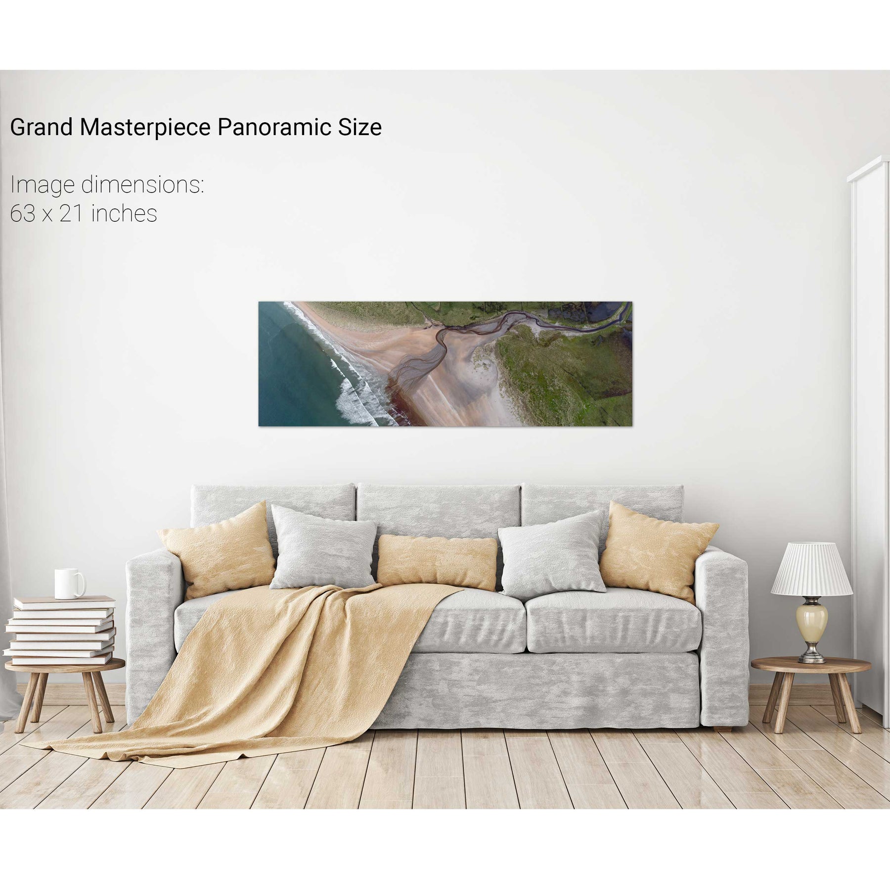
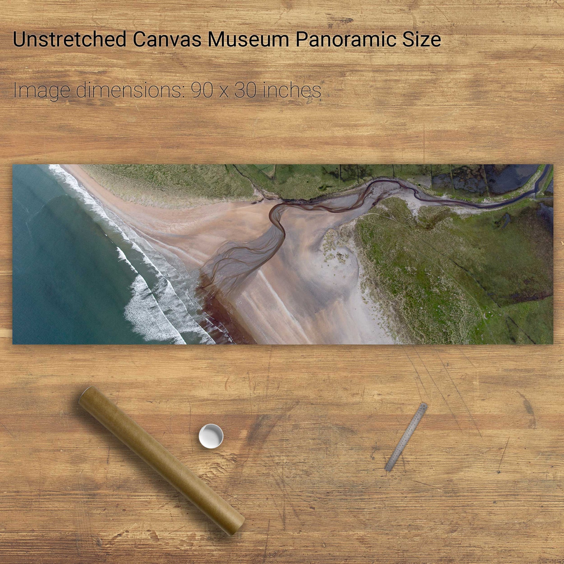
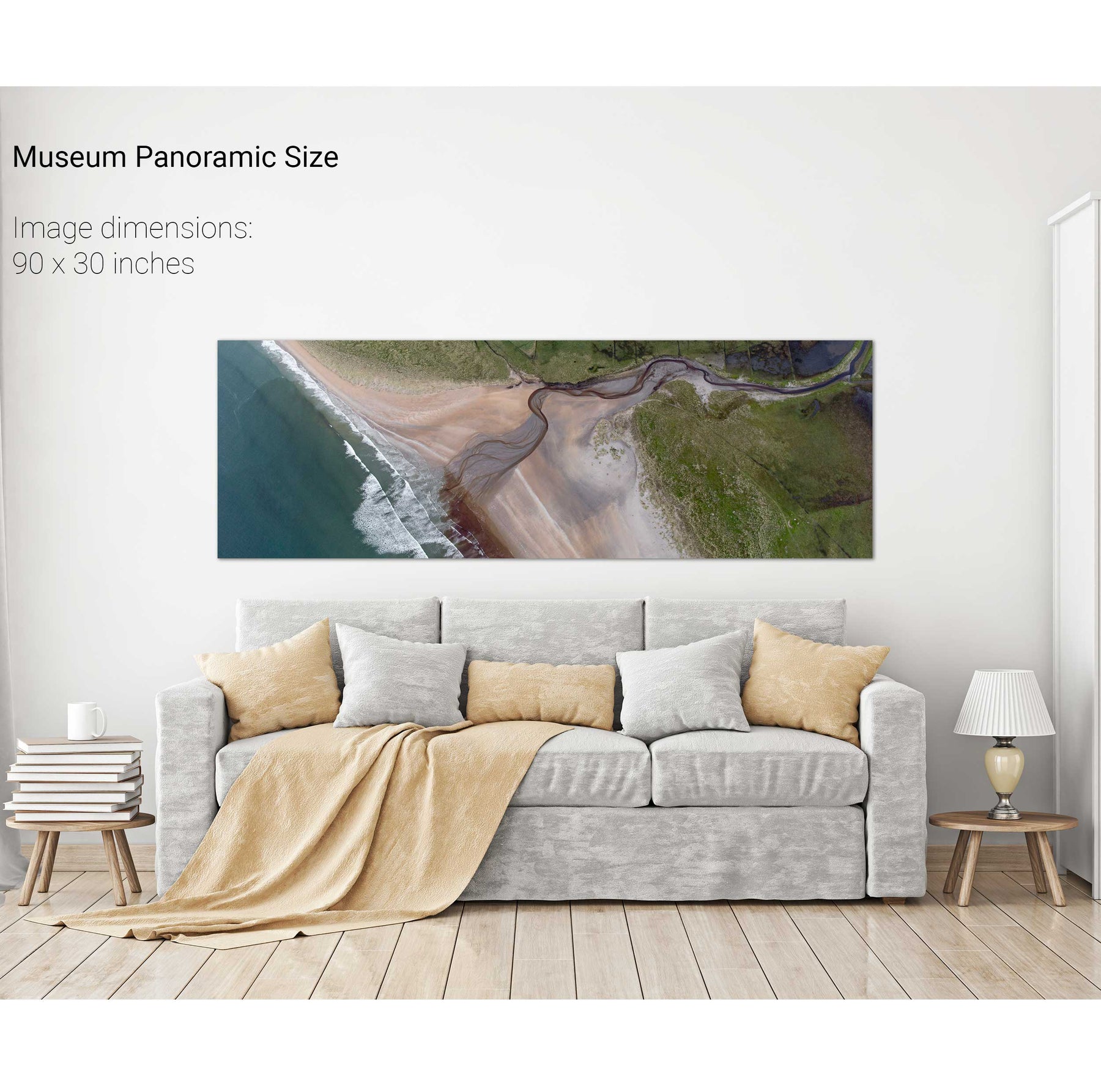
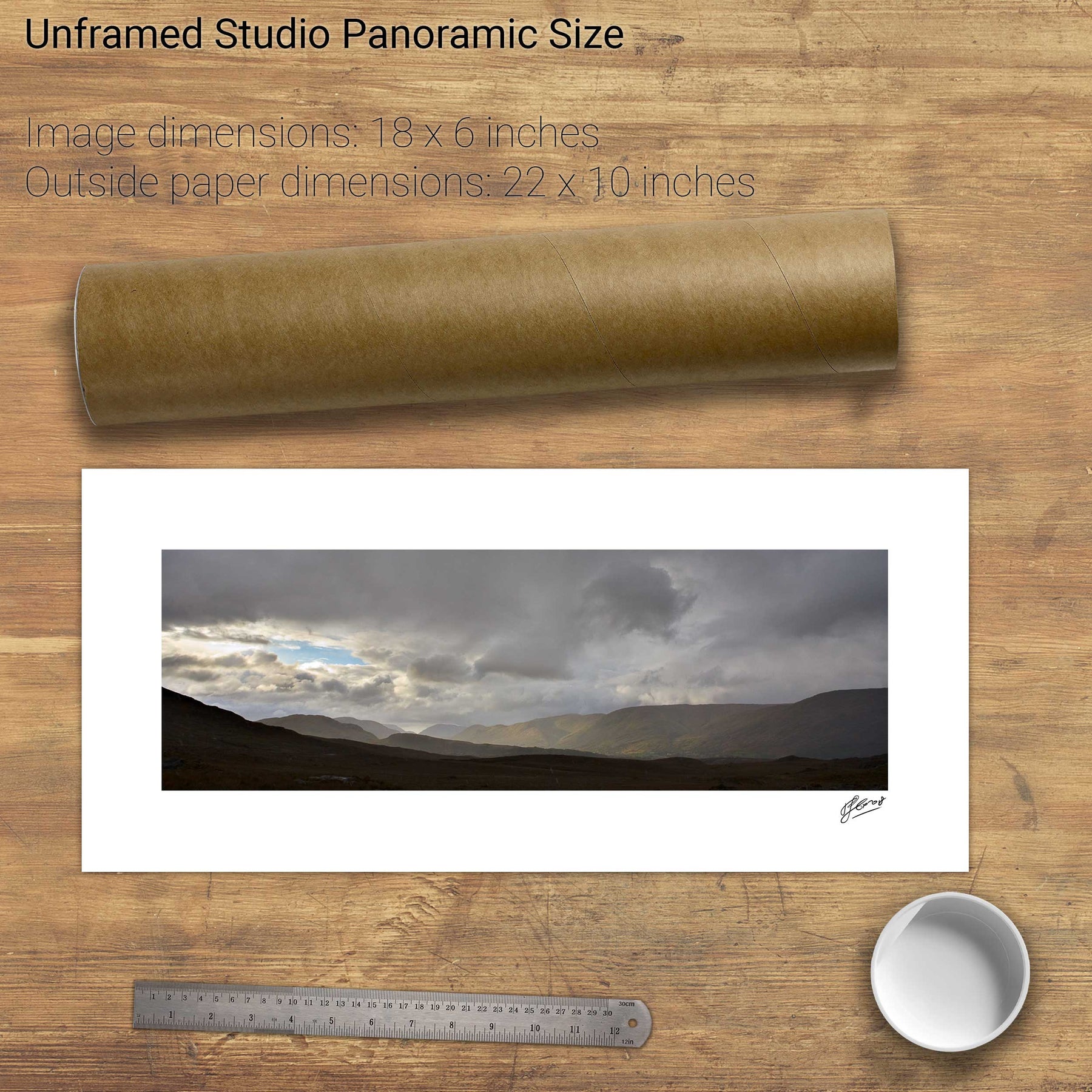
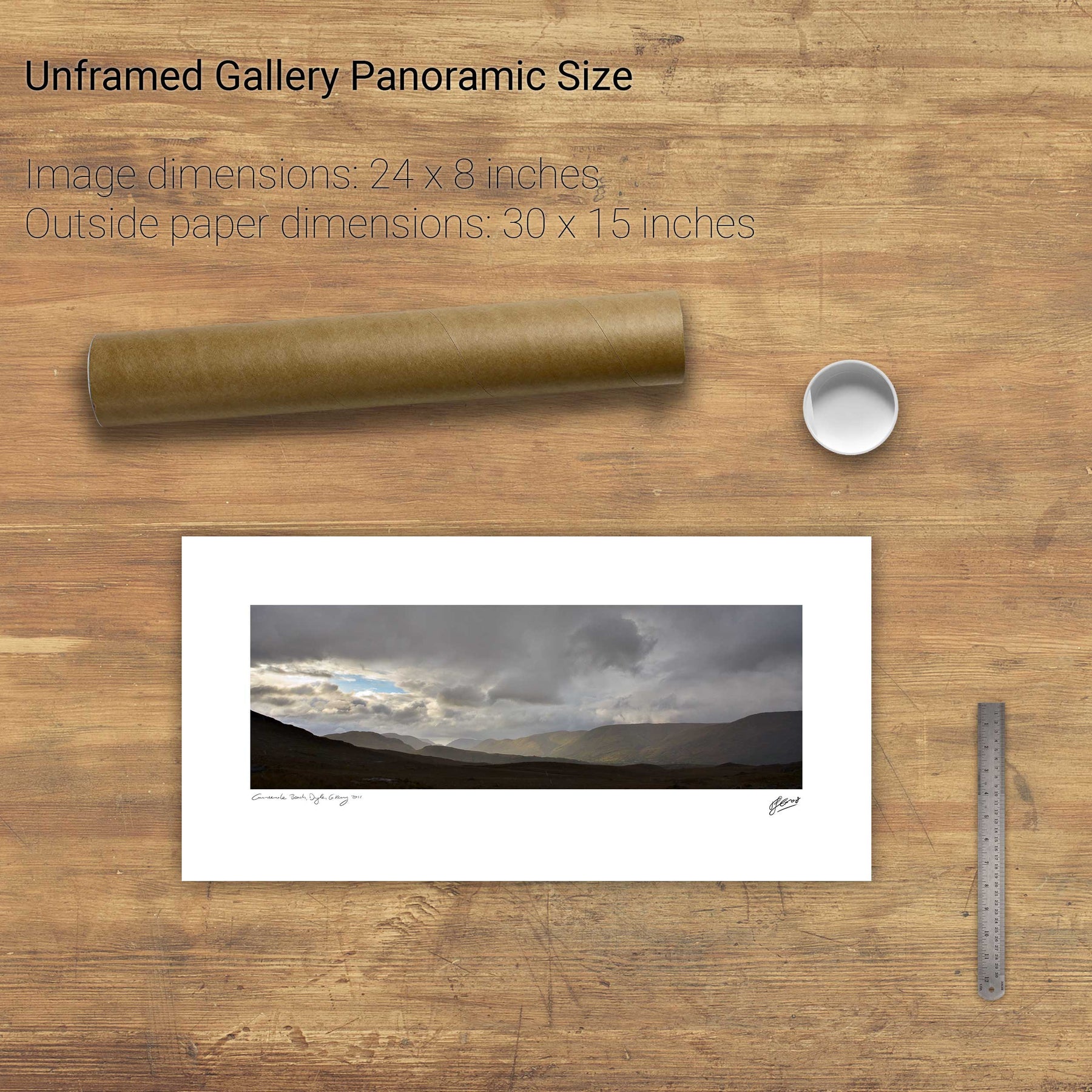
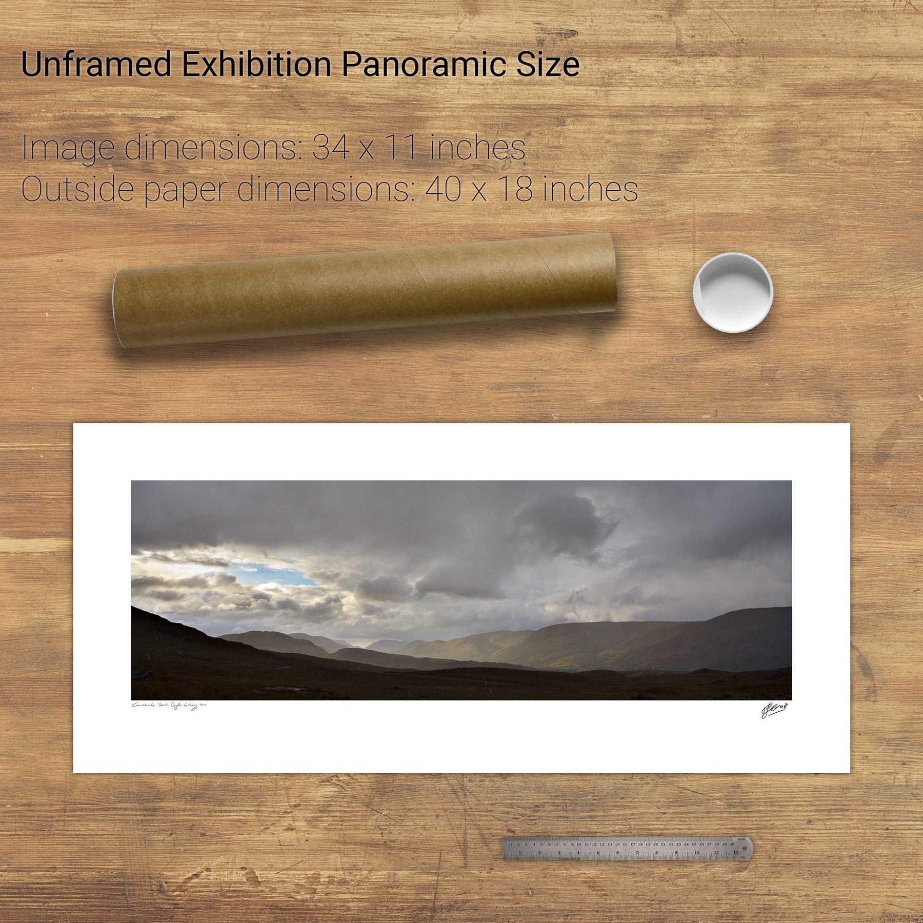
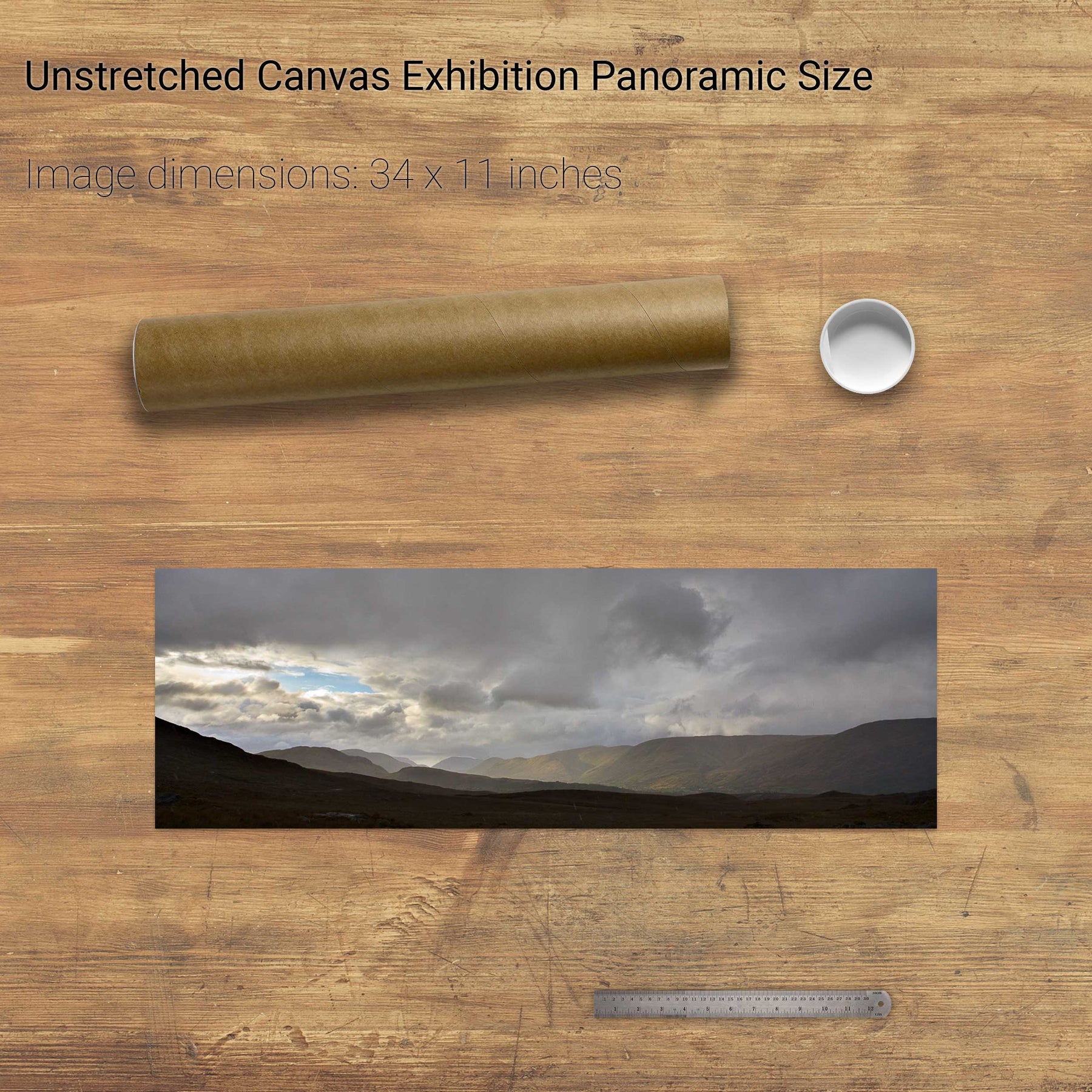
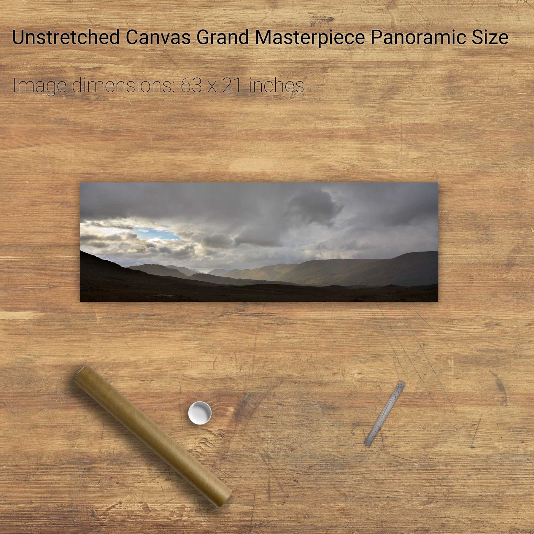
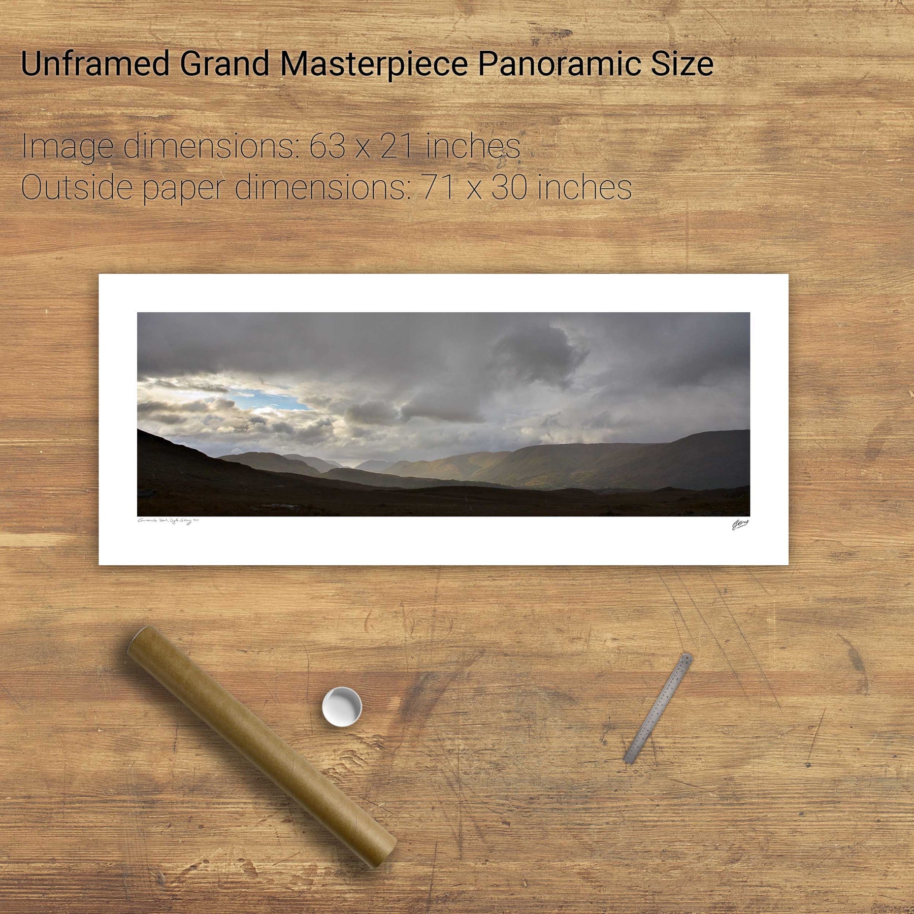
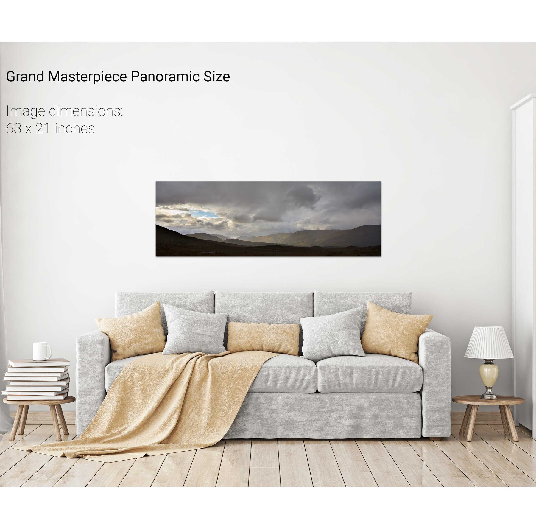
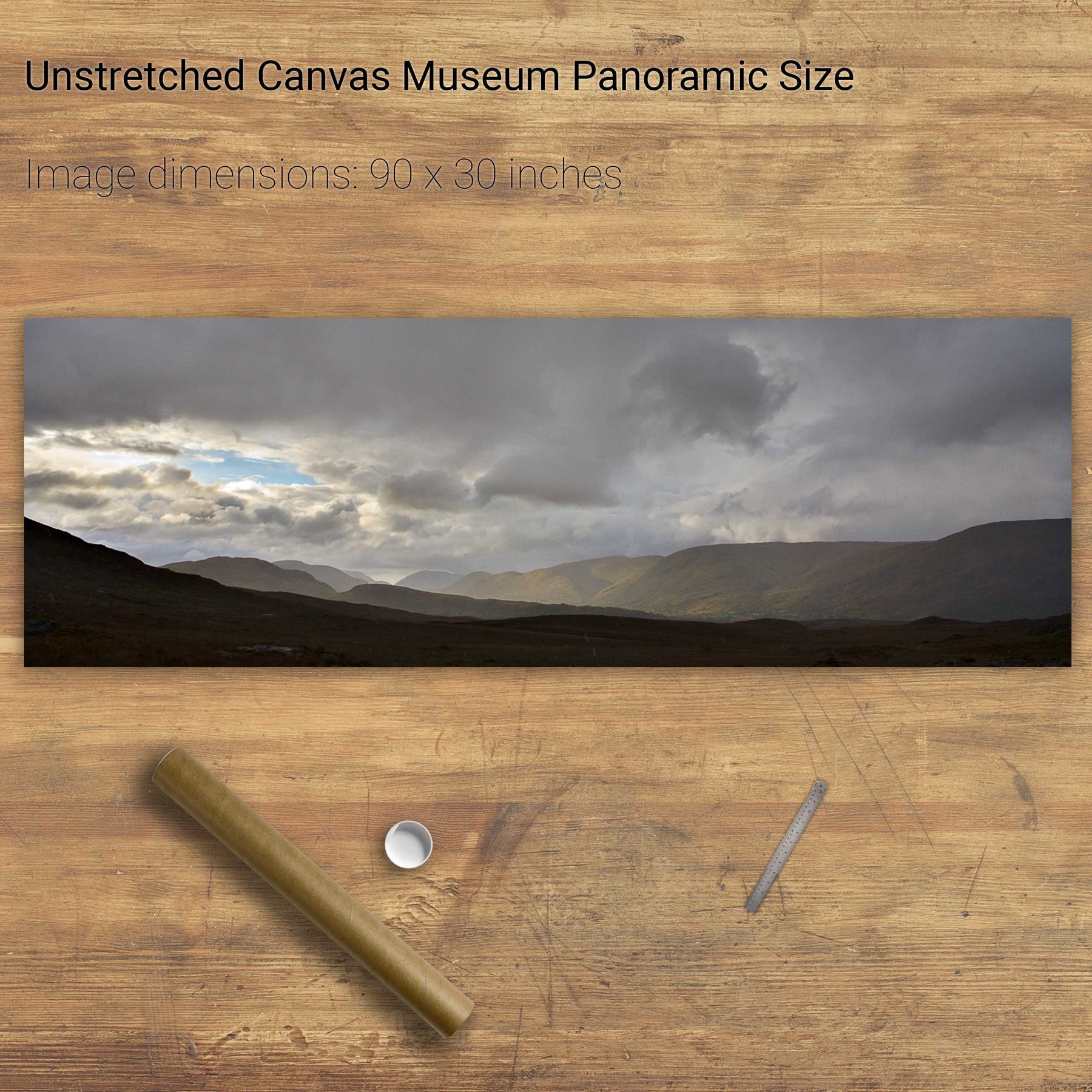
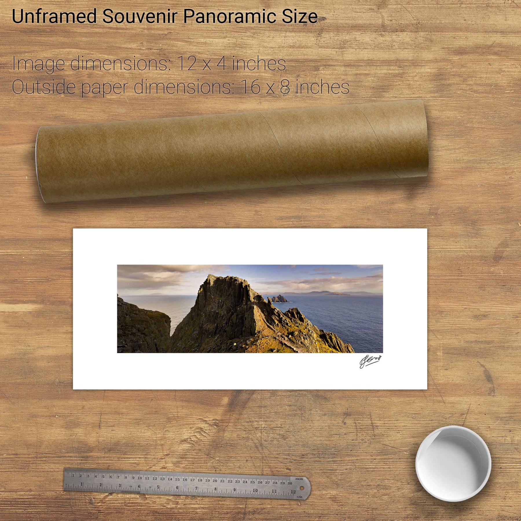
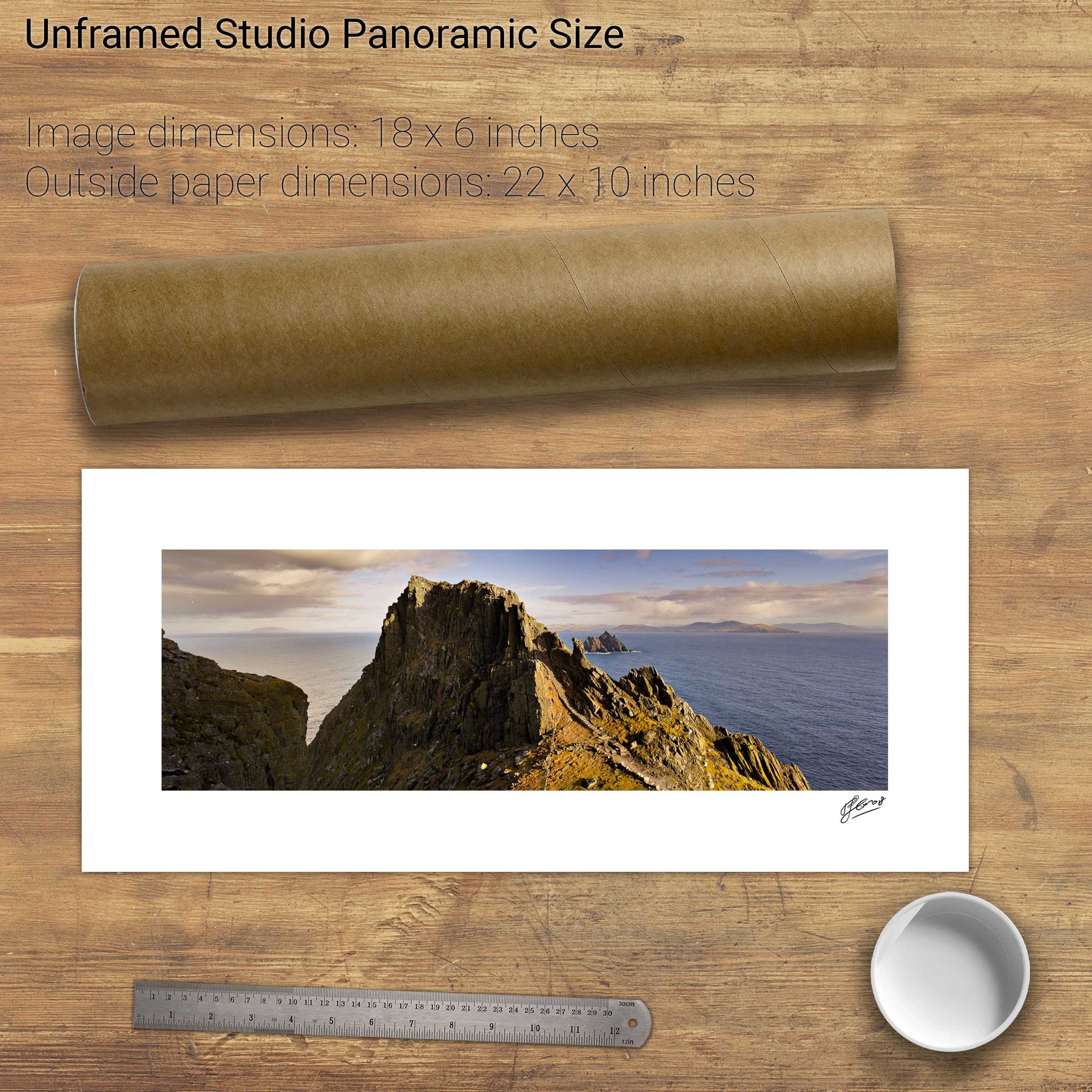
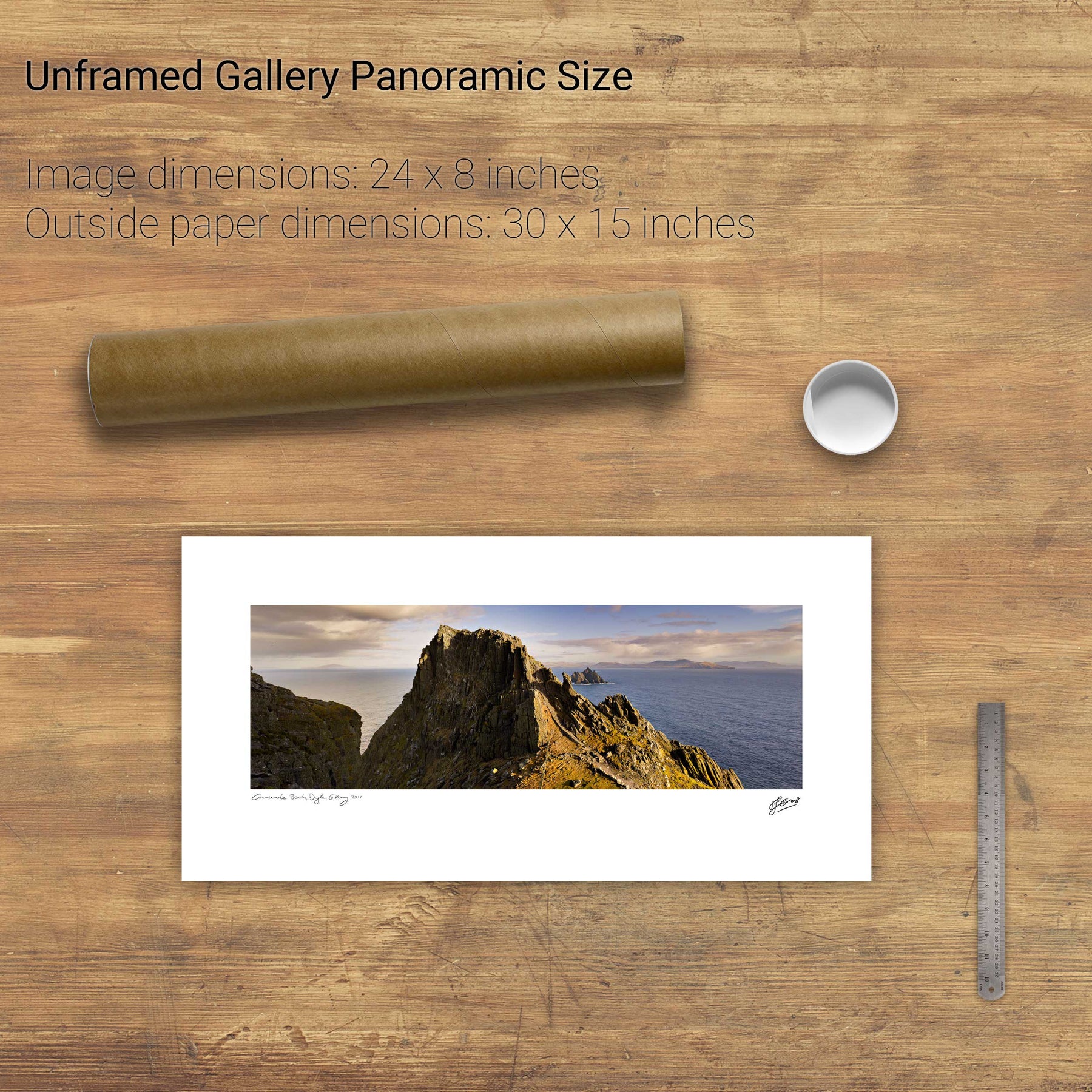
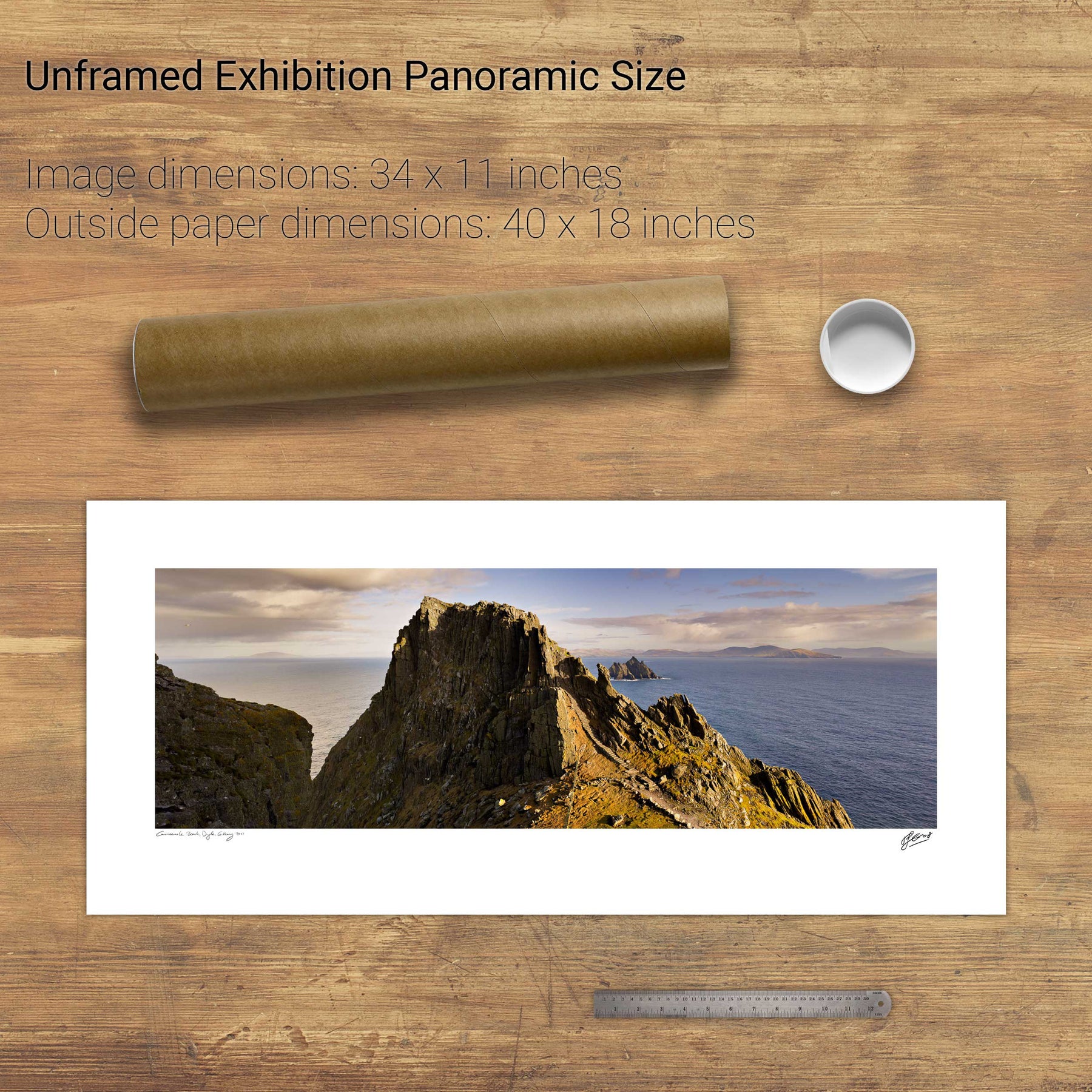
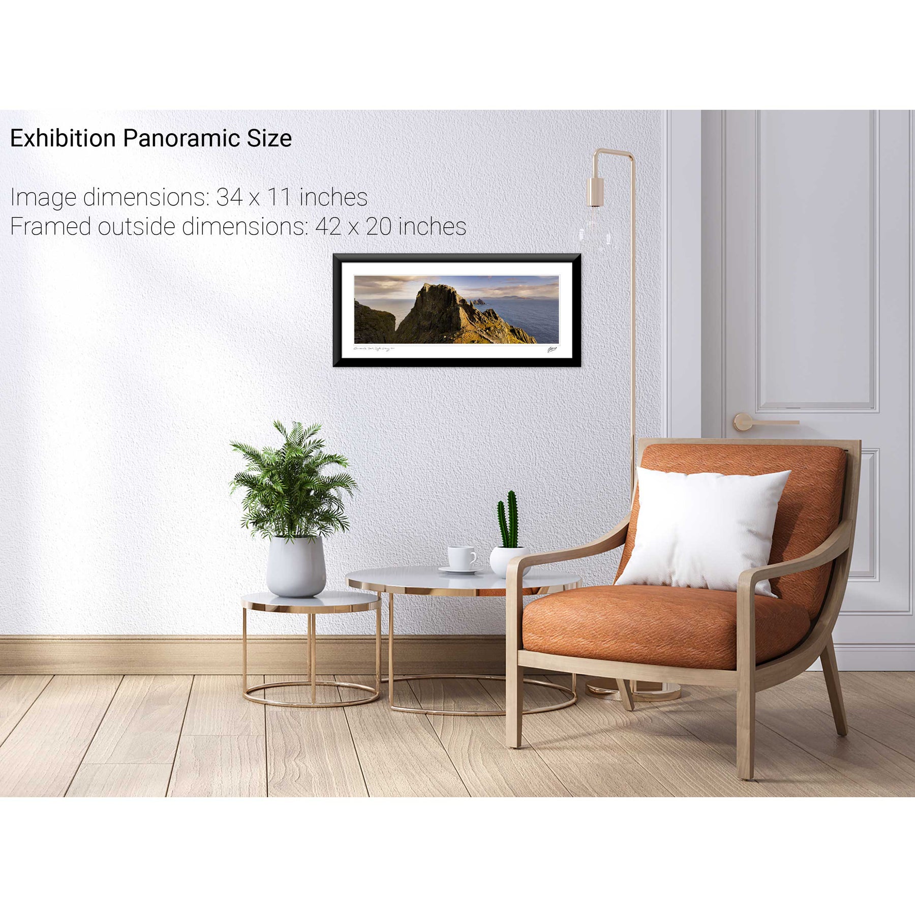
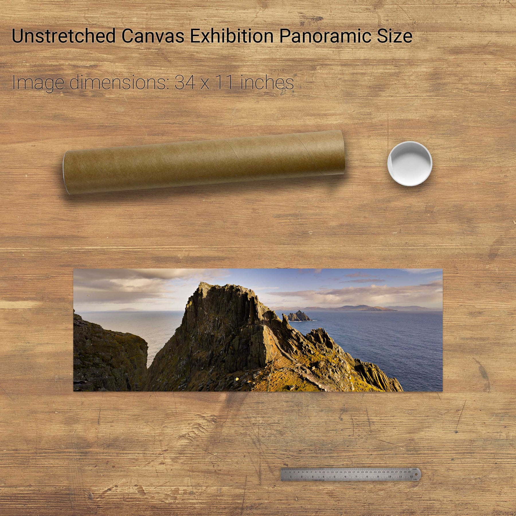
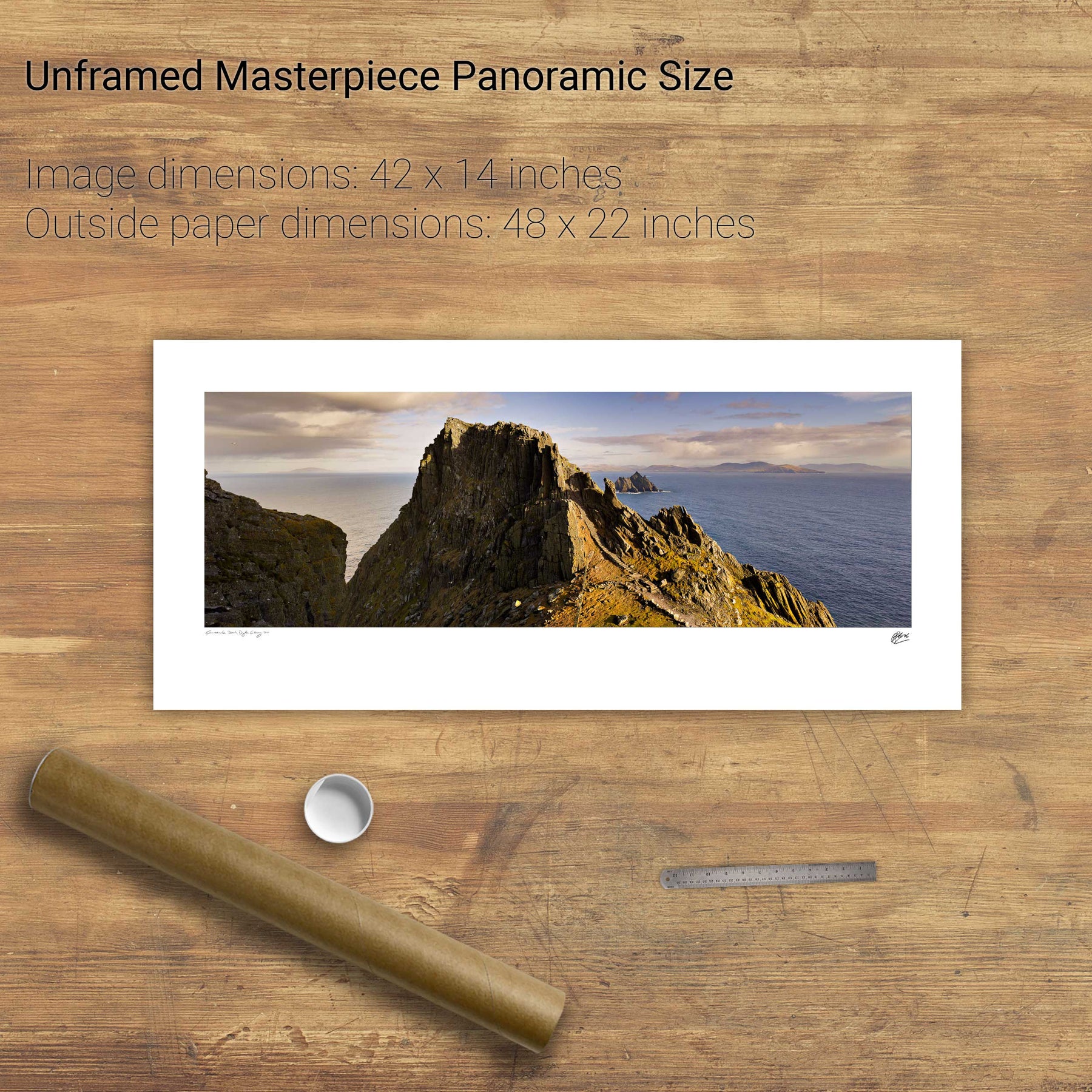
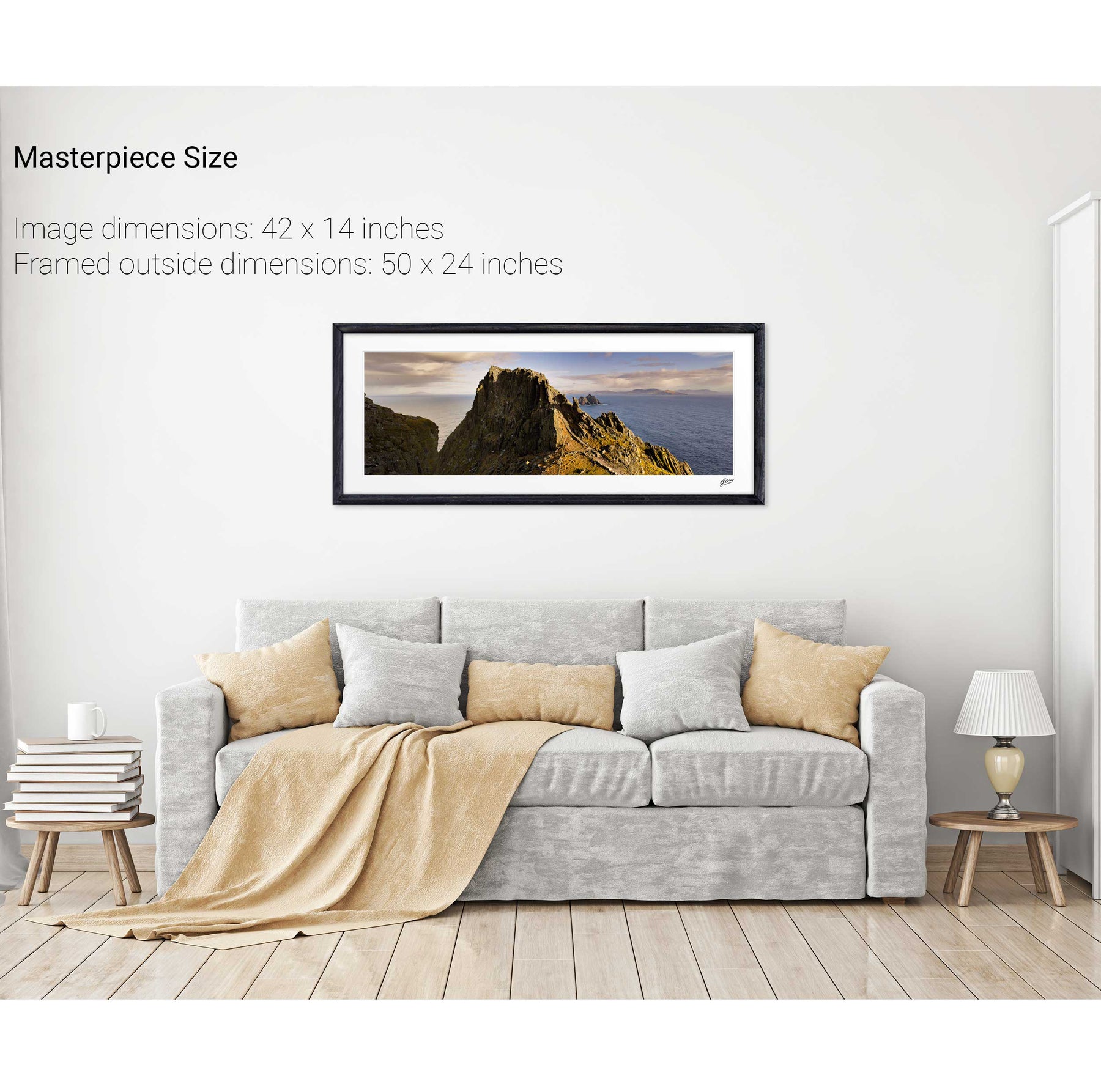
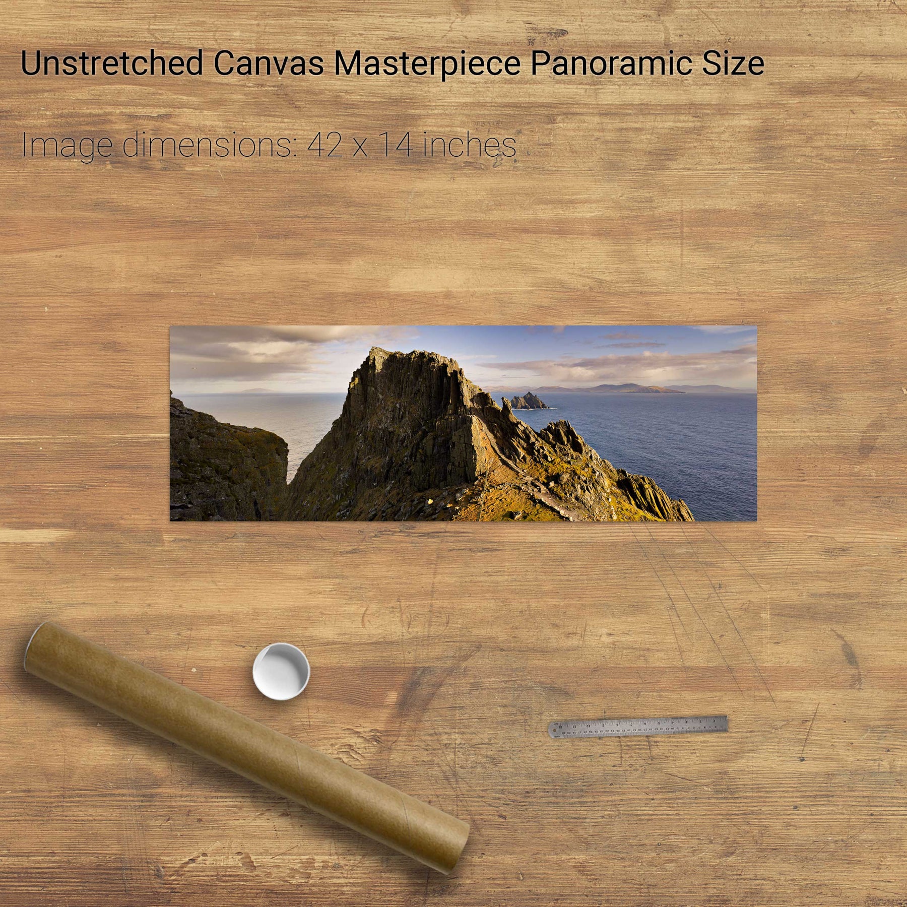
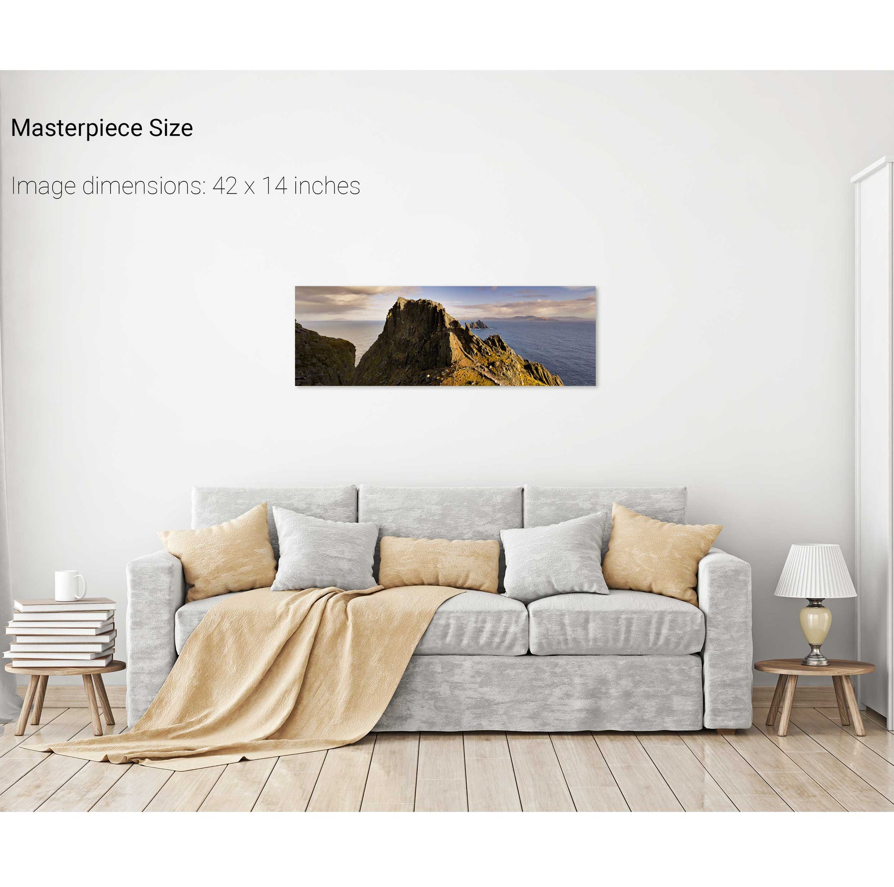
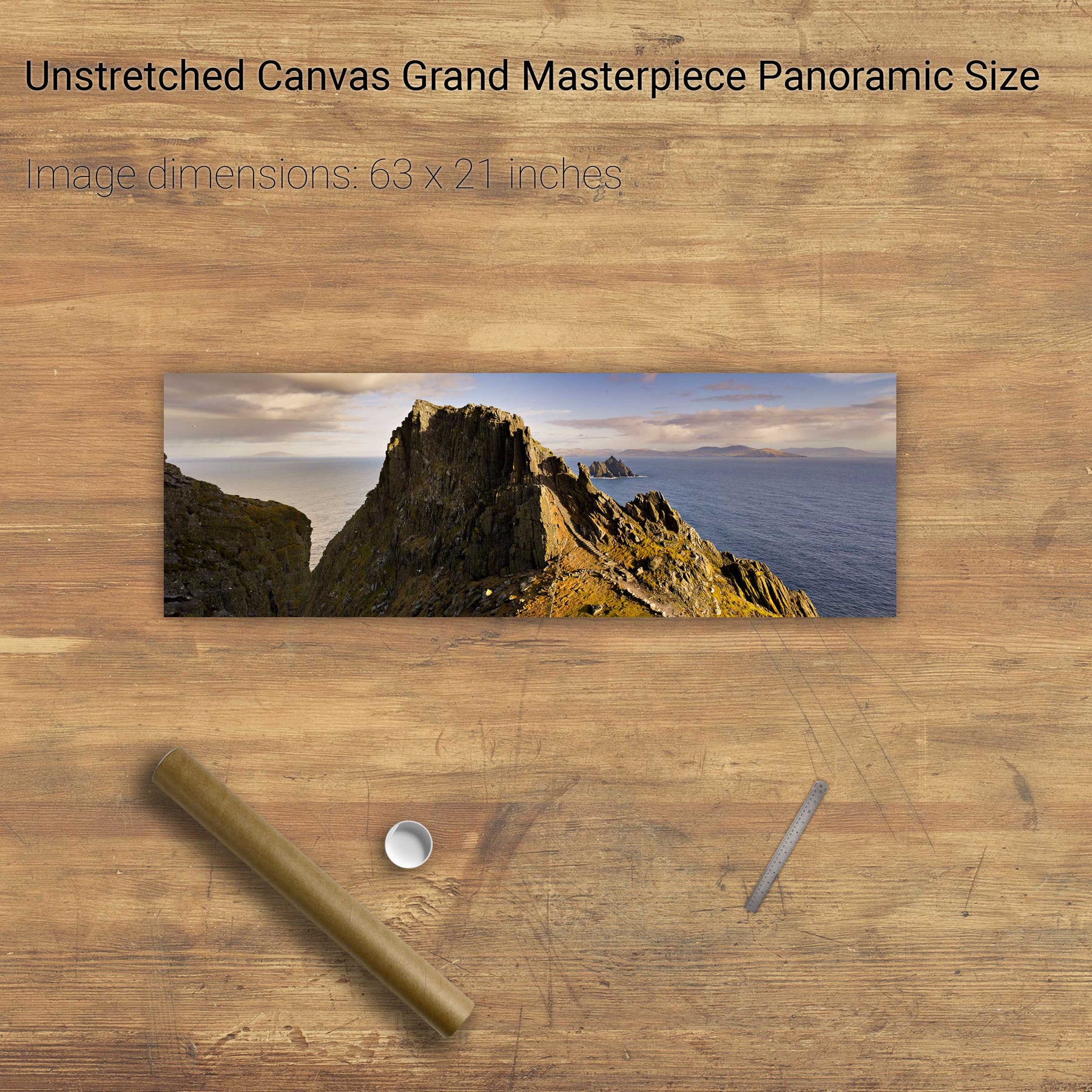
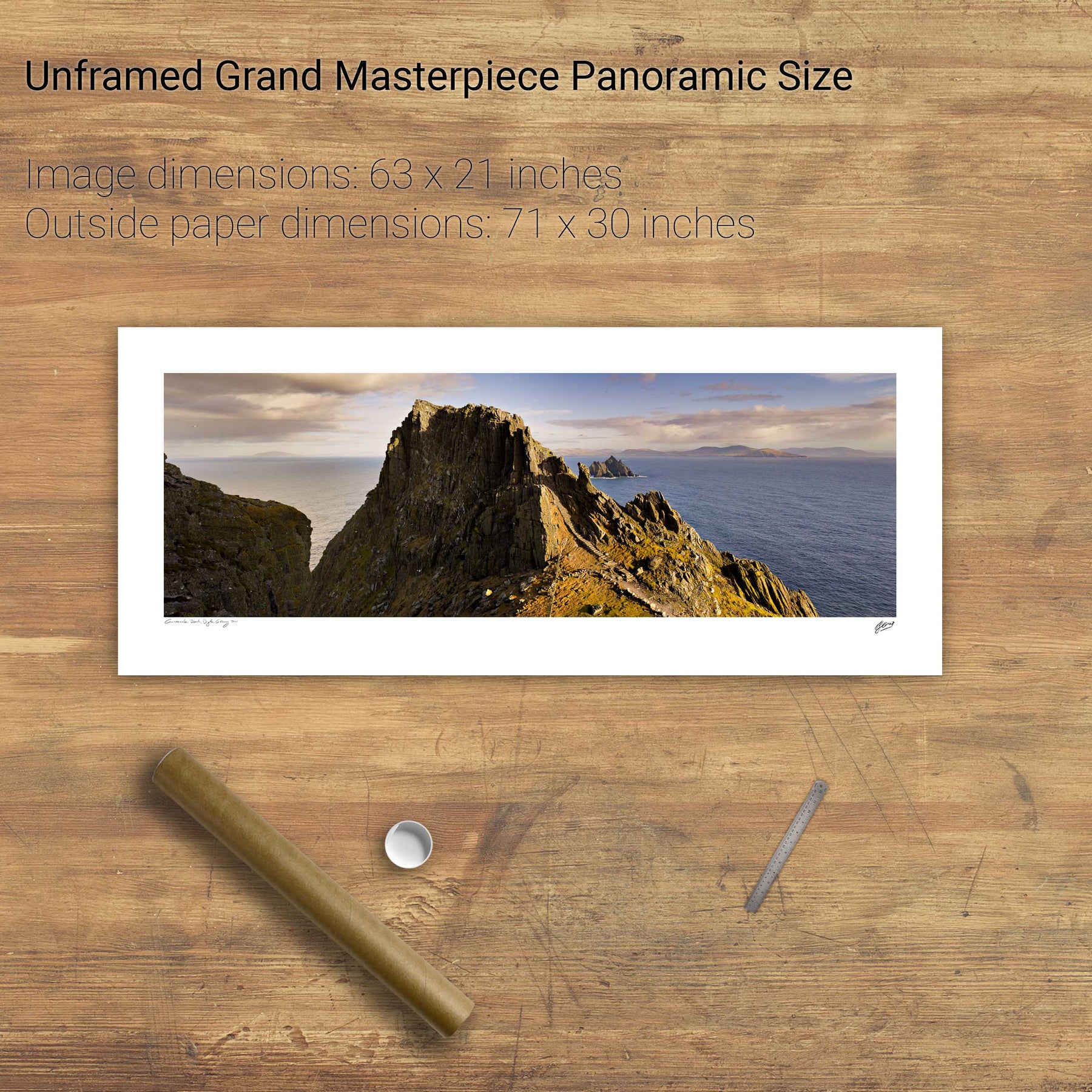
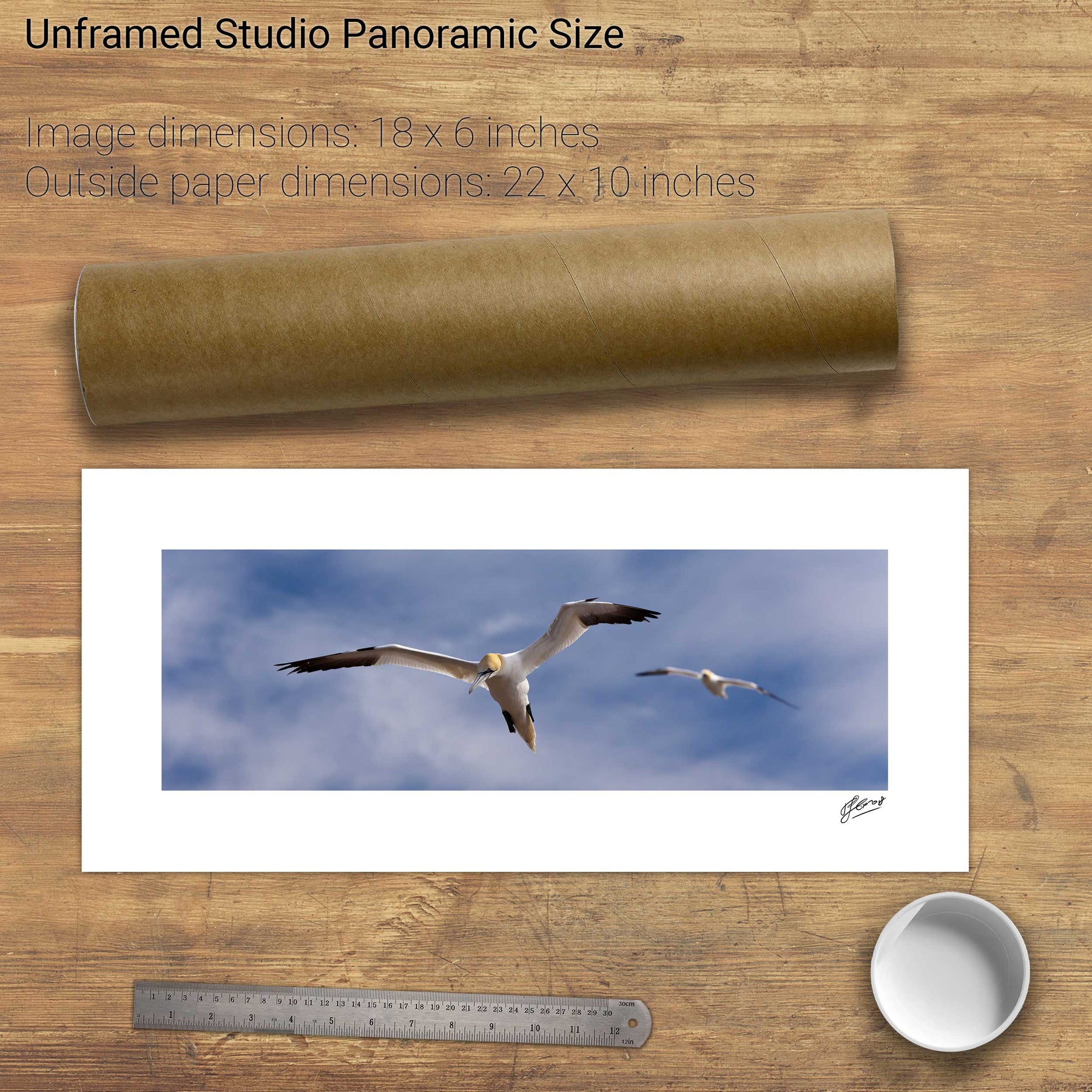
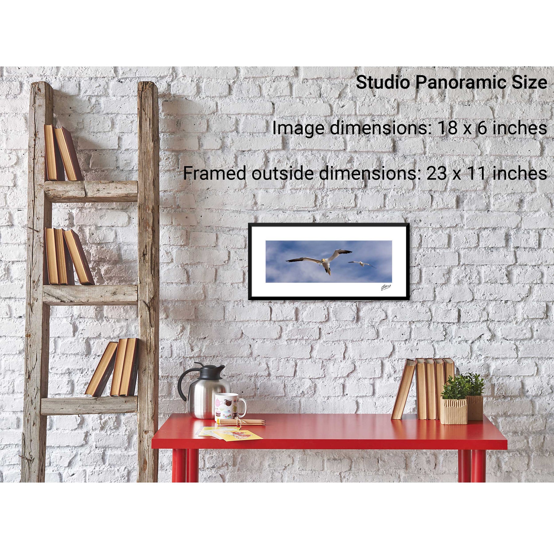
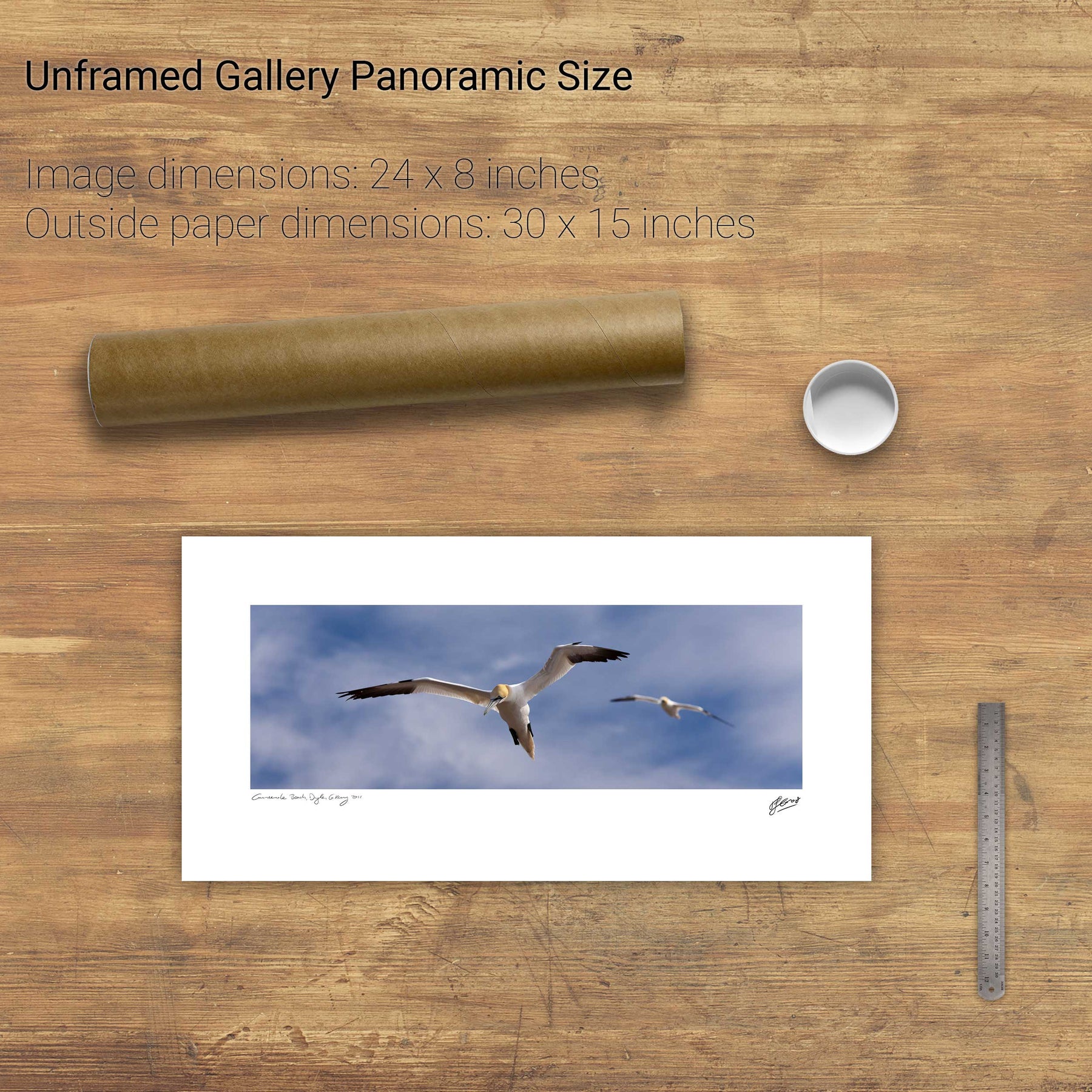
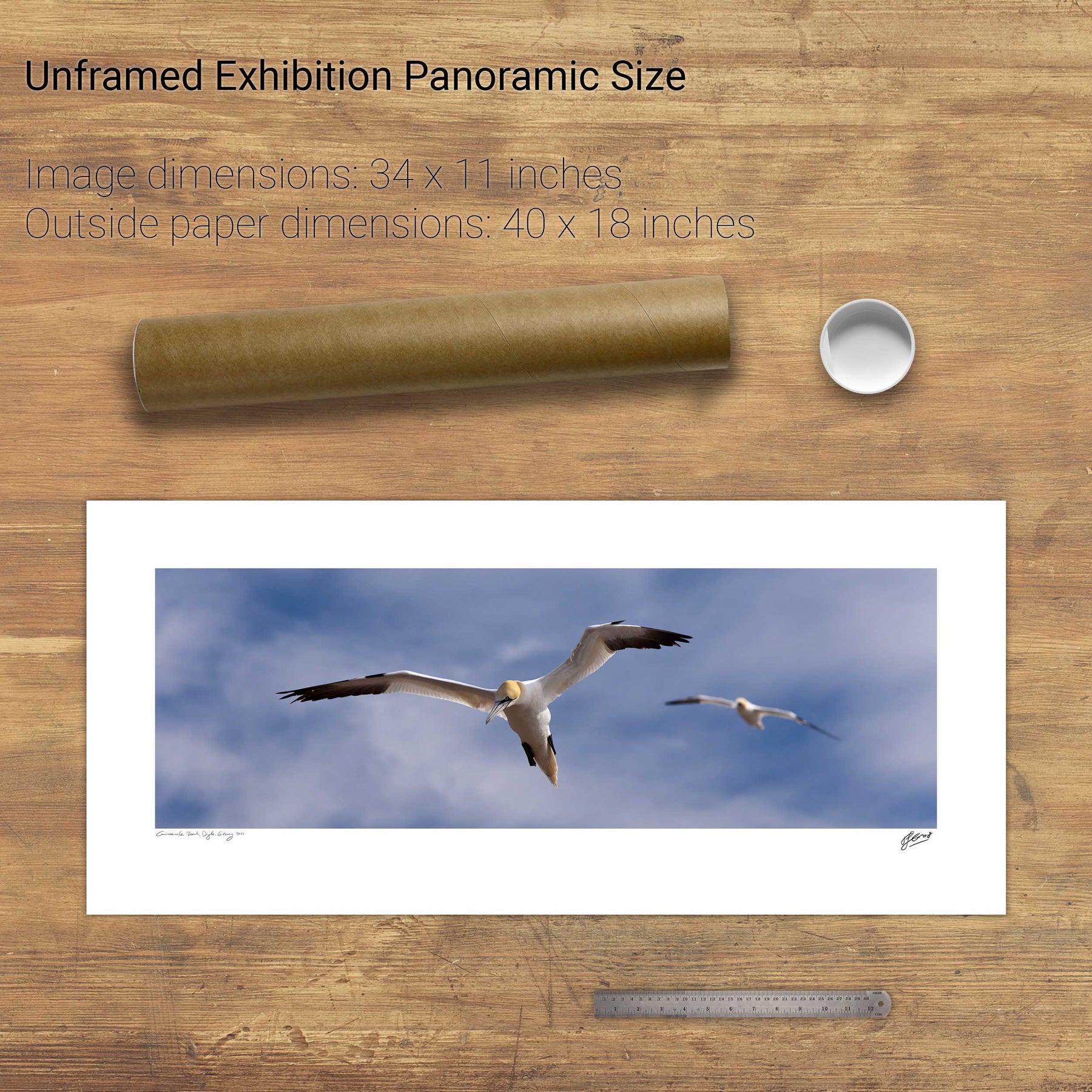
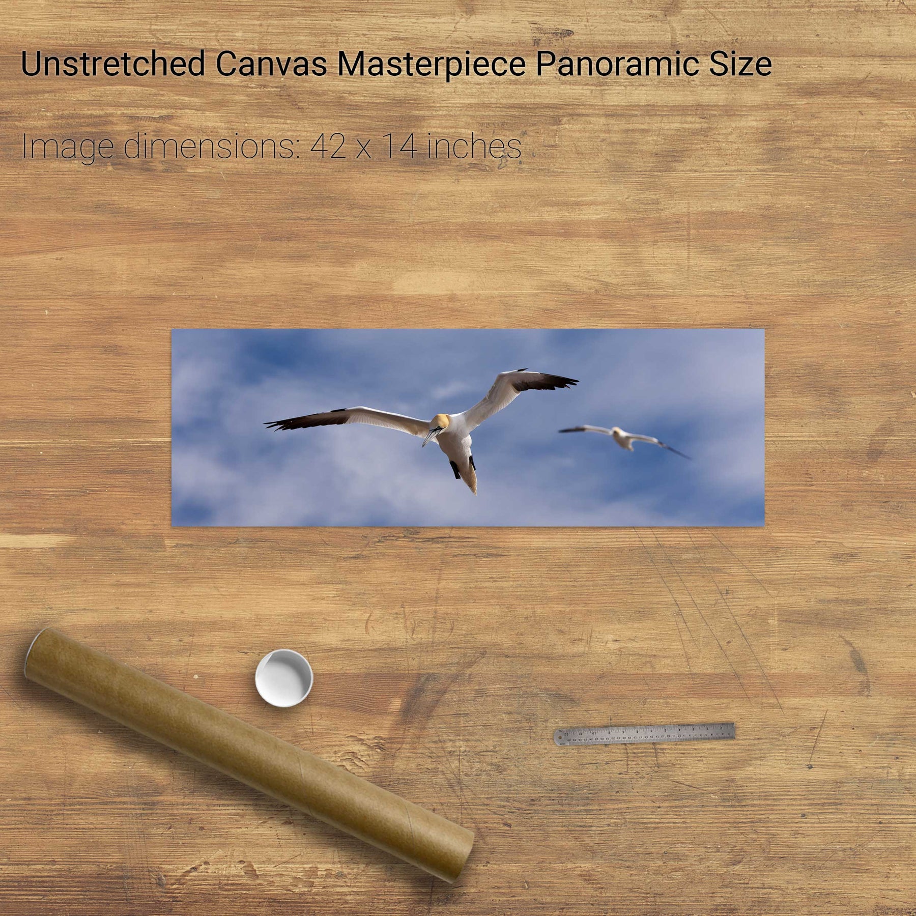
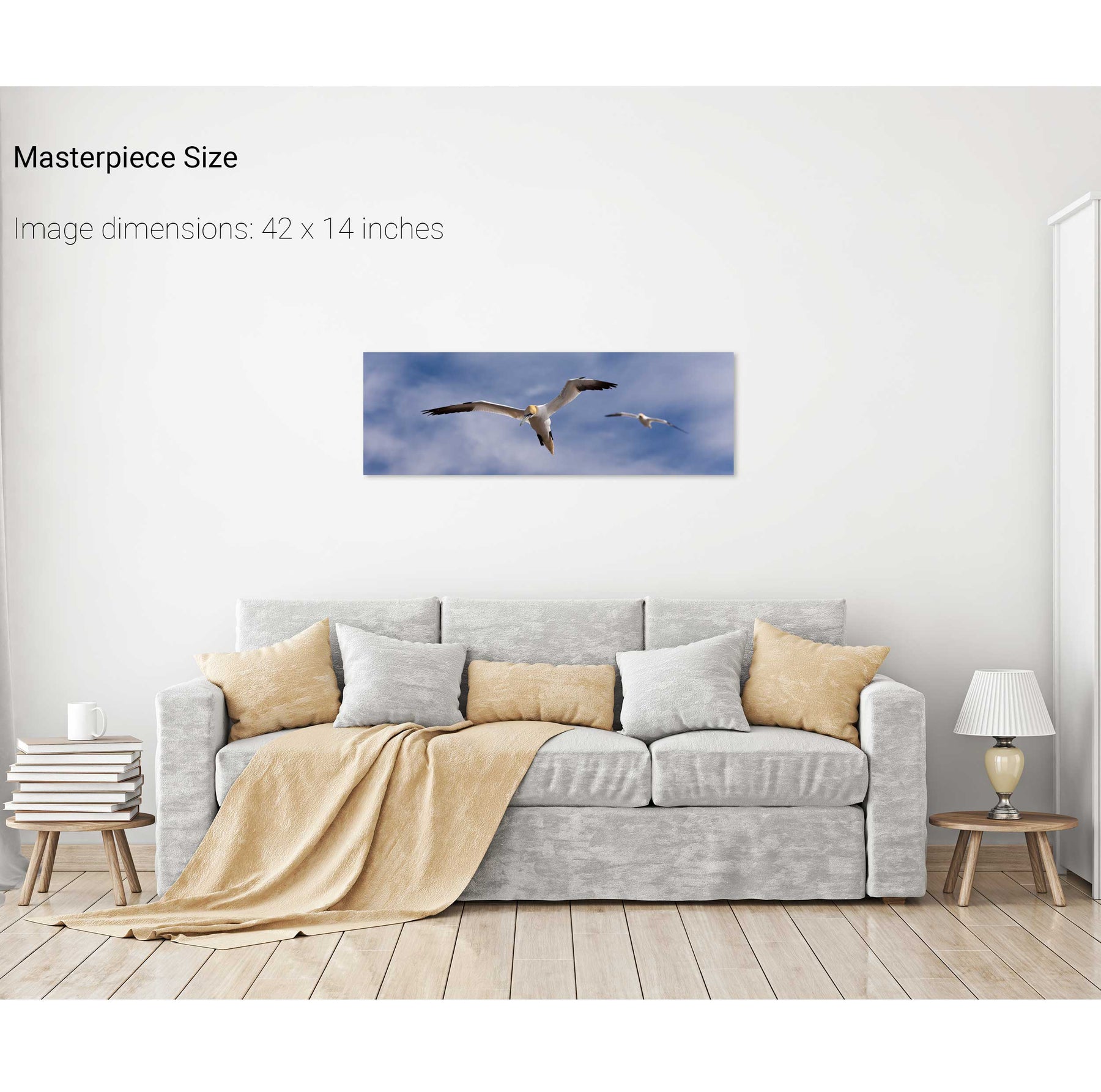
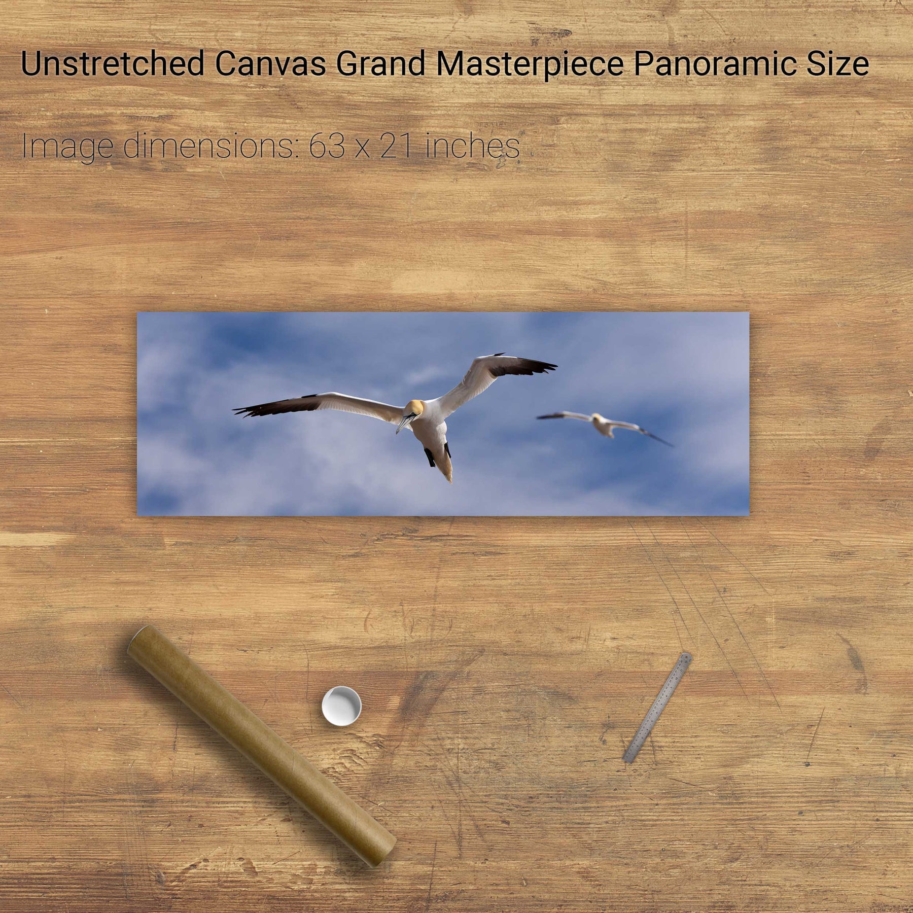
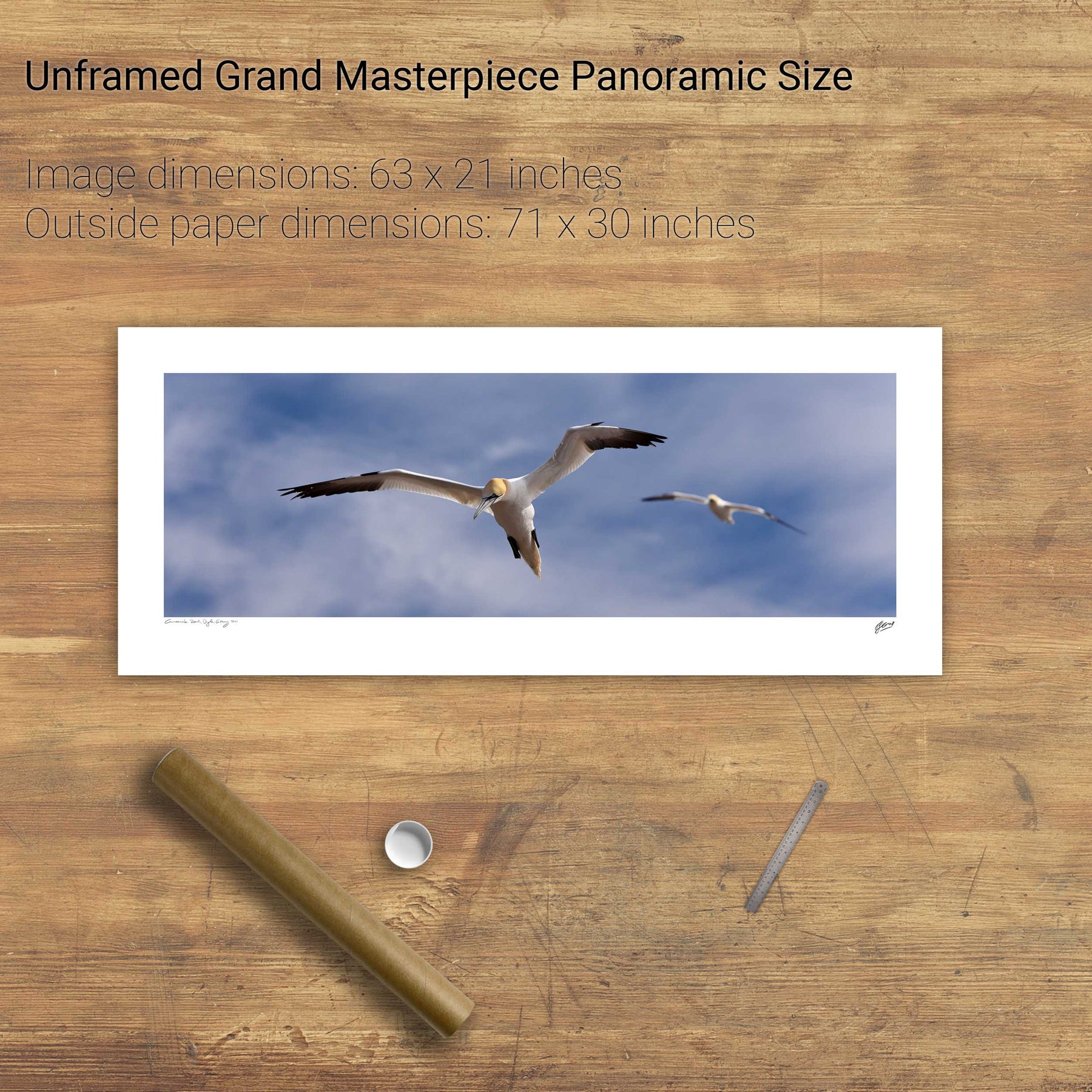
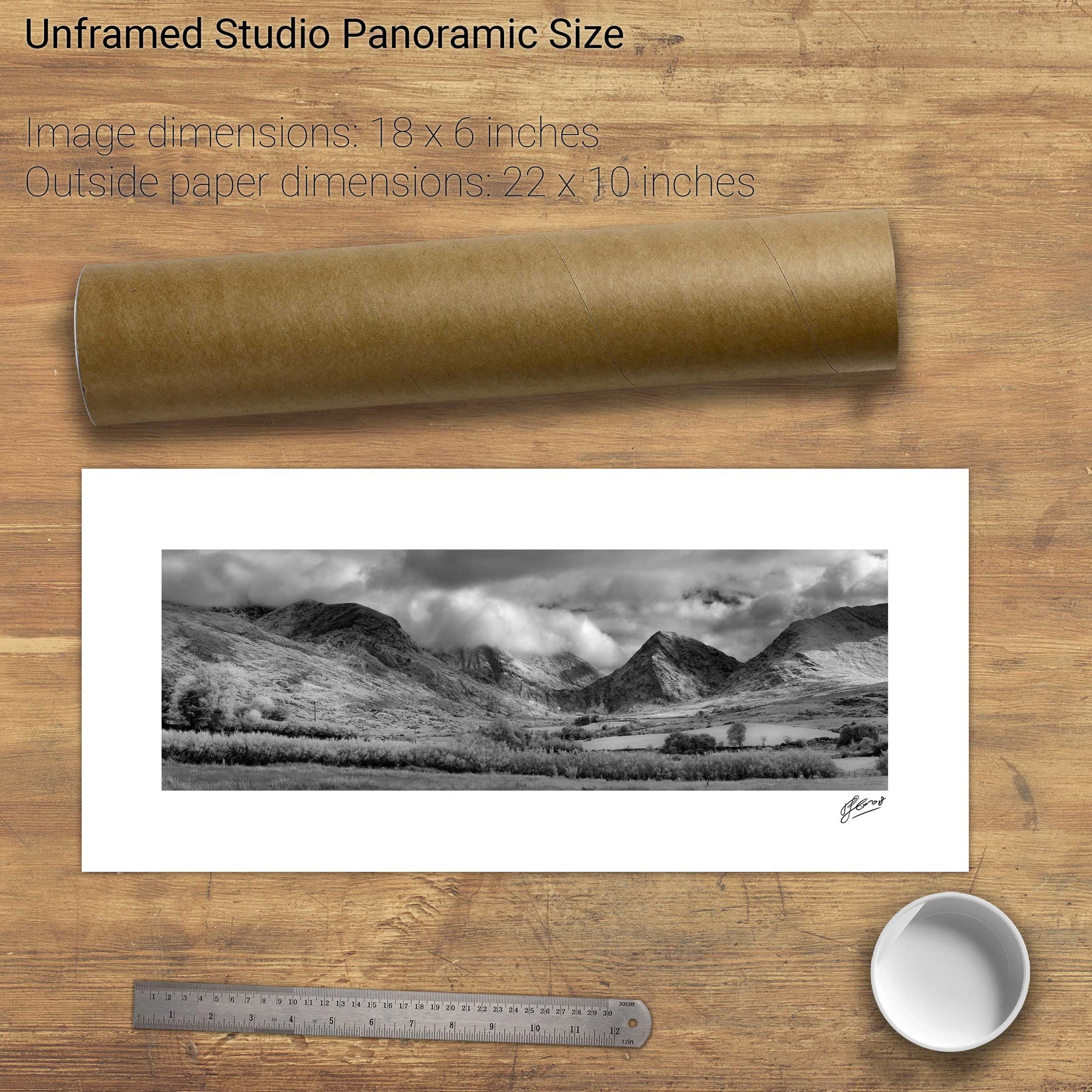
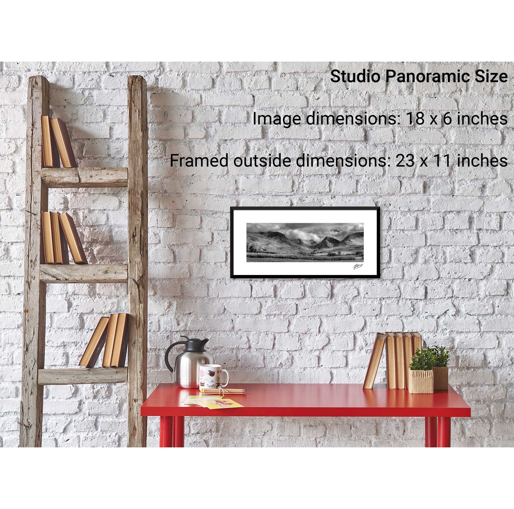
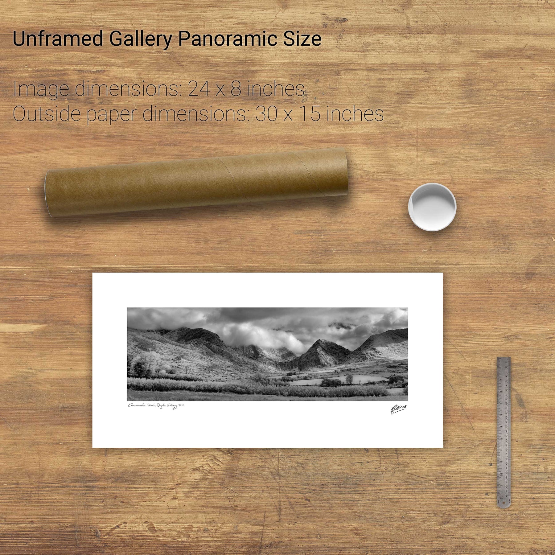
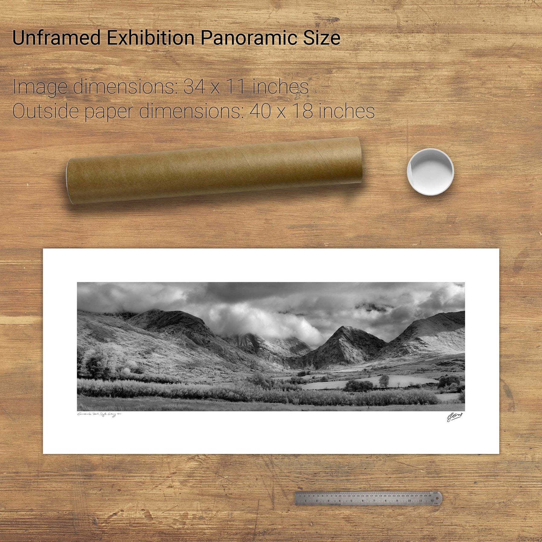
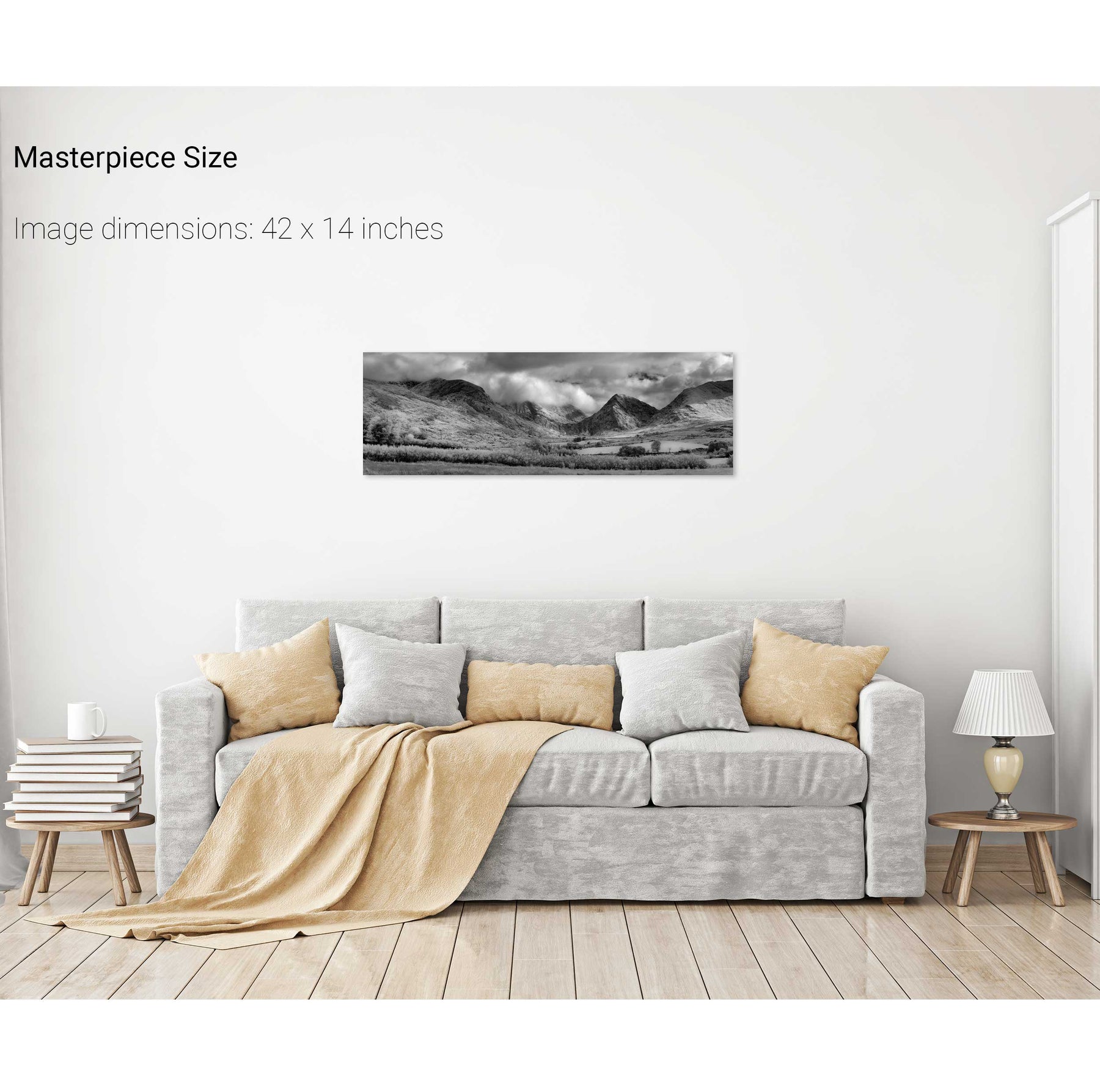
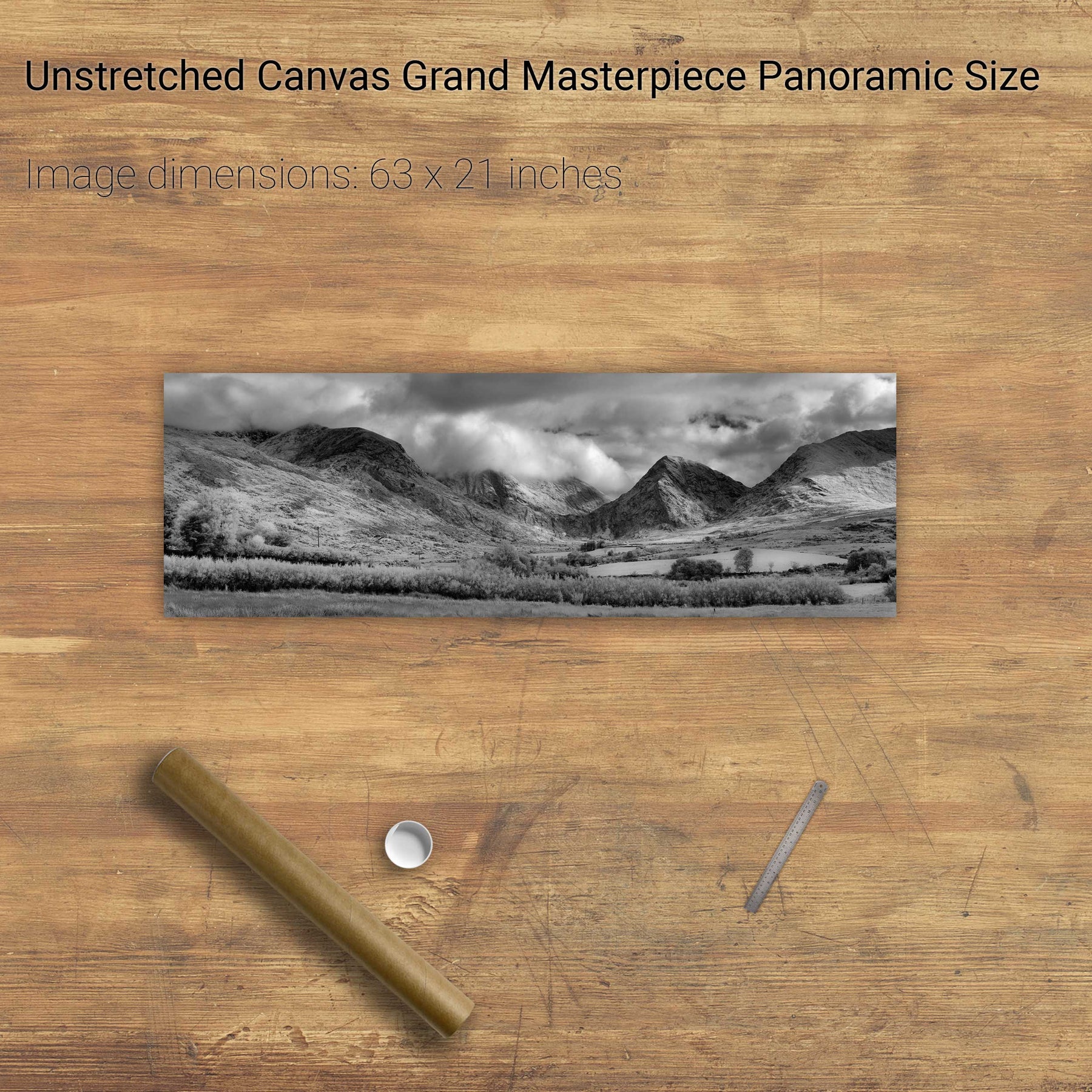
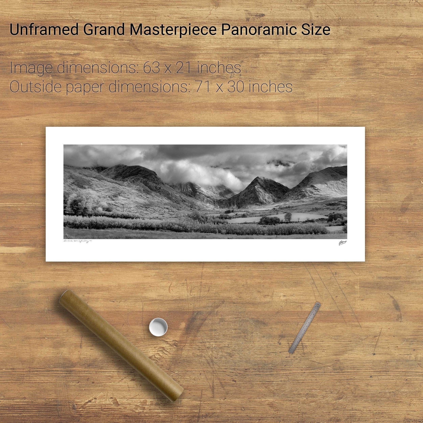
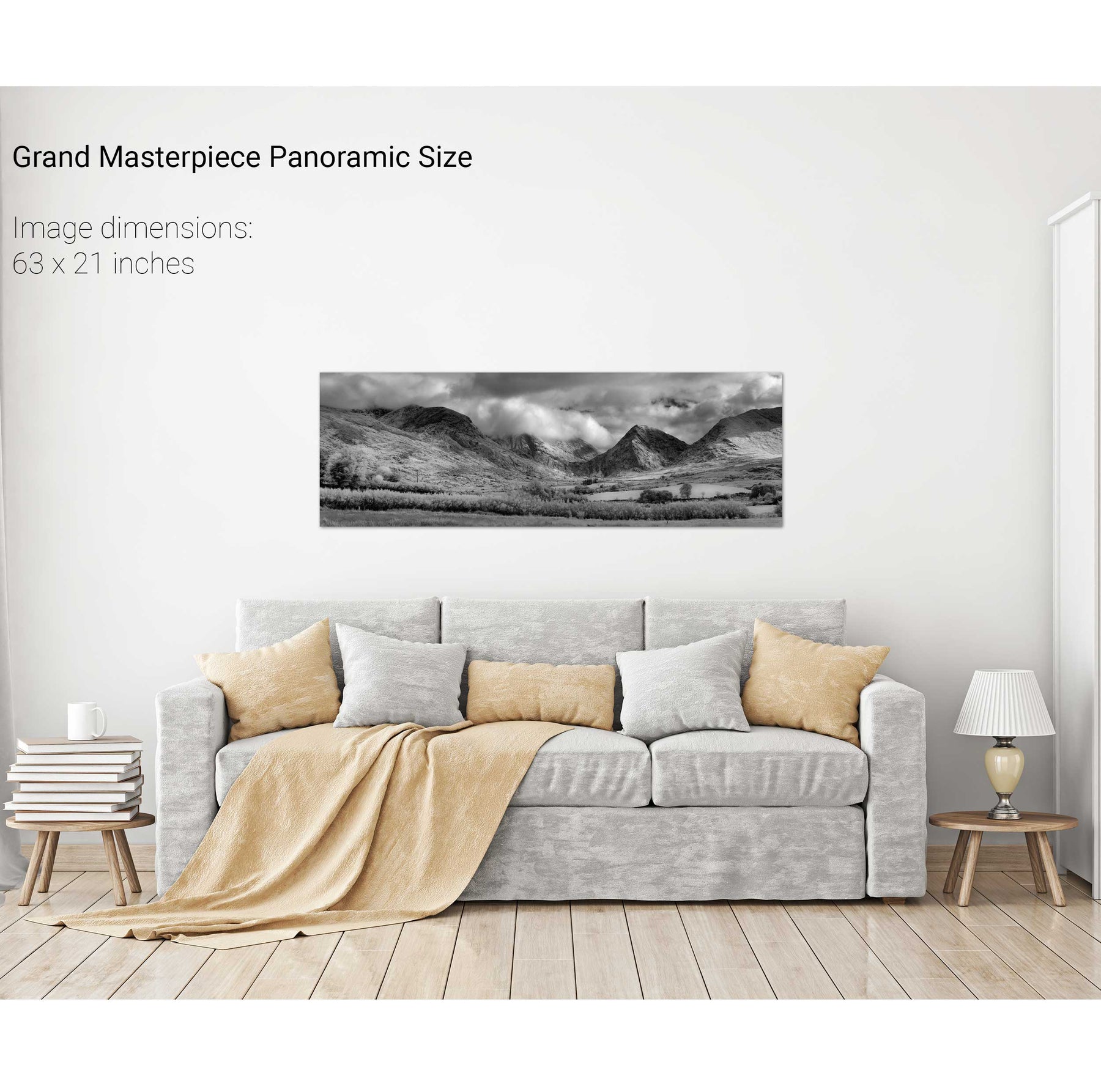
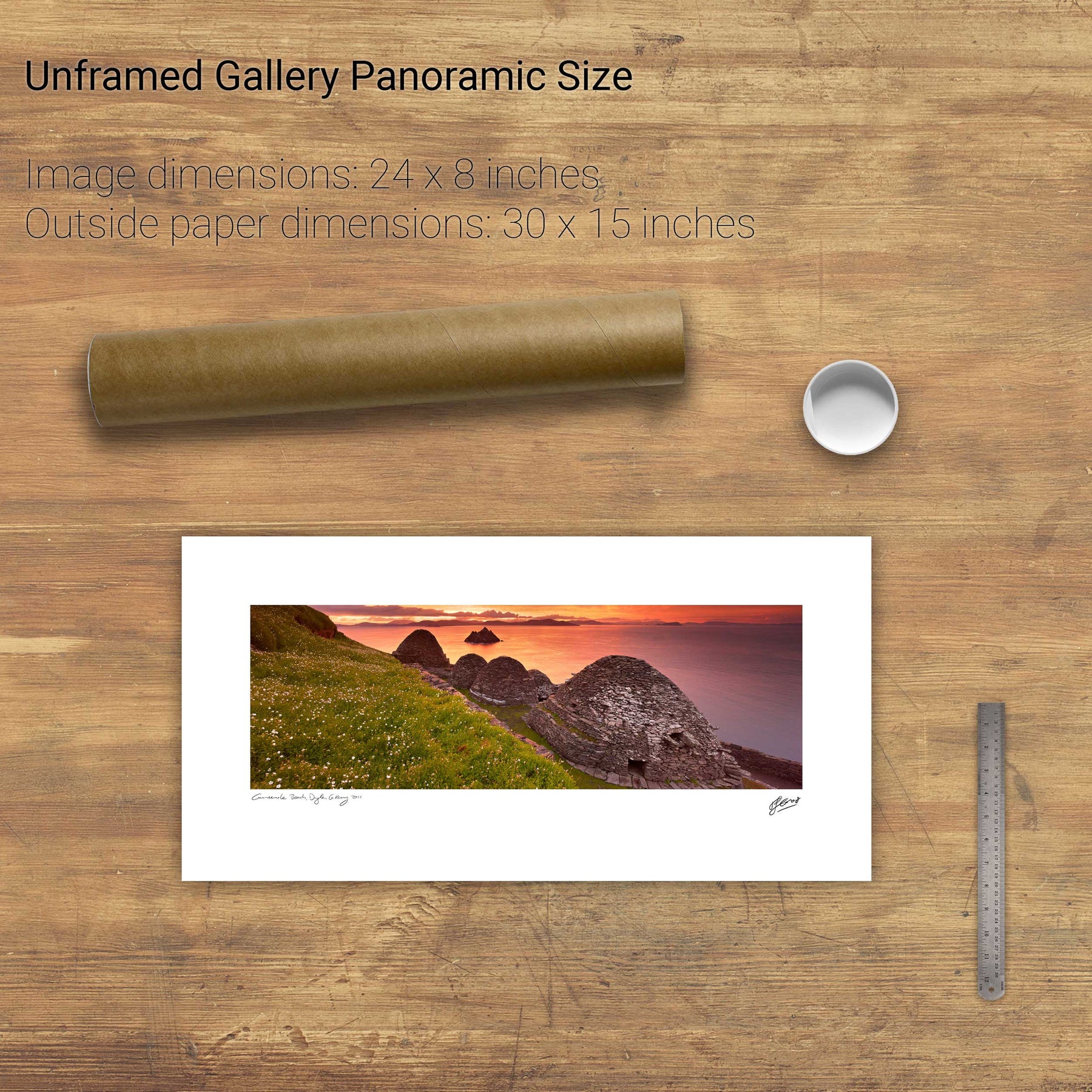
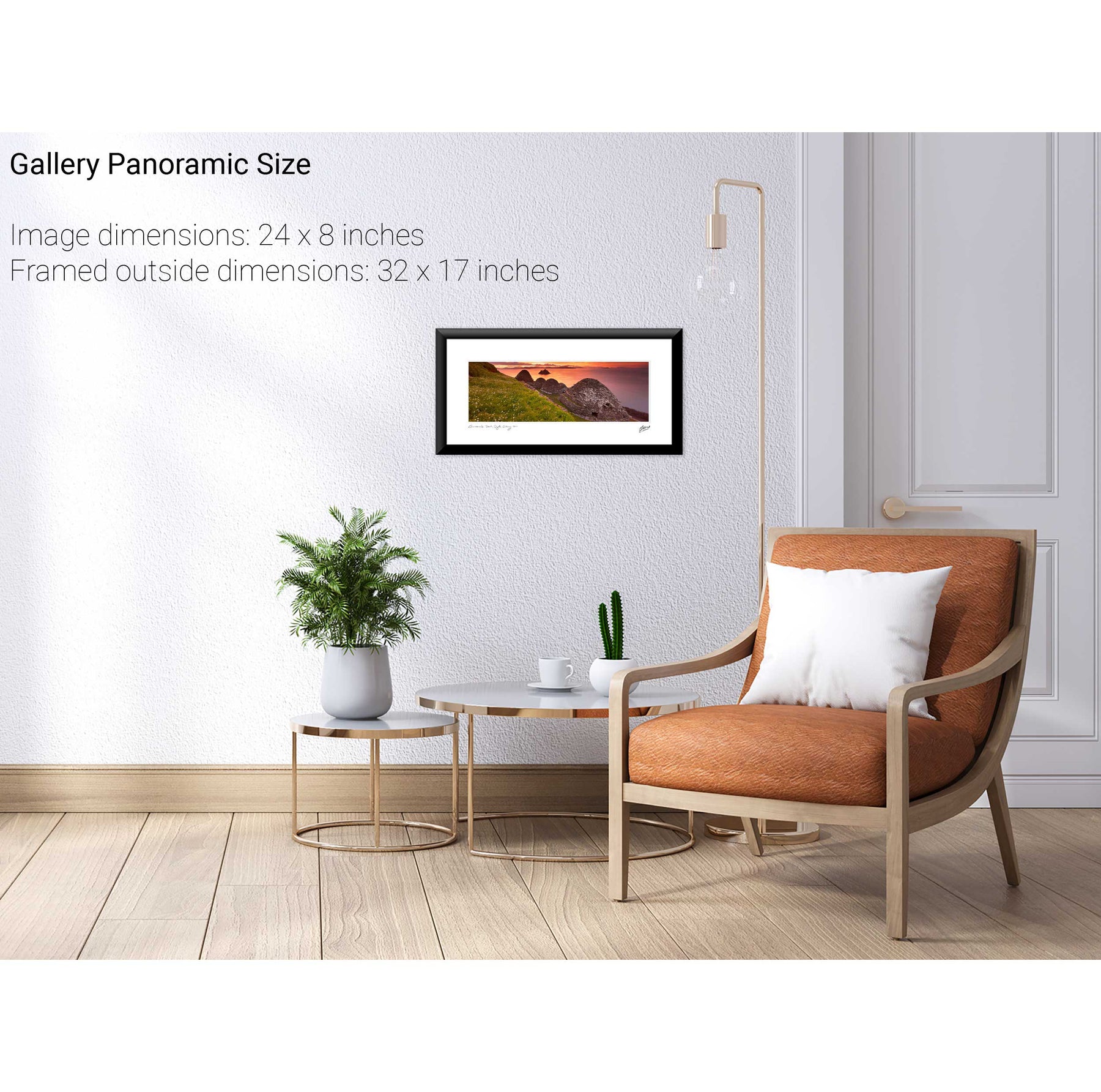
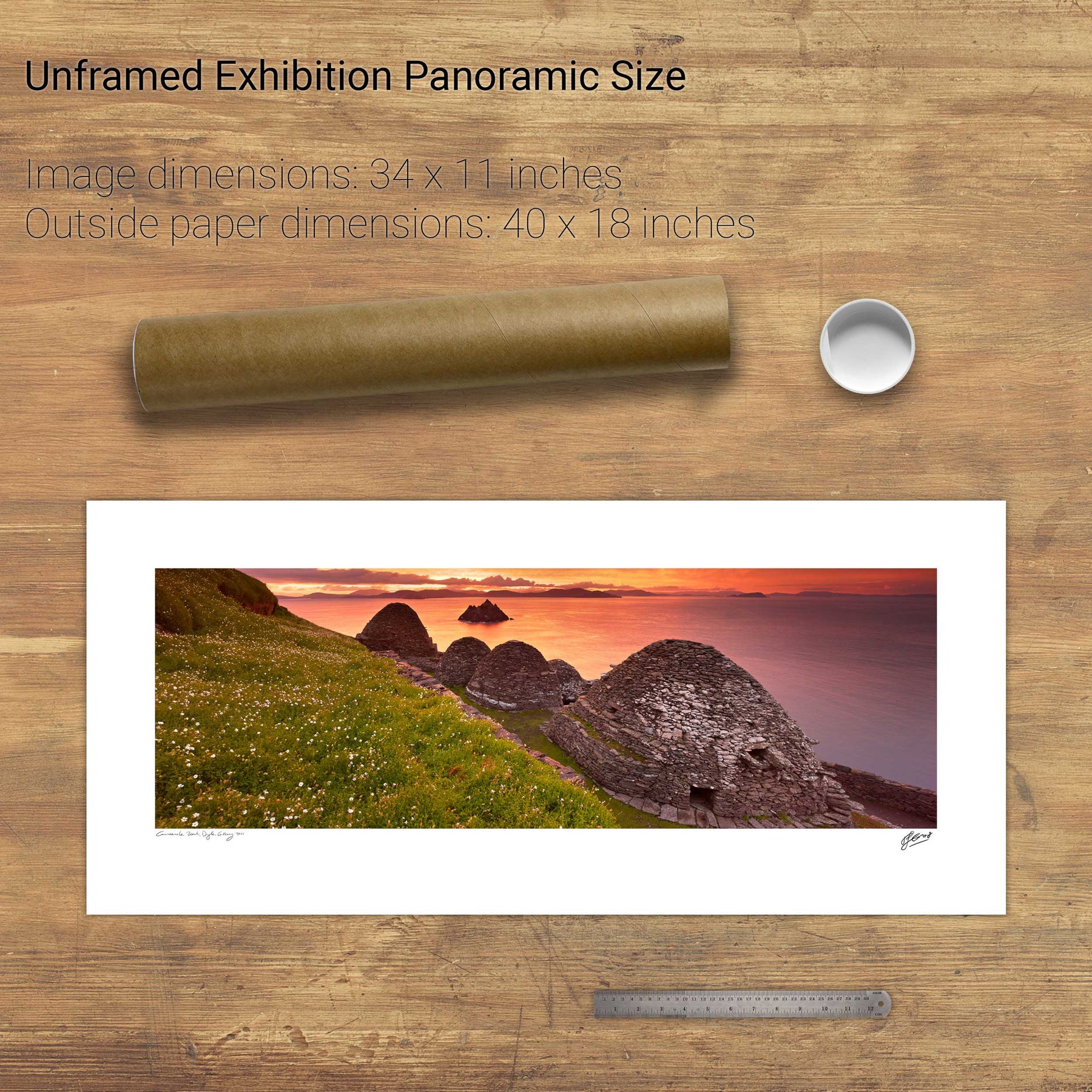
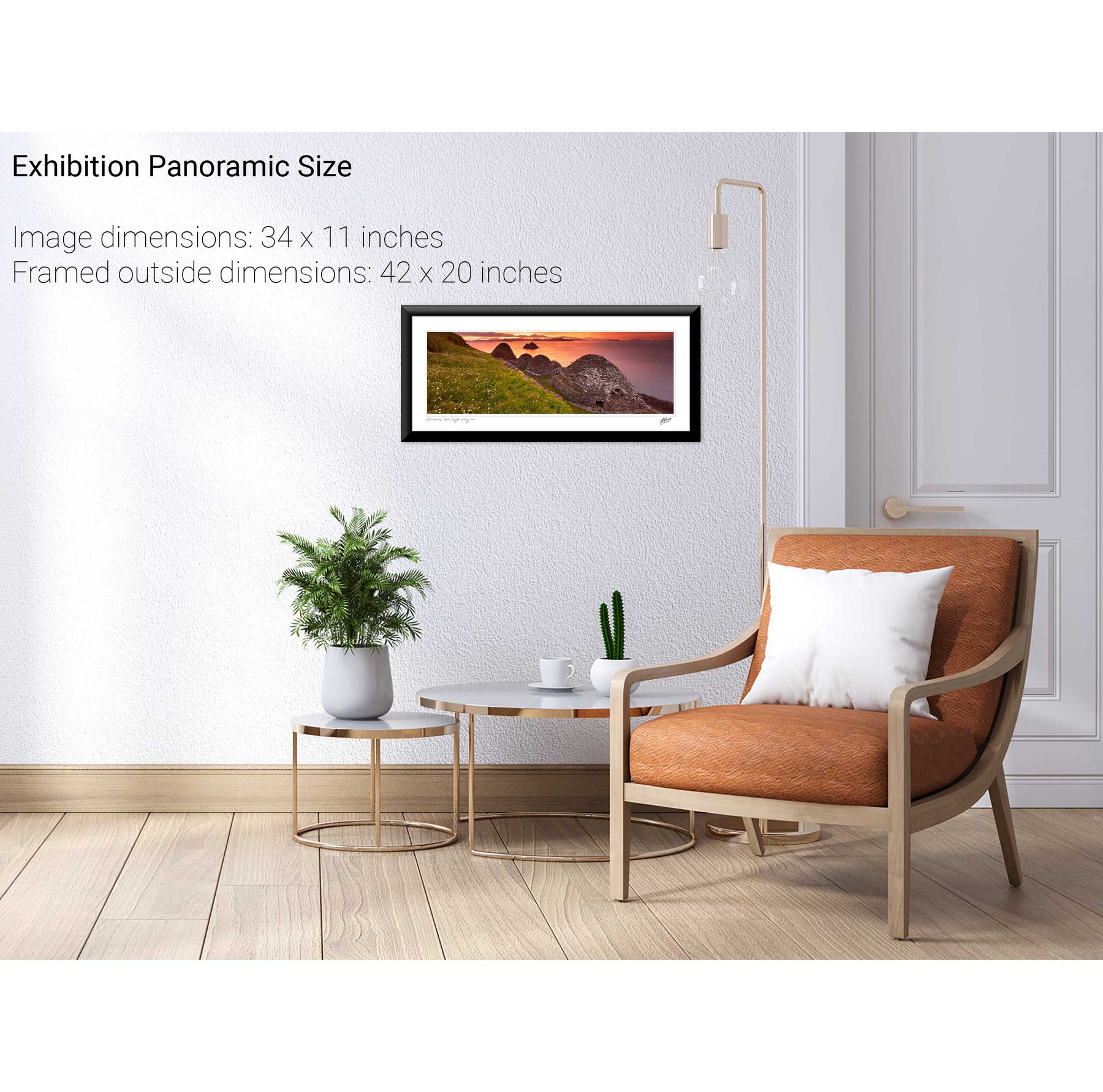
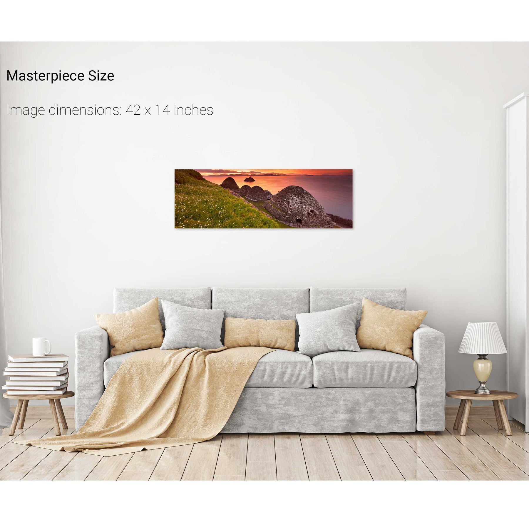
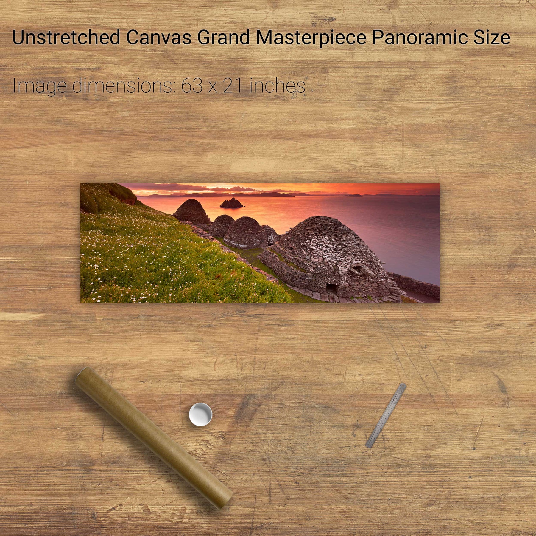
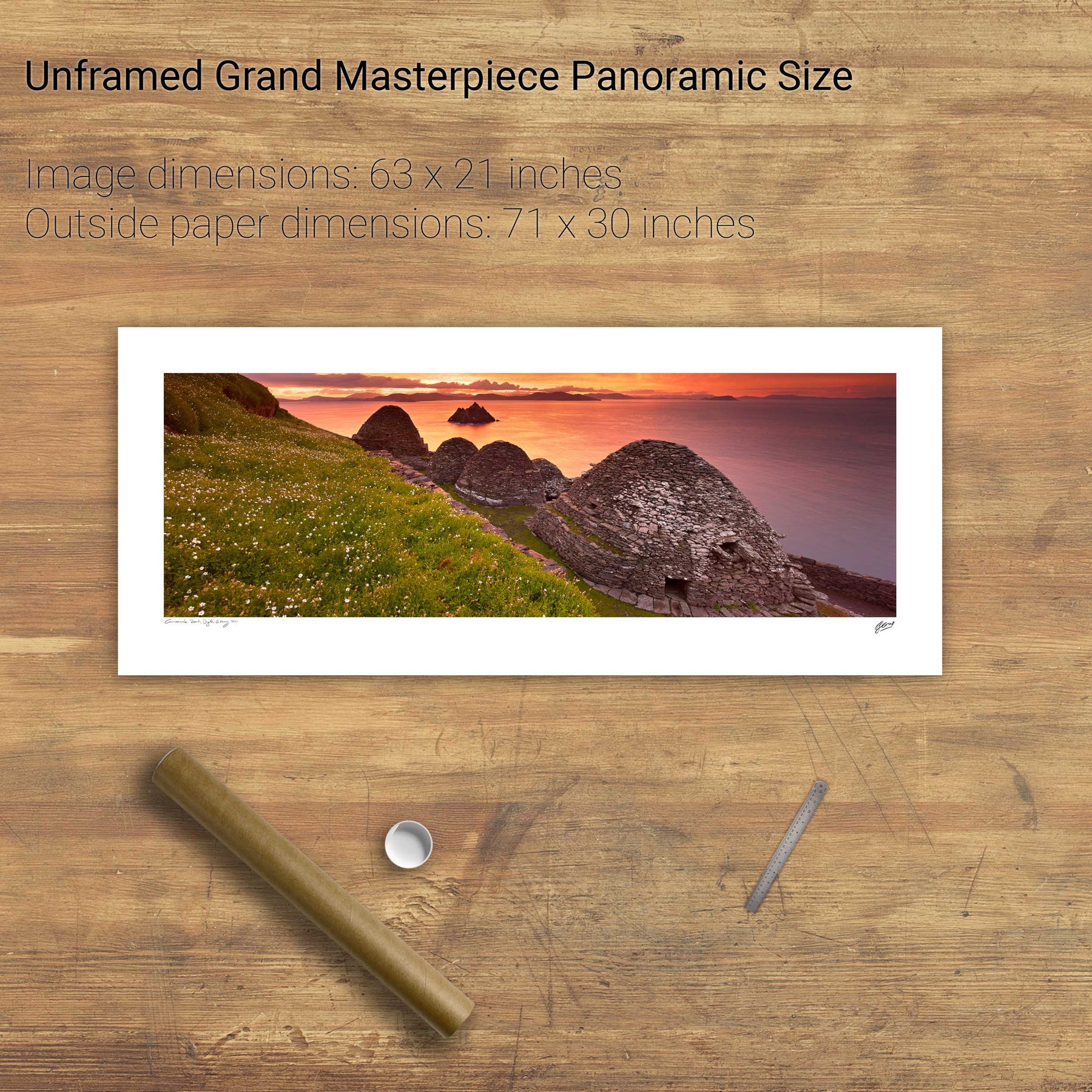
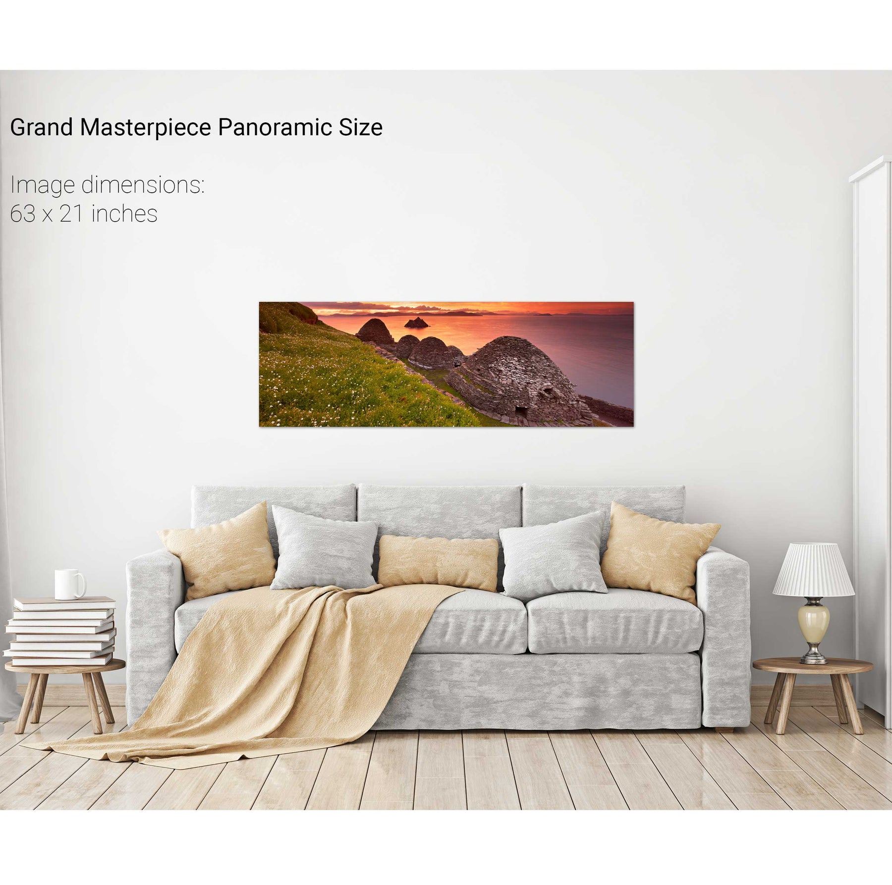
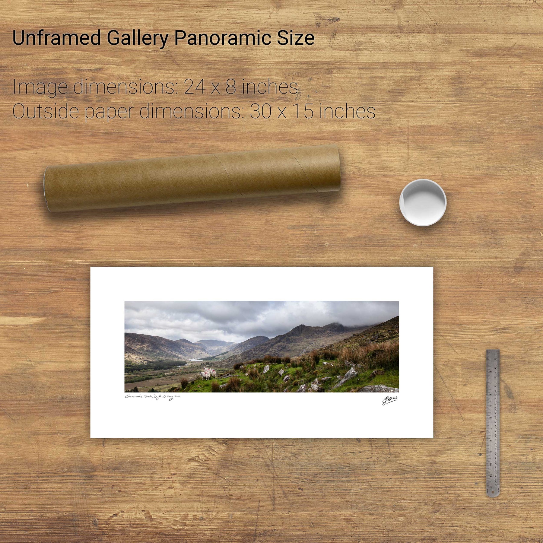
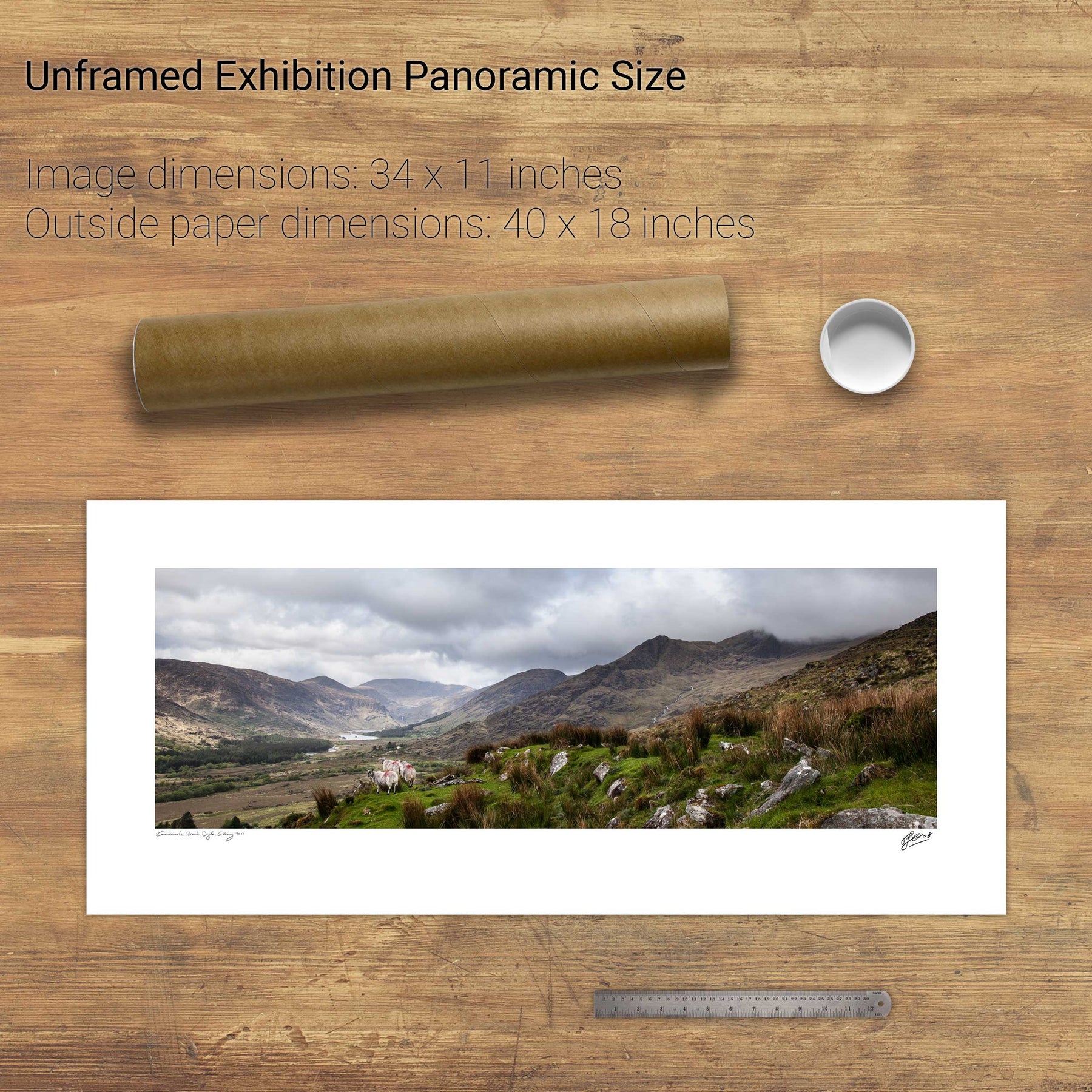
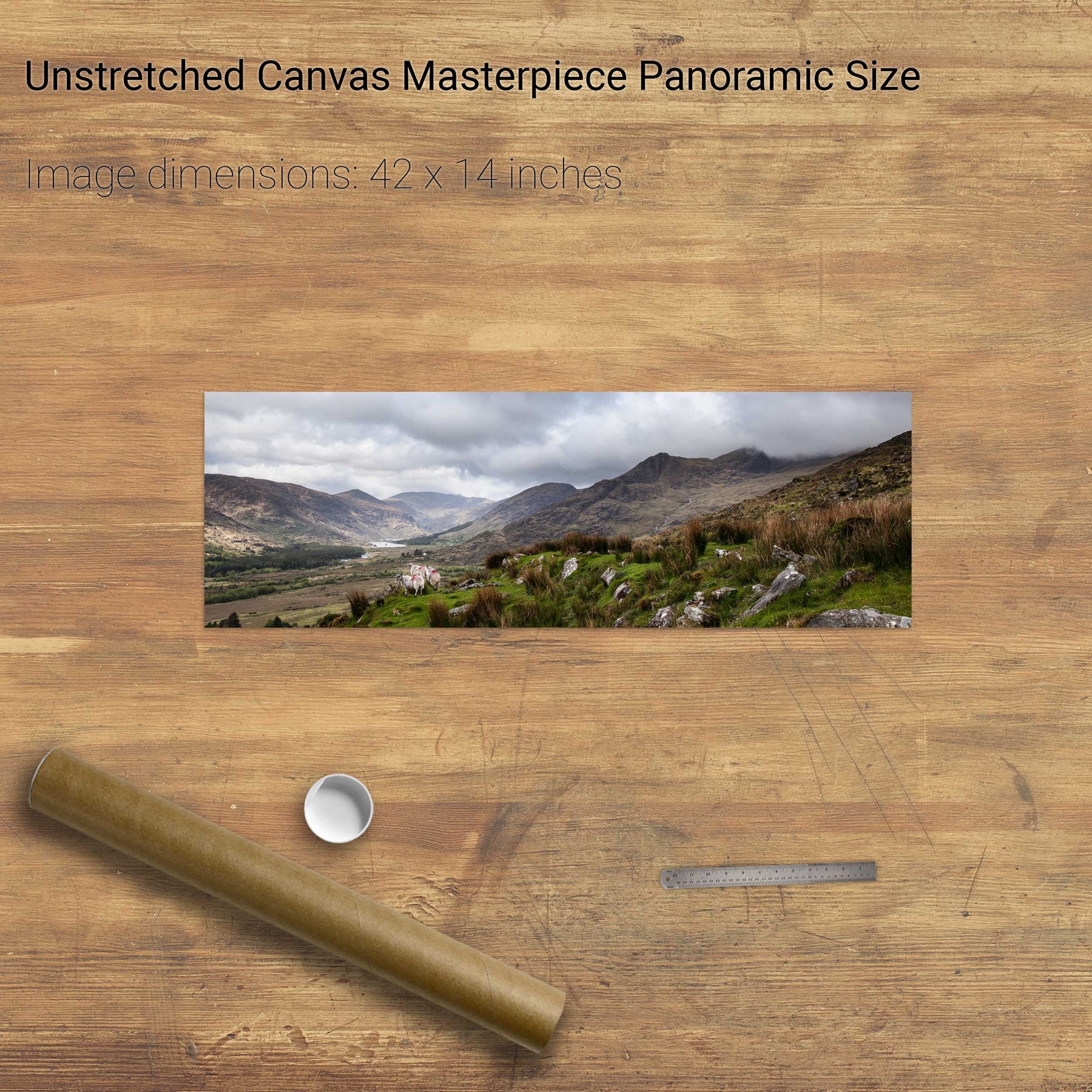
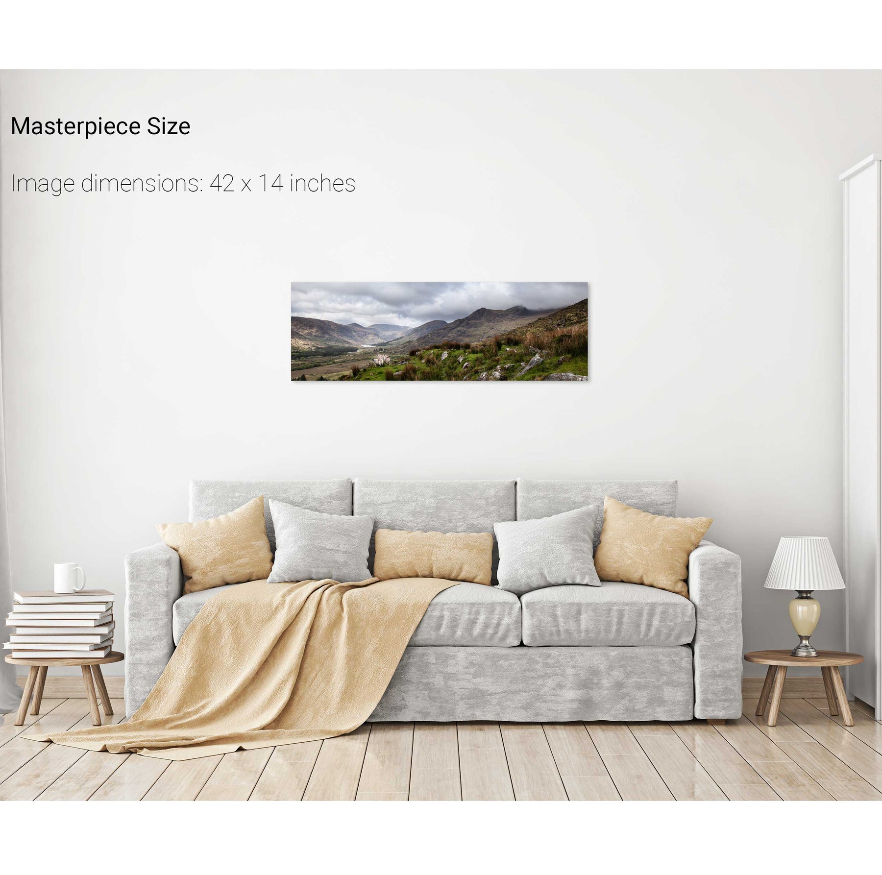
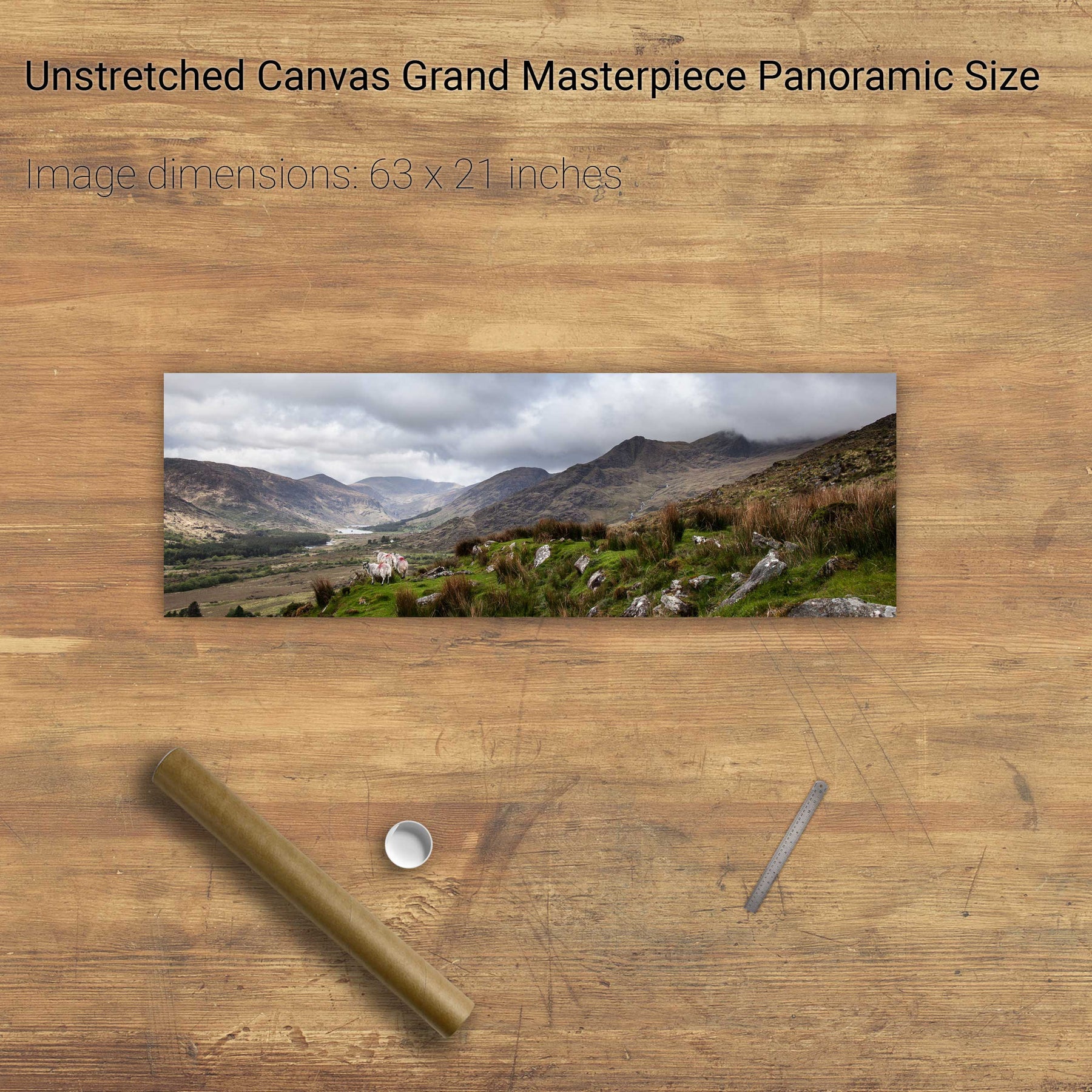
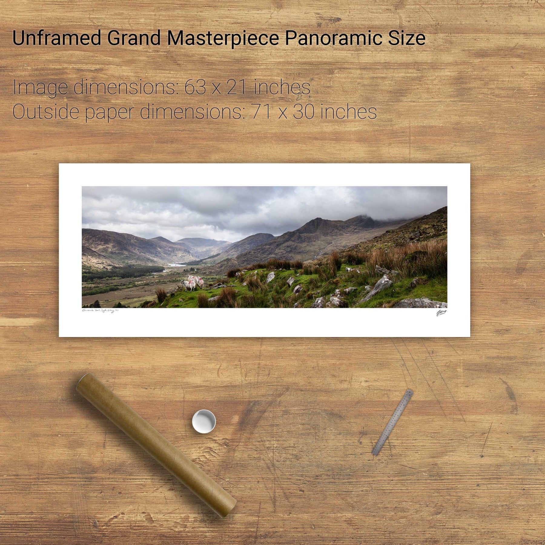
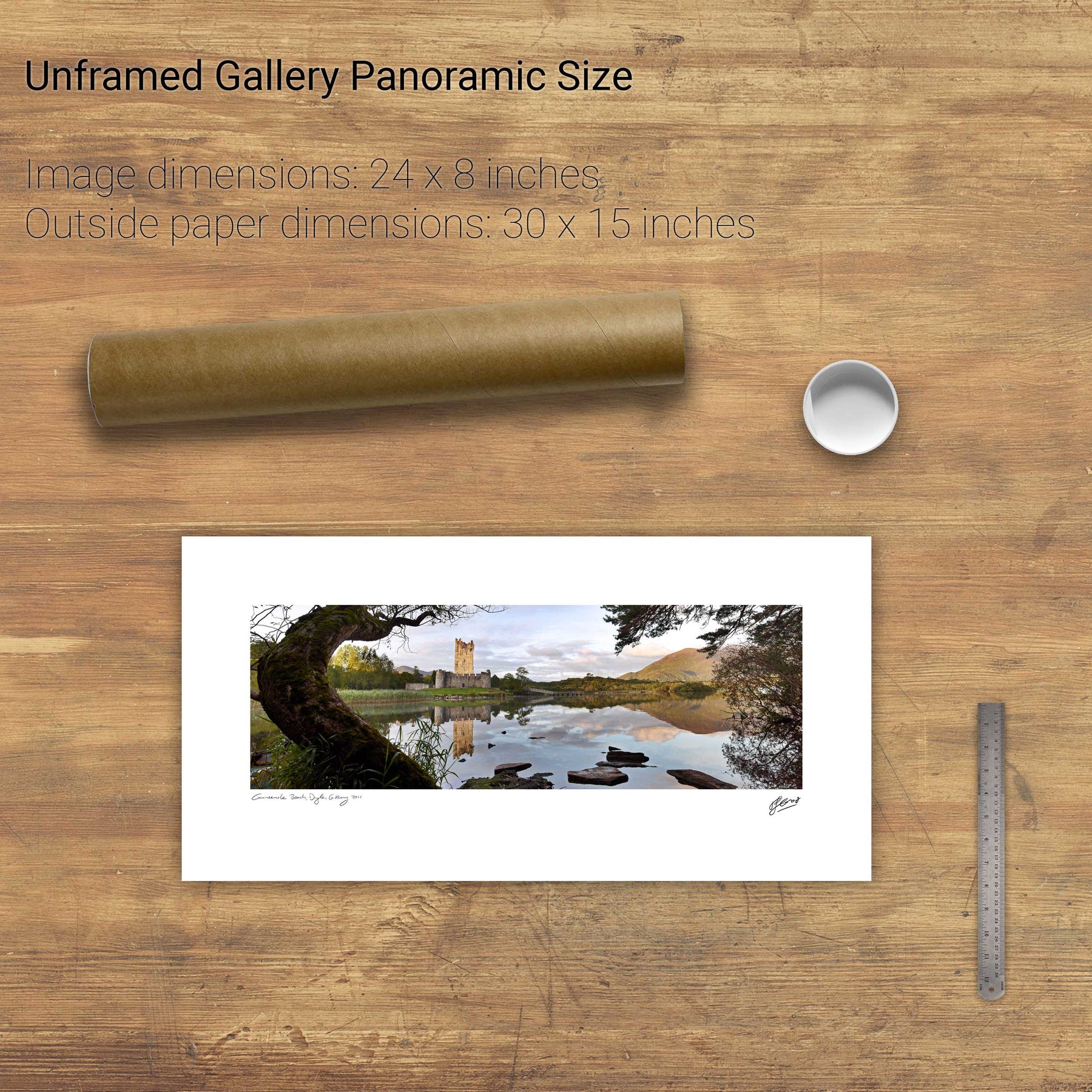
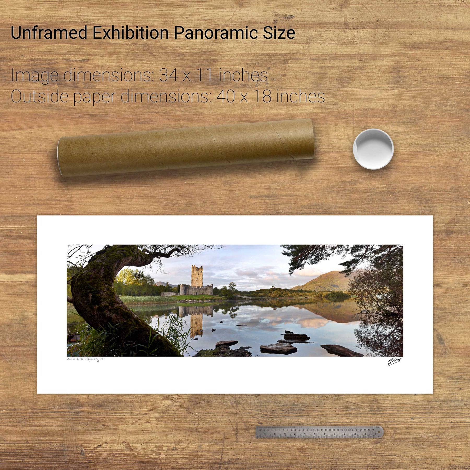
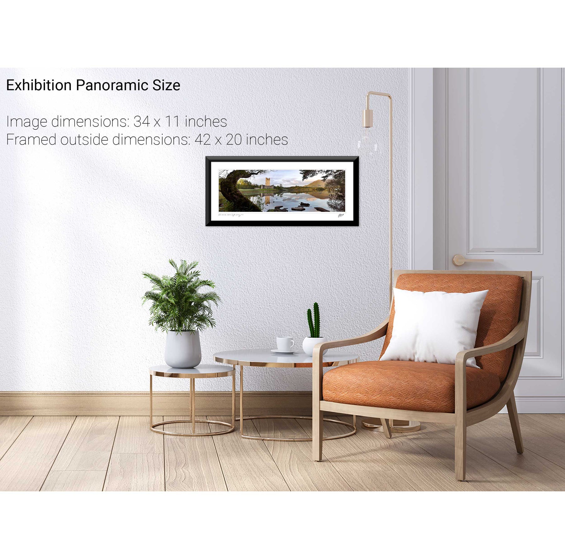
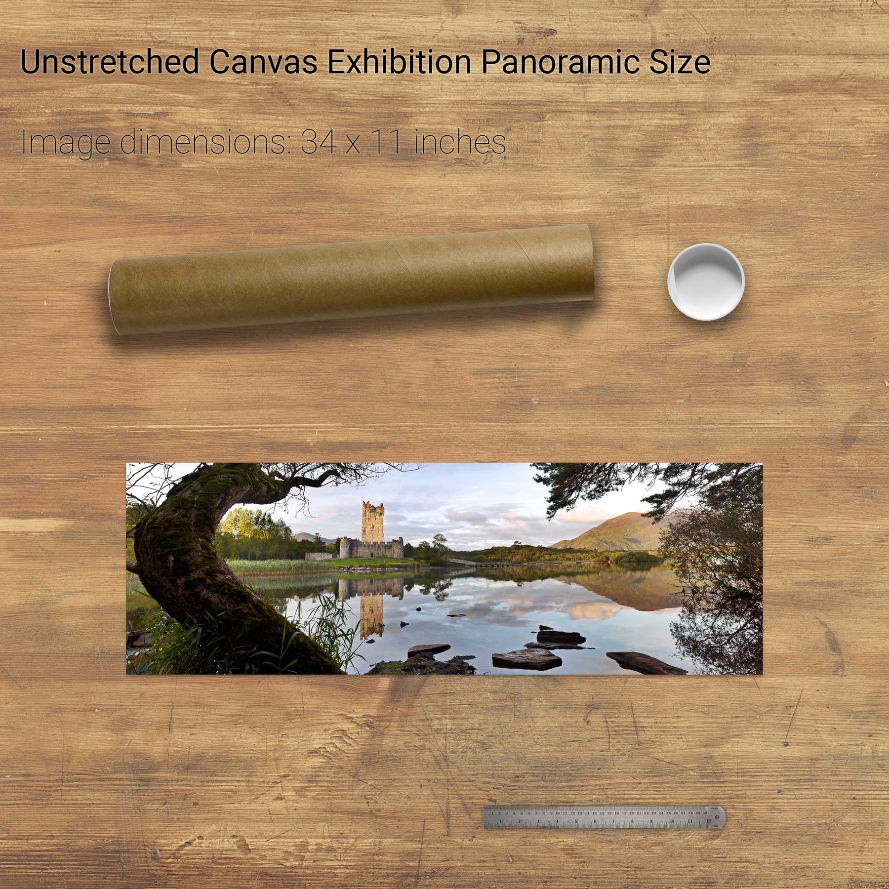
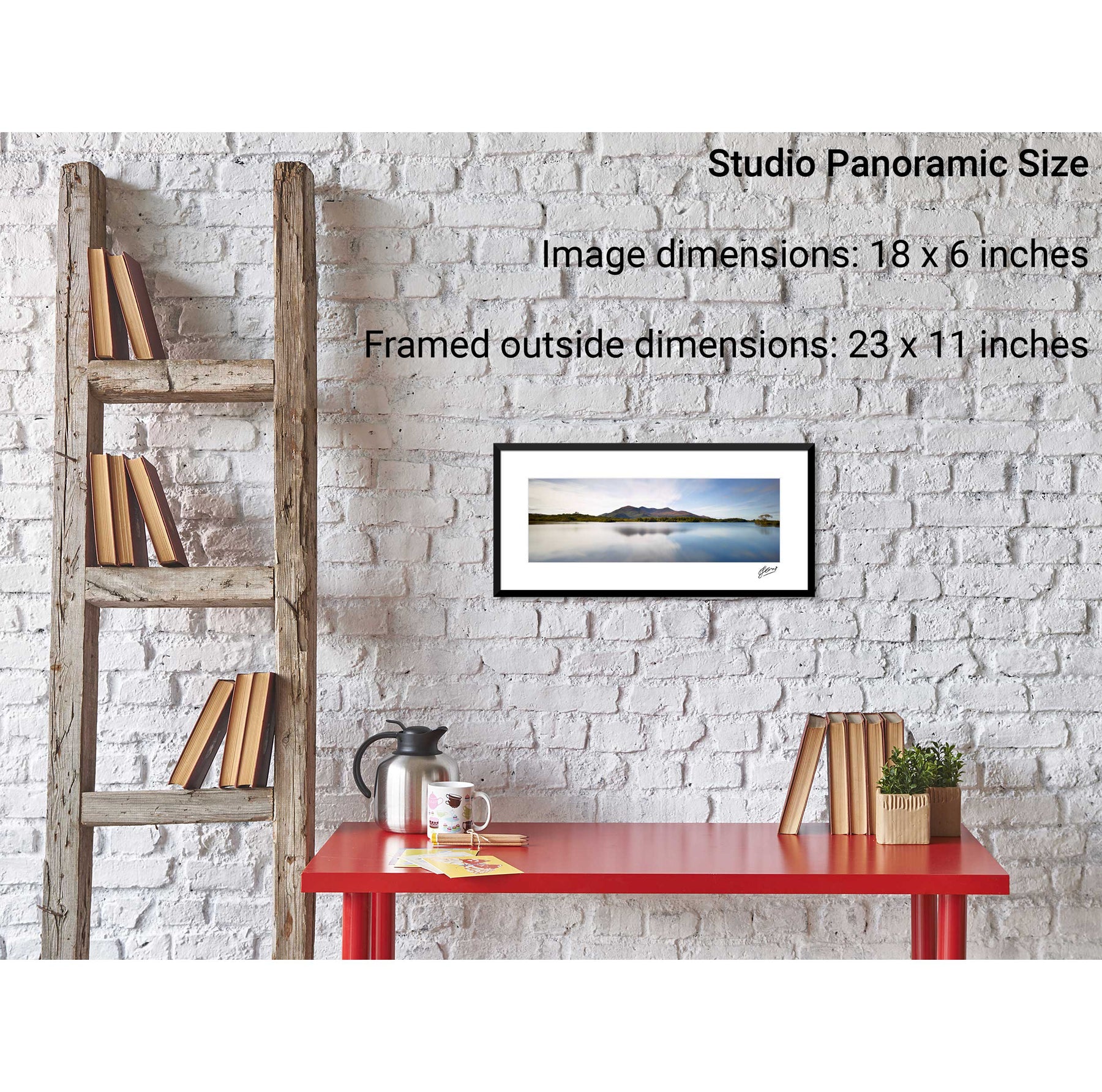
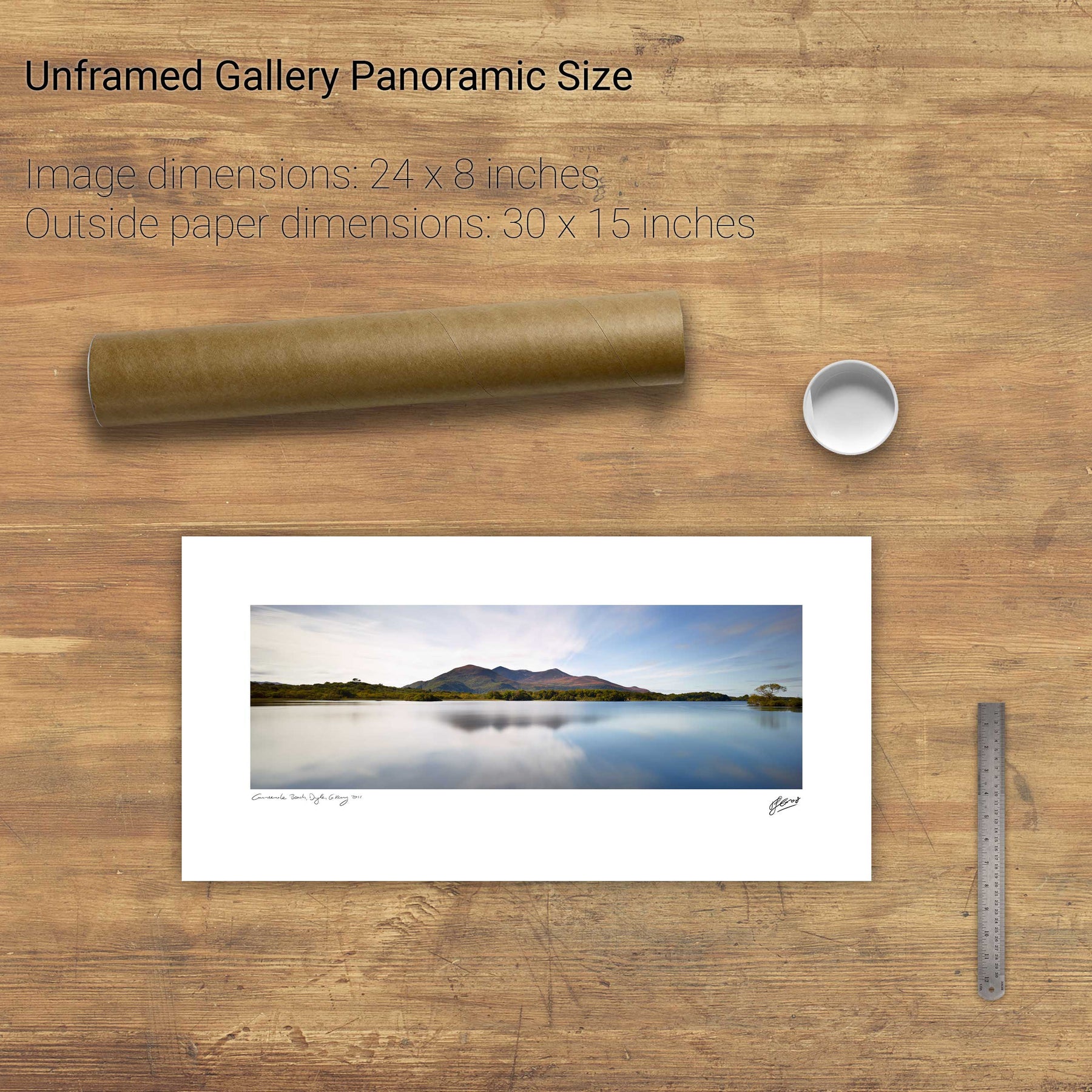
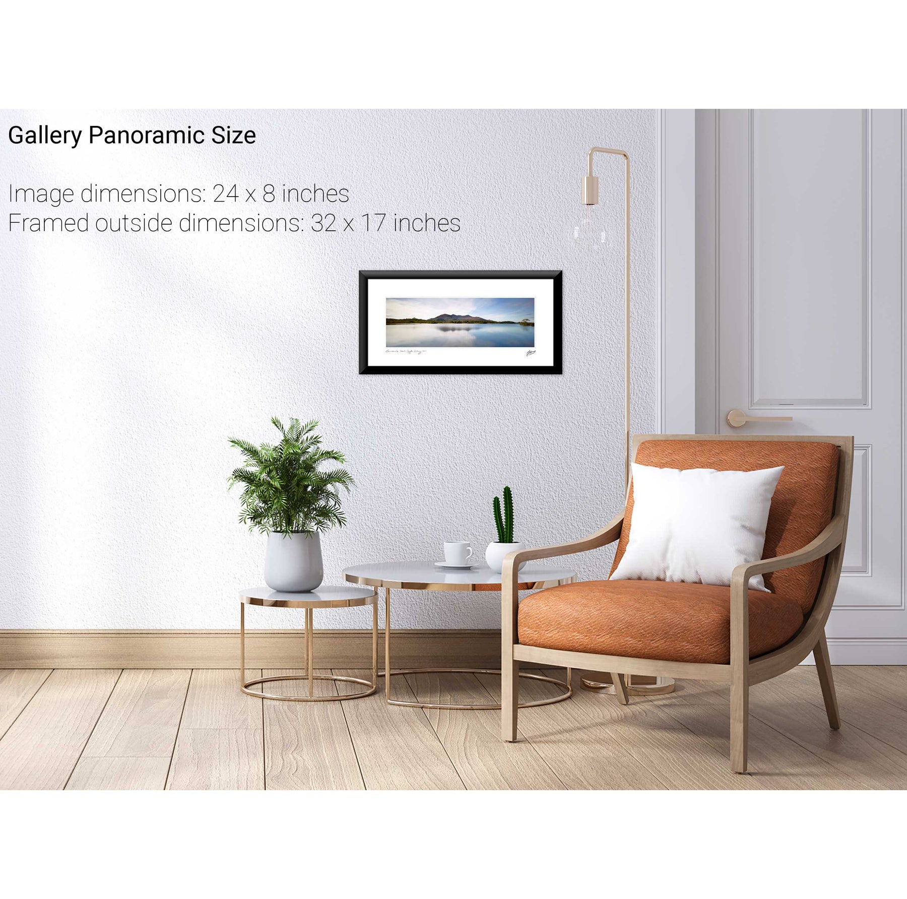
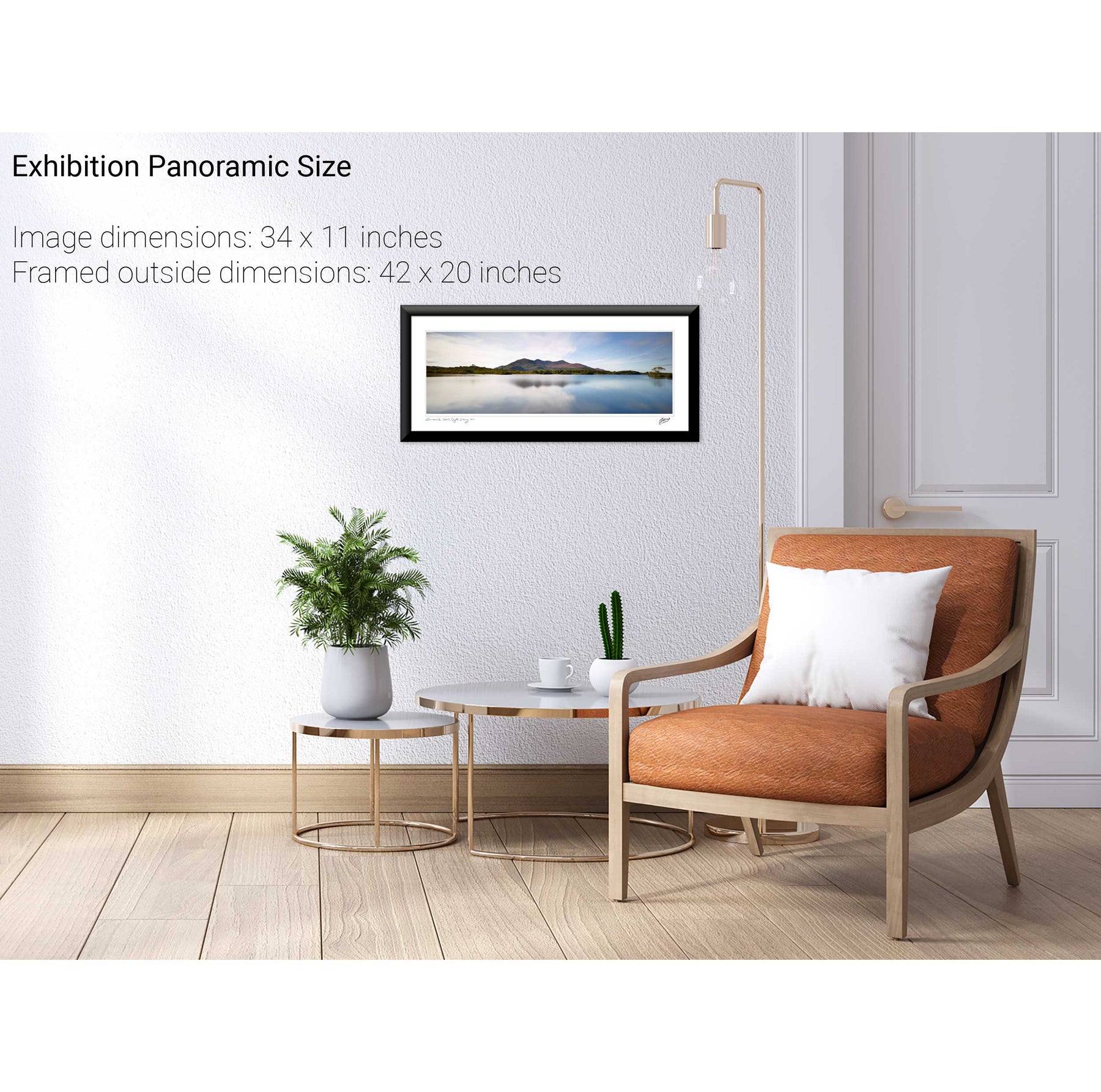
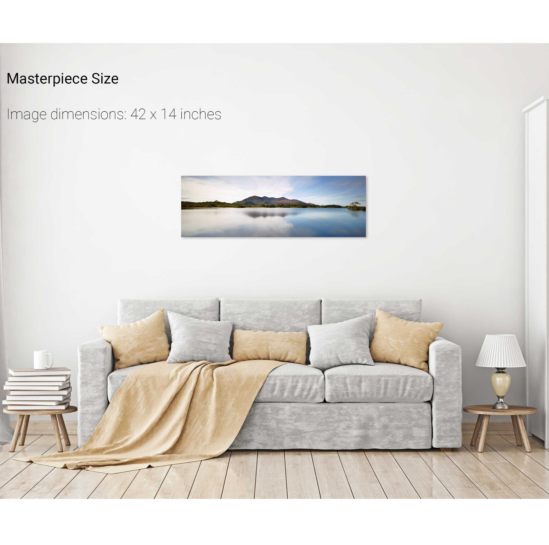
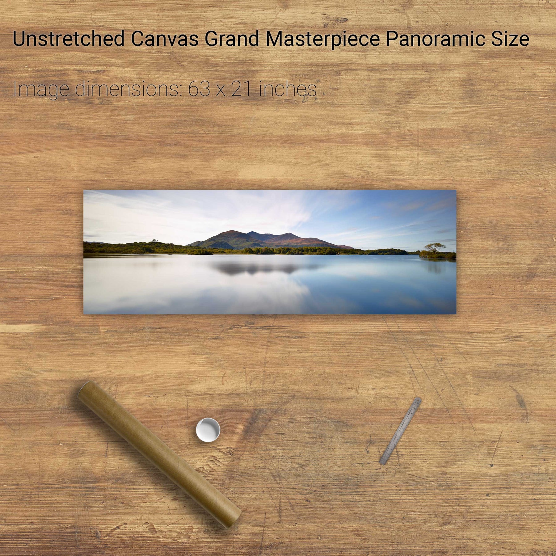
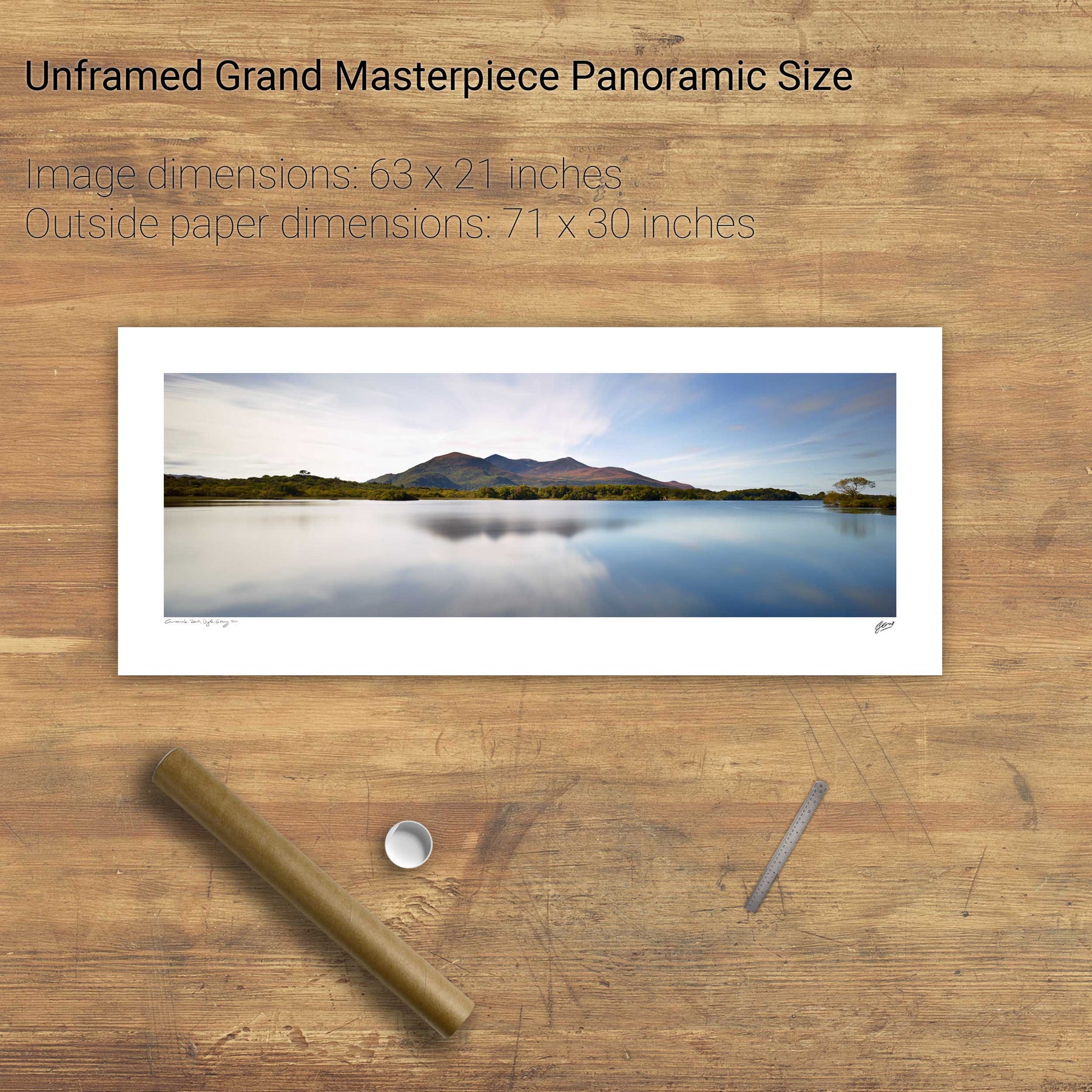
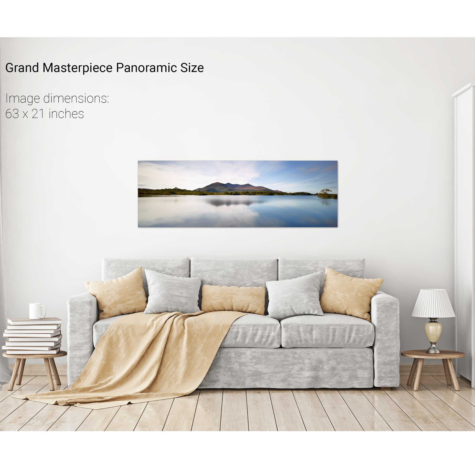
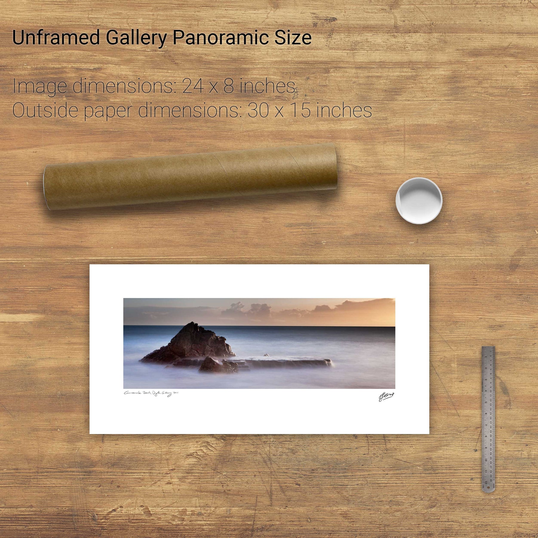
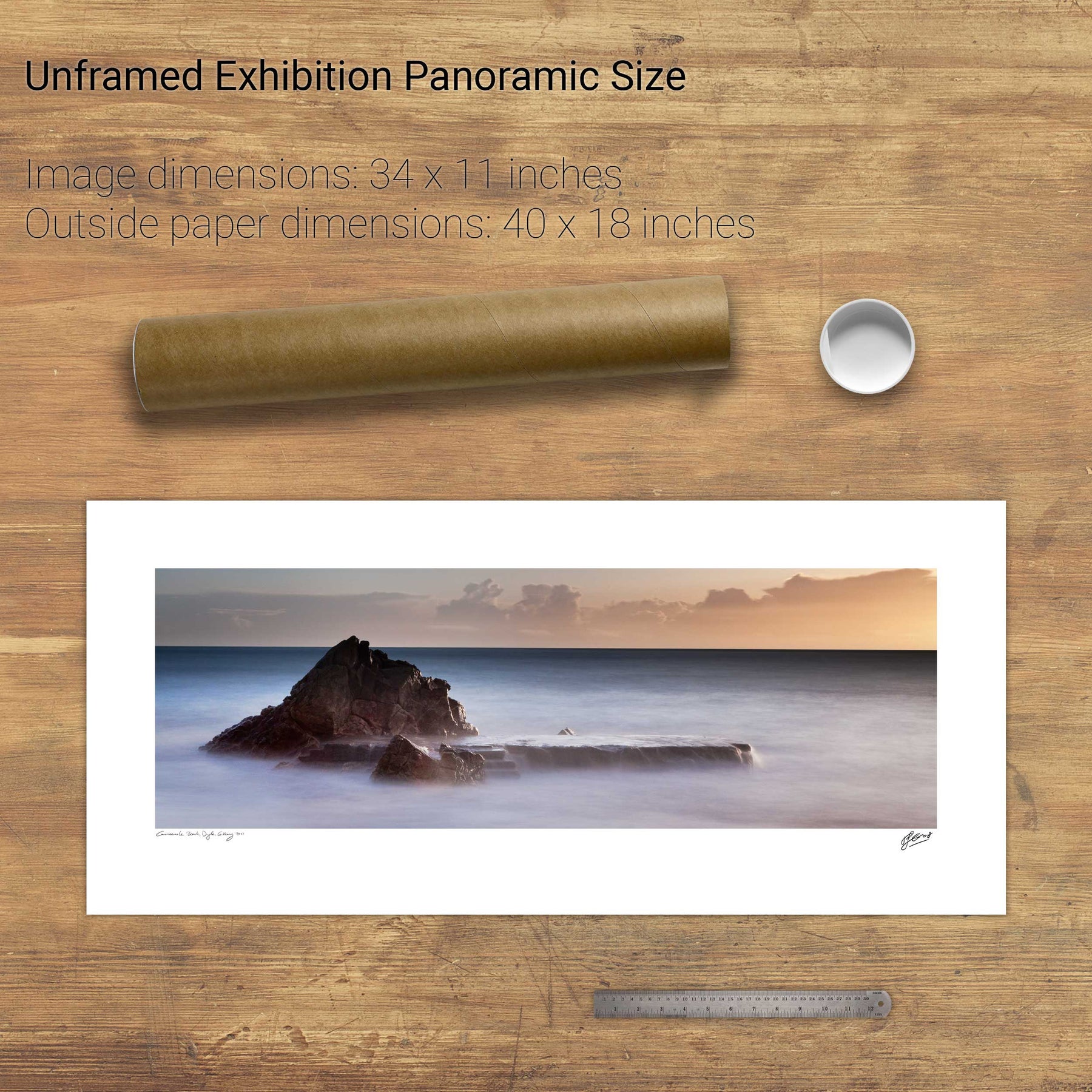
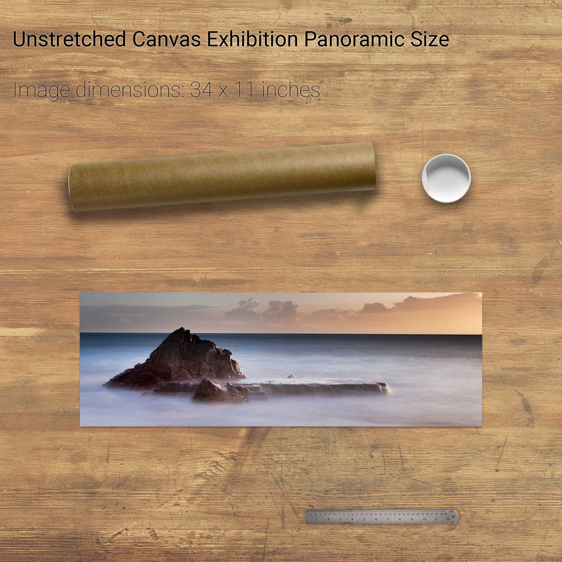
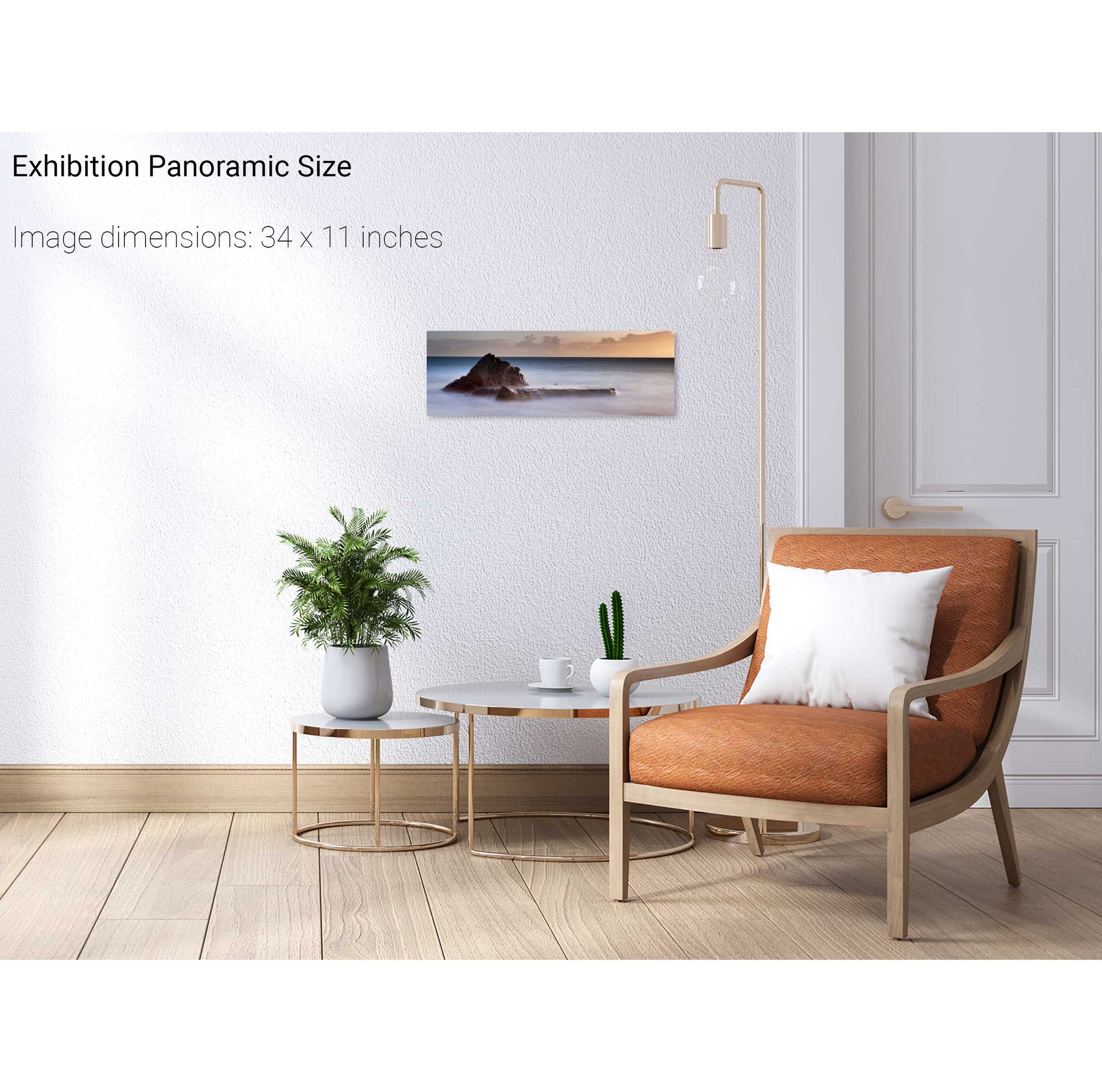
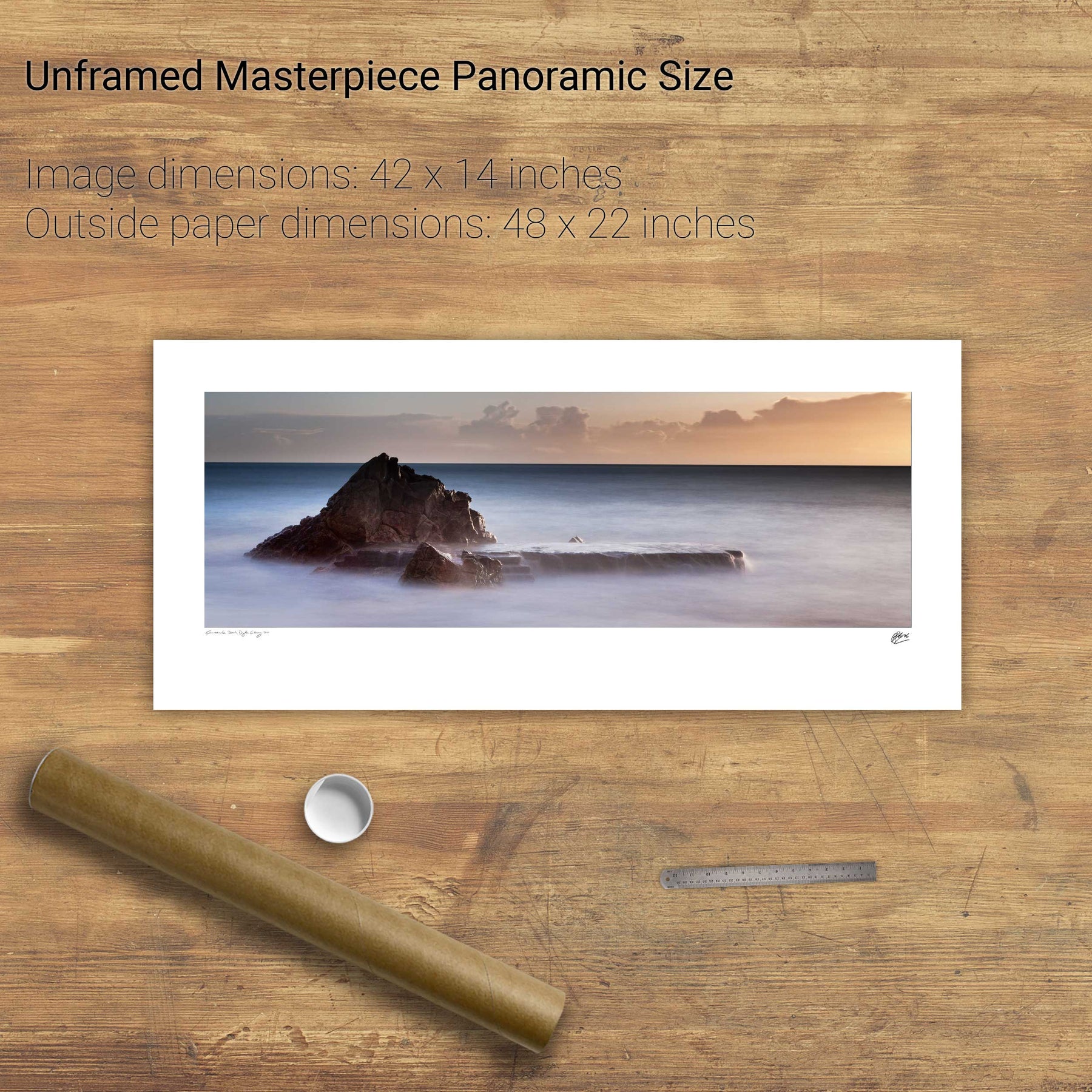
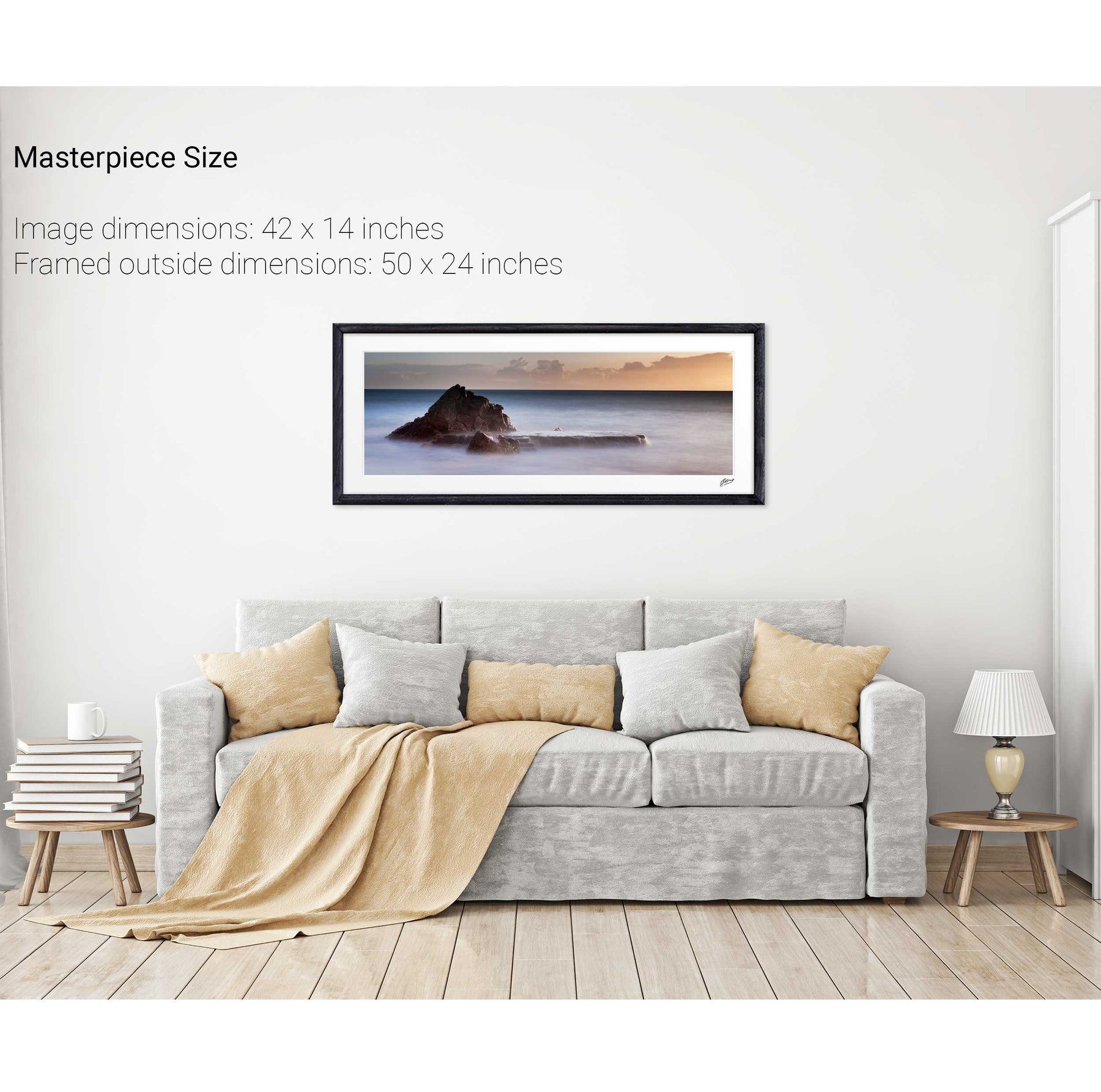
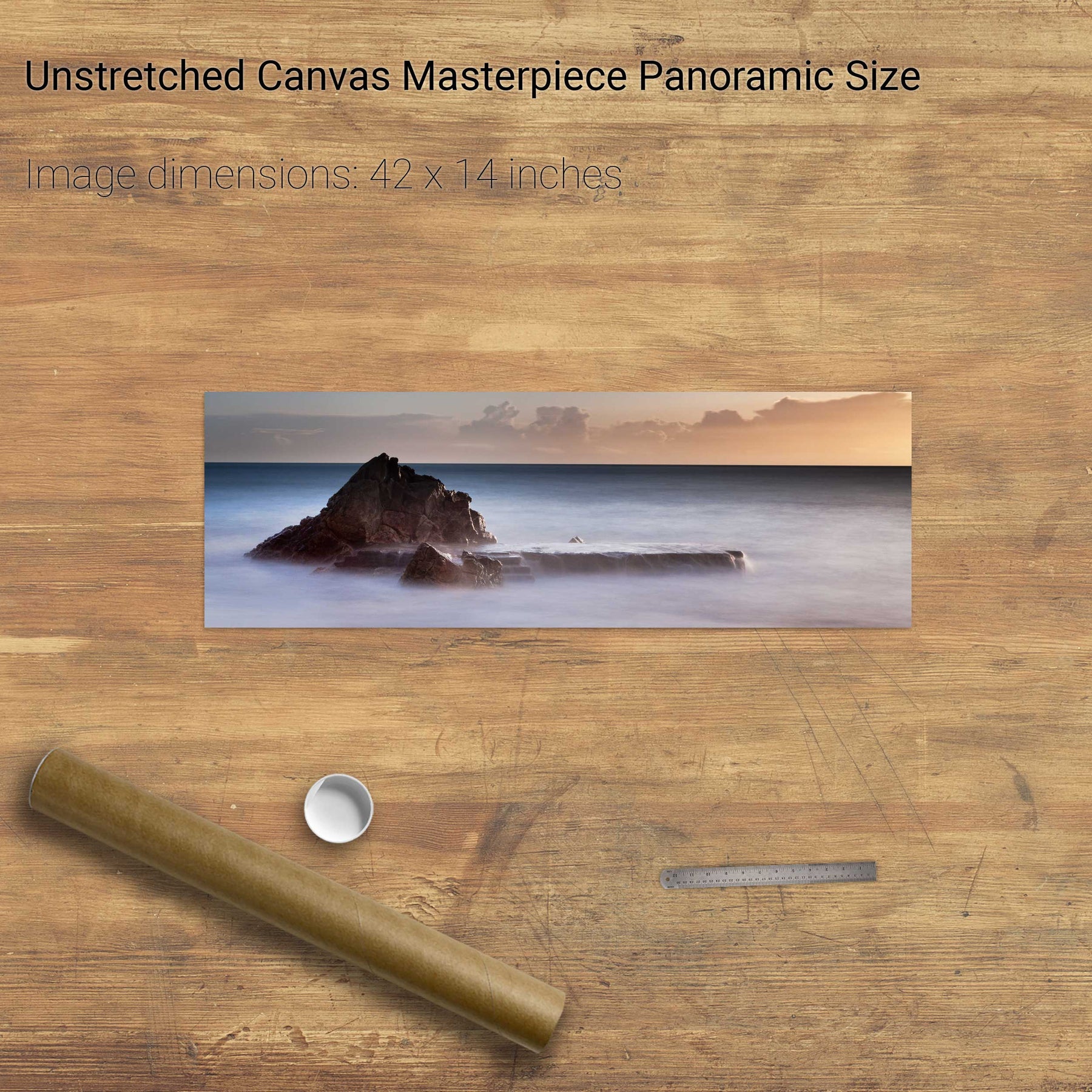
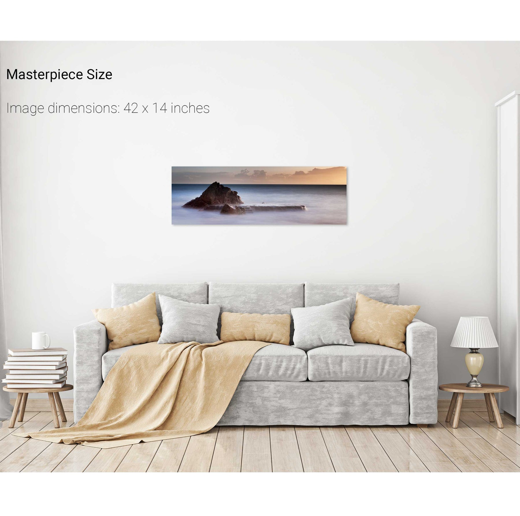
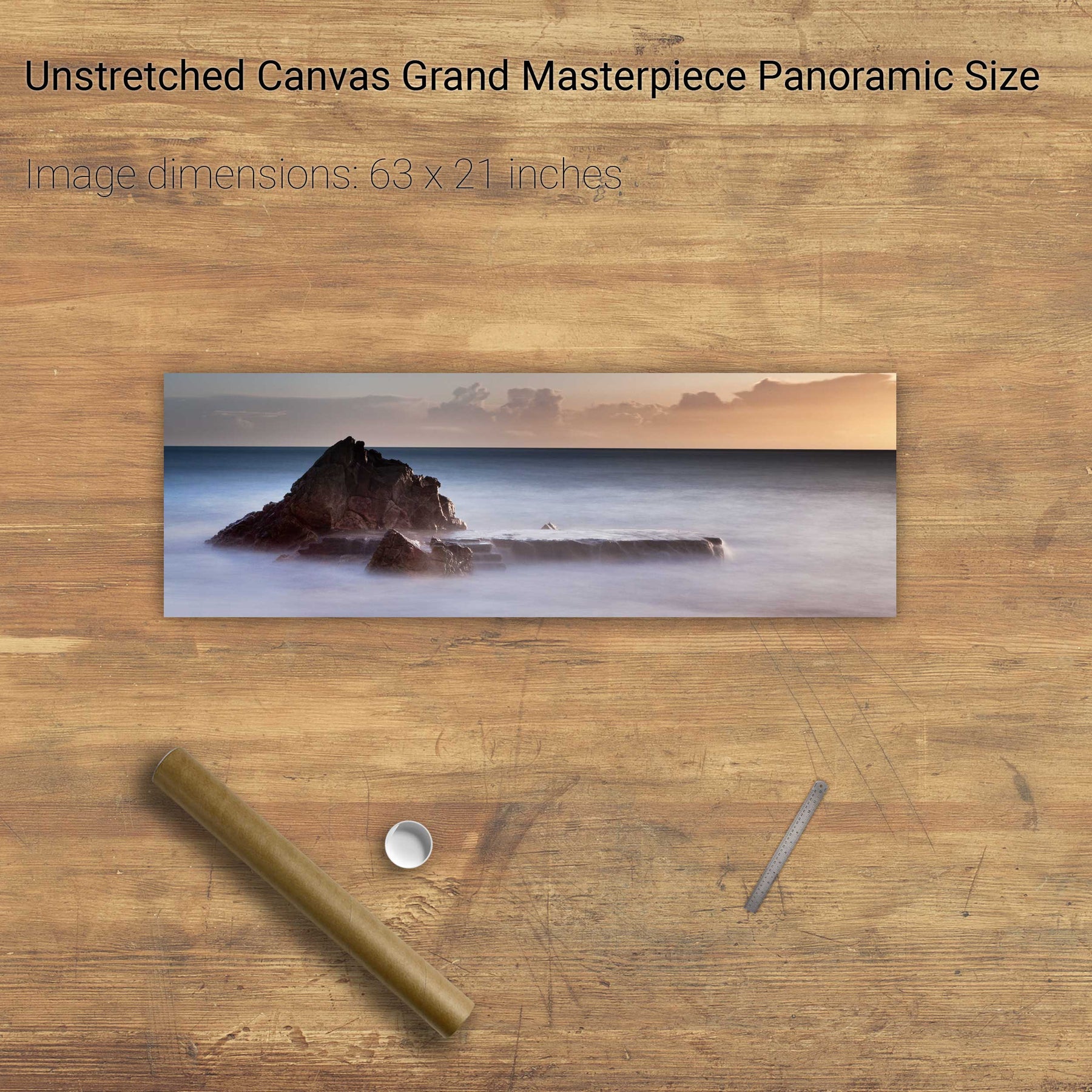
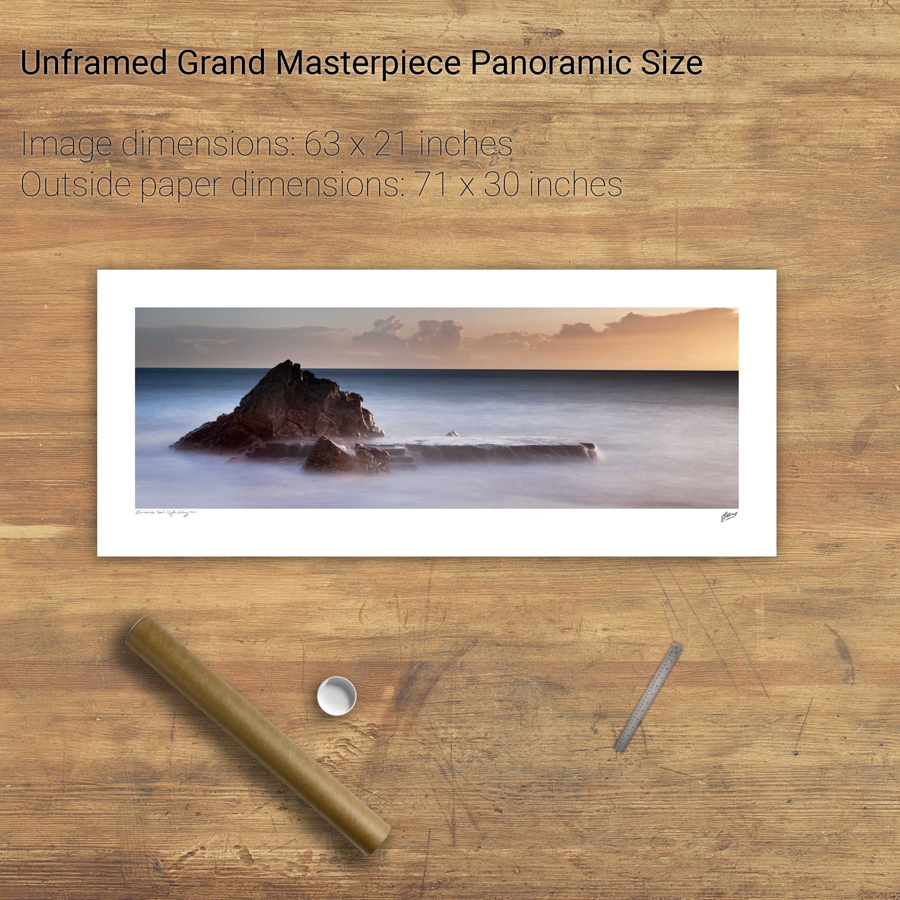
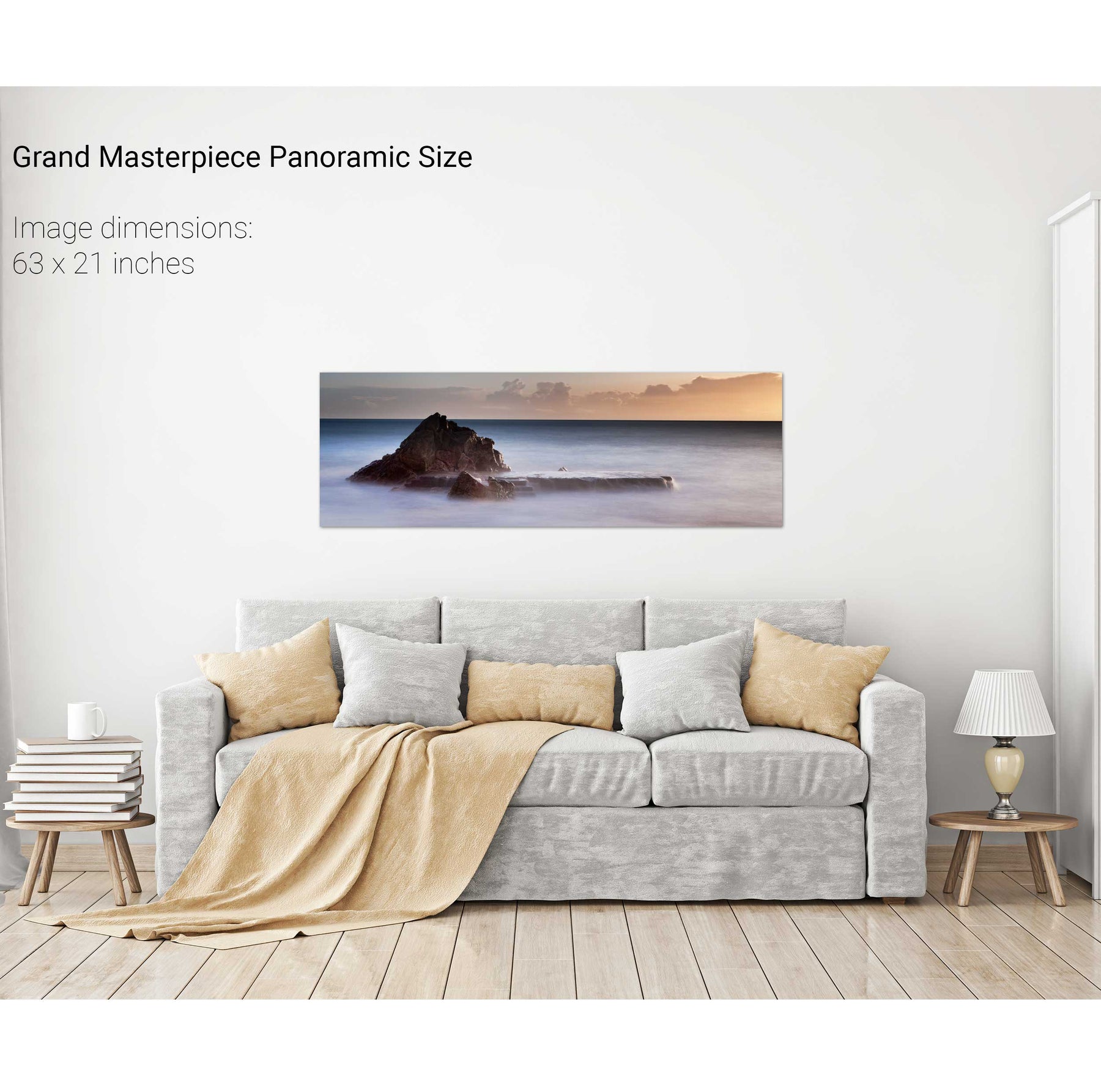
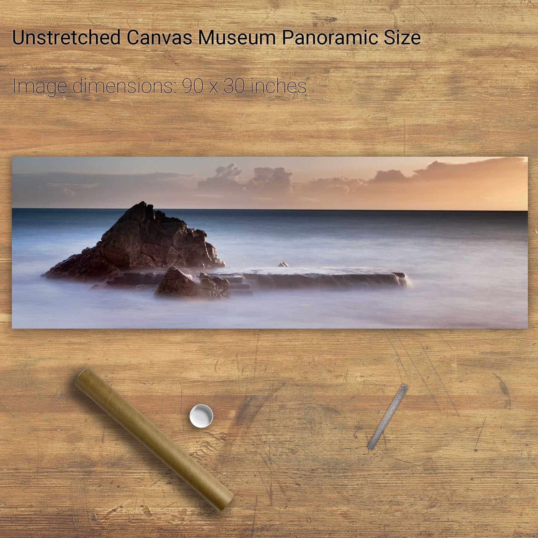
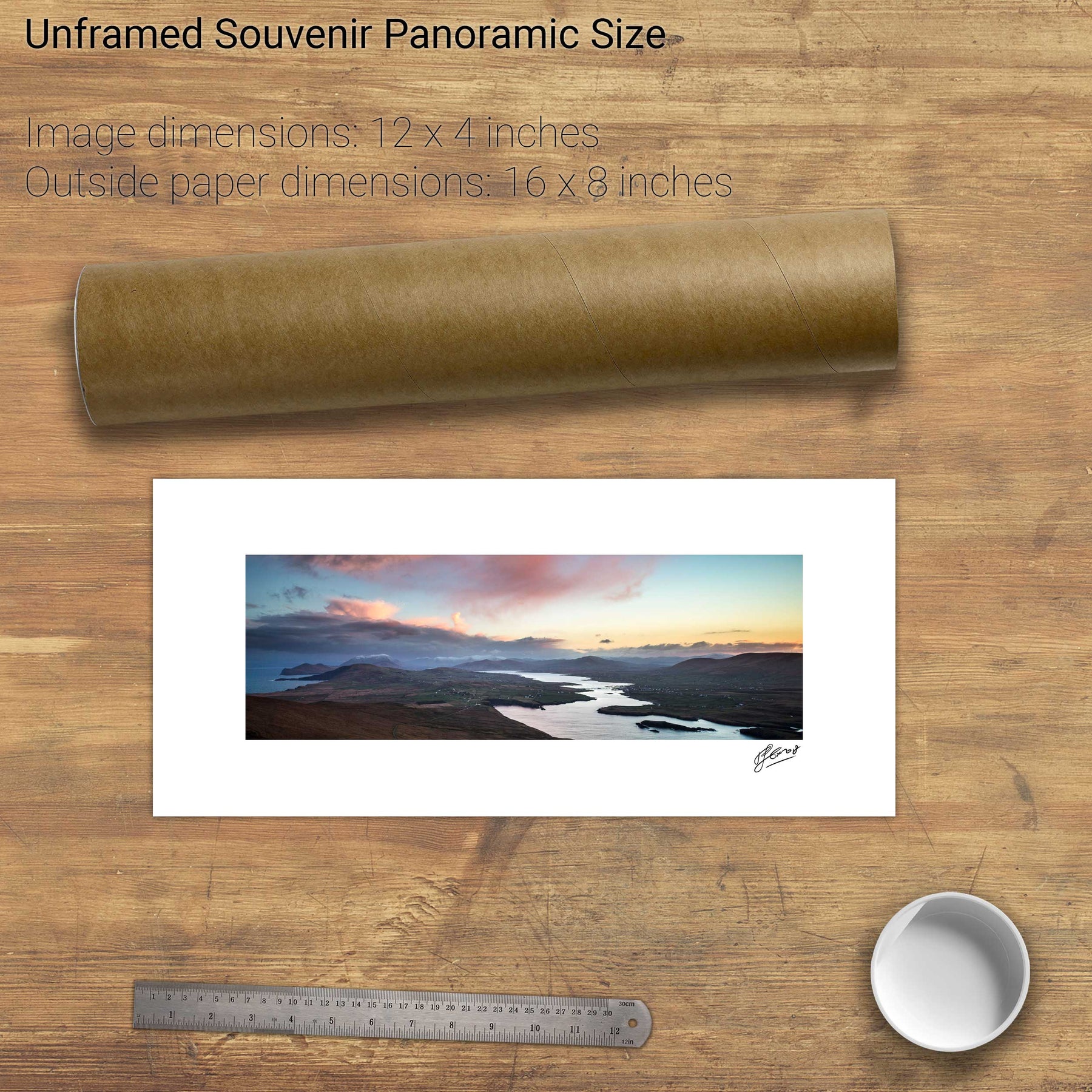
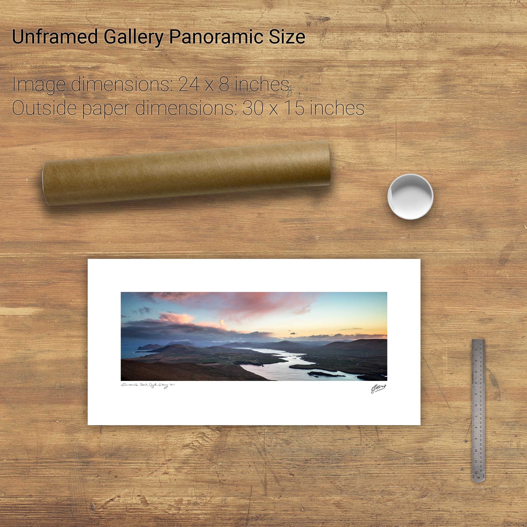
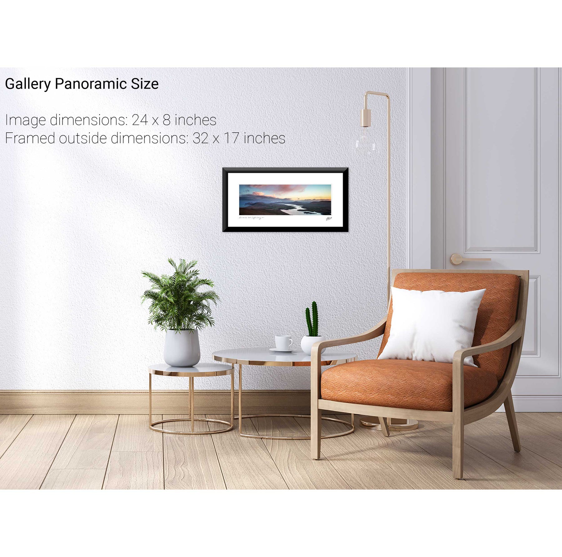
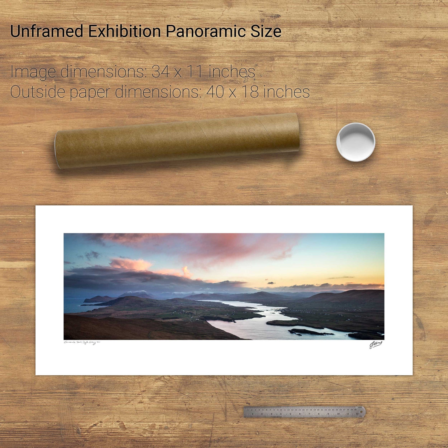
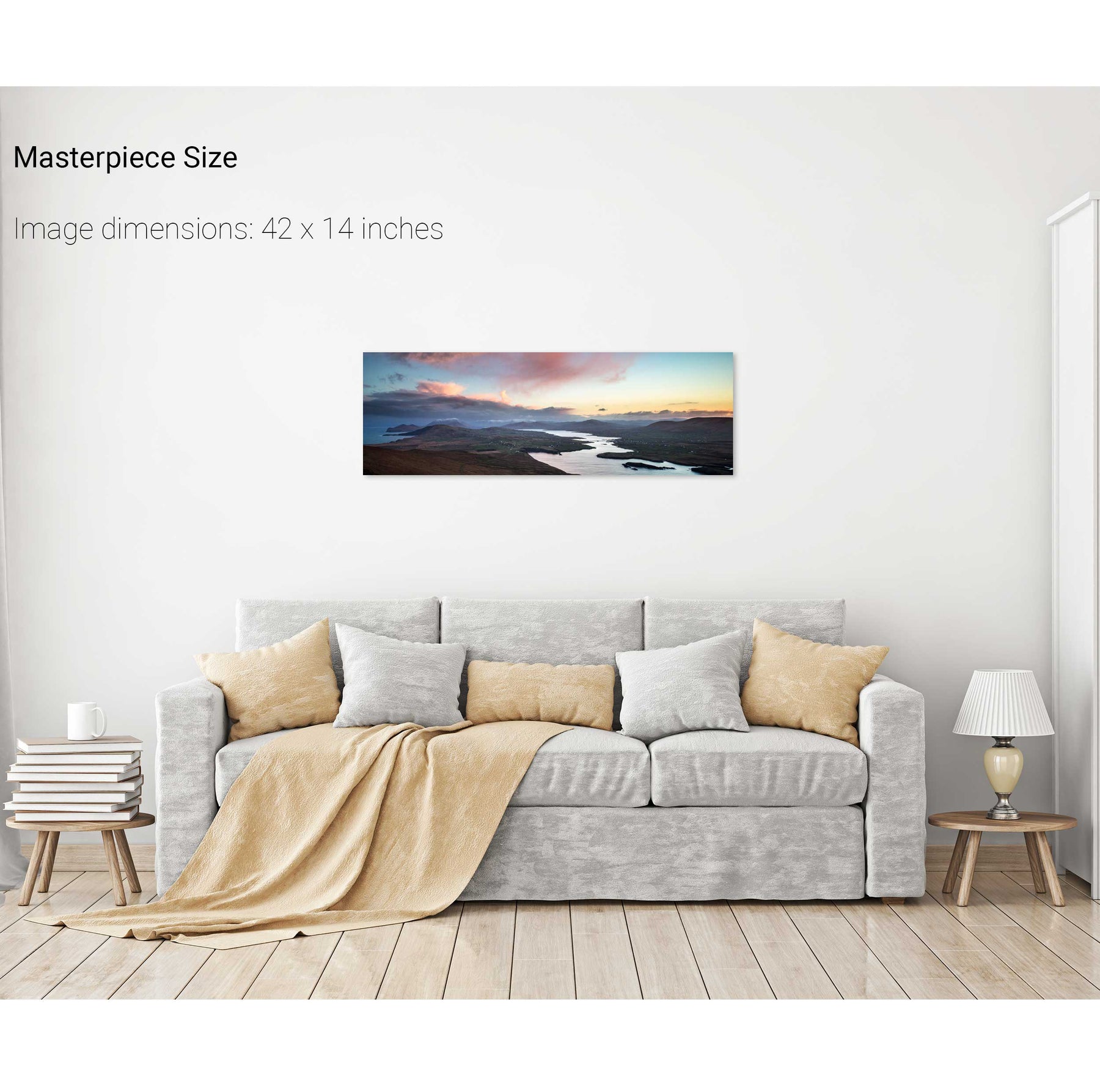
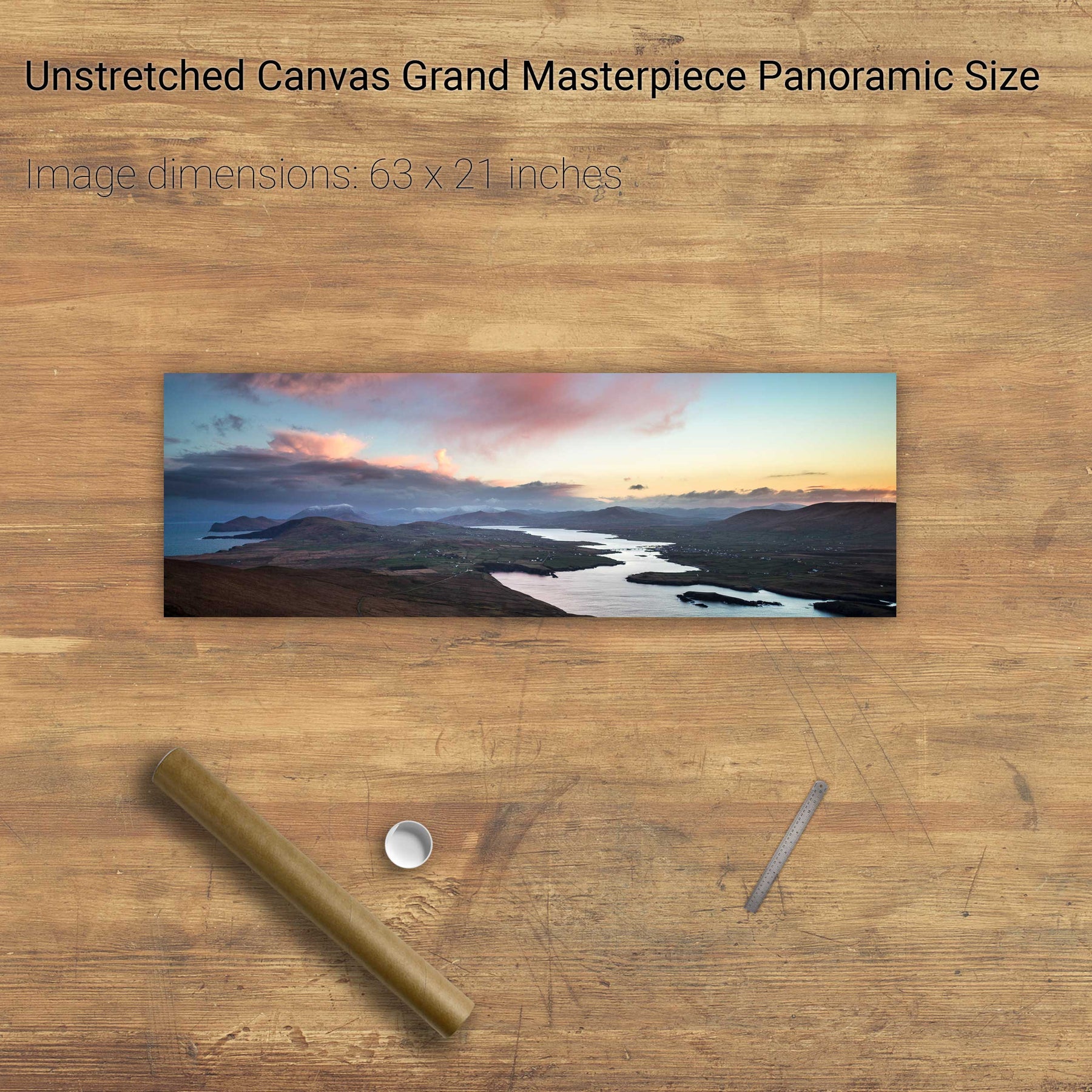
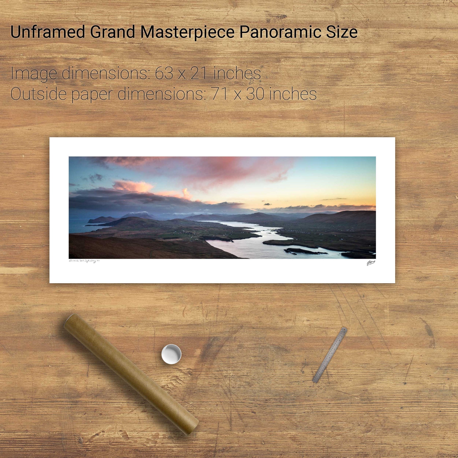
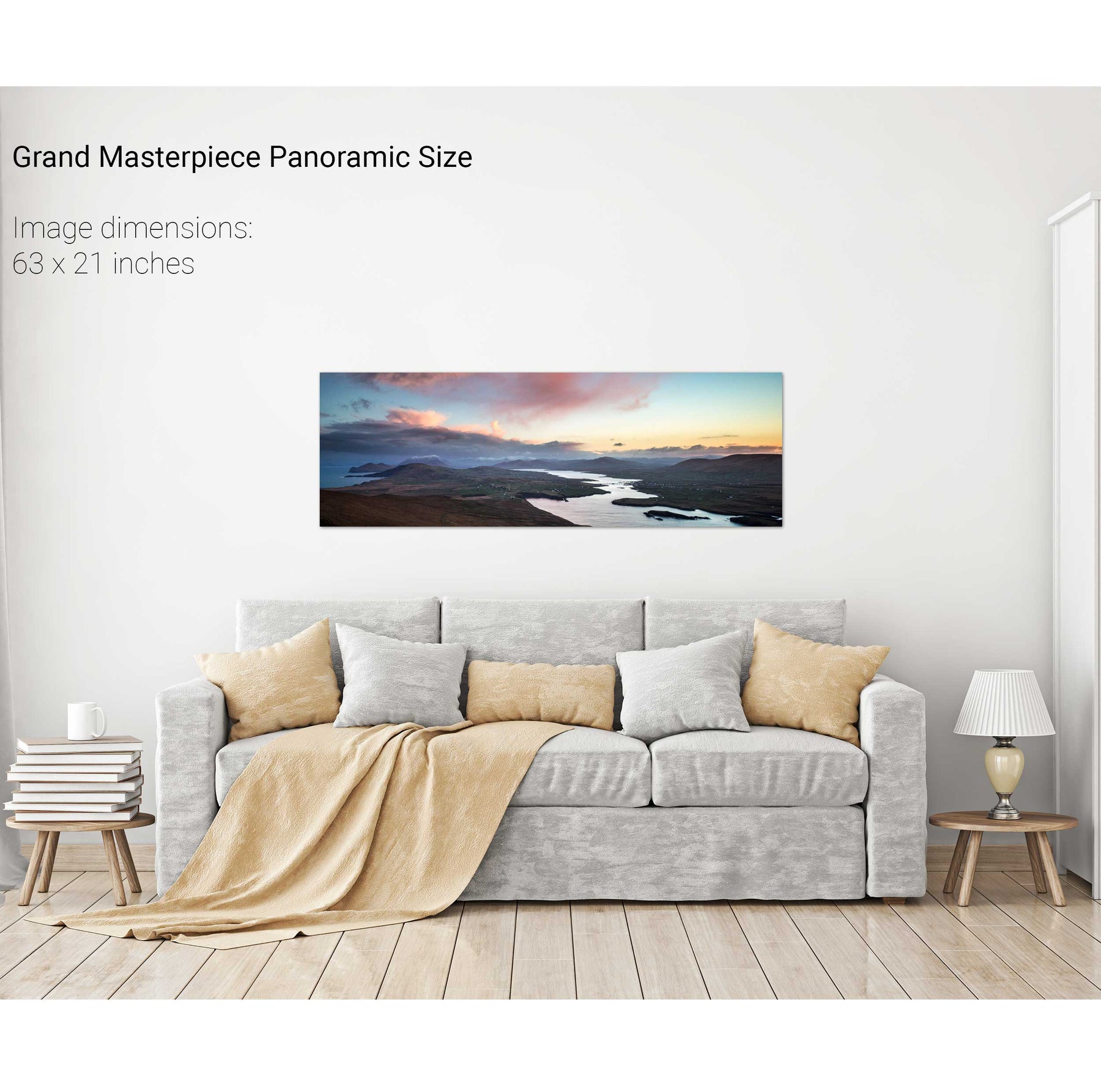
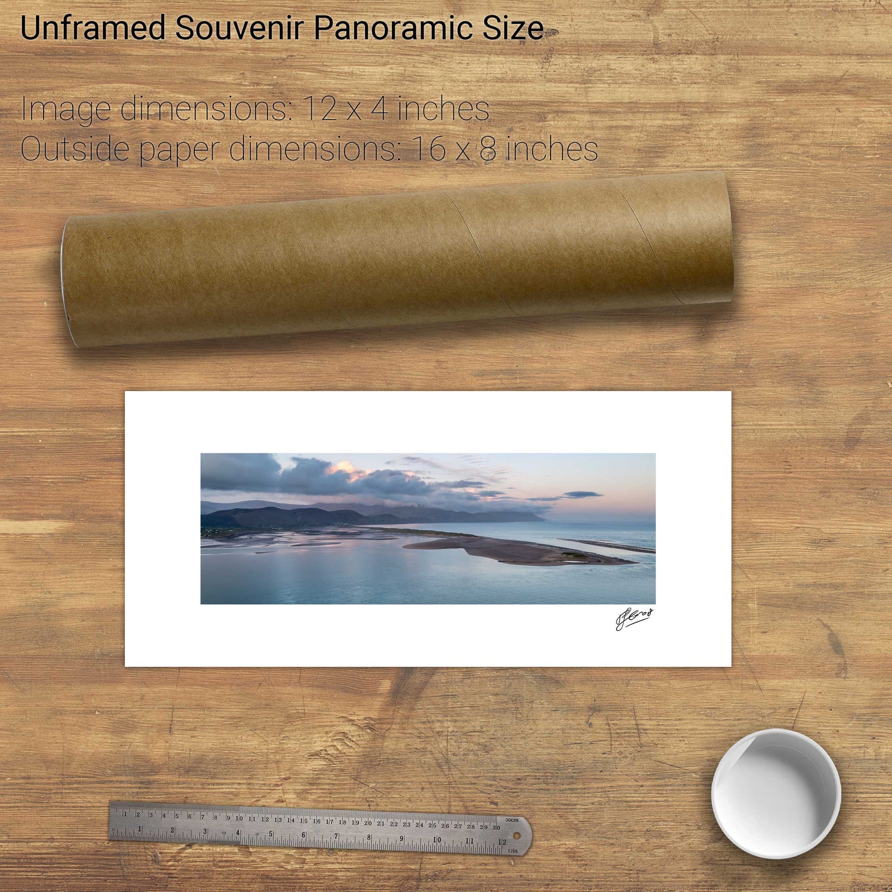
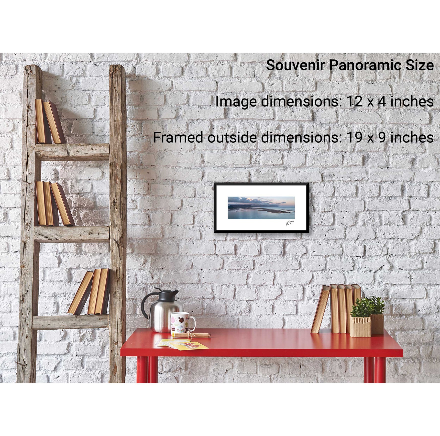
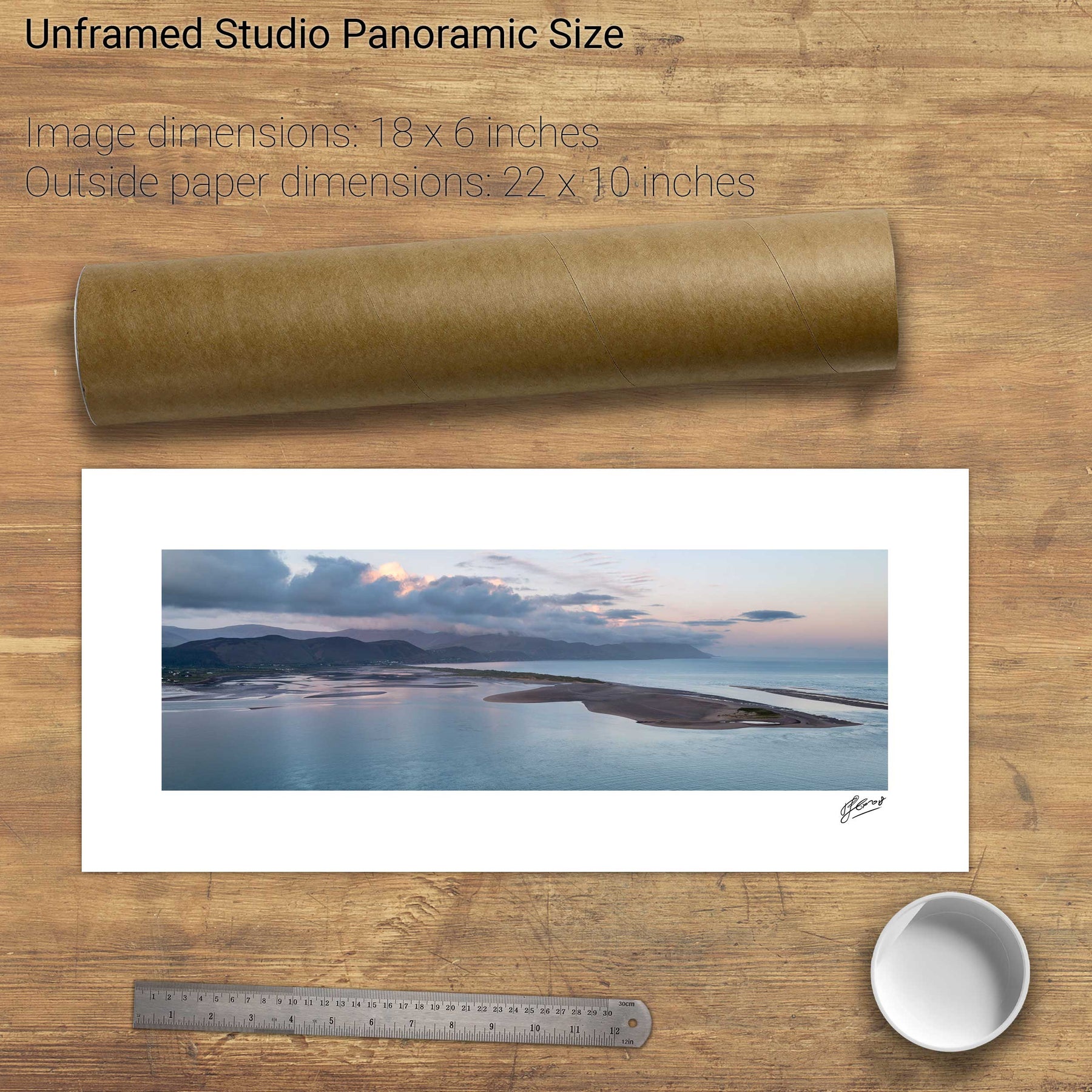
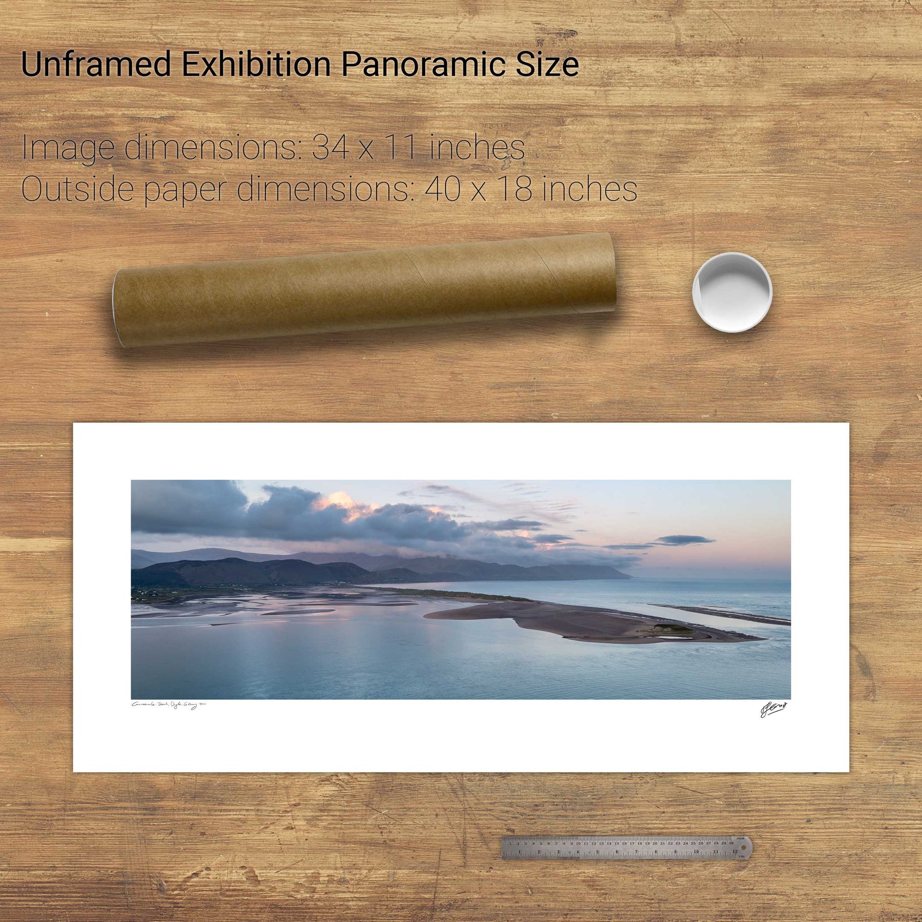
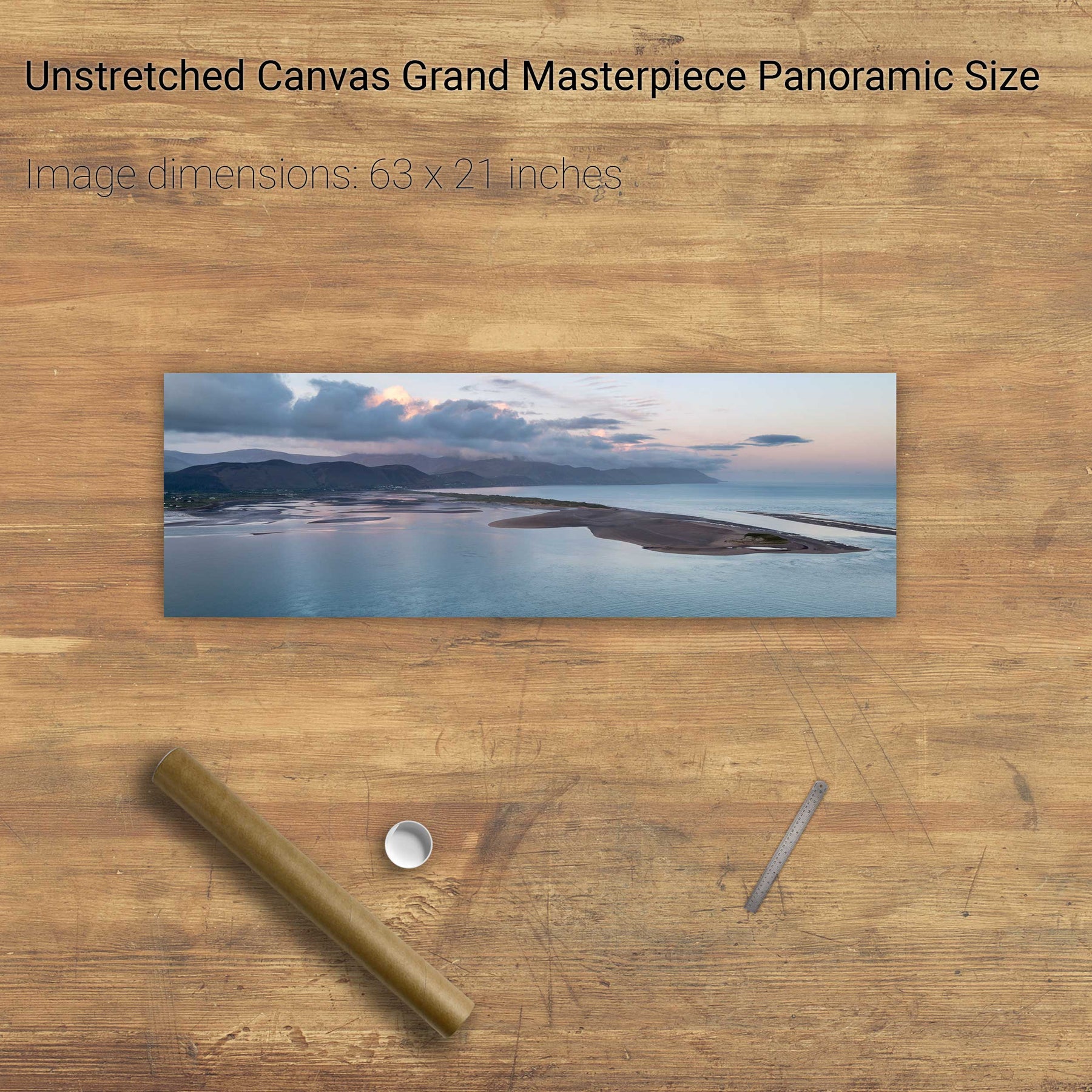
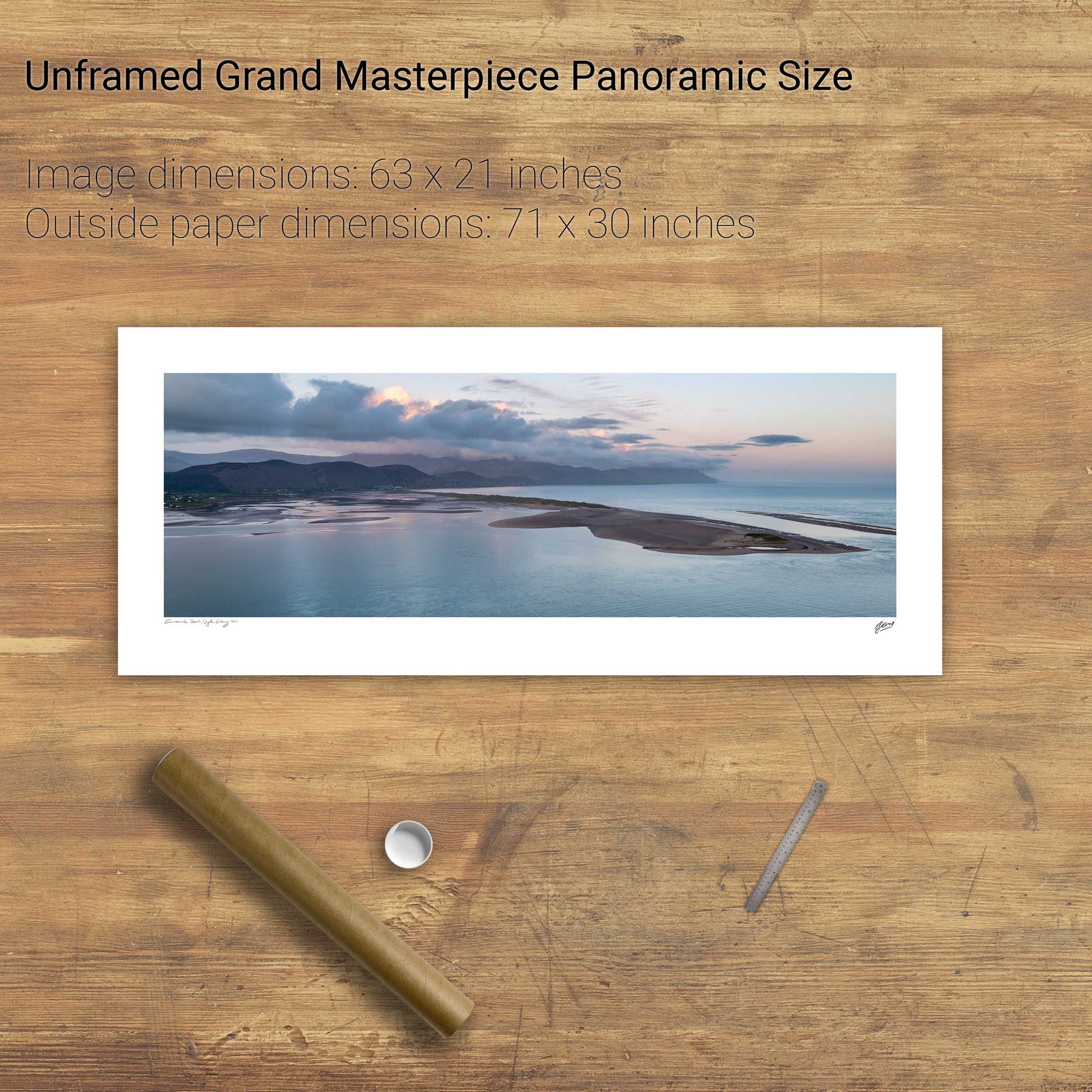
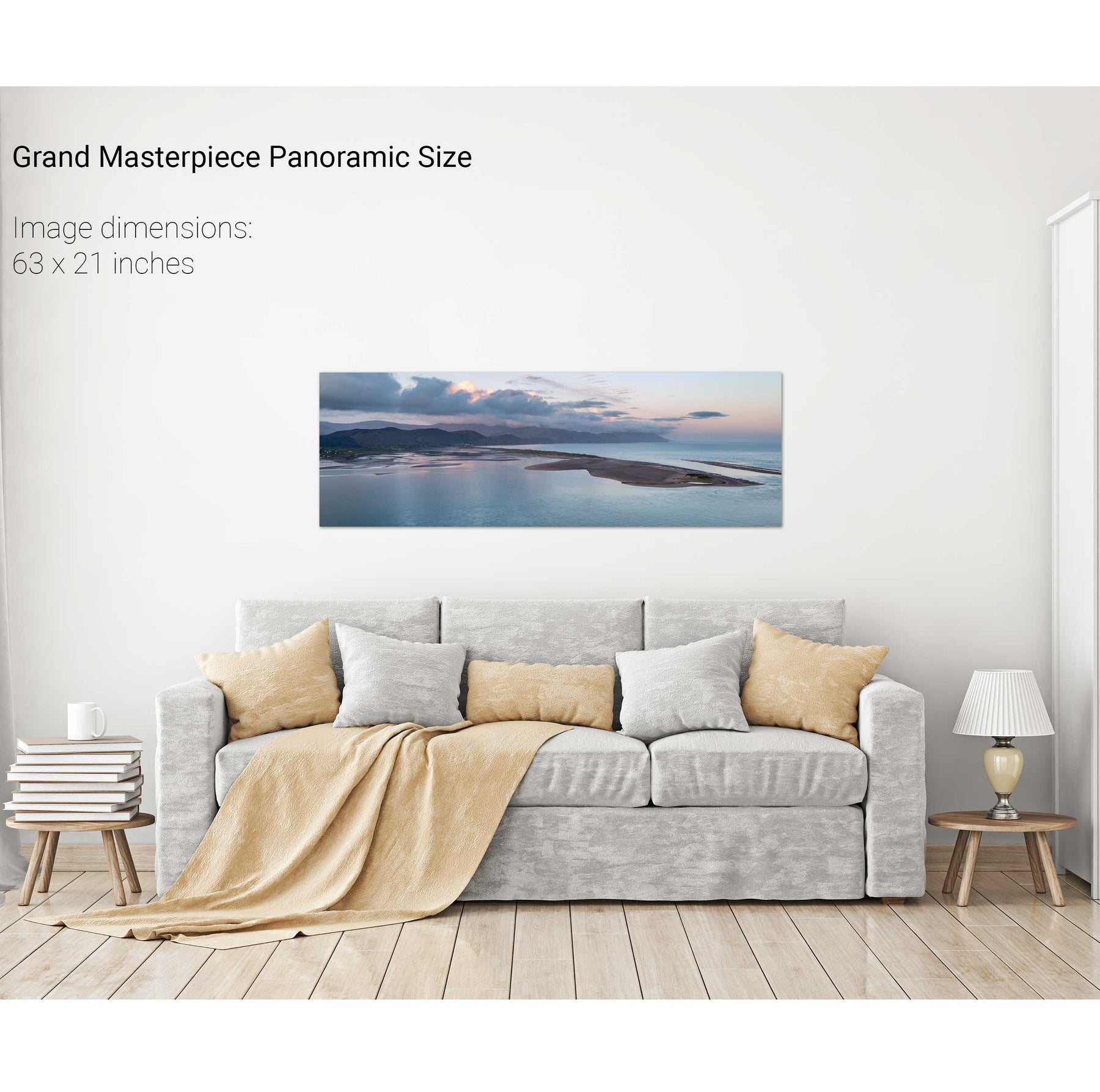
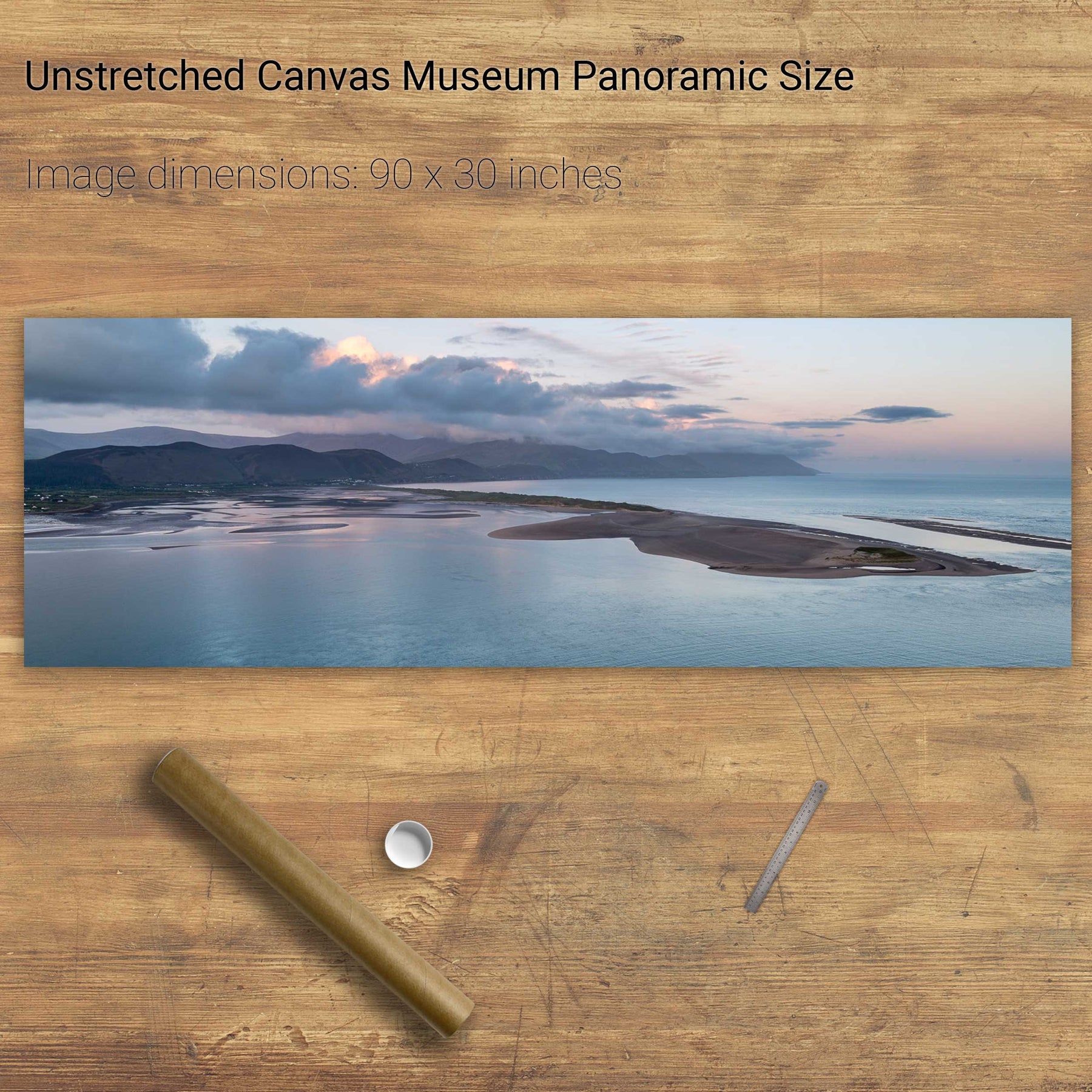
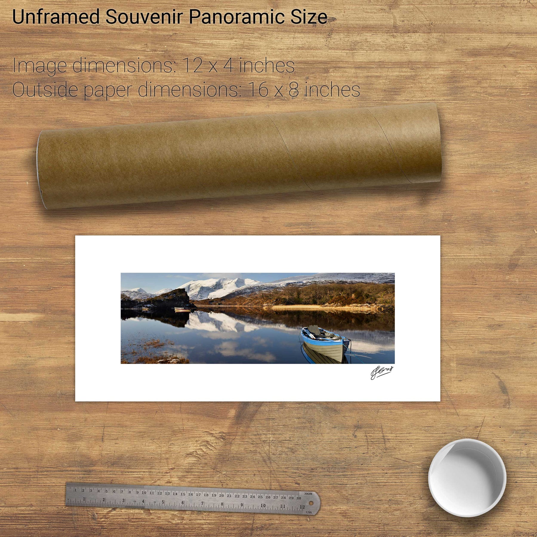
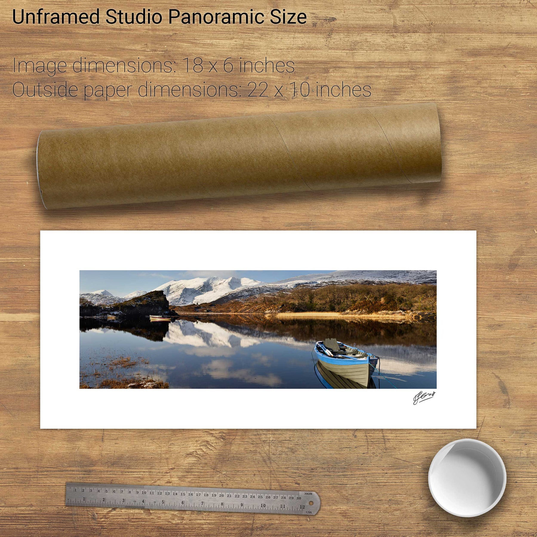
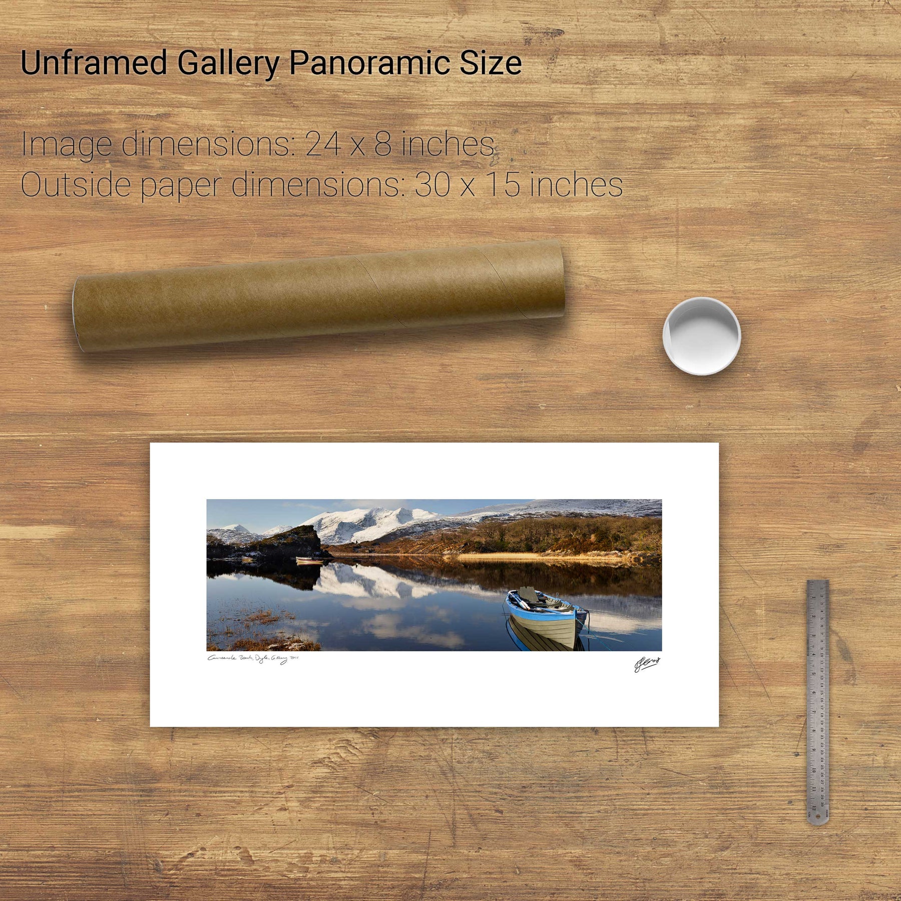
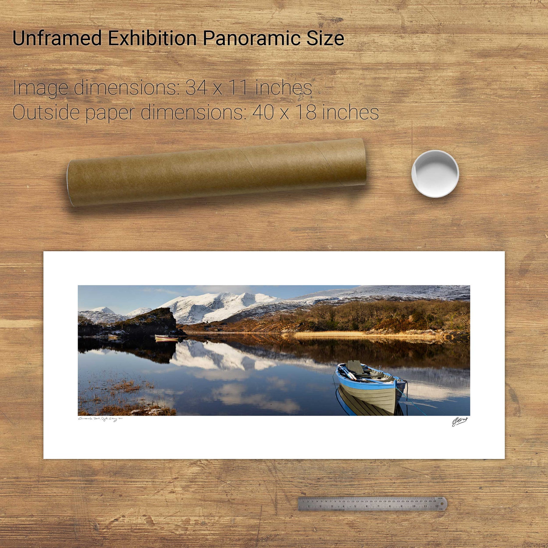
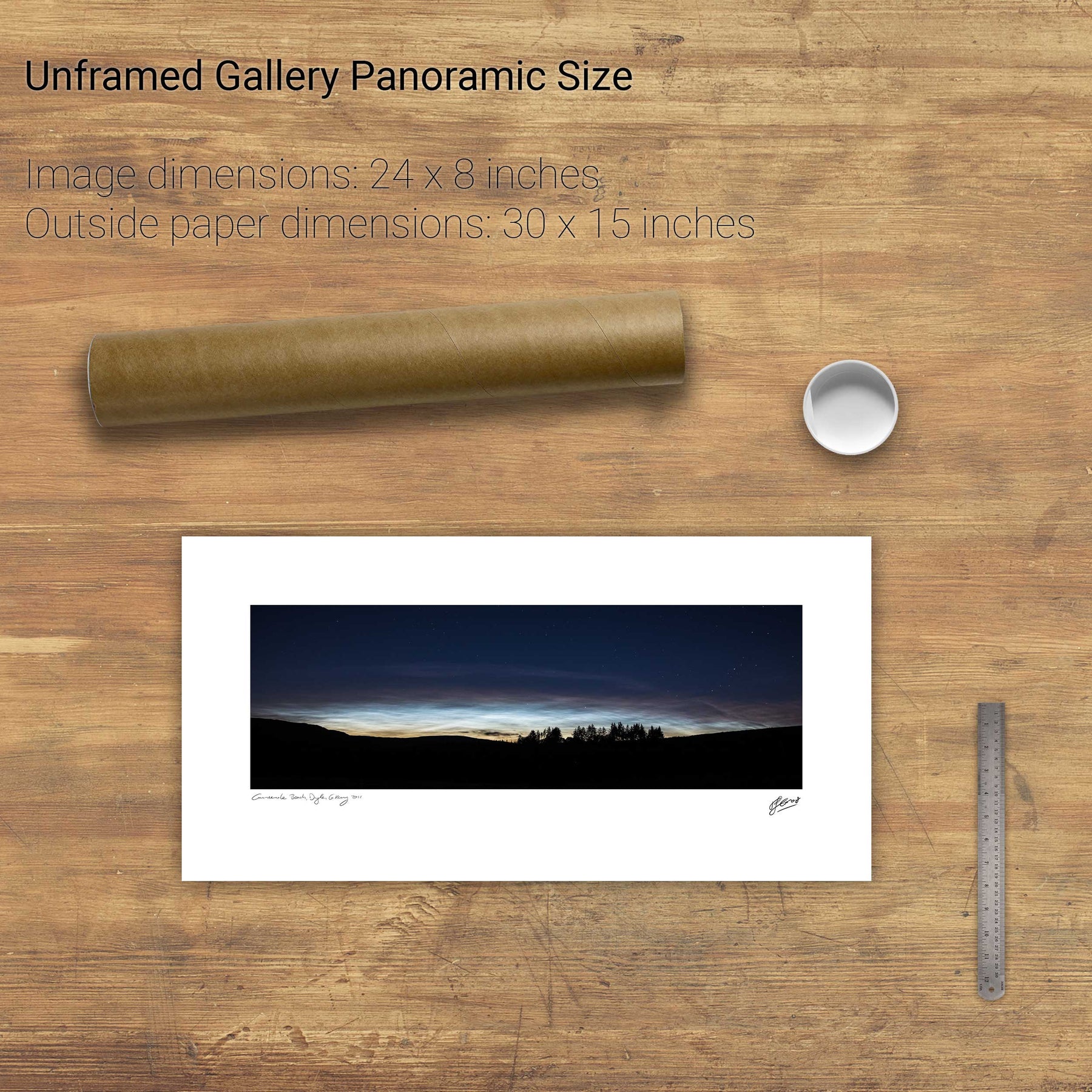
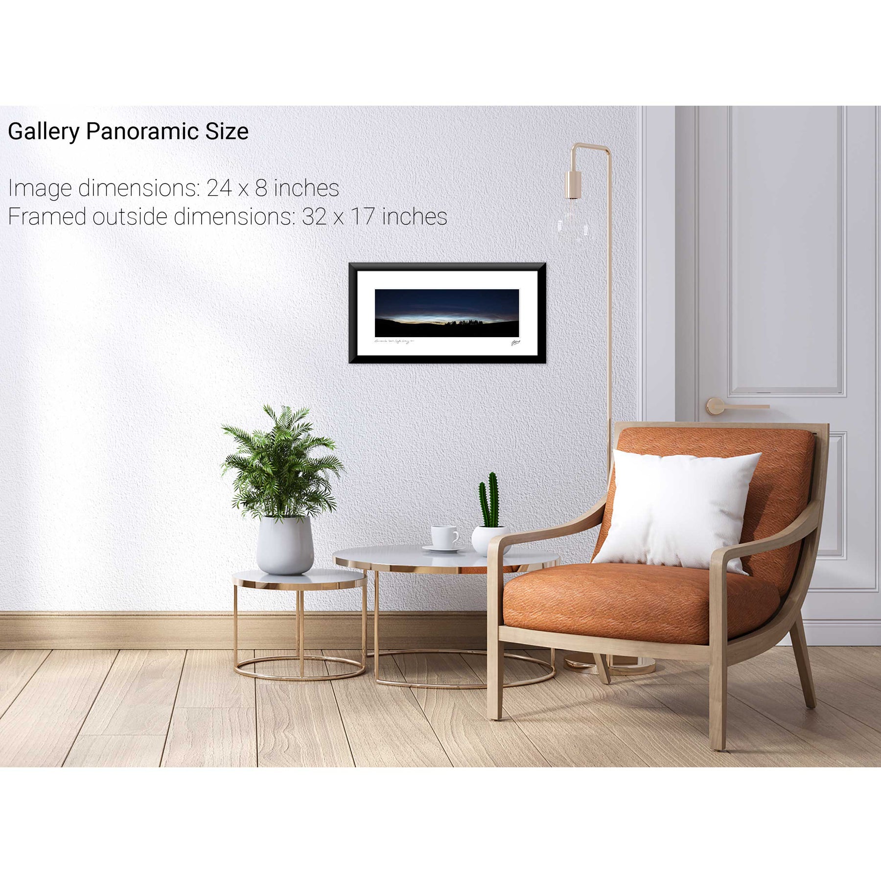
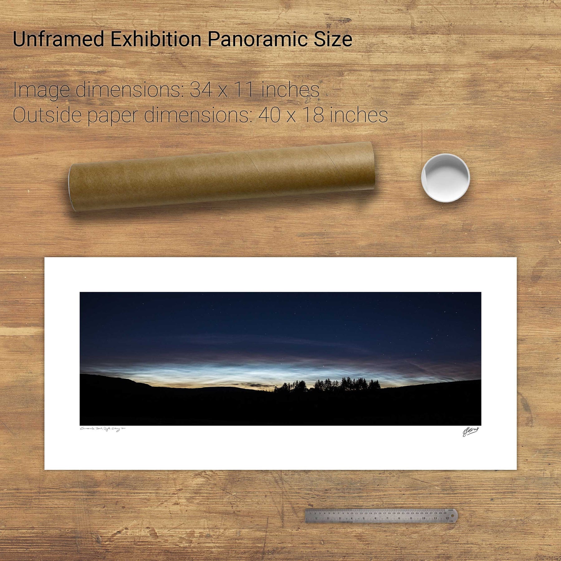
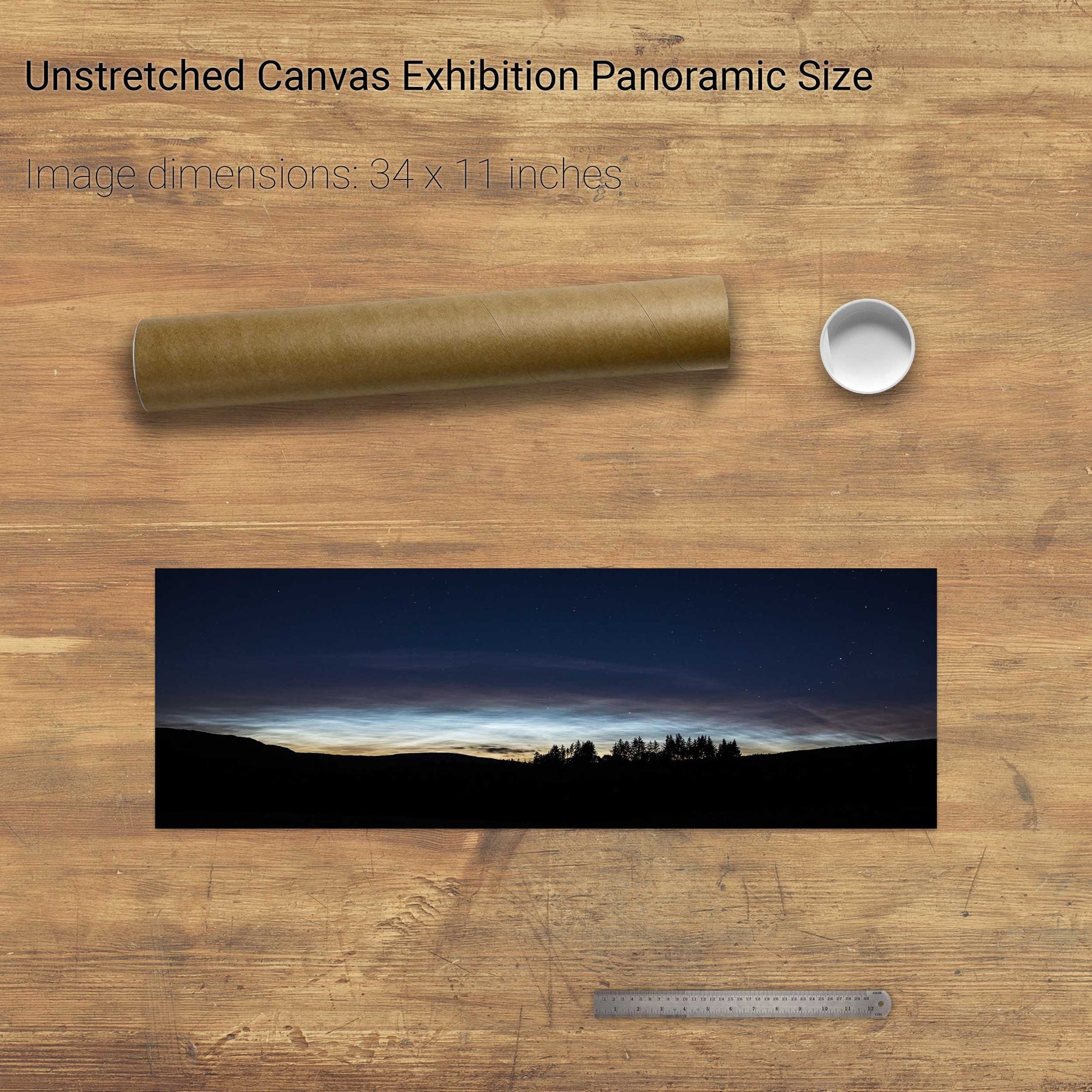
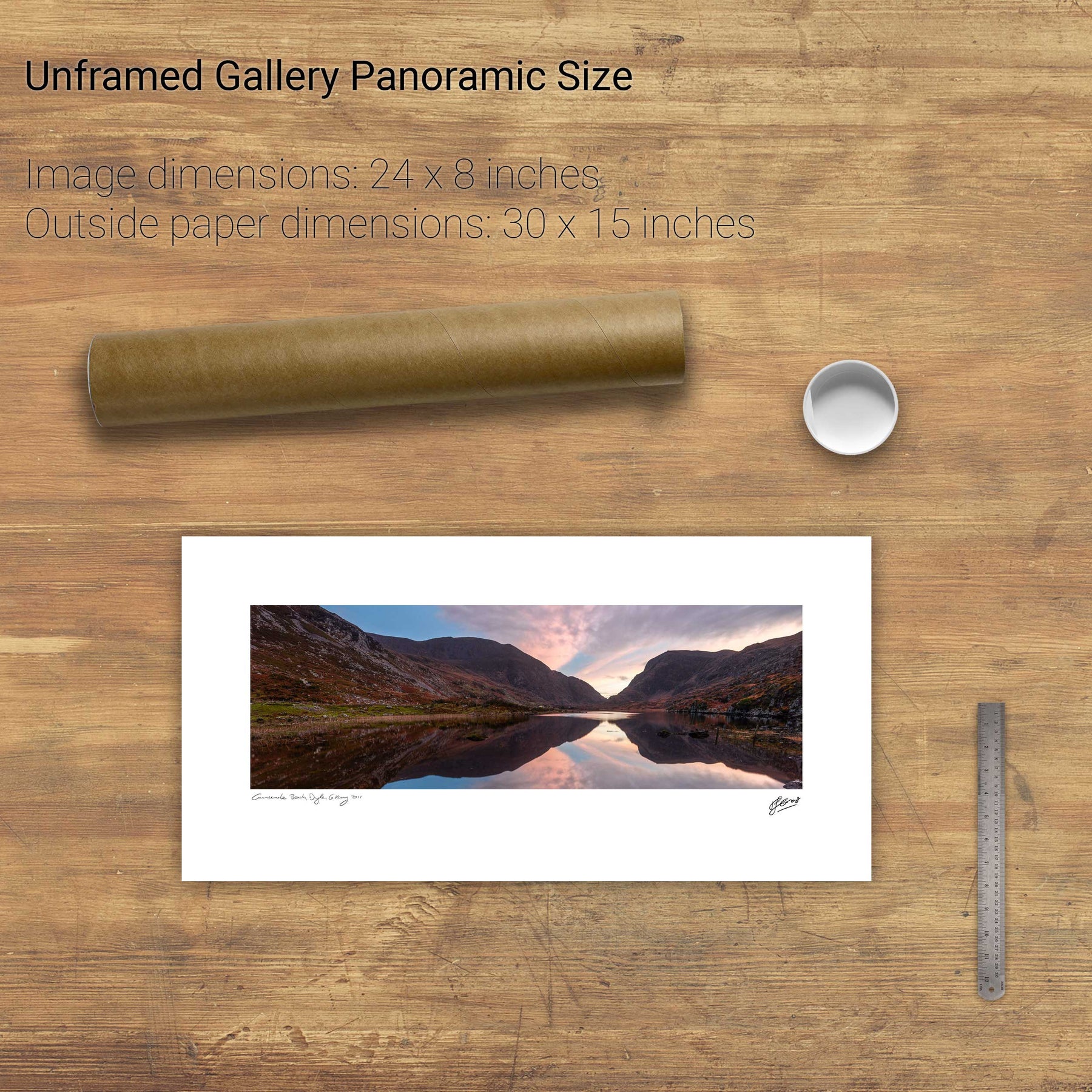
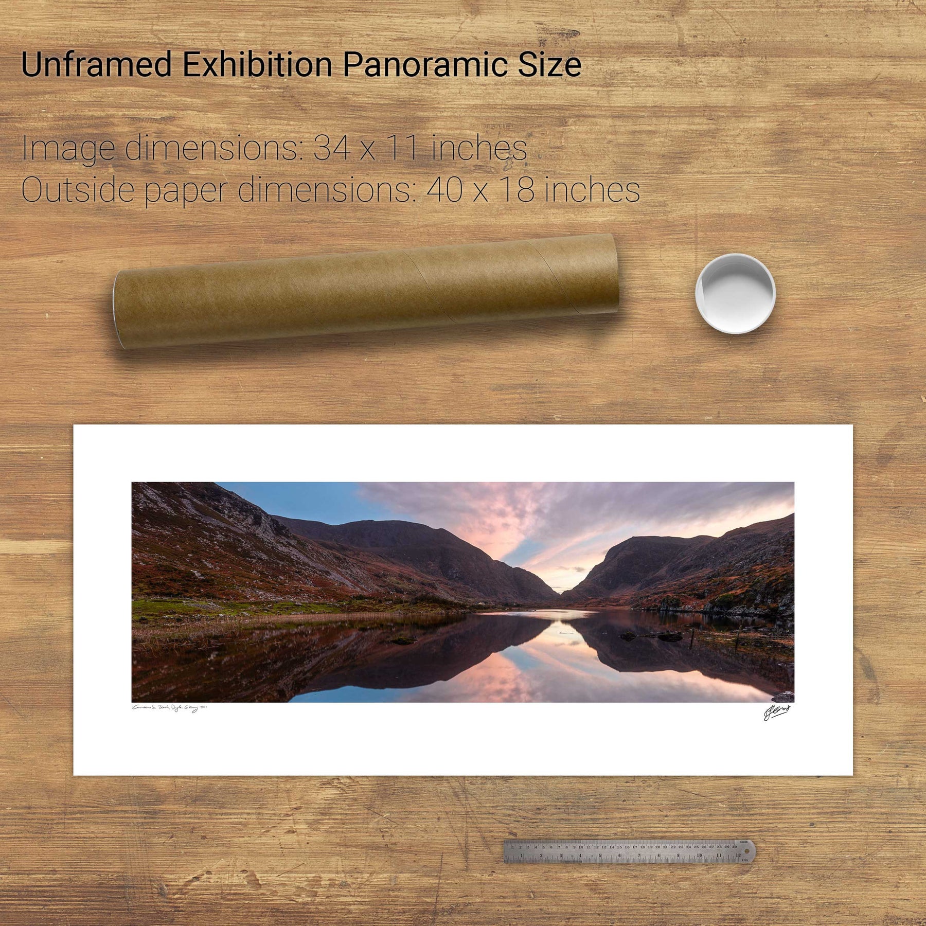
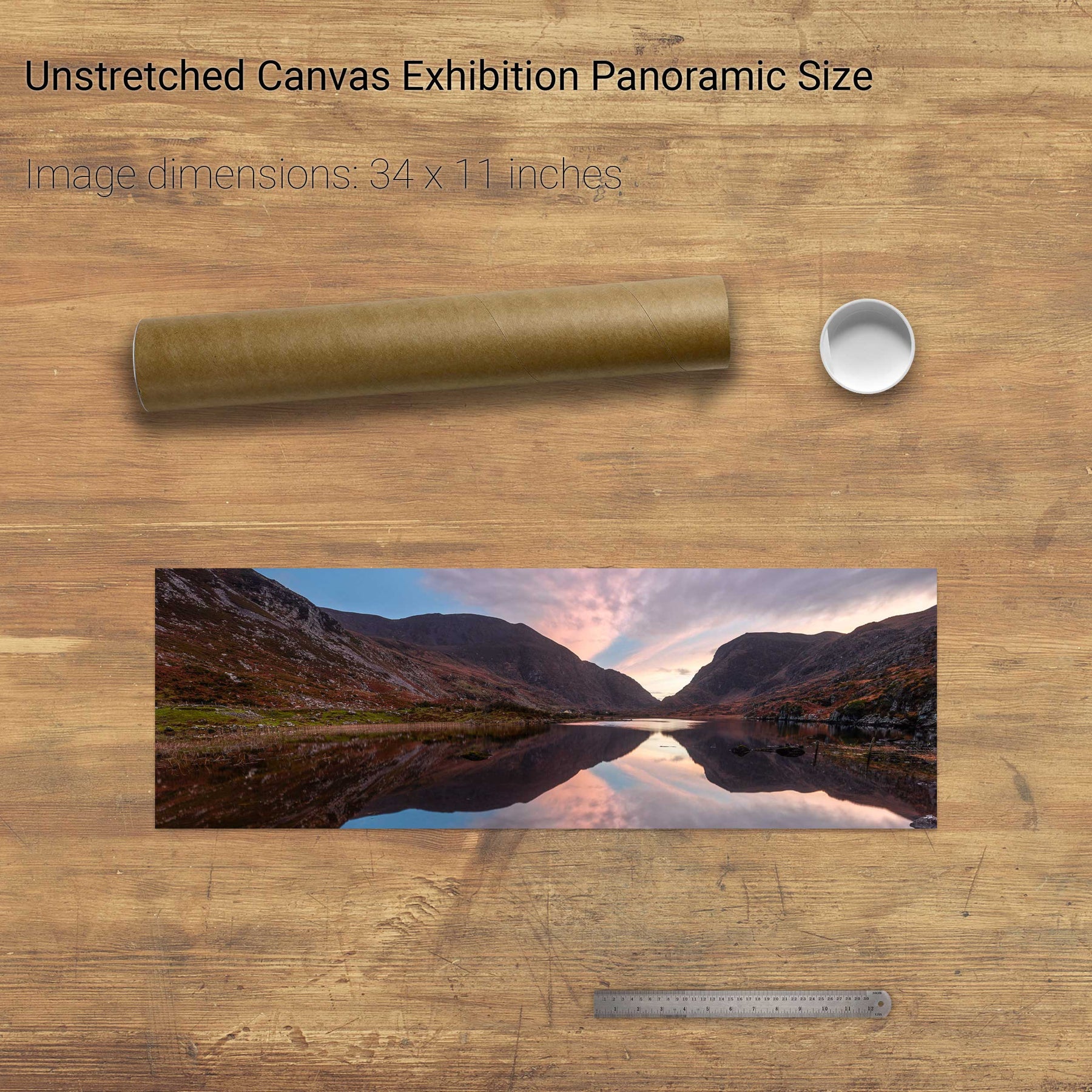
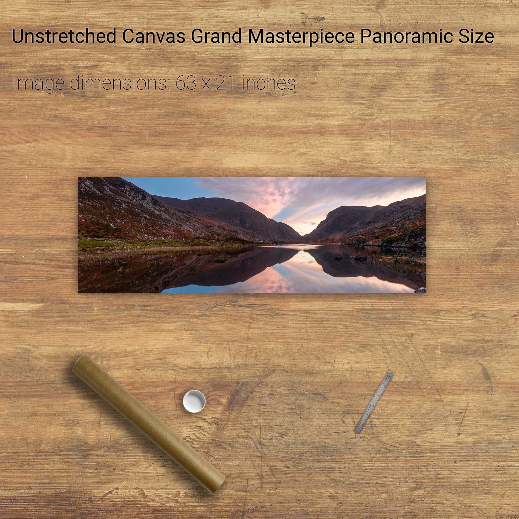
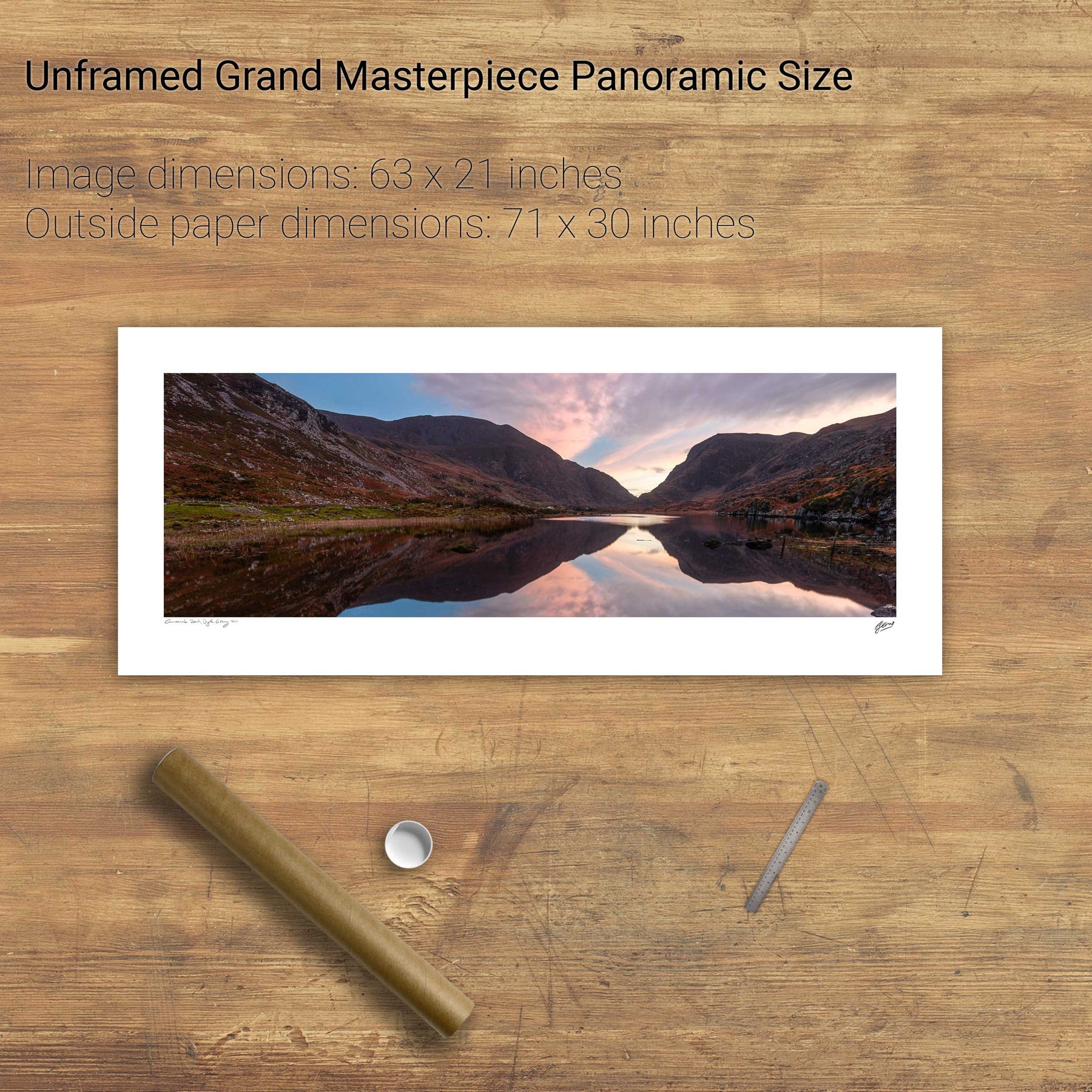
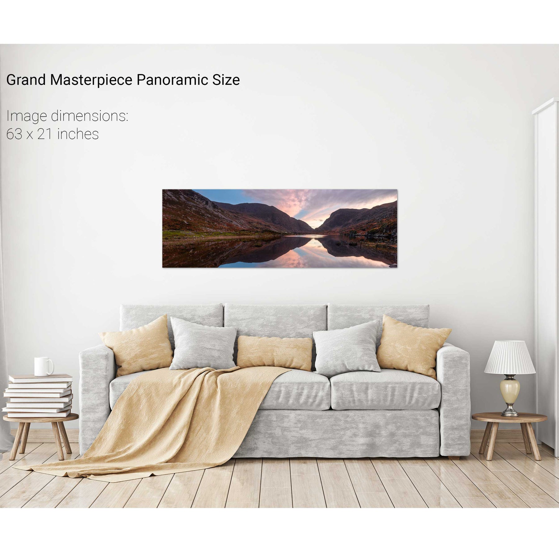
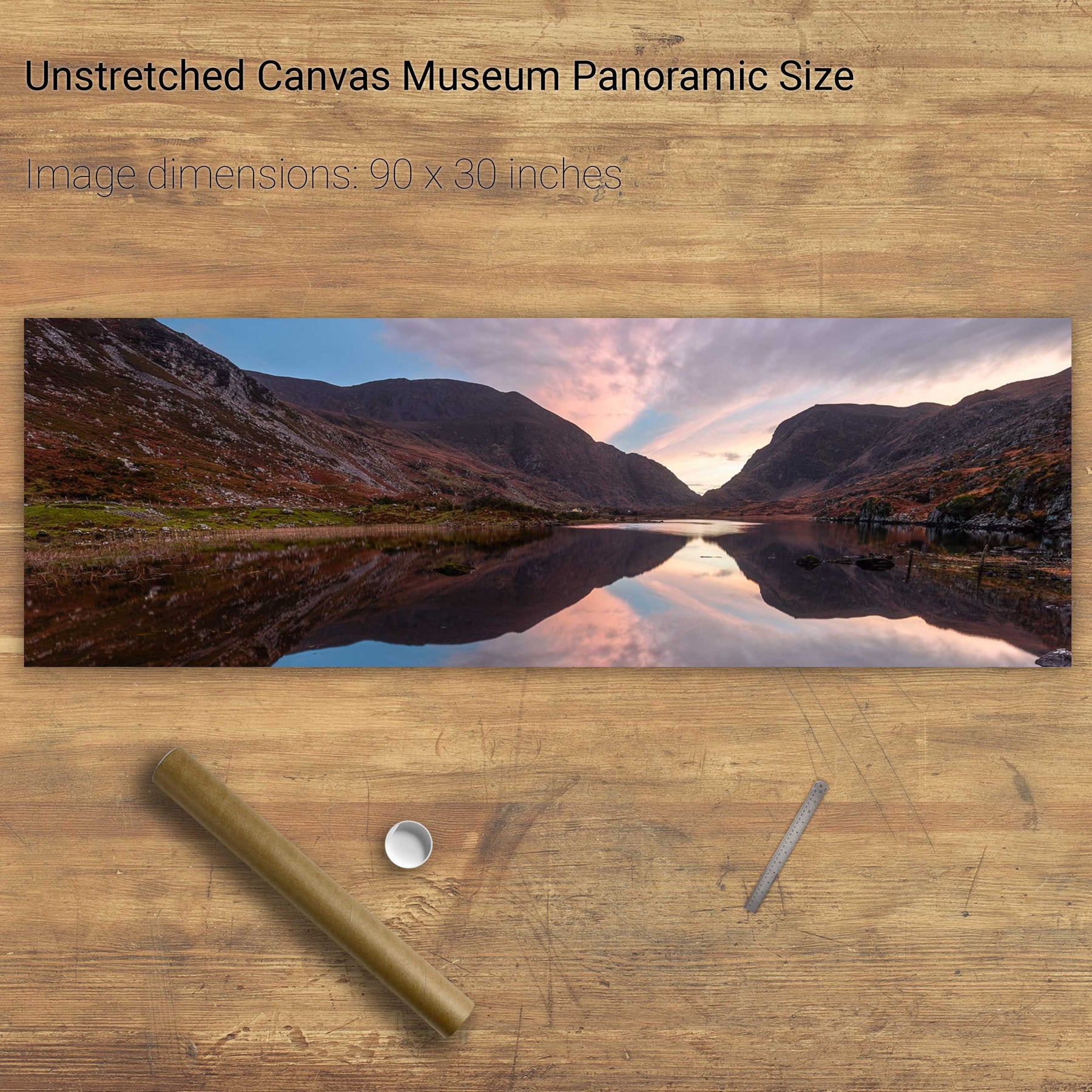
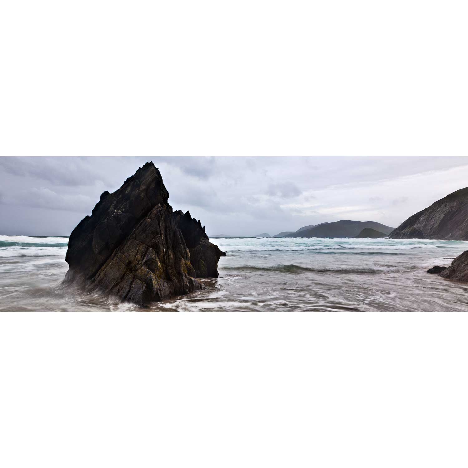
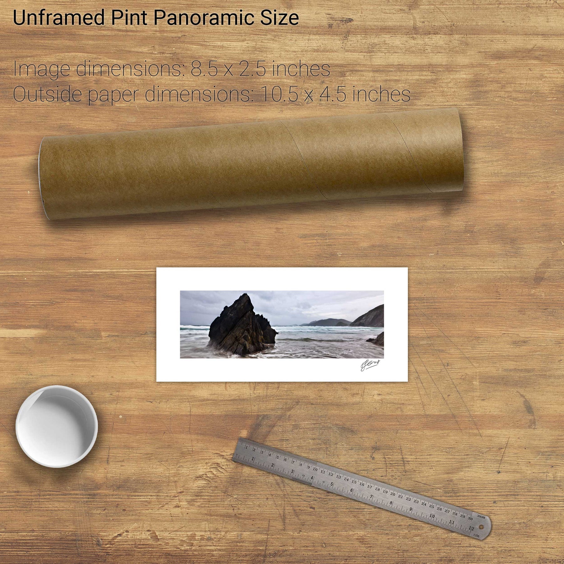
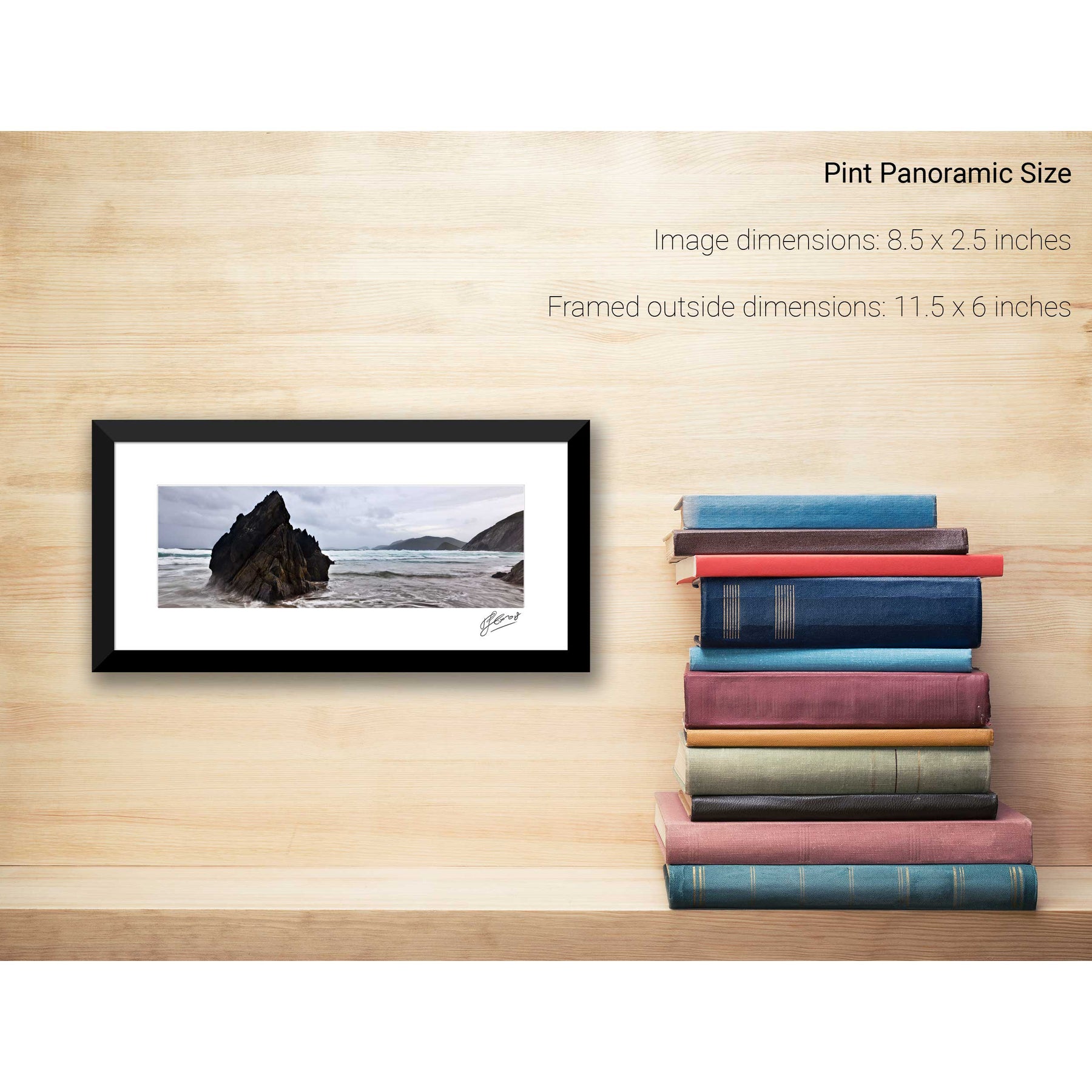
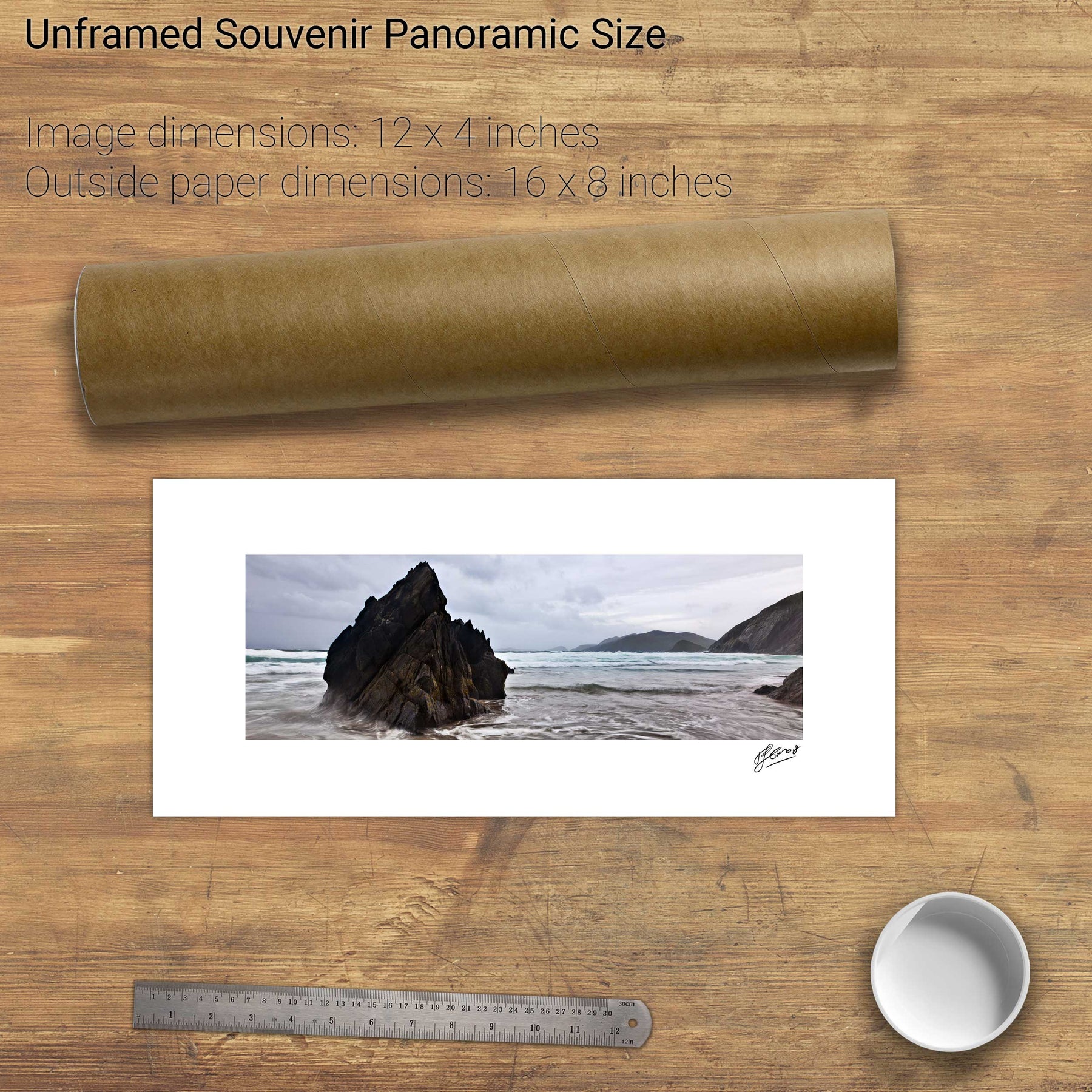
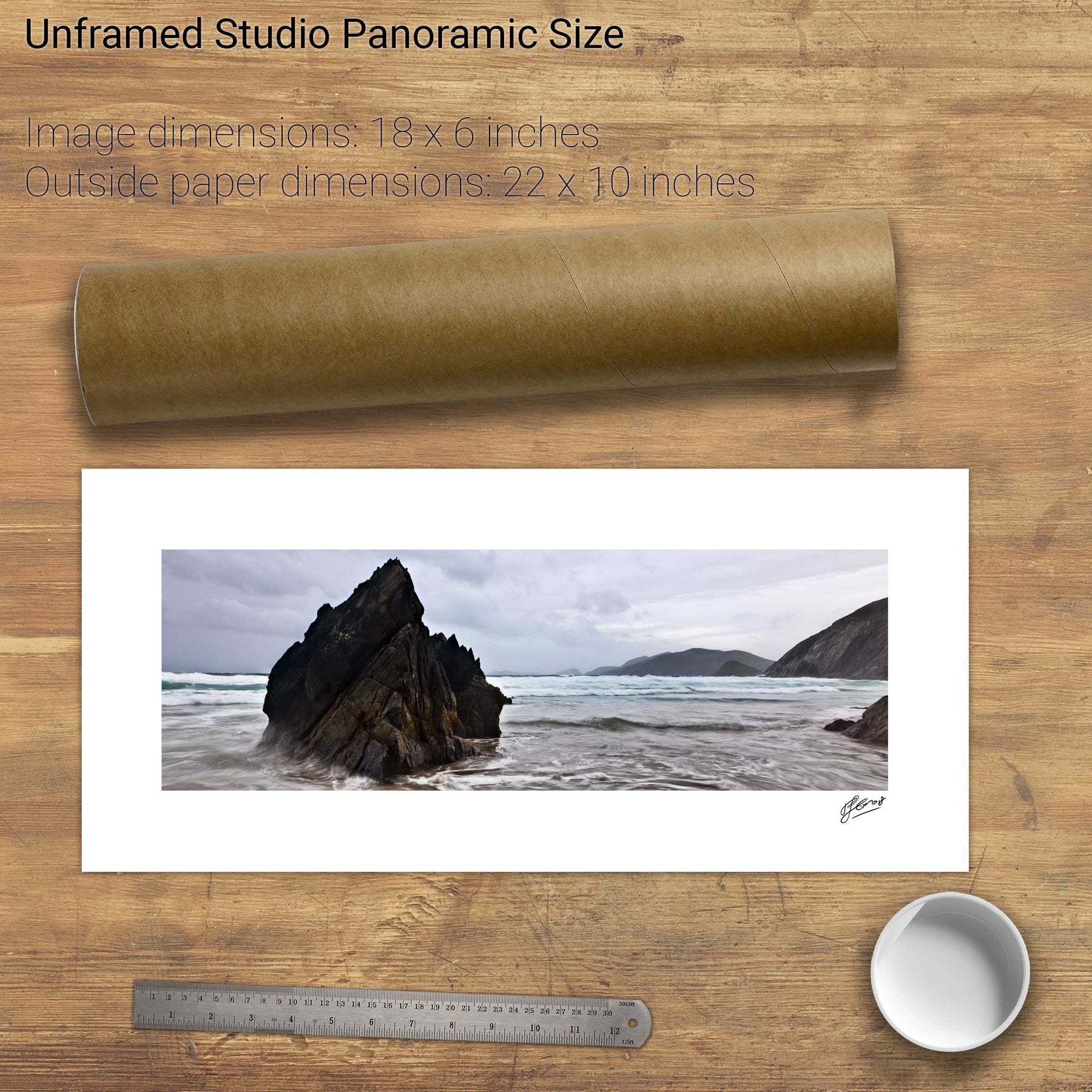
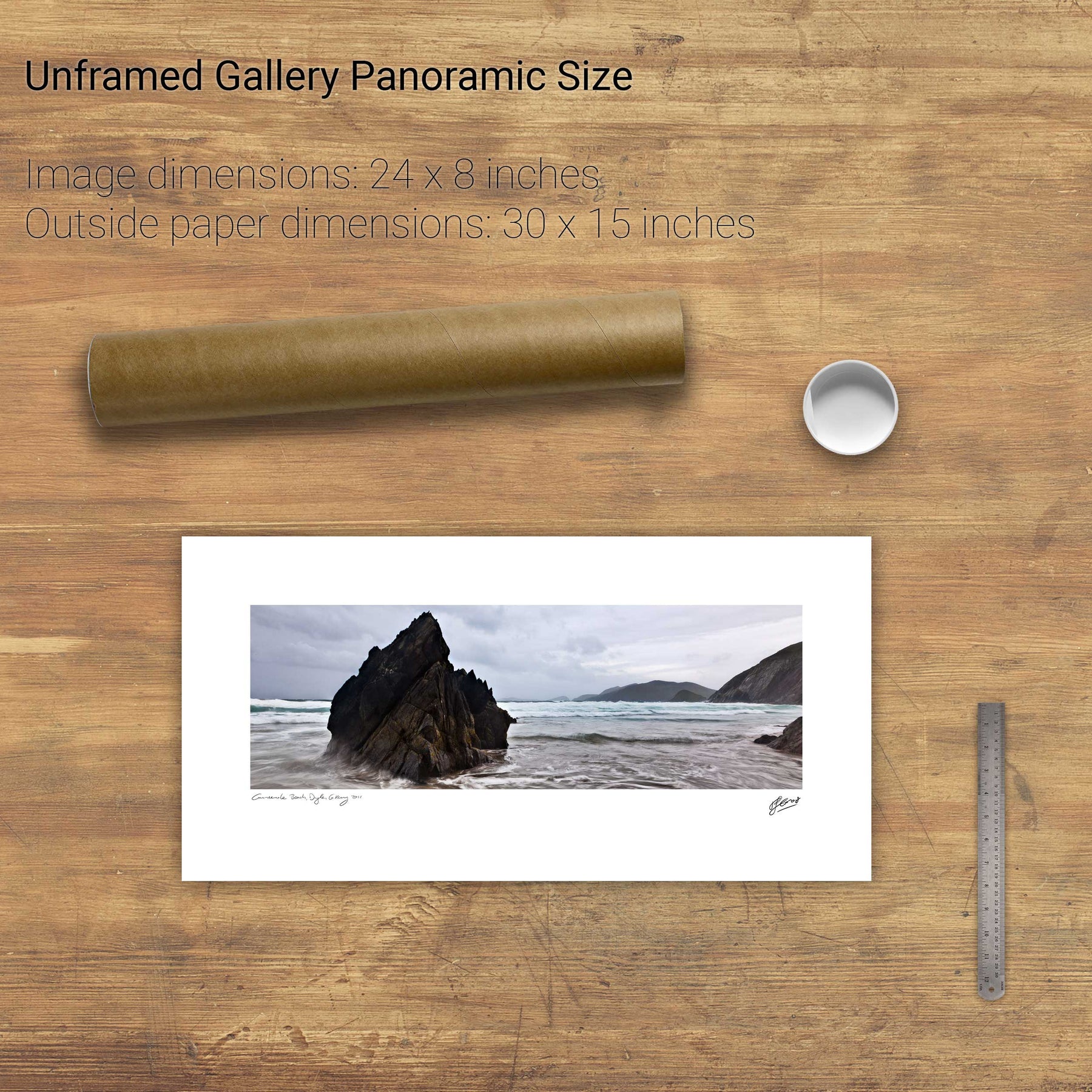
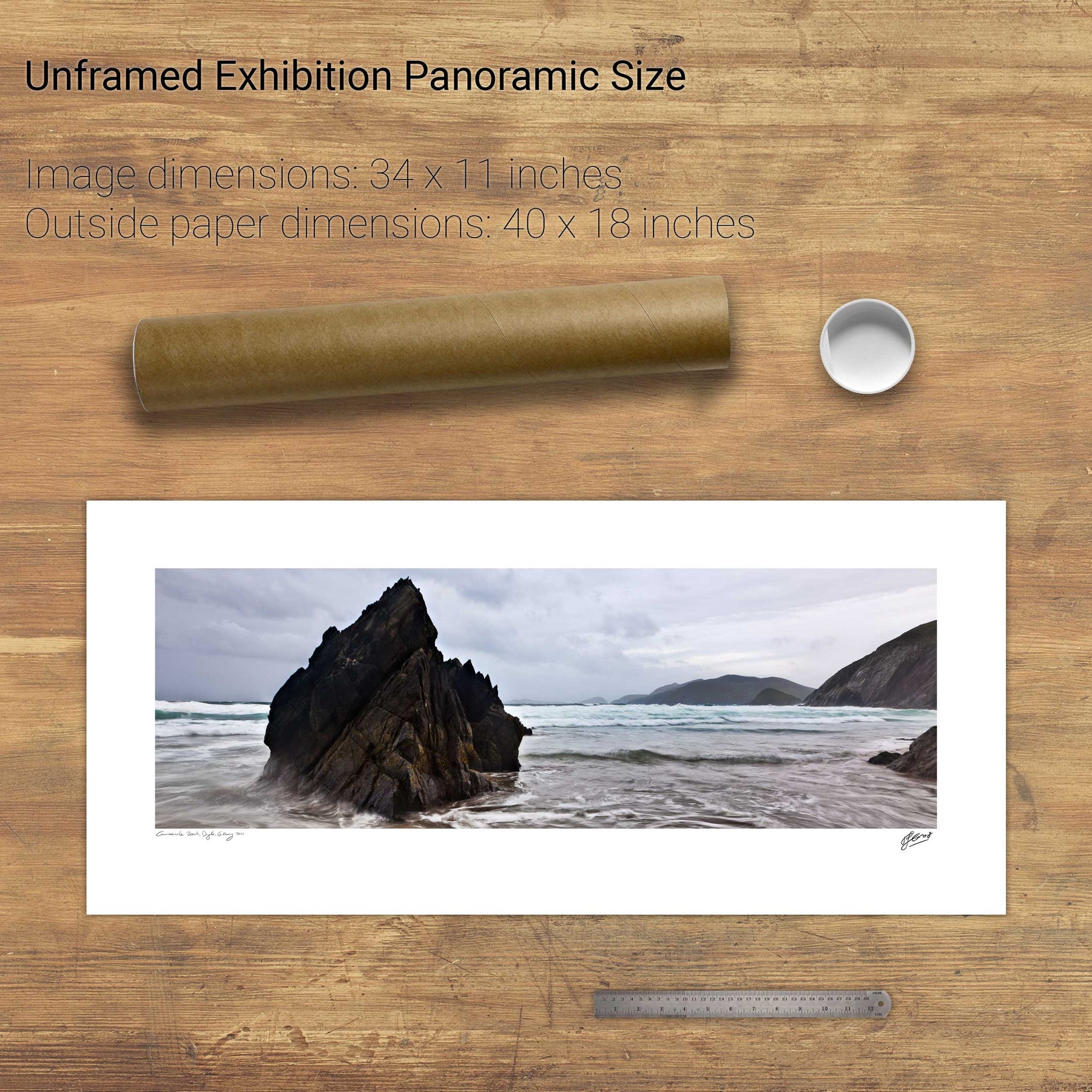
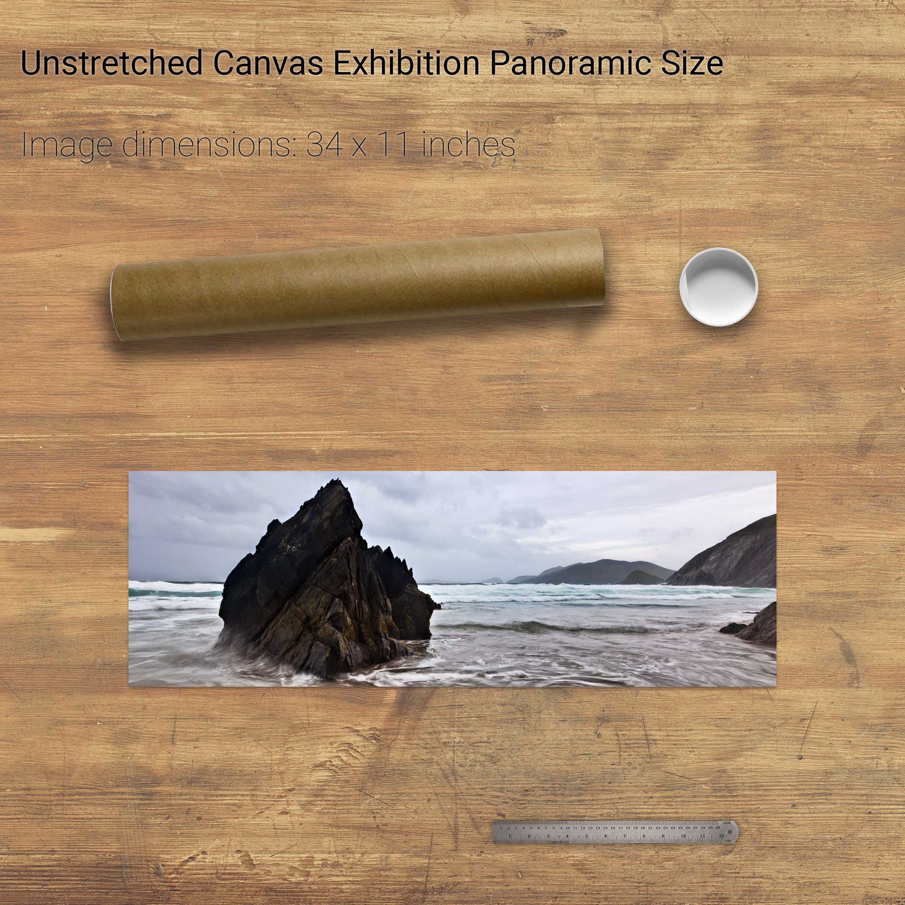
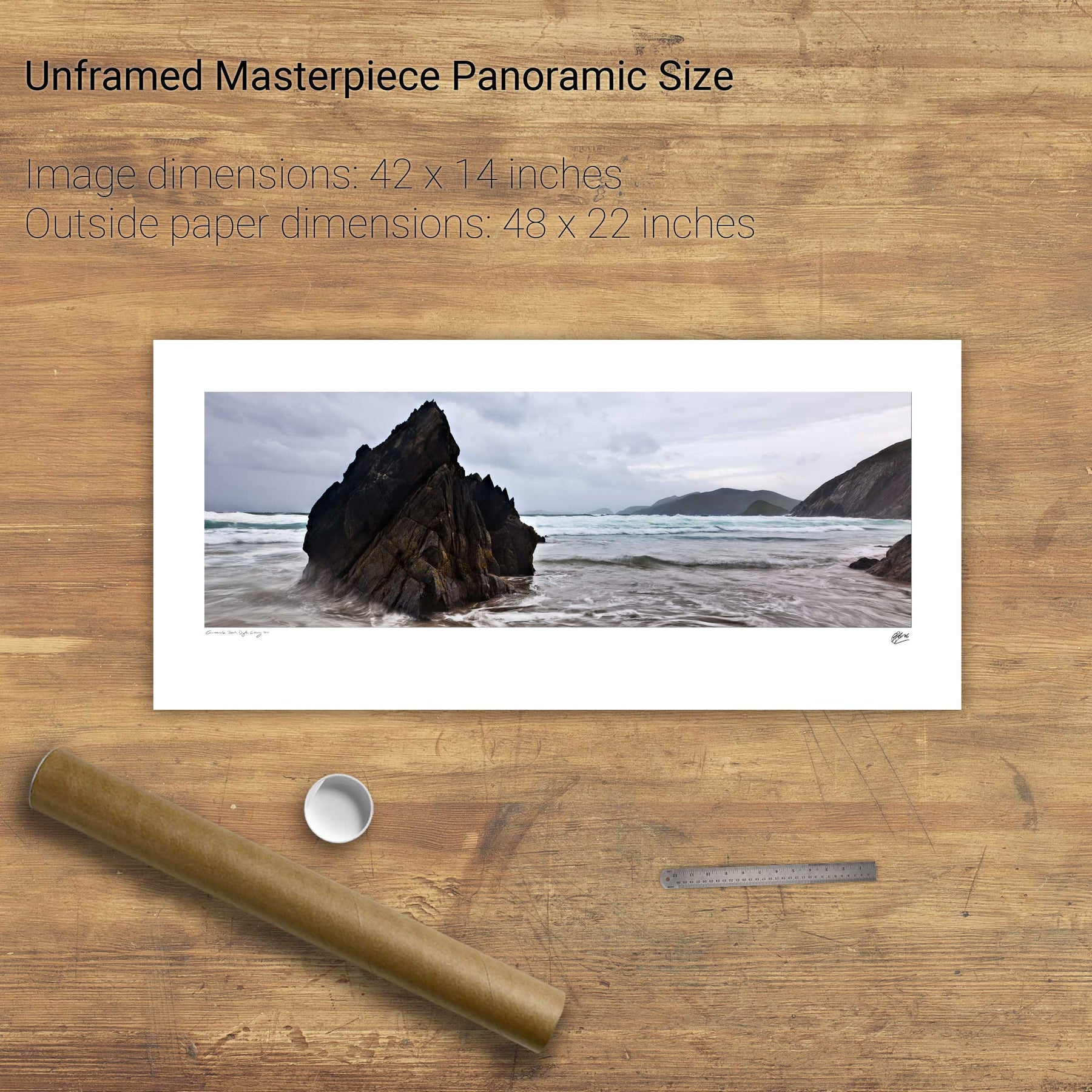
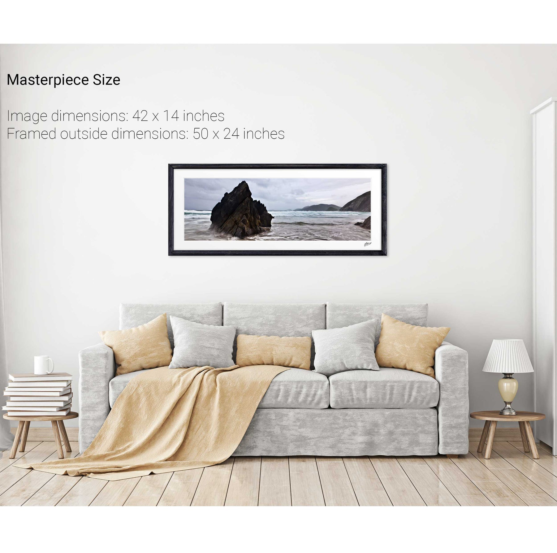
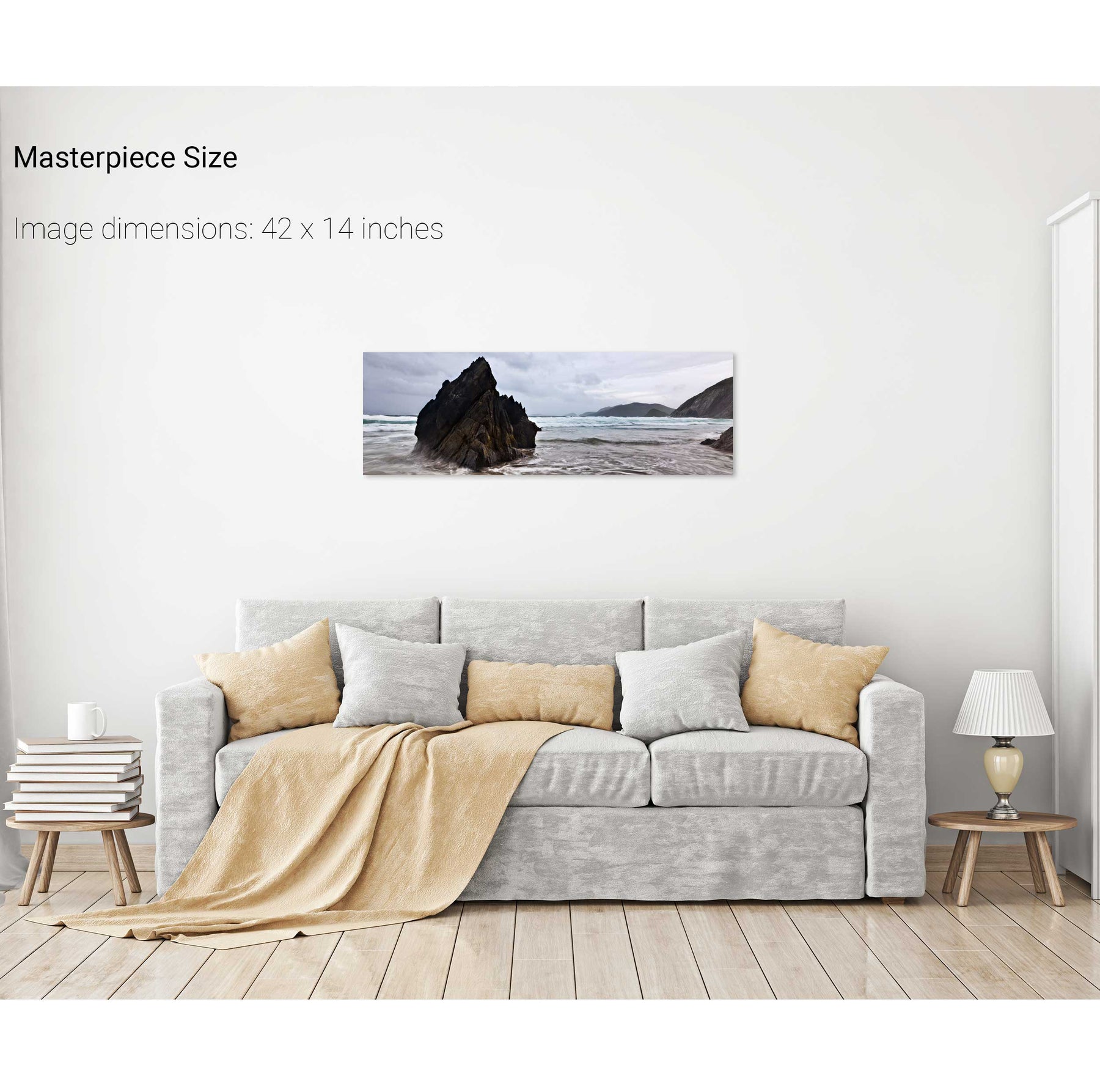
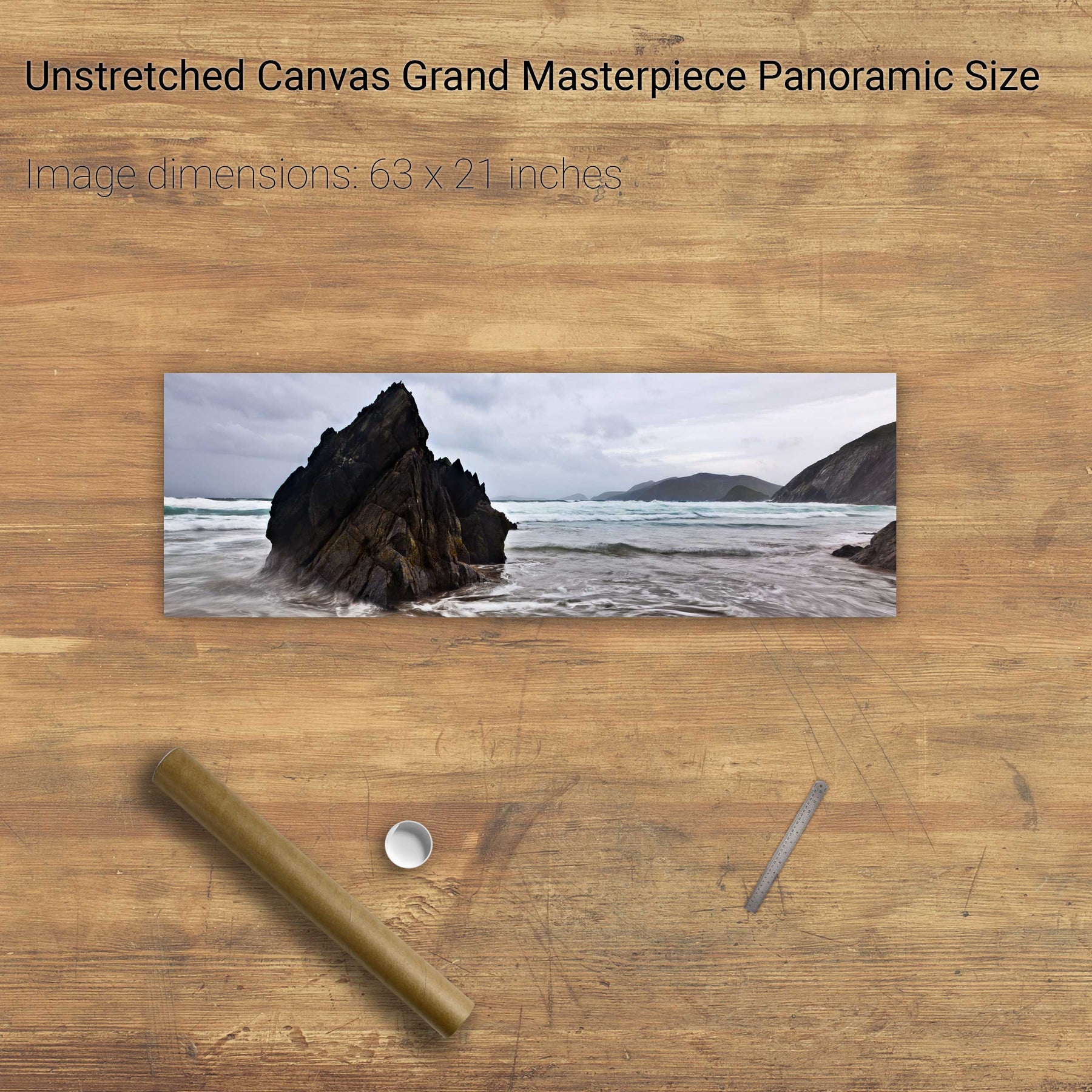
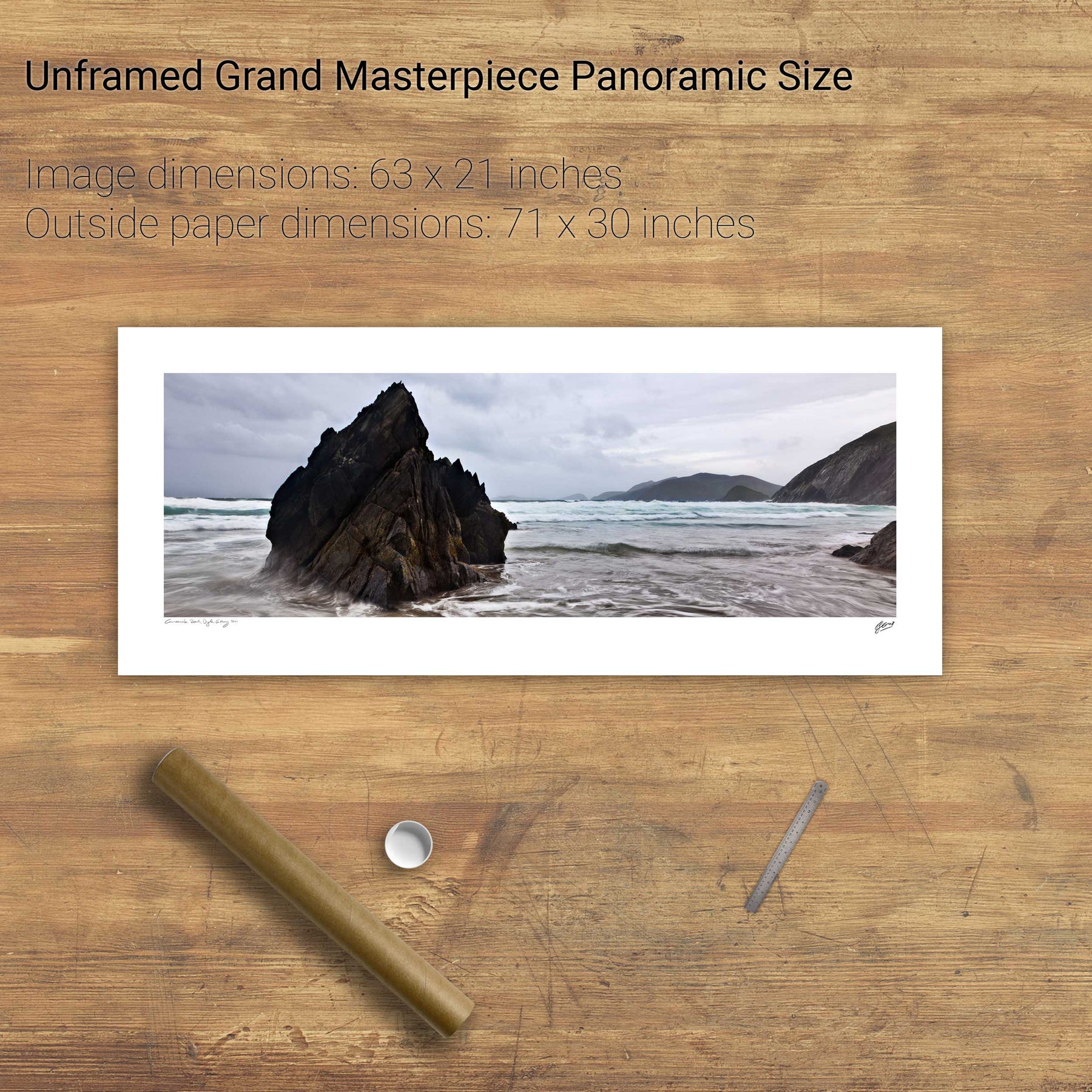
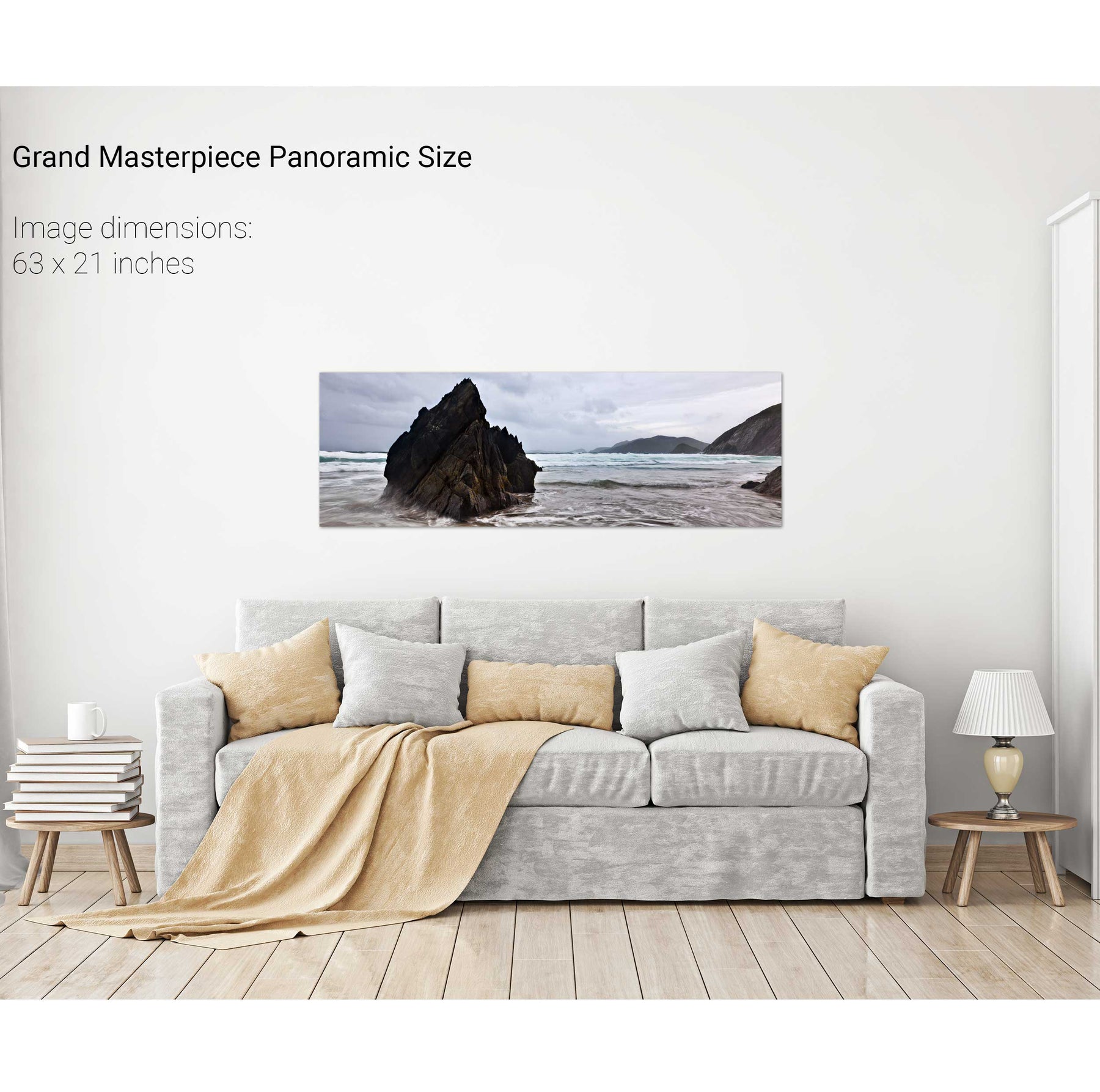
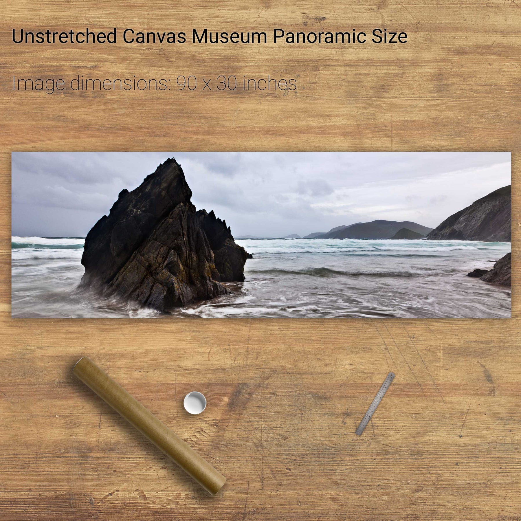
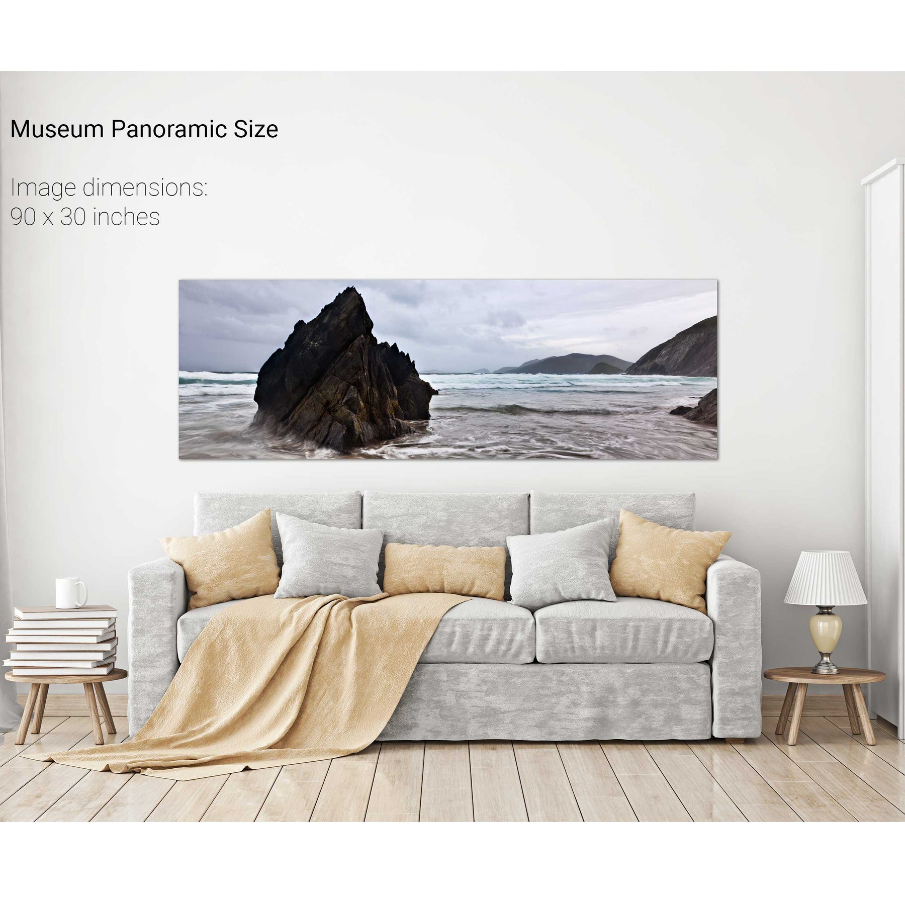
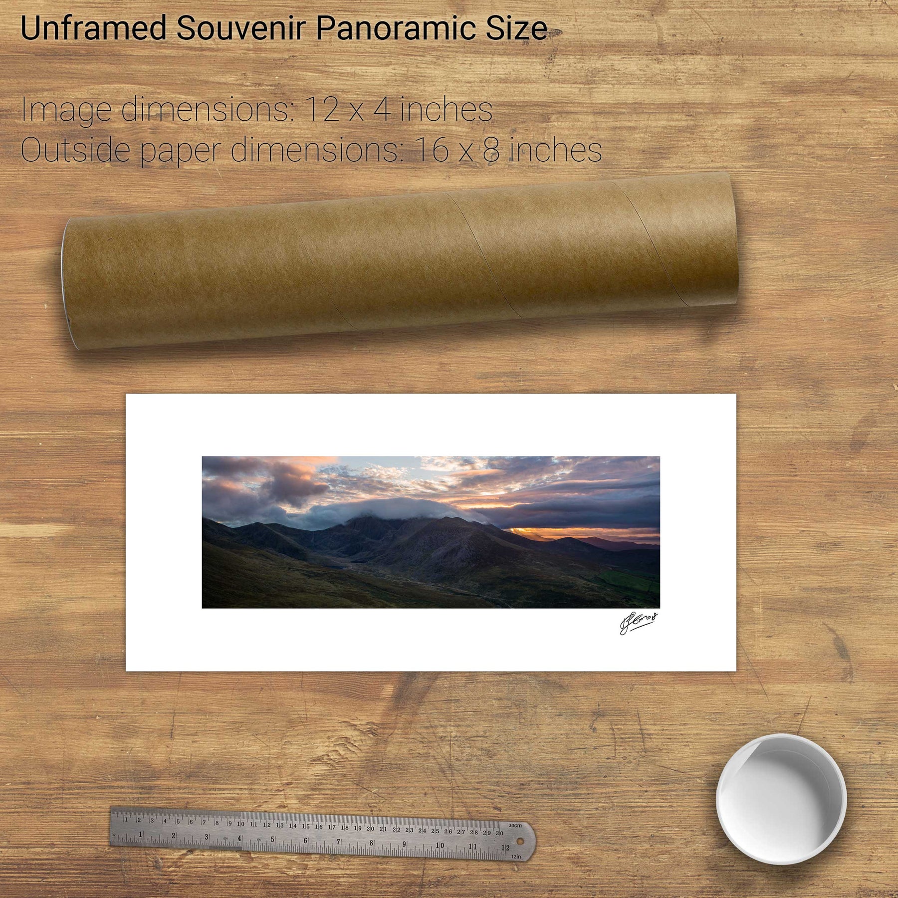
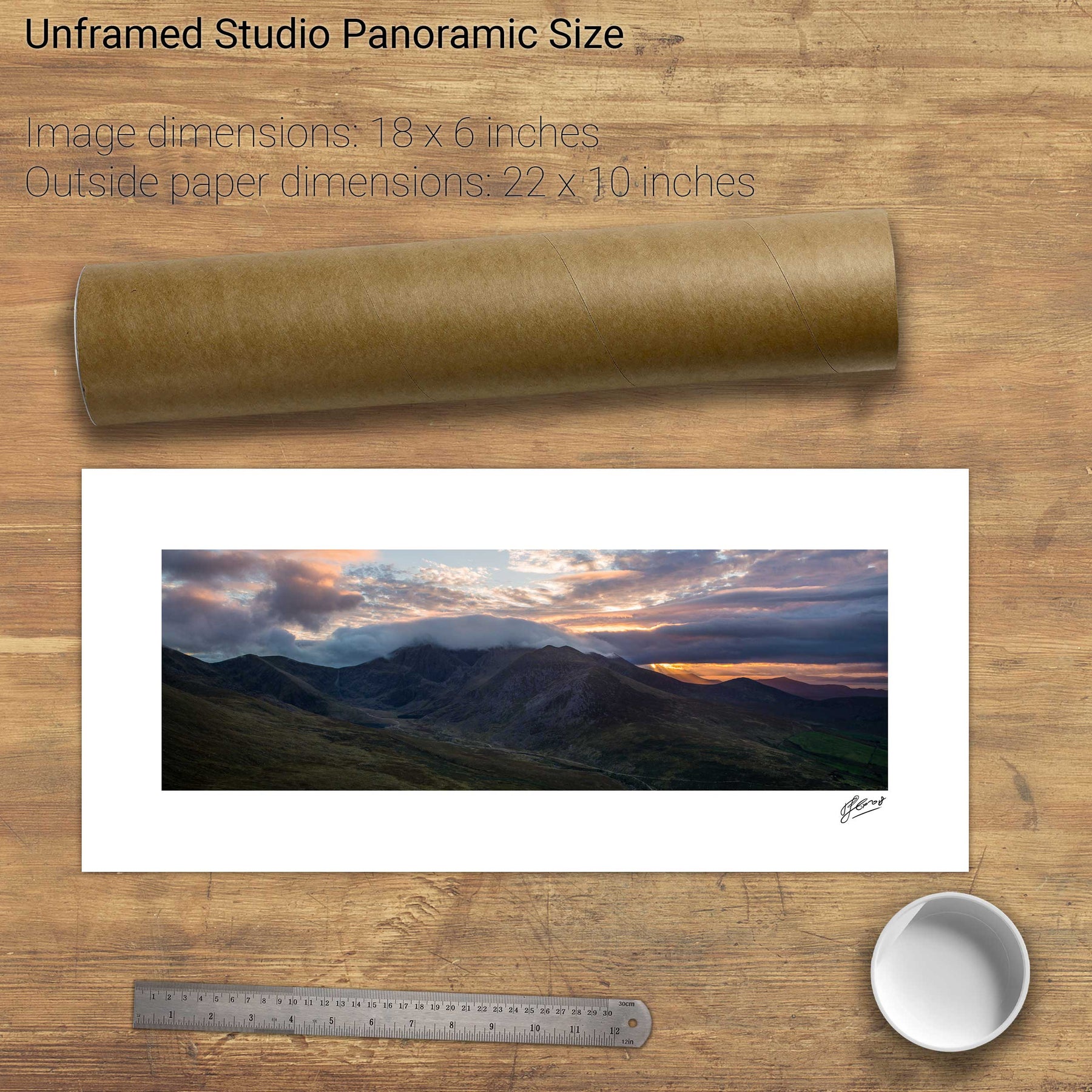
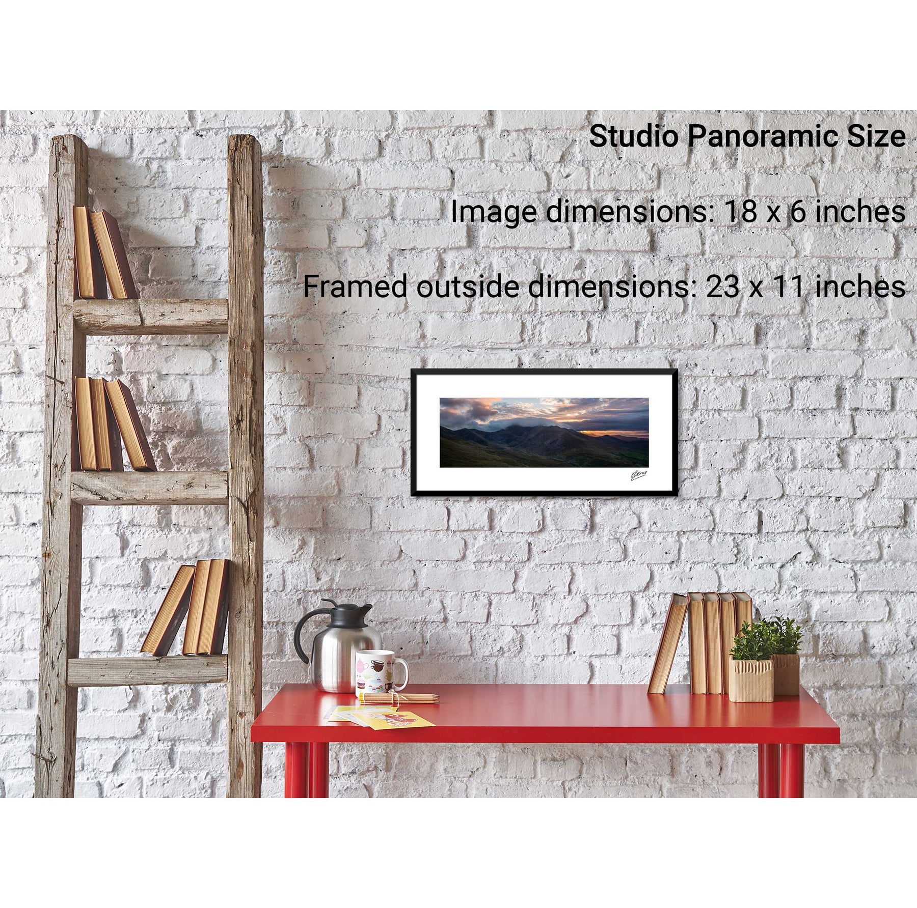
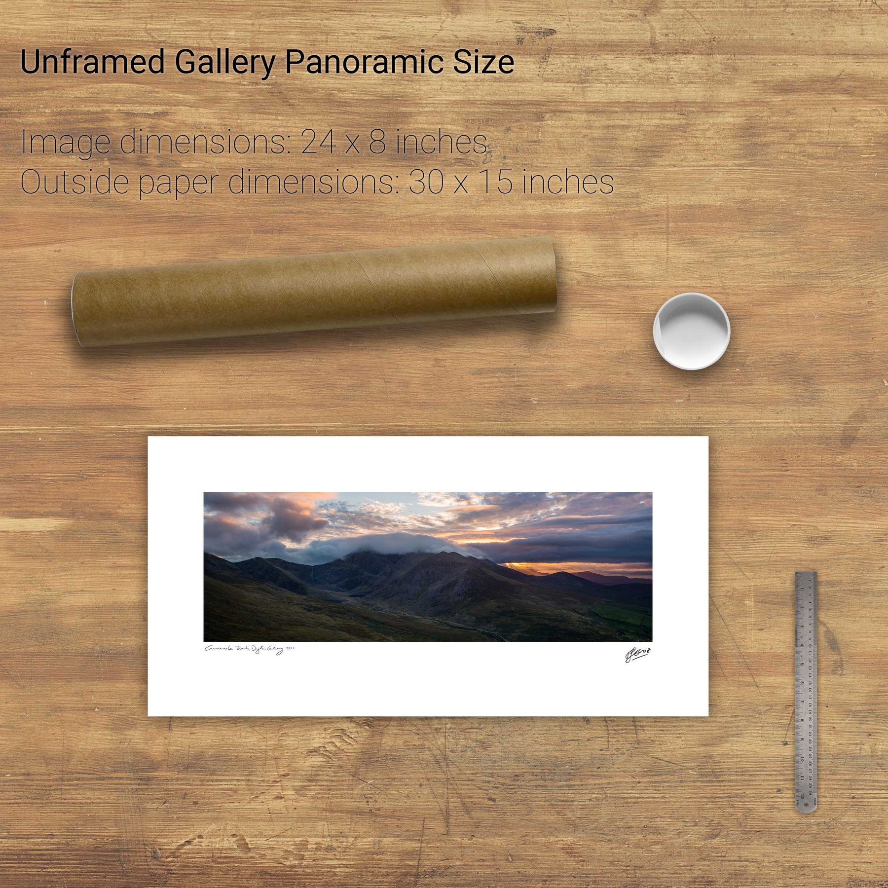
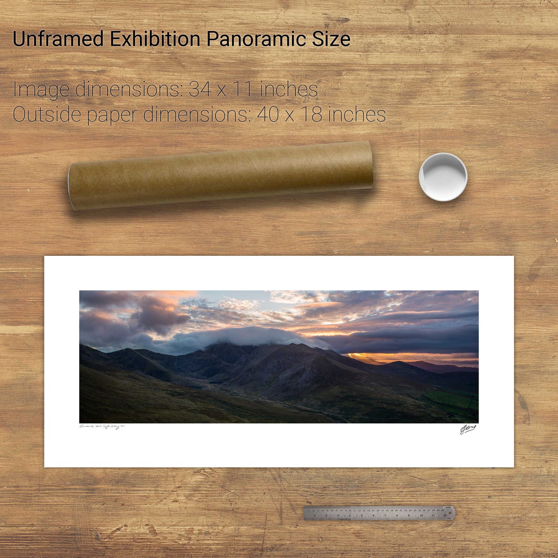
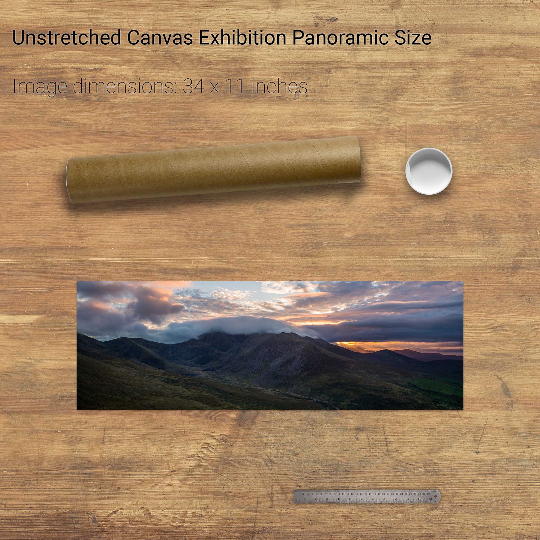
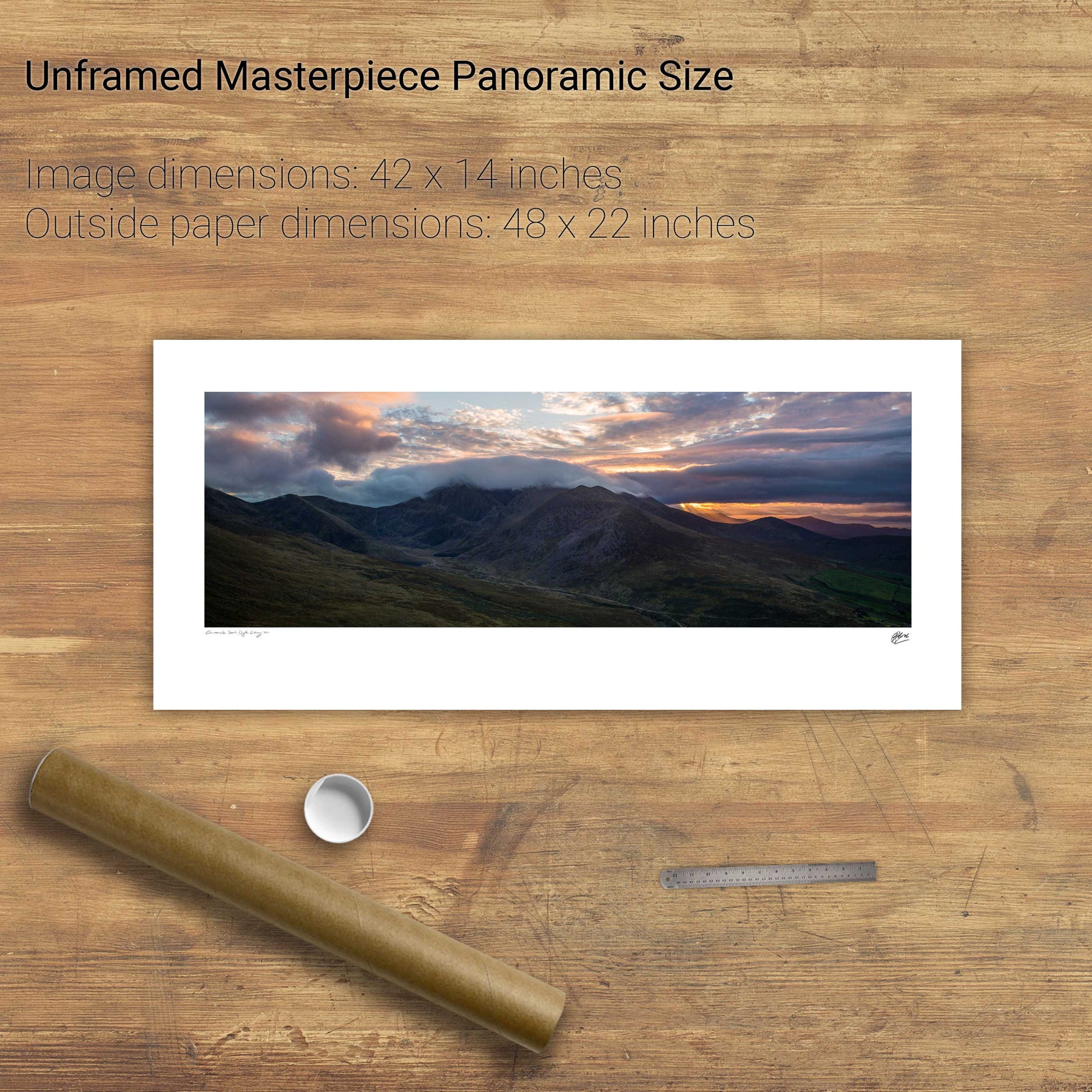
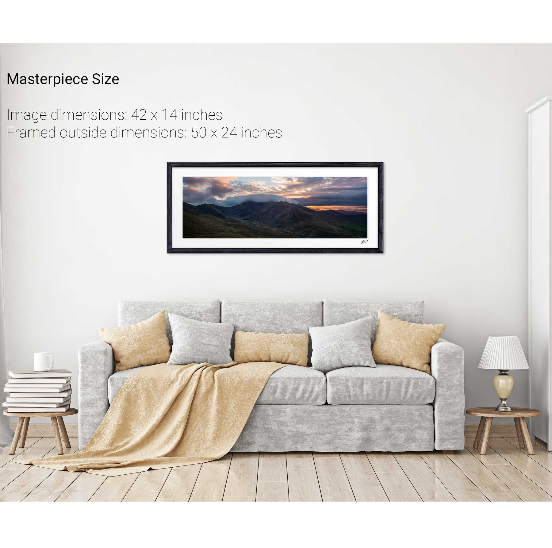
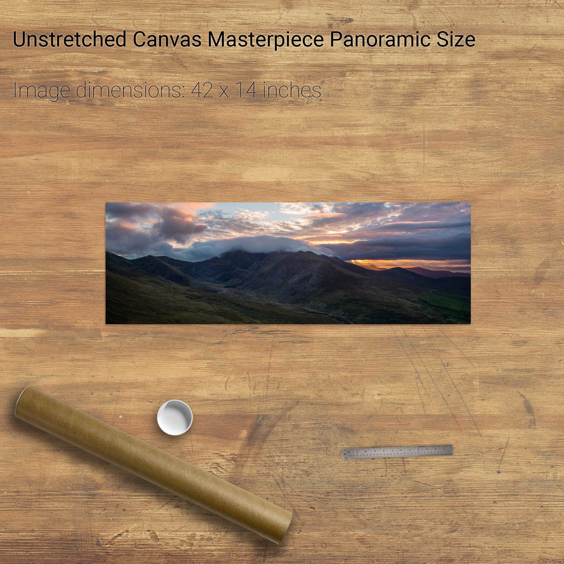
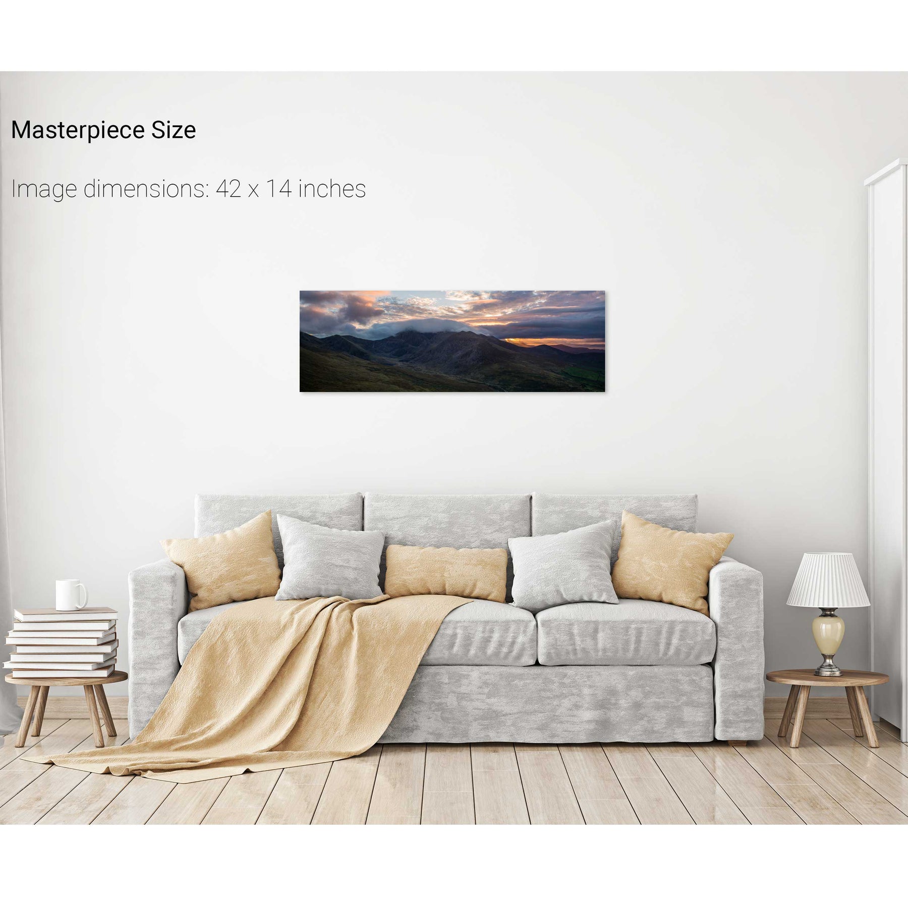
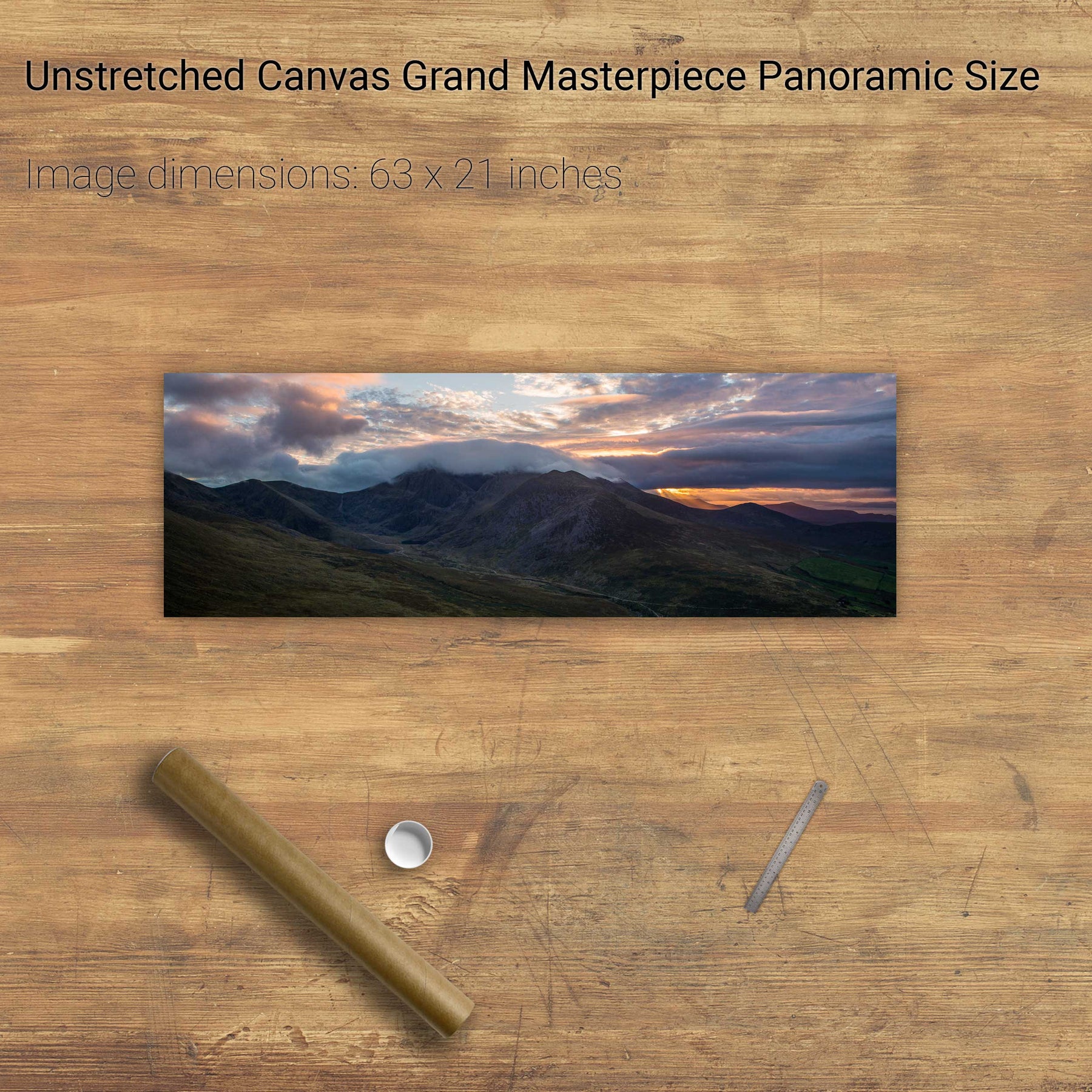
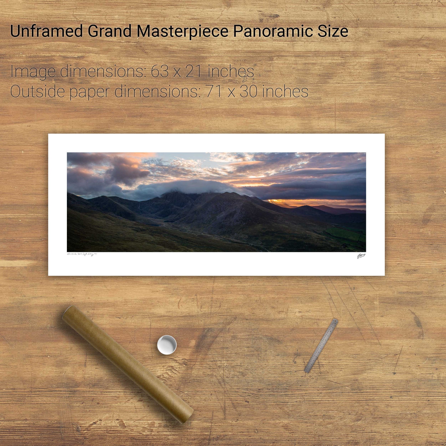
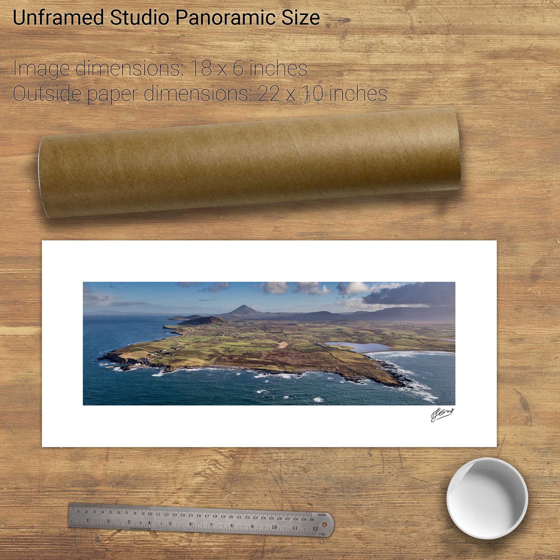
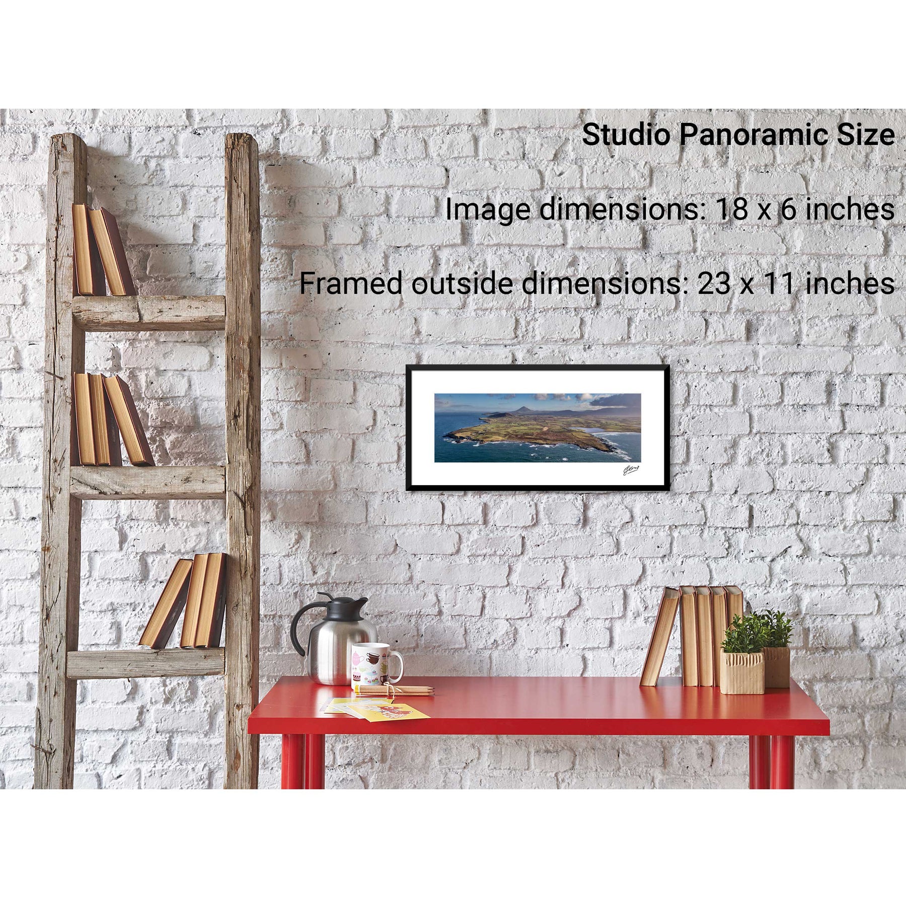
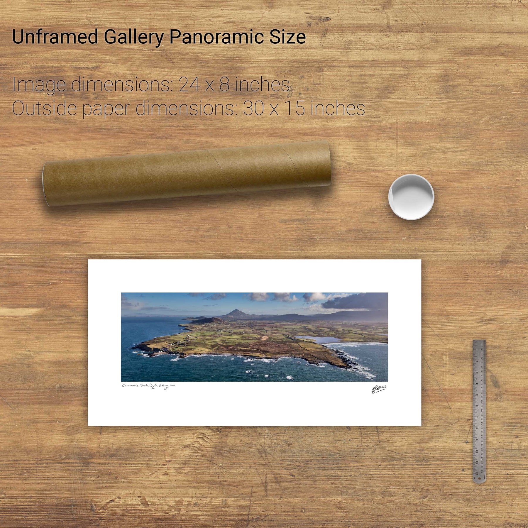
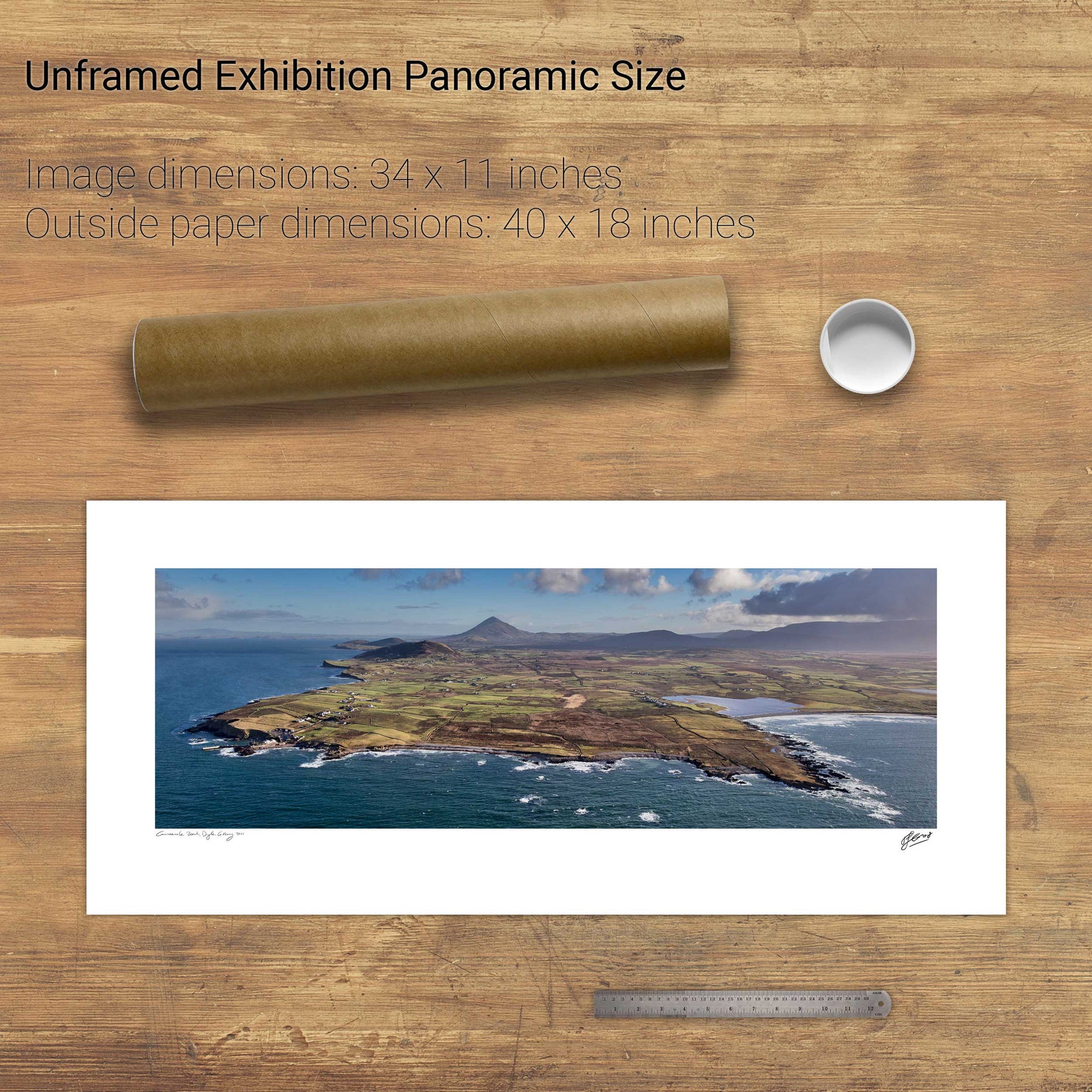
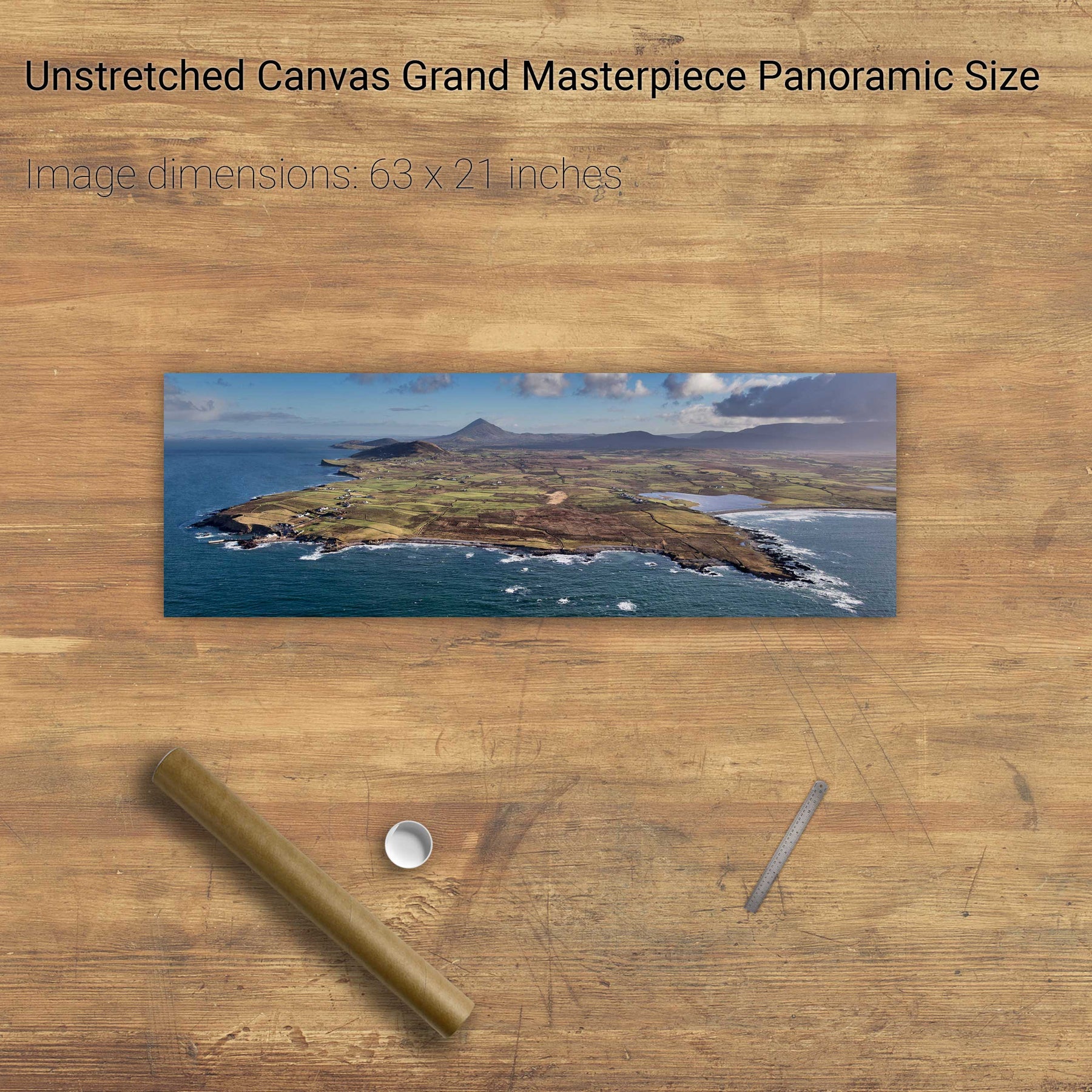
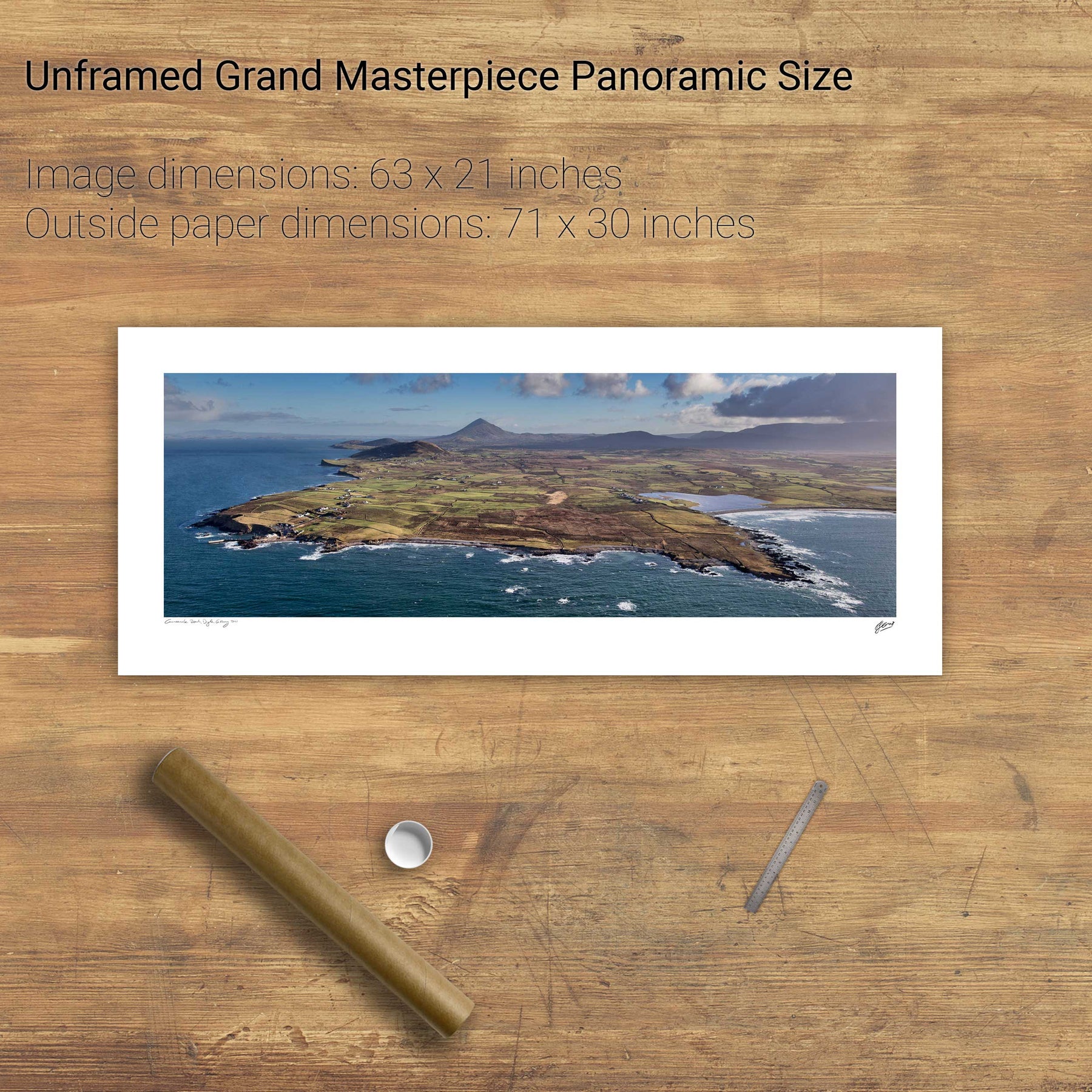
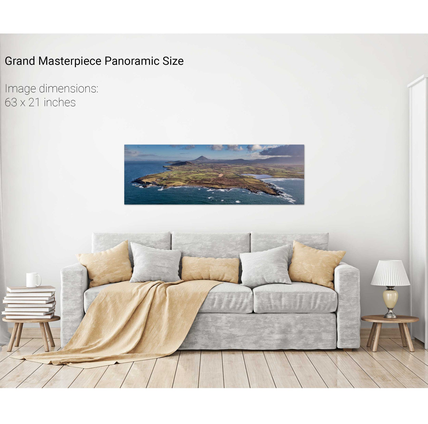
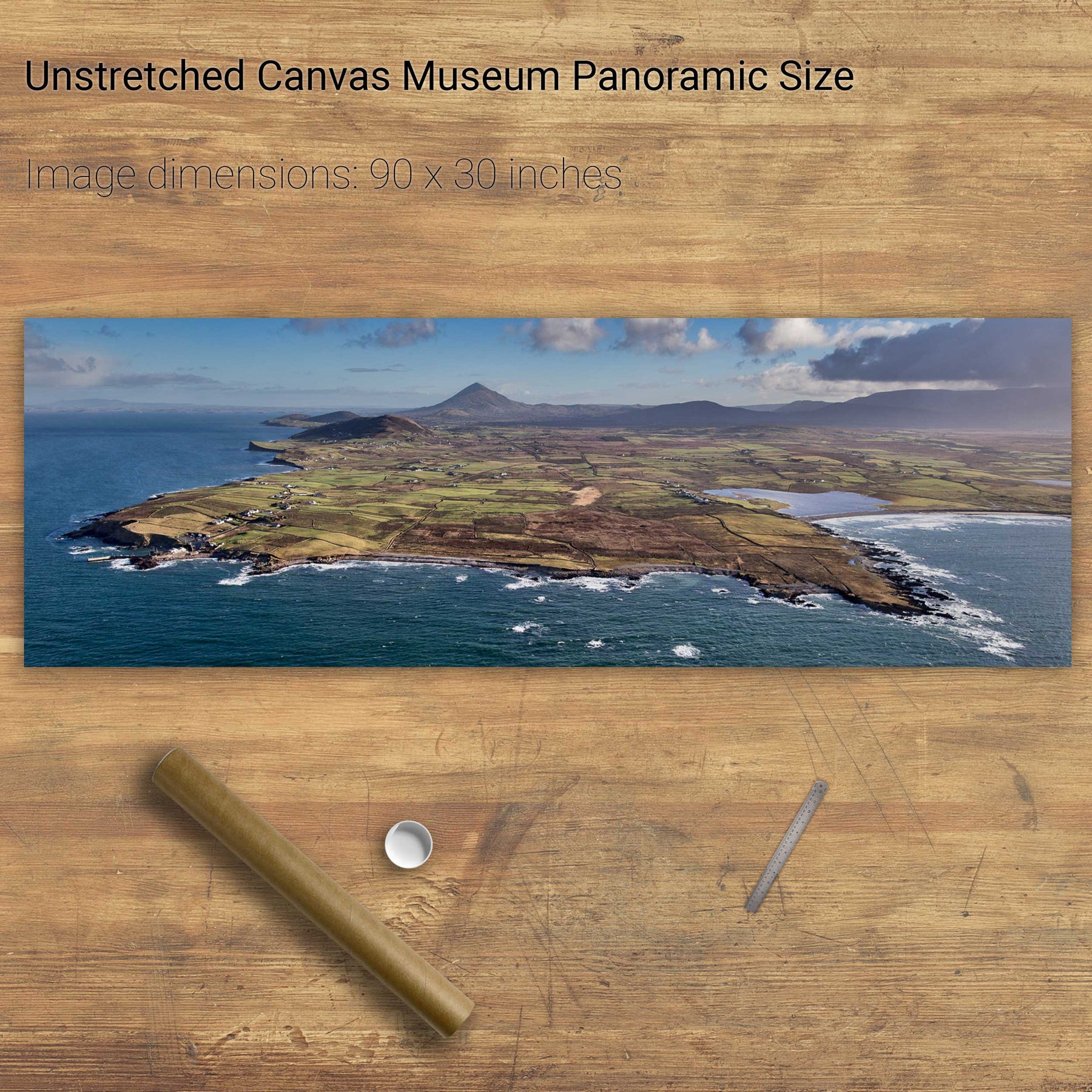
Coumeenole Beach Panoramic, Dingle, Co. Kerry
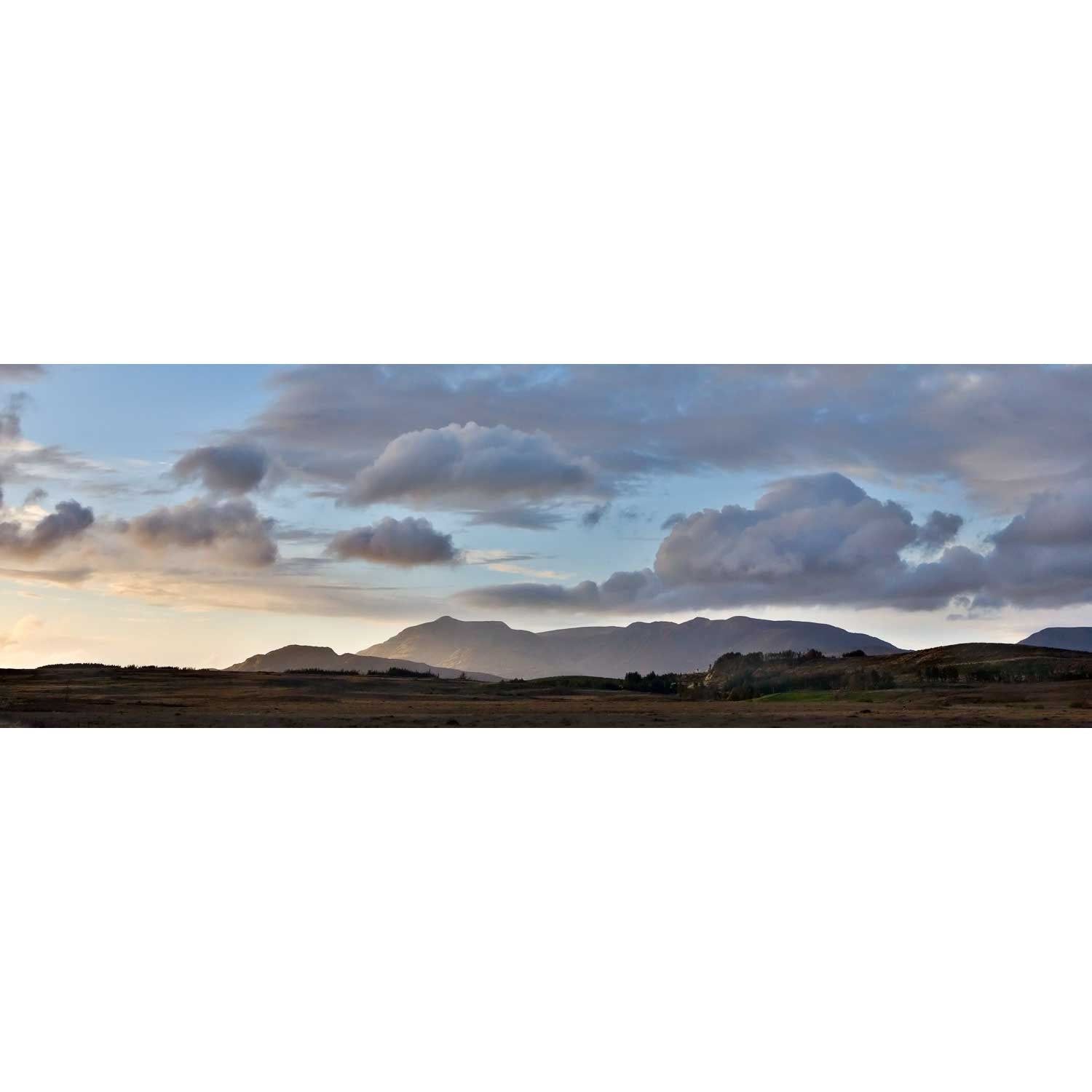
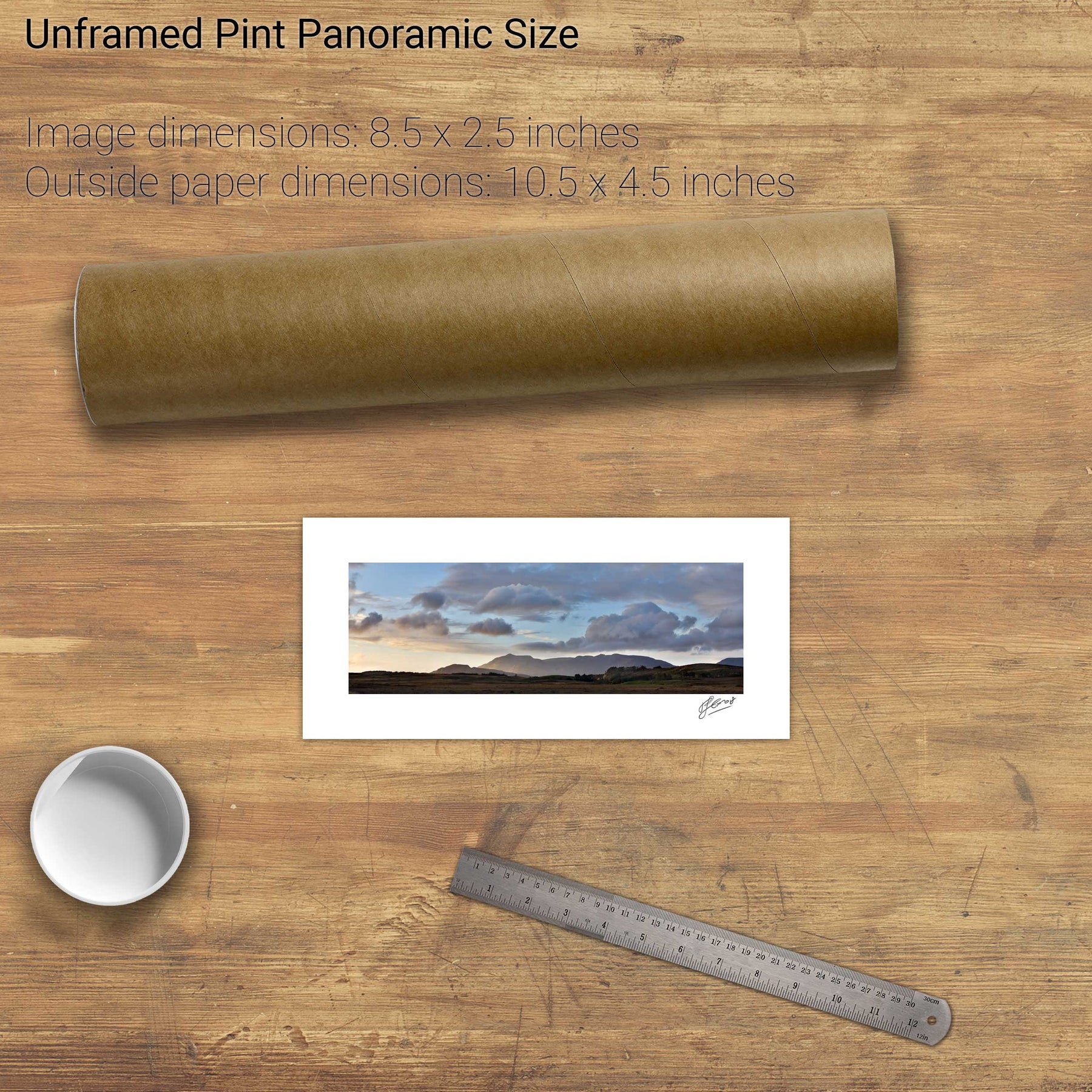
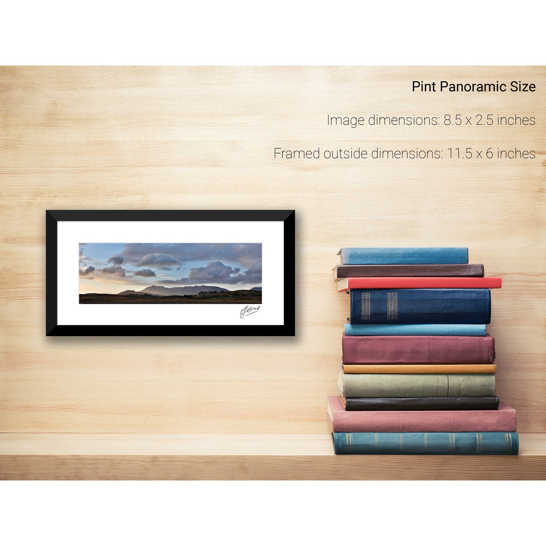
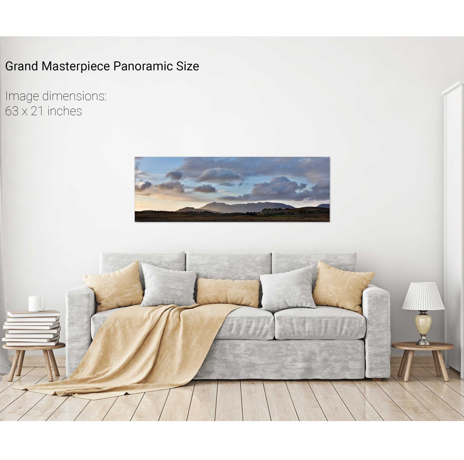
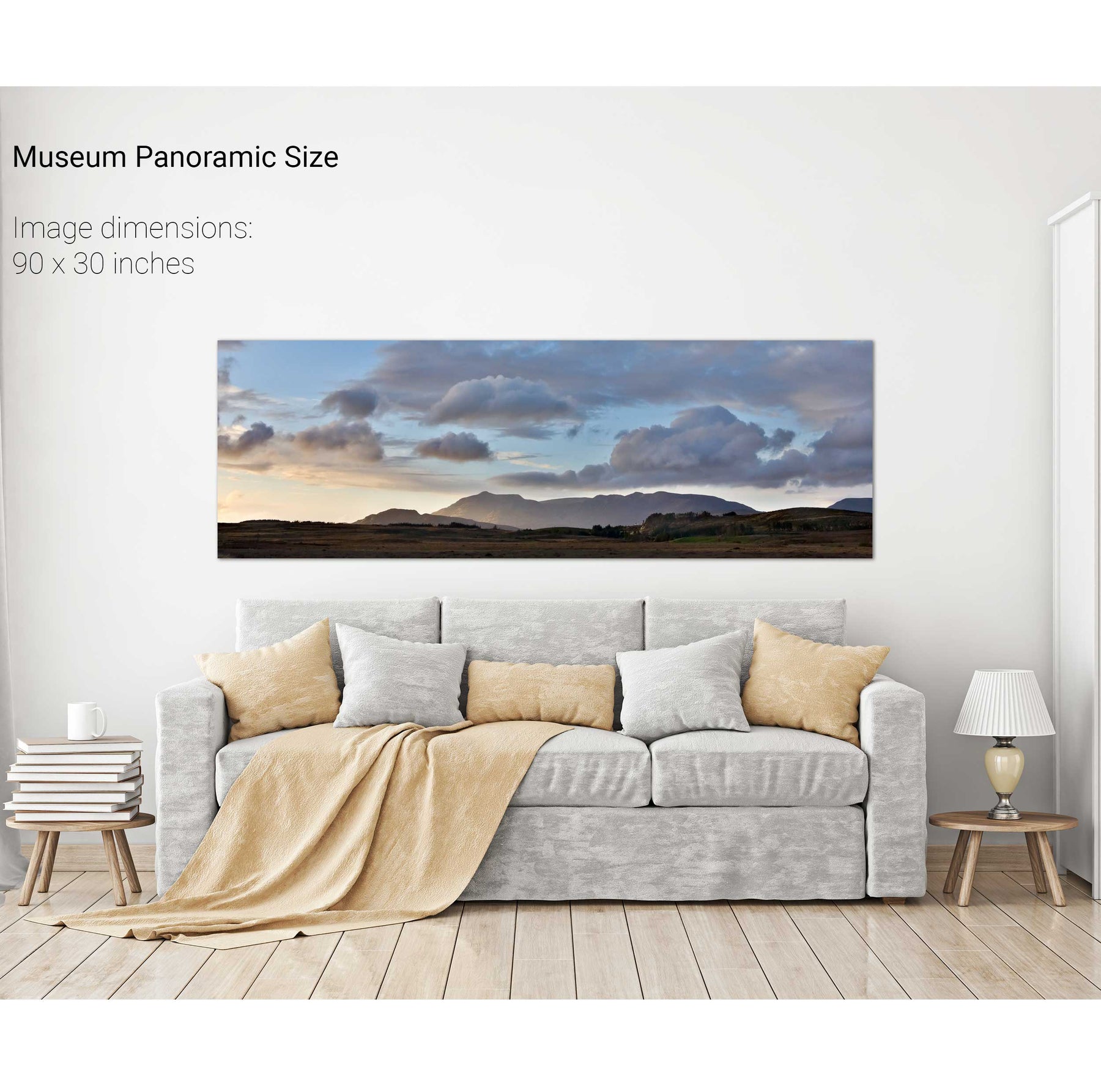
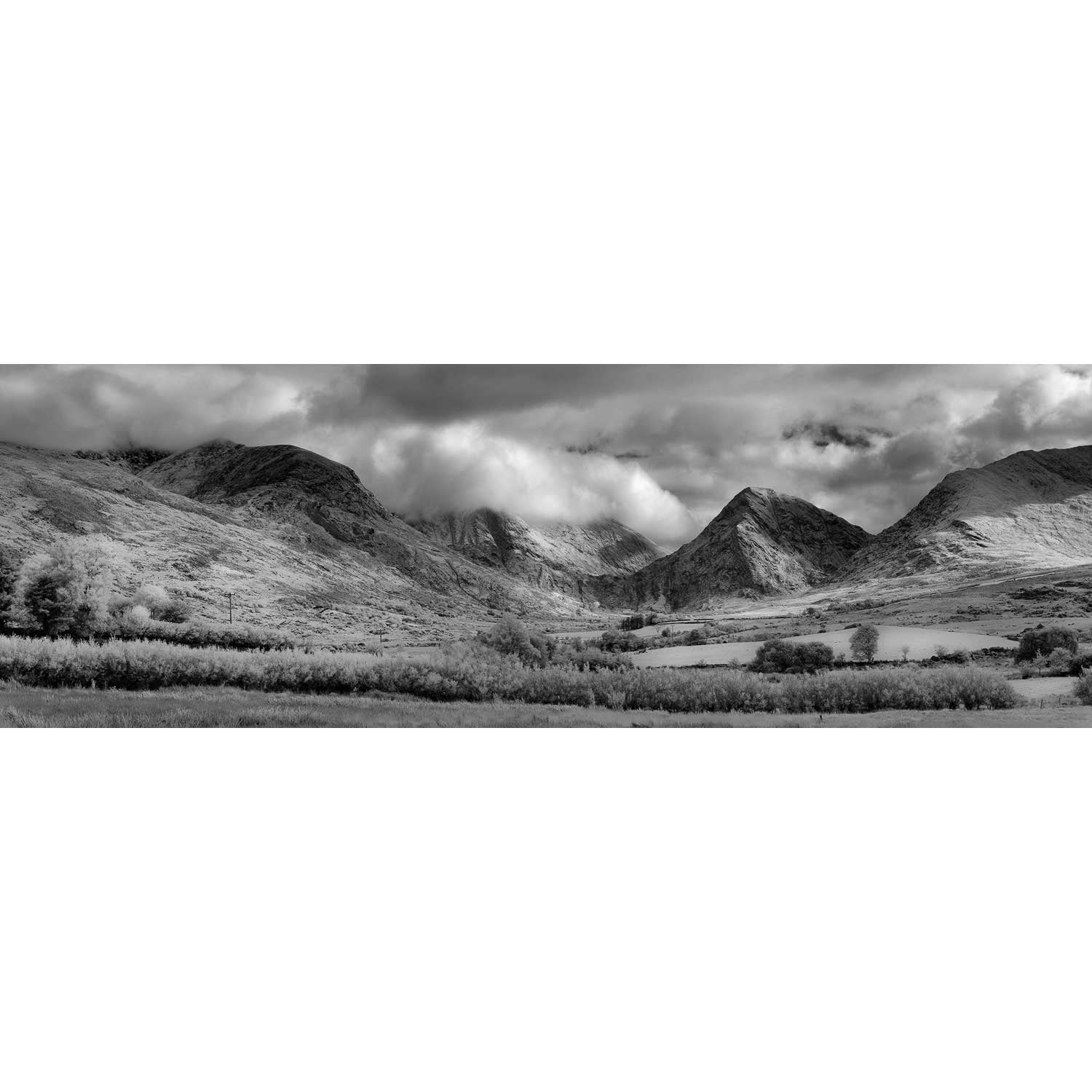
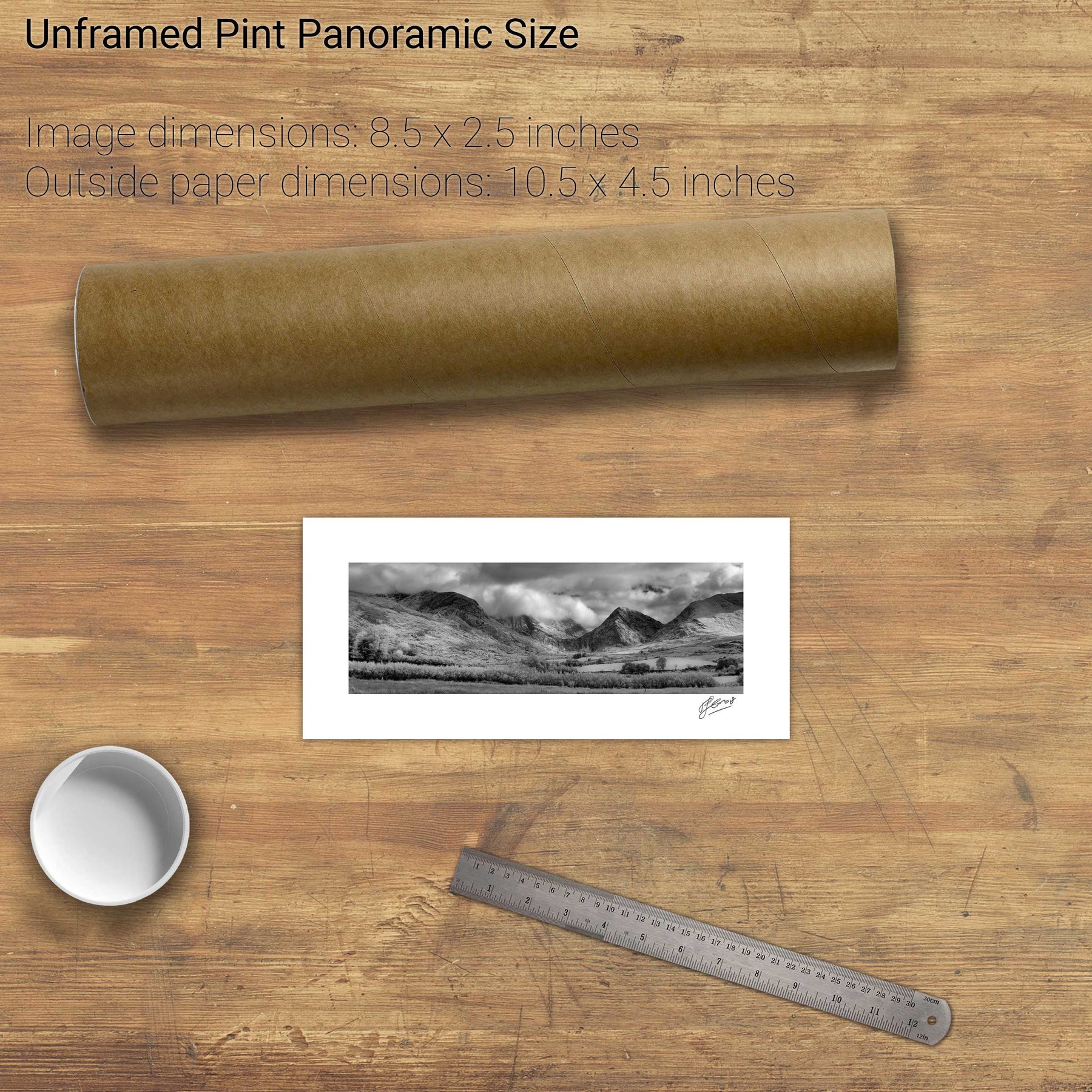
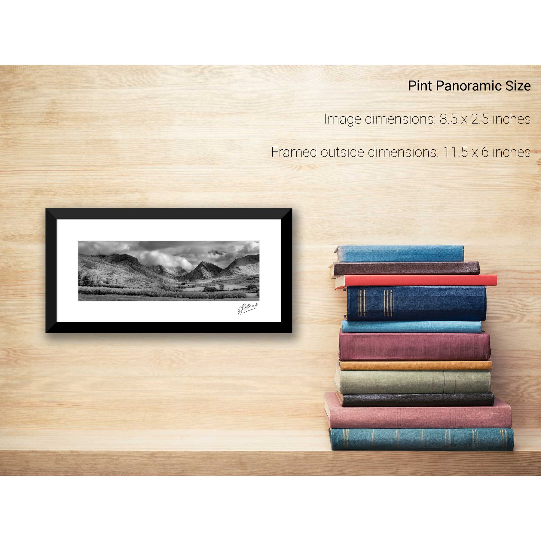
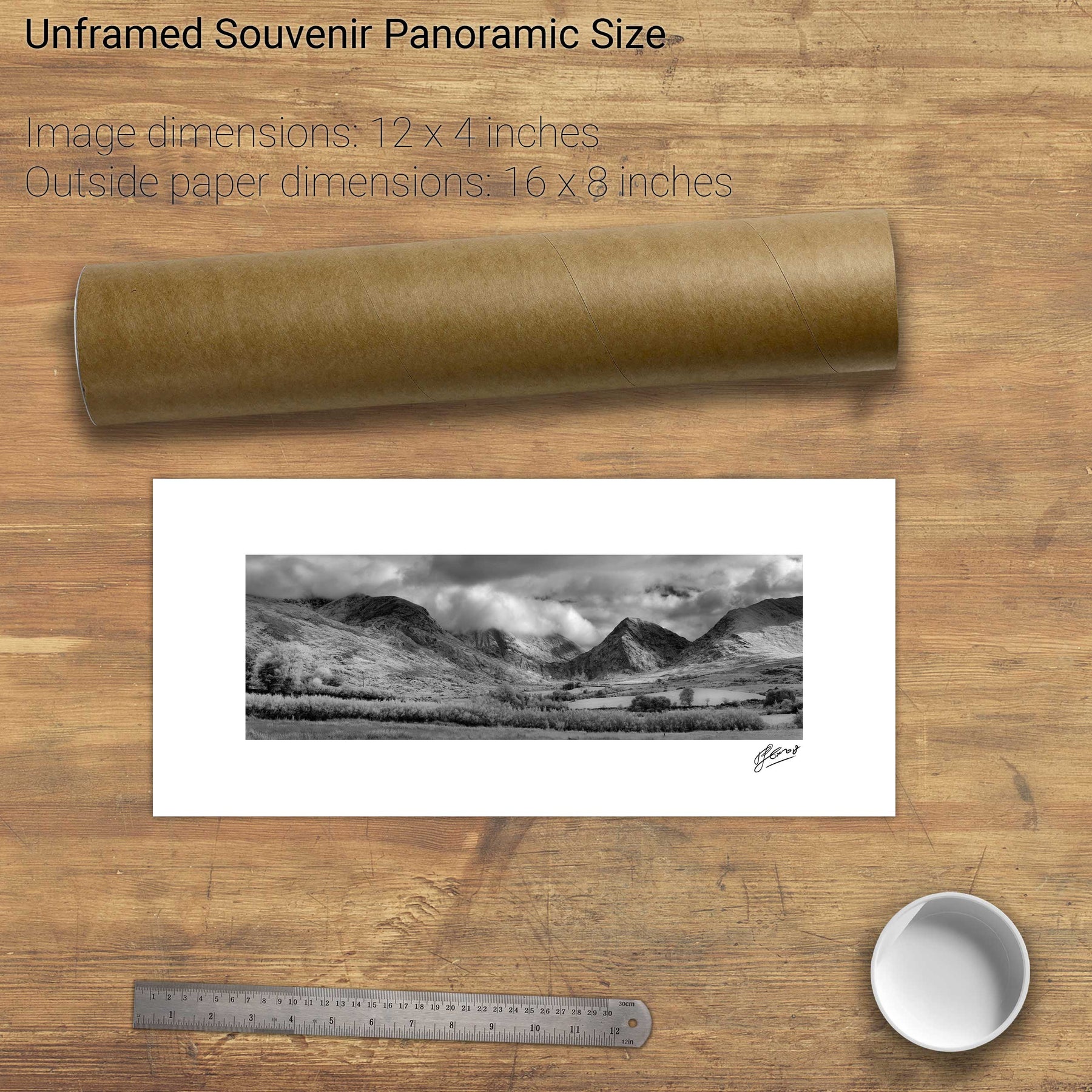
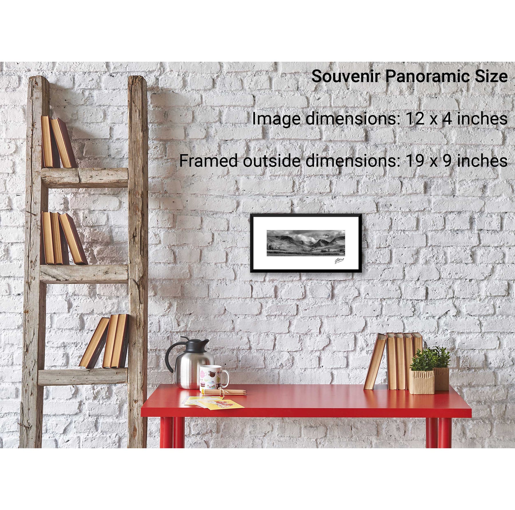
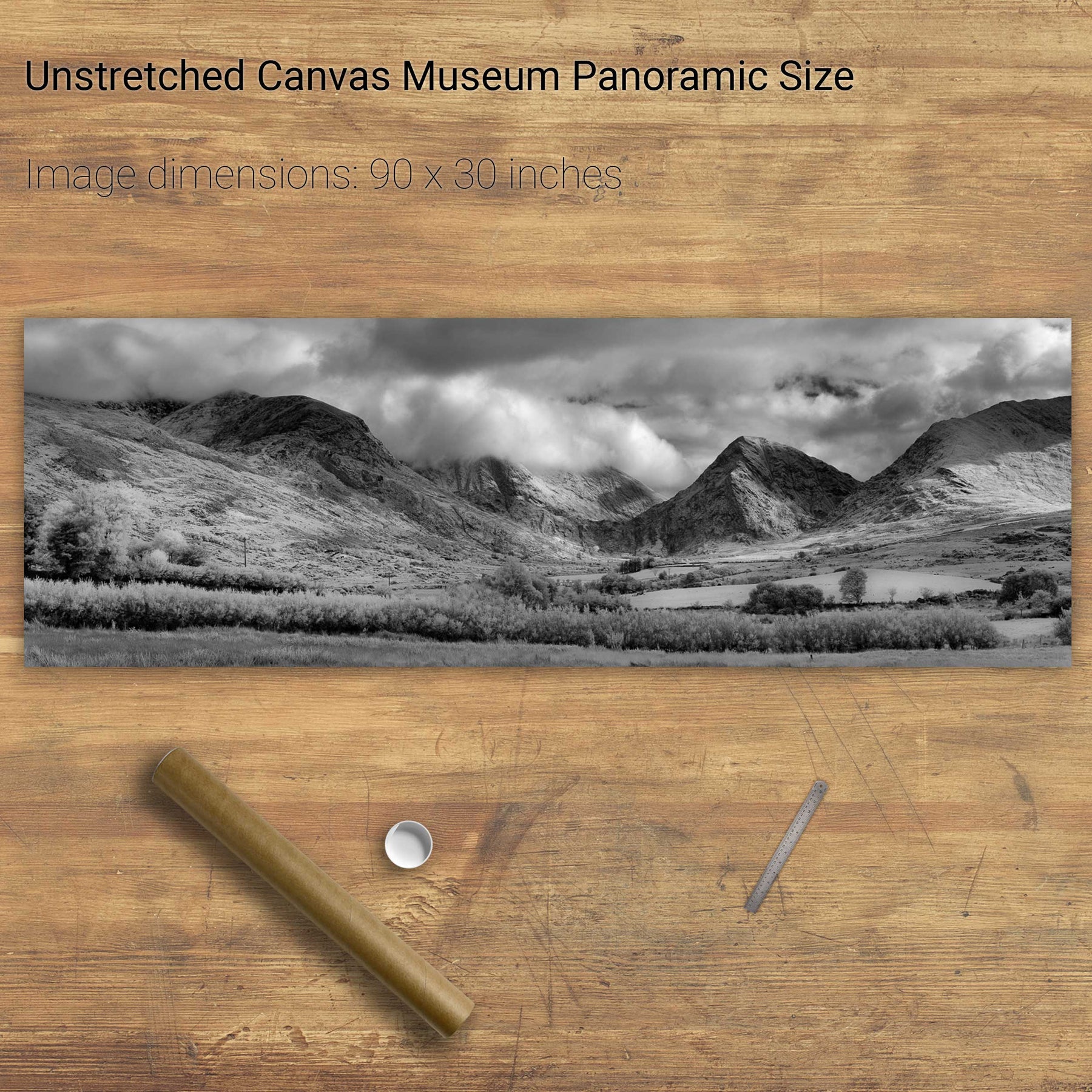
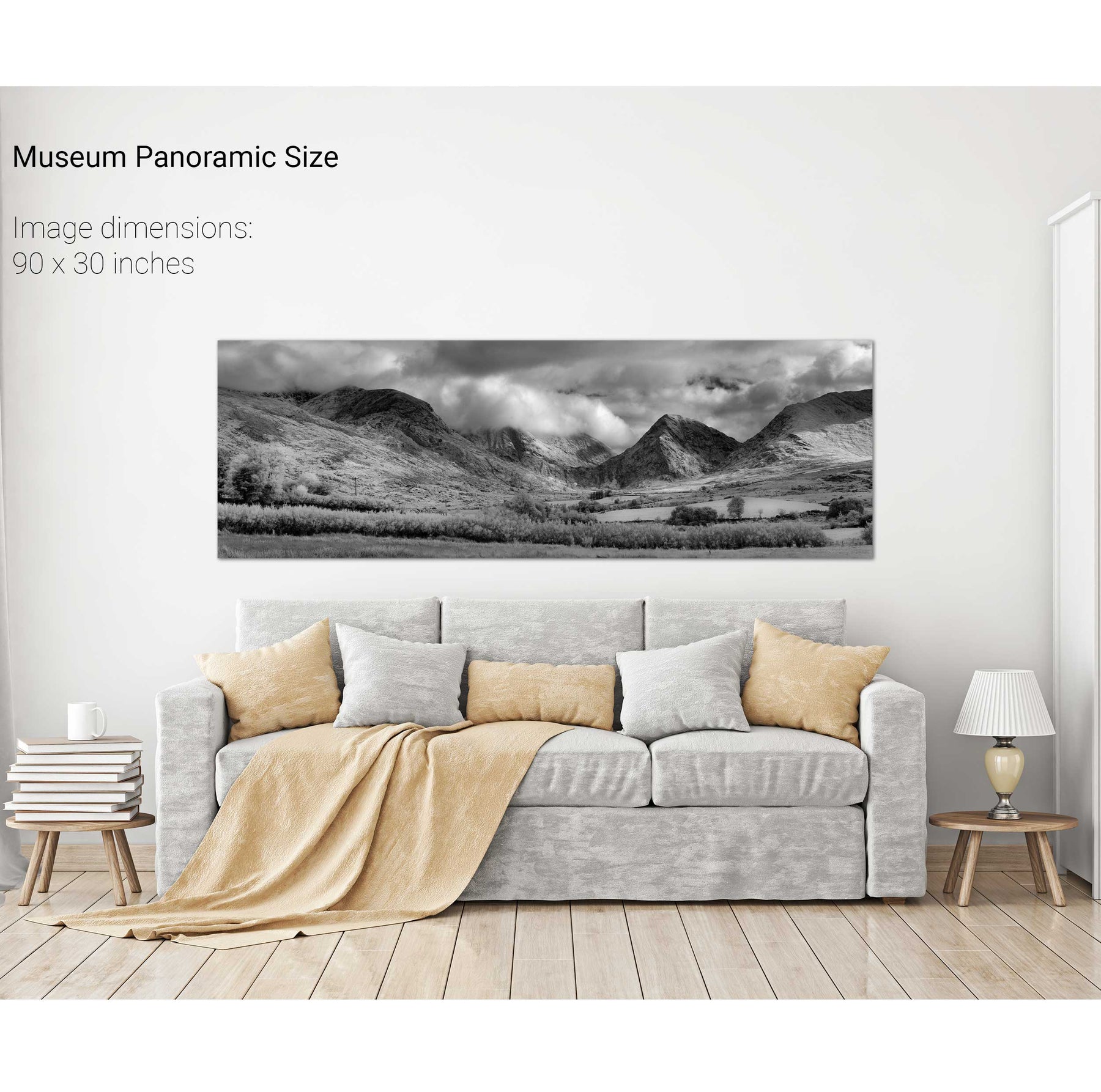
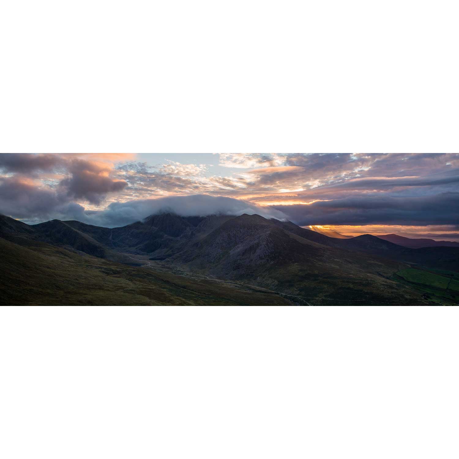
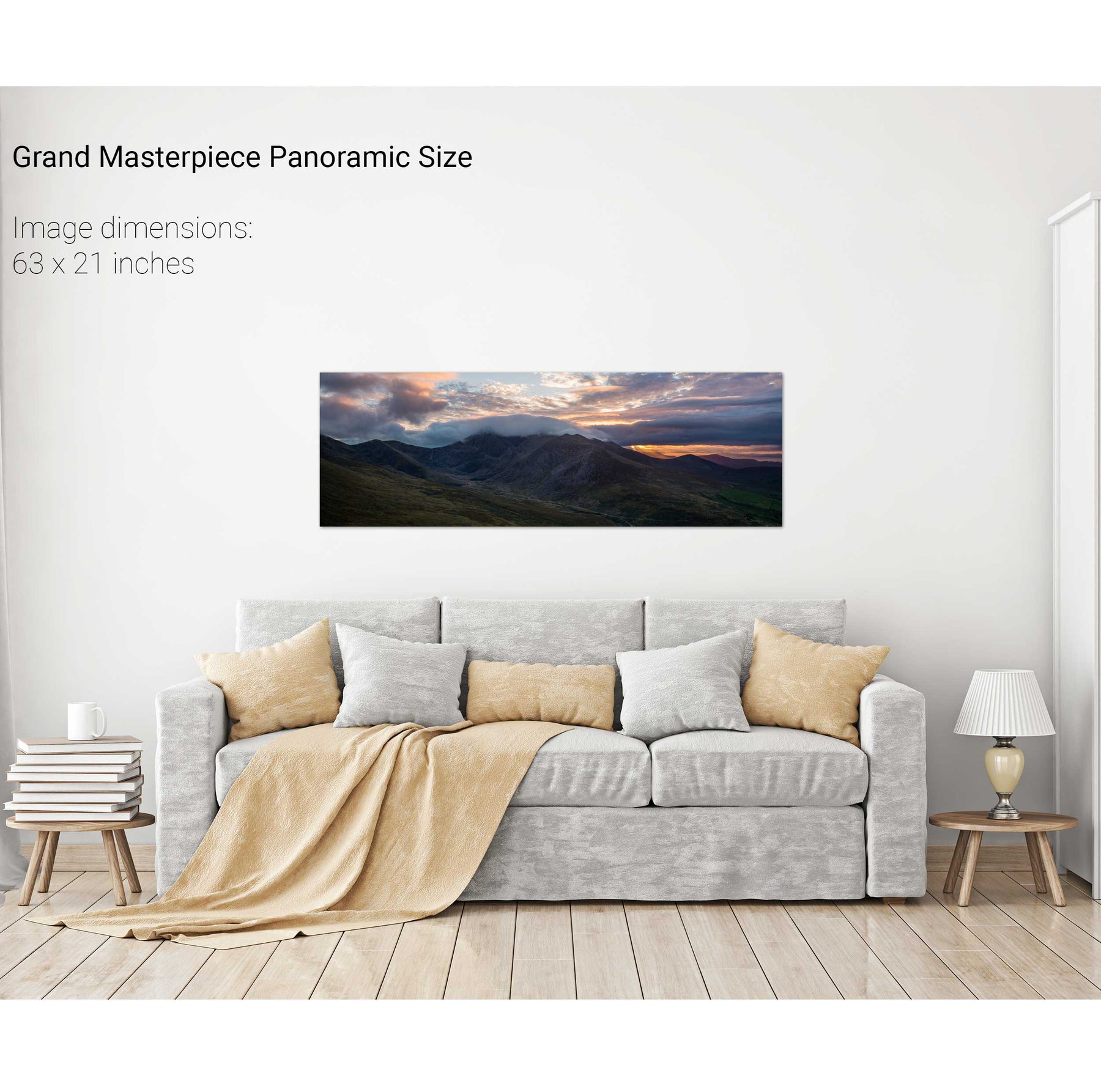
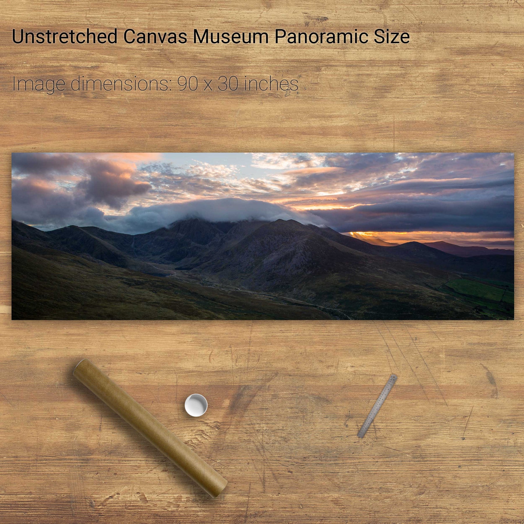
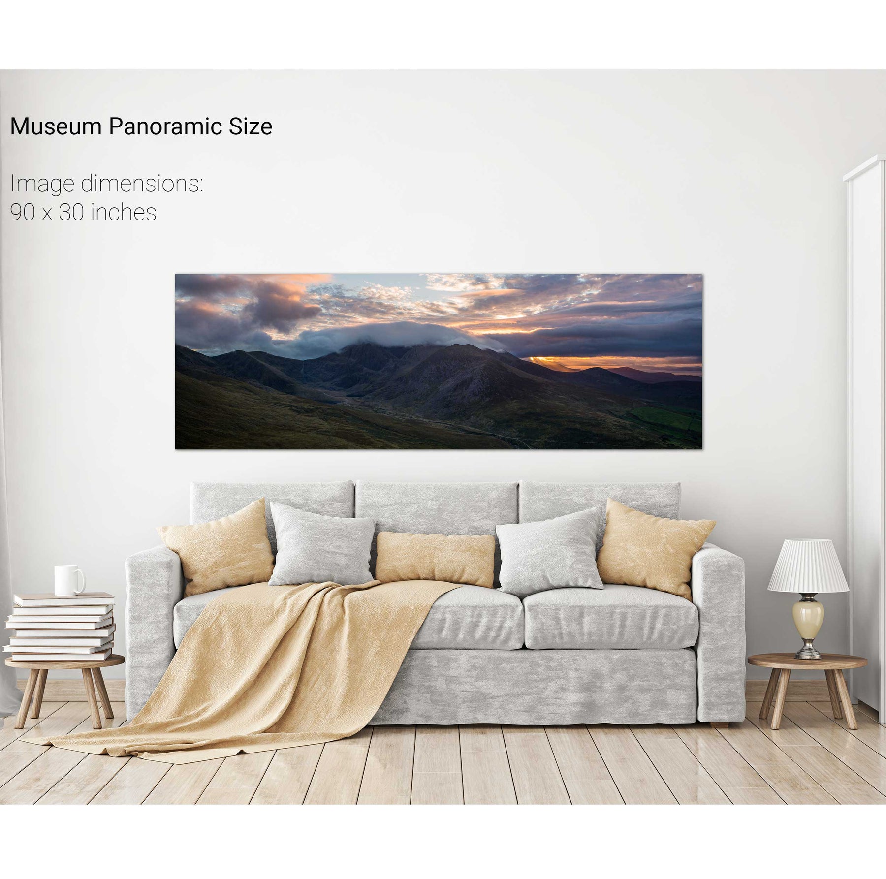
The Macgillycuddy's Reeks, Co. Kerry